


Coals to Newcastle Trail
Distance
88 Mi.
(142 KM)Days
2
% Unpaved
60%
% Singletrack
4%
% Rideable (time)
99%
Total Ascent
5,124'
(1,562 M)High Point
1,597'
(487 M)Difficulty (1-10)
5?
- 4Climbing Scale Fair58 FT/MI (11 M/KM)
- 5Technical Difficulty Moderate
- 5Physical Demand Moderate
- 5Resupply & Logistics Moderate
Contributed By

Tobias Hansen
Guest Contributor
Tobias started cycle touring as a teenager, occasionally annoying his companions with his hiking-path-like route choices. Originally from Germany, he moved several times all across Europe for his job as a physicist. He came up with this route while exploring the local railway paths and bridleways around his current home in Durham.
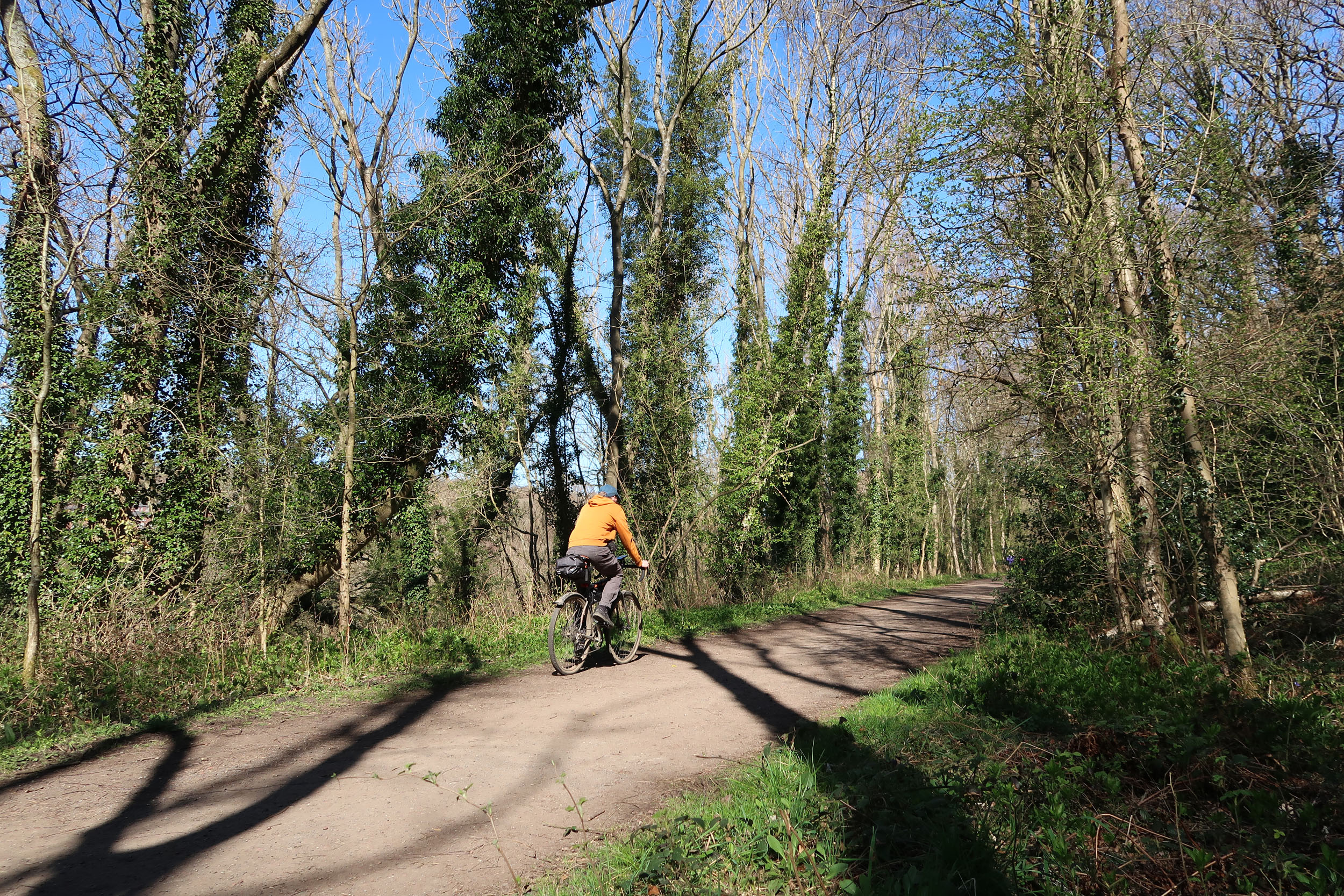
From Durham train station, it is just a few minutes to Durham’s historic city centre. How could we let you miss the impressive view of Durham Cathedral? Next, the route heads straight for Lanchester Valley Railway Path, which offers idyllic countryside views and passes the old pit villages Bearpark and Langley Park.
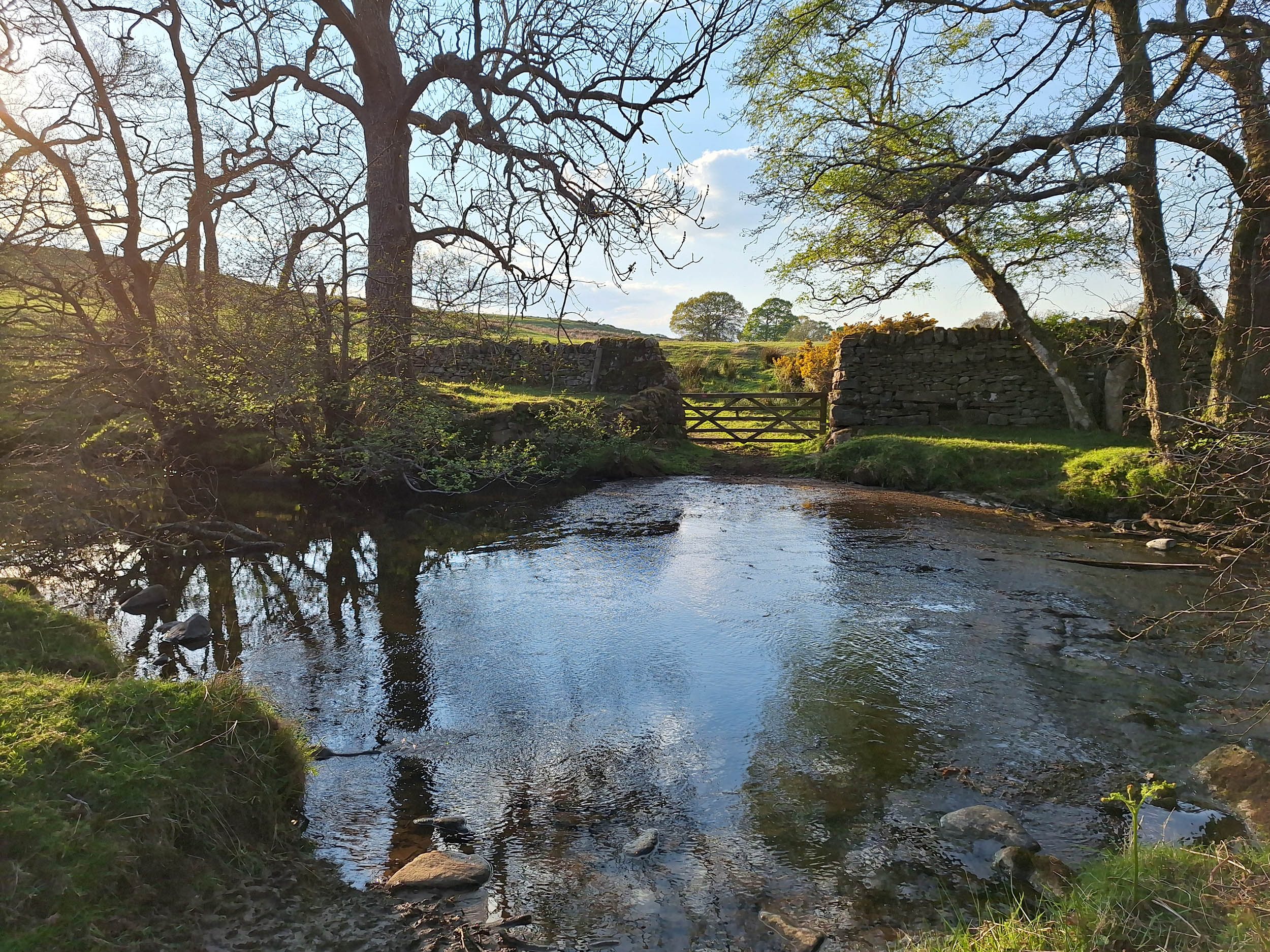
Near Consett, the route turns left and enters the North Pennines. The change in landscape is immediately obvious. Day one ends with a fun doubletrack descent on the Lead Mining Trail. It is recommended to spend the night in Edmundbyers – either in the hostel or on the campsite.
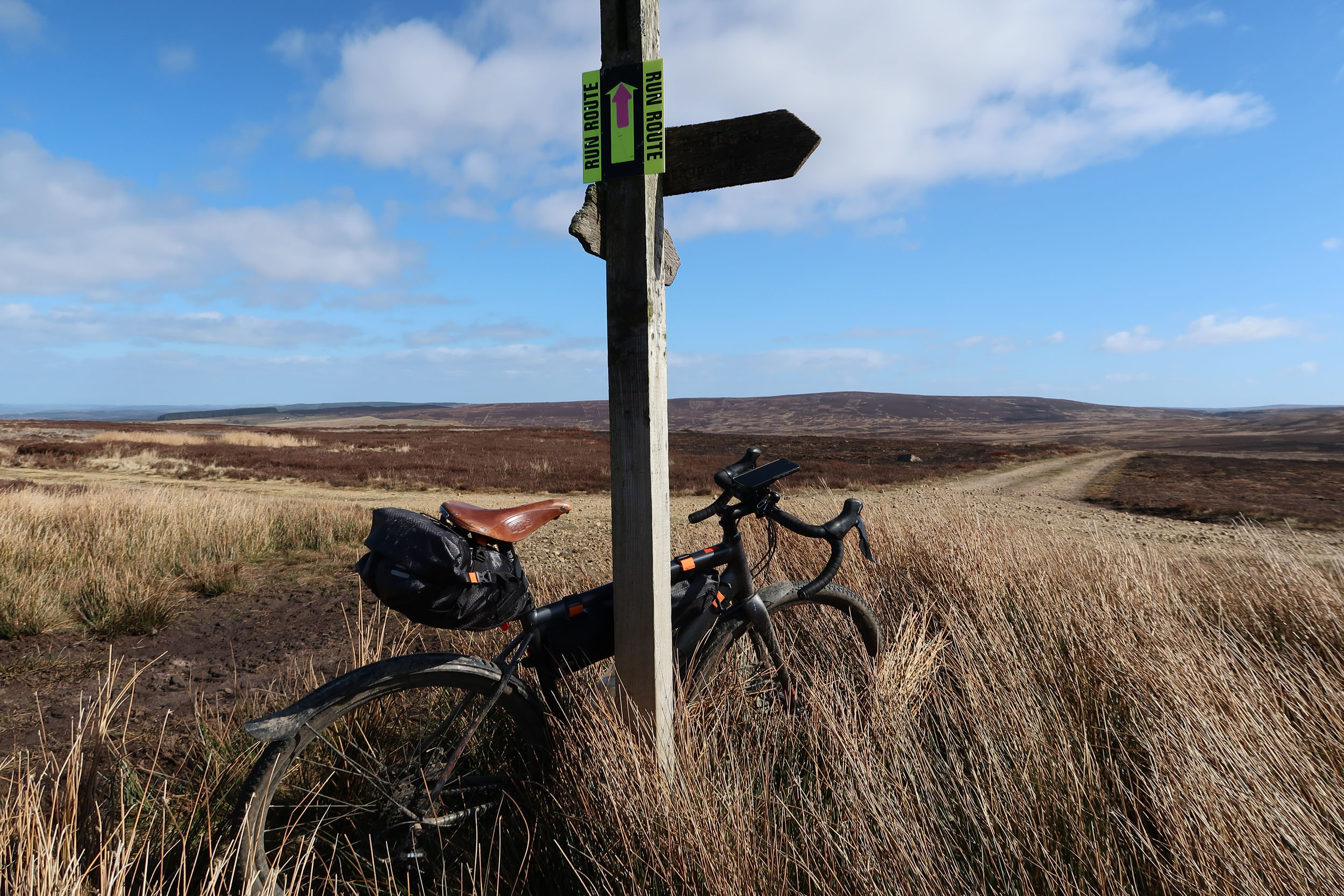
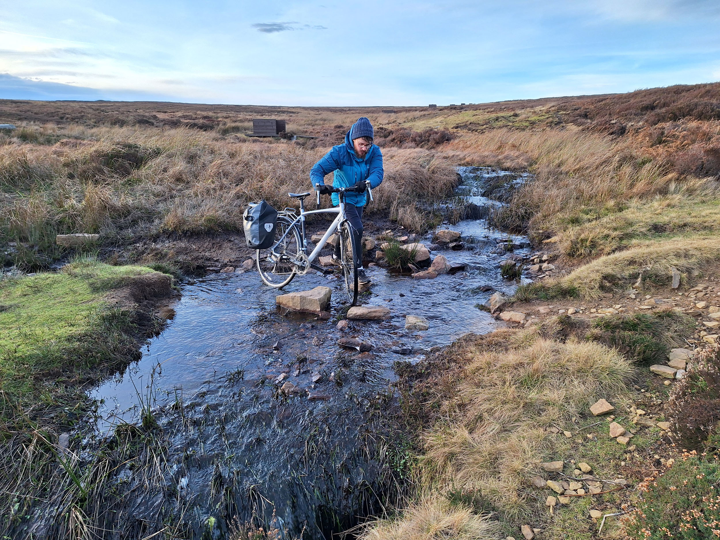
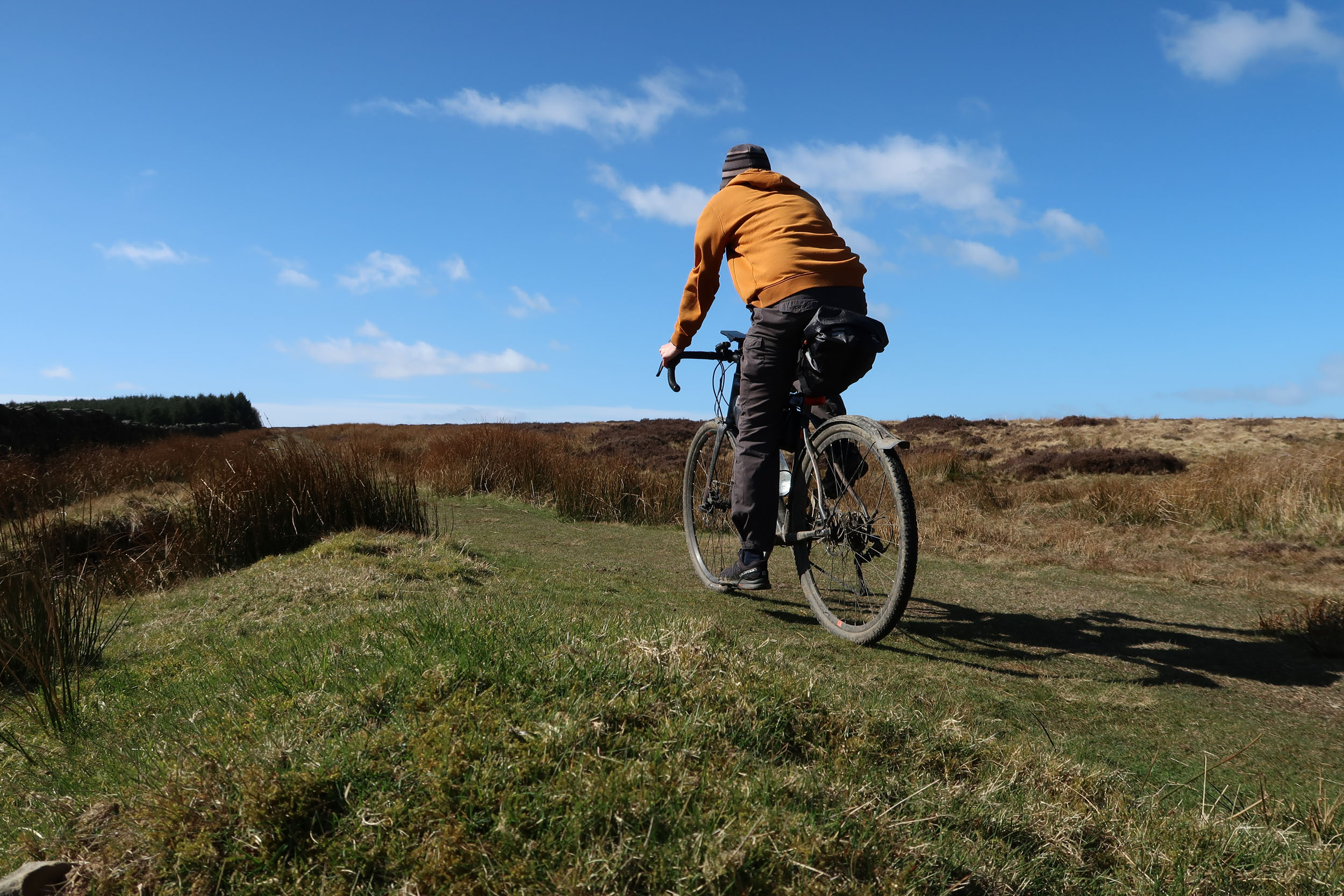
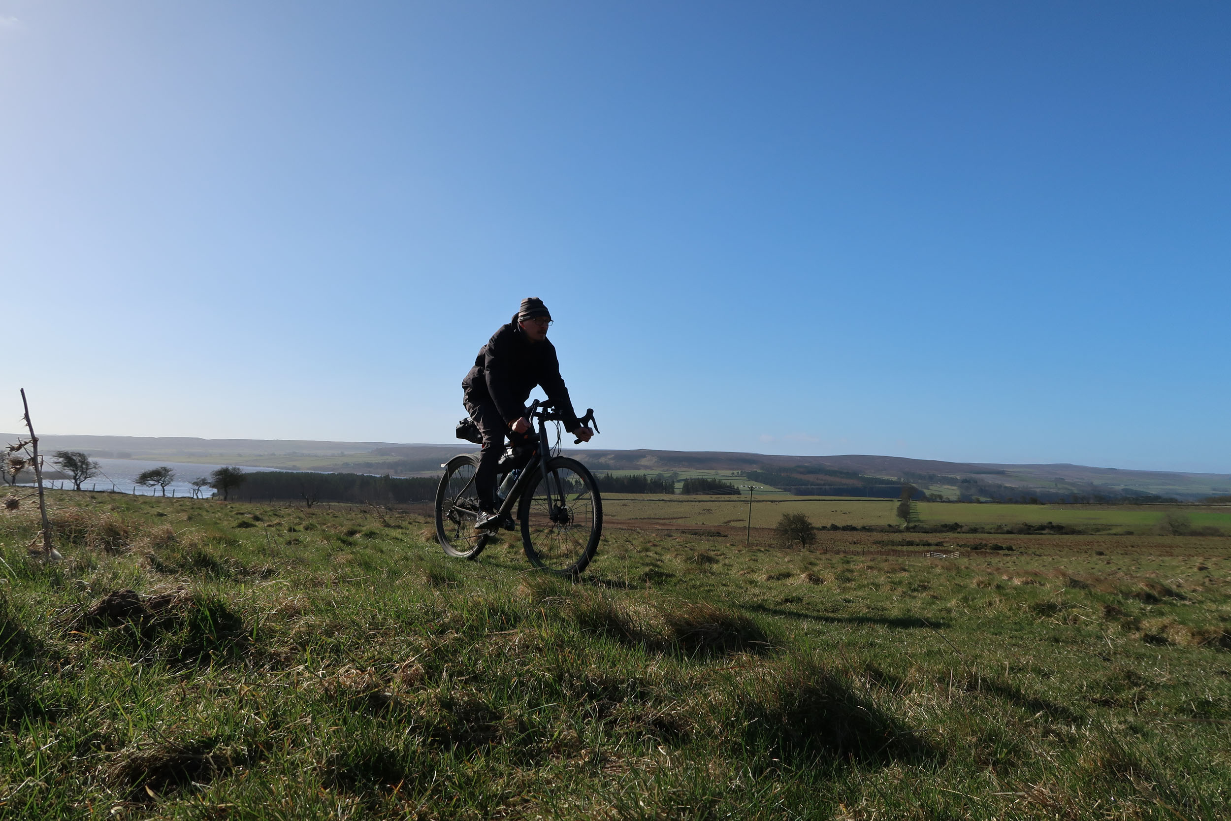
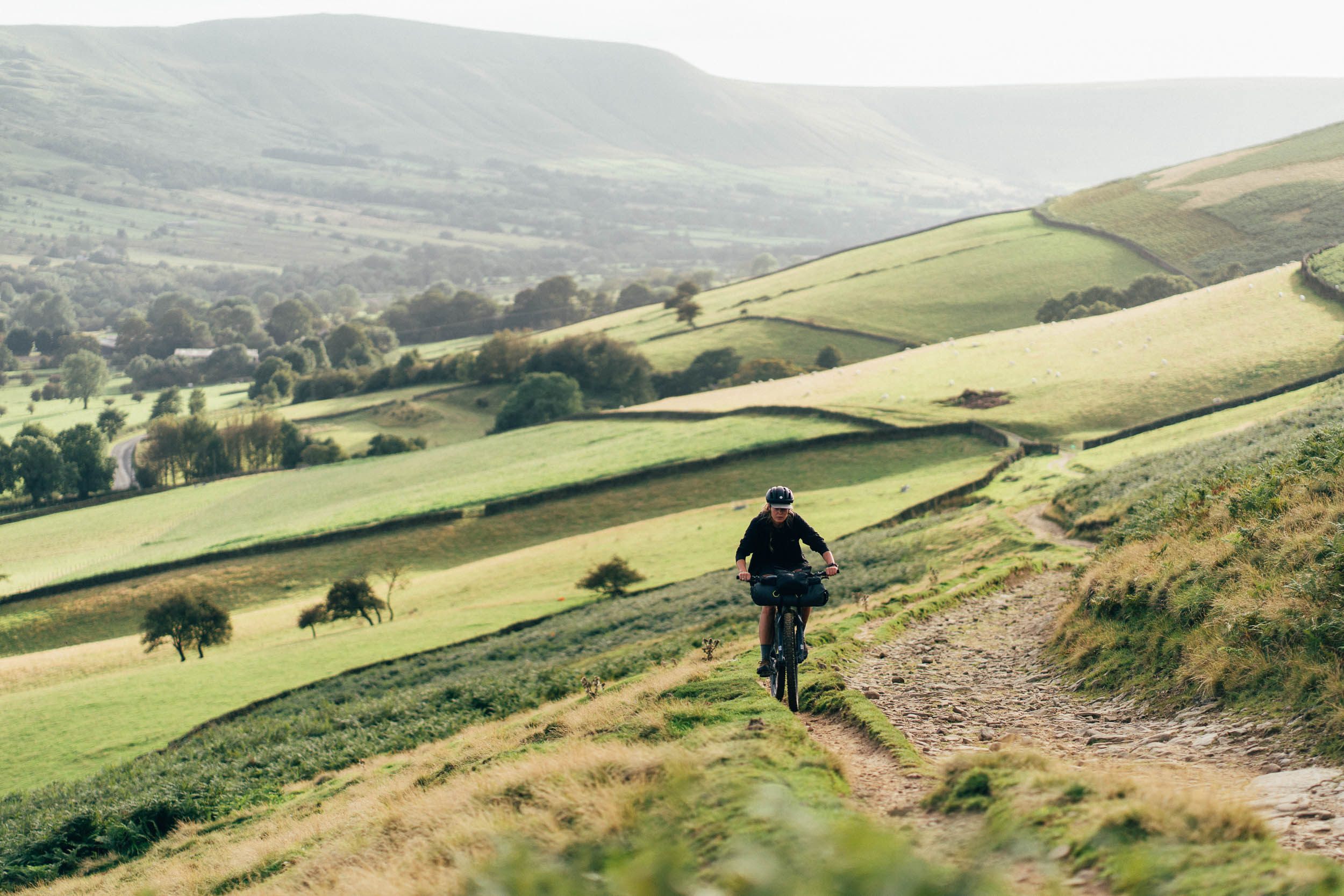
Prepare yourself for a big day two – this will be a good one! After Blanchland, the most remote moorland section of the route begins. The landscape alternates between heather-covered hills and pastureland, and the route offers everything from singletrack to awesome gravel tracks.


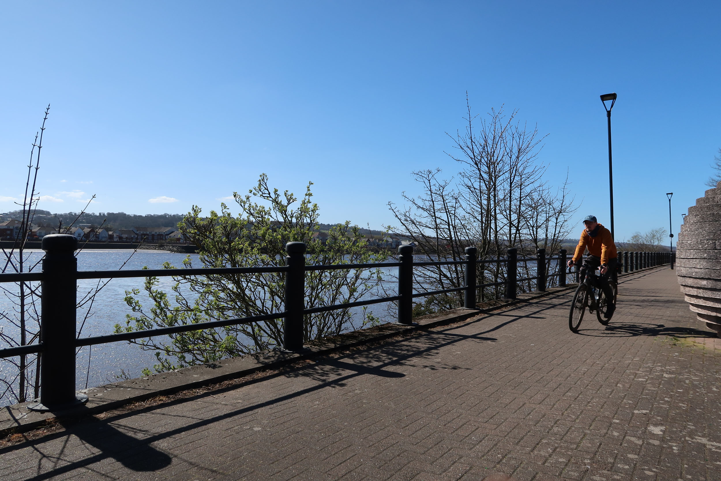
Before leaving the North Pennines, the route comes by Derwent Reservoir and connects back to the railway paths on quiet roads. If you are tired by now, take comfort in knowing that the remaining 30 kilometres are downhill and a breeze. In Newcastle, you can spot Dunston Staiths on the other bank of the River Tyne. Said to be the largest wooden structure in Europe, it was used for loading coal from trains onto ships.
Route Difficulty
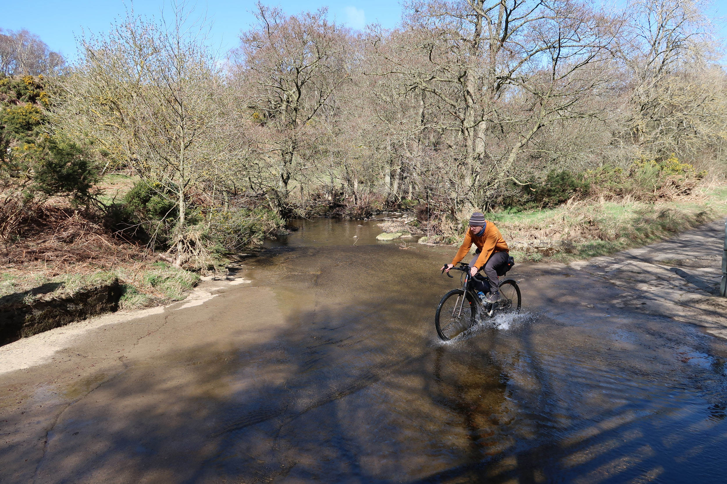
Most of the route is technically easy. There are a few bumpier and steeper gravel sections in the Pennines, such as the Lead Miners Trail towards Edmundbyers and some of the gravel tracks west of Blanchland. There is also some climbing to do. When splitting the route in Edmundbyers, the second day is definitely tougher, but the last 30 kilometres to the finish are easy and flowy. Access to the route via train or car is easy. However, resupply options are somewhat limited, so plan ahead!
Route Development: Tobias had the idea for this route after realizing how much he loved the railway path from Durham to Newcastle, and that it provides excellent access to remote gravel riding in a little-frequented part of the North Pennines. The railway paths used are managed by Durham County Council’s Countryside Service. The Pennines loop follows public bridleways, byways, and a few connecting road sections.


Submit Route Alert
As the leading creator and publisher of bikepacking routes, BIKEPACKING.com endeavors to maintain, improve, and advocate for our growing network of bikepacking routes all over the world. As such, our editorial team, route creators, and Route Stewards serve as mediators for route improvements and opportunities for connectivity, conservation, and community growth around these routes. To facilitate these efforts, we rely on our Bikepacking Collective and the greater bikepacking community to call attention to critical issues and opportunities that are discovered while riding these routes. If you have a vital issue or opportunity regarding this route that pertains to one of the subjects below, please let us know:
Highlights
Must Know
Camping
Food/H2O
Resources
- Durham Cathedral is a sight not to be missed!
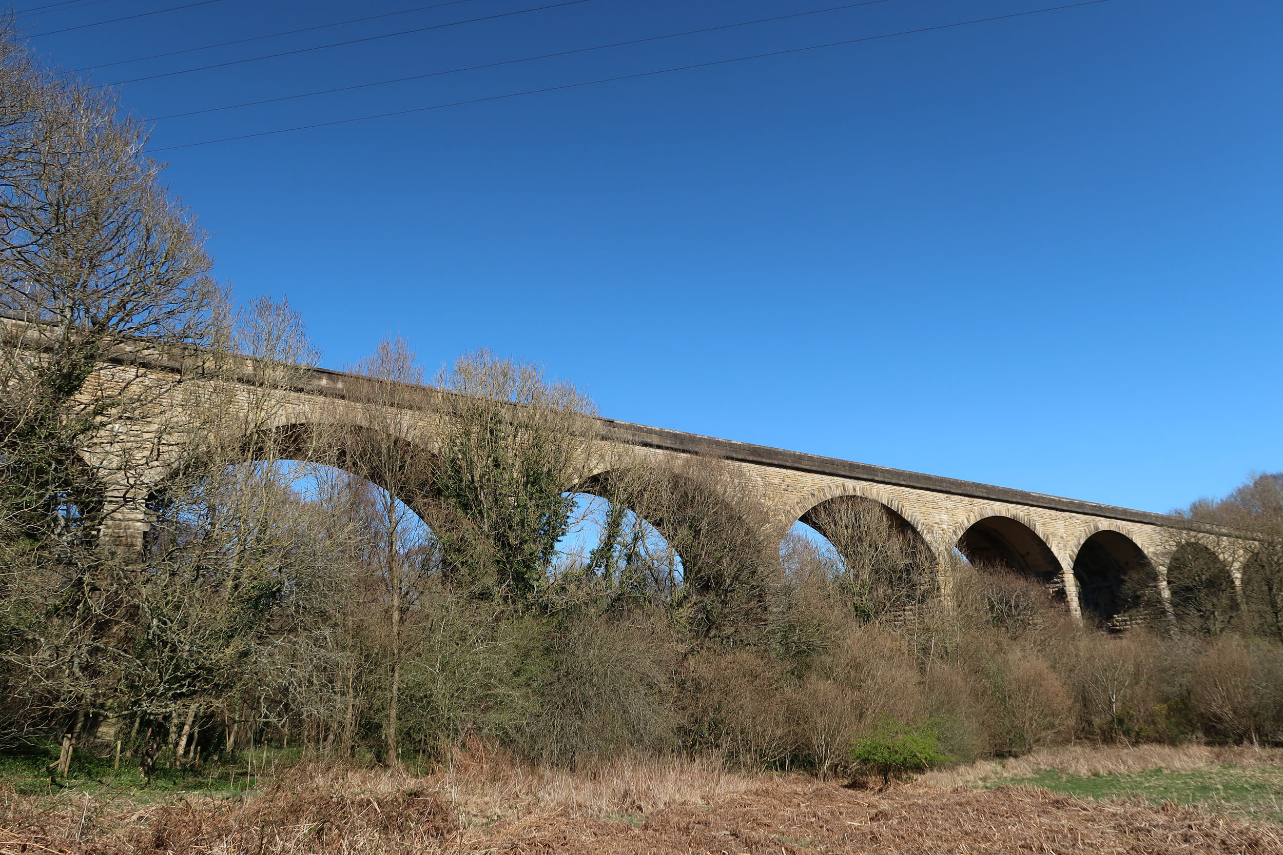
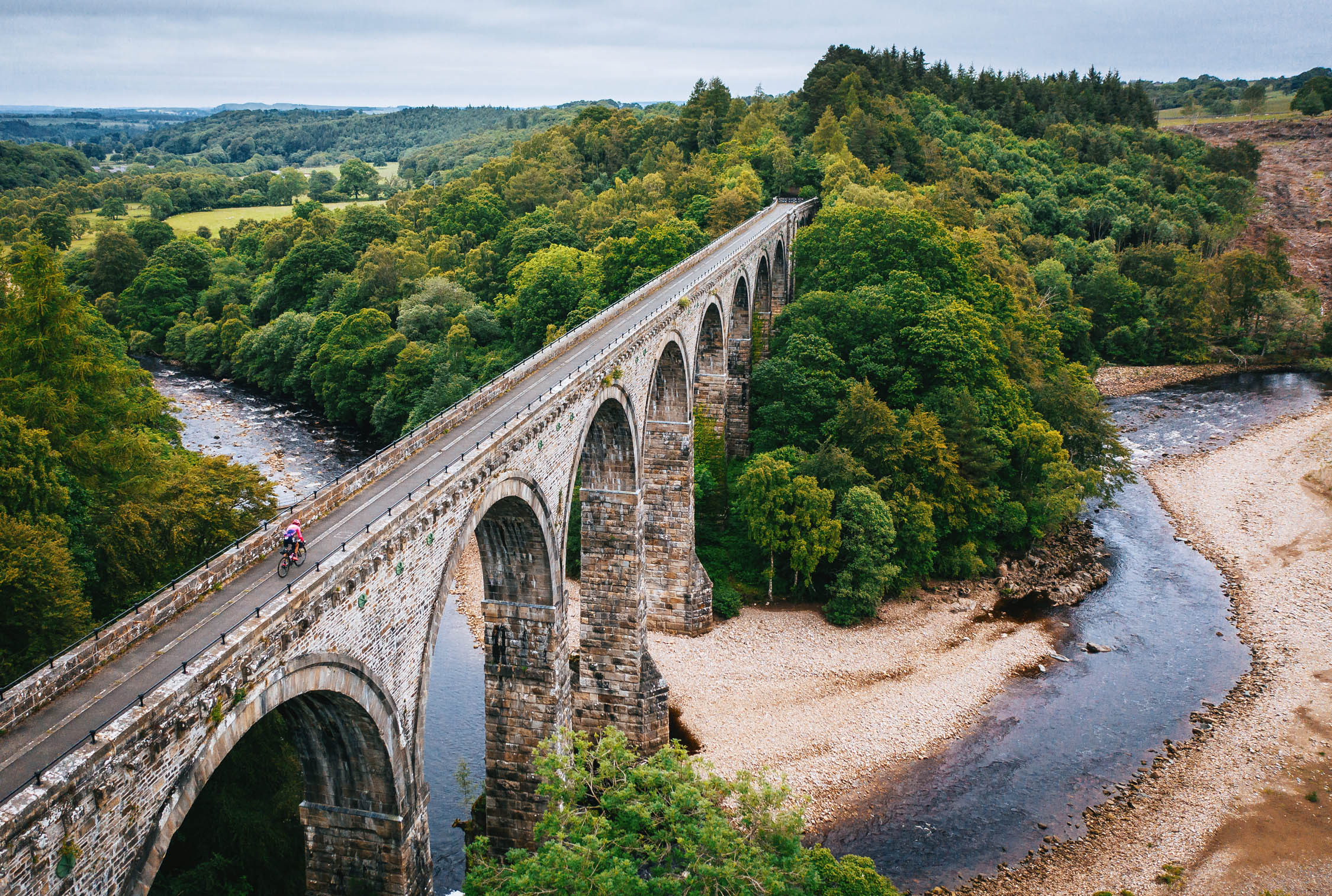
- Reminisce about steam locomotives when crossing mighty viaducts or coming across old railway platforms and station buildings. Durham County is the birthplace of rail transport! To get a good view of one of the viaducts, check out the idyllic break spot at the river south of Nine Arches Viaduct.
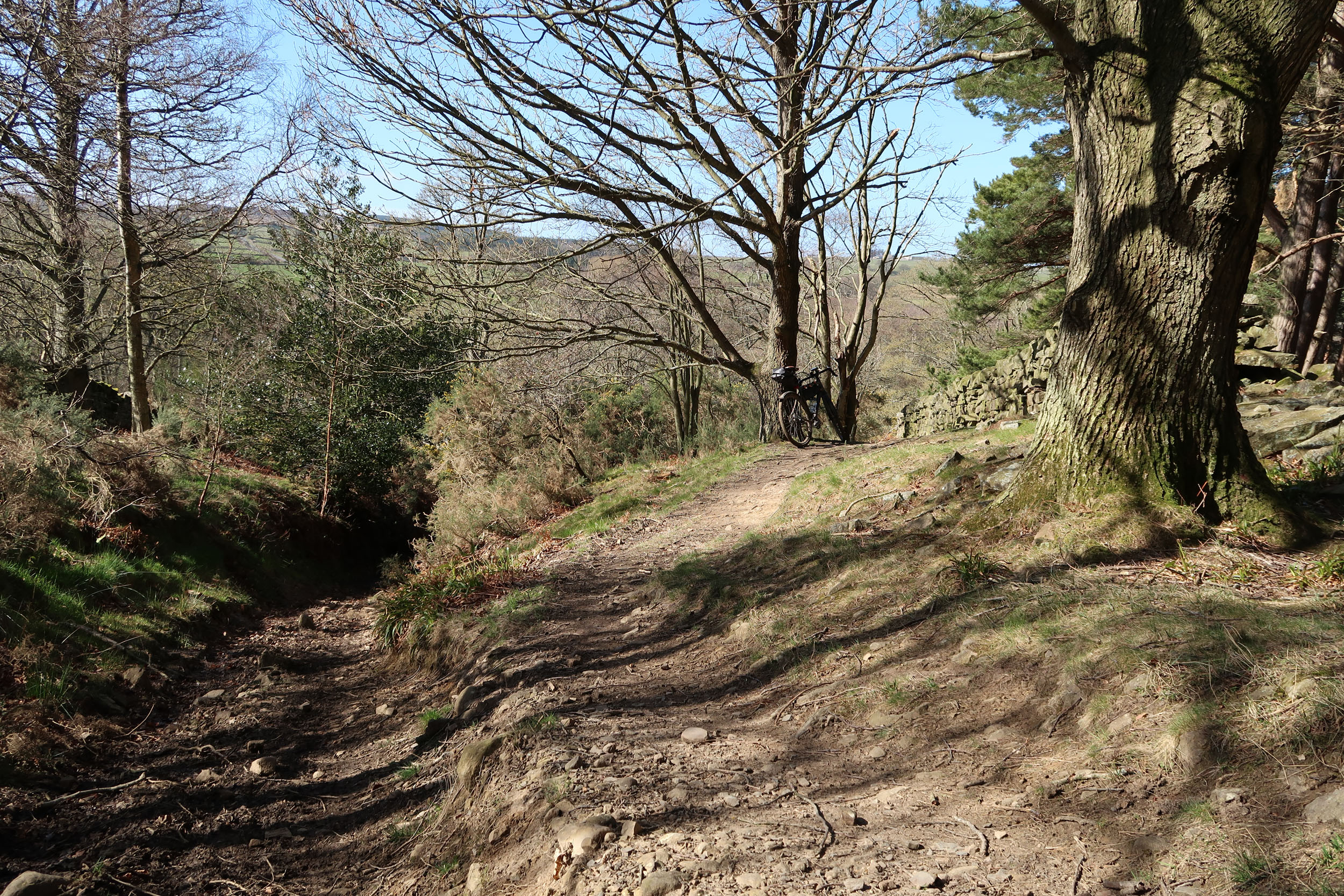
- The fun and bumpy doubletrack descent towards Edmundbyers on the Lead Mining Trail gives a taste of what’s to come on day two.
- The gravel tracks in the remote moors and fells west of Blanchland are an absolute highlight.
- Enjoy majestic views of Derwent Reservoir while descending on Coal Road.
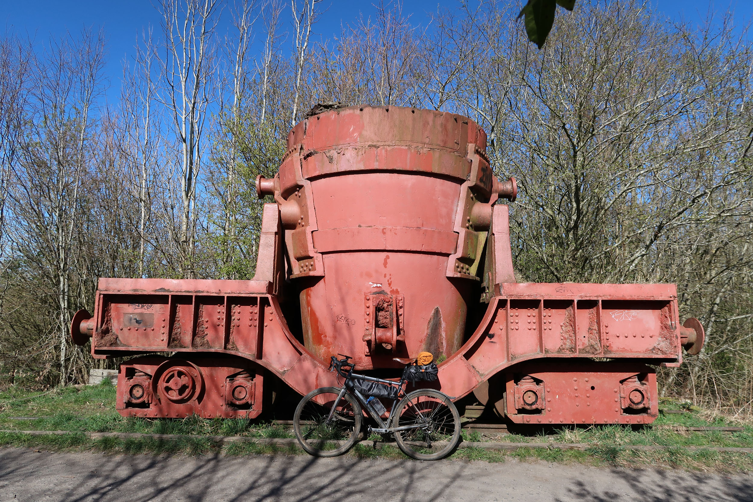
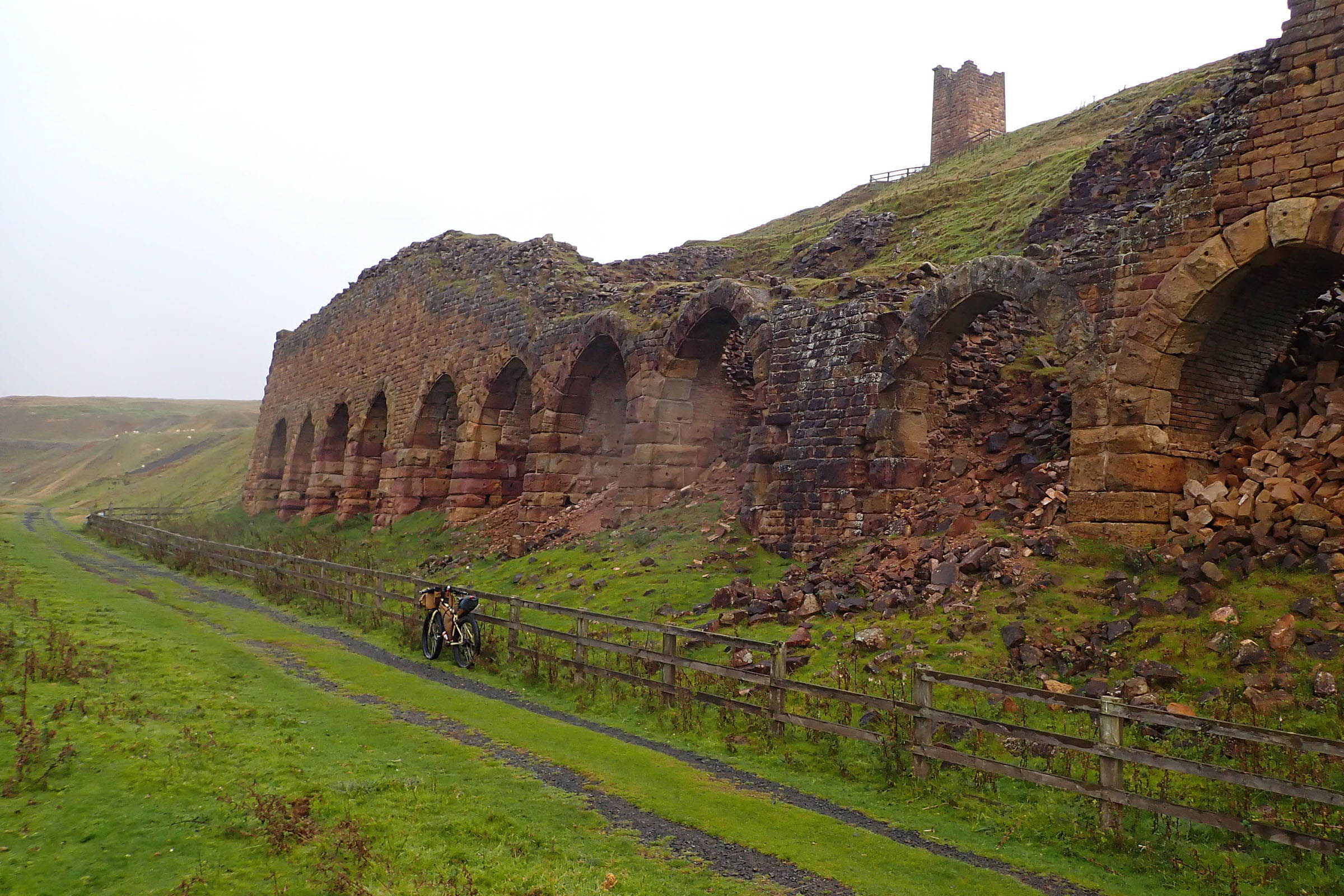
- The smelt wagon at Lydgetts Junction and the Steel Circle in Consett remind of Consett Steel Works – one of the reasons these railway lines were built in the first place.
- The last 25 kilometres before Newcastle are a vastly satisfying gentle descent mostly on smooth gravel.
- The route can be ridden all year. Even in the wet season, most of the route should not get too muddy. It can get very windy in the moorlands, so pack appropriate clothing.
- The start and end points in Durham and Newcastle are easily accessible by train, as both cities are served by the East Coast Main Line with direct fast trains from London and Edinburgh. The train ride from Newcastle to Durham takes only 11 to 17 minutes. Train tickets should be booked in advance to secure the necessary bike reservations.
- Free parking lots at various convenient locations along the route are marked on the map. On weekends, an alternative to the suggested parking lot in Newcastle is to park on the adjacent Skinnerburn Road, where parking is allowed all day on Saturdays and Sundays.
- Bike choice: The route is great for gravel bikes and any other bike, as long as the tires are not too narrow.
- The railway paths are smooth gravel tracks and sometimes asphalt. They are shared with local (dog) walkers, please be considerate.
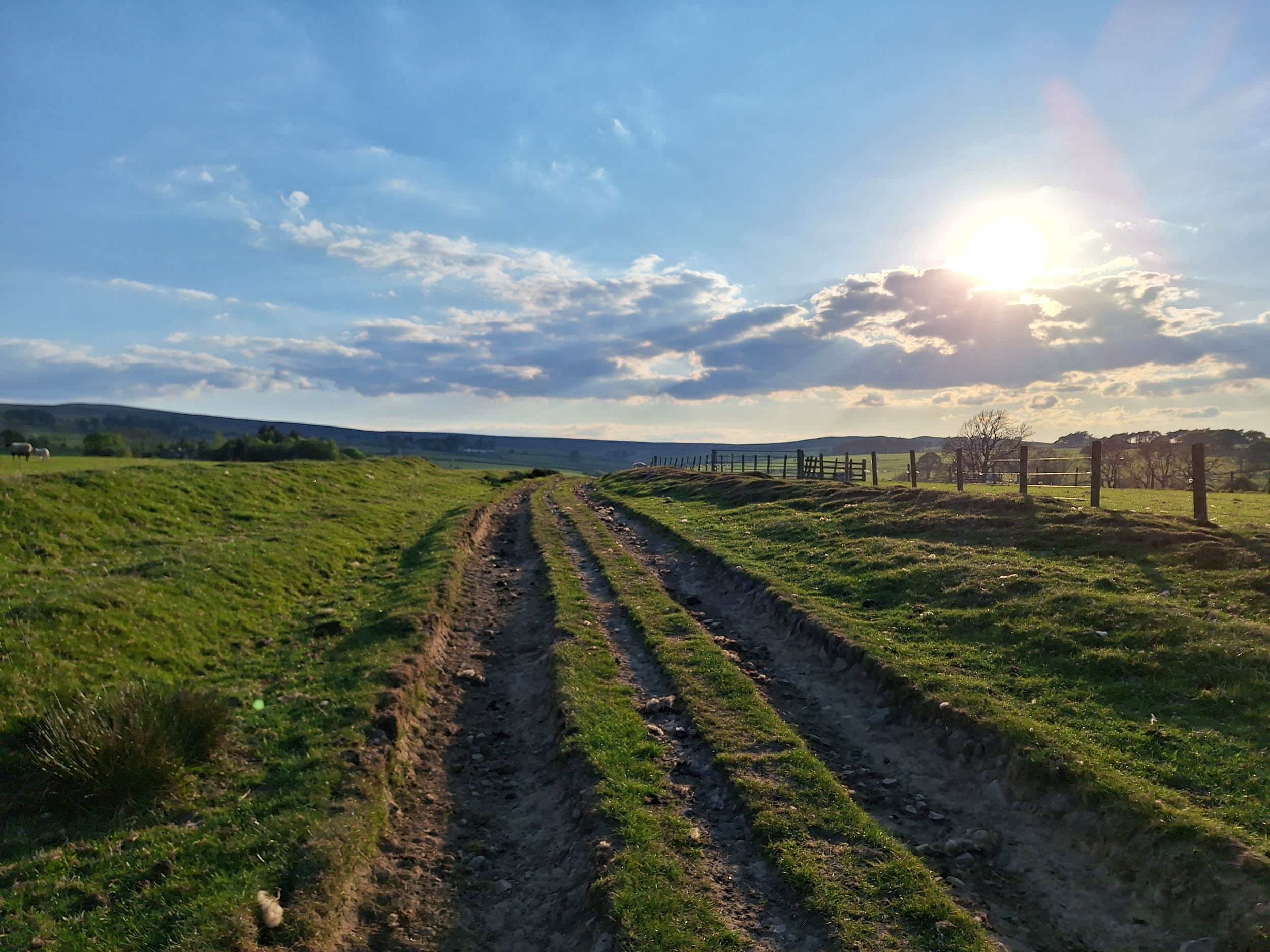
- In the Pennines you will meet considerably less people. You will ride on gravel tracks and sometimes grassy bridleways crossing farmland.
- Most of the route is motor traffic free, the largest road being the B road from Edmundbyers to Blanchland. If not spending the night in Edmundbyers, one can opt to skip this road by taking a shortcut to Blanchland. In this case one can also consider riding the entire Pennines loop in the opposite direction.
- If spending the night in Edmundbyers, there is more distance to cover on the second day. While the last 30 km are a gentle descent on a railway path which is easy and fast, plan enough time if you have a train to catch.
- The ideal place to spend the night is the YHA hostel and campsite in Edmundbyers. The campsite is open April 1st to October 31st.
- Alternative accommodation closer to the midway point of the route (but more pricy) is available in Allendale, which can be easily reached by slightly extending the route to the west.
- Wild camping is not officially allowed in England and the open moorland sections of the route are not ideal for camping anyway.
- Apart from Durham and Newcastle, the only supermarkets along the route are in Consett. In the Pennines there are small village shops with limited opening times in Blanchland and Slaley, and a Co-op off the route in Allendale.
- In the Pennines, pubs or cafes can only be found in Edmundbyers and Blanchland and, again, off the route in Allendale.
- Water can be filtered from various streams along the Pennines loop.
Additional Resources


Terms of Use: As with each bikepacking route guide published on BIKEPACKING.com, should you choose to cycle this route, do so at your own risk. Prior to setting out check current local weather, conditions, and land/road closures. While riding, obey all public and private land use restrictions and rules, carry proper safety and navigational equipment, and of course, follow the #leavenotrace guidelines. The information found herein is simply a planning resource to be used as a point of inspiration in conjunction with your own due-diligence. In spite of the fact that this route, associated GPS track (GPX and maps), and all route guidelines were prepared under diligent research by the specified contributor and/or contributors, the accuracy of such and judgement of the author is not guaranteed. BIKEPACKING.com LLC, its partners, associates, and contributors are in no way liable for personal injury, damage to personal property, or any other such situation that might happen to individual riders cycling or following this route.
Further Riding and Reading
Here are some connected/nearby routes and related reports...
Please keep the conversation civil, constructive, and inclusive, or your comment will be removed.