


Fat-bikepacking Australia’s Canning Stock Route
Distance
1,019 Mi.
(1,640 KM)Days
27
% Unpaved
100%
% Singletrack
0%
% Rideable (time)
95%
Total Ascent
31,831'
(9,702 M)High Point
2,125'
(648 M)Difficulty (1-10)
10?
- 2Climbing Scale Easy31 FT/MI (6 M/KM)
- -Technical Difficulty
- -Physical Demand
- -Resupply & Logistics
Contributed By
Tom and Sarah
bicyclenomad
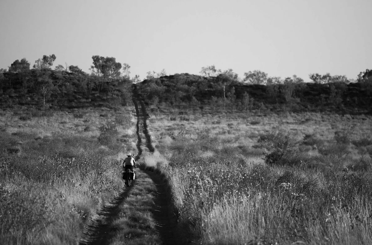
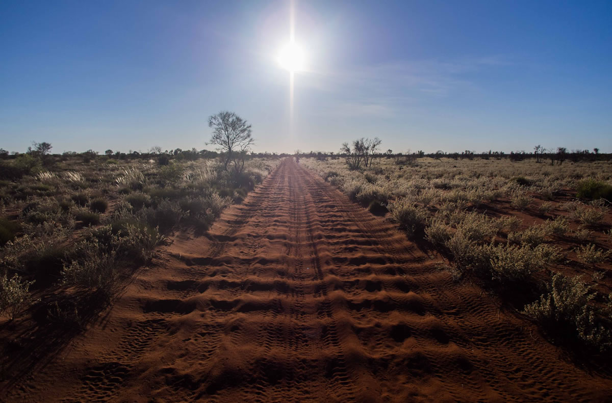
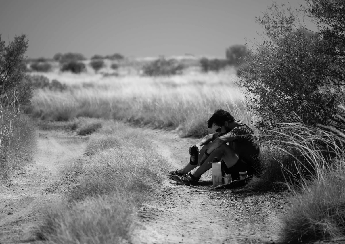
At 1000+ miles over at least 23 days, it’s a physical and mental challenge demanding careful thought, preparation and a strong stubborn streak. The rewards are great – enormous landscapes, camping in amazing isolation, and the chance to properly test yourself.
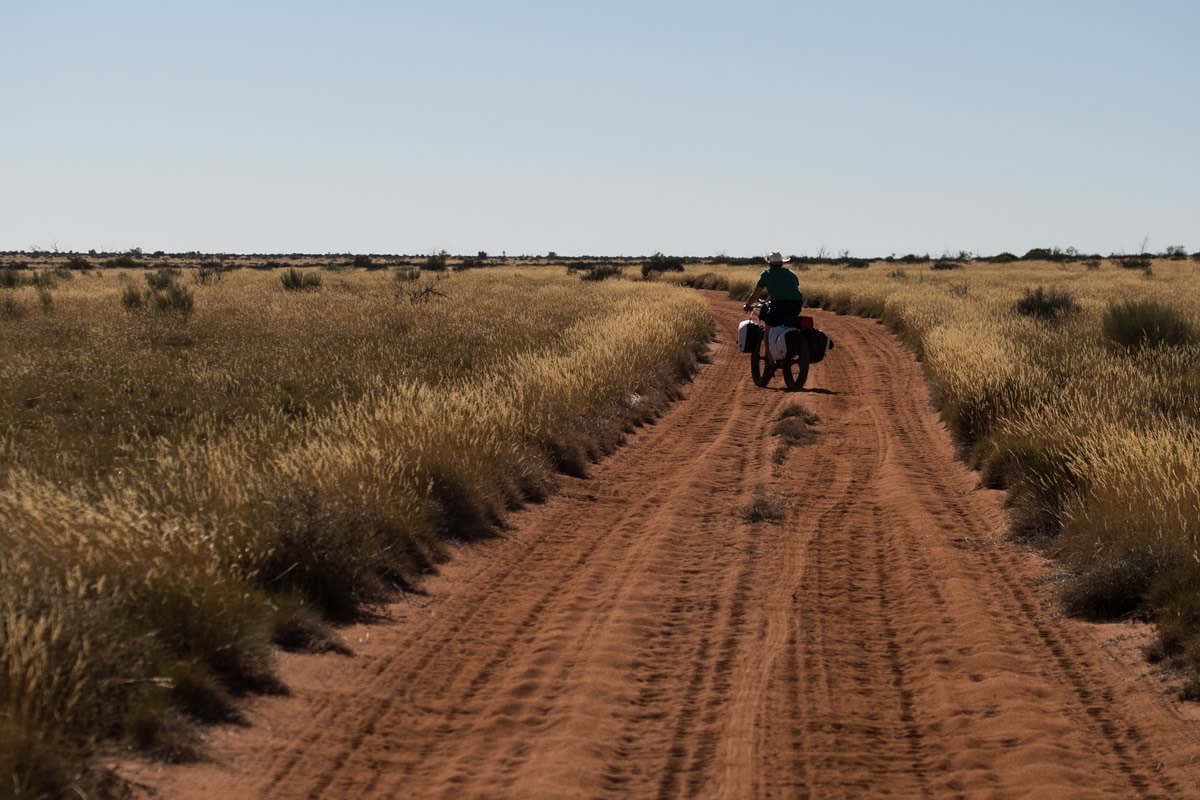
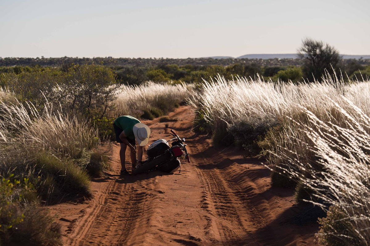
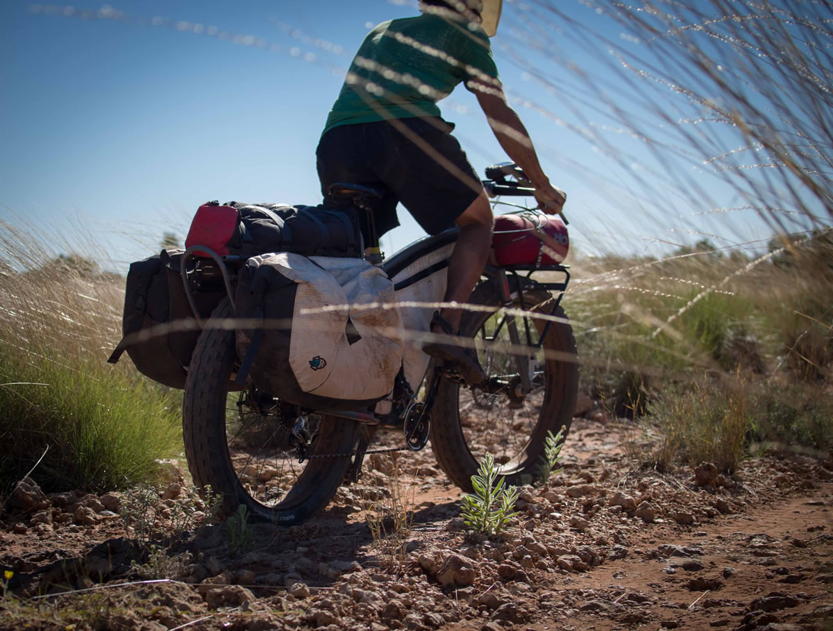
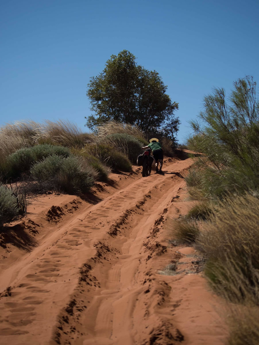
The CSR is considered the outback 4WD track, and prior to this trip only ridden unsupported by bicycle three times (2005, 2009 and 2011). The challenges of the route are terrain (soft sand and corrugations) and a total lack of supplies, requiring unsupported riders to transport food for 30-35 days and up to 4-5 days water. The soft surfaces necessitate use of ‘fat’ tyres – 4 inches wide or more.
The track has an important history – initially developed as a cattle-droving route in the early part of the 20th century with significant abuses made of the traditional owners of the lands it passes through in the process. The Tjurabalan, Ngurrara, Martu and Birriliburu people are holders of this ‘country’ for those to come. There is a permit system governing it’s access and upkeep.
See logistics info below. Or for more info, check out this post on Bicycle Nomad, Statistics and Logistics/For The Gearheads by Porcelain Rocket, and Bunyan Velo #003 for Tom’s story, A Line In The Sand.


Submit Route Alert
As the leading creator and publisher of bikepacking routes, BIKEPACKING.com endeavors to maintain, improve, and advocate for our growing network of bikepacking routes all over the world. As such, our editorial team, route creators, and Route Stewards serve as mediators for route improvements and opportunities for connectivity, conservation, and community growth around these routes. To facilitate these efforts, we rely on our Bikepacking Collective and the greater bikepacking community to call attention to critical issues and opportunities that are discovered while riding these routes. If you have a vital issue or opportunity regarding this route that pertains to one of the subjects below, please let us know:
Highlights
Must Know
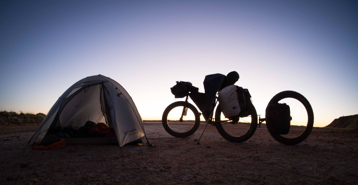
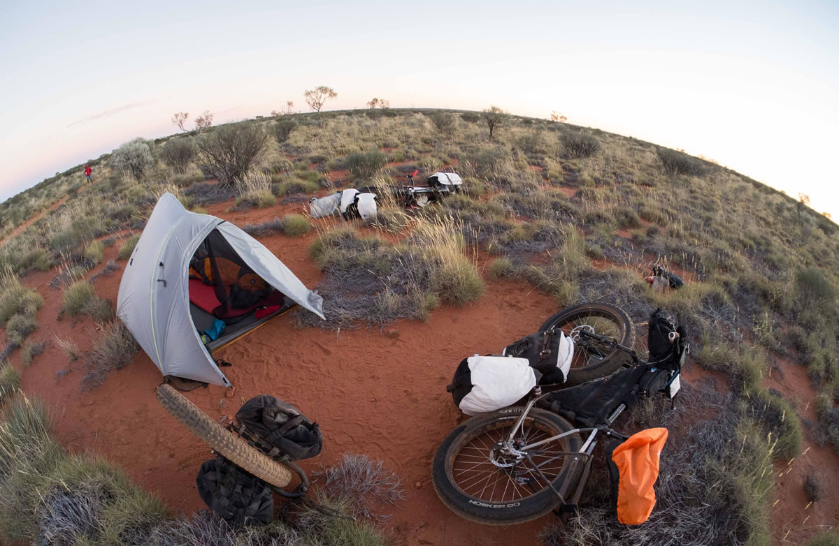
Camping
Food/H2O
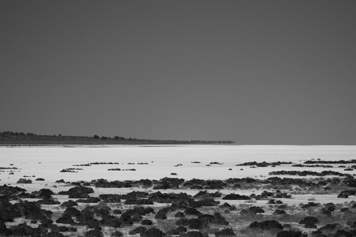
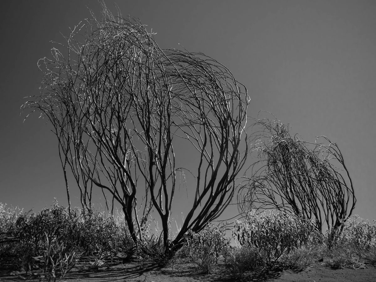
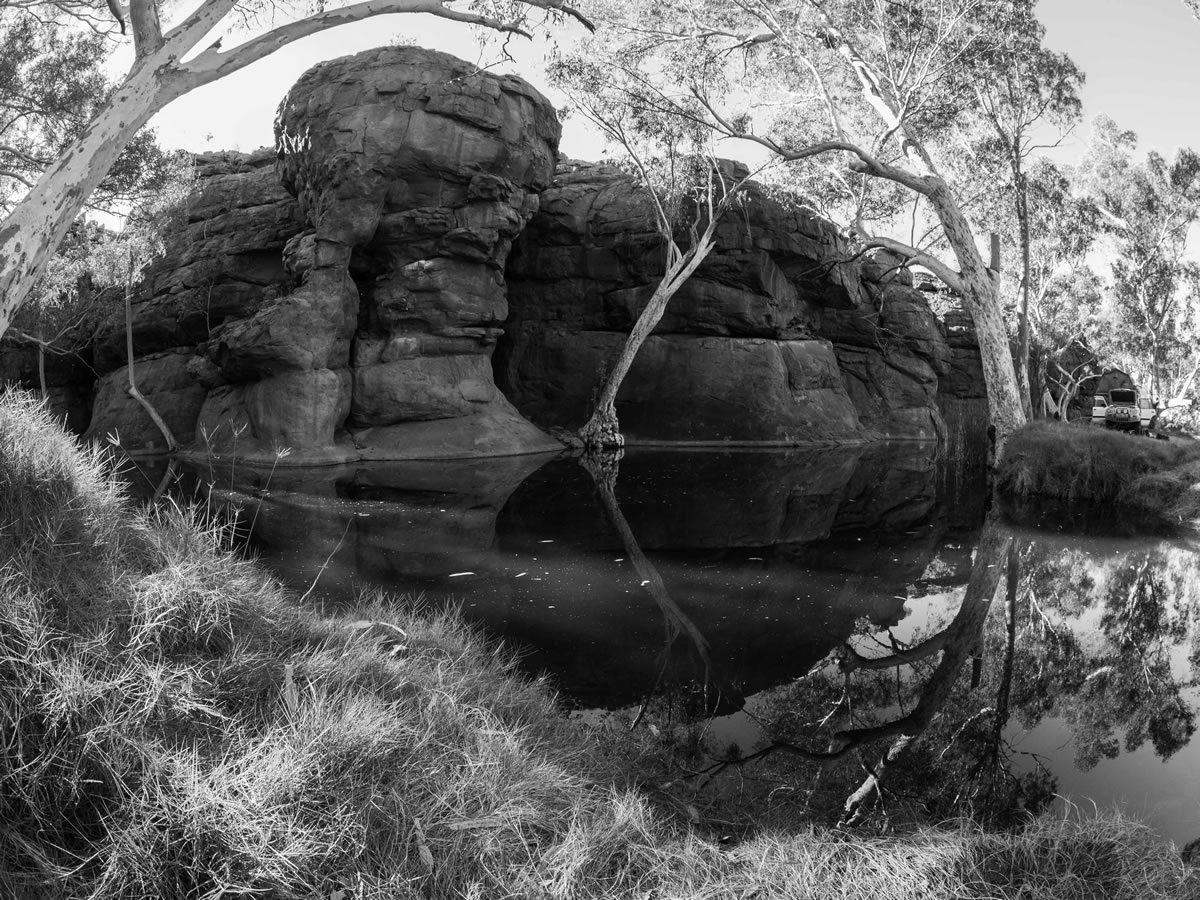
- Vast landscape and true remoteness
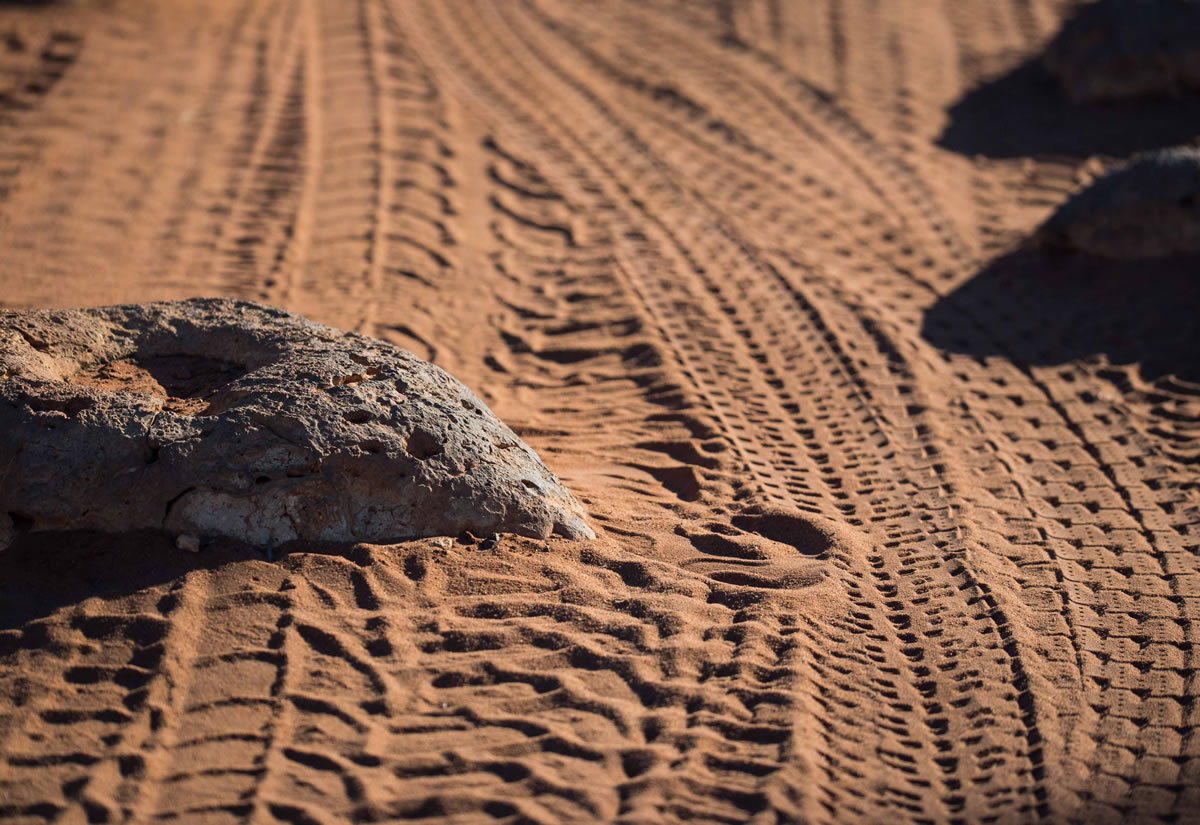
- Corrugations to end all corrugations
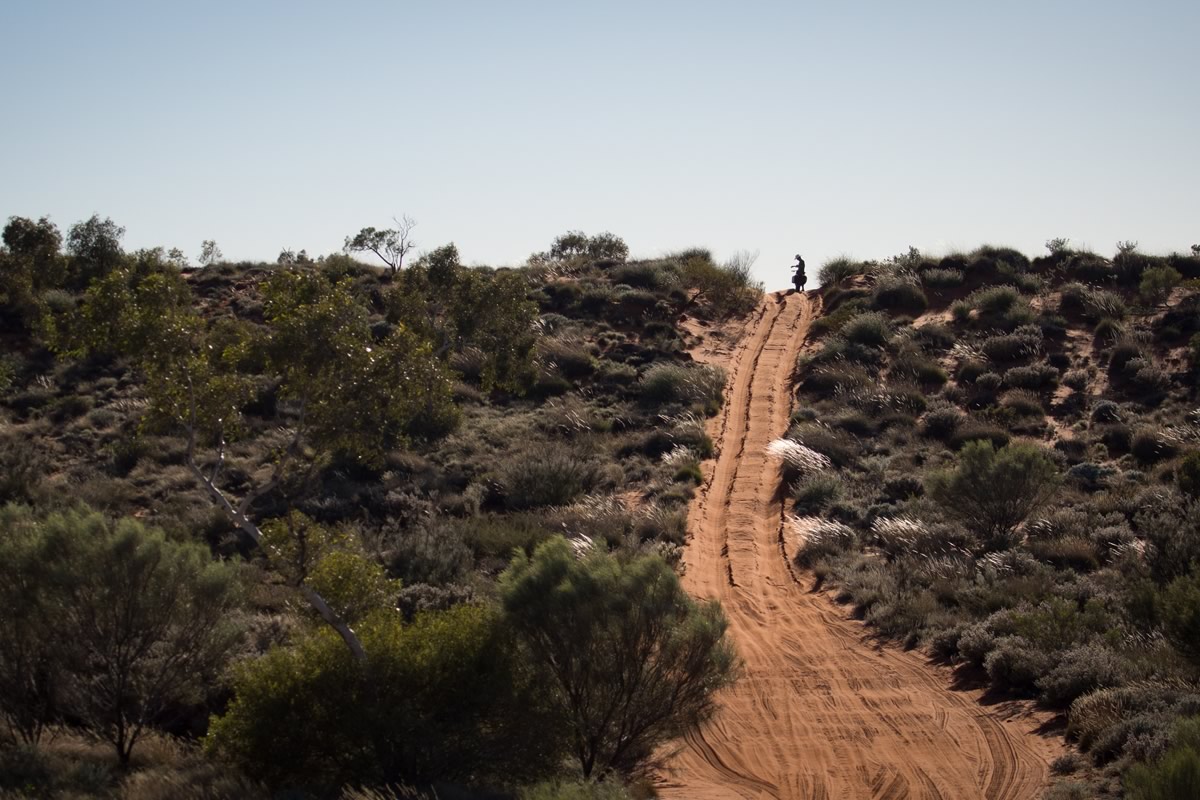
- Over 900 sand dunes
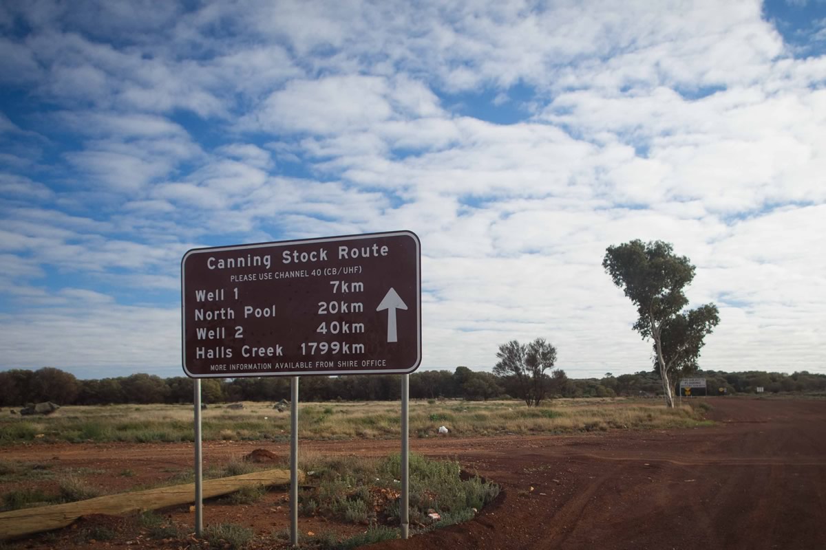
- CSR ‘proper’ starts at Biliuna (north) and Wiluna (south), but most cyclists use Hall’s Creek (180km from Bililuna via the Tanami track) as a start/end point for logistical reasons.
- Fat-bikes (pretty much) obligatory – definitely for unsupported passages. (4-5″ tyres on 65-100mm rims)
- Experience in and comfort with full self-sufficiency regarding bike maintenance and repairs. Thoroughly tour-test your rig before setting out. There is no ability to send stuff home or decide you needed something else.
- For an unsupported trip, allow 30-35 days food and be able to carry up to 30-40L water. For most this will mean using a suitable trailer, though possible with a custom mid/longtail fat-bike as per Scott Felter.
- Due to potentially low average speeds (8-10km/hr), solar charging is the best source of power for GPS and other electrical needs.
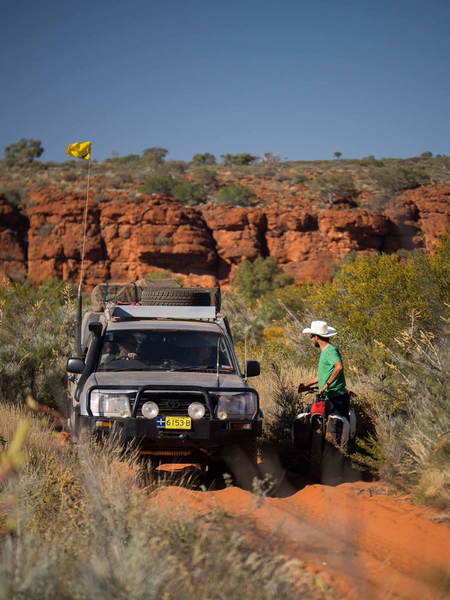
- Carry a SPOT, EPIRB or Sat phone, and have insurance for air/helicopter rescue. Although there are often more than daily meetings with 4WD vehicles they must not be relied upon for food, water or assistance. They will not have room to carry you or your bicycle out if you are unable to continue.
- South to North may allow an easier run at the sand-dunes, so ‘clearing’ more of them and thus going faster. North to South has been done more often as it’s logistically easier.
- Best timing is a early/mid July start, though watch for late rains. Later starts risk cycling in temperatures well over 40 degrees celcius in the northern half of the route.
- The route is physically extremely demanding due to the terrain, weight of bike/trailer/food/water, and temperatures. Although there have been 23-35 days spent on the route, broadly the slower you go the more you will need to carry and the more you carry the slower you will go. Aim for 60-70km/day average.
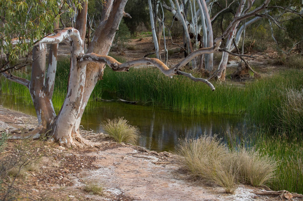
- Wild camping is infinitely abundant.
- There are some areas used by 4WD parties, especially at the wells, but available firewood tends to be sparse at these points.
- For an unsupported trip carry food for 30-35 days.
- There are showers and washing facilities at Kunnawaritji (Well 33) together with a shop selling (bulky/heavy) basics.
- Cooking is easily done using firewood and spinifex grass for tinder. Most parties have carried a small amount of fuel with a stove in case of illness/poor weather.
- Water is obtained from a number of functional wells that remain from the original 51 (plus ‘native’ water sources). Depending on the timing of your trip some of these may be drier/dry. Well 41 has lots of particulates/suspended chalk, but has been drunk untreated after repeated straining in the past. Most parties carry a ceramic filter (e.g. MSR Miniworks) with water treatment drops as a backup. Consider supplies of oral rehydration salts (e.g. Gastrolyte) especially if the timing of your trip will take you into the hotter daytime temperatures. The biggest stretch without well-water is 200km, but shorter stretches further north often need the same or more water due to higher temperatures.


Terms of Use: As with each bikepacking route guide published on BIKEPACKING.com, should you choose to cycle this route, do so at your own risk. Prior to setting out check current local weather, conditions, and land/road closures. While riding, obey all public and private land use restrictions and rules, carry proper safety and navigational equipment, and of course, follow the #leavenotrace guidelines. The information found herein is simply a planning resource to be used as a point of inspiration in conjunction with your own due-diligence. In spite of the fact that this route, associated GPS track (GPX and maps), and all route guidelines were prepared under diligent research by the specified contributor and/or contributors, the accuracy of such and judgement of the author is not guaranteed. BIKEPACKING.com LLC, its partners, associates, and contributors are in no way liable for personal injury, damage to personal property, or any other such situation that might happen to individual riders cycling or following this route.
Please keep the conversation civil, constructive, and inclusive, or your comment will be removed.