


Fortresses of the Cottian Alps
Distance
121 Mi.
(195 KM)Days
5
% Unpaved
71%
% Singletrack
8%
% Rideable (time)
99%
Total Ascent
21,194'
(6,460 M)High Point
9,088'
(2,770 M)Difficulty (1-10)
6?
- 10Climbing Scale Very Strenuous175 FT/MI (33 M/KM)
- 3Technical Difficulty Fair
- 7Physical Demand Difficult
- 5Resupply & Logistics Moderate
Contributed By
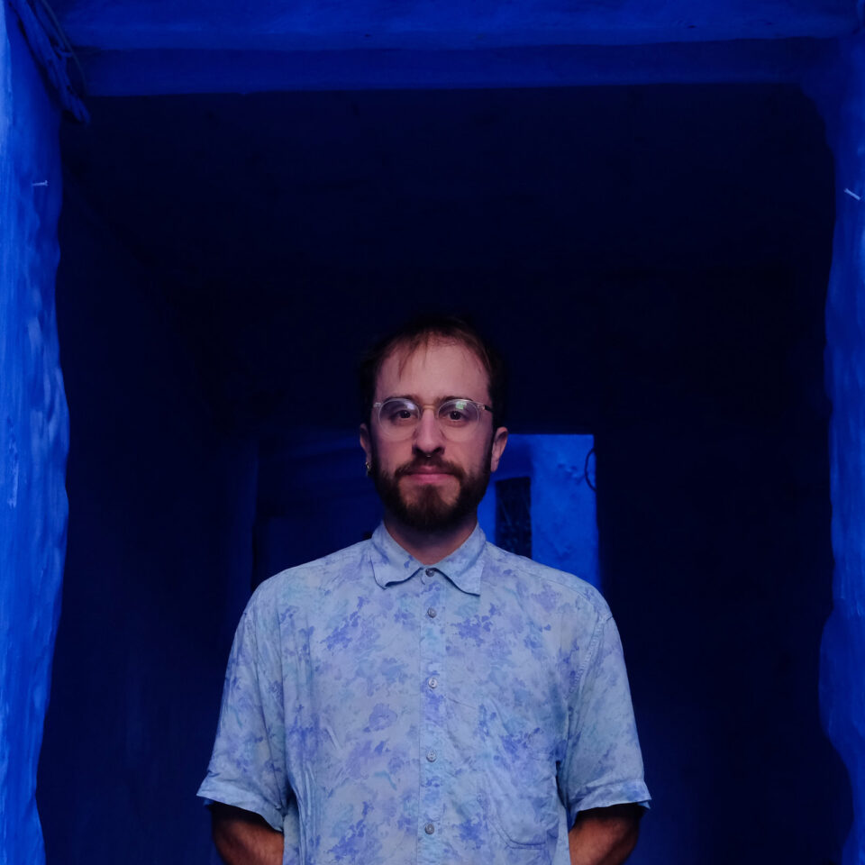
Oscar Gayraud
Guest Contributor
Oscar fell off his bike at the age of four, looked at his mom, and declared he would never ride again. Twenty years later, he discovered bike touring and fell instantly in love. Today, the passion is stronger than ever. Oscar occasionally documents his journeys on Polarsteps @OscarPepin.
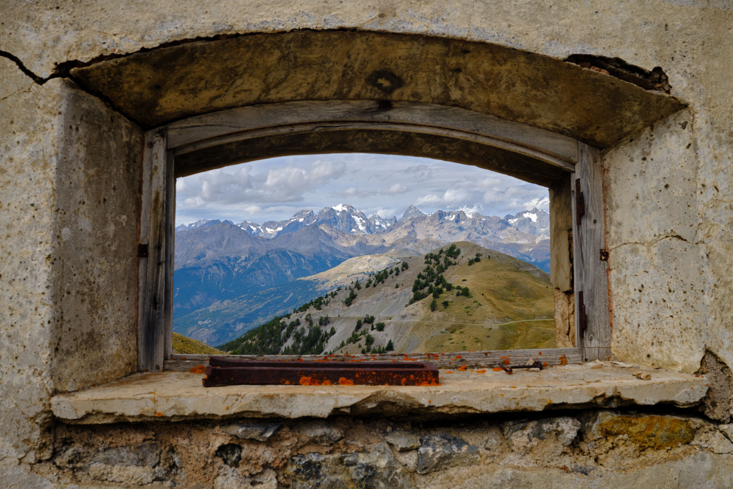
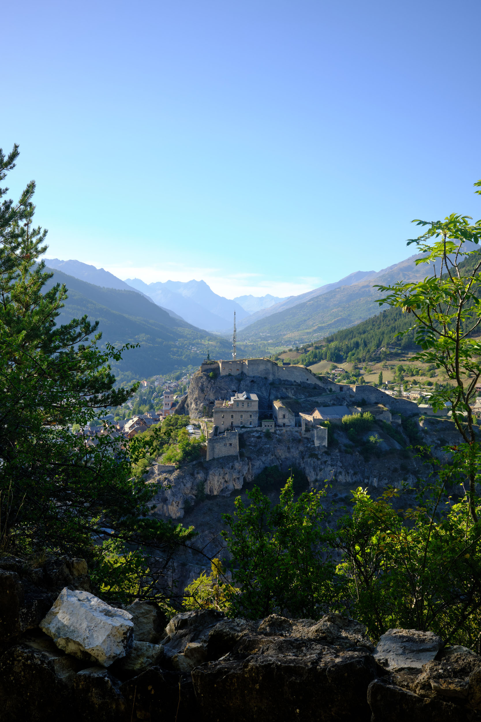
In 1815, shortly after the fall of Emperor Napoleon I, Briançon was besieged by a massive Austro-Sardinian army. For three months, General Eberlé, leading a small battalion and a determined population, held the city until the aggressors finally abandoned the siege. Within these impenetrable walls, the journey begins.
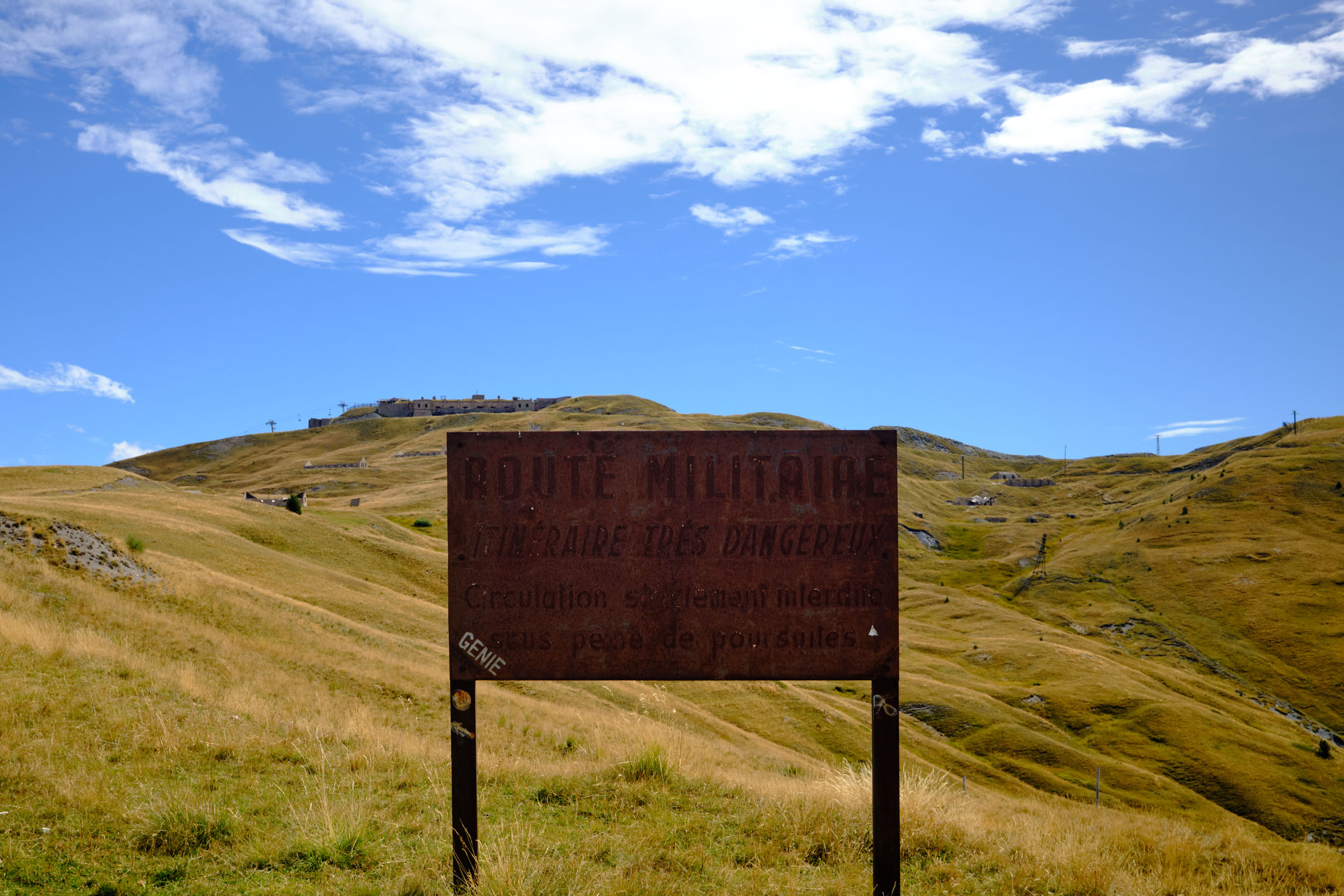
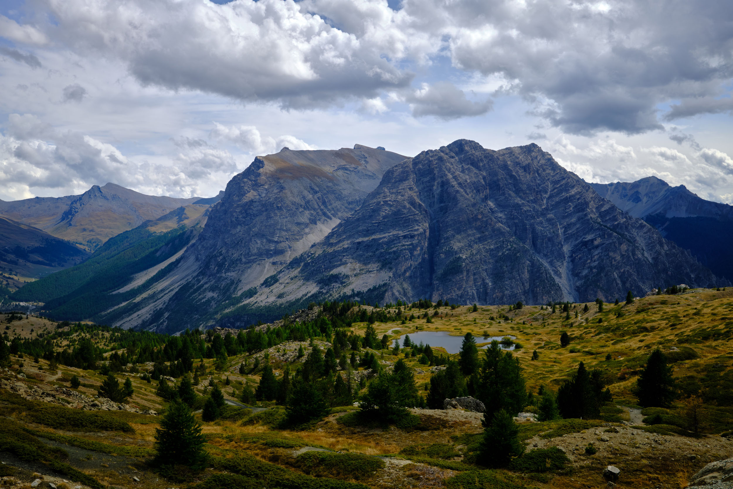
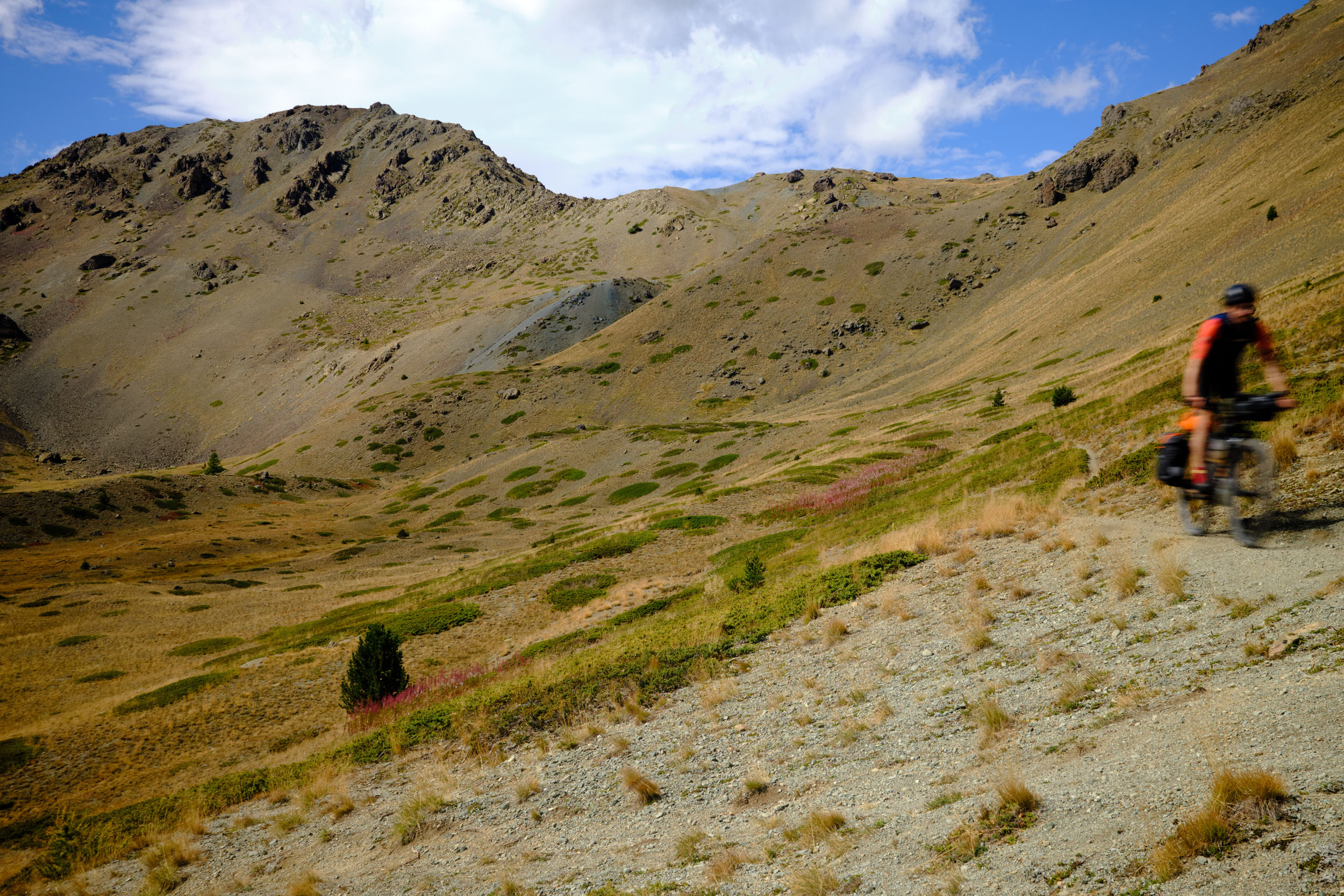
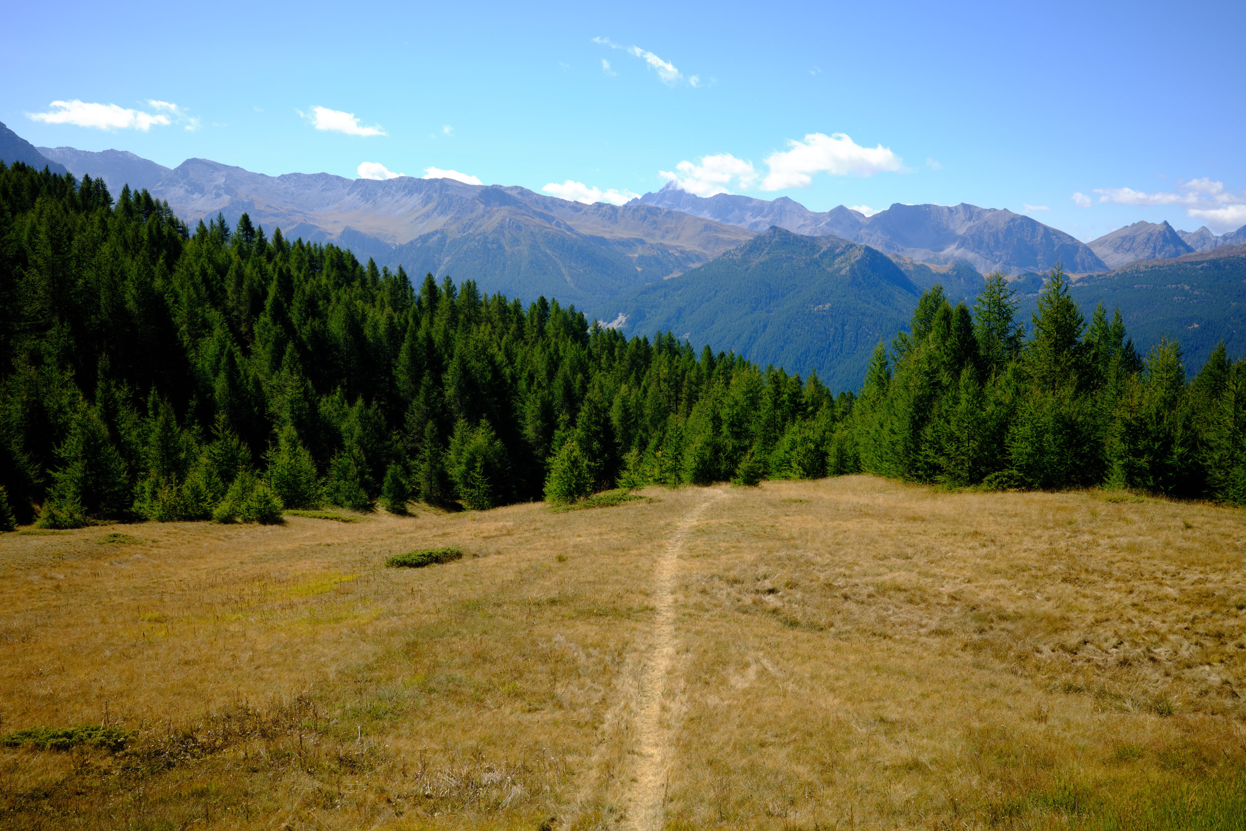
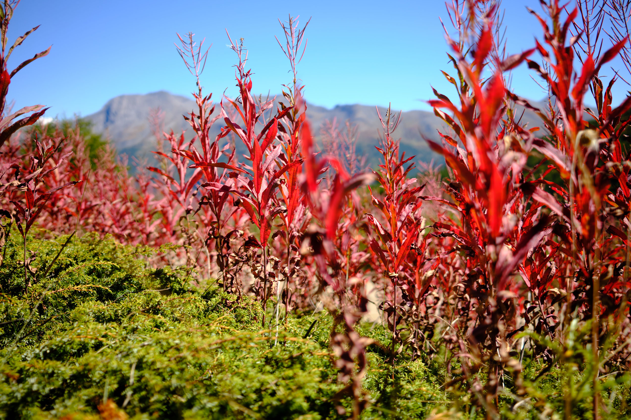
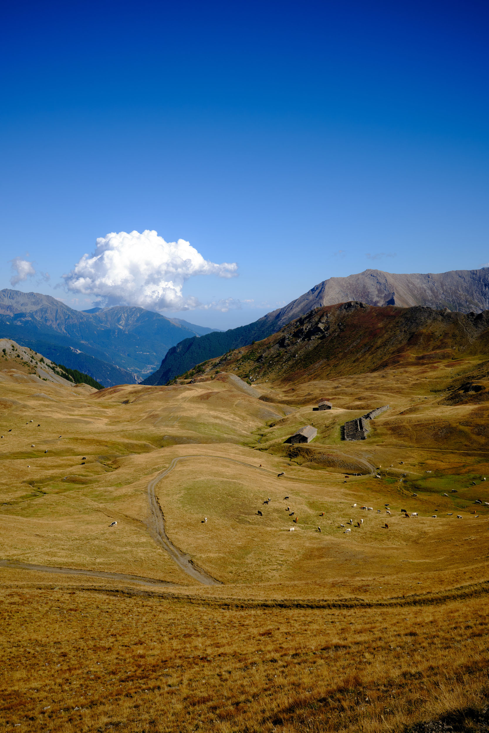
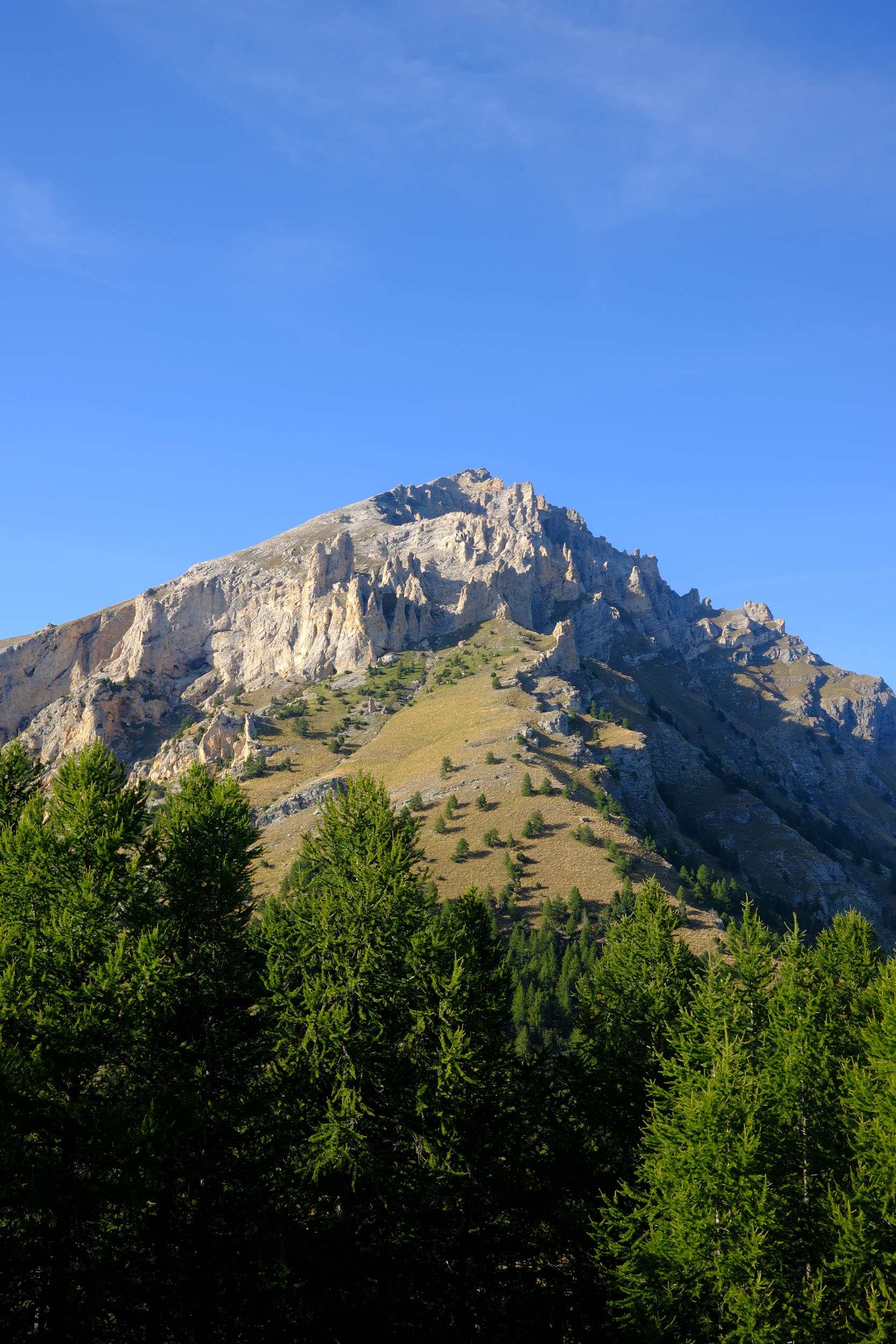
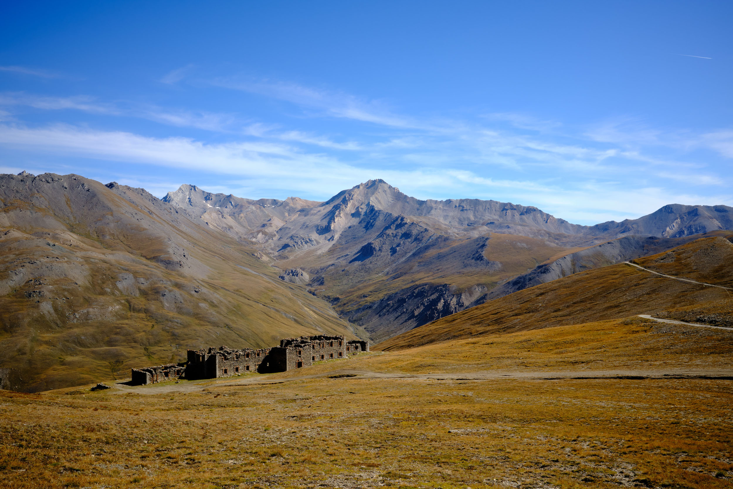
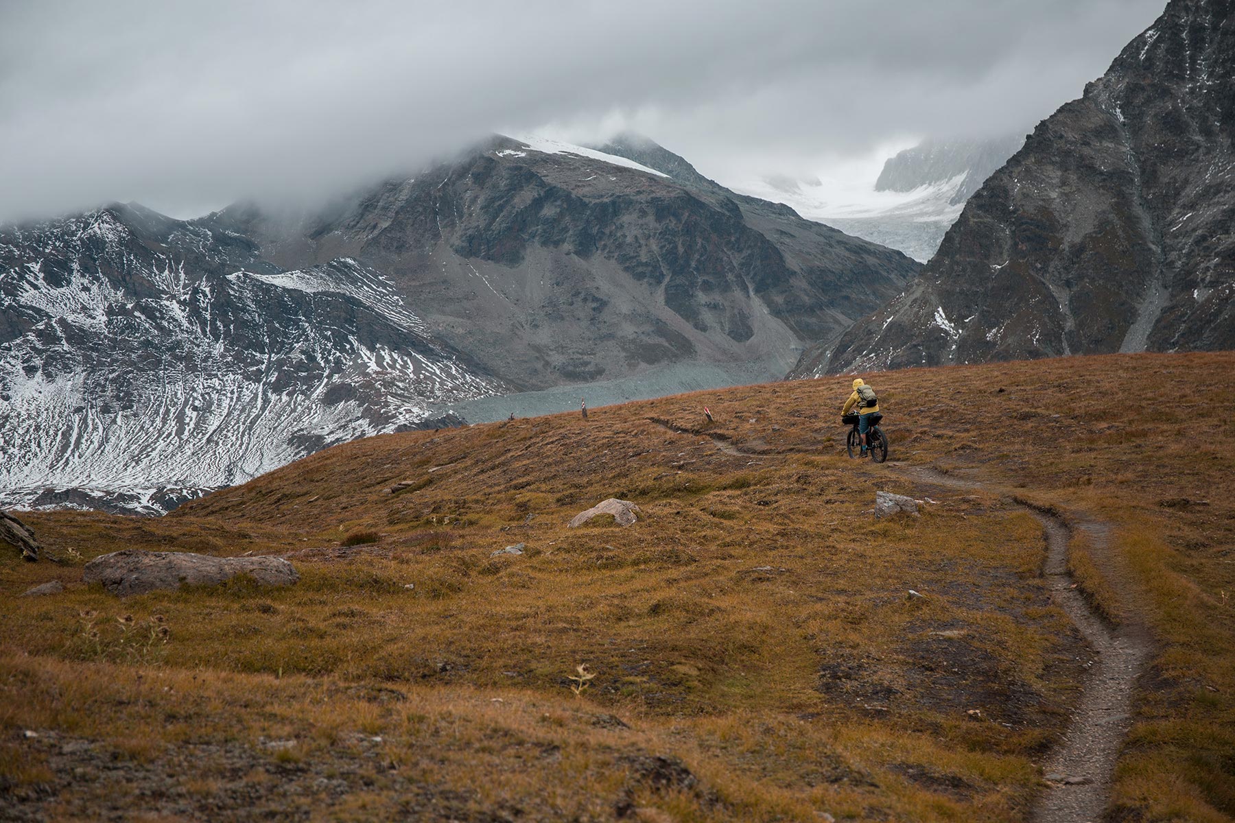
As an appetizer, a direct ascent offers a dramatic overview of Briançon’s defenses. The Communication Y connects the two main 18th-century military installations: Fort des Têtes, built to defend the city, and Fort du Randouillet, watching over the Vallée de Cervières. Reaching the summit, a part of the Maginot Line appears. This defensive line was constructed along the French northern and eastern frontiers between the two World Wars. The Dauphiné section notably features the Fort du Gondran, followed by the massive Ouvrage Janus—the cornerstone of the French Alpine defense. These heights offer a 360-degree panorama of the Écrins, Queyras, and Cottian Alps. Finally, leave the historic theater of war behind as you cross the stellar high-altitude plateau of the Massif du Chenaillet. This true open-air geological museum bears the traces of a prehistoric alpine ocean and today provides an exceptional sanctuary for biodiversity, with more than 880 plant species.

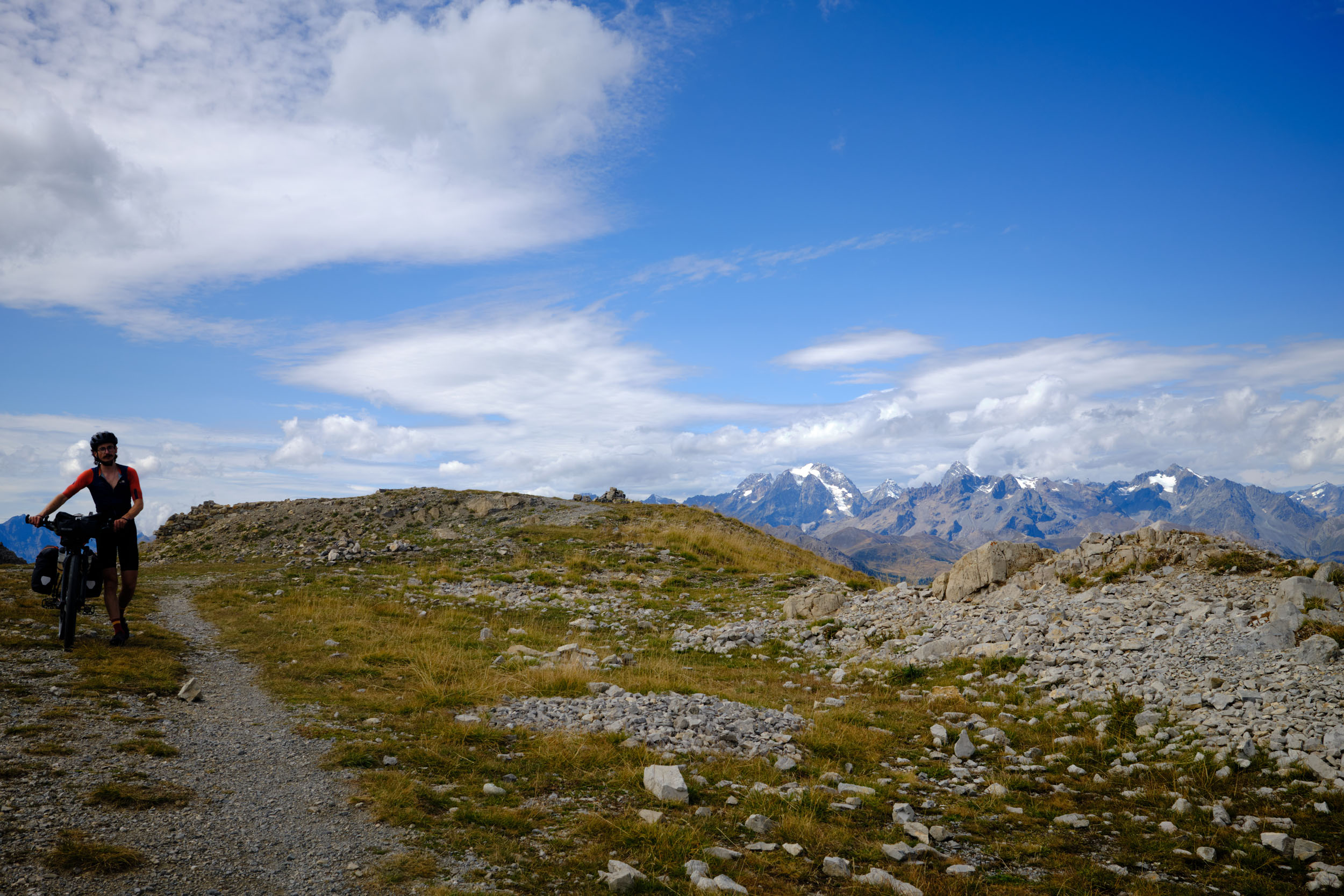
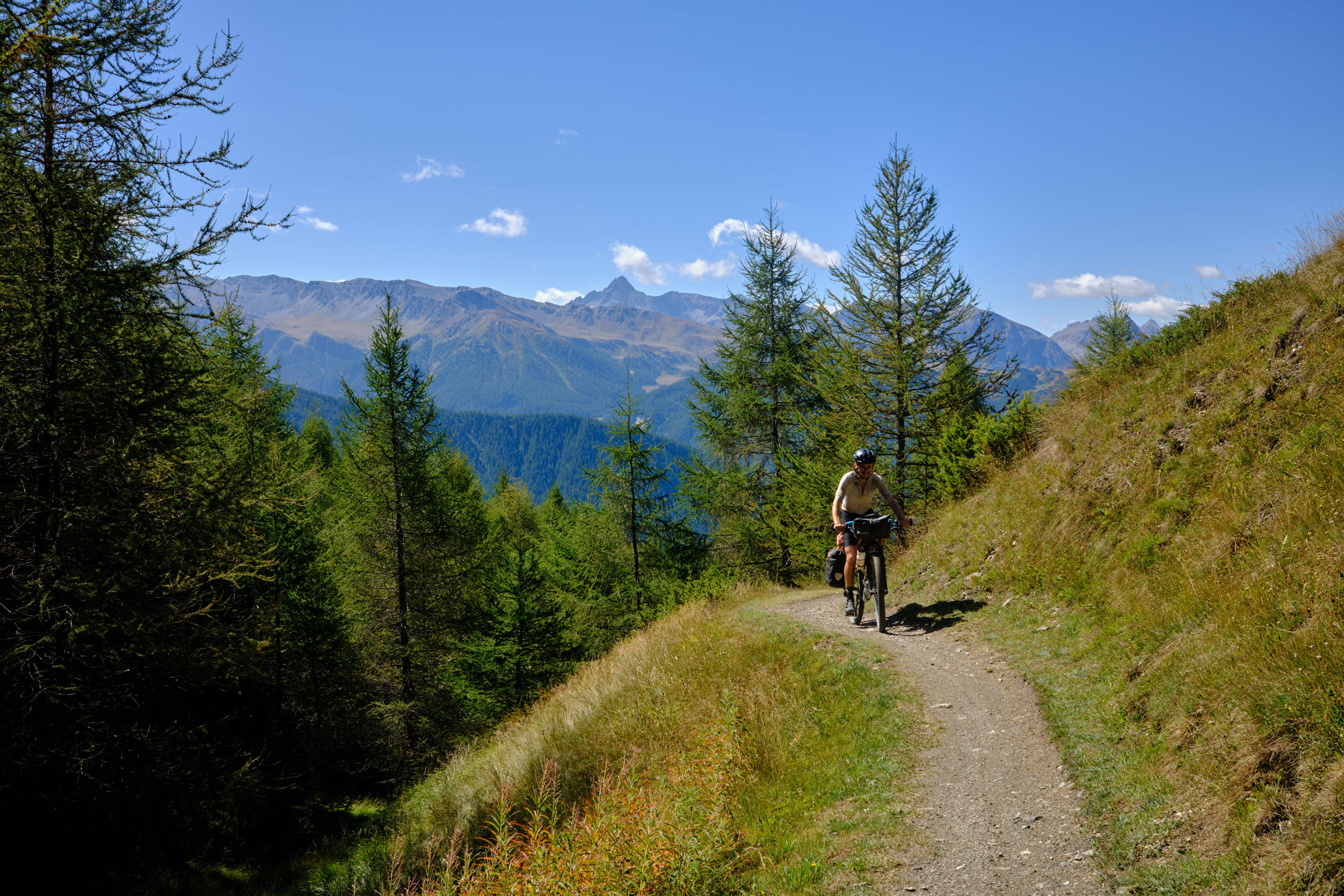
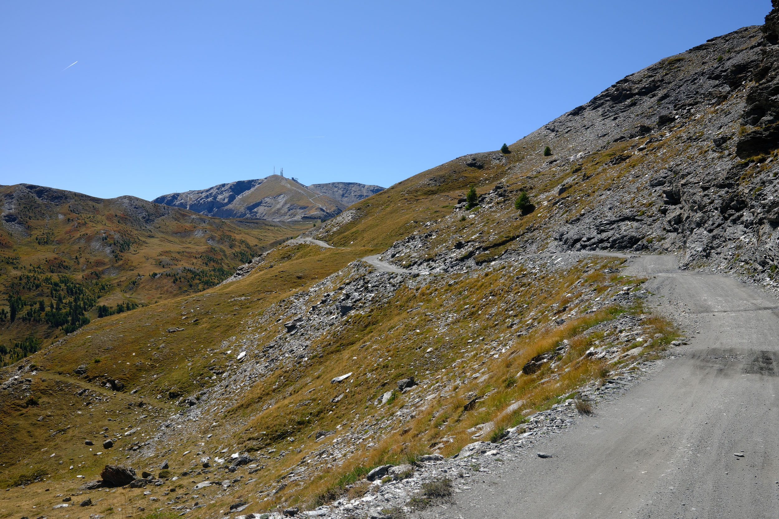
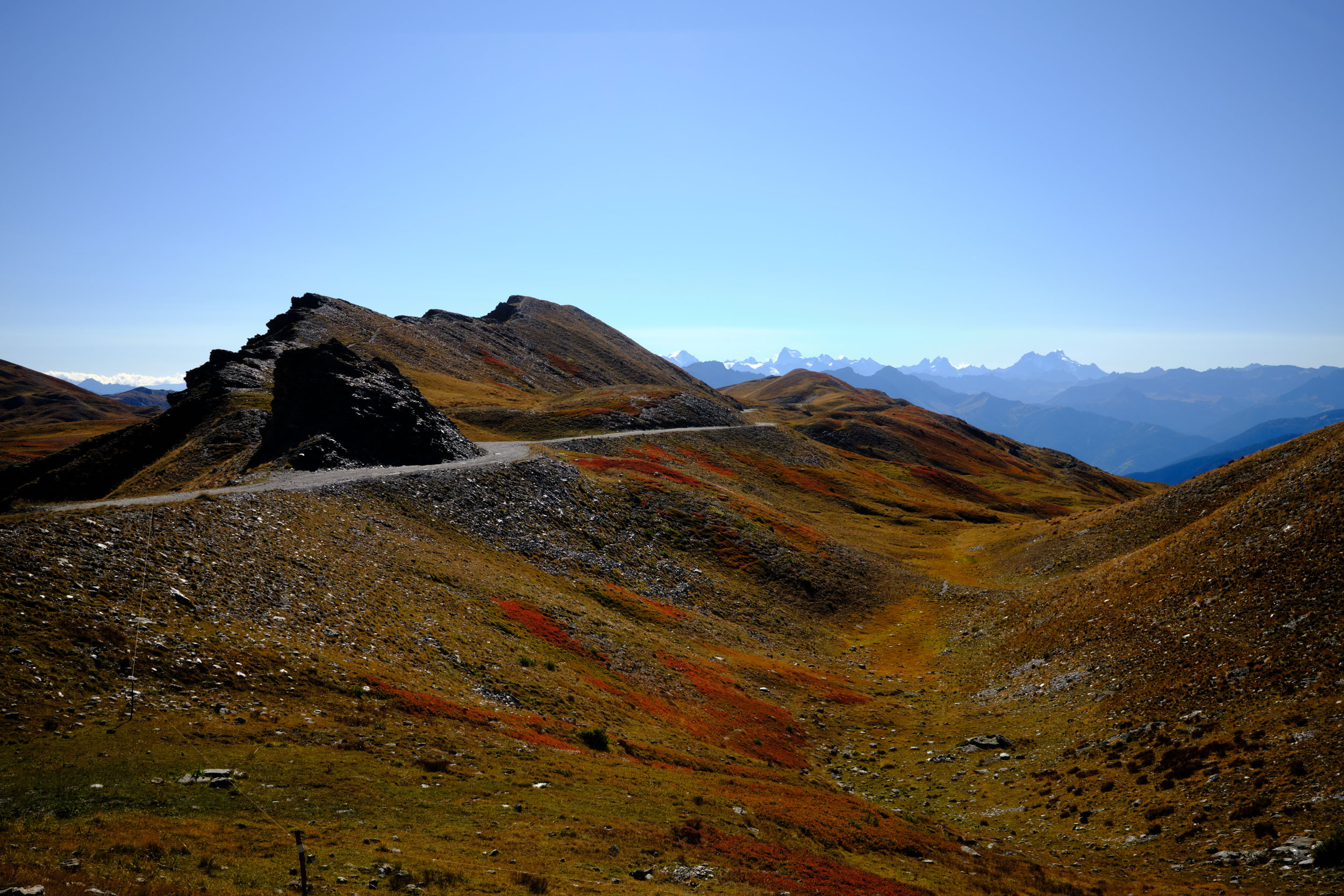
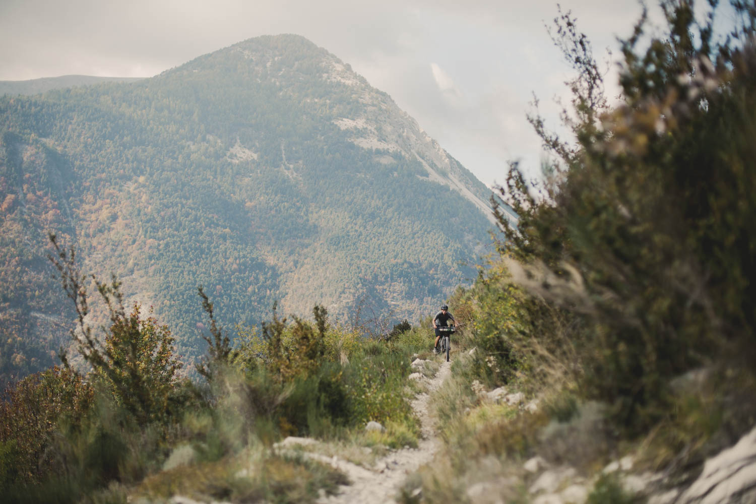
To truly grasp the scale of this long Franco-Italian conflict, one must witness the perspective from the other side. The playful Sentiero Gelindo Bordin—named after the legendary Italian marathoner—offers magnificent balcony views as it connects you to the start of the Strada dell’Assietta. This 34-kilometer dirt road, winding entirely above 2,000 meters, was the site of a dramatic French defeat in 1747, where a force of 25,000 to 40,000 French soldiers was repelled by just 7,000 to 15,000 Sardinian troops. As new military installations flourished along its trail in the following decades, its lunar landscape and scarce vegetation now serve as the perfect starter for the challenges ahead.
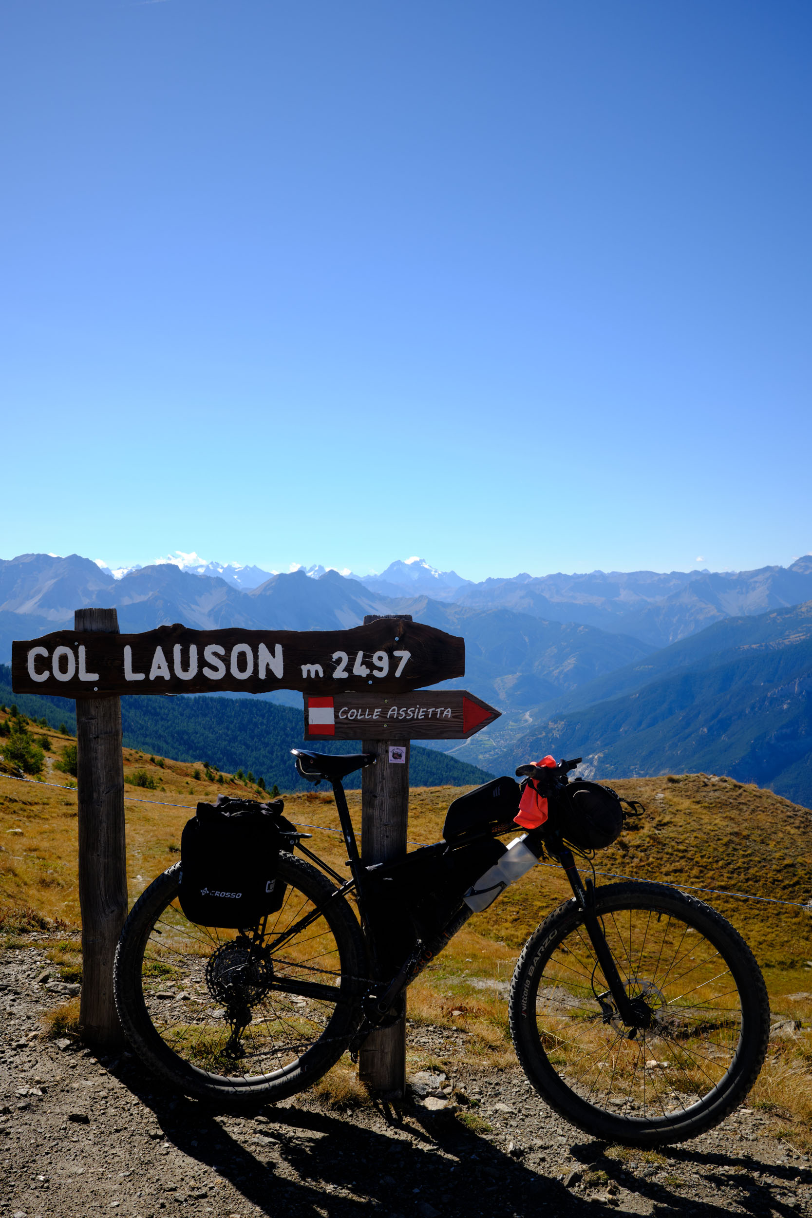
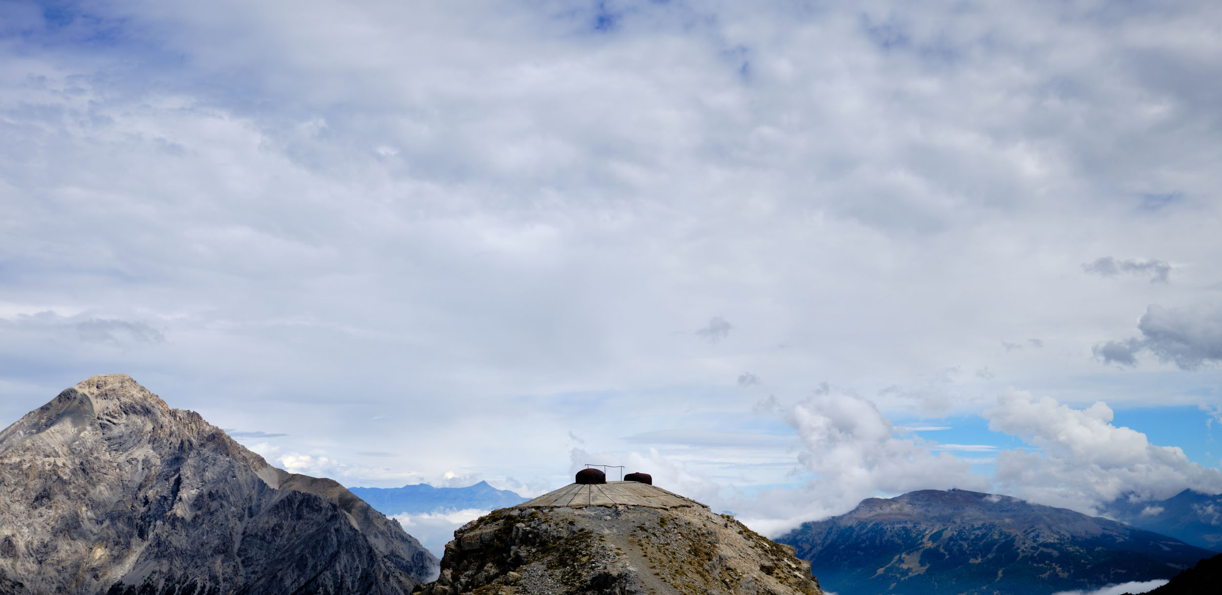
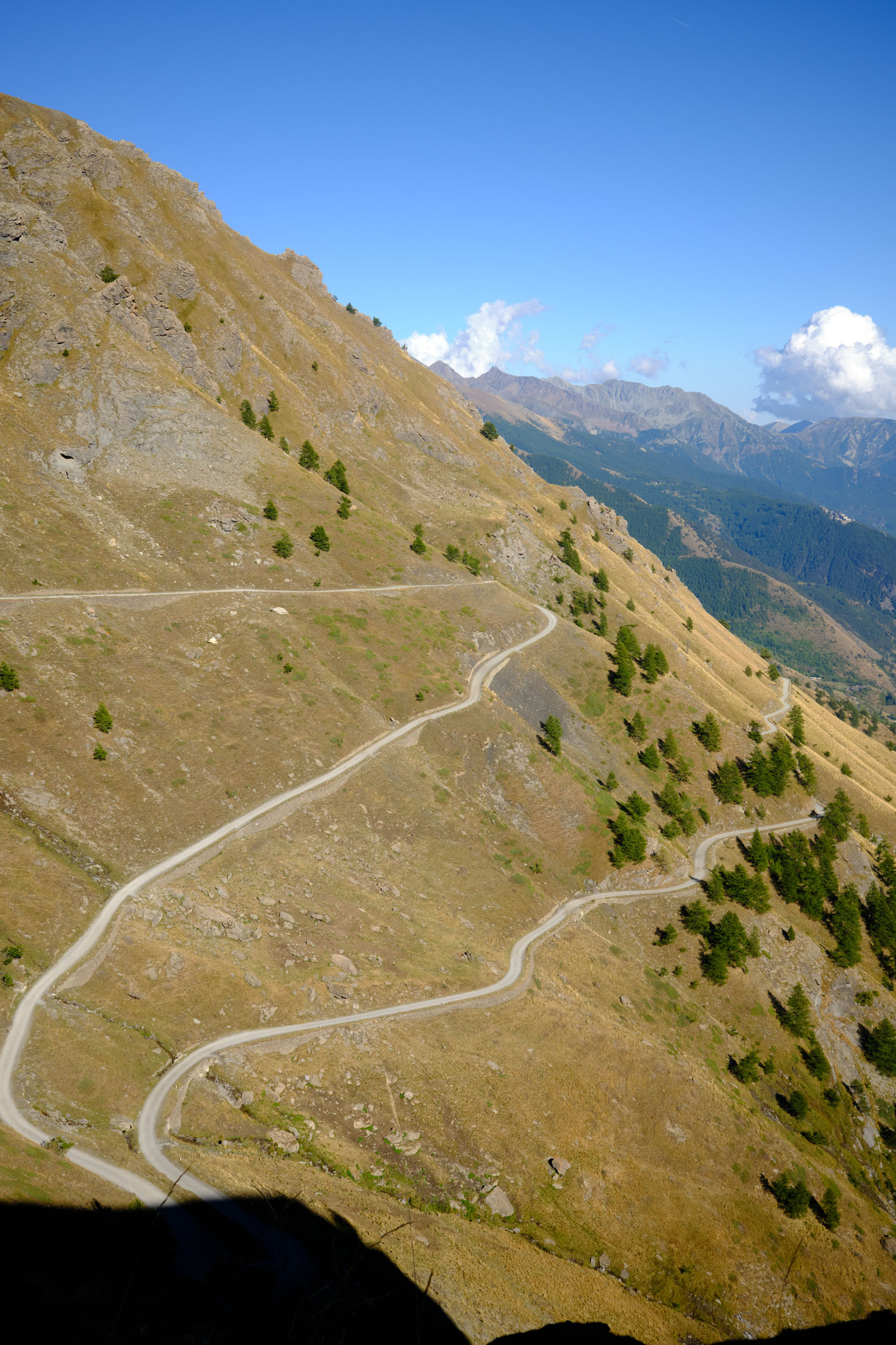
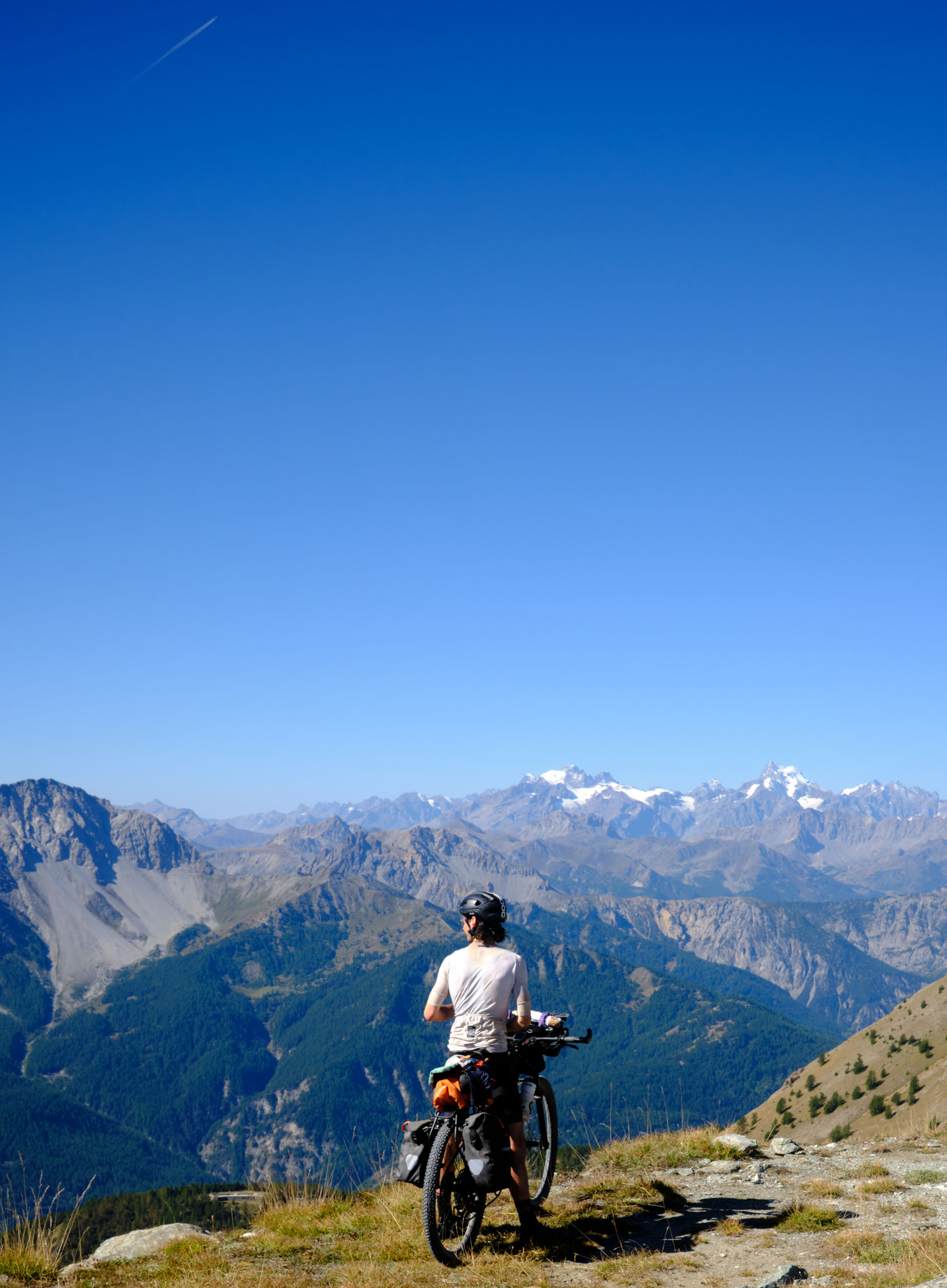
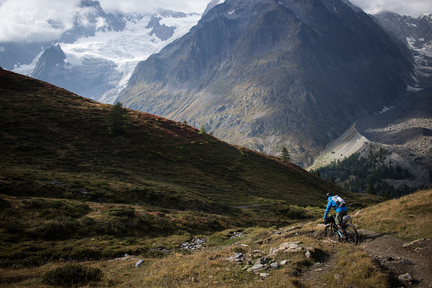
The main course is an impressively high climb: a brutal 2,000-meter vertical gain to reach the sky. Transitioning from conifer forests to desolate peaks, Military Road 79—a manageable 4×4 track—leads to Forte Pramand, once the shield of the Susa Valley. Above it sits the cloud giant, Forte Jafferau. Perched at 2,805 meters, it offers a breathtaking 360-degree view of the Alps, where several French peaks over 4,000 meters reveal themselves. Its former primary target, the Ouvrage Janus, is still visible in the distant haze.


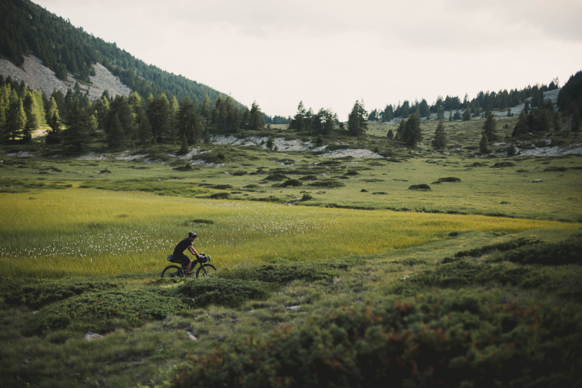
To conclude this four-course menu, a sweet dessert awaits in the Vallée de la Clarée—often described as the most beautiful valley in France. It is a combination of gentle elevation and flowing trails through pine forests along the Clarée River, where a refreshing dip is more than recommended. As the valley narrows, the journey comes full circle at the Pont d’Asfeld. Built in 1731, this architectural masterpiece leaps across the Durance, reconnecting the high forts to the heart of Briançon, where it all began.
Route Difficulty
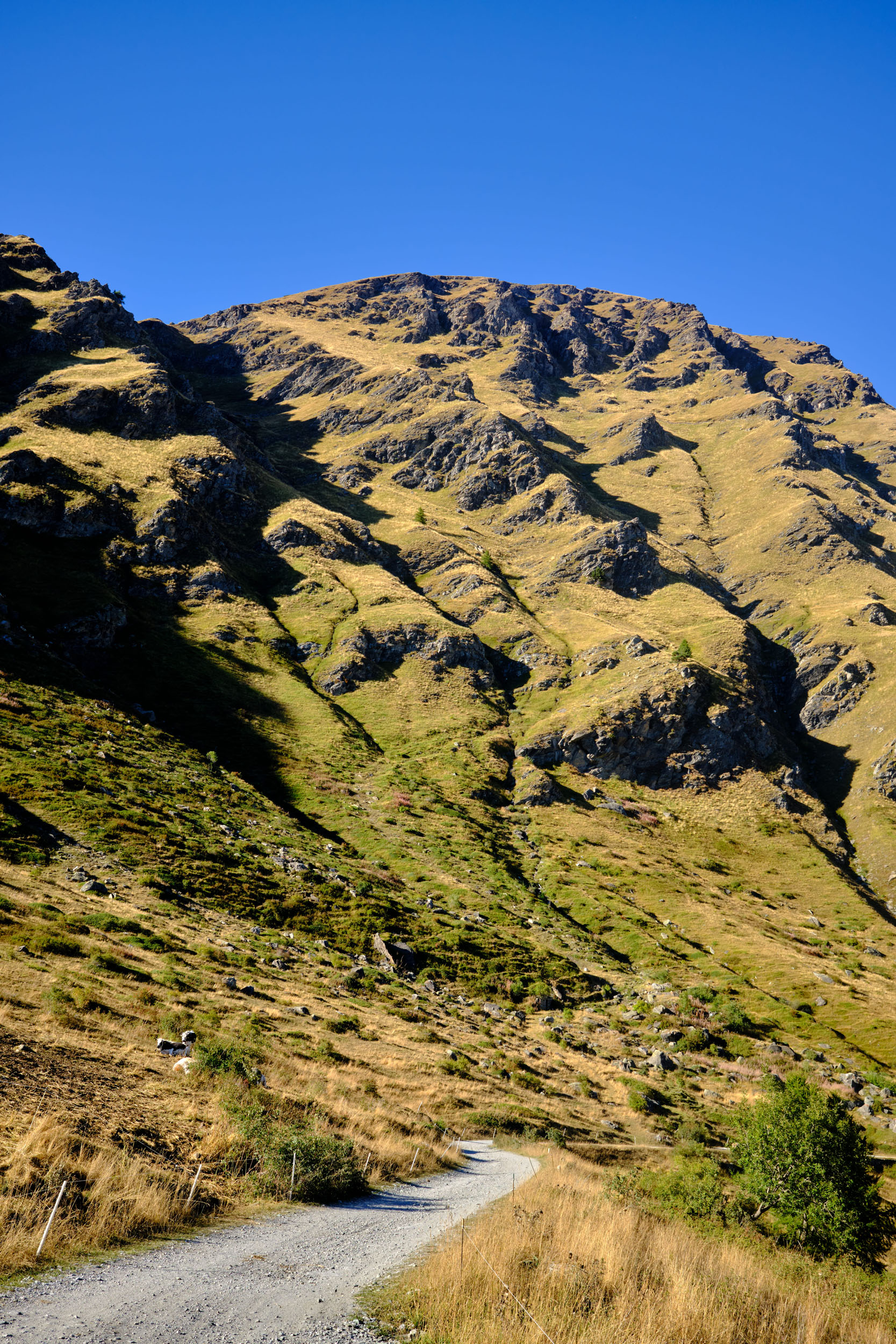
From a technical standpoint, no section remains overly demanding for long. Depending on your climbing ability, you should anticipate a brief hike-a-bike section just past Bousson, where the trail becomes very steep. Otherwise, the route flows smoothly, alternating among high-quality 4×4 tracks, rolling doubletracks, and flowdy singletracks. All singletrack sections are rated S0 or S1 on the Singletrack Scale (STS), with a minimal exposure rating of E1. Note that the descent after Forte Jafferau is particularly steep and rocky.
The physical demand challenge comes from the long ascents, especially the climb to Forte Jafferau, which packs a 2,000-meter elevation gain in one go. Riding the loop counter-clockwise offers long, gradual climbs followed by rewarding descents.
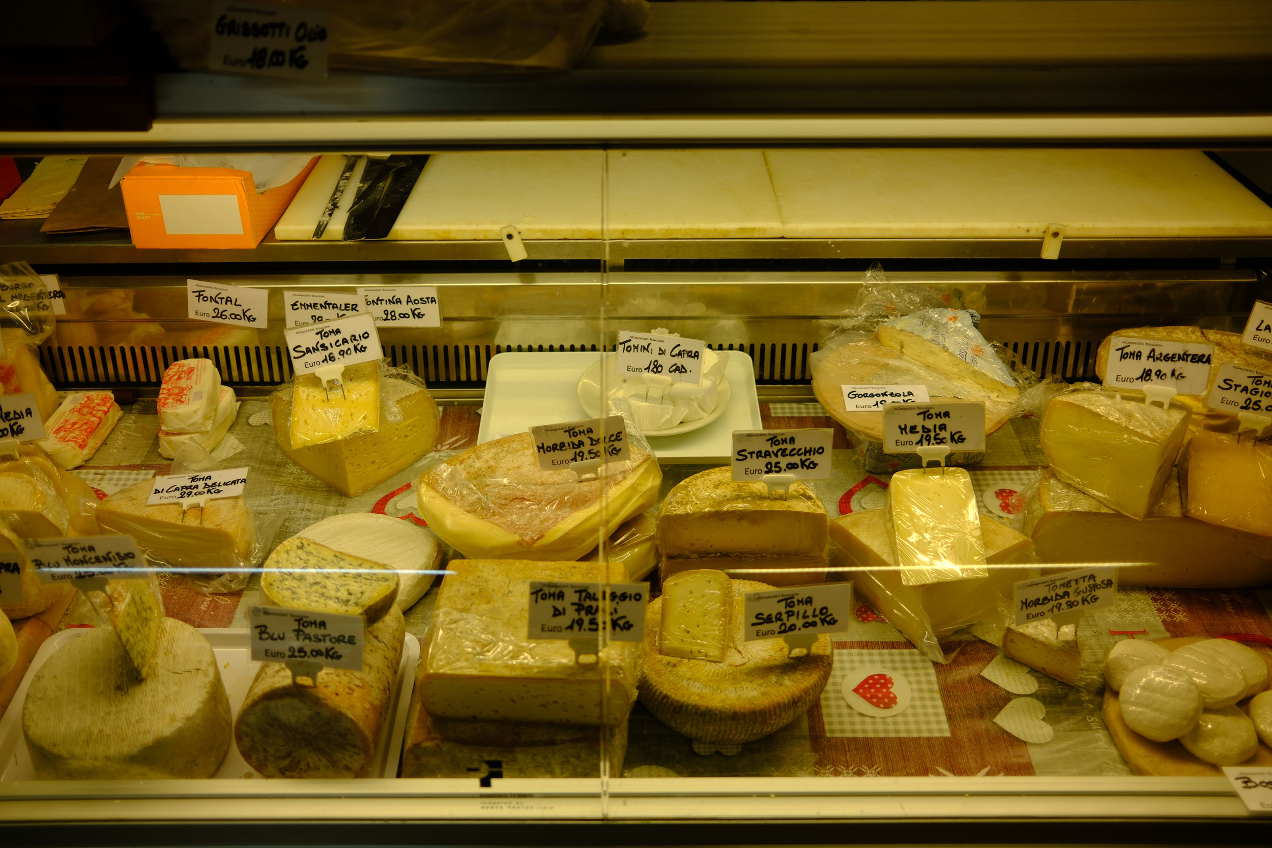
Aside from Rifugio Assietta Jack Canali and Rifugio Capanna Mautino, where you can buy a meal, there are no services while at altitude. However, you will find markets in every valley. Be sure to pack enough food in Briançon, Bousson, and Chiomonte to fully enjoy the high-altitude stretches.
Route Development: This project began several years ago during a road cycling trip across the Alps. I spotted the Fort du Janus looming over Briançon and soon began researching cycling forums to figure out how to reach its summit. Later, friends spoke of the legendary beauty of Colle delle Finestre, adding another piece to the puzzle. Two years ago, while riding the Alps Divide, I spotted a sign for Forte Jafferau during the climb up Colle del Sommeiller. At the time, the track was closed due to rockfalls, but the seed was sown. I designed a route that would connect all these points of interest into a single continuous loop and scouted it with my friend Thomas.


Submit Route Alert
As the leading creator and publisher of bikepacking routes, BIKEPACKING.com endeavors to maintain, improve, and advocate for our growing network of bikepacking routes all over the world. As such, our editorial team, route creators, and Route Stewards serve as mediators for route improvements and opportunities for connectivity, conservation, and community growth around these routes. To facilitate these efforts, we rely on our Bikepacking Collective and the greater bikepacking community to call attention to critical issues and opportunities that are discovered while riding these routes. If you have a vital issue or opportunity regarding this route that pertains to one of the subjects below, please let us know:
Highlights
Must Know
Camping
Food/H2O
Trail Notes
- Wandering through the charming streets of Briançon compressed within the Vauban fortifications.
- The Massif du Chenaillet, a wild and mesmerizing high-altitude traverse between Col du Gondran and the Italian border.
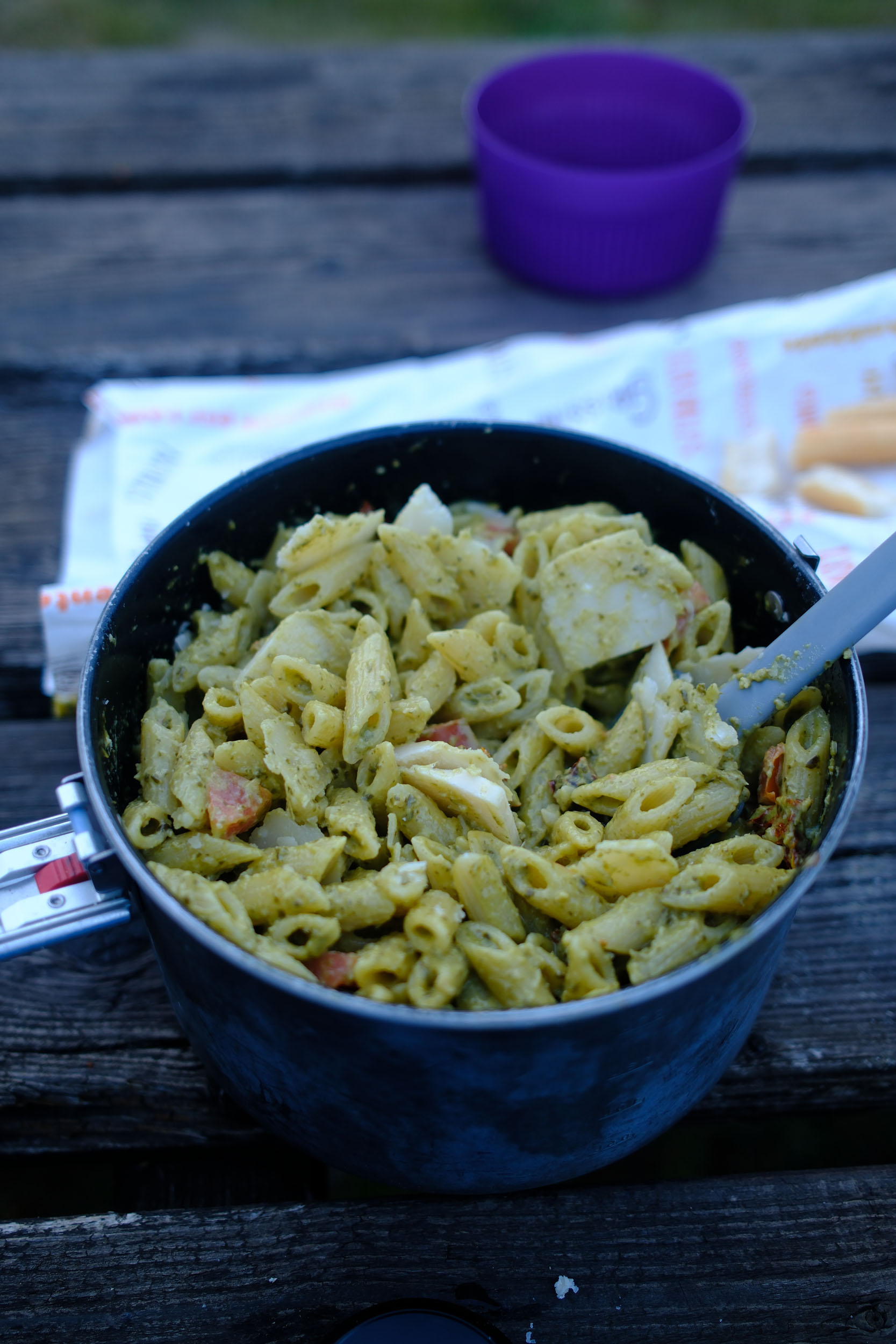
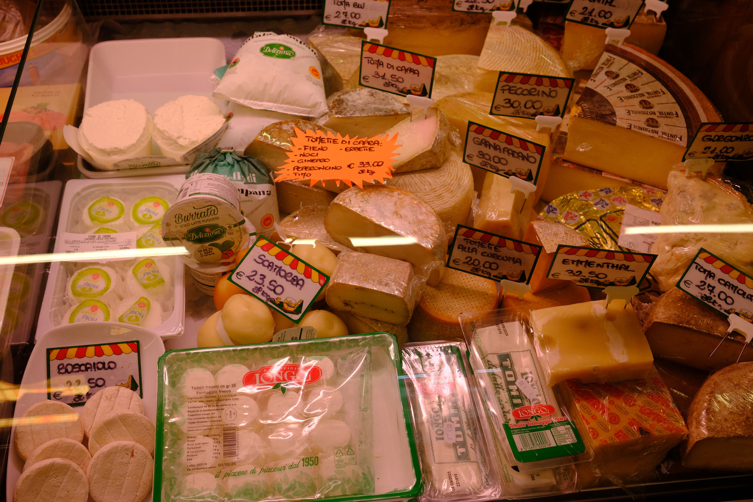
- Fresh pasta and pesto from the small grocery shops in Bousson and Chiomonte that make you forget every meter of the climb.
- The legendary Strada dell’Assietta, a 34-kilometer dirt road suspended between 2,000 and 2,500 meters of elevation.
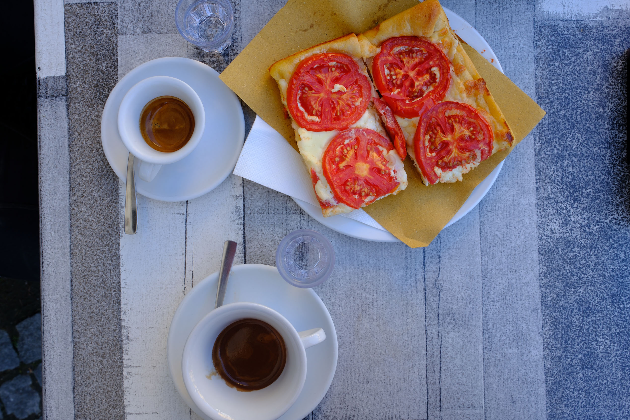
- Enjoying an espresso at Rifugio Assietta Jack Canali.
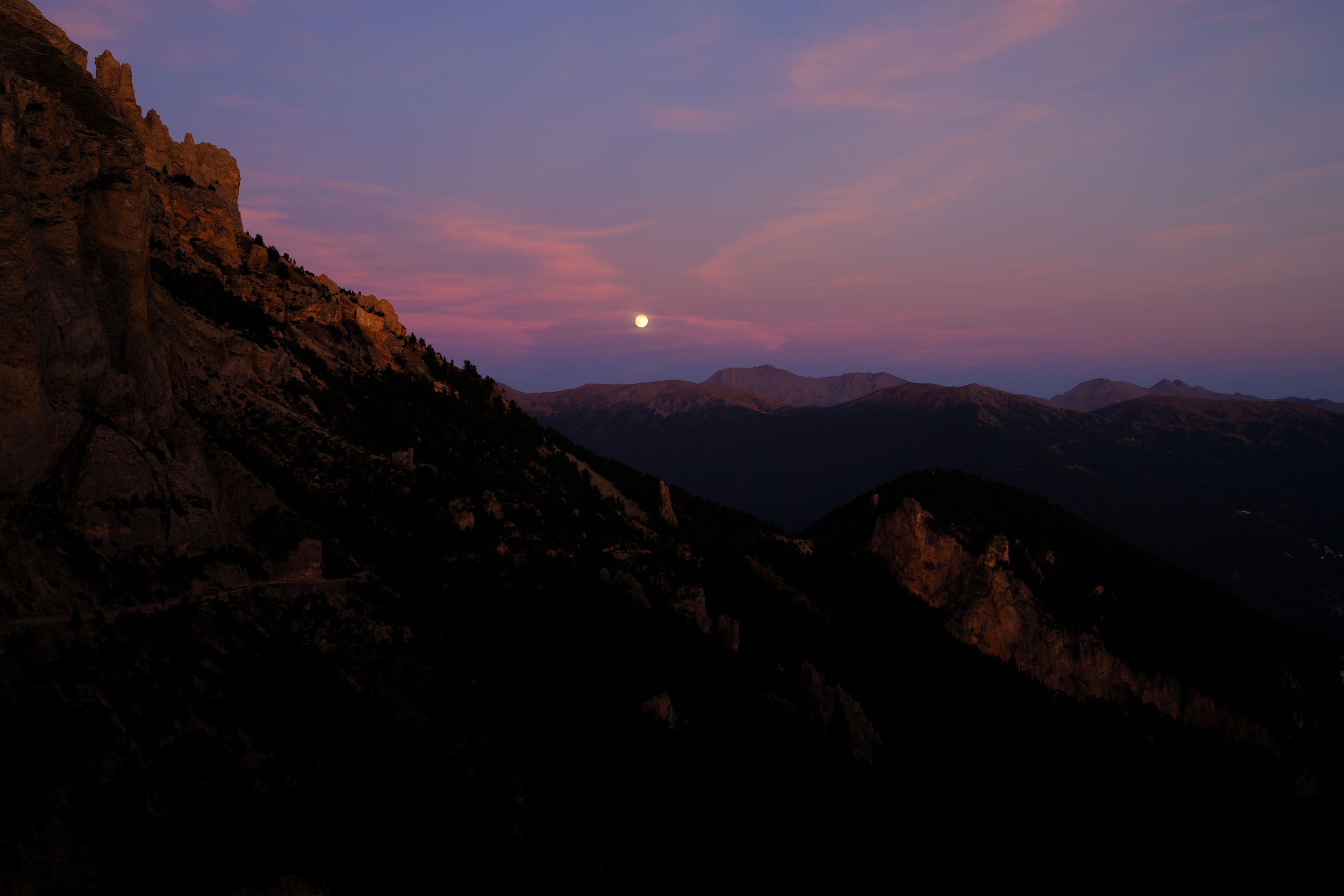
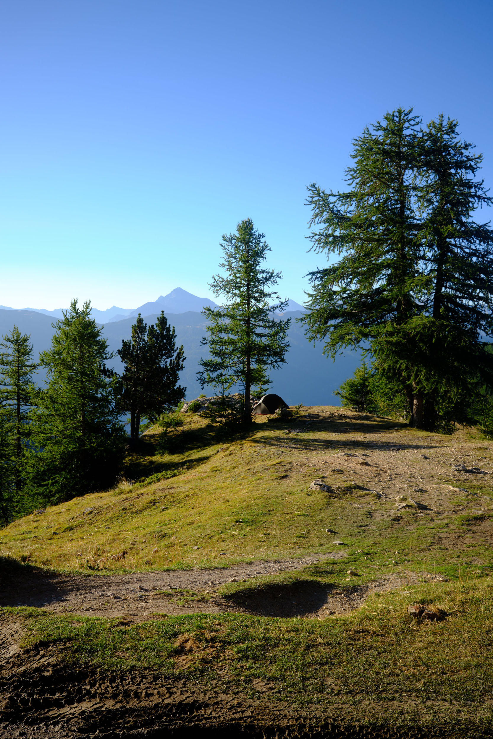
- Wild camping on the ascent to Forte Jafferau.
- The Pasticceria Ugetti in Bardonnechia offer the nicest profiteroles that I know.
- Camping du Bois des Alberts is a haven of rest just before the return to Briançon.
- The trail along la Clarée is a perfect cooldown after days of brutal elevation.
- A refreshing bath in la Clarée.
When to go:
- The route can only be ridden from July to October. However, it’s essential to double-check the specific opening dates for the mountain passes and military roads.
- During July and August, the Strada dell’Assietta is closed to motorized vehicles every Wednesday and Saturday (more information).
- From June 1st to September 30th, Military Road 79 leading to Forte Jafferau is closed to motorized vehicles on Mondays, Tuesdays, Thursdays, Fridays, and Sundays (more information).
- Overall, September and October are the finest months to enjoy the route, featuring significantly less traffic and a vibrant, colorful landscape as the larch trees turn to gold in October.
Logistics:
- On the French side, Briançon is easily accessible by train. You can take the night train from Paris (note that a reservation is mandatory for non-disassembled bikes) or a regional (TER) train from Marseille.
- On the Italian side, the loop can be started from either Bardonecchia or Susa, both of which are well-connected to Turin.
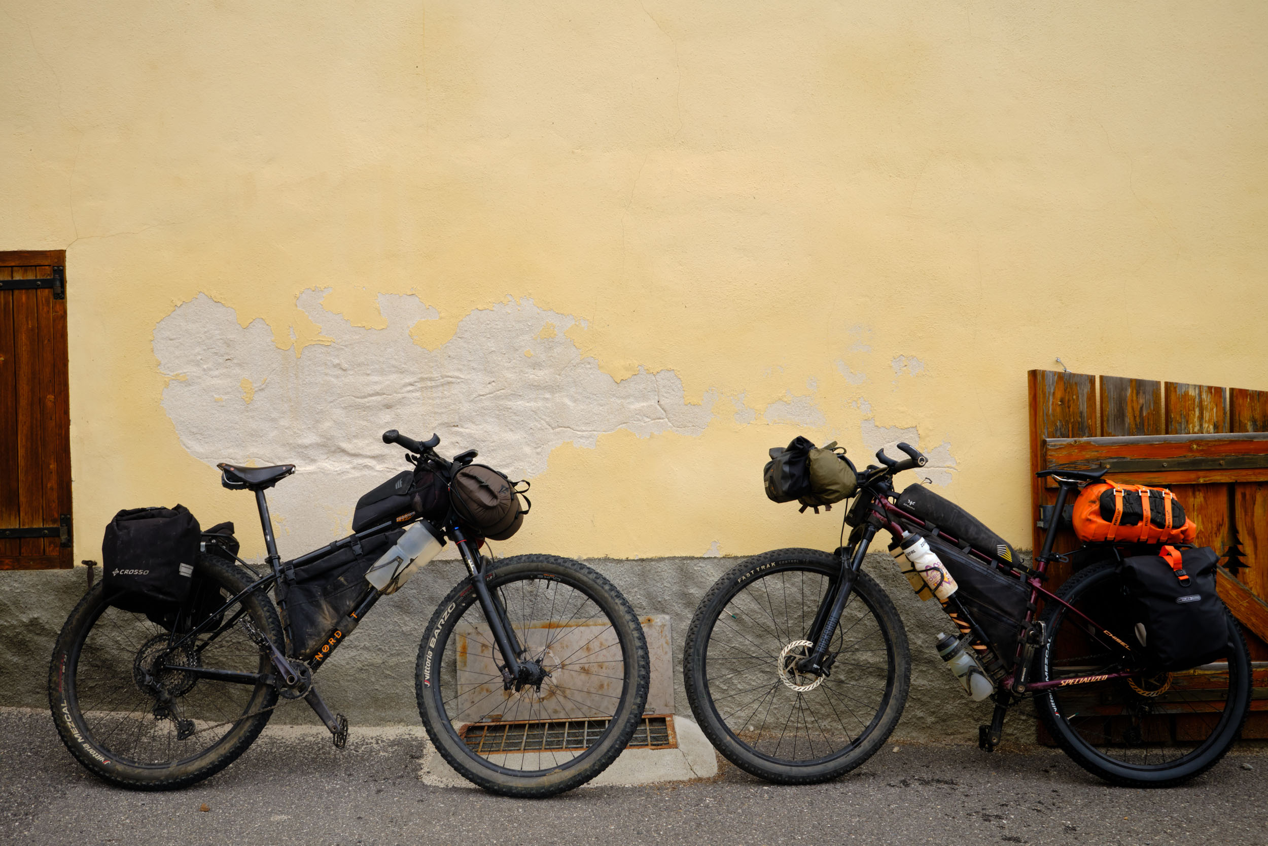
What Bike:
- An XC or AM bike, with or without a suspension fork, is ideal. Thomas rode his Specialized Chisel with a 100mm fork and 2.25” tires. I rode my Nordest Sardinha with a 120mm fork and 2.6” tires, which felt very comfortable for this terrain.
Dangers & Annoyances:
- The Strada dell’Assietta and the climb to Jafferau are open to traffic on certain days (see “when to go”); expect to encounter 4x4s and motorbikes.
- Be sure to bring lights: a 900-meter tunnel (Galleria dei Saraceni) must be navigated during the ascent to Jafferau.
- We recommend riding the route counter-clockwise to fully enjoy the steep descent after Monte Jafferau.
- Wild Camping: In Piedmont, wild camping is tolerated (Regional Law No. 54, 1979, Article 16) for stays of less than 48 hours in areas where no established campsites are available. We recommend setting up after dusk and leaving at dawn. As always, practice strict Leave No Trace principles. Please refrain from swimming in high-altitude lakes and stay on the designated trails in the Massif du Chenaillet to protect these fragile ecosystems.
- Established Campsites: Camping Le Bois des Alberts offers a peaceful and well-equipped place to relax just before reaching Briançon.
- Mountain Refuges: Two refuges are located along the route, Rifugio Capanna Mautino just before Bousson and Rifugio Assietta Jack Canali on the Strada dell’Assietta.
- Hotels and B&Bs: Indoor accommodations can be found in the Susa Valley, Bardonecchia, the Vallée de la Clarée, and Briançon.
- Water: Filterable water is available throughout the route; we didn’t encounter any areas where sourcing water was an issue. High-altitude streams were frequent in September.
- Resupply: Options are available in every valley. However, be aware that shops in Bousson and Chiomonte close for a long midday break between 12:30 and 16:00.
- Services: Both Briançon and Bardonecchia are full-service towns where you can find well-equipped bike shops and general stores.
- Must-Visit Eateries: Stop at local restaurants in Chiomonte or Exilles to experience authentic Piedmontese cuisine. Pasticceria Ugetti in Bardonecchia is a mandatory stop for a sweet treat (the profiteroles are legendary). Le Barboteur in Briançon is the perfect spot for a drink before or after your loop.
The following itinerary is based on our experience riding 4–5 hours per day with a medium-plus-weight bikepacking setup.
location Briançon – Bousson
Day 1 (41 km, +1,700 m)
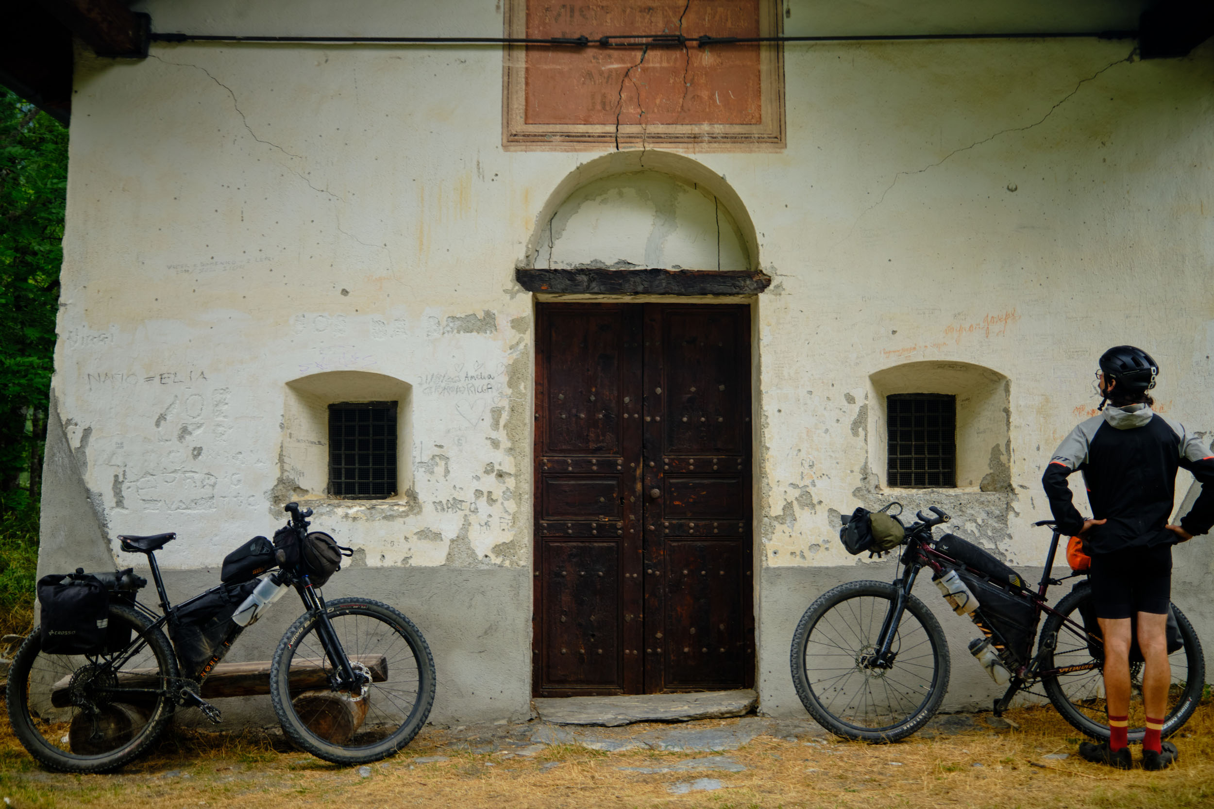
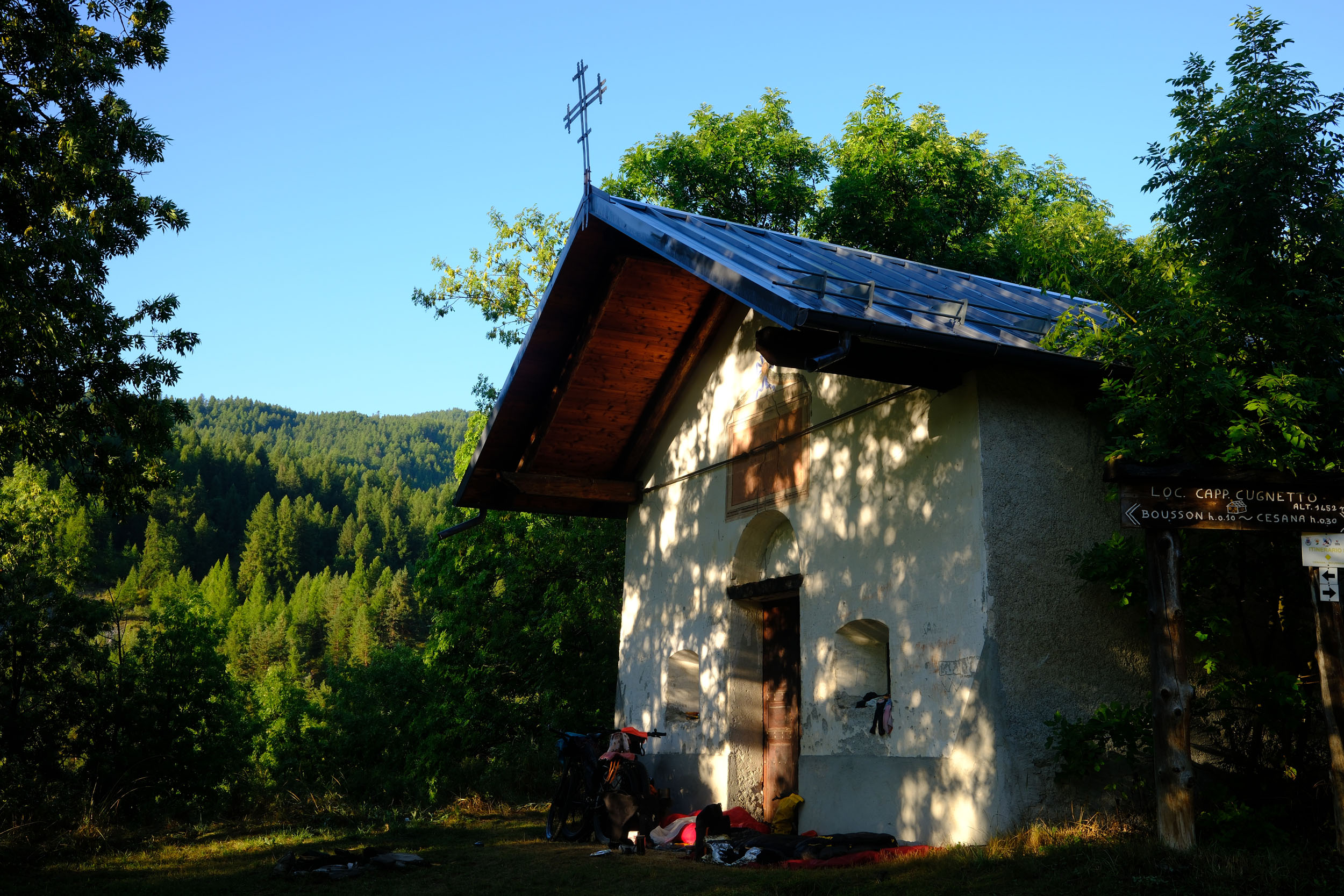
Starting from the Briançon train station, the route briefly follows the legendary Tour de France road toward Col d’Izoard. Fortunately, it isn’t long before you hit your first military gravel road, climbing steadily toward Ouvrage Janus at 2,540 meters. From there, you’ll exit France via a rolling balcony trail (more information). After one final push, a long, flowing descent leads you down to Bousson. We resupplied at a small local market for the night and the following day. As the weather turned, we set up camp a few hundred meters past the village, taking shelter from the rain under the roof of a small chapel.
location Bousson – Colle delle Finestre
Day 2 (52 km, +1,900 m)
Leaving Bousson with a day’s worth of food, riders face a short but brutal climb toward Champlas Seguin. After a brief tarmac section, the gradient eases off. At 2,200 meters, you’ll join the Sentiero Gelindo Bordin (more information), a smooth six-kilometer balcony trail with no technical difficulties. This connects directly to the legendary Strada dell’Assietta. Note that if you aren’t riding this section on a Wednesday or Saturday in July and August, you should stay alert for motorized vehicles. From here, you’ll enjoy 34 kilometers of rolling 4×4 tracks suspended between 2,000 and 2,500 meters. Rifugio Assietta Jack Canali is a great stop for coffee, a warm meal, a sweet treat, or overnight accommodation. We chose to camp on the descent of the Colle delle Finestre, where we found a quiet spot with picnic tables.
location Colle delle Finestre – Forte al Seguret
Day 3 (44 km, +2,000 m)
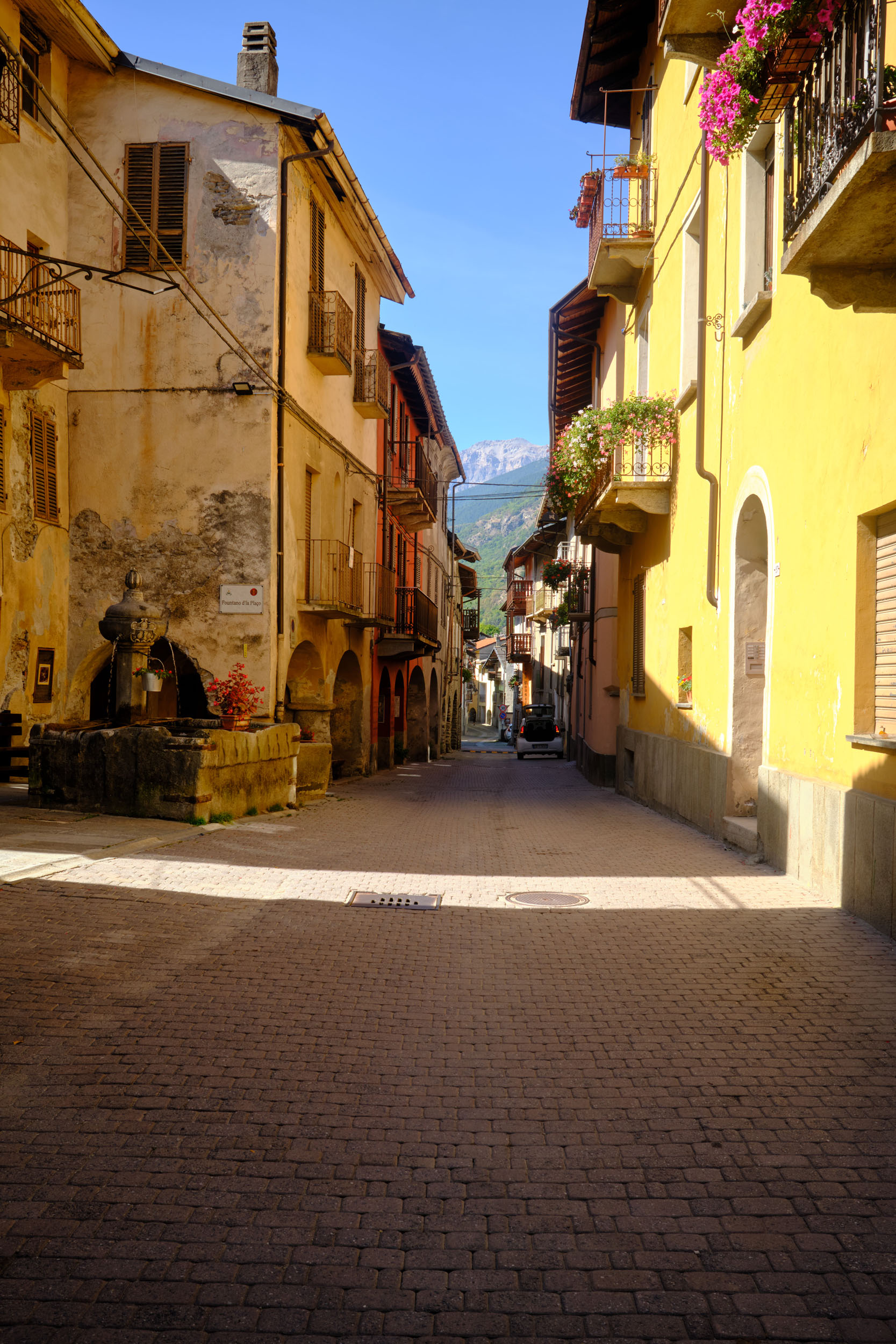
If you decide to camp at Colle delle Finestre, be prepared for a long wait before the sun finally reaches you. To descend, you have two options: the singletrack featured on the route, or the easier, winding gravel hairpins. At the end, you’ll drop into the Susa Valley, re-entering civilization as you pass through the villages of Gravere, Chiomonte, and Exilles. Resupply is possible in the latter two, where you’ll find small markets and restaurants. Treat yourself here and pack plenty of food for the massive ascent ahead toward Forte Jafferau.
Be cautious on the Strada Statale 24; this valley road can be quite traffic-dense, though you won’t stay on it for long. You’ll soon turn onto Military Road 79, which is closed to motorized vehicles on Mondays, Tuesdays, Thursdays, Fridays, and Sundays from June 1st to September 30th. About halfway to the summit, Forte Pramand makes for an ideal break to admire the landscape. On our trip, we pushed through the Galleria dei Saraceni and reached Forte al Seguret to set up camp. There is a filterable stream nearby, making it a perfect spot to spend the night.
locationForte al Seguret – Briançon
Day 4 (56 km, +1,400 m)
For breakfast, you’ll be served a steady climb to reach Forte Jafferau, the highest point of the route at 2,805 meters. The descent back toward Bardonecchia is a mix of steep trails and rocky ski pistes. In town, you’ll find a train station, bike shops, and general stores.
If you’re still hungry for more climbing, a fantastic addition to this route is an out-and-back to Colle del Sommeiller, reaching nearly 3,000 meters (view route on RideWithGPS). This extra climb isn’t technical and offers breathtaking views. From July 1st to September 30th, the road is closed to motorized vehicles on Tuesdays and Thursdays (more information).
After fueling up one last time on Italian delicacies, it’s time to head back to France via the paved Col de l’Échelle. The descent drops you into the Vallée de la Clarée, where a final rolling and playful trail awaits. You’ll follow the Clarée river toward Briançon, where a refreshing dip in the water is highly recommended. The trail passes by Camping du Bois des Alberts, a great spot if you need one last night of rest. If you decide to push through to Briançon, a final short climb leads to a stunning viewpoint over the city. Finally, you’ll enter the old fortifications via the historic Pont d’Asfeld. Inside the city walls, you’ll find plenty of restaurants, and if you fancy a local brew, Le Barboteur is exactly where you need to be.


Terms of Use: As with each bikepacking route guide published on BIKEPACKING.com, should you choose to cycle this route, do so at your own risk. Prior to setting out check current local weather, conditions, and land/road closures. While riding, obey all public and private land use restrictions and rules, carry proper safety and navigational equipment, and of course, follow the #leavenotrace guidelines. The information found herein is simply a planning resource to be used as a point of inspiration in conjunction with your own due-diligence. In spite of the fact that this route, associated GPS track (GPX and maps), and all route guidelines were prepared under diligent research by the specified contributor and/or contributors, the accuracy of such and judgement of the author is not guaranteed. BIKEPACKING.com LLC, its partners, associates, and contributors are in no way liable for personal injury, damage to personal property, or any other such situation that might happen to individual riders cycling or following this route.
Further Riding and Reading
Here are some connected/nearby routes and related reports...
Please keep the conversation civil, constructive, and inclusive, or your comment will be removed.