


Tour des Combins
Distance
70 Mi.
(113 KM)Days
3
% Unpaved
91%
% Singletrack
33%
% Rideable (time)
85%
Total Ascent
13,650'
(4,161 M)High Point
9,176'
(2,797 M)Difficulty (1-10)
7.5?
- 10Climbing Scale Very Strenuous195 FT/MI (37 M/KM)
- -Technical Difficulty
- -Physical Demand
- -Resupply & Logistics
Contributed By
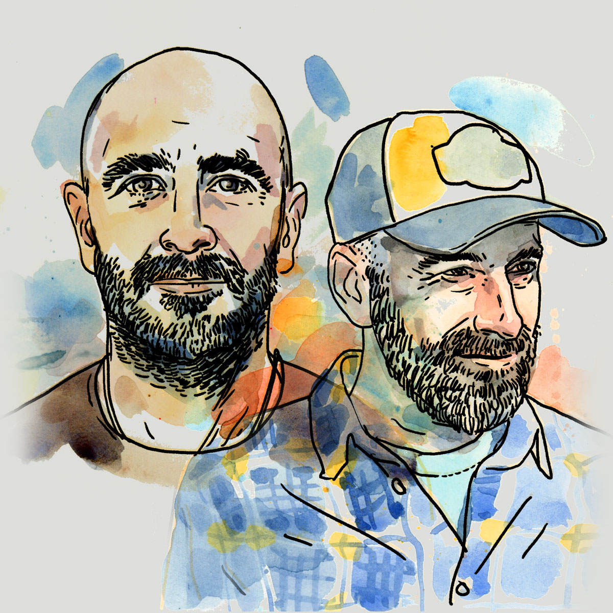
Montanus
The Wild Side
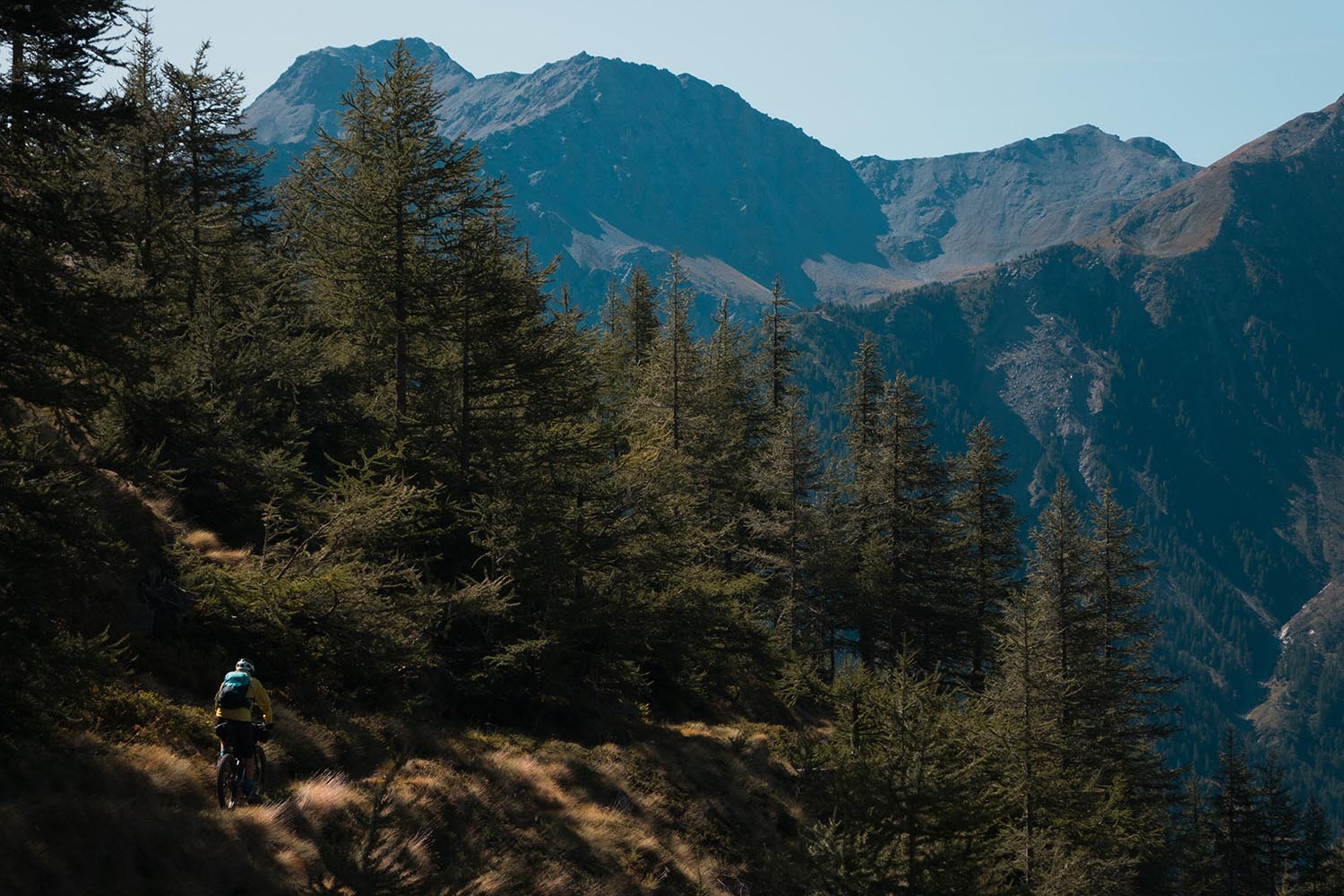
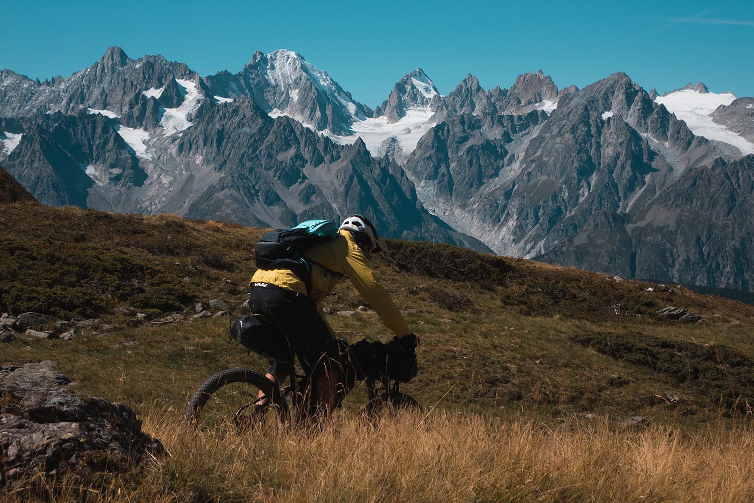
Despite being one of the most scenic trans-Alps routes, Tour des Combins is one of the least known. Lodged between the Mont Blanc massif and the Matterhorn, the TdC circumnavigates the slopes of the Combins Range (4,314m) starting from the Gran San Bernardo Pass (2,473m), on the border between Italy and Switzerland. After the pass the route crosses the Gran San Bernardo valley on the Italian side using panoramic singletrack. For a short stretch it overlaps the ancient Via Francigena, a medieval 1800km pilgrim trail from Canterbury UK to Rome. The route continues on singletrack trails and doubletrack roads between the beautiful valleys of the Valle d’Aosta, the Menouve, and the Conca di By. From there, working counterclockwise, the TDC pushes into alpine meadows and coniferous woods, dominated by the snowy peaks of Mont Vèlan, Gelè, and the Grand Combin.
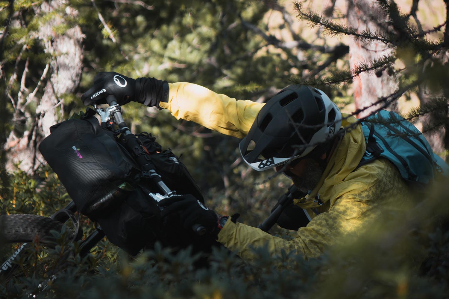
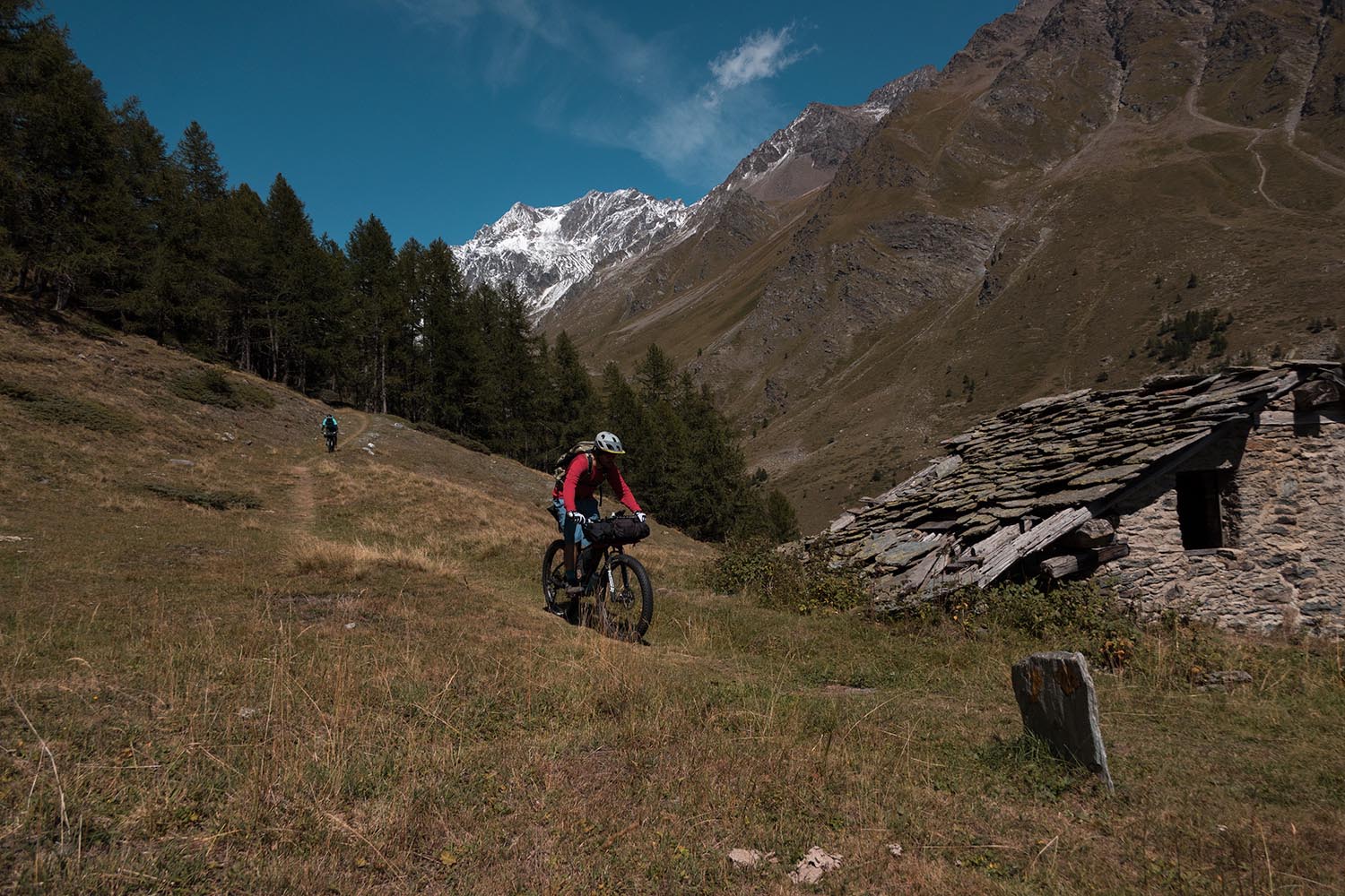
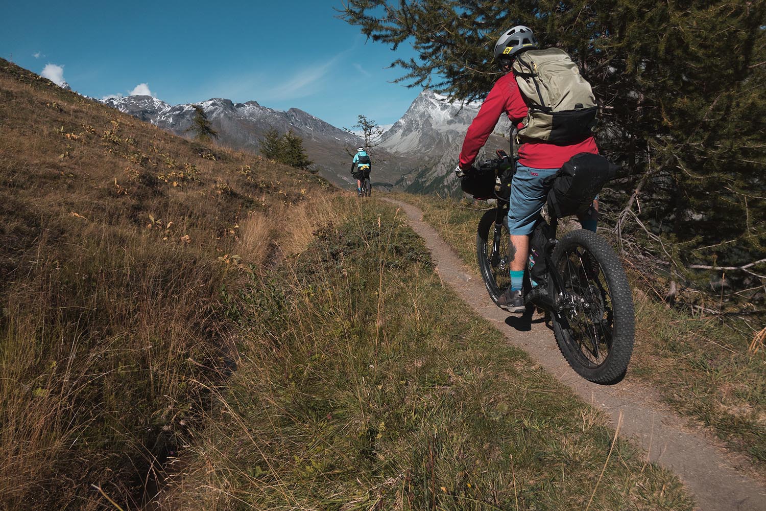
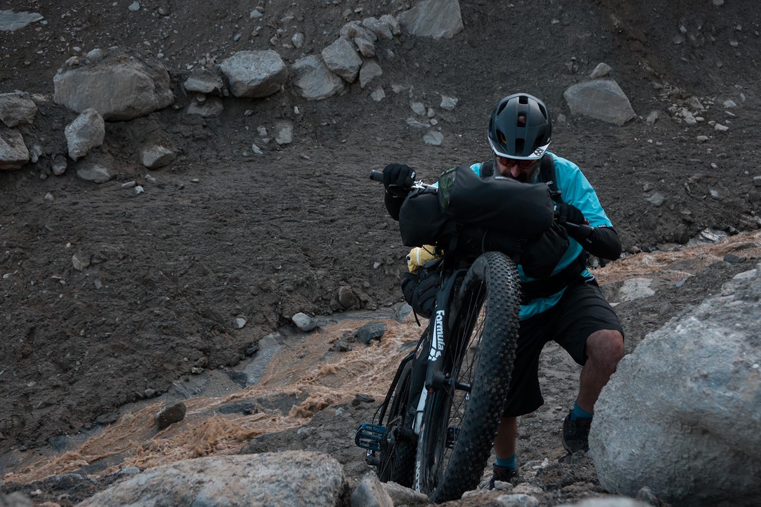
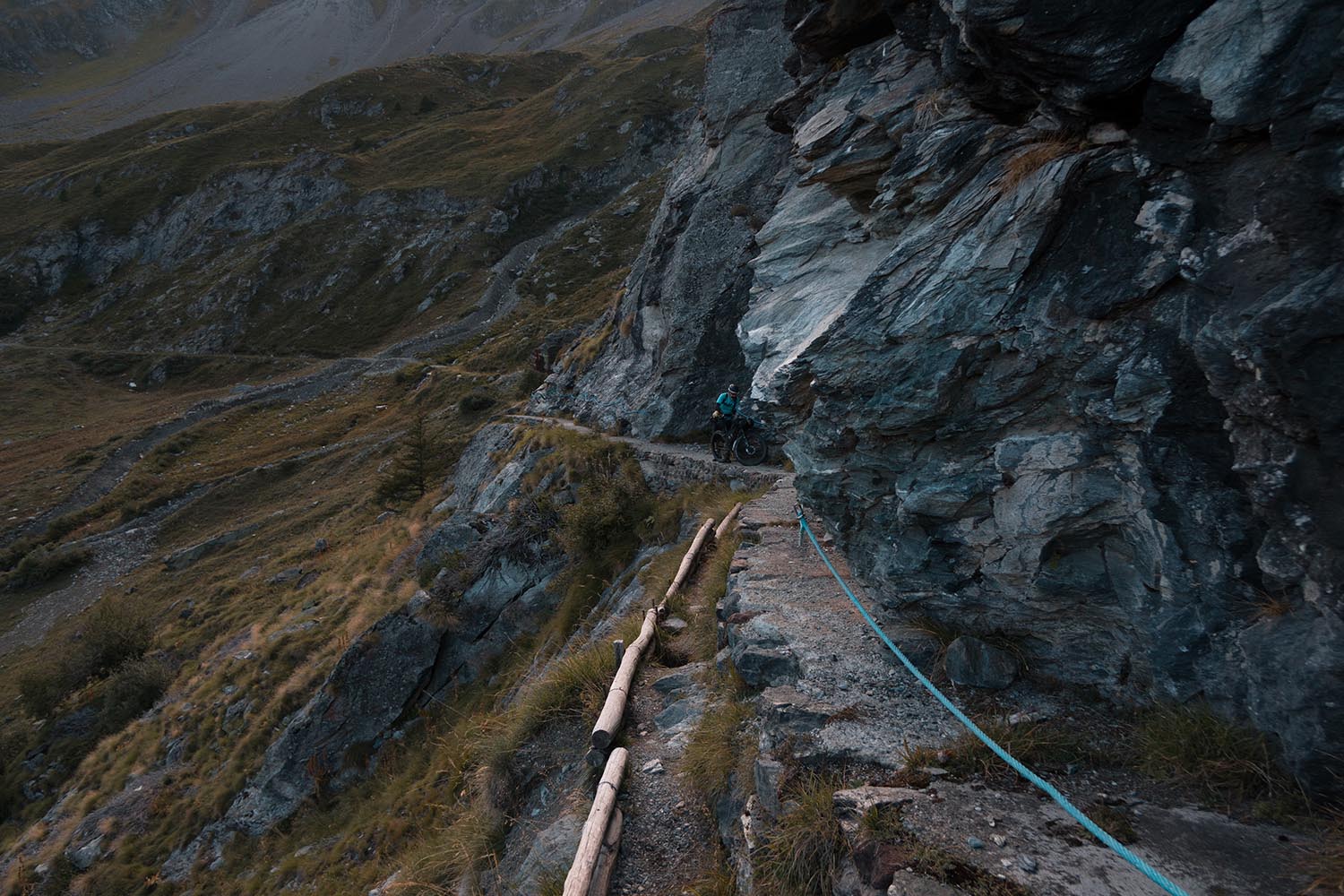
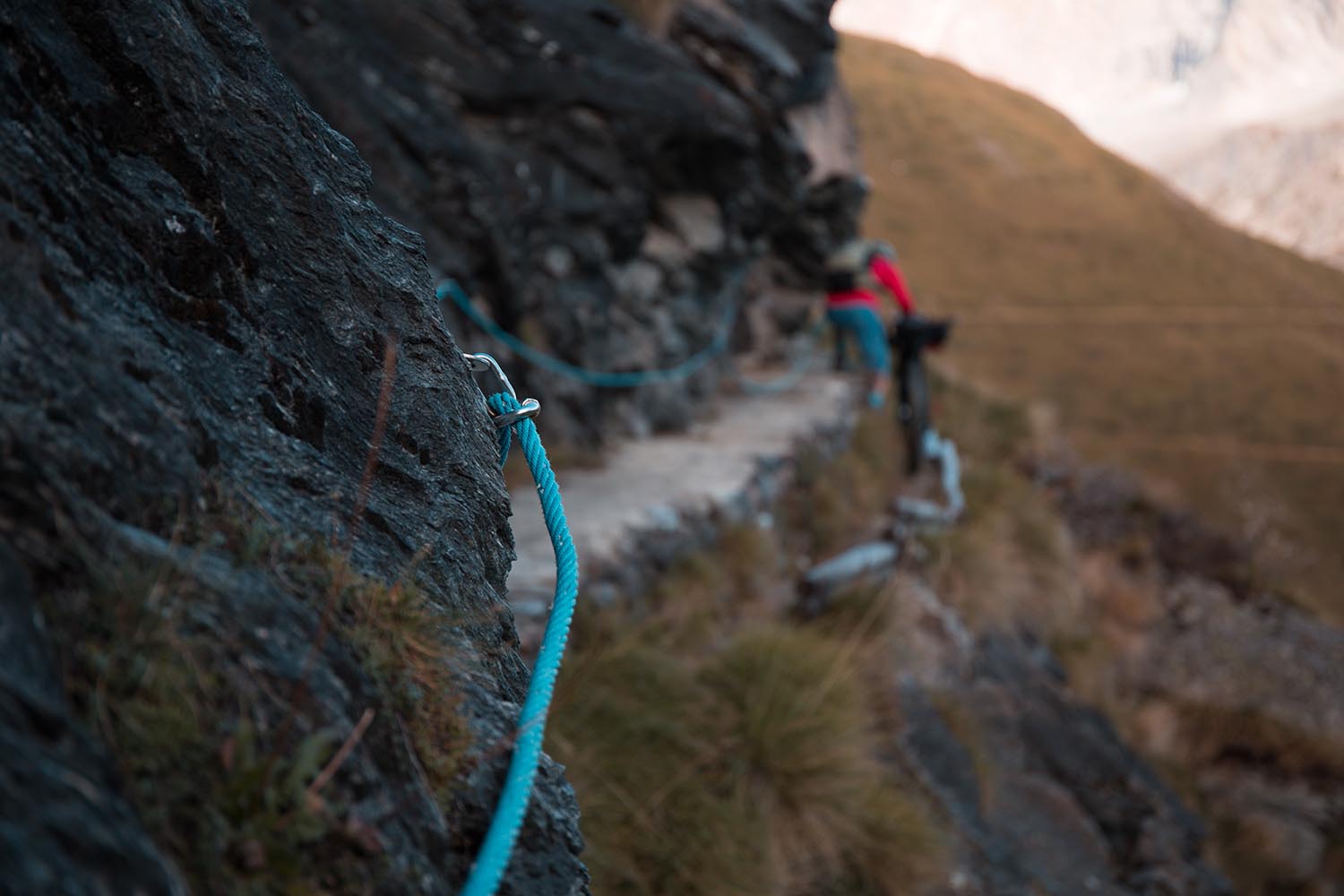
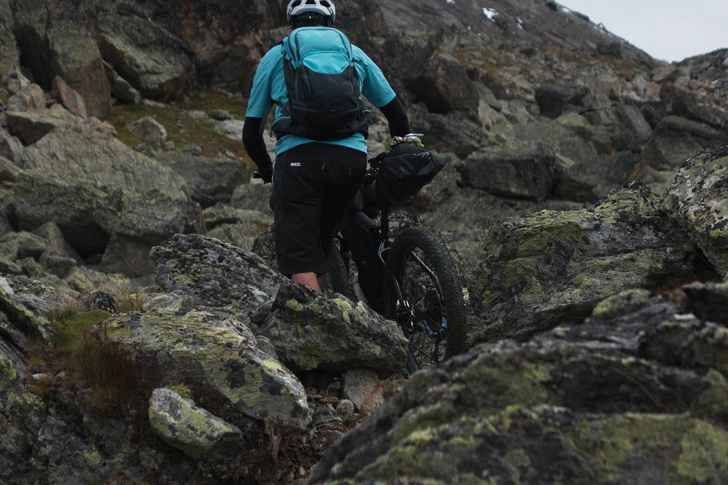
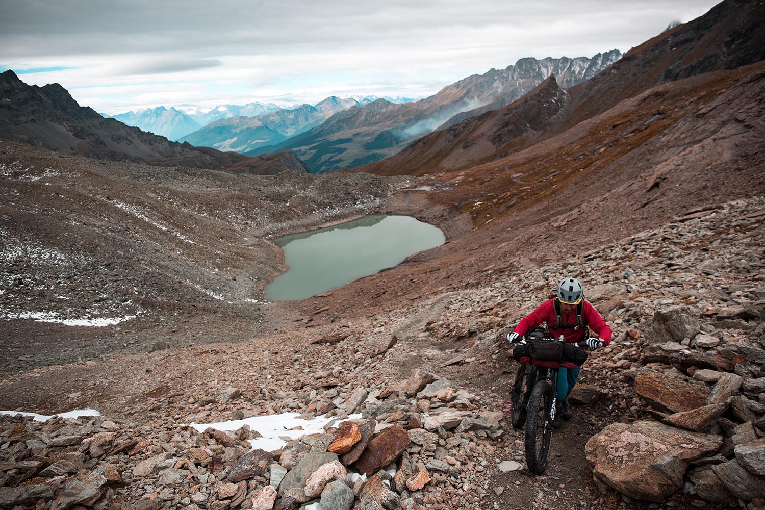
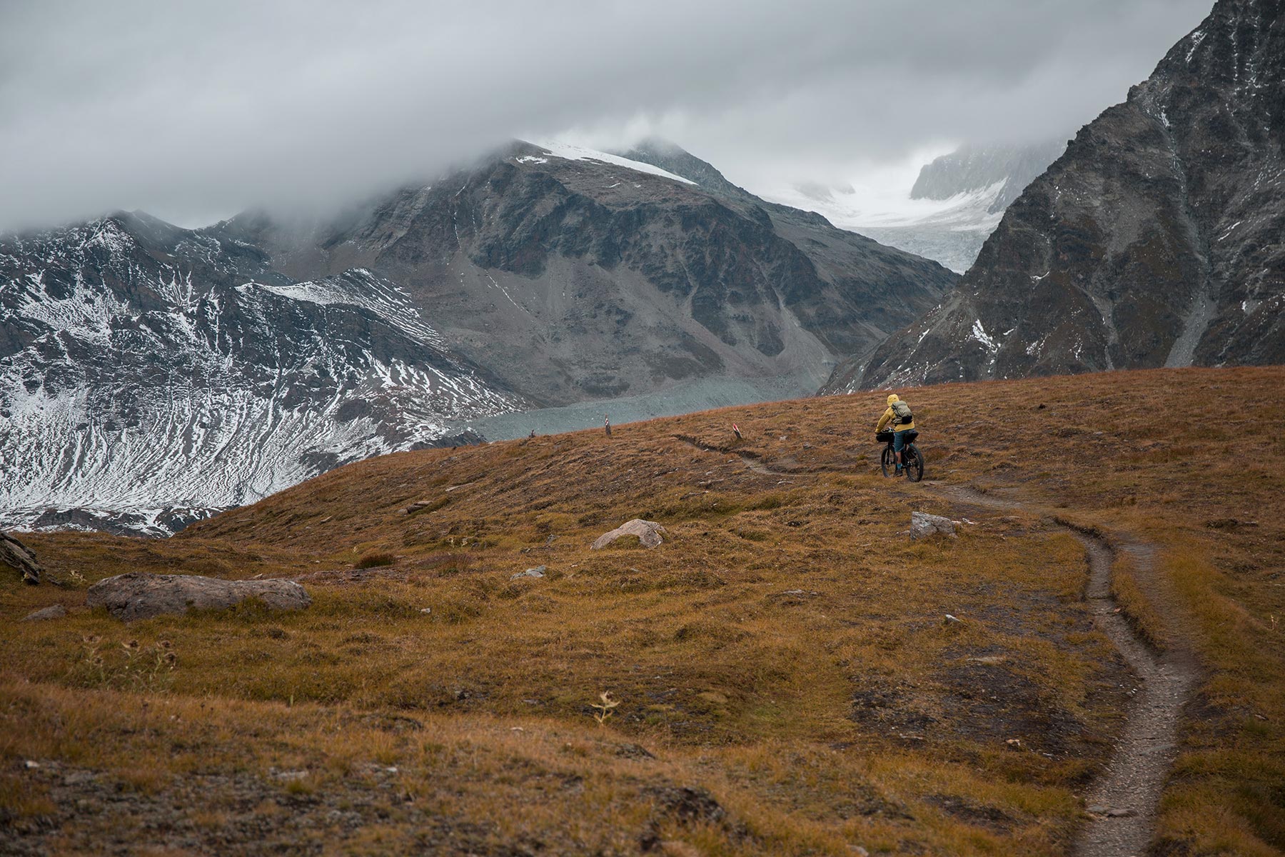
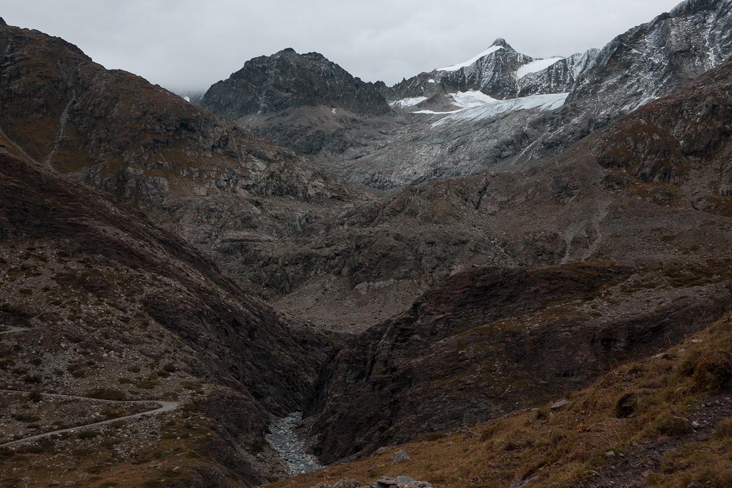
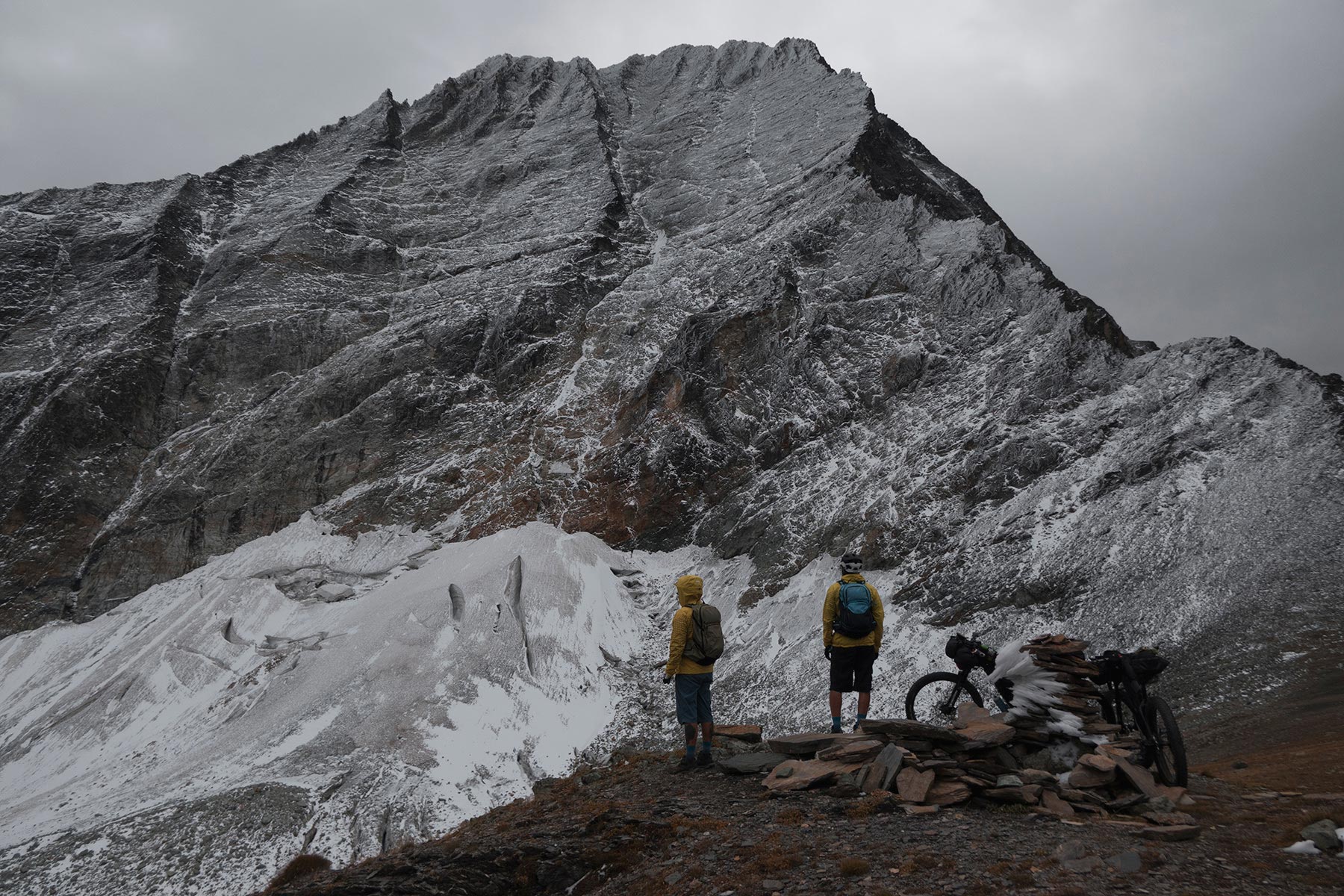
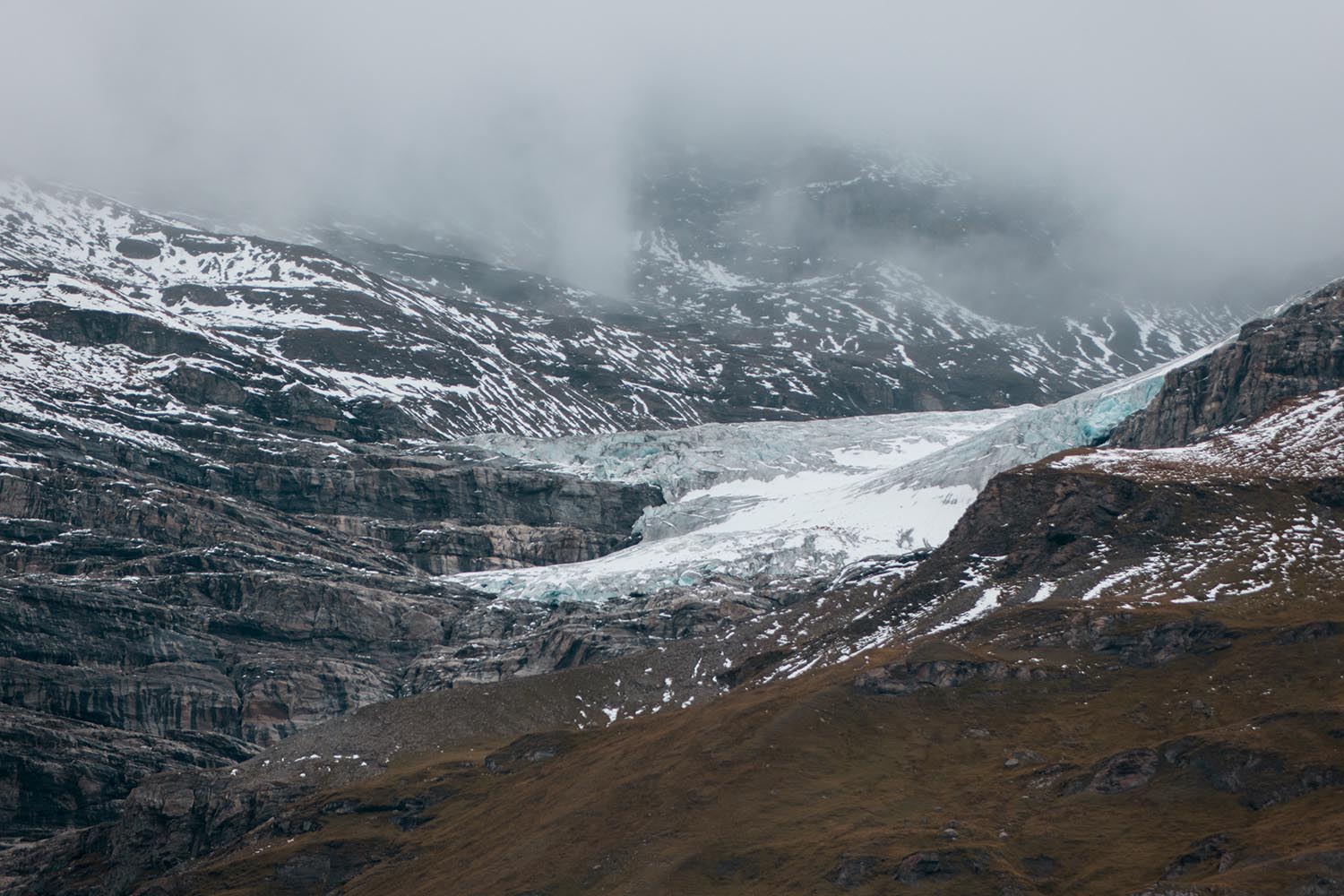
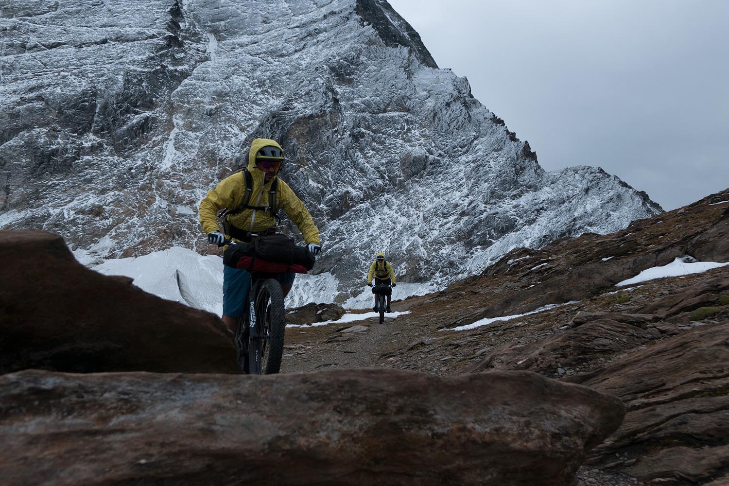
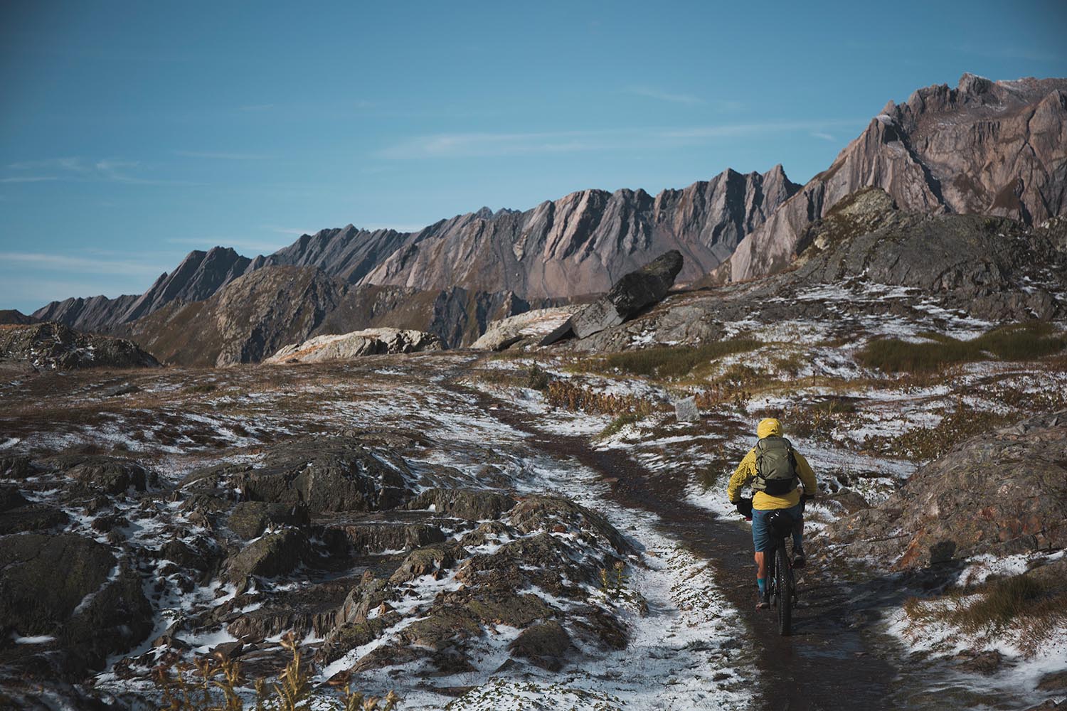
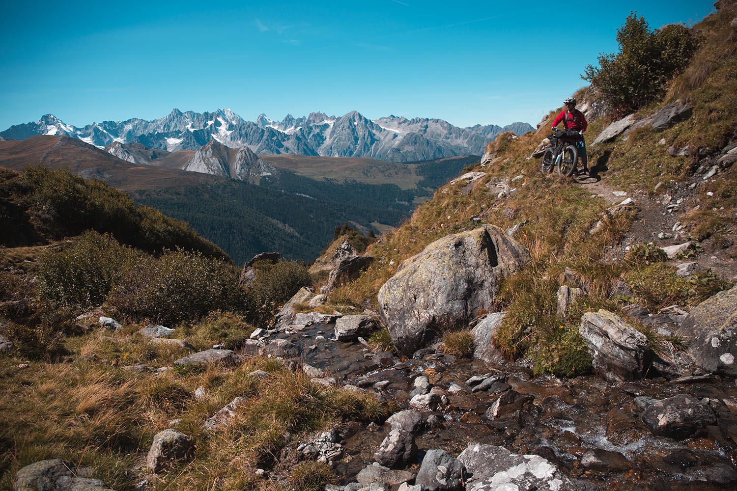
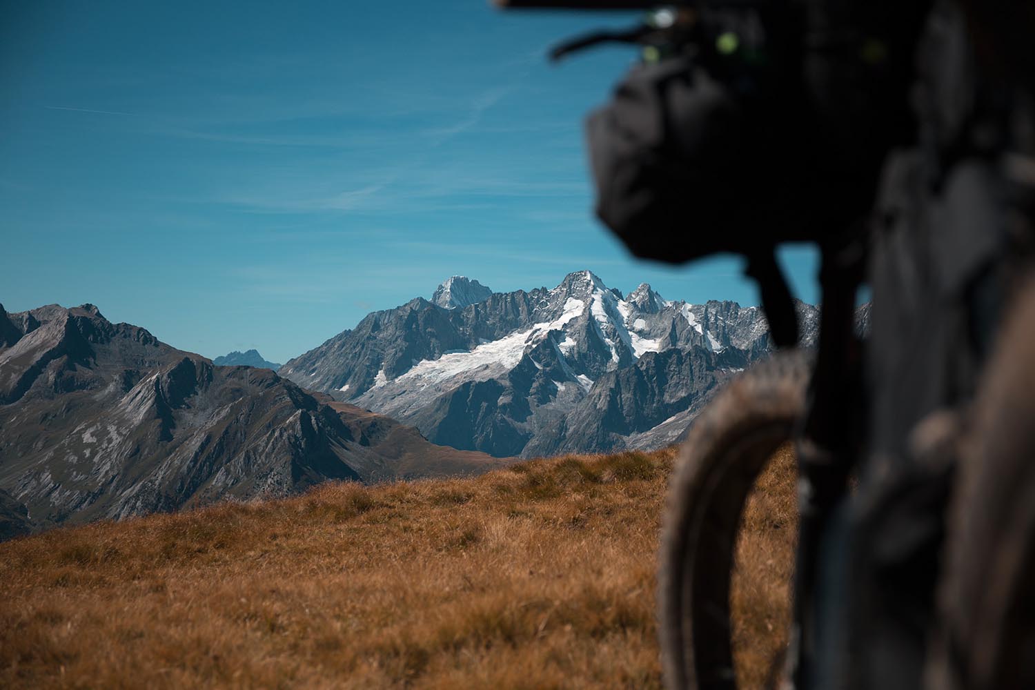
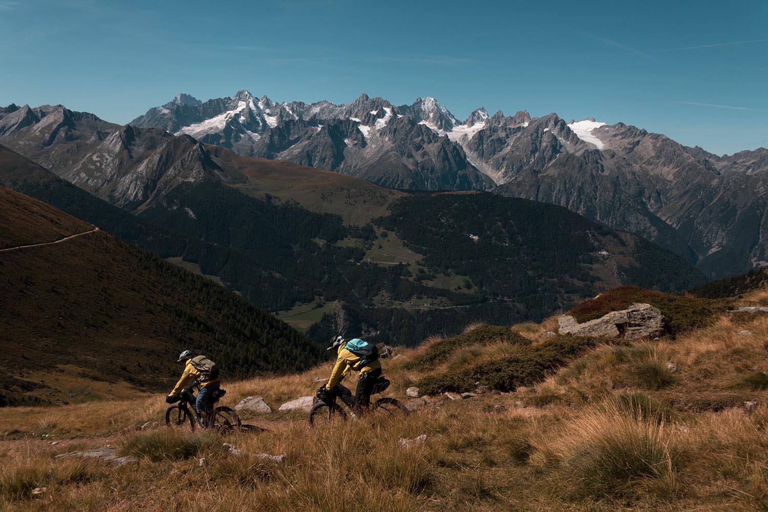
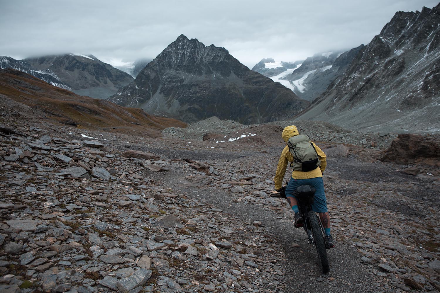
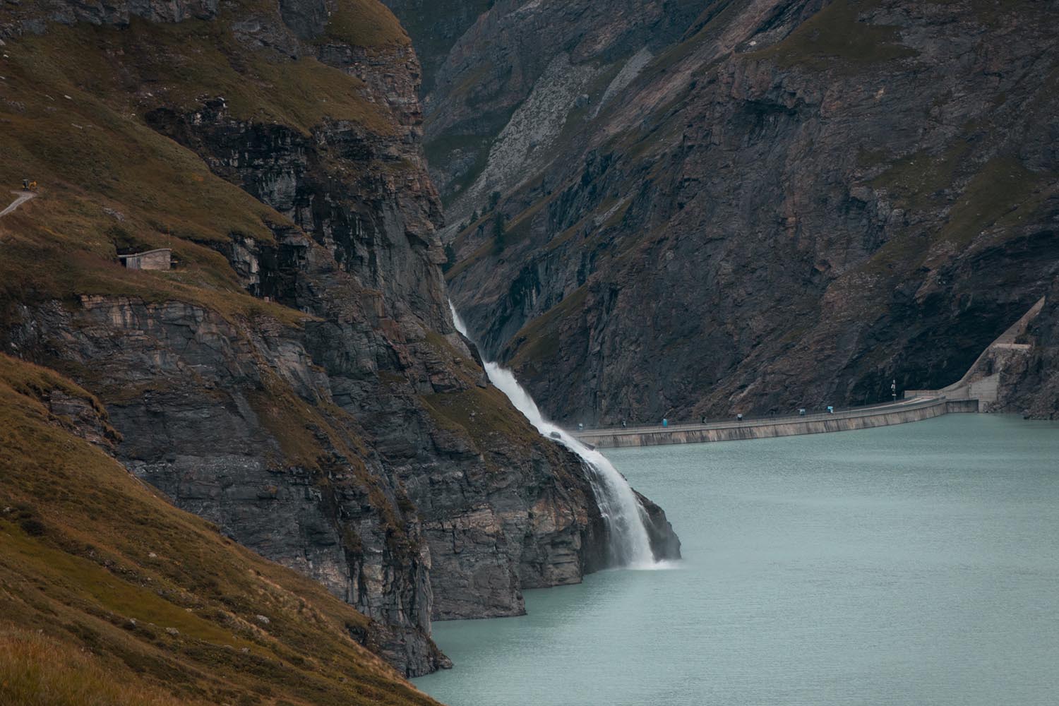
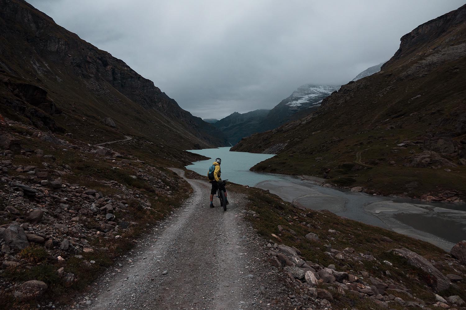
The TdC has a few challenging hike-a-bikes, such as that leading to the Fenêtre de Durand (2,797 m), a border crossing to enter Switzerland and the highest point of the route. Here, in the most remote area on the TdC, the landscape changes radically. Waterfalls, glacial rivers and sharp peaks offer epic high mountain scenery. However, the difficult push to reach the Fenêtre de Durand pass is rewarded by a magnificent singletrack descent towards the turquoise lake of Mauvoisin with another amazing backdrop.

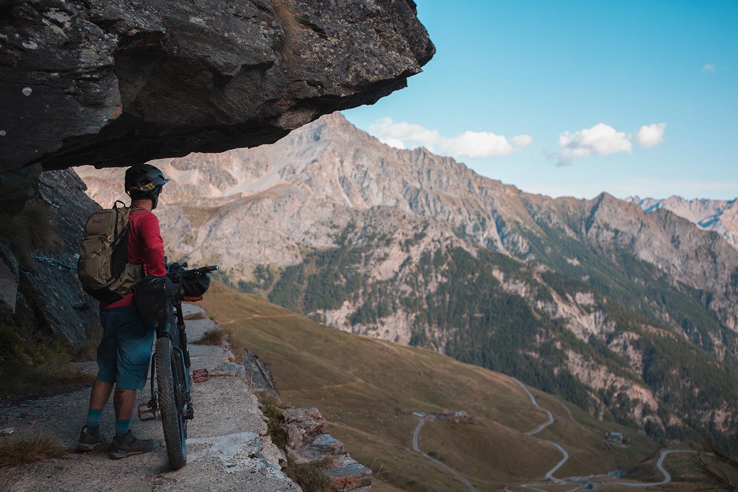
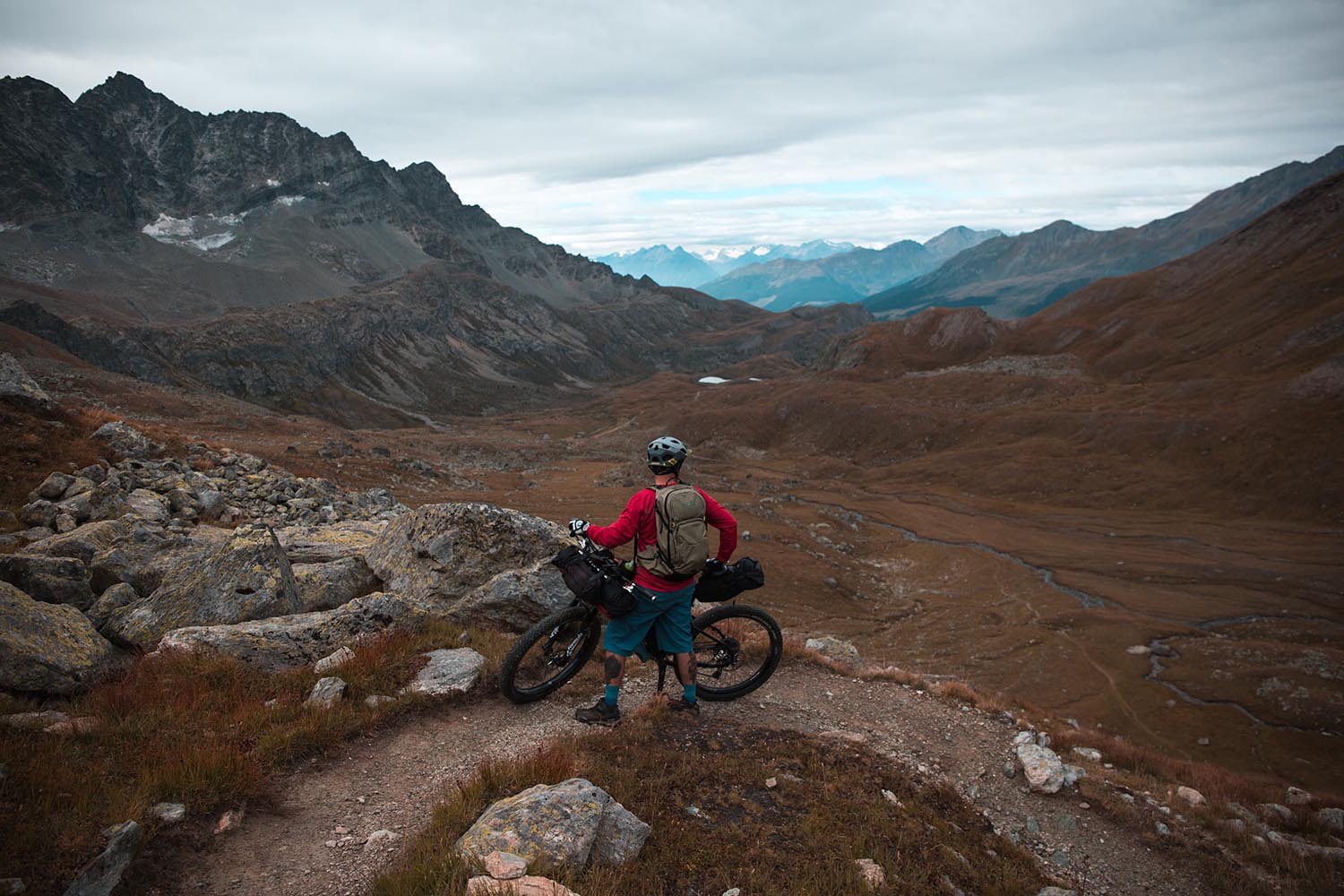
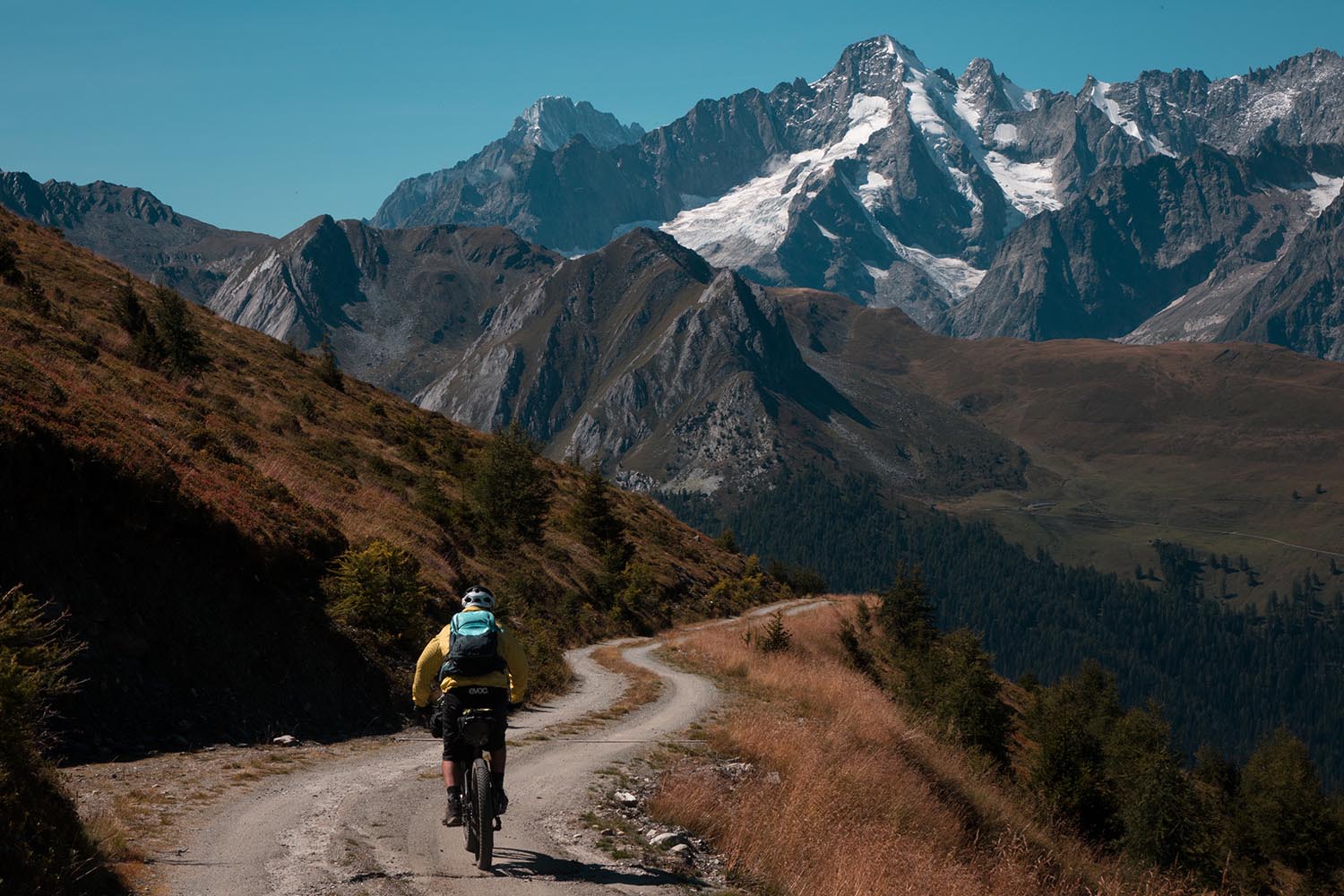
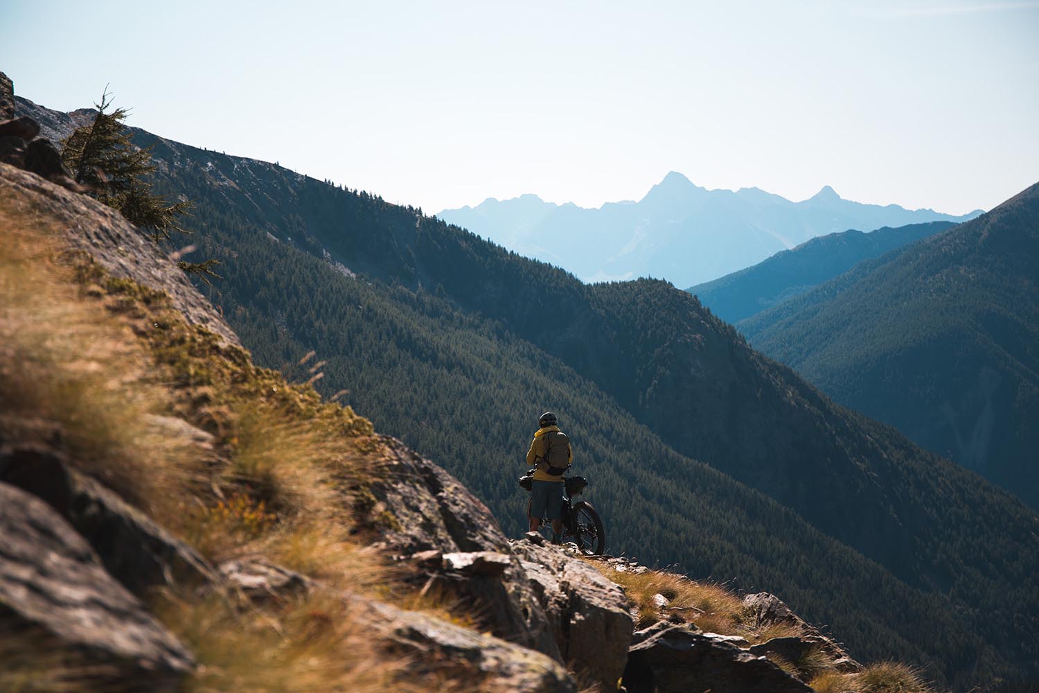
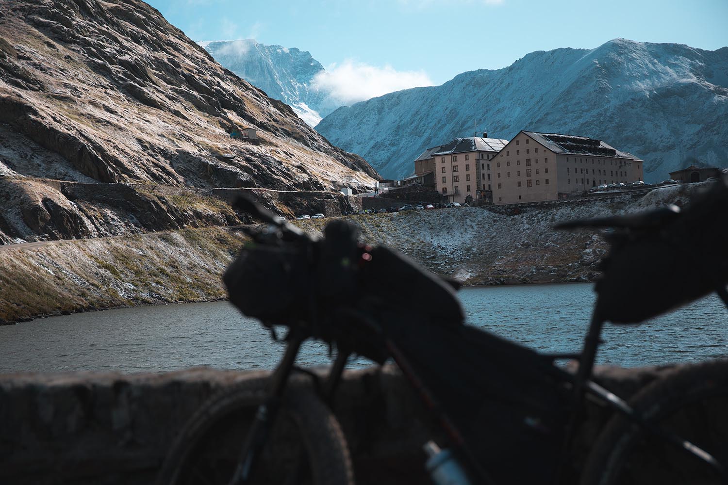
After passing the town of Fionnay the Tour Du Combins climbs among typical alpine meadows, first on a steep but rideable gravel road and then on singletrack to reach the Col de Mille, another alpine pass at an altitude of 2,472m. From here the view is extraordinary with the eastern side of the Mont Blanc Massif as a background for the descent that leads to the small village of Bourg Saint Pierre. The TdC continues through Val d’Entremont to reach the border crossing with Italy, where stands the outline of the Grand Saint Bernard Hospice, which is home to the famous St Bernard dog (see highlights).
Note that this loop can be easily connected to the most famous Tour du Mont Blanc to create an incredible and challenging bikepacking route.


Submit Route Alert
As the leading creator and publisher of bikepacking routes, BIKEPACKING.com endeavors to maintain, improve, and advocate for our growing network of bikepacking routes all over the world. As such, our editorial team, route creators, and Route Stewards serve as mediators for route improvements and opportunities for connectivity, conservation, and community growth around these routes. To facilitate these efforts, we rely on our Bikepacking Collective and the greater bikepacking community to call attention to critical issues and opportunities that are discovered while riding these routes. If you have a vital issue or opportunity regarding this route that pertains to one of the subjects below, please let us know:
Highlights
Must Know
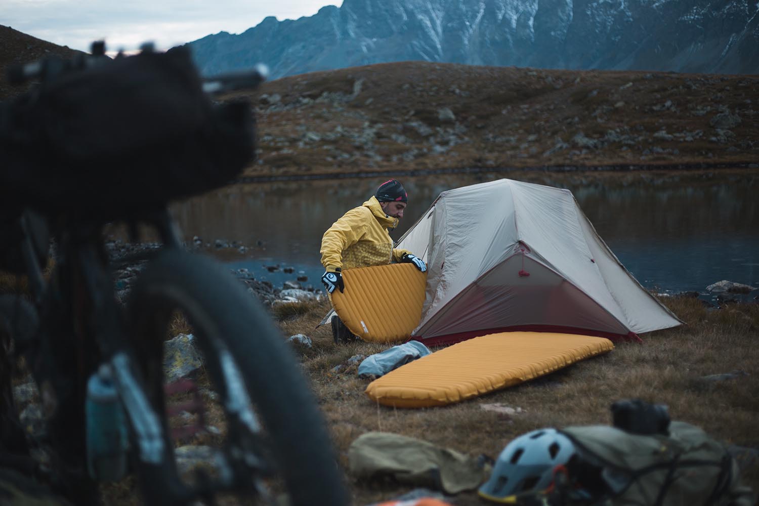
Camping
Food/H2O
- The Hospice du Grand Saint Bernard was built by Saint Bernard around 1050 A.D. to provide assistance pilgrims and travelers who ventured over that fearful pass. From the mid-seventeenth century, the monks of the Hospice began to use big mountain dogs to rescue travelers or pilgrims who had been lost in the snow or fog, or those who were caught in an avalanche. Thus was born the myth of the Saint Bernard rescue dog.
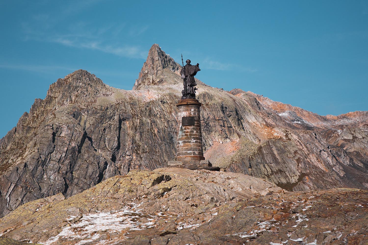
- 60 meters of ancient Roman road dug directly into the rock between 41-54 A.D., commissioned by Emperor Claudius. You will ride this section after passing the statue of San Bernardo on the hill with the same name.
- The astonishing view of the Mont Blanc massif from the Col du Mille.
- Fantastic singletrack descent from the Fenêtre de Durand pass to the Drance du Bagnes river. Incredibly fun in the first part, however it becomes steep and technical in the latter half.
- Epic views from Fenêtre de Durand towards the glacier d’Otemma.
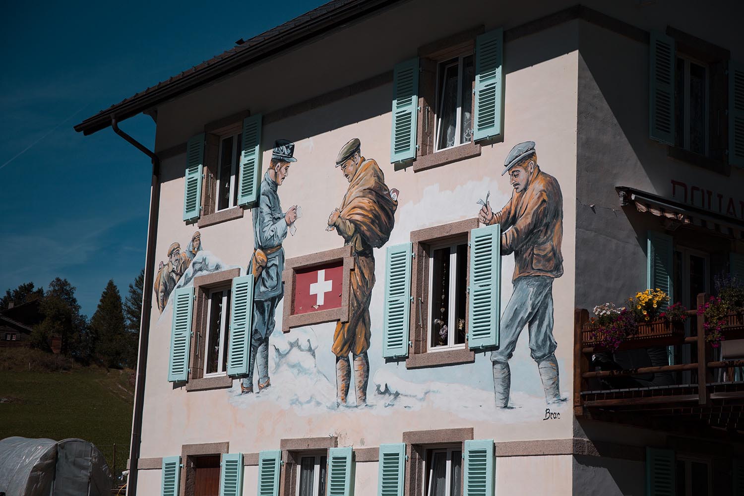
- Old Swiss customs house in Bourg Saint Pierre dating back to 1901. Cigarette smugglers are depicted on the front side.
- A trail bike such as a plus-hardtail is recommended for this route. A suspension fork is highly recommended as there are several technical descents.
- The route is only rideable from mid-June to mid-September, when all the passes are free from snow. Because of the abundant snowfall at high altitude, even the paved road to the San Bernardo pass remains closed for 8 months a year. However, as Alexander mentioned in the comments, “… refrain from doing this trip until July. Last winter for instance saw little snow, yet around mid-June Fenetre de Durand on the Swiss side was full of snow with strong water streams hidden.”
- Carry mountain weather clothing and gear with you and be prepared as snow and sudden temperature drops are all but rare on the high passes… even in the summer months.
- We recommend to do the Tour du Combins counterclockwise.
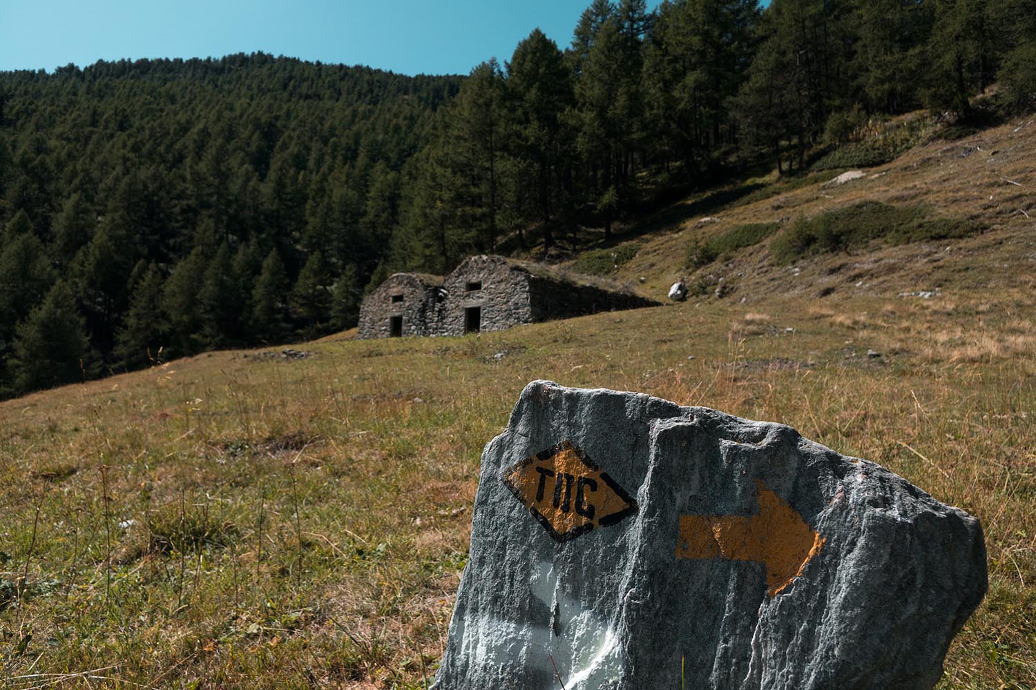
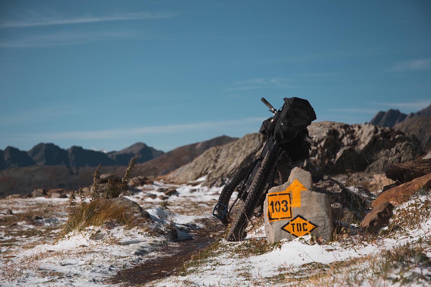
- Most of the route is marked with a yellow diamond with black outline, which sometimes bears the letters “TDC” in the center.
- In Switzerland wild camping is not generally encouraged, but is tolerated. However, according to the Swiss Apline Club, camping above treeline is accepted. So set up late, strike early, be discreet, and leave it as you found it.
- If necessary, on the Col de Mille there is the Cabanne de Mille refuge, where you can eat and sleep.
- There is an official camping spot in Foret des Melezes.
- Water is never a problem: it’s plenty of streams and rivers along the route, and fountains with drinking water are frequent in the villages.
- If necessary, you can refuel in a market in the small village of Lourtier (Switzerland).


Terms of Use: As with each bikepacking route guide published on BIKEPACKING.com, should you choose to cycle this route, do so at your own risk. Prior to setting out check current local weather, conditions, and land/road closures. While riding, obey all public and private land use restrictions and rules, carry proper safety and navigational equipment, and of course, follow the #leavenotrace guidelines. The information found herein is simply a planning resource to be used as a point of inspiration in conjunction with your own due-diligence. In spite of the fact that this route, associated GPS track (GPX and maps), and all route guidelines were prepared under diligent research by the specified contributor and/or contributors, the accuracy of such and judgement of the author is not guaranteed. BIKEPACKING.com LLC, its partners, associates, and contributors are in no way liable for personal injury, damage to personal property, or any other such situation that might happen to individual riders cycling or following this route.
FILED IN (CATEGORIES & TAGS)
Europe
Switzerland
bikepacking-italy bikepacking-switzerland bikepacking-the-alpsPlease keep the conversation civil, constructive, and inclusive, or your comment will be removed.