


Four by Four
Distance
134 Mi.
(216 KM)Days
2-3
% Unpaved
95%
% Singletrack
0%
% Rideable (time)
100%
Total Ascent
12,822'
(3,908 M)High Point
3,091'
(942 M)Difficulty (1-10)
6?
- 6Climbing Scale Moderate96 FT/MI (18 M/KM)
- 6Technical Difficulty Moderate
- 7Physical Demand Difficult
- 7Resupply & Logistics Strenuous
Contributed By

Arnaud Cote Boisvert
Guest Contributor
Arnaud Côté Boisvert is a Québec-based cyclist, runner, and all-around outdoor enthusiast who spends most of his free time exploring remote landscapes. Passionate about route design, bushwacking, and backcountry travel, he shares his projects with anyone seeking the same adventures. You can find his work and follow along on Instagram @le.montagnard.
Beyond traversing some of the most beautiful and remote regions of Québec, this route carries a strong historical significance. To understand it, we need to go back to before the 1960s, when the most scenic lands and the richest fishing lakes in Québec were reserved for an elite few, gathered in exclusive private clubs.
In the early 1970s, outdoor enthusiasts, hunters, and anglers began demanding the dissolution of these clubs. The “de-clubbing” process unfolded in phases throughout the decade. On December 22, 1977, Yves Duhaime announced to the people of Québec, “We are giving these lands back to you.” This marked the creation of the Controlled Harvesting Zones, known as ZECs (Zones d’Exploitation Contrôlée). Inspired by this reclamation of public land, I decided to explore the ZECs in my own way—by bike.
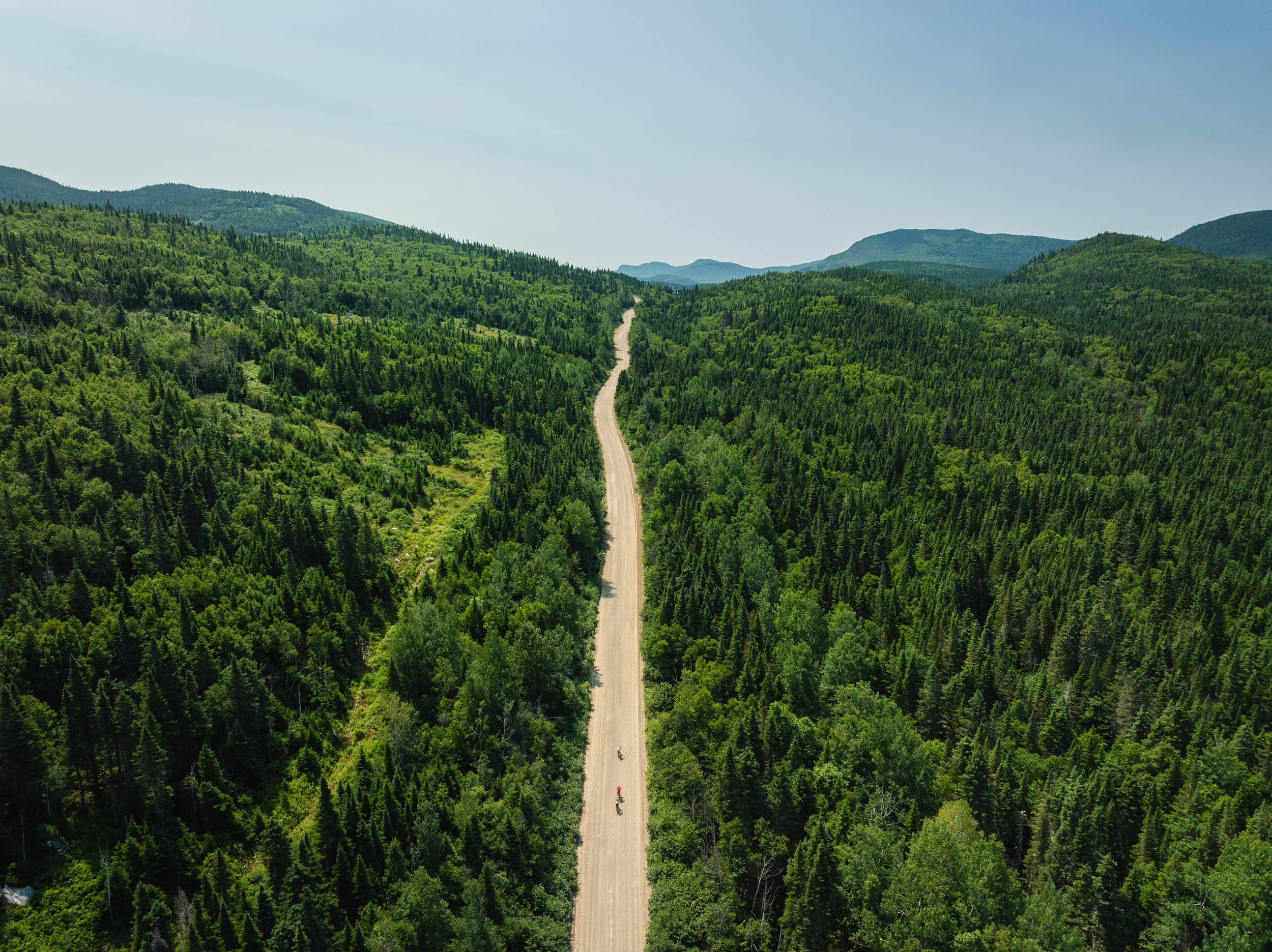
The goal was to design a route that could be completed in two days (or more) while crossing as many ZECs as possible. When I started researching the ZECs near my home, many of which I already knew, I quickly realized the vastness of the terrain ahead. The beauty of this region is breathtaking, and it became clear just how much was possible. After a night (or two) on Google Earth, the route was conceived: 215 kilometers, 4,200 meters of elevation gain, and 90 percent unpaved roads. Pure paradise.
The Adventure Begins
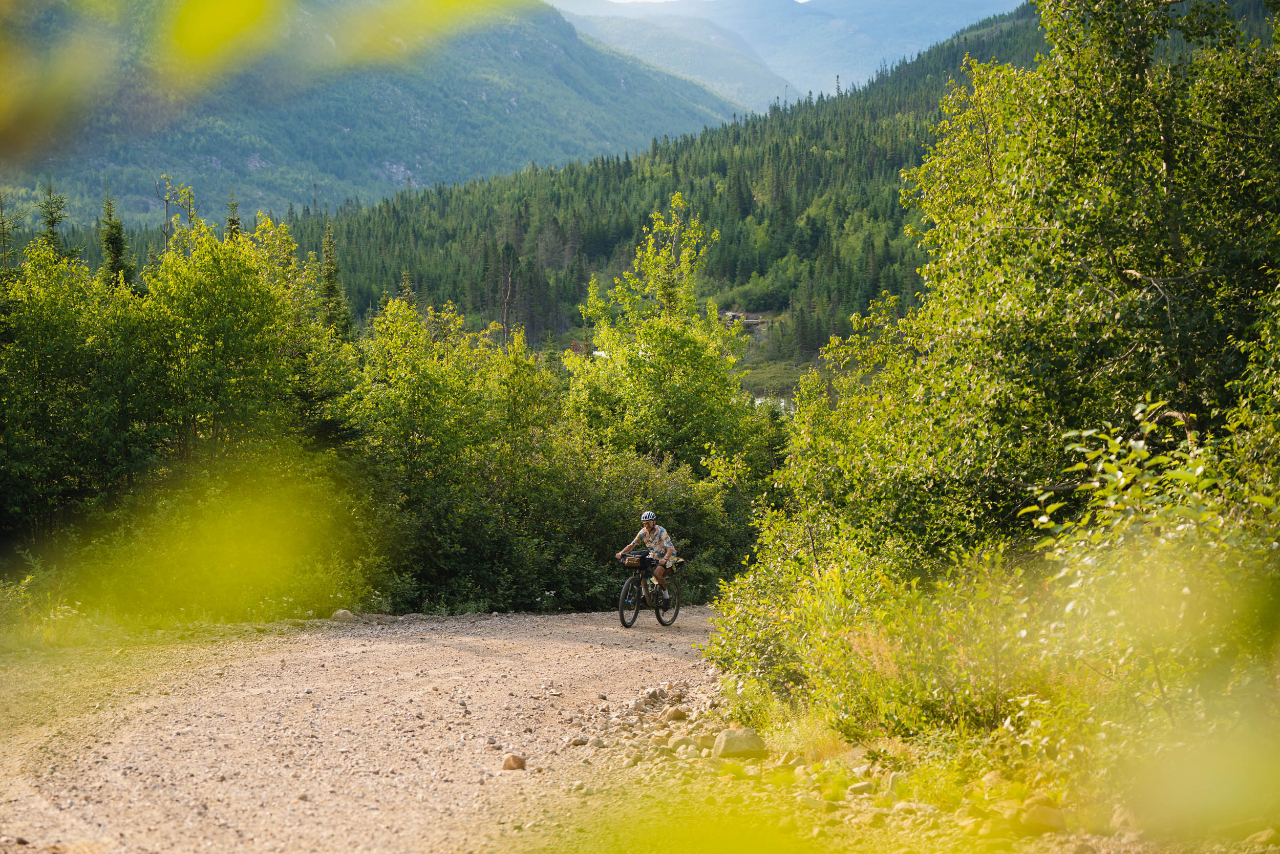
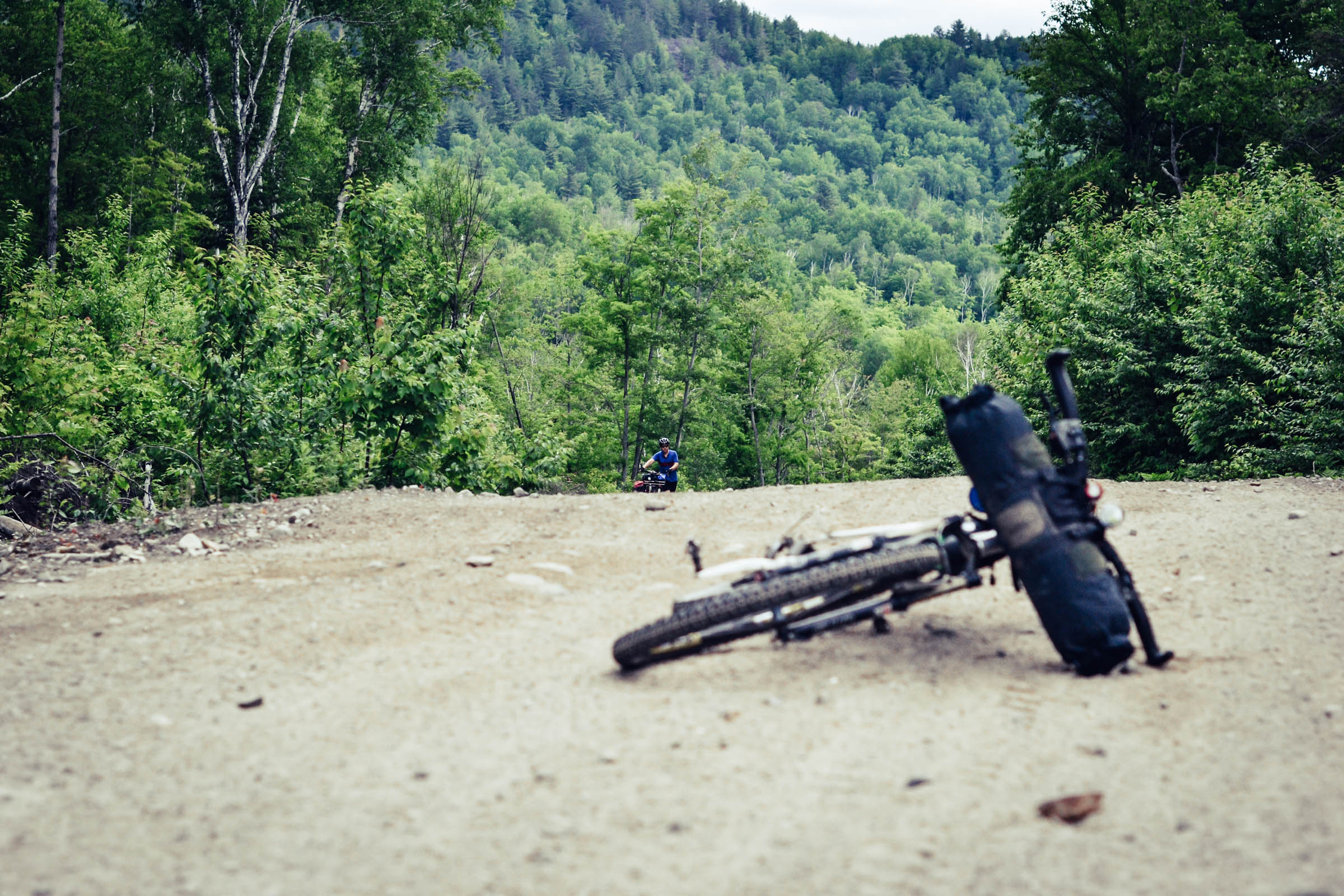
We planned to complete the route over a weekend. Early on a Saturday morning, we set off, immediately tackling the first challenge, ZEC de l’Anse-Saint-Jean. This remarkable area features numerous 4×4 trails weaving through a network of pristine lakes.
Next, we entered ZEC du Lac-au-Sable. True to its name (sable means sand), this section features sandy roads that make pedaling significantly harder, often feeling like every two pedal strokes only count as one. Fortunately, this section, like the rest of the route, offers plenty of water refill points. As we continued through ZEC du Lac-au-Sable, we officially left the Saguenay region and crossed into Charlevoix, where our first and only food resupply stop awaited us in the town of Clermont.
A Well-Earned Break in Clermont
Reaching the paved roads of Clermont gave us the chance to restock our food supplies and enjoy a well-deserved break before tackling the route’s biggest climb, and arguably its most stunning section.
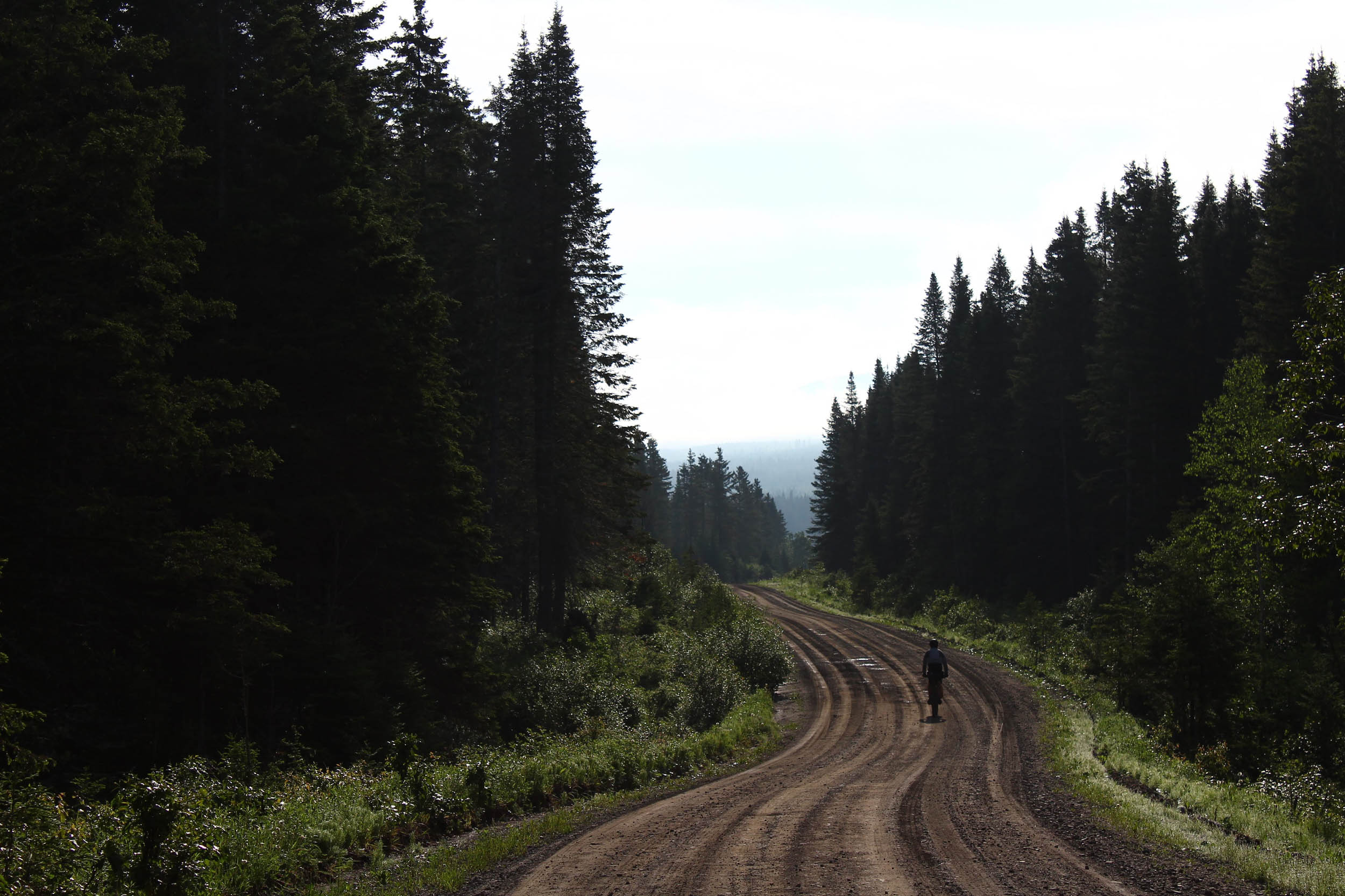
At the end of the asphalt, at the foot of Mont Morios, we entered ZEC des Martres. This is where the real challenge began. Smooth dirt roads gradually gave way to steep, relentless climbs following rivers and lakes of unmatched beauty.
As we reached the highlands of Charlevoix, the vastness of the landscape took our breath away, with peaks, lakes, and rivers stretching endlessly in every direction. At kilometer 131, deep within ZEC des Martres, we faced the most demanding section of the route: a long hike-a-bike climb to the ZEC’s highest point.
The descent toward the Malbaie River at kilometer 161 was equally steep and technical, with large rocks adding to the difficulty. This section truly justifies the need for a mountain bike, as it significantly increases the route’s technical difficulty.

The Final Stretch
The last leg of the journey offered a welcome change of pace as we cruised through the tranquil ZEC du Lac Brébeuf. This serene area, dotted with hunting and fishing cabins, felt almost like home. Fellow outdoor enthusiasts greeted us with smiles and friendly hellos, making the final kilometers even more enjoyable.
Camping by the Rivière du Gouffre
We completed the route in two days, spending the night camping beside the Rivière du Gouffre in ZEC des Martres, a perfect spot to relax, swim, and recharge after a long day of riding, just before tackling the route’s most demanding climb. That said, this journey can easily be extended to three or four days, allowing for additional stops in other ZECs. One of the greatest joys of traveling through ZECs is the freedom to camp almost anywhere, embracing a sense of liberty that’s increasingly rare in daily life.
Route Difficulty
The route carries a technical rating of 6. A large portion follows well-maintained dirt roads, but the second half ventures into steeper, looser terrain with sections of large, unstable rocks.
The physical demand rating of 7 is largely influenced by the ZEC des Martres section, which combines sustained steep climbs with very limited recovery. Hike-a-bike is almost guaranteed. That said, the earlier sections are far from flat.
The resupply and logistics rating of 7 reflects the route’s remoteness. While access to the start is straightforward and water is abundant thanks to countless lakes and rivers, there is only one food resupply point along the entire route.
Route Development: This route was created by Arnaud Côté Boisvert after several late nights spent exploring Google Earth. After moving to Saguenay, Québec, in 2021, he quickly realized the vastness of the surrounding territory and felt compelled to explore it using his favorite medium, the bike. When the idea of connecting two regions through wild forests and mountains emerged, it didn’t take long for him and a close group of friends to set out and tackle the adventure. The route has all the elements needed to become a classic Québec bikepacking route. A huge thanks goes to the ZECs for maintaining the roads and trails that make this possible.


Submit Route Alert
As the leading creator and publisher of bikepacking routes, BIKEPACKING.com endeavors to maintain, improve, and advocate for our growing network of bikepacking routes all over the world. As such, our editorial team, route creators, and Route Stewards serve as mediators for route improvements and opportunities for connectivity, conservation, and community growth around these routes. To facilitate these efforts, we rely on our Bikepacking Collective and the greater bikepacking community to call attention to critical issues and opportunities that are discovered while riding these routes. If you have a vital issue or opportunity regarding this route that pertains to one of the subjects below, please let us know:
Highlights
Must Know
Camping
Food/H2O
Trail Notes
Resources
- Views from the highest points of ZEC des Martres over Saguenay and Charlevoix
- Swimming at Lac-au-Sable
- Spotting moose and other wildlife along remote forest roads
- Countless scenic lakes and rivers
- Camping along the Rivière du Gouffre with natural pools
- Crossing the Malbaie River on a wooden bridge, followed by a refreshing swim
- Seasonal wild mushroom foraging, including lobster mushrooms
- Fishing opportunities with a compact rod
- Backcountry camping options throughout all ZECs
- When to go: late June to late August is the best season. Earlier, there may still be snow; later marks the start of hunting season.
- Some ZECs require registration, though most do not for cyclists.
- Bear spray is not mandatory but strongly recommended, especially for food management while camping.
- Parking is available at Mont Édouard, free of charge, and serves as both the start and end point of the loop.
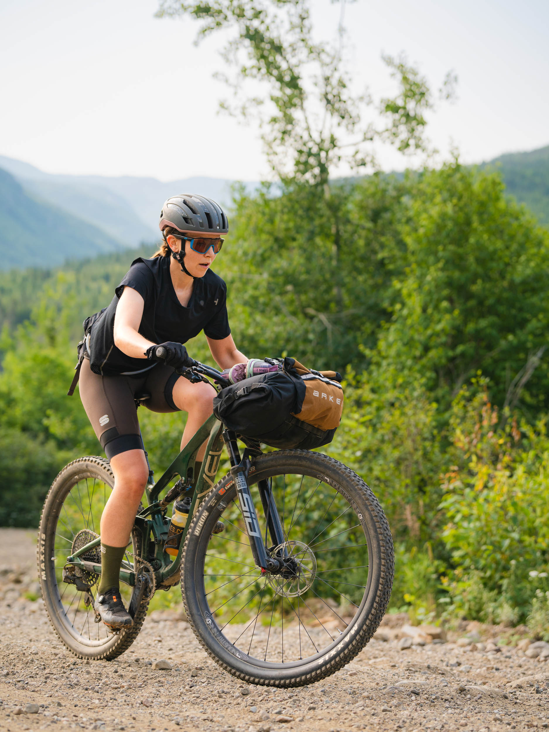
- Bike selection: a mountain bike is recommended. A gravel bike with large tires is possible, but expect more hike-a-bike.
- Cell service is scarce for most of the route, making this adventure a true immersion into nature and a rare opportunity to disconnect while experiencing the raw beauty of Québec’s ZECs.
- Camping is permitted throughout the ZECs. Choose wisely.
- Highly recommended spots include the Rivière du Gouffre in ZEC des Martres and lakeside locations in the other ZECs.
- Filterable water is available almost everywhere along the route.
- The only food resupply point is in Clermont, approximately halfway.
Day 1
The route begins at the base of Mont Édouard in L’Anse-Saint-Jean, Québec. After approximately three miles of pavement, it transitions to gravel and enters ZEC de l’Anse-Saint-Jean. The riding is steady but not fast, with a mix of dirt, sand, and rock.
This quickly leads to ZEC du Lac-au-Sable, a beautiful but very sandy section that significantly slows progress. From there, the route reaches Clermont for the only food resupply. Afterward, a long paved climb leads toward Mont Morios and into ZEC des Martres, where the riding begins smoothly.
Day 2
The day starts with a long climb to the summit of ZEC des Martres, where the most difficult terrain lies. The section between the Malbaie River and the high point includes steep descents, washed-out quad trails, and large rocks.
After crossing the bridge, the route enters the final section, ZEC du Lac Brébeuf. This area is rolling, forgiving, and scenic, leading to Chemin Périgny and the final stretch back to the trailhead.
Note: We completed the route in two days, but we strongly recommend allowing three or four days to maximize enjoyment and minimize the number of swear words!
Additional Resources


Terms of Use: As with each bikepacking route guide published on BIKEPACKING.com, should you choose to cycle this route, do so at your own risk. Prior to setting out check current local weather, conditions, and land/road closures. While riding, obey all public and private land use restrictions and rules, carry proper safety and navigational equipment, and of course, follow the #leavenotrace guidelines. The information found herein is simply a planning resource to be used as a point of inspiration in conjunction with your own due-diligence. In spite of the fact that this route, associated GPS track (GPX and maps), and all route guidelines were prepared under diligent research by the specified contributor and/or contributors, the accuracy of such and judgement of the author is not guaranteed. BIKEPACKING.com LLC, its partners, associates, and contributors are in no way liable for personal injury, damage to personal property, or any other such situation that might happen to individual riders cycling or following this route.
Further Riding and Reading
Here are some connected/nearby routes and related reports...

Please keep the conversation civil, constructive, and inclusive, or your comment will be removed.