


The Great North Trail (UK)
Distance
738 Mi.
(1,188 KM)Days
18
% Unpaved
65%
% Singletrack
5%
% Rideable (time)
99%
Total Ascent
56,430'
(17,200 M)High Point
2,506'
(764 M)Difficulty (1-10)
5?
- 5Climbing Scale Moderate76 FT/MI (14 M/KM)
- -Technical Difficulty
- -Physical Demand
- -Resupply & Logistics
Contributed By
Max Darkins
Guest Contributor
Max Darkins has been exploring the UK countryside by bicycle, far and wide, for over 20 years. After setting up the business Rough Ride Guide he has written guidebooks and guides for his company and other organisations such as Sustrans and Cycling UK. As well as writing the route guides MBUK, Rough Ride Guide also organise various cycling events all over the UK.
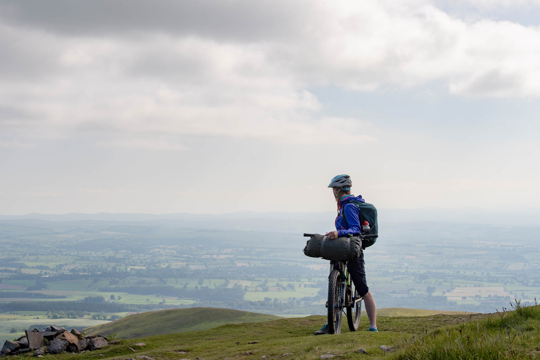
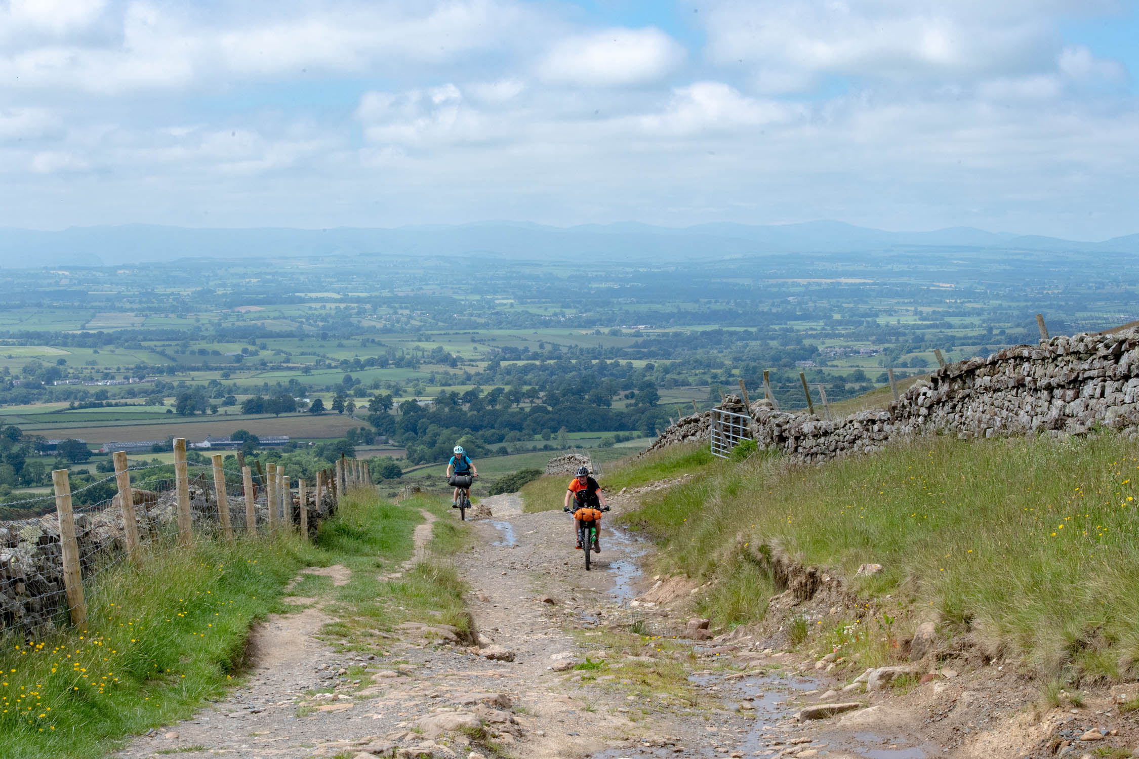
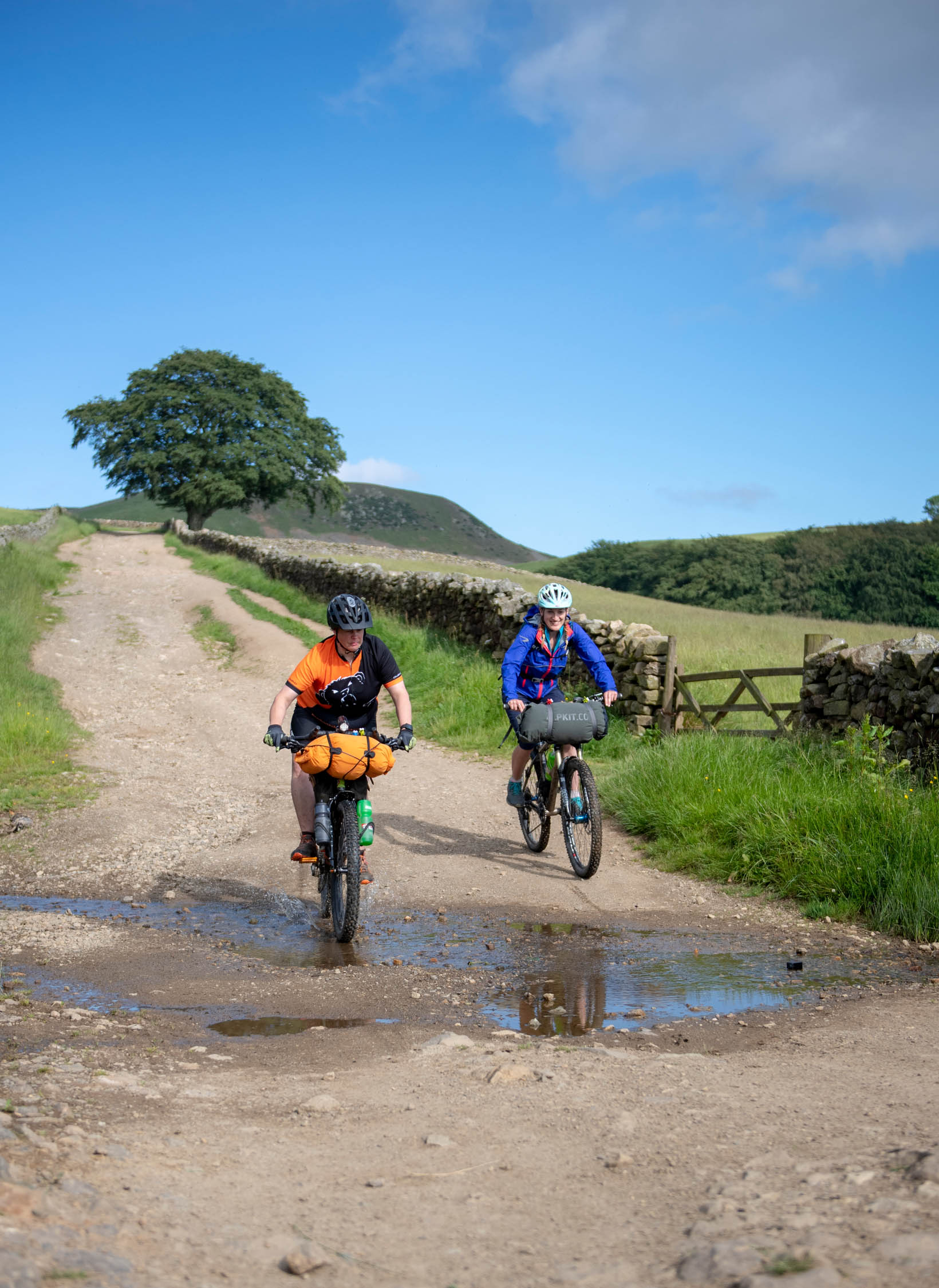
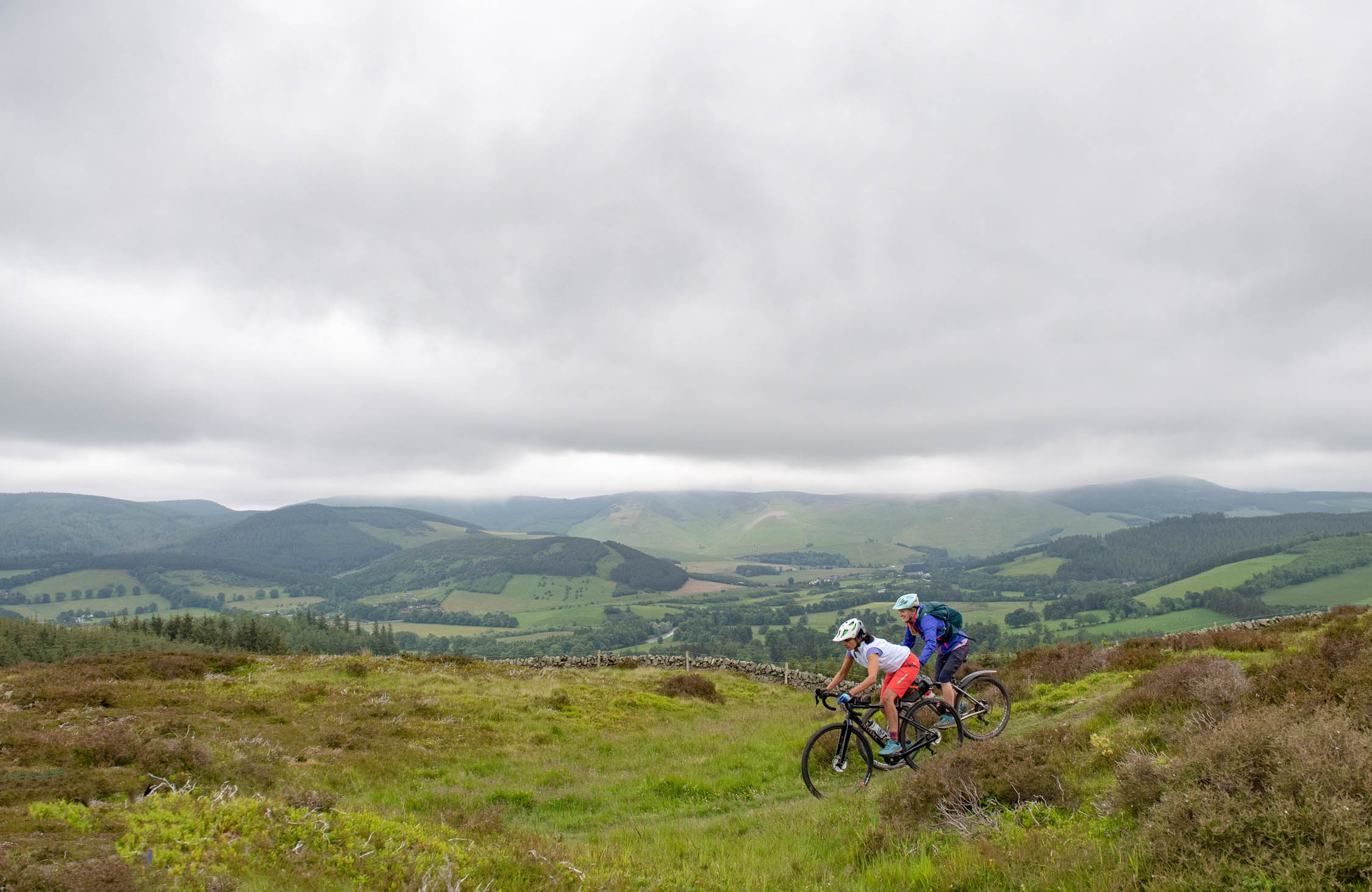
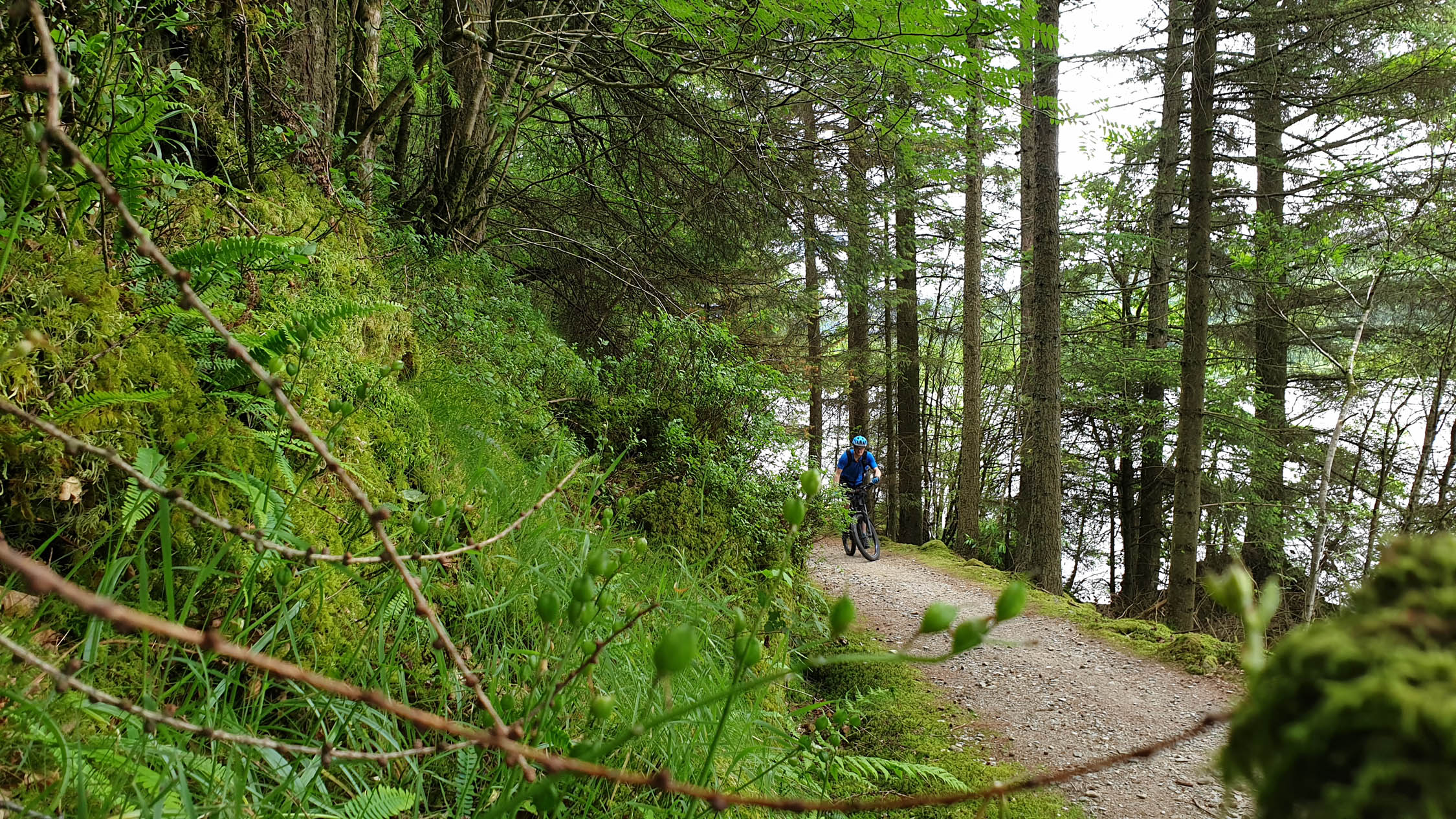
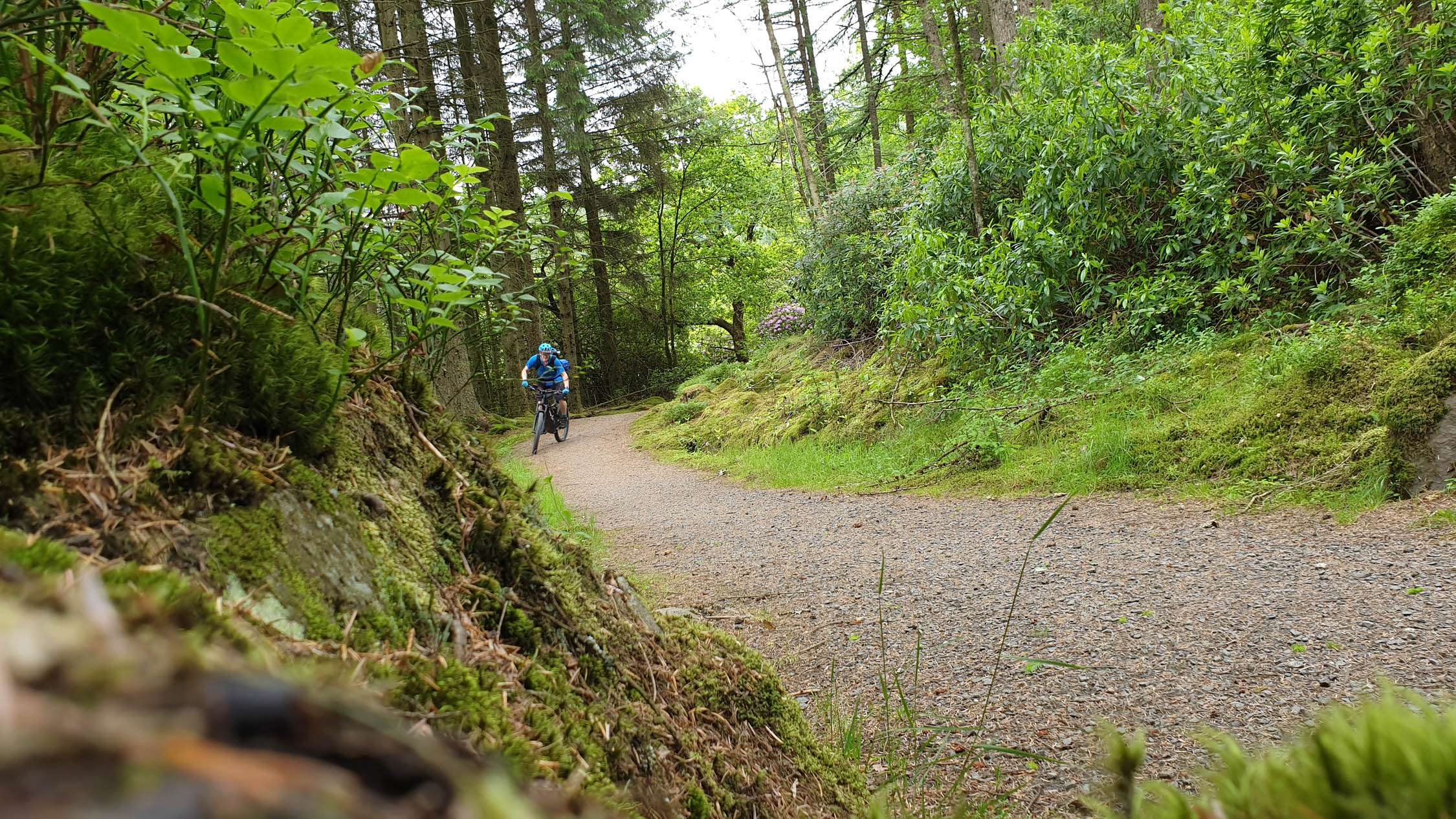
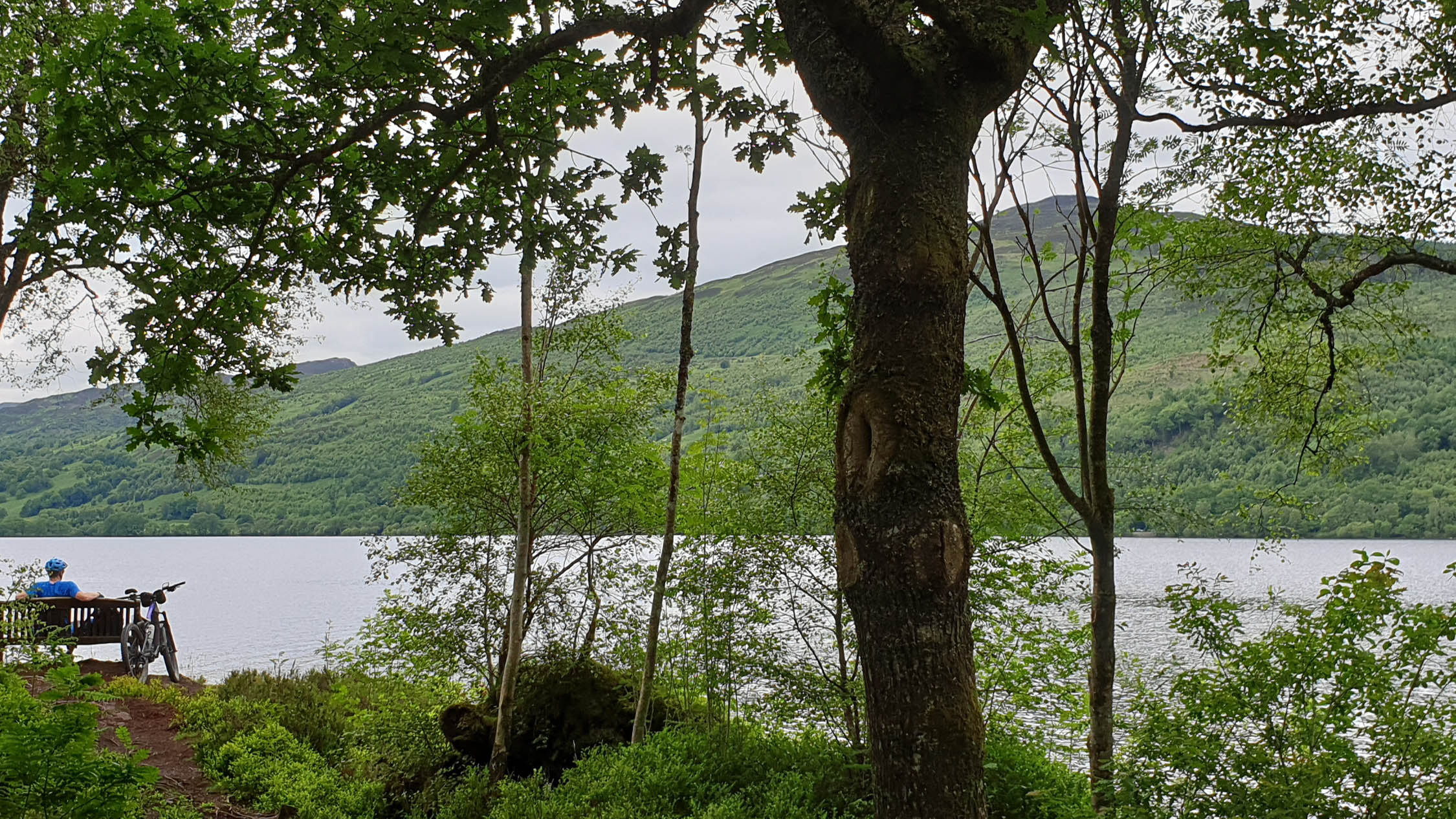
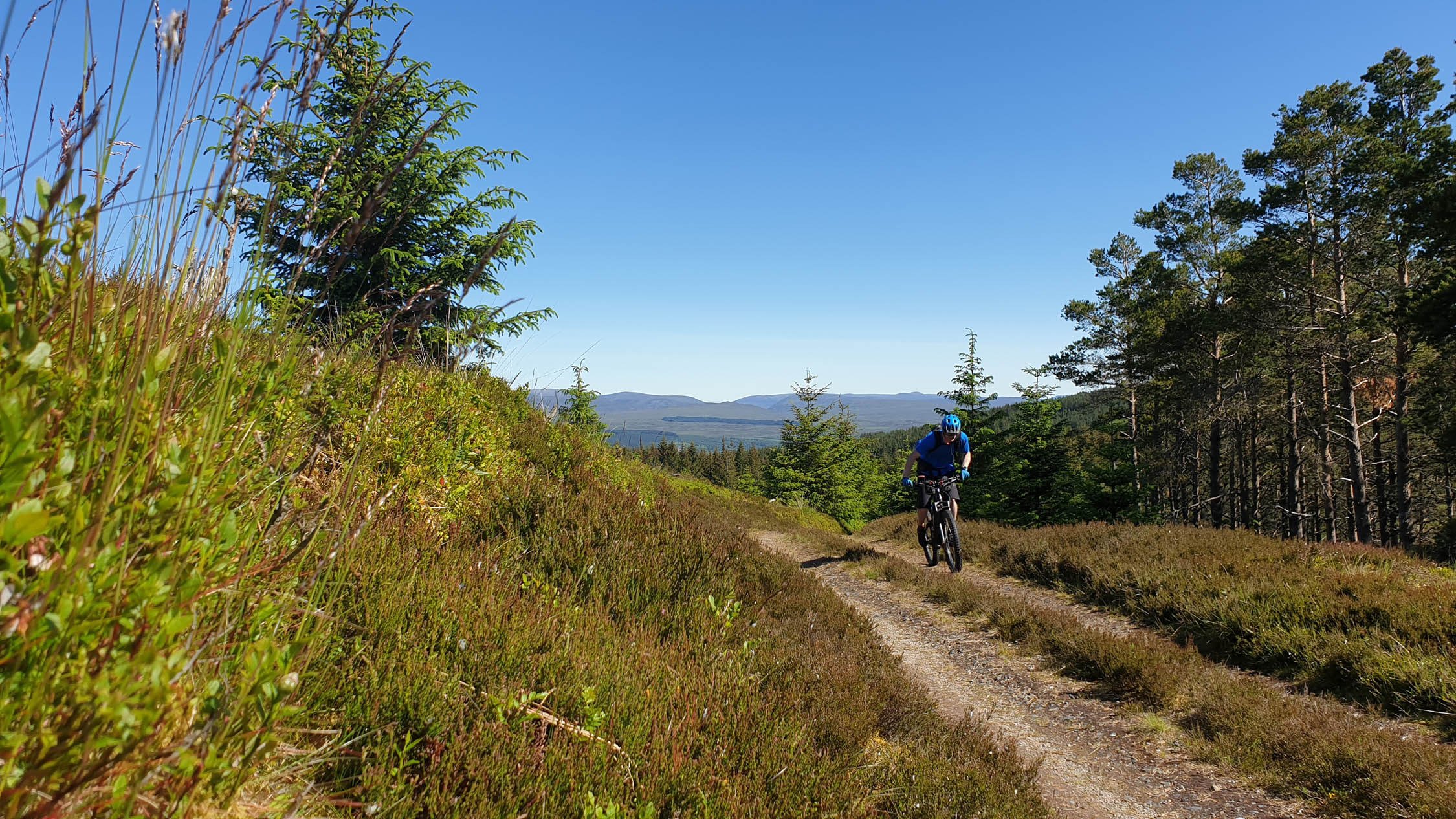
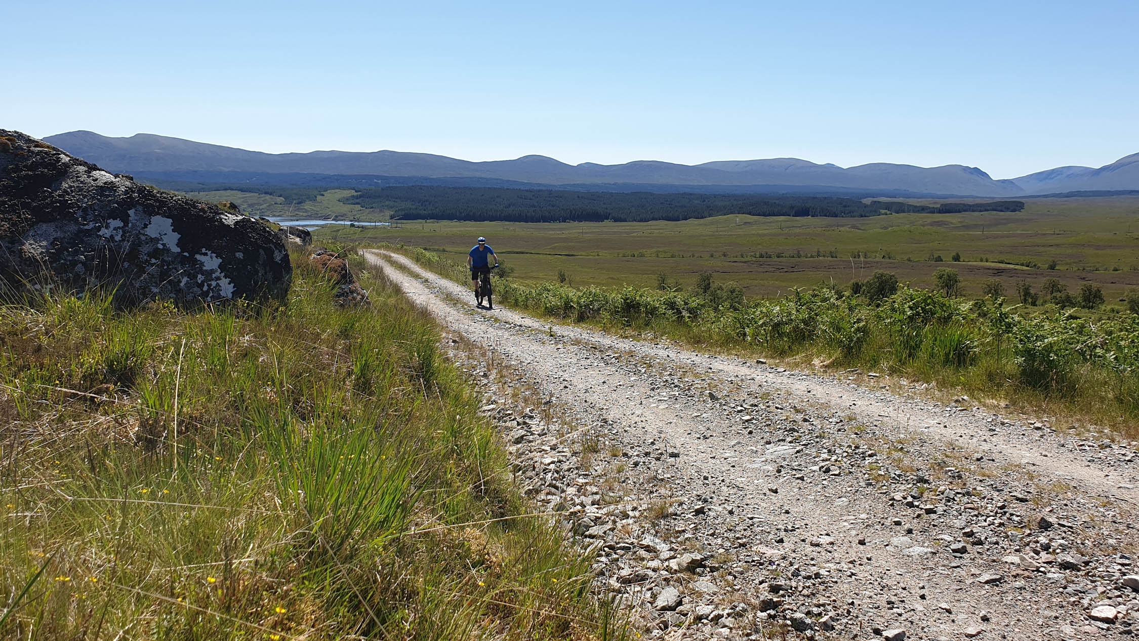
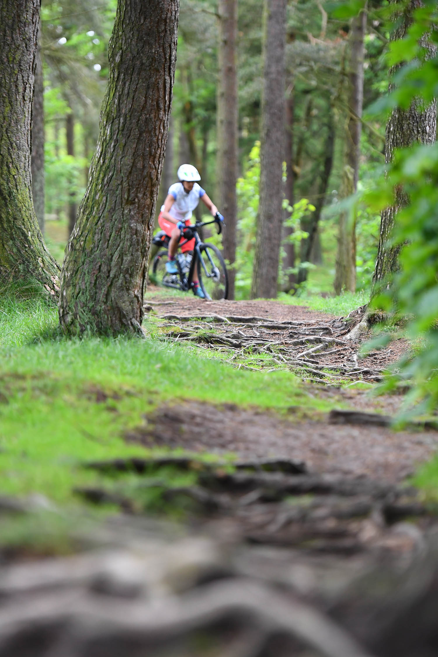
The Great North Trail starts in central England’s beautiful Peak District and travels north to John O’Groats on the very edge of Scotland. It samples a diversity of terrain from rugged moorland trails to quiet forest double track to remote loch-side paths. This route is a great opportunity for riders to experience the variety of off-road riding across the UK, whilst seeing the wildly variable countryside and enjoying the wildlife and experiences of this epic and often remote adventure.
The route explores the huge variety packed into Scotland and northern England: from rolling hills and dales to remote windswept moorland, crumbling castles to hidden waterfalls, swooping singletrack and old Roman roads and everything in between. The nature of the route varies in different areas – from rugged upland trails across exposed moorland, suitable for more experienced mountain bikers, to sections of canal path and disused railway line. So whether it’s for an epic long-distance challenge, a weekend away, or a fantastic day out, get out there and have an adventure. The trail is divided into eight main sections (find a summary under the Trail Notes tab below).
Route Difficulty
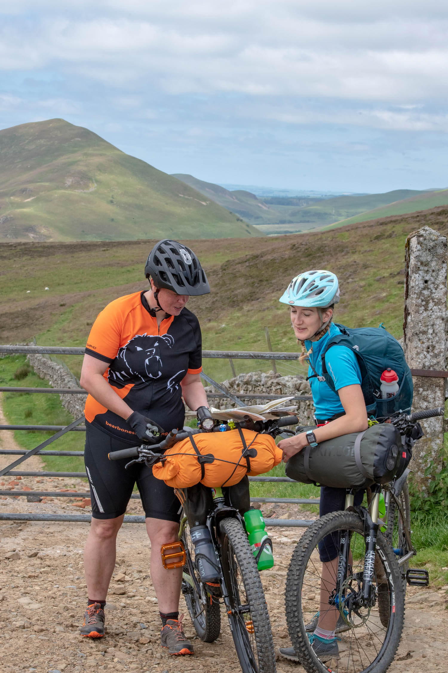
The route as a whole is designed to be an adventure mountain biking route, mainly using unsurfaced trails. The terrain varies across the route though, with many rugged upland trails across exposed moorland, but also sections of canal path and cycle paths along disused railways, and wide rough access tracks through the Scottish Highlands. Gravel bikes would be fine for many sections, but there is enough rough stuff to warrant a short travel full-suspension, hardtail, or rigid mtb with big plus size tyres. Overall, I’d say this route ranks 3 out of 10 on the technical difficulty scale. The physical challenge (7 out of 10) is significant with such a long distance, a large amount of climbing and terrain that is hard going at times.
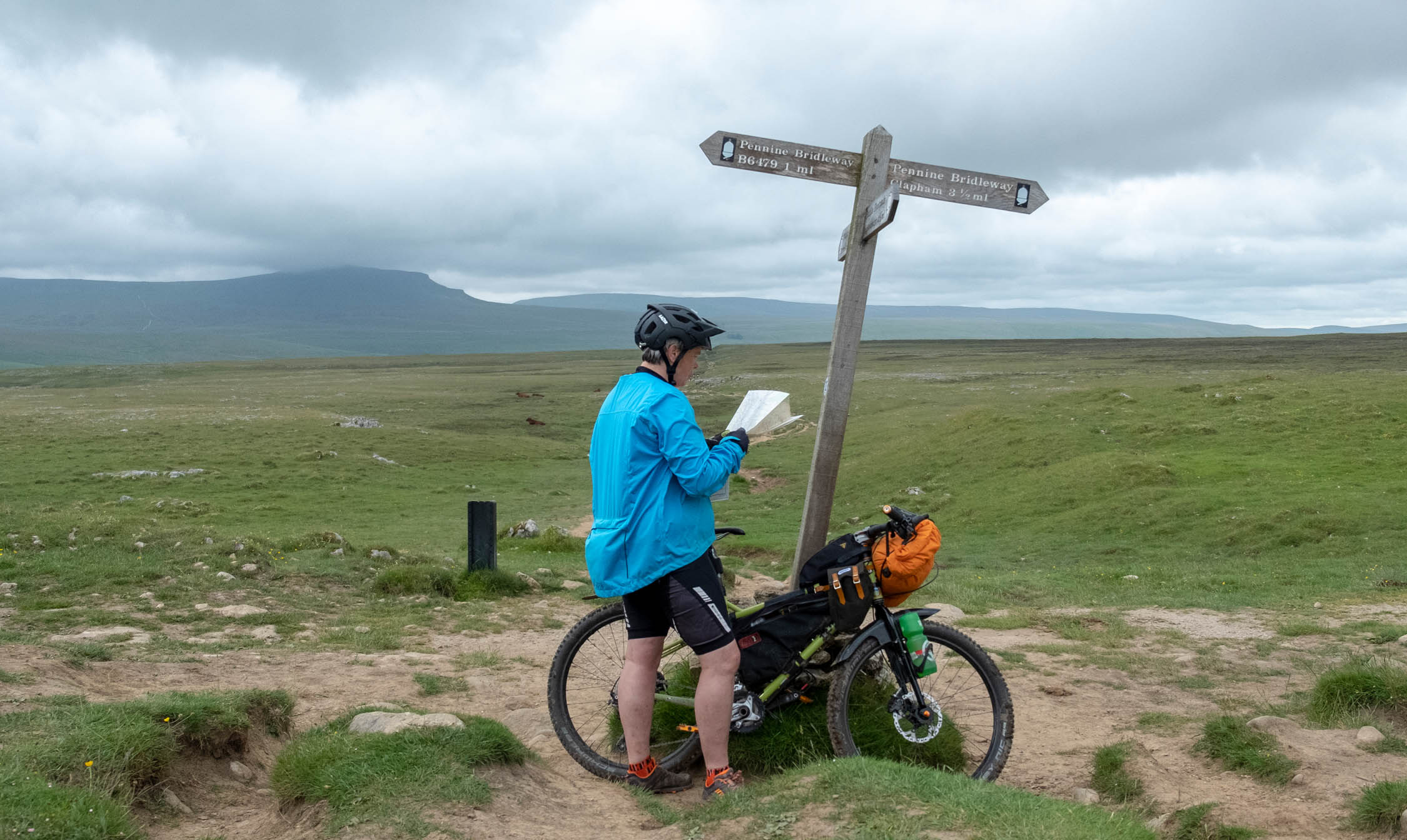
There are generally sufficient facilities along the route to eat and sleep, although they are obviously more scarce in the Scottish Highlands, so you will need to be self-sufficient for some of the days of riding. As accommodation is limited, or popular in places, it is also advisable to book ahead. Navigation is also reasonably straight forward, with some sections even following other way-marked long distance routes, but a GPS and maps are definitely required. From a resupply and logistics, it’s rated 5 of 10.
Route development: The GNT is an 750 mile epic off road route put together by Cycling UK as part of an even larger vision that ultimately aims to join up the length and breadth of the UK with a national off-road route. The route was test ridden by Max Darkins of Rough Ride Guide who also wrote the accompanying guide available from Cycling UK. For further details of the full published route see Cycling UK.


The route may change slightly over time - for the most up-to-date route files and a comprehensive route guide with many more places along the route, visit Cycling UK
Highlights
Must Know
Camping
Food/H2O
Trail Notes
- For those who like some technical challenges on a ride, the optional loop via Castleton in the Dark Peak is a wonderful addition, which also offers great scenery and facilities along the way too.
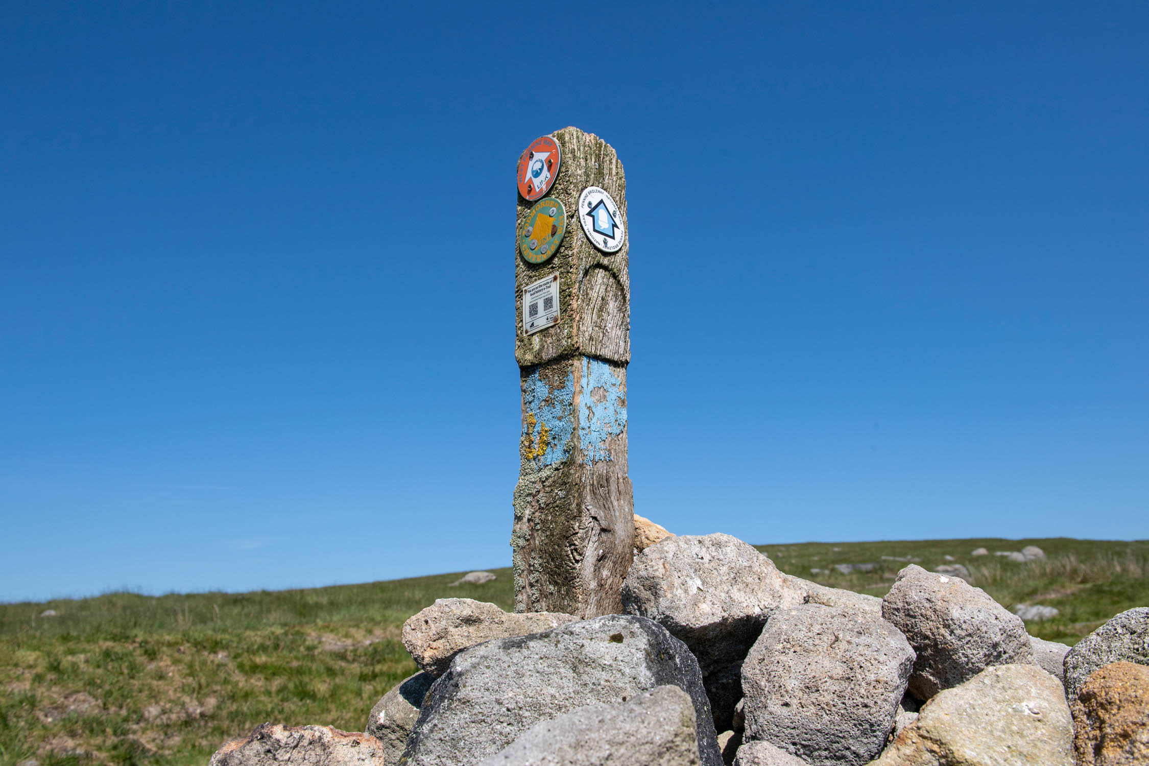
- Riding on a piece of history, along the Sett Stones and Packhorse trails through the Pennines.
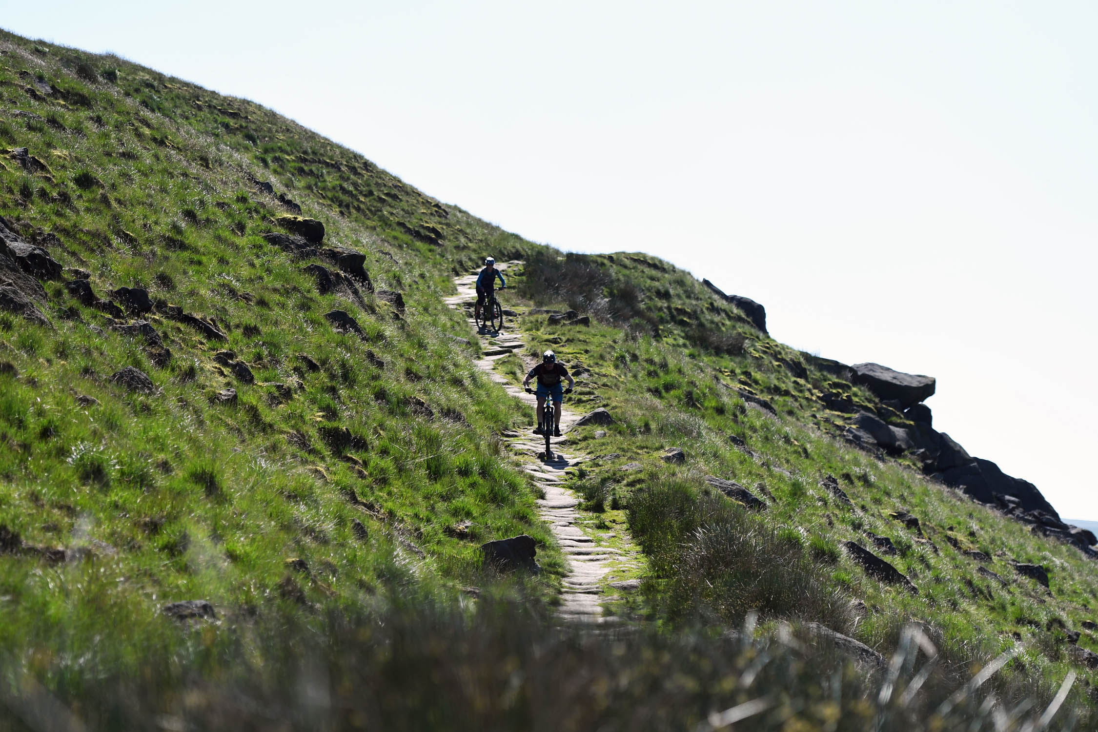
- The wild and remote moorland crossings are an adventure and a joy to experience.
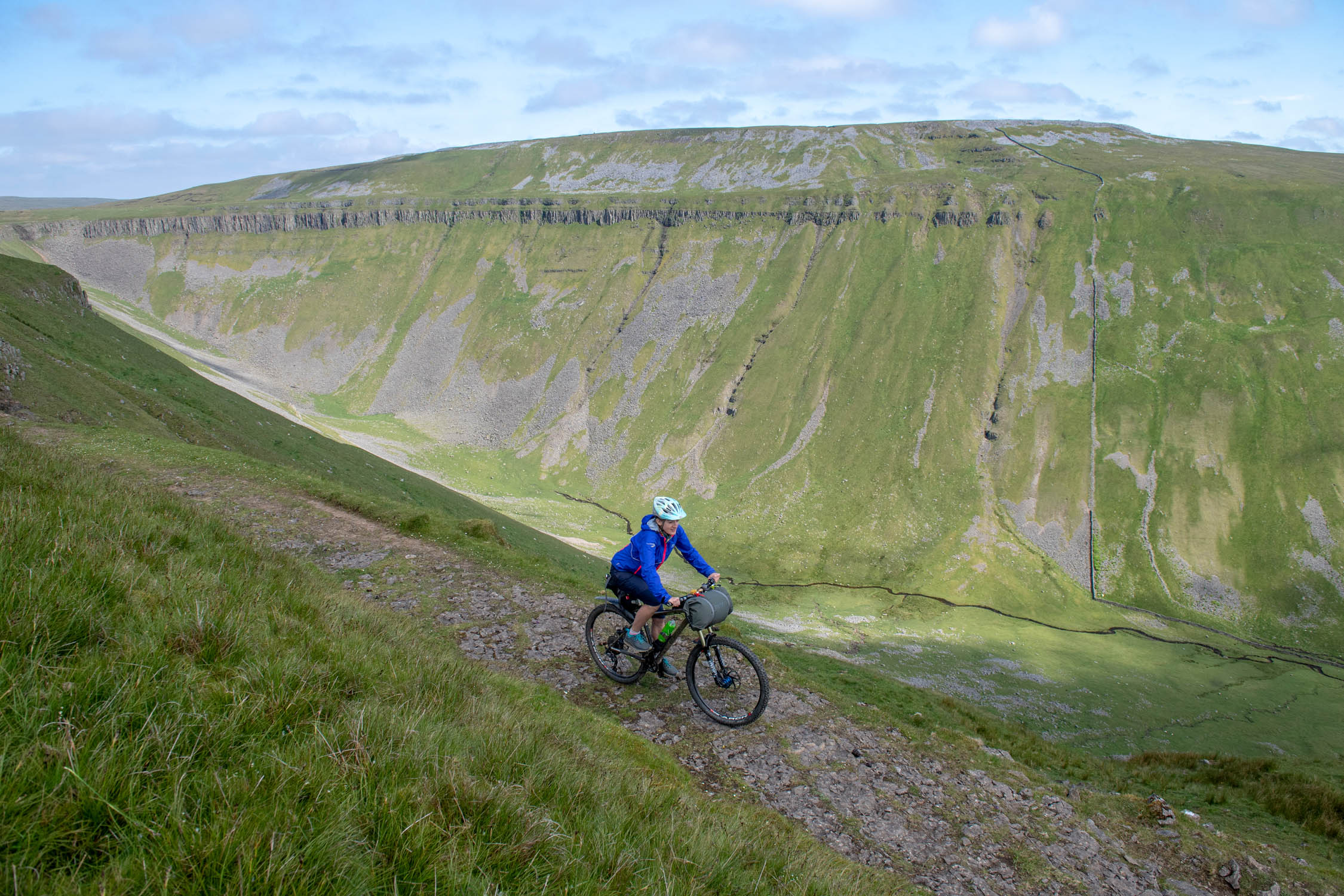
- Limestone pavements are expanses of exposed limestone formed from chemical weathering and erosion, which create a very different and stunning landscape to behold on your journey.
- Many opportunities to wild swim in the rivers, lochs and waterfalls along the way offer a liberating and invigorating way to refresh and relax along the ride.
- The way-marked MTB trails, a good bike shop and café at Kielder Water offer a good distraction for those who’d like it.
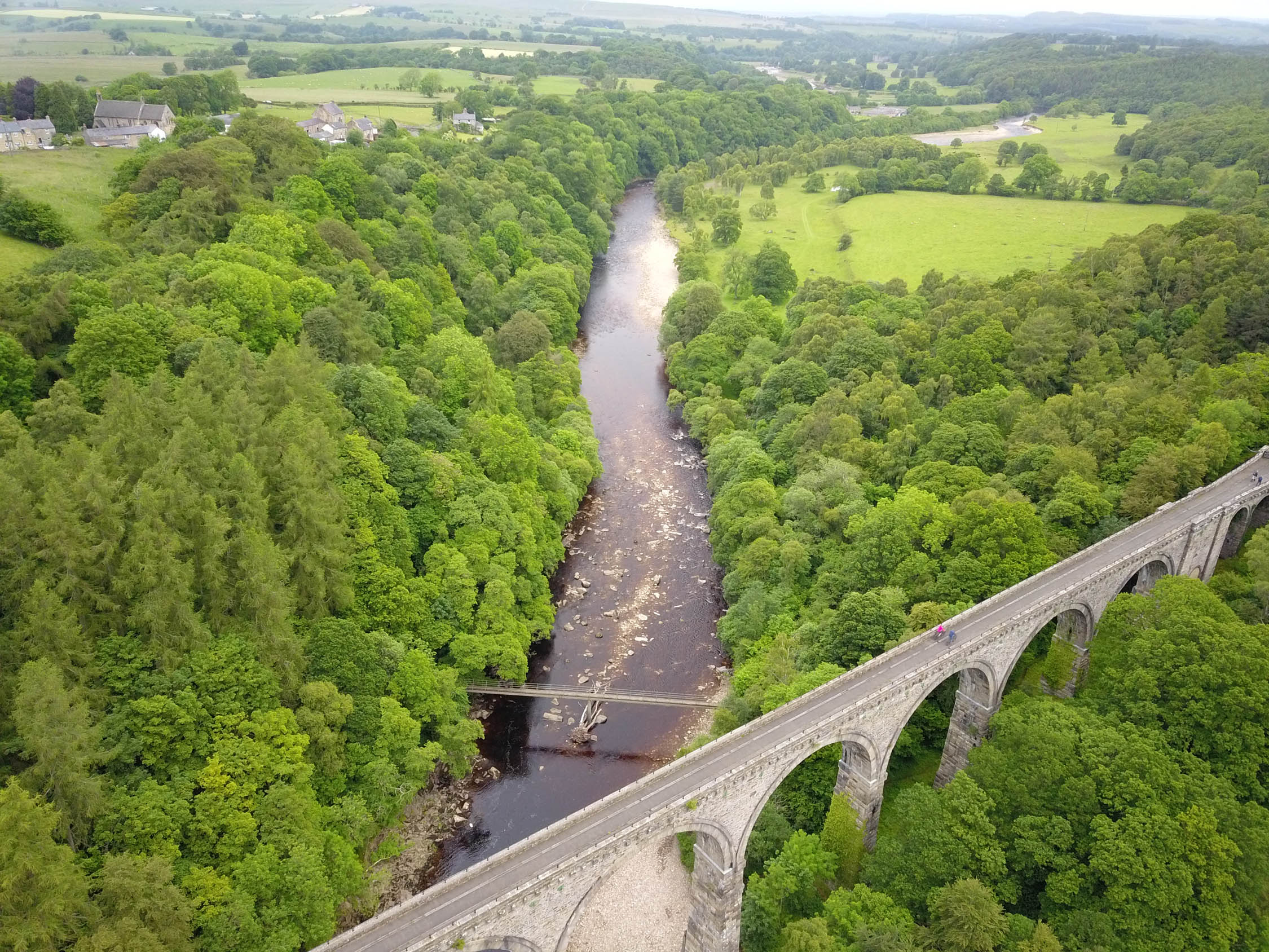
- Lambley Viaduct, once used to transport lead, coal and limestone over the South Tyne River, now only transports pedestrians and cyclists, offers peaceful and picturesque views along the valley.
- The way-marked MTB trails at Innerleithen and Glentress are well worth scheduling in some extra time to stop and explore further, offering lots of technical riding and excellent facilities, including a great bike shop, café and accommodation.
- Riding over the top of the Pentland Hills, to see a wonderful panoramic view over the urban sprawl of Edinburgh below.
- The Falls of Dochart in Killin, by Loch Tay are beautiful to view and paddle in, and the refreshments available at the café and pubs here are very nice too.
- Staying a night at the Ossian YHA, near Corrour train station, the highest and most remote train station in the UK (and featured in the film Train Spotting), is a must. You will need to bring your own food for the evening and morning though.
- Conquering the Corrieyairack Pass. It may not be a huge pass, but it is the highest on this route and the remote location, tough zig-zag ascent, and its history make for an uplifting experience. That and a great long descent that leads you to the popular town of Fort Augustus.
- The quiet and remote valleys around Gleann Mor, surrounded by high peaks, with long stretches of remote riding through the Scottish wilderness.
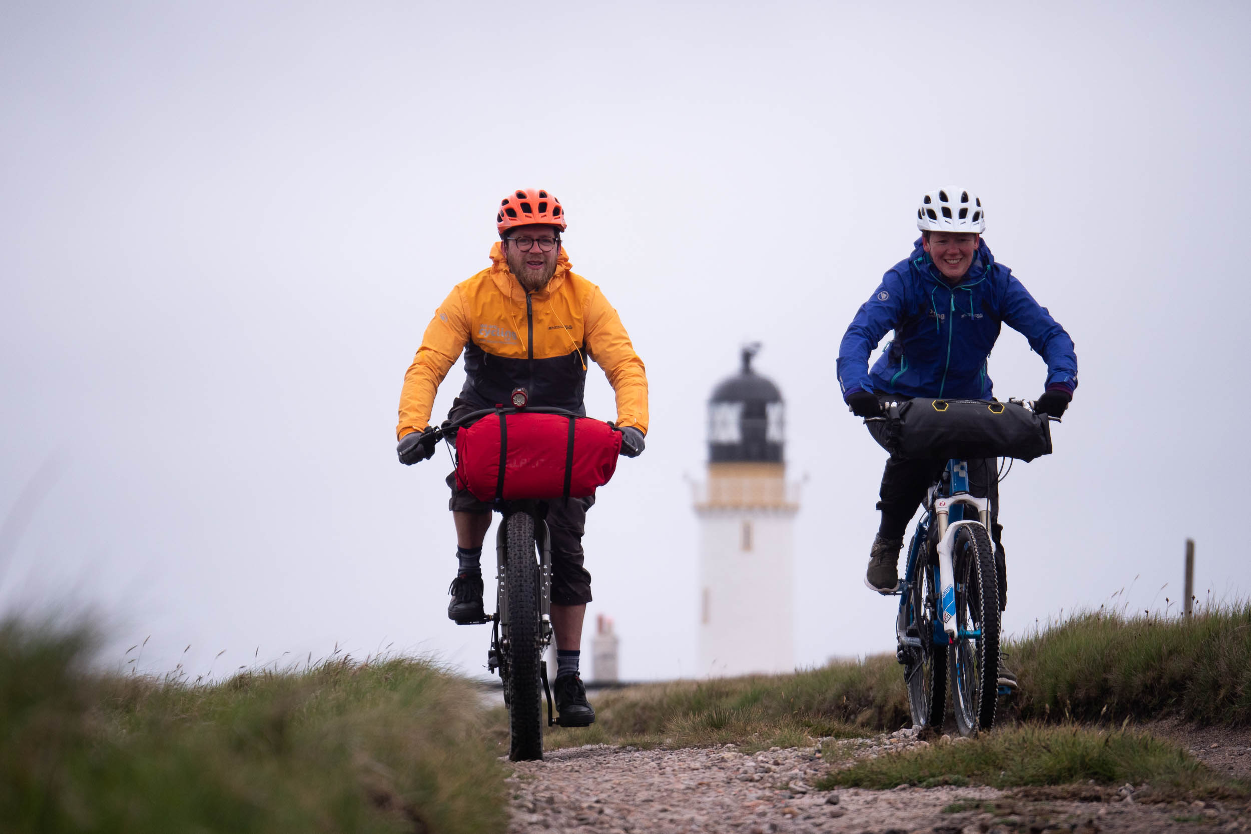
- Reaching the end and staying a night at the Cape Wrath lighthouse in their basic bunk room or even the Kearvaig bothy on the beach, both wonderful, wild and remote.
- The best chance good weather is between May to September, but this is also when the midge season is in Scotland.
- Cape Wrath ferry runs from May to September www.capewrathferry.wordpress.com
- Cape Wrath can be closed for MOD training at times, check www.visitcapewrath.com
- Deer-stalking season runs between the start of July to mid-February. During these times, check www.deer-management.co.uk for information
- The prevailing wind blows from the south-west, so the route is best ridden from south to north.
- From John o’Groats cycle down the coast to Wick where you can get a train to Inverness.
- To return from Cape Wrath the community bus service takes bikes, to Inverness, where you can then catch a train. www.thedurnessbus.com
- The sleeper train service is a great option, and goes all the way to London, from Inverness and other stations.
- On what few minor roads the route does use, other traffic are not usually used to bikes, so we recommend bright clothing, which may also be useful for the remote countryside areas of the ride too, should you require spotting.
- A bell is very useful for popular trails, such as the West Highland Way, where you will be approaching most walkers from behind.
- The route has been designed so that there is accommodation at frequent intervals along the entire routes with B&B’s, Hotels, Inn’s, Hostels and campsites. Options can be limited at times though, so booking ahead is essential.
- Air B&B is popular and prevalent, and often offers up some wonderful and unique stopovers even in the remotest of places, as well as a good value.
- There are some bothies along the route, which are a unique experience to stay in, but you will need to go prepared as they are usually very basic, offering little more than a roof over your head.
- Wild camping is permitted in Scotland but not England (with the odd exception).
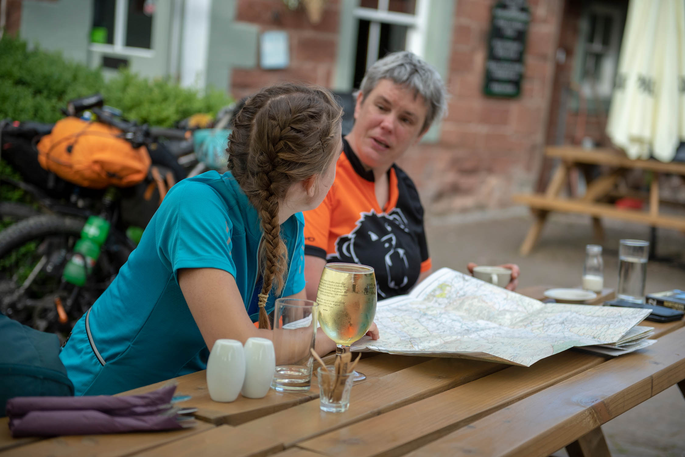
- Refreshments are generally quite easy to come by throughout the route, until some sections through the Scottish Highlands, where you may need to carry supplies for the day, but you can usually replenish your supplies at some point in the day, and there will be cafes, restaurants accessible along most of the route.
- Try the local delicacies (and ales) as you go, it’s all part of the experience.
- Bear in mind that some eating establishments, pubs, cafes, restaurants, etc close on Mondays and Tuesdays!
Section 1
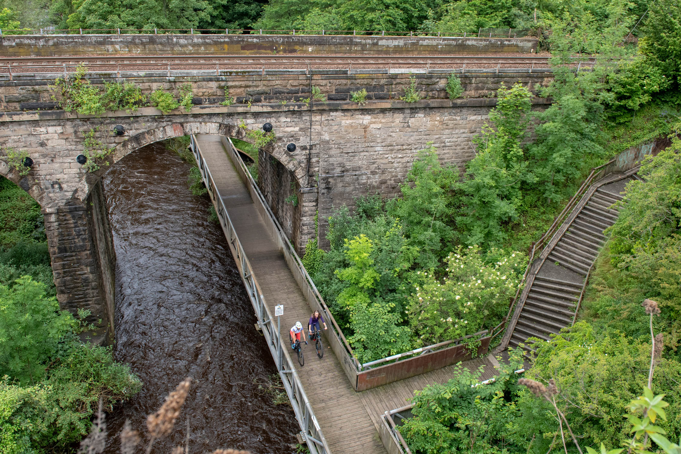
Peak District and South Pennines: Middleton Top to Hebden Bridge
80 mils (129 km), 2-3 days
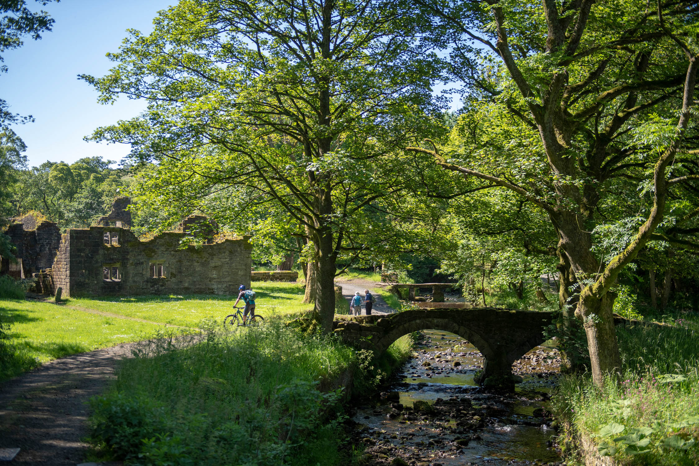
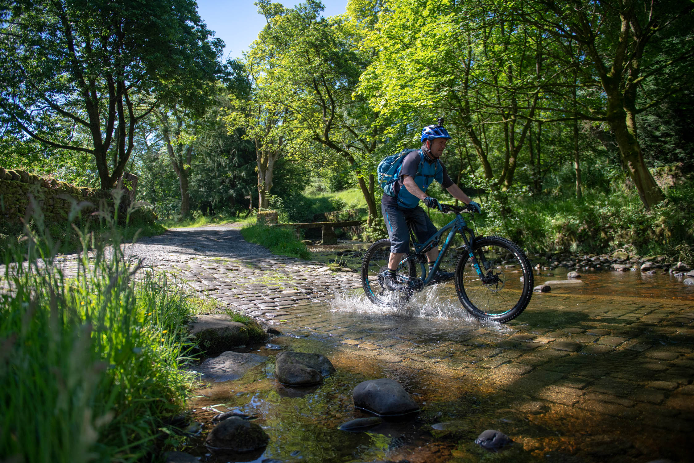
from Middleton Top to Hebden bridge in the Peak district follows the Pennine Bridleway through rolling hills, wooded valleys and bleak moorland passing by mills, reservoirs and disused railways.
Section 2
Yorkshire Dales: Hebden Bridge to Appleby-in-Westmorland
106 miles (171 km), 2-3 days
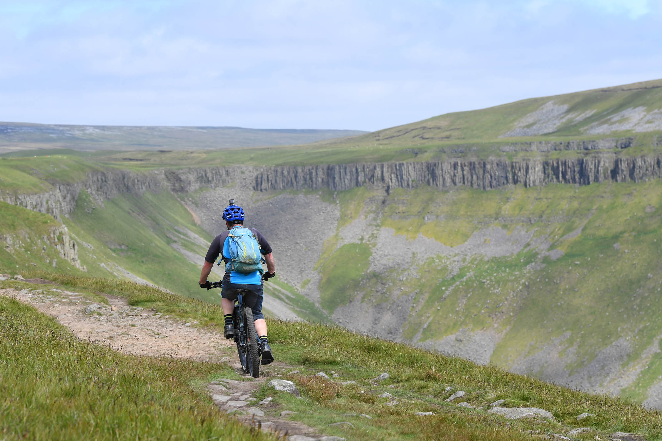
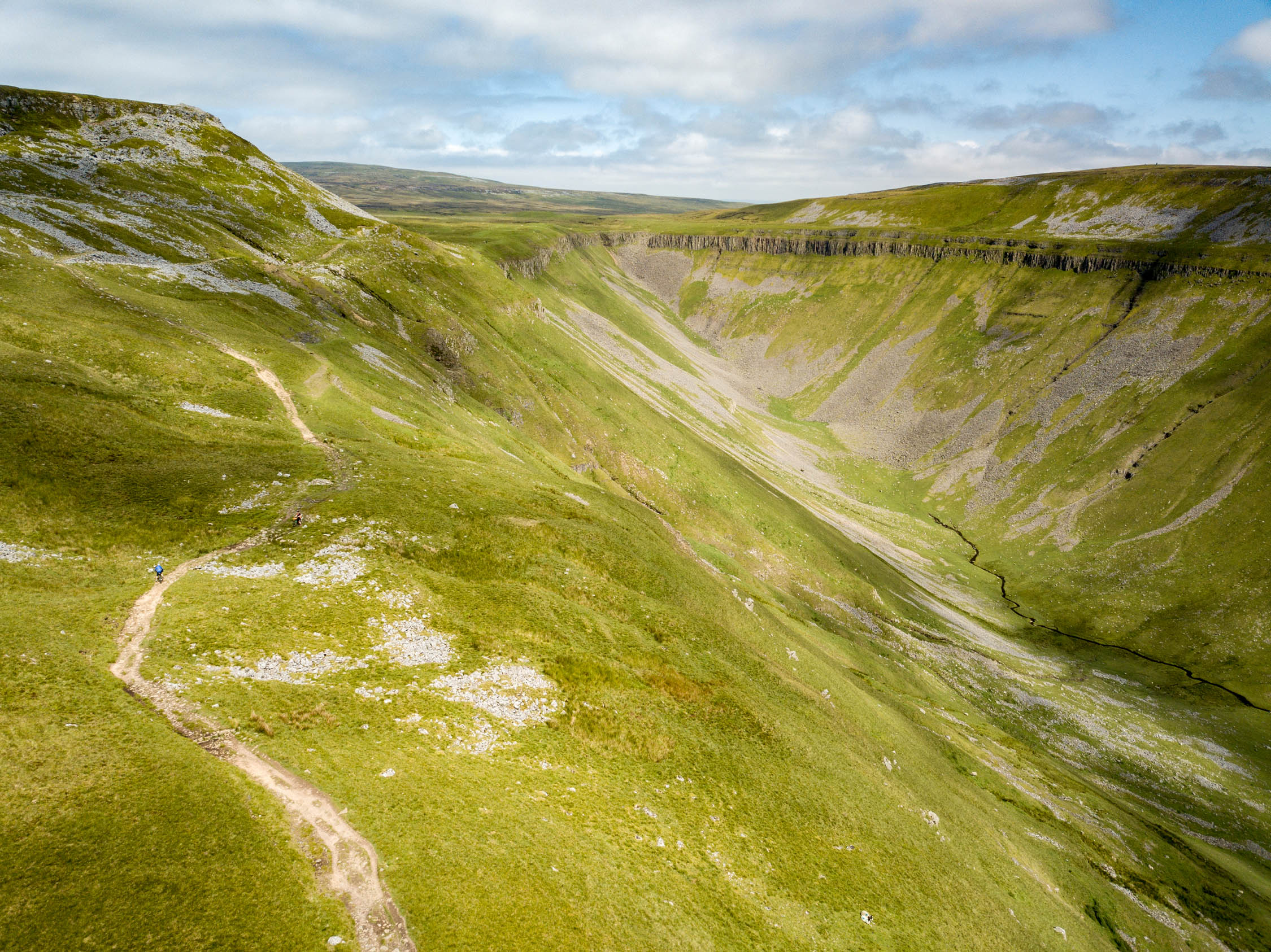
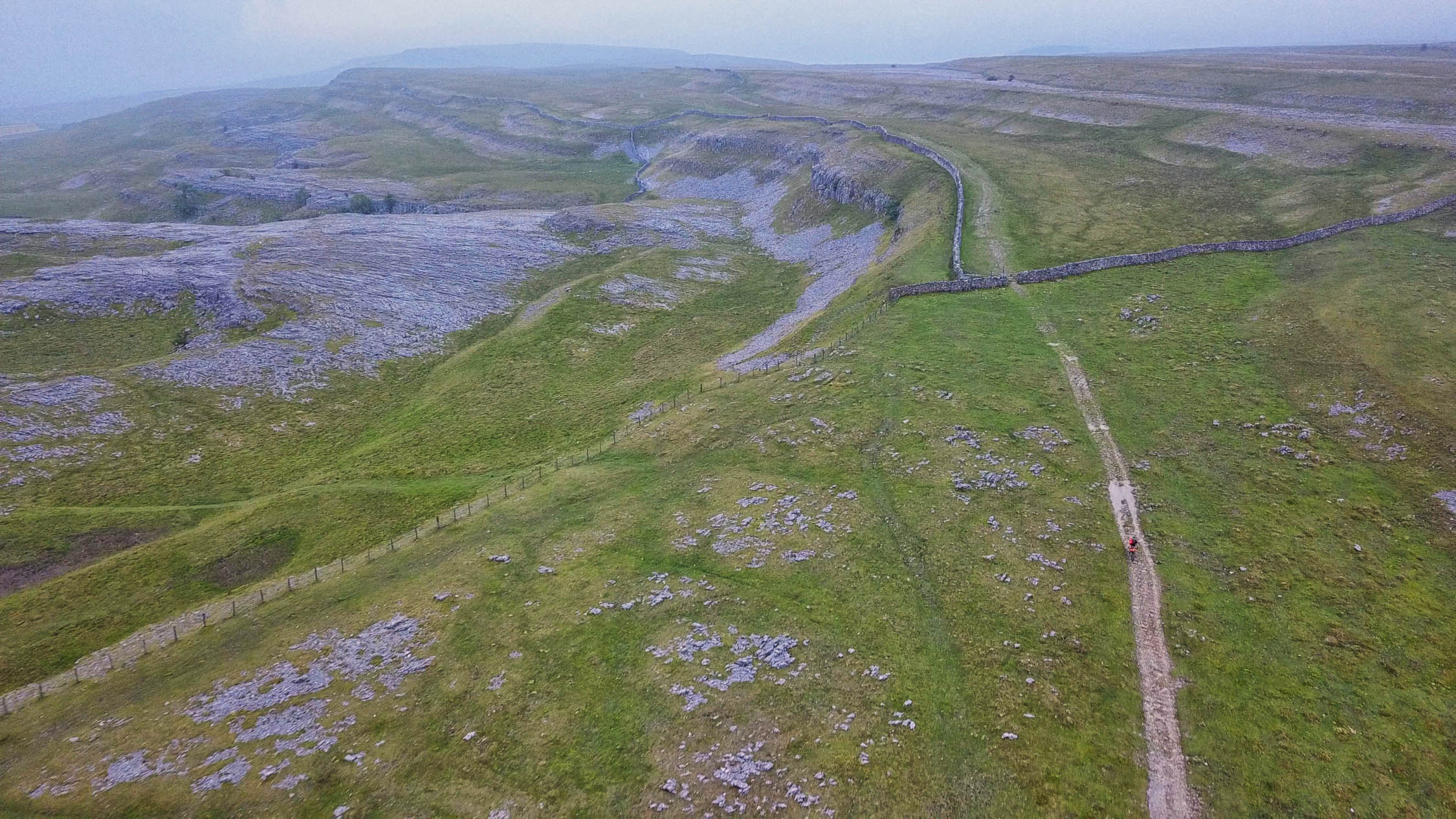
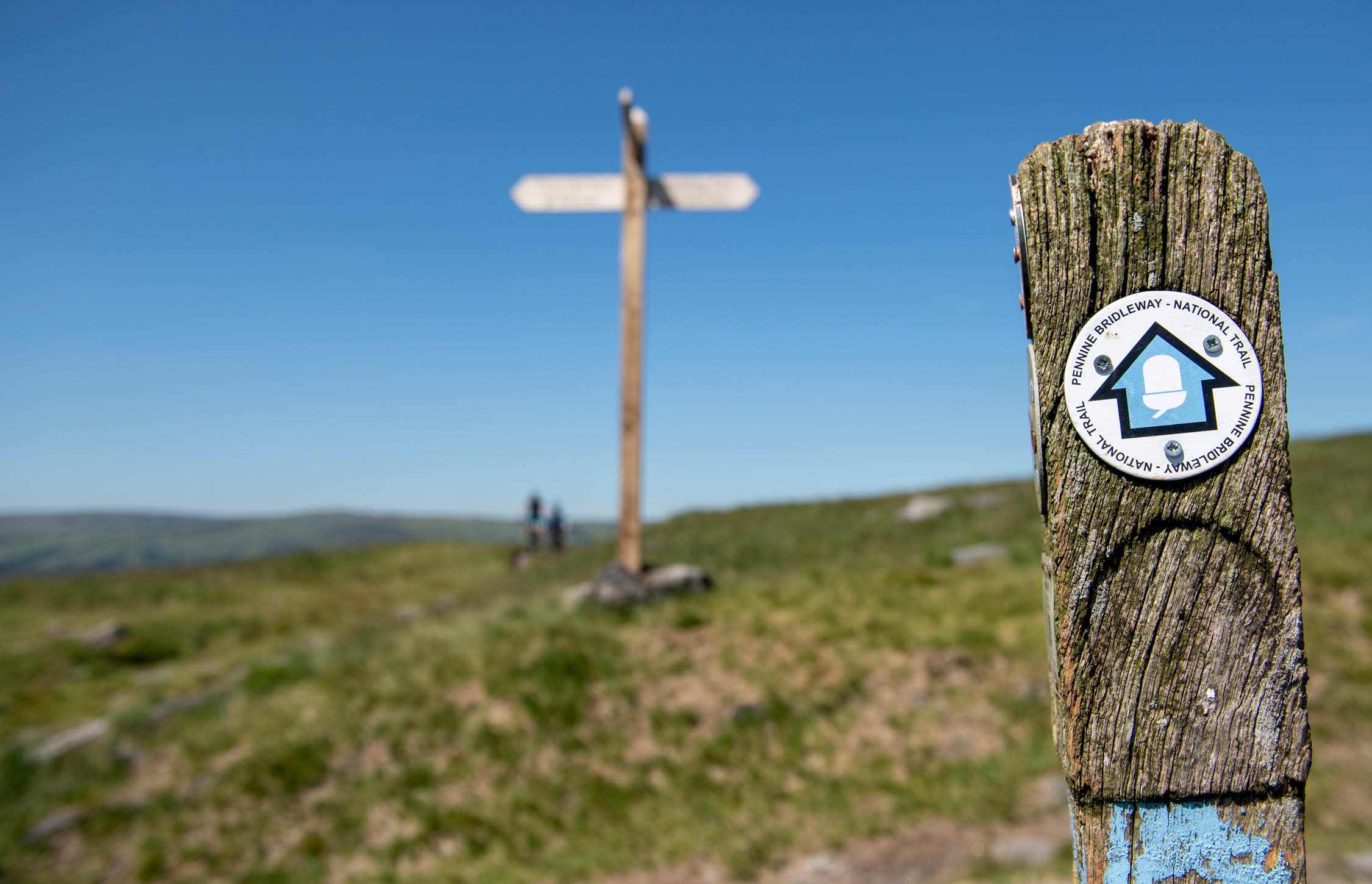
Section two runs from Hebden Bridge to Appleby-in-Westmoor continues to follow the Pennine Bridleway through Lancashire and onto the stunning limestone landscape of the Yorkshire Dales. Note, The High Cup Nick diversion: The dramatic U-shaped chasm overlooking a glaciated valley is a stunning sight, and it’s only a short section of footpath on the tarmac on the far side which means it isn’t included as part of the main route but is well worth riding.
Section 3
North Pennines and Kielder Forest: Appleby-in-Westmorland to Kielder
76 miles (123 km), 2-3 days
From Appleby-in-Westmorland to Kielder Forest starts by crossing the Pennines then following the South Tyne Trail and traveling over the Lambley Viaduct before crossing Hadrians Wall and passing through the huge pine forests of Northumberland National Park. Note: There are a (disappointingly high) number of gates along the Mary Townley Trail in the Pennines, sometimes with double gates, broken gates or latches you can’t see on the other side.
Section 4
Scottish Borders: Kielder to Edinburgh
96 miles (154 km), 2-3 days
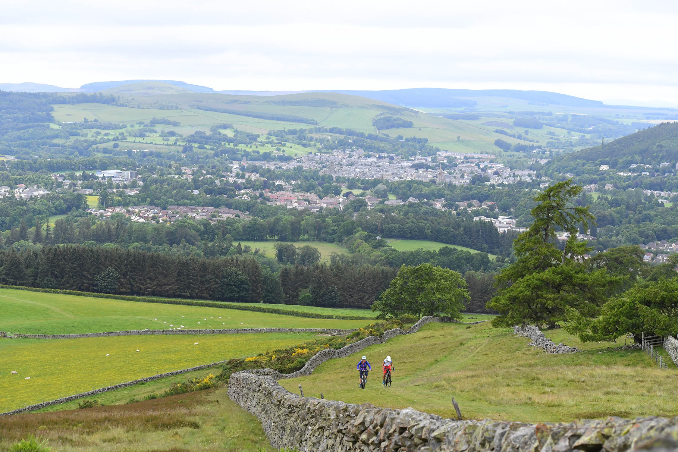
Section four departs from Kielder Forest and crosses the border into Scotland where the route continues through vast forestland, and then rolling countryside leads you to the MTB mecca of Glentress. After crossing the Pentland Hills this leg of the GNT finishes by dropping down into the beautiful city of Edinburgh.
Section 5
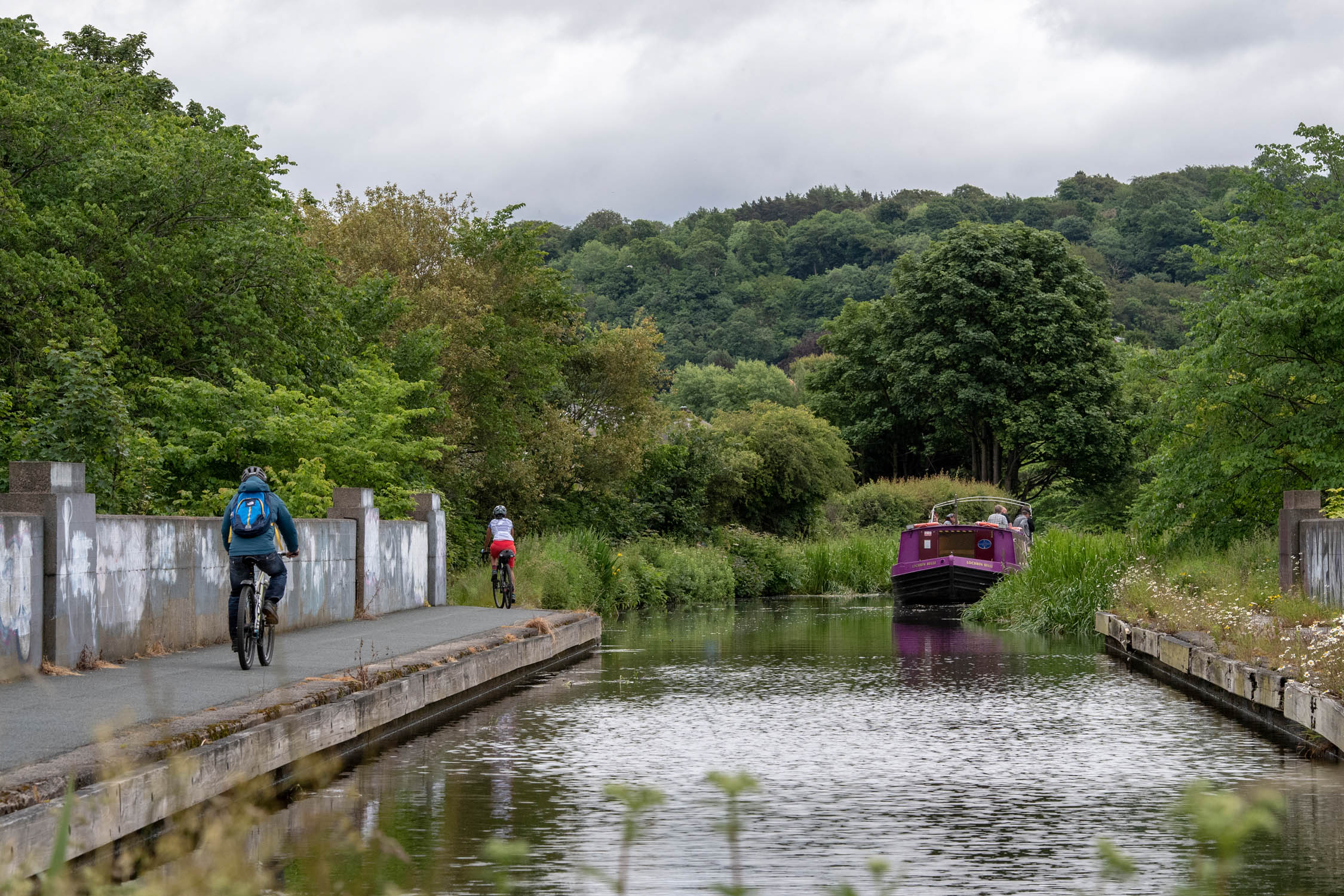
Central Belt: Edinburgh to Glasgow
52 miles (83 km), 1-2 days
Section five is family friendly route travels west from Edinburgh to Glasgow heading alongside the Great Union Canal, past Falkirk and alongside the Forth and Clyde Canal, where you can opt to ride right into the heart of Glasgow itself.
Section 6
Grampian Mountains: Glasgow to Fort Augustus
161 miles (260 km), 3-5 days
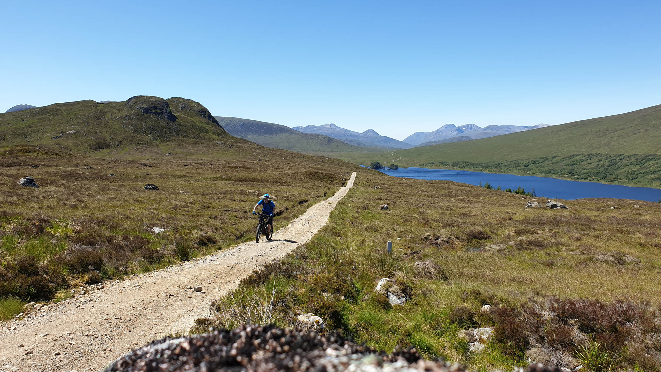
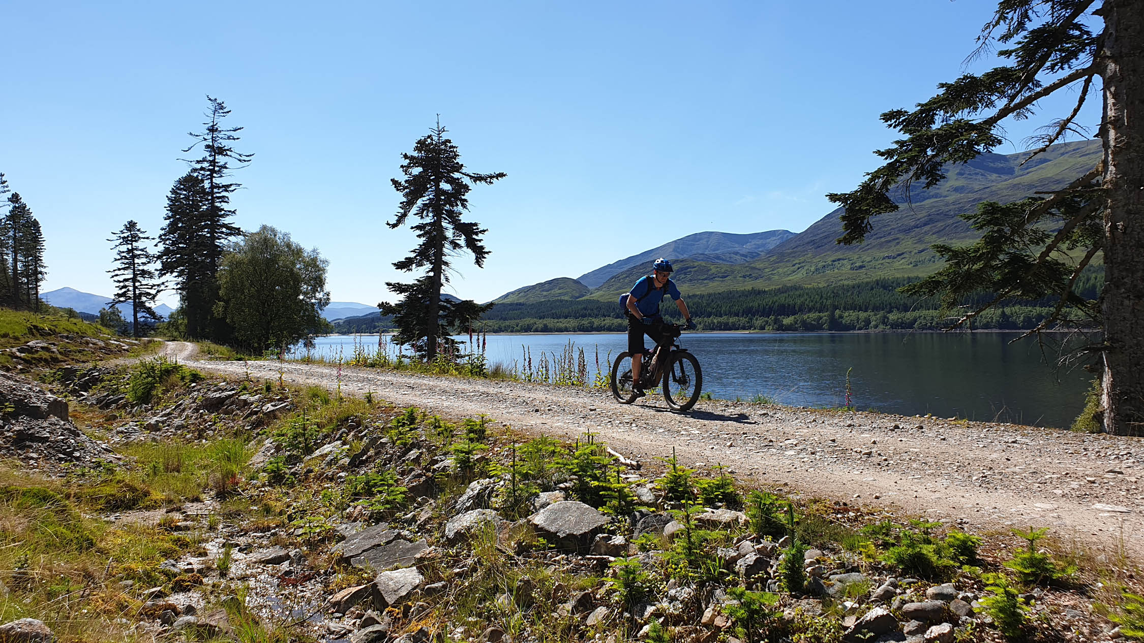
This segment heads north from Glasgow following rivers, winding through forests and gliding alongside lochs, not to mention conquering a few mountain passes in the Grampians for good measure. It finishes right in the heart of Scotland at the southern end of Loch Ness at Fort Augustus.
Section 7
Northern Highlands: Fort Augustus to Oykel Bridge
94 miles (151 km), 2-3 days
The second to last stage travels through Scotland’s Northern Highlands from Fort Augustus to Oykel Bridge in some of the route’s most wild and remote riding. It is stunning scenery, and although the tracks are not technically challenging, the remote setting certainly is. Note: After the town of Killin, in Scotland the trails become more remote and you will need to be prepared and equipped to fend for yourself over reasonable distances at a time.
Section 8
Sutherland and Caithness: Oykel Bridge to Cape Wrath (133 km, 2-3 days) or Oykel Bridge to John o’ Groats
135 miles (218 km), 3-4 days
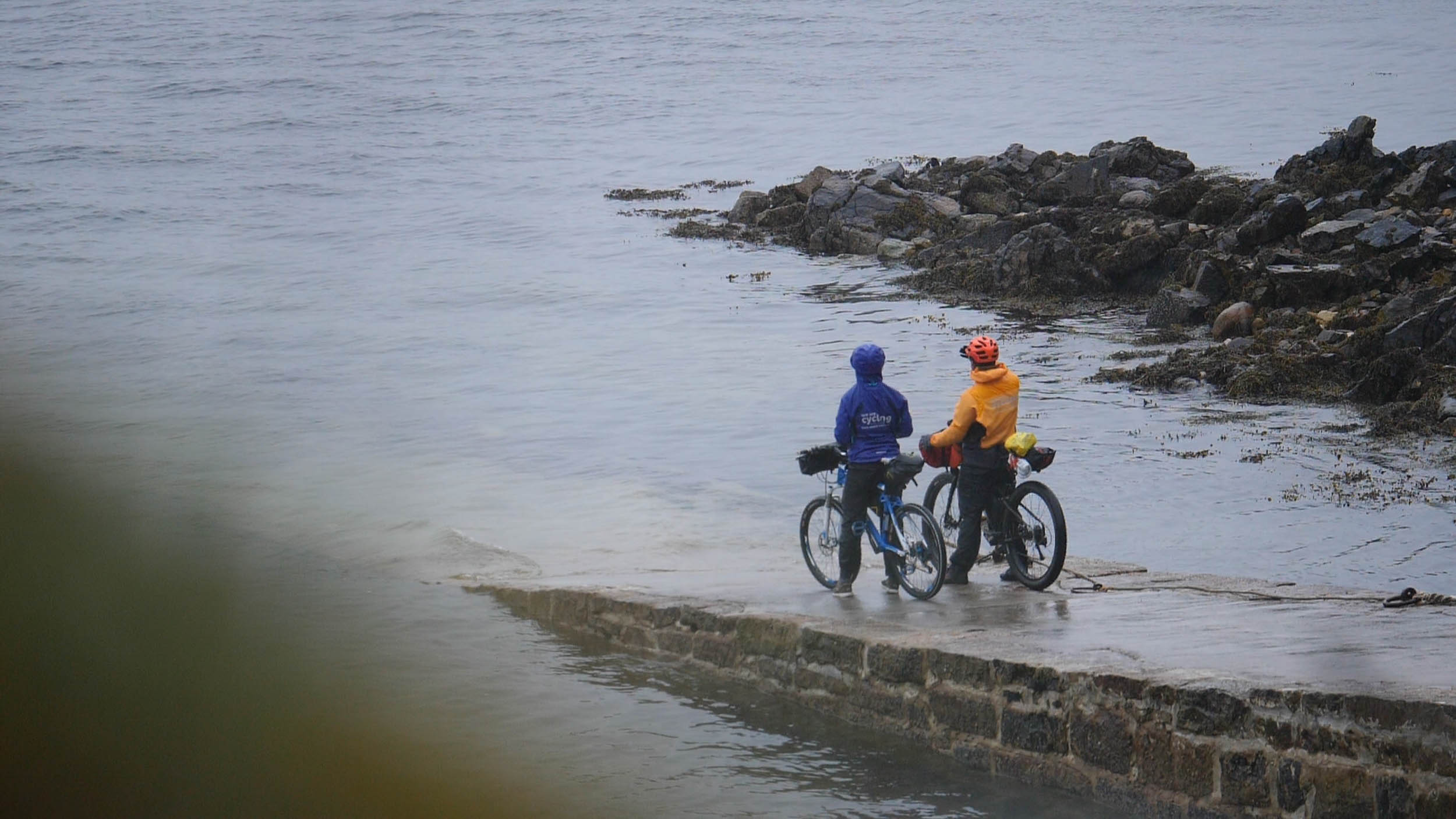
The final segment of this ride gives you the option to finish at either Cape Wrath, the most north-westerly point on the British mainland, or John O’Groats the most north-easterly. Note: There is a water crossing at the southern end of Loch Hope, which leads you to the north Scottish coastline. Here you will at best get wet feet, or possibly be unable to cross safely, requiring a detour along the road.
The Cape Wrath route option is shorter but involves a quick ferry crossing on a small boat that is only available in the summer months.


Terms of Use: As with each bikepacking route guide published on BIKEPACKING.com, should you choose to cycle this route, do so at your own risk. Prior to setting out check current local weather, conditions, and land/road closures. While riding, obey all public and private land use restrictions and rules, carry proper safety and navigational equipment, and of course, follow the #leavenotrace guidelines. The information found herein is simply a planning resource to be used as a point of inspiration in conjunction with your own due-diligence. In spite of the fact that this route, associated GPS track (GPX and maps), and all route guidelines were prepared under diligent research by the specified contributor and/or contributors, the accuracy of such and judgement of the author is not guaranteed. BIKEPACKING.com LLC, its partners, associates, and contributors are in no way liable for personal injury, damage to personal property, or any other such situation that might happen to individual riders cycling or following this route.
Please keep the conversation civil, constructive, and inclusive, or your comment will be removed.