


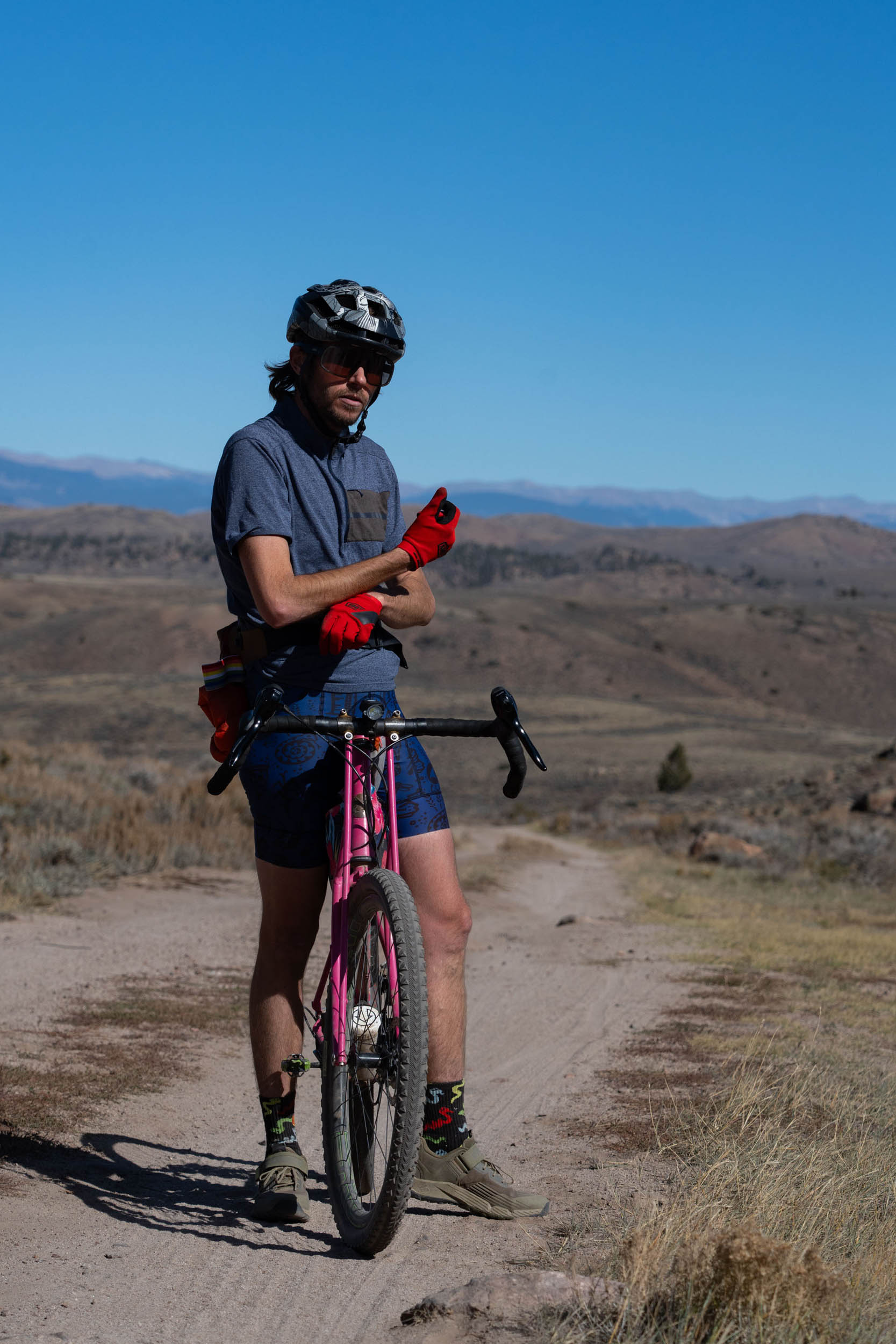
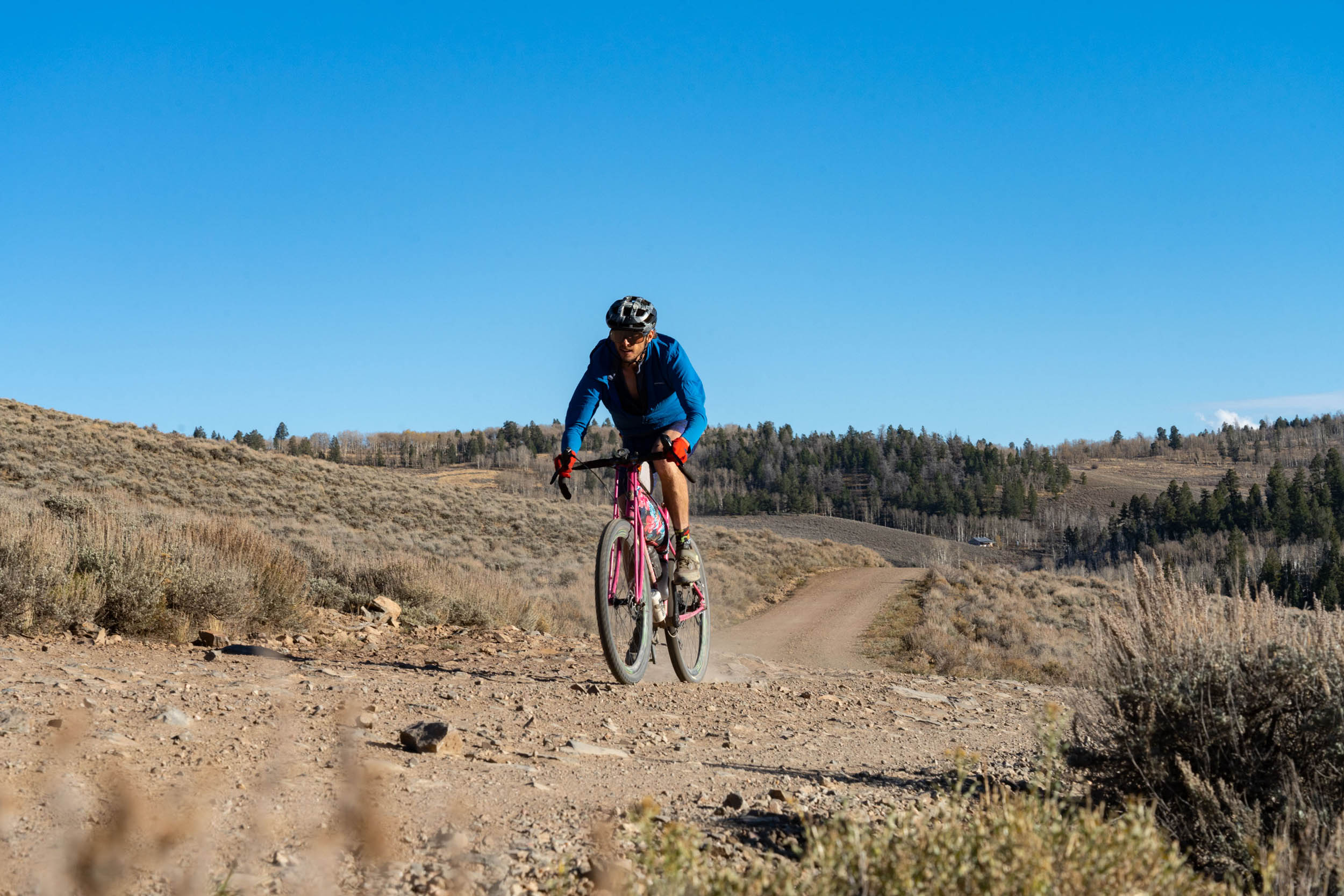
Gunni Grinder
Distance
119 Mi.
(192 KM)Days
2-3
% Unpaved
85%
% Singletrack
0%
% Rideable (time)
99%
Total Ascent
9,440'
(2,877 M)High Point
10,511'
(3,204 M)Difficulty (1-10)
6?
- 5Climbing Scale Moderate79 FT/MI (15 M/KM)
- 4Technical Difficulty Fair
- 5Physical Demand Moderate
- 5Resupply & Logistics Moderate
Contributed By
Neil Beltchenko
Associate Editor & YouTube Host
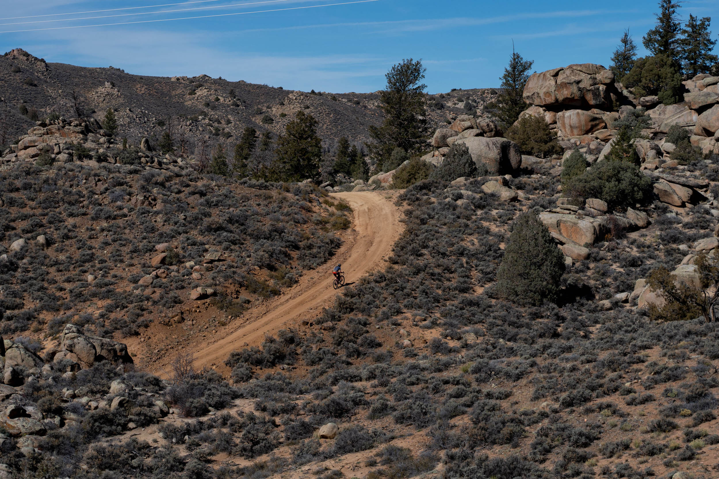
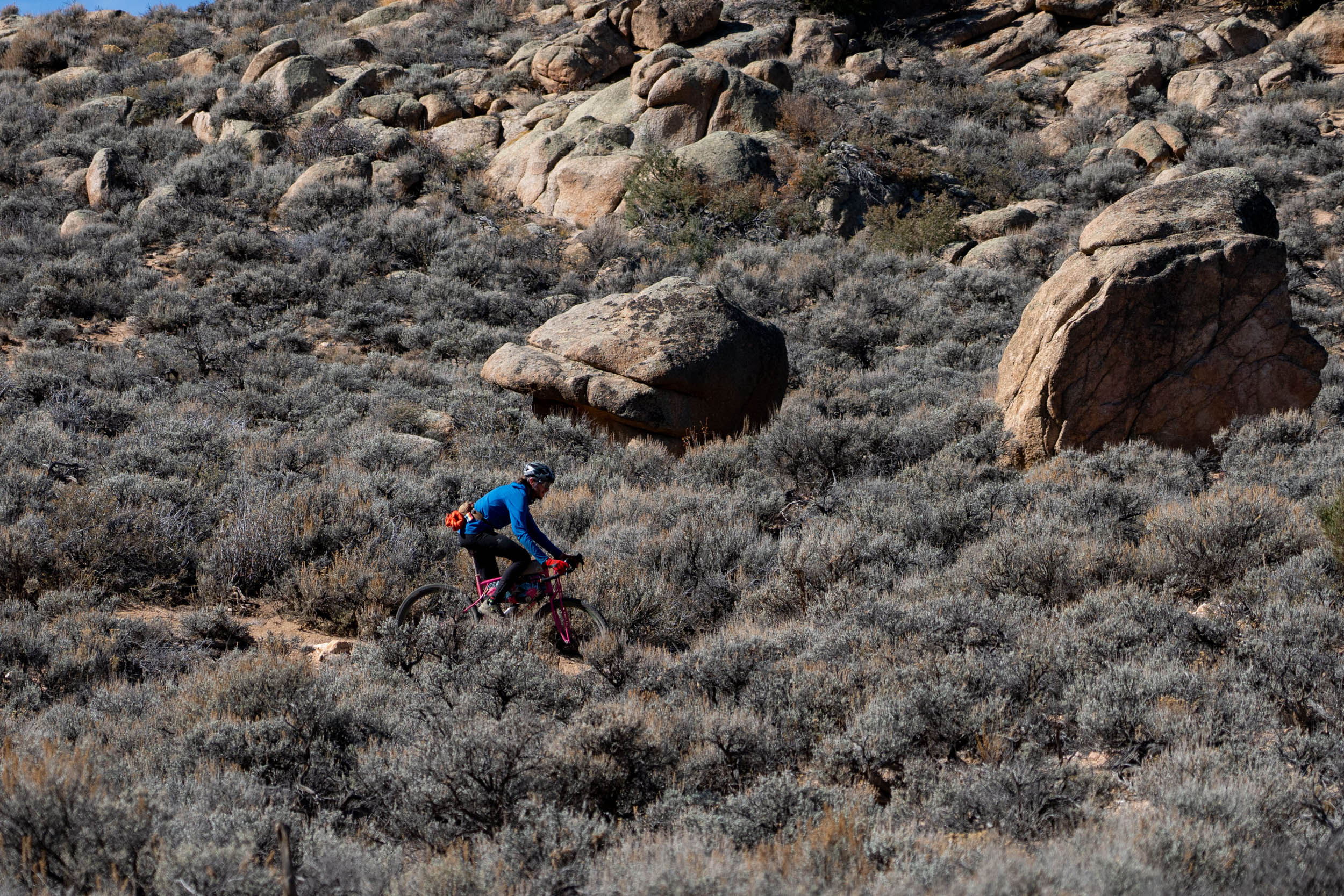
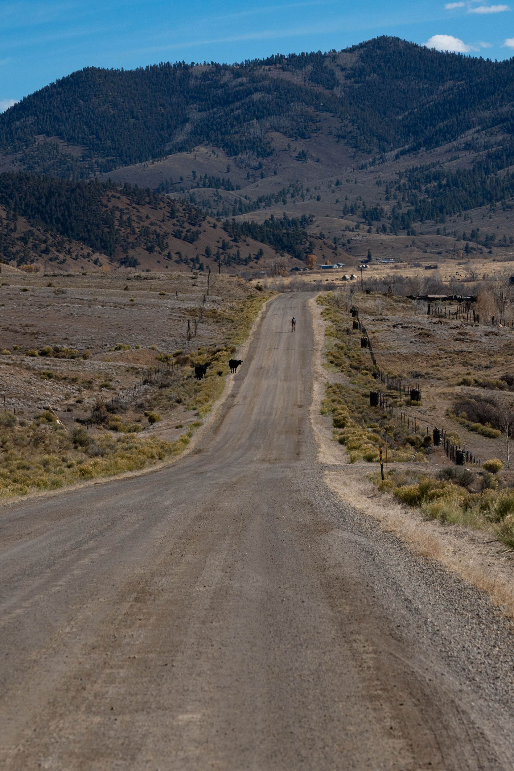
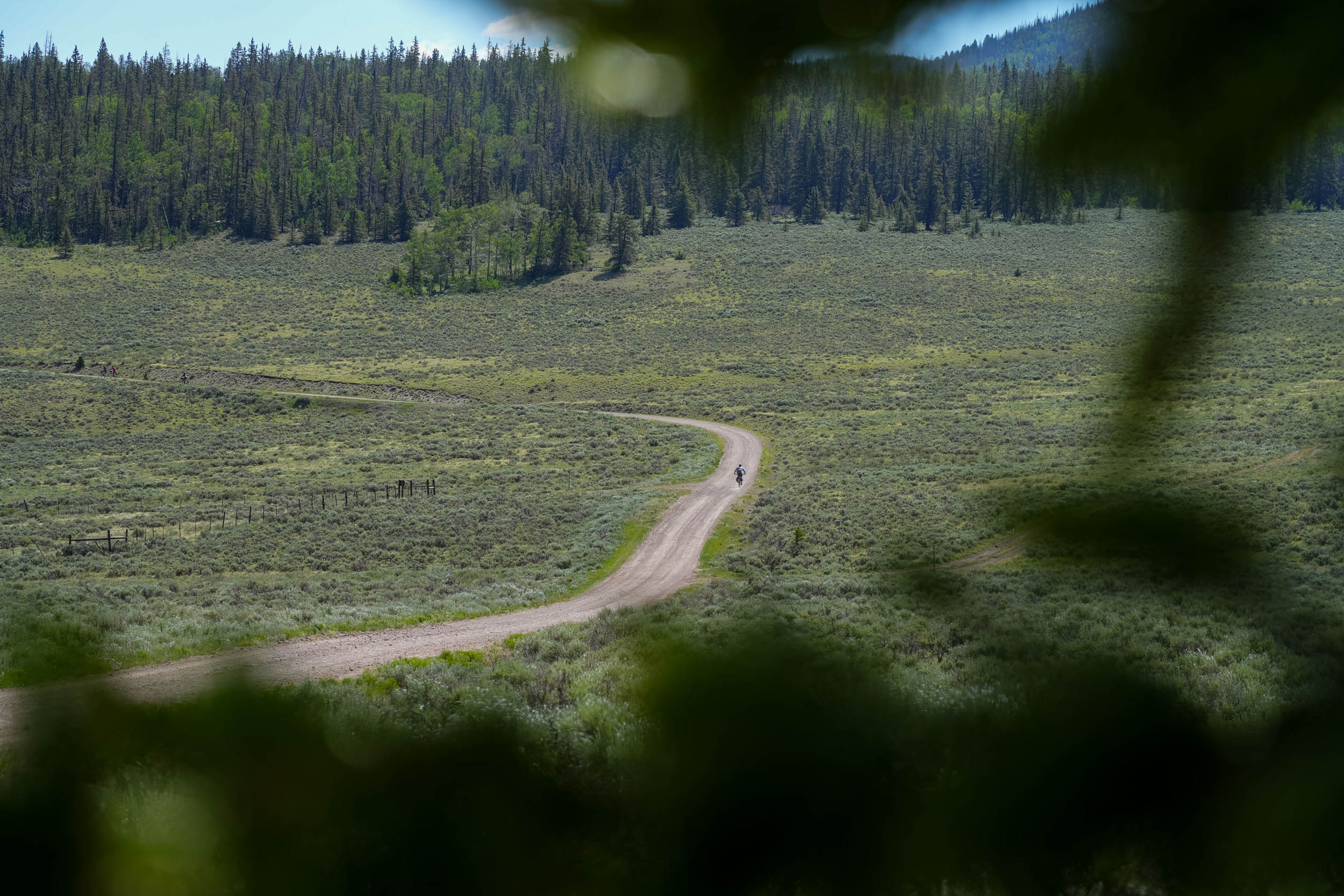
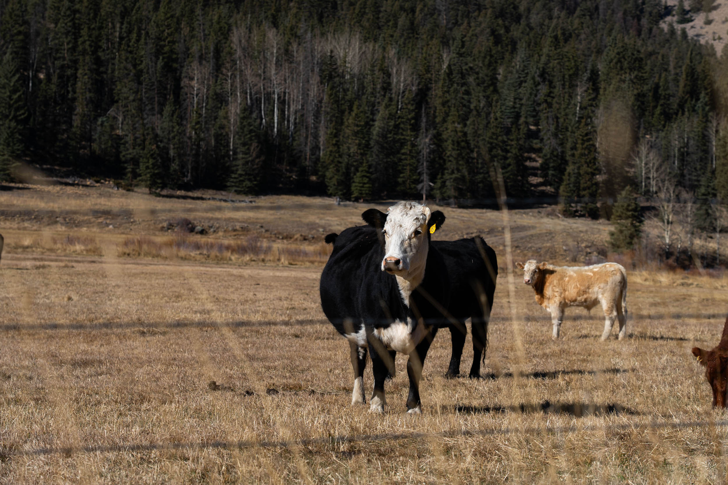
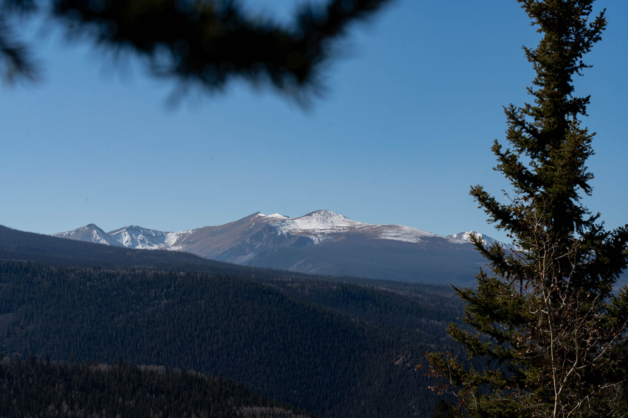
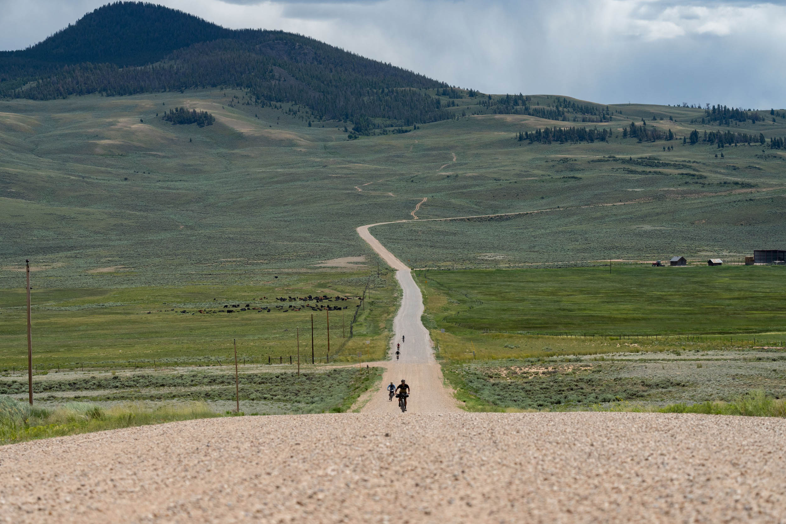
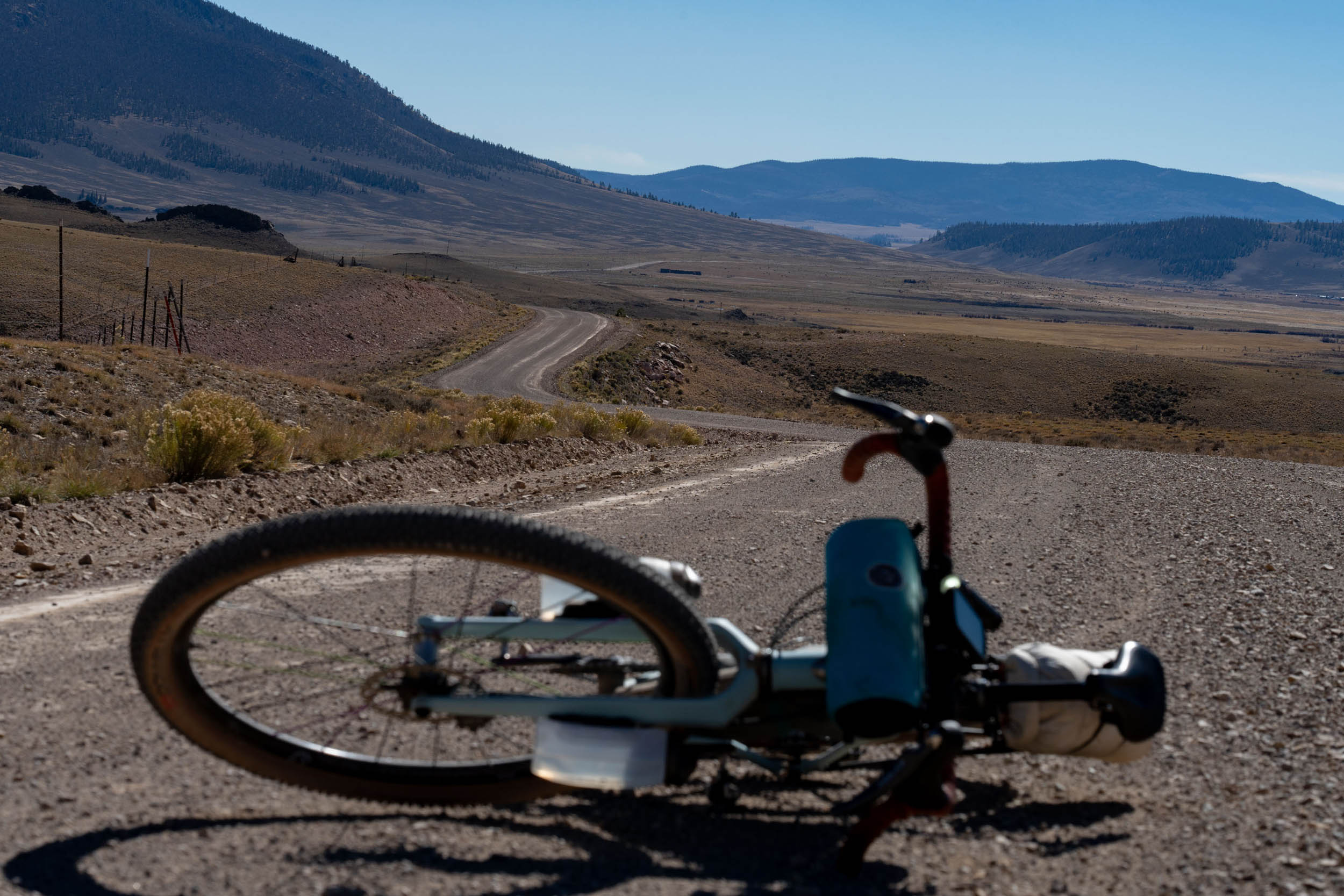
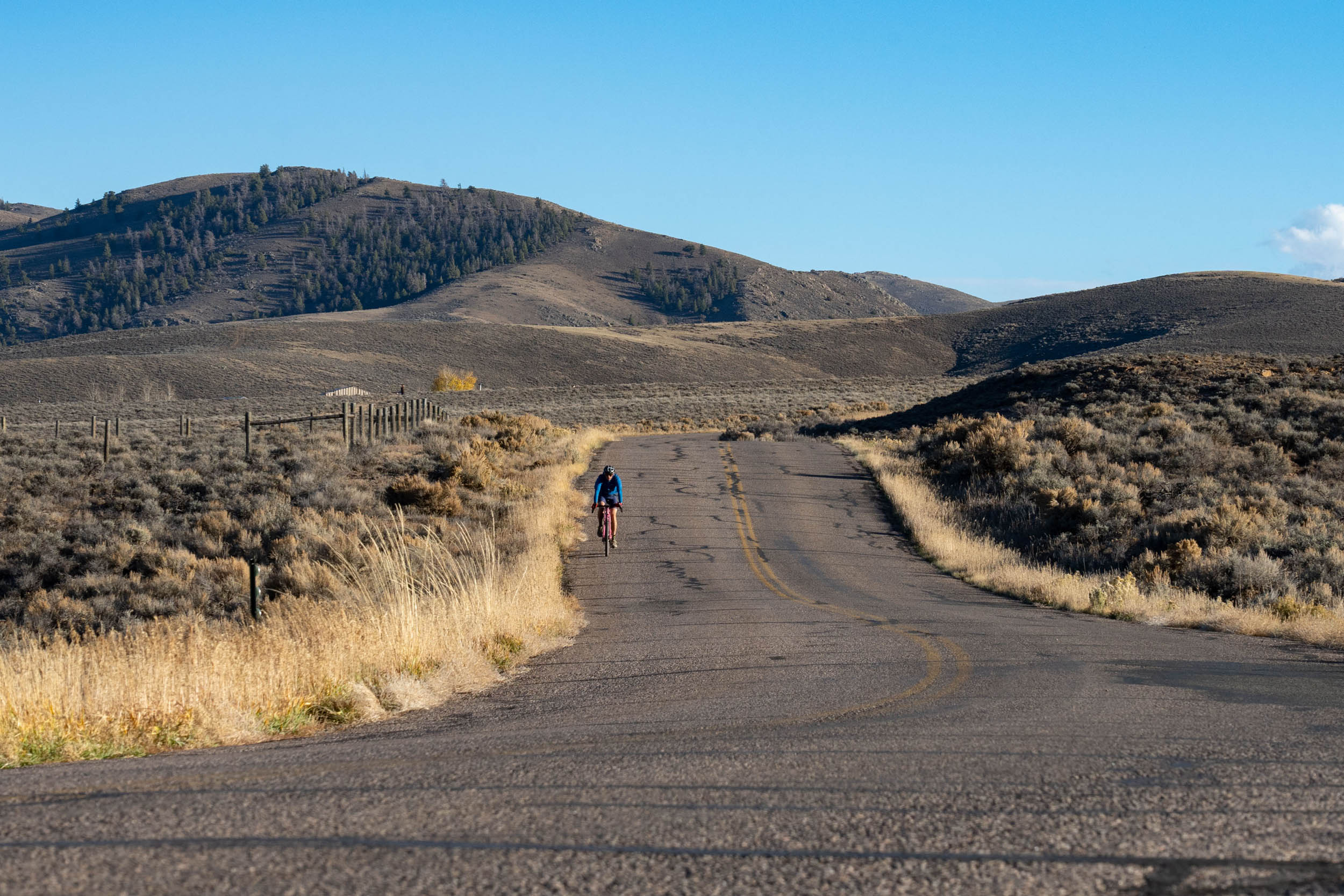
The Gunni Grinder draws inspiration from the 120-mile race course with the same name, an annual event held in September in Gunnison, Colorado. The route heads out of town and to the renowned cycling hub of Hartman Rocks Recreation Area, home to 45 miles of singletrack and as many miles of dirt roads. Initially, it meanders through the sagebrush hills and open cattle range, eventually reaching Highway 149, which leads to the scenic Nine Mile Hill. Here, you’ll be treated to panoramic views of the San Juans Mountains to the south and West Elk Mountain to the north.
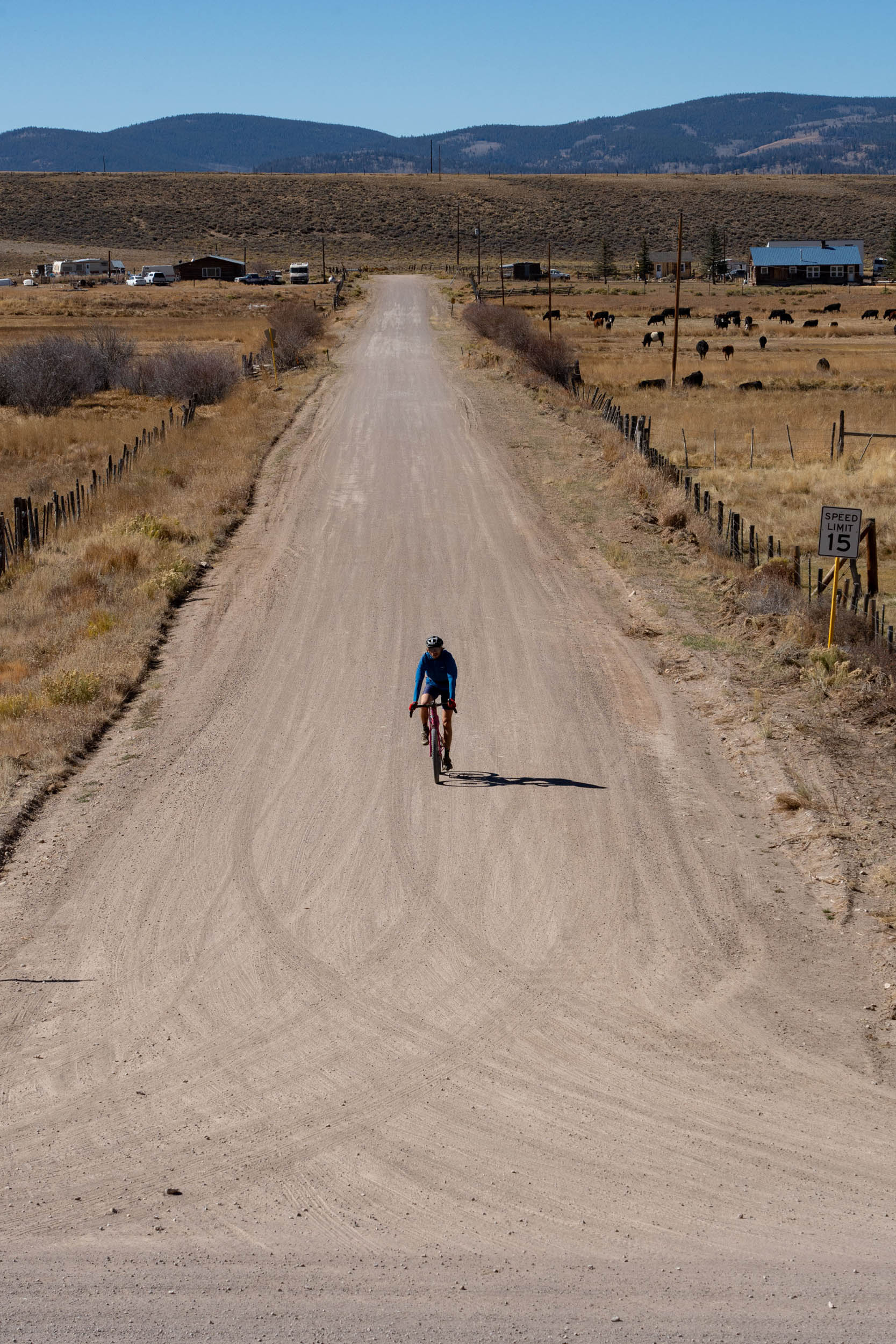
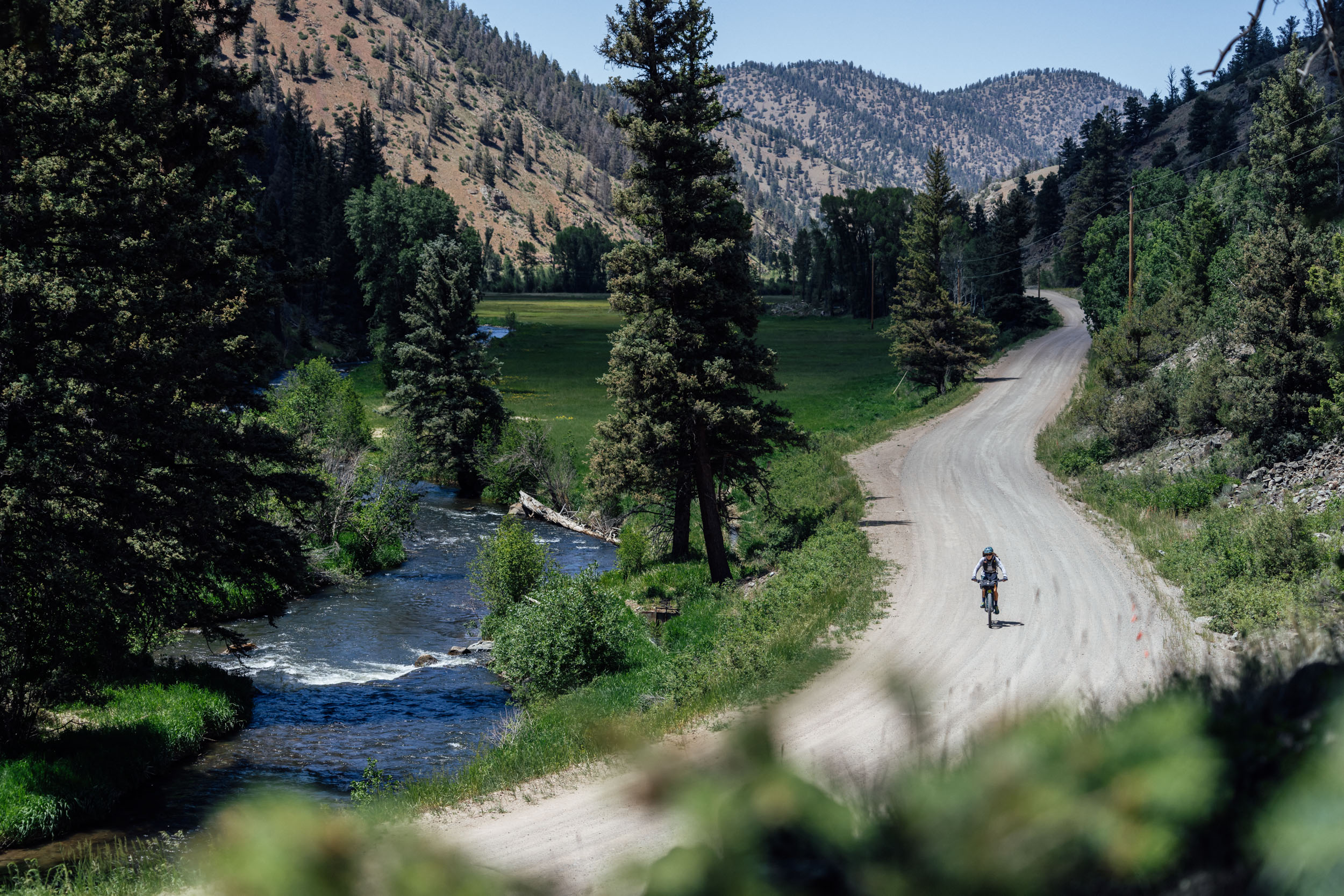
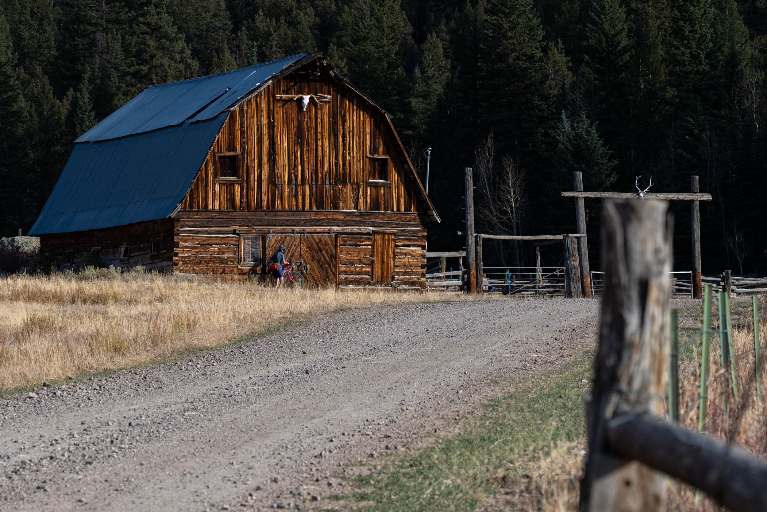
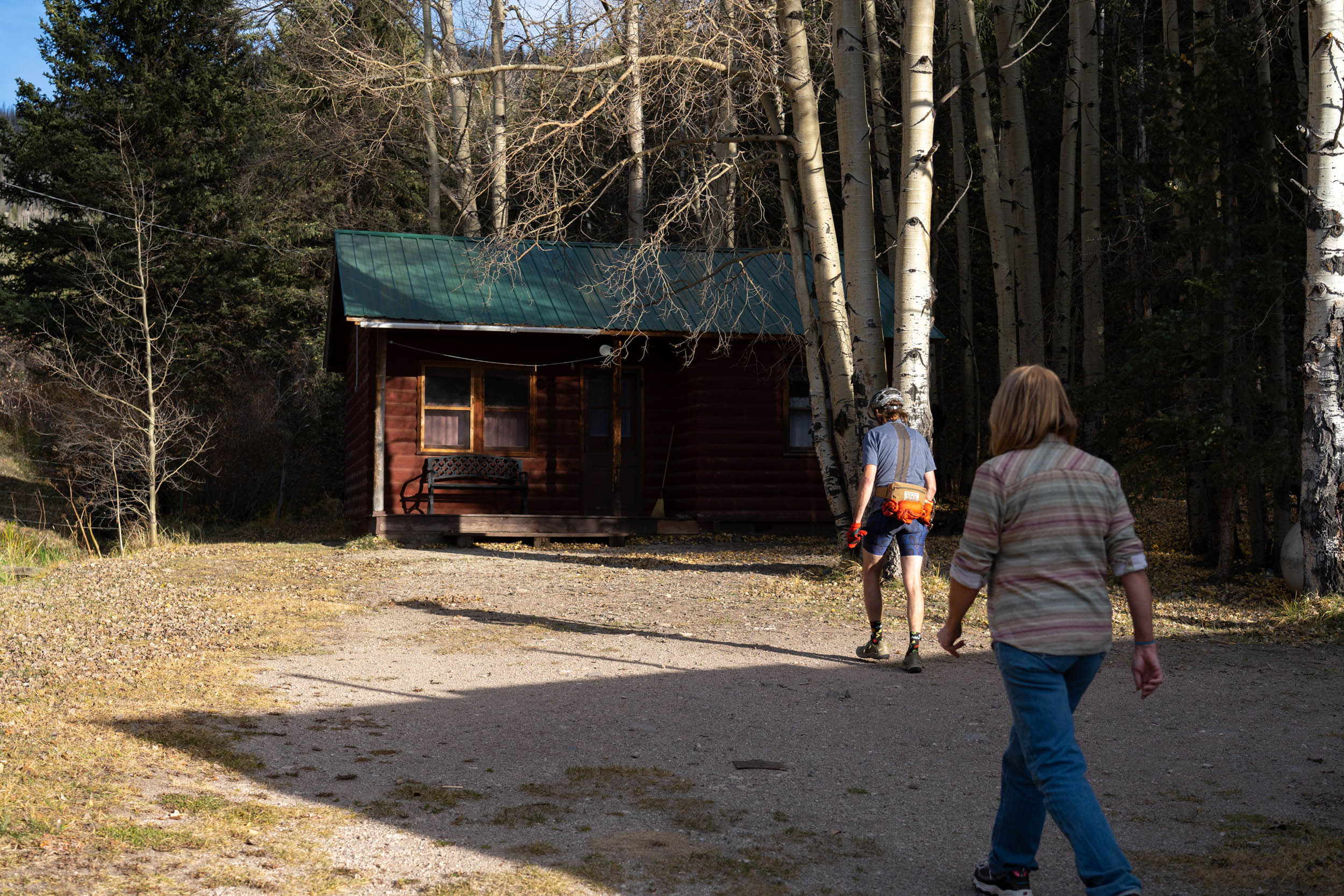
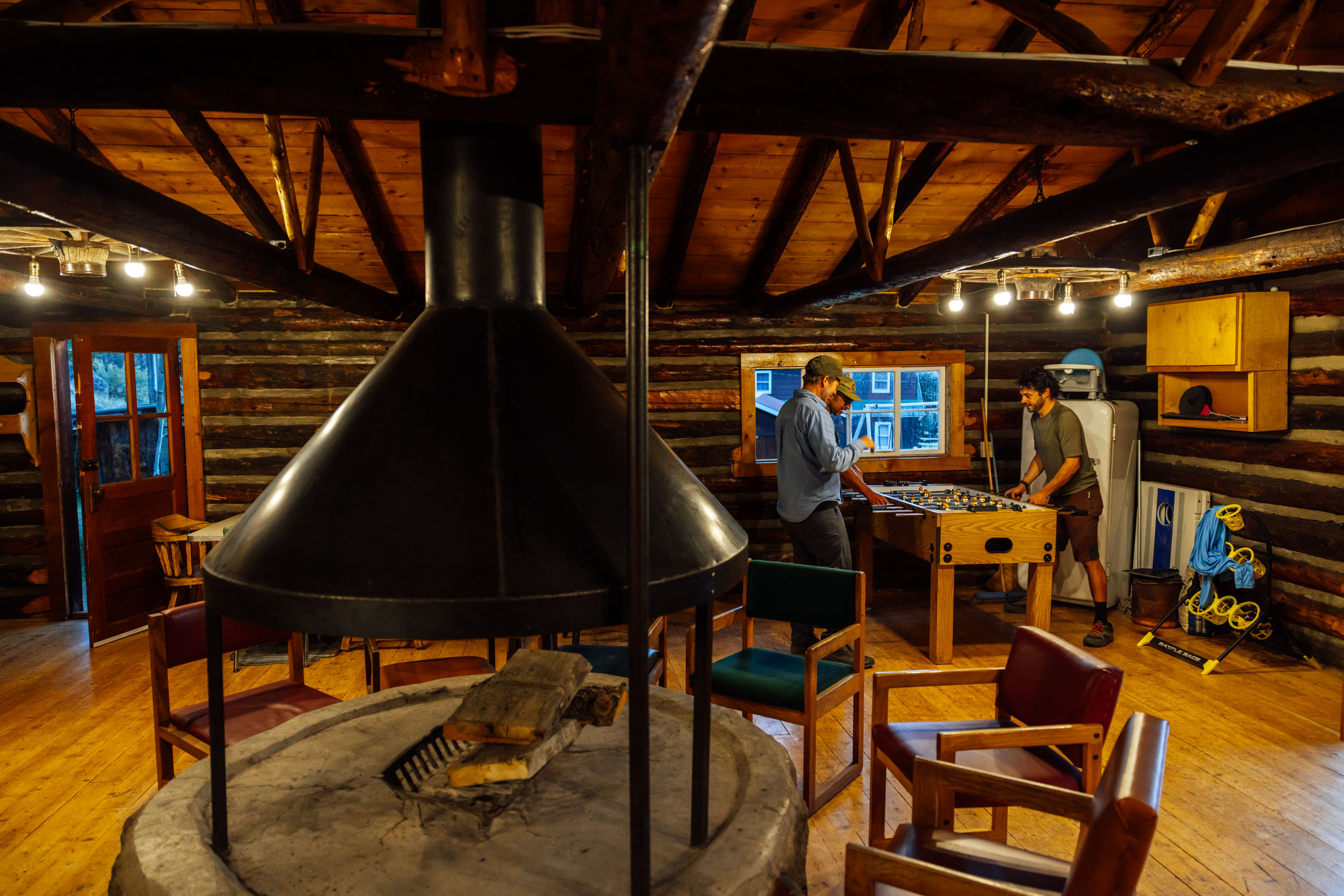
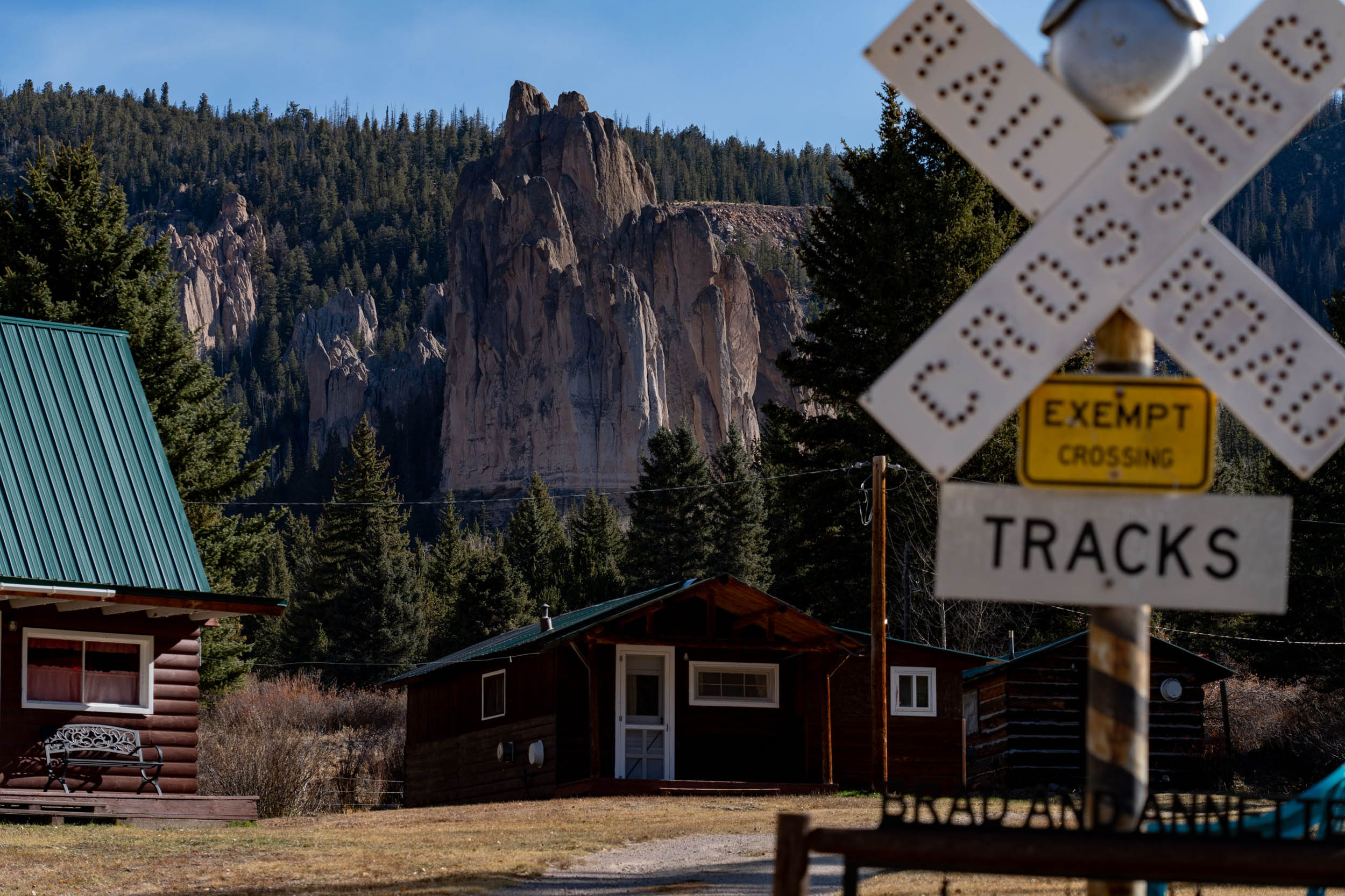
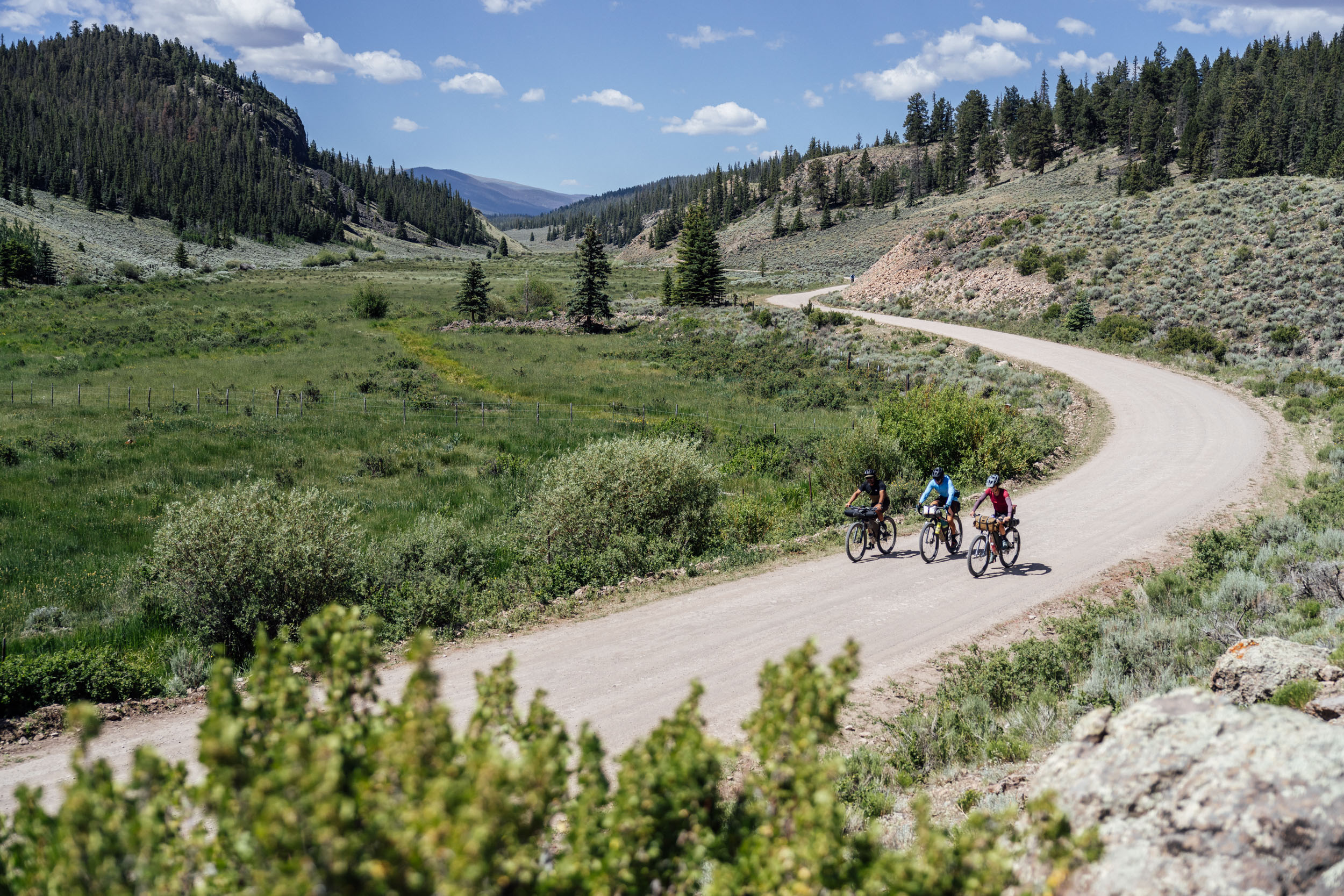
The journey then continues toward Powderhorn, connecting with Cebolla Creek Road, a well-maintained gravel road following alongside Cebolla Creek. You’ll find various water sources and resting spots, such as Cebolla Creek Campground and Mason Family State Wildlife Area. At mile marker 51, you can opt to stay at Cathedral Ranch Cabins courtesy of Brad and Annette. Whether you decide to spend the night or just grab some snacks, the cabins provide a delightful pause, enabling you to travel lighter without carrying a sleep system, if you so choose.
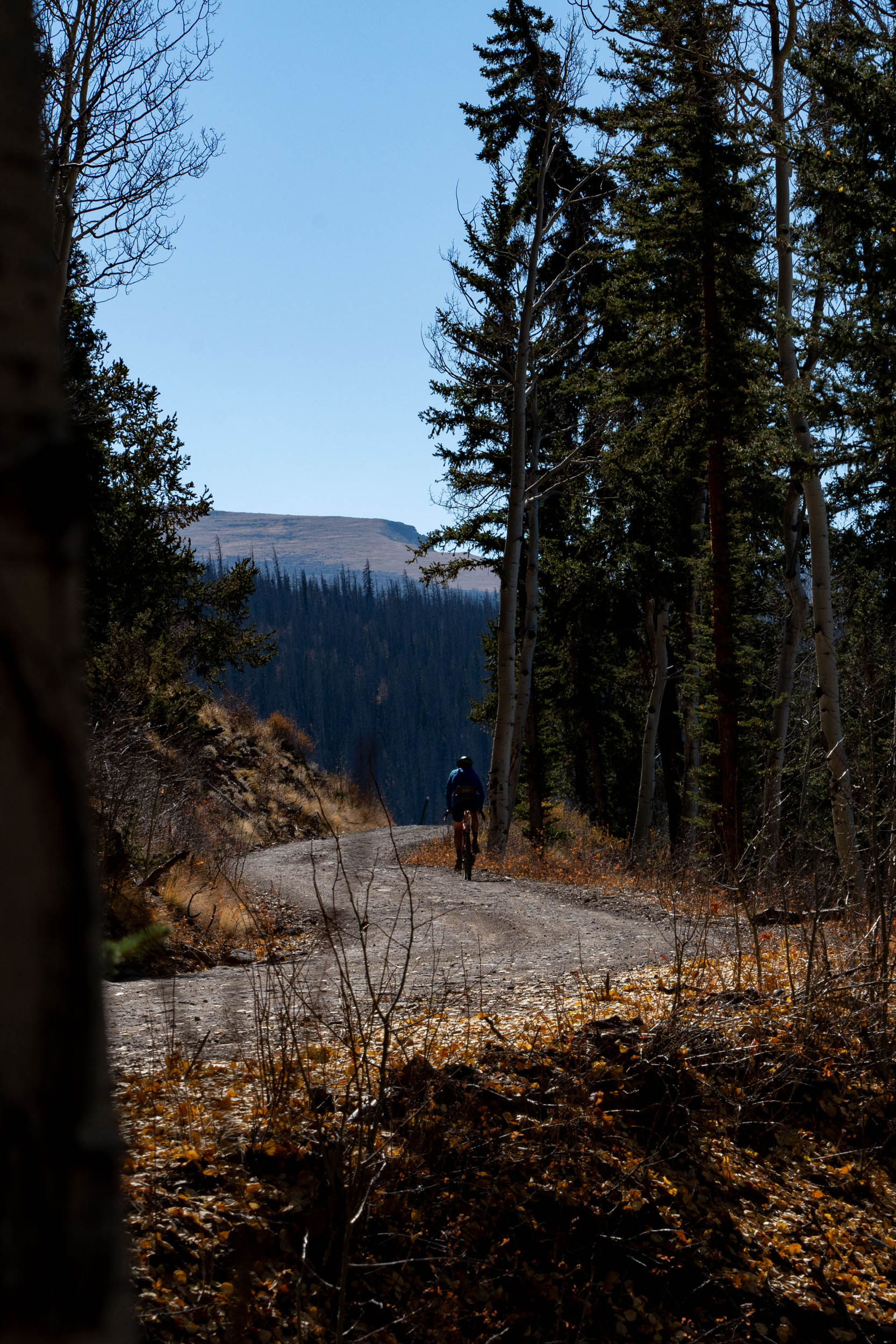
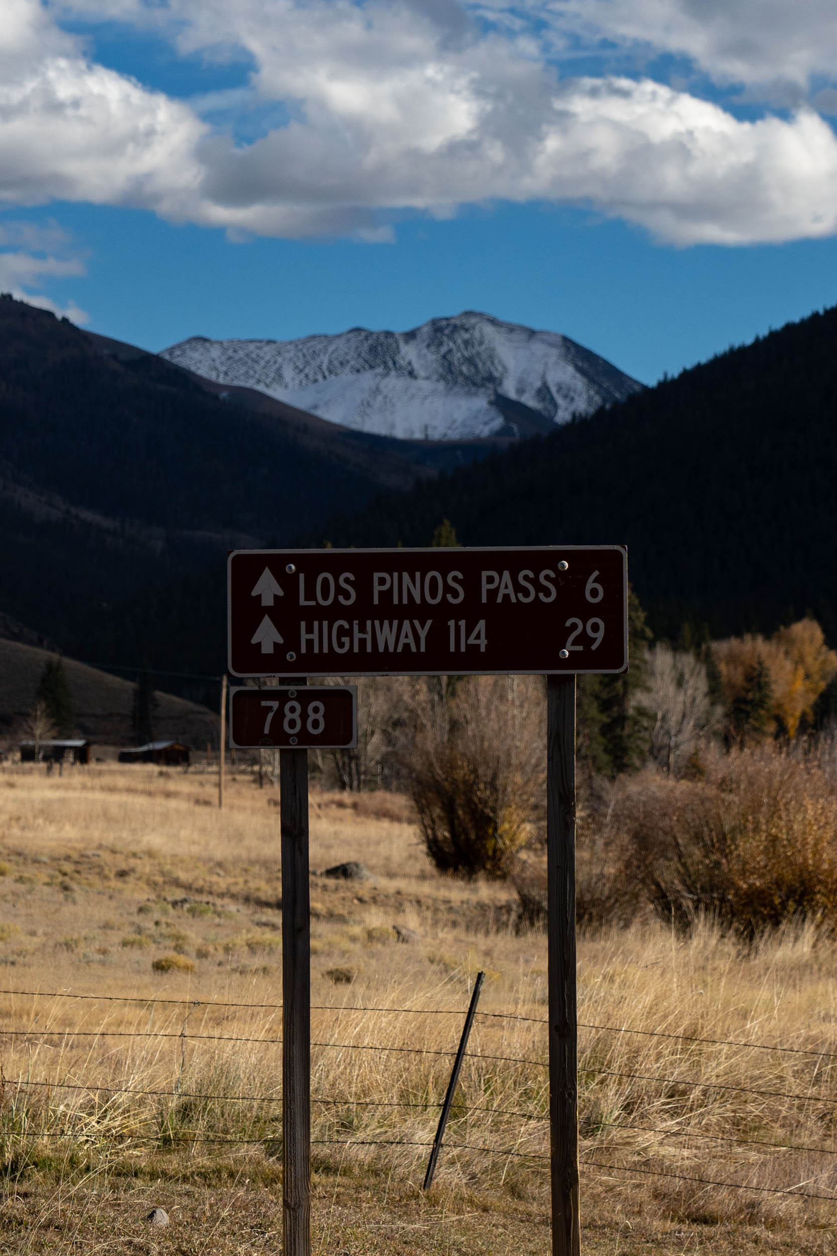
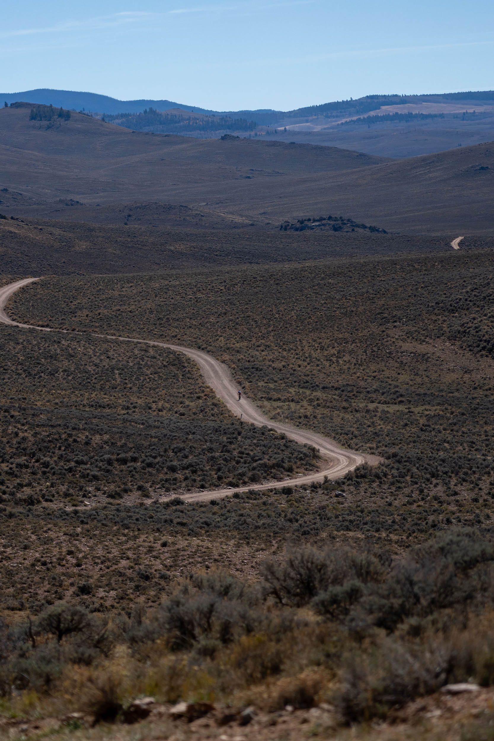
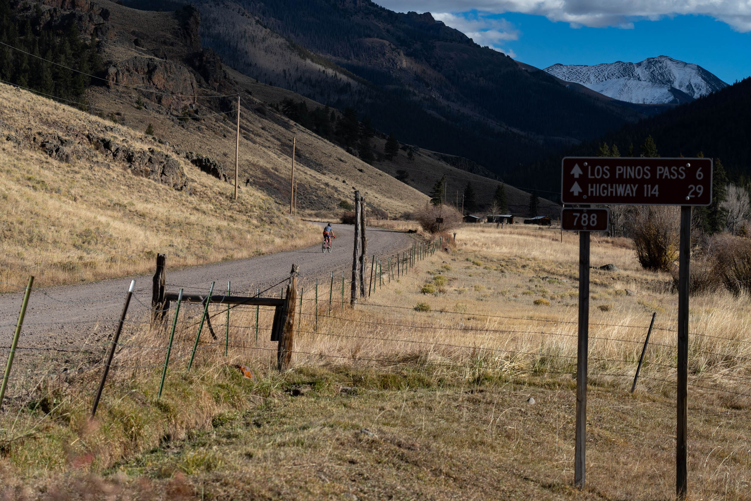
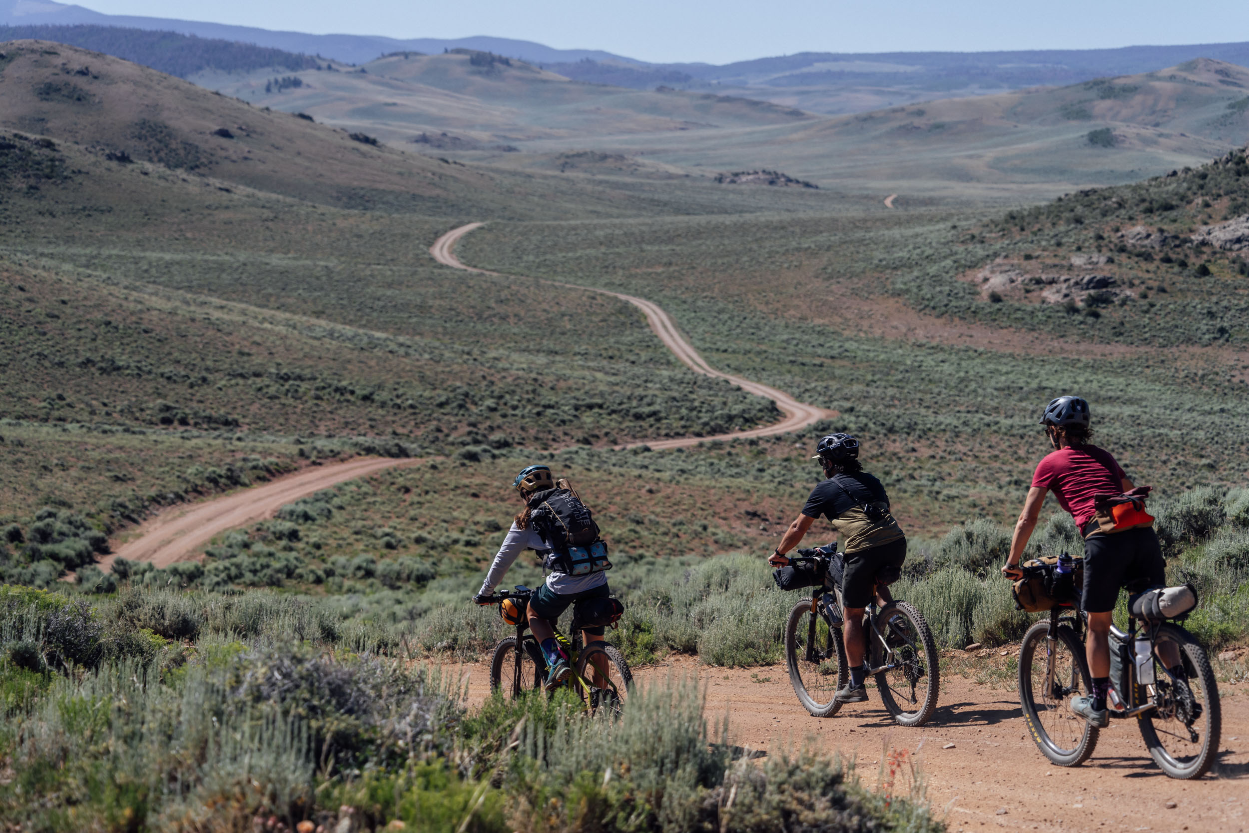
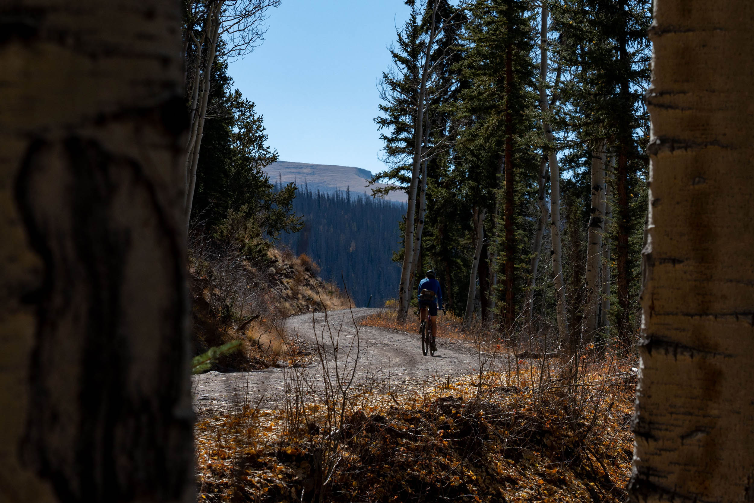
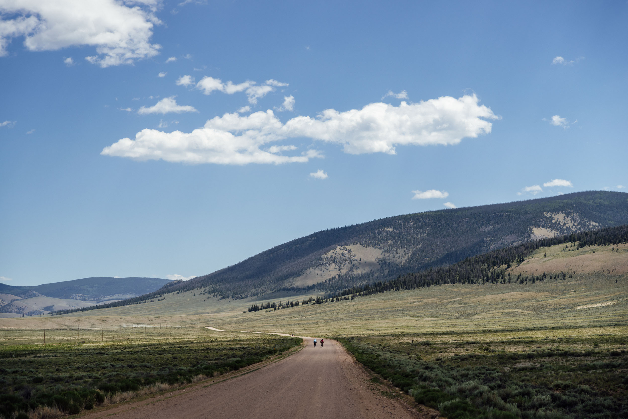
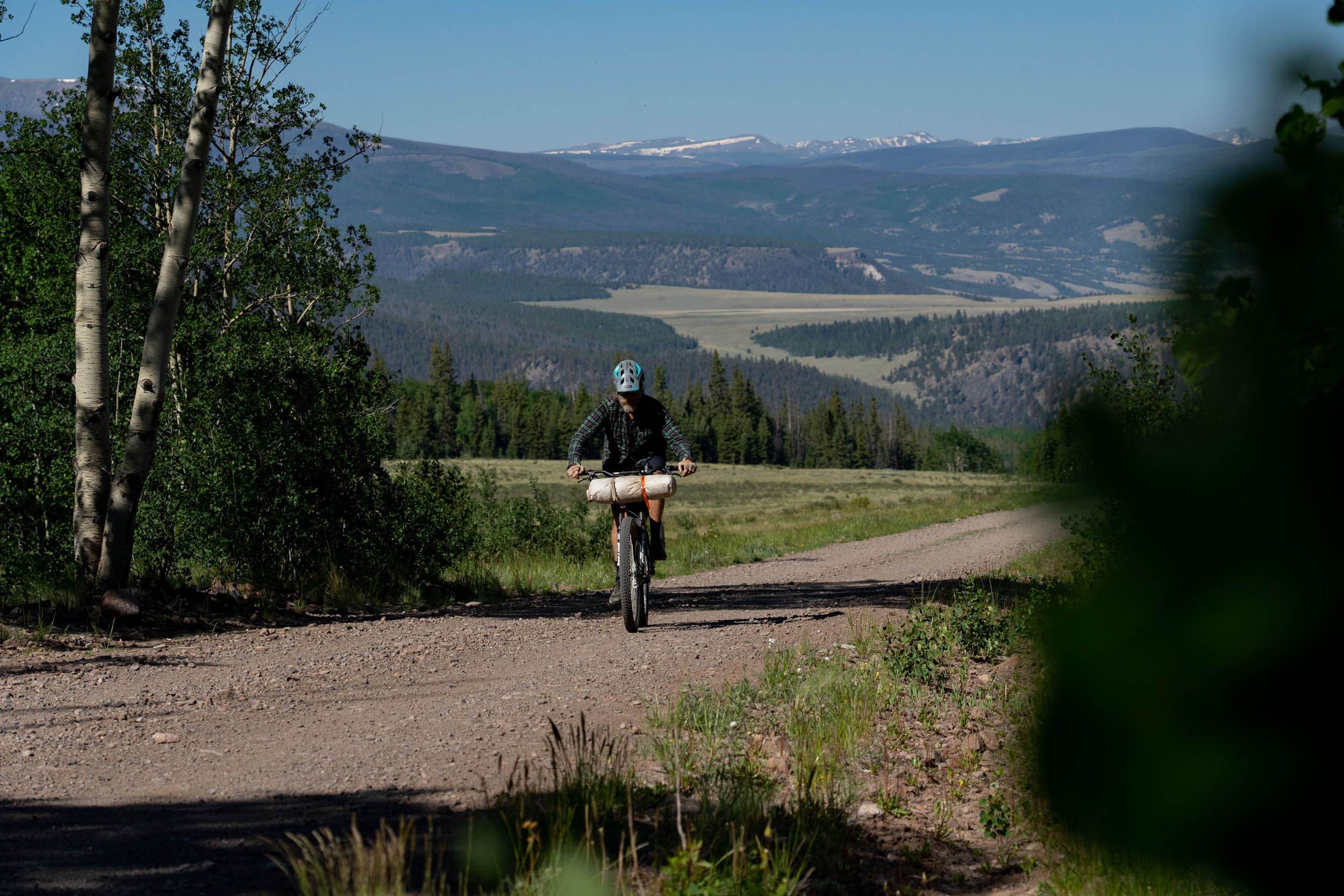
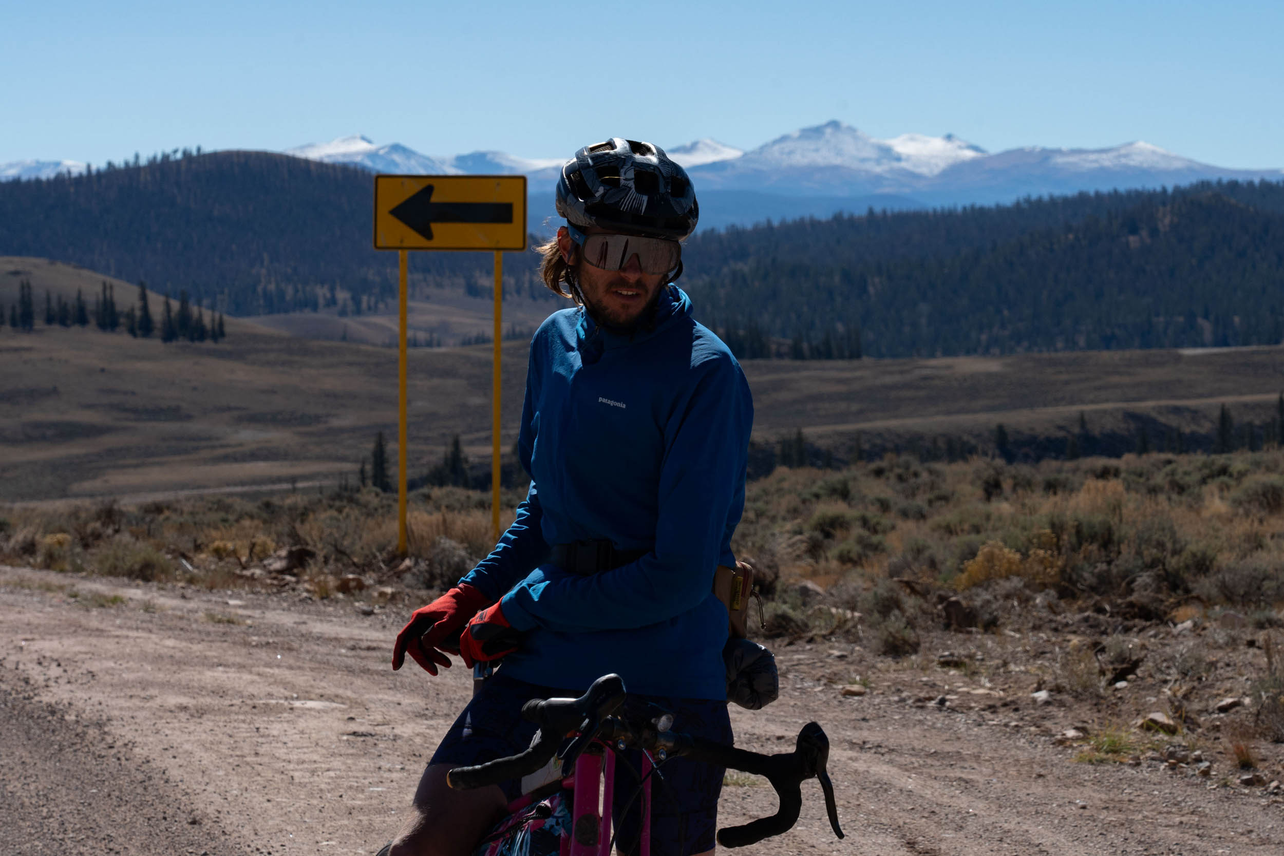
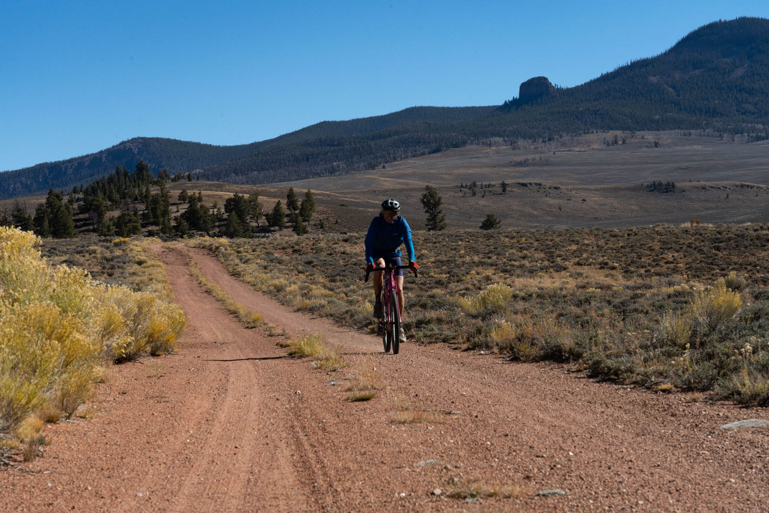
The ascent of Los Pinos Pass provides a high alpine experience that passes through pine and aspen forests before rewarding you with spectacular vistas of the San Juans to the southwest. At 10,500 feet, Los Pinos Pass is the high point of the route, but the climb is manageable and rideable. As you descend into Los Pinos Creek Valley, the landscape transitions from forested areas to rolling sagebrush terrain, leading you to Cochetopa Dome and Cochetopa Creek.
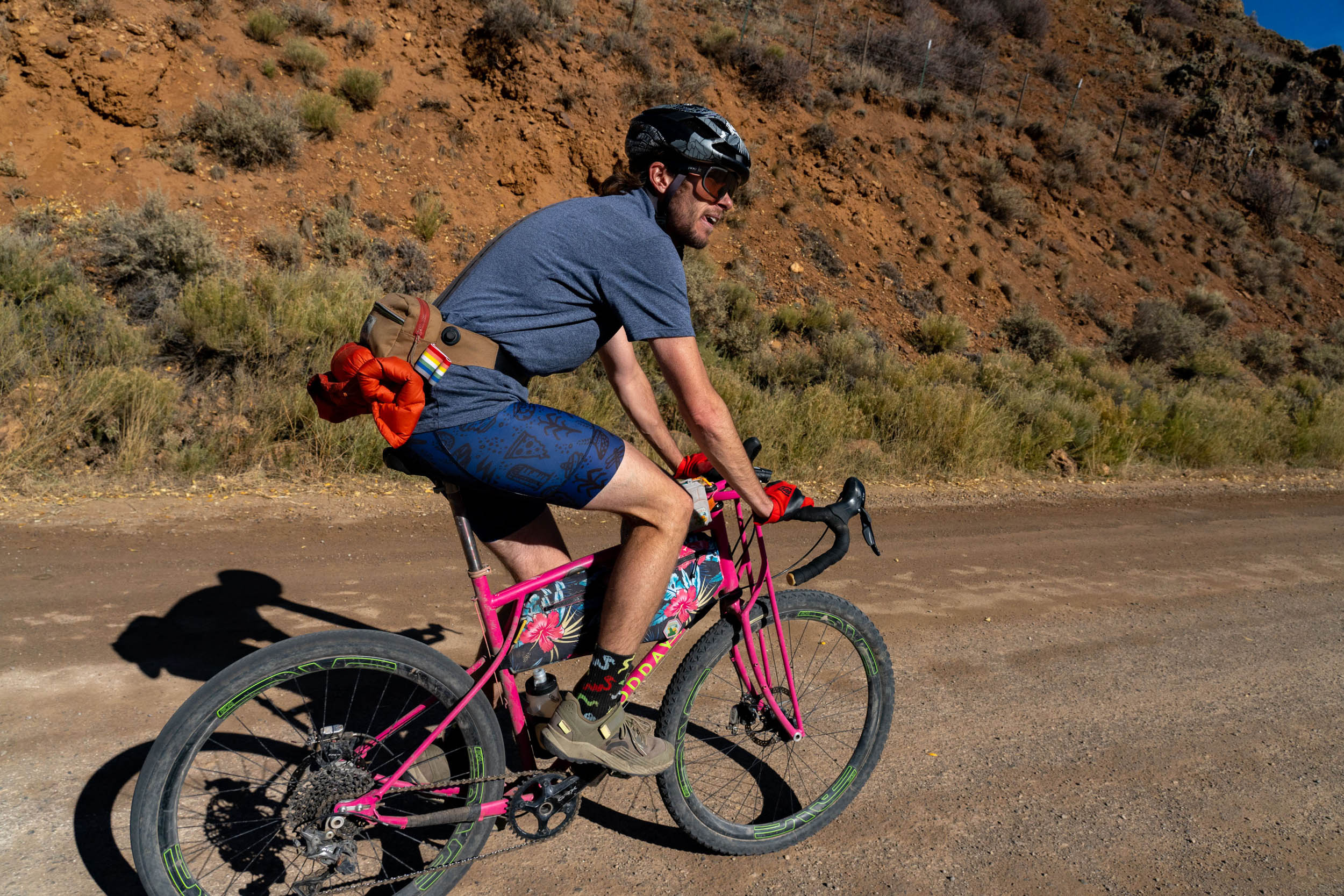
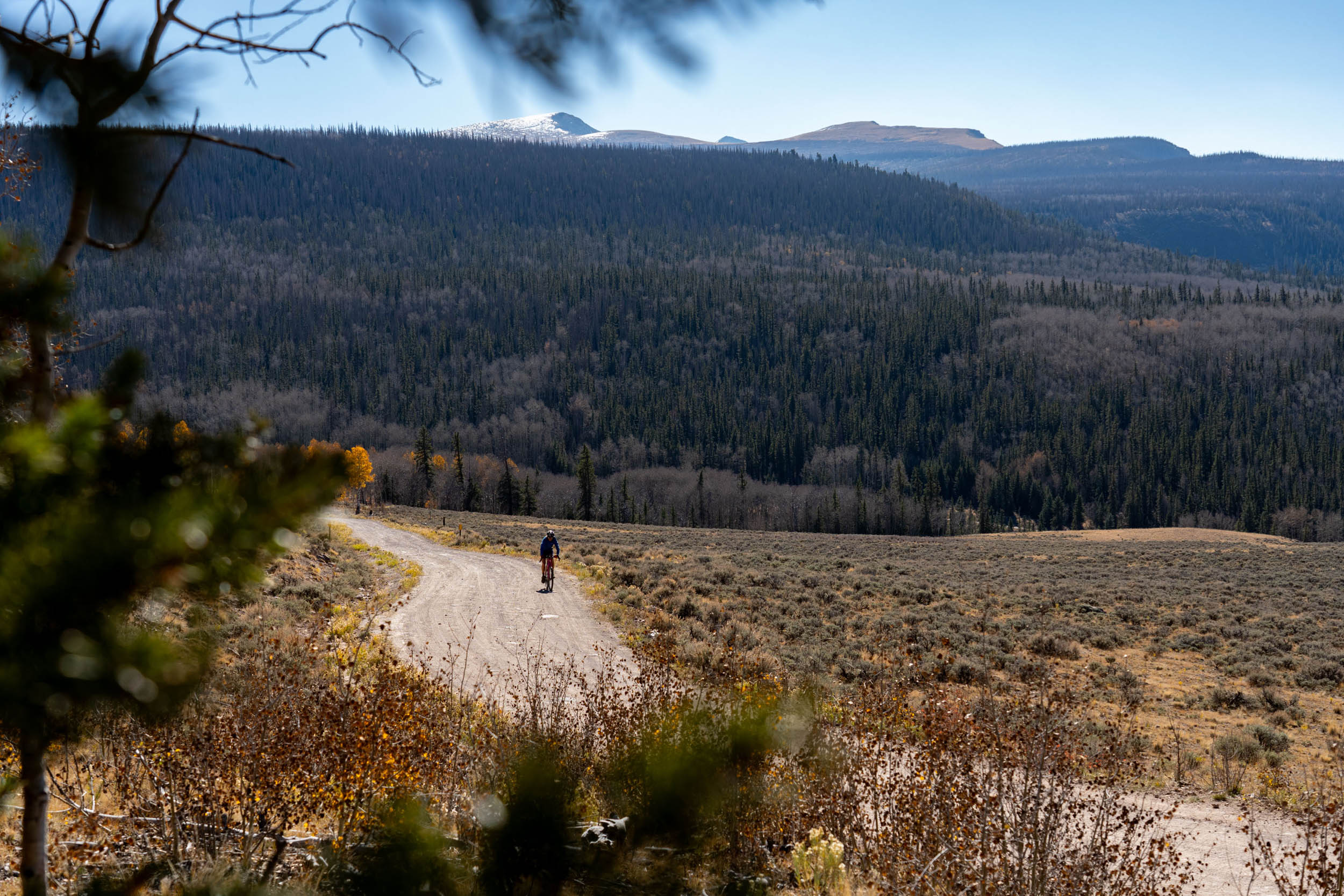
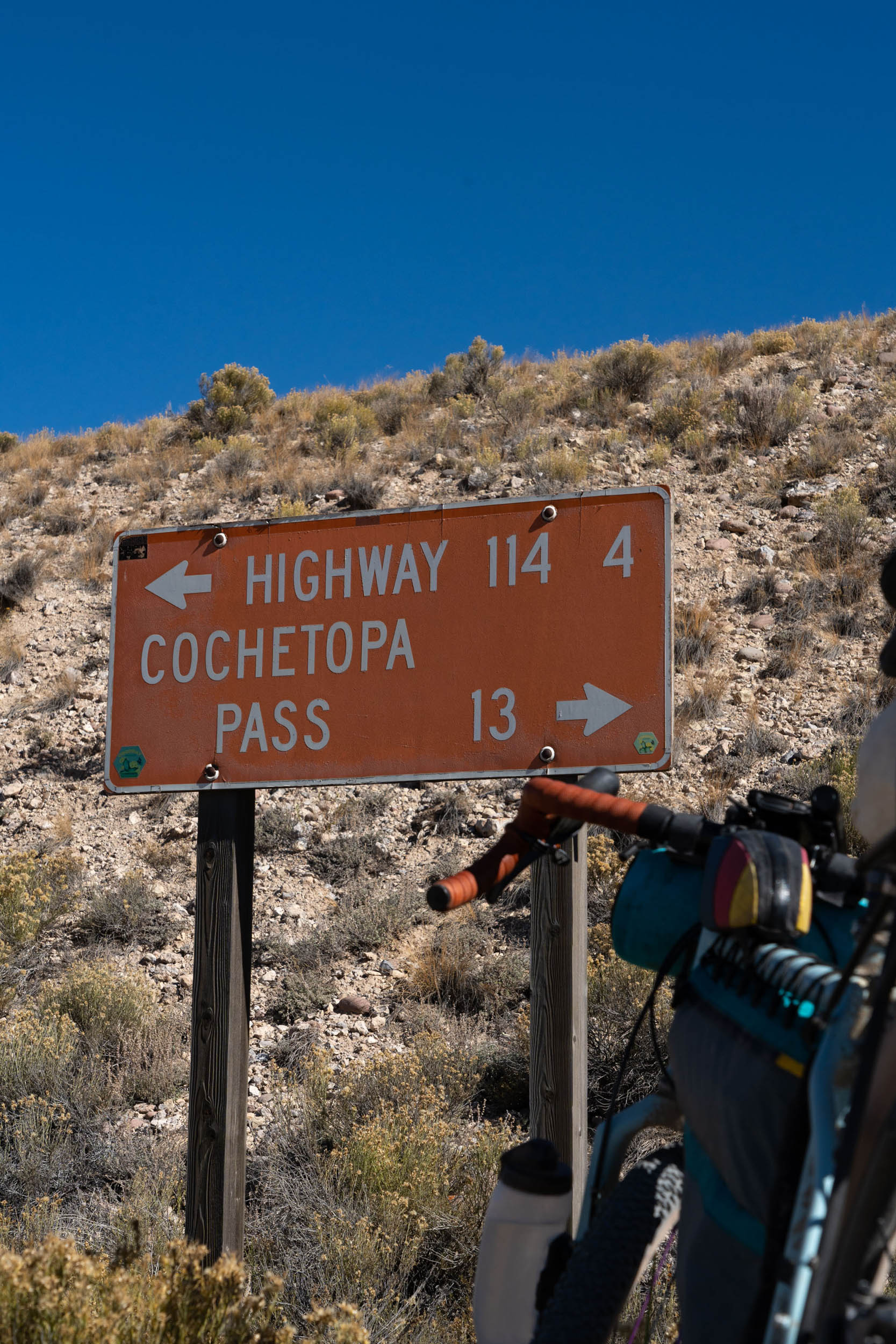
For more than 10 miles, you’ll pedal along the broad dirt road of the Great Divide Mountain Bike Route before the route takes a rougher turn for approximately 20 miles. This section features two-tracks with steeper gradients, including the most demanding ascent out of Highway 114 and up Lick Park Road, which is located just north of the often-overlooked yet iconic Sawtooth Mountain (12,147 feet). Once you reach the peak just north of Soldier Park, you’ll relish a swift and steep descent down Gold Basin Road, which eventually transitions to pavement and guides you back to Gunnison.
Route Difficulty
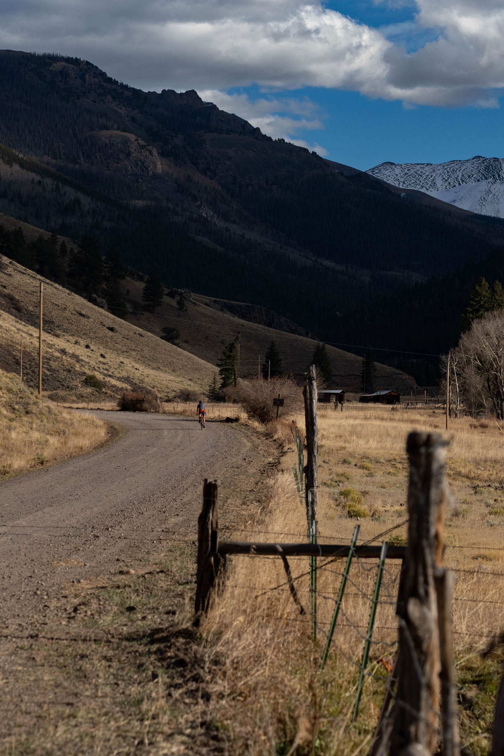
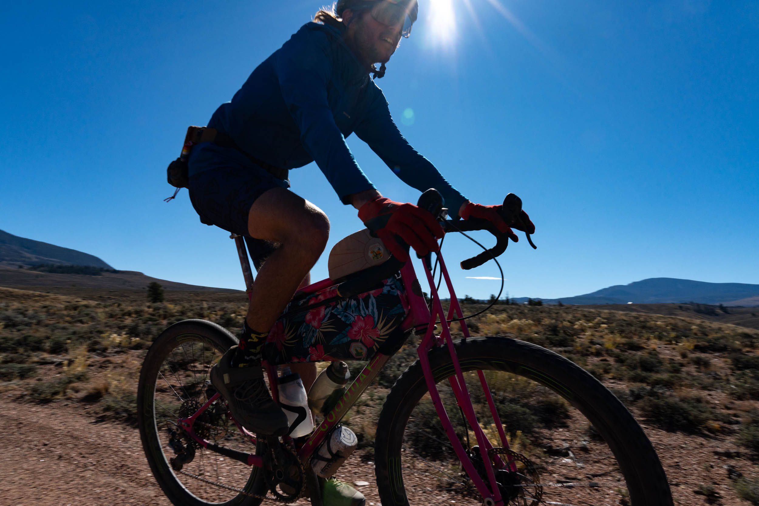
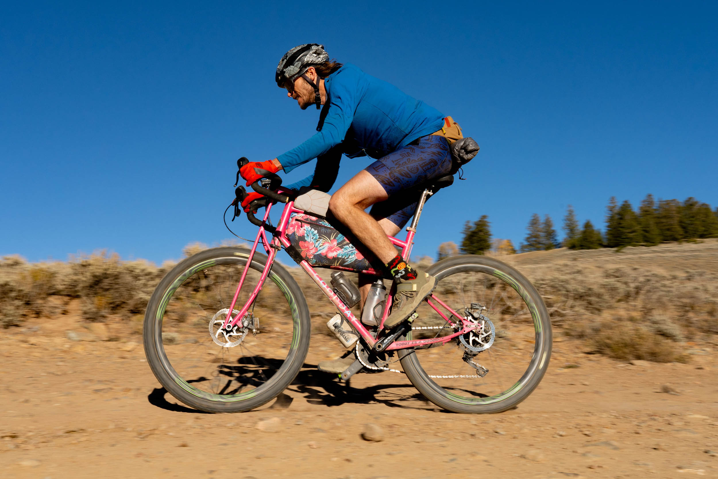
Covering 119 miles over two days is a demanding endeavor. However, around 80 miles of the route consist of well-graded and well-maintained gravel roads, leaving riders with only 33 miles of two-tracks, routes, and steep roads to navigate. Another factor to consider is the higher altitude, which might pose a challenge for folks coming from out of state, as they’ll likely feel the effects of the elevation. It’s worth noting that Gunnison itself sits at 7,700 feet. Nonetheless, the route is relatively straightforward, with sufficient water resupply points along the way, and Cathedral Cabins offers a convenient food resupply option in the middle. This route is rated as a 6 out of 10 for overall difficulty if ridden as an overnighter. Stretch it to three days and that goes down a notch or two. Altitude, sun exposure, storm potential, and two long days in the saddle will certainly leave you tired at the end of the trip. With the majority of the route is relatively easy technical riding, but there are a few sections, specifically towards the end, where the roads get challenging enough that you may need to jump off your bike. Resupply logistics are straightforward, but there is only one spot to get food along the route and you may need to carry a bunch of water at one time depending on your pace and the time of year.
Route Development
This route is based on The Gunni Grinder, a challenging 120-mile race/ride that’s now in its third year. The Gunni Grinder course was created by Joel Grimmett. From Joel: About five years ago, my wife and I were on our way back from supporting our athletes who participated in XTERRA Nationals in Utah. A friend from Gunnison reached out and said, “If you come through Gunnison, let’s get a beer!” We hadn’t seen each other since 1991 and had lots of catching up to do. I had no idea what he did, and he didn’t know what I did either.
As it turned out he is the County Commissioner, and I am an event promoter and long-time bicycle racer. Jonathon asked if we would be interested in putting on a gravel event in Gunnison. We spent all of our vacation time for more than two years riding, driving, studying maps and running into lots of dead-ends and roads that were just a little too challenging for a gravel event. During this time, we met many great people and really grew to like Gunnison. I think the route that we use showcases the area and has a great amount of unpaved surface variety with as little pavement as possible. I still explore new options to hopefully continue to refine this loop.

Submit Route Alert
As the leading creator and publisher of bikepacking routes, BIKEPACKING.com endeavors to maintain, improve, and advocate for our growing network of bikepacking routes all over the world. As such, our editorial team, route creators, and Route Stewards serve as mediators for route improvements and opportunities for connectivity, conservation, and community growth around these routes. To facilitate these efforts, we rely on our Bikepacking Collective and the greater bikepacking community to call attention to critical issues and opportunities that are discovered while riding these routes. If you have a vital issue or opportunity regarding this route that pertains to one of the subjects below, please let us know:
Highlights
Must Know
Camping
Food/H2O
Trail Notes
- Enjoy a ride through the captivating granite rock formations and endless sage fields of Hartman Rocks.
- The route offers views of the West Elk Mountains, San Juans, and Sawatch Range.
- The stretch along Cebolla River Canyon Road, from Powderhorn to Cathedral, is particularly scenic and offers a few good spots to fly fish.
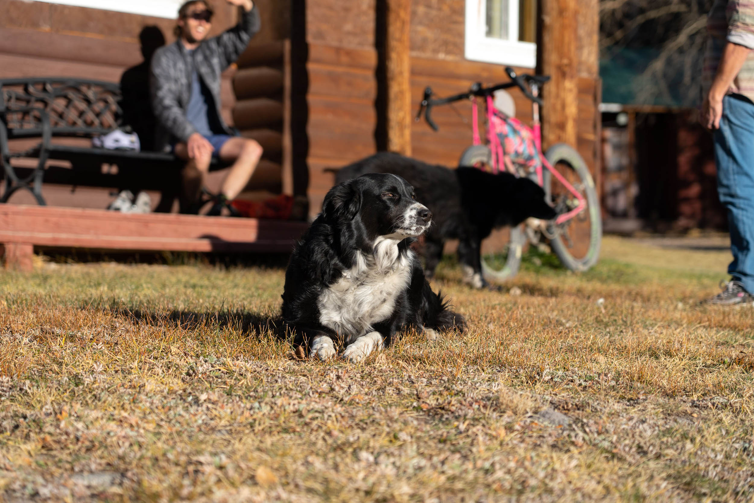
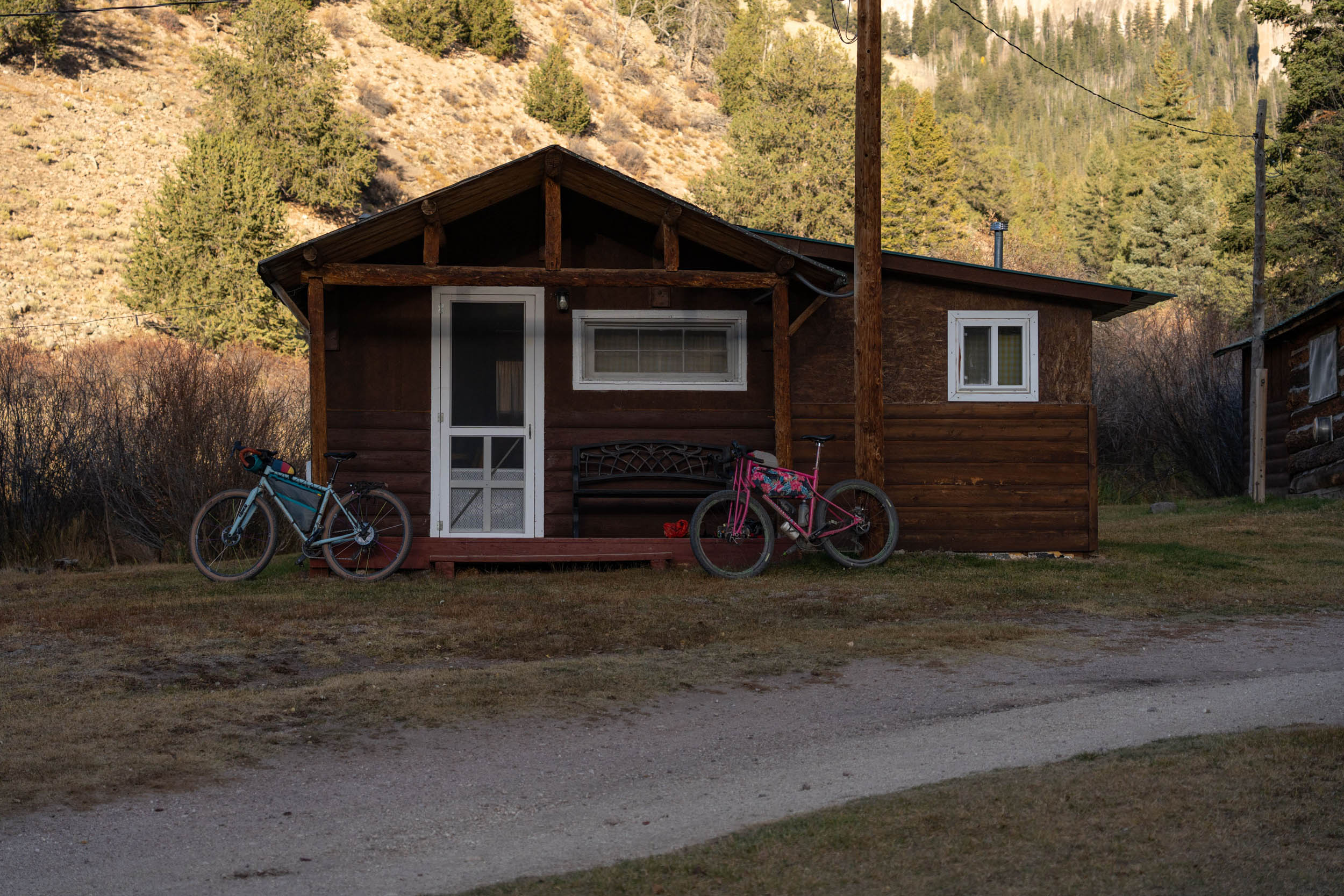
- Cathedral Ranch Cabins provides bikepackers with a range of options, including food, cabins, camping, games, and lodge accommodations.
- Ascend to the high point at Los Pinos Pass at 10,500 feet, which offers breathtaking views of the distant San Juans Mountains.
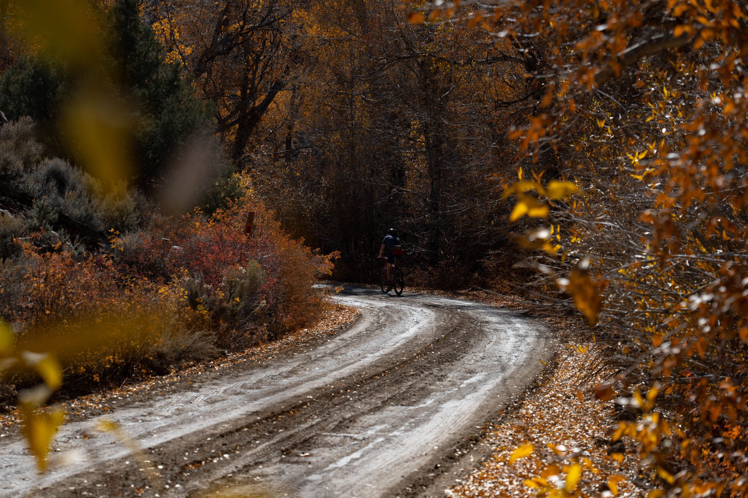
- Witness an abundance of wildflowers from the desert landscapes to the high alpine regions. Fall foliage adds a stunning contrast, especially following a snowfall in the high country.
- Experience the vast openness of the Cochetopa Park area, which showcases iconic landmarks like Sawtooth Mountain, Cochotop, and Razor Domes.
- The route follows the Colorado Trail Wilderness detour and briefly intersects with the Great Divide Mountain Bike Route (GDMBR).
- The Lick Creek Climb can be challenging, but the reward is a unique riding experience through the sagebrush.
- Enjoy an exhilarating descent from Long Park back to Gunnison.
- The Gunni Grinder race website can be found here.
- Like many of the routes in and out of Gunnison, the season is from June to October. Much of the route can be ridden once the snow melts on Los Pinos Pass in the early summer. That being said, there are area closures from March 15th to May 15th for the Gunnison Sage Grouse, a local species that is listed as Endangered on the IUCN Red List of Threatened Species
- This is bear country; please plan accordingly.
- Other wildlife is abundant, such as mountain lions, deer, antelope, rabbits, and chipmunks.
- Water can be tricky once you hit Cochetopa Creek. Plan ahead and use the reliable water sources on the map.
- Cattle graze on this route; water filtration is necessary.
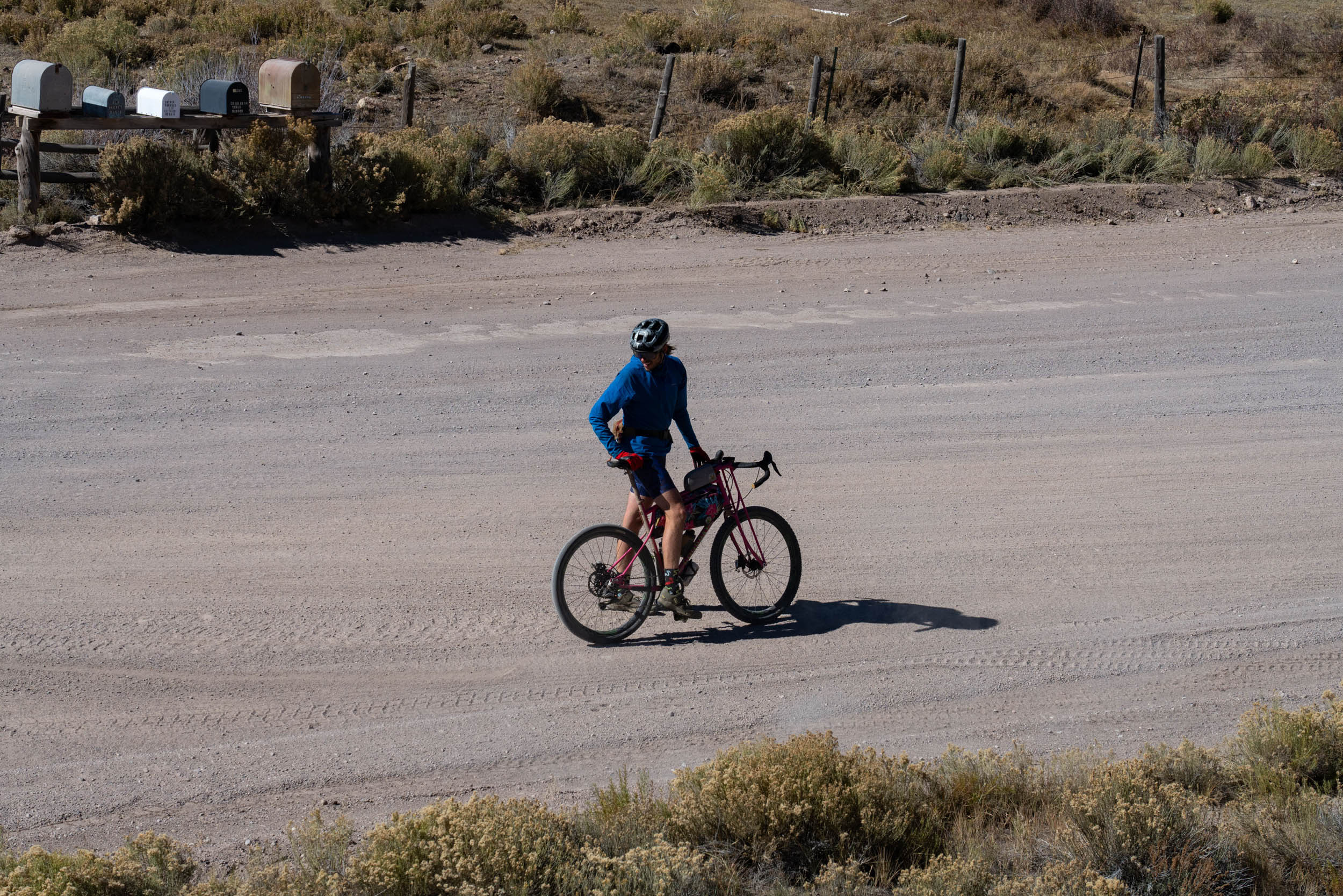
- Parking is allowed on all city streets in Gunnison for 48 hours, but make sure you are not blocking mailboxes.
- A bus from Denver connects a few small mountain communities such as Buena Vista, Salida, and Gunnison. They have a bike rack. More details can be found here.
- There is also a local bus that travels to and from Gunnison and Crested Butte. Details here.
- This is a gravel-bike-friendly route, but there are a few rough sections.
- The route could be done in a clockwise direction, but plan for a harder day one and a big paved Highway 149 climb.
- The eastern part of the route is more challenging than the western part.
- Use caution on Highway 149.
- Camping at Cebolla Creek Campground is first come, first served and is $8 per night. There are three campsites. The campground has river access, a pit toilet, and fire rings.
- Camping at Mason Family State Wildlife Area requires a valid hunting or fishing license OR SWA pass. Campsites are primitive, and the campground has river access and a pit toilet.
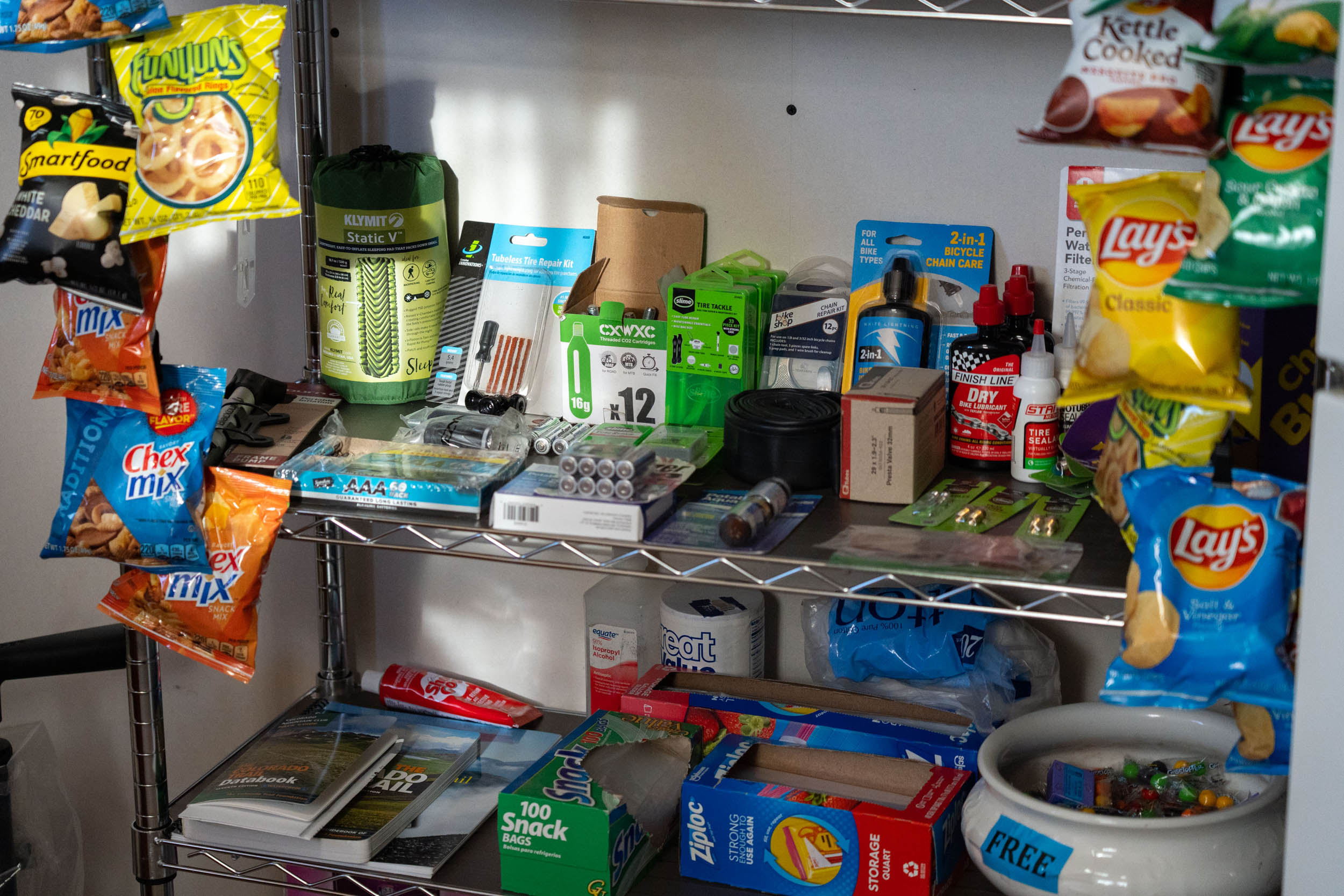
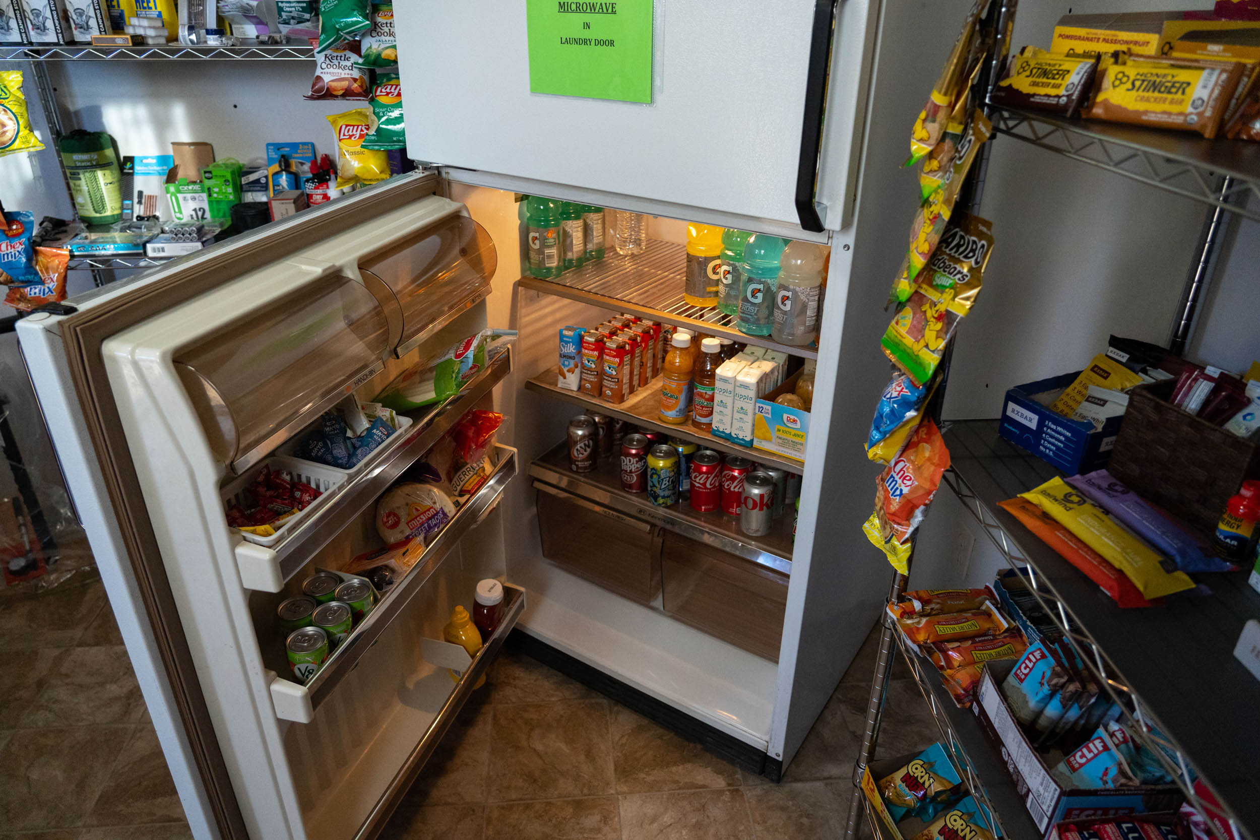
- Cathedral Ranch Cabins have paid tent camping that includes bathhouse access. Cabins are also available for an additional cost. There is a little store full of food, non-alcoholic beverages, and bike supplies. Lastly, don’t forget about the ballroom, which is full of games, including foosball and ping pong.
- There is primitive camping up on Los Pinos Pass and down near Los Pinos Creek.
- Find details on where to stay in Gunnison here.
- The Town of Gunnison has loads of options for food and supplies. Find a handful of our recommendations here.
- Water can be found along the route, but it can be tricky in spots. Study the map and make sure you plan accordingly.
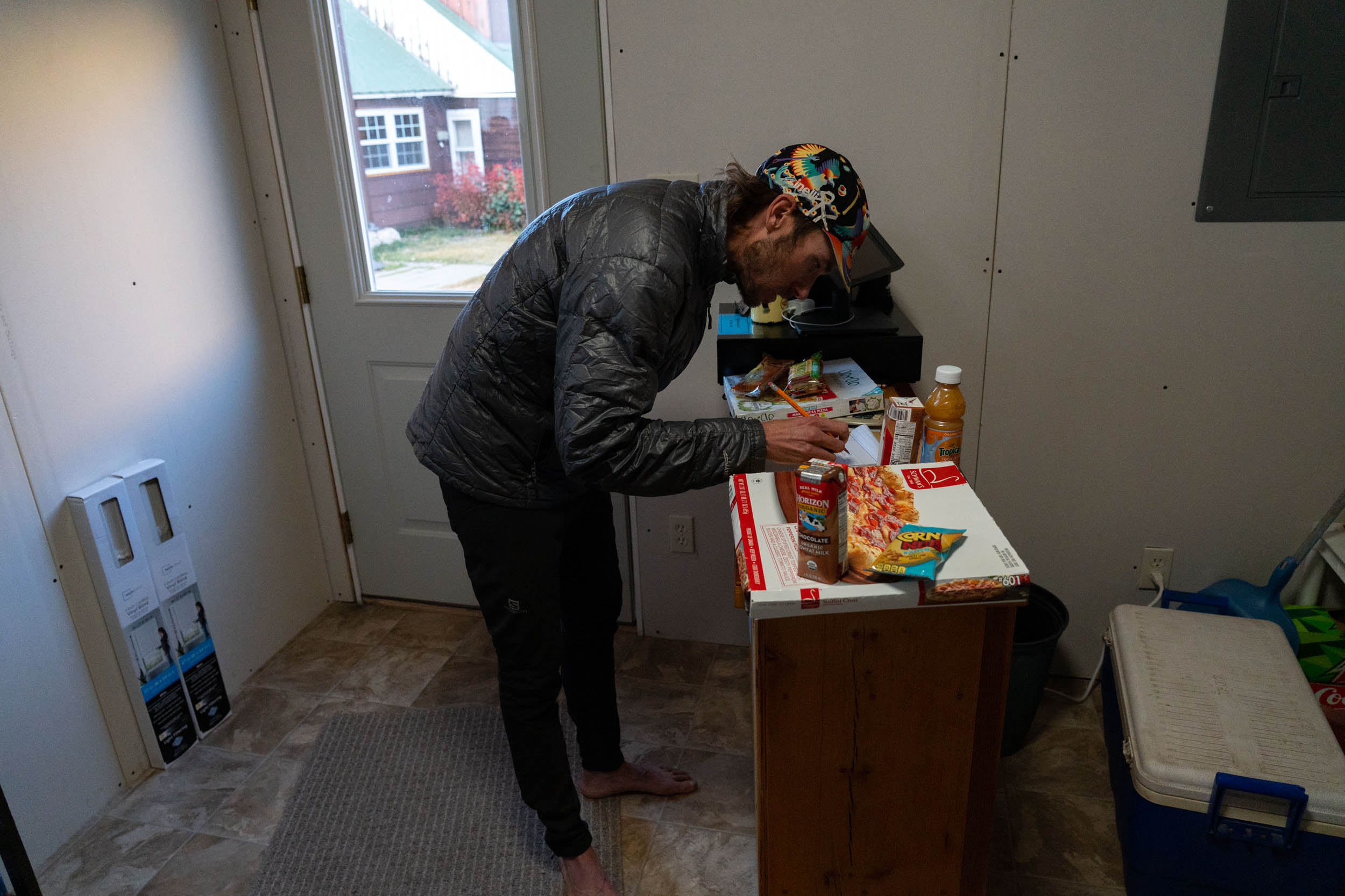
- The only resupply for food is Cathedral Ranch Cabins. The store offers plenty of snacks, pizzas, and even spare parts for bikes.
The first 80-ish miles of the Gunni Grinder are shared with the Sage and Saddles loop, a longer route that takes in a larger swath of this beautiful area. The 220-mile Sage and Saddles route begins in Gunnison and follows a very similar route through the high sage desert before turning north away from the Gunni Grinder course into the Sawatch mountain range. Find the route guide here and watch this video showcasing the route:


Terms of Use: As with each bikepacking route guide published on BIKEPACKING.com, should you choose to cycle this route, do so at your own risk. Prior to setting out check current local weather, conditions, and land/road closures. While riding, obey all public and private land use restrictions and rules, carry proper safety and navigational equipment, and of course, follow the #leavenotrace guidelines. The information found herein is simply a planning resource to be used as a point of inspiration in conjunction with your own due-diligence. In spite of the fact that this route, associated GPS track (GPX and maps), and all route guidelines were prepared under diligent research by the specified contributor and/or contributors, the accuracy of such and judgement of the author is not guaranteed. BIKEPACKING.com LLC, its partners, associates, and contributors are in no way liable for personal injury, damage to personal property, or any other such situation that might happen to individual riders cycling or following this route.
Please keep the conversation civil, constructive, and inclusive, or your comment will be removed.