


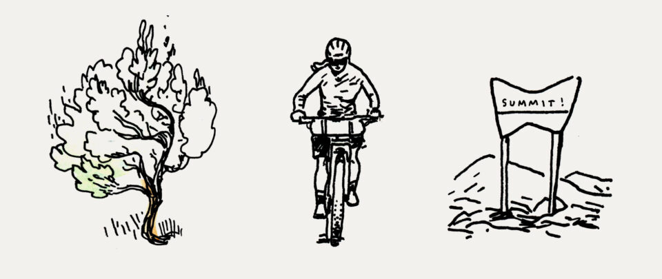
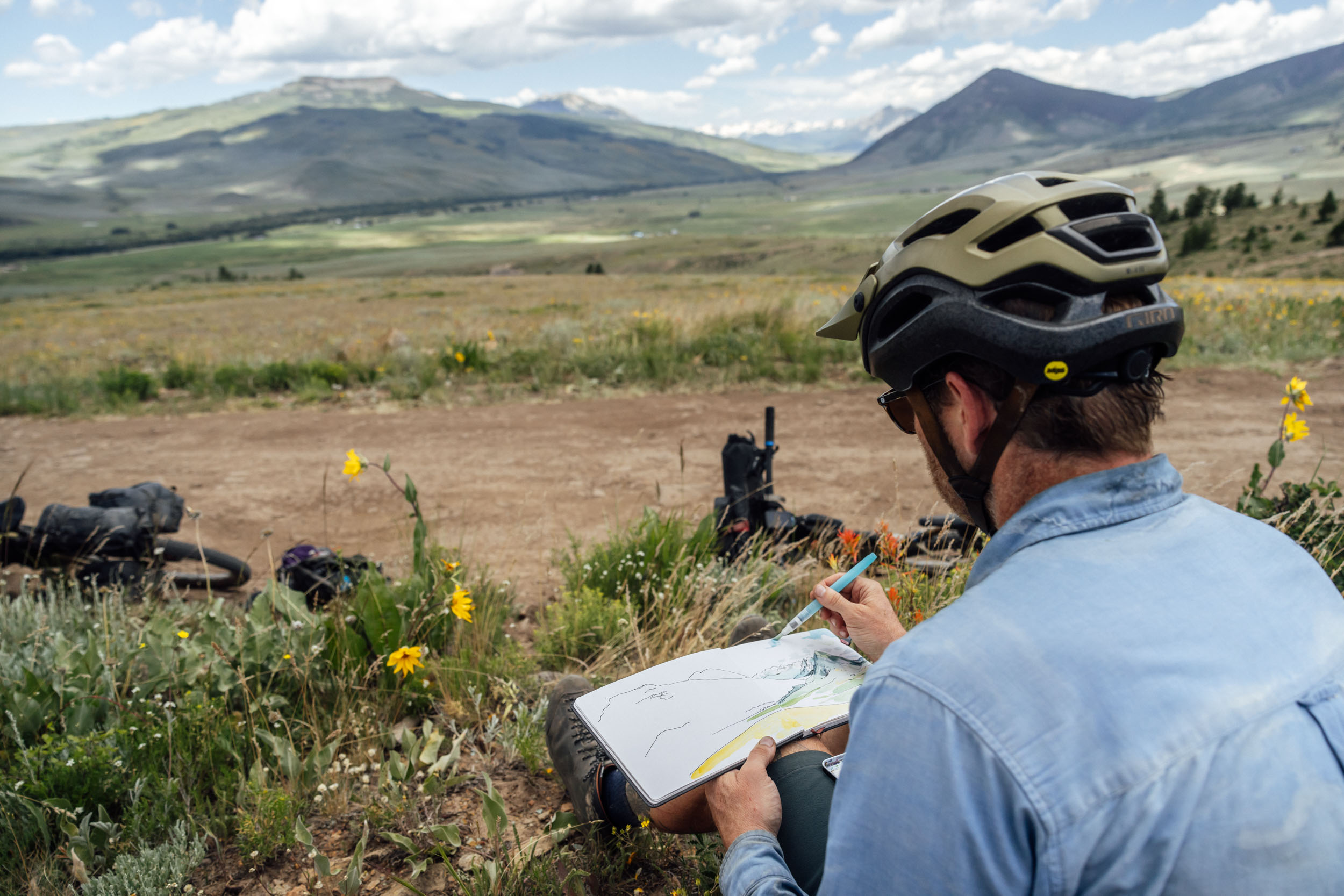
Sage and Saddles: The Gunnison Bikepacking Loop
Distance
222 Mi.
(357 KM)Days
5
% Unpaved
89%
% Singletrack
1%
% Rideable (time)
97%
Total Ascent
20,780'
(6,334 M)High Point
12,171'
(3,710 M)Difficulty (1-10)
6?
- 6Climbing Scale Moderate94 FT/MI (18 M/KM)
- 6Technical Difficulty Moderate
- 7Physical Demand Difficult
- 4Resupply & Logistics Fair
Contributed By
Neil Beltchenko
Associate Editor & YouTube Host
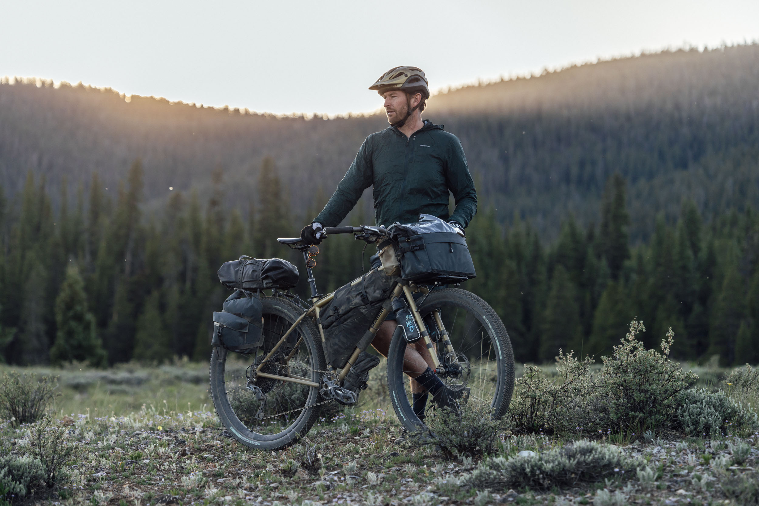
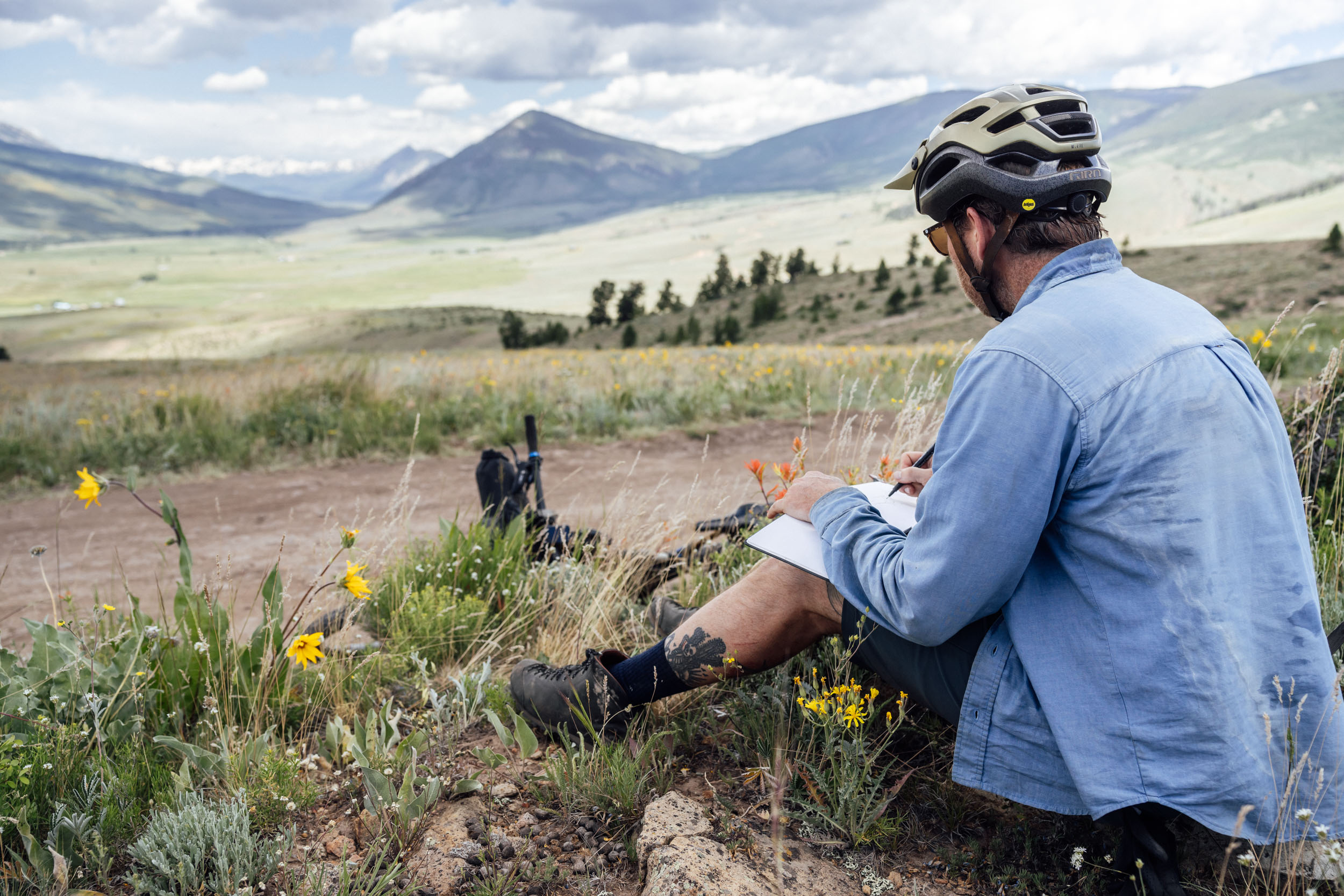
Writing by Eszter Horanyi, photography by Logan Watts, illustrations by Chris McNally
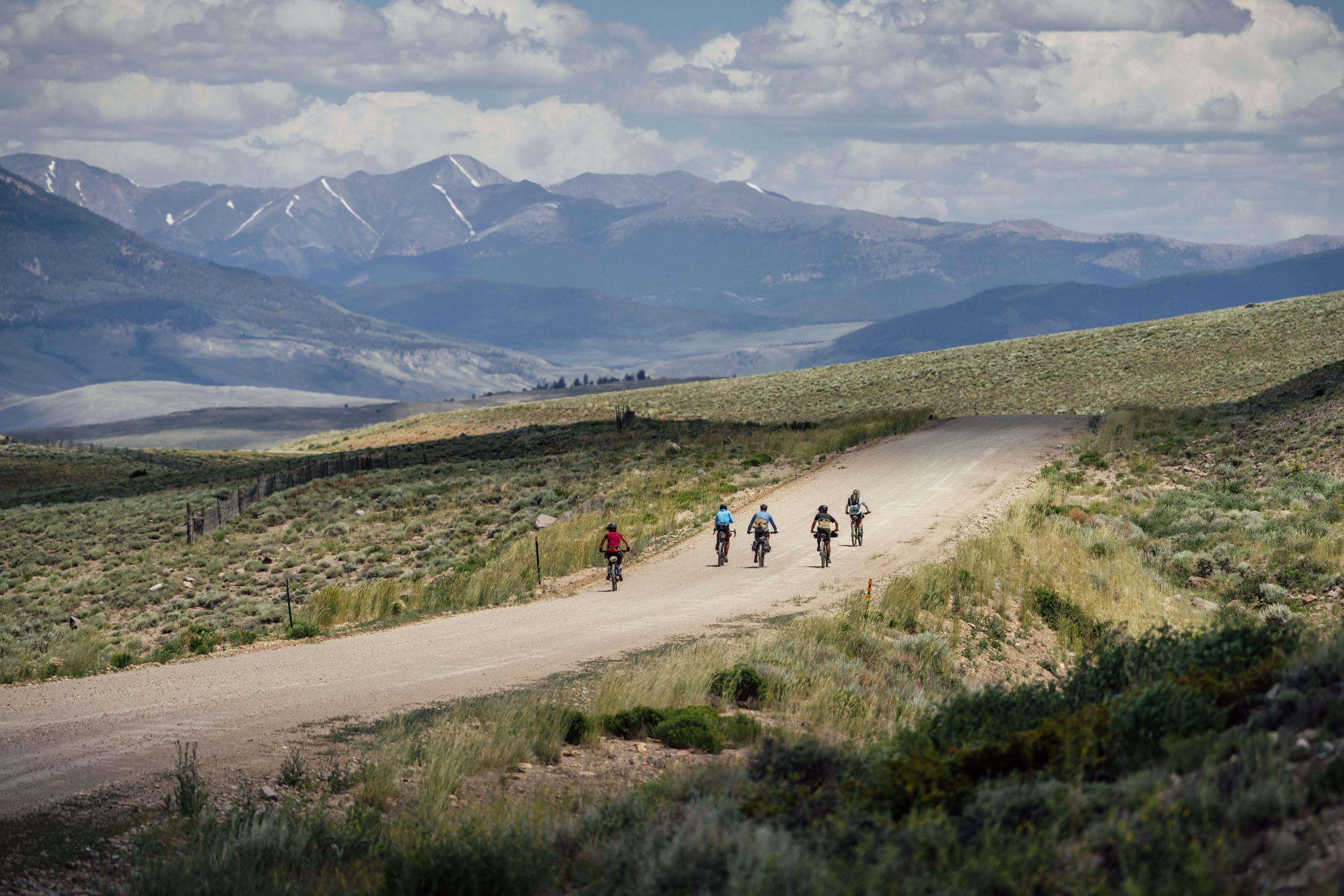
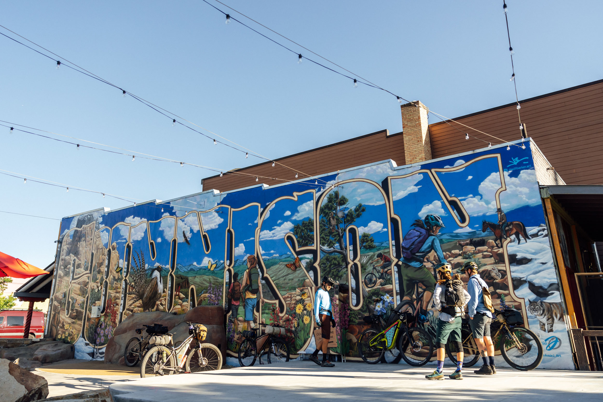
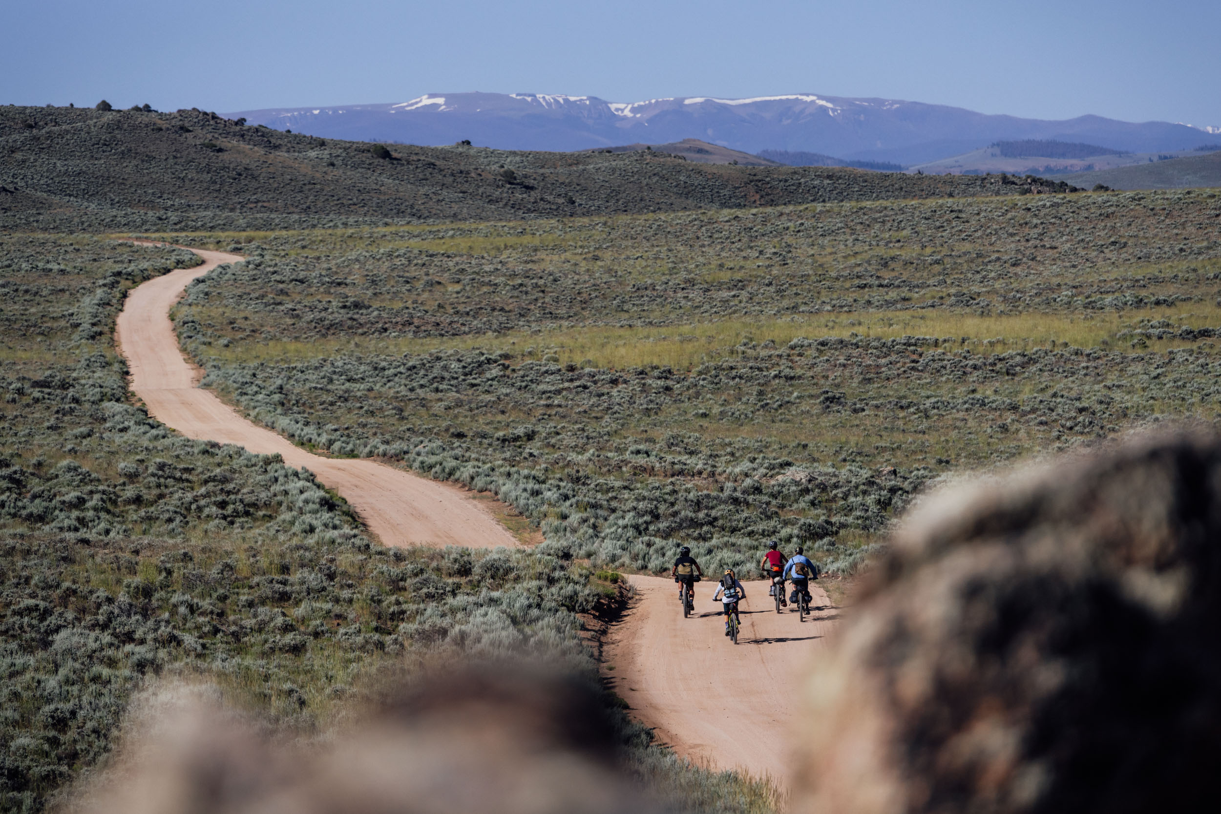
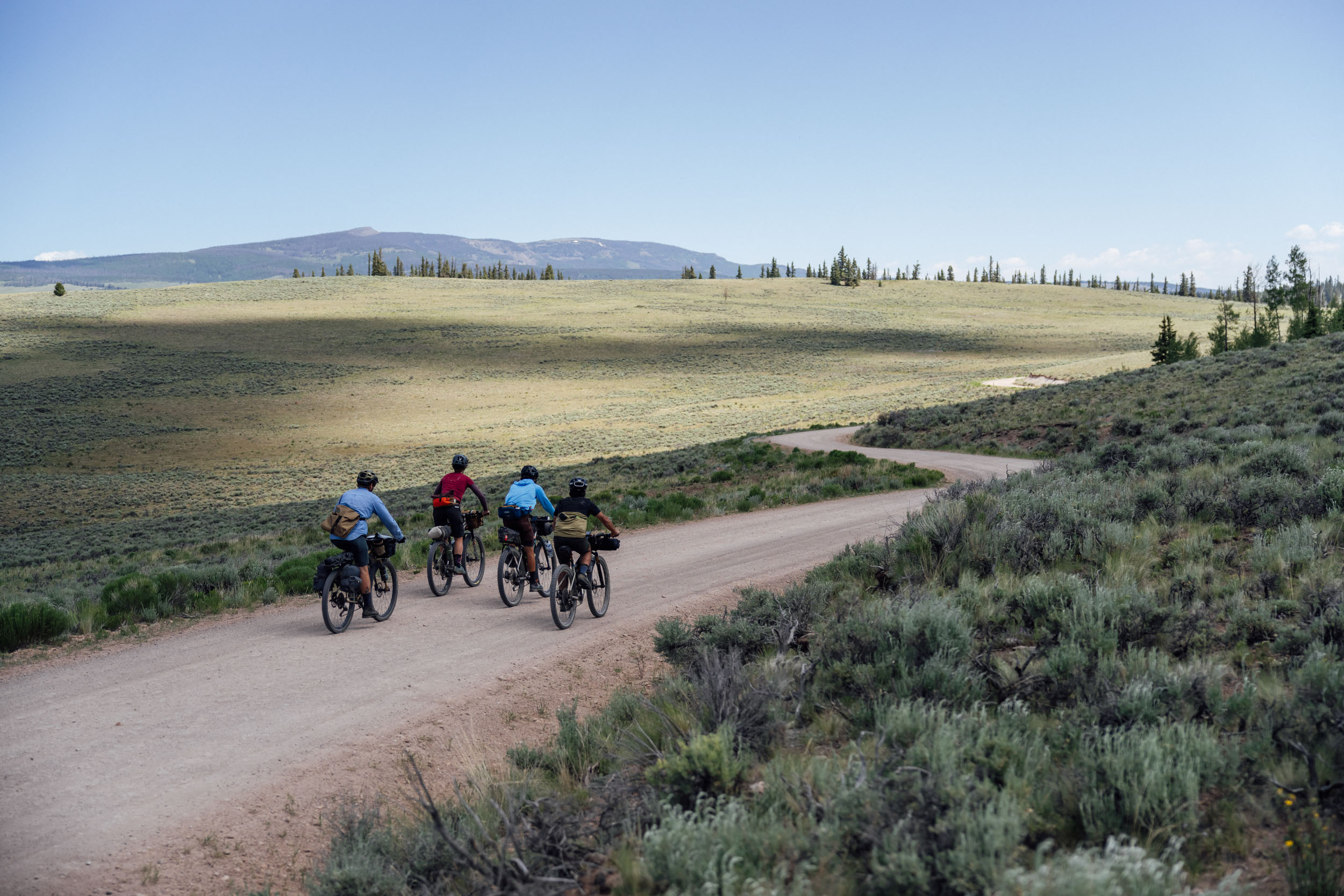
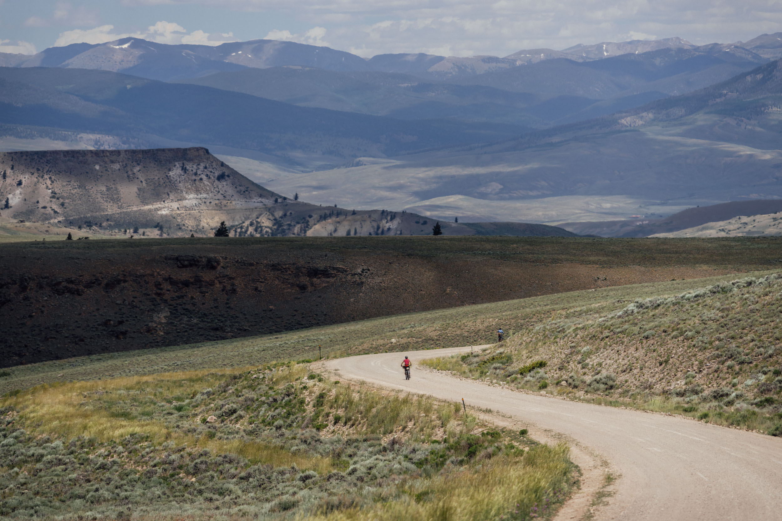
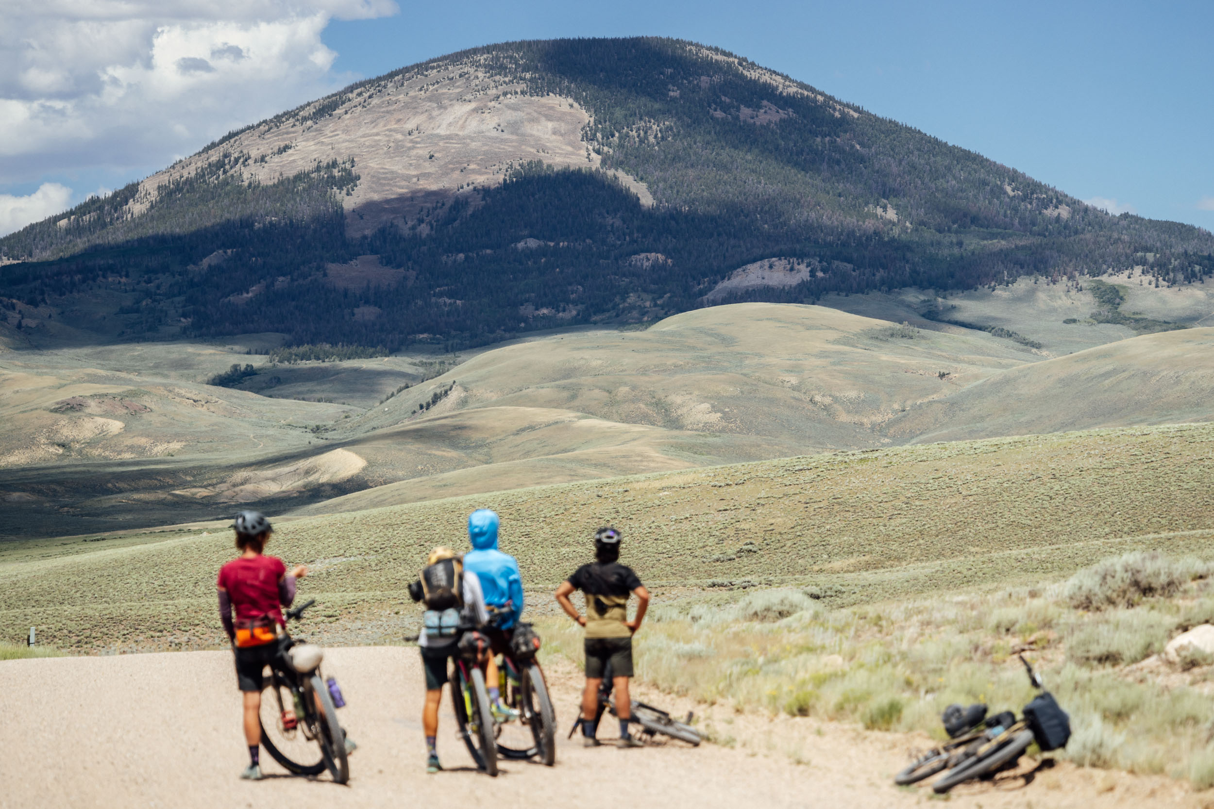
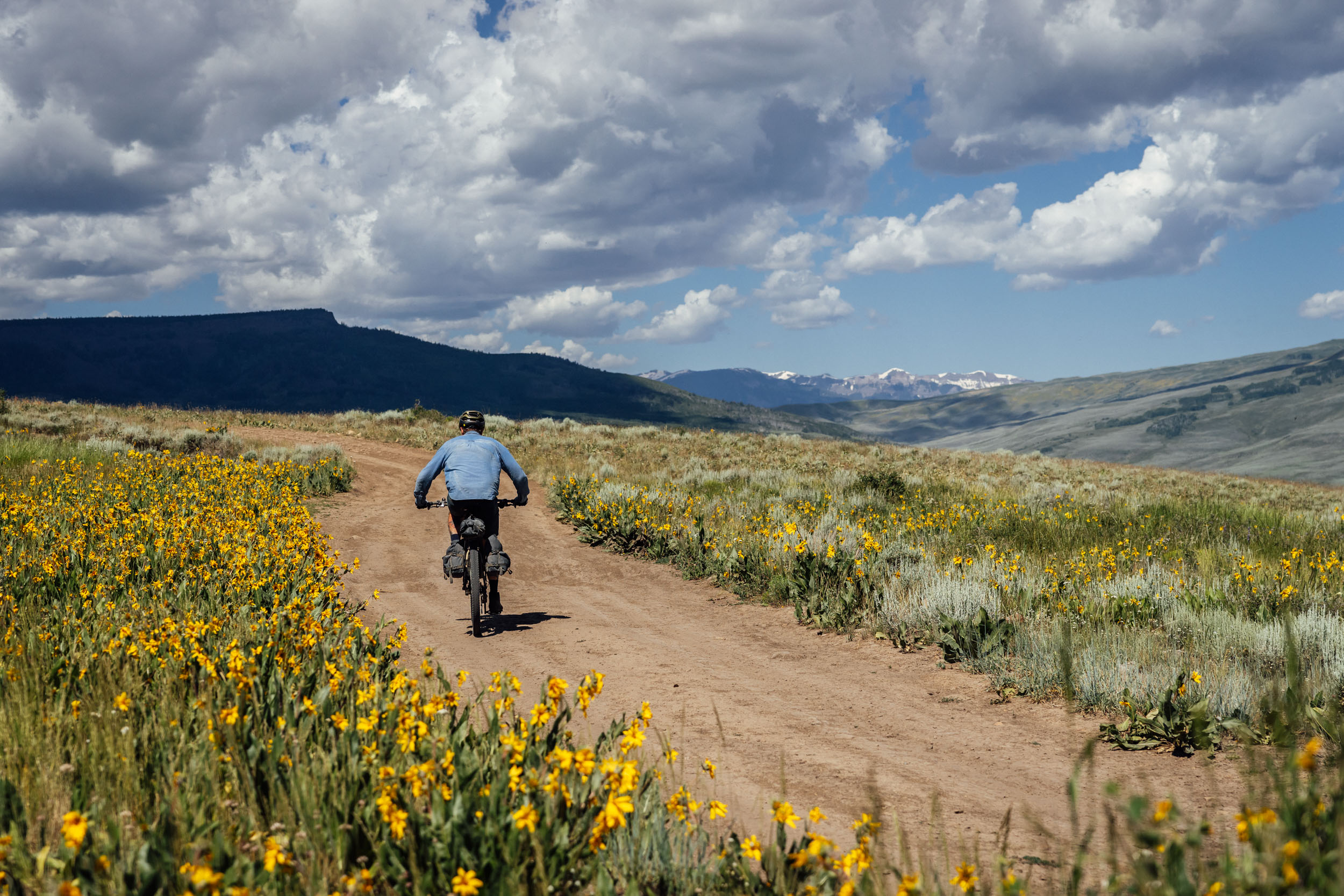
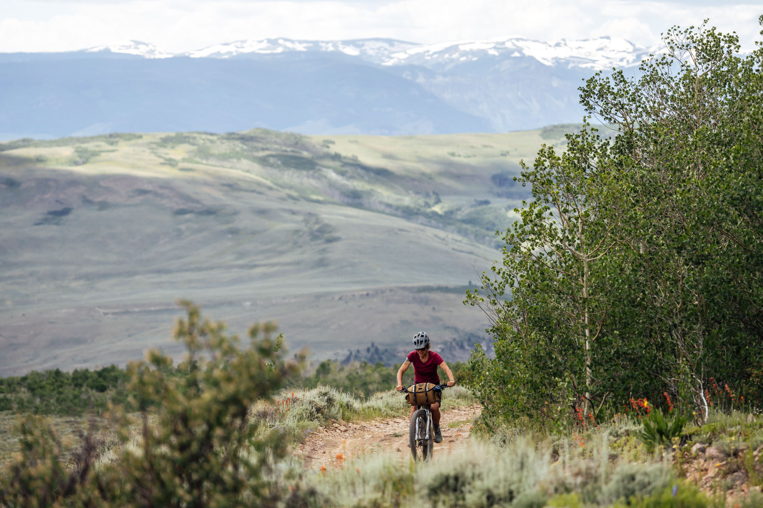
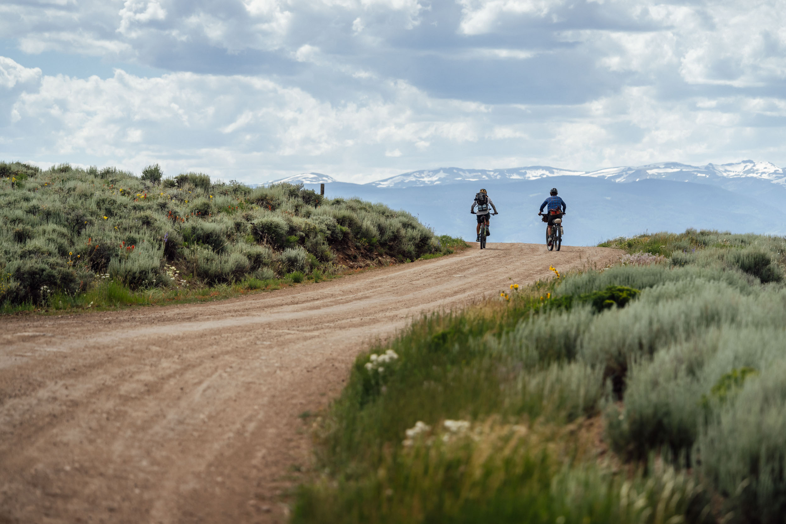
Gunnison, Colorado, is a small town located in central Colorado that serves as a hub to endless gravel roads connecting the lower elevation sage-covered deserts to the high peaks of the San Juan, La Garita, Elk, and Sawatch Mountains. In fact, the county, which is mostly located on the western side of the divide and holds the majority of the headwaters of the Gunnison River, has about 35% of the gravel roads in the state of Colorado. And Gunnison sits in the middle of it all.
As the low point of the route and a town with all the amenities needed for bikepacking, including bike shops, grocery stores, good coffee, and a brewery, Gunnison is the perfect launch point for Sage and Saddles. Designed to showcase the extensive history of the area, the varied landscapes and ecosystems, and the best roads the area has to offer, the route provides a unique off-road and lesser-traveled perspective on one of Colorado’s more isolated regions. Historic railroad and toll-road routes take riders from the deserts to high-alpine scree fields inhabited by marmots and pika and back, visiting several small and quirky communities along the way.
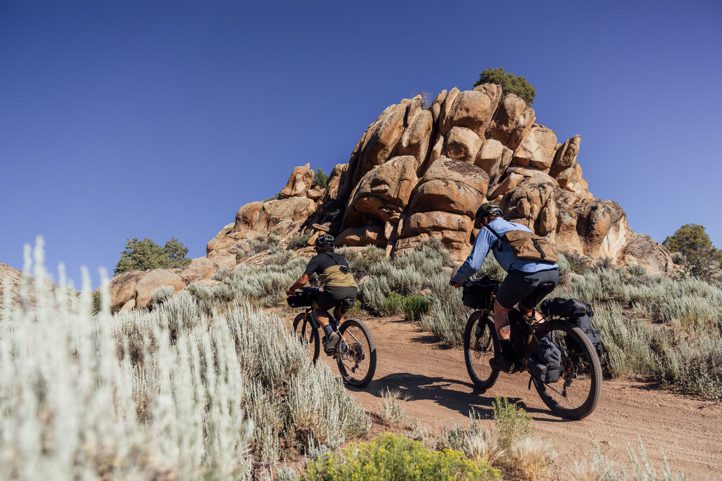
Heading south of Highway 50 from Gunnison through Hartman Rocks, riders pass through one of the last remaining habitats for the Gunnison Sage-Grouse. These unique birds create leks during the breeding season where males posture and dance in order to impress females. Their breeding area is under a strict closure from March 15 to May 15 to protect their habitat and ability to reproduce.
Continuing south with giant views of the San Juan and La Garita Mountains, riders climb next to Cebolla Creek and join with one of the Colorado Trail’s Wilderness detours. Cathedral Ranch Cabins provide respite in an otherwise empty landscape. Turning north and heading over Los Pinos Pass, the route passes by the Old Agency Work Center and buildings that were built by the Office of Indian Affairs as part of a history of removing Indigenous people from their land.
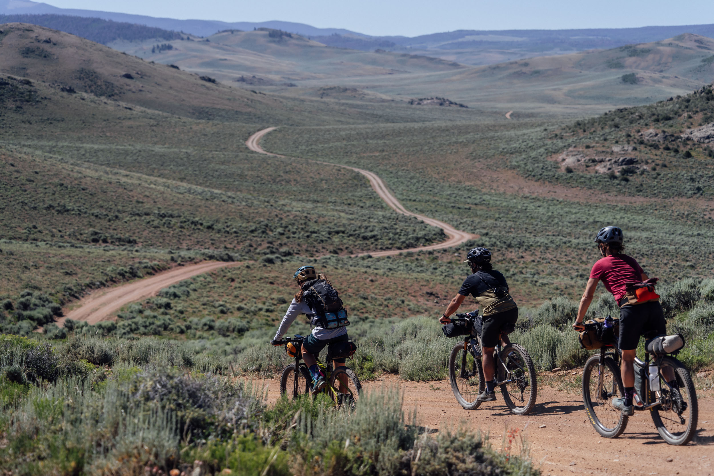
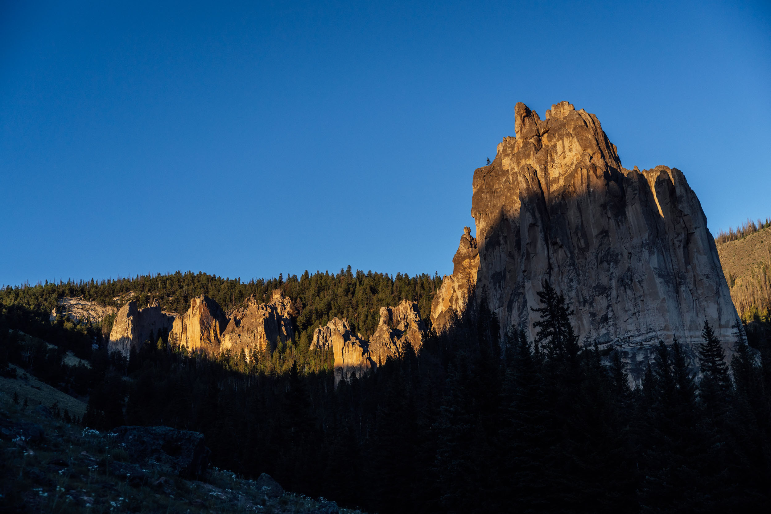
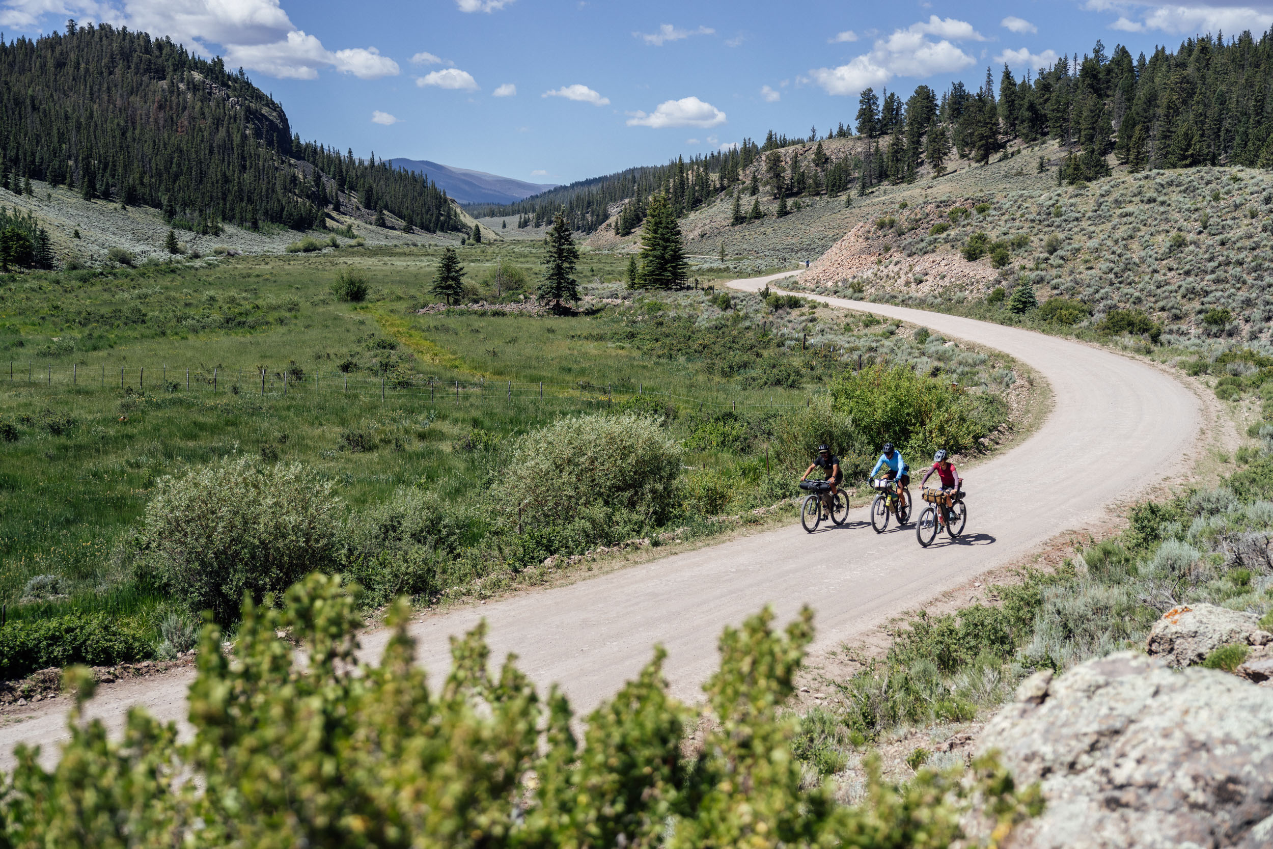
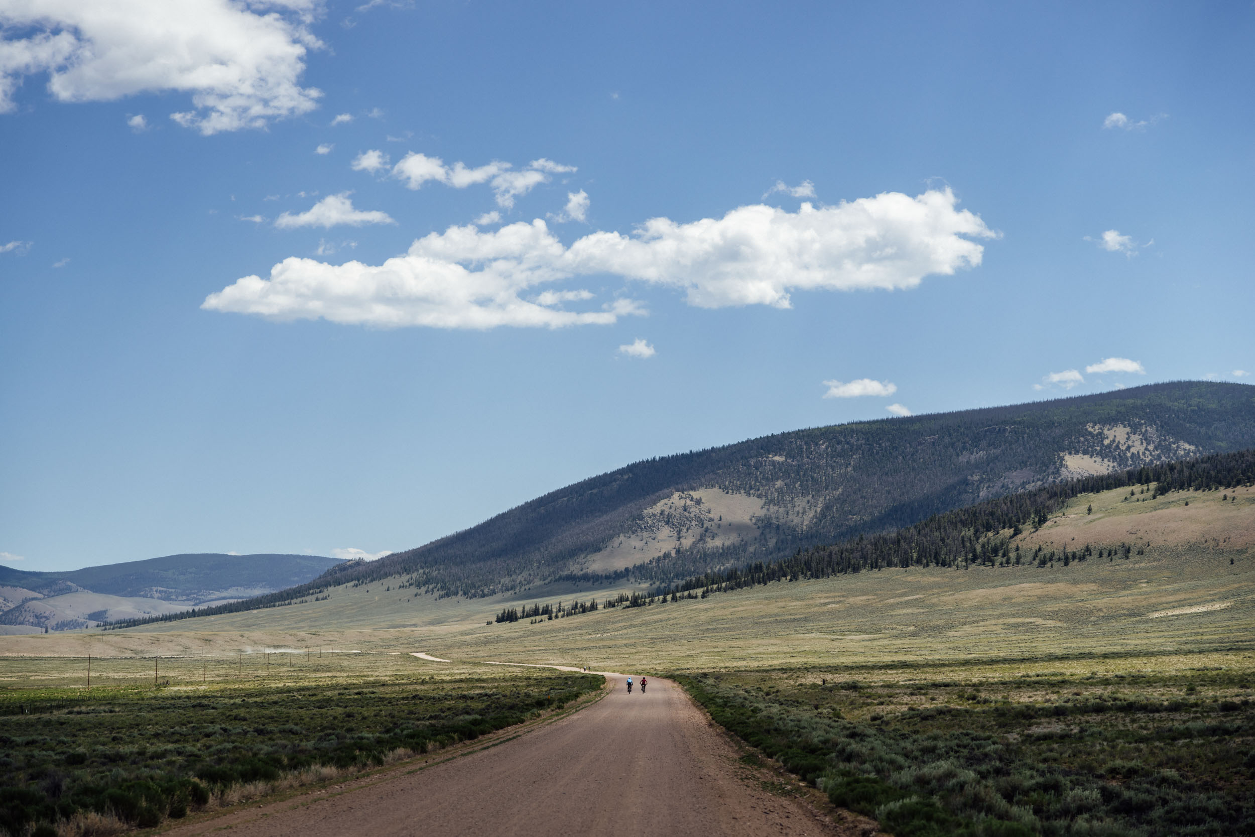
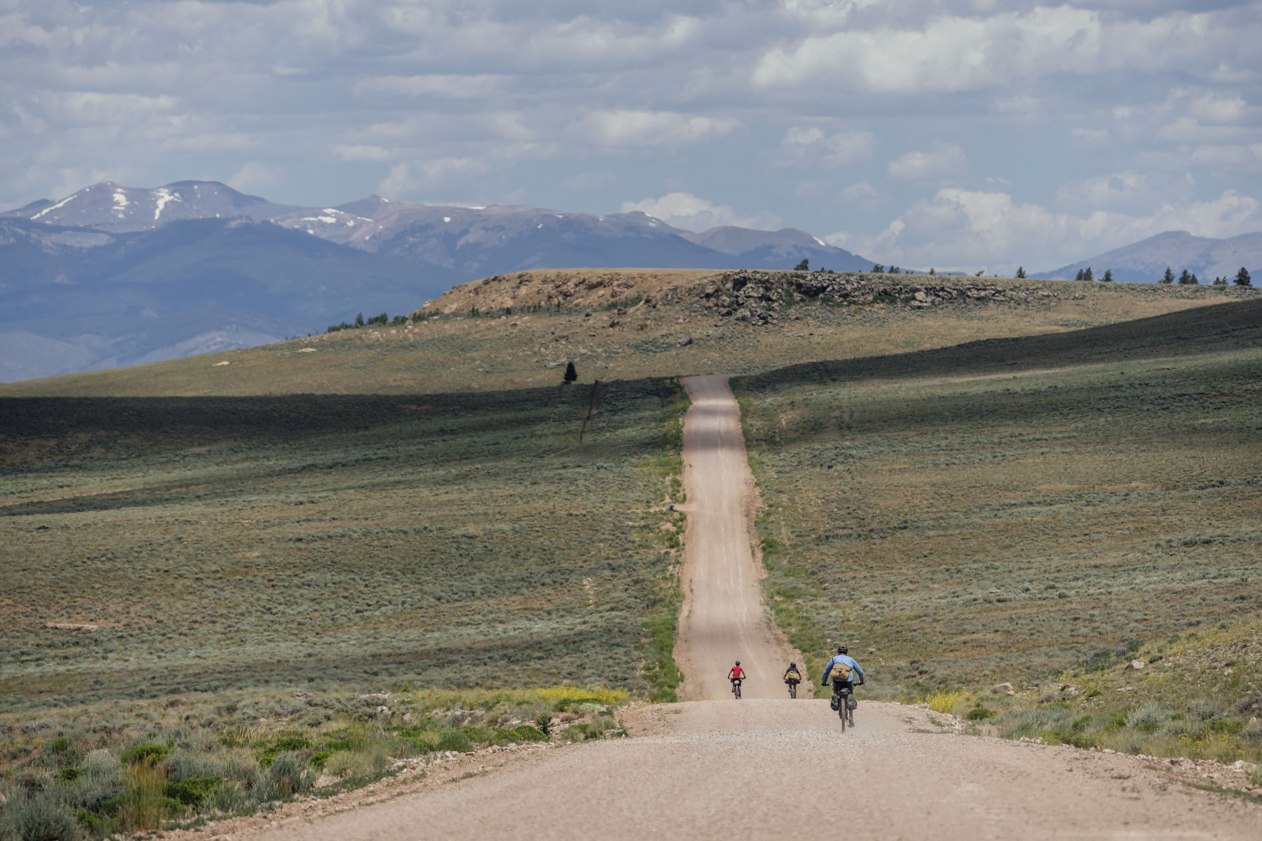
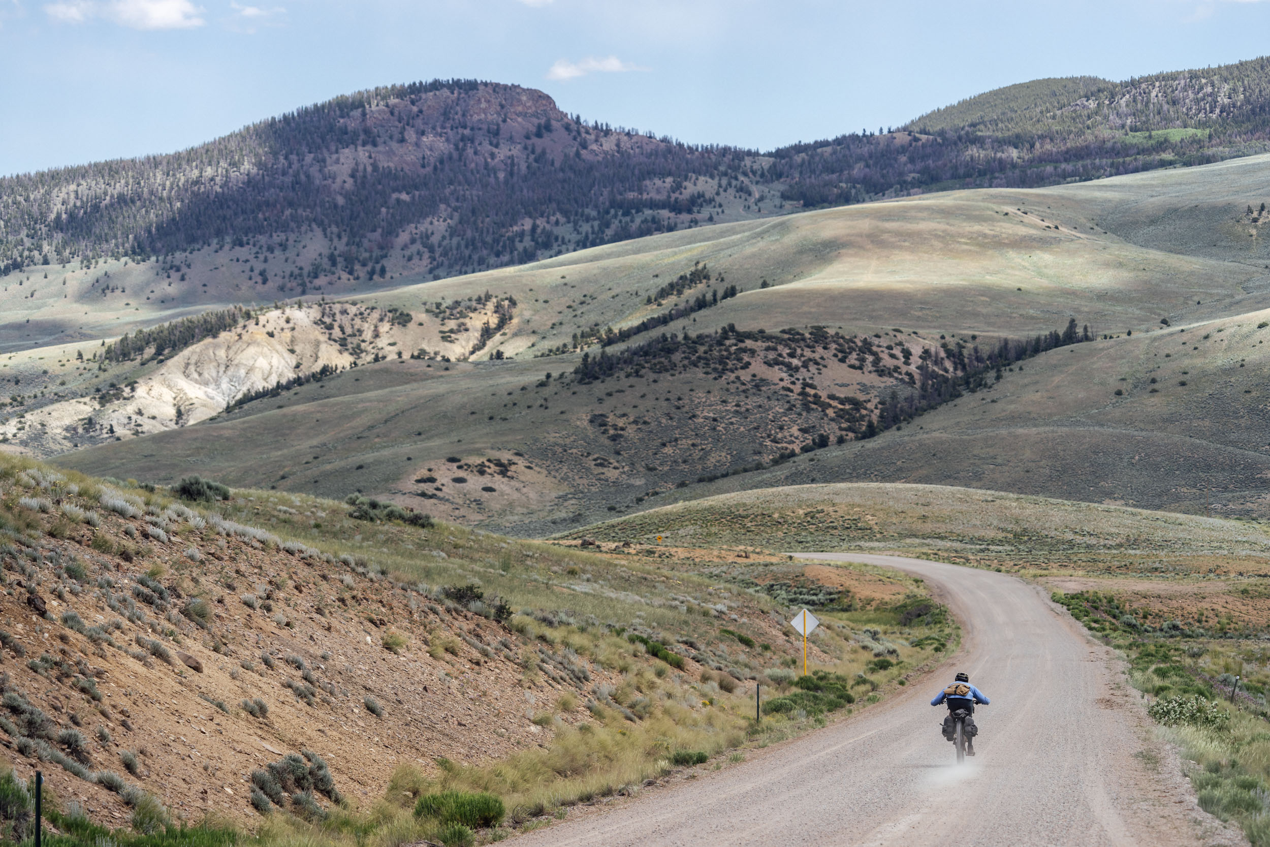
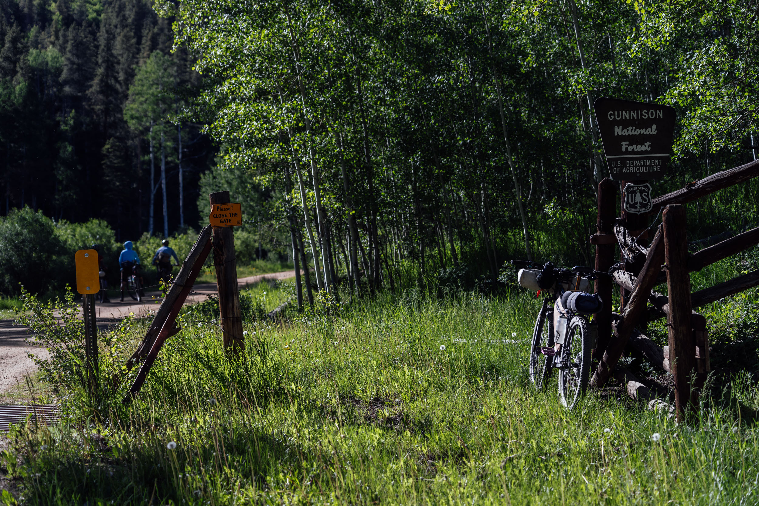
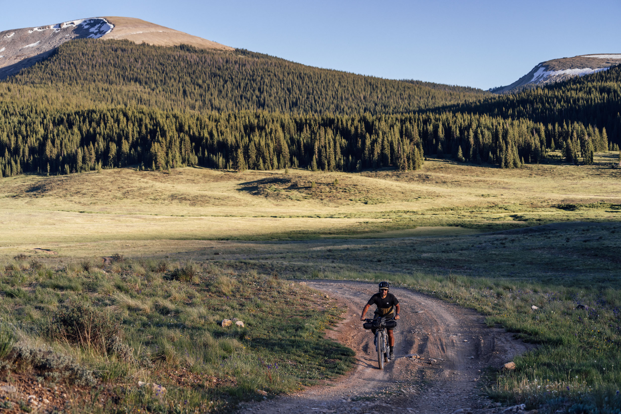
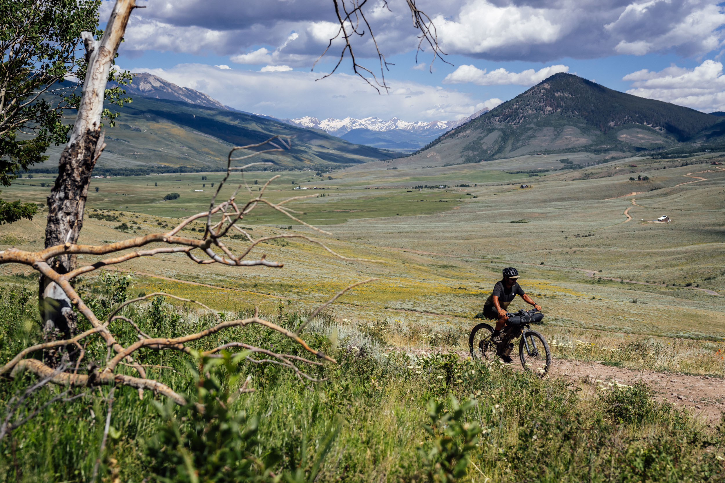
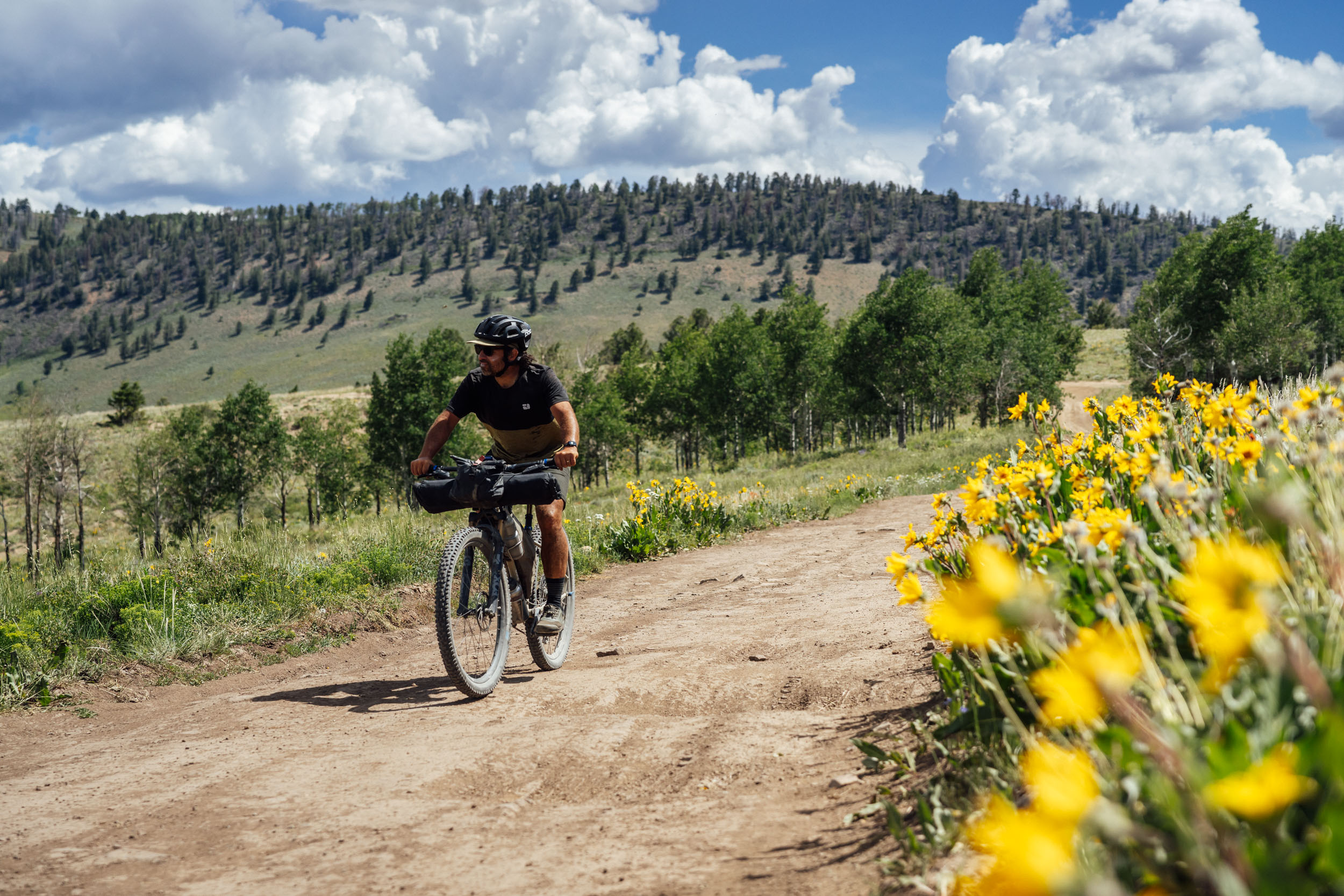
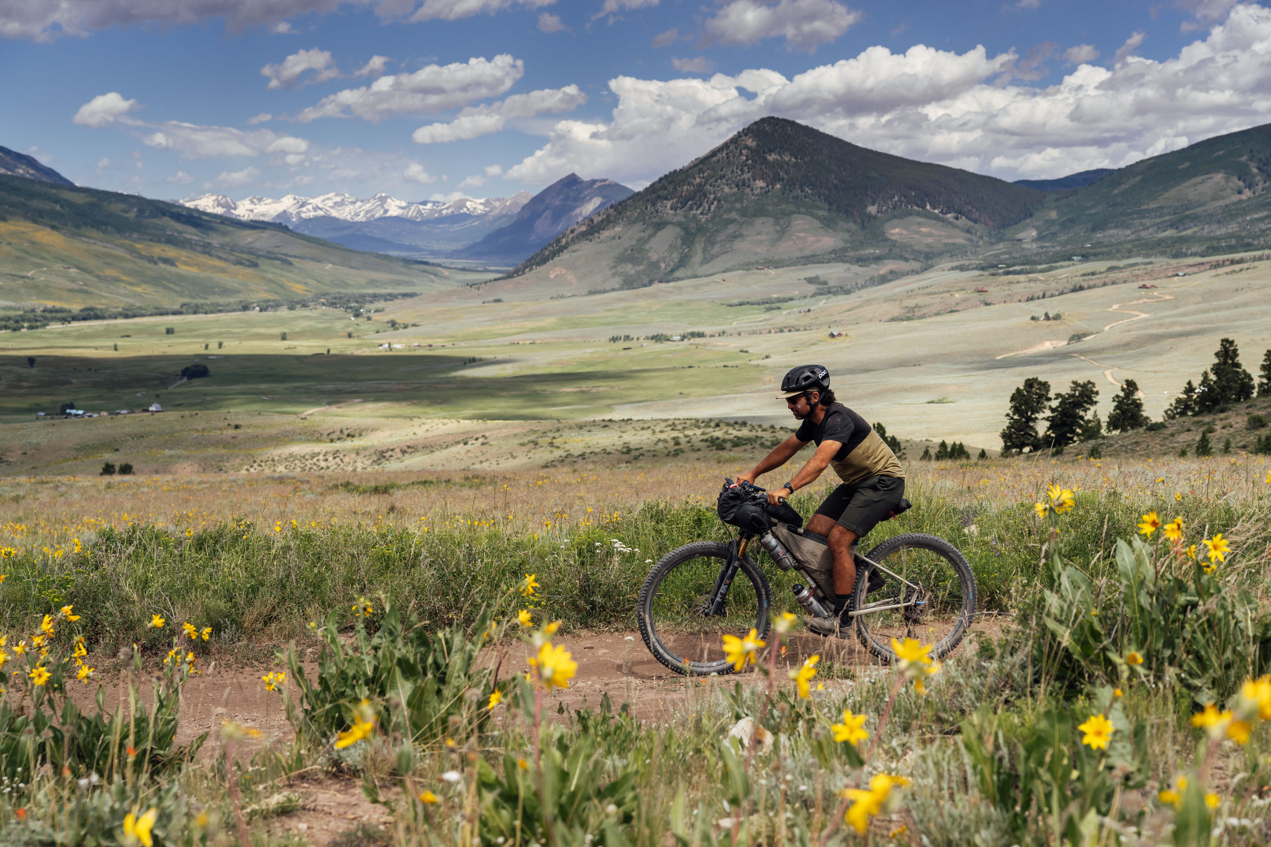
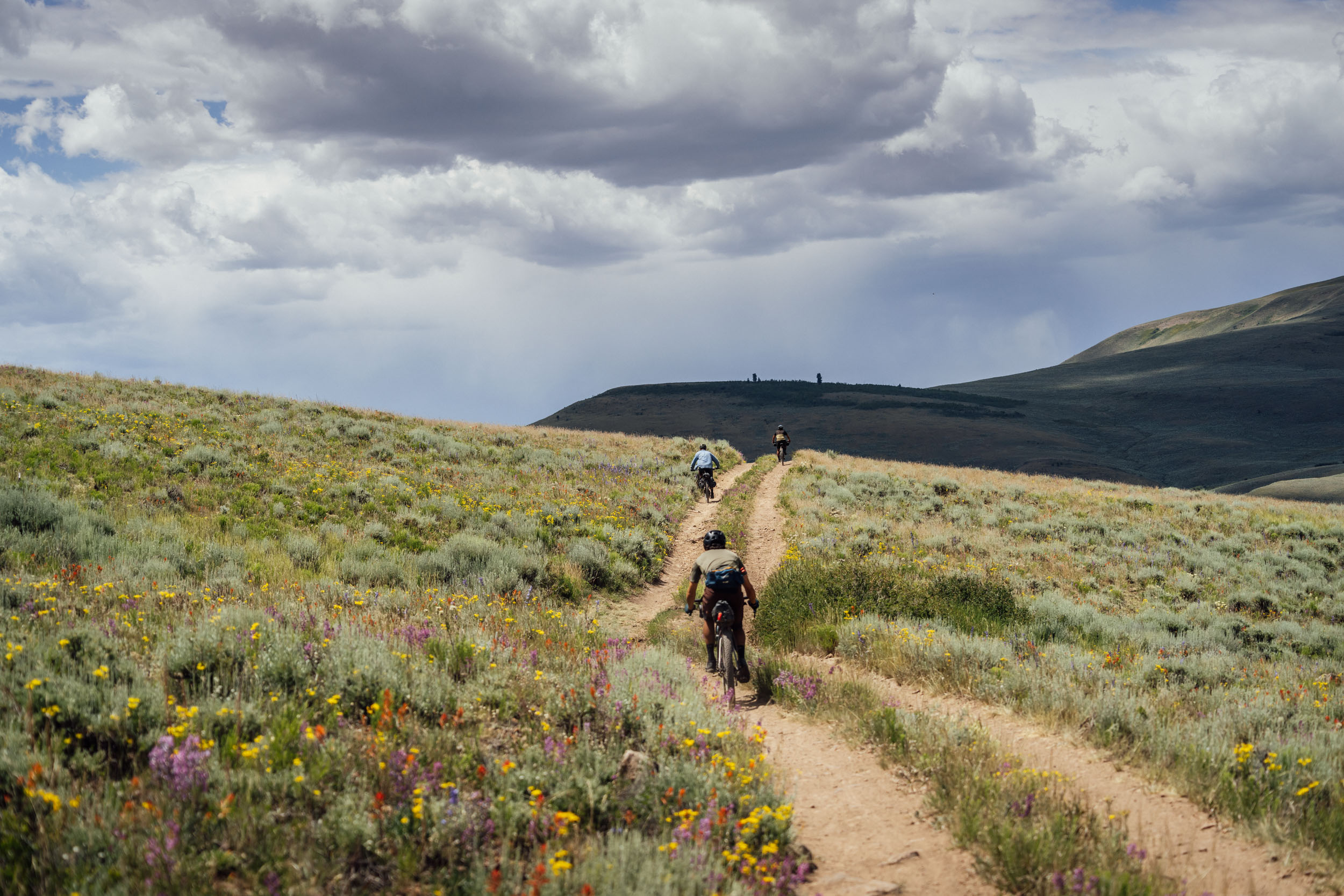
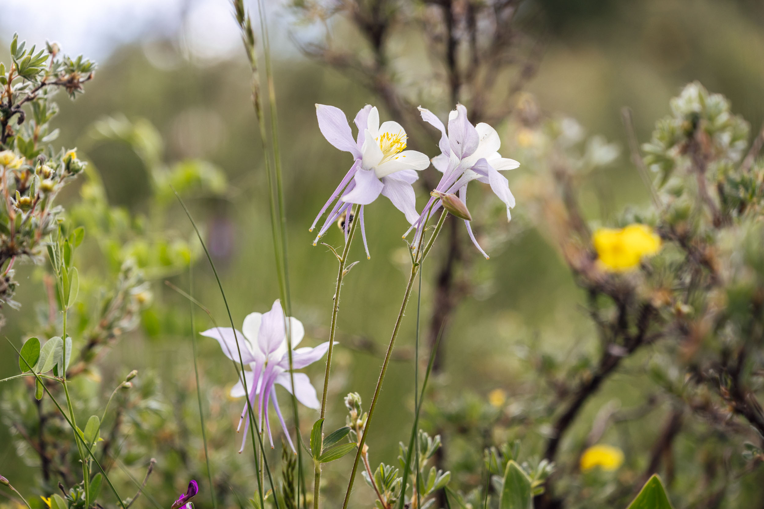
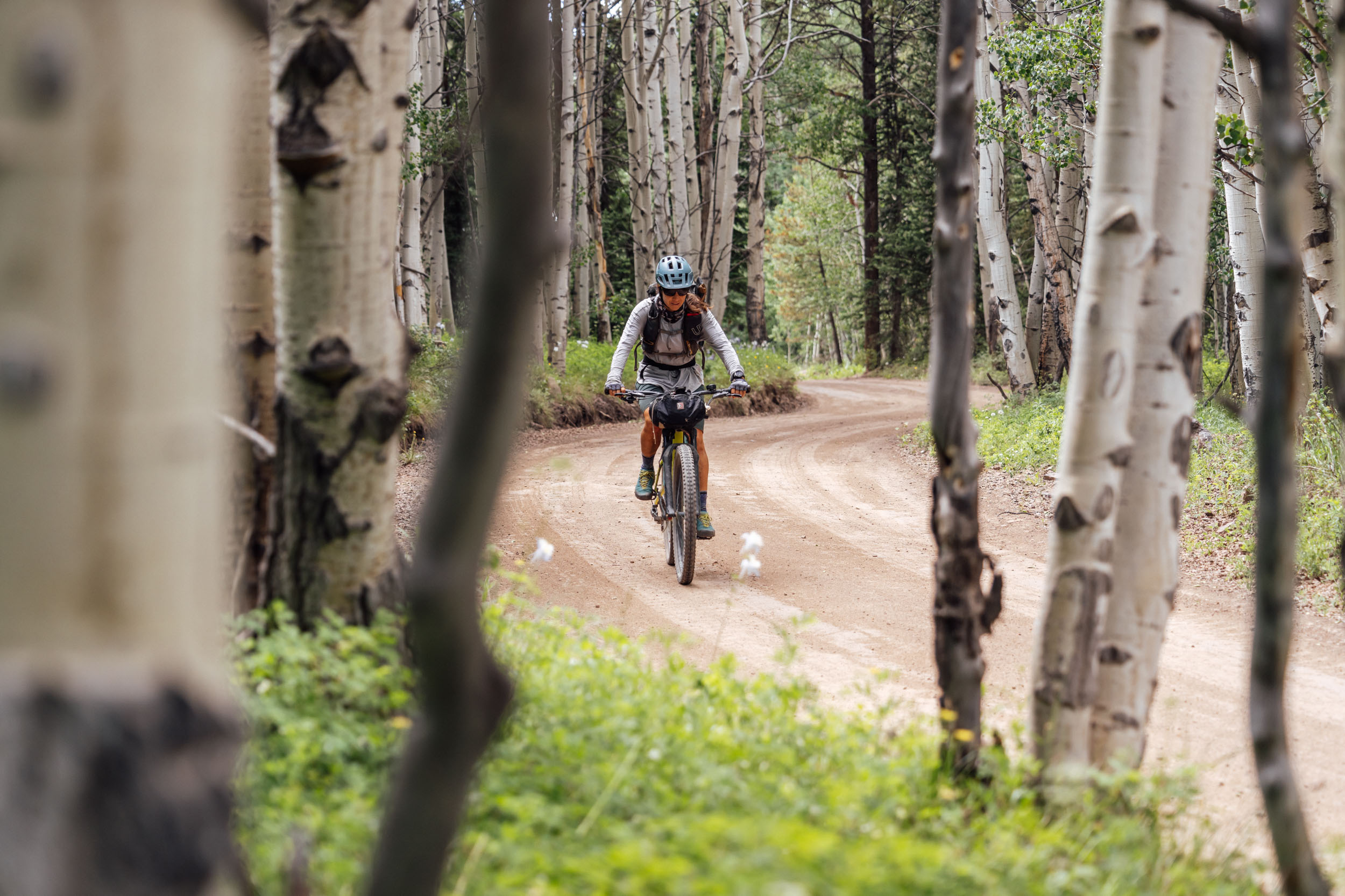
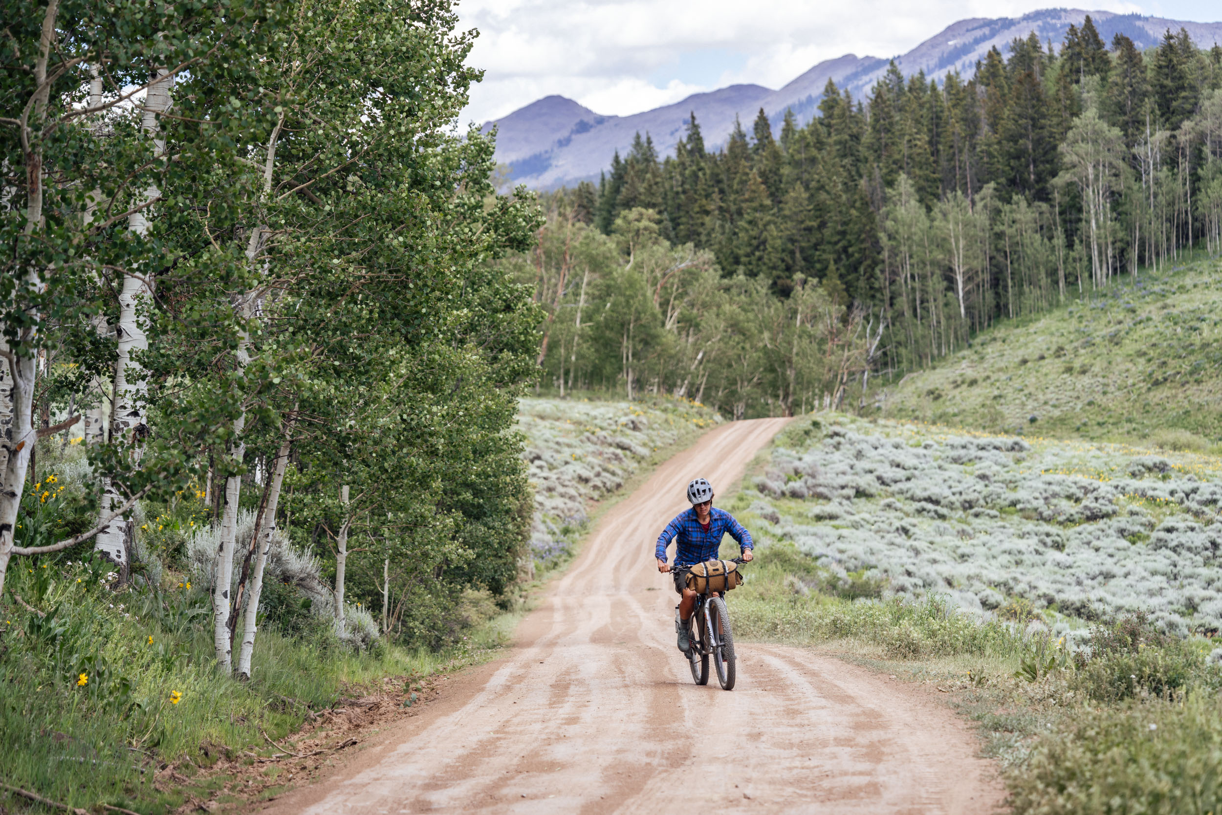
Isolated and waterless roads cross back over Highway 50 winding by Cochetopa, Razor Creek, and Tomichi Domes, geologic laccoliths created by volcanic magma rising up from the earth but not breaking through the crust and causing a volcanic eruption. The landscape and ecosystems start to change climbing over Waunita Pass as sage fields and cattle ranching are left behind in exchange for mining history, old railroad lines, and high mountains. The rich mining history has resulted not only in small mountain towns dotted between the peaks and passes, but railroad and toll-road infrastructure that allows passage through these giant landscapes. The wildlife turns from small critters to megafauna, including elk, moose, and bears as elevation is gained. The flora turns from endless sage oceans to giant fields of wildflowers, pine and aspen tree groves, and eventually into alpine tundra dotted by plants adapted to survive in the harshest of mountain conditions.
Heading back toward the relatively lower elevation of Gunnison, riders are treated to a tour of several well-known establishments of Gunnison County, including Harmels on the Taylor and Three Rivers Resort in Almont, both providing great meal and resupply options.
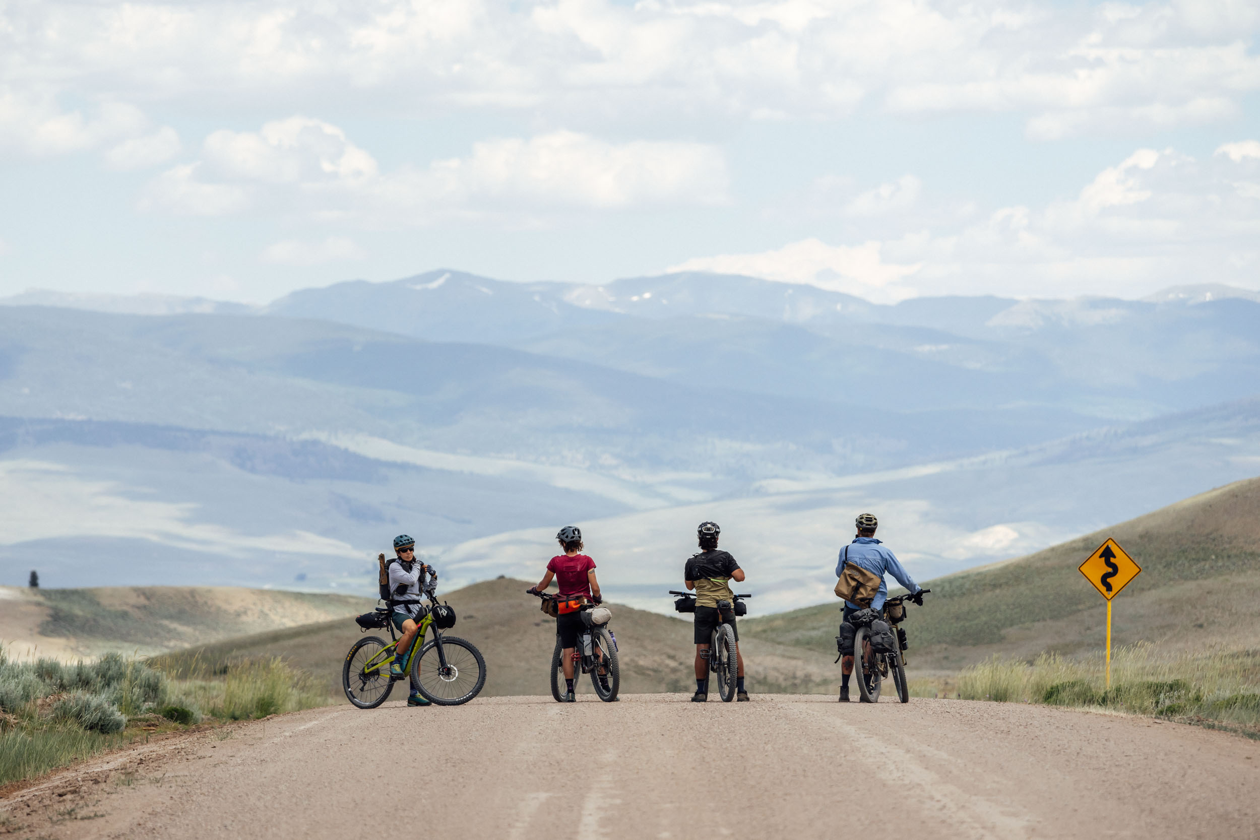
The riding includes smooth and fast dirt roads, only 24.6 miles of pavement, and challenging and chunky high alpine roads that will test riders’ skills. Most people will find themselves pushing their bikes at some point of time on the route. But it’s not bikepacking until you start walking, right? Sage and Saddles is also unique in its crossover with other established bikepacking routes, including the Colorado Trail and the Great Divide Mountain Bike Route.
Route Difficulty
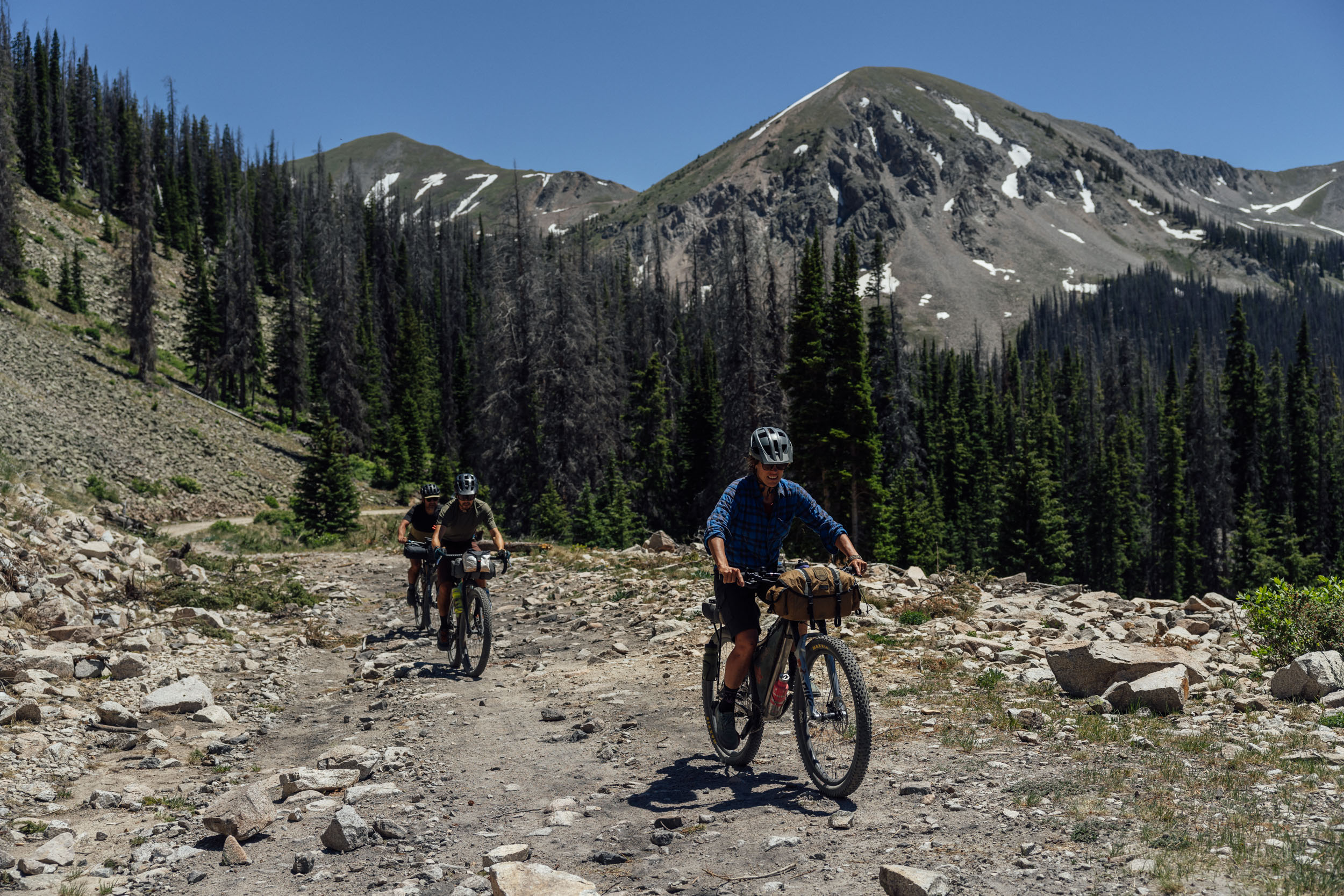
The overall difficulty of this route is 6 out of 10. While much of the southern half of this route is made up of smooth gravel fitting of a classic gravel bike with 42-millimeter tires, it becomes much more rugged as it goes north and moves into the mountains. The southern half of the route stays at a relatively reasonable altitude, only going above 10,000 feet for a short period of time, allowing riders from lower altitudes to acclimate before heading into the alpine, where the route tops out at Tin Cup Pass at 12,171 feet. The roads in the mountains are much rougher, but the resupply options are also more frequent with the route passing through many small mountain communities, including Pitkin and Tin Cup, historically significant towns that were hubs of activity during the area’s mining days. Now, these towns cater to those passing through with several restaurant and grocery options. In addition to the mountain roads being rougher, they are also steeper and at much higher elevations. Some hike-a-bike will be required for most people, and it’s advisable to bring low gears and sturdy tires to make the passes more enjoyable.
With the start and end of the route in Gunnison, a well-equipped town of 6,700 people and all of the needed amenities for a bikepacker, the logistics of the Sage and Saddles are fairly easy. Simply travel to Gunnison by car or plane, load up your bags, and start pedaling south out of town.
Route Development: Sage and Saddles was developed by Neil Beltchenko, a longtime Gunnison County resident and bikepacker, with further input from Jonathan Houck, the County Commisioner of Gunnison and longtime bikepacking enthusiast. The route was created to provide a great off-pavement riding experience through the stark and stunning landscapes of central Colorado while highlighting the history, natural beauty, and culture of the area. The loop connects a network of gravel and dirt roads, including sections of popular routes such as the Great Divide Mountain Bike Route, Colorado Trail, and Gunny Grinder, as well as a new collection of passes and car-free dirt roads that link many of the outlying towns in the area.
Submit Route Alert
As the leading creator and publisher of bikepacking routes, BIKEPACKING.com endeavors to maintain, improve, and advocate for our growing network of bikepacking routes all over the world. As such, our editorial team, route creators, and Route Stewards serve as mediators for route improvements and opportunities for connectivity, conservation, and community growth around these routes. To facilitate these efforts, we rely on our Bikepacking Collective and the greater bikepacking community to call attention to critical issues and opportunities that are discovered while riding these routes. If you have a vital issue or opportunity regarding this route that pertains to one of the subjects below, please let us know:
Highlights
Must Know
Camping
Food/H2O
Trail Notes
Resources
- There is no shortage of places to eat and fuel up in Gunnison. With a population of around 6,700 people and being home to Western Colorado University, there are restaurants spread all over town offering something for just about anyone. Find a few recommendations under the Must Know tab.
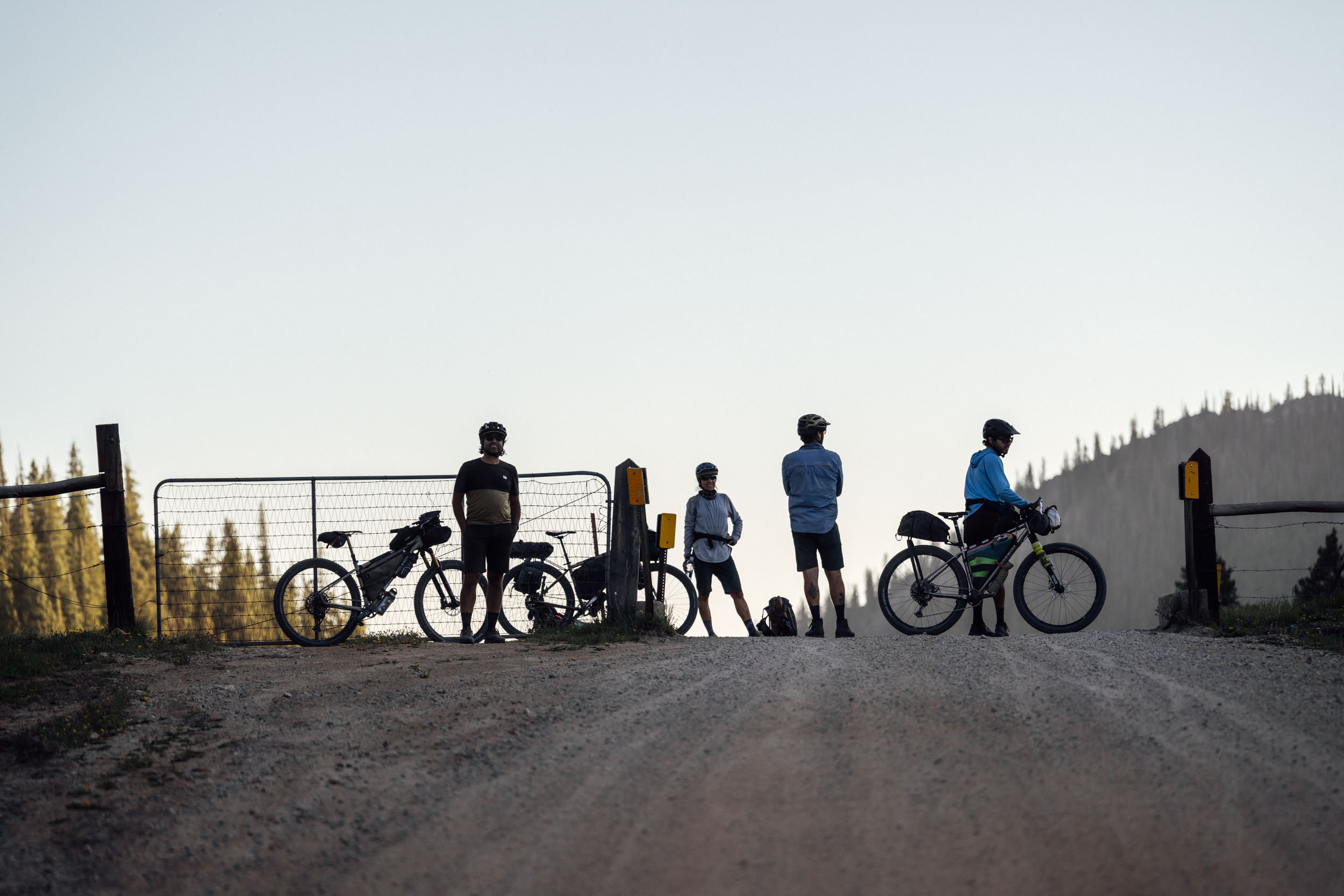
- The first section of the route passes through Hartman Rocks Recreation Area. The 14,000 acres of public land are managed by the Bureau of Land Management, with the 160-acre base area being cared for by The City of Gunnison and Gunnison County. With 45 miles of singletrack and countless dirt roads, it’s a mountain biker’s paradise. It’s also known for its climbing and convenient close-to-Gunnison camping options. The old Aberdeen granite quarry, which operated from 1889 to 1892 and provided the granite for the Colorado State Capitol building in Denver, lies just off of the route.
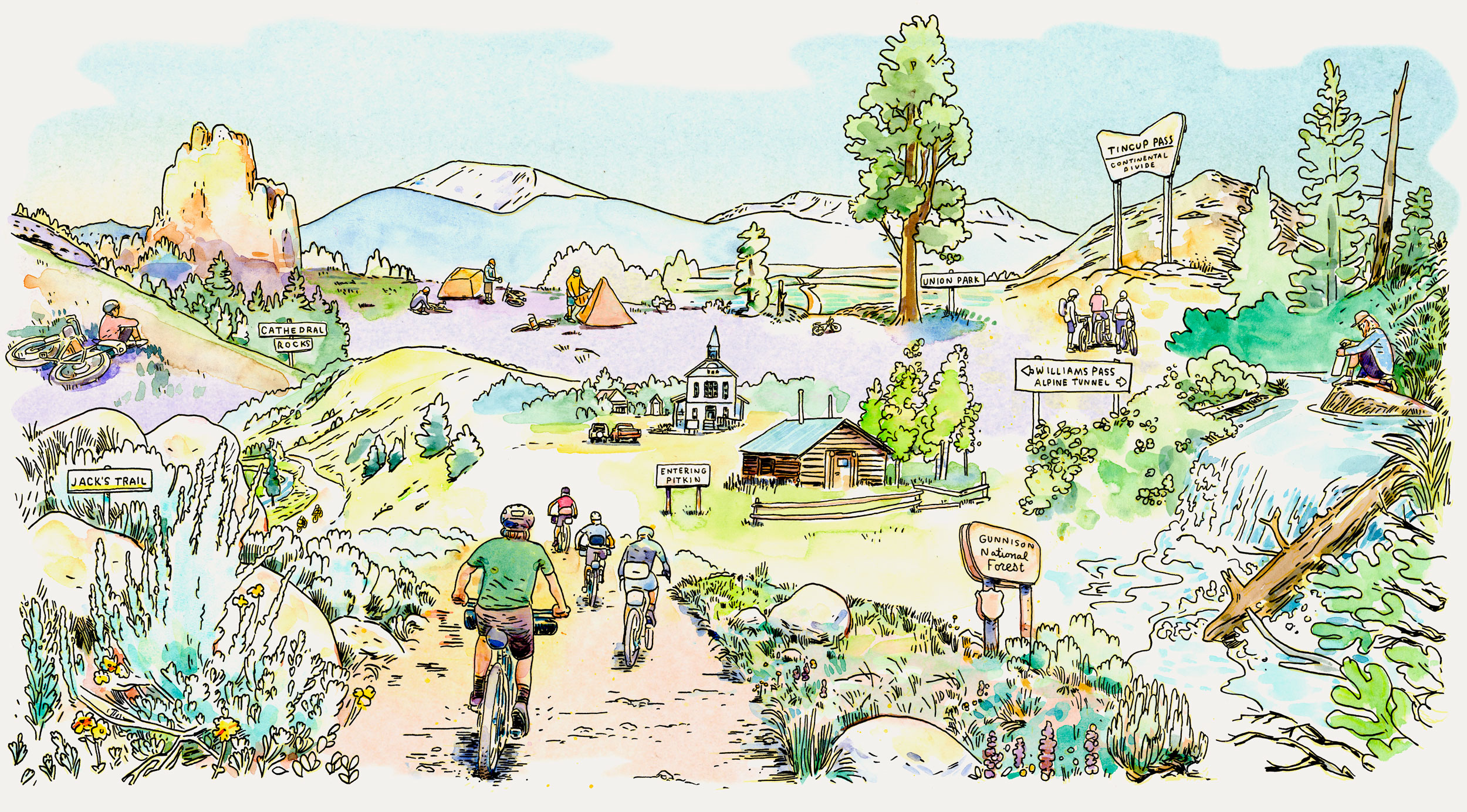
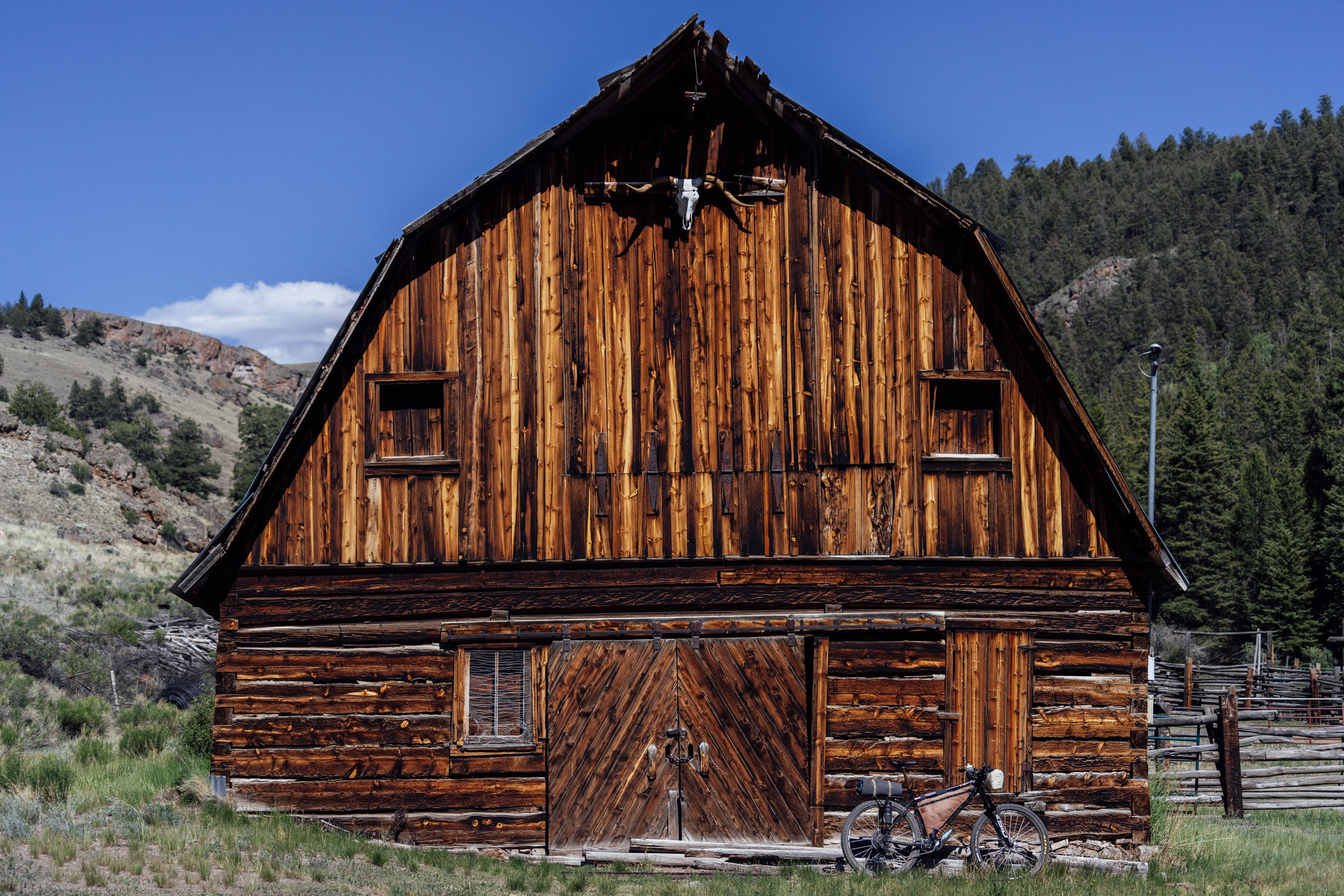
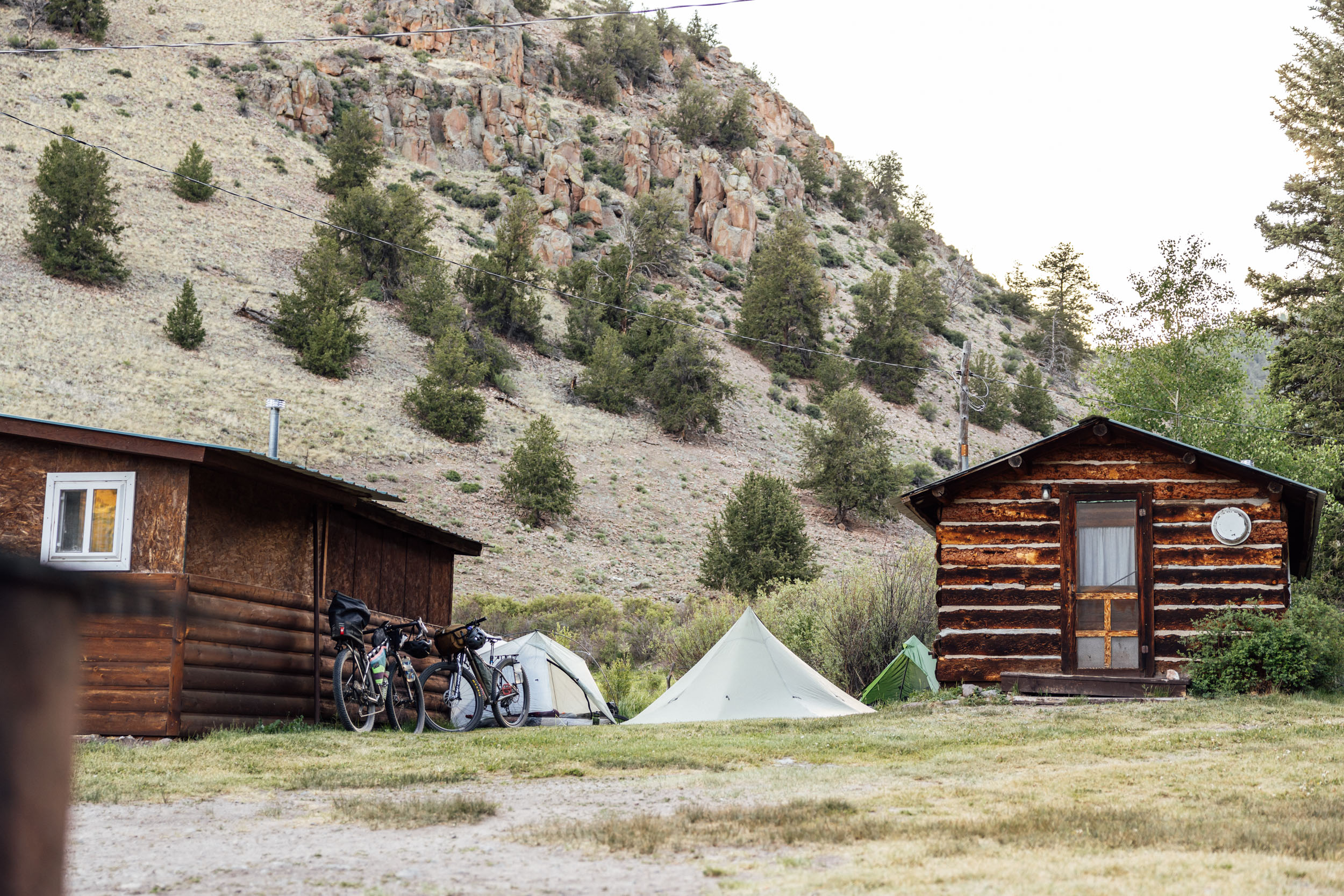
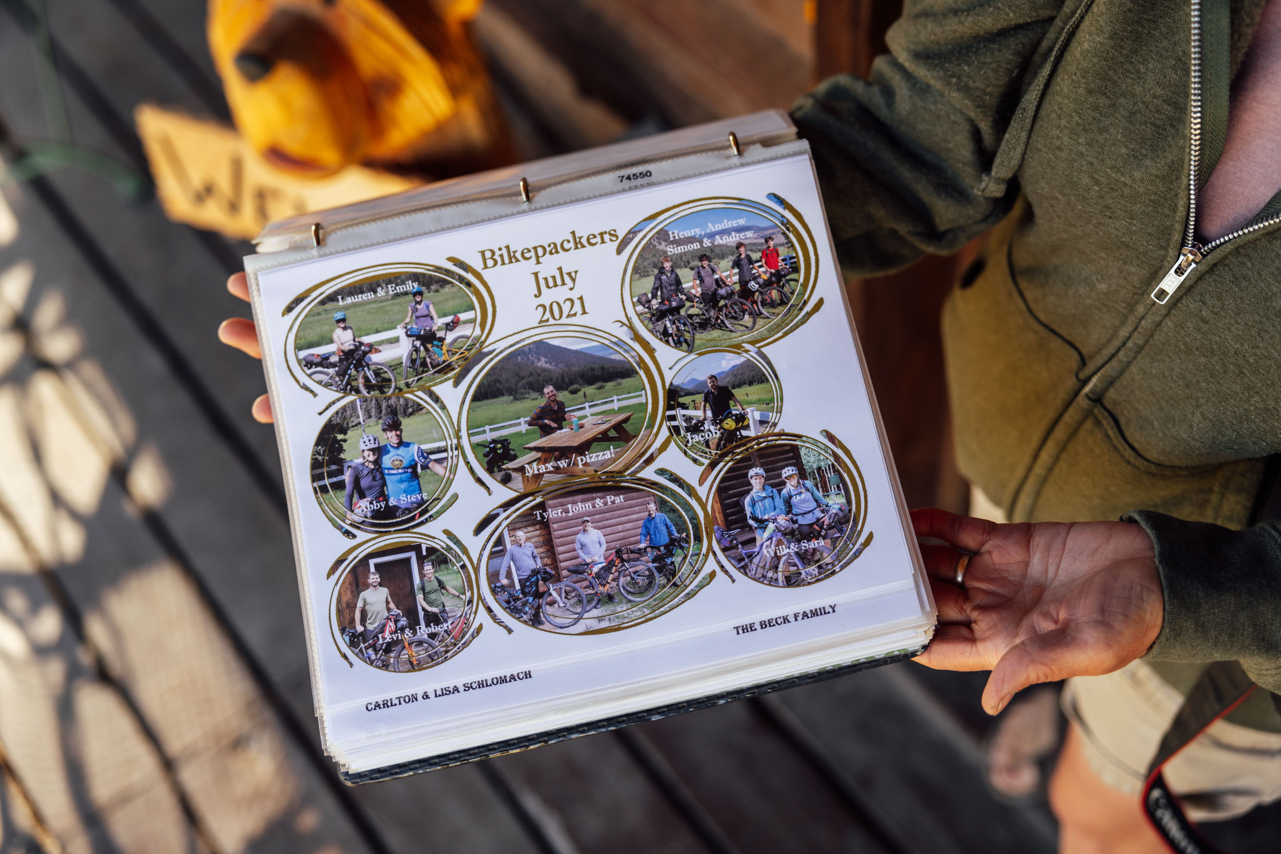
- Cathedral Ranch Cabins, operated by Brad and Annette Cadwell, is an oasis for hungry and tired bikepackers. Ever since Brad and Annette rescued a tired Colorado Trail rider from the rain in 2018, they’ve opened their property to riders passing through the remote area. In addition to providing tent camping and cabin options, they also maintain a well-stocked resupply store that caters to bikepackers with everything from dehydrated meals to candy. They also keep their freezer stocked with pizzas, burritos, and ice cream. As an added bonus, several friendly and incredibly cute dogs are often sauntering around. A unique rock formation sits overlooking the ranch and is worth checking out via a short hike out the back of the property.
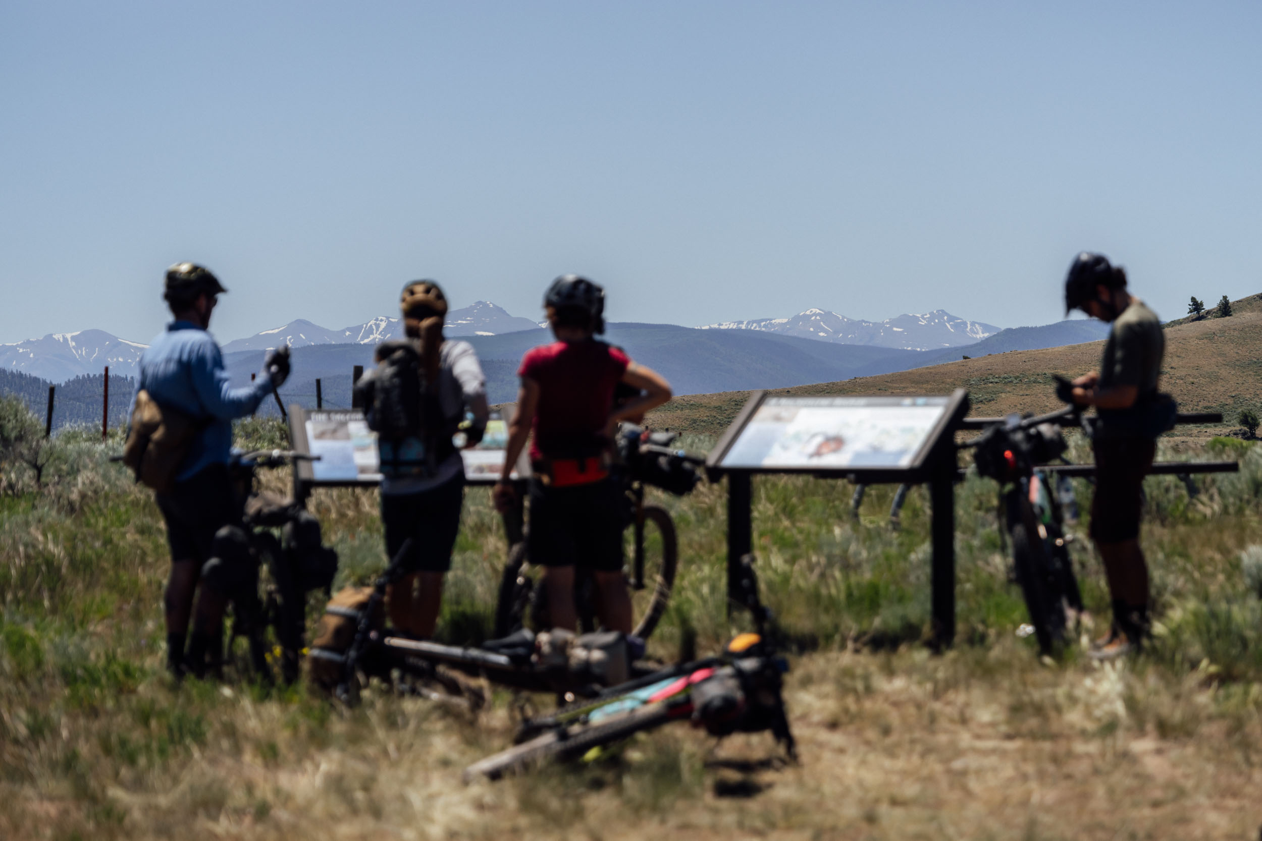
- Gunnison is surrounded by some of the most impressive mountain ranges in the state. Heading out of town, riders get sweeping views of the San Juan Mountains to the south, including a brief peek at the 14,321-foot Uncompahgre Peak. To the east of the imposing San Juans sit the much more subdued La Garita Mountains. The northern half of the route climbs into the Sawatch Mountains, crossing the divide first at Williams Pass and then again at Tin Cup Pass. Sweeping views of this long and imposing range, with several peaks rising above 14,000 feet, dominate the view through Taylor Park.
- Gunnison County is filled with wildlife. The lower sage deserts provide habitat not only to the Gunnison Sage-Grouse but to mule deer, elk, and ground squirrels and chipmunks. Birdlife boasts several raptors, including red-tailed hawks, bald eagles, and several species of sparrows and other song birds. At higher elevations, it’s possible to see elk, moose, deer, and bears. The route also passes through mountain lion habitat, but spotting one of these elusive cats is rare.
- The Old Agency Work Center near Cochetopa Pass is a remnant of the US Government’s push in the late 1800s to remove Indigenous people from their land in order to clear it for white settlers. While many past Colorado politicians, including former Governor Frederick Pitkin, wanted to remove Indigenous people forcefully, President Ulysses S. Grant opted to enforce the Peace Policy that was designed to be physically non-violent while still stripping the Indigenous people of their land, culture, and independence. The Los Piños Ute Indian Agency, which would eventually be known as the Old Agency, was created by the Office of Indian Affairs to distribute food and supplies to the Uncompahgre and Tabeguache Ute bands after they were moved onto a reservation in the area, forcing their reliance on the government for survival. In 1875, due to increased settlement pressure, the agency was reestablished in the Uncompahgre Valley just south of present-day Montrose.
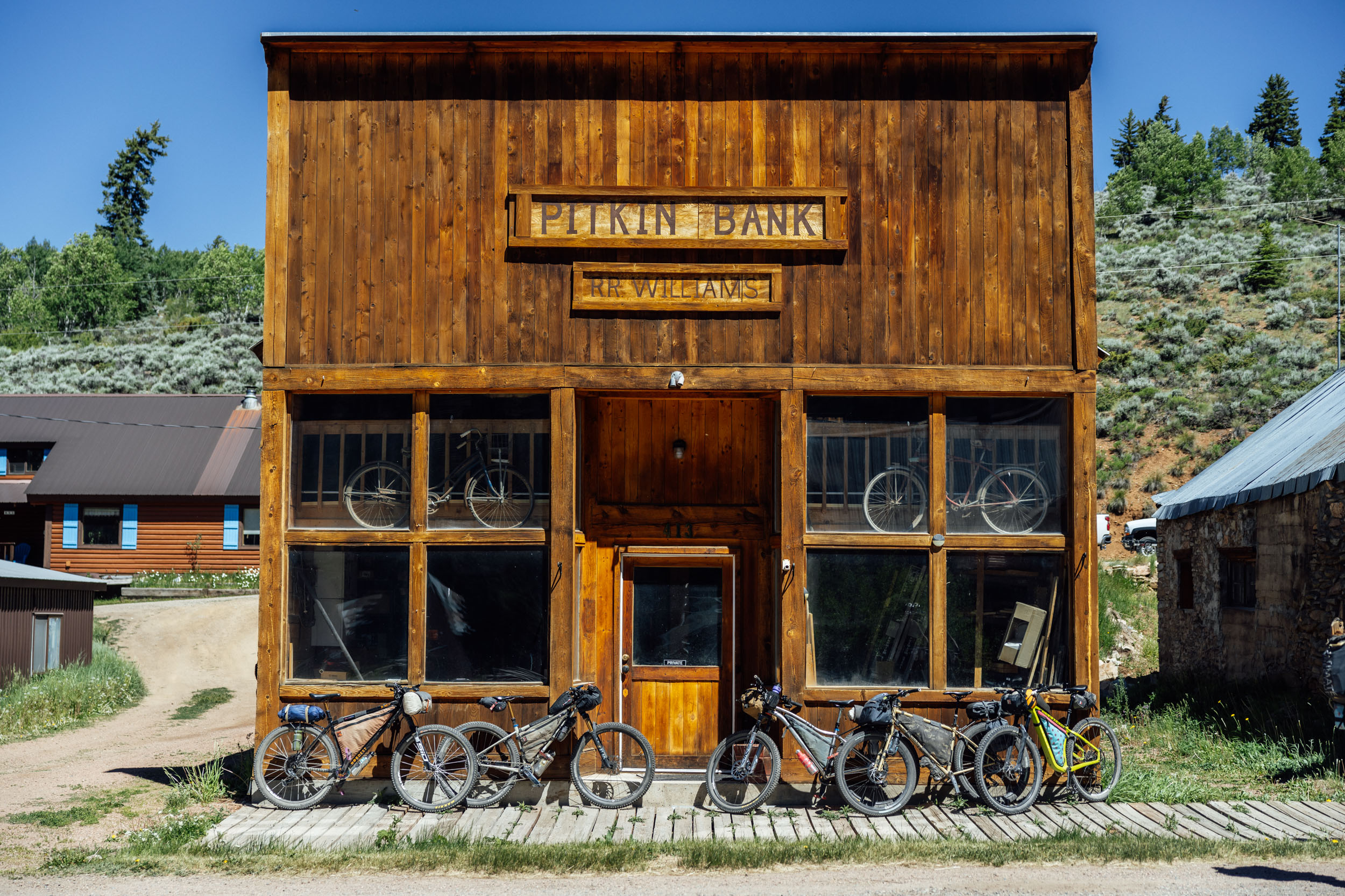
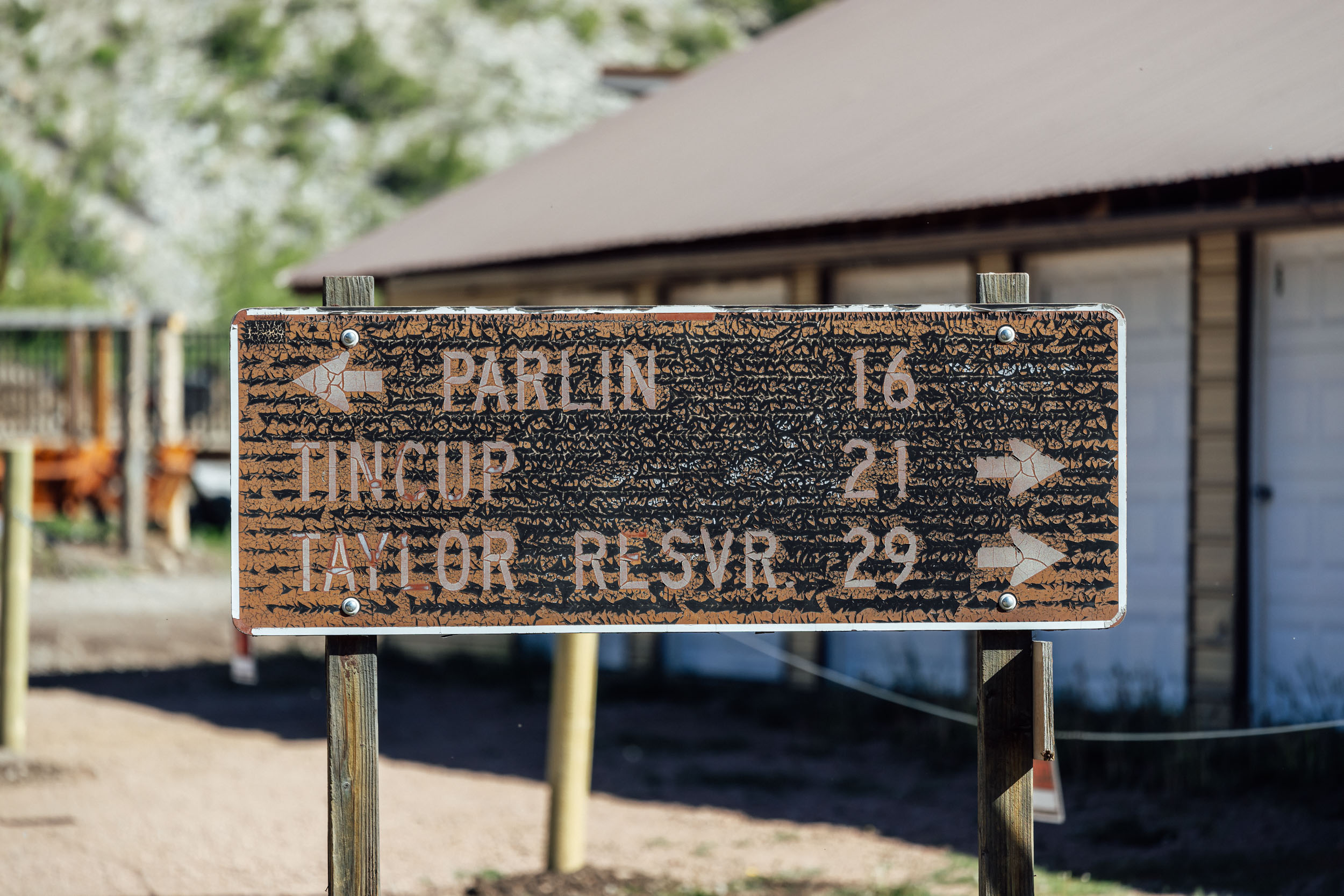
- Pitkin, the first mining town established in Colorado in 1879, is a quirky and fun mountain community situated along Quartz Creek and the historic Denver South Park and Pacific rail line. Iron, lead, gold, silver, and copper from area mines produced higher-than-average quantities of these precious materials, and the town flourished with more than 30 mines operating in 1880. That same year, the construction of a toll road connecting Alpine to Pitkin began. By 1882, there were 60 businesses, nearly 400 residences, and more than 1,000 people living in town. The mining busted in 1882 and the town shrunk by half by the next year.
- As a result of the mining boom around Pitkin in 1880, construction began on the Alpine Tunnel, the first railway tunnel through the Continental Divide connecting the communities of Pitkin and Alpine. What was scheduled to be a six-month project dragged out to nearly two-and-a-half years, and by the time it was completed, the mines had mostly stopped producing and a better rail route had been established over Marshall Pass. The tunnel was abandoned in 1910 and its remnants, including the road leading up to it, stand as a historical marker of the area’s past.
- Williams Pass, at 11,781 feet, provides a high probability of peace and solitude due to it only being open to motorized access for the month of August. Keep an eye out for elk and other wildlife.
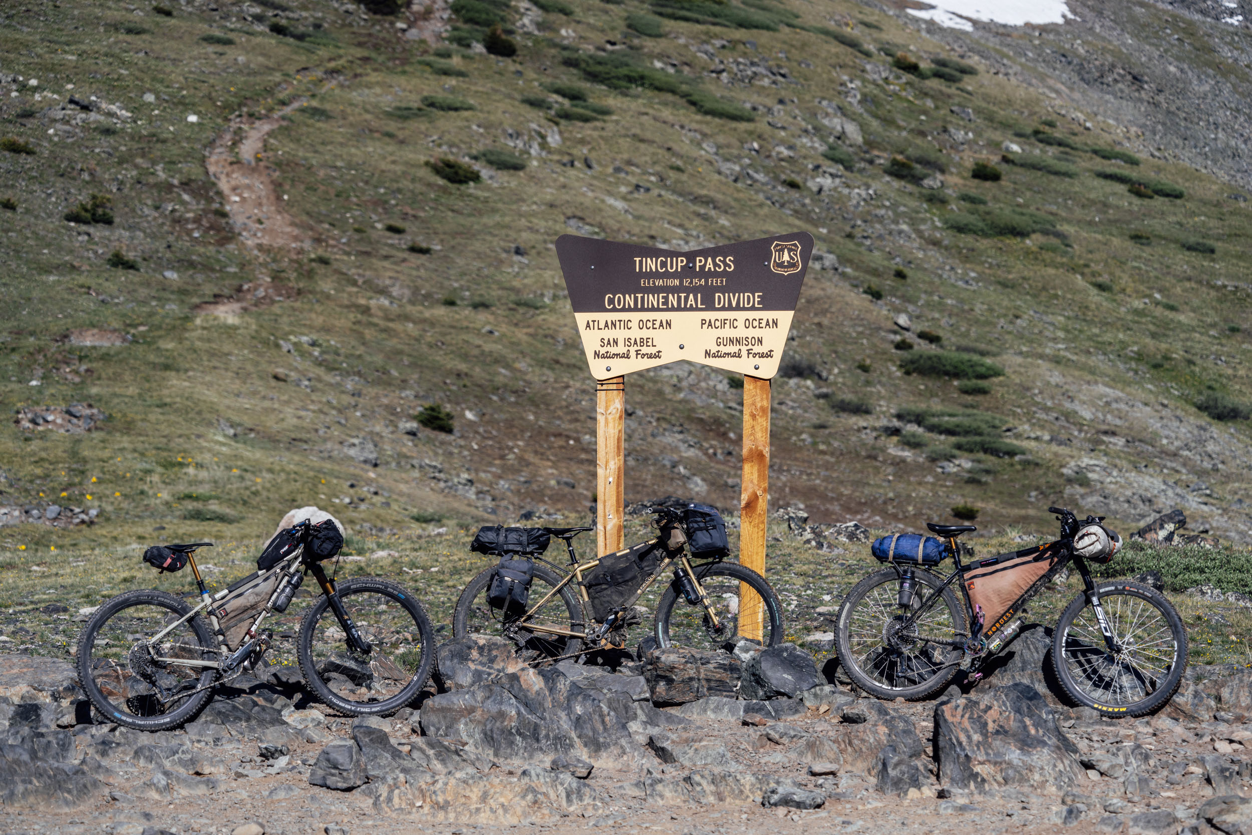
- At 12,171 feet, Tin Cup Pass is the highpoint of the route as it passes over the Continental Divide. The road, originally built in 1880 at the height of the mining boom, connected St. Elmo with Tin Cup. The name of Tin Cup originated after an area prospector brought his gold back to camp in his tin cup. Grinding up a stout, high-elevation climb provides the reward of expansive views of the surrounding Sawatch Mountains.
- Mirror Lake, sitting between Tin Cup Pass and the town of Tin Cup, is renowned for its beauty and fishing opportunities. The road wrapping around its east side occasionally floods but can be bypassed using social trails through the willows if needed.
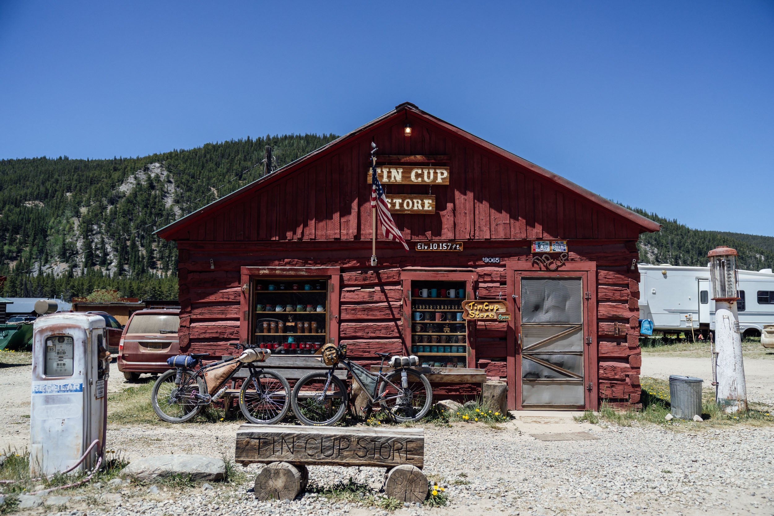
- Tin Cup, a small unincorporated town at 10,157 feet, has a rich history and was a hub of activity during the mining boom of 1880. Now, it has a small general store, a restaurant named Frenchy’s with a colorful backstory, and a handful of other buildings catering to tourists in the area.
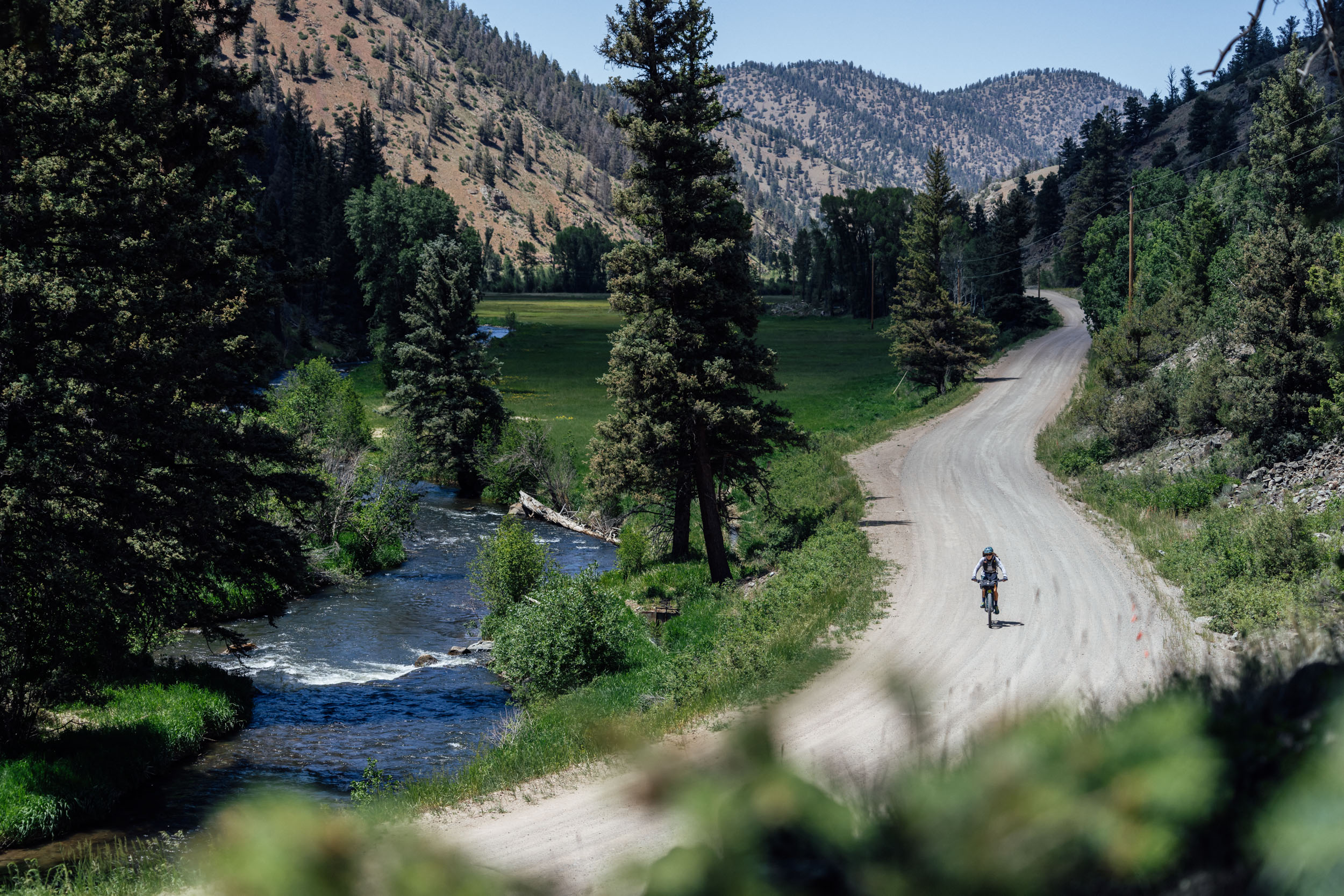
- Dropping from the high desert of Taylor Park down toward Gunnison, Spring Creek Canyon is known for its fishing, mountain biking, and rock climbing. The 17-mile road drops from 10,600 feet to 8,300 feet, winding its way along the banks of Spring Creek through towering walls of rock offering both trad and sport climbing opportunities.
- Flanked by the world-famous town of Crested Butte, known for its singletrack mountain biking, stunning wildflowers, and skiing on the north and Gunnison to the south, the Almont Triangle and the surrounding areas is ignored by most. But it shouldn’t be. It offers some of the most scenic riding on the route.
- Newly renovated, Harmels on the Taylor provides an authentic dude ranch experience for those who stay and a great coffee and pastry stop for those just passing through. The restaurant maintains limited hours, but the coffee shop, Bucks on the Taylor, is open 7 a.m. to 7 p.m. Just a couple of hours down the route from Harmels sits Almont and Three Rivers Resort. This rafting and fishing resort also has rental cabins and is an iconic family-owned establishment in the valley. Vito, the head raft guide, has been taking visitors down the Taylor River for as long as anyone in the valley can remember.
When to Go
- The access to this route is limited by snow in the high country that often lingers into July and can start to fall again as early as September. In most years, the route is passable from late June until October, though there may be a few stretches of snow to cross early in the season.
- The southern portion of the route traverses the breeding grounds of the endangered Gunnison Sage-Grouse and is closed to all human use from March 15 to May 15. This area is one of the last habitats for this beautiful and unique bird, and it’s important to respect this closure.
- The sun is no joke at these elevations, and the UV index in the area is often high. With long stretches of the route not having much shade, it’s important to have a good plan for sun protection. In addition to sunscreen, it’s advisable to have a sun shirt to protect your arms and neck and some way to keep the sun off of your face as much as possible.
Logistics
- Long-Term Parking: Western Colorado University has been gracious enough to let bikepackers park their cars in the University Center parking lot, just north of the signs that say “no overnight” parking (see “P” icon on map for details).
- Gunnison has a sizable regional airport, and a bus from Denver connects a few small mountain communities like Buena Vista, Salida, and Gunnison. They have a bike rack. More details can be found here.
- Central Colorado is a jeep and ATV haven, and the northern half of the route uses some roads that are very popular with the motorized crowd. Tin Cup and Taylor Park are hotspots for motorized use, and the roads can be dusty. Be aware that you’re sharing the road with these other users, and if possible, try to time your ride through the Taylor Park area on a weekday or as early in the morning as possible. Having a buff or bandana to pull over your mouth and nose when getting passed can help minimize the dust you breathe in.
- The weather in Colorado is notoriously fickle and can be severe. With the route’s elevation ranging from about 7,600 feet in Gunnison to more than 12,171 feet at Tin Cup Pass, it’s important to be ready for anything from scorching heat to snow to a thunderstorm. Afternoon electrical storms are common during the July and August monsoon season but can form at any time of year and time of day. It’s important to stay below treeline if there are electrical storms in the area. These storms generally form and move quickly and will often dissipate after brief and occasionally intense downpours and displays of lightning.
- While the route starts at a fairly reasonable elevation in Gunnison, it spends a significant amount of time much higher. Riding at elevation comes with its own set of challenges, especially for those who aren’t acclimatized. While for most people, riding at high altitude simply results in breathing harder and having to go slower, there are several serious issues that riders need to be aware of. Acute mountain sickness has symptoms including headache, nausea, and shortness of breath. If left untreated, it can develop into high altitude pulmonary edema, which has symptoms of fatigue, dyspnea, and dry cough and can be fatal when leaking lung capillaries result in fluid buildup in the lungs. High altitude cerebral edema results in the swelling of the brain and tends to only occur at very high altitudes. It’s important to understand the symptoms of altitude-related sickness and to go lower if you’re experiencing any of them. Staying well hydrated can help with riding at high altitudes.
- There are plenty of opportunities to see wildlife along this route. From the ground squirrels and chipmunks living in the sage to the moose you may encounter near Tin Cup Pass, it’s a good probability that there’s some sort of critter watching you at any given time. Most of the route is in bear country, and it’s important to have some a food storage plan. Hanging food from a tree at night is the easiest way to keep it protected from unwanted and curious visitors. Feeding and approaching wildlife is dangerous, and it’s important to observe from afar.
- Cell phone coverage is limited throughout most of the route, and carrying a backup satellite communicator is good safety precaution. The communities of Pitkin, Taylor Park, and Almont all have some cell coverage, and there are several options for connecting to Wi-Fi in restaurants. Cathedral Ranch Cabins also has limited internet access.
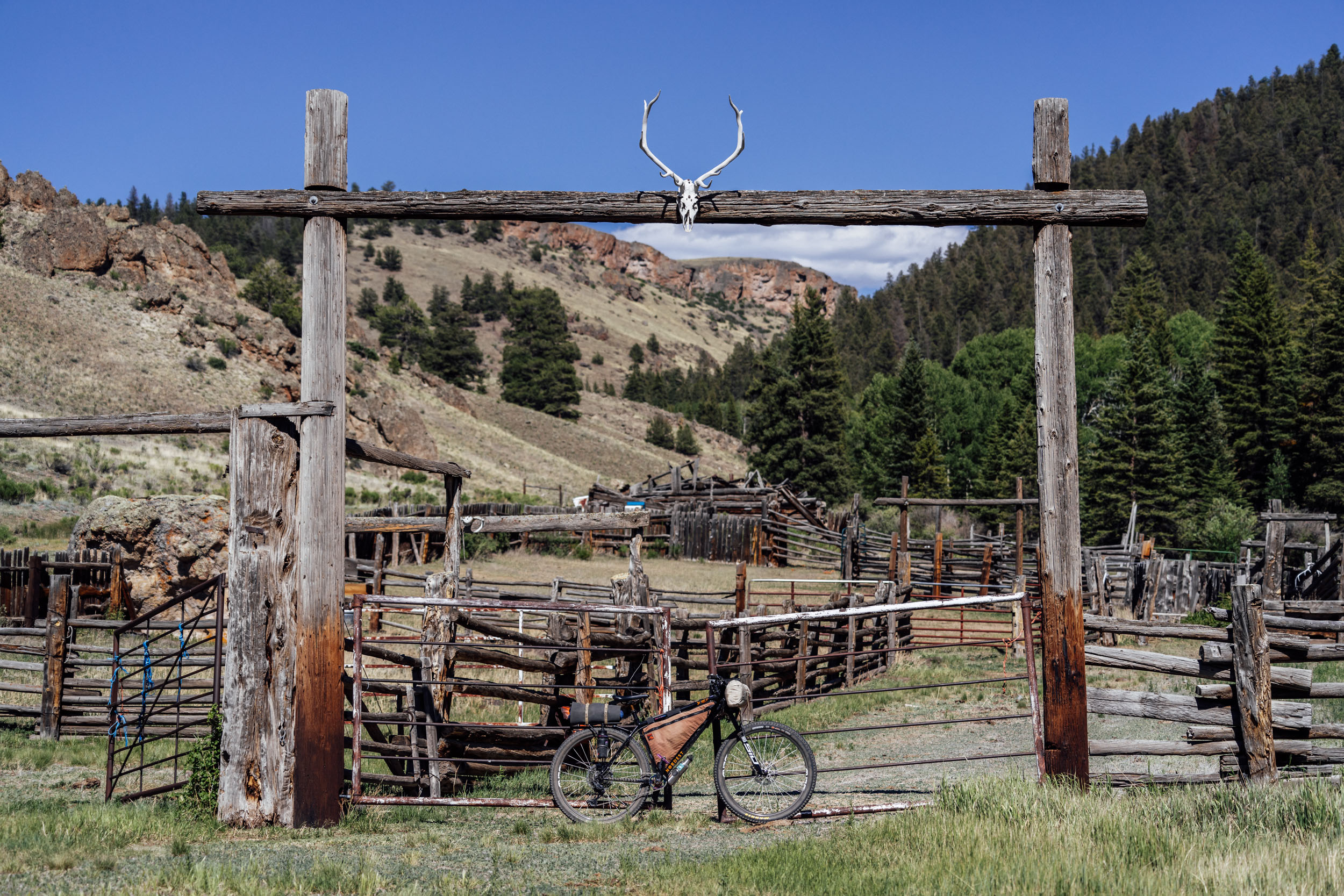
- Cattle ranching is prevalent throughout the route. Cows are generally uninterested in cyclists, but it’s a good idea to give them a wide berth if you pass them on the open road. It’s also critical to leave any gates as you found them, open or closed, to keep cattle corralled where they should be. Because of the presence of cattle, you’ll want to filter and/or treat any wild water that you gather on the route.
- On occasion, the road around Mirror Lake floods, making it impassable for vehicles. There is generally a small path around the flooded parts of the road that is possible to get a bike through. Don’t be tempted to take the game trails on the west side of the lake. It’s not worth it. Don’t ask us how we know.
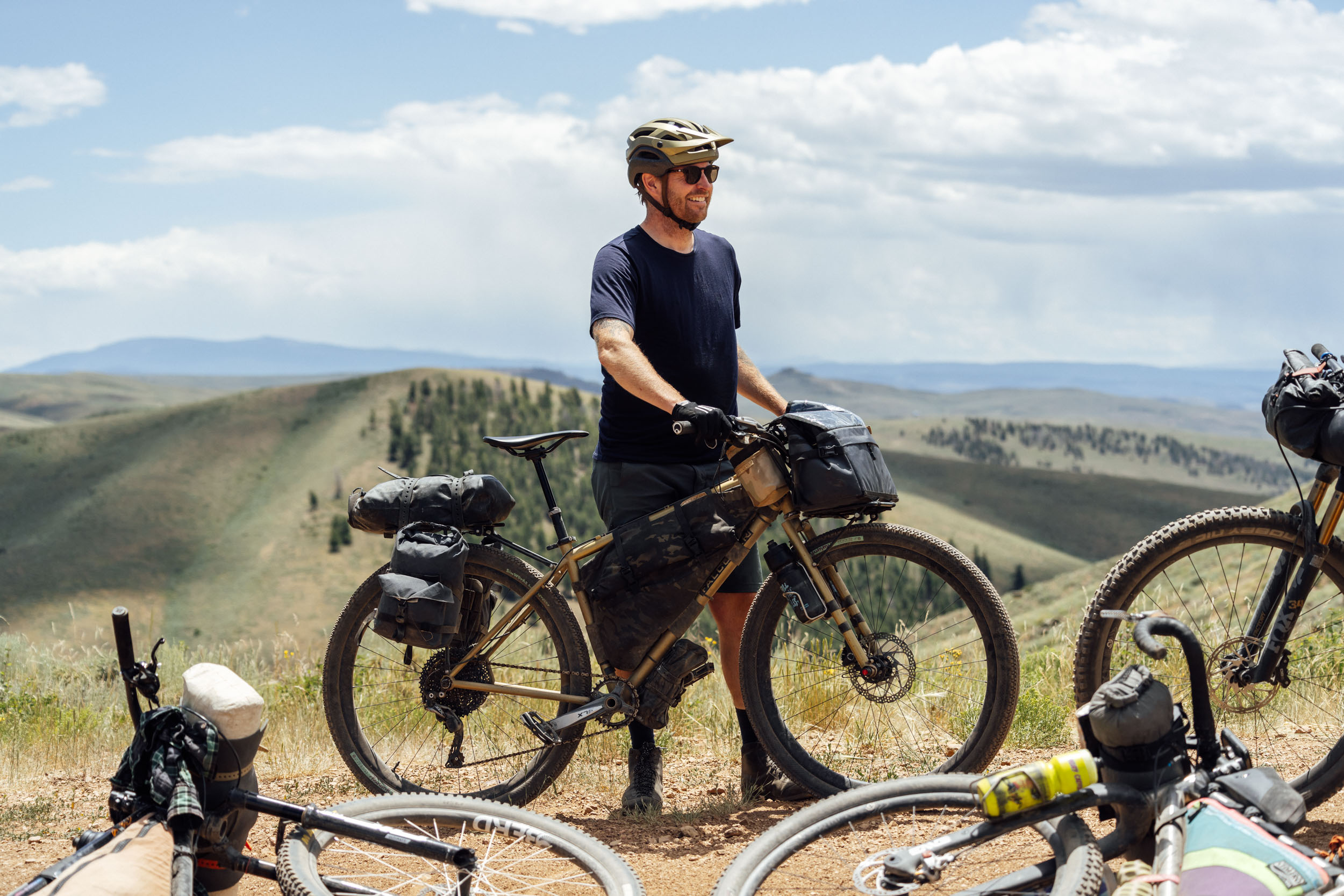
What Bike
- With a variety of road surfaces and gradients, the best bike for the job is one that has relatively wide and durable tires for the rougher sections of the route but that can still roll efficiently along the smoother and faster gravel sections.
- An ATB or hardtail mountain bike, with or without front suspension, can handle the various challenges of the terrain without getting bogged down when it’s time to fly over rolling hills of sage.
- A bike suitable for a route like the Great Divide Mountain Bike Route would also be ideal for the Sage and Saddles.
- Tires wider than 2.0 inches are recommended, and tires ranging from 2.2 to 2.6 inches in width are ideal.
Bikefishing
- Sage and Saddles could make an excellent bike fishing route with some of the best trout waters in the state along the route. Right out of the gate it passes the Gunnison River and follows countless smaller creeks that are perfect for fly fishing. Those include the beautiful Cebolla Creek and Spring Creek.
- There’s no shortage of fly shops in Gunnison, Almont, Harmels, and elsewhere along the route.
- There are several established campgrounds both in the remote sections of the route and close to towns that are noted in the route GPX file.
- Cathedral Ranch Cabins offers on-site camping for a reasonable fee. This is a great option for the first night, providing camping, resupply, and side hike options all in one beautiful location.
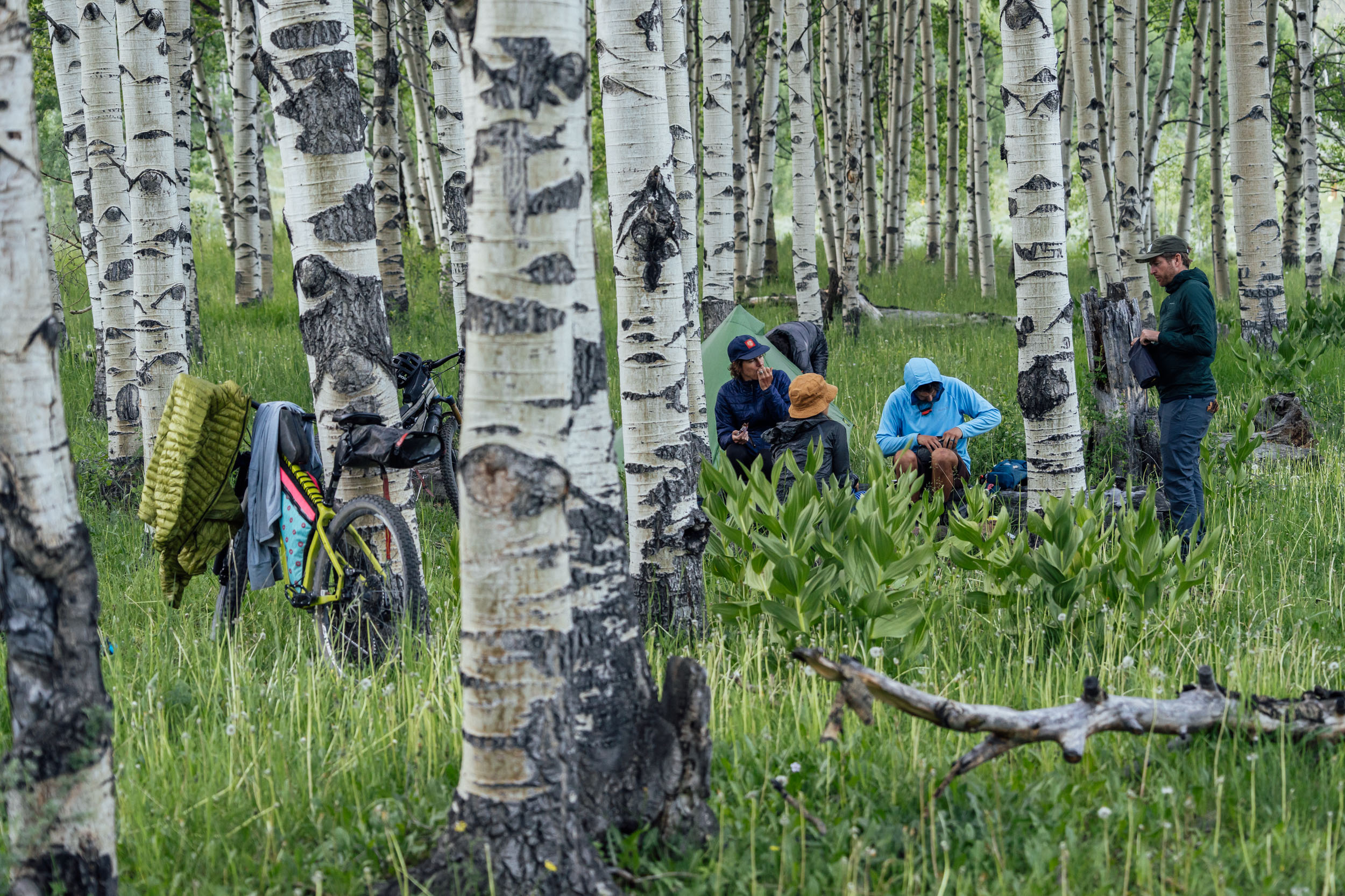
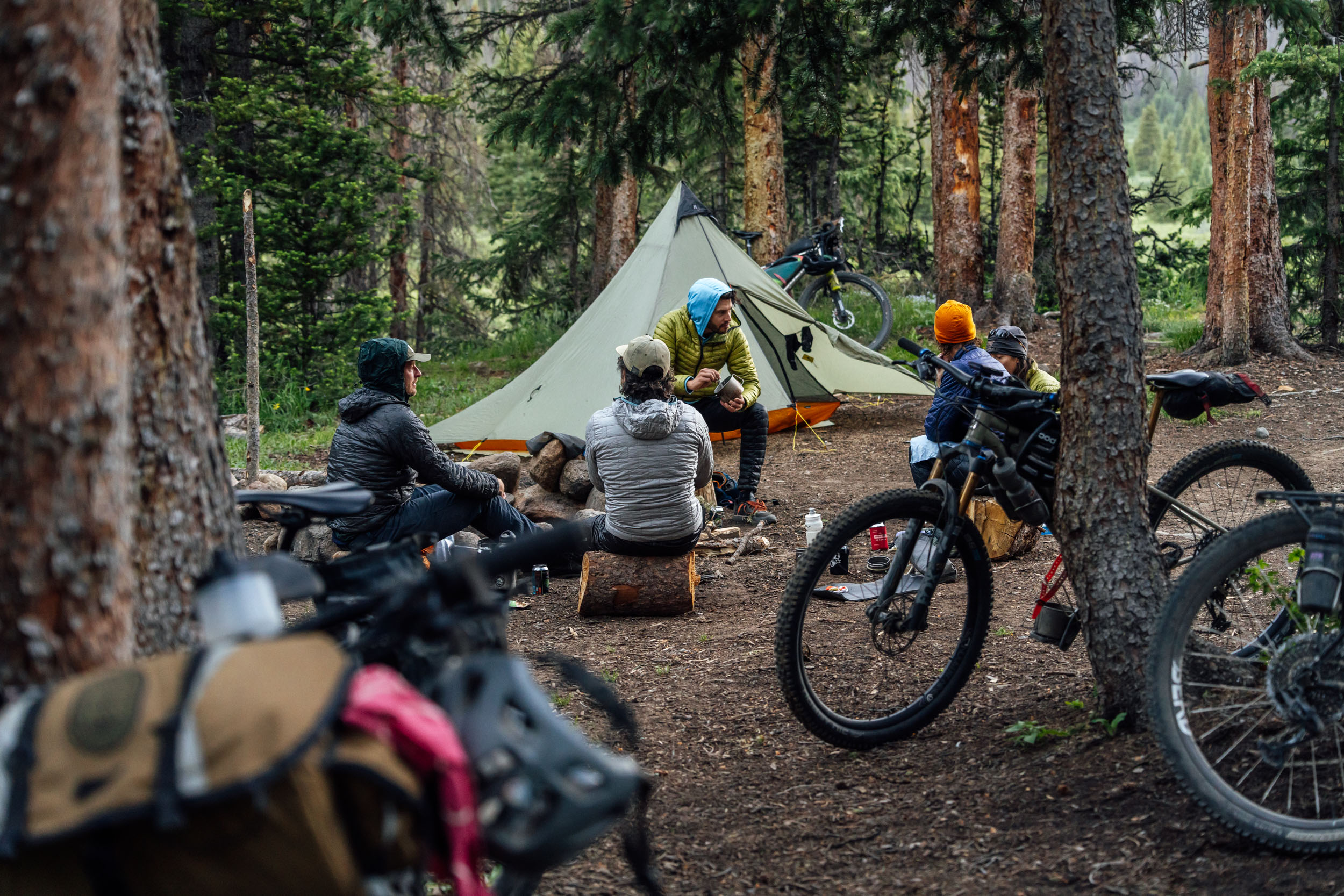
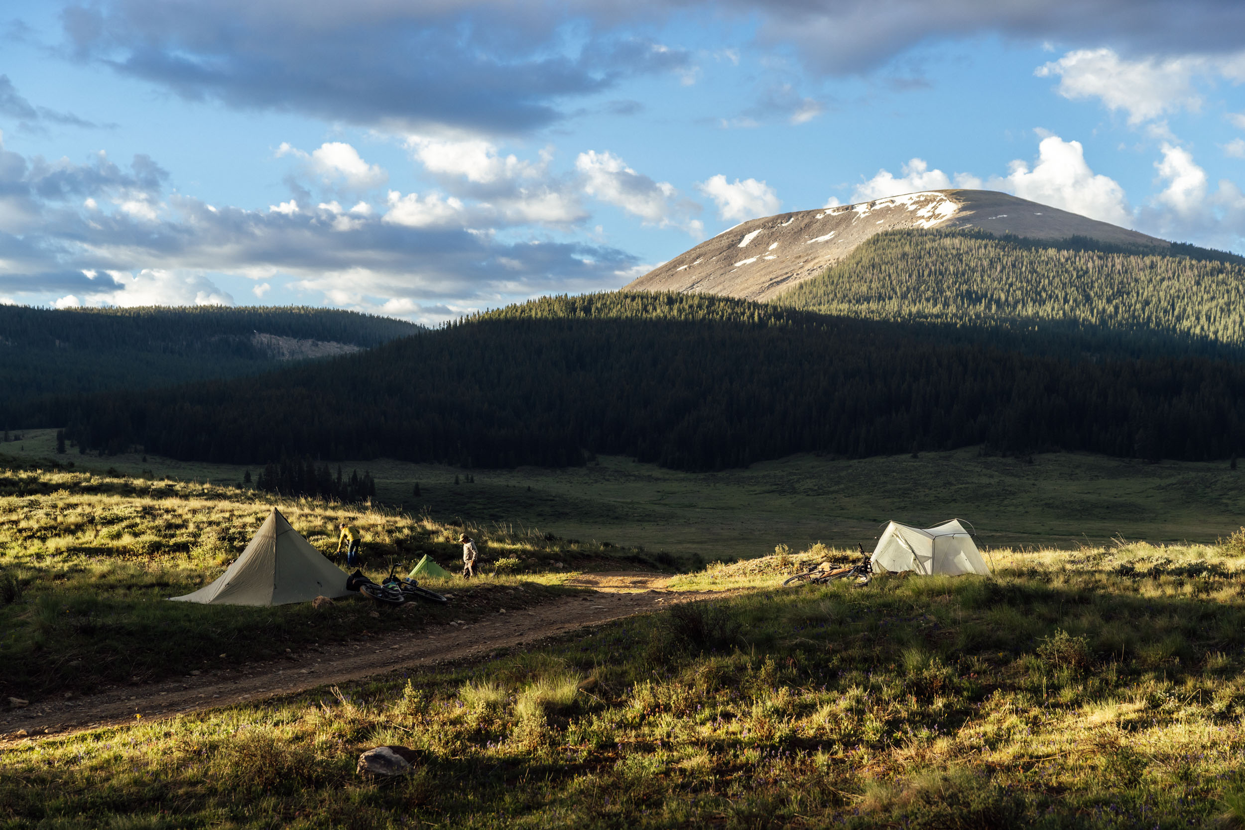
- Most of the Sage and Saddles route travels over public BLM and Forest Service land that provides many wild camping options. When choosing a campsite, Leave No Trace practices ask people to select one that has already been impacted. Look for fire rings to indicate places where others have camped before.
- Respect private land. There are several stretches of road that are flanked by private ranches. Look for signs indicating when you are entering and leaving public land when choosing a place to camp, and pay attention to public land layers on whatever navigation apps you’re using to ensure you’re camping legally.
- There are plenty of hotel options in Gunnison (find suggestions here) and some lodging options in Almont, Harmels, and Pitkin.
- There are plenty of places in Gunnison to grab a cup of coffee, breakfast burrito, a pastry, or fuel to propel you down the trail. Tributary Coffee is a local favorite and Double Shot Cyclery serves up coffee and opens early. There are also a few other breakfast spots to choose from in town, including Back Country Cafe. Sherpa Cafe and The Dilly Deli are good lunch spots. You can find a list of recommended restaurants here.
- There is abundant wild water along this route that should be filtered and treated before drinking. Cattle ranching is common throughout the southern portion of the route, so it’s advisable to get water from as high of elevation as possible to minimize the chance of contamination. Some people may choose to both filter and chemically treat their water in ranching areas, though a filter will remove all bacteria from the water by itself. The mountains of the northern half of the route have clear and fast streams that provide good drinking water. While this water may appear clean, it’s always a good idea to filter wild water in the area before drinking.
- All towns on the route have good sources of drinking water. Most restaurants and convenience stores will have a spigot or sink where you can fill up bottles.
- There are several resupply points with varying stock on the route. Cathedral Ranch Cabins, Pitkin, St. Elmo, Tin Cup, Taylor Park, Harmels, and Almont all have reasonably well-stocked stores where snacks and meals can be procured. Note that all services in Tin Cup are closed after Labor Day weekend.
- The restaurant options on this route will ensure that you don’t go hungry. Pitkin, Tin Cup, Taylor Park, Harmels, and Almont all have reliable dine-in options, but check hours ahead of time. Staff shortages have led to limited operational hours for many mountain town establishments.
- The longest stretch of the route without resupply is the 66 miles between Cathedral Ranch Cabins and Pitkin.
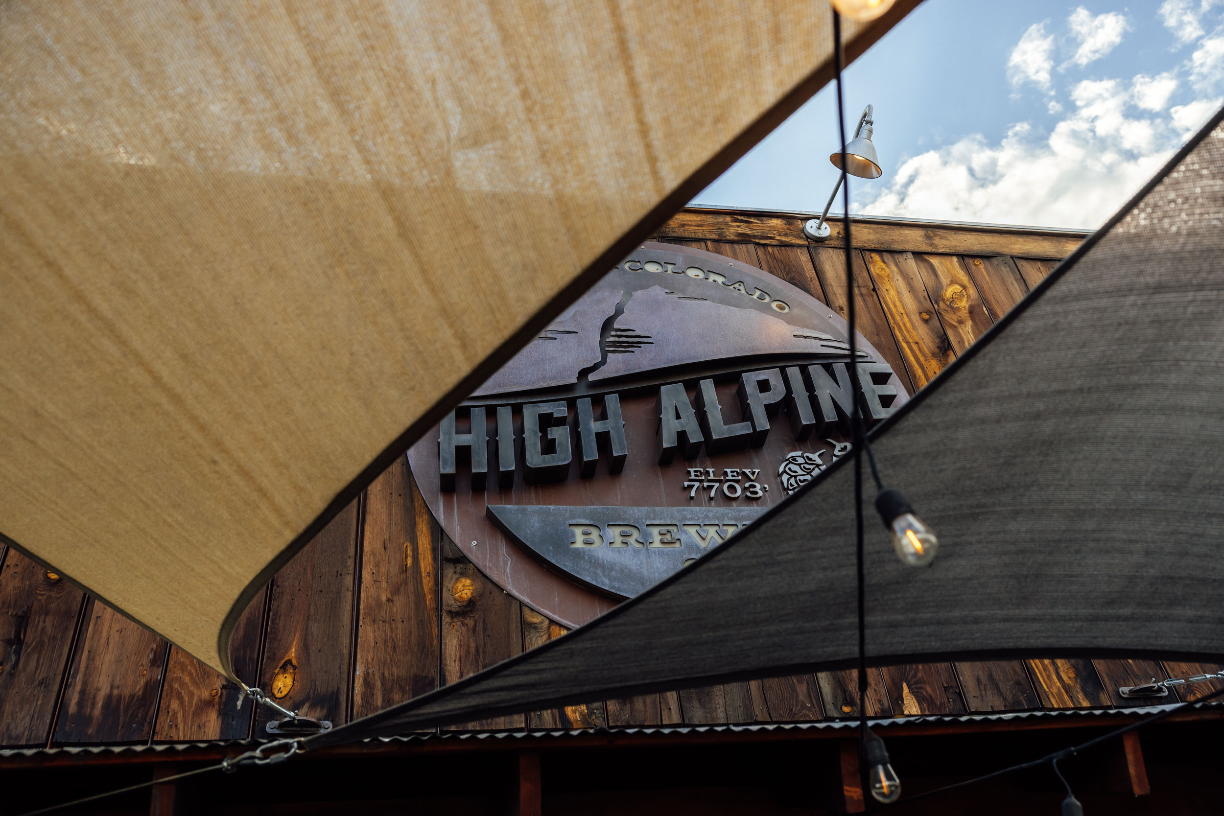
- High Alpine Brewing Company is a great final stop on the Sage and Saddles. Located on Main Street with a second-floor outdoor patio, it offers great beer, food, and an opportunity to watch the going ons in Gunnison while reminiscing about the ride. The Dive on Tomichi Avenue is another great option.
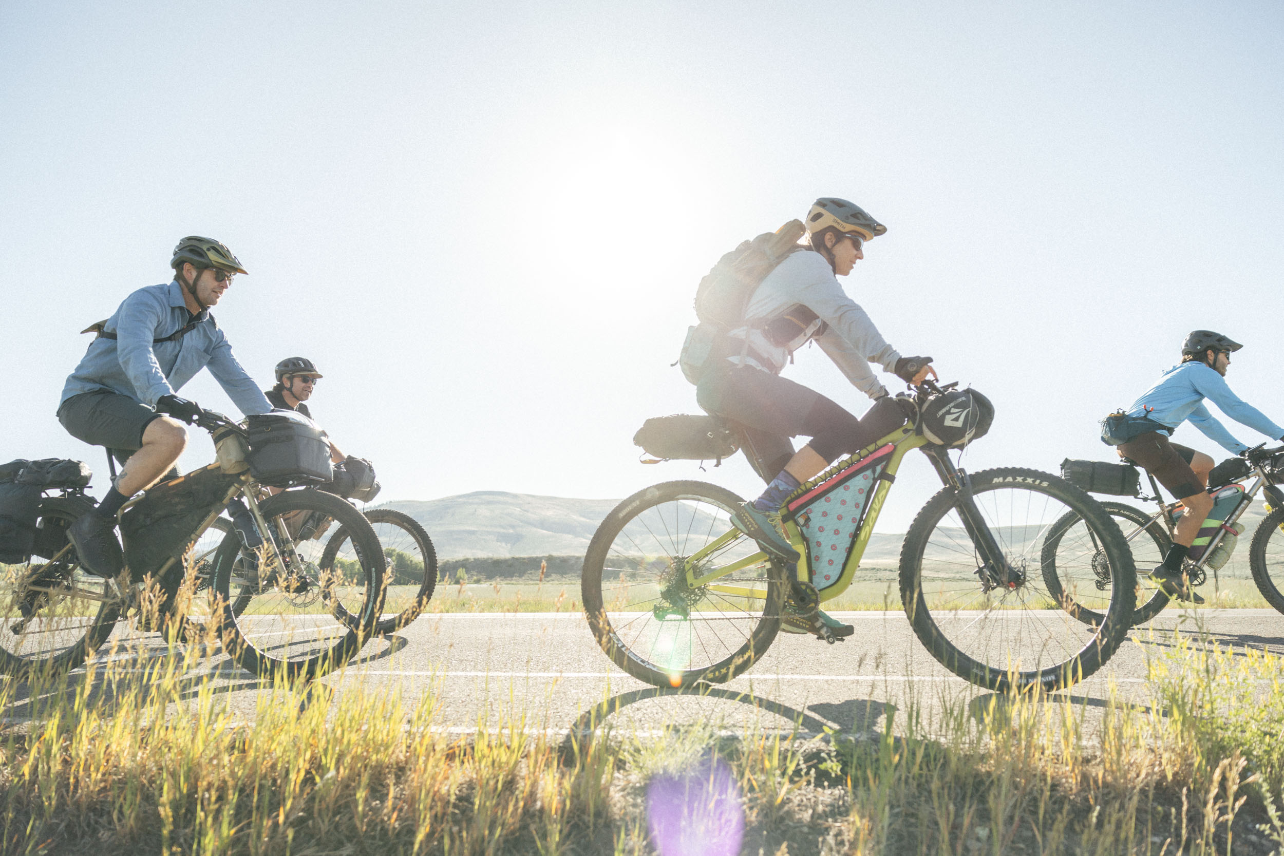
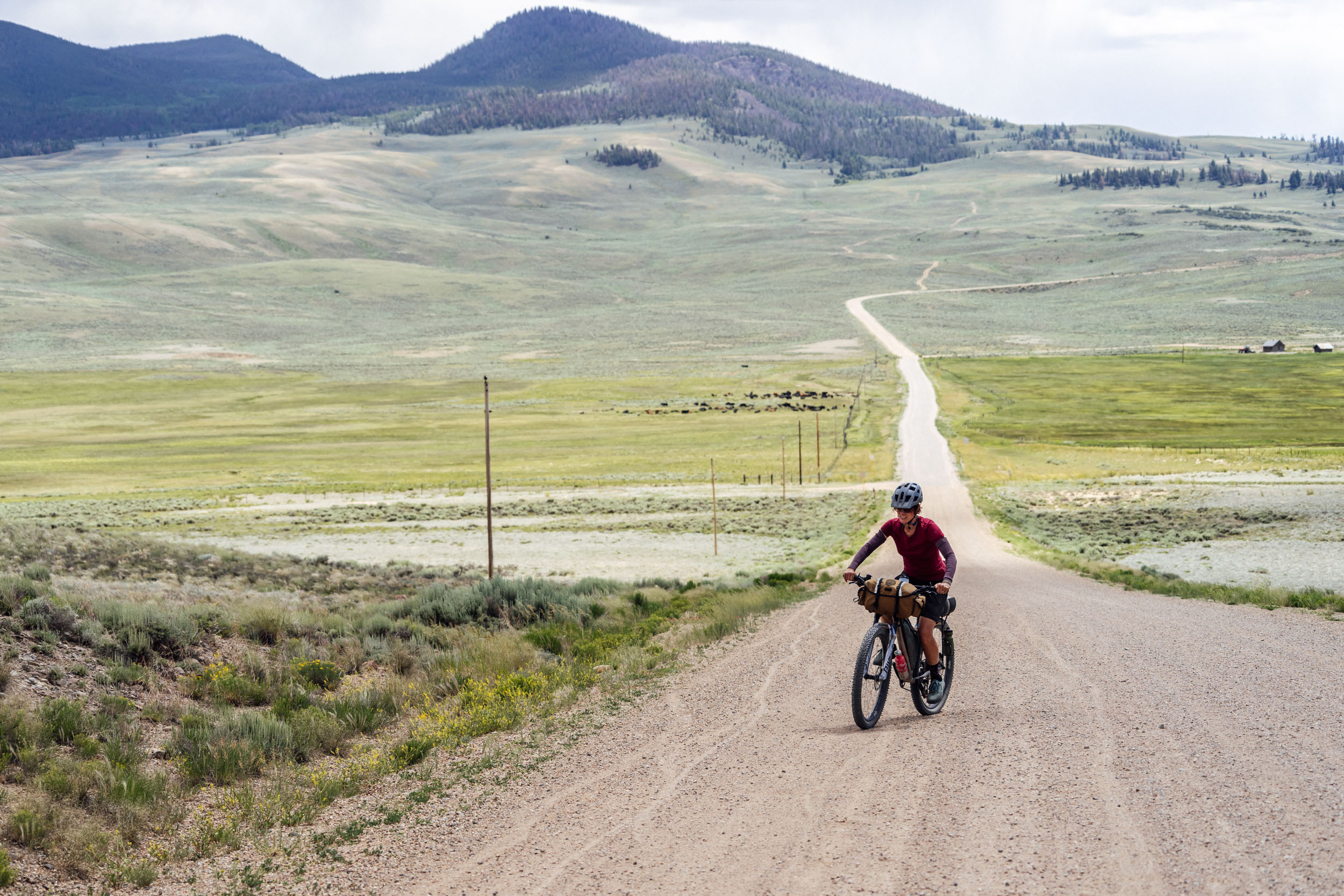
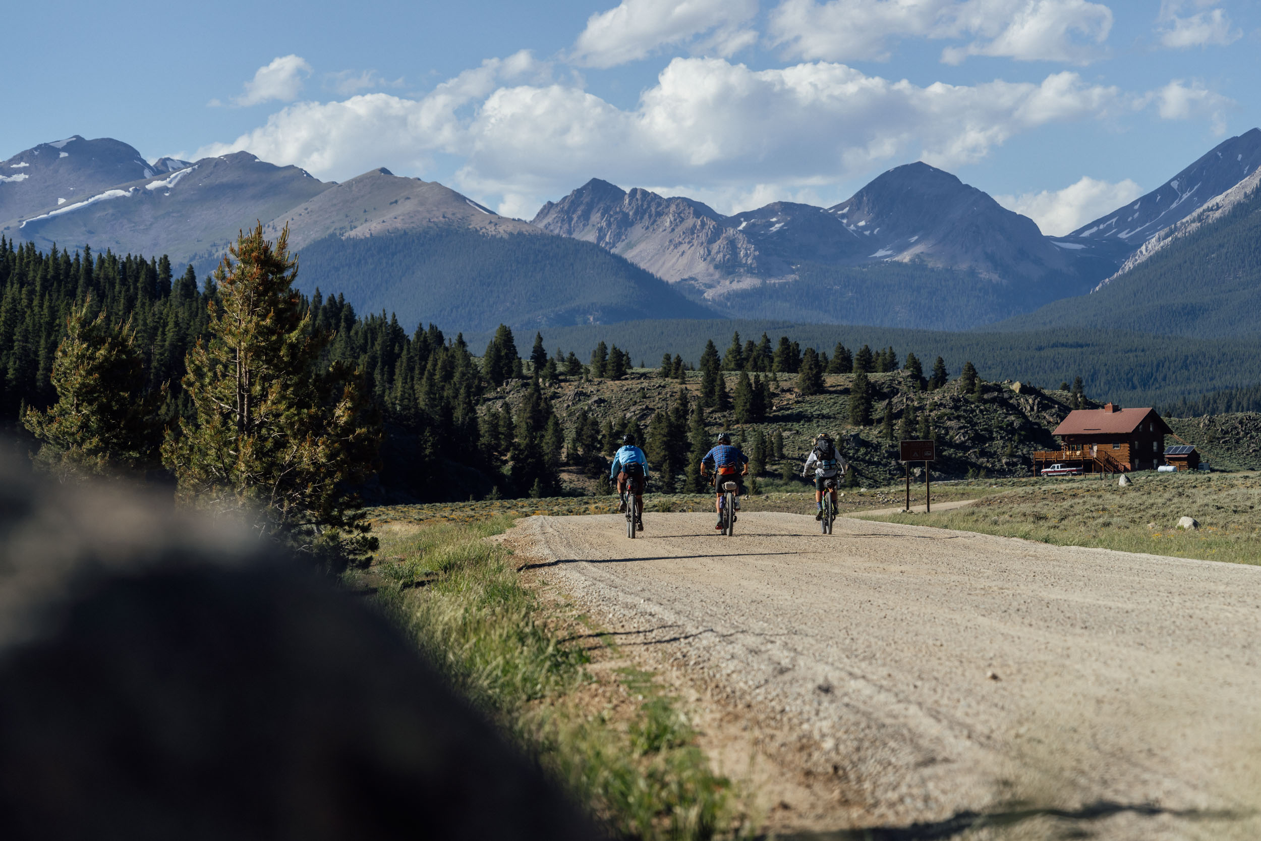
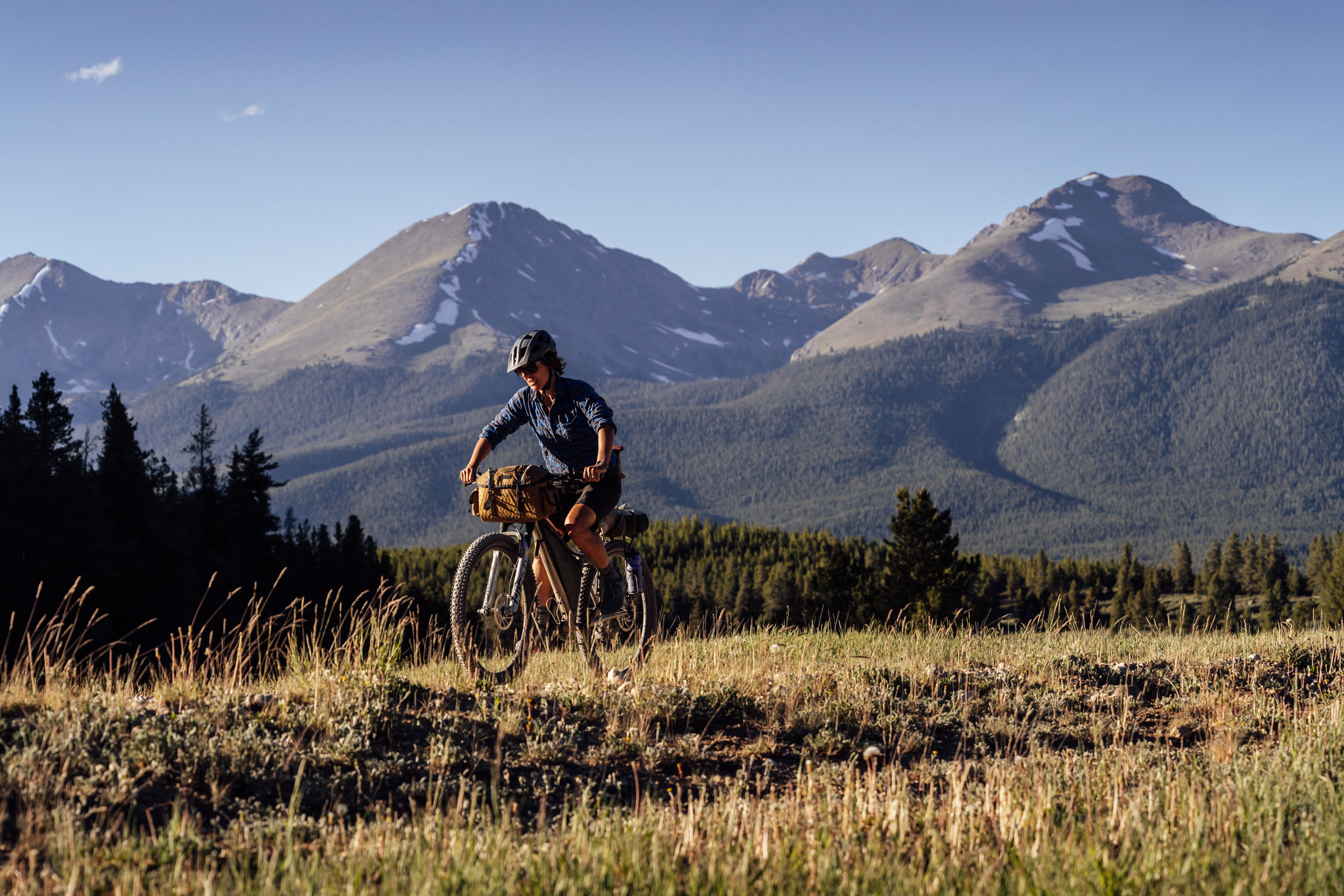
This route can be ridden fairly comfortably in five days, averaging just under 50 miles a day. The early miles of the route south out of Gunnison are fast and relatively easy before heading upward and into the mountains. The first half of the route has fewer resupply points and water sources, and the faster miles make it easier to make it between these locations without having to stock up on supplies. While the southern portion of Sage and Saddles traverses a high-desert sage landscape that can be hot, windy, and sun-exposed, the second half takes on a notably different character with high mountain passes, alpine lakes, and an abundance of wildlife.
location Gunnison to Cathedral Ranch Cabins
Day 1 (50.8 miles, 4,600 feet)
 Heading south out of Gunnison, the route passes through Hartman Rocks, a popular mountain biking area, and climbs up the infamous Kill Hill, one of the steeper stretches on the route. Alternatively, it’s possible to take a relatively cruisey singletrack climb up Jacks to gain the top of the hill. Climbing and descending a series of hills throughout the sea of sage, the route makes its way generally southward, staying high above the Aberdeen Quarry, an abandoned granite quarry, before dropping down to the aptly named Willow Creek. This is an easy turn to miss in the middle of a fast downhill, so keep an eye on your GPS. The road surface deteriorates some on the climb back up to Highway 149, but willows along the creek provide some relief from the sun. Once on 149, it’s not a long stretch of pavement before starting up Cebolla Creek on the way to Powderhorn and then onto Cathedral. There are a couple of nice Forest Service campsites along this road, but most will want to push on to Cathedral Ranch Cabins for the night, an oasis of snacks, water, and shelter in an otherwise remote corner of Colorado.
location Cathedral Cabins to Waunita Pass
Day 2 (68 miles, 4,700 feet)
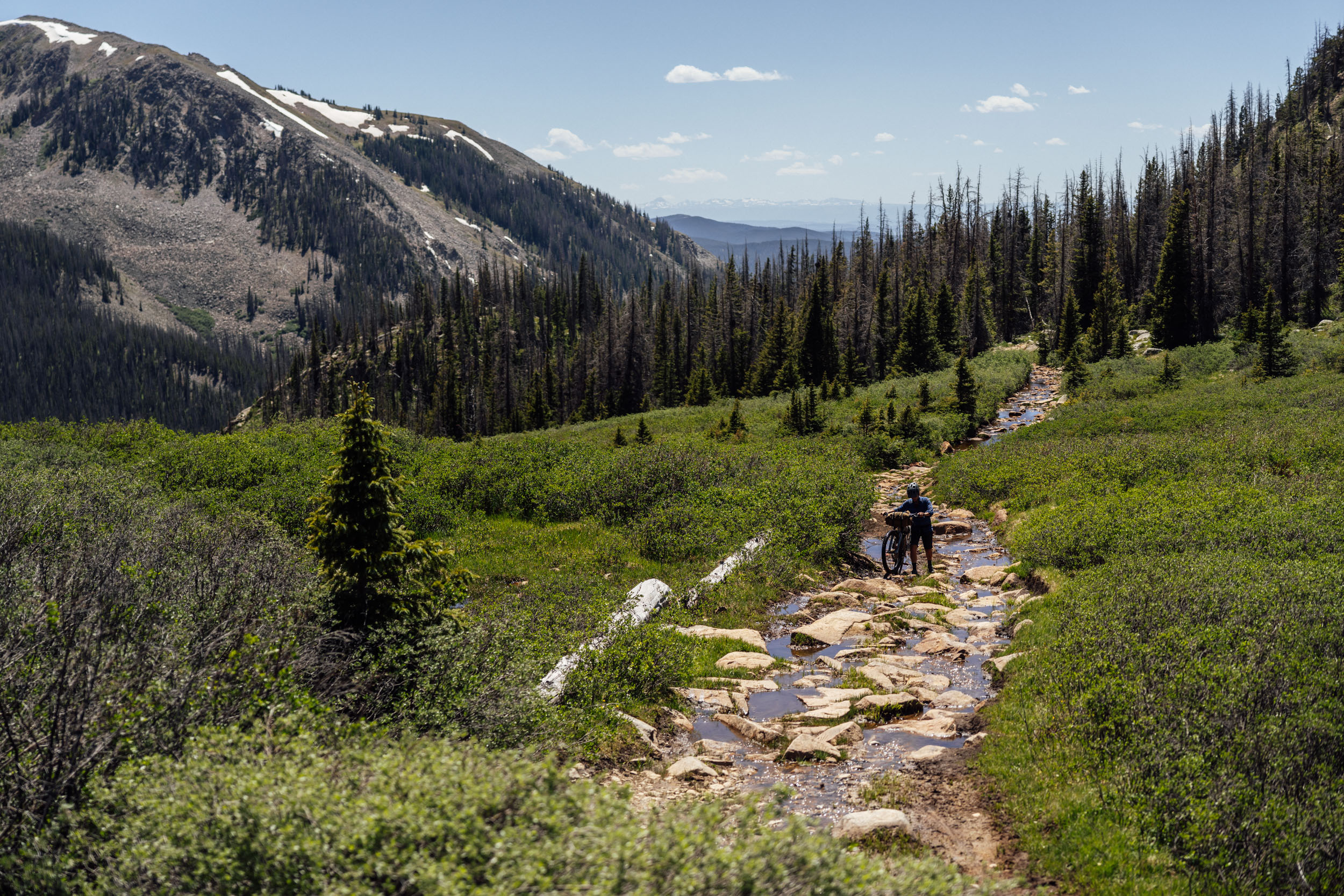
 From the Cathedral Ranch Cabins, the route turns northward and heads over Los Pinos pass. It’s a gentle climb up to 10,509 feet, traversing through open meadows and beautiful aspen groves. This is the last shade for a while as a fast descent down the backside goes straight into the exposed sage country where trees are scarce and cattle abundant. Unless you’ve stocked up on a day’s worth of water at Cathedral Cabins, you’ll want to fill up as high on the pass as possible to minimize the level of cow contamination. The wide-open road trends downhill and is a fast, smooth surface. It’s also part of one of the Colorado Trail’s Wilderness Detours. There is water available at the intersection of county roads 14KK and 14FF, but it comes from the Dome Lakes, which provide water for cattle. It’s water, but it’s not great. Crossing Highway 114, the route then uses part of the Great Divide Mountain Bike Route to head north to Highway 50 on a series of rolling hills. North of Highway 50, the road is flanked by private property for several miles as it climbs toward Waunita Hot Springs. There are camping options by Hot Springs Reservoir and some questionable water around. The reservoir is often empty, and the water isn’t great, but just past the reservoir, there is a small roadside spring that provides passable water if needed. Past Waunita Hot Springs, the route crosses back into public land, and there are a few scattered camping options. Once on Waunita Pass, the road follows a small creek, which is probably the best water of the day. There aren’t many camping options available on the actual climb, which starts in the sage and ends in the pines, but a large clearing at the top provides ample room for several tents, and most importantly, sets you up for breakfast in Pitkin the next morning. At 66 miles, this is the longest stretch of the route without resupply.
location Waunita Pass to Tin Cup Pass Road
Day 3 – (30 miles, 4,000 feet)
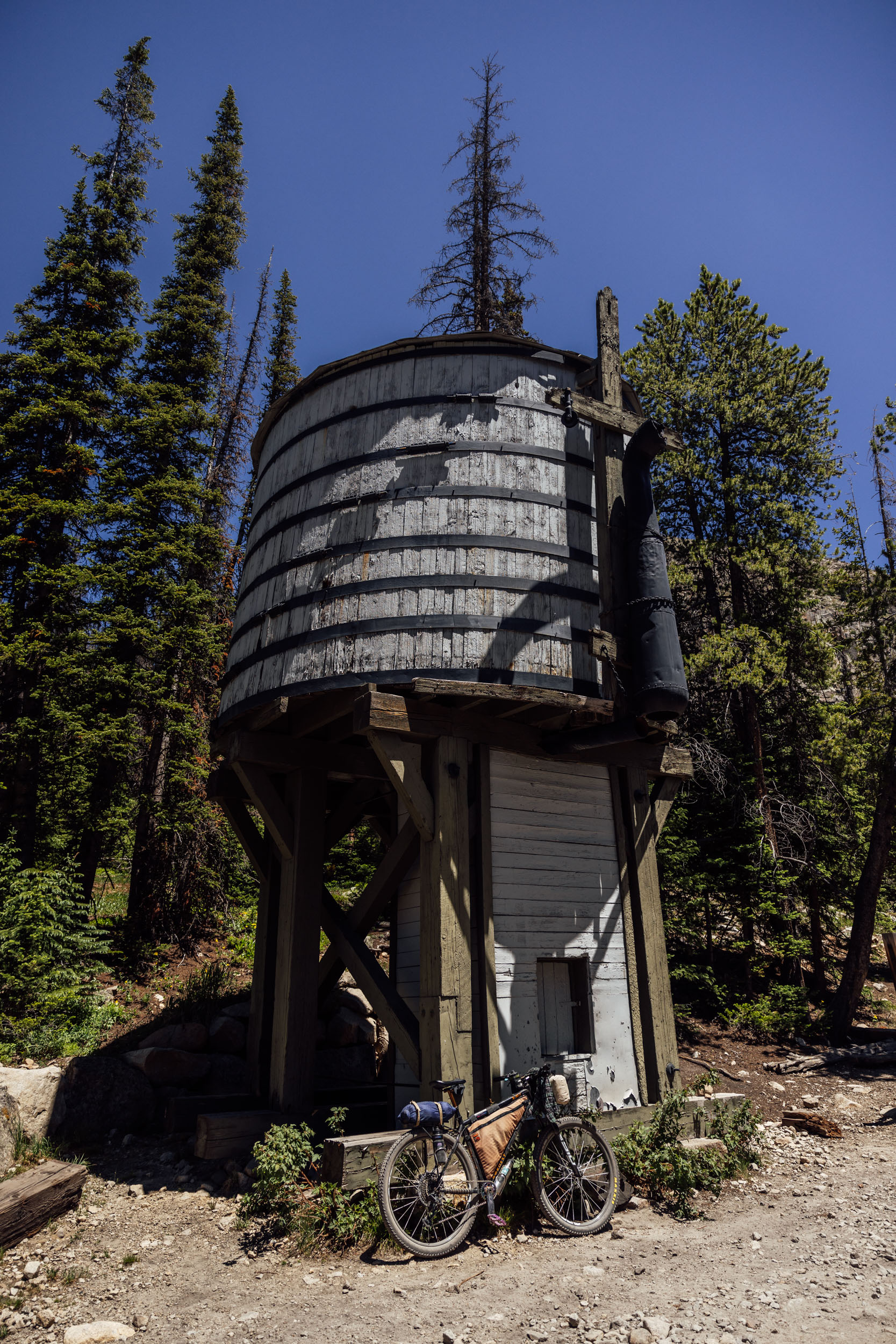
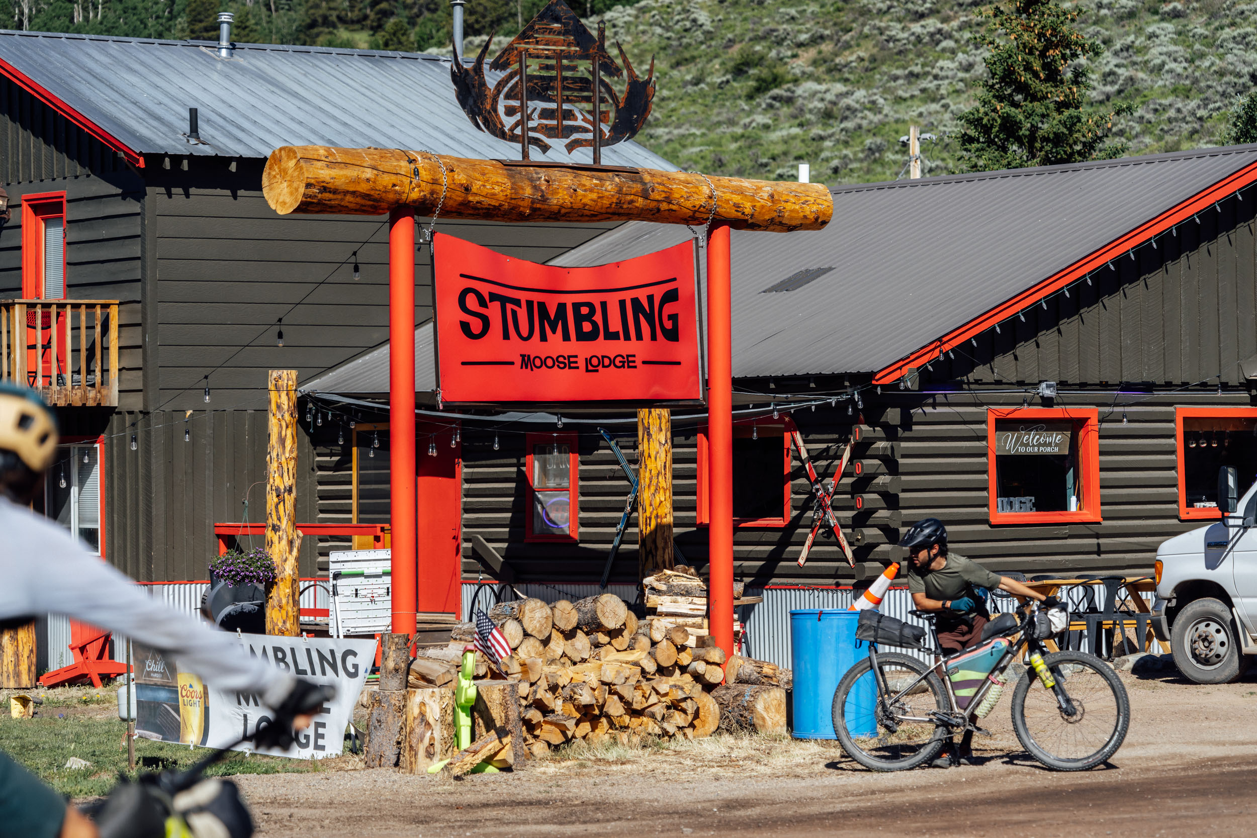
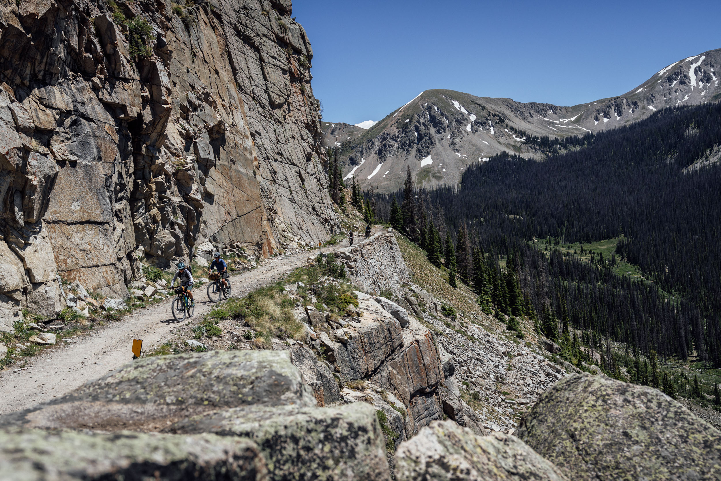
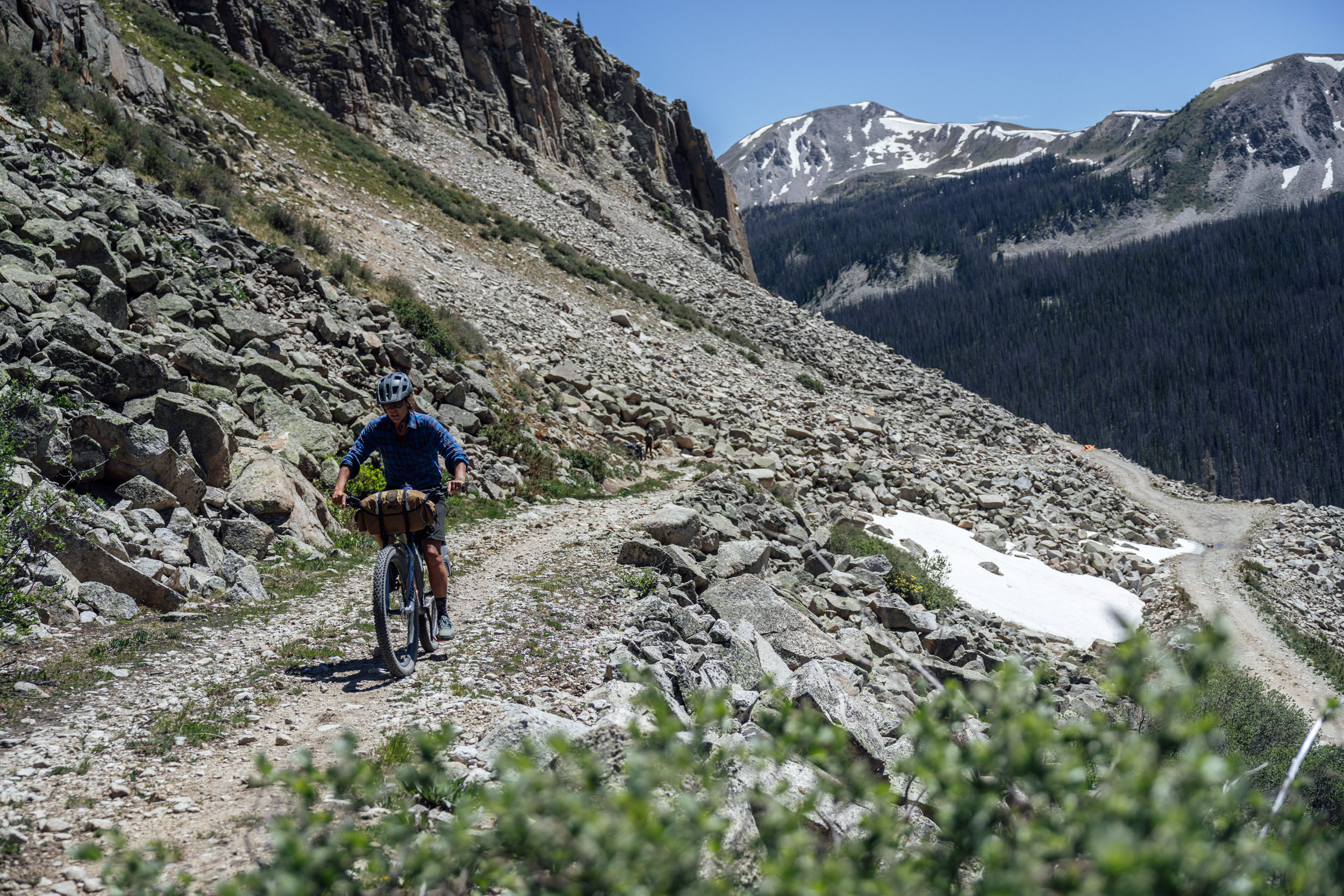
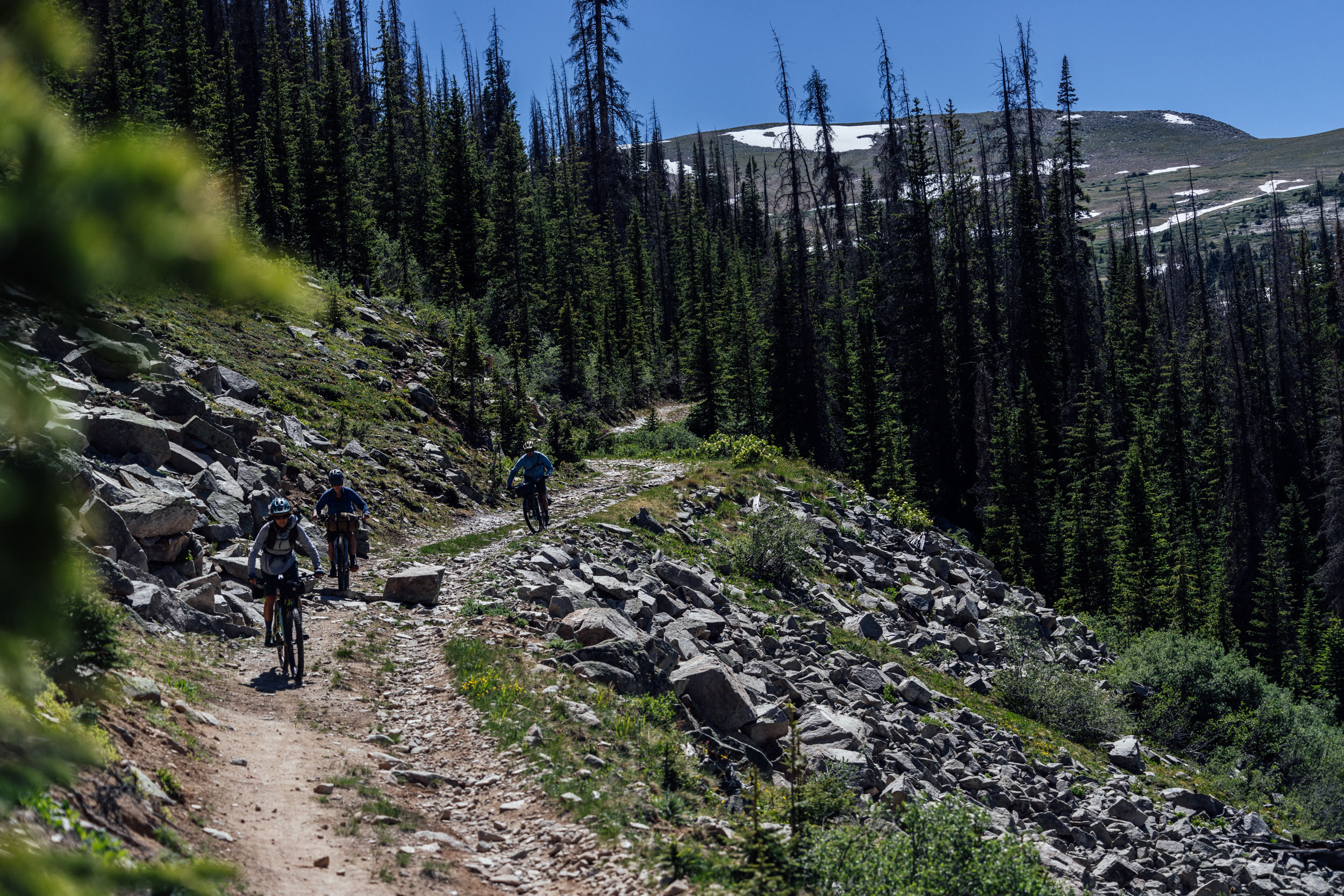
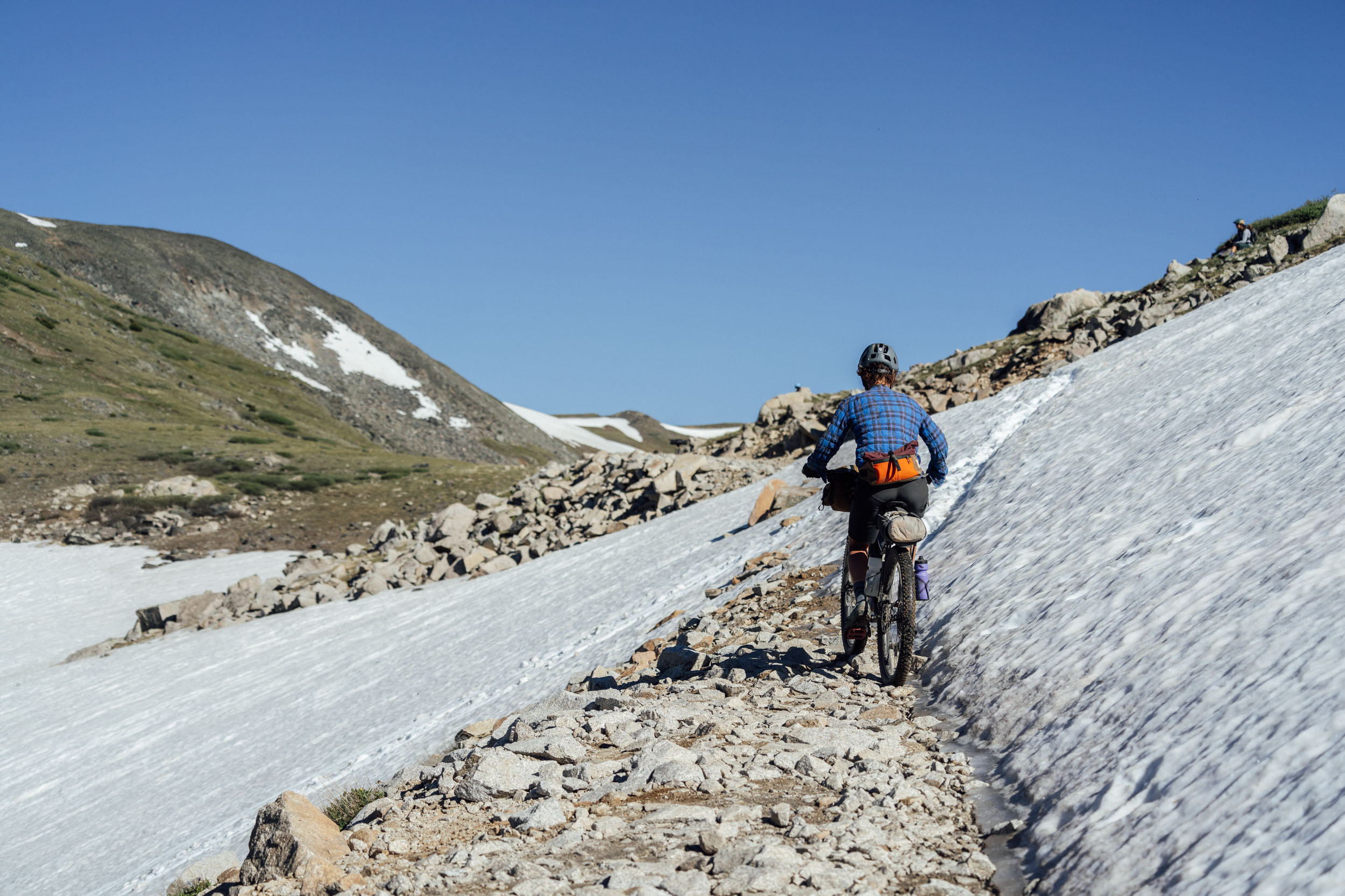
 While there are some embedded rocks in the road down to Pitkin to contend with, it’s a fun and fast descent to the small town. There are a couple of restaurant options, including the Stumbling Moose, which is mostly a bar but also serves up a delicious breakfast, including coffee and cinnamon rolls. The Silver Plume General Store at the north end of town has everything needed for a resupply, and the food cart in the back is a great option for lunch. Climbing along the old South Park railroad line, the route makes its way up past small mountain streams and waterfalls toward the famous and long-defunct Alpine Tunnel. Construction of the tunnel by the Denver South Park and Pacific Company started in January of 1880 and encountered many delays. It didn’t get completed until July 1882. By the time it was finished, the Rio Grande Railroad had already constructed a line over Marshall Pass, and the Alpine Tunnel route never received the level of use it was planned for and collapsed not long after. The road is often narrow and is popular with the motorized crowd, so stay alert. Turn off from the main route toward Williams Pass before reaching the collapsed entrance of the tunnel. Expect some sections of hike-a-bike as you make your way upward. Not only is this pass beautiful in its own right, but it’s closed to all motorized use for all months of the year except for August. Road quality improves greatly once down the other side to Hancock, a historic ghost mining town. There is camping available here, though it does see a lot of vehicle traffic and car campers. Just another five miles gets you to St. Elmo for another resupply opportunity before heading up the occasionally steep Tin Cup Pass road toward the high point of the route. There is copious camping along this road once outside of St. Elmo. If stopping for the night along this road before going over Tin Cup Pass, the Continental Divide Trail crossing is your last option for below-treeline camping and has several beautiful options for tents.
location Tin Cup Pass to Rocky Brook Road Summit
Day 4 (36 miles, 3,900 feet)
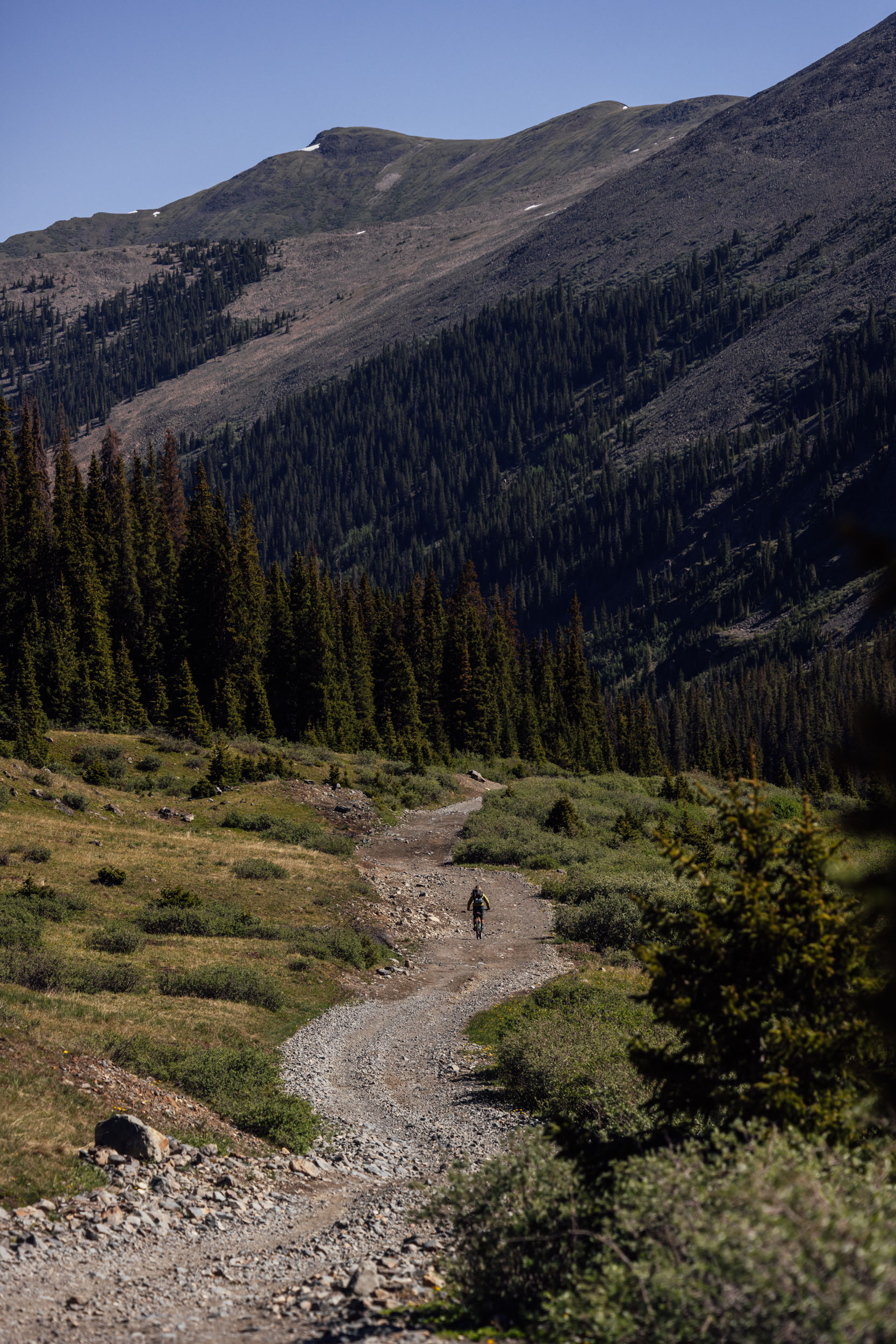
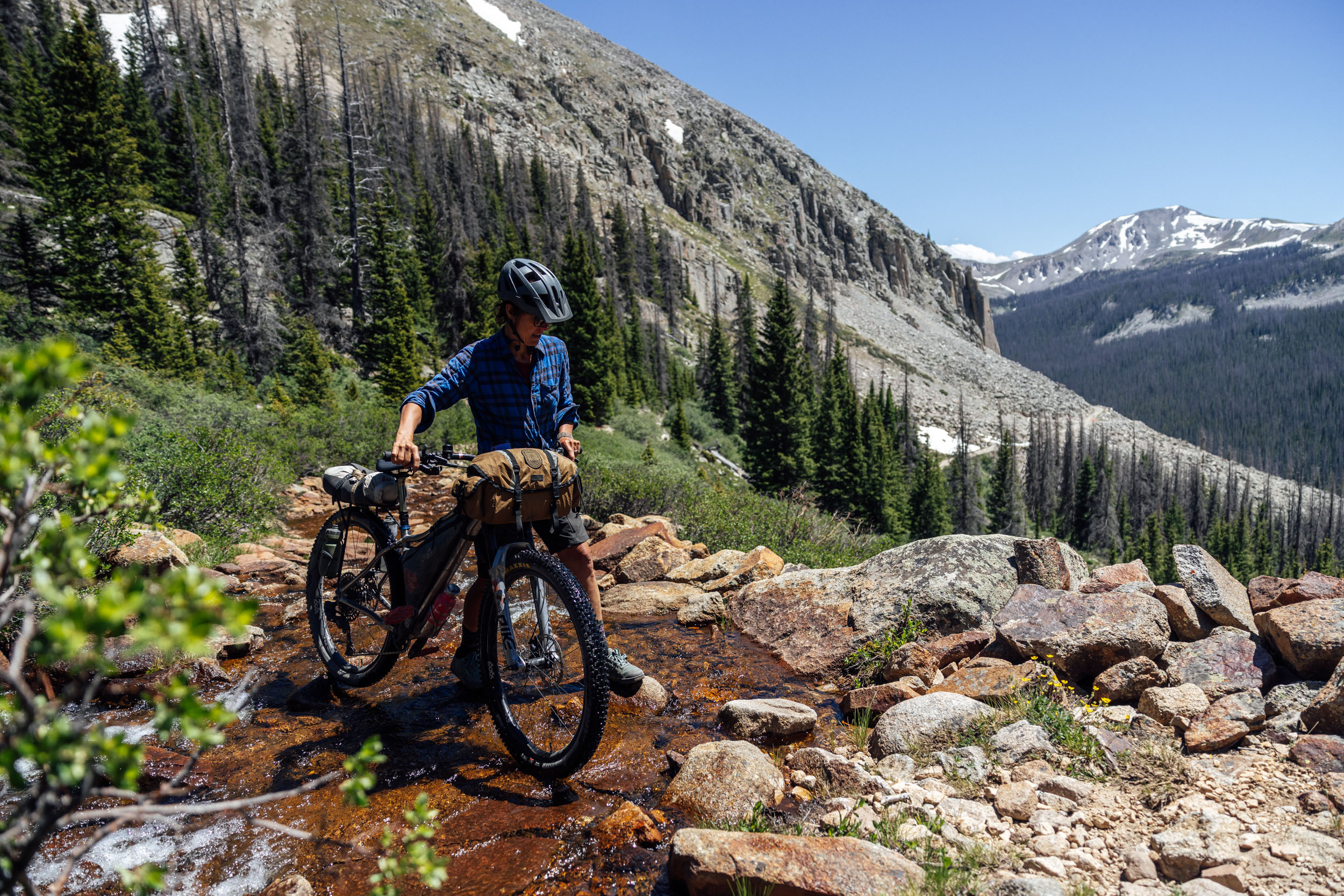
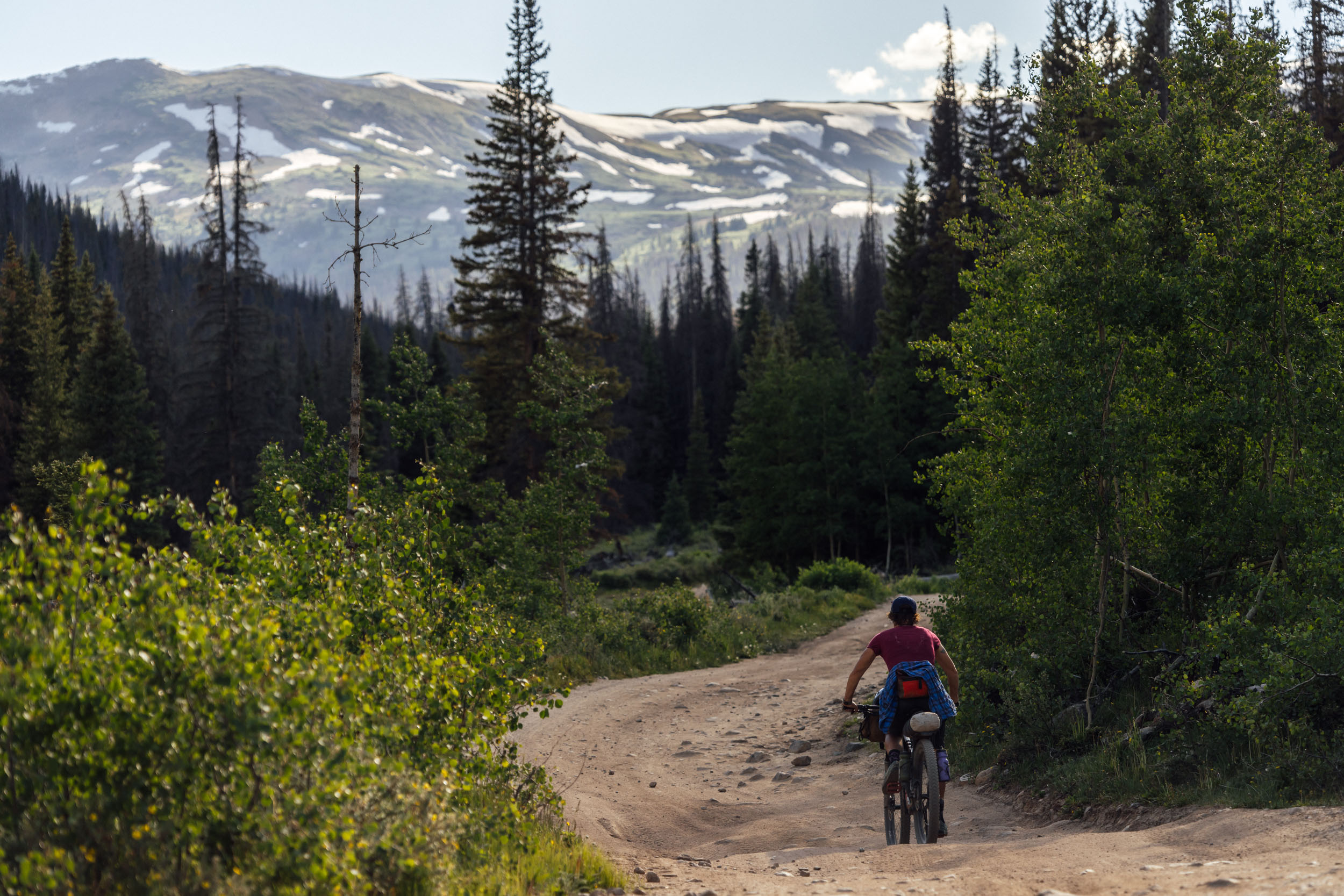
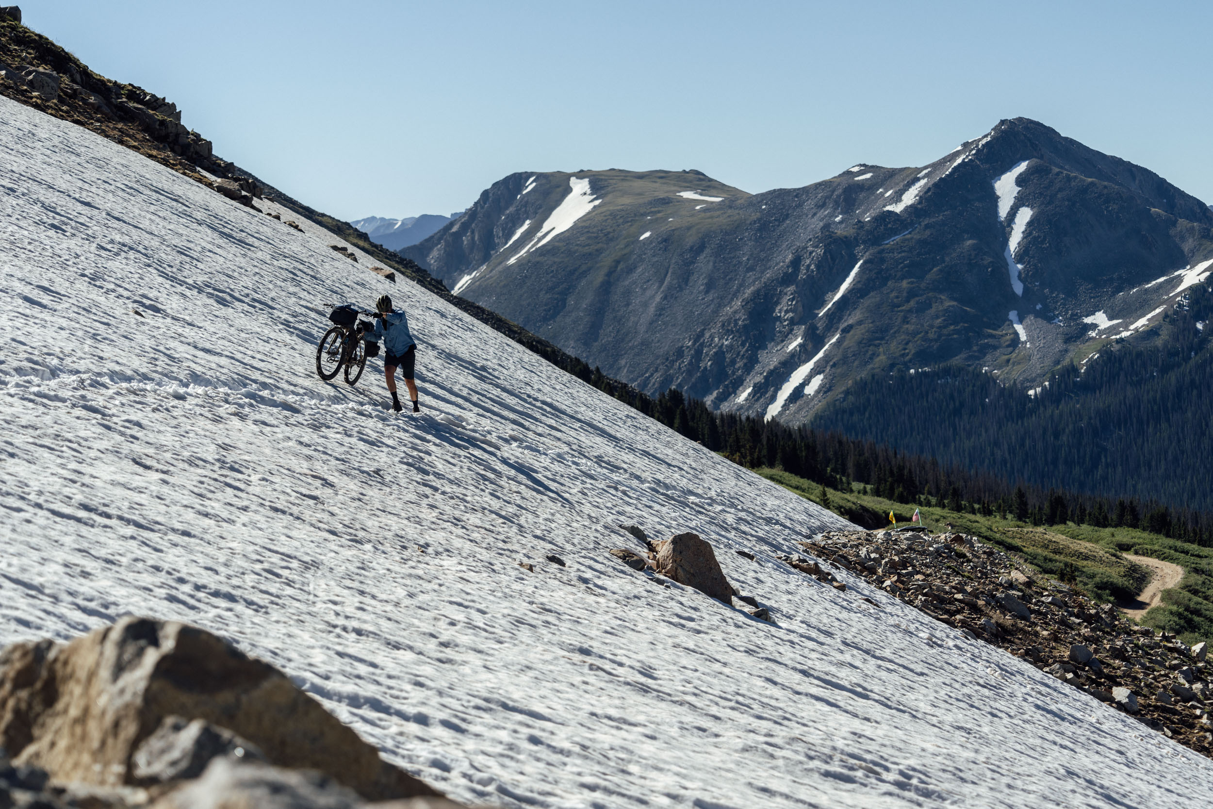
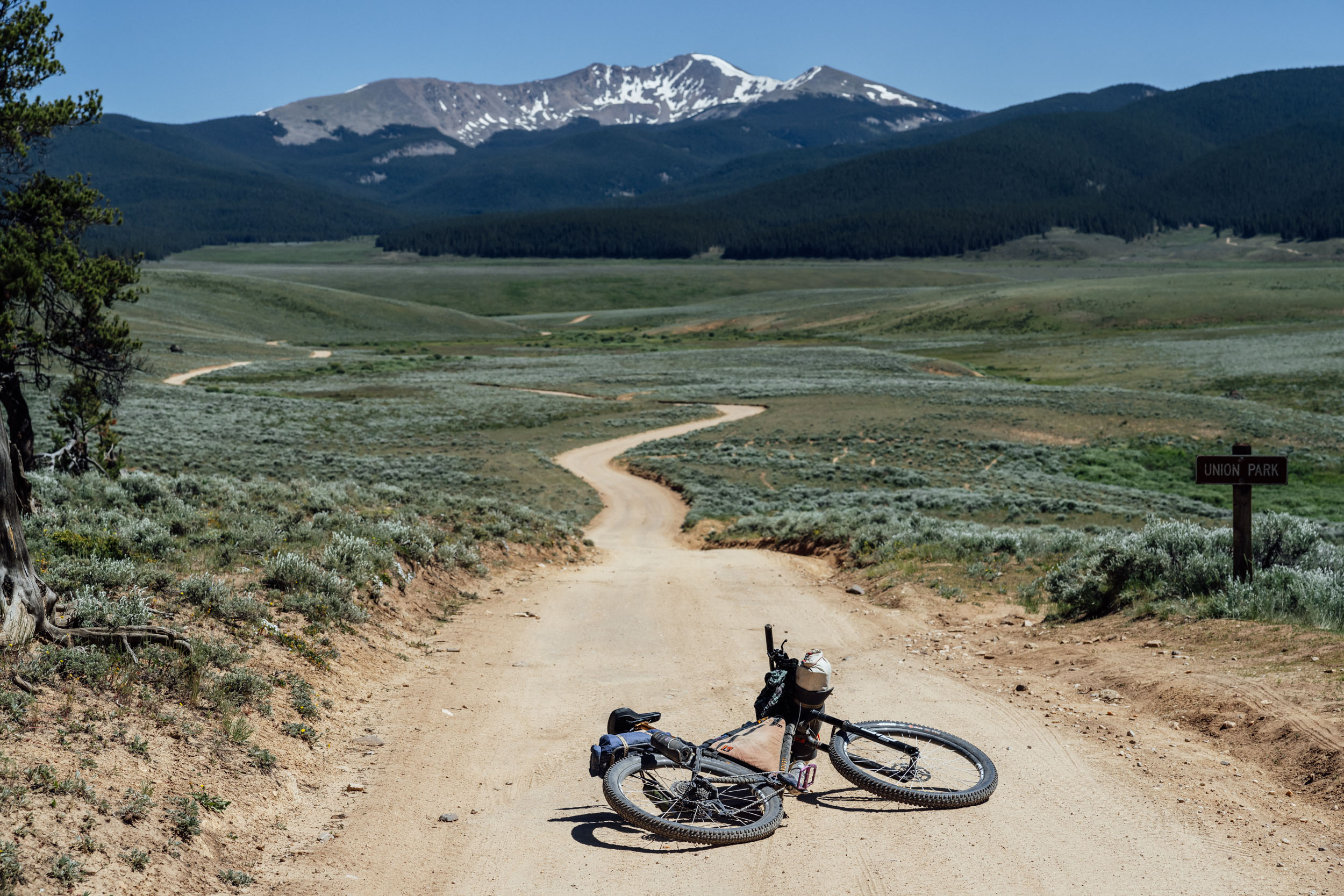
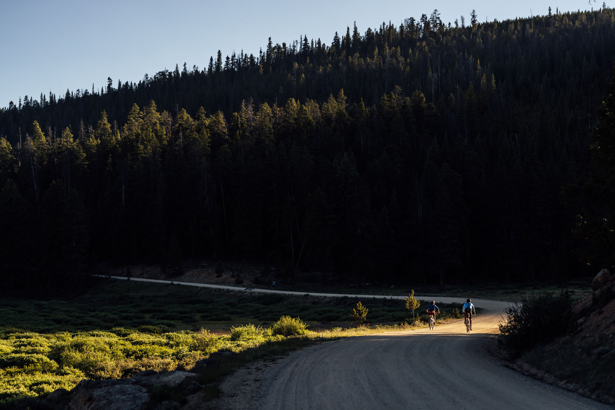
 The road up to Tin Cup Pass, the high point of the route at 12,171 feet, is rocky, steep in places, and absolutely stunning. If you find yourself struggling with the elevation or gradient, just take a moment to pause and take in your surroundings. A snow plug exists at the top of this road until late June most years, but while it stops vehicle traffic, it is generally safely navigable with a bike. A seemingly endless descent will take you past the aptly named Mirror Lake and into Tin Cup, a quirky small town well worth a stop. For food, Frenchy’s serves up standard American fare of burgers, fries, and more. The restaurant has a rich history dating back to 1879 when Napoleon Perraut, aka “Frenchy,” showed up to town to serve whiskey in tin cups for 15 cents a shot. From Tin Cup, climb up Slaughterhouse Gulch and descend into Union Park, a wide expanse of sage surrounded by big mountains. The descent into Union Park is the roughest of the route and is loose and steep. A small “bump” of a hill going over a pass takes the route into Taylor Park, the heartland for ATVs in Colorado. Enjoy the people-watching while resupplying at the Taylor Park Trading Post. You can also get a meal at the Nugget Cafe. The following nine miles along the Taylor River Road to the base of Rocky Brook Road are arguably the emotional crux of the route. The area receives heavy motorized use, and this road is best ridden before 10 a.m. on a weekday. Having a buff or bandana to pull over your mouth and nose to mitigate dust inhalation is a good idea. In contrast, Rocky Brook Road is relatively quiet, climbs into the pines, and is a welcome relief. There are a handful of camping options near the top of the pass before it drops into Spring Creek Canyon on the other side. Campsites abound as the road drops past Spring Creek Reservoir, and plenty of water is around.
location Rocky Brook Road Summit to Gunnison
Day 5 (46 miles, 3,700 feet)
 The landscape once again starts to change drastically as the route drops elevation from the top of Rocky Brook Road back down toward sage country. Spring Creek Road is a delight, mostly downhill, and turns to pavement just before reaching Harmels on the Taylor. The ranch resort has a coffee shop open 7 a.m. to 7 p.m. every day and a restaurant with limited days and hours. They also rent cabins for the night. The pastries from the coffee shop are not to be missed. While it may be tempting to stay on pavement all the way back to Gunnison from here, some of the best riding of the route is just coming up. Climbing up Jack’s Cut-Off, the route gains access to the Almont Triangle. Often considered a no-man’s land between the mountain biking and wildflower hotspot of Crested Butte and Gunnison, the roads of the Triangle traverse beautiful meadows that are home to large herds of deer and elk. This area is closed to public use from November 22 to May 15 to protect the big game and the Gunnison Sage-Grouse. A series of bippity-boo-baps (small rollers) take you to the final descent to Highway 135 and a quick coast to Almont. For a tiny community of people, Almont has some surprising amenities such as Blue Sky Mercantile, a health-food store with some tasty food options, including fruits and vegetables. Meals are available at the Three Rivers Smokehouse, which is open seven days a week. The final climb of the route out of the back of Three Rivers Resort is a doozy, climbing 2,200 feet in just seven miles, but the views from the top make the effort worth it, as does the traverse through giant aspen groves and then the ripping descent down Lost Canyon back into Gunnison. It’s highly recommended to end your ride at the Gunnison Brewery, which has convenient bike parking right by the front door.
Watch the video we made during the final scouting trip here:


Terms of Use: As with each bikepacking route guide published on BIKEPACKING.com, should you choose to cycle this route, do so at your own risk. Prior to setting out check current local weather, conditions, and land/road closures. While riding, obey all public and private land use restrictions and rules, carry proper safety and navigational equipment, and of course, follow the #leavenotrace guidelines. The information found herein is simply a planning resource to be used as a point of inspiration in conjunction with your own due-diligence. In spite of the fact that this route, associated GPS track (GPX and maps), and all route guidelines were prepared under diligent research by the specified contributor and/or contributors, the accuracy of such and judgement of the author is not guaranteed. BIKEPACKING.com LLC, its partners, associates, and contributors are in no way liable for personal injury, damage to personal property, or any other such situation that might happen to individual riders cycling or following this route.
Please keep the conversation civil, constructive, and inclusive, or your comment will be removed.