

 Mountain Bike (MTB)
 Gravel Bike
 All-Terrain Bike (ATB)
 Fat Bike



Hub of Aroostook
Distance
75 Mi.
(121 KM)Days
2
% Unpaved
86%
% Singletrack
0%
% Rideable (time)
100%
Total Ascent
2,770'
(844 M)High Point
883'
(269 M)Difficulty (1-10)
4?
- 2Climbing Scale Easy37 FT/MI (7 M/KM)
- 3Technical Difficulty Fair
- 4Physical Demand Fair
- 2Resupply & Logistics Easy
Contributed By
Ales Konicek
Guest Contributor
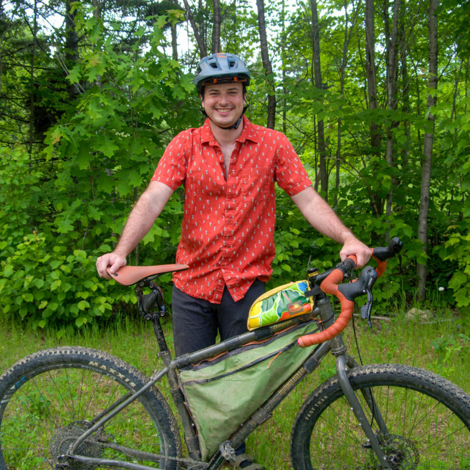
Aleš Koníček is originally from Nemšová, Slovakia. When he first immigrated to the U.S., he lived in North Carolina, where he fell in love with the outdoors. He now lives in Aroostook County, Maine. He spends as much time as possible finding a local adventure or exploring someplace new, whether on skis, on his bike, or paddling in his self-built cedarstrip canoe. Catch him on Instagram @aleskonicek57.
This route begins in the city of Presque Isle, the hub of Aroostook County. Aroostook County, also known as “The County” by just about everybody in Maine, is the largest county east of the Mississippi River and encompasses more land than Connecticut and Rhode Island combined. Although large, it has a very small population and relatively few paved roads outside the main highways. The County is best explored by its vast array of ATV and snowmobile trails that local clubs maintain and private property owners allow access to. Once you leave Presque Isle, you are unlikely to find any chain restaurants, supermarkets, or hotels. The County is primarily served by local businesses owned by local people who rely on the expansive trail network for tourism through recreation. One of the main motivators behind creating this route was the untapped potential for gravel cycling and bikepacking in the region. Online guides and routes for this area are scarce, and the cycling community here is quite small. Still, those who ride are passionate about sharing and bringing people to explore the trails that Aroostook County has to offer.
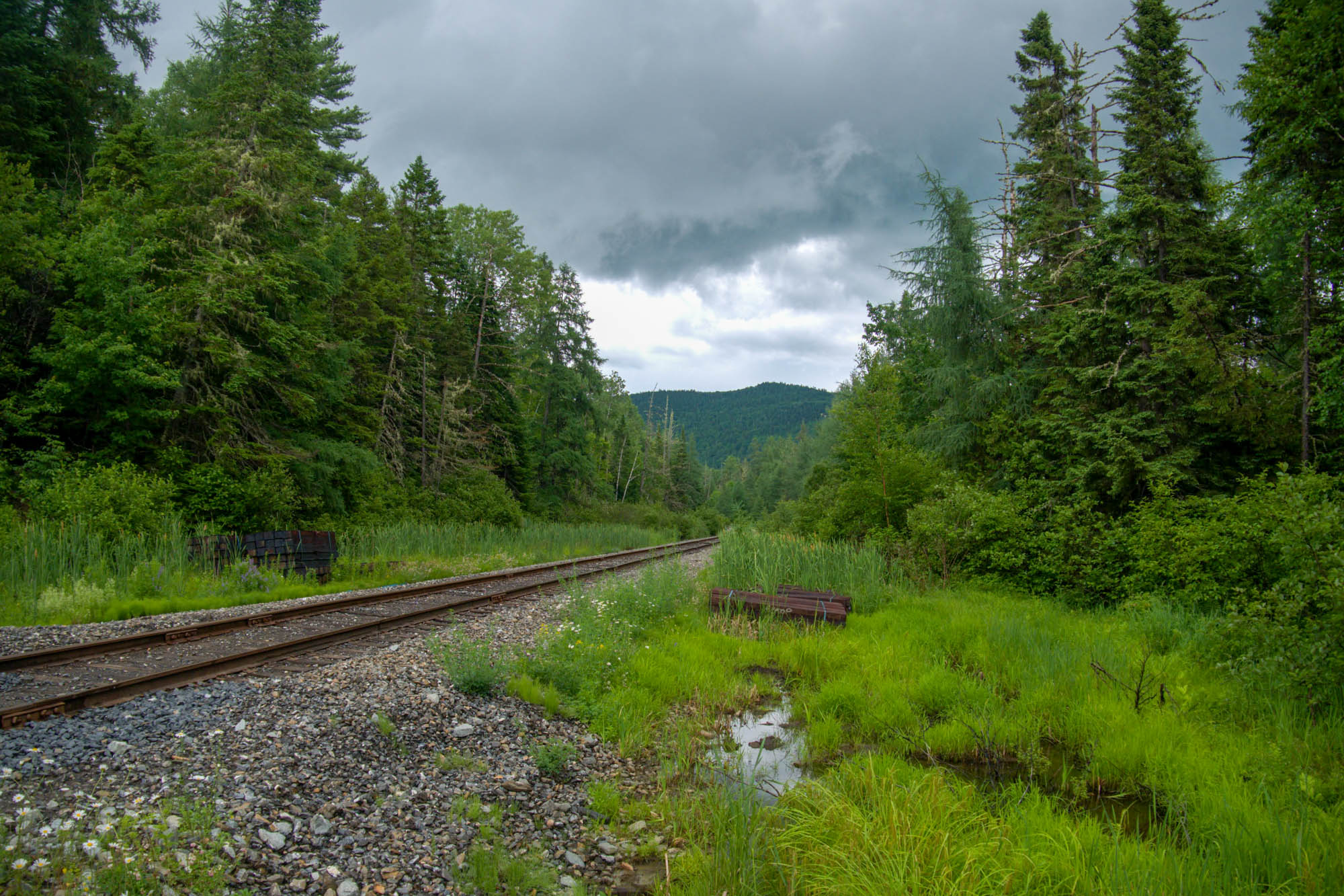
The route needed to represent The County. That meant woods, farms, and rivers. The route starts by following the Aroostook River, passing farmland and wooded areas. The second half of the route reflects the county’s remoteness as it passes into Scopan Public Lands and along old logging roads that connect back to town. While in Scopan, you are likely to encounter various wildlife, such as squirrels, grouse, foxes, coyotes, deer, bears, and, of course, moose. Maine is known for having the highest moose density in the Lower 48, and Scopan is a great place to see them. It is guaranteed you will see their footprints along the trail, and very probable that you’ll encounter one, especially if riding around dusk or dawn. You are also quite likely to encounter many flying insects in Scopan. Mosquitos, black flies, and deer flies will happily join you for this part of the ride if you don’t have bug spray, and they show no mercy.
Route Difficulty
In terms of difficulty, this route is rated 4 out of 10. For physical difficulty, I would give this route a 4 out of 10. The climbs are relatively short but can be a bit punchy once you get into Scopan. The first half of the route is easily a 1 or 2, but the second half has some rough gravel, deep puddles, and poorly maintained trails. The hardest part of the route can easily be dealing with the bugs in the second half, if ridden in spring or summer, which I think warrants a 4 out of 10 rating. The technical rating is a 3 out of 10. Most of the route is well-maintained gravel, but there are some spots that can be a bit technical on a gravel bike. If riding a mountain bike with suspension, this route would be rated 1 or 2 out of 10 in terms of technical difficulty. Resupply is relatively easy, with gas stations in Caribou and Mapleton where you can pick up snacks and stock up on food. Once in Scopan, it is quite remote with no real bail option or food resupply. That said, I would give logistics/resupply a 2 out of 10. If you plan ahead, you are unlikely to have any issues. Gravel and mountain bikes with tires 2.0″ or larger should handle the terrain with ease in the summer and fall months, but in early spring, fat tires are recommended as the trails become extremely soft and slow.
Route Development
This route was designed to showcase the diverse terrain and ecosystems that Aroostook County has to offer. I wanted to make it so that just about anybody who can ride a bike and is willing to challenge themselves a little can complete this in two days. I intended for the first part of the trip to be relatively easy and mellow, with multiple options to bail if needed, while still keeping it interesting with beautiful scenery and varied terrain throughout. I pieced together areas where I would often find myself riding. Some were scenic, some challenging, and some just fun, but all representative of the miles of trails to be discovered in The County. The Hub of Aroostook starts at the only bike shop in Aroostook County. Not only is this convenient if you forget anything or have last-minute mechanical issues, but it also feels representative of the route, as many group rides and cycling events in the area start there or are hosted by the staff, ultimately making it the hub of cycling in Aroostook County.
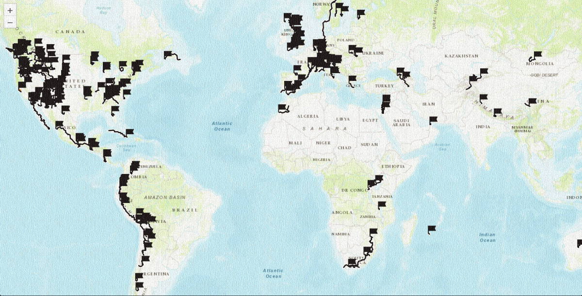
 This route is part of the Local Overnighter Project, which was created to expand our growing list of worldwide bikepacking routes—the first and largest of its kind—and create an independent map and catalog of great bikepacking overnighters, curated by you, from your own backyard. Our goal is to have accessible routes from every town and city in the world. Learn More


Submit Route Alert
As the leading creator and publisher of bikepacking routes, BIKEPACKING.com endeavors to maintain, improve, and advocate for our growing network of bikepacking routes all over the world. As such, our editorial team, route creators, and Route Stewards serve as mediators for route improvements and opportunities for connectivity, conservation, and community growth around these routes. To facilitate these efforts, we rely on our Bikepacking Collective and the greater bikepacking community to call attention to critical issues and opportunities that are discovered while riding these routes. If you have a vital issue or opportunity regarding this route that pertains to one of the subjects below, please let us know:
Highlights
Must Know
Camping
Food/H2O
Trail Notes
Resources
- Bald Eagles nesting along the Aroostook River.
- Scenic Aroostook River views with small beaches.
- Coffee and a Thanksgiving Panini from Ruska Coffee.
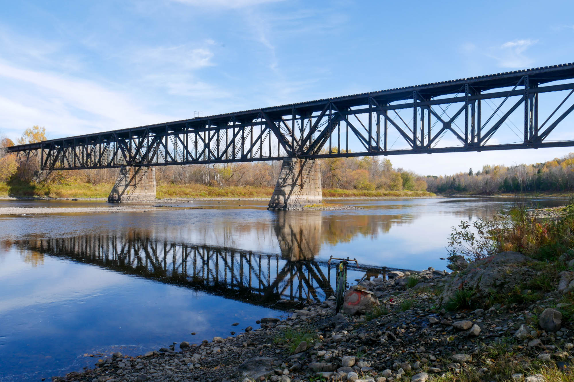
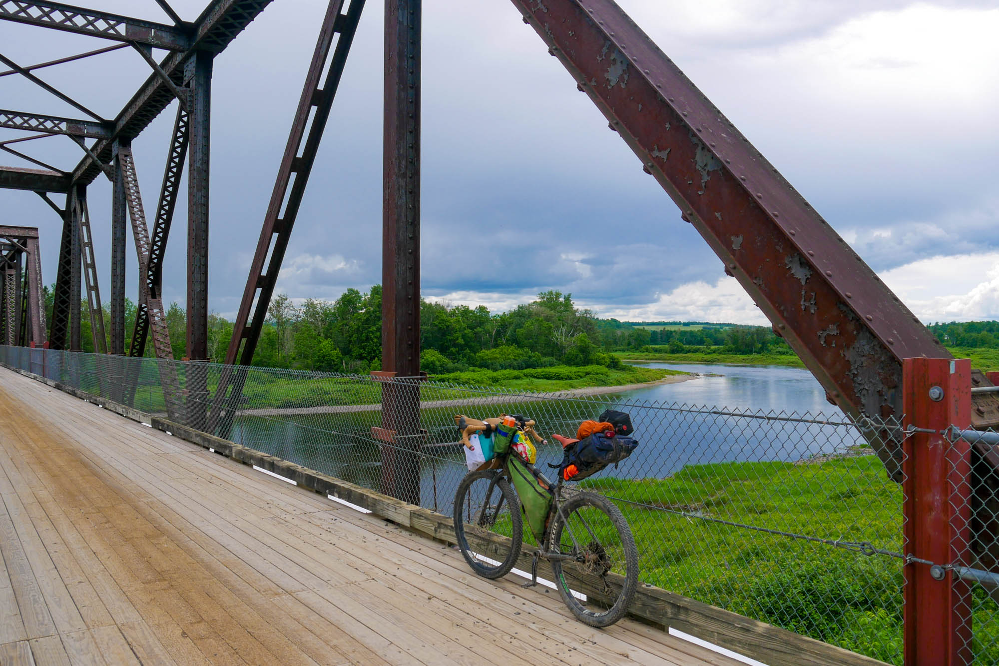
- Unique narrow bridges overlooking the Aroostook River.
- Packrafting on the Aroostook River and Presque Isle Stream.
- Riding a bike through the agricultural fields right before Mapleton is “straight out of a coming-of-age film.”
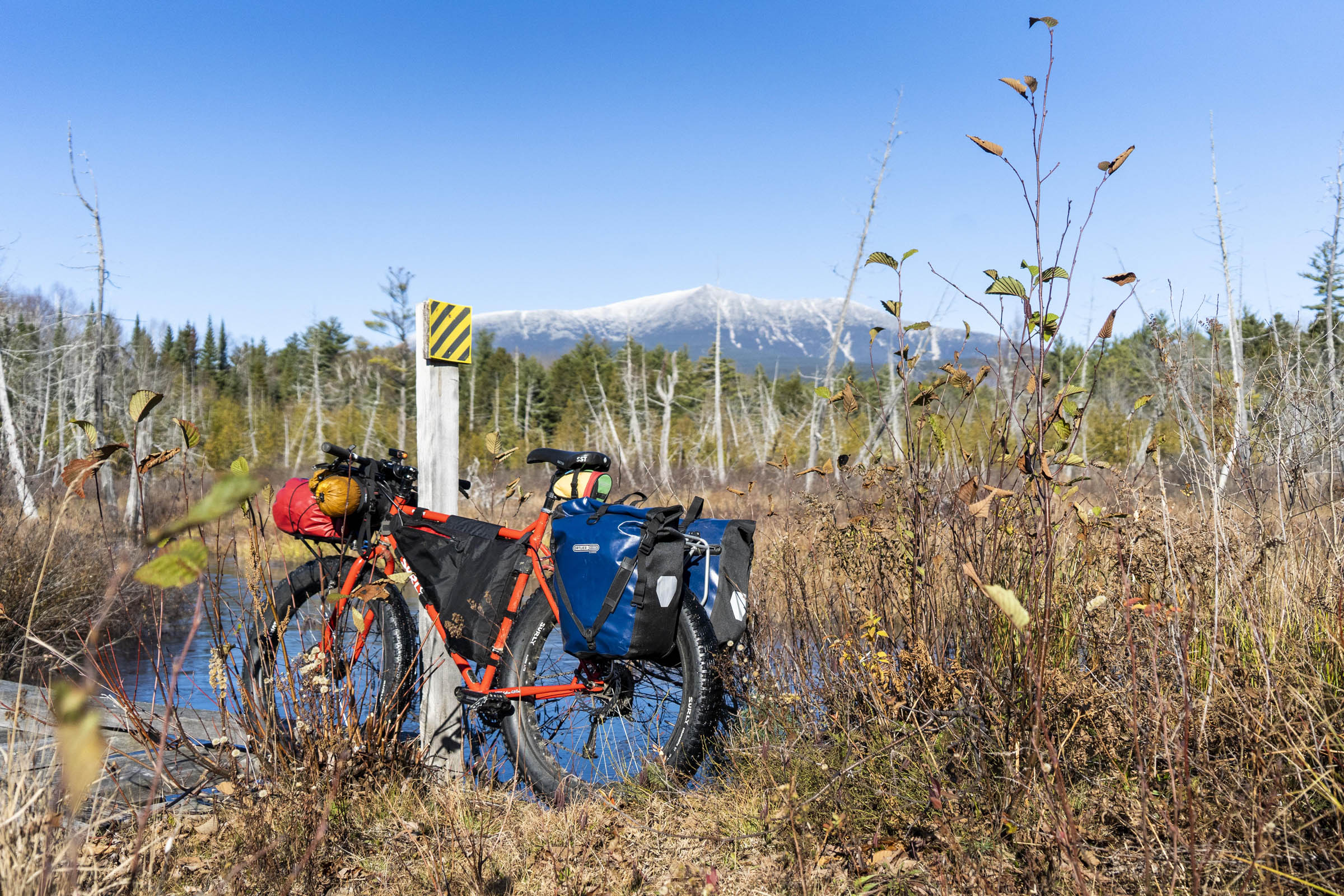
- Views of Haystack Mountain, Aroostook State Park, and, if lucky, Mt. Katahdin in the distance.
- Constantly being on the lookout for a moose while riding in Scopan. A large variety of birds can be found around Scopan, due to the different stages of forest growth, for bird watchers.
- Surreal night skies unlike anywhere else in the Eastern United States due to a lack of light pollution.
- Mild summer temperatures. Even in the middle of summer, the high may be less than 80 degrees Fahrenheit.
When to go
- Waiting for the trails to dry after the snowmelt is key. Typically, Memorial Day is a good benchmark for the start of the riding season, but the trails can still be a bit soft. Labor Day is a good benchmark for when the riding season ends, but it’s possible to ride until the first snow with proper cold-weather camping gear.
- August and Early September are the best months to ride this route since the weather is warm and predictable. The bugs are also mostly gone by this point.
Logistics
- Parking is pretty straightforward. Streetside parking in Presque Isle, or a public parking lot across the street from the Elk Lodge in downtown Presque Isle. I’m unaware whether the police department patrols, so it is best not to leave any valuables in the car.
- Many businesses are closed on Sunday and have limited hours on Saturday. It’s worth doing a little research and checking hours before making a detour if needed. Many businesses do not have websites here, or have outdated ones. Check their Facebook.
- A permit is required to be issued by the local fire department or Maine Forest Service for any campfires. Cooking stoves that are fired by propane and isobutane are fine without a permit.
- Most ATV trails are technically on private land, with landowners allowing the public access to their land via the ATV trails/snowmobile trails. Please stay on trail and respect the landowners’ property to allow continued use of these trails.
Travel Basics
- Getting to Presque Isle is fairly easy. Just take I-95 north to Houlton and then go north on Route 1 until you get downtown. The drive is very long with minimal gas stops after you pass Bangor/Orono. Fill up before heading north. There are a few hotels in Presque Isle. The Northeastland is right at the start of the route.
- There is a daily direct flight from Boston to Presque Isle operated by JetBlue. This flight is part of the Federal Essential Air Service Program and averages around $200 year-round, with a bike as your checked bag. The flight departs from Boston every evening and departs from Presque Isle every morning. This option cuts a six-hour drive into about a 45-minute flight. JetBlue’s Essential Air Service contract will end in September 2026 unless renewed by the USDOT.
What bike?
- If you plan to ride before Memorial Day, a fat bike is highly recommended due to the soft nature of the trail during mud season. Otherwise, any bike with 2” tires or greater is recommended. You can get away with just about any gravel bike for most of the trip, but there are some sections with loose gravel and large potholes that are much more comfortable with wider tires.
Dangers & Annoyances
- Wear Blaze Orange while in Scopan, especially during hunting season (August to December). This land is open to hunting and utilized. The Presque Isle Walmart sells super light, packable orange vests that you can put over your clothes for less than $5 each. There is no excuse for not having one, and it could save you from having a very bad time.
- Bug spray. It’s mentioned a couple times in different sections of this route for a reason. Bug spray is a must, especially during spring and summer.
- Logging trucks may be present on parts of the route after passing Mapleton. If you encounter one, step off the trail and let them pass. Assume they have the right-of-way, as they are much easier to see/hear coming on tight forest roads than you are.
- Seeing a moose is exciting, but keep your distance as they may charge you if they feel threatened.
- All established campsites featured are on private land with landowners allowing public access to their land. Please respect these sites and follow the Leave No Trace principles. Landowners may revoke access to these at any time, so if you are asked to leave or signage indicates the campsites are no longer public, please respect the decision.
- Primitive camping in Scopan Public lands is allowed even outside of established sites. This is my recommended way to camp during this trip as it allows you to stop when you want once entering Scopan.
- If you want to stay in a hotel, you could start in Mapleton and get a hotel in Presque Isle. There is a park-and-ride where you could keep your car overnight, right across the street from the Mapleton Town Office. This parking area has no security cameras, so park at your own risk.
- Water is pretty easy to get. The first part of the trip is along a river. There are quite a few small streams that you cross in Scopan.
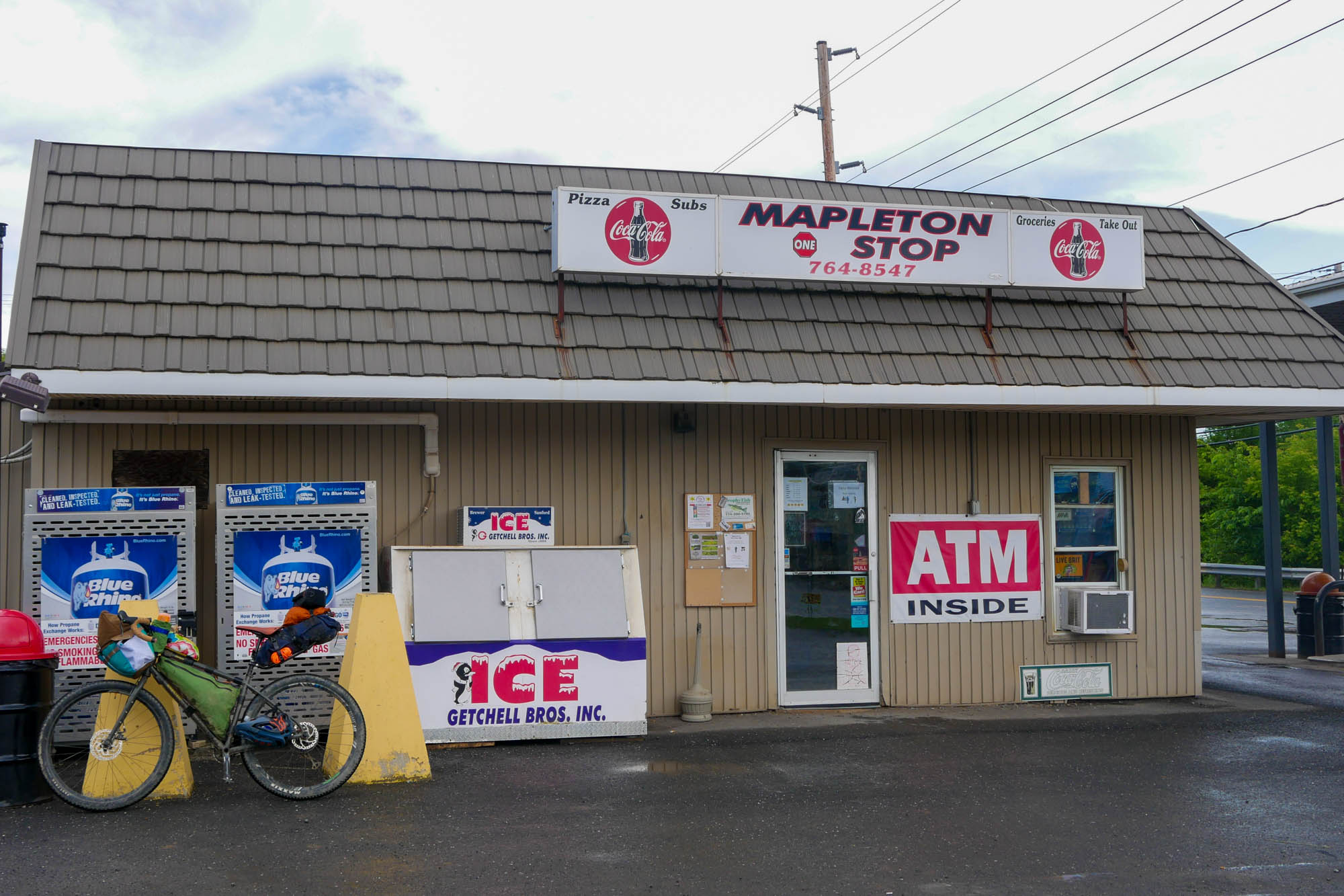
- Mapleton One-Stop is your last resupply point before entering Scopan Public Lands. There will not be another until you get back to Presque Isle
- There are a few breakfast places in Downtown Presque Isle before the ride.
- Ruska coffee is a great stop in Caribou for lunch and coffee that requires a quick two-mile detour.
- There are a few small restaurants in Mapleton.
locationPresque Isle to Scopan Public Lands
Day 1 (37.6 mi +826 ft)
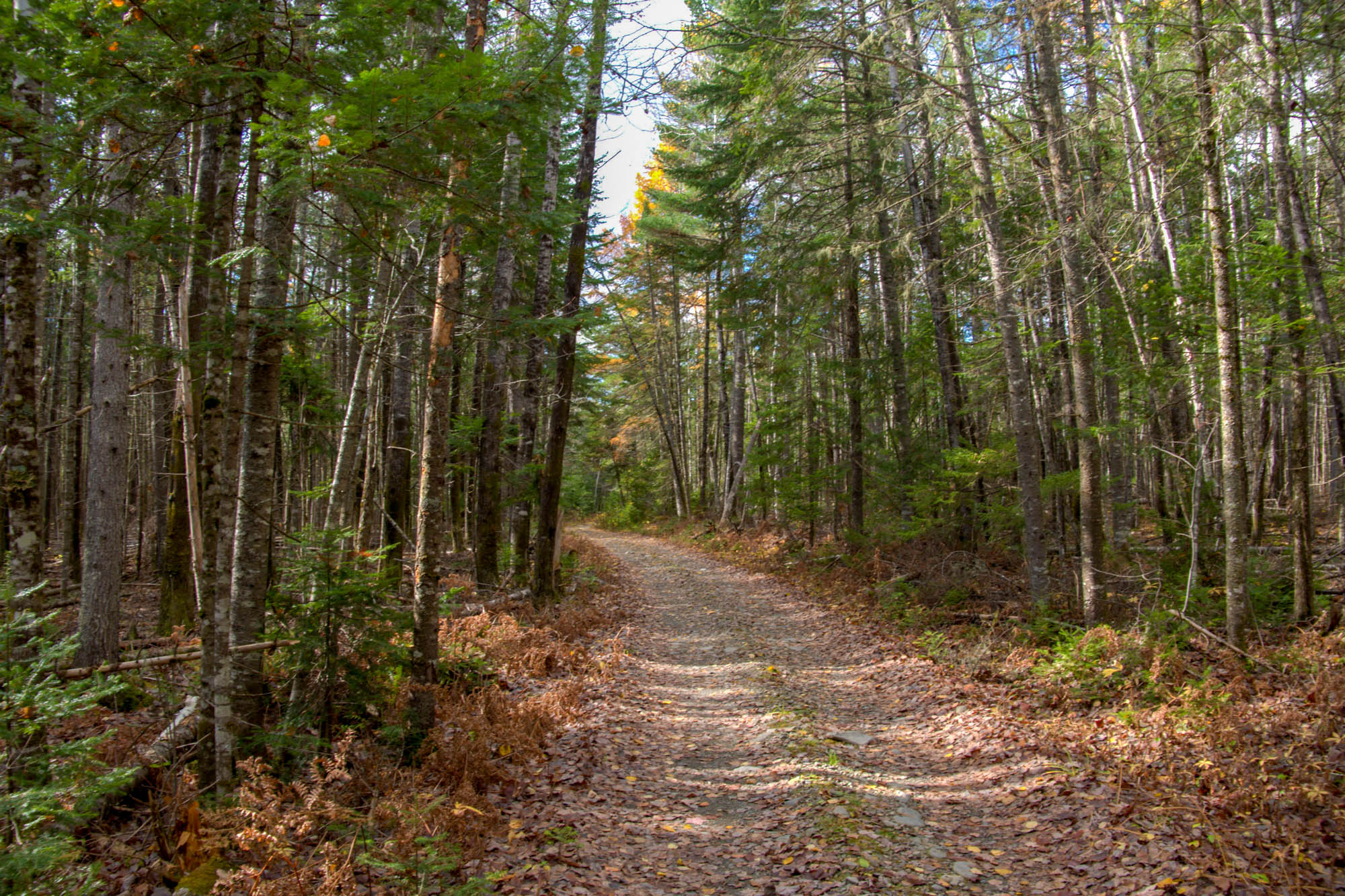
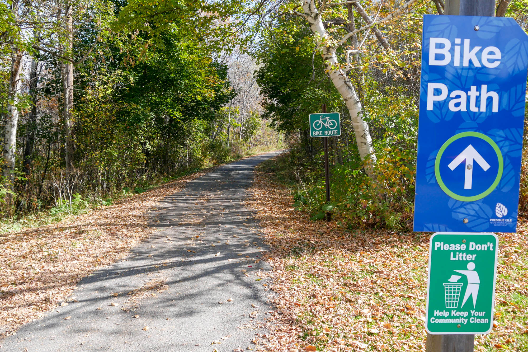
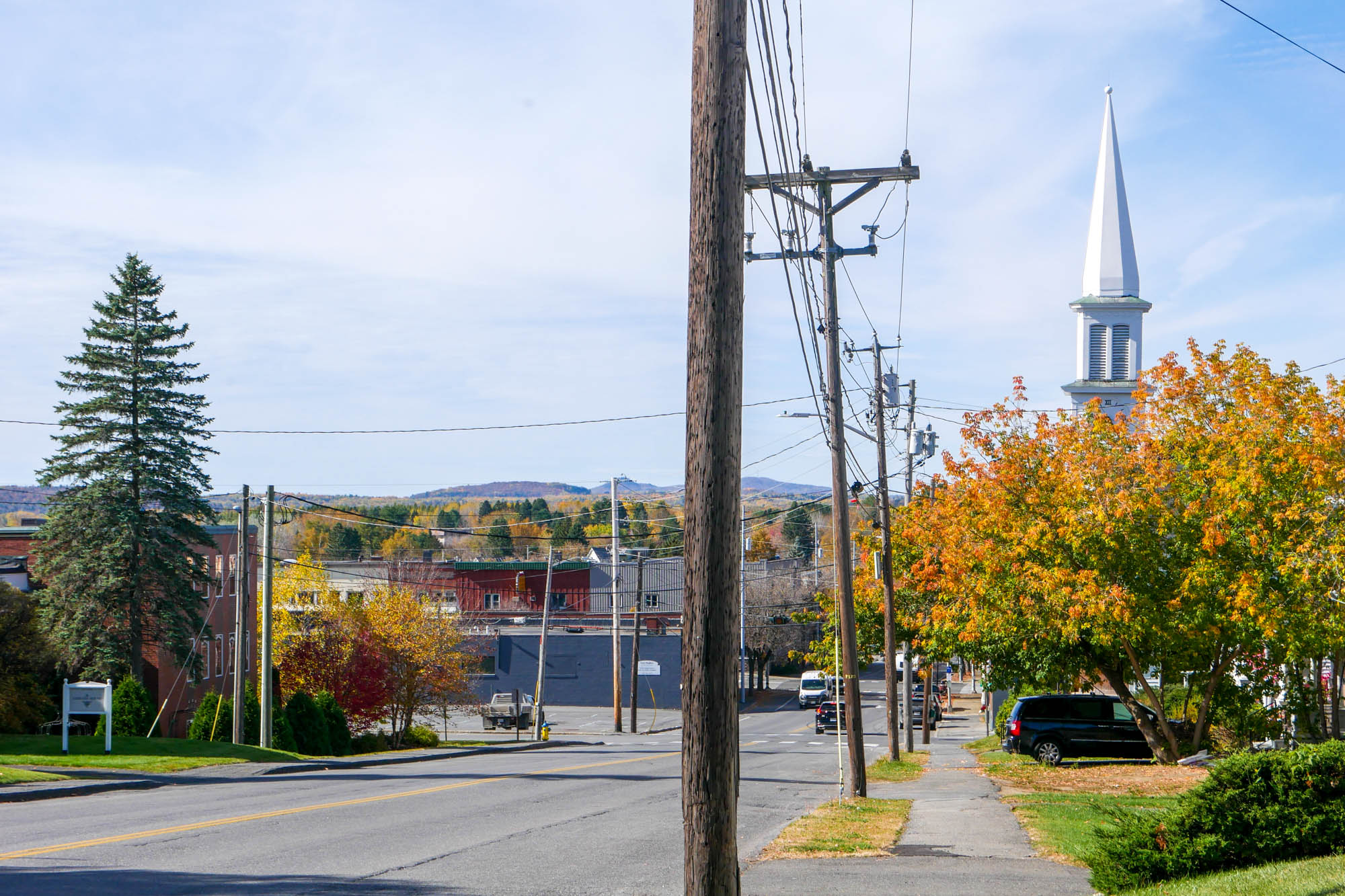
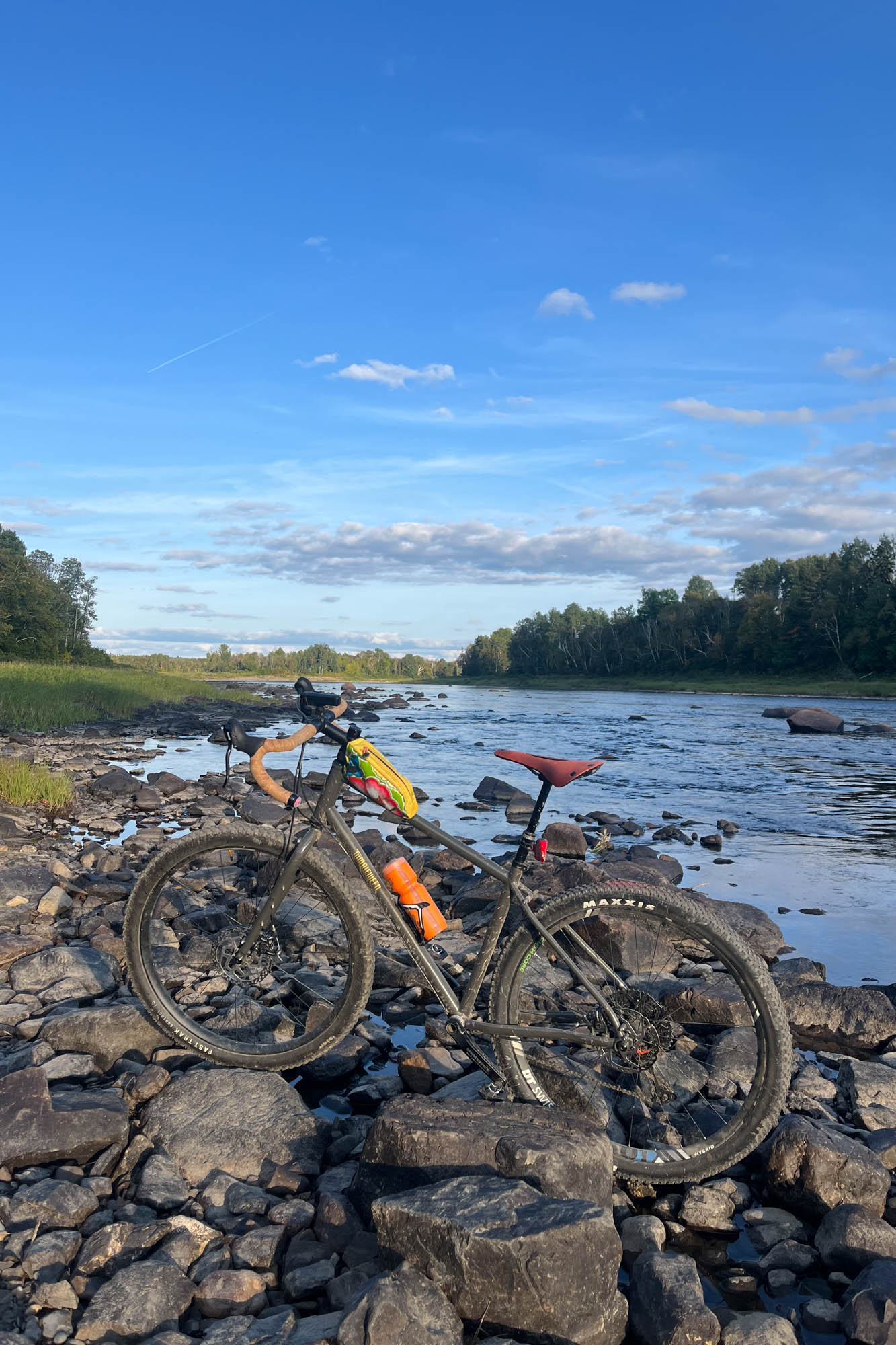
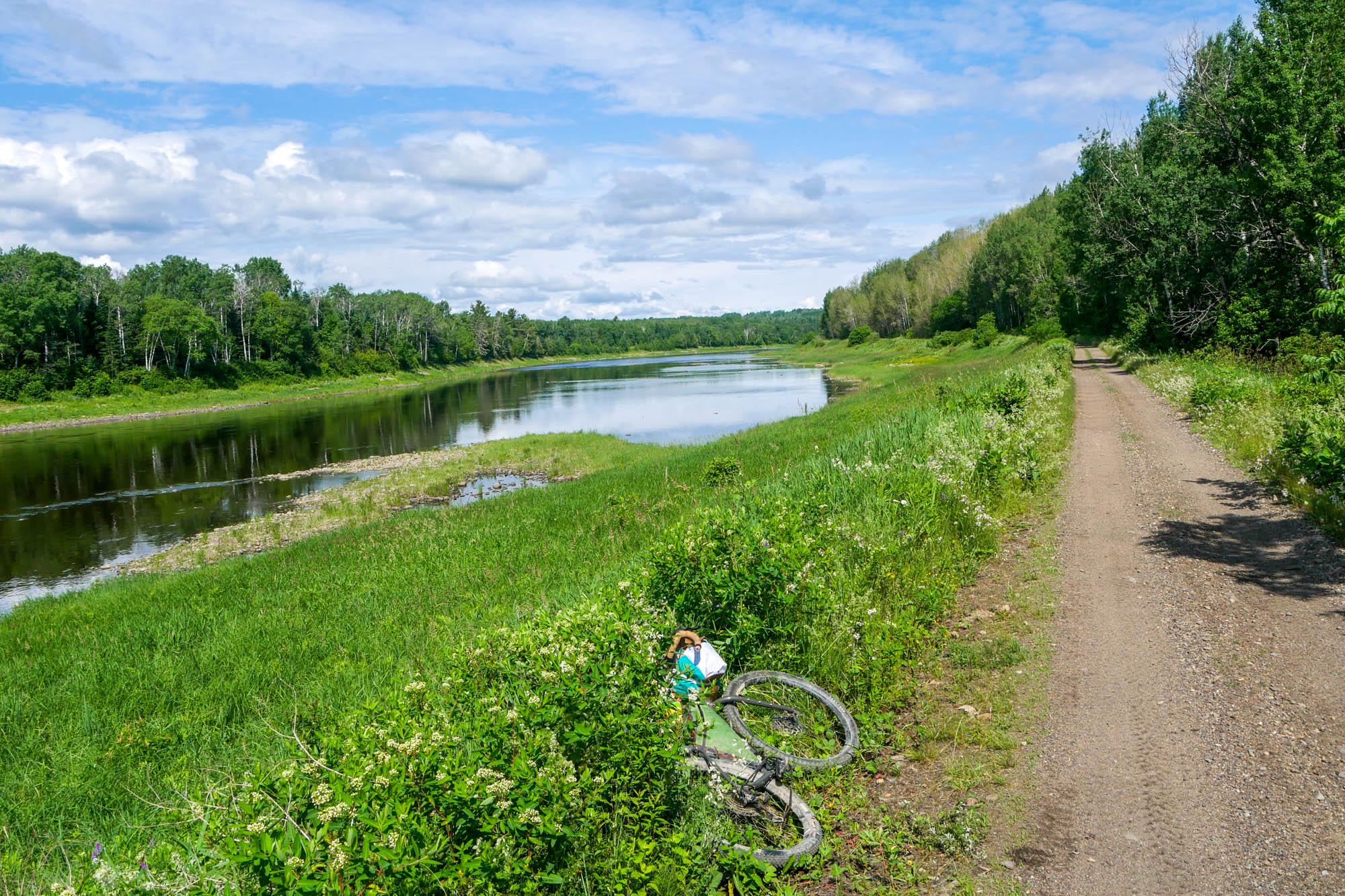
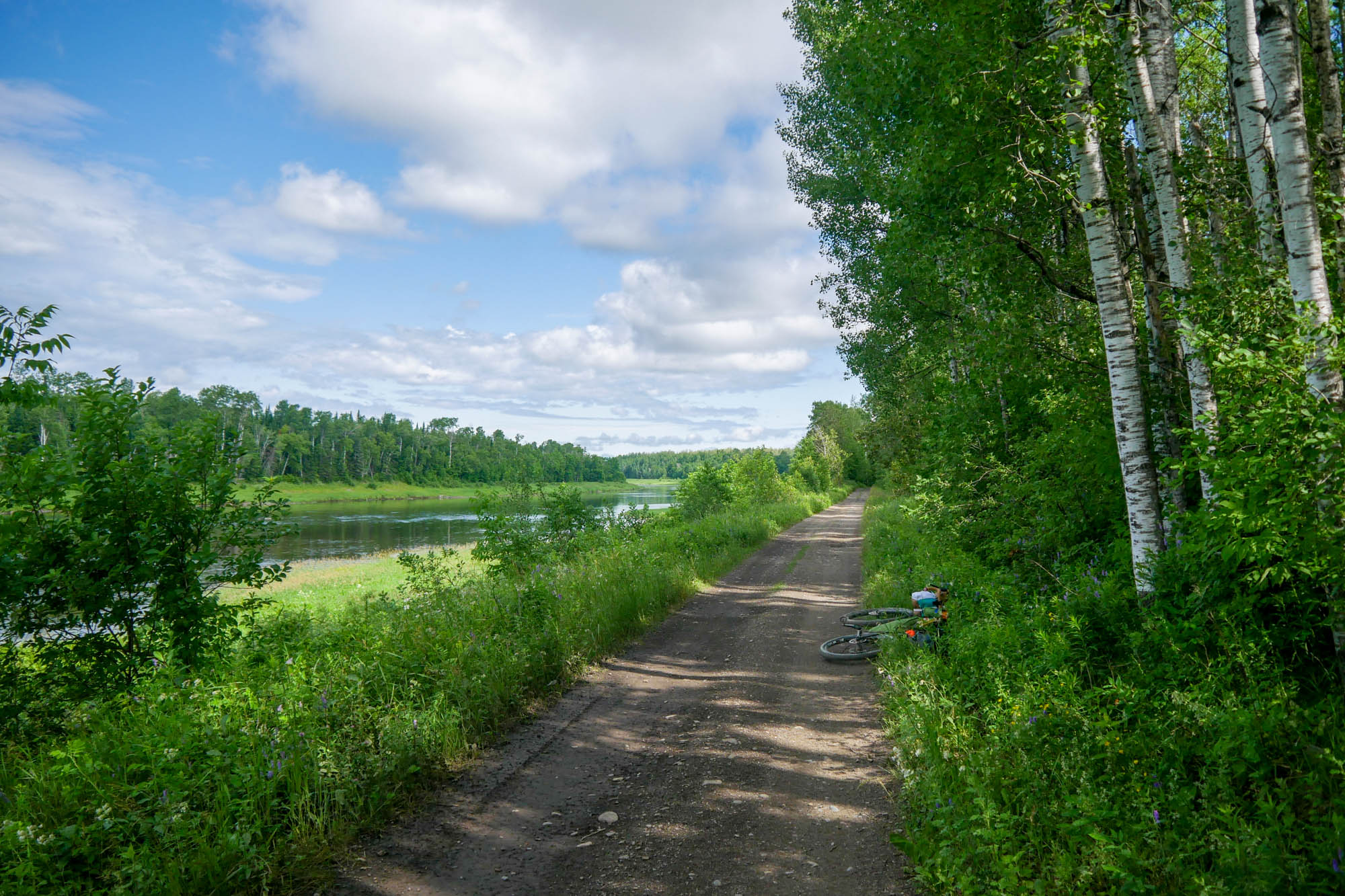
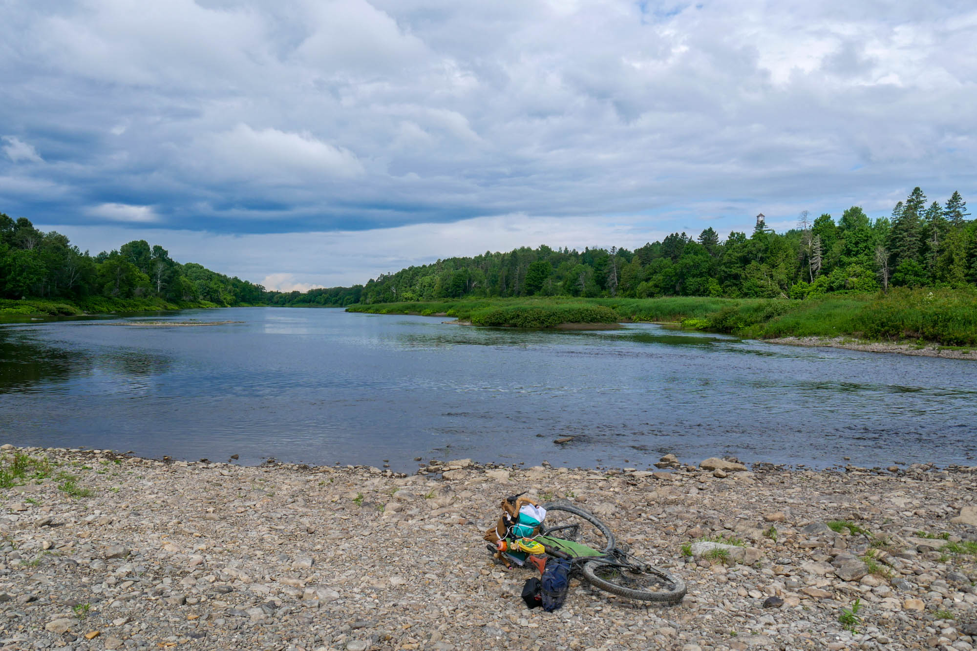
This route begins in the city of Presque Isle, the Hub of Aroostook County, and is intended to be ridden counterclockwise to take advantage of the best camping opportunities, but it can be ridden in reverse to get the more difficult part of the route out of the way early. If ridden as intended, the route starts downtown at Bike Board and Ski, the only bike shop in the county, and it quickly brings you onto wide mixed-surface gravel trails that run along the pristine Aroostook River. There is one small first-come, first-served campsite near the end of this gravel road called Pete’s Rest Area. There are multiple beaches along this first section that allow for swimming, a scenic break, or turning the route into a bikerafting trip. There is a boat take-out in Caribou on the river left side just above the dam. If you plan to do this, you must take it out there. Running the dam is fatal.
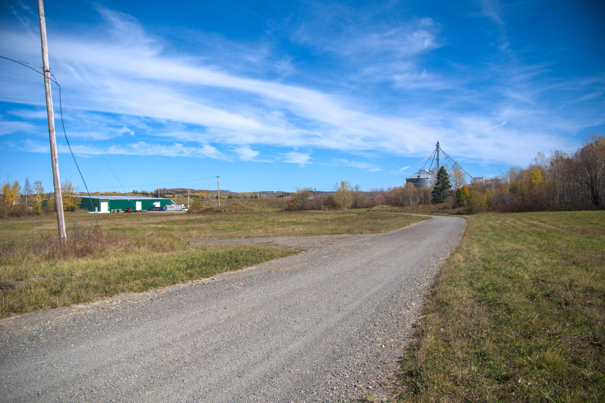
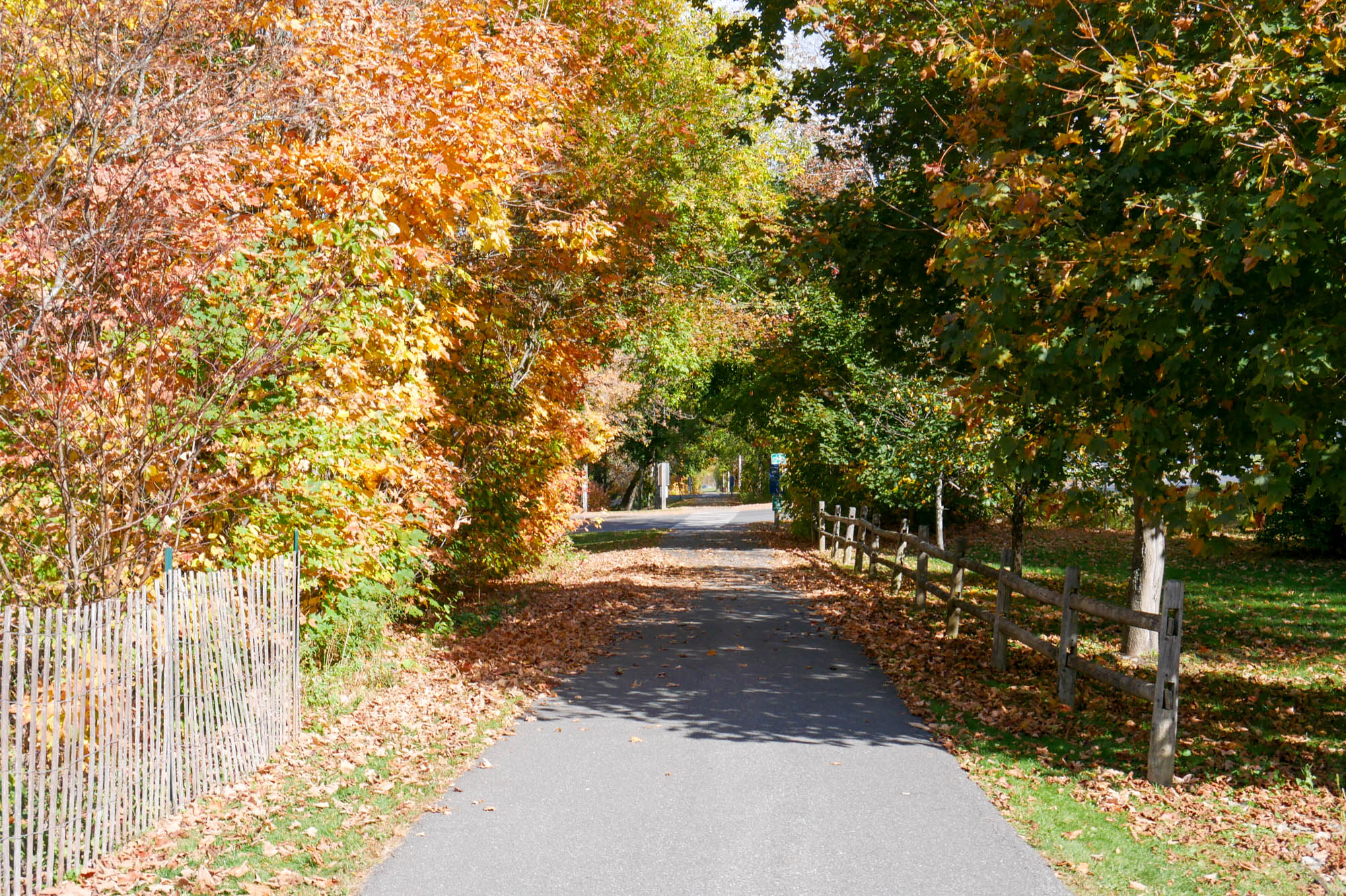
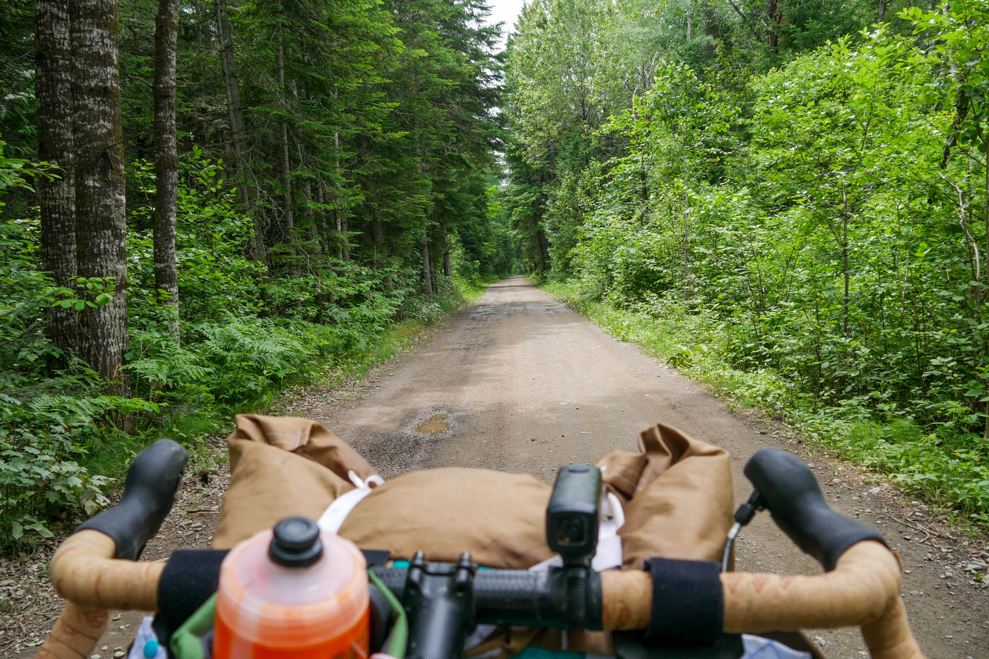
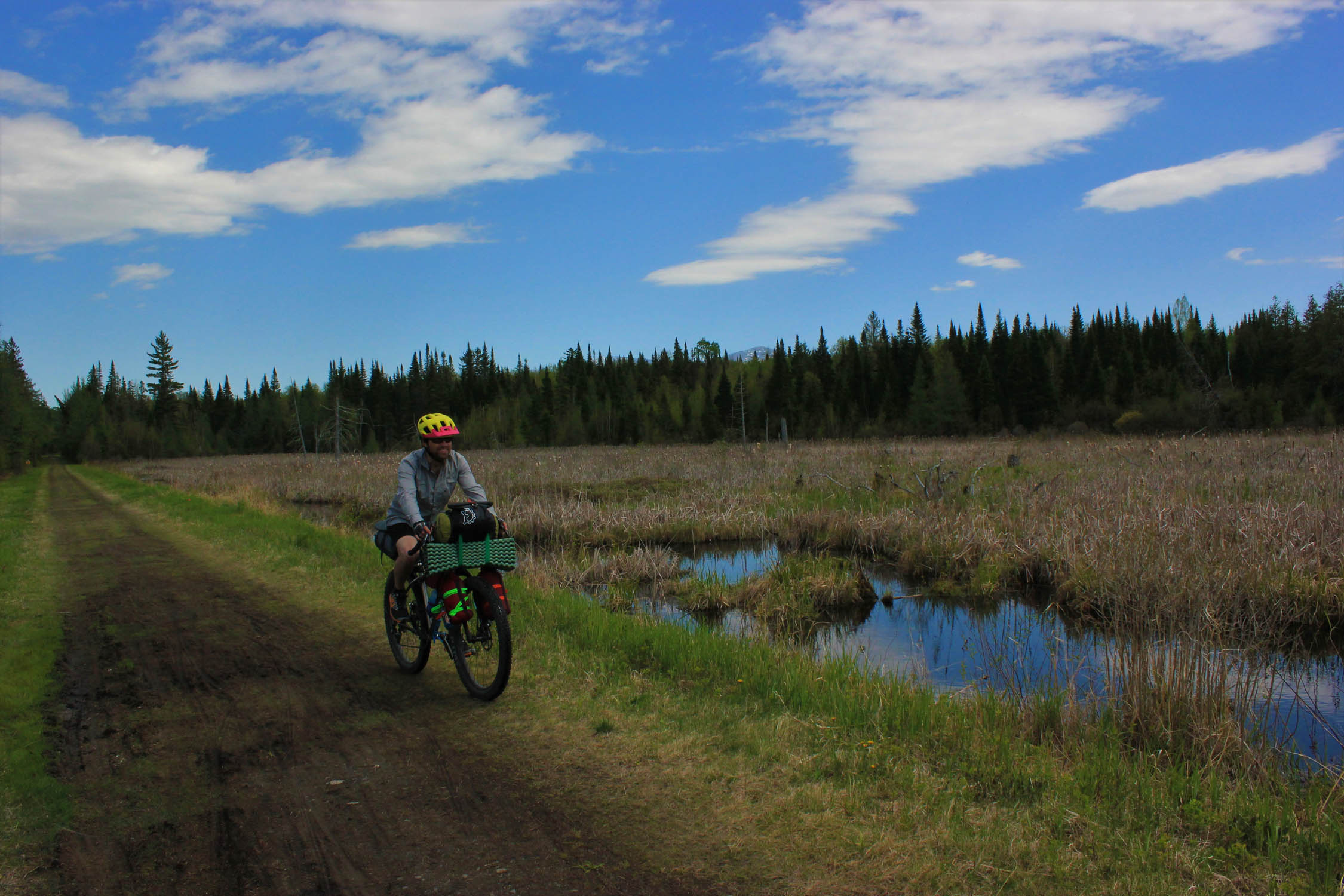
Once you enter the city of Caribou, you have a very short road section that leads to the next section of smooth gravel that you will follow for about 20 miles. There is a great coffee shop/lunch spot called Ruska Coffee in Caribou that is a slight detour and adds about two miles to the route but has great fresh food and pastries. Service is quick. As you ride toward Mapleton, you will pass a few picnic tables before riding through the forest on mostly smooth gravel. About halfway to Mapleton, you will enter Washburn, where the trail will split. Go left back to Presque Isle or follow the trail right to stay on route toward Mapleton. This provides a good bail option if needed, but it can also be very easy to miss or go the wrong way if not paying attention. The ride from here to Mapleton is pretty straightforward and goes through forests and potato fields.
Most of the ride up to this point is pretty easy and flat, with fairly good gravel conditions. Once you pass Mapleton, the fun begins. That said, if riding the route between May and August, the ride can be easily ruined without a simple can of bug spray. It is likely that you will experience very few bugs up until this point. The Mapleton One-Stop will be the last resupply point for the trip, as well as the last reasonable bailout option if you need to head back to Presque Isle.
The route takes you into Scopan Public Lands. There is a large campsite a few miles into the woods with a small shelter and possibly a porta-potty. If you want to continue past this, there are many flat areas near the route in Scopan that you can set up camp. Keep in mind you must have a permit to start a fire.
locationScopan Public Lands to Presque Isle
Day 2 (37.4 mi, +1,939 ft)
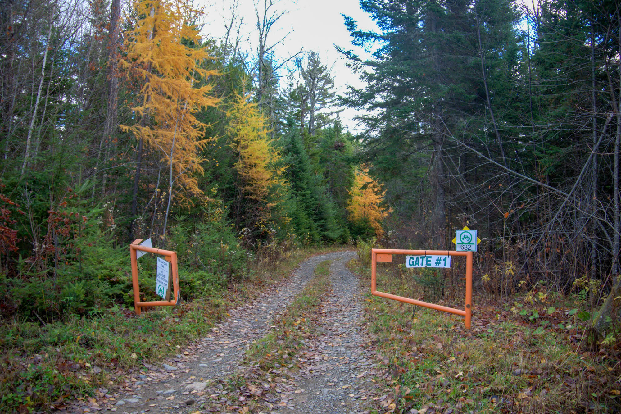
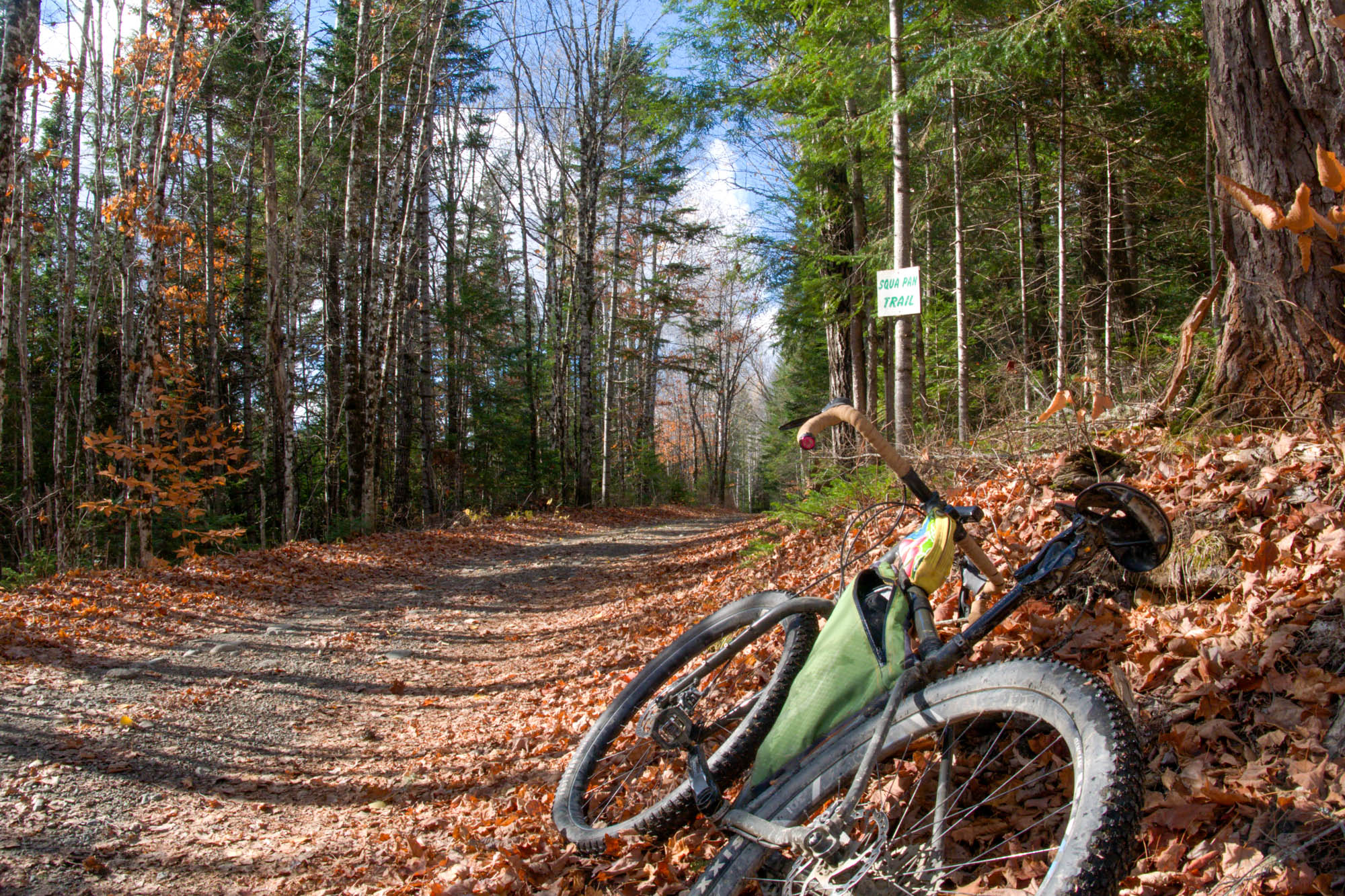
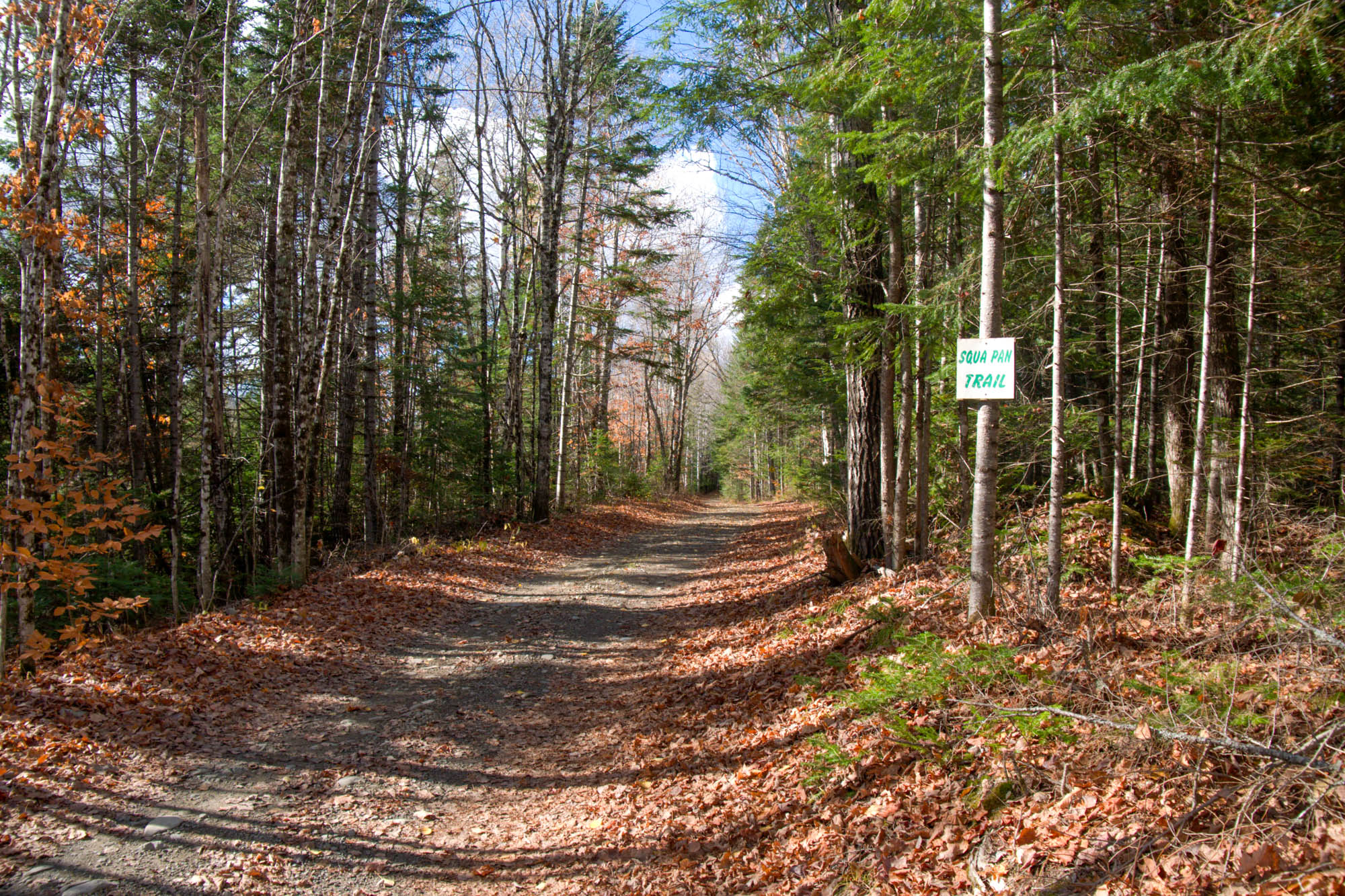
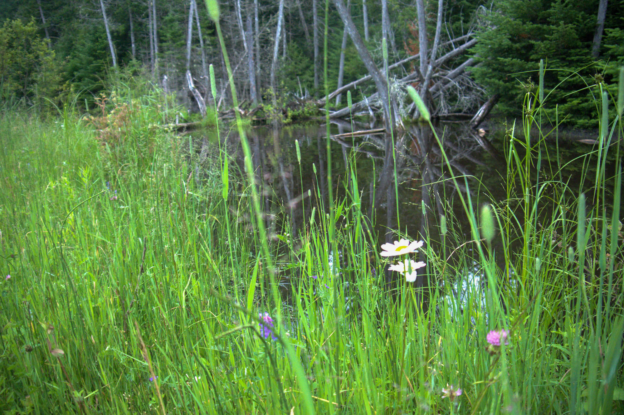
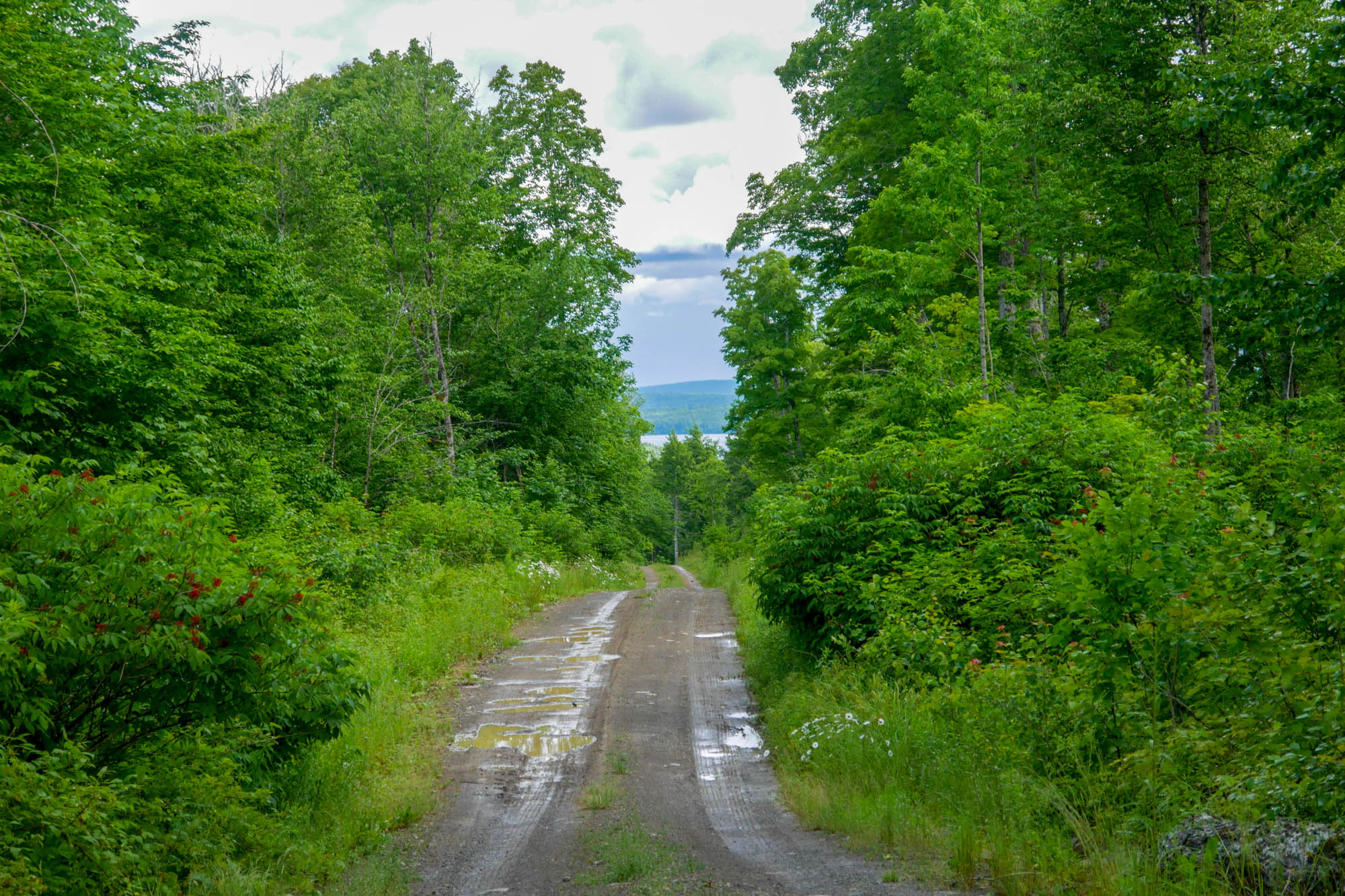
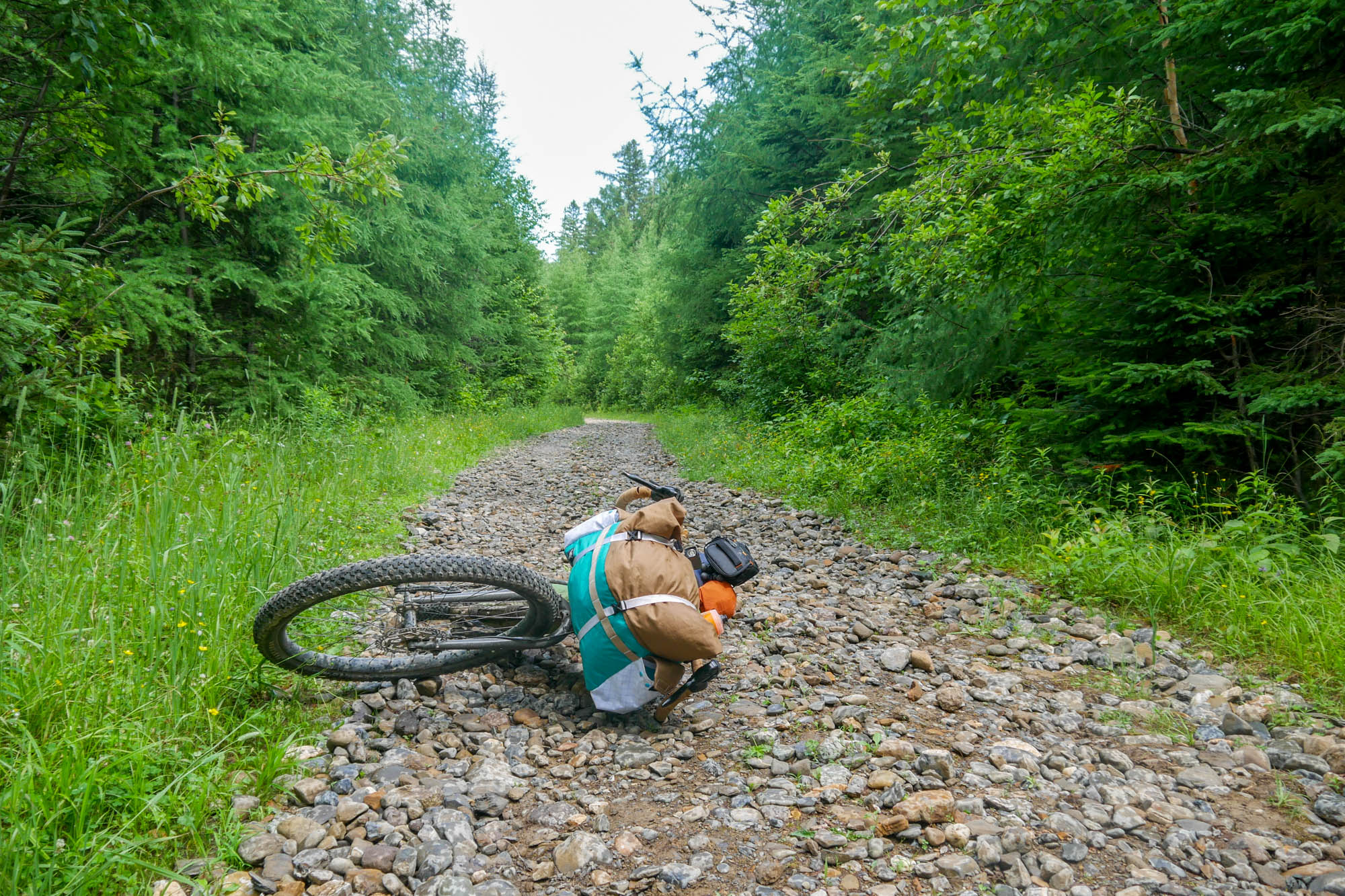
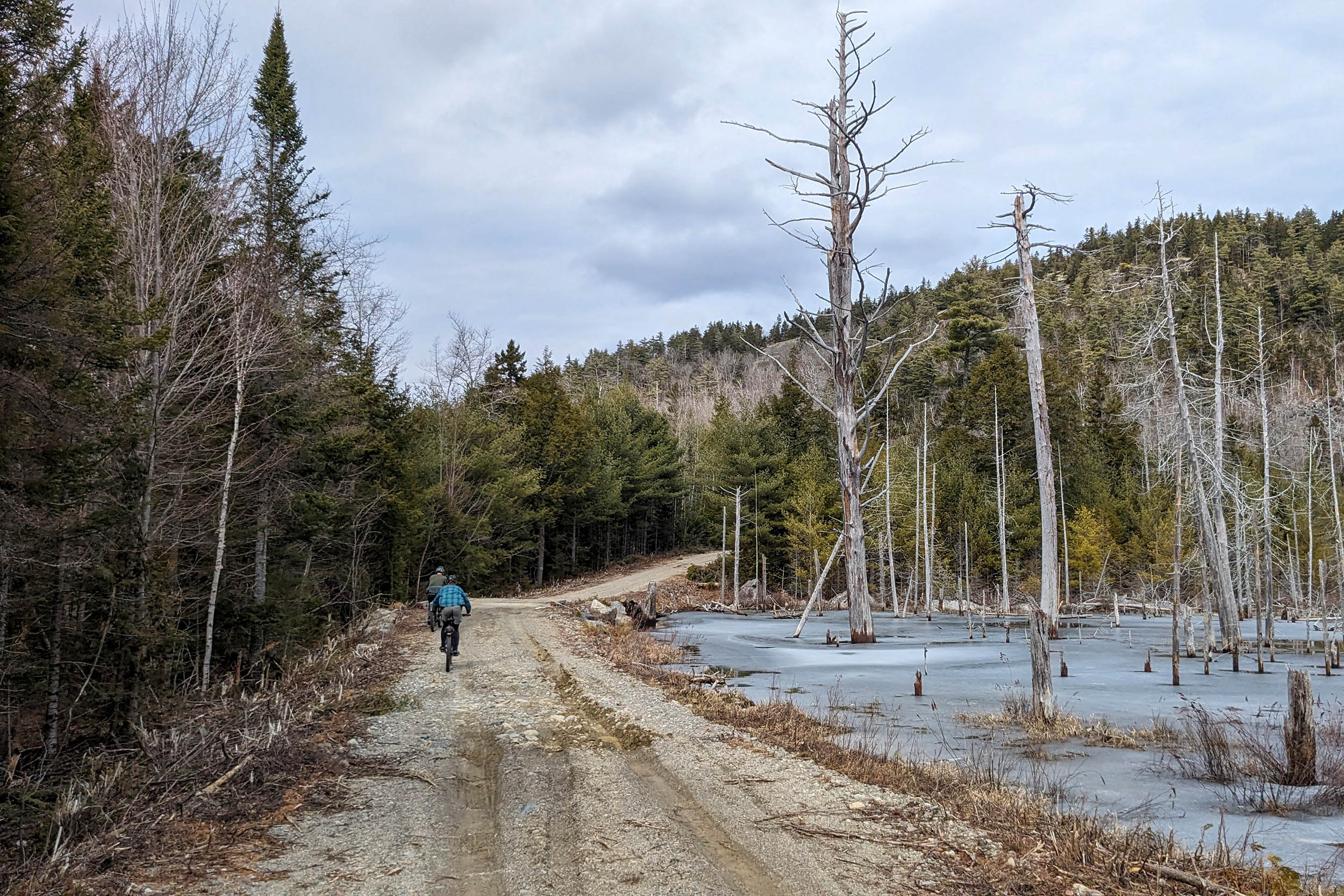
The riding in Scopan consists of dirt and gravel roads and will require you to ride through some pretty deep puddles. There are a few short punchy hills and fast descents. You are unlikely to see more than one or two people from when you enter Scopan until you get back into Presque Isle, unless you are going in the fall during hunting season. Scopan provides a truly remote riding experience quintessential to Northern Maine, without being too far from emergency services or accommodations. Around the 59.1 mile marker, the trail gets quite narrow and is much less maintained than anything ridden before. The pace slows down a bit as it is quite hilly, but is still mostly flat or downhill.
There is a great opportunity to end the trip by bikerafting in the spring and early summer if you put in at a bridge over the Presque Isle Stream at the 68.1-mile marker and take out at Riverside Park in Presque Isle. The stream is fairly shallow and depends on snowmelt for good flow. Timing is key to packraft this section, as you need to wait until any ice jams break, but before the water table lowers in the summer months. Typically, May is the best window, but the trails may still be too wet to ride the rest of this route if there is a late snowmelt.
Additional Resources
- Moose Encounter FAQ: Do You Know How to Respond to a Moose Encounter? | Appalachian Mountain Club (AMC)
- There are a few lakeside campsites in Scopan that you pass, but they are only accessible by water or by bushwhacking. See the map here: Scopan Public Land Map
- For additional riding options in Aroostook County check out Ride the County — Aroostook County Cycling. Developed by local cyclist Noah Rush-Mabry in an effort to make cycling more easily accessible in Aroostook County.
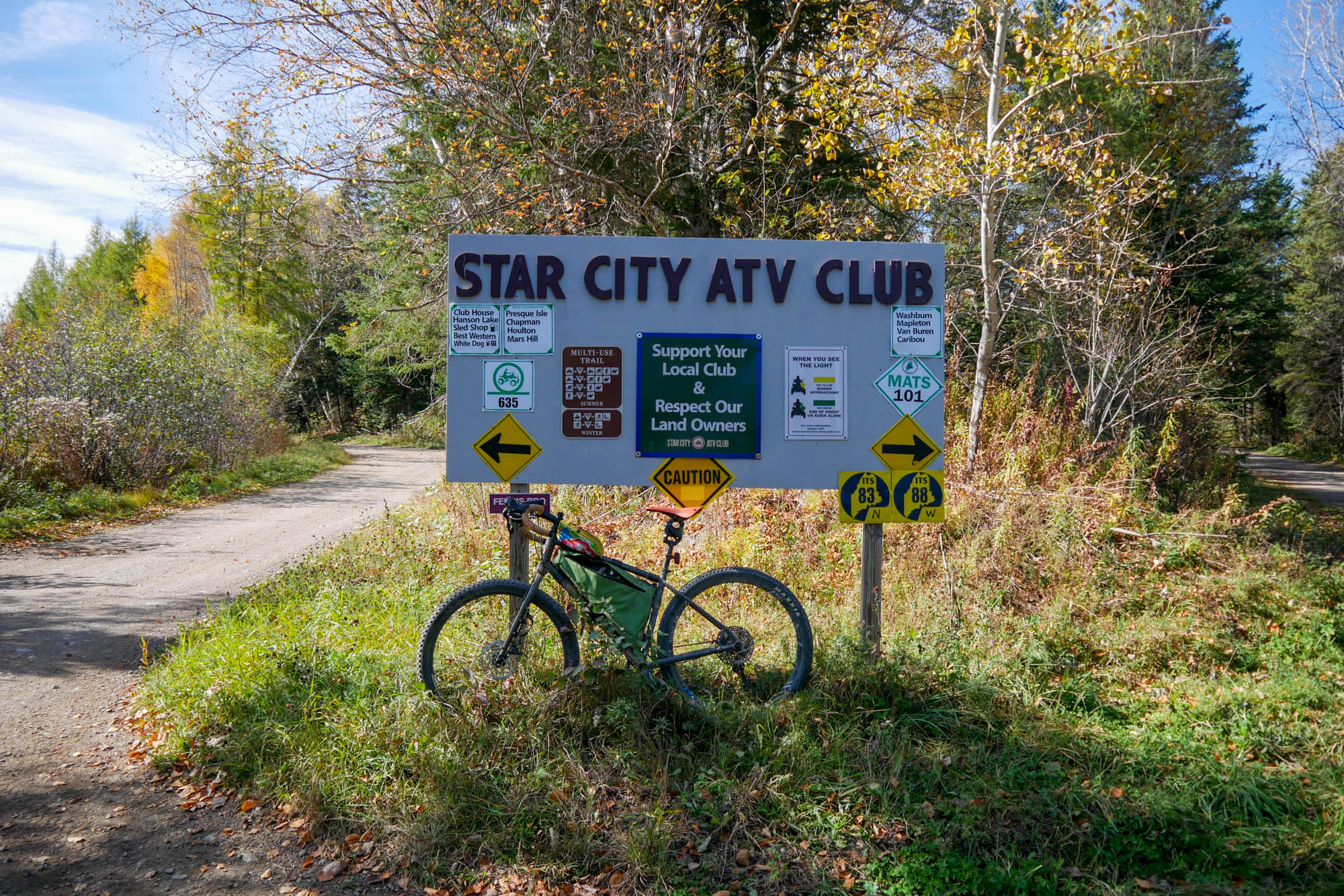
- Star City ATV Club (Presque Isle) – Ride Maine ATV Trails | Star City ATV Club | Presque Isle
- Caribou ATV Club – Northern Maine’s Newest ATV Club | Caribou Viking Riders ATV Club | Caribou
- Washburn ATV Club, Mapleton ATV Club, and Chapman Ridge Runners can be messaged on Facebook to make donations
All the trails ridden are maintained by local ATV clubs. If you enjoy the route, please consider donating to one of the organizations linked below, as the funds will directly go to support these local clubs and their efforts.


Terms of Use: As with each bikepacking route guide published on BIKEPACKING.com, should you choose to cycle this route, do so at your own risk. Prior to setting out check current local weather, conditions, and land/road closures. While riding, obey all public and private land use restrictions and rules, carry proper safety and navigational equipment, and of course, follow the #leavenotrace guidelines. The information found herein is simply a planning resource to be used as a point of inspiration in conjunction with your own due-diligence. In spite of the fact that this route, associated GPS track (GPX and maps), and all route guidelines were prepared under diligent research by the specified contributor and/or contributors, the accuracy of such and judgement of the author is not guaranteed. BIKEPACKING.com LLC, its partners, associates, and contributors are in no way liable for personal injury, damage to personal property, or any other such situation that might happen to individual riders cycling or following this route.
Further Riding and Reading
Here are some connected/nearby routes and related reports...
Please keep the conversation civil, constructive, and inclusive, or your comment will be removed.