

 Mountain Bike (MTB)
 Gravel Bike
 All-Terrain Bike (ATB)
 Fat Bike

The Idaho Gem
Distance
250 Mi.
(402 KM)Days
7
% Unpaved
86%
% Singletrack
73%
% Rideable (time)
80%
Total Ascent
34,806'
(10,609 M)High Point
9,685'
(2,952 M)Difficulty (1-10)
8?
- 9Climbing Scale Very Strenuous139 FT/MI (26 M/KM)
- 9Technical Difficulty Very Difficult
- 9Physical Demand Very Difficult
- 6Resupply & Logistics Moderate
Contributed By

Chris Marshall
Guest Contributor
An IFMGA Mountain Guide by trade, Chris grew up on the East Coast and has spent 30 years exploring, teaching, and guiding worldwide by foot, ski, and bike. A lifelong biker, he’s drawn to challenging backcountry rides and the creative process of developing routes that link remote terrain in compelling ways. He enjoys the hike-a-bikes and hard-earned descents that come with the process. Find more of Chris’s adventures on Instagram @christopher_c_marshall.
Additional photos by Chris Wilson
Sun Valley, located in Idaho—the Gem State—is home to the world’s first chairlift, built in 1936. Best known as a swanky ski resort town with a long history of visits from the rich and the famous, Sun Valley’s historic lodges, immaculately groomed slopes, and incredible amount of inbounds terrain draw visitors from around the globe. But in the summer months, when the trails dry out and open access to the area’s five mountain ranges, the place truly comes alive.
Sun Valley’s mountain-bike culture grew from a grassroots riding and racing scene in the 1980s into one of the West’s premier mountain-bike destinations. The area’s beauty lies in over 400 miles of flowing singletrack in the Wood River Valley alone, plus miles and miles more singletrack and dirt roads in all directions. Early local races helped establish the community. The Galena Grinder, which began in the early 2000s, further cemented Sun Valley’s reputation by bringing long-distance, high-level mountain-bike racing to the rugged terrain around Galena Lodge. In 2013, Rebecca Rusch launched Rebecca’s Private Idaho (RPI), introducing riders from around the country to the remote dirt roads and landscapes surrounding Ketchum. While RPI is a gravel event, its growth has helped establish Sun Valley as a destination for endurance, adventure, and backcountry cycling. Together, these events reflect a cycling culture rooted in challenging terrain, big mountain landscapes, exploration, and a strong local riding community.

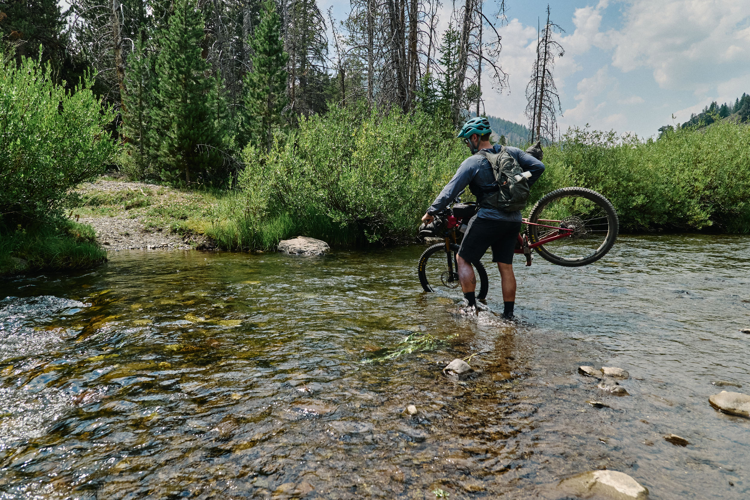
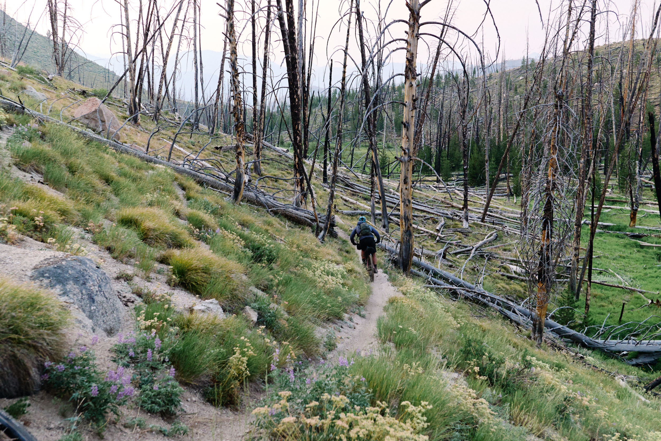
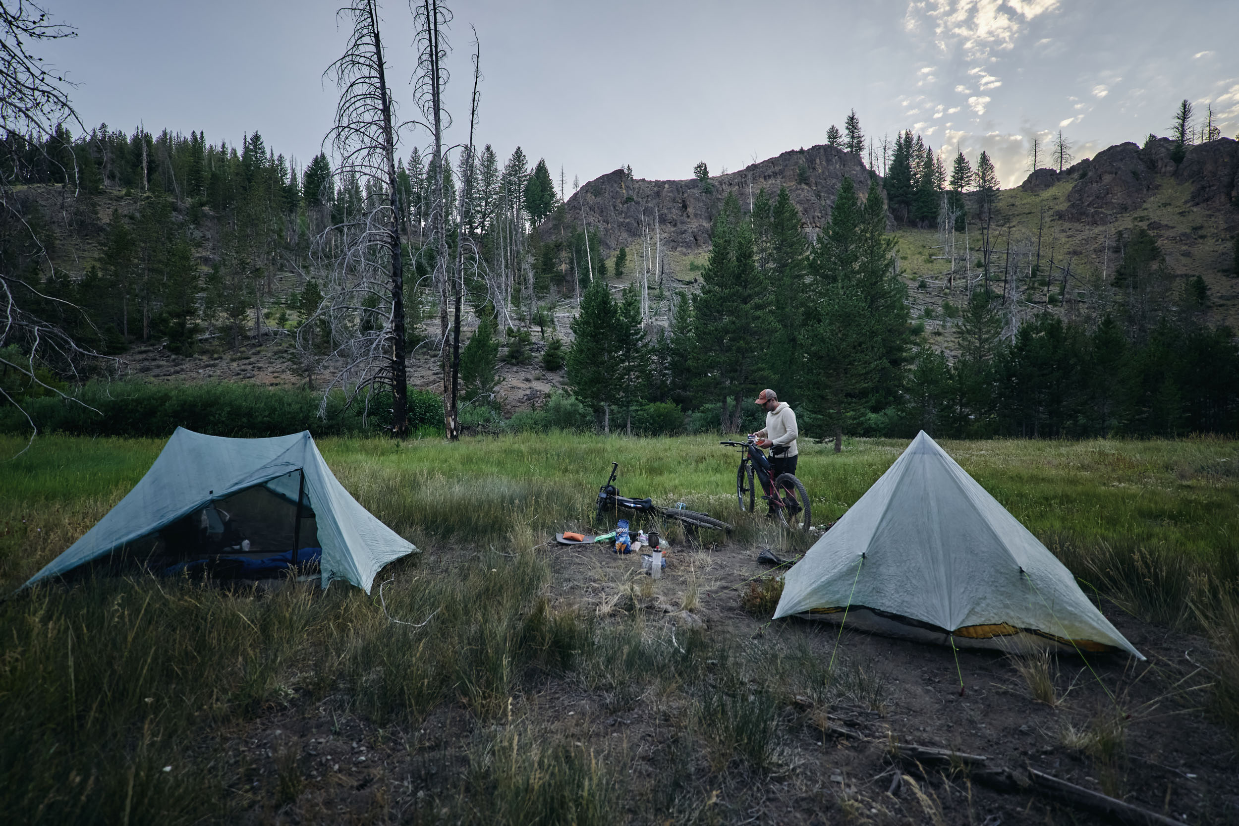
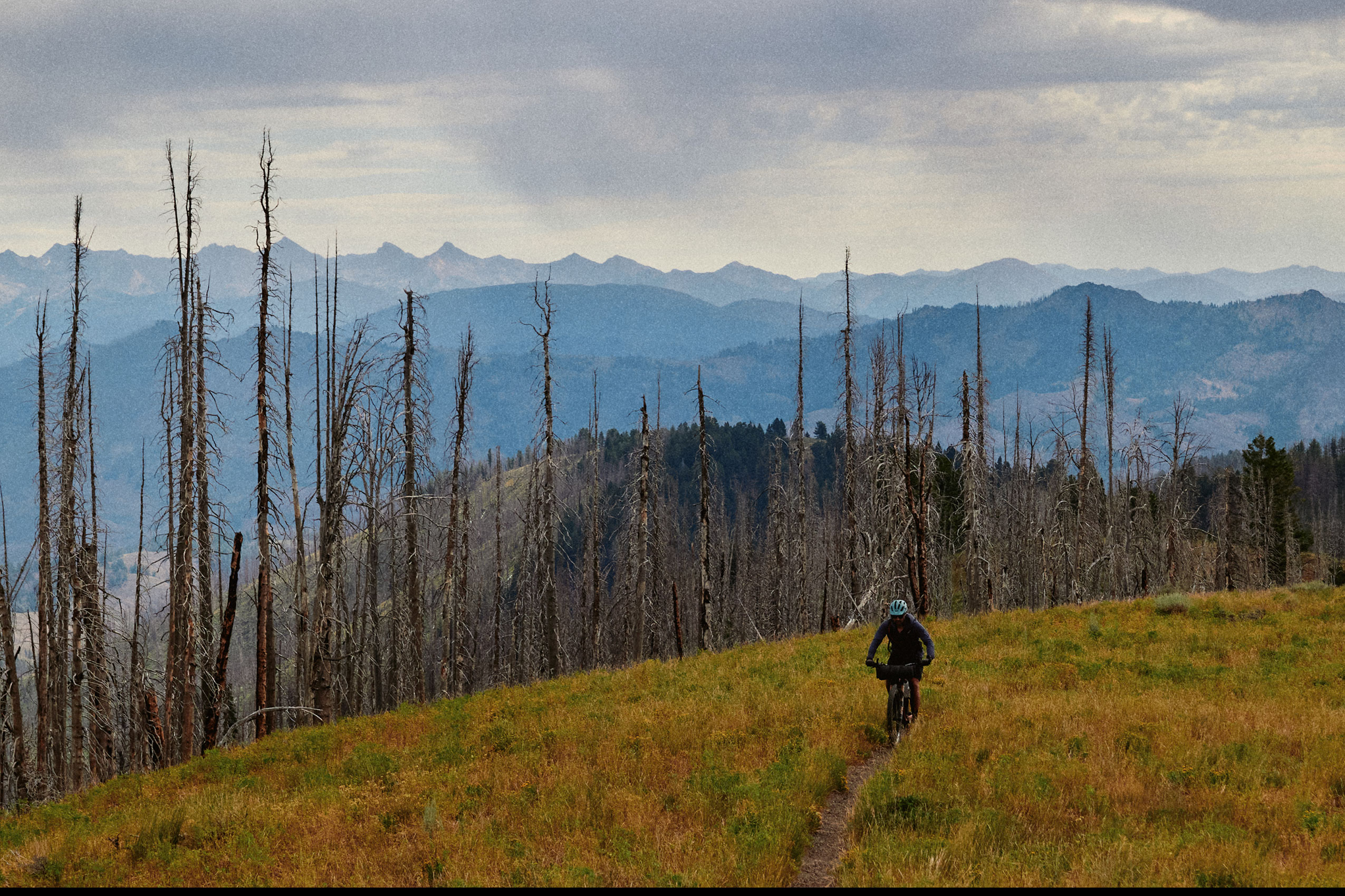
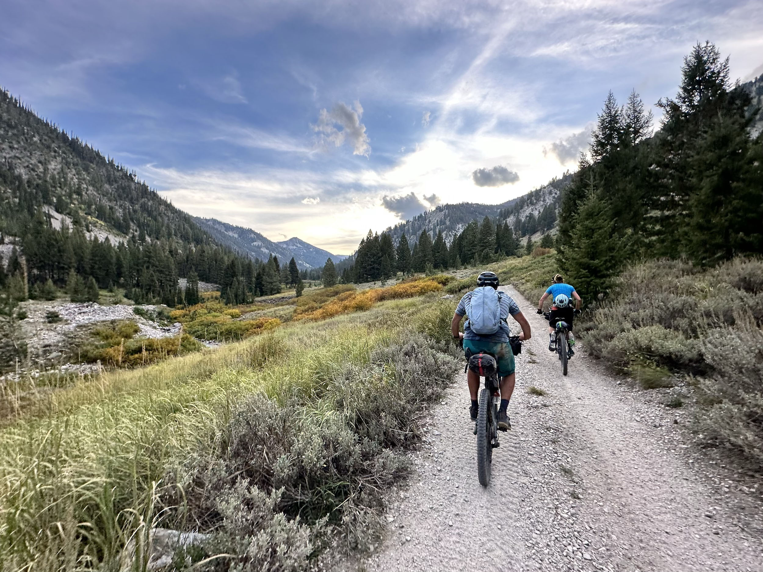
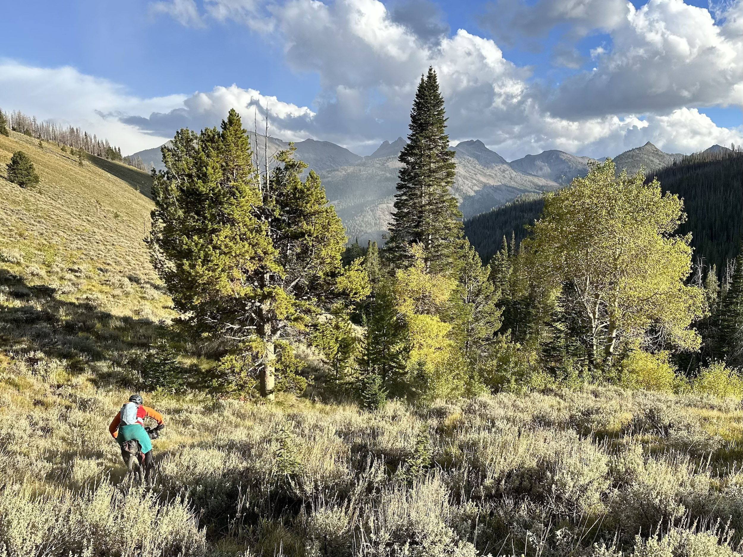
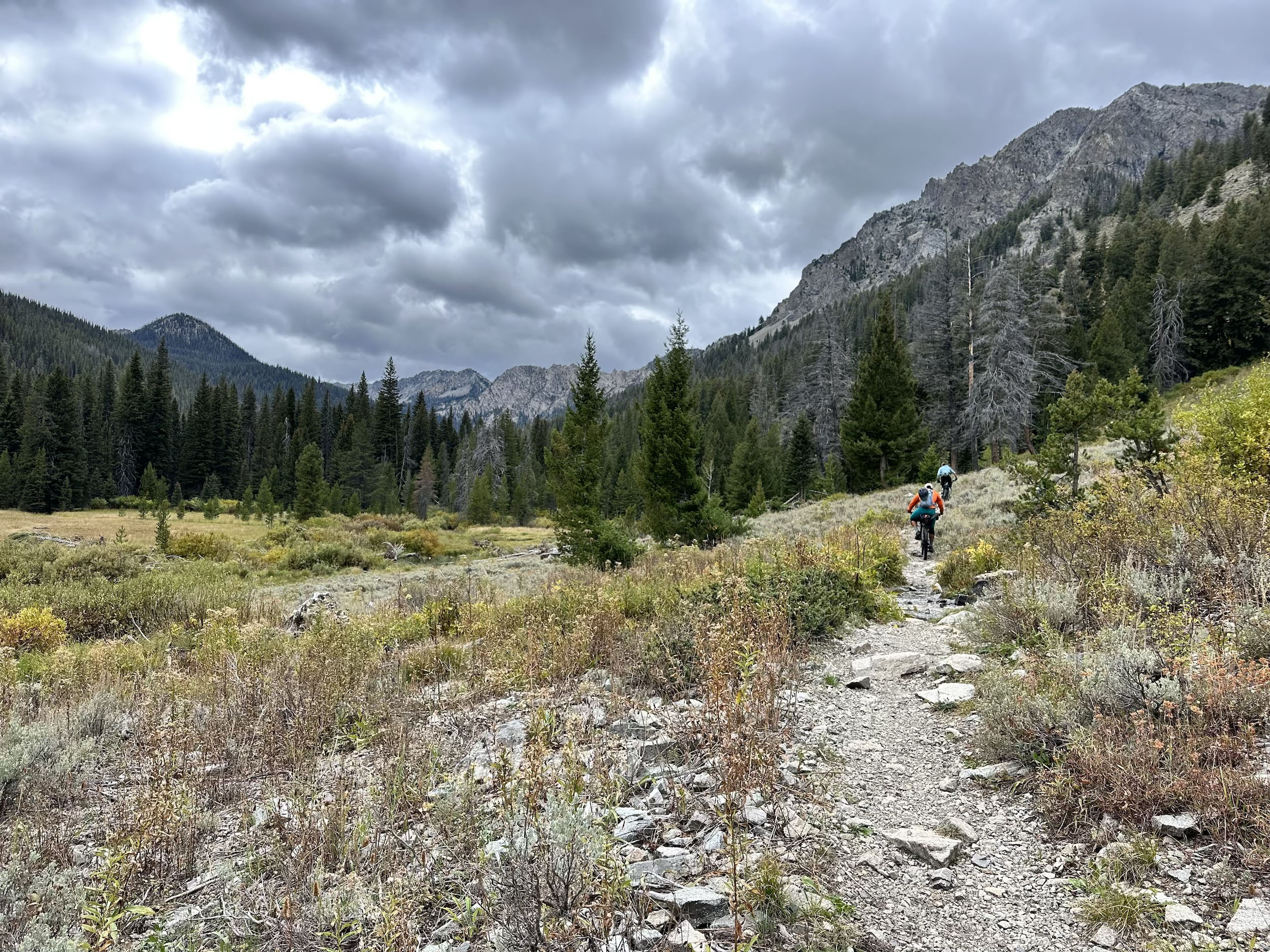
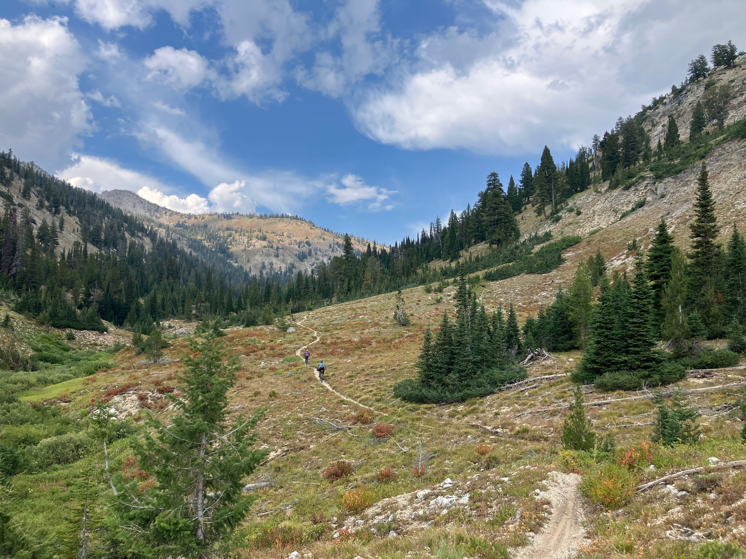
With a variety of high-quality, unique riding areas, what was missing was an adventure bikepacking route that showcased the region’s riding. Development of the Idaho Gem focused on linking classic local trails with remote singletrack and necessary dirt roads, creating a route that connects terrain in an elegant and rewarding way while keeping the rider experience at the forefront. The Idaho Gem links a handful of riding zones, each worthy of a trip in its own right, while crossing rugged terrain and venturing into backcountry rarely explored by mountain bikers. Along the way, riders will undoubtedly discover their own gems: stunning mountain vistas, high-speed backcountry descents, alpine-lake camping, wildflowers, the funkiness of places like the Smoky Bar Store, Stanley, and Galena Lodge, and backcountry solitude.
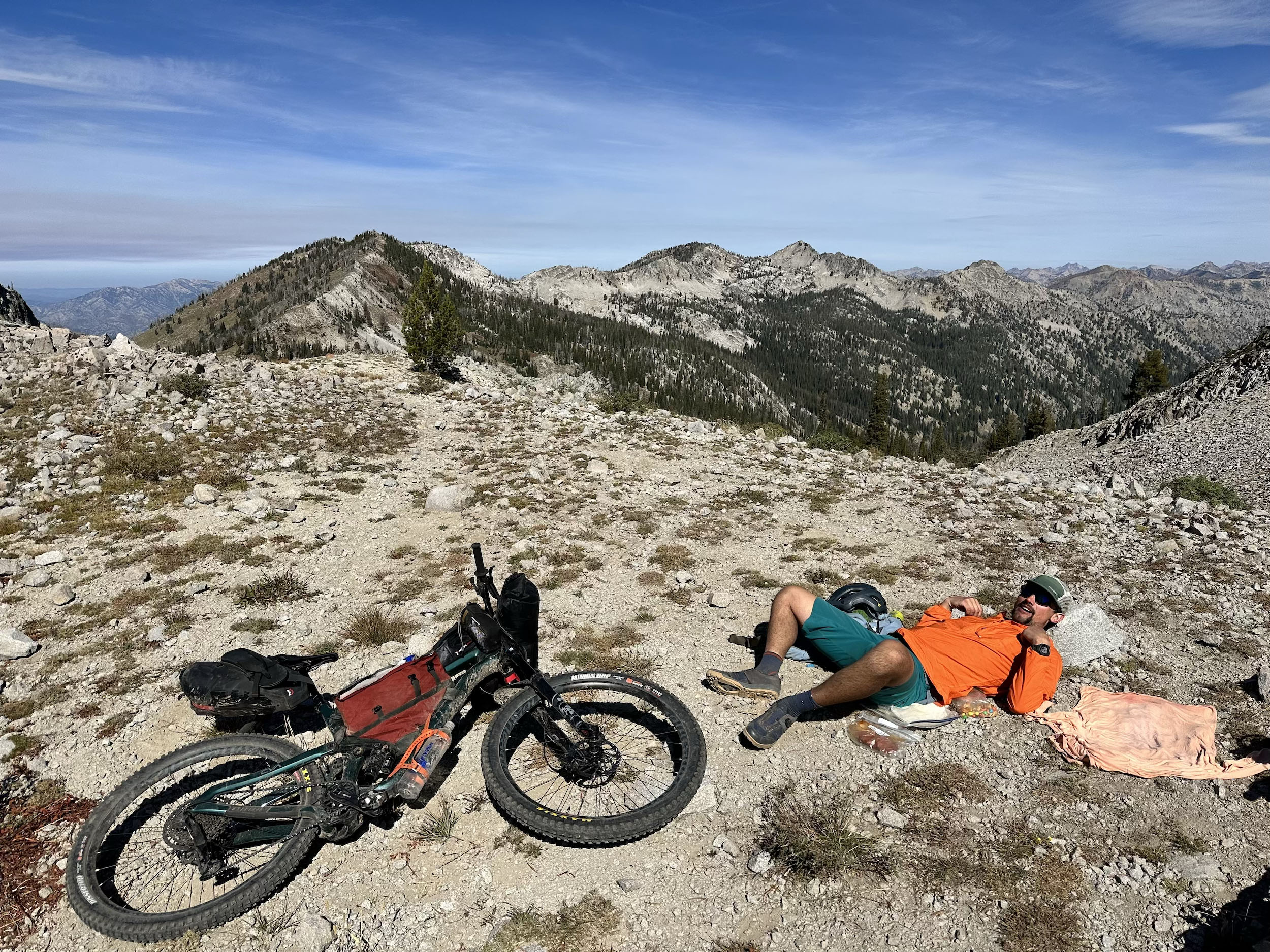
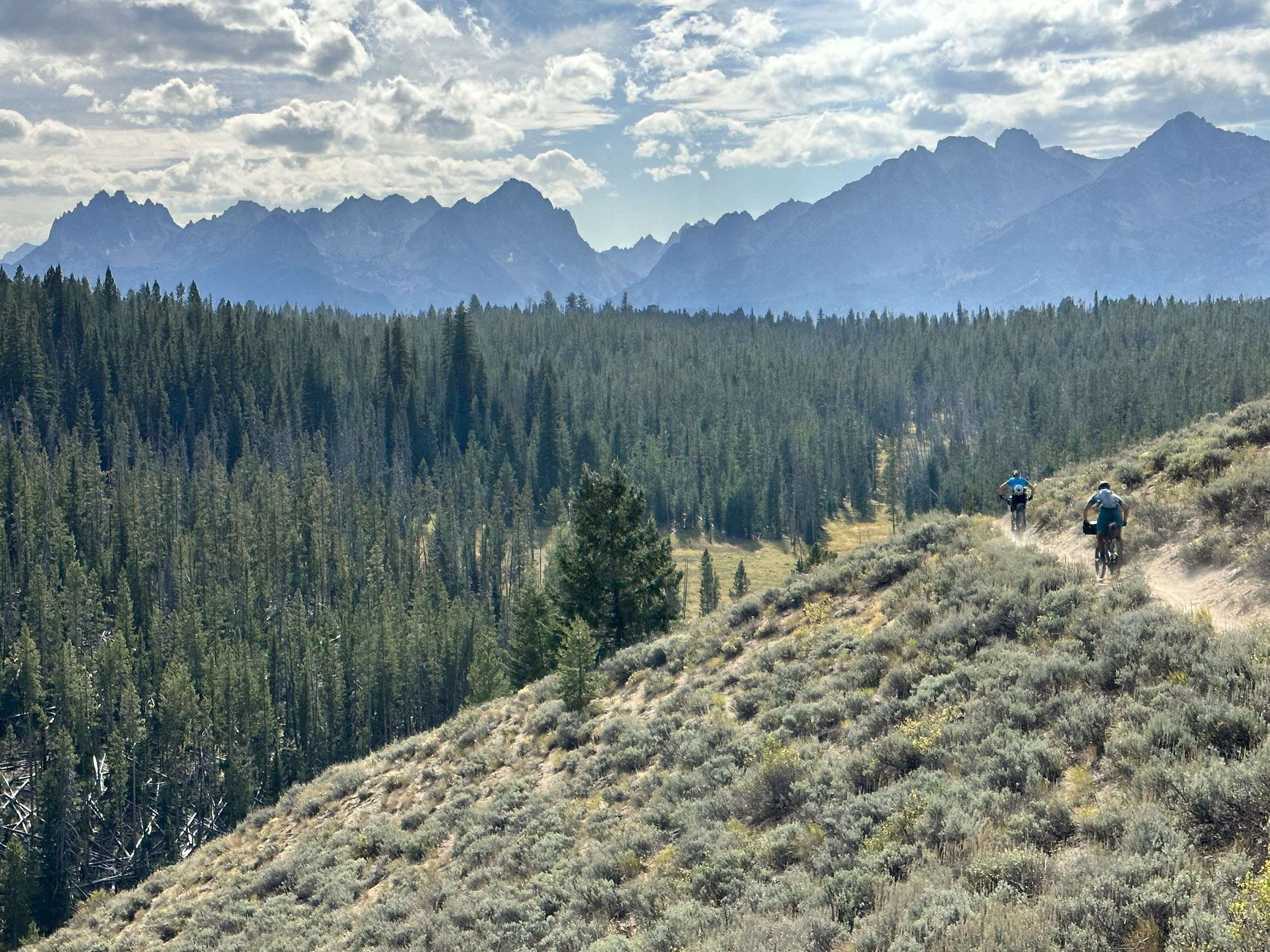
The Gem State is home to vast, rugged terrain, and the Idaho Gem is no exception. The route showcases the full range of Central Idaho’s backcountry riding—from buff to rocky and technical trails to sandy loam. While substantial hike-a-bikes dot the route, most reward you with a classic backcountry descent. There is no beating around the bush: this is a demanding route, and the hope is that riders find it equally rewarding.
Route Difficulty
The overall difficulty of the Idaho Gem is an 8.5 out of 10. It has significant rocky singletrack and many hike-a-bikes, with some two-track sections and small amounts of pavement. Being a loop, the logistics are straightforward, though there is only one full resupply about halfway through.
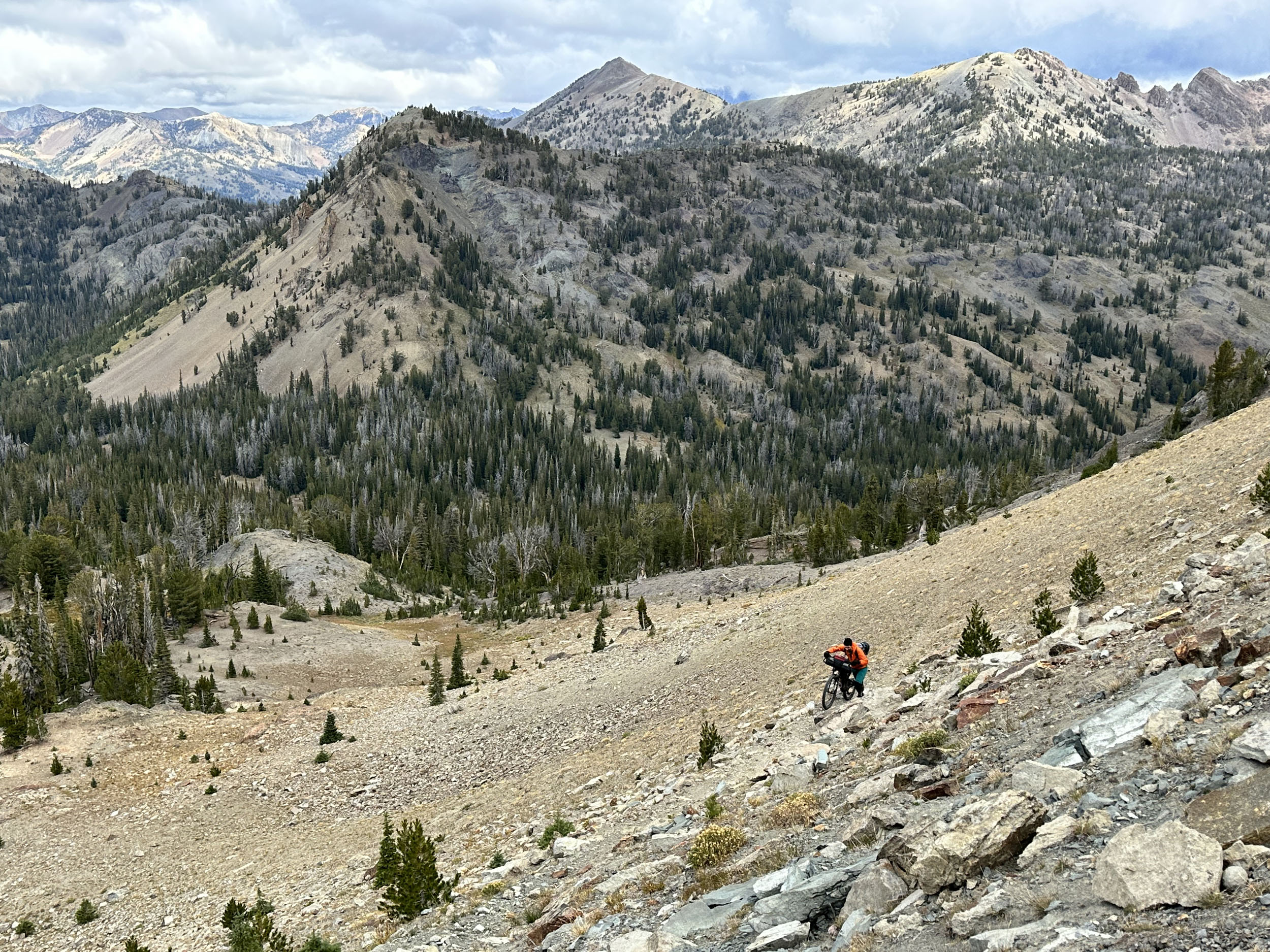
The demanding singletrack will keep riders on their toes. While some sections are smooth, most of the riding is rocky and varied. All the significant climbs, and many shorter climbs, require hike-a-bike. Some are longer and on good trail, while others are shorter and through rough, rocky terrain, creating a physically demanding route.
Logistics are fairly straightforward. The route is a loop, so there is no shuttle involved. Water is generally plentiful, but a few sections require a water carry for 2.5 to 5 hours. The only full resupply is in Stanley, about halfway through the loop. You can resupply snacks at Smoky Bar Store, and you can order food; chips and cookies are also available at Galena Lodge.
Route Development
Route development for the Idaho Gem really began when Chris started riding in the Sun Valley area around 2010, exploring the region’s many excellent biking opportunities. After getting into bikepacking in 2023, he saw an opportunity to create a route connecting some of these areas and showcasing the incredible backcountry riding the region has to offer. The original concept focused on keeping the route on as much singletrack as possible, with the initial plan centered on the southern portion of what is now the Idaho Gem.
After spending more time bikepacking, however, Chris realized that incorporating some dirt roads would provide a welcome reprieve from the technically and physically demanding riding that characterizes much of the route. This opened the door to extending it north along the Sawtooth Range to Stanley, which is ideally positioned as a resupply point, before continuing south along the east side of the Sawtooth Valley with surprisingly little road riding. The resulting route has been scouted many times to test sections and choose the best overall experience that matches the character of the route.






















Submit Route Alert
As the leading creator and publisher of bikepacking routes, BIKEPACKING.com endeavors to maintain, improve, and advocate for our growing network of bikepacking routes all over the world. As such, our editorial team, route creators, and Route Stewards serve as mediators for route improvements and opportunities for connectivity, conservation, and community growth around these routes. To facilitate these efforts, we rely on our Bikepacking Collective and the greater bikepacking community to call attention to critical issues and opportunities that are discovered while riding these routes. If you have a vital issue or opportunity regarding this route that pertains to one of the subjects below, please let us know:
Highlights
Must Know
Camping
Food/H2O
Trail Notes
Resources
- The journey across Mars Ridge and the sublime descent down the South Fork Warm Springs
- The six-mile brake burning descent from Grindstone Ridge into Lick Creek leading to Smoky Bar
- Dropping into South Fork Ross Fork, a gem of a trail typically only experienced by moto riders
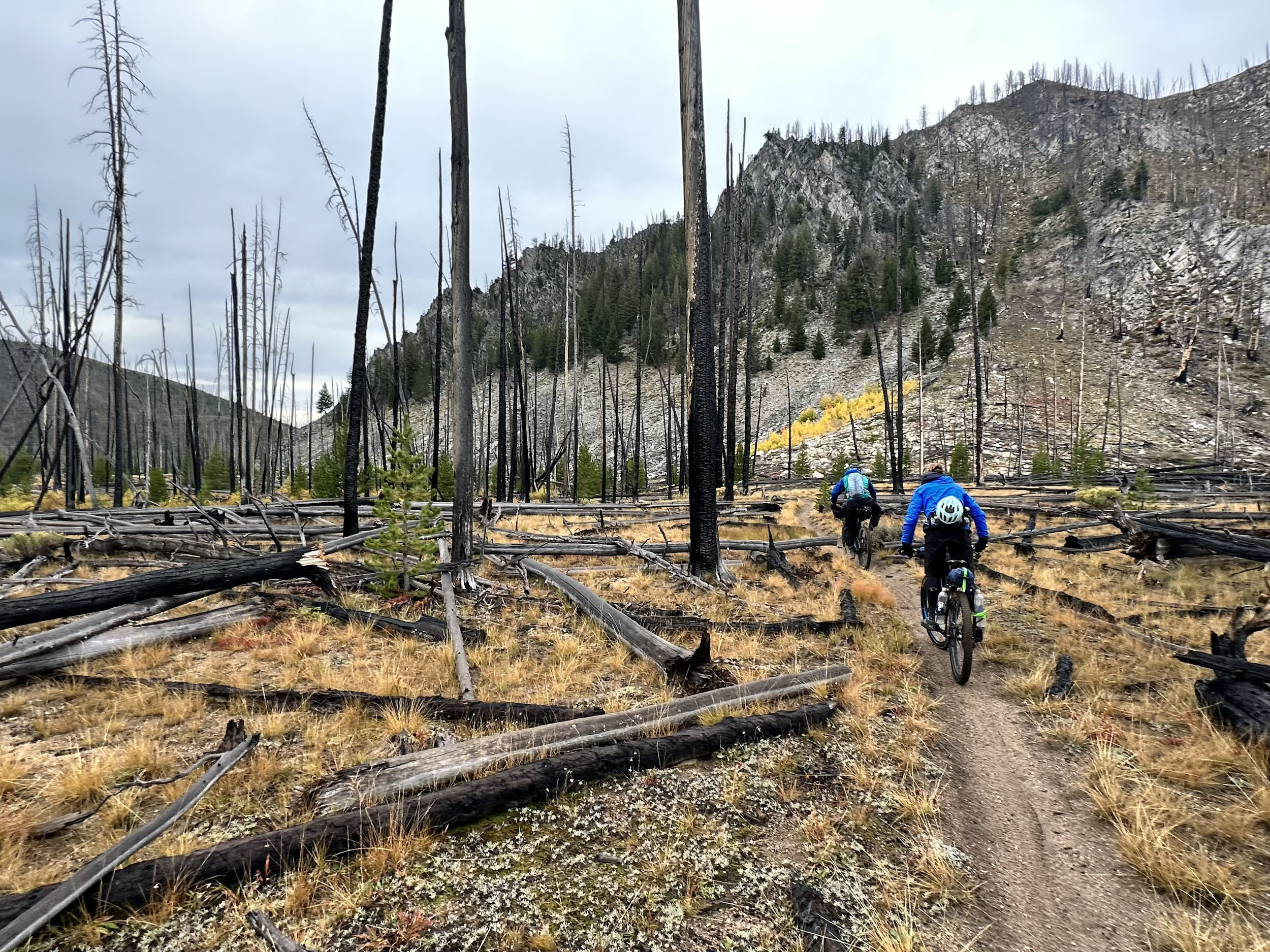
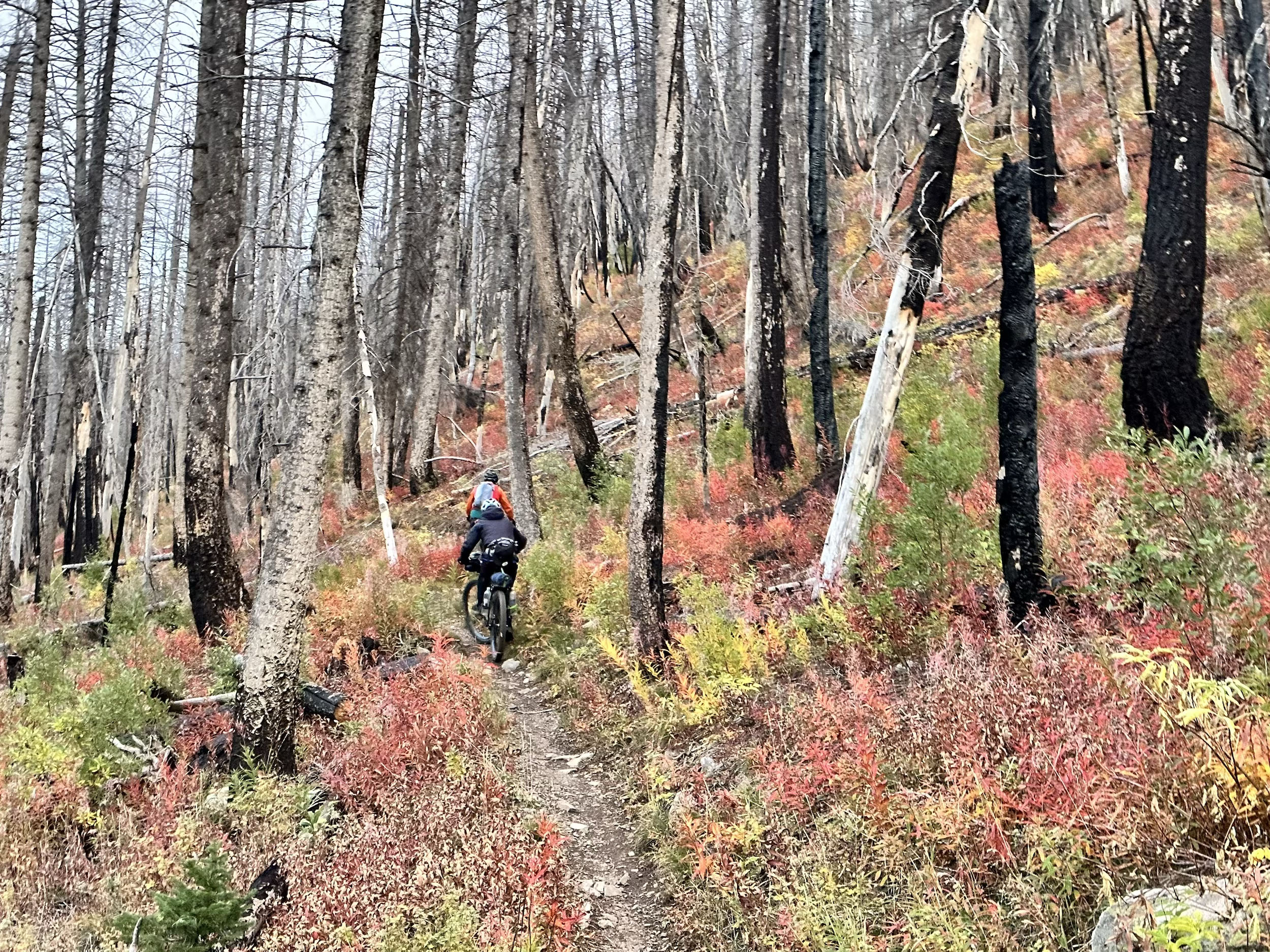
- The flow descent down Alturas Creek through the 2022 Ross Fork Fire scar
- Easy miles pedaling dirt roads along the Sawtooth front, having time to take in the views into the vast Sawtooth Wilderness
- A trip around Redfish Lake, one of the few opportunities to ride close to the big Sawtooth peaks
- A stop at the Stanley Baking Co & Cafe is an absolute must for amazing and well-deserved food
- The expansive Warm Springs Meadow
- A rip down the smooth and flowing icon Williams Creek Trail
- Washington Lake in the White Cloud Mountains
- A well-deserved stop at Galena Lodge for some really good food after the challenging push over Gladiator Pass
- The downhill flow and big berms of Grinder EXT and fun Spring Creek
- Osberg Ridge, a 13-mile multi-use trail almost entirely above 8,000 feet
- A optional overnight at Coyote Yurt (booked through Sun Valley Huts)
- A rip down Adam’s Rib and a view back to where it all began before the final flow down Harper’s back to Adam’s Gulch TH
- A well-deserved cold beverage at Lefty’s or Grumpy’s
When to go
- The season spans July through early October. Riders must wait for the high-elevation terrain to be snow-free in July and ride the route before the first winter storms shut it down, typically in October. For the best experience, wait until trails are cut out—typically in early July. July also brings more wildflowers, but the chance of lingering deadfall. August can be hot. September brings cooler temperatures and fewer users on the trail.
Logistics
- Since the route is a loop, the logistics are fairly straightforward. The only full resupply is in Stanley, conveniently located around the halfway point of the route. Ketchum has free on-street parking for seven days outside the downtown zone (best on the west side of town).
- While it may be tempting to cross the street and join the Harriman to Prairie Creek after a refuel at Galena Lodge, it’s worth the extra effort to climb back up to the Grinder to get to the Grinder EXT and Spring Creek. The Grinder will have some annoying ups and downs, but when the flow starts on the Grinder EXT with its big berms and doubles and the plain fun of Spring Creek, riders will be grinning ear to ear, and the effort will be worth it. The easiest way back up to the Grinder is to take Senate Meadows Road to Horsefly Hill.
- Galena Lodge’s kitchen closes at 3 p.m., and the Lodge closes in mid-Sept for the season.
- The Mountain Village Inn in Stanley has a private hot spring that is available if you stay there for the night!
Dangers & Annoyances
- The route travels through bear and mountain lion habitat, though human encounters are quite rare.
- Water is typically abundant on the route. The four big water carries are across Mars Ridge to South Fork Warm Springs, the Little Casino to Sunny Gulch climb, Prairie Lake to Baker TH, and Baker TH back to town via Osberg Ridge, Adam’s Rib, Harpers, and the Lake-Adams Connector.
- The trail on the west side of Redfish Lake is popular with hikers and horseback riders. It’s recommended to ride this section on a weekday and in the early morning or evening to have the most fun and reduce user conflict.
What bike
- A full-suspension bike will make the trip more enjoyable for most riders, with a recommended tire size of 2.4” or bigger. Due to the rocky and loose nature, having tires with robust casings is important, as is having at least a front tire with some bite.
- Balance Bike Works in Stanley and the shop at Galena Lodge are your spots for on-route maintenance.
- Camping is mostly plentiful throughout the route in most locations, as they are on USFS Land
- The bottom of South Fork Warm Springs is the first good camping spot
- No great camping between Warm Springs and Smoky Bar
- Bown’s Campground in Smoky Bar is $8/night (as of 2026) and has pit toilets.
- Dispersed camping in marked sites along the South Fork Boise
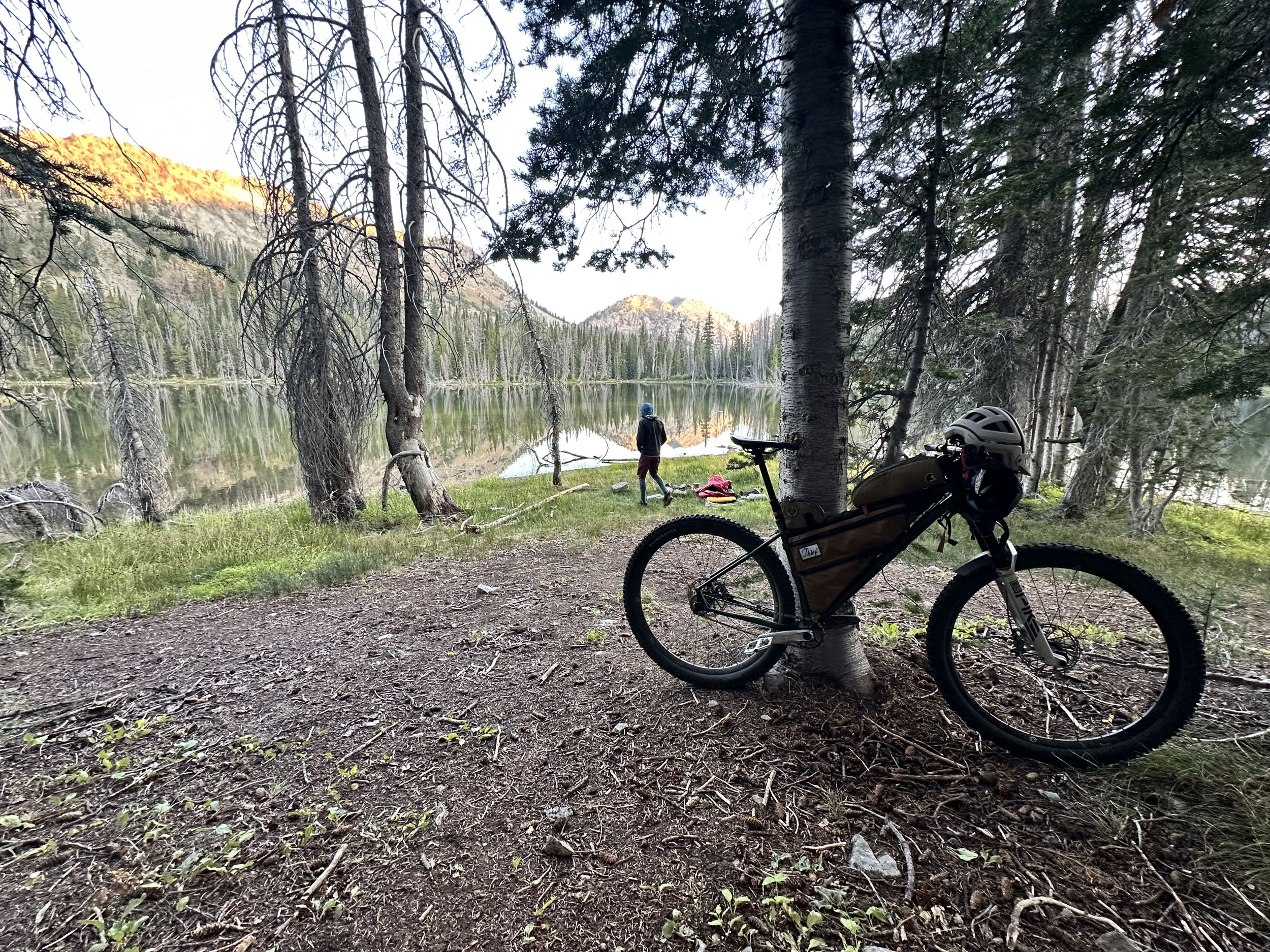
- Ross Fork Lakes is a small detour and an amazing camp spot
- Alturas Lake has a variety of paid campgrounds
- Decker Flats offers camping before the climb up Redfish Ridge
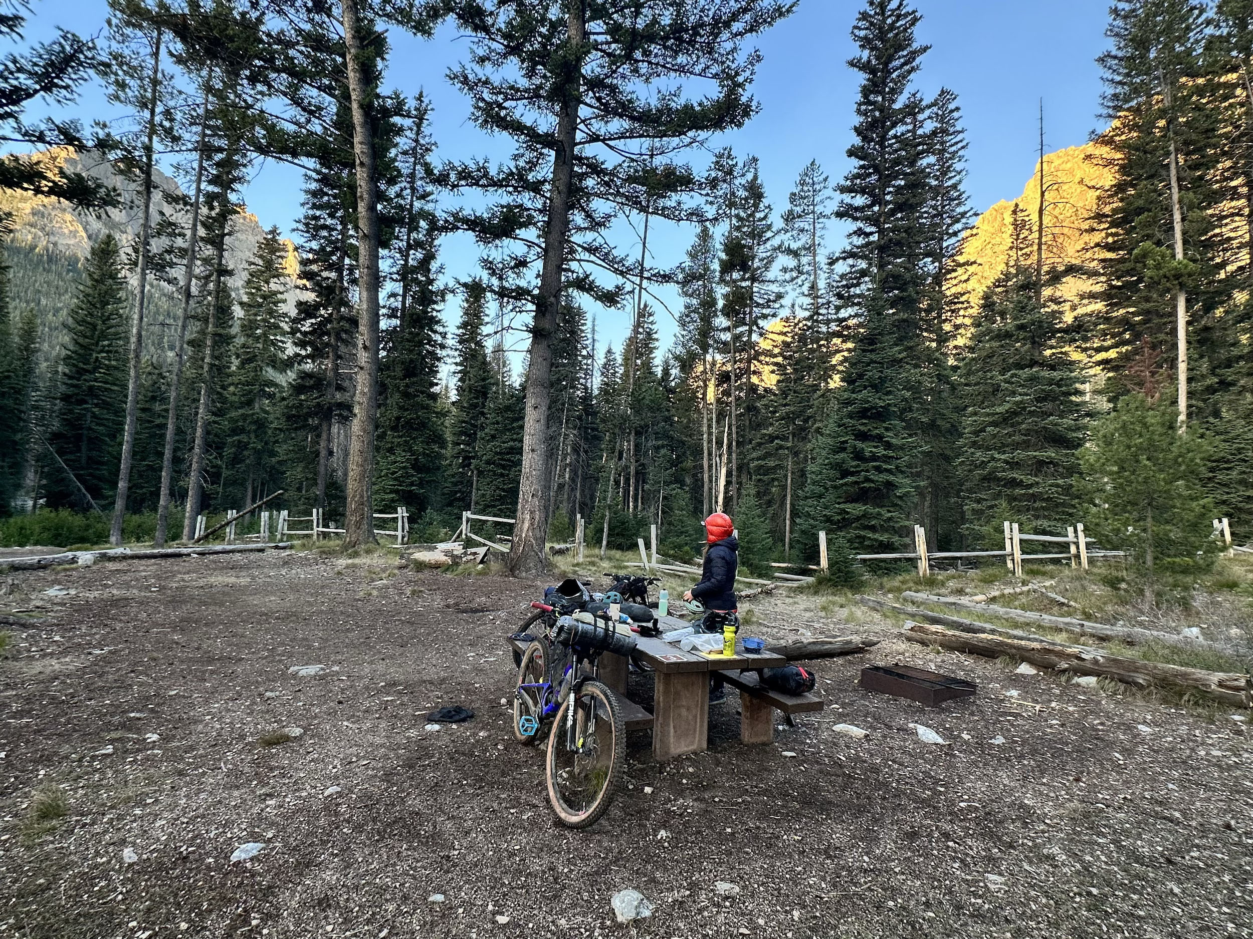
- Redfish Inlet camp has pit toilets and is a cool place to stay ($18/night as of 2026)
- Limited camping between Redfish Lake and the Casino Creek Campground ($18/night as of 2026)
- Mountain Village Inn is a good spot in Stanley to get a room (and private hot spring) to break up the trip
- Garland Lakes (after the big climb up Little Casino and Sunny Gulch) is the first good camp spot
- Warm Springs Meadow is an amazing place to camp
- Lots of dispersed camping along 4th of July Road
- 4th of July and Washington Lakes are awesome camp spots
- Dispersed camping along Pole Creek Road
- Limited options for camping between Pole Creek Road and Galena Lodge Area
- Dispersed camping along Senate Meadows Road and Prairie Creek Road
- Prairie Lake camping is good at the far shore
- Baker Lake camping is a little detour and good
- No great camping due to lack of water between Baker TH and Ketchum
Riders will find plenty of water and a variety of camping options along the route. A full resupply is limited to Stanley, but you can pick up odds and ends at the Smoky Bar Store, Redfish Lodge Store, and Galena Lodge. Expect to spend 6-8 days if touring the route.
- The four big water carries are across Mars Ridge to South Fork Warm Springs, the Little Casino to Sunny Gulch climb, Prairie Lake to Baker TH, and Baker TH back to town via Osberg Ridge, Adam’s Rib, Harpers, and the Lake-Adams Connector.
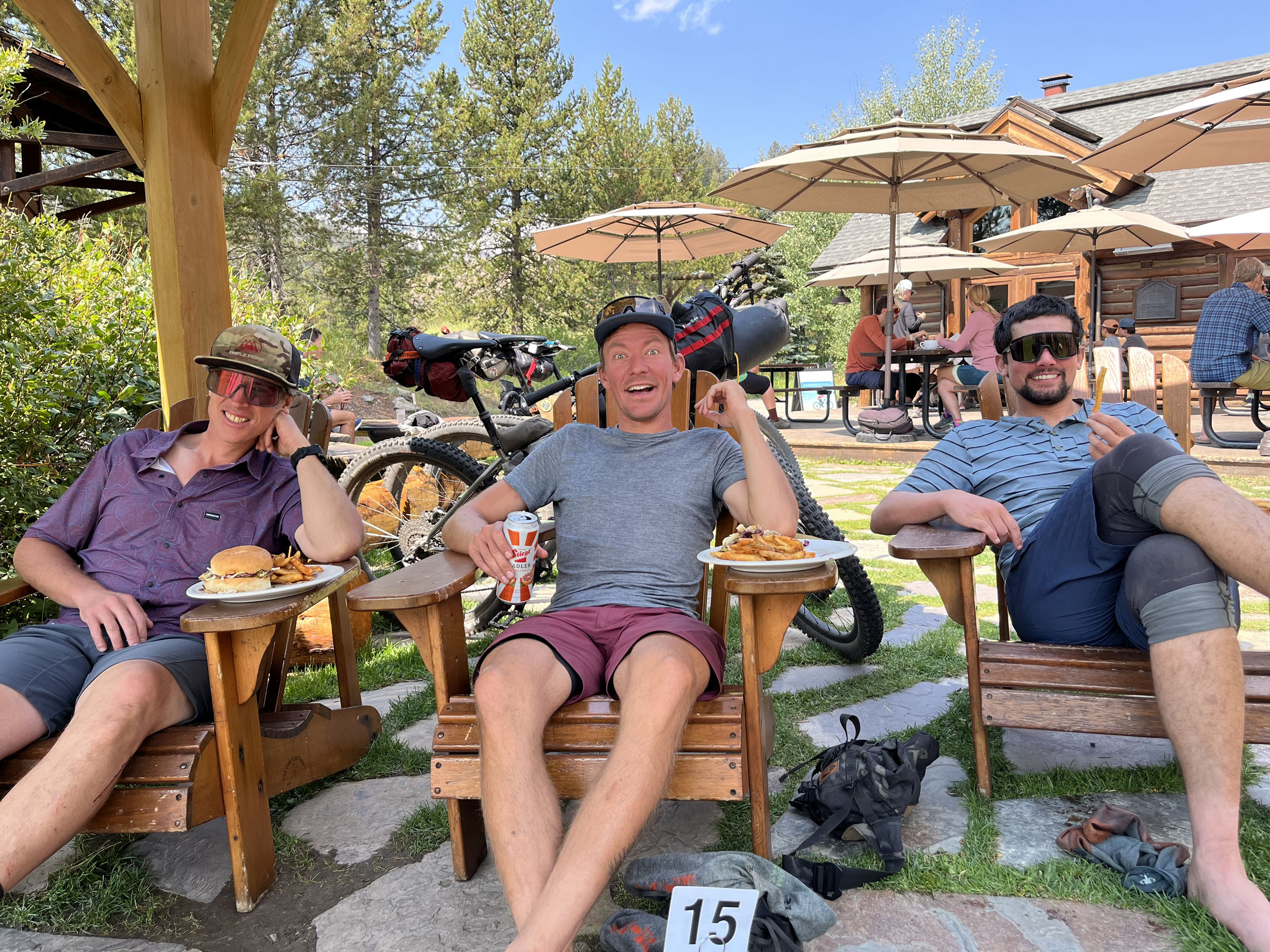
- Smoky Bar Store is worth a stop. They have snack-type food for resupply, very cold drinks, and sometimes have the grill turned on for burgers.
- Stanley Baking Co & Cafe is a must!
- Pappa Brunees pizza is a good option for take-away.
- Galena Lodge food is outstanding. They have ice cream too!
- Choose either Grumpy’s or Lefty’s for your post ride celebrations. Both have great outside seating and a local vibe.
Much of this route is on multi-use trails. The moto community puts in countless volunteer hours every season to help cut trails. Because of the sheer amount of singletrack in the area, and the work required to keep it cut, mountain bike access to much of the backcountry wouldn’t be possible without the moto community. If you see a moto rider with a chainsaw while riding, give them a big thanks and high five!
Suggested Itinerary
locationKetchum to Middle Fork Warm Springs
Day 1 (26.5 mi, +3,875’)
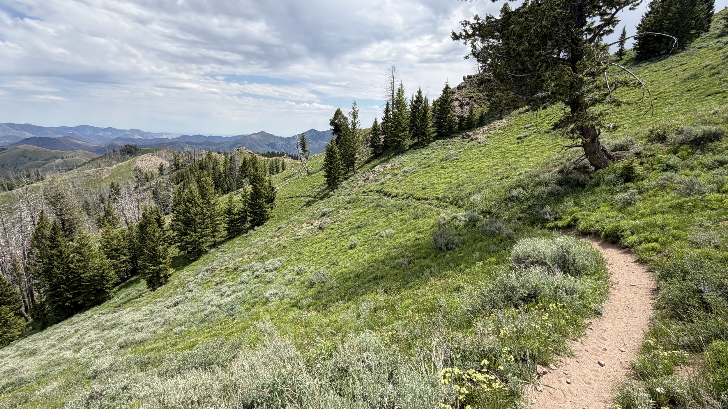
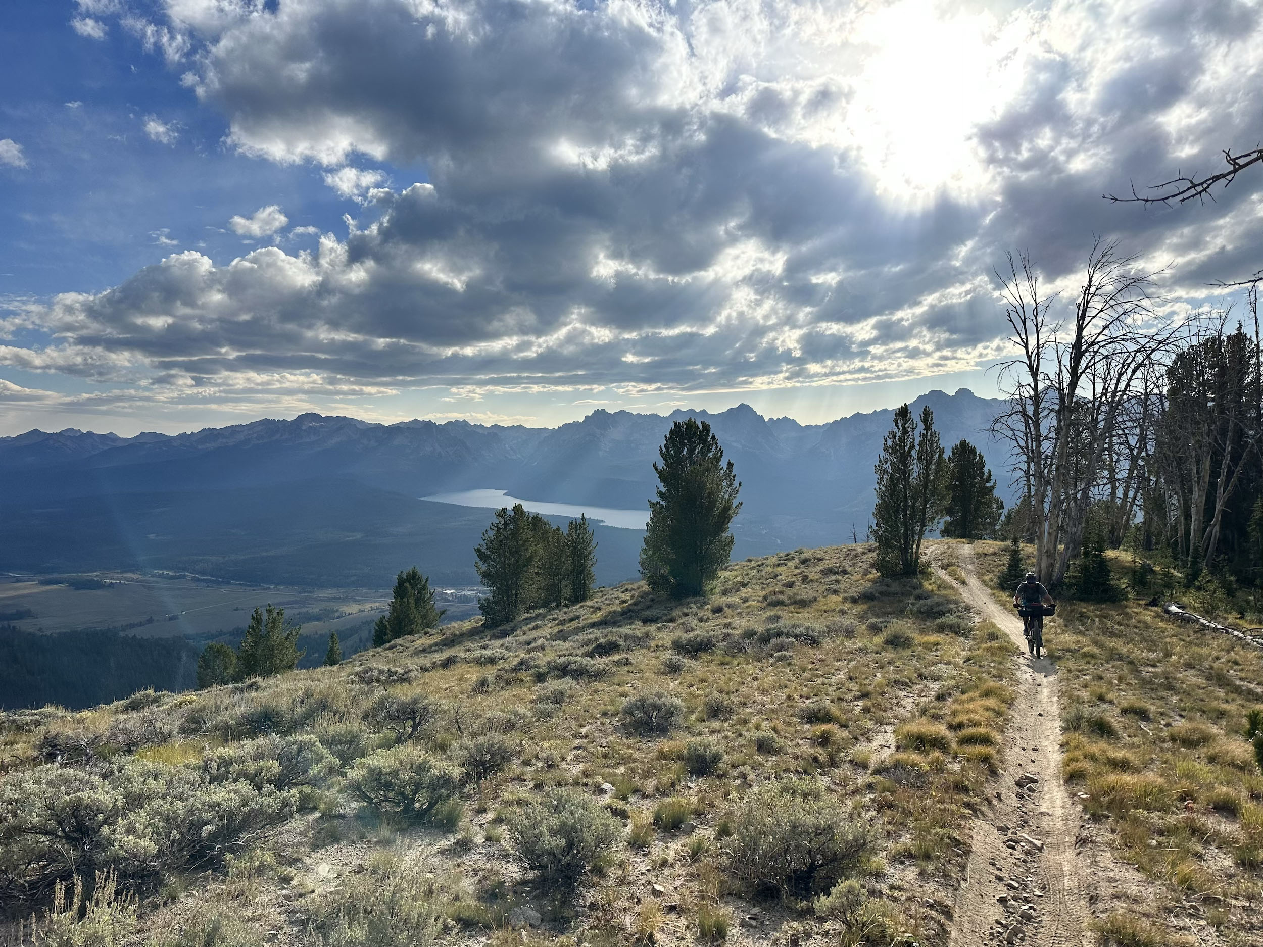
Starting in Ketchum, enjoyable, easy miles on the paved bike path lead to the Greenhorn Road intersection. A few miles of road give way to the trailhead and gateway to hundreds of miles of remote, rugged singletrack. Easy pedaling up Greenhorn Trail eventually gives way to punchy climbs toward the Imperial intersection. Continuing higher on Greenhorn, the trail becomes increasingly raw. Pedaling and short sections of hike-a-bike gain the informally named Mars Ridge. Expansive views of the Pioneer Mountains abound, and the route’s first short but challenging hike-a-bikes begin. A flowing descent down the mostly smooth South Fork Warm Springs is a nice reward for the sweat equity to this point. The bottom of the descent offers the first good camping of the route.
locationMiddle Fork Warm Springs – Bear Creek
Day 2 (36.5 mi, +5,750’)
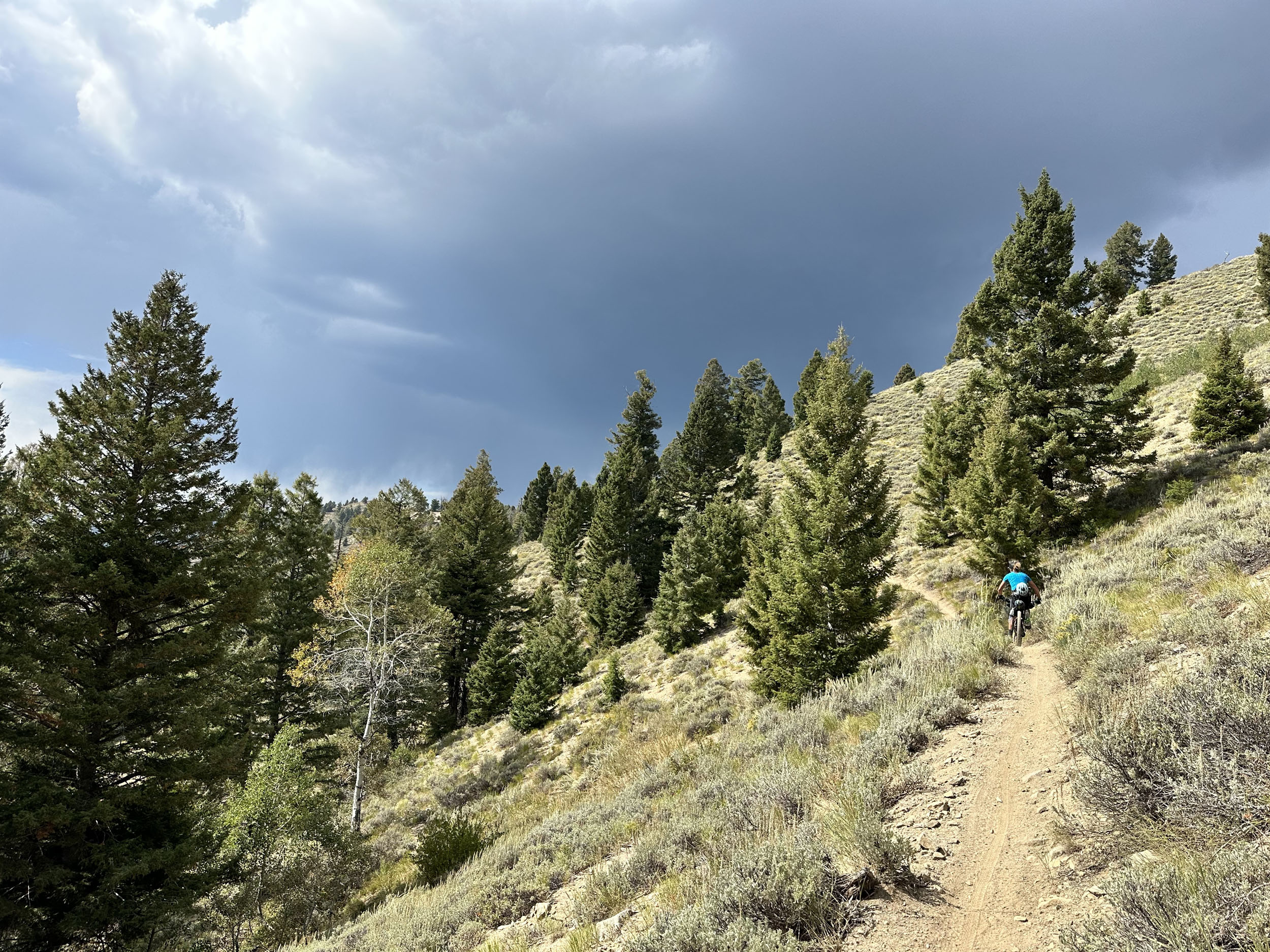
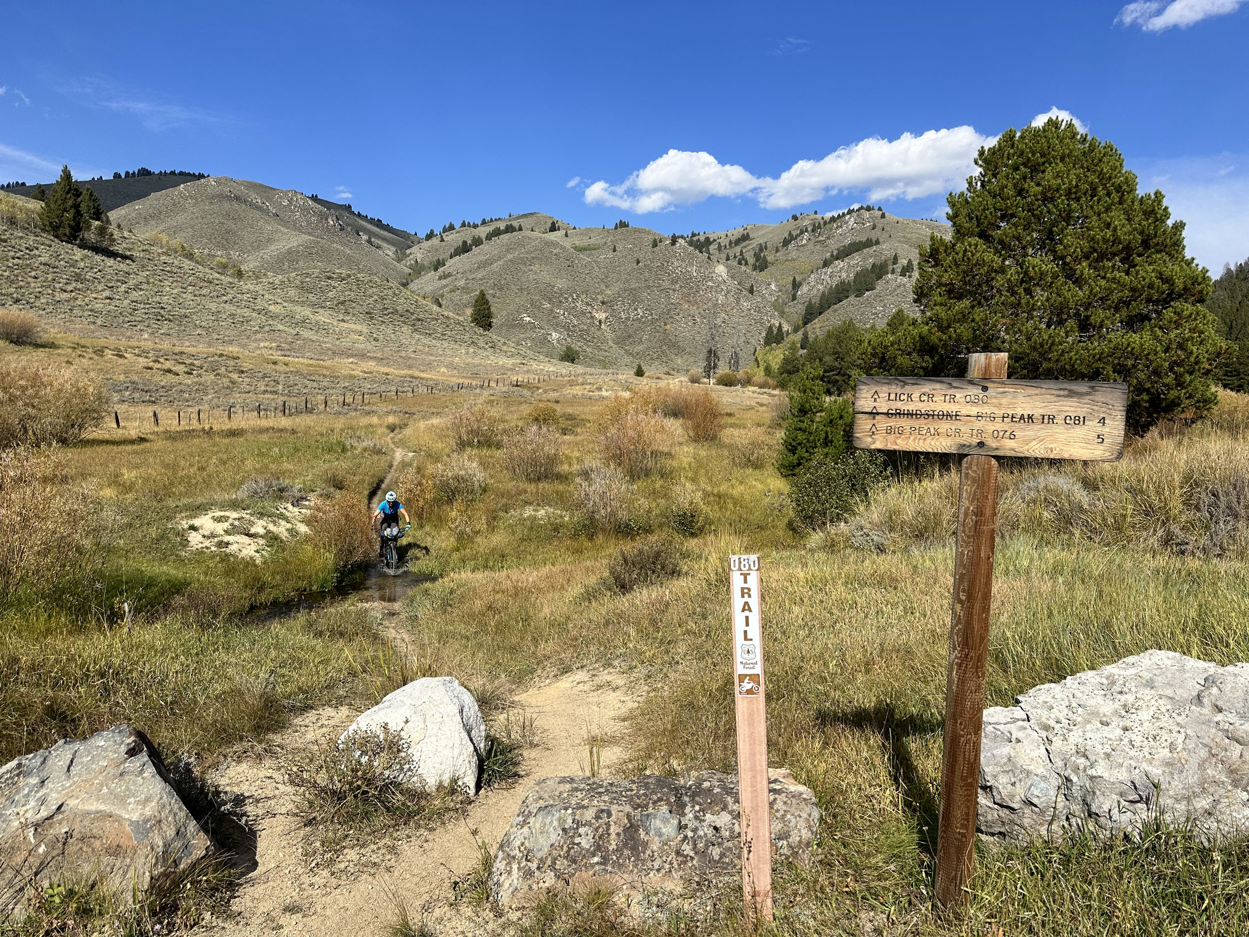
Continuing, Middle Fork Warm Springs provides a mostly pedalable trail to gain high ground. A moto trail cuts off and follows the ridgeline through a handful of short but challenging steep ups and downs to Dollarhide Summit. Dropping west from Dollarhide, riders will fly down the dirt road to the trailhead for the Big Peak–Carrie Creek Trail. This trail starts with a hike-a-bike to the intersection with Grindstone Ridge, then quickly turns into a mostly smooth, rideable trail with short sections of hike-a-bike along the ridge. Once through the ups and downs of Grindstone Ridge, the fast, five-mile singletrack “Blue Angels” descent down Lick Creek into Smoky Bar is a well-earned gem.
One route alternative avoids the singletrack climb of Middle Fork Warm Springs and the Dollarhide Connection, instead taking a dirt road from the bottom of South Fork Warm Springs to Dollarhide Summit. You can also continue on this road all the way to Smoky Bar, bypassing the amazing Grindstone–Lick Creek descent.
A trip to the Smoky Bar store is well worth the quick detour; they serve burgers on the weekends and, if you’re lucky, some weekdays. Afterward, climb up and over Fleck Summit and along the South Fork Boise River to begin the journey into the heart of the Western Smoky Mountains. Well-graded dirt road becomes increasingly primitive. Many camping spots line the South Fork Boise River. Once in Bear Creek, the road becomes more primitive, and established camping spots are less frequent; one nice flat spot in a grove of trees (as indicated on the RWGPS map) makes a fine camp for the evening. For those wanting to push on, Ross Forks Lake makes an amazing camping location and adds 7.5 miles and 2,650 feet of climbing.
locationBear Creek – Redfish Lake Inlet Camp
Day 3 (51 mi, +5,950’)
The increasingly rugged Bear Creek road eventually leads to a ribbon of singletrack climbing toward the Bear–Willow Divide. Pedaling and pushing up the Bear–Willow Connector accesses remote and stunning terrain most commonly frequented by motos. Idaho Batholith granite is exposed throughout the area, creating a dramatic, rugged landscape with plenty of small springs running across the trail.
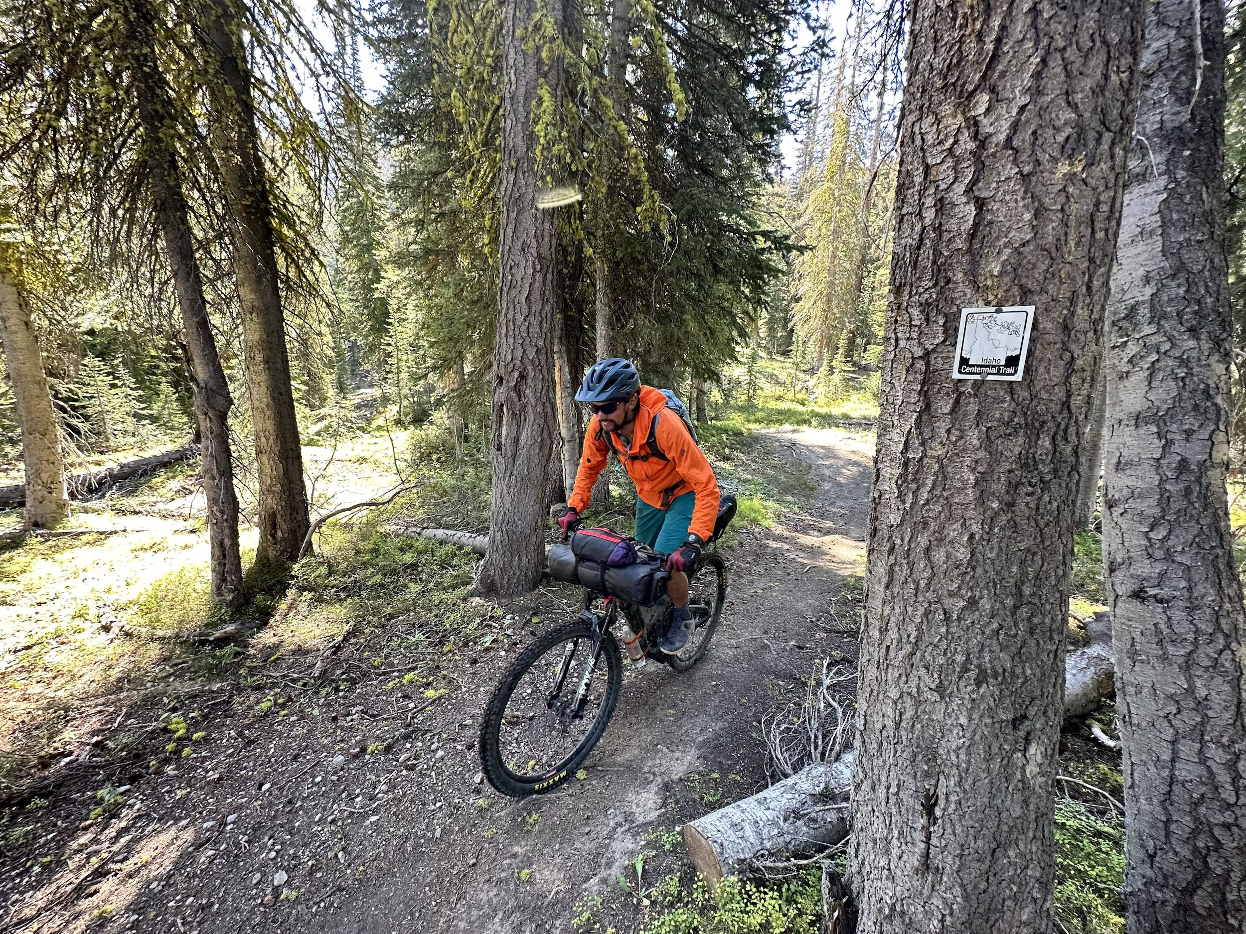
An exposed, somewhat technical short descent leads into Willow Creek and the start of the route’s most remote section. Stunning views to the west reward the push to the head of South Fork Ross Fork, where the gash in the landscape carved by the Middle Fork Boise River is visible in the distance. The descent down South Fork Ross Fork is an amazing backcountry experience—rugged and rewarding through alpine terrain, subalpine meadows and forests, and along a creek. A side trip to Ross Fork Lake is well worth the effort and provides another excellent camping option. Eventually, South Fork Ross Fork ends, and the pedaling and pushing up North Fork Ross Fork begins. Riders are on the Idaho Centennial Trail while traveling along the Ross Fork trails.
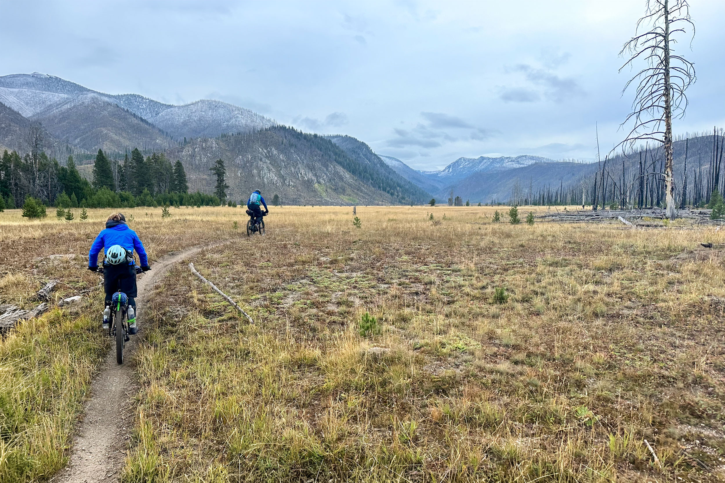
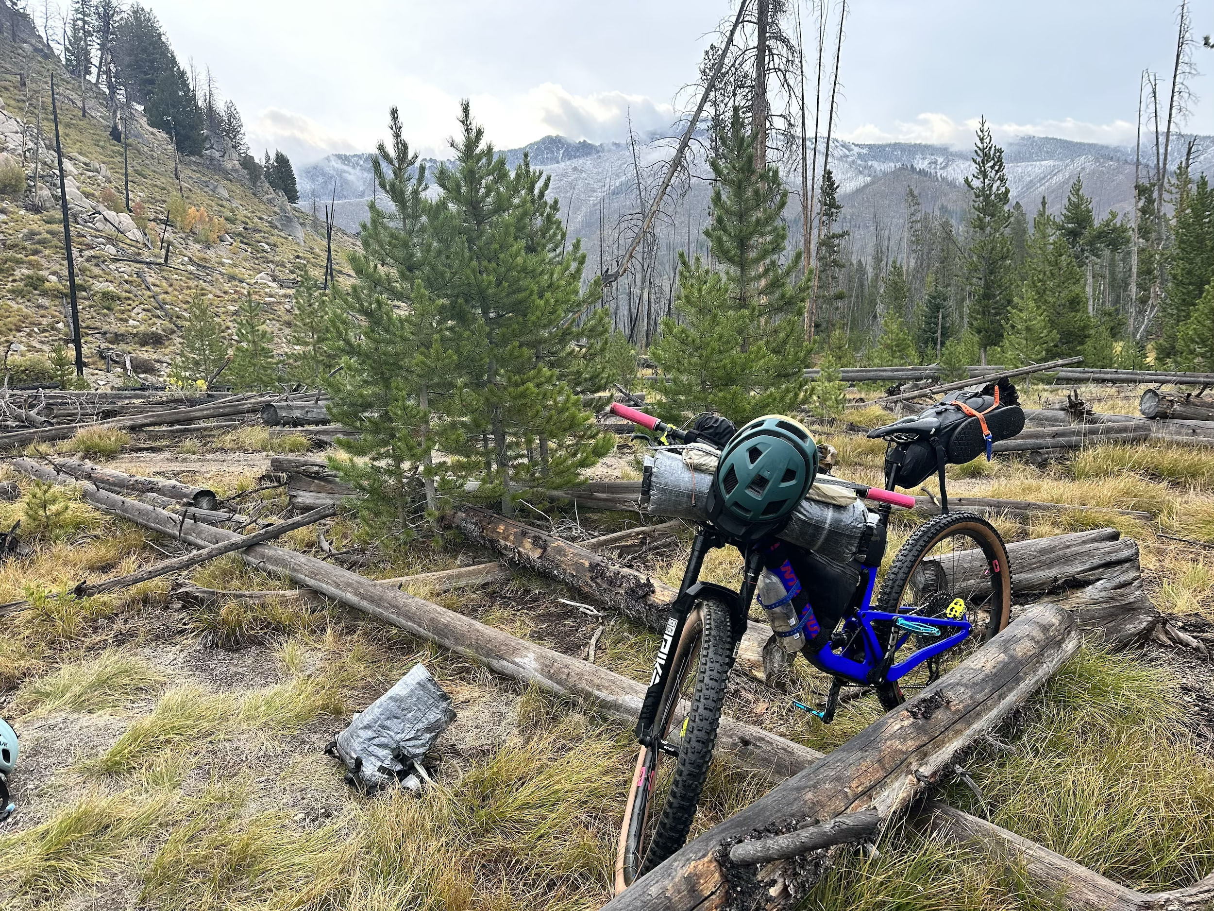
North Fork Ross Fork is pedalable for the final stretch to the pass above Alturas, which provides a nice morale boost. The Alturas Lake trails start rough and technical, then quickly lead you through the 2022 Ross Fork Fire burn scar before weaving in and out of massive debris piles from large avalanches over the years. As riders cruise past the trailhead, they encounter the first pavement in nearly 80 miles. This is also the gateway into the iconic Sawtooth Valley.
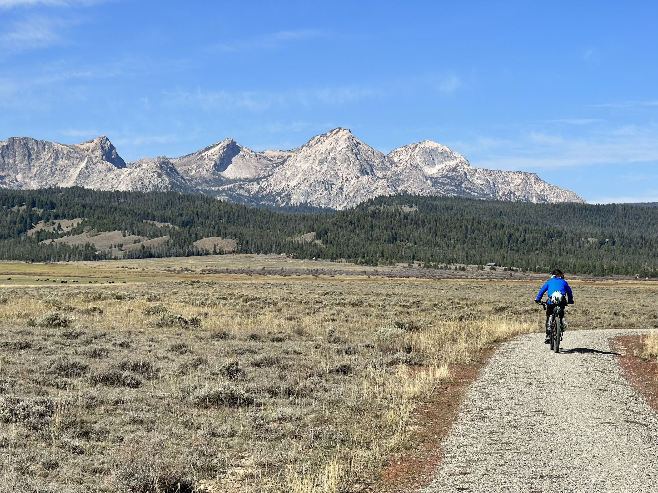
The Sawtooth Mountains are granitic, with dramatic relief and a serrated skyline. Beneath the peaks, abundant alpine lakes fill the landscape. The Sawtooth Mountains were designated a primitive area in 1937 and became wilderness in 1972. Cruise past Alturas Lake, imagining when glaciers filled this valley. A quick dip in Alturas is a nice way to wash off the sweat and dirt of the days past. Since the wilderness boundary extends down out of the mountains, much of the singletrack in the Sawtooth is inaccessible by bike. Enjoy some easy miles on dirt roads heading north beneath the towering peaks of the Sawtooth.
After three mandatory miles of pavement along the highway shoulder, jump back onto the dirt of Decker Flat Road and head to the Redfish Ridge Trail. This area offers plenty of dispersed camping along the Salmon River. Redfish Ridge is a nice climb and offers views into the heart of the northern Sawtooth. After some ups and downs along the ridge through towering Douglas fir, the trail dips downhill into fast, fun technical riding before reaching the edge of six-mile-long Redfish Lake. An excellent camping option is the Redfish Inlet Camp, which requires a fee. You can also bypass this section by staying on Decker Flat Road.
locationRedfish Inlet Camp – Warm Springs Meadow
Day 4 (37 mi, +5,450’)
After climbing back up the other side of Redfish Lake, a long, low-angle technical descent leads down the old glacial moraine. This trail is popular with hikers and horseback riders, so traveling early or late in the day (and preferably on a weekday) should help reduce the crowds. Another singletrack pedal and mellow push gains the Alpine Way Trail. A rough descent heads back down into the Sawtooth Valley and onto the 3.5-mile gravel bike path into Stanley.
Stanley is the trips’ only full resupply, so make sure to check the hours at Mountain Village Mercantile. Don’t miss the delicious food at Stanley Baking Co. & Cafe, which is well worth the stop. Grab and package a to-go pizza from Papa Brunee’s, then head along the Salmon River to the Casino Creek Trailhead.
Fill up with water at the campground hand pump and get ready for the relentless, potentially hot climb. The abrupt change after the hamlet of Stanley is a rude awakening, but scenic views of the Sawtooth Mountains and Valley stretch far to the south, offering perspective on the ground covered over the previous days. After plenty of pushing and pedaling, you finally reach the high point at the Casinos. Take a well-deserved break before the rowdy riding begins. Before the Big Casino–Martin Creek intersection, a small spring alongside the trail offers another chance to get water.
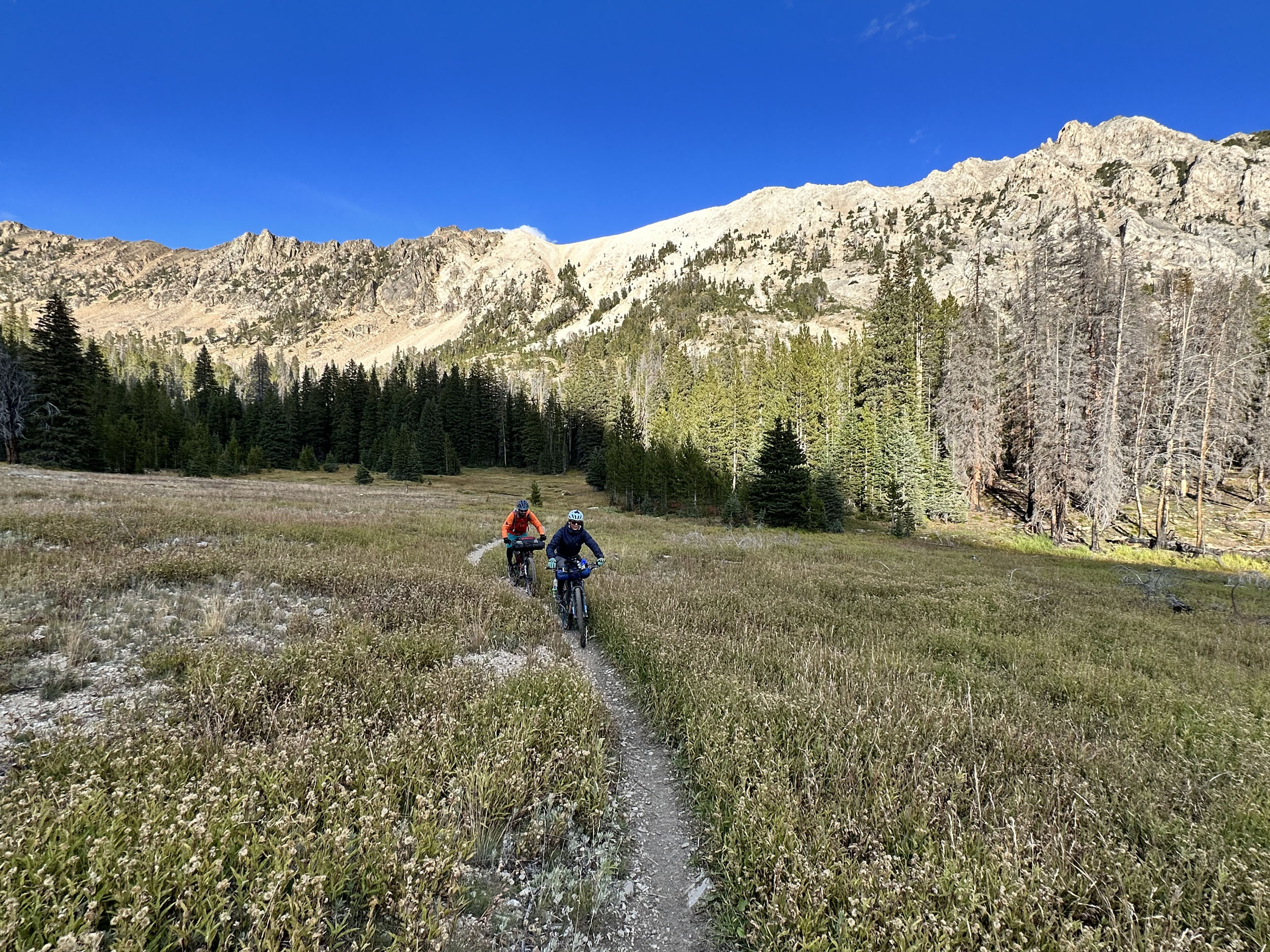
Granite dominates the landscape, creating rocky, technical riding down the Martin Creek Trail. The elevation profile doesn’t do the trail justice; several punchy technical climbs on the descent can easily be pushed. After passing Garland Lakes, another great camping spot, the trail surface eventually transitions from rocks and dirt to decomposed granite as Martin Creek flows through an old burn into the expansive Warm Springs Meadow—a great place to spend the night.
locationWarm Springs Meadow – Germania Creek
Day 5 (35 miles, +4,450’)
Traversing Warm Springs Meadow, easy pedaling and a few deep water crossings—look both upstream and downstream for logs—lead to the intersection with the popular and classic main Williams Creek Trail. Climb farther along the creek through the old burn. This area often provides a unique contrast between the decomposed granite trail surface, sparse burned trees, and lush green riparian corridor. Rip down five miles of mostly downhill trail, with one very short climb, to the Williams Creek Trailhead. With good sight lines and a smoother, packed surface, this descent feels starkly different from the previous rugged backcountry descents, making it clear why this is a local favorite.
After four miles on Highway 75, turn east and begin climbing the dirt Fourth of July Road into the White Cloud Mountains. Plenty of camping options line this dirt road. Technical climbing on the Washington Lakes Trail passes Fourth of July Lakes and Washington Lakes, both good camping options in the White Clouds. A loose descent ends in Germania Creek, followed by some cross-country pushing and pedaling to Pole Creek Road. Camping is available along this road, primarily before it climbs to Pole Creek Summit. For those wanting to continue further, additional camping is located near the Grand Prize Trailhead, after a climb up Pole Creek Summit and descent down the road.
locationGermania Creek to Prairie Lake
Day 6 (32 mi, +5,575’)
A quick climb up to Pole Creek Summit and descent down the dirt road lead to the Grand Prize Trailhead. From there, a pleasant pedal up an ATV trail that eventually turns to singletrack provides the gateway into the Boulder Mountains.
After finding the hard-to-spot turnoff onto the poorly used Gladiator Pass Trail, a long hike-a-bike leads up to Gladiator Pass. The trail on the other side is also lightly used, with some zero-track along the way down. This relatively straight and steep section eventually joins the heavily used Galena Lodge trail network. The contrast between remote backcountry and groomed trails couldn’t be more stark. Relentless ups and downs along the Grinder eventually bring riders to the Grinder EXT Trail, a purpose-built section with jumps and big berms. This leads to Spring Creek, which flows mostly downhill to the Big Wood River.
If Galena Lodge is open—it closes seasonally in mid-September—taking either Gladiator or Rip and Tear down from the Grinder is the best way to reach the lodge. They have an amazing kitchen, which closes at 3 p.m., along with chips, cookies, ice cream, cold beverages, and an awesome lawn to eat, drink, and hang out on. Alternatively, you can cross the highway and link up with the Harriman Trail, but it’s worth the effort to climb back up the Grinder, deal with the ups and downs, and eventually find fast, fun flow on purpose-built trail ripping down Grinder EXT and Spring Creek.
At the bottom of Spring Creek, a quick ford of the Big Wood River provides access to the Harriman Trail. Enjoy some easy cruising along the Harriman and onto Prairie Creek Road to the trailhead. Saddle up for the final 35 miles of uninterrupted singletrack back to civilization. A low-angle climb with some technical challenges ends at Prairie Lake, where camping is good on the far side.
locationPrairie Lake – Ketchum
Day 7 (35 mi, +4,400’)
Above Prairie Lake, the bike-pushing begins up a faint trail to the first saddle. The raw backcountry trail drops into the next alpine basin before another short but stout hike-a-bike. The pattern of faint trail and short-but-stout bike-pushing continues through several more alpine basins before the descent to the Baker Lake trailhead. Baker Lake, a short detour off the route, is a great place to camp.
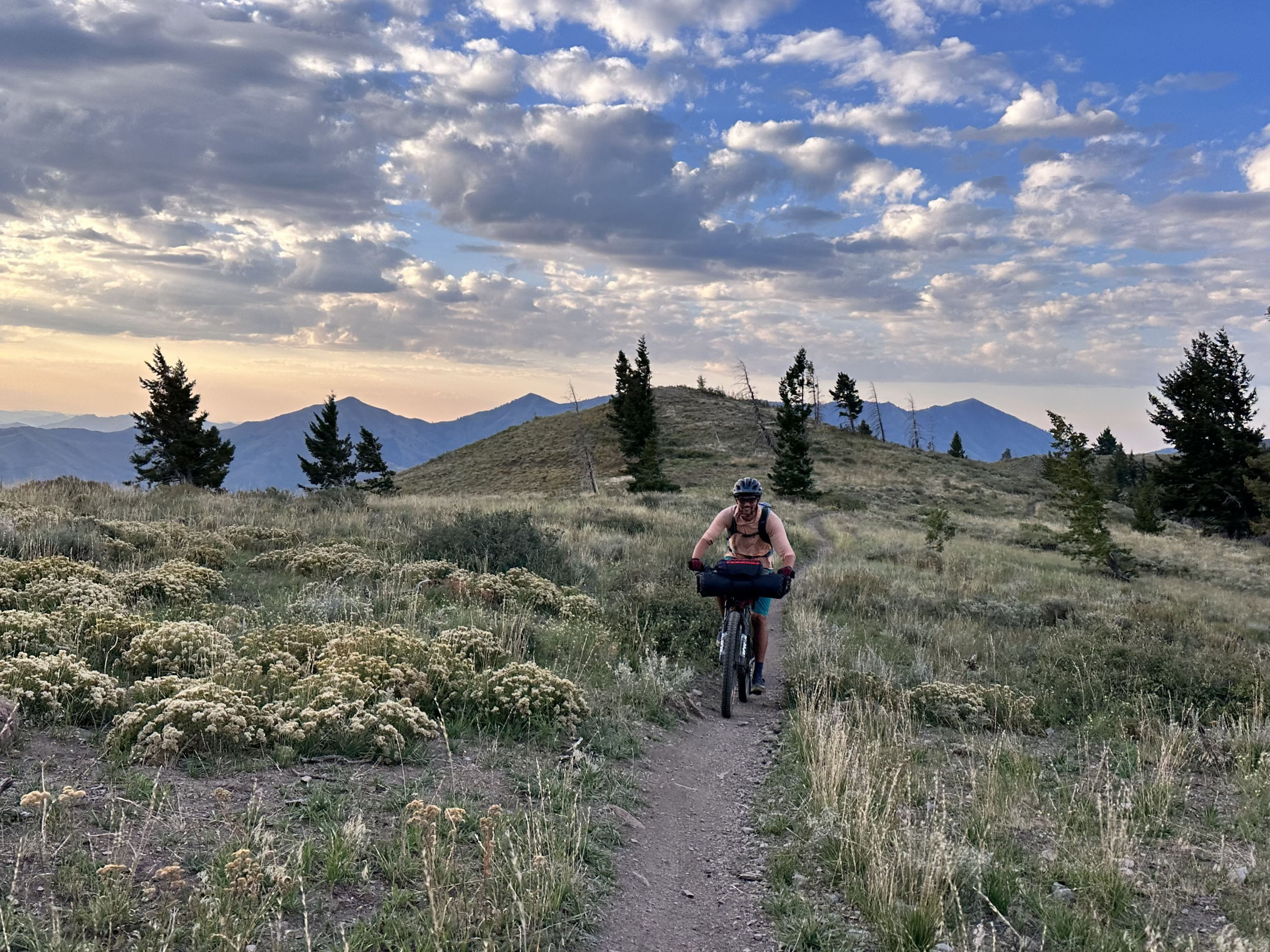
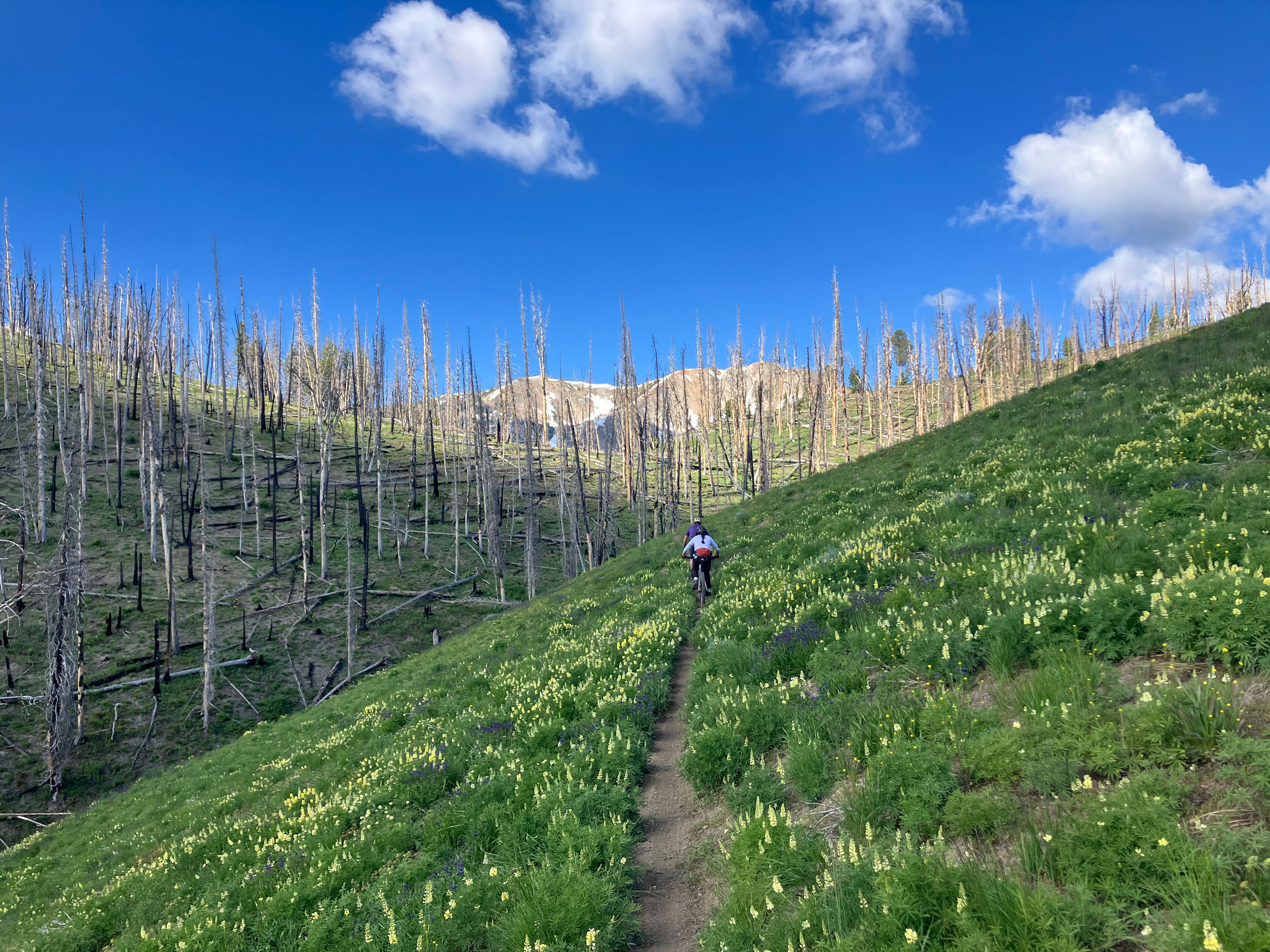
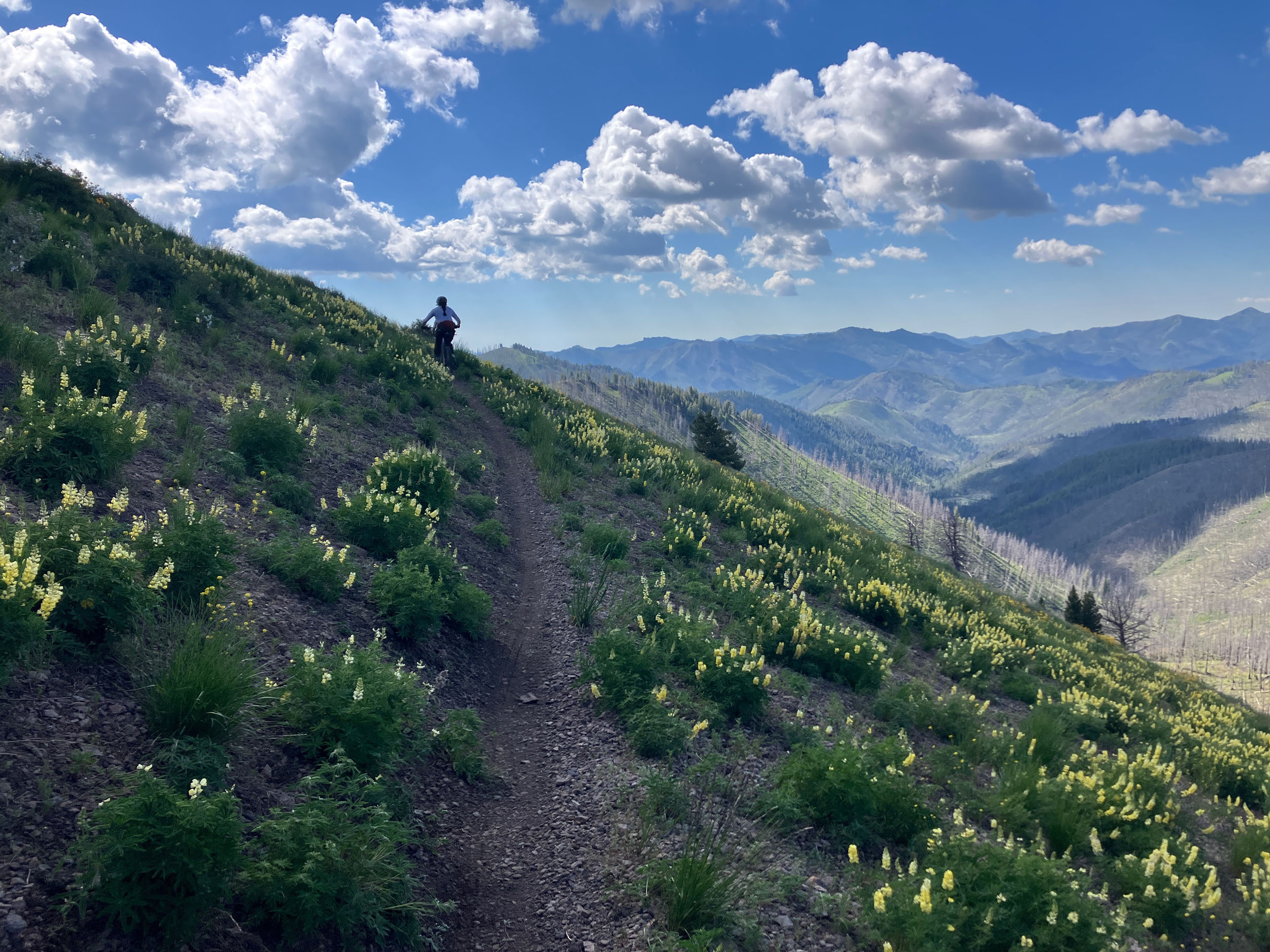
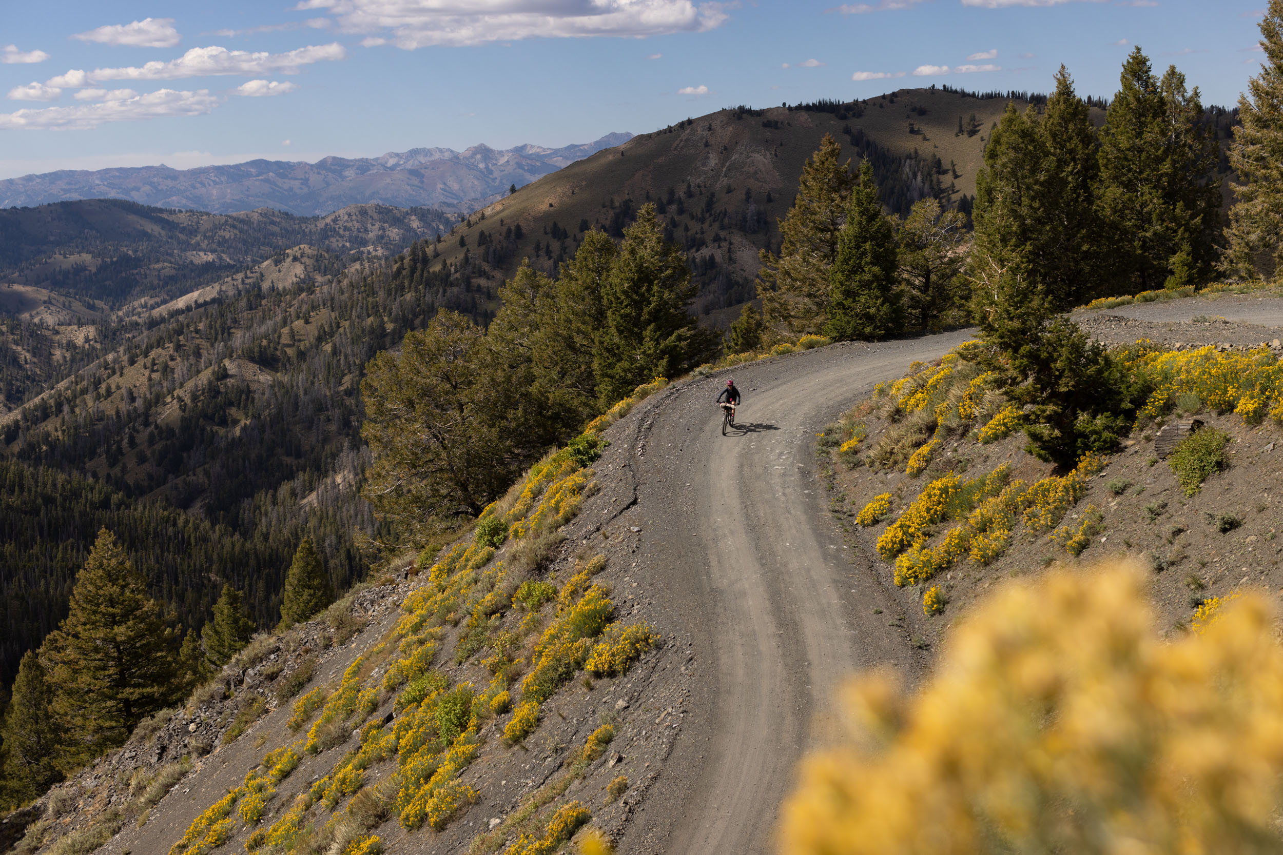
Once at the Baker Lake trailhead, fill up with water for the remaining 24 miles of singletrack. Water is sparse for the rest of the trip, especially later in the season, and you still have about 4,000 feet of climbing from the trailhead to Adam’s Gulch. The Osberg Ridgeline Trail is a new classic backcountry ride, rebuilt after the 2013 Beaver Creek Fire. The trail winds high through the mountains, with views of the Boulder Mountains throughout. Yellow lupine are abundant during July, creating a striking contrast with the reddish rock and burned trees. Bailing down Barr Gulch or Rooks Creek is not advisable, especially Rooks Creek. Barr Gulch is a better bail option, but it is a very rugged moto trail.
Head down Adam’s Rib—don’t go down Old Adam’s Gulch—and enjoy the last of the backcountry riding. The intersection of Adam’s Rib and Griffin Butte offers the first view back into civilization. Stop and soak in the journey before ripping down the remaining flowing miles of Harper’s, tackling the three small climbs on the Lake Creek Connector, and ripping the fast descent back into Adam’s Gulch where hikers, bikers, and dog walkers await. A cruiser pedal back to Ketchum along the bike path and a celebratory cold beverage at Lefty’s or Grumpy’s is well deserved!
Bikepacking the Idaho Gem
Check out this video produced by Chris Wilson:


Terms of Use: As with each bikepacking route guide published on BIKEPACKING.com, should you choose to cycle this route, do so at your own risk. Prior to setting out check current local weather, conditions, and land/road closures. While riding, obey all public and private land use restrictions and rules, carry proper safety and navigational equipment, and of course, follow the #leavenotrace guidelines. The information found herein is simply a planning resource to be used as a point of inspiration in conjunction with your own due-diligence. In spite of the fact that this route, associated GPS track (GPX and maps), and all route guidelines were prepared under diligent research by the specified contributor and/or contributors, the accuracy of such and judgement of the author is not guaranteed. BIKEPACKING.com LLC, its partners, associates, and contributors are in no way liable for personal injury, damage to personal property, or any other such situation that might happen to individual riders cycling or following this route.
Further Riding and Reading
Here are some connected/nearby routes and related reports...

Please keep the conversation civil, constructive, and inclusive, or your comment will be removed.