


Dollarhide Summit Overnighter
Distance
85 Mi.
(137 KM)Days
2
% Unpaved
73%
% Singletrack
0%
% Rideable (time)
100%
Total Ascent
6,079'
(1,853 M)High Point
8,719'
(2,658 M)Difficulty (1-10)
4?
- 5Climbing Scale Moderate72 FT/MI (14 M/KM)
- 2Technical Difficulty Easy
- 4Physical Demand Fair
- 2Resupply & Logistics Easy
Contributed By
Don Keller
Guest Contributor
Don Keller spends the majority of his time in Hailey, Idaho, with frequent wanderings around the country and beyond to bikepack, fish, and learn. His curiosity frequently gets him into funny situations. He loves to help people flourish, and you can find him at @darkskybikepacking.
Photos and additional insight by Miles Arbour
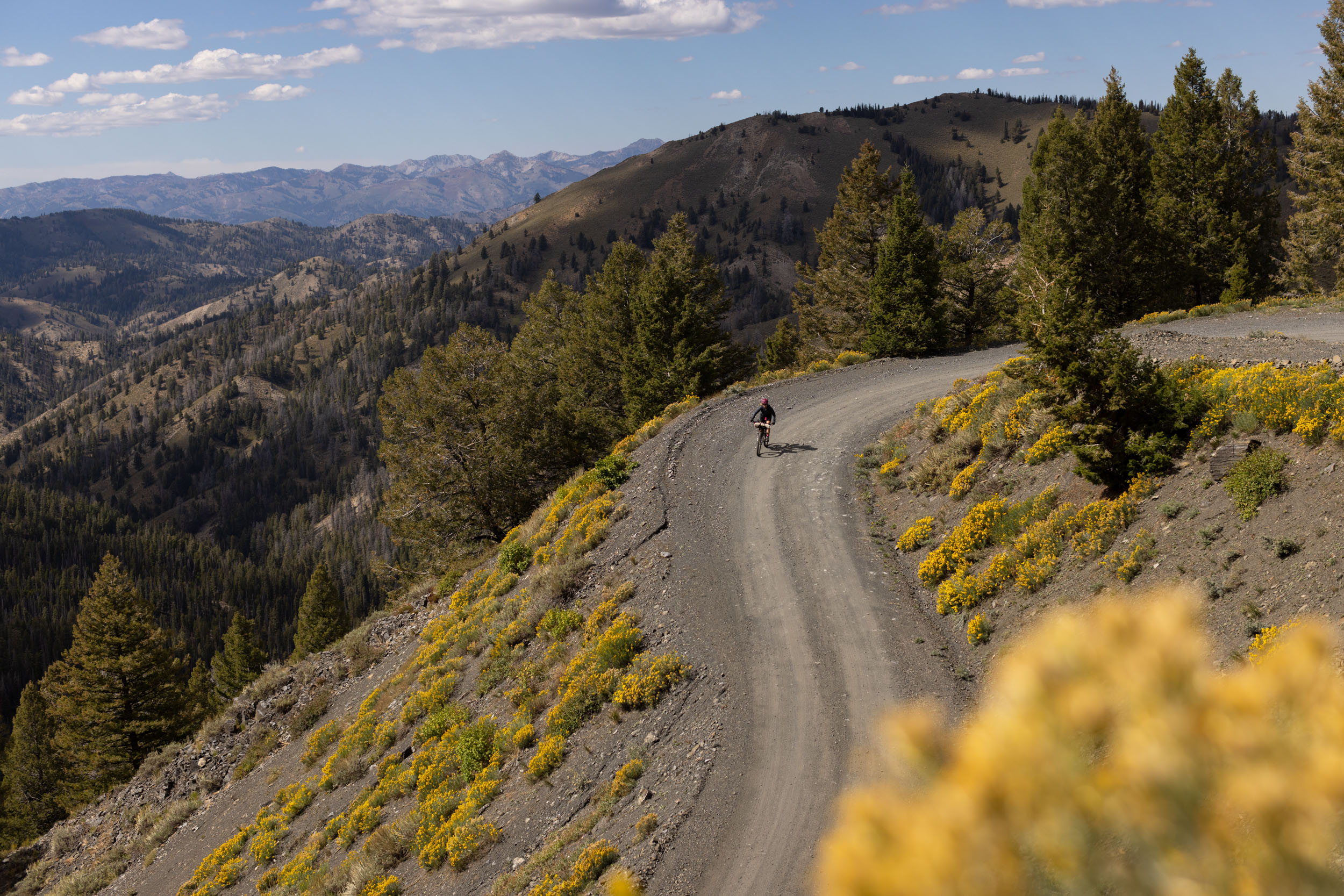
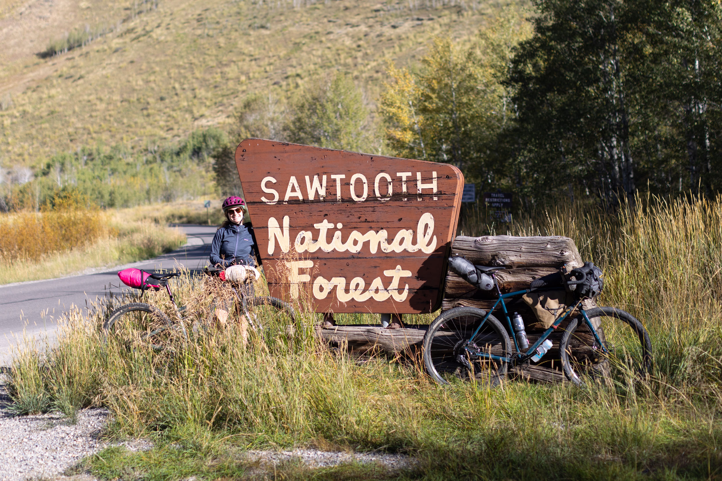
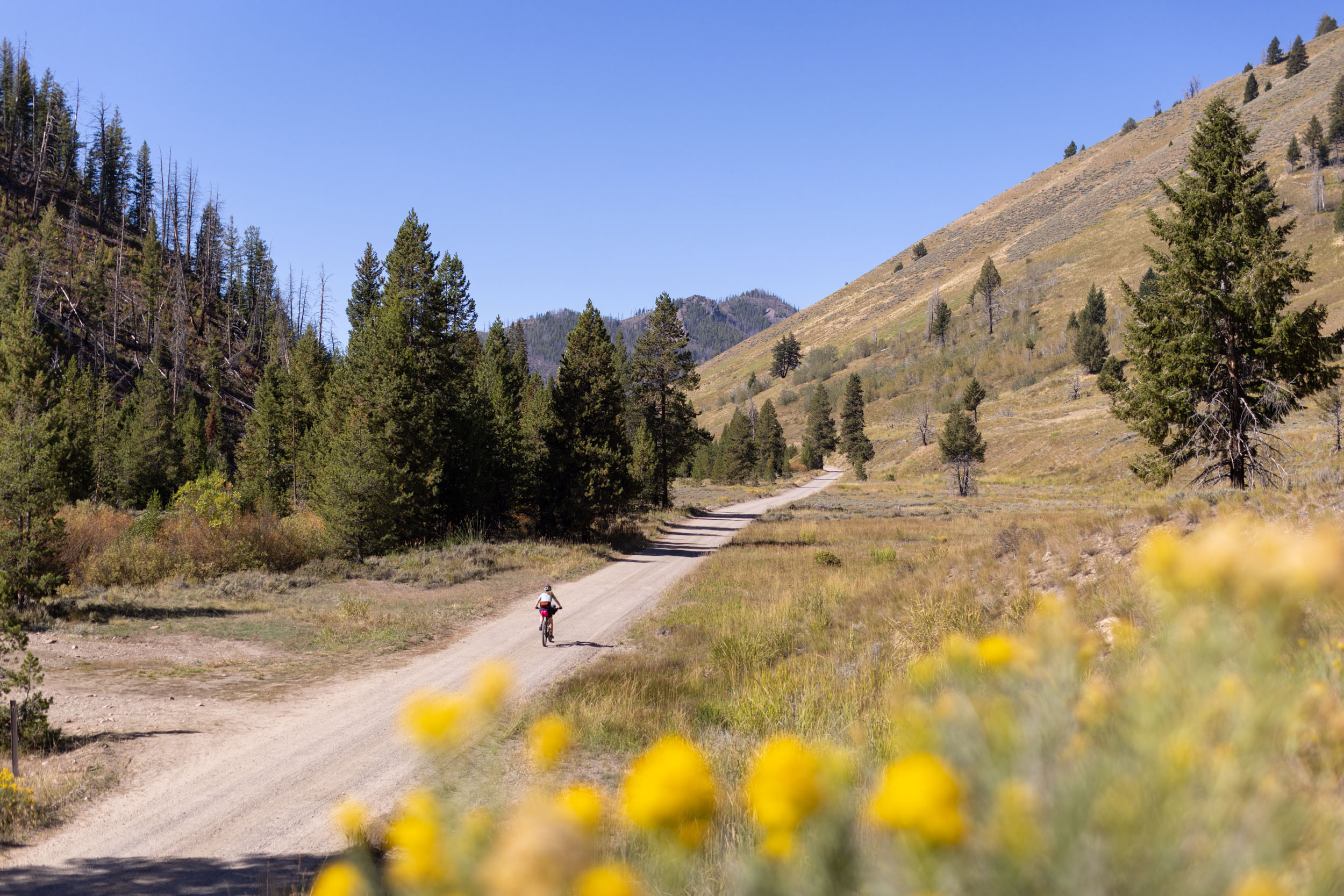
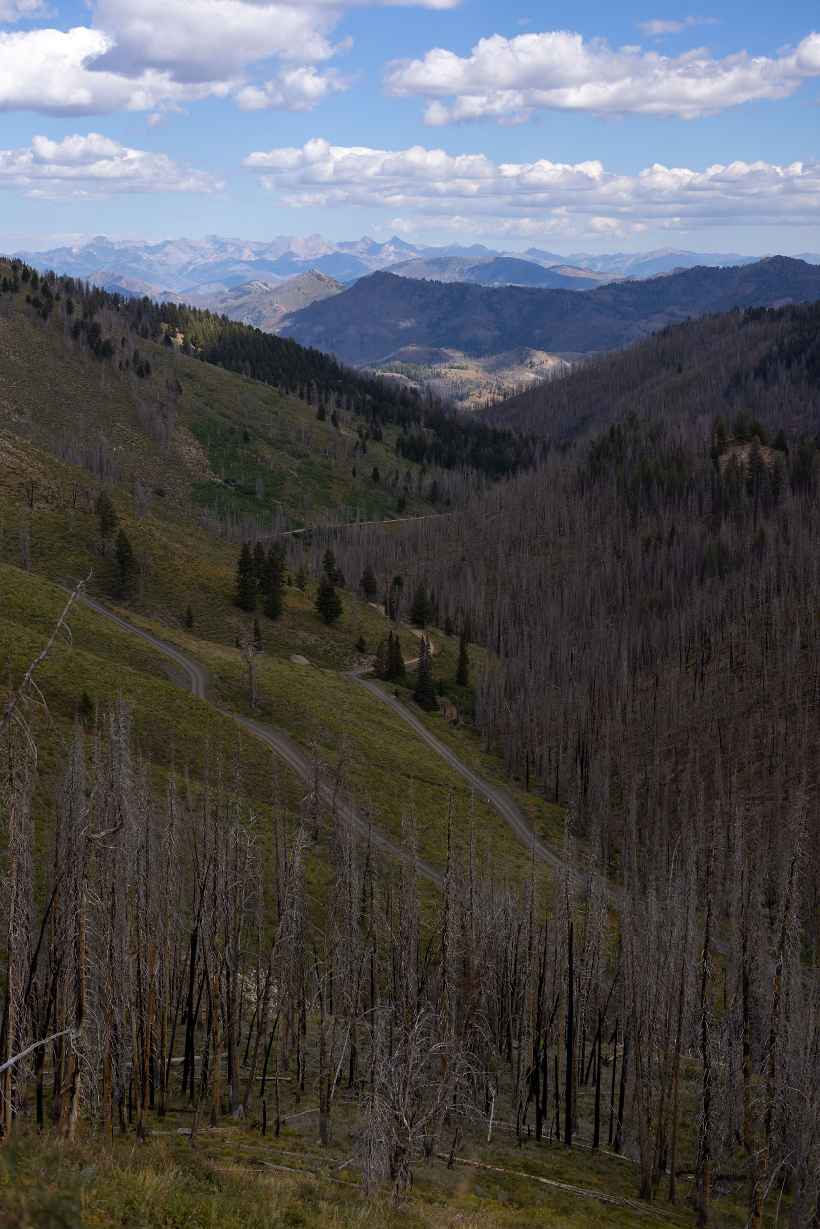
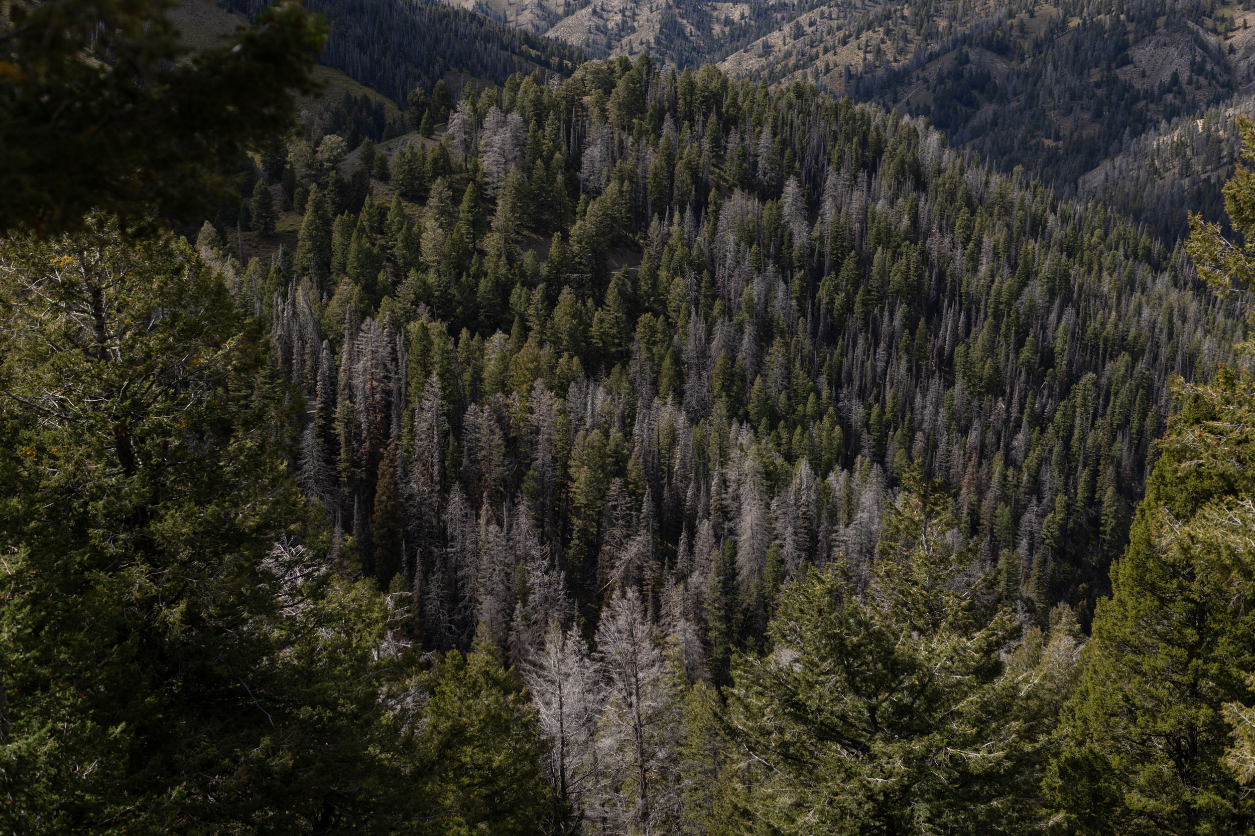
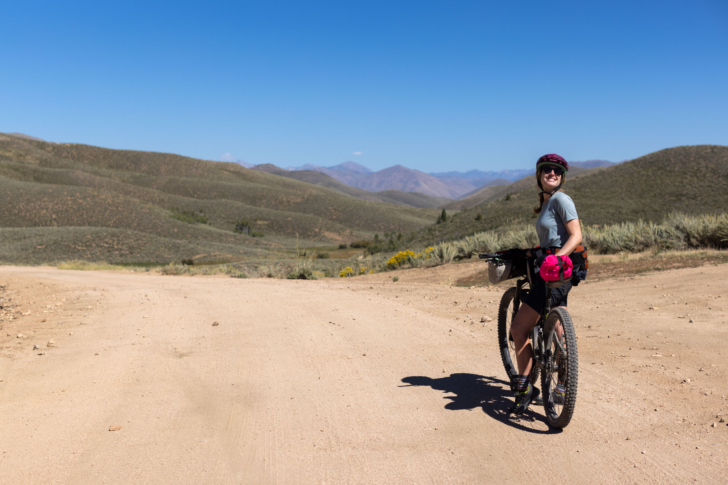
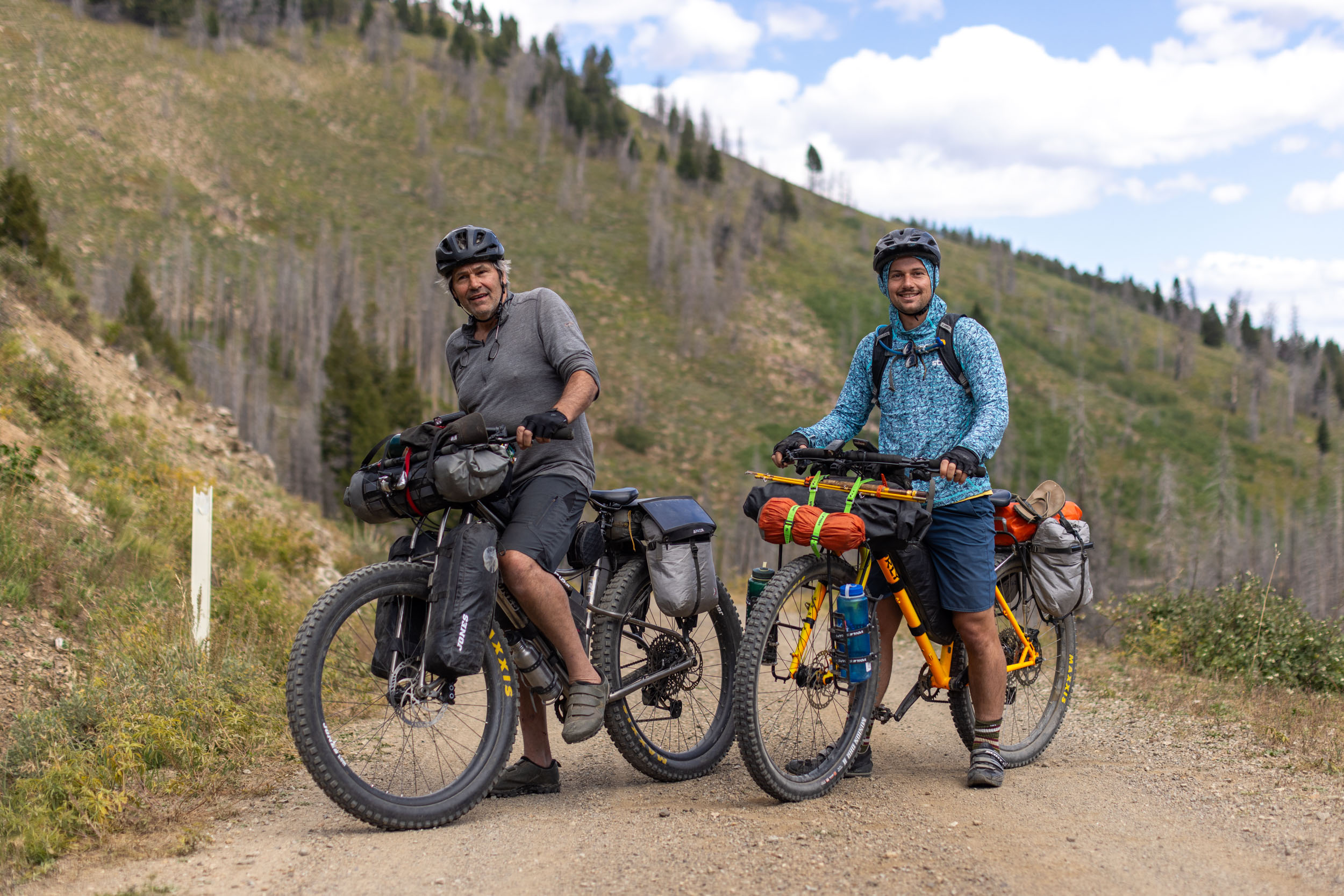
Idaho’s Sun Valley/Wood River region is packed full of bikepacking potential. There are endless gravel roads branching away from the valley and cutting through towering mountains and over high-elevation passes. They link diverse, stunning views of beautiful terrain and several natural hot springs. Then there is the maze of singletrack trails that can be connected to access some of the best sub-alpine mountain biking in the state, including the 150-mile Sun Valley High Country Loop.
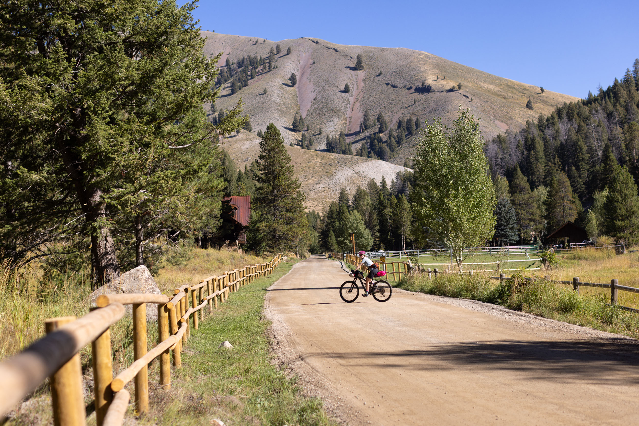
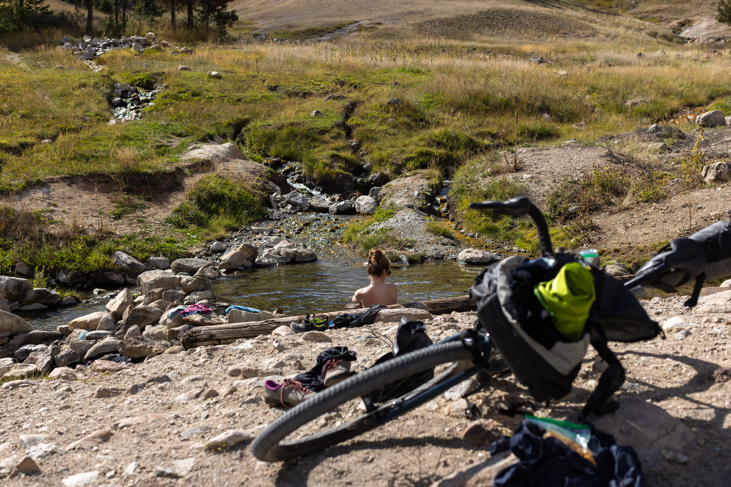
For those new to the area, the Dollarhide Summit Overnighter is the perfect introduction to what the Sun Valley has to offer. It’s an approachable 85-mile gravel loop that starts and ends in the town of Ketchum, following some of the finest gravel roads west of the valley. The route passes by natural hot springs to soak in, meanders up and over Dollarhide Summit, and follows the stunning Croy Creek Road on the way back to Hailey. The route ends with a relaxing 13-mile ride north along the Wood River bike path before returning to downtown Ketchum.

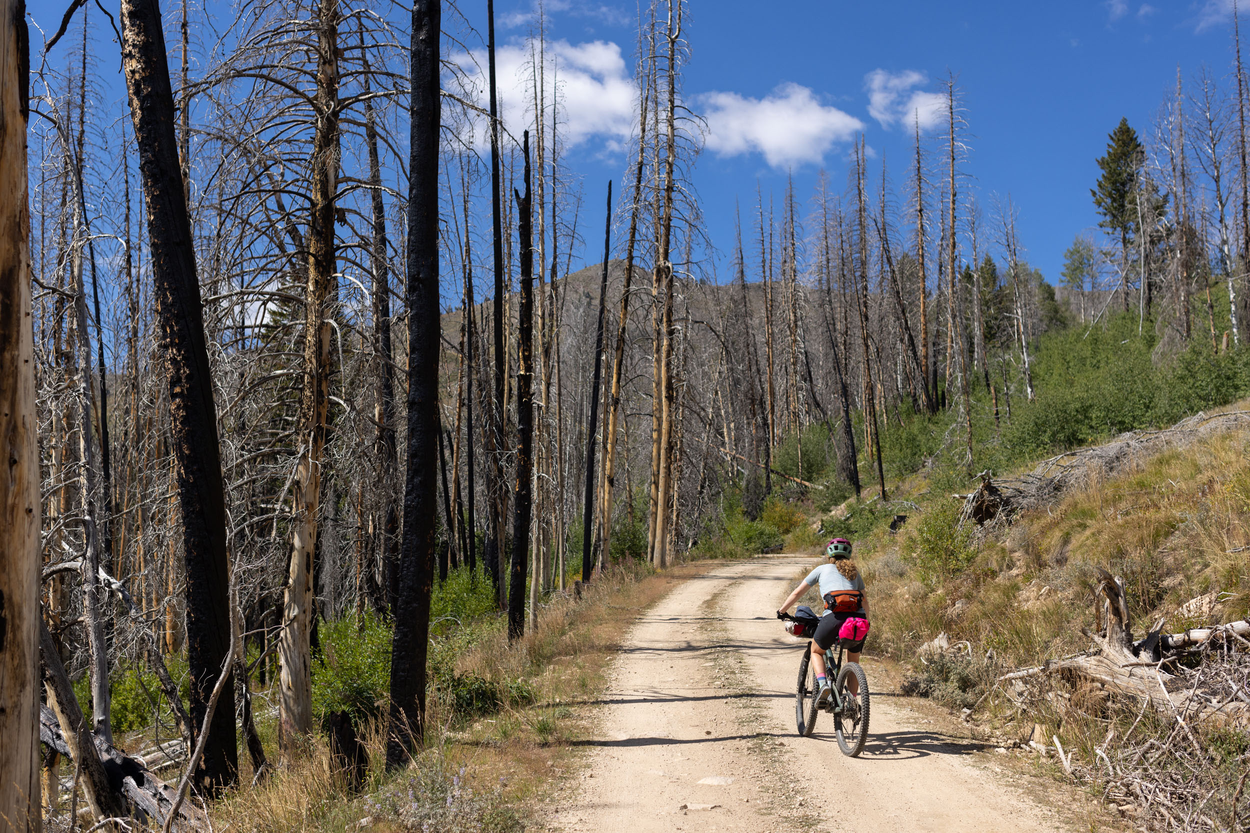
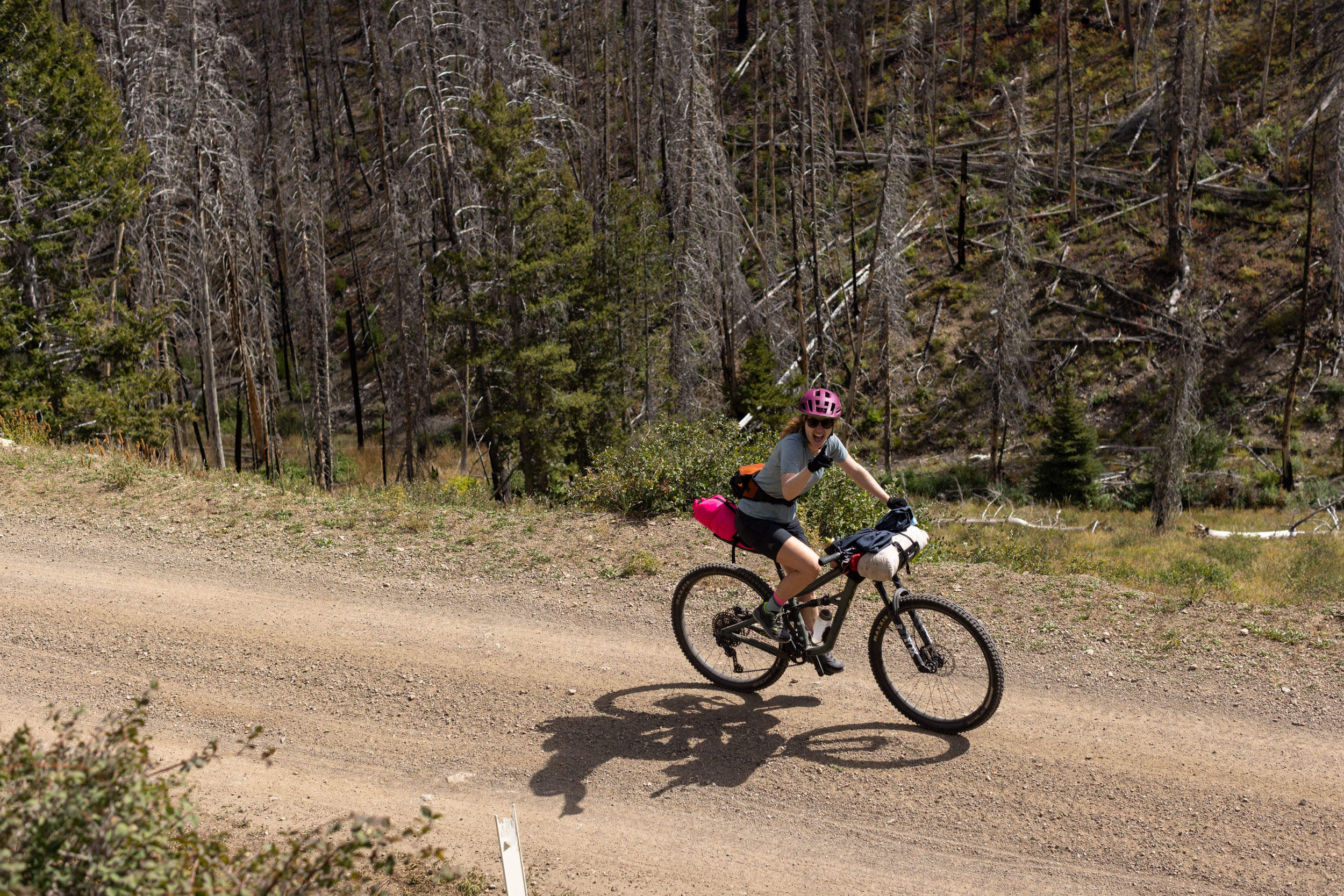
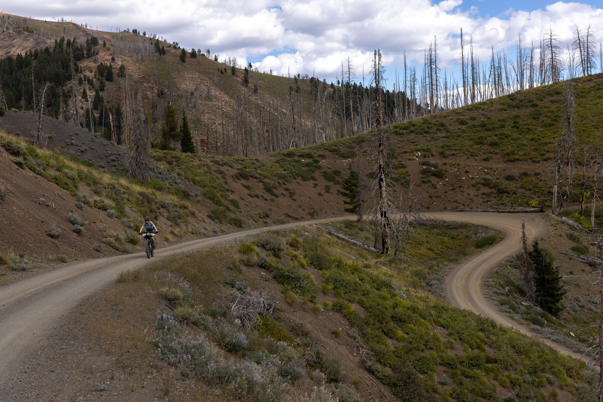
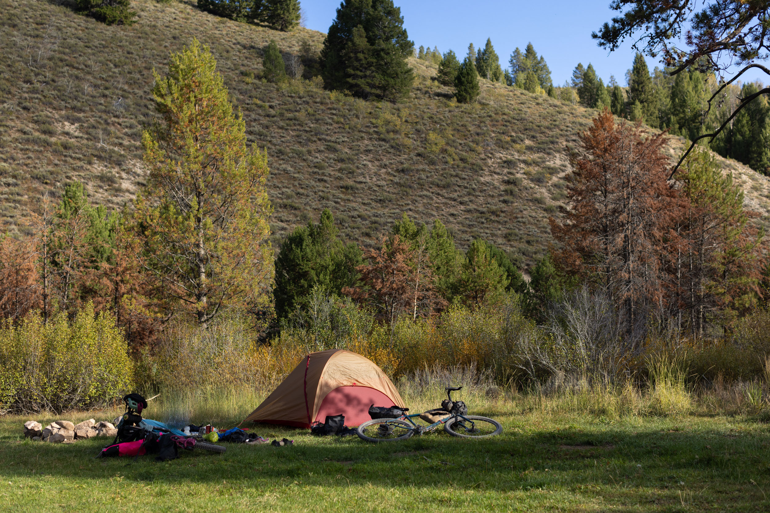
The Dollarhide Summit Overnighter follows smooth gravel roads, a few shorter sections of chunky doubletrack, some paved roads, and bike paths. You’ll be rewarded with glorious views of the Pioneer and Sawtooth Mountains, winding gravel climbs, and jaw-dropping descents within the Sawtooth National Forest. Free National Forest campsites in close proximity to Worswick Hot Springs makes for a relaxing evening and logistically straightforward two- or three-day loop.
Route Development: The Dollarhide Summit Overnighter was created by Don at Dark Sky Bikepacking in Hailey. Miles and Emily scouted and photographed the route in mid-September and worked with Don to create this guide. Don is in the early stages of creating a bikepacking gear library and DIY shop in Hailey and knows the region well. Make sure to follow Dark Sky Bikepacking on Instagram to stay in the loop.


Submit Route Alert
As the leading creator and publisher of bikepacking routes, BIKEPACKING.com endeavors to maintain, improve, and advocate for our growing network of bikepacking routes all over the world. As such, our editorial team, route creators, and Route Stewards serve as mediators for route improvements and opportunities for connectivity, conservation, and community growth around these routes. To facilitate these efforts, we rely on our Bikepacking Collective and the greater bikepacking community to call attention to critical issues and opportunities that are discovered while riding these routes. If you have a vital issue or opportunity regarding this route that pertains to one of the subjects below, please let us know:
Highlights
Must Know
Camping
Food/H2O
Trail Notes
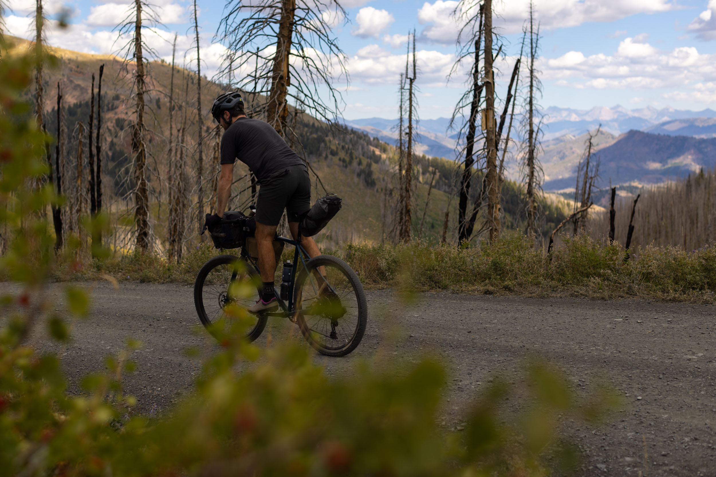
- The low-grade, meandering gravel climb from Ketchum to Dollarhide Summit. Don’t forget to look back at the stunning mountain views to the east.
- A fast nine-mile descent from the summit toward Worswick Hot Springs and lots of great National Forest campsites.
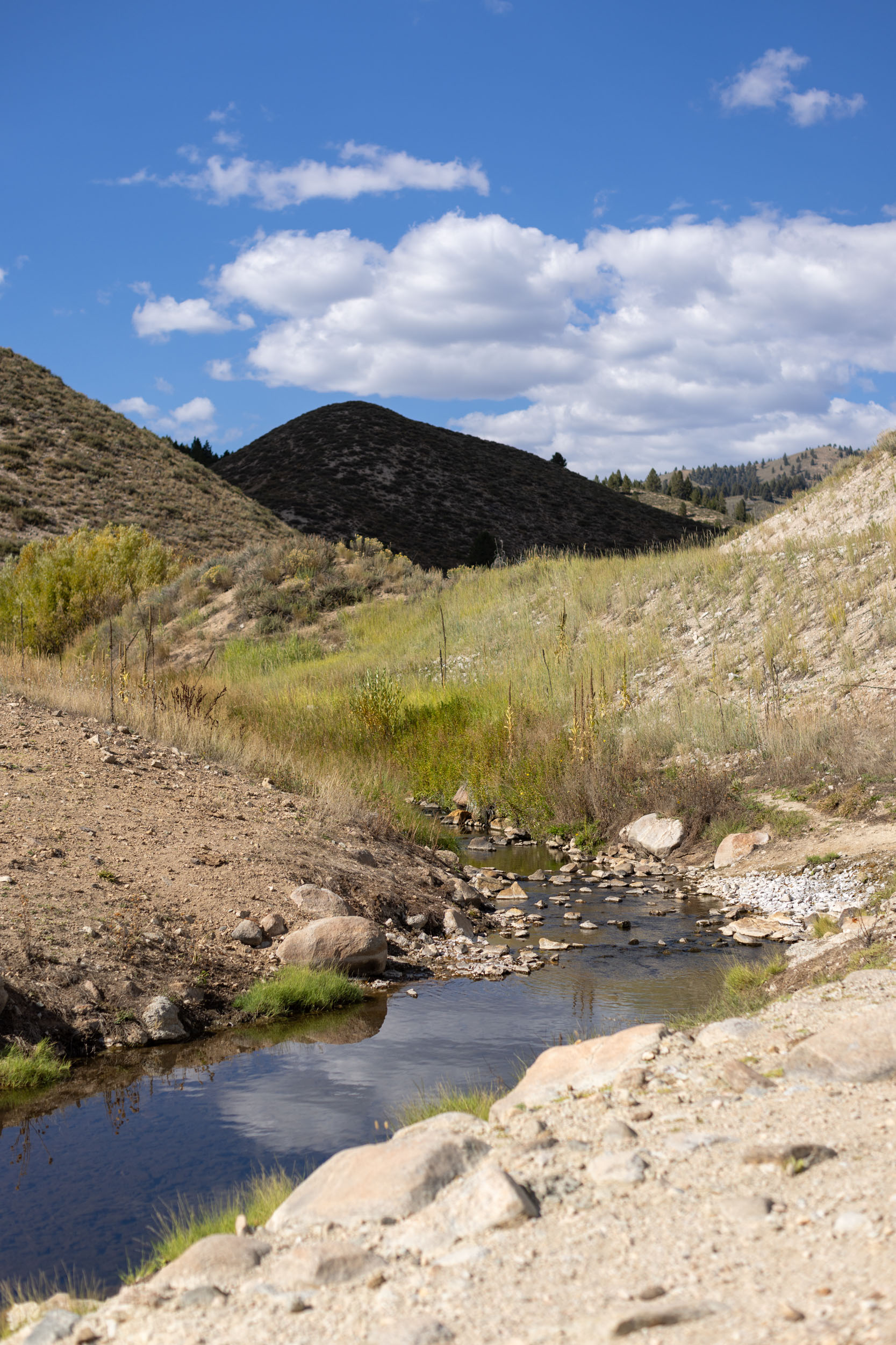
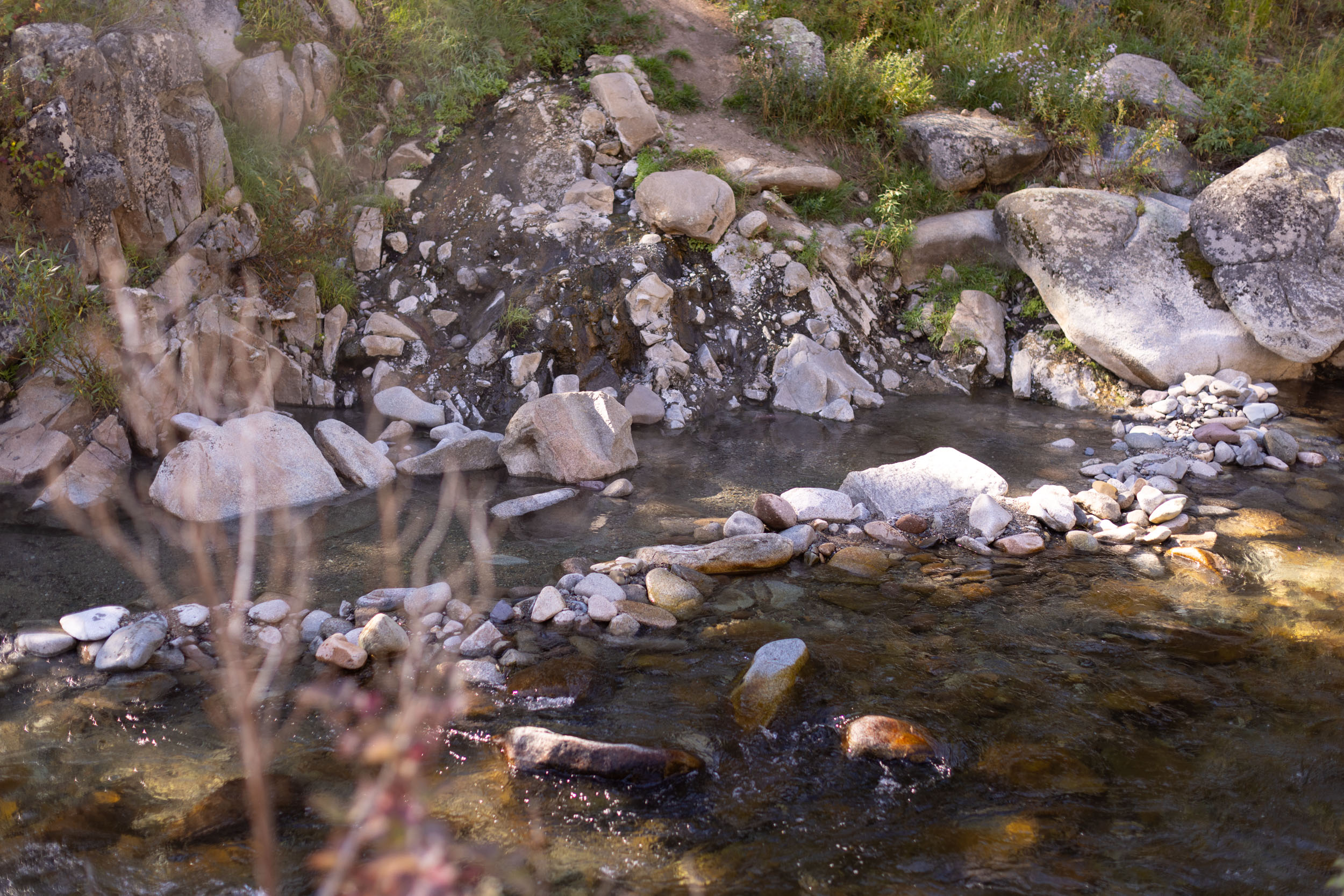
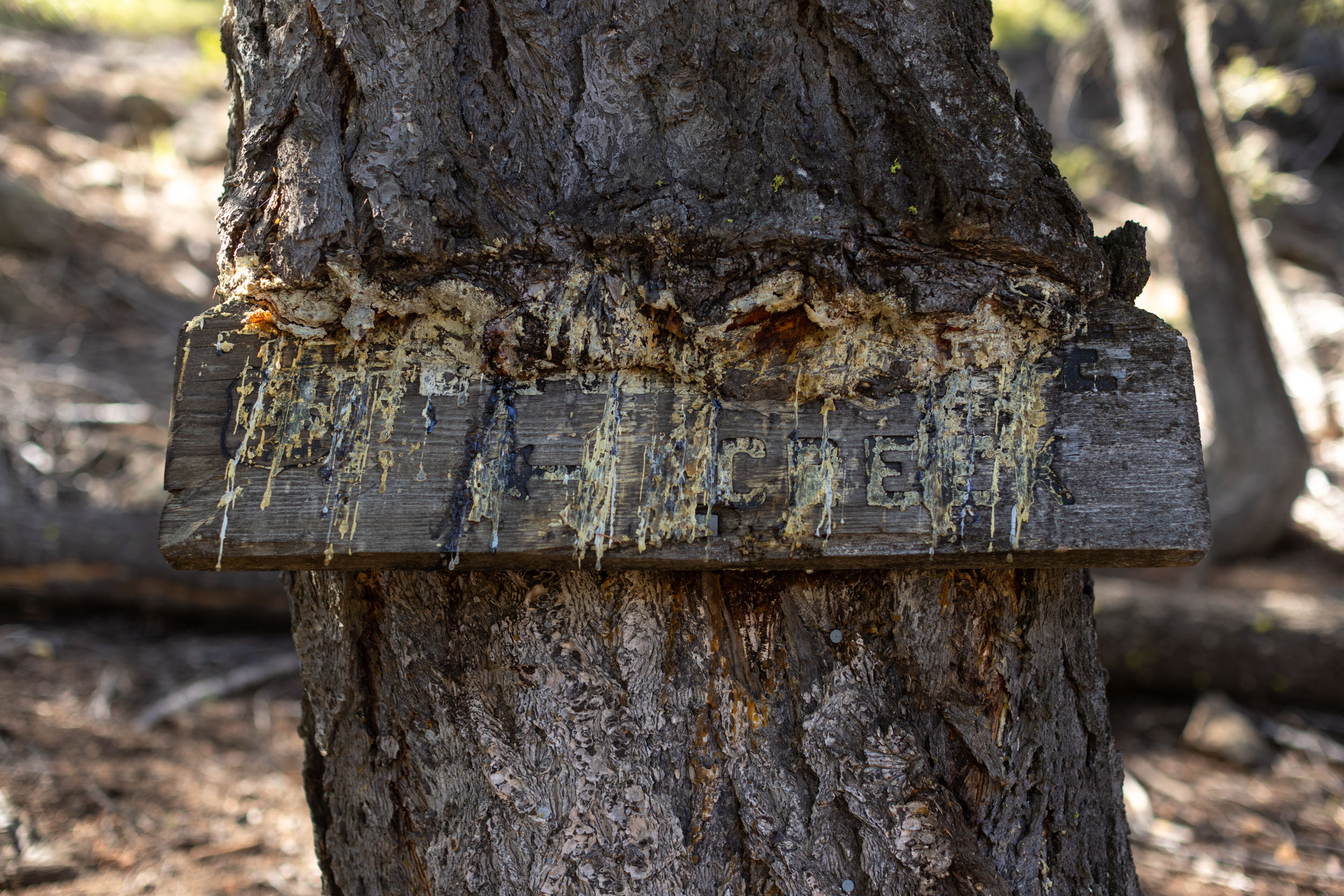
- Small creeks along the majority of the route which provide opportunities to fish, cool off, and filter water.
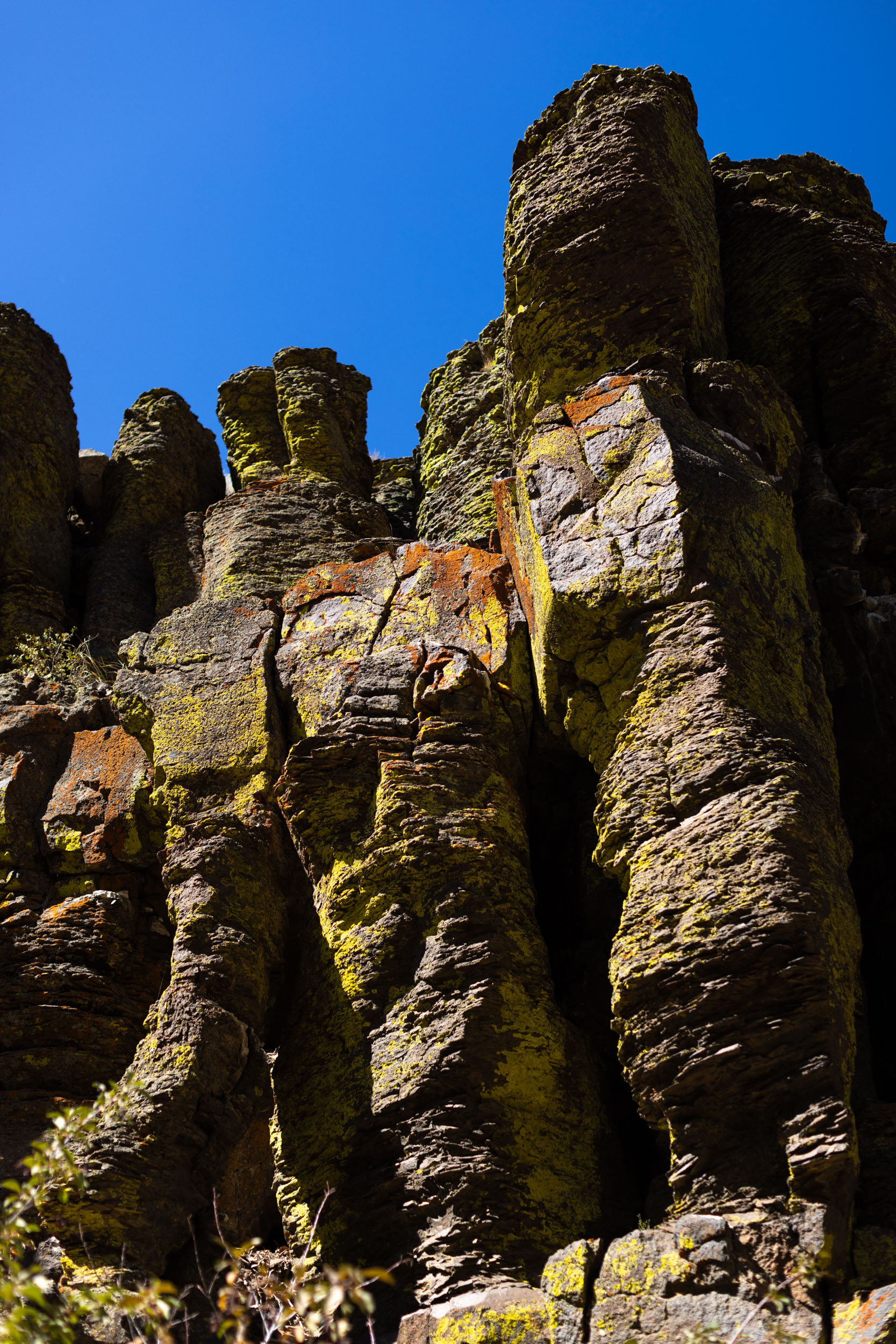
- The transition from forested gravel roads to open landscapes and rocky outcrops on Croy Creek Road. The difference between day one and day two is amazing.
- Starting and ending in Ketchum with lots of great food and a number of bike shops keeps things simple and enjoyable.
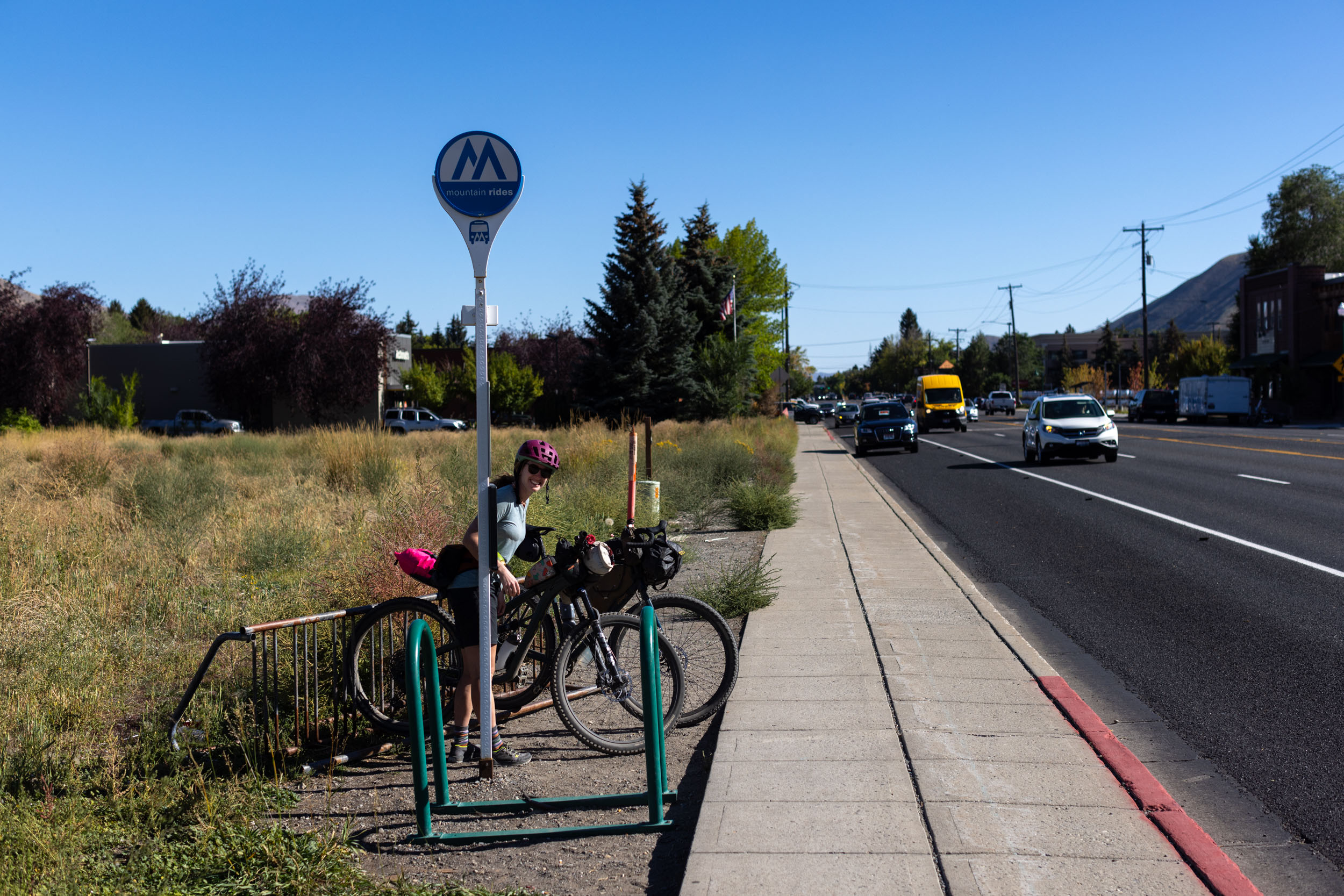
- The option to hop on the Mountain Rides bus from Hailey to Ketchum if you’re not feeling the Wood River bike path.
- When to ride: The route is best ridden in the late spring, summer, and fall. High-elevation snowpack can be an issue in the spring, daytime temperatures can get unbearably hot in the summer, and the fall is cooler at night and possibly best suited for hot spring dips. Late June and July are fantastic times to ride the route. August is also good, but daytime temperatures can get incredibly hot. September, when the fall colors are going off, is an amazing time to ride the route, but it can get chilly at night and may even get a dusting of snow up high. Although each year is different, it’s safe to assume the route is impassable by mid-October due to snowfall up high. Early October can often still be great, depending on weather.
- Ideal Bike: The route is best ridden on a gravel bike with ~50mm tires for those comfortable navigating a few short sections of chunky doubletrack and fast descents. Experienced riders could ride it without issues on narrower tires, but you won’t feel out of place riding a hardtail mountain bike or whatever you’ve got.
- Route Direction: The route is designed to be ridden counterclockwise, starting and ending in Ketchum, but there’s no reason why it couldn’t be ridden clockwise.
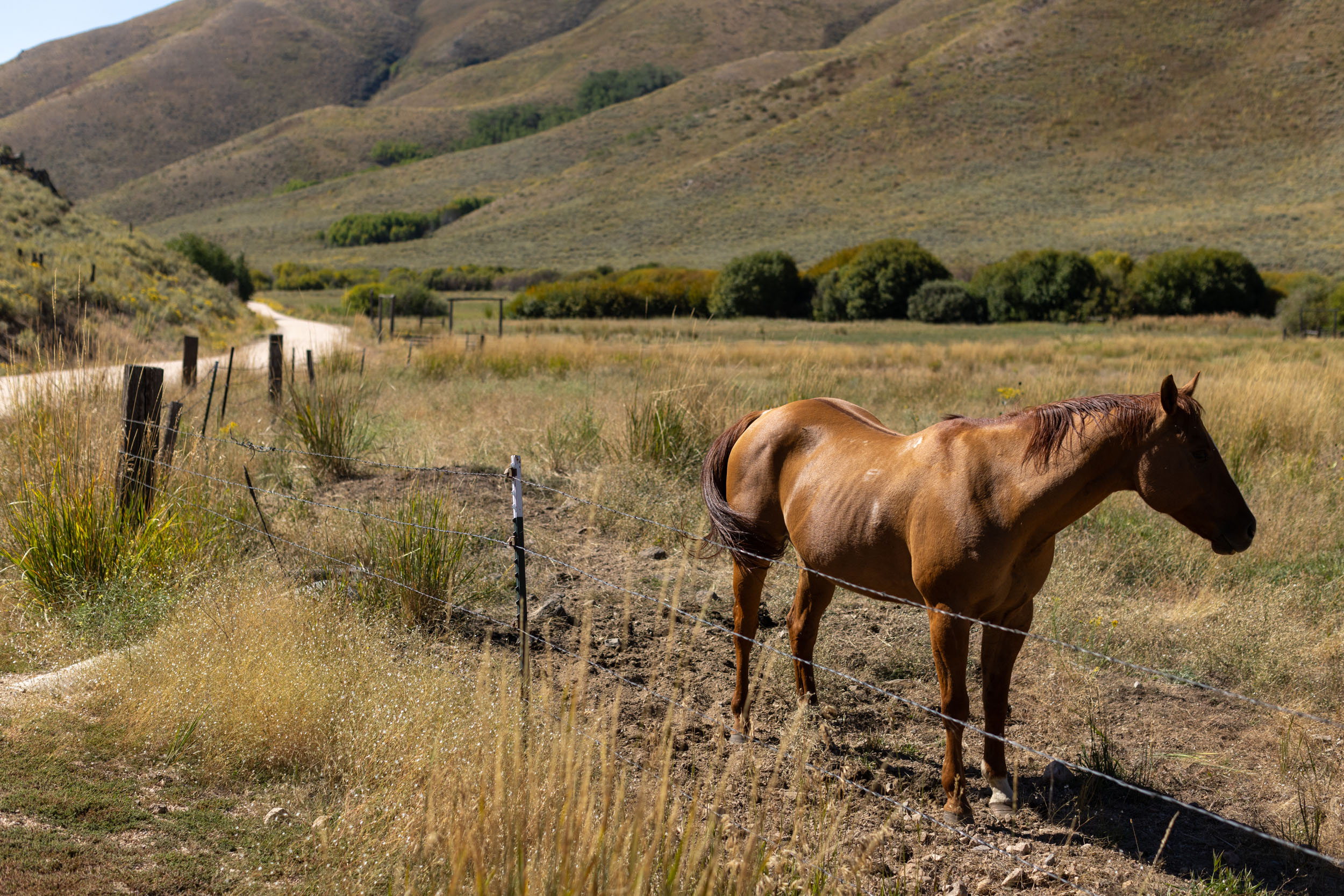
- Wildlife: The Sun Valley/Wood River Valley is home to black bears, bobcats, coyotes, elk, mountain lions, and moose. Make noise while riding, hang your food at night, and follow the #LeaveNoTrace principles.
- Parking: There are a number of on and off-street parking areas just outside of downtown Ketchum with no restrictions. We left our vehicle on 7th St W for two days and had no problems. Any longer and you may consider asking a local business for permission to use their lot.
- Dollarhide Summit pass reaches over 8,700 feet, and the majority of the route sits higher than 5,000 feet. Riders coming from sea level might find the high-elevation riding and camping challenging.
- Be prepared for sudden weather changes as you’re traveling at elevation in the mountains. The spring and fall can bring rain, high winds, and even snow at a moment’s notice. In September, we experienced temperatures from the mid-80s during the day right down to the low 40s at night.
- You can skip the last 13-miles on the Wood River bike path and take the free Mountain Rides Valley Bus from Hailey to Idaho. The bus is equipped with a three-bike bike rack. Learn more here.
- The only campsites on the route are free, unserviced National Forest sites.
- There are several designated sites just past Frenchman’s Bend Hot Springs on Warm Springs Road.
- There are lots of campsites west of Dollarhide Summit, near the Worswick Hot Springs.
- There are limited options after Worswick Hot Springs, heading east back to Hailey. This area is mostly used for cattle and some private ranch land.
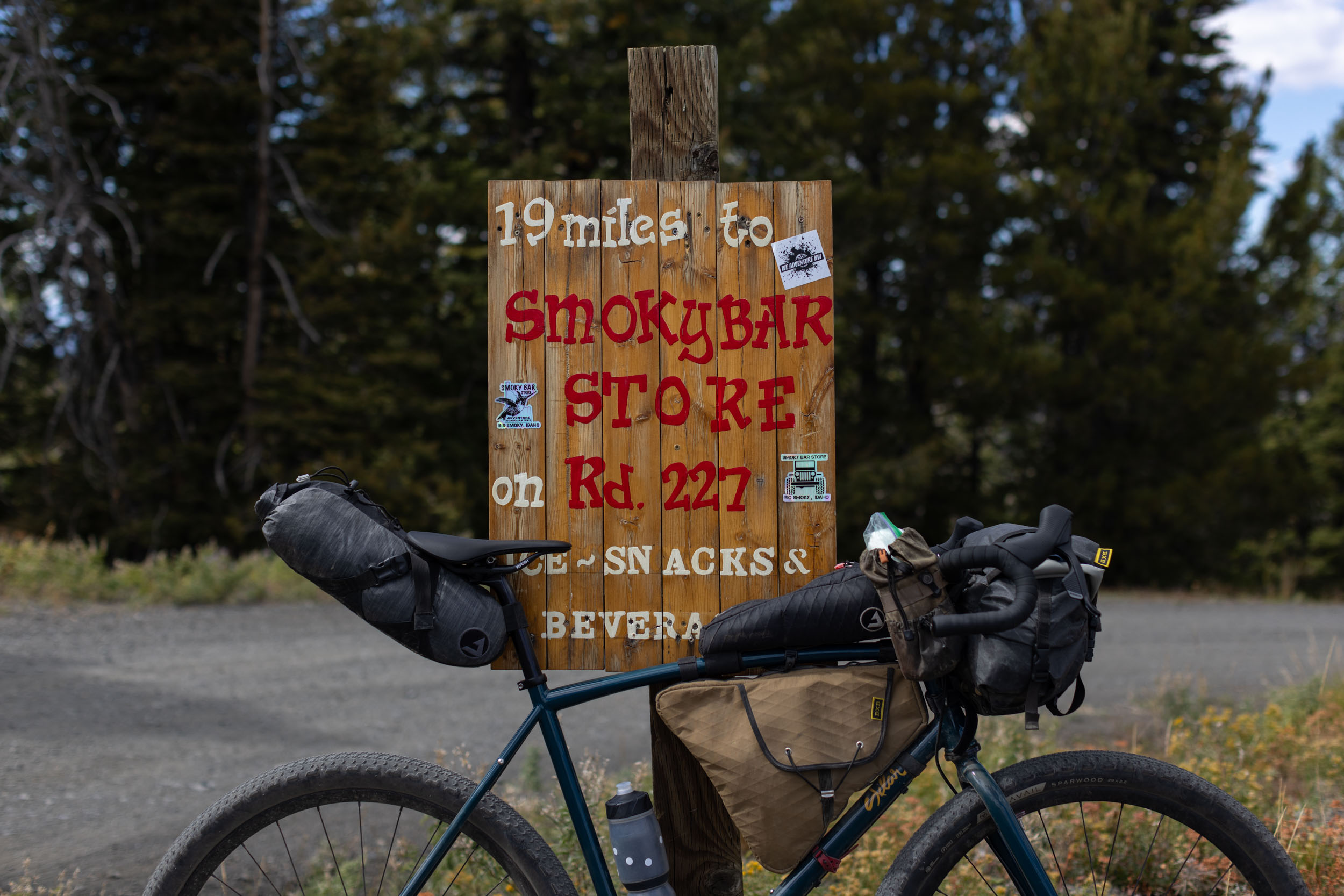
- The city of Ketchum has everything you need to stock up before your ride.
- The city of Hailey is also well-stocked and has everything you need for the final push north or for a post-ride meal.
- The route follows natural creeks the vast majority of the time, but cattle graze in the area, so properly purifying the water is crucial.
- There aren’t as many natural/accessible water sources south of Worswick Hot Springs on the way to Croy Creek. Plan ahead and carry more water through this section.
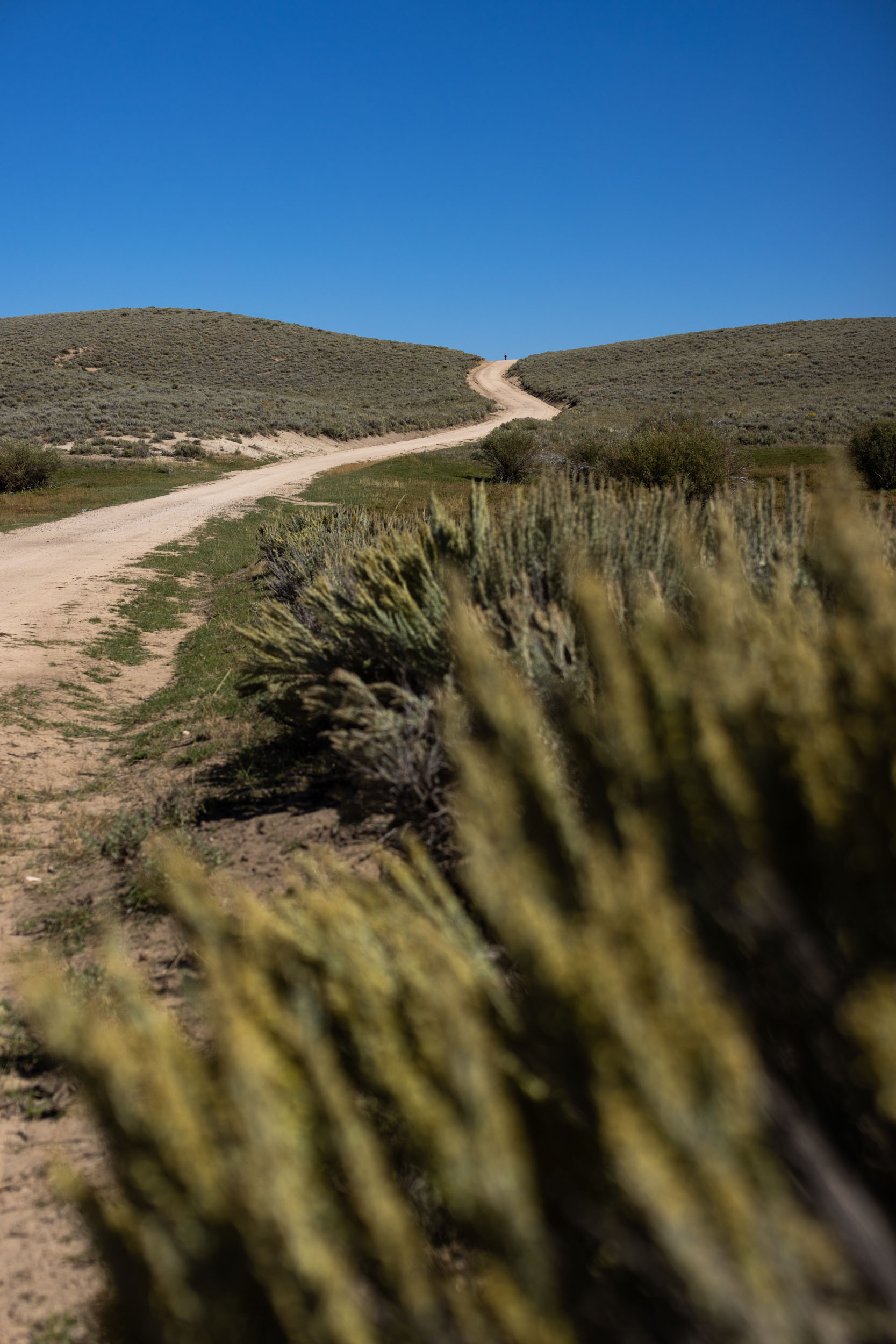
Traveling counterclockwise, you can either begin in Hailey, on the Wood River Trail to Warm Springs Road bike path in Ketchum or begin in Ketchum by riding out Warm Springs Road bike path. The bike path terminates two miles out with another two miles of paved road before you hit gravel all the way to Dollarhide Summit. You will be following Warm Springs Creek all the way to the final three-mile climb up to the summit. There’s no reason to rush because you can stop and fish every inch of this creek for rainbows and soak in Frenchman’s Hot Springs at mile 10. There are an abundance of designated creekside campsites for folks who find fishing and soaking irresistible.
After descending Dollarhide Summit, you will turn left at mile 32 onto Rd 510 for five miles before turning right onto Rd 890. You will immediately be forging Little Smokey Creek (great snack stop) and riding a more challenging doubletrack for five miles before turning right onto Willow Creek Road. Once on Willow Creek Road, you will spin down nine miles, taking a left on Baseline Road. After two miles, turn left onto Camp Creek Rd for the last climb of the day to Richardson Summit. From the summit, it is a fast ride all the way to Hailey and the bike path to Ketchum if you are returning to Ketchum.


Terms of Use: As with each bikepacking route guide published on BIKEPACKING.com, should you choose to cycle this route, do so at your own risk. Prior to setting out check current local weather, conditions, and land/road closures. While riding, obey all public and private land use restrictions and rules, carry proper safety and navigational equipment, and of course, follow the #leavenotrace guidelines. The information found herein is simply a planning resource to be used as a point of inspiration in conjunction with your own due-diligence. In spite of the fact that this route, associated GPS track (GPX and maps), and all route guidelines were prepared under diligent research by the specified contributor and/or contributors, the accuracy of such and judgement of the author is not guaranteed. BIKEPACKING.com LLC, its partners, associates, and contributors are in no way liable for personal injury, damage to personal property, or any other such situation that might happen to individual riders cycling or following this route.
Please keep the conversation civil, constructive, and inclusive, or your comment will be removed.