


Land of the Ancients Overnighter
Distance
61 Mi.
(98 KM)Days
2-3
% Unpaved
68%
% Singletrack
10%
% Rideable (time)
90%
Total Ascent
8,702'
(2,652 M)High Point
11,328'
(3,453 M)Difficulty (1-10)
7?
- 9Climbing Scale Very Strenuous143 FT/MI (27 M/KM)
- 6Technical Difficulty Moderate
- 8Physical Demand Difficult
- 4Resupply & Logistics Fair
Contributed By

Jeremy Nolan
Guest Contributor
Jeremy Nolan gained an appreciation for the outdoors after attending university in the Pacific Northwest. He brought this appreciation back to his home in Southern California and wishes to share it with others. He has ridden more than 10,000 miles through six countries and spends his free time mountain biking, exploring backcountry desert roads, and daydreaming of trips to come. He can be contacted at jeremynolan94@gmail.com.
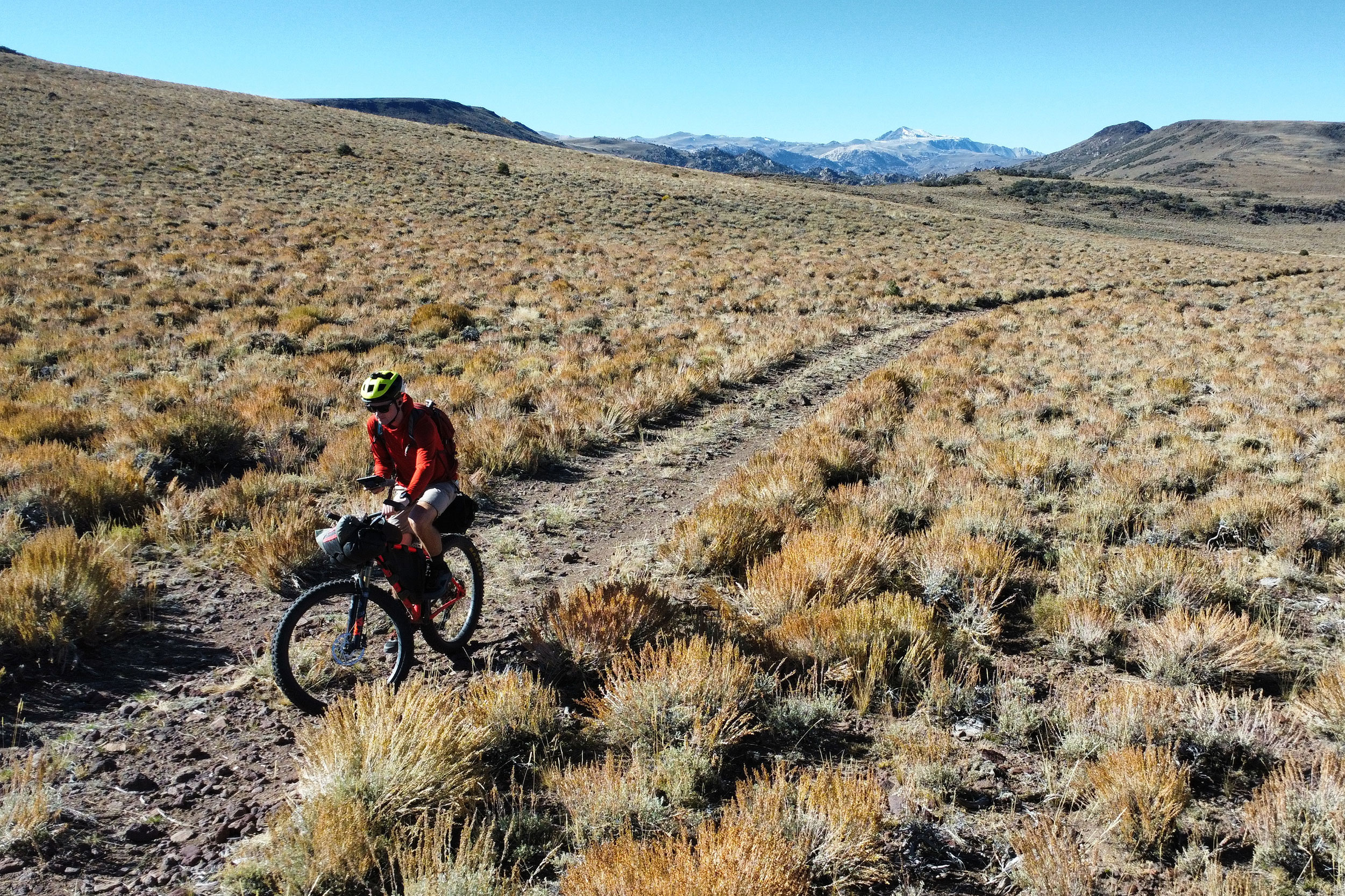
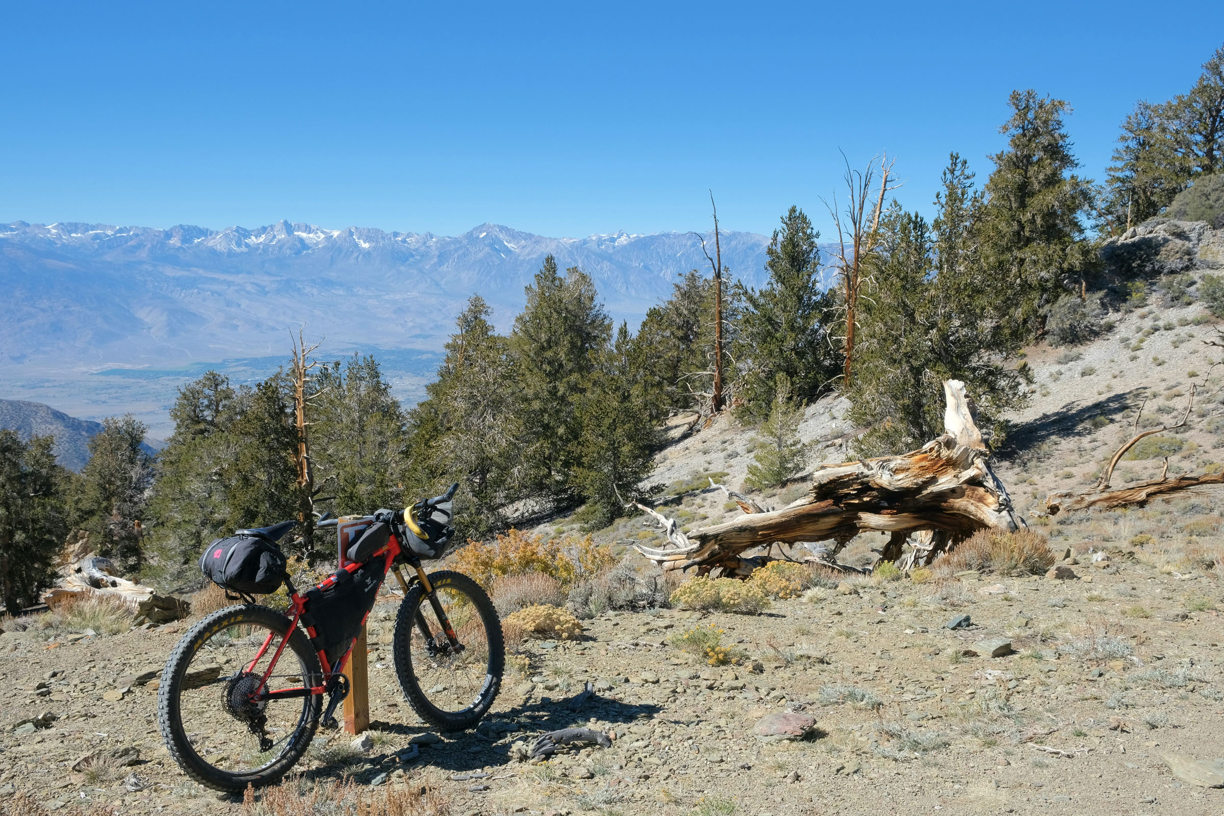
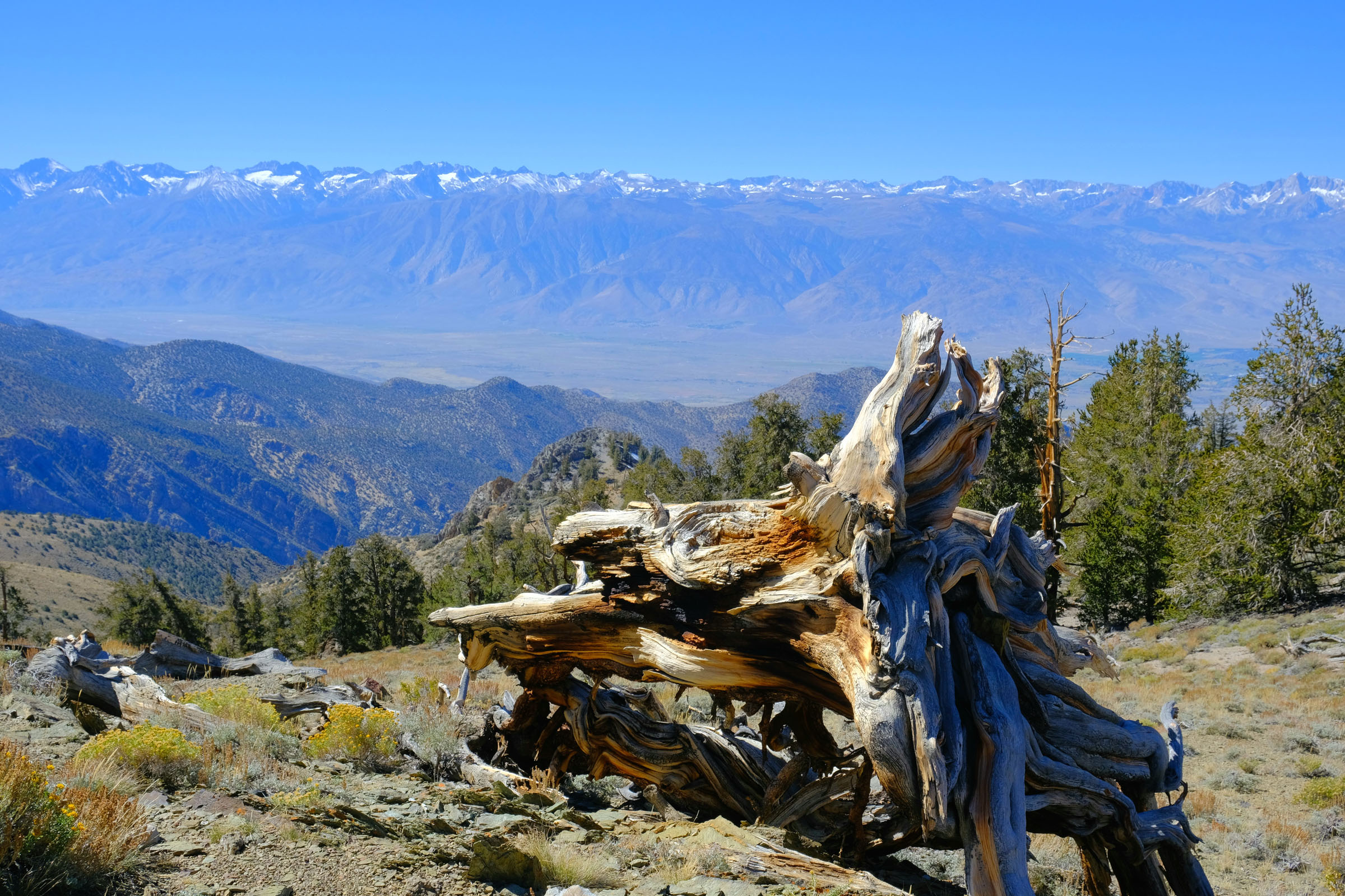
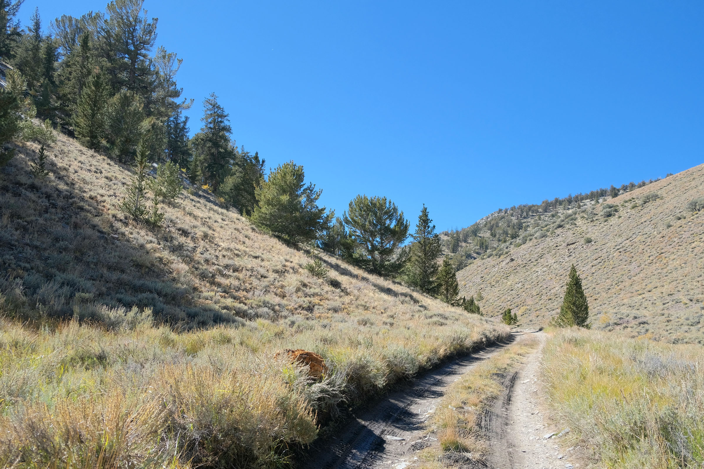
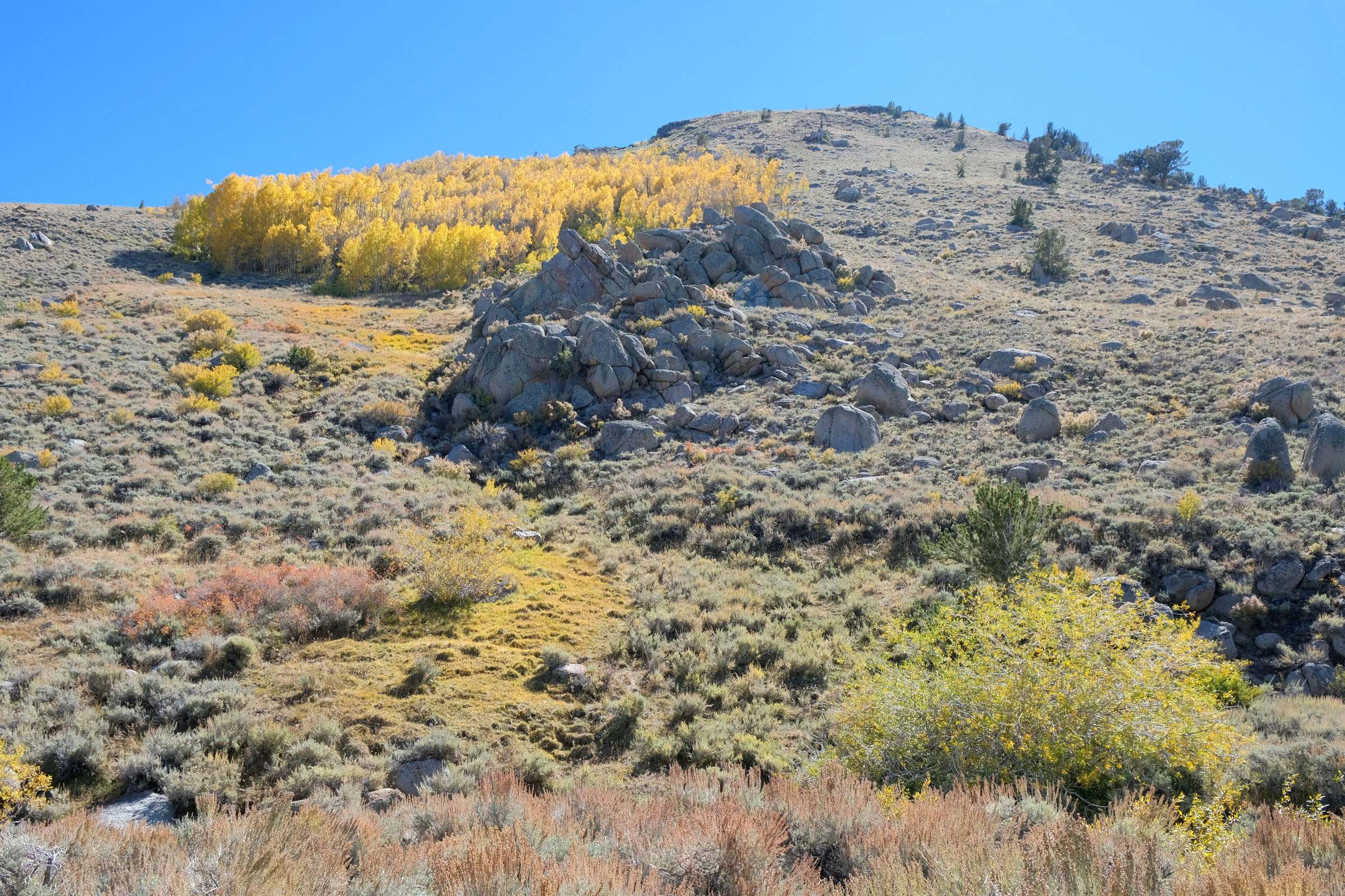
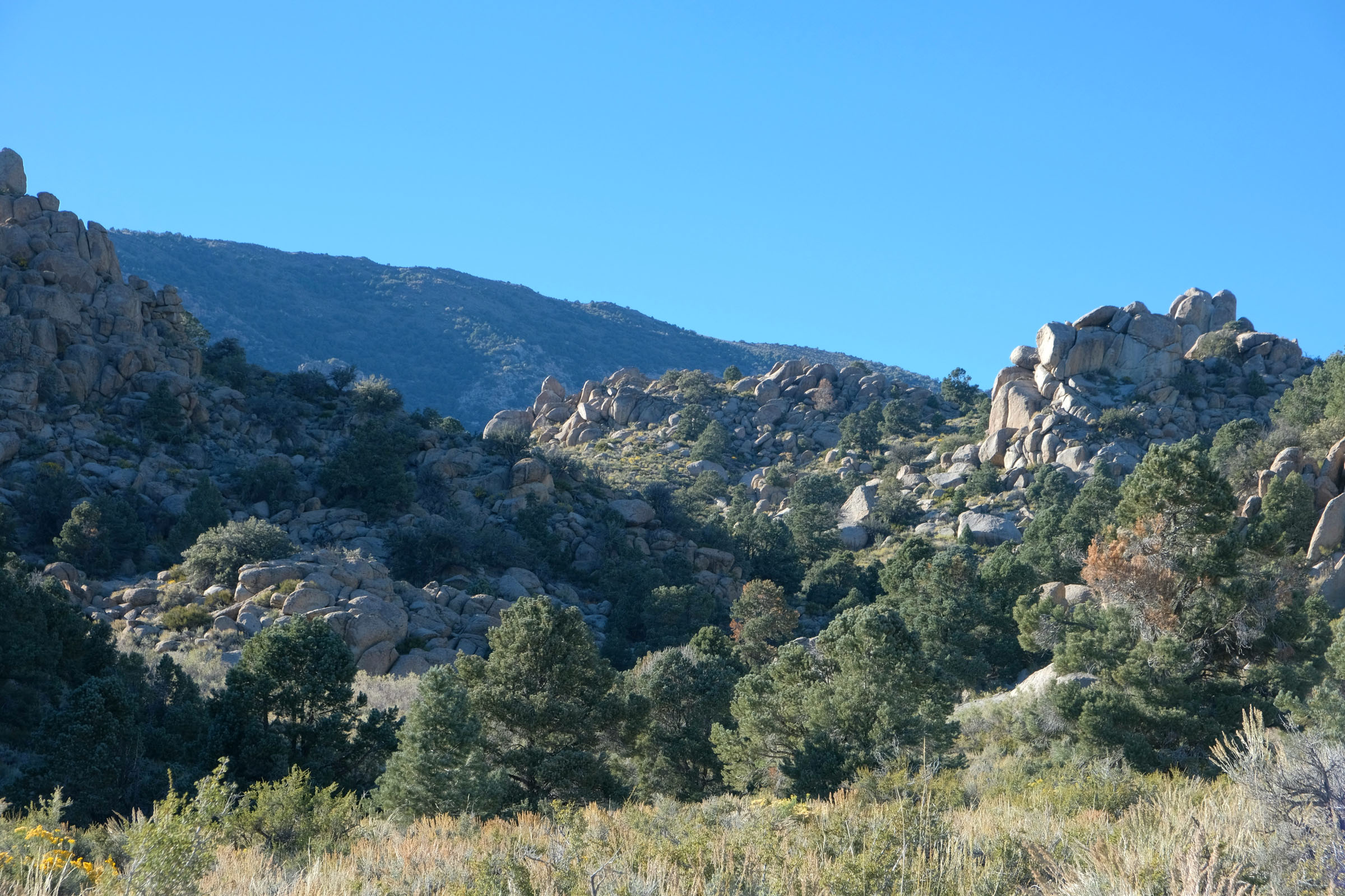
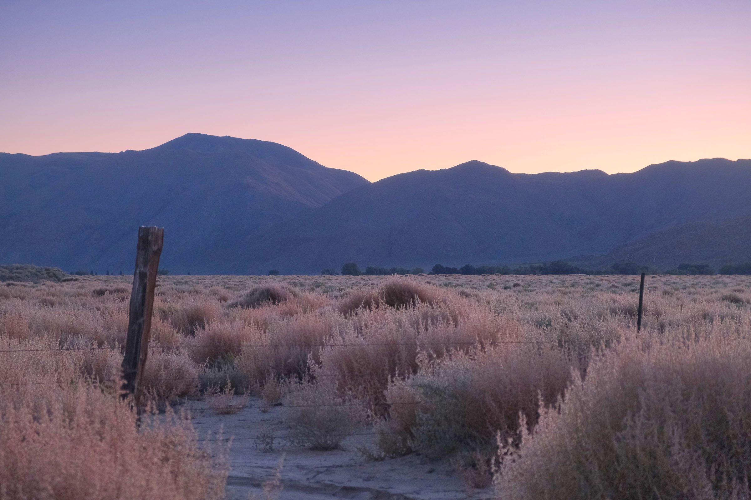
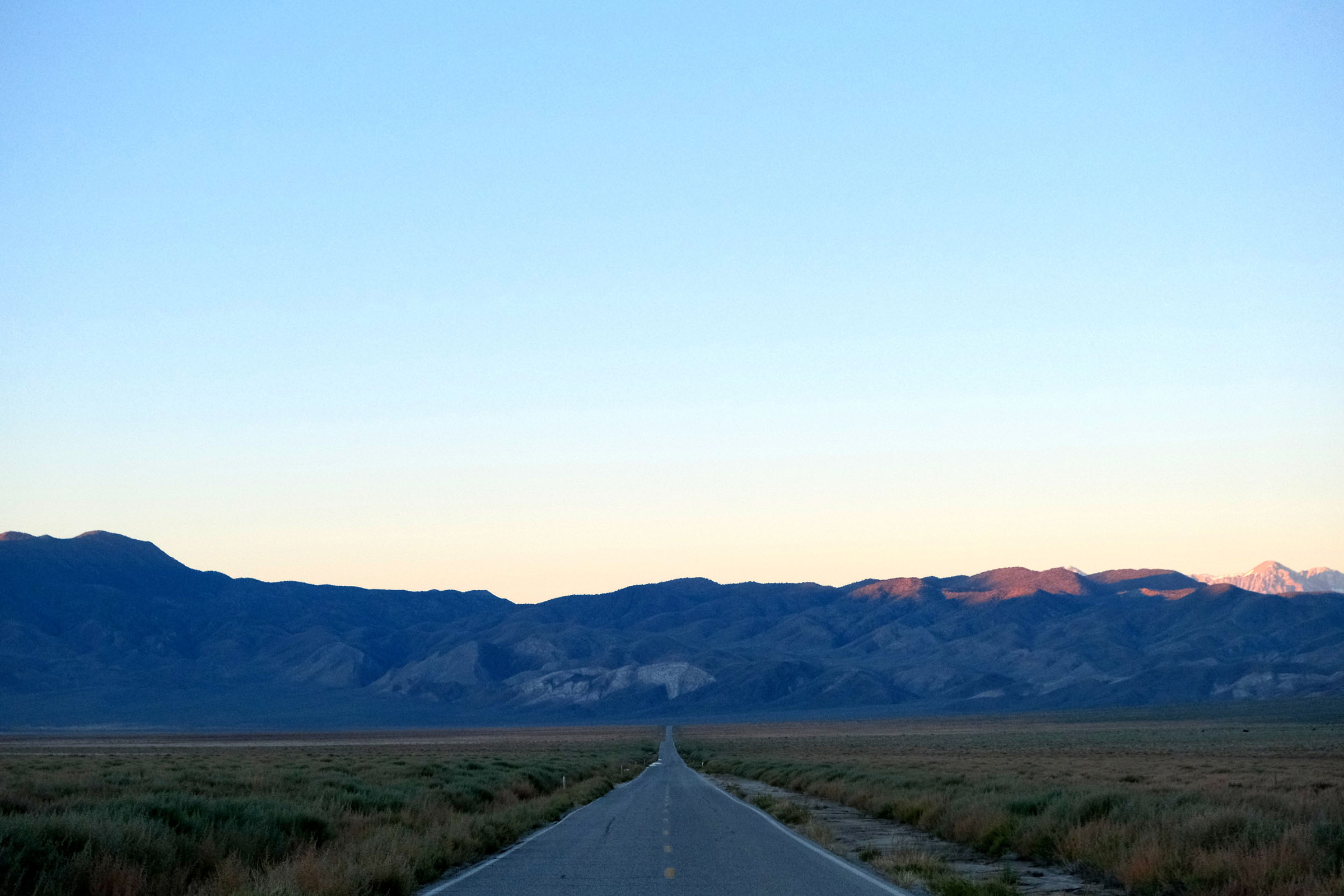
Land of the Ancients is a 60-mile loop that offers riders a taste of Eastern California’s varied geography and quiet sagebrush desert. The route is located in the arid White Mountain range east of the Sierra Nevadas and follows a series of quiet paved byways, gravel roads, rocky doubletrack, and singletrack through groves of bristlecone pines, seldom-seen alpine meadows, and desert canyons. Expansive mountain views, Old West history, and lonesome trails provide riders with an experience unlike any other to be found in California.
This is a challenging overnighter, namely due to the high-altitude nature of the route and amount of climbing in such a short distance. Rugged riding surfaces, variable weather, shaley hike-a-bikes, and a lack of bailout options add to its difficulty. Still, with challenge comes reward. Opportunities to wild camp abound in places seldom visited by others, climbs reap spectacular views of the Sierra Nevadas and Great Basin Desert, and the ripping descents down Crooked Creek and Wyman Canyon are sure to leave a smile on your face.
Route Difficulty
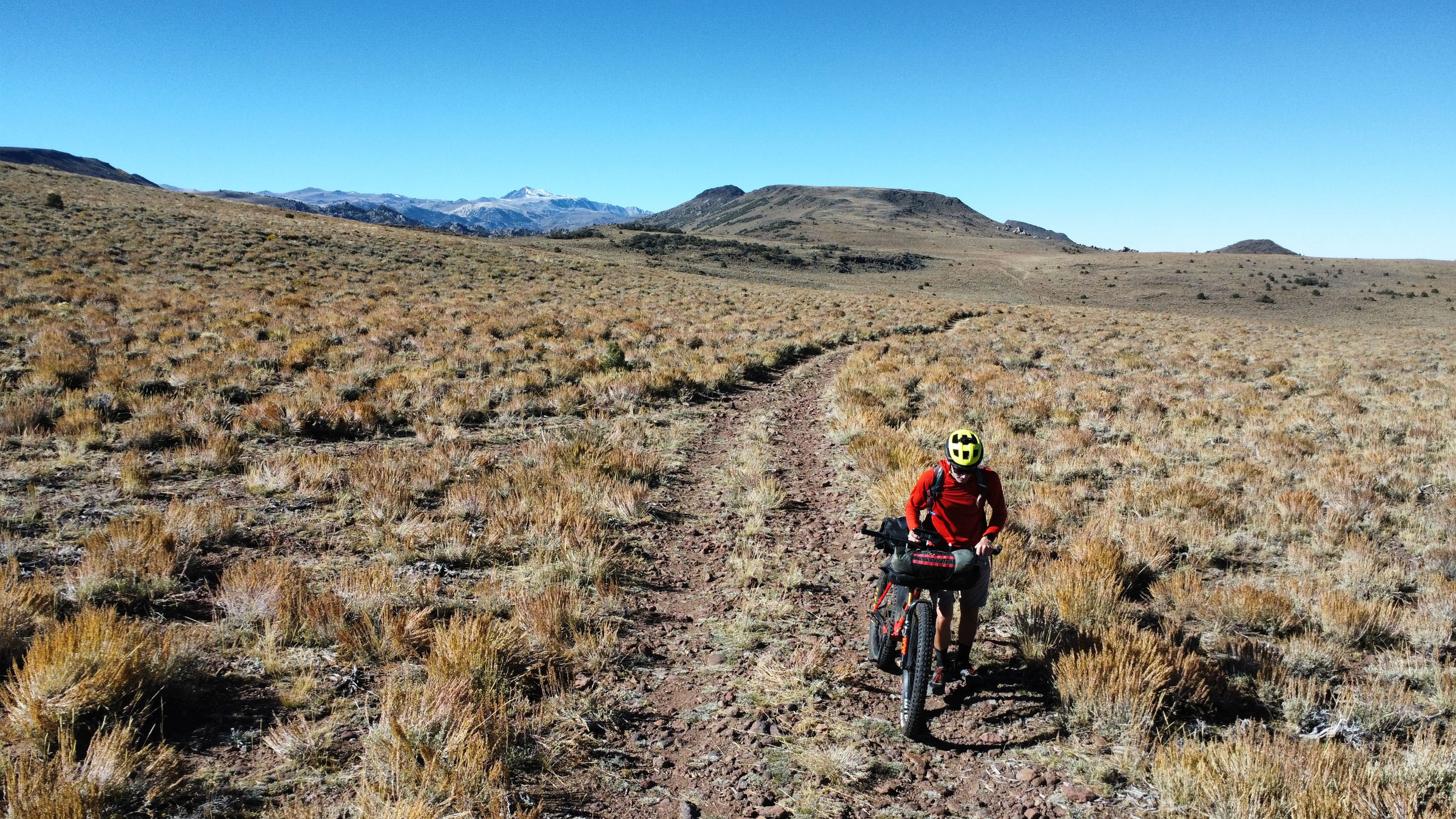
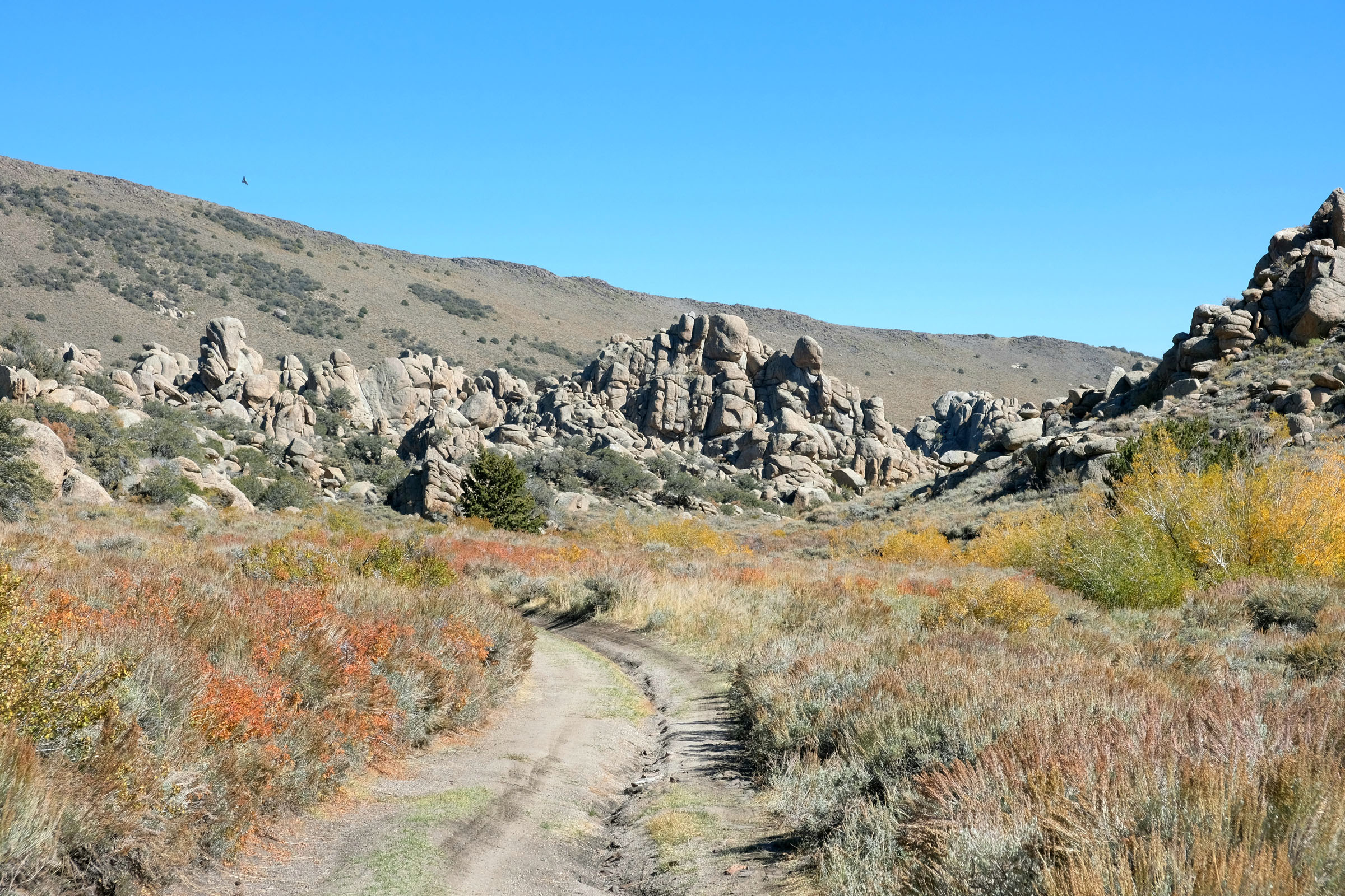
The overall difficulty of this route is 7/10, although it might be an 8/10 if you’re not well-acclimated to the altitude. The route is a mix of paved riding, gravel doubletrack, and singletrack. Sections of the route are quite chunky and steep and may necessitate walking or careful tire placement. Some of the switchbacks are tight, and depending on the winter snowpack, water crossings can get deep. Bushwhacking may also be necessary on the last stretch before Wyman Canyon, as the trail is overgrown in spots. Altitude is the biggest factor contributing to route difficulty, with elevations ranging from 5,000 feet in Deep Springs Valley to almost 11,400 feet at Patriarch Grove. Sections of hike-a-bike and sun exposure add to the route’s physical demand.


Submit Route Alert
As the leading creator and publisher of bikepacking routes, BIKEPACKING.com endeavors to maintain, improve, and advocate for our growing network of bikepacking routes all over the world. As such, our editorial team, route creators, and Route Stewards serve as mediators for route improvements and opportunities for connectivity, conservation, and community growth around these routes. To facilitate these efforts, we rely on our Bikepacking Collective and the greater bikepacking community to call attention to critical issues and opportunities that are discovered while riding these routes. If you have a vital issue or opportunity regarding this route that pertains to one of the subjects below, please let us know:
Highlights
Must Know
Camping
Food/H2O
Trail Notes
Resources
- Climbing along White Mountain Road with the views of the Sierra Nevadas to the west and Great Basin Desert to the east that get more expansive as you ascend.
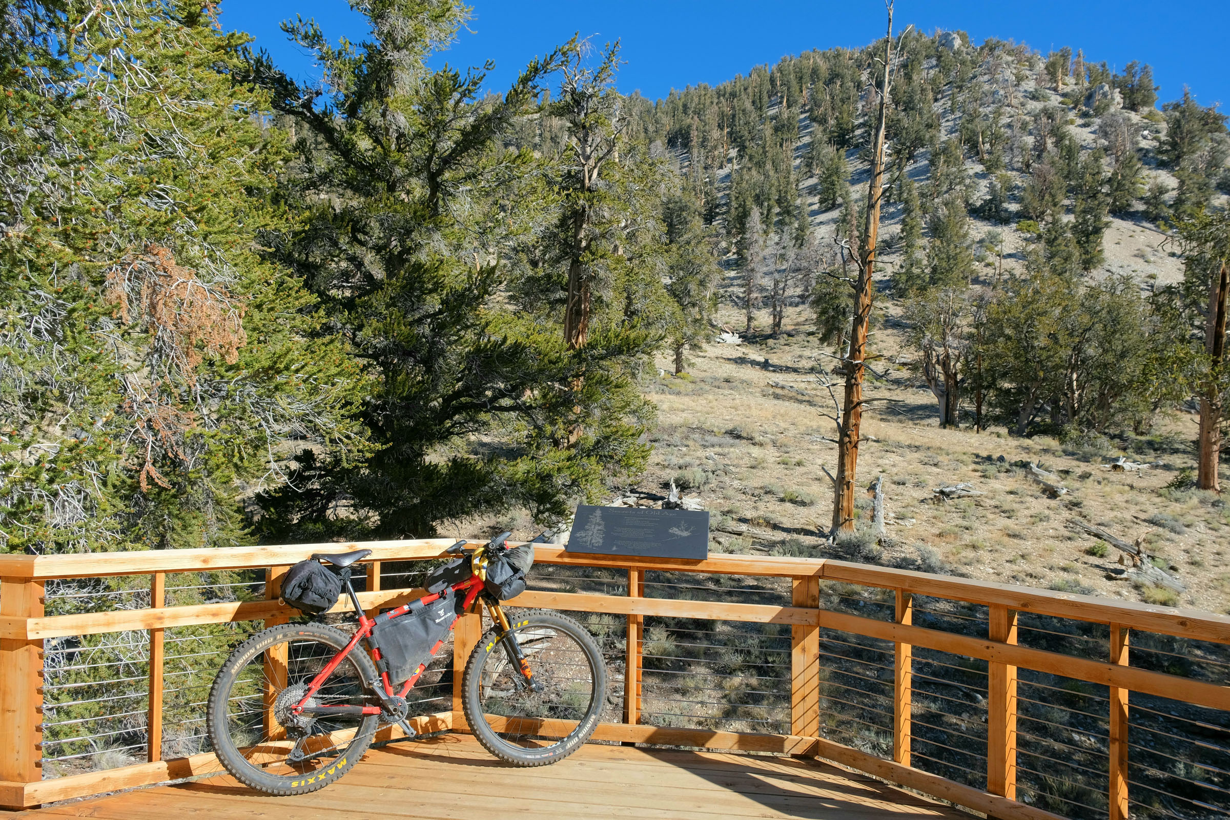
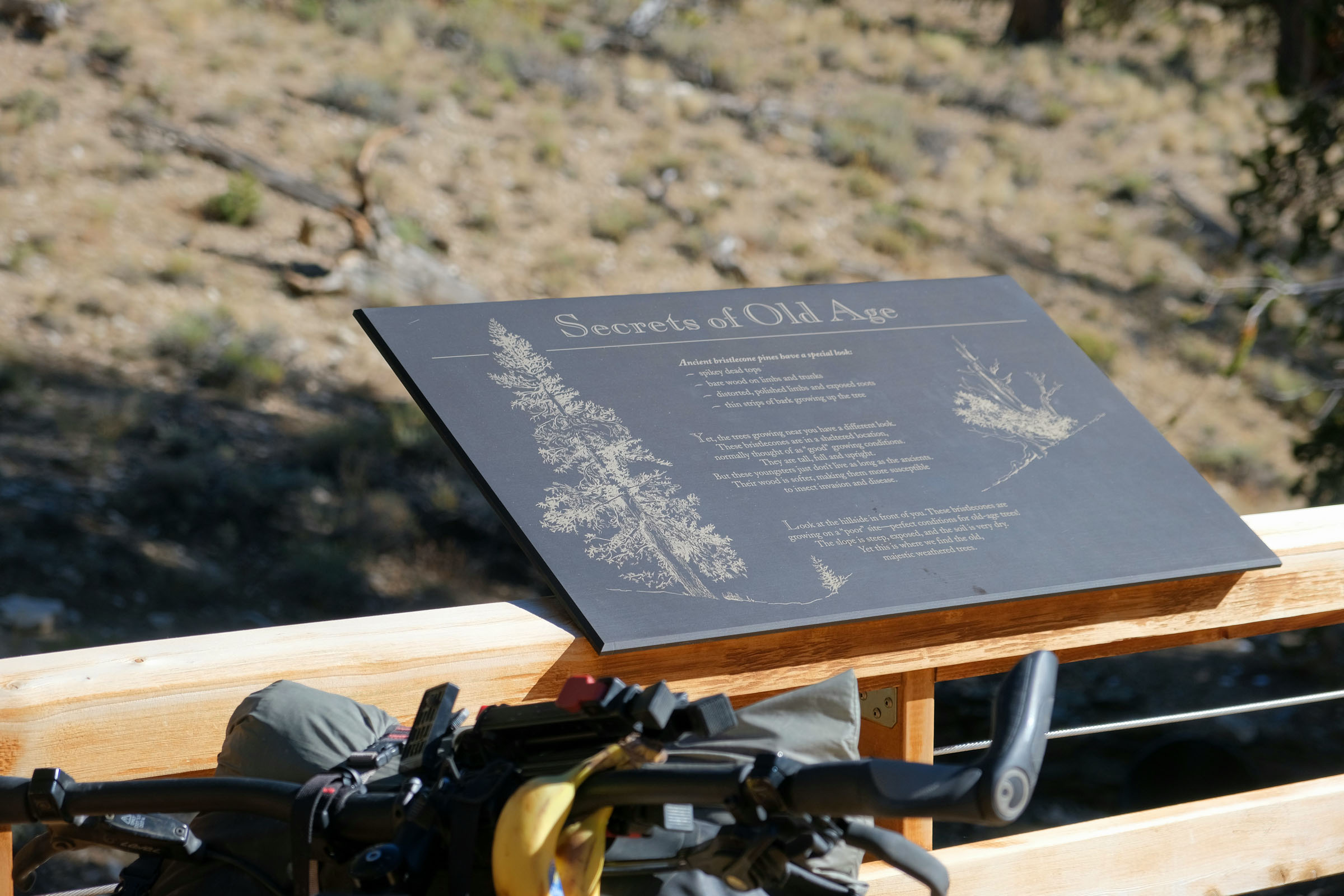
- Riding through groves of bristlecone pines, the oldest trees in the world.
- Stopping at the Schulman Grove Visitor’s Center (open seasonally) and learning about dendrochronology, the study of tree rings.
- Ripping through water crossings as you descend Crooked Creek and Wyman Canyon.
- Riding and hiking along abandoned roads and shale trails that rarely see visitors.
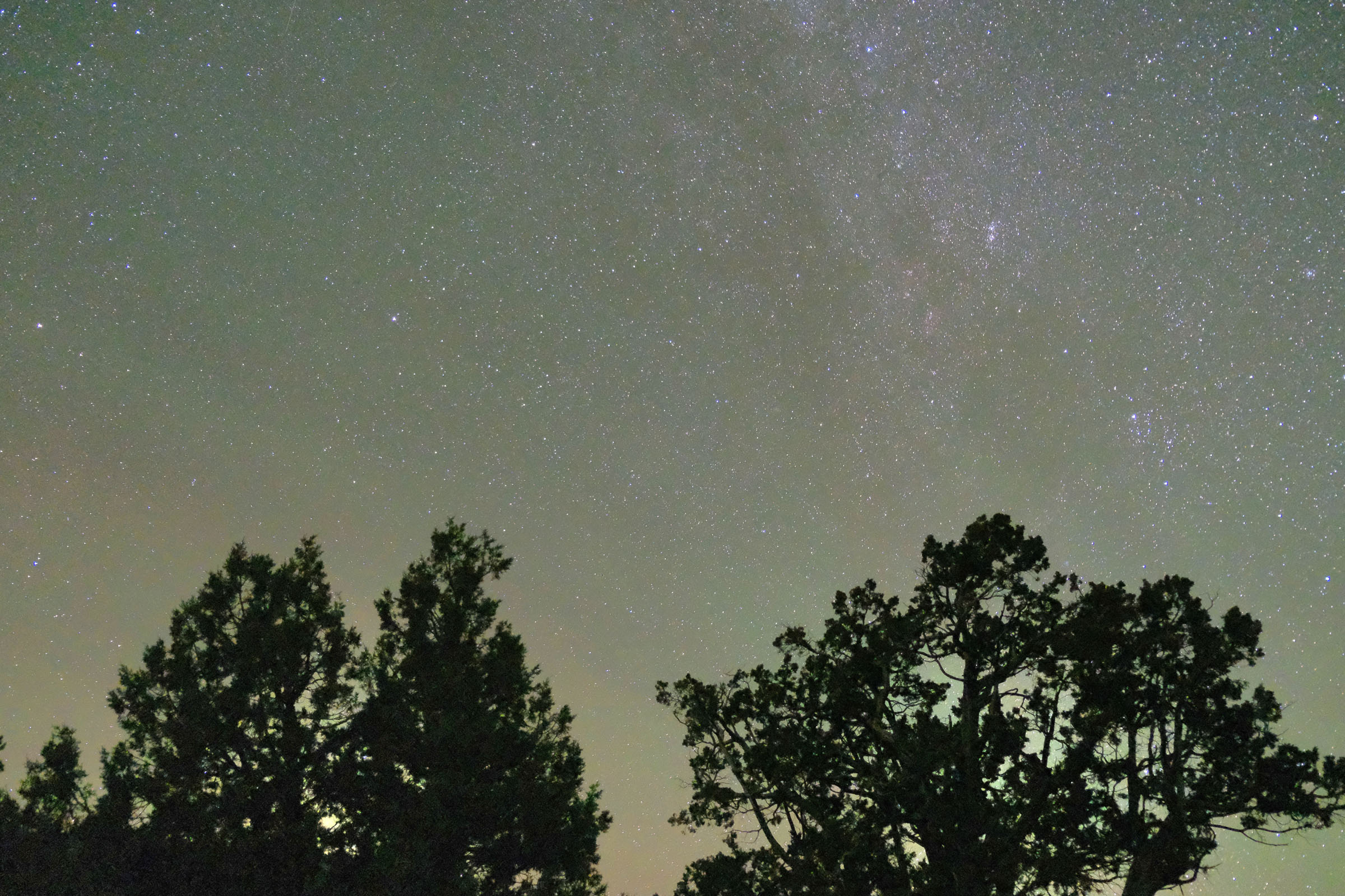
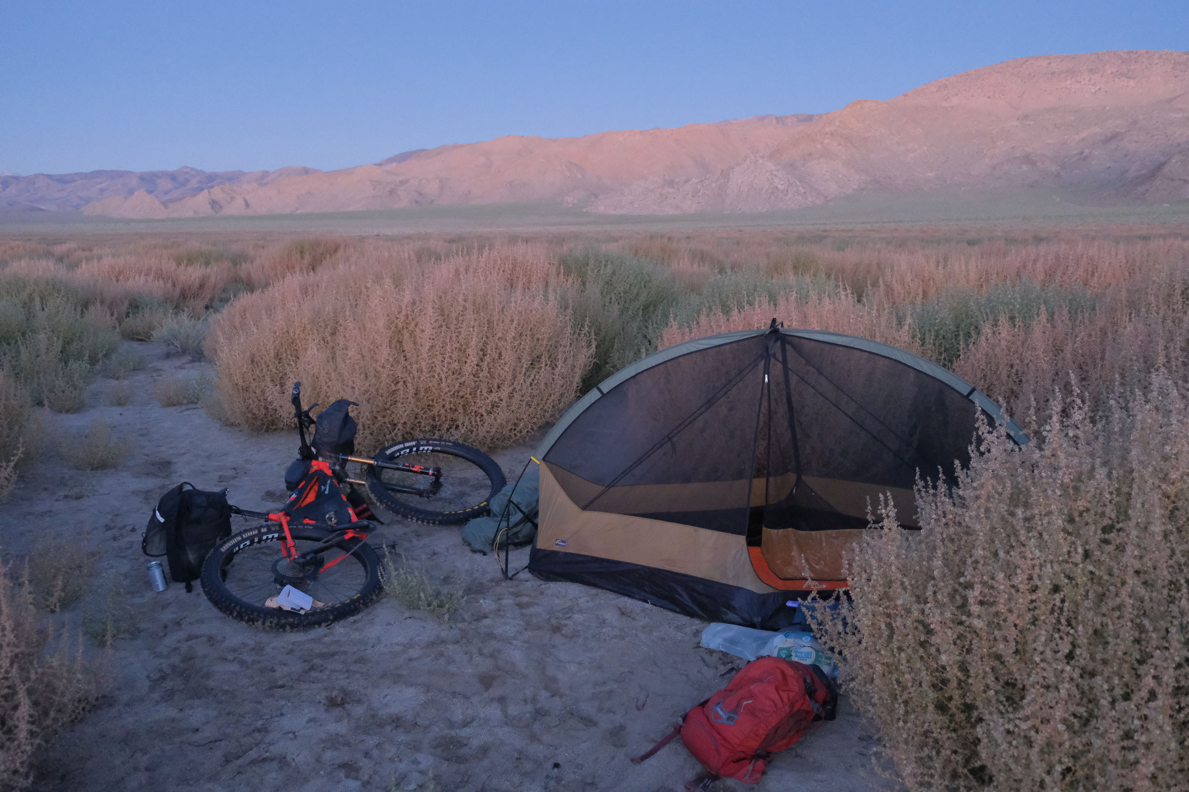
- Camping under some of the darkest skies in the Lower 48.
When to go
- Late spring to early fall are the best times to ride this route. However, summer can get extremely hot in Deep Springs Valley, so try to time your ride for the shoulder seasons or cooler days if possible.
- Weather can be highly variable at altitude. Be mindful of afternoon thunderstorms if riding in the summer.
Logistics
- This route is intended to be ridden in a clockwise direction to take advantage of the long, winding descent down Crooked Creek and Wyman Canyon.
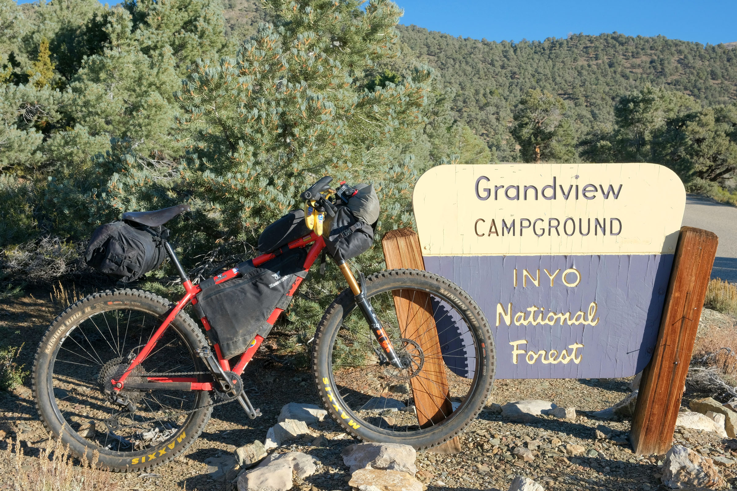
- The route begins and ends at Grandview Campground, where you can leave your car overnight. Camping is otherwise not permitted within the boundaries of the Ancient Bristlecone Pine Forest but is readily available outside on national forest lands. See route GPS for possible campsites.
- Chunky rocks, shale, and sand can be found throughout the route, particularly between Crooked Creek and Wyman Canyon and the climb back to Grandview Campground. The ideal bike would be a hardtail mountain bike with minimum 2.6″ tires and front suspension. I scouted it on 3.0″ tires with a 120mm fork and was happy with my setup.
- The nearest full-service bike shop is located in Bishop, approximately one hour from the starting point of the trail.
- GPS is required for navigation, and a SPOT beacon is highly recommended due to the remote nature of the route. Many intersecting roads can make navigation tricky.
Dangers and Annoyances
- Temperature variations, exposure, and weather can be extreme and highly variable; bring sunscreen and layers!
- Watch your speed descending the switchbacks leading to Wyman Canyon.
- Ranchers often lease areas of the White Mountains for grazing. Be sure to leave any fences you come across as you find them.
- Spend a night at altitude before starting the route if possible, or you’ll feel the effects of elevation!
Travel basics
- The nearest town to the route is Big Pine, approximately 40 minutes down the road.
- The route is located approximately five hours from Los Angeles and six hours from San Diego.
- This route can be ridden independently or as an extension to the Caldera 500, a much longer traverse of California’s Eastern Sierras.
- Dry camping with pit toilets is available at Grandview Campground, the starting point of the route.
- Wild camping is not permitted within the boundaries of the Ancient Bristlecone Pine Forest (see GPS for exact coordinates). Ample wild camping opportunities can be found once you leave the Bristlecone Pine Forest in the Inyo National Forest. No other lodging is available.
- Filtered water is available along Crooked Creek and Wyman Canyon.
- Grandview Campground is dry, and there is no water available at the Schulman Grove Visitor’s Center.
- There are no options for resupply available along the route, so you’ll need to carry all food with you.
- Big Pine has a small convenience store. Otherwise, the nearest grocery store is in Bishop.
The route begins from Grandview Campground with a punchy 2,000-foot paved ascent to the Ancient Bristlecone Pine Forest, home to the oldest known trees on Earth. Riders can catch their breath and seek respite from the high-altitude sun at the visitor center, where you can learn about these fascinating trees, some of which have thrived in this extraordinarily harsh environment for over 4,000 years. Afterward, take time to explore the surrounding Schulman Grove. If you look carefully, you might spot Methuselah, the oldest of these trees, which has lived here since the invention of written language some 4,800 years ago.
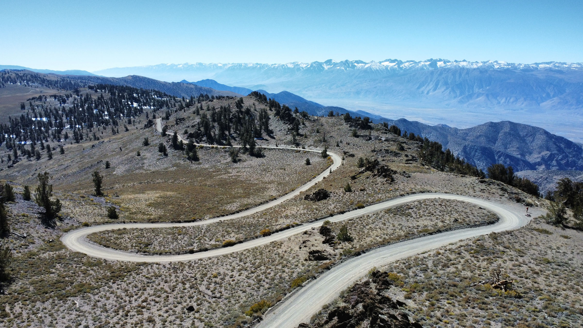
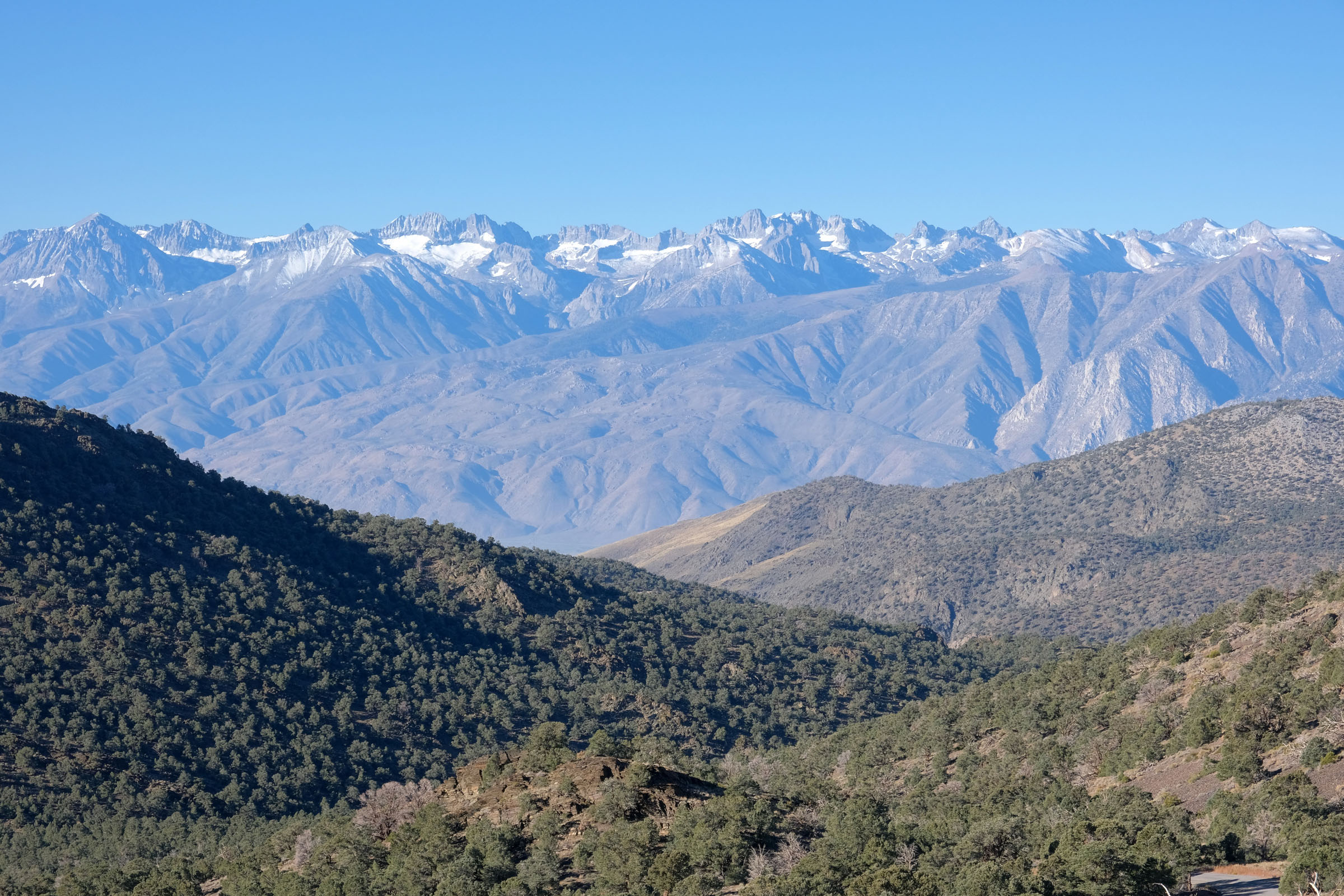
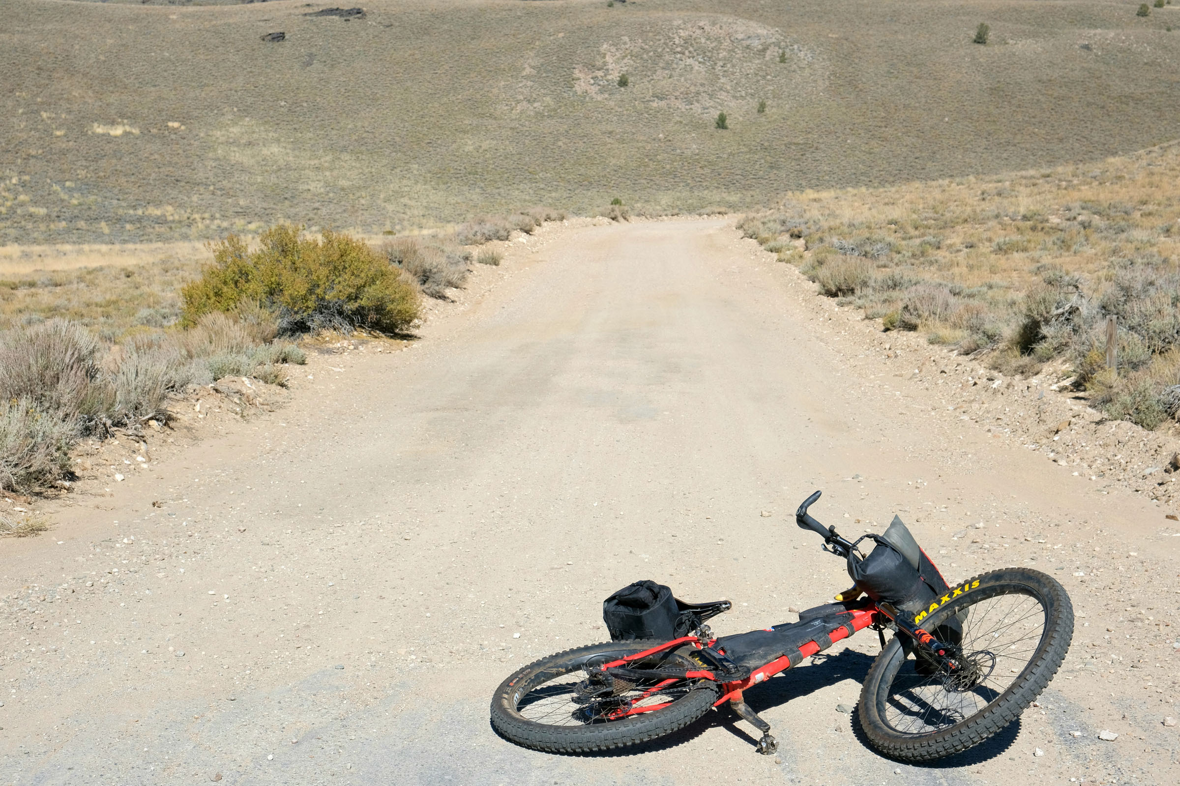
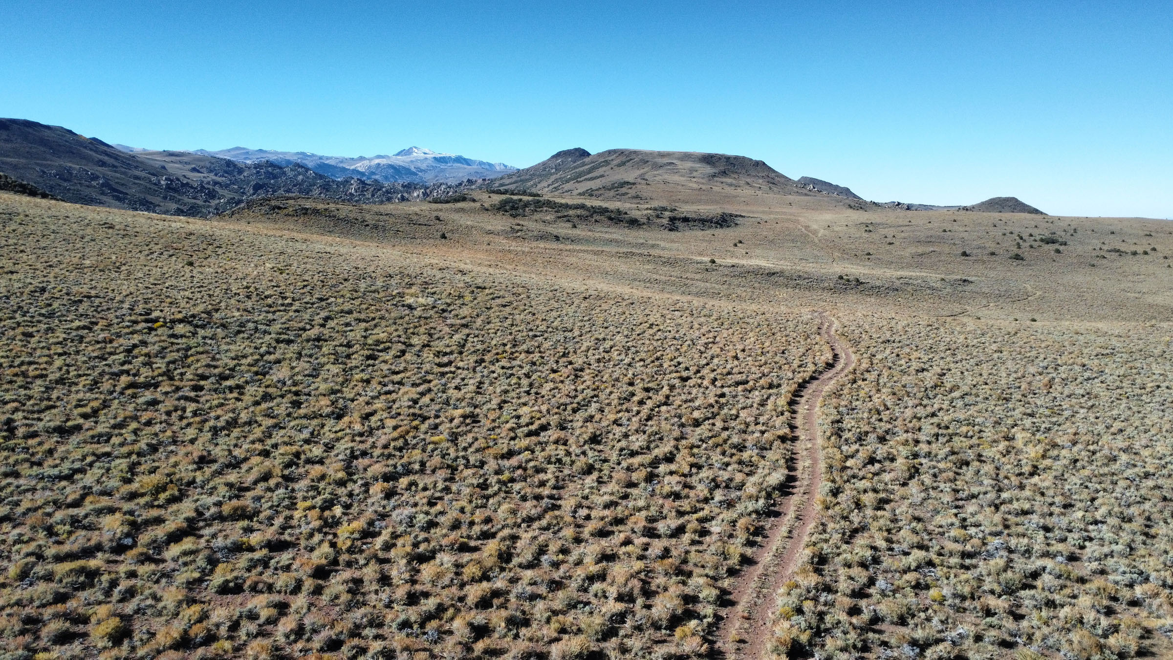
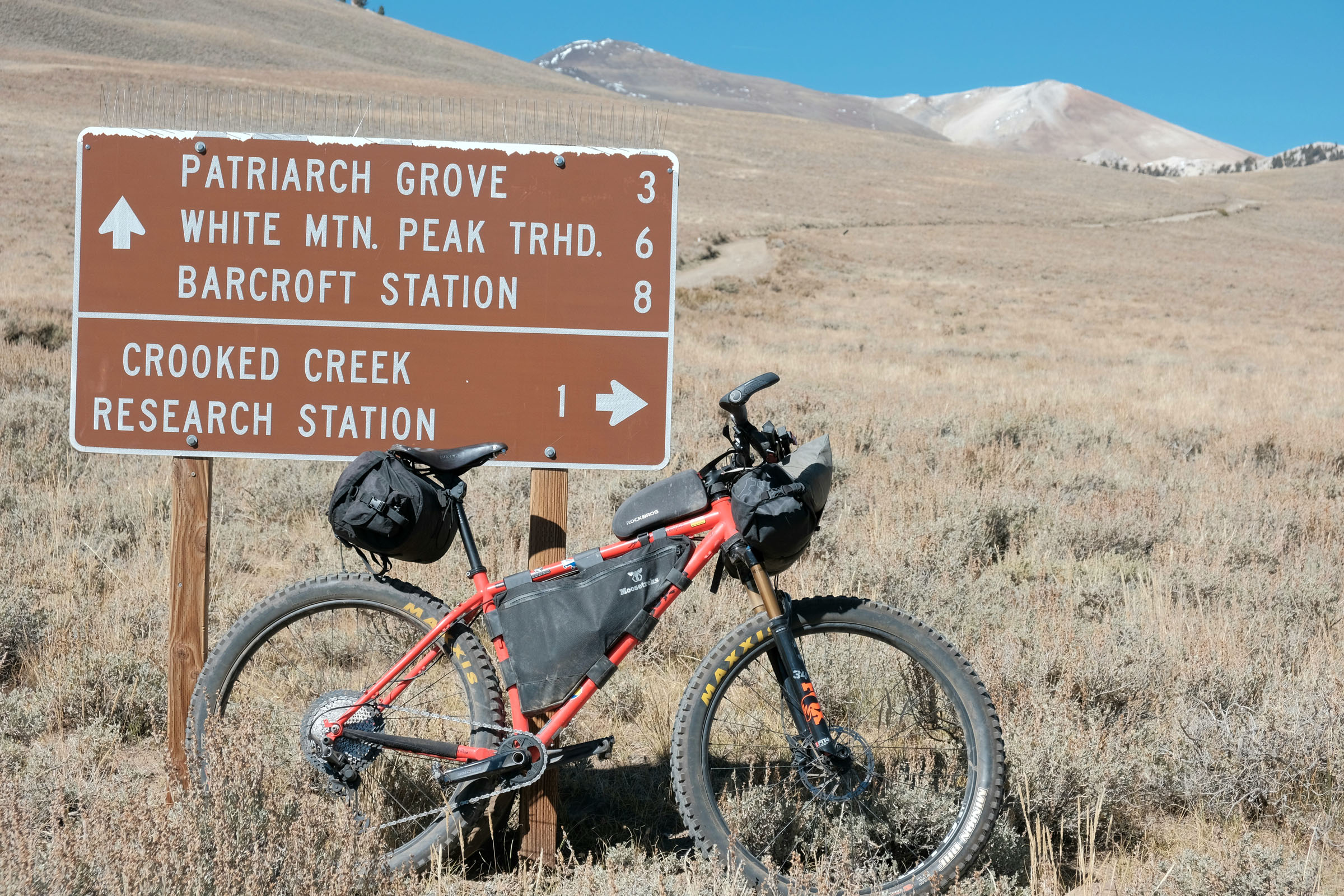
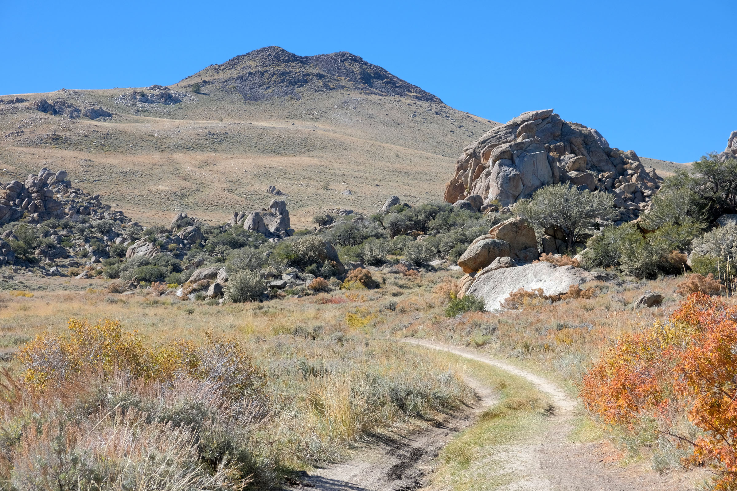
Continuing north from the visitor’s center, the route turns to gravel and trends upward along White Mountain Road, the highest road in the state. The road is flanked by alpine meadows and scattered coniferous forests, with occasional glimpses across the Owens Valley to the towering Sierra Nevadas. An optional out-and-back detour takes riders to the route highpoint at Patriarch Grove, home to the largest Bristlecone Pine Trees.
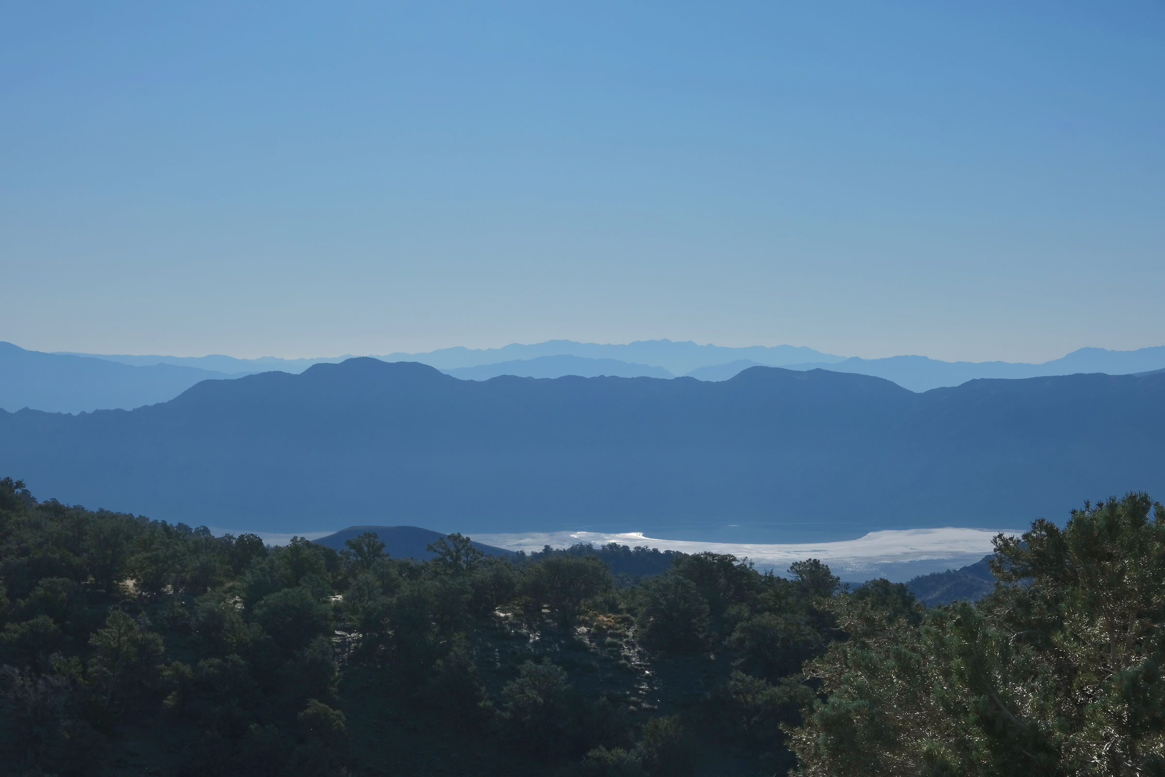
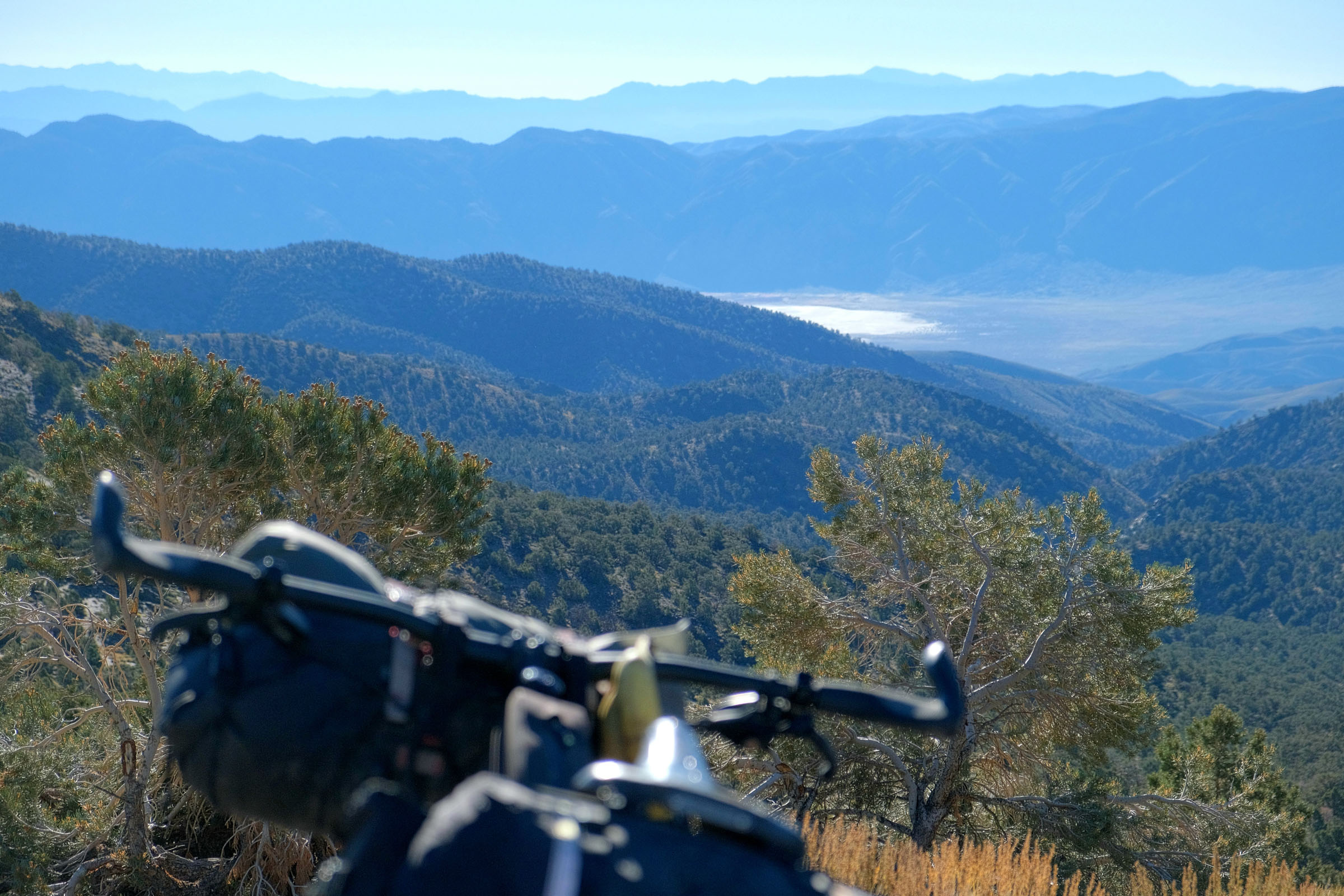
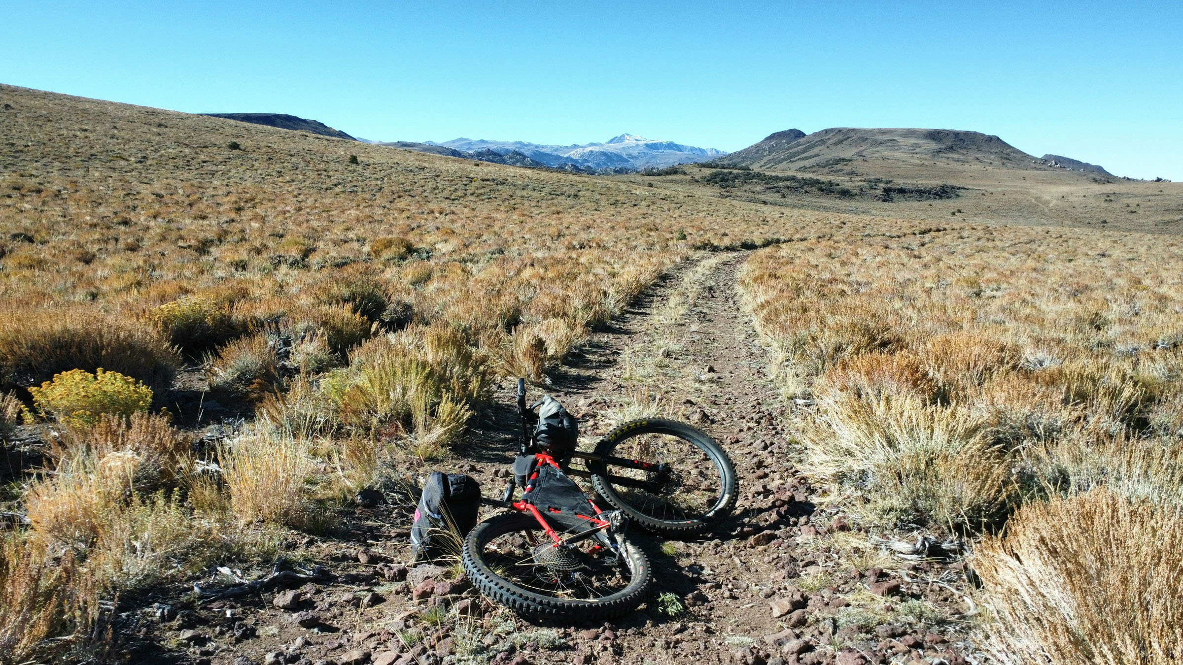
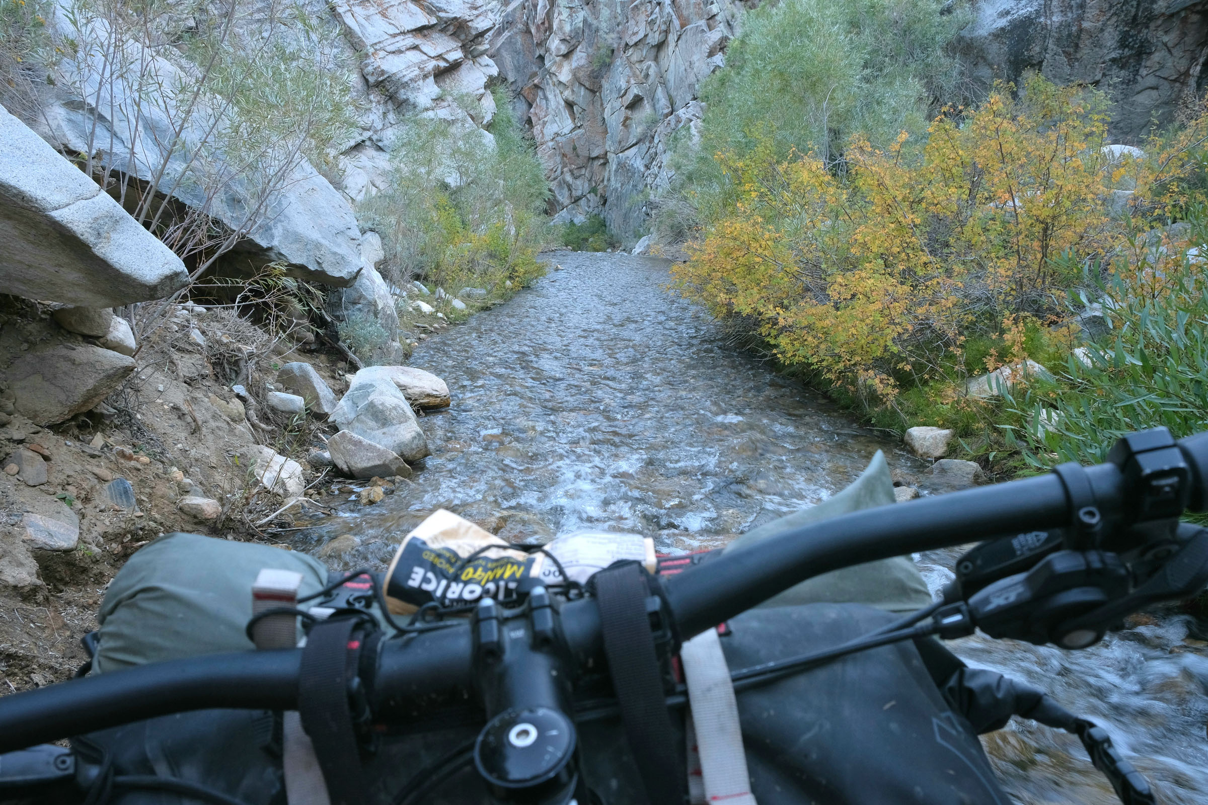
The route then heads east while descending along Crooked Creek and Wyman Creek, both important watersheds in an otherwise arid environment. This is lonesome country, but watchful riders may spot bighorn sheep, pronghorn antelope, and mule deer grazing in meadows or hydrating along the creek. Years ago, these hills were also inhabited by Campito, an escaped horse that roamed alone for more than three decades. Riders will likely relate to the solitude he experienced for so long in this barren yet achingly beautiful wilderness.
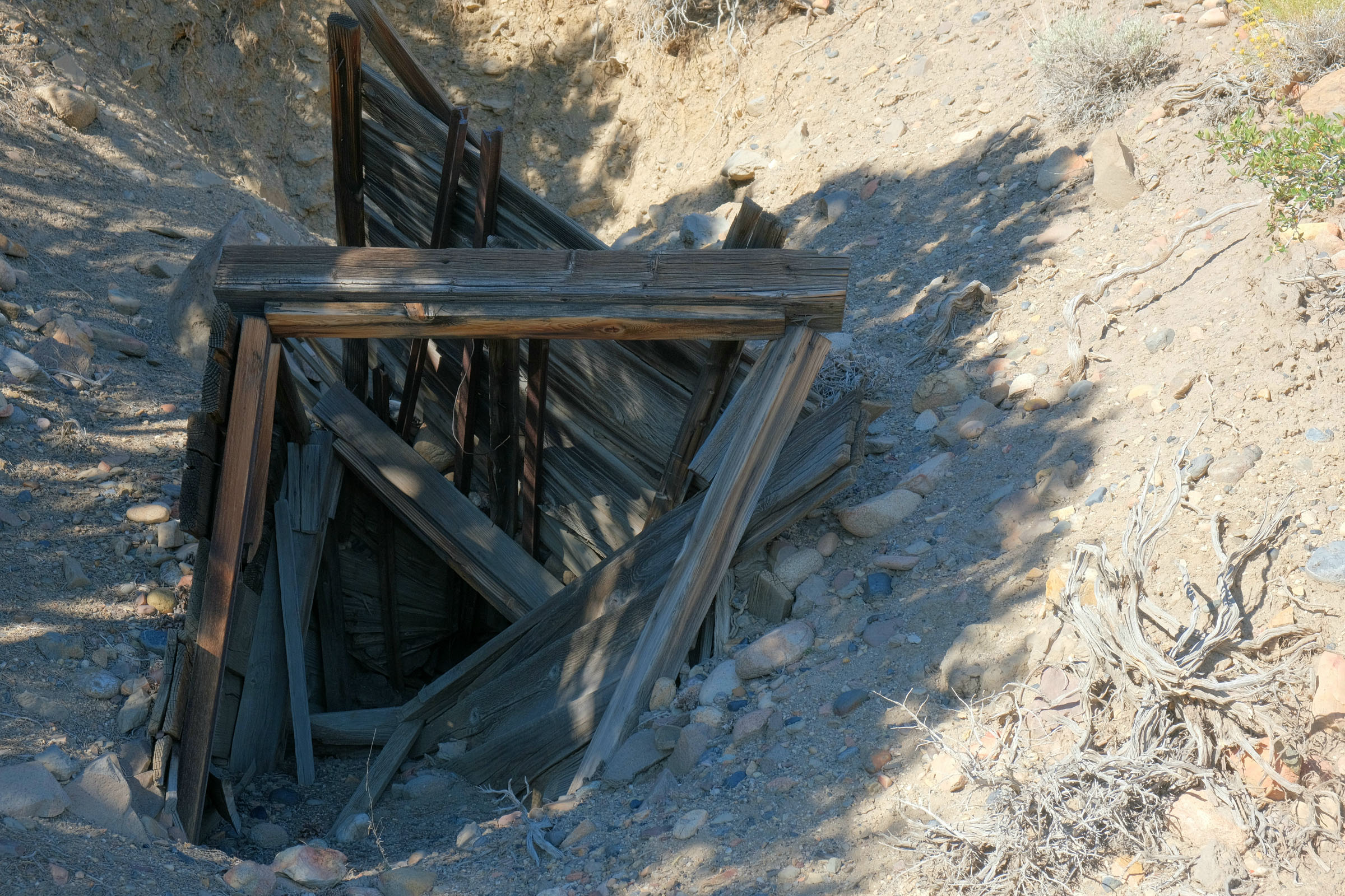
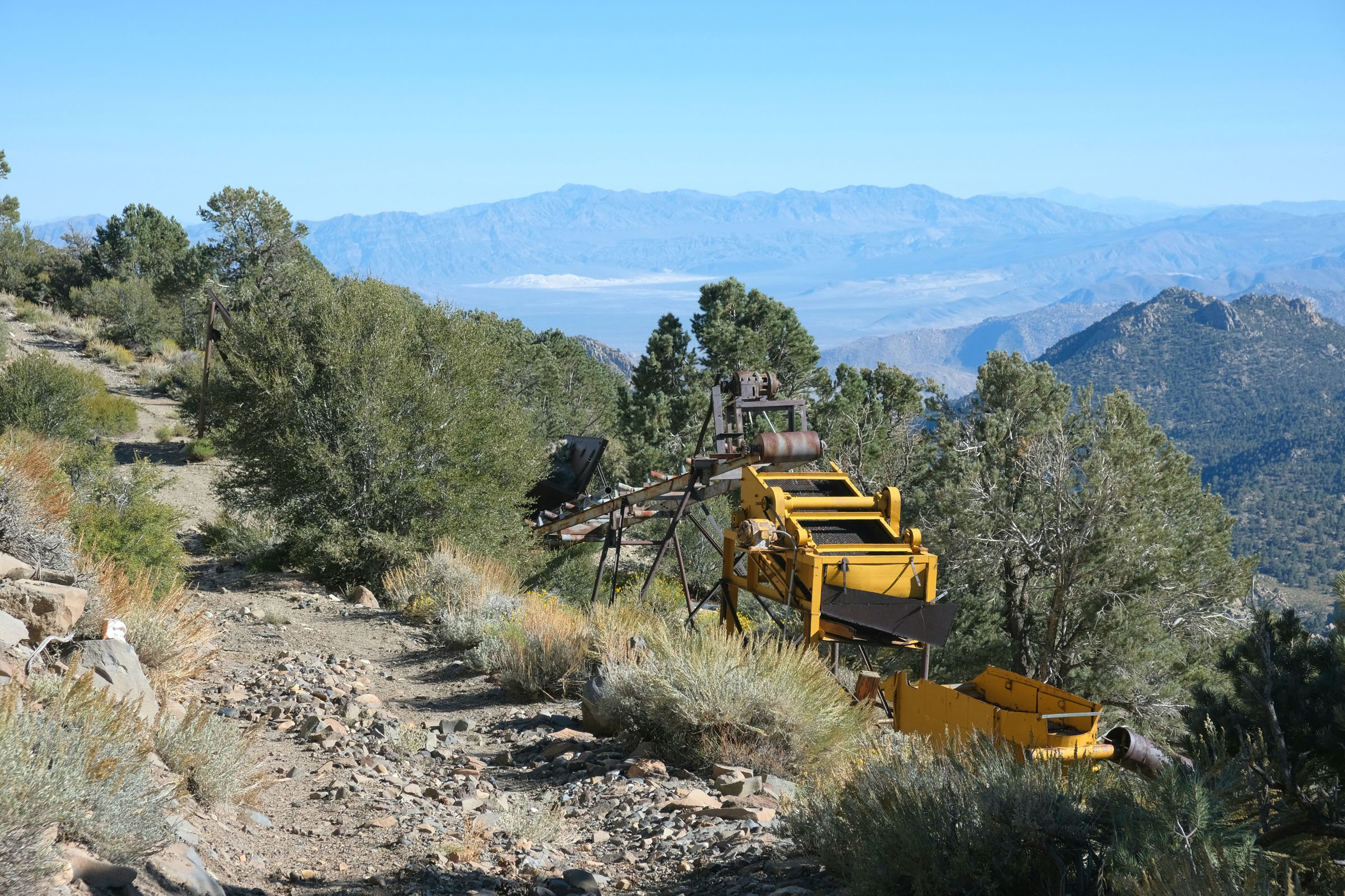
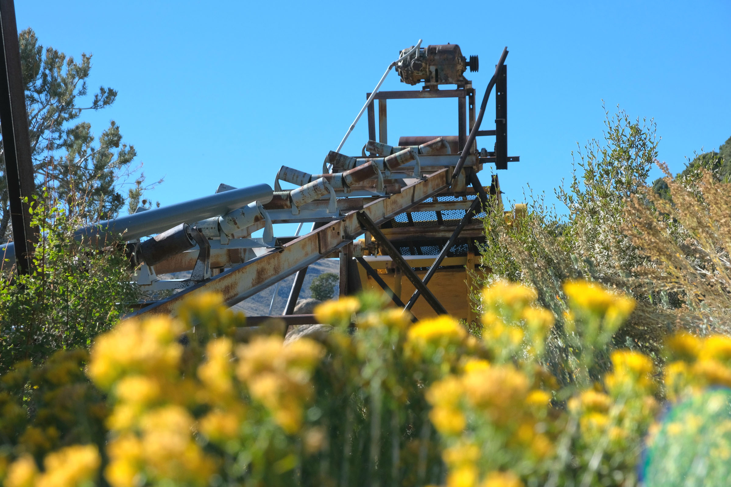
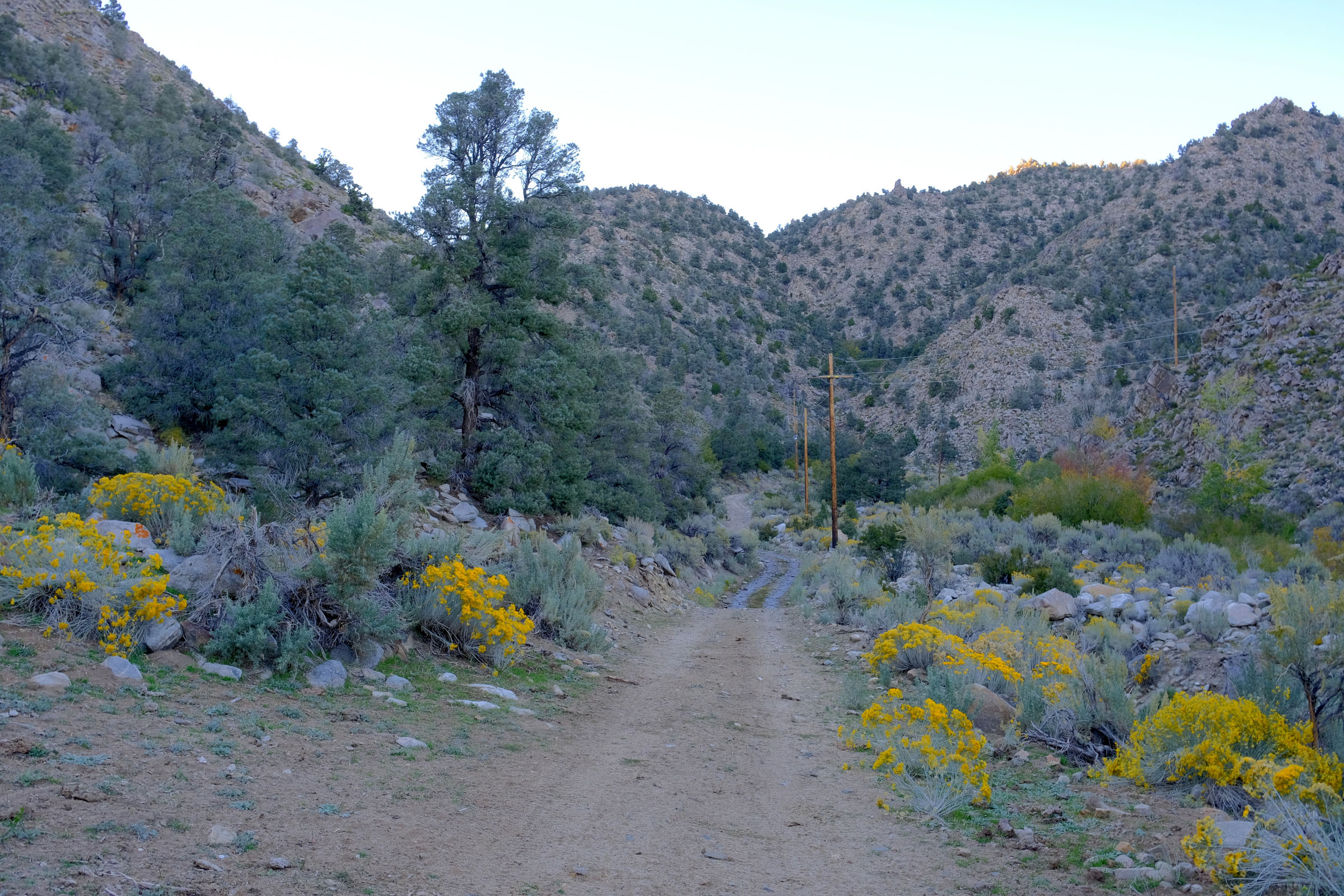
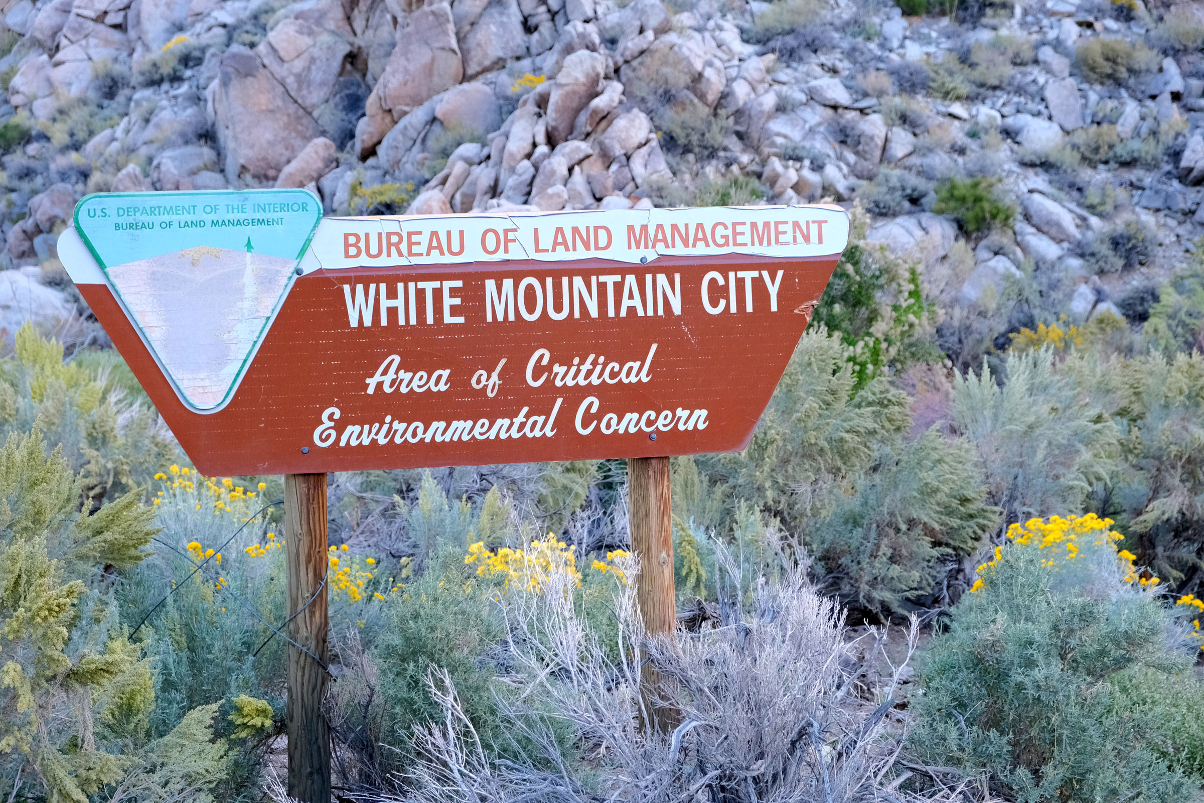
As the route descends, riders will encounter multiple water crossings, challenging hike-a-bikes, and pass by numerous creekside campsites, some of which are marked on the GPS route. Find a spot, set up camp, and settle in for some of the darkest skies and finest stargazing in the contiguous United States. The following day, the route continues along (and sometimes through) the Wyman Creek watershed, passing by the ruins of White Mountain City. This ghost town once served as a supply center for prospectors seeking their riches in the gold and silver mines of the region. The route connects to a quiet two-lane highway in Deep Spring Valley that leads riders over Westgard Pass and back up to Grandview Campground.
Additional Resources


Terms of Use: As with each bikepacking route guide published on BIKEPACKING.com, should you choose to cycle this route, do so at your own risk. Prior to setting out check current local weather, conditions, and land/road closures. While riding, obey all public and private land use restrictions and rules, carry proper safety and navigational equipment, and of course, follow the #leavenotrace guidelines. The information found herein is simply a planning resource to be used as a point of inspiration in conjunction with your own due-diligence. In spite of the fact that this route, associated GPS track (GPX and maps), and all route guidelines were prepared under diligent research by the specified contributor and/or contributors, the accuracy of such and judgement of the author is not guaranteed. BIKEPACKING.com LLC, its partners, associates, and contributors are in no way liable for personal injury, damage to personal property, or any other such situation that might happen to individual riders cycling or following this route.
Please keep the conversation civil, constructive, and inclusive, or your comment will be removed.