


Lemkivska Kobiouka
Distance
153 Mi.
(246 KM)Days
4-5
% Unpaved
75%
% Singletrack
12%
% Rideable (time)
97%
Total Ascent
17,894'
(5,454 M)High Point
2,764'
(842 M)Difficulty (1-10)
7?
- 8Climbing Scale Strenuous117 FT/MI (22 M/KM)
- -Technical Difficulty
- -Physical Demand
- -Resupply & Logistics
Contributed By

Marcin Stoch
Guest Contributor
Better known as Stachu, Marcin is a bike messenger originally from Kraków, currently residing in Warsaw. Barefoot walking enthusiast with a sentiment for paper maps. Likes to escape loud and busy inner city streets to tranquil dirt roads of the backcountry. Follow Marcin on Instagram @stahszek.
About the name: “Lemkivska” is an adjective form of Lemko and “Kobiouka” is a leather bag with a wide flap which Lemko men used to carry food and other belongings on their journeys.
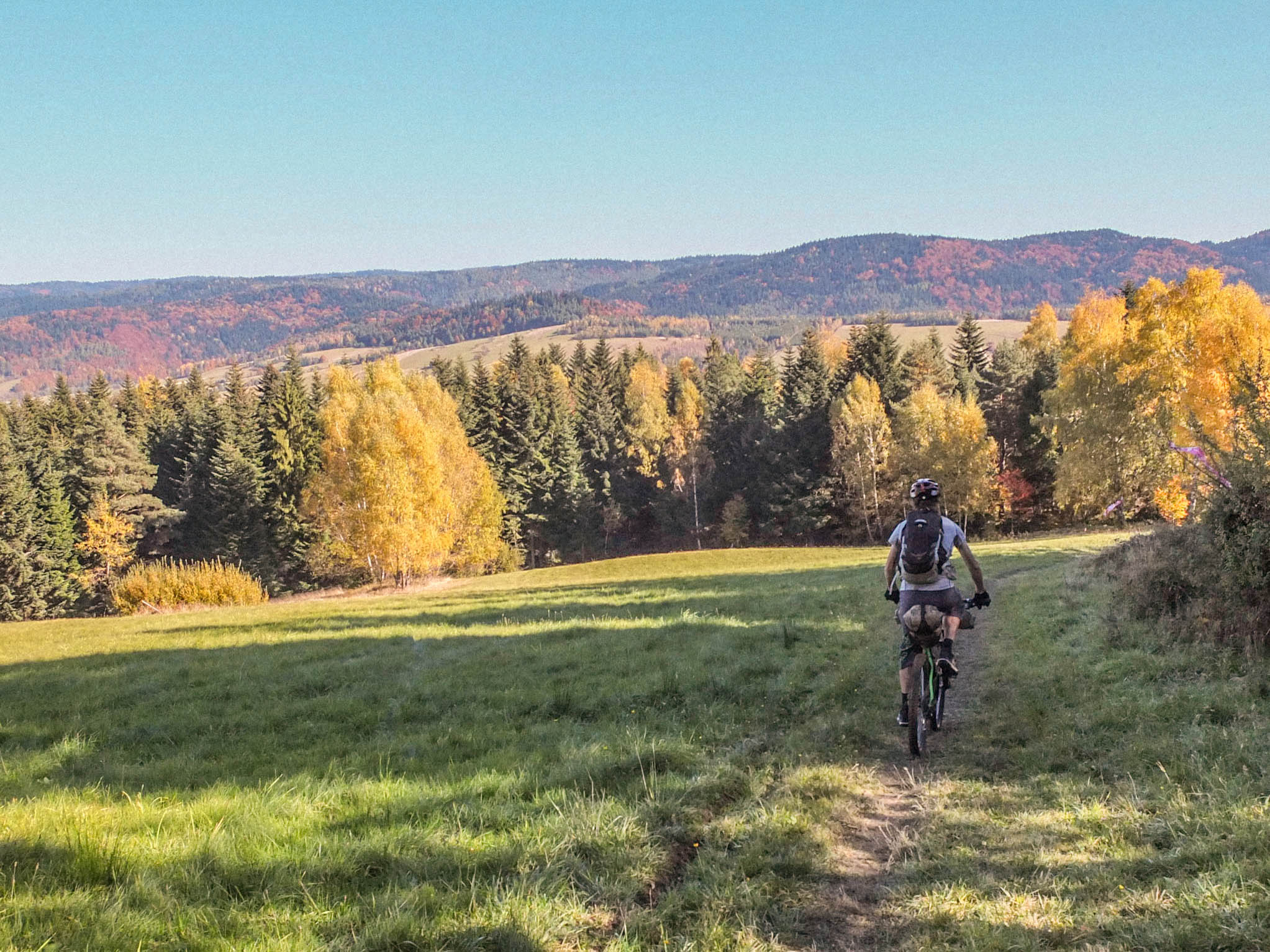
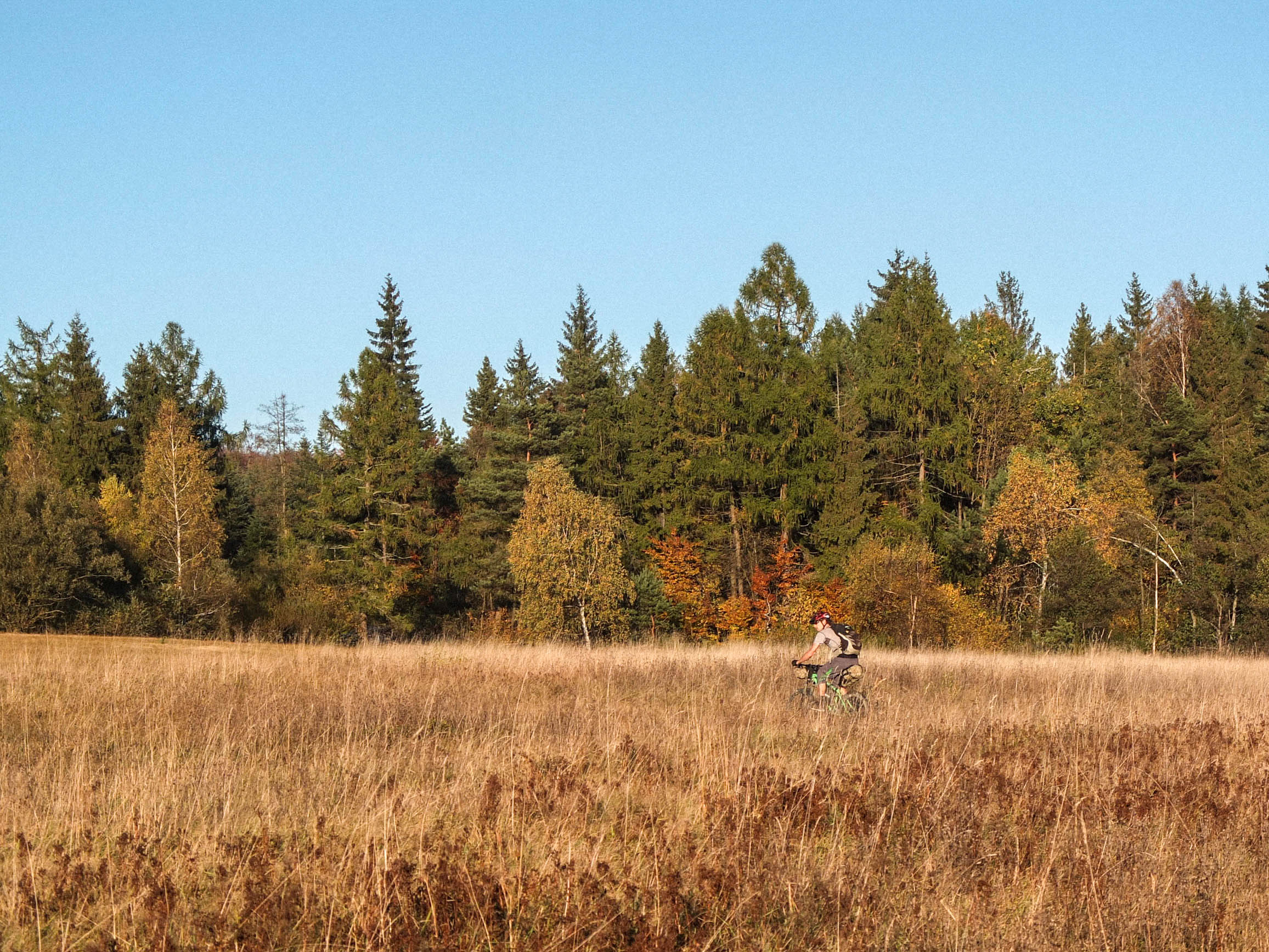
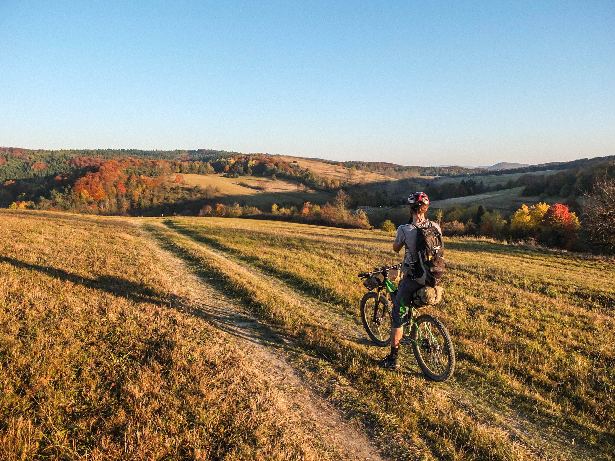
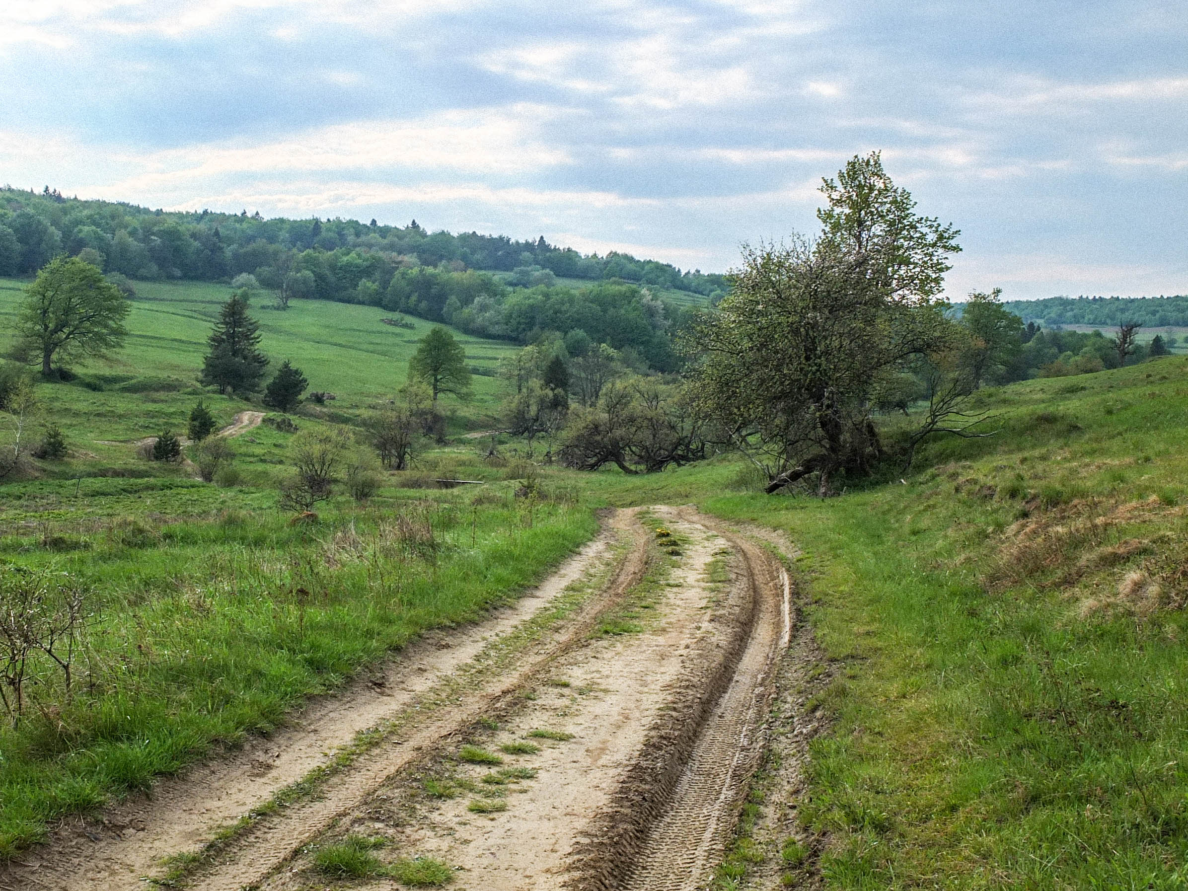
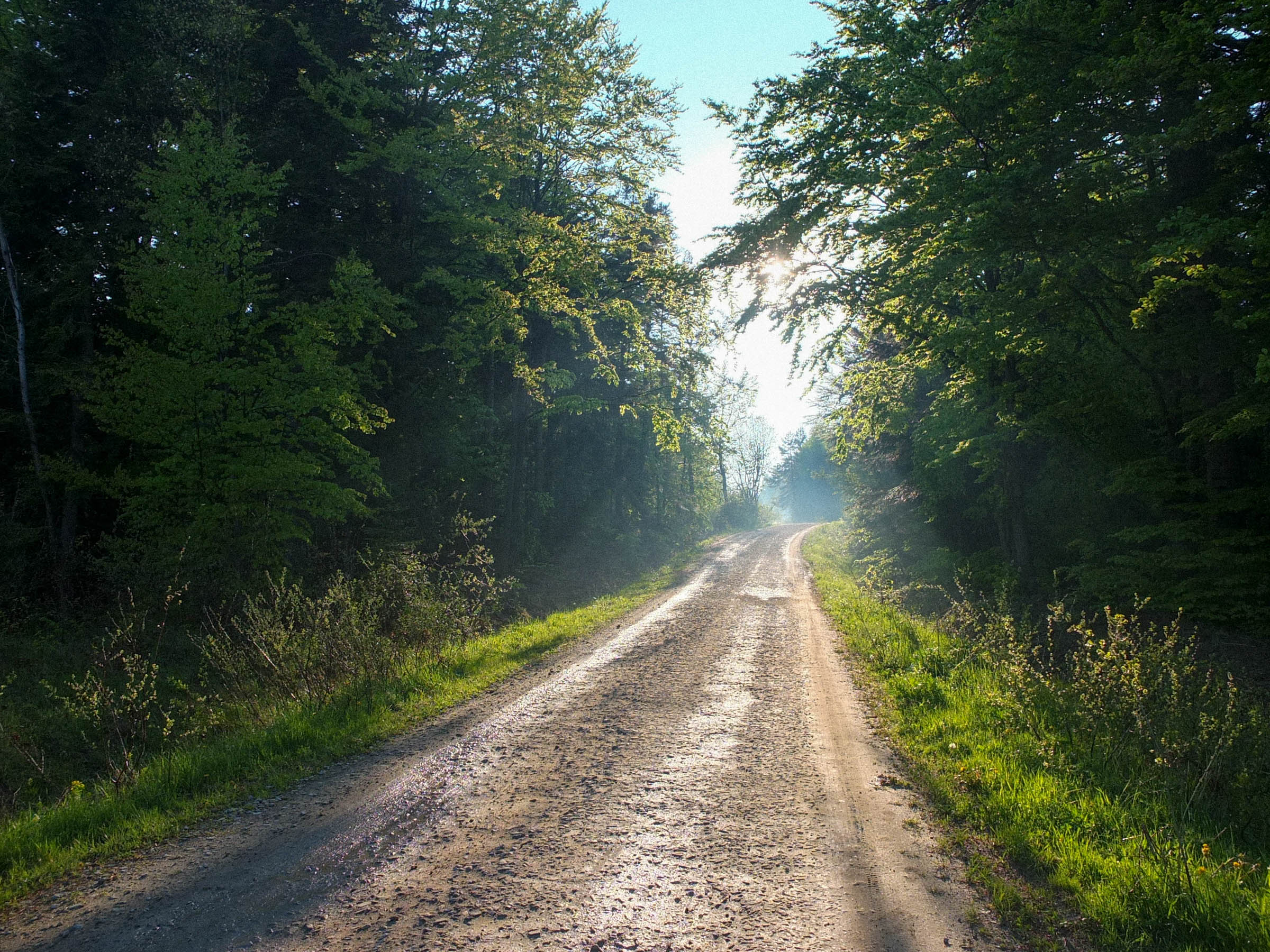
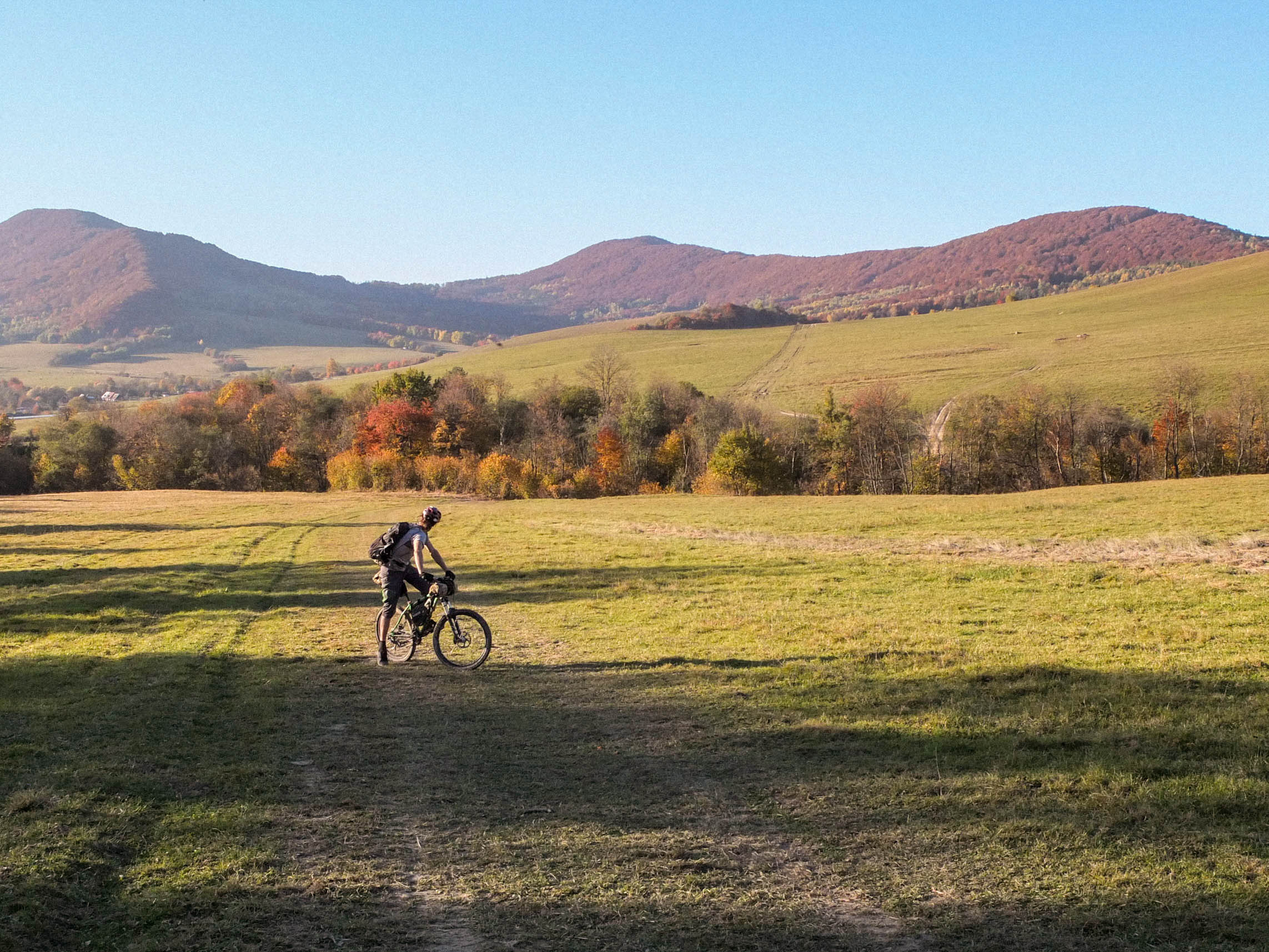
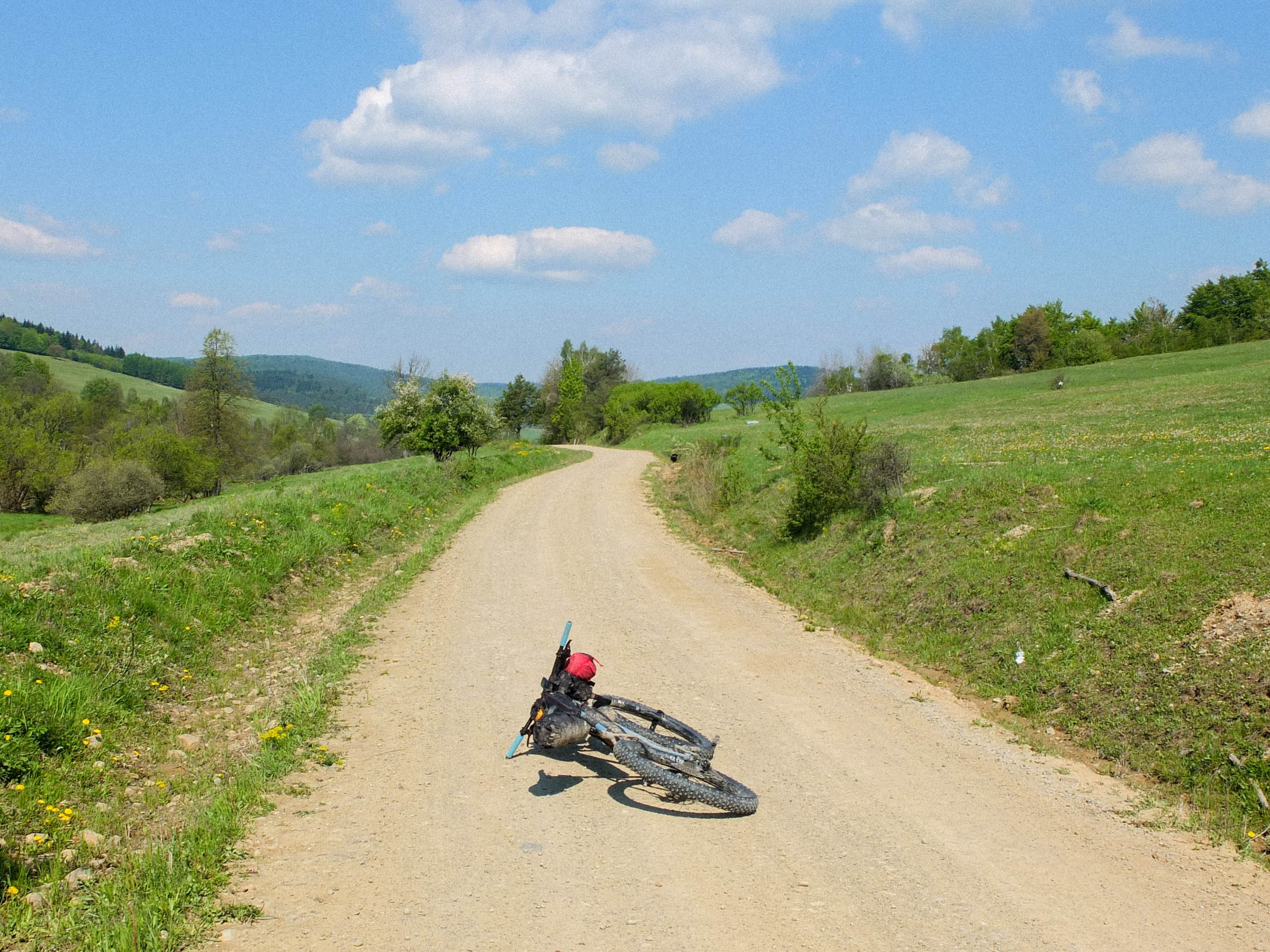
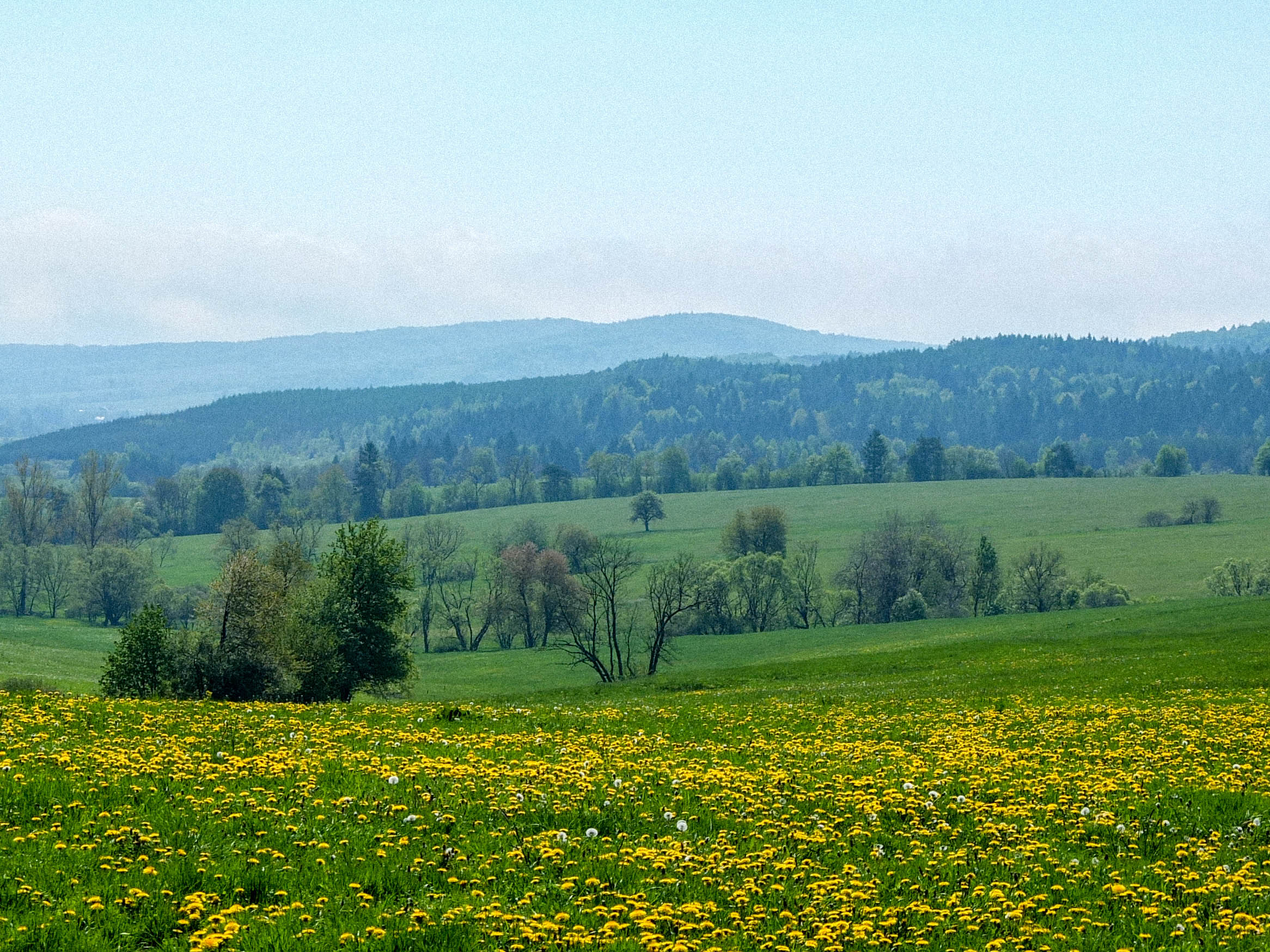
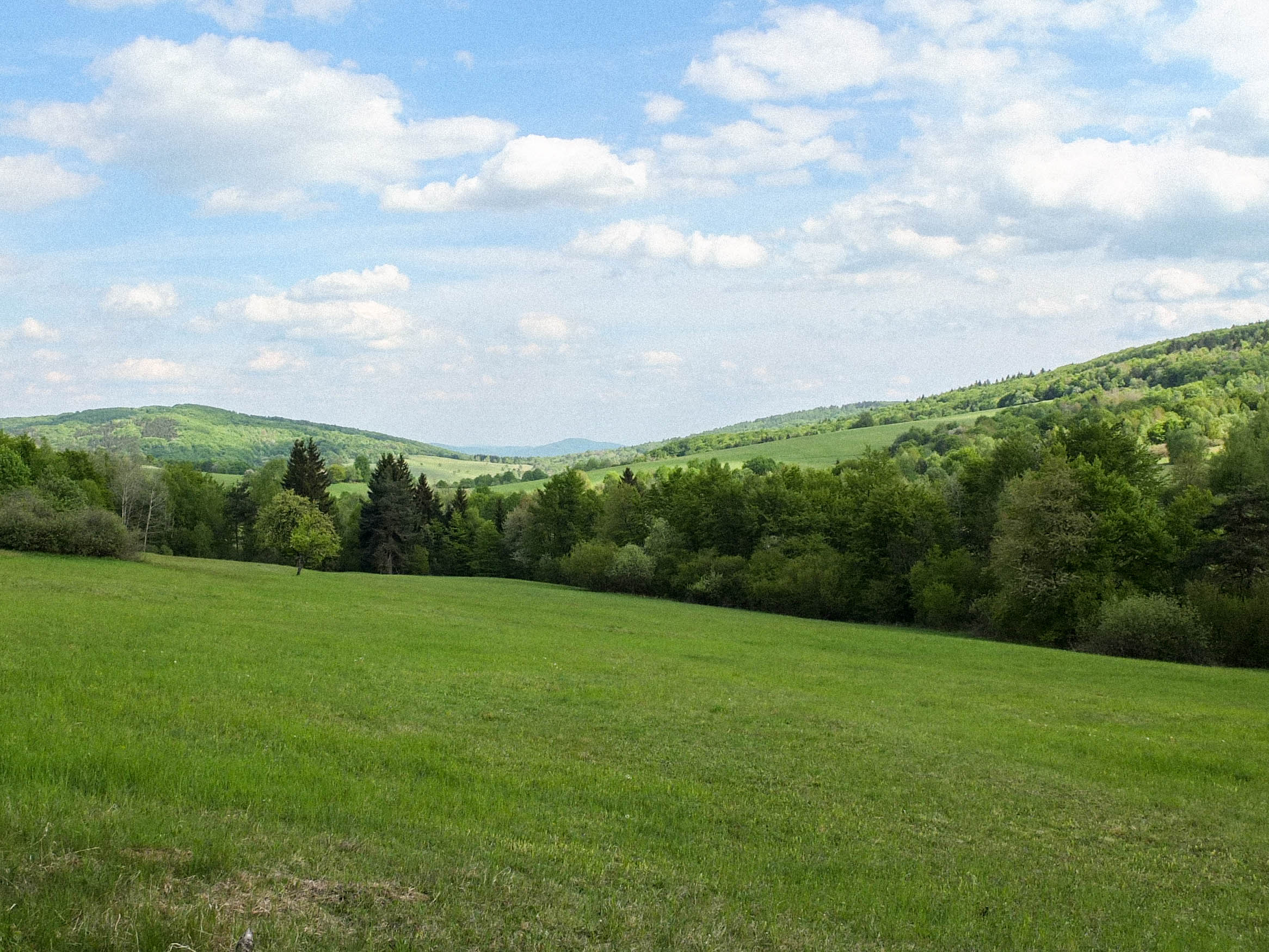
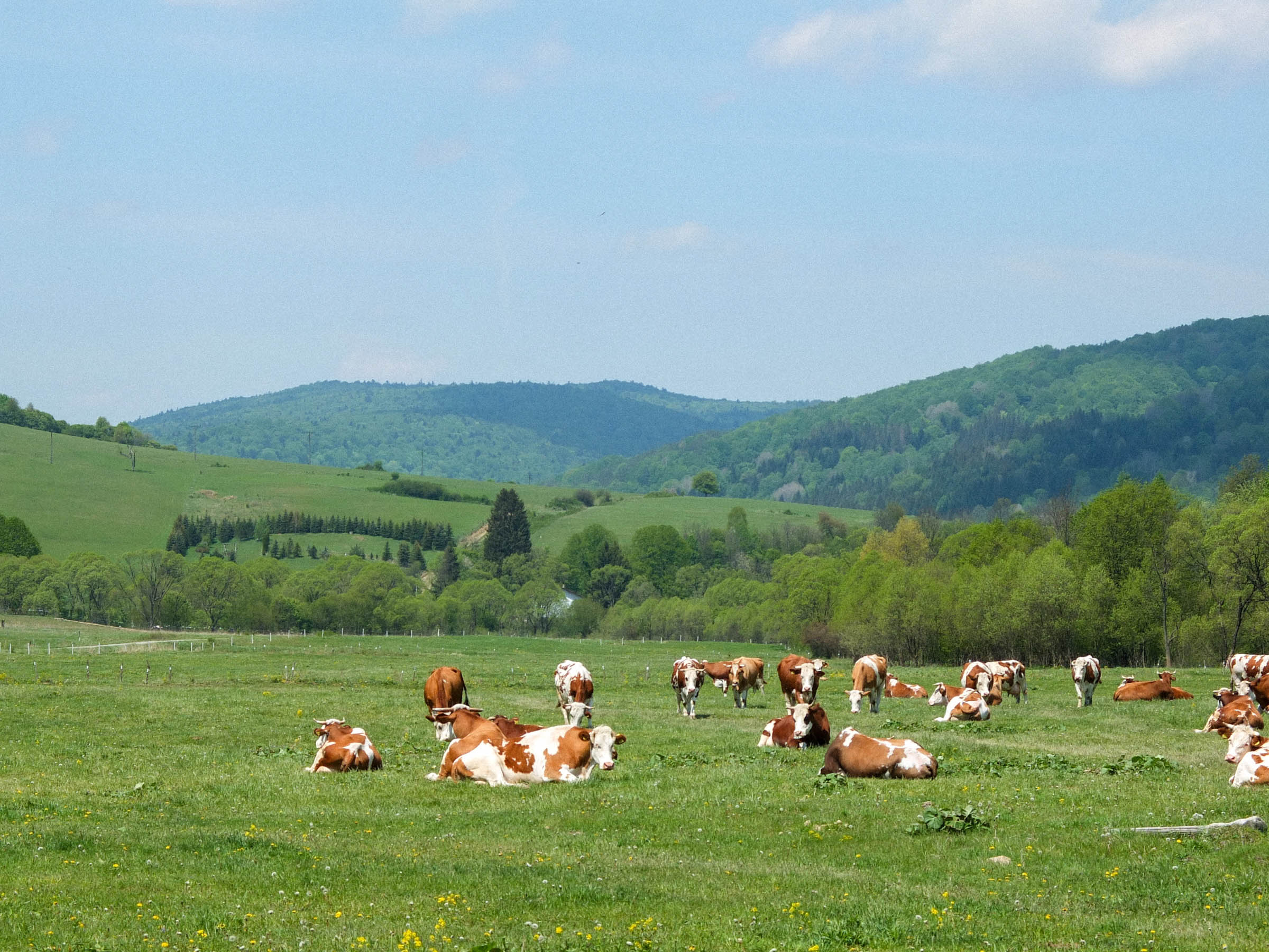
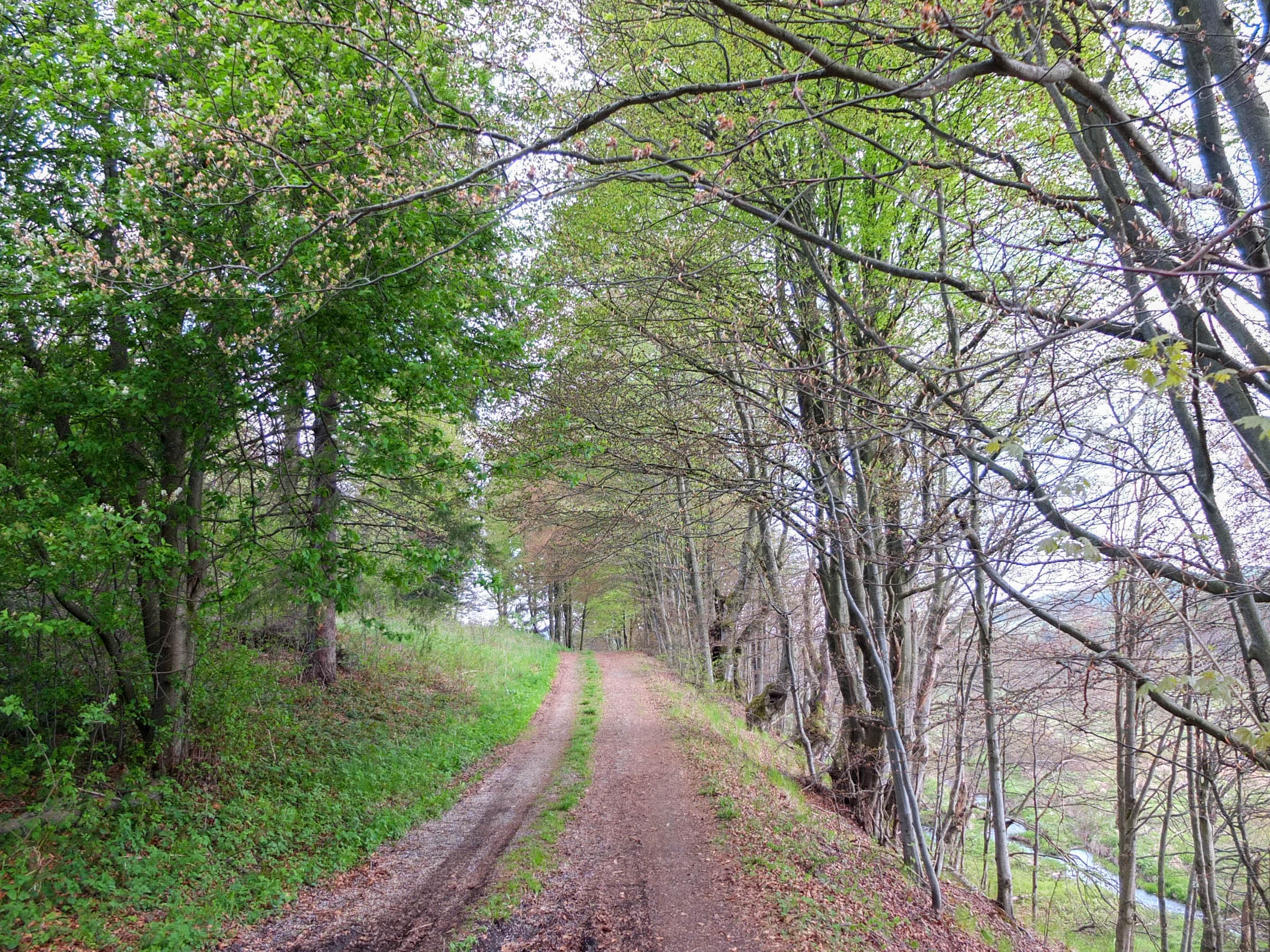
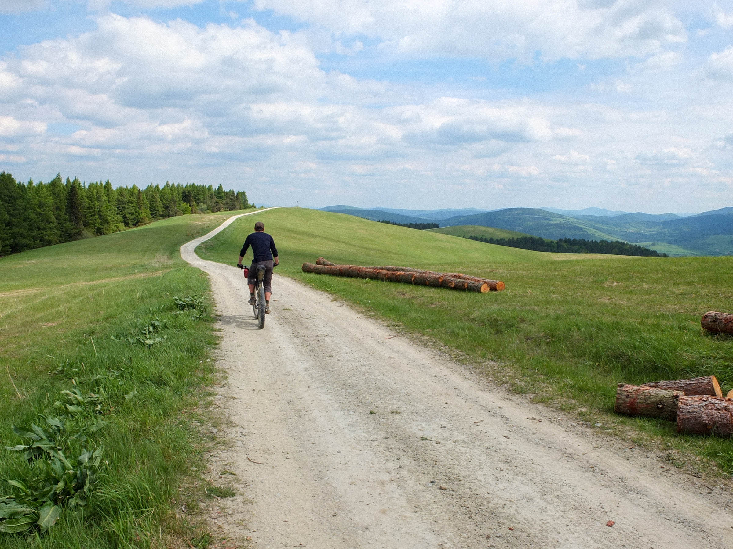
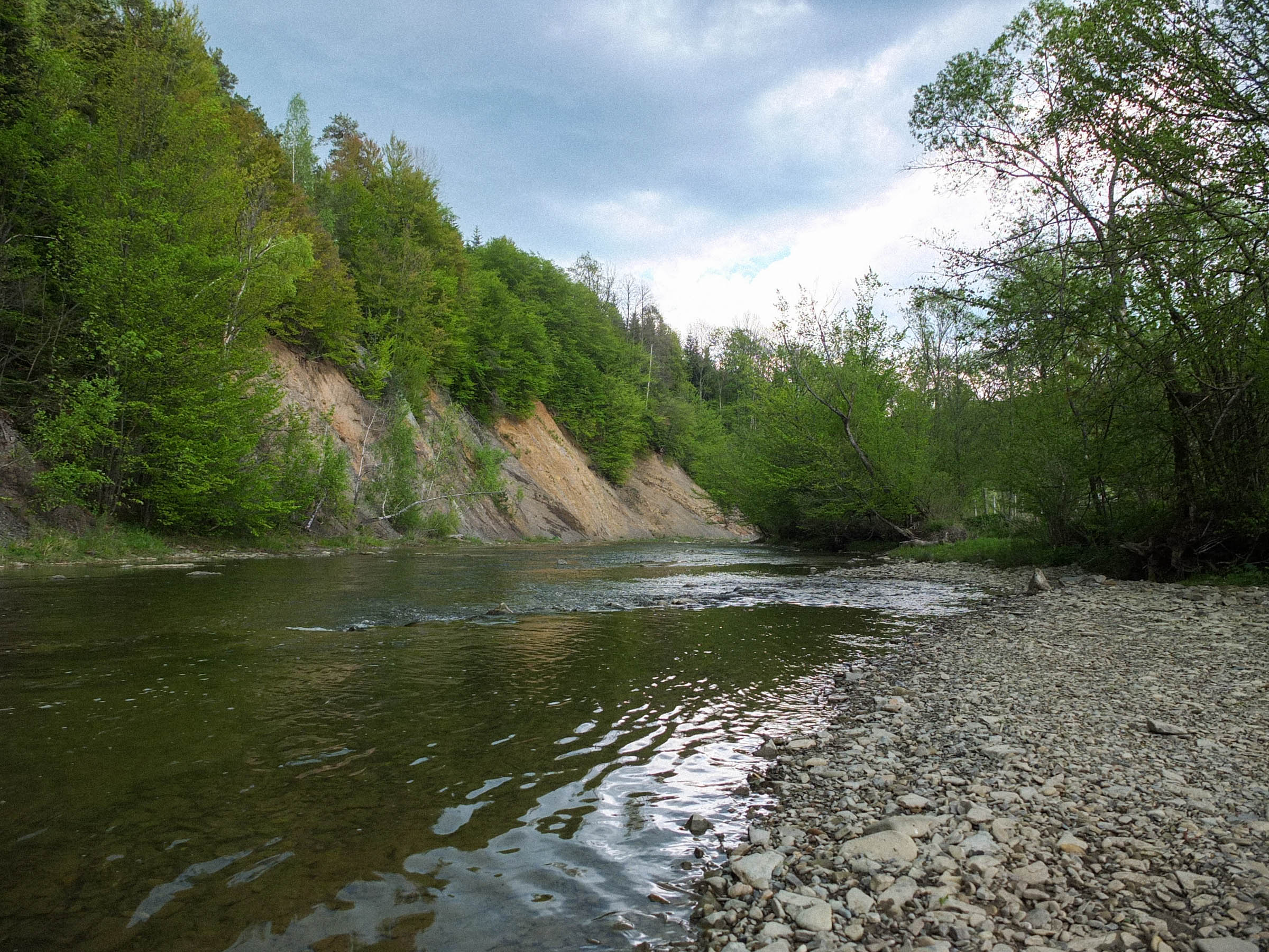
The Lemkivska Kobiouka route was created to showcase the natural beauty of the Low Beskid Mountains, as well as to pay tribute to the Lemko people and to keep the memory of their unique cultural heritage alive. The route traverses their ancestral land, Lemkivshchyna. It is ideal for an unhurried ride, enjoying wild nature and picturesque landscapes with rolling hills, vast meadows, burbling rivers, and primeval forests. It is designed to avoid all major roads, traveling on empty dirt roads, forest service roads, hiking trails, and some pavement to connect it all together.
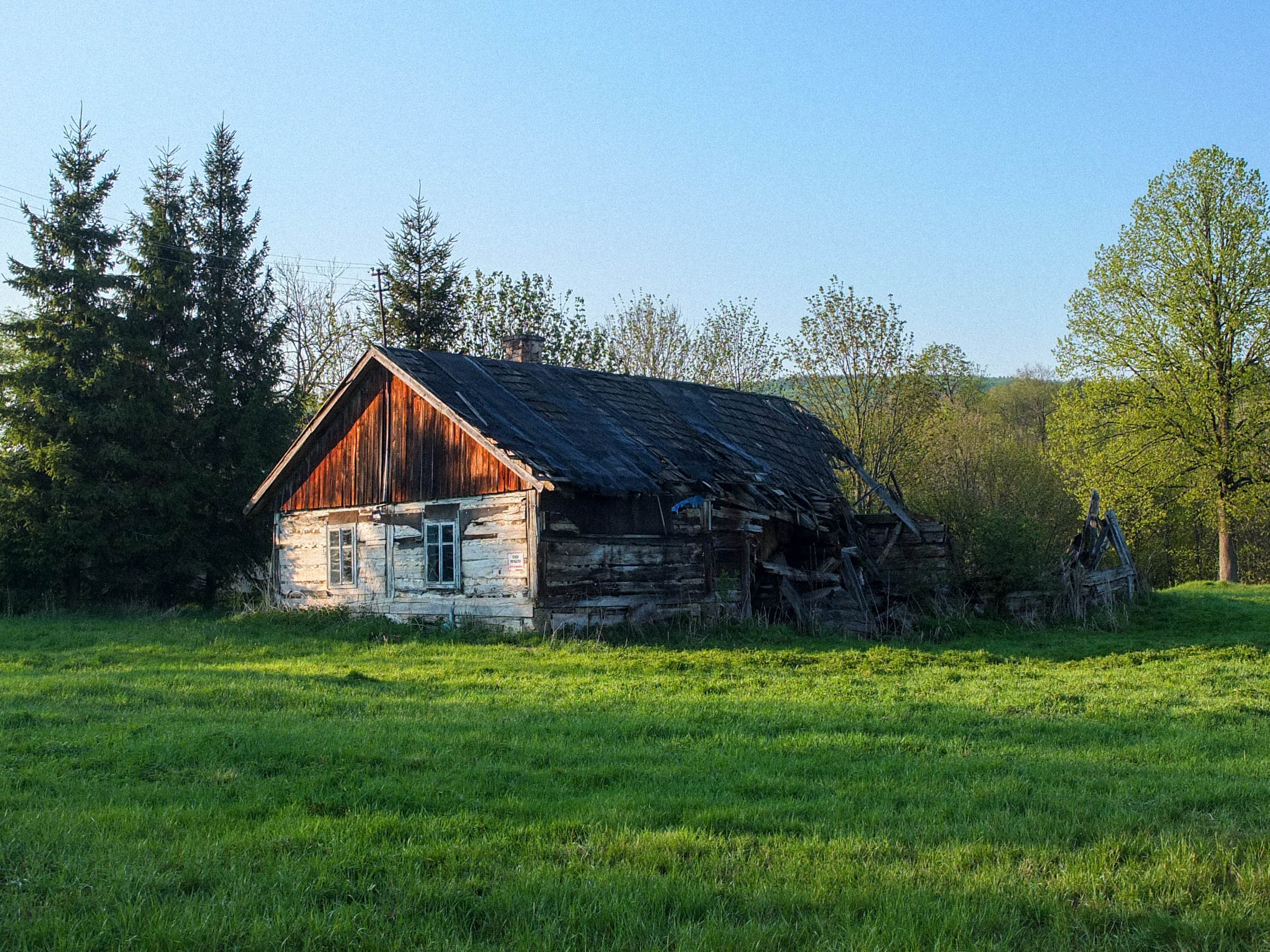
Lemkivshchyna, or Lemkovyna/Лемковина in the Lemko language, is a region in southeastern Poland on the Slovak border. Lemko country spans the Carpathian foothills between two rivers: Poprad in the west and Osławka in the east. Lemkos are one of the ethnic groups of Rusyns–Carpathian highlanders. Over the years, they had forged their own distinct traditional culture, which can be seen in their unique language, spirituality, architecture, and other areas of life. They led a simple life in peace with nature, farming a harsh alpine ground and engaging in animal husbandry until the 20th century, which was apocalyptic for their culture.
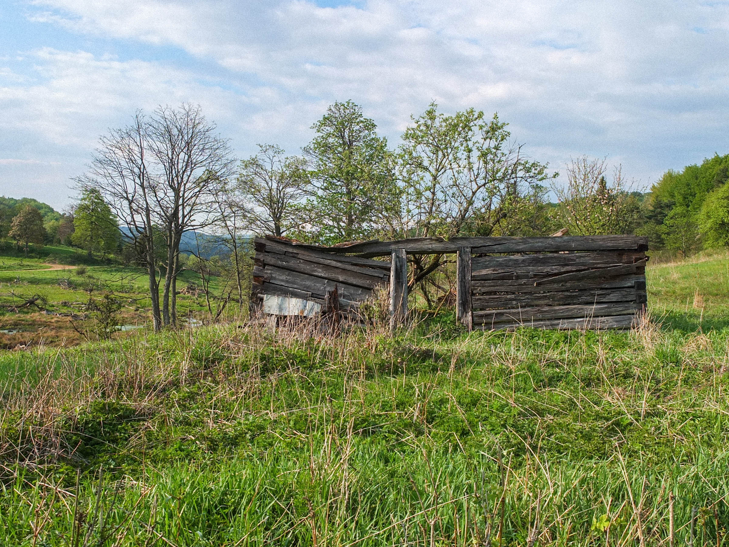
During the First World War they experienced first repressions, almost all the Lemko intelligentsia were imprisoned in the concentration camp of Talerhof in Austria. Next came even more tragic events in the aftermath of WWII, by mid-1946 the majority of the population was resettled deep into the Soviet Union. The final exodus, after which Lemkovyna became completely desolated, was caused by Operation Vistula in 1947-50. The Polish Communist regime, with the assistance of army and police units, forced Lemkos to flee their native lands, which scattered them in small groups over so-called Recovered Territories, with the intention to quickly assimilate them. This ethnic cleansing has left an irreversible imprint in the cultural and landscape character of the region. The abandoned lands were reluctantly populated by new settlers. Soon nature took over, most of the buildings collapsed, and some of the villages completely vanished.
Difficulty
The route features a few steep but short uphills that may require you to push your bike, and there is one mile-long hike-a-bike. The route crosses multiple rivers and soggy meadows, most of which are rideable, but there are places that involve bike portage. After heavy rains you can award this course an extra point on the difficulty scale.
It’s easy in terms of resupply. Every now and then there are basic shops where you can get food, though they might be closed on Sundays. And water can be taken from plentiful mountain streams, but you should filter it to be sure.


Submit Route Alert
As the leading creator and publisher of bikepacking routes, BIKEPACKING.com endeavors to maintain, improve, and advocate for our growing network of bikepacking routes all over the world. As such, our editorial team, route creators, and Route Stewards serve as mediators for route improvements and opportunities for connectivity, conservation, and community growth around these routes. To facilitate these efforts, we rely on our Bikepacking Collective and the greater bikepacking community to call attention to critical issues and opportunities that are discovered while riding these routes. If you have a vital issue or opportunity regarding this route that pertains to one of the subjects below, please let us know:
Highlights
Must Know
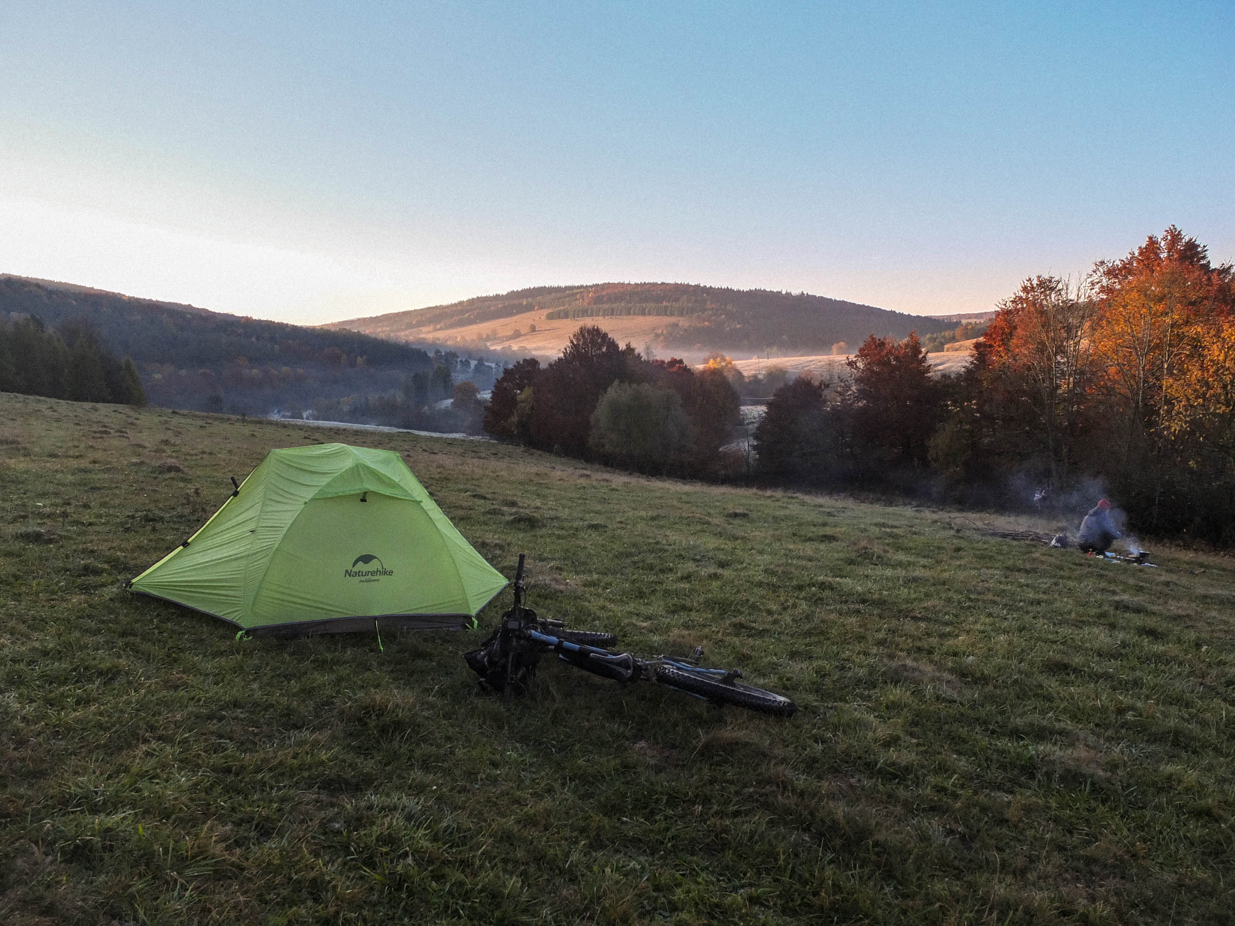
Camping
Food/H2O
Trail Notes
- Desolated valleys with remnants of old settlements: Bieliczna, Czarne, Regietów Wyżny, Radocyna, Nieznajowa, Żydowskie, Smereczne.
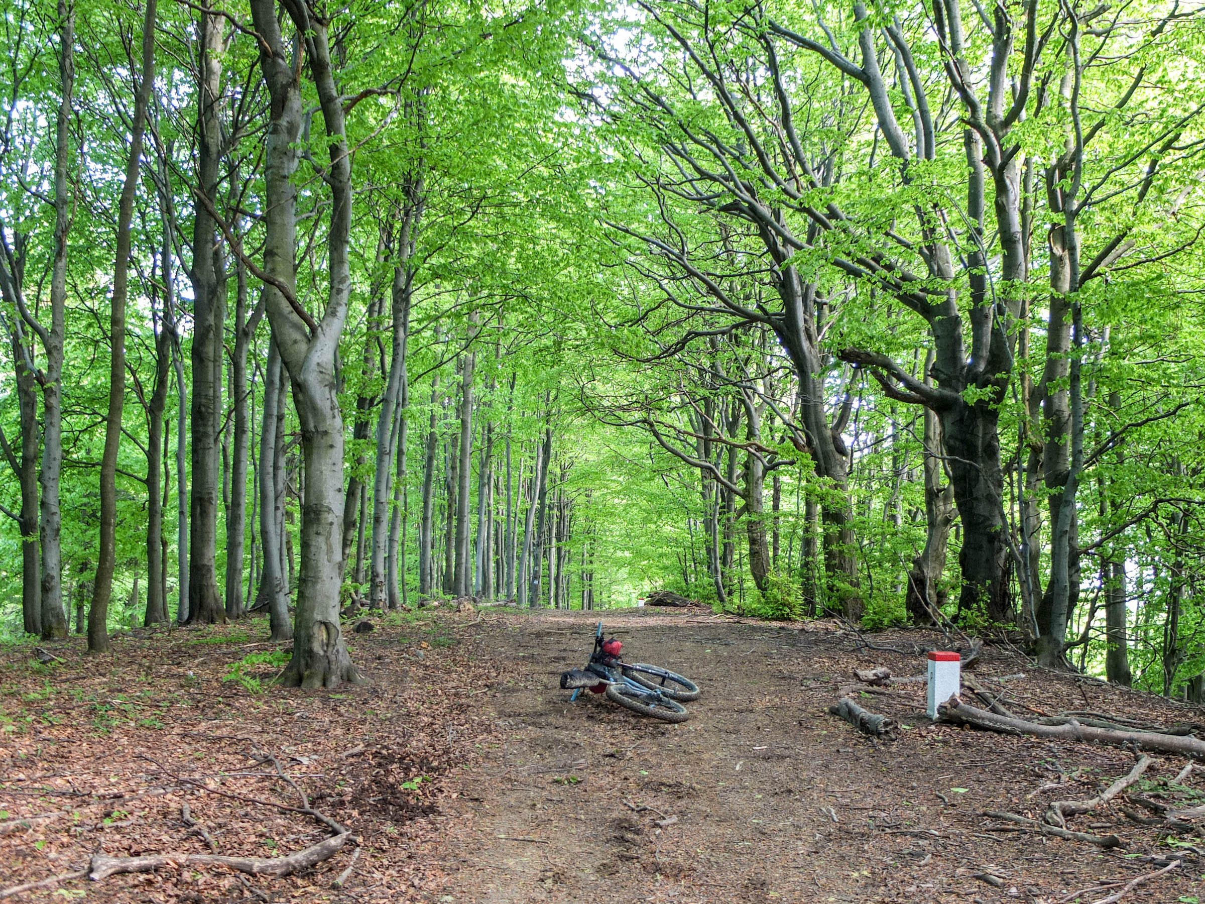
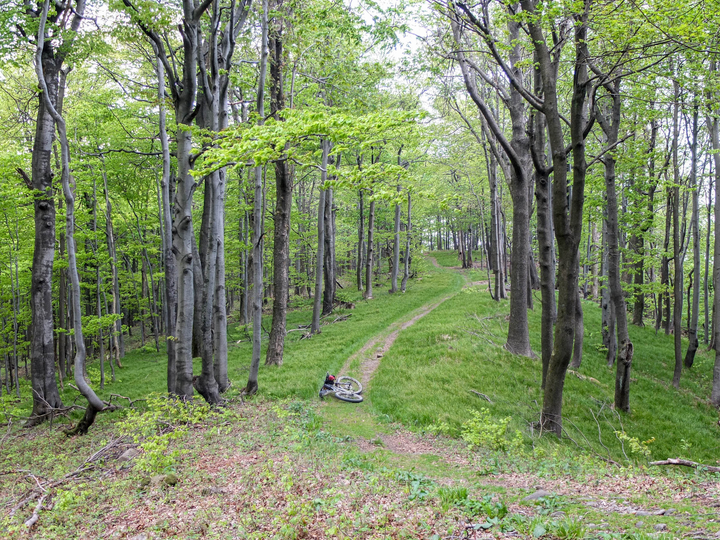
- Riding singletrack trails in the beech backwoods on the main Carpathian ridge.
- The wild and pristine Jaśliska Landscape Park with “Źródliska Jasiołki” nature reserve, the biggest in the Polish Carpathians.
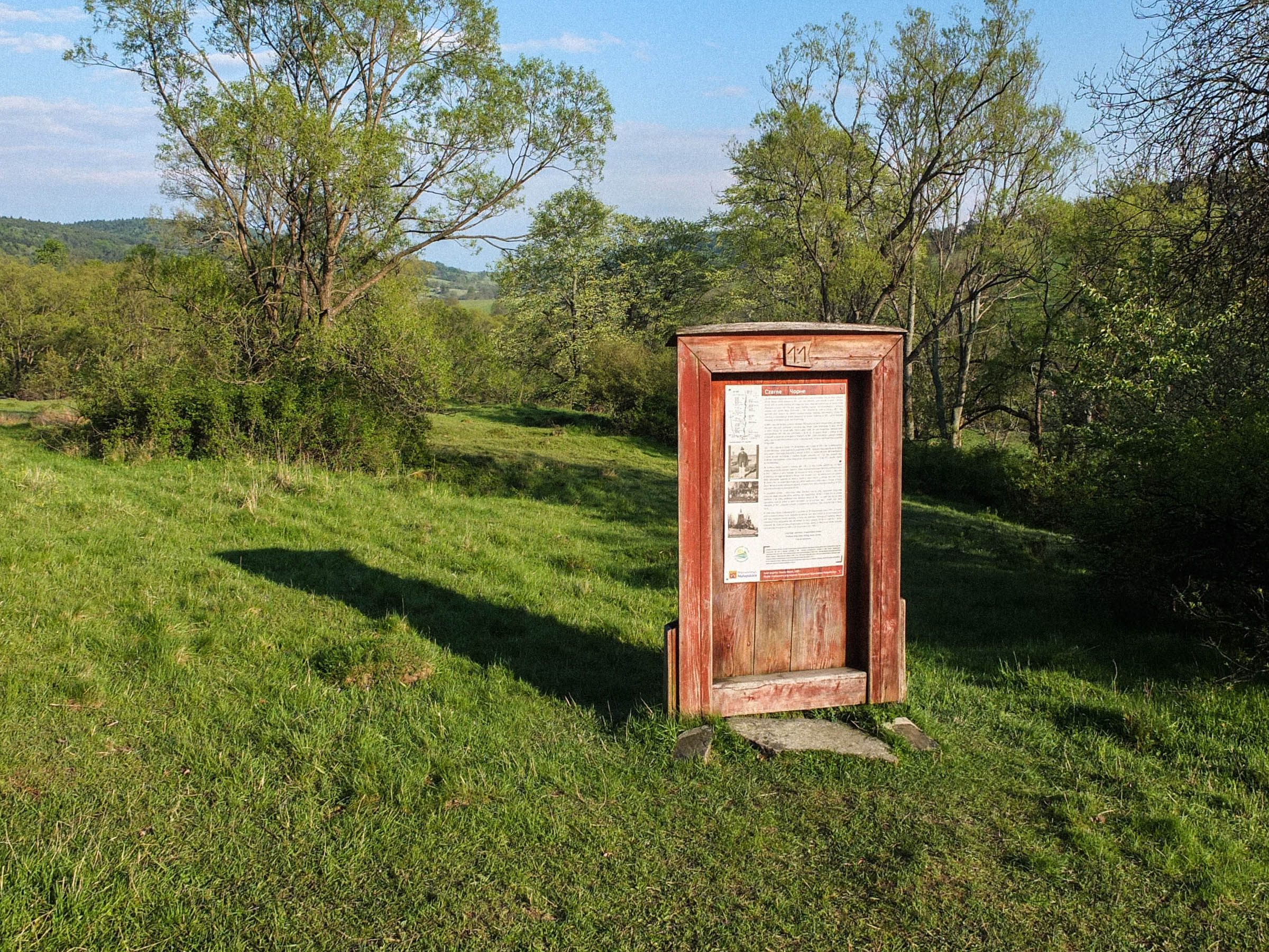
- Wooden “Doors to forgotten world,” an art project by Natalia Hładyk, a reminder of nonexistent Lemko villages. Each door contains a detailed plan of a settlement and a short history of a village and its residents.
- Open-air Museum of Lemko Culture in Zyndranowa—an important place preserving Lemko cultural heritage. The museum showcases traditional clothing, household and agricultural utensils, handicraft, folk art, and lots of other memorabilia. Furthermore, you can learn about history, faith, rituals and the customs of Lemkos.
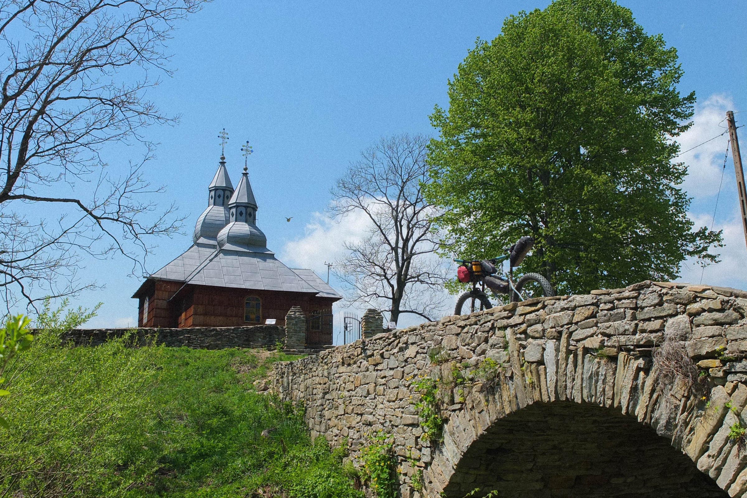
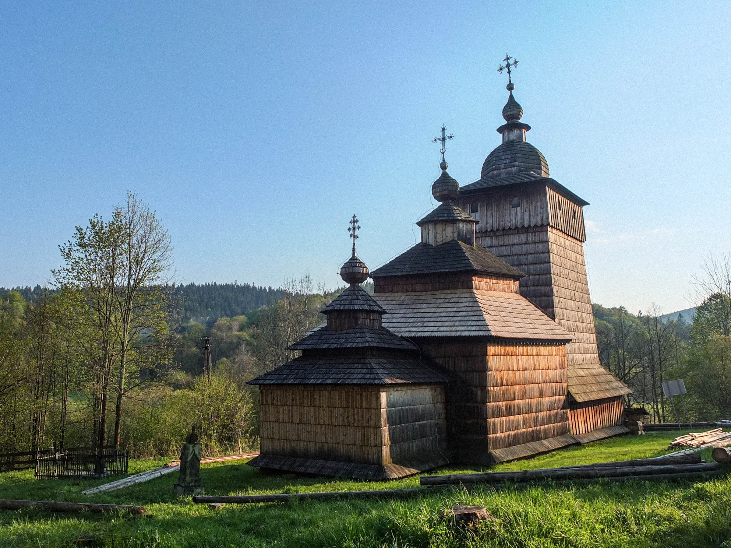
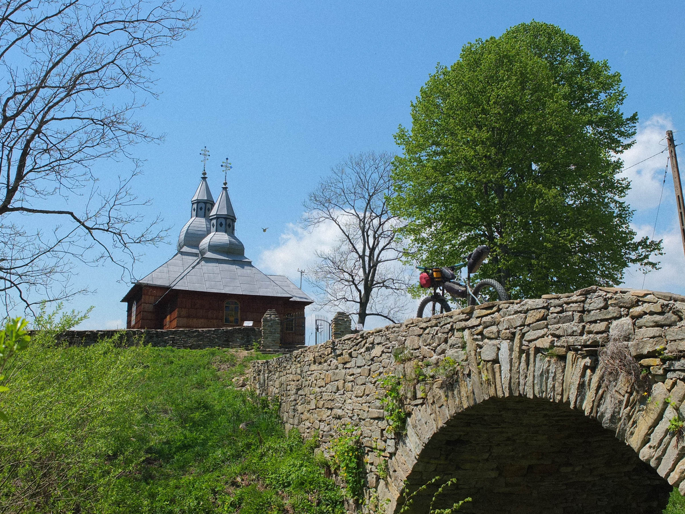
- Wooden Eastern Orthodox churches from the XVIII century of the distinctive Lemko architecture.
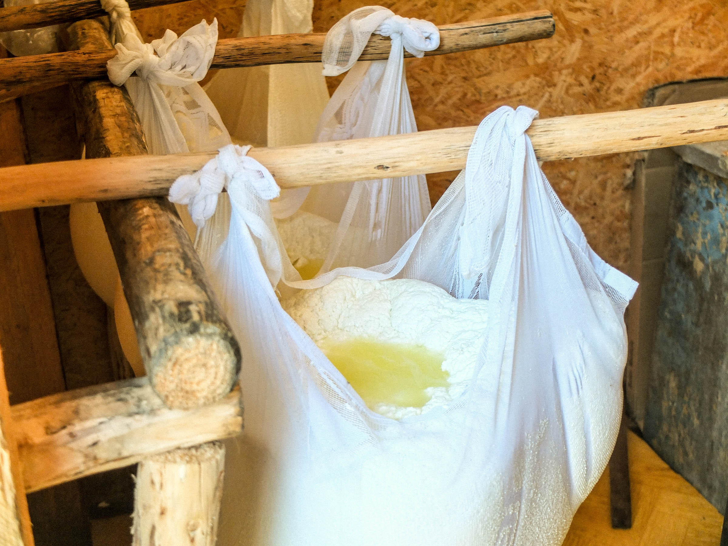
- Bacówka (shephard hut) in Czarne. In the season (May-September) sheep graze the surrounding meadows. Each morning they’re milked, and milk is made into a fresh cheese called “bundz.” You can also try “żentyca,” a drink made of sheep milk whey similar to kefir.
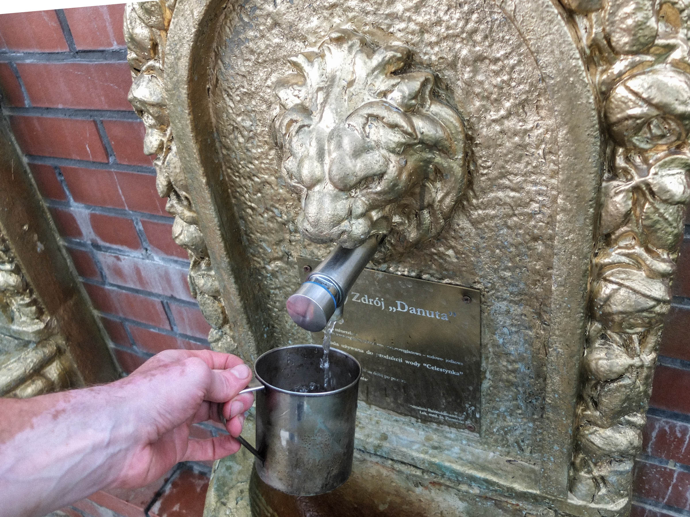
- Curative mineral waters from Iwonicz-Zdrój, Krynica-Zdrój and Rymanów-Zdrój (free of charge).
- There are a numerous river crossings (around 20). The rivers are mellow and shallow (mostly below bottom bracket deep), but after heavy rains they can increase their flow and forest tracks can turn into sticky mud.
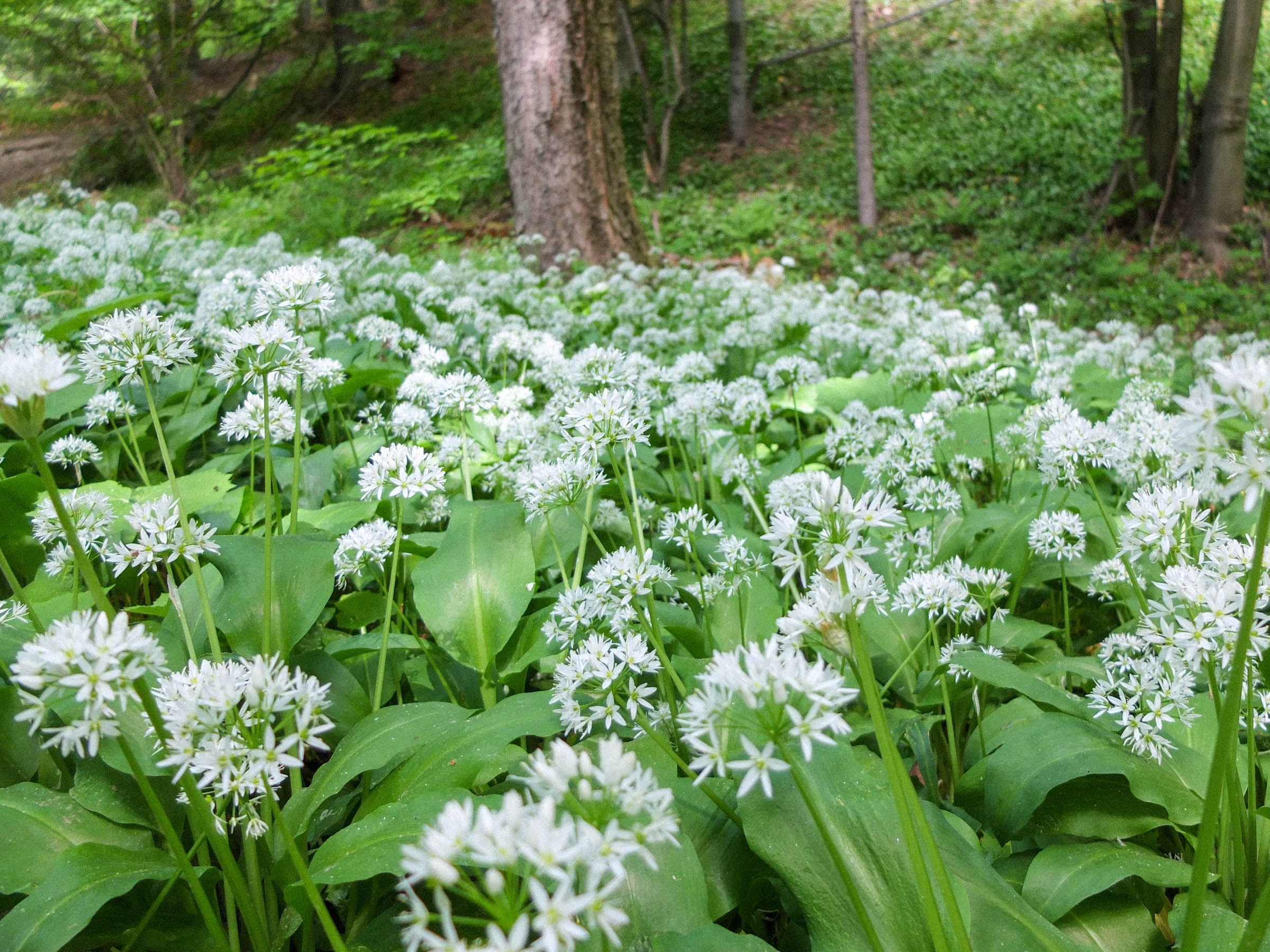
- The best, most magical time to ride is first half of October, when the nature explodes with vibrant colors, from golden yellow to fiery red. Nevertheless every season has its charms. Spring with blossoming fruit trees, summer meadows covered with hundreds of wildflowers. Generally, it’s rideable from April to November.
- The area is inhabited by wolves and brown bears. The population is not very high and is mostly encountered in the Magurski National Park and east of it.
- Krynica-Zdrój is accessible by train from Kraków and there are several connections a day. The ride takes around four hours as the train twists around mountains. For timetable check rozklad-pkp.pl
- Iwonicz-Zdrój is 10-12km away from the train station Wróblik Szlachecki or Krosno, where you can catch trains to Kraków via Jasło and Rzeszów. However, it is more convenient to take a coach back to Kraków, there are regular connections operated by two companies: Neo Bus (neobus.pl) and Barabra Bus (barbara.net.pl). Before buying ticket, call first to make sure they can take your bike, as not every shuttle does.
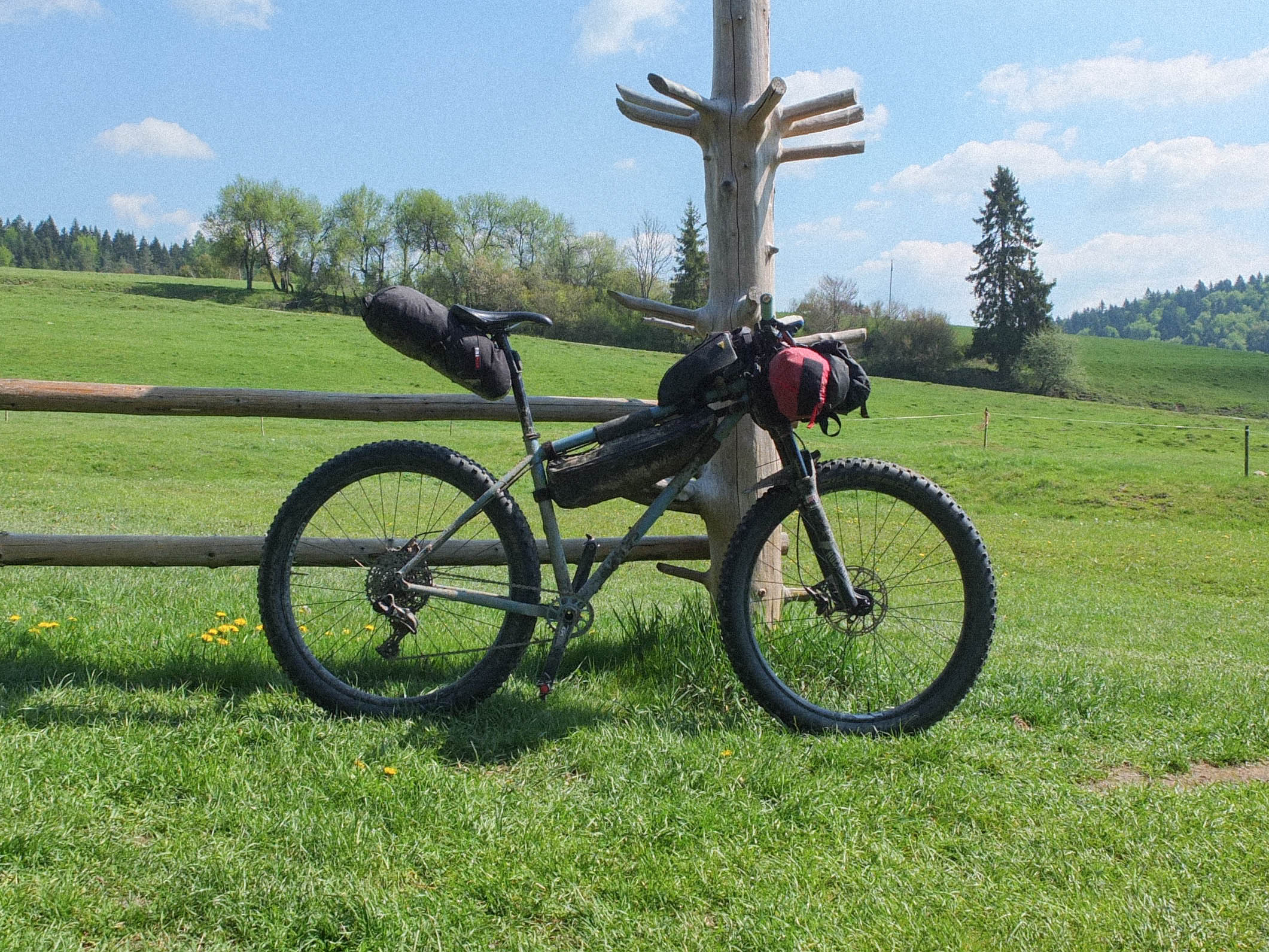
- The course is mostly rideable and not very technical. It does contain a few steep but short uphills and downhills.
- About 90% of the route is rideable on a gravel bike, although it won’t be very comfortable. A monster-cross with low gearing or a mountain bike will work better.
- A paper map of the region is available in most kiosks in Krynica-Zdroj. The one made by Compass is highly recommend compass.krakow.pl
- MAPY.CZ is a good, free app for navigation
- The route could be shortened by 33 miles (53km). From camping site in “Źródliska Jasiołki,” instead of turning right into a trail climbing to the ridge, continue on the dirt road through the forest to the village of Moszczaniec. From there follow the green hiking trail to reconnect with original route.
- Wild camping in the forest is illegal. However, bivouacking in meadows is generally tolerated, just set up late and leave early, and absolutely #leavenotrace. Camping in the Magurski National Park is strictly forbidden.
- Hut in Nieznajowa has a basic lodging, no running water or electricity, you can also pitch your tent. Staying is free of charge in exchange for minor household chores. Open from May until the end of summer.
- There is a campground in the “Źródliska Jasiółki” nature preserve. There is a fire pit, a couple roofed picnic tables, and a pit toilet.
- The Chalet beyond Smolnik (Schronisko nad Smolnikiem) is a mountain lodge, which is full of conveniences. They serve warm meals, something cold to drink, a place on the floor to sleep or if you fancy a room with your own bathroom. About 50 metres from Schronisko there is a campsite available.
- Accommodation is possible in some villages along the route.
- You can get the water from mountain streams, but be sure to have a reliable filter.
- En route there are a couple basic convenience stores where resupply is possible.
- In Krynica-Zdrój and Wysowa-Zdrój (just 4km off the route) you can try traditional Lemko cuisine, “Karczma Łemkowska Kłynec” and “Gościnna Chata.” You can also enjoy a hearty meal of “warianka z pierohami” (sauerkraut soup with dumplings), “kiszenice” (cabbage rolls) or “zlepieńce” (dumplings).
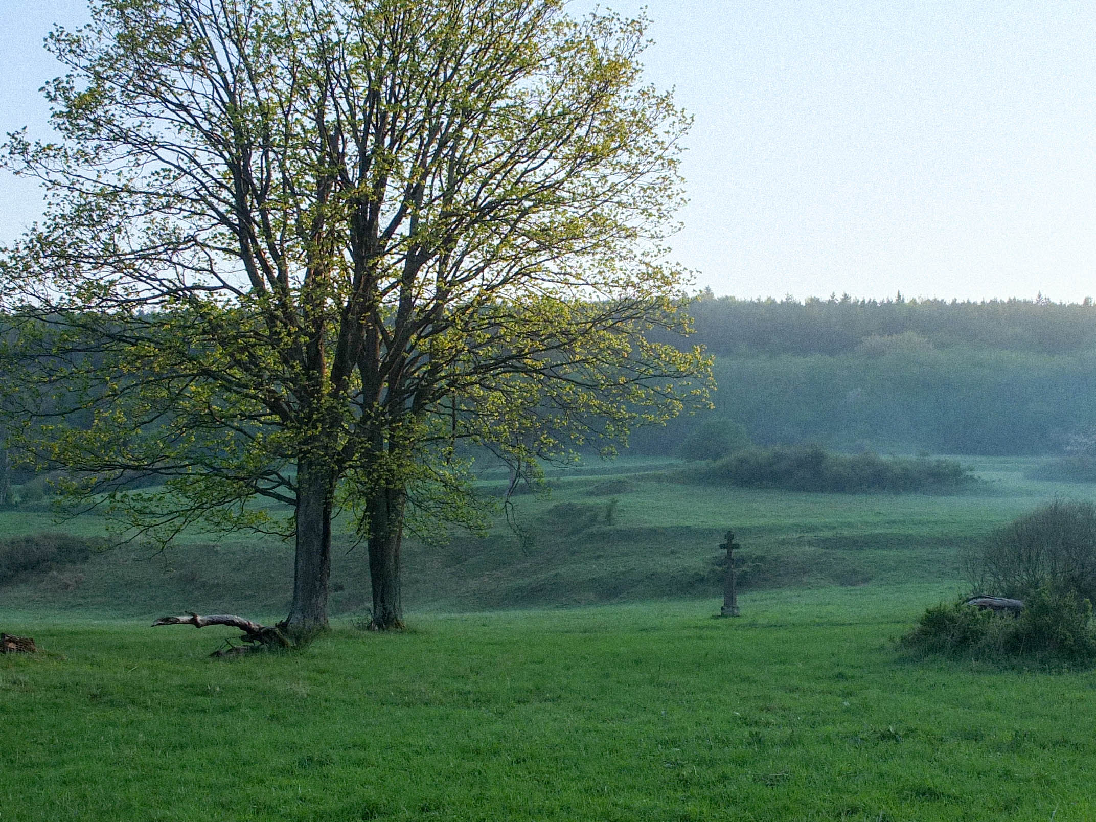
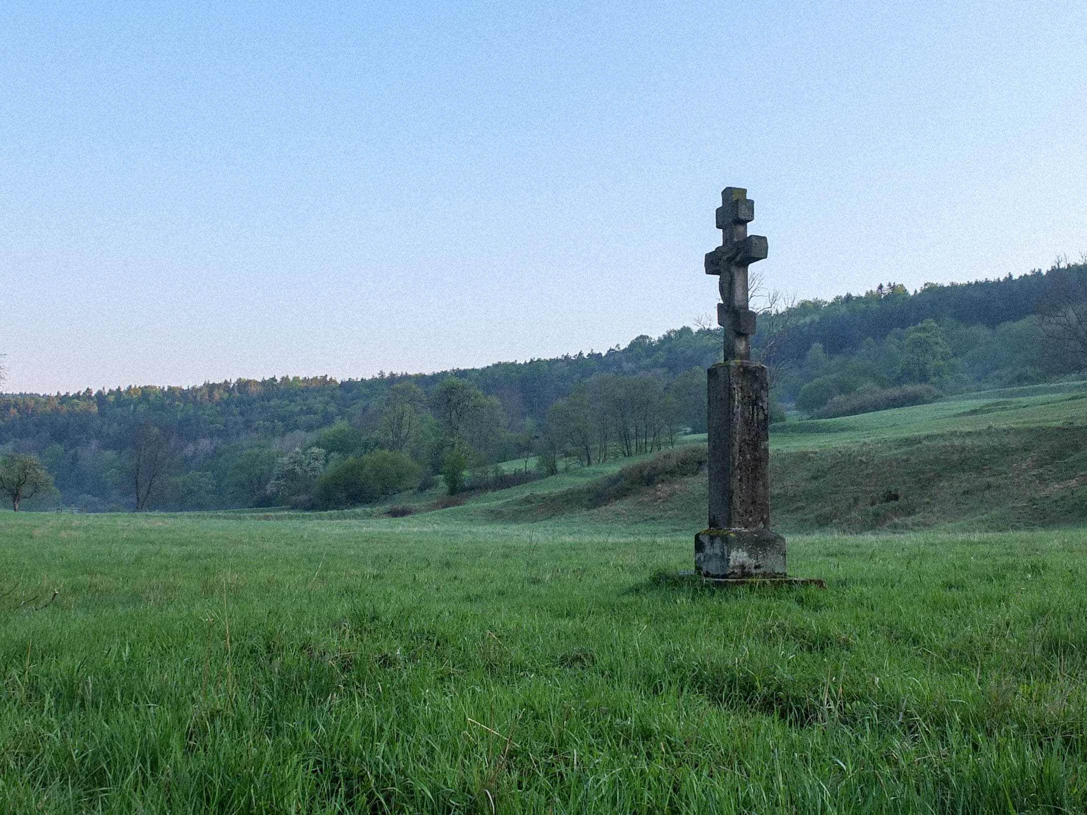
The route starts in one of Poland’s oldest health resorts and spas, Krynica-Zdrój, famous for its mineral waters used for drinking therapy. From there the route explores bucolic valleys after the villages of Bieliczna, Regietów Wyżny, Radocyna, Czarne and Nieznajowa. The road winds among feral apple trees, graveyards, and stone crosses hidden in trees, silent witnesses of a life long past.
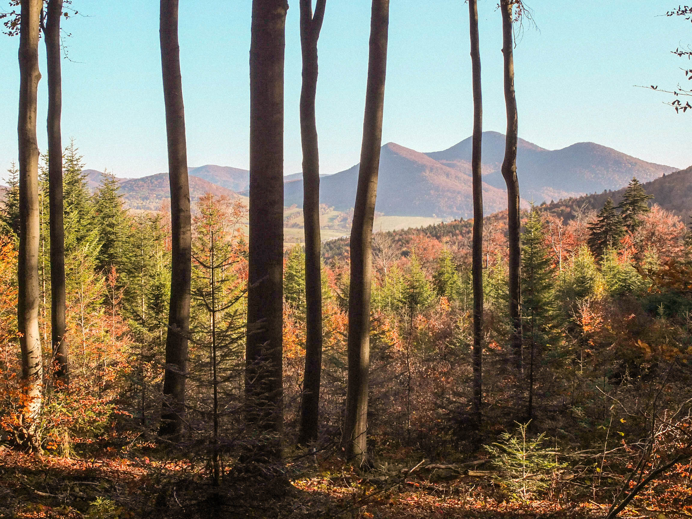
Traversing the Jaśliska Scenic Park, the route crosses the wildest and the most remote part of the course. Not too technical singletrack follows the main Carpathian ridge in beech backwoods, where you are likely to encounter wildlife: deer, roe, maybe a bear or wolf. These dense forests are also a safe haven for an extremely rare in lynx and a European wildcat. The trail drops from the ridge for a visit in the idyllic valley of the nature reserve “Źródliska Jasiołki” (springs of river Jasiółka), a wonderful place to spend a night and a morning stroll in a foggy peat bog.
Along the way, there is a small village Zyndranowa, where you can visit the open-air museum of Lemko Culture. It’s a modest museum located on an old, well-preserved farm, that includes traditional Lemko cottage “chyza,” containing the whole household, stable, and barn under one roof.
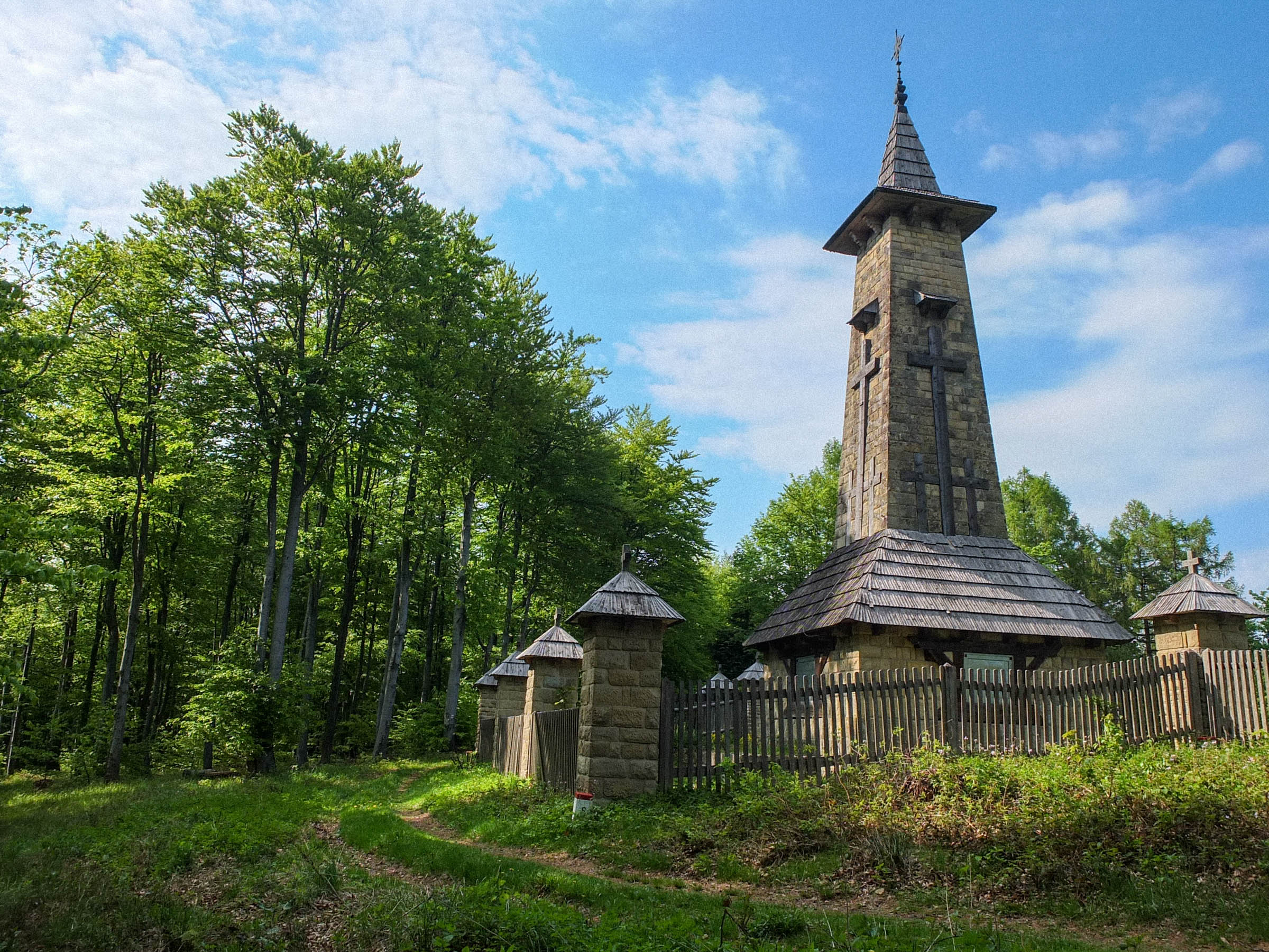
An inherent part of the Low Beskids scenery are crosses made from stone, iron, or wood on the side of a road or deep in the woods. They are memorials to Lemkos as well as after major battles of the First World War. Thousands of soldiers of different nationalities from opposing armies are buried side by side in numerous graveyards rambling the area. Some of the cemeteries are an impressive work of architecture, especially the ones designed by Dušan Jurkovič, which are heavily influenced by Lemko folk art and carpentry. Some of the most notable are cemeteries nr 46 in Konieczna and nr 51 on the Rotunda hill, both of which are en route.
The travel ends in the charming little health resort of Iwonicz-Zdrój, where you can soothe and regenerate your body after an exhausting journey in curative sulfide or moor mud baths.


Terms of Use: As with each bikepacking route guide published on BIKEPACKING.com, should you choose to cycle this route, do so at your own risk. Prior to setting out check current local weather, conditions, and land/road closures. While riding, obey all public and private land use restrictions and rules, carry proper safety and navigational equipment, and of course, follow the #leavenotrace guidelines. The information found herein is simply a planning resource to be used as a point of inspiration in conjunction with your own due-diligence. In spite of the fact that this route, associated GPS track (GPX and maps), and all route guidelines were prepared under diligent research by the specified contributor and/or contributors, the accuracy of such and judgement of the author is not guaranteed. BIKEPACKING.com LLC, its partners, associates, and contributors are in no way liable for personal injury, damage to personal property, or any other such situation that might happen to individual riders cycling or following this route.
Please keep the conversation civil, constructive, and inclusive, or your comment will be removed.