


Log Jam Loop
Distance
62 Mi.
(100 KM)Days
2
% Unpaved
100%
% Singletrack
1%
% Rideable (time)
100%
Total Ascent
4,632'
(1,412 M)High Point
4,048'
(1,234 M)Difficulty (1-10)
3?
- 5Climbing Scale Moderate75 FT/MI (14 M/KM)
- 2Technical Difficulty Easy
- 3Physical Demand Fair
- 2Resupply & Logistics Easy
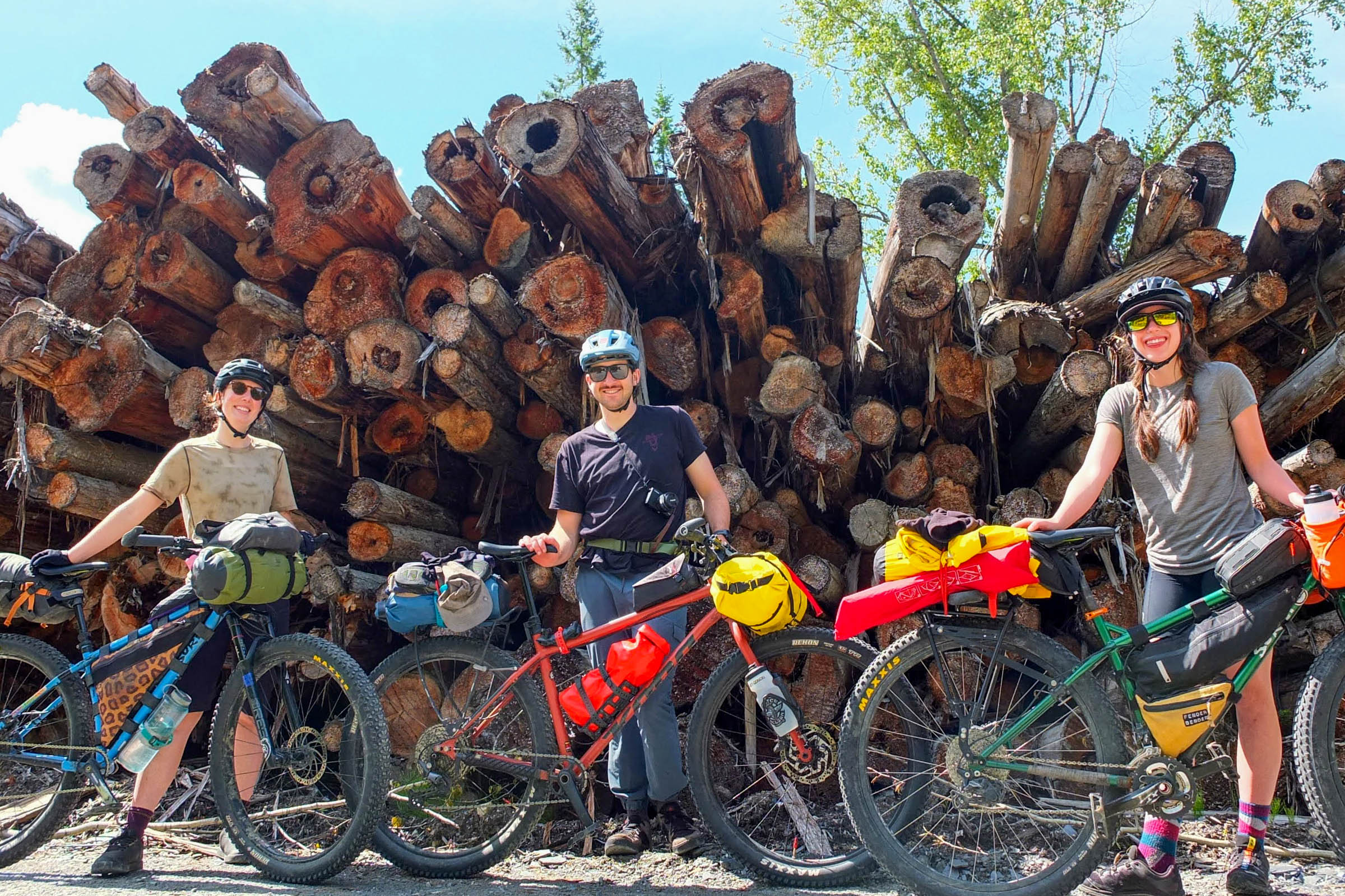
Contributed By

MOE AND HARRY
Guest Contributor
Moe (she/her) and Harry (he/him) are partners who live in Nelson, BC. They’ve traveled by bike both collectively and solo for many years, finding joy in dead-end roads, hike-a-bikes, and meaningful connections with new people. They are passionate bikepackers and mountain bikers, using both as a tool to build deep relationships with the land. Always on the hunt for the next sweet treat, you can often find them on the trails or in the nearest cafe.
Route designed by Miles Arbour. Photos and words by Moe Nadeau and Harry Tudor.
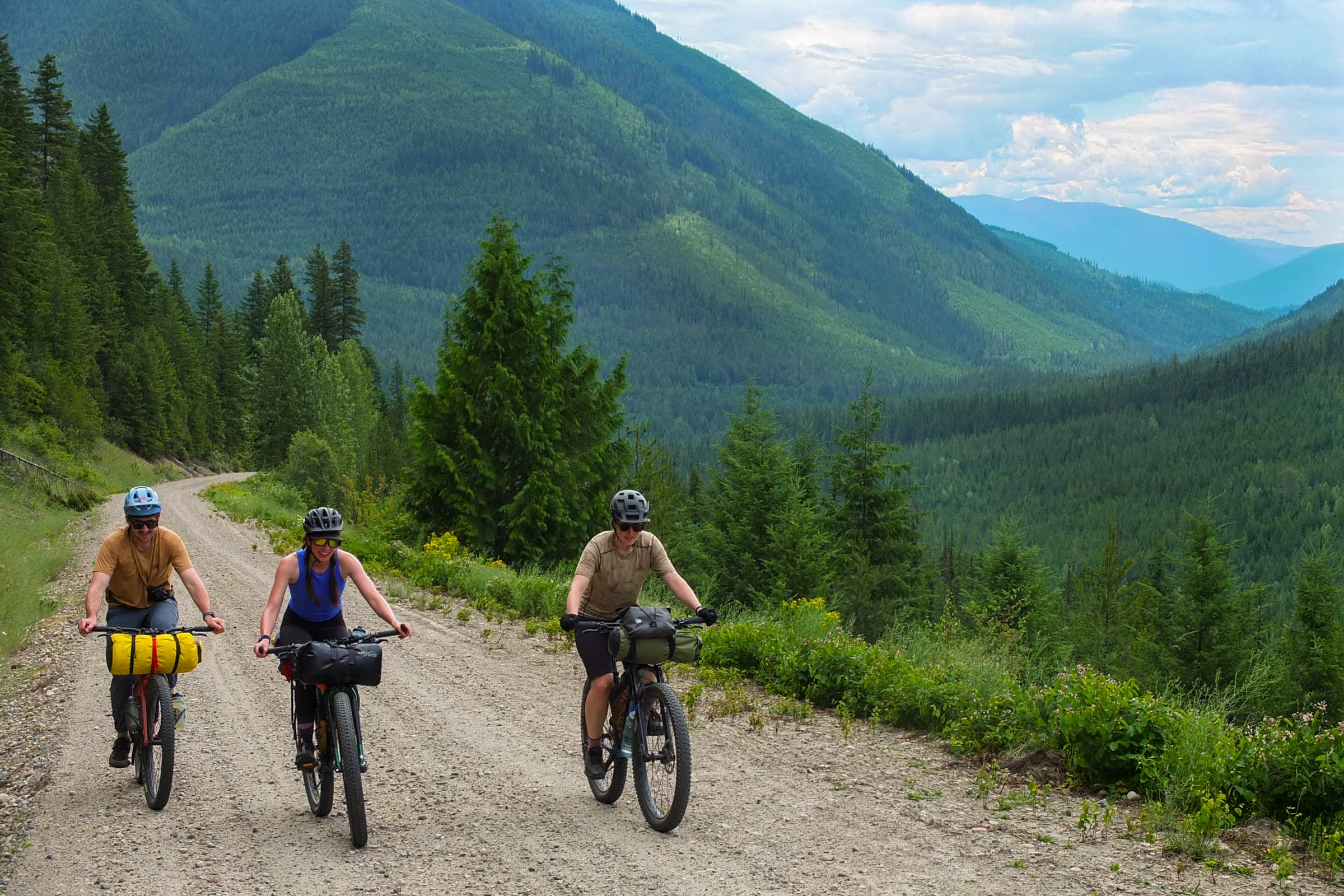
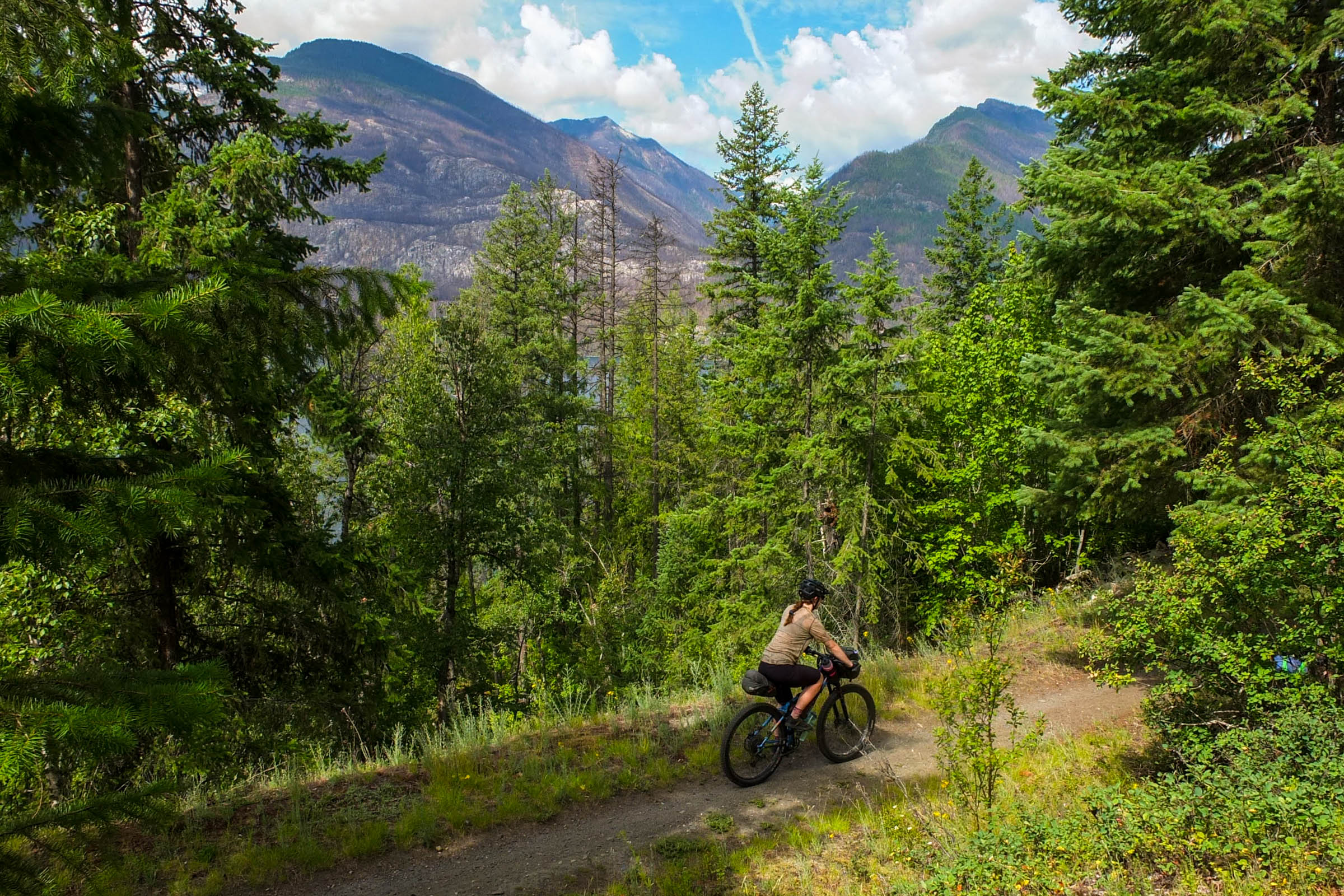
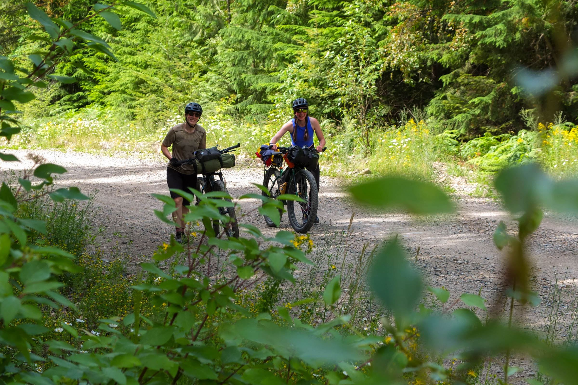
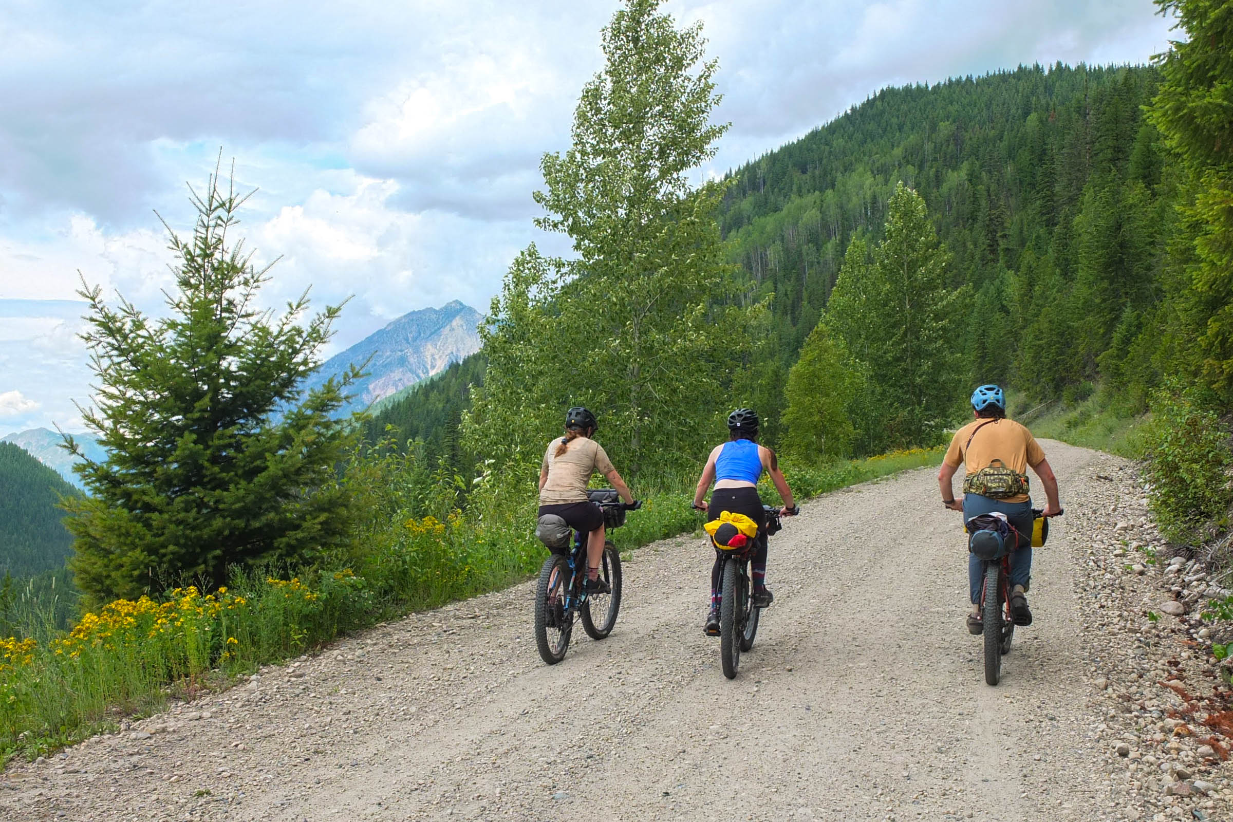
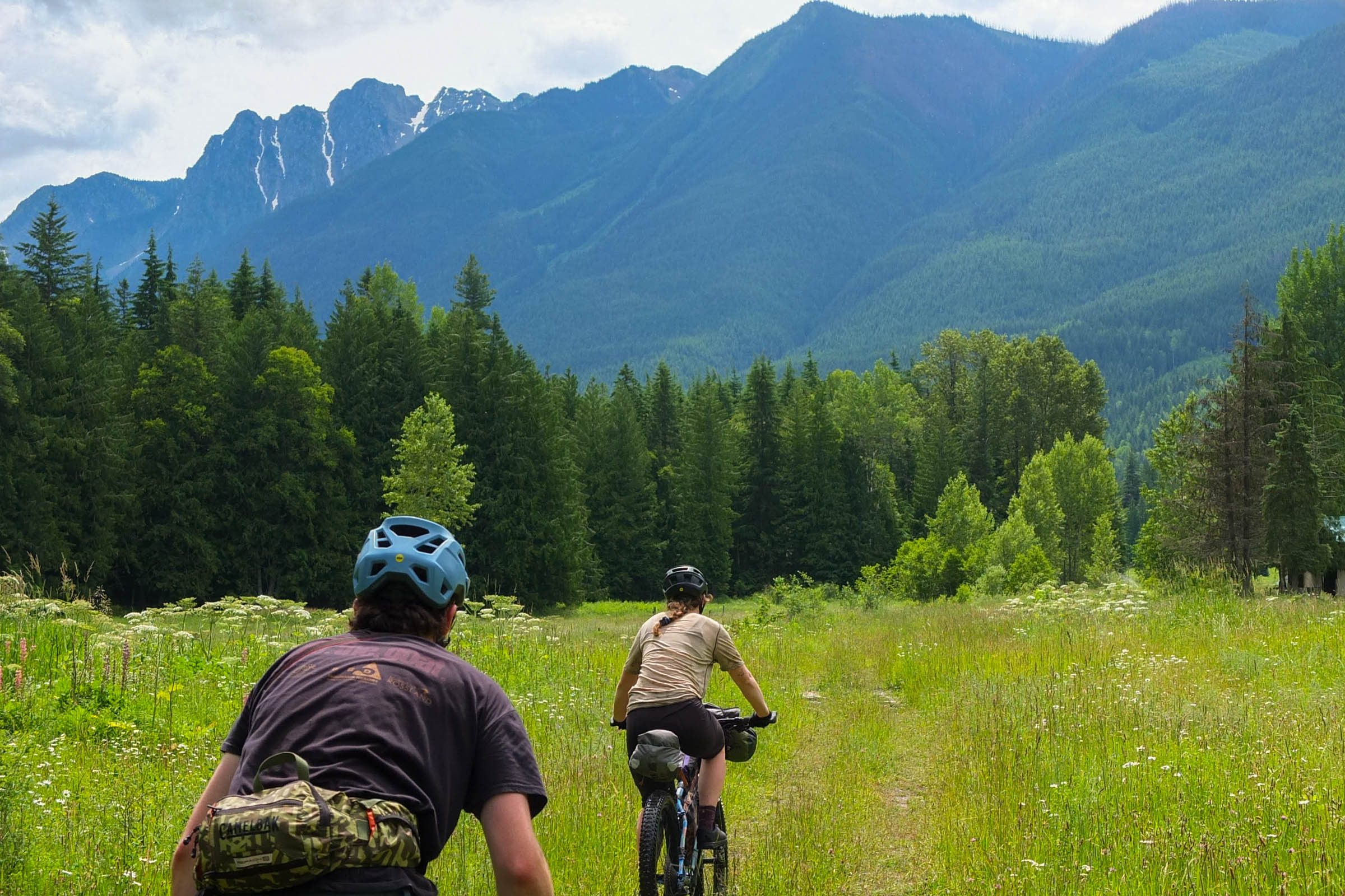
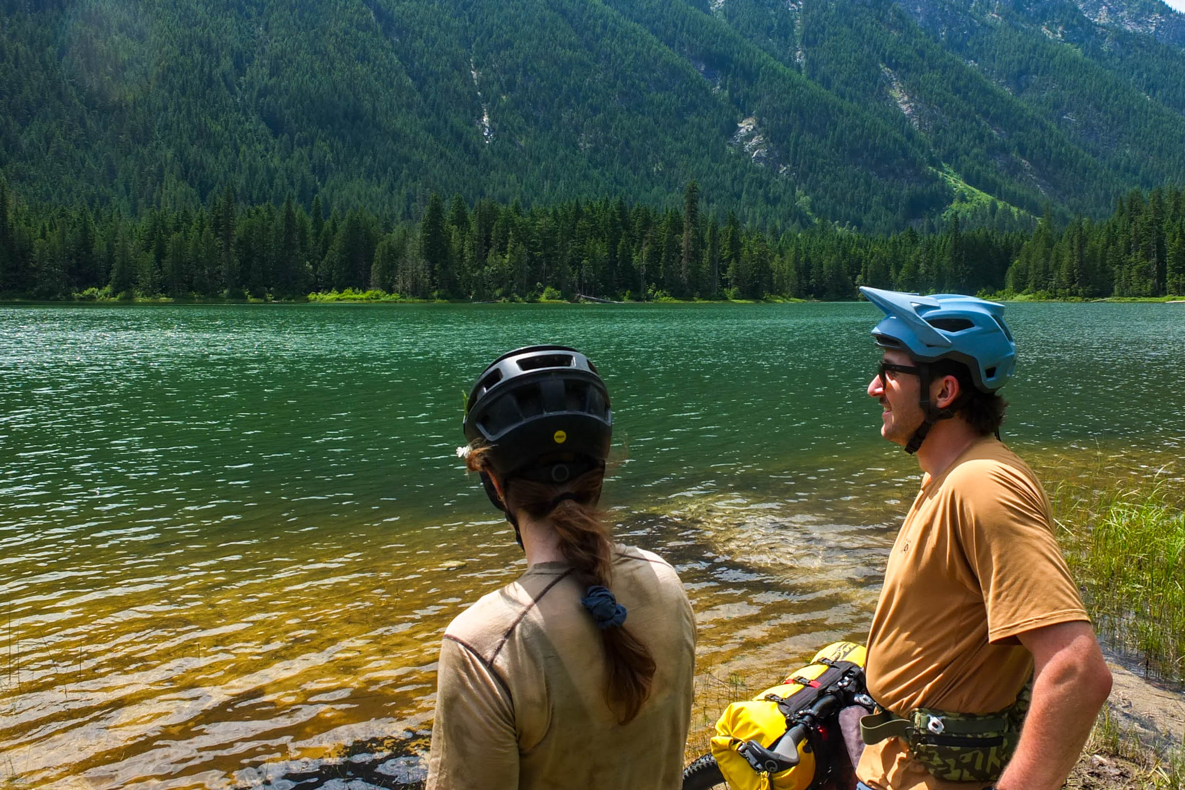
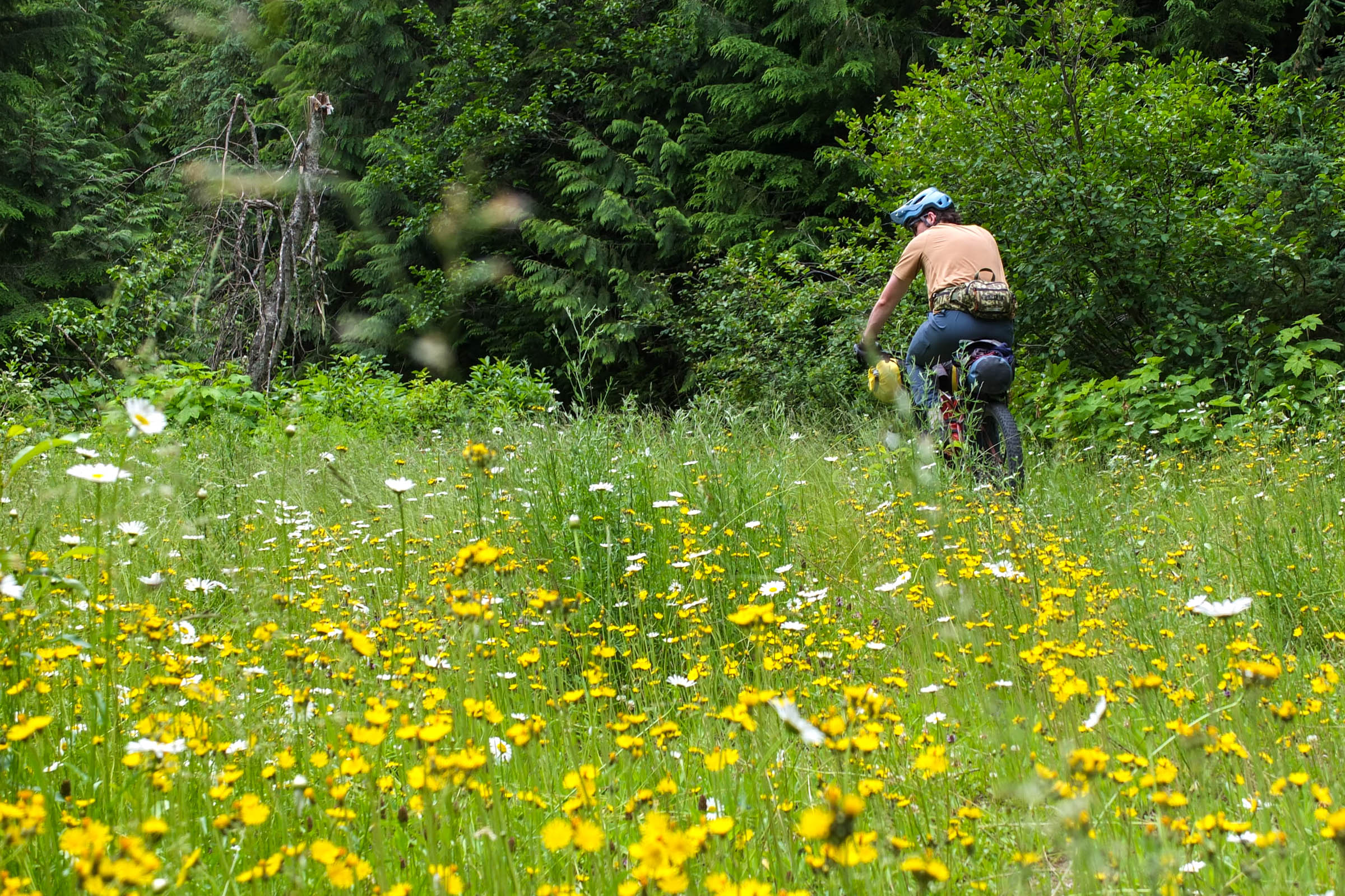
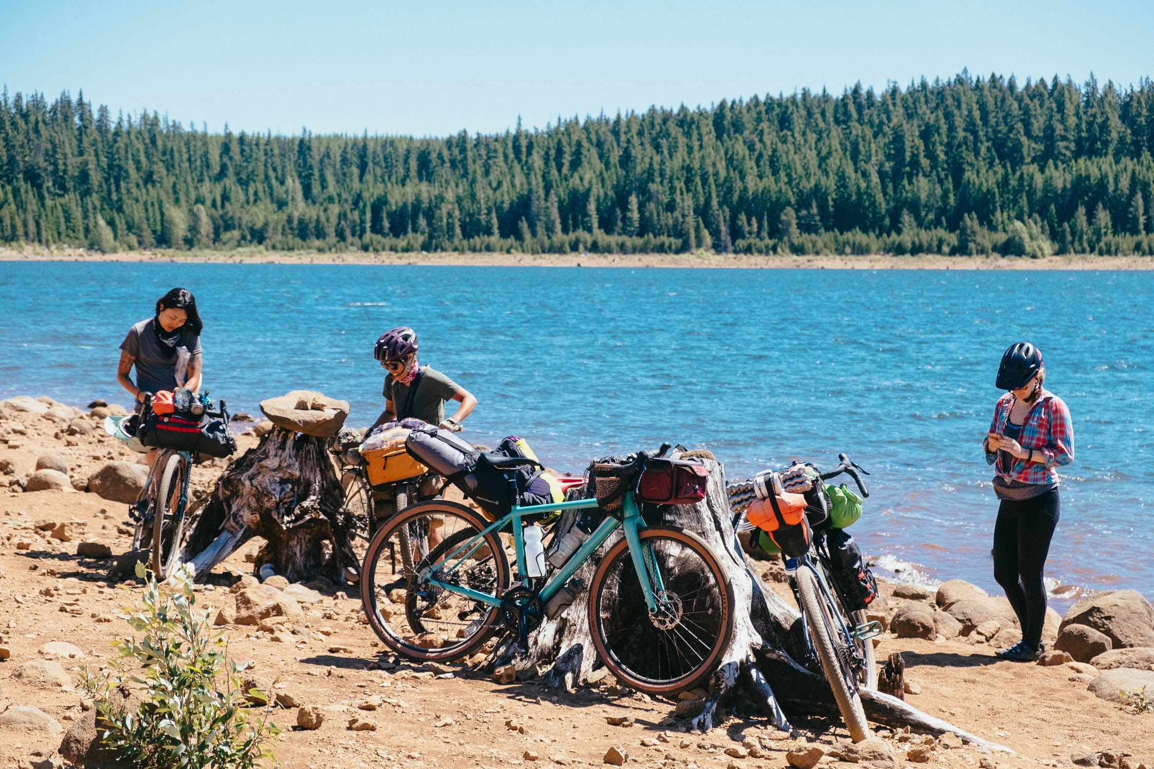
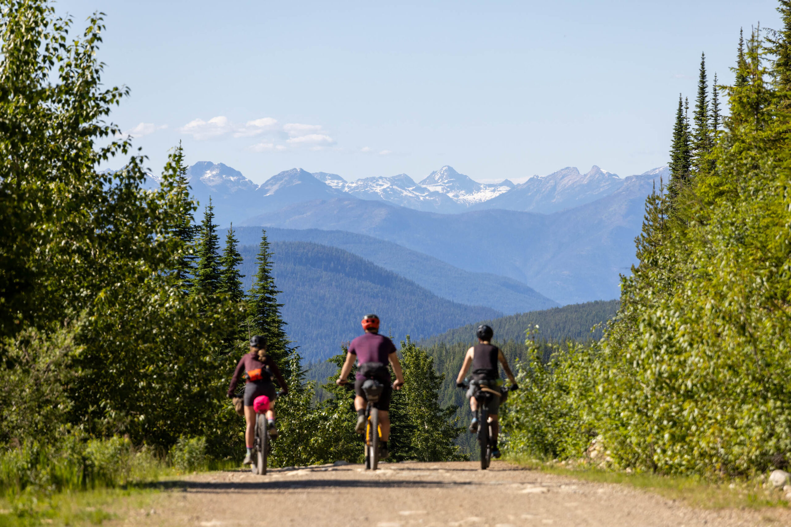
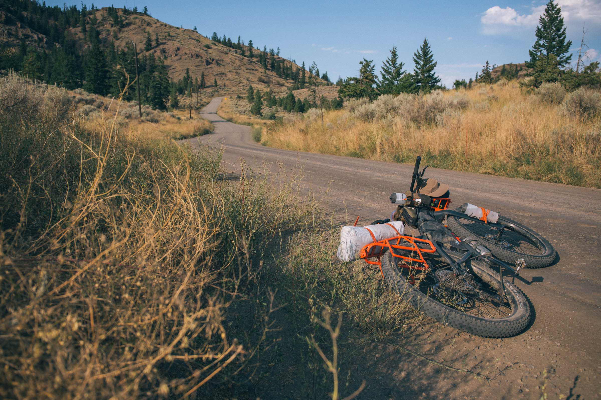
The Log Jam Loop is a logistically straightforward overnighter, offering plenty of opportunities to explore the Kootenays’ lesser-known recreation sites and waterbodies. The route is 100 kilometers long, making it great for maximizing swim breaks and detours, such as the Wilson Creek Falls or the Box Lake mountain bike trails. The first half of the ride skirts the Goat Range Provincial Park and Hamling Lakes Wildlife Management Area, climbing into high valleys nestled under towering peaks. The second half of the route follows the Nakusp and Slocan Rail Trail through wide open valley bottoms, following Bonanza Creek as it feeds the Slocan Lake.
The route has several camping options spread out over the loop, making it a great pick for those who want to take more than two days or want to split their days differently. It also has endless opportunities for side missions to various communities, lakes, and trails. Grab the bike you’ve got, call some friends, and head out—the Log Jam Loop can be enjoyed by everyone.


Route Development
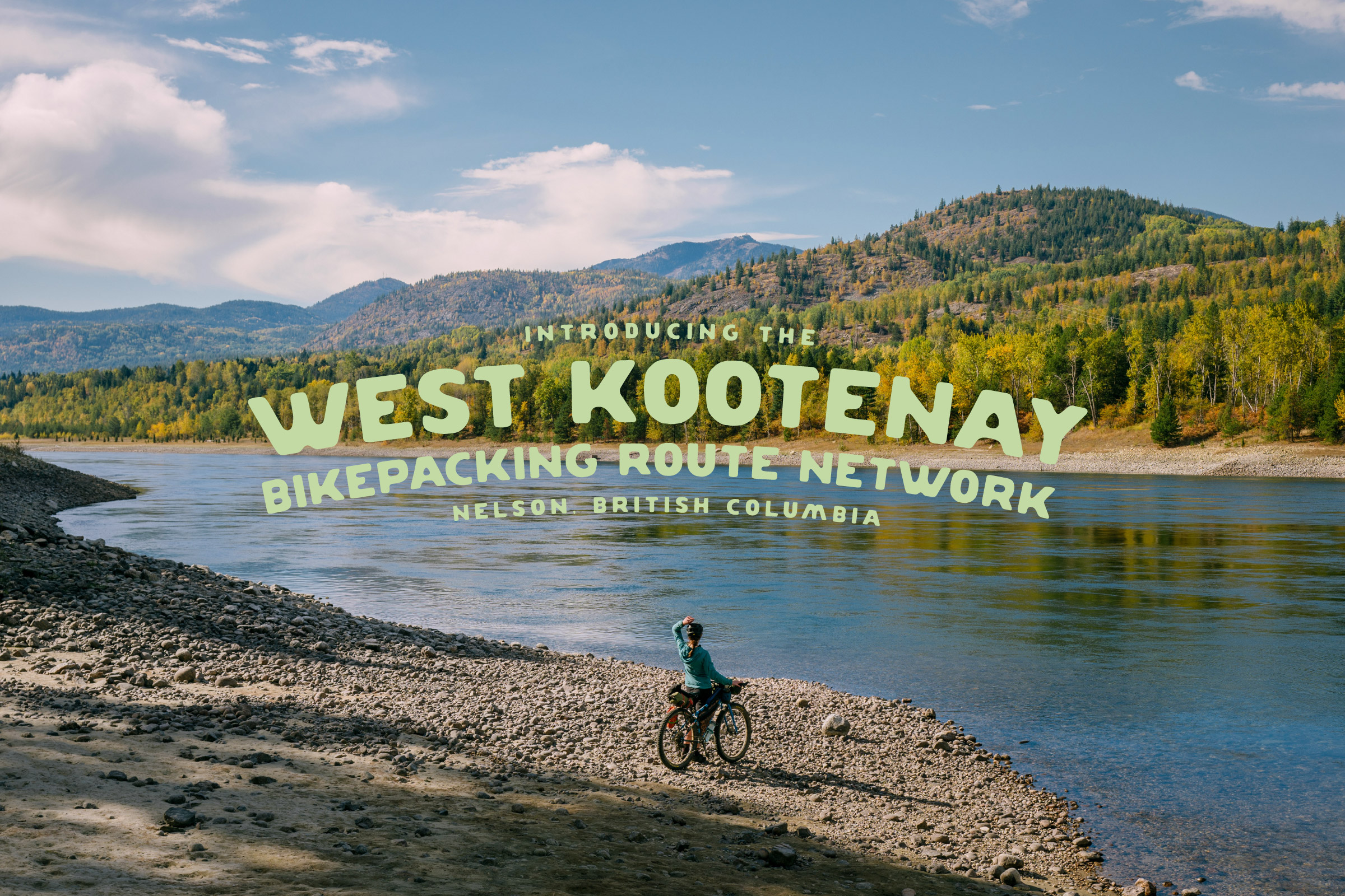
The Log Jam Loop was established on BIKEPACKING.com through a good old-fashioned team effort. Miles Arbour mapped the route, and Harry Tudor and Moe Nadeau scouted and photographed it with their friends Kevin De Souza and Michelle Hart. The intent was to design an accessible and beginner-friendly bikepacking route as part of the West Kootenay Bikepacking Route Network.
Route Difficulty
The Log Jam Loop is listed as a 3/10. The route is logistically straightforward, with a possible resupply in Nakusp halfway through, with consistent, reliable water sources throughout. The surfaces are generally smooth, with only one rough-but-rideable section above Wilson Lake. It is the next step up in the Kootenays after the Frog Peak Loop.


Submit Route Alert
As the leading creator and publisher of bikepacking routes, BIKEPACKING.com endeavors to maintain, improve, and advocate for our growing network of bikepacking routes all over the world. As such, our editorial team, route creators, and Route Stewards serve as mediators for route improvements and opportunities for connectivity, conservation, and community growth around these routes. To facilitate these efforts, we rely on our Bikepacking Collective and the greater bikepacking community to call attention to critical issues and opportunities that are discovered while riding these routes. If you have a vital issue or opportunity regarding this route that pertains to one of the subjects below, please let us know:
Highlights
Must Know
Camping
Food/H2O
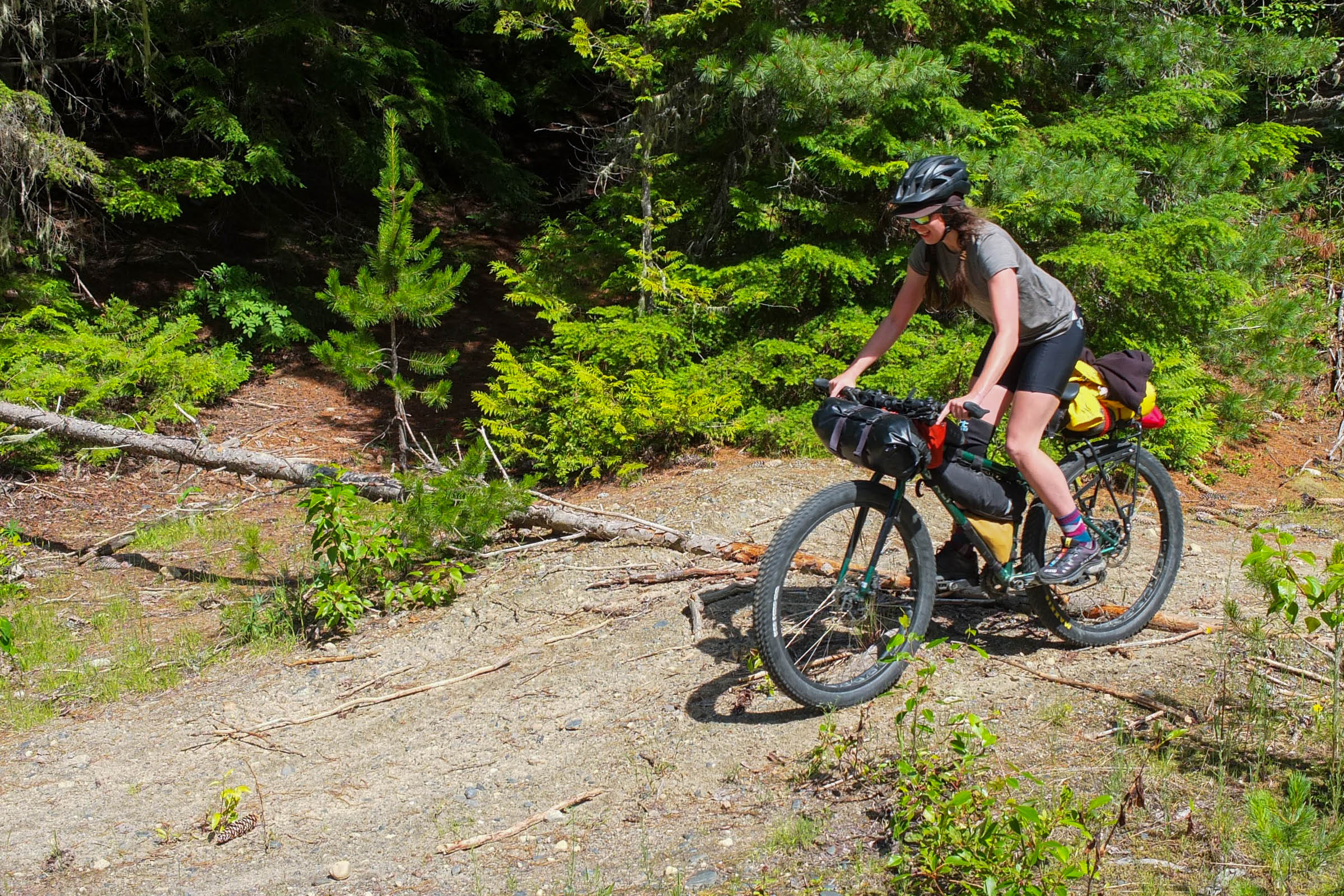
Trail Notes
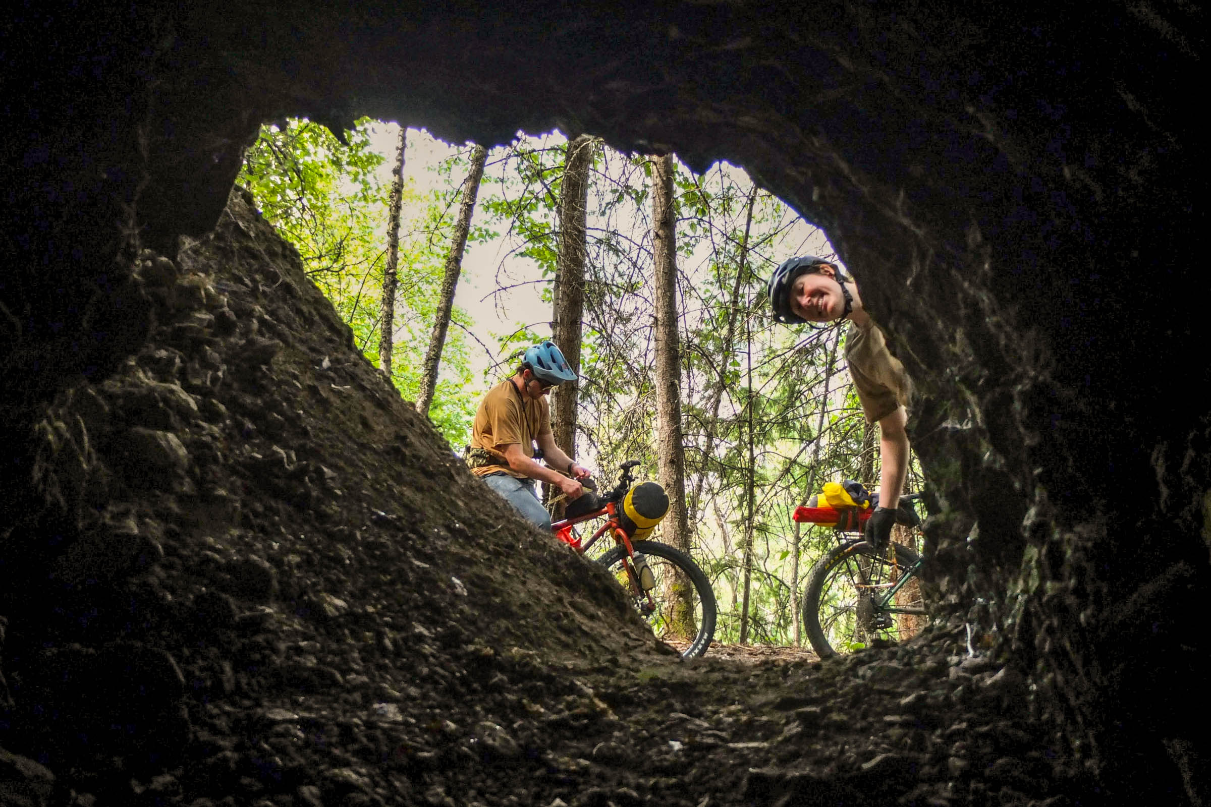
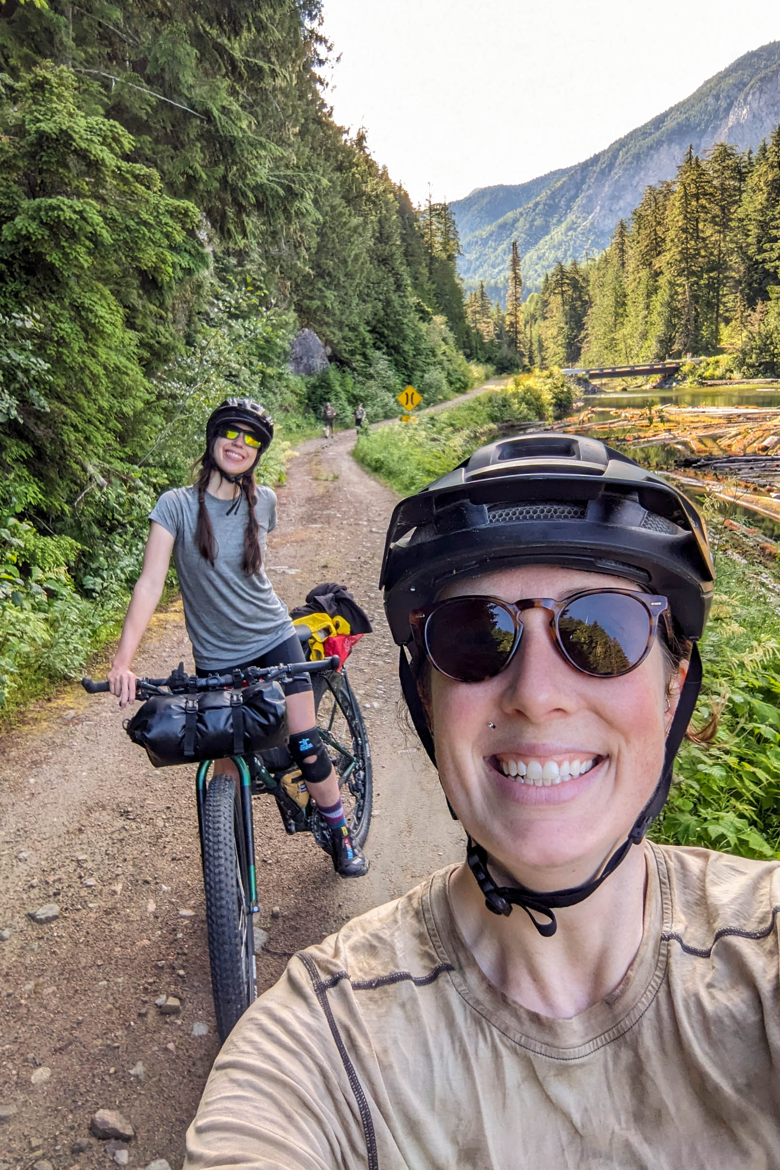
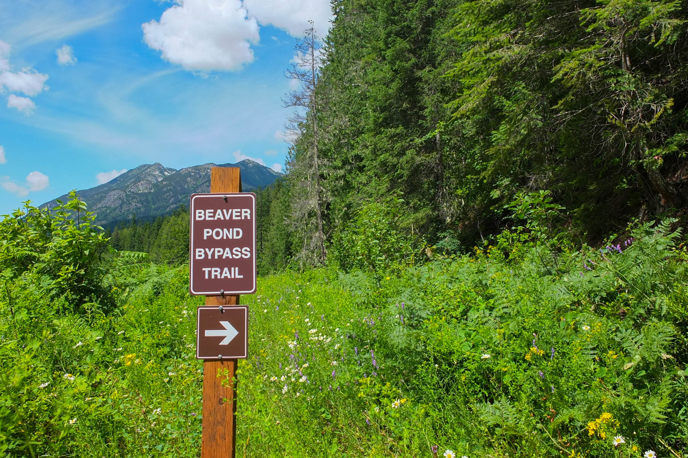
- The beaver dam singletrack re-route on the Nakusp Rail Trail is sure to be a hit with those who have a taste for mountain biking. It’s a lovely little fairy forest near the old route that was taken over by a beaver.
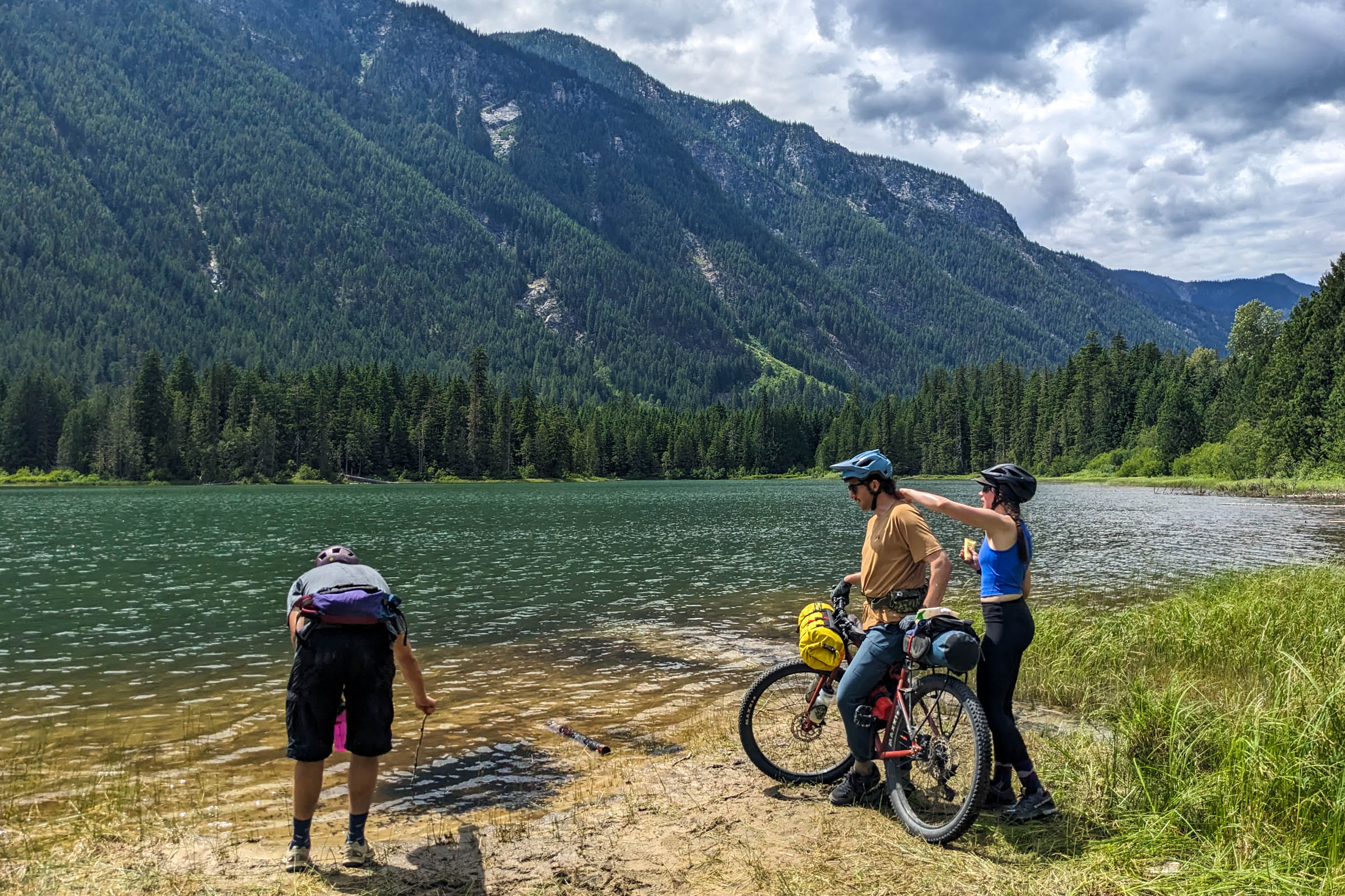
- Wilson Creek Falls is worth the fairly steep but short detour. The impressive waterfall drops 63 meters into a beautiful pool. Plan for a 2.6-kilometer round-trip hike once you reach the trailhead. It’s a great spot for lunch and a view.
- Explore the village of New Denver, a municipality of roughly 500 people surrounded by the Selkirk mountain range. Known for its access to nature, New Denver offers opportunities for everyone to enjoy the outdoors. However, you will also find an outdoor store, a grocery store, a cafe, and other shops. It’s worth taking a look around.
- Swimming opportunities are plentiful, making the route perfect for hot summer days. Plan to stop for swims multiple times throughout the ride. Especially for Slocan Lake near the end of your ride, where the clear blue water and mountain views are spectacular.
Route Direction
- The Log Jam Loop can be ridden in either direction, although we chose to ride it counter-clockwise to enjoy the downhill rail grade and because the descent to Nakusp is steeper. This allowed for more high-quality fun riding on the downhill.
When to go
- June or September will be better for lower daytime highs, but be sure to time it with snow melt and forest fire season. Summer provides warm nights, but the Kootenays are known to get very hot during the day. The route is rideable between May and October.
- BC’s Interior is highly susceptible to forest fires starting as early as July. Make sure to check on the BC forest fire map for current conditions and be prepared to adjust your plans quickly. If you see a forest fire, you can report it by calling *5555.
- This route does not cross any high mountain passes, so waiting for snowmelt is not a concern.
Logistics
- Long-term parking is available at the start of the route.
- The nearest regional airports are in Castlegar and Trail. Long-term parking is available at both airports. While it is possible to take transit from Castlegar to New Denver, it is infrequent and can take a fair amount of time. If coming from the airport, we recommend getting off at the junction and pedaling the Slocan Valley Rail Trail to meet the route.
- Both airports offer paid long-term parking. The Trail Airport currently costs $3/day and $15/week CAD. Visa, Mastercard, and cash are accepted. The West Kootenay Regional Airport in Castlegar costs $10/day and $55/week CAD. Multiple payment methods are accepted.
- The Kootenays are home to many animals. Expect to see deer, elk, black bears, and grizzlies. To avoid unwanted encounters, bring a rope and a dry bag to store your food in a tree at night, cook away from your tent, and #LeaveNoTrace. You will spend most of your time in remote locations on the route, so be prepared to pack out what you bring in and dispose of it properly when you get to town.
- Cell phone coverage is limited on the route, so carrying a satellite communication device is recommended.
What Bike
- Given the route’s non-technical nature, a gravel bikewith tires at least 40mm (1.6”) wide will provide a comfortable ride on the gravel roads and rail trails. Wider tires, up to 50mm (2.0”), can add extra cushioning for the descents. Having low climbing gears will help with the one significant climb. A rigid mountain bike would also make a great option.
- Experienced riders will have no problem riding the route on narrower tires but may need to take things slower on some of the descents.
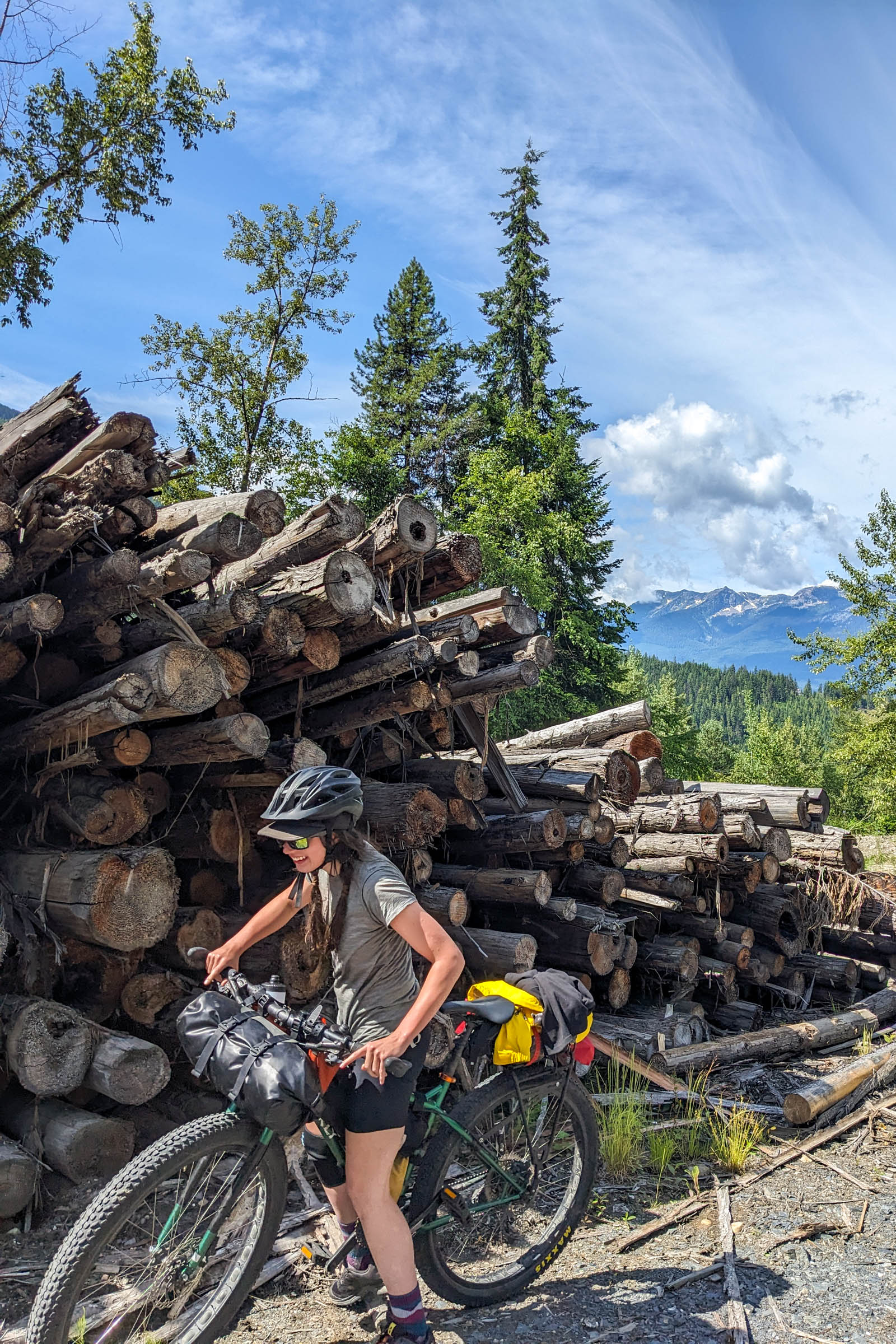
- The section of rail trail between Nakusp and Roseberry is not heavily travelled and can be overgrown. Bigger tires will make this section easier, although it is still doable on a 40mm gravel bike.
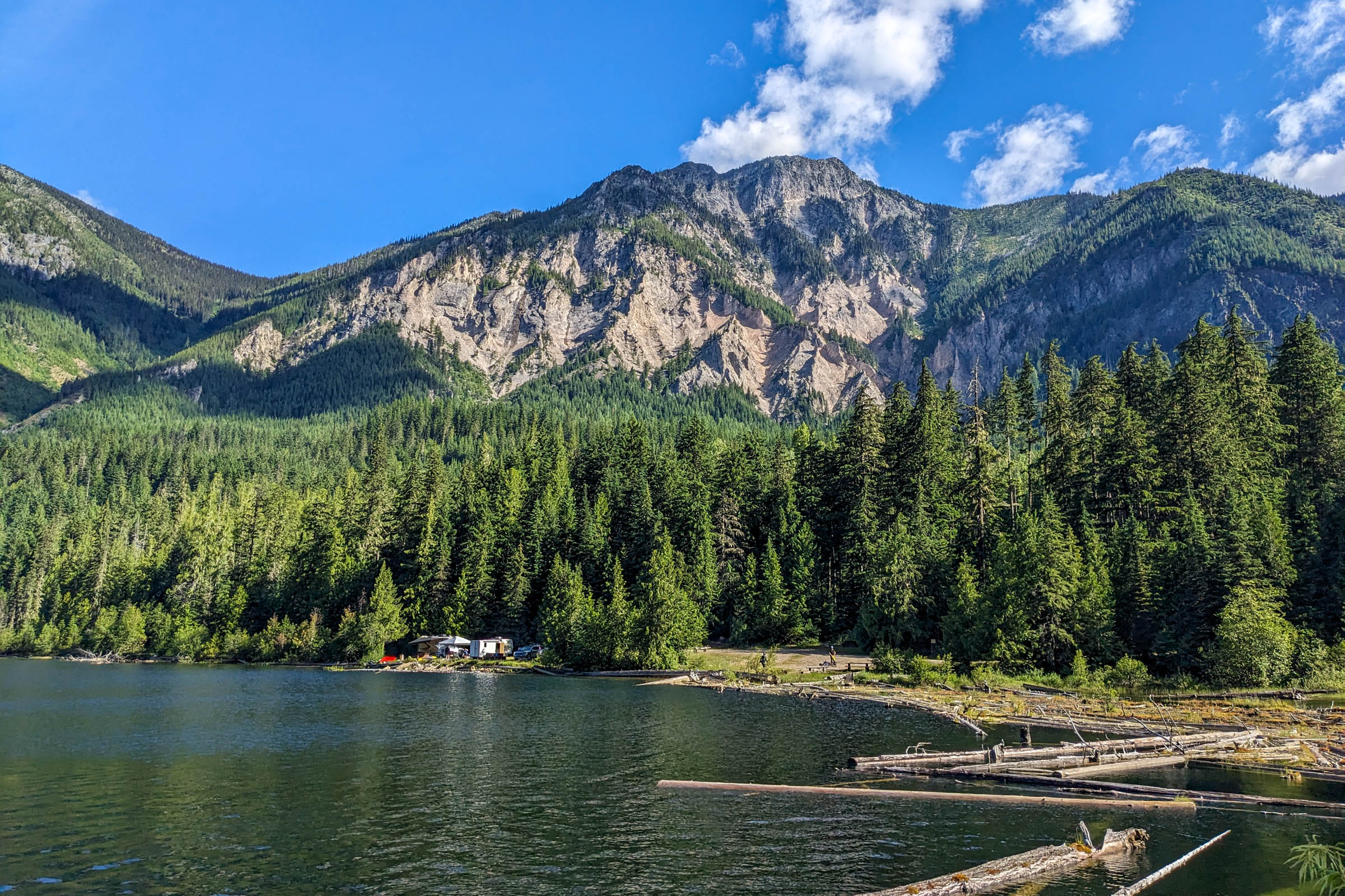
- There are multiple recreation sites along the route with picnic tables, outhouses, and swimming options. These sites cannot be booked, are first-come, first-served, and do not have fees.
- There are established campgrounds in New Denver and Nakusp, with various services and roofed accommodations. See the route map for details.
- Wherever you camp, be sure to check if there are fire bans and #LeaveNoTrace.
- New Denver is a quaint town with a few food options. New Market Foods is a fairly well-stocked grocery store, and Nuru Coffee Bar will satisfy your caffeine cravings.
- Nakusp has plenty of resupply options, including a full-sized grocery store, a health food store, and a juice bar. If you stay the night here, take advantage of the restaurants and treat yourself to a night out.
- Mountain Top Cafe in Nakusp is a great stop for a coffee and pastry. It is open from 7 a.m. to 6 p.m. every day.
- There are several streams, small creeks, and lakes on the route that flow for most of the year. Carrying 2L worth of water capacity is more than enough.
Sample Two-Day Itinerary
The Log Jam Loop is easily ridden in two days, starting and ending in New Denver. However, it is possible to start anywhere along the loop. We’ve presented our itinerary below.
locationNew Denver-Wilson Lake
Day 1 (45.9 KM +784 M)
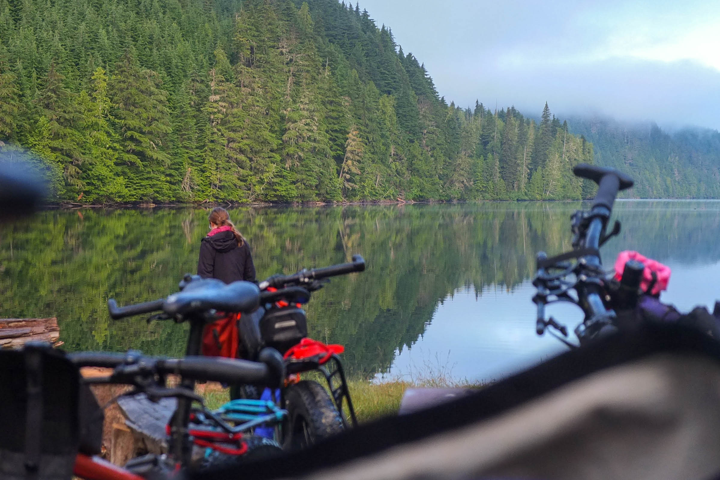
The route begins with a very brief climb on the road to the rail trail junction. Once you meet the rail trail, you are greeted with a beautiful descent along Slocan Lake into Roseberry. Upon entering Roseberry, cross the highway and hop on E Wilson Creek Road. The road is a wonderful undulating incline, and you will have gained your elevation hardly noticing it! Take a detour to Wilson Creek Falls for lunch. It’s the perfect little hike to spend some time off the bike. Here, E Wilson Creek Road turns into Wilson Lake Road, which you will follow to the campsite. You’ll pass two campsites along the way: Beaver Lake Recreation Site and Little Wilson Lake Recreation Site. Both are nice to stop at if you want to compare the many camping options. Wilson Lake East Recreation Site will be your home for the evening. It has beautiful lake and mountain views, an outhouse, and a few picnic tables. Enjoy a dip as you watch the sunset.
locationWilson Lake-New Denver
Day 1 (55.3 KM +634 M)
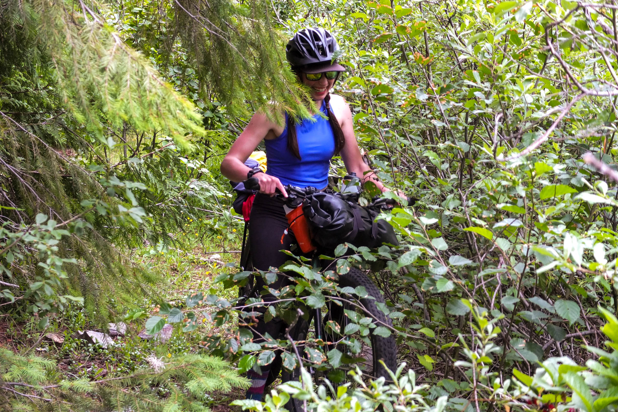
The morning starts with the most technically challenging part of the route. However, it is a beautiful climb up a small road that is no longer used by motor vehicles, aside from motorbikes. Enjoy the lung buster and prepare for a wonderful descent into Nakusp that will leave you grinning from ear to ear. You will hit a junction at Box Lake, and from here you can choose to resupply in Nakusp (an 8 km detour on the Nakusp Rail Trail) or continue along the gentle rail trail climb to Summit Lake. After reaching Summit Lake, you gradually descend into Roseberry. This is where the rail trail is least used and likely the most challenging. Expect to ride over grassy terrain and a short stint of singletrack that diverts you away from a beaver-induced flooding section. The rail trail continues from Roseberry to New Denver, passing through lovely homes and following along the stunning Slocan Lake. Enjoy as many dips as you can and take time to look at the mountain views. Once you arrive in New Denver, treat yourself to a soft serve ice cream at the gas station or a cold drink at the Nuru Coffee Bar.


Terms of Use: As with each bikepacking route guide published on BIKEPACKING.com, should you choose to cycle this route, do so at your own risk. Prior to setting out check current local weather, conditions, and land/road closures. While riding, obey all public and private land use restrictions and rules, carry proper safety and navigational equipment, and of course, follow the #leavenotrace guidelines. The information found herein is simply a planning resource to be used as a point of inspiration in conjunction with your own due-diligence. In spite of the fact that this route, associated GPS track (GPX and maps), and all route guidelines were prepared under diligent research by the specified contributor and/or contributors, the accuracy of such and judgement of the author is not guaranteed. BIKEPACKING.com LLC, its partners, associates, and contributors are in no way liable for personal injury, damage to personal property, or any other such situation that might happen to individual riders cycling or following this route.
Further Riding and Reading
Here are some connected/nearby routes and related reports...


Please keep the conversation civil, constructive, and inclusive, or your comment will be removed.