


Lost Canyon Overnighter
Distance
31 Mi.
(50 KM)Days
2
% Unpaved
86%
% Singletrack
17%
% Rideable (time)
99%
Total Ascent
3,398'
(1,036 M)High Point
10,139'
(3,090 M)Difficulty (1-10)
5?
- 7Climbing Scale Strenuous110 FT/MI (21 M/KM)
- 4Technical Difficulty Fair
- 6Physical Demand Moderate
- 3Resupply & Logistics Fair
Contributed By
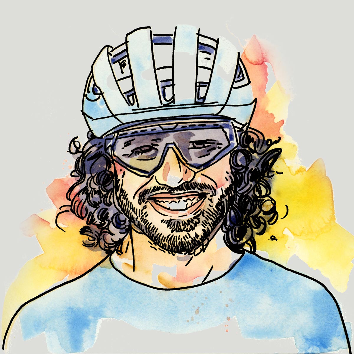
Neil Beltchenko
Associate Editor & YouTube Host
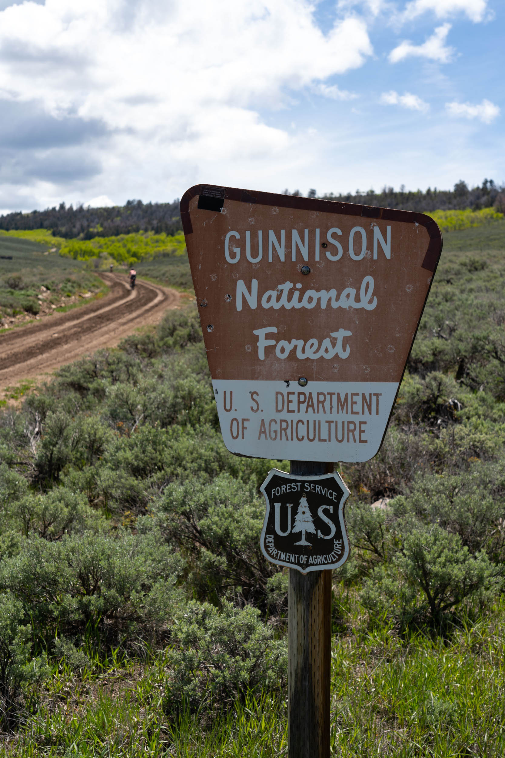
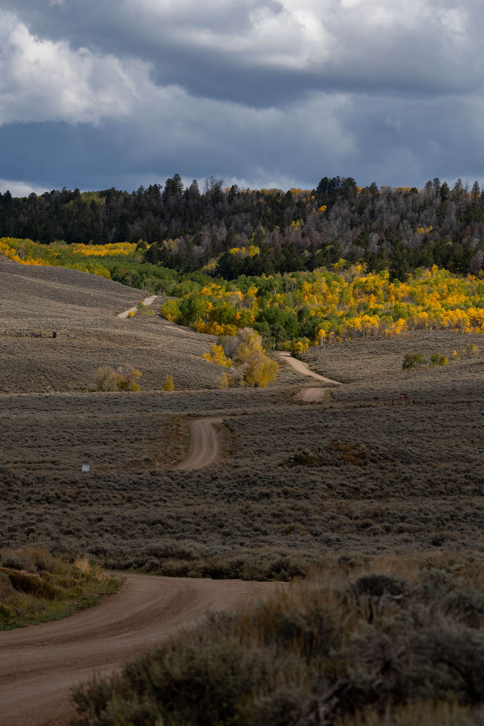
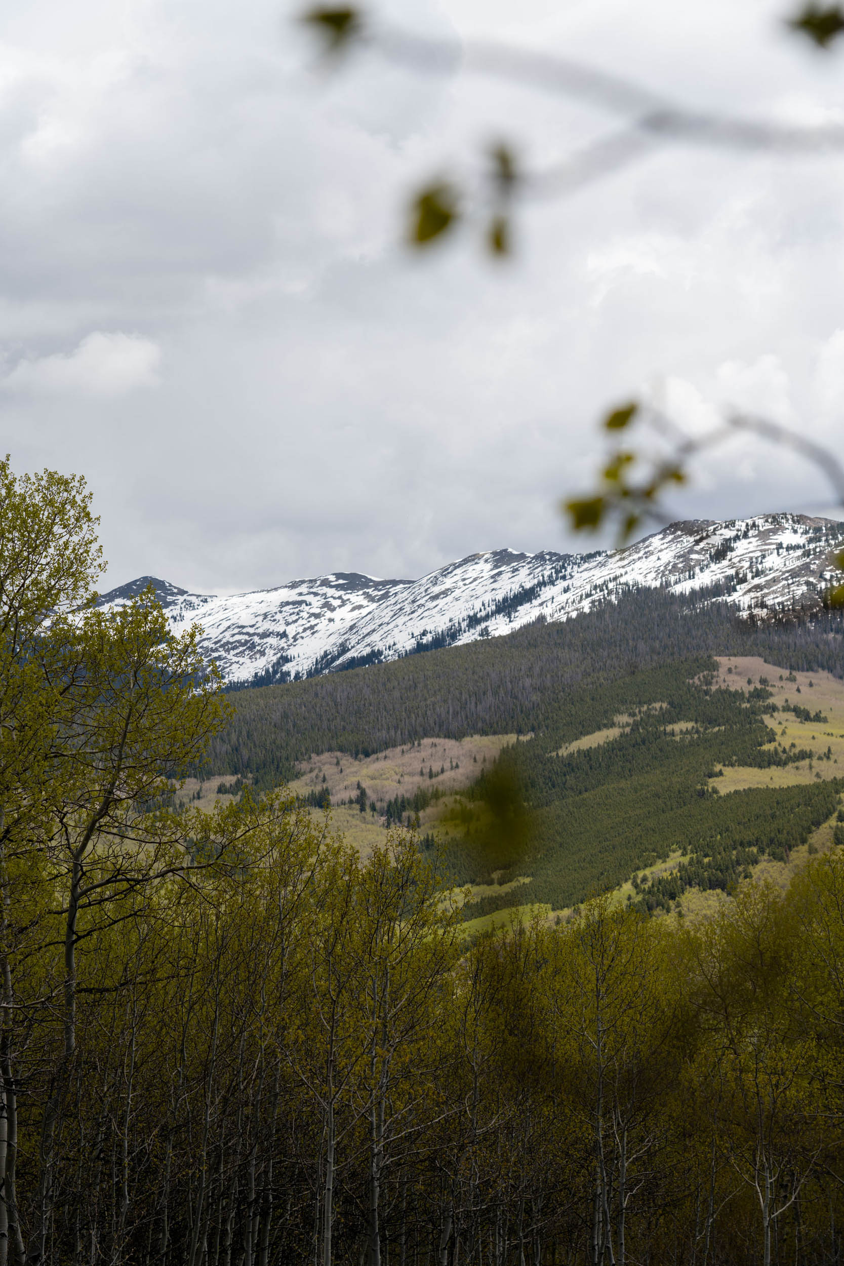
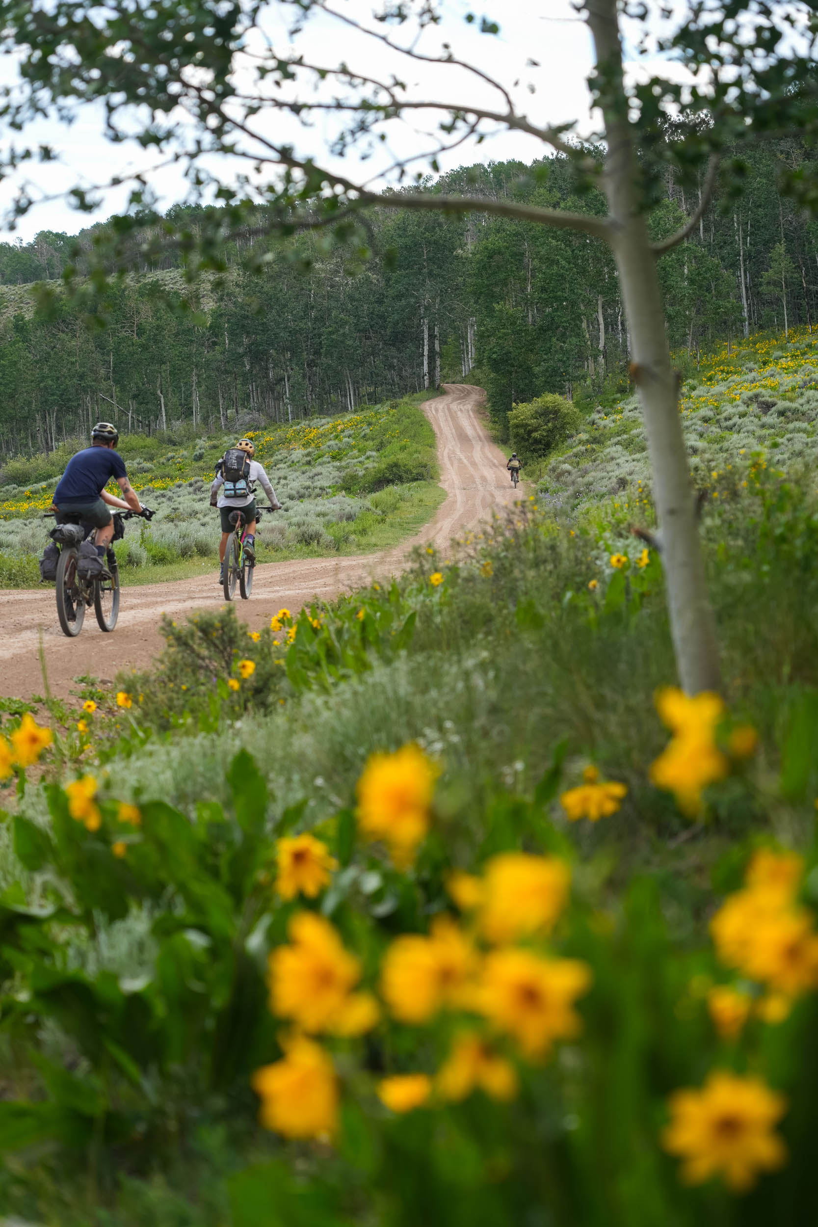
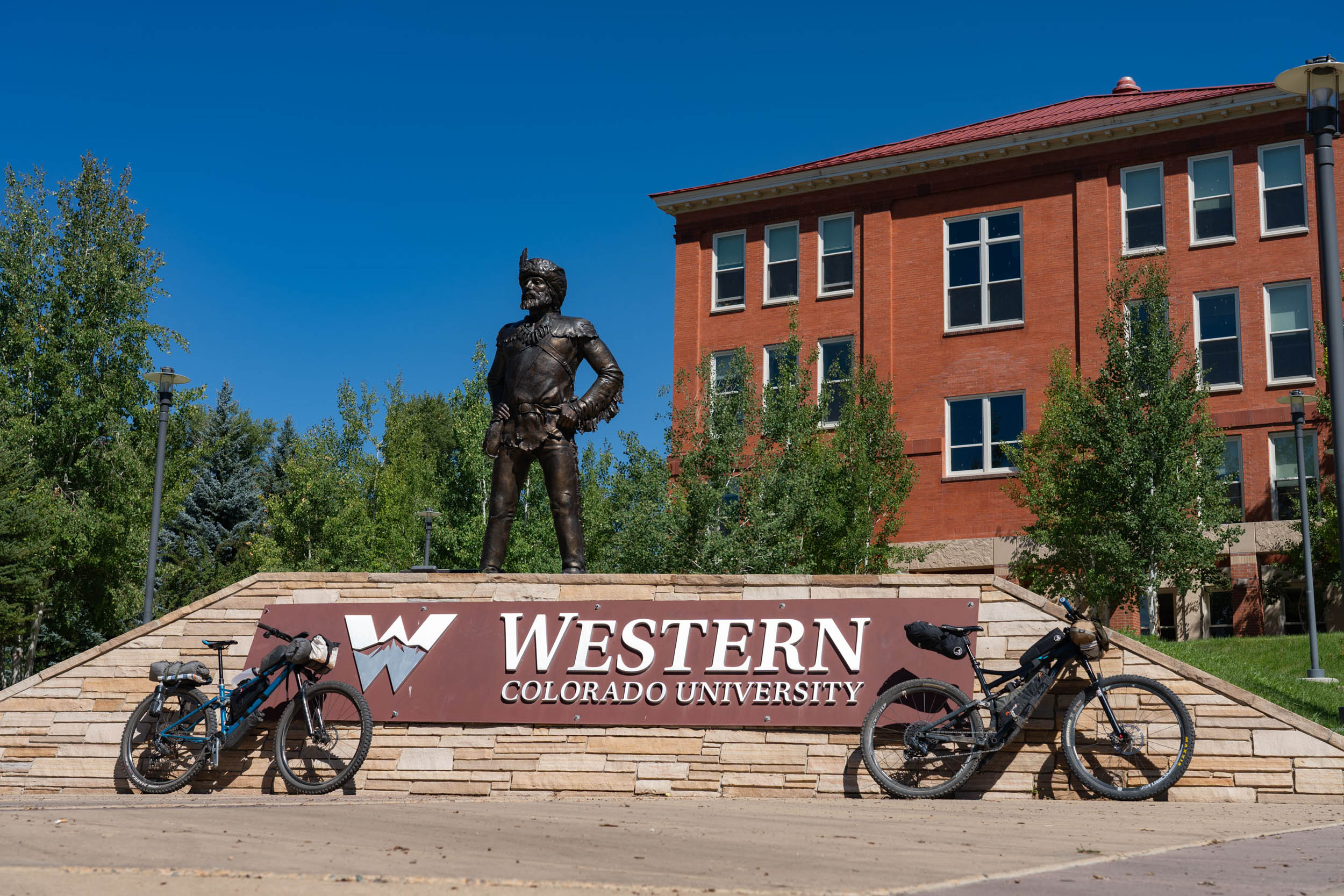
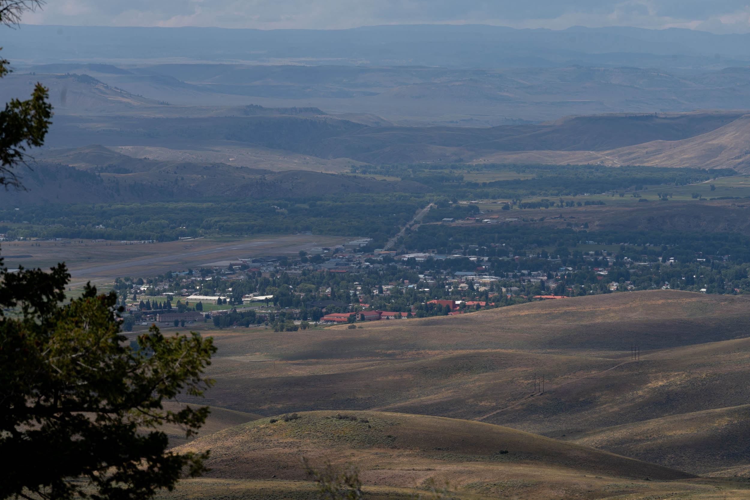
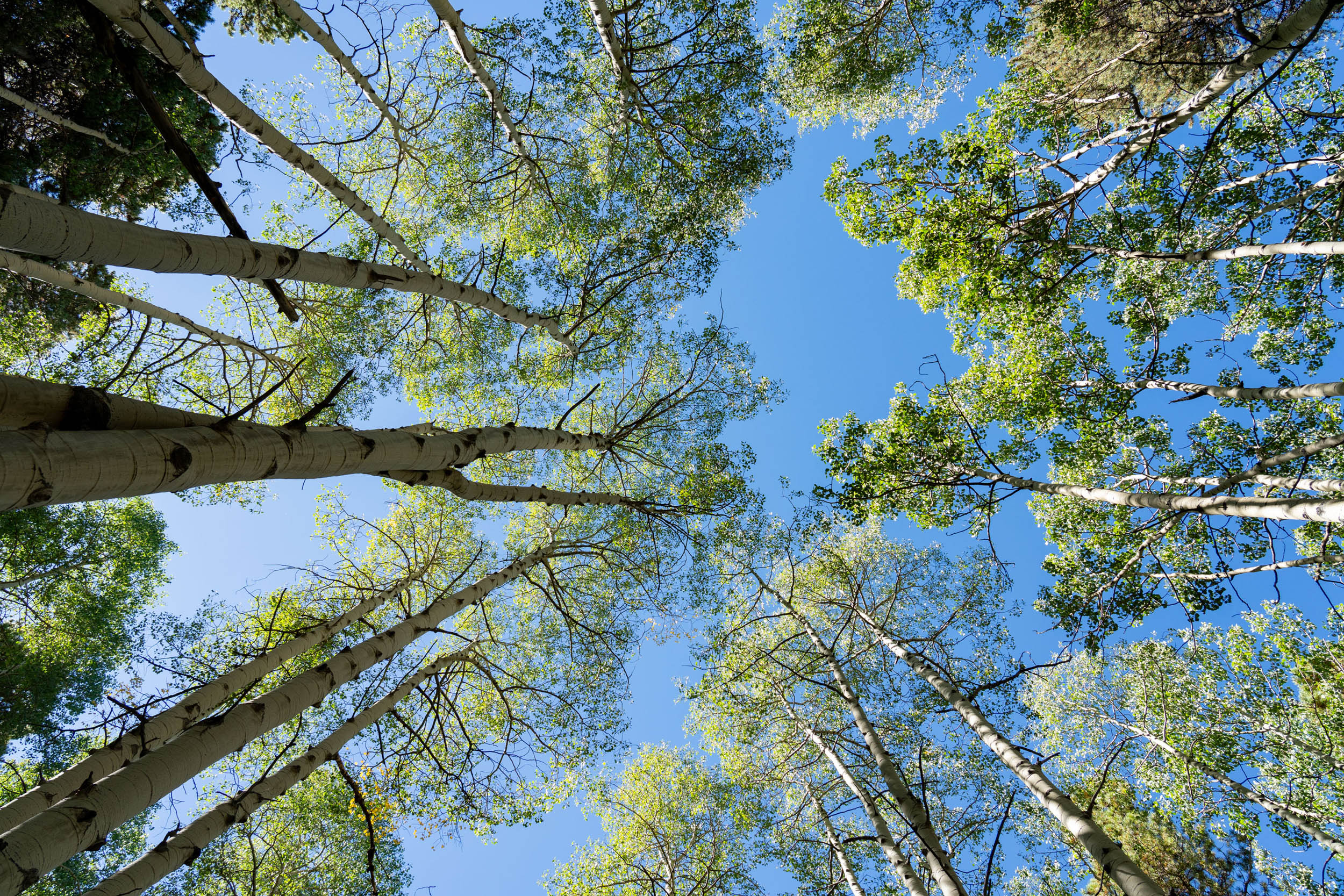
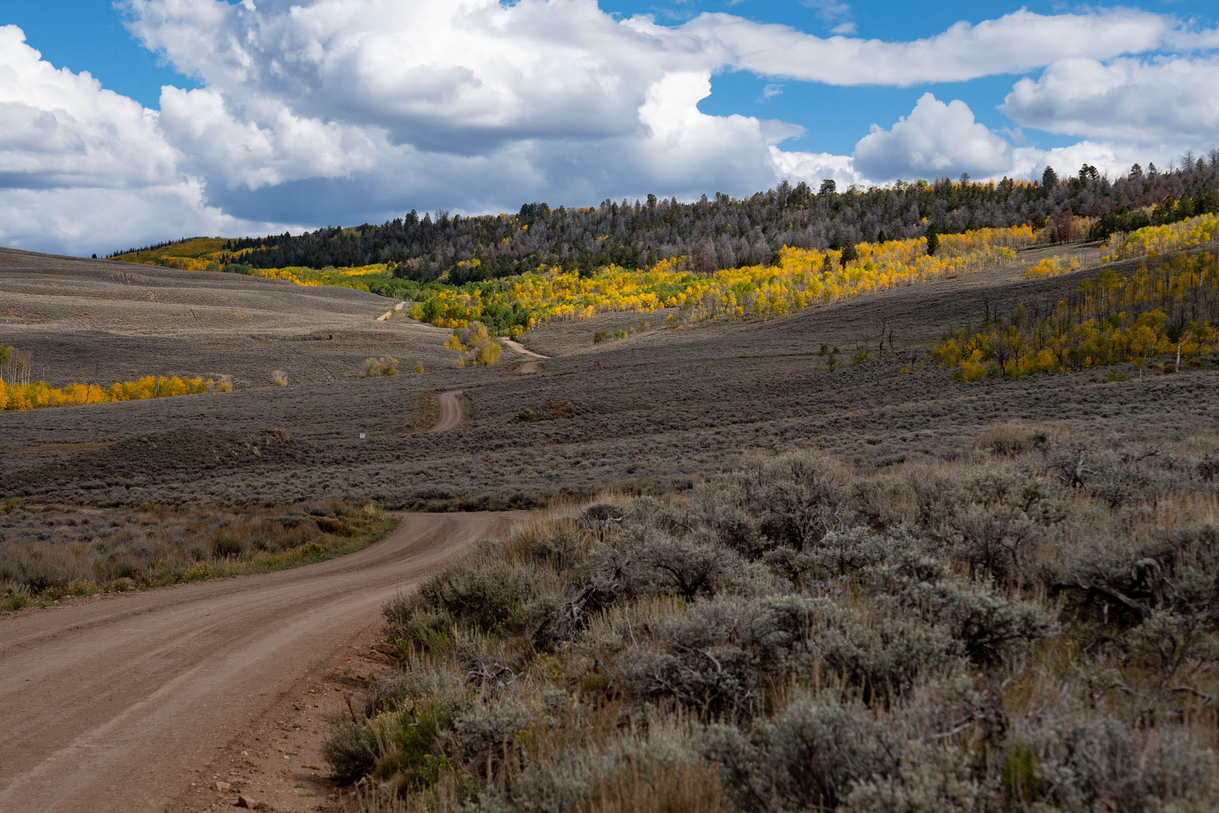
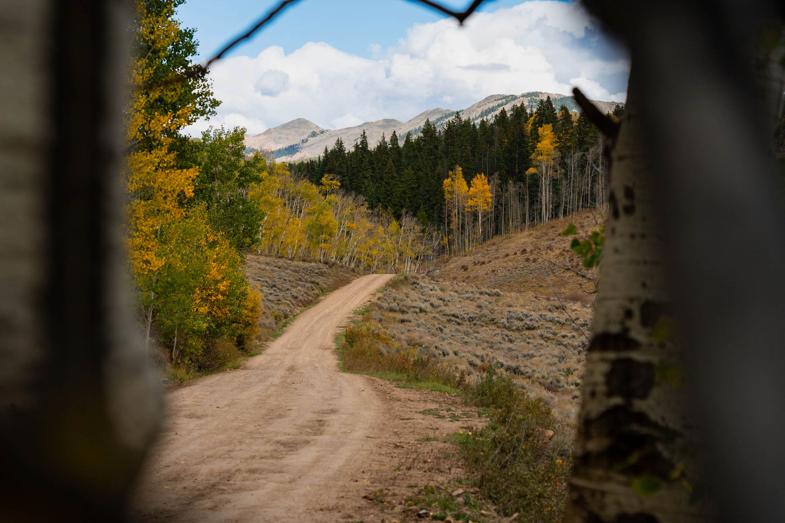
The 30-mile Lost Canyon Overnighter route starts and ends at Western Colorado University in Gunnison, Colorado. It encompasses country roads, BLM land, and national forests, showcasing the region’s diverse public lands. Beginning in town, you’ll head northeast on paved roads, passing through ranchlands to the west and sage hills to the east. The journey then follows a dirt road as you ascend the Lost Canyon Road, a long climb starting at an elevation of under 8,000 feet and reaching over 10,000 feet. Along the way, you’ll witness changing vegetation that transitions from sagebrush and high alpine desert flora to aspen groves. Eventually, you’ll pass a mix of aspen, pine, spruce, and fir forests before reaching the summit at 10,140 feet.
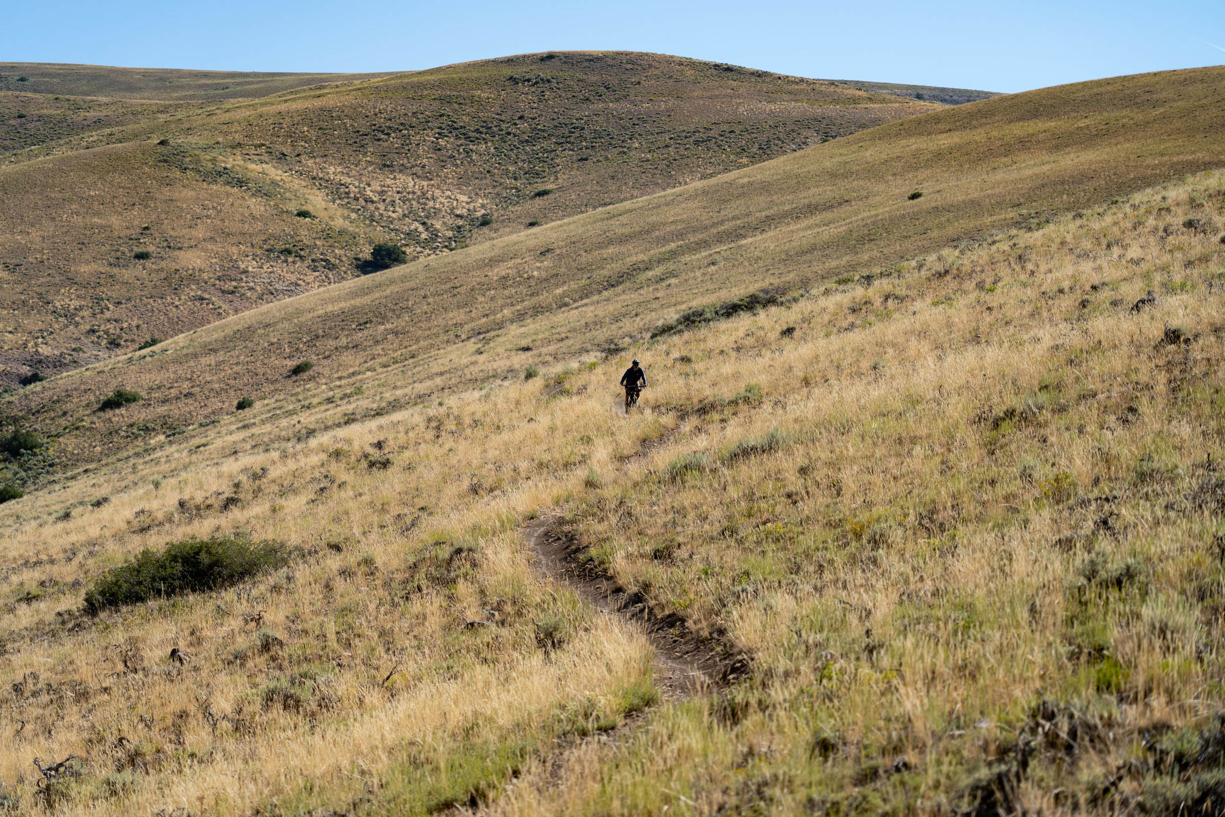
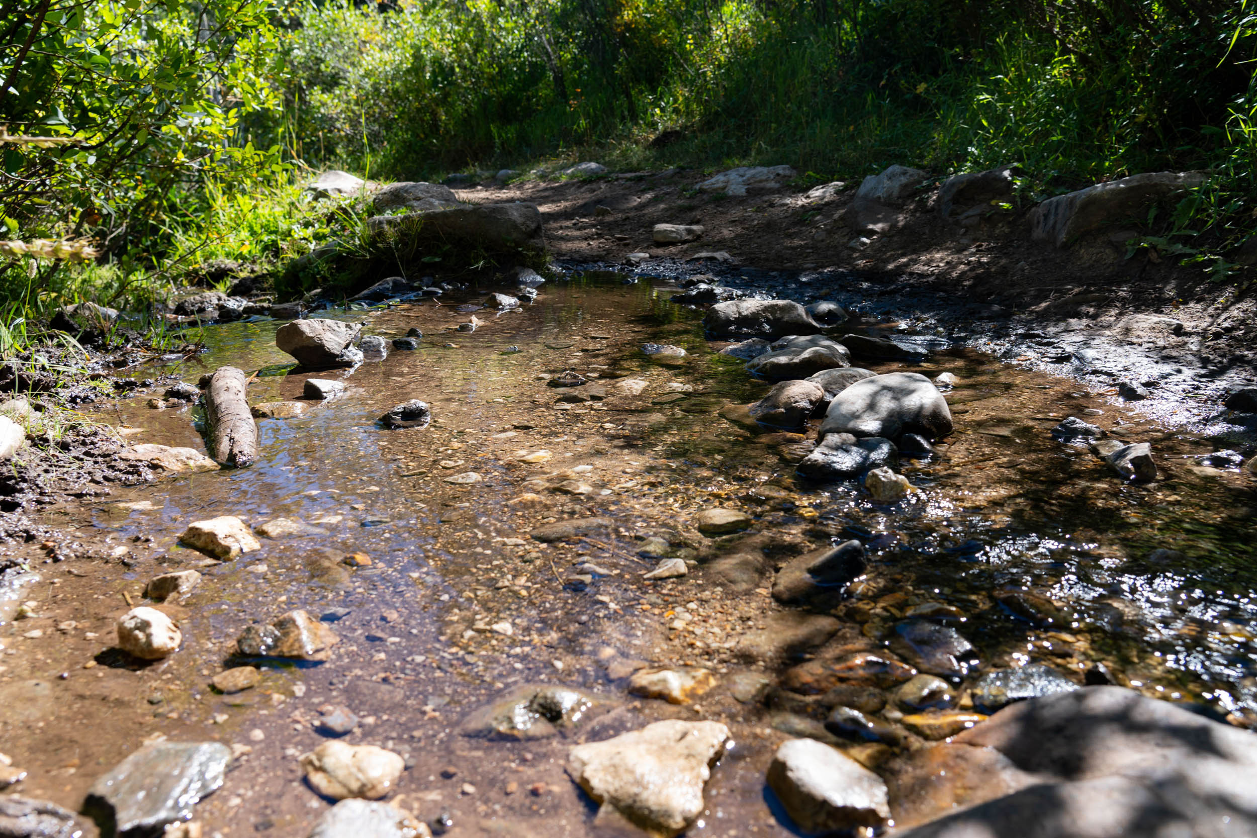
The climb to the high point offers stunning views of the valley’s northern end, including the Elk Mountains. You’ll traverse beautifully winding and occasionally steep roads filled with wildflowers, wildlife, and the areas’ rich ranch heritage. Eventually, you’ll be rewarded with a magnificent view of Fossil Ridge before descending One Mile Road, where you’ll encounter a few camping spots with nearby water sources. While descending One Mile and camping off it is optional due to the abundance of campsites, it offers a quieter ambiance and access to water, making it a more attractive option.
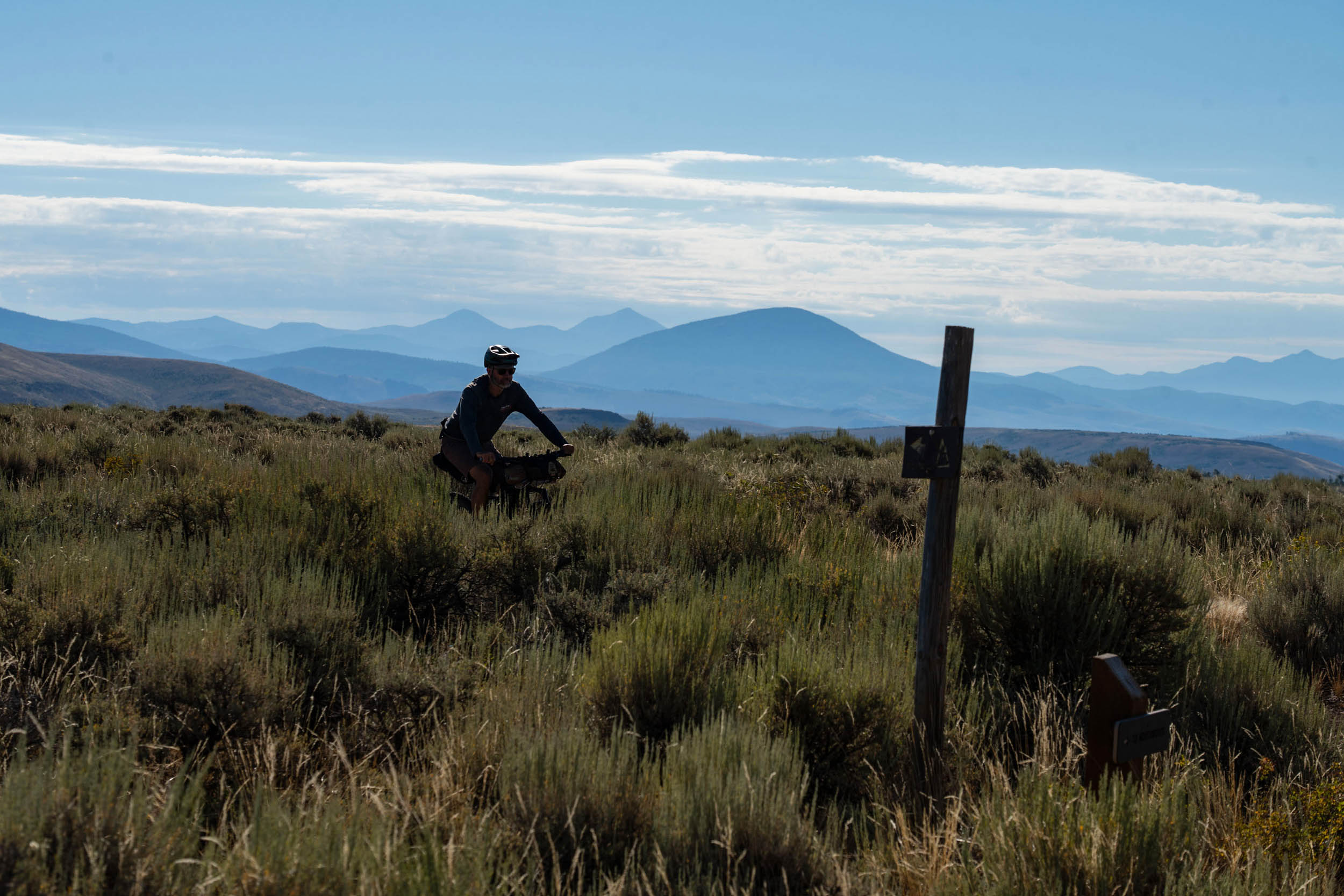
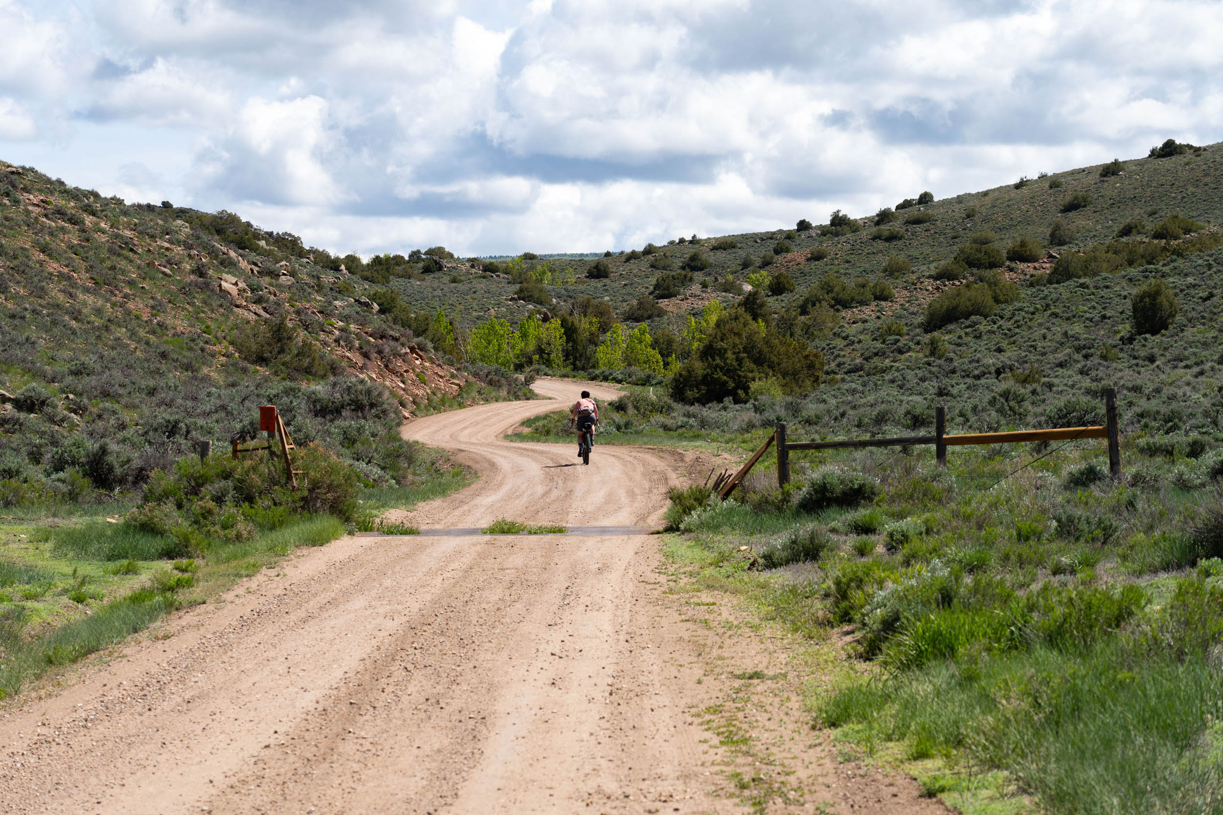
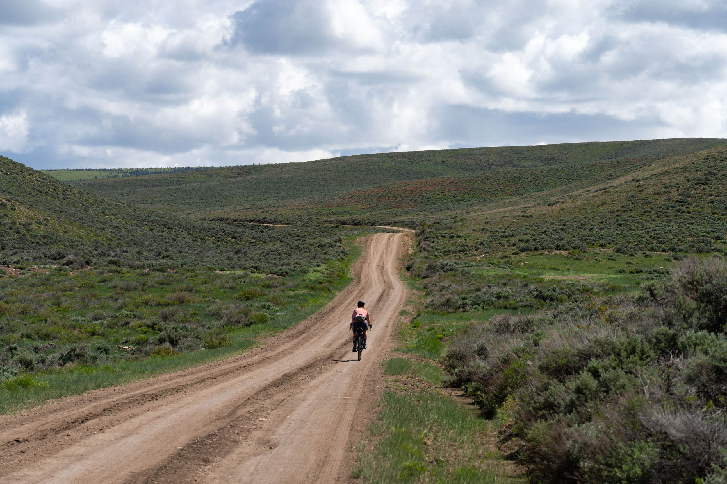
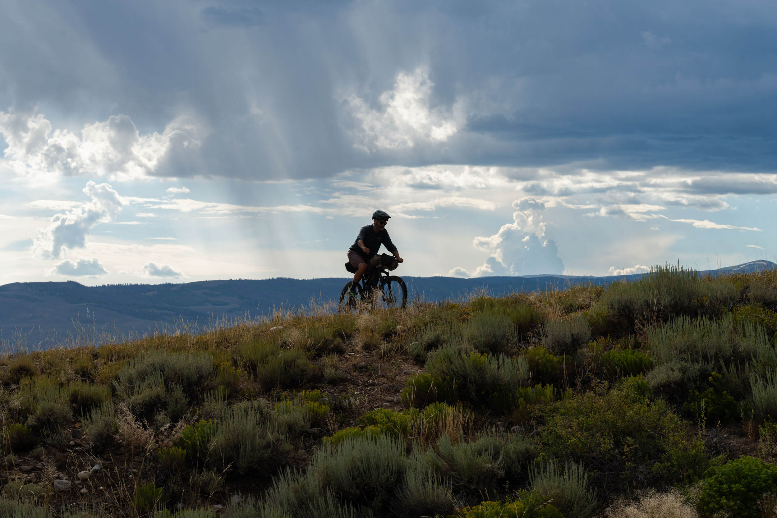
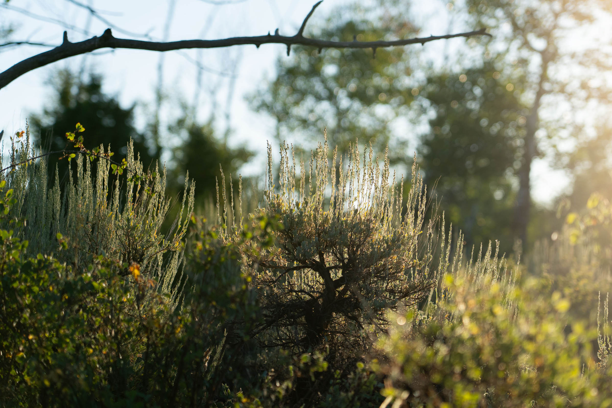
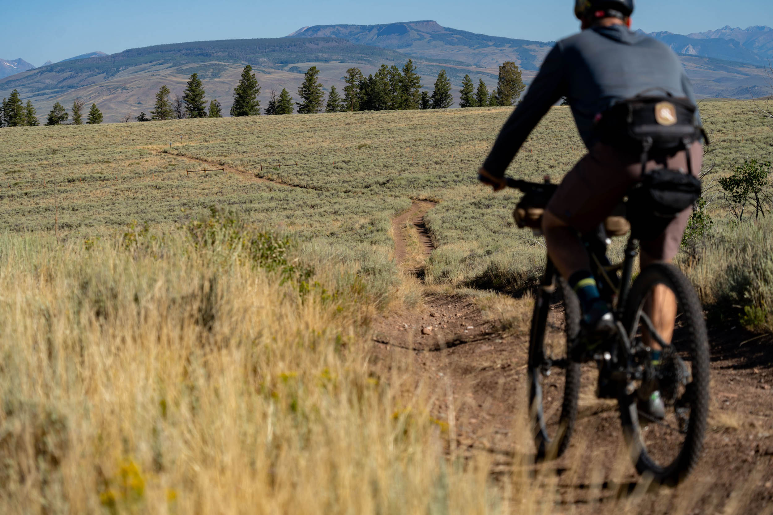
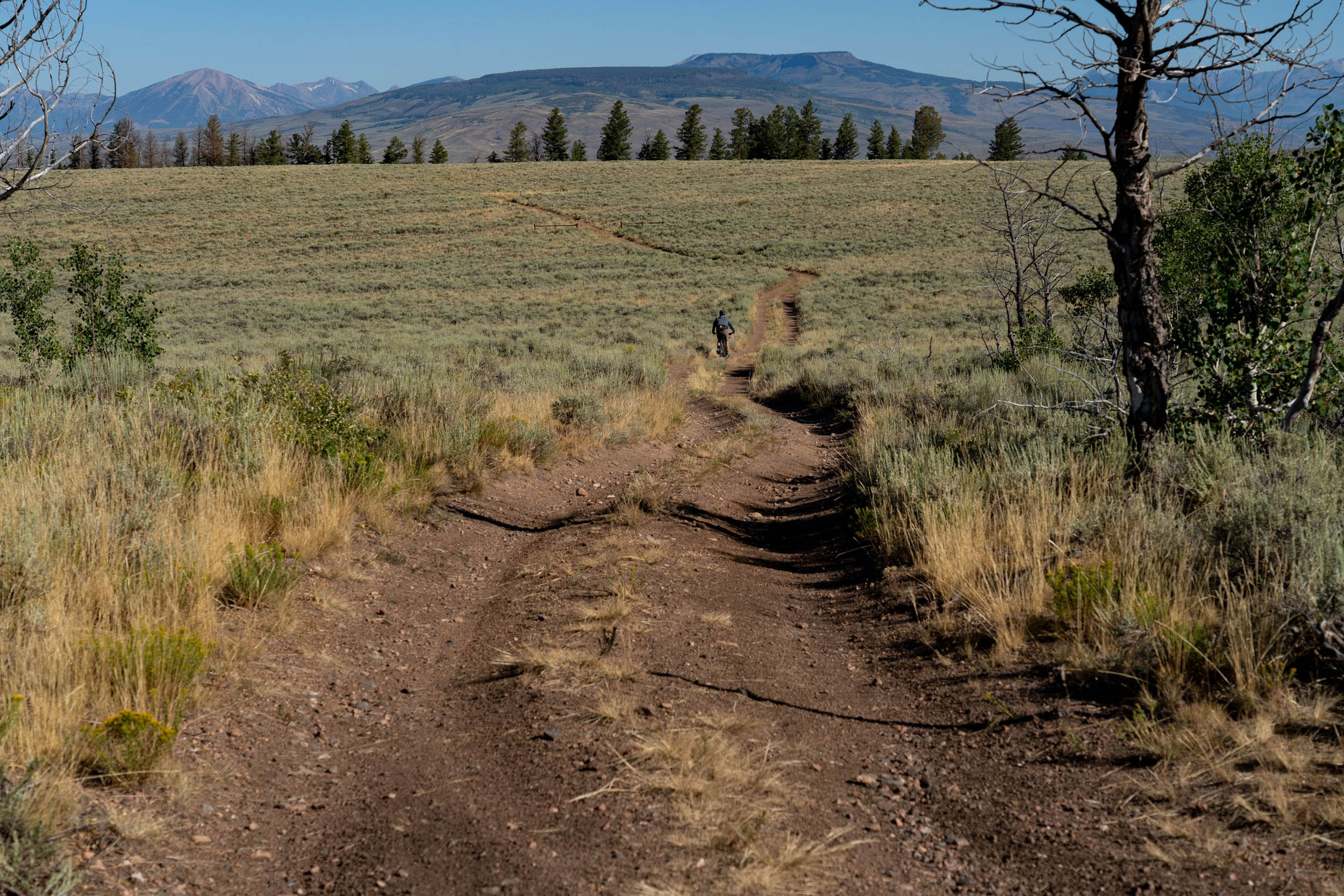
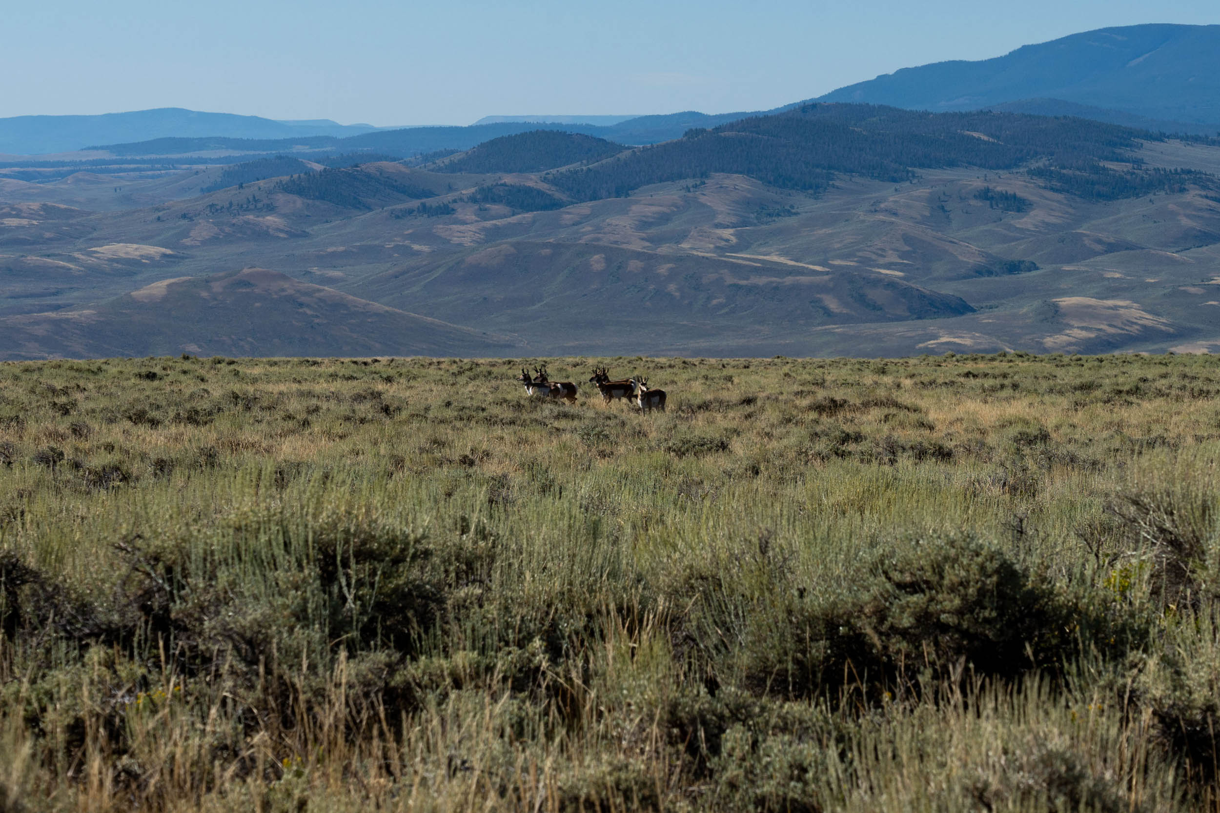
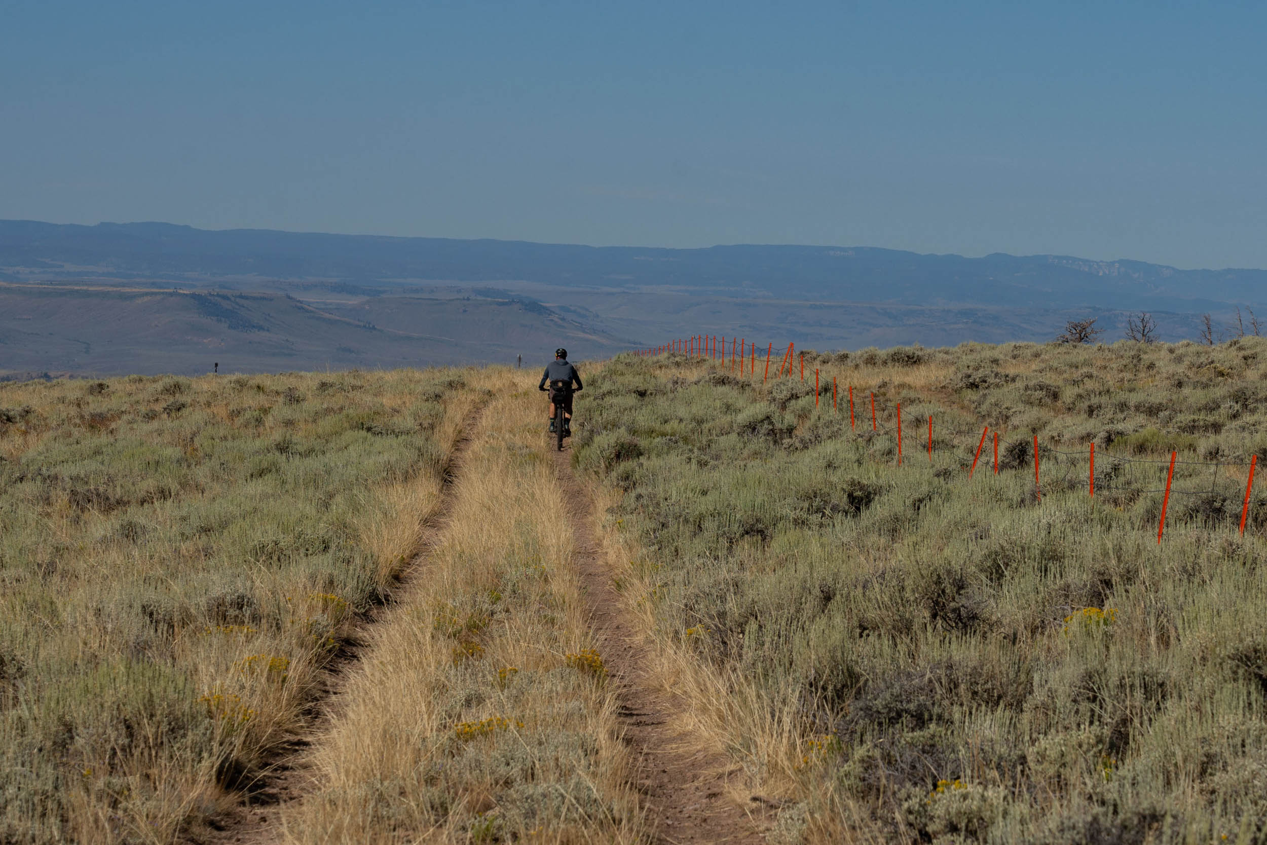
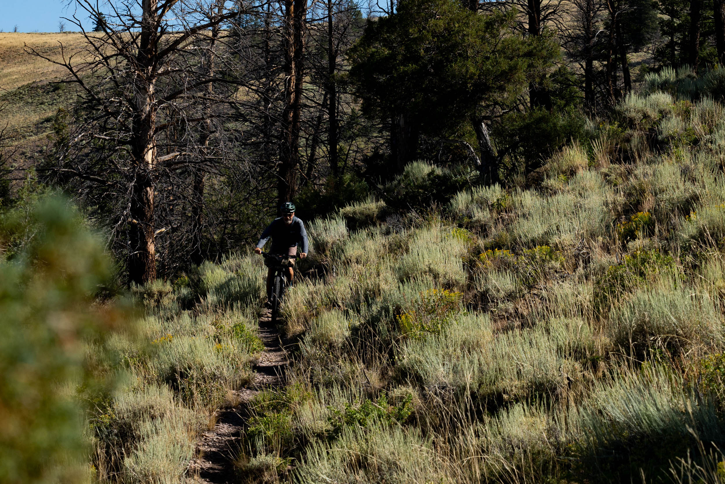
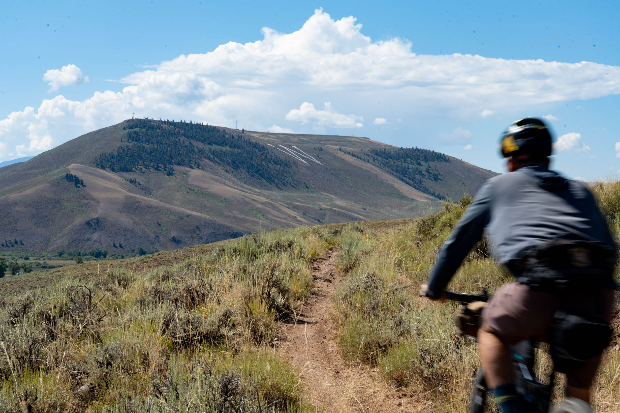
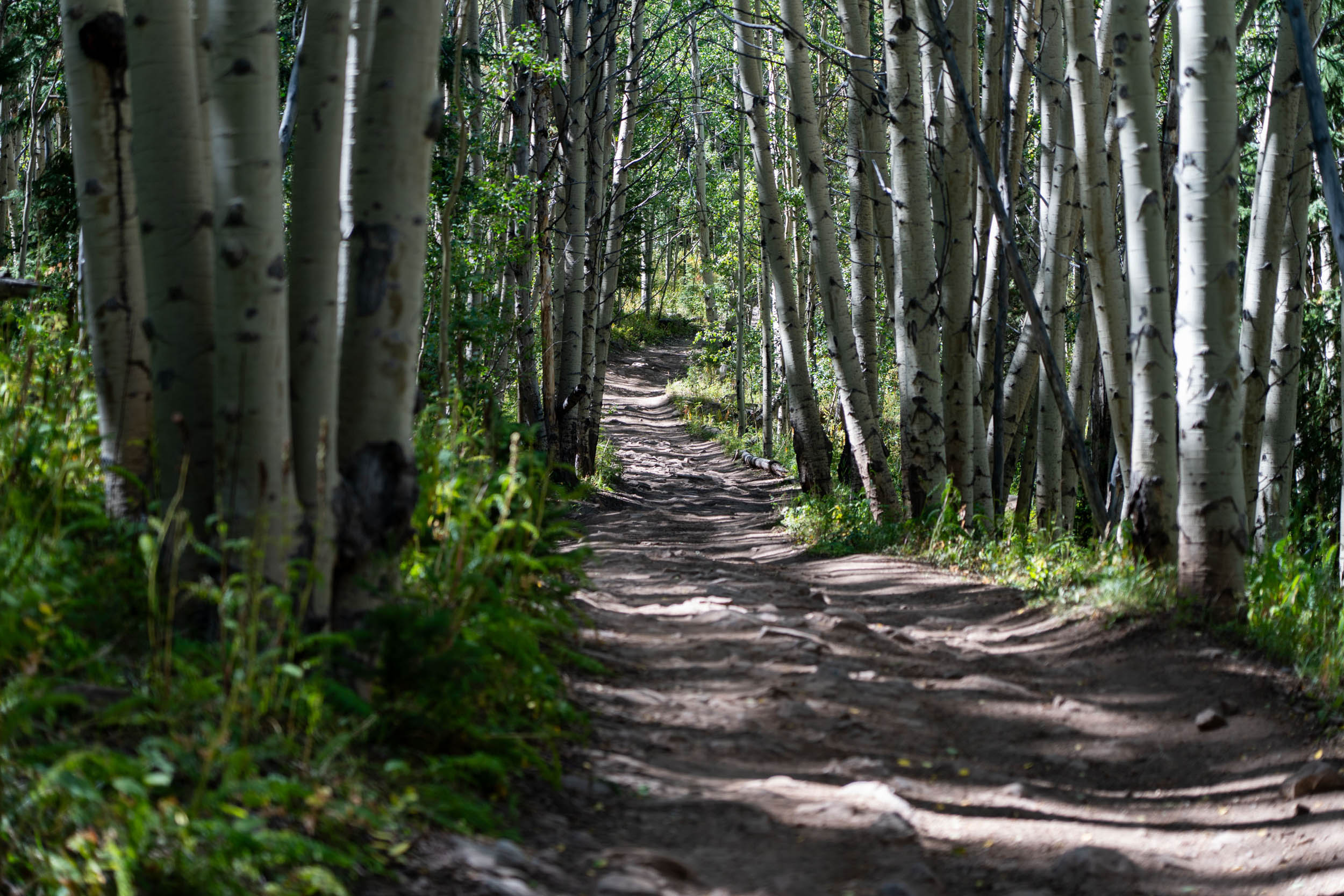
The climb out of camp is challenging, featuring steep grades and a relatively rough road, but it’s short-lived. You’ll retrace your steps, gaining a fresh perspective on the terrain you ascended the previous day, with sweeping views of the surrounding areas, including the San Juans and West Elk Mountains in the distance. As you descend and intersect with Cabin Creek Cow Camp and Sheep Gulch Roads, you’ll navigate through aspen groves before reaching a high point and an exhilarating descent on some fun two-track punctuated by quick uphill sections. Sagebrush dominates the landscape, with intermittent aspen forests on north-facing slopes as you continue your descent down Signal Mesa. Despite its seemingly empty appearance, this landscape is filled with wildlife, such as antelope, deer, and sage grouse.
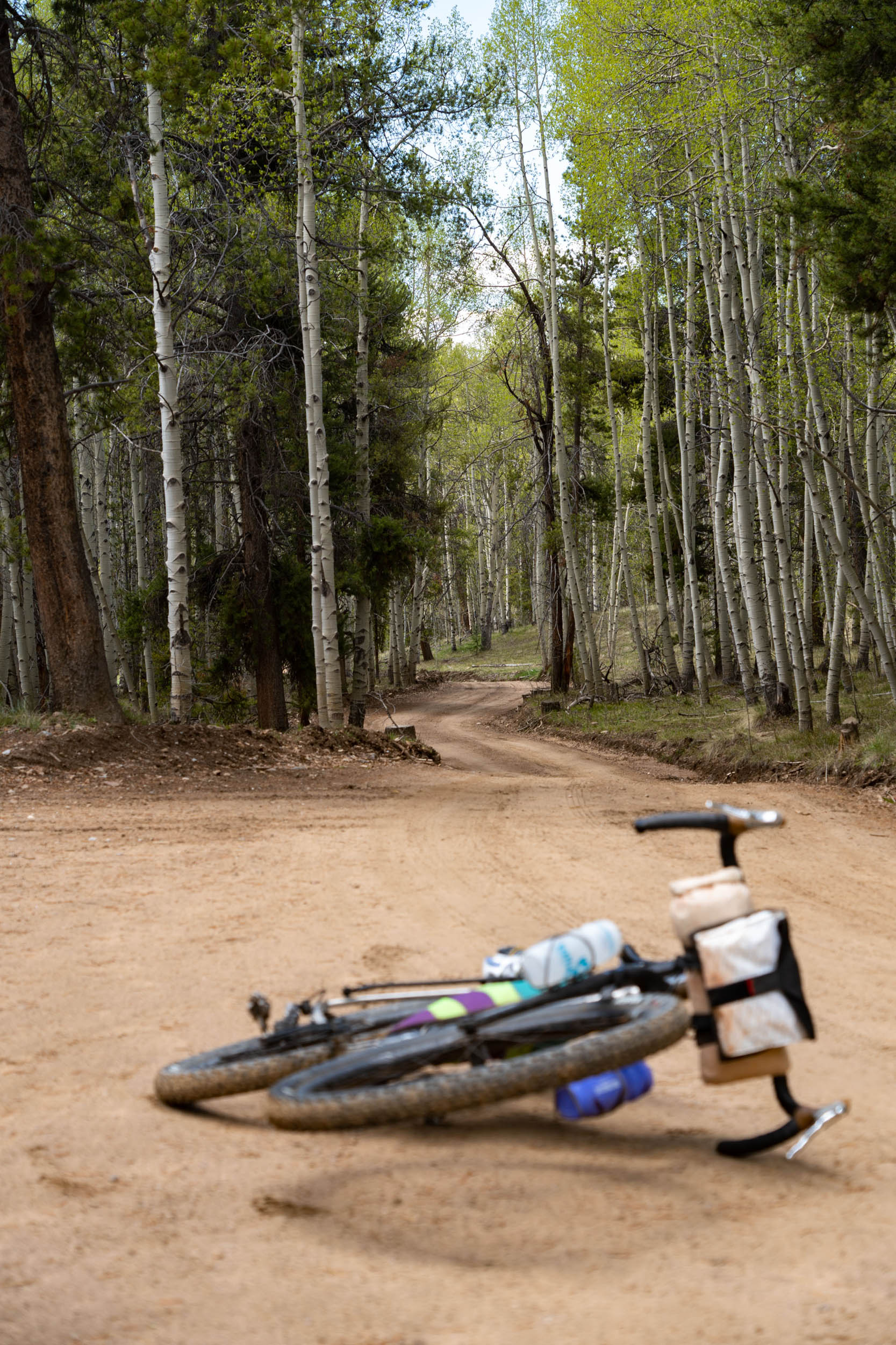
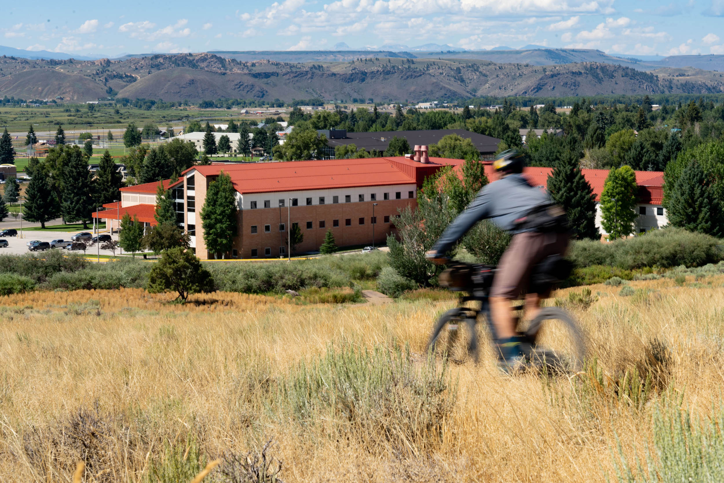
Finally, you’ll arrive at the northeast corner of the Signal Peak area, a local trail system that’s still in development. From the top of Signal Mesa, you have several options, with the Northwoods singletrack to the ridgeline being the easiest. However, for added mileage and thrills, you can take the Music Rocks > South Rim > Sunny D singletrack route down to the Contour Trail, leading you back to Western State Colorado University. Regardless of your choice, the purpose-built singletrack provides a fantastic conclusion to an overnighter.
In general, the route is evenly divided, with approximately 15 miles for each day. However, the first day involves significantly more climbing, while the second day is relatively easier in comparison.
Route Difficulty
The challenge of this route primarily lies in the climbing aspect, totaling 3,400 feet of elevation gain over 31 miles. This averages roughly 109 feet of climbing per mile, falling within our difficulty rating of 7 on the climbing scale. While a substantial portion of the climbing occurs on dirt roads, there are also steeper inclines and sections of the road that are rough and rocky. Regarding technical aspects, the route does have some techy segments to keep you on your toes, although most of these sections involve descending, which provides a bit of relief (rated 4). There may be moments when you find yourself breathless or struggle to maintain power at higher elevations, particularly on steeper inclines, but it’s worth noting that the overall daily distances are quite short (rated 4). Lastly, in terms of resupply, while you can find water along the route, reducing the need to carry a significant water load, there are no other options for resupplying (rated 3).

Submit Route Alert
As the leading creator and publisher of bikepacking routes, BIKEPACKING.com endeavors to maintain, improve, and advocate for our growing network of bikepacking routes all over the world. As such, our editorial team, route creators, and Route Stewards serve as mediators for route improvements and opportunities for connectivity, conservation, and community growth around these routes. To facilitate these efforts, we rely on our Bikepacking Collective and the greater bikepacking community to call attention to critical issues and opportunities that are discovered while riding these routes. If you have a vital issue or opportunity regarding this route that pertains to one of the subjects below, please let us know:
Highlights
Must Know
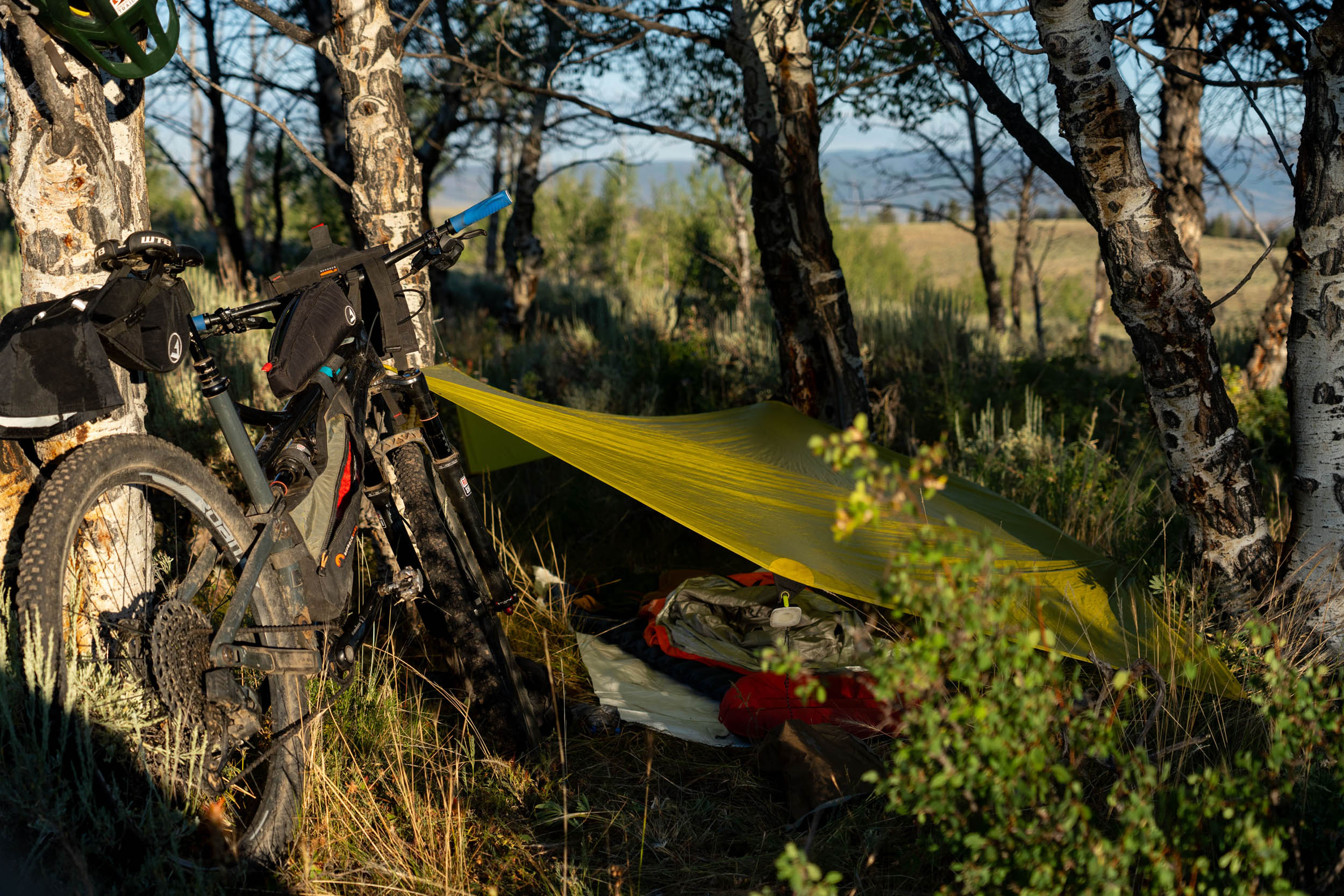
Camping
Food/H2O
- Starting and ending at Western Colorado University showcases a small but beautiful campus in the heart of the Rocky Mountains.
- Lost Canyon Climb rewards riders with views and a sense of accomplishment.
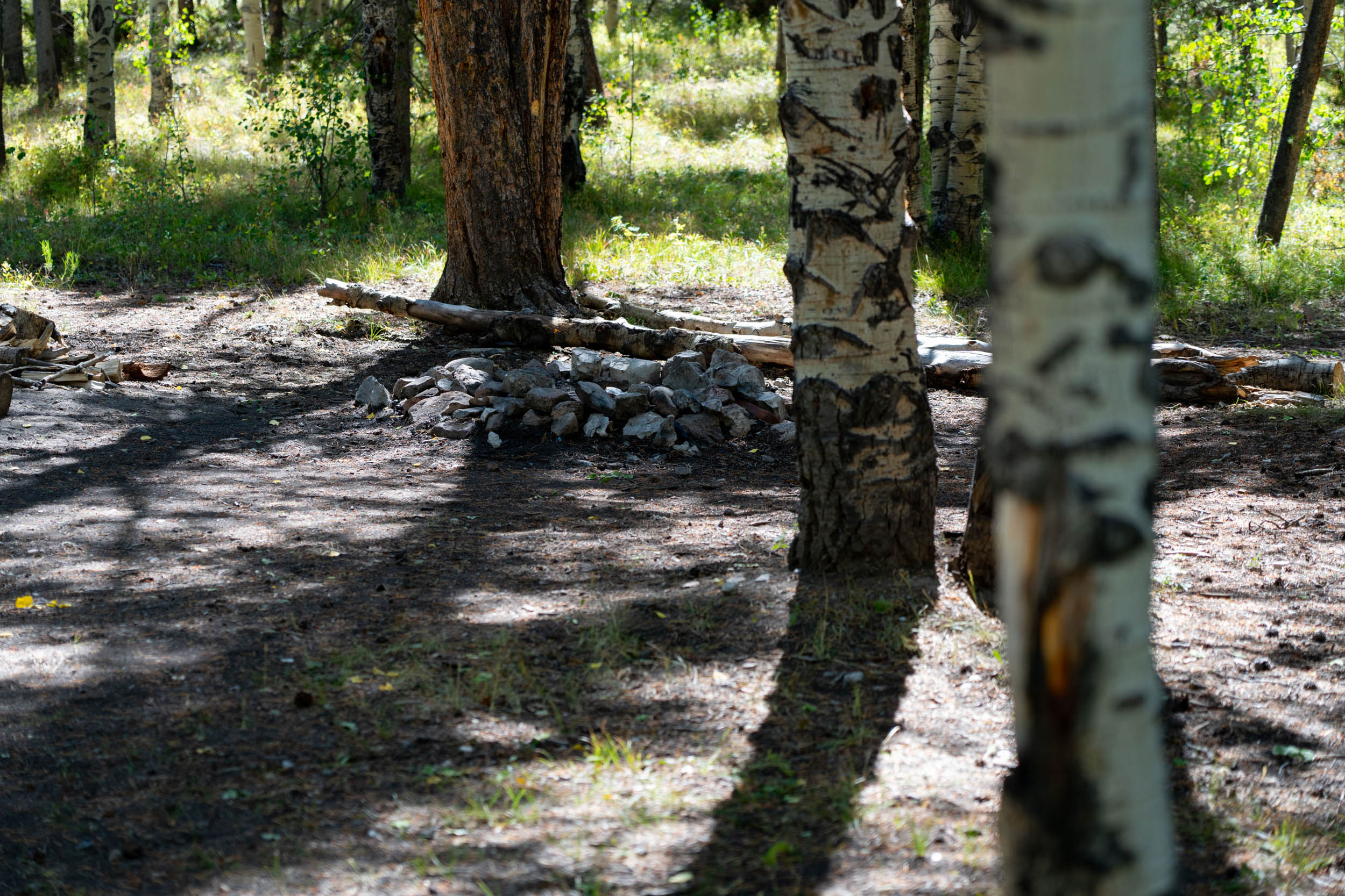
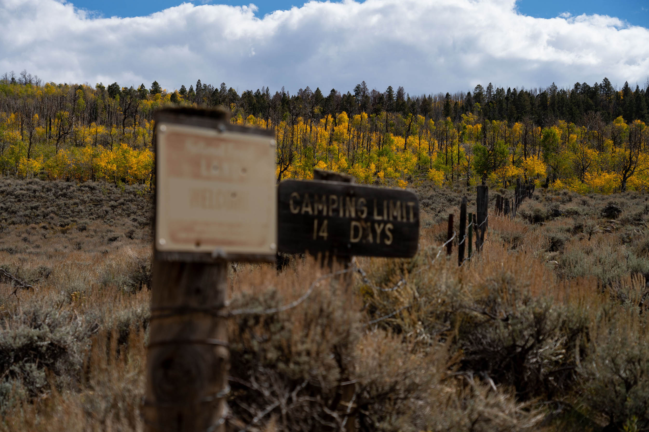
- A variety of primitive campsites are available, typically even on weekends.
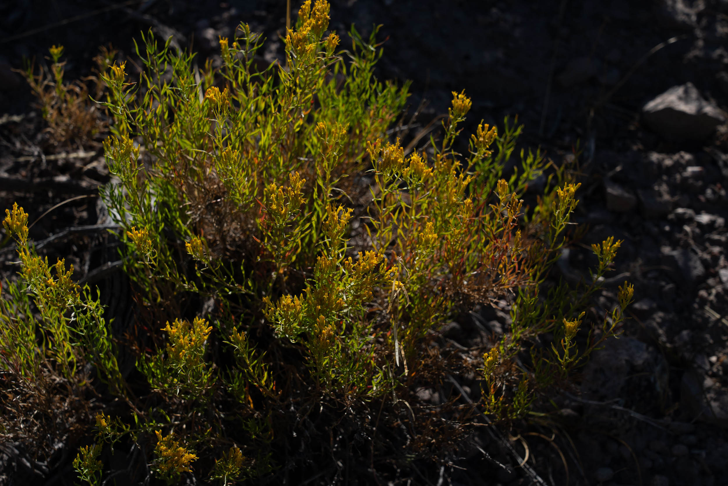
- You will see a variety of large mountain ranges in the distance and an up-close view of Fossil Ridge, where fossilized remains of numerous prehistoric sea creatures have been found.
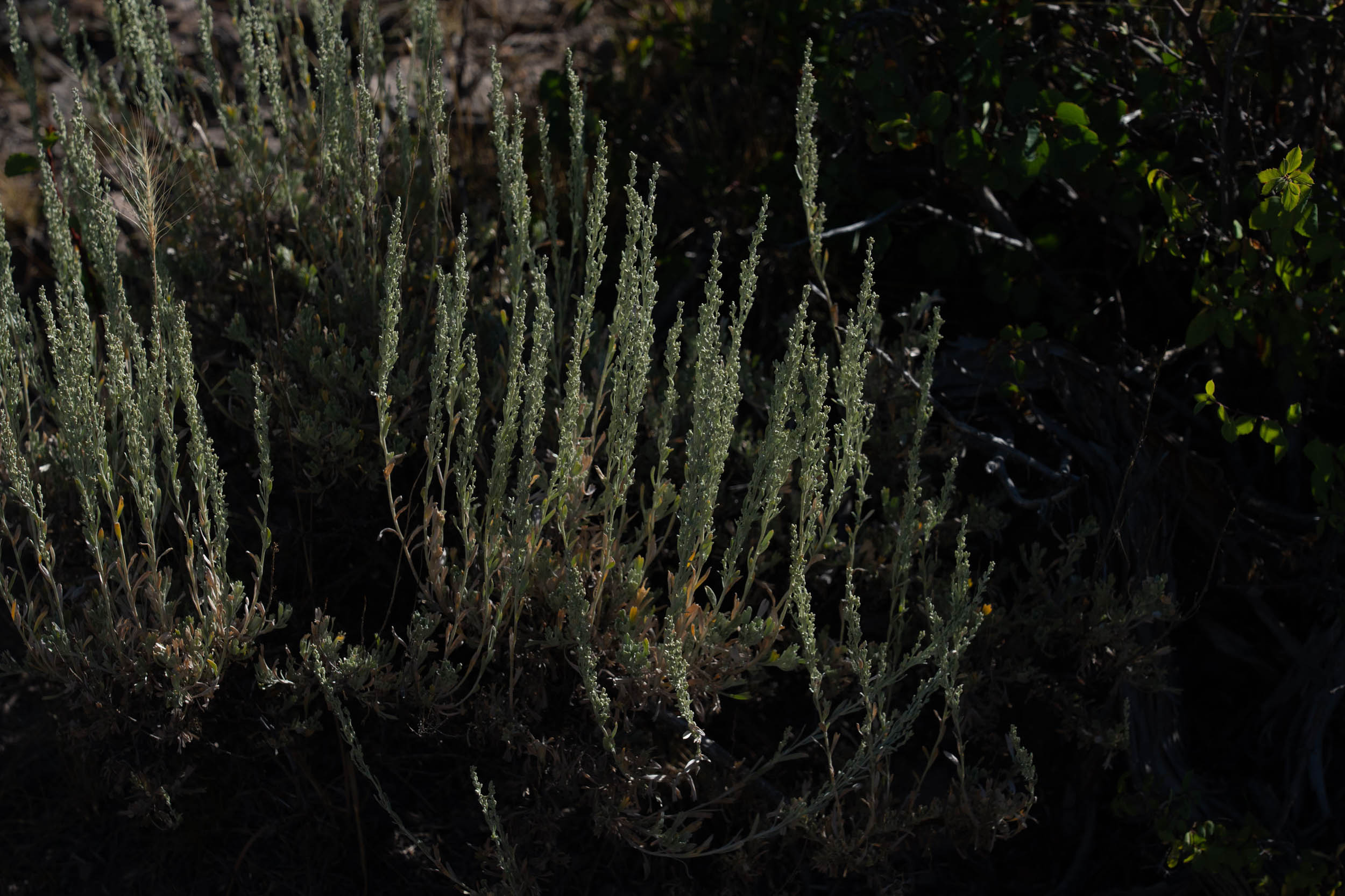
- Diverse flora from sagebrush and paintbrush to aspens and lupine.
- Abundant wildlife, including deer, elk, antelope, and a unique array of birds such as kestrals and sage grouse.
- This is a great fall route when the aspens change in mid-to-late September.
- Signal Peak singletrack offers various ways to descend back to Gunnison, none of which is very challenging.
- Lost Canyon Road typically melts out by June, and the riding season can extend into October. However, it can get chilly in September. Be sure to check the weather before your trip.
- Fall and spring storms, as well as monsoonal moisture, can make the Signal Mesa area unrideable due to the soil composition. Plan accordingly and stay updated on trail conditions.
- Remember that this is bear country, so take appropriate precautions.
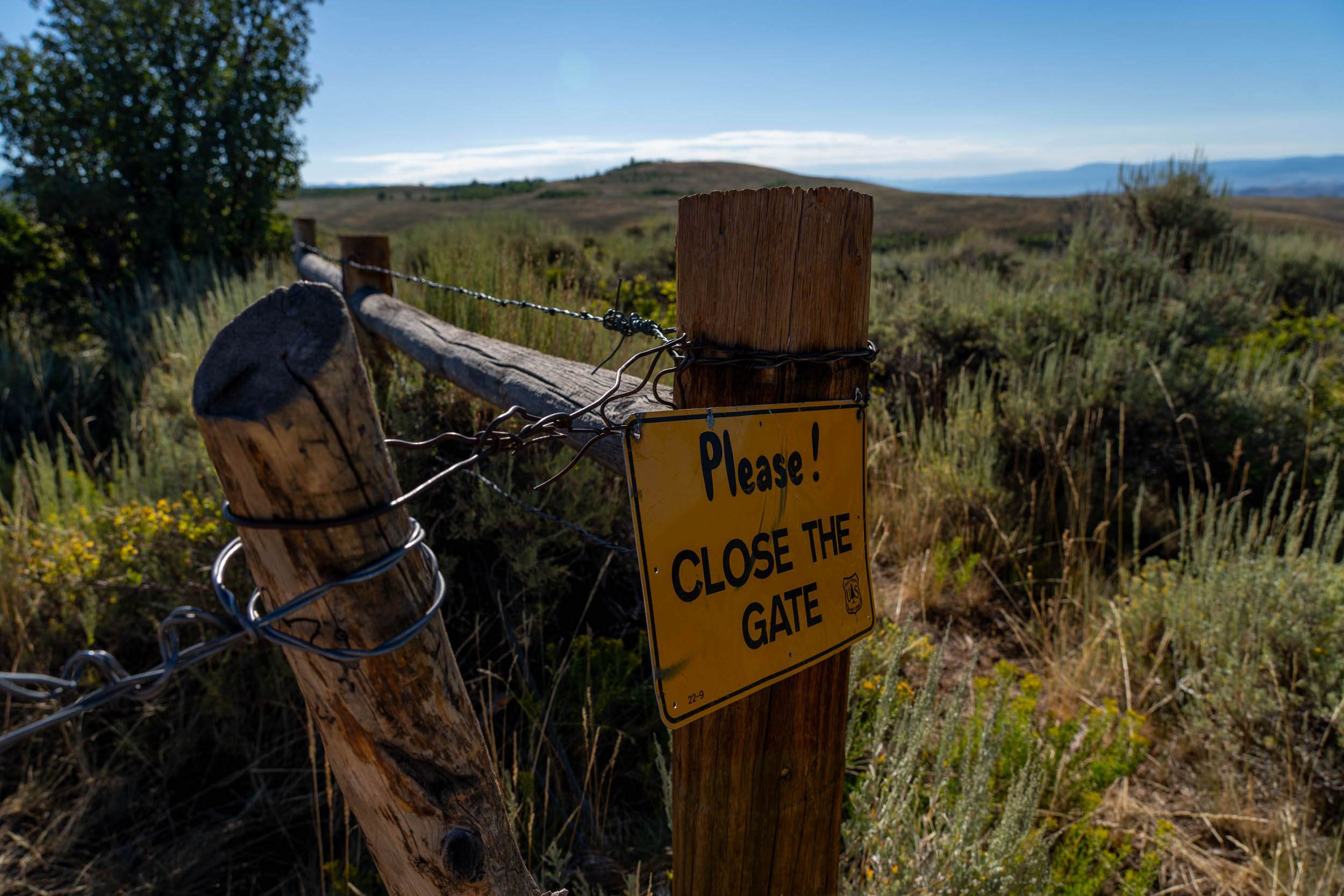
- Practice Leave No Trace (LNT) principles, including using a trowel to dig a cat hole at least six inches deep to bury your human waste. Make sure you are at least 200 feet away from any trails or water sources.
- Western Colorado University generously allows bikepackers to park their cars in the University Center parking lot, just north of the signs that indicate “no overnight” parking.
- Parking on all city streets in Gunnison is allowed for up to 48 hours, but ensure you don’t block any mailboxes.
- If you’re coming from Denver, there is a bus service that connects several small mountain communities like Buena Vista, Salida, and Gunnison, and they provide bike racks. Find more about getting to Gunnison here.
- Gunnison is an excellent hub for various cycling activities, including mountain biking, gravel riding, and bikepacking. Find details here.
- For a shorter but equally fulfilling singletrack overnight experience, consider climbing Ridgeline to Signal Mesa via the Northwoods Trail, camping on Signal Mesa, and then retracing your route down Music Rocks and Sunny D the following day.
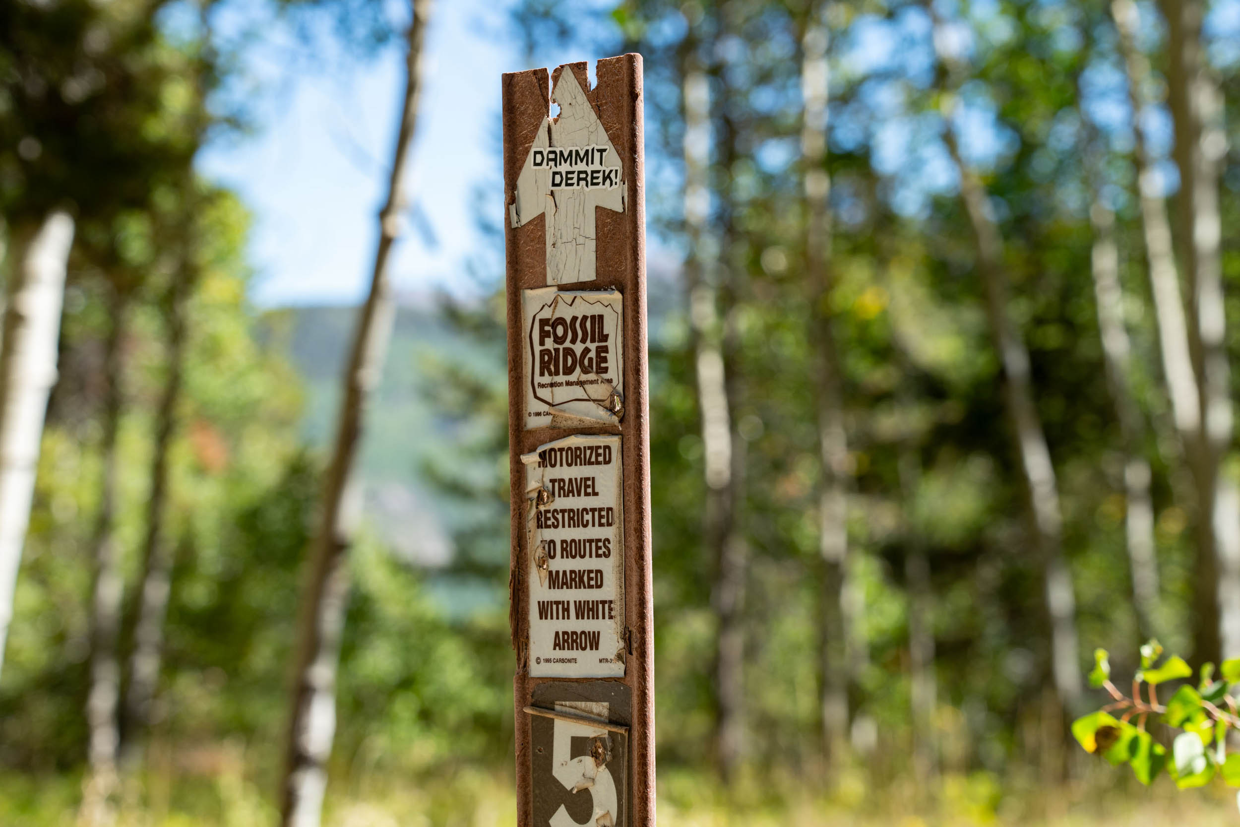
- Signal Peak Trail Network can be found here.
- The map showcases a handful of primitive camp locations.
- If you don’t mind dry camping, you don’t need to descend One Mile to Beaver Creek.
- Hunting season starts in September and lasts the rest of the year. Don’t be surprised if you see a lot of people up Lost Canyon during that time of year. More info can be found here.
- Cows graze in this area; filtering and treating water is advisable.
- Beaver Creek is a reliable source of water. Lost Canyon Gulch is not. Plan accordingly.
- Gunnison has a population of around 6,500 people and is also home to Western State Colorado University. There is no shortage of places to eat, with restaurants spread all over town offering something for just about anyone. You can find a list of recommended restaurants here.


Terms of Use: As with each bikepacking route guide published on BIKEPACKING.com, should you choose to cycle this route, do so at your own risk. Prior to setting out check current local weather, conditions, and land/road closures. While riding, obey all public and private land use restrictions and rules, carry proper safety and navigational equipment, and of course, follow the #leavenotrace guidelines. The information found herein is simply a planning resource to be used as a point of inspiration in conjunction with your own due-diligence. In spite of the fact that this route, associated GPS track (GPX and maps), and all route guidelines were prepared under diligent research by the specified contributor and/or contributors, the accuracy of such and judgement of the author is not guaranteed. BIKEPACKING.com LLC, its partners, associates, and contributors are in no way liable for personal injury, damage to personal property, or any other such situation that might happen to individual riders cycling or following this route.
Please keep the conversation civil, constructive, and inclusive, or your comment will be removed.