


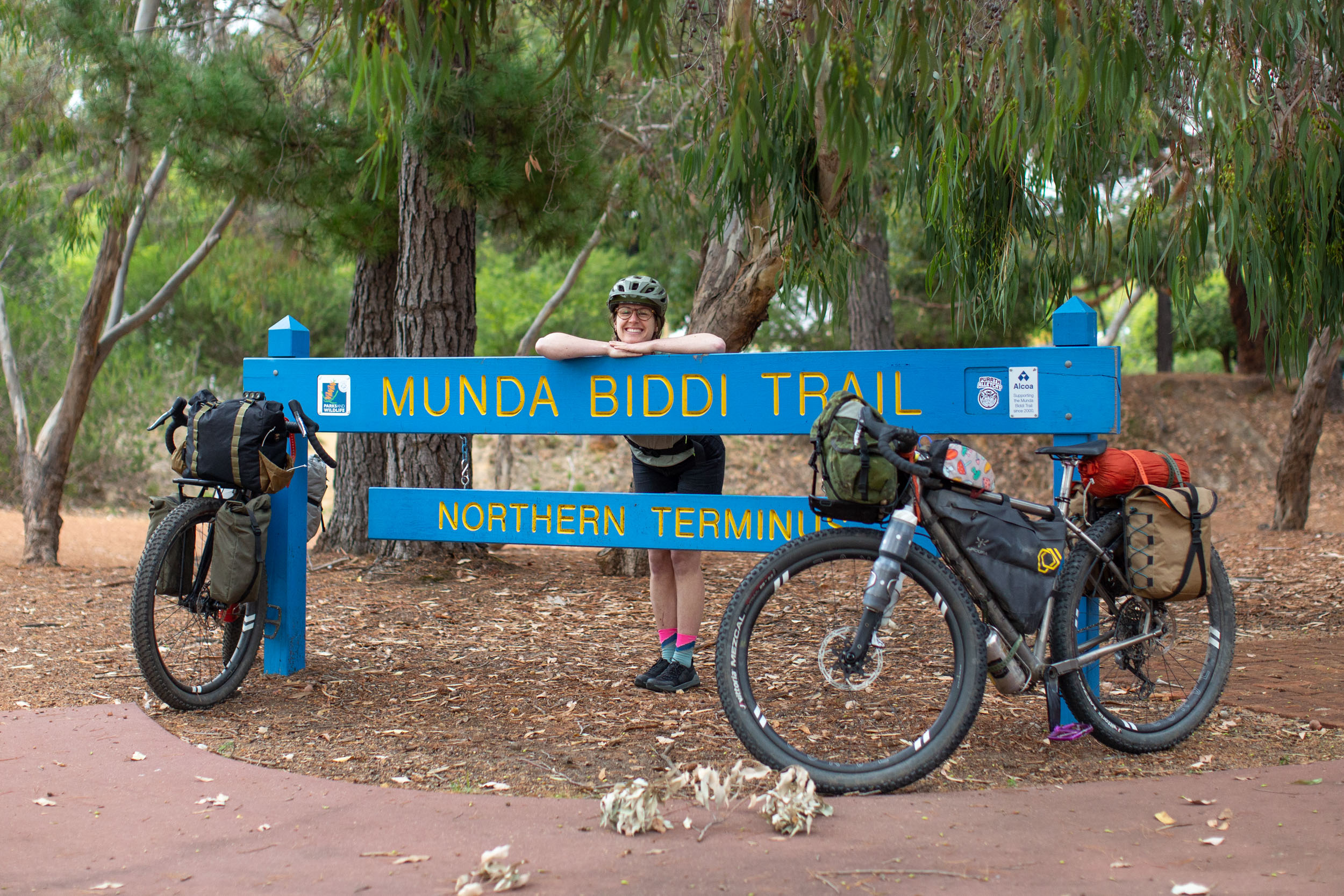
Munda Biddi Trail
Distance
658 Mi.
(1,059 KM)Days
15
% Unpaved
80%
% Singletrack
30%
% Rideable (time)
100%
Total Ascent
40,495'
(12,343 M)High Point
1,263'
(385 M)Difficulty (1-10)
5?
- 4Climbing Scale Fair62 FT/MI (12 M/KM)
- 2Technical Difficulty Easy
- 6Physical Demand Moderate
- 4Resupply & Logistics Fair
Contributed By

Miles Arbour
Associate Editor & Events Manager
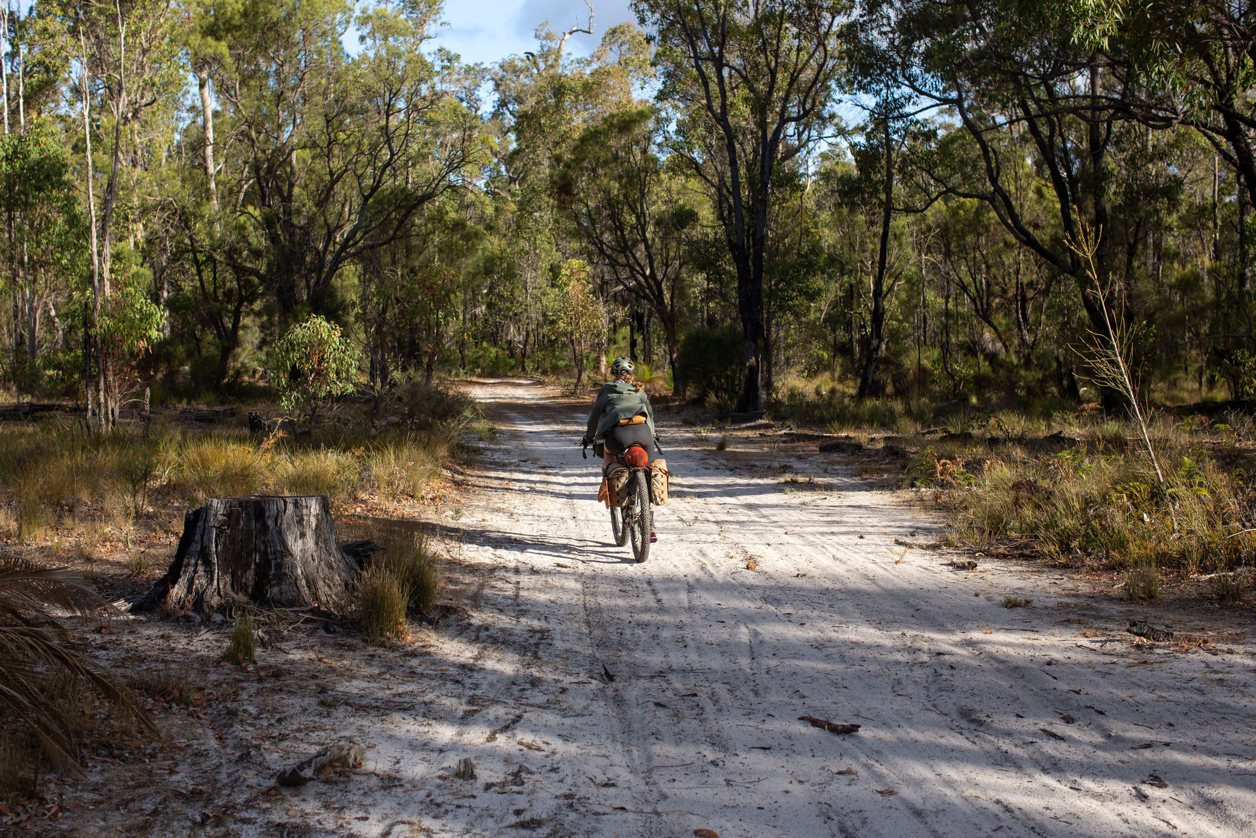
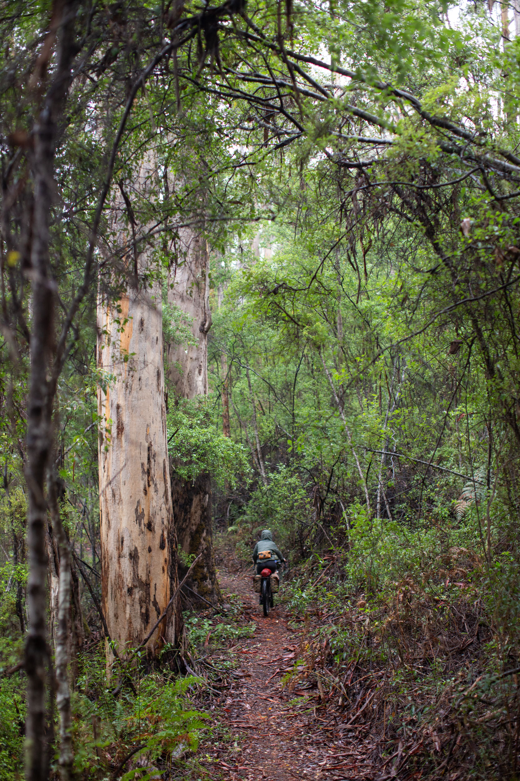
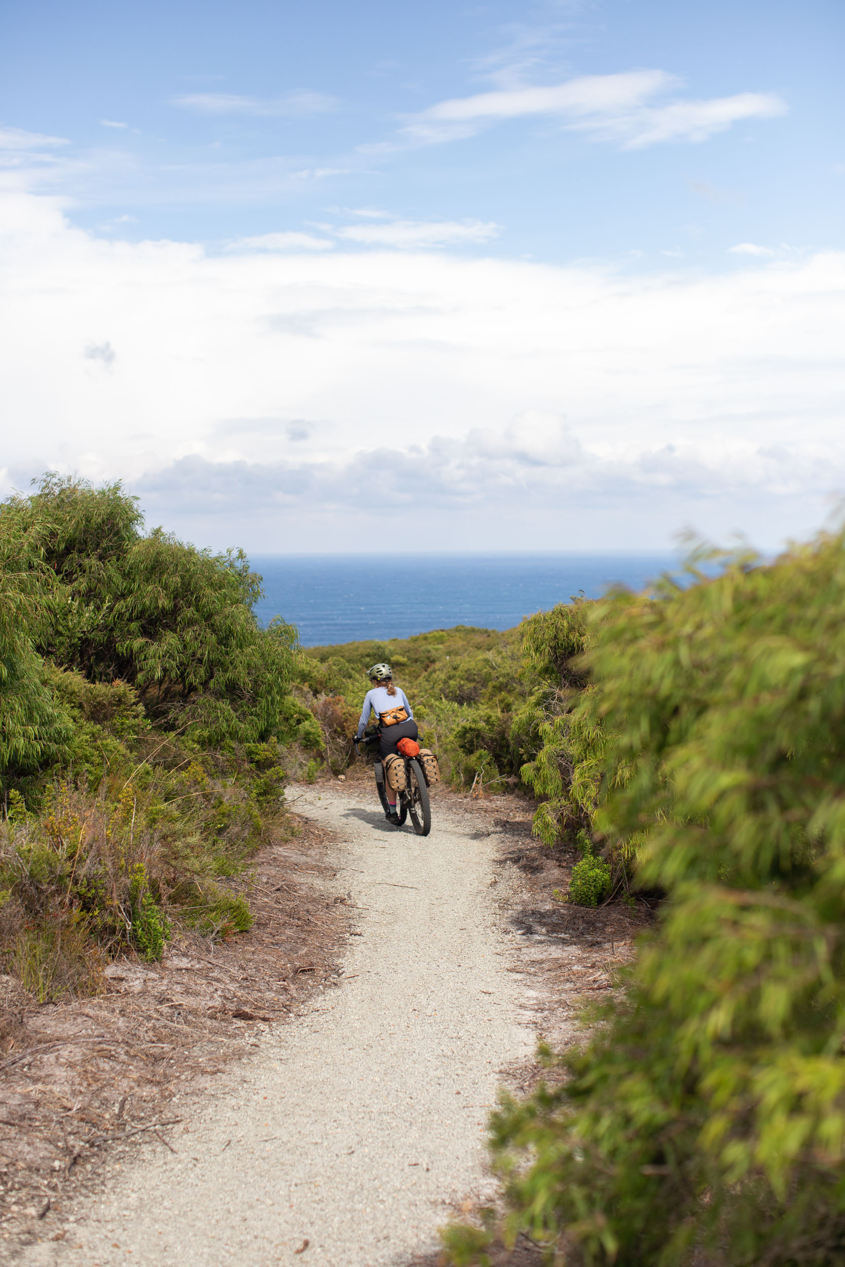
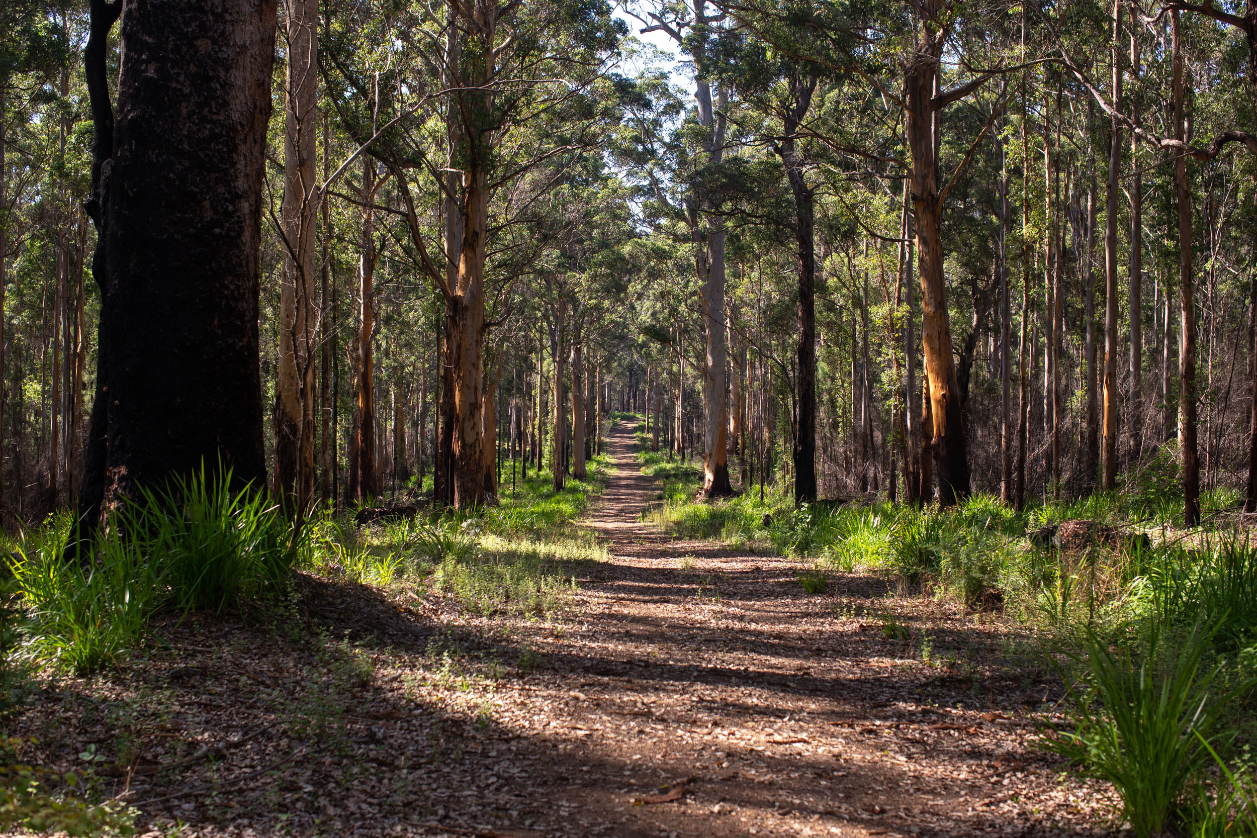
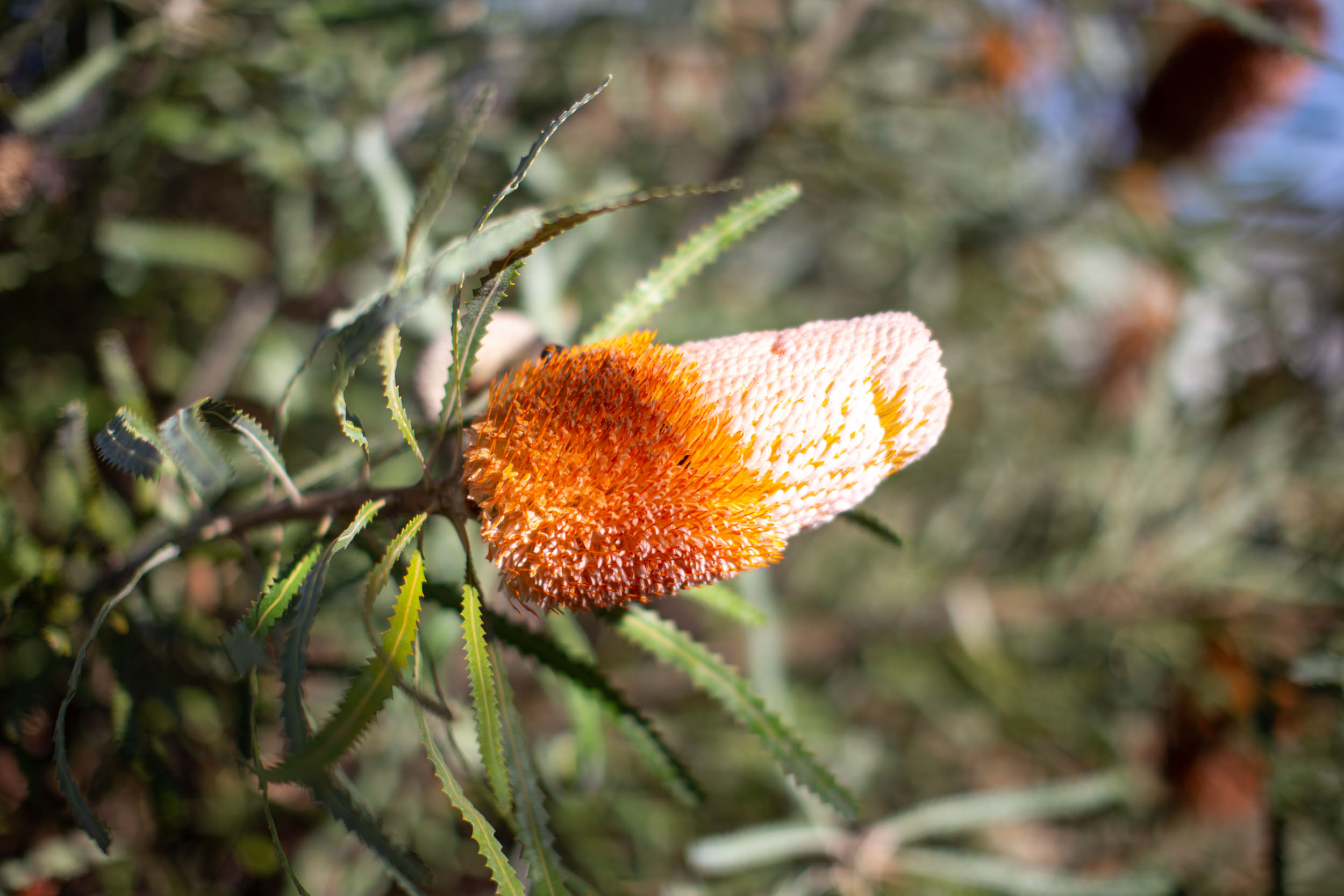
Munda Biddi translates to “path through the forest” in the Aboriginal Noongar language spoken in Western Australia. The Munda Biddi Trail was born through joint efforts between the Munda Biddi Trail Foundation, Western Australia’s Parks and Wildlife Service, local towns, and a dedicated group of volunteers. The 1,000-kilometer point-to-point route traverses Western Australia’s Darling Range, sitting at the edge of the Great Plateau, through lush forests, eucalyptus bushlands, granite outcrops, and along the coast. Much of the route travels through a global biodiversity hotspot known for unique flora and fauna, offering boundless opportunties for bird watching, sightseeing, and more.
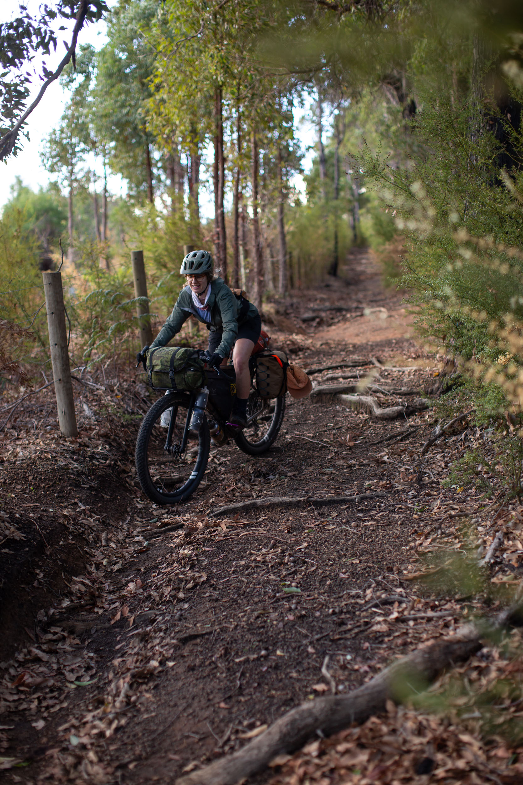
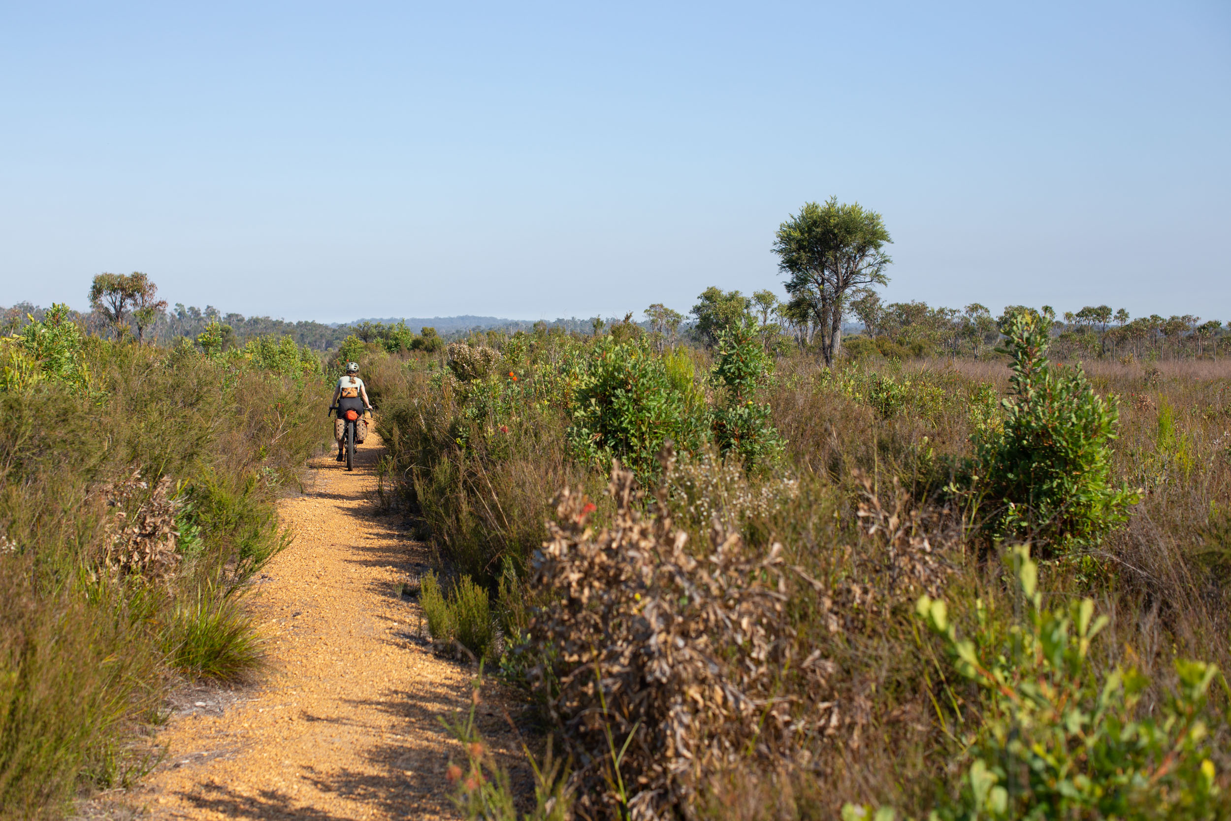
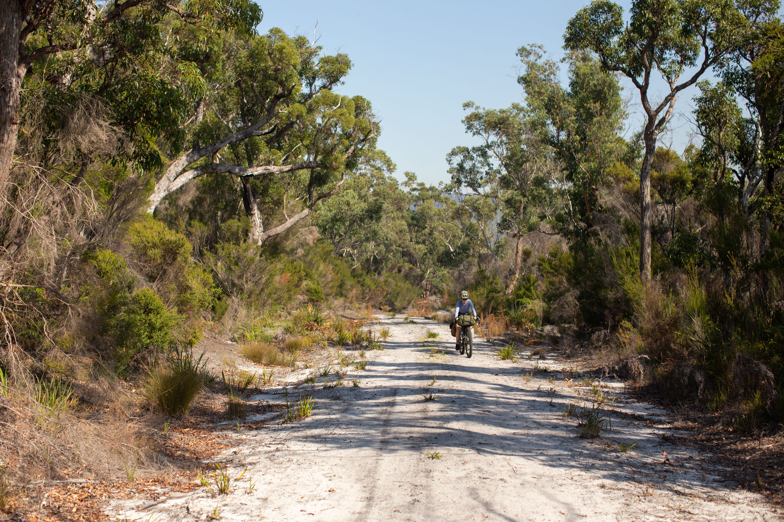
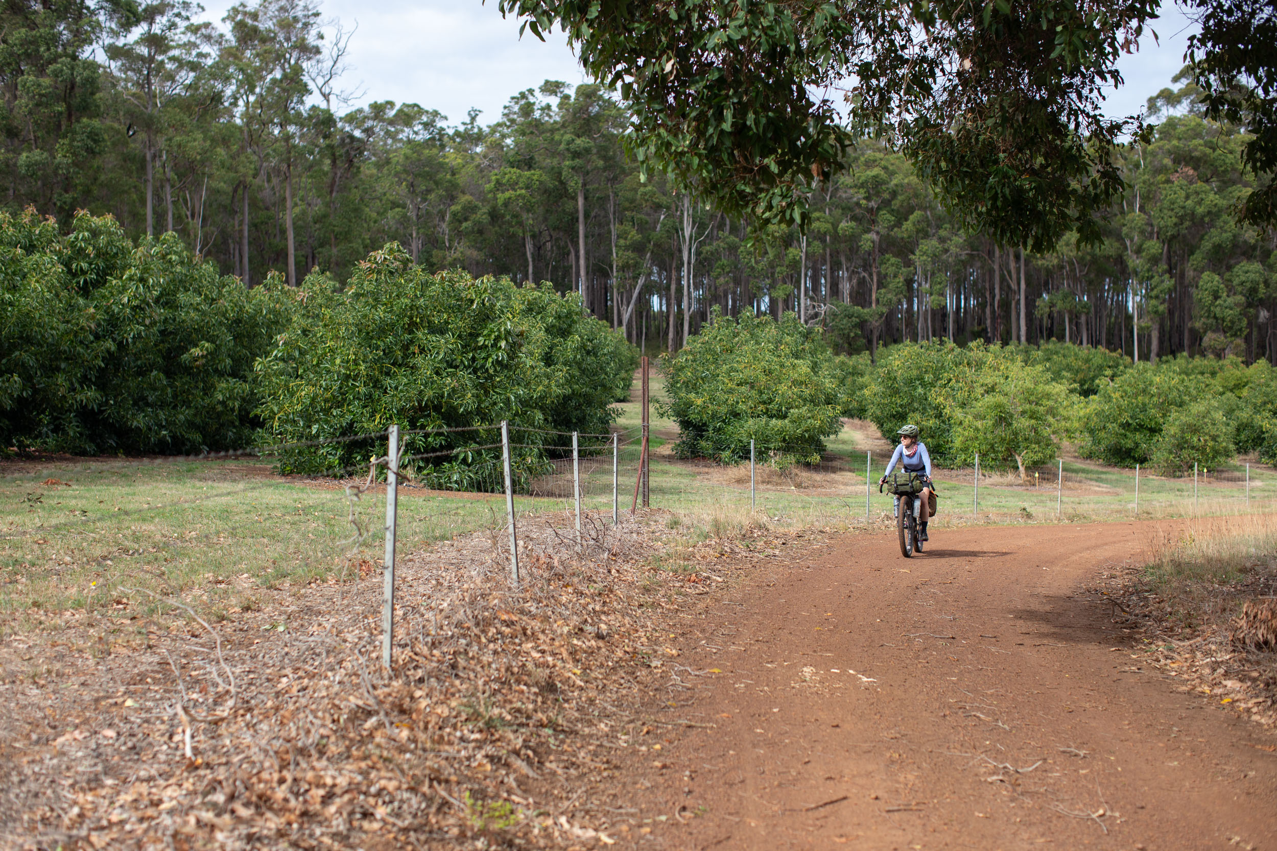
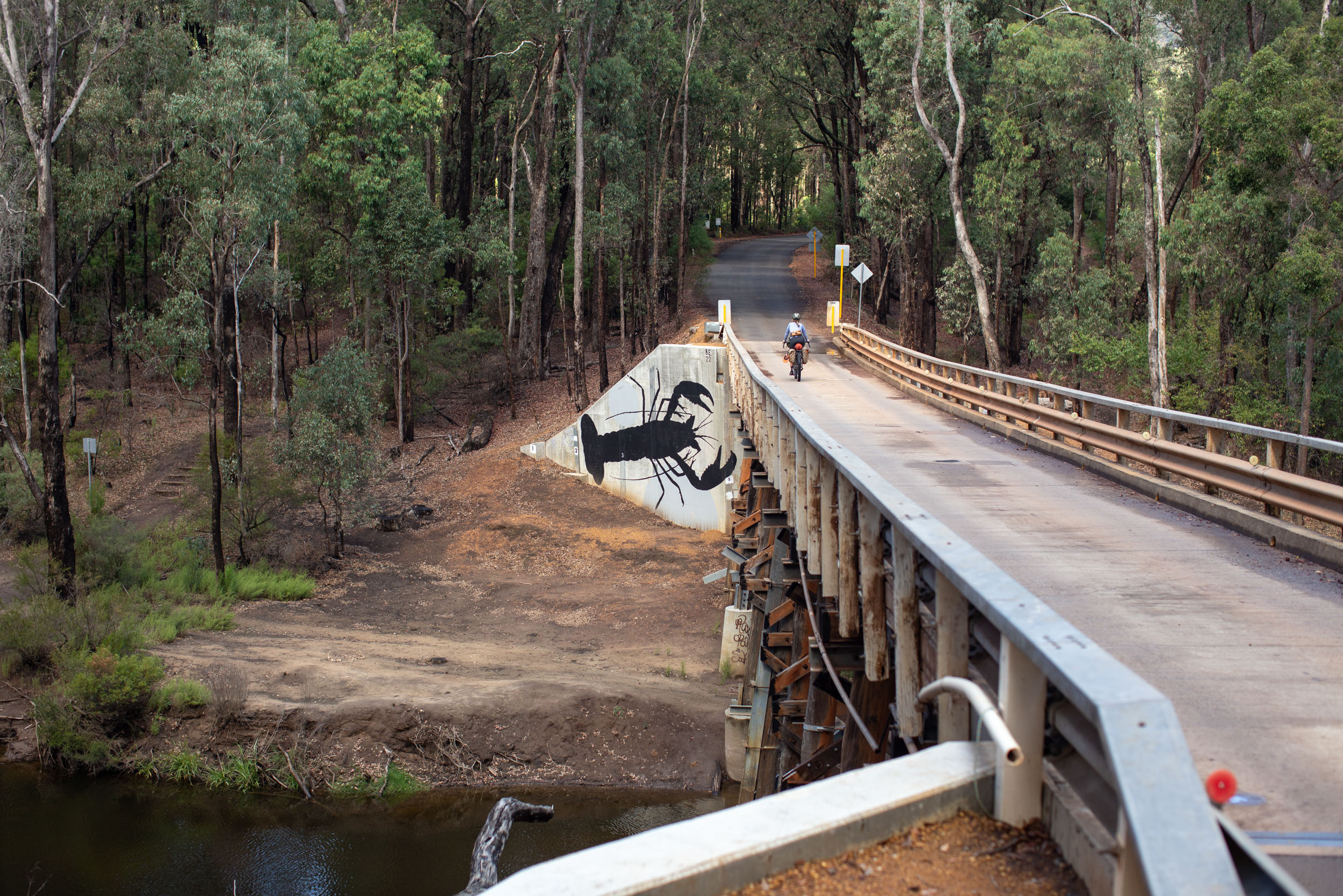
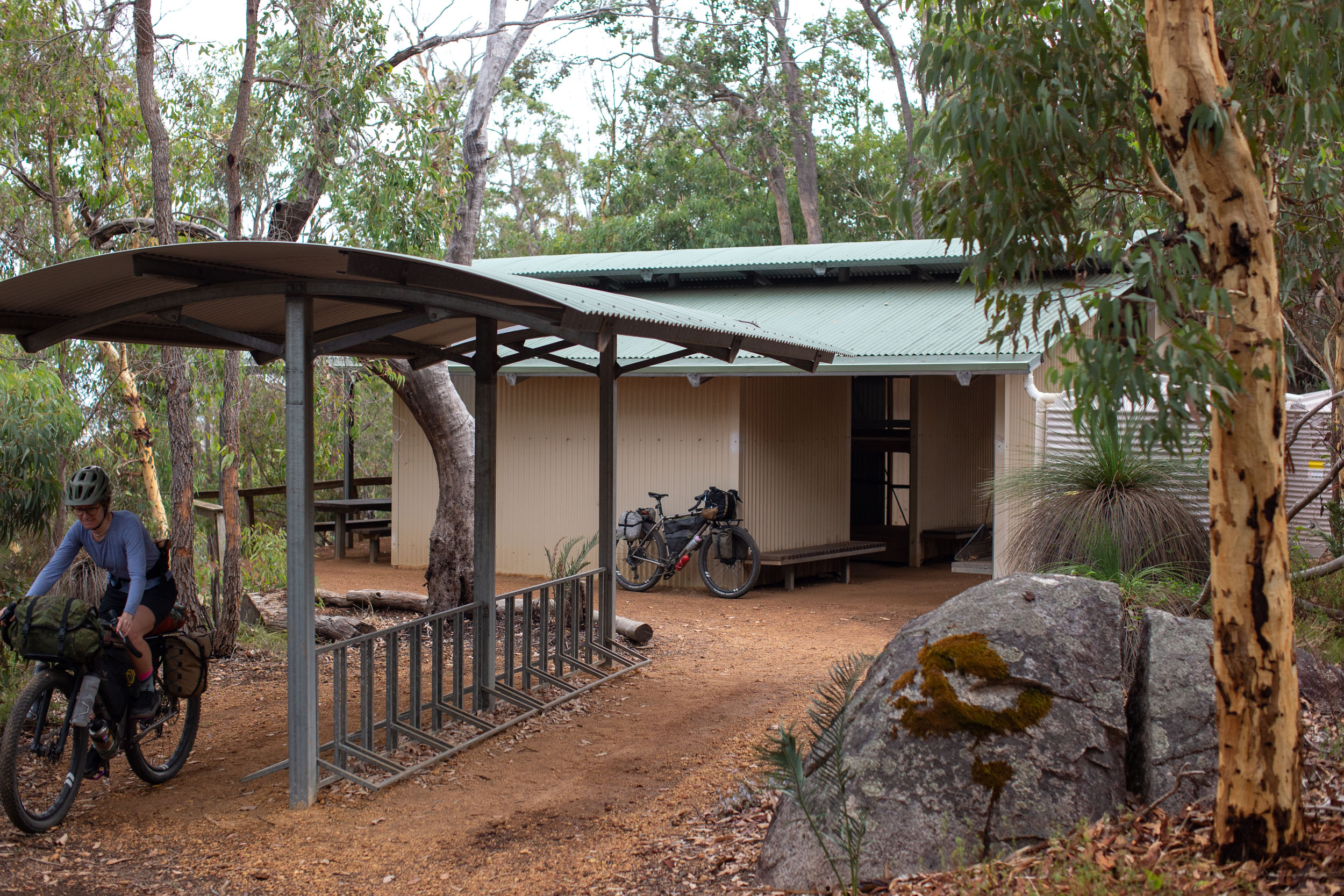
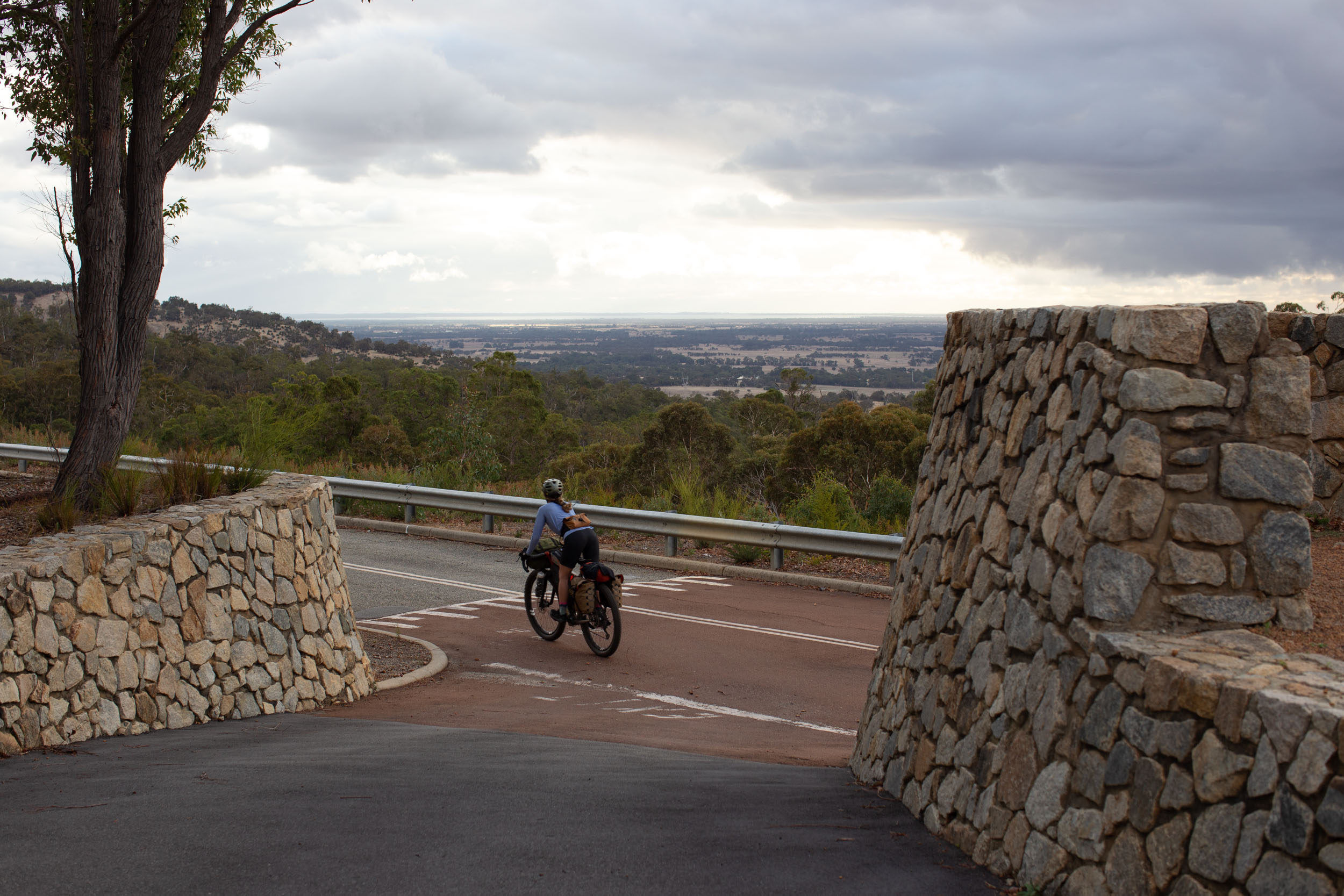
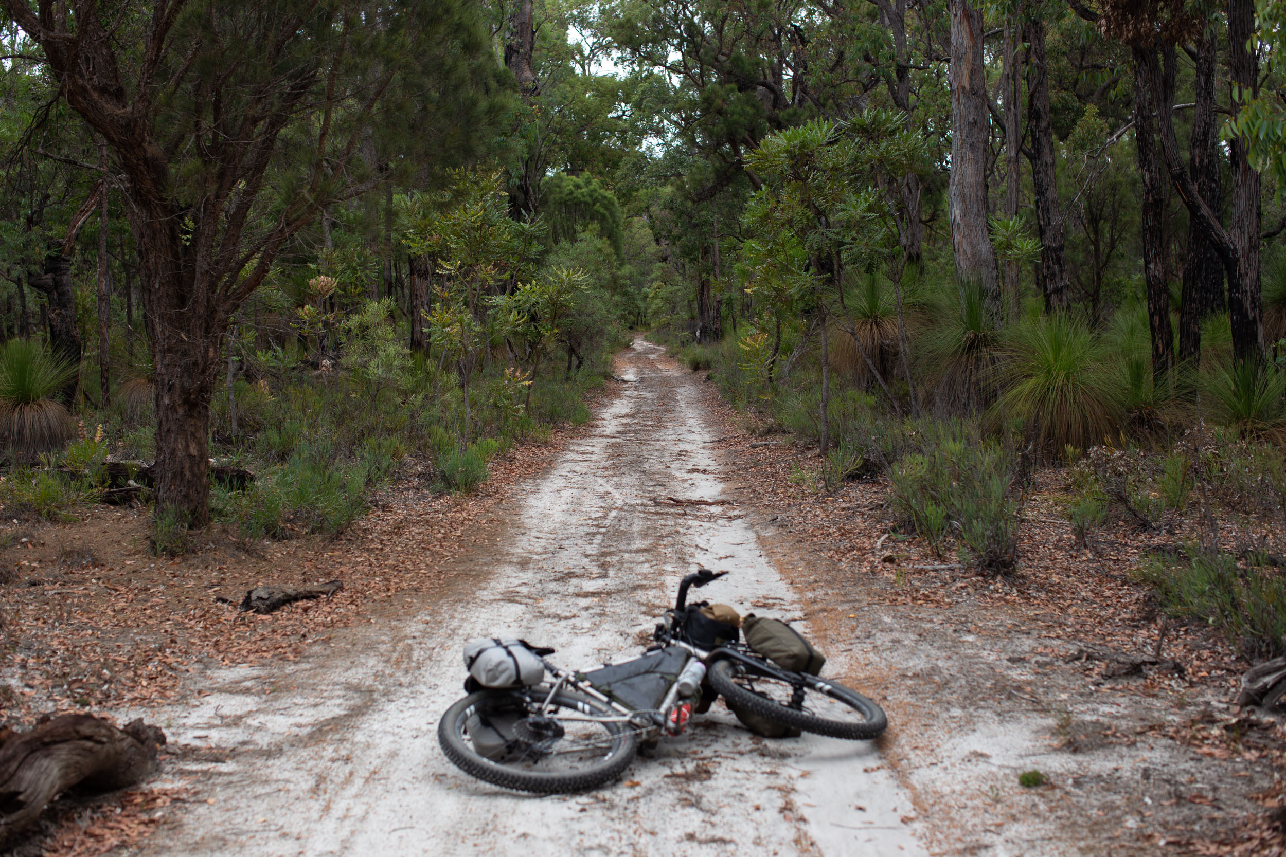
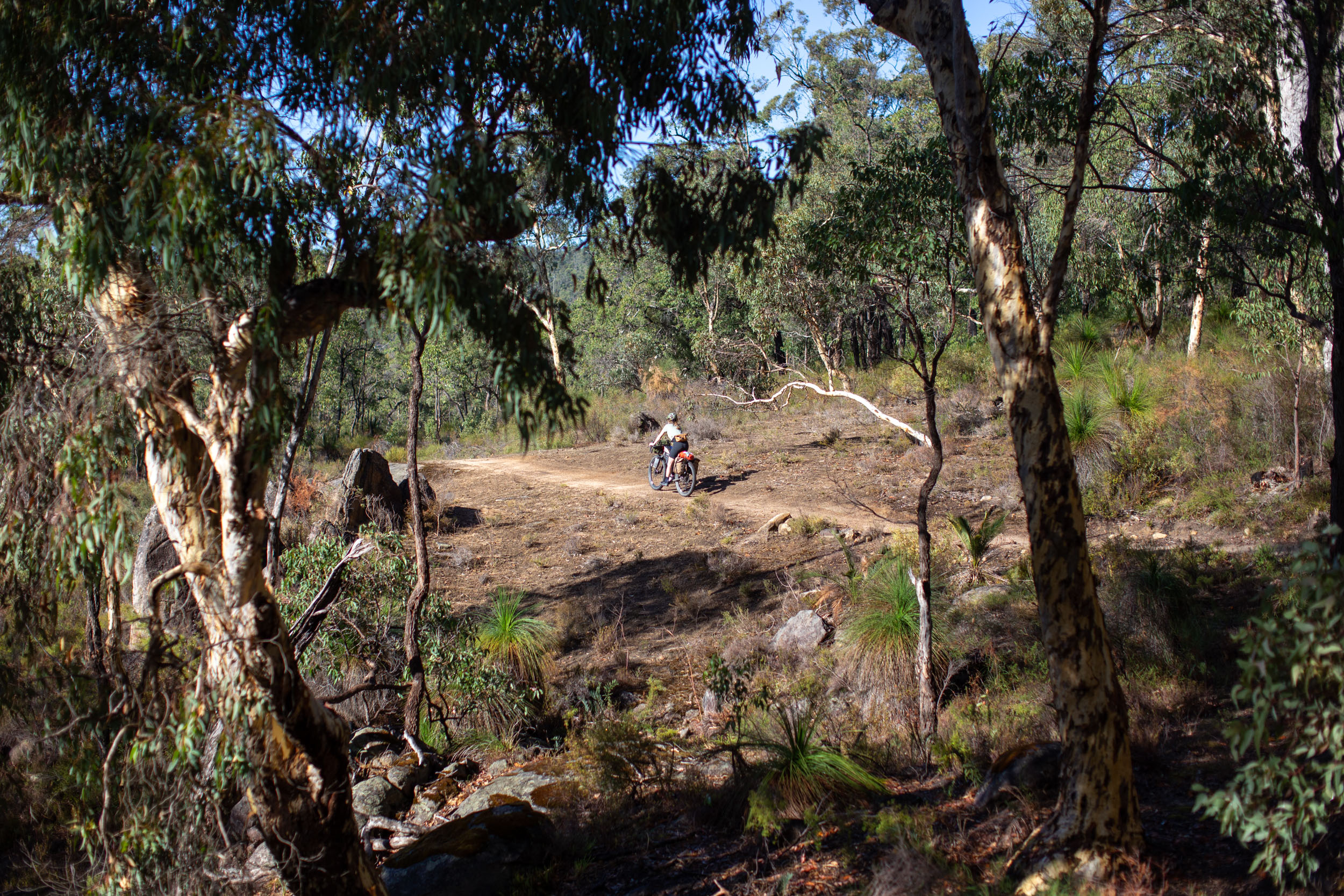
The trail itself follows an impressive mix of singletrack, doubletrack, fire roads, and gravel from Mundaring (just outside of Perth) to Albany on the south coast. Riders can expect a wide range of terrain, from the pea-gravel of the north to loamy soil and fine white sand further south. There are 12 purpose-built Munda Biddi campsites strategically placed along the route complete with sleeping shelters, rainwater tanks, and composting toilets. While most are nestled in the trees, a few offer stunning views and are well worth working into your trip plan. Don’t miss the Dandalup Hut, just south of the North Dandalup Dam, and its fantastic views of the of the coastal plains and beyond. The singletrack switchback climb up to Karta Burnu is another highlight that all the riders we met loved. This massive hut has an impressive wraparound deck with views of the valley below and provided our most tranquil night out on the trail.

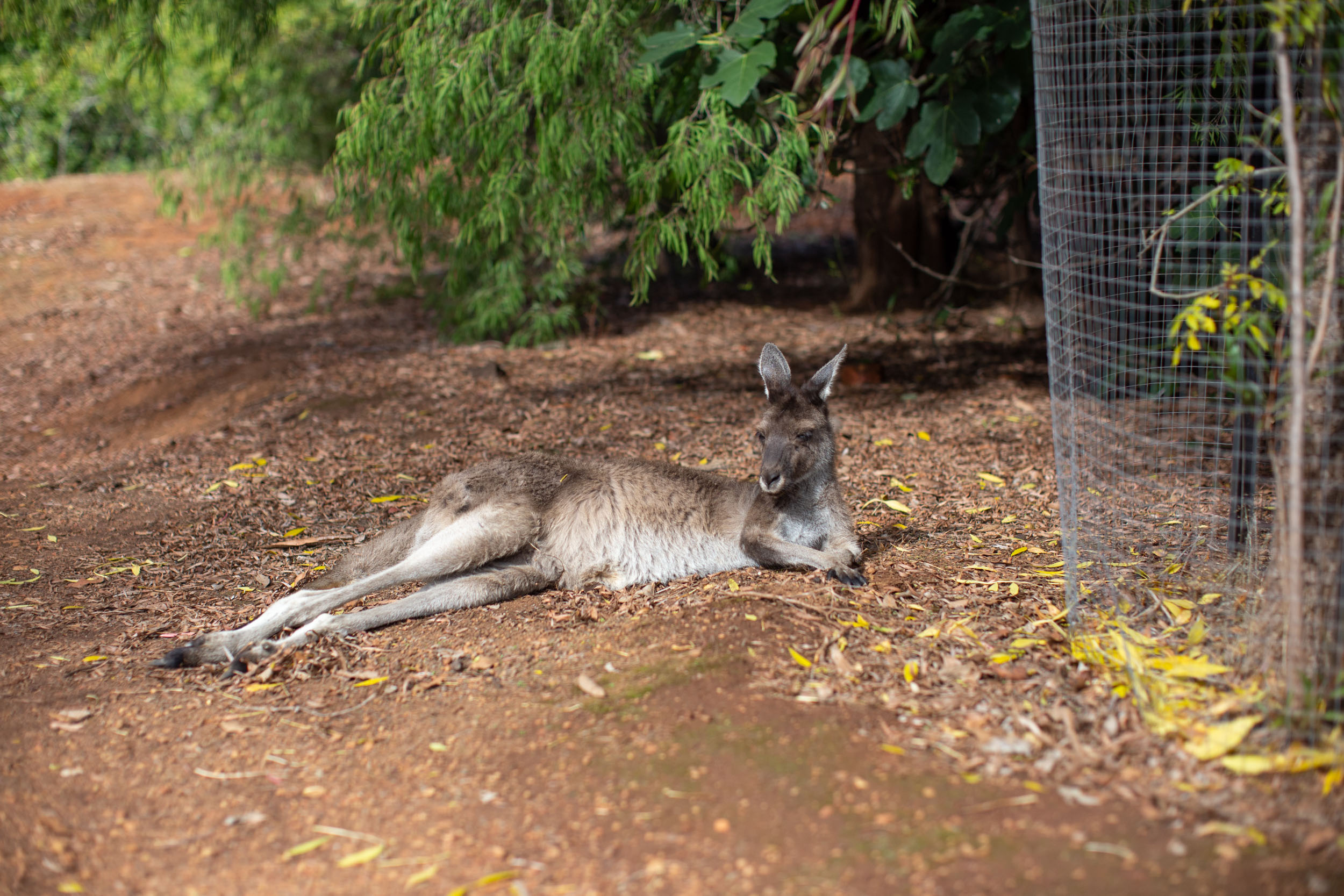
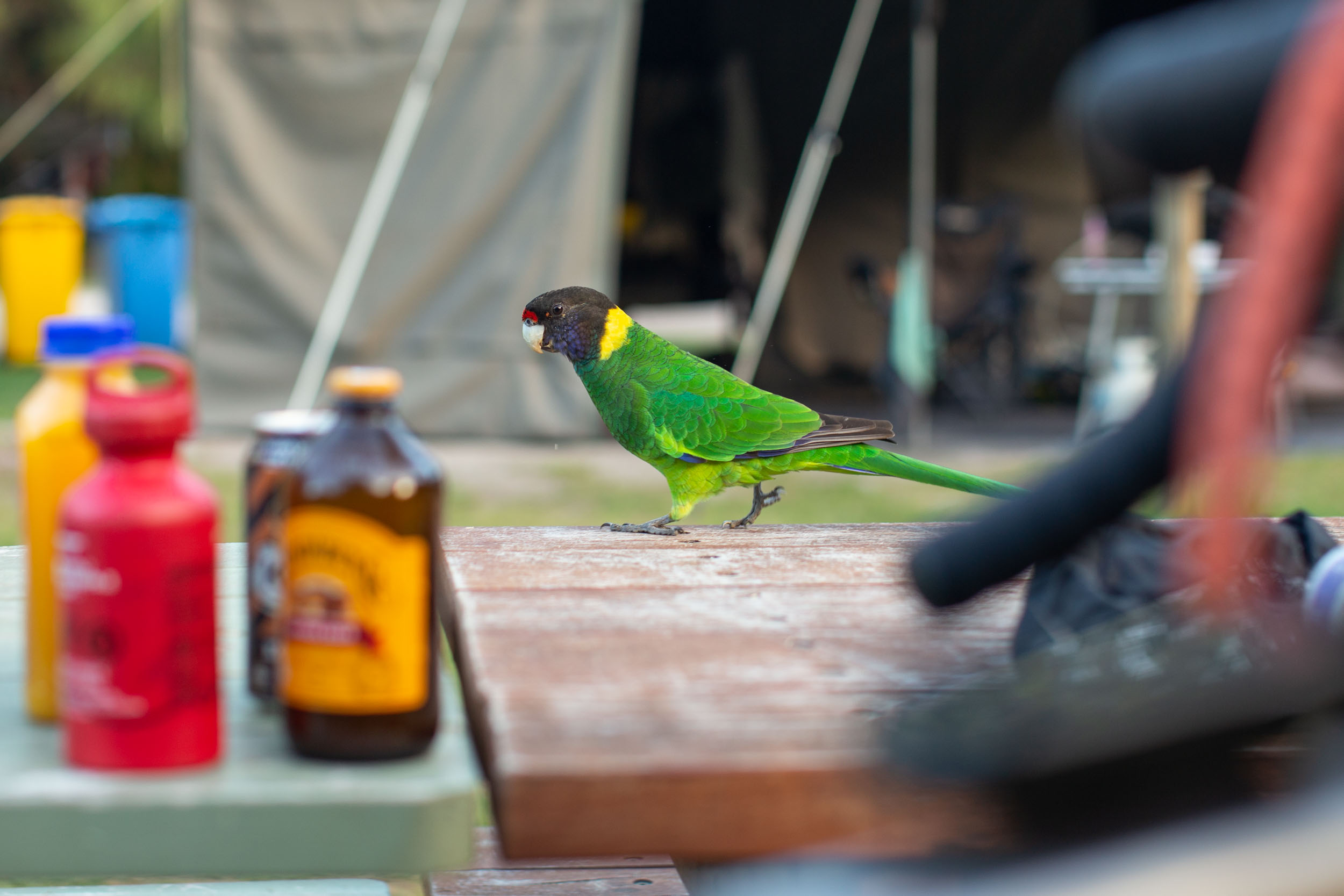
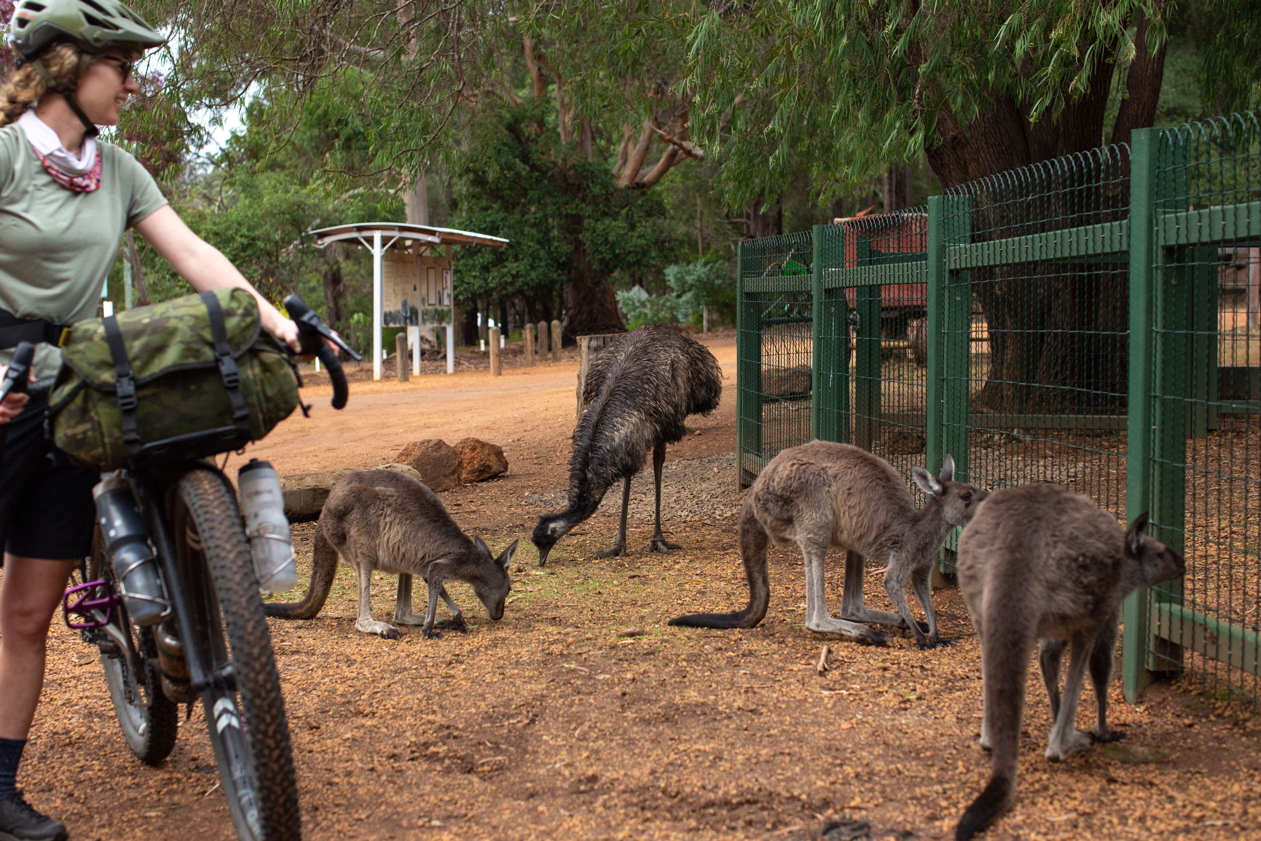
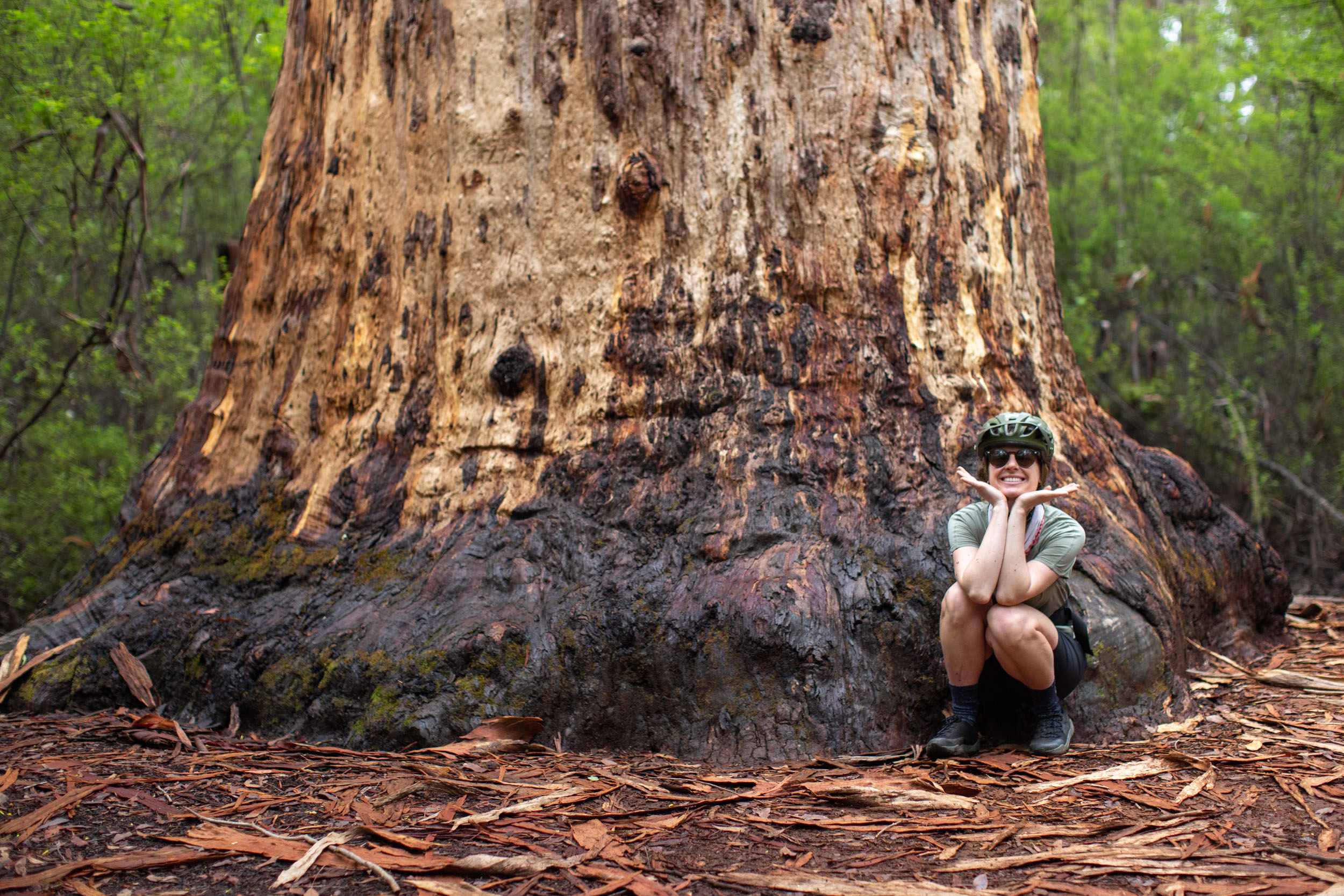
While tackling the entire route from end-to-end is full of challenges, the ever-changing scenery and landscapes are captivating and worth the effort. For those visiting Australia, spotting large groups of kangaroos, wild emus, spiders, snakes, and magnificently colored birds will be a highlight, as will the vibrant hues of Western Australia that will leave you satisfied but craving more. There are opportunities to visit 500-year-old trees, cool off with a swim, enjoy tasty food and great coffee in the country towns along the route, and there’s a good chance you’ll cross paths with other folks out enjoying the trail. Highlights include the historic mill town of Donnelly River Village, complete with a quaint general store and highly social kangaroos and emus. You’ll pass through countless other once-booming industry towns that now exist as small country towns with historic hotels and pubs, which might be the perfect combination for a weary bikepacker.
The Munda Biddi Trail App
Worried about navigating the trail? App developer Find the Fun has developed a powerful app specifically for the Munda Biddi Trail, providing navigation and trail information in areas with poor or no cellular coverage. The app offers an interactive elevation graph, the user’s location, and distances from specific places, like huts, towns, and other points of interest. The Munda Biddi Trail App costs $20, and a portion of the sales go back to the trail foundation to further support and maintain the trail.
Difficulty
The Munda Biddi Trail isn’t overly technical, but can be challenging depending on the time of year, your fitness, and your riding abilities. There are long stretches of loose pea-gravel that can be difficult and slow-going when things are hot and dry, such as in the summer months. There is singletrack sprinkled throughout the entire route, complete with tight switchback corners, roots, rocks, and various trail debris that can easily get caught in your spokes or drivetrain. The route passes through many towns along the way, but there are sections up to 100 kilometers long with no resupply points. Riding the entire route will require planning before and during the ride to ensure riders bring enough food, water, and supplies. There are a few steep sections that some people may need to hike-a-bike, but otherwise, the route is 100% rideable.
Technical Difficulty (2/10): Although you don’t need to be an expert mountain biker to comfortably ride the route, there are some descents, rutted-out trails, and chunky sections where off-road handling skills will help. The majority of the route follows gravel roads and doubletrack, but be prepared for sections of tight singletrack. Physical Demand (6/10): Those comfortable climbing for an hour or two at a time shouldn’t have any problems dealing with the elevation along the route. For the most part, the climbs are gradual and manageable on a loaded bike, although there are exceptions. The time of year, weather, and trail conditions will ultimately determine how demanding the full route is. If the weather is hot, the riding becomes more difficult, and the terrain becomes less forgiving. See the Must Know section below to learn more about the ideal time to ride. Resupply and Logistics (4/10): Riding the full route in about 15 days will make getting to a resupply point or town every 1-2 days fairly straightforward. There are a few longer stretches without amenities, but the existing resupply options are mostly well-stocked and reliable. Since the Munda Biddi is a point-to-point route, you’ll need to find a way back to where you started once you’re done. Thankfully, public transit is available and can accommodate bicycles.
Route Development: As mentioned above, the Munda Biddi Trail was born through a joint effort between the Munda Biddi Trail Foundation, Western Australia’s Parks and Wildlife Service, towns along the route, and a dedicated group of volunteers. The trail is made up of 108 maintenance sections from 4-25 kilometers in length, with volunteers visiting these sections throughout the year. The foundation also has volunteers for admin and office support, event management, and their board of directors. Interested in volunteering? Learn more here.


Submit Route Alert
As the leading creator and publisher of bikepacking routes, BIKEPACKING.com endeavors to maintain, improve, and advocate for our growing network of bikepacking routes all over the world. As such, our editorial team, route creators, and Route Stewards serve as mediators for route improvements and opportunities for connectivity, conservation, and community growth around these routes. To facilitate these efforts, we rely on our Bikepacking Collective and the greater bikepacking community to call attention to critical issues and opportunities that are discovered while riding these routes. If you have a vital issue or opportunity regarding this route that pertains to one of the subjects below, please let us know:
Highlights
Must Know
Camping
Food/H2O
Trail Notes
Resources
- 1,000 kilometers of off-road cycling between Mundaring and Albany with minimal pavement or sections shared with vehicles. The amount of gravel and singletrack the route follows, linking together a maze of fire roads, is downright impressive.
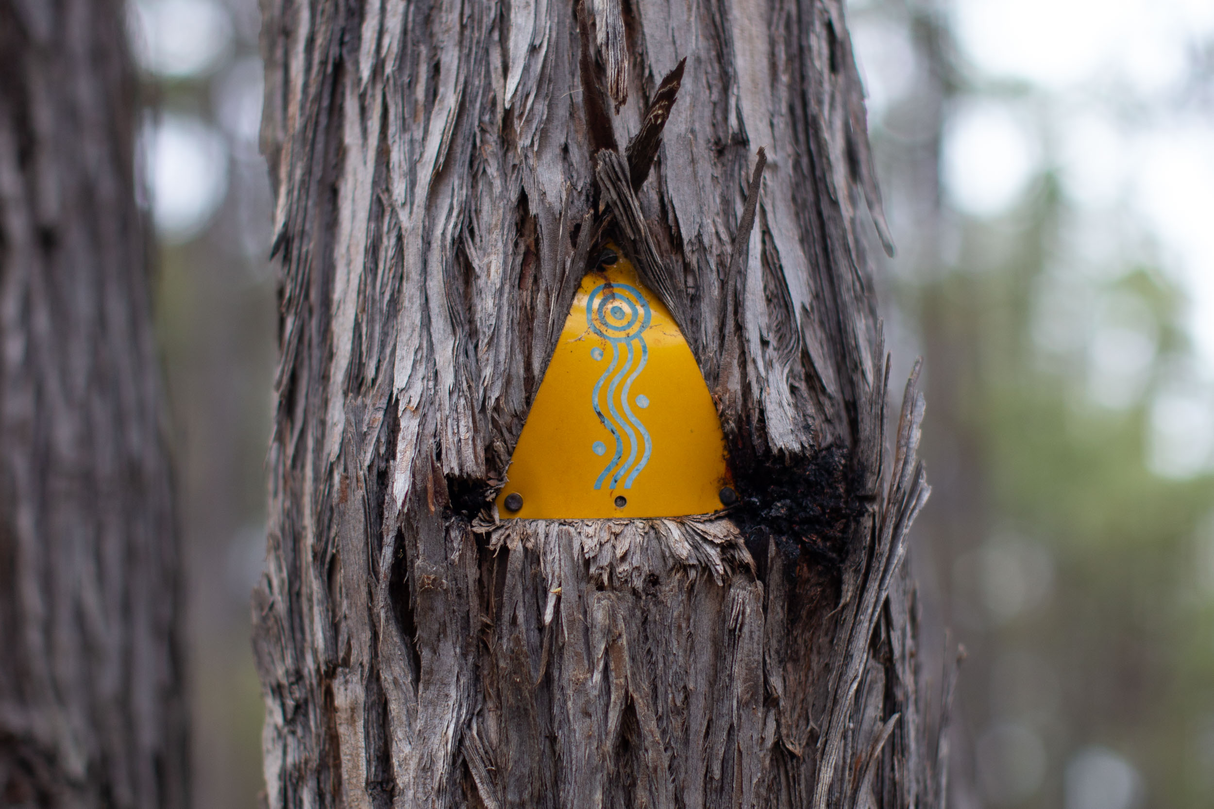
- Follow trail markers the entire way! The Foundation keeps up-to-date trail markers in place along the entirety of the route. While having some form of navigation device is a good idea, physical trail markers provide some reassurance when the trail gets more remote.
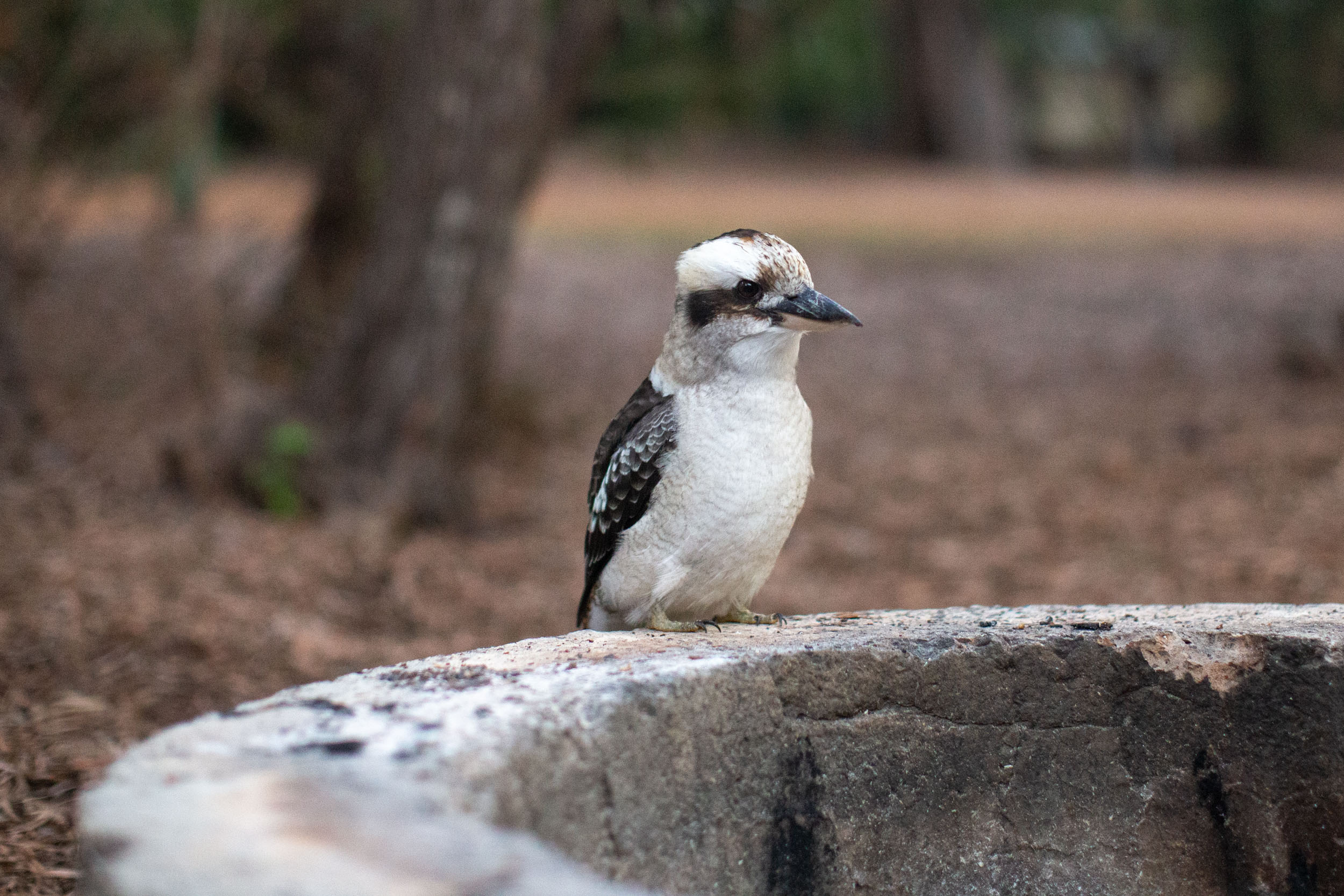
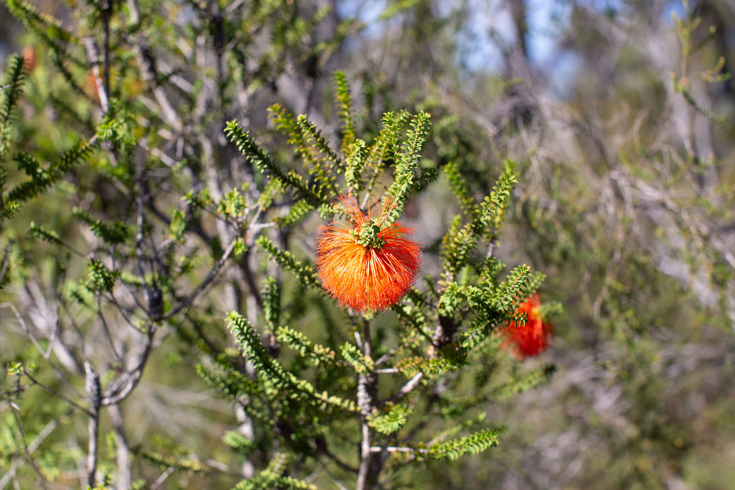
- Chances to view unique flora and fauna. Animals of the area include the western grey kangaroo, brushtail possum, Gilbert’s potoroo, tammar wallaby, numbat, woylie, chuditch, dibbler, brush-tailed phascogale, western pygmy possum, western brush wallaby and the western ringtail possum, to name a few. Expect to spot many types of parrots, kookaburras, and more. There are opportunities to view beautiful wildflowers, depending on the time of the year, and you’re guaranteed to ride in and among some of the tallest trees in Australia.
- The Munda Biddi Trail App and physical maps are powerful navigational tools that are well worth the money. The app is constantly being updated, showing reroutes and points of interest, and it doubles as a navigation app when cellular service is unavailable.
- Purpose-built Munda Biddi huts are just as impressive as the route itself, providing a sleeping shelter, bike storage, rainwater tanks, and tenting areas for riders. It’s possible to ride from hut-to-hut or link huts together with towns, campgrounds, and other accommodations along the way. Some huts are even equipped with bike repair stands for trailside maintenance. Don’t forget to sign the guest books!
- The Swarbrick Art Loop and the Valley of the Giants are both fantastic points of interest near Walpole on the south coast. The art loop includes a 500-meter path through a forest of Karri trees, a 39-meter stainless steel wall called the “Wilderness Wall of Perceptions,” and more. In early 2023, there was a permeant trail realignment near the Valley of the Giants, which now follows a flowy singletrack trail that weaves through the shadows of some absolutely massive tingle and karri trees.
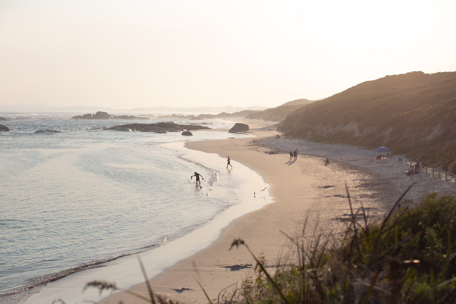
- The Wilderness Ocean Walk Trail (WOW) is a seven-kilometer section of trail along the coast between Greens Pool and Ocean Beach. It’s a sealed track with stunning views of the coastline. Make sure to spend some time enjoying this area.
- The northern terminus is just 30 kilometers from Perth, the capital of Western Australia. Perth has both domestic and international flights, trains and buses, and everything you could possibly need for the ride.
- The southern terminus is in Albany, on the south coast. Albany is home to the National Anzac Centre, beautiful beaches, rich history, and it can be connected back to Perth by way of bus and/or train.
- Ideal Bike: A mountain bike with at least 2.1” tires is ideal, but fully rigid setups with larger (up to 3.0”) tires are suitable too. Front suspension won’t be essential for everyone but is a good idea to provide some comfort when riding the entire trail. There are some bike shops along the route, but having a tuned and reliable bike is essential to complete the full route.
- When to ride: The Munda Biddi Trail is best ridden in the spring, autumn, or winter, but it’s technically rideable all year long. The summer months aren’t generally recommended as the daytime highs can soar into the high 30s, making covering great distances challenging and water sources unreliable. The spring (August to September) provides some of the best conditions, wildflower blooms, and temperatures, but autumn (April and May) can be a wonderful time to ride as well, with the arrival of cooler temperatures and some moisture that helps keep the dust and thick pea-gravel at bay.
- Route Direction: The Munda Biddi can be ridden in both directions, but most people determine this depending on the time of year they are riding. In autumn, starting in Albany allows you to ride away from the cooler temperatures. Starting in the spring and heading south from Mundaring means you’ll be riding away from warmer weather. Logistically, both work, but we recommend riding from Mundaring to Albany in order to leave some of the most impressive views of the route until the end. Plus, the consensus is the route gets slightly easier as you ride south toward the coast, which is motivating.
- Getting Here: Mundaring can be accessed using shuttle services from Perth (see Resources tab) or by riding 25 kilometers out of the city from the airport following multi-use pathways and trails. You can also use the TransPerth trains to travel east from the city, but not all the way to Mundaring. TransPerth buses do not allow bicycles on board.
For those starting in the south, Albany can be reached via the TransWA, which accepts unboxed bikes. Most public transit options in Western Australia require bikes to be pre-booked over the phone before traveling in order to ensure you have a spot. Drivers may require the front wheel to be removed, but when we traveled back to Perth from Albany, we just slid the fully loaded bikes under the bus with no issues. From Perth, there are flights all across Australia, Europe, and New Zealand. NOTE: As of May 2023, the transit service east from Perth is not currently accepting bicycles. Alternative plans should be made.
- Cell service is spotty along large portions of the route and shouldn’t be relied on for navigation or communication. A satellite communication device is a good idea for emergencies, as is a dedicated navigation device in addition to the paper maps and trail app.
- Dangers and Annoyances: Australia is home to some of the world’s most poisonous snakes and spiders. It’s important to check your shoes before putting them on in the morning, keep an eye out for critters on the trail and around camp, and it’s a good idea to travel with a snake bite bandage, just in case. If you are bitten by a snake, do not move, and call for help immediately. As always, follow Leave No Trace principles, do not feed wildlife, clean up food scraps, and never litter.
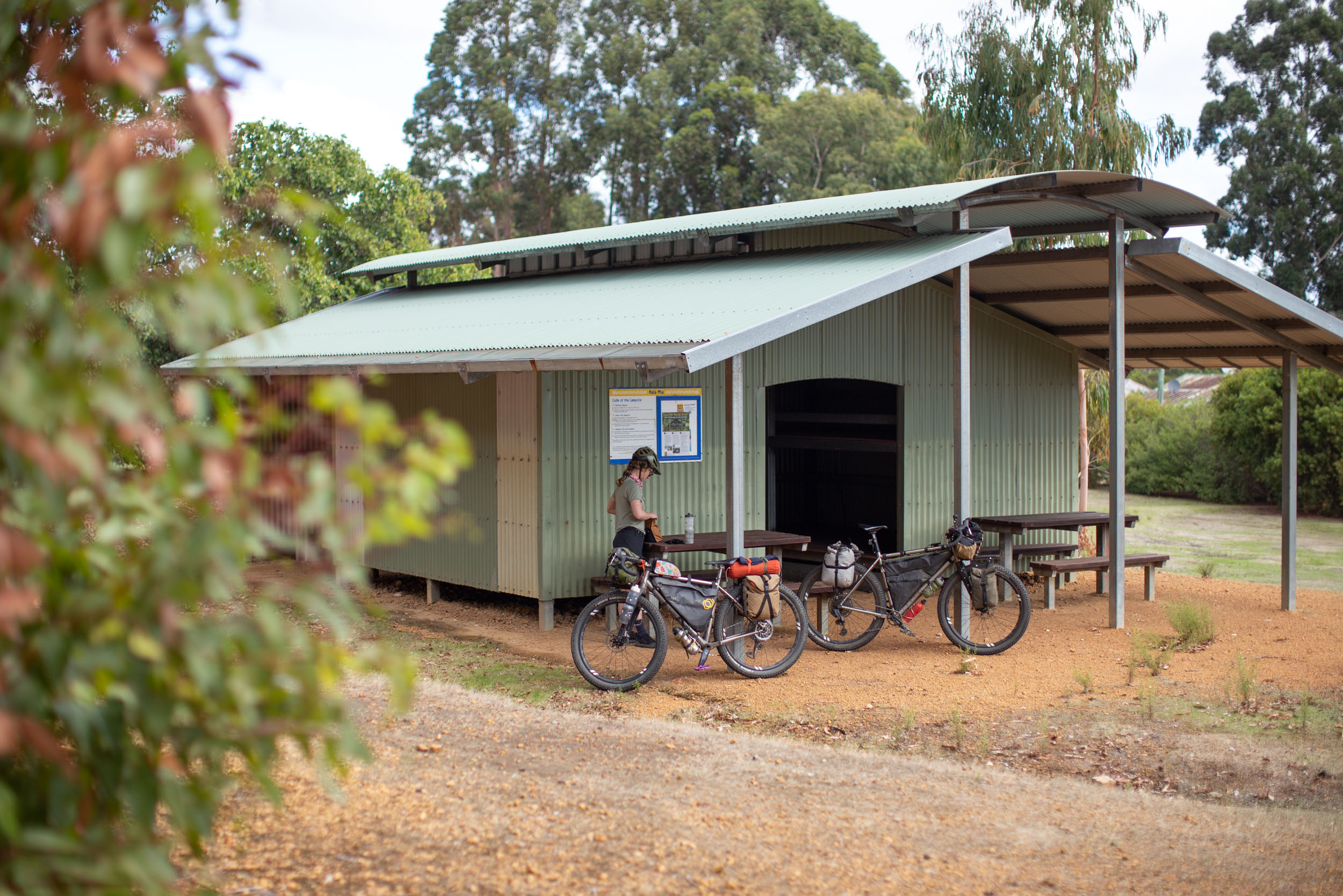
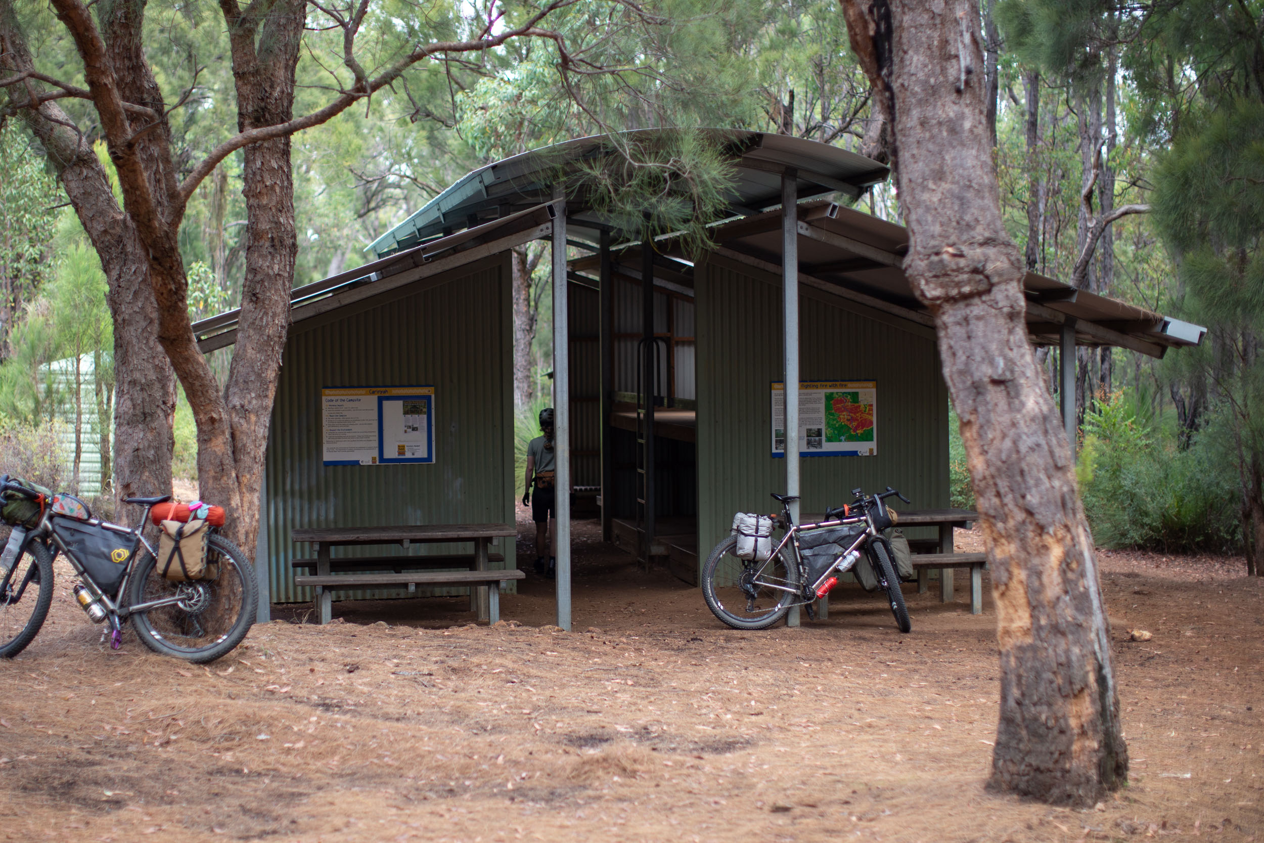
- There are 12 camping shelters spaced out along the Munda Biddi Trail, which provide sleeping shelters, bike storage, rainwater tanks, and tenting areas. They are a real treat and set a high standard for what a developed bikepacking route can look like.
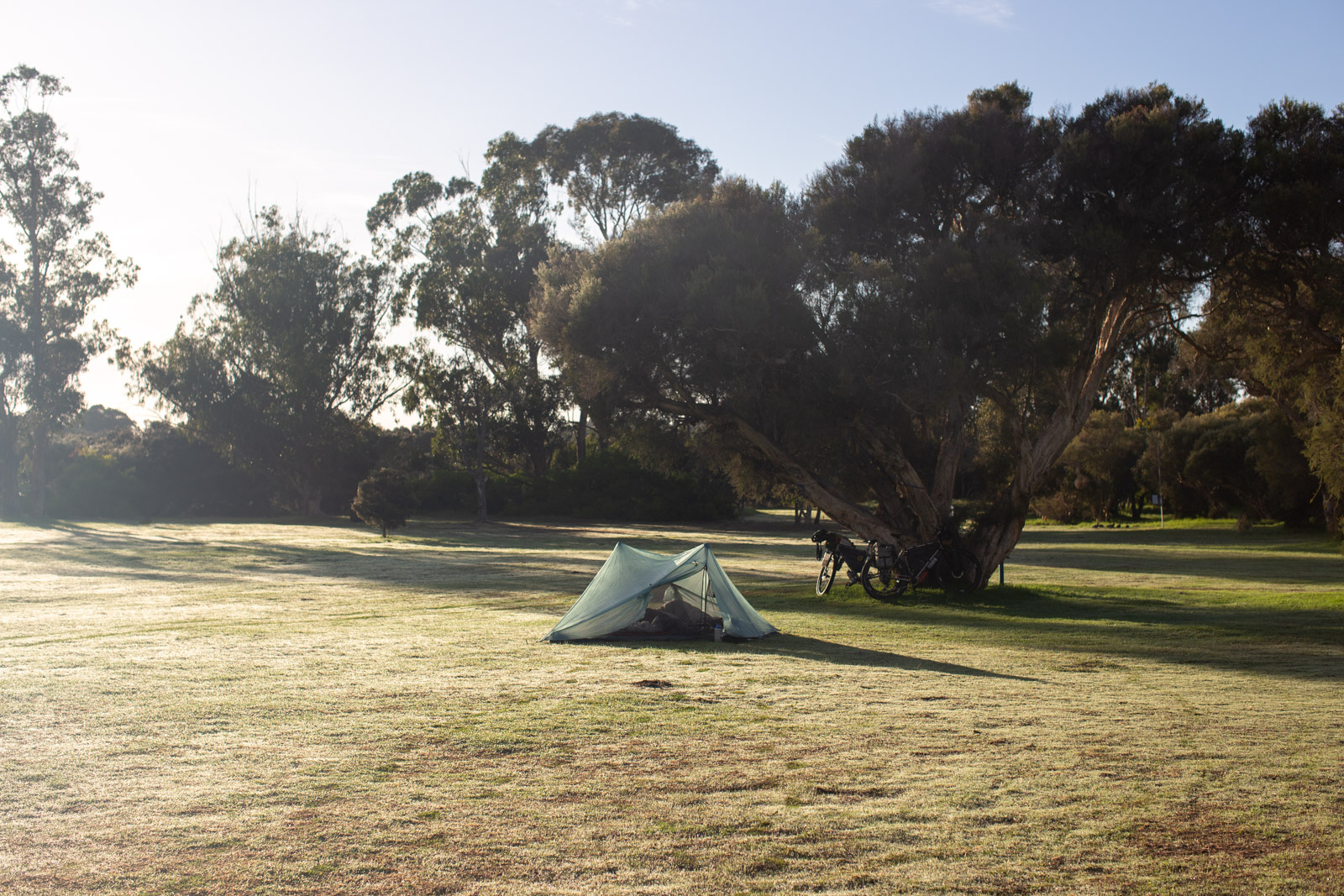
- There are many paid caravan parks, campgrounds, and other tenting options along the route, and most are closer to towns. You can expect hot showers, flush toilets, cooking areas with BBQs, and more.
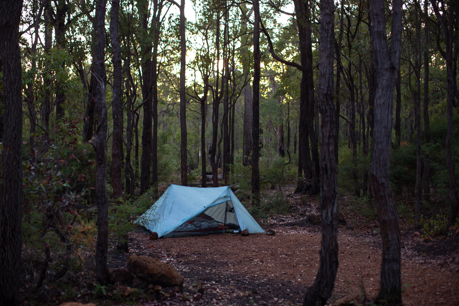
- Wild camping is generally not permitted or legal along the Munda Biddi and should only be reserved for emergencies or as a backup. Plan ahead to stay in the huts or lovely campgrounds along the way.
- For those who prefer a comfy bed every few days, there are plenty of paid accommodation options available in the country towns along the way. Check out the historic pubs/hotels, Airbnb, and Warmshowers for different options.
- All Munda Biddi huts have rainwater tanks that can be used for cooking and drinking, but water must be sterilized first.
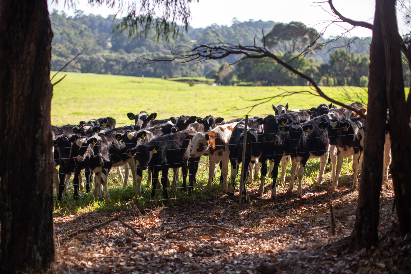
- There are limited natural water sources along the route, and due to the amount of farming and livestock areas along the way, this water should also always be treated/filtered.
- There are numerous smaller country towns, medium-sized cities, and resupply points to pick up food and other supplies. These are included on the route map and are also labeled on the Munda Biddi Trail app and paper maps.
- Most resupply points will have stove fuel options, including methylated spirits, white gas (Diggers Shellite is most common and found in service stations), as well as kerosene and petrol. Pressurized isobutane fuel canisters are also fairly common, but carrying a couple and planning ahead is recommended.
- Propane-powered BBQs can often be found in caravan parks, campgrounds, and many public parks. Plan ahead and use these facilities to cook some delicious meals. Carrying a small amount of oil or butter and keeping a cleaning rag on hand isn’t a bad idea.
Sample Southbound 15-day Itinerary
We’ve put together a sample 15-day itinerary that maximizes the number of nights spent in Munda Biddi huts and minimizes the amount of paid camping. This timeline has one or two rest days built in, but it could easily be expanded or shortened depending on your timeline and fitness. Keep in mind that spending this many nights in huts means you’ll likely require a camping stove and will need to carry enough food between resupply points. Make sure to plan ahead!
locationCarinyah Hut
Day 1 (27 mi +2,140 ft / 43km +652m)
The official Northern terminus of the route is located at Sculpture Park in Mundaring. Things kick off with some smooth-rolling doubletrack and singletrack, leading to the Perth Hills Discovery Campground, the first campground on the route. For those starting late, this could potentially be an easy first afternoon. Be sure to stop in at the historic Mundaring Weir Hotel. After a big climb, the route sticks to doubletrack that’s sometimes slow going due to the amount of loose pea gravel.
locationDandalup Hut
Day 2 (59 mi +3,844 ft / 94km +1,171m)
The doubletrack and pea gravel continues south from Carinyah Hut, eventually transitioning to a beautiful section of rail trail that leads you right into the town of Jarrahdale. You’ll be happy to stop by the general store for a bite to eat and resupply before pushing on. Gravel roads and the odd singletrack connector lead further south to the North Dandalup Dam and Dandalup Hut, an amazing hut with beautiful views toward the coast.
locationBidjar Ngoulin Hut
Day 3 (42 mi +3,220 ft / 65km +981m)
Following a mix of doubletrack and narrower trails, the route passes through karri forests, a historic prisoner of war camp, and the town of Dewllingup. Here, you have lots of options for resupply, a meal out, or accommodations if you choose to stay. Make sure to stop by the Waypoints Cafe and Dwellingup Adventures. After leaving town, the trail connects to some fantastic flowy trails that run through Lane Pool Reserve, several camping options, swimming spots along the river, a massive King Jarrah tree, and finally Bidjar Ngoulin Hut.
locationYarri Hut
Day 4 (48 mi +3,277 ft / 77km +999m)
This portion of the route is vastly different than the rest due to its proximity to ming operations, and it’s hard to ignore. The route passes through restricted areas only open to Munda Biddi riders, near clear cuts, and through tunnels they’ve constructed so their machinery doesn’t have to stop. There are some beautiful sections of trail, huge granite slabs, and some nice camping options around Lake Brockman.
locationNglang Boodja Hut (optional rest day in Collie)
Day 5 (53 mi +3,247 ft / 85km +990m)
The official Munda Biddi route, including the distances above, heads inland to the town of Collie. Since there isn’t much resupply on either end of this segment, you’ll have to plan well in advance or decide whether or not to stay in town or resupply and continue on. You’ll follow power line trails, railways, and some of the most scenic forests on the entire route, eventually making your way to the Nglang Boodja Hut.
locationNala Mia Hut
Day 6 (57 mi +3,096 ft / 92km +944m)
Unlike the first half of the route, the second half passes through several cute towns worth spending some time in. This also makes resupply easy and opens up opportunities for cafe stops. Your first stop will be in the small town of Boyanup, followed by Donnybrook, which deviates slightly off route but has more options, including PARK Donnybrook for great food and outdoor seating. This segment also marks the beginning of slightly easier undulating terrain, rolling farmland, and smooth gravel roads. The Nala Mia Hut is in an odd location, sitting right in the small community of Jarrahwood. It’s by far the least scenic hut along the route.
locationKarta Burnu Hut
Day 7 (54 mi +3,747 ft / 87km +1,142m)
It’s fast rail trail riding between Nala Mia and Nannup, the next town on the route. You’ll find a campground, brewery, and several resupply options. Nannup is also home to the popular Seven Gravel Race, a 50- to 125-kilometer event that’s part of the UCI Gravel Series. Leaving Nannup, you’ll tackle one the longest climbs of the entire route, 18 kilometers on a paved country road. It looks daunting on paper, but it’ll be a walk in the park if you’ve made it this far. Farmland transitions to karri forests as the route passes by Willow Springs Campground, the King Jarri tree, and the town of Donnelly River–a unique spot and a highlight of the entire route. Continuing to Karta Burnu Hut, the terrain is gentle, and the forest feels tall and mighty. Spending the night at Karta Burnu Hut is a must. It’s a beautiful hut with views of the valley below and a great spot to watch the sunset.
locationPemberton (optional rest day in Pemberton)
Day 8 (64 mi +3,943 ft / 102km +1,201m)
It’s a quick ride into the town of Manjimup from the hut through rolling farmland, forest tracks, and relatively flat rail trail. Stop by PARK Manjimup for a coffee and a bite to eat before moving on. After some urban riding out of town, the route follows a mix of doubletrack and gravel, with some fun singletrack thrown in before passing by Quinninup and eventually to Pemberton. Pemberton is a neat town that has embraced mountain biking, with trails easily accessed from the local campground and many great cafes, making it a great spot to spend a rest day.
locationYirra Kartta
Day 9 (58 mi +4,060 ft / 93km +1,230m)
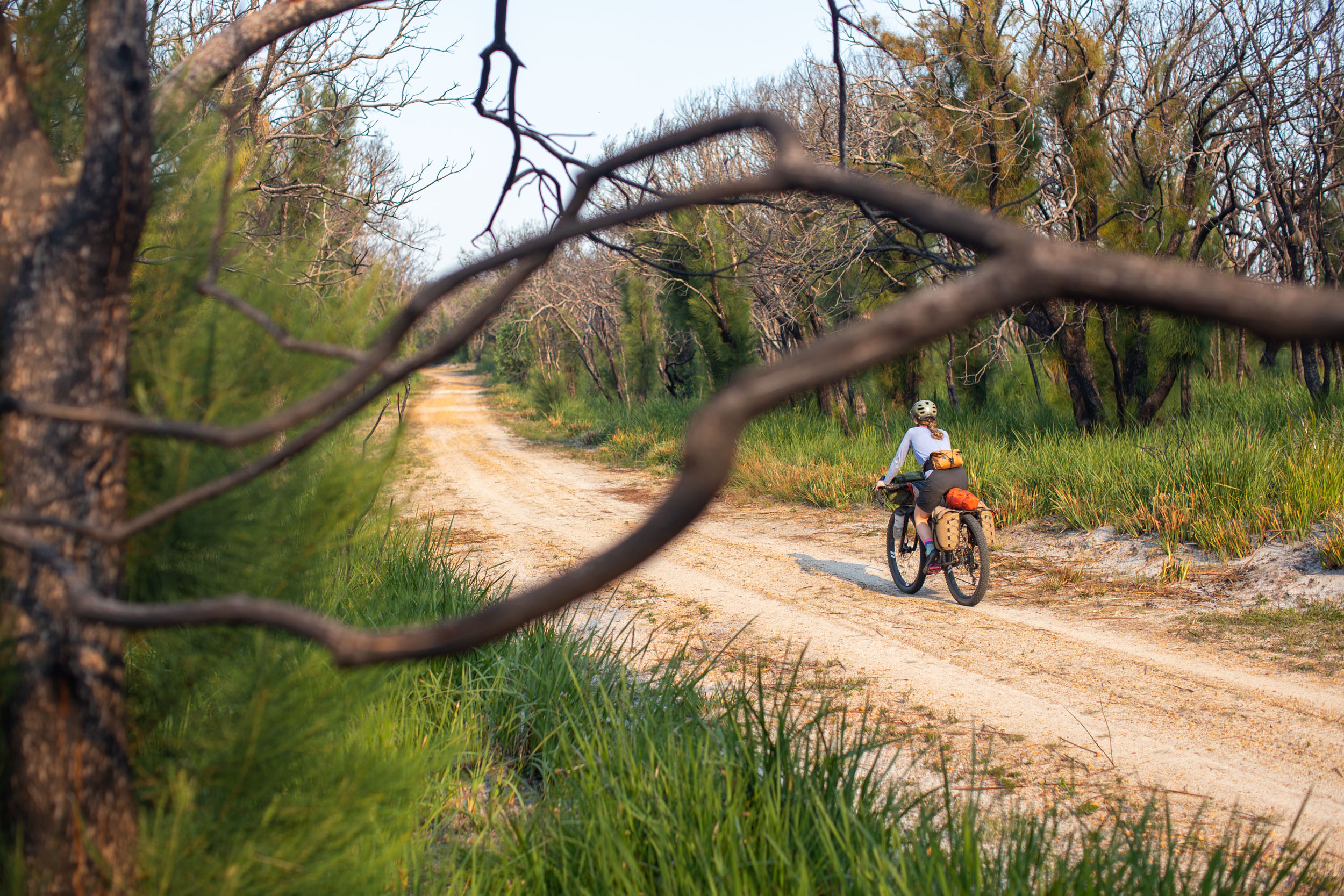
This segment starts with a visit to the massive Gloucester Tree, complete with metal rungs that you can climb up to 53 meters above. This day provides some of the most diverse terrain and scenery, from farmland to sandy tracks and thick forests; it’s easy to keep pedalling. There is a small general store in Northcliffe and the Northcliffe Bush Camp just outside of town, a great spot to spend the night. On the way to the Yirra Kartta Hut, there are constant reminders of the 2015 bushfires, but the hut itself and the large granite dome make for one of the most unique camping spots along the route.
locationWalpole / Coalmine Beach
Day 10 (51 mi +3,820 ft / 82km +1,160m)
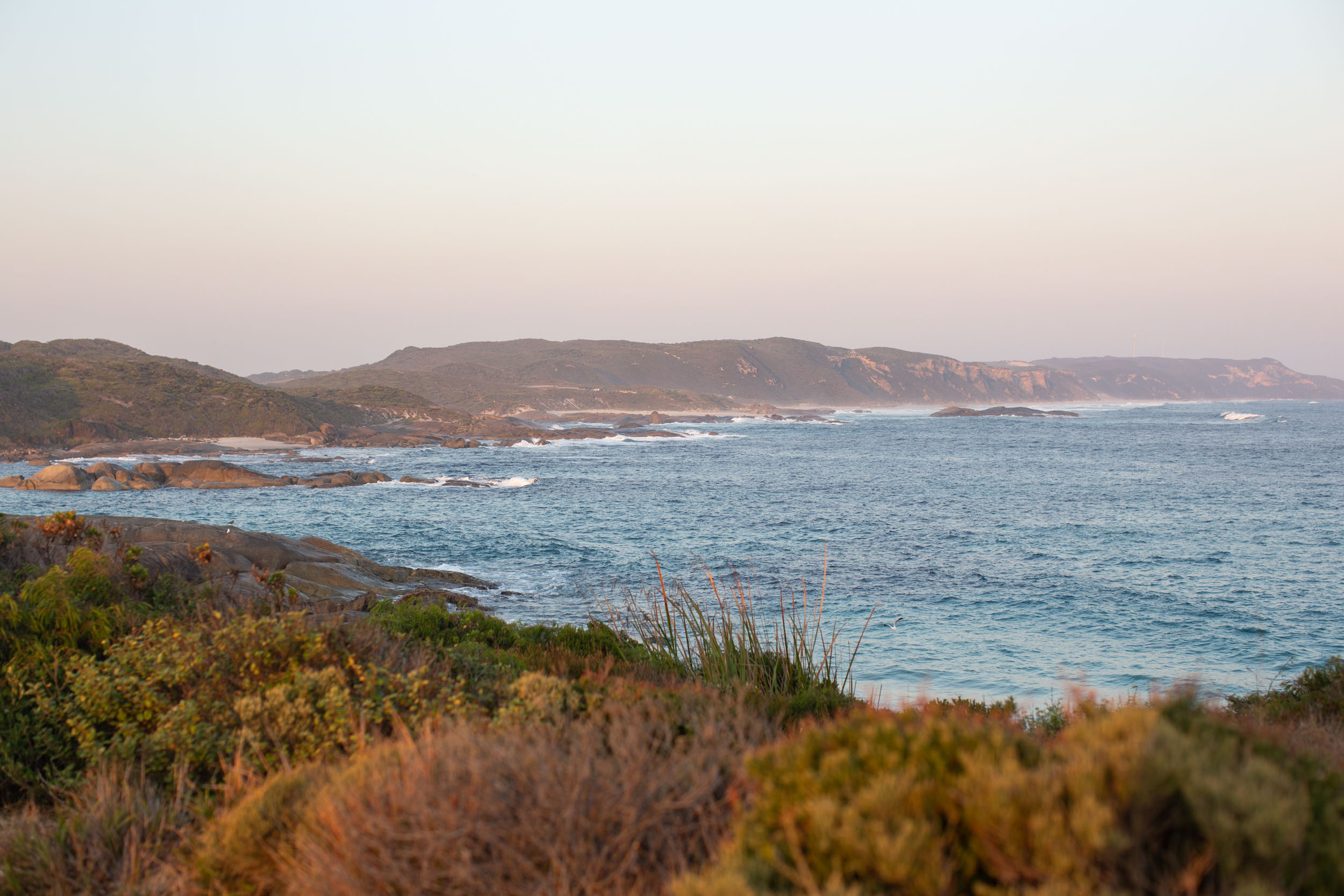
There is loads of great riding and some awesome camping opportunities between Yirra Kartta and the south coast, so you could easily add on an extra day through this portion. If the beach is calling your name, however, push on! Some highlights include the Fernhook Falls campground and the Swarbrick Art Loop, as well as the speedy gravel roads leading into Walpole. Although the Coalmine Beach Holiday Park can get busy, it has direct access to the beach at Nornalup Inlet and is quite beautiful.
locationBooner Mundak Hut
Day 11 (31 mi +2,866 ft / 50km +874m)
After a resupply in Walpole, the route heads north away from the coast, but don’t worry, you’ll be back. There are some challenging climbs through this section and some of the most fun singletrack on the entire route as you skirt by the Valley of the Giants and the towering forest. From there, you either head north to the Booner Mundak Hut along the official route or head east on the highway to join up with the Denmark-Nornalup Heritage Rail Trail, which links back up with the route near William Bay. This detour cuts out some climbing and distance but is a great option if you’ve got bus reservations from Albany.
locationJinung Beigabup Hut
Day 12 (34 mi +2,148 ft / 54km +654m)
If you stayed on the main route, it’s mostly gravel roads and open farmland to the Jinung Beigabup Hut. Take some time to enjoy the Kent River suspension bridge, the wildflowers, and the views of Mount Lindesay. Kent River is a good spot for a swim in the summer months, and just past the hut is a winery and cheese spot that shouldn’t be missed.
locationKennedy Camping Centre
Day 13 (60 mi +2,994 ft / 96km +912m)
The last few days of the route don’t have any huts, and the distances between campgrounds are slightly awkward. For a shorter second-to-last day, there is a campground near Ocean Beach, but it’s busy and can be a little shocking compared to the rest of the route. Heading to Kennedy Camping Centre means detouring off the route, but it’s such a fantastic spot that I decided to include it anyway. This is a spectacular section of the route, including the famous Greens Pool, the Wilderness Ocean Walk Trail, and easy riding through rolling farmland. There are a few different camping options near the beach by Kennedy Camping Centre, but having a secluded beach, laundry, and a basic cabin for the night might just make for the perfect final night on the route.
location Albany (optional rest day)
Day 14 (20 mi +1,293 ft / 32km +394m)
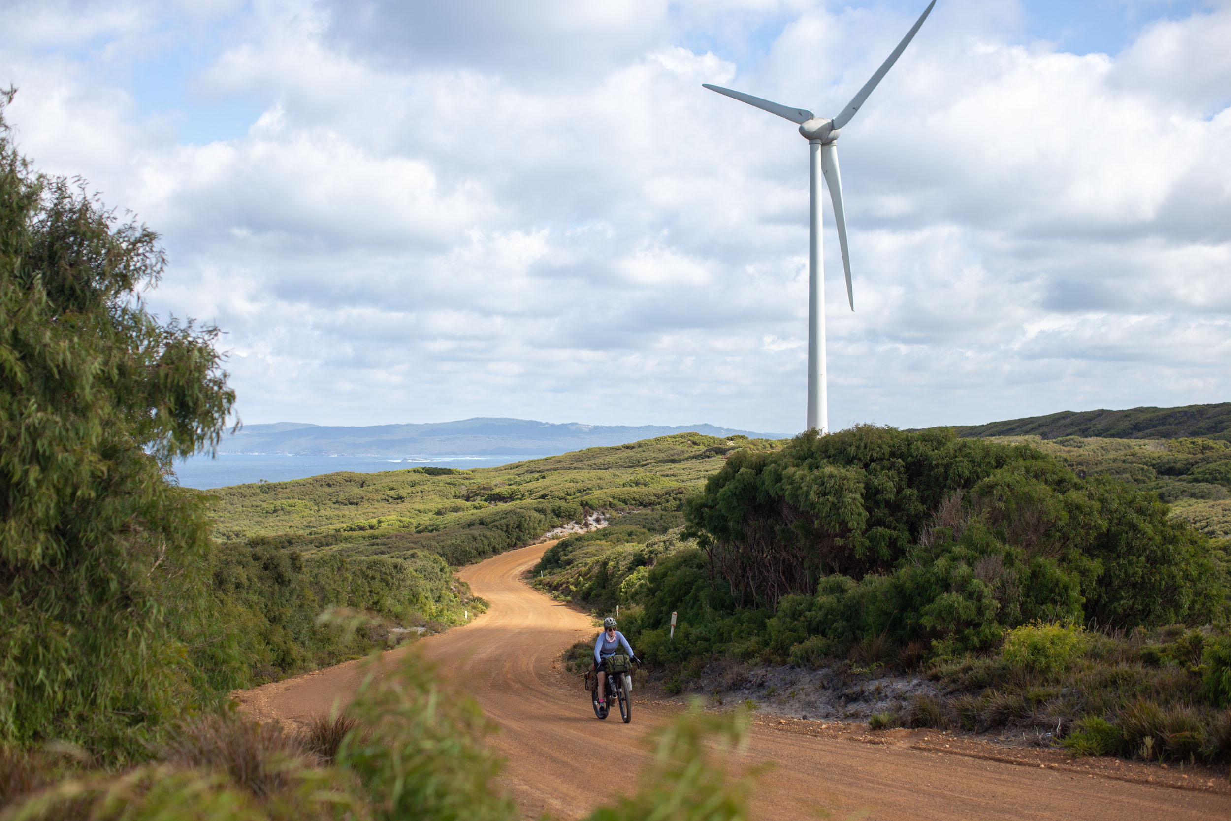
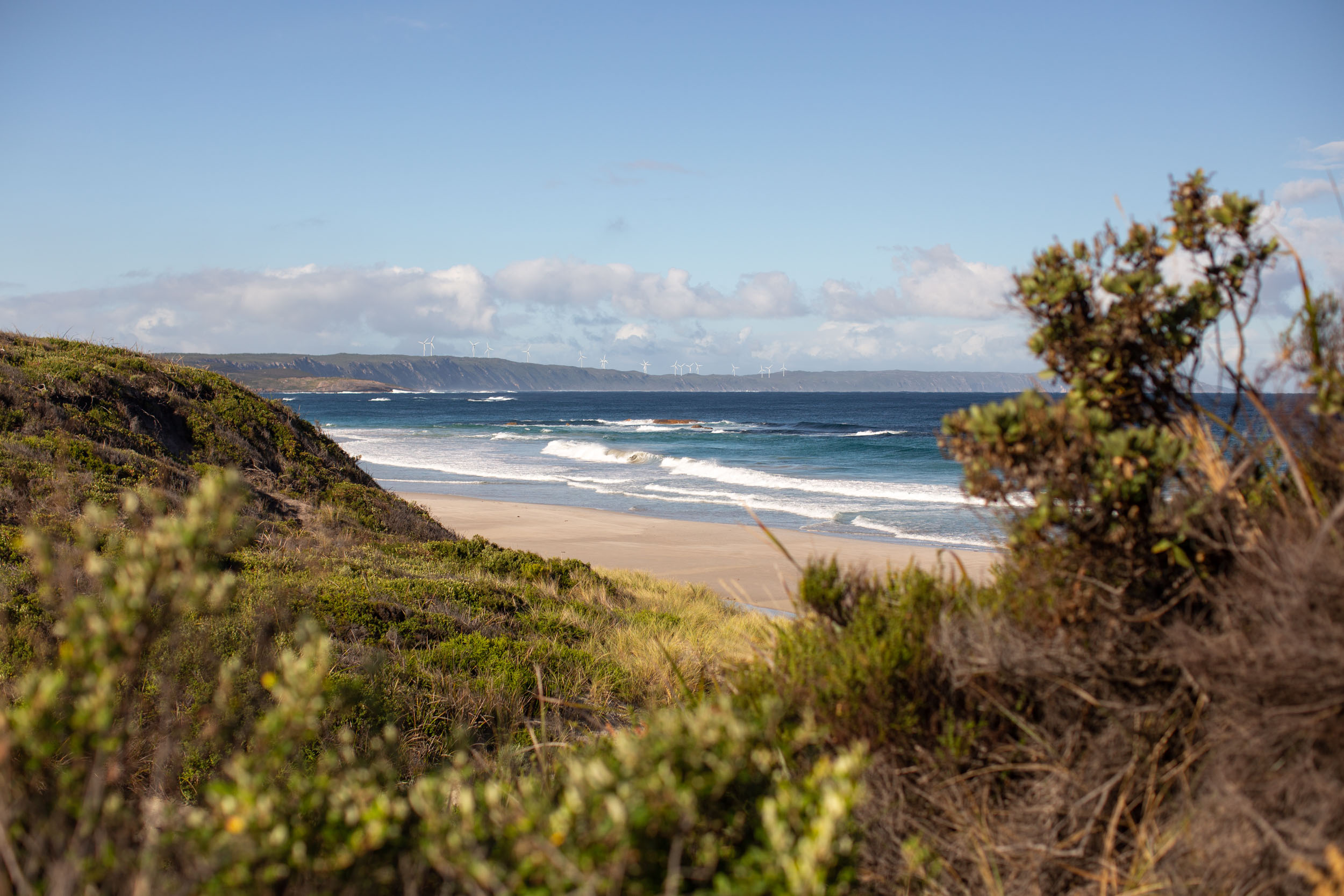
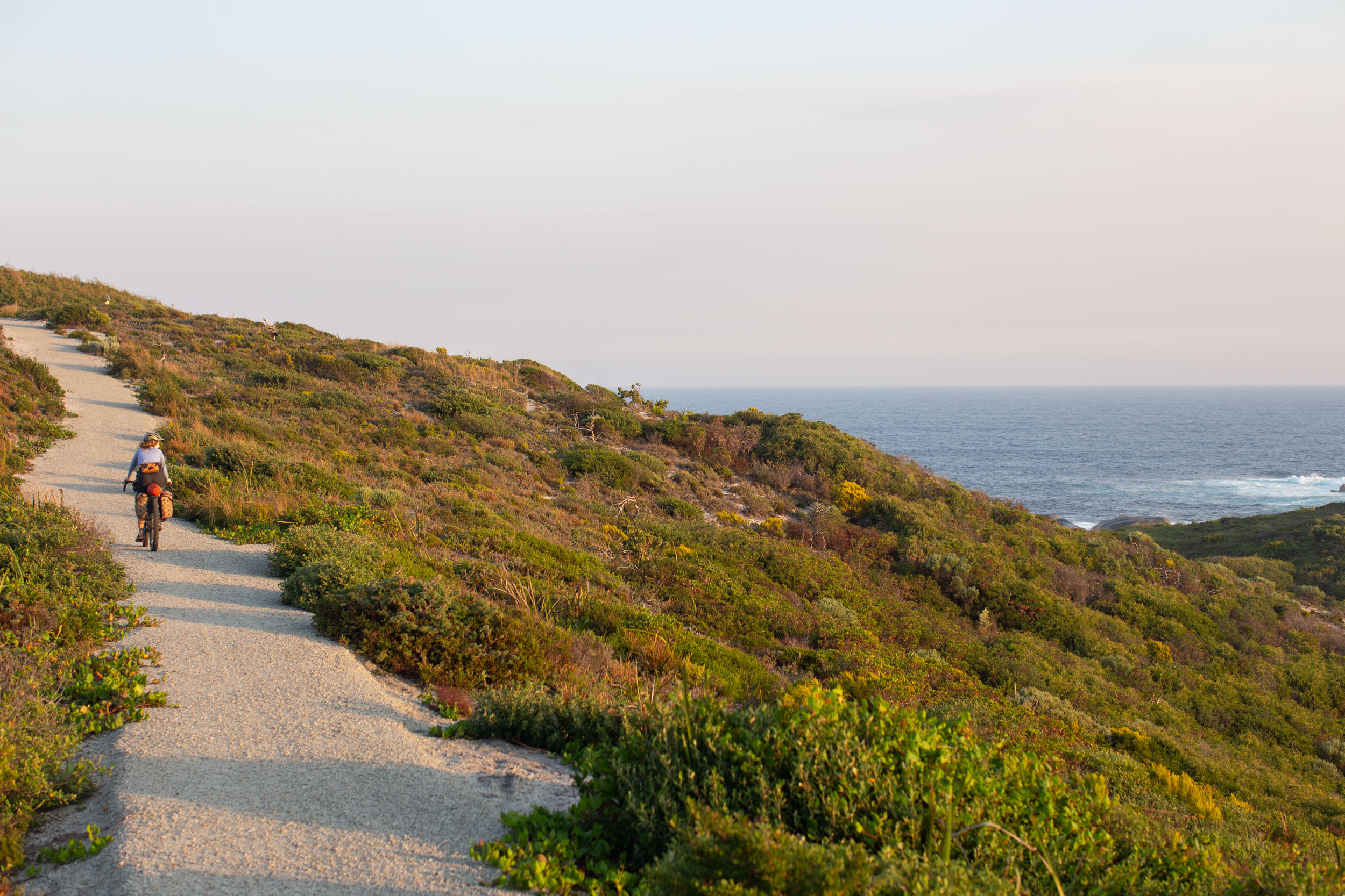
We’ve purposely made the final day of the route relatively short to leave time to catch the bus out of town for those carrying on or to relax in town before catching the bus out the next day. The route ends with a bang, including some beautiful new singletrack that climbs up toward the Albany Wind Farm, followed by rolling gravel and epic views of the coast before a fast descent toward Albany and Shoal Bay. The Munda Biddi ends with a casual waterfront path and a short section of urban riding to the southern terminus at the Albany Visitor Centre.
Congrats, you just completed the Munda Biddi Trail!


Terms of Use: As with each bikepacking route guide published on BIKEPACKING.com, should you choose to cycle this route, do so at your own risk. Prior to setting out check current local weather, conditions, and land/road closures. While riding, obey all public and private land use restrictions and rules, carry proper safety and navigational equipment, and of course, follow the #leavenotrace guidelines. The information found herein is simply a planning resource to be used as a point of inspiration in conjunction with your own due-diligence. In spite of the fact that this route, associated GPS track (GPX and maps), and all route guidelines were prepared under diligent research by the specified contributor and/or contributors, the accuracy of such and judgement of the author is not guaranteed. BIKEPACKING.com LLC, its partners, associates, and contributors are in no way liable for personal injury, damage to personal property, or any other such situation that might happen to individual riders cycling or following this route.
Please keep the conversation civil, constructive, and inclusive, or your comment will be removed.