


New England High Country 1000 (NEHC1000)
Distance
644 Mi.
(1,036 KM)Days
14
% Unpaved
66%
% Singletrack
2%
% Rideable (time)
95%
Total Ascent
52,497'
(16,001 M)High Point
4,628'
(1,411 M)Difficulty (1-10)
6?
- 5Climbing Scale Moderate82 FT/MI (15 M/KM)
- 5Technical Difficulty Moderate
- 7Physical Demand Difficult
- 6Resupply & Logistics Moderate
Contributed By
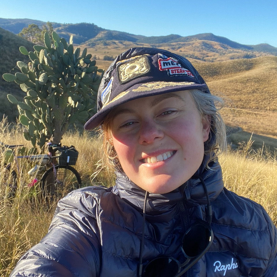
Jorja Creighton
Guest Contributor
Jorja grew up swimming and riding bikes in rural North West Sydney, Australia. For the past 10 years, she’s been working in the bike industry running Jambz Distribution, bike messengering, and extensive touring. Jorja now calls the cattle country township of Walcha home, lives on the farm with her partner and animals, and spends her time working to build cycling routes and infrastructure. Find more of Jorja’s photos and lifestyle on instagram @jambi_jambi.
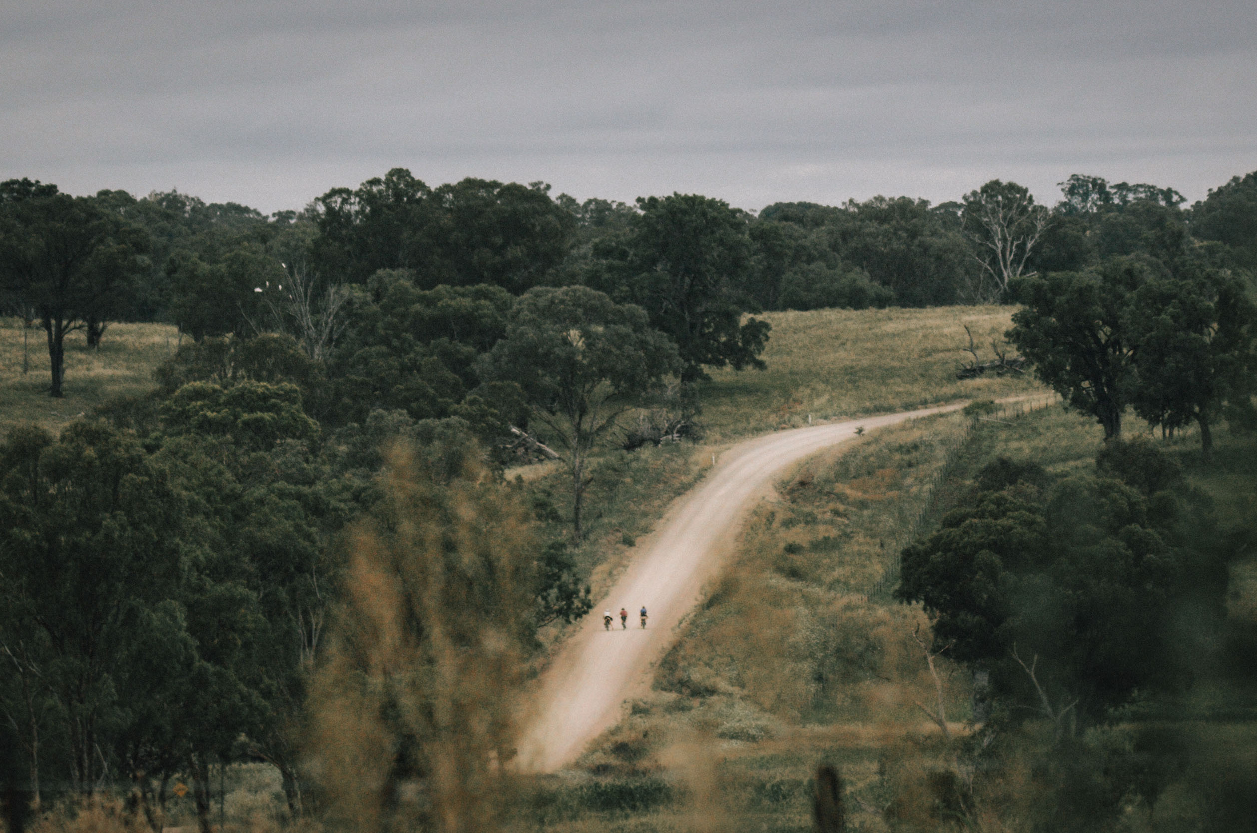
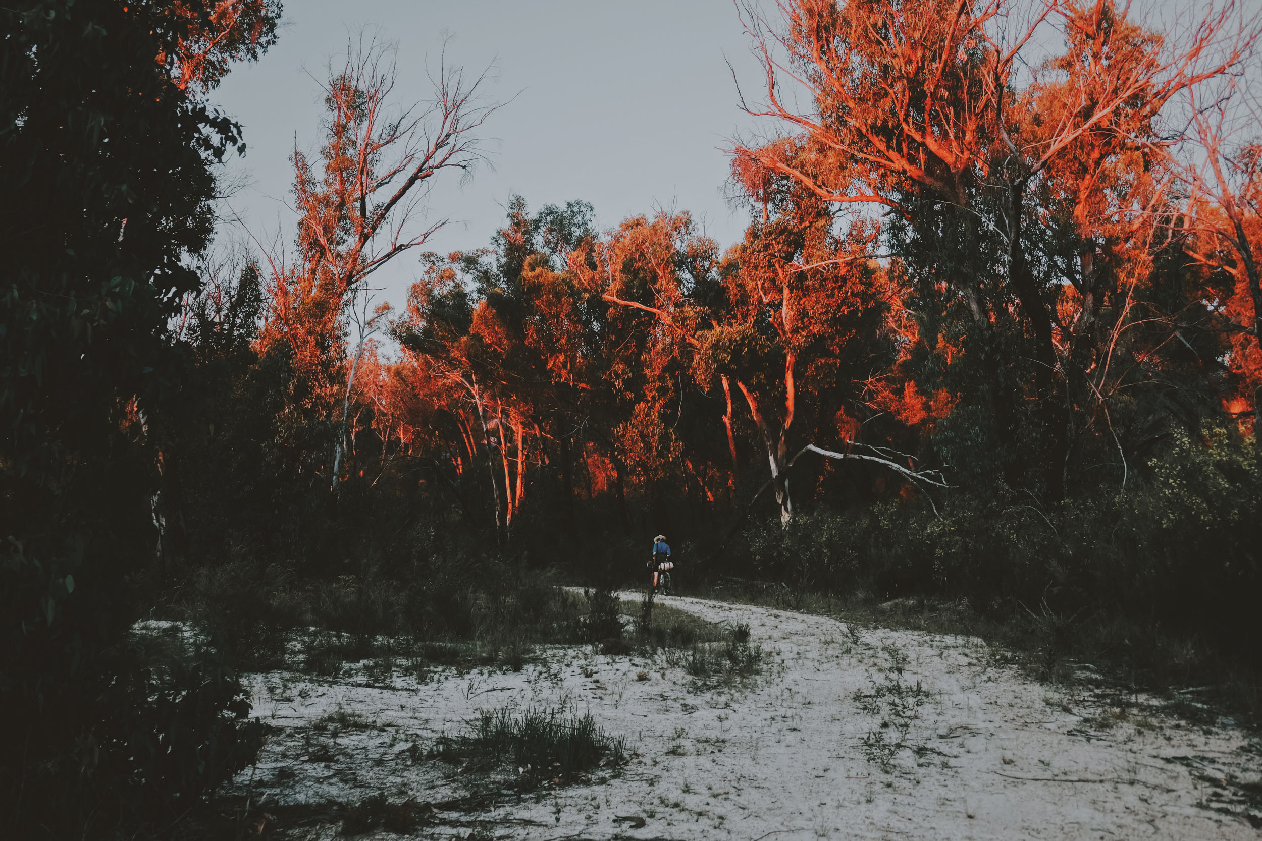
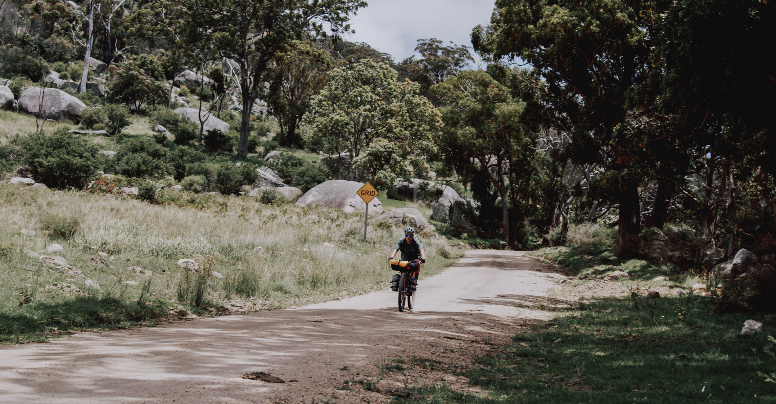
New England High Country offers visitors a truly evocative and unique experience with a contrasting landscape of dramatic gorges, stunning waterfalls, and awe-inspiring views to the east and rolling granite landscapes and open plains to the west. The regional city and towns share amazing natural experiences and offer individual charm and stories brimming with memorable characters.
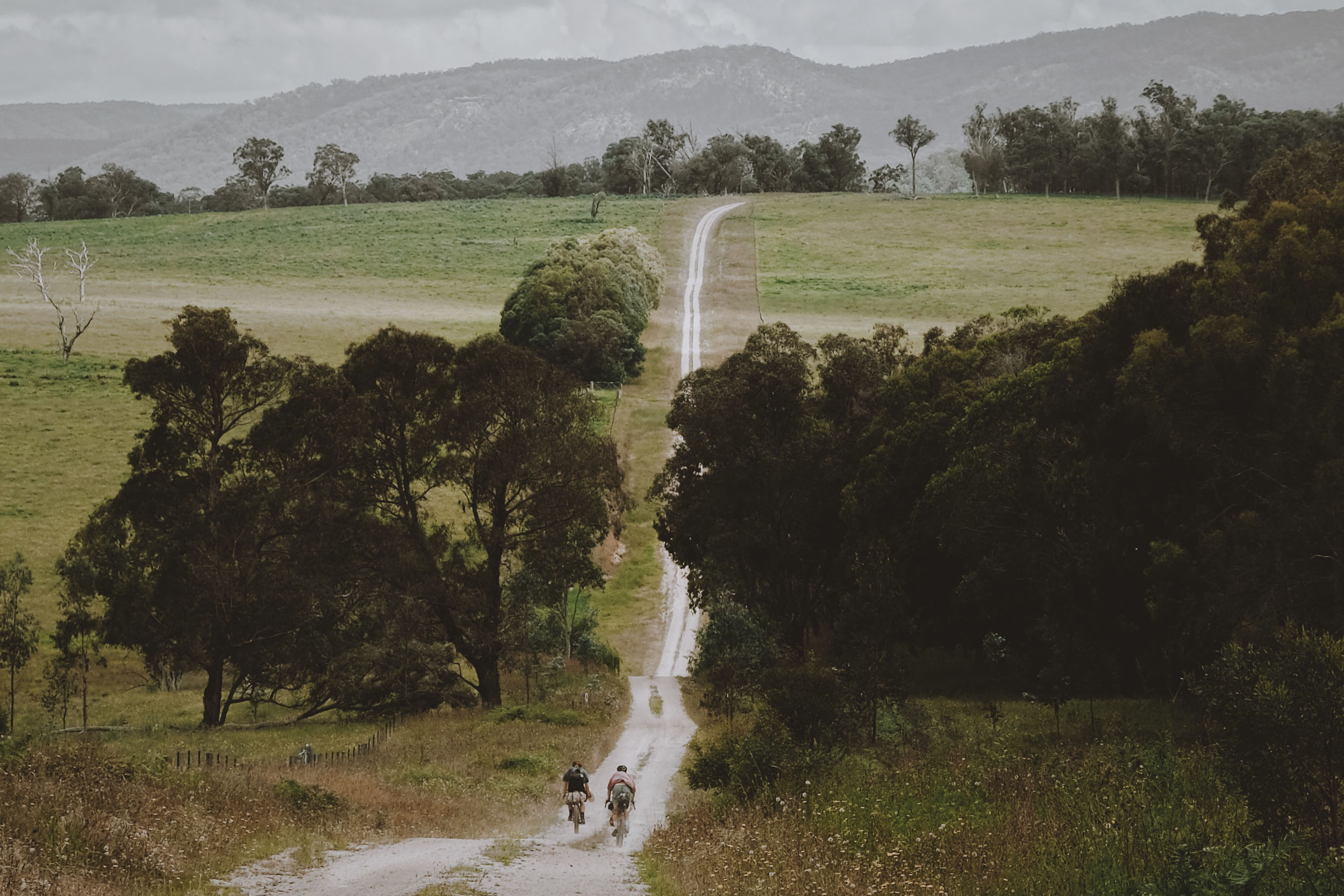
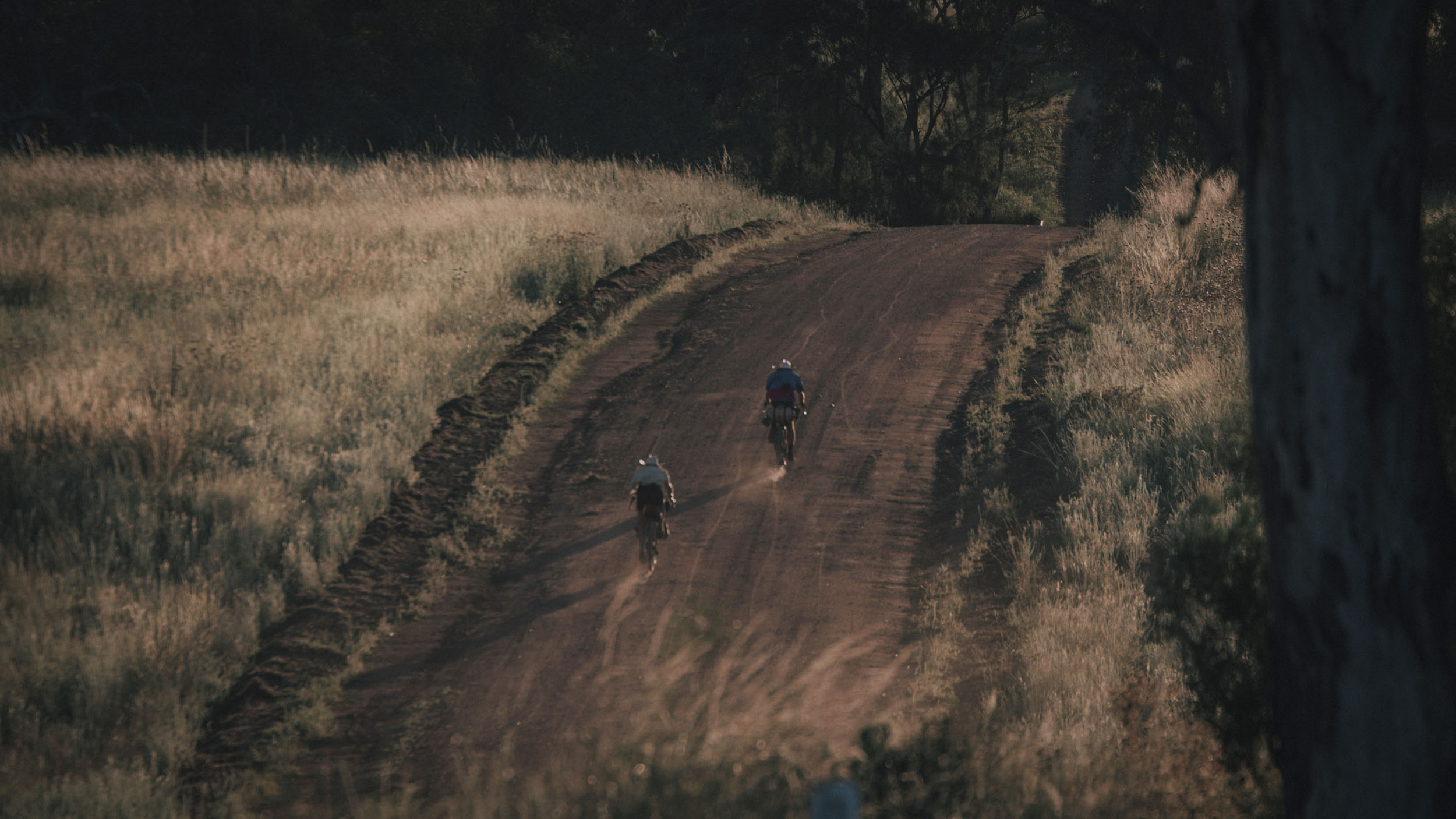
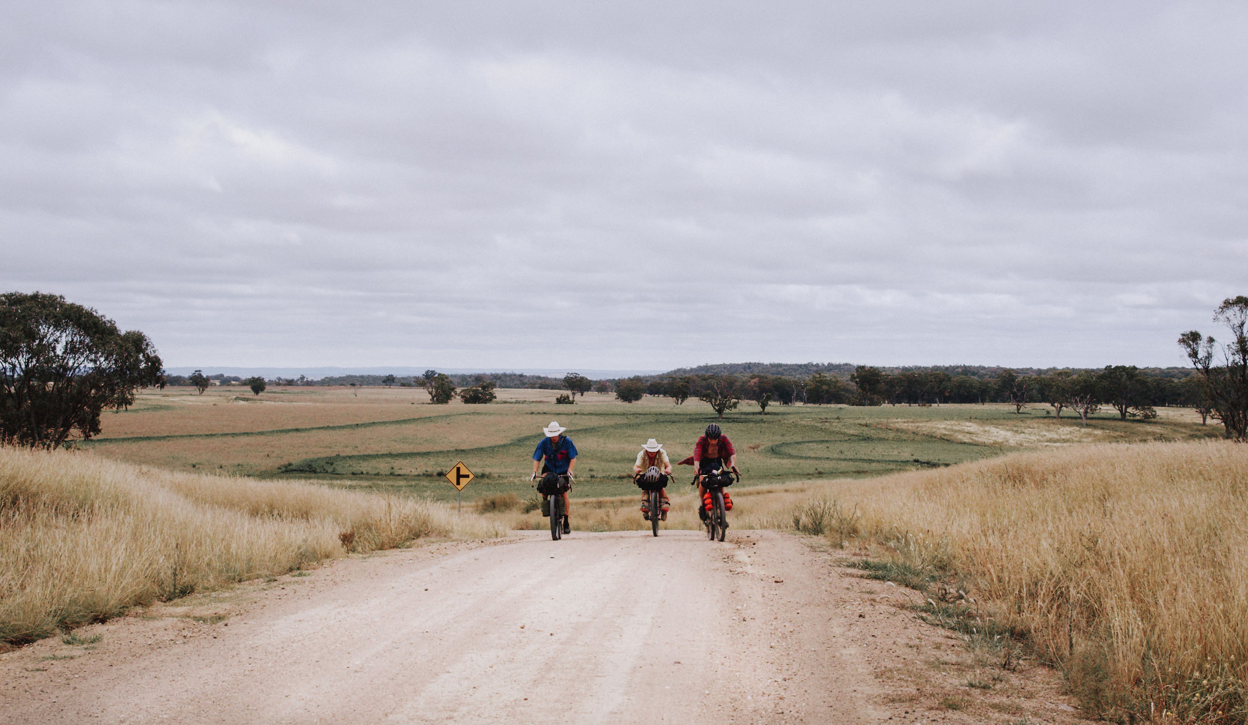
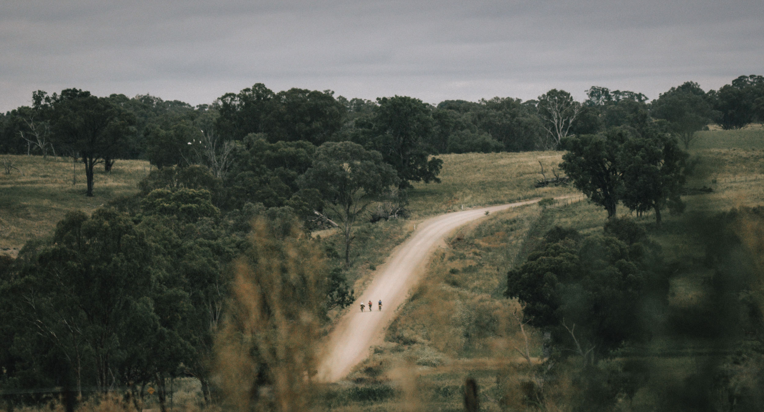
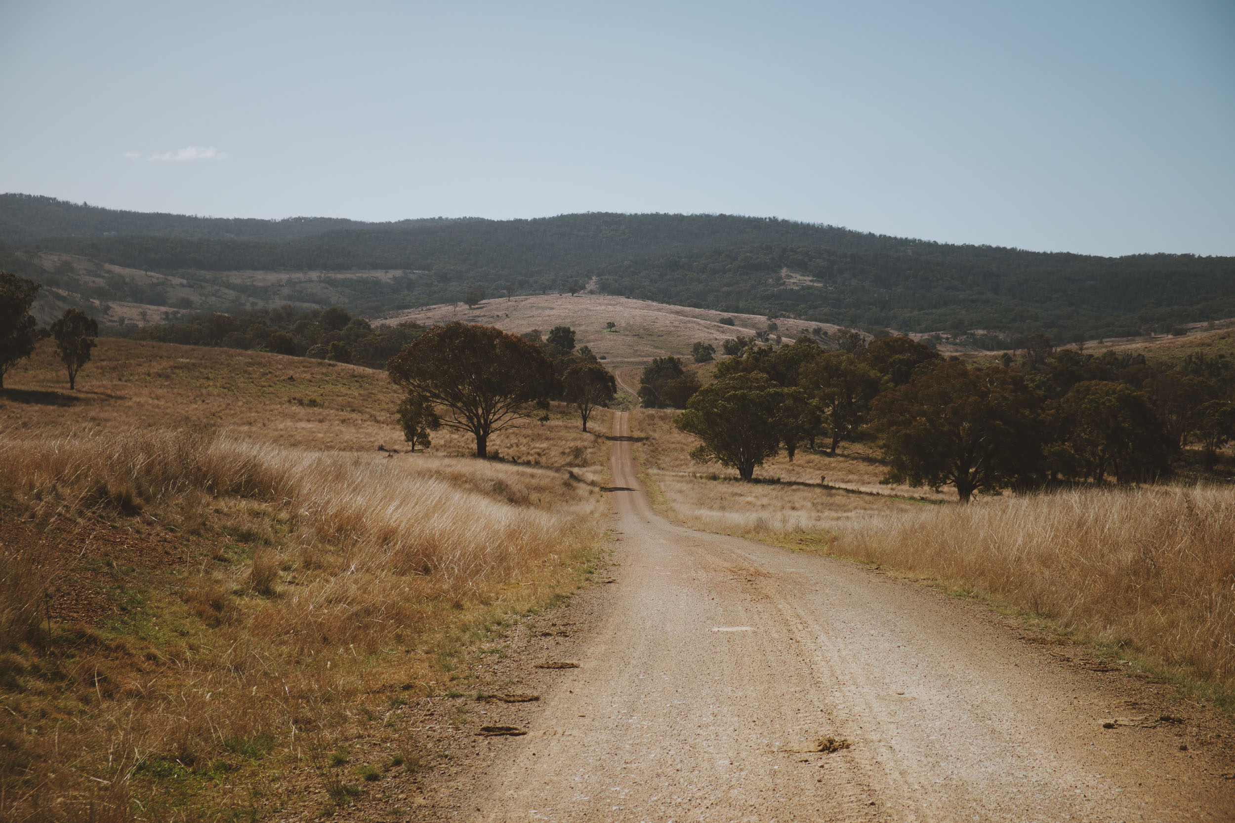
The first half of the 1,000-kilometre ride bumbles along quiet farm roads, stock routes, and open grazing country to move through the southern part of the stepped plateau. The occasional short climb is all you need for the views to open up off the tableland and into the far distances of the lowlands, making you feel like you’re riding on top of Australia.
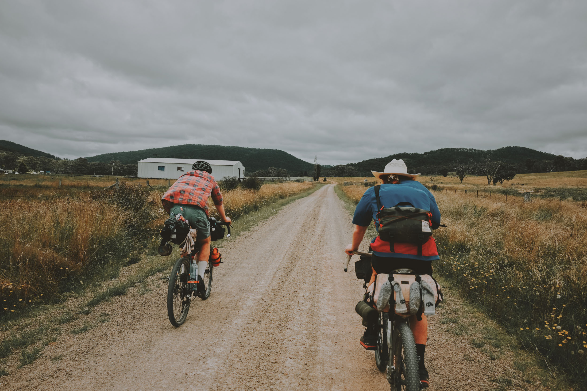
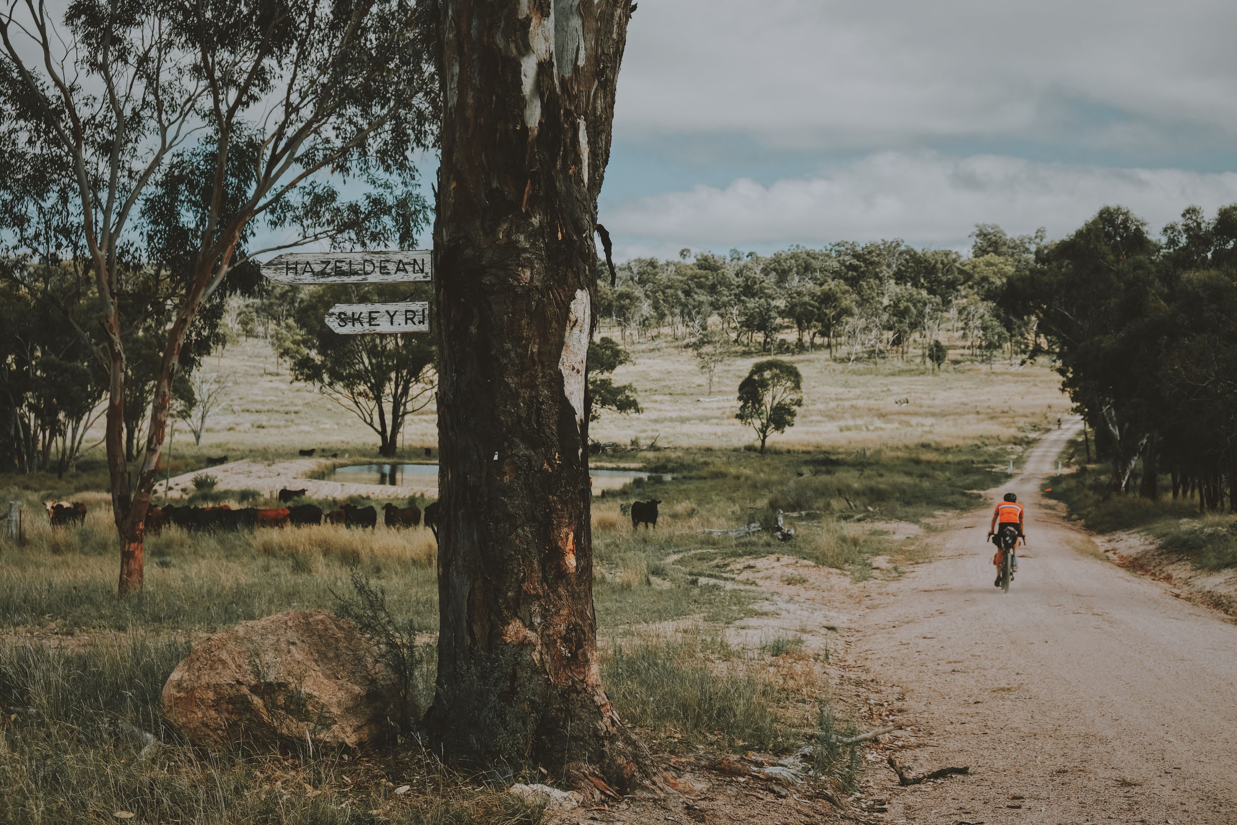
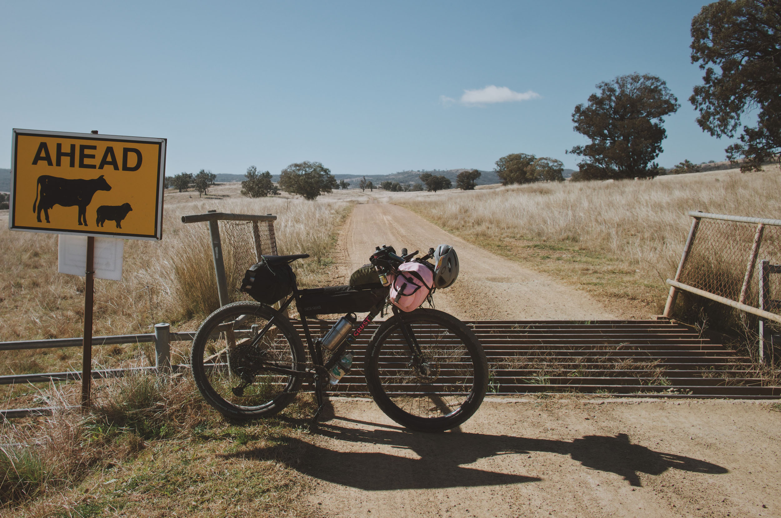
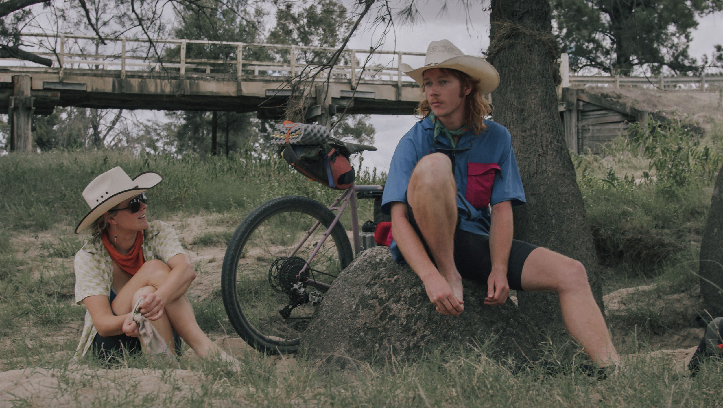
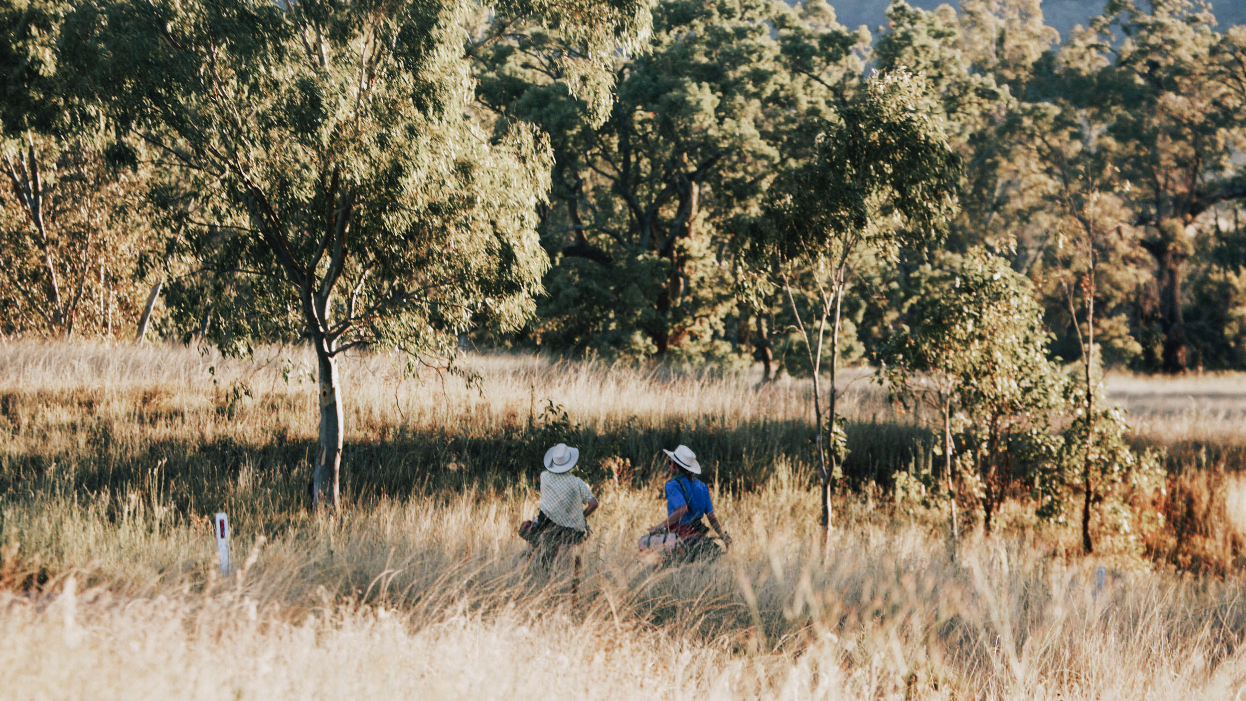
Stop into the heritage towns including Walcha, the oldest town and settlement in New England and home of the Dhungatti people for more than 4,000 years. As you swing around the western section of the route, you get a few days of wide-open country, passing old homesteads and ghostly cattle stations with the occasional dust kicking along the dirt roads by cattle trucks and farm utes. You’ll have riding companions in horses and cattle running with you in paddocks and sheep bucking across your path on the fast-moving gravel.
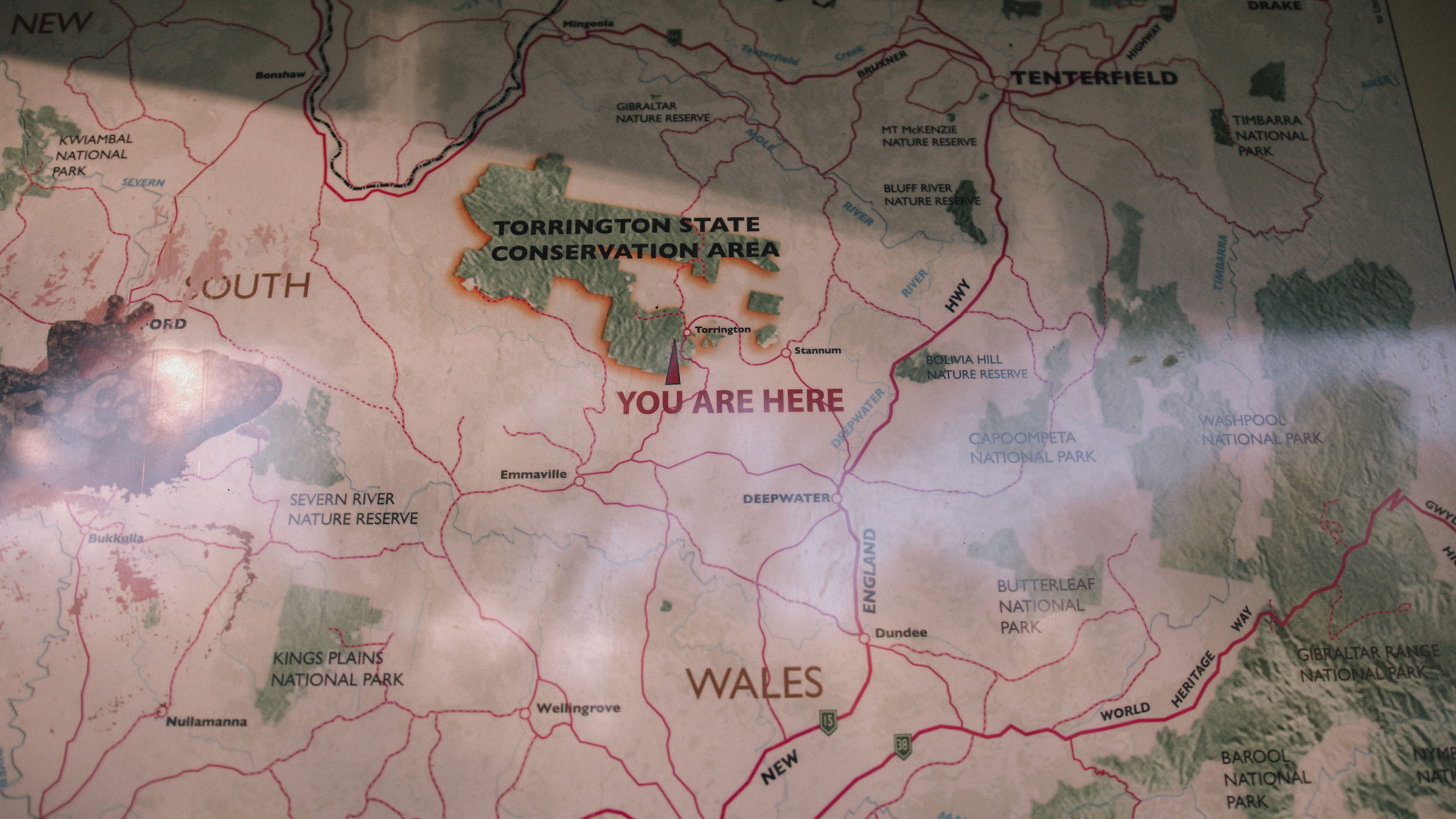
The first half of the route’s pace will be faster, with the max gradient being 11%. The terrain manageable for most, leaving you with enough breath to appreciate the perennial river crossings and the warm hospitality of the big hatted locals. The second half of the ride is marked by the township of Glen Innes, which is known for its world heritage wilderness, gem fossicking, and Celtic festival. It sits at the 518-kilometre mark on the route. The midway point is a good spot to plan the next half of the route as it becomes steeper and slower moving. You will taste your first serious climb as you pedal up from the Pyes Creek over the granite-littered ridge to drop into Tenterfield, the “birthplace of Australia,” where Sir Henry Parkes made his 1889 speech calling for Australia’s Federation.
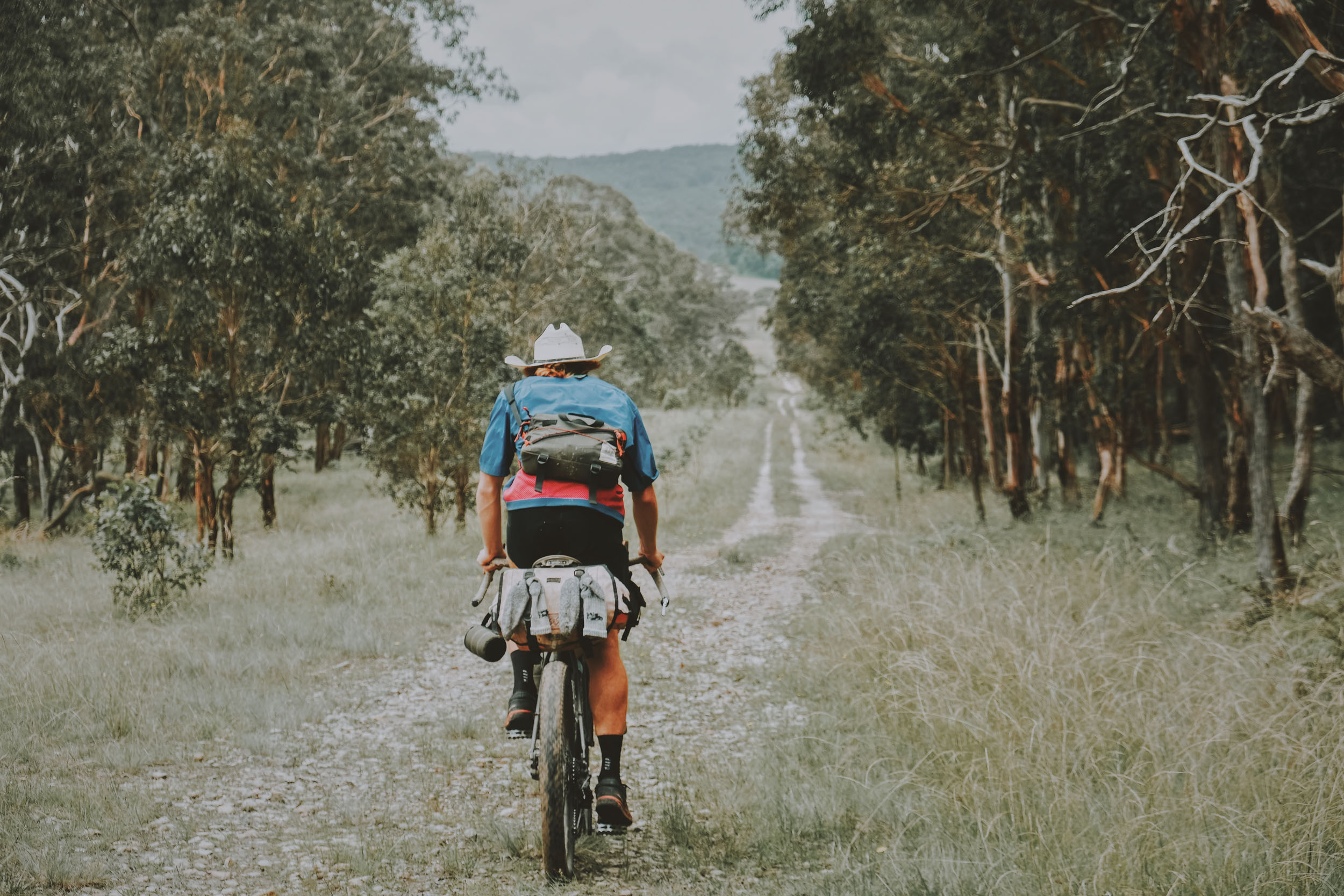
The eastern escarpment of the Tableland has spectacular gorges, rainforests, and waterfalls protected in more than 25 national parks, with three of them listed as World Heritage Areas by UNESCO and forming part of the Central Eastern Rainforest Reserves.
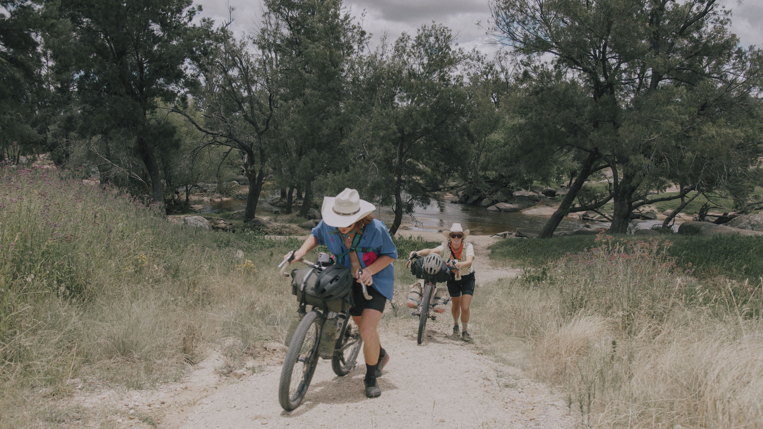
Once leaving the exposed granite of Tenterfield, you quickly enter into Washpool and experience fern-lined tracks, sun blinking through the lush canopies of rainforests, and the dusty farm roads become a memory. This section has the least resupply opportunties and will require some forward planning. There is 267-kilometres and 5,802 metres of climbing in between Tenterfield and Ebor, your next resupply. Make sure you have plenty of gas to get you there.
This route has many side trips, and Ebor Falls is a quick and easy detour from the town, where you can watch the Guy Fawkes River plunge 100 metres over two waterfalls and gather your energy for the last leg back to Armidale.
Route Difficulty
If you’re following the route from the starting point of Armidale and traveling the suggested clockwise direction, the first half of the route sees plenty of fast-rolling farm and gravel roads and will allow you to gobble up the terrain with relative ease. The greatest distance between resupply is 160 kilometres in those first 500 kilometres. The second half of the route will be slower with chunkier, rougher tracks and steeper gradients, travelling deeper into the national parks. The climbing on the second half of the route is more significant, and the distance between resupply is 270 kilometres and at a slower pace. The second half will also have limited service, which bumps up the difficulty rating.
Route Development: This route was built on the knowledge of Jorja Creighton, David Waugh, and many local cyclists in the region. The route used parts of the Super Jambo Grom Pre XXXL route and had funding help from New England High Country.
Submit Route Alert
As the leading creator and publisher of bikepacking routes, BIKEPACKING.com endeavors to maintain, improve, and advocate for our growing network of bikepacking routes all over the world. As such, our editorial team, route creators, and Route Stewards serve as mediators for route improvements and opportunities for connectivity, conservation, and community growth around these routes. To facilitate these efforts, we rely on our Bikepacking Collective and the greater bikepacking community to call attention to critical issues and opportunities that are discovered while riding these routes. If you have a vital issue or opportunity regarding this route that pertains to one of the subjects below, please let us know:
Highlights
Must Know
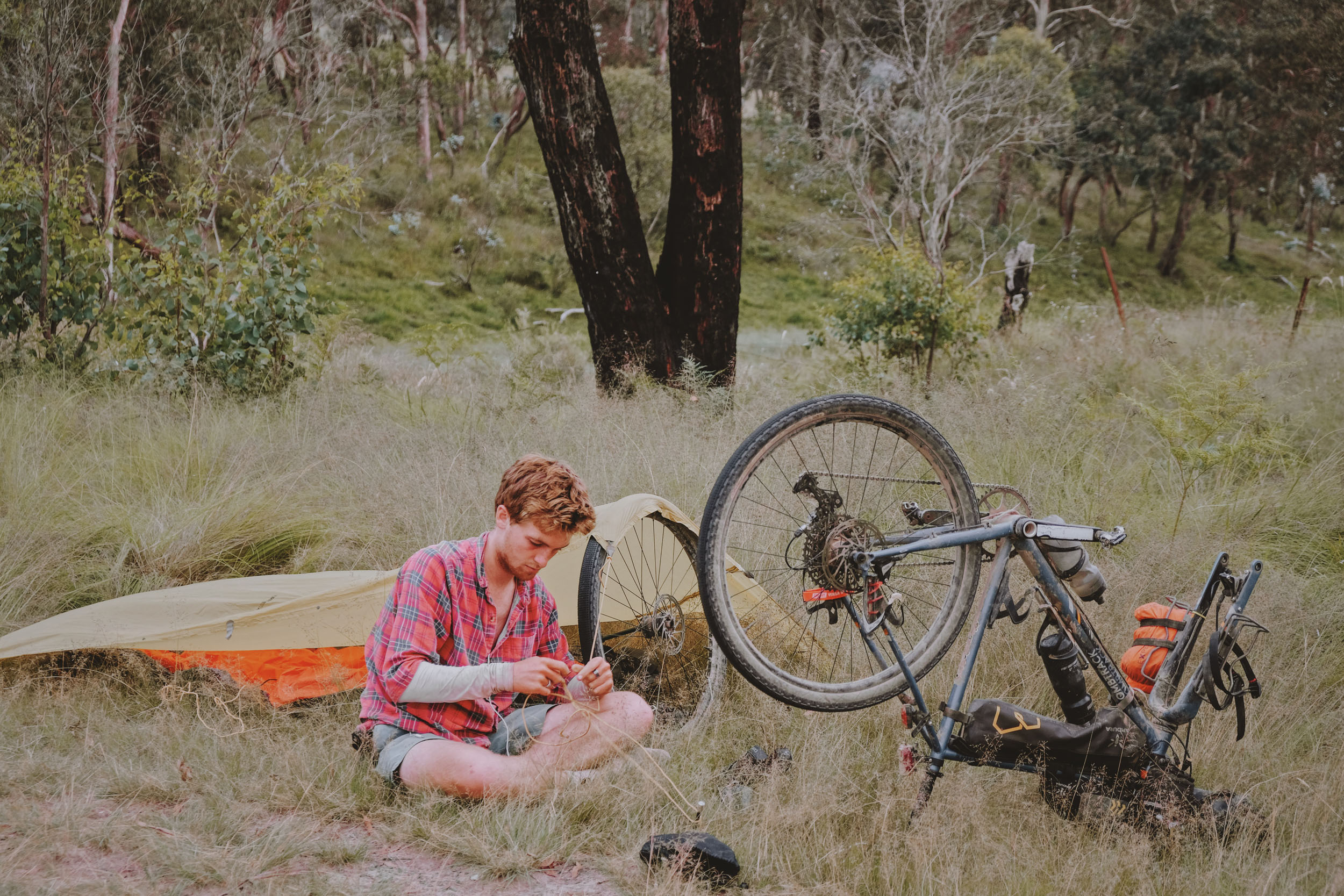
Camping
Food/H2O
Trail Notes
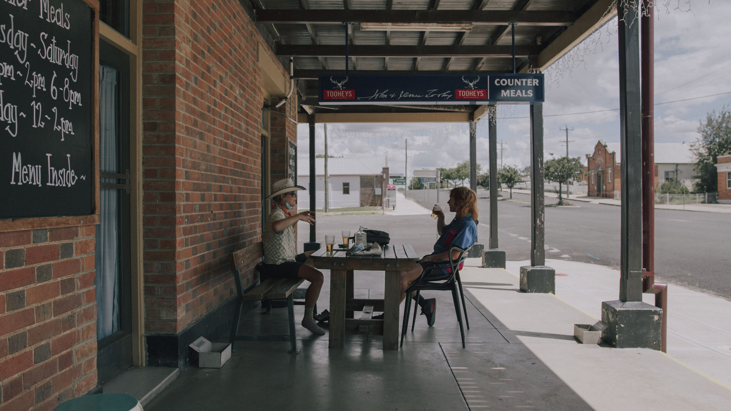
- There are a few breweries along the route that make for a tempting extended break. New England Brewing Co. in Uralla and The Welders Dog in Armidale are two.
- The back road from Woolbrook to Bendemeer has a great view off the shelf and down into the Peel Valley.
- The Myall Creek Massacre Memorial at kilometre 367 is both an opportunity to learn about Australia’s colonial violence towards Aboriginal people and an example of modern-day reconciliation.
- The section from Stannum to Tenterfield is one of the most beautiful sections of the route. The sandy, narrow roads will keep you smiling all the way down and all the way back up to the granite gardens of Tenterfield.
- The Tenterfield Railway Museum displays an almost intact 19th century railway precinct.
- The Mann River Reserve has one of the best swimming holes on the route with well managed facilities.
- Ebor Falls is a two-tiered waterfall a short detour off the route.
- Experiencing the best night sky Australia has to offer.
- When to go: The New England has four distinct seasons. The higher altitude brings intense sun during the high summer, and it would be wise to reduce the distance per day if riding at this time. A similar sentiment for riding in the winter months, as the area is known for the cold and harsh winter months. The best time to attempt this ride is the extended shoulder months of mid-February to the end of April for the autumn season and late September to early December for the spring season.
- Logistics: To get to Armidale, you have the usual options of car, train, or plane. The train is limited in its directions and timetable. The plane can be an expensive choice due to its regional location. By far the easiest choice to begin the route in Armidale is to travel by car. There are limited options if something goes wrong on the trail, and it would be wise to get comfortable with asking for a hitch-hike when it is required.
- If you want to find more to see and do and ride in the New England High Country, visit Adventure Cycling New England High Country.
- Dangers and Annoyances: There are a number of river crossings that can be difficult to cross after significant rains. However, being on a tableland means that water retreats quickly into the lowlands, and if there has been no significant rain within the previous week, this may not be an issue.
- As with going into any Australian wilderness, a high level of care should be taken. There are plenty of brown and black snakes in the warmer months.
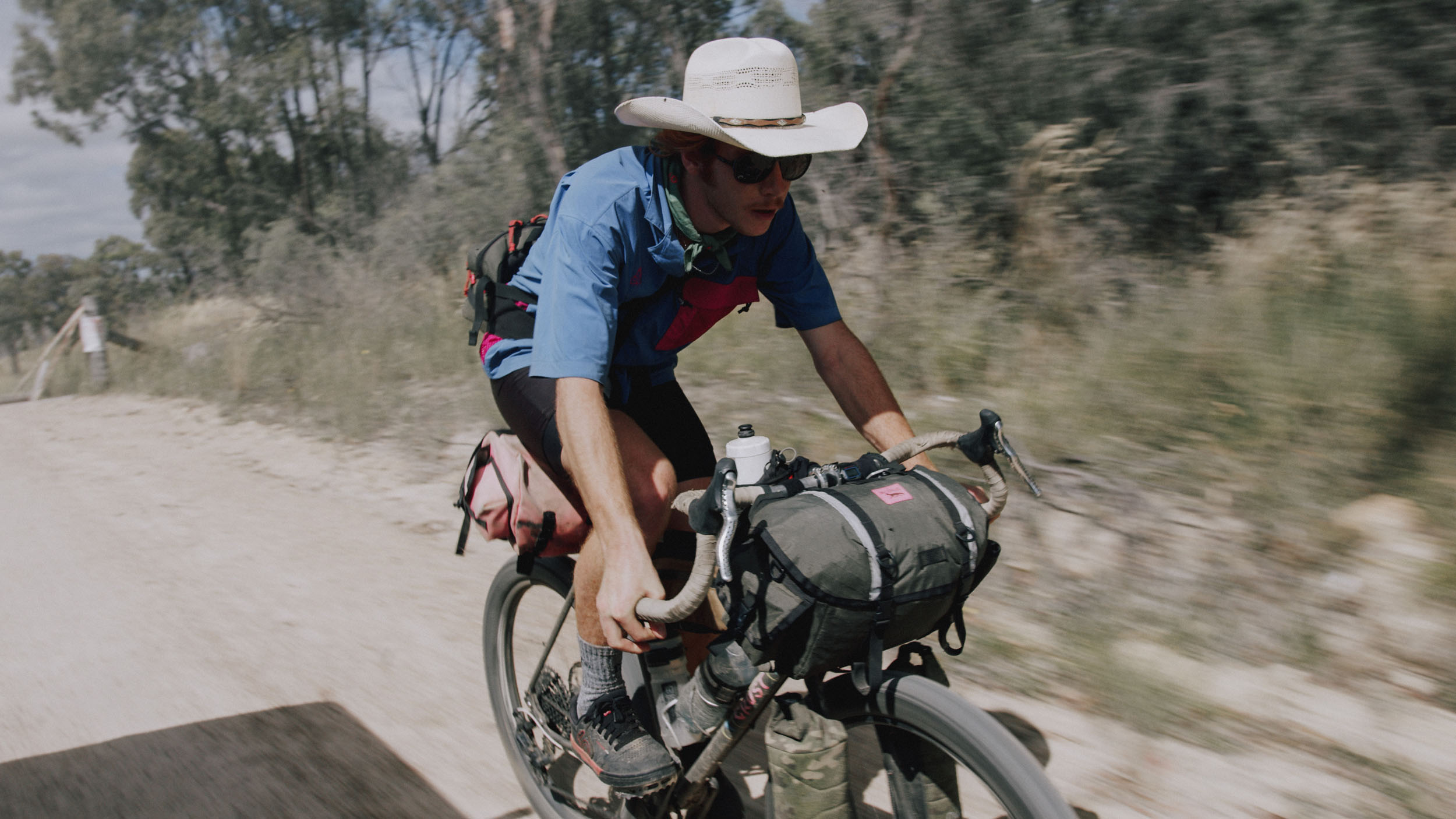
- What bike? Any bike from a robust gravel bike with 47mm tires to a hardtail with 2.8” tires will do the trick on this ride. Granny gearing is helpful, but the majority of this ride can be done without the dinner plate MTB cogs.
- There are an abundance of camping options on the route, both wild and civilized as well as accommodation within towns.
- All campsites marked on the route have notes and links if booking is required.
- Currently, booking is required in all national park campgrounds, NationalParks.nsw.gov.au.
- For any camping done beyond these suggestions, it goes without saying to be respectful and leave no trace.
- There are plenty of rivers and creeks along the route, at least three per day. However, between Tenterfield and Ebor, there are fewer water sources, and it is wise to make sure you’re carrying enough for long days of climbing.
- All water will need to be filtered. Much of the route is in grazing country.
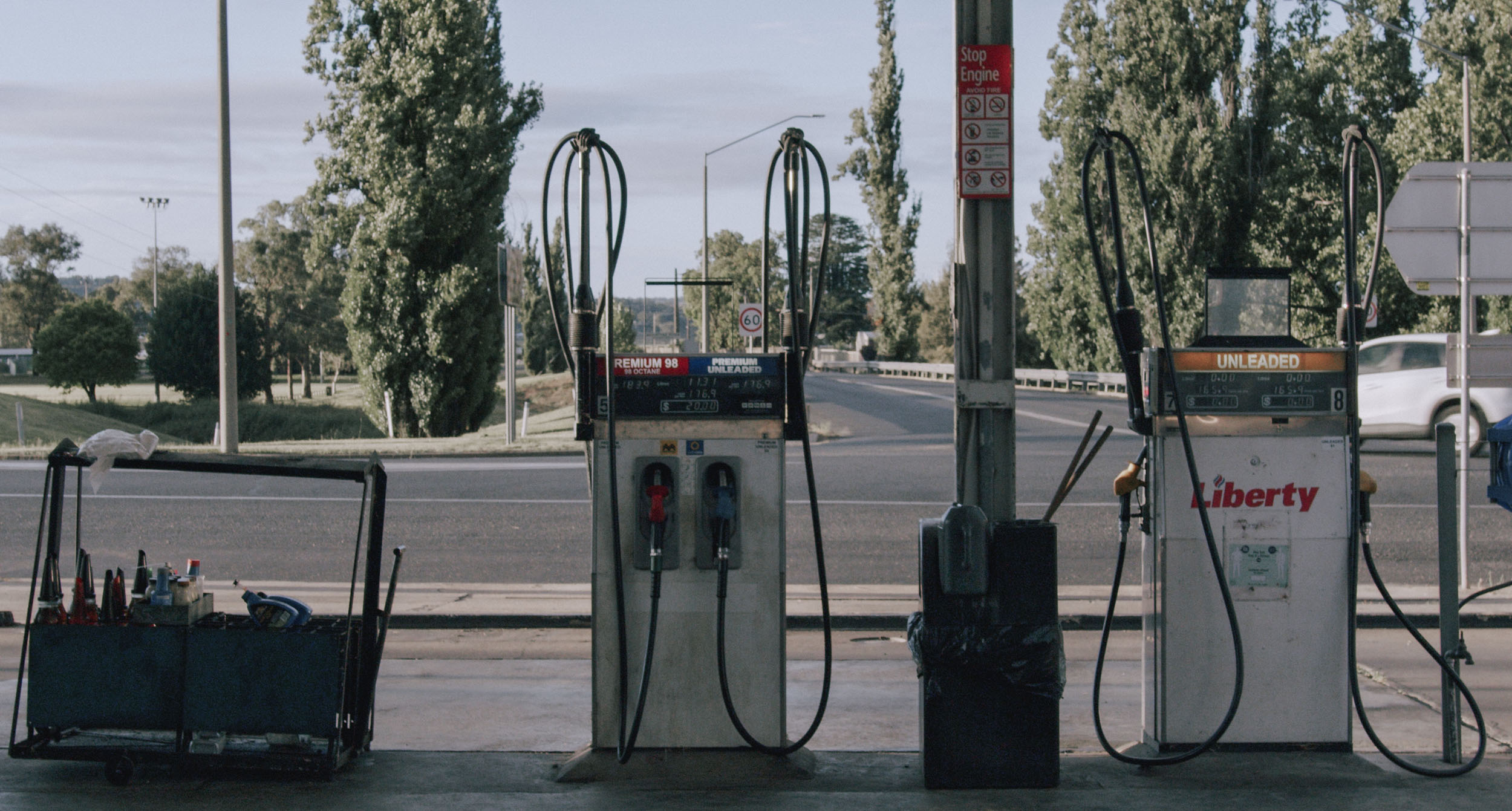
- The greatest distance between resupply is 210 kilometres in the first half of the ride between Bendemeer (a small, limited supply store) and Delungra (with only a petrol station for limited groceries).
- On the second half of the ride, there is a 270-kilometre gap between resupply.
locationArmindale-Uralla
Day 1 (50 km +526 m / 31 mi +1,725 ft)
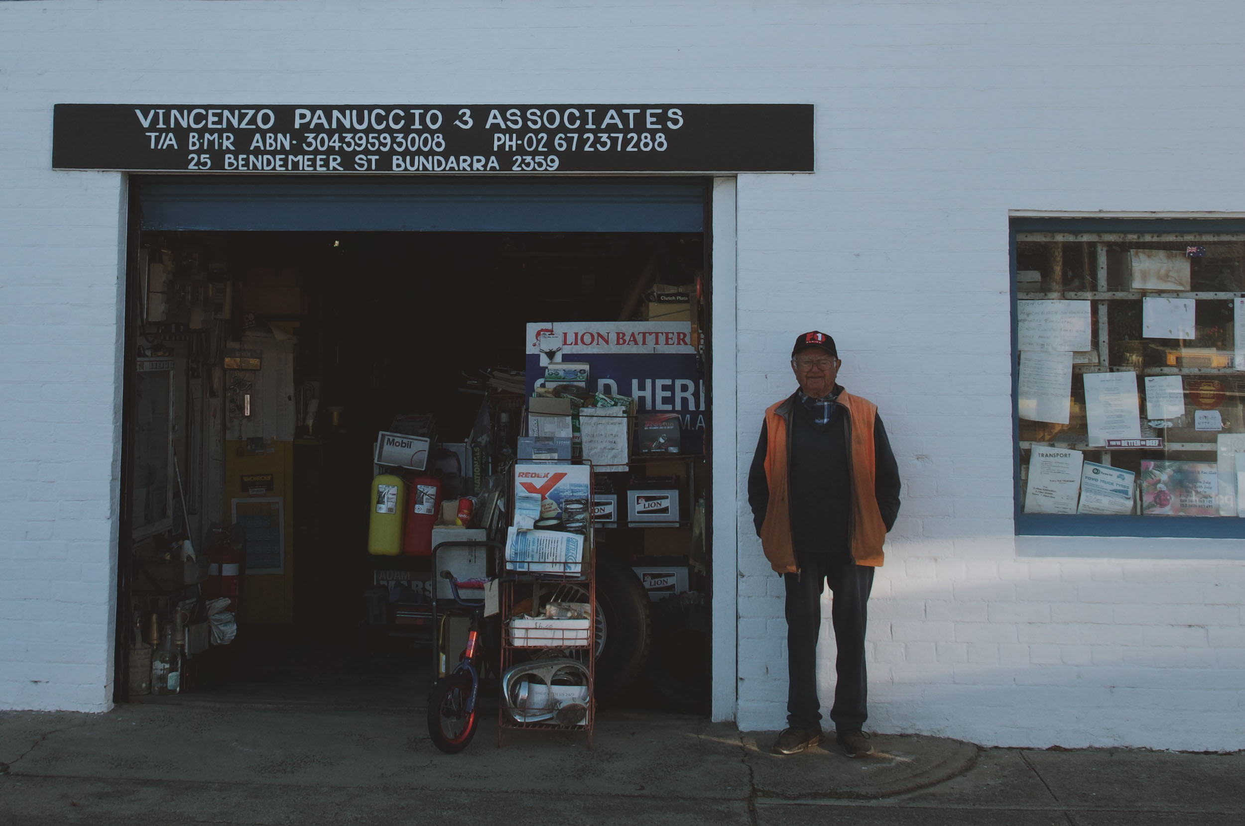
This suggested first day is a shorter day. You can have the option to shoot through and head to Walcha, which is a total of 115 kilometres to the next official camping location. Having a shorter first day allows you to have the morning to pack properly for the 10-14 day adventure. The route follows through Armidale past both bike shops (the next bike shop is in 270 kilometres), the outdoor store (just in case), and finally passes through the park to allow you to fill up any empty bottles in case you’ve forgotten the most important bit before you exit town.
The route uses Dangarsleigh road to exit Armidale, and the first bit of off-road you see will be a few kilometres out of town. If you wanted to extend the day a bit, you could visit the Dangar Falls, which would roughly add 20 kilometres to your day.
Otherwise, you will reach Uralla via Gostwyck and the pretty and privately owned Saint Anglican Church.
locationUralla-Macdonald River
Day 2 (98 km +1,084 m / 61 mi +3,556 ft)
Since the first day was a short one, it makes sense to up the ante for day two. Getting from Uralla to Walcha uses one of the nicest gravel riding roads in this section, the Carlon Menzies Road, which is a narrow, tail-wind-frequented gravel road that will get you on your way to Walcha in a breezy 70 kilometres. Walcha has resupply, accommodation, and more public art per capita than anywhere else in Australia. It is also the home town of Jambi Jambi, who will be so happy to meet up and ride with you if you want to get in touch.
A further 29 kilometres and you will reach Woolbrook, which has a number of free campsites next to the Macdonald River. There is an option to stop for the night before crossing the Macdonald.
locationMacdonald River-Travelling Stock Reserve
Day 3 (63 km +1,054 m / 39 mi +3,459 ft)
Leaving quiet Woolbrook and heading towards Bendemeer, you will experience the first bit of climbing. Using Bendemeer Station Road to mount the ridge will give you a windy view into the Peel Valley before sharply dropping you into Bendemeer; a small town that has the opportunity for a little resupply. There is also comfortable accommodation at Bendemeer Hotel if you are in need of a hot shower, a good meal, and a bed. The descent into Bendemeer is a steep one and will surely bed your brakes in if they haven’t done so already.
Leaving Bendemeer towards the suggested camp is a wide, well-maintained gravel road that meets a stock route. The suggested campsite is marked on the Ride with GPS map, and there is also a water source down the track a kilometre or so.
locationTravelling Stock Reserve-Towarra Road
Day 4 (99 km +1,238 m / 61 mi +4,063 ft)
After exiting the bumpy Travelling Stock Reserve, you will spend most of the day on well-maintained rural roads interacting with plenty of cattle grids and open grazing country. There is an opportunity for a quick resupply in Kingstown. As it’s the last one until Delungra, it might be worth a stop to add a few extra treats to the bags.
The day has several swimming spots and water sources. The suggested camp is along Towarra Road, a quiet country road that has a small creek next to it.
locationTowarra Road-Delungra Pub
Day 5 (77 km +938 m / 42 mi +3,227 ft)
The winding, undulating Towara Road meets the open plains of Thornleigh Road as you head towards the Gwydir River, where a great shady swim spot is waiting for you. This also makes for a great campsite if you are on a different schedule.
After the Gwydir River, there is a nice quiet road that crosses over to Whitlow, where you will feel the roads open up again towards Myall Creek Memorial Site. There is fresh water, toilets, and a somber walk with plaques along the way that tell the story of the Myall Creek Massacre.
The end of the day ends up at the Delungra Pub, which has warm hospitality and free camping at the rear. There is a service station with some simple groceries and a cafe with some delicious burgers.
locationDelungra Pub-Inverell
Day 6 (54 km +507 m / 33 mi +1,63 ft)
This day serves as a rest day. You are travelling between two towns on a quiet country road through corn fields and with a couple of river crossings, coming into Inverell from the farm roads on the north. Crossing the Macintyre River can involve high waters when in flood.
Inverell is a large town and has bike shops, outdoor stores, and plenty to see. There are a plethora of places to stay in Inverell.
locationInverell-Die Hard
Day 7 (77 km +1,196 m / 48 mi +3,925 ft)
You have the opportunity to run a light pack this day with two large towns on either end of the ride. However, full water bottles are recommended as the water supply along the route is not guaranteed in dry months.
Glen Innes is a large town known for its Celtic festivals and gem fossicking, and it has a number of warm pub meals in the area. There is an opportunity to shorten the ride from Glen Innes by shooting east to meet up with the route as it enters Die Hard.
locationDie Hard-Pyes Creek
Day 8 (93 km +1,092 m / 58 mi +3,584 ft)
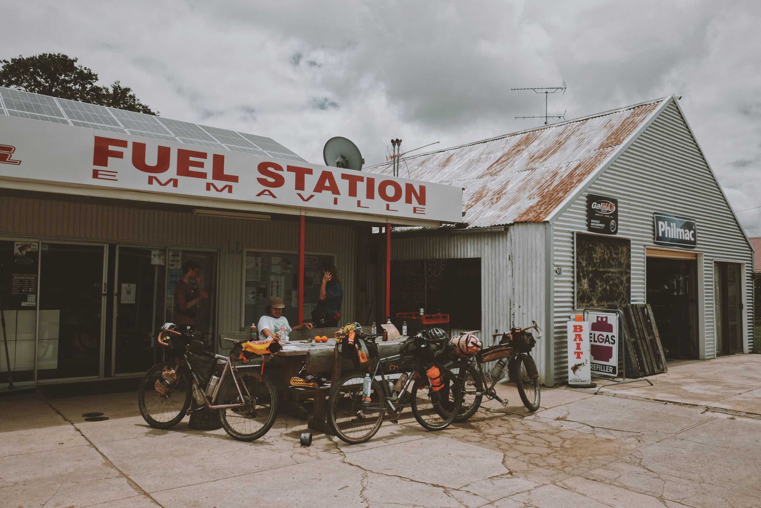
The morning starts with 50 kilometres of sealed road, which will help you gobble up some distance. Stopin Emmaville, an old tin mining town where the cemetery’s size is indicative of just how populated of a town it once was. The takeaway has plenty of great hot food options. Perhaps some hot chips to put in your feed bag while you ride towards Torrington and Stannum, two small, quiet towns that have a gentle hospitality about them.
There is a very quick descent from Stannum to the suggested campsite, which is anywhere along the Pyes Creek banks. The river has a number of grassy knolls that would be comfortable for the night.
locationPyes Creek-Forestland
Day 9 (92 km +1,734 m / 58 mi +5,688 ft)
An early start would be helpful on day nine as you will be climbing a beautiful but longer ascent into Tenterfield. It uses the iconic Gunyah Road, which is a scenic ascent and is pleasurable even when the legs are burning. With a few steep pinches, you will be glad to ride the five kilometres downhill into town.
If you are inclined, the Tenterfield Railway Museum is just off the route and is a great pitstop. Tenterfield has plenty of resupply and excellent tourism stops. The route will shuffle you past the Tenterfield Saddler on your way out of town towards Forestland. And the climbing will be behind you for the day. The forest gives you plenty of camping options, but be mindful that water is scarce, so if you find some, fill up for the night.
locationForestland-Mann River Reserve
Day 10 (95 km +1,530 m / 59 mi +5,018 ft)
Day 10 has particularly pleasurable riding: beautiful farming properties scooting in and out of wooded nature reserves and undulating terrain with bumbling tracks and fast gravel farm roads.
All this before you descend into Die Hard, which is a rather frightful name for a beautiful spot. The Mann River Reserve is a perfect spot for an afternoon swim. It would be worthwhile boosting it during the day to give yourselves plenty of time to relax on the warm rocks and shallows.
locationMann River Reserve-Boyd River
Day 11 (57 km +1,130 m / 35 mi +3,707 ft)
Day 11 serves as a rest day, An easy pleasure cruise of 57 kilometres crossing from the Mann River to the Boyd River through the valley. You can also start the climb that evening if you are wishing to skip this half day. As a personal preference, I like to climb in the mornings.
locationBoyd River-Ebor Falls
Day 12 (86 km +2,577 m / 54 mi +8,453 ft)
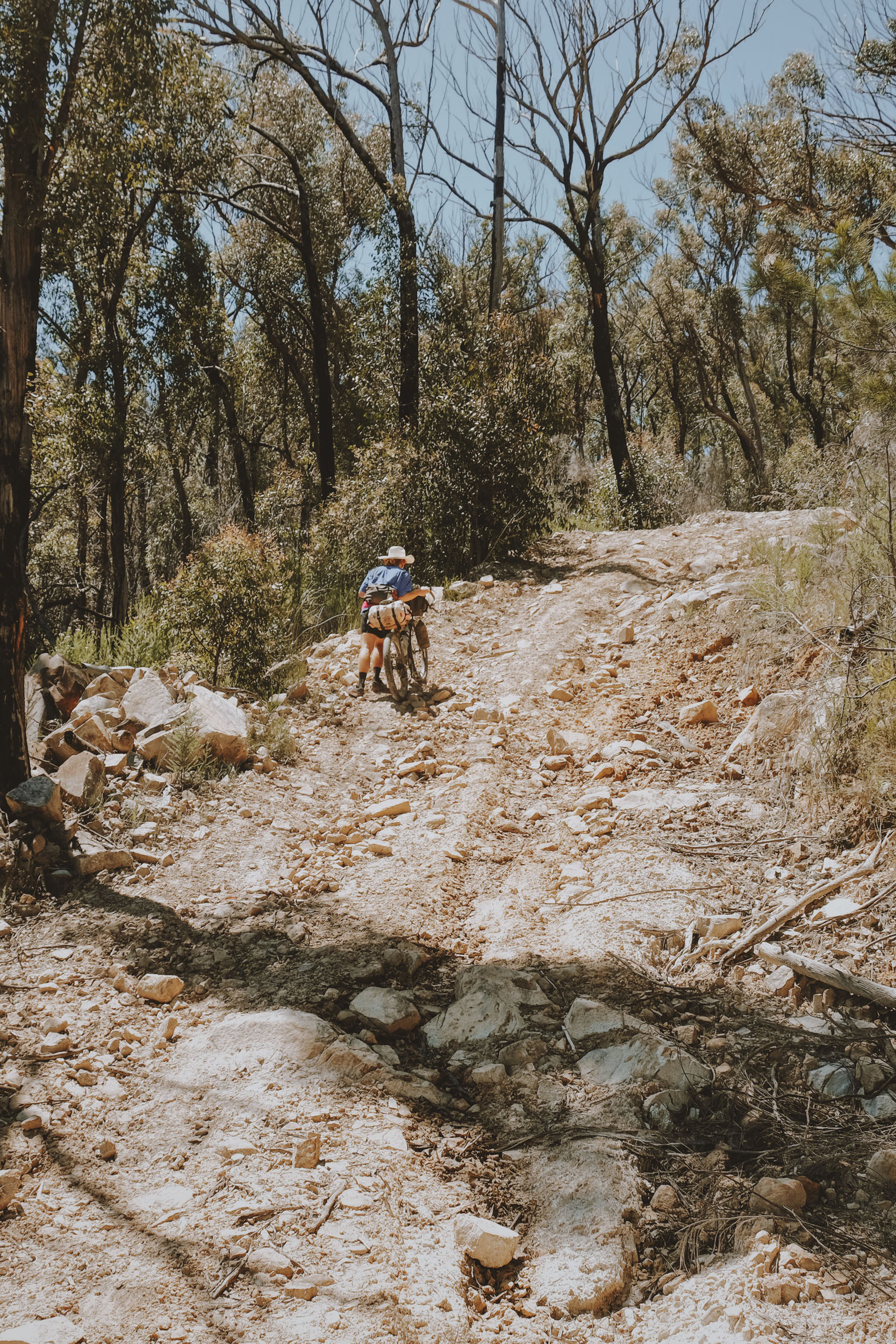
Today is the biggest climbing day by nearly 3,000 feet, so buckle up and climb your way back up the shelf. There is a max grade of 22% as you head up, so there will be some times when you might be off your bike.
Once you are back on top of the world, you begin your journey to Ebor. It has a limited resupply at the petrol station. There are some options to camp in town. And while you are visiting, a must-see is Ebor Falls.
locationEbor Falls-Wollomombi Camping
Day 13 (69 km +1,279 m / 43 mi +4,195 ft)
This is the second-to-last day on your route, and you are heading towards the Wollomombi Store as a campsite. There are a few other options for camping if you want to take advantage of the last few days. You can aim for the Wollomombi Camping area, which has a few nice walks and viewpoints of the waterfall.
locationWollomombi Camping-Armindale
Day 14 (50 km +687 m / 31 mi +2,252 ft)
A nice short day to finish your ride. Cool down so you don’t have to finish your ride in a heap. You undulate back into Armidale on the back roads, past the local MTB tracks, and on a few dirt tracks as you head back to your starting point, hopefully feeling a great sense of achievement.


Terms of Use: As with each bikepacking route guide published on BIKEPACKING.com, should you choose to cycle this route, do so at your own risk. Prior to setting out check current local weather, conditions, and land/road closures. While riding, obey all public and private land use restrictions and rules, carry proper safety and navigational equipment, and of course, follow the #leavenotrace guidelines. The information found herein is simply a planning resource to be used as a point of inspiration in conjunction with your own due-diligence. In spite of the fact that this route, associated GPS track (GPX and maps), and all route guidelines were prepared under diligent research by the specified contributor and/or contributors, the accuracy of such and judgement of the author is not guaranteed. BIKEPACKING.com LLC, its partners, associates, and contributors are in no way liable for personal injury, damage to personal property, or any other such situation that might happen to individual riders cycling or following this route.
Please keep the conversation civil, constructive, and inclusive, or your comment will be removed.