


Pennsylvania Grand Canyon Loop
Distance
118 Mi.
(190 KM)Days
2-3
% Unpaved
79%
% Singletrack
0%
% Rideable (time)
100%
Total Ascent
6,542'
(1,994 M)High Point
2,404'
(733 M)Difficulty (1-10)
3?
- 4Climbing Scale Fair55 FT/MI (11 M/KM)
- 2Technical Difficulty Easy
- 4Physical Demand Fair
- 2Resupply & Logistics Easy
Contributed By
Francesca Lorandi
Guest Contributor
Francesca grew up in northern Italy loving mountains and running. She discovered bikepacking only during her time in the US, thanks to her boyfriend, who doesn’t like running at all. Now that they are both back to Italy, they are still bikepacking, but with many more pizza stops. Find her on Instagram @francesca.lorandi.
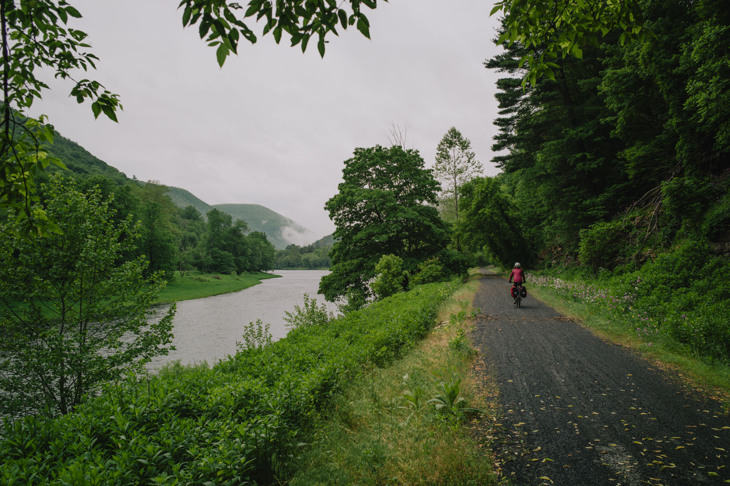
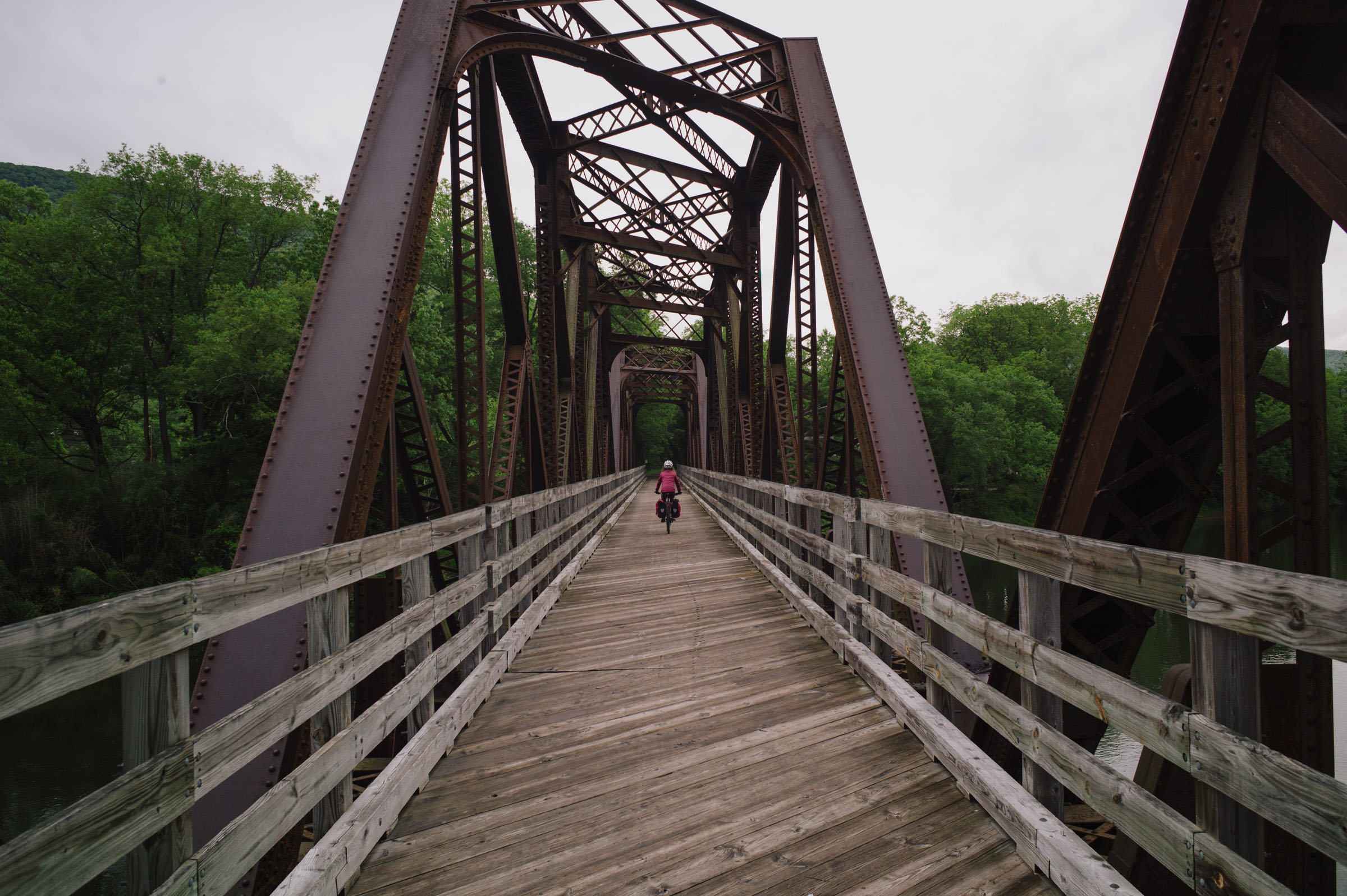
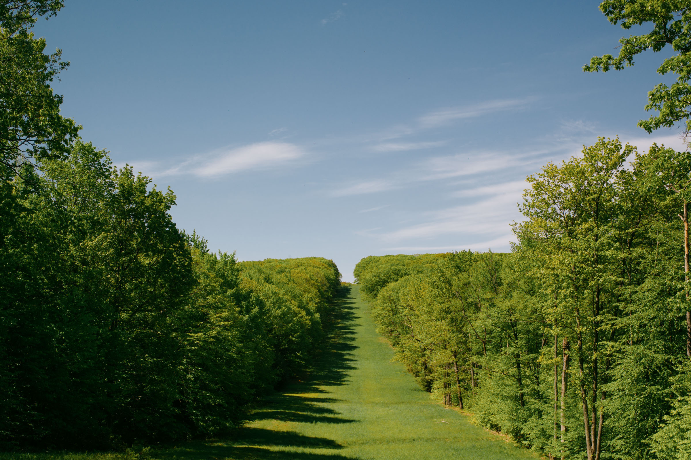
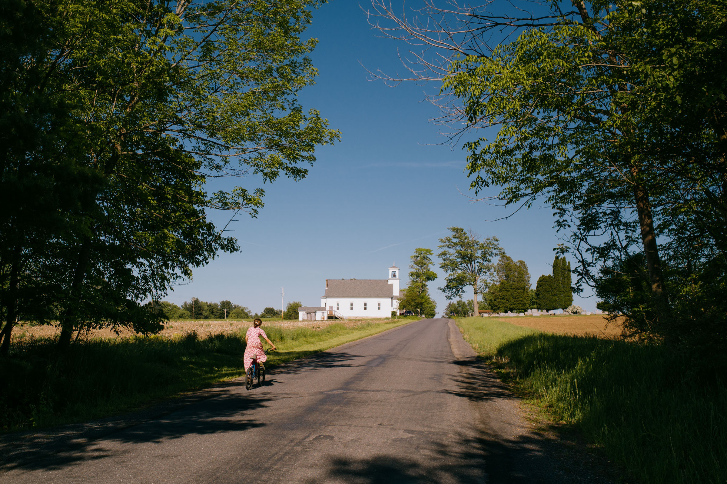
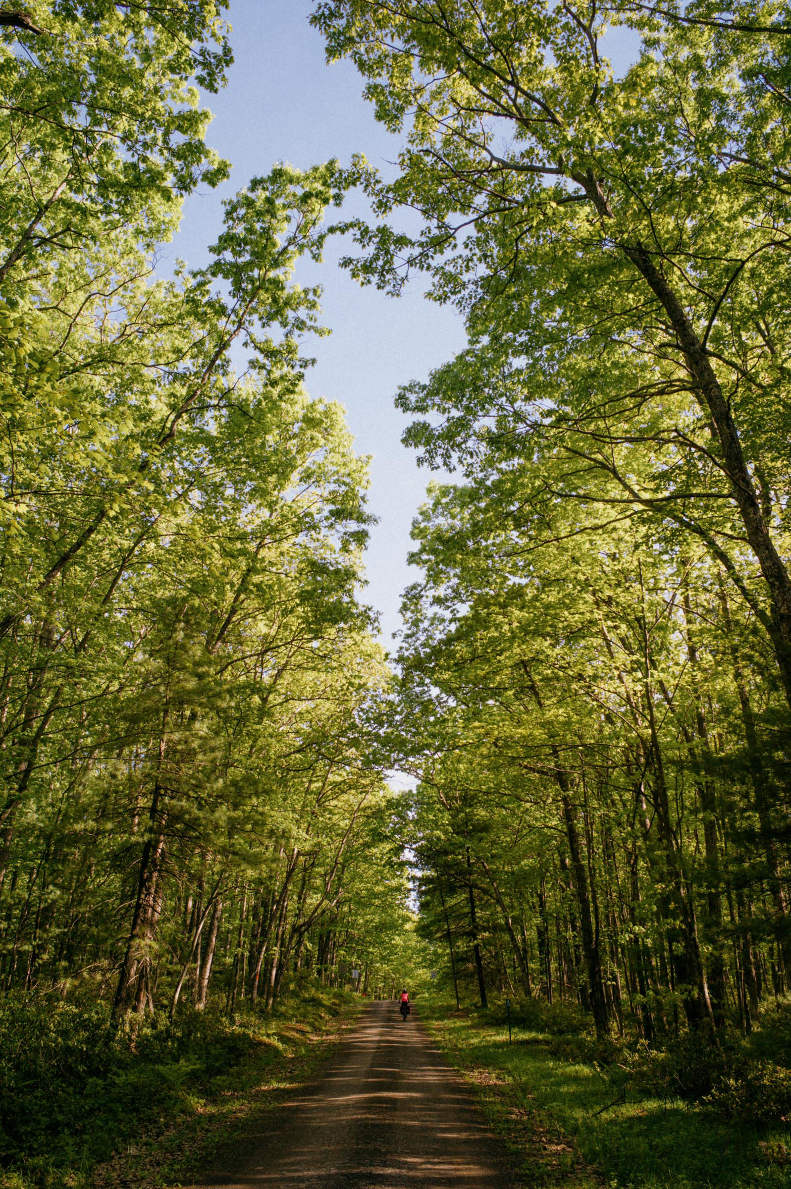
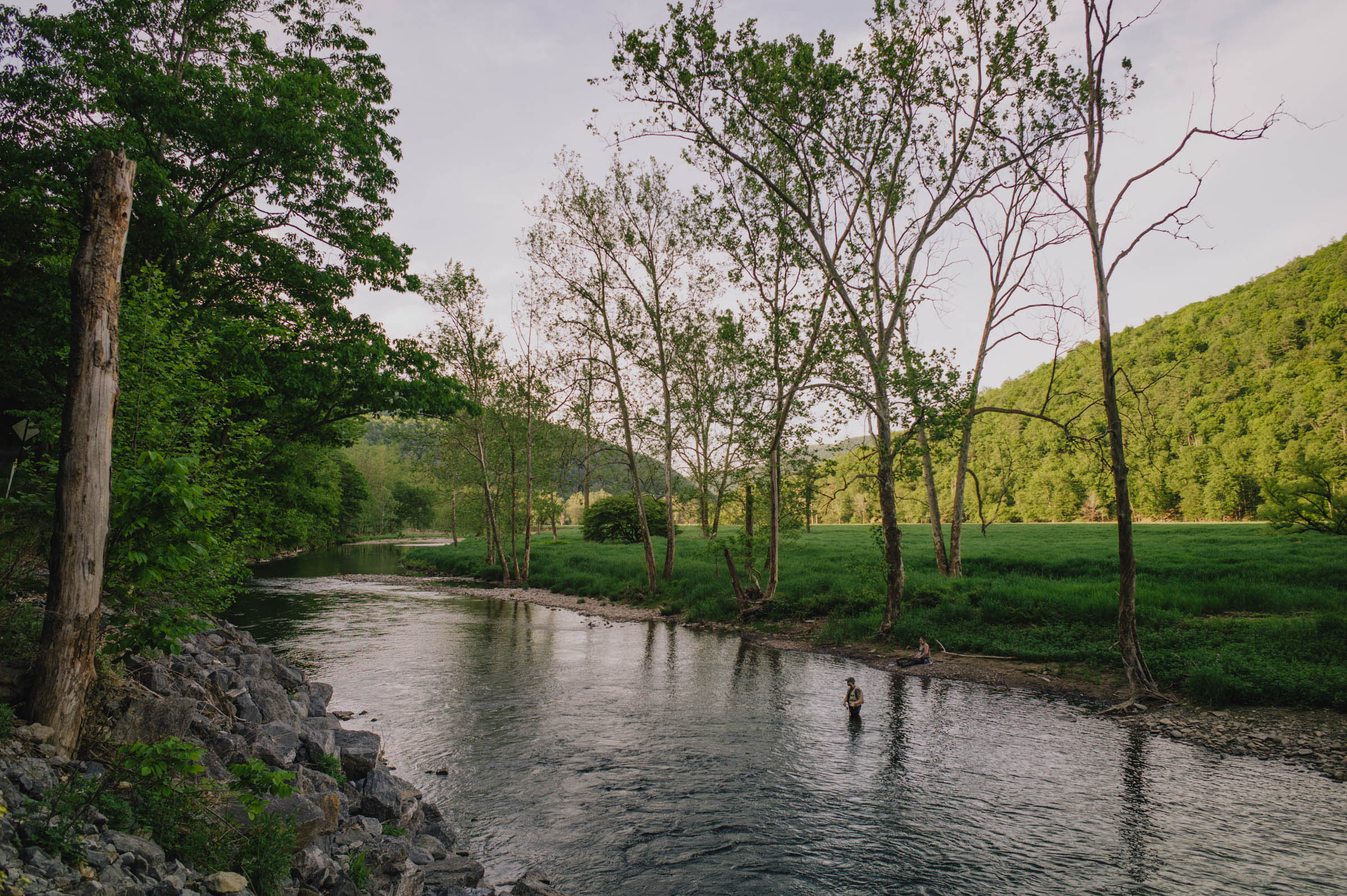
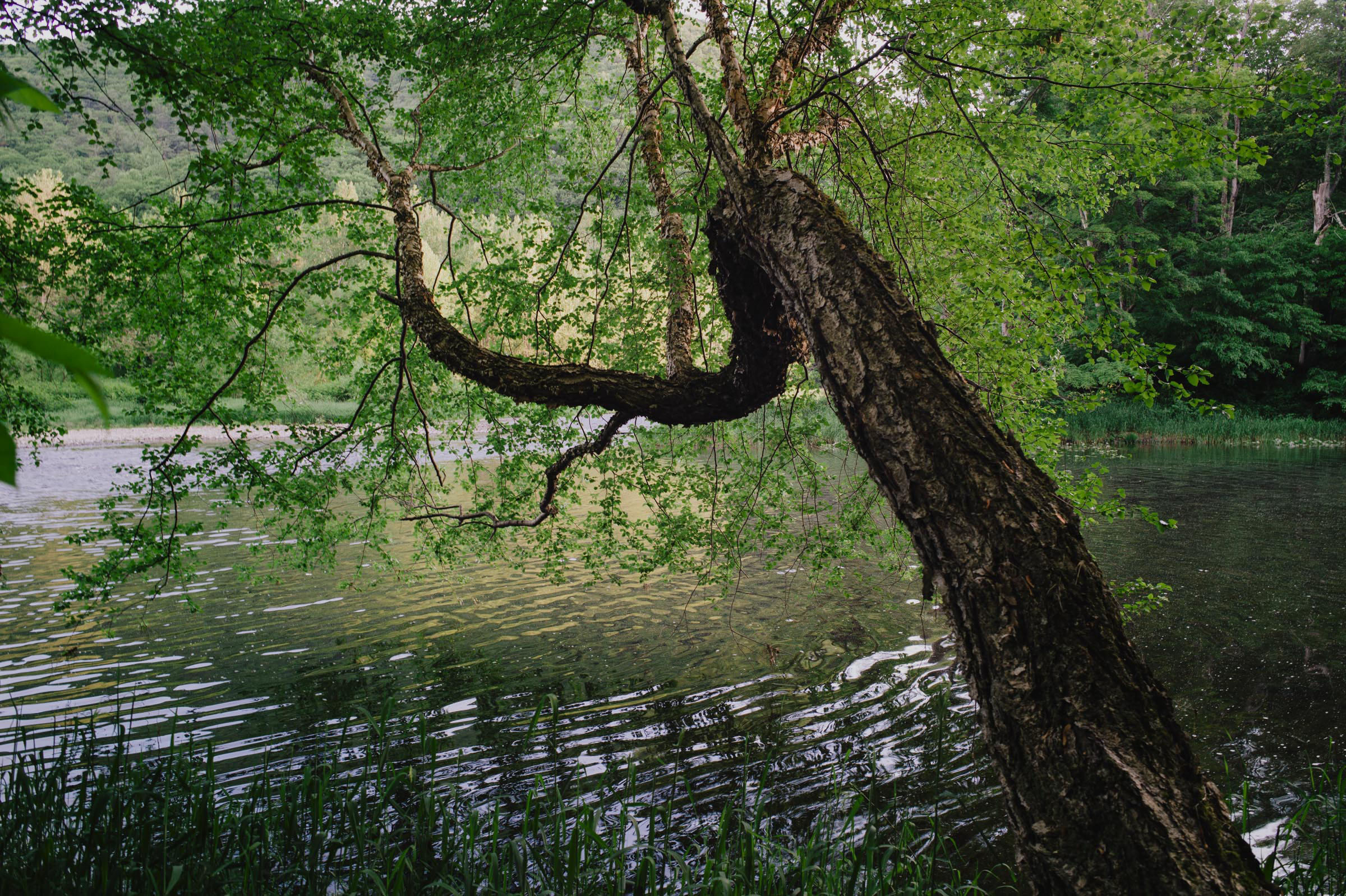
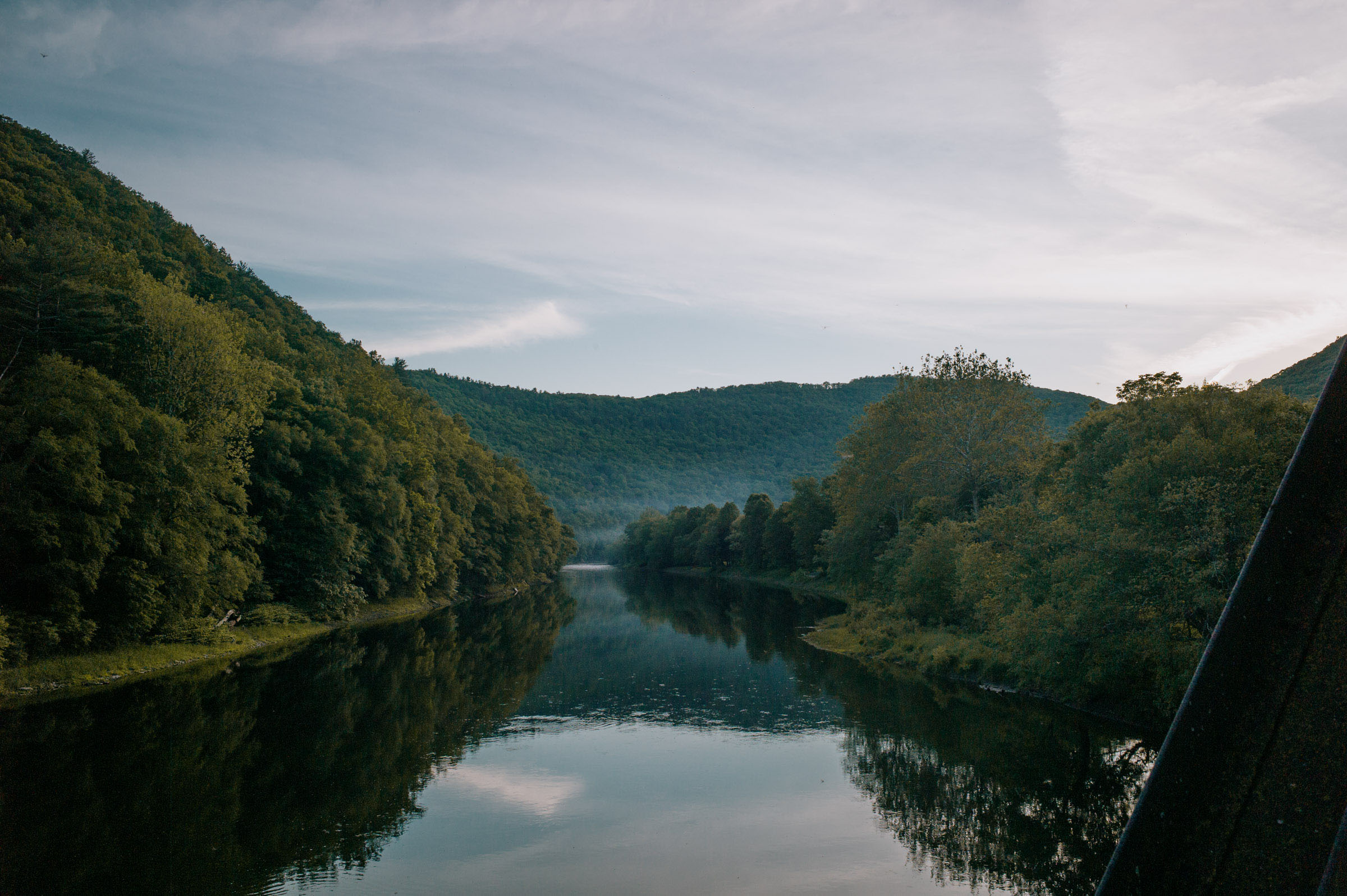
Pine Creek Gorge is a massive canyon carved into the Allegheny Plateau by Pine Creek. The gorge stretches 1,450 feet (440 meters) deep and spans 4,000 feet wide, earning the well-deserved title “The Grand Canyon of Pennsylvania.” The Pine Creek Rail Trail (PCRT) traverses most of the gorge, extending a total of 62 miles. Along the rail trail, you’ll find numerous well-maintained campsites and a breathtaking waterfall accessible via a short hike on the Turkey Path Trail, which the route crosses at approximately mile 69.
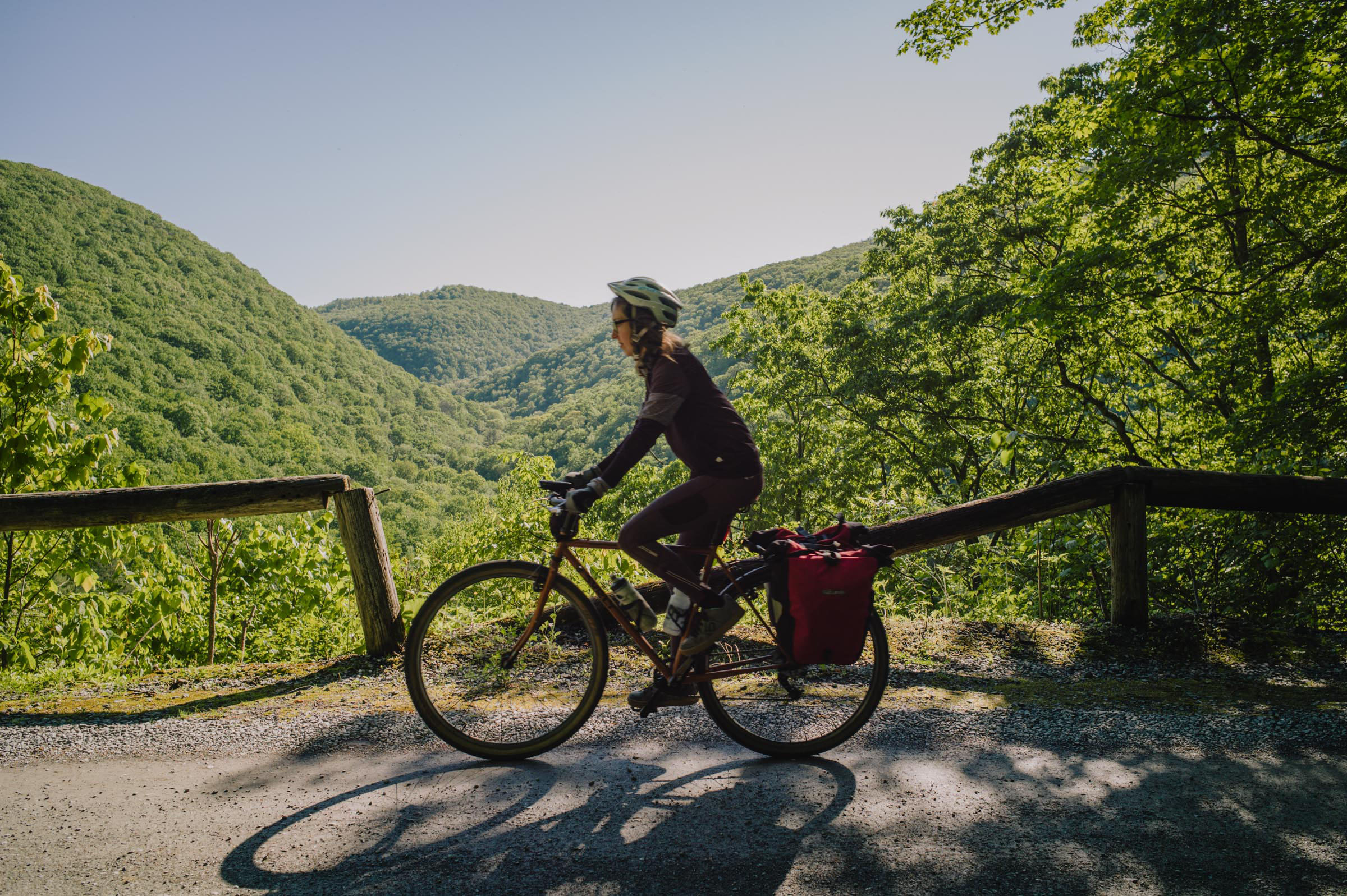
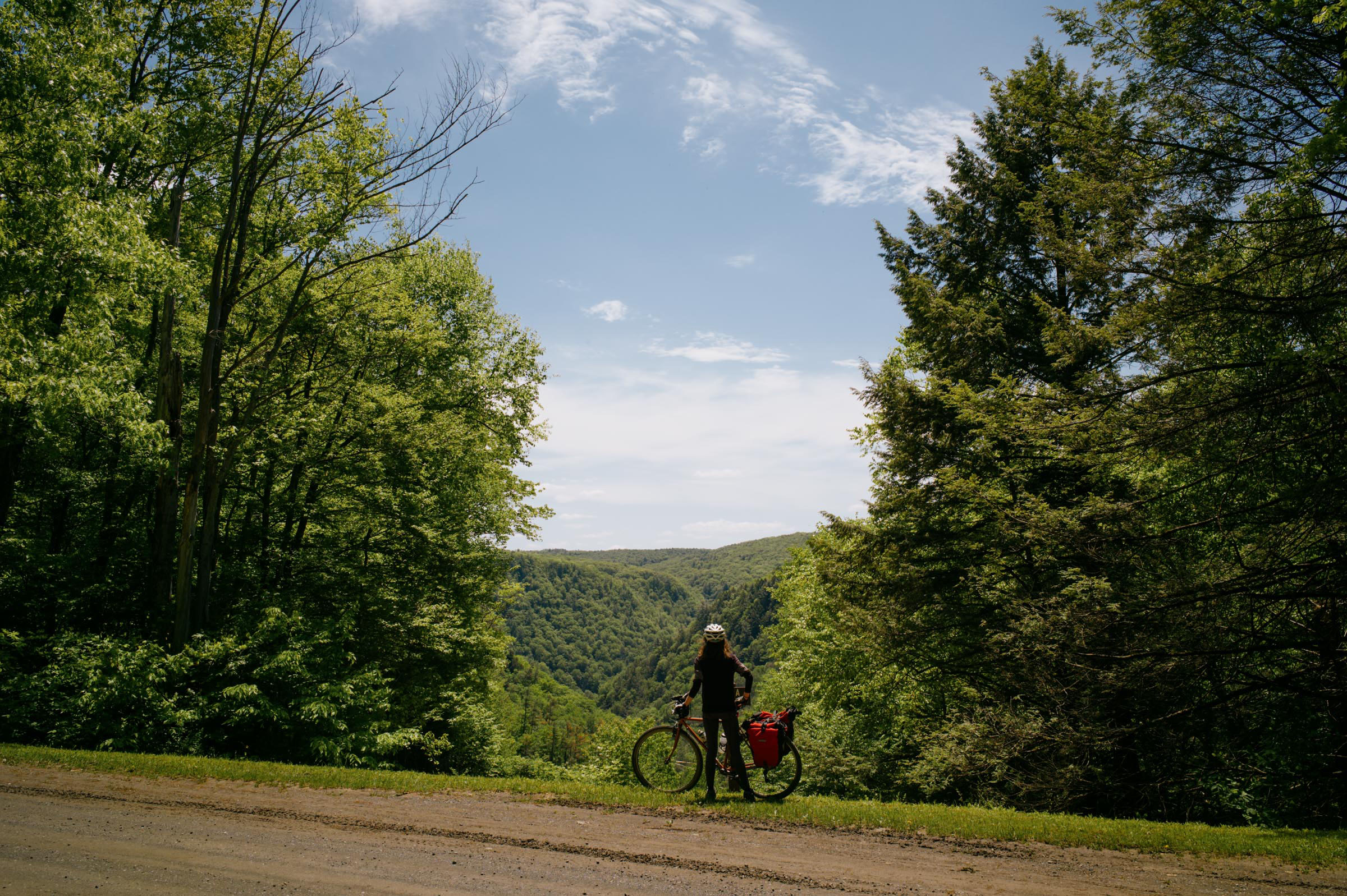
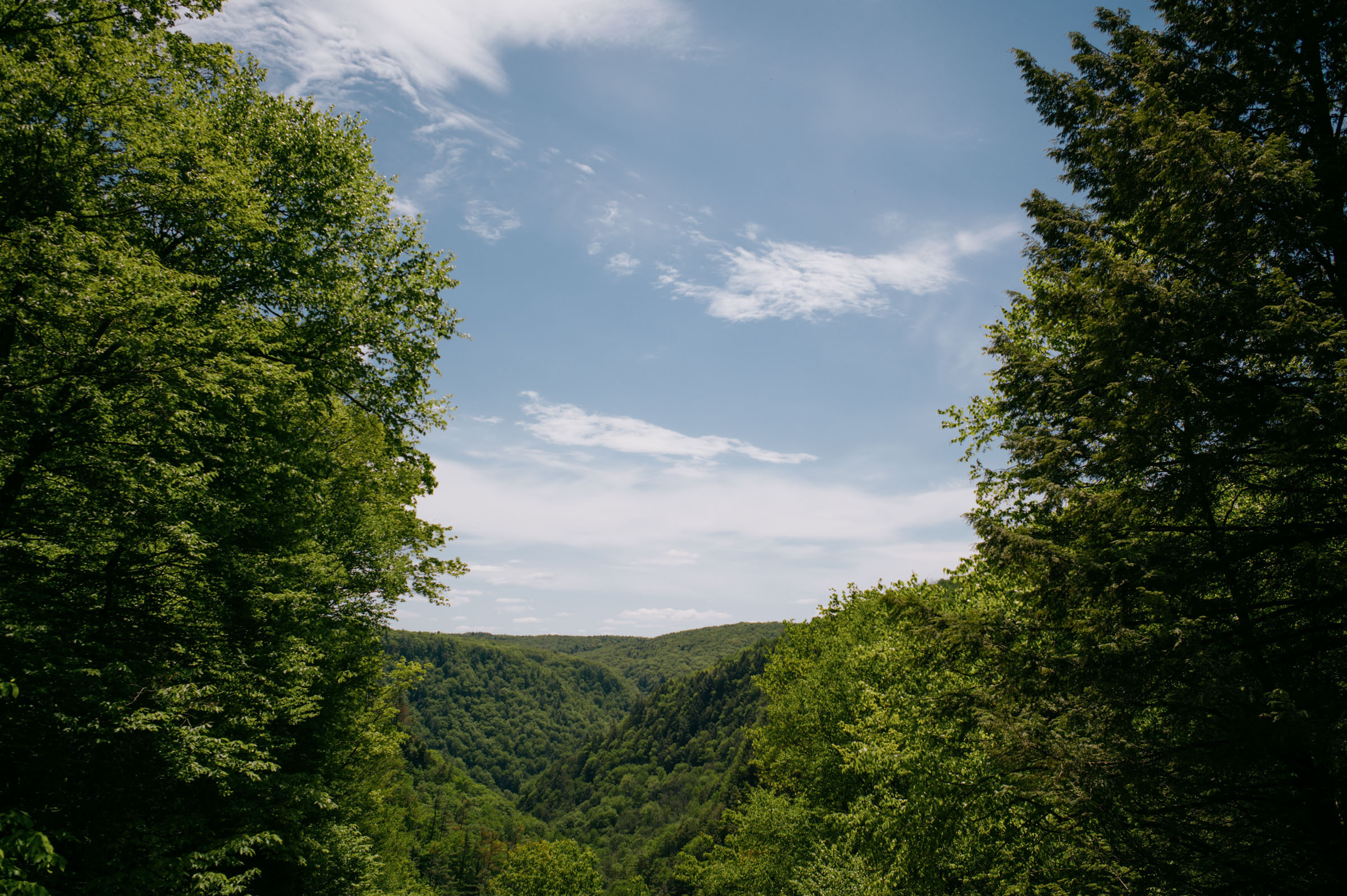
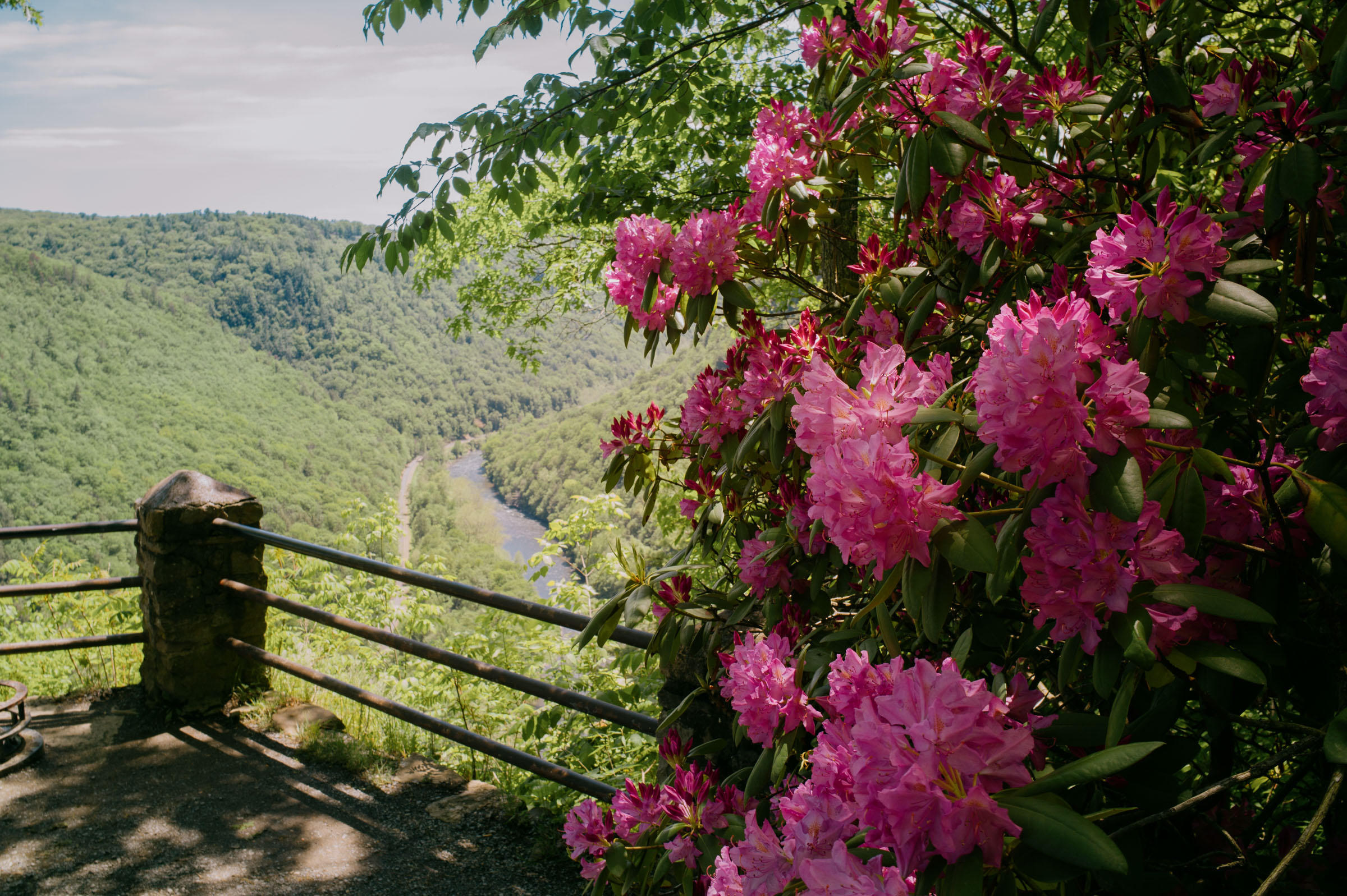
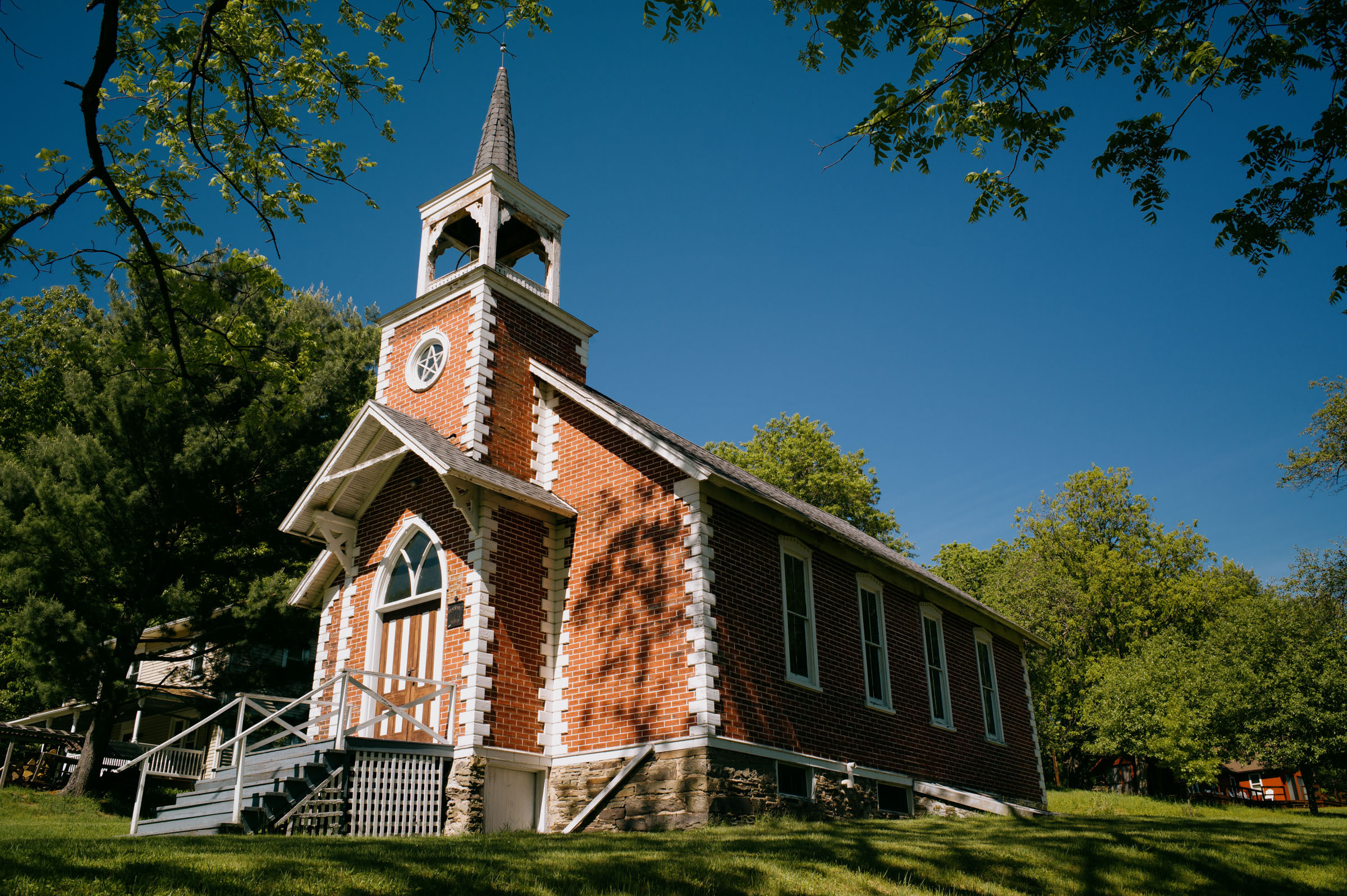
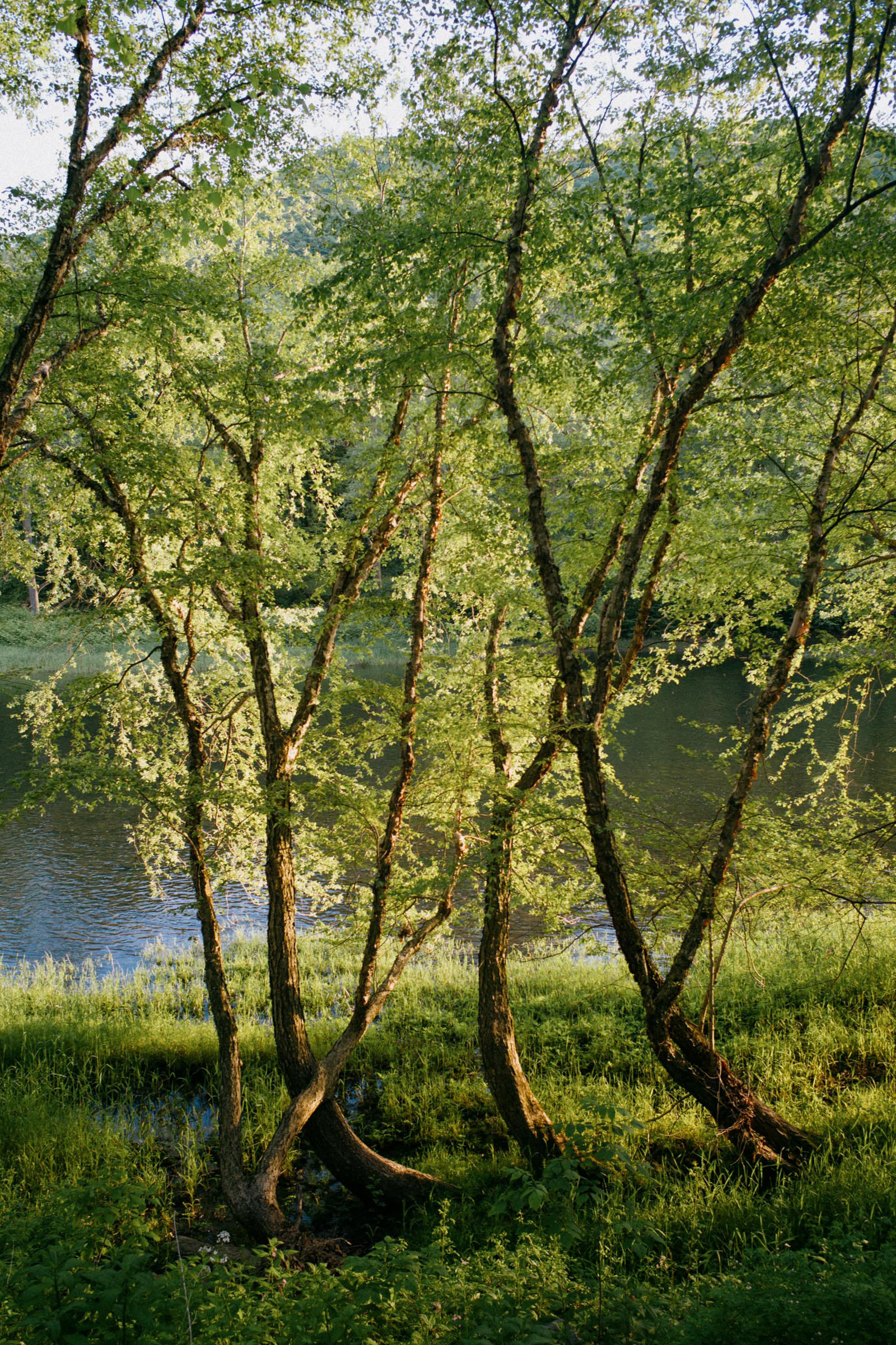
This route follows most of the PCRT but also includes two significant detours to reach both the western and eastern rims of the canyon. The first detour to reach Colton Point State Park offers views that are nothing short of spectacular, providing a captivating glance of the entire gorge. Additionally, at the end of spring, the area becomes adorned with blooming rhododendrons, adding a touch of natural beauty to the landscape. The second time the route departs from the Pine Creek Rail Trail, it climbs up to reach Oregon Hill, a picturesque place featuring a church and a winery. Another highlight of this journey is Little Pine State Park, a truly beautiful area worth experiencing.

Route Difficulty
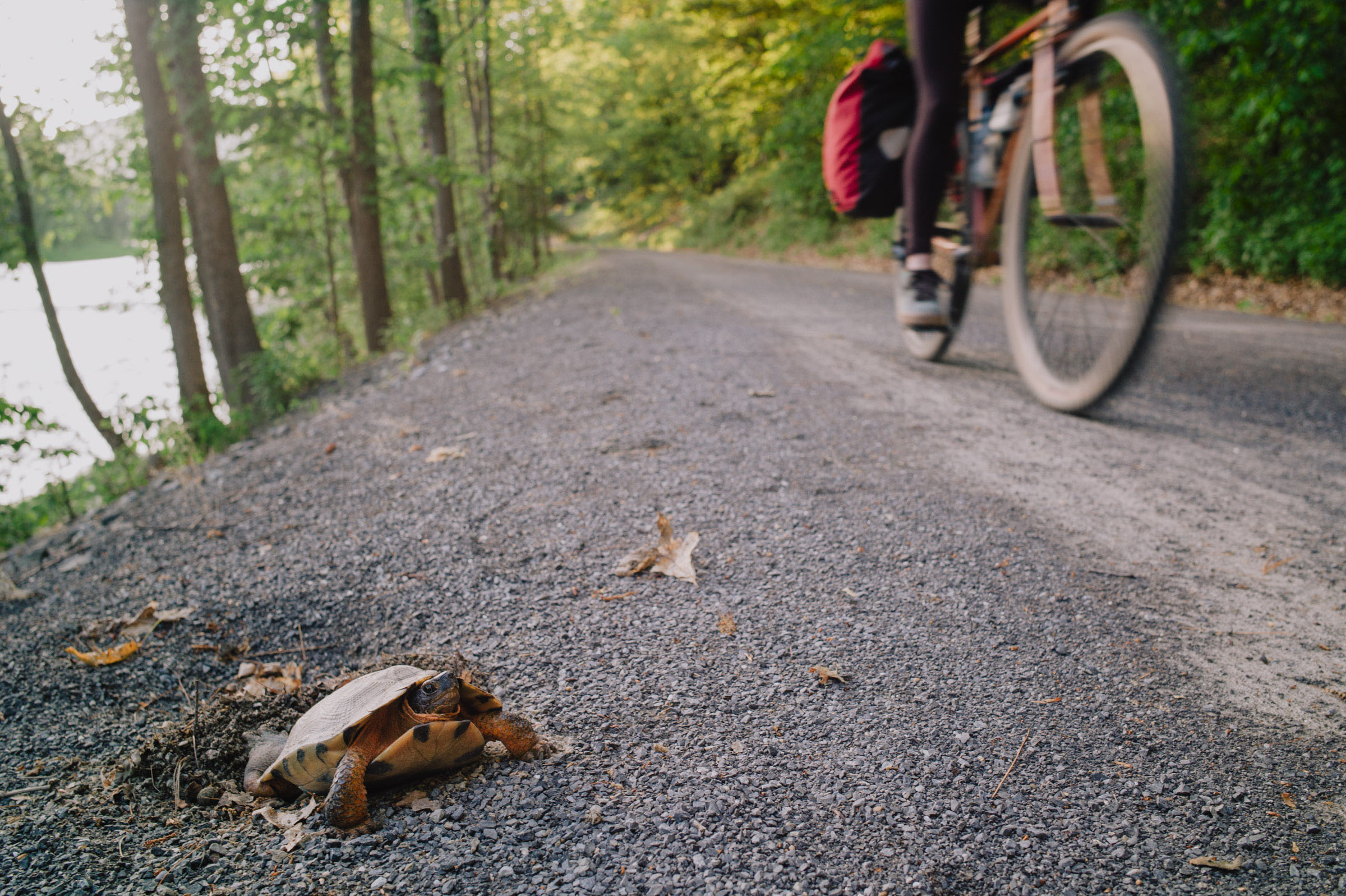
Ridden in three days, this is an easy bikepacking loop that’s ideal for a beginner. The terrain is not challenging, but there are a couple of steep hills to climb (to go up from the bottom to the rim of the gorge). The route is entirely rideable on any gravel bike with appropriate gearing. Camping is plenty so that the loop can be split in multiple days if desired. There are a few restaurants along the route, marked on the GPS file. Ridden as an overnighter, the loop is a bit more challenging.
The climbing portion is relatively contained, as about half of the route follows the rail trail, while the remainder consists mostly of seldom-traveled gravel or backroads. This route offers flexibility, as it can be completed as an overnight trip or easily divided into a three-day adventure due to the abundance of campsites and lodging options available. The trailhead in Jersey Shore serves as a convenient starting point with a vast parking lot, but you can also begin the route from any of the scattered parking areas along the rail trail.
Submit Route Alert
As the leading creator and publisher of bikepacking routes, BIKEPACKING.com endeavors to maintain, improve, and advocate for our growing network of bikepacking routes all over the world. As such, our editorial team, route creators, and Route Stewards serve as mediators for route improvements and opportunities for connectivity, conservation, and community growth around these routes. To facilitate these efforts, we rely on our Bikepacking Collective and the greater bikepacking community to call attention to critical issues and opportunities that are discovered while riding these routes. If you have a vital issue or opportunity regarding this route that pertains to one of the subjects below, please let us know:
Highlights
Must Know
Camping
Food/H2O
Trail Notes
- The beauty of the gorge, which is quite unique in this area of the US.
- The overlook at Colton Point State Park offers a wonderful view over the entire gorge.
- When the warm season starts, rhododendron flowers are spread everywhere.
- The Little Pine State Park area is worth a quick stop for recharging.
- The well-maintained and vast campsites provide comfortable accommodation.
- Bonnell Flats campground offers three spacious Adirondack shelters, a type of campground lodging typical of this region of the US.
- The Pine Creek Rail Trail is accessible all year long, but campgrounds may be busy during summer.
- Overnight parking and camping require a camping permit, which can be obtained by calling the Tioga or the Tiadaghton State Forest District Offices (570-753-5409).
- Besides Jersey Shore, several parking areas can be found along the Pine Creek Rail Trail so that one can start the route from different points.
- The route is entirely rideable on a gravel bike.
- More info on the Pennsylvania Grand Canyon and its attractions are available at PACanyon.com and PineCreekValley.com.
- There are several beautiful, well-organized, and free primitive campsites along the Pine Creek Rail Trail.
- Campsites must be reserved by calling the Tiadaghton State Forest Office at 570-753-5409.
- Many campsites are listed in the map, and more can be found here.
- Some campsites are outside the rail trail but can be reserved for a fee.
- Some campgrounds have shelters, such as Bonnell Flats. We camped there and at Black Walnut Bottom (both beautiful and quiet).
- Tomb flats is a full campground with RV sites.
- There are a few restaurants along the route.
- Many small streams can be found to get water, which should be filtered.
- If you want to know where to find ice cream along the Pennsylvania Grand Canyon check this site.
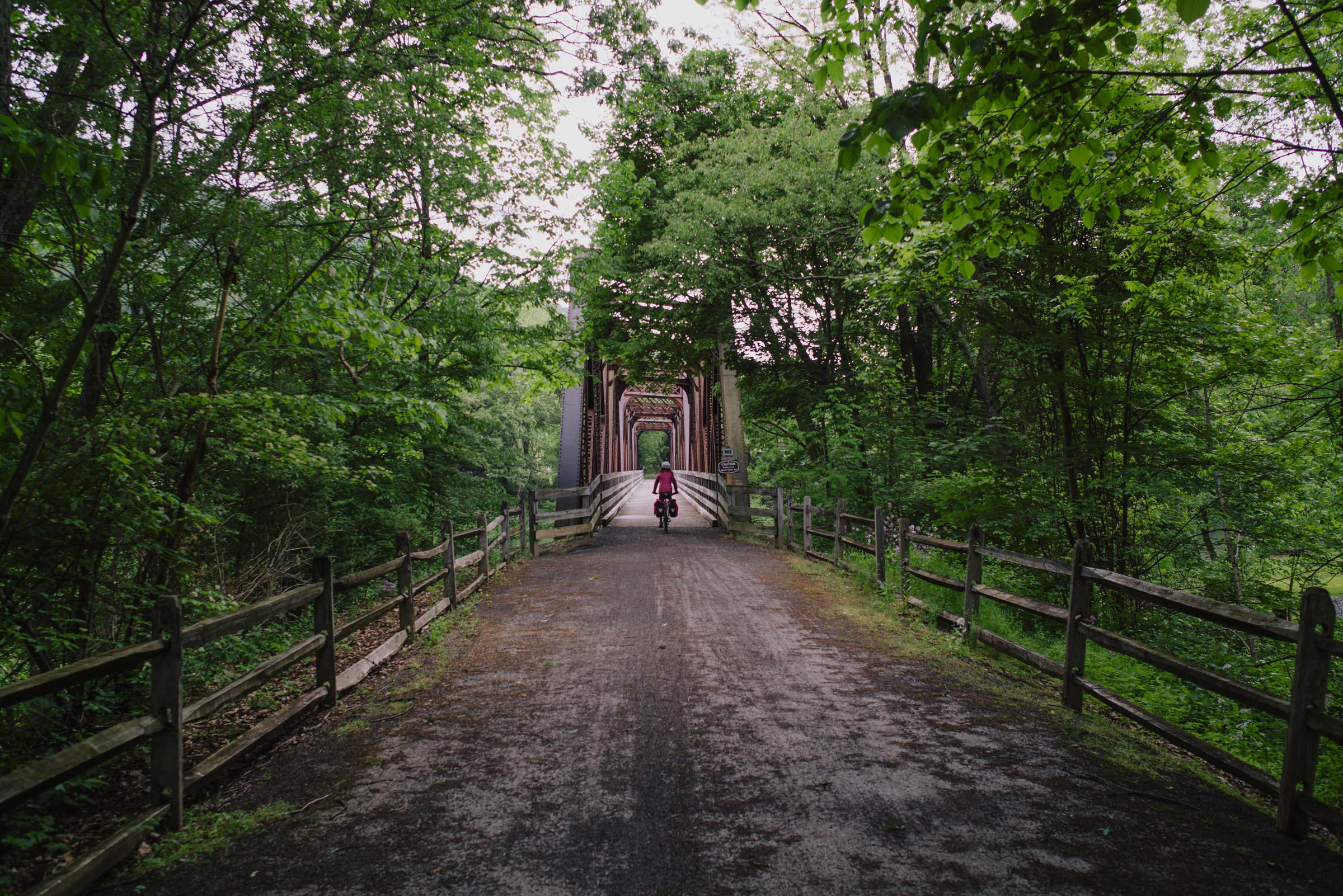
Starting from the trailhead in Jersey Shore, the Pine Creek Rail Trail runs through the Grand Canyon of Pennsylvania (Pine Creek Gorge) on finely crushed limestone, following the course of Pine Creek and passing a few bridges and beautiful campgrounds. Since we started our trip late in the afternoon, we slept at Black Walnut Bottom Campground (mile 24), a vast, well-maintained campground frequently used by fishermen. You’ll likely see them fishing knee-deep in Pine Creek. Around mile 27, the route leaves the rail trail to start the climb up to Cedar Mountain in the Tioga State Forest. It’s a rather mild climb, with only a short steep section at the beginning, on a quiet road that is mostly paved except for the bottom and top parts.
Then the route descends, and after some flowy ups and downs, it reaches Colton Point State Park. Make sure to stop for a picture at the Four-Mile Vista and then head to the overlook around mile 59, which offers a great view over the entire gorge. If you go there at the end of May-beginning of June, you’ll be surrounded by rhododendron flowers! However, you’ll also find many tourists as it is a famous spot in Pennsylvania that is easily accessible by car. A couple of miles later, there is also the Barbour Rock Trail Overlook, but you’ll have to leave the bike at the trailhead and hike there. We were a bit behind schedule, so we skipped it.
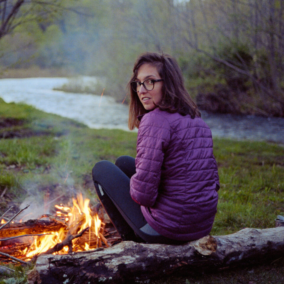
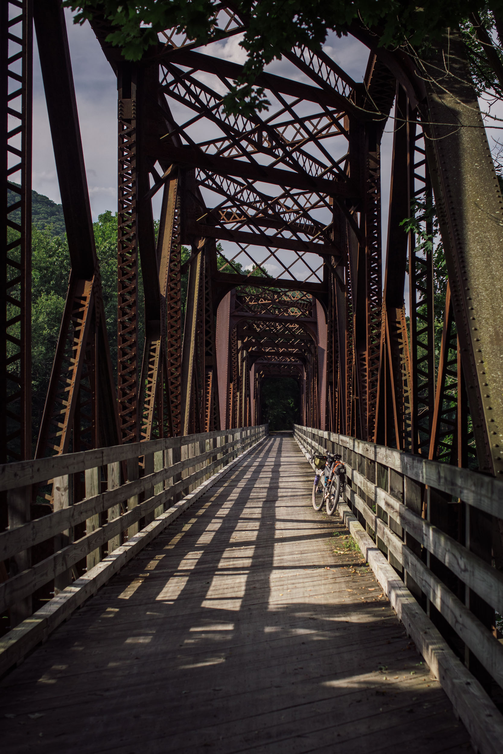
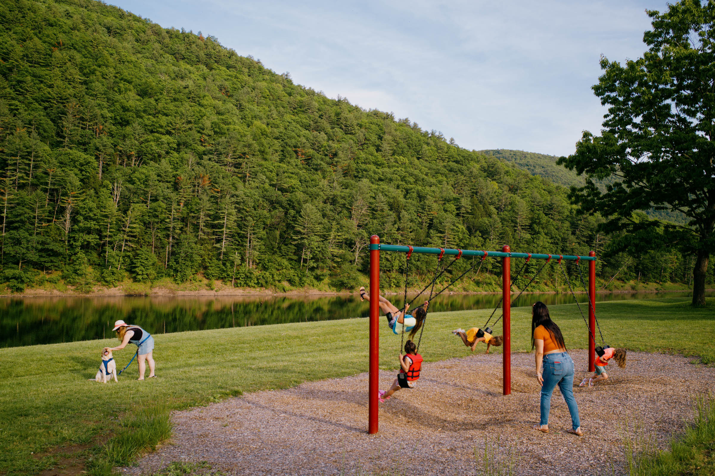
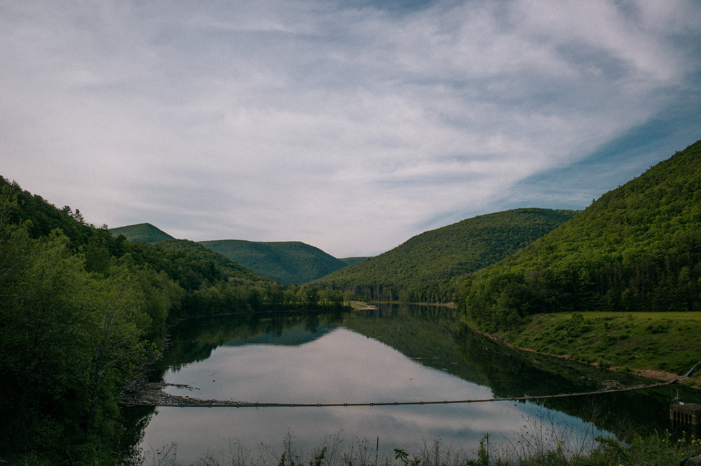
The route descends to Ansonia, a tiny town with some basic amenities. From there, the route enters again the Pine Creek Rail Trail in the opposite direction. Around mile 69, it is mandatory to stop and take a short hike to the Turkey Path Trail Waterfall. The route proceeds downhill to Blackwell, where it leaves the rail trail again to reach the summit of Oregon Hill, with its little Chapel and a Winery (not on the route, but close). Then it’s all downhill to the English Center Suspension Bridge, Carsontown, Pine Creek Lake, and the resorts and vacation homes in the area before reconnecting to the Pine Creek Rail Trail in Waterville for the last 11 miles before reaching Jersey Shore. We spent the night at the Bonnell Flats campground in an Adirondack shelter and headed to the car early the next morning.


Terms of Use: As with each bikepacking route guide published on BIKEPACKING.com, should you choose to cycle this route, do so at your own risk. Prior to setting out check current local weather, conditions, and land/road closures. While riding, obey all public and private land use restrictions and rules, carry proper safety and navigational equipment, and of course, follow the #leavenotrace guidelines. The information found herein is simply a planning resource to be used as a point of inspiration in conjunction with your own due-diligence. In spite of the fact that this route, associated GPS track (GPX and maps), and all route guidelines were prepared under diligent research by the specified contributor and/or contributors, the accuracy of such and judgement of the author is not guaranteed. BIKEPACKING.com LLC, its partners, associates, and contributors are in no way liable for personal injury, damage to personal property, or any other such situation that might happen to individual riders cycling or following this route.
Please keep the conversation civil, constructive, and inclusive, or your comment will be removed.