


Red Centre
Distance
638 Mi.
(1,027 KM)Days
14
% Unpaved
76%
% Singletrack
2%
% Rideable (time)
98%
Total Ascent
15,792'
(4,813 M)High Point
2,657'
(810 M)Difficulty (1-10)
6?
- 2Climbing Scale Easy25 FT/MI (5 M/KM)
- 4Technical Difficulty Fair
- 4Physical Demand Fair
- 7Resupply & Logistics Strenuous
Contributed By

Mick Turnbull
Guest Contributor
Mick Turnbull is based in Hobart, Tasmania, a wee little island often left off maps of Australia. He loves to combine travel, movement, nature, and stories and started bikepacking with his partner Danielle in 2016 after looking for a new “travel sport” to replace rock climbing. You can follow Mick on Instagram @mick.turnbull or check out his YouTube channel.
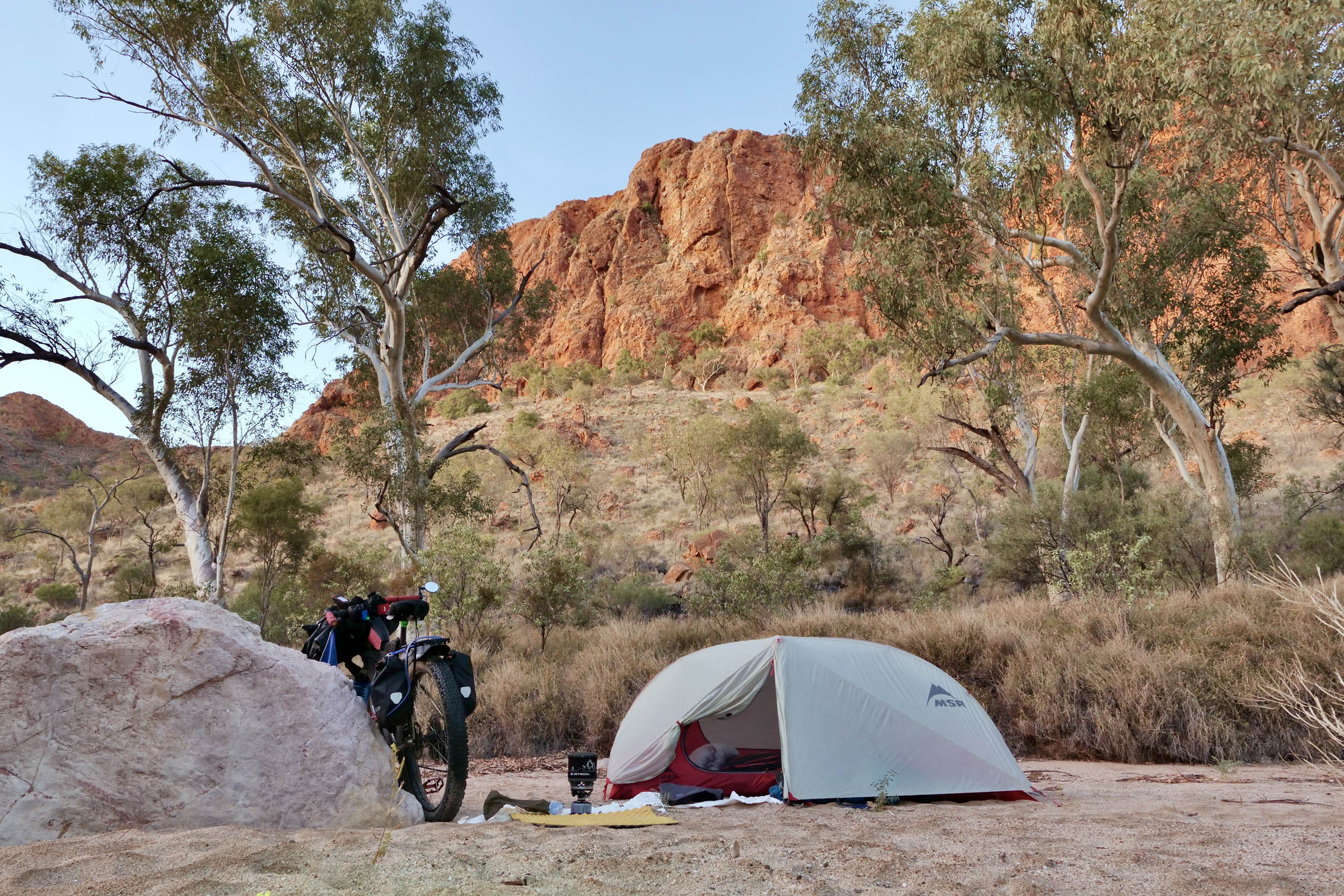
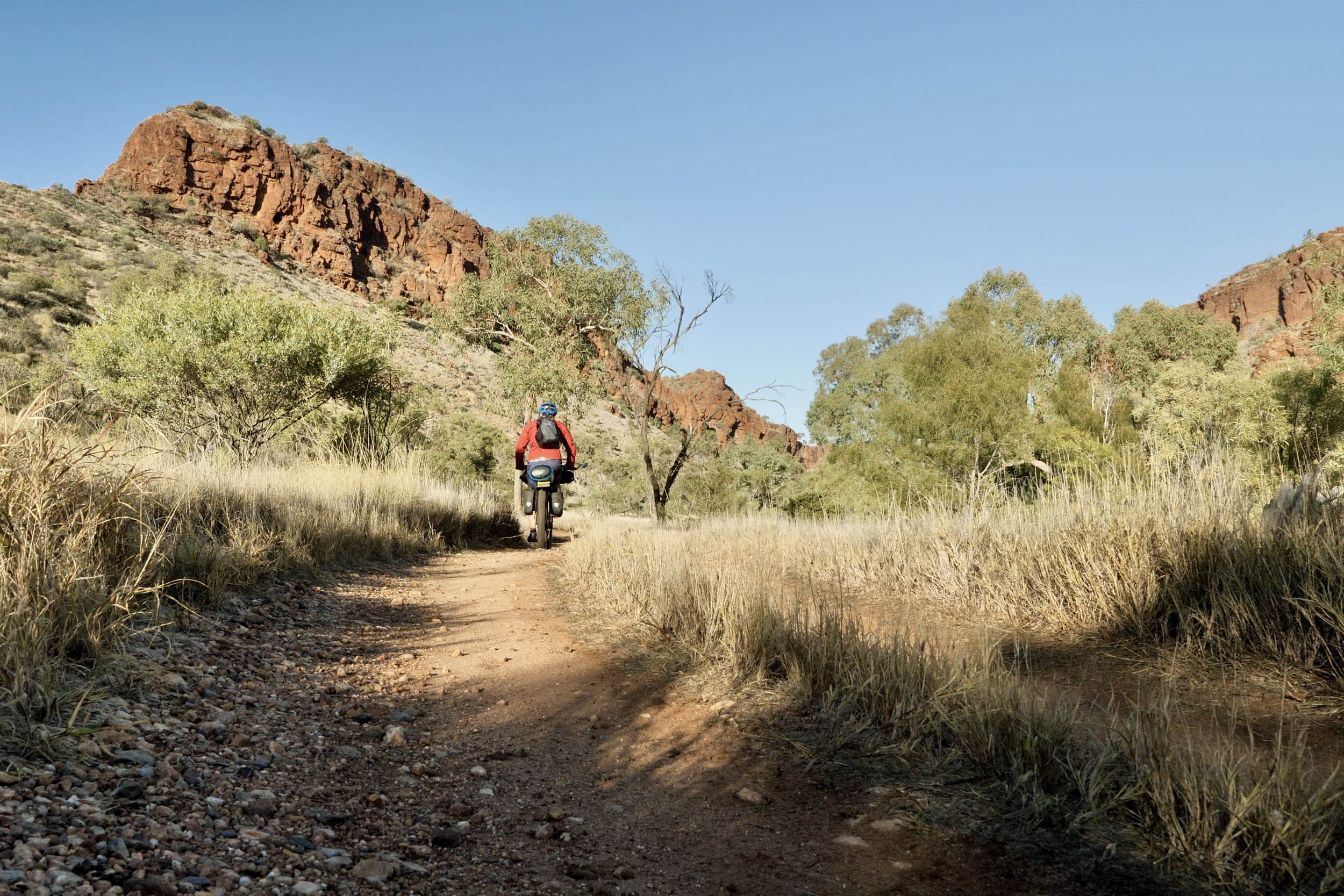
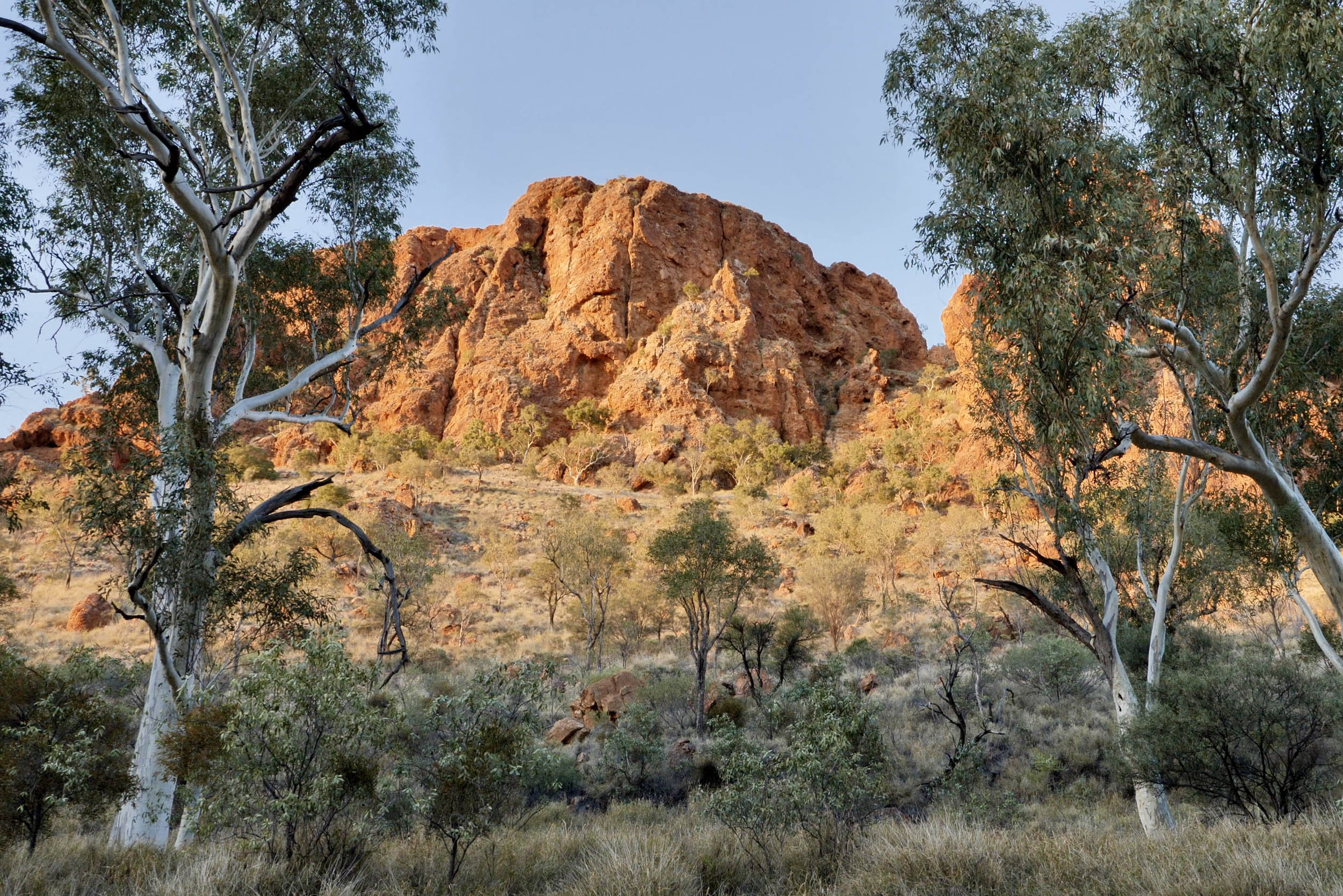
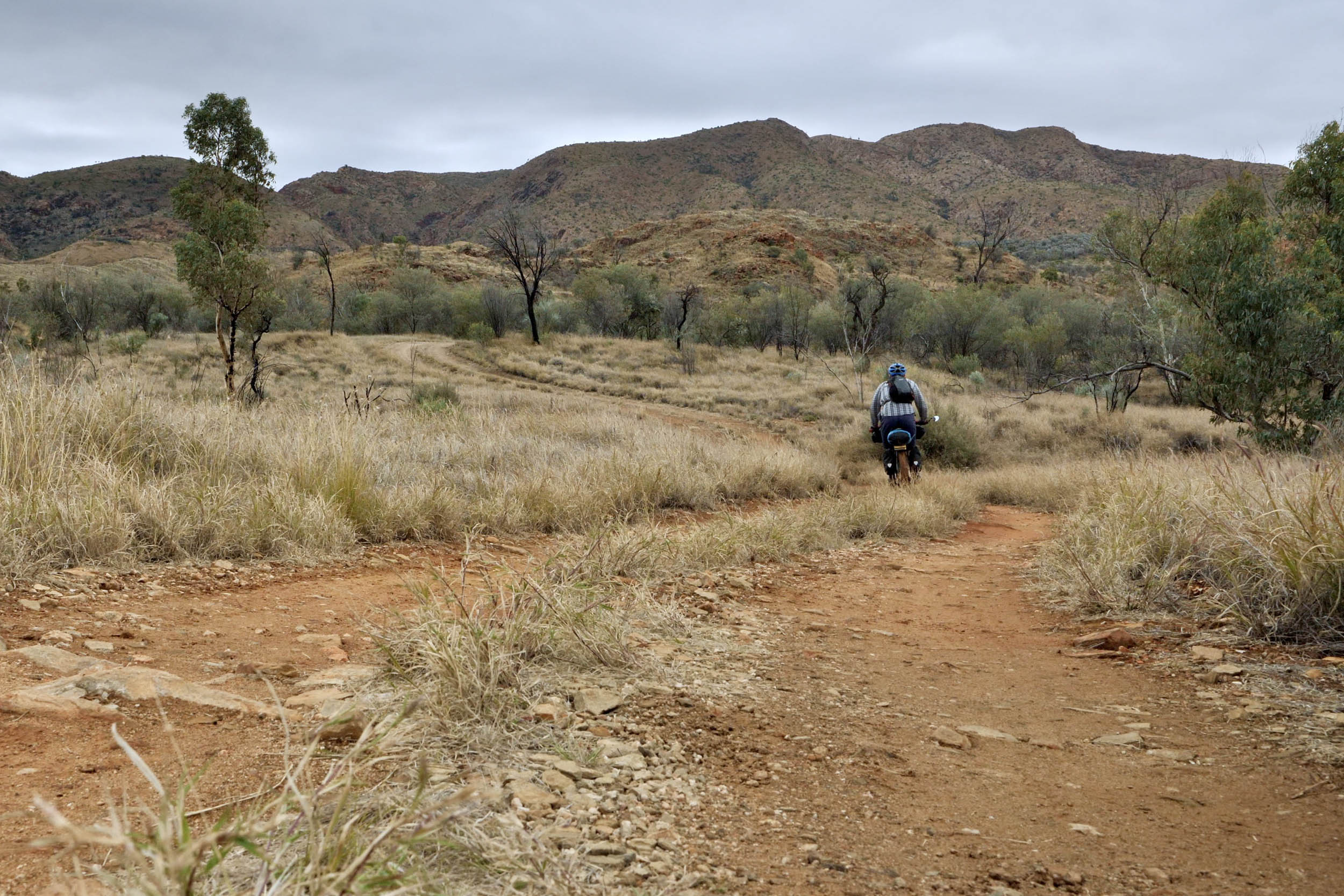
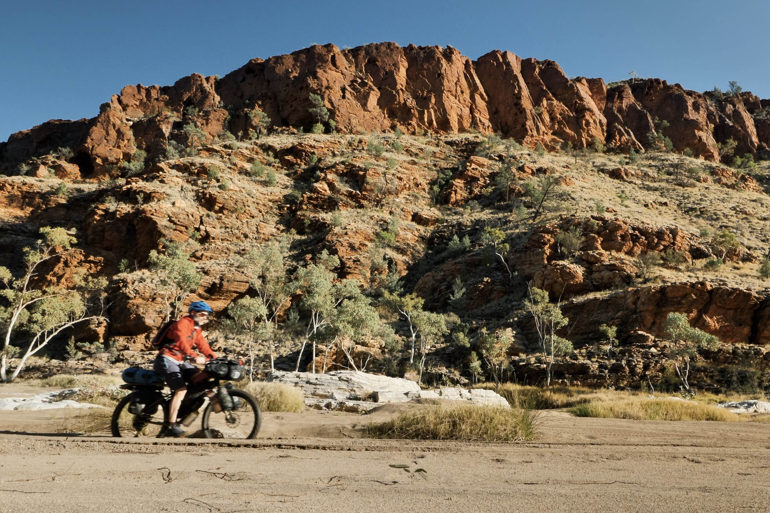
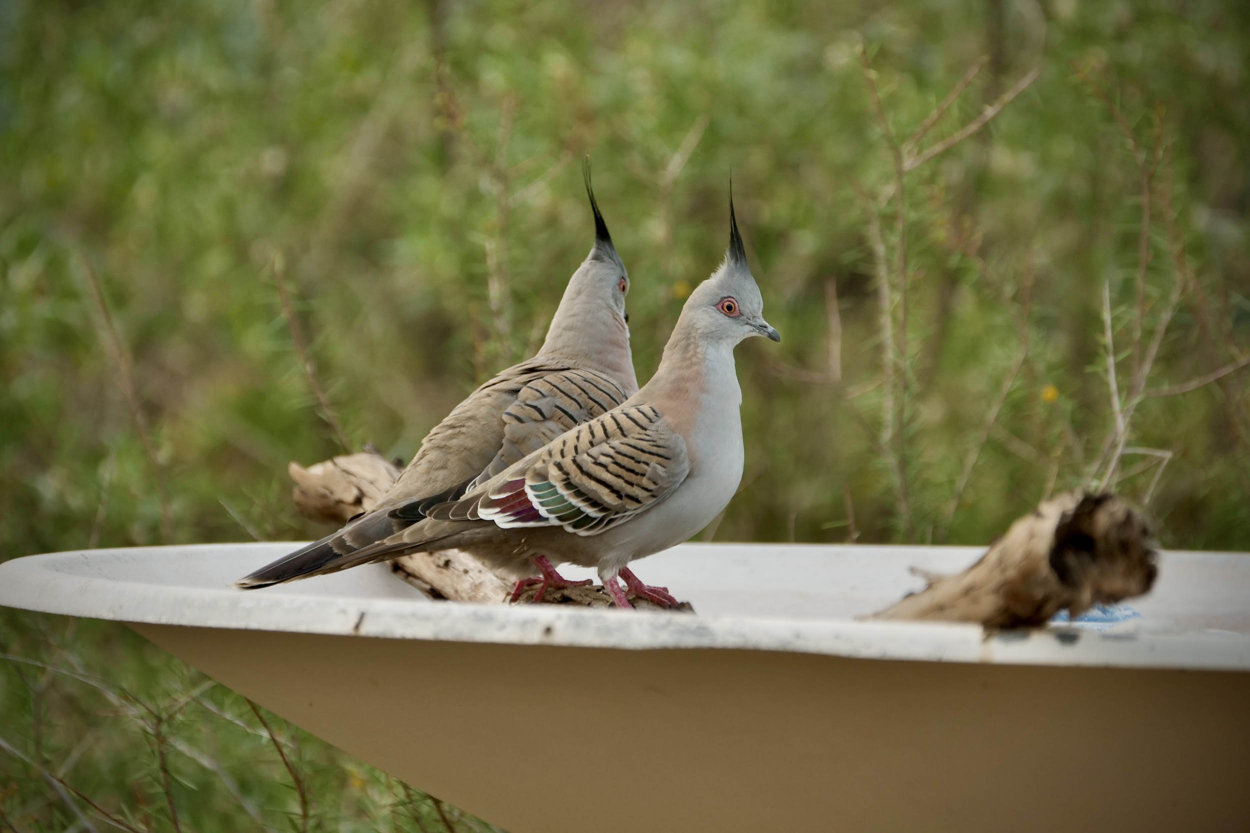
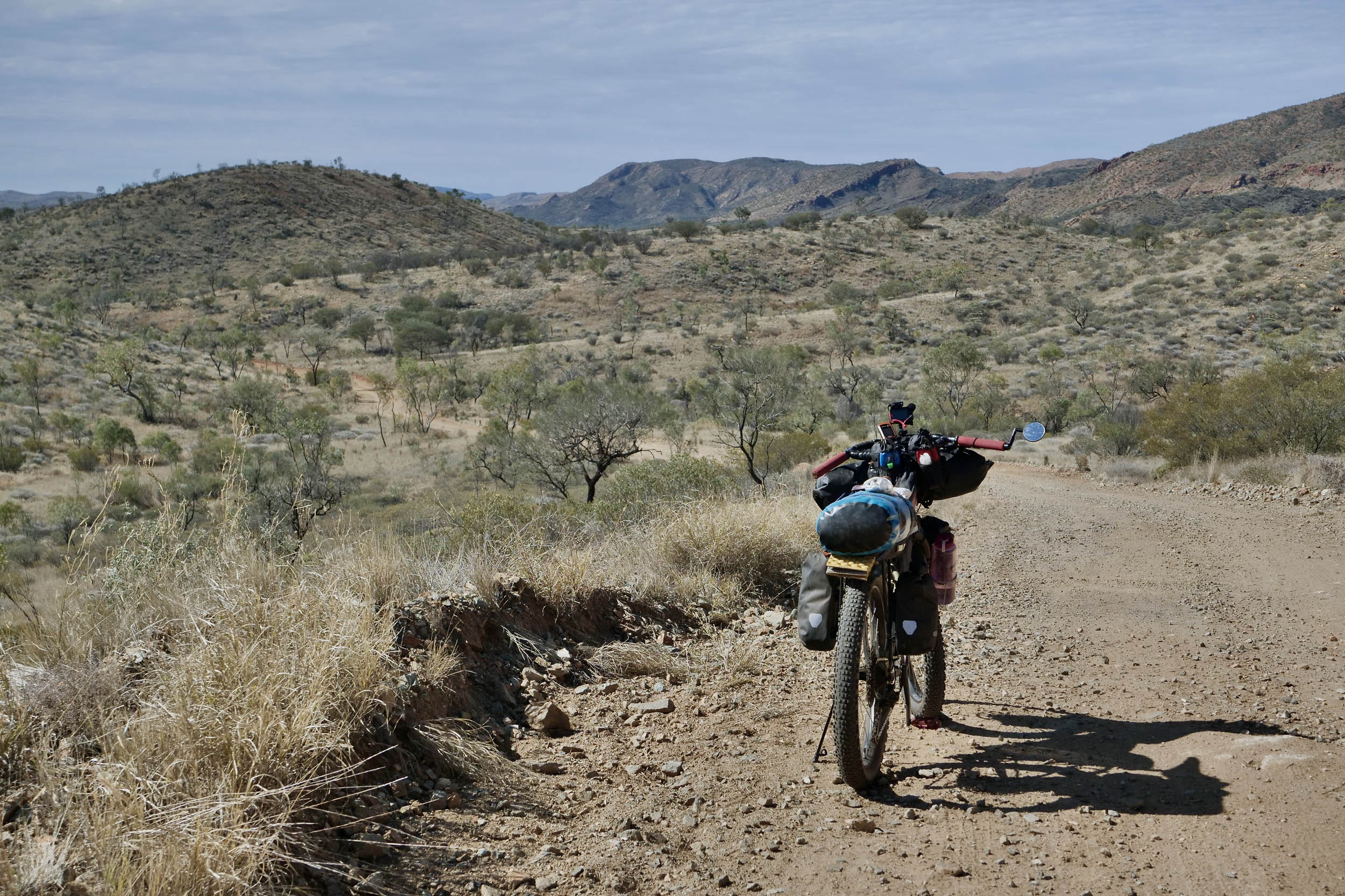
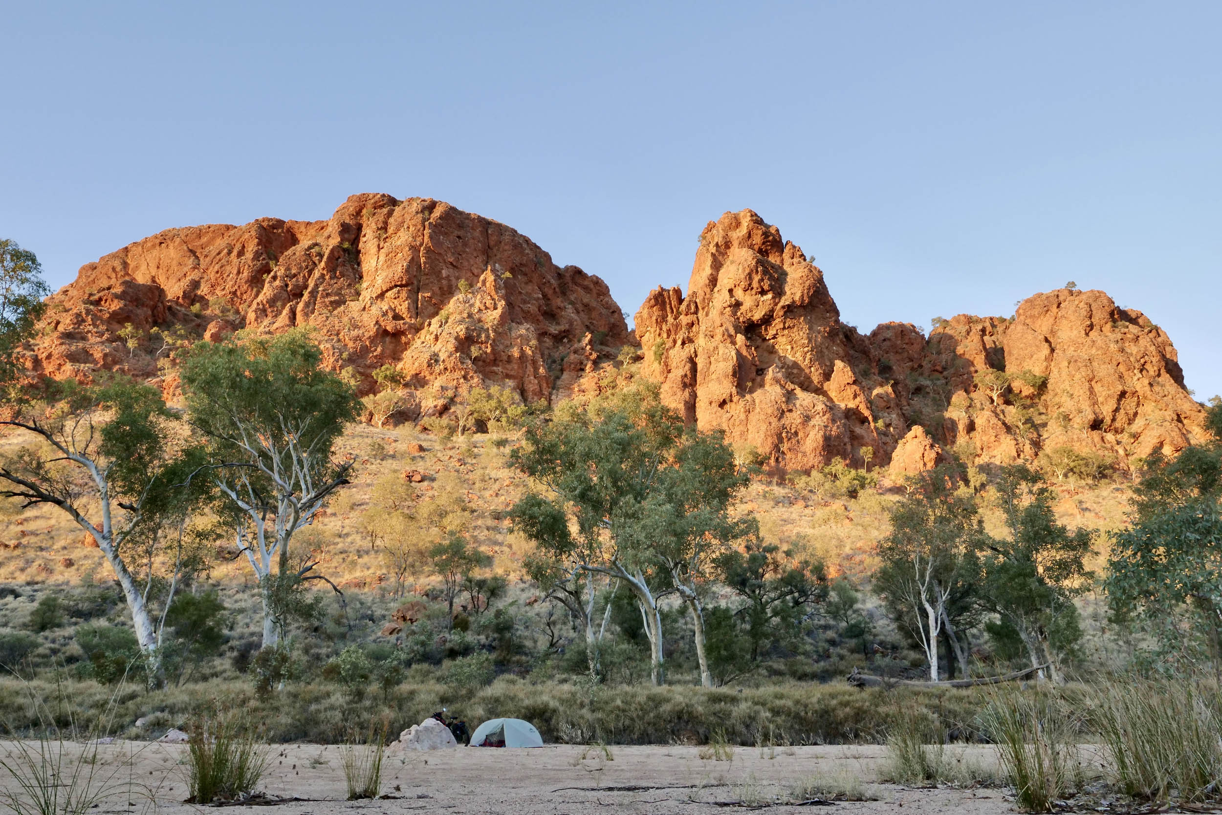
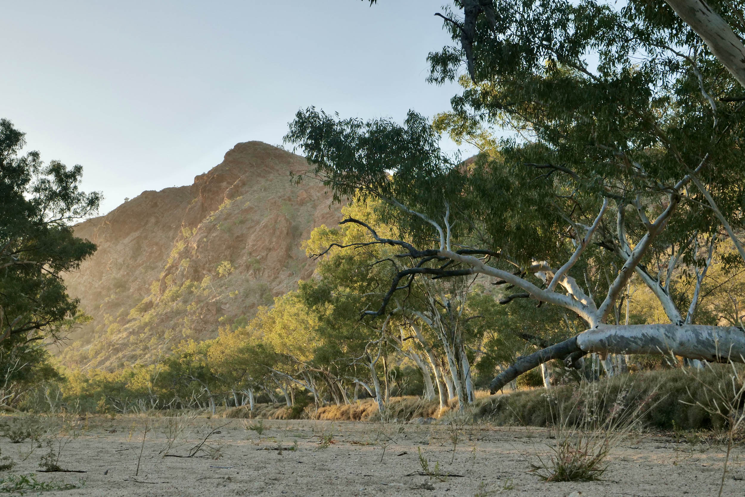
This is the Red Centre, the Outback. It is impossible not to be captivated by its rough beauty, desert plains, rocky gorges, and weathered mountain ranges. The predominantly quartzite ranges are ancient (300-450 million years old) and were once the height of the Himalayas. They’ve been eroded and shaped by eons of weathering, and now their rocky chasms and waterholes host abundant and vocal birdlife, reptiles, and furry critters of various kinds, including the black-footed rock wallabies.
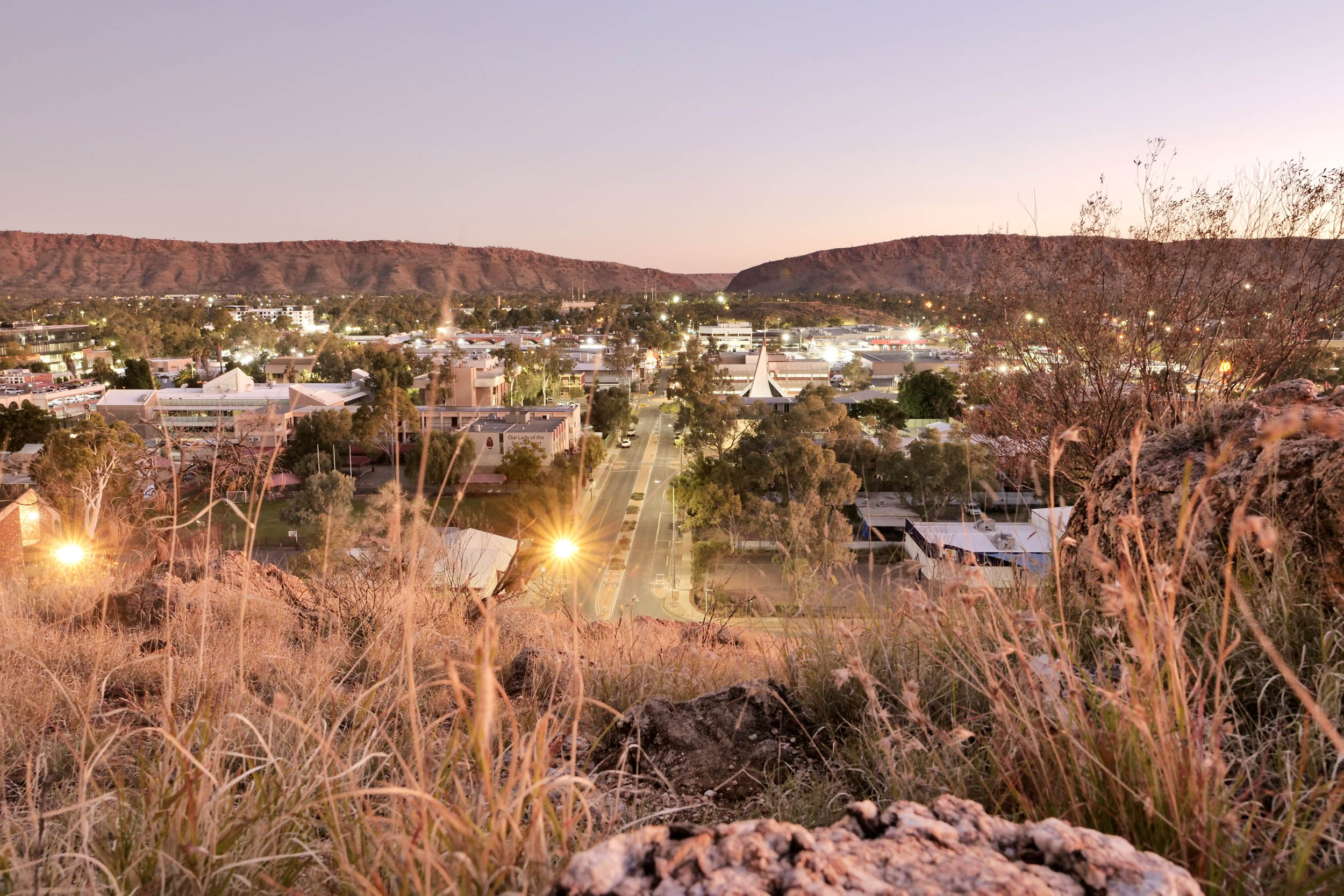
Starting in the outback town of Alice Springs (aka “Alice”), give yourself a little time to explore before you leave. Take your pick of experiences, whether it be Aboriginal art galleries, camel tours, mountain bike trails, or the Alice Springs Wildlife Park.
You’ll traverse the land of the Arrernte people, traditional owners and custodians of the land, who live on and maintain a connection to place and community. Respect the land, respect the wishes of people (including restricted access to areas with cultural or spiritual significance) and use the opportunity to learn.
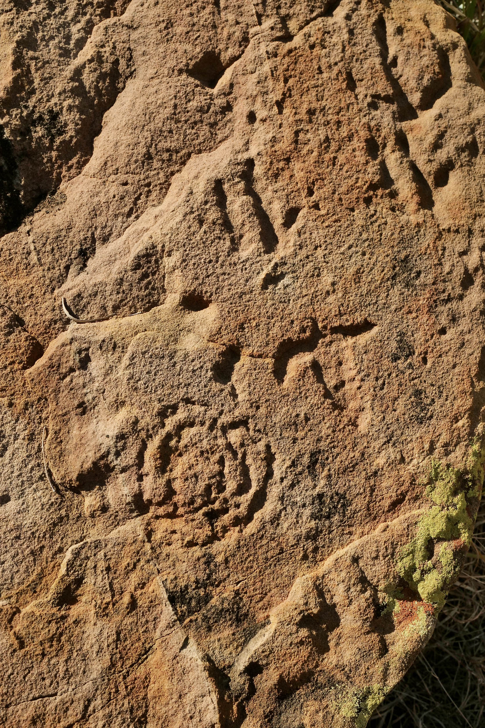
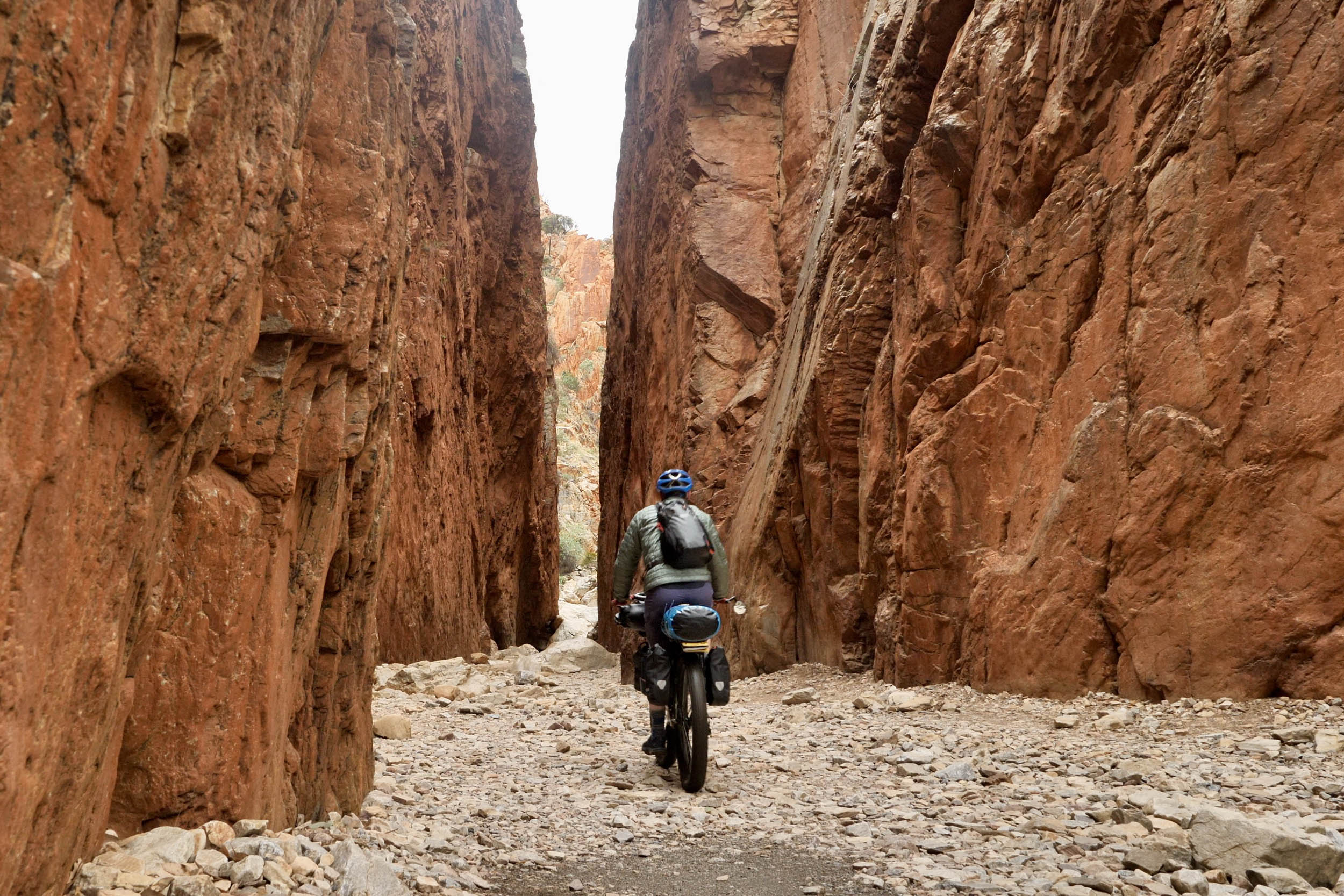
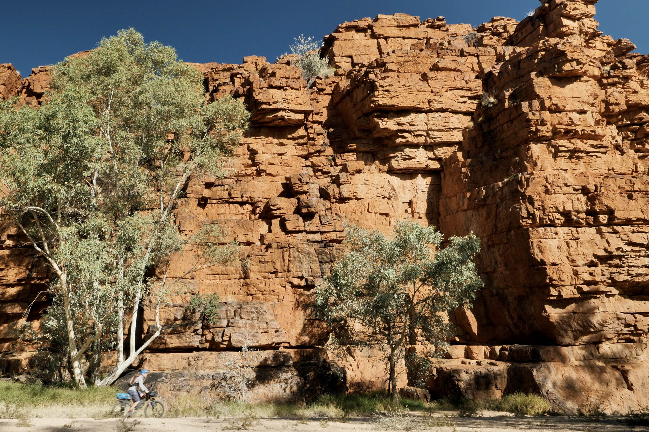
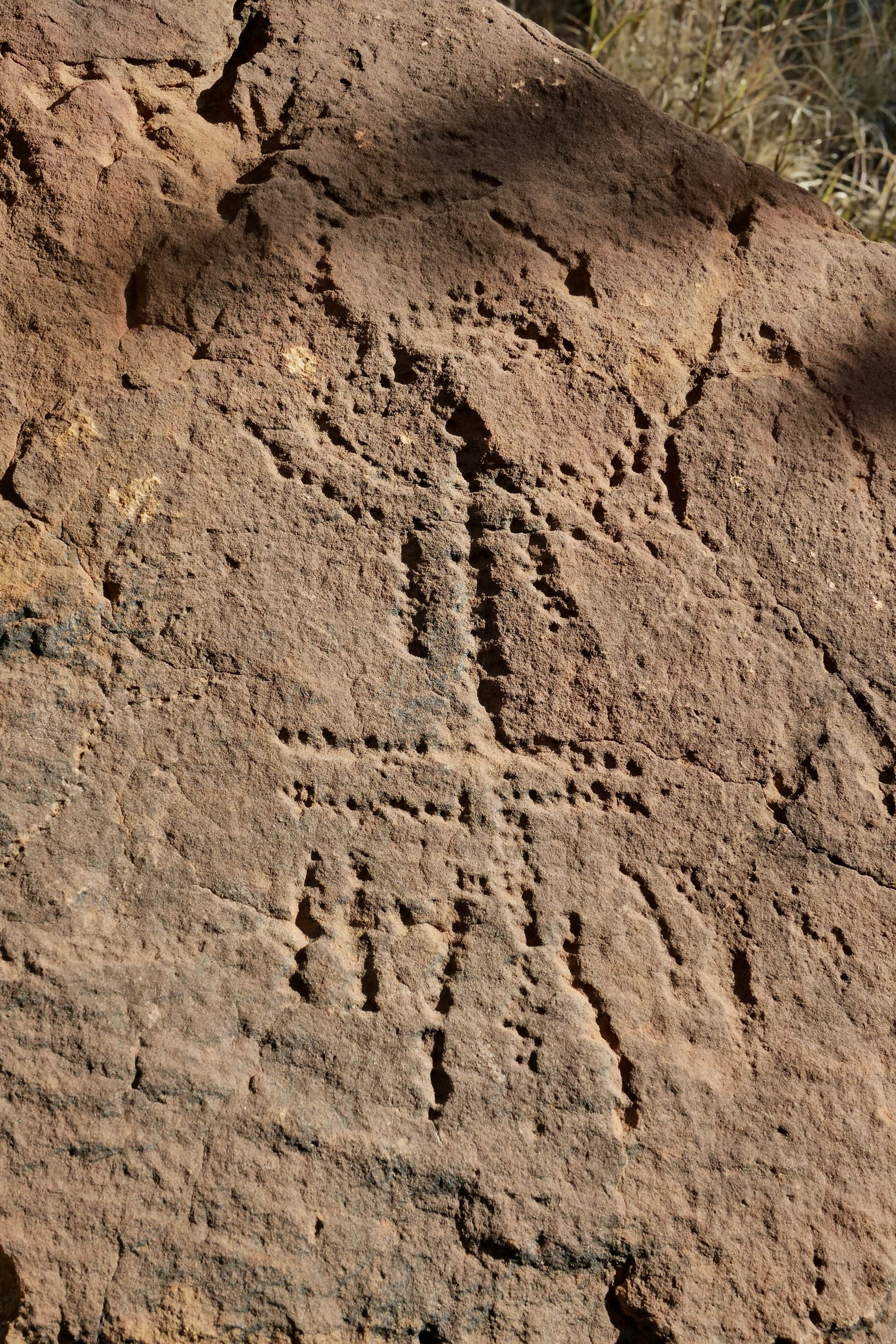
You will visit Yeperenye/Emily Gap and Jessie Gap, N’Dhala Gorge, and Napwerte/Ewaninga Rock Carvings Conservation Reserve, containing petroglyphs and rock art. At N’Dhala Gorge, a short walk takes you into the narrow gorge where 6,000 individual petroglyphs or rock carvings, some 10,000 years old, decorate the walls. There are numerous Dreamtime stories that you will encounter along the ride, including Standley Chasm/Angkerle Atwatye, translated as “the gap of water.” The chasm was once a tributary of the Finke River system and is now a three-metre-wide, 80-metre-high gorge, carved out of the sandstone by rain and floodwaters. It is a site of deep cultural significance and has botanical, birdwatching, and wildlife photography appeal.
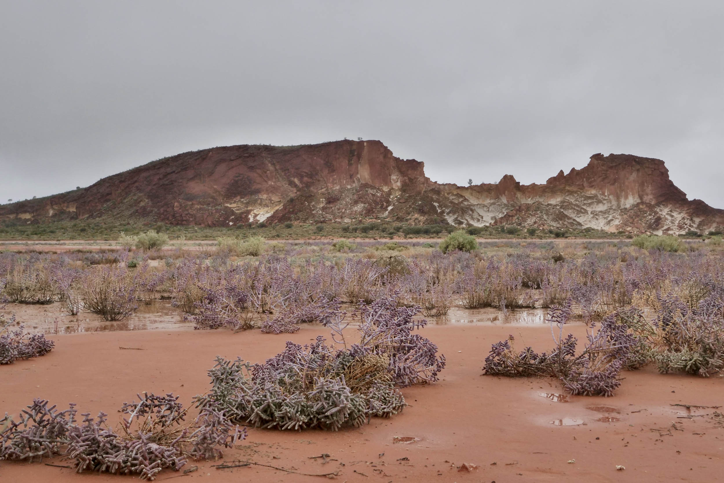
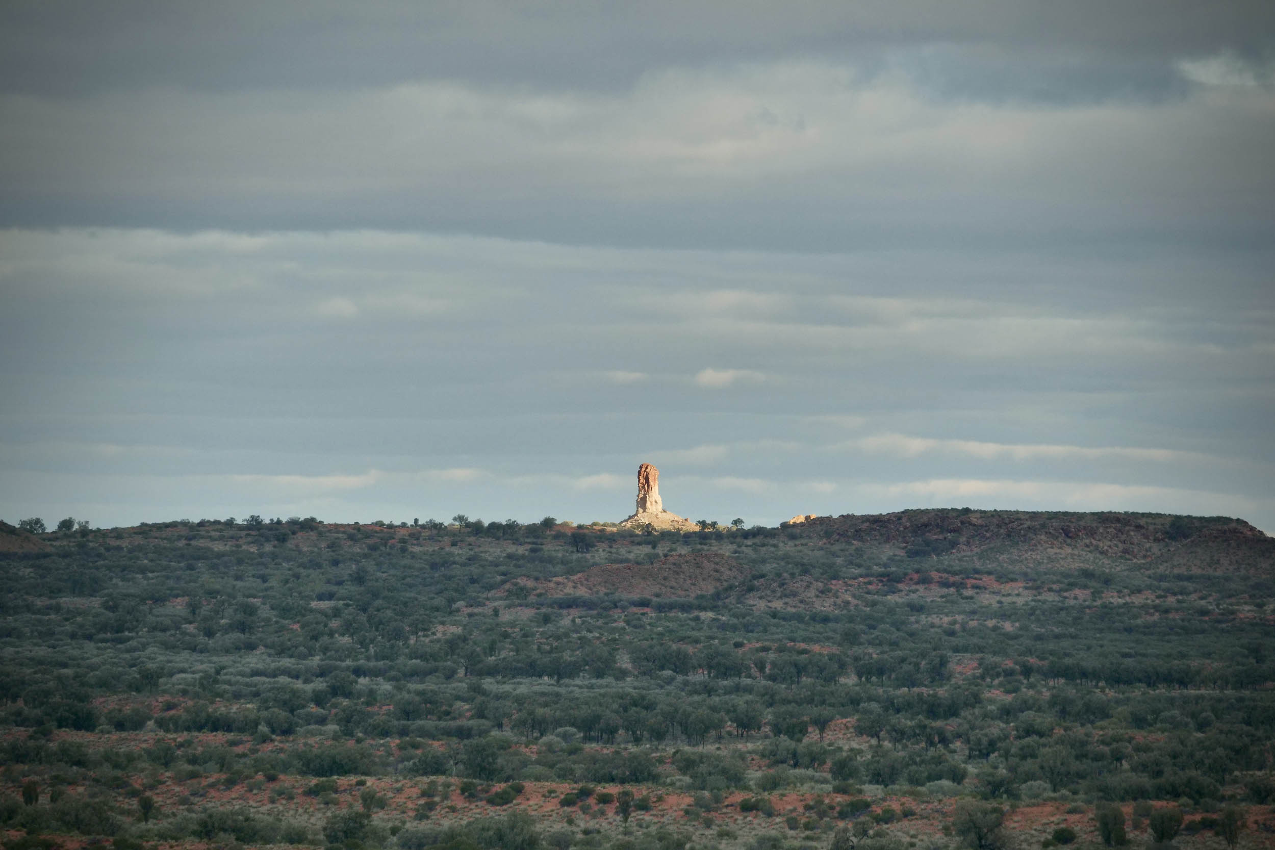
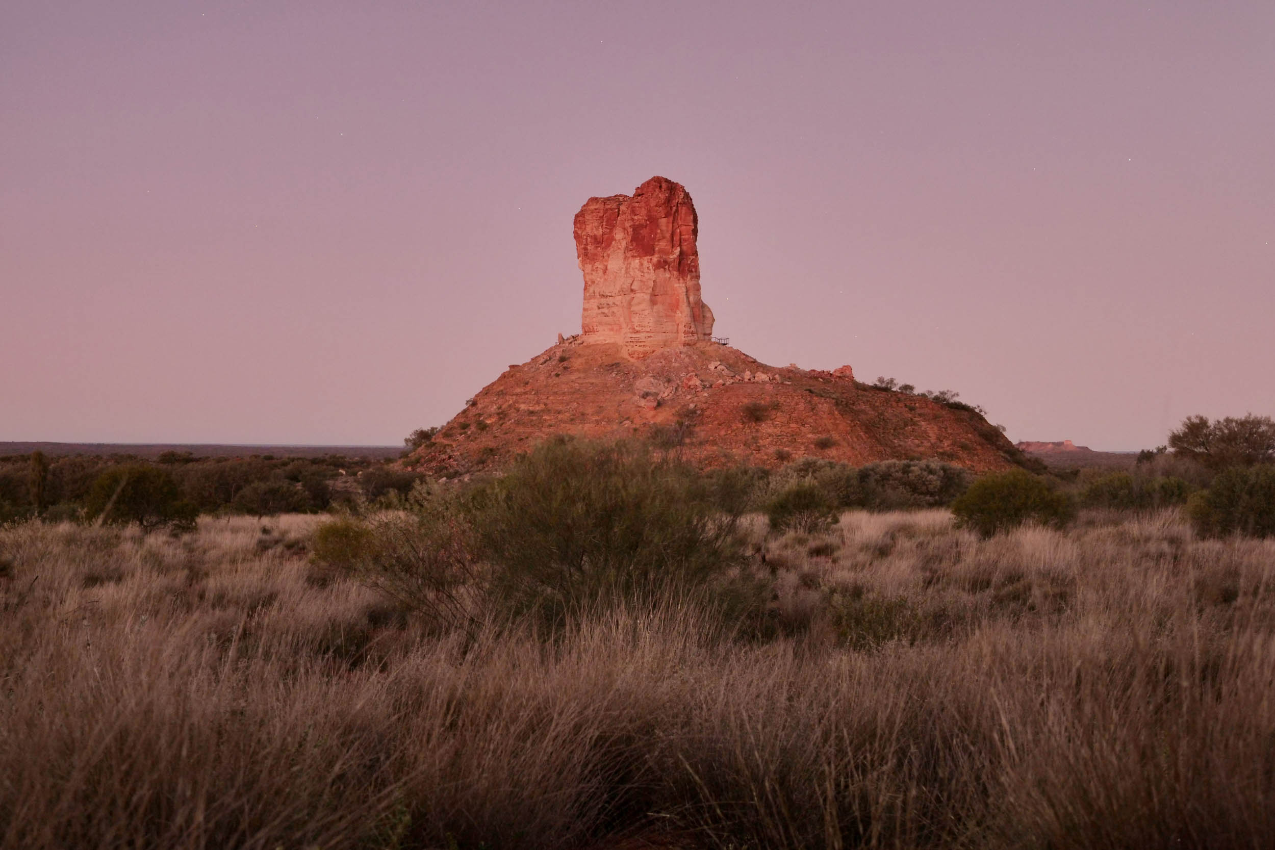
Pedalling on, you will ride past Owen Springs Reserve, including the Hugh River, which is lined by river-red gums. The main access route through the reserve closely follows explorer John McDougall Stuart’s route through Central Australia during his early 1860s expedition. Also in the Western Loop, the sandstone bluffs of Rainbow Valley/Wurre and Chambers Pillar are stunning in the early morning and late afternoon when the rock bands change colour in the sun.
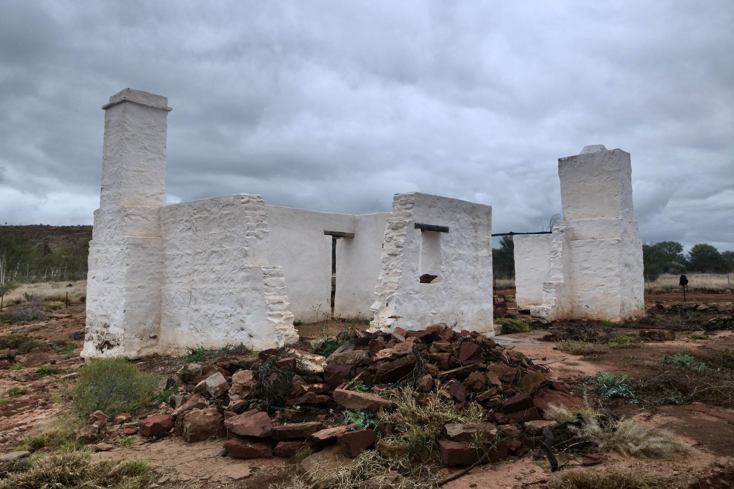
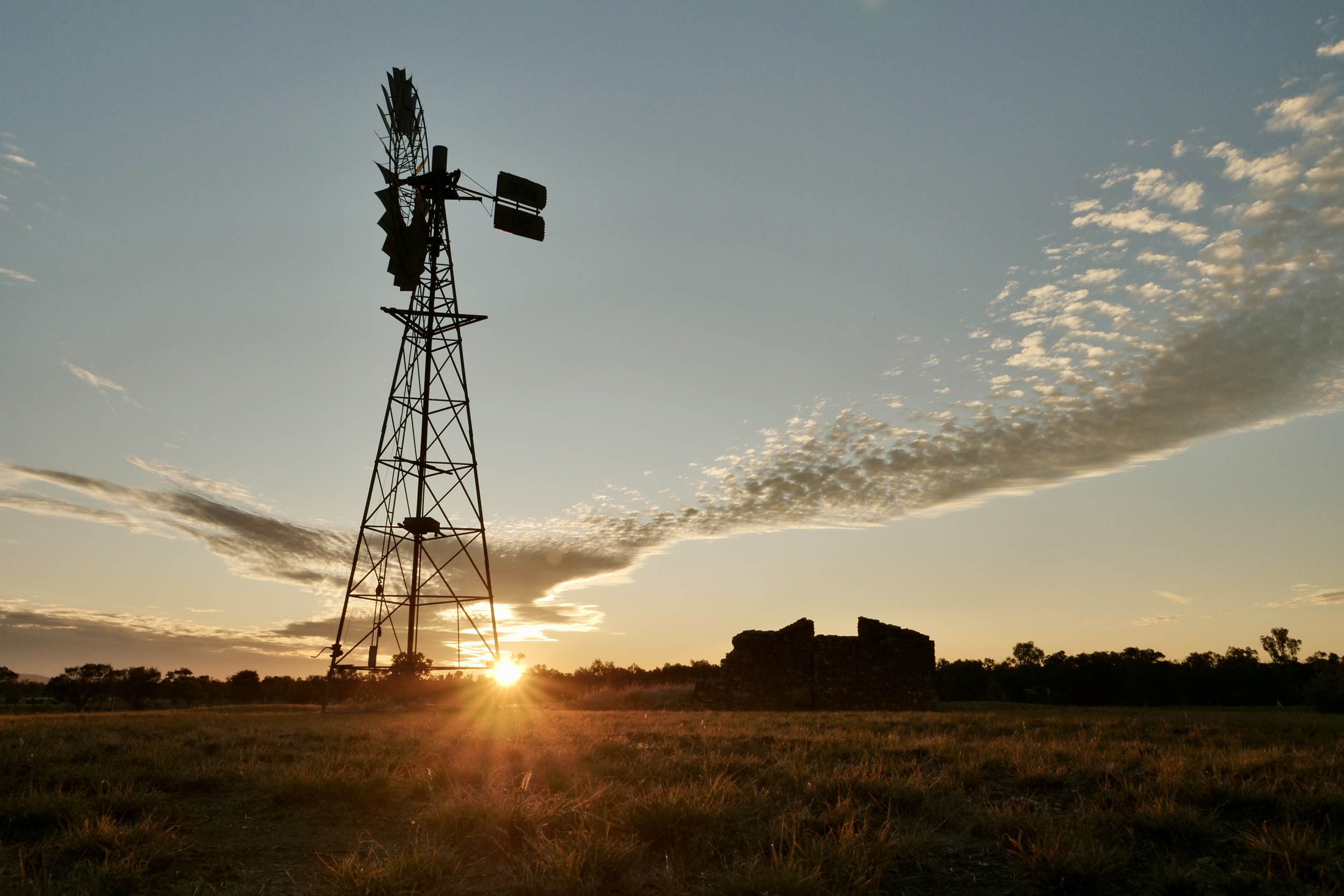
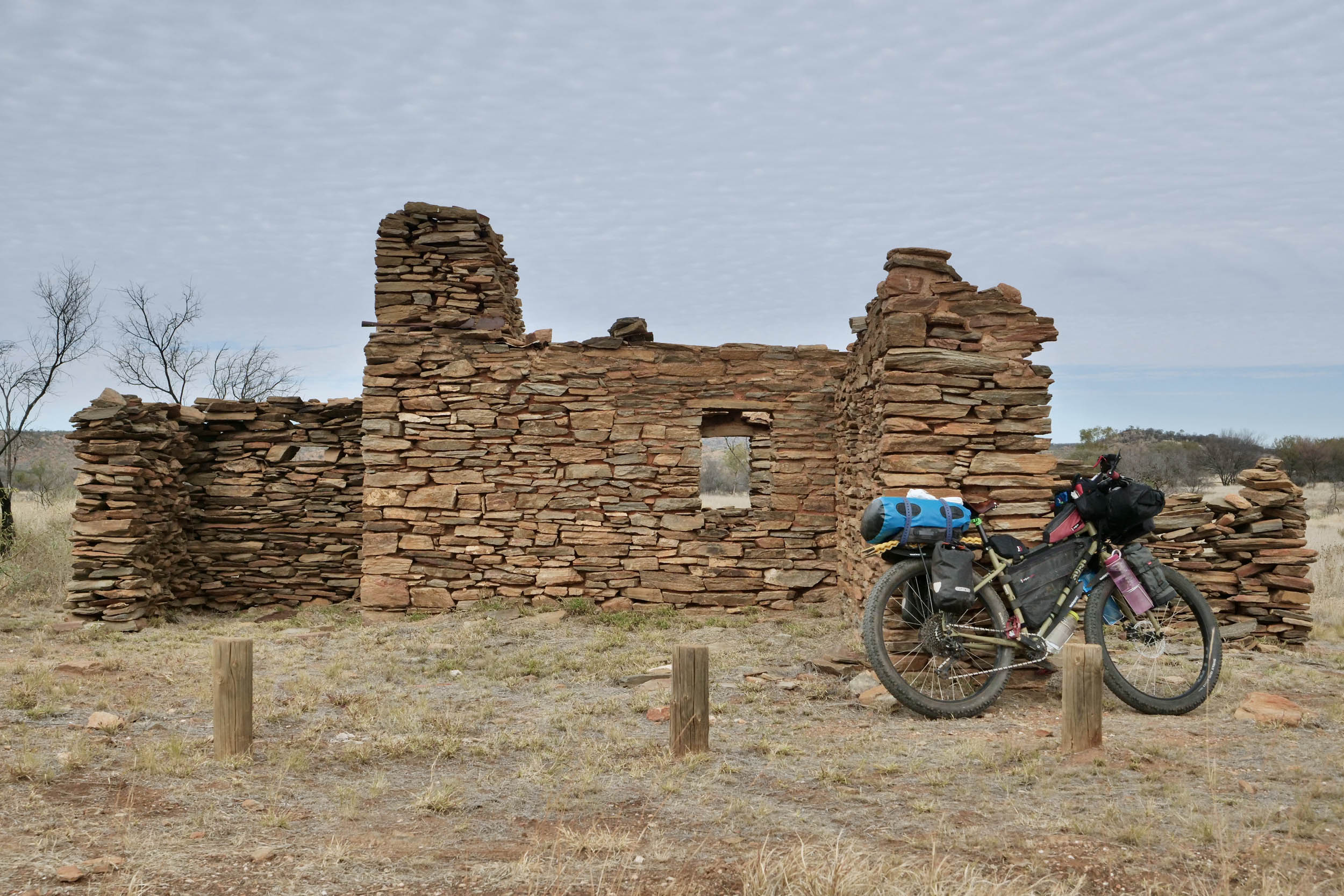
The East MacDonnell Ranges or “East Macs” loop also holds plenty of cracking sites. The ranges stretch 150 kilometres east of Alice Springs and feature some of Central Australia’s most famous outback landscapes, including gaps, gorges, Aboriginal art, and unique geological formations. You’ll also view historical sites like Arltunga Historical Reserve, where you can explore a ghost town and check out old mines from Central Australia’s first gold rush in the late 1800s. Hale River Homestead hosts a riot of Australiana and antique farm memorabilia. You’ll encounter Trephina Gorge, where russet strata, blue mallee, and sandy creek beds bring the colours of the desert into vivid detail.
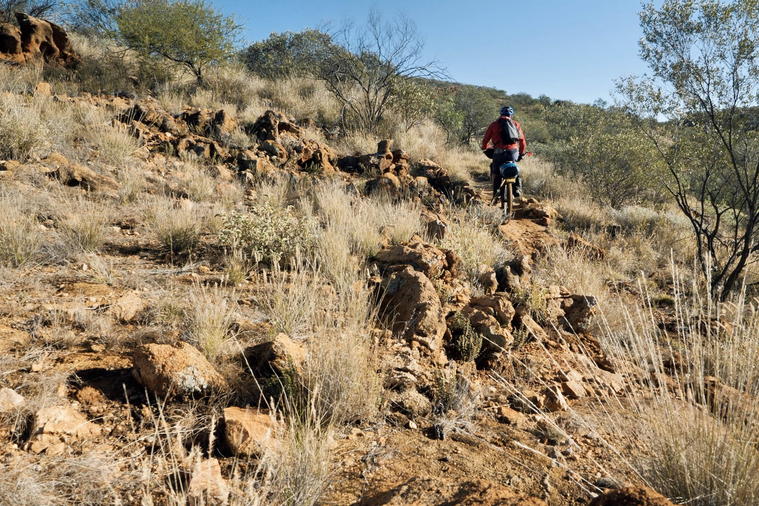
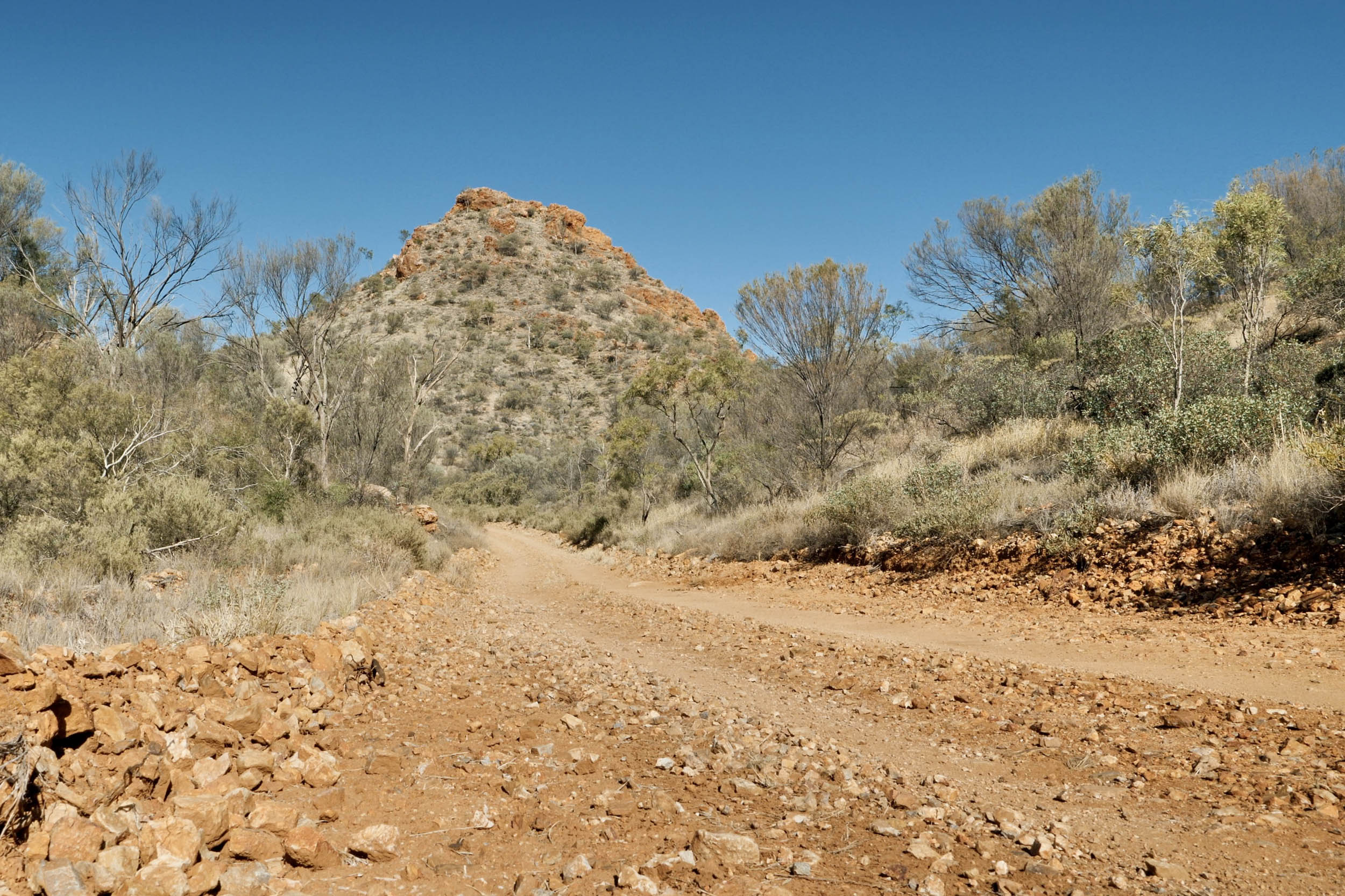
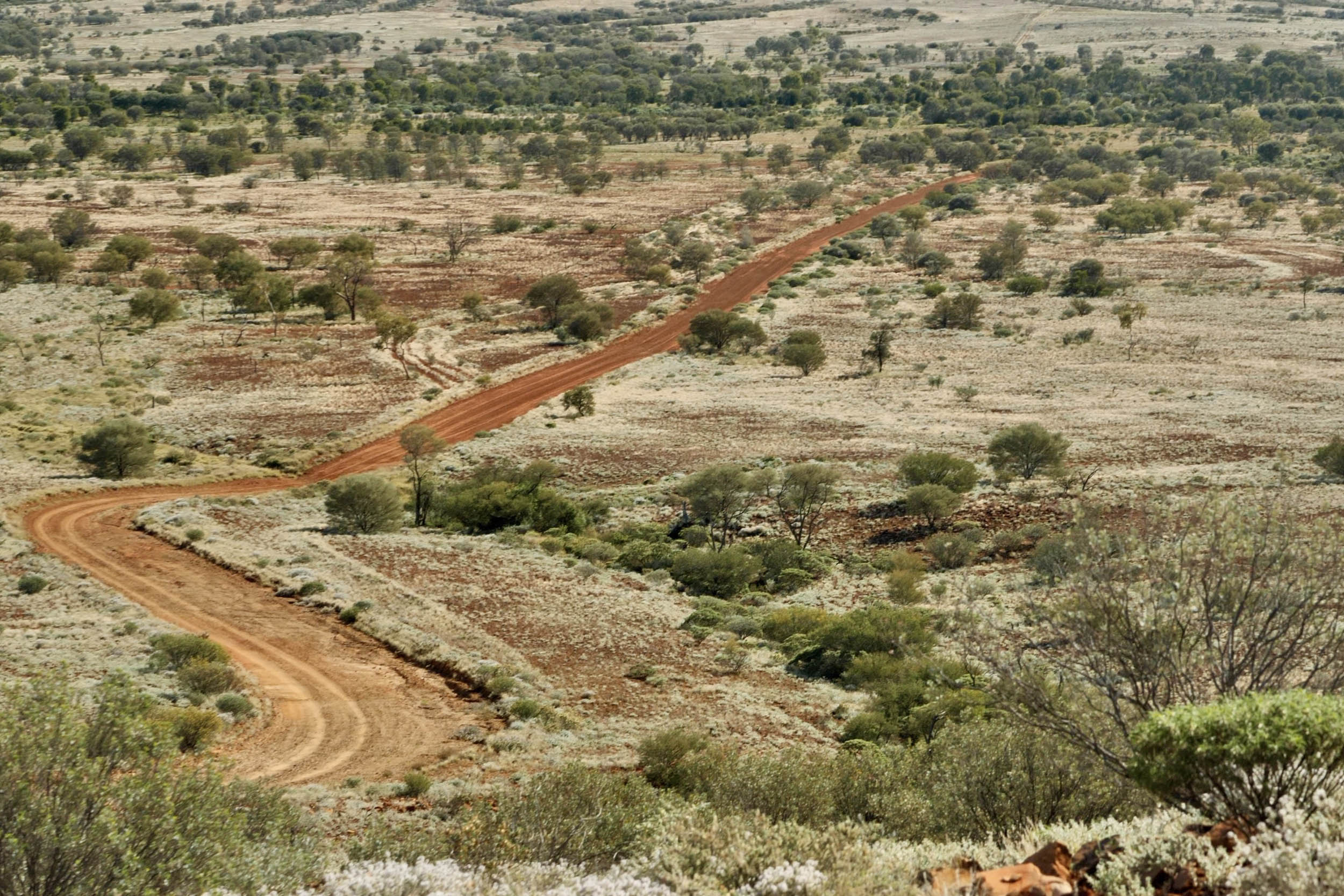
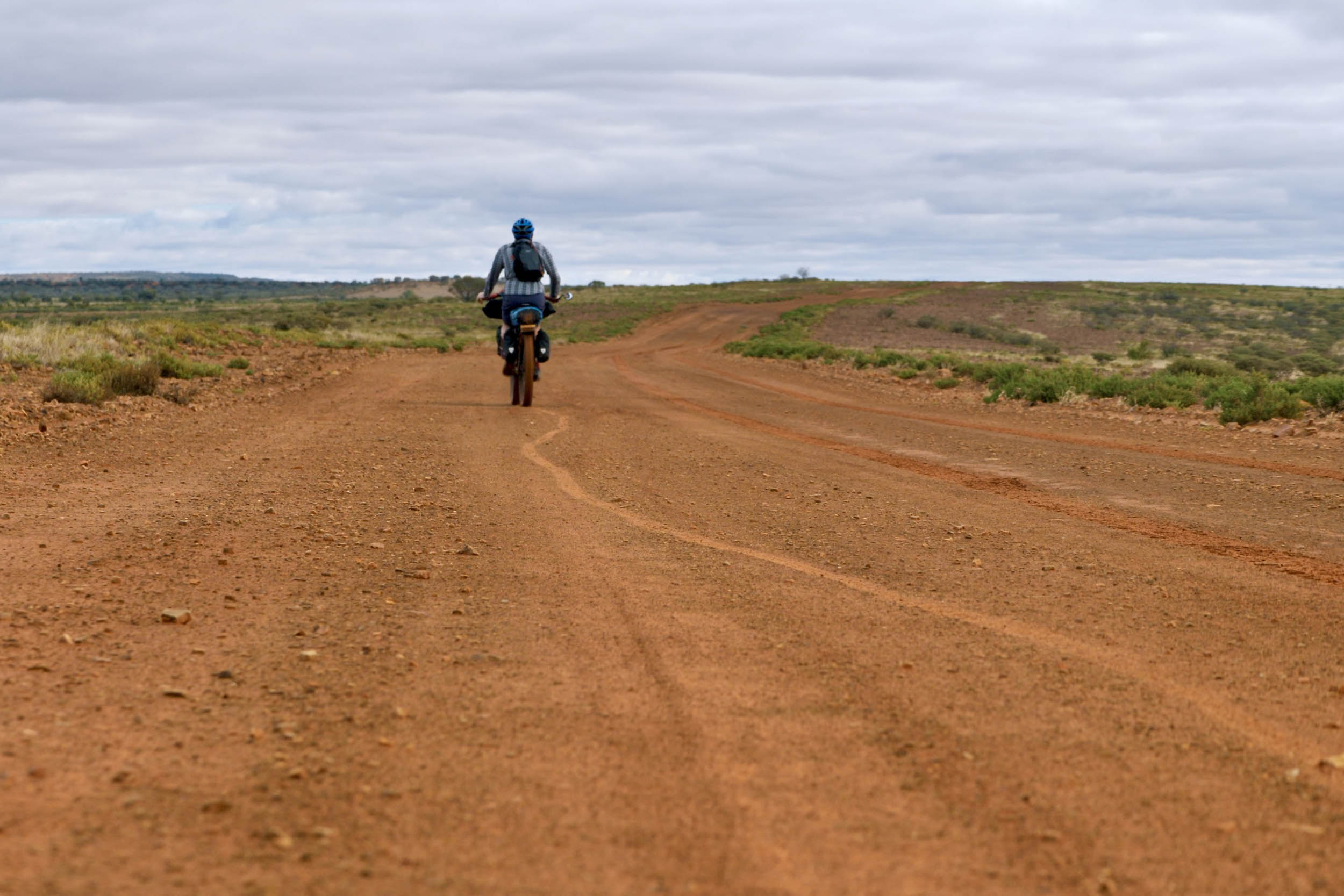
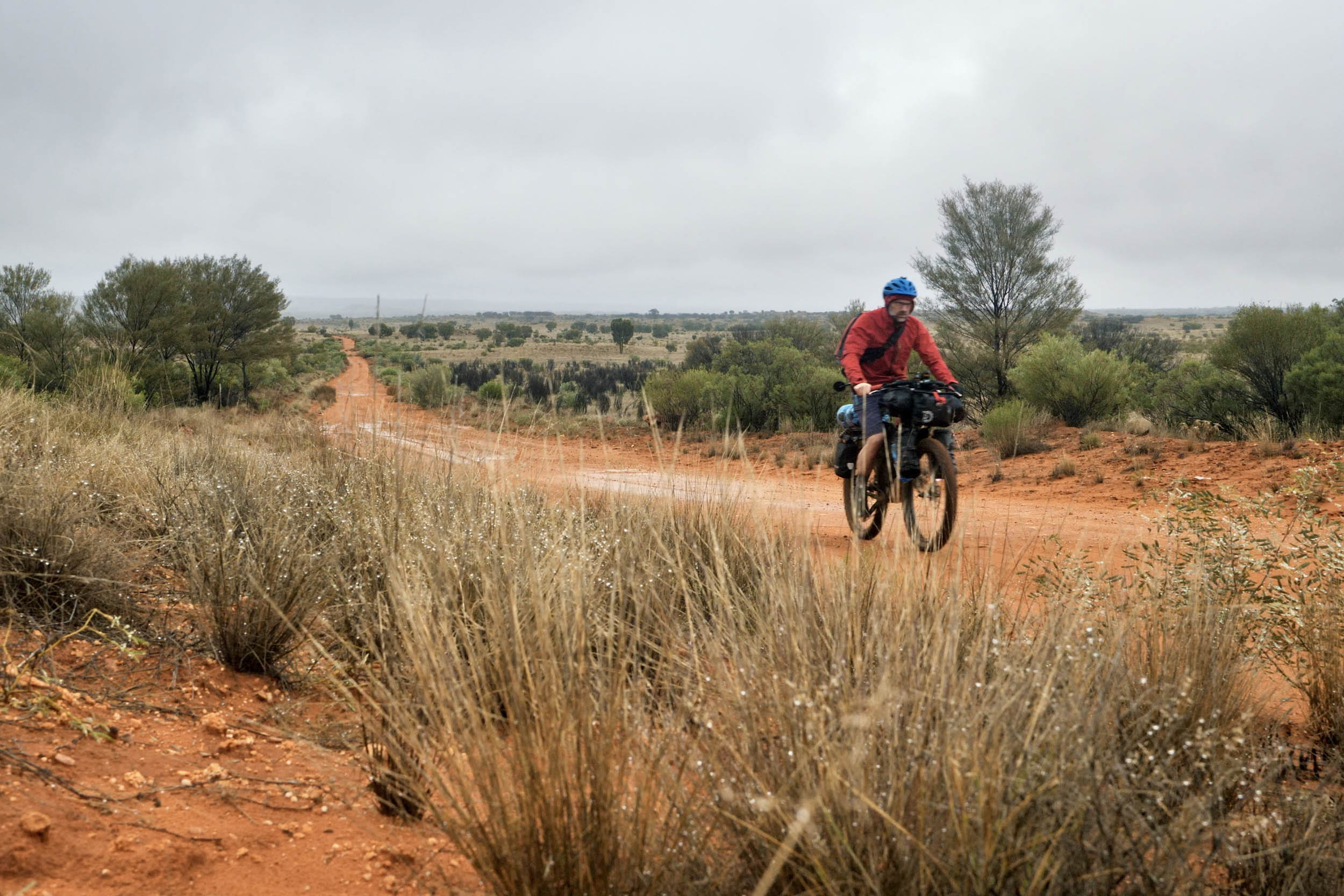
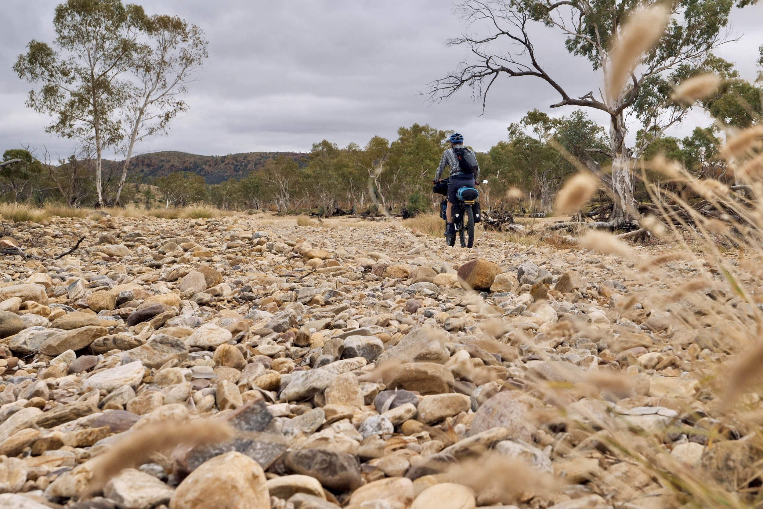
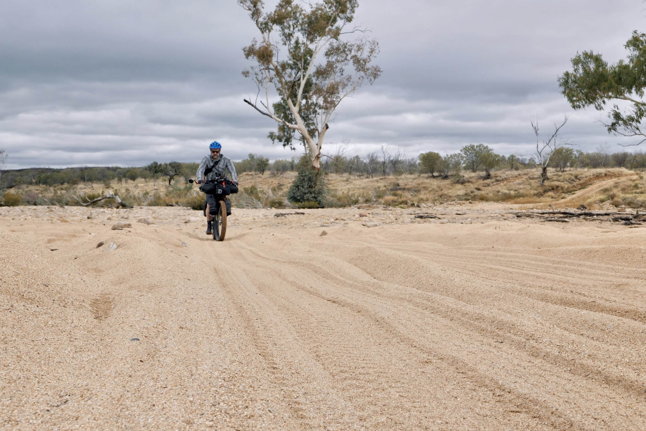
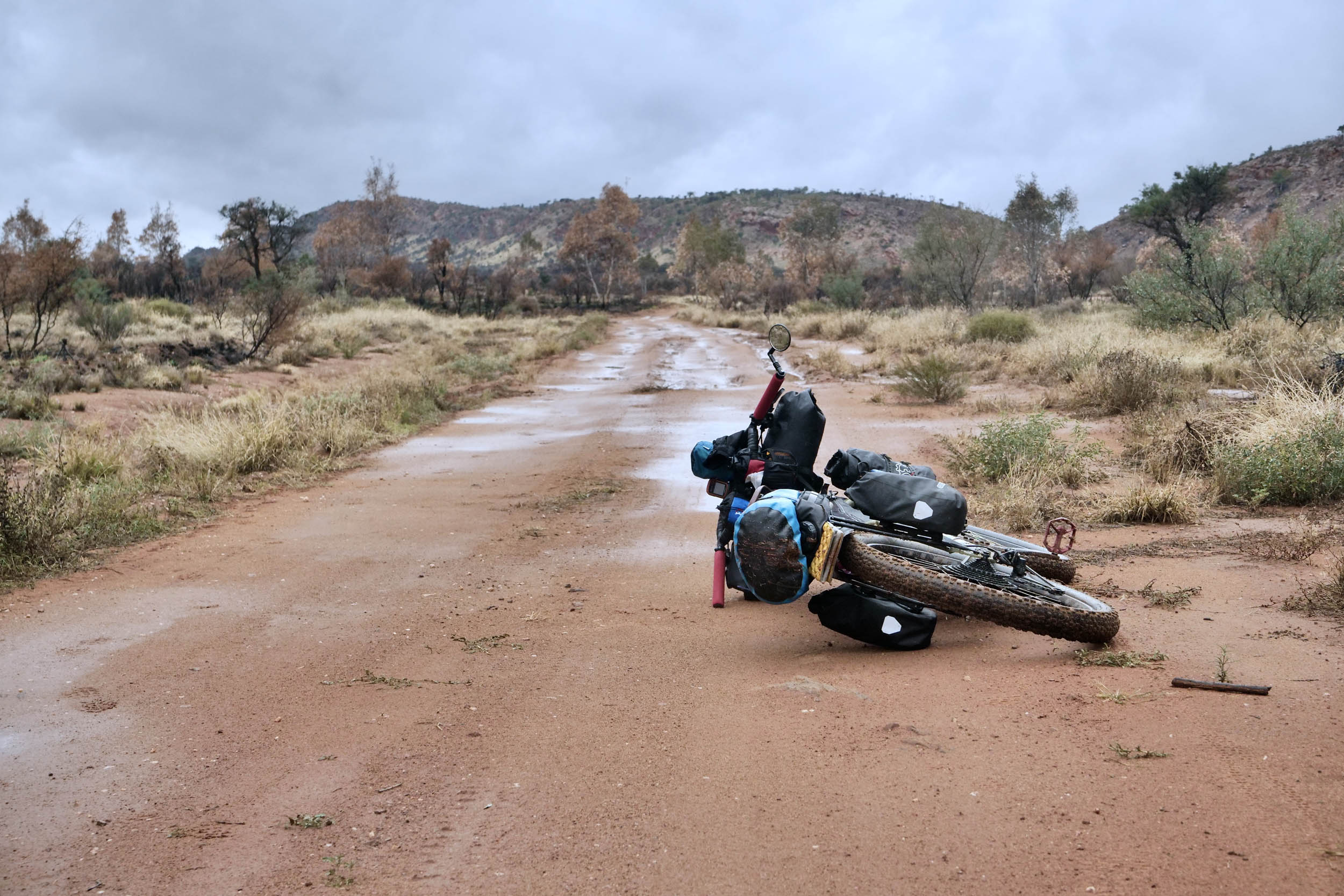
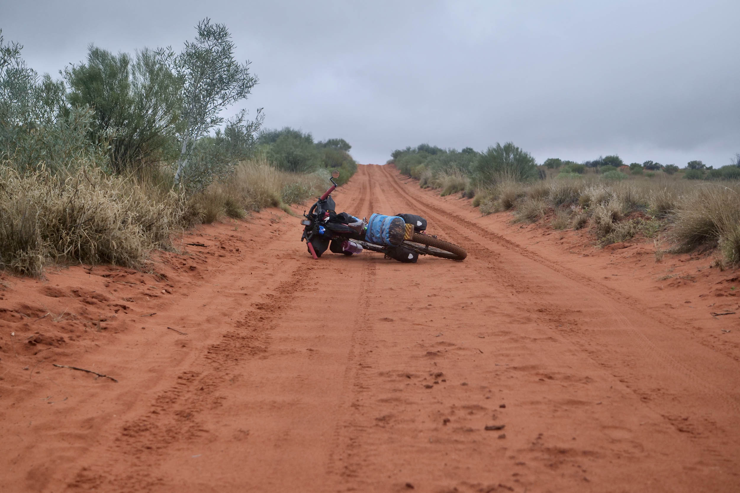
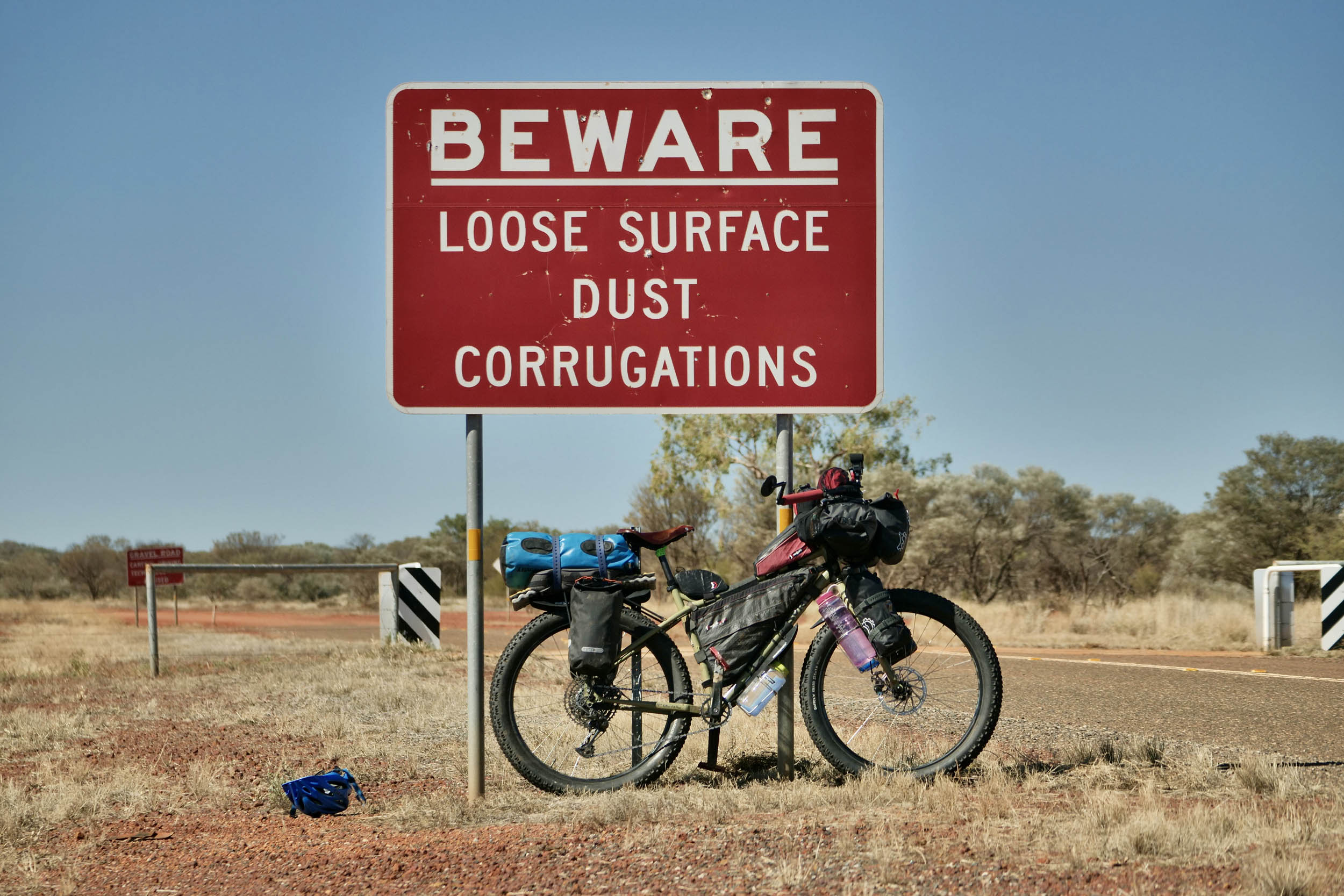
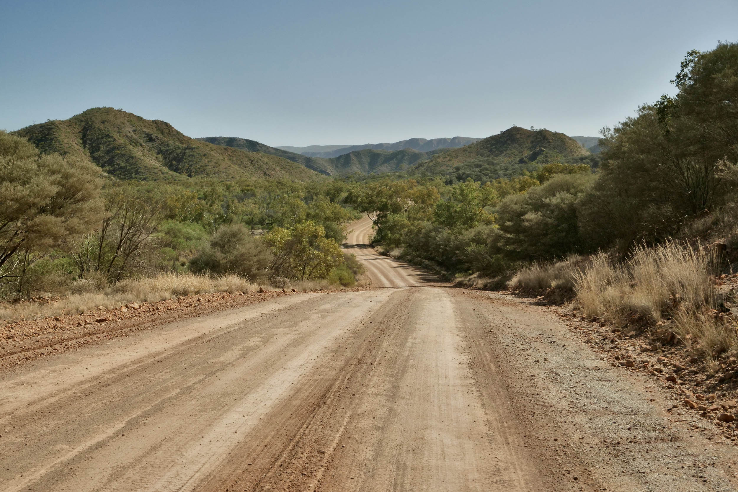
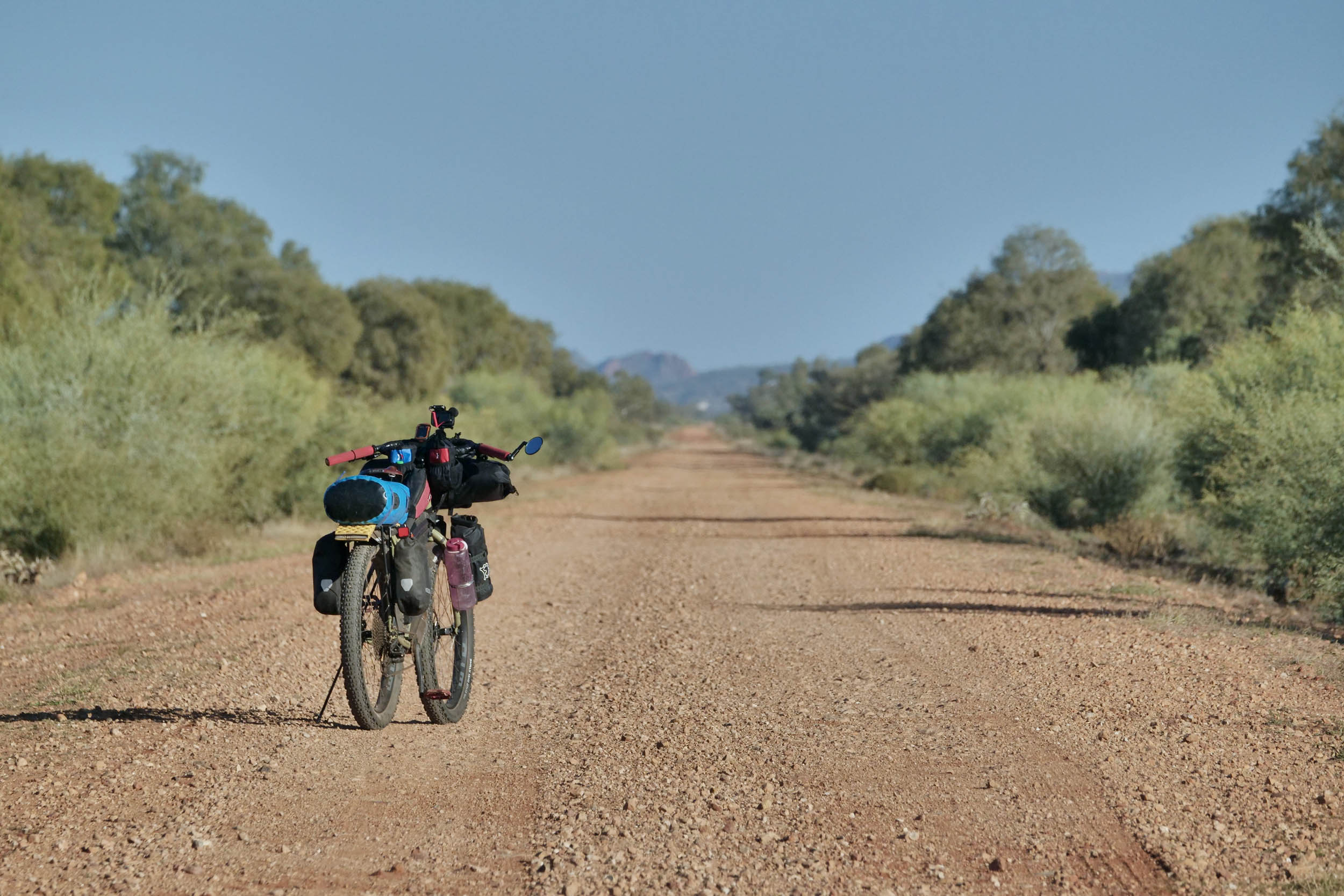
The Red Centre makes for a classic 14-day ride. The double loop has everything from singletrack (part of the extensive network of mountain bike trails around Alice Springs), gravel and dirt roads, to 4WD tracks, sandy riverbeds, quiet sealed roads, and some highway riding to link locations. The trails vary from well-graded to rough, sandy, and corrugated. Bulldust and erosion gullies can occur at certain times of the year. If time is short, you can take your pick of which loop to ride. Central Australia has low rainfall over winter, making it a great winter bikepacking destination to escape the Australian “cold.”
Route Difficulty
The Red Centre route has been given an overall rating of 6 out of 10. Most of the difficulty comes from the remoteness and the need to carry water for two or more days and most of your food. Water is your biggest challenge. It can generally only be sourced from known locations, so it’s imperative that you calculate how much you will need each day based on the temperature/distance (and carry spare). Most sections have limited shade, which can make for hot days of pedalling. Even during the shoulder seasons (April and September), temperatures in the high 30s (Celsius) are common. Most resupply points only offer cooked meals and limited snacks. The exception is Maryvale and Titjikala stores, with a limited choice of groceries.
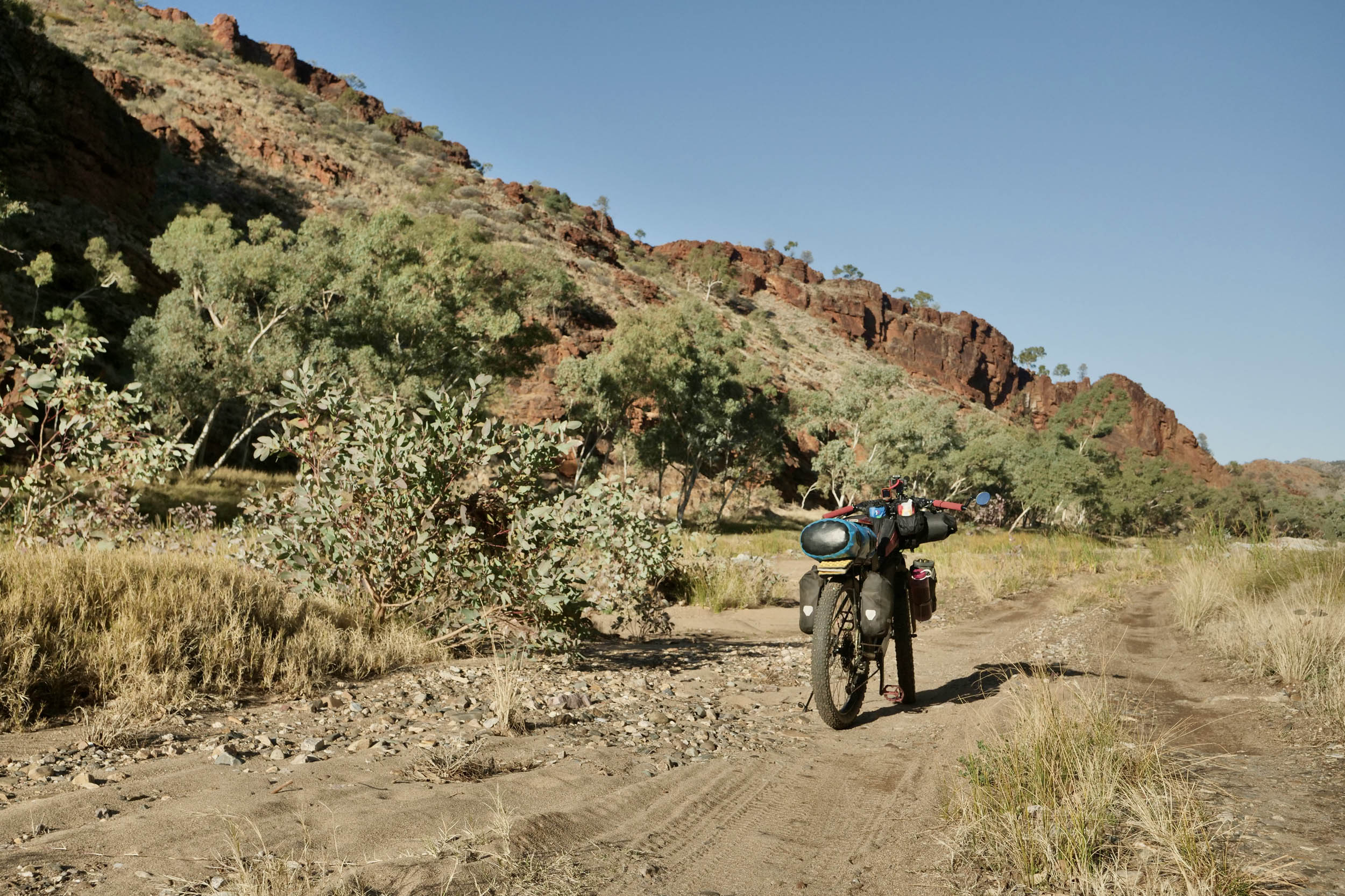
The route is not particularly technical or physical. Some sections can be very sandy and corrugated, with deep bulldust. There are only two short sections of hike-a-bike. More hike-a-bike may be required if riding anything less than a plus bike. Phone coverage is limited, so carrying an emergency beacon is recommended.
Route Development: The Red Centre was plotted by Mick Turnbull. Mick used to live in Alice Springs and wanted to develop a route as an Outback Australian winter bikepacking destination with maximum time off-road. Current local Julia Anders provided valuable advice on track conditions and options.
Submit Route Alert
As the leading creator and publisher of bikepacking routes, BIKEPACKING.com endeavors to maintain, improve, and advocate for our growing network of bikepacking routes all over the world. As such, our editorial team, route creators, and Route Stewards serve as mediators for route improvements and opportunities for connectivity, conservation, and community growth around these routes. To facilitate these efforts, we rely on our Bikepacking Collective and the greater bikepacking community to call attention to critical issues and opportunities that are discovered while riding these routes. If you have a vital issue or opportunity regarding this route that pertains to one of the subjects below, please let us know:
Highlights
Must Know
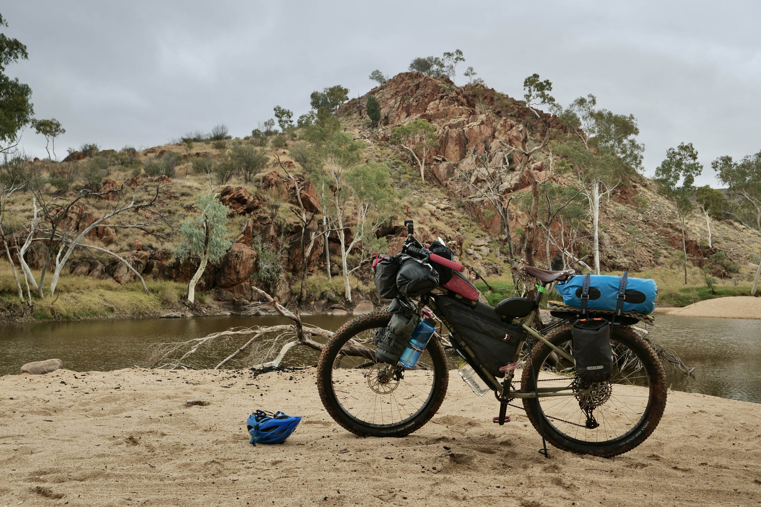
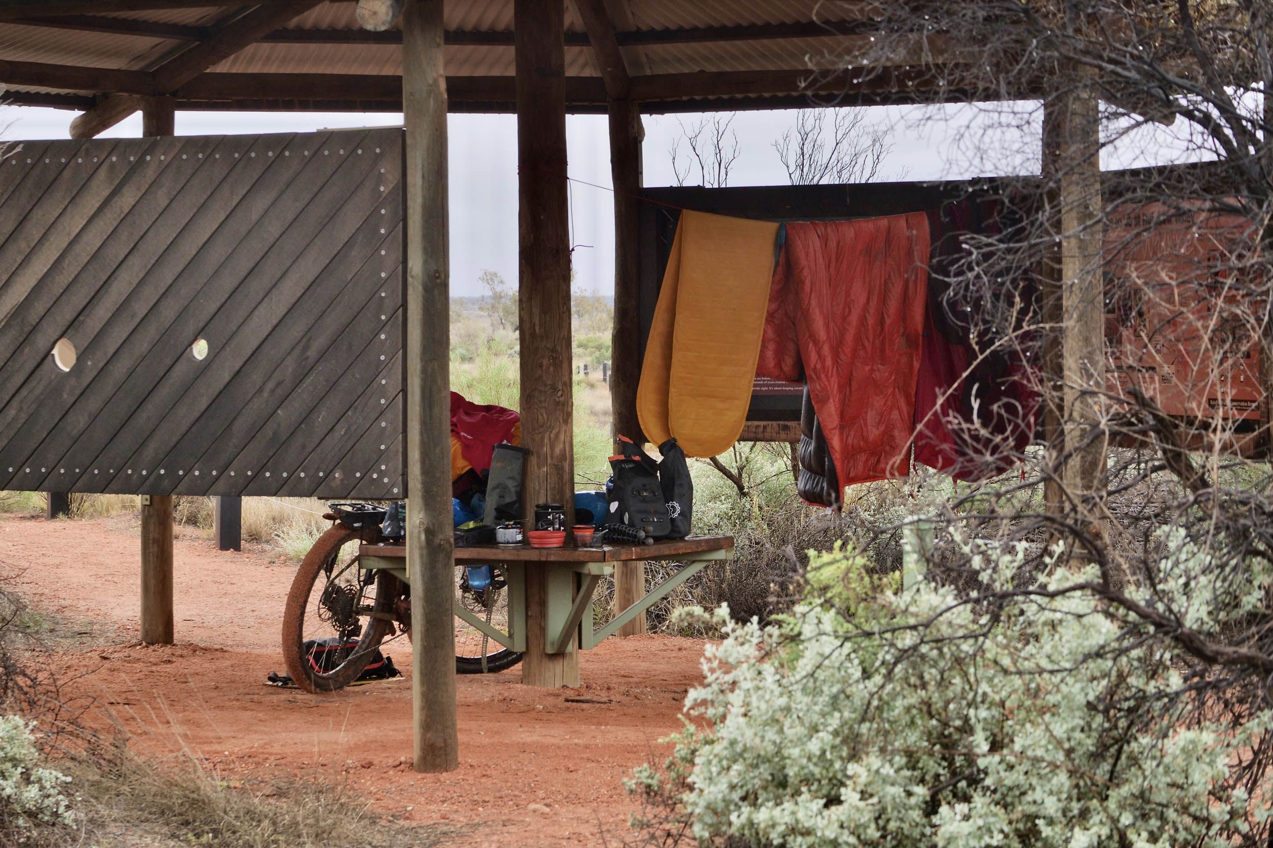
Camping
Food/H2O
Trail Notes
Resources
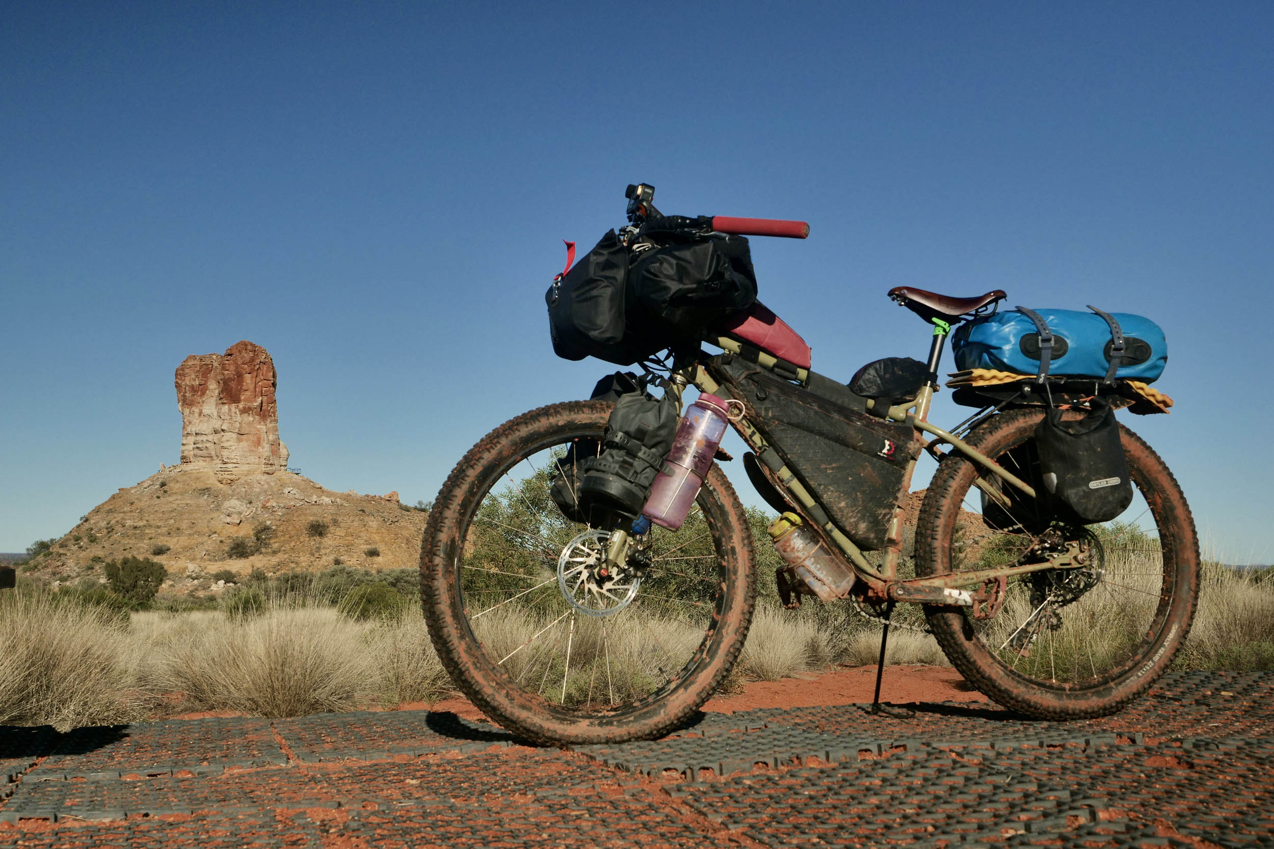
- Sunrise and sunset at Chambers Pillar and Rainbow Valley.
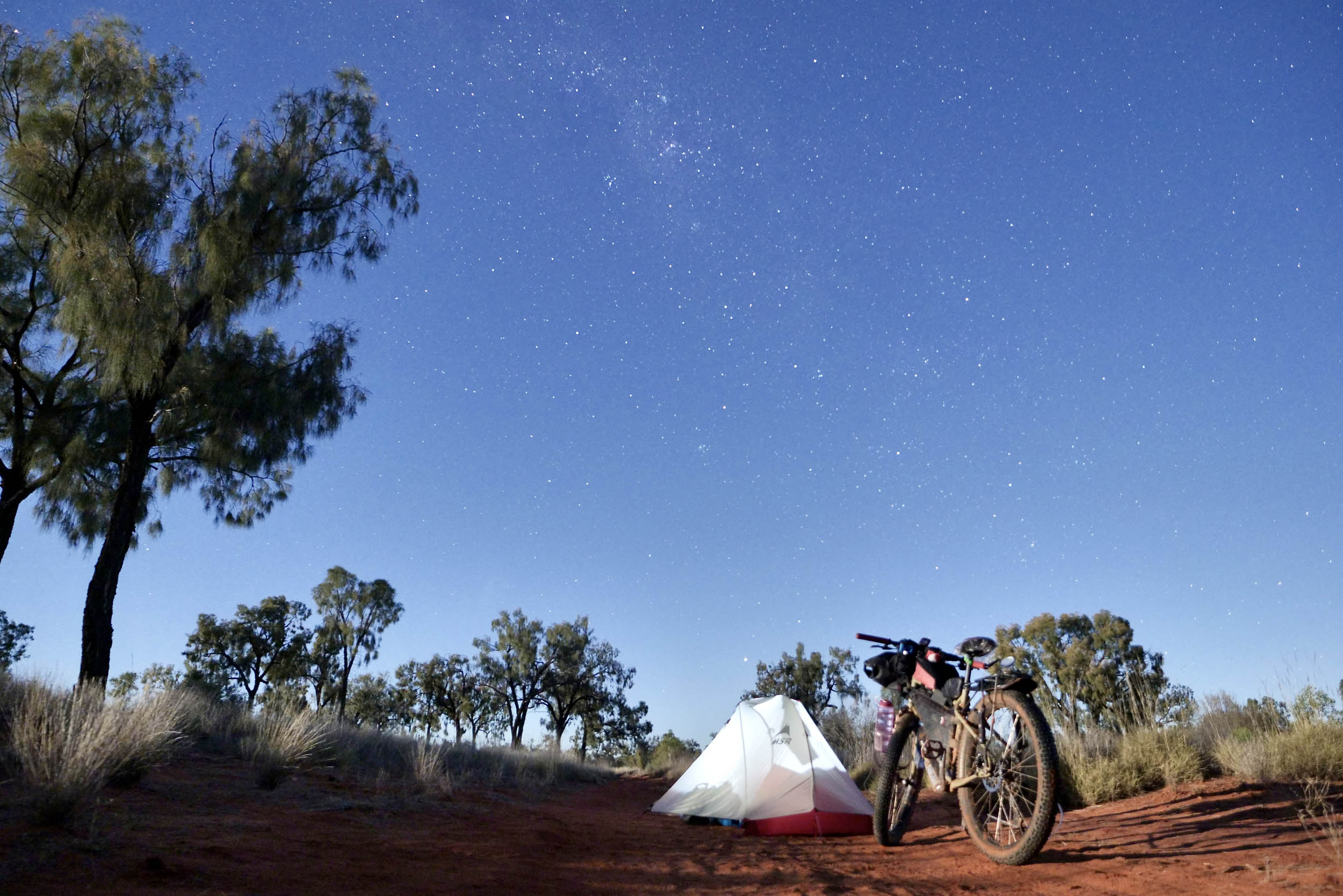
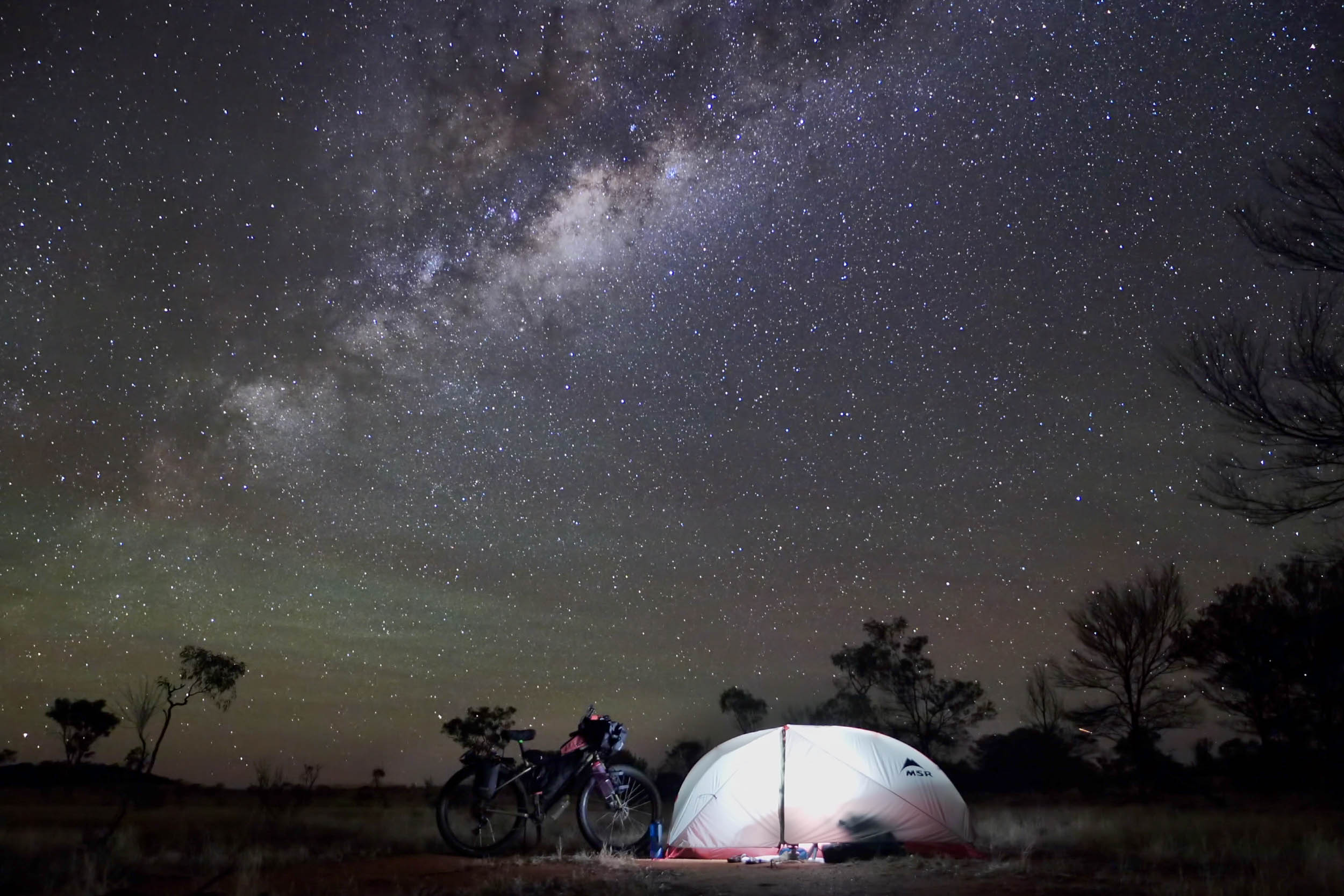
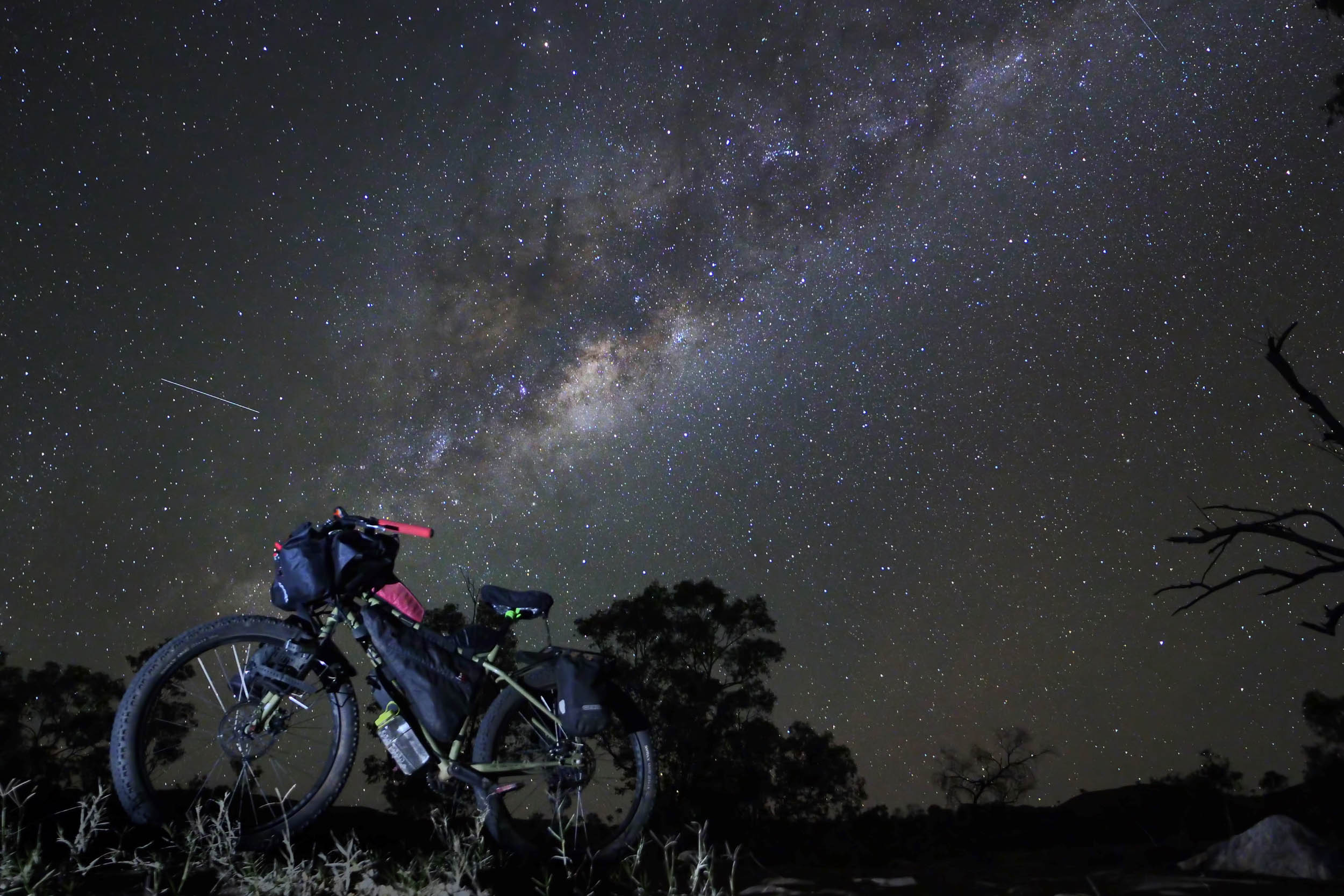
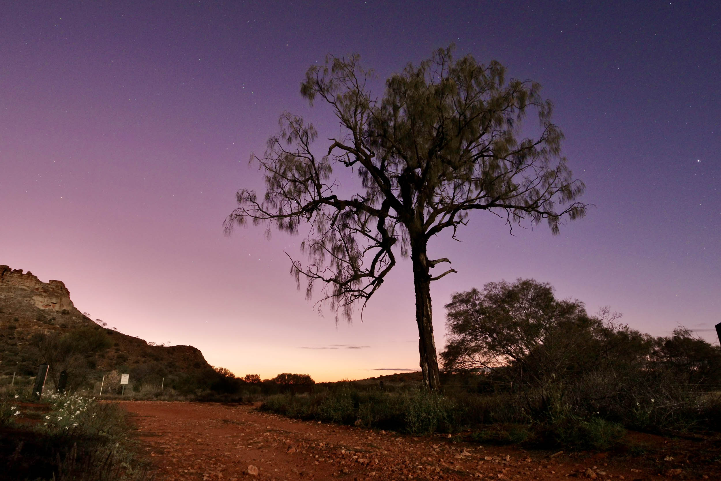
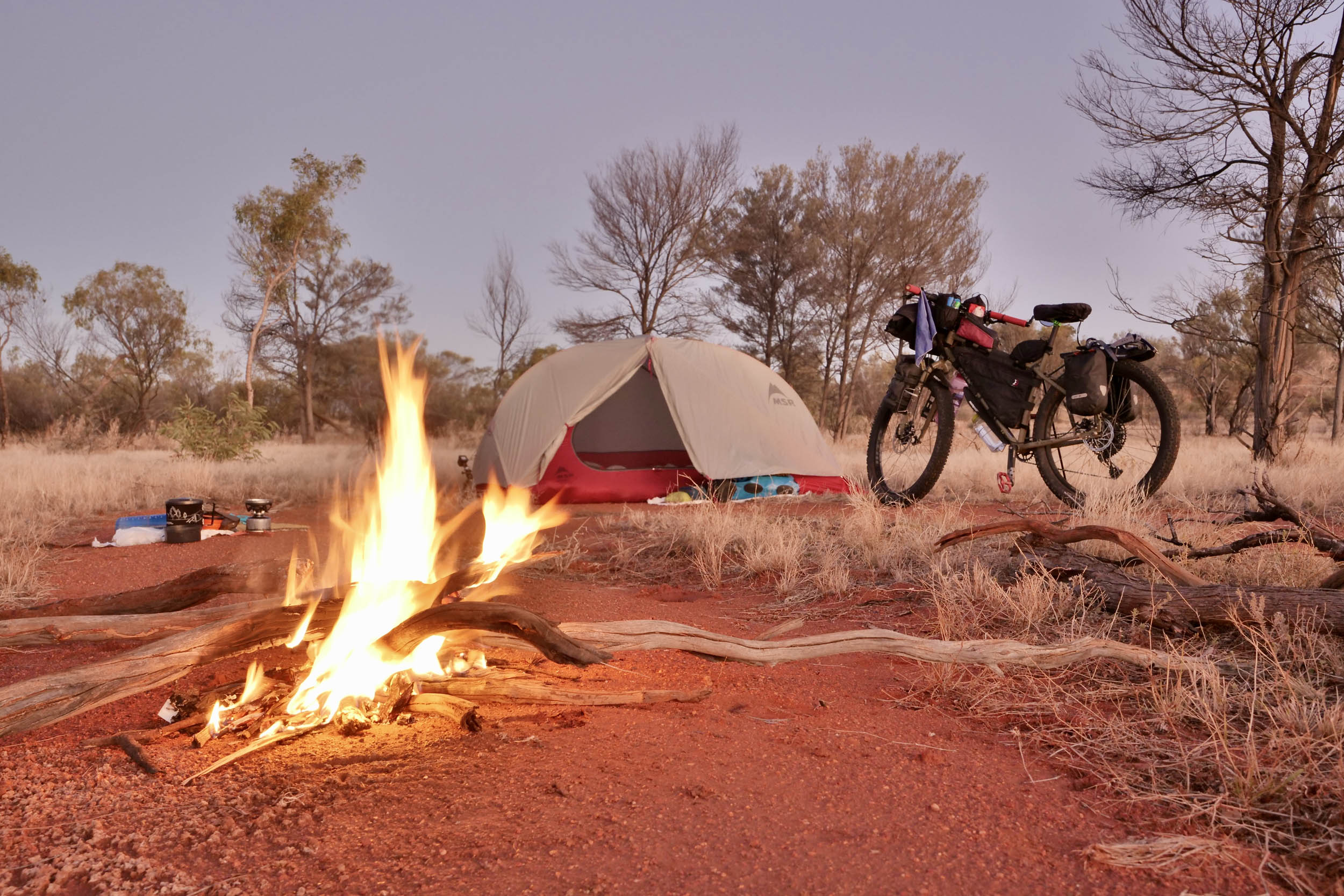
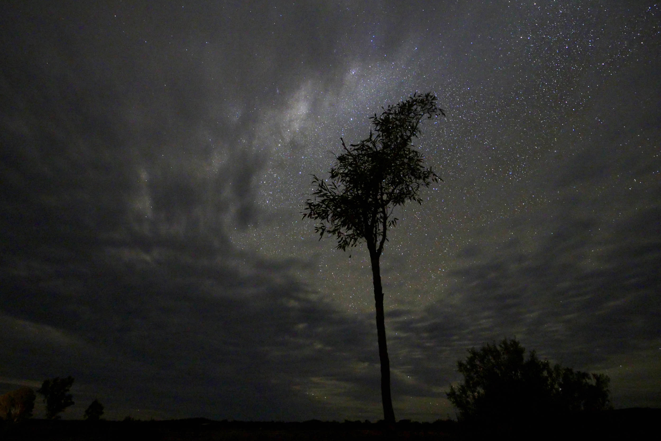
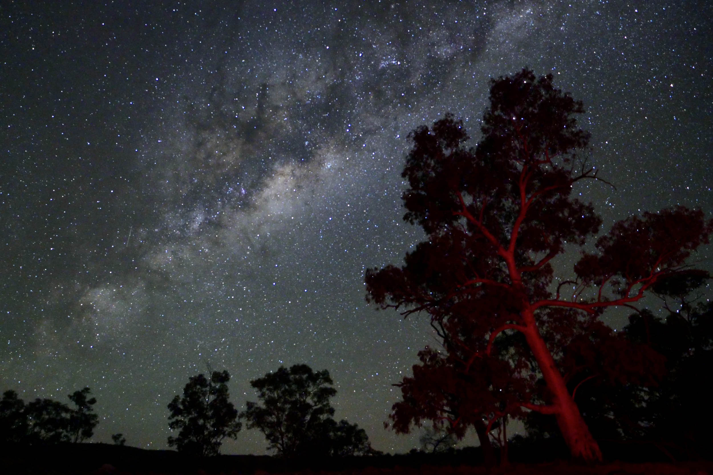
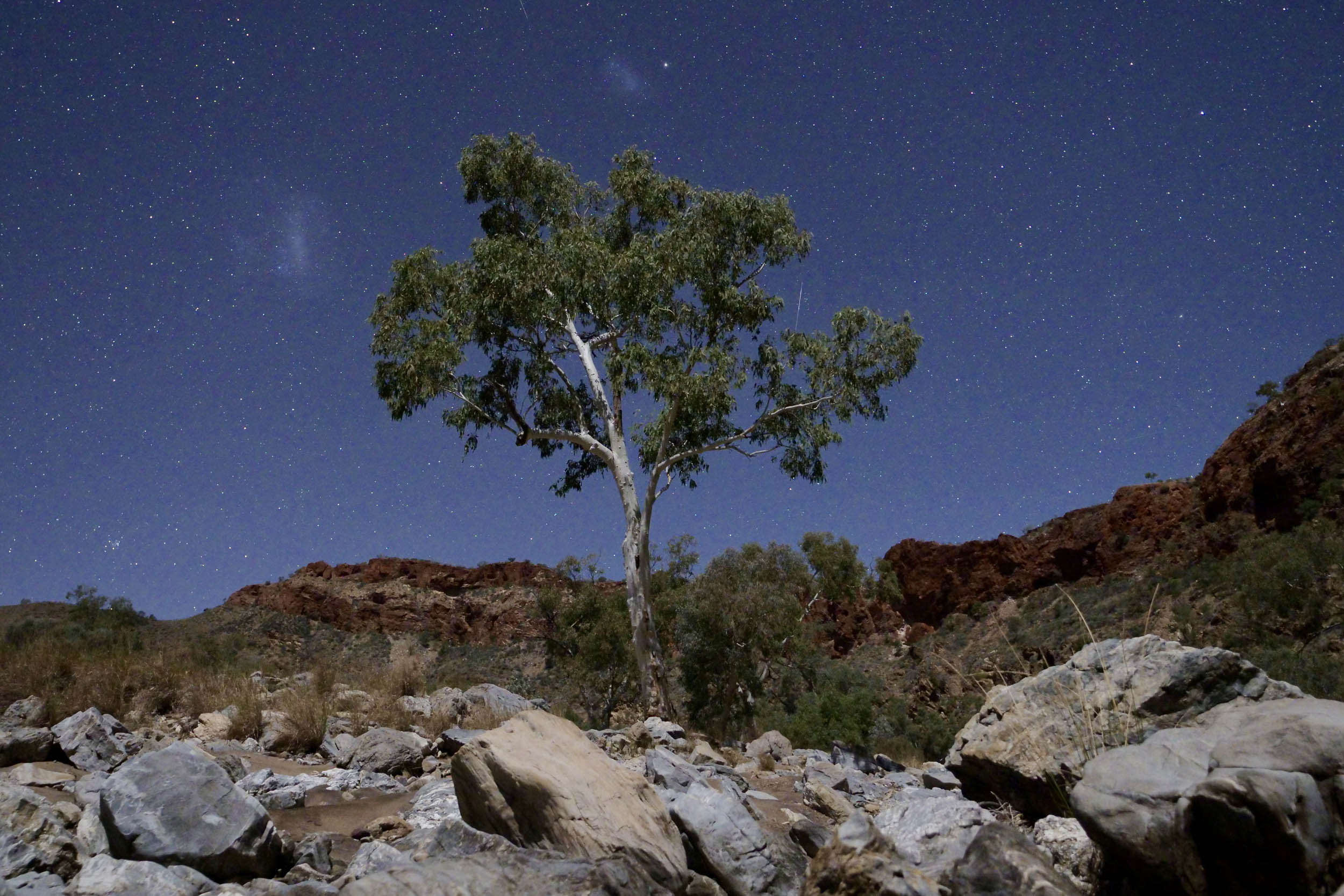
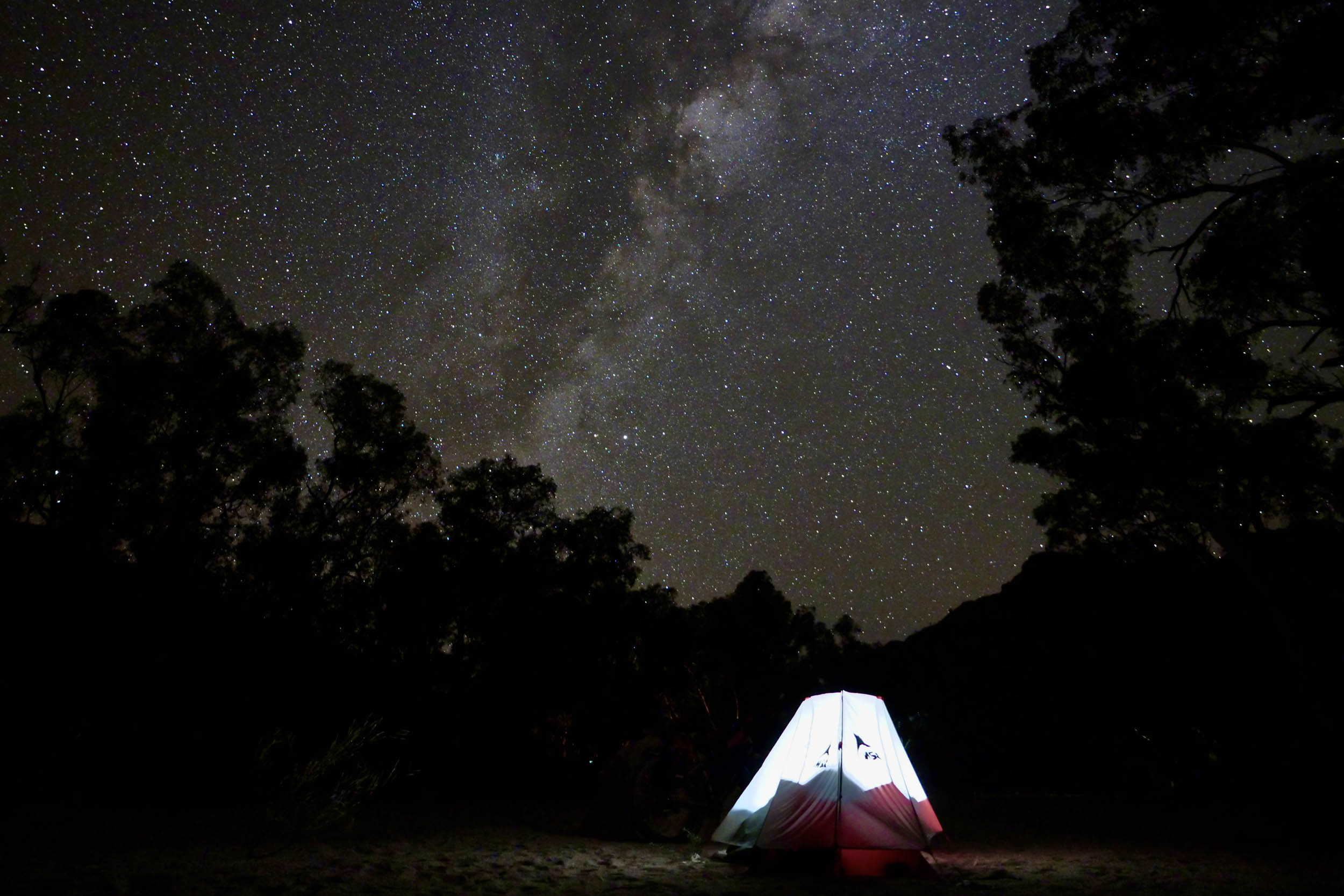
- Campfires under some of the clearest starry skies in the world.
- Outback hospitality and chats with locals at places like Hale River Station and Stuarts Well Roadhouse.
- Outback birds – both dainty nectar lovers and birds of prey.
- Camping in the dry riverbed among the cliffs and ghost gums at Ruby Gap Nature Park.
- Trephina Gorge with its quartzite cliffs and river gum-lined watercourse.
- 10,000-year-old petroglyphs at N’Dhala Gorge and Napwerte/Ewaninga Rock Carvings Conservation Reserve.
- Rock art paintings at Yeperenye/Emily and Jessie Gaps Nature Park depicting the Yeperenye (Caterpillar) Dreaming.
- Simpsons Gap, where a permanent waterhole sits amidst towering cliffs.
- Standley Chasm and its sheer 80-metre red cliffs and narrow opening.
- This route is best ridden with a plus-tire bike. There are sections of sand, deep corrugations, and bulldust. Tyre sealant is recommended as bindis and burrs abound. Not recommended for a gravel bike.
- When to go: The best seasonal window is May to August. During this time, the weather is warm and (usually) dry, with cool to cold nights. Outside these months, be prepared to carry more water as the days will be hotter.
- If you are riding the whole route, you will need a two-week Desert Park pass (details here).
- The deadly Western Brown and the King Brown snake are residents of Central Australia – as with all snakes, leave them alone, carry a snake bandage, and know how to use it.
- Carry enough water for two-plus days (and spare). Vehicles may be flagged down in some places if desperate, but traffic is sporadic and can’t be relied upon.
- The section on Maryvale Road should be avoided during the Finke Desert Race on the Queen’s birthday weekend in June (unless 4WDs, beer, and shenanigans are your thing).
- There is some riding on the Stuart Highway. The highway has a small shoulder; use a bike light and be prepared to give way when a road train overtakes you.
- Phone coverage is minimal, so carrying an emergency beacon is recommended.
- Several of the camping areas in parks/reserves need to be booked in advance ($10/night), including Hugh Gorge (or Birthday Waterhole), Lawrence Gorge, Rainbow Valley, Chambers Pillar, Ruby Gap and Trephina Gorge.
- Book Hale Rive Homestead before leaving Alice Springs. Inform them in advance if you want an evening meal.
- Standley Chasm camping will also give you access to the gorge.
- To camp along Maryvale Road (before and after Chambers Pillar), follow one of the tracks created by Finke Desert Race spectators until you find a spot among the red dunes and casuarina trees.
- Other options for camping/accommodation along the route: Stuarts Well Roadhouse, Ross River Resort, and Arltunga Bush Retreat.
- At Hugh Gorge, camp on the right 300 metres after passing through the gate and before crossing the dry riverbed (60 metres before the shelter). Please don’t camp in the shelter – this is for Larapinta Trail walkers.
- As always, follow the principles of leave-no-trace camping and make sure all campfires are completely extinguished before heading to bed.
Meals (and very basic snacks) are available every two or three days. Plan to have lunch/dinner at meal stops and carry the remainder of your food. Meals stops include:
- Standley Chasm Café (order dinner before 2 p.m.)
- Stuarts Well Roadhouse (meals and limited snacks)
- Hale River Homestead (meals and some takeaway meals)
- Ross River Resort (meals and some snacks)
Maryvale Store/Titjikala Store both have basic groceries and some takeaway food. Opening hours vary, so phone before you leave Alice Springs. At the time this route was published, opening hours were:
- Maryvale Store: Thursday to Sunday (9 a.m. – 1 p.m.)
- Titjikala Store: Monday to Friday (8:30 a.m. – 12:30 p.m. and 2 p.m. – 5 p.m.), Saturday (9 a.m. – 12 p.m.), Sunday (closed)
Alice Springs has major grocery stores and a couple of camping shops (Lone Dingo and Desert Dwellers).
Distances between reliable water sources:
- Alice Springs to Standley Chasm – 66 km
- Standley Chasm to Hugh Gorge – 51km
- Hugh Gorge to Stuarts Well Roadhouse (via Rainbow Valley) – 156km
- Stuarts Well Roadhouse to Maryvale/Titjikala – 112km
- Maryvale/Titjikala to Chambers Pillar (return) – 90km
- Maryvale/Titjikala to Alice Springs – 115km
- Alice Springs to Hale River Homestead – 154km
- Hale River Homestead to Arltunga Visitor Centre (1km off route), via Ruby Gap – 109km
- Arltunga Visitor Centre to Trephina Gorge – 48km
- Trephina Gorge to Ross River Resort – 21km
- Ross River Resort to Alice Springs – 108km
Suggested itinerary:
Western Loop
- Day 1: Alice Springs to Standley Chasm (65km, 413m)
- Day 2: Standley Chasm to Hugh Gorge (52km, 263m)
- Day 3: Hugh Gorge to Lawrence Gorge (60km, 189m)
- Day 4: Lawrence Gorge to Rainbow Valley (59km, 233m) – add 29km from the T-junction (return) if you head to Stuarts Well Roadhouse for lunch and water.
- Day 5: Rainbow Valley to bridge at Hugh River (96km, 411m)
- Day 6: Hugh River bridge to Chambers Pillar (109km, 510m)
- Day 7: Chambers Pillar to wild camp on Maryvale Road (83km, 413m)
- Day 8: Maryvale Road camp to Alice Springs (76km, 310m)
East Macs Loop
- Day 9: Alice Springs to wild camp on Garden Road/Arltunga Tourist Route (85km, 406m)
- Day 10: Garden Road/Arltunga Tourist Route to Hale River Homestead (70km, 246m)
- Day 11: Hale River Homestead to Ruby Gap Nature Park (63km, 339m)
- Day 12: Ruby Gap Nature Park to Trephina Gorge (92km, 562m) – another 2km return to the water at Arltunga Visitor Centre
- Day 13: Trephina Gorge to wild camp on Binns Track (73km, 274m)
- Day 14: Binns Track wild camp to Alice Springs (56km, 396m)
Western Loop
The Western Loop begins from Alice, following the bike paths west to the permanent waterhole of Simpsons Gap/Rungutjirpa. Ride the relatively quiet, sealed Larapinta Drive and turn north towards Standley Chasm. After a visit, retrace your steps and head west onto the sealed Namatjira Drive. Turning right off Namatjira Drive onto the first non-sealed 4WD track of the route and ride the stony, sandy trails to Birthday Waterhole and Hugh Gorge.
After leaving Hugh Gorge and returning to Larapinta Drive, ride to the intersection of Larapinta Drive, turn right for 3 kilometres before turning left, and the ride takes you through the former Owen Springs Cattle Station, following the old telegraph line. Expect the occasional sandy section. The ruins of the first homestead lie about 18 kilometres along the 4WD track. Continue to Lawrence Gorge. Follow any track off the main 4WD route to find a flat sandy area to camp (if heavy rain is not forecast). Avoid camping under the limb-dropping river gums.
After Lawrence Gorge, the route follows the Hugh River, with some rocky and sandy sections, before the dirt 4WD track continues winding towards the highway. At the Stuart Highway, head south, then take the Rainbow Valley/Wurre turnoff on your left. It’s a 29-kilometre return detour to Stuarts Well Roadhouse for a meal and/or water if needed. Otherwise, follow the corrugated but wide dirt road to Claypan Campground. There are shelters and toilets but no water.
Retrace your steps back, turn left (south) onto Stuarts Highway, and ride gently downhill to Stuarts Well Roadhouse (open seven days, stop for a meal, limited snacks, and potable water). Then, keep following the highway south, passing the Cannonball Run Monument, before turning east onto the Hugh River Stock Route. Following the dirt road east, you will arrive at the bridge crossing the dry Hugh River, which is a good place to camp.
Continuing east along the Hugh River Stock Route, turn right onto Maryvale Road, which is usually a well-maintained dirt road, except after the Finke Desert Race in June when corrugation and bull dust abound. Stop for supplies at the Maryvale or Titjikala Store. The road to Chambers Pillar/Itirkawarra has some sandy sections and one hike-a-bike as it climbs to the top of the Charlotte Range. The last section crosses over well-packed sand dunes. You will need to open (and close) gates to keep out cattle and camels. The Pillar Campground is closest to Chambers Pillar and offers the best views. Pit toilets, benches, fire pits, and a couple of shelters are available, but there is no water.
After visiting Chambers Pillar, retrace the route north past Maryvale and/or Titjikala Store and continue heading north. Camping can be found near the many tracks the Finke Desert Race campers create.
Continue north past Napwerte/Ewaninga Rock Carving Conservation Reserve. The road then becomes sealed and follows bike paths along the Todd River to the Alice Springs Mall.
East Macs Loop
Leaving Alice Springs, head north towards the Telegraph Station and follow singletrack mountain bike trails until you join up with the Stuart Highway. There is a wide shoulder until you reach the Tanami Road turnoff. The best time to ride this section is after 10 a.m. (post the grey-nomad daily exodus). Turn off east along the Gardens Road (Arltunga Tourist Route), riding through mulga woodland, grasslands, and cattle stations. Camp off the side of the road and enjoy the stars.
Continue following the road through cattle stations to Hale River Homestead (Old Ambalindum). Enjoy the sunset, a hot shower, a meal, and a beer.
Leaving Hale River Homestead, it’s a short ride to Arltunga. Explore the old ghost town via the various tracks. The ride to Ruby Gap Nature Park then follows a good quality dirt/gravel road to the entrance of the park (NB: Ride with GPS shows an 8.8-kilometre section that is sealed. This is not the case!). If you aren’t on a plus bike, you will need to alternate between riding and hike-a-biking through the sandy river track to find a place to camp,
Retrace the road back to Arltunga Historical Reserve and take a 2-kilometre (return) detour on your right to Arltunga Visitor Centre for water. The road is bitumen for a short section before returning to gravel for the ride to Trephina Gorge Nature Park. You’ll pass the oldest ghost gum in Australia. There are several areas to camp, with water at the Panorama and Gorge Campgrounds.
Leaving Trephina Gorge, ride 20 kilometres of sealed road to Ross River Resort before turning south onto the N’Dhala 4WD track. It’s a short detour west along the dirt road with sandy sections to N’Dhala Gorge Nature Park, where you can leave your bike to explore the petroglyphs.
Upon reaching Ringwood Road (Binns Track), a well-maintained dirt and gravel road will take you west back to the Ross Highway, passing Jessie Gap/Yiperenye. From here, ride the rocky singletrack to Emily Gap/Anthwerkke. After a short ride on the road, bike paths take you to the end of the ride in Alice Springs.
Red Centre Film
Watch the film recounting the final scouting trip on the Red Centre below, and find a written reflection on creating the route and a handful of additional photos here…


Terms of Use: As with each bikepacking route guide published on BIKEPACKING.com, should you choose to cycle this route, do so at your own risk. Prior to setting out check current local weather, conditions, and land/road closures. While riding, obey all public and private land use restrictions and rules, carry proper safety and navigational equipment, and of course, follow the #leavenotrace guidelines. The information found herein is simply a planning resource to be used as a point of inspiration in conjunction with your own due-diligence. In spite of the fact that this route, associated GPS track (GPX and maps), and all route guidelines were prepared under diligent research by the specified contributor and/or contributors, the accuracy of such and judgement of the author is not guaranteed. BIKEPACKING.com LLC, its partners, associates, and contributors are in no way liable for personal injury, damage to personal property, or any other such situation that might happen to individual riders cycling or following this route.
Please keep the conversation civil, constructive, and inclusive, or your comment will be removed.