

 Mountain Bike (MTB)
 Gravel Bike
 All-Terrain Bike (ATB)
 Fat Bike

Restless Alice
Distance
119 Mi.
(192 KM)Days
4-5
% Unpaved
95%
% Singletrack
0%
% Rideable (time)
99%
Total Ascent
11,286'
(3,440 M)High Point
2,133'
(650 M)Difficulty (1-10)
5?
- 6Climbing Scale Moderate95 FT/MI (18 M/KM)
- 2Technical Difficulty Easy
- 7Physical Demand Difficult
- 5Resupply & Logistics Moderate
Contributed By
Miles Arbour
Associate Editor & Events Manager
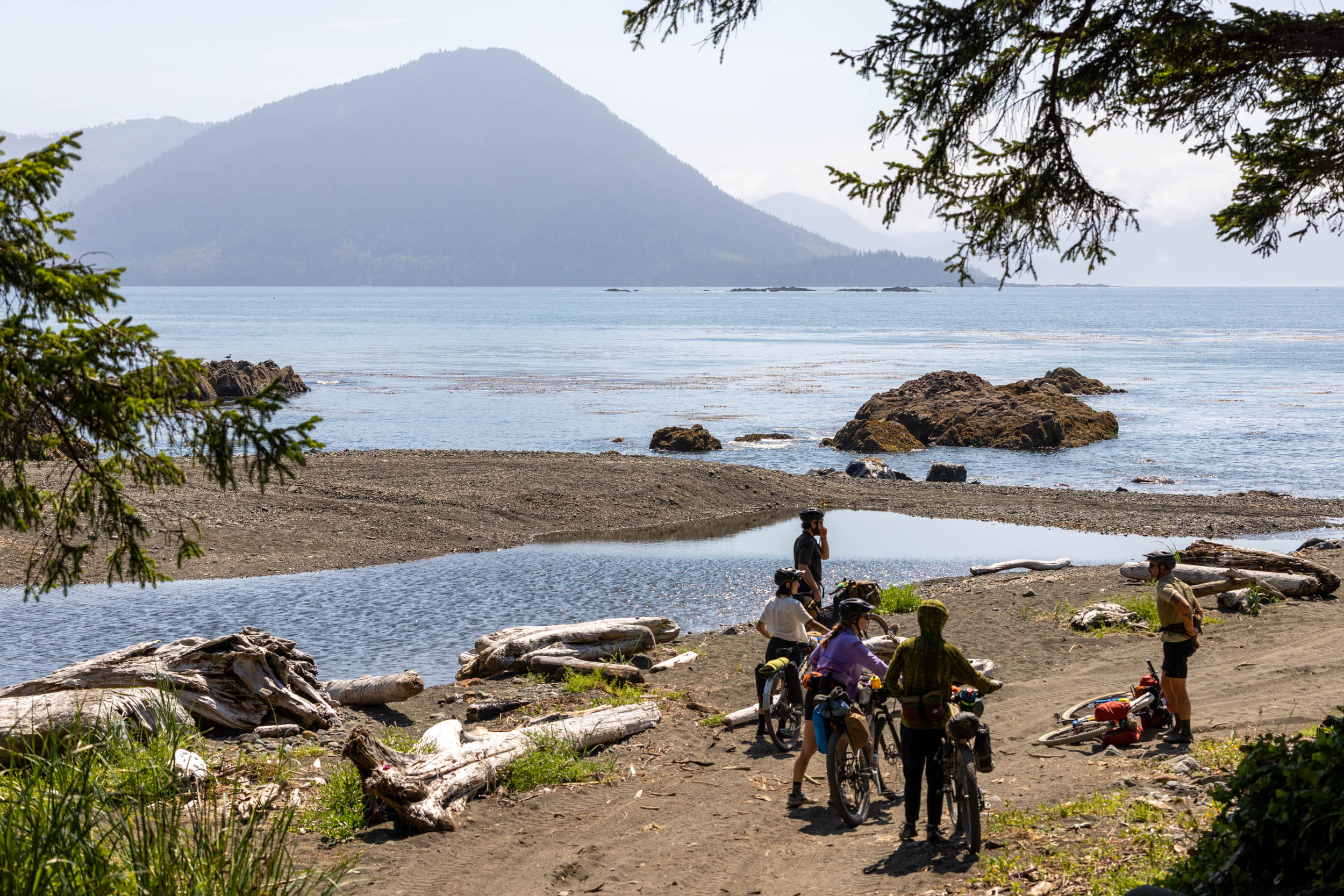
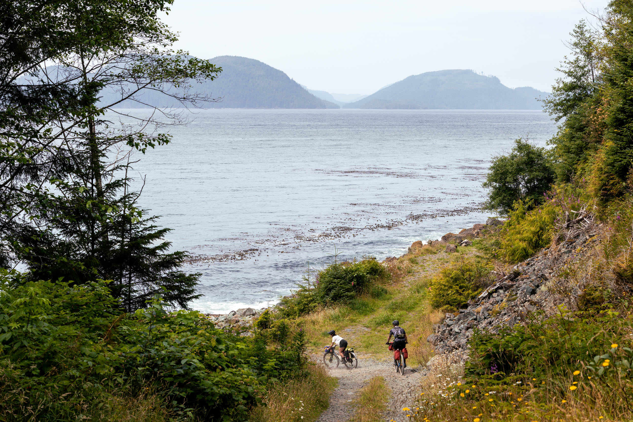
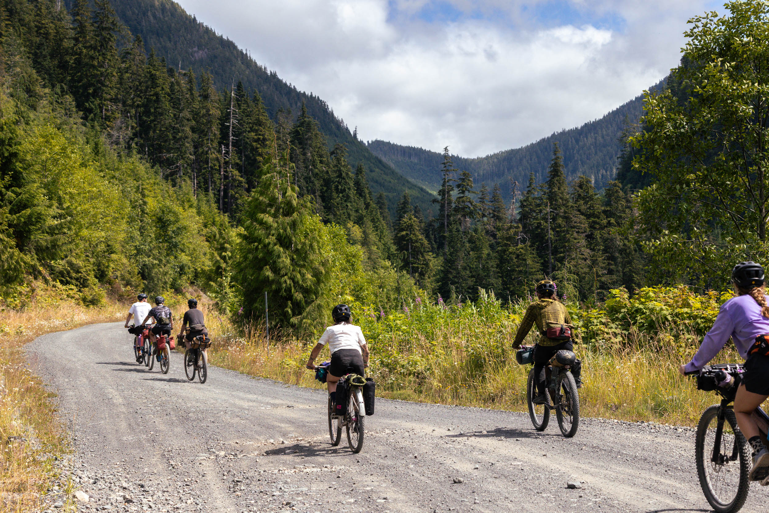
The area west of Port Alice on Vancouver Island isn’t a common destination for cyclists; overlanders and logging trucks use it more than human-powered travelers. However, south of Quatsino Sound, a vast region packed with inlets, islands, and bays that extends from the Pacific Ocean into Vancouver Island, has a series of forestry roads that make it an exceptional bikepacking destination. Restless Alice, named after Restless Bight on the west side of the loop and the town of Port Alice, is a short but challenging 190-kilometer (120-mile) bikepacking route for those seeking a rewarding backcountry gravel experience.
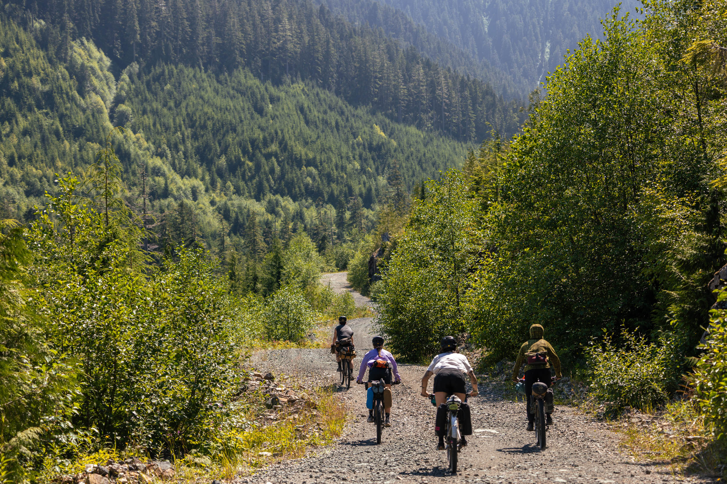
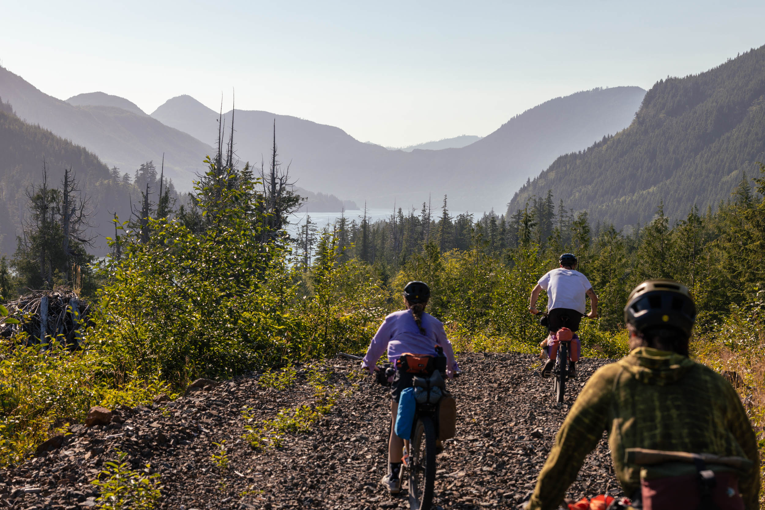
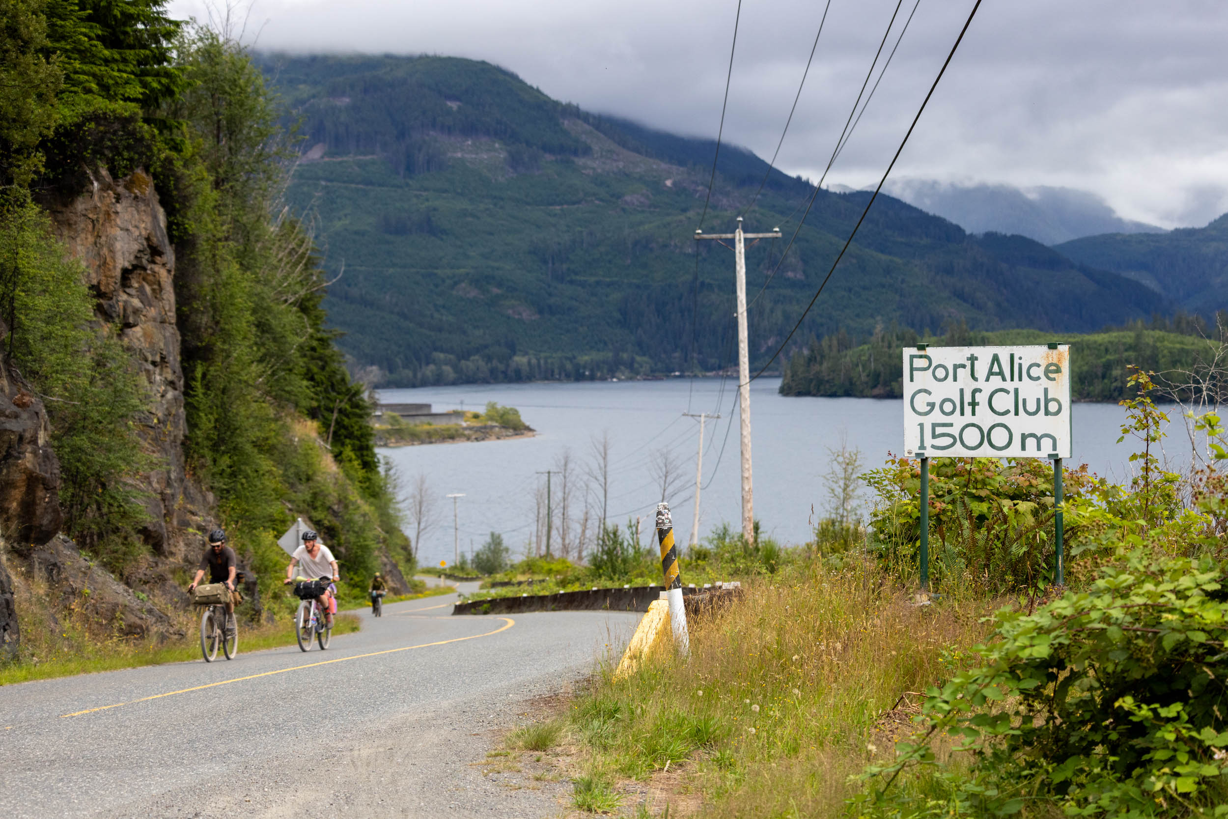
The route starts and ends in Port Alice, skirting the southern tip of Neroutsos Inlet before climbing over the mountains west of town. This is where the adventure really begins. With the main 2,000-foot climb behind you, the route heads down the valley to Klaskino Inlet. A series of impossibly beautiful gravel roads links the route north to the Mahatta River, then veers west to Gooding Cove and Side Bay, two popular overlanding destinations. After two or three nights by the ocean, you’ll head back north to the Mahatta River and follow well-traveled forestry roads to start the climb over Teeta Pass. It’s steep and challenging at times, especially on a loaded bike, but the massive descent on the other side and the celebratory meal in Port Alice make it well worth the effort.


Despite its relatively short distance and moderate climbing, Restless Alice should not be taken lightly. This is not a beginner-friendly route. The climb out and back in toward Port Alice is substantial and requires some fitness and low climbing gears. With no resupply on the route, you’ll need to carry all your food and gear and travel fully self-supported, so your bike will be heavy.
Difficulty
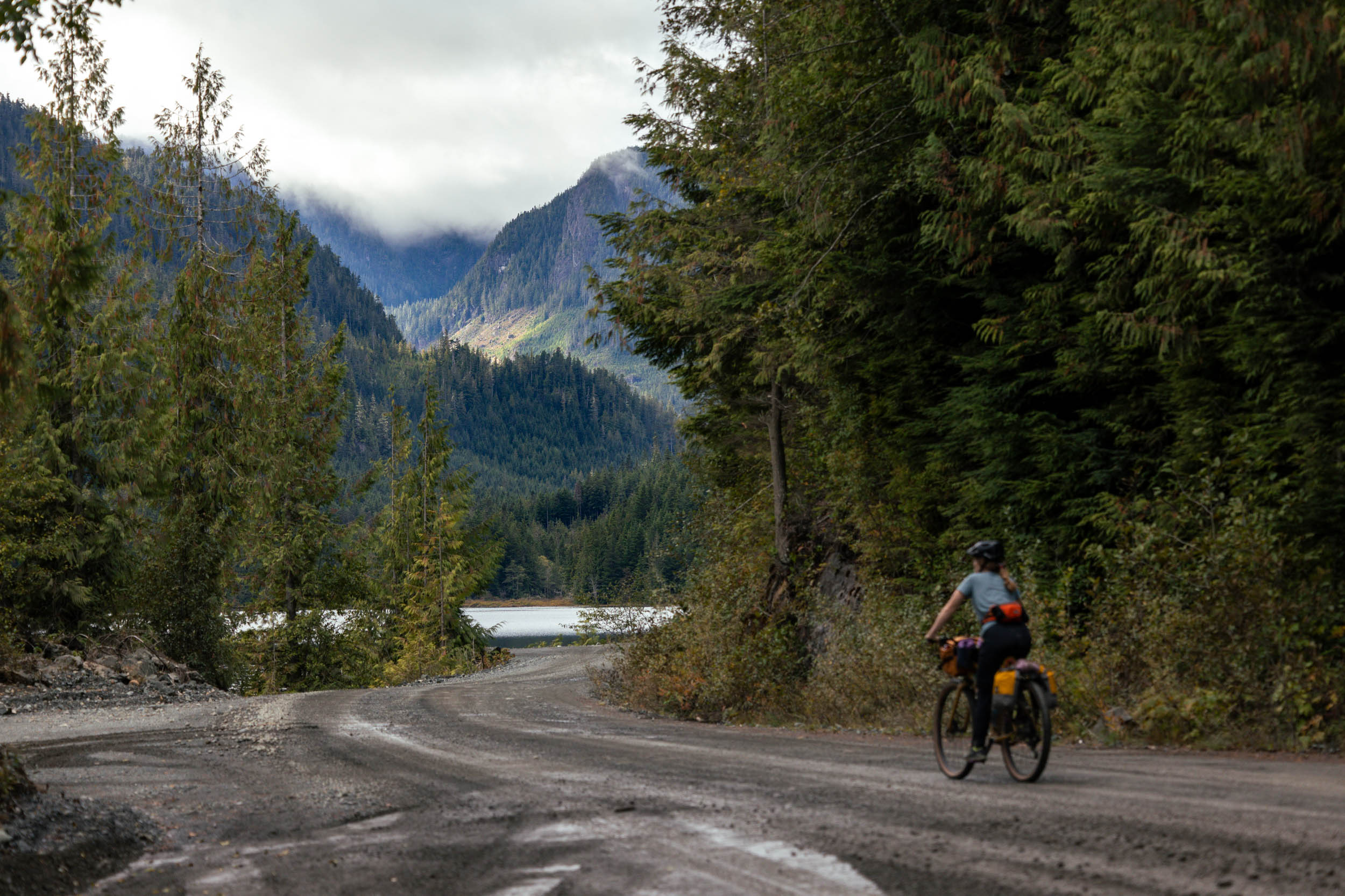
Restless Alice is one of the more difficult bikepacking routes on Vancouver Island, not because of the terrain or logistics, but because of its remoteness and lack of resupply or services, leaving little room for error. The route follows logging roads, which are often smooth but can be rough and loose, and conditions vary depending on whether they’re maintained. Because of the route’s remoteness, riders must be comfortable handling mechanical issues or trip disruptions, as help is difficult to coordinate. Weather on the north end of Vancouver Island is also hard to predict and can change quickly; be prepared for whatever Mother Nature throws at you.
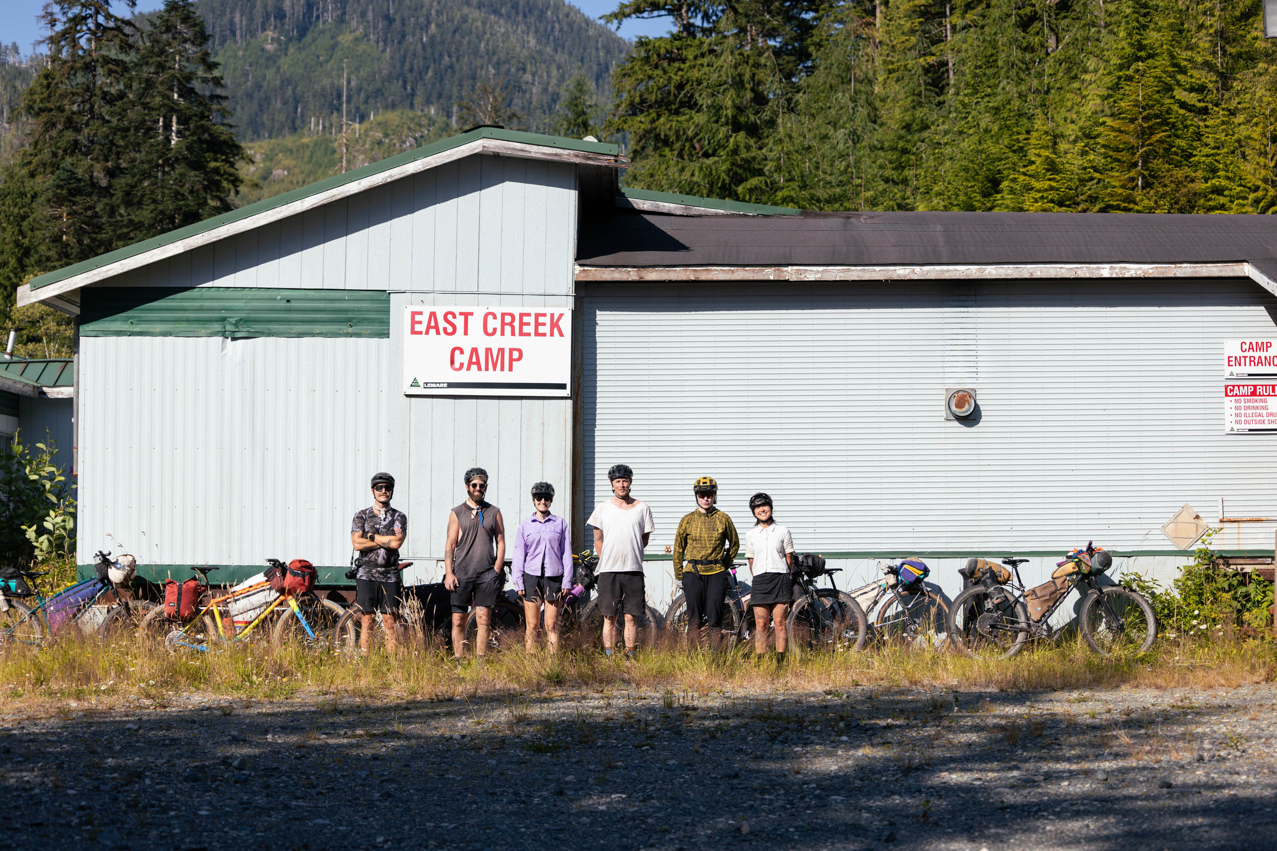
Route Development: During Emily’s solo ride on the Tree to Sea Loop, a Port Alice local asked her if she was going “up and over,” referring to the rugged coastline of Neroutsos Inlet to the west. After hearing that, I got to work asking locals for intel and digging up beta from overlanding groups, then finally made the trip up to Port Alice with friends to scout the route in July 2026. Big thanks to the Port Alice locals for helping with our planning, and to the folks at Port Alice Oceanfront RV for hosting us before and after our ride.










Submit Route Alert
As the leading creator and publisher of bikepacking routes, BIKEPACKING.com endeavors to maintain, improve, and advocate for our growing network of bikepacking routes all over the world. As such, our editorial team, route creators, and Route Stewards serve as mediators for route improvements and opportunities for connectivity, conservation, and community growth around these routes. To facilitate these efforts, we rely on our Bikepacking Collective and the greater bikepacking community to call attention to critical issues and opportunities that are discovered while riding these routes. If you have a vital issue or opportunity regarding this route that pertains to one of the subjects below, please let us know:
Highlights
Must Know
Camping
Food/H2O
Trail Notes
- Start and end in Port Alice, a fairly remote community on northern Vancouver Island that’s a true gem to spend time in before and after your ride. Make time to talk to the locals, grab a bite to eat, and learn about the region.
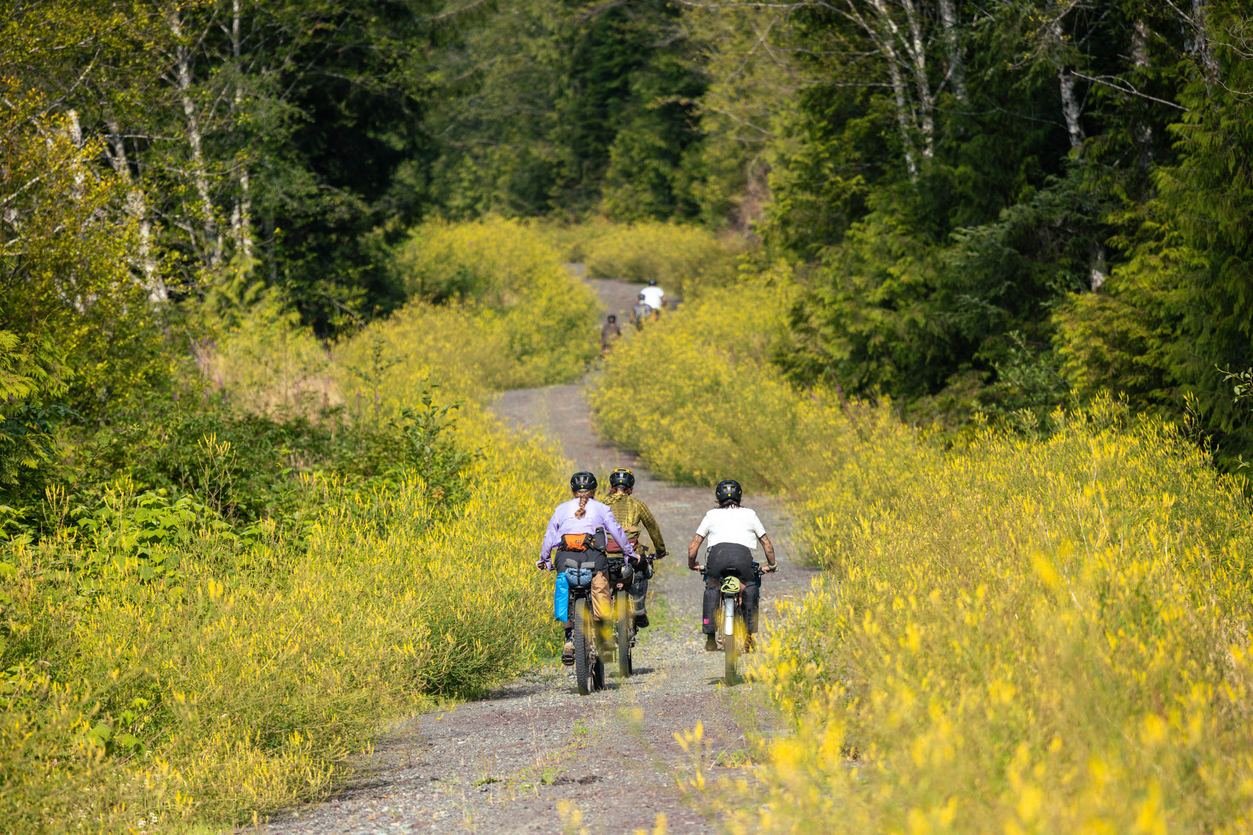
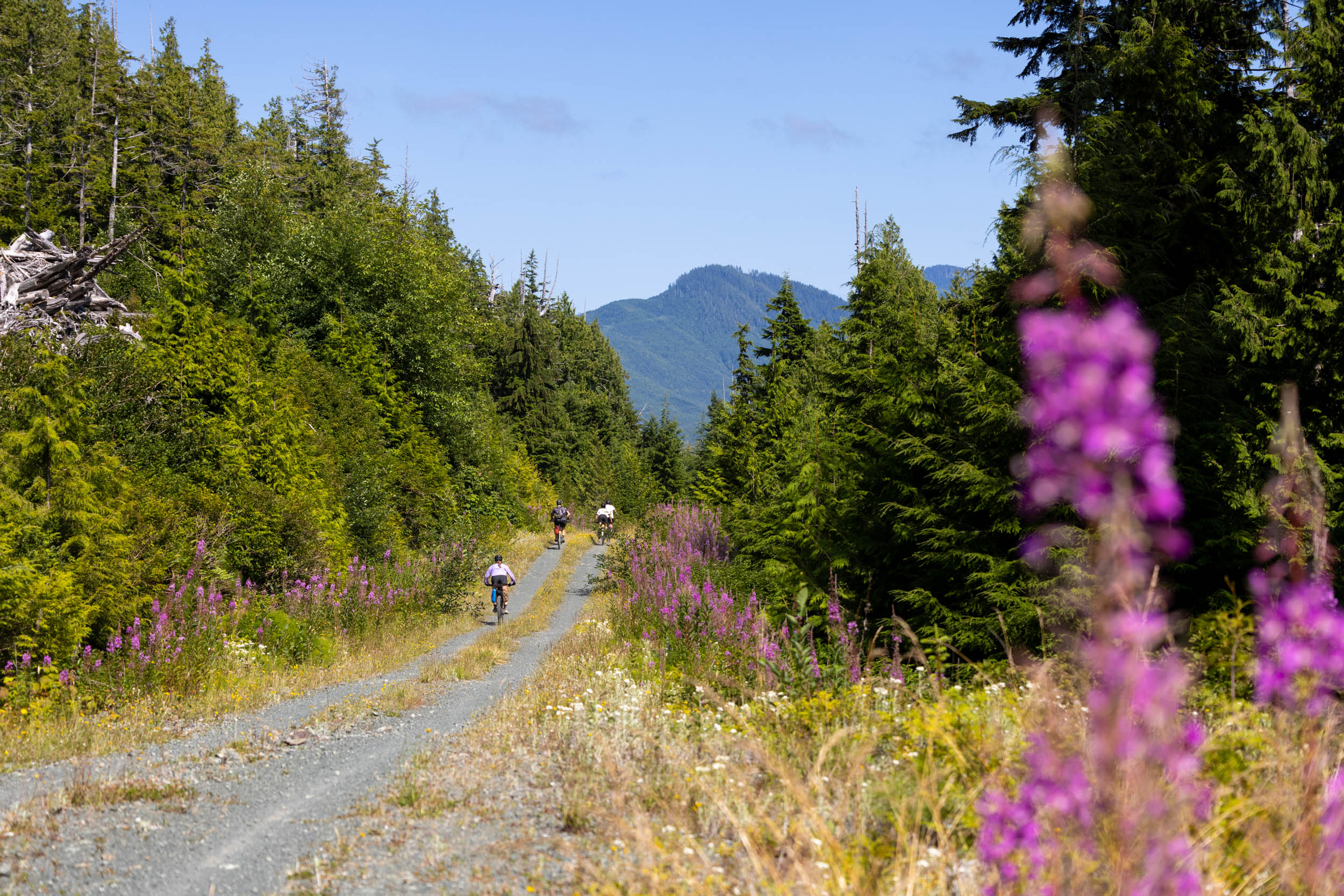
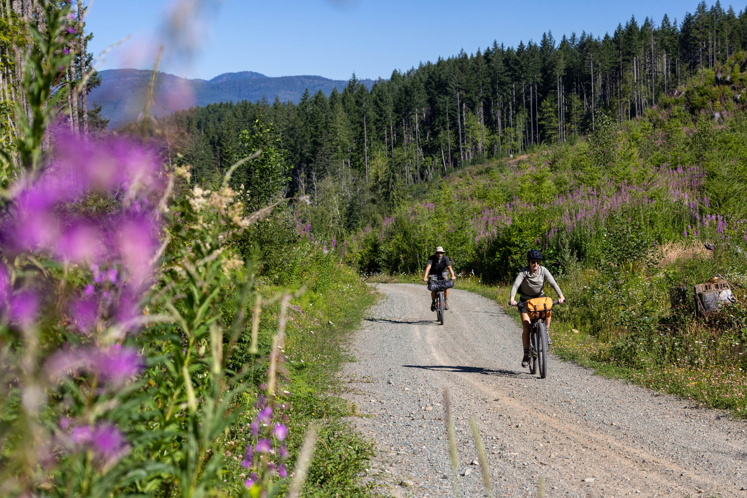
- Surprisingly smooth gravel roads, steep climbs, and a few chunkier sections mixed in make for an adventurous North Island bikepacking trip.
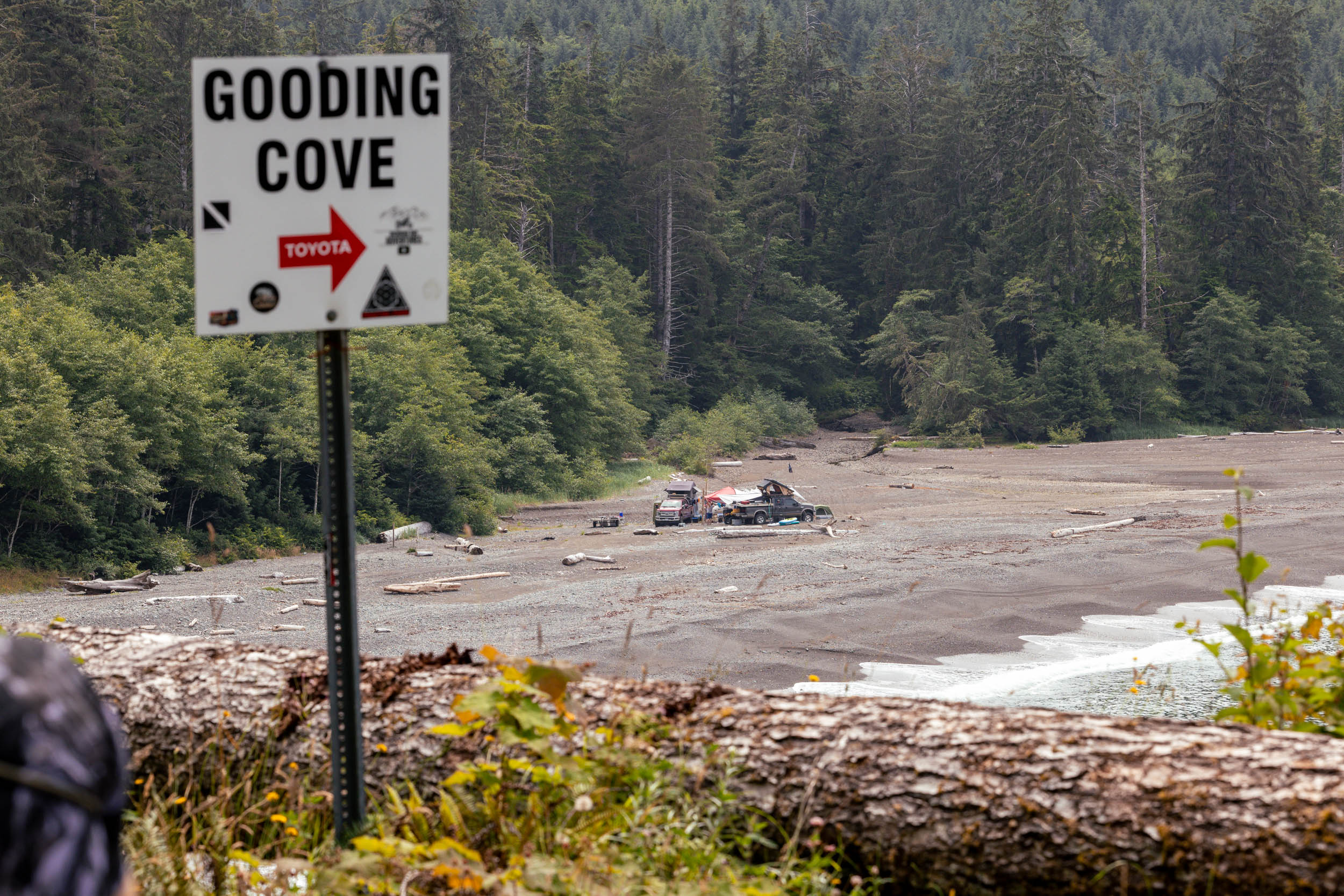
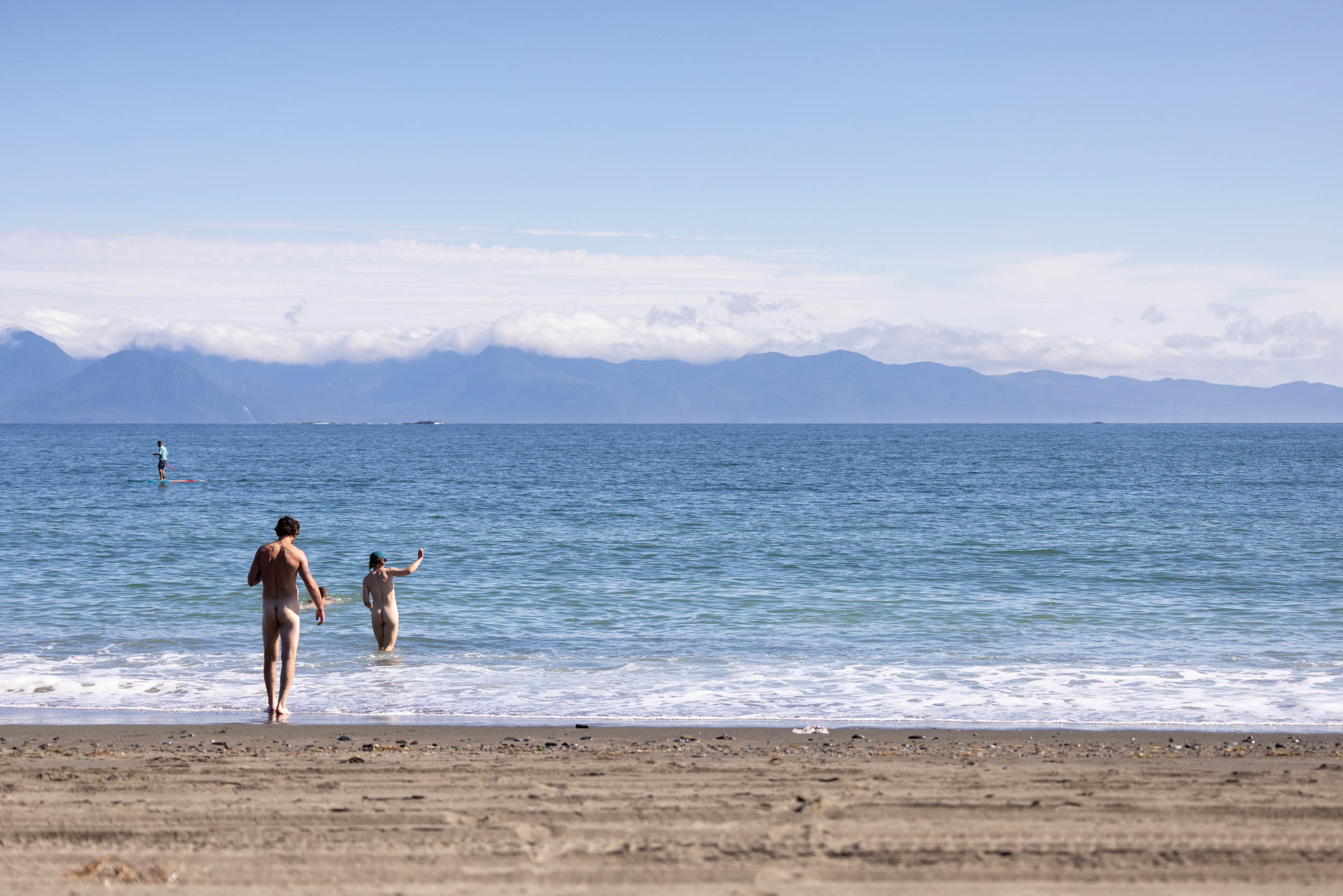
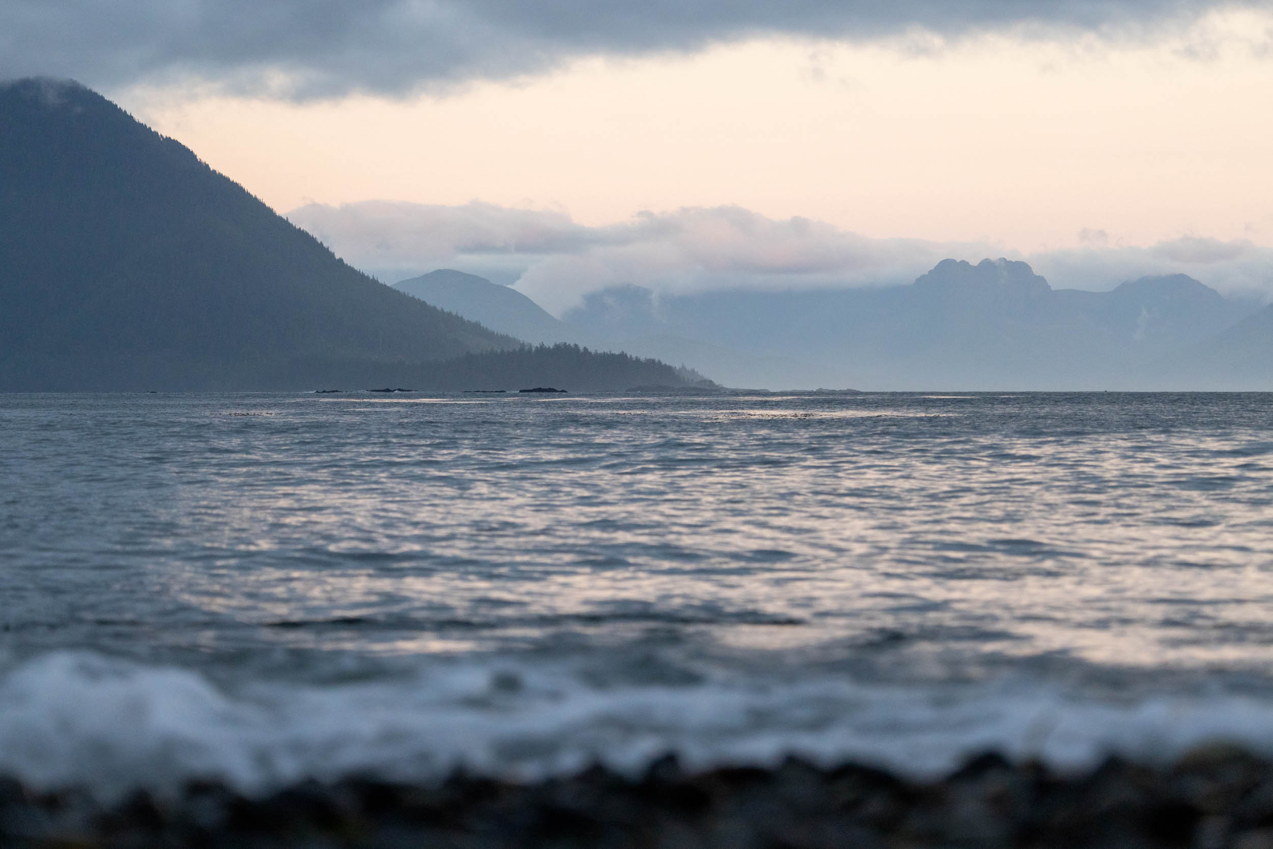
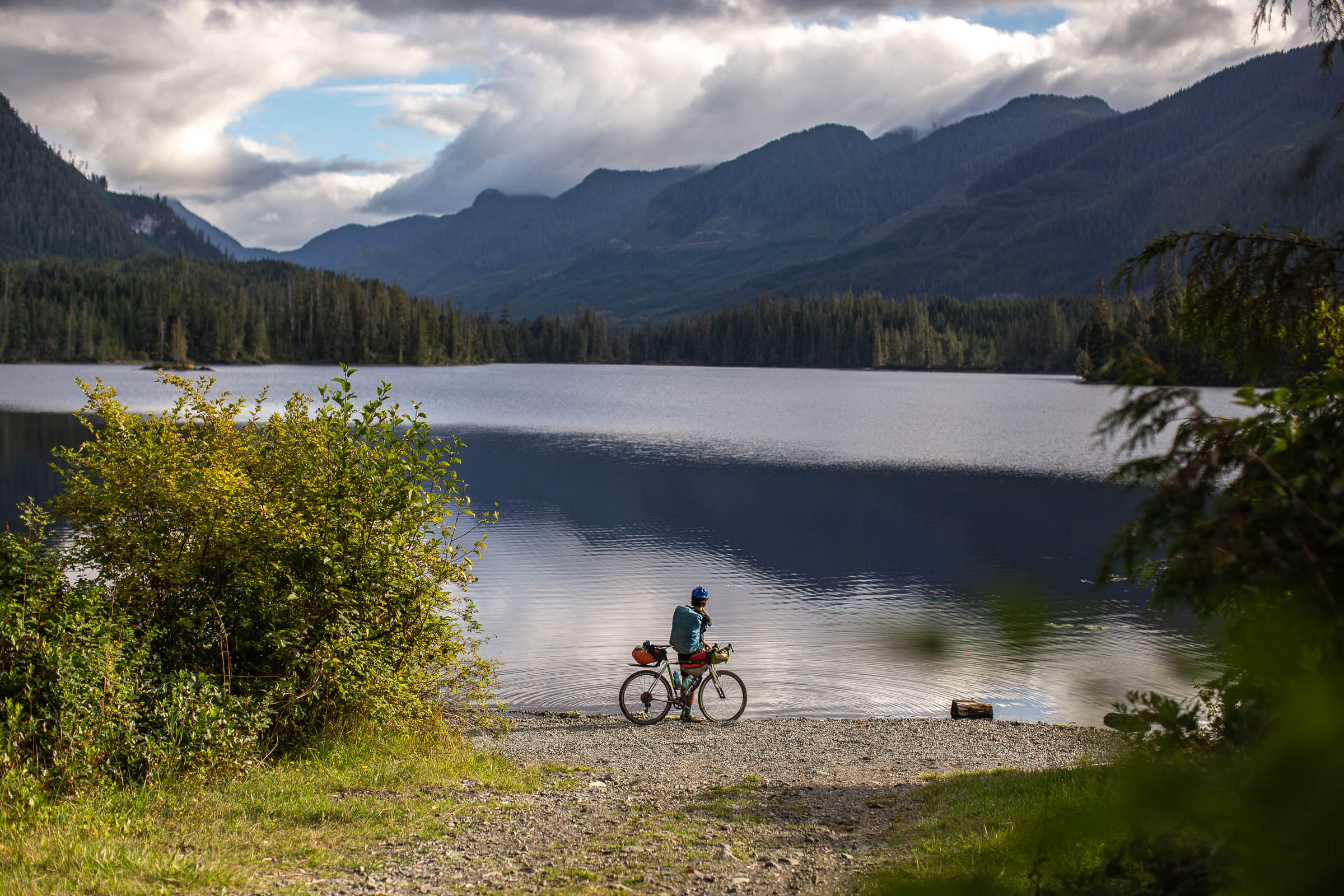
- Stunning coastal beaches at Gooding Cove and Side Bay, usually only visited by overlanders and day-trippers.
- Proper remote riding, with no resupply, no amenities outside Port Alice, and if something goes wrong, you’re on your own. Those who come prepared will have a glorious time.
- Chances to see wildlife, including whales, dolphins, bears, cougars, and more.
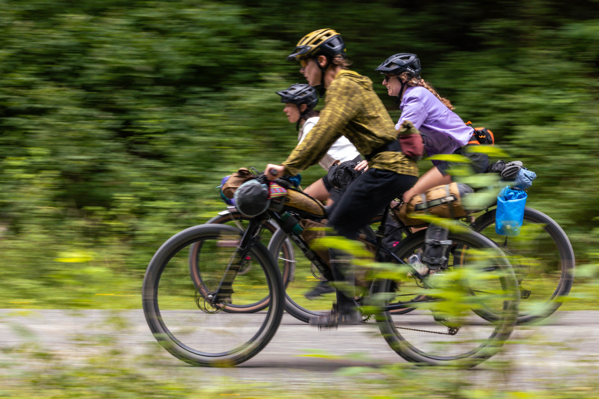
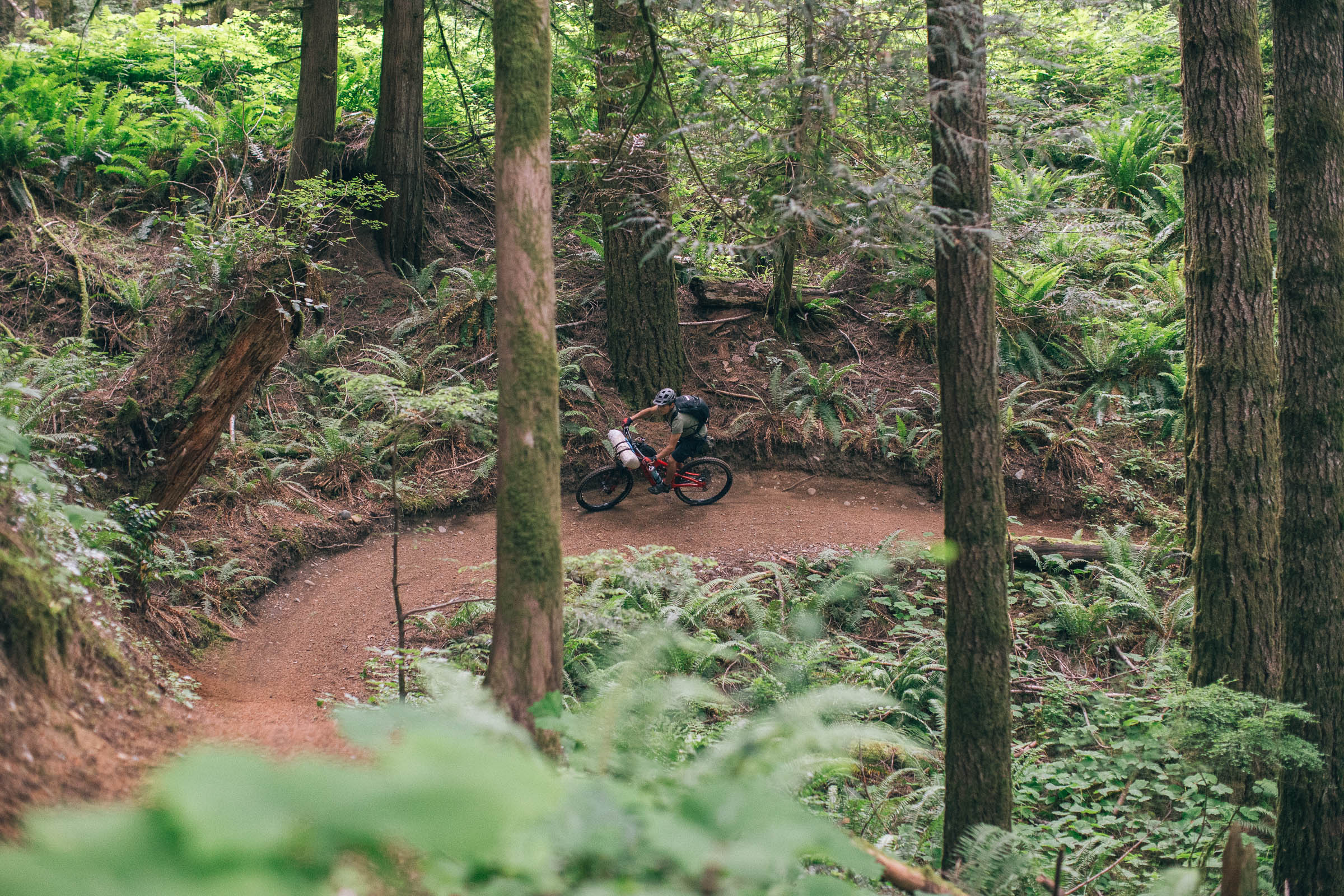
- Ideal Bike: A gravel bike with at least 45mm tires is recommended, but a rigid mountain bike or hardtail wouldn’t be overkill. We first rode the route on rigid mountain bikes with fast-rolling 29 x 2.4″ tires, and were happy to have them on some of the descents and mucky sections of logging roads.
- When to ride: The route can be ridden almost all year long, except on winter days with heavy snowfall. We recommend the summer months to enjoy the beautiful coastal beaches along the way, but fall is also great, as long as you’re prepared for cooler, potentially wet weather.
- Getting here: Port Alice is about a six-hour drive from Victoria, or a three-hour drive from Comox, if arriving from the Sunshine Coast. Pacific Coastal offers flights from Vancouver to Port Hardy to the north and from Campbell River to the south, but they can get pricey. The Island Link bus runs between Campbell River and the turnoff for Port Alice on Highway 19, and you could hop on the Jeune Landing Loop from there to get to Port Alice.
- Parking: Overnight/long-term parking is available in Port Alice. The local marina offers paid parking, and a local business or campground may let you leave a vehicle if you ask.
- Route Direction: The route is designed to be ridden as a clockwise loop to keep the climbs manageable. We recommend a handlebar-mounted GPS device or cell phone for navigation, as there are many other logging roads and small spurs.
- Land Acknowledgment: The Restless Alice route travels on the unceded traditional territory of the Kwakwaka’wakw and Quatsino First Nation. Take some time to learn about their people. Head over to the British Columbia Assembly of First Nations website to find more.
- Wildlife: There are bears, cougars, and other animals on this route. Make noise and carry bear spray to avoid startling any wildlife. Hang your food at night.
- There is active logging in the area and on some of the roads on the loop. Be prepared to make route adjustments on the fly, and get off the road when logging trucks pass.
- There are limited established camping options on the route, with only one established BC Rec site with nothing more than a pit toilet and picnic tables. Gooding Cove and Side Bay are popular destinations for overlanders and day-trippers, but neither has services. Bring everything you need to be comfortable. A tarp is not a bad idea!
- The Port Alice Oceanfront RV and Campground is an ideal spot to stay in Port Alice before and after your ride. The campground hosts are accommodating to cyclists and can point you in the right direction for parking or anything else you may need. They offer hot showers and power, and food is nearby.
- Port Alice has limited roofed accommodations, but they exist.
- There are no resupply points on the entire route, aside from Port Alice at the start/end. With that in mind, pack an extra day of food, just in case things go astray. Stock up and make sure you have everything you need before setting out.
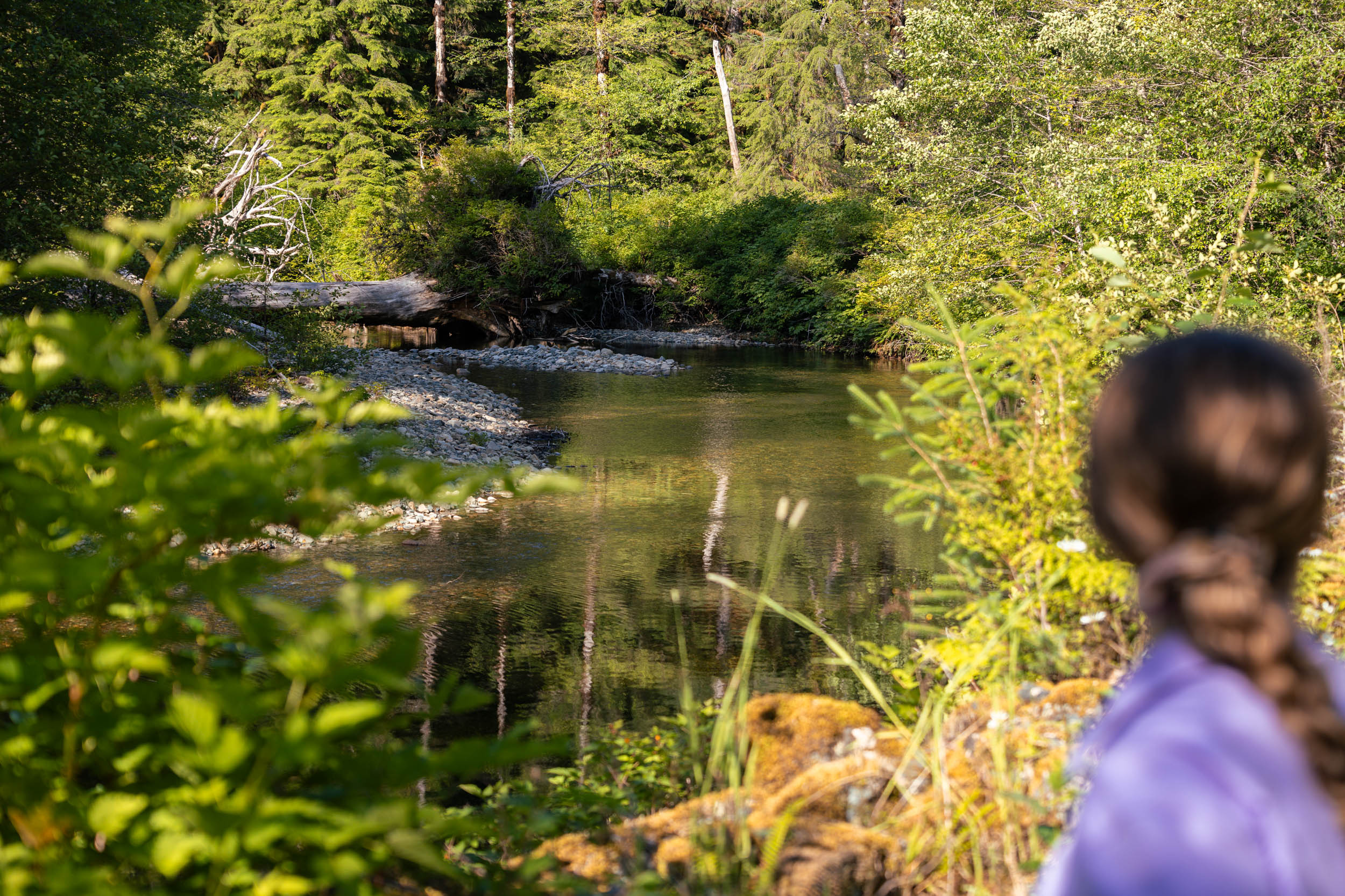
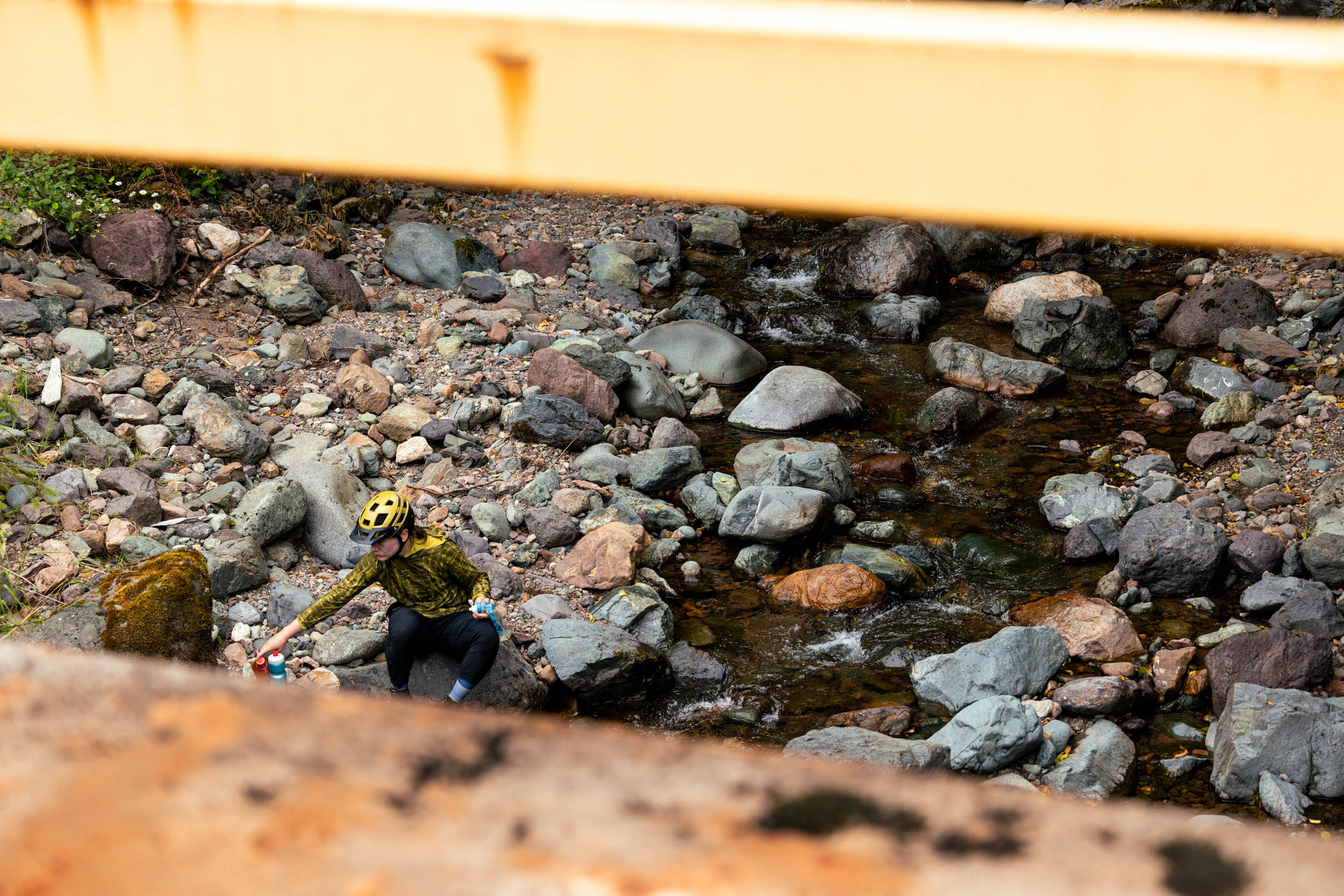
- There are plenty of places to filter freshwater on the route, including dependable creeks and streams near Gooding Cove and Side Bay. We scouted the route during a dry spell in July and had no problem getting water during the day and at camp. However, this could change during a drought. Be prepared.
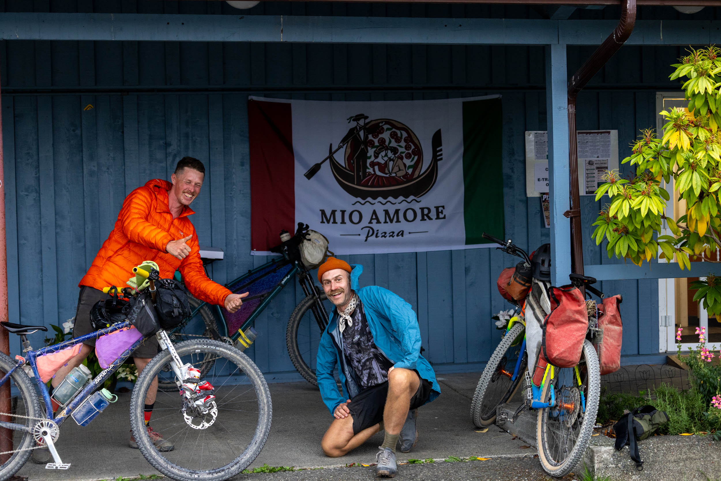
- Mio Amore Pizza in Port Alice is a great place to get a bite to eat after your ride. Check their hours and mention our route guide; they love bikepackers!
- Foggy Mountain Coffee Co. is a cute little coffee shop in Port Alice and is a great place to begin your ride. Grab a sandwich or wrap to go!
A Sample Five-Day Itinerary
Although Restless Alice is only 119 kilometers long, it’s best to spread things out and enjoy it over at least three days, but up to five days can work great. Extra time lets you take beach walks, explore off-route, and have wiggle room if the weather changes. The following five-day itinerary leaves room for all that and more.
- Day 1: Port Alice to Klaskino Inlet (48km + 1,029m)
- Day 2: Gooding Cove (50km + 591m)
- Day 3: Side Bay (12km + 384m)
- Day 4: Mahatta River Rec Site (23km + 262m)
- Day 5: Port Alice (59km + 1,220m)
Route Details
Port Alice to Klaskino Inlet
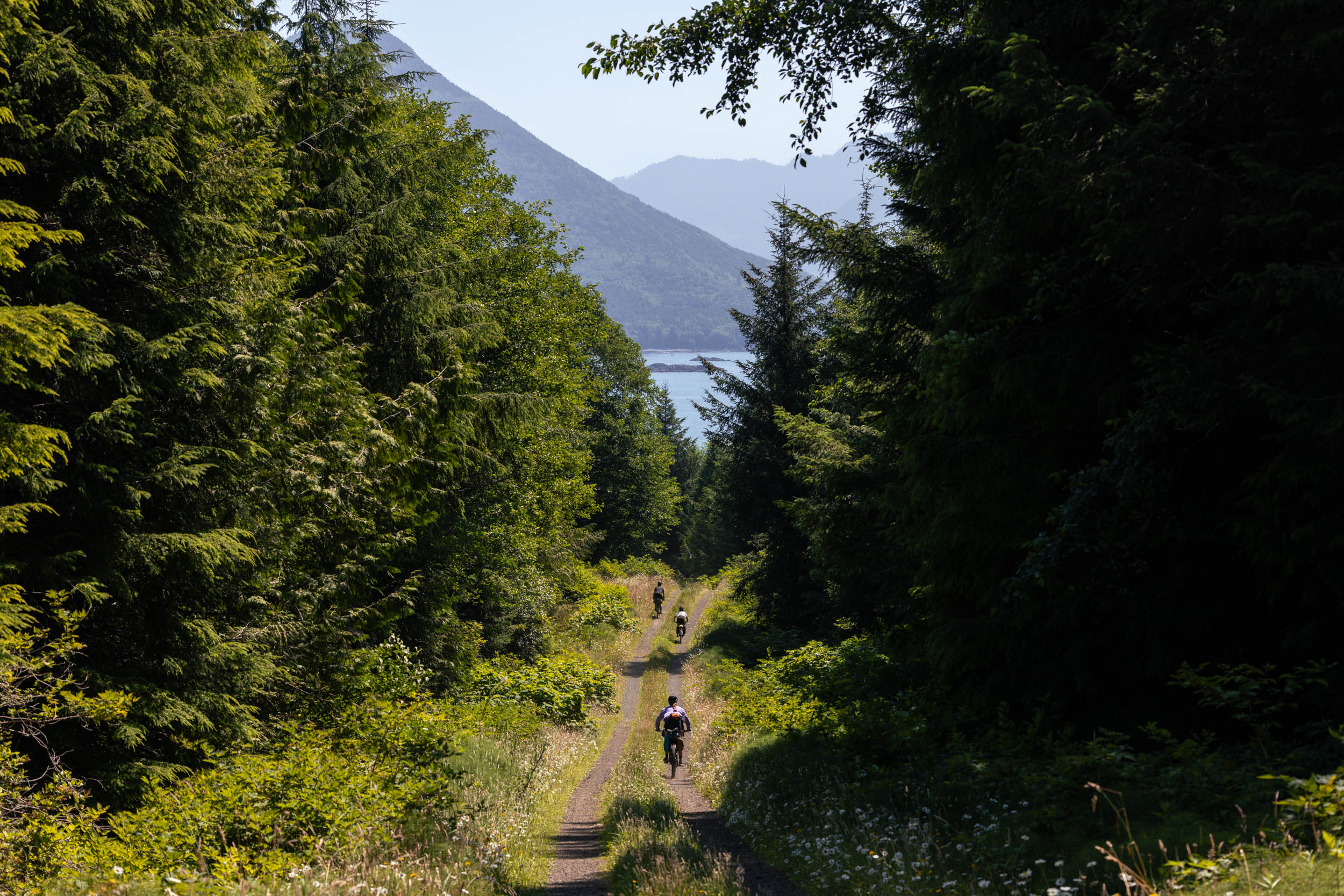
After grabbing any last-minute supplies and having your coffee at Foggy Mountain Coffee Co., the route heads south out of Port Alice toward the southern tip of Neroutsos Inlet and the original townsite where Port Alice first existed. After looping around the inlet, you’ll follow Cayuse Main and tackle the first of two major climbs on the loop. After climbing from sea level to over 500 meters, riders will need to navigate decommissioned bridges and forest service roads washed away by landslides before dropping down to Klaskino Inlet. There aren’t any established campgrounds or rec sites along the inlet, so find a nice pullout near a creek and call it a day.
Klaskino to Gooding Cove
Day two starts with some of the best riding on the entire route, circling around Red Stripe Mountain on scenic, rolling gravel roads. You can detour down to O’Connell Lake Rec Site, or stop for lunch at Mahatta River Rec Site, then follow Mahatta Creek west to the first beachside camping spot, Gooding Cove. Congrats, you’ve made it to the west coast of Vancouver Island! There are no designated camp spots, but we lucked out with a nice shaded spot just off the beach with access to a small creek.
Gooding Cove to Side Bay
Day three is purposely short to encourage morning beach walks, a lazy morning, and lingering around at camp. This section of the route follows narrower roads and doubletrack, crossing behind Restless Mountain down to Side Bay Rec Site, a popular overlanding/truck camping destination for those traveling on four wheels. The main entrance is marked on the map, but a trail on the east end of the beach leads to another section of the bay for more camping if it’s busy. For those who want to stretch their legs on an unloaded bike, the short out-and-back to Lawn Point on Side Bay Main is worth it.
Side Bay to Mahatta River Rec Site
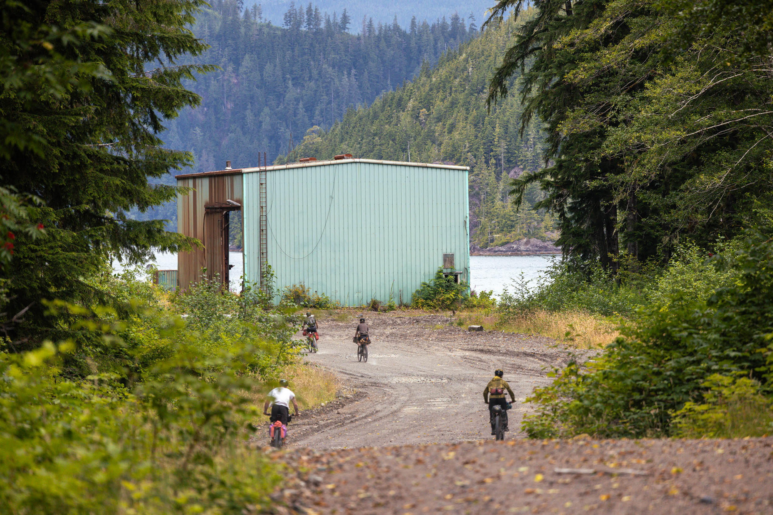
Day four is another short day, leaving ample time at Side Bay. Despite probably wanting to stay at the beach, the route leaves the coast and follows scenic forest service roads back to Mahatta River Rec Site. You can camp here, or push on if you’re running out of food. During our scouting trip, we took J road (marked on the map) down to Quatsino Sound for a lunch stop and to check out some old forestry infrastructure. It’s a cool out-and-back, if you’ve got extra time.
Mahatta River Rec Site to Port Alice
Much like day one, the final section of the route involves a substantial climb up and over Teeta Pass, crossing between Mount Pickering and Mount Wolfenden. This section of road is well-traveled by vehicles, so listen for cars and logging trucks. The climb is steep at times, so having low climbing gears will be important. Thankfully, the descent is smooth and fast, dropping down to Neroutsos Inlet on the way back to Port Alice. The Port Alice Oceanfront RV and Campground is the perfect spot to unwind after the ride, and it’s worth popping by Mio Amore Pizza for a post-trip meal. Tell them BIKEPACKING.com sent you!


Terms of Use: As with each bikepacking route guide published on BIKEPACKING.com, should you choose to cycle this route, do so at your own risk. Prior to setting out check current local weather, conditions, and land/road closures. While riding, obey all public and private land use restrictions and rules, carry proper safety and navigational equipment, and of course, follow the #leavenotrace guidelines. The information found herein is simply a planning resource to be used as a point of inspiration in conjunction with your own due-diligence. In spite of the fact that this route, associated GPS track (GPX and maps), and all route guidelines were prepared under diligent research by the specified contributor and/or contributors, the accuracy of such and judgement of the author is not guaranteed. BIKEPACKING.com LLC, its partners, associates, and contributors are in no way liable for personal injury, damage to personal property, or any other such situation that might happen to individual riders cycling or following this route.
Further Riding and Reading
Here are some connected/nearby routes and related reports...
Please keep the conversation civil, constructive, and inclusive, or your comment will be removed.