


San Diego High Country Overnighter
Distance
66 Mi.
(106 KM)Days
2
% Unpaved
72%
% Singletrack
65%
% Rideable (time)
96%
Total Ascent
5,971'
(1,820 M)High Point
5,911'
(1,802 M)Difficulty (1-10)
7?
- 6Climbing Scale Moderate90 FT/MI (17 M/KM)
- 9Technical Difficulty Very Difficult
- 7Physical Demand Difficult
- 2Resupply & Logistics Easy
Contributed By

Jeremy Nolan
Guest Contributor
Jeremy has contributed several routes on Bikepacking.com and has also been a route scout for the Adventure Cycling Association. He has also ridden the TransAmerica Trail, Pacific Coast Bike Route, and Idaho Hot Spring Mountain Bike Route amongst other routes in North and South America. He spends his free time mountain biking, exploring backcountry desert roads, and daydreaming of trips to come. His Instagram is @jeremynolan94
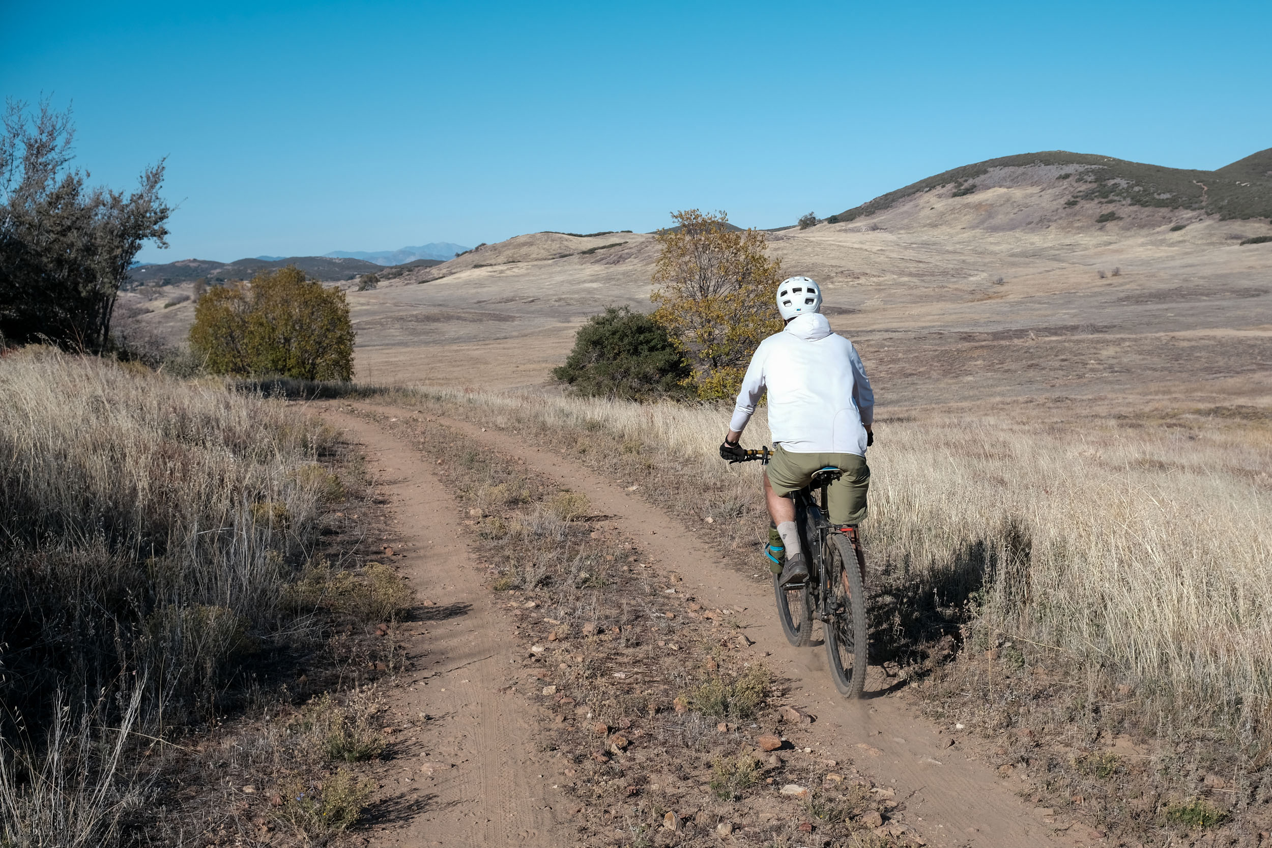
When people think of San Diego, they generally picture warm weather, sandy beaches, and fish tacos. However, few people know that San Diego County is the most ecologically diverse county in the United States. The county is home to coastal sage scrub, chaparral, oak woodland, montane forest, and desert ecosystems, each with its own unique character and beauty. The San Diego Highcountry Overnighter touches on many of these ecosystems, transporting riders away from the coastal hubbub and into a lesser-known side of Southern California.
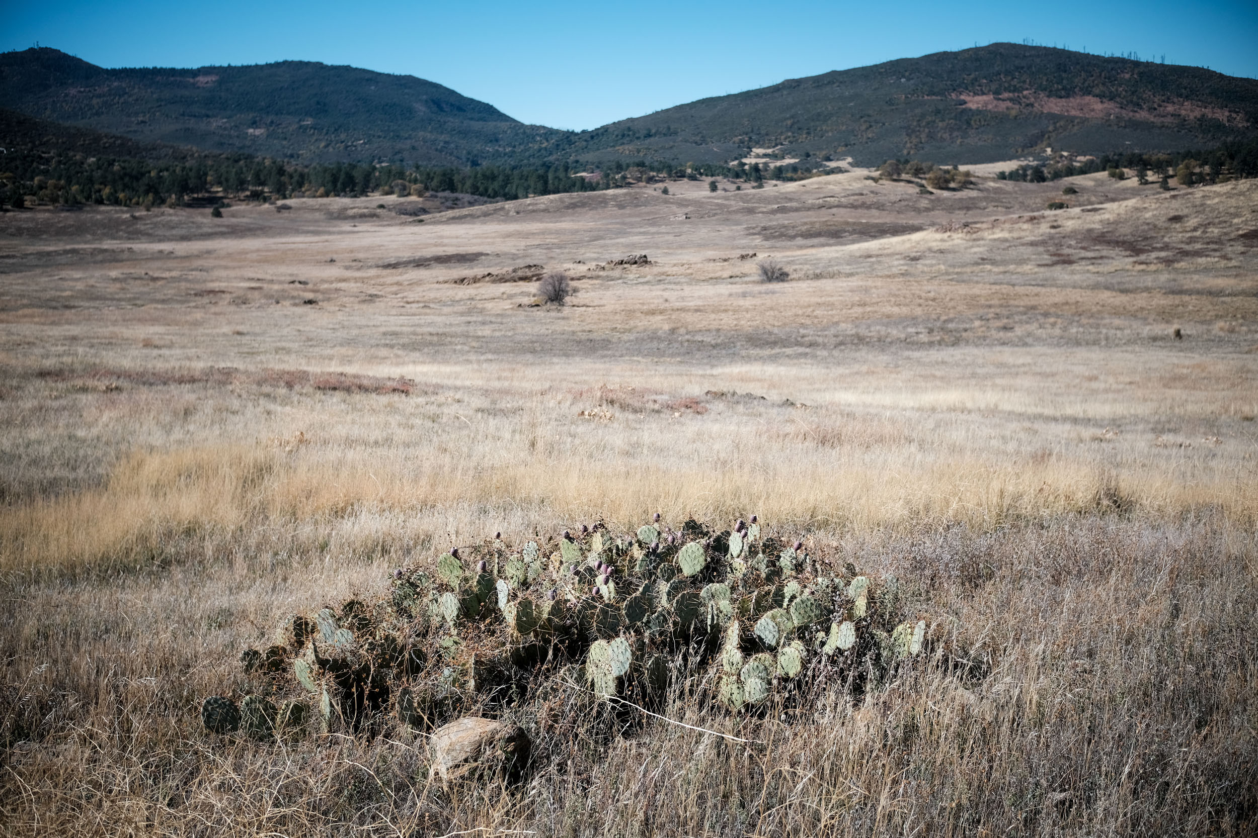
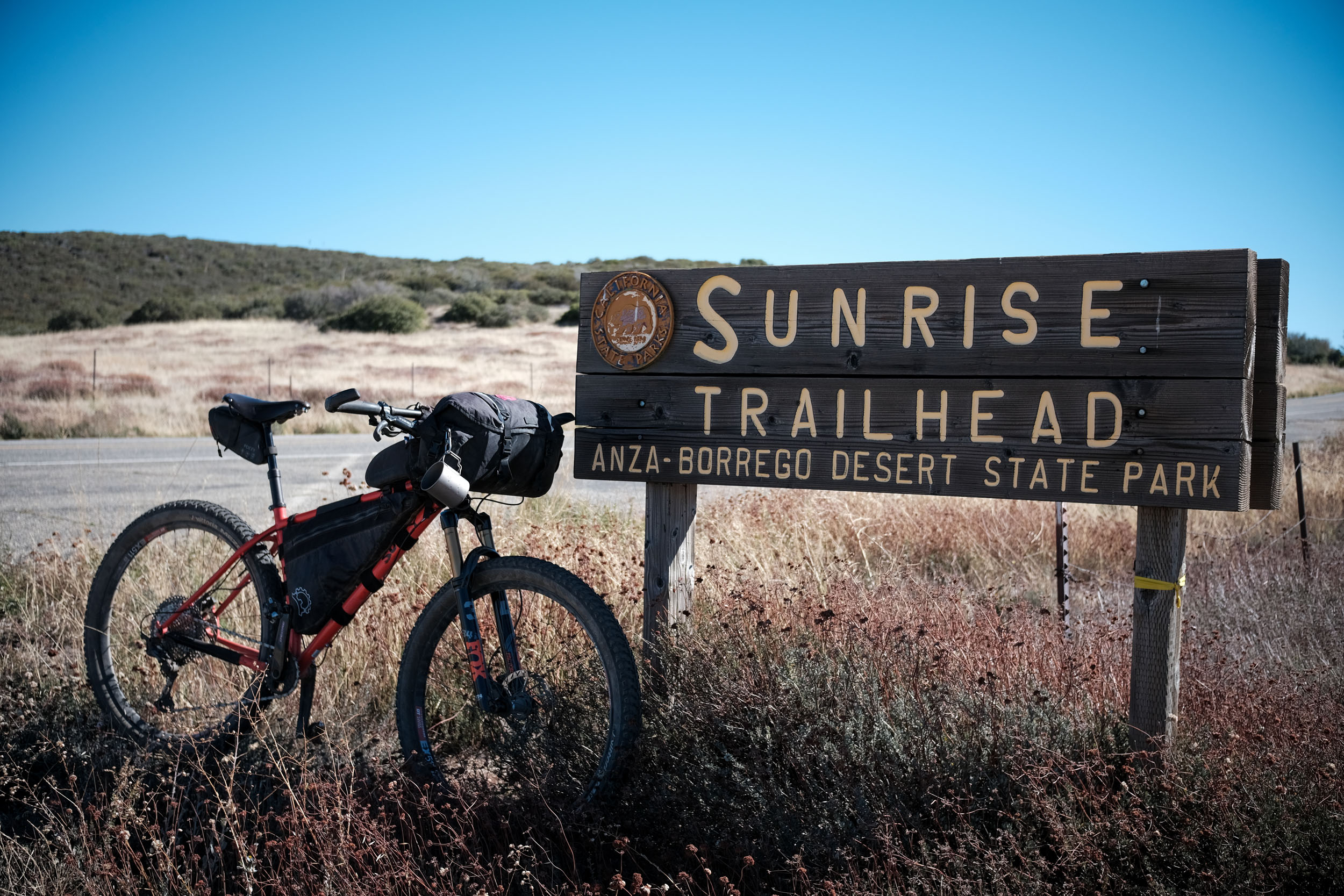
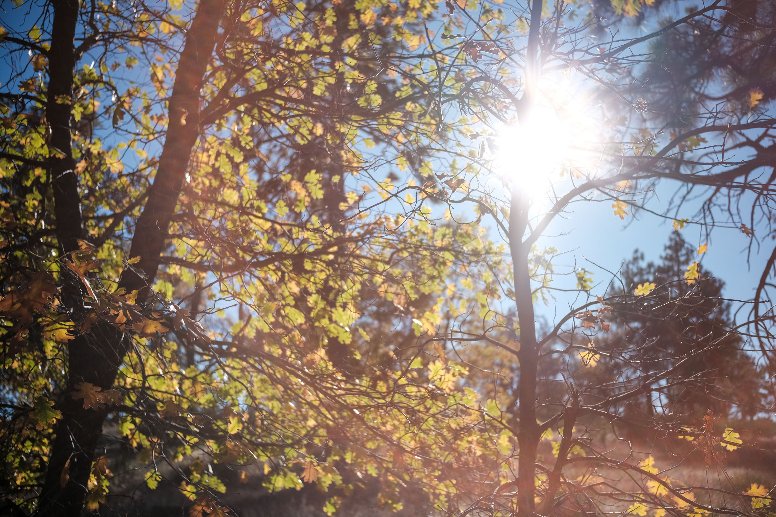
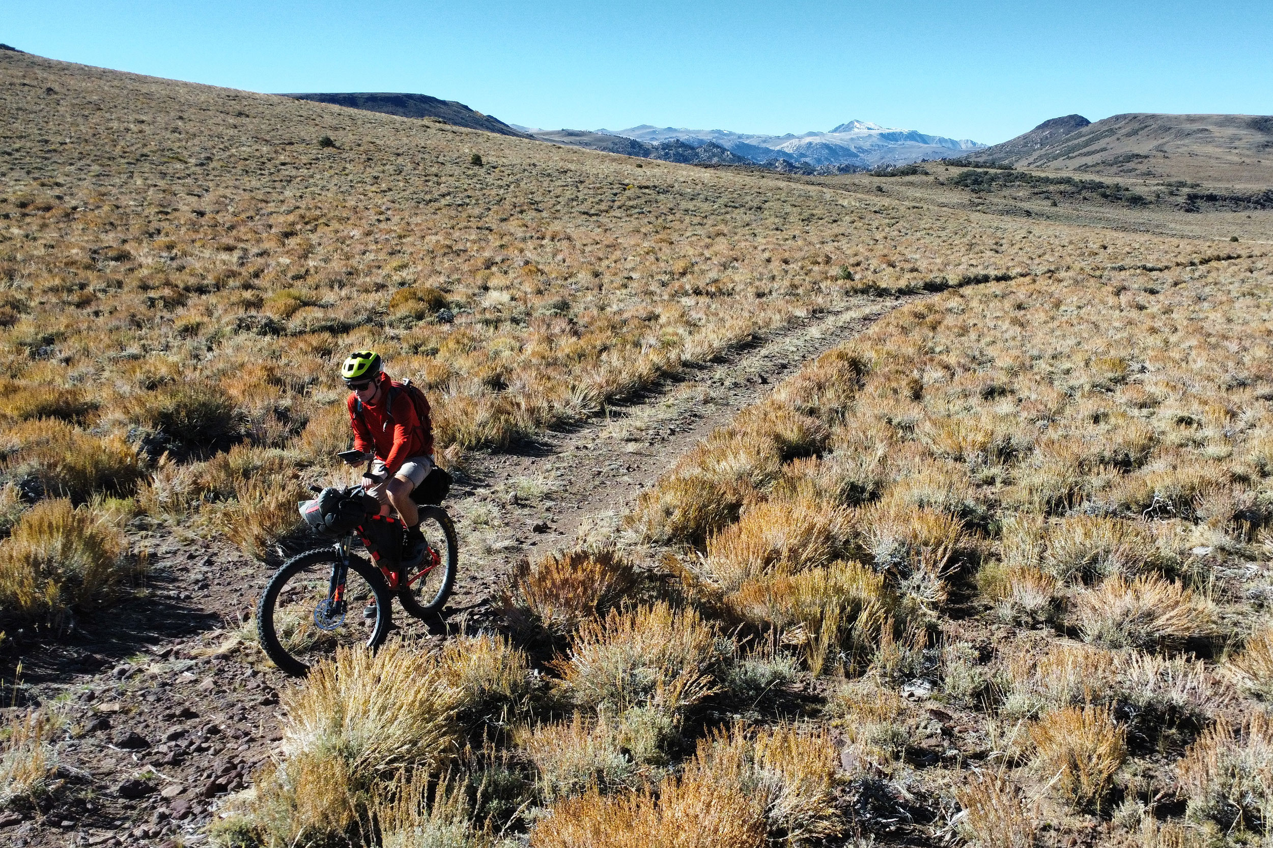
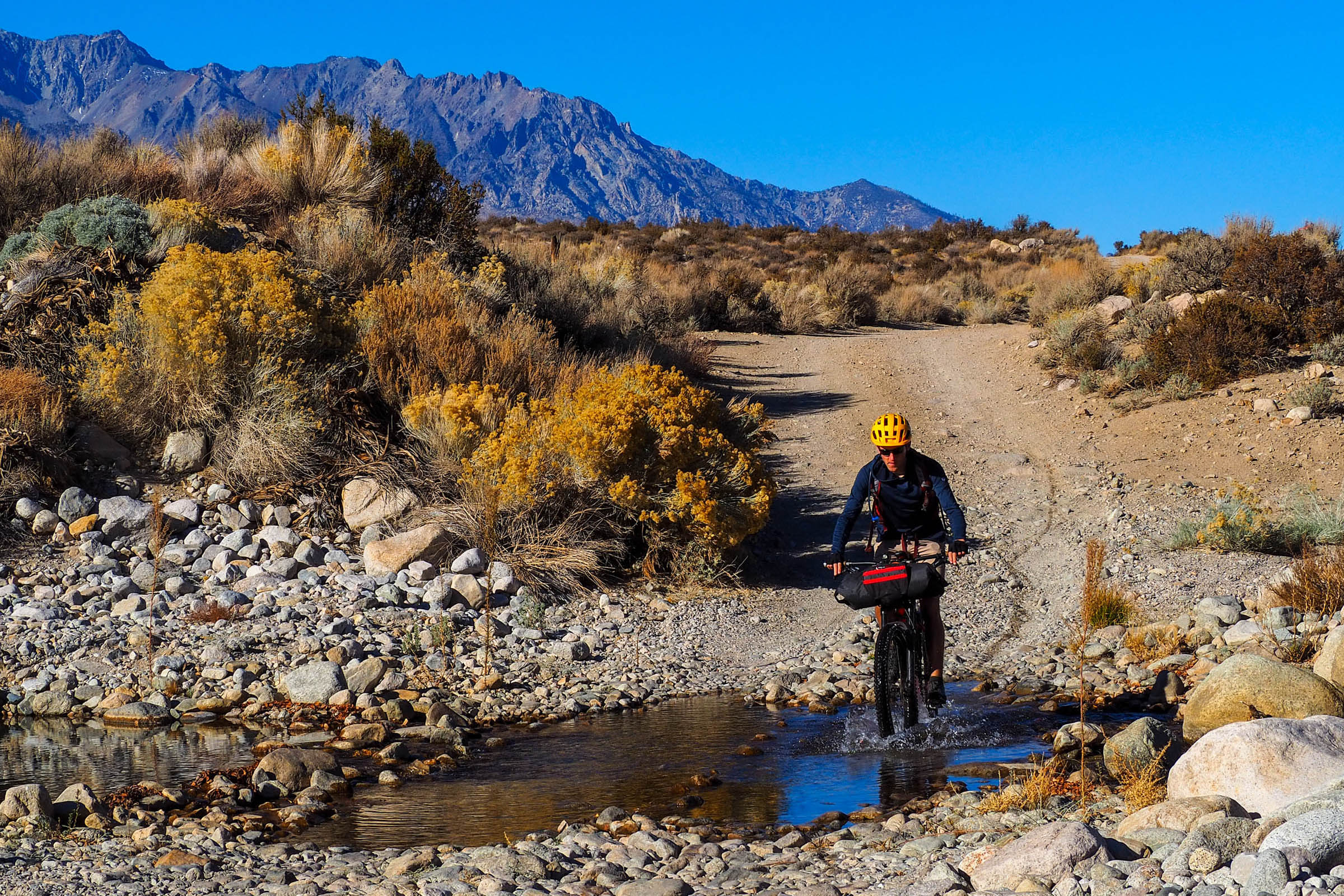
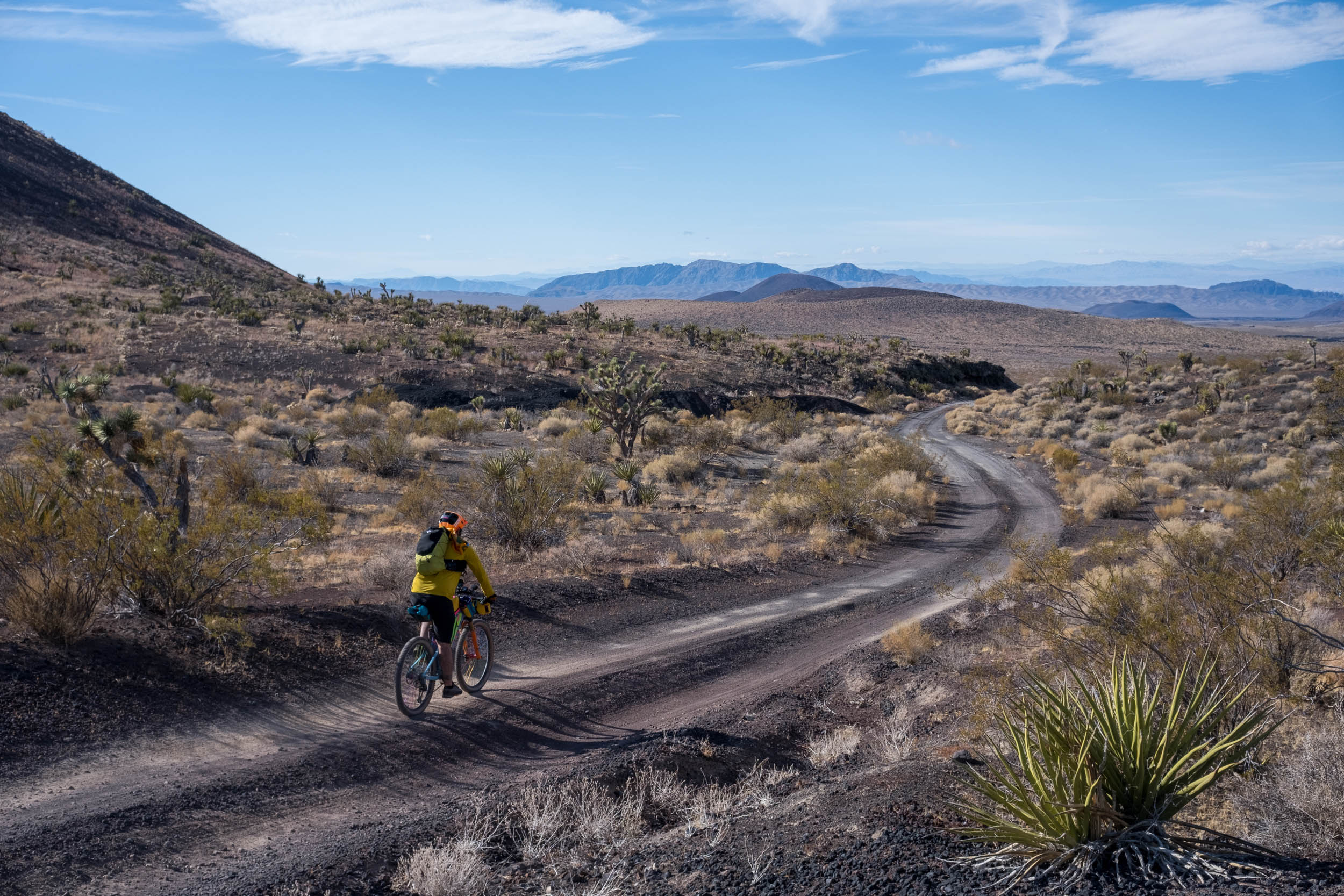
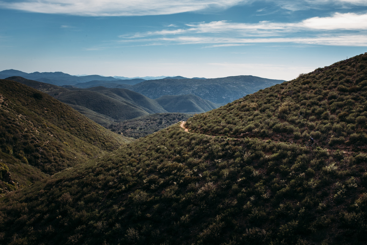
This overnight bikepacking loop traverses the Laguna and Cuyamaca Mountains, two small ranges that form the southernmost reaches of California’s Peninsular Range. On clear days, views stretch from the Pacific Ocean to the Salton Sea, and from Los Angeles deep into Baja California. The upper slopes are dotted with pine forests, oak groves, manzanita, and meadows, and are home to healthy populations of wild turkey, mule deer, mountain lions, and woodpeckers. The lower elevations, by contrast, are drier and dotted with cacti and hardy chaparral. A small stretch of this loop also passes through the uppermost reaches of Anza Borrego Desert State Park, the largest state park in California.
Departing clockwise from Lake Cuyamaca, the route winds along the lake’s southern shore before joining a stretch of the California Riding and Hiking Trail en route to the Sunrise Highway. This short paved climb perfectly captures San Diego’s remarkable contrasts: to the west, conifers and manzanita shade the roadside; to the east, vast desert views unfold over Anza-Borrego Desert State Park.
Turning off the highway, riders follow a series of singletrack trails toward the small mountain town of Laguna, where a general store, restaurants, and both developed and backcountry camping options await. Leaving town, the route skirts around Laguna Meadow before reaching the top of Noble Canyon. Additional dispersed campsites can be found along Pine Valley Road, an ideal staging area before tackling the legendary descent.
Noble Canyon is one of Southern California’s most iconic mountain bike trails, considered to be the benchmark for technical, sustained singletrack riding in San Diego County. Starting high among Jeffrey pines and black oaks, the trail shifts from alpine forest to oak woodland as it descends approximately 2,000 feet into desert chaparral at the canyon floor. It’s a technical, all-mountain descent for which riders should pack light and hang on tight. While most of the descent can be ridden, several short sections will necessitate careful tire placement and hiking.
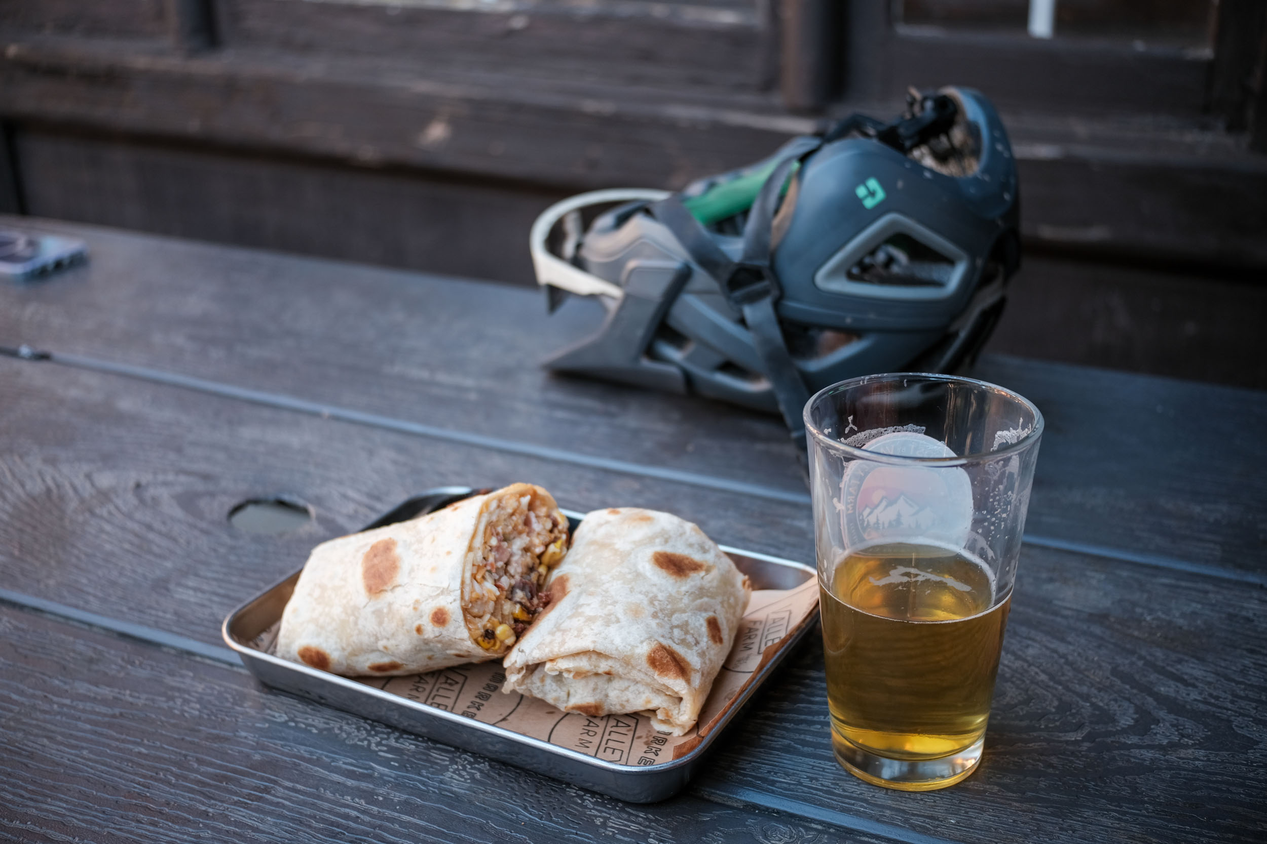
Following this ripping descent, riders will have the chance to cool their brakes and loosen their grips along a short stretch of paved riding to the small town of Descanso. A ride through here would not be complete without stopping to top off on water and indulge in Mexican food at Veronica’s Kitchen. From Descanso, riders will begin the steady climb back into the chaparral and pine forests of Cuyamaca Rancho State Park along a series of flowy singletrack trails and a short section of pavement. Watchful riders may spot wild turkey in the trailside meadows as they make their way toward the imposing Stonewall Peak on the horizon. After a short stop at the former Stonewall Mine, the route overlaps for the final two miles back to Lake Cuyamaca.
Route Difficulty
The San Diego Highcountry Overnighter is a challenging route due to the amount of technical singletrack and climbing it packs into its short distance. The difficult riding, however, is made easier by straightforward resupply points for food and water, temperate weather during the riding season, and ample opportunities for dispersed camping. The route consists largely of technical singletrack interspersed with short sections of paved riding and chunky fire roads. Riders will have to walk short sections of the descent down Noble Canyon, namely the infamous “stairway to hell,” which challenges even unladen downhill riders. Packing light is imperative. The paved segments can be busy on weekends, but the shoulders are generally safe for riders. Bring a light, and stay to the right.


Submit Route Alert
As the leading creator and publisher of bikepacking routes, BIKEPACKING.com endeavors to maintain, improve, and advocate for our growing network of bikepacking routes all over the world. As such, our editorial team, route creators, and Route Stewards serve as mediators for route improvements and opportunities for connectivity, conservation, and community growth around these routes. To facilitate these efforts, we rely on our Bikepacking Collective and the greater bikepacking community to call attention to critical issues and opportunities that are discovered while riding these routes. If you have a vital issue or opportunity regarding this route that pertains to one of the subjects below, please let us know:
Highlights
Must Know
Camping
Food/H2O
- Witnessing a drastic change from forest to desert ecosystems across the route
- Descending Noble Canyon, one of Southern California’s premiere singletrack trails
- Enjoying views stretching from the Pacific Ocean to the Salton Sea and deep into Baja California
- Seeing the wildflower blooms in the spring and fall colors in the autumn
- Stargazing under some of the darkest skies in San Diego County
- Stopping to refuel at the local eateries located along the route
When to go
- Spring and fall are ideal seasons for this route.
- Summers can get blisteringly hot even at altitude, and winter often brings below-freezing temperatures and snow.
- The route was scouted in early November, which offered pleasant daytime temperatures, minimal wind, and a cool, clear night with beautiful fall colors.
Logistics
- The ride is intended to be ridden clockwise in order to avoid a climb up Noble Canyon. Good options for starting include Green Valley Campground, Laguna Meadows Campground, and the Lake Cuyamaca Recreation Center.
- We called ahead to the Lake Cuyamaca Recreation Center, which allowed us to park our cars overnight for $10. Riders can also park their cars overnight at the Laguna Meadows Campground if they have an America the Beautiful Pass or other public lands pass.
- Technical singletrack is found throughout the route. The ideal bike would be a rigid hardtail or short travel full-suspension mountain bike with at least 2.4″ tires. Rigid is not recommended due to the amount of singletrack on the route.
- GPS is highly recommended for navigation.
- Link to the Cuyamaca Rancho State Park website
Dangers and Annoyances
- Rattlesnakes, mountain lions, and bobcats can be found along the route. Cacti and poison oak are also common at the lower elevations, particularly along the lower section of Noble Canyon.
- If possible, avoid riding solo or at dawn or dusk. Mountain lions, while generally reclusive, are frequently sighted in Cuyamaca and there have been several encounters between them and hikers in the past 30 years.
- Bring a bell to alert hikers and other riders, as some trails can get busy on weekends.
- Several sections of singletrack have steep dropoffs; if in doubt, walk it out. If riders want to avoid Noble Canyon, they can take the paved descent down Pine Creek Road.
Travel basics
- Cuyamaca Rancho State Park is located approximately 50 minutes east of San Diego.
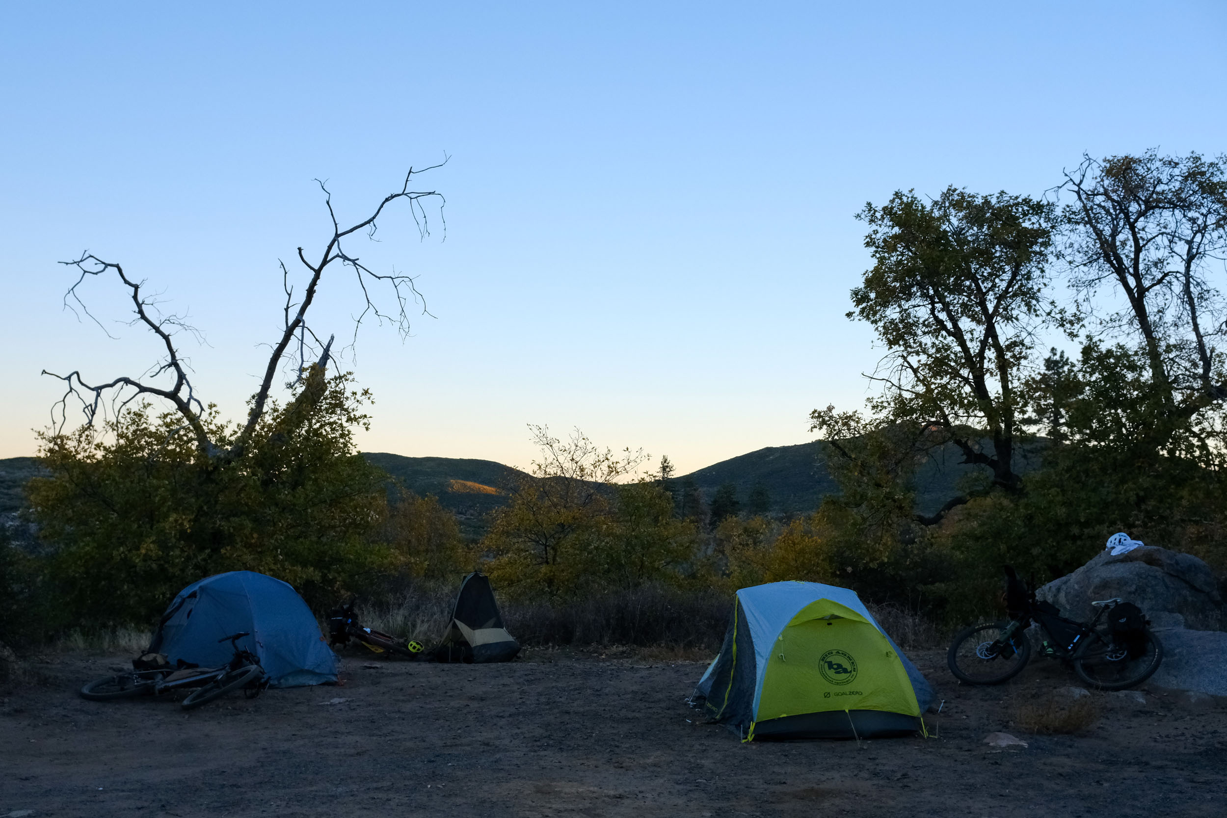
- Developed campgrounds can be found at Green Valley, Paso Picacho, Laguna Meadows, and Burnt Rancheria. Spots can fill up on weekends, so it’s best to reserve one if you have a spot in mind.
- Dispersed camping is available along Pine Creek Road as well as slightly off-route on Thing Valley Road and Kitchen Creek Road. Wild camping is not permitted in Cuyamaca Rancho State Park or around Laguna Meadows.
- Riders looking for a more comfortable experience could feasibly book a cabin in Cuyamaca or Laguna Mountain and forgo carrying a tent and sleeping setup.
- Food and water are marked on the GPX map and are spaced out and easily accessed. Have the capacity to carry 2-3 liters of water, depending on the temperature. It shouldn’t be necessary to filter water along the route.
- Restaurants and convenience stores are available in Laguna Mountain, Cuyamaca, and Descanso. If timed right, riders can stop at restaurants in each of these towns without having to carry much food beyond snacks for riding.


Terms of Use: As with each bikepacking route guide published on BIKEPACKING.com, should you choose to cycle this route, do so at your own risk. Prior to setting out check current local weather, conditions, and land/road closures. While riding, obey all public and private land use restrictions and rules, carry proper safety and navigational equipment, and of course, follow the #leavenotrace guidelines. The information found herein is simply a planning resource to be used as a point of inspiration in conjunction with your own due-diligence. In spite of the fact that this route, associated GPS track (GPX and maps), and all route guidelines were prepared under diligent research by the specified contributor and/or contributors, the accuracy of such and judgement of the author is not guaranteed. BIKEPACKING.com LLC, its partners, associates, and contributors are in no way liable for personal injury, damage to personal property, or any other such situation that might happen to individual riders cycling or following this route.
Further Riding and Reading
Here are some connected/nearby routes and related reports...
Please keep the conversation civil, constructive, and inclusive, or your comment will be removed.