


SLoToJa
Distance
253 Mi.
(407 KM)Days
5
% Unpaved
60%
% Singletrack
5%
% Rideable (time)
95%
Total Ascent
22,028'
(6,714 M)High Point
8,554'
(2,607 M)Difficulty (1-10)
6?
- 6Climbing Scale Moderate87 FT/MI (16 M/KM)
- 6Technical Difficulty Moderate
- 6Physical Demand Moderate
- 7Resupply & Logistics Strenuous
Contributed By

Oliver Hulme
Guest Contributor
Oliver grew up in a bike-centered family in the Wasatch Front and now calls Logan, Utah home. He fills his free time with bikes whenever possible, whether it be loaded bikepacking, singletrack mountain biking, or winter fat-biking. He likes the rare moments when he can work on hand-built bike frames for friends and family and other bike related meanderings. Find Oliver’s whereabouts on Instagram @oliver.hulme
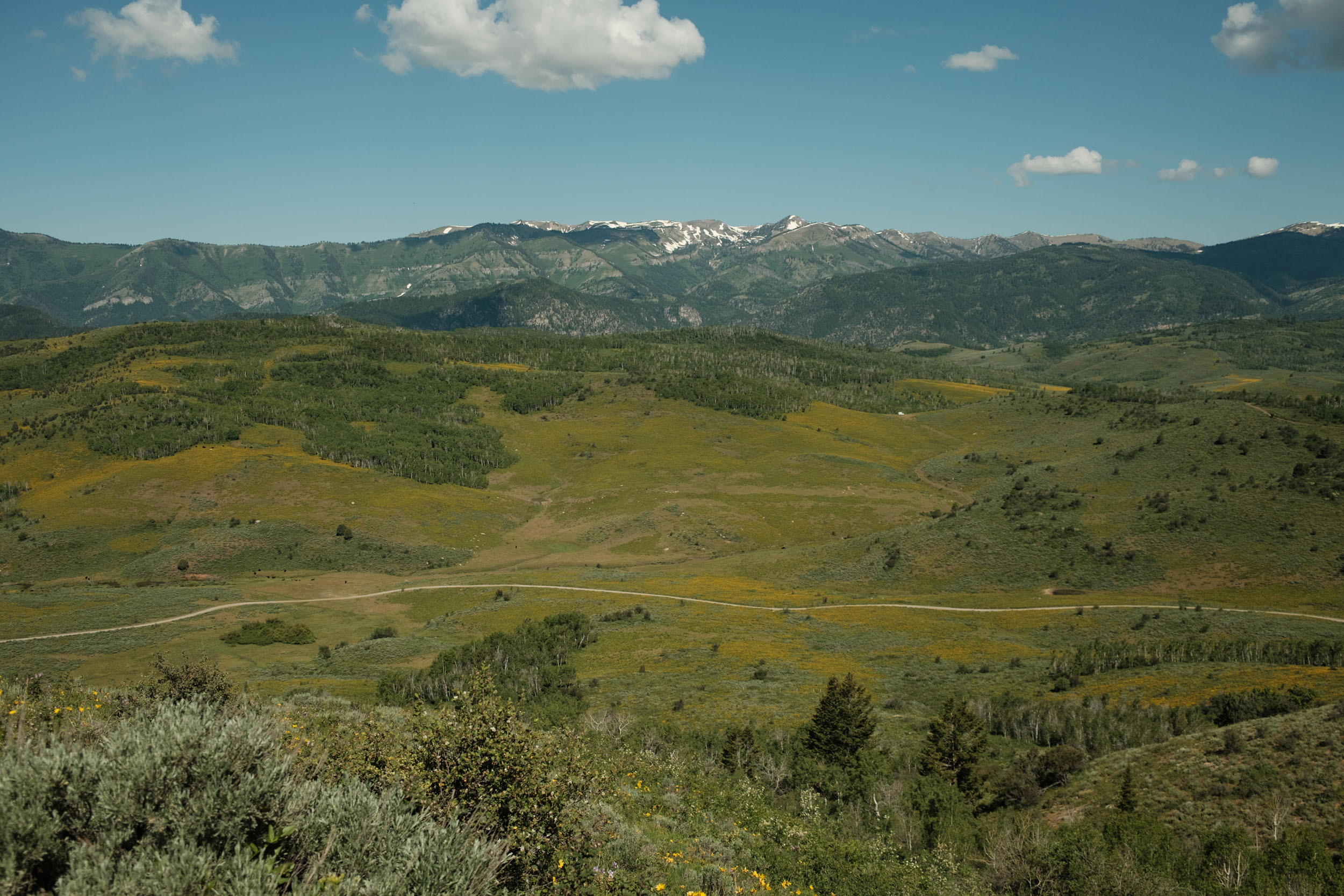
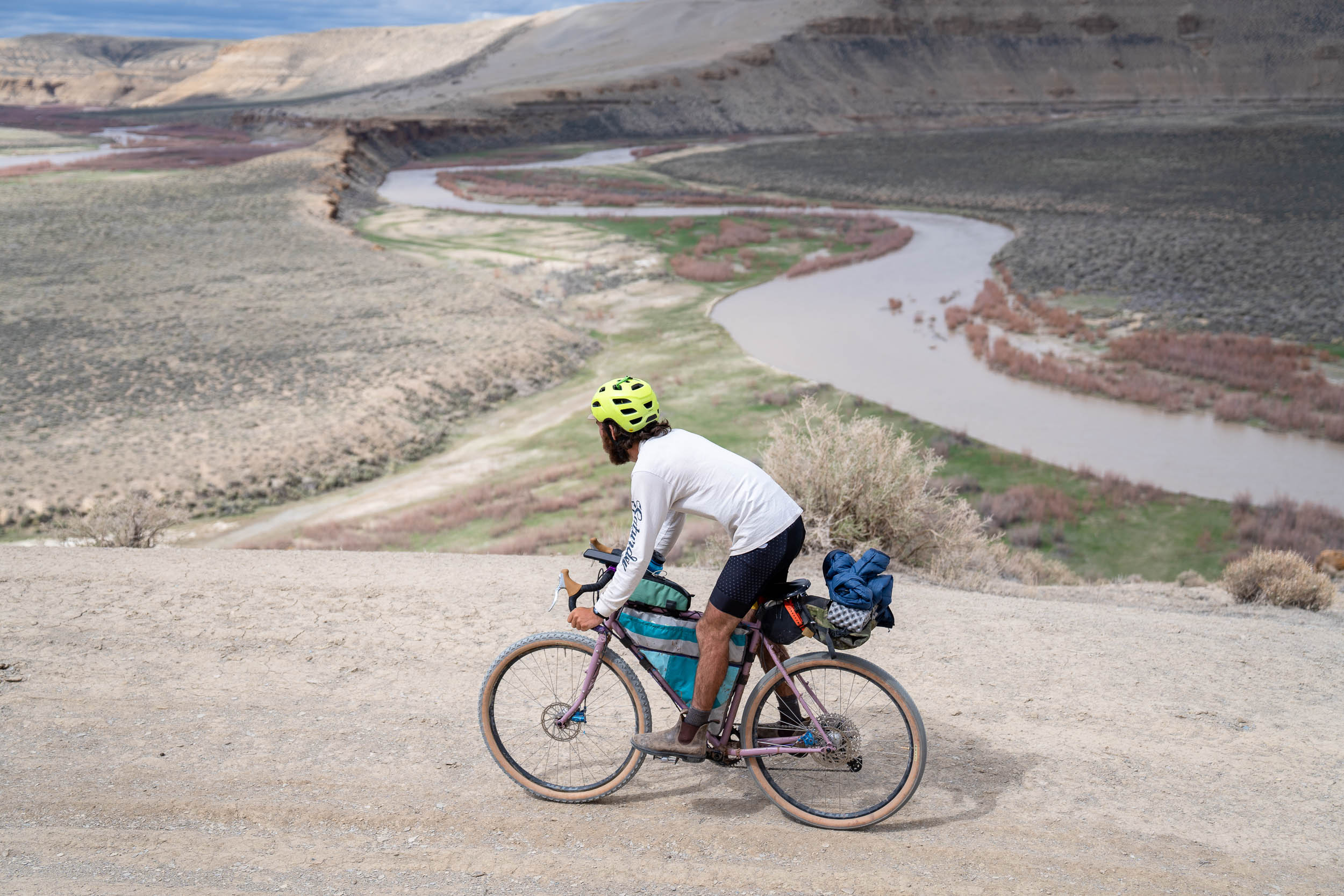
This route provides a sampling of some of the tastiest dirt exploration of Utah, Idaho, and Wyoming. If possible, I’d recommend fueling up with some coffee and pastries at either Cafe Ibis or Le Croissant (or both) prior to some big miles and elevation gain. You’ll climb the Willow Creek single track, and use some of Logan’s Forest Service roads to connect to the burnt fork single track. This leads into the Stump Hollow Trail, which rides past the geological phenomenon, Peter Sinks—which holds the record for one of the coldest recorded temperatures in the contiguous USA at -69.3°F. The Stump Hollow trail gives a thrilling plunge down to Highway 89 where you can filter your water and begin your next climbing pitch.
You’ll cross the highway near the base of Beaver Mountain Resort to access Beaver Creek Road which is mostly gentle and is widely used by OHVs, campers, and other outdoor recreationalists. You’ll continue a climbing and descending pattern in 5-10 mile increments until you descend down to Maple Grove Hot Springs along the Bear River. This can be an excellent camping spot if you reserve a spot ahead of time. Otherwise, there is wild camping on nearby BLM land. From Maple Grove, you’ll connect over to Georgetown, Idaho, which has some brutally steep climbs with some incredibly fun descents through a rather remote area along a nearby transmission line trail.
You’ll then climb through Georgetown Canyon and link through Diamond Creek and into Lanes Creek, terminating the majority of the dirt for this route. There is a long section of highway that connects Tincup (Highway 34) back into Highway 89 (Star Valley). We have included a possible rugged alternative that follows unmaintained roads and trails from Tincup to Alpine in our Trail Notes, but Highway 34 has a large shoulder and offers a welcome reprieve (and resupply) from some tough miles. From here, you can stop in Etna or Alpine for some final food, prior to wending your way along the Snake River up into Jackson Hole. I prefer the backroads using the Fall Creek Road, this avoids some highway time but adds a few bonus miles. There is food in Wilson, Wyoming if you want a final snack before capping off the ride in Jackson Hole. Use the awesome bike path between Wilson and Jackson and be sure to snap a photo of the Tetons when you cross the bridge over the Snake River.
Overall, you can expect some moments of existential bliss while you blast down some amazing descents and pristine gravel roads. You can also expect a couple occasions when you wish you never learned to ride a bike as you hike up a ridiculously steep hill. At the end of the day, it’s still a lovely way to explore the beautiful ranges connecting from Logan to Jackson.
Route Development
This route was developed as a spin-off from the classic cycling race, LoToJa, in which riders race from Logan to Jackson. With this spin, going slow, seeing mountains, and having fun is the focus, rather than riding fast. It was originally mapped with another bikepacking enthusiast, Zack, who sadly was unable to join on the first full ride.
Plenty of people will do the road route over a few days, but this is the first (that I’m aware of) that prioritizes bikepacking it off-road wherever possible.
Route Difficulty
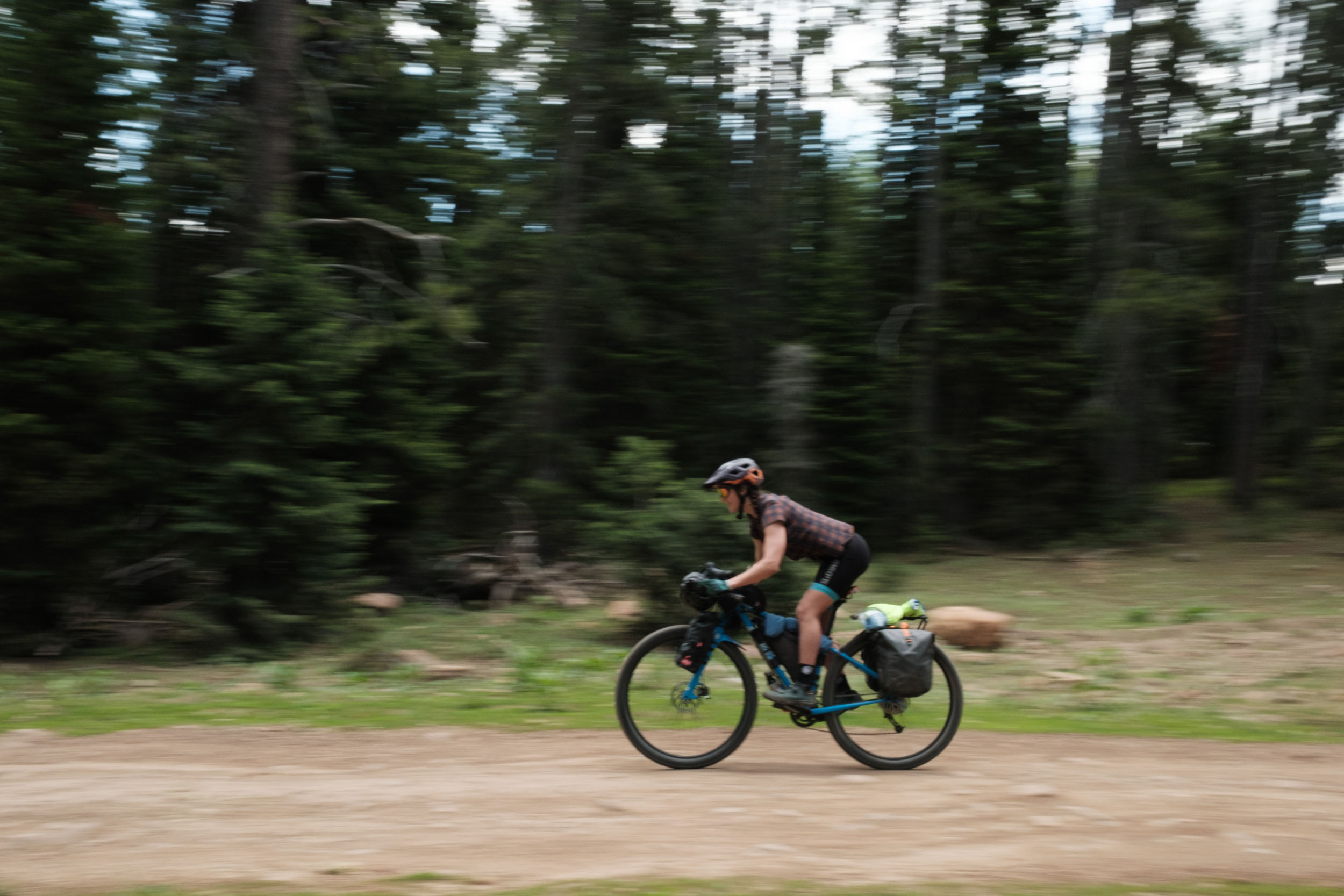
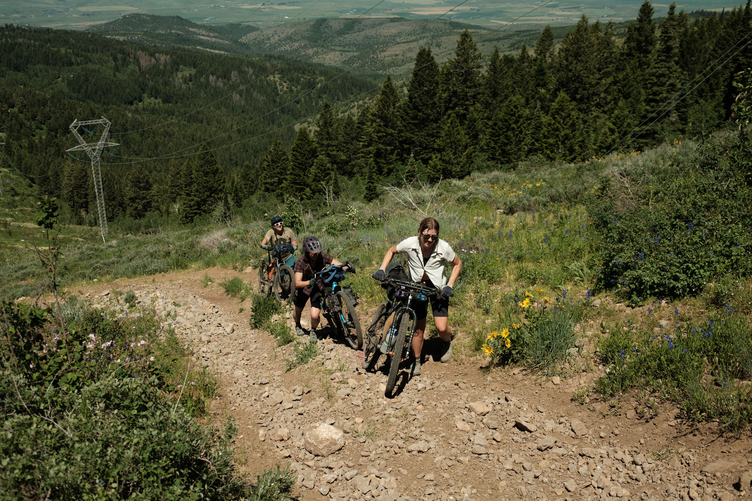
There are a few steep pitches on this route! The climbs and descents are demanding (and rewarding) but overall, rather difficult. One particular section around Mile 93 is a short, mandatory hike-a-bike with grades exceeding 30%. Some sections of descents can get steep, loose, and chunky, sometimes all of the above. If at all possible, use a bike with bigger tires, something 2” wide or wider is ideal. Water is abundant, especially if you study the map beforehand. Resupply for food is scarce and only exists at the start, at Maple Grove, in Star Valley (Etna and Alpine), and at the end in Wilson and Jackson. Plan on carrying at least 2-3 days of food, depending on how many miles and elevation you plan on doing each day. One should be fully prepared for mechanicals, while carrying plenty of food and water as much of this route is rural and remote. You’ll often encounter locals who may be willing to help, but I would only plan on seeing people at the aforementioned locations. Overall, given the physical demand and the limited food resupply points, this route is rated a 6. But the first two-thirds of this route are probably more like a 7 on the physical scale with some scattered black diamond efforts. You’ll have smoother sailing after mile 170—assuming you do not opt for the Tincup alternative.


Highlights
Must Know
Camping
Food/H2O
Trail Notes
Resources
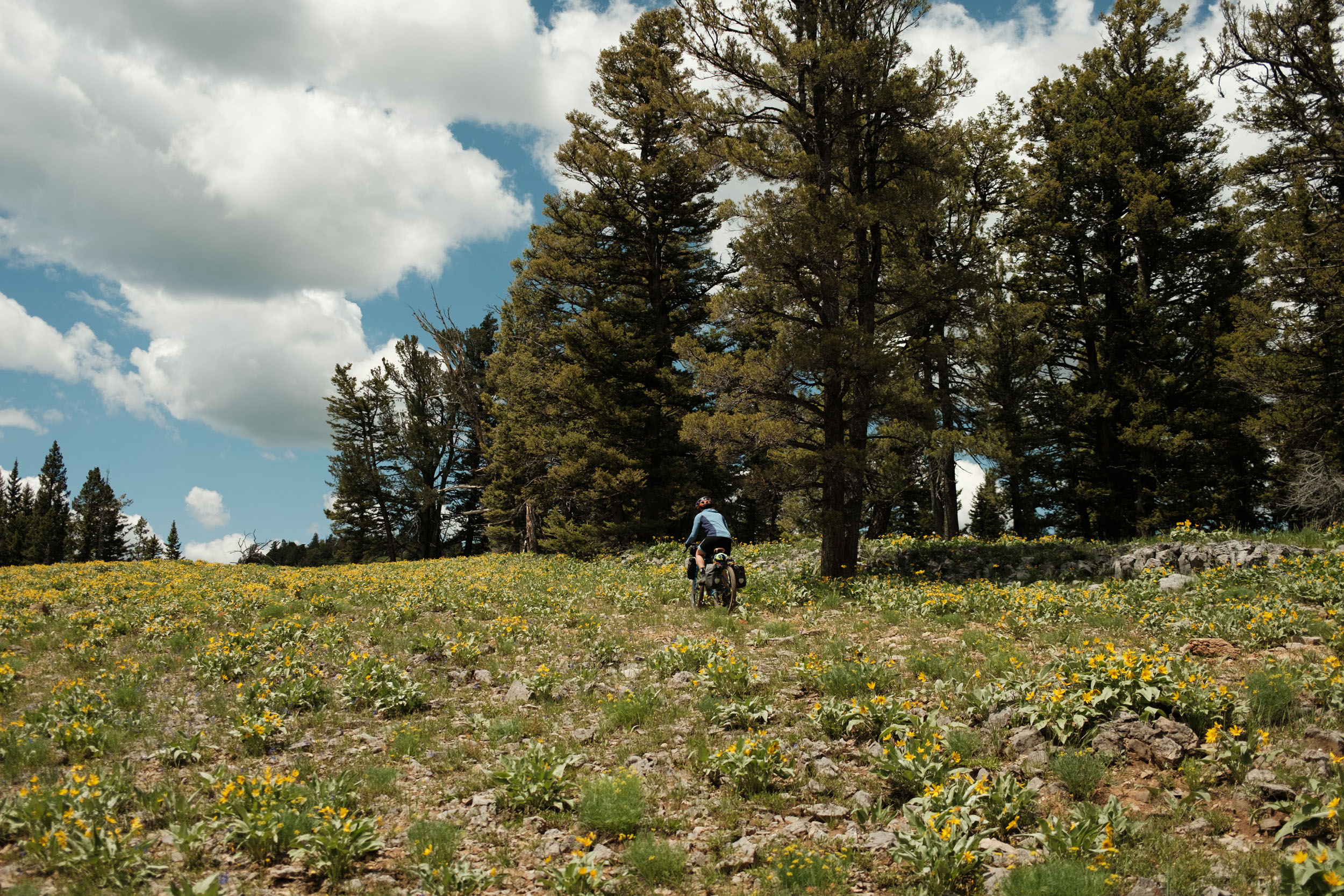
- Superb Riding: This route is chock full of great gravel, singletrack, epic vistas, and so much more. A few sections tend to push well-seasoned riders to the limit, but most of it is manageable.
- Views of the Tetons when traversing from Wilson to Jackson.
- Local Fare in Logan: See the Food/H2O section for a list of the local faves.
- Singletrack: Willow Creek, Burnt Fork, and Stump Hollow are all excellent single track trails in the area.
- Geology! Look into the infamous Peter Sinks (coldest point in contiguous USA).
- Mineral Soaks: Paid soaking or camping at Maple grove hot springs or free swimming in the Bear River.
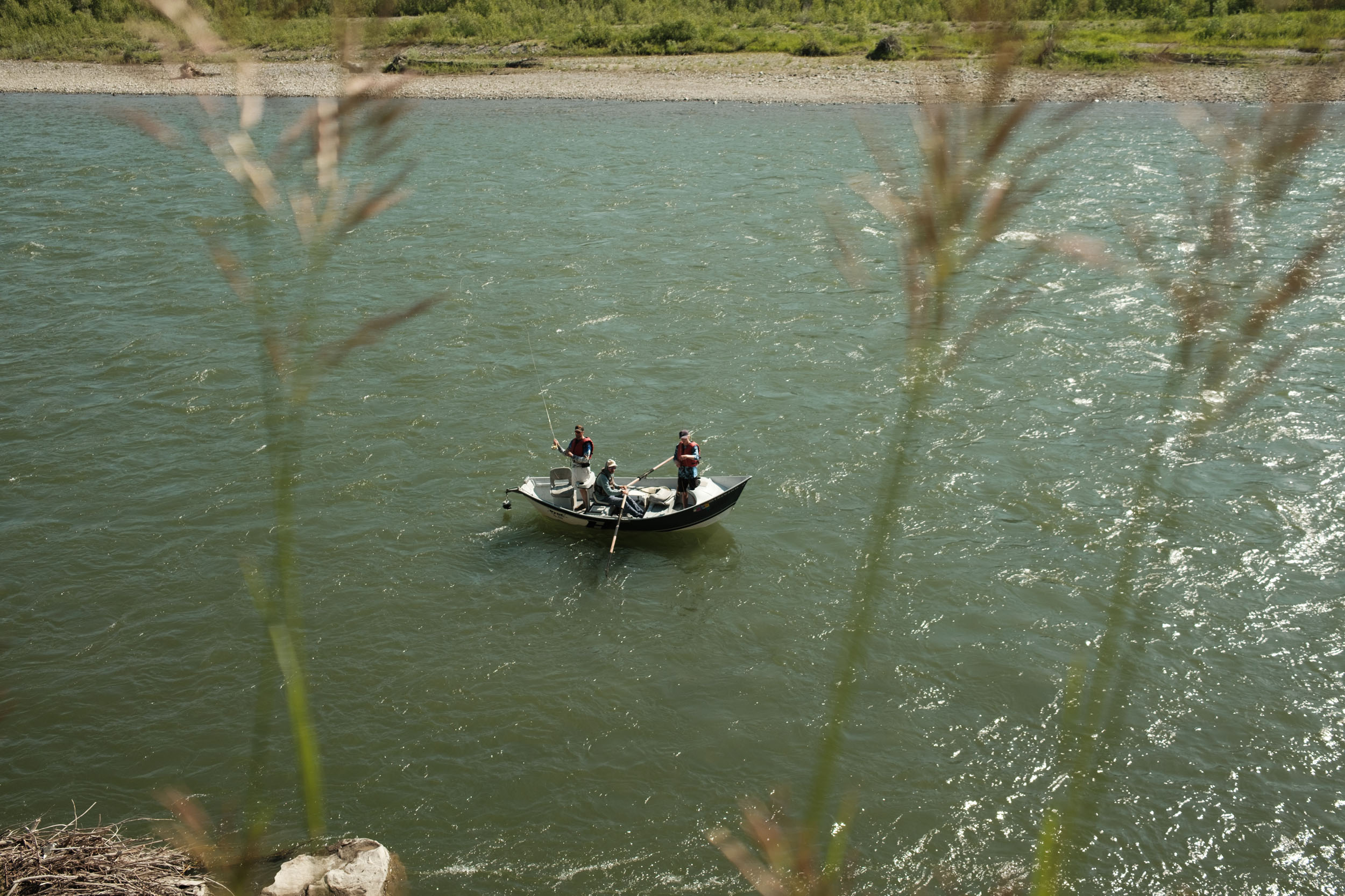
- Snake River Views: Stop at Lunch Counter / Big Kahuna to watch rafters get pummeled by the rapids below.
- Coffee and Bagels at Pearl Street Bagel in Wilson, Wyoming.
When to go
- Mid-June to early October: weather may permit a longer window, but be sure to watch temperatures in Wyoming. It gets cold up there!
What Bike and Gear
- Ideal Bike and Setup: the ideal tire size would be 2.25 – 2.5 inches. Given the mix of highway, dirt/gravel roads, singletrack and highway, other tire sizes will just exhibit their relative pros and cons. I’d caution against doing this with less than 2-inch tires. Low gearing for the steepest parts would also be recommended.
- The only bike shops on the route are in Logan and Jackson. Plan accordingly. Alpine, Wyoming has a grocery store and hardware store, along with some tourist items. Be prepared to address mechanical issues on your own.
Logistics
- Travel basics: This route is mapped as a one-way ride from Logan to Jackson. The Salt Lake Express has shuttles from the Jackson Hole airport (about 10 miles by bike from downtown) to Logan and other destinations. They do allow bikes as luggage, but passengers must provide at least 24 hours advance notice and it will cost an additional $10.
- If planning on any paid camping sites, reserve in advance.
- If planning to soak in the pools at Maple Grove, make a soak or camping reservation in advance
Dangers & Annoyances
- Bear Safety: much of this route is well-within bear territory. If you see a bear on the route at all, it would almost certainly be a black bear, though there are grizzlies in the alpine areas around Jackson Hole (which you will not enter on this route). Bring bear spray, tie up your food, and be bear aware at all times.
- Much of this route will not have cell service.
- Use caution when on Highway 89 (Star Valley and Snake River Canyon), this road is travelled quickly by car.
- Be friendly with other road users (OHV and standard vehicle).
- Maple grove is a local and personal favorite camp spot. It is more expensive than other options, but includes full access to their hot pools and coffee in the morning.
- There is a significant amount of wild camping until the 150 mile marker. At that point, there are still plenty of options but they may require a reservation, or a slight detour off the route. Prior to that point, there are plenty of options.
- I’d recommend a slight detour for your final night at Grey’s River area (plenty of wild camping), or one of the reservable sites along the Snake River: Little Cottonwood, Wolf Creek, Station Creek, or East Table–all of which will need a reservation to camp there.
- Alpine has a standard mix of hotels, Airbnbs, and other lodging options if needed.
- Egan Basin and Diamond Creek Guard Stations are reservable cabins on the route and would be cool amenities to work into your itinerary.
- Explore the Logan food and drink scenebefore you leave. Le Croissant, Cafe Ibis, Cooks Underground, Le Nonne, Prodigy Brewing, Center Street Pizza, Homerange Brewing, and Jack’s pizza are all favorites.
- Coffee and other light fare is available at Maple Grove Hot Springs if you’re camping there. If you are planning to soak there, be sure and reserve in advance as their walk-in soaking sessions can book up.
- Filterable water is abundant at various marked locations on the map. This still requires plenty of planning, take a look at the map and plan accordingly.
- Fill up a lot of Water in Georgetownas there is roughly 50 miles without map-marked water passing from Diamond Creek into Tincup.
- Once into Star Valley,water and resources become more plentiful.
- Grab a bite to eat and beverage in Alpine at Melvin or one of the other restaurants in the Alpine area. Driftwood Pizza, the Tavern on Grey’s, The Taco Bus, etc.
- Excellent Bagels, Coffee and Bikes at Pearl Street Bagels and Wilson Backcountry Sports if you go the recommended route through Wilson.
- No food options between Maple Grove and Etna (miles 80 to 191) Bring as much as you need to get through that section. I’d recommend getting a snack (if needed) in Etna then finding a full meal in Alpine.
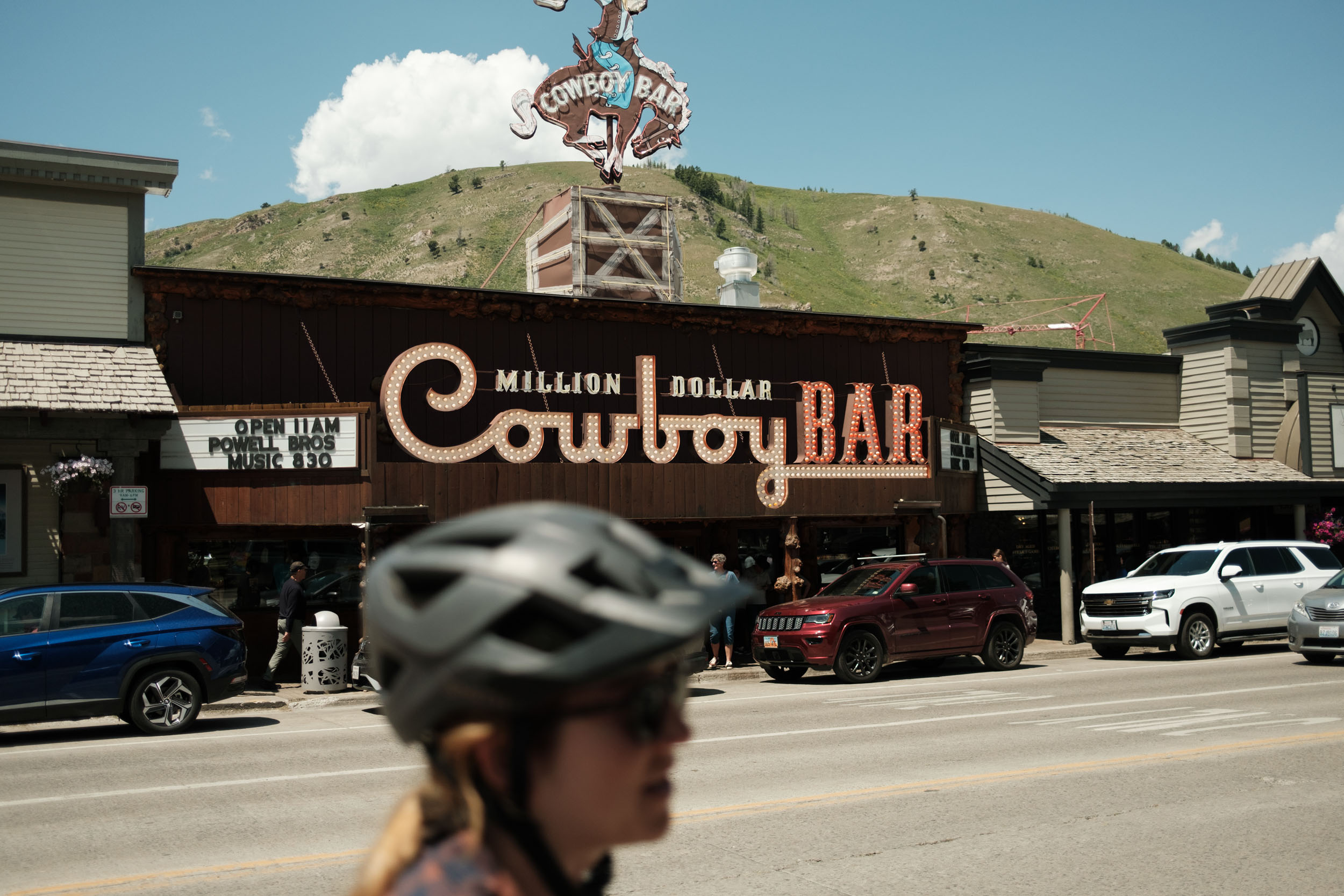
- Food in Jackson: Persephone Bakery, Thai Plate, Million Dollar Cowboy Bar, Snake River Brewing, and a bunch of others. Jackson is very touristy and there will be options of different tastes and price points.
- Sloshies are a boozy take on the teenage favorite “slushy” or “slurpy” that are a staple in the Jackson community.
- Stagecoach Bar in Wilson is great if looking for a less-touristy option with a good local feel
location Logan to Stump Hollow / Beaver Creek
Day 1 (46 mi +6,800′)
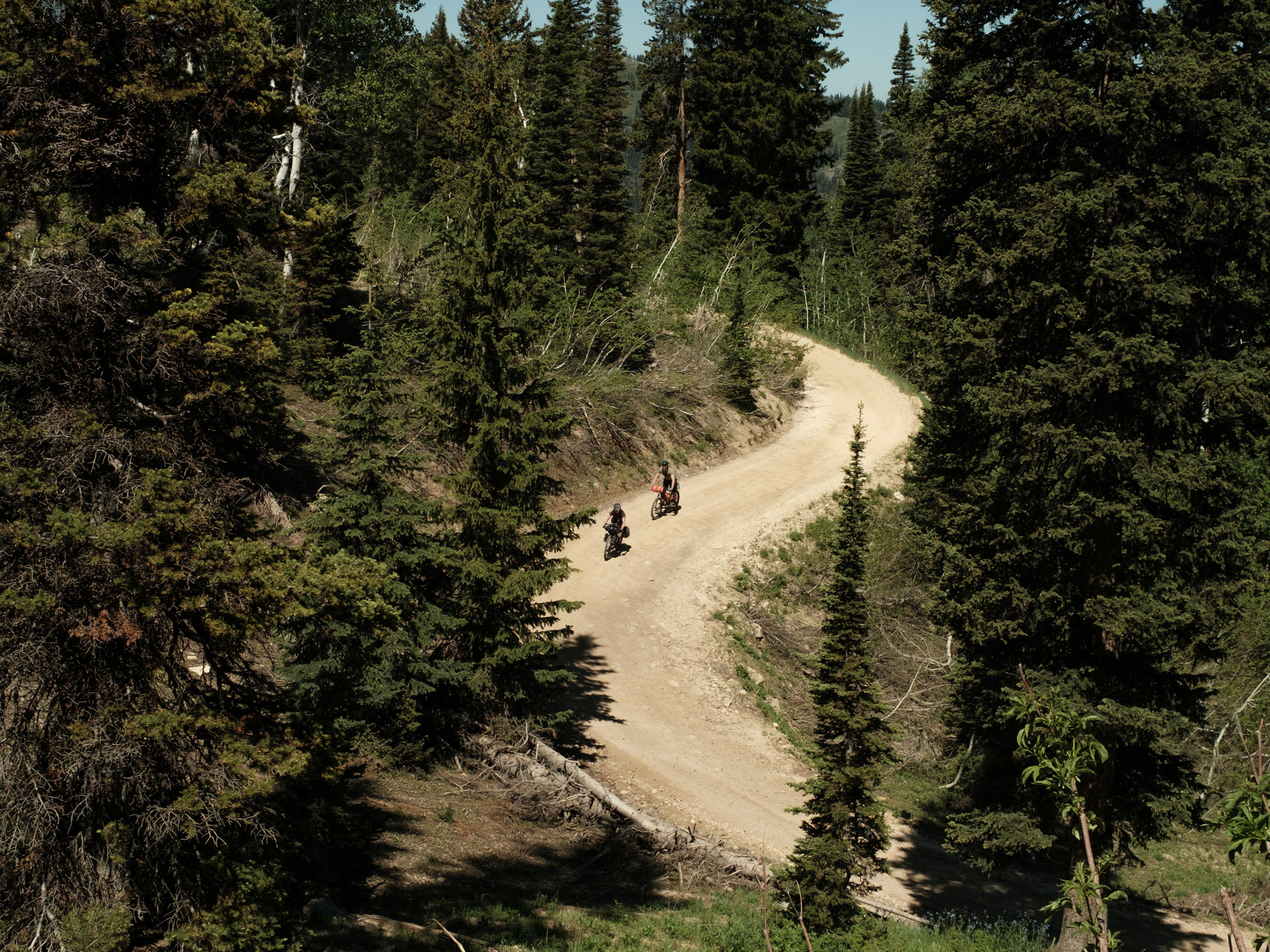
Grab some pastries, coffee, and maybe a burrito in town to calorie-up, you’ll be climbing for the next long while. Enjoy the excellent pedestrian off-road path along the Logan river, then cross a bridge at the Spring Hollow Trailhead. You’ll have about 4 miles of gentle highway climbing the the Willow Creek ascent starts and connects onto the Temple Fork Road. Enjoy the view of Temple peak while you grind up some steep sections. You’ll connect onto the sinks road eventually, which is more gradual, and leads to the Burnt Fork singletrack. Cruise up Burnt fork, get some views of the natural sinkhole, Peter Sinks, and get ready for a rapid, alpine descent down the local fave Stump Hollow trail. You’ll cross Highway 89, and continue onto the Beaver Creek (dirt) road which gently climbs and offers easy camping for roughly 10 miles.
Alternatively, you could camp in the Burnt Fork / Stump Hollow trails, this won’t change the elevation gain much, but would tack on a few miles to the mellow second day.
location Beaver Creek to Maple Grove
Day 2 (35 mi +3,000′)
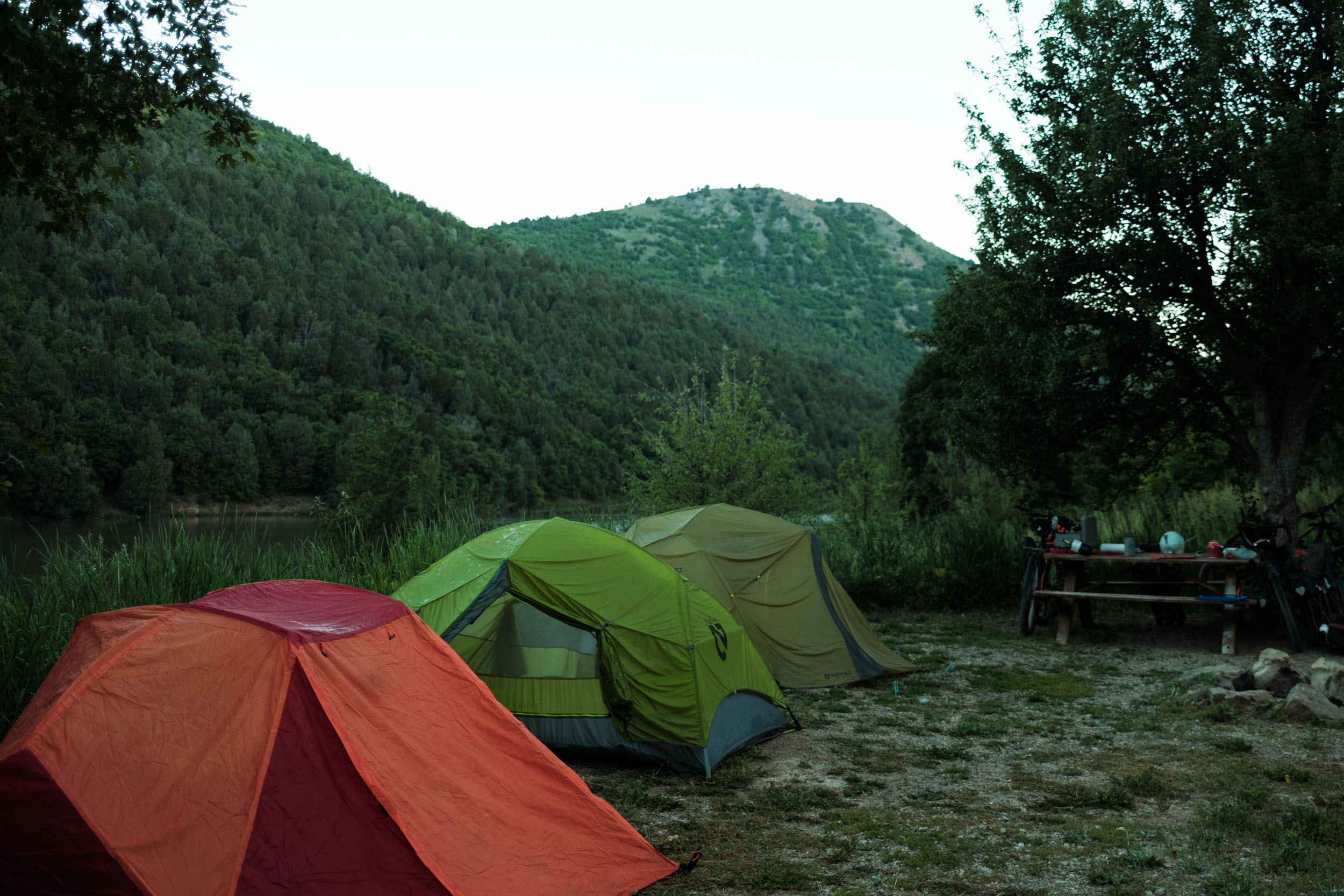
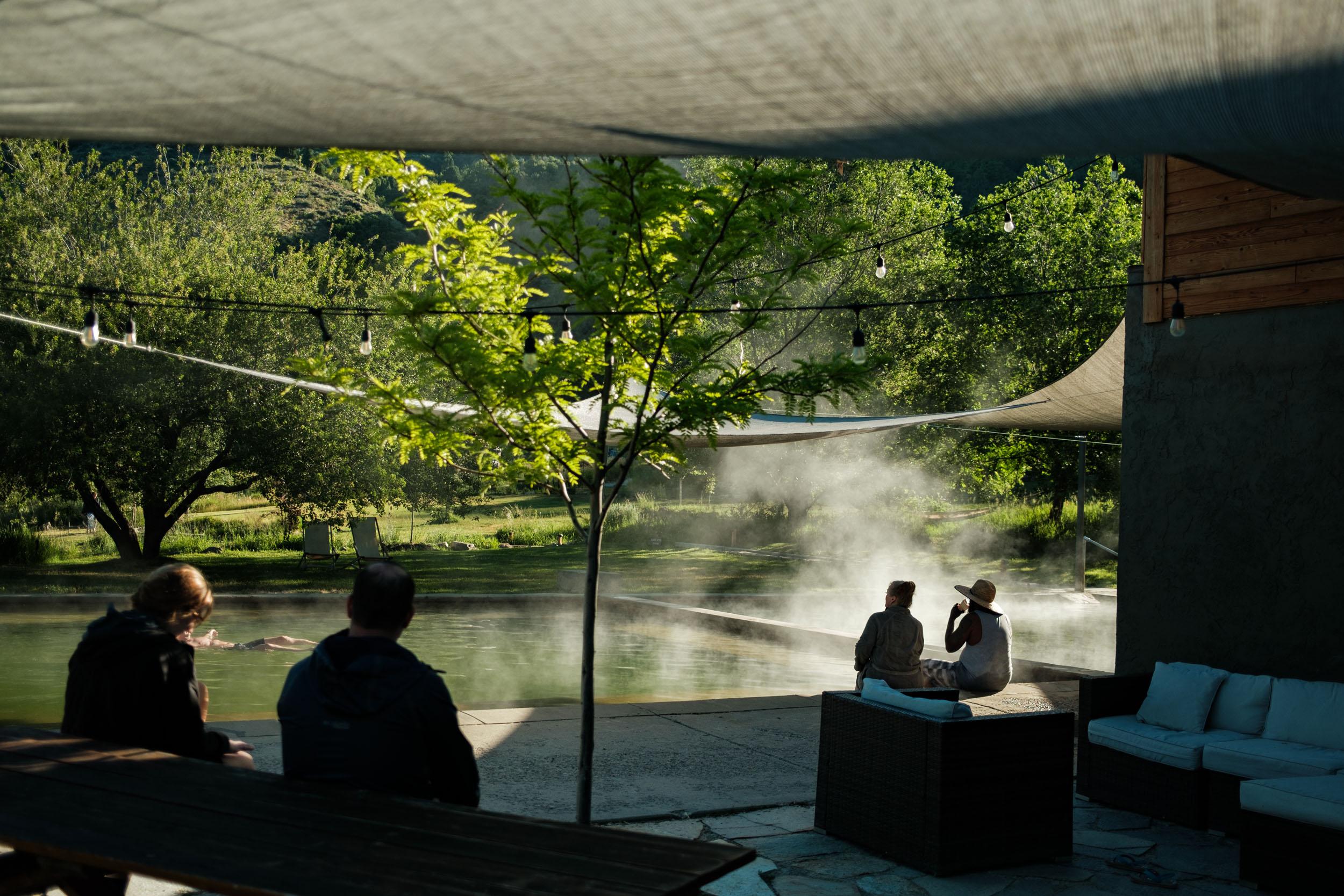
Recovery day! Cruise along the beautiful valleys within the Beaver Creek area and cross into Idaho. You’ll have a perfectly fast descent to the start of Hillyard Canyon, at which point the grade steepens into a fast and chunky 4X4 road. There is a reliable water source when you reach the Willow Flat Campground and cross the Cub River. Climb pass Hull Valley Boy Scout area on the Birch Creek road. The tough ups are greeted with long, grinning descents. In Mink Creek, you’ll briefly climb Idaho highway 36 and reach the final descent into Maple Grove Hot Springs where you can soak in mineral pools, re-supply food (pre-packaged) and water, and dip in the Bear River.
location Maple Grove to Diamond Creek
Day 3 (65 mi +8,300′)
Fuel up on some coffee if you paid to camp at Maple Grove (provided) and make your way into the amazing Idaho mountains. There are some big climbs through here, including a short but gnarly hike-a-bike (open to a reroute if anyone scouts anything better) to connect into the North Canyon Road. This glides down 7 miles of champagne gravel at a lovely speed. You’ll wend your way to Georgetown ID, (no food resources that I’m aware of) but has a town park with water and shade. After a break, connect Georgetown Canyon with Diamond Creek road. The Diamond Creek road offers plenty of wild camping options with epic ups n’ downs.
location Diamond Creek to Grey’s River
Day 4 (60 mi +1,666′)
After the previous full-day epic, you’re rewarded with a net-descend day on champagne gravel and good dirt, smooth highway miles, and epic mountain vistas. Highway 34 connects in with Highway 89 through Freedom, where early Mormon settlers could evade consequences of polygamy by (state) border jumping to the Wyoming side. Like a proper Wyoming local, you’ll meander along Highway 89 in Star Valley while saying, “Whoah, look at that peak”. Etna has a small general store and Alpine has plenty of food options. Unless staying in alpine, you’ll gently climb the Grey’s River road to find camping, or continue along the route along the Snake River.
Alternative: If you don’t need the Etna resupply, you could easily cut out some highway time by taking the backroads east of 89, eliminating about 5 miles of a well-shouldered, but fast highway. Alpine isn’t far away and has more food options!
location Grey’s River / Alpine to Jackson Hole
Day 5 (50 mi +2,700′)
Grab a glimpse of the Grey’s River and descend to town for a resupply. Admire Palisades reservoir which gracefully confluences the Grey’s, Salt, and Snake rivers into a high-alpine lake. You’ll climb the wide shoulder highway 89 with stunning views of the Snake River might get to see some raft / fishing activity below. Jump on the Fall creek road which gets a few more dirt miles, and connects you to the sleepy town of Wilson, WY, at the base of Teton Pass. If feeling peckish or wanting some retail therapy, stop by Pearl Street Bagels and Wilson Backcountry Sports. Navigate the bike path and take some pictures of the Tetons while approaching the final destination of Jackson Hole. Since Jackson is so touristy, follow the map for the last couple miles to avoid the main thoroughfare congestion. Finish with some excellent food and some chilly beverages in the world famous Jackson Hole, the Last of the Old West
Additional Resources


Terms of Use: As with each bikepacking route guide published on BIKEPACKING.com, should you choose to cycle this route, do so at your own risk. Prior to setting out check current local weather, conditions, and land/road closures. While riding, obey all public and private land use restrictions and rules, carry proper safety and navigational equipment, and of course, follow the #leavenotrace guidelines. The information found herein is simply a planning resource to be used as a point of inspiration in conjunction with your own due-diligence. In spite of the fact that this route, associated GPS track (GPX and maps), and all route guidelines were prepared under diligent research by the specified contributor and/or contributors, the accuracy of such and judgement of the author is not guaranteed. BIKEPACKING.com LLC, its partners, associates, and contributors are in no way liable for personal injury, damage to personal property, or any other such situation that might happen to individual riders cycling or following this route.
Further Riding and Reading
Here are some connected/nearby routes and related reports...


Please keep the conversation civil, constructive, and inclusive, or your comment will be removed.