

 Mountain Bike (MTB)
 Gravel Bike
 All-Terrain Bike (ATB)
 Fat Bike

The Slymefoot Trail
Distance
73 Mi.
(117 KM)Days
2
% Unpaved
66%
% Singletrack
10%
% Rideable (time)
90%
Total Ascent
7,745'
(2,361 M)High Point
2,016'
(614 M)Difficulty (1-10)
5?
- 7Climbing Scale Strenuous106 FT/MI (20 M/KM)
- 4Technical Difficulty Fair
- 6Physical Demand Moderate
- 2Resupply & Logistics Easy
Contributed By
Tommy Wilkinson
Guest Contributor
Tommy has a long and deep connection to the Coquet Valley. While he was brought up in Northumberland just outside Berwick upon Tweed, half his family have been farmers or connected to agriculture in the Coquet Valley for generations. His dad was brought up at Uswayford Farm, which route skirts past, and this has helped foster a deep love of the area. Formerly a DH racer with Scottish national wins and some Maxxis Cup podiums to his name, Tommy now mainly rides from the door of his home in Rothbury. Follow him @theslymefoottrail.
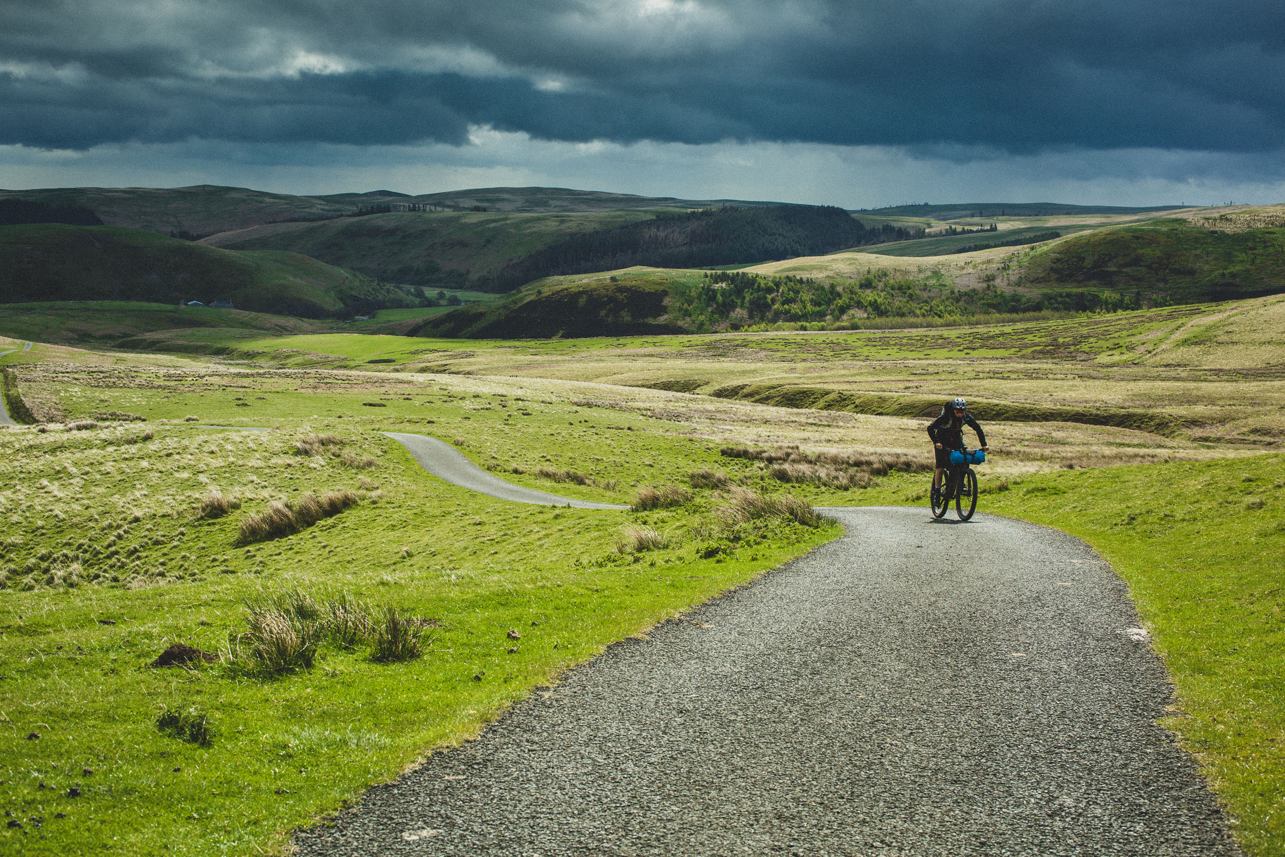
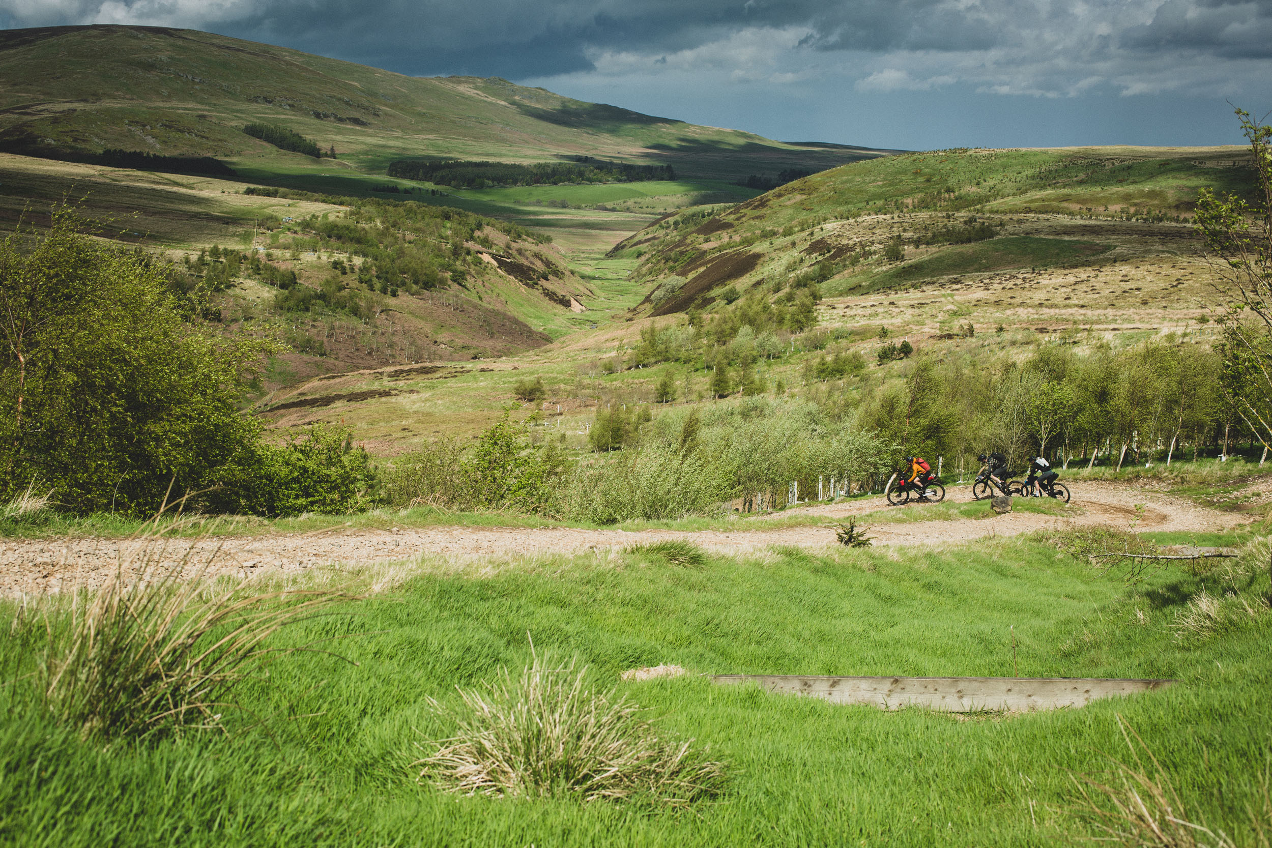
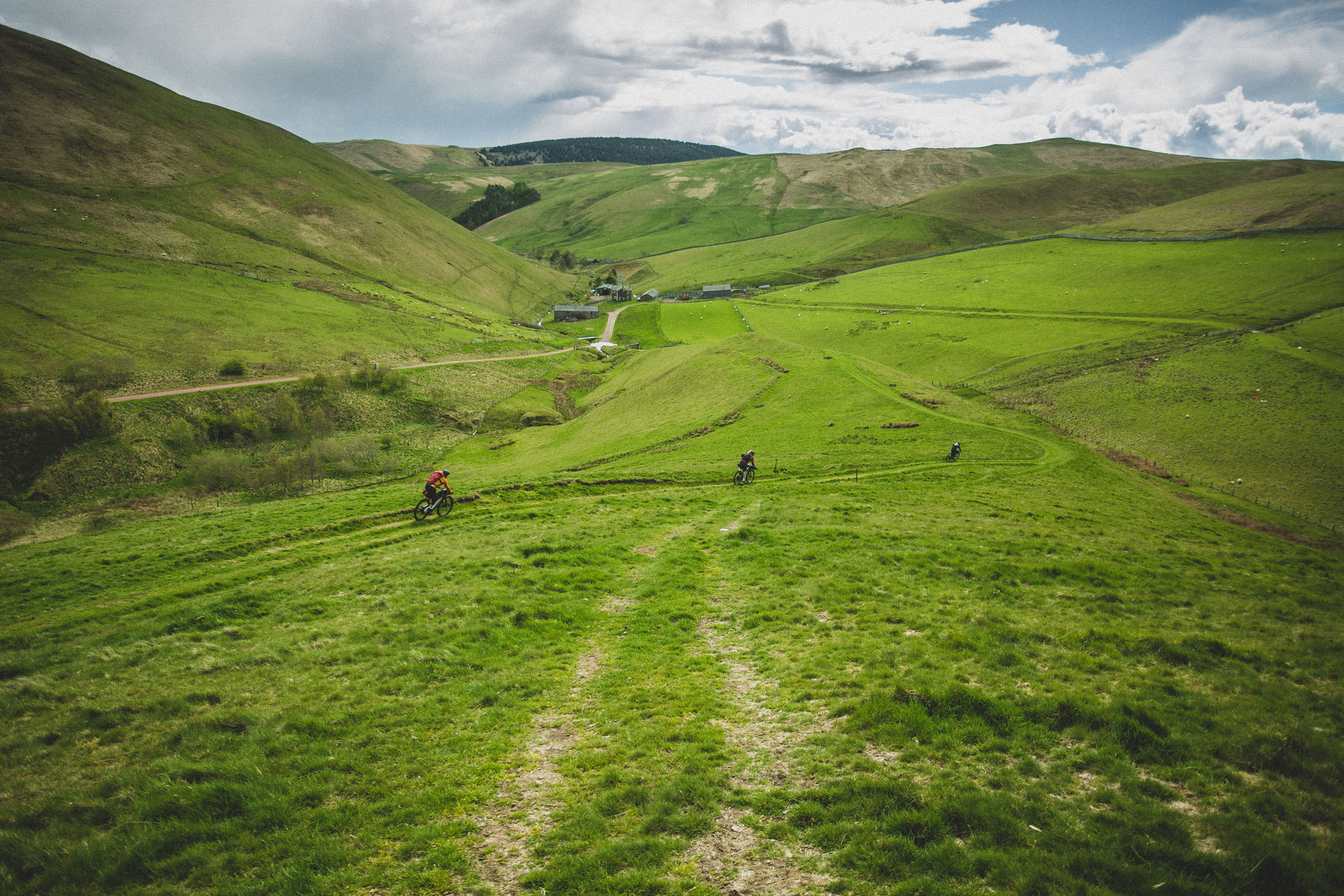
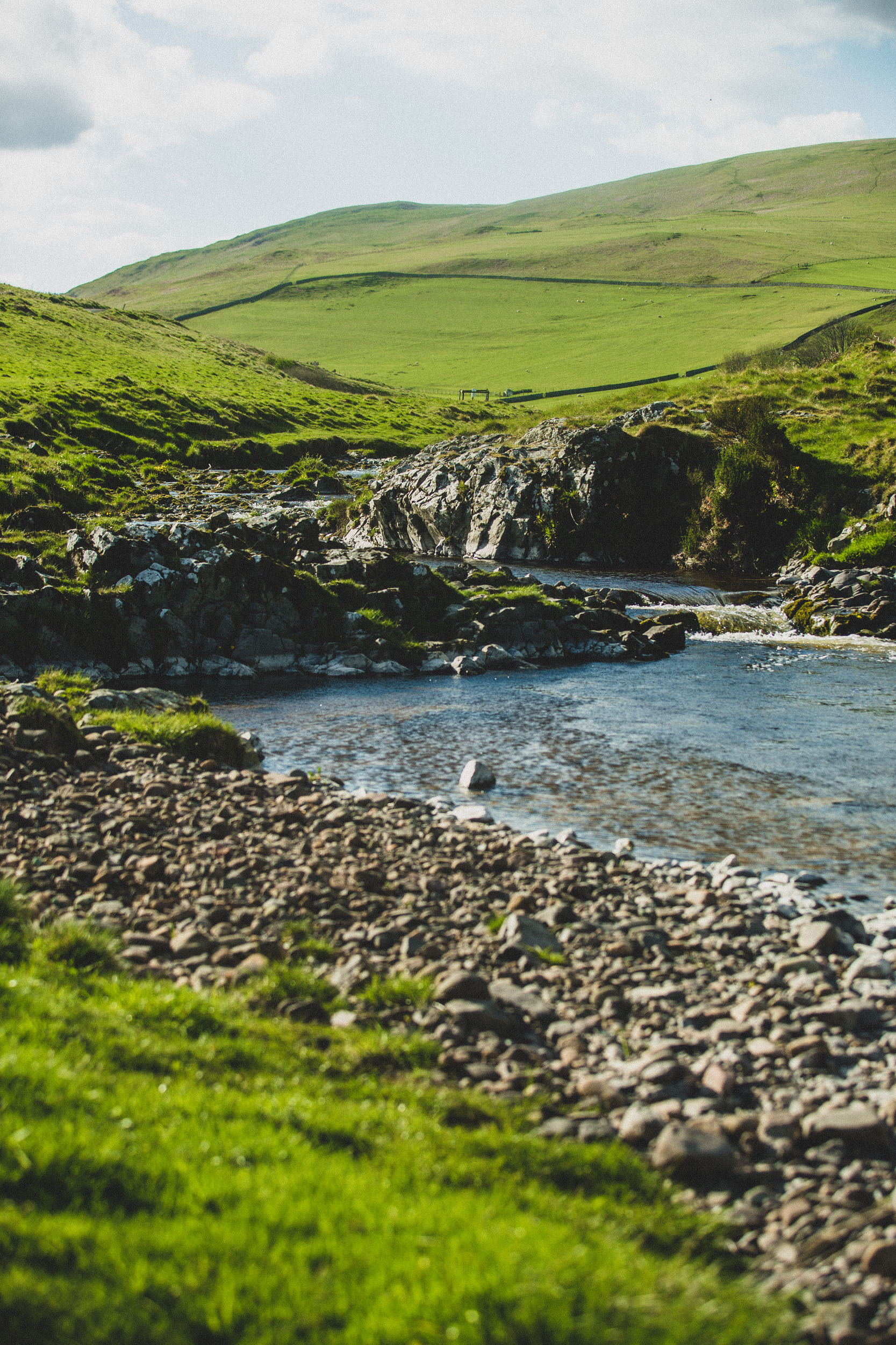
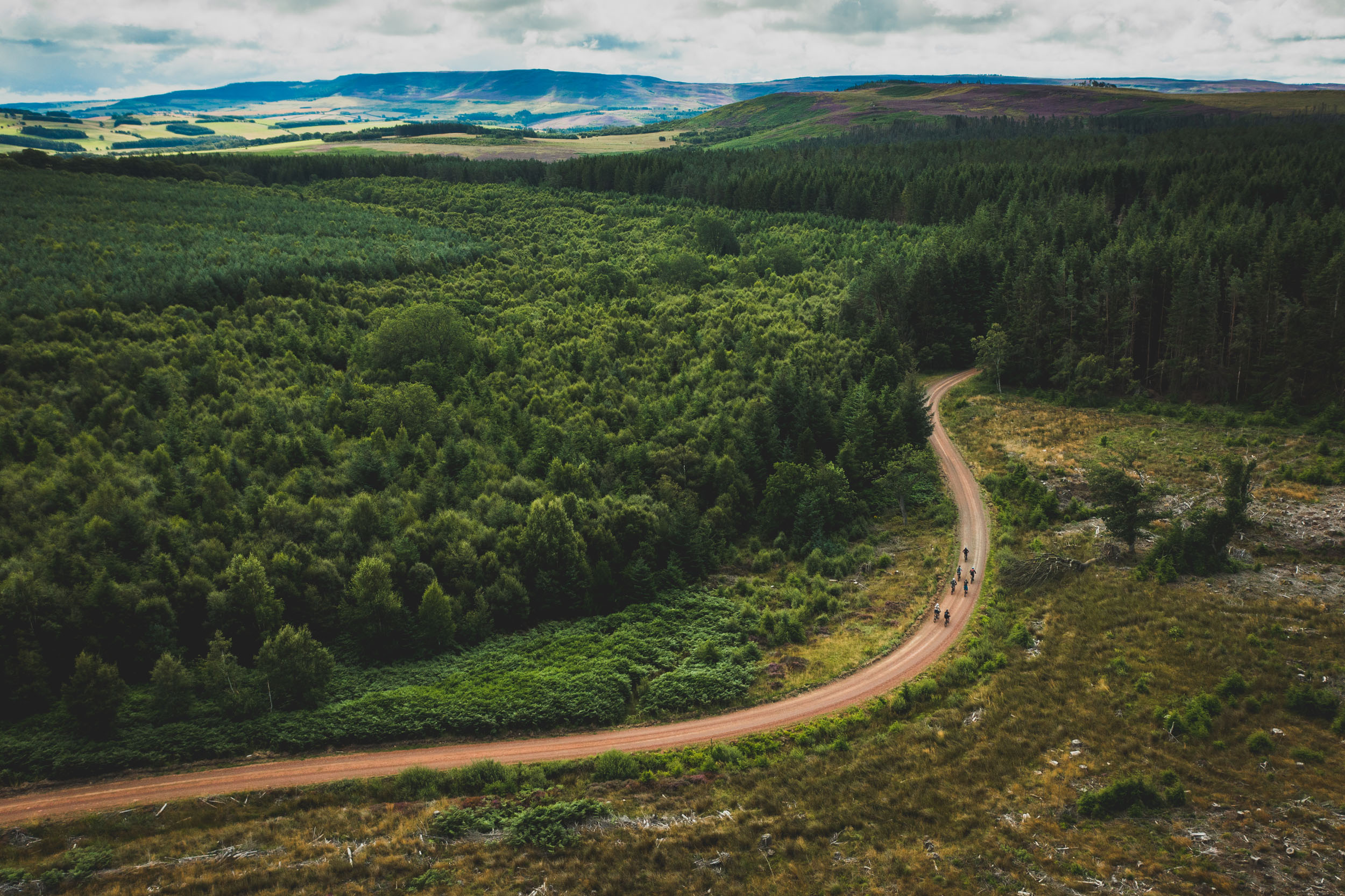
Starting and ending in the market town of Rothbury, which locals refer to as a village, the Slymefoot Trail encompasses classic upland gravel tracks through expansive terrain, forestry tracks, sections of quiet tarmac, and singletrack descents. Taking in two of Northumberland’s most remote and beautiful valleys—the Breamish and Coquet—this route offers a glimpse into the rural culture and hardiness of the Northumbrian uplands.
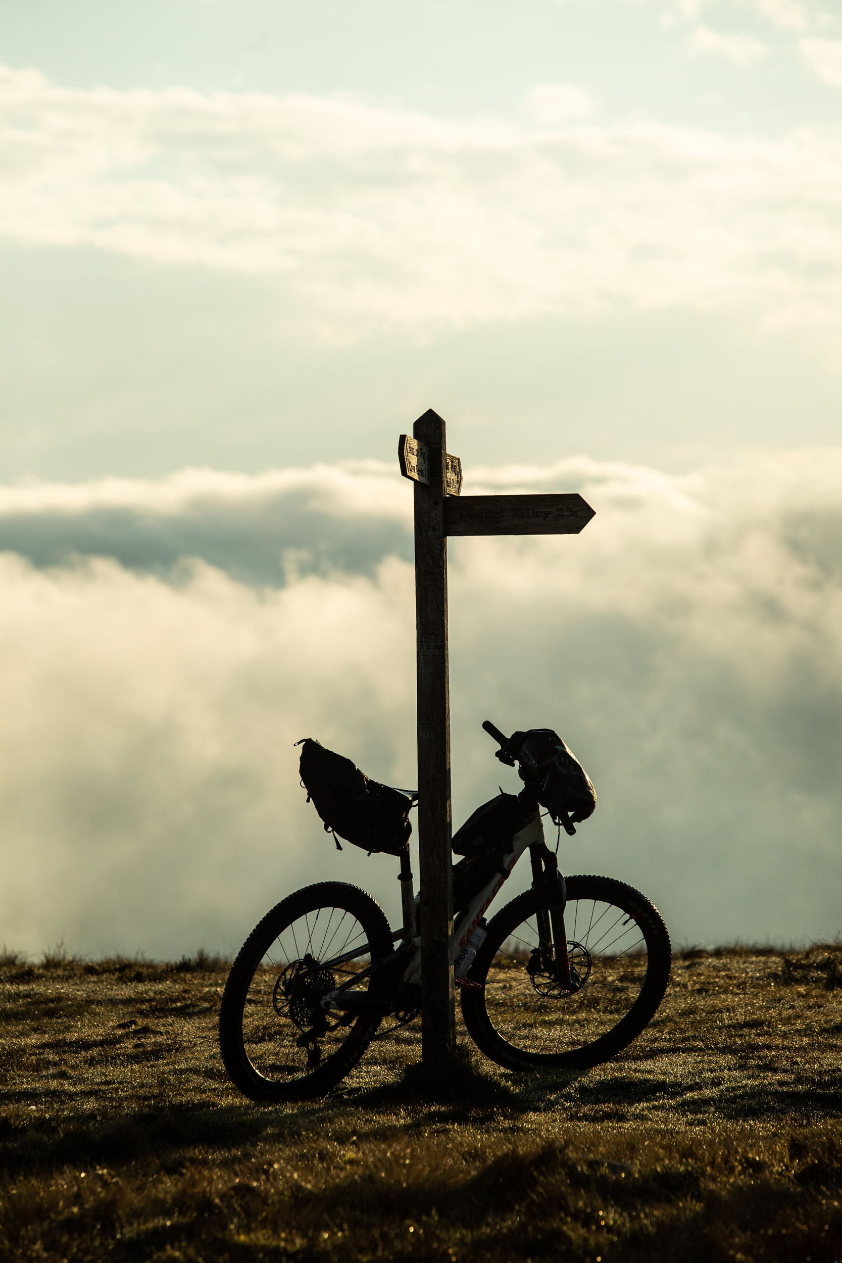
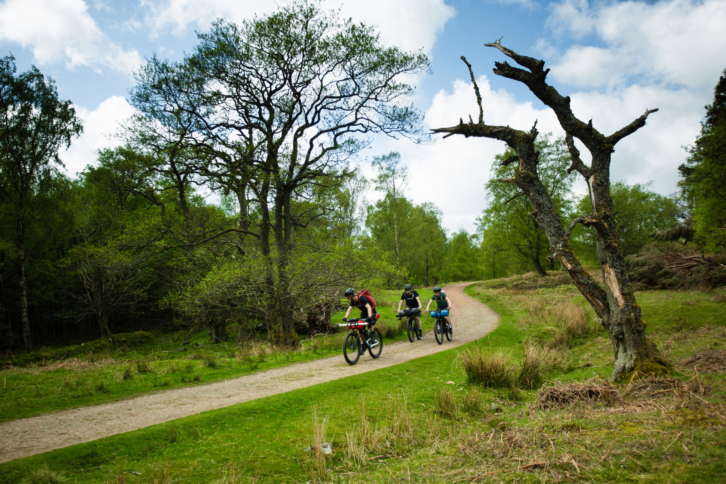
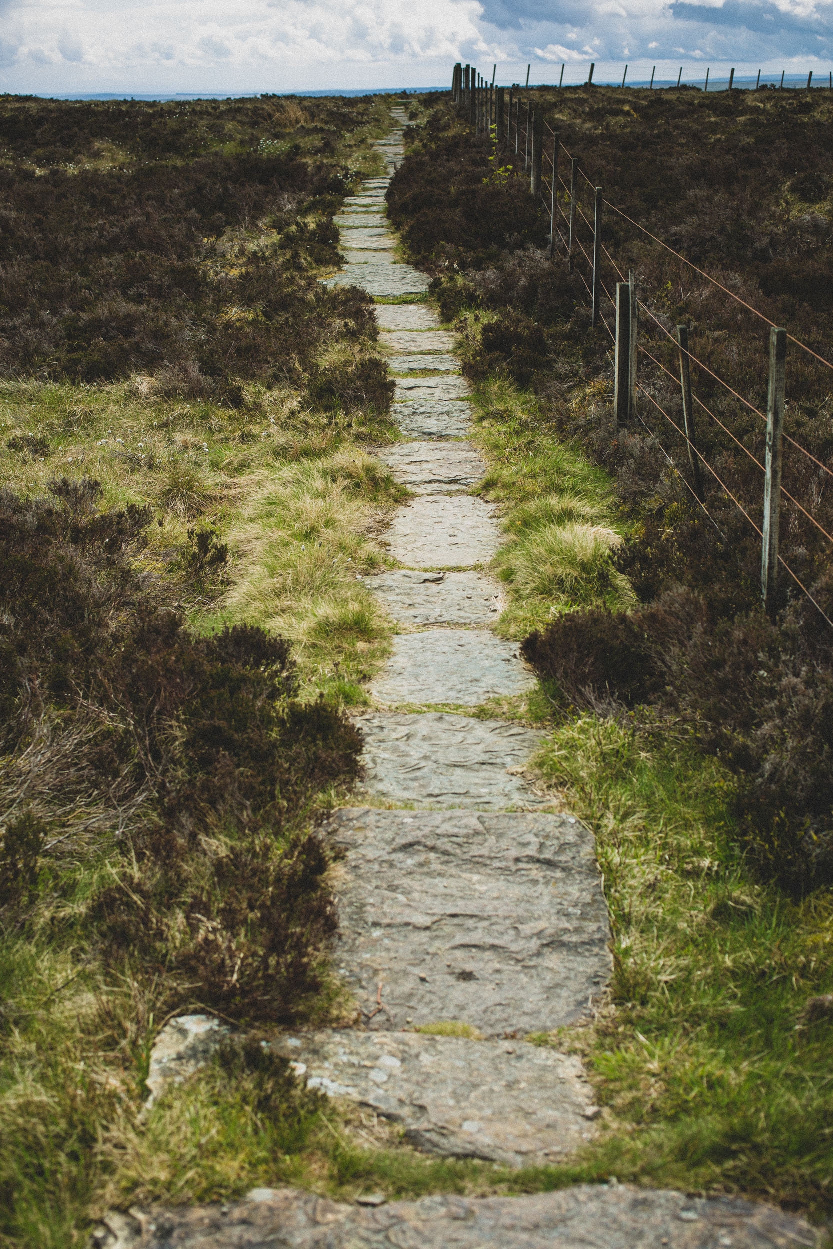
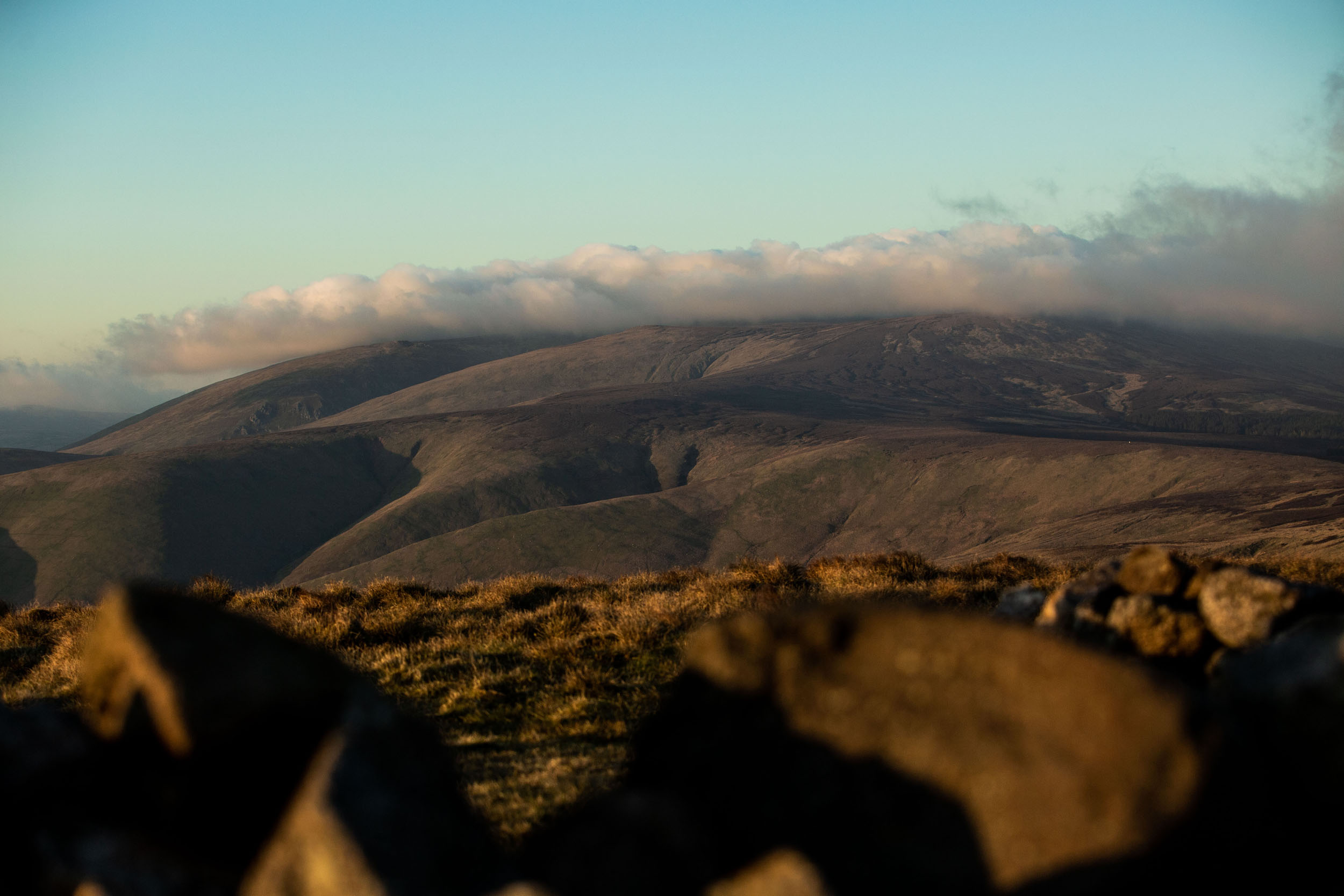
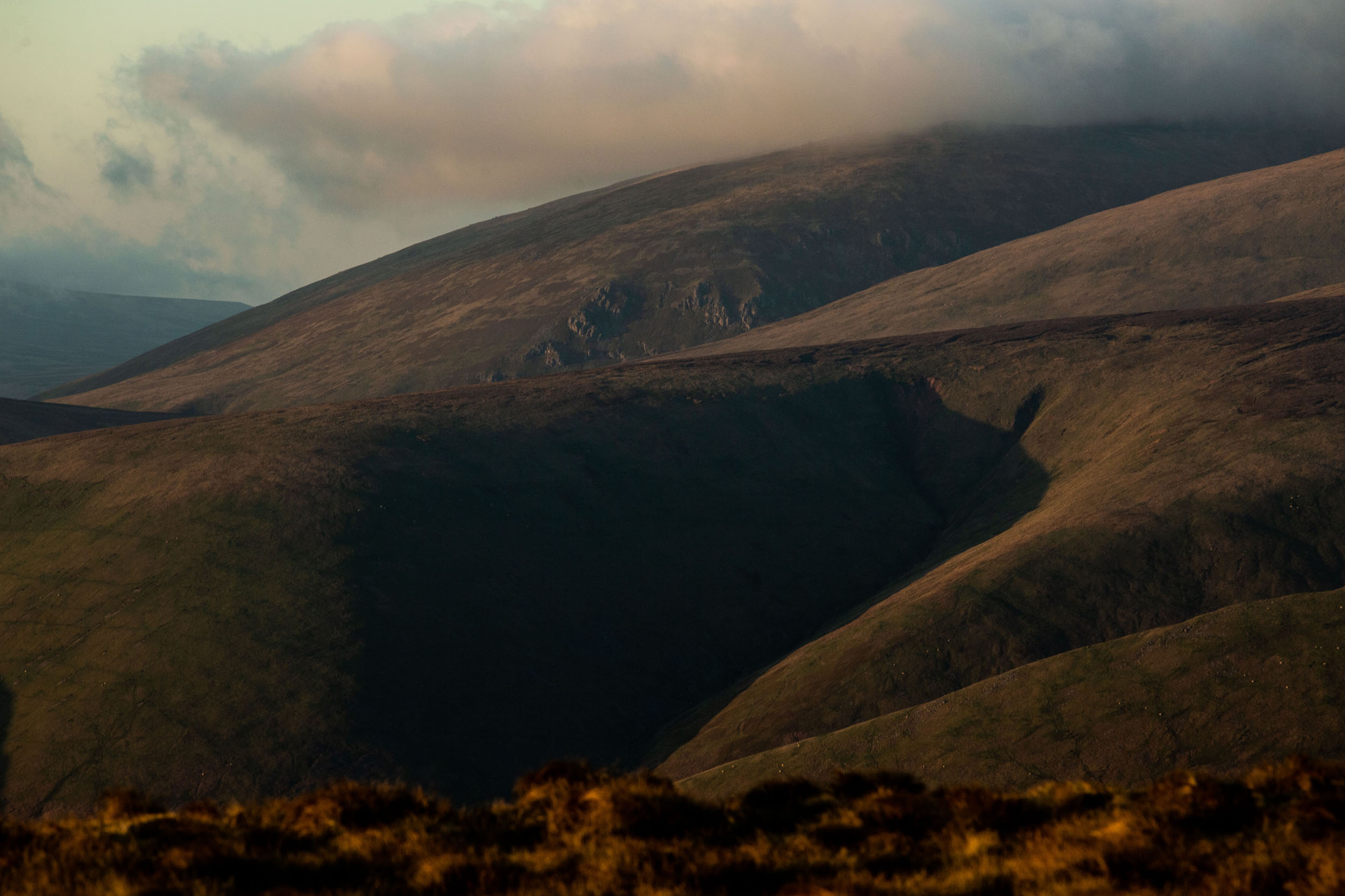
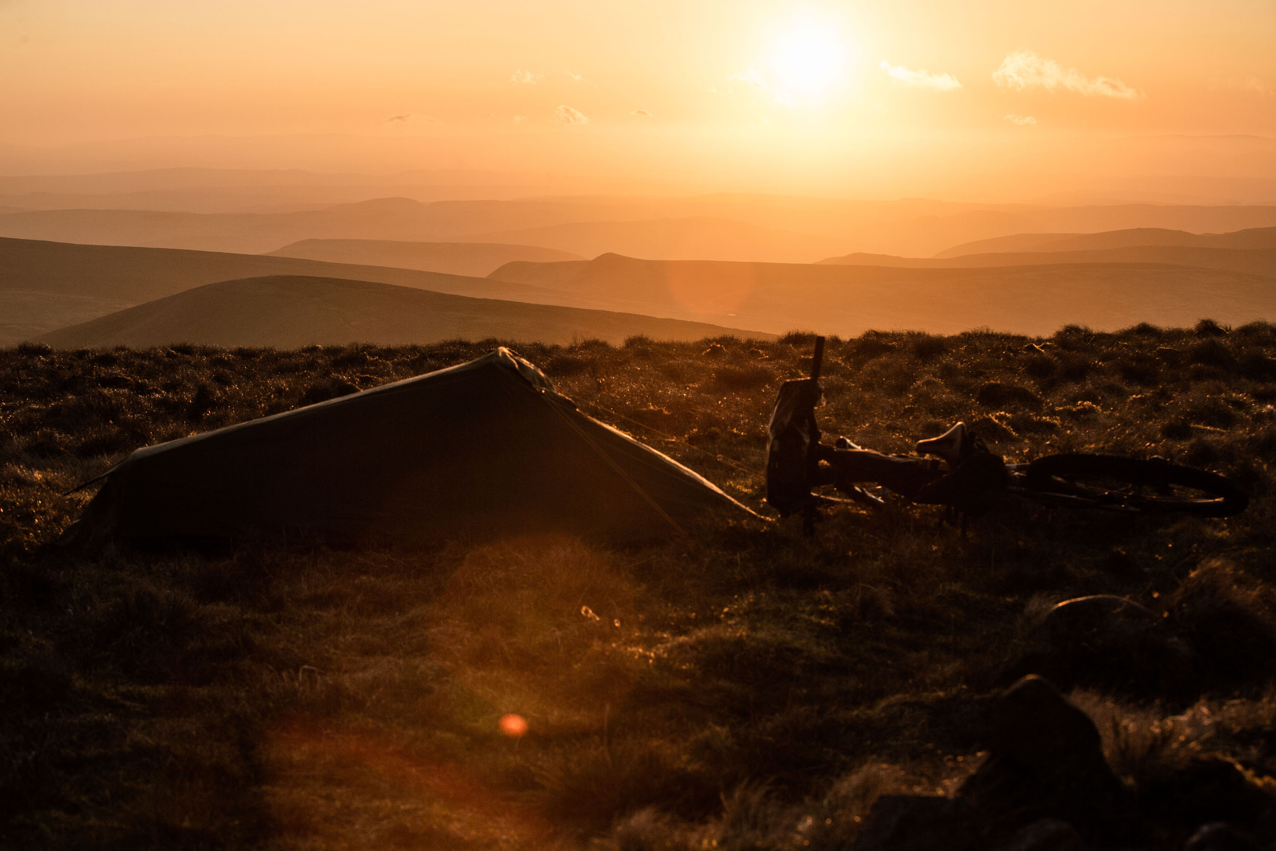
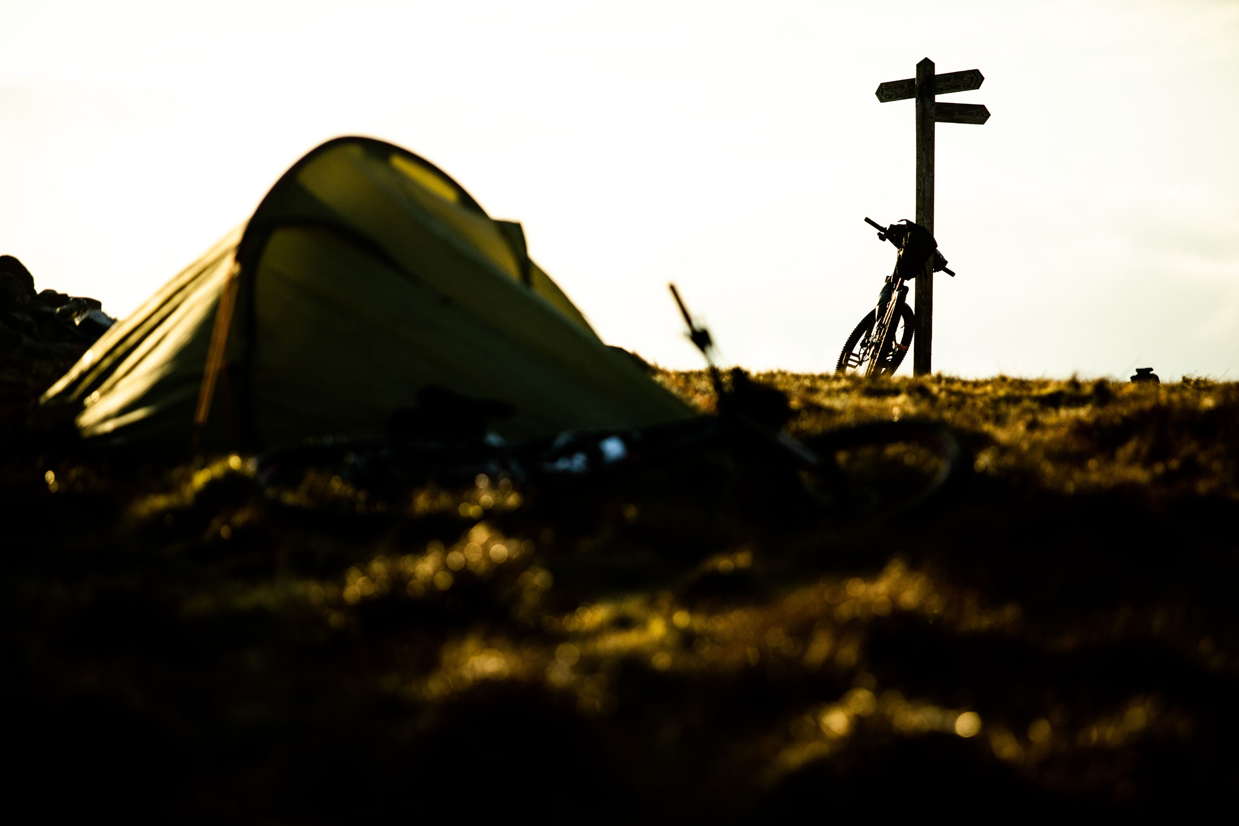
From ancient forests to the heights of Windy Gyle, with views to Edinburgh and the Lakes on a clear day, the route is deceptively punchy for its 112-kilometre distance. Multiple food and coffee stops in rural cafes are available, with local hospitality and inquisitive questions always offered in good humour. The route can be done in one, two, or three days—two days is our preferred choice, camping on the summit of Windy Gyle, facing west into the solar glow as it fades over hills that the Romans, border reivers, and now two-wheeled wanderers choose to navigate.


Route Difficulty
This route is challenging if undertaken as a single-day excursion, but as a two-day overnighter, the relatively simple, if remote and occasionally soft terrain, should pose little problem to competent riders. The resupply options are not plentiful, but there are enough, and they occur at handy distances. There are long, open descents and some loose, steep climbs, but a fit rider with some technical skill will find this route more physically than technically challenging.
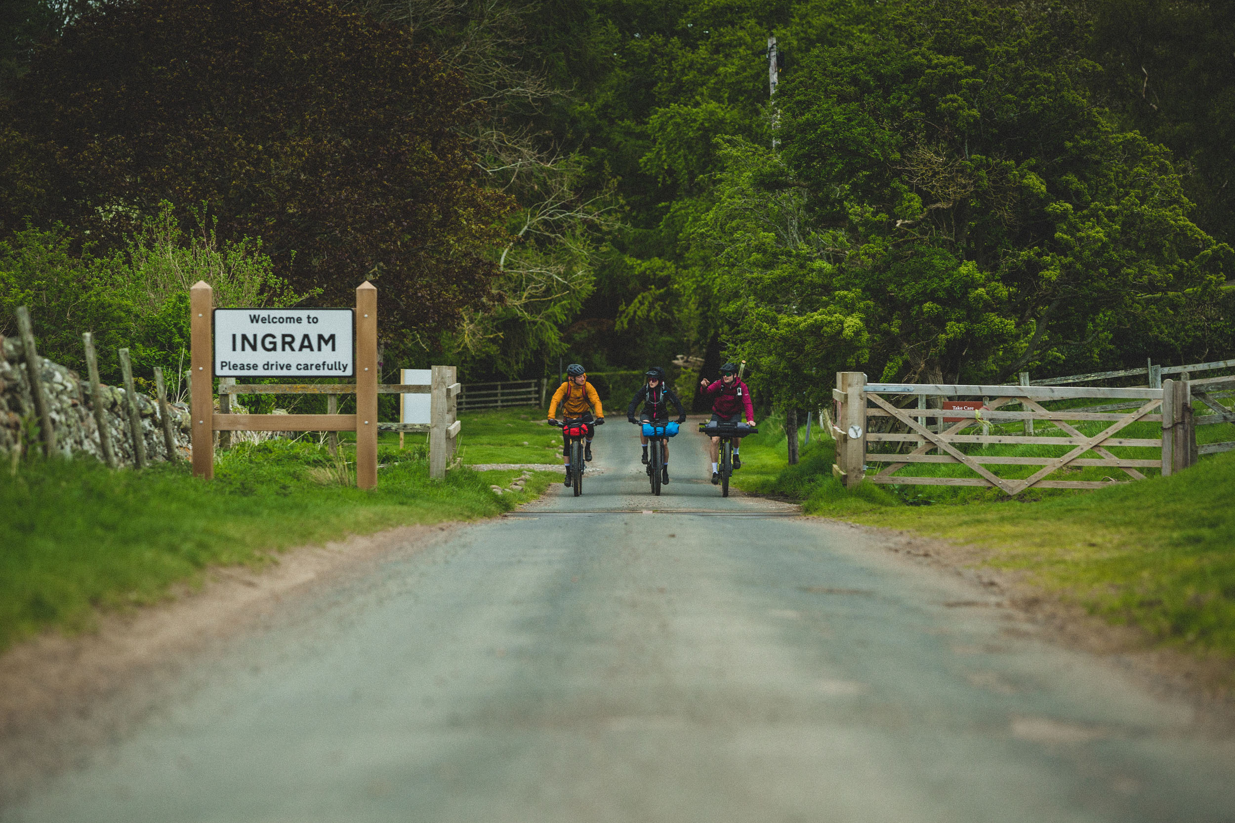
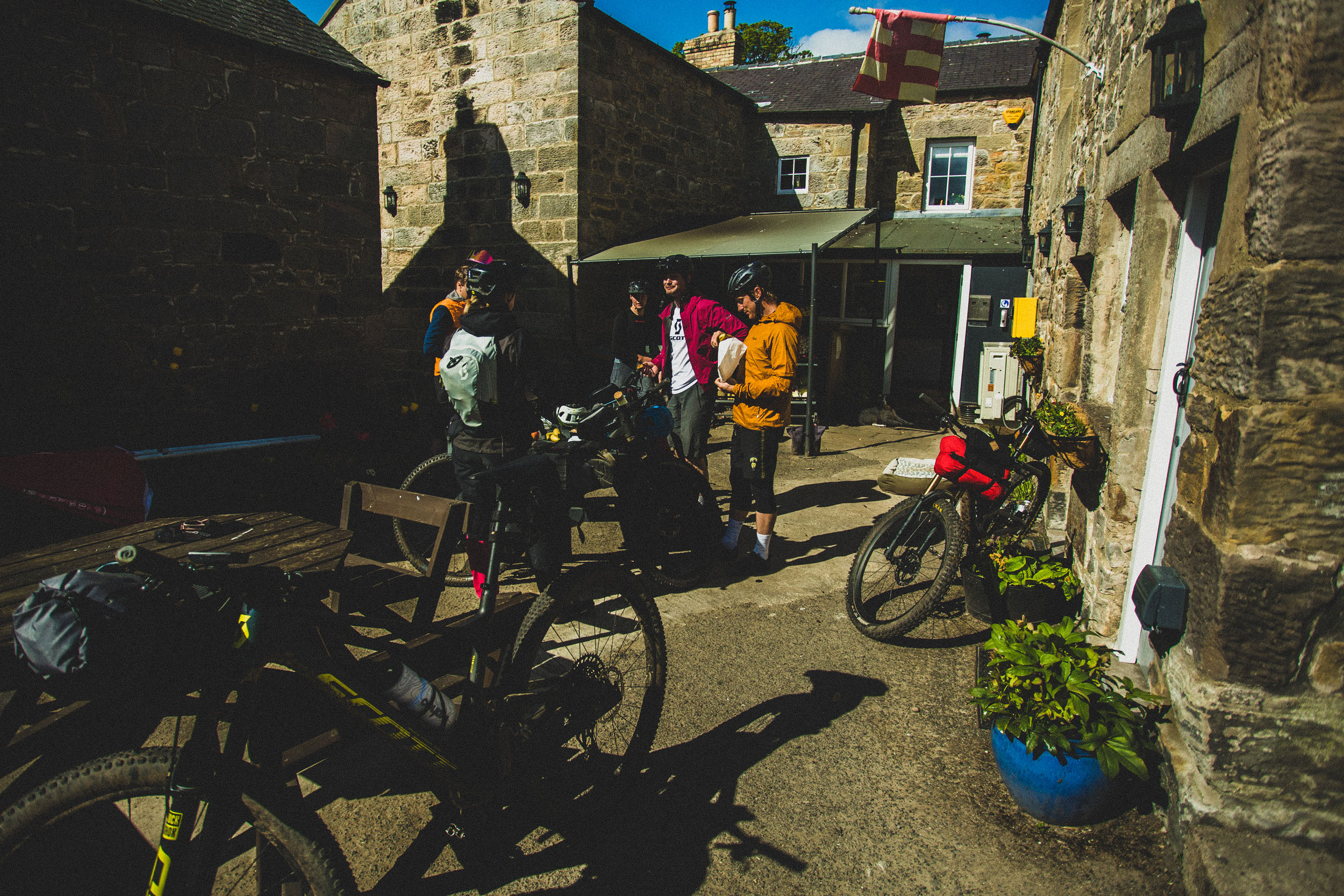
While we rate the technical difficult as a 4, if riding on a gravel bike, the route would be an 8. There are some steep, loose climbs to navigate within the first 50 kilometres, and two hike-a-bikes that are short but strenuous. The route is circular, with ample parking and amenity provisions available in Rothbury. Ingram Cafe offers good resupply opportunities (a 250-metre extension to the route) along with the Rose and Thistle at Alwinton and the Star Inn and Village Shop at Harbottle. Should you run out of water, most of the remote upland farms will respond positively to a polite request for a water refill.
Route Development
The Slymefoot Trail was developed by Tommy Wilkinson, a local rider whose family were based at one of the most remote upland farms in the Coquet Valley for 30 years. The route was designed to combine an opportunity to explore the sparsely populated valleys of Northumberland with a celebration of the area’s relatively modern history (dating back 6,000 years) and rivers.
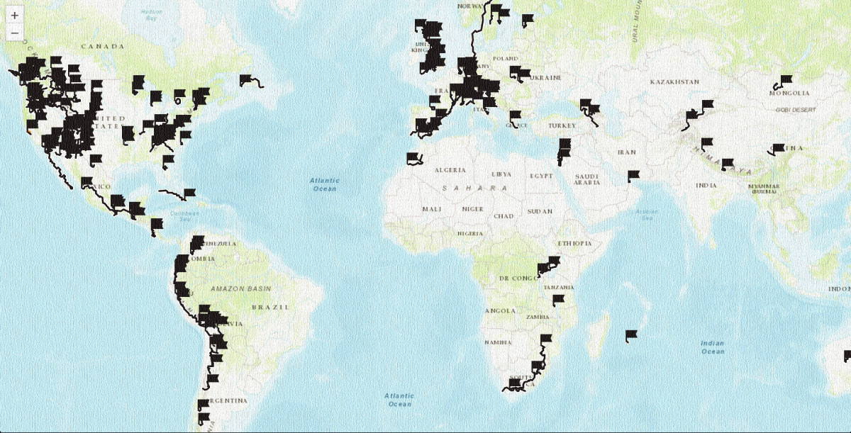
 This route is part of the Local Overnighter Project, which was created to expand our growing list of worldwide bikepacking routes—the first and largest of its kind—and create an independent map and catalog of great bikepacking overnighters, curated by you, from your own backyard. Our goal is to have accessible routes from every town and city in the world. Learn More

















Submit Route Alert
As the leading creator and publisher of bikepacking routes, BIKEPACKING.com endeavors to maintain, improve, and advocate for our growing network of bikepacking routes all over the world. As such, our editorial team, route creators, and Route Stewards serve as mediators for route improvements and opportunities for connectivity, conservation, and community growth around these routes. To facilitate these efforts, we rely on our Bikepacking Collective and the greater bikepacking community to call attention to critical issues and opportunities that are discovered while riding these routes. If you have a vital issue or opportunity regarding this route that pertains to one of the subjects below, please let us know:
Highlights
Must Know
Camping
Food/H2O
Resources
- Carriage Drive leaving Rothbury. Iconic views of the River Coquet and the former industrialist’s carriage drive, built to impress international visitors to his country residence, Cragside.
- The climb leaving Prendwick Farm. It starts to feel wild.
- The climb out of Ewartly Shank. Steep, loose, and worth the reward.
- The descent into Ingram Valley. Goes on, and on.
- Uswayford Forest Gravel. Remote, quiet. The Forest might be an ecological disaster, but the gravel is fine.
- Windy Gyle summit. Views on a clear day are mesmerizing.
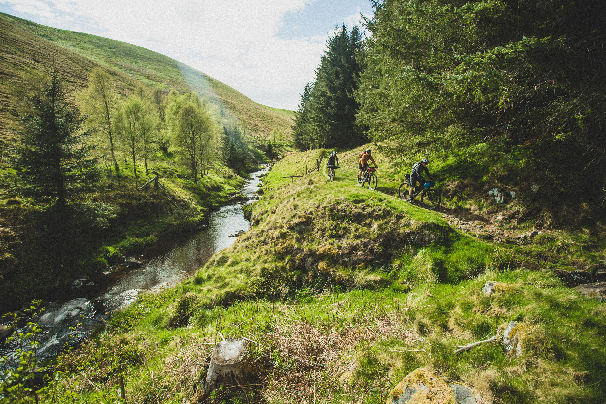
- Fairhaugh to Alwinton. Sublime singletrack following Uswayburn.
- Rose and Thistle Inn Alwinton. Fine hospitality.
- The Hepple Whitefield climb. A changing landscape where natural processes are being allowed to happen
- Simonside to Rothbury. Long, flowing gravel descent. Beware of walkers with dogs—it invites speed but gets busy. Please respect others.
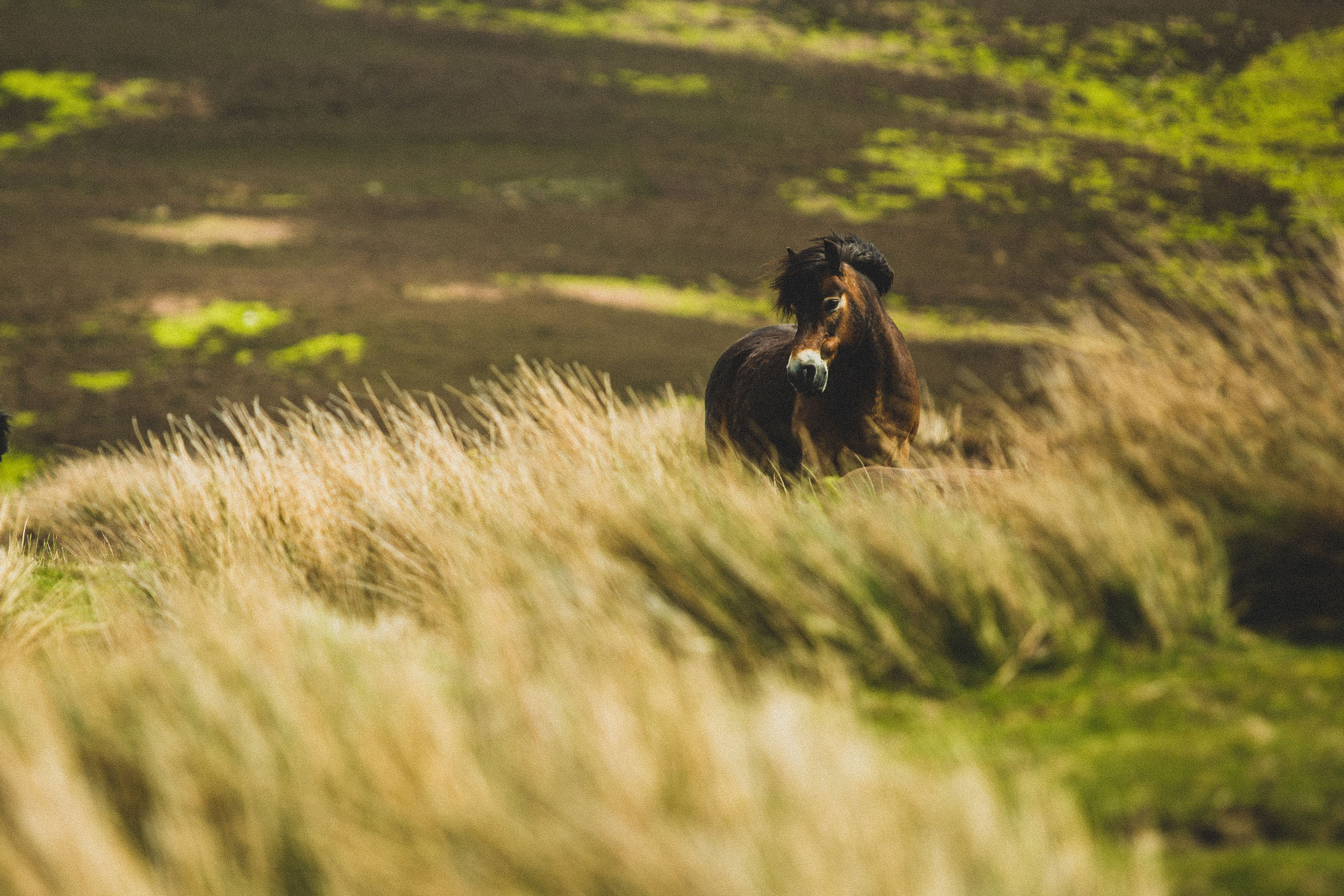
- Bring binoculars to take in the wildlife. Expect curlew, lapwings, otters, goshawks, and eagles.
When to go
- April-June and September-October are the ideal times to ride this route.
- July-August can see the grassy areas and woodland edges become very dense, significantly slowing progress. We are working on some regular maintenance, but the nature of the area is upland farming, not tourism, and this is a low priority for land managers.
- Riding the route in winter is possible but unpredictable. Some are very mild and just wet. However, “normal” winters can be -10°C (+wind chill) on the highest sections of the route and snow is not uncommon on Wyndy Gyle and Ingram Valley. It is doable, but you’d need a great tent and proper winter sleeping bags. Some sections will be very boggy as well. Or do it the luxury way and stay in pubs.
Logistics
- Start and end in Rothbury.
- Parking: there are two council car parks in Rothbury (Beggars Rigg and Cowhaugh). Both are free and allow long-term parking. Read more here. Long-term on-street parking is also free and permissible.
- The closest train station is Morpeth (about 17 miles). It would be possible to ride quiet roads from the train station to Rothbury.
- For strong riders, the route is rideable in its entirety. For most fit, but not super strong riders, there are a couple of hike-a-bikes. These are located at approximately 36 and 50 km.
What bike?
- The route can be ridden on a rigid mountain bike with at least 2.2” tires. A 2.4″ tire is recommended, and a hardtail or full-suspension is ideal. Using a gravel bike will drastically increase the technicality and hike-a-bike.
Dangers & Annoyances
- Phone reception is not guaranteed, and a satellite tracker like an InReach or Spot is worth it for the section between Ingram and Alwinton.
- Watch out for ticks. A tick remover is vital.
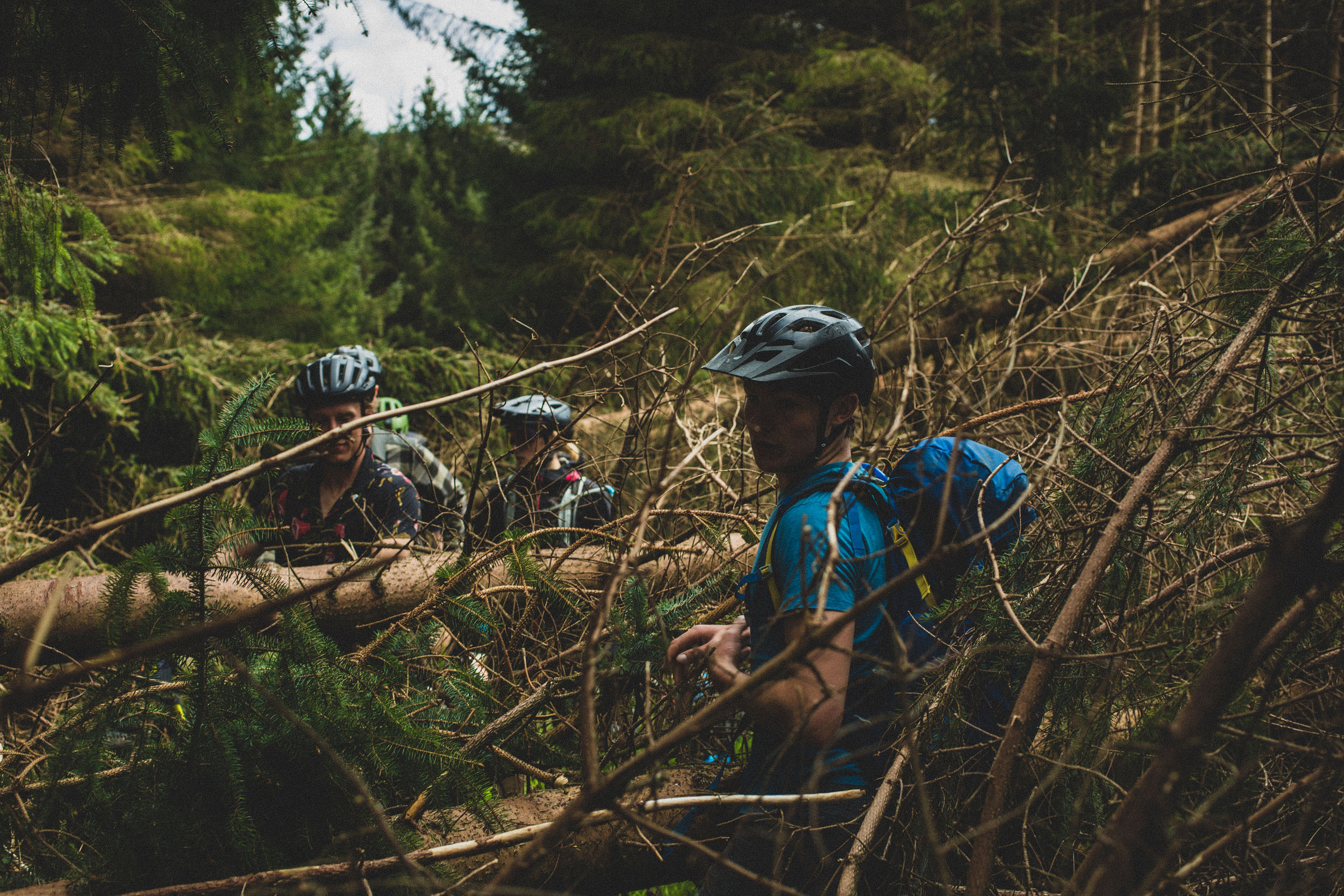
- Uswayford Forest is in a continuous state of change with windblow likely. This is always navigable but requires patience.
- Beware of cattle with calves when descending into Alnham.
- The farmer at Prendwick can have a short fuse. The bridleway runs past his front door, but he prefers users to ride around through the farm steading. Be polite to him, and he’ll happily point out the alternative.
- Ingram Village Hall will take camping bookings. There are no wash facilities and camping mats will be required.
- You cannot legally wild camp in England, although many landowners will tolerate a leave-no-trace camp. However, the summit of Windy Gyle is in Scotland, offers a fantastic view, and is a great place to camp.
- The Rose and Thistle at Alwinton offers rooms.
Below are the best places for food and water fill-ups, as well as locations for filtering water from streams and rivers and a few other locations on the route map.
- Ingram Cafe, Ingram.
- Rose and Thistle, Alwinton
- Star Inn, Harbottle
- Multiple hotels, shops, cafes and pubs in Rothbury
Additional Resources
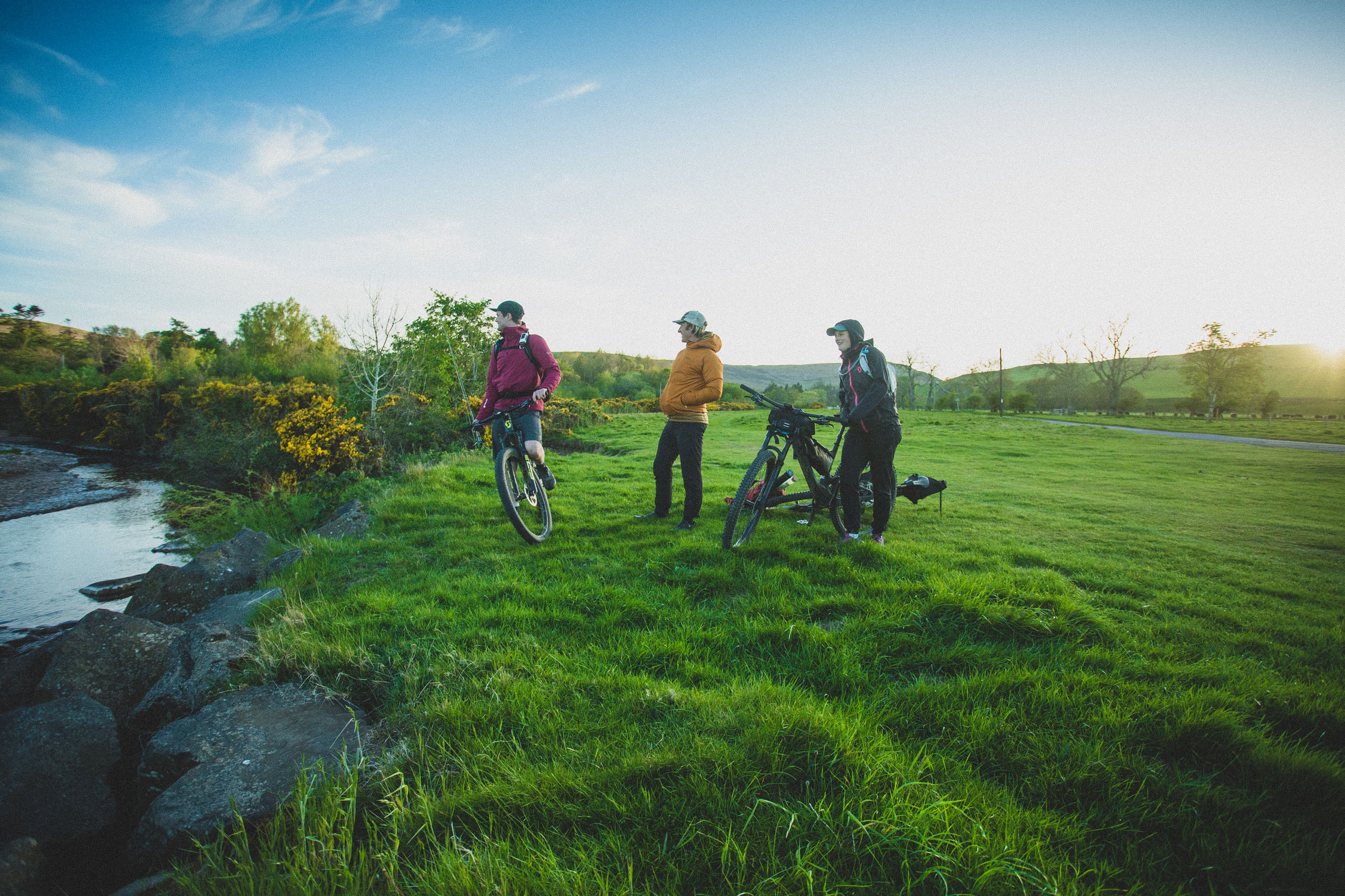
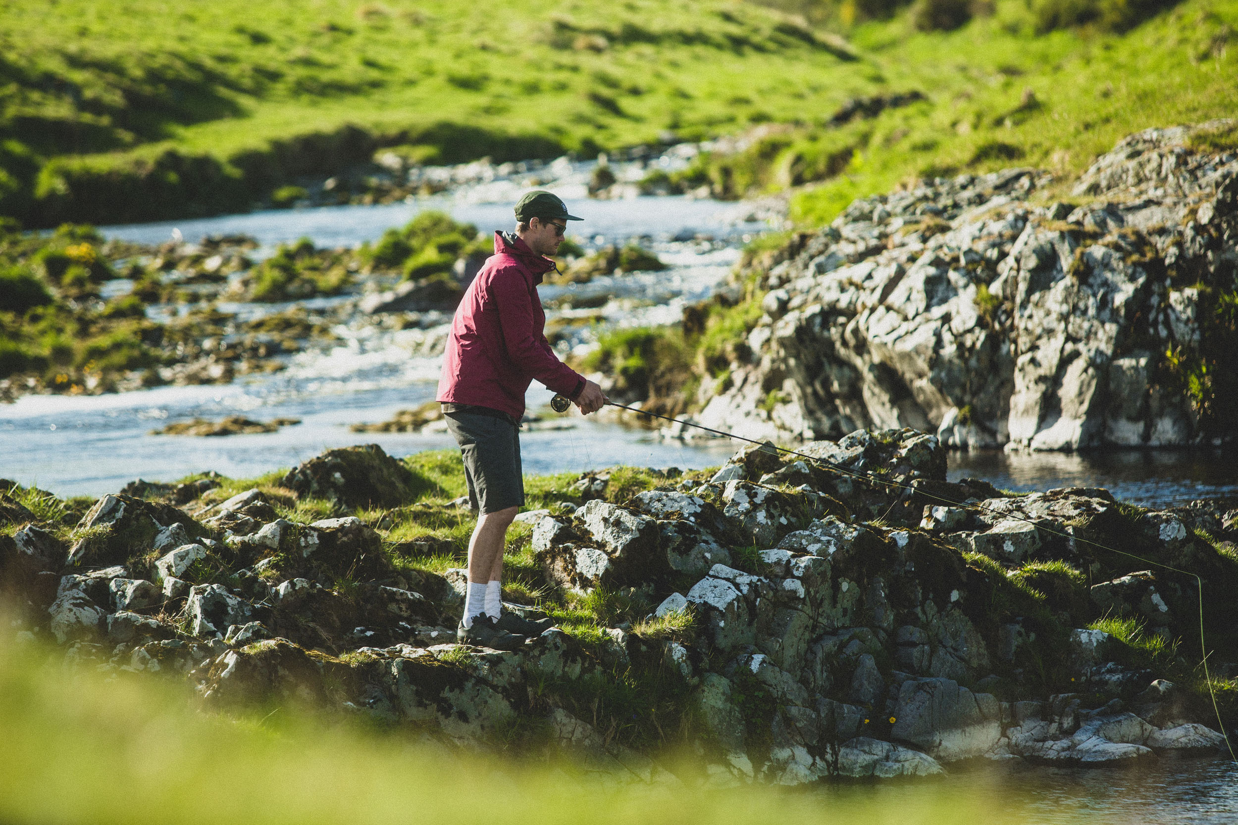
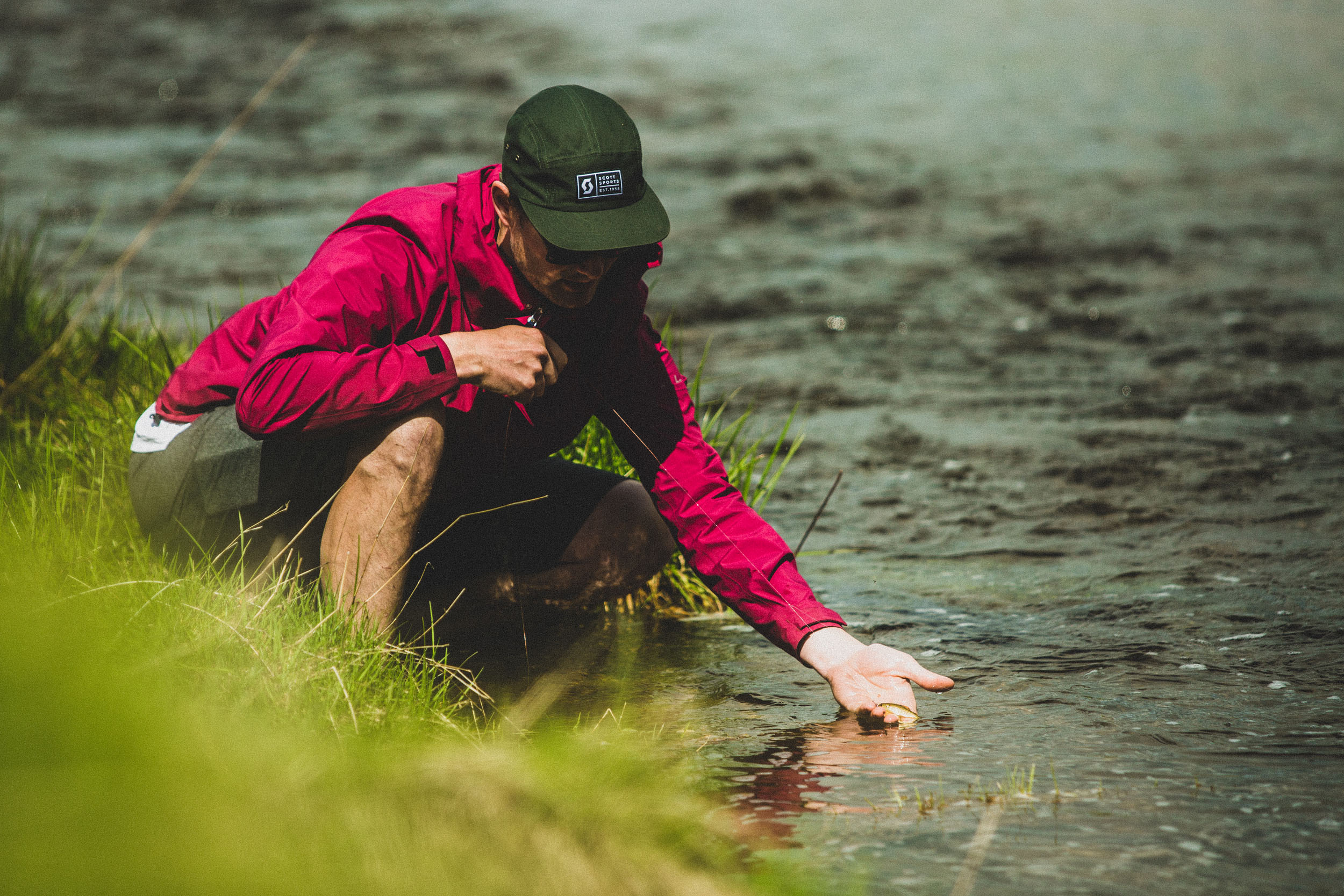
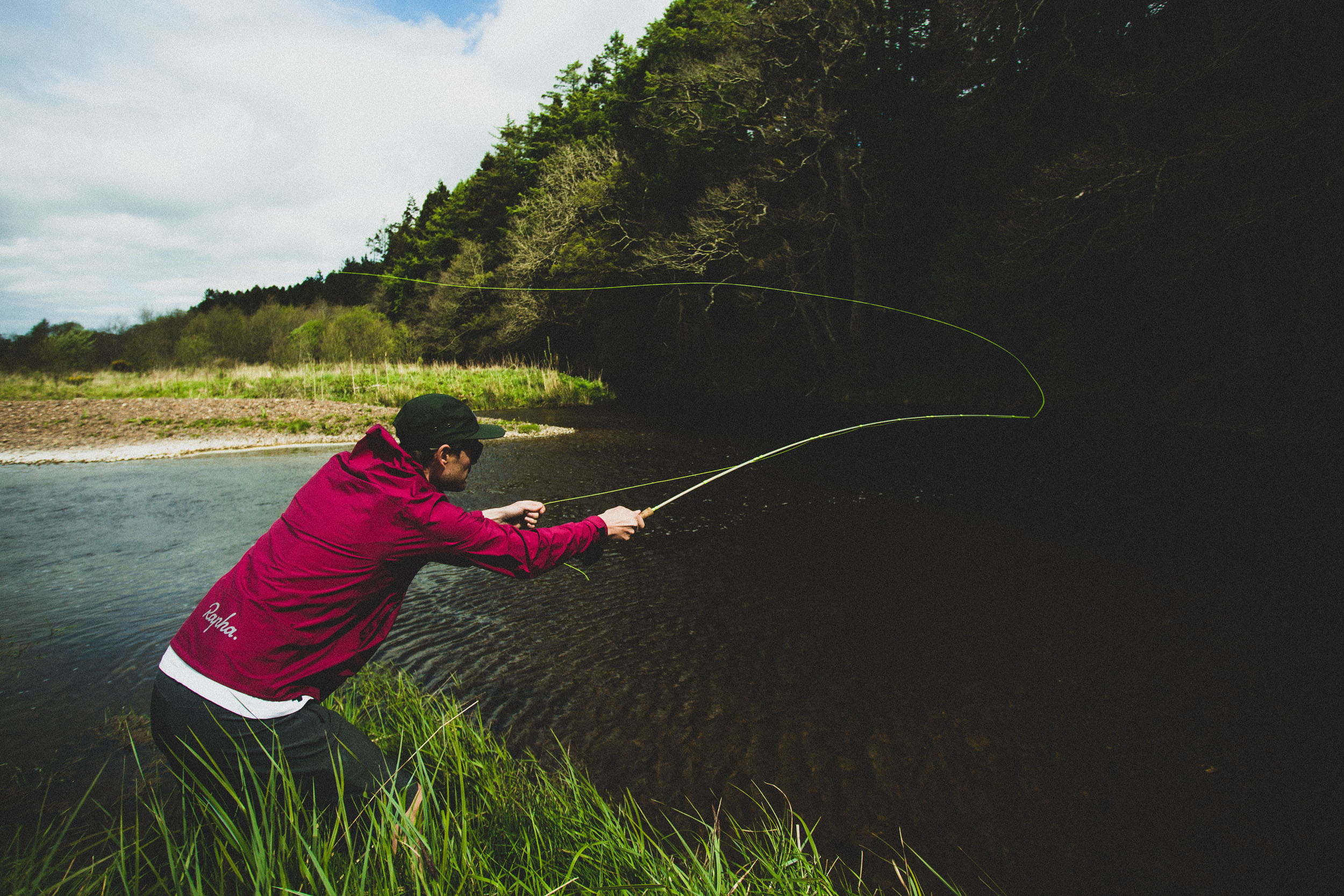
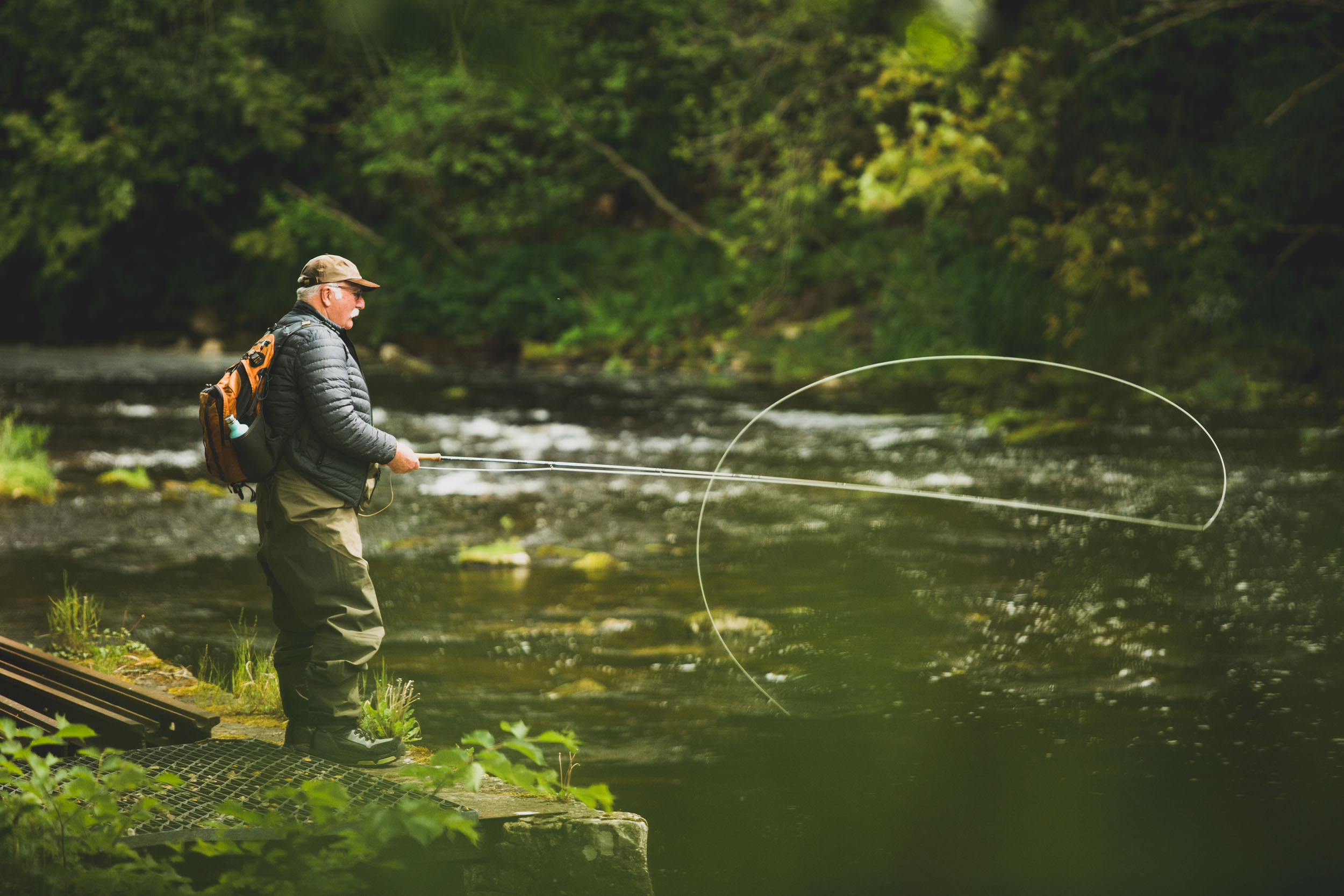
Check out this video showcasing the scenic beauty, riding, and fishing opportunities along the route:


Terms of Use: As with each bikepacking route guide published on BIKEPACKING.com, should you choose to cycle this route, do so at your own risk. Prior to setting out check current local weather, conditions, and land/road closures. While riding, obey all public and private land use restrictions and rules, carry proper safety and navigational equipment, and of course, follow the #leavenotrace guidelines. The information found herein is simply a planning resource to be used as a point of inspiration in conjunction with your own due-diligence. In spite of the fact that this route, associated GPS track (GPX and maps), and all route guidelines were prepared under diligent research by the specified contributor and/or contributors, the accuracy of such and judgement of the author is not guaranteed. BIKEPACKING.com LLC, its partners, associates, and contributors are in no way liable for personal injury, damage to personal property, or any other such situation that might happen to individual riders cycling or following this route.
Further Riding and Reading
Here are some connected/nearby routes and related reports...
Please keep the conversation civil, constructive, and inclusive, or your comment will be removed.