Southern Blues 600 (SB600)
Distance
615 Mi.
(990 KM)Days
10
% Unpaved
66%
% Singletrack
2%
% Rideable (time)
99%
Total Ascent
56,698'
(17,282 M)High Point
7,400'
(2,256 M)Difficulty (1-10)
6?
- 6Climbing Scale Moderate92 FT/MI (17 M/KM)
- 7Technical Difficulty Difficult
- 7Physical Demand Difficult
- 6Resupply & Logistics Moderate
Contributed By

Phil Neumann
Guest Contributor
Phil and his wife Alyssa moved to the Walla Walla area in 2013 after meeting in a parking lot in Central Washington while racing road bikes in the Northwest Collegiate Cycling Conference. The sometimes slow burn of a bicycle addiction reignited into the gravel race scene in 2022, with much inspiration from the local cycling community, tackling big Blue Mountain day rides with 28mm Gravel Kings on his old yellow road bike. These days, an obsession with big dirt road routes leaving from the front door finds Phil dreaming about what’s possible on a bike with bags. You can follow him and his latest pursuits on Instagram at @tributary_to.
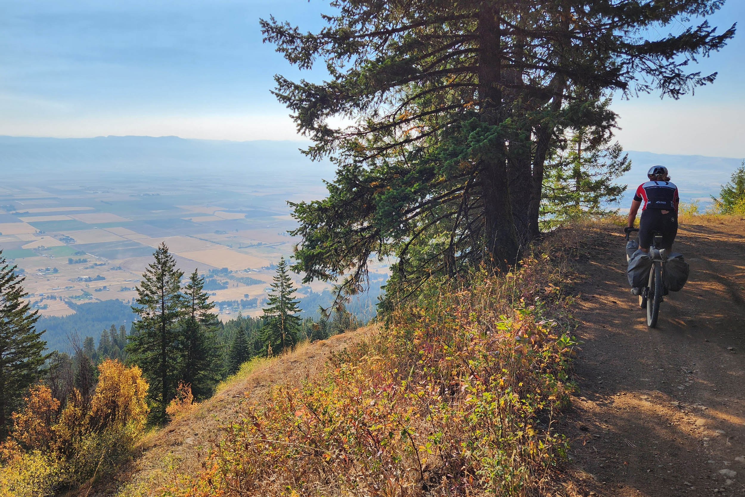
The Southern Blues 600 (SB600) is designed to be a sister route to the Northern Blues & Wallowa Gravel Loop. Expect remote campsites with no cell service, the majority of miles on a unpaved surfaces, a few sleepy, open-range paved roads, and lots of big views. The SB600 passes through the ancestral lands of the Confederated Tribes of the Umatilla (Umatilla, Walla Walla, Cayse) and Warm Springs (Warm Springs, Wasco, Paiute) Indian Reservations. Please be respectful of the landscape, including its past, present, and future inhabitants.
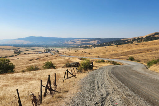
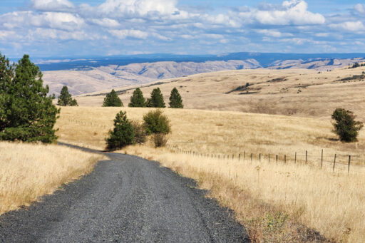
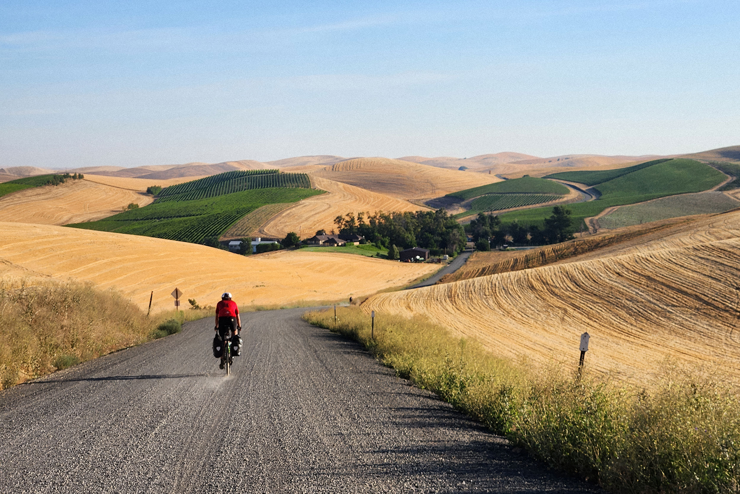
The Southern Blues 600 starts and ends in the bustling Eastern Washington farm and wine town of Walla Walla. From there, riders can enjoy over 615 miles through the southern extent of the Blue Mountains, inclusive of the Elkhorn, Strawberry, and Greenhorn Mountains, racking up some 57,000 feet of climbing along the way. Most of the route remains within the Umatilla and John Day River watersheds, and dips just enough into the Malheur River watershed to pique your interest for future exploration of southeast Oregon’s basin-range landscape.
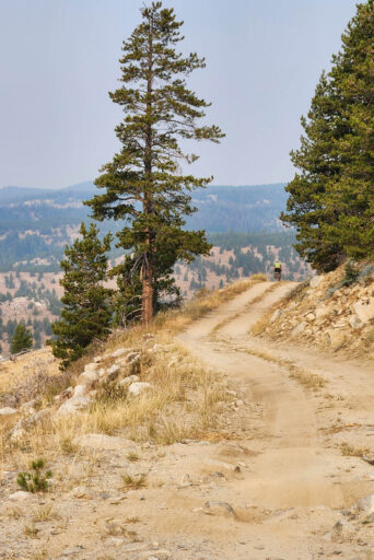
The SB600 starts by running the final stretch of NBWGL in reverse over Mount Emily, then breaks off to the south early on day two at the little city of La Grande. Constant climbing and descending is the overall theme, maximizing time on gravel as you make your way across a labyrinthian network of rugged canyons and ridges. Find a daily summary in highlights and a fully-detailed 10-day itinerary under the Trail Notes tab.
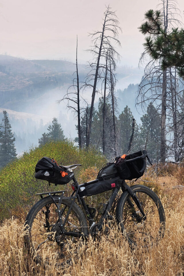
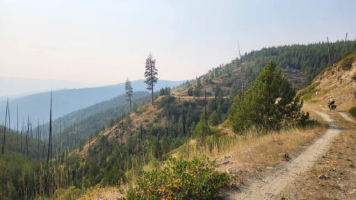
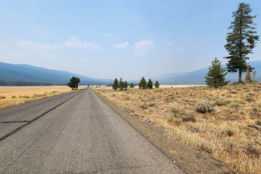
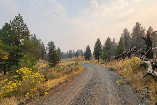
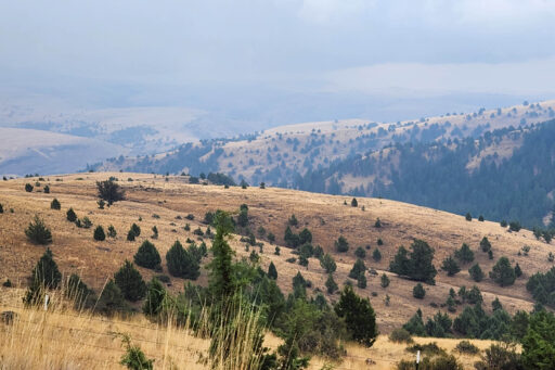
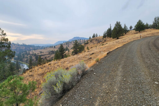
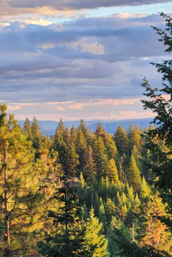
Note that the maiden voyage of this route was heavily socked in with wildfire smoke in some inopportune places, hiding some of the most awe-inspiring long views of these mountain ranges. Check out photos of the Strawberry, Elkhorn, Greenhorn, and Wallowa mountains for a better understanding of what you’ll see on a clear day, or set yourself up for some really pleasant surprises.
More on the Geography
The Blue Mountains are a low yet expansive range that sprawls from Lewiston, Idaho, at its northernmost extent, through the southeast corner of Washington, and on down past Oregon’s John Day River. The Elkhorn, Strawberry, and Greenhorn Mountains are their own unique ranges that sit within the Blues, sporting rugged high peaks over 10,000 ft and a culture steeped in the Oregon Gold Rush.
Geologically, go back about 16 million years or and envision the nearby Wallowa Mountains as home to the world’s largest known volcanic eruption. Most of the region’s widespread basalt formations came from this period in time. And in the time since, the Blues have seen both uplift and erosion that results in the very distinct “dissected plateau” pattern of rugged canyons and flat-top ridges. There were also massive floods around 13-15,000 years ago that broke out from glacial lake Missoula, scoured much of the lower landscape, placed big boulders in odd places, and laid down the layers of soil that make the Inland Northwest such an agricultural powerhouse.

In terms of weather, the Blues are one range east of the Cascade Range, allowing it to catch quite a bit of residual moisture from westerly storms. There are a number of places where you can look out into arid landscapes that receive less than 10” of precipitation per year, from a vantage that gets upward of 45”. June and October are the typical transition months where snow leaves and returns to the mountains, making July-September as prime time to ride this route.
Geology and climate come together across the SB600 and NBWGL routes to form an incredibly diverse assortment of ecosystems. One particularly fascinating phenomenon you’ll become well accustomed to is the grass-tree mosaic, where adjacent and alternating slopes with relative north and south aspects harbor entirely different plant communities. A semi-arid shortgrass prairie can be 10 feet away from a stand of old growth Douglas Fir resembling a scene out of the Pacific coastal rainforest. It’s also worth noting that the Blue Mountains serve as the southernmost extent of certain ecosystems that are typically seen much further north in Canada, making for some surprising flora and fauna identification opportunities for those into that kind of thing.
People are the other obvious highlight of this trip. You will be traveling through landscapes with a deep Indigenous heritage and active farming, ranching, fishing, logging, and mining economies. You’ll have plenty of time where things start to feel lonely, but with an open mind and friendly demeanor, you’ll meet some of the most fascinating people you’ve crossed paths with.
Route Difficulty
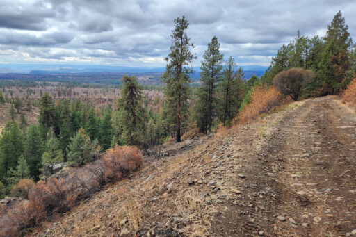
In terms of technical difficulty, this route is a sneaky one. It has a mix of terrain that spans smooth pavement to rough ATV trails and singletrack, and everything in between. It’s fairly straightforward and nontechnical, overall, but the tenacity of some of the roughest sections means you’ll lose a lot of time if your bike handling skills aren’t sharp. When combined with extreme fatigue, which is likely, the rider needs to stay vigilant to avoid incidents.
You will likely end up at over 630 miles with 57,000+ feet of climbing, which if ridden in 10 days, makes it an average of 63 miles and 5,700 feet of climbing each day. That in and of itself is challenging. The heat can also be very intense. Be prepared for building up to a big finale on Days nine and 10, including the most rugged and sun-exposed terrain on route. Come with a good bit of training under your belt and a bike that fits like a glove.
If you stick to the rhythm of the route and pay attention to the notes on water and food carries in Trail Notes, you’ll find this to be a pretty predictable route. There is potential to fall out of rhythm through mechanicals or injury, for example, and that could put you in a situation where you run out of food and/or water in a challenging spot. Major incidents along many stretches of the route would require an air lift out. Since there is no cell service for much of the route, you’ll need to be prepared with a GPS tracker/beacon.
Route Development: This route was designed by Phil Neumann of Walla Walla, WA, as part of an ongoing campaign to map big bike rides from his front door. It was first ridden from September 4-13, 2024—the first half along with Phil’s first cycling buddy in Colorado, Beau Savage, and the second half solo. Big thanks are owed to Phil’s wife and cycling companion Alyssa Martinez Neumann, along with Beau’s partner Kelli Arbogast, for supporting another big trip and joining us for several nights of camping along the way. Additional thanks to Walla Walla bikepacking enthusiasts (and riders on the 2023 maiden voyage of NBWGL) for general support and great intel on the portion of the trip that runs through the Elkhorn and Greenhorn ranges.
Submit Route Alert
As the leading creator and publisher of bikepacking routes, BIKEPACKING.com endeavors to maintain, improve, and advocate for our growing network of bikepacking routes all over the world. As such, our editorial team, route creators, and Route Stewards serve as mediators for route improvements and opportunities for connectivity, conservation, and community growth around these routes. To facilitate these efforts, we rely on our Bikepacking Collective and the greater bikepacking community to call attention to critical issues and opportunities that are discovered while riding these routes. If you have a vital issue or opportunity regarding this route that pertains to one of the subjects below, please let us know:
Highlights
Must Know
Camping
Food/H2O
Trail Notes
Resources
Campsites, dining, resupply options, and some daily bonuses can all be found in detail in the Trail Notes section. Here are a few culturally-significant stops to keep in mind, followed by a brief summary of the route overview by day, with much more detail in Trail Notes:
- Tamastslikt Cultural Institute (Mission, OR, pre/post route): Want to learn more about the cultural history of the northern portion of this route, going all the way back to time immemorial? Pay a visit to this exemplary learning center built and operated by the Confederated Tribes of the Umatilla Indian Reservation. More at: tamastslikt.org
- The Museum at Warm Springs (Warm Springs, OR, pre/post route): The southern portion of this route goes into the ancestral lands of the Wasco, Warm Springs, and Paiute Tribes. Folks passing through Central Oregon on the way to/from Walla Walla should consider a stop here to learn more about their heritage. More at: museum.warmsprings-nsn.gov
- Kam Wah Chung Museum & Interpretive Center (John Day, OR): Interested in learning more about the extensive and often overlooked Chinese heritage of Eastern Oregon? How about why little old John Day is host to the largest intact collection of Chinese medicine and formulas in the world? More at friendsofkamwahchung.com
- Day 1: Start off with a huge climb up and out of Walla Walla and experience one of the best ridge rides in the Blues on Mount Emily. Pick some huckleberries for dessert.
- Day 2: After a stunning descent into the Grande Ronde Valley at La Grande, get up close and personal with the Elkhorn range on the way to Anthony Lake, with views across the Baker Valley to the Wallowa range. Dinner at the Starbottle Saloon.
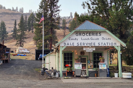
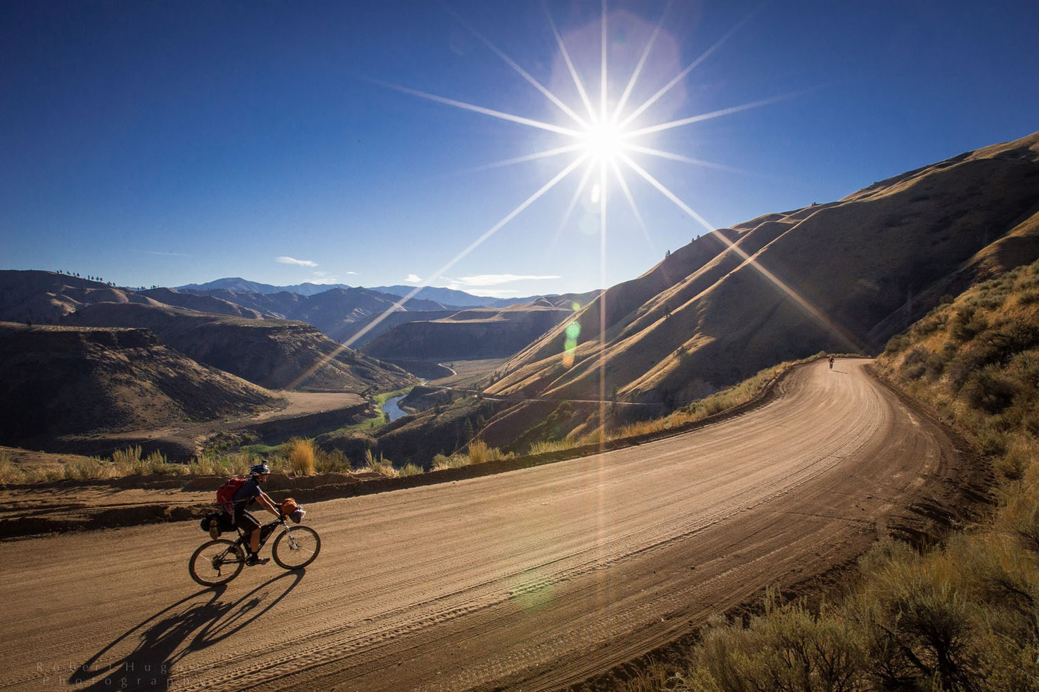
- Day 3: Enjoy a morning of cruising down crushed granite alpine roads, over 9,000 feet of descending throughout the day, an introduction to the North Fork John Day River’s canyon, and a visit to a historic mercantile in Dale.
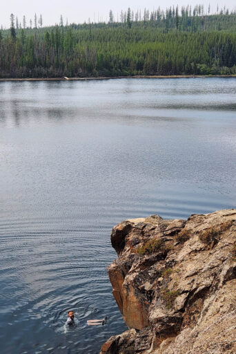
- Day 4: Climb up to lunch and a swim at Olive Lake, head around the Greenhorn Mountains, and drop into the Middle Fork John Day River. Dinner at Austin House.
- Day 5: Pop over a ridge with views back to the Greenhorns and drop down to the mainstem of the John Day River at Prairie City. Enjoy the town, then climb up around the eastern flank of the Strawberry range to the North Fork Malheur River.
- Day 6: Ride around the south end of the Strawberry range and experience another one of the best ridge rides in the Blues on Starr Ridge. Enjoy stunning, lesser-seen views of the Strawberries.
- Day 7: Resupply and do some Western townie stuff in John Day, then make your way up to a lakeside camp at Magone Lake.
- Day 8: Cruise down into lower elevation canyon country with a stop for brunch at Long Creek, and an afternoon of crossing the Middle Fork John Day River on the way to the North Fork.
- Day 9: After a very gnarly climb out of the North Fork John Day River, cuss the route designer and make your way over to Ukiah to recover. The next climb and ridge over to Indian Lake pairs well with a sunset and a good night ride.
- Day 10: One last big day to savor. Enjoy a meal in Meacham before heading down to the Umatilla River, then traversing back to Walla Walla through foothills wheat fields.
When to go
- The SB600 spends lies mostly between 2500 and 7300 feet of elevation. Season wise, the most moderate riding conditions being shortly after the snow clears at 7300, usually by early July. Keep an eye on the NOAA snow depth maps for real-time info.
- The route will still likely have snow at higher elevations through June. July in most years will be the sweet spot for summertime riding with abundant water and warmer weather, but not too warm. If you like it hot, By August, the combination of less water on the landscape and likelihood of temps over 100F can turn this route into more of a spiritual experience. Add heavy smoke and it could put a serious damper on your trip. You could also luck out in August and have relatively cool, clear weather. September will bring the year’s driest conditions, but the temps are likely to be all-around enjoyable again. Soaking rains and higher elevation snowfall usually return to the region by mid-to-late October.
- Keep in mind that elevation will be your friend on hot days. Plan on early mornings to beat the heat at lower elevations and enjoy relatively cool, shady, breezy weather up high during the afternoons.
Logistics
- Walla Walla is a little city with a ton of amenities and charm, with an airport for quick connections to Seattle, and the airport offers two weeks of free parking. There are also multiple bike shops in town that support a very active and friendly cycling community. Don’t be afraid to ask the locals what the mountains are doing.
- For those looking to reduce their environmental footprint, there’s an Amtrak Station in Pasco, Washington, and a bus line (Grape Line) that offers several daily connections between Pasco and Walla Walla.
Dangers and Annoyances
- Don’t be fooled by proximity to a number of small cities and towns. This ride is very remote and there will be entire days where you may not see another person, especially outside of hunting season. Camps 2-9 have no cell service and most of Days 3-5 will be without it as well. This altogether makes a GPS tracker (and experience operating it) an absolute must-have.
- Good lights are also mandatory. Especially for those riding this route in the fall, you may find yourself benefiting from an hour or two of night in the morning or evening to keep up with the route’s longer days like Days 1, 9, and 10.
- The summertime weather is typically pretty docile, but violent storms do blow in on occasion. Lightning and tornadoes and all. Still, the combo of heat, wildfire/smoke, and extreme drought conditions will be your biggest multi-day threats to an enjoyable trip.
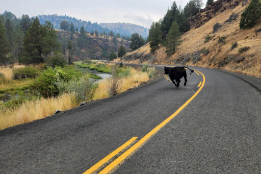
- There are wolves, mountain lions, bears (not grizzlies), and a wide range of other wildlife that should not give you any trouble, as long as you leave them alone and don’t be careless with your food. Little to no poison ivy/oak and relatively few biting insects is a tremendous plus for this area, though yellowjackets and hornets can get pretty intense when water and food is in short supply.
What bike?
- This is a rigid-friendly route and plenty doable on a sturdy gravel bike.
- 50mm would be the absolute smallest tire to consider. Consider a tarmac-friendly 2.1-2.35” as the sweet spot for maintaining speed without beating yourself up too much in the rough sections. They do get rather rough.
- Your low gear should be somewhere in the 1:1.4 ballpark and you won’t regret sacrificing some high-end to get it there. 57,000-ish feet is a lot of climbing to grind your way through with a loaded down bike.
- Eight out of nine campsites include some form of cool, flowing water, nearby. Camp 6 is one possible exception and outlined in Trail Notes.
- You will have the option to camp at developed National Forest campgrounds or nearby dispersed campsites along the way, all marked on the map. The only nights without a campground option are Camps 1 and 8.
- It should be possible to set up a hammock at any of the camps.
- Expect near-daily resupply and dining options at charming small towns along the route, with exceptions marked in Trail Notes and keeping in mind that some of these towns only have one business.
- Most nights offer abundant water at or near camp and you will find yourself crossing spring, creeks, and rivers periodically. Even in the driest months of August and September, a good filter and 3.5L of primary storage is sufficient.
- Particularly handy water sources are noted on the map.
- When packing, leave yourself enough flexible storage to be able to load up on food up to two full days, and an extra two liters of water to allow for one or two potential dry camps with great views.
- Fans of foraging will not be disappointed by the abundance of wild dining options. Morels and huckleberries are present throughout much of the elevation profile starting in June and trending upward as the season progresses. The abundance of huckleberries in particular above 5,000 feet in August is a sight to be seen, so be prepared to incorporate some into your trailside or camp diet.
The following itinerary is based on 10 straight days of riding and is highly recommended if you have the time. If you’re looking to trim that down, you’ll notice there are several obvious places to connect the south and north legs of the trip and head back to Walla Walla sooner.
location Walla Walla to Mount Emily
Day 1 (62.9 mi, 8,605 ft)
- Ride: The route starts off with a huge climb and the majority of the day’s vertical on the ride up to Tollgate. Have a stop on Tollgate to refuel and tank up on water. From there, log a few highway miles to get over to the Summit Road, and ride the summit Road all the way to Mount Emily.
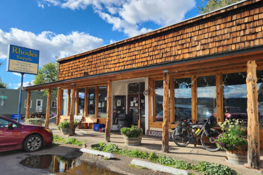
- Food/Resupply: Tollgate Crossing in Tollgate, Oregon. A charming restaurant and mercantile with pretty generous open hours.
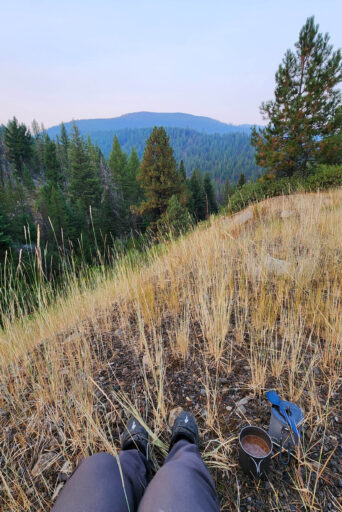
- Camp 1: Water for the evening is at Crystal Spring. There are some forested camping options around and below the spring, and several dispersed campsites near the comms towers at the top of the mountain. You can also wash up, water up, and backtrack north along the route for one or two miles to get to a number of dry dispersed camps with unforgettable views (check them out on your way up).
- Bonus: If it’s August or September, go feast on huckleberries once at camp!
location Mount Emily to Anthony Lake
Day 2 (51.9 mi, 6,423 ft)
- Ride: The gravel descent off of Mount Emily will take you almost all the way into La Grande without pedaling, with some amazing views. After a stop or two in town, you’ll hop right onto a steep gravel climb on Glass Hill Road and stair step your way all the way to camp with relatively little descending.
- Food/Resupply: Your only significant town for a few more days will be La Grande, OR, so be sure to eat and resupply accordingly. Most early-trip bike issues can be sorted out with Sean at Eastern Wheelworks. During the summer months, you may be able to grab a nice patio dinner and drinks at the Starbottle Saloon @ Anthony Lakes.
- Camp 2: Anthony Lake Campground has lake access, a ton of great campsites, and potable water.
- Bonus: If you’re into expansive singletrack networks, consider doing some research on the MERA trail network and explore some of it on your 3,300-foot descent off of Mount Emily.
location Anthony Lake to Desolation Creek
Day 3 (58.9 mi, 4,130 ft)
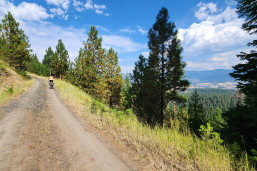
- Ride: The route stays relatively high to start, bumbling along crushed granite roads through alpine meadows with big views. After your first big descent and subsequent climb on your usual speedy Forest Service roads, the route hops onto an ATV trail that will make mountain bikers very happy and roadies probably a bit grumpy. It’s a silly good time though. Get 10 or so paved miles in before hopping back on gravel to the Oriental Creek descent, which you’ll find as stunning as it is steep and rough. Enjoy a rolling descent down the North Fork John Day River to camp. 9,000+ feet of descending today in total.
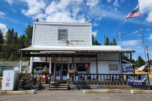
- Food/Resupply: Dale Store @ Dale, OR will be your only option, though hours are very limited to be sure to call ahead.
- Camp 3: There are a number of dispersed campsites that you will pass along the North Fork John Day River, and the Tollbridge Campground is another great option at the mouth of Desolation Creek. Oriental Campground is a very tempting option, but will add significant mileage to the next day.
location Desolation Creek to Middle Fork John Day River
Day 4 (69.1 mi, 6,870 ft)
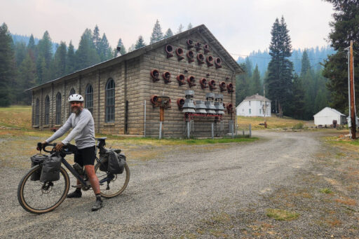
- Ride: The ride from camp to Olive Lake is a pretty steady climb up Desolation Creek. There is a more exciting option north of this road that takes you above the creek and onto more minor gravel roads, but it adds a few miles and 1,200+ feet of climbing. Either way, enjoy a swim and some lunch at Olive Lake. A ripping descent takes you down to the Fremont Powerhouse which once used water from Olive Lake to generate power for the local mining industry. The next climb takes you up through old mining country to your last big descent of the day, which goes from great to atrociously rough, then a mostly downhill cruise on pavement.
- Food/Resupply: Austin House @ Austin, OR is a fantastic option for dinner, with a relatively short, downhill ride to camp.
- Camp 4: Middle Fork (John Day) Campground is your official target for the night. Right before arriving, keep an eye out for several riverside dispersed sites and see if they’re calling your name.
- Bonus: At Olive Lake, follow the lake loop singletrack around the southwest side of the lake until you get to a ~15-foot high rock that you can jump off. Along the way, you’ll pass the creek that feeds the lake, which is a great place to filter some water.
location Middle Fork John Day River to North Fork Malheur River
Day 5 (58.1 mi, 5,083 ft)
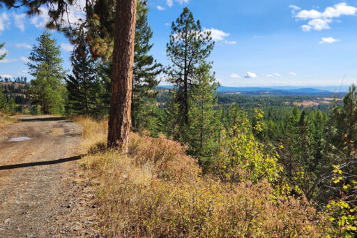
- Ride: Views abound as you take the scenic gravel climb out of the Middle Fork’s canyon and over to Prairie City. Towards the bottom of that descent, you’ll find yourself transitioning from deep woods to semi-arid prairie in a matter of two minutes. The road will be paved for most of the rest of the day to camp, including your stop in town.
- Food/Resupply: Prairie City, Oregon, is a small town with dining and grocery store options. Oxbow has good pizza. There’s also a cute coworking spot if you’re chomping at the bit for internet.
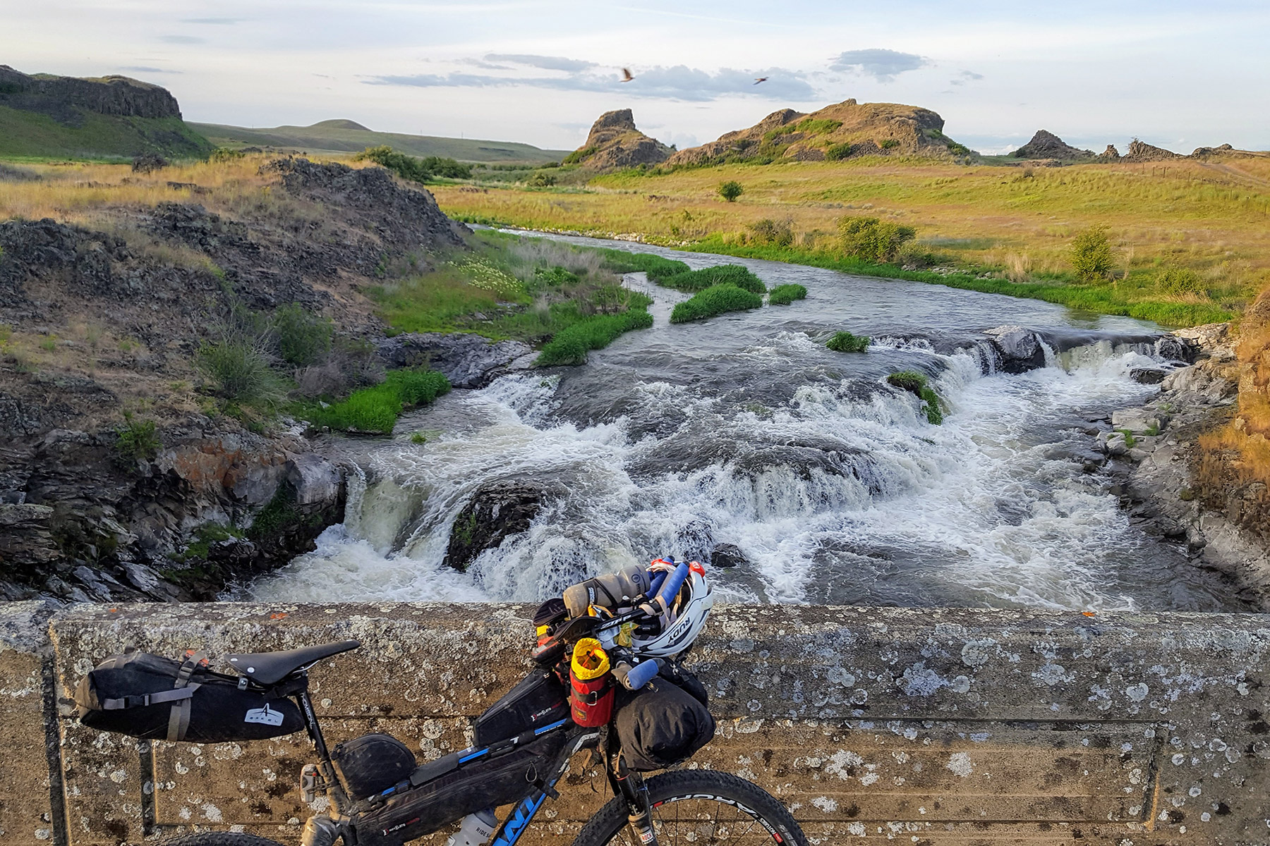
- Camp 5: North Fork Malheur Campground can be a bit of an RV fest, especially during hunting season. The preferred option is one of many supremely beautiful dispersed camps along the river, once you get off NF-16 on the way to the campground. There’s a particularly nice spot just after the one lane bridge on the right.
location North Fork Malheur River to Starr Ridge
Day 6 (51 mi, 5,570 ft)
- Ride: Today’s ride takes you through the halfway point of the route and around the south end of the Strawberry Mountains. If you’re looking to shave off some time, consider hopping back on the NF-16 road and taking it past Big Creek to FS-15. Either way, you’ll end up on FS-3925 / Starr Ridge road, which is a major highlight of this route due to its flowy nature and unique vantage of the Strawberries. Crossing 395 takes you to the Starr Ridge Campground, then one last ridgetop climb before the route’s descent into Canyon City and John Day.
- Food/Resupply: There are no towns or stores along this segment. Water-wise, if you’re riding in the August-September timeframe, expect bone dry conditions once you get on the Starr Ridge road, with Big Creek being a safe bet for tanking up.
- Camp 6: Those seeking comfort can head down into Canyon City or John Day for a more civilized night’s sleep mid-route. If you’re feeling too feral, consider a night up on Starr Ridge. Starr Ridge Campground on Hwy 395 is really nice, but you can also find plenty of dispersed camping with stunning views of the Strawberry Mountains. If you’re early enough in the summer, you may be able to find a water source at the campground or within a few miles further along the route, but if it’s seeming dry, fill a couple extra liters from Big Creek to get through the night.
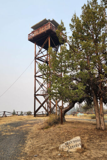
- Bonus: Starr Ridge has 2 fire lookouts. Dry Soda Lookout is right on the route and is staffed during the summer months, so you can ask the watchperson nicely to invite you up for an even better view of the Strawberries. Fall Mountain Lookout is actually rentable as a USFS cabin, but you’ll need to book it way in advance.
location Starr Ridge to Magone Lake
Day 7 (42.8 mi, 3,550 ft)
- Ride: Between lower mileage and ascent and more paved miles, this is the closest you’ll get to a recovery day on this route. Dropping down into Canyon City brings you back to highway 395 for a bit and you will be on pavement for most of the rest of the day. After John Day, head out of town for a short cruise up Hwy 26. While FS-18 is also paved, it’s a very sleepy road that makes for a very efficient and enjoyable climb up to camp.
- Food/Resupply: Ride downhill from Starr Ridge into Canyon City, OR and John Day, OR, where you’ll find plenty of options for dining and a proper supermarket.
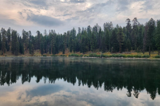
- Camp 7: Magone Lake (pronounced “muh-goon” by locals) is a natural lake, which is somewhat rare for this area. It has about half a dozen tent campsites right by the lakeshore and abundant potable water.
- Bonus: John Day sports a genuine Old West vibe, so definitely get off route and take it in a bit. Also, you won’t be disappointed by scheduling a tour at the Kam Wah Chung museum.
location Magone Lake to North Fork John Day River
Day 8 (58.1 mi, 3,850 ft)
- Ride: The ride from Magone Lake to Long Creek will take you down out of the forest and into an expansive Wild West ranchland landscape. After lunch, you’ll make your way down to the Middle Fork John Day River and then take a lonely gravel pass road over to the North Fork. While the old Ritter Road looks like sooooo much fun as a gravel route down to the Middle Fork at Ritter, it has unfortunately been decommissioned and so you have to take the highway, which is fortunately still very scenic and relatively quiet.
- Food/Resupply: Long Creek, OR has a very pleasant restaurant and mercantile, but that’s about it, so be sure to call ahead to make sure they’ll be open.
- Camp 8: Camp on the North Fork John Day River is a set of dispersed sites right on the river, on the left past the bridge at the bottom of the descent, and is frequented by boaters and fishermen.
- Bonus: While closed at the time of publication, riders can keep an eye out for the reopening of Ritter Hot Springs sometime in the future.
location North Fork John Day River to Indian Lake
Day 9 (80.4 mi, 7,965 ft)
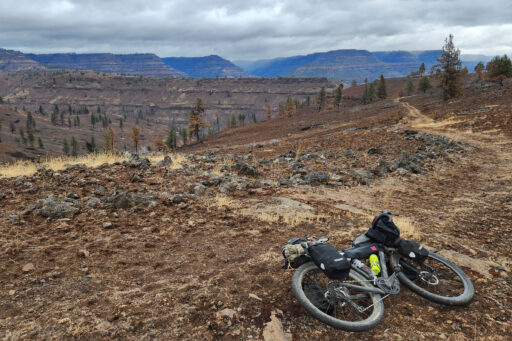
- Ride: Get up early because this is by far the hardest day of the trip. It starts off with a 15-mile, 2,500-foot climb out of the North Fork John Day River, which takes you through a massive 2024 burn area on old two-track roads and may involve a significant amount of hike-a-bike. Persevere! Once up top, the roads open up to seemingly endless rollers, which depending on the mud factor can also be quite the slog, but that all ultimately leads to a super fast, paved descent right into Ukiah. You will leave Ukiah on a gravel road that climbs up onto a forested ridge rather quickly, then ride that ridge to the descent to Indian Lake.
- Food/Resupply: Ukiah, Oregon, has a restaurant and a pretty well stocked mercantile / liquor store.
- Camp 9: Indian Lake Campground has a ton of nice spots to pitch a tent along the lakeshore. The lake itself is actually a reservoir, tucked into a very secluded forest setting, and the whole thing is managed by the Confederated Tribes of the Umatilla Indian Reservation.
- Bonus: Every bikepacking trip needs a good excuse to use your lights, right? Rather than driving a pace that breaks you today, take your time. The climb outside Ukiah turns out to be a fantastic place to experience a sunset and the ridge that follows makes for a smooth couple of hours in the dark.
location Indian Lake to Walla Walla
Day 10 (82.3 mi, 5,326 ft)
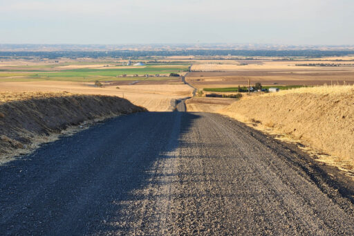
- Ride: The final day and such a treat. The first leg takes from camp to Meacham Pass, where you’ll have a nice meal then spend some time riding buttery smooth pavement parallel to I-84 on the old Oregon Trail. Once you get to the Deadman Pass rest area, you’ll hop on a gravel county road that plummets down a scenic ridge through the Umatilla Indian Reservation. Be VERY respectful, pick up some trash if you see it, and don’t venture off of the road. Once down at the Umatilla River, you’ll climb up and over a foothills saddle and into the Walla Walla River watershed at Weston. Two more scenic gravel climbs will bring you to the final descent back into Walla Walla.
- Food/Resupply: Be sure to enjoy a meal at Oregon Trail Mercantile & Deli in Meacham. Weston also has a restaurant (Long Branch Saloon) and a friendly little convenience store (Suzi’s Market).
- Camp 10: If you’re not yet ready to return to Walla Walla and re-enter civilization, consider heading up the South Fork Walla Walla River, spending the night at Harris Park, and rolling into Walla Walla the next morning.
- Bonus: YOU DID IT! INCREDIBLE!
Additional Resources
- Blue Mountain Land Trust: Local conservation nonprofit focused on preserving wildlands and agricultural lands in the Blue Mountain Region. Consider a donation as a thank you for their important work along this route.
- Visit Walla Walla: Walla Walla’s biggest advocate for why you should visit Walla Walla.
- Outside Walla Walla: A source of inspiration for outdoor activities focused on the Walla Walla area and Blue Mountains.
- Allegro Cyclery: Walla Walla’s bike shop specializing in gravel and bikepacking.
- Bicycle Barn: Another great Walla Walla option for bike parts & service.
- Eastern Wheelworks: La Grande’s bike shop specializing in mountain bikes, wheels, and suspension service.
- Walla Walla Area Gravel Centuries: NBWGL’s designer Phil Neumann’s growing collection of 100+ mile day rides leaving from Walla Walla and nearby towns.
- Mainstem Malt: Phil is co-founder of a craft malt company called Mainstem Malt. If you’re interested in craft beer, spirits, grain, and/or more localized forms of agriculture, check it out sometime :-)
Terms of Use: As with each bikepacking route guide published on BIKEPACKING.com, should you choose to cycle this route, do so at your own risk. Prior to setting out check current local weather, conditions, and land/road closures. While riding, obey all public and private land use restrictions and rules, carry proper safety and navigational equipment, and of course, follow the #leavenotrace guidelines. The information found herein is simply a planning resource to be used as a point of inspiration in conjunction with your own due-diligence. In spite of the fact that this route, associated GPS track (GPX and maps), and all route guidelines were prepared under diligent research by the specified contributor and/or contributors, the accuracy of such and judgement of the author is not guaranteed. BIKEPACKING.com LLC, its partners, associates, and contributors are in no way liable for personal injury, damage to personal property, or any other such situation that might happen to individual riders cycling or following this route.
Further Riding and Reading
Here are some connected/nearby routes and related reports...
Please keep the conversation civil, constructive, and inclusive, or your comment will be removed.


