


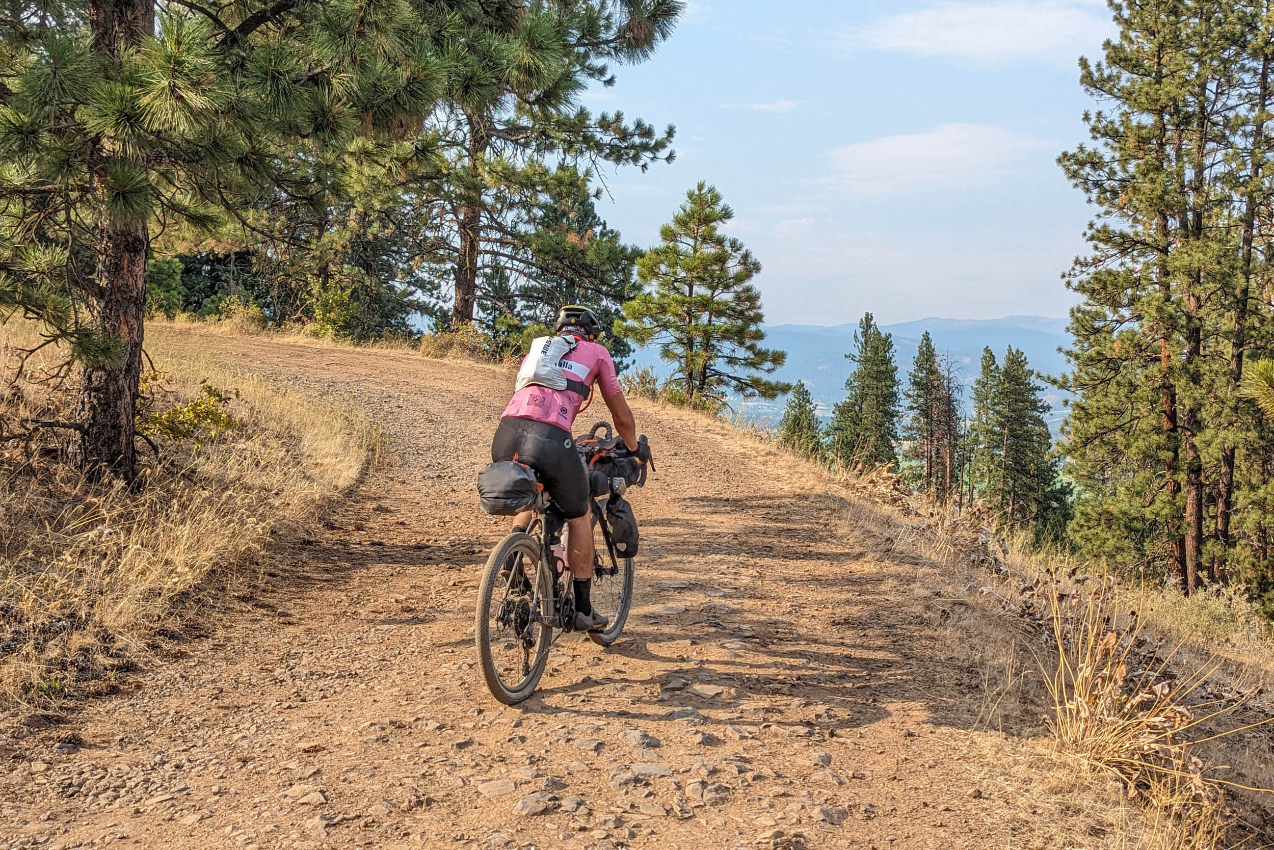
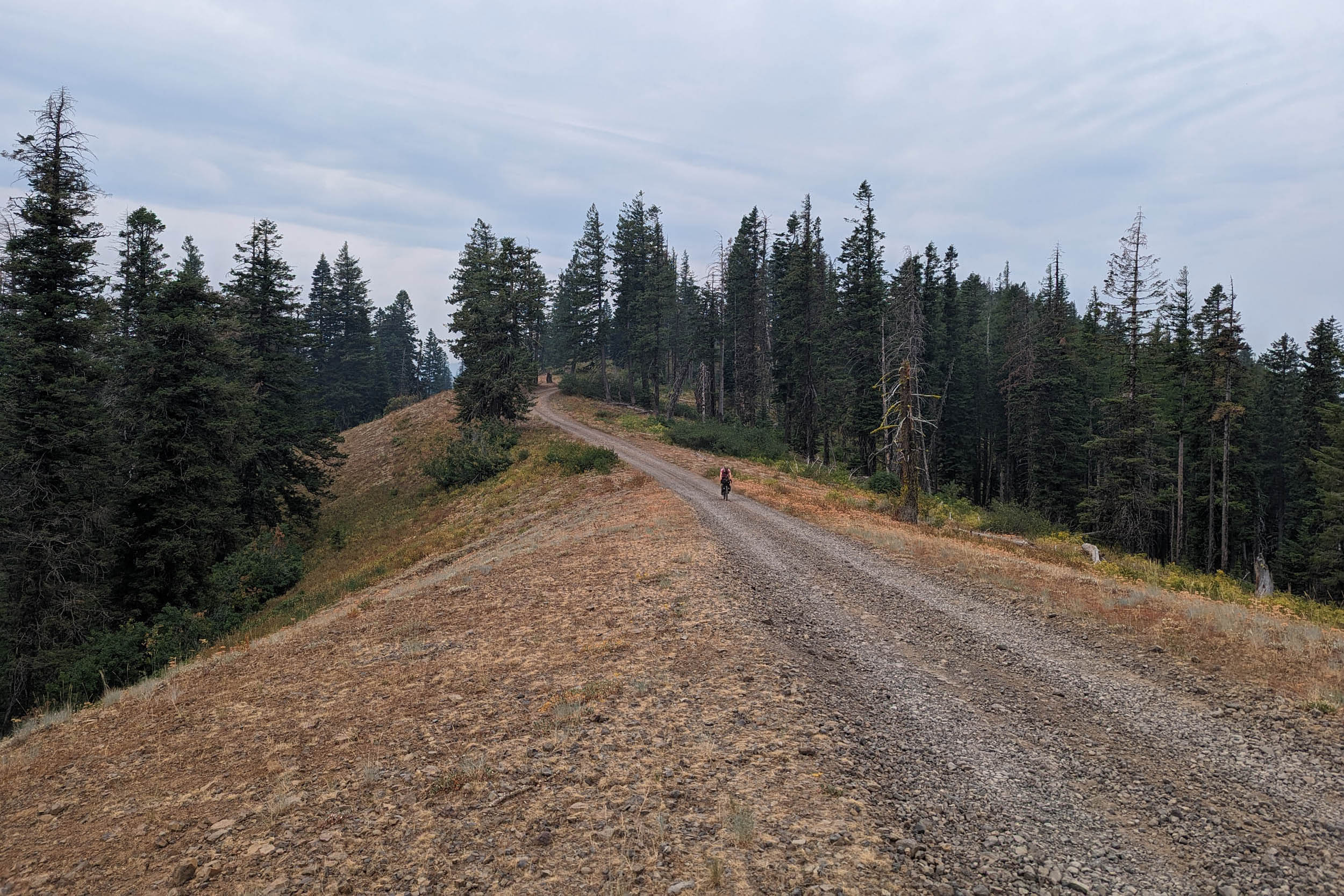
Northern Blues and Wallowa Gravel Loop (NBWGL)
Distance
465 Mi.
(748 KM)Days
8
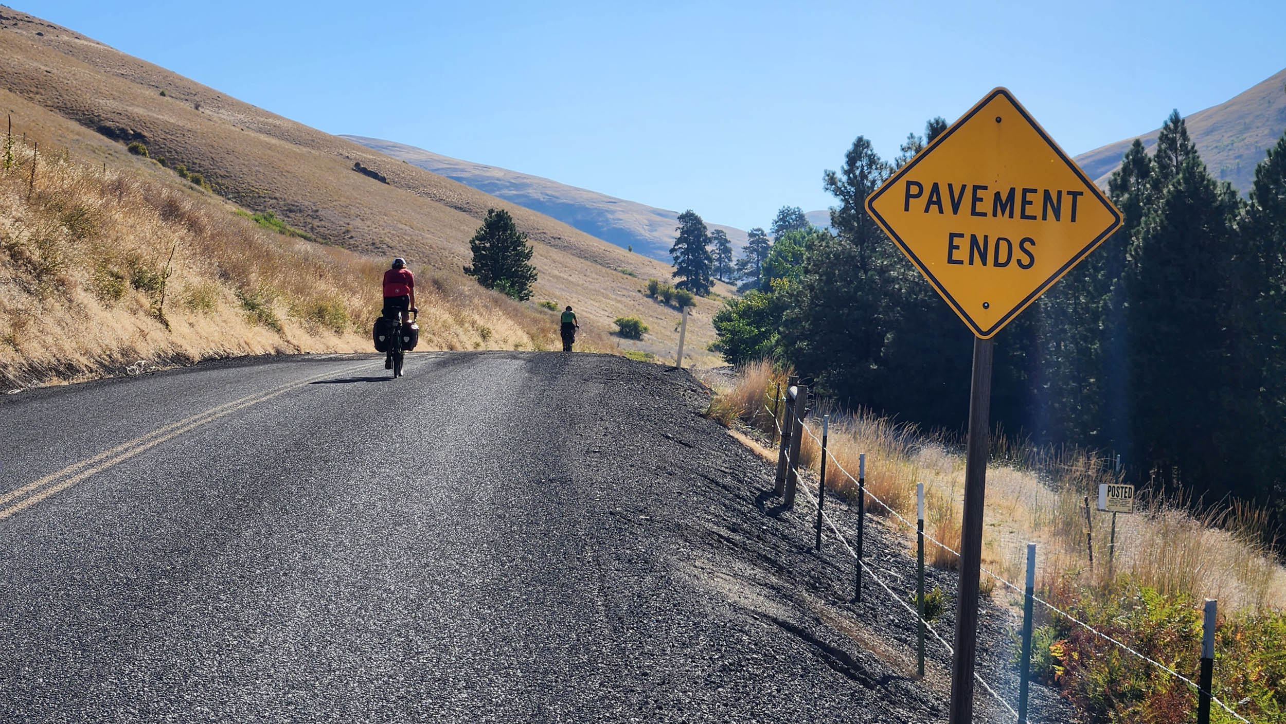
% Unpaved
80%
% Singletrack
3%
% Rideable (time)
99%
Total Ascent
41,751'
(12,726 M)High Point
6,263'
(1,909 M)Difficulty (1-10)
5?
- 6Climbing Scale Moderate90 FT/MI (17 M/KM)
- 5Technical Difficulty Moderate
- 7Physical Demand Difficult
- 5Resupply & Logistics Moderate
Contributed By

Phil Neumann
Guest Contributor
Phil and his wife Alyssa moved to the Walla Walla area in 2013 after meeting in a parking lot in Central Washington while racing road bikes in the Northwest Collegiate Cycling Conference. The sometimes slow burn of a bicycle addiction reignited into the gravel race scene in 2022, with much inspiration from the local cycling community, tackling big Blue Mountain day rides with 28mm Gravel Kings on his old yellow road bike. These days, an obsession with big dirt road routes leaving from the front door finds Phil dreaming about what’s possible on a bike with bags. You can follow him and his latest pursuits on Instagram at @tributary_to.
These are the ancestral lands of the Cayuse, Walla Walla, Umatilla, and Nez Perce. Please be respectful of the landscape, including its past, present, and future inhabitants.
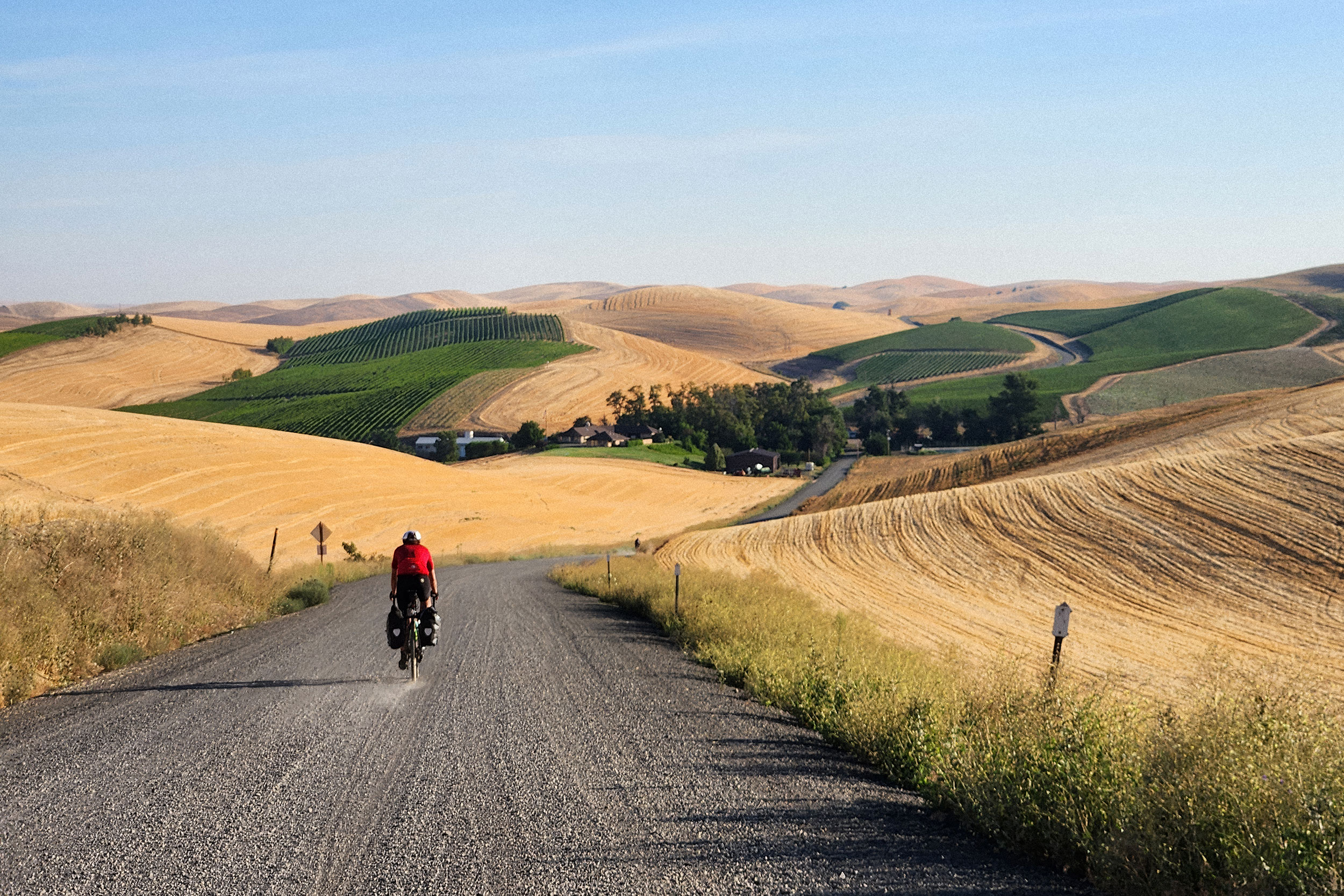
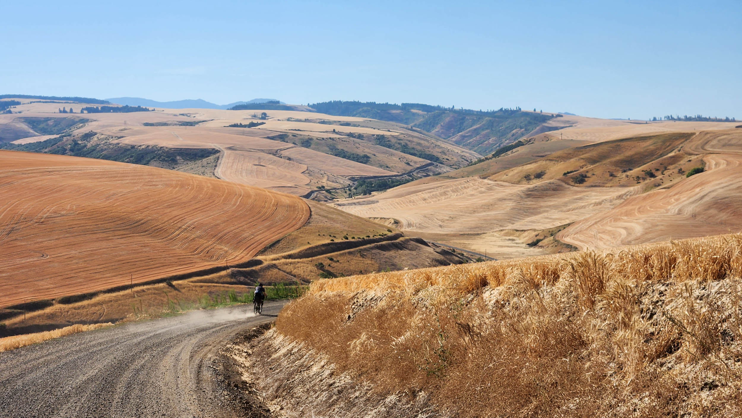
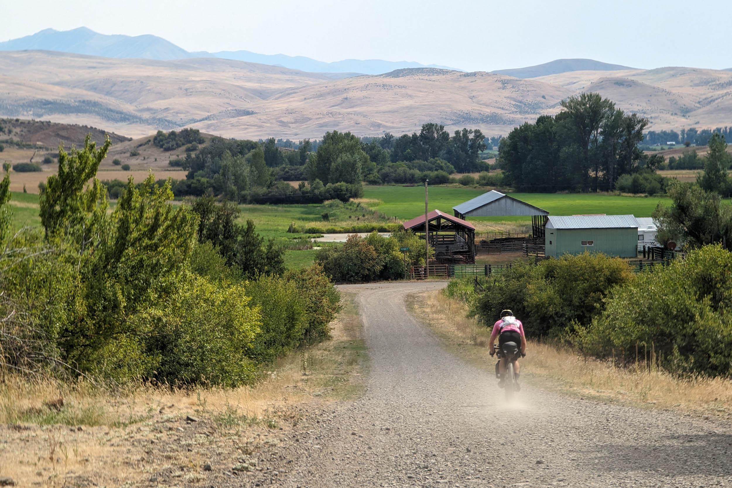
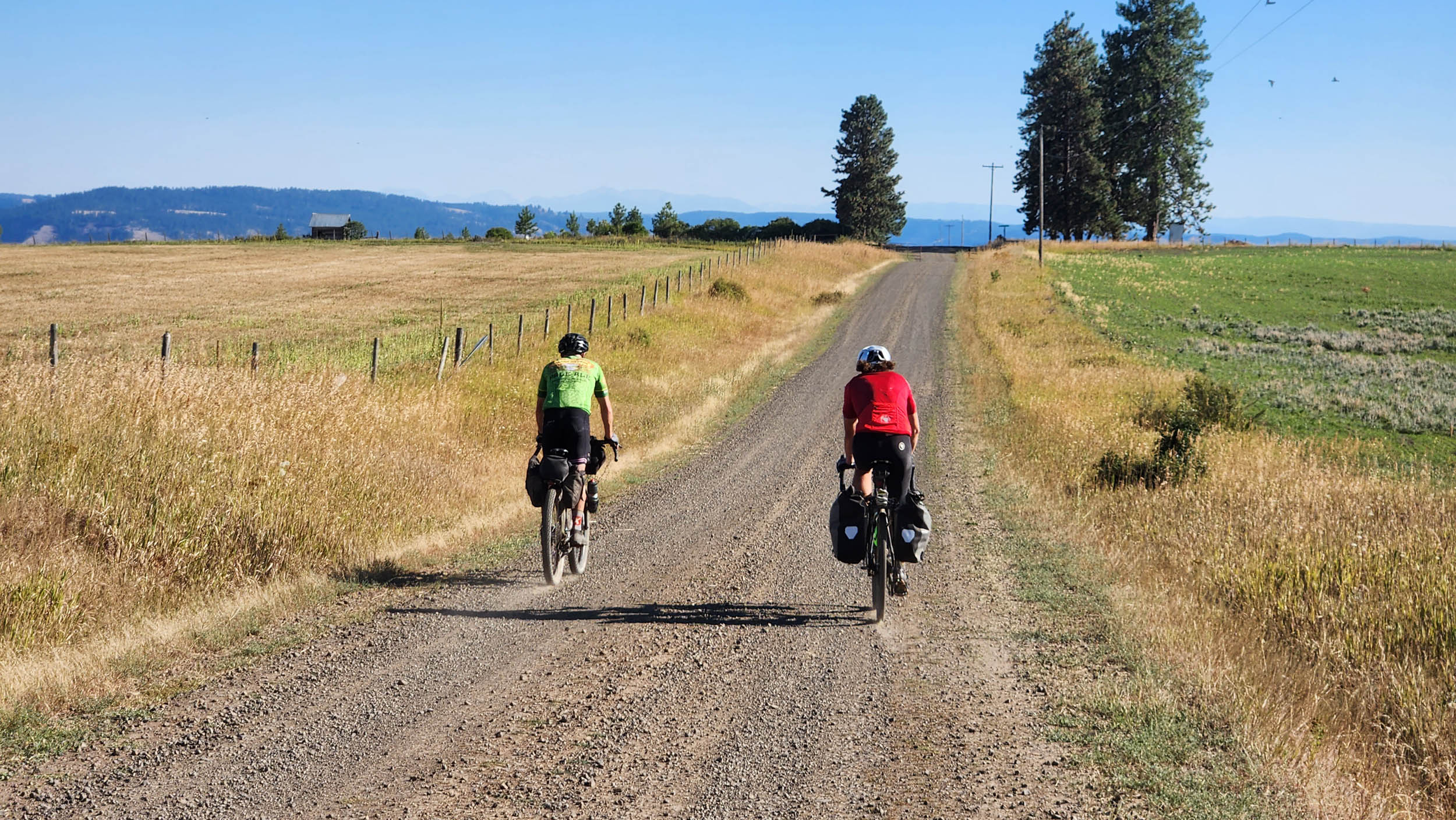
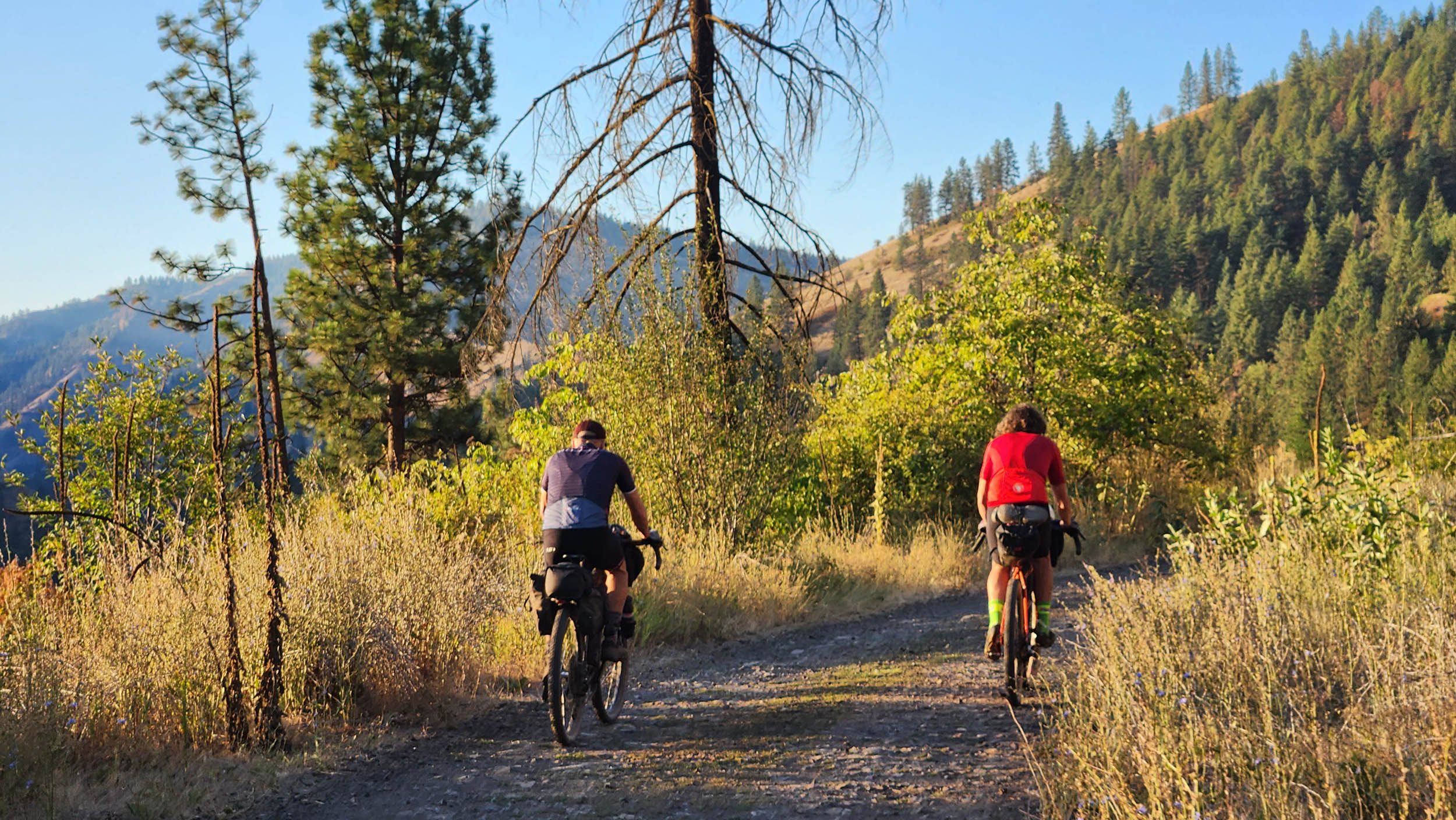
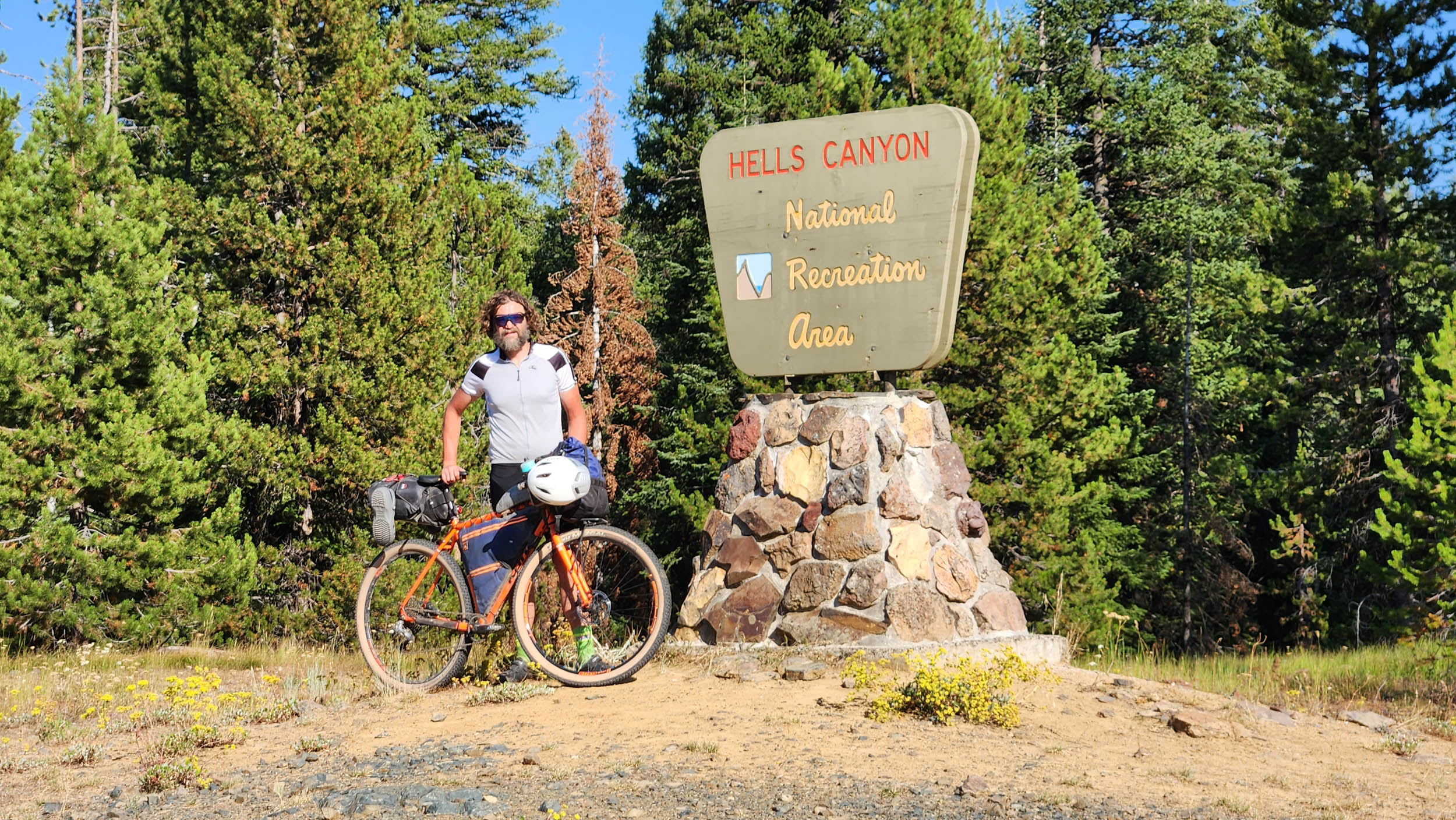
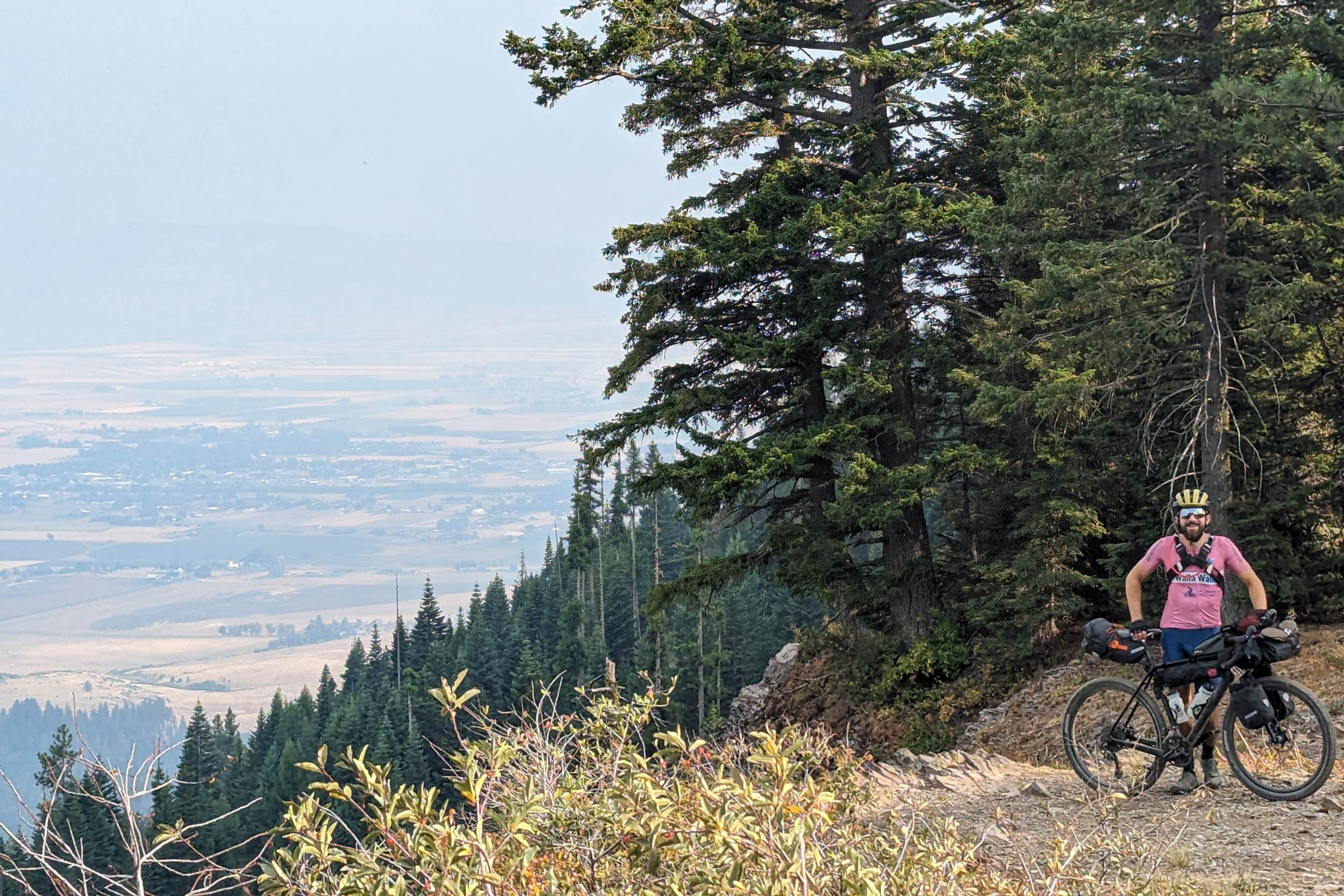
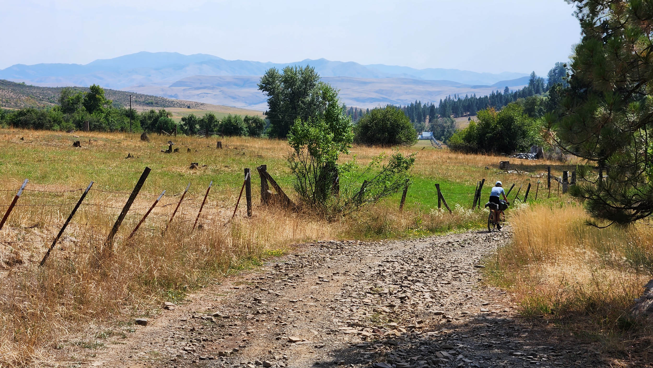
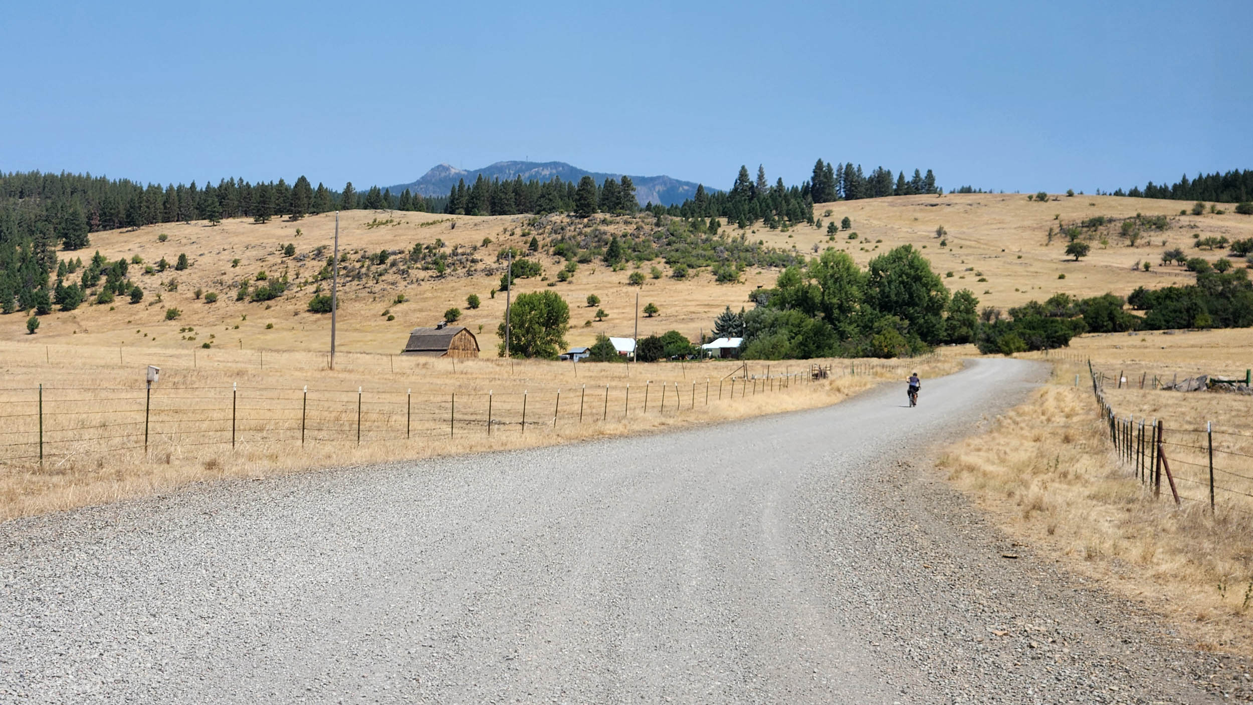
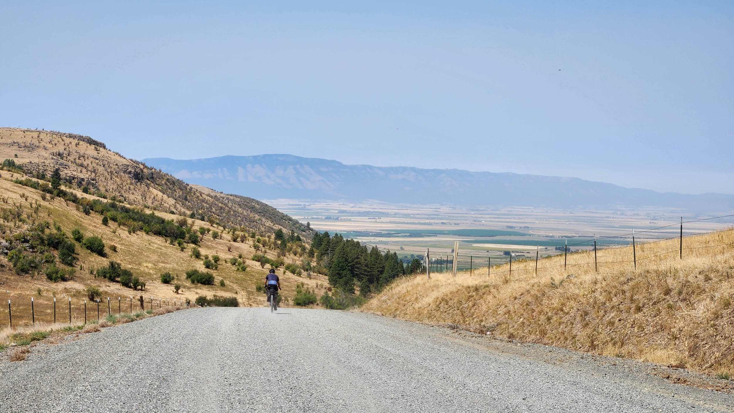
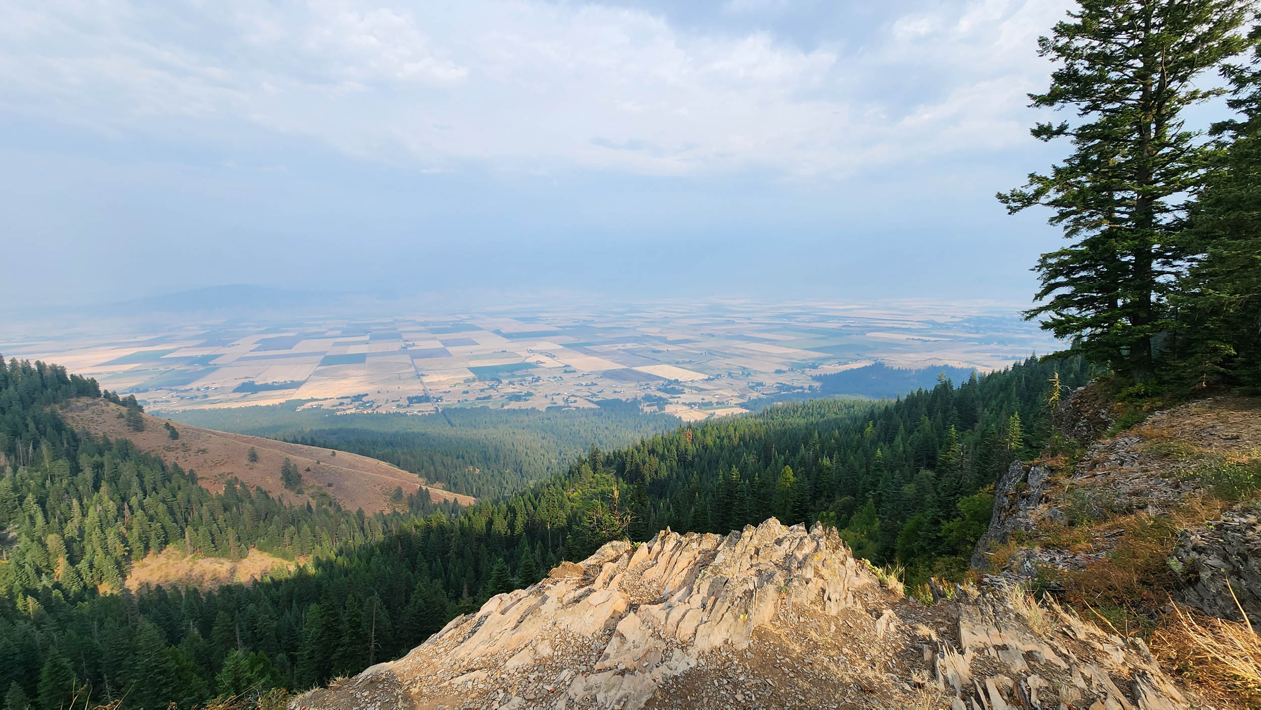
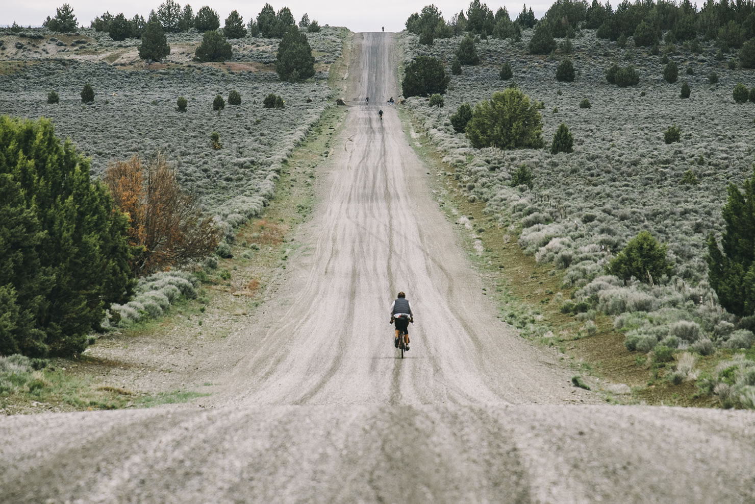
The Northern Blues and Wallowa Gravel Loop starts and ends in the Eastern Washington farm town of Walla Walla, taking the rider on a 465-mile, 40,000-foot, mostly gravel journey around the northern extent of the Blue Mountains and the entirety of the Wallowas. A drop of water anywhere along the route that doesn’t end up evaporating or watering plant life will find its way into the mighty Columbia River watershed directly or via a labyrinth system of aquifers.
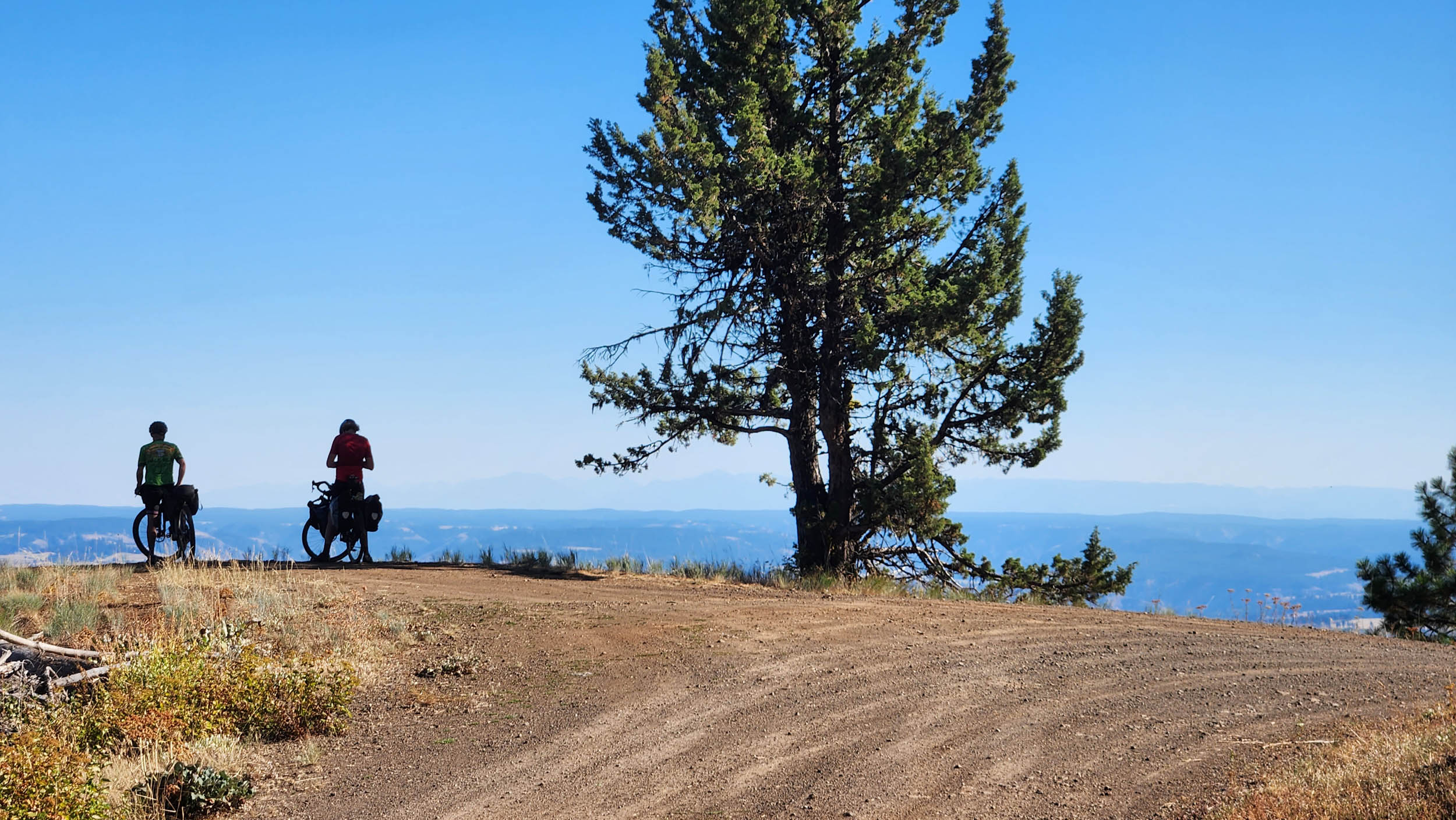
One of the NBWGL’s most remarkable qualities is the diversity of terrain it passes through, including two very special and distinct mountain ranges.
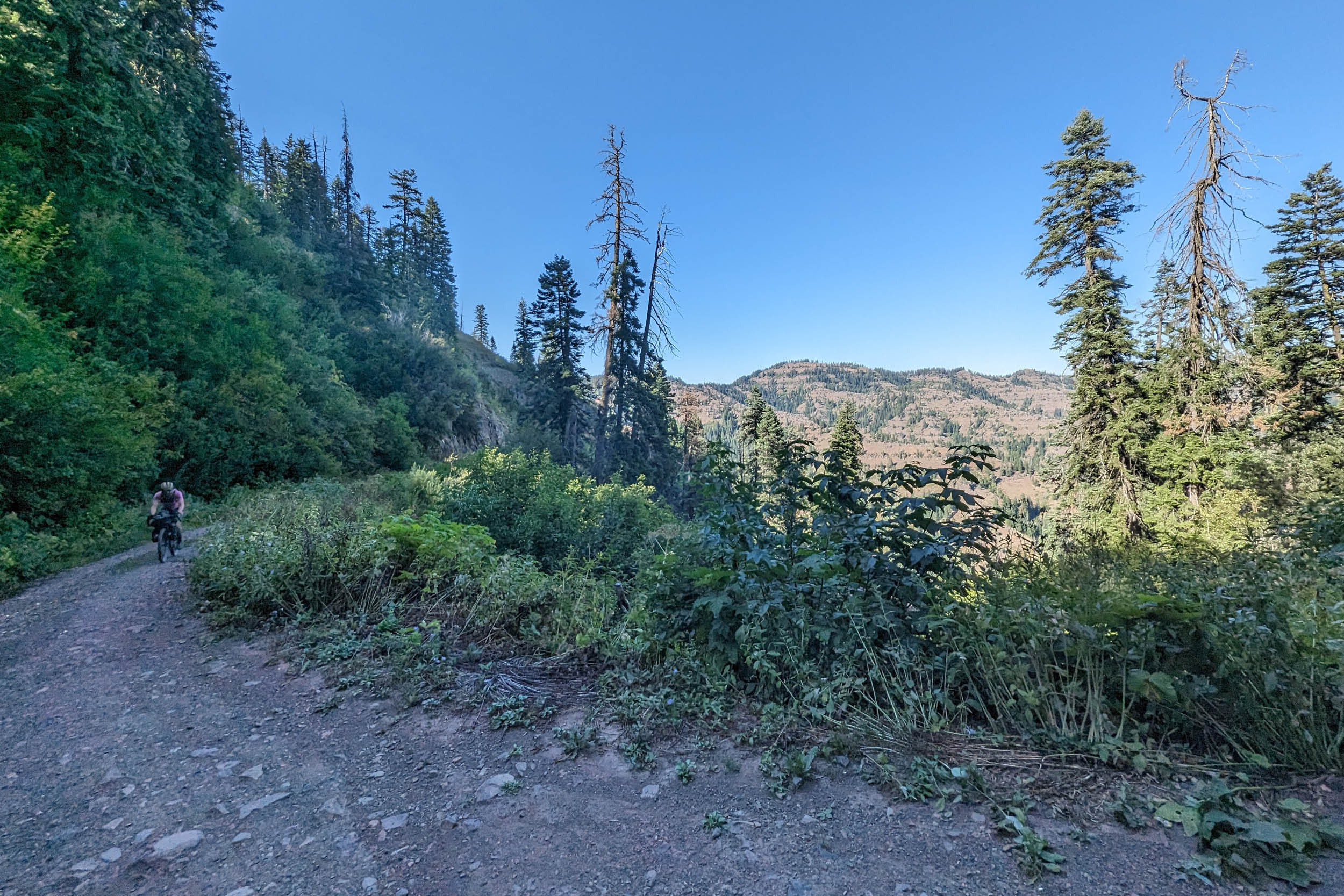
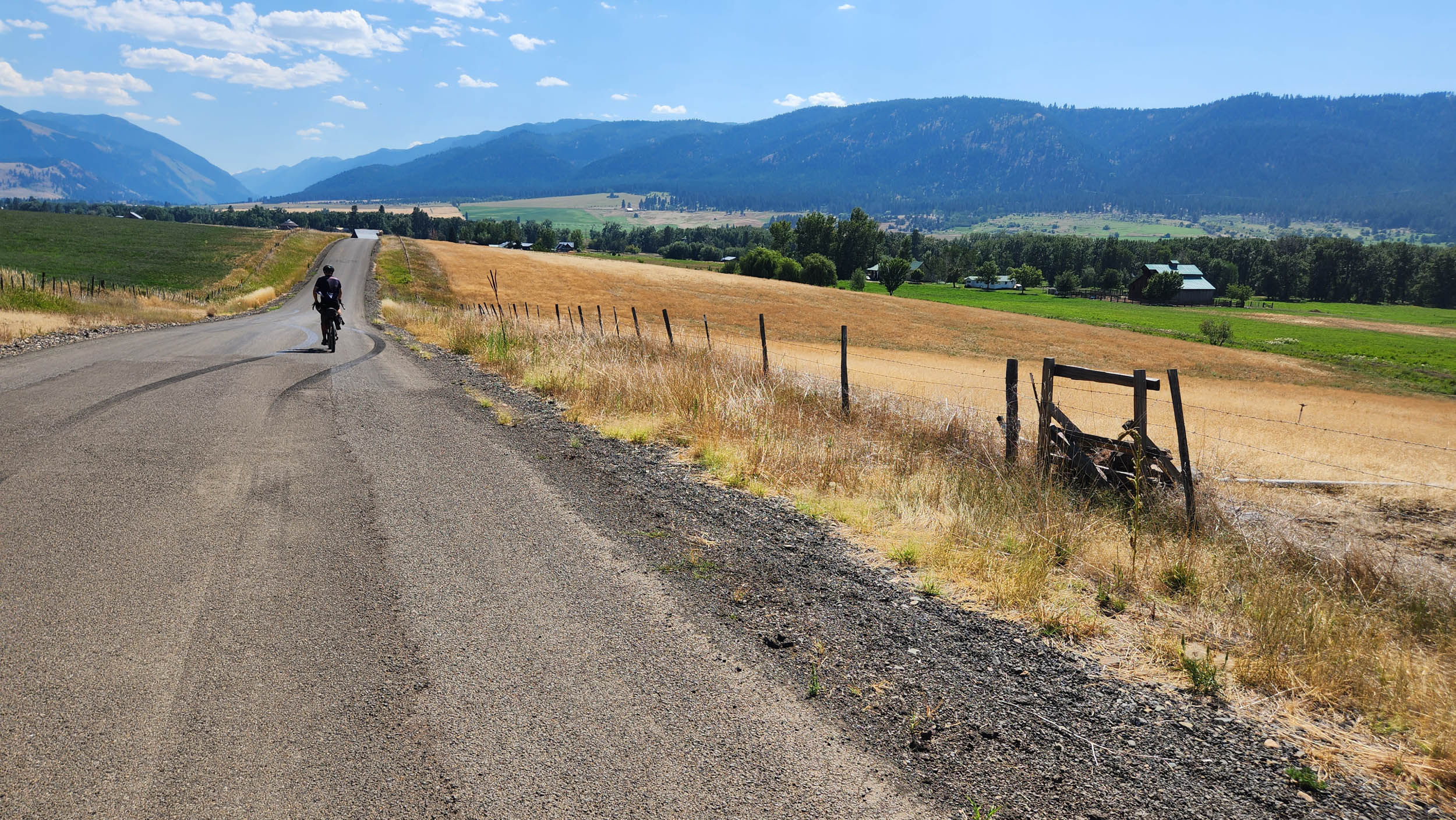
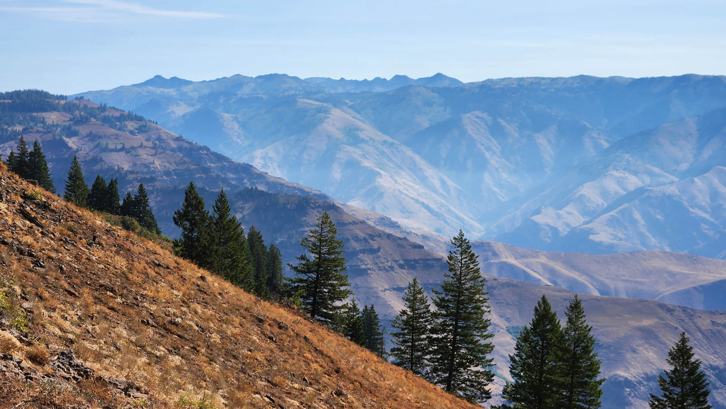
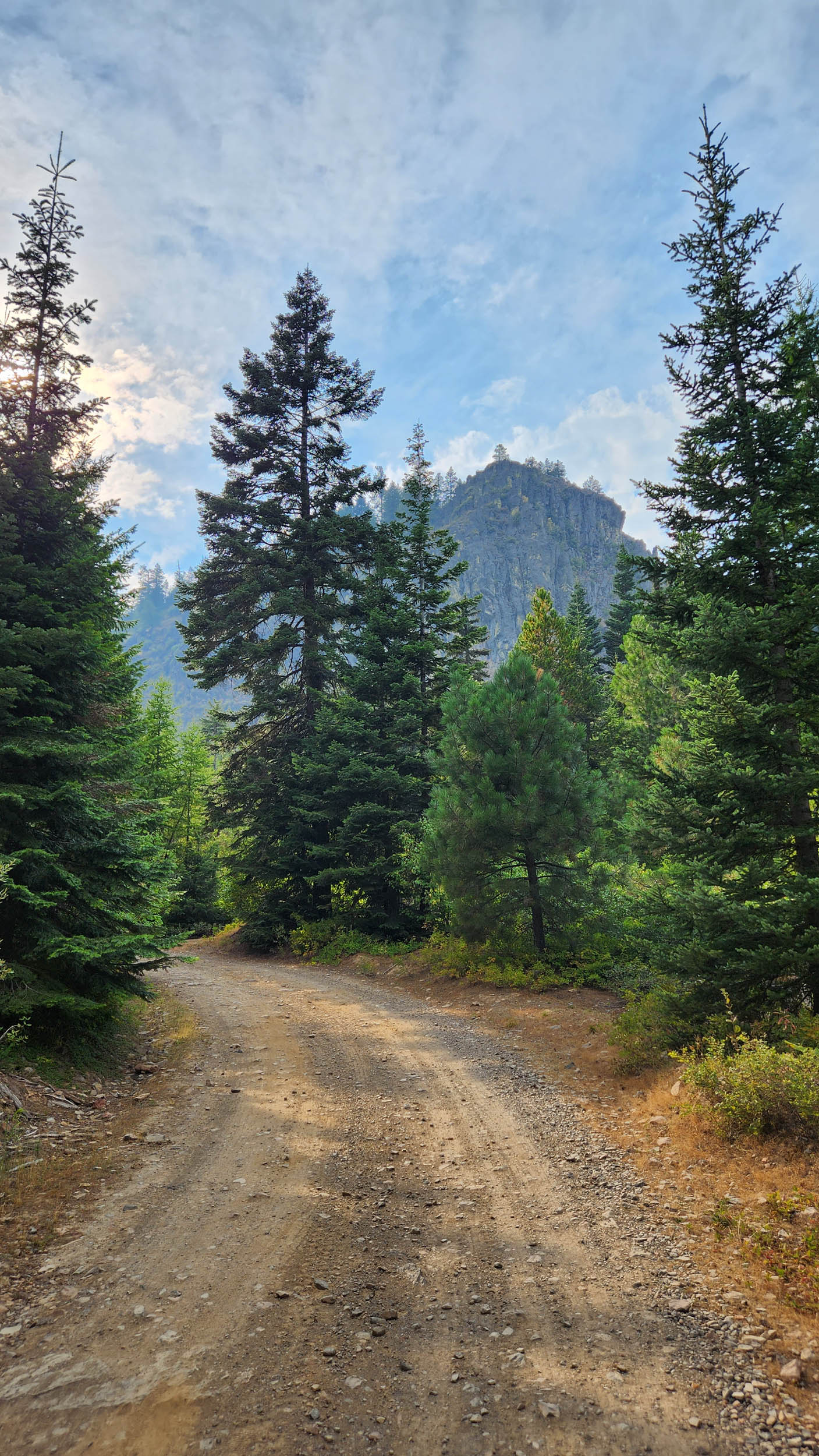
The Blue Mountains are a low yet expansive range that sprawls from Lewiston, Idaho, at their northernmost extent, through the southeast corner of Washington and on down to the town of John Day, Oregon. The Wallowa Mountains sit off on their own distinct island, jutting up with prominence much more reminiscent of the Rockies of Montana. While this route leaves out the southern extent of the Blues and another Rockies-esque mountain range called the Elkhorns, you can log those places in your mind for future adventure.
For some relatively crude geologic context, go back around 16 million years and envision the Wallowas as home to the world’s largest known volcanic eruption. Most of the region’s widespread basalt formations came from this period in time. And in the time since, the Blues have seen both uplift and erosion that result in the distinct “dissected plateau” vibes they have going on. There were also some massive floods around 14,000 years ago that broke out from glacial lake Missoula, scoured much of the lower landscape, left big boulders in odd places, and laid down the layers of soil that make the Inland Northwest such an agricultural powerhouse.
In terms of weather, the Blues are the next mountains east of the Cascade Range, allowing them to catch quite a bit of residual moisture from westerly storms. There are a number of places where you can look out into arid landscapes receiving less than 10 inches of precipitation per year from a vantage point that gets upward of 45 inches.
Geology and climate come together across the NBWGL to form an incredibly diverse assortment of ecosystems. One particularly fascinating phenomenon you’ll become well accustomed to is the grass-tree mosaic, where adjacent and alternating slopes with relative north and south aspects harbor entirely different plant communities. A semi-arid shortgrass prairie can be 10 feet away from a stand of old-growth Douglas Fir, resembling a scene out of the Pacific coastal rainforest. It’s also worth noting that the Blue Mountains serve as the southernmost extent of certain ecosystems typically seen much further north in Canada, making for some surprising flora and fauna identification opportunities.
Lay of the Land
By Bobbie Conner, CTUIR Tamastslikt Cultural Institute
Welcome to Nixyáawii, homeland of the Cayuse, Umatilla, and Walla Walla Tribes; three distinct peoples melded together over the past 170 years—now known as the Confederated Tribes of the Umatilla Indian Reservation (CTUIR).
The Cayuse, Umatilla, and Walla Walla once numbered more than 8,000 people. Our confederation now has over 3,100 enrolled members. We have lived and died close to this land for more than 10,000 years. The Blue Mountains and the mid-Columbia River are the heart of our homeland and have provided bounty for all our existence.
Our Tribal nation is comprised of people bound together by blood, by culture, and by history who have maintained our traditional songs, dances, languages, foods, and spirituality despite dramatic changes in our lands and lives.
For an abridged history, read “The Story of the Confederated Tribes of Umatilla” under the Whereabouts tab below.
People are the other obvious highlight of this trip. You will be traveling through landscapes with a deep Tribal heritage and active farming, ranching, fishing, and logging economies. You’ll have plenty of time when things start to feel lonely, but with an open mind and a friendly demeanor, you will likely meet some of the most fascinating people you’ve crossed paths with.
Route Difficulty
Technical difficulty (5): The route is overall fairly straightforward and nontechnical, but rough roads present themselves periodically. When combined with extreme fatigue, the rider needs to stay vigilant to avoid incidents. There’s also an end-of-ride flex of an option to add roughly 15 miles of technical singletrack, which you should definitely do.
Physical demand (7): Assuming you take the recommended detours, you will end up at around 500 miles and 43,000 feet, putting you at an average of 63 miles and 5,400 feet of climbing each day for eight days straight. The heat can also be very intense. Maiden voyage rider Beau Savage will attest to the possibility of doing this ride off the couch in the middle of a 105°F heatwave, but it’s not recommended. Come with a good bit of training under your belt and a bike that fits like a glove.
Resupply and Logistics (5): If you stick to the rhythm of the route and pay attention to the notes on water and food in the Highlights section below, you’ll find this to be a pretty civilized route. There is the potential to fall out of rhythm through mechanicals or injury, for example, and that could put you in a situation where you run out of food and/or water in a challenging spot.
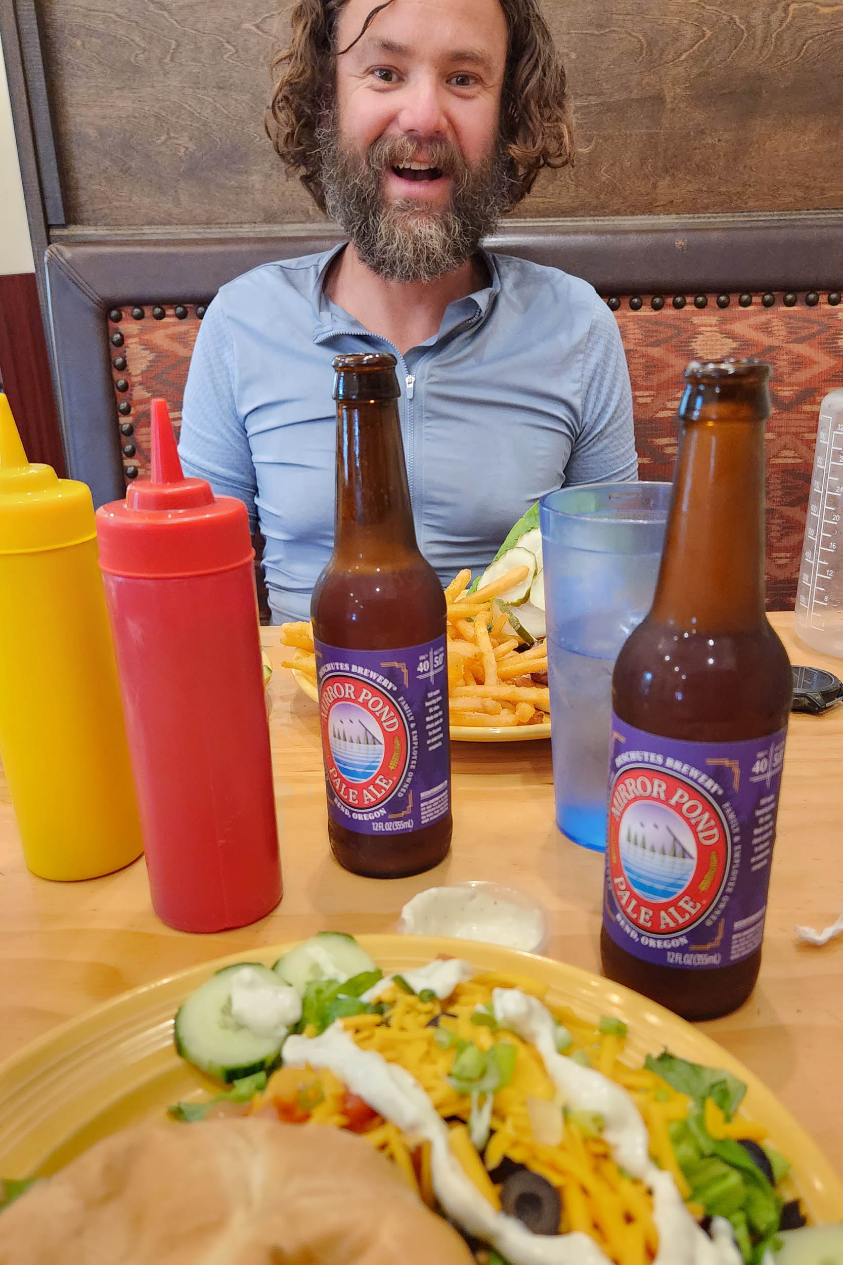
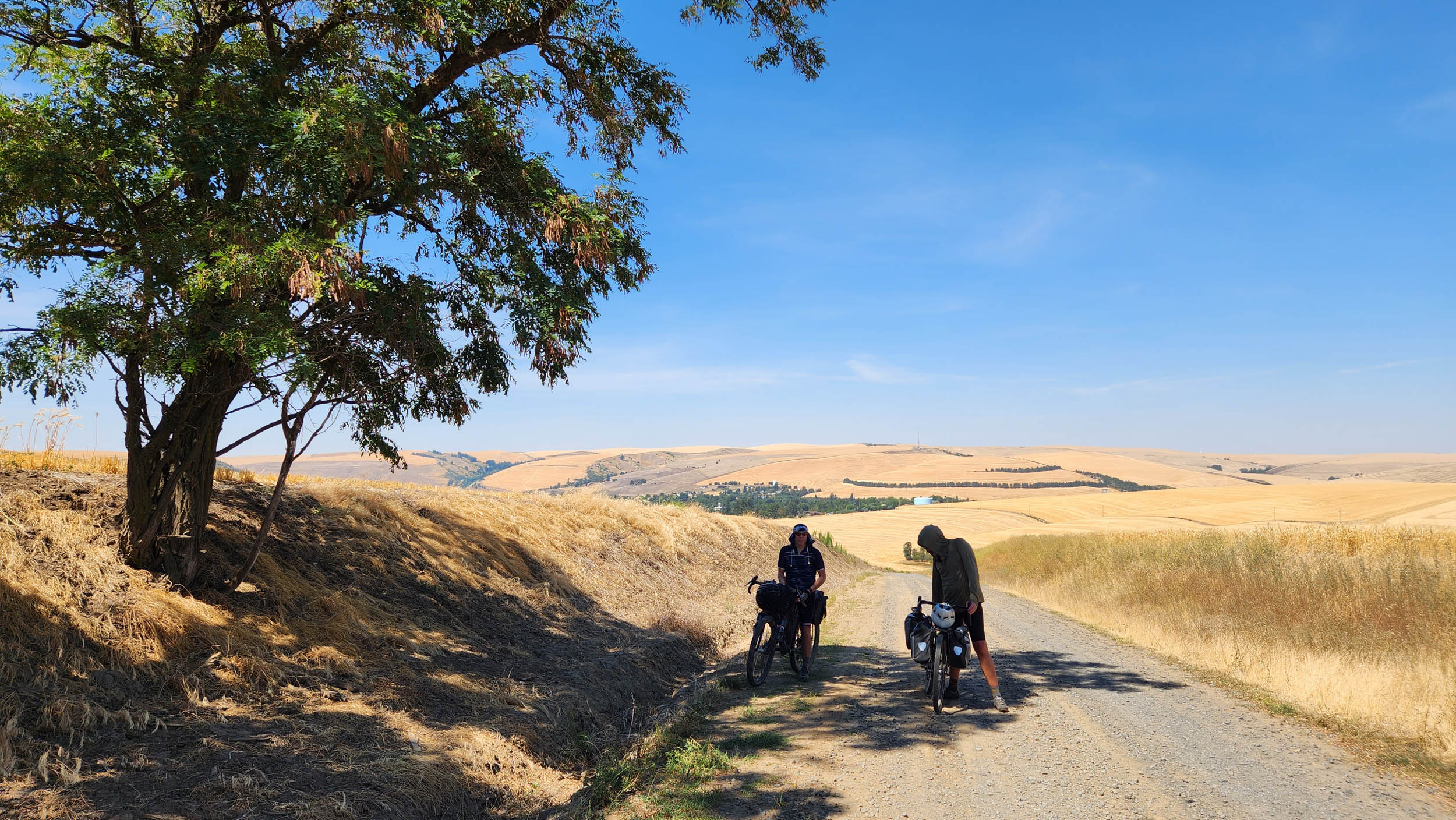
Route Development: This route was designed by Phil Neumann of Walla Walla, Washington, as part of an ongoing campaign to map big bike rides from his front door. It was first ridden in mid-August of 2023 along with his local gravel and bikepacking enabler Mike Vandiver and Phil’s first cycling buddy in Colorado, who convinced him that the Bob Cook Mt. Evans Classic was a really great first bike race, Beau Savage. Big thanks are owed to Phil’s wife and cycling companion, Alyssa Martinez Neumann, along with Beau and Mike’s partners, Kelli Arbogast and Elaine Long-Vandiver, for supporting such seemingly foolish things in pursuit of a fuller life.
Submit Route Alert
As the leading creator and publisher of bikepacking routes, BIKEPACKING.com endeavors to maintain, improve, and advocate for our growing network of bikepacking routes all over the world. As such, our editorial team, route creators, and Route Stewards serve as mediators for route improvements and opportunities for connectivity, conservation, and community growth around these routes. To facilitate these efforts, we rely on our Bikepacking Collective and the greater bikepacking community to call attention to critical issues and opportunities that are discovered while riding these routes. If you have a vital issue or opportunity regarding this route that pertains to one of the subjects below, please let us know:
Highlights
Whereabouts
Must Know
Camping
Food/H2O
Trail Notes
- Tamastslikt Cultural Institute (Mission, OR; pre/post ride): Want to learn more about the cultural history of this landscape, going back to time immemorial? Visit this exemplary learning center built and operated by the Confederated Tribes of the Umatilla Indian Reservation.
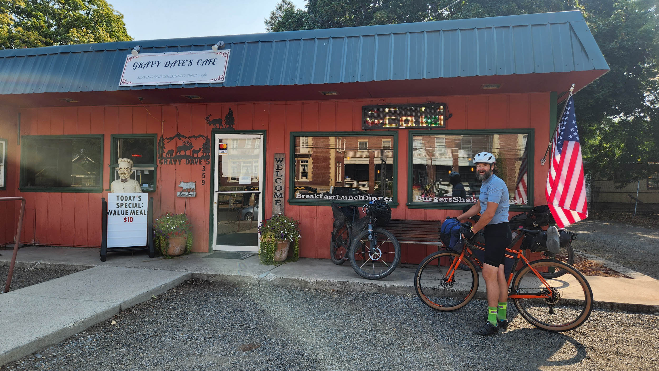
- Dayton, WA (Mile 37): Come on, you know you forgot something! Either way, grab some lunch in this very charming Palouse mountain town.
- The Last Resort (Mile 67): This little general store offers a quick morning resupply after heading down from your camp up the Tucannon River.
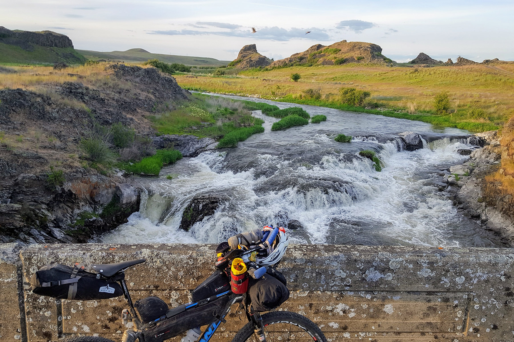
- Mt. Misery (Mile 95): The river you stayed at last night starts just upstream from here, right below the top of Mount Misery, one of the highest peaks in the Blue Mountains.
- Troy, OR (Mile 116): Troy is a remote town at the confluence of the Grande Ronde and Wenaha Rivers. The Troy Resort is your only option for amenities, but make sure they’ll be open if you are counting on it. Larger groups can call ahead for dinner and lodging.
- Wallupa Creek (Mile 130): This creek should be flowing year-round for most of the ascent. From there, it will likely be the longest water carry of the route, so you’ll want to top off your water to get up and over into the Wallowa Valley. Especially on hot days.
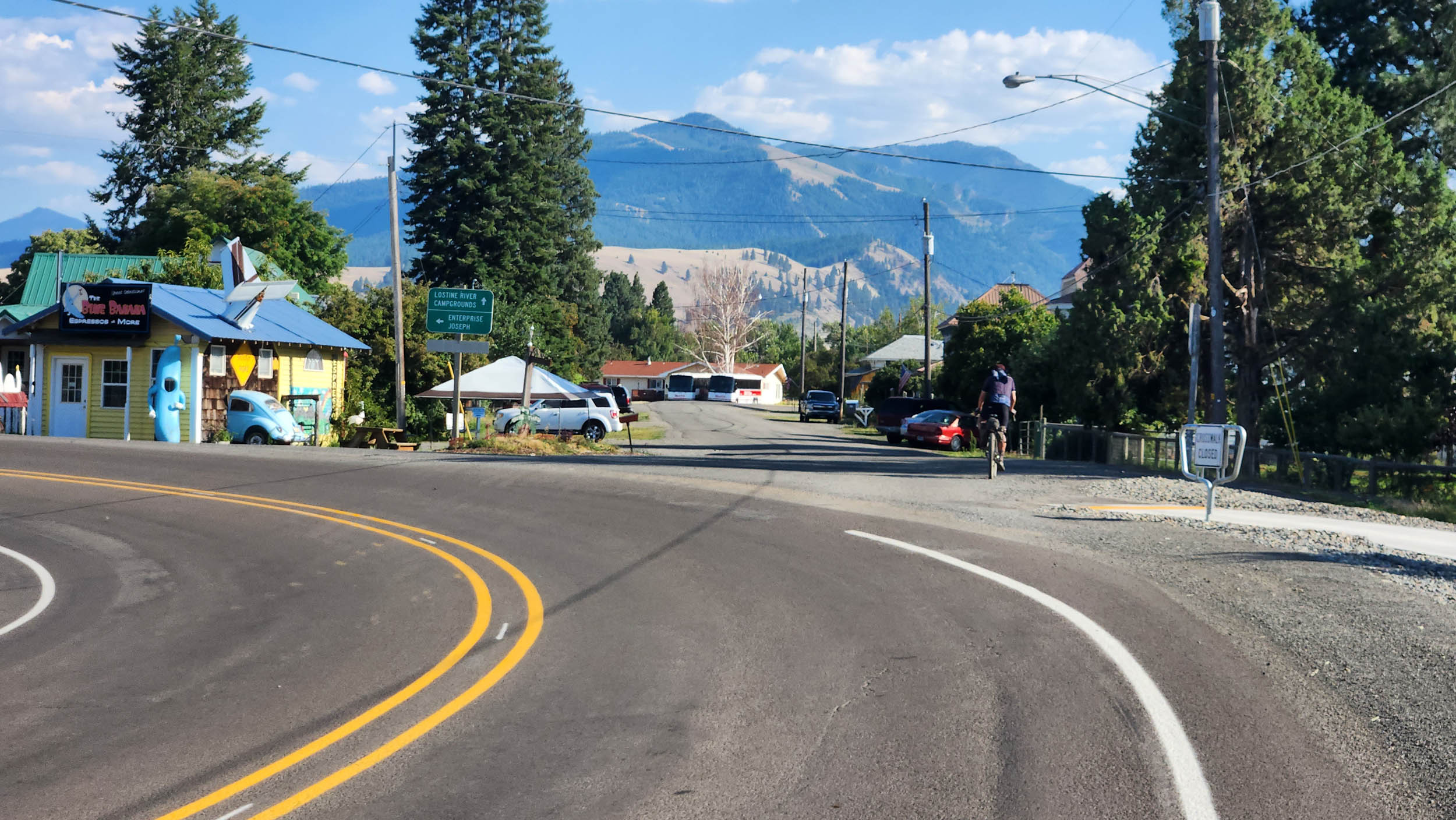
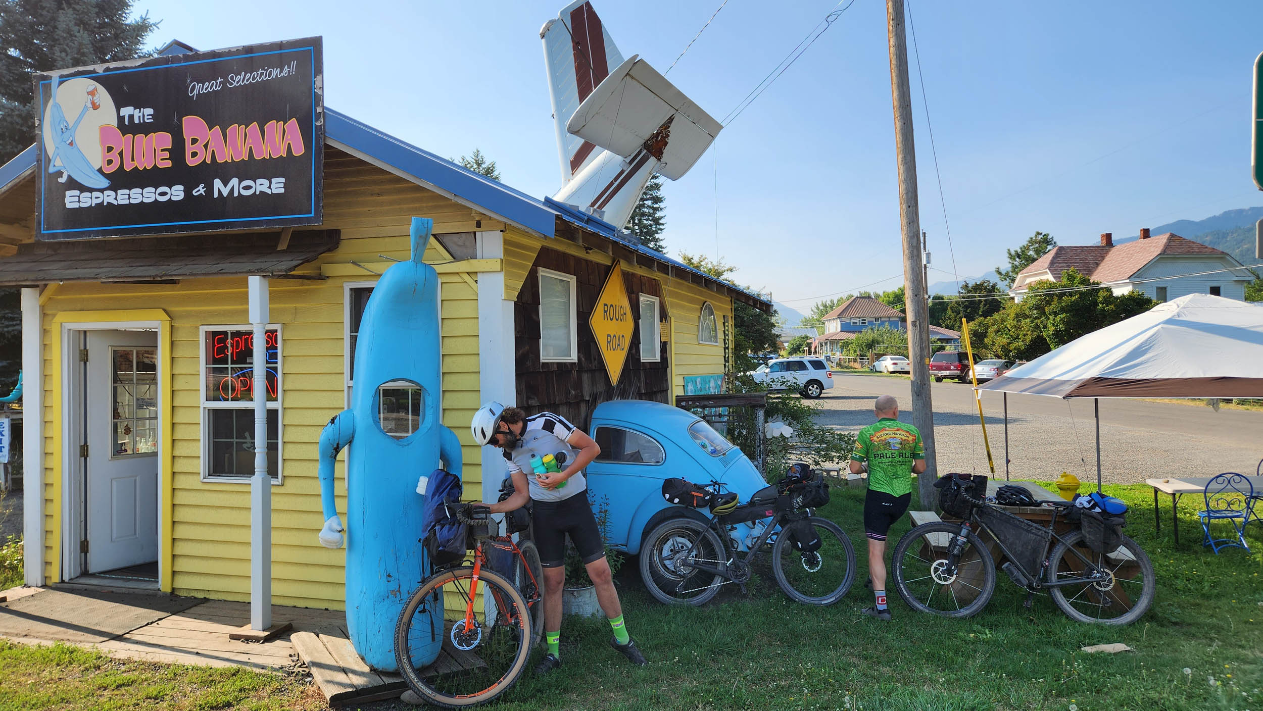
- Lostine, OR (Miles 167 & 190): The only town you’ll pass through twice along the route. M. Crow offers a restaurant, mercantile, and finer things supply, owned by local eccentric artist Tyler Hays, with another location in Lower Manhattan (NY). Consider hitting that up before climbing up to camp for the night. Blue Banana makes a great stop for coffee and pastry after heading back down.
- Enterprise, OR (Mile 202): Choose your own adventure. Lots of amenities. Biggest town until La Grande. Home of Terminal Gravity Brewing Company, “Middle of Nowhere, Center of the Universe.” Seriously, consider stopping for some suds or a beet Reuben and have a nice sit in the beer garden.
- Joseph, OR (Mile 209): If you stocked up on what you needed in Enterprise, may we suggest you treat yourself in Joseph! Sports Corral is also a place to pick up niche outdoor supplies, dehydrated meals, etc.
- Hells Canyon Overlook (Mile 251): Add on a paved, roughly 600-foot out-and-back climb to venture to a stunning overlook of North America’s deepest canyon. At the overlook, expect to find a very alluring gravel road down into the canyon that will get your gears turning on future adventures.
- Alternate Route (Mile 257): This is the start of an alternate route, taking you from the Imnaha River area and over to Halfway. It stays relatively high, offers a comparatively spectacular perspective of the Wallowas, and cuts out a significant stretch of (still beautiful and quiet) pavement. The recommendation is to add a night to the trip at Fish Lake Campground, making a push the next day to the Two Color CG area.
- North Pine Creek (Mile 267): Make sure to tank up before the climb up and over to Halfway. It can be quite the scorcher with little to no water on a hot summer day.
- Halfway, OR (Mile 286): Halfway is an exceedingly charming small farm town with a few restaurants and a mercantile. From here, you’ll have two nights before the next resupply, so fuel up and enjoy yourself.
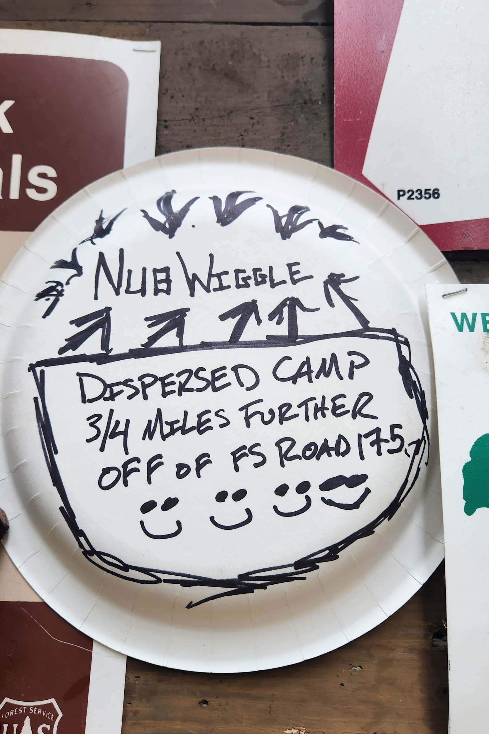
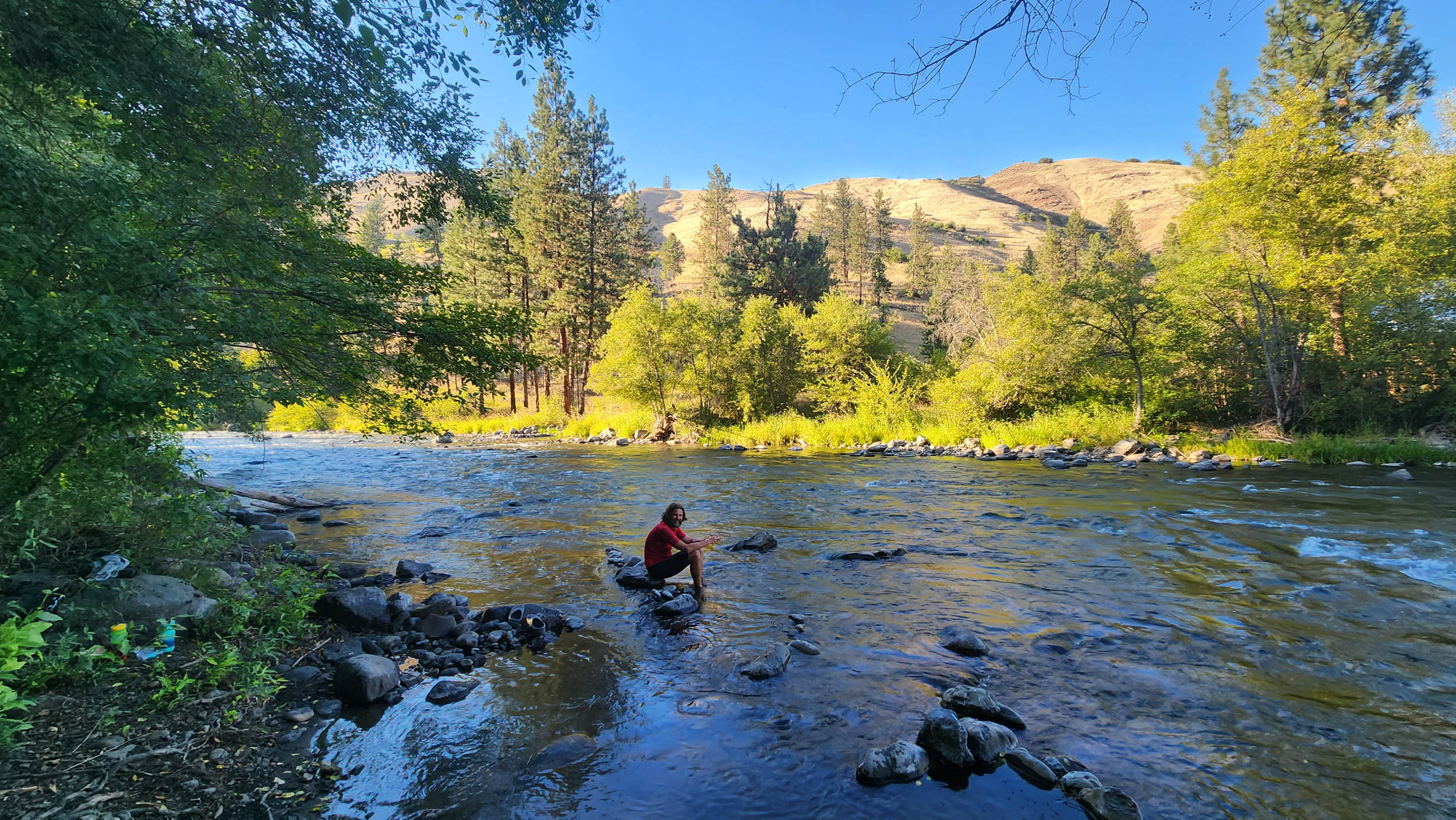
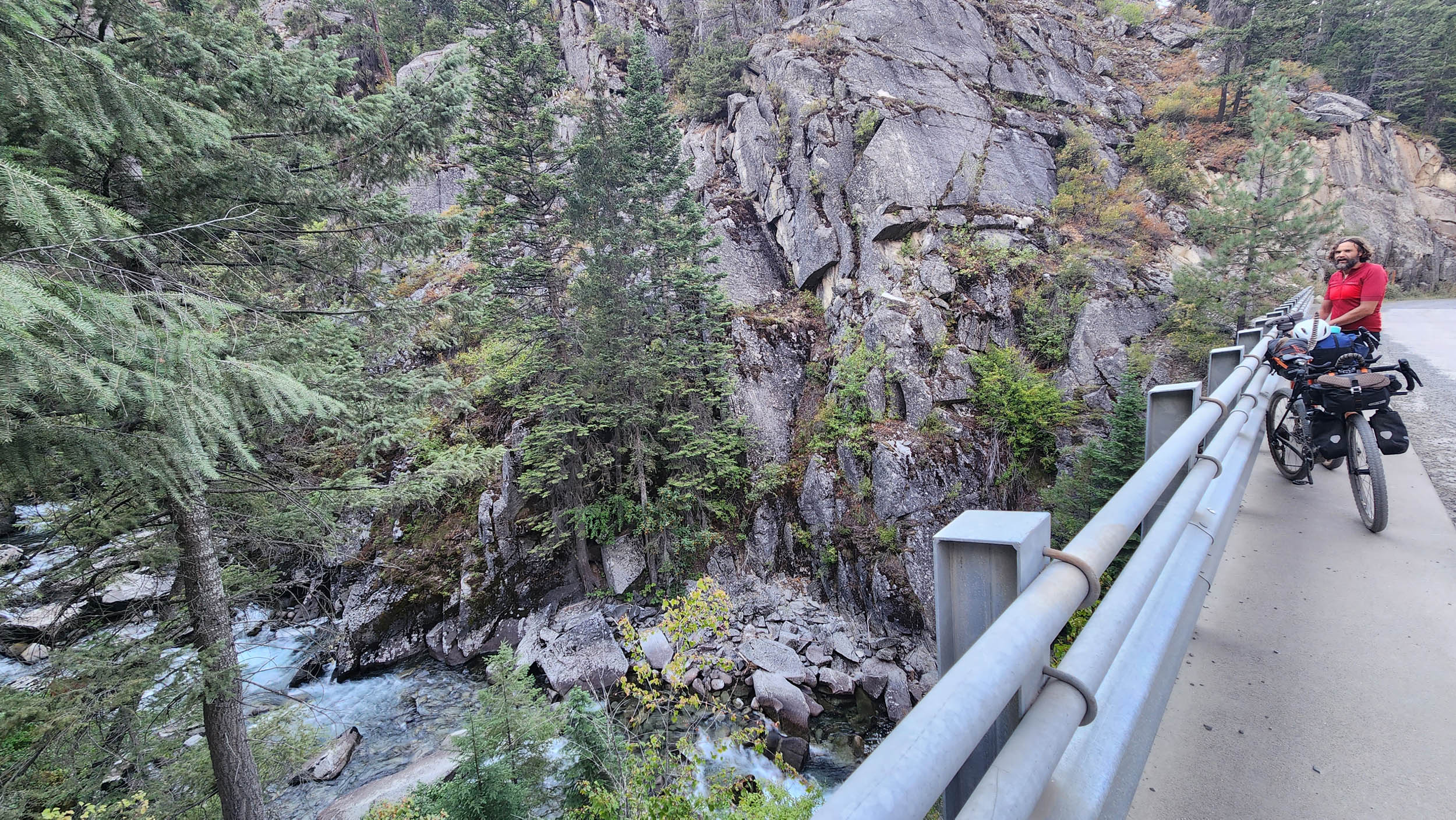
- Main Eagle Creek (Mile 317): Do yourself a favor and take a detour up to Boulder Park. If you’re okay hitching up your bike at this sleepy wilderness trailhead or walking it a very short distance up the trail, this is an unforgettable place to take lunch and play in the water. The creek, after dropping down a series of granite boulder waterfalls and through a big old landslide that once blocked the river, casually braids its way through wide-open granite gravel bars before going into the forest. There’s abundant dispersed camping along the creek downstream of this, so consider adding a night to your trip and spending most of a day exploring this canyon.
- Union, OR (Mile 357): A smaller town than La Grande, coming up soon on the route, but still with amenities. If going into the “Big City” may detract from your vibe or crunch your time, consider a resupply here and pushing right on up to Camp 7 on Mt. Emily.
- La Grande, OR (Mile 390): La Grande has plenty going on for a small Eastern Oregon city, and Island City has some bigger-box-store type stuff. Swing through either as wanted/needed.
- Crystal Spring (Mile 400): Delicious brain-freeze-inducing water, gushing all year long from just below the top of an iconic Blue Mountain peak, Mt. Emily. Tank up here before heading to camp for the night.
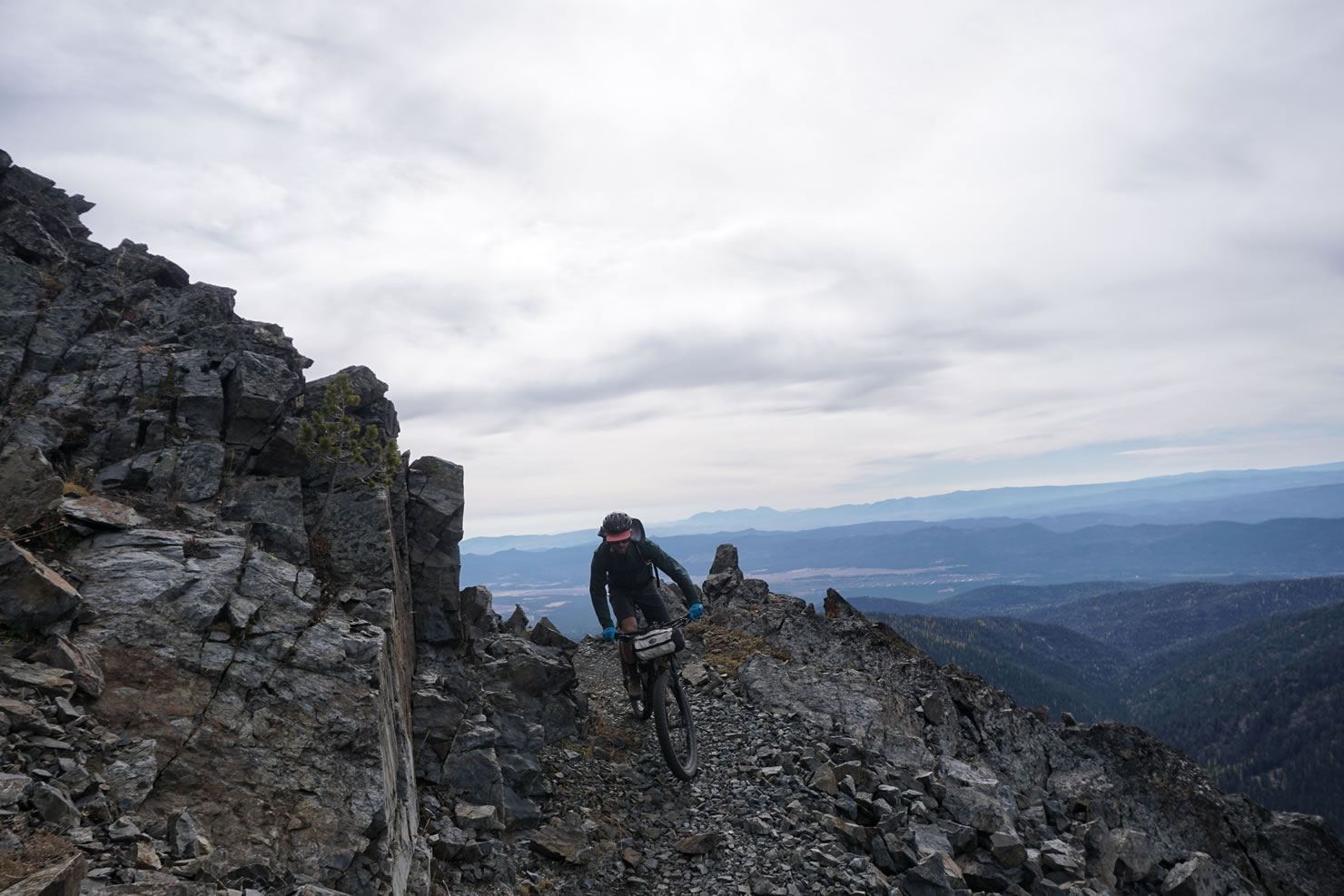
- Umatilla Rim Trail (Mile 422): Want to add some singletrack to the route? The Umatilla Rim Trail is one of the local Blue Mountain favorites, winding along the canyon rim above the North Fork Umatilla Wilderness. It will meet back up with the route on Route 204 at Horseshoe Prairie. A gravel bike with 50mm tires is certainly underbiking but will be tons of fun if you’re into that kind of thing.
- Tollgate Store (Mile 434): This mountain mercantile and eatery, which has gone by various names over the years, is a fantastic spot to grab whatever tickles your fancy before the long descent back into the Walla Walla Valley.
- Mongata Winery (Mile 449): You’re one short climb and a gentle descent back into Walla Walla. Why not call in a reservation for a celebratory glass of wine at a gorgeous riverside estate winery?
The Story of the Confederated Tribes of Umatilla
By Bobbie Conner, CTUIR Tamastslikt Cultural Institute
Our story began thousands of years ago and has been handed down from generation to generation. Our ancestors thrived as hunters, fishers, and gatherers. The arrival of the horse improved our mobility, enhanced trade, and increased our contact with distant tribes. The arrival of non-tribal people with new ways dramatically changed our lives. Our homeland became an intersection for European and American competition for furs, other resources, and, eventually, our lands.
In 1855, the U. S. government negotiated a treaty with our tribes to lay claim to 92% of our lands to make way for westward expansion. Our Tribes reluctantly ceded a vast territory to the United States in exchange for a reduced tract of land, or our Reservation with one river, the Umatilla. In negotiating the treaty, our ancestors characterized our sovereignty and, in perpetuity, preserved our inherent rights to hunt, fish, gather, and pasture livestock in open and unclaimed lands. Today, we safeguard and exercise those rights throughout our ceded lands in northeastern Oregon and southeastern Washington.
In 1949, our people adopted the constitutional government we use today. The General Council (members aged 18 and older) elects the Board of Trustees, a nine-member governing body that oversees the affairs of the Confederated Tribes. The Board develops policy and makes decisions for implementation by a staff of nearly 500 and multiple tribally owned enterprises.
In recent decades, we established vital police, fire, emergency, education, health, and sanitation services in our community and greatly expanded and diversified our area’s economy. In addition to the tribal government labor force, we employ over 1,000 at Wildhorse Resort (casino, tower hotel, RV park, 18-hole golf course, bowling lanes, family arcade, cineplex, food court, restaurants), Hamley’s Western Store and Steakhouse, and Birch Creek Golf. Cayuse Holdings employs over 600 people through its subsidiaries. Yellowhawk Tribal Health Center and Nixyáawii Community Financial Services add more than 100 employees. The combined labor force of the government and enterprises is over 2,200 employees who are CTUIR members, members of other tribes, and non-Indians.
While we strive for contemporary economic success and individual and community well-being, we continue to be guided by ancient teachings—upholding our cultural lifeways, which require us to take care of the land, water, air, plants, fish, and wildlife—all of which sustain us.
We are a small group of people with a big story to tell. Our Tribes built Tamástslikt Cultural Institute to tell this story.
When to go
- The route spends most of its time between 2,500 and 6,200 feet of elevation, with the most moderate riding conditions being shortly after the snow clears at 6,200. You can find that kind of information online.
- July, in most years, will be the sweet spot for summertime riding with abundant water and warmer weather, but not too warm. If you like it hot, the combination of less water on the landscape and the likelihood of temps over 100°F turns this route into more of a spiritual experience. Add heavy smoke, and it could end your trip. You could also luck out in August and have relatively cool, clear weather. September will still be dry, but the temps will be all-around enjoyable again.
- Keep in mind that elevation will be your friend on hot days. Plan on early mornings to beat the heat at lower elevations and enjoy relatively cool, shady, breezy weather up high during the afternoons.
Logistics
- Walla Walla is a little city with a ton of amenities and charm, with an airport for quick connections to Seattle. The airport also offers two weeks of free parking.
- There are multiple bike shops in town that support a very active and friendly cycling community.
- Don’t be afraid to ask the locals what the mountains are doing.
Dangers and Annoyances
- As of June 22, 2026, there is a total road closure from mile 56-57 on FS47 until August 14, 2026 (or until rescinded). Check www.fs.usda.gov/r06/umatilla/alerts for updates and/or call the Pomoroy Ranger District: (509) 843-1891. Riders will need to find an alternate route. This unverified route would bypass the closure.
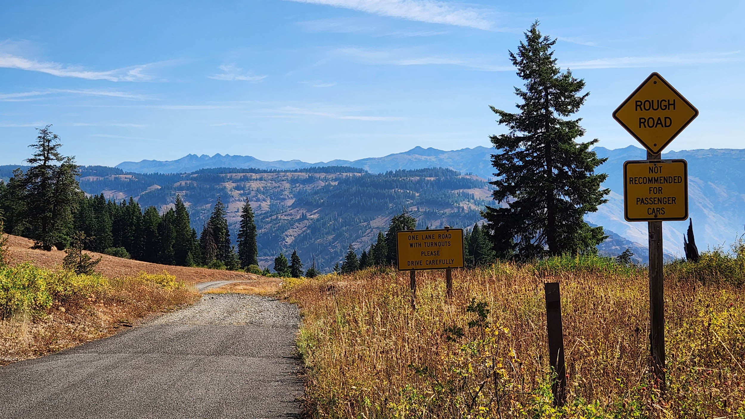
- You will pass through a whole lot of rugged landscapes, where even the paved roads can have potholes large enough to gobble up your front wheel. It’s also not uncommon to go half a day without seeing another person and/or having cell service. Prepare accordingly and be extra careful.
- Summertime weather is typically pretty docile, but violent storms blow in on occasion—lightning and tornadoes and all. Still, the combo of heat, wildfire smoke, and extreme drought conditions will be your biggest multi-day threats to an enjoyable trip.
- There are wolves, mountain lions, bears (not grizzlies), and a wide range of other wildlife that should not give you any trouble, as long as you leave them alone and don’t be careless with your food.
- Little to no poison ivy/oak and relatively few biting insects are tremendous pluses for this area.
- Yellowjackets can get pretty intense when water and food are in short supply.
What bike?
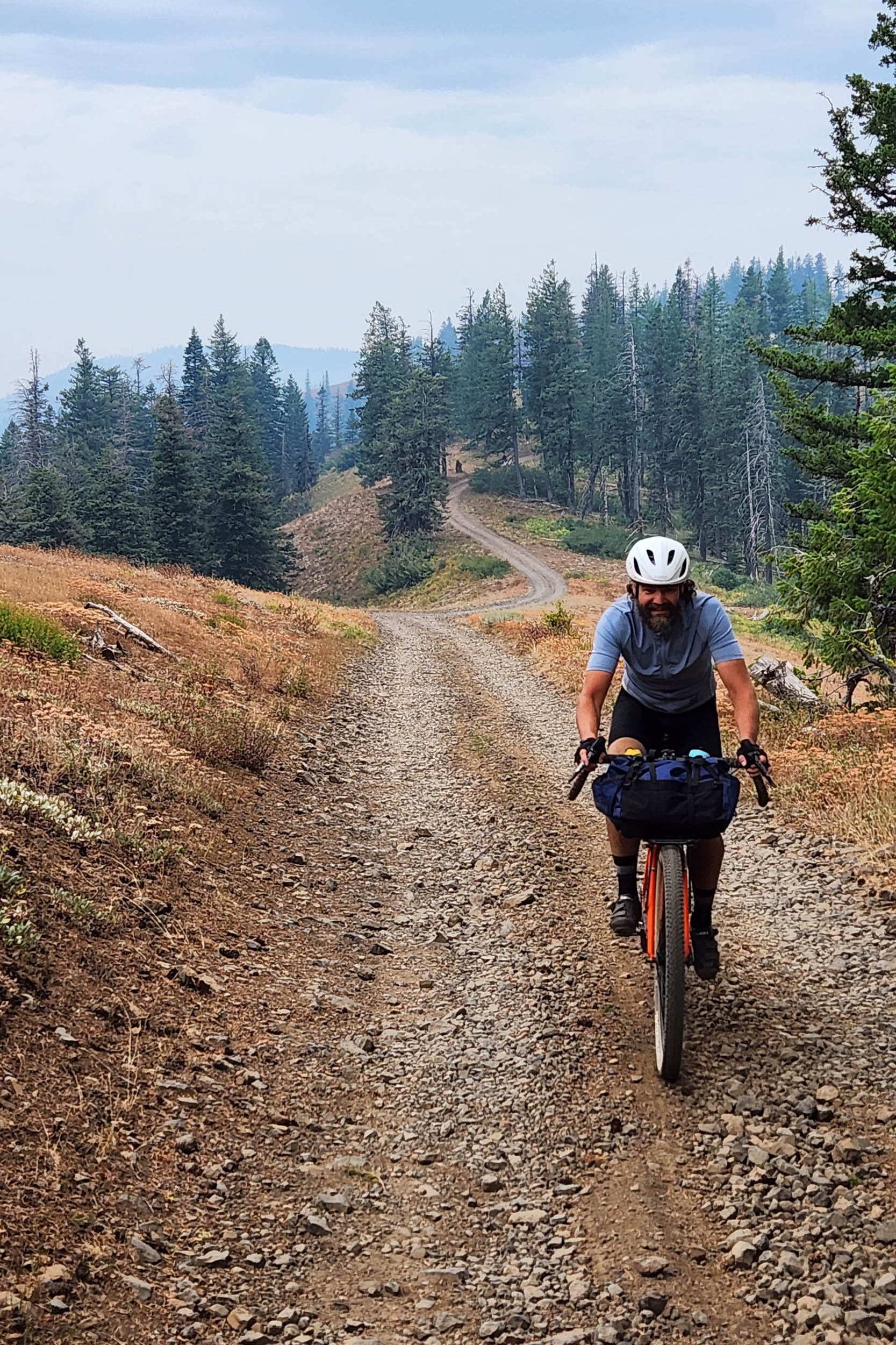
- This is a rigid-friendly route and plenty doable on a gravel bike.
- 50mm would be the absolute smallest tire to consider. Around 2.1” is just dandy, and 2.25” would help with some chunkier sections.
Additional Resources
- Tamastslikt Cultural Institute: A beautiful cultural center and museum run by the Confederated Tribes of the Umatilla Indian Reservation.
- Visit Walla Walla: Walla Walla’s biggest advocate for why you should visit Walla Walla.
- Outside Walla Walla: A source of inspiration for outdoor activities focused on the Walla Walla area and Blue Mountains.
- Walla Walla Area Gravel Centuries: NBWGL’s designer Phil Neumann’s growing collection of 100+ mile day rides leaving from Walla Walla and nearby towns.
- Blue Mountain Land Trust: Local conservation nonprofit focused on preserving wildland and farmland in the Blue Mountain Region.
- Walla Walla Valley Earth Science: A helpful Facebook page run by local geologist and meteorologist Kevin Pogue.
- Allegro Cyclery: Walla Walla’s bike shop specializing in gravel and bikepacking.
General notes
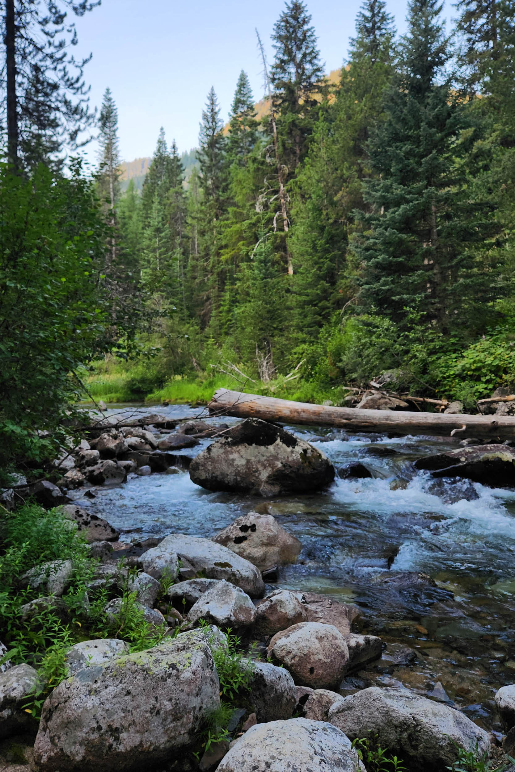
- Each night’s camping includes some form of nearby, cool, flowing water.
- You will have the option to camp at developed national forest campgrounds or nearby dispersed campsites along the way, all marked on the map. The only night without a campground option is Camp 7 on Mount Emily.
- There is one obvious alternate route at the southeast end of this route, giving you the option to steer away from (very scenic) Hells Canyon pavement and push a bit deeper/higher into the Wallowas. You would add a night to the trip (Fish Lake CG) and make a push the next day to the Two Color CG area.
By Night
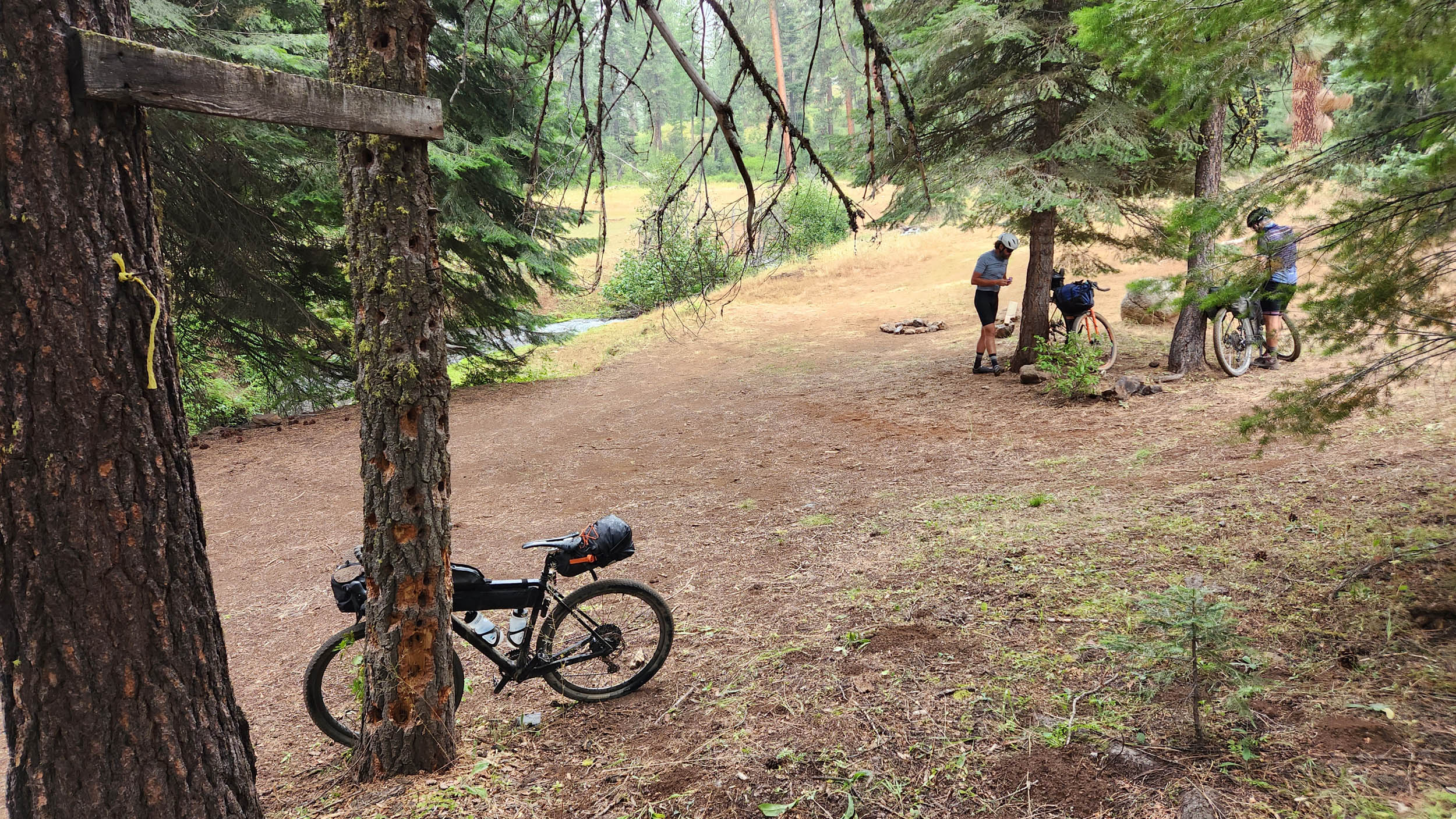
- Camp 1: Choose from a number of campgrounds and dispersed options in the Tucannon River’s canyon. It’s a cool and mighty Northern Blue Mountains tributary to the Snake River, just upstream of the Palouse River confluence with the Snake. Tucannon Campground can get rather rowdy, making the slightly off-course Panjab Campground a nicer option. Dispersed camping is restricted once you get down to the river, so the best on-route dispersed options are along the Little Tucannon River (small creek) near the bottom of the final descent of the day.
- Camp 2: Grizzly Flats camping, with optional lodging at the Troy Resort.
- Camp 3: This gorgeous canyon creek has many nice campgrounds, with wilderness hikes to either side. Don’t feel obligated to go all the way up to Williamson Campground, but it’s a particularly nice place to enjoy the water.
- Camp 4: Multiple nice campgrounds along a rugged Hells Canyon tributary to the Snake River.
- Camp 5: McBride CG is the first national forest campground after leaving Halfway, along a humble forested creek that drains off the south side of the Wallowa Mountains. There are other options further along, particularly spectacular if you make it out to East or Main Eagle Creeks. Those with ample legs and limited time can push to Main Eagle for Camp 5 and cut out Camp 6, Catherine Creek. Those with more time should spend it exploring this less traveled side of the Wallowas.
- Camp 6: Choose from the campground or several dispersed options along this cool, lovely creek that flows off the Wallowas and into the Grand Ronde River. Follow the creek down to Union in the morning for breakfast.
- Camp 7: Water for the evening is at Crystal Spring. Huckleberries abound. There are some forested camps close to the spring and several dispersed campsites near the comms towers at the top of the mountain. You can also wash up, water up, and head north along the route, downhill, then along the ridge for 1 or 2 miles to get to a number of dry dispersed camps with unforgettable views. This is the preferred option if you have enough water storage or don’t mind riding back to the spring to refill.
- Expect near-daily resupply and dining options at charming small towns along the route.
- Each night offers abundant water at or near camp, and you will periodically cross springs, creeks, and rivers.
- Even in the driest months of August and September, a good filter and 3.5L of storage are sufficient.
- Key, not-to-miss water refills and resupply points are noted in the Highlights.
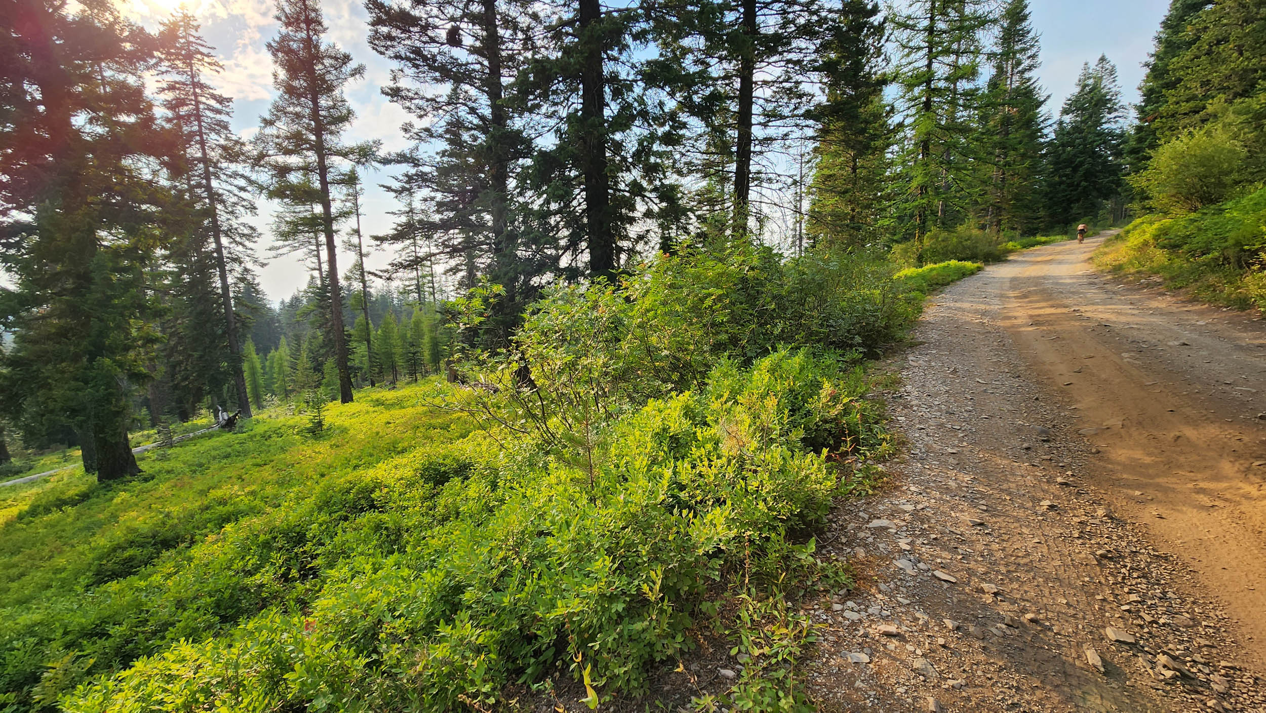
- Fans of foraging will not be disappointed by the abundance of wild dining options. Morels and huckleberries are present throughout much of the elevation profile starting in June and trending upward as the season progresses. The abundance of huckleberries, in particular above 5,000 feet in August, is a sight to be seen. Be prepared to incorporate some into your trailside or camp diet.
location Walla Walla to Tucannon River
Day 1 (56 mi, 6,400 feet)
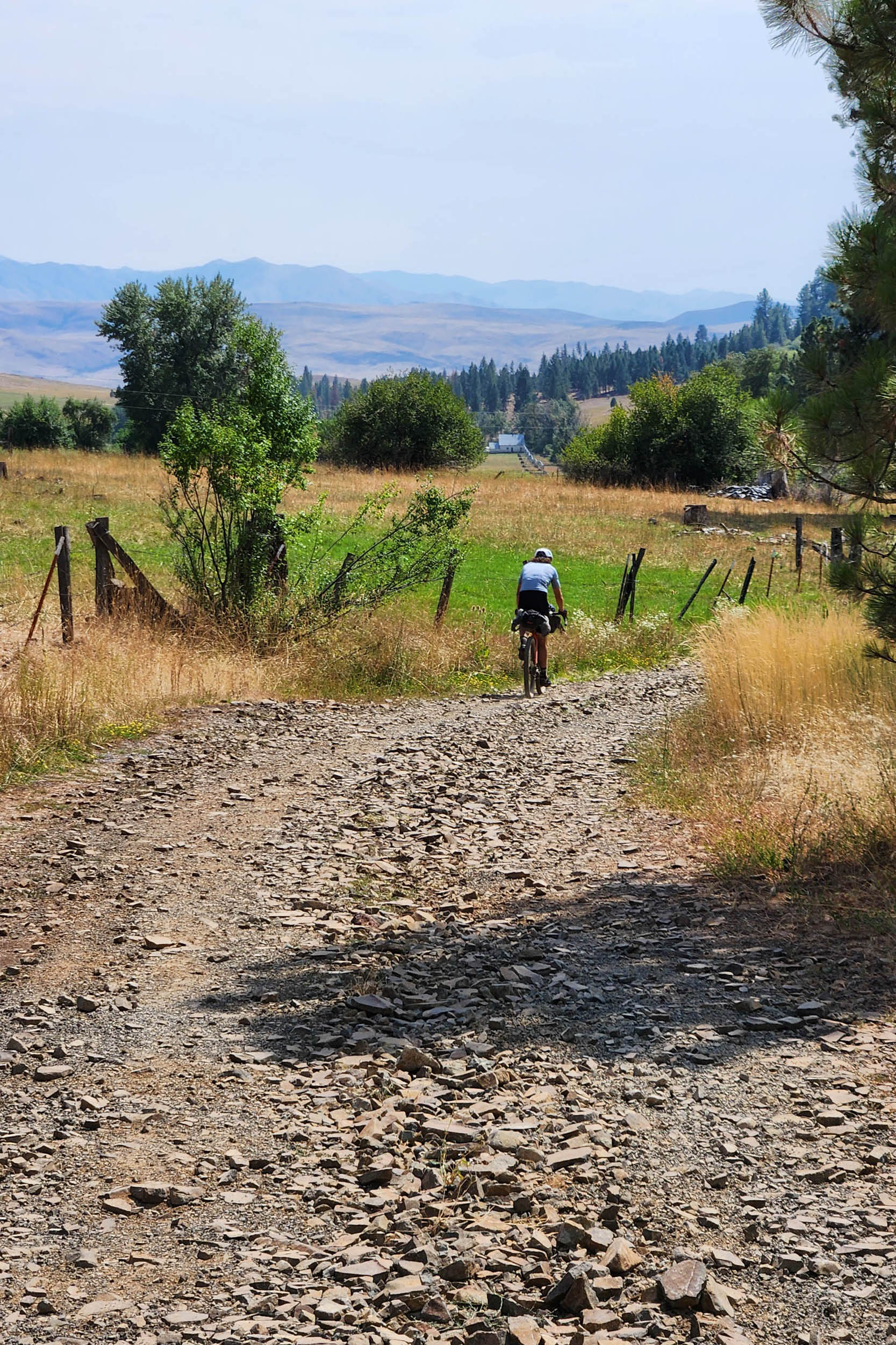
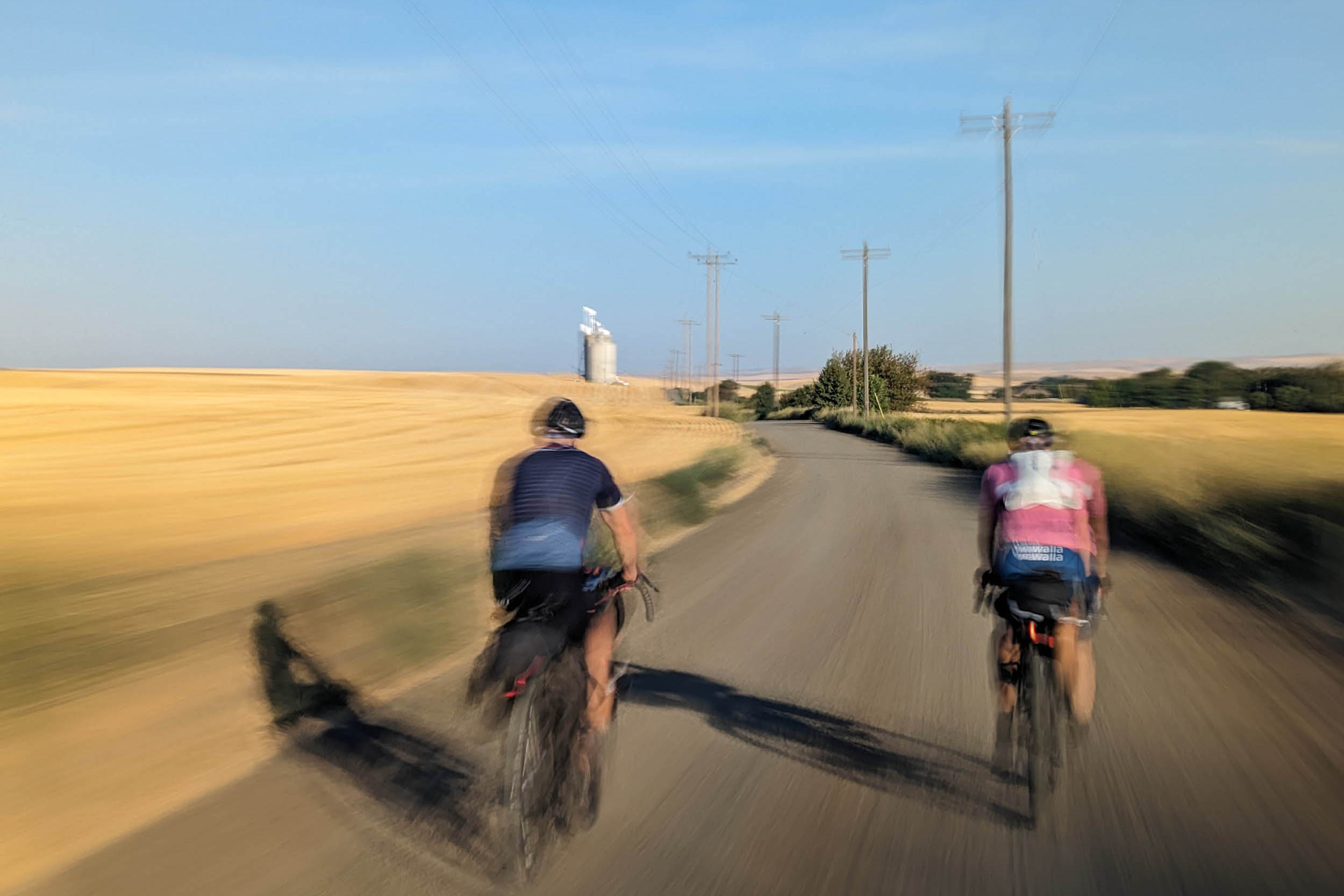
The trip starts with a foray into the southernmost end of the Palouse, a region of rolling wheatfields and the namesake of the Appaloosa horse. You’ll flirt with the western foothills of the Blues on the way north to the old Green Giant factory town of Dayton. This will be the lowest elevation of the trip and can be baking hot during summertime. After a stop in Dayton, a long climb out of Dayton will reward you with cooler mountain temperatures and a dramatic descent into the Tucannon River.
location Tucannon River to Troy
Day 2 (60 mi, 5,900 feet)
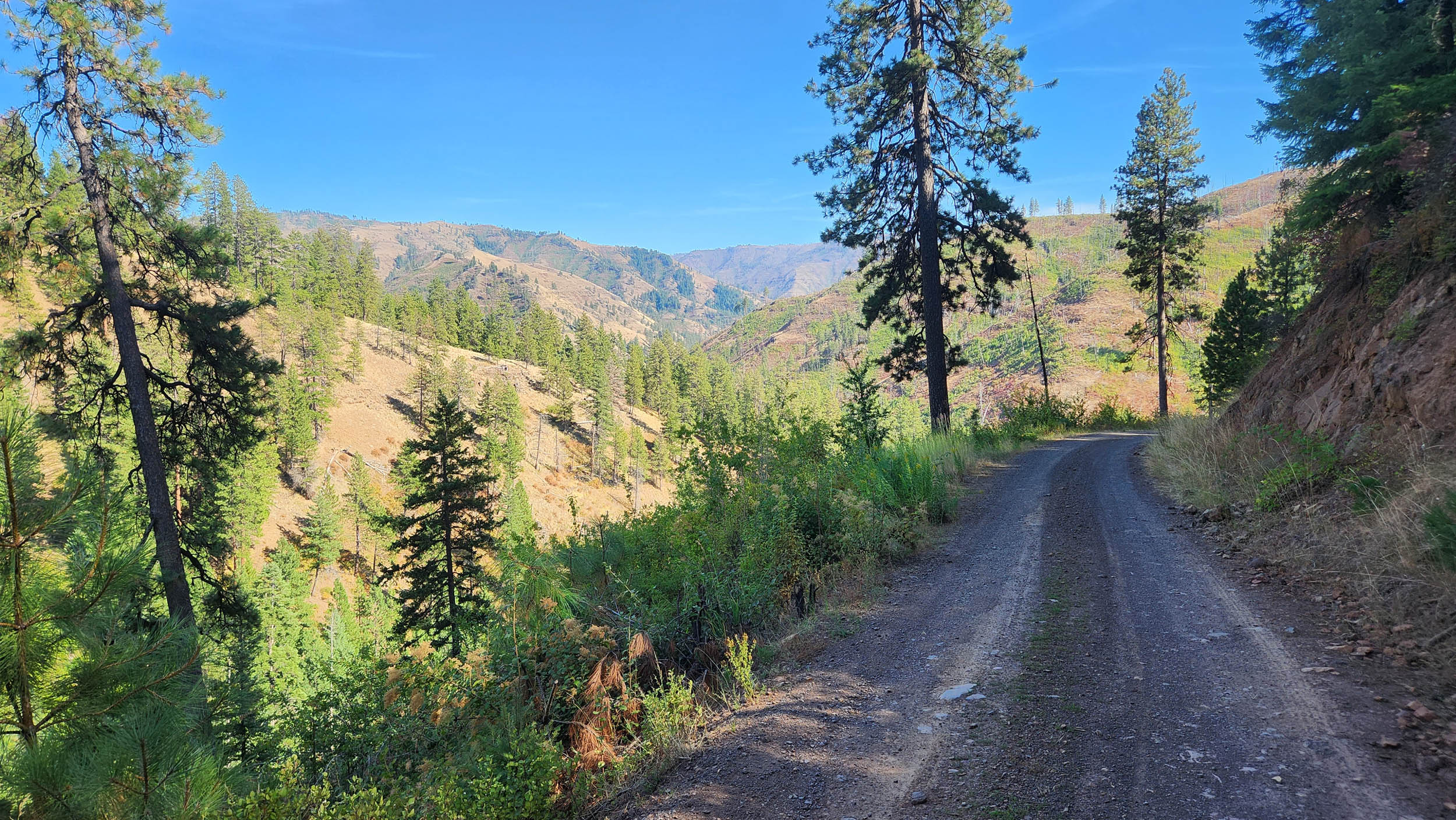
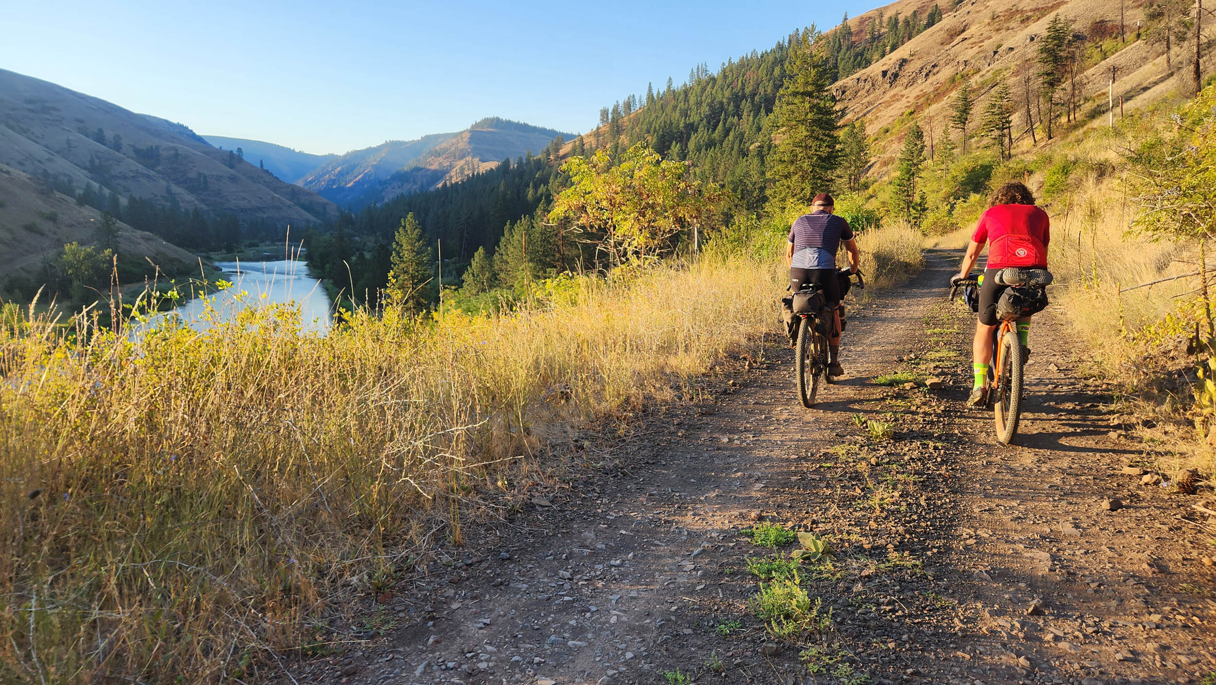
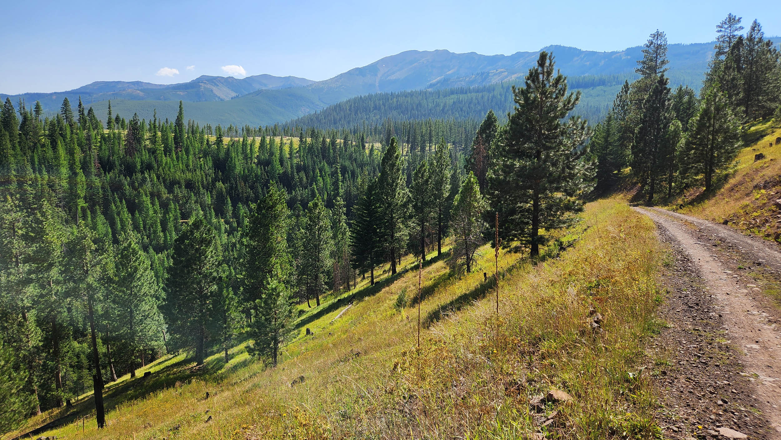
After a morning ride down the Tucannon and a potential pit stop at The Last Resort, your climb up Blind Grade will start a lengthy ascent back up through dryland wheatfields on the north slope of the Blues and back into the forest. Water will become relatively sparse, but after making it to Mt. Misery, the route will begin an unforgettable descent past an abundance of year-round springs to the remote river town of Troy. This descent offers your first viewpoints of the Wallowas that you will soon circumnavigate.
location Troy to Lostine River
Day 3 (63 mi, 5,800 feet)
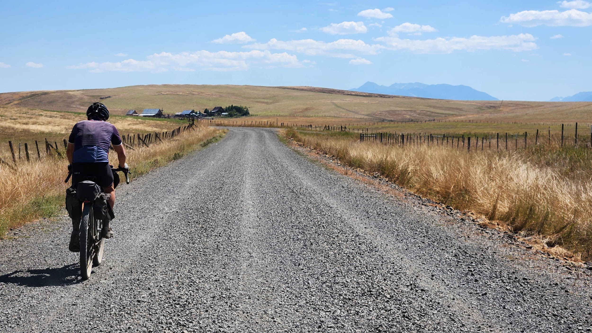
Today’s ride will take you up the Grande Ronde River from Troy to a tributary called Wallupa Creek. After filling up with water, you will traverse a mid-elevation stretch of the Blues and down into the Wallowa River Valley, featuring some of Oregon’s most charismatic farm and ranchland. The town of Lostine offers a fantastic resupply before heading up the Lostine River for a creekside camp surrounded on three sides by the Eagle Cap Wilderness.
location Lostine River to Imnaha River
Day 4 (70 mi, 4,800 feet)
Your day starts off with a morning descent back down to Lostine, where you will hop on a lonely two-track with sweeping views of the Wallowa Mountains that drops right into the town of Enterprise. From there, a scenic farmland climb takes you back into the national forest, traverses many steep mountain drainages on rough forest roads, and drops back down through old-growth pine forest to the Hells Canyon Scenic Byway, where you will find abundant camping options on the Imnaha River.
location Imnaha River to Summit Creek
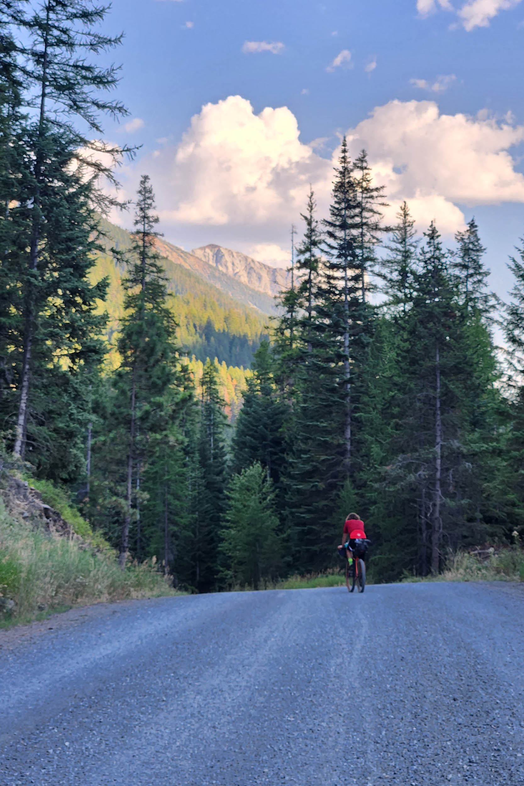
Day 5 (49 mi, 5,700 feet)
This will be the only day aside from the start where you will begin on a paved road, the Hells Canyon Scenic Byway. At this point, you probably will appreciate some easy miles, but note the alternate route that cuts this pavement short in favor of some higher-elevation gravel that’s closer to the mountains. Both routes will lead to the town of Halfway (your southernmost point on the ride) before a long climb back up to your choice of higher-elevation camp. Summit Creek is beautiful but also highly populated by summer grazing cattle, so be prepared for some less-than-pristine water and pat yourself on the back for having a good filter.
location Summit Creek to Catherine Creek
Day 6 (58 mi, 5,500 feet)
The ride from Summit Creek to Catherine Creek contains some of the roughest roads of the route, as well as some of the most dramatic and seldom-seen views of the Wallowas. Take your time to stop and appreciate the many cascading creeks along the way, with the various branches of Eagle Creek being the main attractions. One last climb of the day takes you to the final descent into Catherine Creek, and it’s an absolute ripper.
location Catherine Creek to Mt. Emily
Day 7 (52 mi, 4,500 feet)
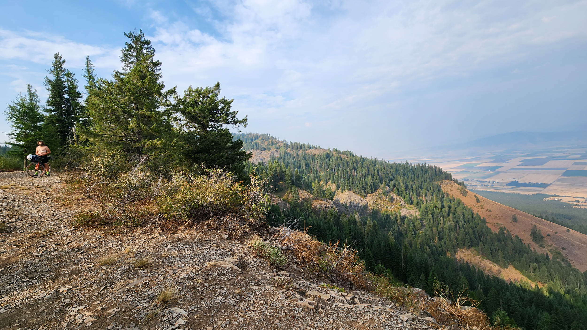
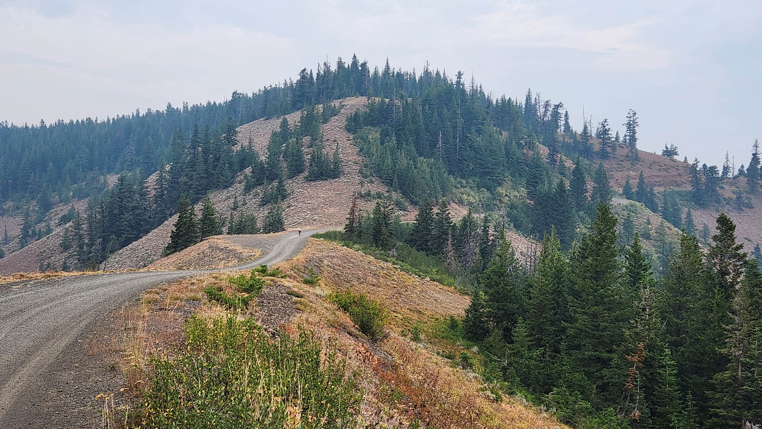
Follow Catherine Creek downstream to the town of Union for a hearty breakfast, making good time along a smooth paved road and soaking in the sunshine. A quick climb out of Union takes you to the cherry-growing town of Cove, and your destination for the final camp will become the dominant feature in your viewshed. Cross the Grand Ronde Valley to the town of La Grande, resupply, and begin the longest, roughest climb of the trip. At first, the climb will harken back to your climb out of Halfway. It goes from great to rough to heinous and eases up toward the top. August will pair this experience with seemingly endless fields of ripe huckleberries. You will need to go down from the summit for a short way to get to the water supply for the evening, Crystal Spring, and from there can venture down to the ridge for camping. You can also head back up Mt. Emily and camp past the communications towers.
location Mt Emily to Walla Walla
Day 8 (65 mi, 3,800 feet)
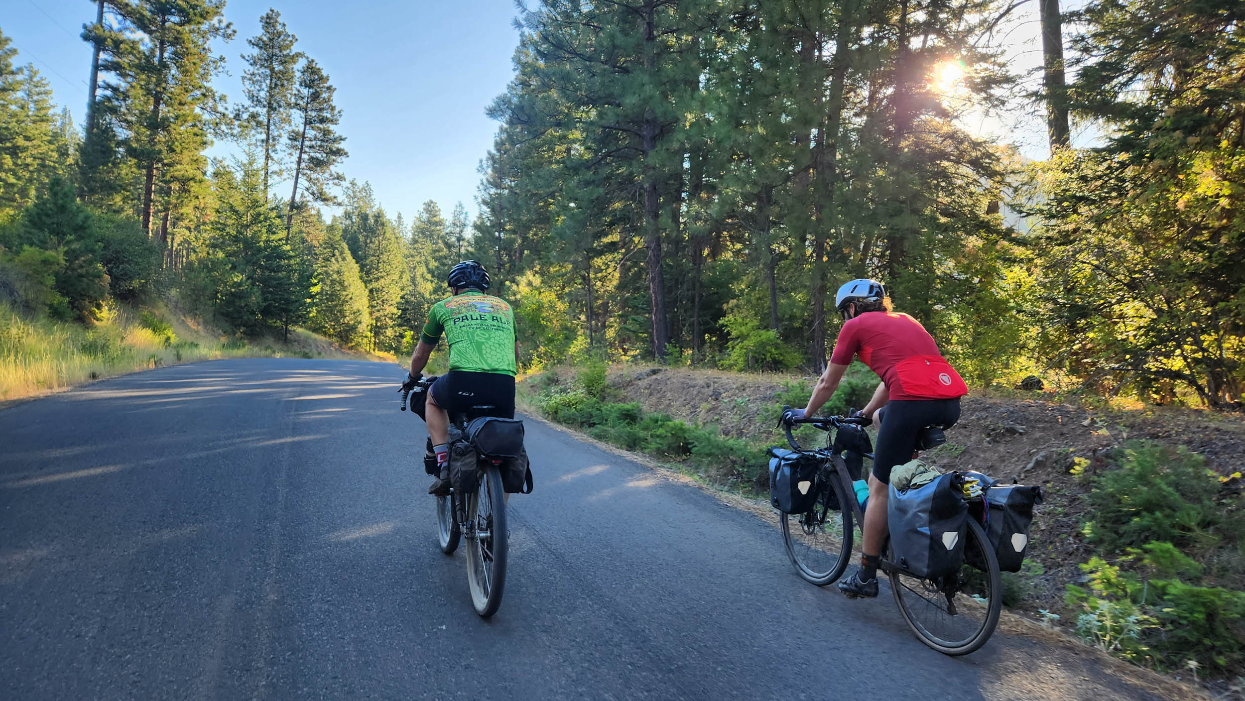
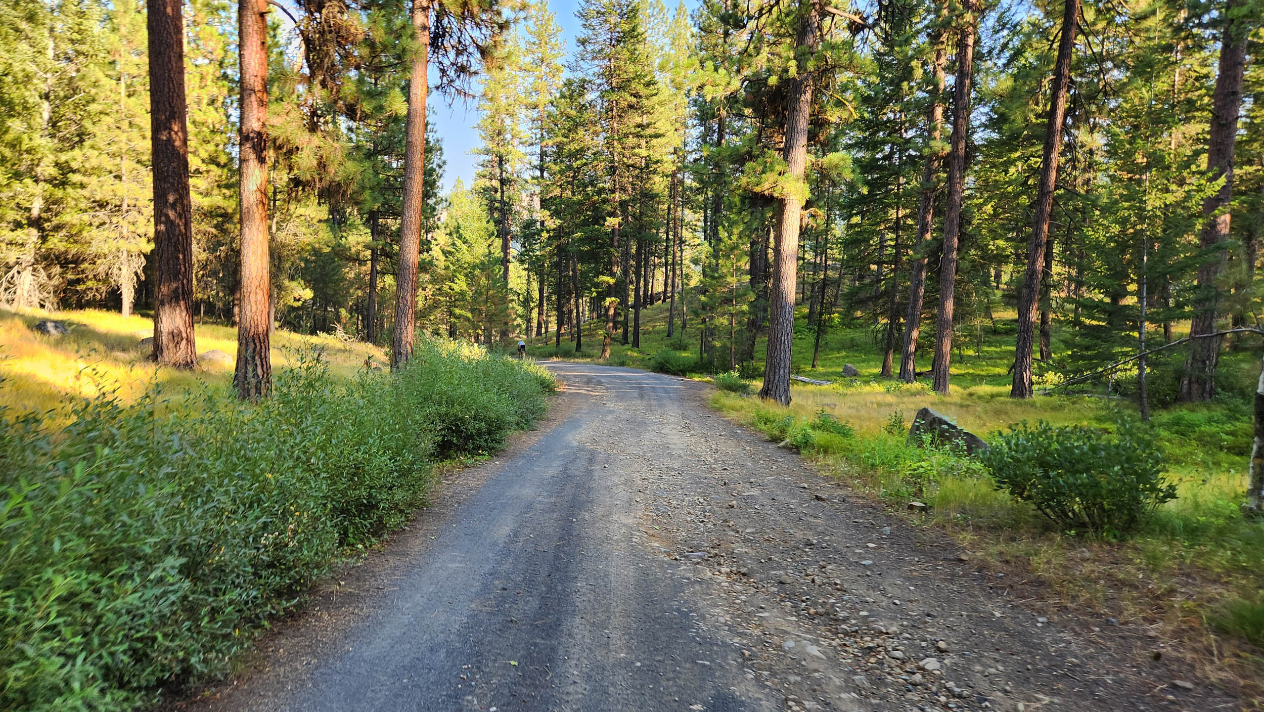
You made it! The last day of the trip! It starts off with a breathtaking ridge ride, with the Grande Ronde River watershed to the right and the Umatilla River watershed to the left. The road is very rough for a ways but turns to pavement near Ruckle Junction. Keep an eye out on the left for the Nine Mile Trailhead, which starts the optional Umatilla Rim Trail section of the route. It’s worth it, but either way, you’ll hit Highway 204 and make quick time to a mercantile and restaurant at the Tollgate summit (it’s called Tollgate Crossing under current ownership as of 2023). From here, descend Highway 204. The descent turns to gravel at Lincton Mountain Road, which takes you down to the Walla Walla River. One last climb takes you up within eyesight of Walla Walla. Rejoice!


Terms of Use: As with each bikepacking route guide published on BIKEPACKING.com, should you choose to cycle this route, do so at your own risk. Prior to setting out check current local weather, conditions, and land/road closures. While riding, obey all public and private land use restrictions and rules, carry proper safety and navigational equipment, and of course, follow the #leavenotrace guidelines. The information found herein is simply a planning resource to be used as a point of inspiration in conjunction with your own due-diligence. In spite of the fact that this route, associated GPS track (GPX and maps), and all route guidelines were prepared under diligent research by the specified contributor and/or contributors, the accuracy of such and judgement of the author is not guaranteed. BIKEPACKING.com LLC, its partners, associates, and contributors are in no way liable for personal injury, damage to personal property, or any other such situation that might happen to individual riders cycling or following this route.
Further Riding and Reading
Here are some connected/nearby routes and related reports...
Please keep the conversation civil, constructive, and inclusive, or your comment will be removed.