


The Morgan Loop
Distance
140 Mi.
(225 KM)Days
2
% Unpaved
92%
% Singletrack
0%
% Rideable (time)
100%
Total Ascent
3,773'
(1,150 M)High Point
1,549'
(472 M)Difficulty (1-10)
5?
- 2Climbing Scale Easy27 FT/MI (5 M/KM)
- -Technical Difficulty
- -Physical Demand
- -Resupply & Logistics
Contributed By
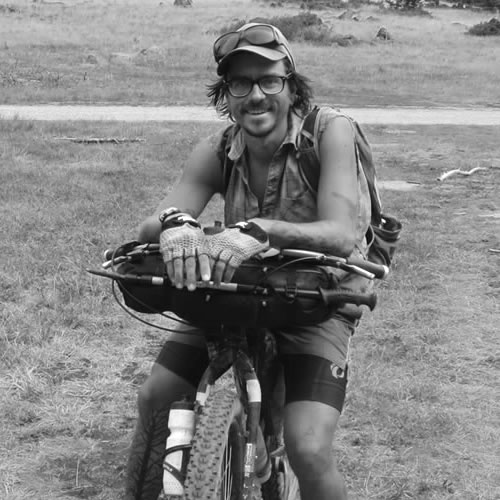
Dylan Kentch
Guest Contributor
Originally from Alaska, Dylan’s ridden from the United States to Ushuaia on a singlespeed and across Australia three times. He turned 16 on his first bicycle tour, riding from Haines, AK, home to Anchorage. Dylan now lives in South Australia, at the base of Mt. Remarkable, where he’s sandwiched between singletrack and gravel roads that go for days (months, really) to the north and east.
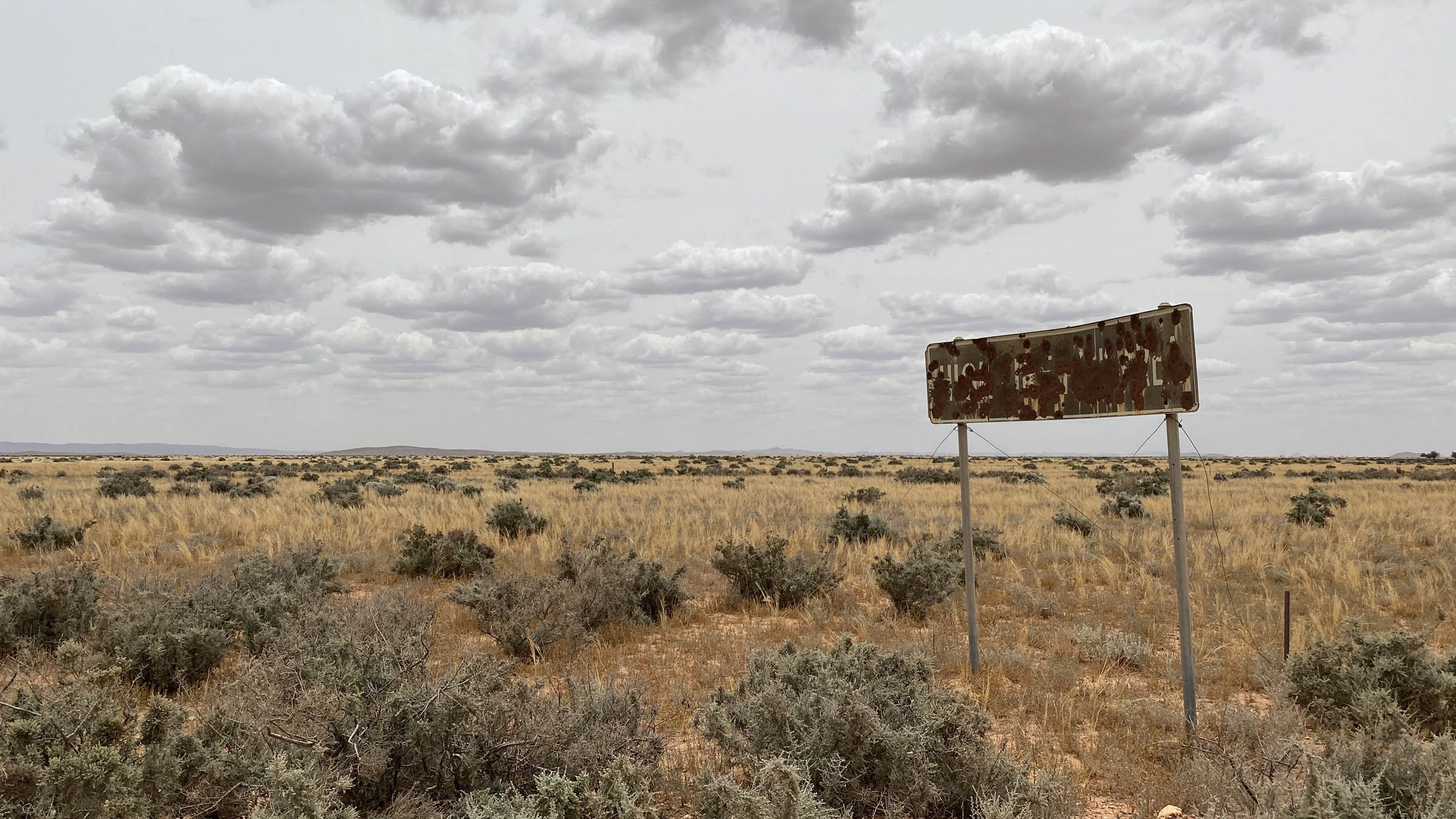
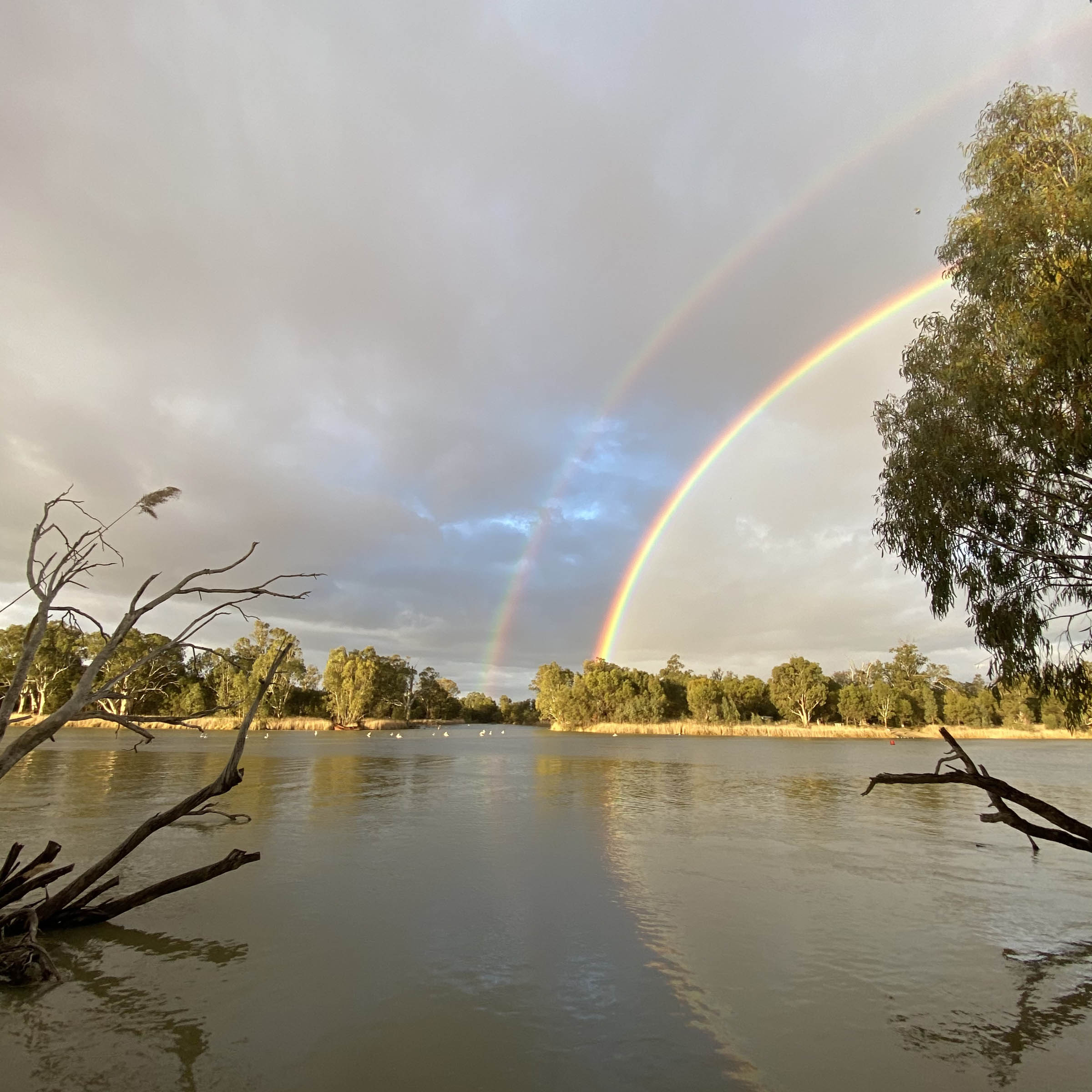
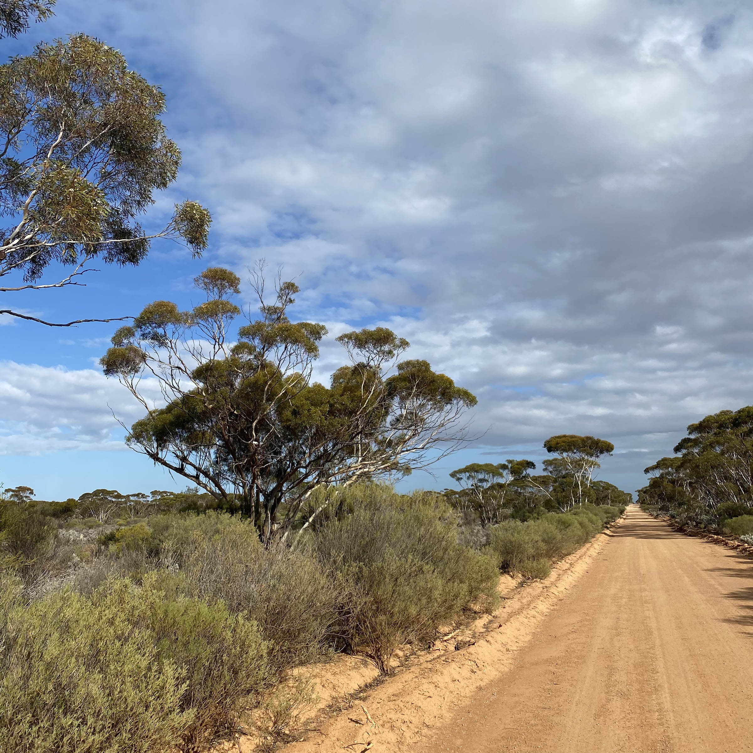
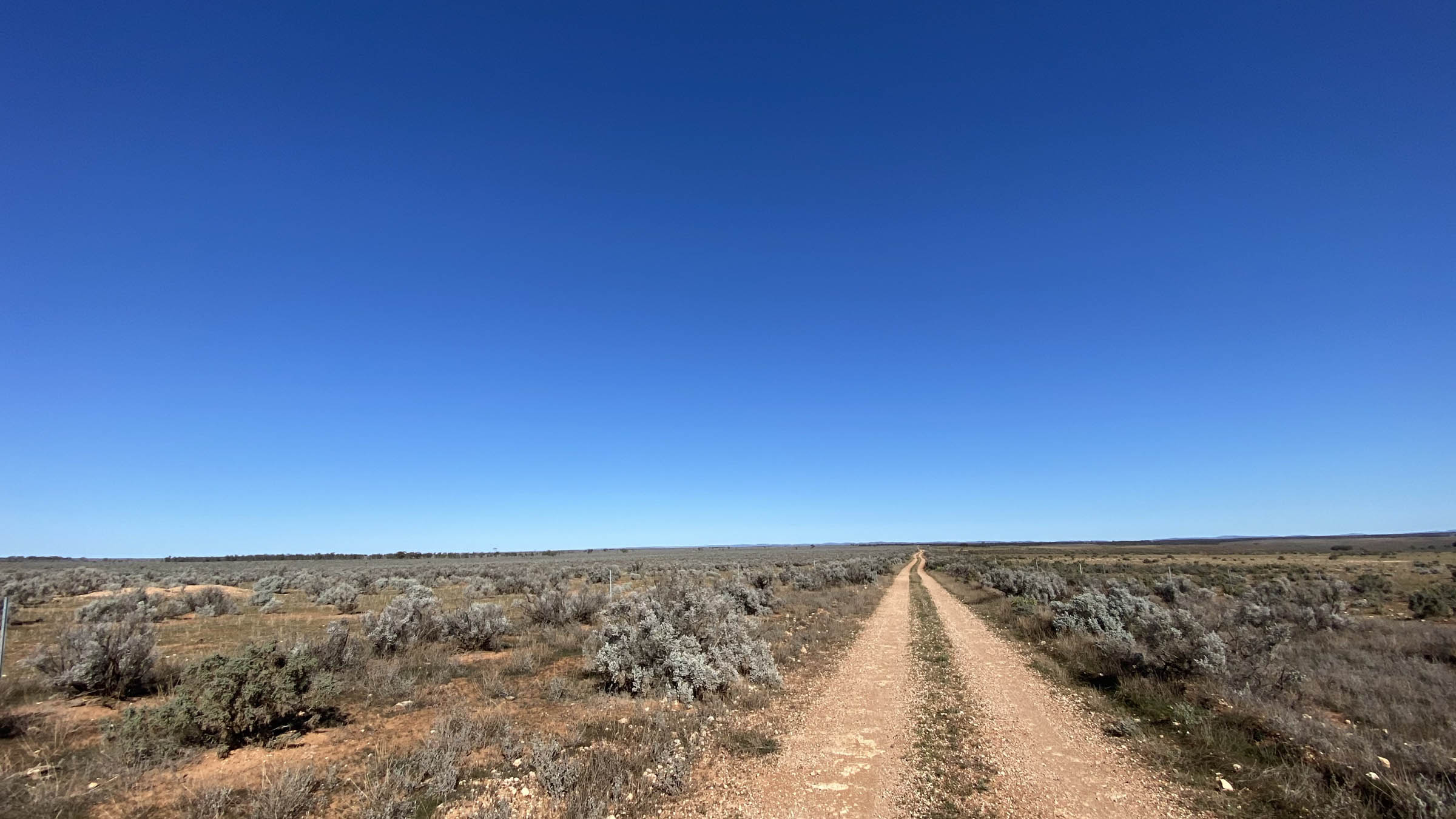
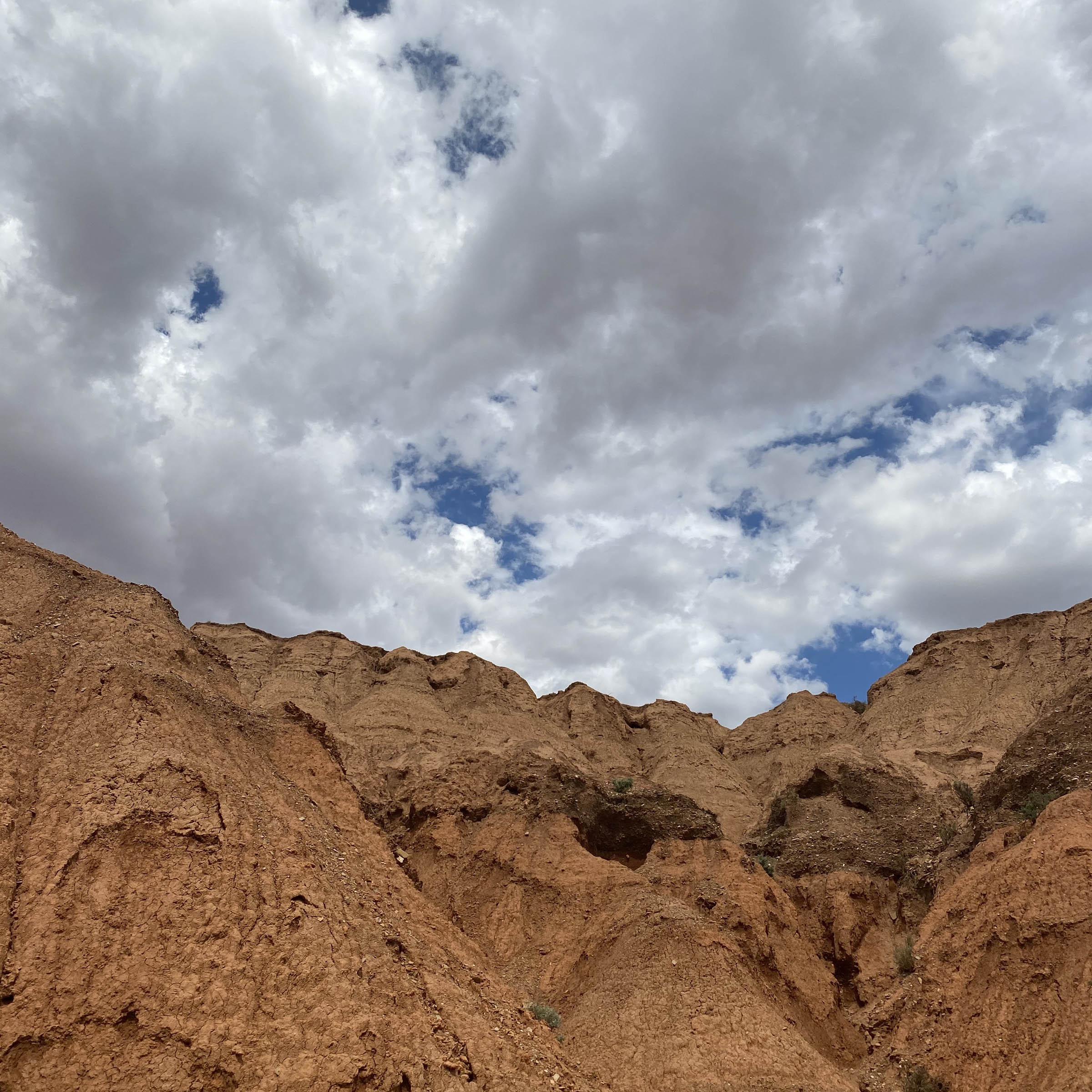
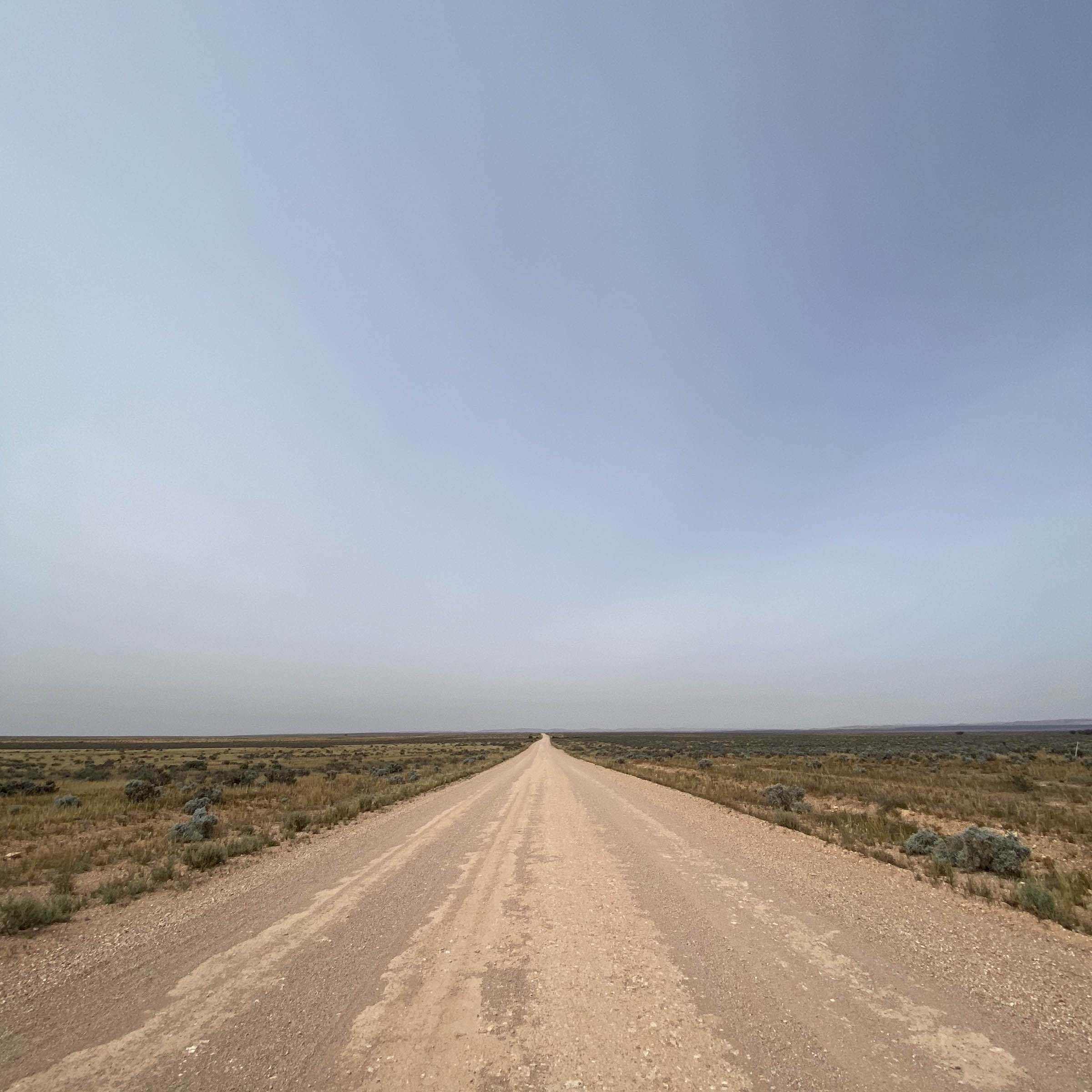
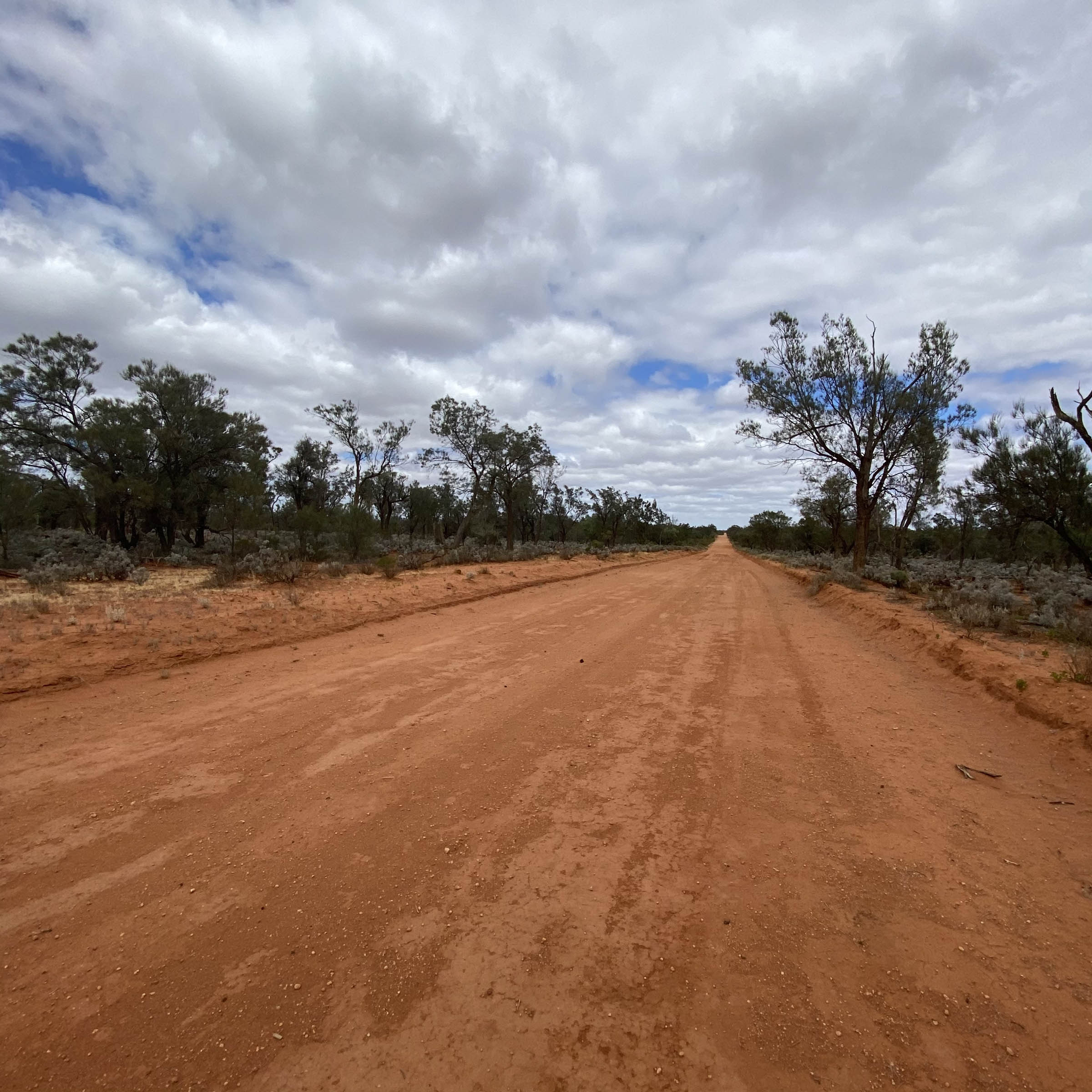
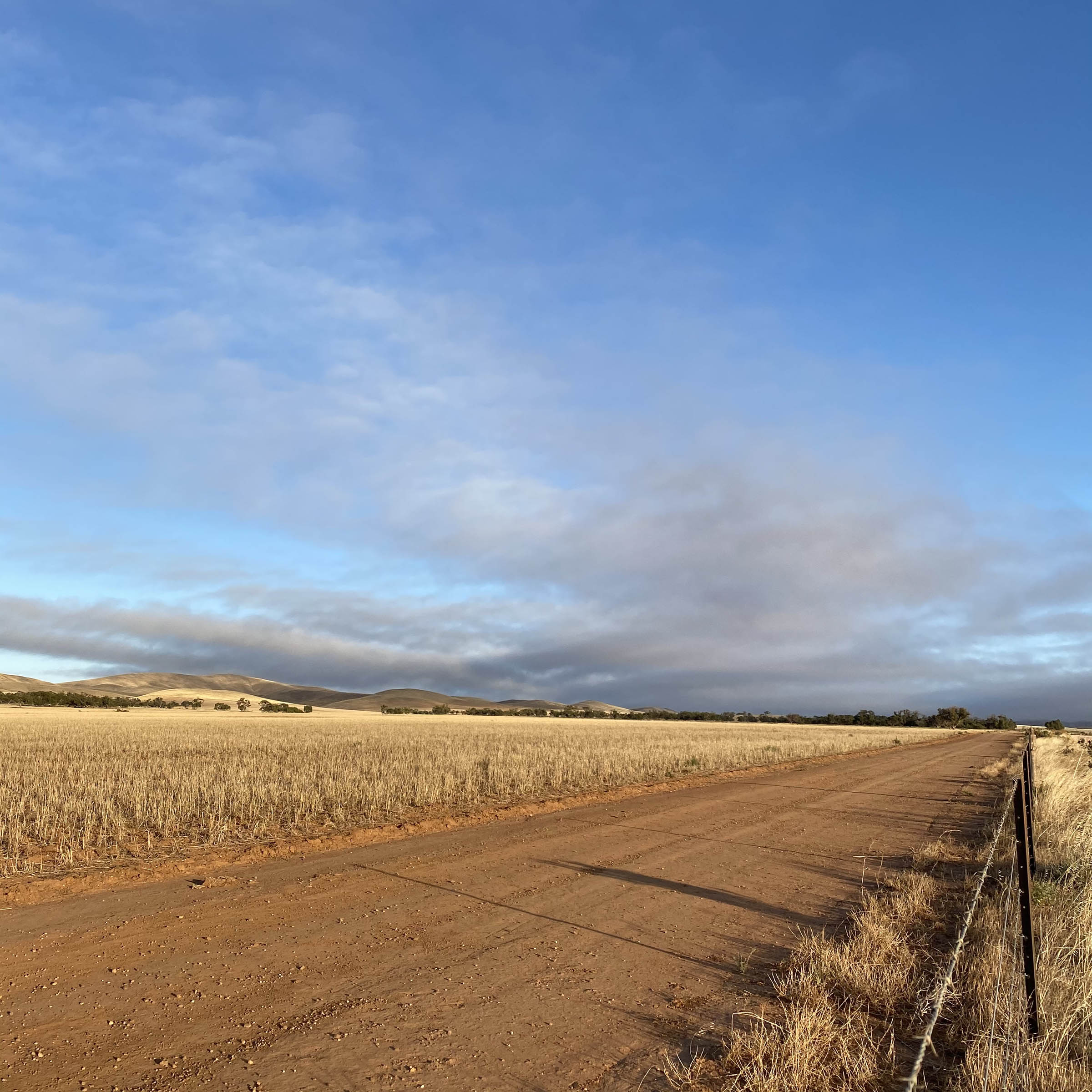
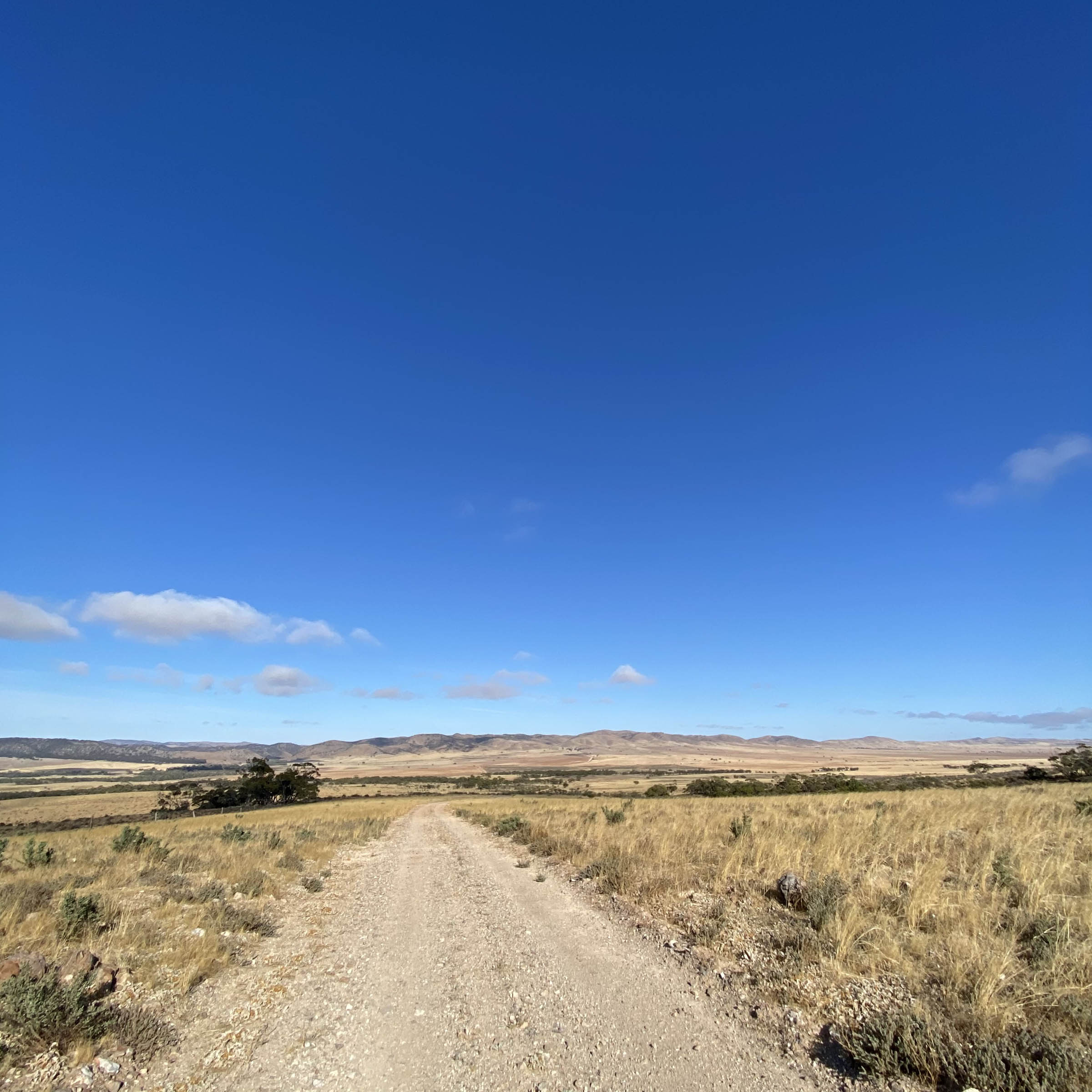
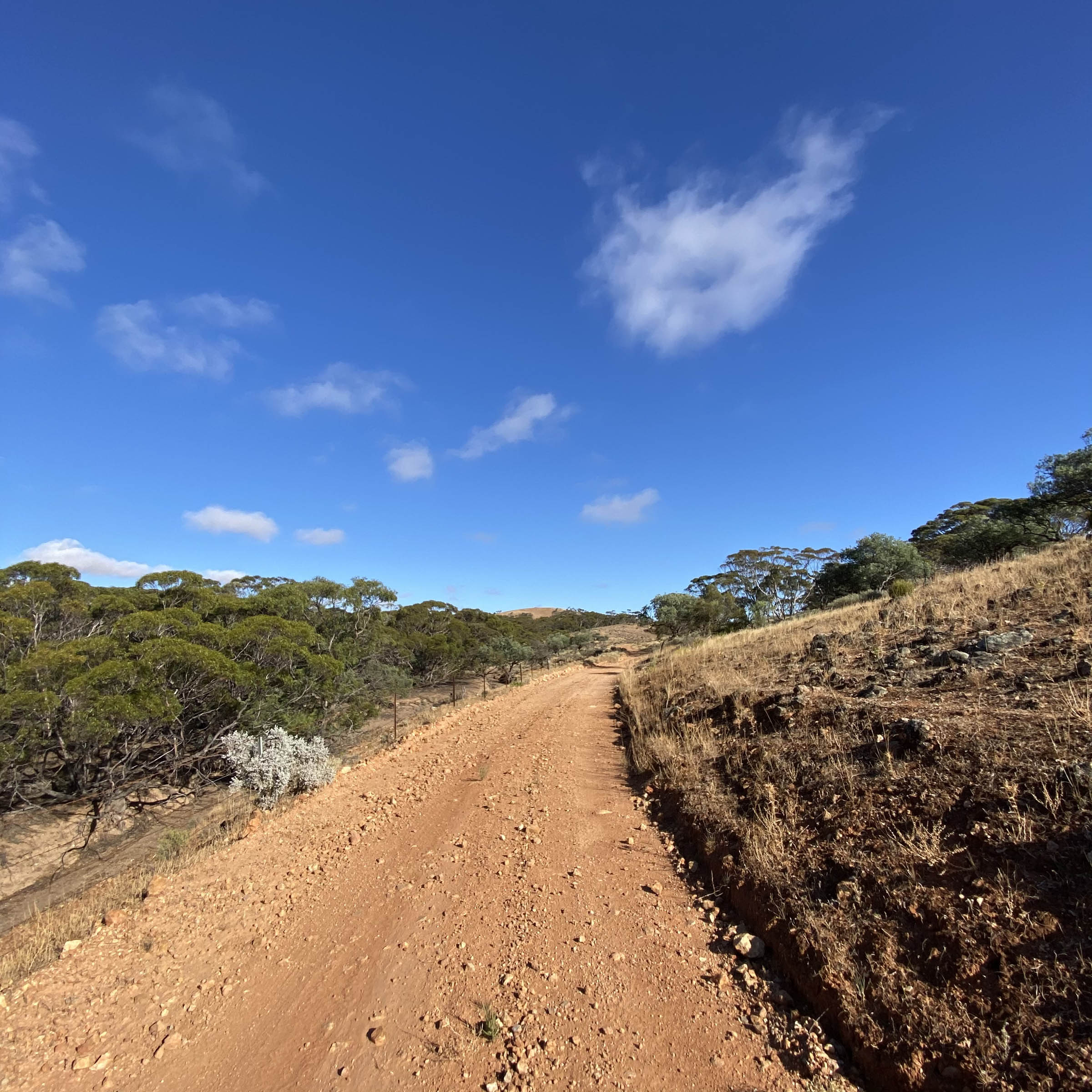
This is a one-night, two-day loop that very quickly takes you from the flat and irrigated western Riverland to the edges of the arid foothills of the amazing southern Flinders Ranges and back. There is nothing classically picture-postcard amazing about this ride: there are neither 5,000 metre peaks to ogle at, nor hot springs to soak in, or even castles or pyramids to poke about! But regional South Australia is anything but a boring place to cycle, and the Morgan Loop offers a couple days almost exclusively on dirt roads and with fewer vehicles passing per day than you can count on one hand.
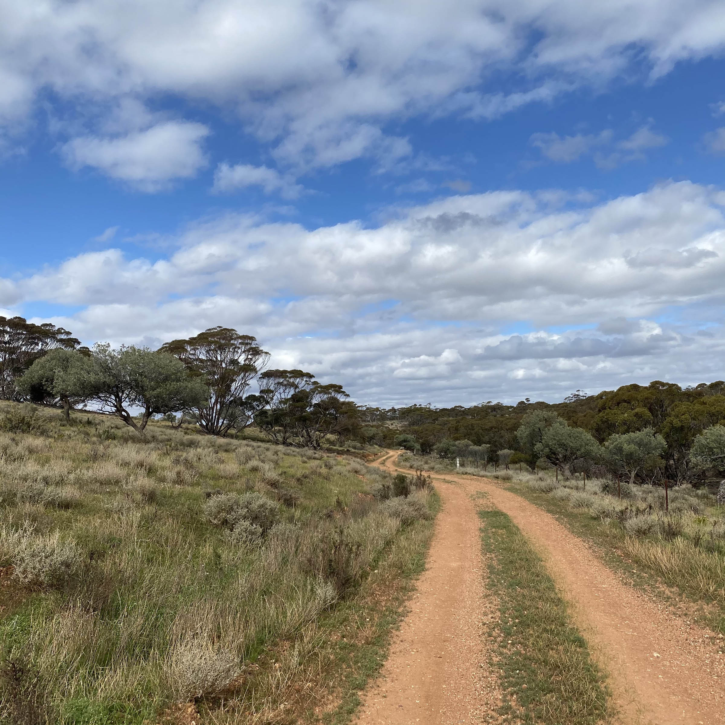
The route mostly follows maintained dirt roads that parallel major paved highways, but the feelings of isolation and wilderness served up by this Outback-lite piece of regional South Australia can come on quite thick and heavy at times, especially if you’re used to being buzzed by cars while tooling around on a road bike in the Adelaide hills. This is a great route to practice carrying lots of water on, possibly to use as a shakedown trip for longer, more remote rides. It’s also a delightful test piece if you have never been fully self-sufficient on an overnighter before; if you follow the RWGPS route exactly, you will only pass one (usually) reliable water source—a creek filled with all sorts of animal poo. Riding towards the Burra hills will undoubtedly whet your appetite to one day keep going and see what’s beyond those magnificent ranges and what awaits farther north or west towards the glorious Centre.
Route Difficulty
Technical difficulty: 4 • Physical Demand: 5 • Resupply and Logistics: 2
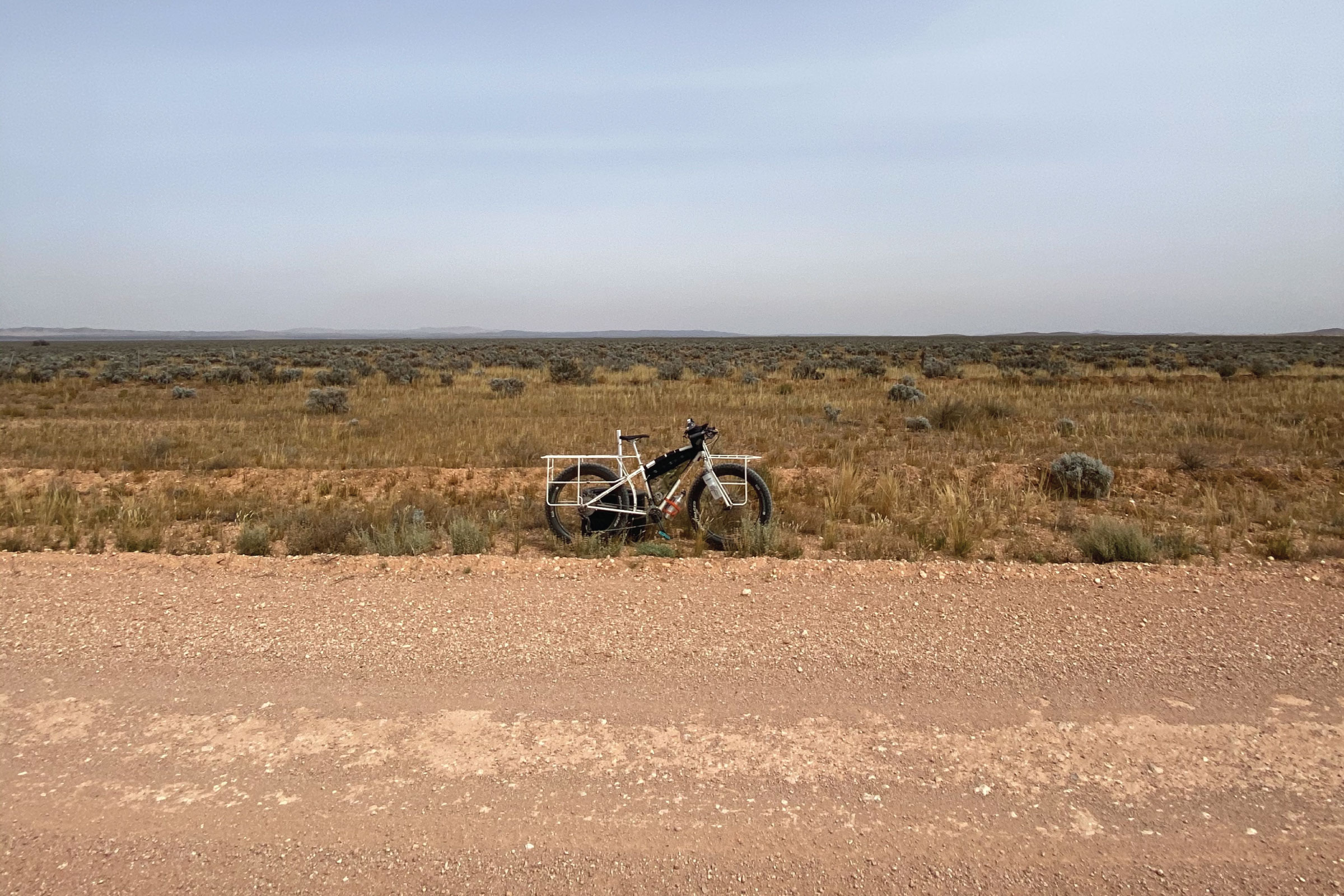
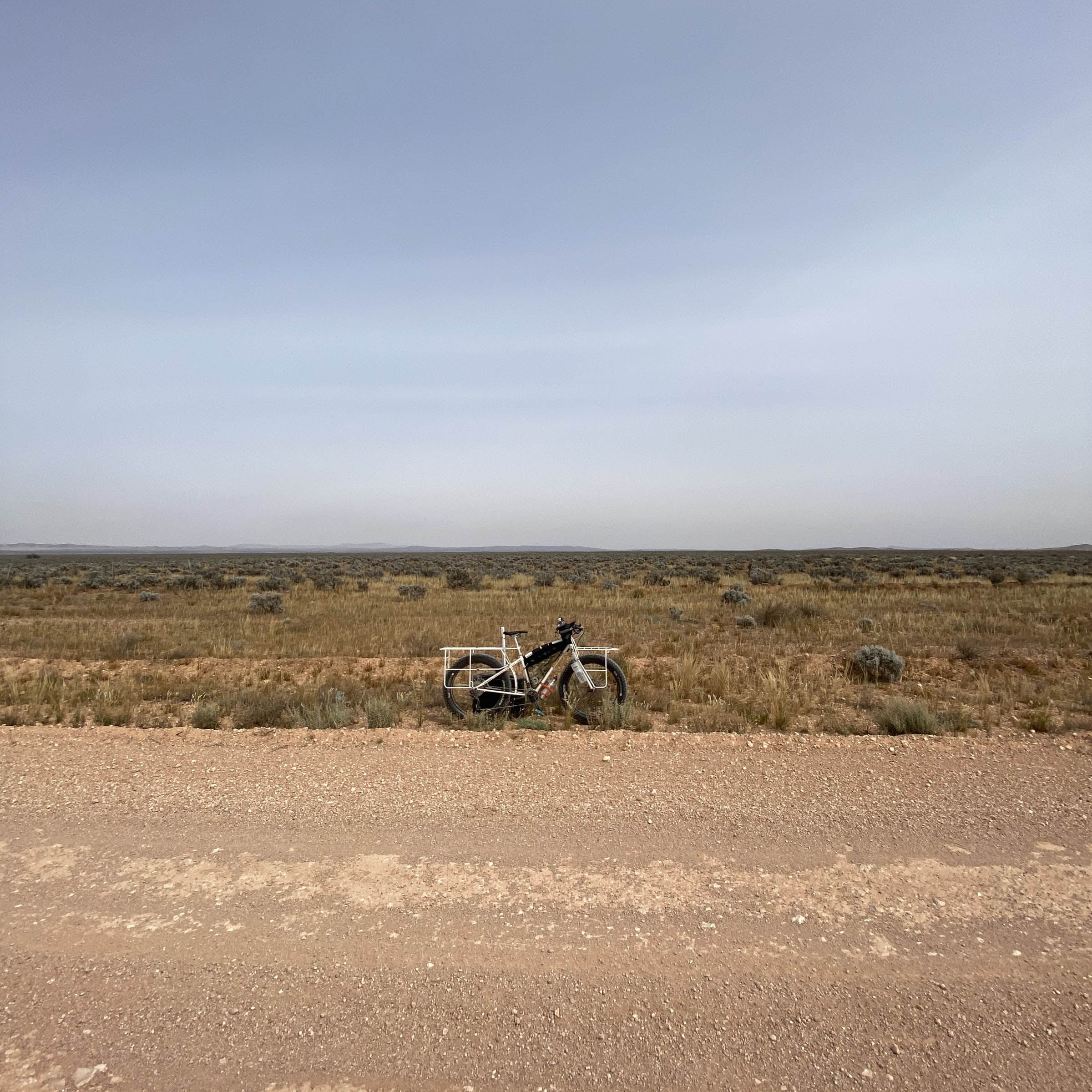
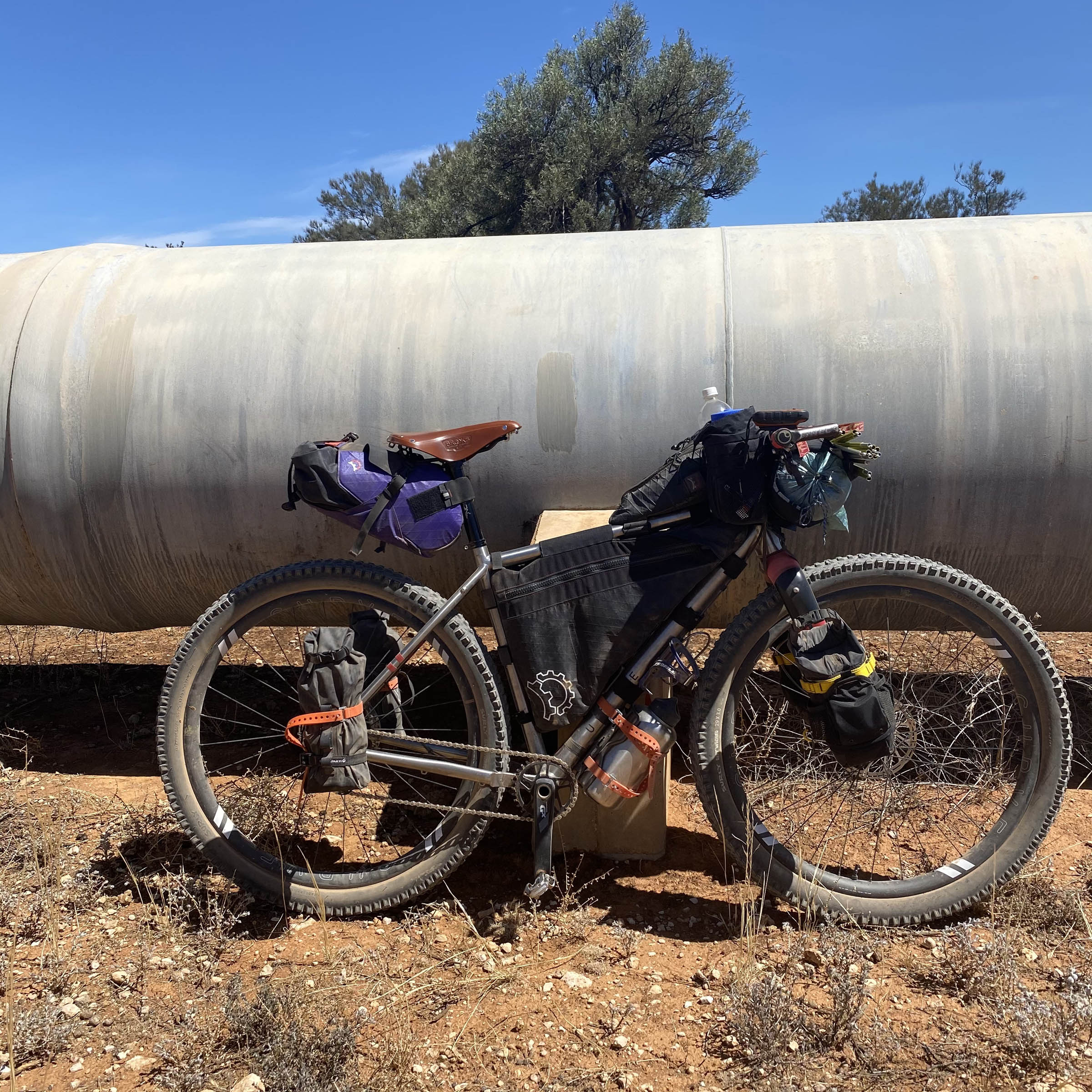
The technical difficulty of this route is relatively low, as it’s primarily on flat dirt roads that see semi-regular maintenance. Similar to the technical demand, the physical demand for this loop is also relatively low. With good weather conditions, the most challenging physical stressor will likely be the longer daily distances required to make this an overnighter and not a two-night, three-day trip (see Trail Notes below about this). Depending on how fast you ride, in the middle of winter, and thus outside of daylight savings, the majority of daylight hours could be spent exclusively on the bike—not that this is a bad thing! If you leave with all the food and gear you need and are fully self-contained and nothing goes wrong, then this route’s logistics are pretty simple. Park the car, ride, eat, sleep, eat, ride back to car, swim in the Murray River, done! If something goes amiss or it rains and the peanut butter mud steals the derailluer from your bike, the remoteness of this loop will suddenly become apparent as you attempt to self-rescue, and then logistics can be a 6 or higher indeed. I have ridden this only on 29 x 3.0” tires (both geared and singlespeed) but then again don’t own anything narrower. Around 2.1” tyres would be great and comfortable depending on when the roads have last been graded, but of course, you can use whatever size tires you want.


Submit Route Alert
As the leading creator and publisher of bikepacking routes, BIKEPACKING.com endeavors to maintain, improve, and advocate for our growing network of bikepacking routes all over the world. As such, our editorial team, route creators, and Route Stewards serve as mediators for route improvements and opportunities for connectivity, conservation, and community growth around these routes. To facilitate these efforts, we rely on our Bikepacking Collective and the greater bikepacking community to call attention to critical issues and opportunities that are discovered while riding these routes. If you have a vital issue or opportunity regarding this route that pertains to one of the subjects below, please let us know:
Highlights
Must Know
Camping
Food/H2O
Trail Notes
Resources
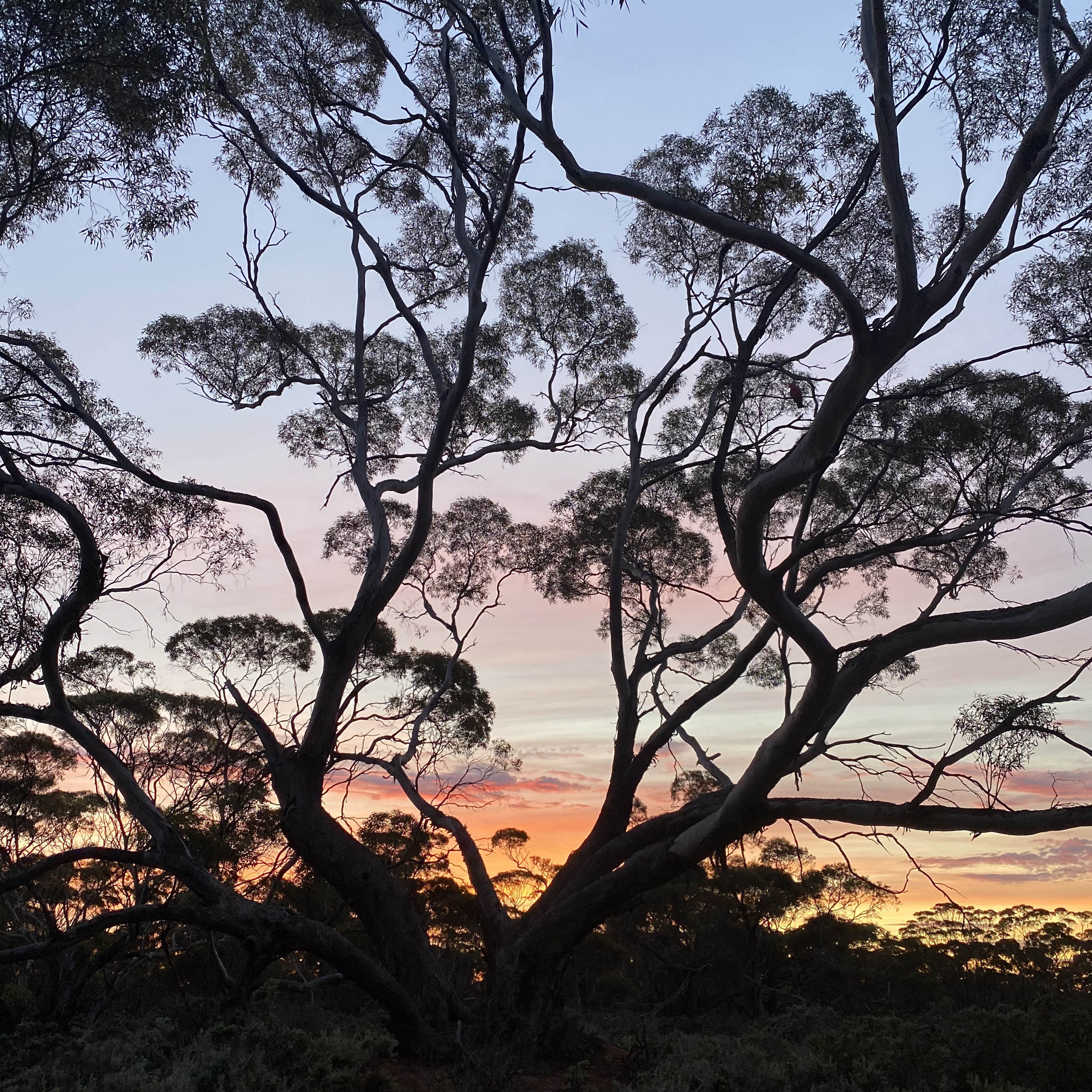
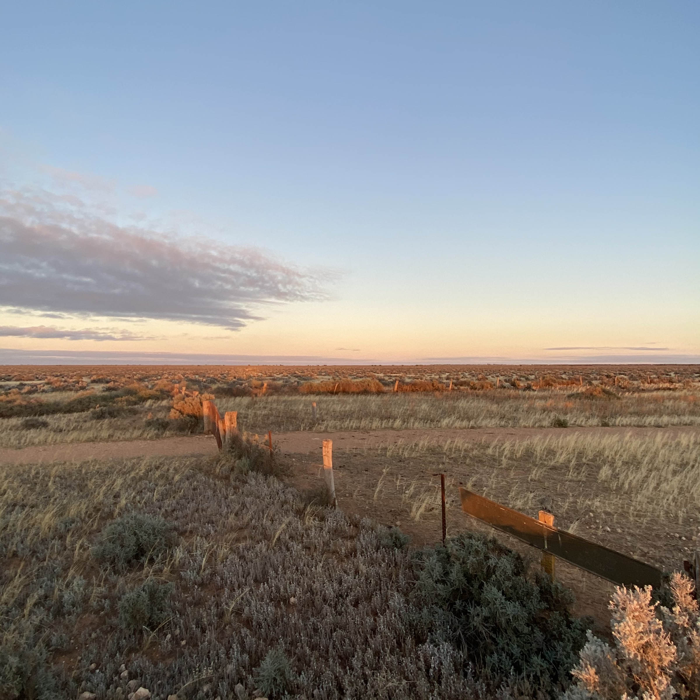
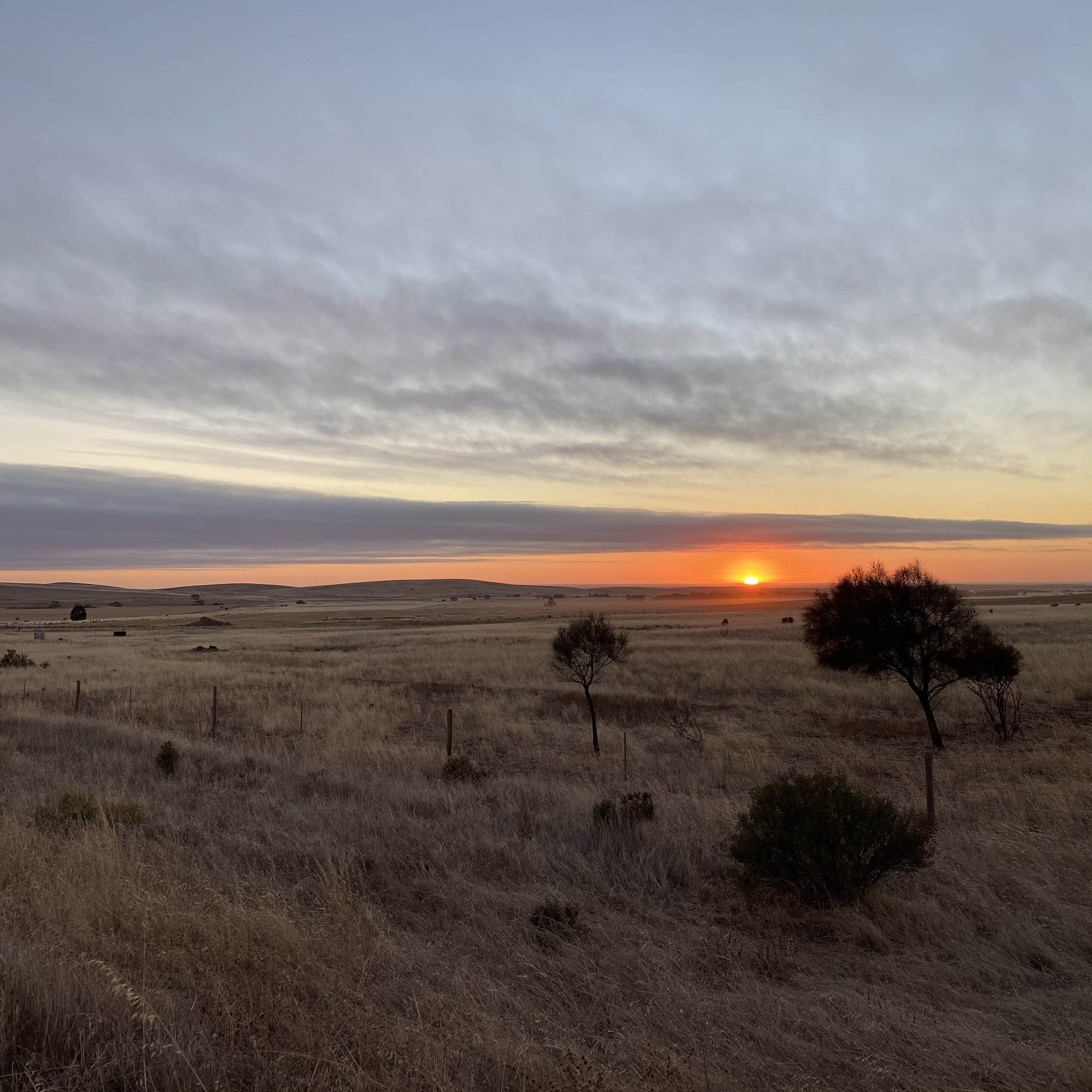
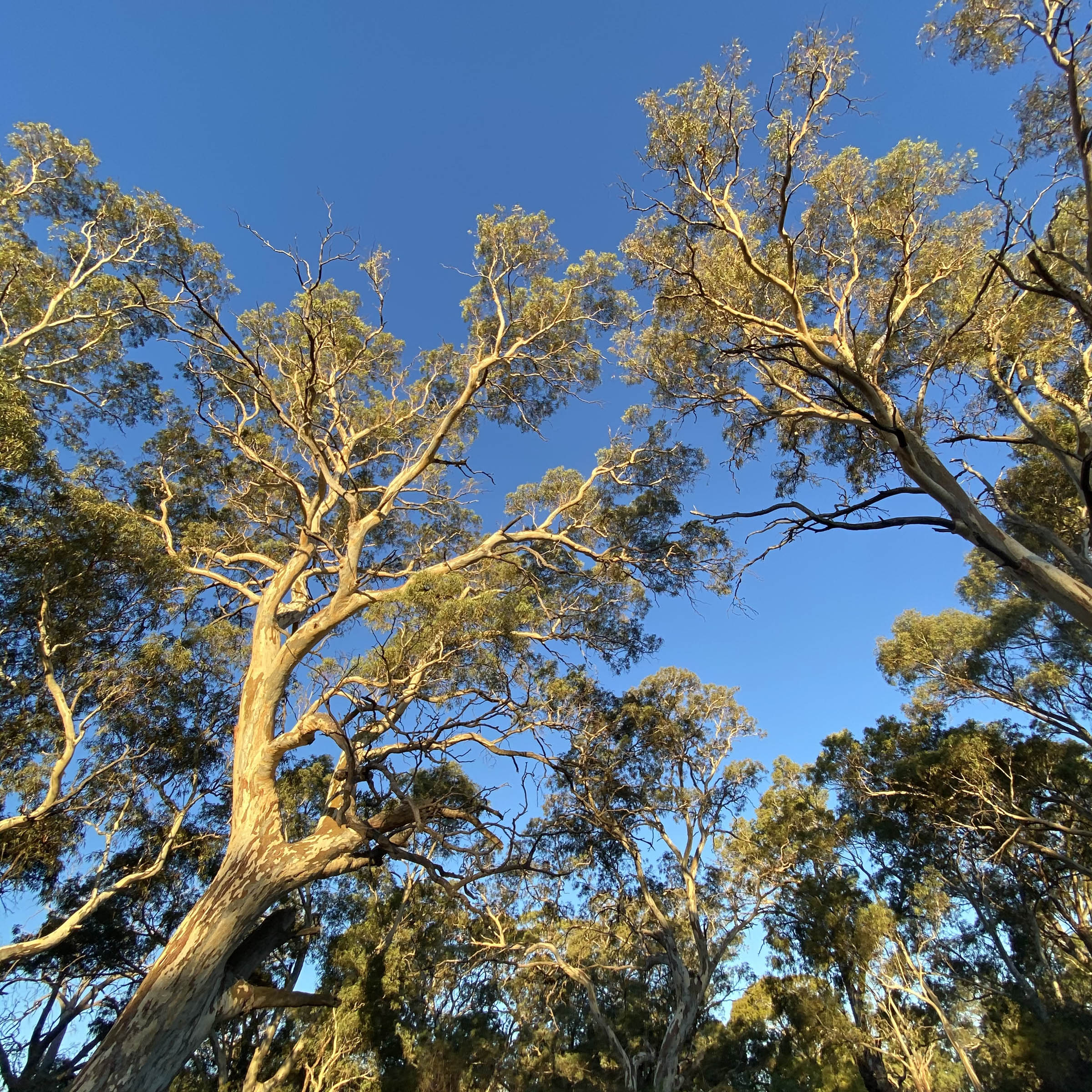
- Night skies in Australia are the some of the best! The Magallenic clouds, Scorpio and Orion in perpetual battle, the Jewel Box…. bring a puff jacket and a wool hat since if it’s clear it will probably be cold but you’ll want to be outside and see the night sky as much as you can. In the middle of winter we look down into the middle of our solar system at all the good stuff, whereas in the summer months we look out and away from the edge of it.
- Long days in the saddle with minimal unnatural distractions allow for oft-needed introspection, and long dark nights allow for great book reading opportunities.
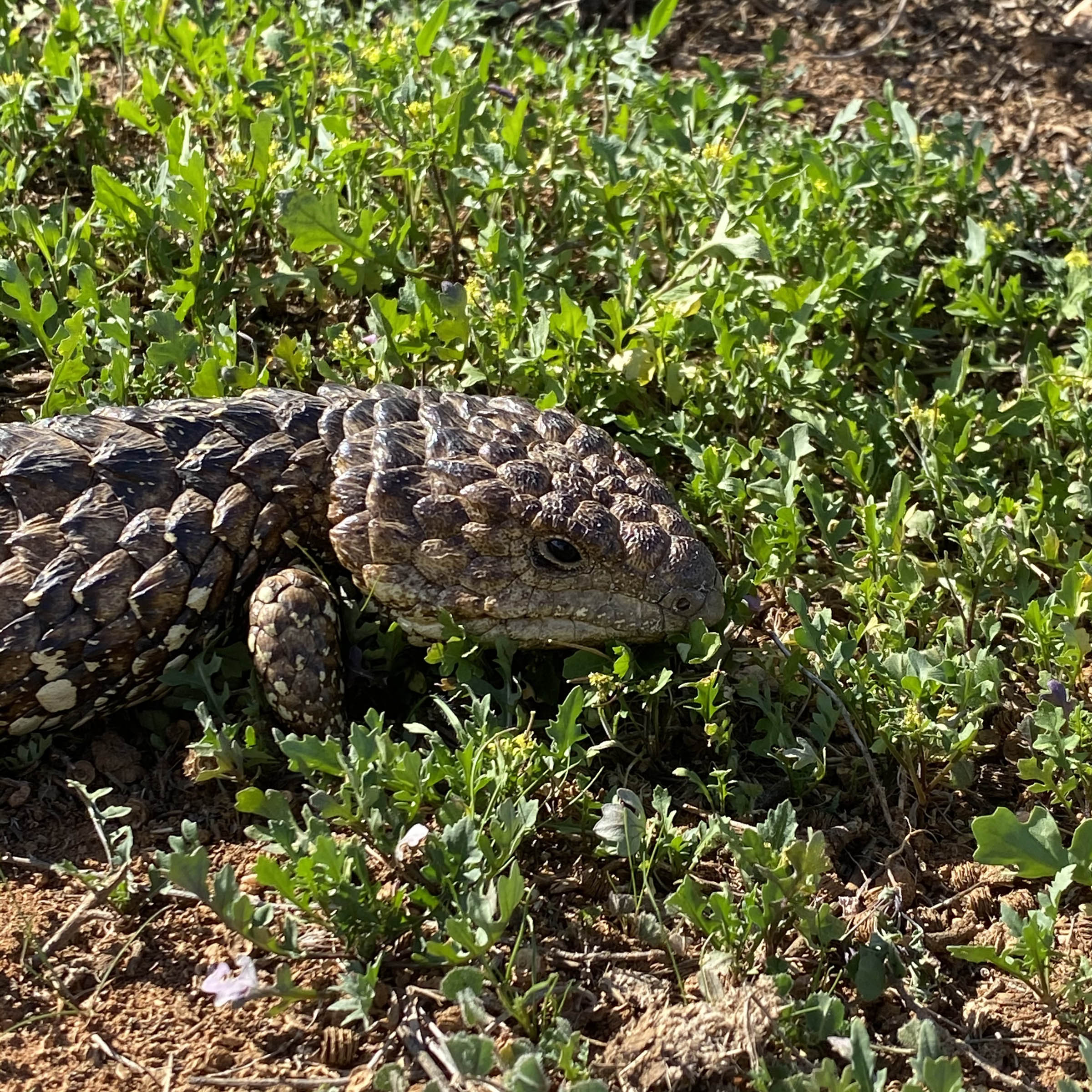
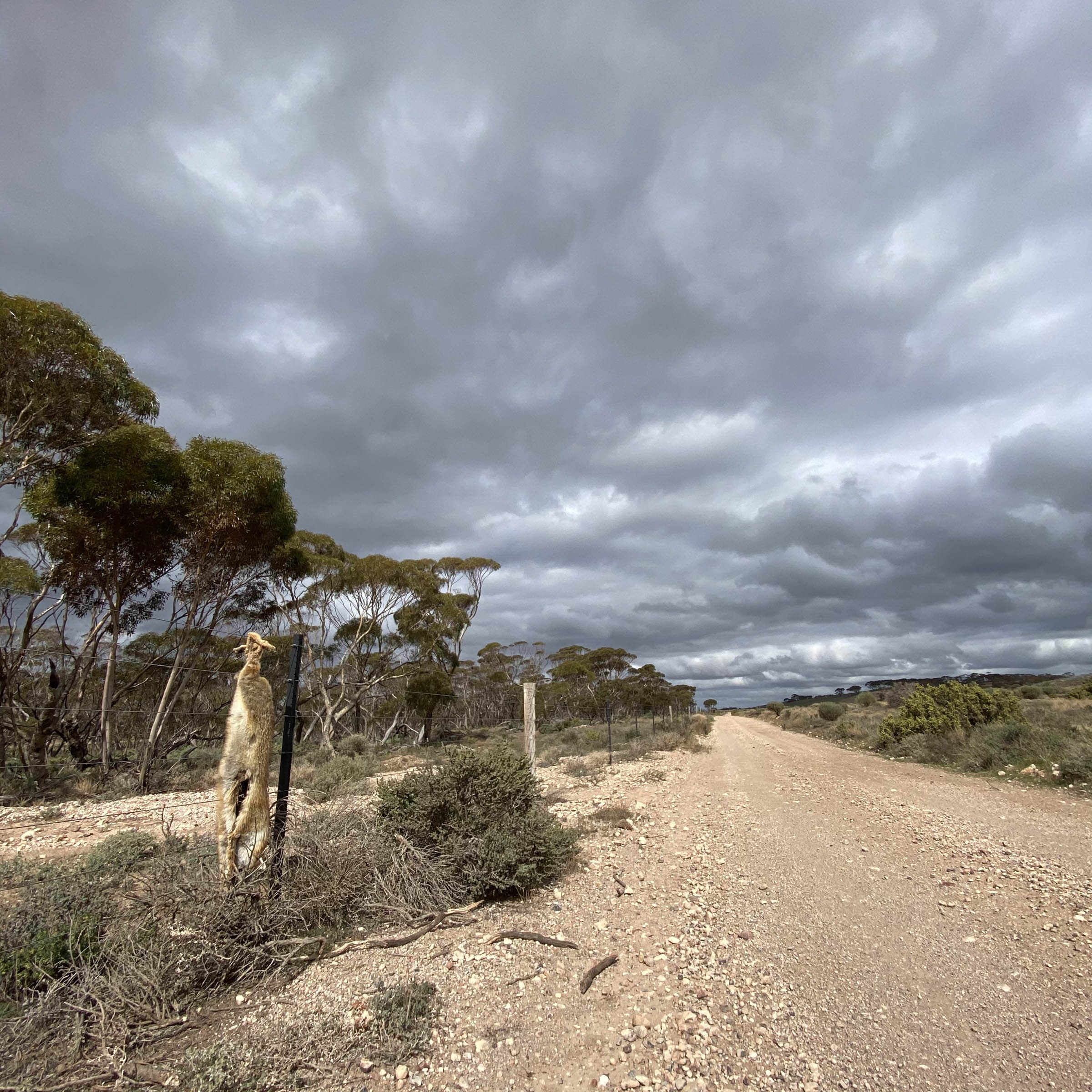
- Watch for wombats!
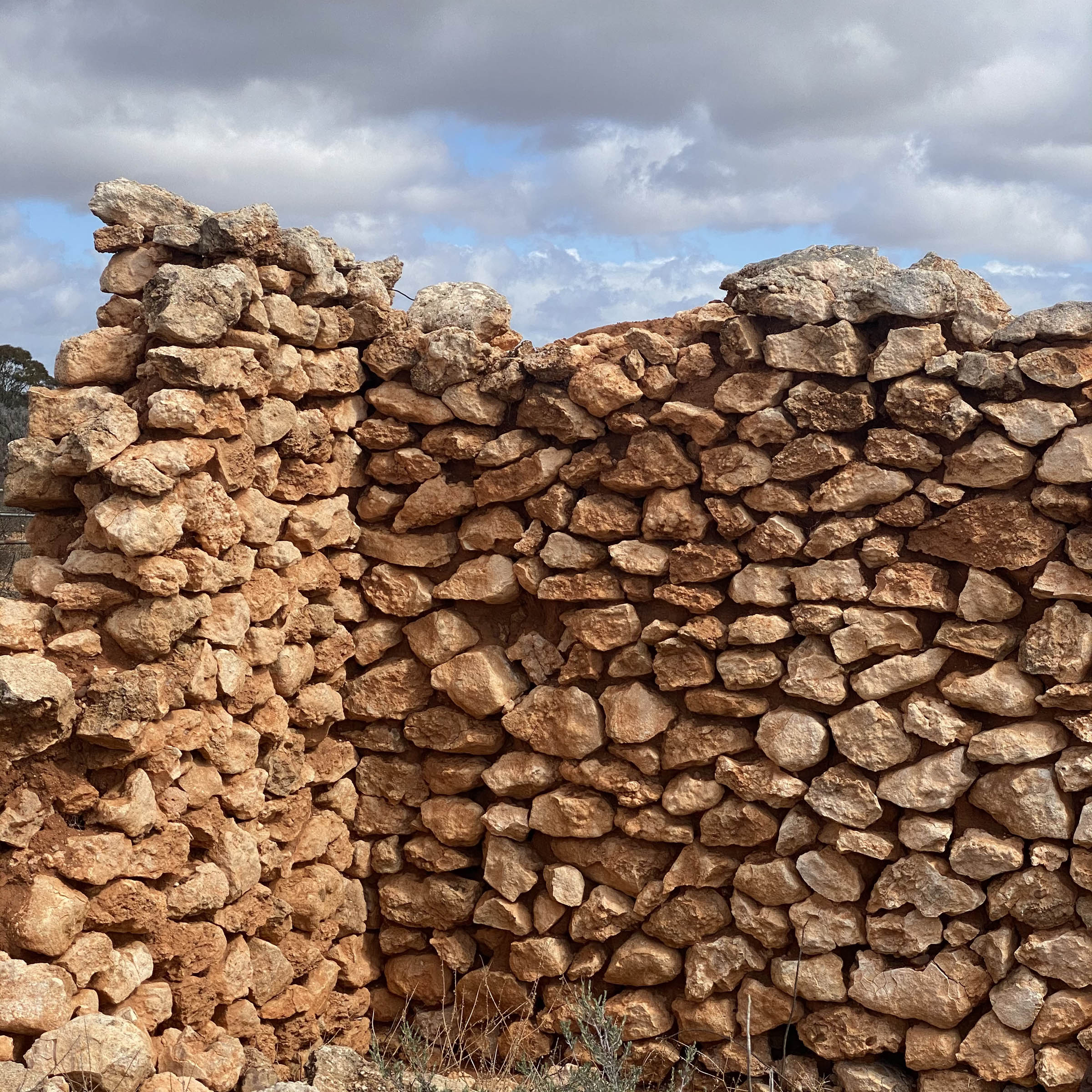
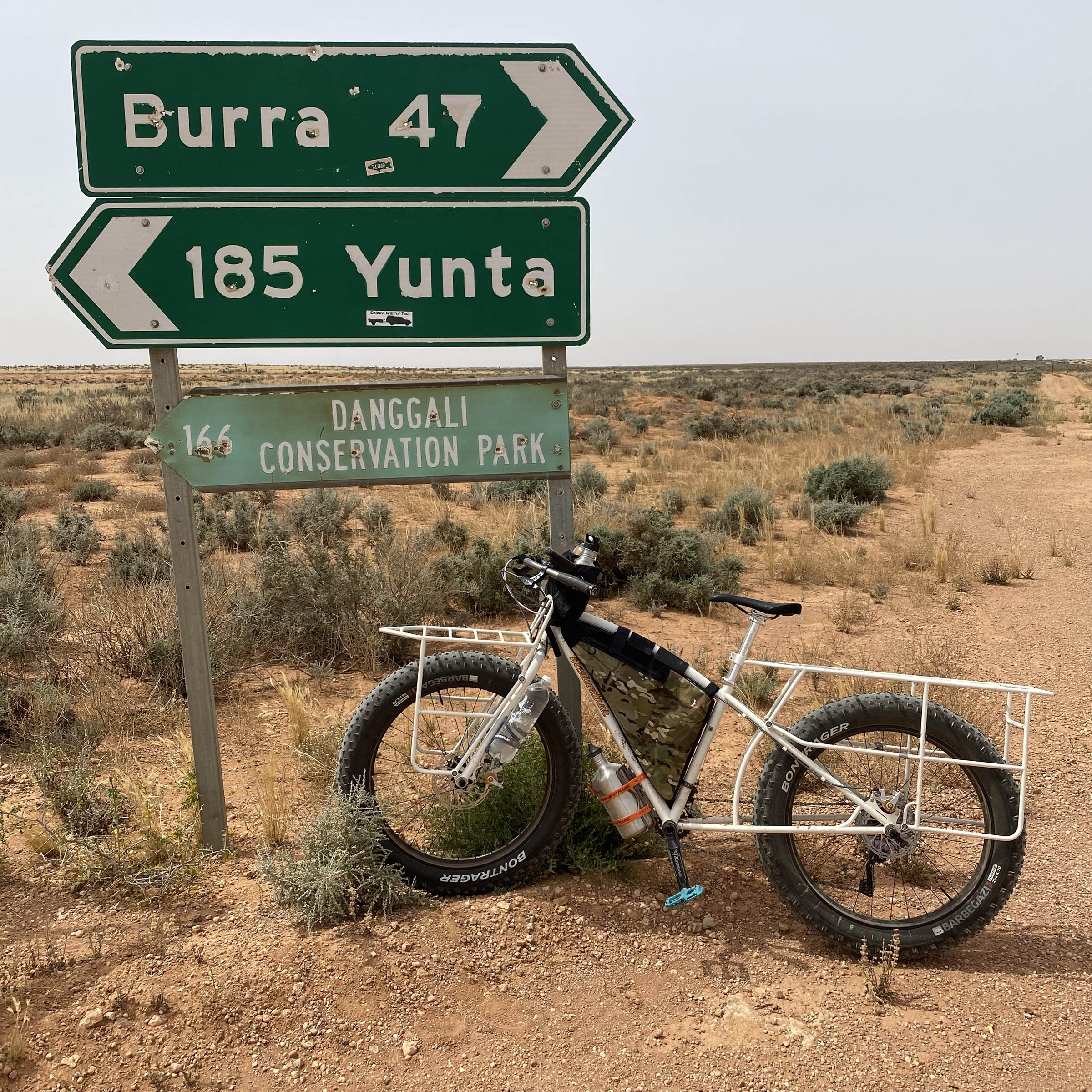
- Lots of copper mining history in Burra, which is now listed as a State Heritage town, and where mines through the 1860s provided 5% of the world’s copper.
- The Midnight Oil house from the “Diesel and Dust” record cover is off route and just north of Burra.
- Morgan in a former paddlewheeler and railroad town, with interesting historic stuff along the waterfront and scattered up through town.
- Outside of summer is the best time to ride this route, with the winter window of May-July highly recommended, though many nights will see frost and occasional sub-freezing temperatures. Watch out for winter rain and ripping winds when around Burra; the turbines and wind farms north of town are there for a reason. Fire danger season is generally most of summer, from mid-November until the end of April, but this is revised and made more specific annually. Check appropriate resources before going out. Temperatures in the 30°C range (low to mid-90°F) are common all summer east of Burra, and there is a surprising paucity of good shade trees out there too.
- If it rains heavily, many of the roads on this loop quickly will become impassible peanut butter mud and can remain so for a few days depending on how much has fallen.
- There are only a few, but leave gates as you find them.
- Best Leave No Trace practice would be to take a liquid fuel stove if you are cooking food on this trip. You will see the sparsity of dead and down wood around the established campgrounds, which means, among other things, fewer places for all the little critters to live.
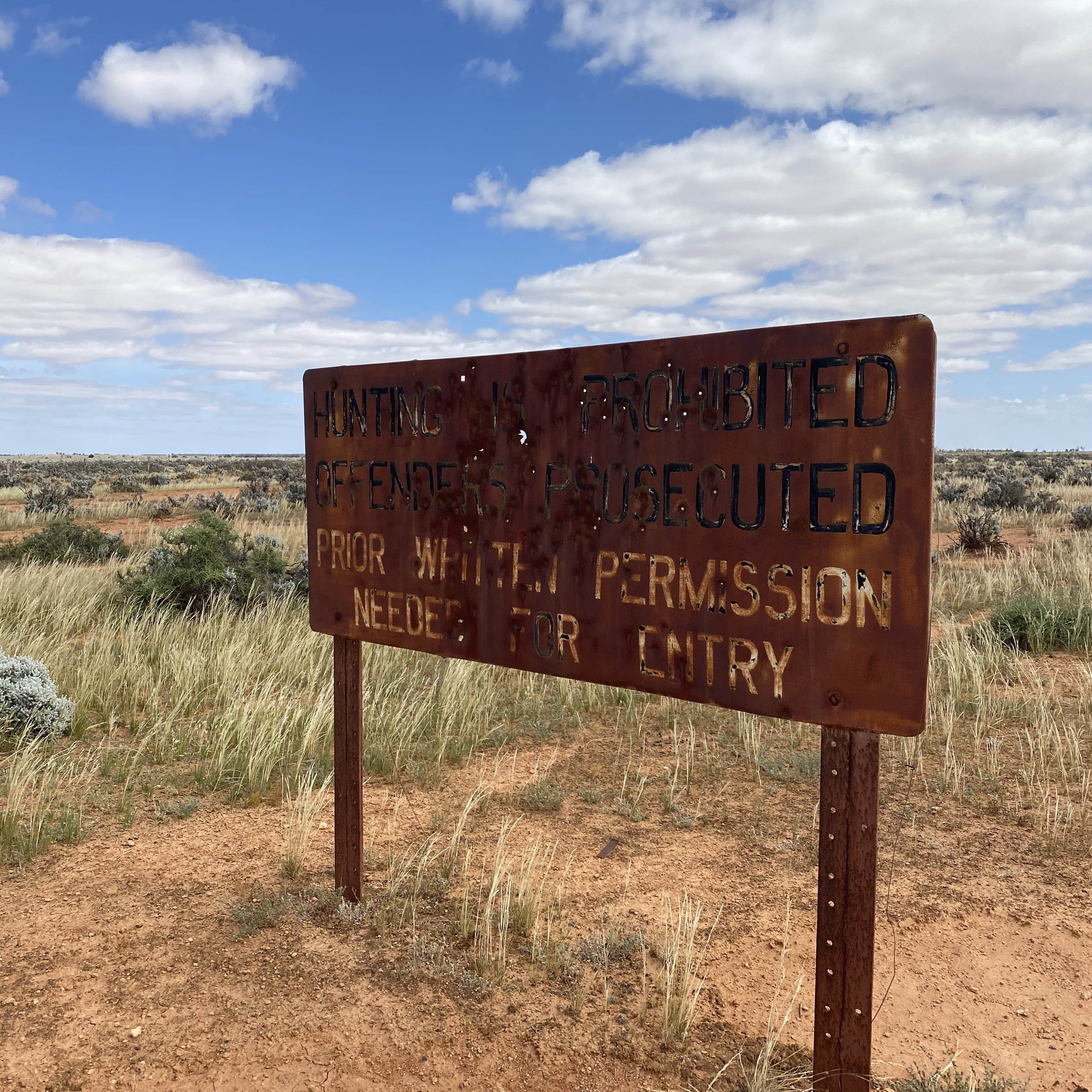
- You will pass by or near several homesteads (houses), many of which are still lived in or used seasonally despite sometimes grotty outwardly appearances. While in all likelihood the people living here would cook you a hot meal and fill all your water bottles if you asked (and probably give you a warm place to sleep and maybe a job offer too), you must not rely on these as water sources. These are private residences.
- Mobile phone coverage can be spotty; expect places with no service and lots of 3G as opposed to 4G coverage.
- The route discussed here starts and ends at Morgan, but just as easily could you start and finish in Burra. I have left my car unattended at Red Banks for a few nights but highly recommend against this; safer to leave it in Burra or Morgan if you have to drive to get to this route. The most secure, most legal option would be to speak with a caravan park or hotel about leaving the vehicle there while you are away; discrete on-street parking is also an option.
- Nearest bicycle shops are in Melrose and Waikerie. These are both amazing locally owned businesses but will maybe not have oddly sized weird and super esoteric parts in stock. Neither is on the route either. Come prepared to be entirely self-sufficient for all spare parts and repairs. Burra and Morgan have hardware stores.
- Morgan and Burra both have caravan parks, hotels, and campgrounds where you are able to get an indoor bed and shower before or after the trip.
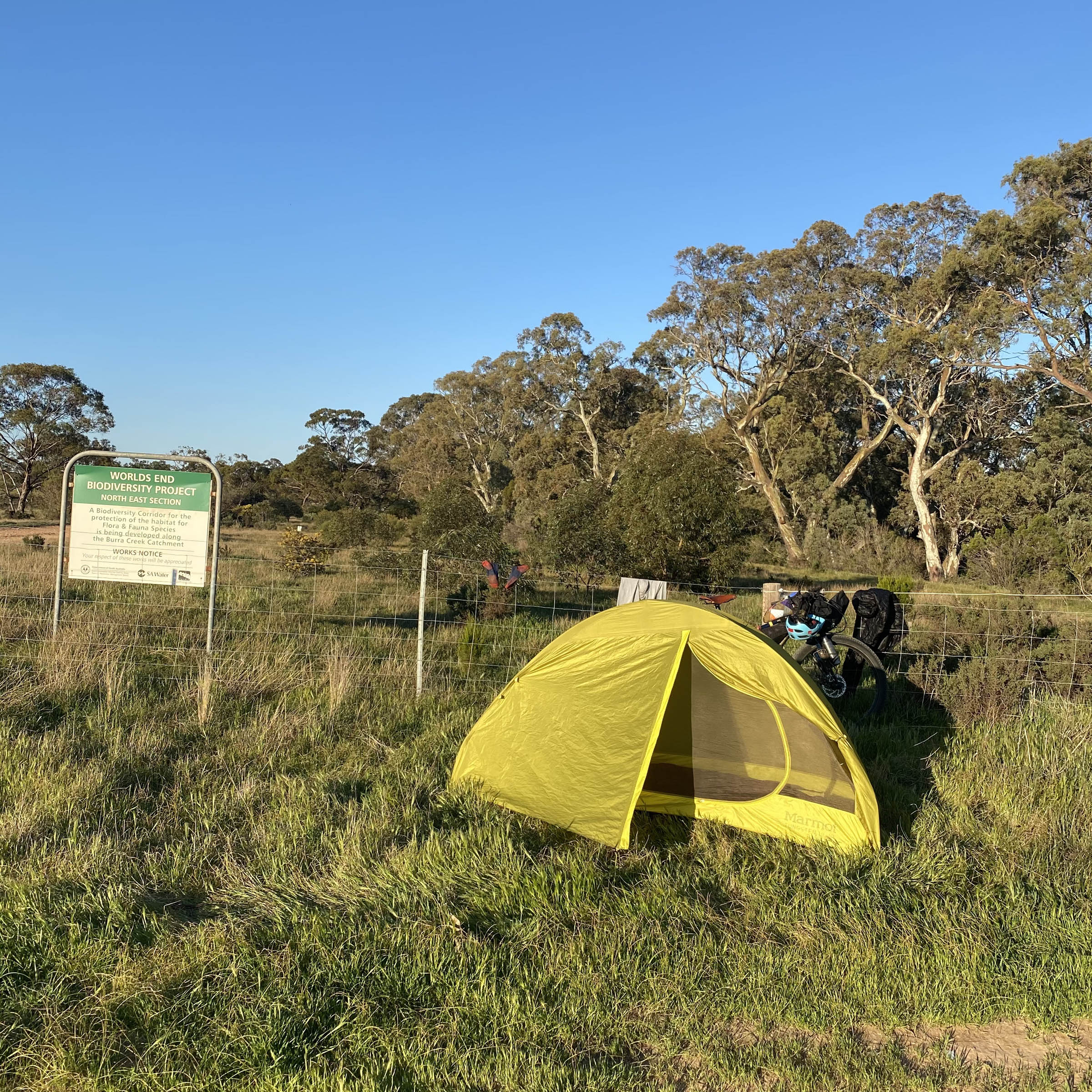
- World’s End Reserve campground has outhouses and rubbish bins but no drinking water (filtering the creek aside) and is free.
- Red Banks Conservation Park has free camp sites and an outhouse but no drinking water.
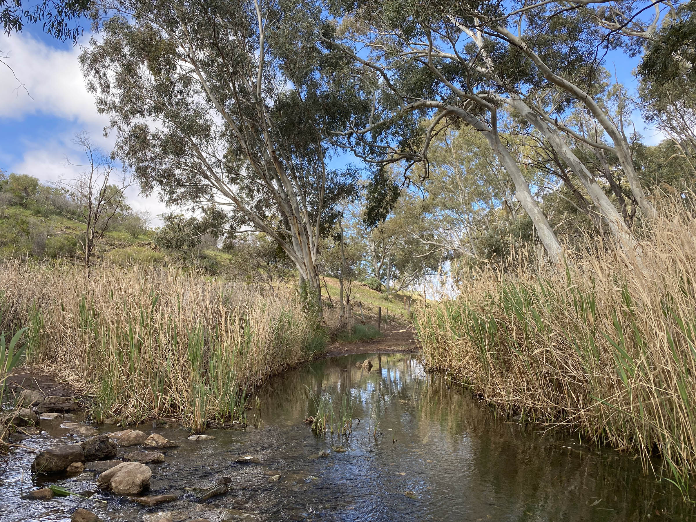
- There aren’t many water sources out here.
- Burra Creek at the World’s End Reserve usually has some water in it, but likely requires industrial-strength purification to safely drink.
- There are also a few stock tanks and troughs along the route but these aren’t marked on the map here; these may or may not have water in them depending on where the stations you pass through are keeping their sheep at any given time. Potability and salinity vary widely; please do not disturb stock if you get lucky and find water in these.
- Burra and Morgan both have small grocery stores. Burra’s is larger and with much more variety. Both towns also have bakeries.
Because the loop is primarily on public roads through private property, the suggested daily distances are maybe not as evenly balanced as they are on other routes; both suggested camp spots are 100% legal this way, no matter if you start at Burra or at Morgan. Feel free to play around with loops or outs and backs within this suggested route however; staying in Burra for a few nights (and thus going off of this route) would allow you to day ride northwest of Balah homestead, to ride a piece of the Mawson Trail towards either Melrose or Nuriootpa and see the Midnight Oil house, or even get up to Terowie to see the historical period village there. Earlier, since-revised routings of the Mawson Trail around Dare’s Hill Summit are super fun to ride and have amazing views. Because in all likelihood you will be traveling from somewhere relatively far away to ride here, I recommend taking it leisurely and maybe even basecamping out of somewhere along the way, thereby actually not following the suggested riding days below at all. There are roads like these for days (actually weeks) out here, and this can very much be the start of “a choose your own adventure” route. From Burra, you can ride to Yunta without ever going on a paved road, and from Yunta you can ride to Arkaroola, and from Arkaroola you can go to Coober Pedy. How good is Australia for off-road cycling!?
Suggested, going slow itinerary
Day 1
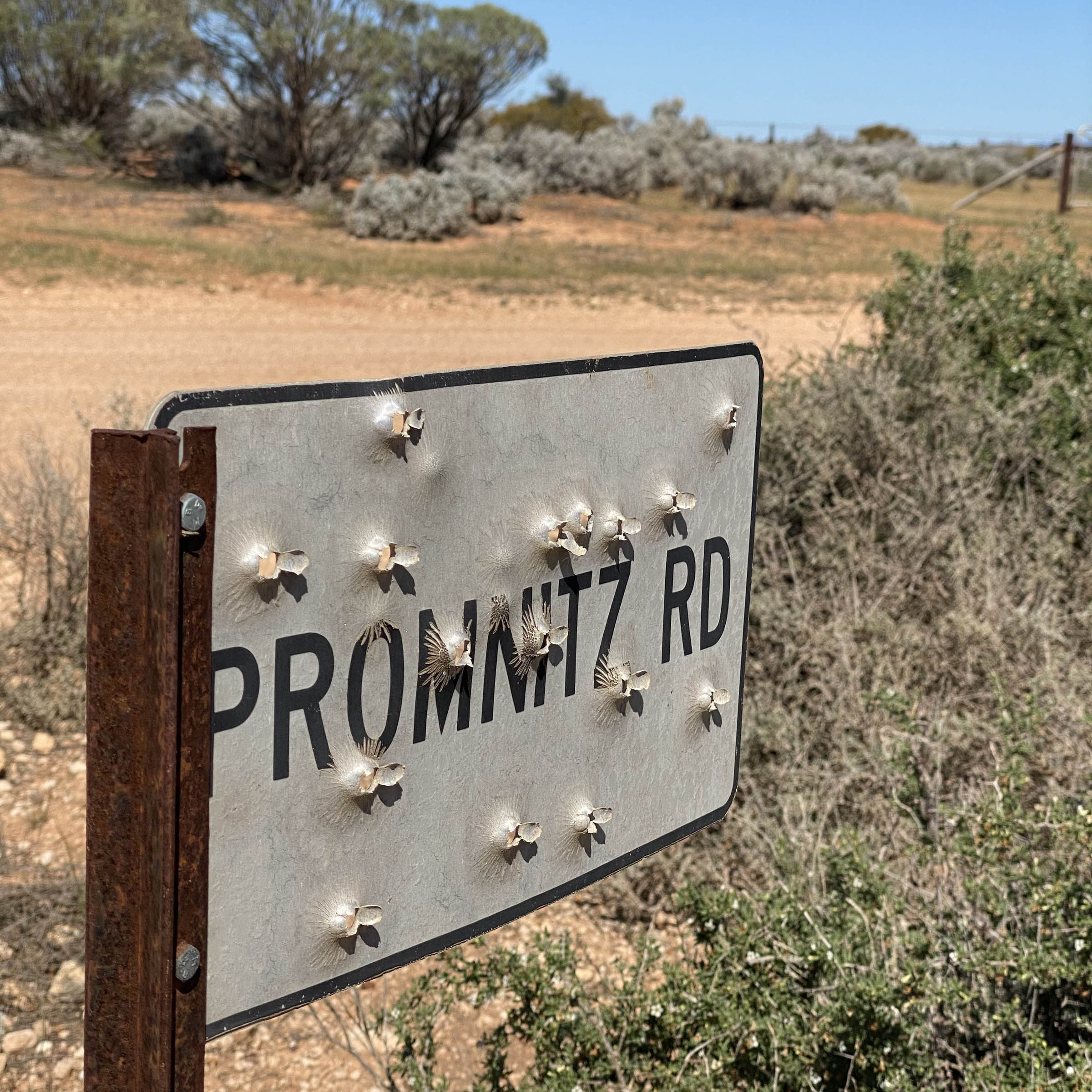
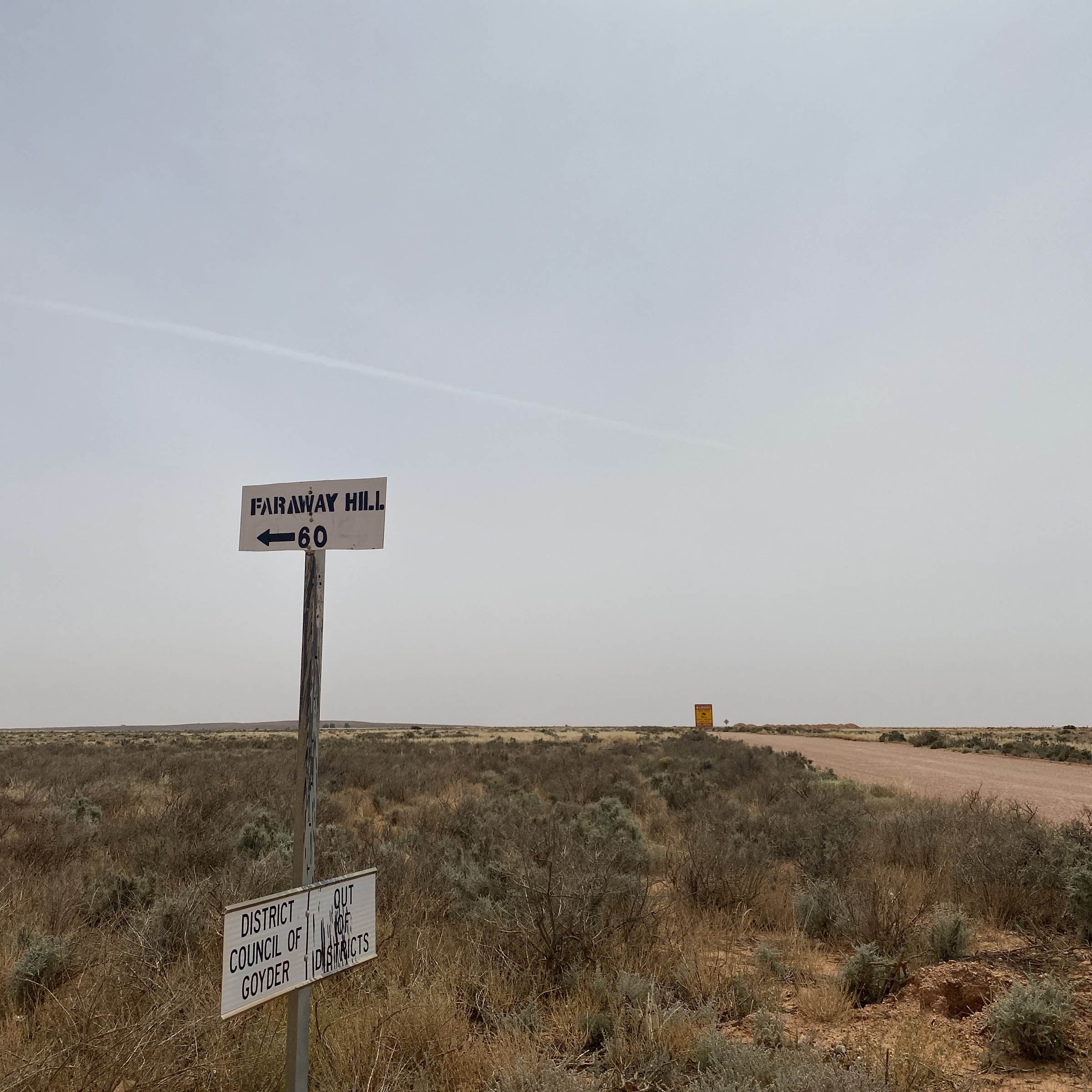
Leave Morgan, and once across the highway, it is possible to ride all day without seeing a single vehicle. There is a nice section of roads out here, mostly in a 90° grid pattern, so if one is in horrible shape it is possible to hop onto another one eventually, since several run east-west in parallel. Pipeline Road and Powerline Road have had more traffic on them (and are always dustier) in all the times I have ridden here, hence the RWGPS map being what it is. But please look around. The pumping station for the Morgan-Whyalla pipeline is incongruous and a nice red brick building surrounded by all the feral goats and native wombats. World’s End Gorge has outhouses and rubbish bins but no drinking water (filtering the creek aside). There is nice walking in the creek bed around the campground, but you run into private property fairly quickly if you follow the road over the creek. You lose Telstra (don’t know about Optus) service completely soon before entering the paved spur to the campground, but you get it again approaching Burra and before turning onto the Eastern Road. World’s End, besides having a great name, is both free and very popular with caravaners.
Day 2
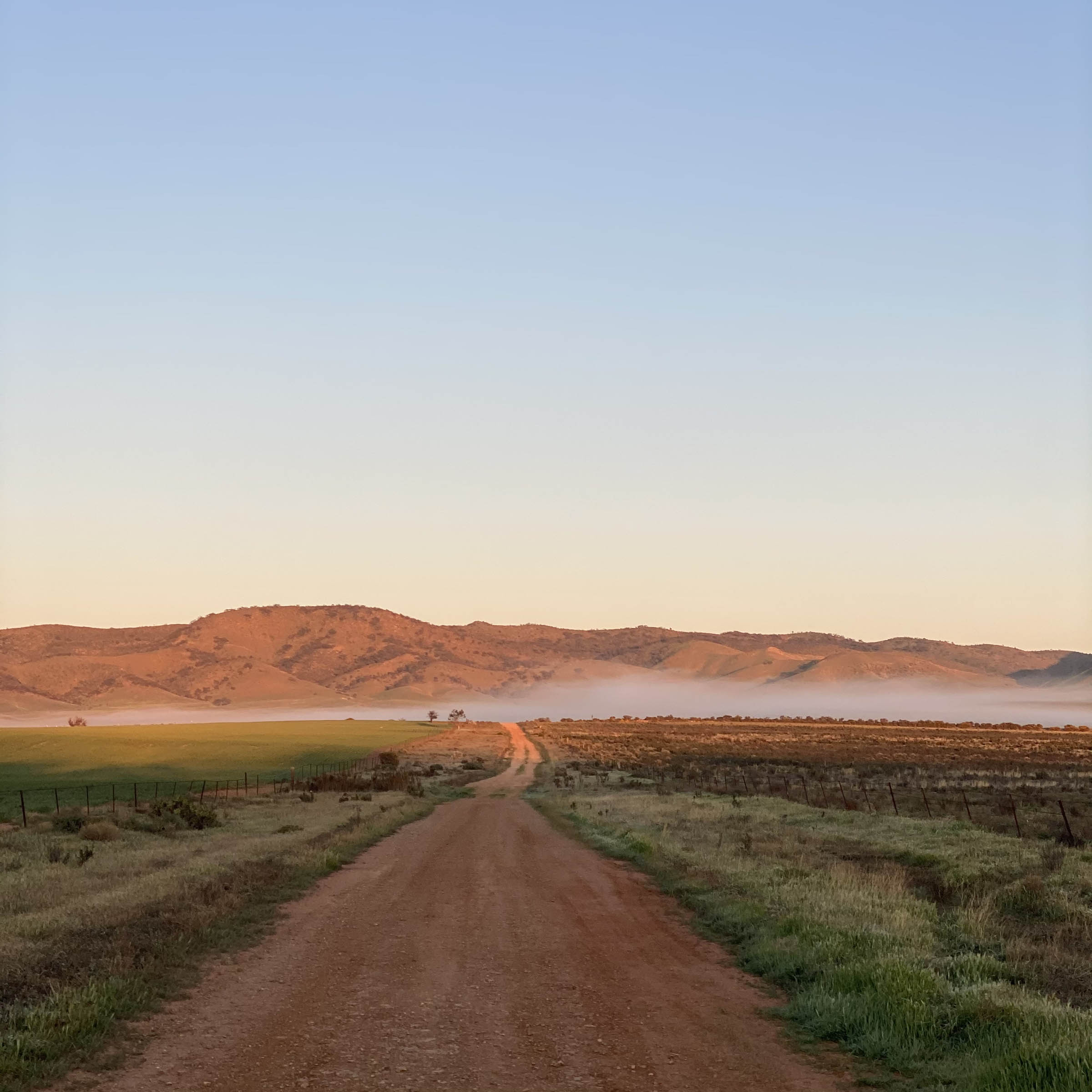
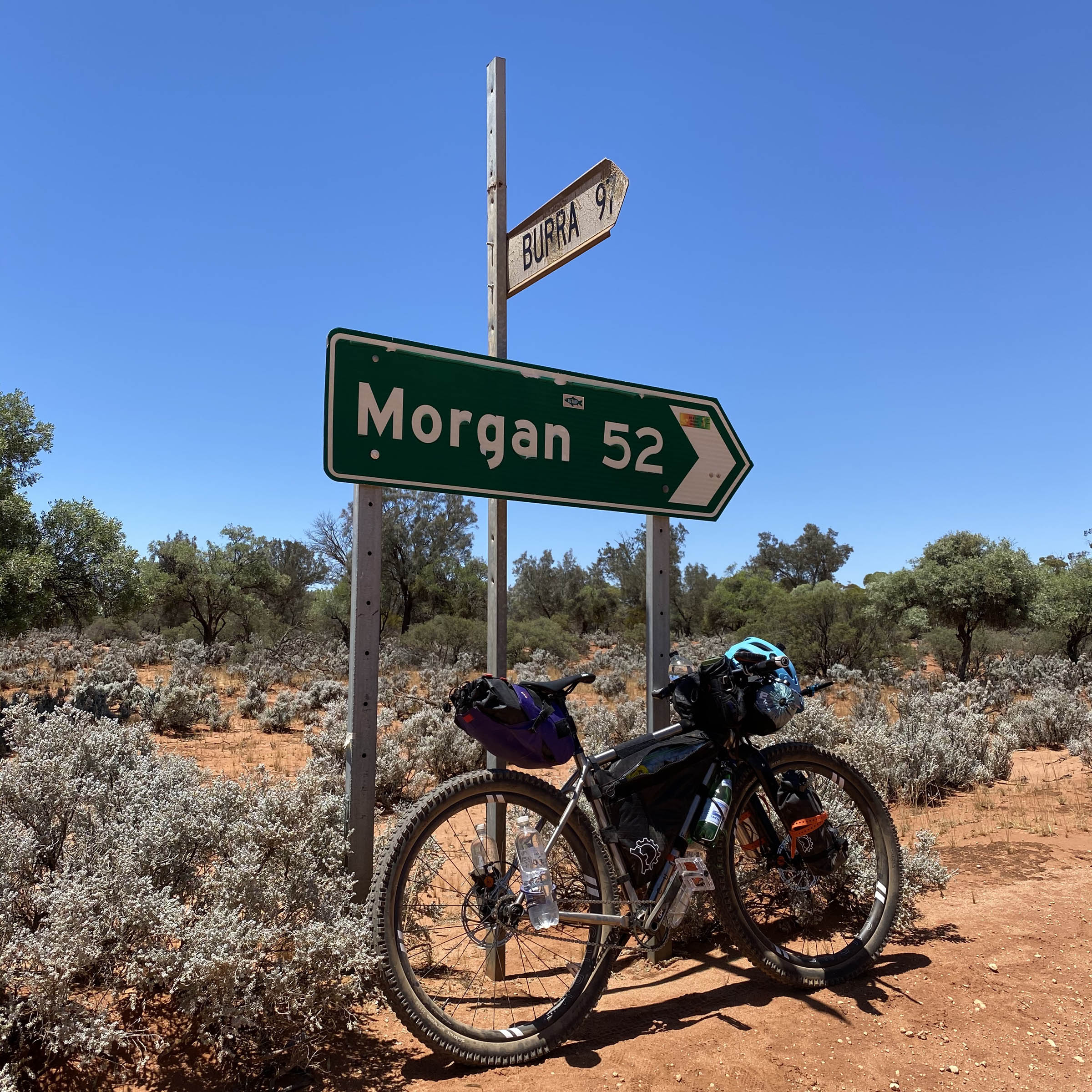
The longest stretch of paved road on this route is unfortunately a major highway. Please be careful. Don’t be swayed by the lure of town food or a shower in Burra and instead hop onto the Eastern Road for another day of mostly flat and quiet dirt road cruising. Red Banks Conservation Park has free campsites and an outhouse but no drinking water. The short marked walk to see the river banks that give this place its name is highly recommended. Hope for a tailwind today. Grassville Road will take you to the Morgan Mail Road (also called and signposted as Bungunnia road) which in turn will take you to the Goyder Highway just east of Morgan. Go swimming in the Murray; you’ve earned it!
Alternate itinerary ideas:
- Ride from Morgan to Red Banks on Day 1 (120km), Red Banks back to Morgan on Day 2 (105km). World’s End is the more scenic campsite of the two but can have the occasional noisy generator running.
- Tack on a middle day, going from World’s End through Burra (food and water resupply) and then spending the night at Black Jack’s hut on the Heysen Trail or in one of the conservation parks along Mongolata or Caroona Road. Bomb downhill to the Eastern Road and then back to Morgan on Day 3.
- Leave your car in Burra. Then ride to Morgan and back, going clockwise or anti-clockwise depending on which direction the winds are blowing (and they usually are).
Additional Resources
- Burra is a town on the Heysen Trail, a long-distance hiking route: Friends Of Heysen Trail website.
- Burra is also on the Mawson Trail, a long-distance cycling route. There are various Mawson Trail GPX files floating around online and are easily found and are a good reference for the area. Some files are more accurate than others, so caveat emptor.
- SA fire danger website.


Terms of Use: As with each bikepacking route guide published on BIKEPACKING.com, should you choose to cycle this route, do so at your own risk. Prior to setting out check current local weather, conditions, and land/road closures. While riding, obey all public and private land use restrictions and rules, carry proper safety and navigational equipment, and of course, follow the #leavenotrace guidelines. The information found herein is simply a planning resource to be used as a point of inspiration in conjunction with your own due-diligence. In spite of the fact that this route, associated GPS track (GPX and maps), and all route guidelines were prepared under diligent research by the specified contributor and/or contributors, the accuracy of such and judgement of the author is not guaranteed. BIKEPACKING.com LLC, its partners, associates, and contributors are in no way liable for personal injury, damage to personal property, or any other such situation that might happen to individual riders cycling or following this route.
Please keep the conversation civil, constructive, and inclusive, or your comment will be removed.