


Travesia Por Atitlan, Guatemala
Distance
177 Mi.
(285 KM)Days
5-6
% Unpaved
80%
% Singletrack
5 %
% Rideable (time)
95%
Total Ascent
27,000'
(8,230 M)High Point
10,460'
(3,188 M)Difficulty (1-10)
8?
- 10Climbing Scale Very Strenuous153 FT/MI (29 M/KM)
- -Technical Difficulty
- -Physical Demand
- -Resupply & Logistics
Contributed By

Cass Gilbert
Contributing Editor
Update March 2025. See this file (https://ridewithgps.com/routes/49959986) for a few small updates between Tecpán and Antigua, until they’re incorporated into the original route. Thanks Scotty!
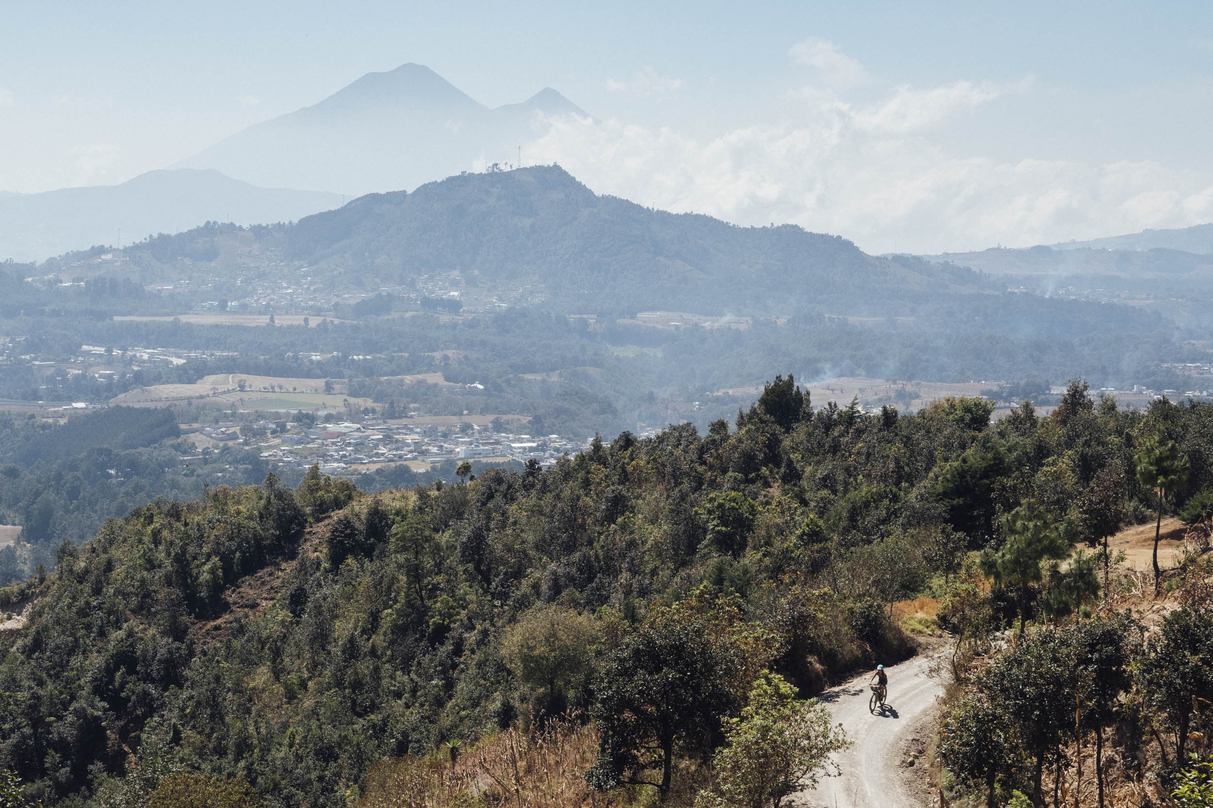
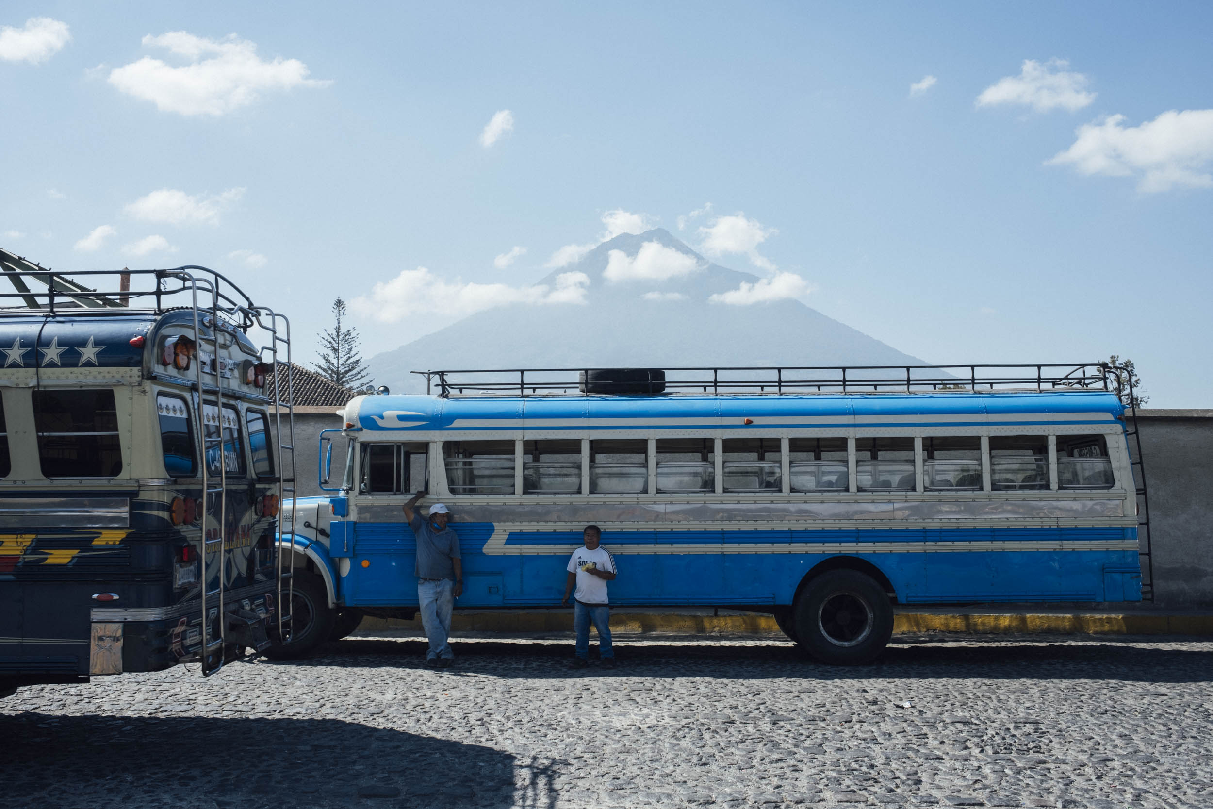
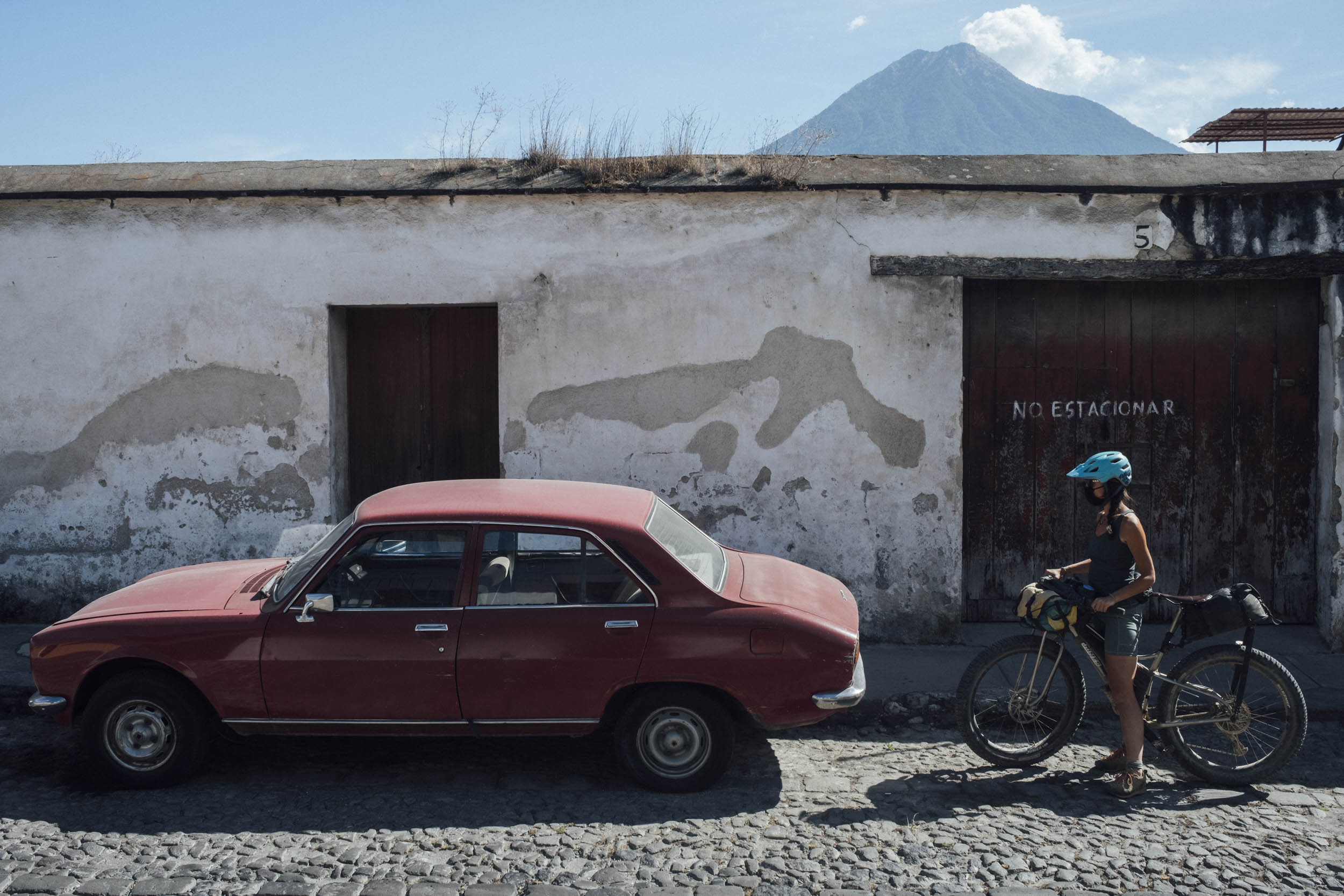
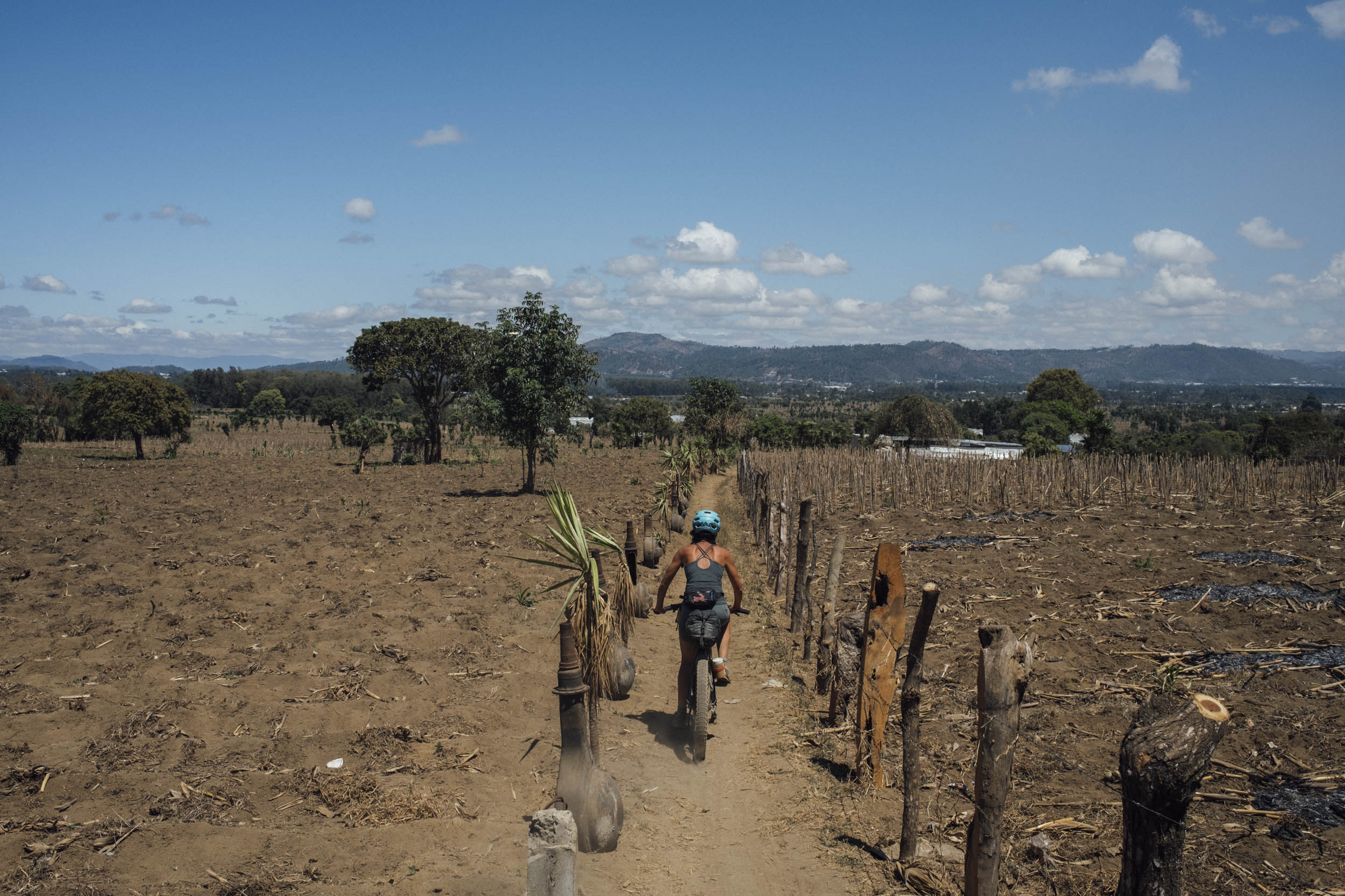
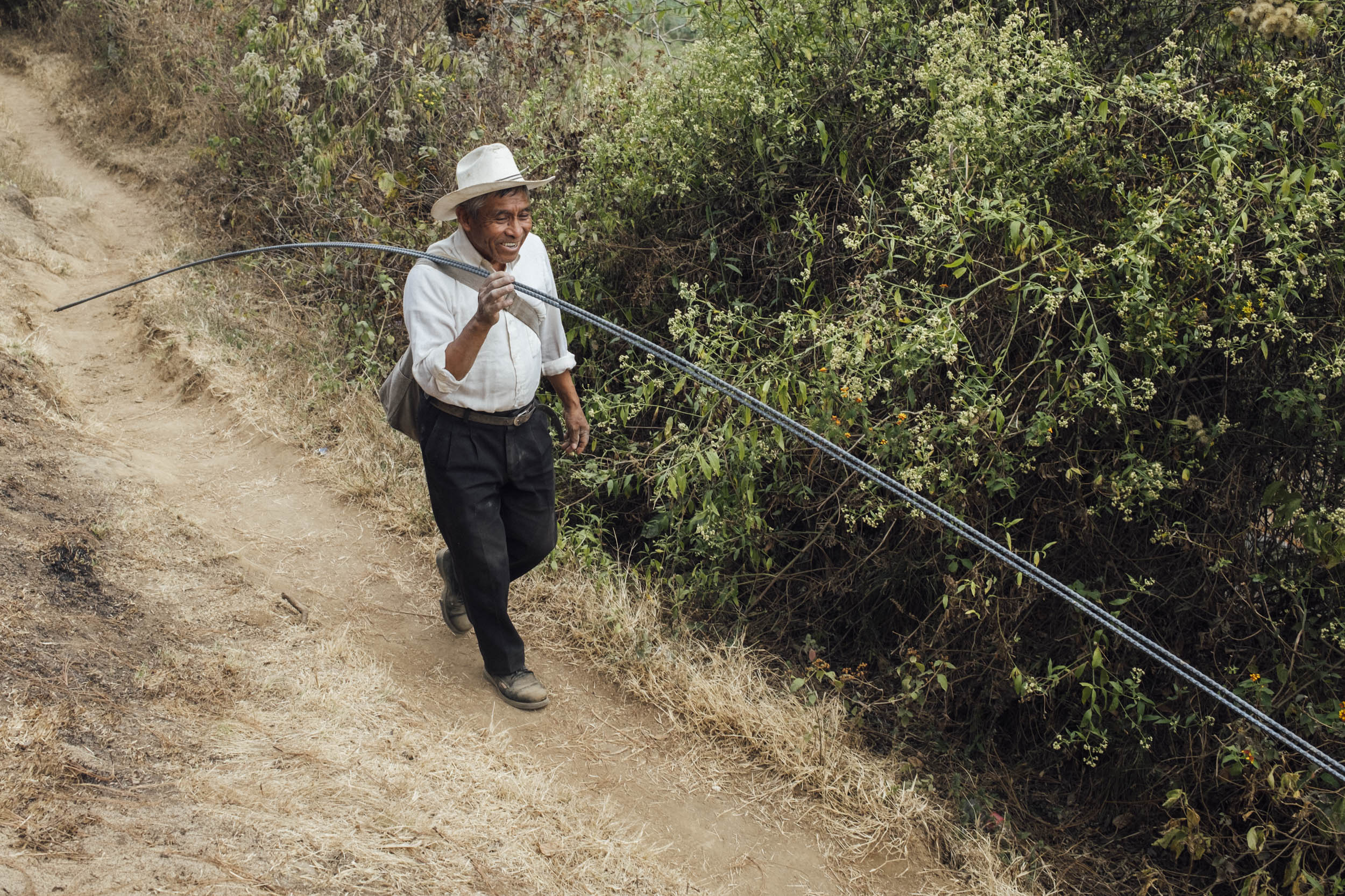
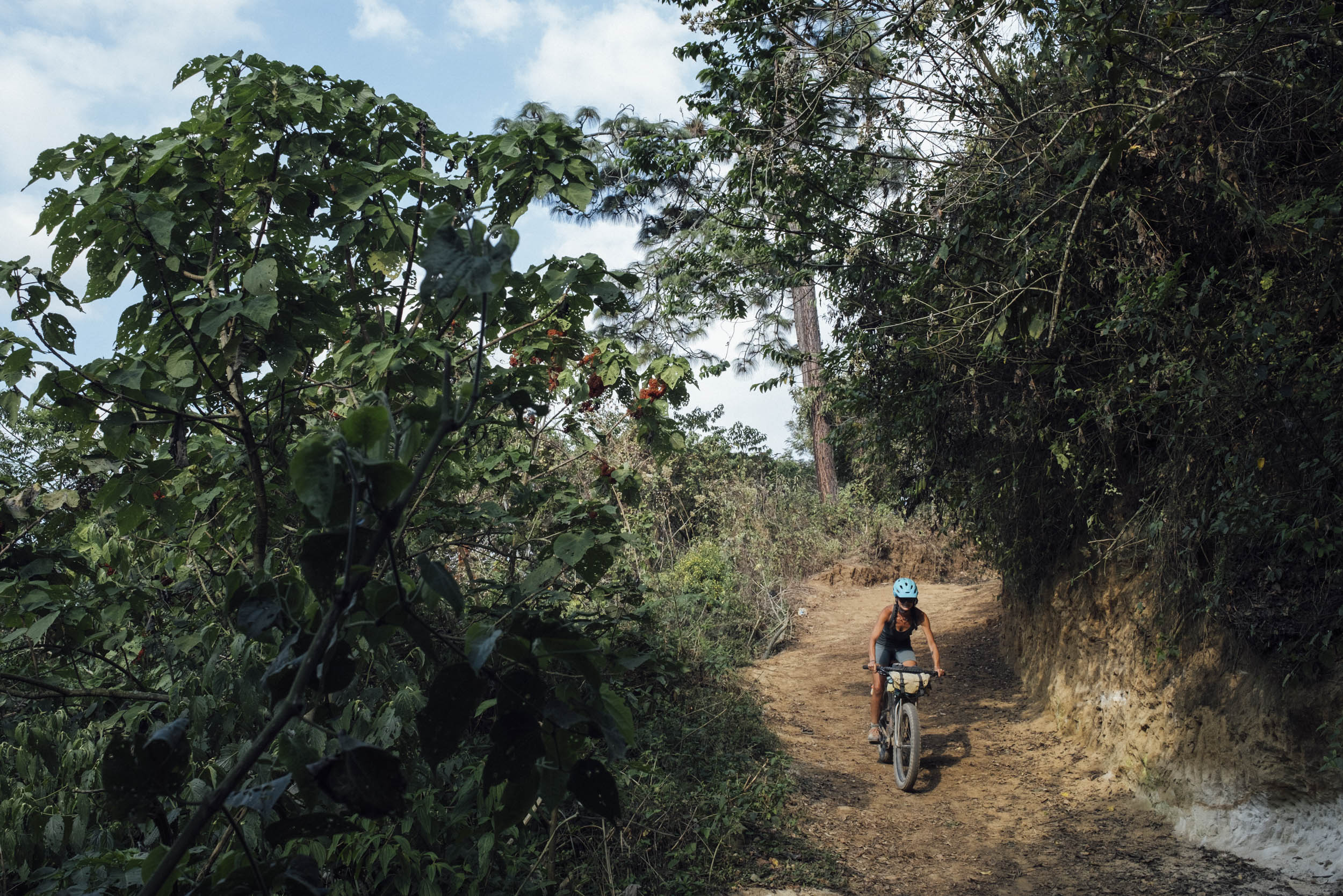
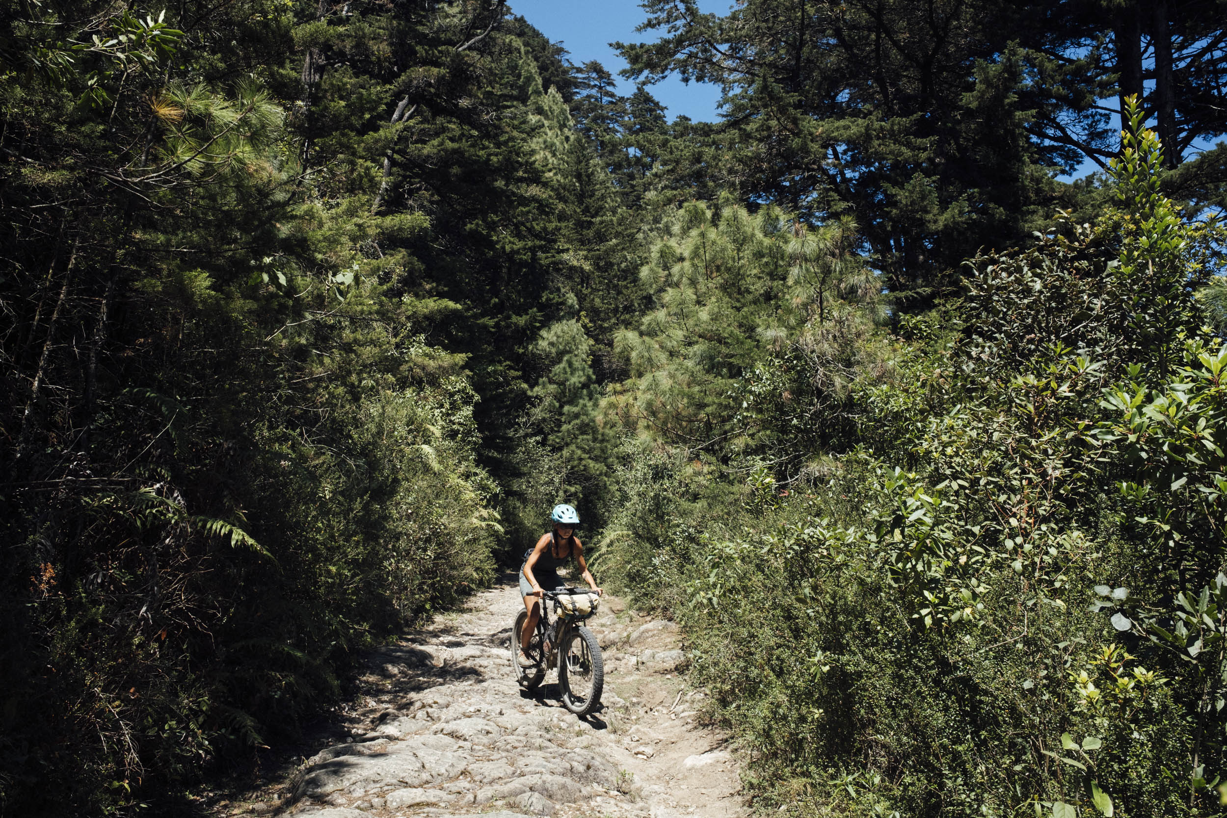
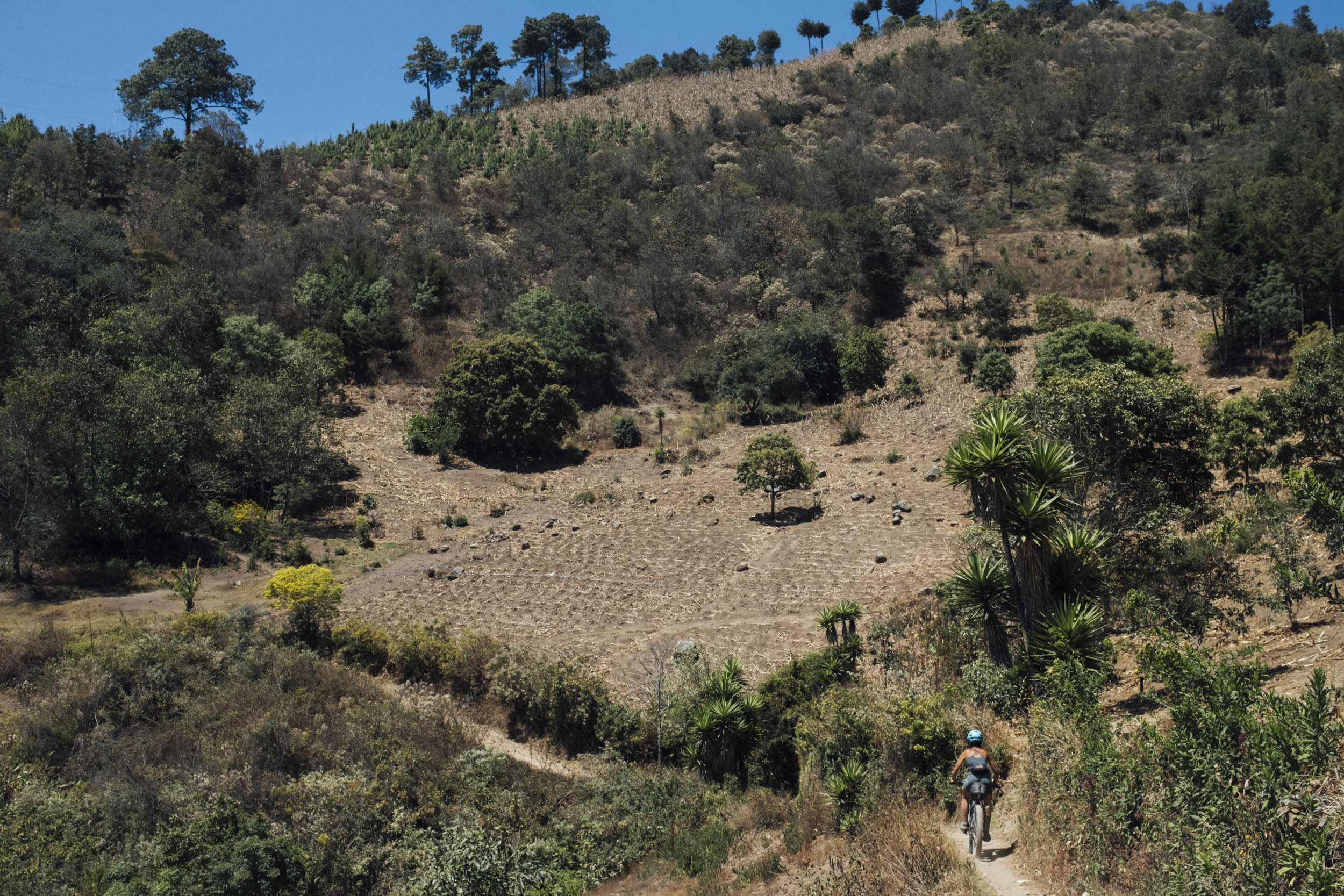
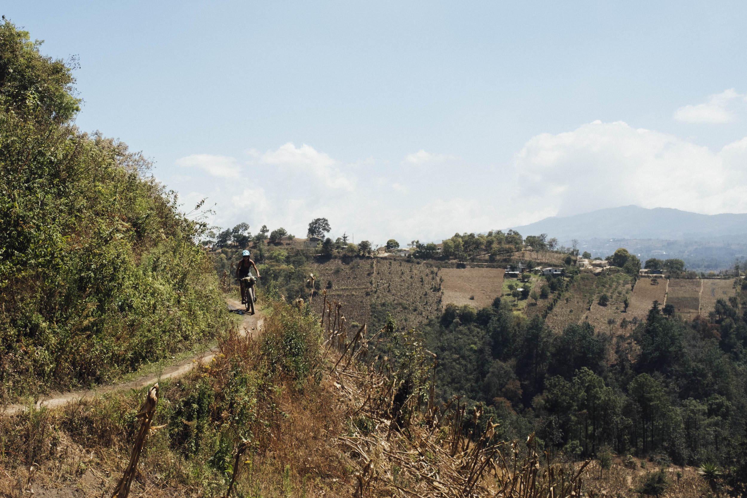
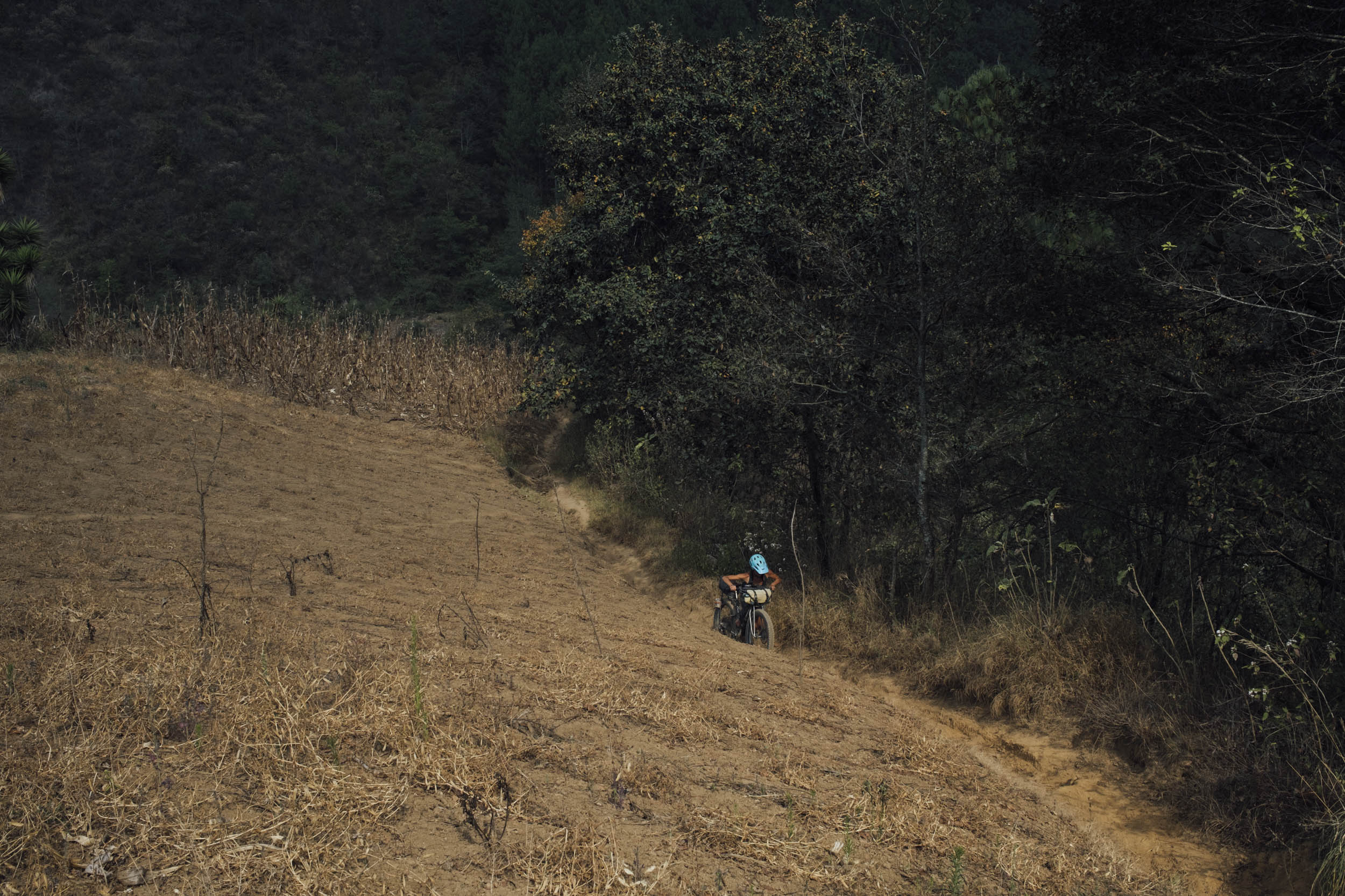
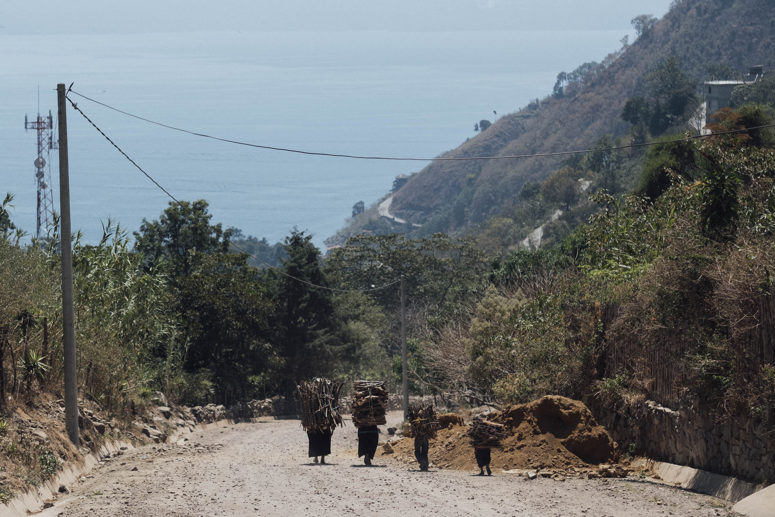
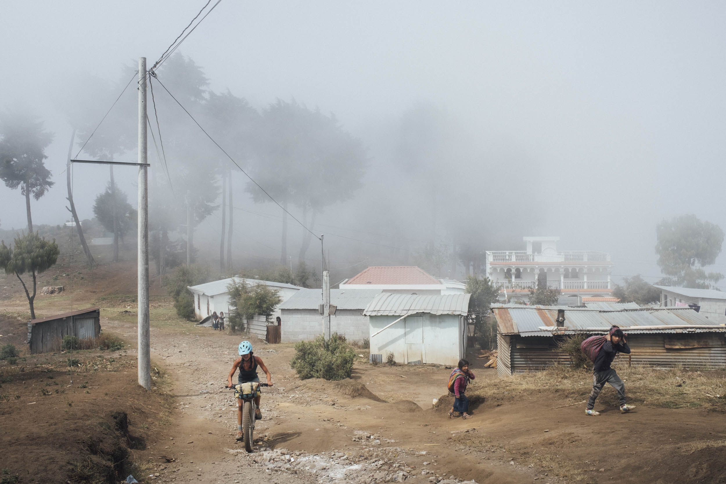
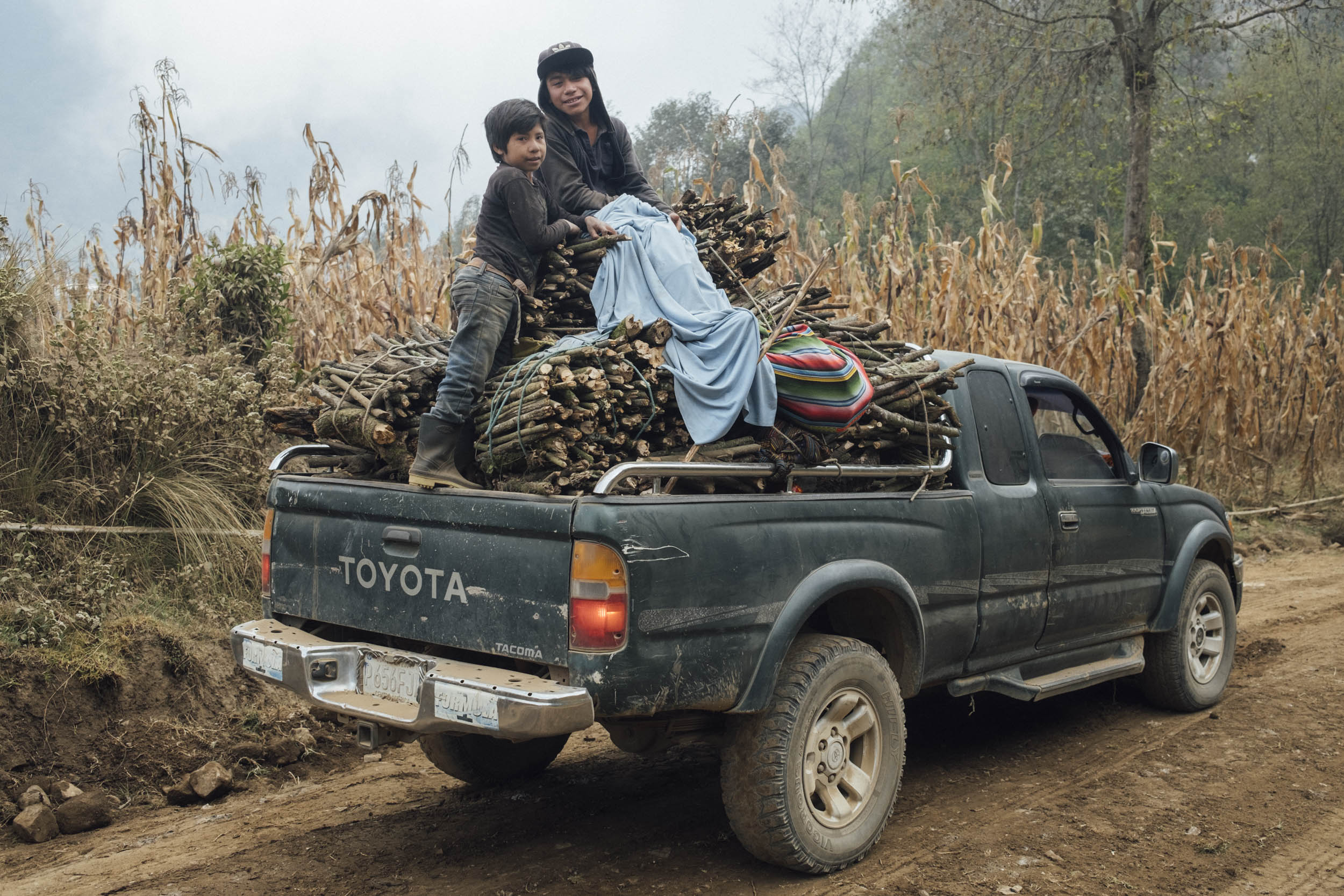
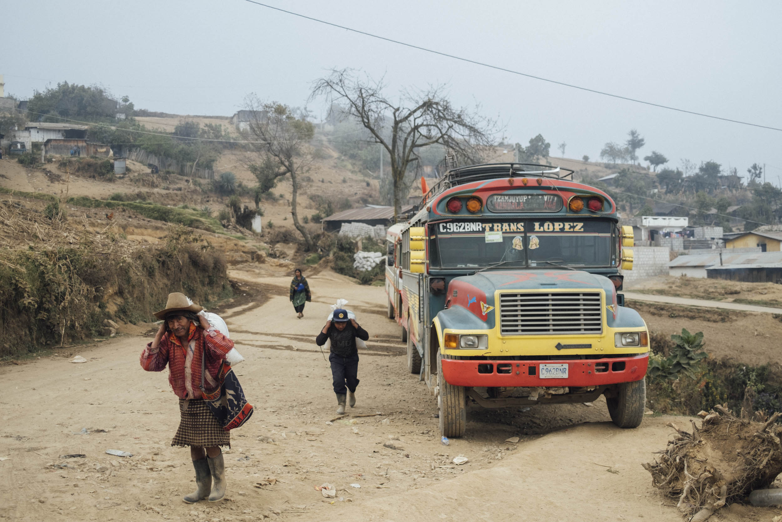
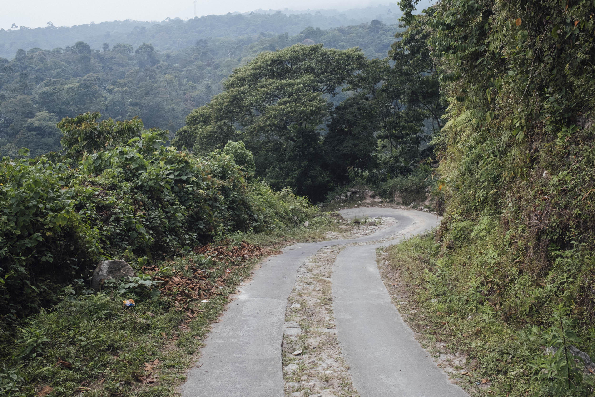
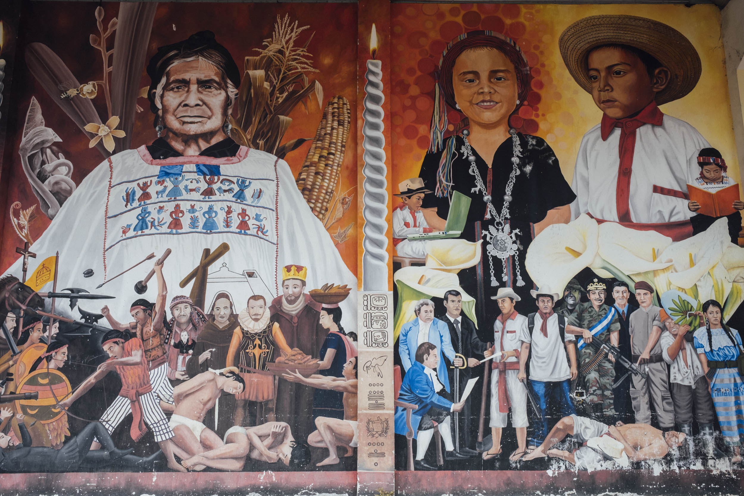
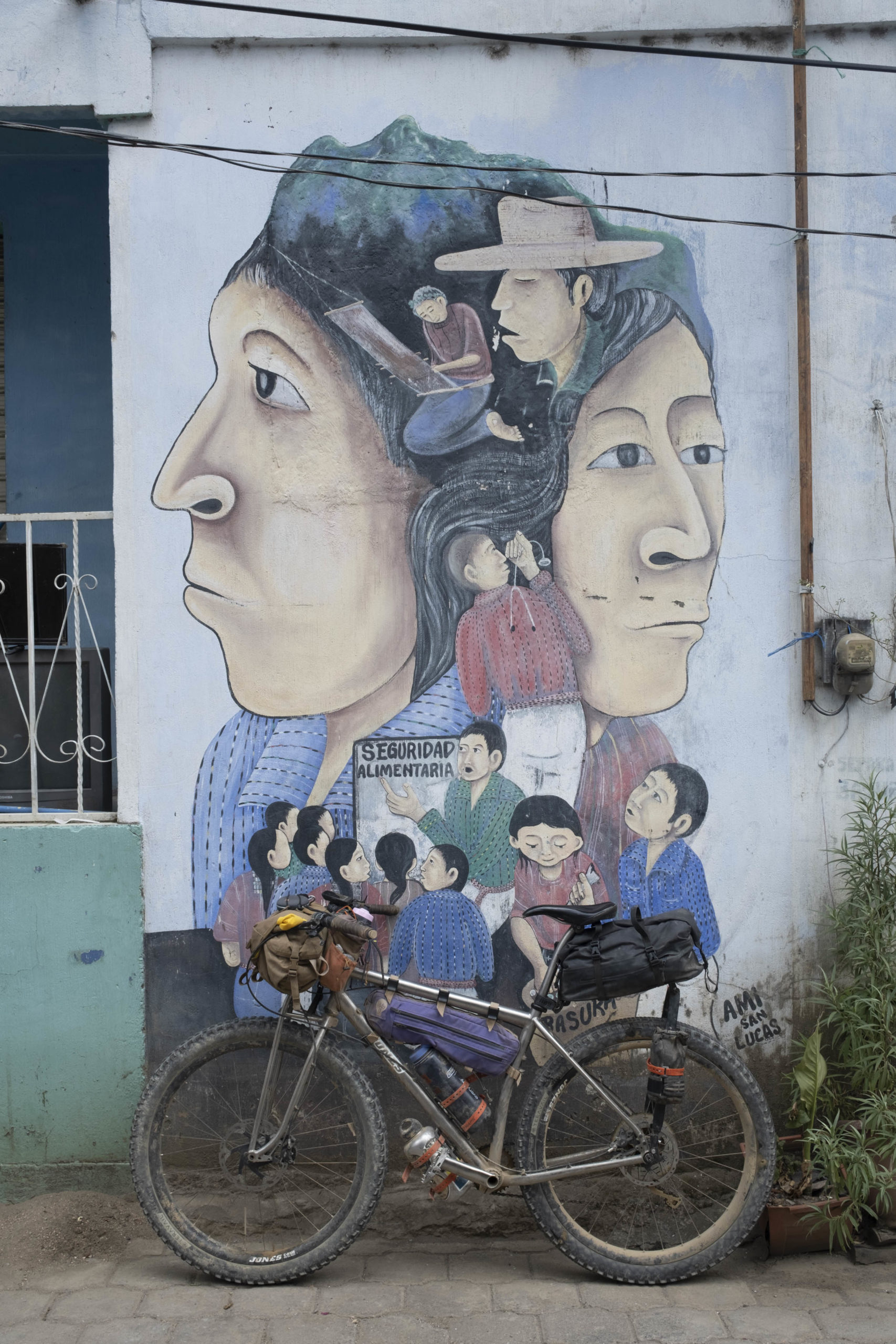
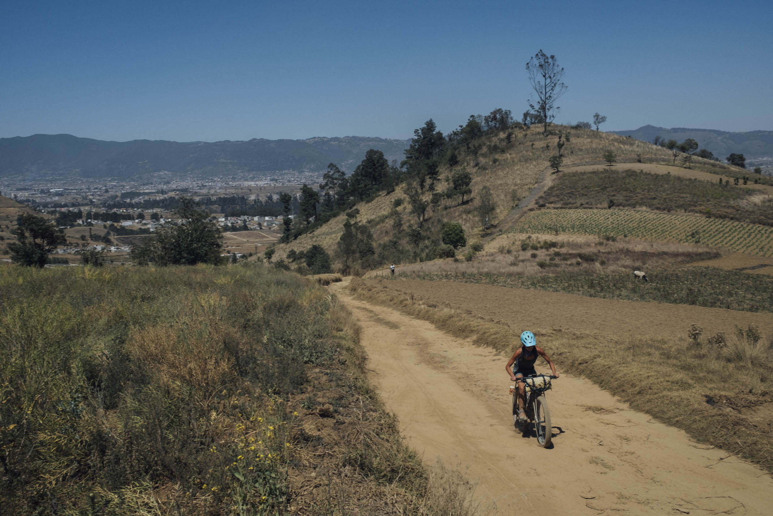
Despite beginning in the perfectly polished colonial city of Antigua, Travesía Por Atitlán is an unashamedly wild and rugged route. Initially, it traces a Guatemalan stage race – El Reto de Quetzal – albeit in a modified, bikepacking-friendly form, along with an additional stint along the lesser travelled eastern shores of Lago de Atitlán. A far cry from the potholed, paved roads that are ruled by Guatemala’s iconic diablos – smoke-belching and heavily customized, hand-me-down US school buses – El Reto de Quetzal links agricultural singletrack that skirts corn crops and small holdings, connecting one farming community to the next via little travelled dirt roads. Not that the route doesn’t reveal a more modern side to the Guatemalan economy too – expect several trash-lined tracks that cut their way across the country’s big ag farming belt, a stark reminder of the direction that Guatemala is heading.
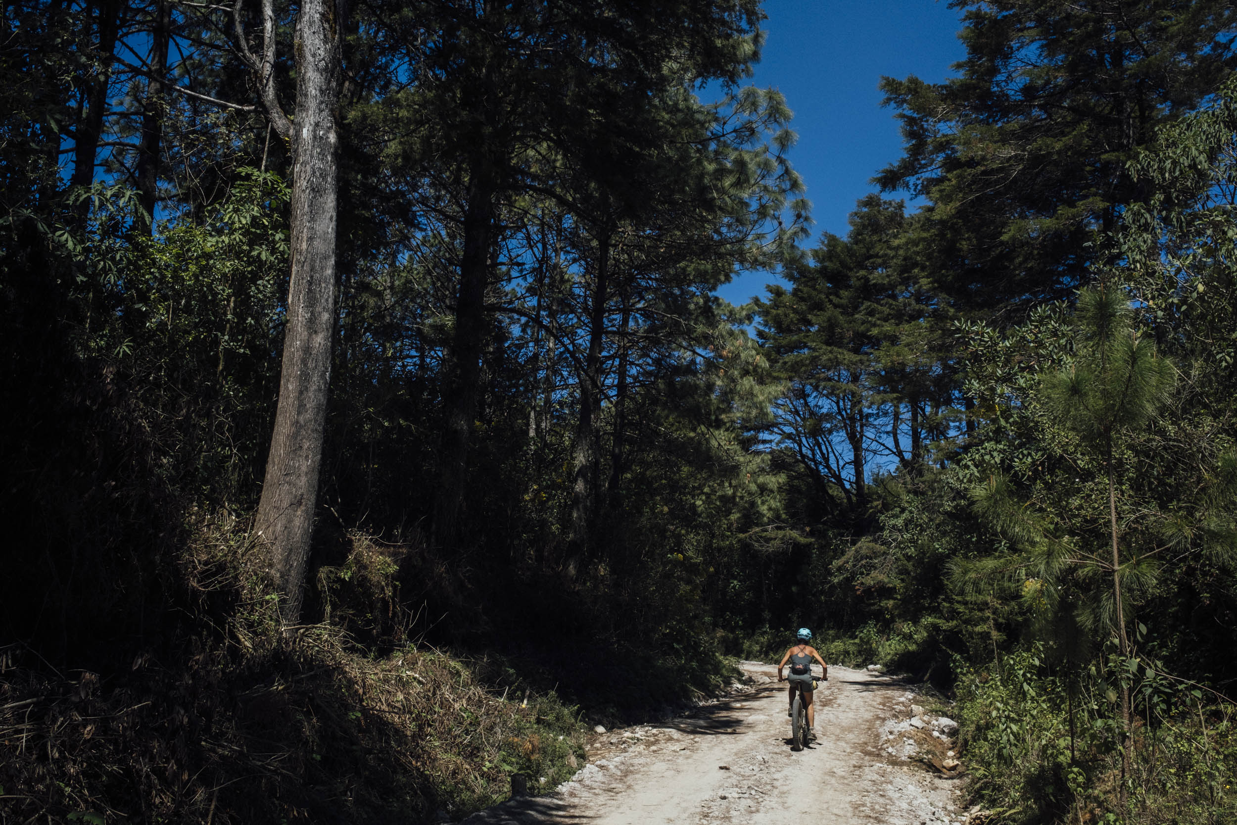
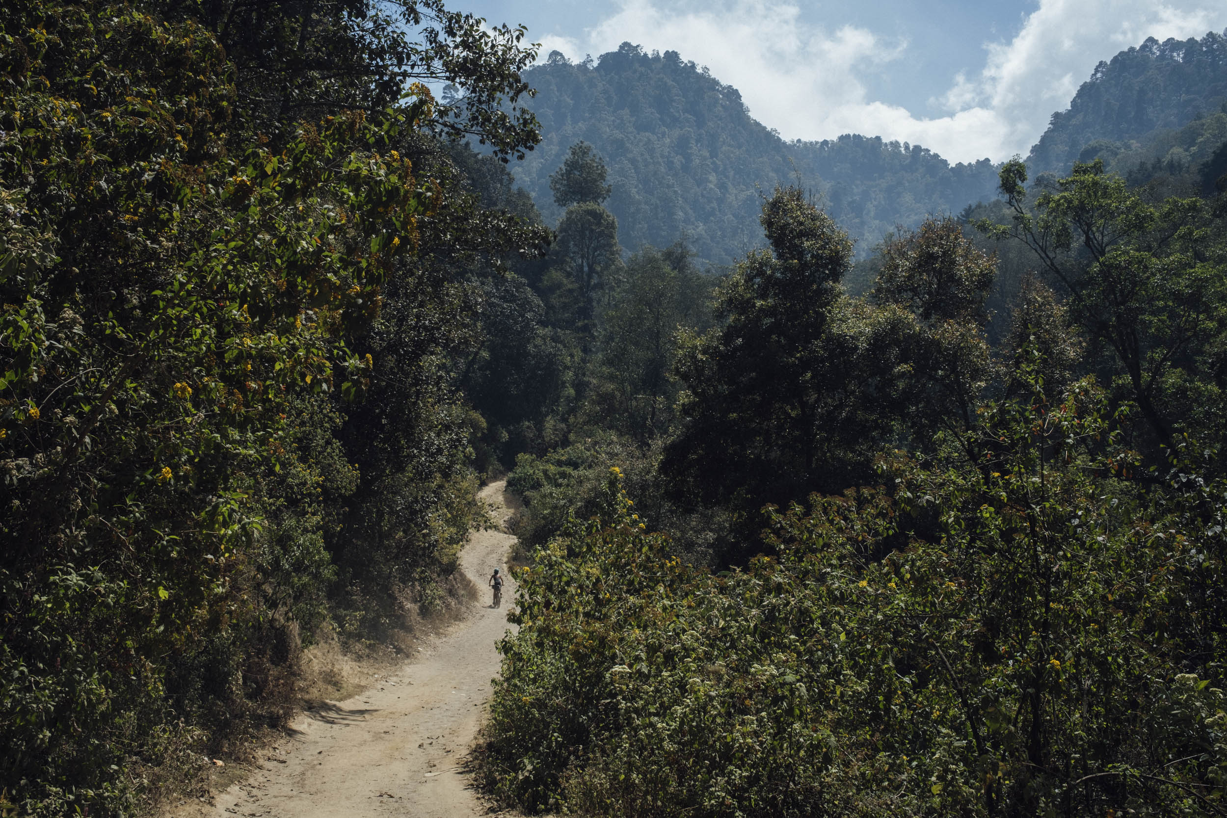
Then, it detours into the largely pristine forests above the hustle and bustle of Tecpan for a breath of fresh air. This loop – endearingly dubbed Quintenssential Tecpan – feels especially welcome, not least because it provides an excuse to spend a couple of higher-elevation nights at MTB Guatemala’s headquarters, idyllically located at the foot of the forest proper and a world away from the hot and busy valley below. If you’re hankering for more singletrack, just avail yourself of their guiding services, which are second to none.
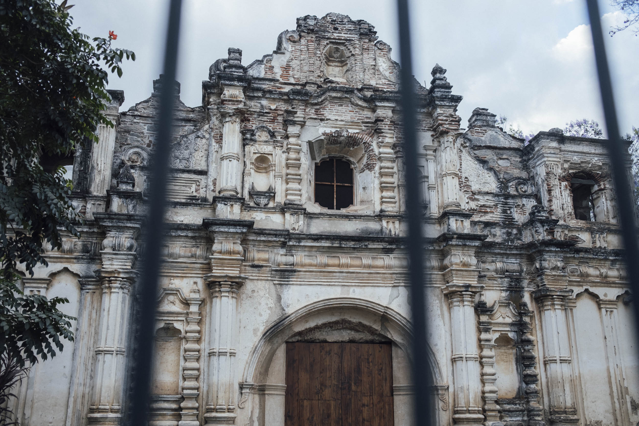
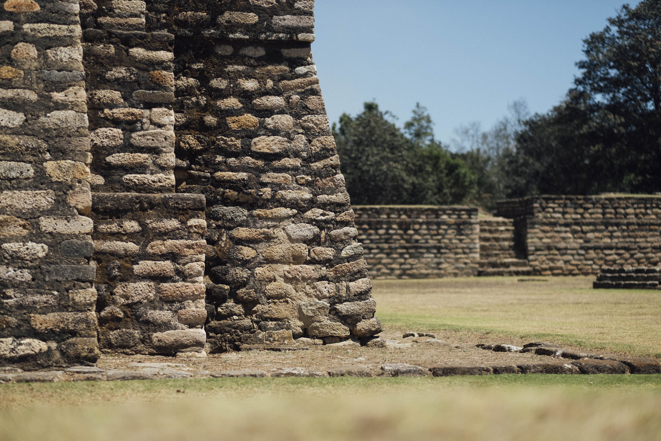
Of course, no trip to a country so steeped in pre-Colombian history would be complete without a visit to a Mayan ruin, which comes in the form of Iximche, the former capital of the Kaqchikel Maya kingdom, and includes pyramid-temples, palaces, and two Mesoamerican ballcourts. Iximche lies on the outskirts of town and is well worth a morning of your time, especially in the company of a guide.
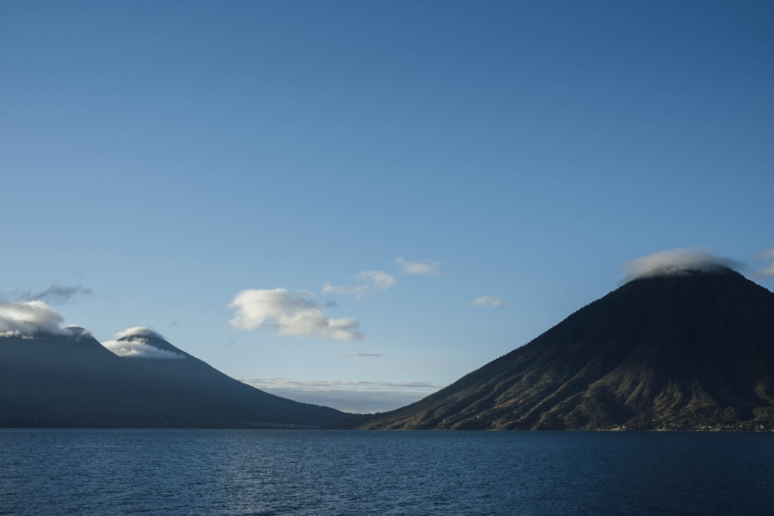
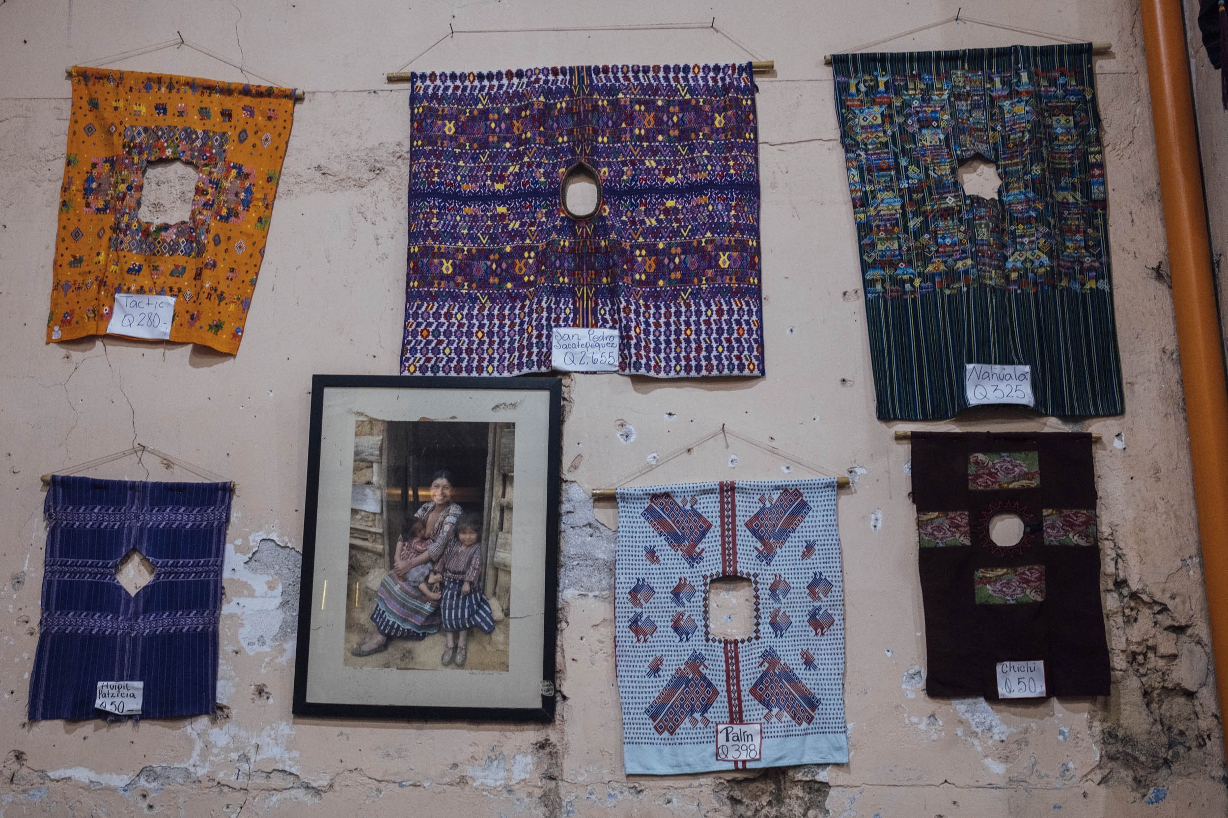
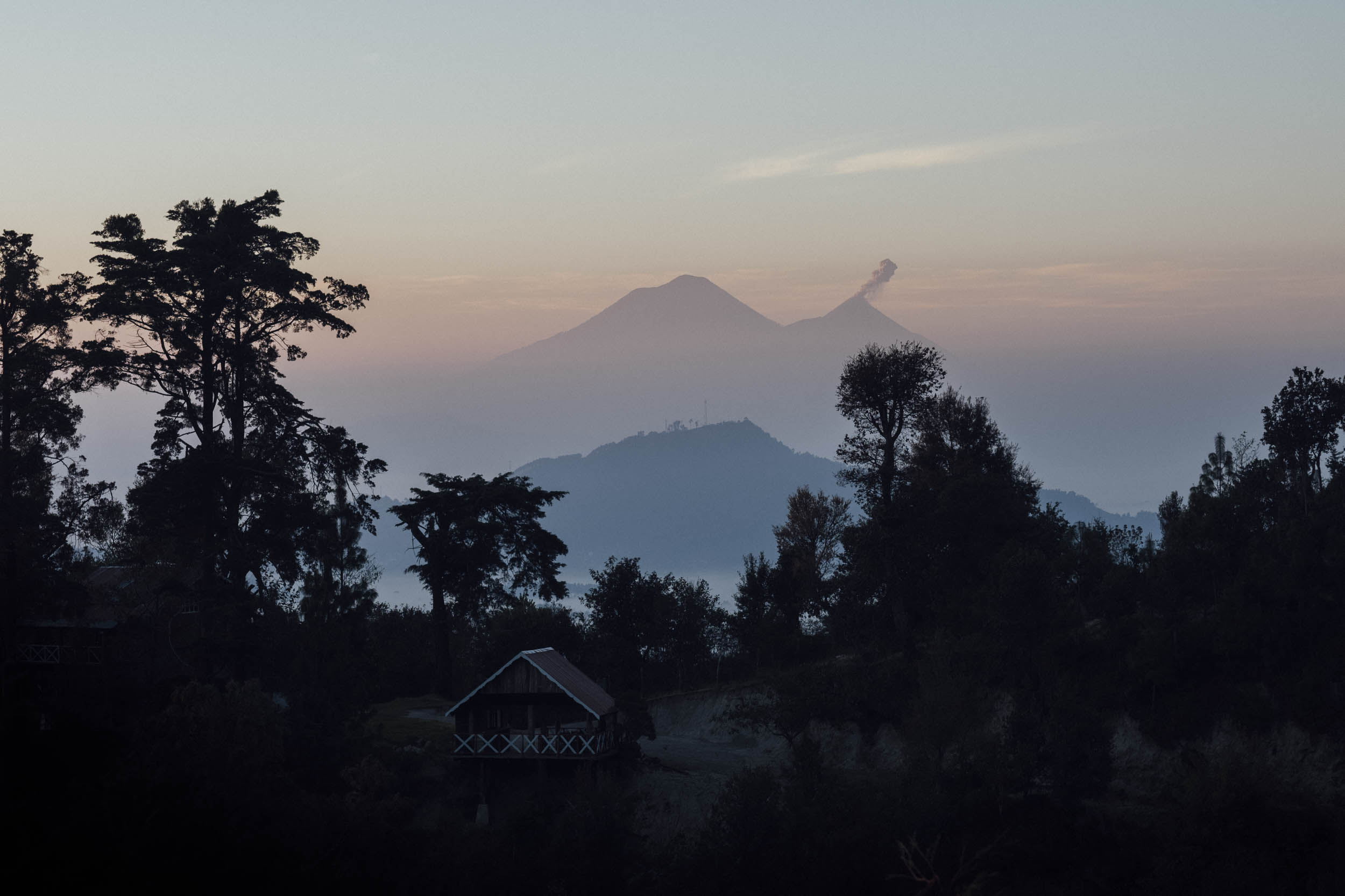
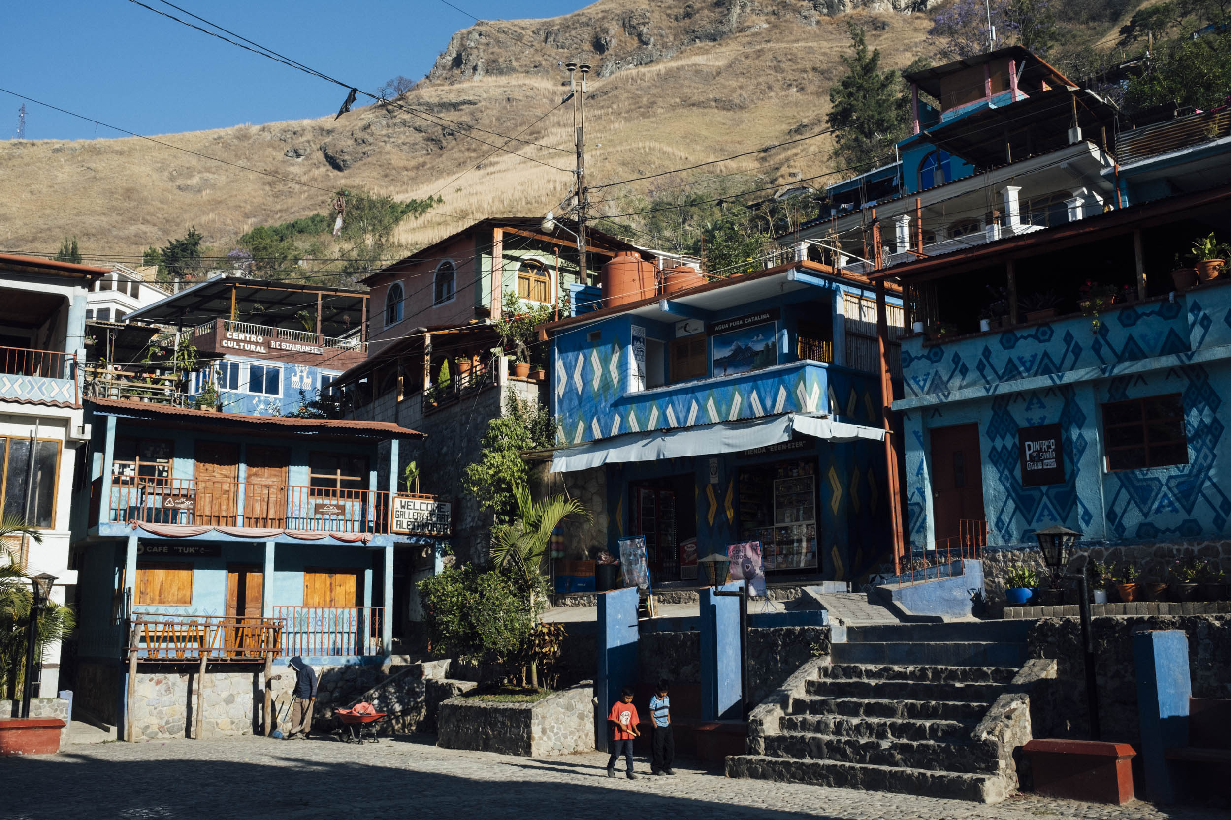
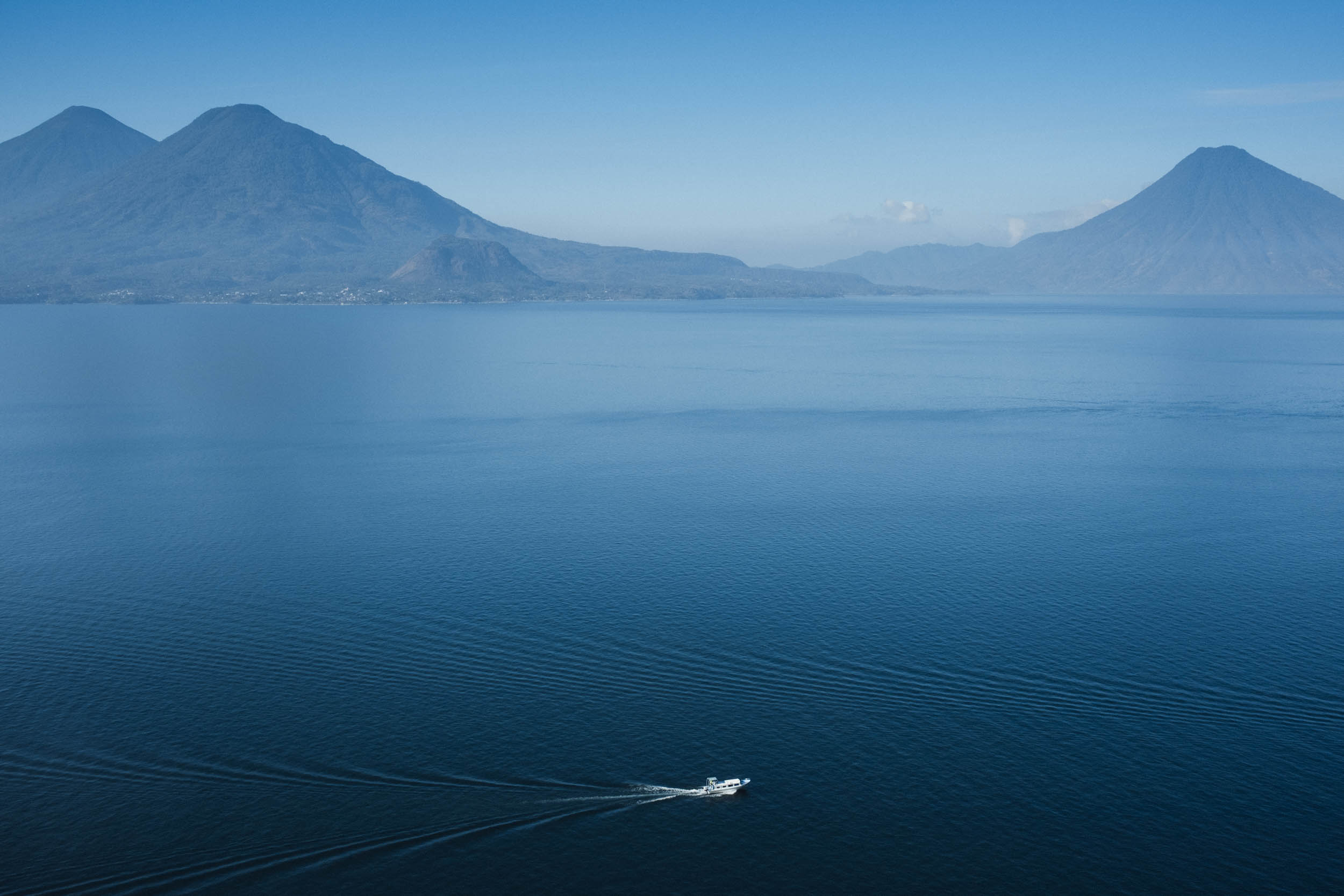
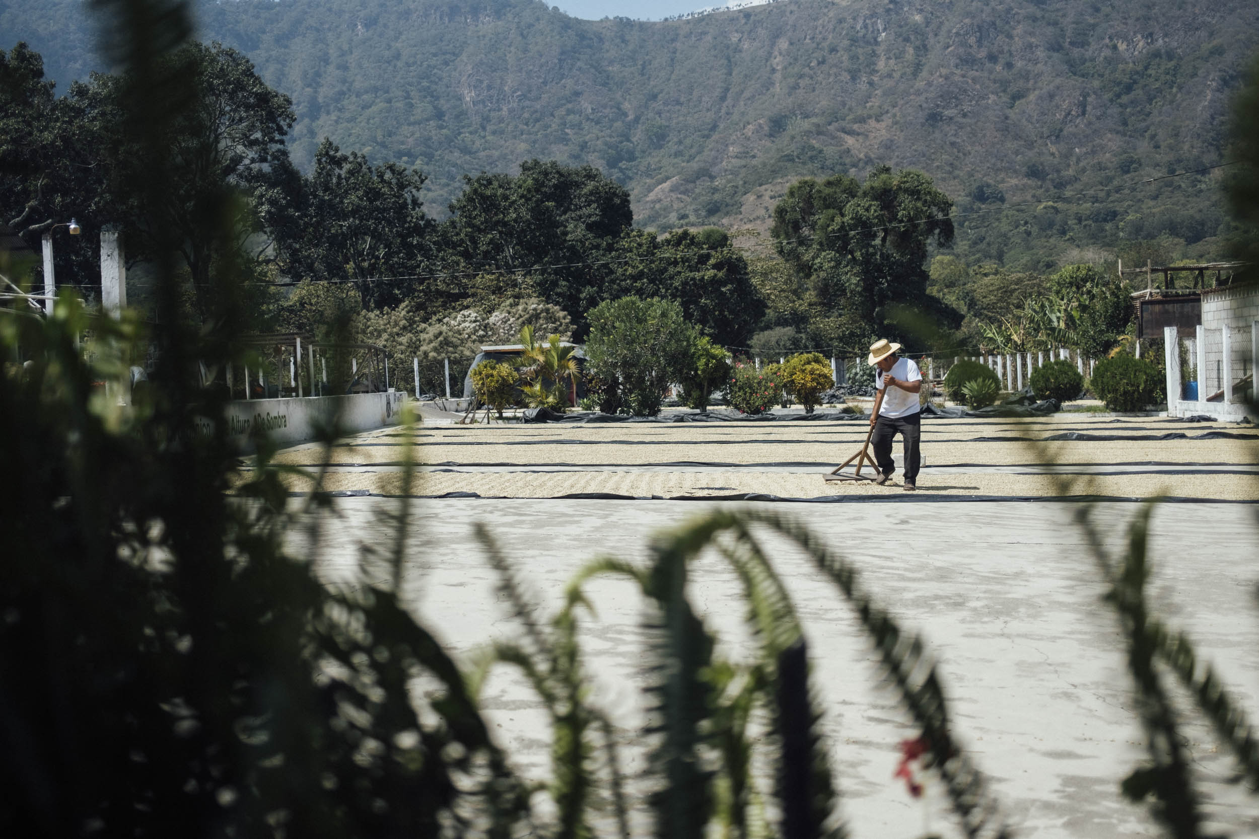
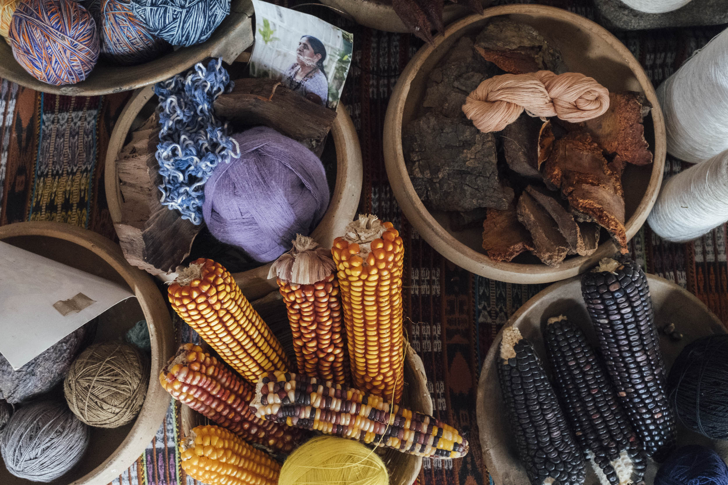
But it’s a refreshing dip in Lago de Atitlán that really gives this ride its character – and its name. Picture a glittering, watery expanse presided over by three imposing volcanos: Volcán Atitlán, San Pedro, and Tolimán – plus the appropriately named Fuego, seen smoldering in the distance. Imagine sipping fresh coffee collected from the plantations that dot its steep and verdant hillsides. Allow yourself to be bemused and amused by the eclectic collection of hippy hangouts that have drawn international travellers to the lake for decades – the sound bites you’ll hear are priceless! And stop and soak up life at several of the traditional lakeside communities, famed for the intricacy of their naturally dyed, hand woven textiles. Better still, save some room in your framebag for a huipil and support one of the women’s co-ops in San Juan La Laguna.
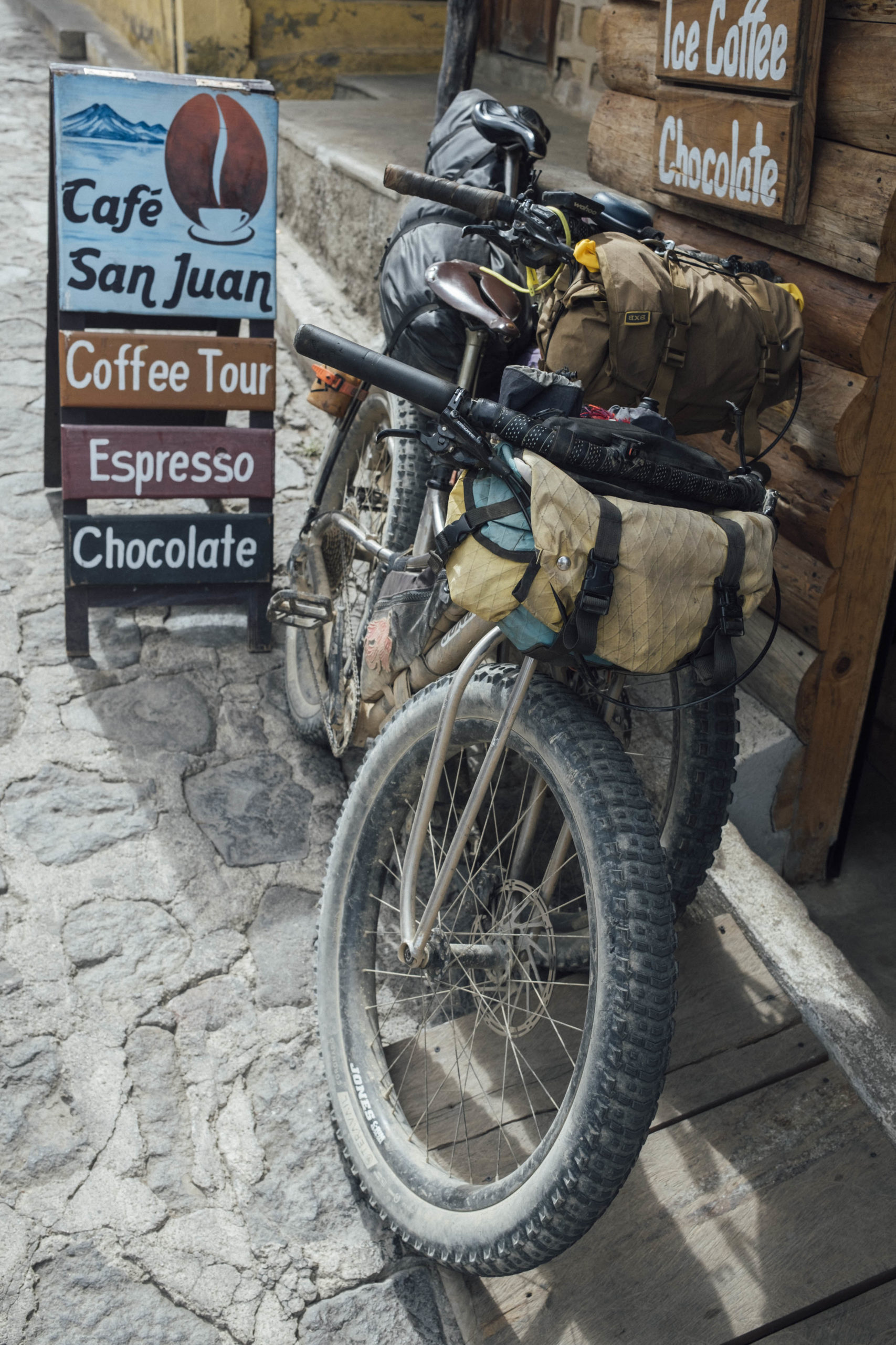
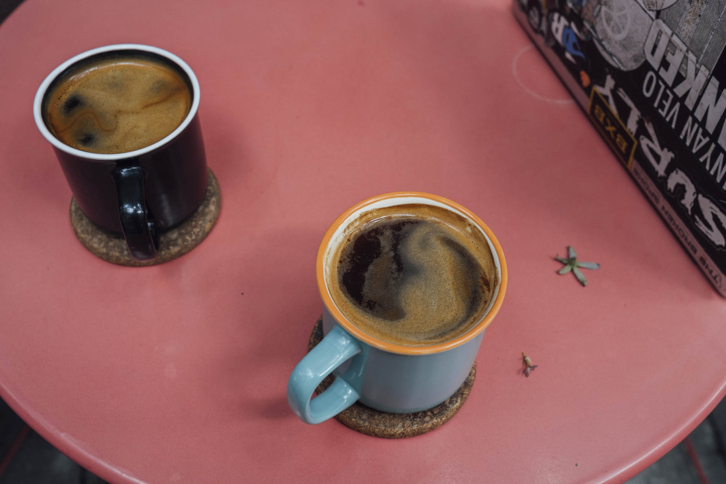
Whatever you do, be sure to factor in at least a half-day for swimming in the lake and sipping coffee by its shores. Itinerary-wise, we suggest spending a morning at serene Pasajcap – and availing yourself of its rickety pontoon and lakeside access – and then riding over to San Juan La Laguna to spend a night at MayAchik, a Tz’utujil run eco-establishment that’s set above the village amongst coffee plants. Speaking of… if coffee is your tiple of choice, be sure to visit La Voz co-op along the way. The espresso there is as good as they come.
Route Development
This route draws from a variety of sources. I first rode the Xela-Atitlan segment a decade ago and always remembered it as one of the toughest stretches I experienced in Guatemala; hence the urge to return! Much of the riding between Antigua and the lake is based around El Reto de Quetzal stage race, modified for bikepacking. Last but not least, many thanks to Brendan James at MTB Guatemala for providing all manner of additional singletrack connectors, as well as the high-elevation loop, Quintessential Tecpan.
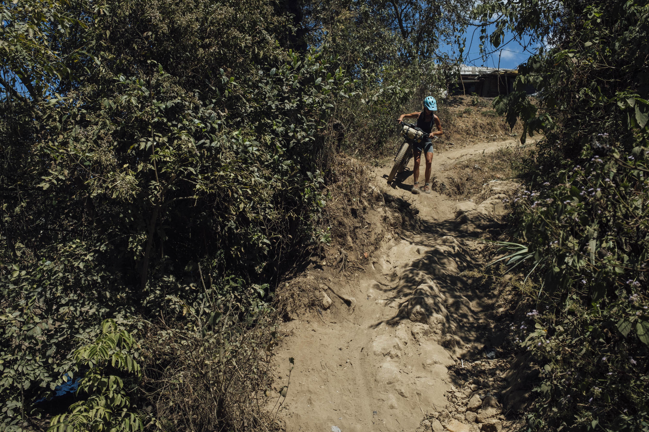
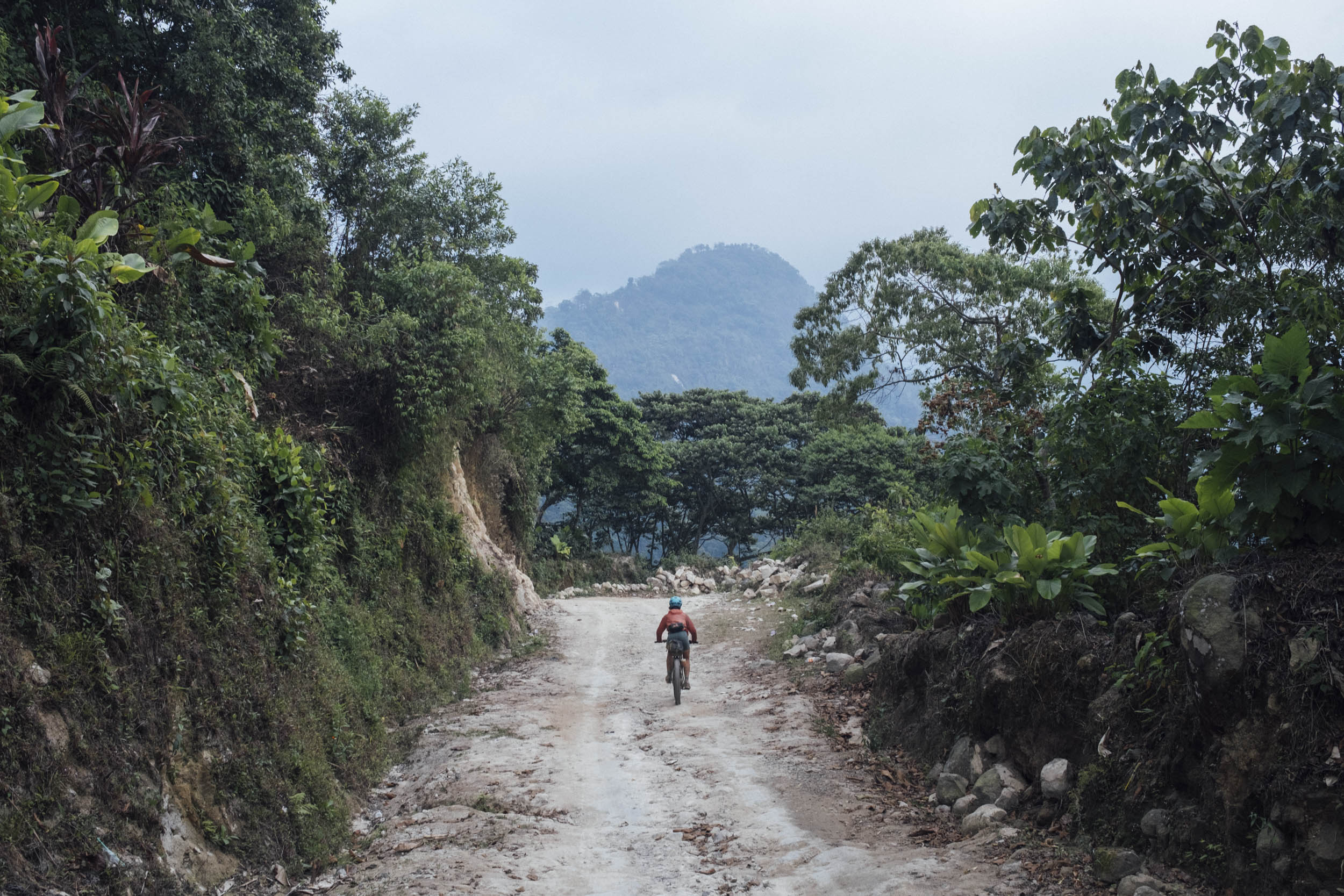
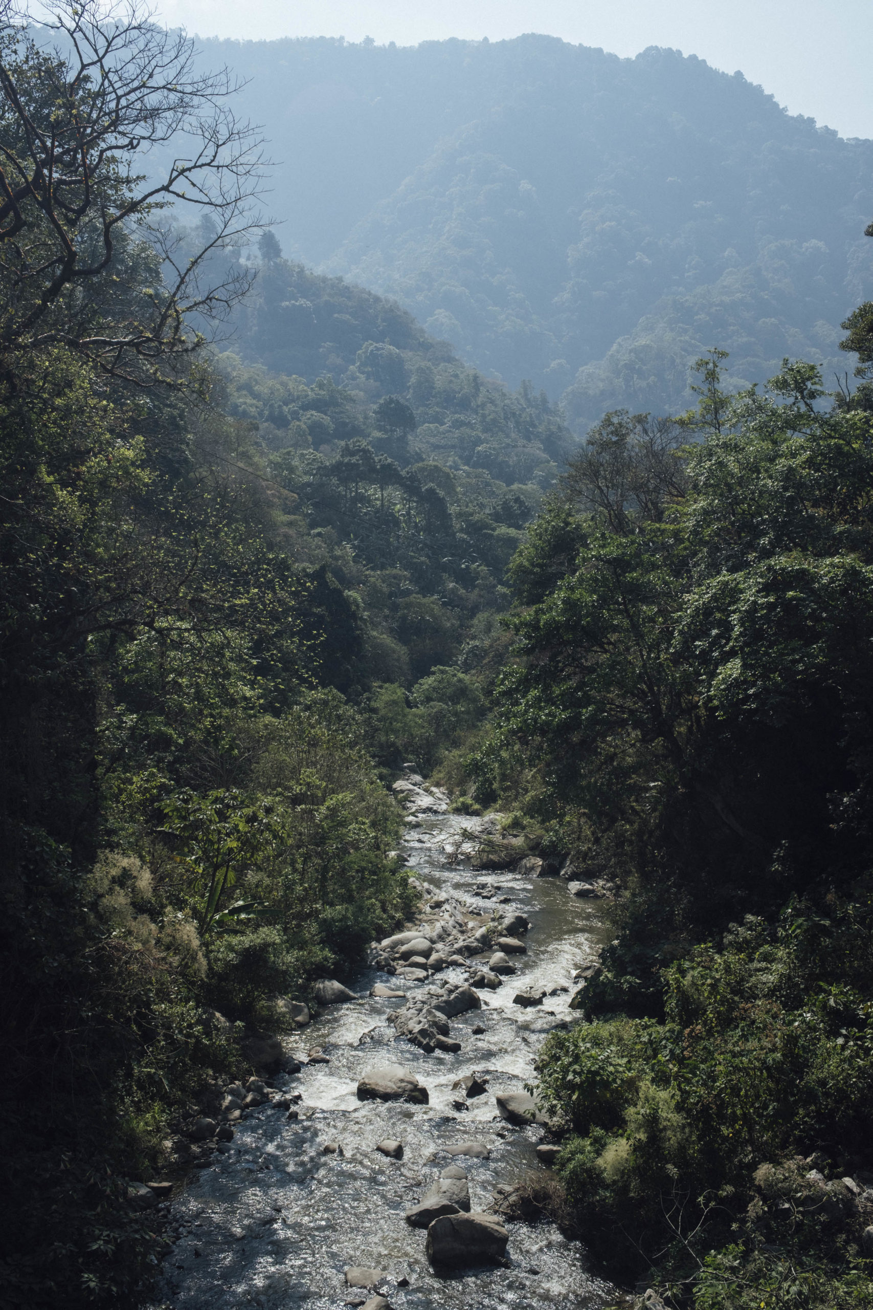
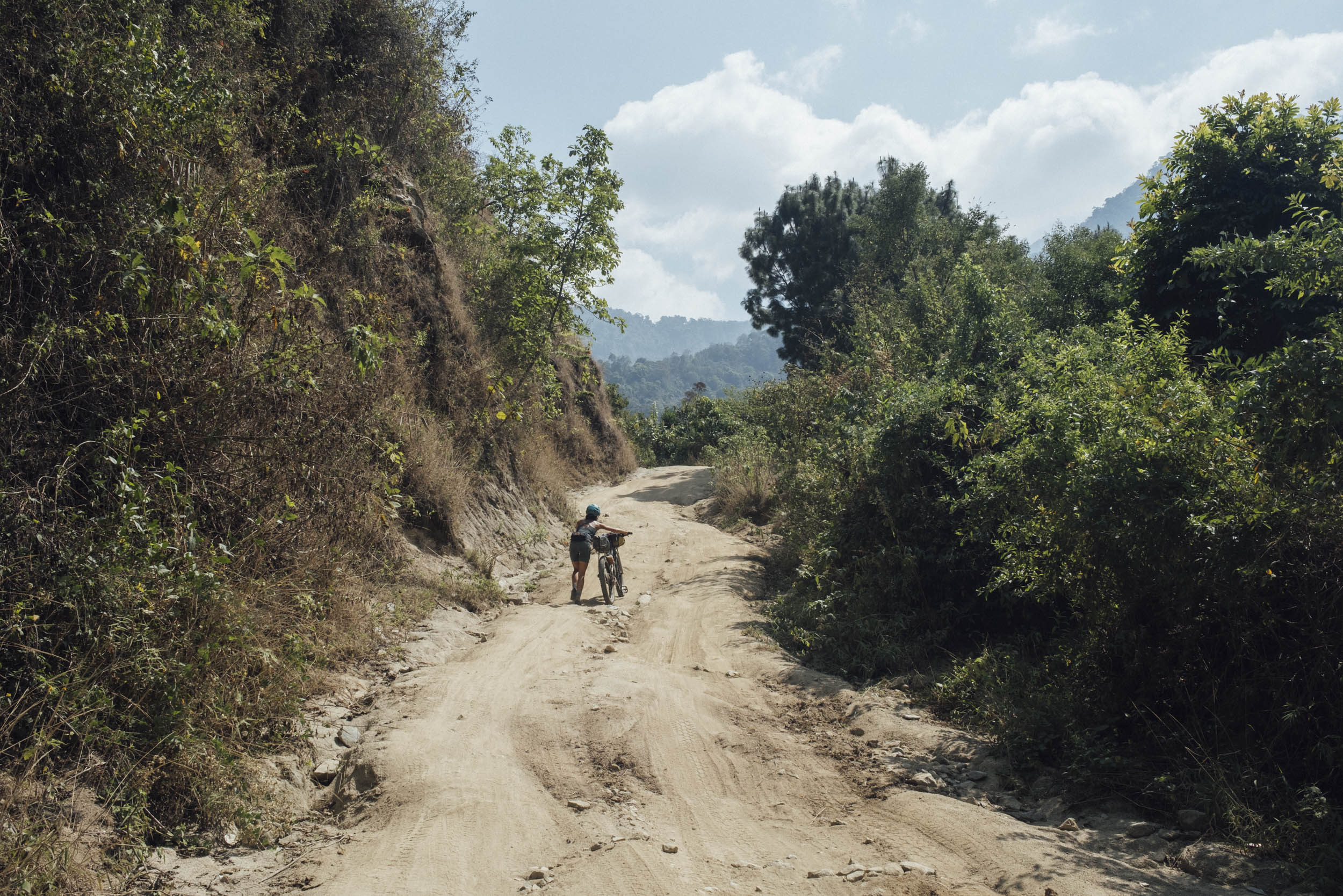
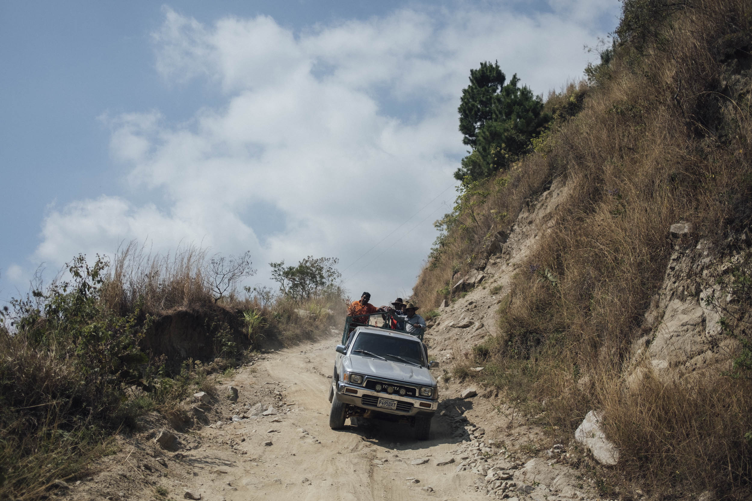
Onwards towards Xela again, the route becomes more unconventional still and is rarely used, even by locals; in places, the road is too steep for anything but burly Toyotas, whilst in others, it’s so narrow and precipitous that only motorbikes can pass. From Santa Clara La Laguna, a small settlement perched on the edge of the volcanic crater in the Sierra Madre, a particularly rutted 4WD track plummets over 900m elevation in seven, white-knuckled kilometres!
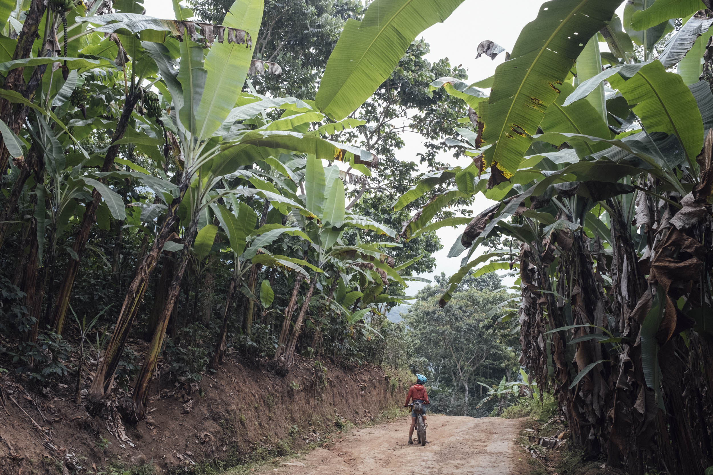
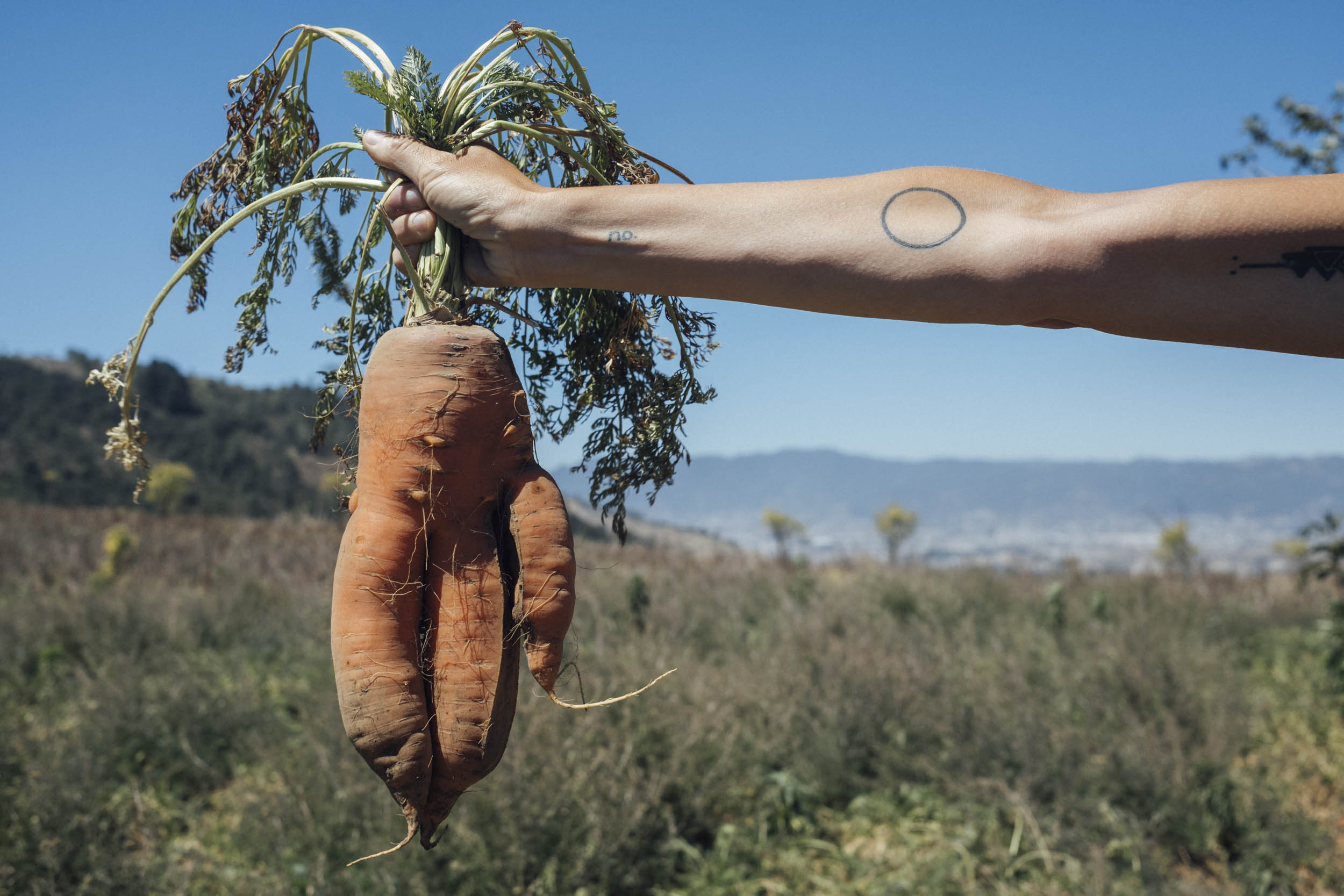
In fact, this burly descent to Santo Tomás La Unión is so hard on vehicles that few survive more than a few seasons before retiring to other less demanding regions – relatively speaking – of the Guatemalan highlands. The climb back up is less severe in its grade but considerably longer; it transports riders from lowly banana plantations at 800m, right up to 3100m, via an intricate array of corn crops that appear and disappear in the mist; huge boulders stand on either side of the road like echos of previous landslides. The final bout into Quetzaltenango, aka Xela – Guatemala’s most interesting and artistic city – is as unexpected as the rest of the route. A steep, thrilling descent feeds into a network of dusty farm roads – past fields of giant carrots, for which the area is known – that eventually lead almost directly into the centre of town, where coffee shops and eateries await.
Difficulty: We’ve awarded this route an 8… but in places, it’s a solid 9. Be prepared to push your bike because clearly, Guatemalan road builders never had cyclists in mind when chiseling a way through such impregnable mountains. Take into account that dirt roads can be very dusty come the dry season and slow going when the rains fall. For a balance between on and off the bike activities – and to help make this route feel more manageable – we’d suggest six days to complete it, including a half day’s R&R at Lago de Atitlán and an early morning to visit Iximchen.


Highlights
Must Know
Camping
Food/H2O
Resources
- Swimming at sunrise in the calm waters of Lago de Atitlán; it’s magical!
- Riding to a backdrop of volcanoes, including smoldering Volcán Fuego.
- Enjoying agricultural singletrack frequented by farmers and local riders.
- Visiting Iximche, the former capital of the Kaqchikel Maya kingdom.
- Getting stuck into big (and often steep) climbs. And enjoying those descents!
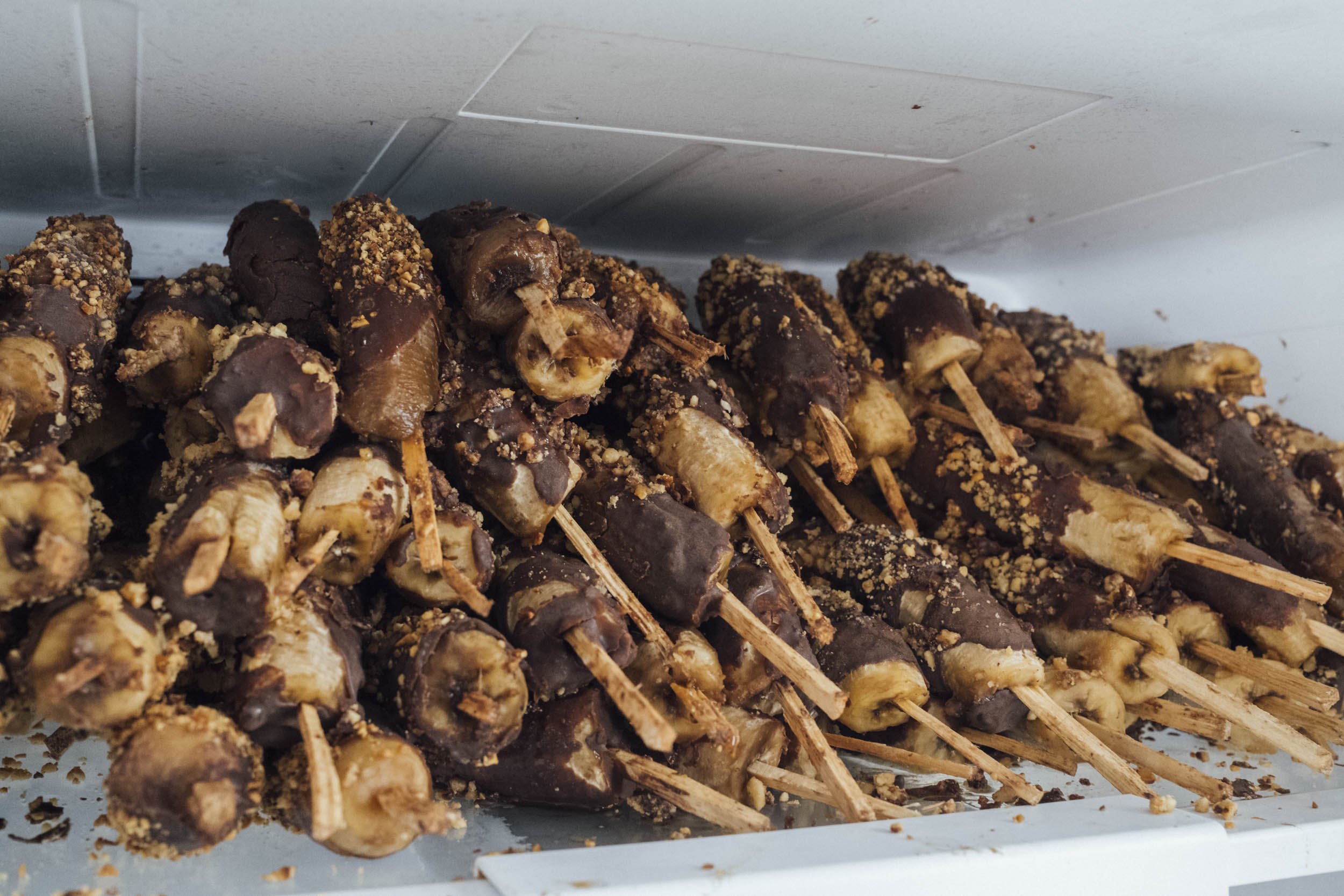
- Chocobananas! The ultimate trash-free treat to temper hot days in the saddle.
- Best bike: a mountain bike is definitely best, though a touring bike shod with the widest tires you can fit will work too. Above all, run the lowest gearing you can. There are few inclines as steep as those in Guatemala. This is next-level climbing!
- Best season: The best time to ride in Guatemala is probably just after the rainy season – late October and early November – when the roads become more easily traveled once more, and the land is lush and green. The dry season (November to April) is good too, but it can be very hot at lower elevations, the roads become extremely dusty, and the landscapes especially arid.
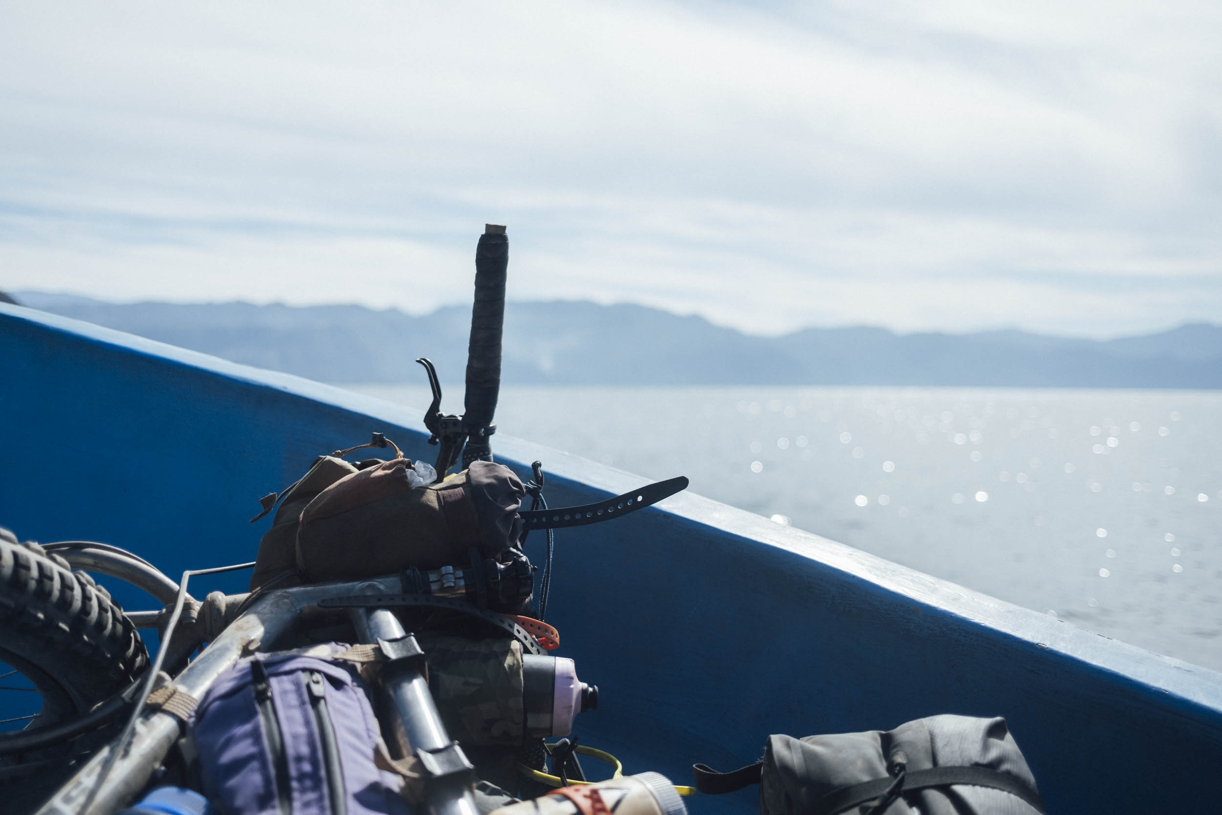
- Boats: it’s around 20Q from Panajachel to San Marcos La Laguna, plus 10Q for the bike. Boats run from dawn until dusk.
- All the bigger towns have cajeros automaticos (ATMs) though foreign cards occasionally won’t work. Always carry backup cash. Break big notes in touristy towns as change is hard to find in small communities.
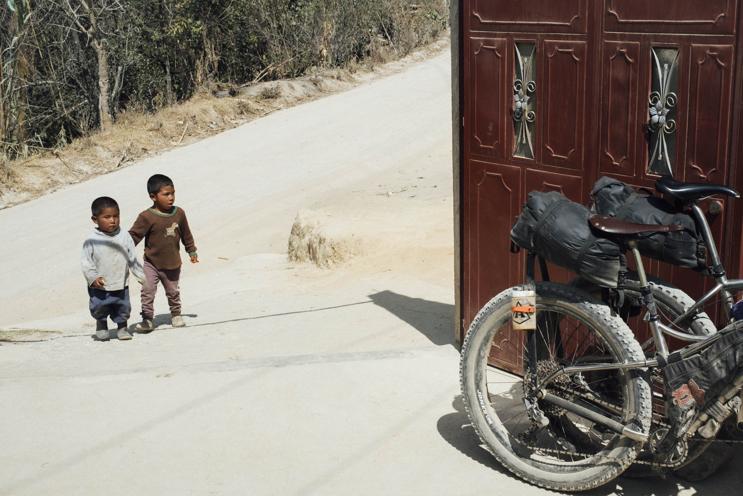
- Outside of tourist hubs, few people speak English, and for many, Spanish is their second language. Some basic Spanish is essential to be able to arrange food and accommodation.
- This route can definitely be ridden in either direction, depending on where you’re headed. In fact, riding to Antigua is perhaps logistically easier and offers grand views, though the climb out of Santo Tomás La Unión is as gruelling as they come – leave early to beat the heat and allow several hours to tackle just a few short kilometres. Riding to Antigua also cuts out the most intense hike-a-bike when following the Reto de Quetzal – it’s marked on the map.
- Either way, expect some stiff hike-a-bikes and awkward little pushes, so pack as light as you can. It helps if you can shoulder your bike.
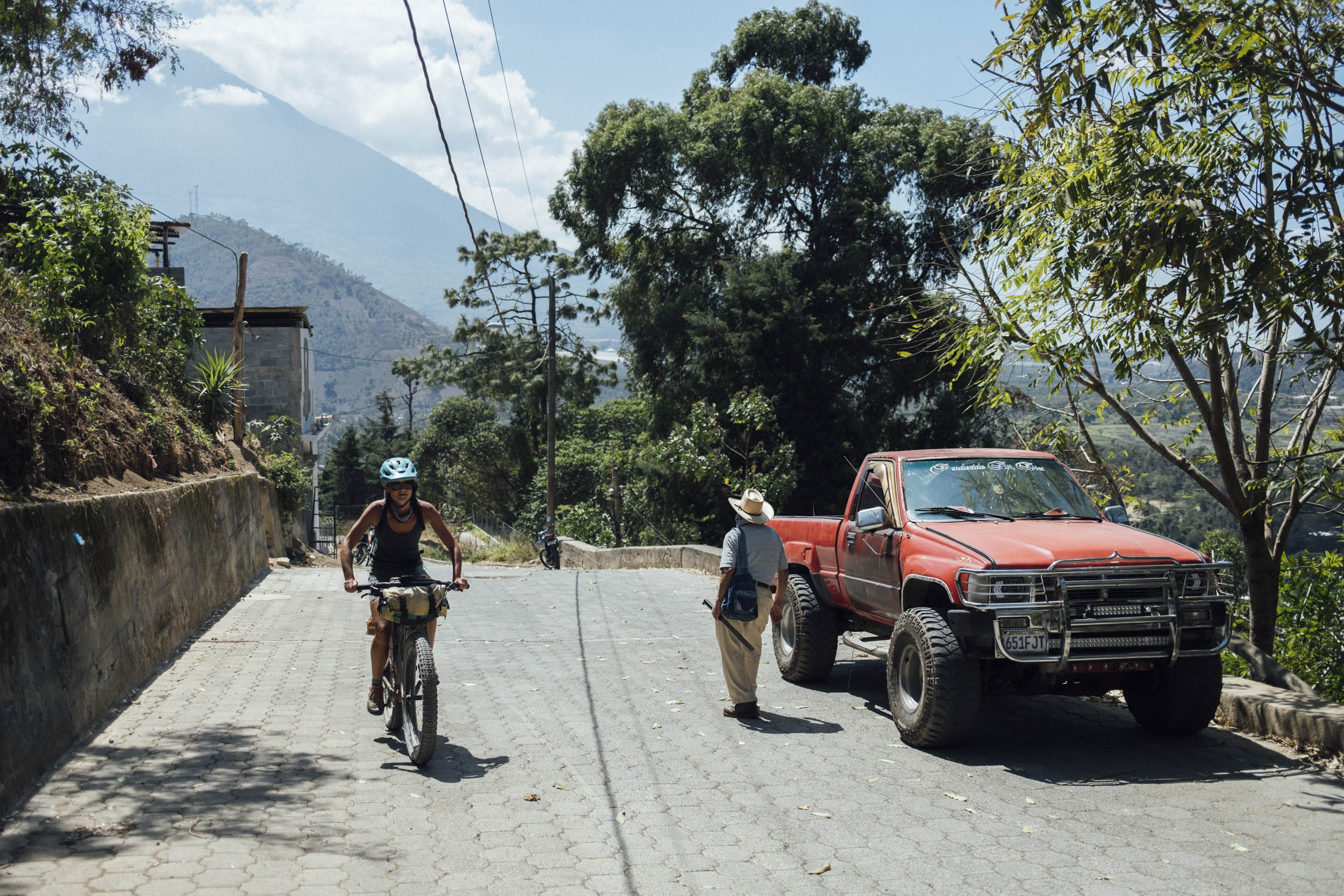
- When riding trails, always be extra courteous with your greetings, generous with your waves, and pull over for farmers.
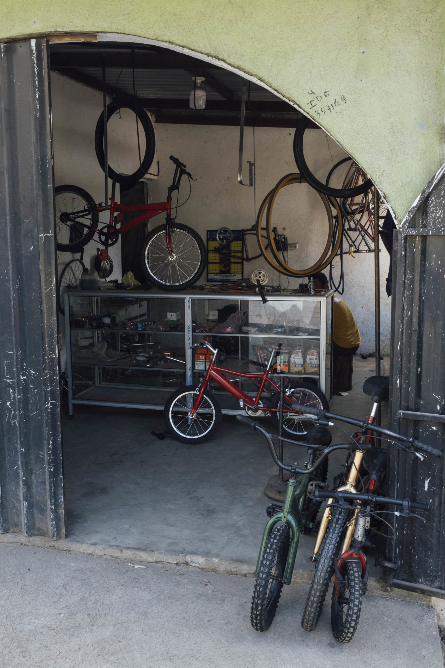
- Guatemala has a thriving mountain bike scene; the weekends are busy with riders and you’ll find good shops with high-end components in Antigua, Tecpan, and Xela. The country has a packed race calender and there are plenty of options for guided rides, too – Guatemalans are great riders!
- Pack extra chain lube, especially in the dry season, as conditions can be very dusty.
- Want to hike up a volcano? With an early start, 3020m Volcán San Pedro can be tackled in half a day. A guide is required and note that it’s recommended you leave your camera behind.
- Guatemala is textile heaven. Try and buy directly to support local weavers. There’s a women’s co-op at San Juan la Laguna, for instance. Even if it’s just to window shop, Nim Po’t, just past Santa Catalina Arch in Antigua, is a must! This museum/library/shop is awash with beautiful huipiles on display from all over the country, fantastic photography, and all kinds of crafts. It also has pre-worn huipiles that can be picked up for a few dollars. Allow time to rifle through the piles of clothing to find your treasures.
- It’s hard not to be a little broken-hearted by the amount of trash that now lines the roadsides in Guatemala; choose your snacks consciously and minimize your use of packaging when you can.
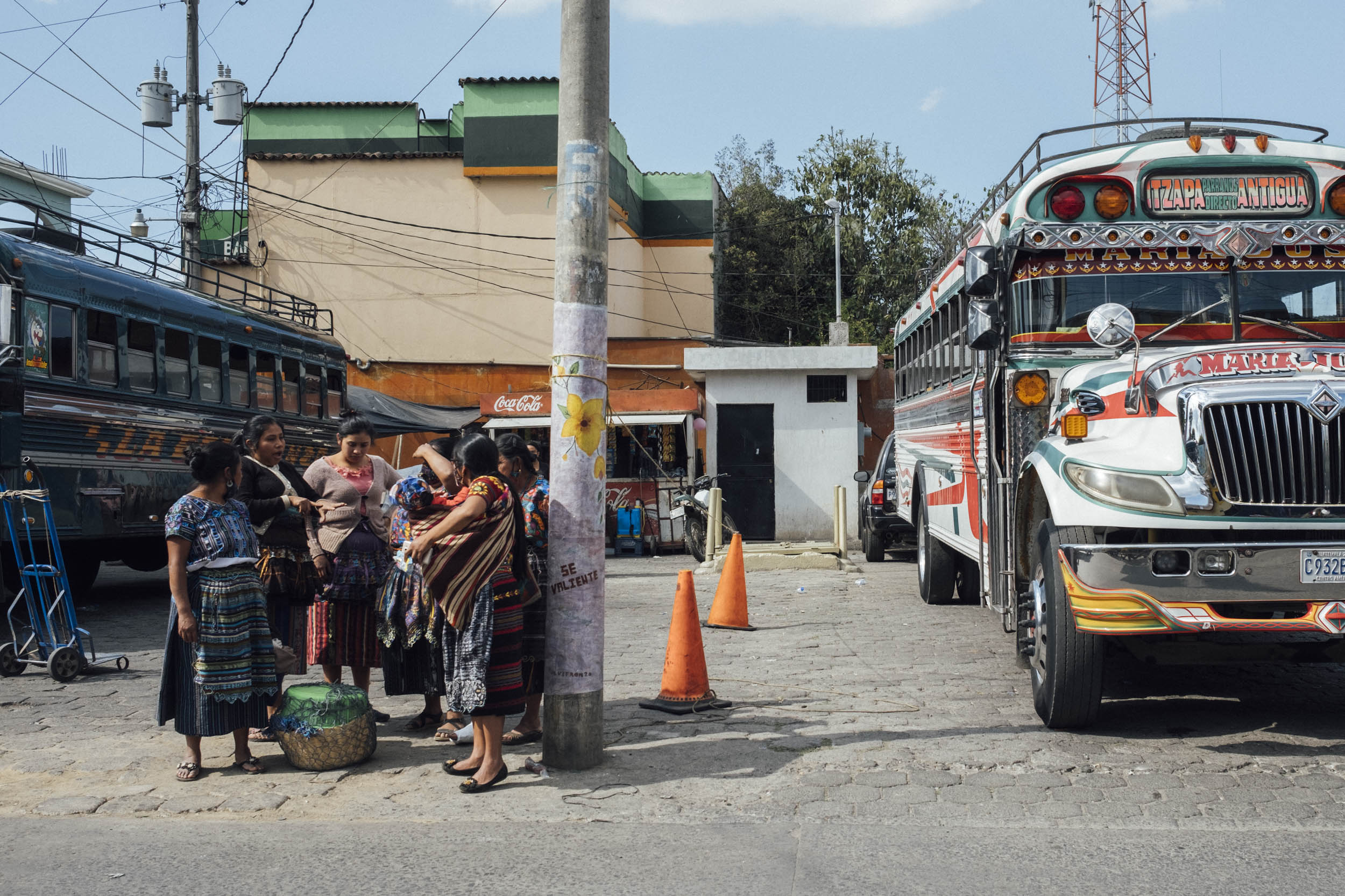
- Transport: there’s transportation back to Antigua from Xela, be it minibusses – arranged through your hotel – or goliath ‘chicken’ buses; both take bikes for a small fee. The latter is a cheap option and the most characterful way of returning to Antigua – just keep an eye on how your bike is lashed down on the roof.
- Need to trim back the route? Take a boat from Panajachel to Tsunana and ride along around the lake to San Juan and then San Pablo La Laguna. From there, you can take the boat back to Panajachel once more. It’s easy to get back to Antigua – it’s just a few hours in a shuttle bus.
- Want more? The Reto de Quetzal continues onwards to Guatemala City. And also plots a different course to Xela. GPX files can be tracked down online. The route changes each year.
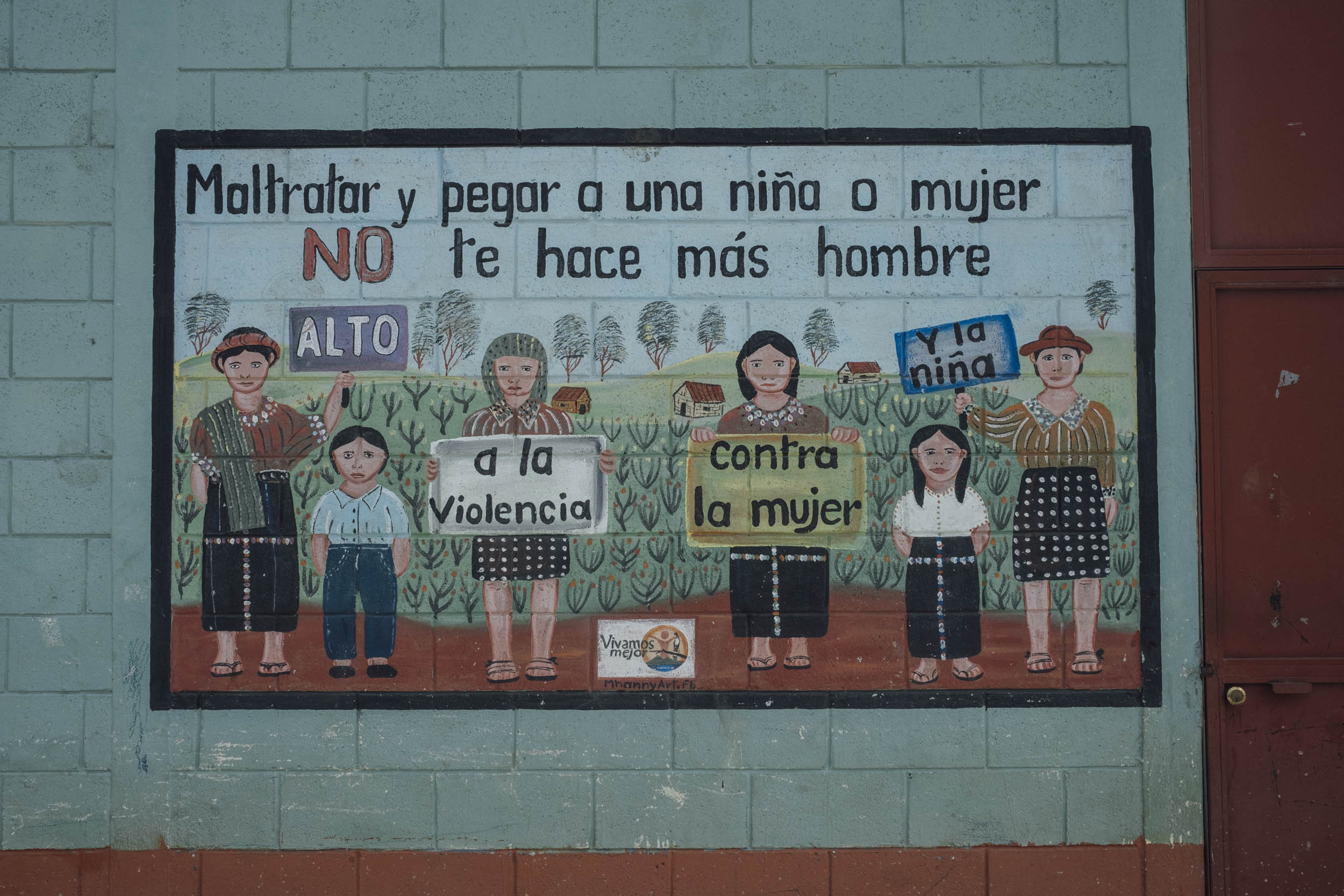
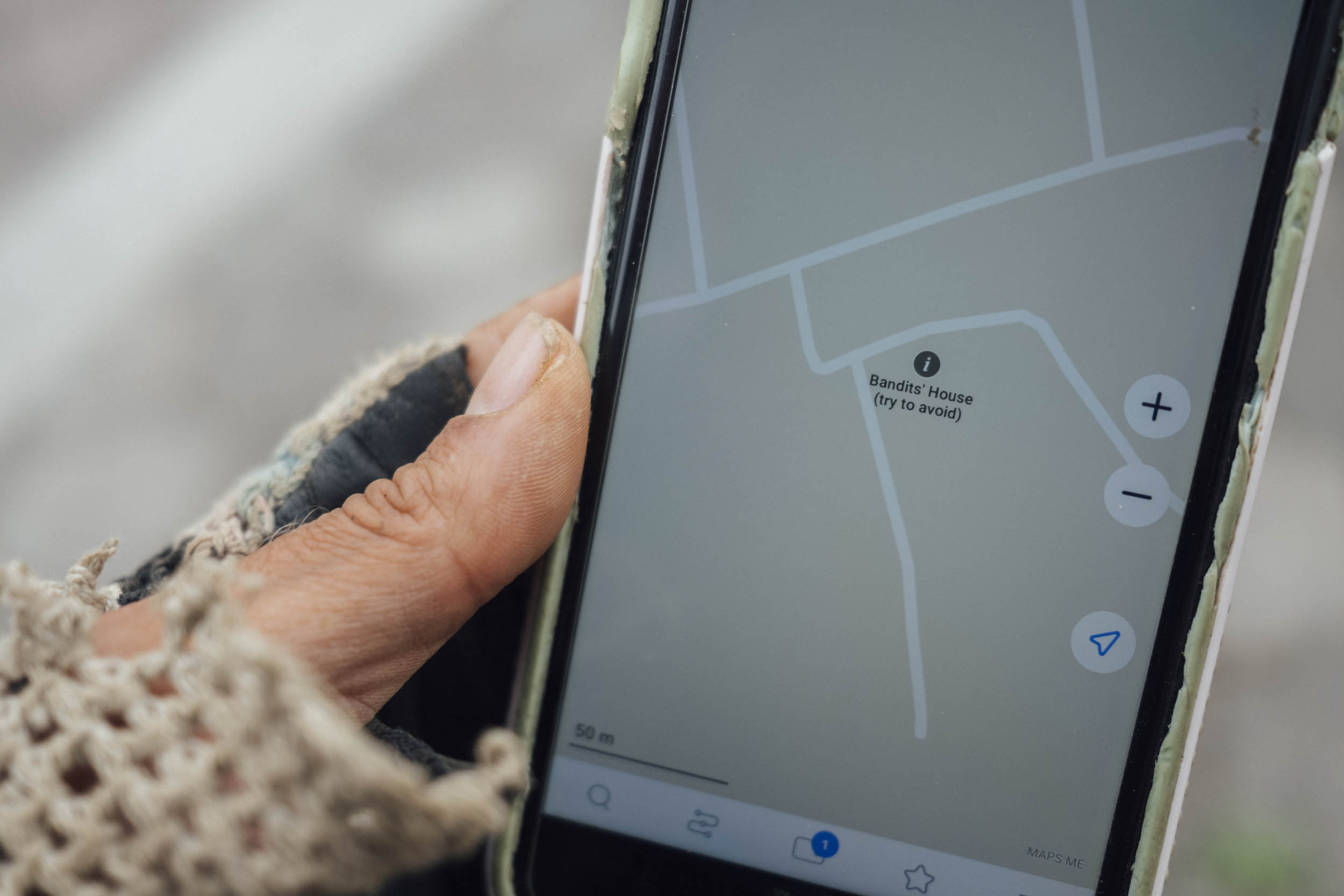
- Security: Although Guatemala has had a troubled past on many levels, it’s generally safe to travel. However, be especially careful in touristy cities at night – Antigua particularly – and aim not to ride after dusk. Zones all around the lake have been frequented by bandidos in the past – particularly the hike to Volcán San Pedro – so check in with locals to ensure where you’re planning to visit is still safe. Maintain a low-key vibe and be sensible with how you display signs of wealth. We also noticed that Guatemala has a strong macho culture; women may not feel comfortable travelling alone.
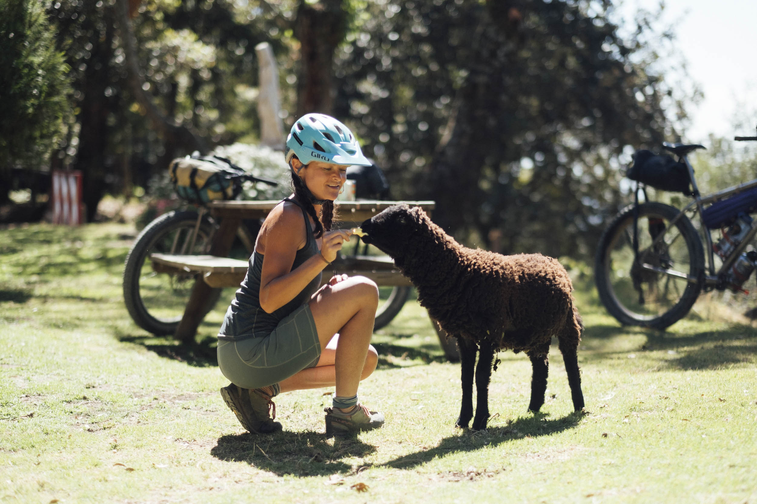
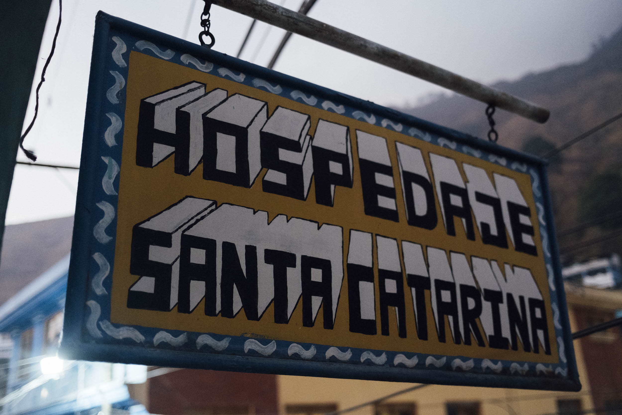
- Camping can be tricky in Guatemala, given the high population density. Generally speaking, it’s best to ask a family if you can spend a night on their land. Still, we’ve marked two fantastic paying spots between San Marcos and Tzunana, complete with access to the lake, and another in San Juan la Laguna, that’s more local in vibe. There’s also the option of pitching your tent up at MTB Guatemala, above Tecpan.
- While I personally think it’s worth carrying a tent – especially if you want to spend a couple of extra days at the lake – for those who prefer to pack light and make the climbs that bit easier, there are plenty of accommodation options along the route – see map for details. The only day where this will be a challenge is the climb out of Santo Tomás La Unión – you’ll need to get an early start. If you’re headed east, there’s a good option in Santa Clara La Laguna and of course, many around the lake.
- Some recommended hotels along the route can be found on the map, as well as a few friendly budget options in Antigua and Xela. Note that rates go up significantly in Antigua at weekends and anywhere around Lago de Atitlan can also be pricey.
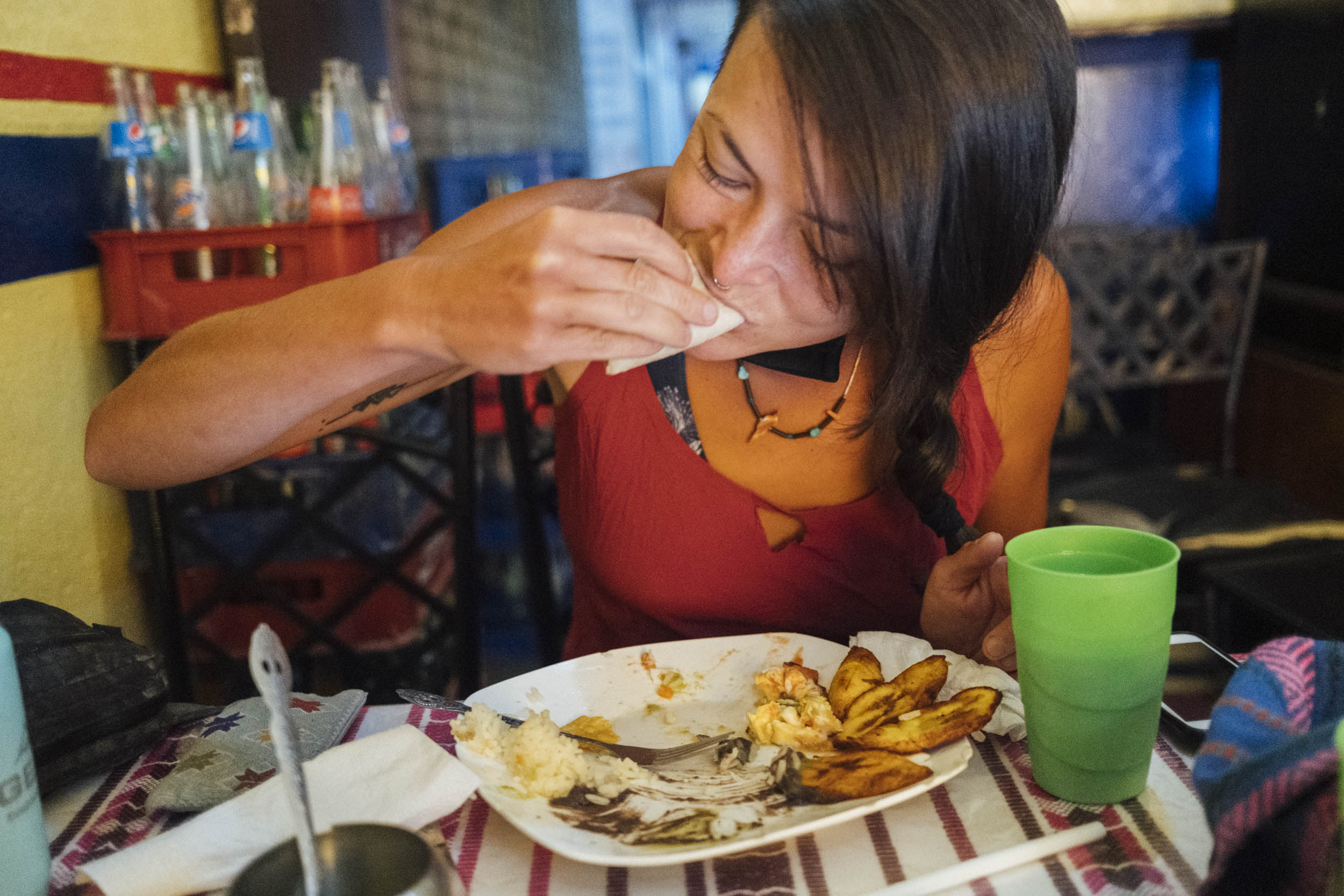
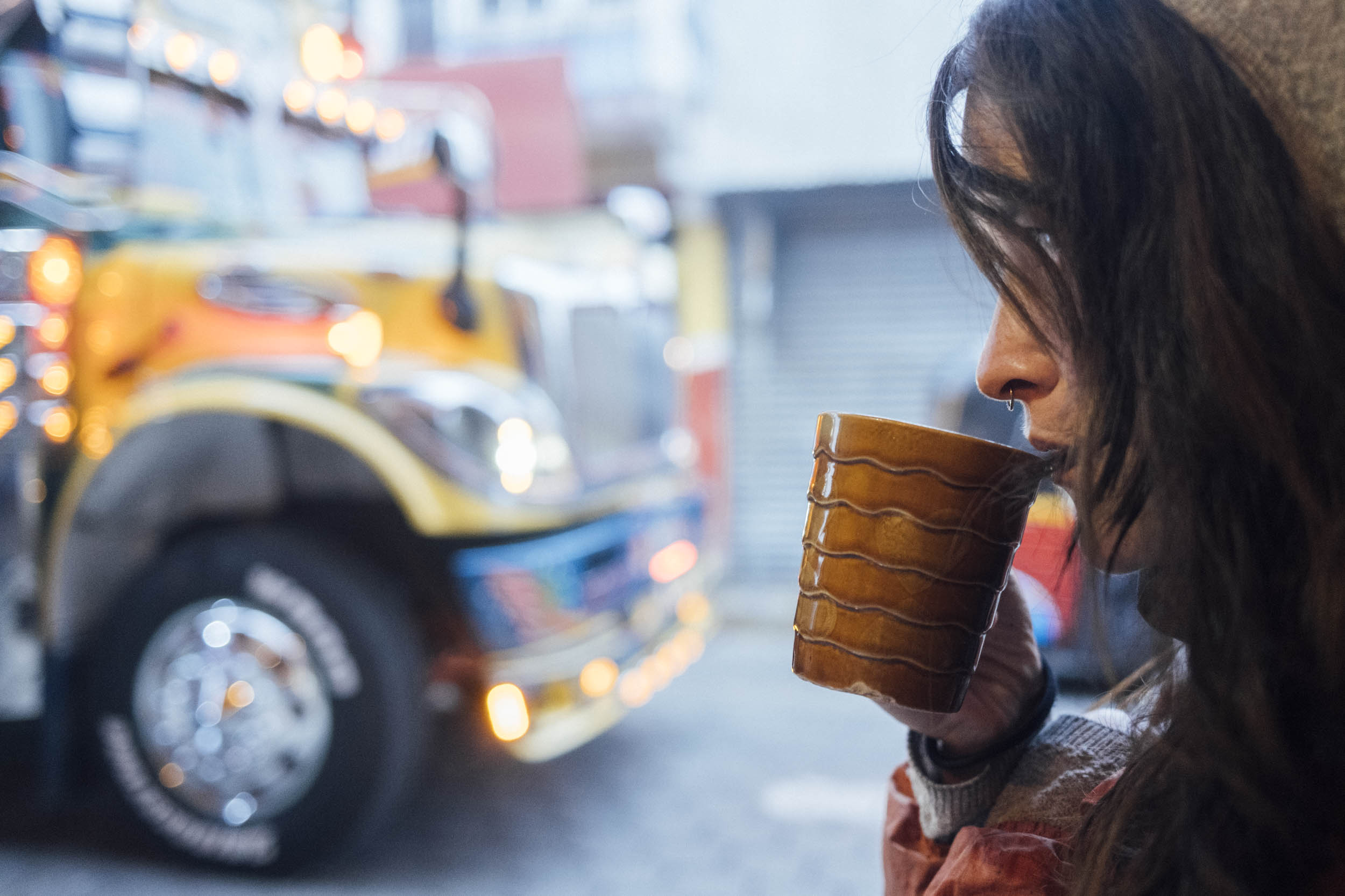
- This route is punctuated by a number of eateries; every town has small establishments (comedors) serving set lunches and desayunos típicos – the latter usually involves a cup of coffee, some thick, handmade tortillas, eggs, beans, and fried plantains. It’s a great start to the day!
- Keep an eye out for local fare whenever you pass a market; for instance, San Juan la Laguna serves ceviche with snails from the lake!
- Smaller villages are likely to have basic stores, where you can find cold drinks and snacks.
- It’s best not to drink tap water in Guatemala, especially in cities and at lower elevations. Ask to fill your bottles from purified water containers in restaurants and offer a few extra Quetzals, especially if there are a few of you.
- Top tip? Chocobananas! These frozen bananas are smothered in chocolate, that sets as it cools. At just a couple of quetzal each – and invariably served on homemade splints – they’re the perfect trash-free highland treat. Keep an eye out for homemade signs that will invariably lead you to someone’s freezer.
- Tecpan is well known for its Rincón Suizo; run by descendants of Swiss immigrants, it offers a selection of locally made dairy products, including delicious ice cream.
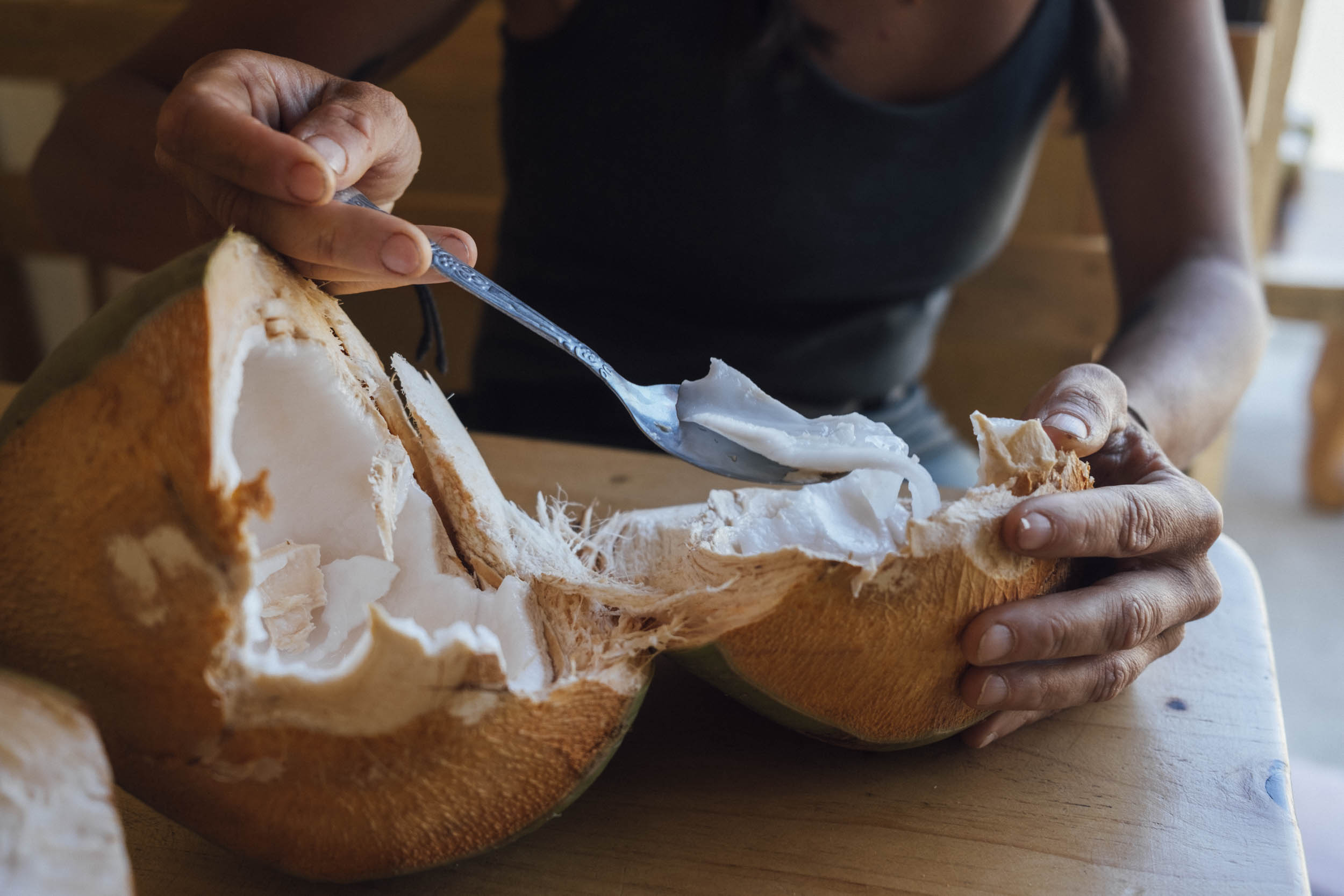
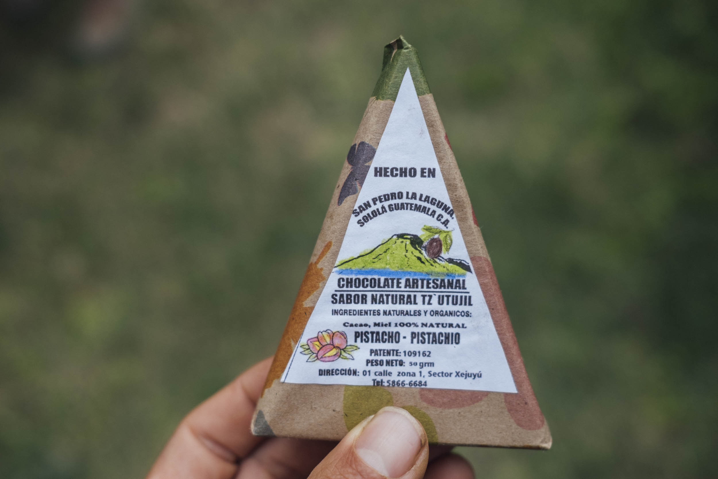
- Look out for locally made chocolate around Lago Atitlan – the best is made with honey, in our opinion. We’ve included a photo and marked a location where it can be found on the map!
- In San Juan de la Laguna, Alma de Colores offers good vegetarian fare and is run as part of a social project that fosters inclusiveness. La Voz, on the edge of town, is a highly regarded coffee co-op that also serves coffee and cakes. There’s good wifi too!
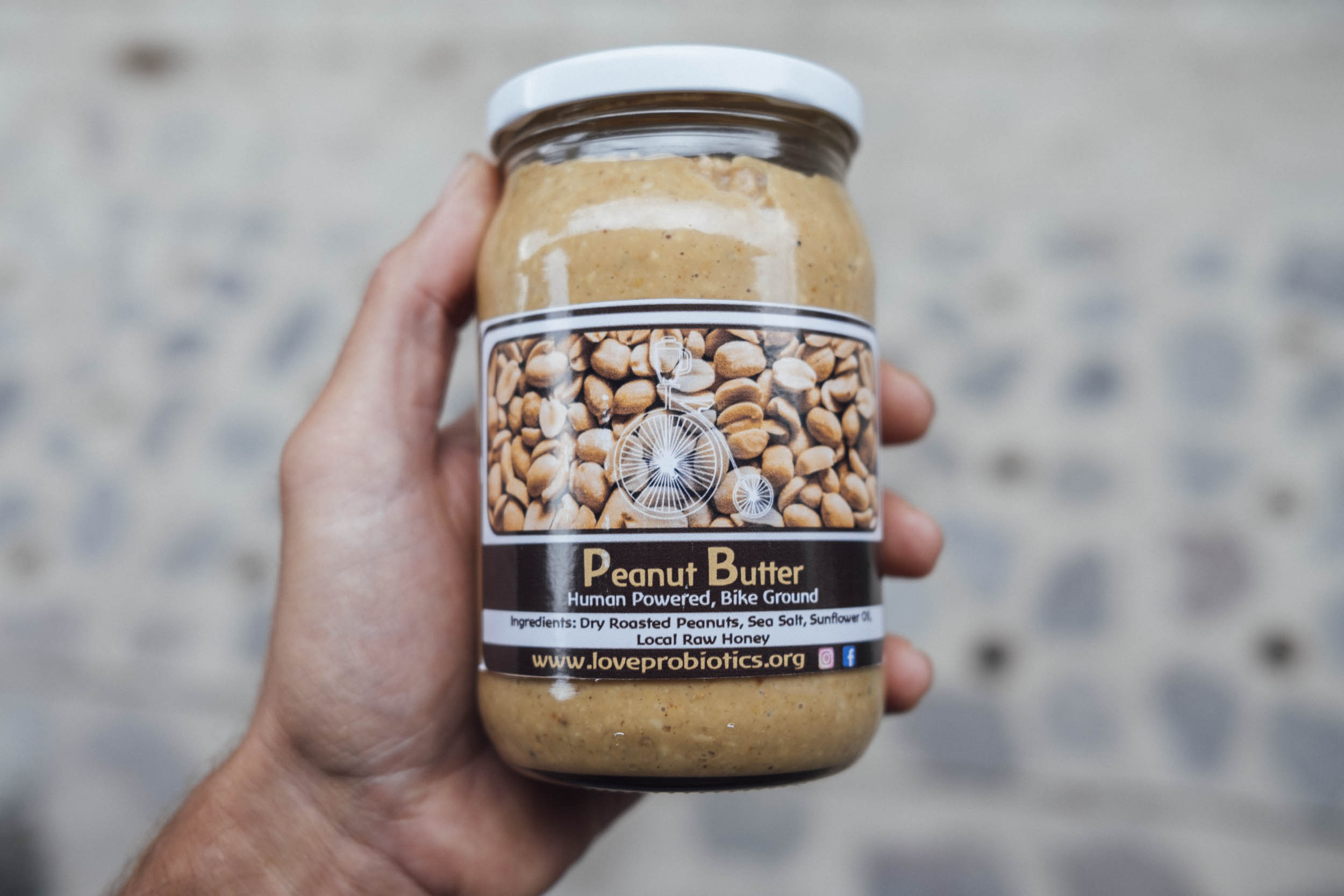
- The hippy hangout of Tzunana has homemade, bicycle-ground peanut butter. Find it in any of the many natural stores in San Marcos La Laguna too.
- We’ve marked a few recommended cafes and restaurants on the map, particularly in Antigua and Xela. Whilst Guatemalan countryside isn’t necessarily known for the diversity in its cuisine, there’s no shortage of great food to bookend your trip.
- Rincón Típico is a favourite for traditional food in Antigua; there’s room for bikes at the back.
Additional Resources
- Be sure to check out the epic Ruta Maya de los Cuchumatanes here on the site. Whilst more trail-orientated in flavour, Travesía Por Atitlán could as a basis for connecting this horseshoe-shaped ride into a massive loop of the highlands.
- Speak Spanish? Check out this documentary on Santo Tomás La Unión.
- For an accompanying story to this trip, visit It’s a Dog Life, a reflection on street dogs in Guatemala.


Terms of Use: As with each bikepacking route guide published on BIKEPACKING.com, should you choose to cycle this route, do so at your own risk. Prior to setting out check current local weather, conditions, and land/road closures. While riding, obey all public and private land use restrictions and rules, carry proper safety and navigational equipment, and of course, follow the #leavenotrace guidelines. The information found herein is simply a planning resource to be used as a point of inspiration in conjunction with your own due-diligence. In spite of the fact that this route, associated GPS track (GPX and maps), and all route guidelines were prepared under diligent research by the specified contributor and/or contributors, the accuracy of such and judgement of the author is not guaranteed. BIKEPACKING.com LLC, its partners, associates, and contributors are in no way liable for personal injury, damage to personal property, or any other such situation that might happen to individual riders cycling or following this route.
Please keep the conversation civil, constructive, and inclusive, or your comment will be removed.