


Cohutta Cat
Distance
266 Mi.
(428 KM)Days
5
% Unpaved
61%
% Singletrack
21%
% Rideable (time)
99%
Total Ascent
29,375'
(8,954 M)High Point
3,322'
(1,013 M)Difficulty (1-10)
6?
- 7Climbing Scale Strenuous110 FT/MI (21 M/KM)
- 5Technical Difficulty Moderate
- 8Physical Demand Difficult
- 5Resupply & Logistics Moderate
Contributed By
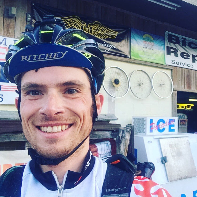
Daniel Jessee
Routes Director
Originally published in 2017, the Cohutta Cat underwent a significant refresh in October 2025. The new updated route shortens the overall distance a little, adds more singletrack, and avoids more miles of busy roads.
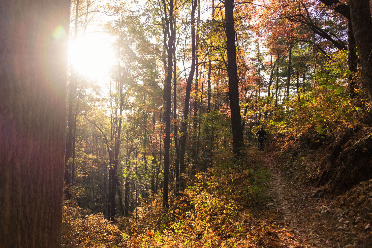
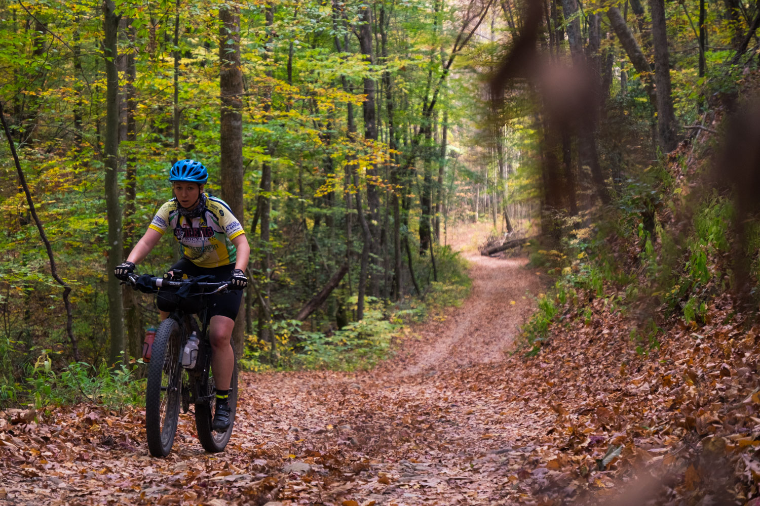
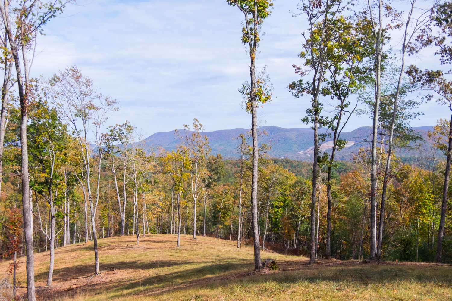
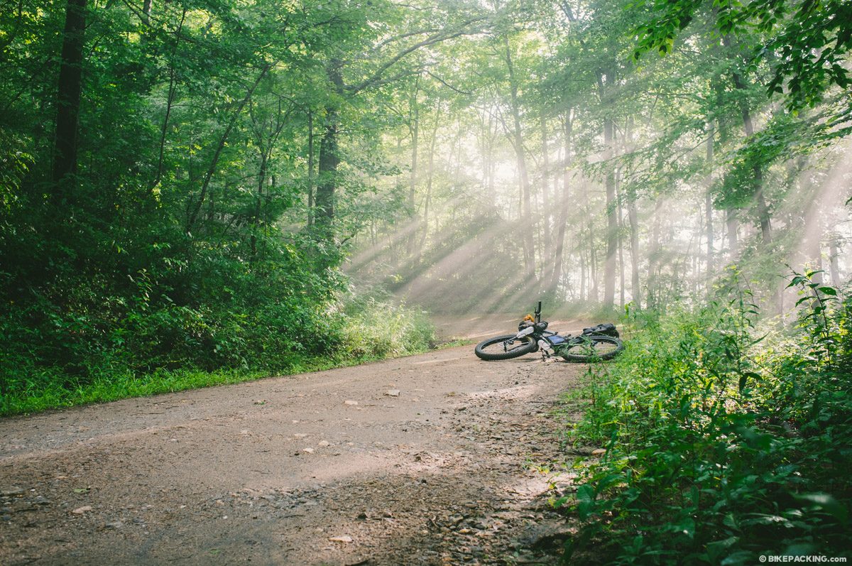
Growing up in Georgia, the Cohutta Cat is an effort to share the most beautiful, gnarly natural areas and the kind people of my home state with the rest of the bikepacking world. Whether you blast the route wide open in two days or less, or take your time fishing the blue ribbon trout waters you’ll be passing along the way, the Cat is an amazing opportunity to experience the wild side of this region. The route is named after the most vicious feline you’ve ever met, a legendary house cat that once haunted Mulberry Gap Adventure Basecamp. The cat could be cute and lovable one minute, and the next he would be stalking the many dogs that called Mulberry Gap home, or watching you eat your dinner from the rafters. That’s precisely what this route is: warm and fuzzy with amazing scenery one second; thigh-busting climbs and lengthy segments between resupply the next. Throughout the ride you’ll be alternating emotions fairly quickly. What’s that saying? If you don’t like the weather, wait 15 minutes? That applies to the Cat too.
The vision was to create a route that would be a shorter alternative for the Trans North Georgia. Thus the route tried to avoid as much of the TNGA corridor as possible. Another key component of the Cohutta Cat vision is to promote mountain bike tourism in the central mountains of North Georgia. From supporting Mulberry Gap to visiting the breweries in the town of Blue Ridge, the route shows off some of the best that our state has to offer.
Route developed by Daniel Jessee; photos by TJ Kearns
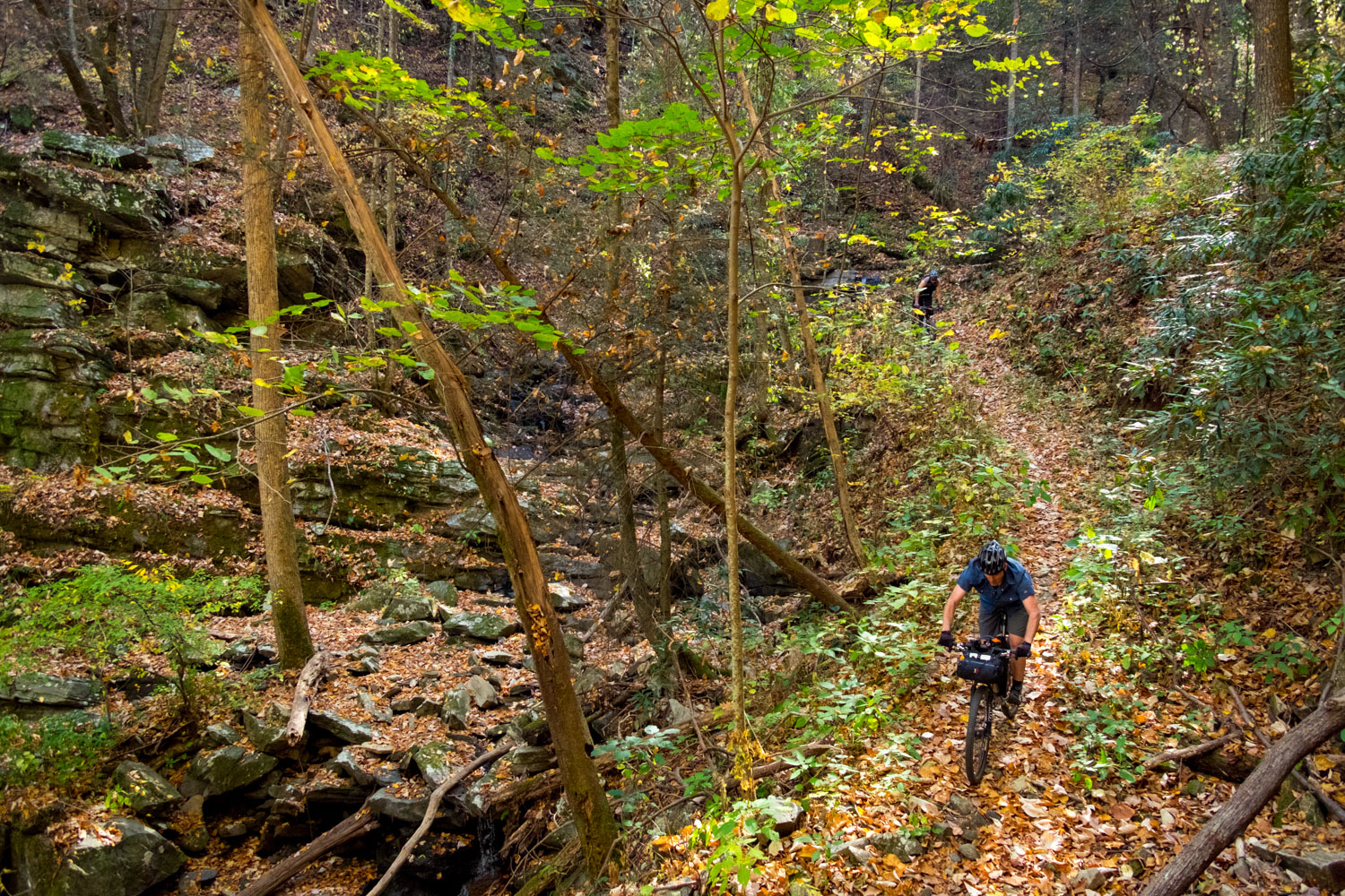
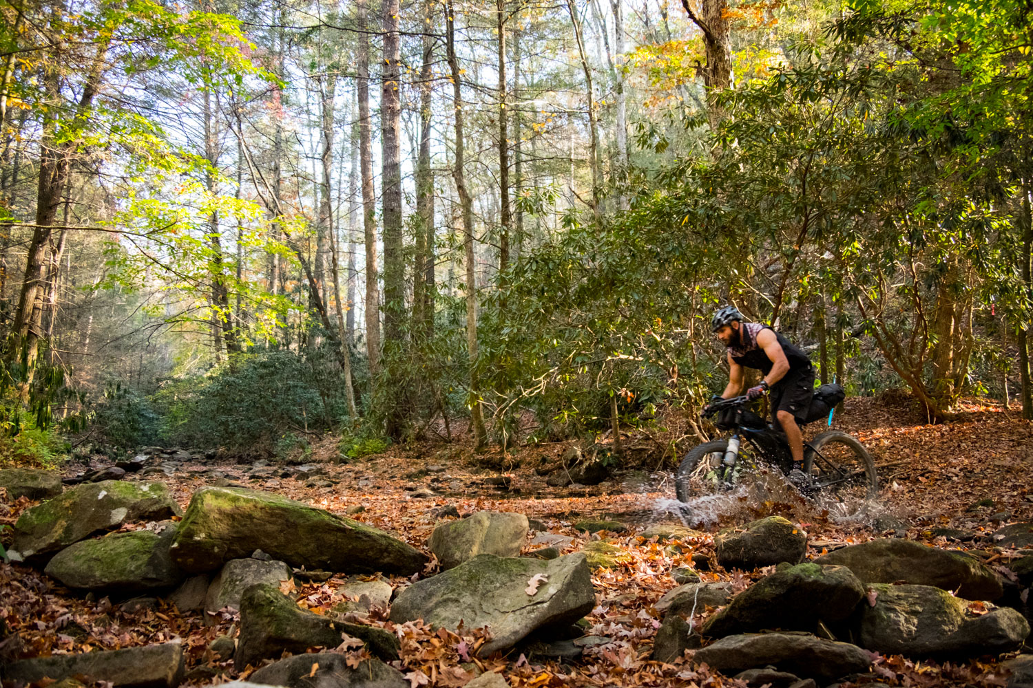
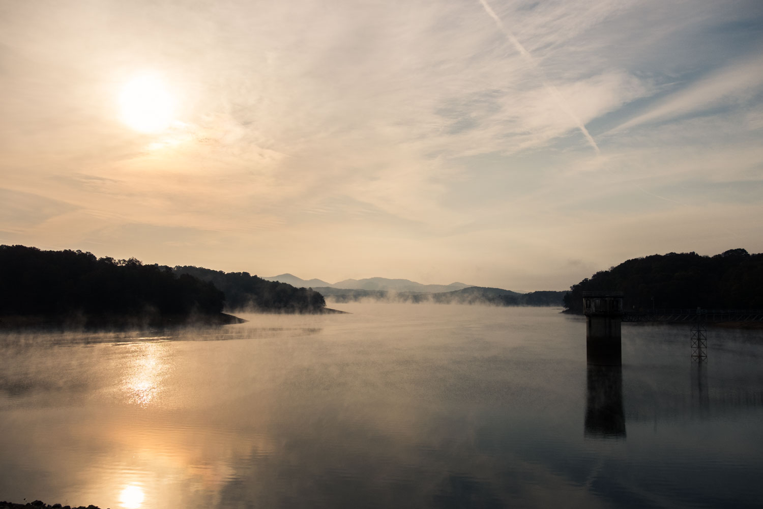
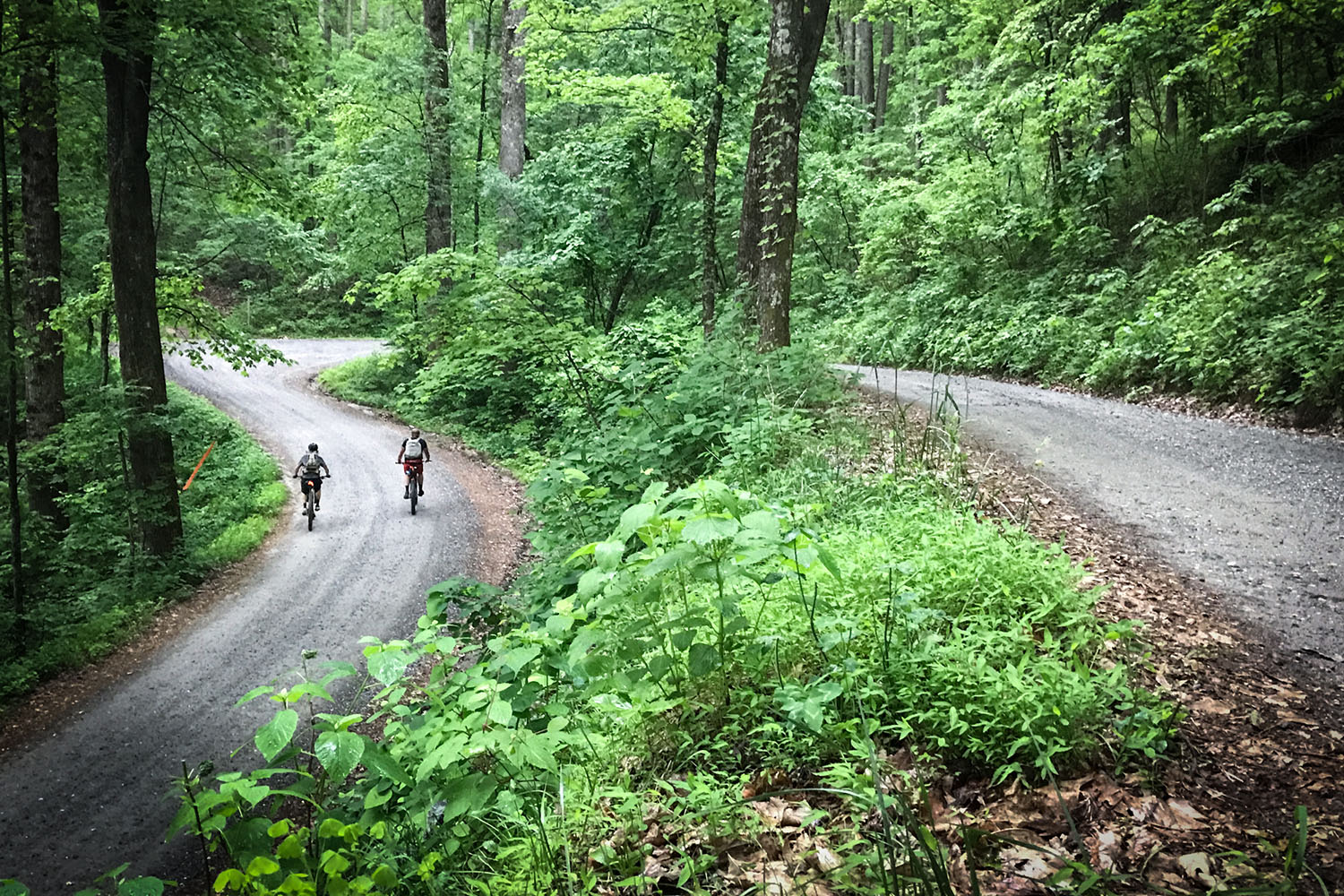
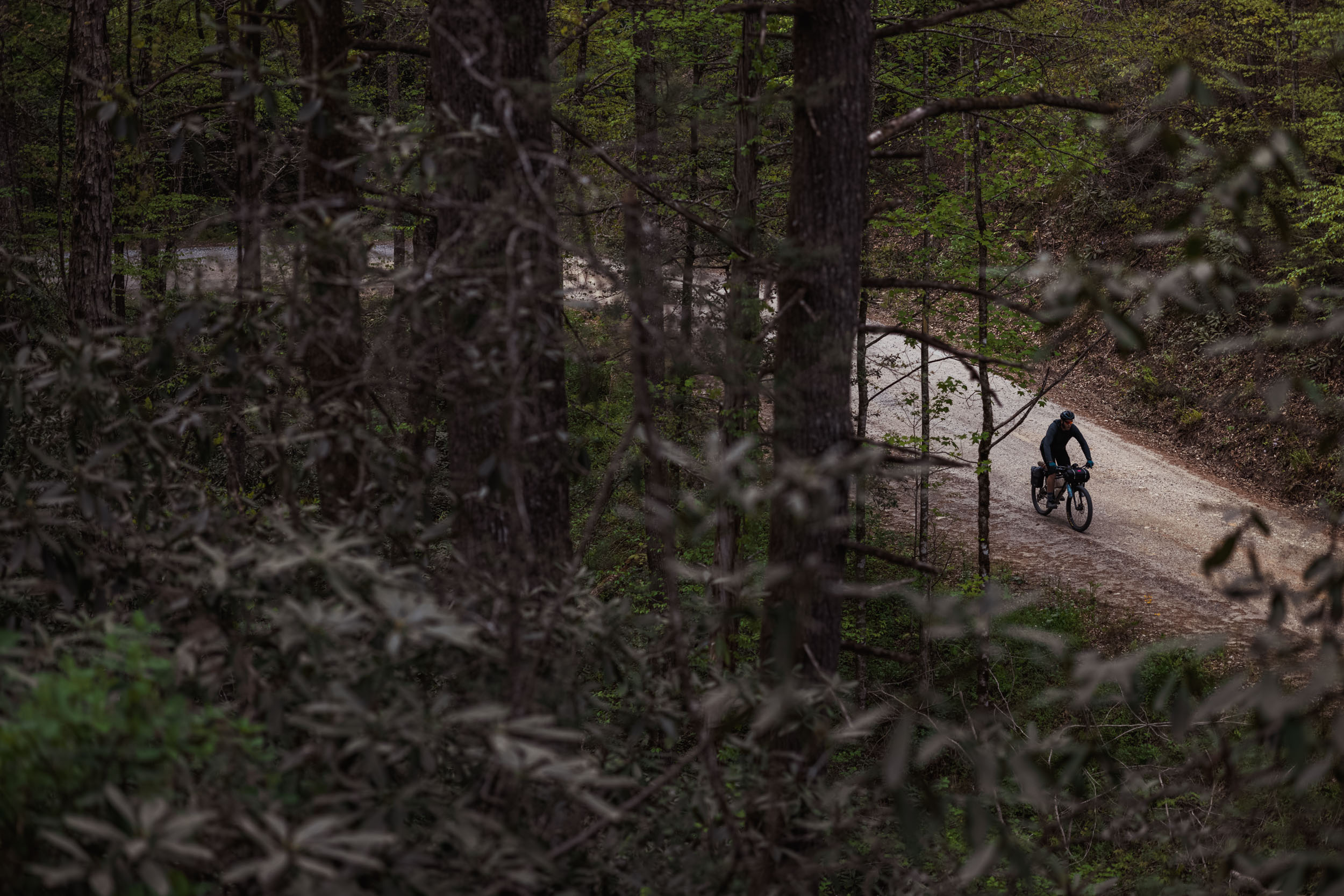
The Cat forms a 266-mile figure-8 loop in the mountains North Georgia and Eastern Tennessee. It’s designed to start and end at Mulberry Gap. From there it is designed as a clockwise progression that takes riders through parts of the Pinhoti Trail, Fort Mountain State Park, around the Cohutta and Big Frog Wildernesses, through singletrack past the Ocoee Whitewater Center, through the adventure town of Blue Ridge, visit some lesser-known scenic sites, through the Bull and Jake Mountain singletrack complex, past the Appalachian Trail, along the singletrack of Green Mountain and along steep, twisting cabin access roads to an amazing singletrack descent back to the finish.
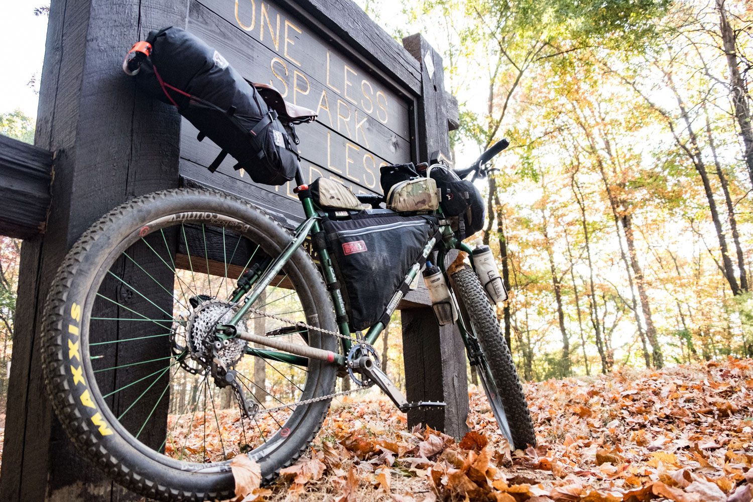
As my friend put it, the balance is really great – you’re ready for a change every time you hit it. It’s rare that you will even be really sick of the pavement as it provides good scenery and nice opportunities to pick up some speed. The longest pavement is from just east of Watson Gap to Green Mountain Trail which is about 20 relatively fast miles. Although the route is supposed to differ from TNGA, some substantial miles of the original route were paved so the newest version of the route does utilize a few more TNGA trails than before to maintain the same level of fun and dirt. In the latest version, the infamous Sylco Loop was removed (though you can still take it if you dare–it’s in the Trail Notes). I try to avoid arbitrarily difficult sections, though some are key to maintaining a true mountain bike route. At its core, I want the route to be fun with great flow while being designed for people who like to ride mountain bike trails.
That said, the Cohutta Cat is no joke. With 30,000 feet of elevation gain in 266 miles, it’s one of the most physically strenuous mile-for-mile routes around. When you finish the route, make sure you ask for a dive in the Cat Patch bin to prove you didn’t get scratched!


Submit Route Alert
As the leading creator and publisher of bikepacking routes, BIKEPACKING.com endeavors to maintain, improve, and advocate for our growing network of bikepacking routes all over the world. As such, our editorial team, route creators, and Route Stewards serve as mediators for route improvements and opportunities for connectivity, conservation, and community growth around these routes. To facilitate these efforts, we rely on our Bikepacking Collective and the greater bikepacking community to call attention to critical issues and opportunities that are discovered while riding these routes. If you have a vital issue or opportunity regarding this route that pertains to one of the subjects below, please let us know:
Highlights
Must Know
Camping
Food/H2O
Trail Notes
Resources
- Riding past the 1996 Olympic Whitewater venue – after camping on the shore of Lake Ocoee or along the river, stop for a Coke and watch the rafters paddle by.
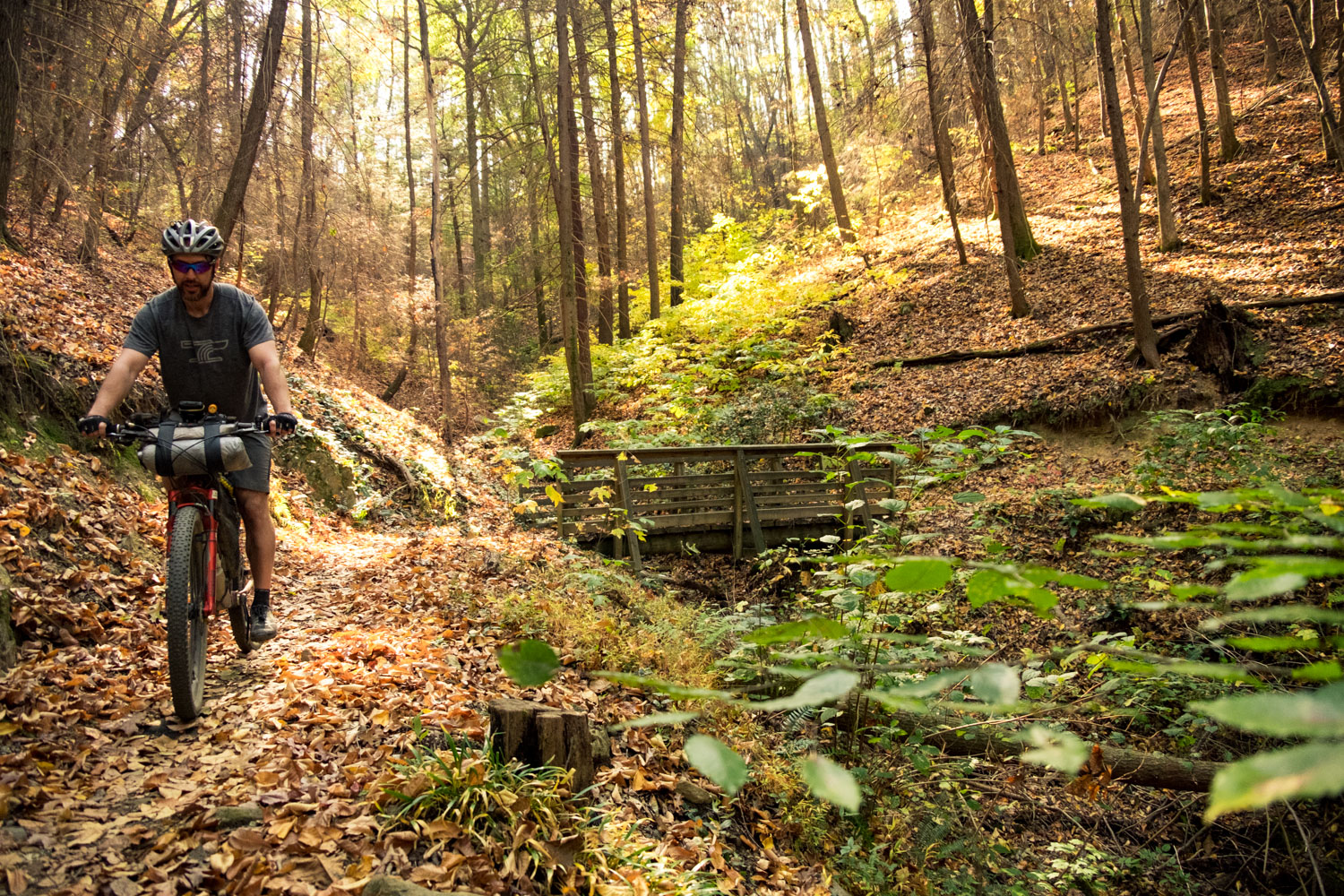
- Buttery singletrack – after bombing the singletrack of Thunder Rock Express, you’ll be stoked for the endless flow of Brush Creek along the shores of a lake.
- Mulberry Gap Adventure Basecamp – A serene mountain bike lodge with incredible home-cooked food, cabins, camping, hot tubs, and craft beer.
- Exceptional food and beer in Blue Ridge – lots of options. Check out Angry Hop right on route.
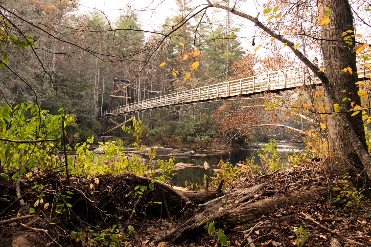
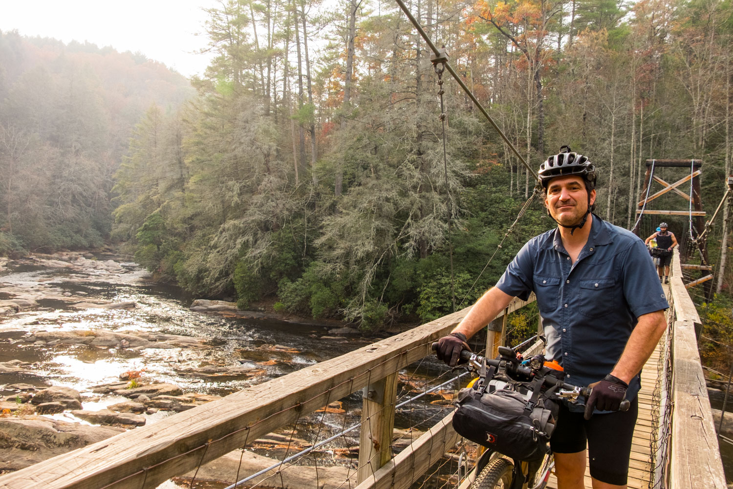
- 270-foot long suspension bridge over the Toccoa River – the only mandatory hike-a-bike in the ride, you’ll be glad you are forced to slow down for this one!
- Jake – Bull Mountain Trail Complex – one of the oldest large trail systems in Georgia with lots of old a new flow
- Stanley Gap Trail – this technical trail is one of a kind in Georgia, with a narrow tread and some technical moves but lots of awesome easier bits in between
- Seldom-ridden singletrack – from the 301 Trail to unmaintained backcountry connectors, most people never ride some of the trails on this route
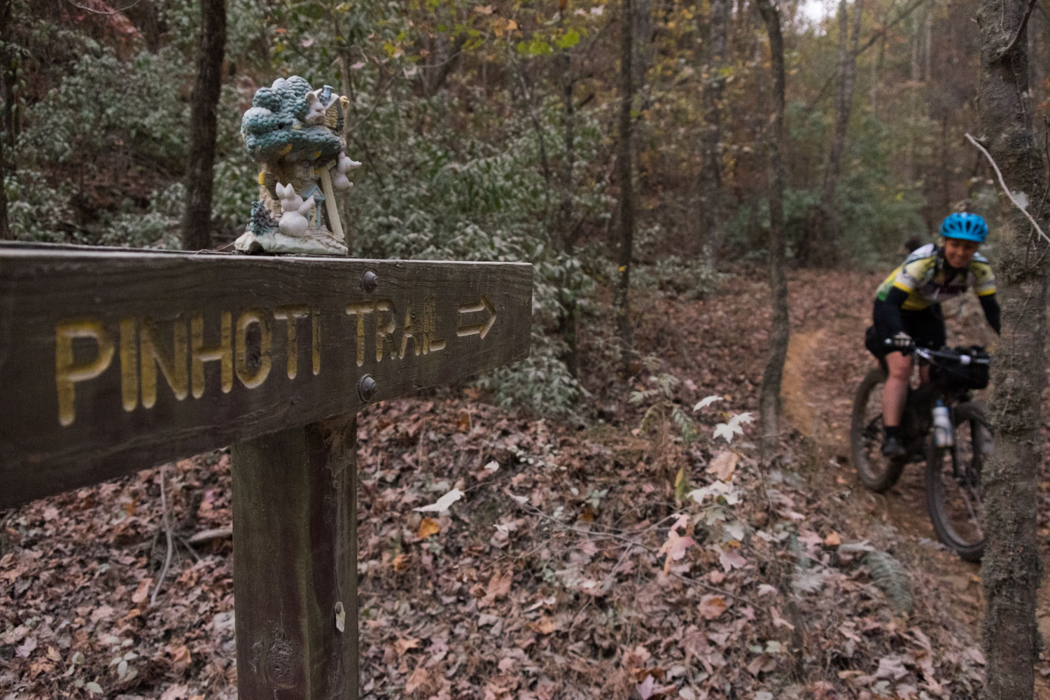
- The Pinhoti Trail – all-together, you’ll ride the three most popular parts of the 130-mile MTB trail. Finish with a 2-mile payoff before returning to the luxuries at Mulberry Gap!
- The best time of year to do the ride is in Autumn from early October to mid-November or Spring from March through early May. Though it can be ridden any time depending on the weather and your comfort with cold or heat.
- This route can be ridden in both directions, but it was designed to take in the best singletrack descents going clockwise.
- While you can start the route anywhere, I highly recommend starting and finishing at Mulberry Gap Adventure Basecamp near Ellijay. This serene mountain bike lodge has incredible food, cabins, camping, hot tubs, craft beer and any other bike bits you might forget or need.
- You could also start and finish in downtown Blue Ridge with its great breweries and restaurants and make Mulberry Gap your target during your ride. With a start at Mulberry or Blue Ridge, you have lodging and resupply precisely at the half-way mark. If you want to park in downtown Blue Ridge, check parking rules on their website here and here.
- At the end of Forest Service Road 816 (mile 174) you MUST hike your bike for about ½ mile until the next gravel road. This is a hiking-only trail (Benton Mackaye) and we do not want to break that rule.
- Check the hunting seasons and wear hunters orange should it be in season.
- For a unique alternate start or side trip, take FS 46 at Nimblewill Gap to/from Amicalola Falls State Park and the highest waterfall in Georgia. Long-term overnight parking at the park requires a long slog up a VERY steep paved road. However, if you ask they may let you park near the top of the falls. There is free dispersed camping just beyond the state park on FS 46.
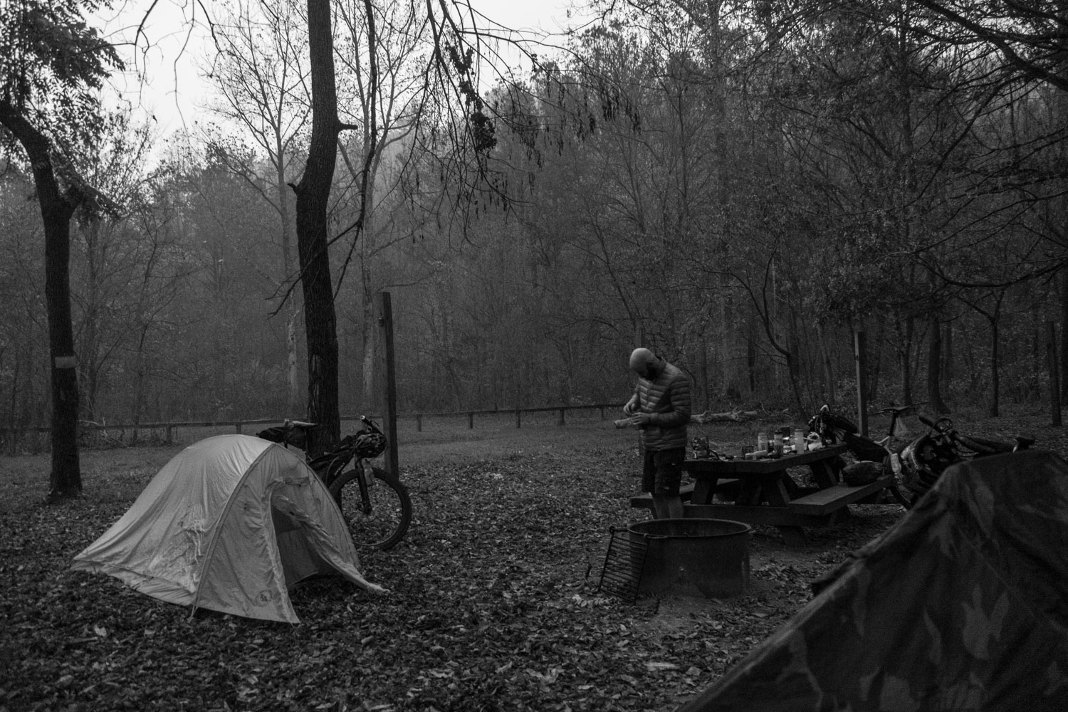
- Camping is pretty easy to find along the route, but the best sites are Cottonwood Patch, Thunder Rock Campground, Skeenah Creek Campground, Sandy Bottoms, primitive sites by the Toccoa River, Frank Gross Campground and plenty of wild camping options throughout the National Forest. All of these are noted on the map.
- Lodging is available in Ducktown, Blue Ridge, and of course Mulberry Gap. You could add in the Amicalola Falls Lodge if you include that 10-mile side trip.
- The first 80 miles are some of the toughest with no useful resupply on route. The Fort Mountain State Park Trading Post/Office has some snacks and there is a gas station slightly off-route in Crandall. But the first reliable resupply on route is in Ducktown at mile 80.
- After you pass the Iron Bridge Cafe the first time, there is no resupply on route for 90 miles. The Overhang bar offers simple pub food but it’s not a reliable resupply and you may find some simple snacks at Skeenah Creek Campground.
- Grab a beer on an Army Base at The Overhang, just off-route at mile 191 on the grounds of Camp Merrill. It is open to the public.
- After you leave Blue Ridge the second time, there is no more resupply on route
- I recommend the Fightingtown Tavern or Angry Hop Brewing. both are right on route with a patio space for bikes and a solid local beer selection.
Seven-day Touring Itinerary
If you enjoy long days and you are in really good shape, I find that this route is totally doable in 2.5-3 days and still have time to enjoy real meals in Ducktown, Blue Ridge, and the Iron Bridge. The seven-day itinerary below is designed for people who are new to this terrain, want to have maximum fun and complete the route in full. The route is described as a 5-day route because many people will combine a few days below.
location Mulberry Gap to Fort Mountain State Park
Day 1 (13 mi +3,453′)
This first day is short–look at that elevation! Grab a hearty breakfast at Mulberry Gap before you leave. Then digest your meal as you slog up Pinhoti 3 (P3). P3 is not overly technical, but it is narrow, bench-cut singletrack with tight switchbacks. It has some fun descents mixed in but it gains over 1,200 feet in less than 3.5 miles (there’s probably a mile downhill mixed in). After toping out, you’ll be on pavement briefly before dipping back into the easy-to-miss P4 section of trail. This is trail is similar to P4, but less technical. It’s only about a mile before you’ll be on doubletrack. This will lead you to a gravel road through some obscene new cabin homes, but you’ll be back on remote doubletrack soon as you descend into a deep holler. Soon you’ll turn steep uphill on the Fort Mountain Connector trail. This trail is about half old road and half singletrack. It’s extremely steep and not well-designed. Expect trees and overgrowth but most of the time it’s clear. If you’re in good shape you can probably ride 3/4s of it. The last half mile is the worst. When you cross into Fort Mountain State Park, you can fill water up at the trading post just on the right. They also have snacks and bathrooms. For anyone not used to North Georgia riding, I highly recommend you stay at Fort Mountain State Park the first night. The park has some cool things to check out, but many people are really hurting after the first 4-6 hours of riding to get here. Stoping early will keep you on track if you’re hurting. But you can combine Day 1-2 if you’re feeling really strong and there are campsites along the way if you don’t make it to Thunder Rock.
location Fort Mountain to Thunder Rock Campground
Day 2 (51.2 mi +5,141′)
From Fort Mountain, dip down the under-appreciated 301 trail. This trail is fairly wide, with some significant rocky sections including some tight switchbacks right by a small cascade. There will be some major thigh-burners to get out of the park but then it’s smooth sailing for about 8 miles towards Crandall. At mile 33 you will enter the Sumac Creek Trail. This trail can be pretty overgrown and un-maintained so if you’re out of patience, consider riding around on gravel. When you cross the Jack’s River, you can opt to take the Sylco Loop. The Sylco Loop adds about 35 miles of gravel and a short hike-a-bike through a very remote part of Cherokee National Forest. It is somewhat scenic, but the loop is more about spending time outside and being in no hurry to get anywhere. Assuming you skip this, turn right after crossing the Jacks River and entering Tennessee. You’ll ride past open pastures and turn right on FS221 in a couple of miles. FS221 will climb and descend (mostly climb) for the next 13 miles. The riding is good, with some views and camping opportunities. At mile 58.5 you will join the Chestnut Mountain Loop–a 4-mile trail with a bit of road/doubletrack and some intermediate+ trail sections. You can easily skip this by detouring directly to Thunder Rock Express Trail. Thunder Rock Express is a 2-mile blast down to the Ocoee River. It’s a solid intermediate trail, with a couple of more challenging sections and exposure. Thunder Rock Campground reservations can be made online or in person if there are available sites (though you will need cash). This campground has water, hot showers, and electricity. You can spend the evening relaxing and walking along the river! If you’re feeling good, the riding from here to Ducktown is pretty easy and flowy. Only the Boyd Gap connector will be challenging.
location Thunder Rock Campground to Blue Ridge
Day 3 (48.5 mi +5,402′)
This is a big day with a big payoff. Start with about 20 miles of mostly flowy, beautiful singletrack. You’ll pass the site of the 1996 Olympic whitewater competition and cross a beautiful suspension bridge over the river. Then cruise along the river for several miles before taking on a stout climb to Boyd Gap. After this overlook, you’ll be on the Brush Creek Trail. This trail is exceptionally flow and beautiful–enjoy it! You’ll be on Hwy 64 for about 2 miles after the trail. Traffic is high speed but usually not that heavy. And there is a very nice shoulder. After a quick jaunt through some side streets, you’ll pop out near Ducktown and find resupply, a motel and a Hardees. Stock up for at least 4 hours! After you leave this area, you’ll again be on a busy road but you’ll be headed downhill with a shoulder. Turning right you’ll re-enter Georgia as you ride along a country road with some very annoying rollers. After about 8 miles you’ll be back on dirt when you reach Tumbling Creek. There are amply roadside camping opportunities along this road. You’ll be mostly climbing for the next 10 miles so take it easy. Eventually you’ll reach Watson Gap and then turn downhill for about 13 miles of mostly down and flat pavement into the town of Blue Ridge. About half way, you’ll pass the excellent Mountainside Market if you need a quick refresh on snacks or beverages. When you finally crest the hill into Blue Ridge, you’ll be in for a bit of a culture shock after so much solitude. There is every chain restaurant you can want, but keep going a little bit to downtown and check out some of the local options. I recommend Angry Hops Brewing. There are lots of lodging options in the area if you want to grab a hotel room and enjoy some food and beverages. If you want to continue onward, there are some lakeside camping options starting around mile 120. Another note: the route used to use GA-60, Lower Star Road and Old Dial Road to go around the east side of Lake Blue Ridge. Unfortunately they paved most of that route, but it is still a scenic and easier ride than the current route described here. If you abhor any backtracking, you can follow the Blue Ridge Lake Alternate.
location Blue Ridge to the Toccoa River
Day 4 (35.8 mi +3,406′)
Cruise out of Blue Ridge and check out the Vietnam-era helicopter at the Veteran’s Memorial. Then follow back roads along the shore of Lake Blue Ridge to the less-known Green Mountain Trail. This intermediate trail will climb relatively gently for 2.5 miles until the intersection with Long Branch Connector. Enjoy the descent on Long Branch and stay left until you reach the parking area. Cruise along the river for another mile, then you’ll be on Aska Road for a bit of a long stretch. Use caution! Just before you cross the Toccoa River, you’ll pass the Iron Bridge Cafe on the right. This is a great little country shop with comfort food and good resupply. This is the last good resupply on route until you pass it again in about 80 miles. Cross the river on the old bridge, then enjoy rolling terrain along the river for a few miles. You’ll pass Sandy Bottoms which is usually full and very busy with boaters and car campers, but you can reserve ahead of time. It’s a nice spot along the river with bathrooms but no potable water. Note that Iron Bridge Cafe has wifi so you could reserve it while you’re there. After you climb out of the Toccoa River valley, you’ll turn left on a rough gravel road. This road and the next are 13 miles all together and can feel like they go on and on. There are ample water opportunities just off the road, especially after you cross GA-60. At mile 145 you’ll pass Skeenah Creek Campground, which is a really nice little campground with showers, wifi, games, and water. But there is no resupply here. Refill your water if you need to for one last push to end the day. The next gravel road can be annoyingly busy with tourists so be warned. At the end of the road, where you see the trail joins the Benton Mackaye Trail, PLEASE walk your bike. The Benton Mackaye Trail is hiking only, but it’s legal to walk your bike. Be courteous to hikers, especially on the bridge. The bridge is very narrow so you may need to wait to cross. The better campsites are on the other side of the river, but there are also lots of spots if you keep going on route. If you stay here for the night, you won’t be riding your bike until morning.
location Toccoa River to Bull Mountain
Day 5 (23.8 mi +2,886′)
Another potentially short day, but with some options that could make it about 10 miles longer with much more climbing. Heading out of the Toccoa River area, you will walk your bike about 100 yards on the old road bed leading directly away from the swinging bridge. You will NOT be on the Benton Mackaye, which goes up the hill to the right. You’ll quickly hit a distinct larger gravel road and you can ride your bike again. You’ll meander through the forest, passing many road side camping areas and water sources to Rock Creek Road. Rock Creek Road passes Frank Gross Campground, which is a USFS campground. And there are many primitive sites along the road too, including near Rock Creek Lake. Continue climbing mostly gently up to Hightower Gap where the Appalachian Trail crosses the road. Turn left and you’ll have some annoying, loose smaller climbs but mostly you’ll be contouring or descending to Cooper Gap. Turn right down Cooper Gap Road and you’ll pass the entrance to Camp Frank Merrill. This camp has been the location for the Mountain Phase of Army Ranger training since the 1950s. If you want a burger or a beer, you can stop at The Overhang–a bar that is open to the public on the grounds of Camp Merrill. You can reach the bar by taking a right at the next forest road after the main entrance gate. You’ll continue undulating along gravel roads for several miles, finally turning left and hitting the flowy Jake Mountain singletrack. You’ll follow this to Moss Creek Trail, which climbs out on similarly flowy trail. There is one deep creek crossing that may have a campsite nearby. When you exit Moss Creek, cross the road and look to the right for the trail going back into the woods. This short piece of trail will pop you out through a large roadside campsite and you have some options. The described route continues across the road, but check out the Bull Mountain Alternate if you want more technical singletrack miles. Continuing on route, you’ll cross the road and continue on the Moss Creek Trail to the Jones Lake Dam Trail. Both trails are solidly intermediate and go through various phases of maintenance, though after you pass the dam and lake with its lovely view, you’ll be on fresh new singletrack meandering through the woods. Eventually you’ll join a gated road and proceed to the Bull Mountain parking area. There is a campsite by a creek on the south side of the field, but it is often being used by horse campers. There is lots of space here though. If it’s full, there are also sites along Nimblewill Gap Road about 5-10 miles down the road. This area isn’t the best camping, but once you leave Nimblewill Gap there isn’t great camping or lodging until you get back to Blue Ridge.
location Bull Mountain to Blue Ridge
Day 6 (52.6 mi +6,164′)
From Bull Mountain you’ll have a little bit more fun, beginner-intermediate singletrack to start your day, then a long gradual climb up to the high point of the route at Nimblewill Gap. You could take an optional side trip by turning left here on doubletrack (not on the AT) and following the Amicalola Falls alternate to the highest waterfall in Georgia. The state park has cabins, campsites, and a great lodge with a restaurant, beer and wine. It’s mostly down to the waterfall, and not terribly bad coming back. The main route continues down the northwest side of Nimblewill Gap for a 6-mile chunky doubletrack descent. This descent is the number one reason people take a suspension fork on this route. After this fun descent, you’ll be wandering through an array of country roads, some paved some dirt. Eventually you will rejoin Aska Road and follow it for several miles. This road can be busy. I have never had a problem but be careful. At mile 206 you’ll pass the Iron Bridge Cafe again. Soon after, the route will turn left to tackle the Stanley Gap Trail. As you’re climbing up Stanley Gap Road, Fall Branch Falls on your right is a short hike and a popular spot if you want to check it out. Eventually you’ll reach Stanley Gap itself and the eponymous trail. This trail is a very difficult trail. If you’ve ever ridden in Pisgah National Forest, this is the most “Pisgah” trail in Georgia. The climb has some technical moves but it’s very rideable overall with low gearing and fitness. Coming down, it’s narrow with some roots and drops but no gaps or anything too insane. If this doesn’t sound fun to you, you can easily go back to Blue Ridge the way you came. After crushing Stanley, you’ll cross the road and climb up the Green Mountain Trail. This time, turn left at the Long Branch intersection and enjoy a few miles of mostly down and flowing singletrack. The couple of campsites you passed before are your best options if you don’t want to pay for lodging in Blue Ridge.
location Blue Ridge to Mulberry Gap
Day 7 (40.5 mi +4,420′)
The next 30 miles are the most mentally challenging of the whole ride. You’ll be on very steep cabin roads, mostly pavement, and no resupply on route. Leaving Blue Ridge will start chill enough. When you hit Highway 515, BE CAREFUL! The road is very high speed. There is a small shoulder, and you can ride way over in the grass if you want to be extra careful. It is 0.3 miles until you are off of it. At mile 245.6 you’ll pass a house that appears to be at the end of the road with lots of “private property” signs. The road is public so stay on the road and proceed onto the forest road. if you’re low on water, I recommend filtering in the stream next to this road in the national forest as there won’t be any other ideal water for about 10 miles. You’ll cruise on some paved roads for about 7 miles before you reach the turn for Bear Creek. You could easily proceed straight ahead and take gravel, or P2 sinlgetrack back to the finish, but for maximum payoff, I recommend turning right. After a couple miles of gravel, you’ll turn left up Pinhoti 1 (P1). This trail will climb sometimes steeply, but mostly gradual with some amazing descents mixed in. After you go through a big storm damaged area, you’ll be on doubletrack back out to a gravel road. Zig-zag over to Pinhoti 2 (P2) where you’ll begin your final singletrack section on a lot of people’s favorite trail in Georgia–then just turn right and go get some beer and a hot tub at Mulberry Gap!
Additional Resources
- Get a cat patch! It’s tradition that people who are doing the route bring a random cat patch to donate to the cause. When they finish their adventure, they choose another patch from the pile.
- As of 2025, there is a Cohutta Cat Group Depart on the second weekend of November every year. Check for registration details here.
- Learn more about Mulberry Gap Adventure Basecamp.
- The official Cohutta Cat website.


Terms of Use: As with each bikepacking route guide published on BIKEPACKING.com, should you choose to cycle this route, do so at your own risk. Prior to setting out check current local weather, conditions, and land/road closures. While riding, obey all public and private land use restrictions and rules, carry proper safety and navigational equipment, and of course, follow the #leavenotrace guidelines. The information found herein is simply a planning resource to be used as a point of inspiration in conjunction with your own due-diligence. In spite of the fact that this route, associated GPS track (GPX and maps), and all route guidelines were prepared under diligent research by the specified contributor and/or contributors, the accuracy of such and judgement of the author is not guaranteed. BIKEPACKING.com LLC, its partners, associates, and contributors are in no way liable for personal injury, damage to personal property, or any other such situation that might happen to individual riders cycling or following this route.
Further Riding and Reading
Here are some connected/nearby routes and related reports...

Please keep the conversation civil, constructive, and inclusive, or your comment will be removed.