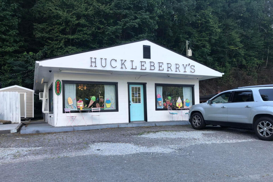
The Huckleberry 250 is a demanding bikepacking loop that starts and ends in the quiet town of Andrews, North Carolina, and packs in nearly 30,000 feet of climbing in 250 miles. Find a recap from this year’s first finisher, Graham Grant, and a collection of photos from various riders here…
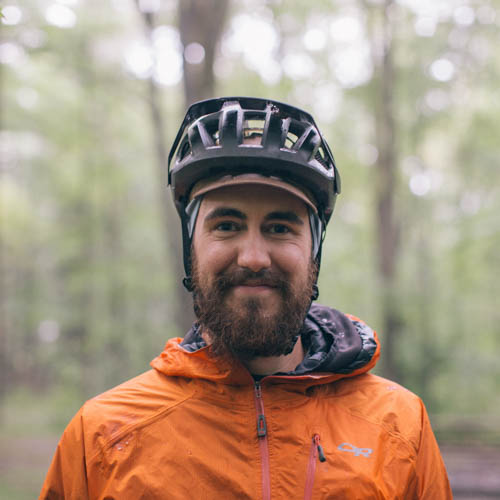
Words by Graham Grant
The Huckleberry 250 is a 250-mile bikepacking route through the Blue Ridge Mountains of far western North Carolina with around 30,000 feet of elevation gain. The route starts and ends in Andrews, a small and stunningly beautiful town nestled in a valley surrounded by towering forested peaks. The highlights of the route are climbs of five major peaks in the Nantahala National Forest. Four of these have fire towers perched at the summits that can be climbed, and three require hike-a-bikes to reach the top. These climbs are connected by a network of gravel forest service roads, pavement, and singletrack mostly through rural farm country and national forest. Much of the route runs through ancestral Cherokee lands.
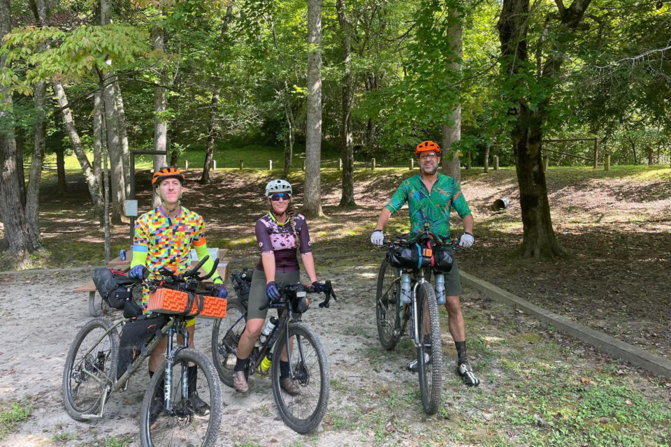
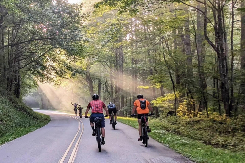
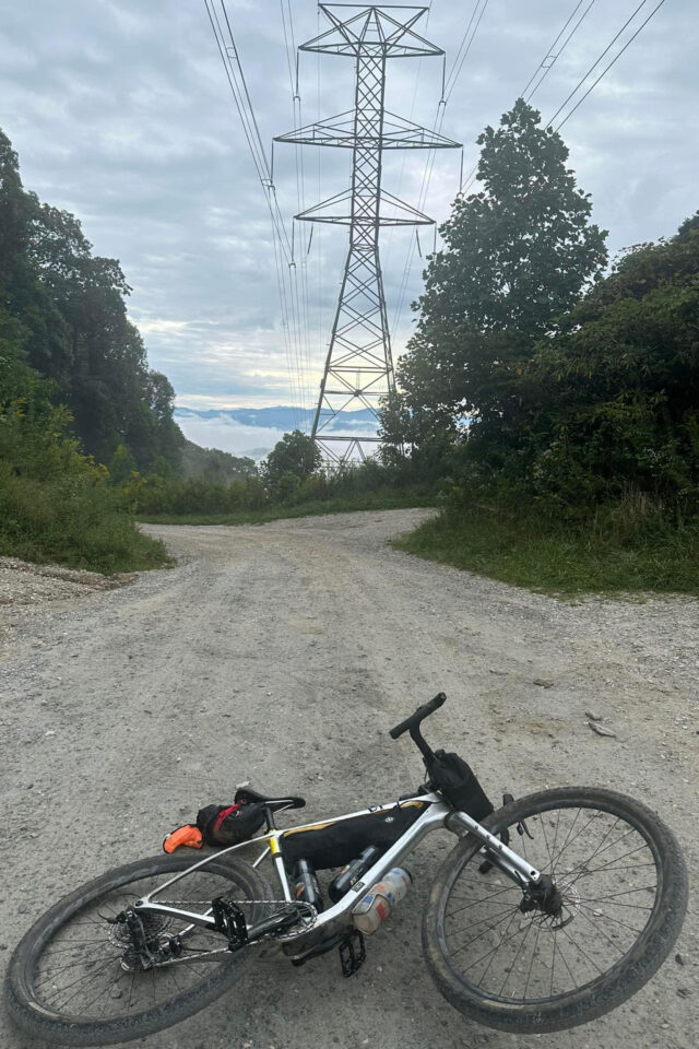
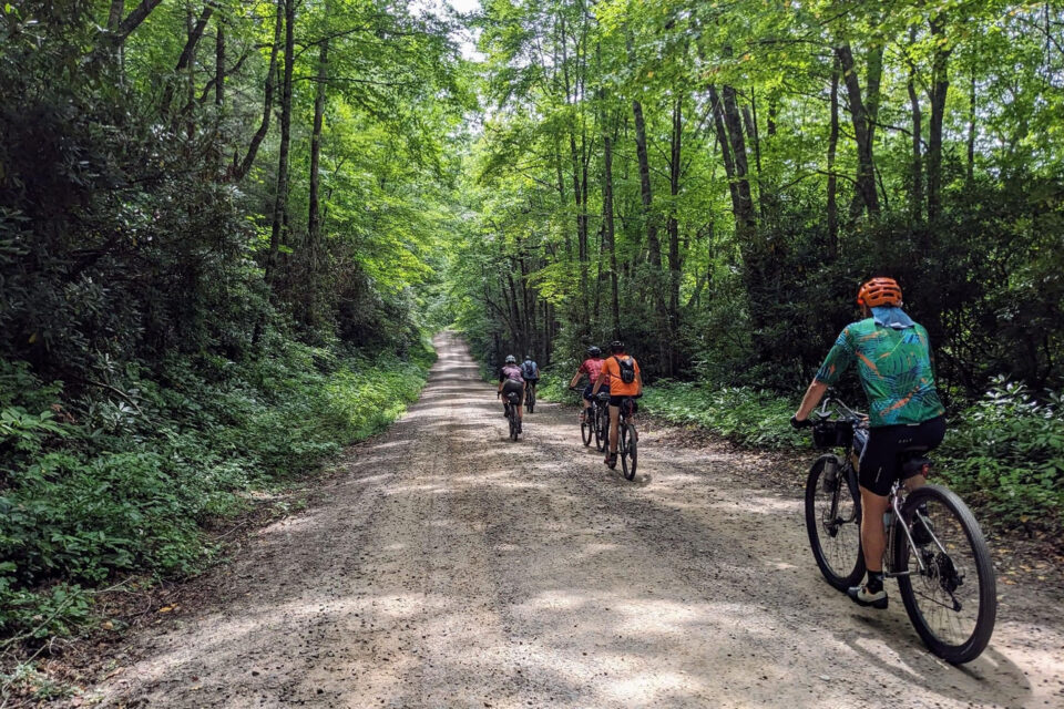
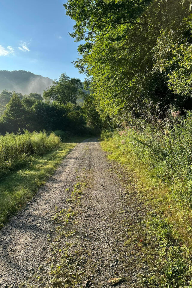
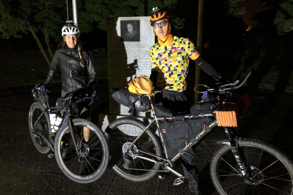
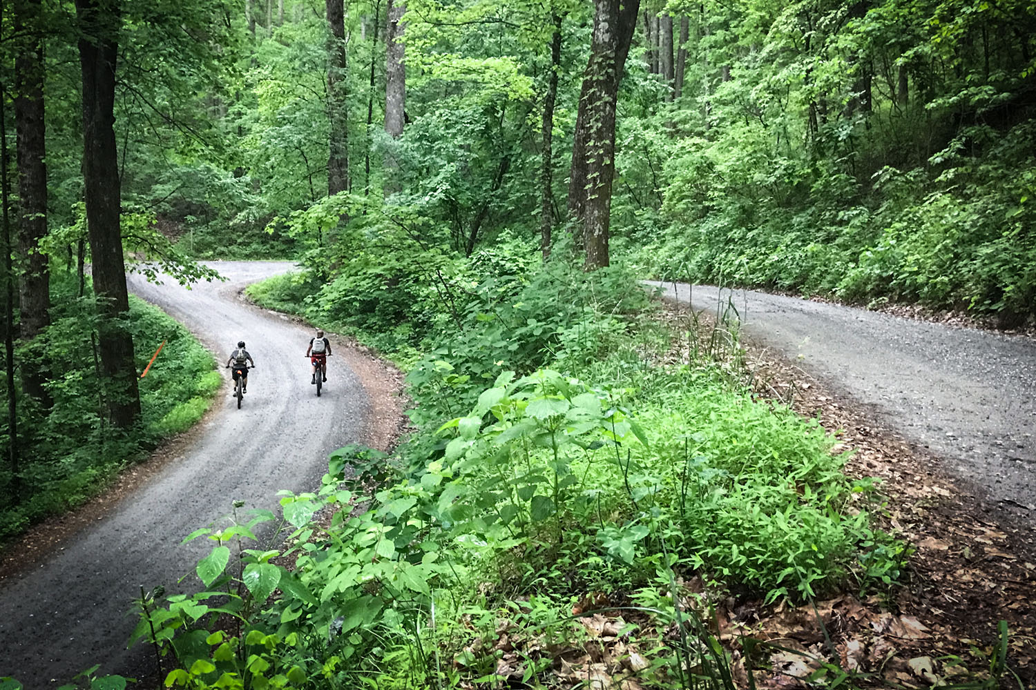
This September, route creator Matt Mustin organized a grand depart for anyone who wished to give the new route a try. Eight riders showed up to the start, all of whom were experienced bikepackers familiar with riding in the Blue Ridge Mountains. We set out on a Saturday morning and took two days to complete the route. The weather on both days was typical of the southern Appalachians in late summer: cool, foggy mornings followed by scattered thunderstorms in the afternoons. The route opened with a long paved climb followed by 15 miles of fast, fun descents and gentle climbs along rough gravel forest service roads, which was made breathtaking by rays of morning sunlight piercing through layers of overhead foliage and fog at intervals.
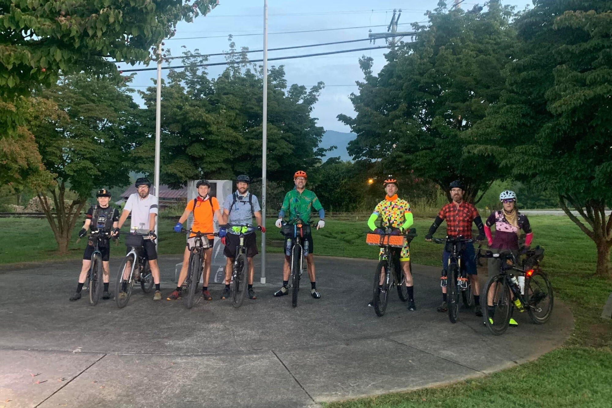
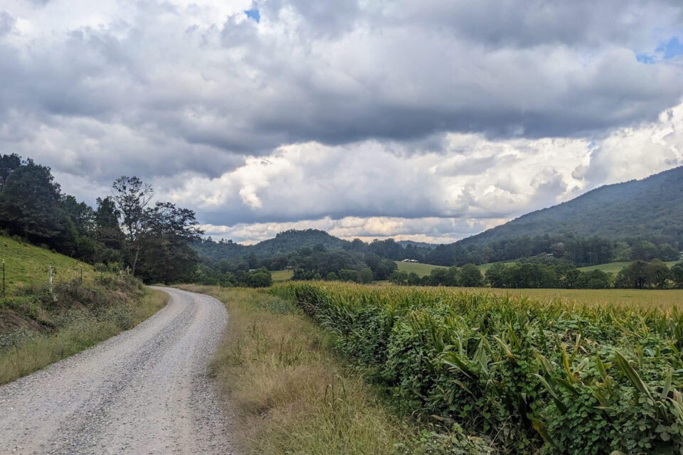
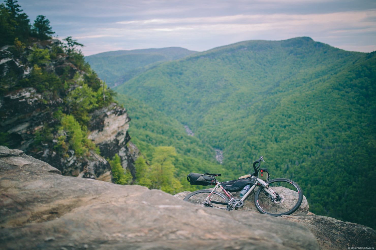
The rest of the first morning was spent riding on gentle, winding roads through bucolic farm valleys flanked by green mountains. At around lunchtime, we rolled into the first resupply point on the route at Standing Indian Campground. We spent some time there restocking our food and water and chatting with the owners of the camp store. Around midday, we summited the first of the five peaks, Albert Mountain. Reaching the summit required about a half-mile of hiking up the Appalachian Trail, which served as access to the top. The fire tower offered sweeping panoramic views of the surrounding mountains and valleys.
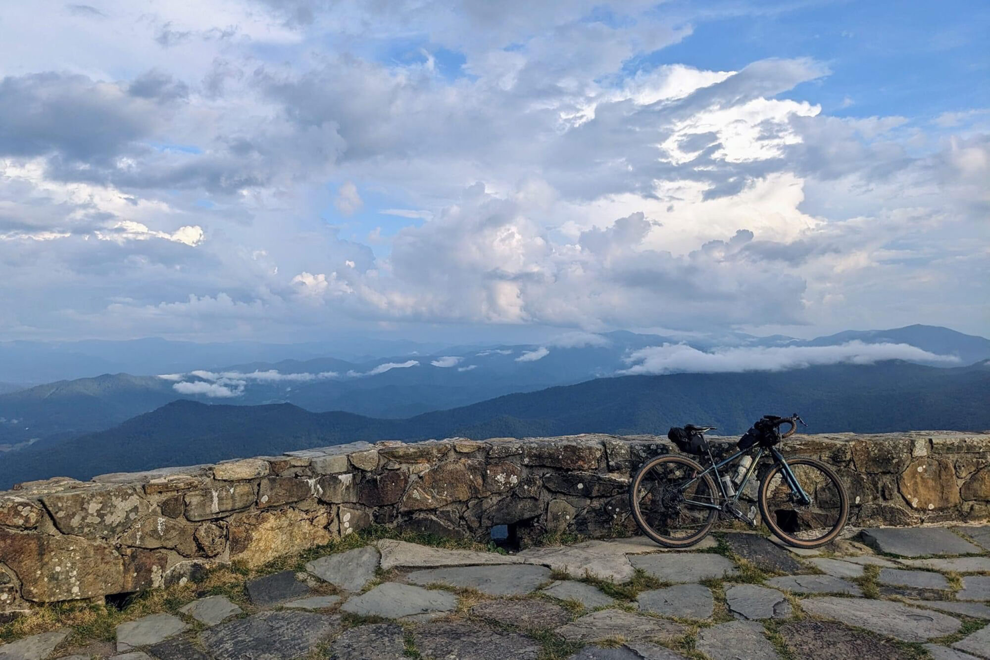
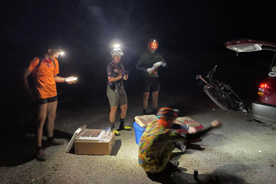
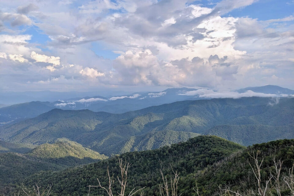
The rest of the afternoon was spent tackling a series of short climbs, fun descents, and gentle valley gravel roads through rural farmlands and forests. At 4:30 p.m., we came to the foot of the next major peak, Wayah Bald. The 3,000-foot climb to the summit consisted of a mixture of steep, winding pavement and gravel through dense hardwood forest. We reached the top (around mile 90) in the late afternoon and found our friend Logan waiting for us with much appreciated trail magic. The panoramic views from the fire tower at the top were the most breathtaking of the route.
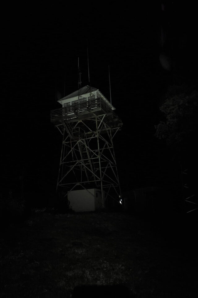
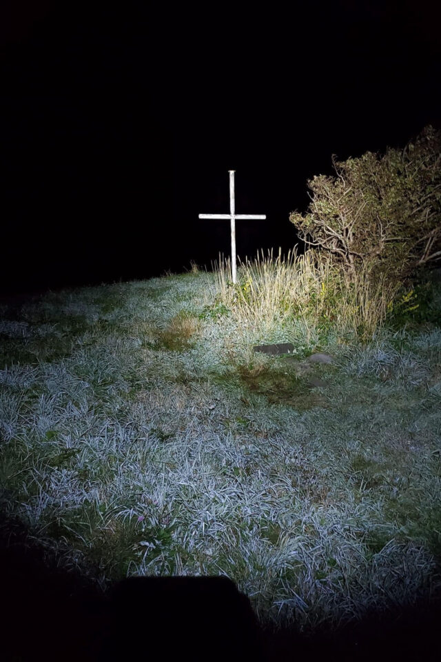
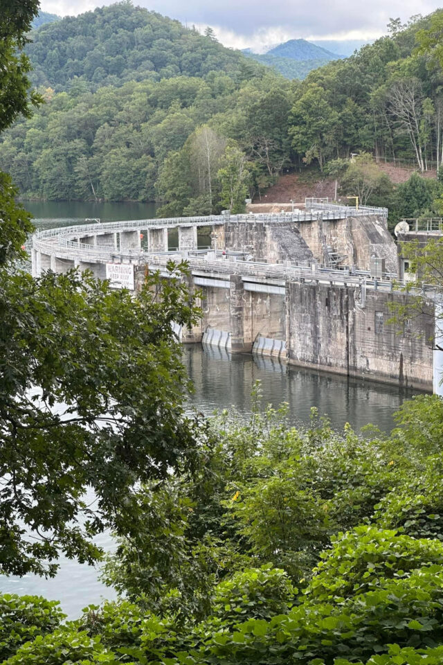
For a brief time, a rainbow hung in one of the adjacent valleys beneath a thunderstorm, though clouds soon rolled in, obscuring the views. We left Wayah at 7 p.m. and spent the remainder of the evening riding along the shoulders of neighbouring peaks on a mixture of rough pavement and gravel roads. At around 11:30 p.m., we reached the top of a long gravel climb to Tellico Gap. A one-mile hike-a-bike brought us to the fire tower at the summit of Wesser Bald at around midnight. The sky at the bald was clear, and we could clearly see the band of the Milky Way overhead. By the starlight, we could see fog filling the valleys below. Flashes of lightning from distant storms occasionally lit up the surrounding peaks, creating a sublime scene. Shortly after midnight, we left the peak and screamed down a long, twisting gravel descent to the banks of the Little Tennessee River. A few miles of river grade gravel along the bank and a few more miles of pavement brought us to the Tsali singletrack trail system along the shores of Lake Fontana at 2:30 a.m.
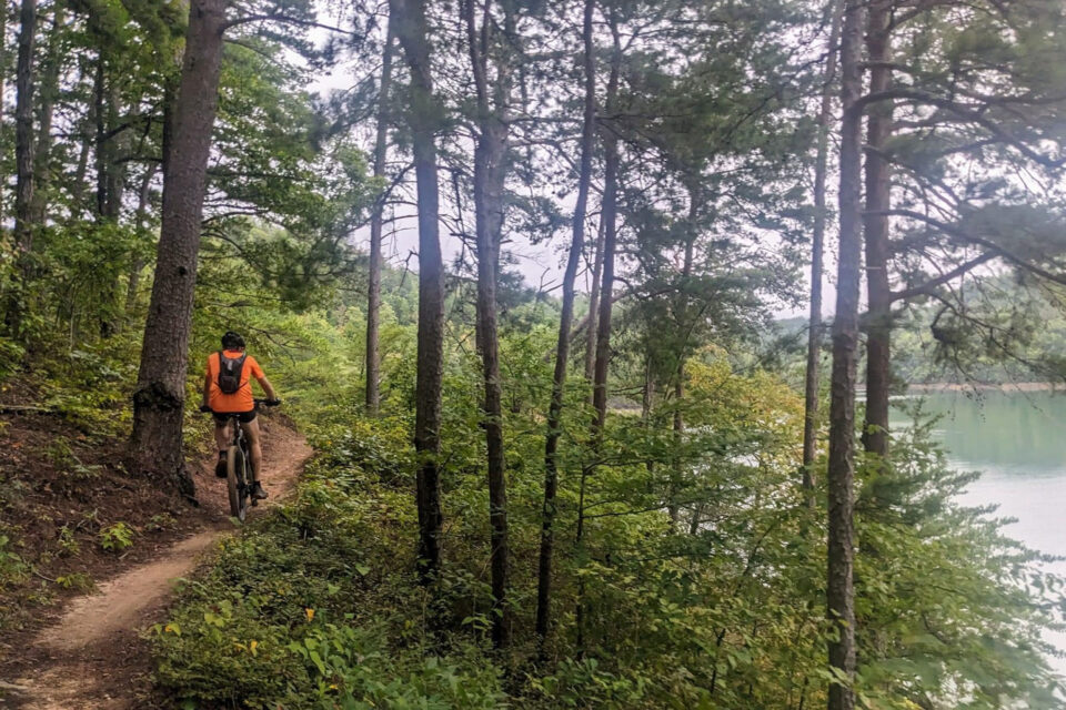
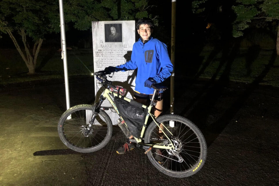
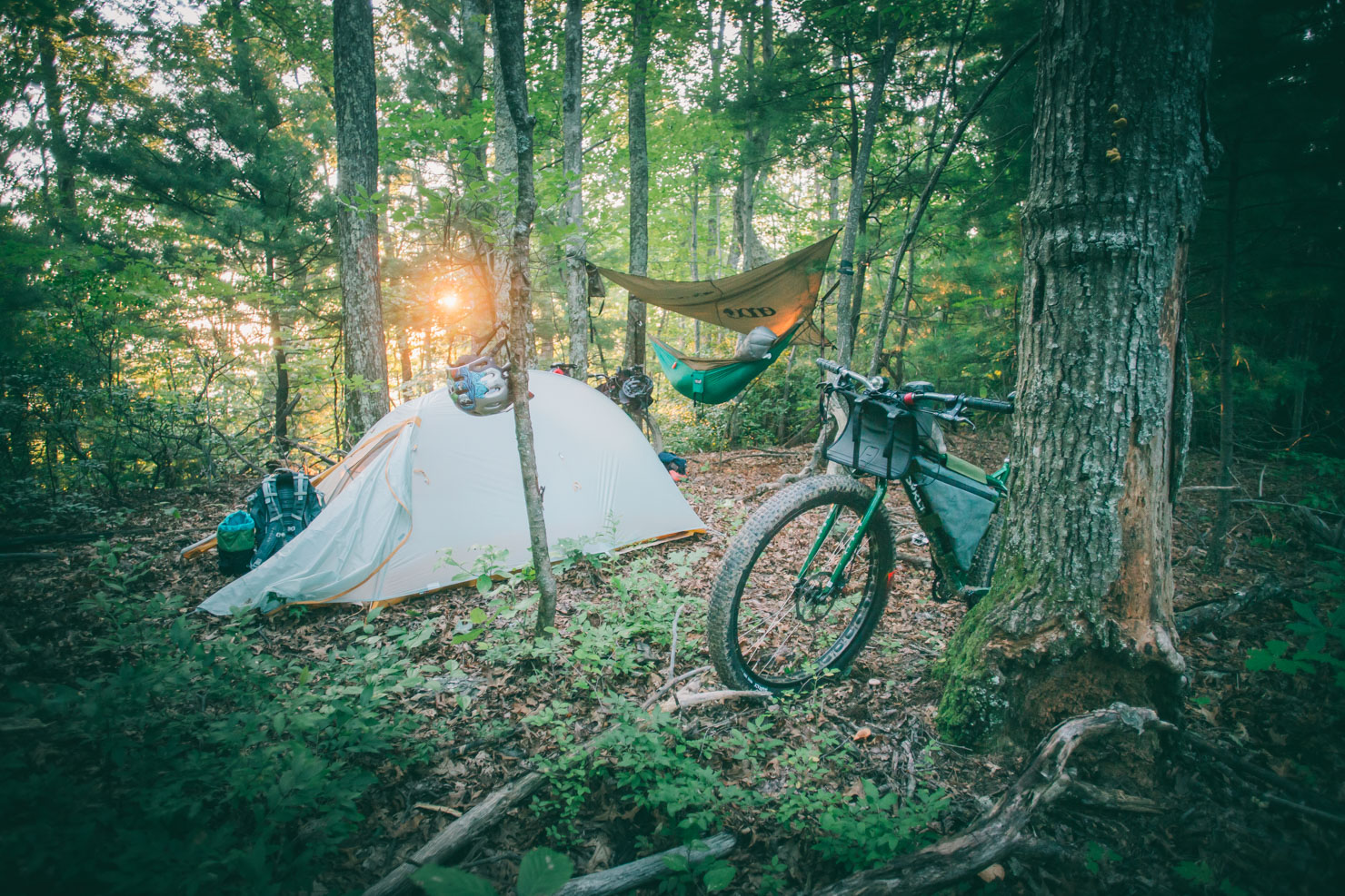
We decided to spend the night at the campground at Tsali and tackle the remaining 115 miles of the route on Sunday. We awoke at sunrise after getting around three hours of sleep. The group split up for the second day based on our relative paces. I rode the first half of the day with Matt’s son Myca. The day began with 20 miles of fast, flowy singletrack at Tsali through forests along the banks of Fontana Lake. The fog began to break as we rode this section, and by mid morning, the sun was out and the day grew very warm. A few miles of pavement followed the singletrack, and at 11:30 a.m., we rolled into Robbinsville, a small town on the banks of Lake Santeetlah. We got a lunch of chicken biscuits and potato wedges at a gas station, then rolled out to tackle the last 70 miles just after noon.
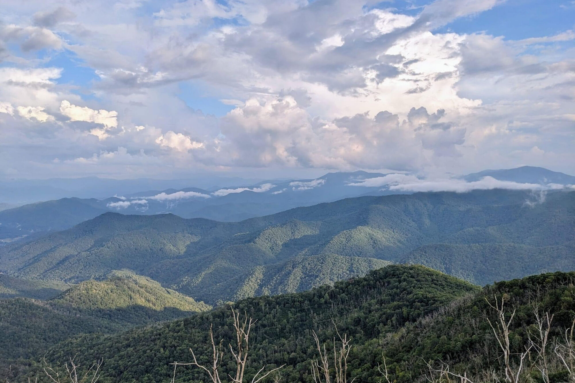
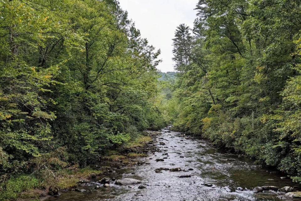
Midday was spent riding rolling paved roads around the shores of Lake Santeetlah while thunderstorms brewed over nearby peaks. At around 1:30 p.m., we began the biggest climb of the route, a 17-mile, 3,500-foot, mixed-surface climb to the summit of Huckleberry Knob, a 5,400-foot bald in the Nantahala National Forest near the Tennessee/North Carolina border. The opening miles consisted of a gravel road that weaved along the banks of a roaring stream through dense old growth forest and past old historic cabins. This was one of the most charming sections of the route. After reaching the headwaters of the stream, the road morphed into a brutally steep ascent along the shoulder of a mountain on loose gravel. This brought us to an intersection with the Cherohala Skyway, which we then followed to a small trailhead near the summit of Huckleberry Knob. A mile of hike-a-bike brought us to the summit at around 4 p.m. The summit was comprised of a series of rolling meadows with 360-degree views of the surrounding mountain ranges. When we arrived, thunderstorms continued to rear up over some of the surrounding peaks, but Huckleberry itself was in full sunshine.
After receiving some much-needed trail magic at the summit from Matt (who had been forced to drop out due to mechanicals and sickness the previous day) I began a fast, 10-mile paved descent back down the Cherohala Skyway back into Robbinsville. A few rolling miles of pavement and gravel through more bucolic countryside brought me to the base of the final climb: a steep, 2,500-foot gravel ascent of Joanna Bald. The climb was brutally challenging after the 230 miles already ridden, but it was also very beautiful. The storms had abated and the golden late afternoon sun pierced through the trees along the way up.
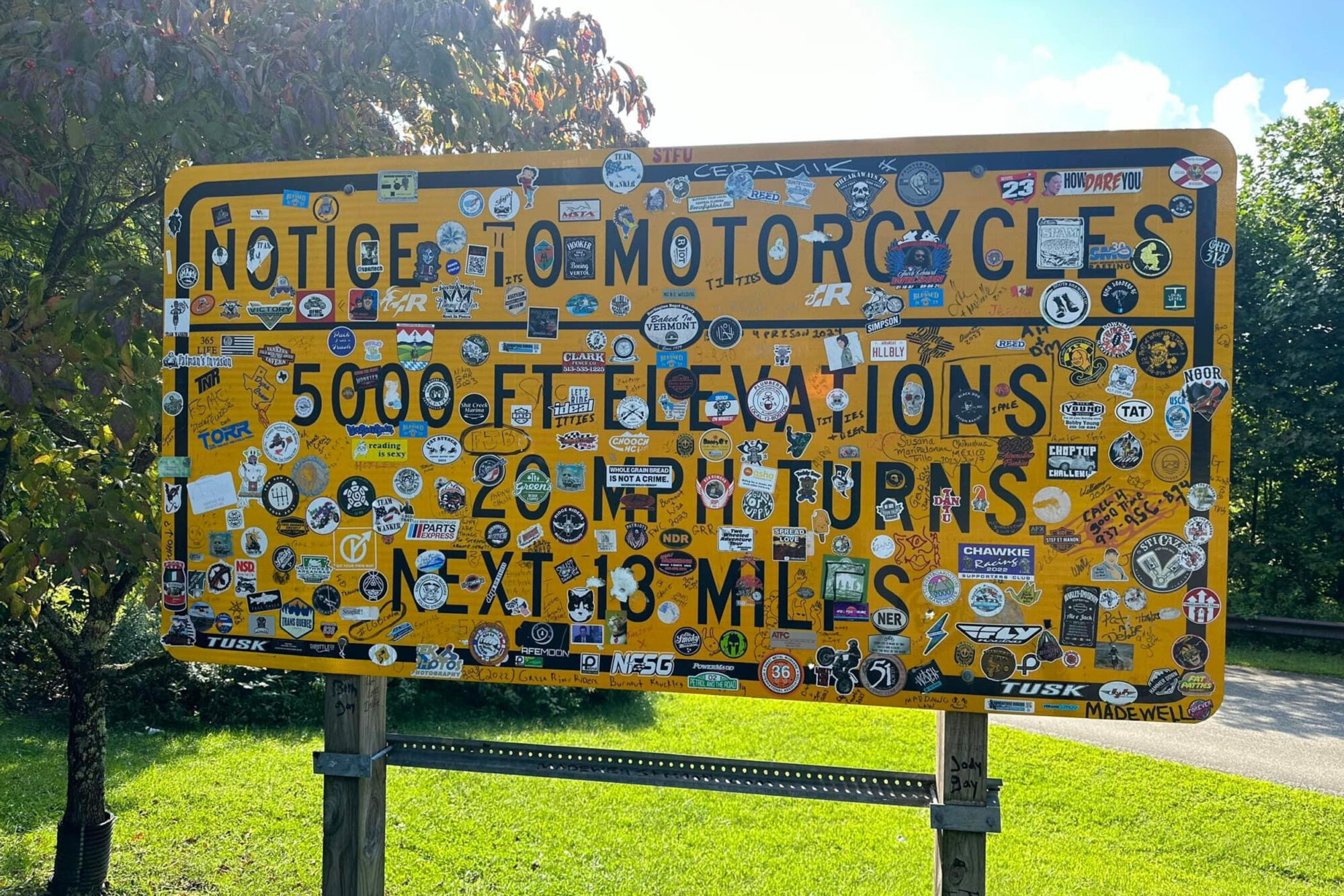
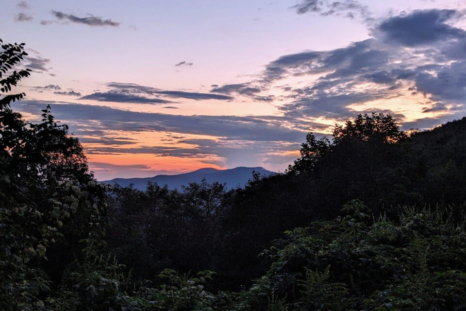
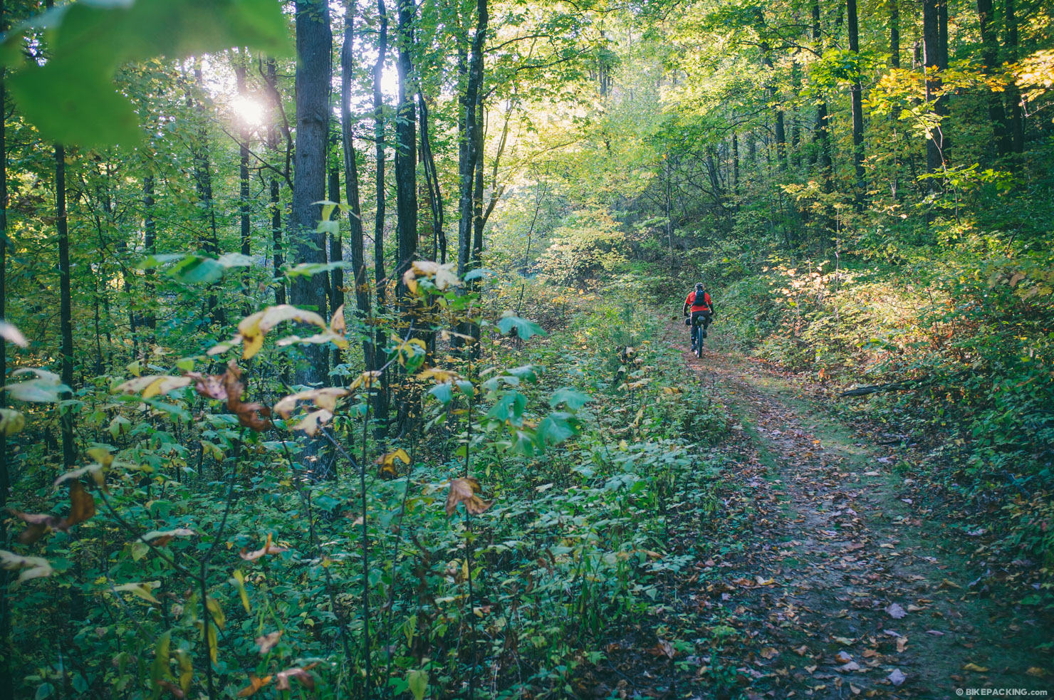
I reached the summit, exhausted, at around 6:40 p.m. The views from the Joanna fire tower weren’t as sweeping as those from the other summits, but they were still impressive. Ten miles of fast, steep descending along well packed gravel roads brought me back to the valley in which Andrews is nestled. Gaps between the trees along the descent revealed stunning views of the broad valley, with the surrounding mountains cloaked in hues of gold and green by the evening sun. I rolled gently through the last couple of paved miles through the valley and finished in downtown Andrews at around 7:15 p.m. At the finish, I met Matt and Gary (another rider who had dropped due to mechanicals). The remainder of the group finished over the course of the evening and night.
Looking back, the experience of tackling the route was wonderful; the route was extremely demanding but still manageable as a weekend excursion for seasoned rider. The fire towers on the route present some of the most spectacular views the Nantahala National Forest has to offer, and the singletrack at Tsali is worth a trip all on its own. The scenery throughout the weekend was stunningly beautiful, and the company made the experience even more enjoyable. It was a weekend bikepacking trip that I’ll look back on fondly for years to come, and I hope to be back for the grand depart in 2024 and beyond.
The Route
You can learn more about the Huckleberry 250 by joining their Facebook group here.
Further Reading
Make sure to dig into these related articles for more info...
Please keep the conversation civil, constructive, and inclusive, or your comment will be removed.


