


The Olympic Adventure Route: Shaken with a Twist


With a mindset that out-and-backs should be avoided at all costs, Miles had no choice but to dig into the maps to plan an alternative loop along the Olympic Adventure Route in northwest Washington. Find a reflection on his ride here, including lots of photos and some tips on how to make any bikepacking route your own…
PUBLISHED Aug 24, 2022
Loops make sense. From a bikepacking perspective, they simplify logistics, diversify the riding, and often result in a more fluid experience. You’ll rarely catch me riding back on a trail or road I set off on unless completely necessary, and I even try to make different loops while commuting around town or riding out to some of my favourite swimming spots. Plus, when you really think about it, some of the best foods are loop-shaped, including donuts, pineapple rings, and fuzzy peaches.
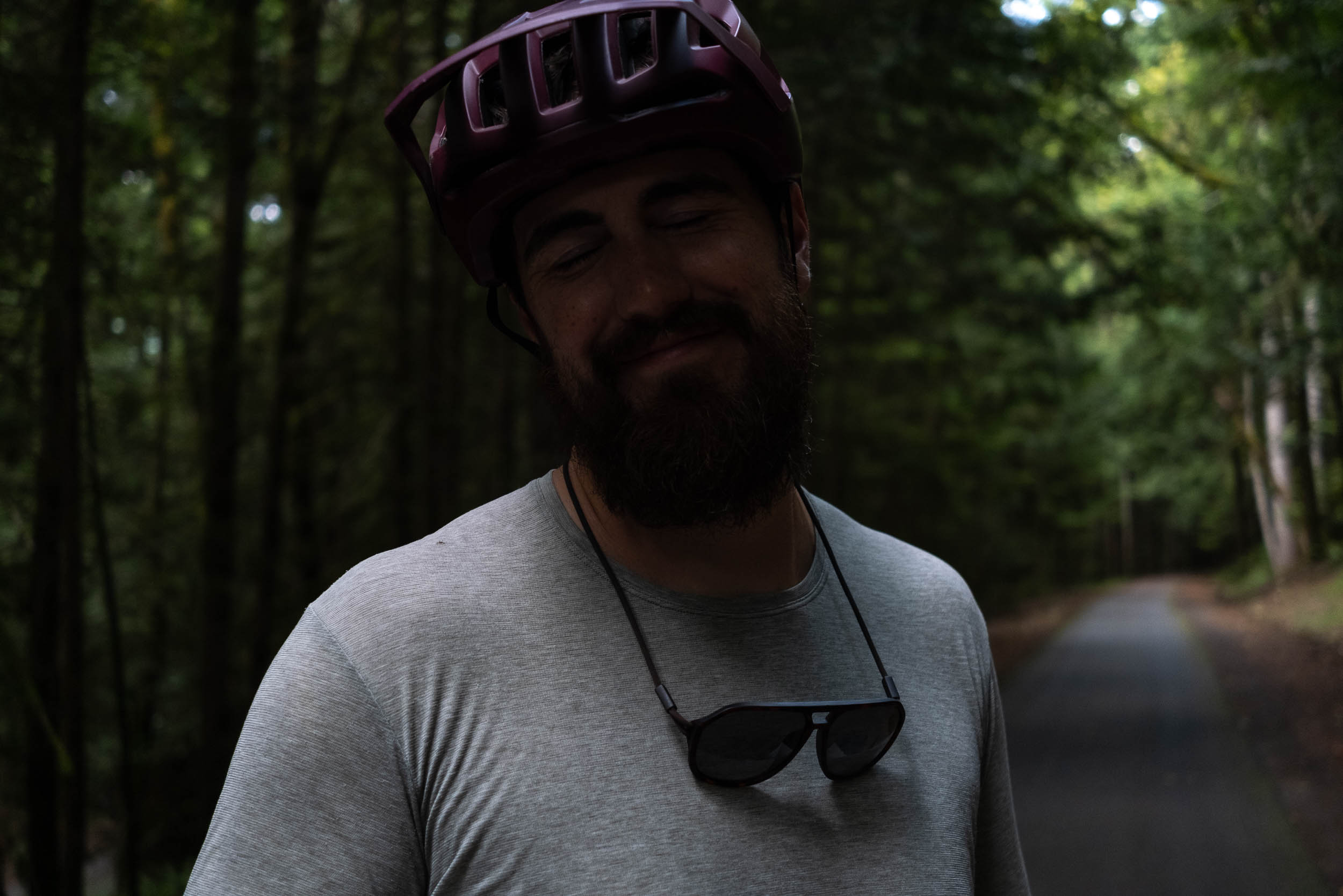
Emily and I have been talking about getting down to Washington to ride the Olympic Adventure Route for a while now. I love a great route, and Emily loves a ferry ride. Most people appear to be riding it as an out-and-back or some slight variation, but I wasn’t sold on the idea. So, I turned to other trip reports and online maps to piece together a variation that only required us to retrace our route when absolutely necessary.
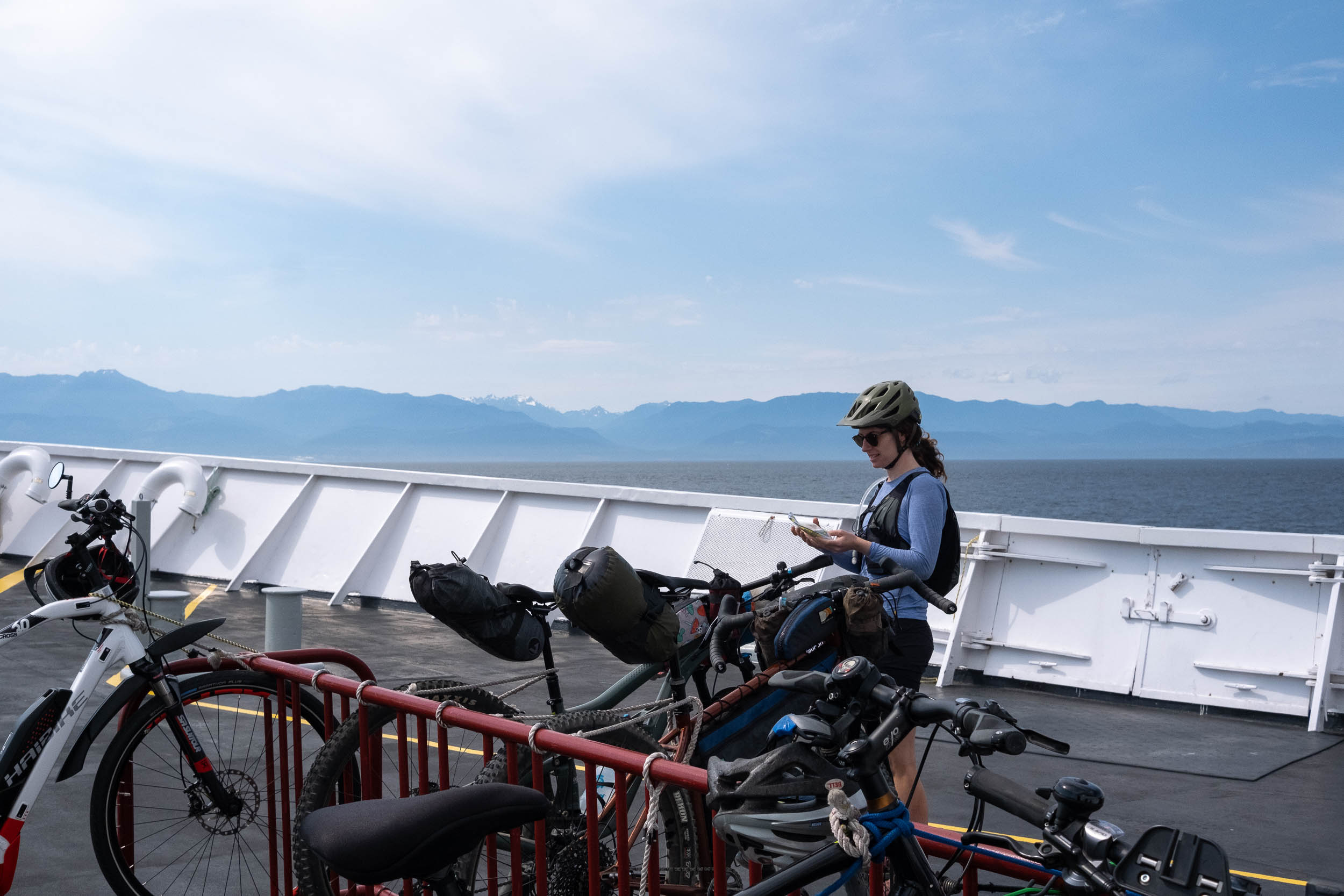
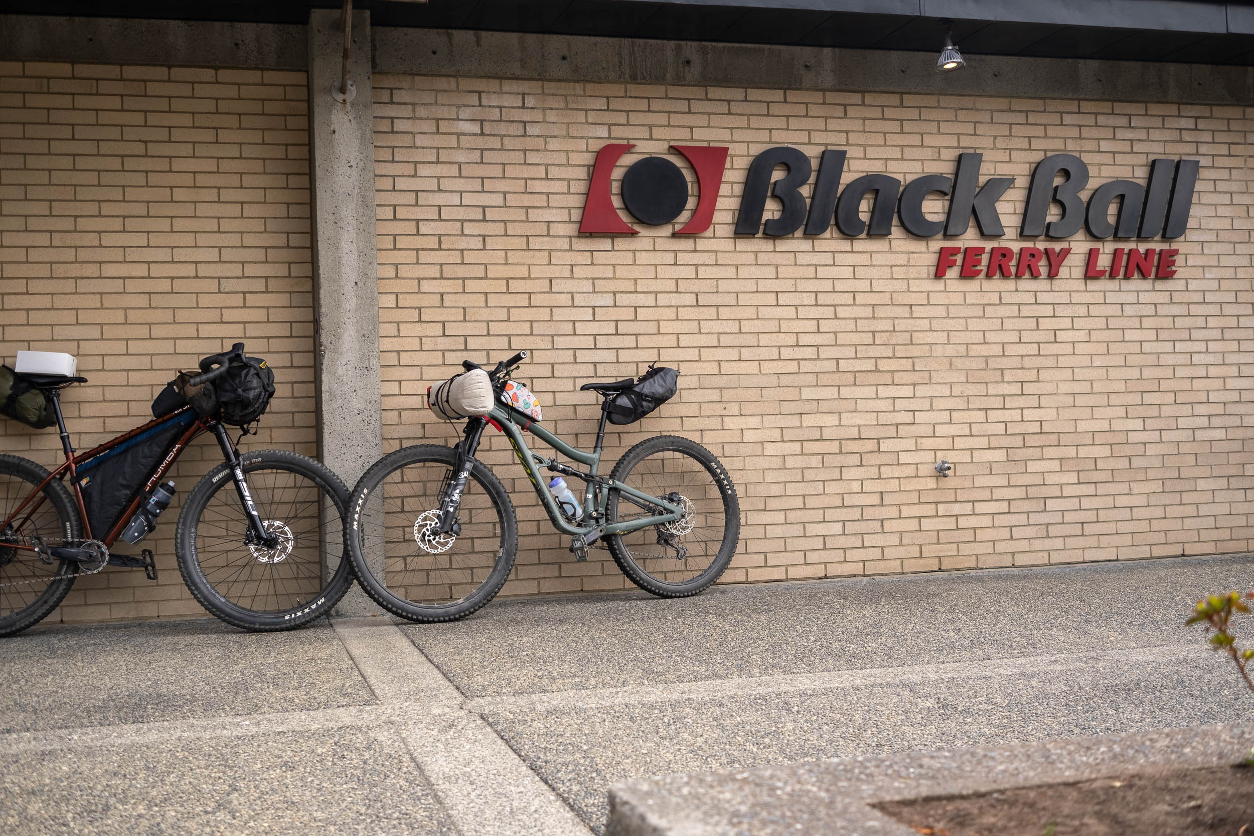
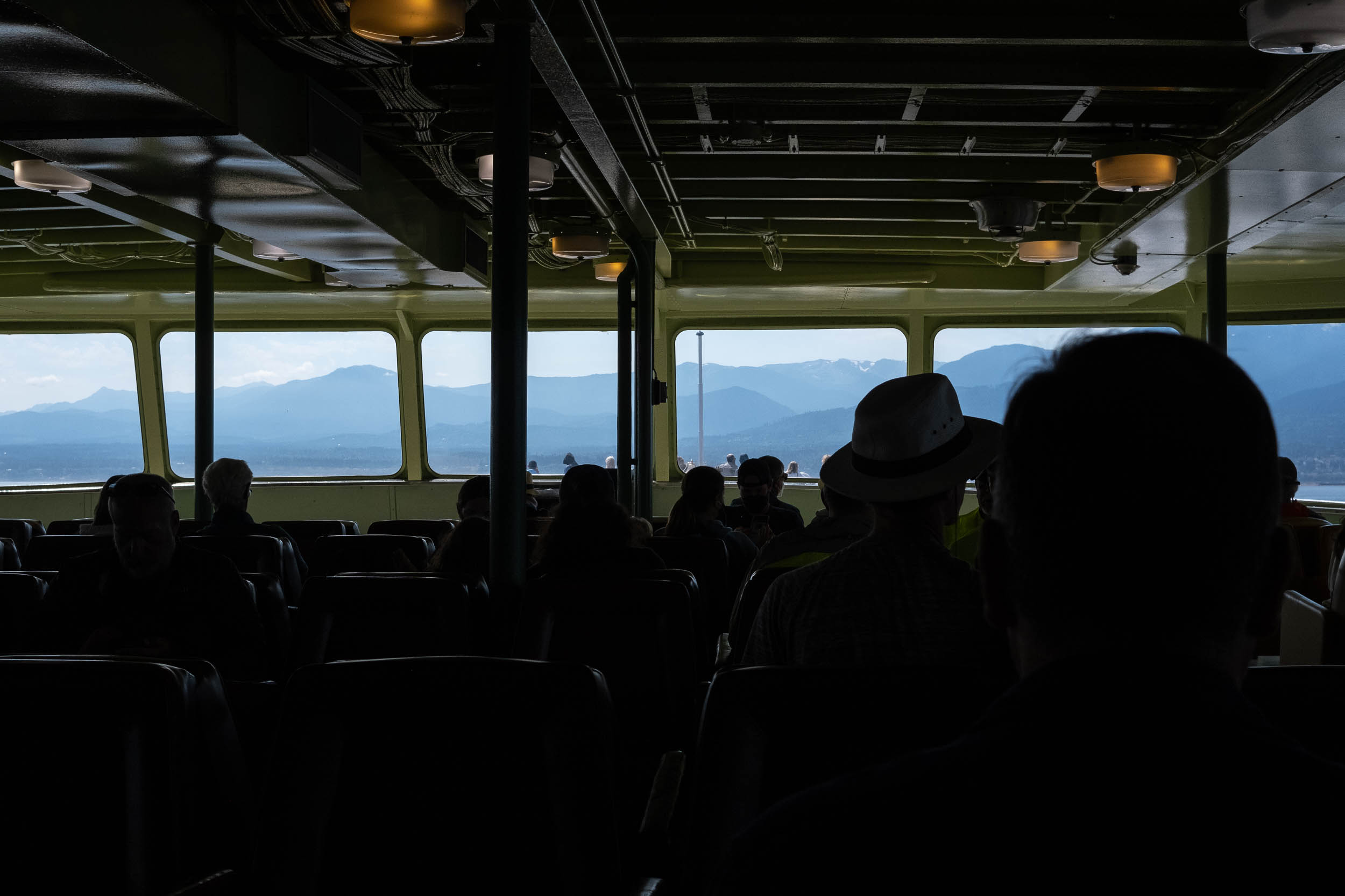
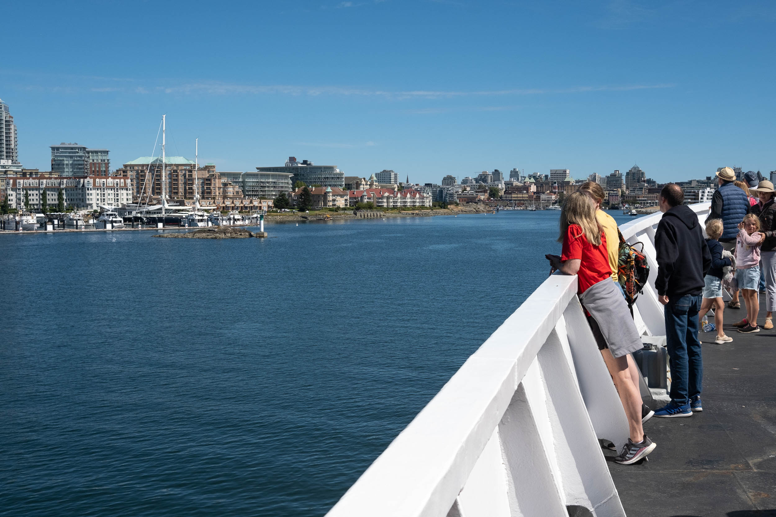
Getting to Port Angeles from the Canadian side of the border is straightforward for anyone living on Vancouver Island, and it’s even easier when you’ve got a brother living in downtown Victoria. With our van parked and bikes packed, Emily and I made a quick, but necessary bakery stop for breakfast, grabbed some US cash from the bank, and rolled down to the Black Ball ferry terminal in Victoria Harbour. A one-way ticket costs about $28 USD per person with a bicycle, which is expensive if you’re used to BC Ferries prices, but it’s a beautiful way to get from downtown Victoria to Port Angeles. Plus, the route I planned starts right after arriving in Washington, instead of the official start just outside of town.
When I’m planning routes, I’m of the mind that simpler is always better. Balancing route beta and the opportunity for discovery is a constant battle, but there’s no substitution for a thoughtfully curated beginning, middle, and end. I prefer to get ahead of the inevitable and provide information to answer questions like, “Where do most people park? How do people get from A to B? Can I ride this on a gravel bike?” It seems the most sought-after information has nothing to do with the space between the beginning and end of the route, and instead focuses on preparation and logistics—and for good reason.
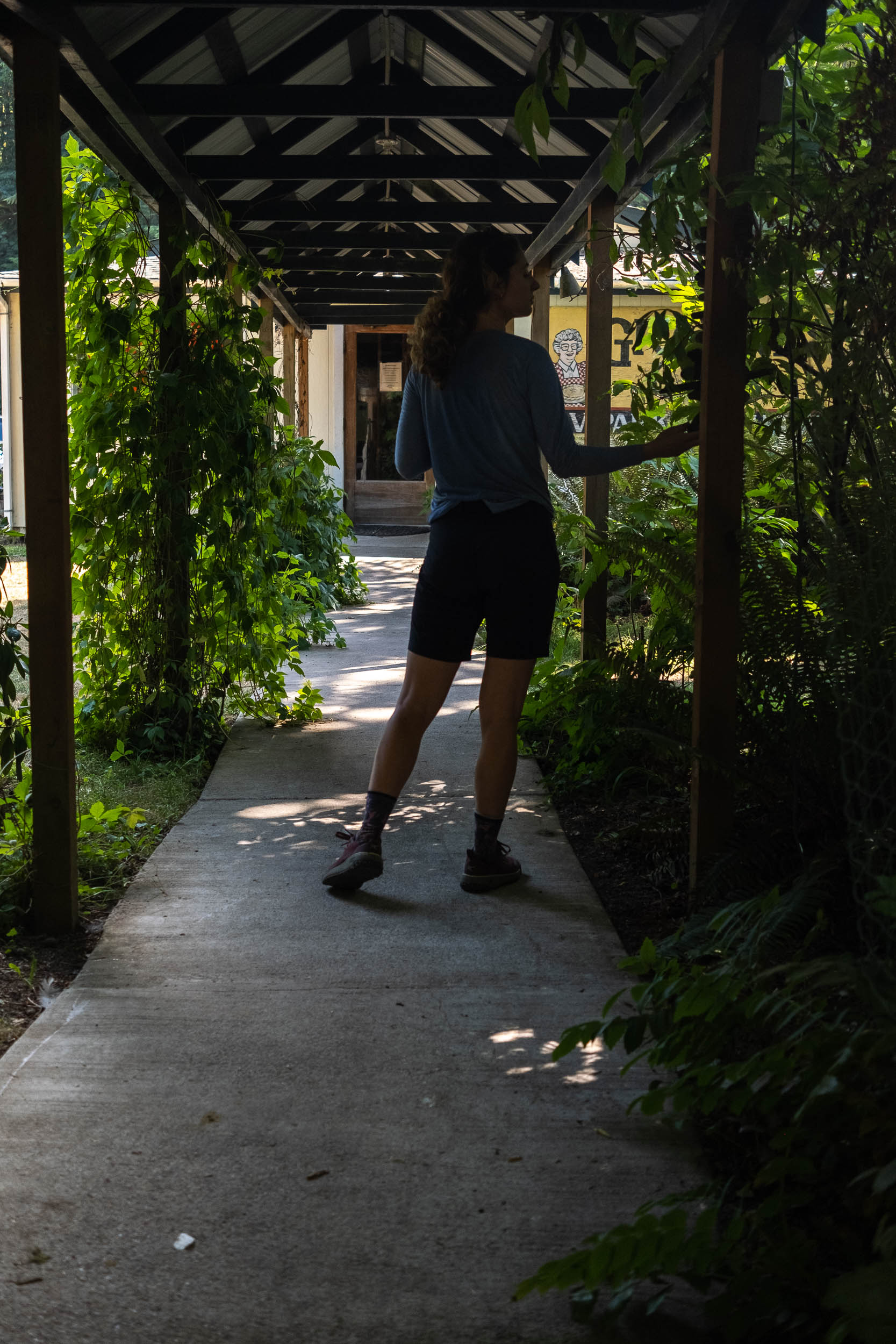
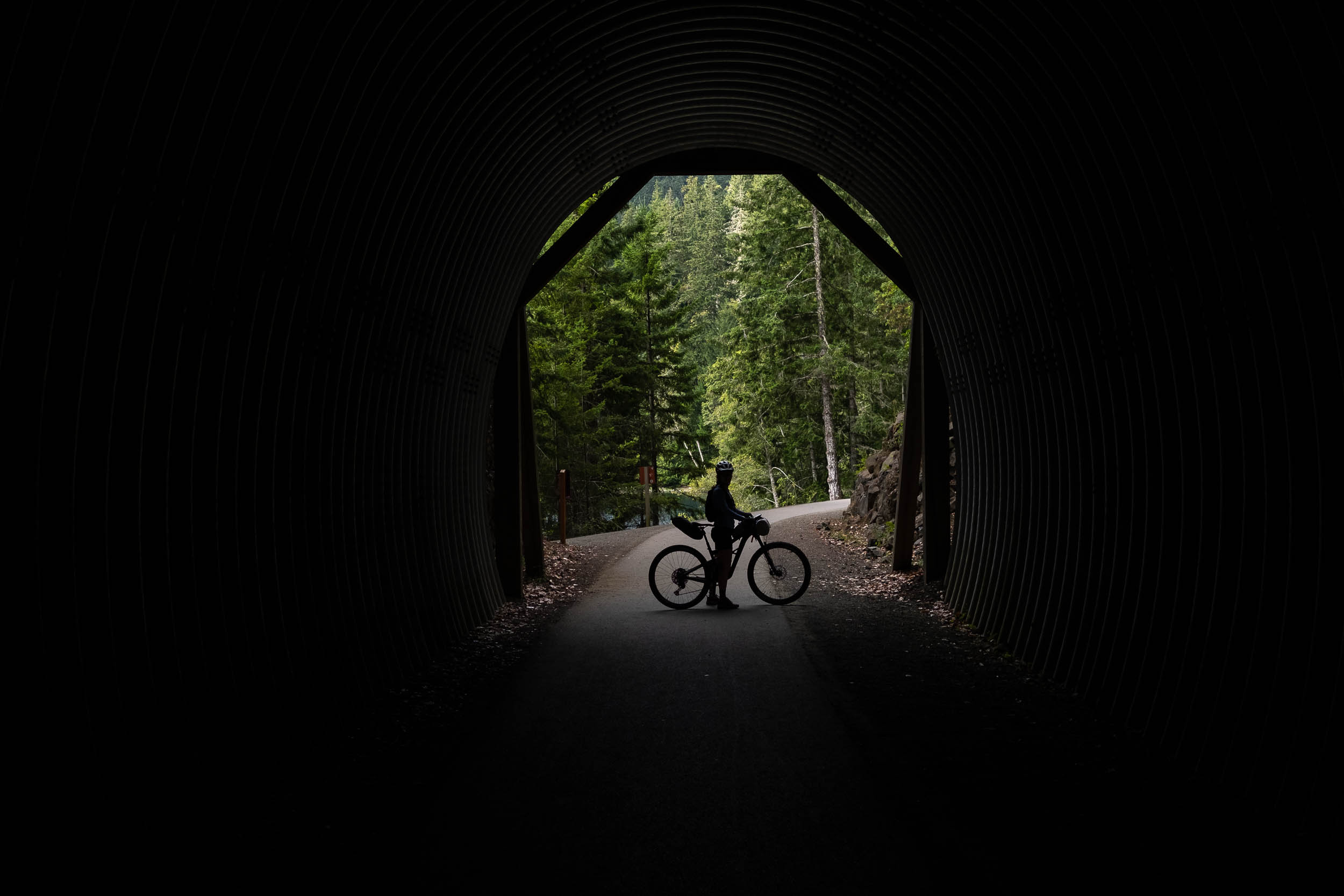
One of our first discoveries is that the Olympic Adventure Route is an off-road alternative to the paved Olympic Discovery Trail (ODT) between Elwha River and Lake Crescent. The route we followed jumps between the two but takes advantage of the ODT right from the start, heading west out of Port Angeles. There’s nothing better than rolling off a ferry and knowing you’re on route. Plus, I never feel more badass than I do when I ride in or out of town on a loaded bike.
Our route heads west away from downtown Port Angeles via the ODT, skirting through residential areas and eventually linking up with a paved multi-use pathway. The Elwha River, which was dammed in the early 1900s, blocked the migration of salmon and wreaked havoc on the lands of the Lower Elwha Klallam Tribe. In 2011, as part of the Elwha River Ecosystem and Fisheries Restoration Act, both dams were removed, and the river has been making the slow transition back to its original state.
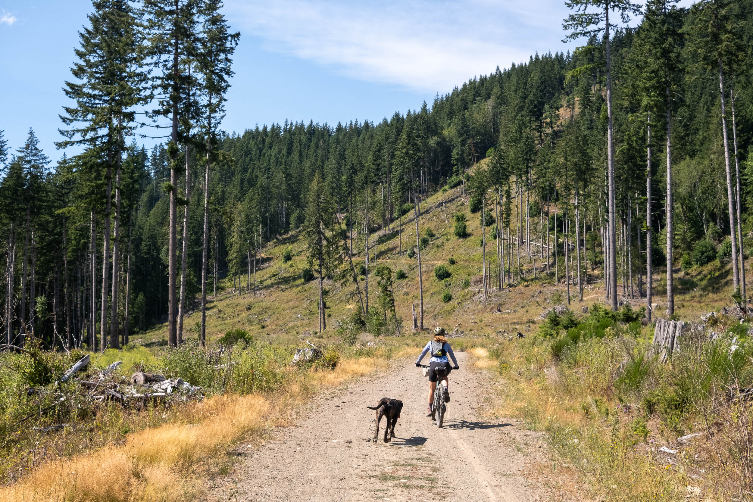
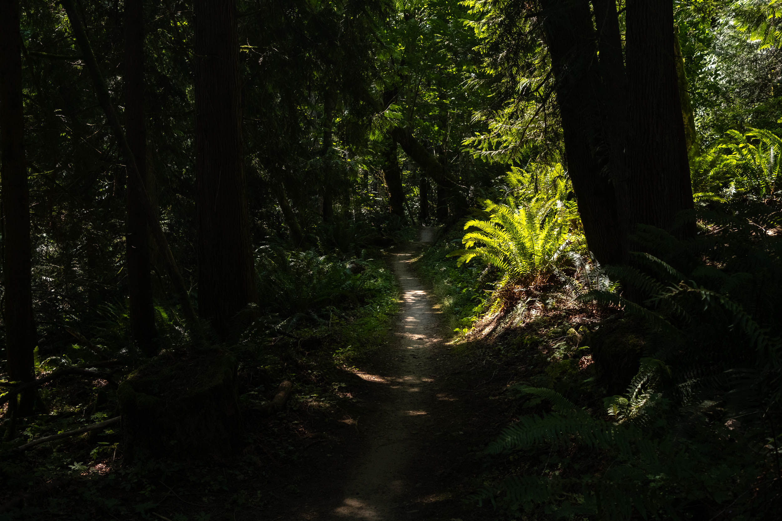
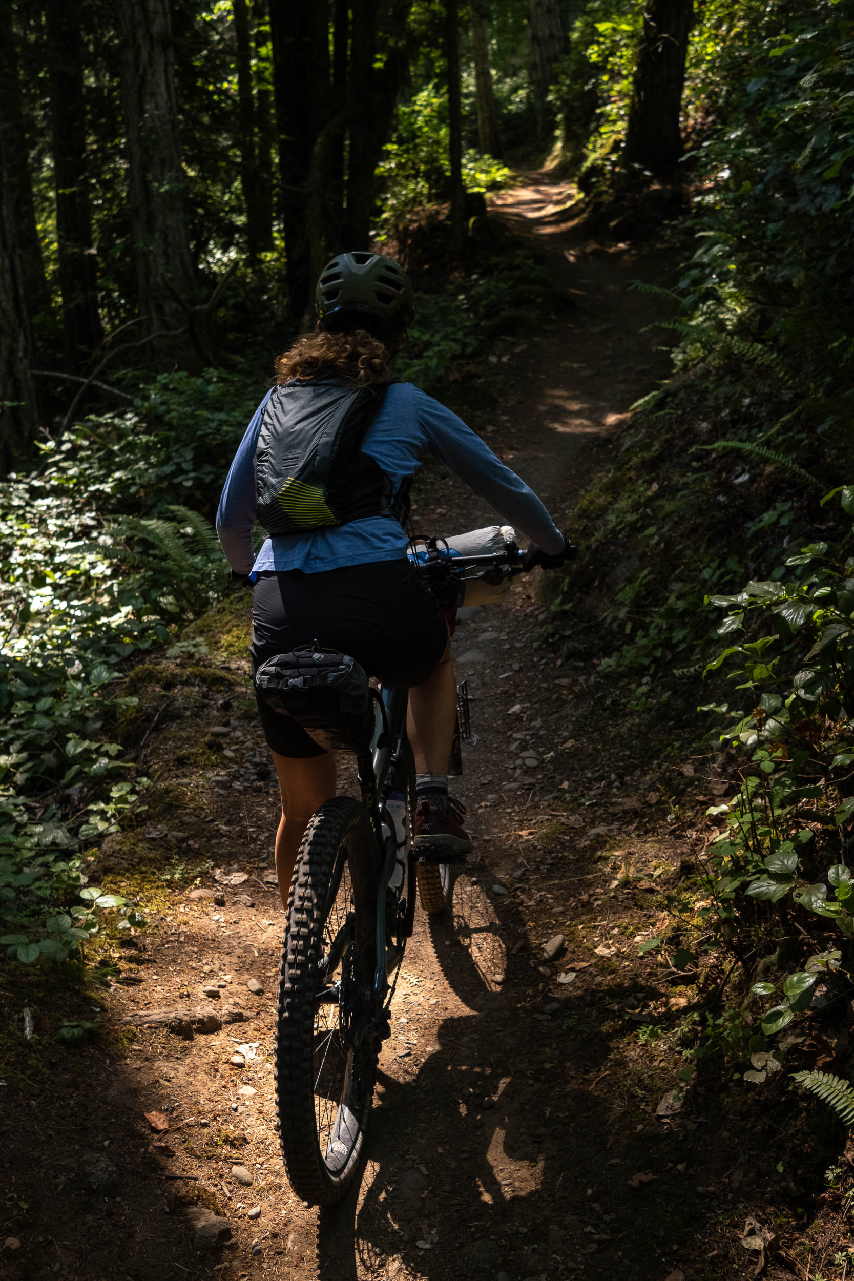
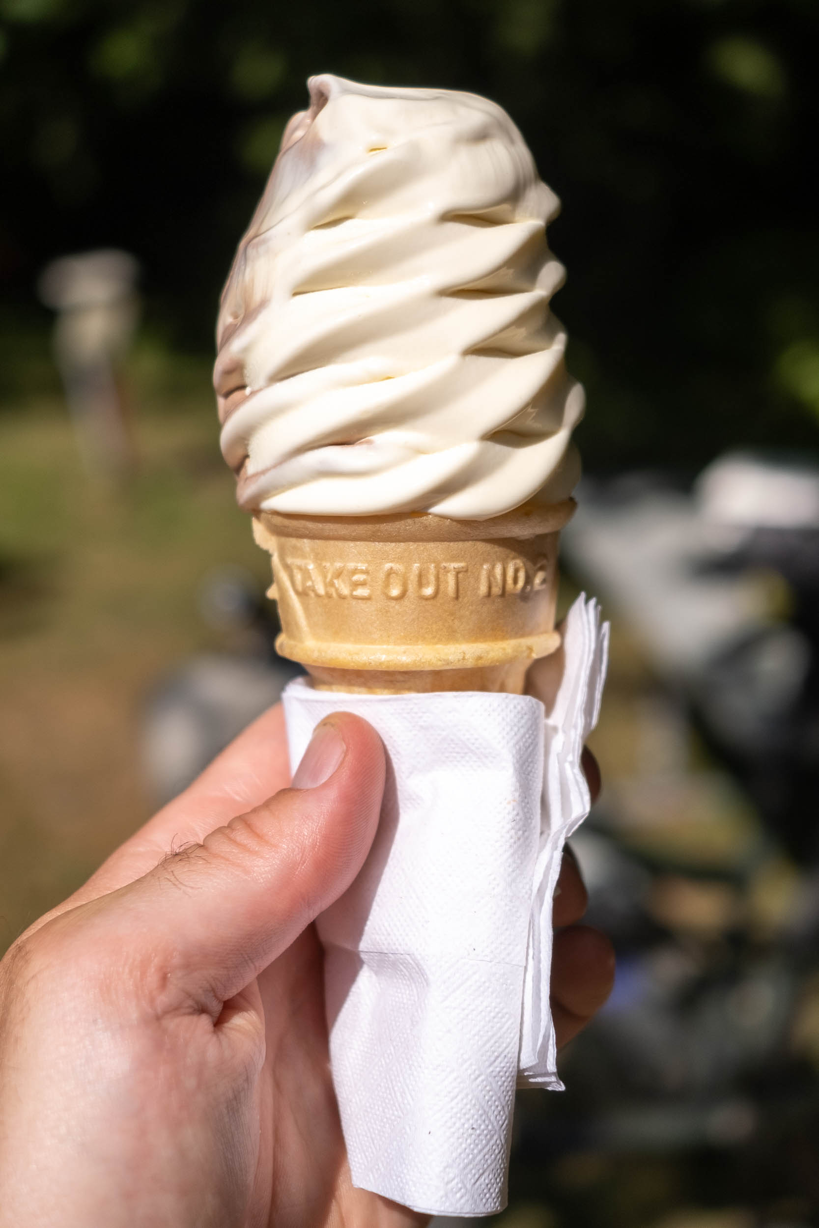
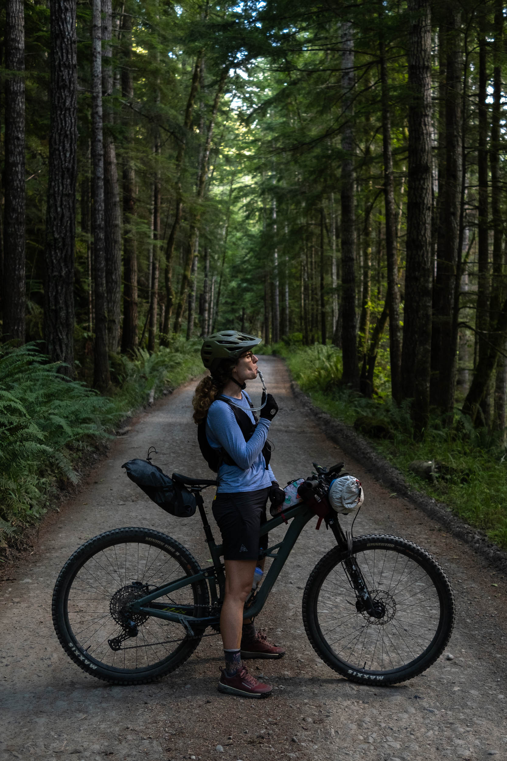
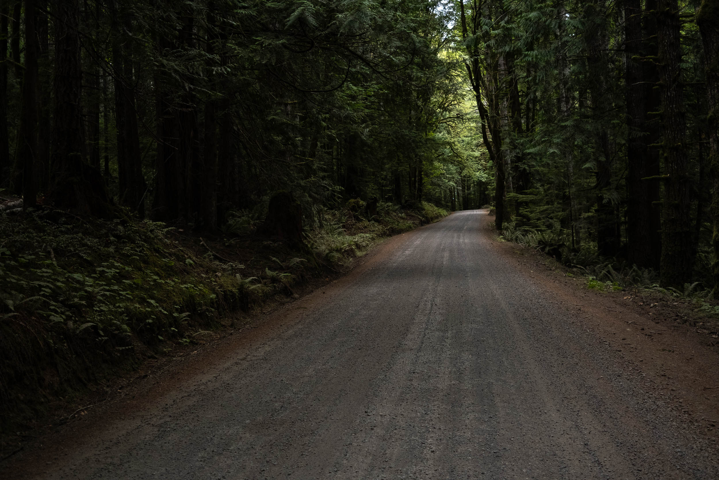
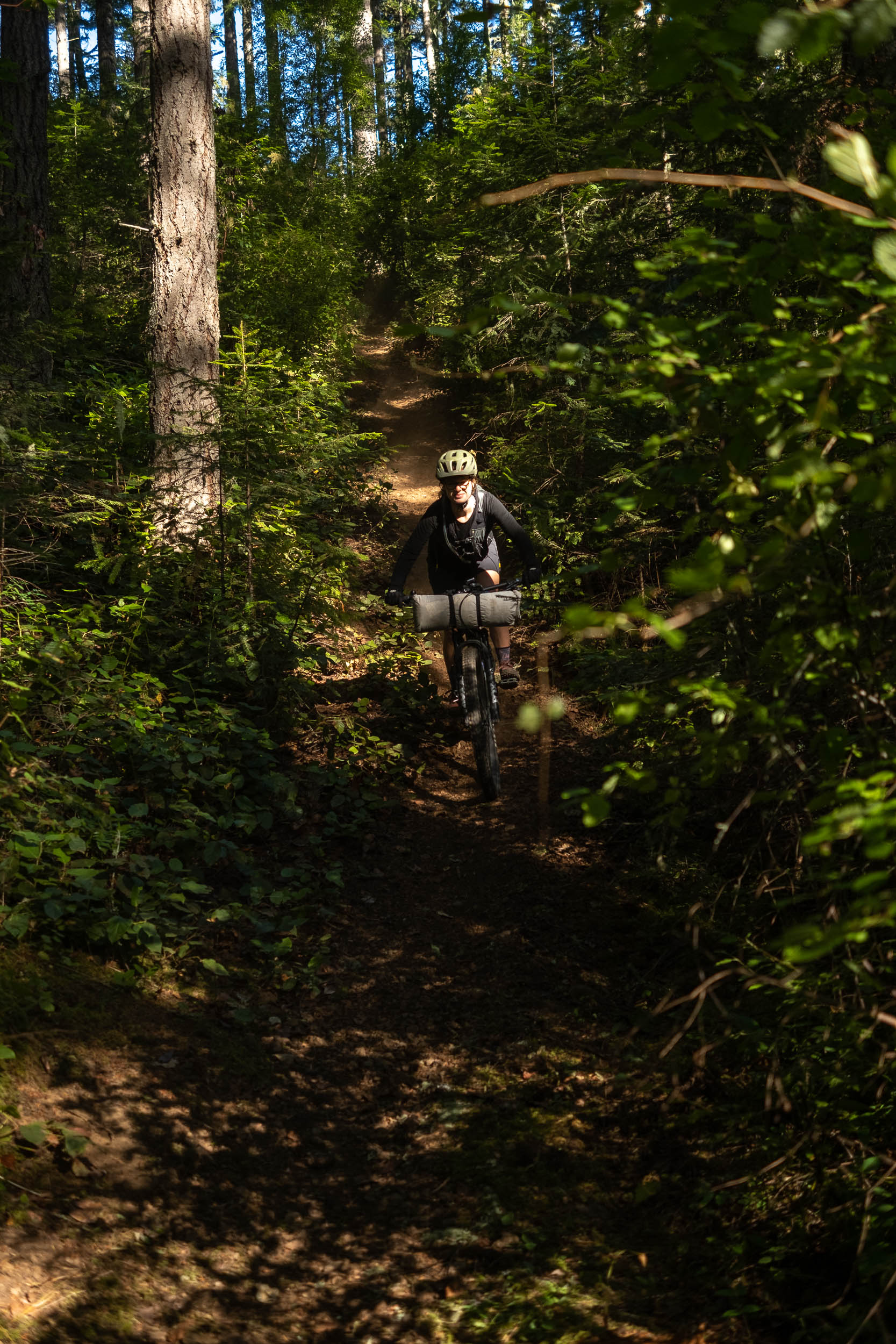
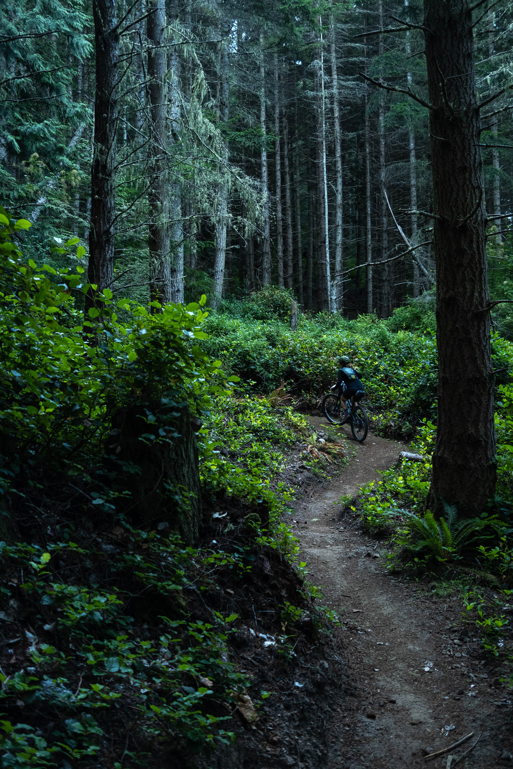
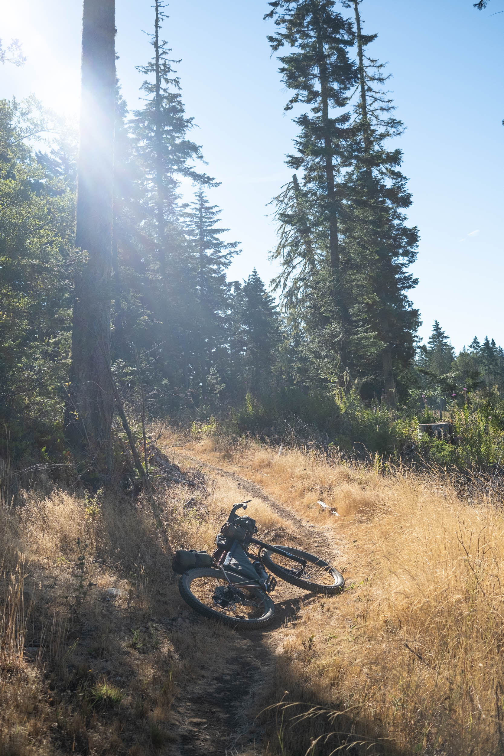
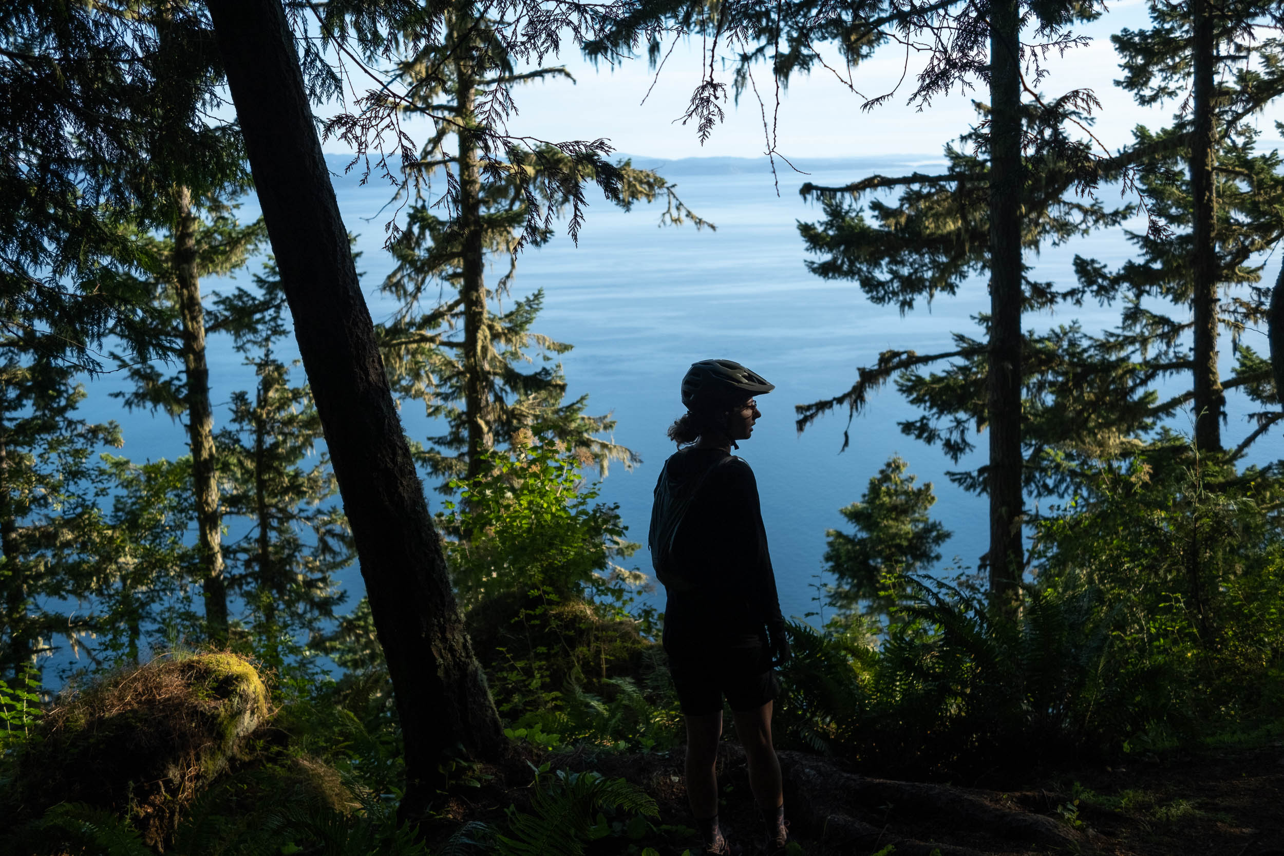
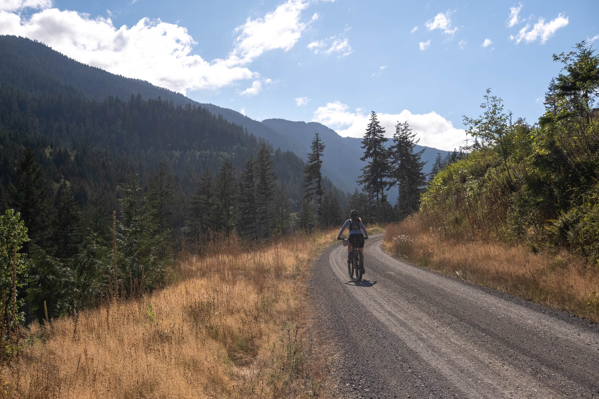
The Adventure Route portion of the ride follows a long flowy section of smooth singletrack that weaves its way between the Elwha River and Lake Crescent. While totally doable on a gravel bike, we were happy to be riding mountain bikes to make the climbs a little easier and the descents more fun. The decision was made early on to detour off the Adventure Route to Granny’s Cafe. Cheap soft serve and a warm meal had us rambling down an old ATV track south towards Highway 101 and cursing that decision on the steep climb back up to rejoin the route. Post soft serve, Emily would say it was worth it.
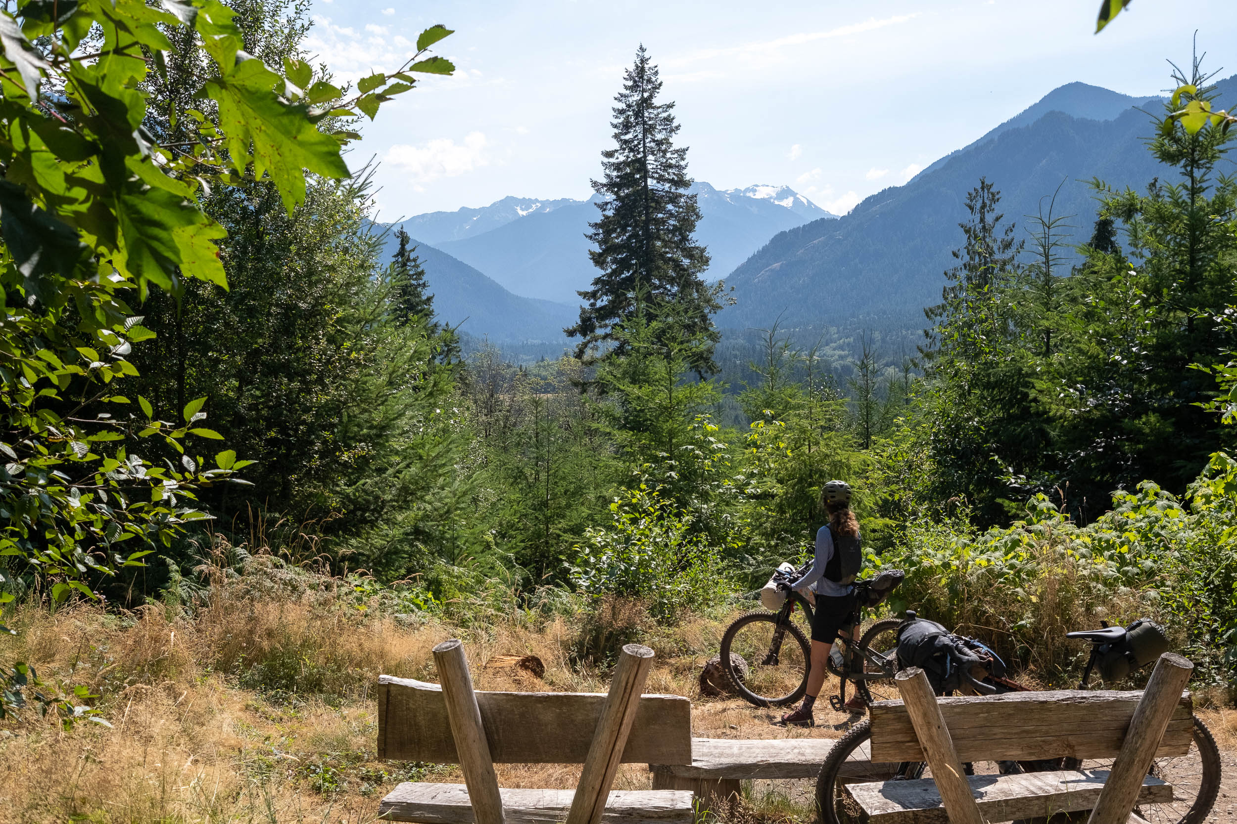
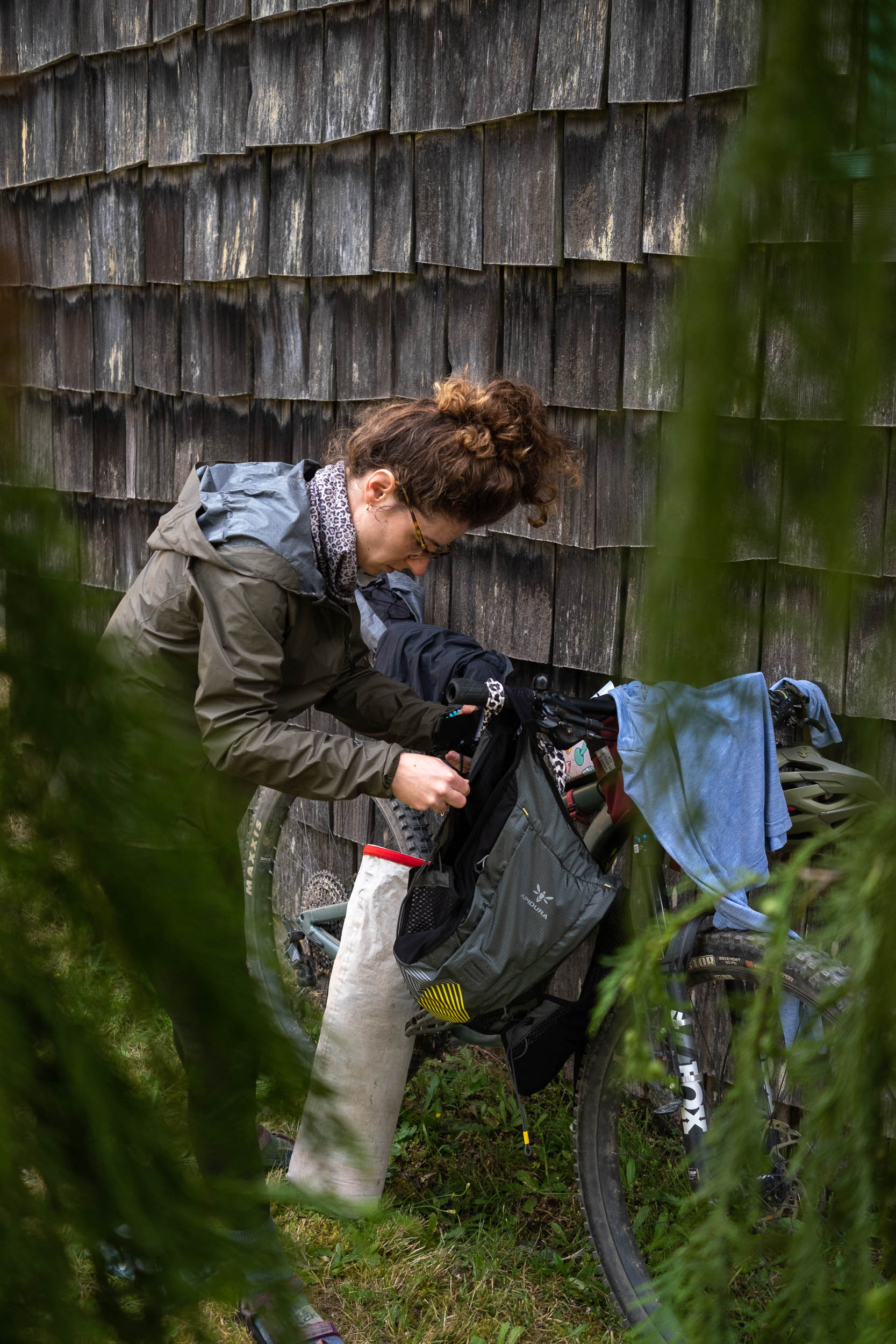
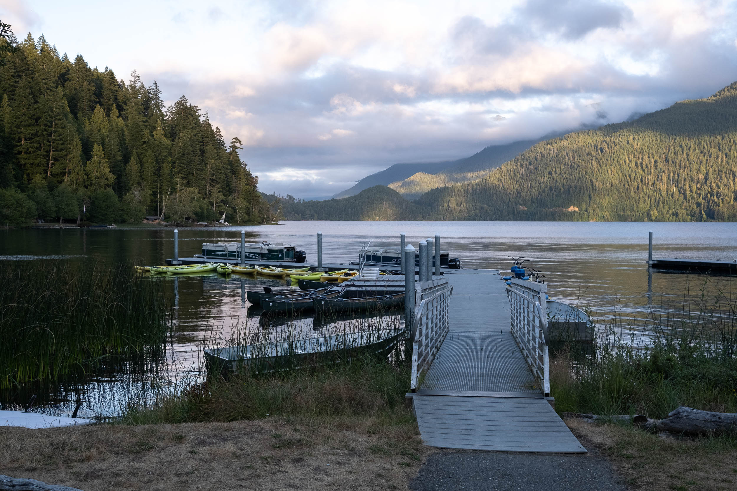
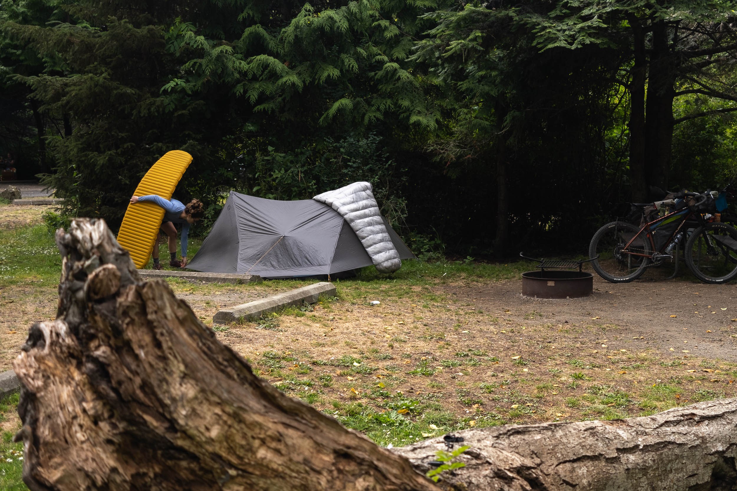
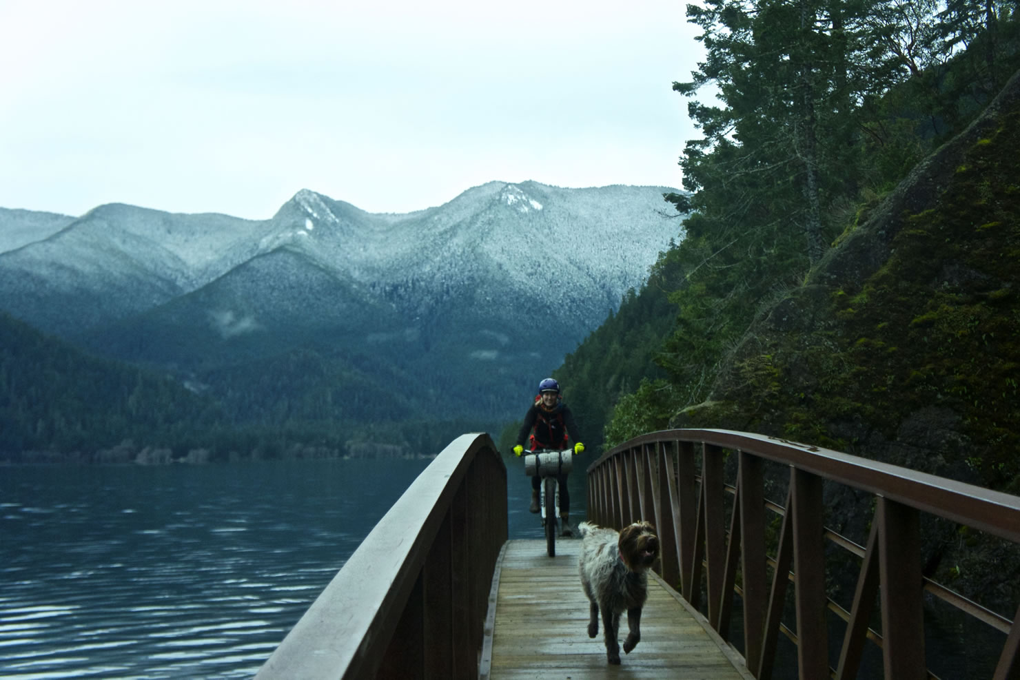
A little further down the trail was our high point for the entire route, which also marked the beginning of a fun descent towards Lake Crescent. Instead of pushing on further west to one of the campgrounds in Olympic National Park, we decided to try our luck at getting a tent site in Piedmont at the Log Cabin Resort. When planning for the trip, we learned that most, if not all, of the reservable campsites were booked up for the rest of the summer. We knew we’d likely have a difficult time finding a place to sleep. Thankfully, the good folks at the campground offered us a spot by the day-use area. We found it hard to believe that they didn’t have an area designated for non-reservable cyclists, considering just how many cyclists are riding through this area. Apparently, Fairholme, the National Park campground further west, has the same problem. Until that changes, your best bet is to book well in advance or introduce yourself with a smile and be gracious for anything you can get.
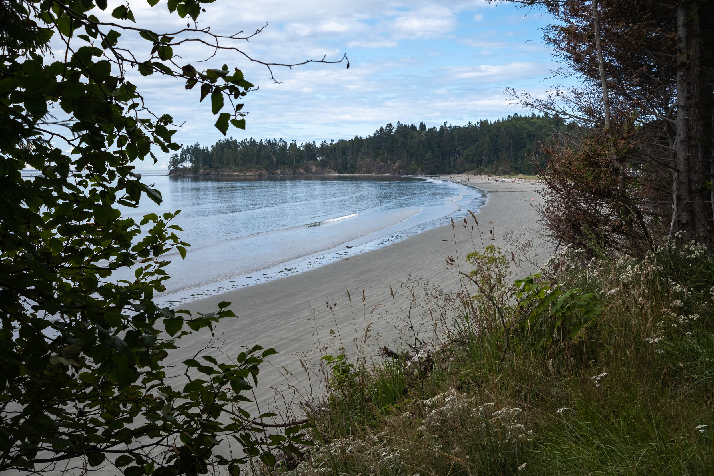
The now-paved Spruce Railroad Trail skirts above the northern shores of Lake Crescent. It’s smooth, wide, and mostly flat, so we opted to detour down to Camp David Jr. Road for a little gravel and lunch at the North Shore Picnic Area. We shared the dock with a Park Ranger who had spent nearly a decade in Powell River, the town where we’re currently living in British Columbia. We learned the winds can be relentless on Lake Crescent, often pushing stand-up paddle boarders down to the west end of the lake and requiring the Park Rangers to rescue them and shuttle them back to the other end. “Just another glamorous day as a Park Ranger,” he said.


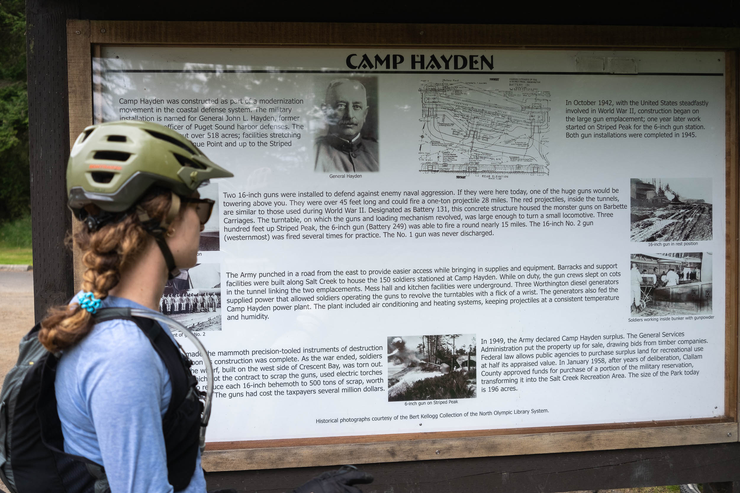
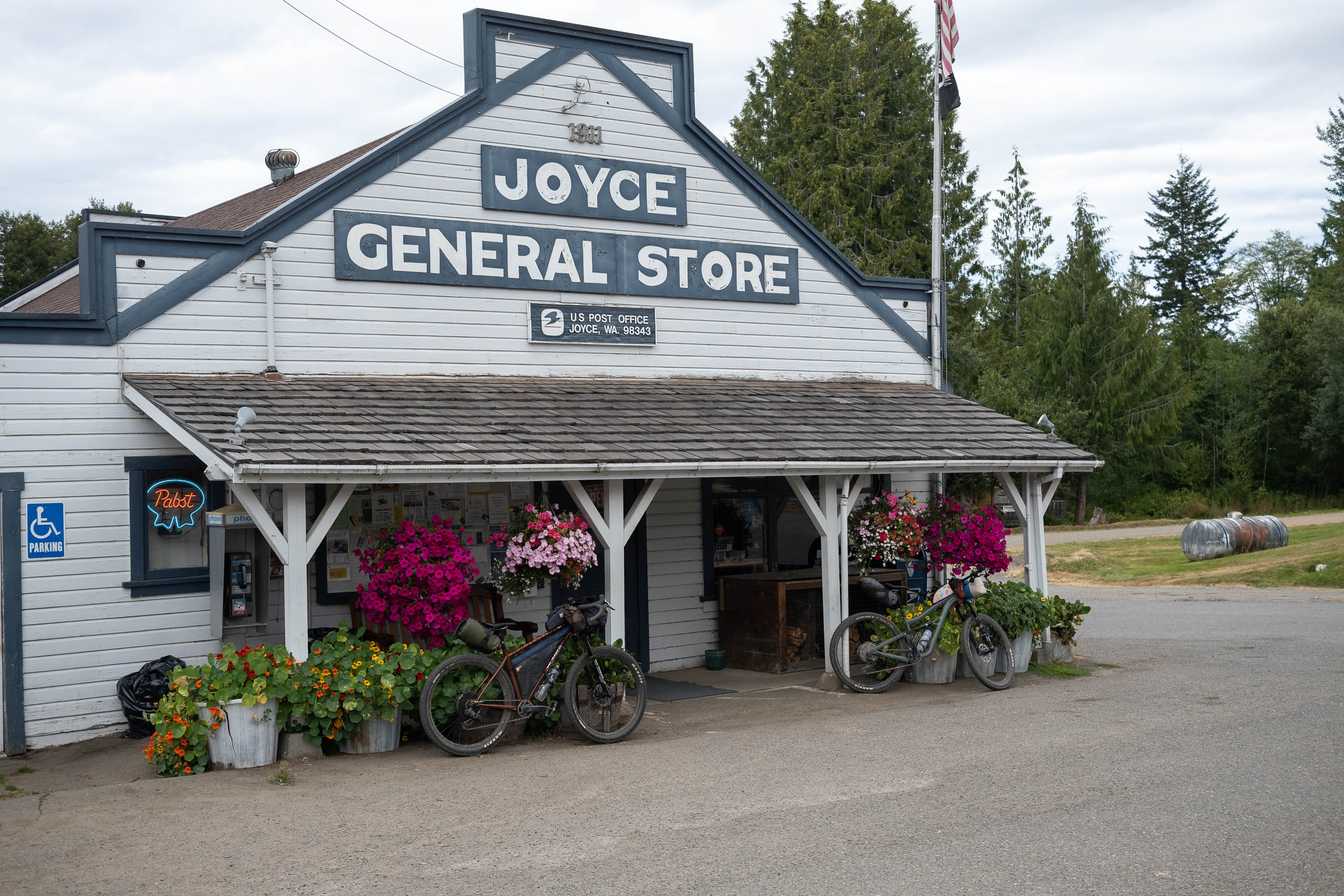
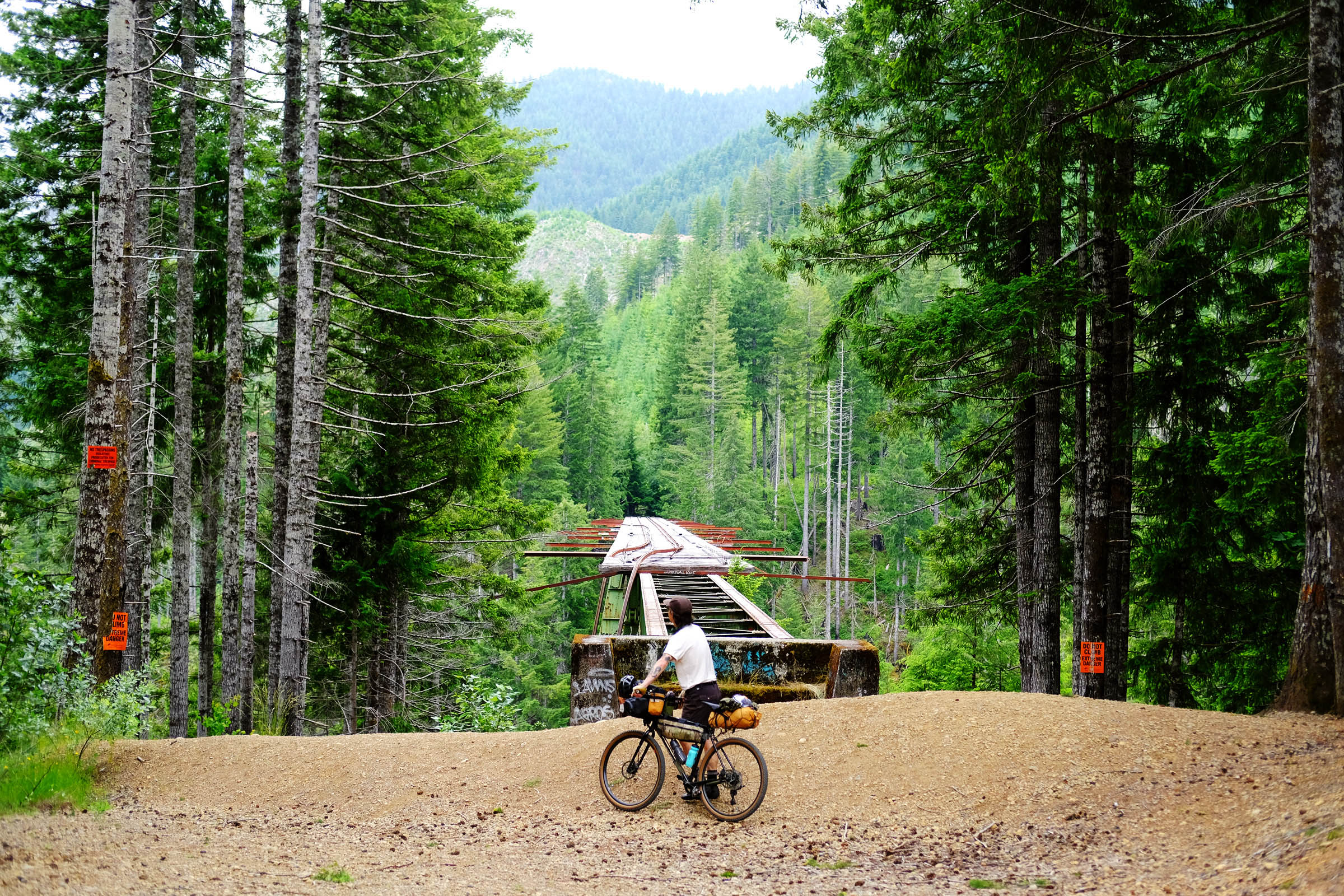
Emily and I both agree that Camp Hayden was the highlight of the trip. Instead of backtracking on the Adventure Route, a quick look at Trailforks had me scheming to ride the Bunker Ridge Trail from the Salt Creek Recreation Area to Freshwater Bay. This also meant we had yet another café to stop by on official route-scouting business, and we weren’t complaining. The small community of Joyce is home to the Blackberry Café, the Joyce General Store, and a small museum that’s packed full of relics and information on the area’s history.
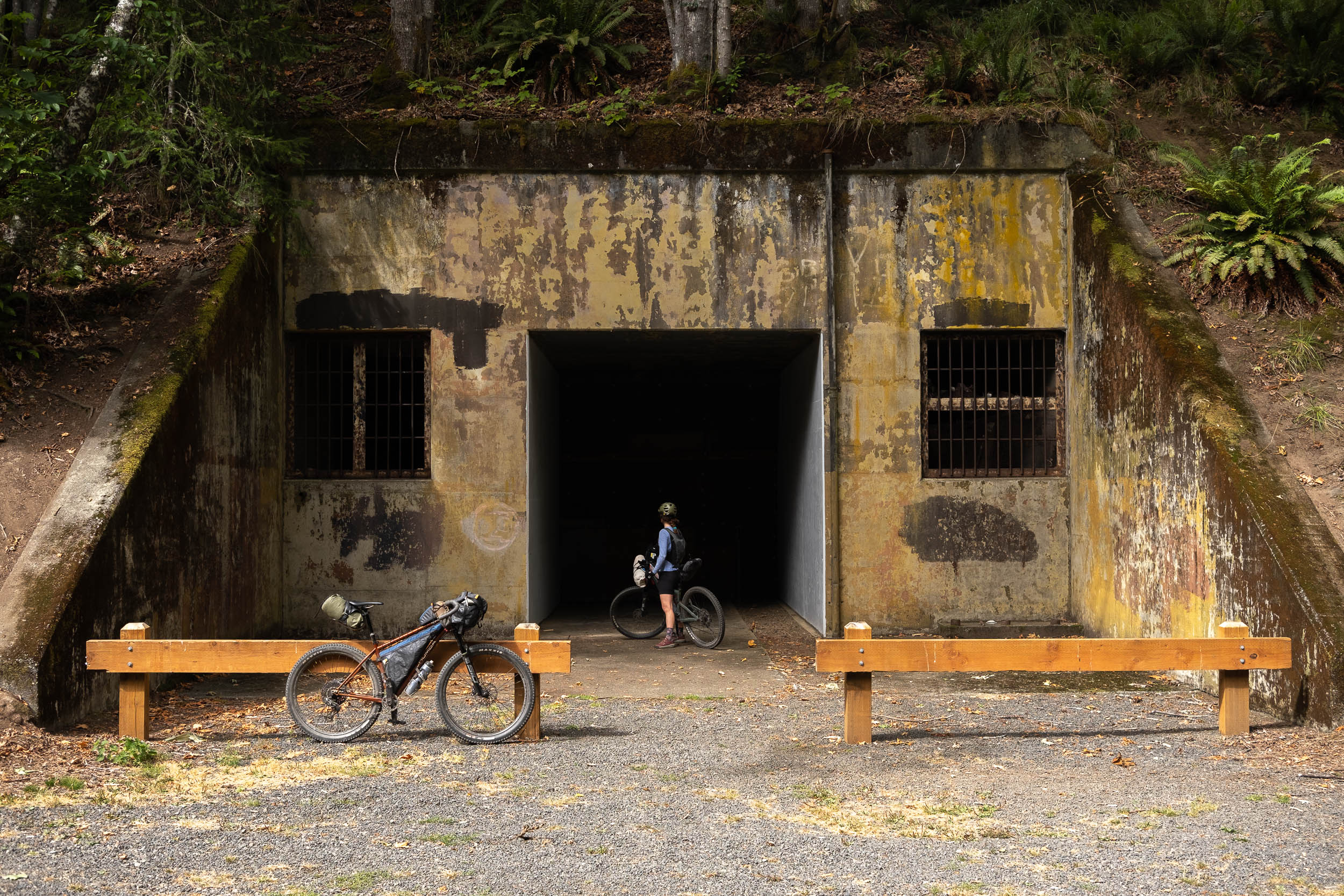
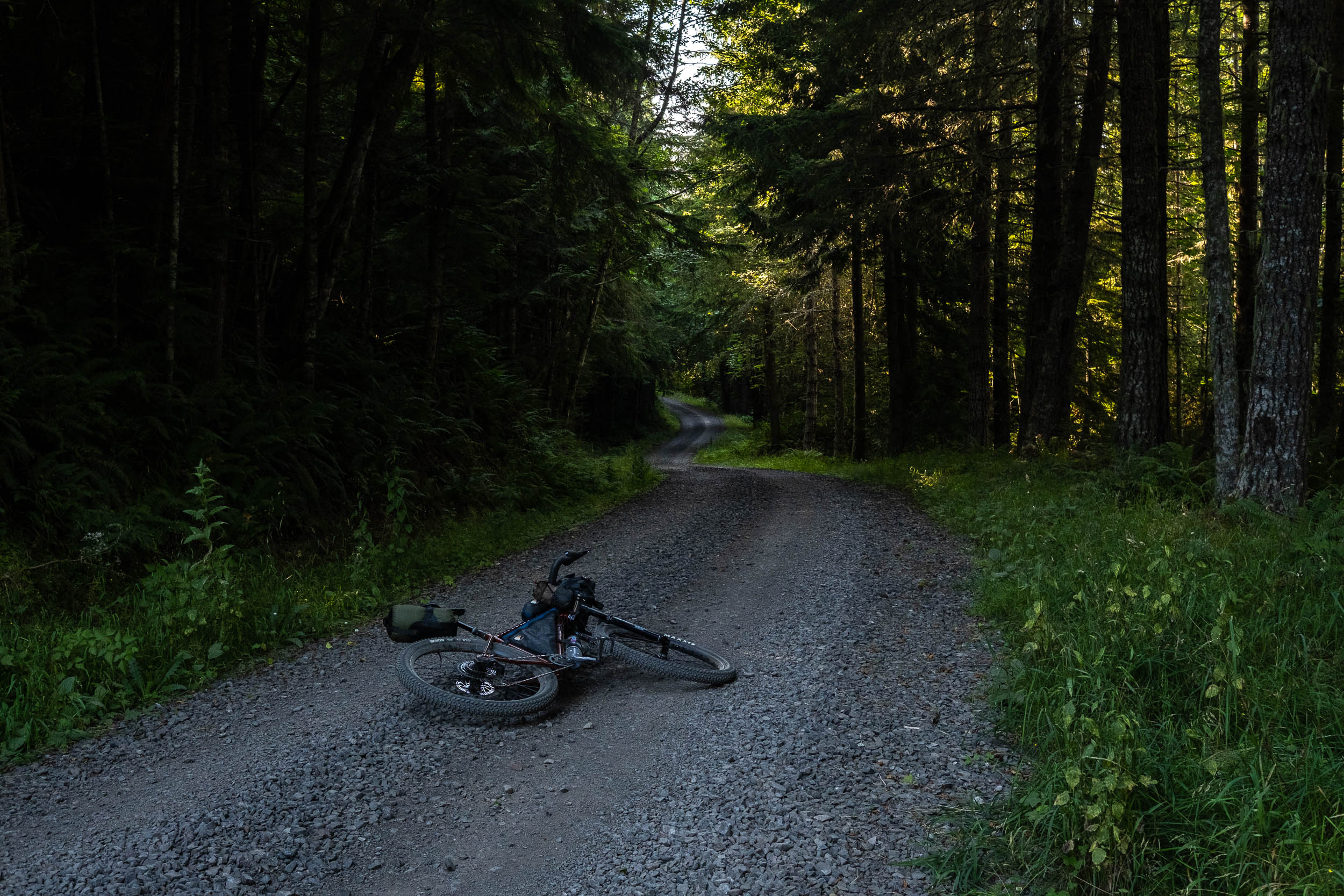
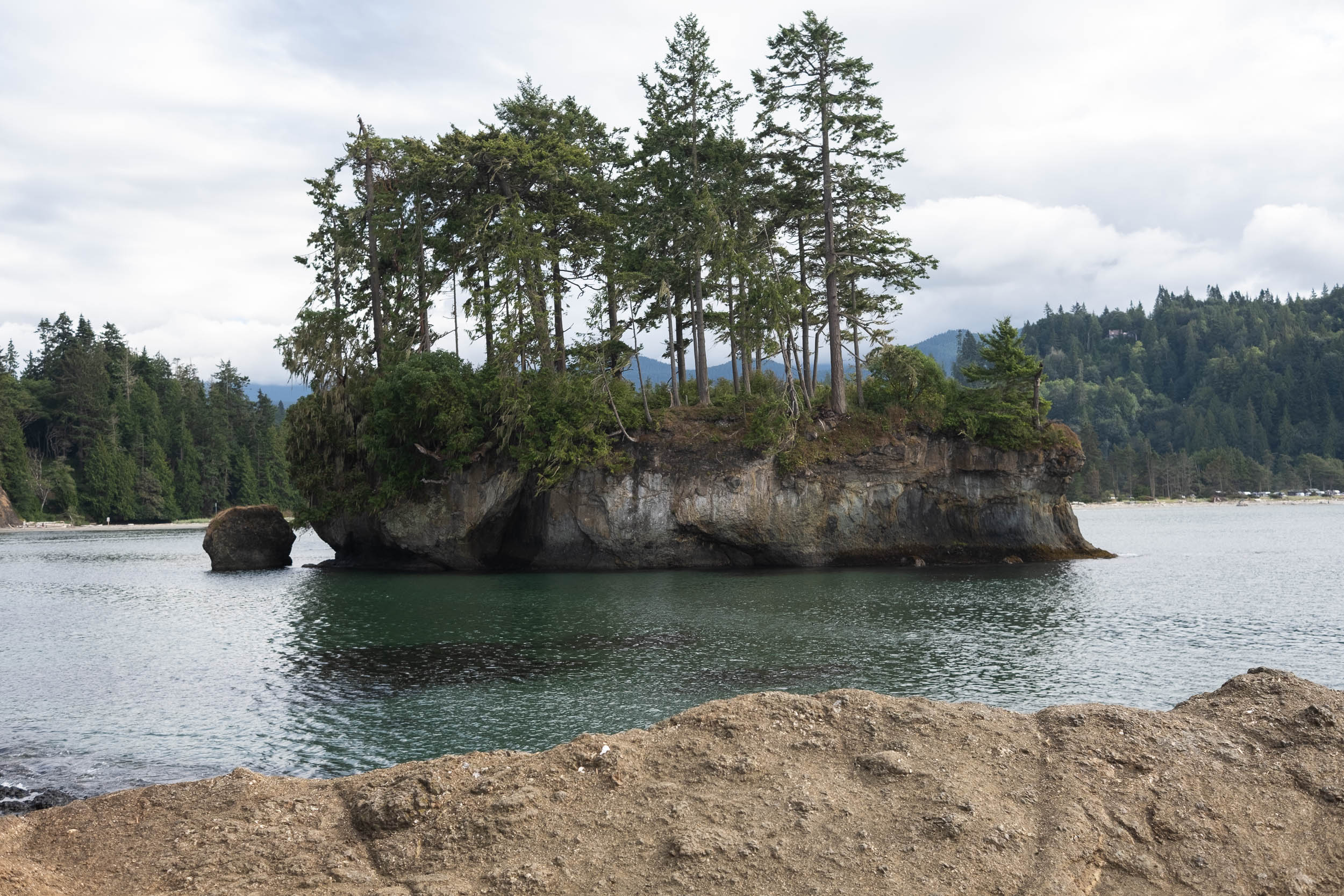
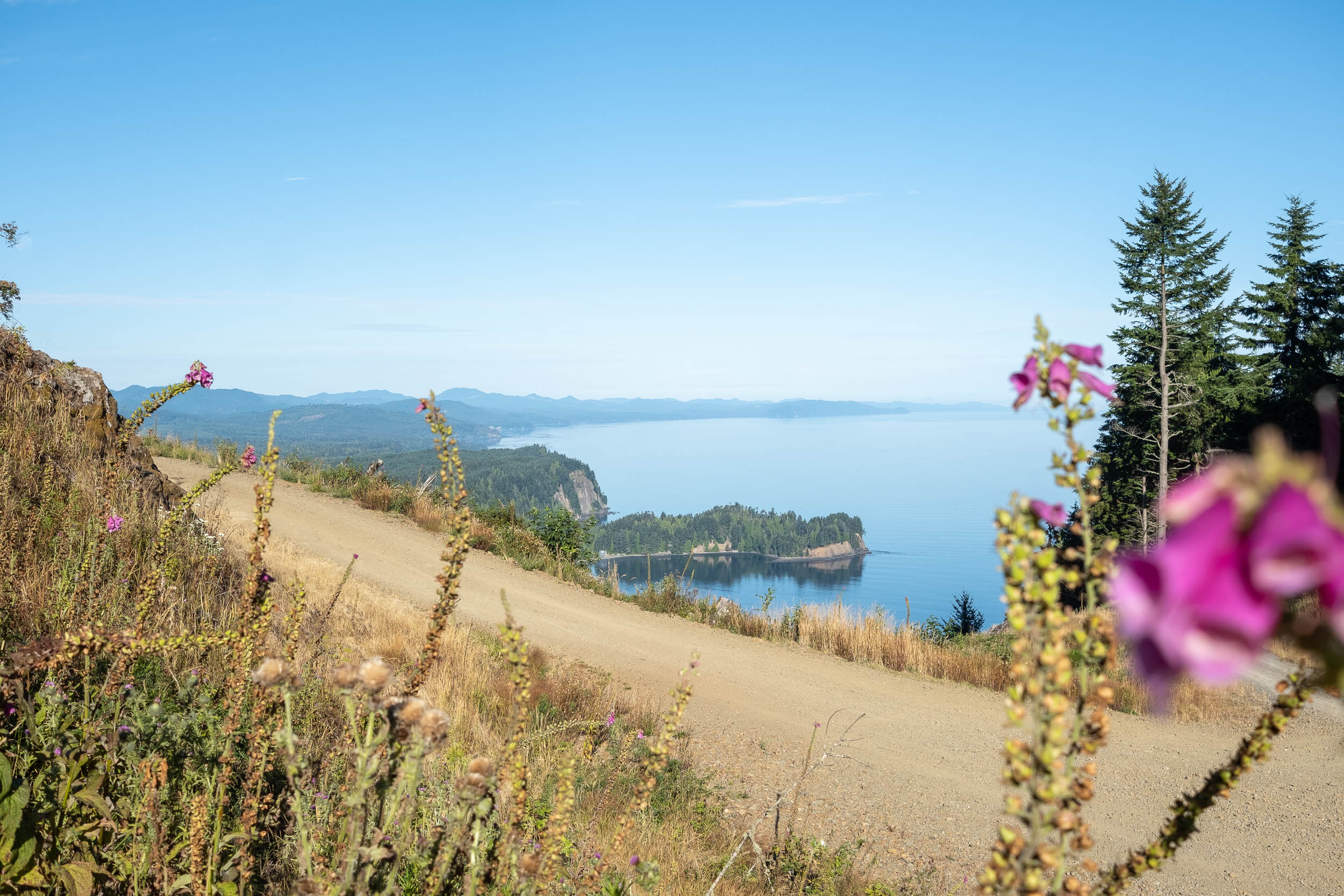
Exploring the old bunkers at Salt Creek was loads of fun. Originally known as Camp Hayden, the military base was built as part of a defense plan during the Second World War, with some of the larger guns having the range to fire targets as far as Victoria across the Salish Sea. Today, the 196-acre Recreation Area is home to the campground, some of the best tidal pools in the region, several old military structures, and an impressive section of singletrack from Striped Peak along the ridge back towards Port Angeles. We opted to slog up the Striped Peak Trail, which required some hike-a-bike, but there’s also a gravel road climb that gets you to the top.


The Olympic Adventure Route (Loop)
Our take on the Olympic Adventure Route deviates from the original route in favour of more café stops, fewer out-and-backs, and more variation. It’s only about 10 miles longer but adds in some engaging points of interest that I think are worth some extra road miles. The detour down to Granny’s Café won’t be necessary for everyone, and if I were to ride it again, I’d probably stay on the Adventure Route and leave some more time to hangout at Lake Crescent instead.
The map above shows what we rode. We followed the original route guide to Lake Crescent and changed things up by hopping on the road on our way to Blackberry Café and Salt Creek Campground. The added distance meant we could spend two nights out enjoying the area and never felt like we were in a rush to get anywhere. The only spot we didn’t get to check out was the Colville Trails, just west of the Adventure Route Trailhead, which would have added on a few hundred metres of trail riding.

Tips on Making a Route Your Own
Route guides here on the site are incredible resources when it comes time to go bikepacking. As our cornerstone content, a lot of time and research goes into every route we share, and I think I speak for all creators when I say it’s incredibly rewarding to design and share a route with the public. That said, there are many to make a route your own. The Olympic Adventure Route is a great example of this. To help get you started, Emily and I sat down and put together a list of tips on making a route your own:
- Dig into some maps: It’s amazing what kind of information you can find using online map layers, physical maps, and heat maps. I always poke around Ride with GPS’ various map layers before heading out, and the global heat map layer is a great tool for figuring out where people are actually riding.
- Make a plan: Is the goal to hammer out the prescribed route or see how the day goes and roll with it? It’s always a good idea to have everyone in your group on the same page before heading out. Emily and I were looking for a more relaxed experience, so take-out food and lots of breaks were priorities.
- Talk to locals: Everyone loves to talk about where they live. We had chats with fellow tourists, pie-lovers, park rangers, and cyclists who were curious as to what we were up to. Ask if they know of any trails or alternative routes for getting from point A to point B. Maybe there’s a cool route that doesn’t show up on any maps.
- Do some extra research: Our route guides provide a lot of valuable information, but there’s all kinds of details, hidden camp spots, and cool places that aren’t included. If you have some extra time before you head out, do some digging to see what else is out there. Try looking up nearby hiking trails or waterfalls if that’s your thing. If you’re like me, you’ll probably want to know where every bakery is within riding distance from the route. Use the route as a guide for something more catered to your interests.
- Plan to be flexible: Emily and I have been planning shorter distances in an effort to maximize our flexibility while riding, which allows us to make detours and take longer breaks during the day. Sometimes you need to just hammer out the miles, which is all good, but working in a shorter day than what you’re used frees up loads of time for the unforeseen.


All in all it was a fantastic trip and it was fun to finally explore an area I’ve been thinking about for some time. If anyone has any questions about our route, let us know in the comments below. For the original route guide, head over to the Olympic Adventure Route page to learn more.
Related Content
Make sure to dig into these related articles for more info...
Please keep the conversation civil, constructive, and inclusive, or your comment will be removed.