


Elks Traverse
Distance
56 Mi.
(90 KM)Days
2-3
% Unpaved
90%
% Singletrack
20%
% Rideable (time)
80%
Total Ascent
8,300'
(2,530 M)High Point
12,638'
(3,852 M)Difficulty (1-10)
8?
- 9Climbing Scale Very Strenuous148 FT/MI (28 M/KM)
- -Technical Difficulty
- -Physical Demand
- -Resupply & Logistics
Contributed By
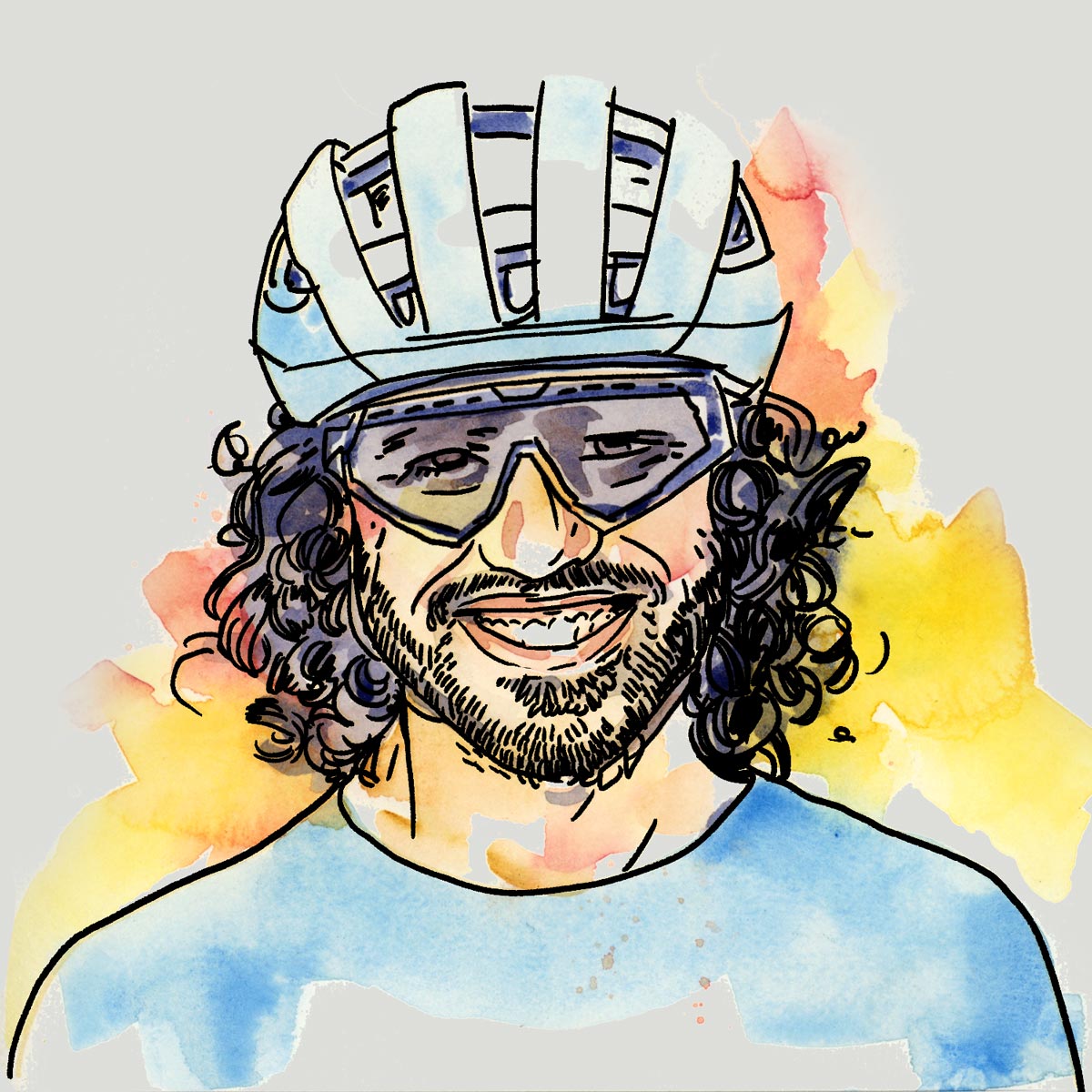
Neil Beltchenko
Associate Editor & YouTube Host
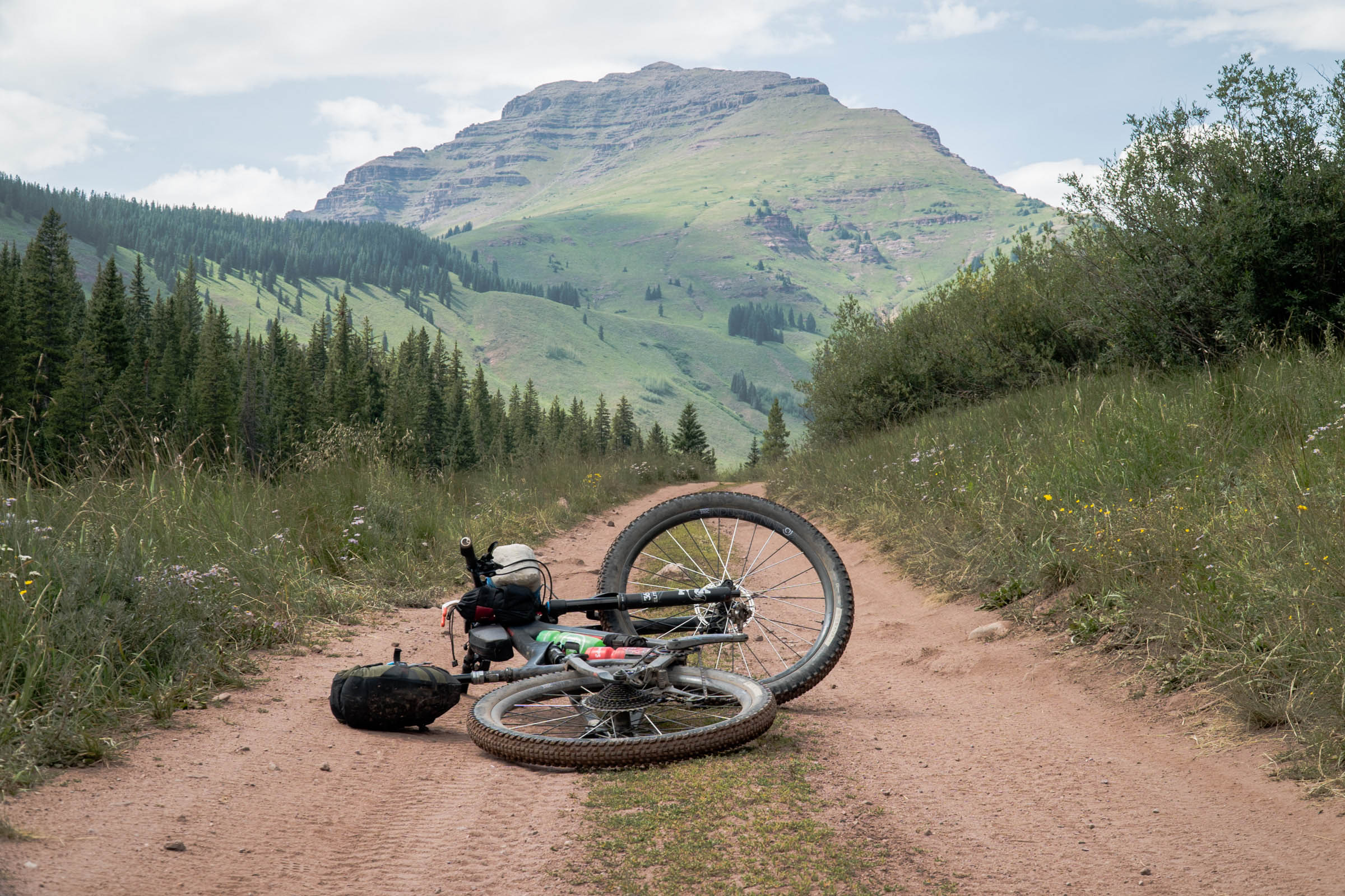
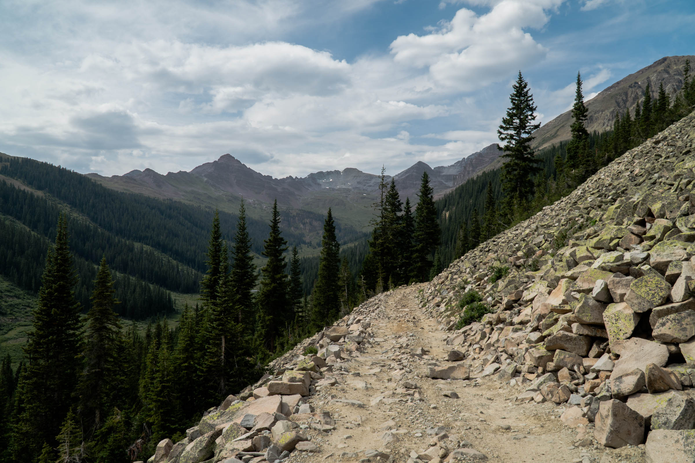
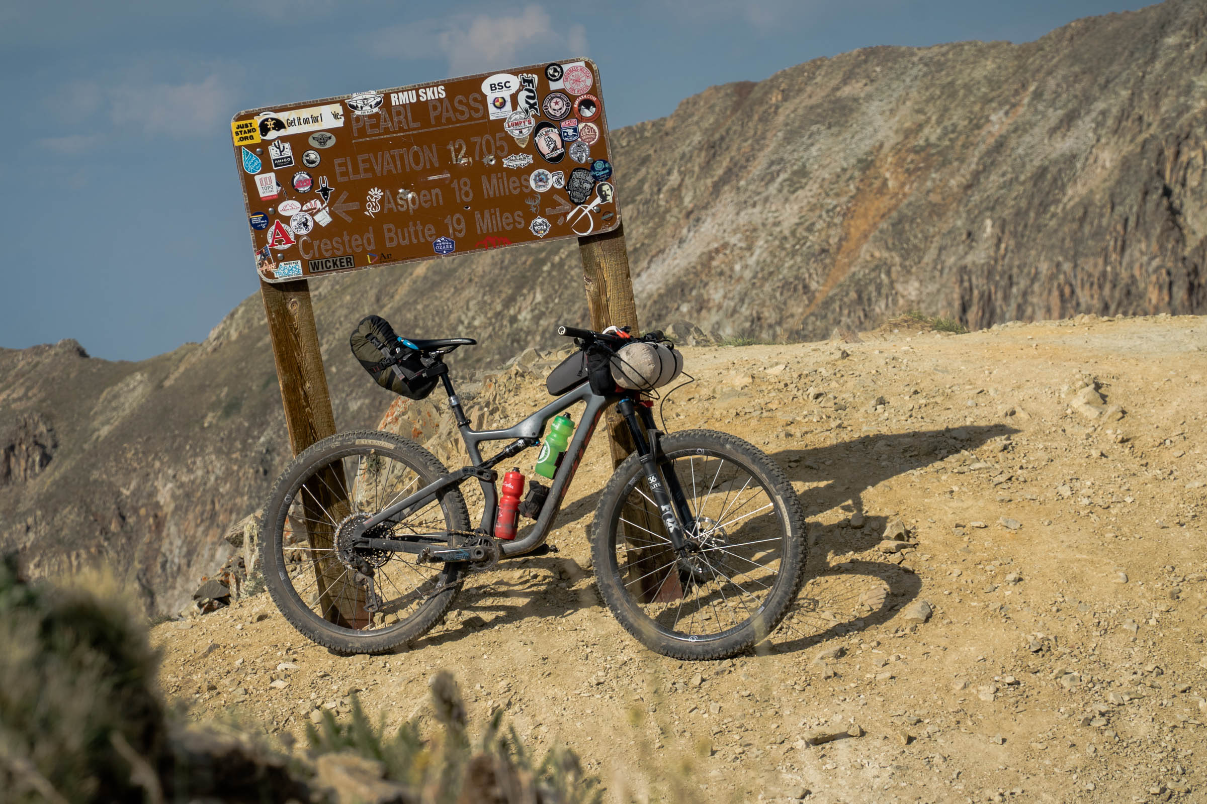
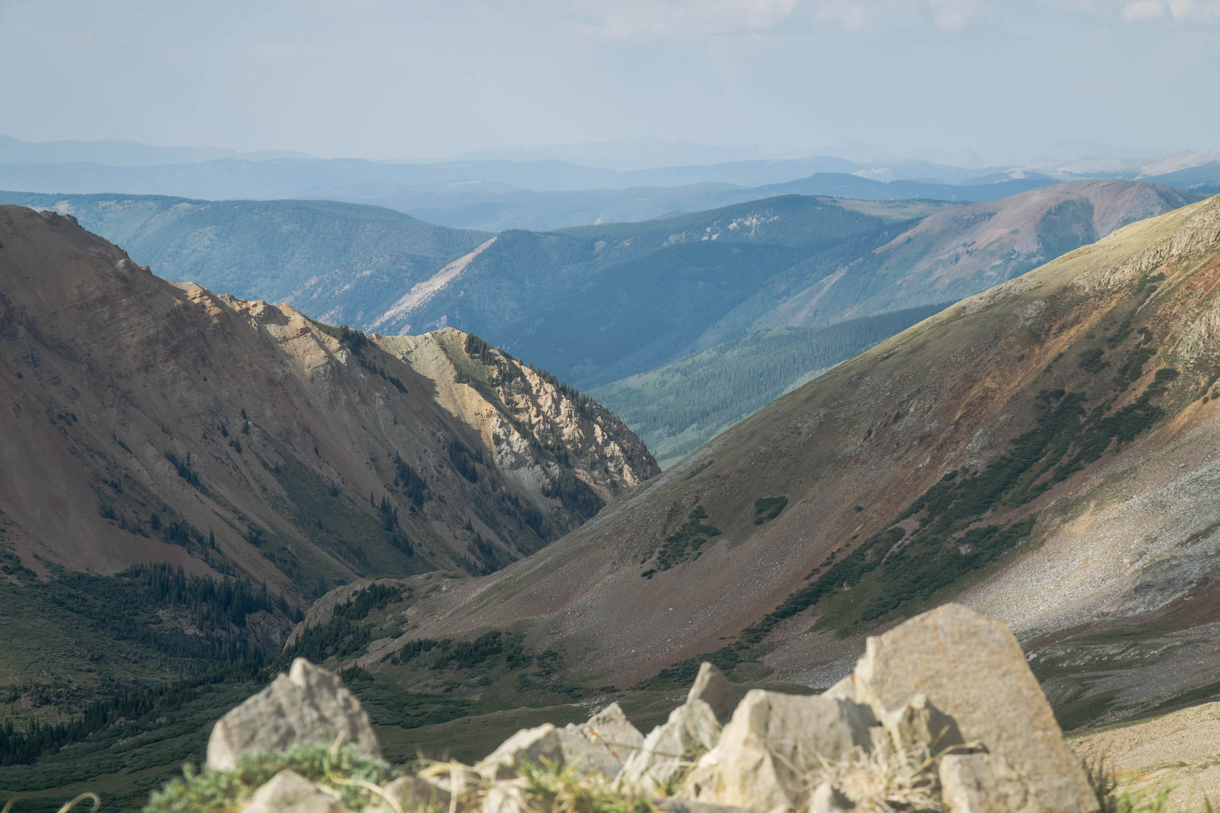
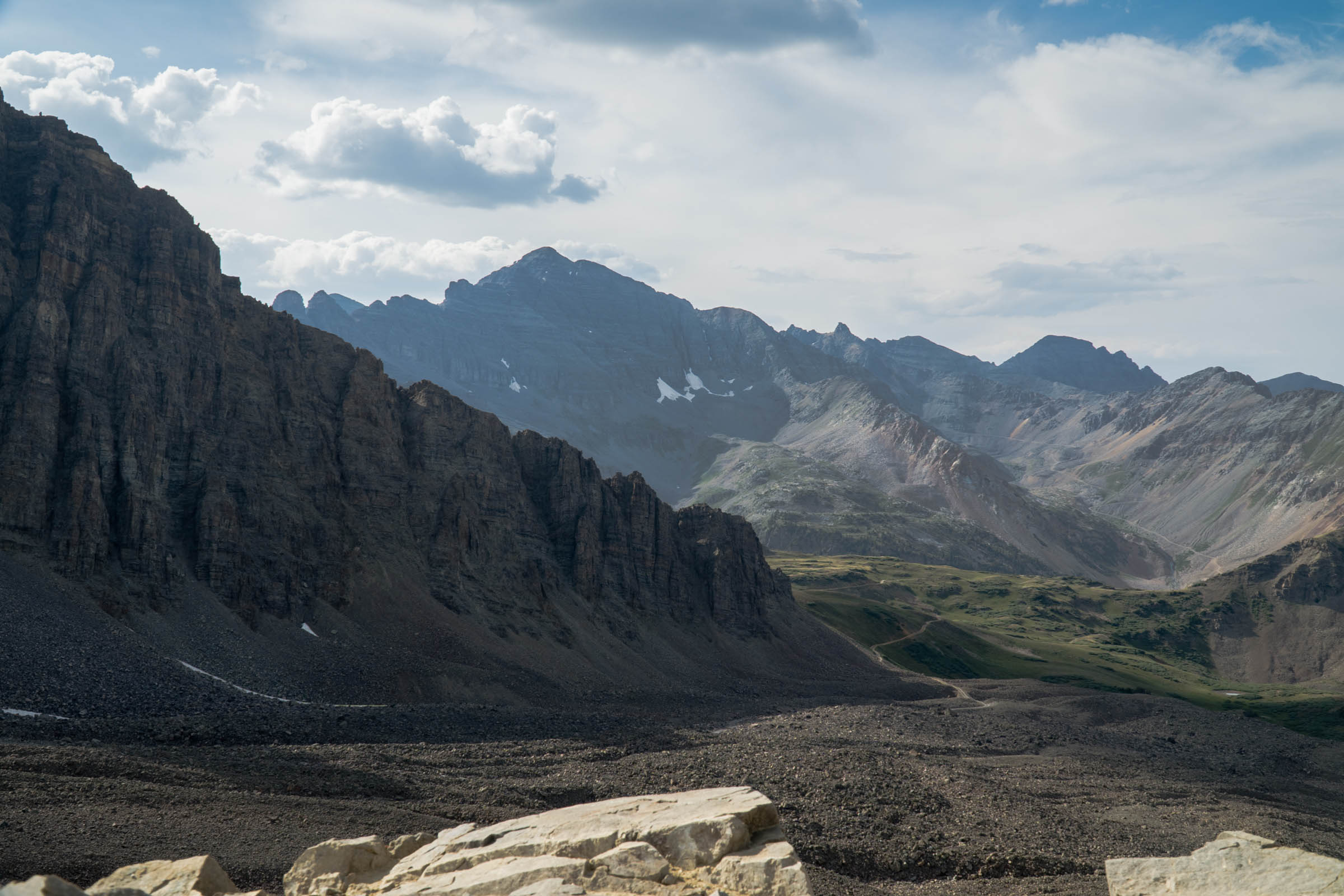
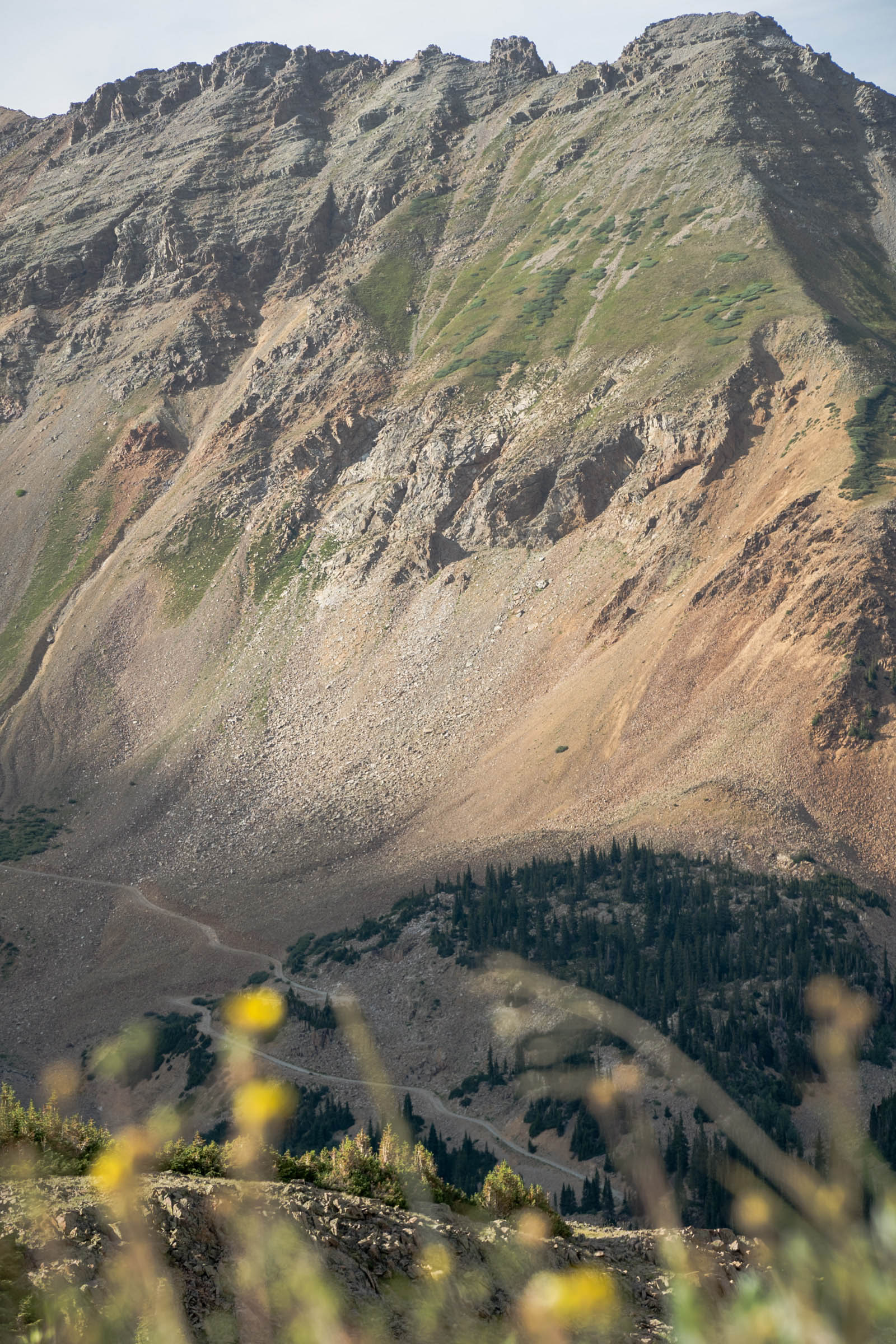
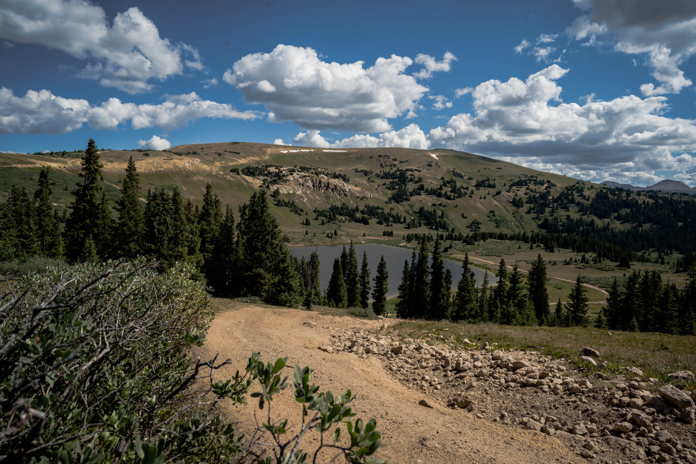
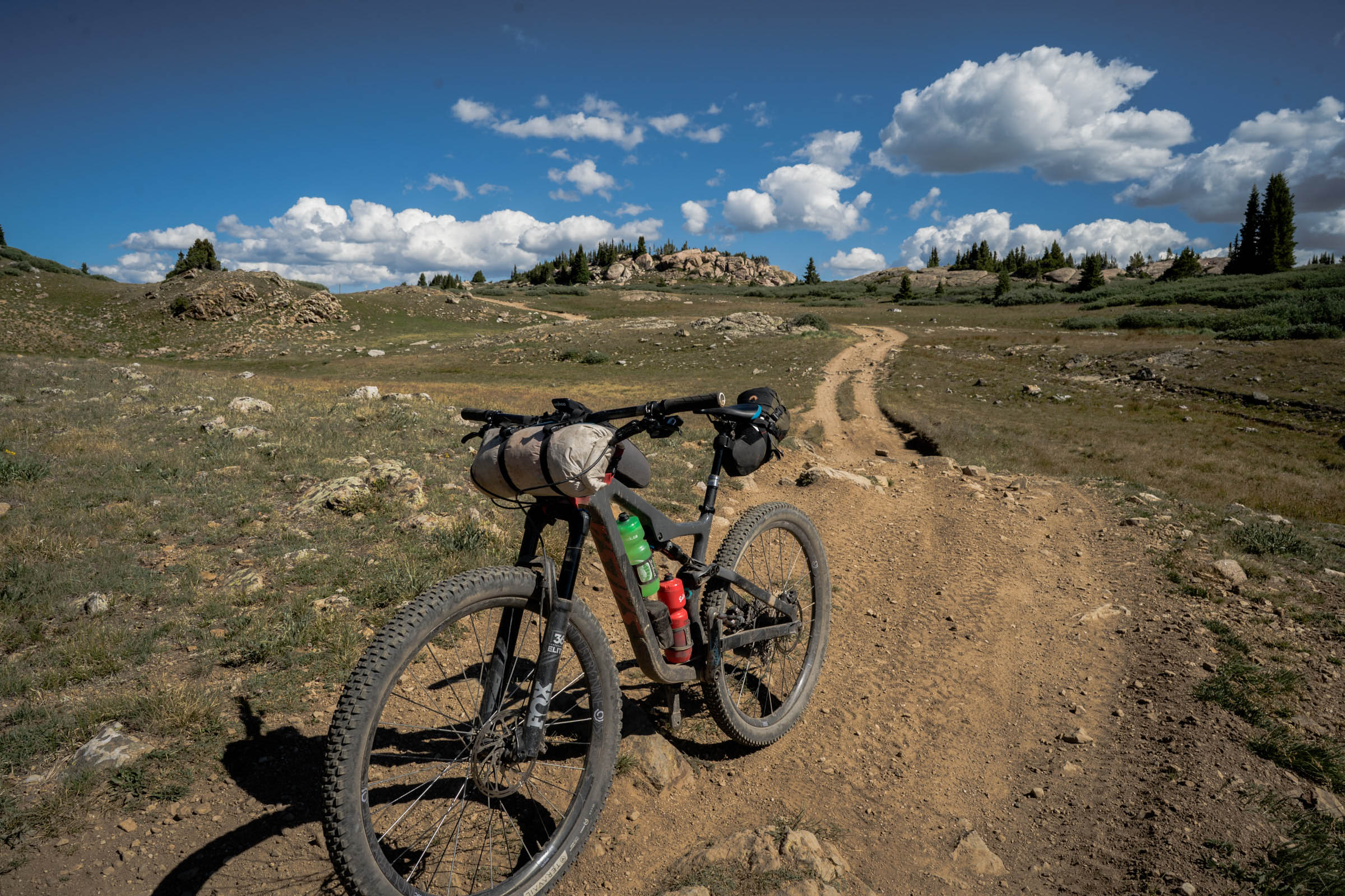
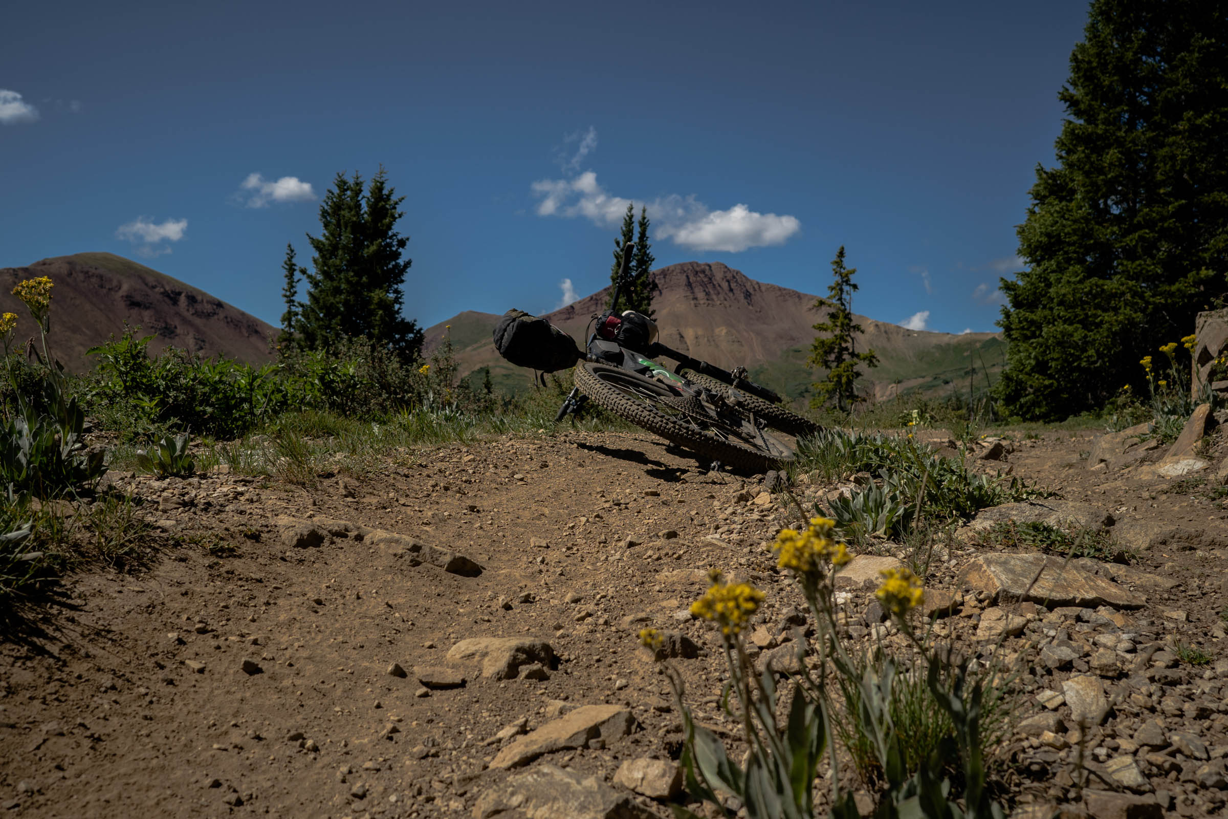
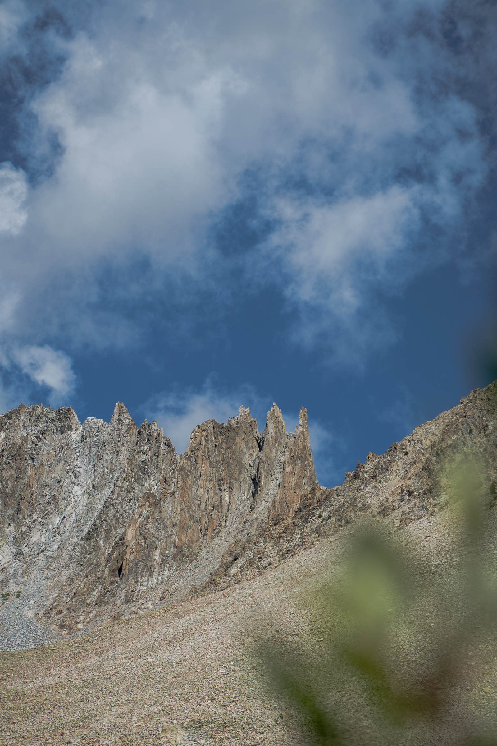
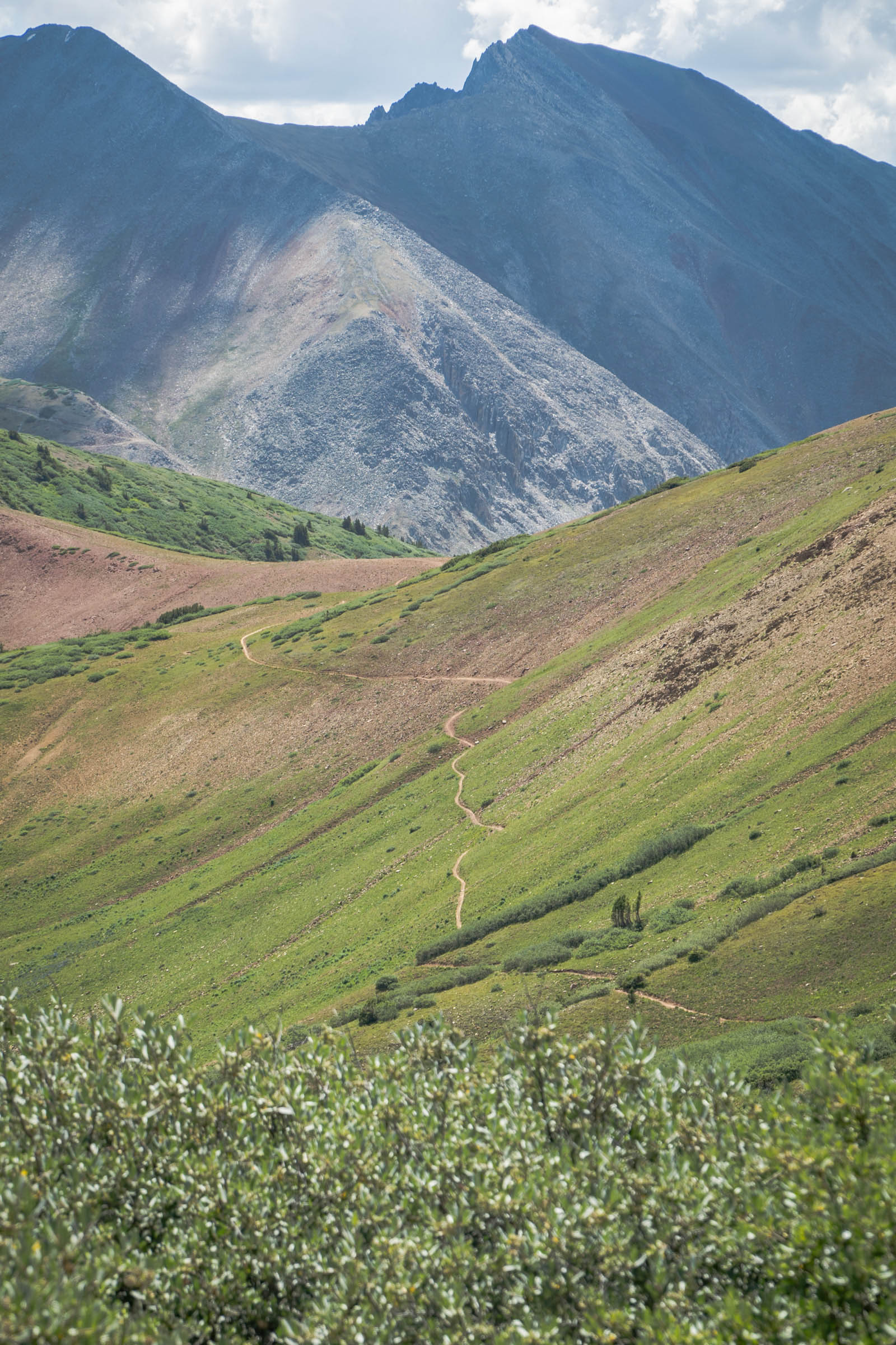
The Elks Traverse gets its name from the Elk Mountains of Colorado, an incredible mountain range in the central part of the state. Similar to the Tilton Traverse route, the Elks Traverse comes with loads of climbing before finally being rewarded by an incredible six-mile singletrack descent down Trail 400. One of the highlights of this route is the climb up to 12,700 foot Pearl Pass, an iconic pass that separates Crested Butte and Aspen.
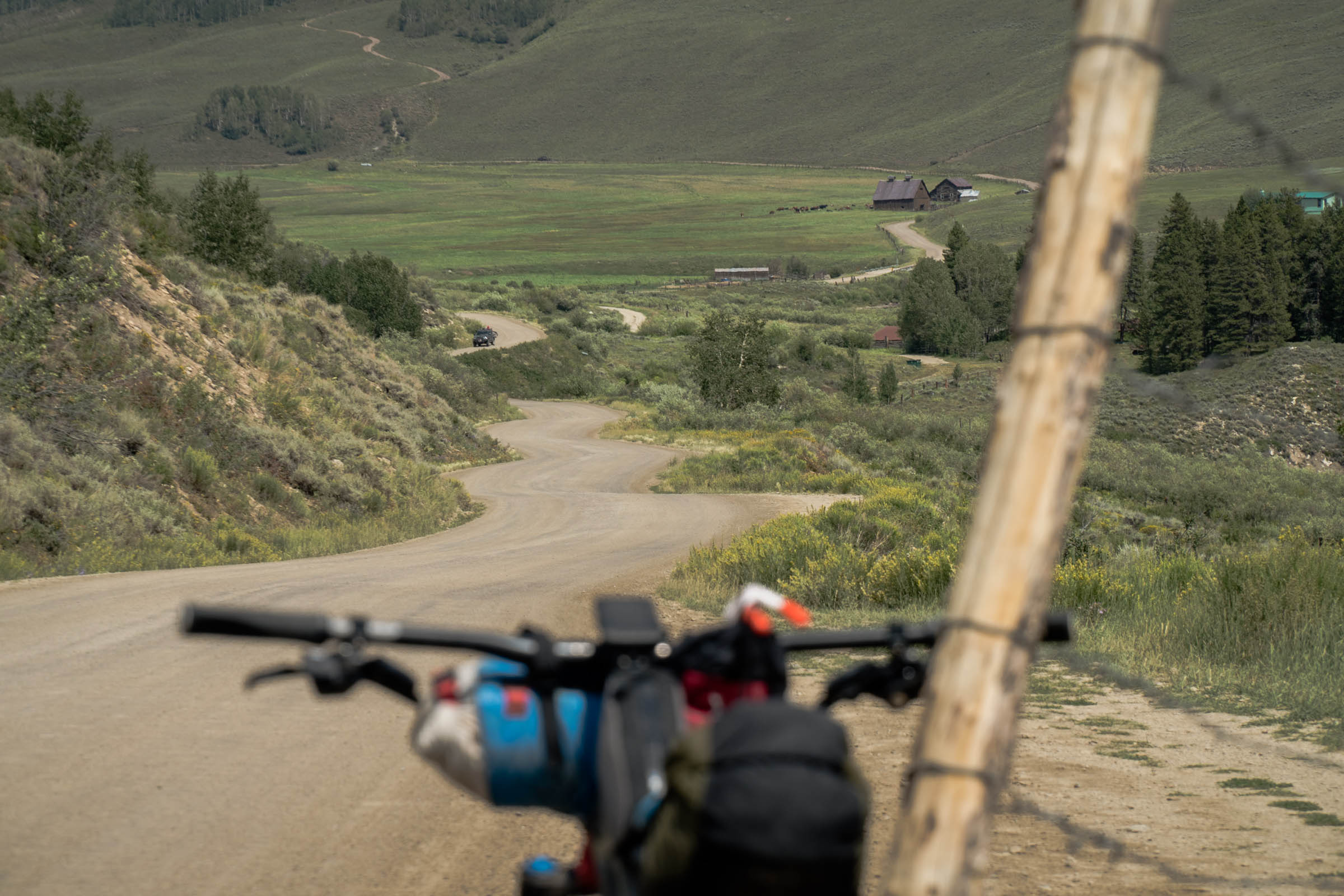
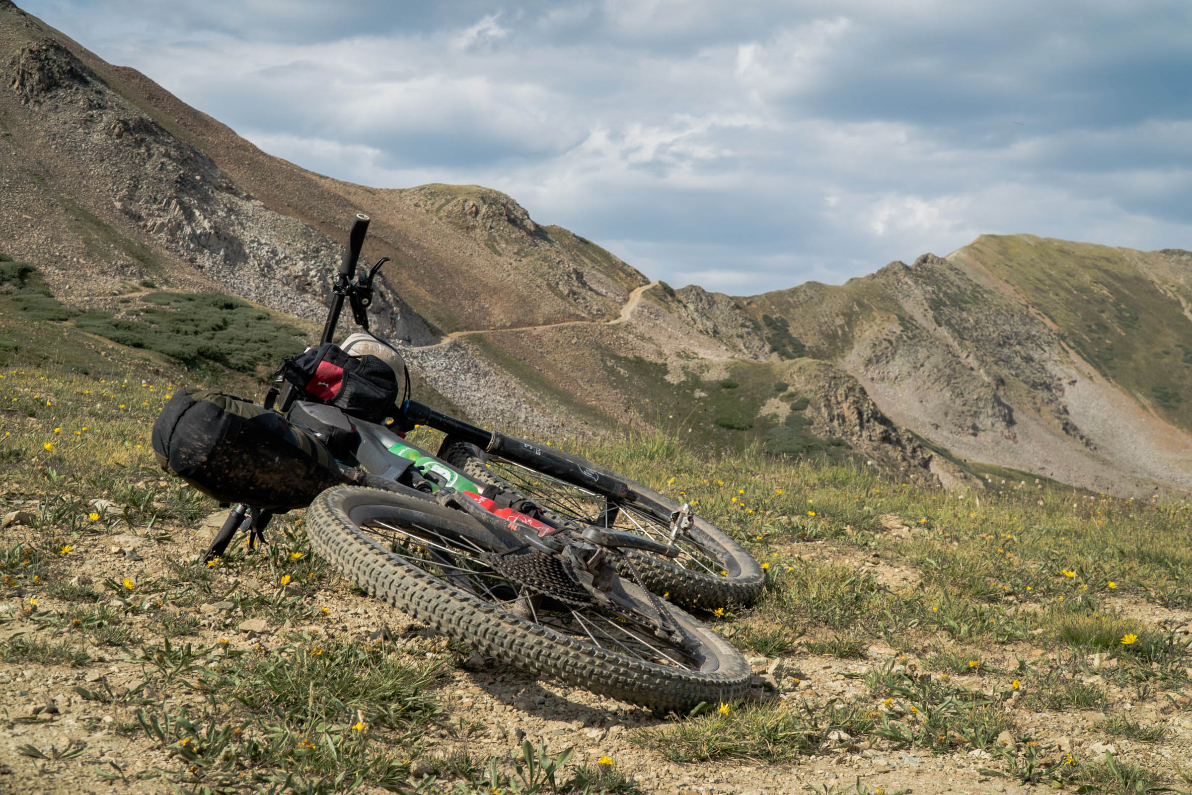
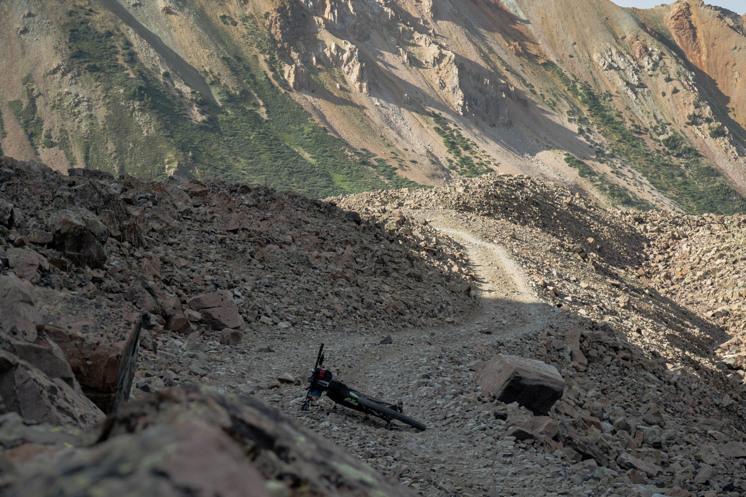
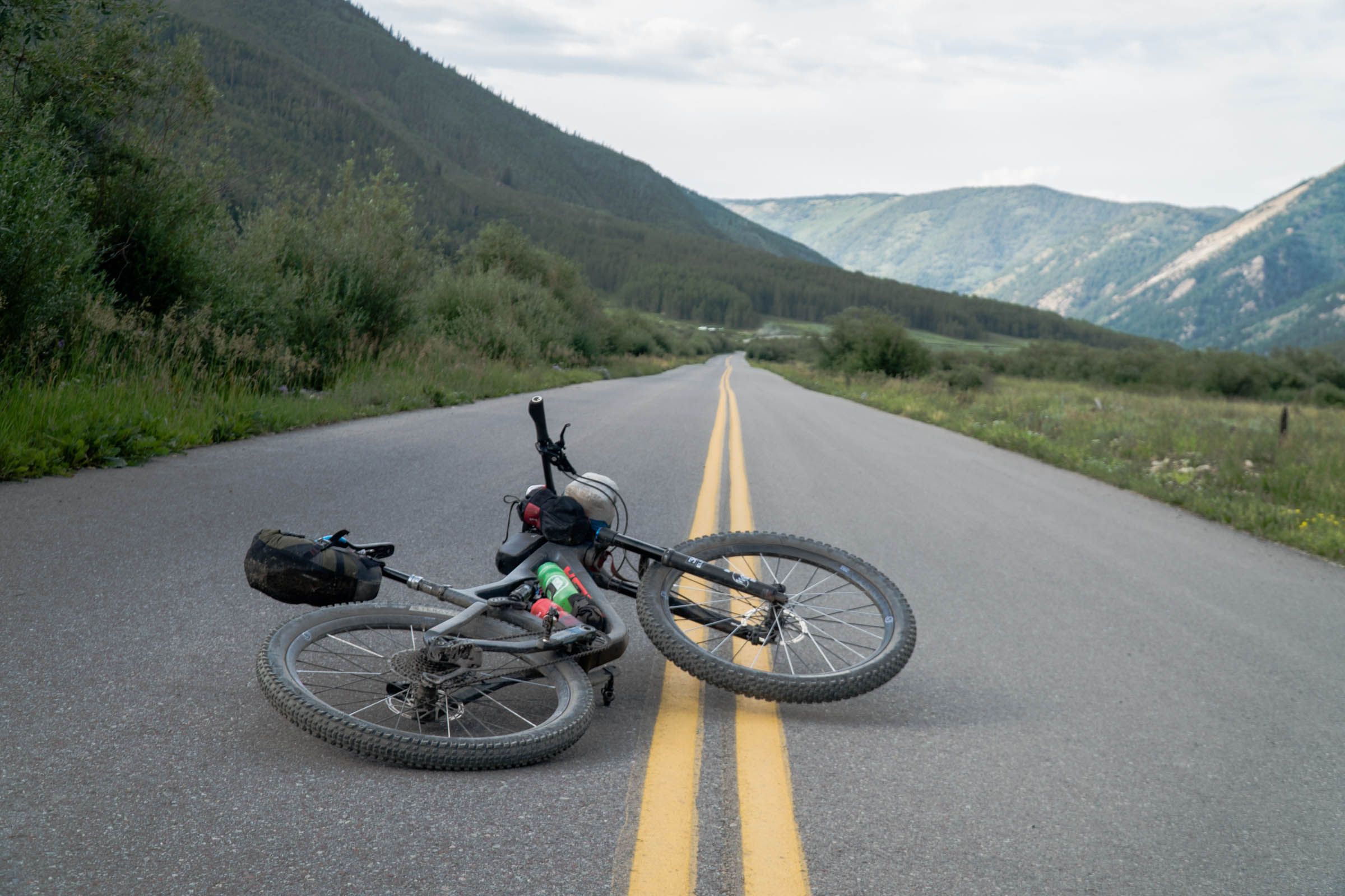
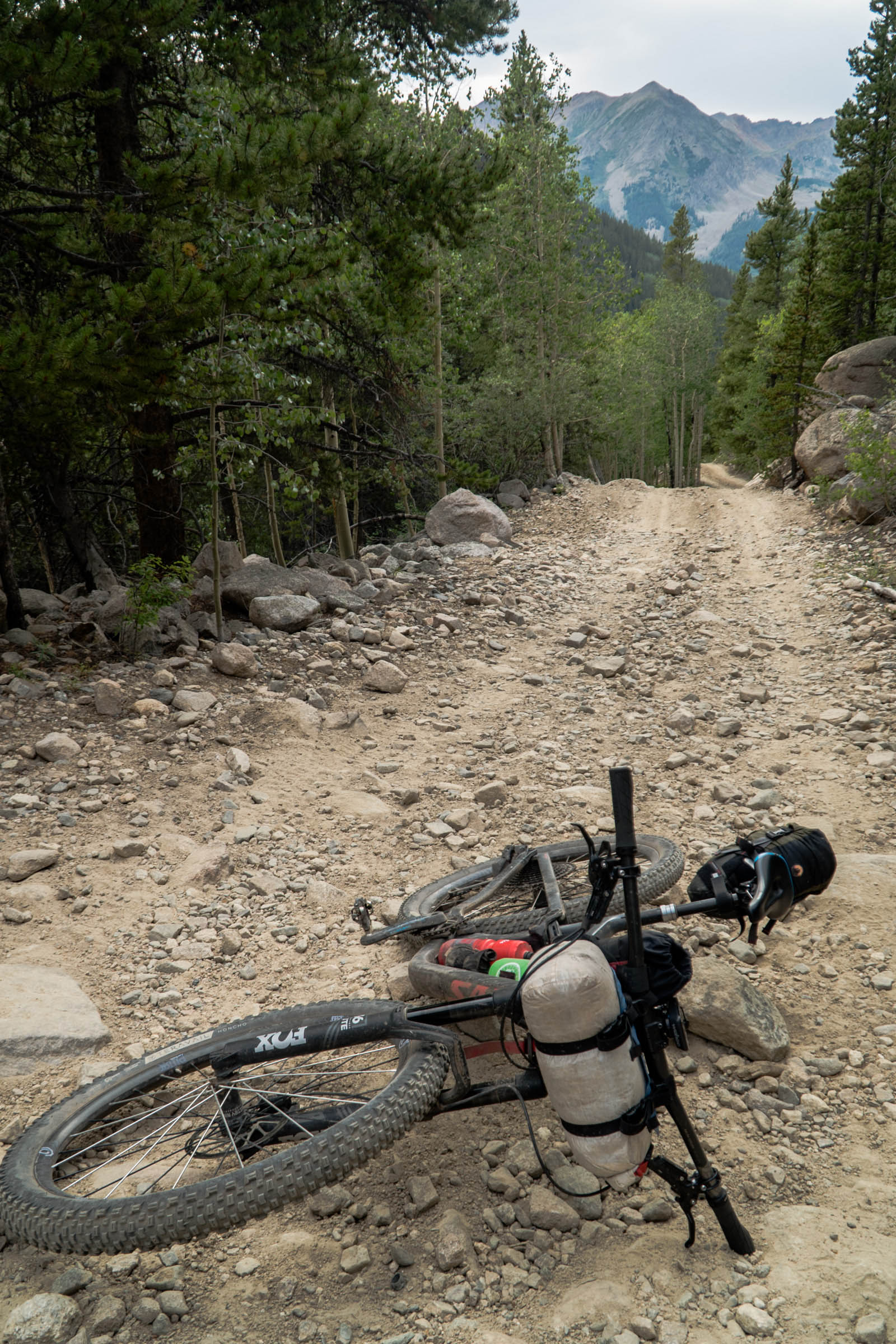
This route pays homage to the klunker days when folks from Crested Butte would ride their klunkers (cruiser bikes turned mountain bikes) to Aspen. While the route starts with some relatively simple and rideable terrain, it quickly changes once you hit the 4×4 road that brings you up to Pearl Pass. You will endure some lung-busting climbs and plenty of rocks that will certainly have you hiking alongside your bike.
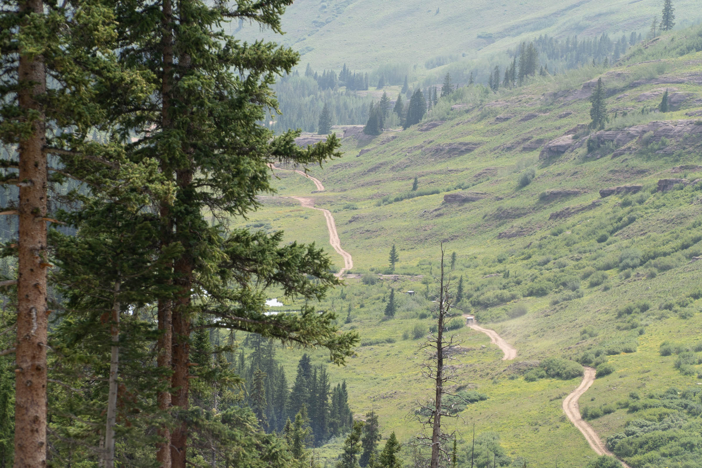
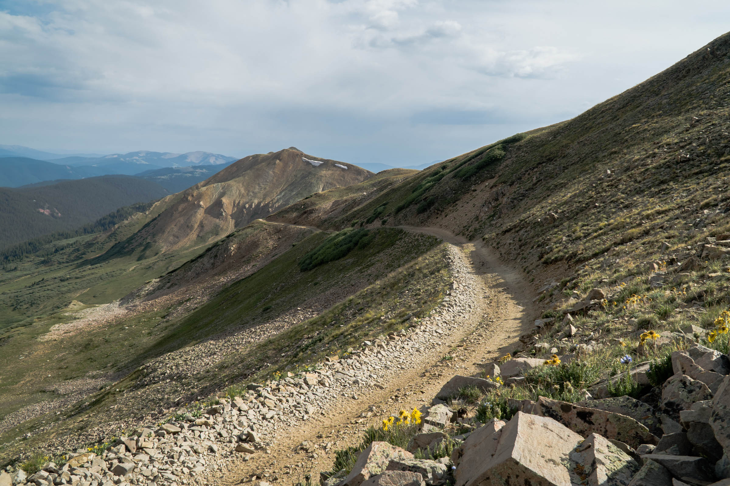
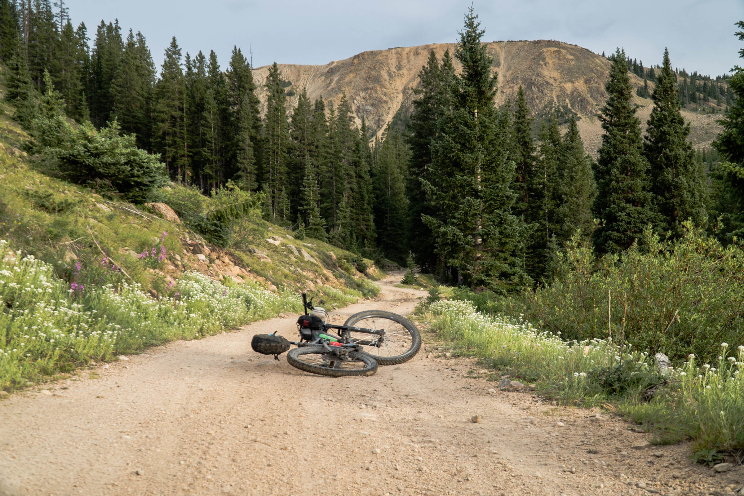
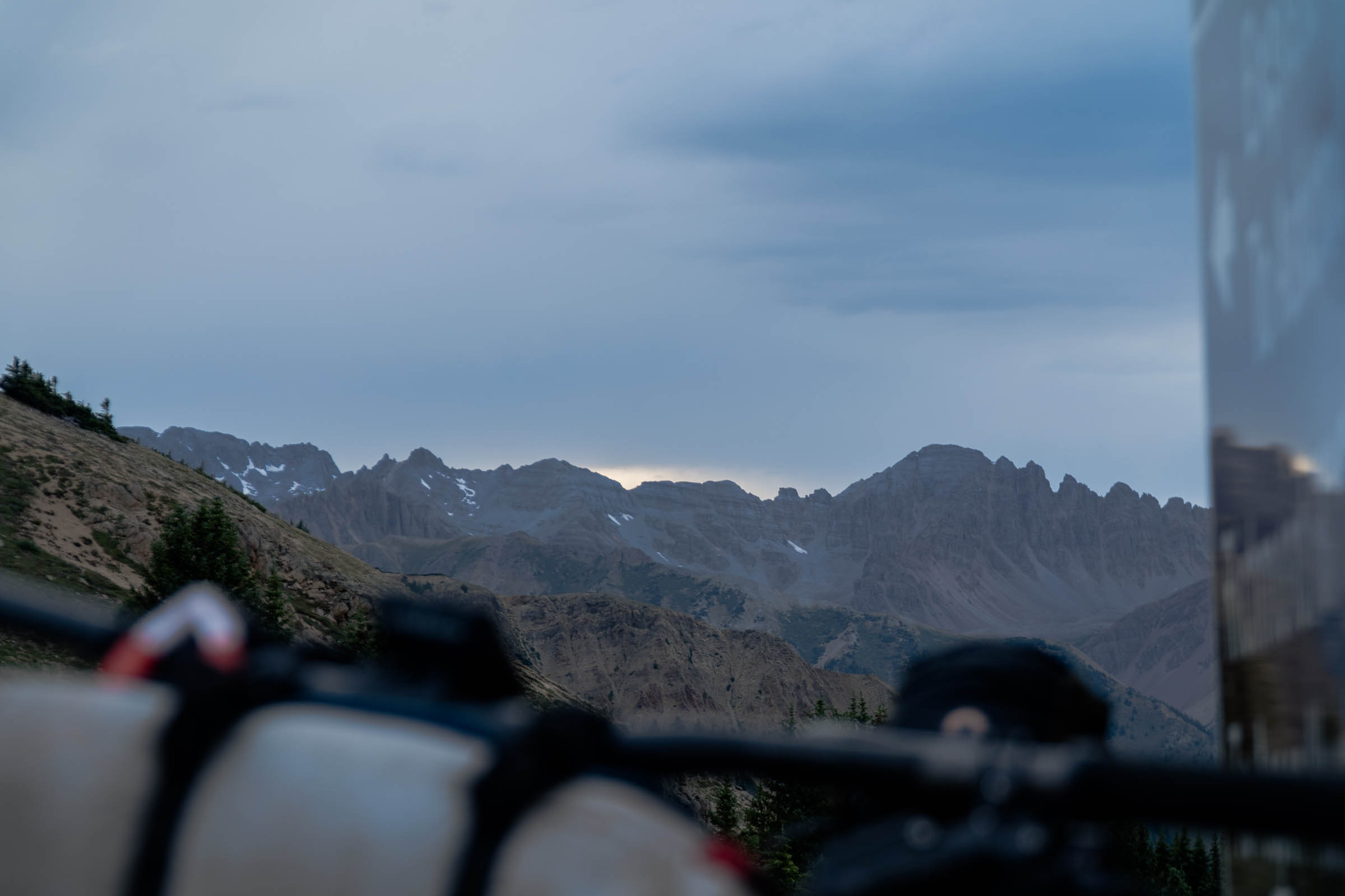
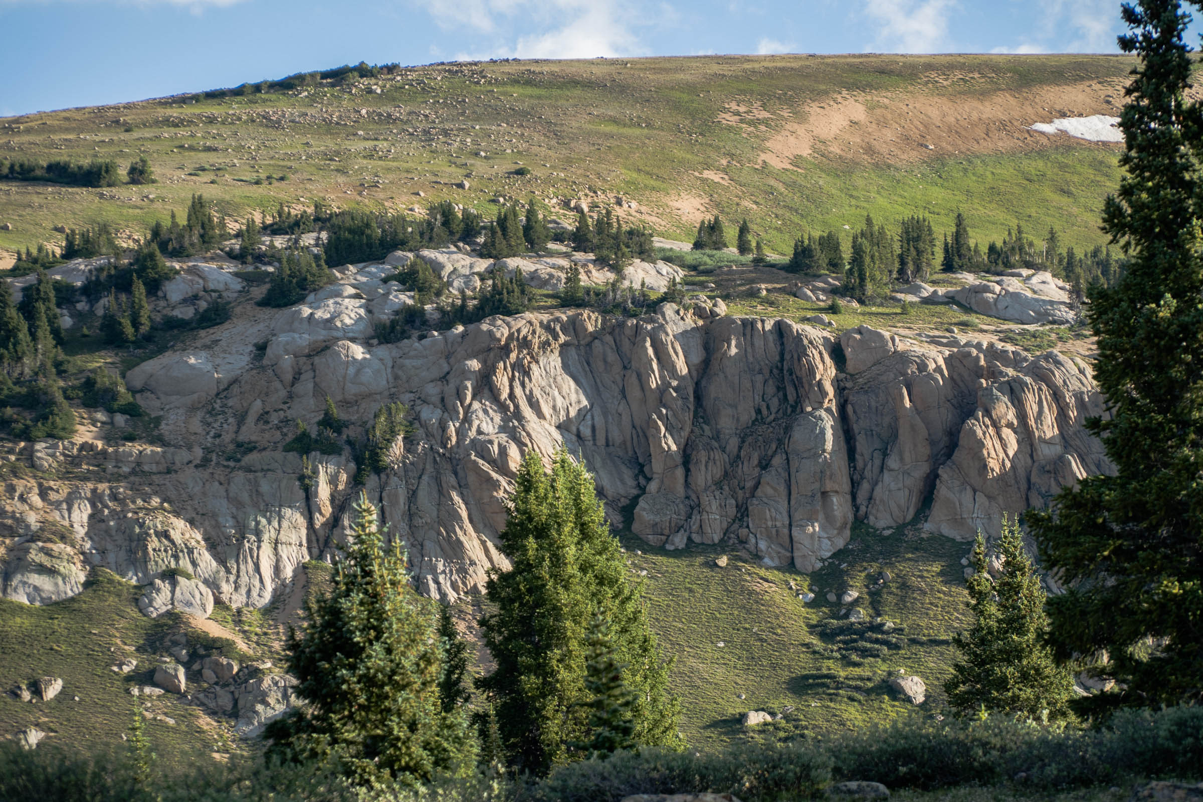
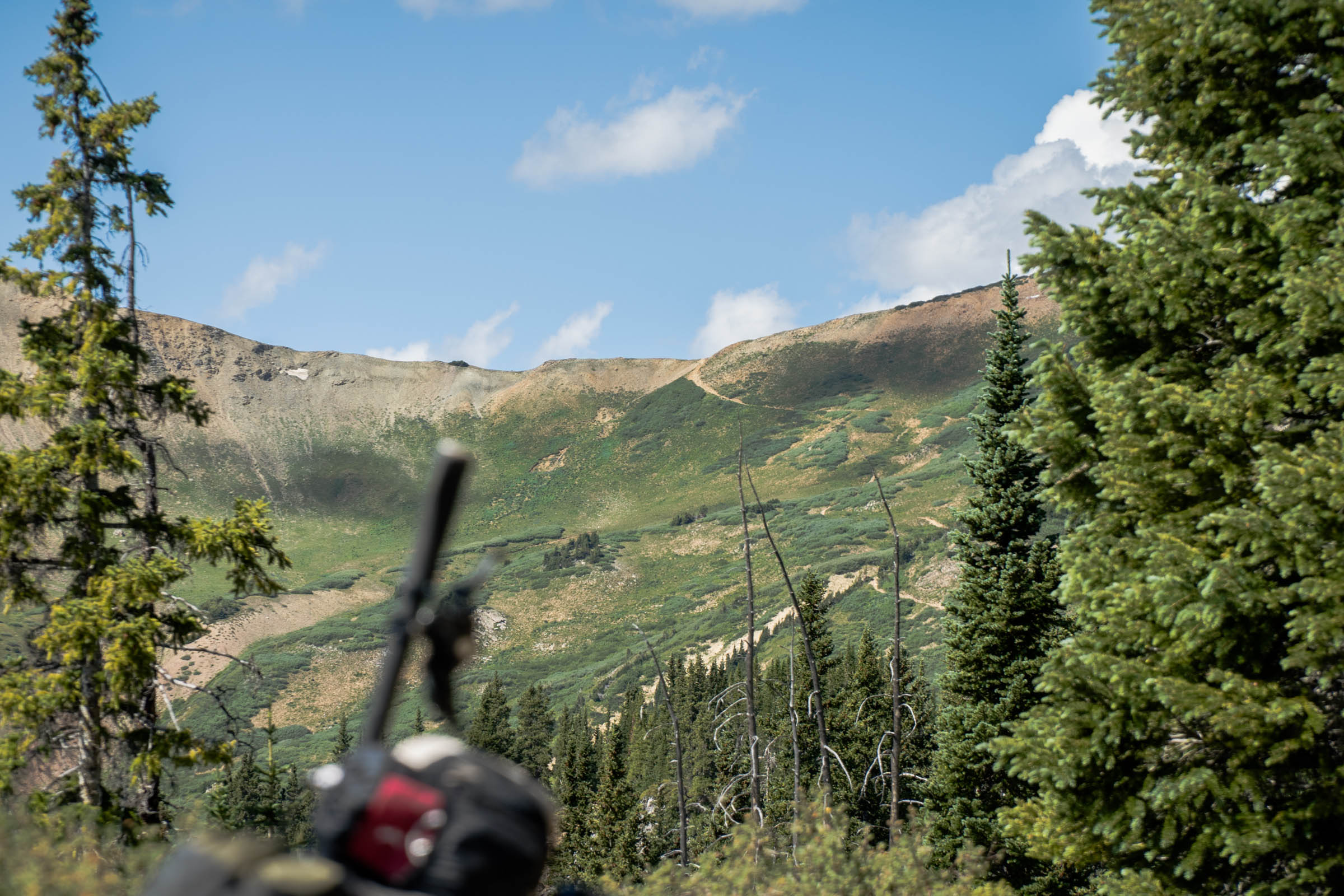
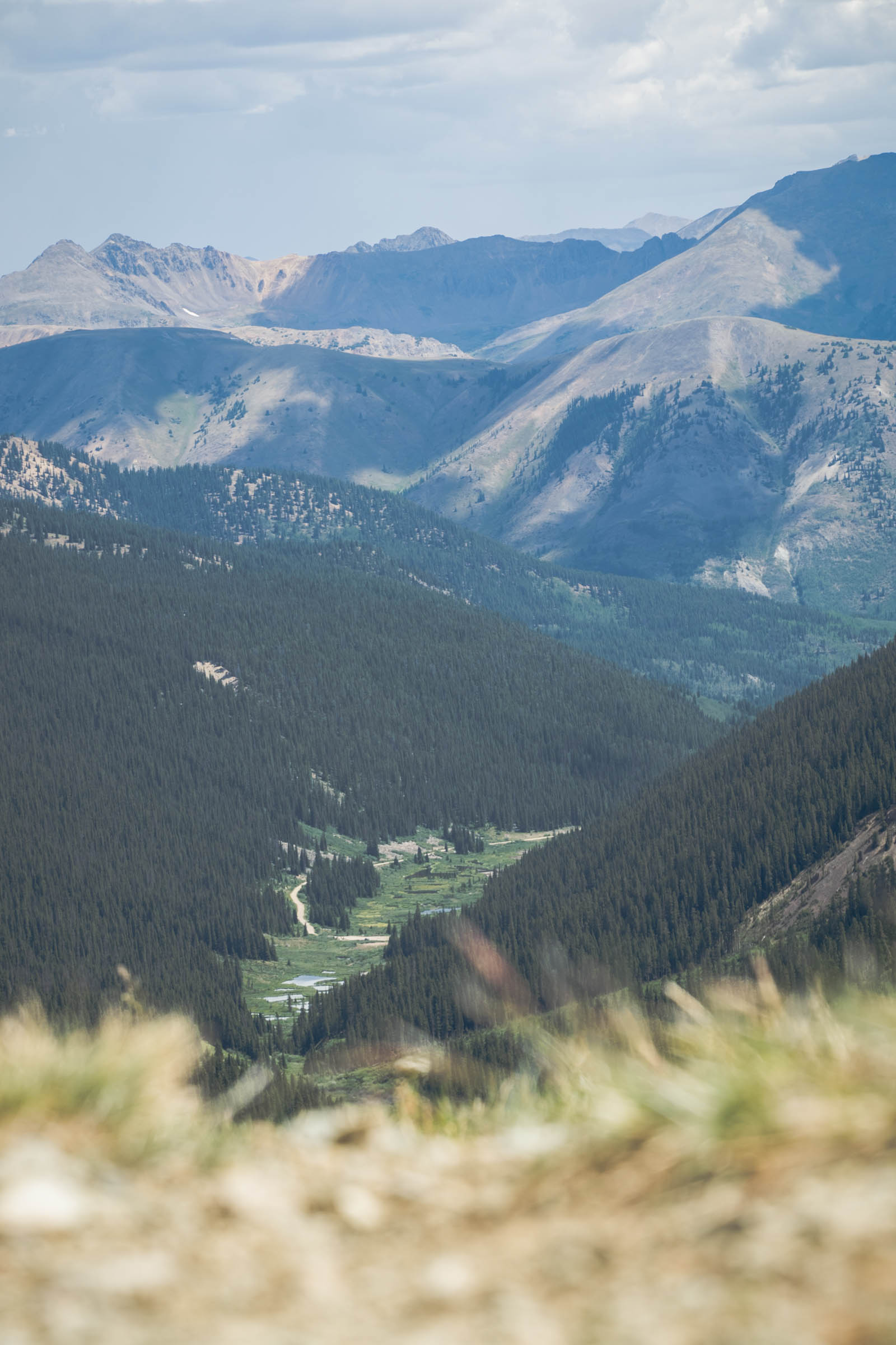
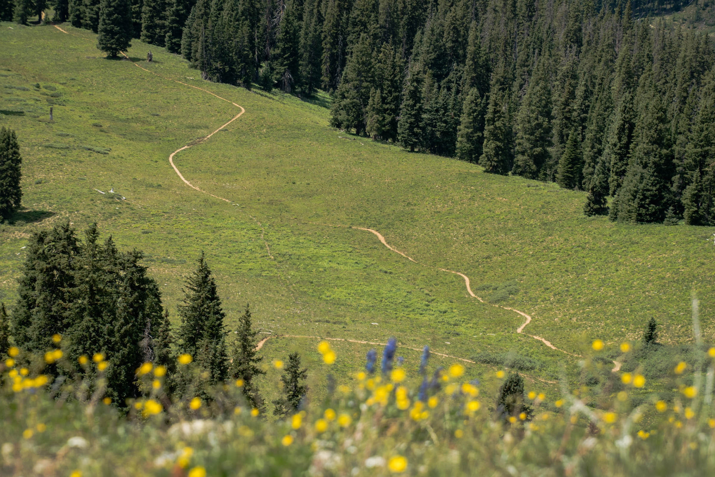
The higher you climb, the better the views, with the incredible viewpoints up at Pearl Pass, Taylor Pass, and Star Pass. While the majority of this route is “road” it’s not necessarily terrain suitable for a gravel or drop bar mountain bike, especially once you hit the singletrack portion of the route. That being said, Crested Butte locals would take their klunkers up and down Pearl Pass all the way back in 1976, so any bike will do. However, the most enjoyable experience will be on a full-suspension bike. It’ll not only help for the descents but should make for easier climbing.
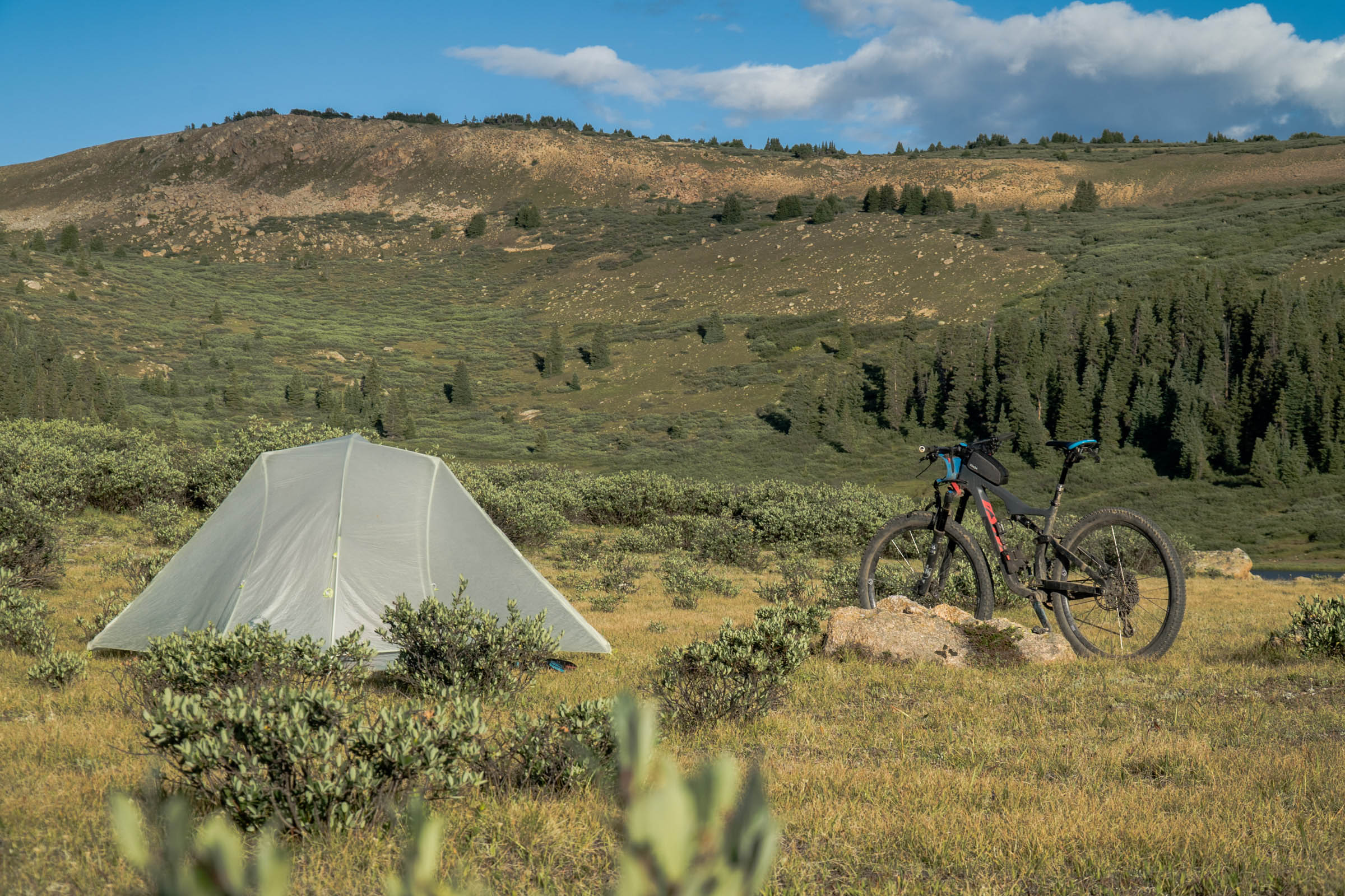
This route is unique because you can customize it in any way you choose. There are some really awesome singletrack add-ons, wonderful creeks and rivers to fish, and incredible camping spots, making this route a great two-night, three-day tour or a painful overnighter.
Route Difficulty
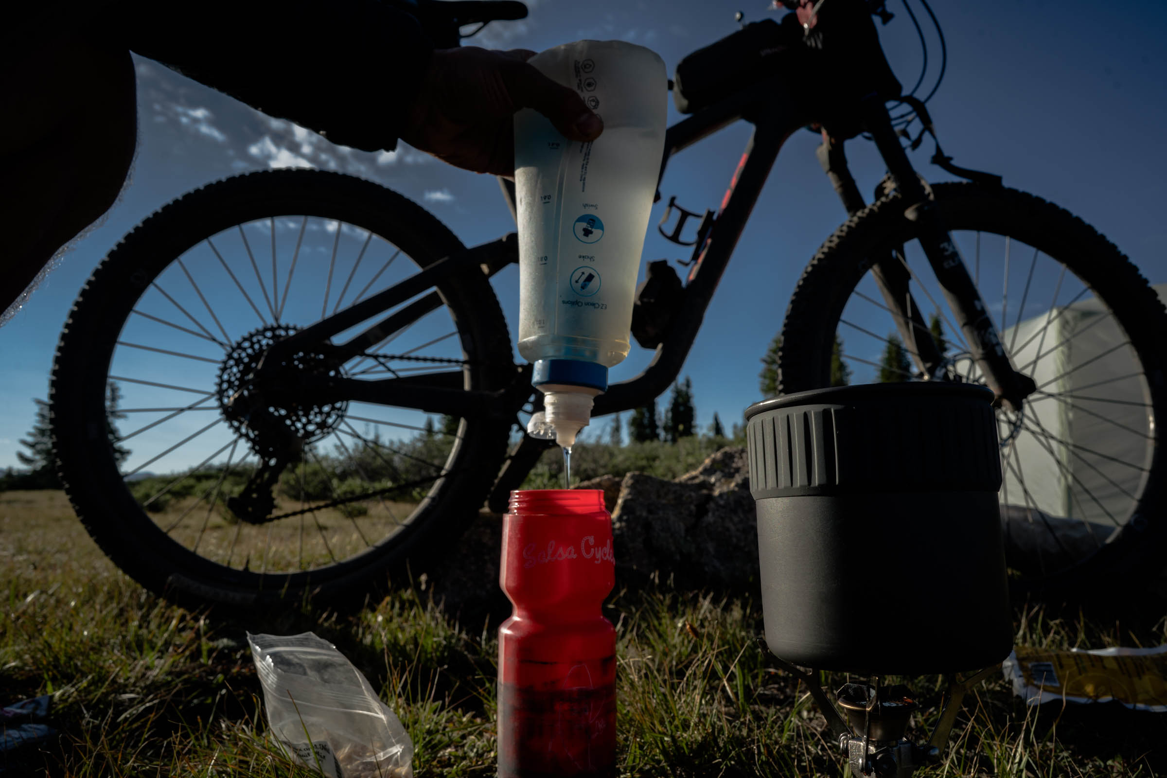
While this route only covers 56 miles, hidden behind those numbers is a daunting 8,300 feet of ascent, with many of those miles loose, rocky, at altitude, and in general very slow. The singletrack descent is rated as moderate, and while it offers nothing extremely challenging, it’s steep in spots, with loose rocks and plenty of ruts. You will also need to carry all the food you want for the trip. However, water is plentiful and I actually recommend carrying less water and filtering more often. I used two bottles in my frame for this trip and it worked very well. Overall, expert bike handling and fitness will keep you on the bike longer, which will make this route much more pleasant. Based on those characteristics, this route would be a 9 as an overnighter, 8 as a two-night, three-day trip.
Route Development: This route is the more challenging version of the Tilton Traverse. Both have the same outcome, just different ways of getting there. Both the Elks and Tilton Traverses have the ability to add on a variety of singletrack on the front or back ends of the trip. Another idea I had was to ditch your bags to enjoy some world-class singletrack in the area without the extra weight. I also wanted to showcase the high alpine fly fishing in the area, which is very good, not only on the creeks but also at Taylor Lake.


Submit Route Alert
As the leading creator and publisher of bikepacking routes, BIKEPACKING.com endeavors to maintain, improve, and advocate for our growing network of bikepacking routes all over the world. As such, our editorial team, route creators, and Route Stewards serve as mediators for route improvements and opportunities for connectivity, conservation, and community growth around these routes. To facilitate these efforts, we rely on our Bikepacking Collective and the greater bikepacking community to call attention to critical issues and opportunities that are discovered while riding these routes. If you have a vital issue or opportunity regarding this route that pertains to one of the subjects below, please let us know:
Highlights
Must Know
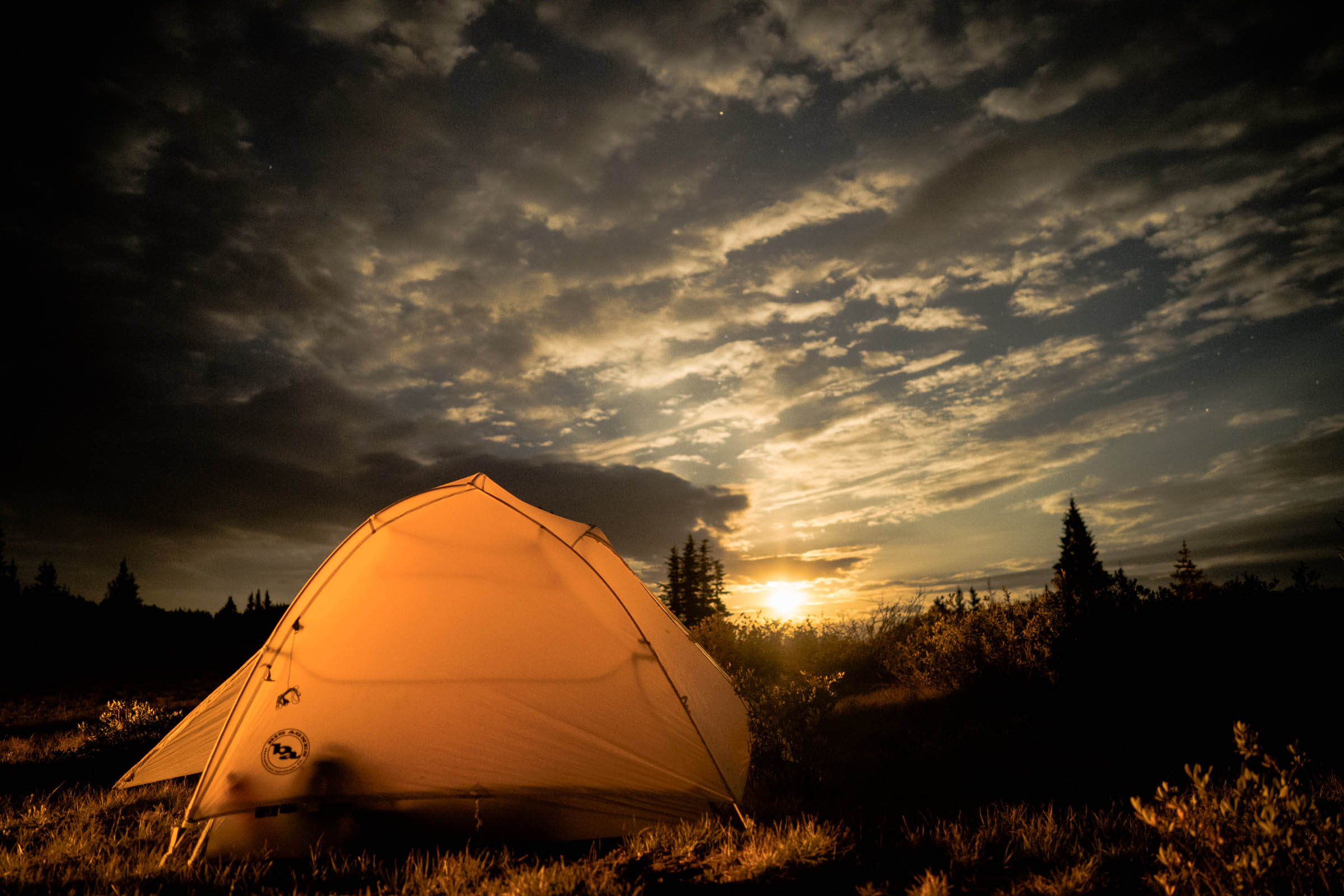
Camping
Food/H2O
Resources
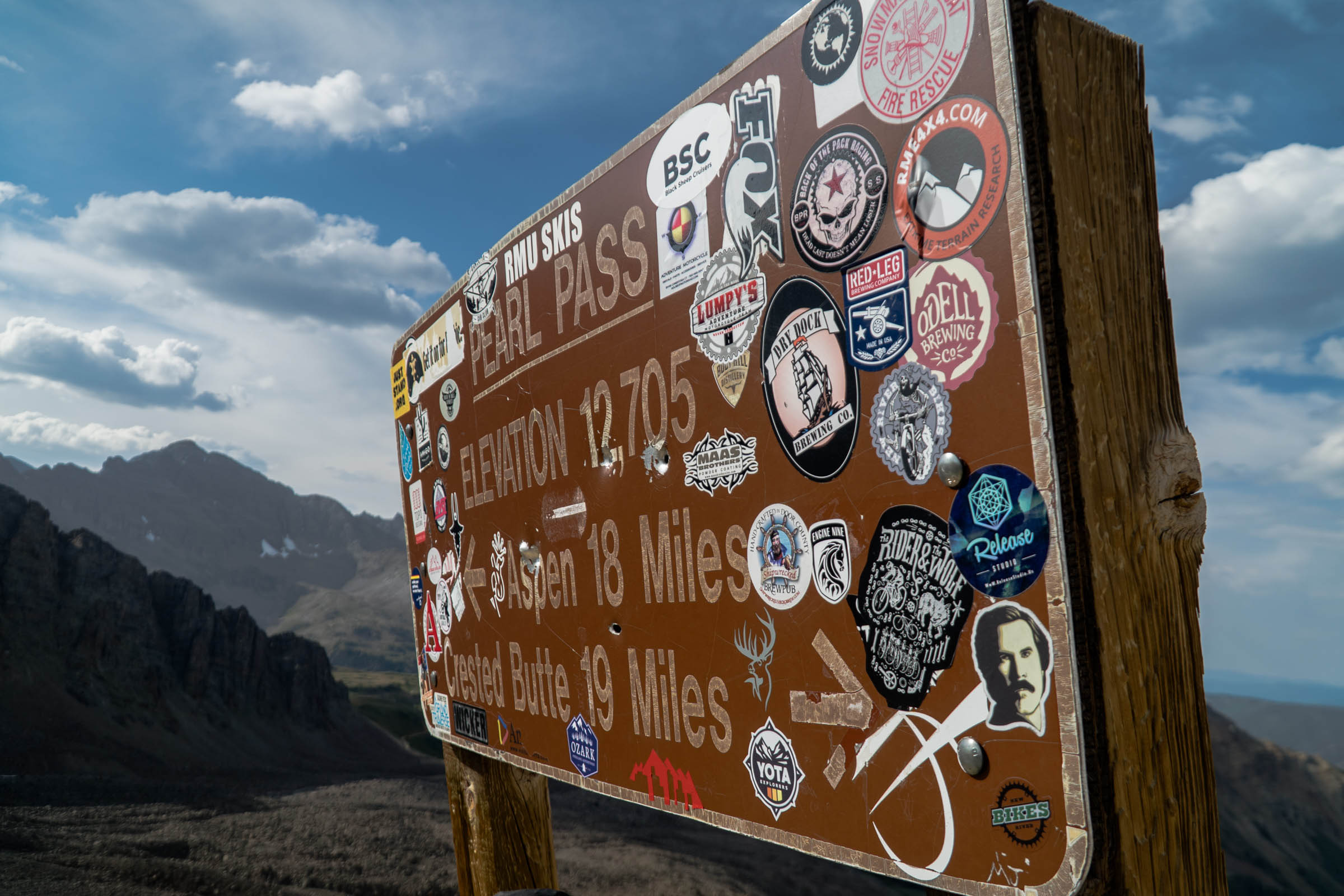
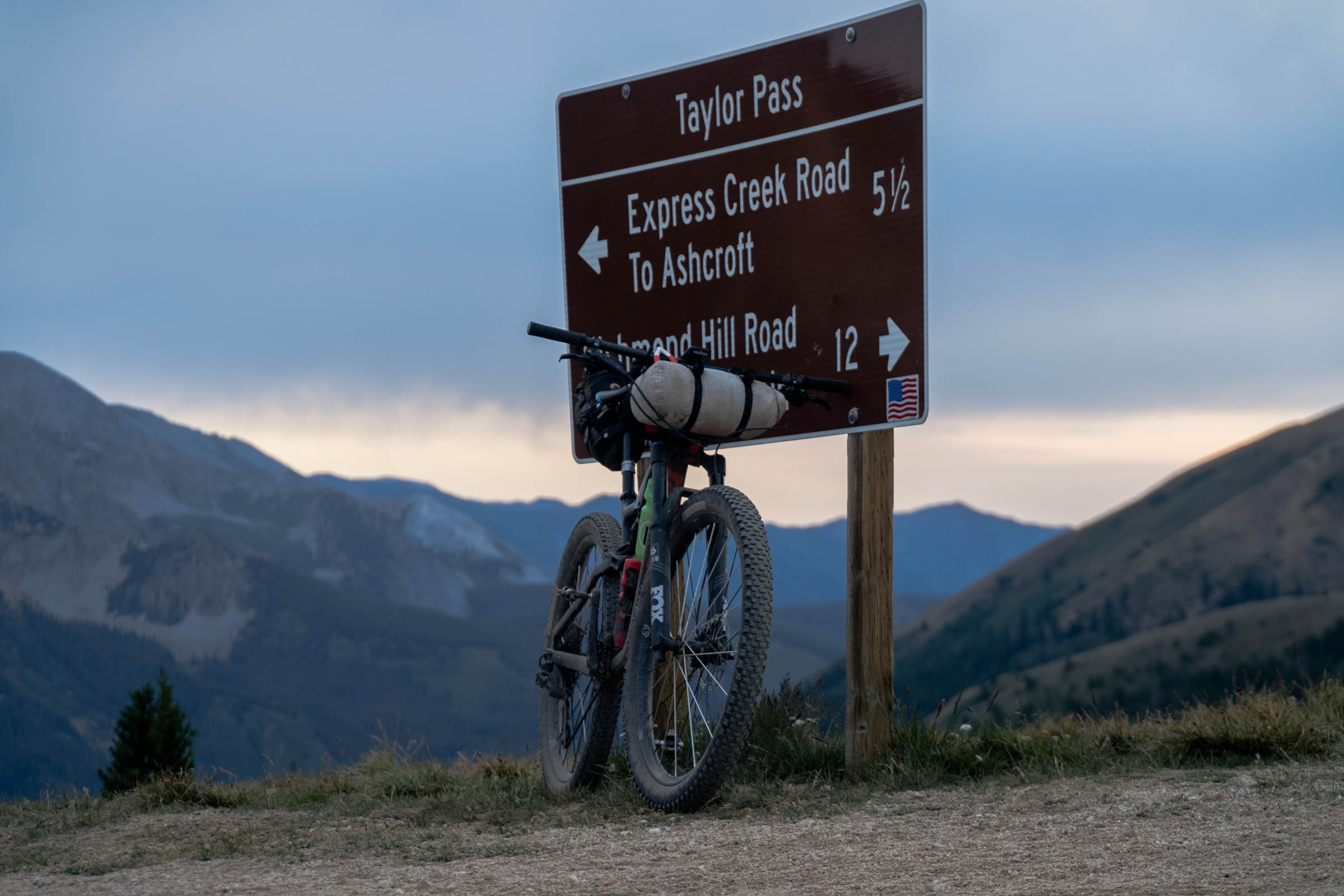
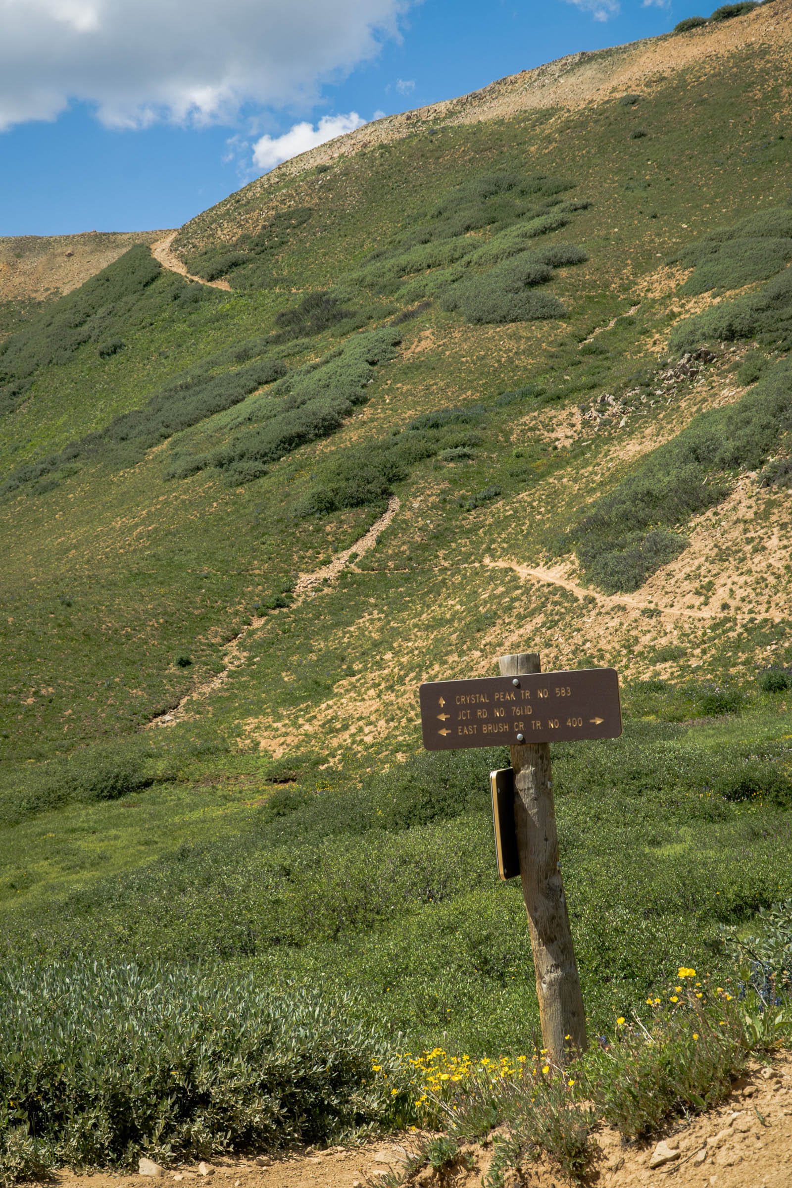
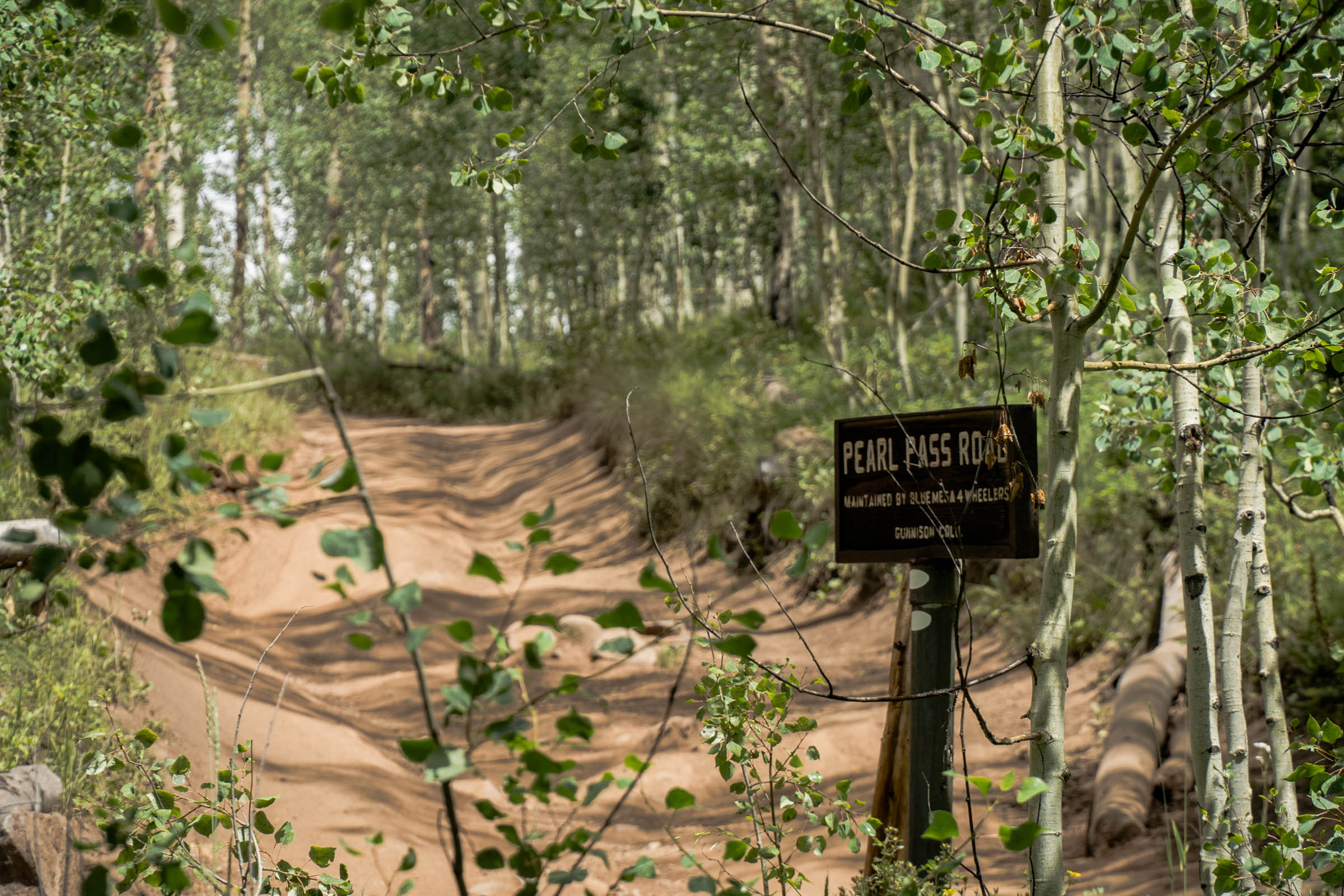
- Pearl Pass – One of the highest roads in Colorado offers beautiful views, but you need to earn it.
- Route History – Pearl Pass Klunker Tour, people have been touring this route annually since 1976.
- Taylor Lake – A great place to camp, fish, or just soak in the views.
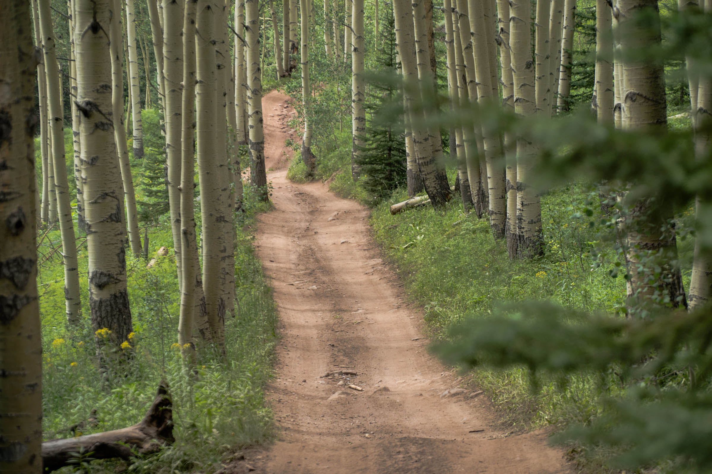
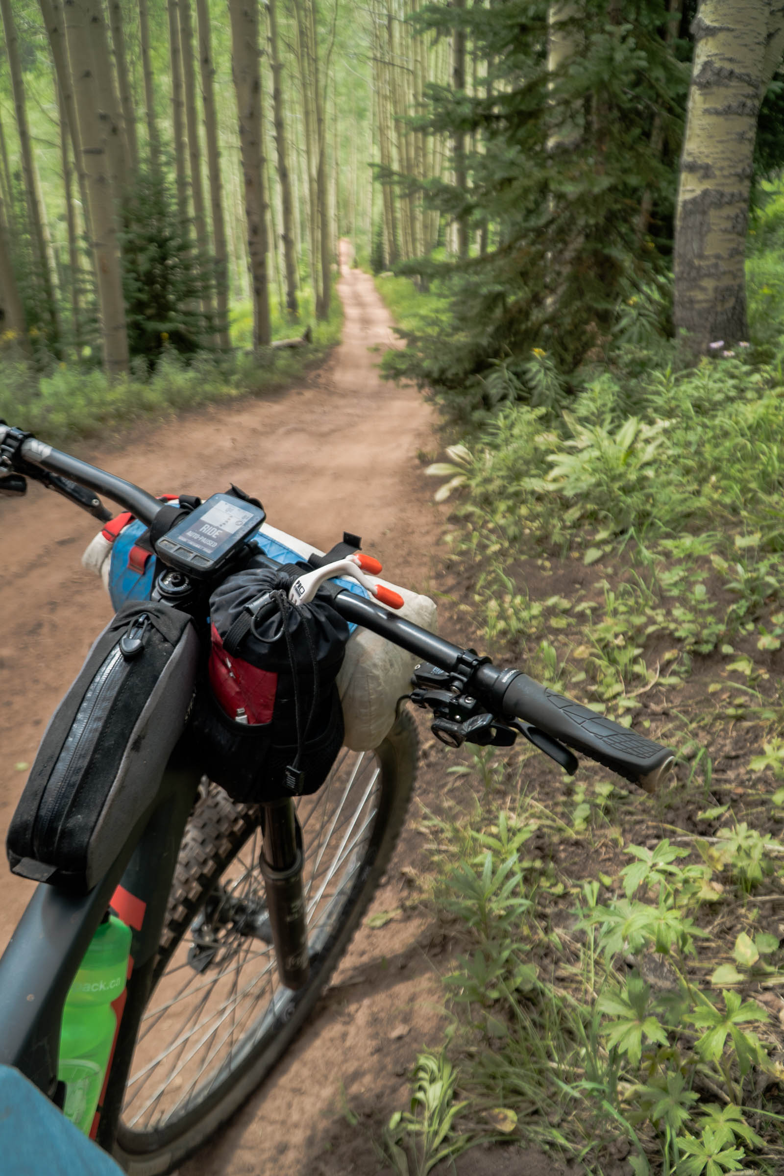
- Trail 400 – One of the best descents in the area. Its wide open, rather buff, and steep beginning turns into the trees, where rocks, roots and plenty of speed await.
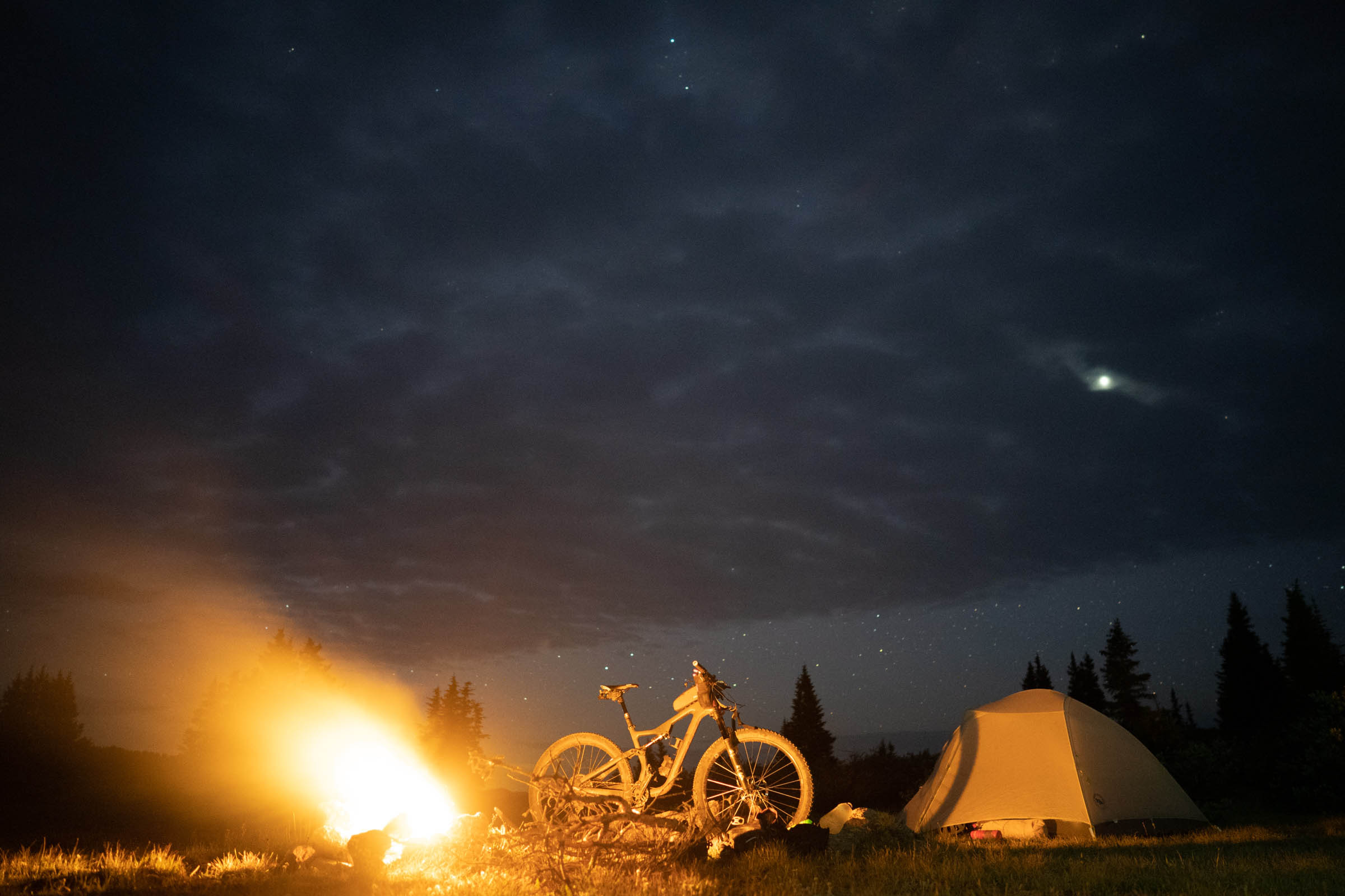
- The alpine will not only bring incredible views but stunning wildflowers, wildlife, stargazing, and solitude.
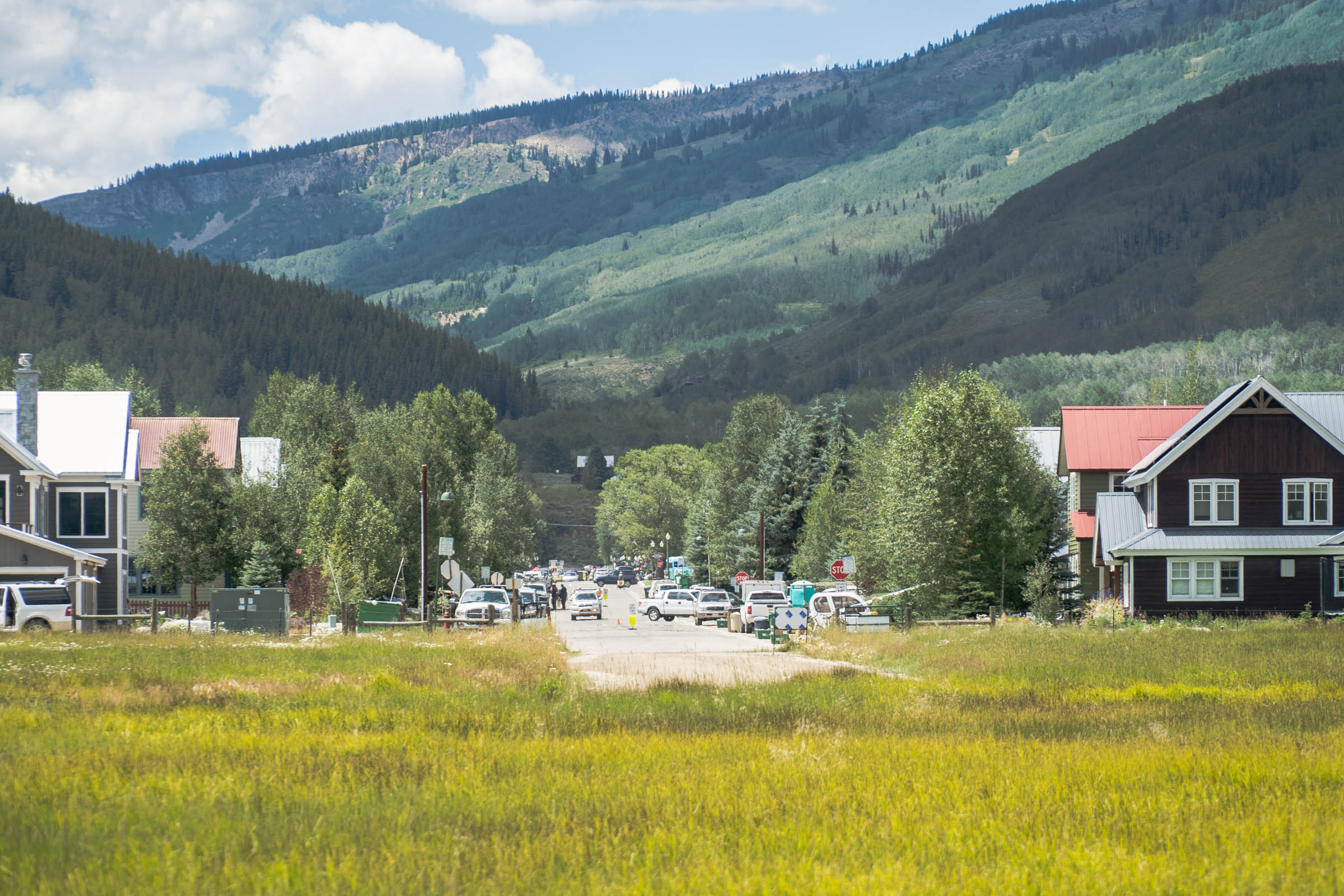
- Ride from Crested Butte or Aspen.
- July – September: The rideable season of this route is short, especially following a big winter.
- Some years snow never melts off Pearl Pass. Pearl Pass was closed in 2019 due to a huge avalanche.
- High runoff can also make for challenging creek crossings.
- Start from town: Crested Butte is a great start, but this route can also be started in Aspen.
- If you wish to fish you must get a fishing permit and abide by Colorado Fishing Regulations.
- Monsoon season: Please be prepared for the high alpine storm season in Colorado. Watch the weather and plan on hitting the high alpine passes early in the day.
- Please know, you are putting yourself in a very hard to reach place. Make sure you ride to your ability and be sure footed; carry a Spot or other emergency beacon if riding alone.
- Be sure you are accustomed to higher elevations and know the signs and risks of altitude sickness.
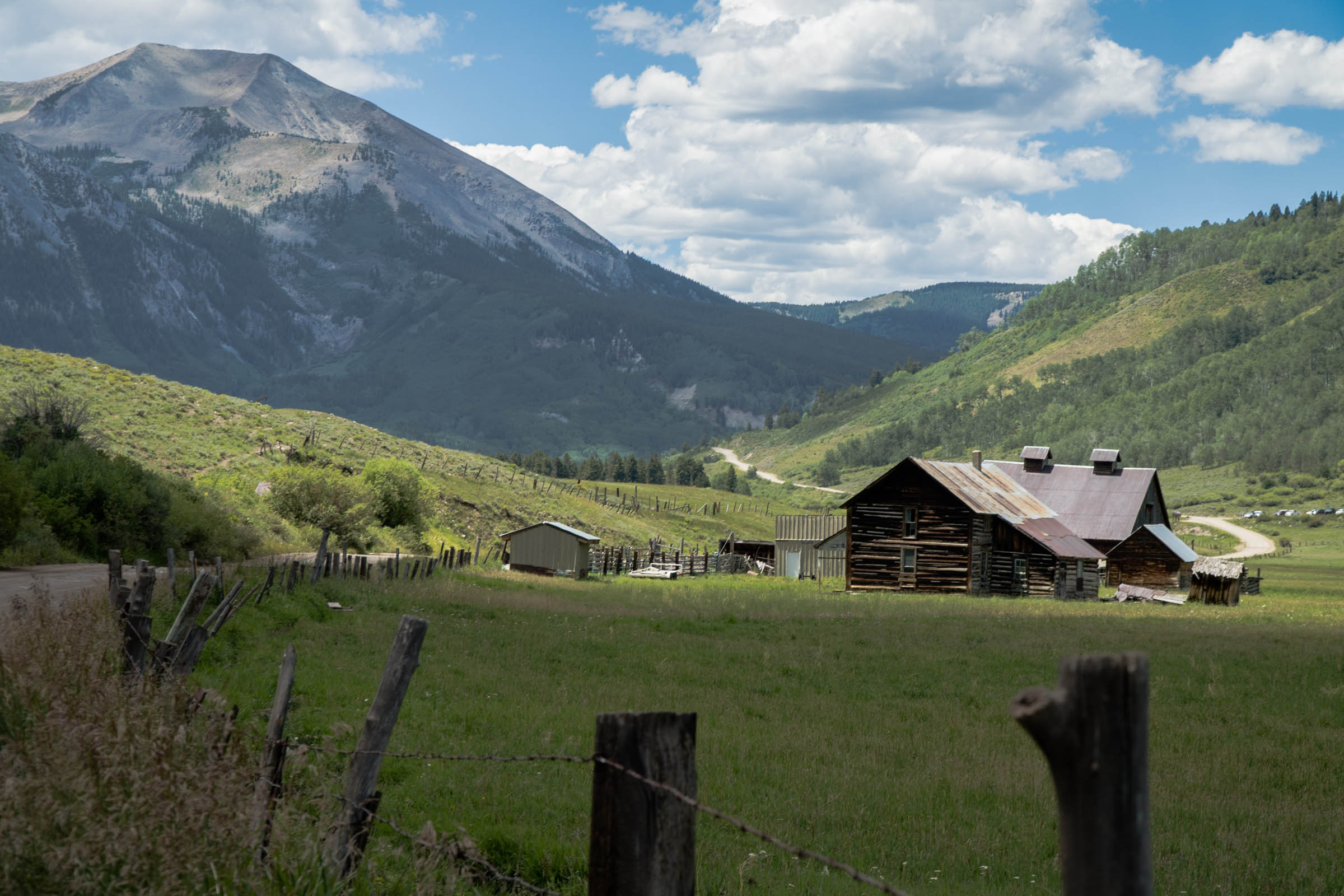
Much of the private land you cover is closest to Crested Butte or Ashcroft. There is plenty of signage along the route that tells you about private land or when you need to camp in designated sites. Please obey the posted signage. There is a wide variety of camping to accommodate two nights or an overnighter. There is plenty of great camping on the south side of Pearl Pass and incredible camping at Taylor Lake. Either way, you can be creative as there is no shortage of camping.
- There are hundreds of water crossings, some very large, others extremely small.
- Plan on getting your feet wet, bring extra socks.
- Carry less water, filter more often.
- Bring all the food you will need as there are no services, unless you find a raspberry bush.
- I suggest you use a bear bag to store your food at night.
Additional Resources
- Tilton Traverse: bikepacking.com/routes/tilton-traverse
- Fishing License: cpw.state.co.us
- Crested Butte Mountain BIke Association: crestedbuttemountainbike.com
- Pearl Pass Klunker History: cbklunkers.com
- NOAA Forecast Discussion: forecast.weather.gov


Terms of Use: As with each bikepacking route guide published on BIKEPACKING.com, should you choose to cycle this route, do so at your own risk. Prior to setting out check current local weather, conditions, and land/road closures. While riding, obey all public and private land use restrictions and rules, carry proper safety and navigational equipment, and of course, follow the #leavenotrace guidelines. The information found herein is simply a planning resource to be used as a point of inspiration in conjunction with your own due-diligence. In spite of the fact that this route, associated GPS track (GPX and maps), and all route guidelines were prepared under diligent research by the specified contributor and/or contributors, the accuracy of such and judgement of the author is not guaranteed. BIKEPACKING.com LLC, its partners, associates, and contributors are in no way liable for personal injury, damage to personal property, or any other such situation that might happen to individual riders cycling or following this route.
Please keep the conversation civil, constructive, and inclusive, or your comment will be removed.