


Emmental (Sweet and Sour With Cheese)
Distance
131 Mi.
(211 KM)Days
3-4
% Unpaved
51%
% Singletrack
10%
% Rideable (time)
90%
Total Ascent
22,108'
(6,739 M)High Point
5,490'
(1,673 M)Difficulty (1-10)
7?
- 10Climbing Scale Very Strenuous169 FT/MI (32 M/KM)
- -Technical Difficulty
- -Physical Demand
- -Resupply & Logistics
Contributed By
Lothar Linse
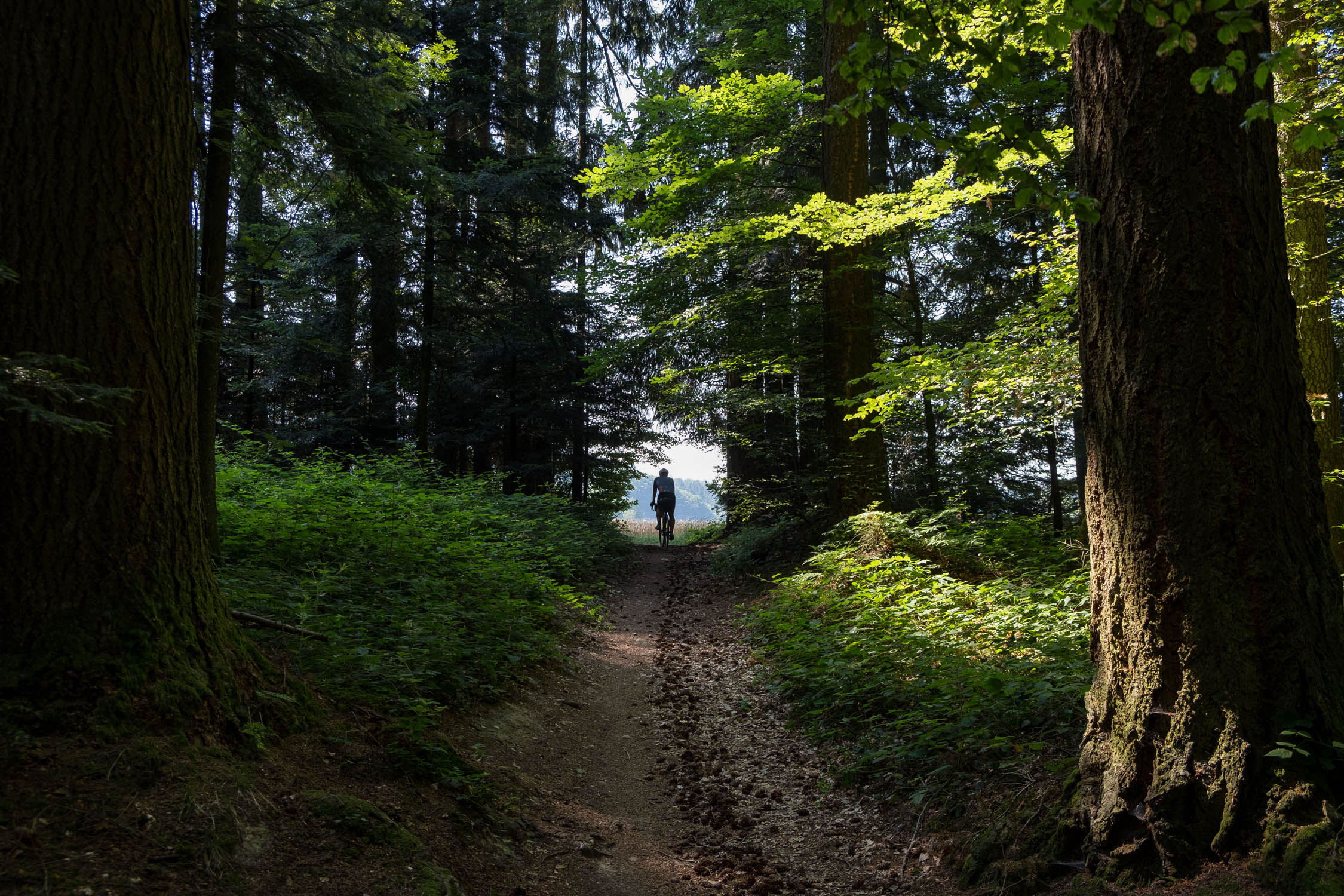
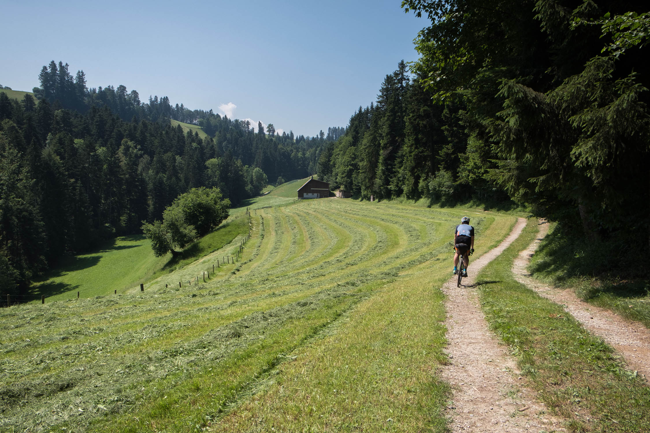
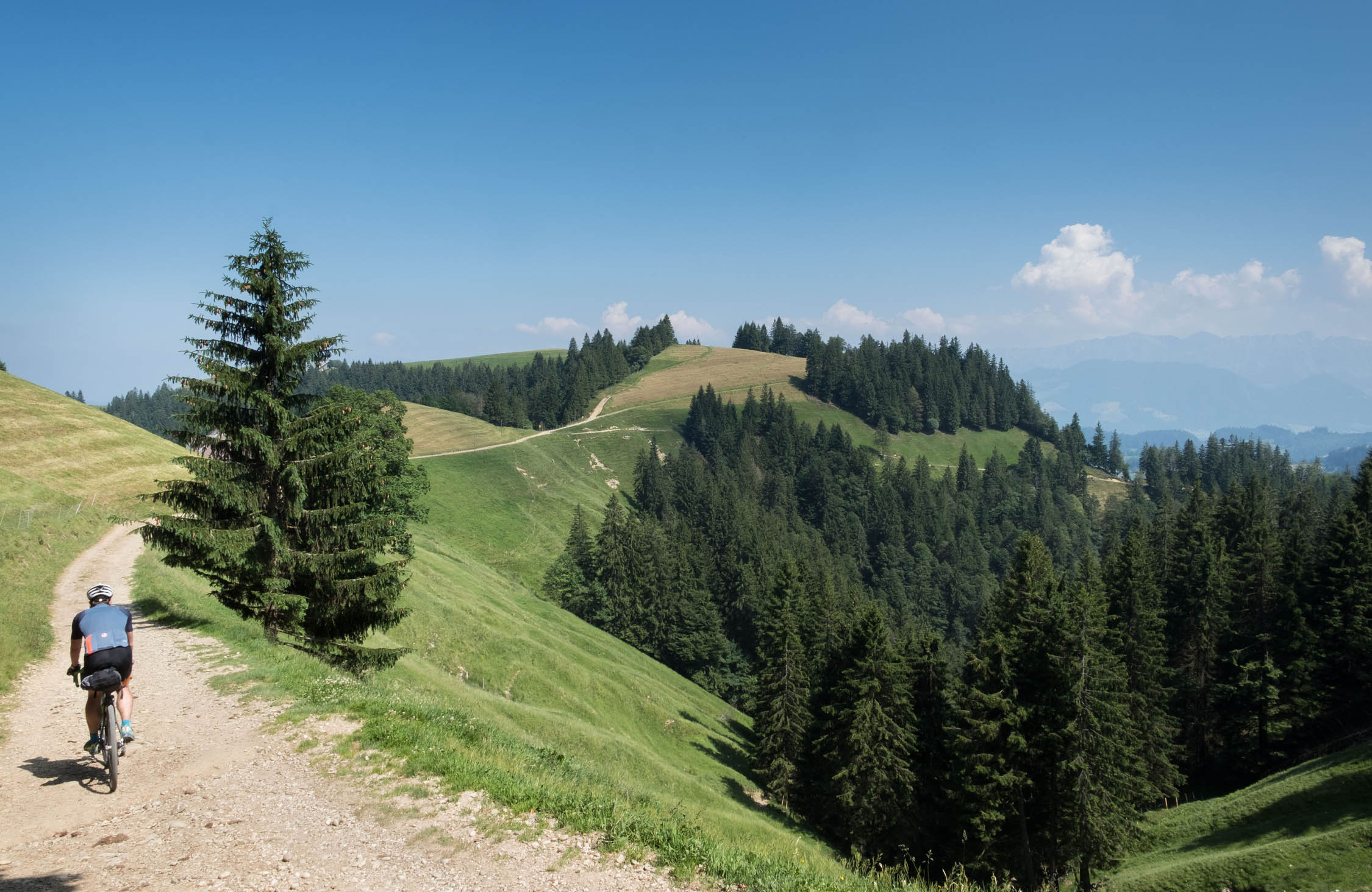
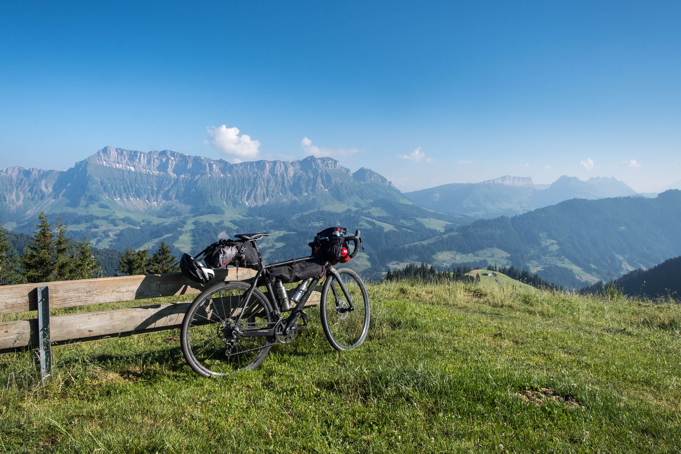
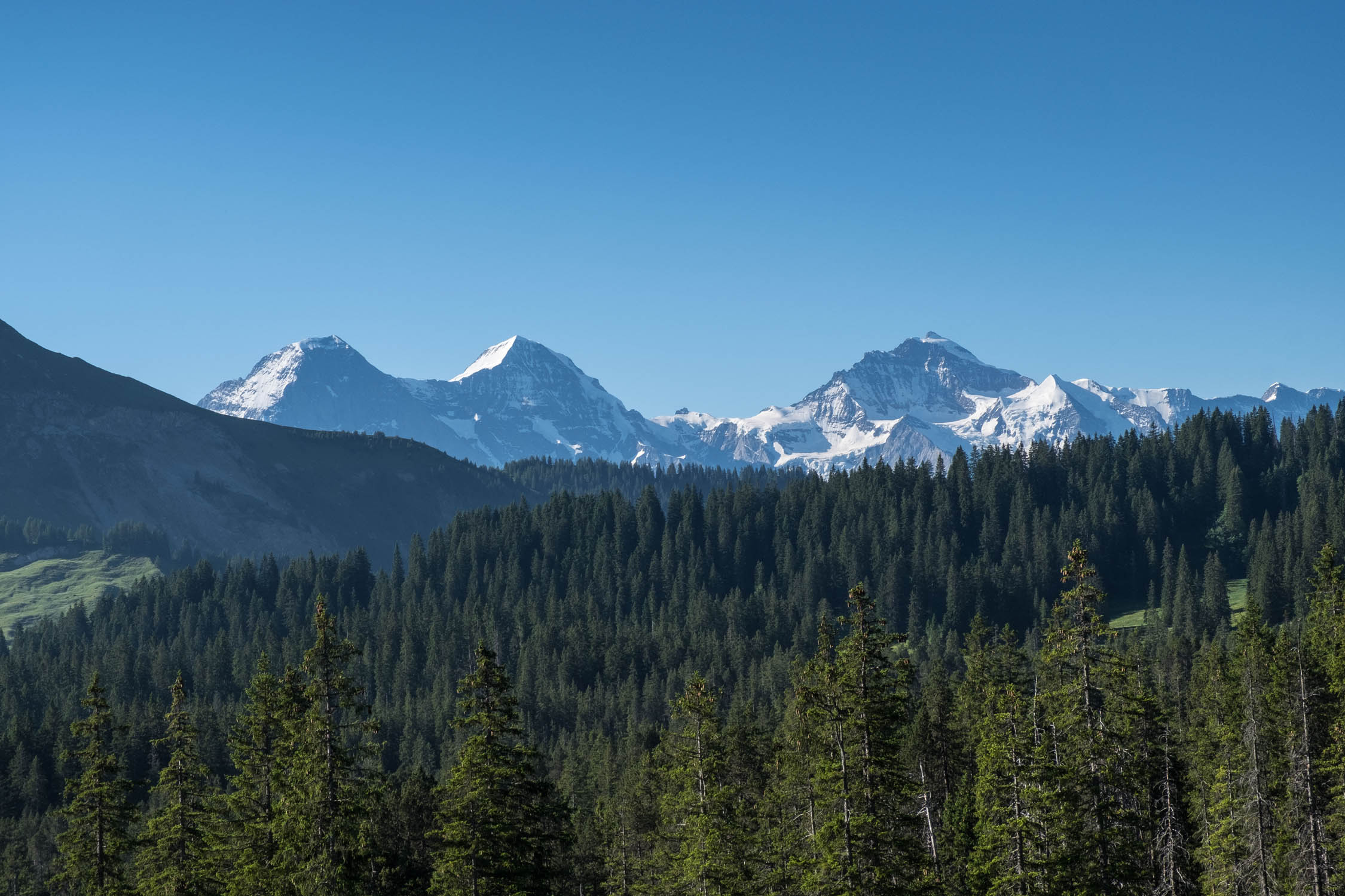
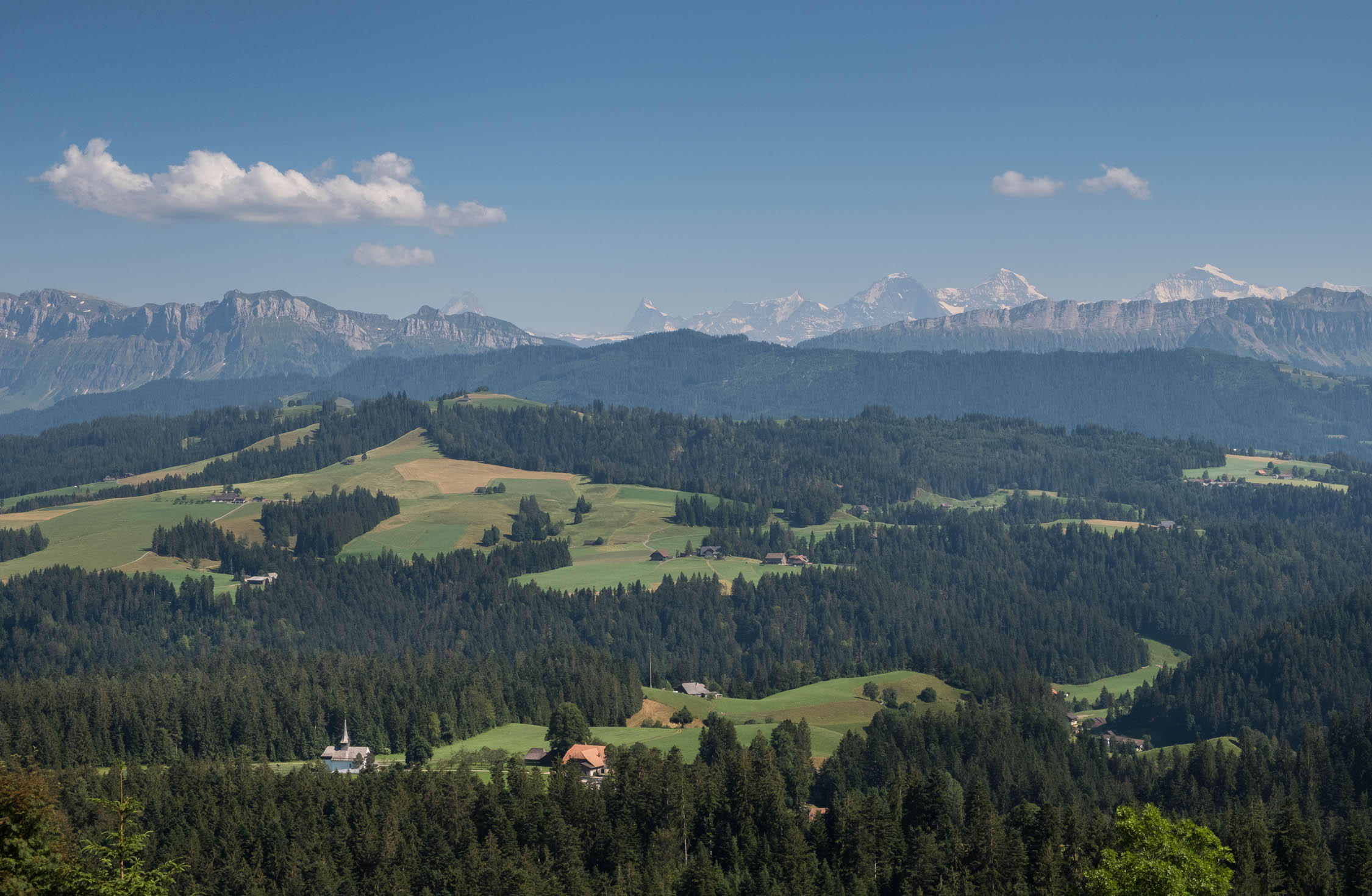
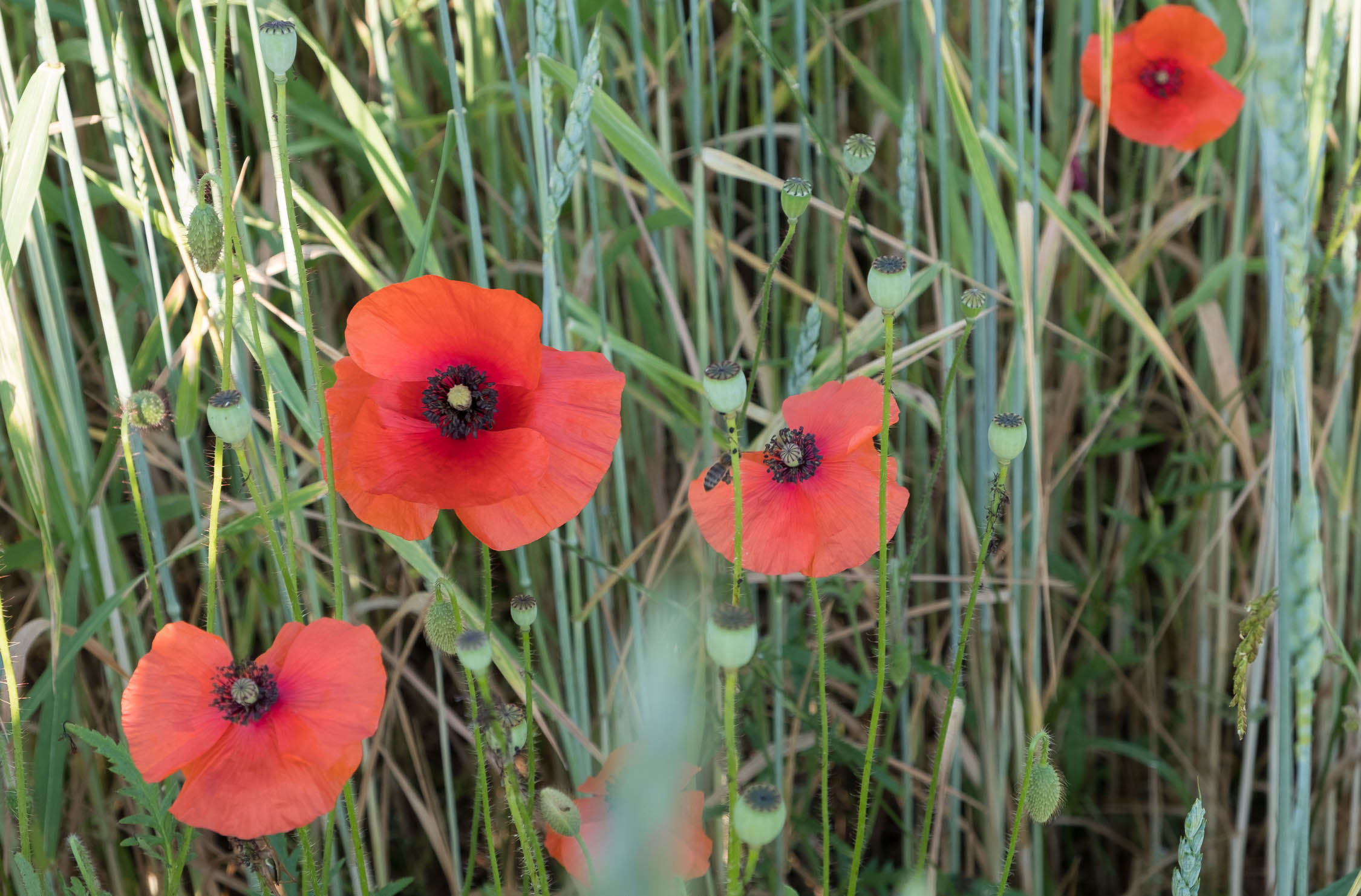
Starting and ending in Langenthal, a town that’s fairly accessible from nearby cities Zürich, Basel, Luzern, and Bern, the tour is designed as a weekend trip to escape big city life and disappear into nature. The Emmental region is a high moor area consisting of many expansive forests, small villages, and beautiful rolling landscapes.
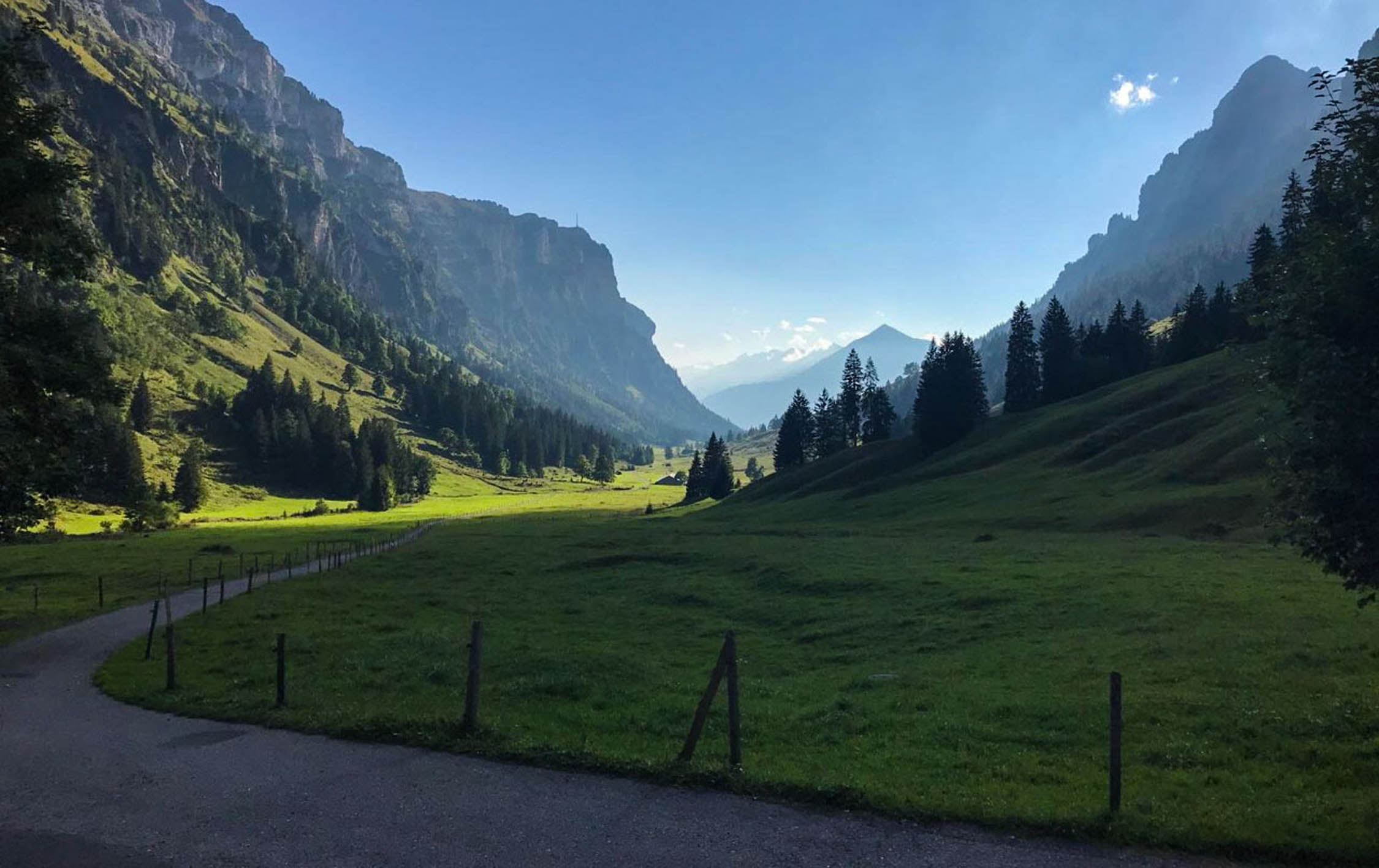
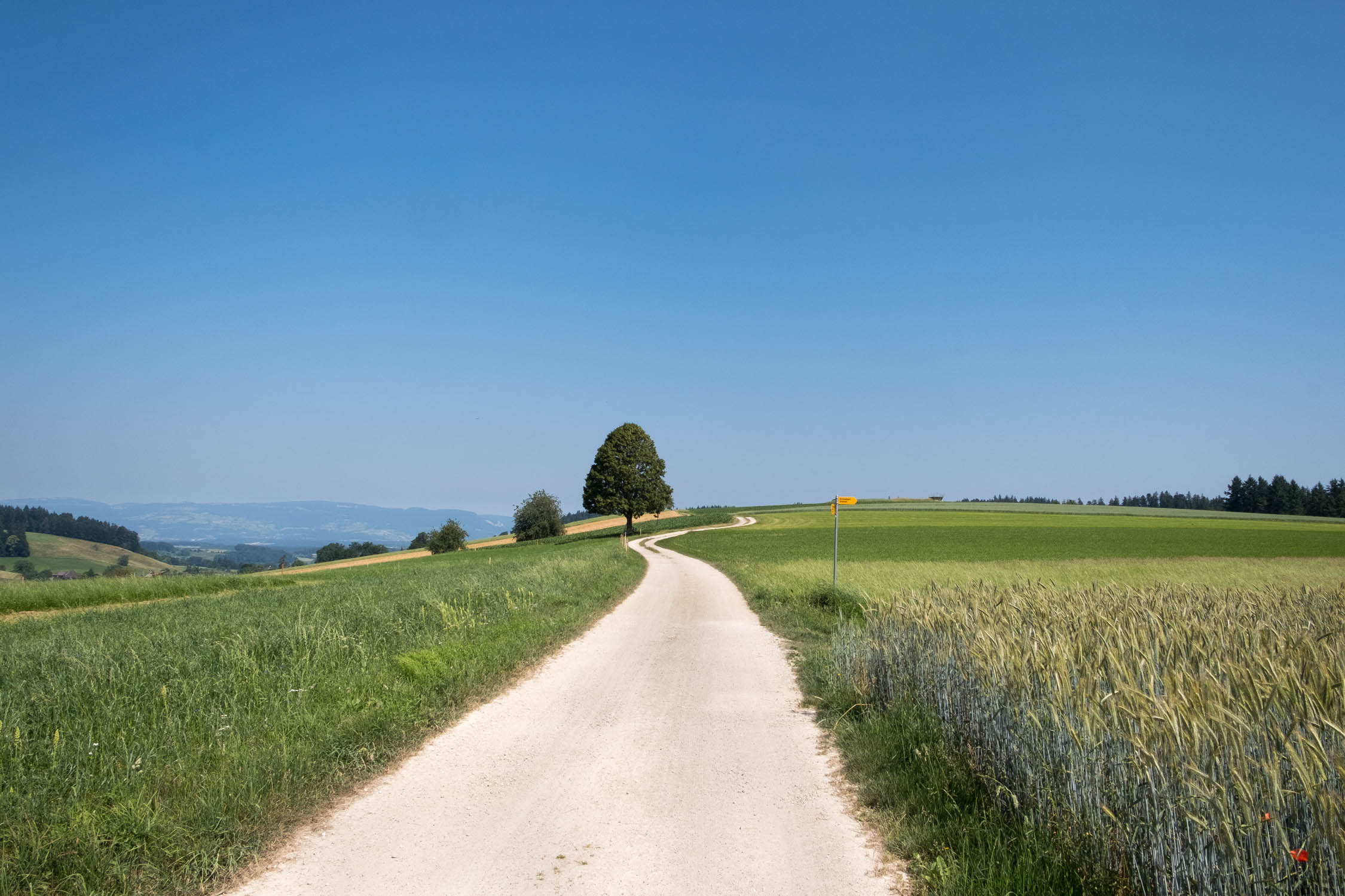
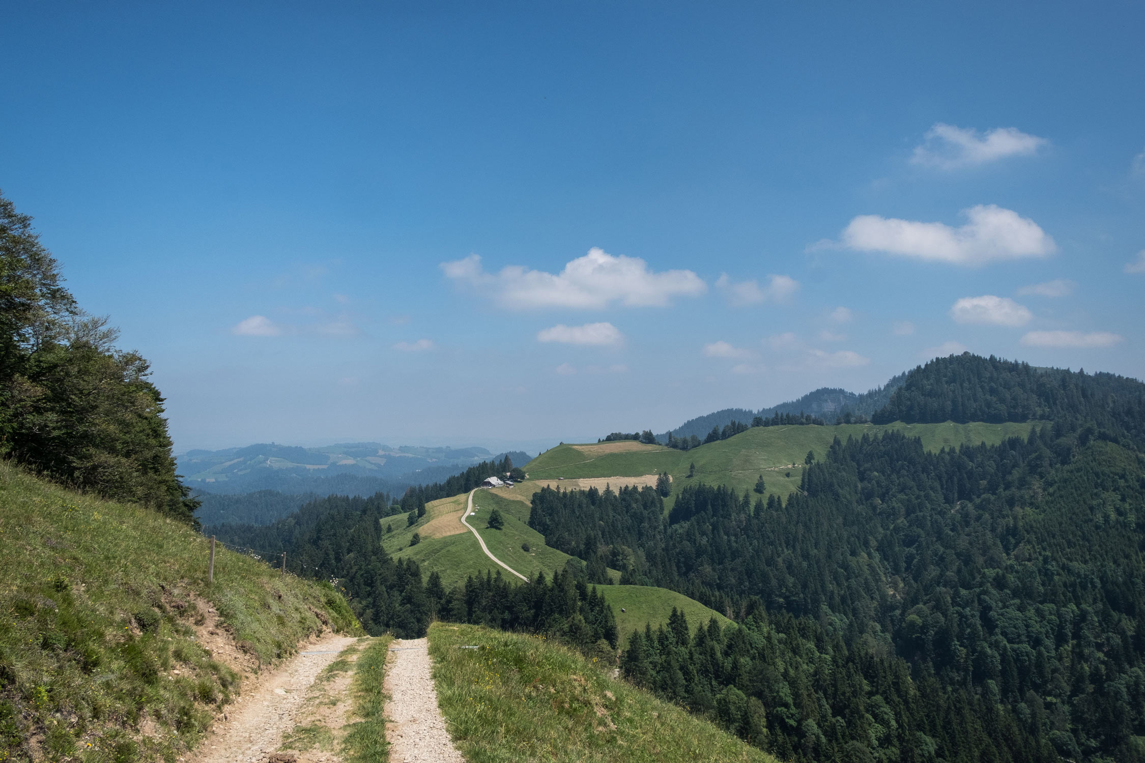
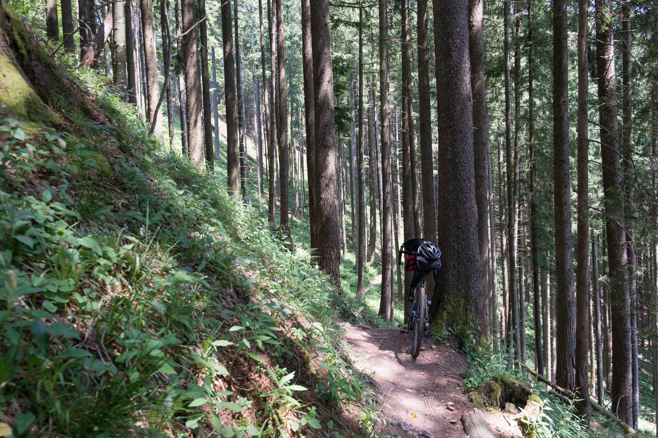
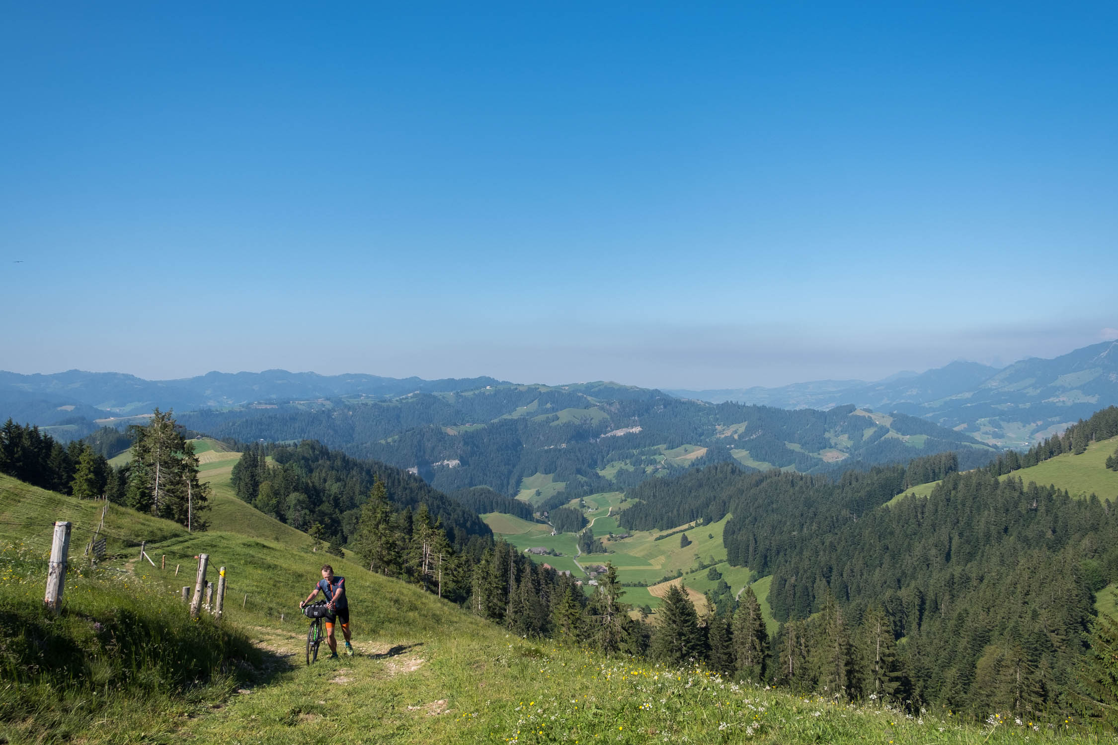
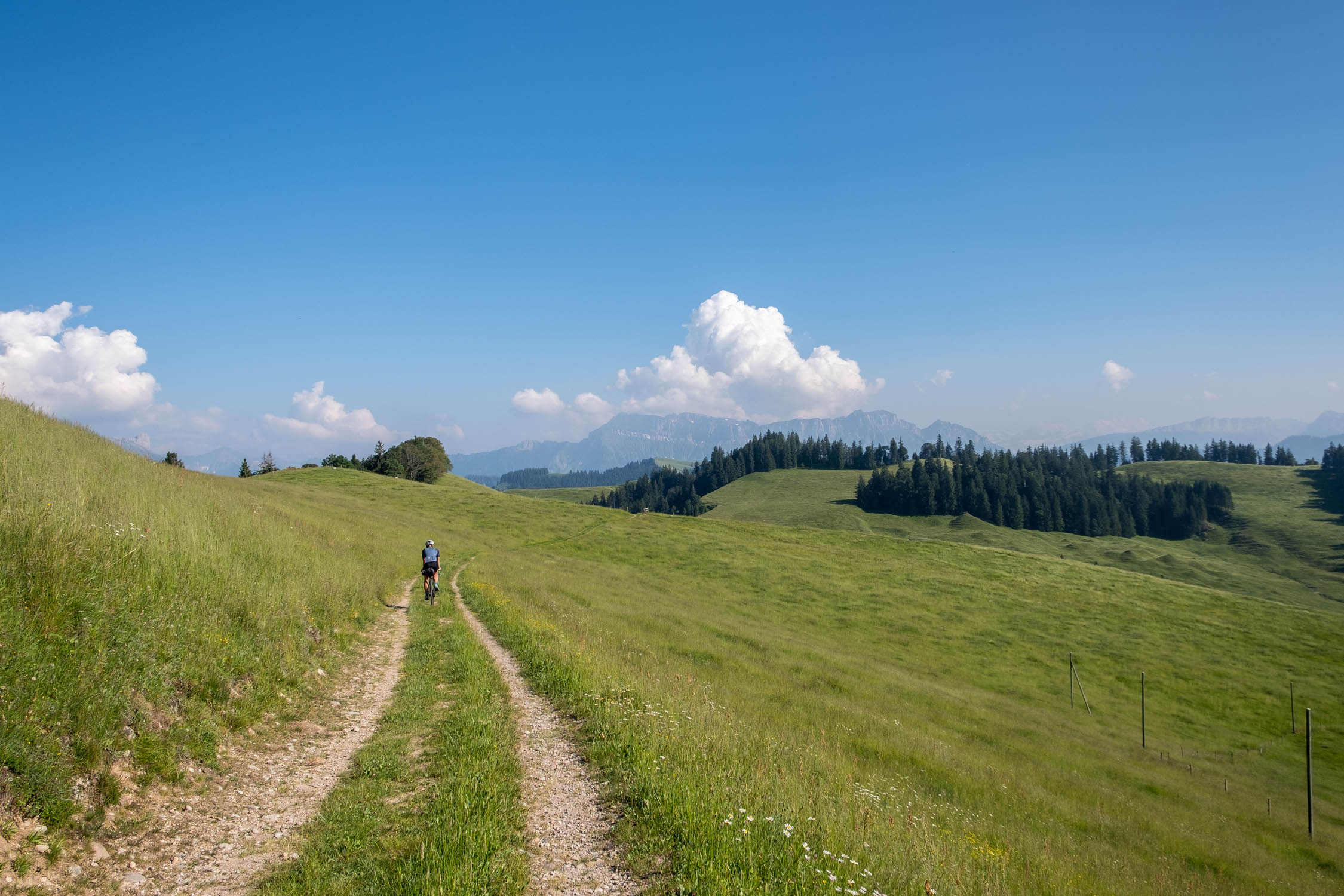
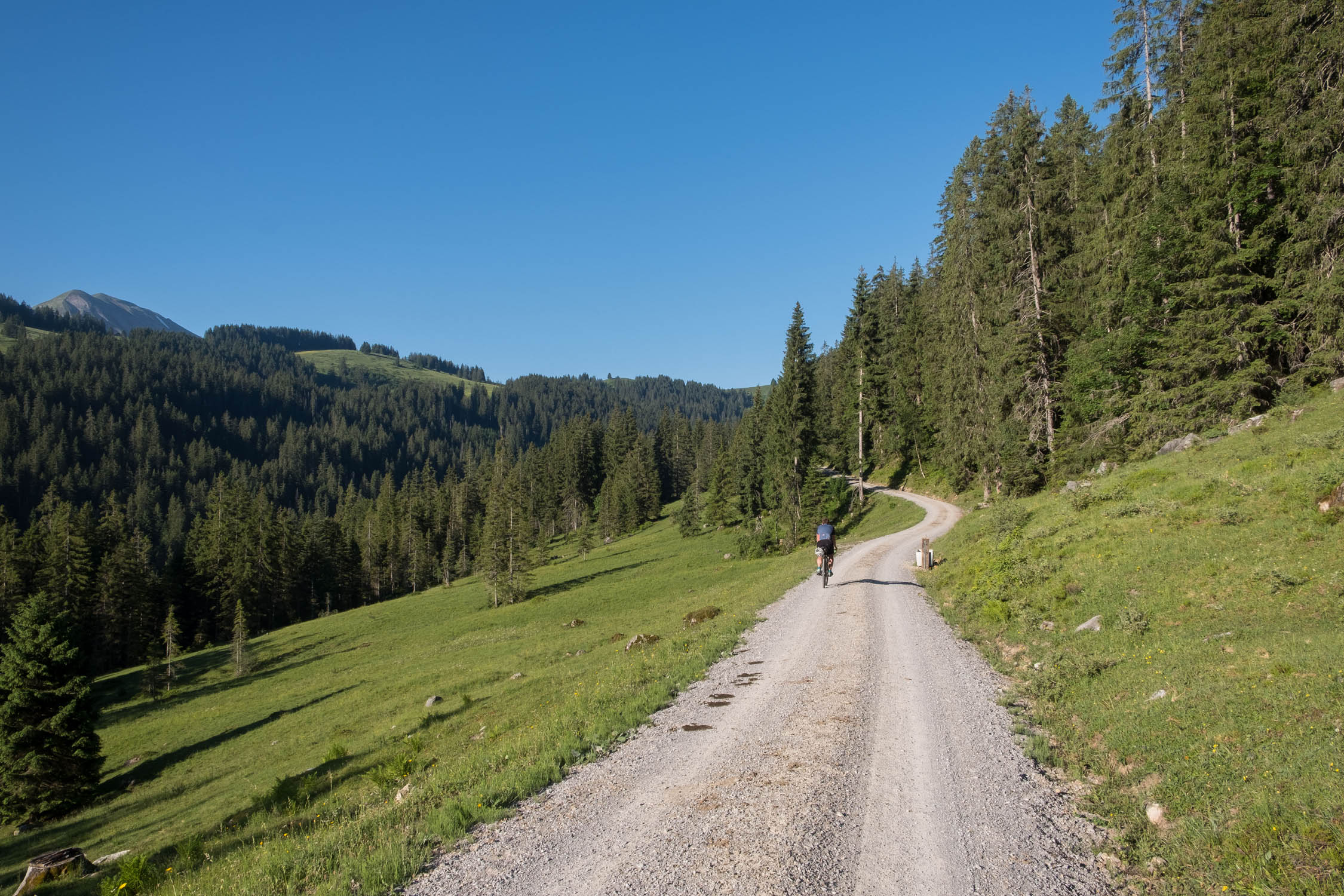
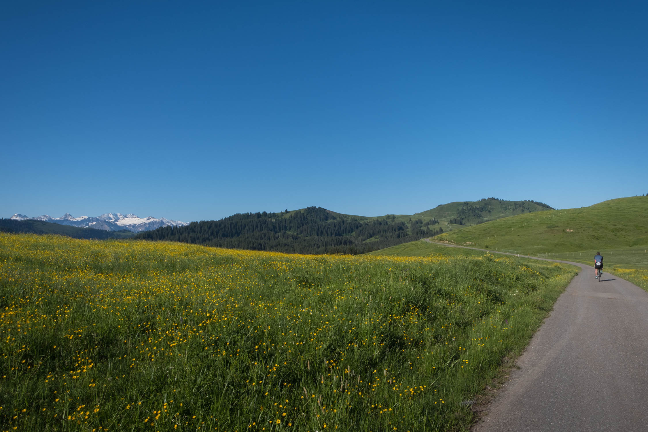
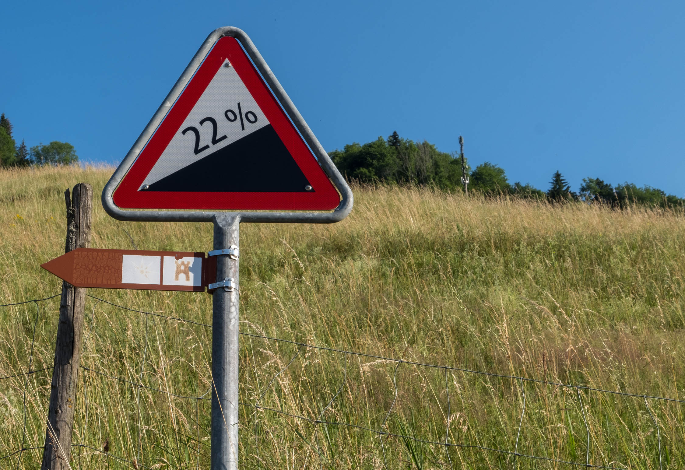
The region is quite hilly, so bring your climbing gears. The route has its turning point in the very north of the Berner Oberland Region. Its highest point is the Sichle in the valley of Justistal, at 1687m of altitude. We recommend riding the route clockwise. While there’s is a fair amount of pavement, in terms of ride time, you’ll spend most of your time off tarmac, in nature.
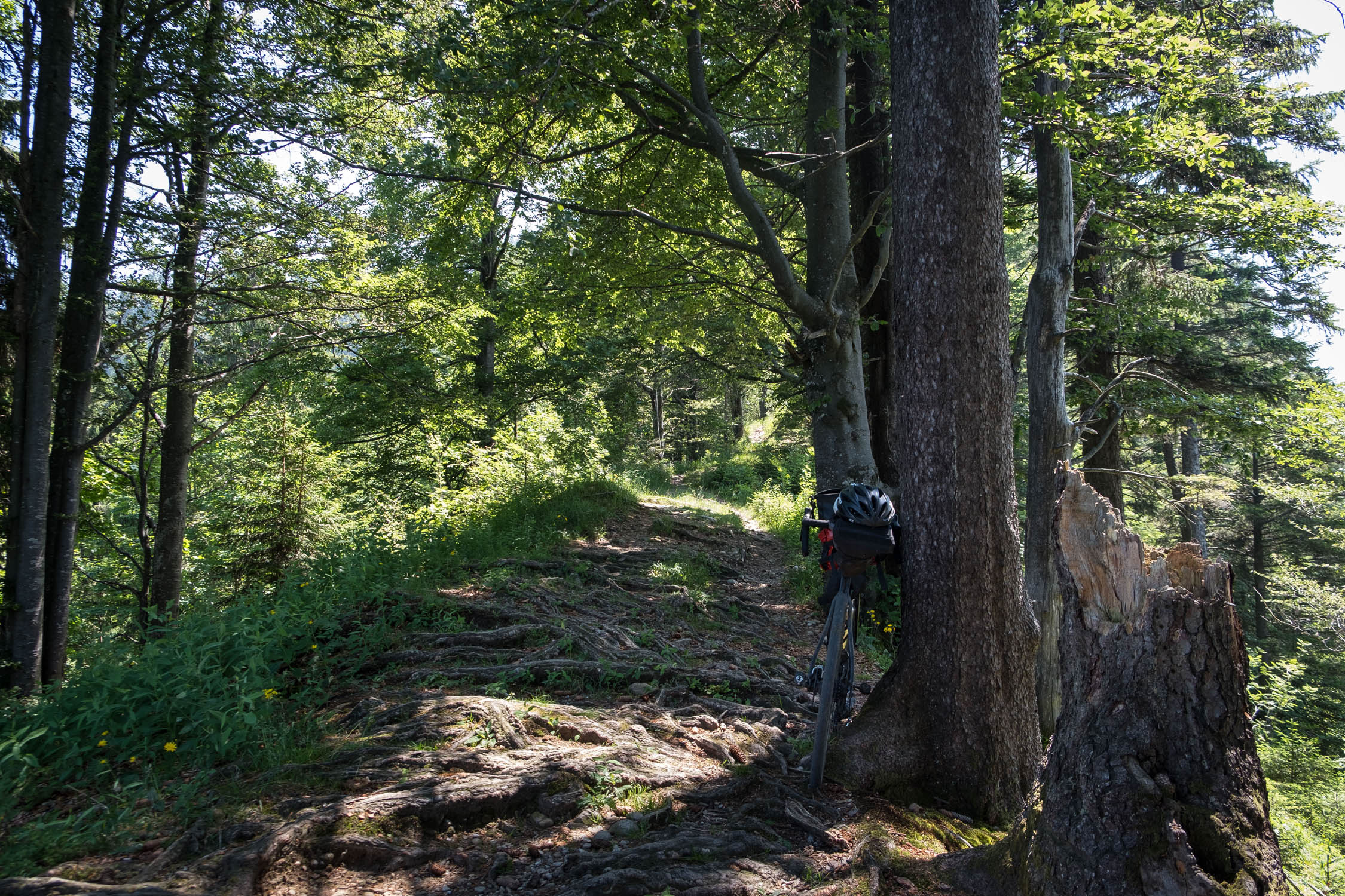
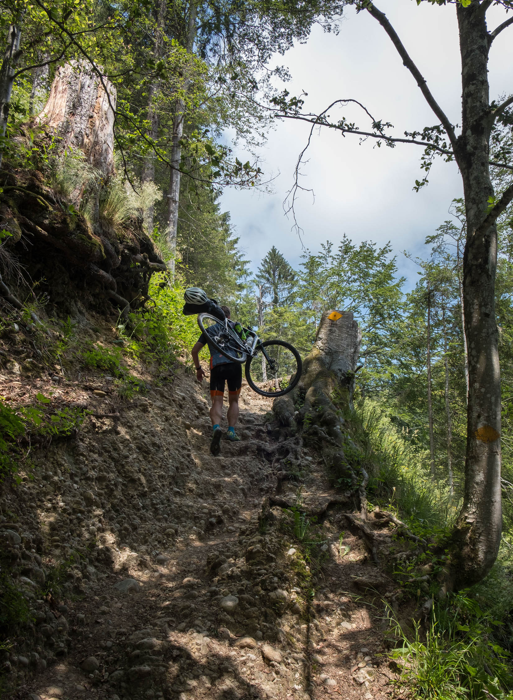
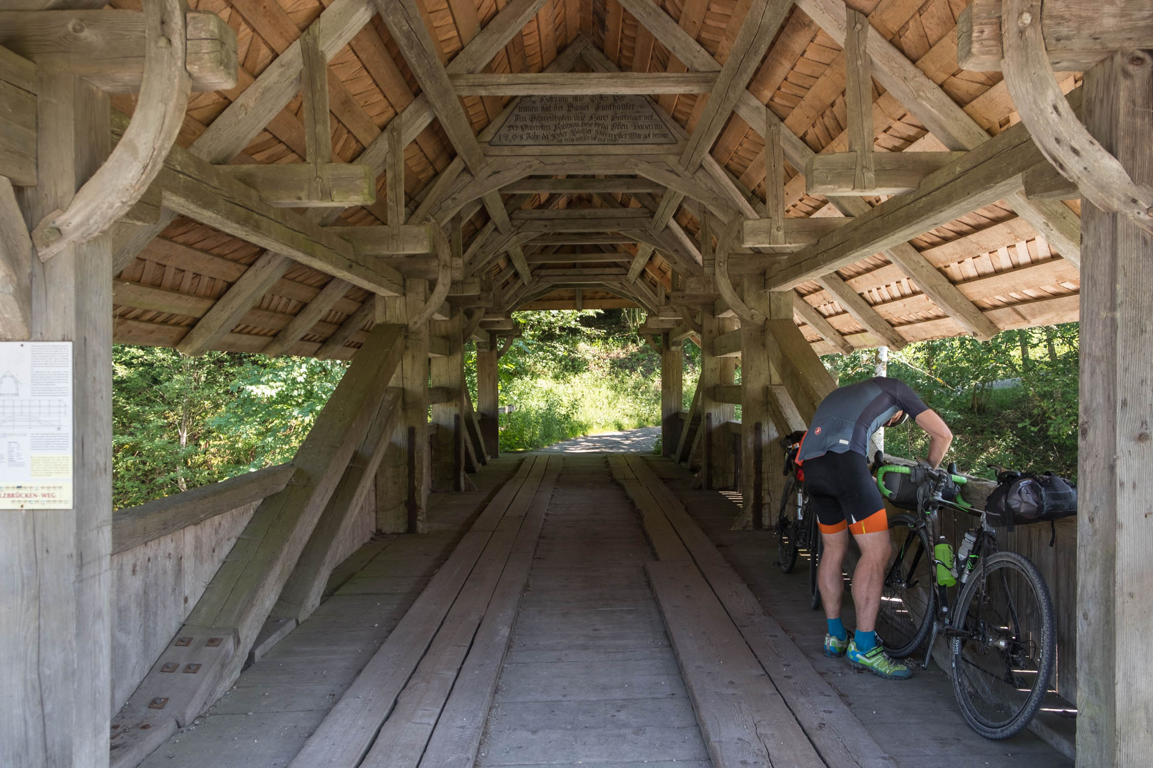
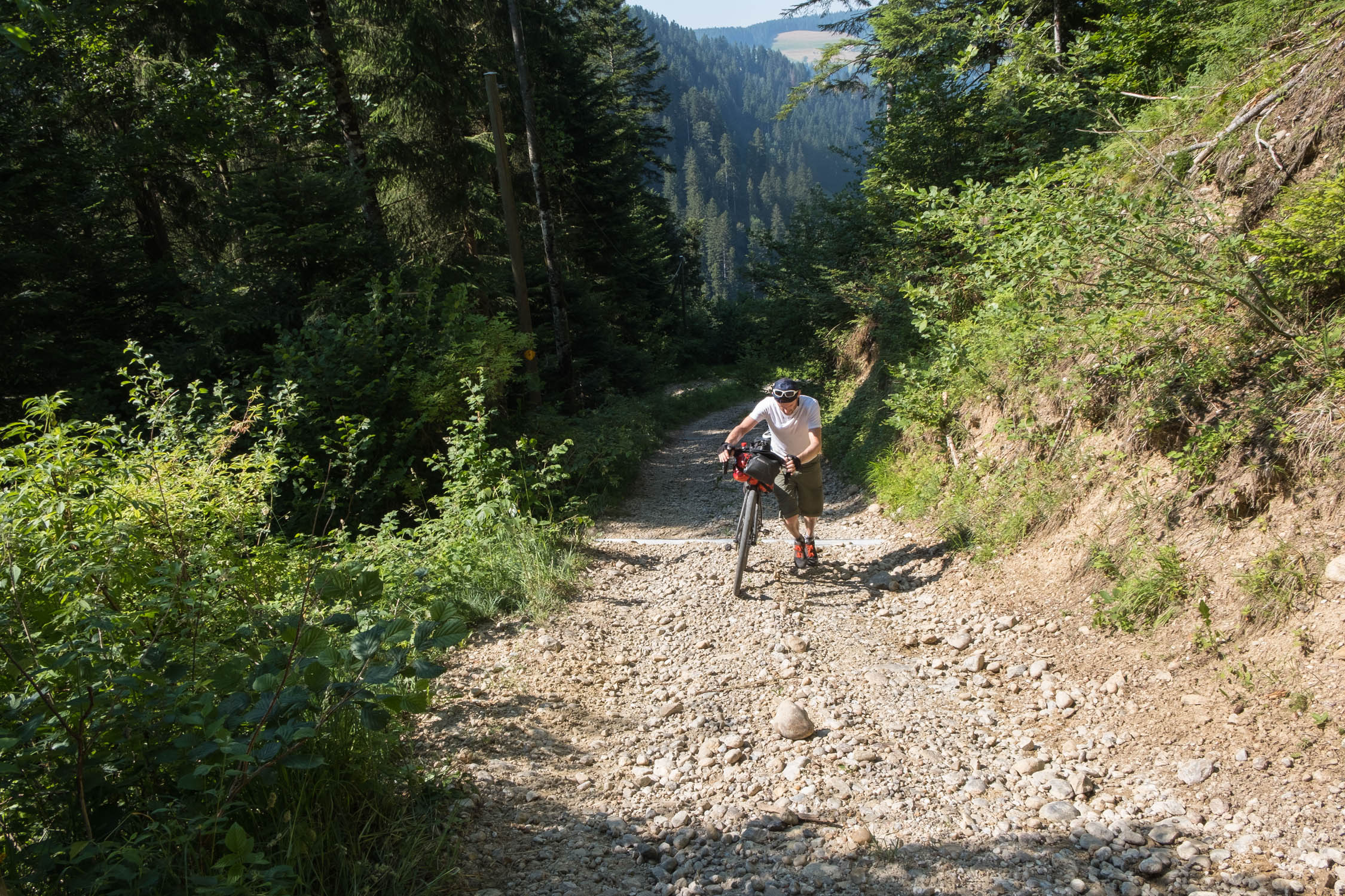
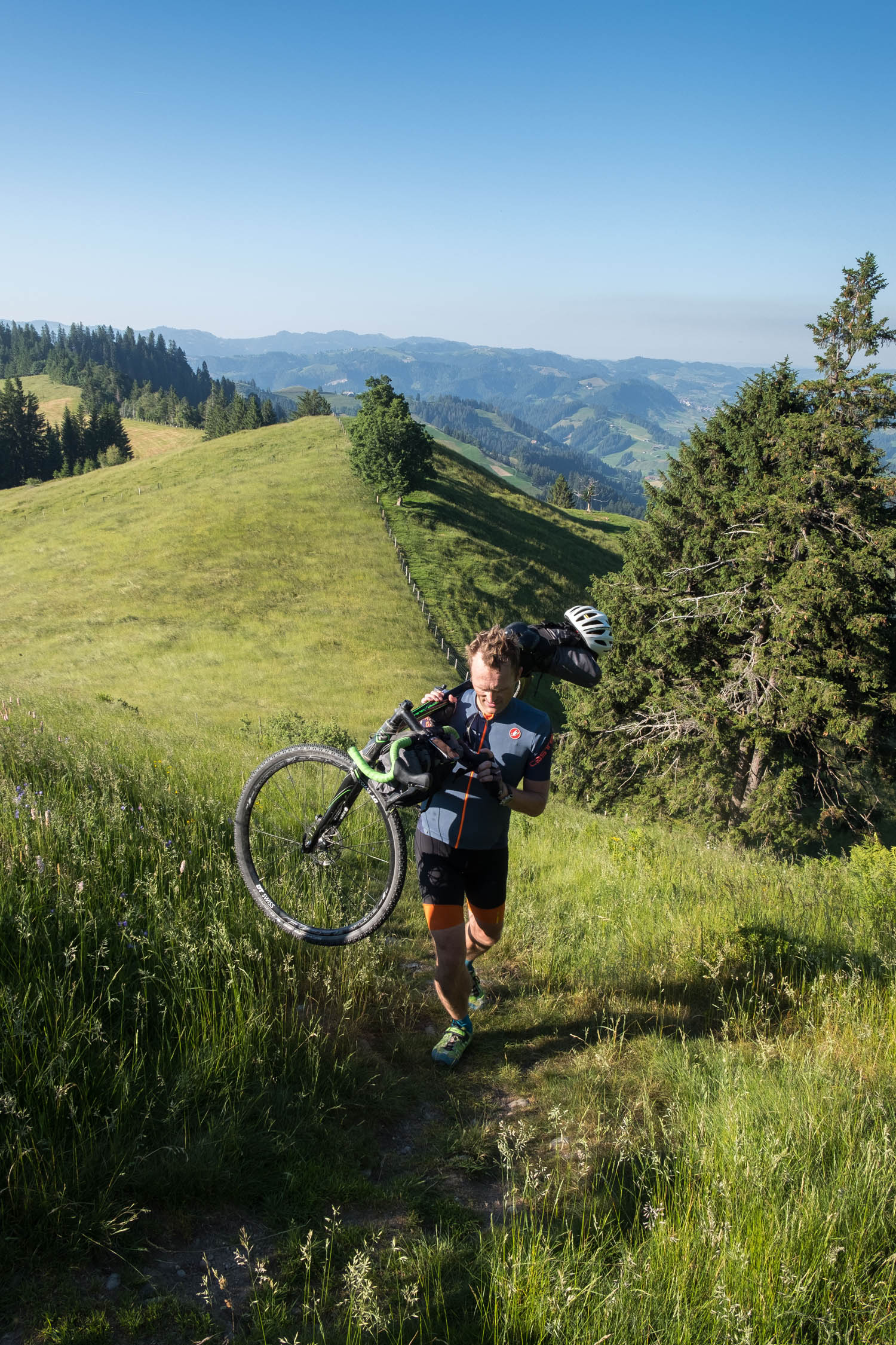
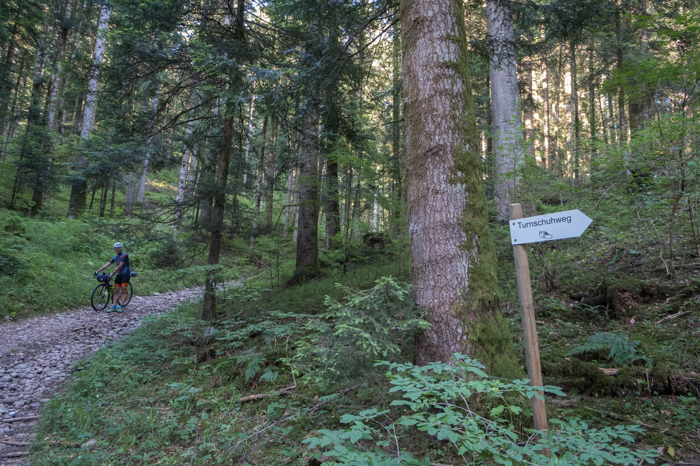
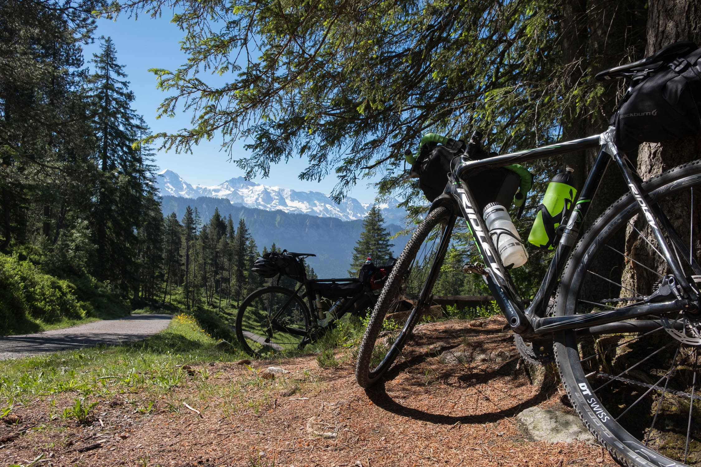
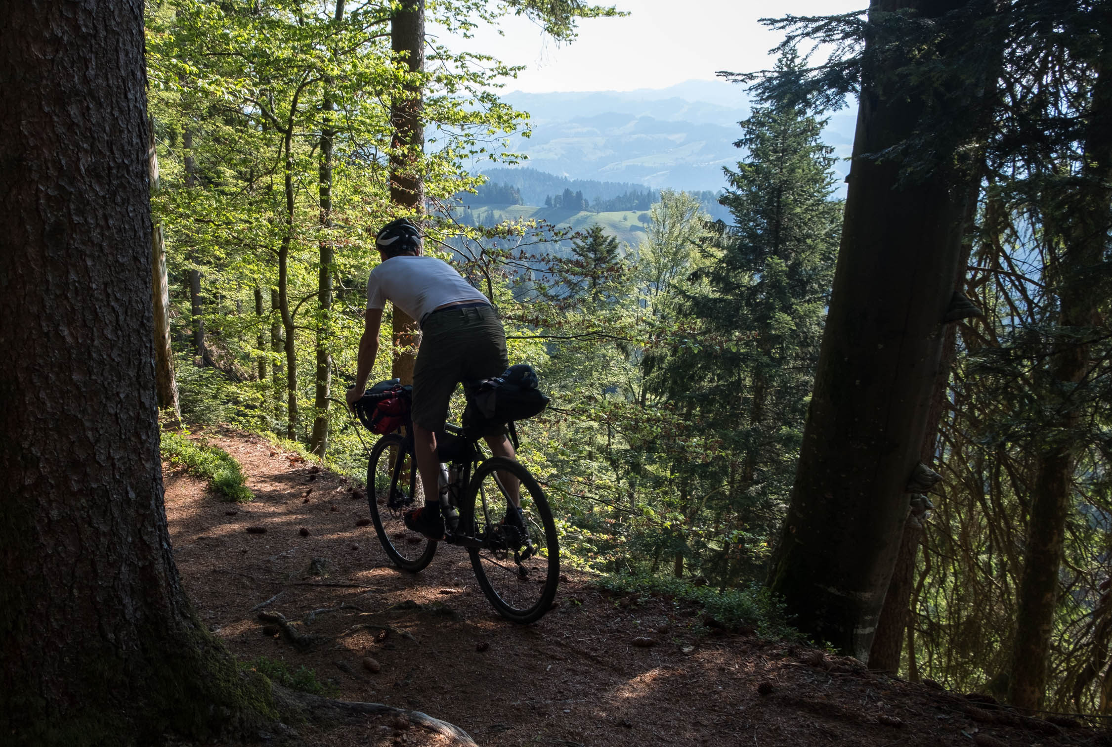
Our first time riding the route was with gravel bikes. This was the wrong choice. The ascents are very step and require a low gear ratio, especially with bikepacking bags. The downhills can be very rough at times because of rocks and roots. As the name implies, this route is in the heart of a famous Swiss cheese region, and it’s very sweet for the panoramic views, but can be sour at times for the climbs. Along the route, you’ll pass through multiple meadows that can be very slippery in bad weather conditions. Therefore the route is rated 7 out of 10. The rideability depends a lot on your technical and physical skills. There is also a section around mile 80 that includes Cheistlistäg bridge. There are some steep bits and steps required to go through this canyon. Pack light. The detour around the canyon would be to go up the valley to the east toward Linde and then back; there are obvious highlighted cycling routes on the OSM Cycle map layer.
Make sure to check out Lothar’s other two weekend routes, Sweet and Sauerland, and Rheintal (Wine, Rhine, and Romans).


Submit Route Alert
As the leading creator and publisher of bikepacking routes, BIKEPACKING.com endeavors to maintain, improve, and advocate for our growing network of bikepacking routes all over the world. As such, our editorial team, route creators, and Route Stewards serve as mediators for route improvements and opportunities for connectivity, conservation, and community growth around these routes. To facilitate these efforts, we rely on our Bikepacking Collective and the greater bikepacking community to call attention to critical issues and opportunities that are discovered while riding these routes. If you have a vital issue or opportunity regarding this route that pertains to one of the subjects below, please let us know:
Highlights
Must Know
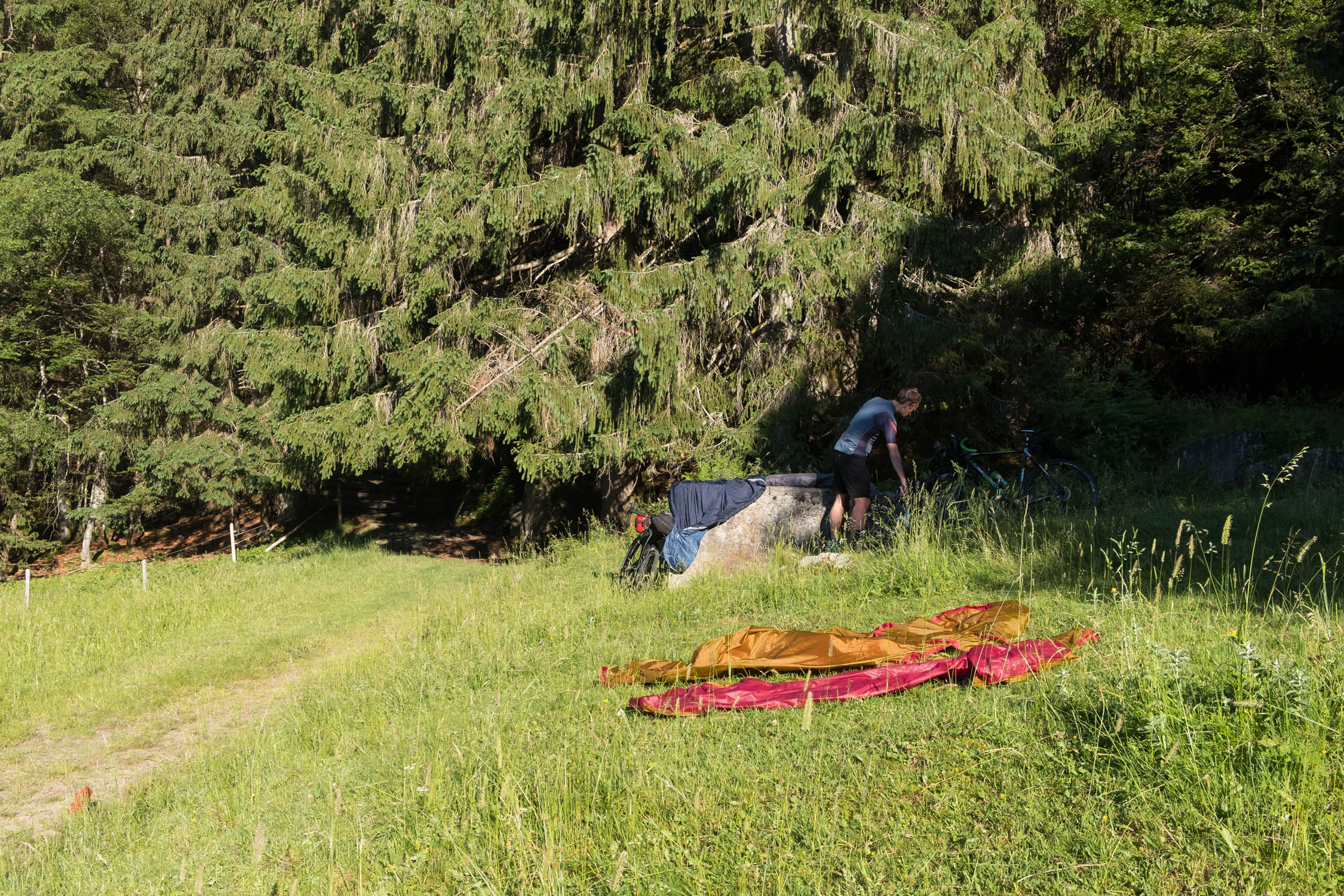
Camping
Food/H2O
Trail Notes
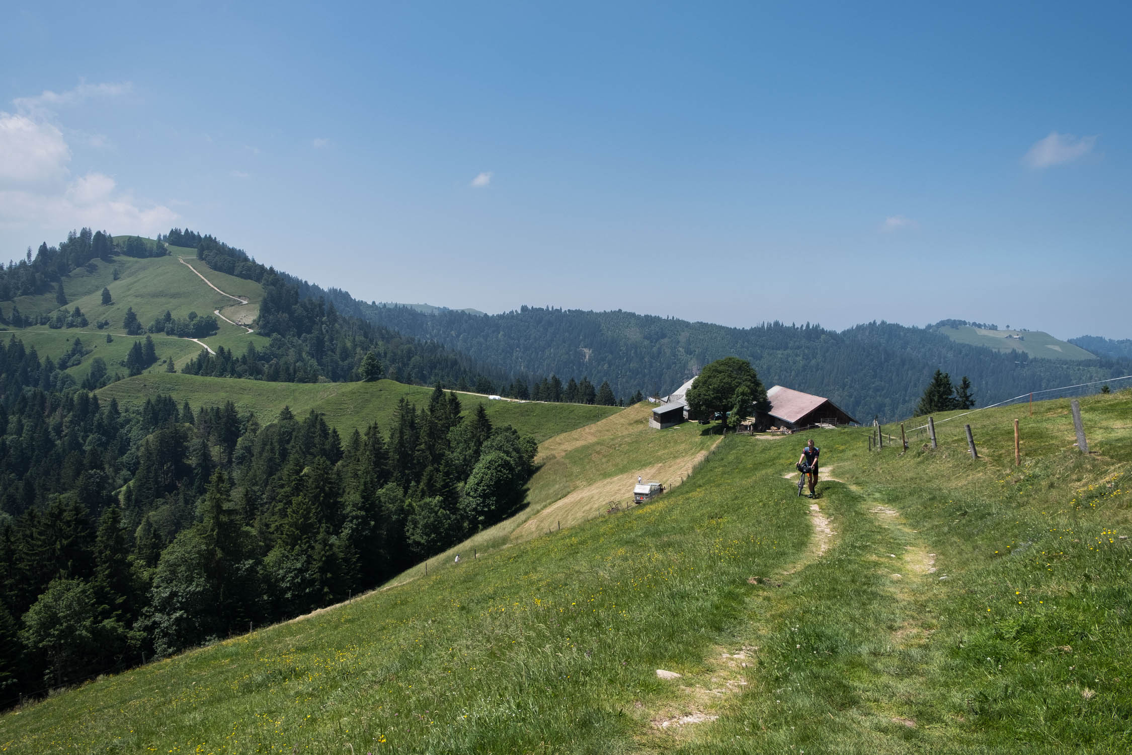
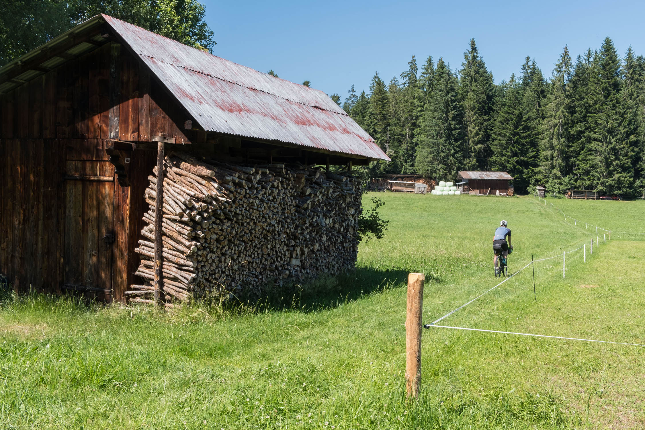
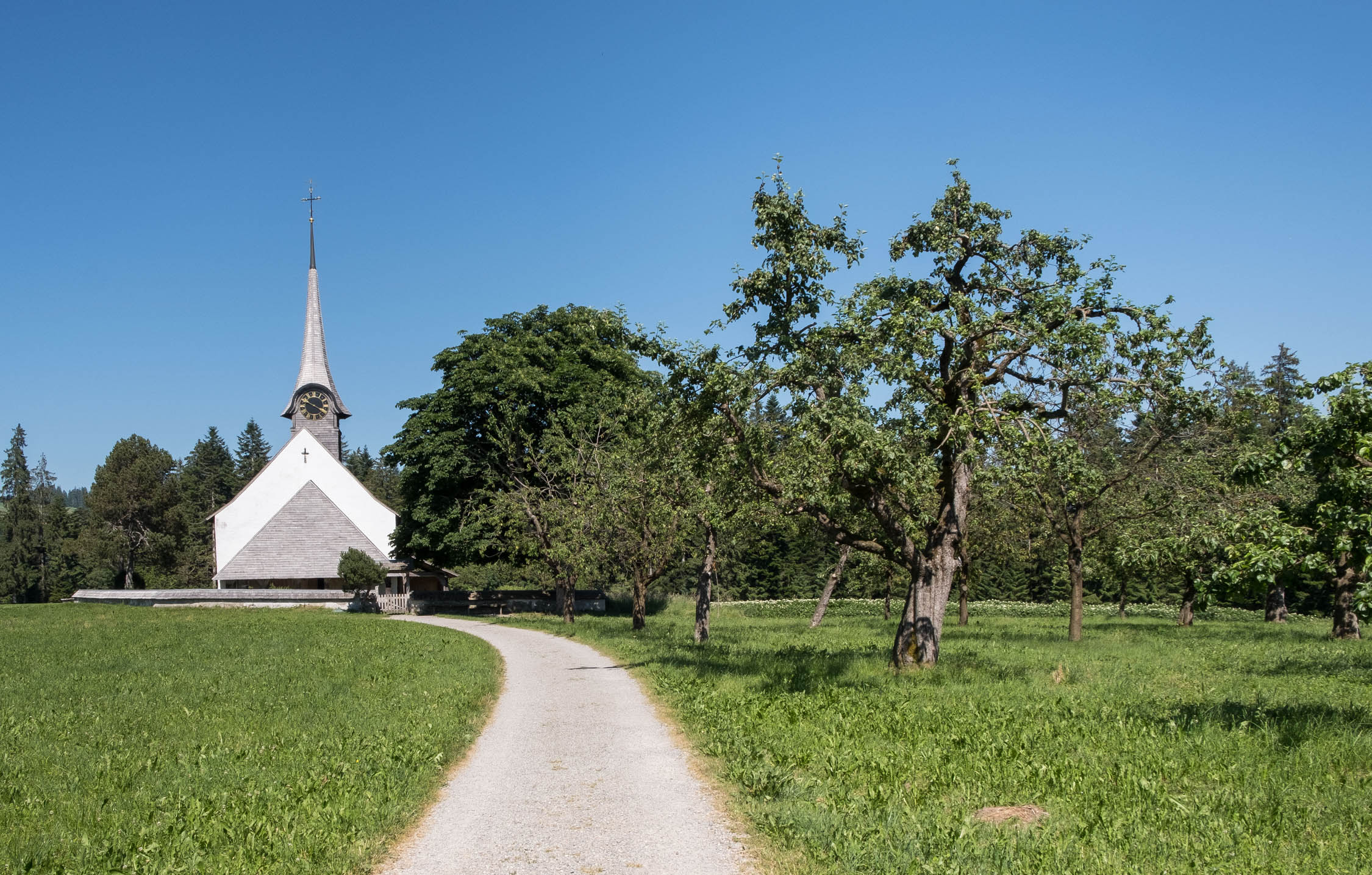
- Small villages and traditional local farmhouse architecture
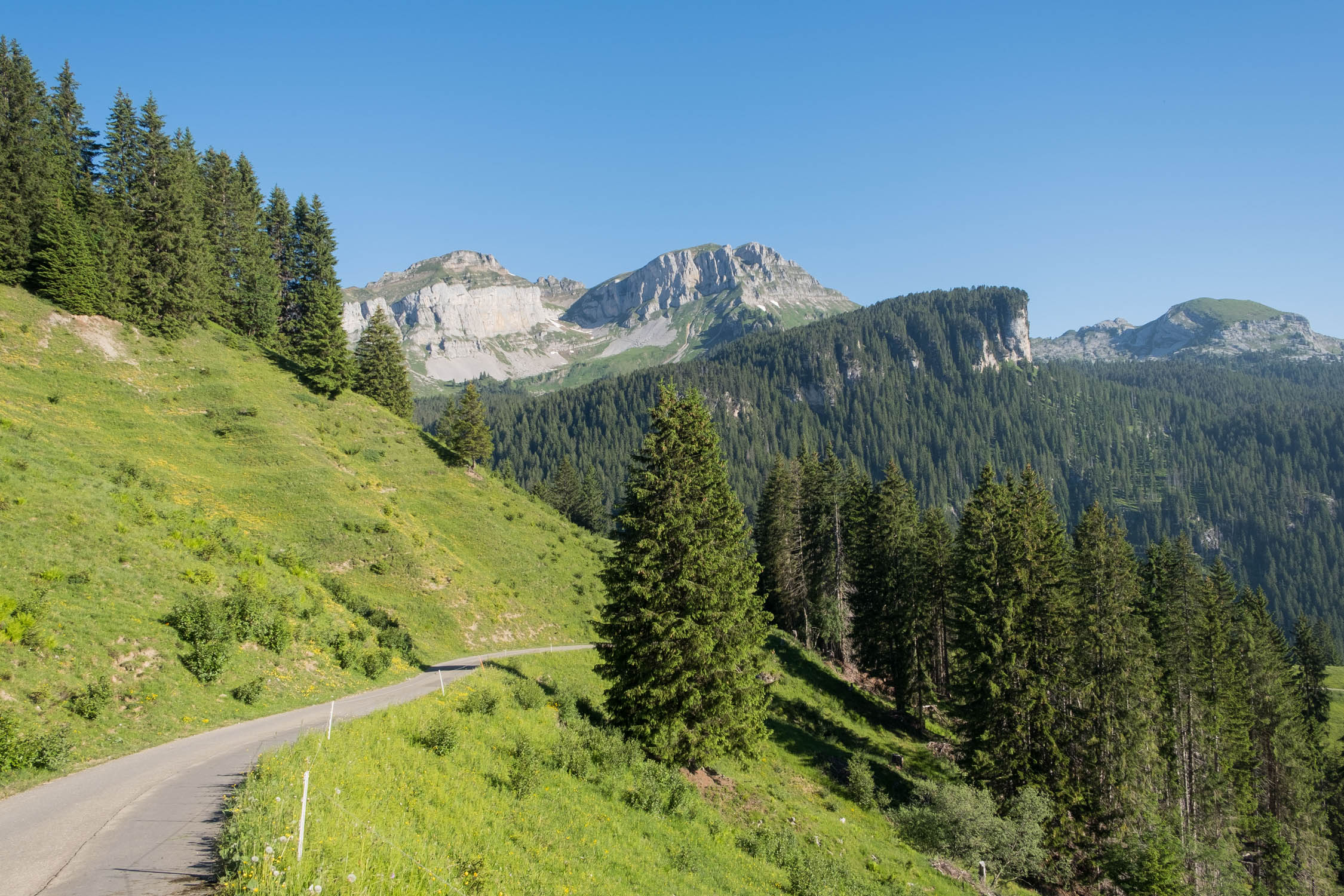
- Scenic point Napf at 1408m
- Scenic point Wachthubel at 1415m
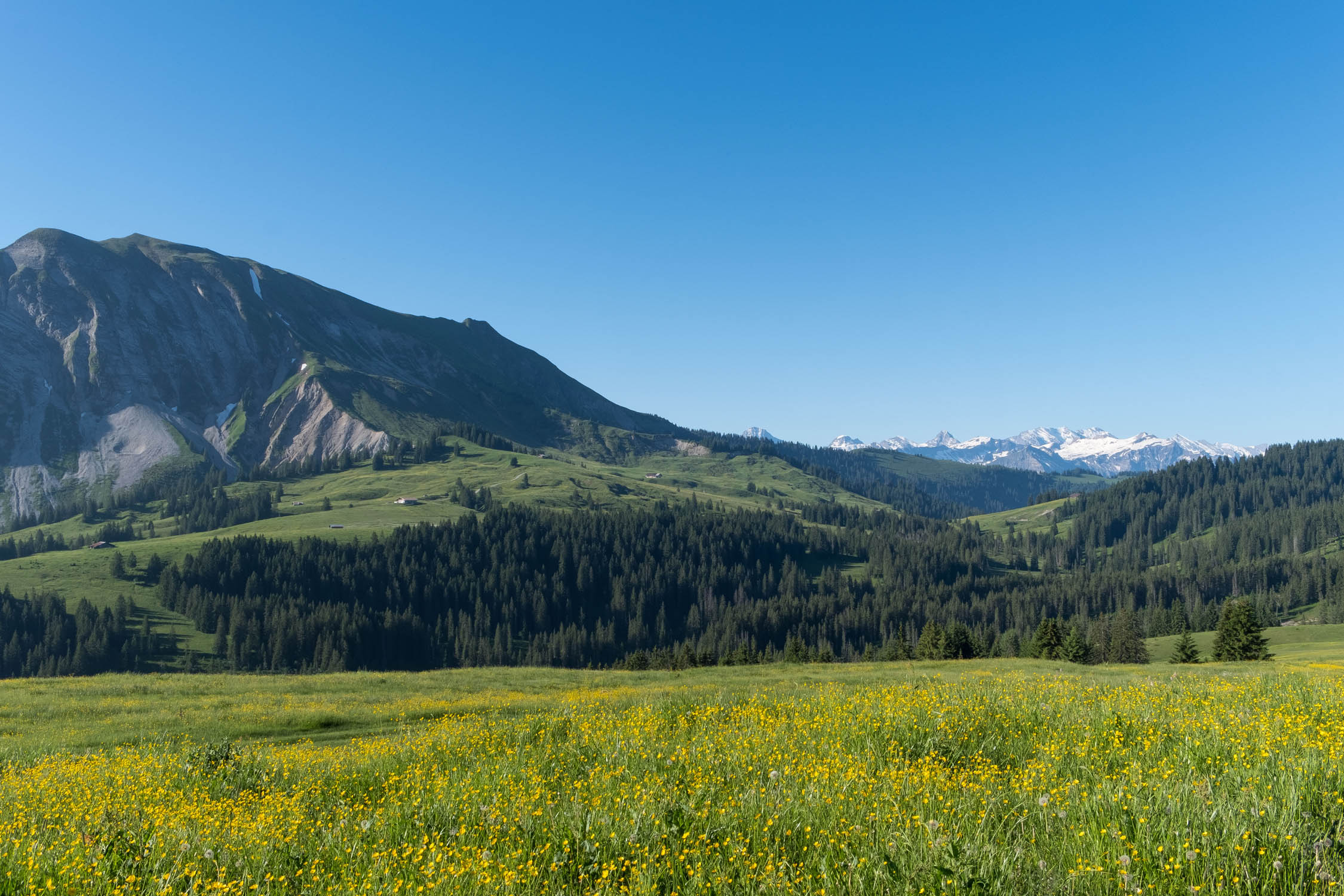
- High moor Lombachalp near Habkern
- Scenic point Sichle at 1679m
- Valley Justistal
- Chapell Wuerzbrunnen
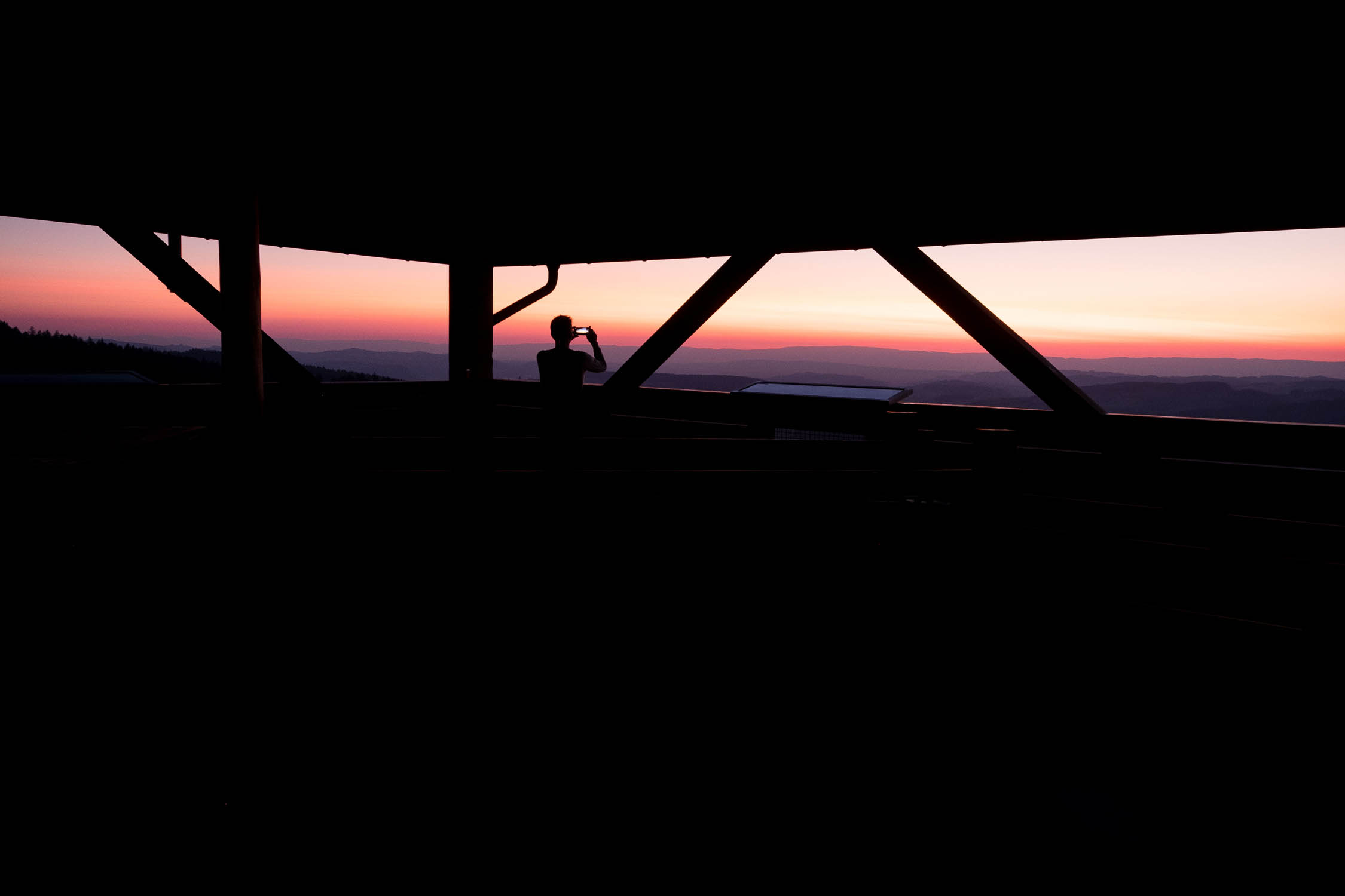
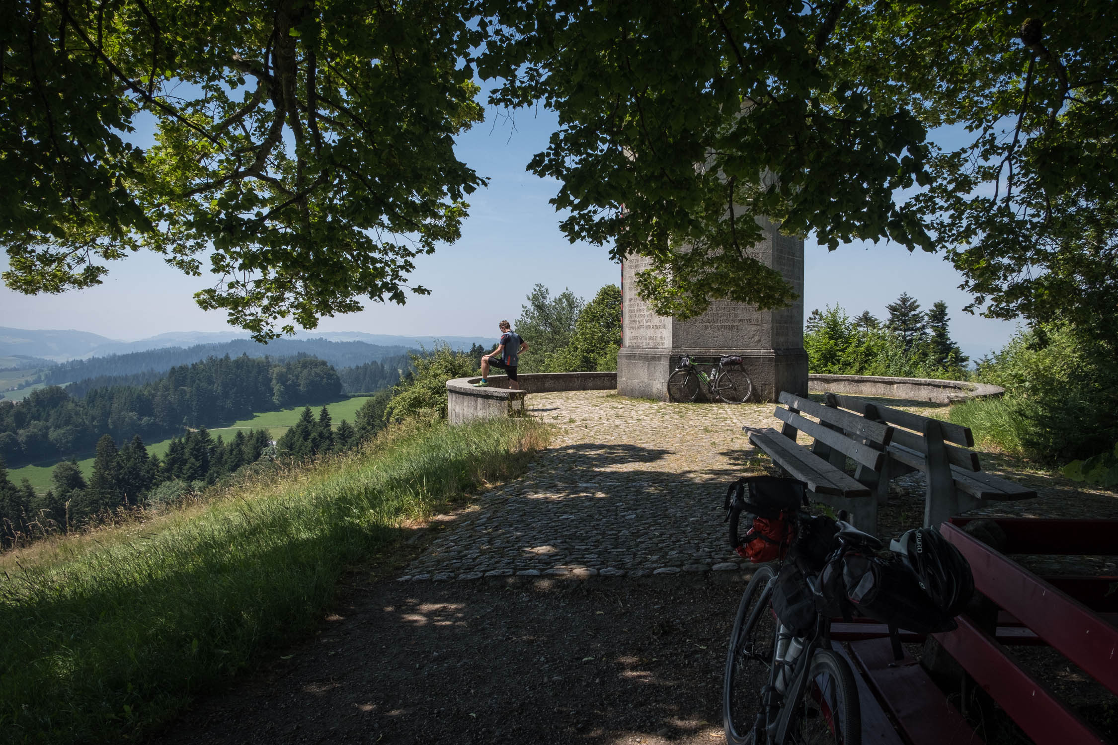
- Scenic Tower Chüderhüsi
- Scenic point Blasenflue at 1118m
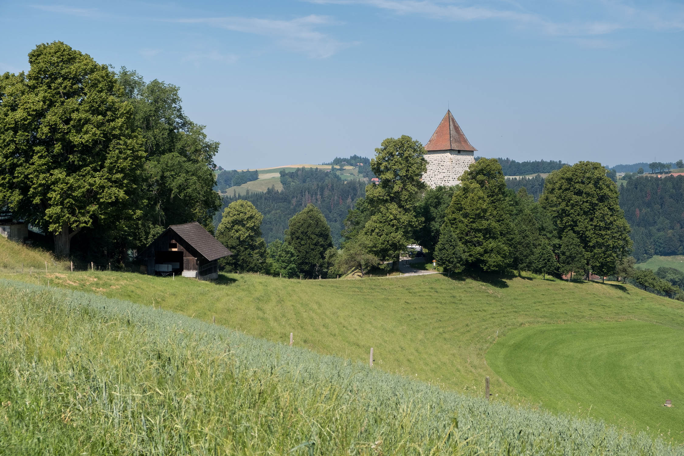
- Castle Trachselwald
- Memorial Lueg at 887m
- The best time to ride this route is between June and September.
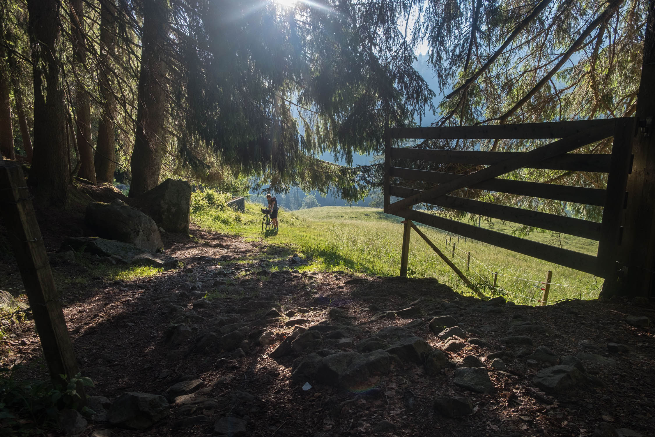
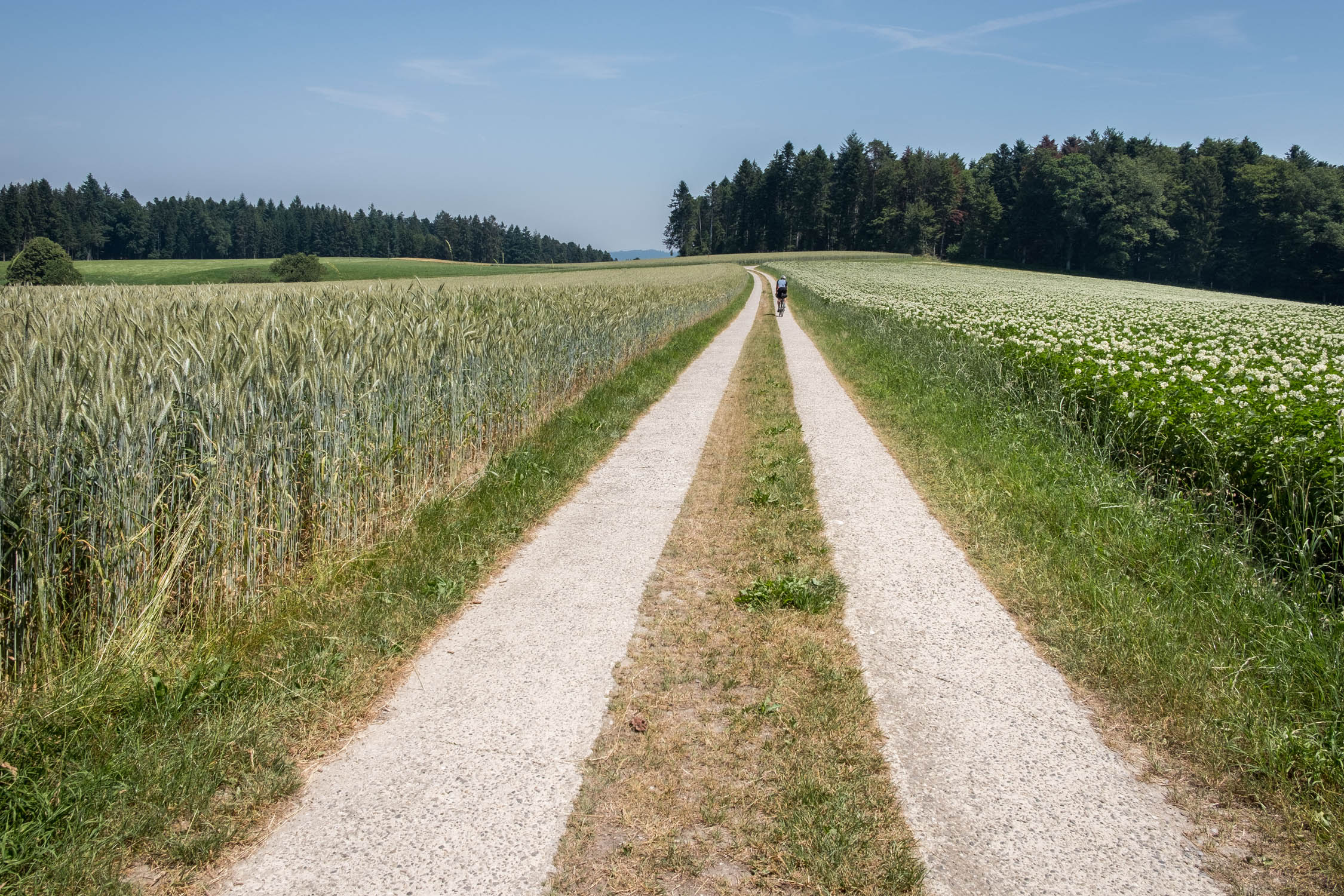
- The route consists mostly of paved and unpaved forest roads. The ascents and descents are used to access multiple scenic points and can be very steep at times (>20%) and often full of rocks or roots. A hardtail MTB with a low gear ratio is recommended, especially when carry a lot of luggage.
- The route starts and ends in the town Langenthal in the South of Basel. Langenthal is easy to reach by train. There are no official parking places, where you can leave a car longer than 24h!
- We did this trip clockwise on a very sunny weekend at the end of June. Though temperatures were hot during the day, the nights up the hills can be chilly.
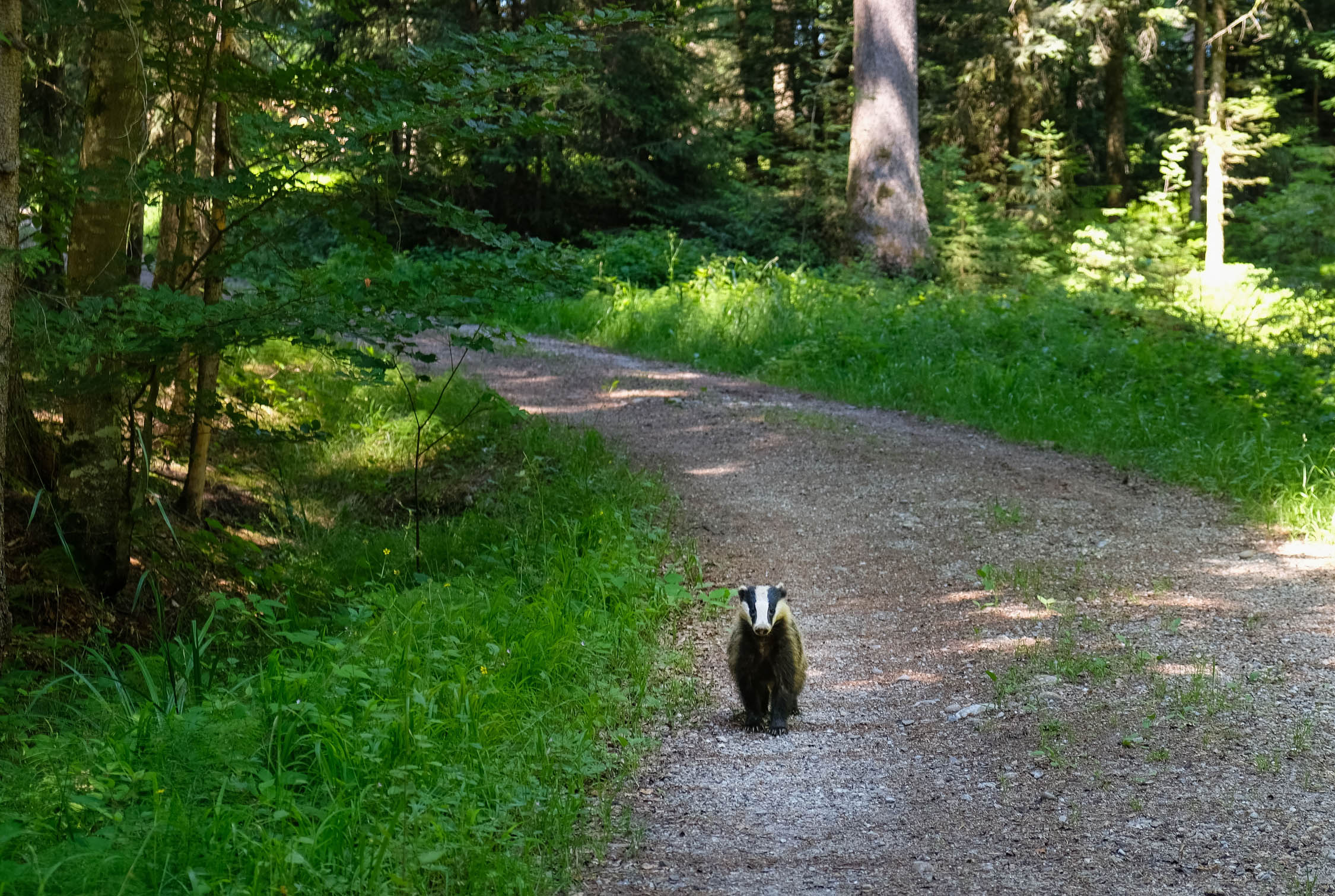
- Keep an eye out for hikers.
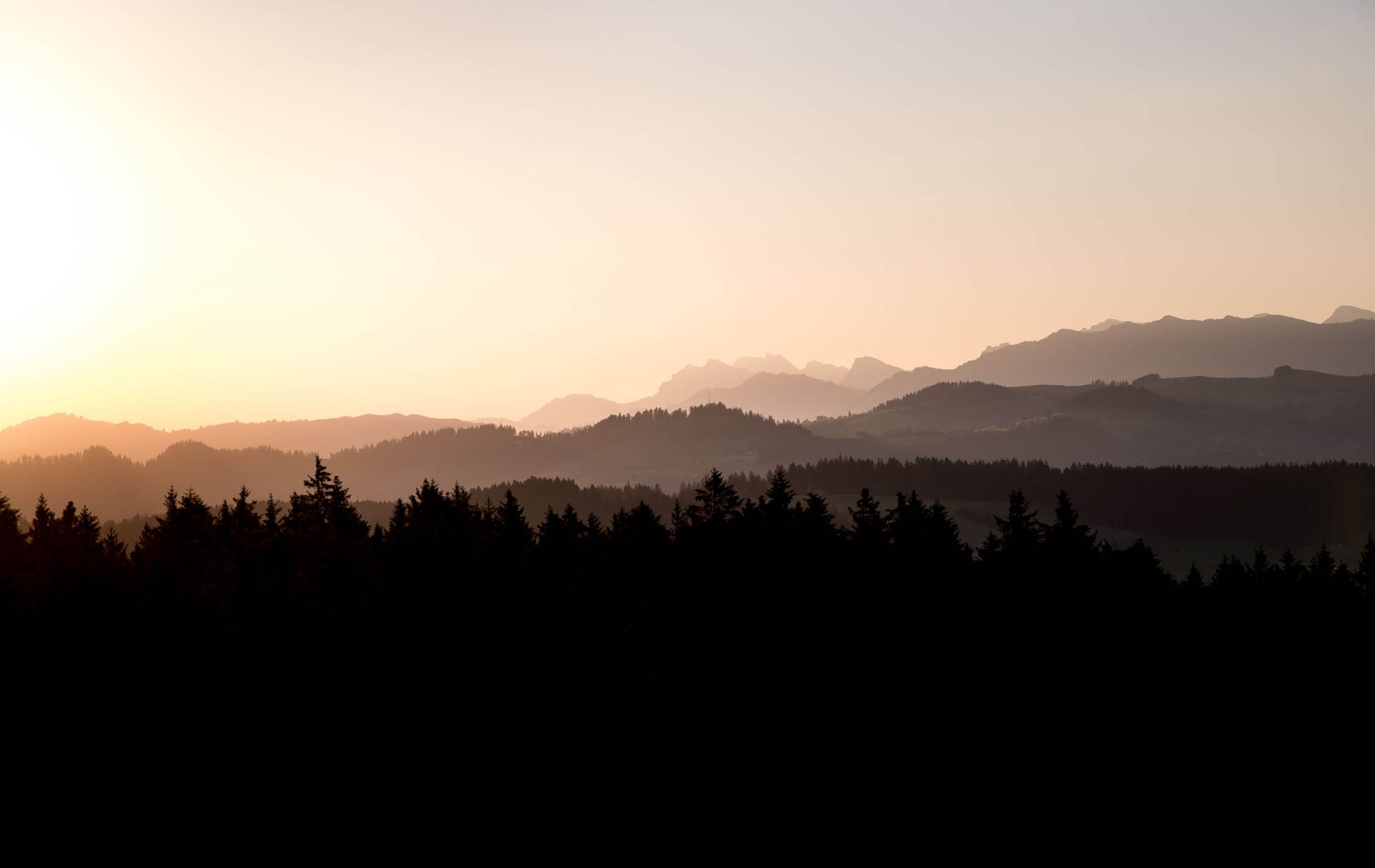
- The white mountains of the Berner Oberland region often disappear in thick clouds, which then makes the tour less spectacular. For the best panoramic views, I recommend doing this trip only in good weather conditions.
- There is a section around mile 80 that includes Cheistlistäg bridge. There are some steep bits and steps required to go through this canyon. Pack light. The detour around the canyon would be to go up the valley to the east toward Linde and then back; there are obvious highlighted cycling routes on the OSM Cycle map layer.
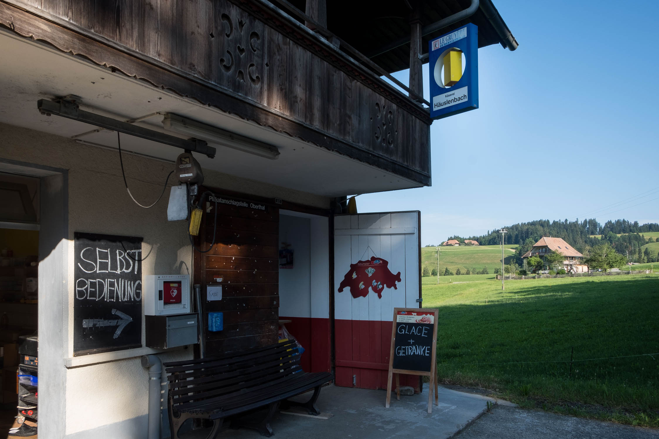
- You will find accommodation options in every village.
- In Switzerland, overnight camping is permitted beyond tree line. It is forbidden in National Parks (such as in the Lombachalp region).
- You also pass a lot of farmland where camping is often allowed with the permission of the owner.
- If you stop to camp in the forest, it’s always best to arrive late and leave early. And of course, #leavenotrace.
- You pass plenty villages and farmhouses, so water is everywhere.
- Supermarktes are available in Langenthal, Trubschachen, Schangnau, Habkern, and most other bigger villages along the way.
- Many farmers sell food, especially cheese.
- Small rivers and creeks abound. Filtering is recommended because of nearby cattle grazing.
The tour begins and ends in the South of Langenthal. We did this tour clockwise in three long days, spending the first night about an hour’s ride past Schangnau. On the second day, we resupplied in Habkern.
The way uphill to Napf is steep and difficult to ride. You’ll likely have to push your bike from time to time. The downhill is a joy to ride until Trubschachen. Shortly after this village you have to push your bike up a steep, rocky forest road. The descent from Wachthubel is similar to the ascent.
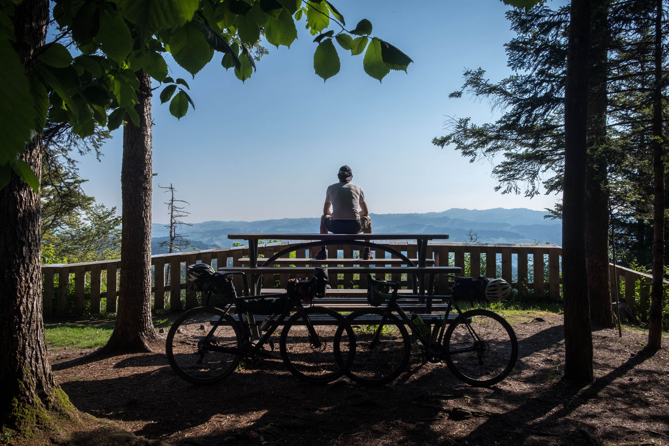
We spent the second night at the scenic tower Chüderhüsi, which also offers a public barbecue area. You can have a meal at the restaurant next to the tower, but be aware of the opening times. It most often closes at 5:00 p.m. Furthermore, it doesn’t sell alcohol, so you’ll have to enjoy sunset on the scenic tower without a post-ride beer, unless you buy it in the village of Roethenbach on the way up.
The third day still has plenty of climbing, although the long climbs are already finished.


Terms of Use: As with each bikepacking route guide published on BIKEPACKING.com, should you choose to cycle this route, do so at your own risk. Prior to setting out check current local weather, conditions, and land/road closures. While riding, obey all public and private land use restrictions and rules, carry proper safety and navigational equipment, and of course, follow the #leavenotrace guidelines. The information found herein is simply a planning resource to be used as a point of inspiration in conjunction with your own due-diligence. In spite of the fact that this route, associated GPS track (GPX and maps), and all route guidelines were prepared under diligent research by the specified contributor and/or contributors, the accuracy of such and judgement of the author is not guaranteed. BIKEPACKING.com LLC, its partners, associates, and contributors are in no way liable for personal injury, damage to personal property, or any other such situation that might happen to individual riders cycling or following this route.
Please keep the conversation civil, constructive, and inclusive, or your comment will be removed.