


High Life
Distance
187 Mi.
(301 KM)Days
3
% Unpaved
55%
% Singletrack
0%
% Rideable (time)
100%
Total Ascent
18,150'
(5,532 M)High Point
6,076'
(1,852 M)Difficulty (1-10)
6?
- 6Climbing Scale Moderate97 FT/MI (18 M/KM)
- 6Technical Difficulty Moderate
- 6Physical Demand Moderate
- 6Resupply & Logistics Moderate
Contributed By

Ben Kampschoer
Guest Contributor
Ben grew up on a family farm on Girai Wurrung country in the south west of Victoria, Australia. He fell in love with bike travel while touring the United States in 2014, and it has been a huge part of his life ever since. Check out more of where Ben’s been riding on Instagram @bushtrucker.
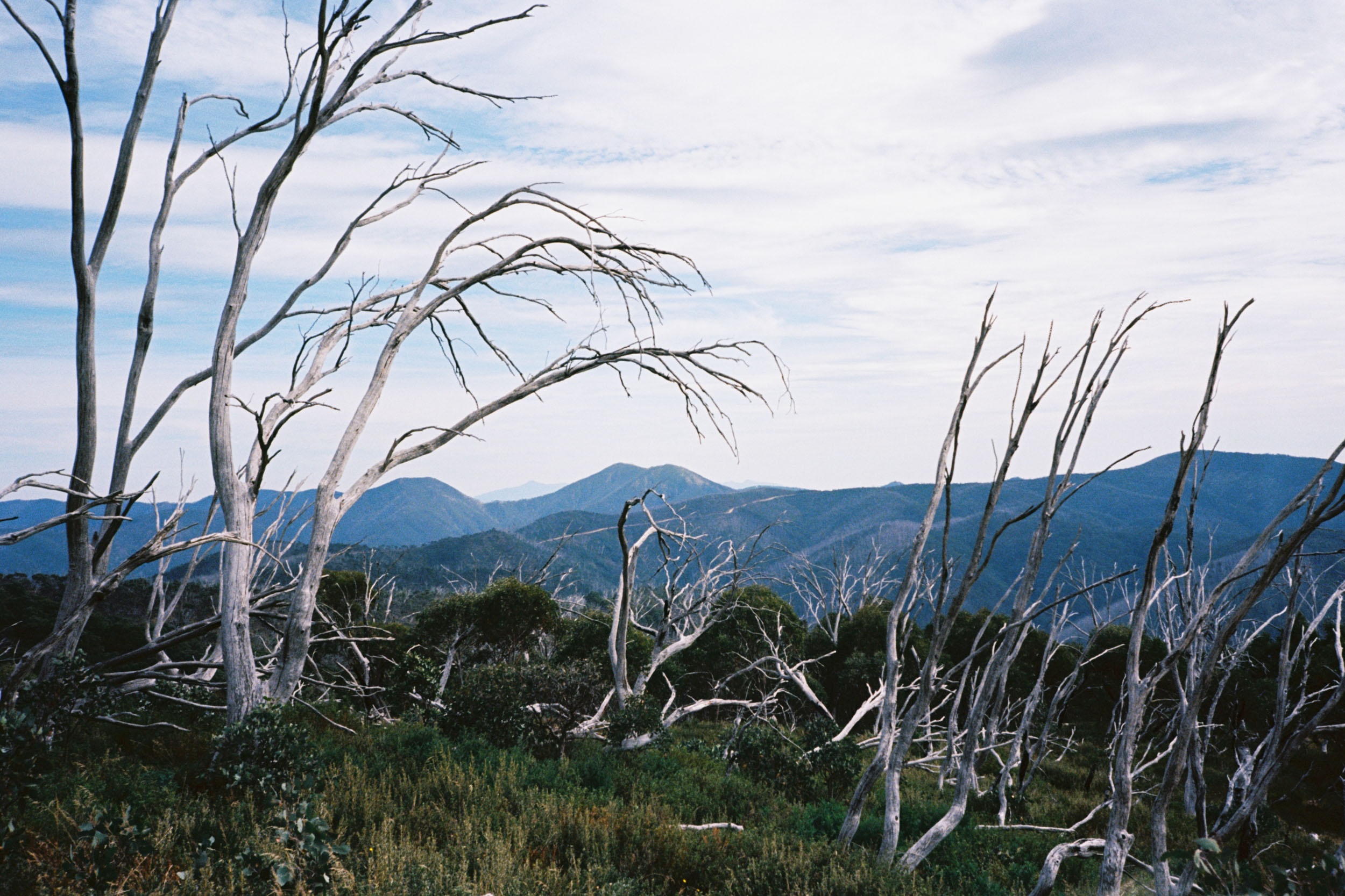
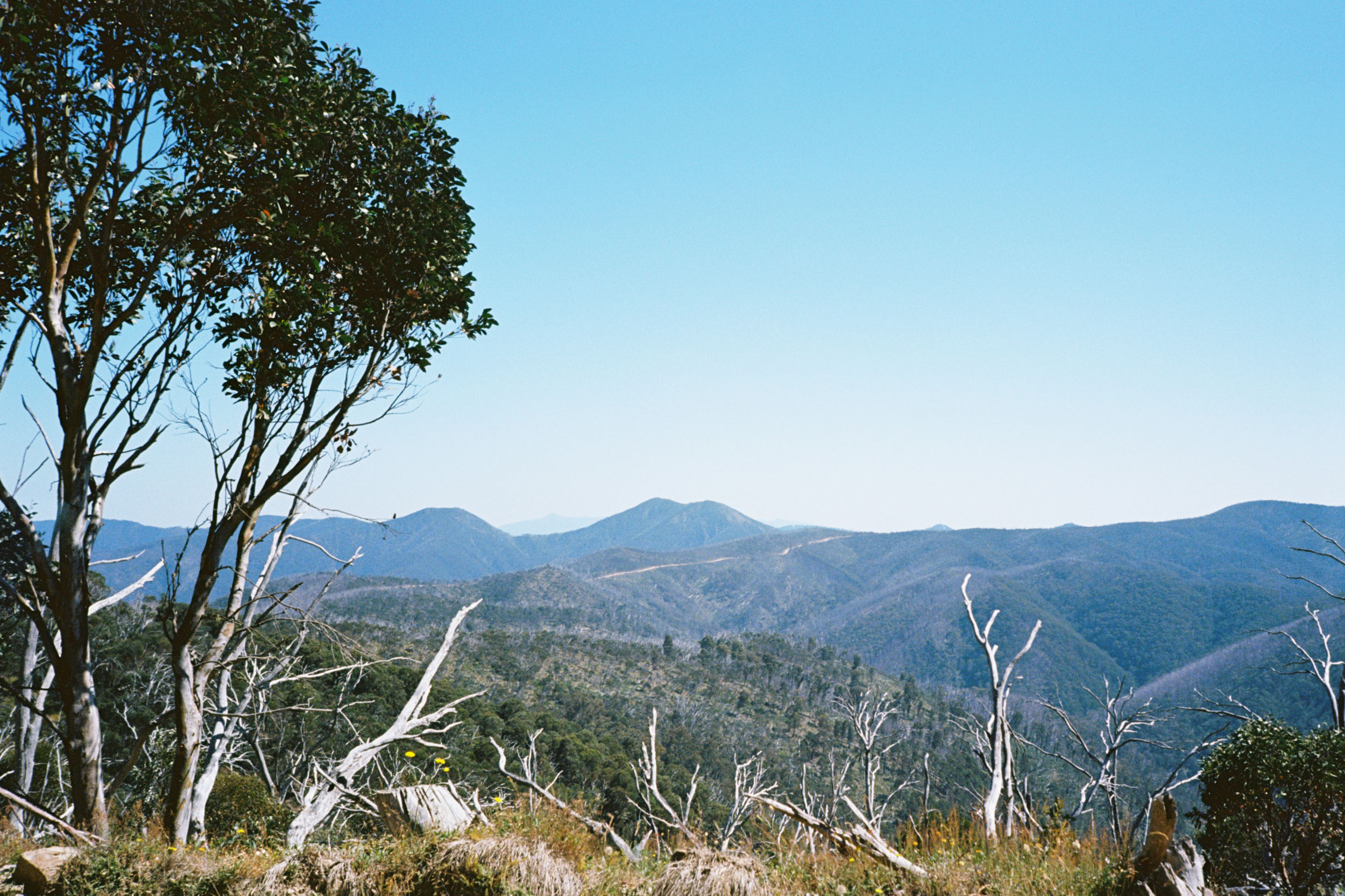
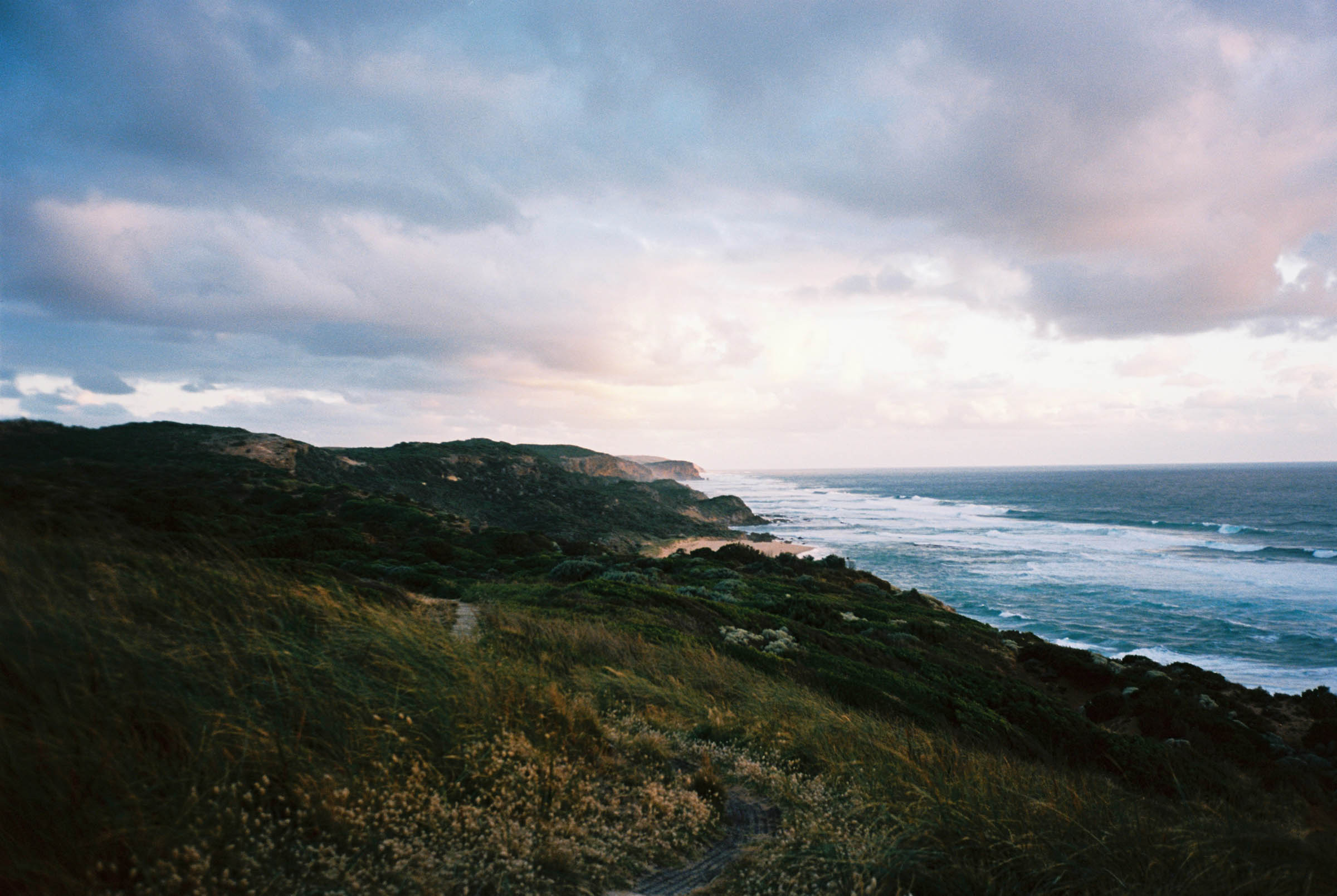
The High Country is a rugged landscape that has been etched into Australian folklore, from the bogong moth feasts of early Indigenous peoples, who thrived on this land for many millennia, to the ill-fated mining and grazing attempts of early settlers, who battled for survival against each other and the elements. These days, it’s become a go-to destination for outdoor recreation with 4WD enthusiasts, motos, hikers, and skiers all racing up there to get their adventure fix. But if you ask me, the best way to see the High Country is by bike. So load up ya bags, jump a train, and get pedaling.
Now, this route is no walk in the park. Long, steep climbs and limited services will challenge you. And there’s the constant threat of bushfire and inclement weather to contend with as well. But with a good route, a little bit of planning, and a few snacks, you’ll see as much as anyone could hope for in just a few days of riding. And that’s what the High Life aims to be: the best bang for your buck High Country experience.


The Trail Notes are fairly descriptive. Some might even call it a spoiler. If you prefer a bit less predictability in your rides, I’d recommend grabbing that GPX file and getting out there. Maybe skim the Must Know section on your way out the door!
Difficulty
Overall, the route is a straightforward 6 out of 10. Truly intermediate! It’ definitely a step up in difficulty from the Otway Rip but much easier than longer High Country rides like the Hunt 1000 and Vic Divide 550.
Route Development: I’ve ridden this route three times now with improvements every time. It’s been pretty dialed in, and the feedback from at least five mates is really good. This route takes place on the unceded lands of the Gunaikurnai and Pallanganmiddang people. We acknowledge them as the traditional owners of the land on which we ride and pay respect to elders past, present, and future. If you’ve ridden this route, please consider a donation to your local Aboriginal land council, ANTaR or Pay the Rent as a showing of support.


Submit Route Alert
As the leading creator and publisher of bikepacking routes, BIKEPACKING.com endeavors to maintain, improve, and advocate for our growing network of bikepacking routes all over the world. As such, our editorial team, route creators, and Route Stewards serve as mediators for route improvements and opportunities for connectivity, conservation, and community growth around these routes. To facilitate these efforts, we rely on our Bikepacking Collective and the greater bikepacking community to call attention to critical issues and opportunities that are discovered while riding these routes. If you have a vital issue or opportunity regarding this route that pertains to one of the subjects below, please let us know:
Highlights
Must Know
Camping
Food/H2O
Trail Notes
- Rolling into Dargo for a well-earned beverage.
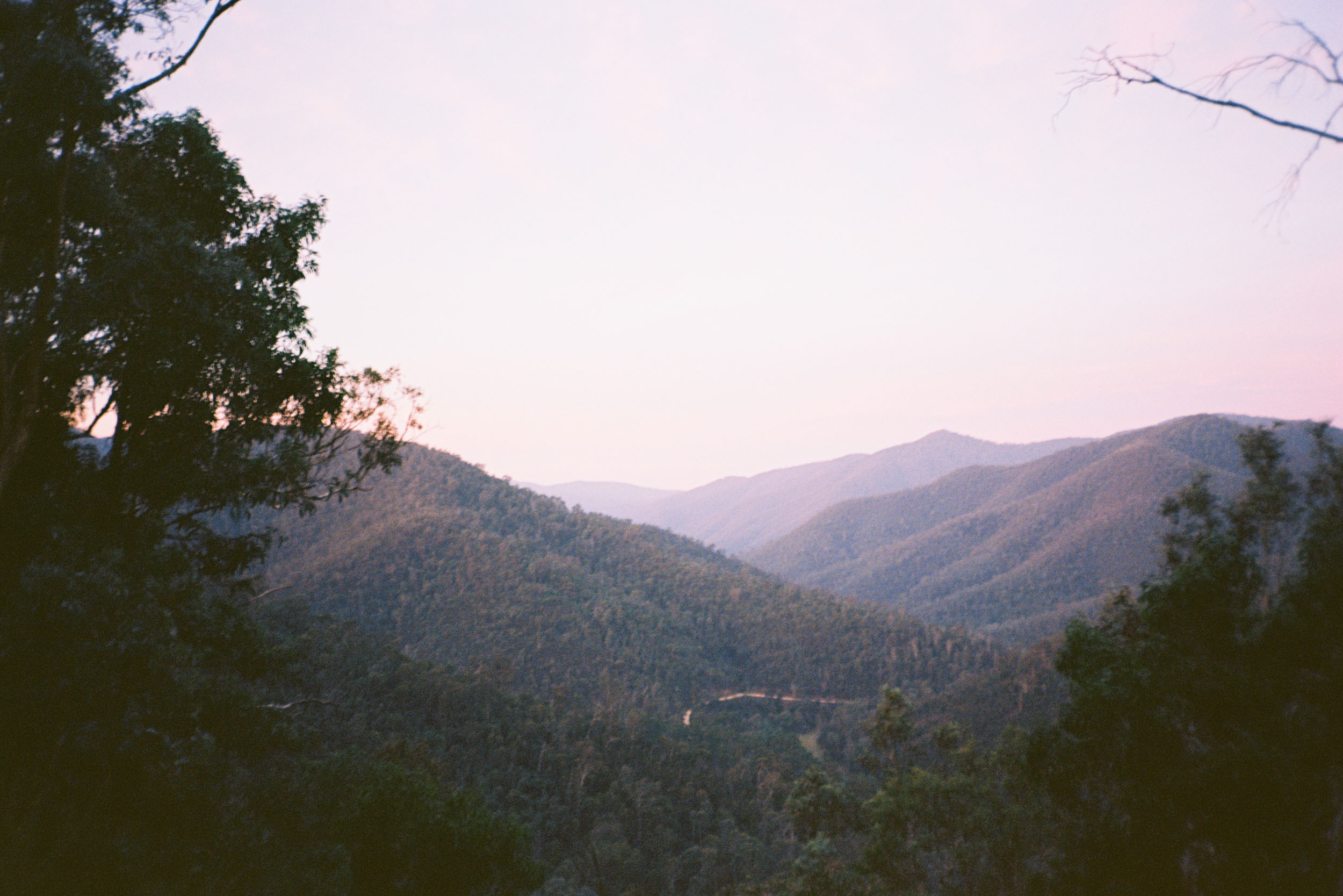
- Endless High Country views from up on High Plains Road.
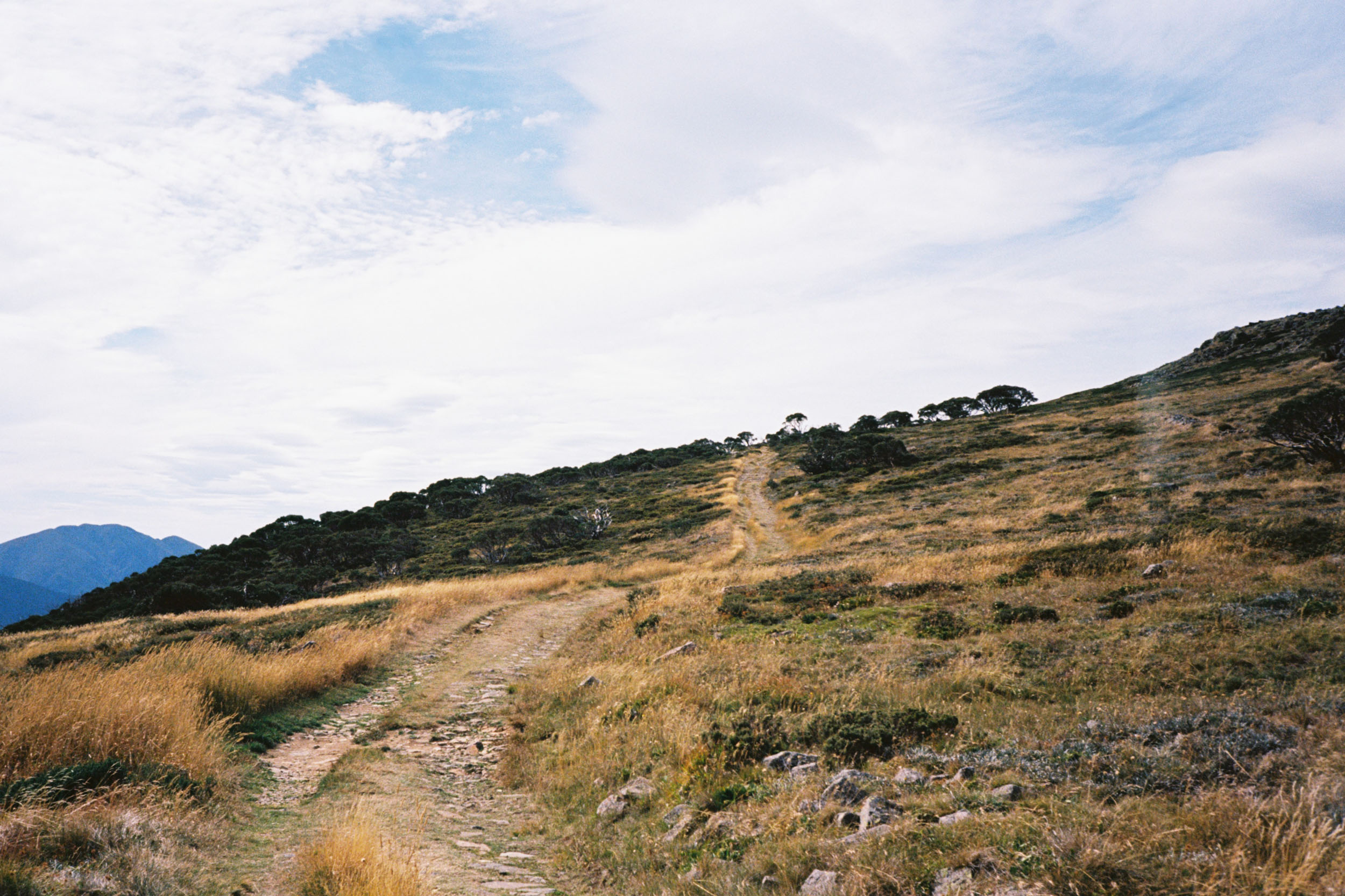
- Topping out at 1,840 metres on the highest paved road in the country.
- Getting fast and loose down Machinery Spur Track.
- Free camping paradise in the Kiewa Valley.
- Bakeries and breweries galore as you cruise out to Wangaratta.
- Recommended ride time is 2-4 days. It’s a proper long weekender for most folks. Around 48 hours is the fastest I’ve ridden it, camping twice, and I’m not sure I’d enjoy going much quicker than that. You might!
- In an effort to ditch the car and avoid looping back down the mountain, the route has been made accessible from Melbourne via V/Line trains to Bairnsdale and Wangaratta. Check ahead with V/Line to make sure there are no service interruptions. Make sure to arrive at the station early to purchase your ticket and secure a spot for your bike. There are limited bike spaces on each service.
- The route can be ridden both ways. South to north (departing from Barinsdale) is the recommended direction. That way, you get longer, slower climbs and steeper, faster descents. North to south is nice if you want to ease into it on the rail trail, but you’ll eventually have a steep hike-a-bike up to Hotham. And the same again out of Dargo.
- The route is best ridden from late spring through to autumn (November-May). Significant snowfall will occur during the winter months, which makes it hard, maybe even impossible, to ride at that time of year. Victoria’s High Country experiences highly changeable weather conditions year round—I’ve experienced snow in December—so check the forecast and plan accordingly.
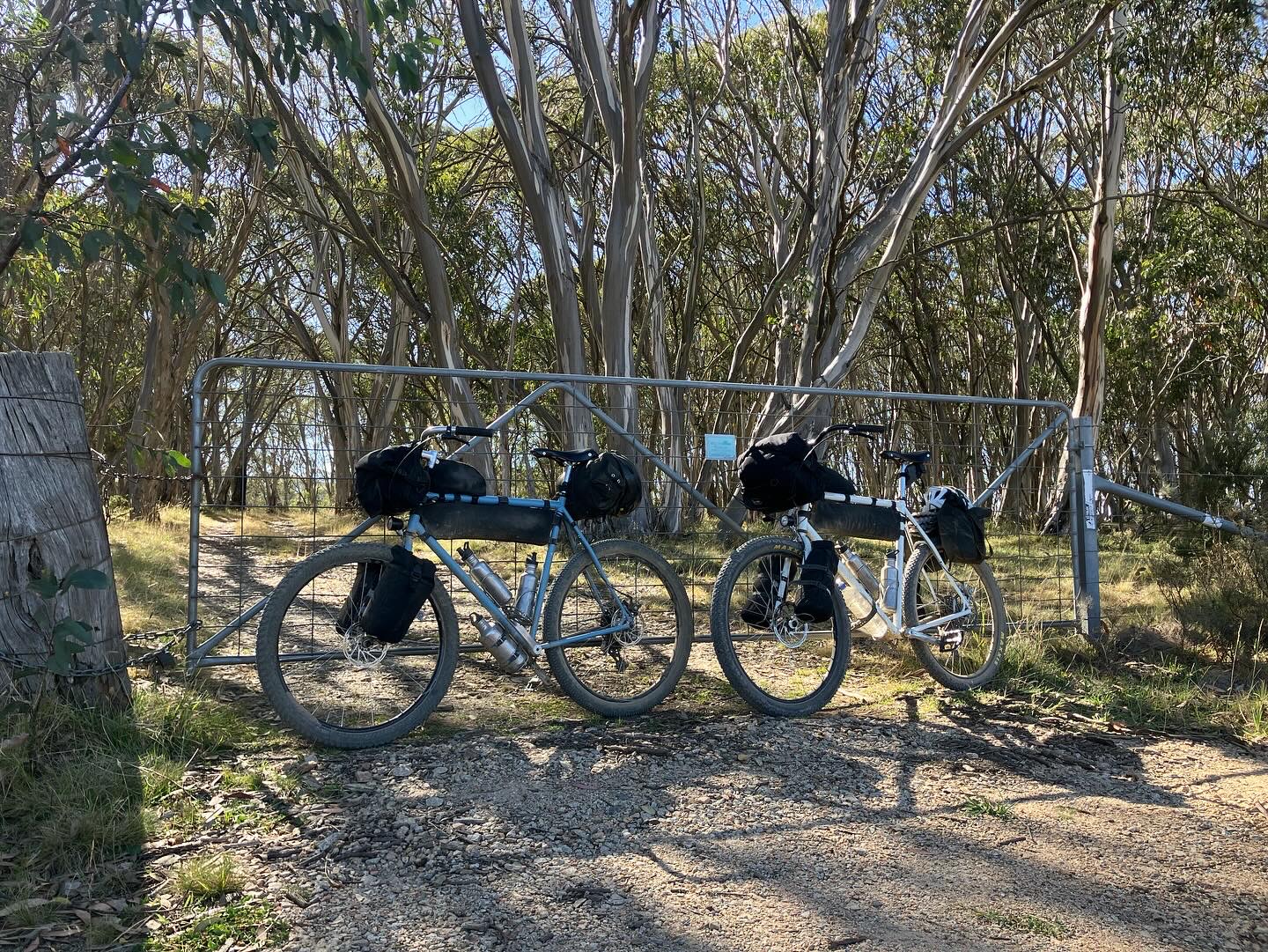
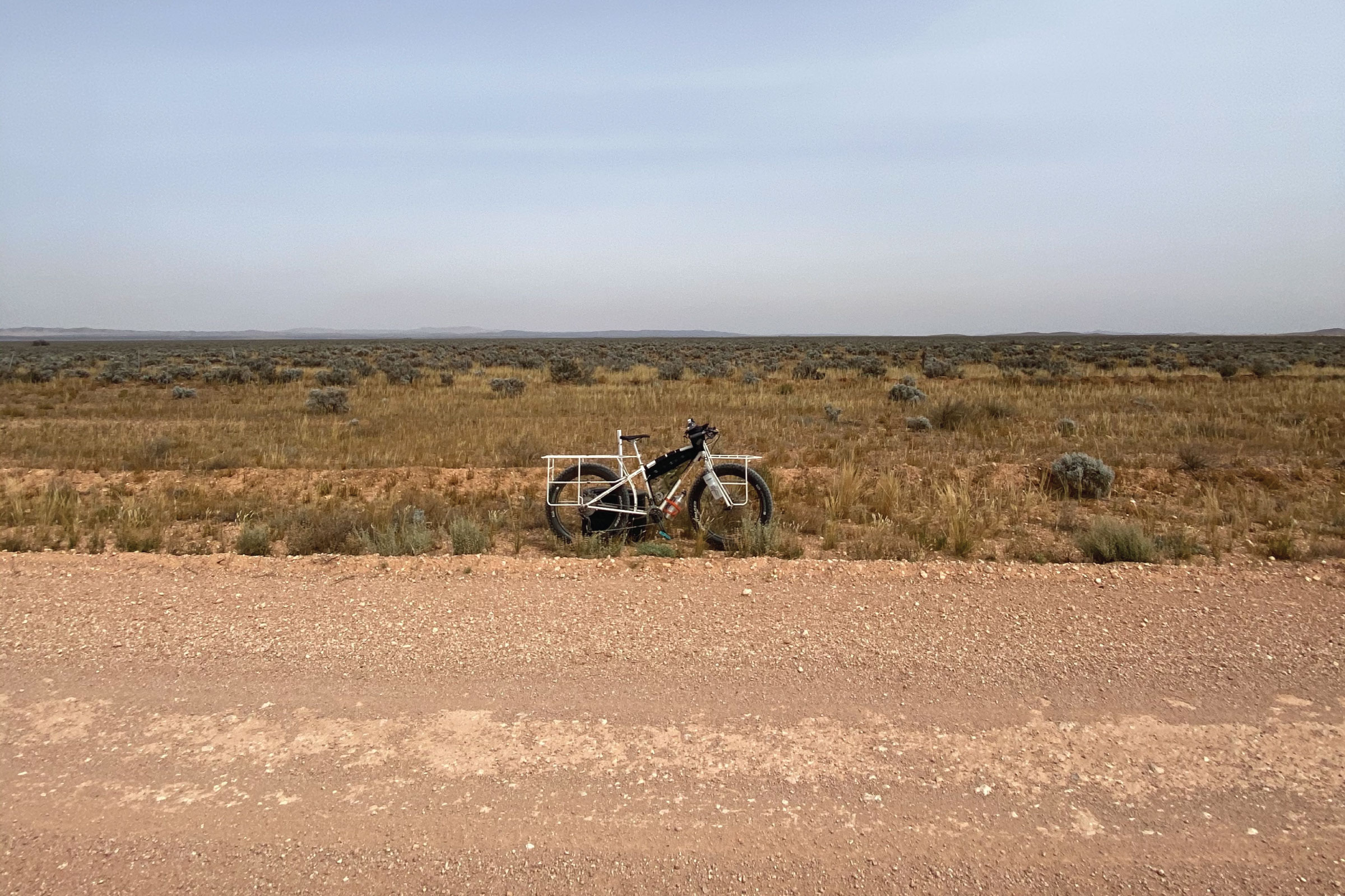
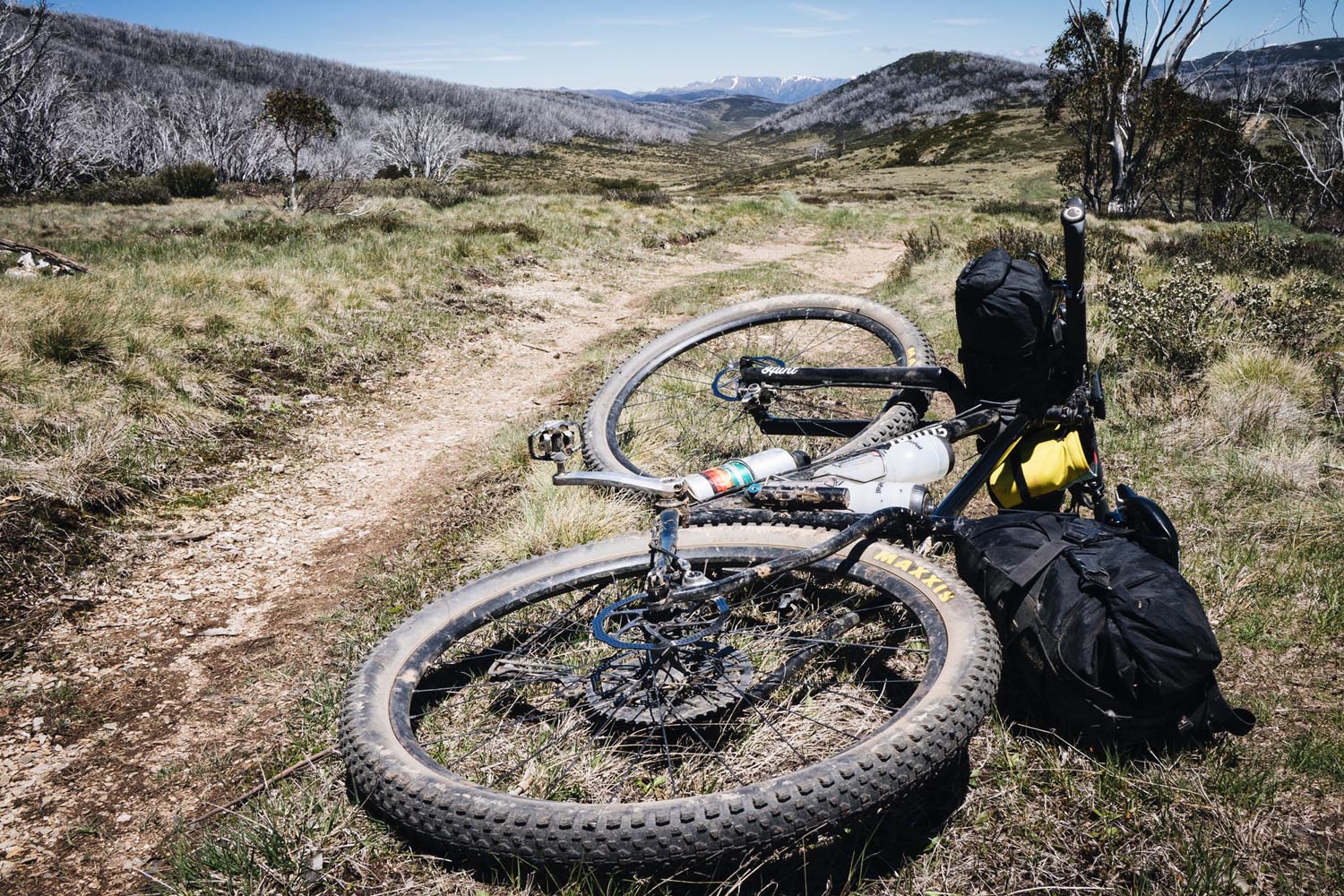
- It’s possible to ride the route on a gravel bike, but there are a number of steep, technical sections that will be safer and more fun on a flat-bar touring bike, ATB, or MTB. Around 2.0” (50mm) tyres would be my minimum recommendation; I find 2.2-2.6” to be the sweet spot. I’ve ridden it twice on a 130-forked hardtail, which is a lot of fun if you want to send it off Hotham! Single speeding is an option, too, if you want an extra challenge—as long as you’re happy to spin out on the rail trail.
- Mobile phone coverage is intermittent so it’s recommended you carry a backup messaging/emergency device, especially if travelling alone.
- High Plains Road will have 4WD traffic most weekends, with long weekends being particularly busy. If you don’t want to be overtaken by 4WDs while you ride, it’s recommended to head out mid-week.
- In Victoria, you can camp anywhere in a state forest if you set up at least 20 metres from a waterway. Dispersed camping is also allowed in the Alpine National Park. Remember to always carry a tent/shelter/trowel and try to stay in designated camping areas with toilet facilities where they are available. Pins to a few of the nicer spots have been provided. Huts are also available for emergency use.
- There are also several booked accommodation options available in Dargo, Mount Hotham Alpine Resort, and the various towns along the Murray to Mountains Rail Trail.
- There are lots of food/grocery options available in Bairnsdale, which makes it the best spot to stock up for the trip.
- In Dargo, you have the General Store for light meals and groceries and the Dargo Hotel for a pub feed (and beers!). Check opening hours as they change seasonally. Book ahead at the pub on long weekends. It’s a long ride up to Hotham, so stock up on snacks.
- Once you get to Hotham, you have a bunch of restaurants as well as The General for groceries. Again, check opening hours for seasonal changes. And make sure to carry enough food to get down to Bright as that’s your next top up!
- Once you’re in Bright, there are plenty of food/grocery options to see out the trip.
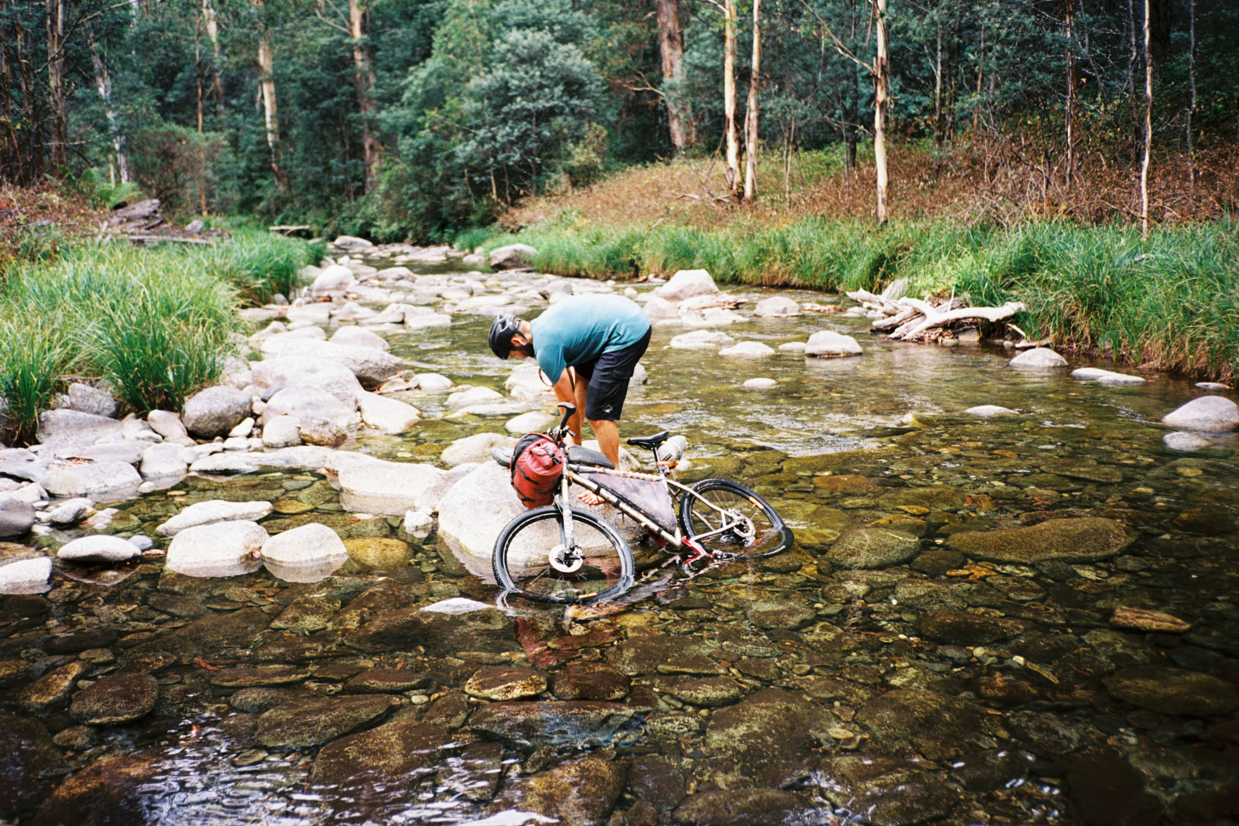
- Filtered drinking water is available at all the above locations. There are also many creek and river crossings throughout the route from which you can safely extract water. Pins for some locations have been provided. Remember, a lot of the creeks are seasonal and may not be flowing at the end of a long High Country summer. Purification and/or filtration is always advised.
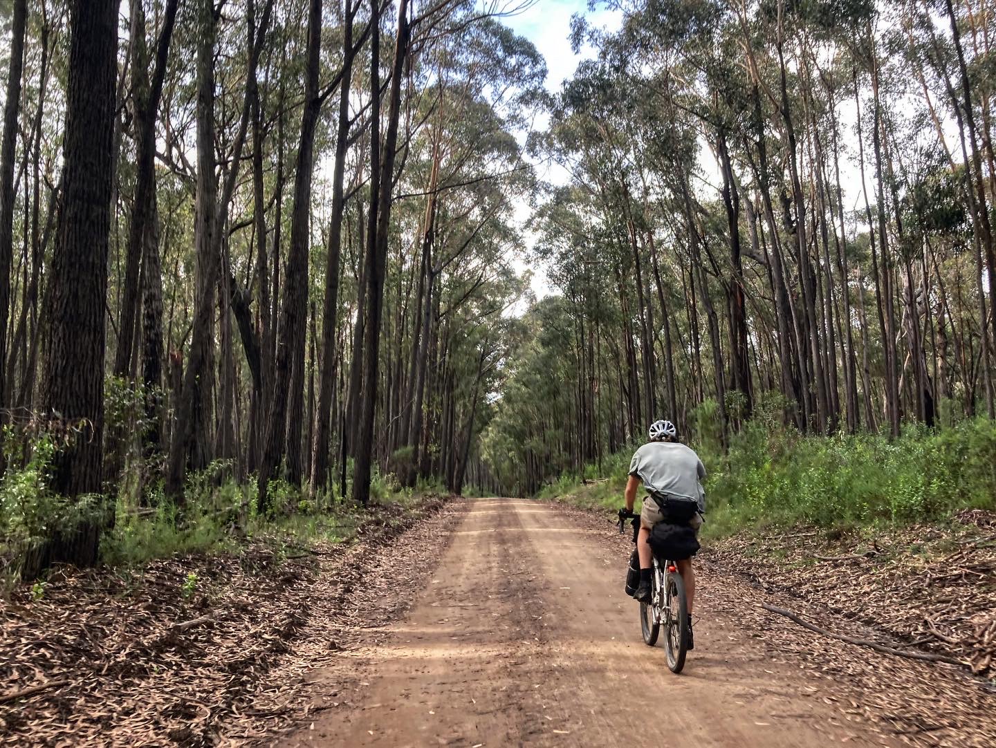
Righto, let’s go. Starting in Melbourne, it’s about four hours on the train to Bairnsdale. Plenty of time for scrolling. What better way to start a trip than with a flat phone! Make sure to grab a few things in town before you roll out. A proper meal, some extra snacks, and maybe a raffle ticket if you’re feeling lucky! There are no services between Bairnsdale and Dargo—and only limited services there—so you’ll want to be stocked up. Sealed backroads take you north out of town. You’ve barely gone 10 kilometres and you’re on the dirt. Easy as that!
location Bairnsdale to Dargo
Day 1 (77.7 km +1,752m)
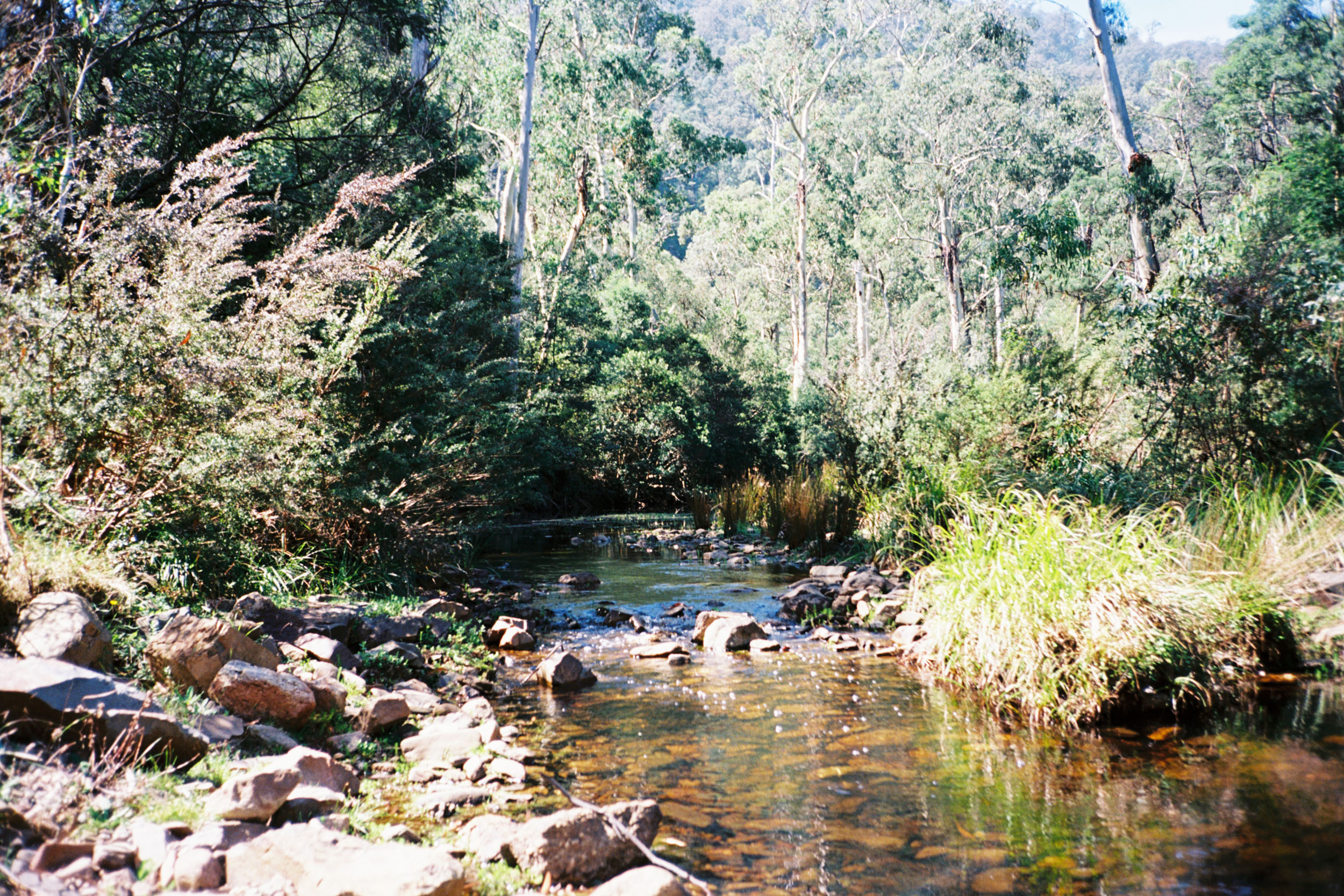
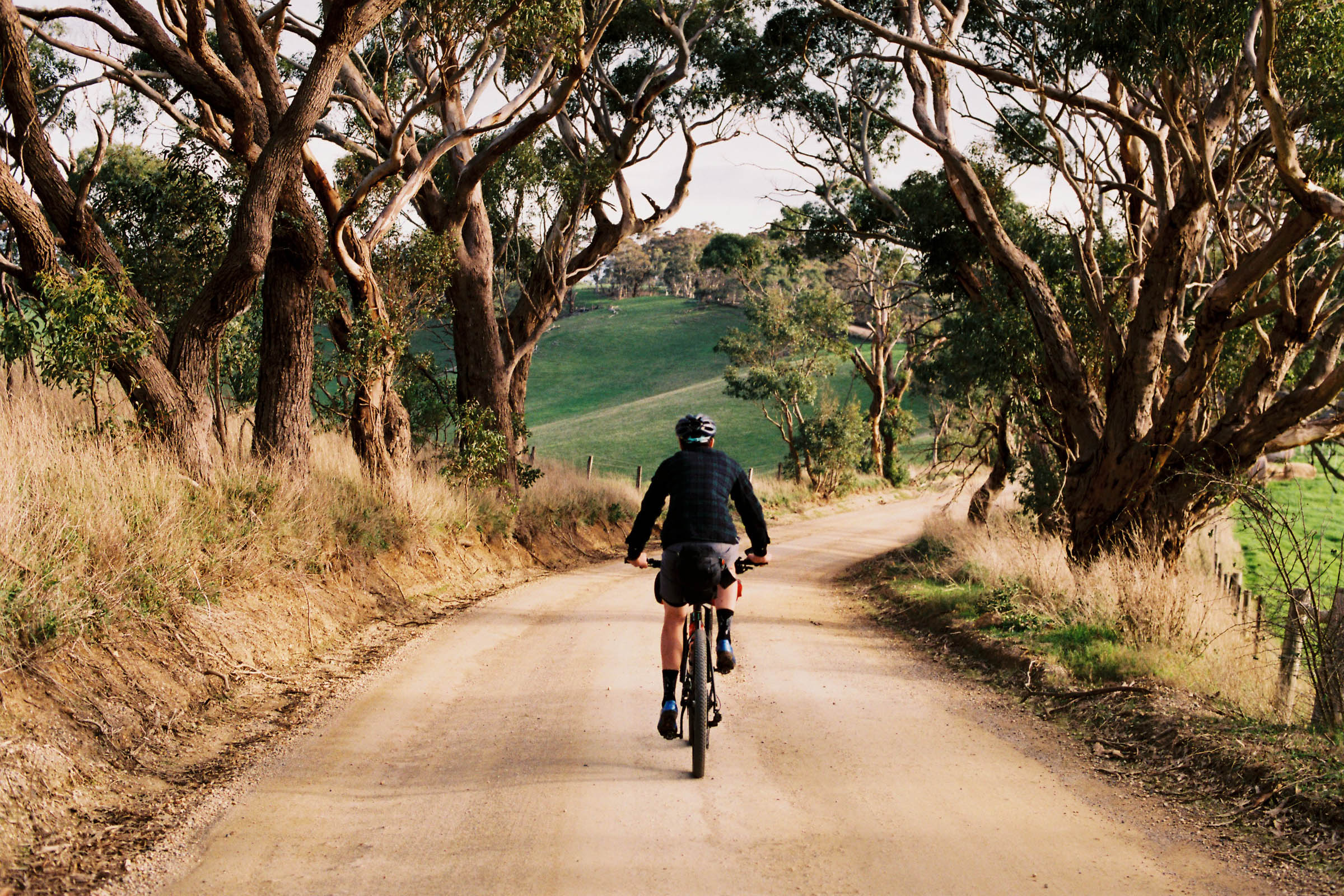
The stretch from Bairndale to Dargo has a lot of variety. At first it’s sealed, then smooth gravel, and finally a loose 4WD track along a ridge. And yes, that hand-drawn sign to Dargo is the way to go! Sandy Creek and the Wentworth River are nice spots to refresh along the way. Watch out for black snakes as you skirt the edge of the waterways. And please purify any drinking water. It’s too early in the trip to get sick. A steep descent takes you from high on the ridge down to the Dargo River. It’s a nice spot for a dip, but I wouldn’t drink that water. Too many cows around! The section into town is flat and partly sealed, which is good news if you’re in a rush to get to the pub. Always worth ringing ahead to make sure they’re open.
location Dargo to Kiewa (Blairs Hut Campground)
Day 2 (95.3 km +2,925m)
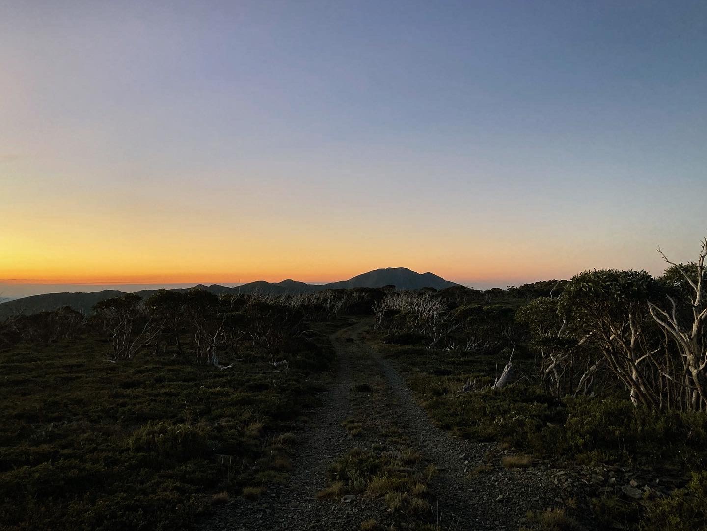
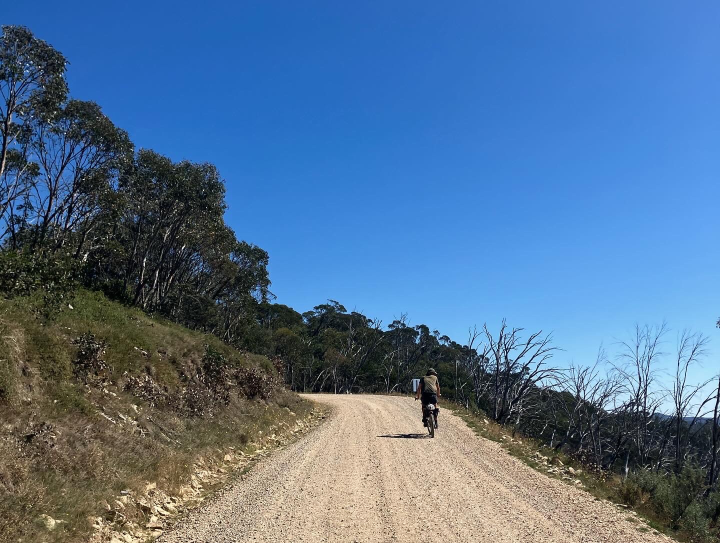
Dargo is the place to be in the High Country. Allow a few hours in town, maybe a night! You’ll want to have plenty of rest (and not be hungover) before heading up High Plains Road. There are 1,000 metres of vert in the first 12 kilometres. That section is sealed and you’ll be thankful for the traction. Watch out for 4WDs up there, especially on long weekends! Things flatten out when you get to the gravel. For the next 50 kilometres or so, High Plains Road undulates its way across a series of plateaus. Tree cover is good to begin with, but as you close in on Hotham, it gets a little more exposed. Phone coverage is pretty good up top, and it pays to check the weather before you decide to camp up here.
Back on the seal again for one last push up to Hotham. Great Alpine Road is for the roadies, so don’t expect to bag any KOMs. Just sit back and take in that spectacular 360-degree view. You’ll top out here at 1,840 metres before a short and fast descent into Hotham Village. Hotham is a ski resort, so things can get expensive, and many places are closed outside of the ski season. Do some research before planning your stop here. If you’re lucky, The General will be open with a small selection of groceries. And hopefully a game of footy or cricket on TV!
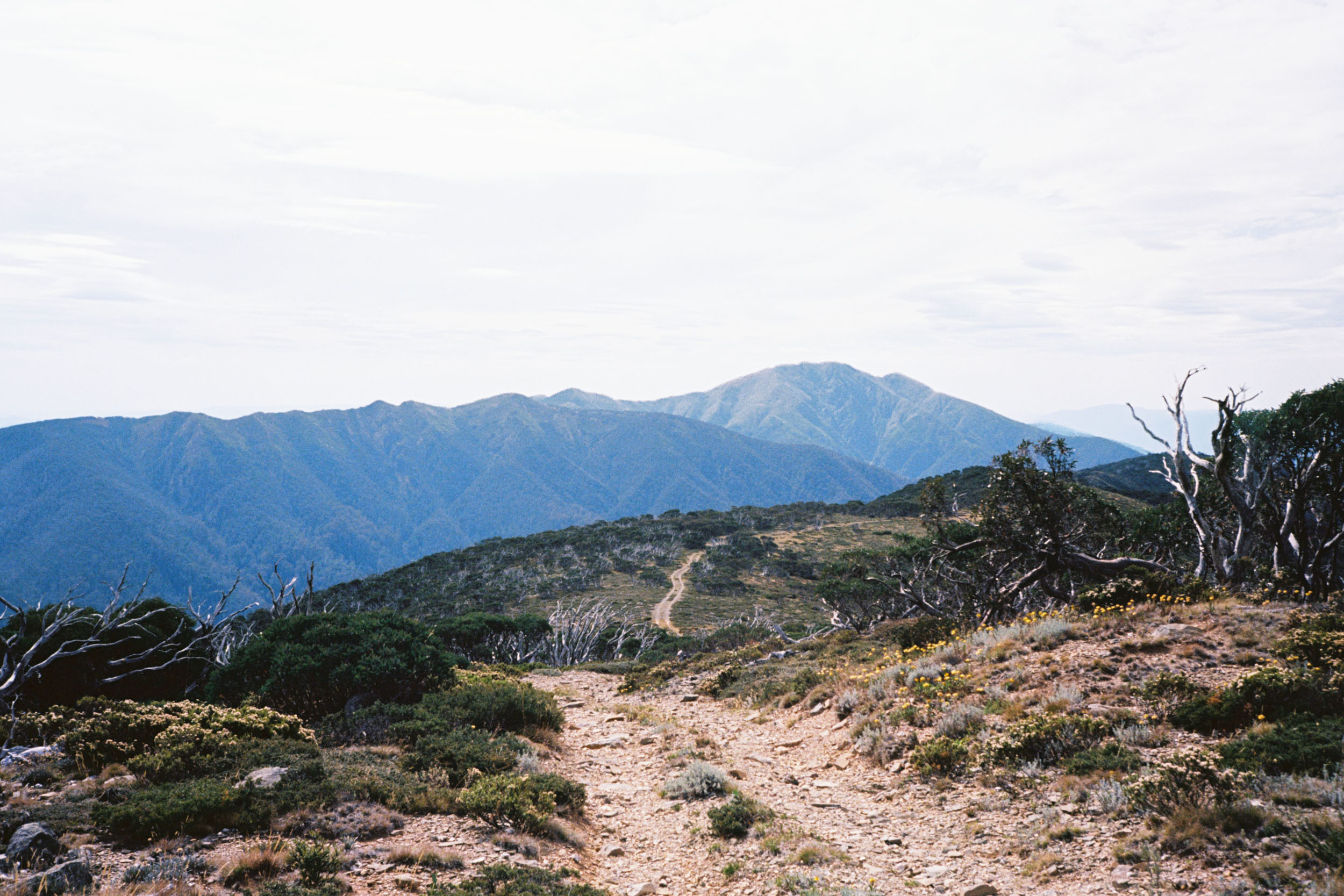
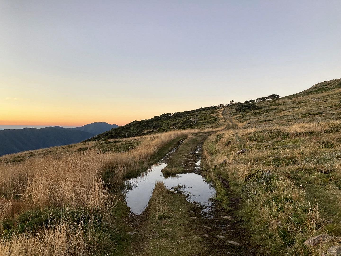
From Hotham, it’s easy. You’ll ride a scenic ribbon of rough doubletrack across the ski fields—arguably the best section of the trip—before bombing (or walking!) down Machinery Spur Track. Now you’re in the Kiewa Valley, which is a backcountry camper’s dream. There are a bunch of campgrounds, clearings, and even a hut (Blair’s Hut) to choose from for your night’s stay. You’ll cross the west branch of the Kiewa River a number of times as you head north. Sometimes on bridges, sometimes on foot. Be careful as it’s slippery. Make sure you don’t drop your shoes.
location Kiewa (Blairs Hut Campground) to Wangaratta
Day 3 (127.5 km +860m)
One last climb out of the Kiewa Valley gets you over the base of Pyramid Hill and into the Ovens Valley. The last gravel descent of the trip is a fun one! Savour that feeling, as there are 90 kilometres of rail trail to come. It can be boring, but you have to get to a train station somehow. Maybe see how many bakeries you can find along the way! You will have earned a few sweet treats by now. And remember to save a bit of phone battery for the train ride home!


Terms of Use: As with each bikepacking route guide published on BIKEPACKING.com, should you choose to cycle this route, do so at your own risk. Prior to setting out check current local weather, conditions, and land/road closures. While riding, obey all public and private land use restrictions and rules, carry proper safety and navigational equipment, and of course, follow the #leavenotrace guidelines. The information found herein is simply a planning resource to be used as a point of inspiration in conjunction with your own due-diligence. In spite of the fact that this route, associated GPS track (GPX and maps), and all route guidelines were prepared under diligent research by the specified contributor and/or contributors, the accuracy of such and judgement of the author is not guaranteed. BIKEPACKING.com LLC, its partners, associates, and contributors are in no way liable for personal injury, damage to personal property, or any other such situation that might happen to individual riders cycling or following this route.
Further Riding and Reading
Here are some connected/nearby routes and related reports...
Please keep the conversation civil, constructive, and inclusive, or your comment will be removed.