


Lost Sierra Loop
Distance
111 Mi.
(179 KM)Days
2-3
% Unpaved
70%
% Singletrack
7%
% Rideable (time)
99%
Total Ascent
12,000'
(3,658 M)High Point
7,172'
(2,186 M)Difficulty (1-10)
7?
- 7Climbing Scale Strenuous108 FT/MI (20 M/KM)
- 6Technical Difficulty Moderate
- 8Physical Demand Difficult
- 5Resupply & Logistics Moderate
Contributed By

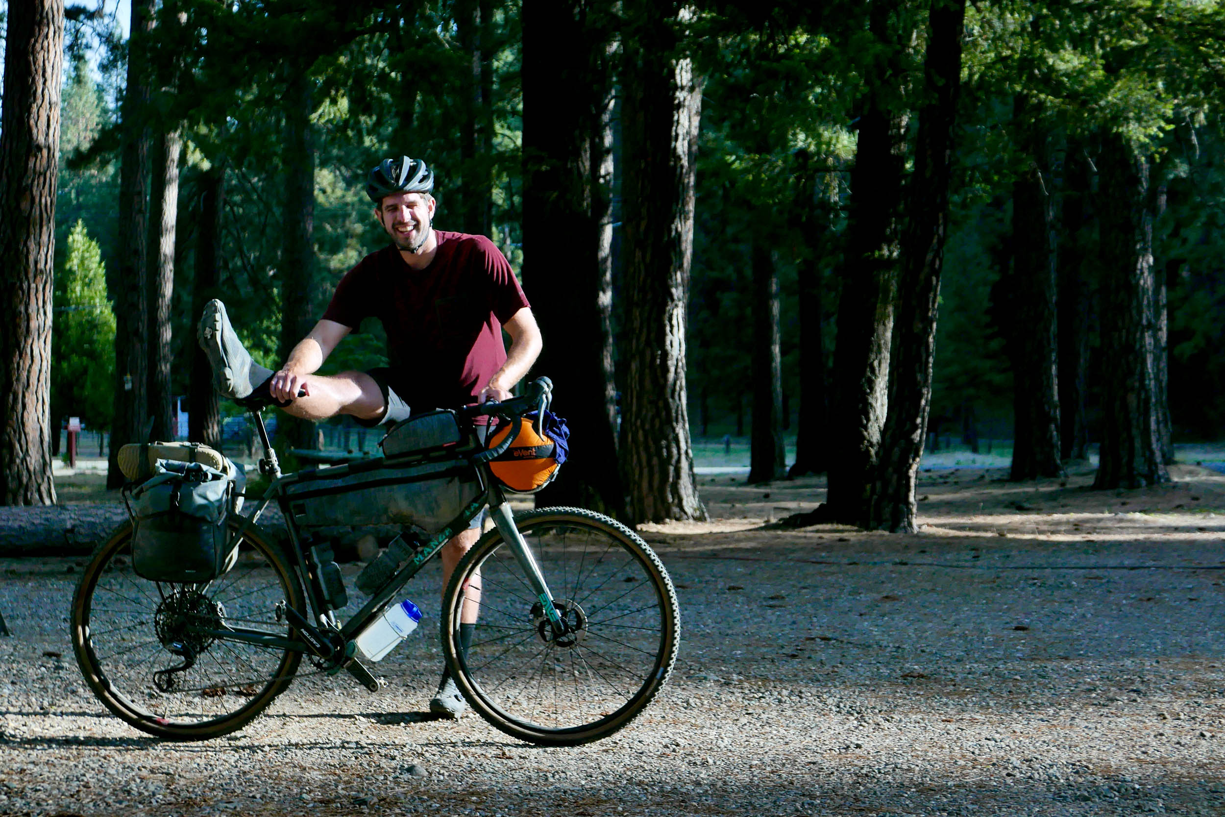
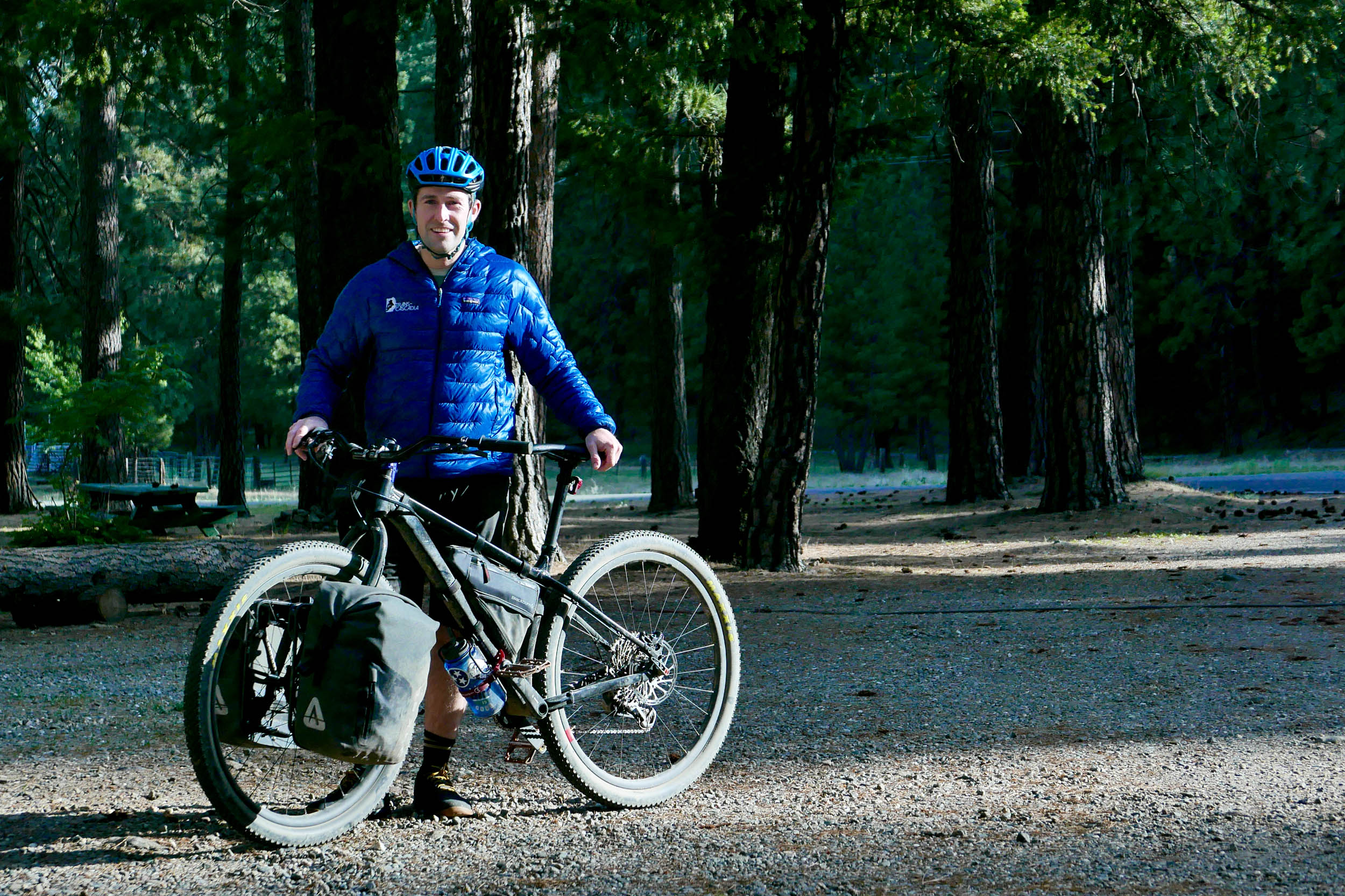
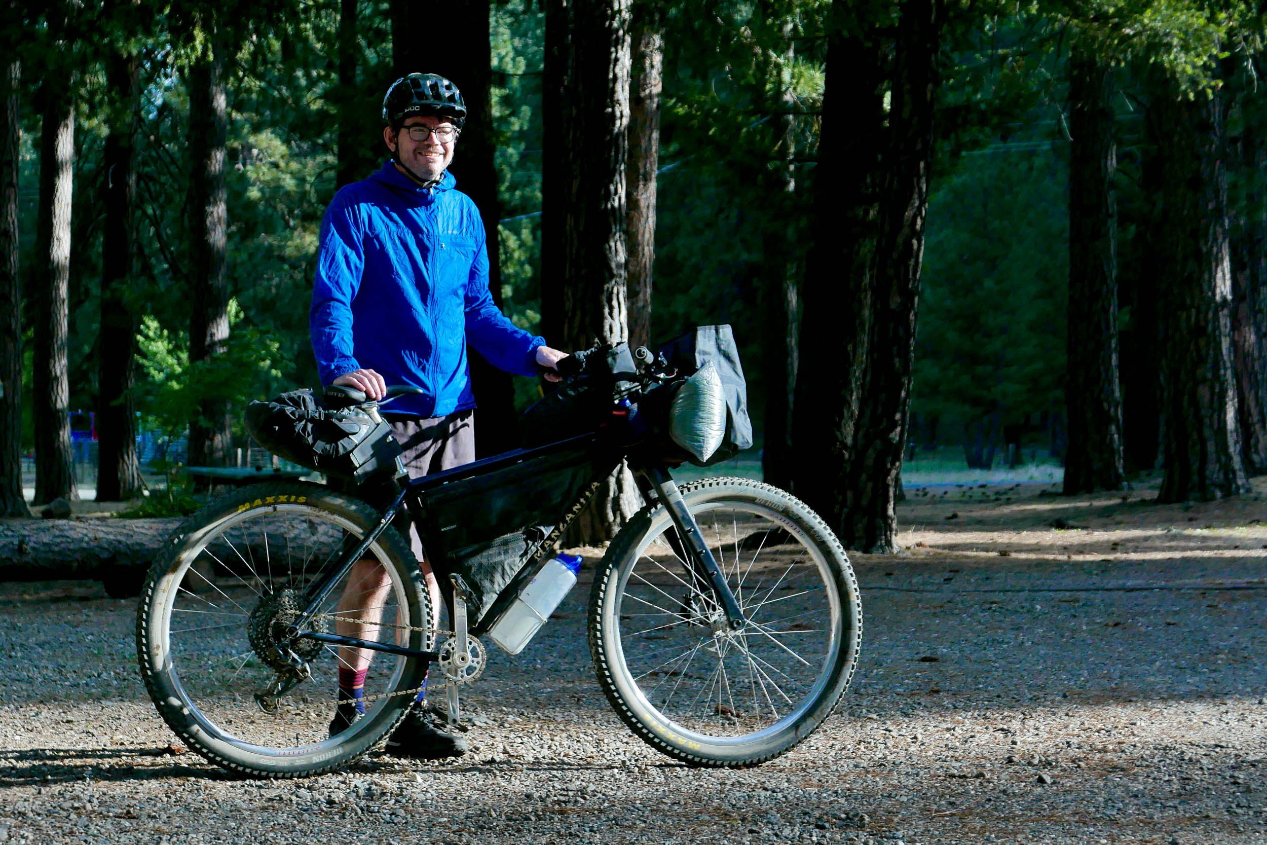
Nick Jensen
Guest Contributor
Nick spends most days dreaming up, designing, and building custom steel bikes as Manzanita Cycles in Reno, Nevada. He can also be found riding and hiking with his wife Carrie and playing frisbee at the local parks with his whippet pup Beasley.
Updated September 2025
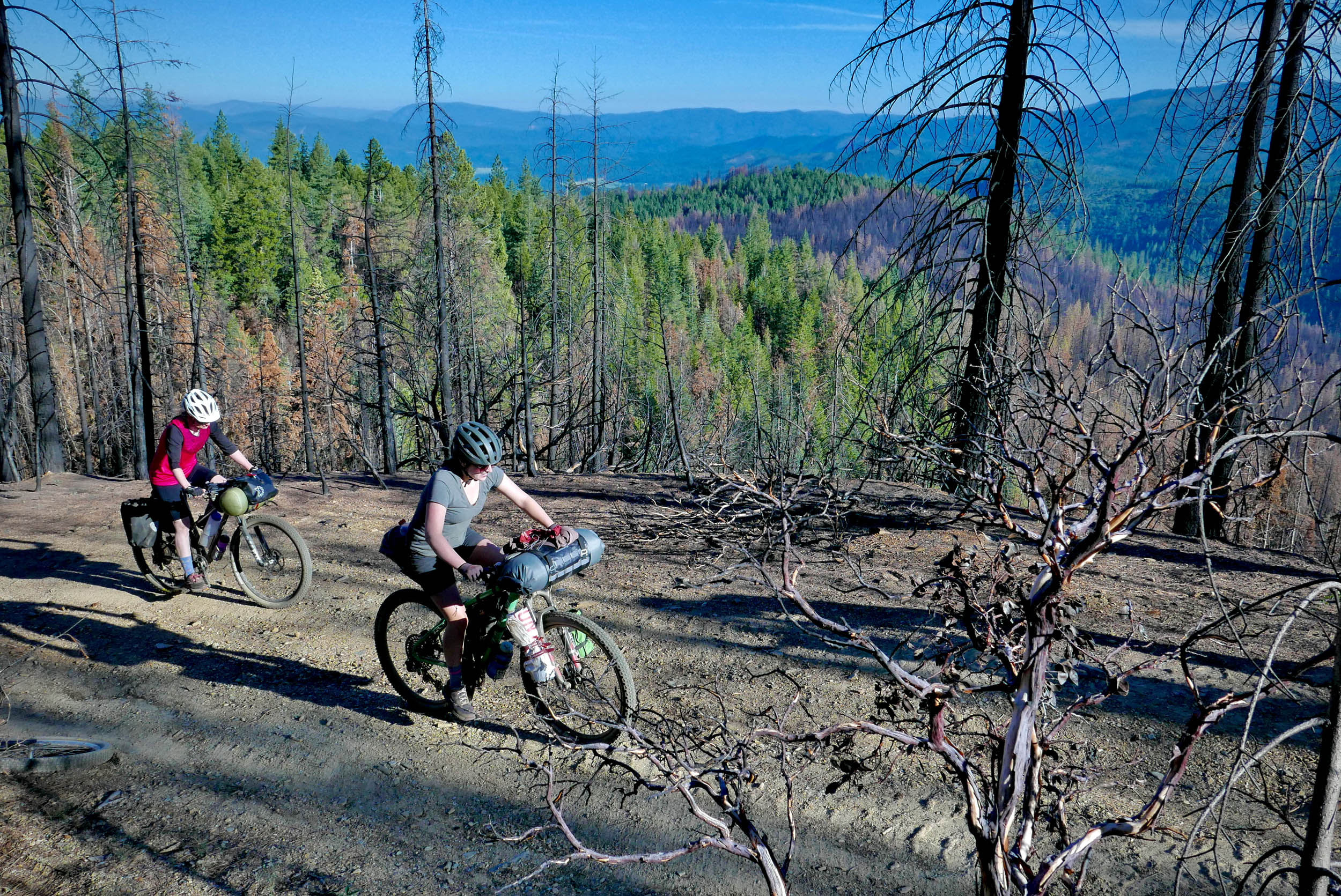
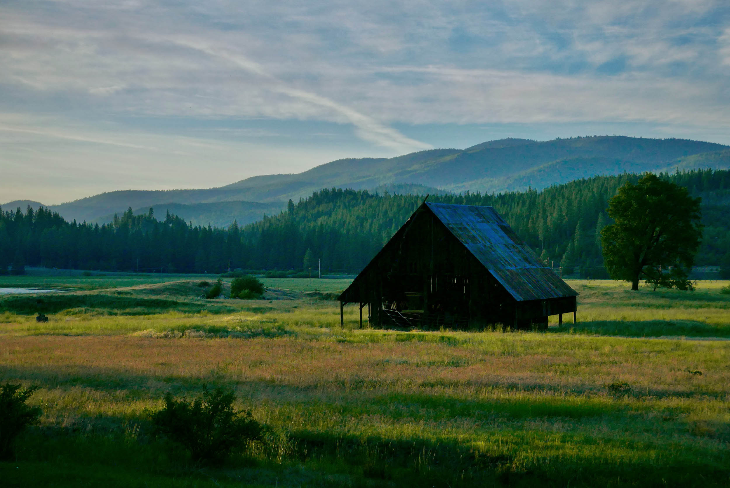
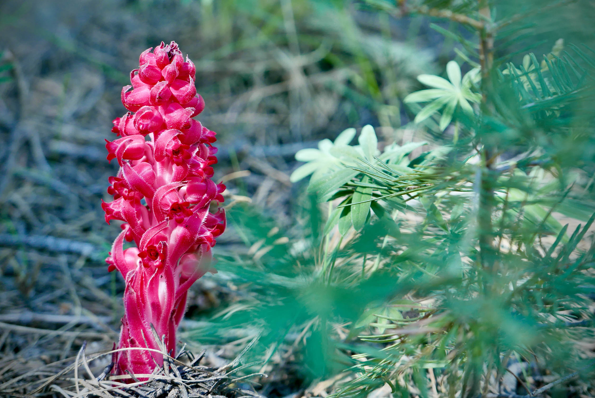
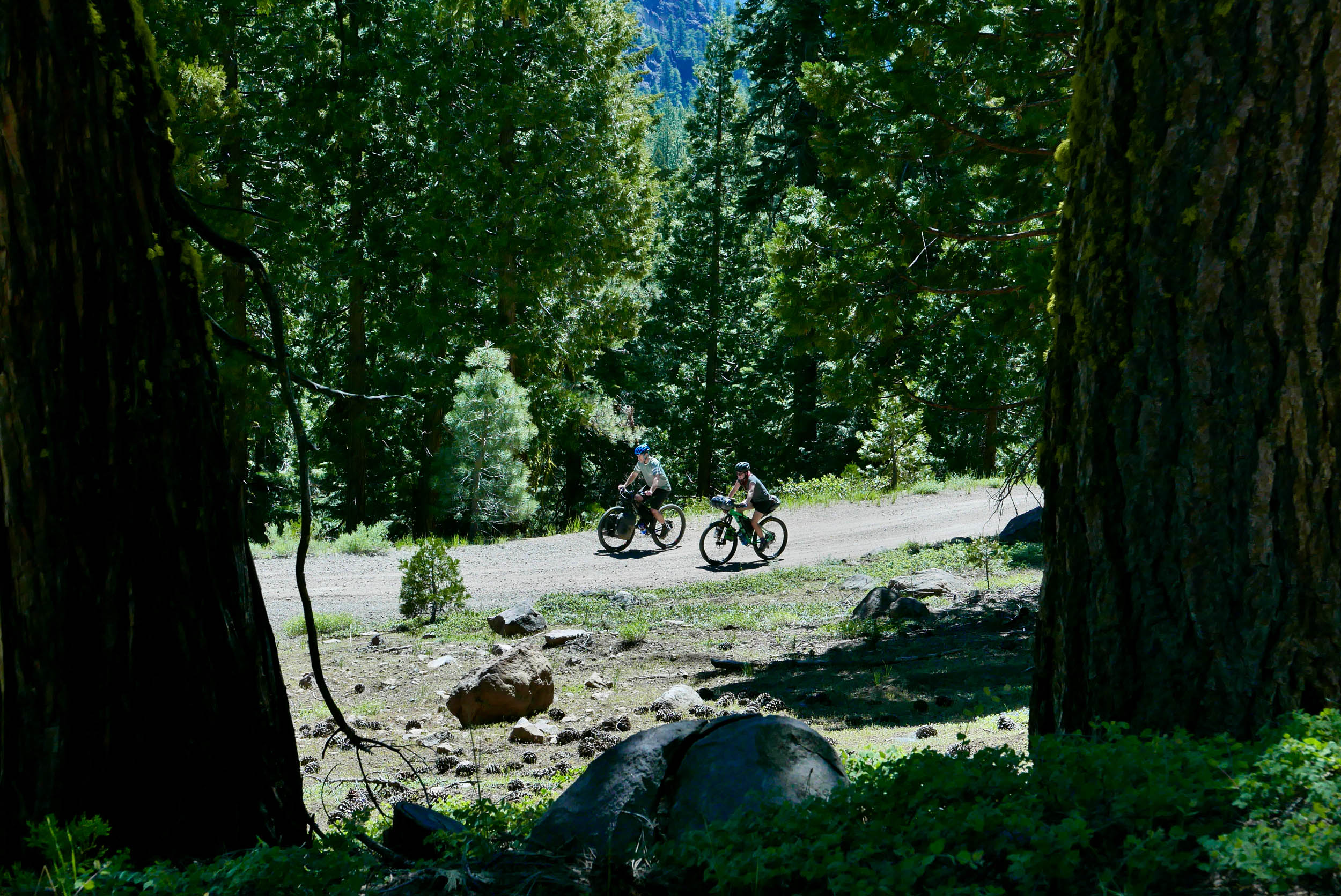
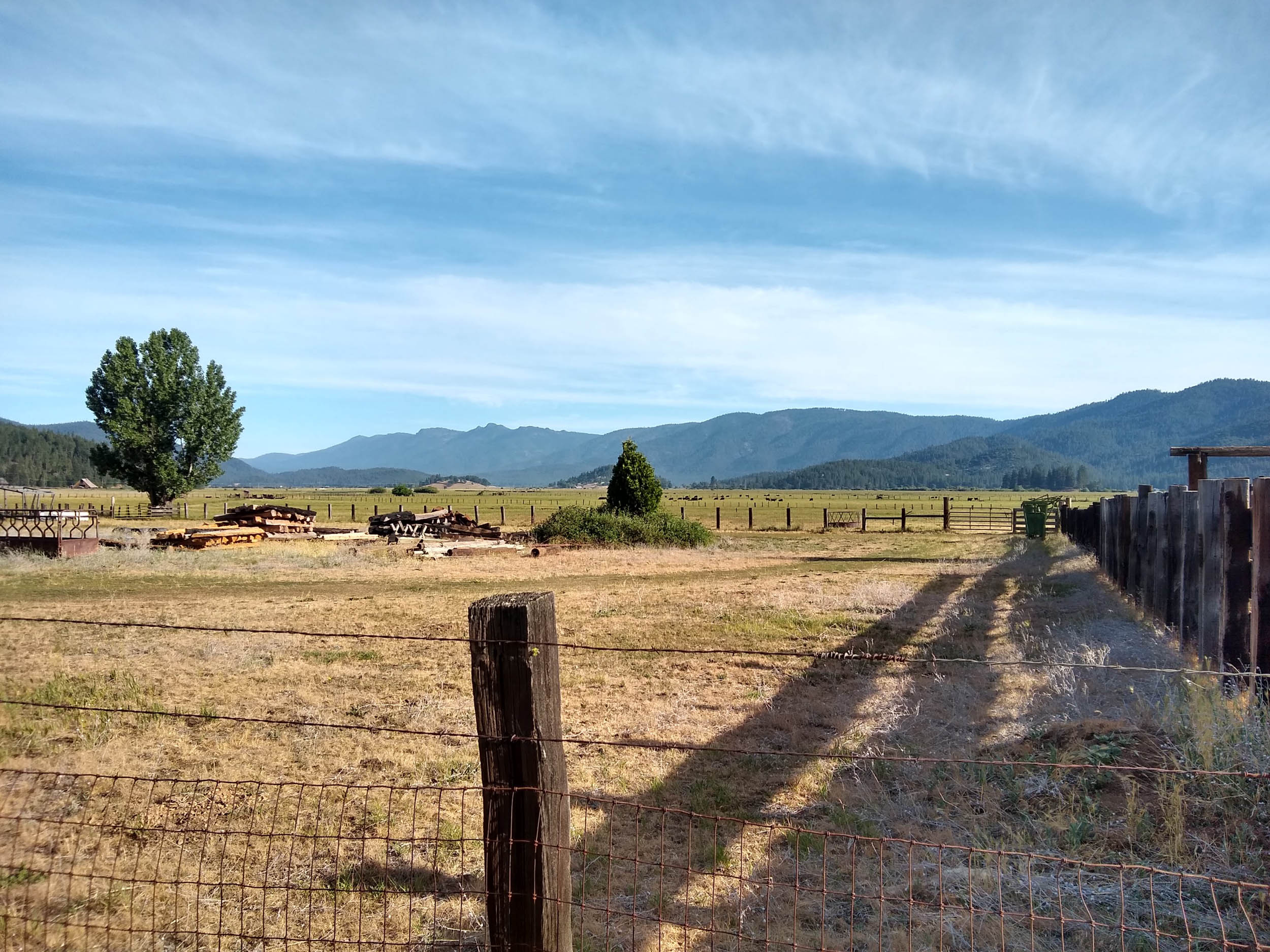
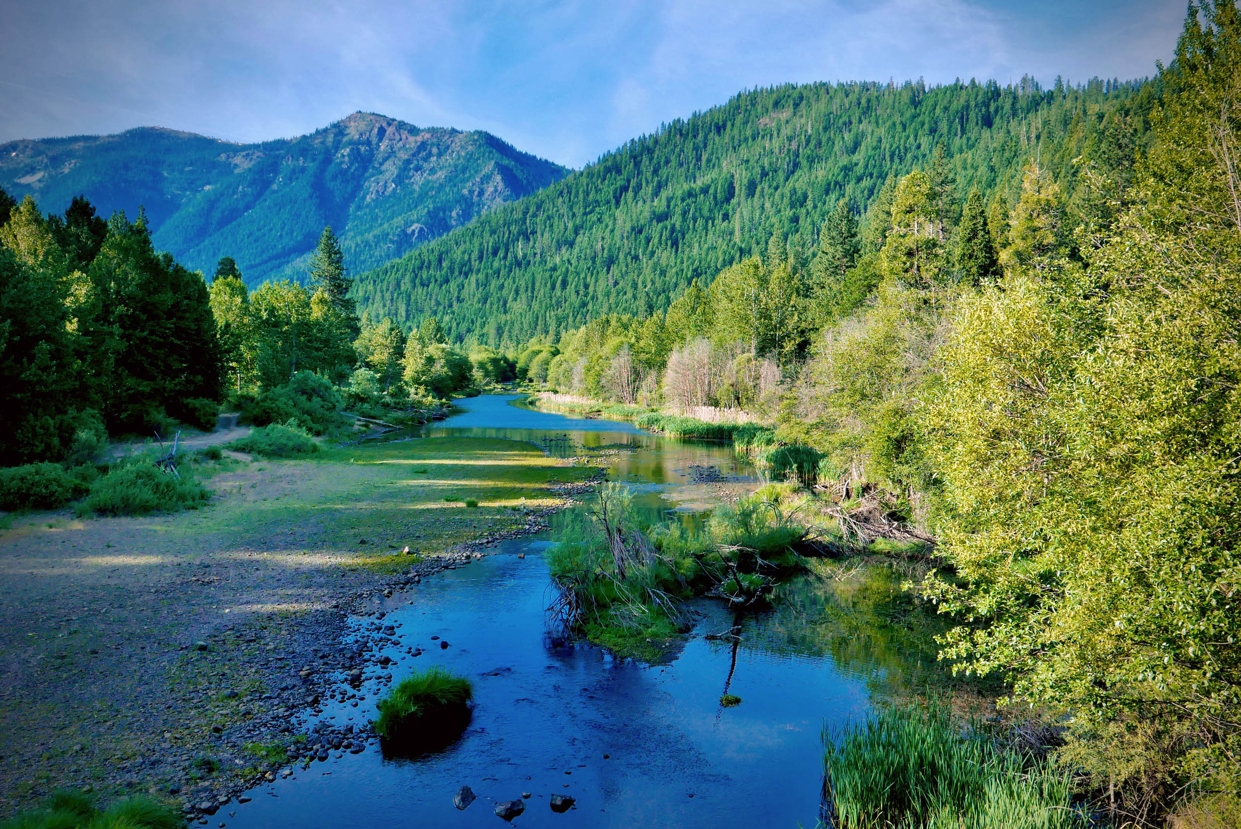
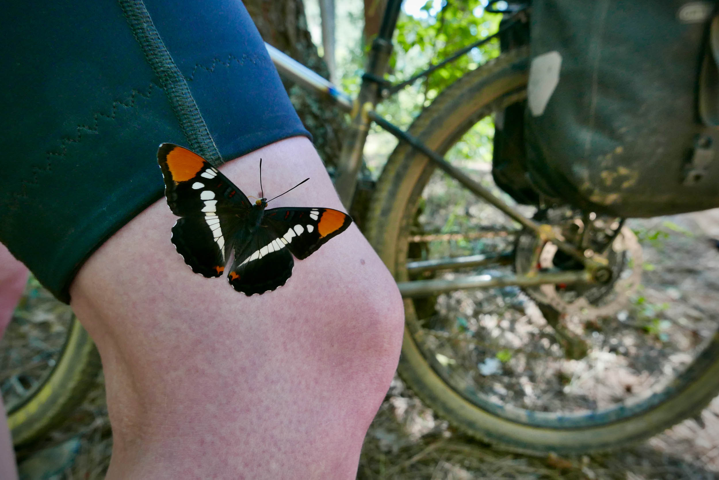
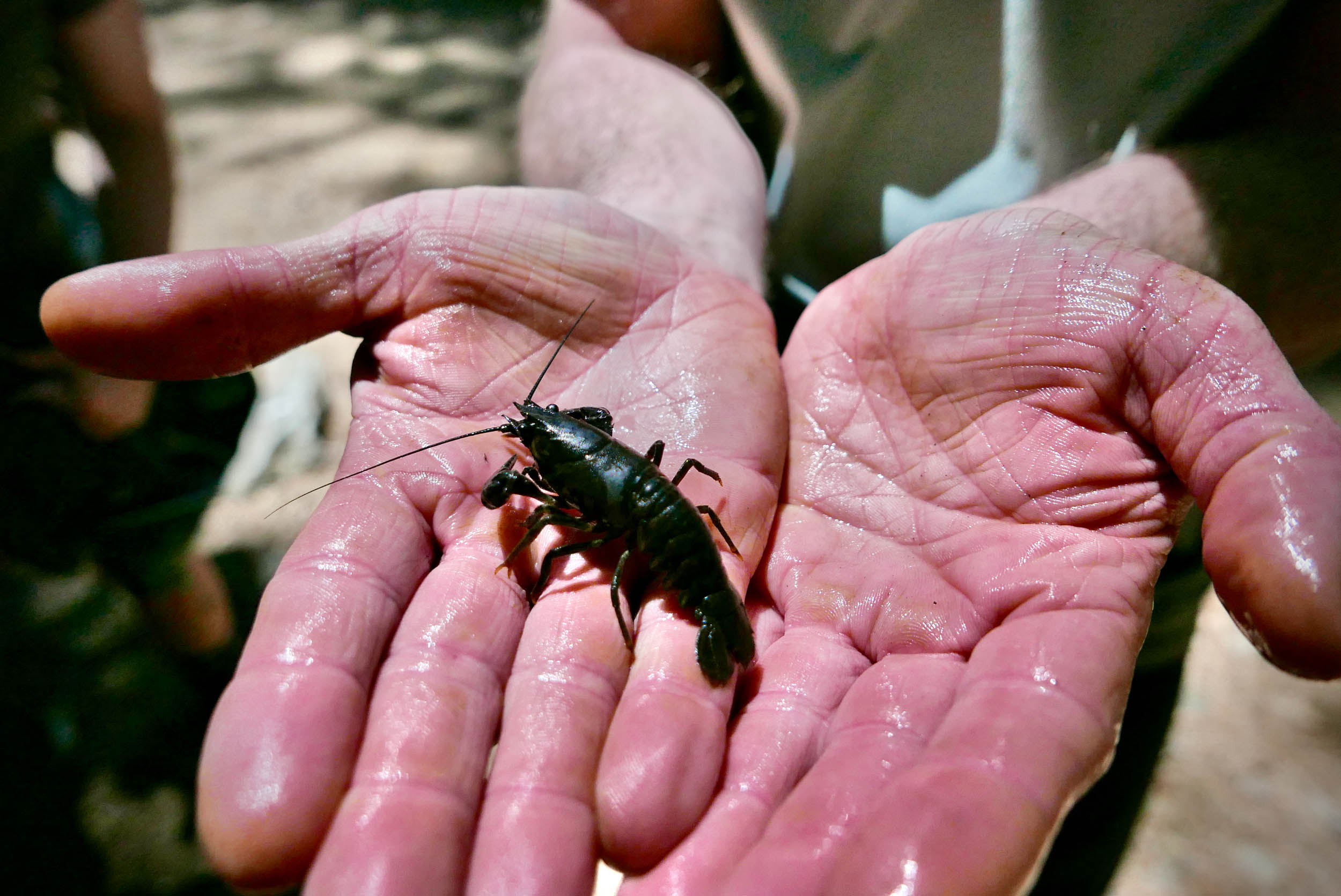
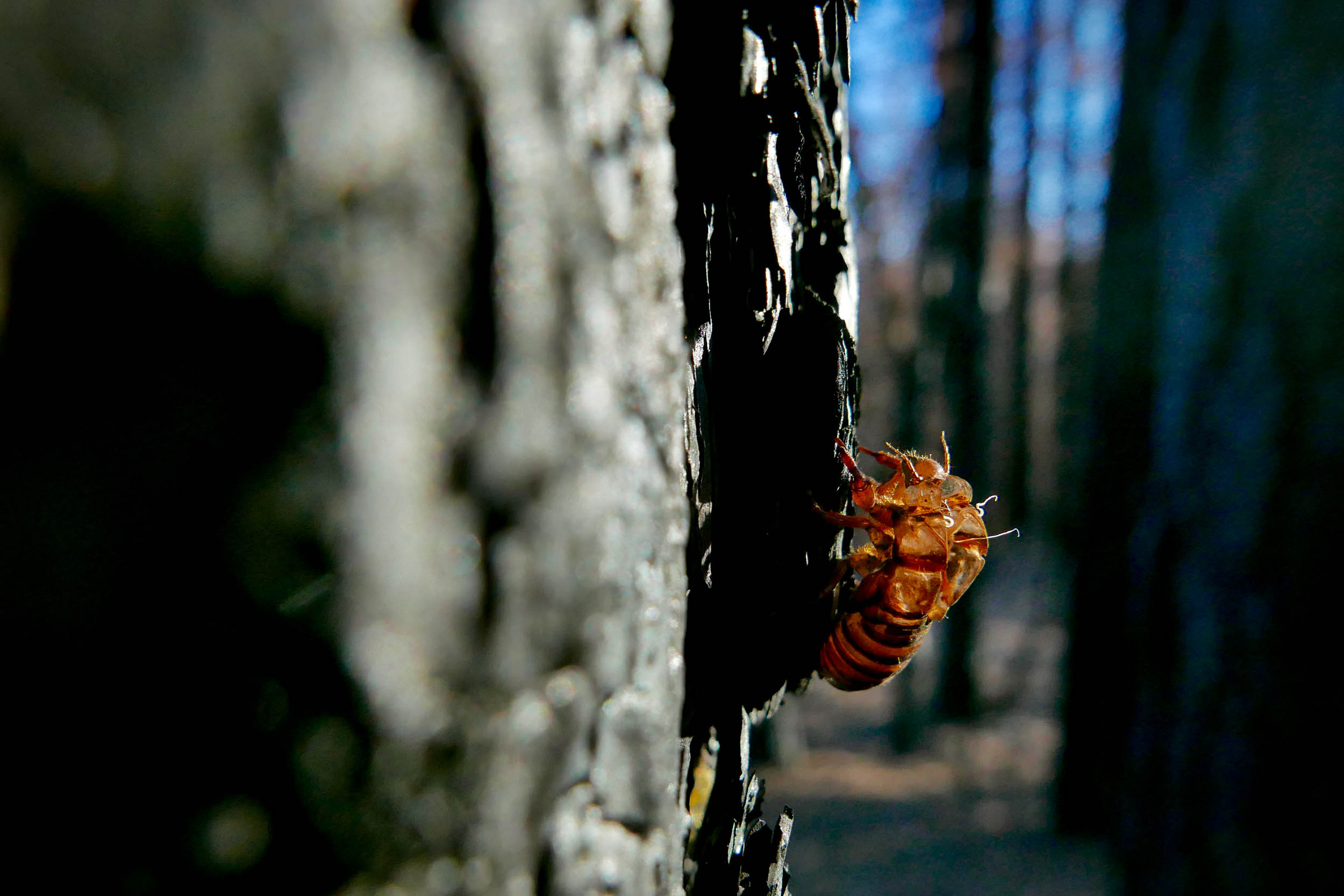
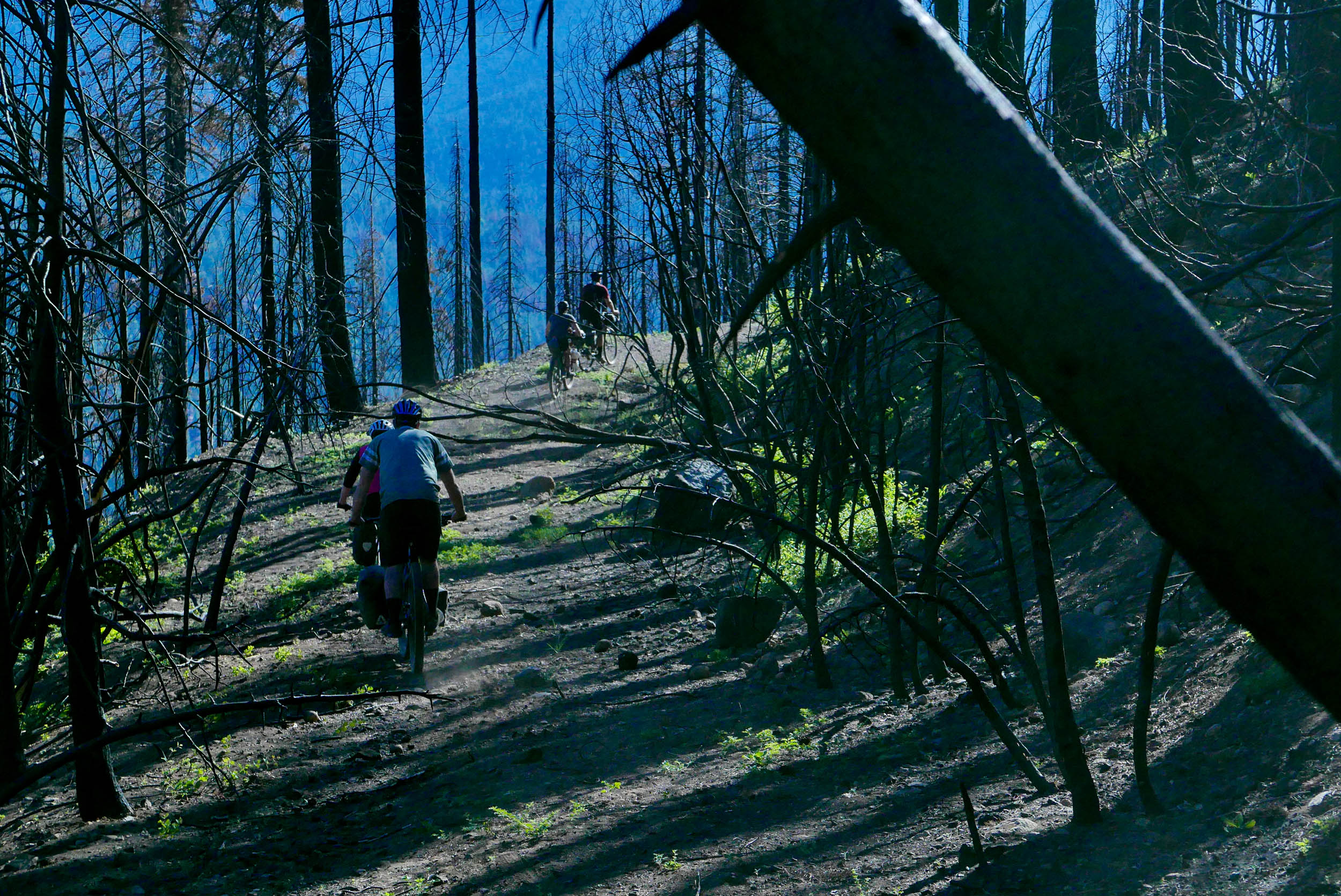
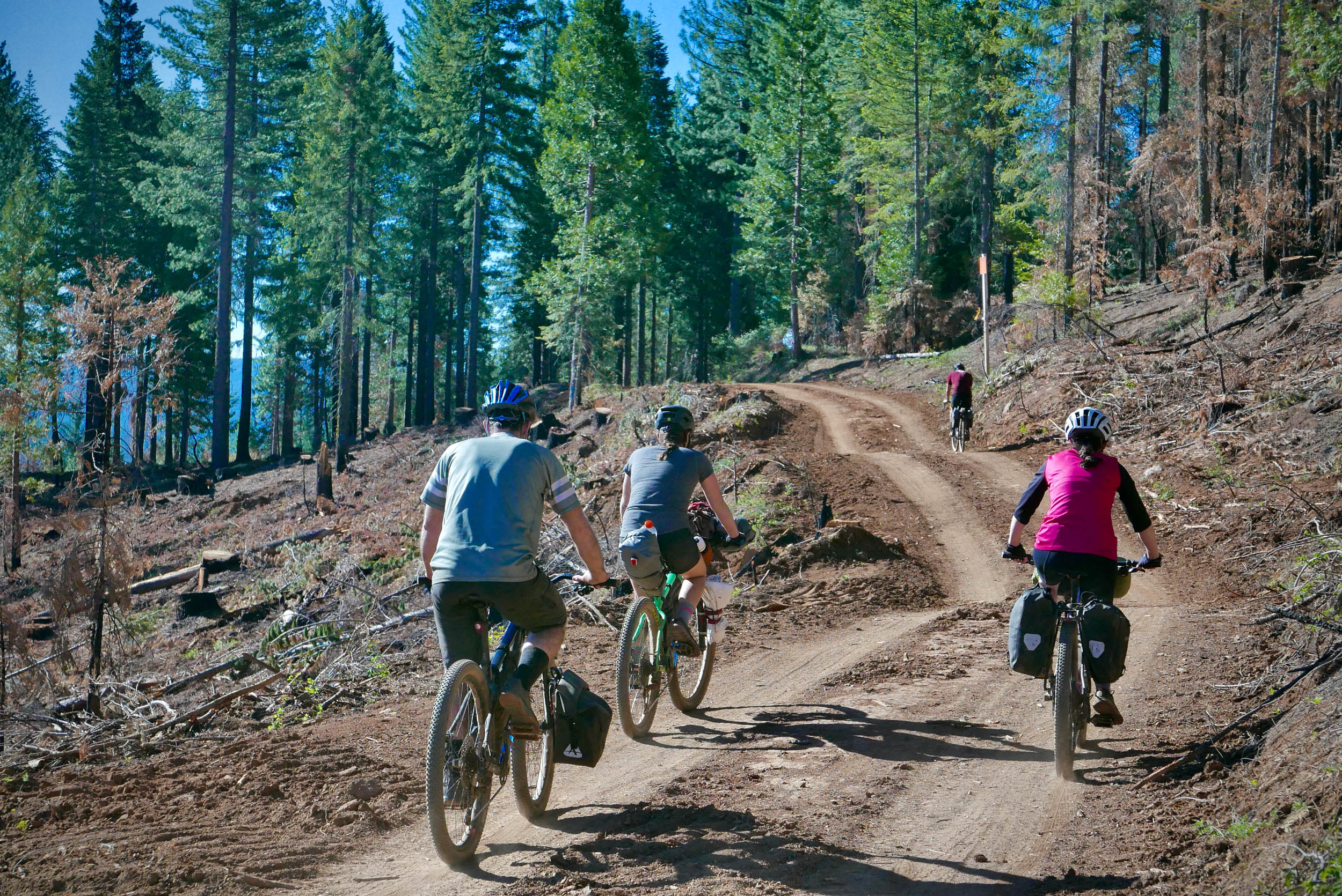
Nearly all of the Lost Sierra Loop takes place in Plumas National Forest. It’s in this region where the Sierra Nevada mountains end and Cascade mountains begin. You’re as likely to see outcroppings of light-gray granite boulders as you will dark-red lava rock. It’s a land of deep forest, where gold flakes glitter in the creeks, black bears forage in the meadows, and the threat of wildfire is ever-present.
The area was first inhabited by the Mountain Maidu people. However, when gold was discovered in the mid-1800s, waves of fortune-seekers rushed to the region and destroyed the Maidu way of life, eventually forcing them to move to a reservation in northern California.
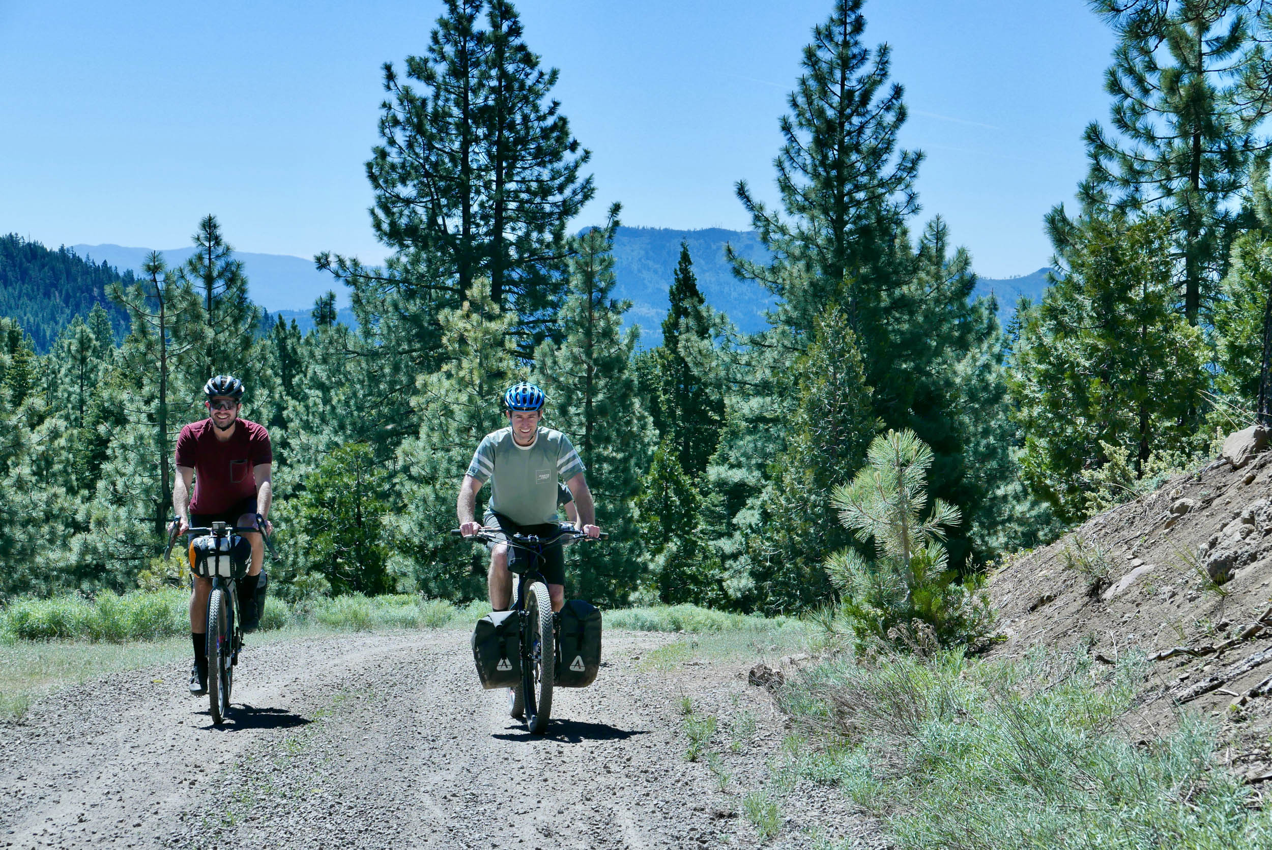
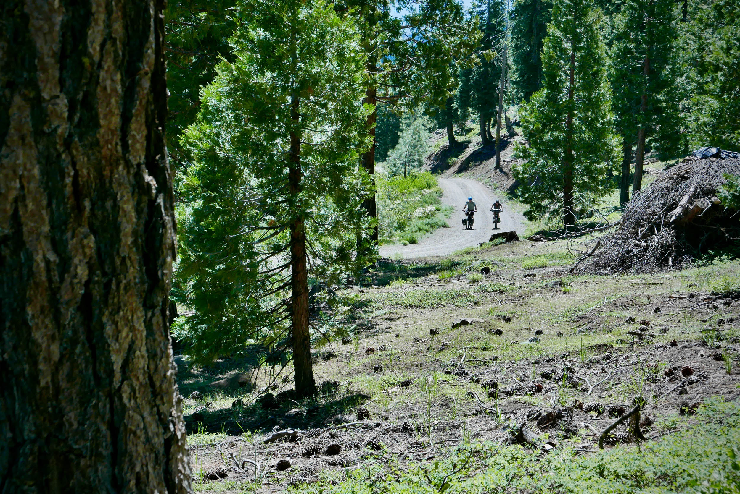
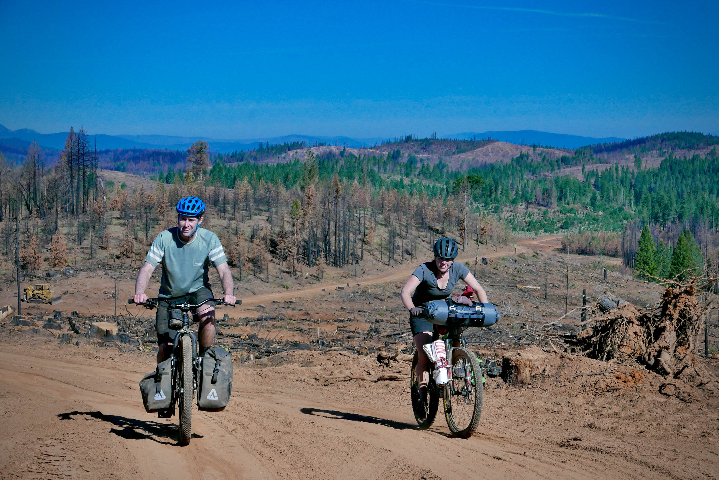
The gold rush brought with it the need for lumber. Although gold mining eventually petered out in the 20th Century, lumber harvesting continued to provide work in the area. The network of dirt roads that you’ll ride on is still in use by the timber industry. Please pull over and give a friendly wave to the truck drivers who may pass you.
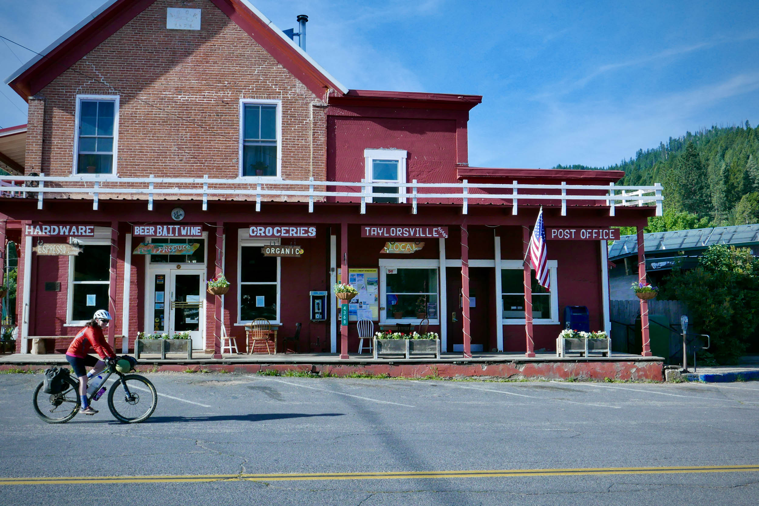
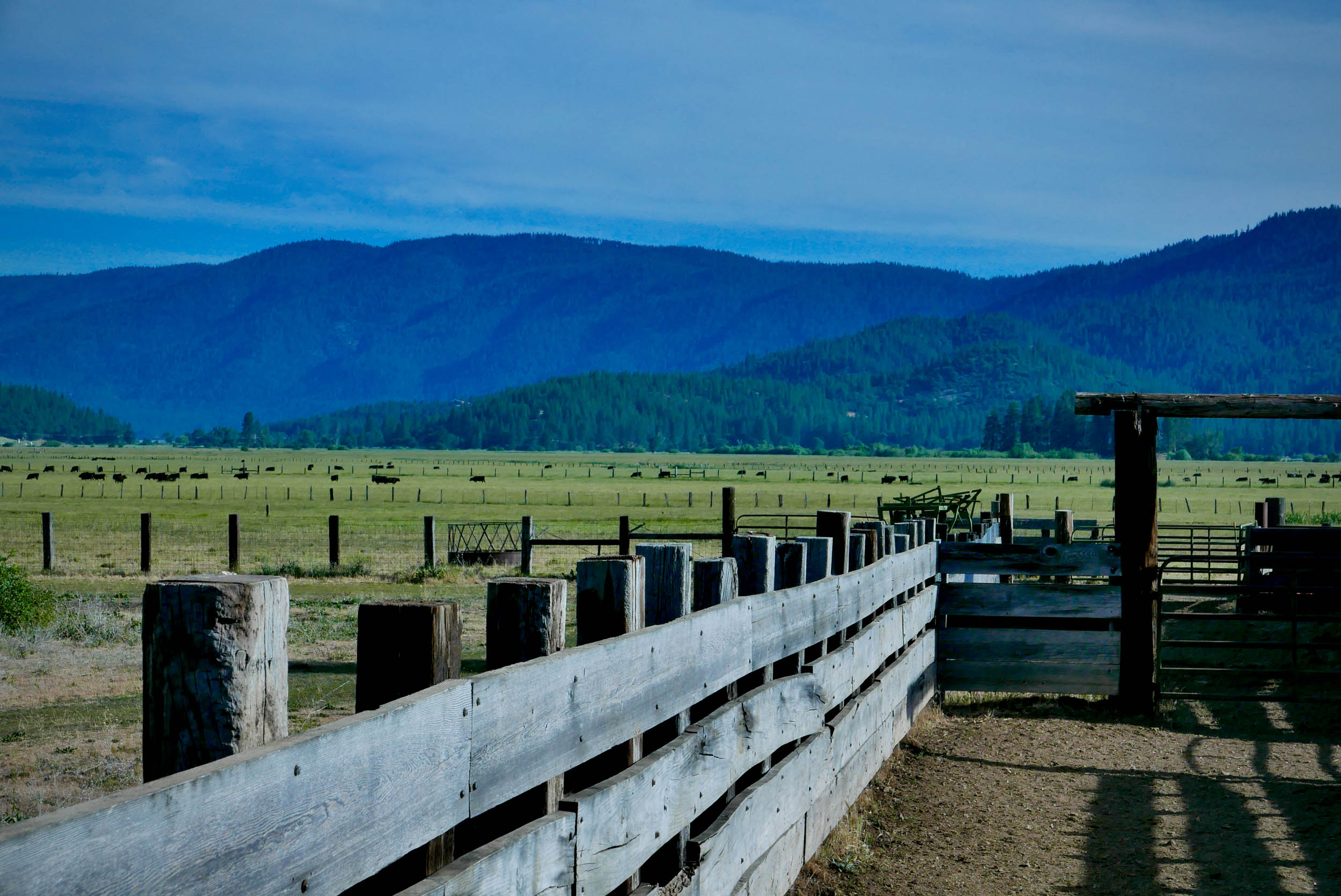
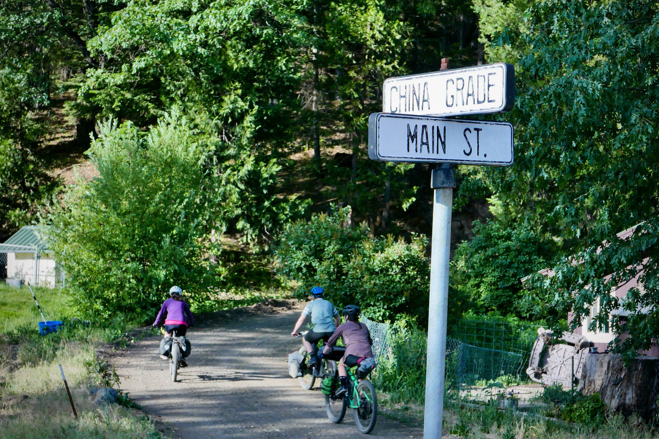
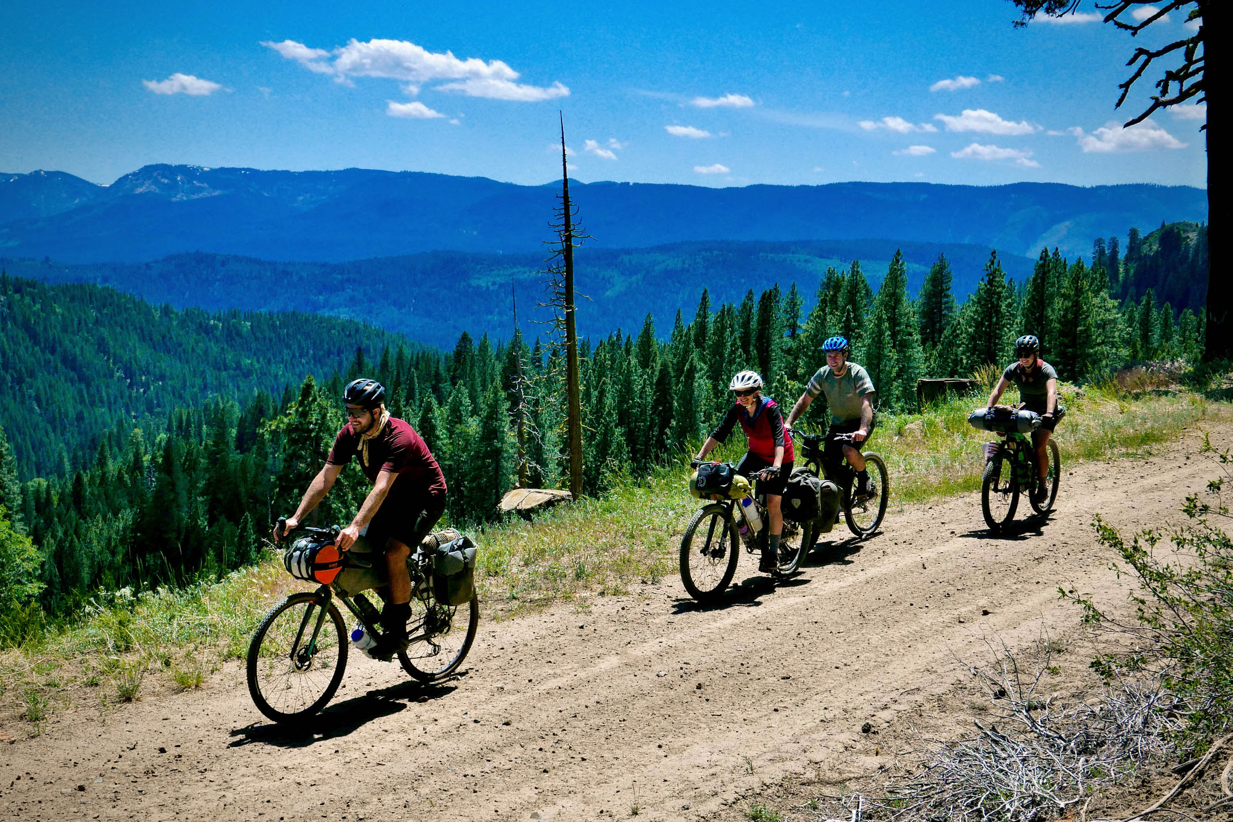
On your trip, you’ll pass through some small communities that make up the Lost Sierra. Portola (pop. 2100) at the start and end is an old lumber and railroad town situated near the headwaters of the Feather River, a federally designated Wild and Scenic river. Your next stop will be the tiny town of Taylorsville (pop. 140), where cows that graze in the bucolic Indian Valley outnumber people. Taylorsville was nearly wiped out in the massive Dixie Fire in 2021. As you ride through the area you will see evidence of just how close the fire came. After scaling and descending the prominent Mount Hough (ele. 7232′), you’ll arrive in Quincy (pop. 1630). Quincy is a former mining community turned logging town. It’s still home to one of the two remaining lumber mills in Plumas County. Quincy will be your main resupply point along the trip. Despite the small community it serves, it has an active downtown with a brewpub and natural food grocer and a strip mall nearby with larger chain establishments.
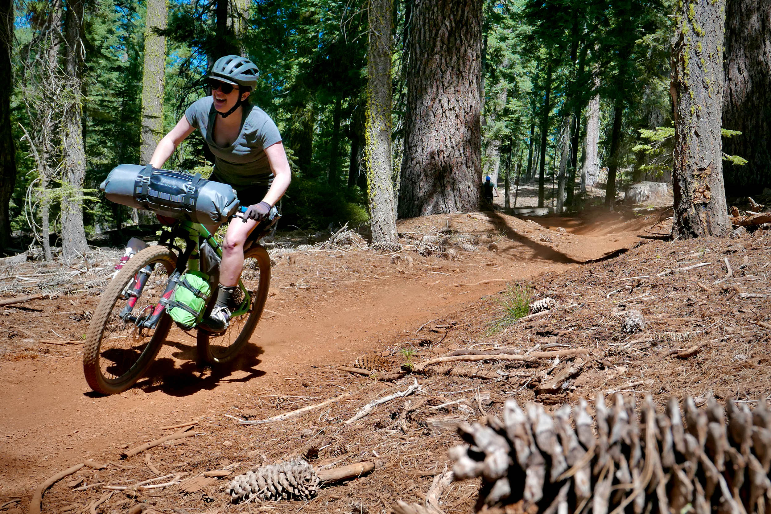
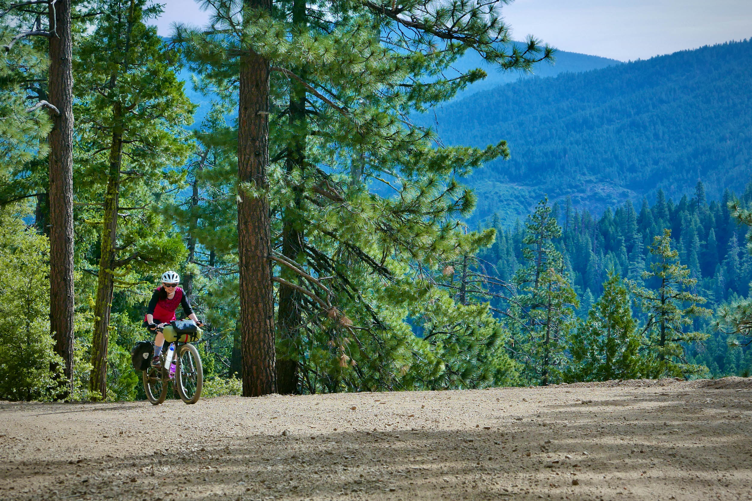
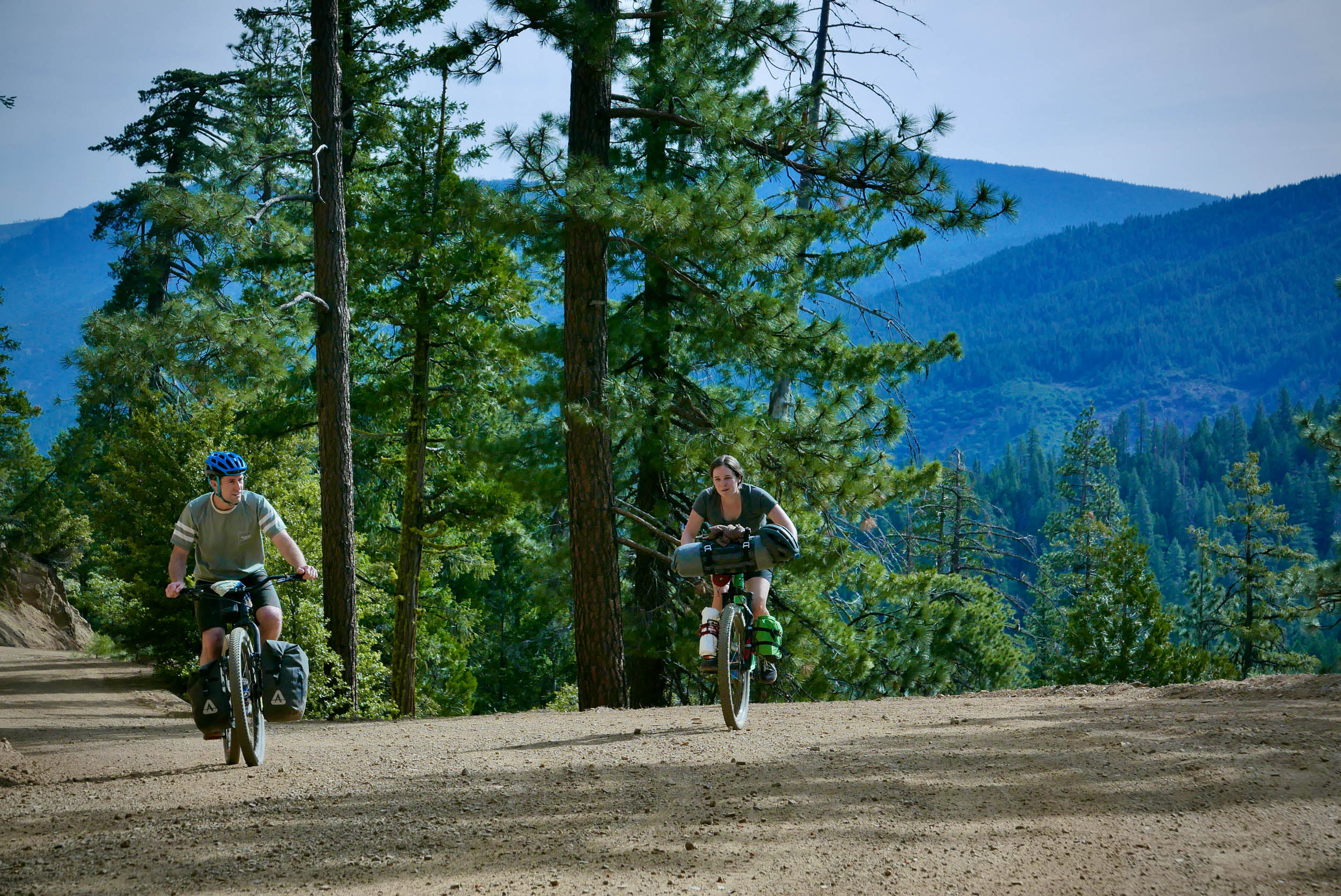
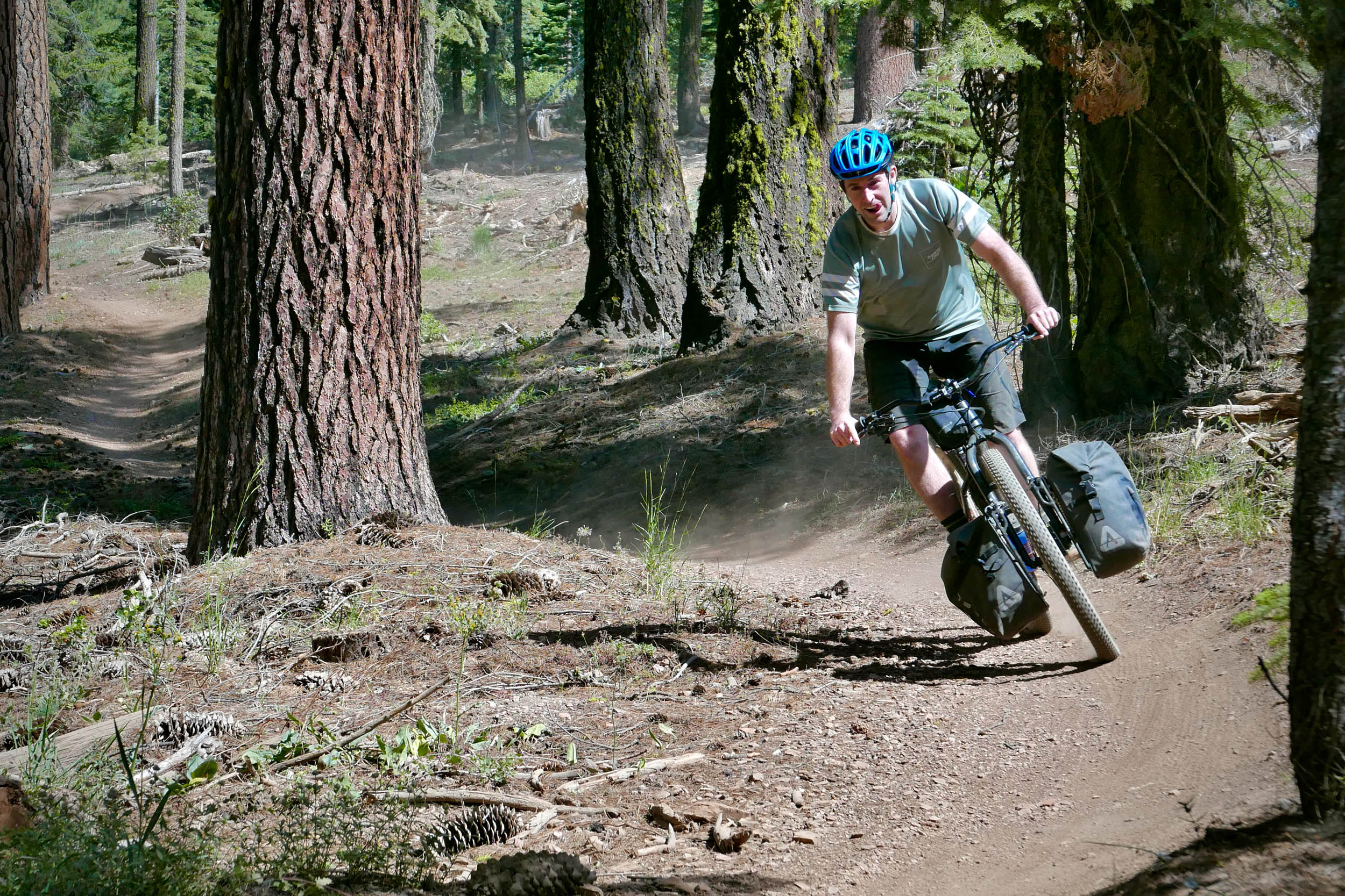
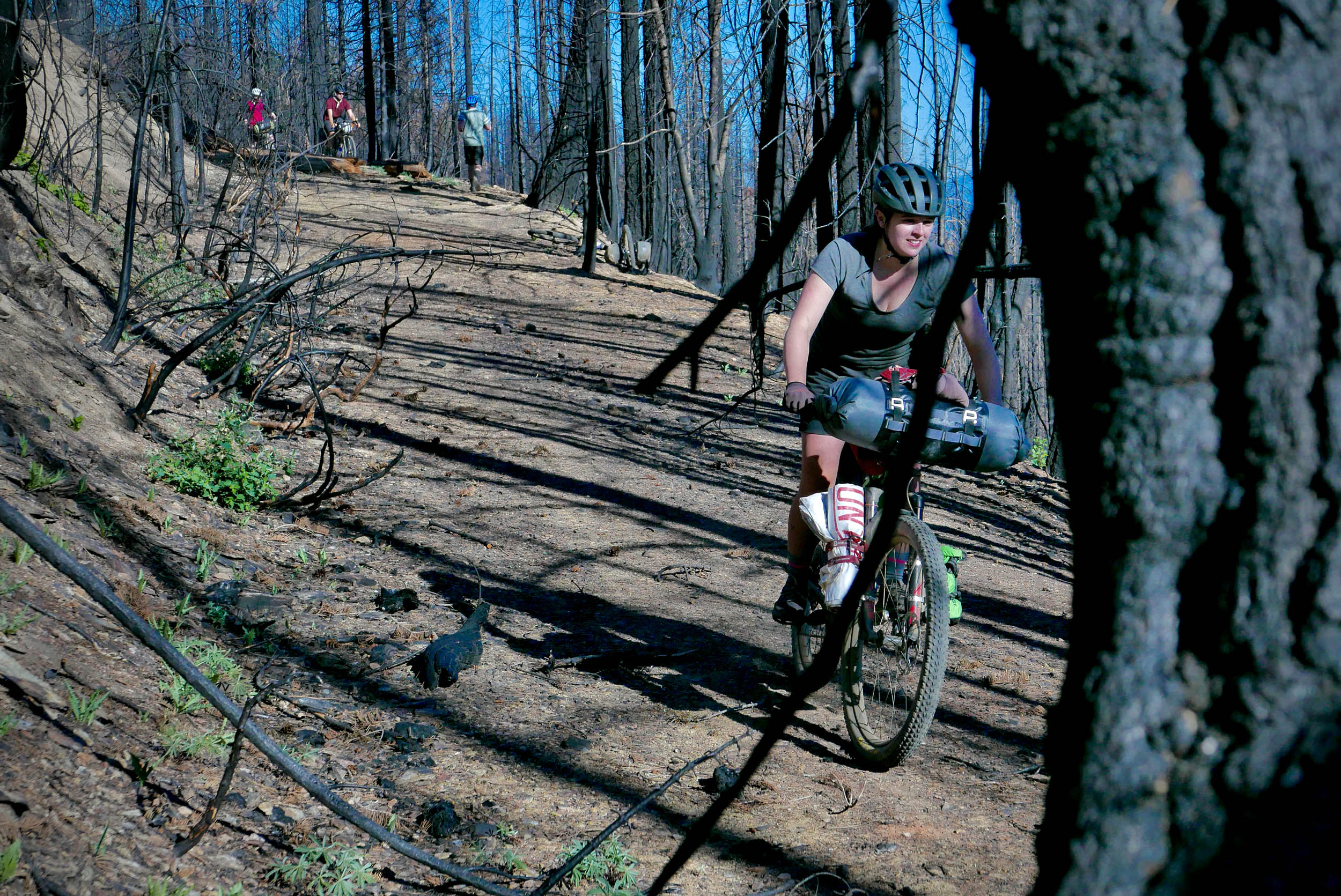
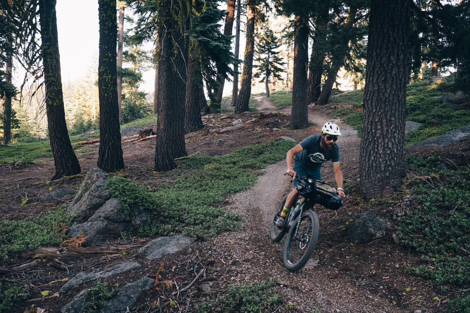
The highlight for most cyclists on this trip will undoubtedly be the Mount Hough Trail. This ribbon of flowy singletrack starts at an elevation of 7150 feet and plunges nearly 4,000 feet over 10 joyful miles. The intermediate-level terrain never gets very technical. What might catch you off guard is how fast you can get going. Watch your speed before the corners so you don’t launch yourself off the trail. Unless you catch the trail immediately after a rainstorm, expect to be blinded by clouds of dust if you follow your riding buddies too closely. Leave a dust gap between riders for a more enjoyable experience.
Aside from the singletrack thrills, most of the riding should be a meditative experience in the forest. Even though you’re never too far from a town or highway, you’ll feel far removed from everything. The light brushing of a breeze through the pines, the cheerful calls of the chickadees, your rhythmic breathing as you scale another climb. These sounds will help you appreciate all that is great in the Lost Sierra.
Route Difficulty
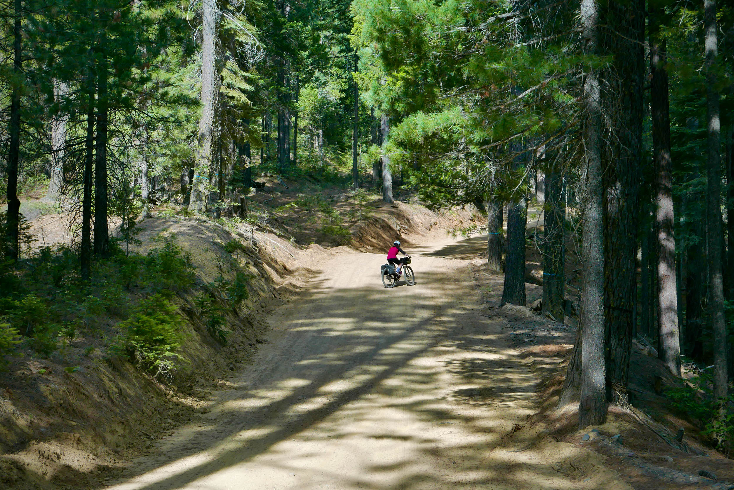
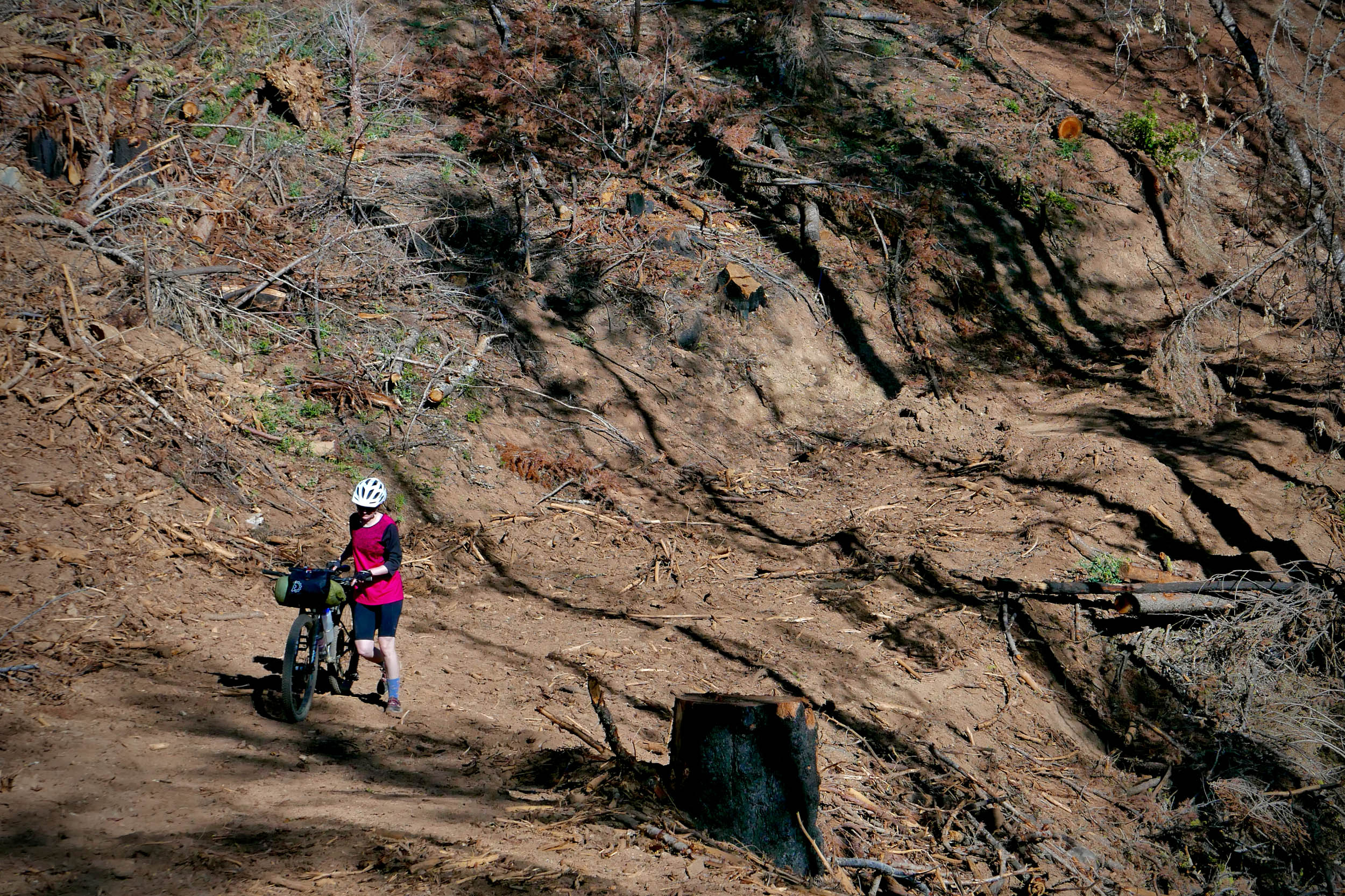
Spanning 111 miles with 12,000 feet of elevation gain, this route is physically demanding. It features lots of climbs that can be steep and long. You’ll also be riding at elevations between 3,500 feet and 6,800 feet above sea level. Most of the gravel roads are fairly smooth but covered with loose aggregate. Watch your speed when cornering. The intermediate-level Mount Hough singletrack is mostly flowy and smooth with sections that can be rocky. Resupply logistics are straightforward. The town of Quincy is the rough halfway point. It has plenty of restaurants and grocery stores to stock up. Finding water along the route depends on the season. In early summer, you’ll pass plenty of clear running creeks to refill. In mid-summer and fall, be prepared to haul more water, especially if you visit during a heat wave.
Route Development: This route wouldn’t be possible without the tireless efforts of the Sierra Buttes Trail Stewardship, whose mission is to build and maintain a network of multi-use trails that will eventually connect most of the communities that make up the Lost Sierra. Their goal is to bring economic prosperity to the region by promoting and creating outdoor recreational opportunities. Nick Jensen created the route in an effort to link some of his favorite gravel roads and singletrack near his home in Reno, Nevada.


Submit Route Alert
As the leading creator and publisher of bikepacking routes, BIKEPACKING.com endeavors to maintain, improve, and advocate for our growing network of bikepacking routes all over the world. As such, our editorial team, route creators, and Route Stewards serve as mediators for route improvements and opportunities for connectivity, conservation, and community growth around these routes. To facilitate these efforts, we rely on our Bikepacking Collective and the greater bikepacking community to call attention to critical issues and opportunities that are discovered while riding these routes. If you have a vital issue or opportunity regarding this route that pertains to one of the subjects below, please let us know:
Highlights
Must Know
Camping
Food/H2O
Trail Notes
Resources
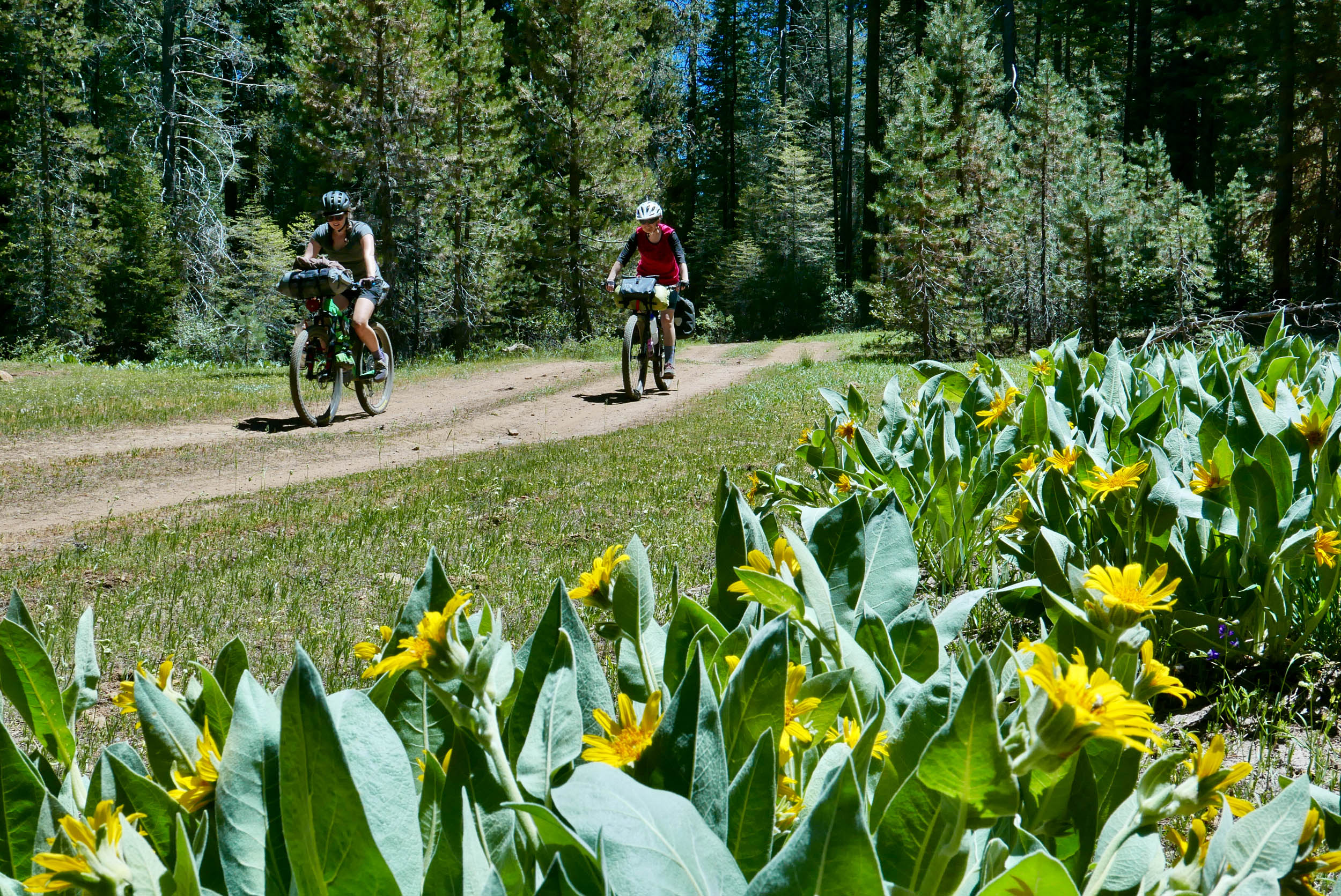
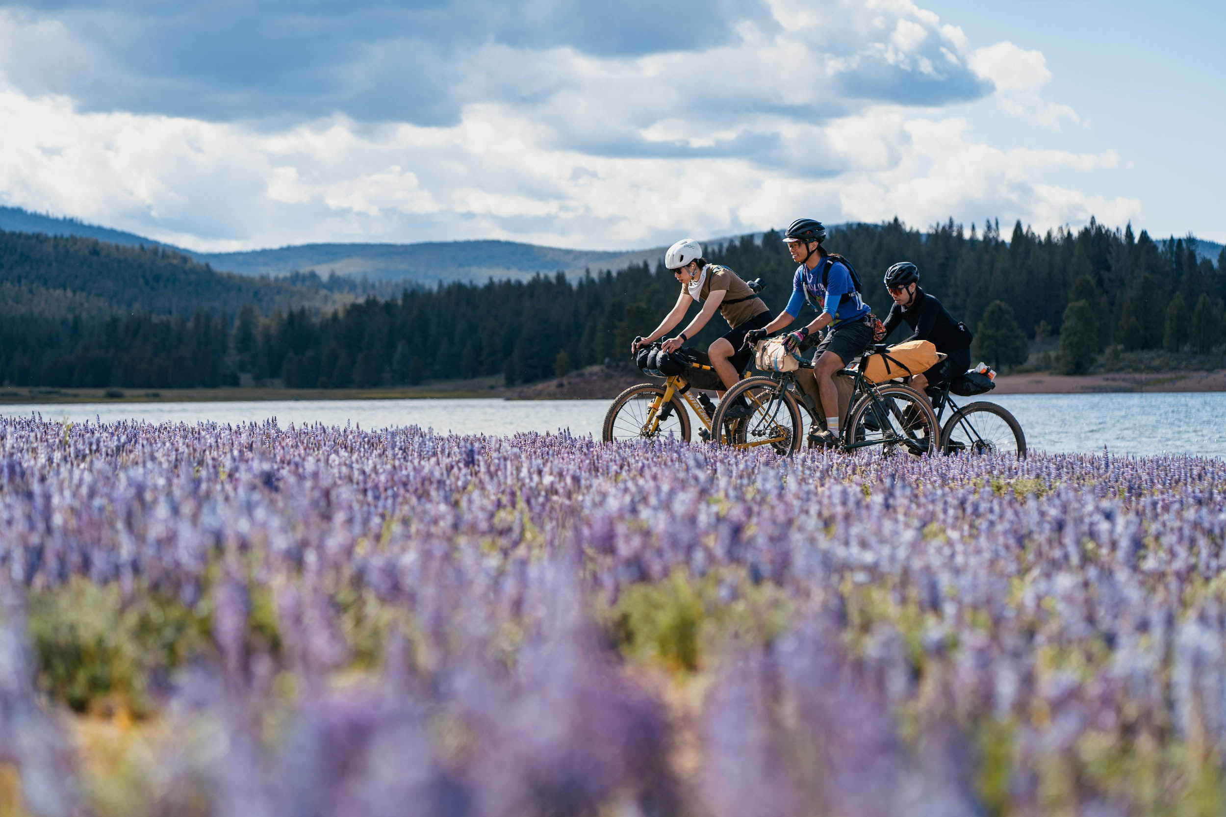
- Admire the alpine wildflower meadows near Lake Davis in early summer.
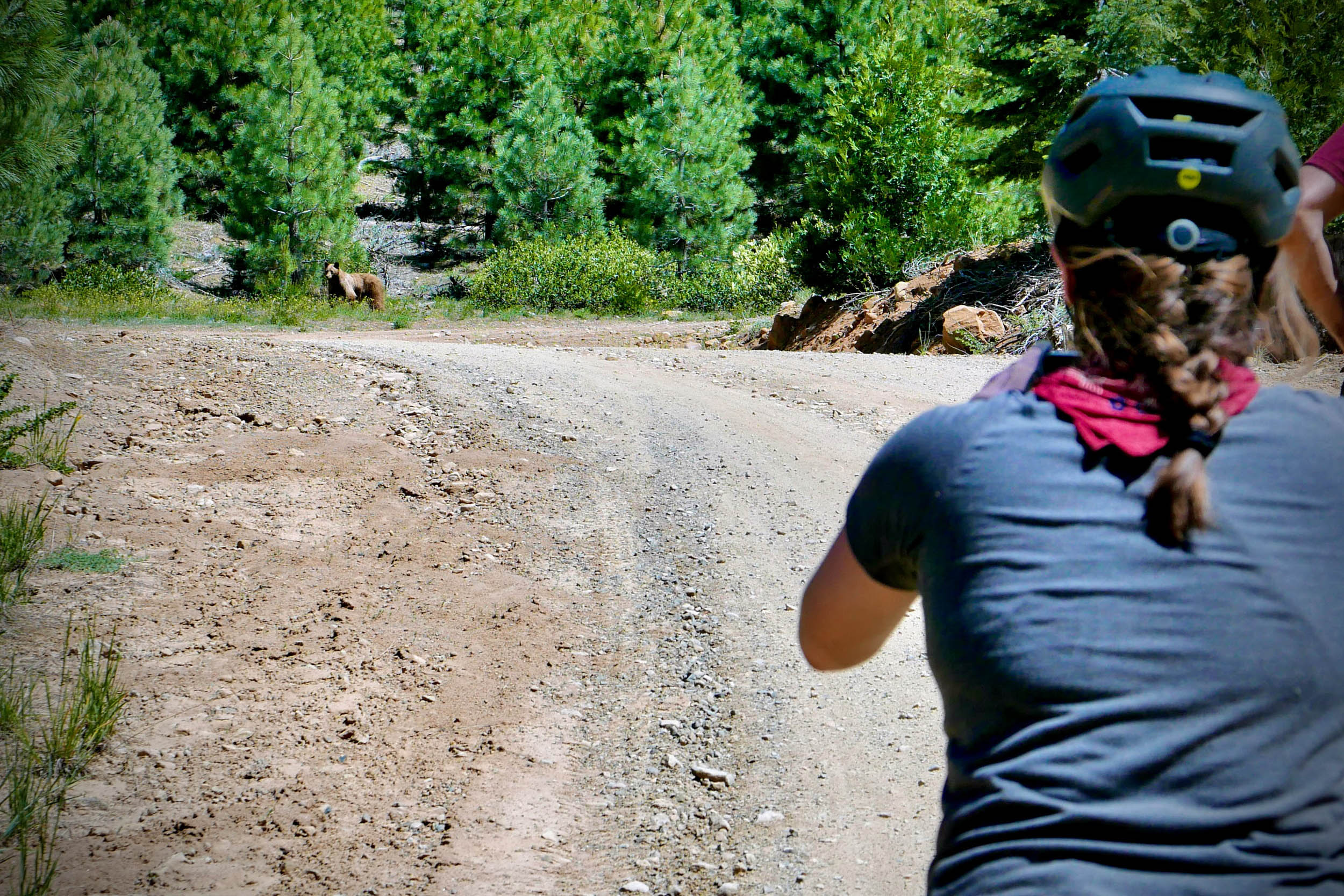
- Wave to a black bear you’ll likely see foraging for grub.
- Savor the six-mile smooth surface of the paved Genesee Beckwourth Road as you approach Taylorsville.
- Devour a burger or sandwich at the surprisingly well-stocked Young’s Market in Taylorsville.
- After climbing the relentless China Grade Road, make the optional effort to ride to the official top of the Mount Hough singletrack to get views of the surrounding valleys and Mount Lassen in the distance.
- Enjoy 10 miles of singletrack bliss on the fast and flowy Mount Hough Trail.
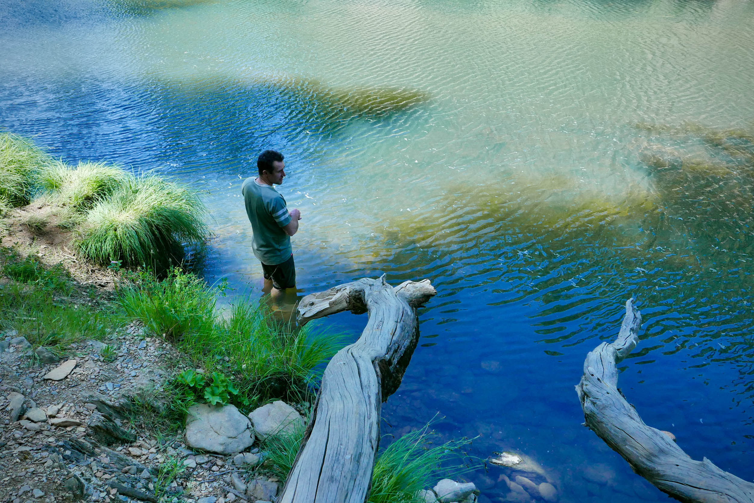
- Jump off a sketchy rope swing into the always chilly Spanish Creek before heading into Quincy for a resupply.
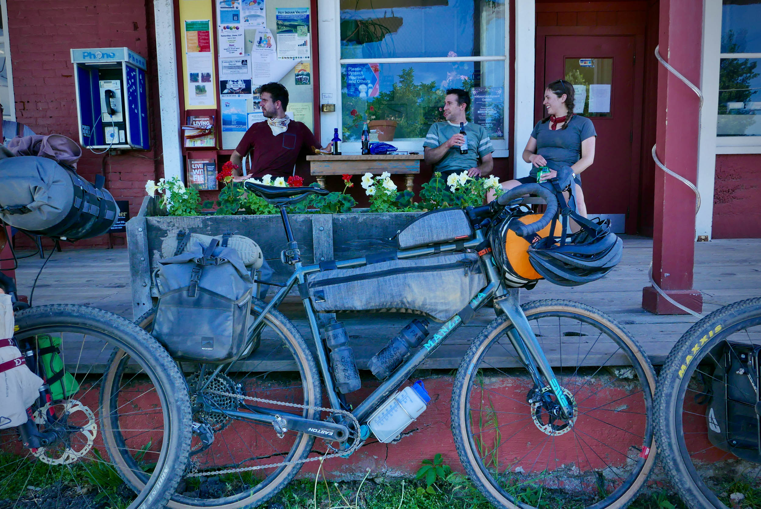
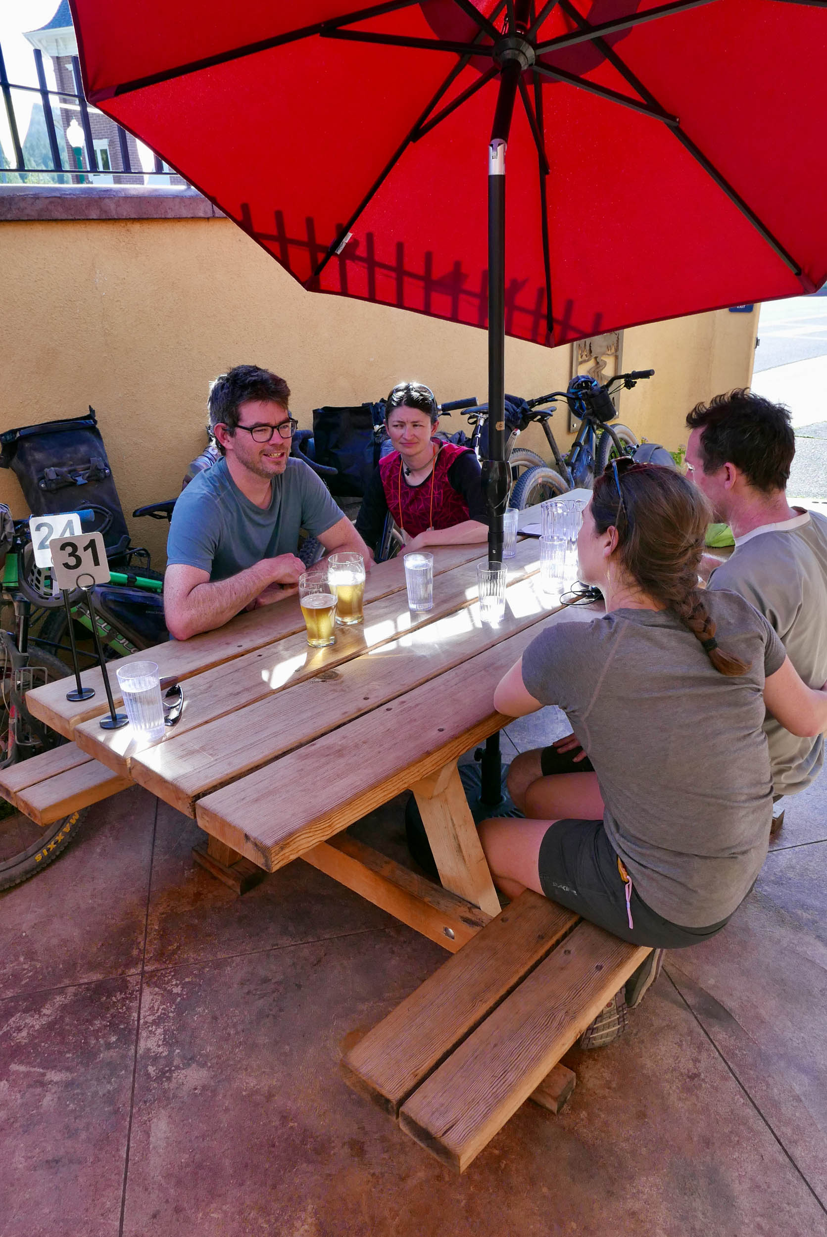
- High-five your friends as you celebrate the halfway point with some beers at Quintopia Brewing in Quincy.
- Become one with your body as you grind up one of the many challenging climbs dotted along the route.
- Celebrate at the Brewing Lair in Blairsden after the ride.
- When to go: You can ride this route whenever there’s little-to-no snow on the ground. However, early summer (normally June) is great to catch the wild flowers, and fall (normally September and October) is nice as it won’t be as hot during the day.
- Logistics: If you plan to cook meals, California requires you carry a fire permit that you can obtain for free online. Please check before your trip if there’s a complete fire ban in the region. Recent wildfires have devastated the area. You’ll see lots of burn scars along the way. Always be cautious when cooking in the forest.
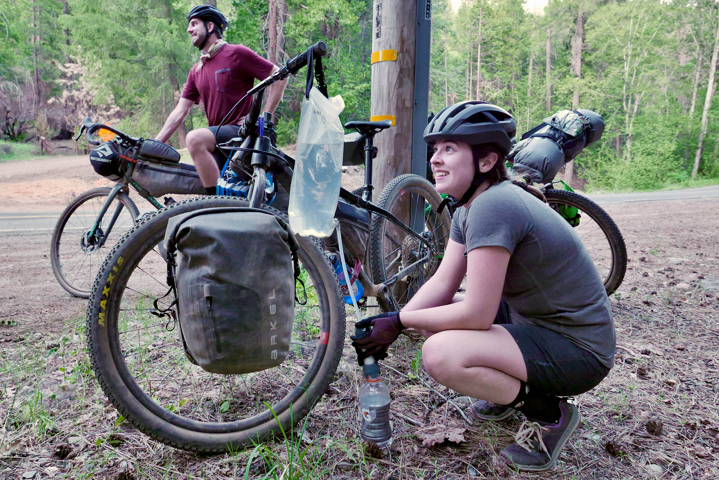
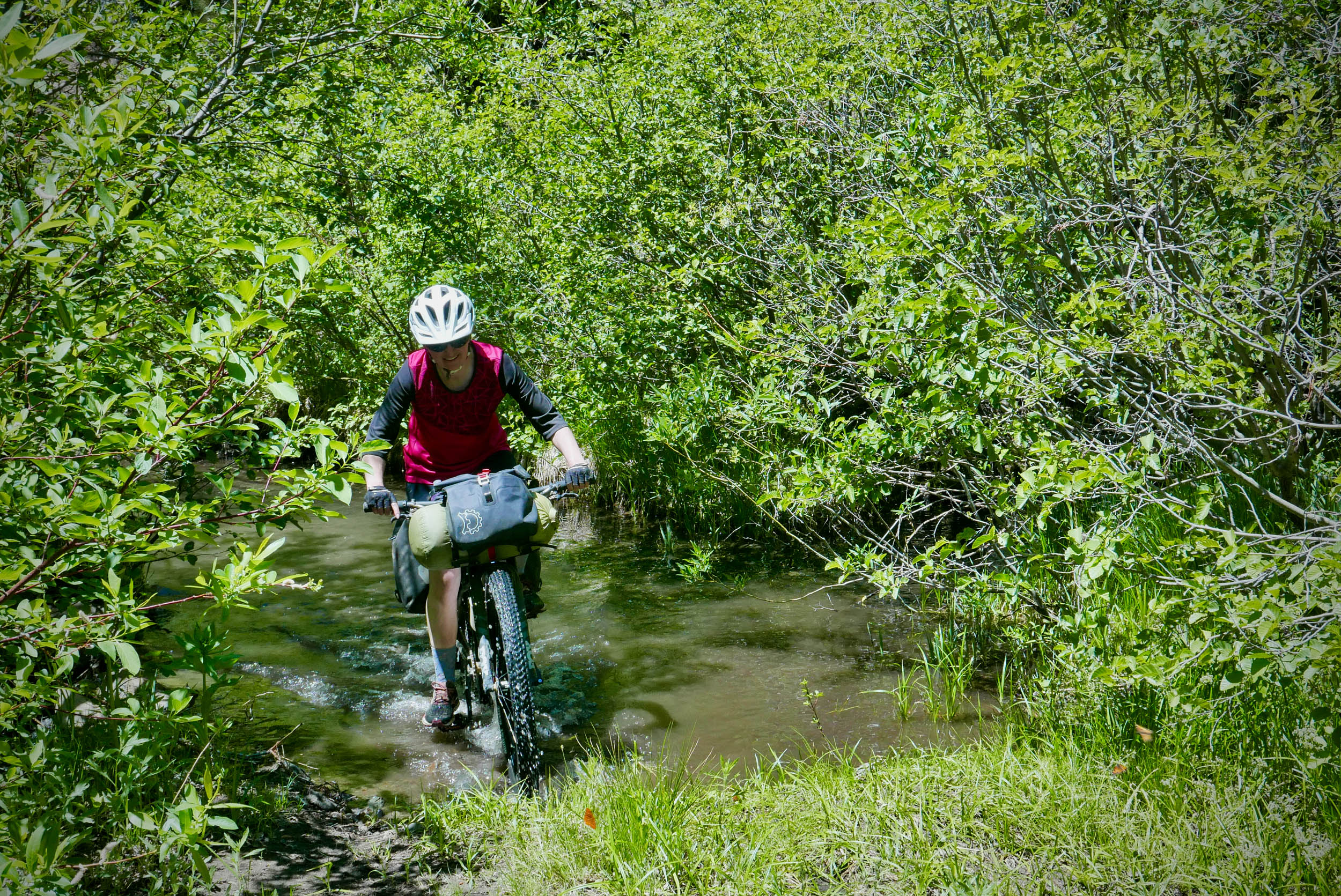
- Take a water filter with you and use it whenever you pull water from a stream or creek. Although the water looks clean and clear, it likely contains bacteria that will wreak havoc on your gut.
- Dangers and annoyances: This is an active black bear area. Learn the PCT method for hanging your food overnight. Don’t feed the wildlife! The route skirts private property between Quincy and Sloat. Please stick to the designated route to avoid causing trouble for future riders.
- Travel basics: The route starts in an unpaved area near the train tracks in Portola. There are grocery stores nearby to stock up on food. Nichole’s Coffee is a nice spot to grab some coffee and a sandwich. There are tons of RV campgrounds in the area if you plan to camp the night before taking off.
- What bike: This route can be ridden on a gravel bike with at least 45mm tires, but you’ll have a better time on a rigid mountain bike or hardtail with tires between 2 and 2.6 inches. The rocks in the area can be sharp and are known to slash sidewalls. A tubeless setup is advised along with a tire repair kit.
Most of the route is set in Plumas National Forest. You’re allowed to wild camp if you follow some guidelines:
- Camp at least 100 feet from streams and lakes
- Don’t camp in meadows
- Camp in an area that’s already been disturbed
- Follow Leave No Trace principles
- The best place to camp at the end of day one is probably the campground in Taylorsville. It has coin-operated showers and is first-come, first-served.
- If you’re planning a bigger first day, there are primitive campsites along Spanish Creek at the end of the Mount Hough Trail.
- Between Quincy and Portola there are no services. Redbridge Campground is your best option to camp for the night. It’s a couple miles off route on the paved La Porte Road.
- Around Portola and Lake Davis are lots of RV campgrounds to use for the start and end of your trip.
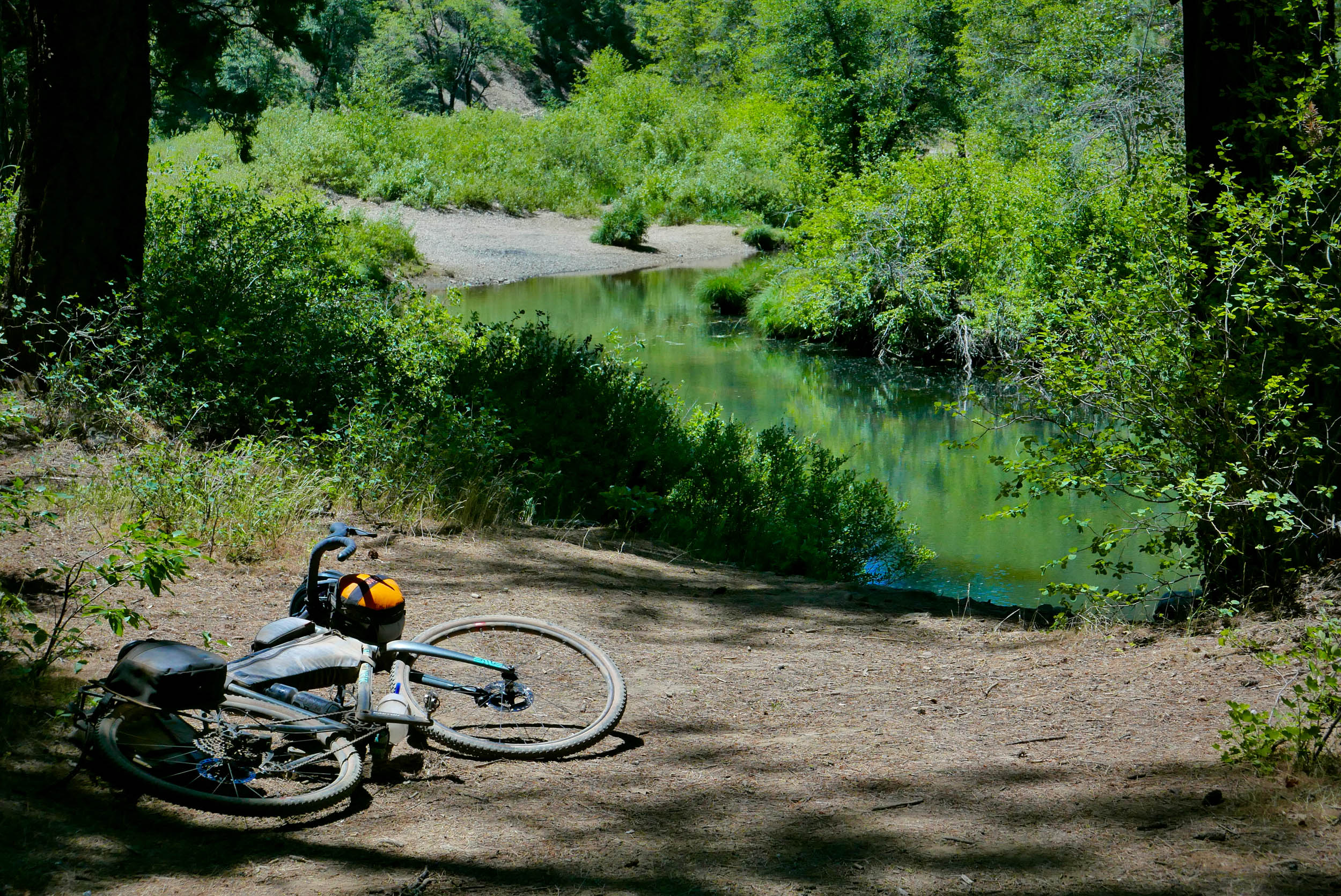
- In early summer, there are lots of little streams and creeks to filter water. As summer progresses, many of these water sources may dry up. The map includes some of the more reliable spots to find water.
- Visiting Young’s Market in Taylorsville Fill up on supplies before tackling the China Grade climb the next day.
- The town of Quincy has tons of food options.
- Quintopia Brewing has an outdoor patio to enjoy some beverages and tasty grub.
- Feather River Food Co-op down the street is a nice natural food grocer.
- Head to the Polka Dot in East Quincy for burgers, fries, and milkshakes.
Suggested Three-day itinerary
Day 1 (38 miles, +2,400’)
Leave your car in the unpaved area near the train tracks. To start off, you’ll have an 8-mile paved climb on Lake Davis Road. Then you’ll wind your way for 12 miles on the relatively flat unpaved Beckwourth Taylorsville Road before plummeting 2,500ft to Genesee valley. Back on pavement, you’ll have an easy ride to Taylorsville. Make sure to resupply at Young’s Market before setting up camp at the large campground.
Day 2 (27 miles, +4000’)
Like Day 1, Day 2 starts off with a big climb. This time, you’ll climb up China Grade Road. It’s a consistent 9% grind gaining 2,400 feet in a little over 5 miles. Ouch. Take a break and fuel up at the top of the climb. After a well-deserved rest, you have a few options:
Day 2 option 1
Hang a left on Mount Hough Road and descend for about a mile until you come across an access point to the singletrack on your right. Hop onto the singletrack and let ‘er rip.
Day 2 option 2 (+6 miles, +1300’)
At the top of China Grade Road, turn right onto Mount Hough Road and climb another 1,300 feet to reach the official Mount Hough Trailhead. The little parking area provides awesome views of the surrounding area, including Mount Lassen in the distance. From the parking area, hop onto the Mount Hough Trail and enjoy 10 miles of singletrack bliss. Warning: the first 0.3 miles of the singletrack is steeper and more technical than the rest of the trail. Once you cross the first dirt road, the trail will be mellower.
Day 2 option 3
If you’d prefer to bypass the Mount Hough Trail, stay on the unpaved Mount Hough Road all the way until it reaches pavement. Take care descending this road. It’s steep and loose and there are lots of vehicles using the road to shuttle mountain bikers to the top of the Mount Hough Trail. Then take the paved Quincy Junction Road into the town of Quincy.
If you choose options 1 or 2, you’ll finish the Mount Hough Trail at the paved Oakland Camp Road. Turn left and follow Spanish Creek upstream. You can now decide if you’re dusty and warm enough for a little bath. There are lots of more private access points to the creek for the next 0.7 miles, or you can join in on the fun at the popular swimming hole on the left just after you cross a bridge over the creek. The water here is really deep. Swim across the creek and have a turn on the sketchy rope swing.
After a refreshing dip, head to Quincy on quiet paved roads. Quincy is the largest town on this route. Feed yourself and stock up. From Quincy to your car, there will be no other services and not much water access. After leaving Quincy, turn right on Quincy La Porte Road. The Redbridge Campground is your best bet to set up camp for the evening. It’s a couple miles off route past where you turn off La Porte Road.
Day 3 (34 miles, +4200’)
On the final day, you’ll be spending most of the time climbing in the forest. After about 10 miles, you’ll reach Highway 89. You only have to spend about a mile riding on the highway. Before re-entering the forest, you have the option to descend the paved Old Road to the hamlet of Sloat, where you can pull water from Long Valley Creek. Depending on the time of year, this might be the last place to find water until you reach your car. After the optional side quest, hop over the highway and back into the forest. For the next 17 miles, you’ll be climbing roughly 3,000 feet, including a brutally steep pitch at the beginning that many will have to hike-a-bike. Despite the effort, you’ll be riding through some beautiful country. Keep an eye out for black bears here. We saw a mama and cubs amble by in the distance. After all that climbing, you’ll have a rip-roaring descent back to Highway 70. Take the highway a few miles back to Portola and your vehicle.
Additional Resources
- This route wouldn’t be possible without the efforts of the Sierra Buttes Trail Stewardship. Consider donating to this non-profit so it can continue to expand the singletrack network in the Lost Sierra.
- If you want to take another lap on the Mount Hough Singletrack, you can hire a van to shuttle you to the top. Reach out to Yuba Expeditions or Adventure Monkeys for their schedule and pricing.


Terms of Use: As with each bikepacking route guide published on BIKEPACKING.com, should you choose to cycle this route, do so at your own risk. Prior to setting out check current local weather, conditions, and land/road closures. While riding, obey all public and private land use restrictions and rules, carry proper safety and navigational equipment, and of course, follow the #leavenotrace guidelines. The information found herein is simply a planning resource to be used as a point of inspiration in conjunction with your own due-diligence. In spite of the fact that this route, associated GPS track (GPX and maps), and all route guidelines were prepared under diligent research by the specified contributor and/or contributors, the accuracy of such and judgement of the author is not guaranteed. BIKEPACKING.com LLC, its partners, associates, and contributors are in no way liable for personal injury, damage to personal property, or any other such situation that might happen to individual riders cycling or following this route.
Further Riding and Reading
Here are some connected/nearby routes and related reports...
Please keep the conversation civil, constructive, and inclusive, or your comment will be removed.