


Michigan Off-Road Expedition (M.O.R.E.)
Distance
1,062 Mi.
(1,709 KM)Days
14
% Unpaved
72%
% Singletrack
22%
% Rideable (time)
99%
Total Ascent
40,112'
(12,226 M)High Point
1,879'
(573 M)Difficulty (1-10)
6?
- 2Climbing Scale Easy38 FT/MI (7 M/KM)
- 5Technical Difficulty Moderate
- 6Physical Demand Moderate
- 4Resupply & Logistics Fair
Contributed By

Matt Acker
Guest Contributor
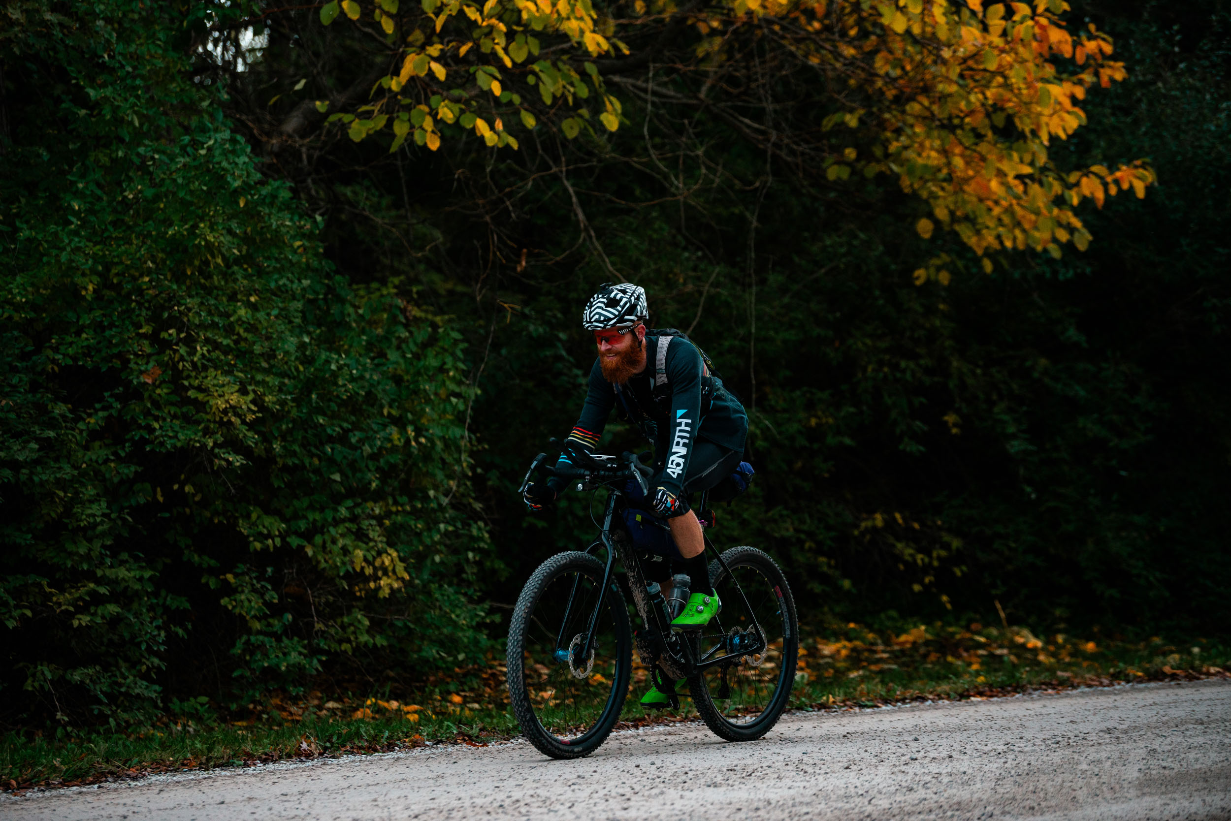
Matt grew up in Michigan and has been a lifelong resident of the Great Lakes State. Working full-time as a professional cyclist and event promoter has Matt riding bikes nearly every day. He has ridden over 150,000 miles around Michigan, which proved invaluable in planning the M.O.R.E. route. He calls Grand Rapids, MI, home and can be found at many events across the region and beyond. You can follow his adventures on Instagram @attackeracker.
Photos by Matt Acker, Neil Beltchenko, and Garrett Hein
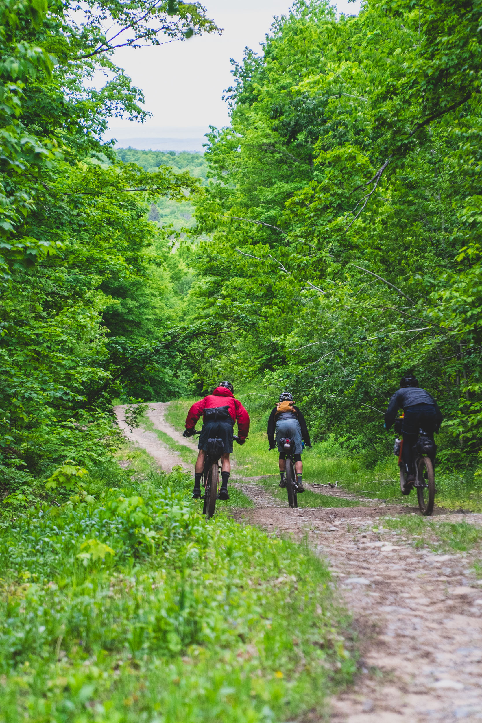
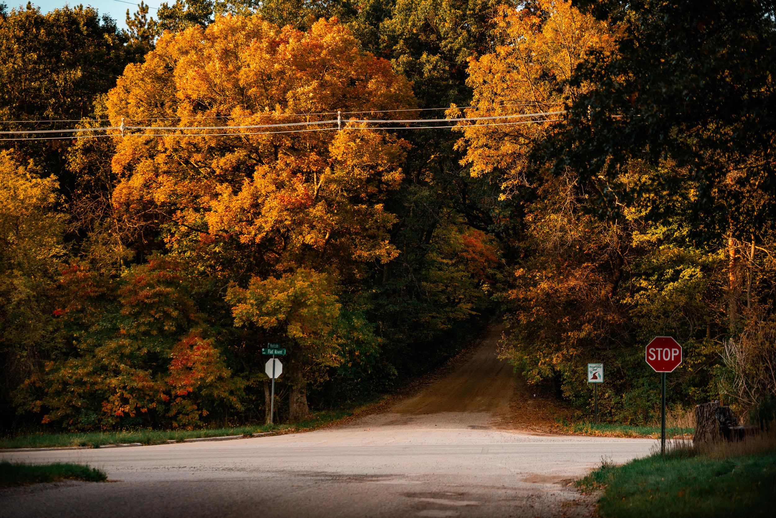
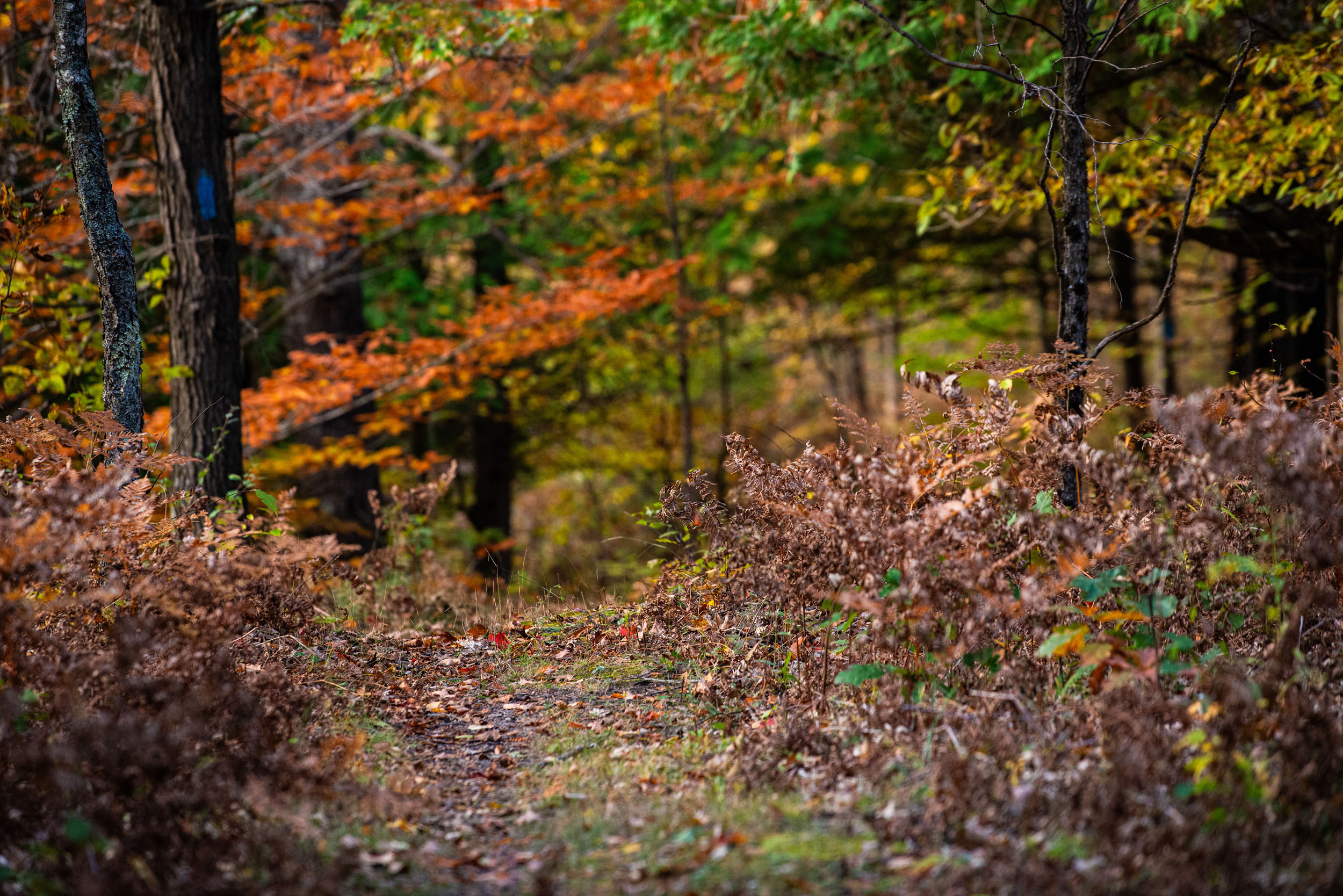
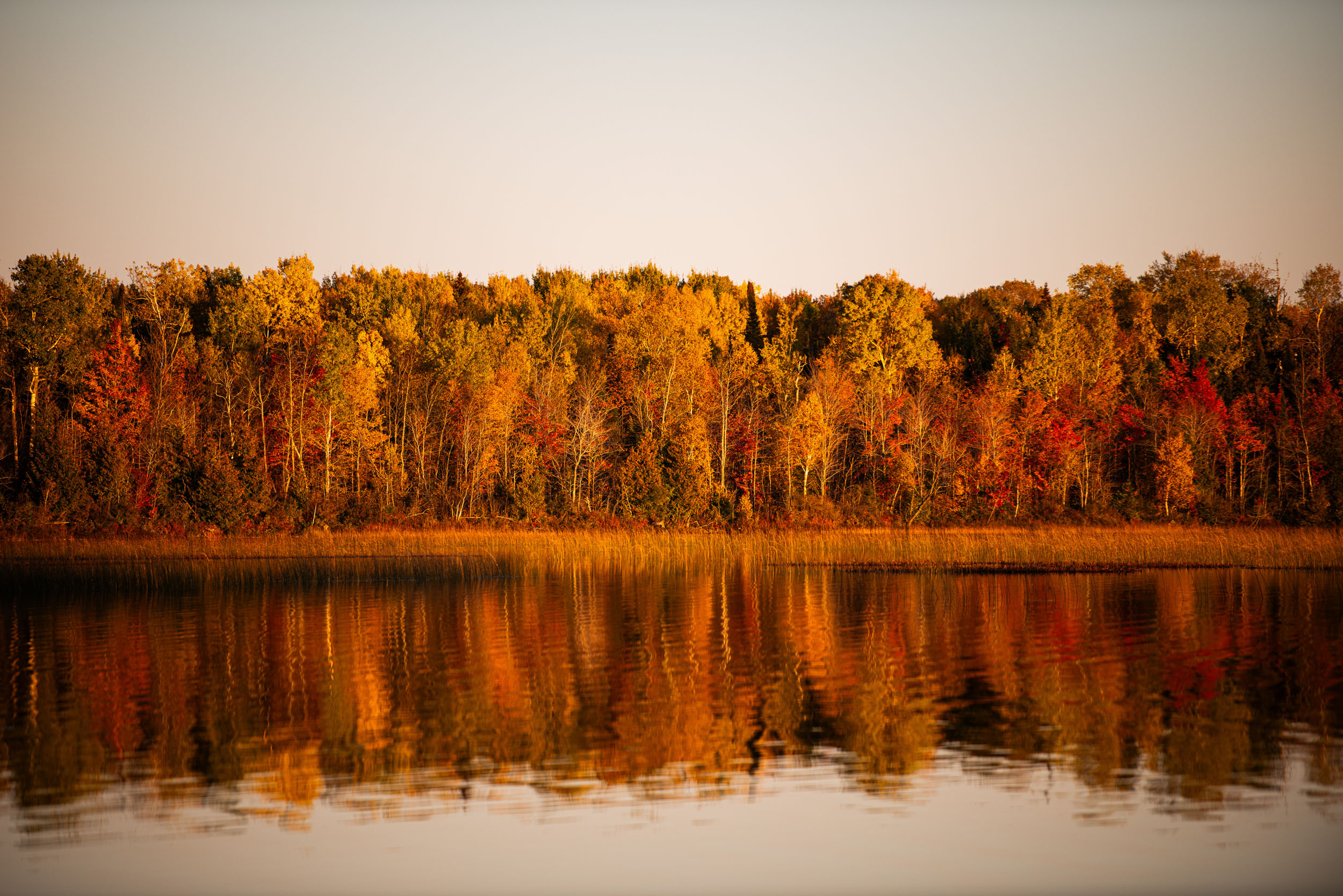
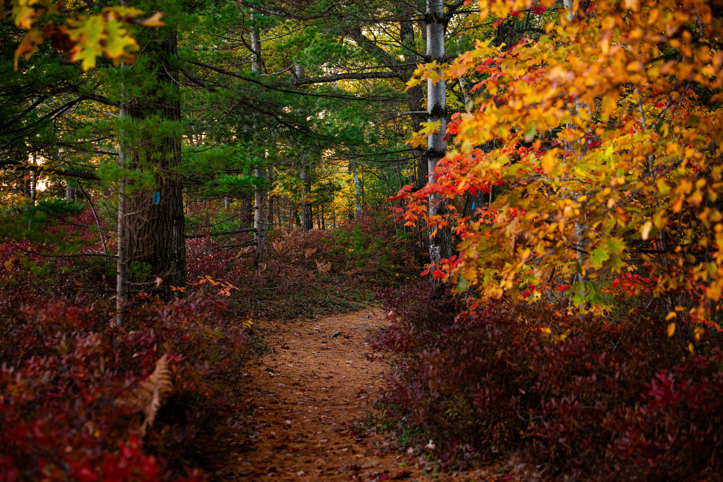
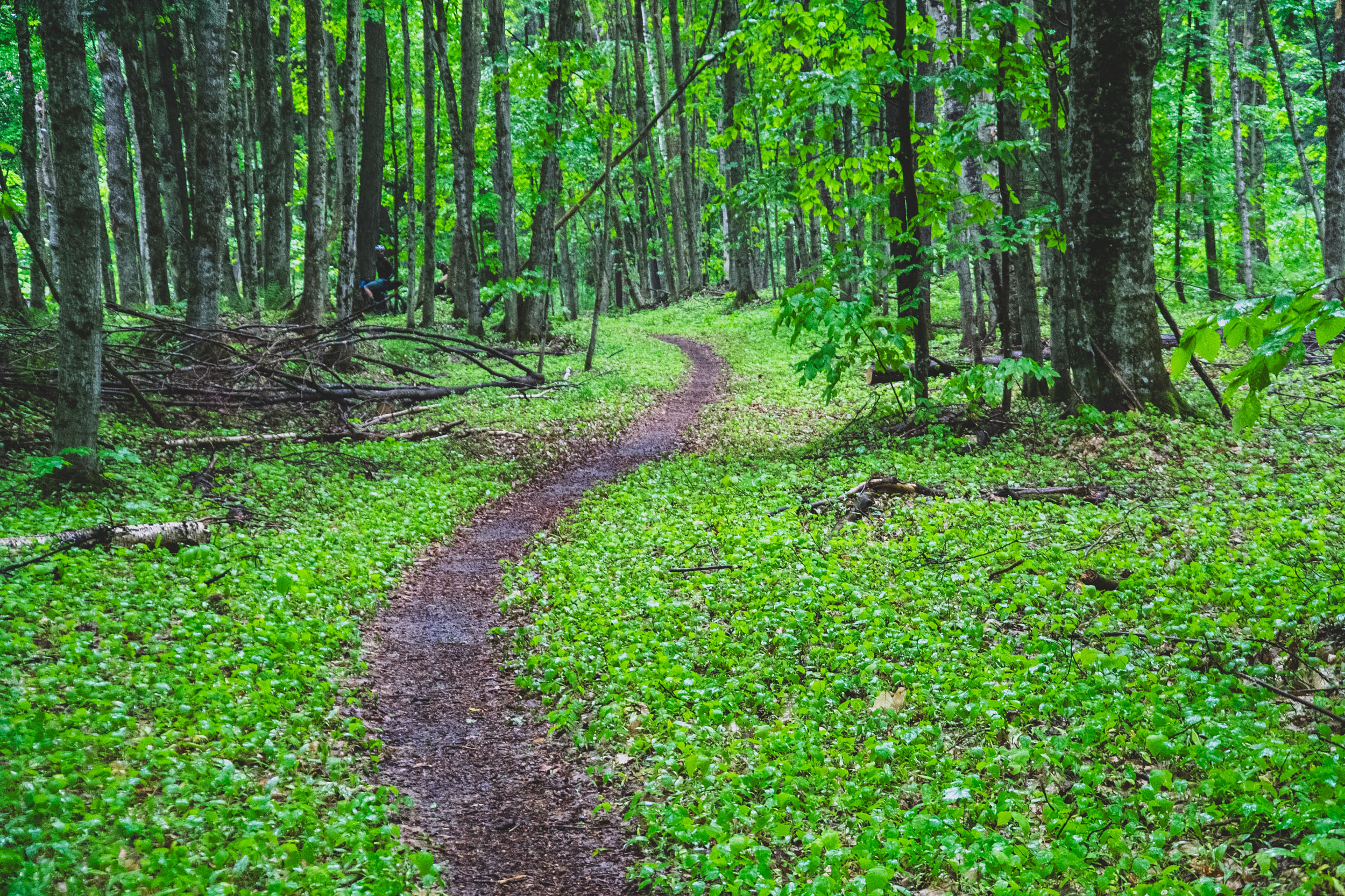
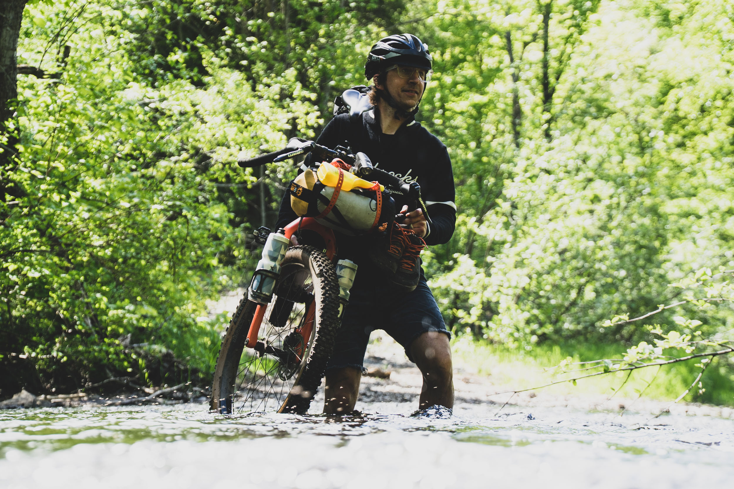
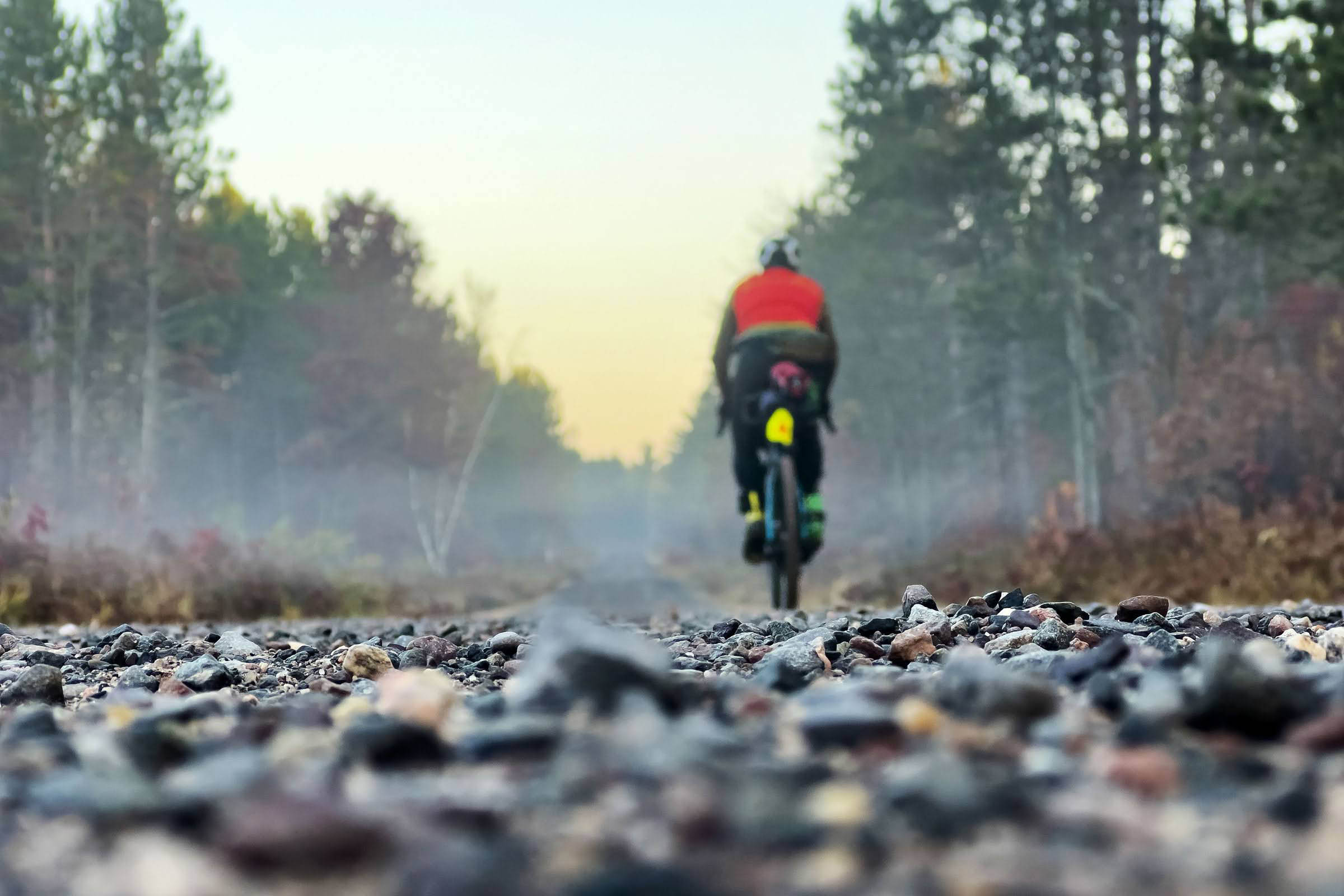
M.O.R.E. stands for Michigan Off Road Expedition, a 1,050-mile bikepacking route across the two great peninsulas in the state. Despite lacking the big mountains of the Eastern and Western United States, M.O.R.E. is still a challenging route. None of the singletrack is overly technical, but the route can be very rustic in spots, making for slow progress at times.
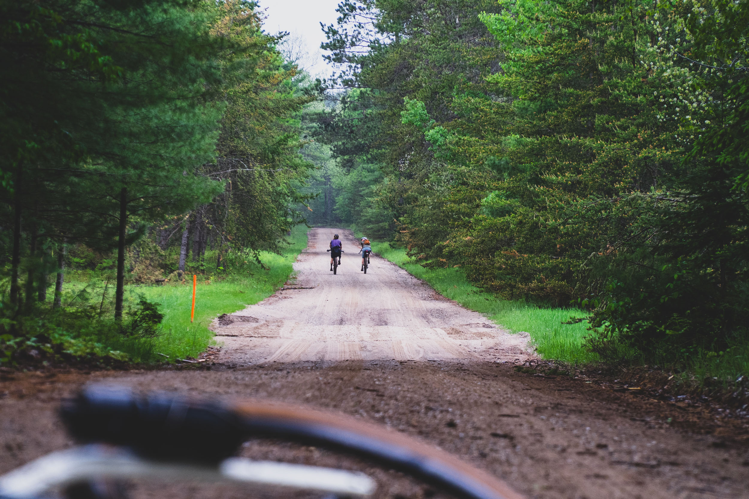
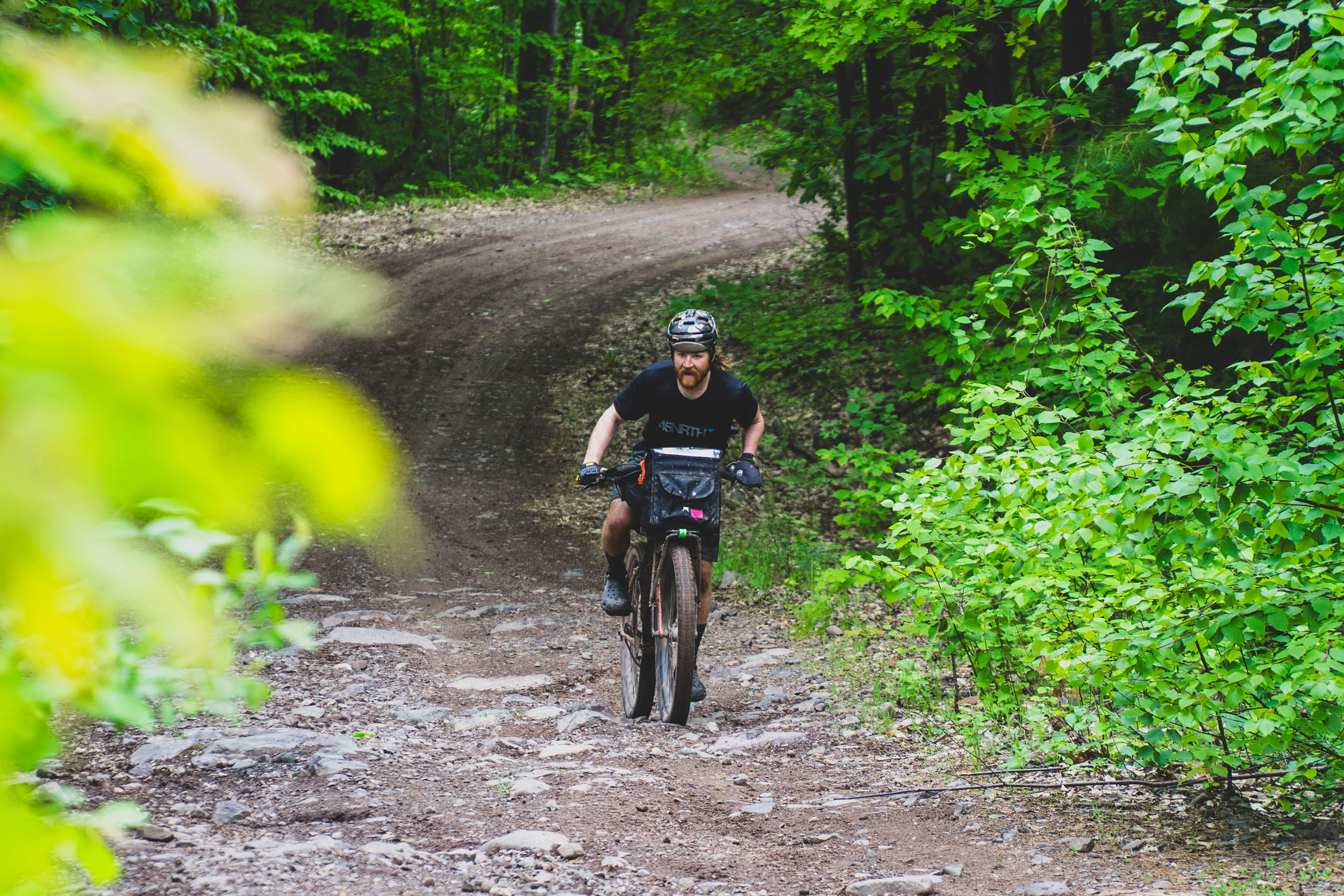
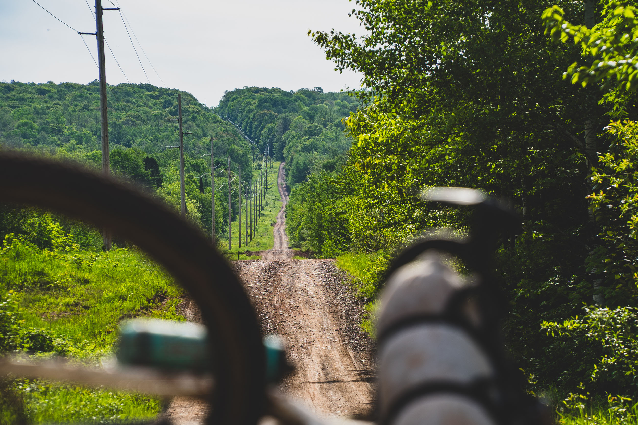
The southern portion of the Lower Peninsula has a lot of gravel and two-tracks, which makes for quicker travel, and the northern portion features bountiful singletrack with hilly terrain. The route passes through notable trail systems, and you could easily add days and miles along the route by riding each trail system in its entirety. Sections of the North Country Trail are not well-maintained and will likely be a slog. It’s up to the individual how they’d like to approach the route, but I recommend planning about a week to complete the Lower Peninsula.


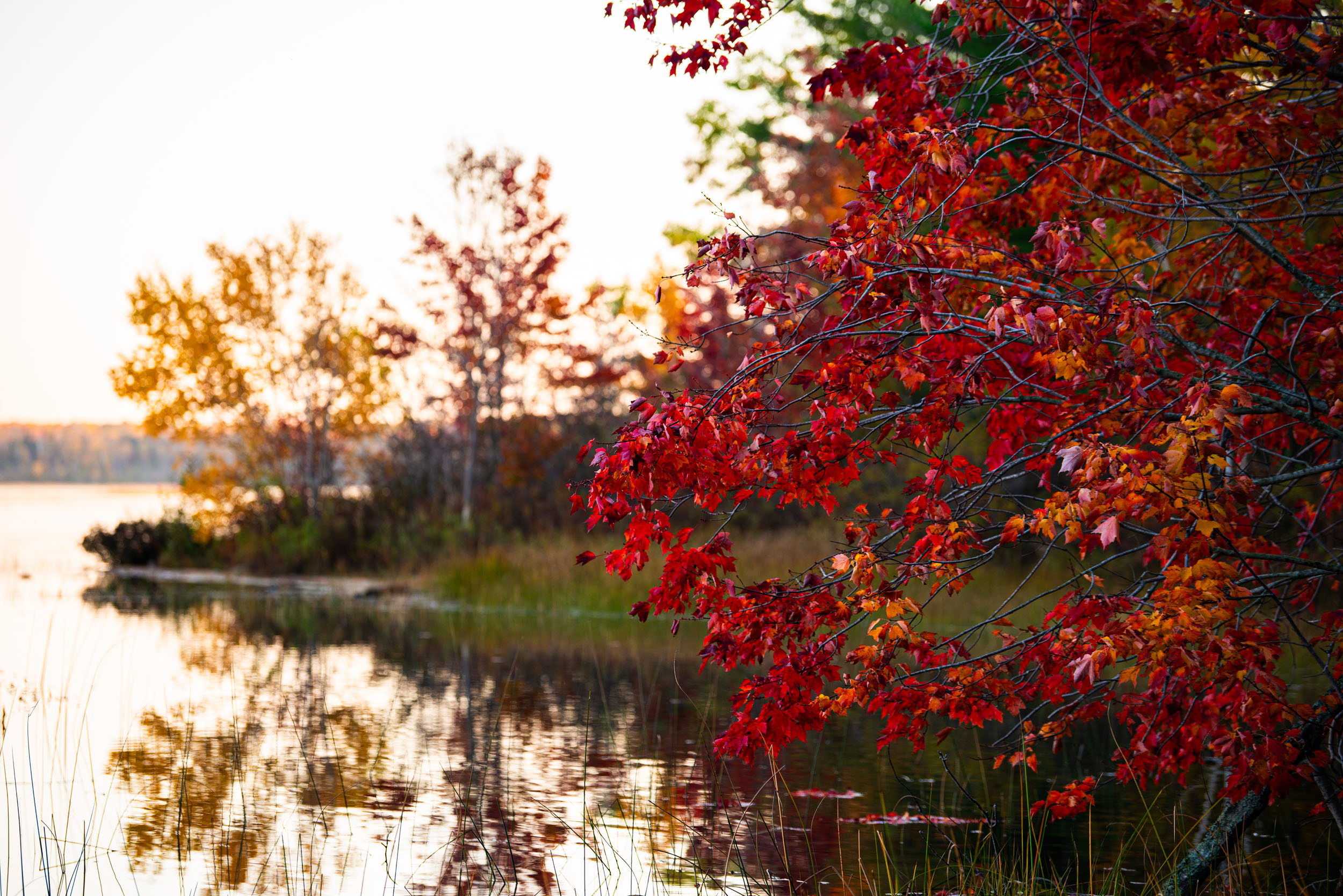
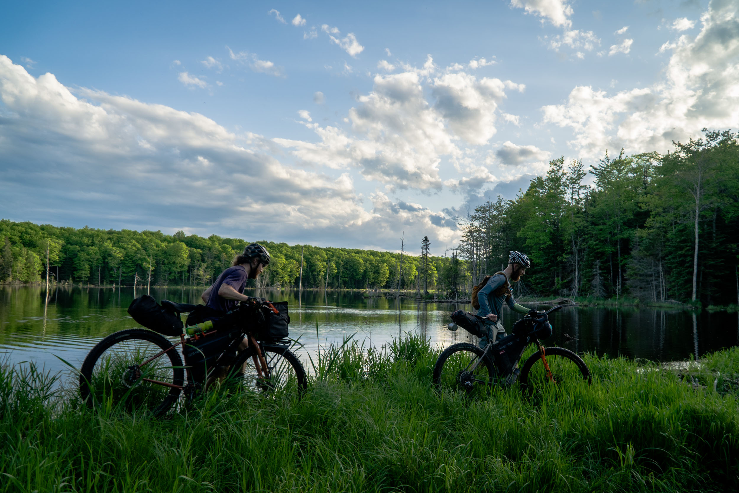
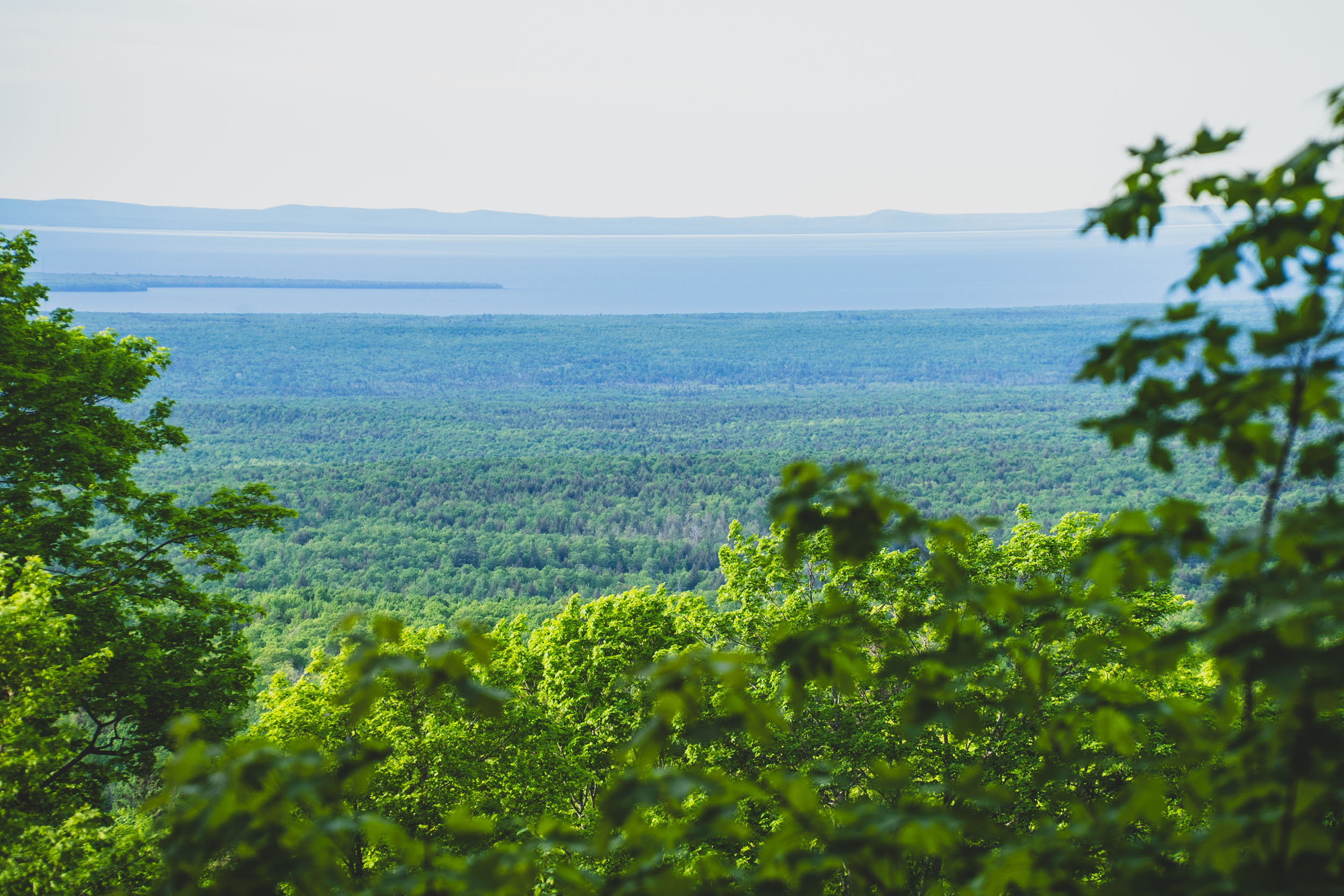
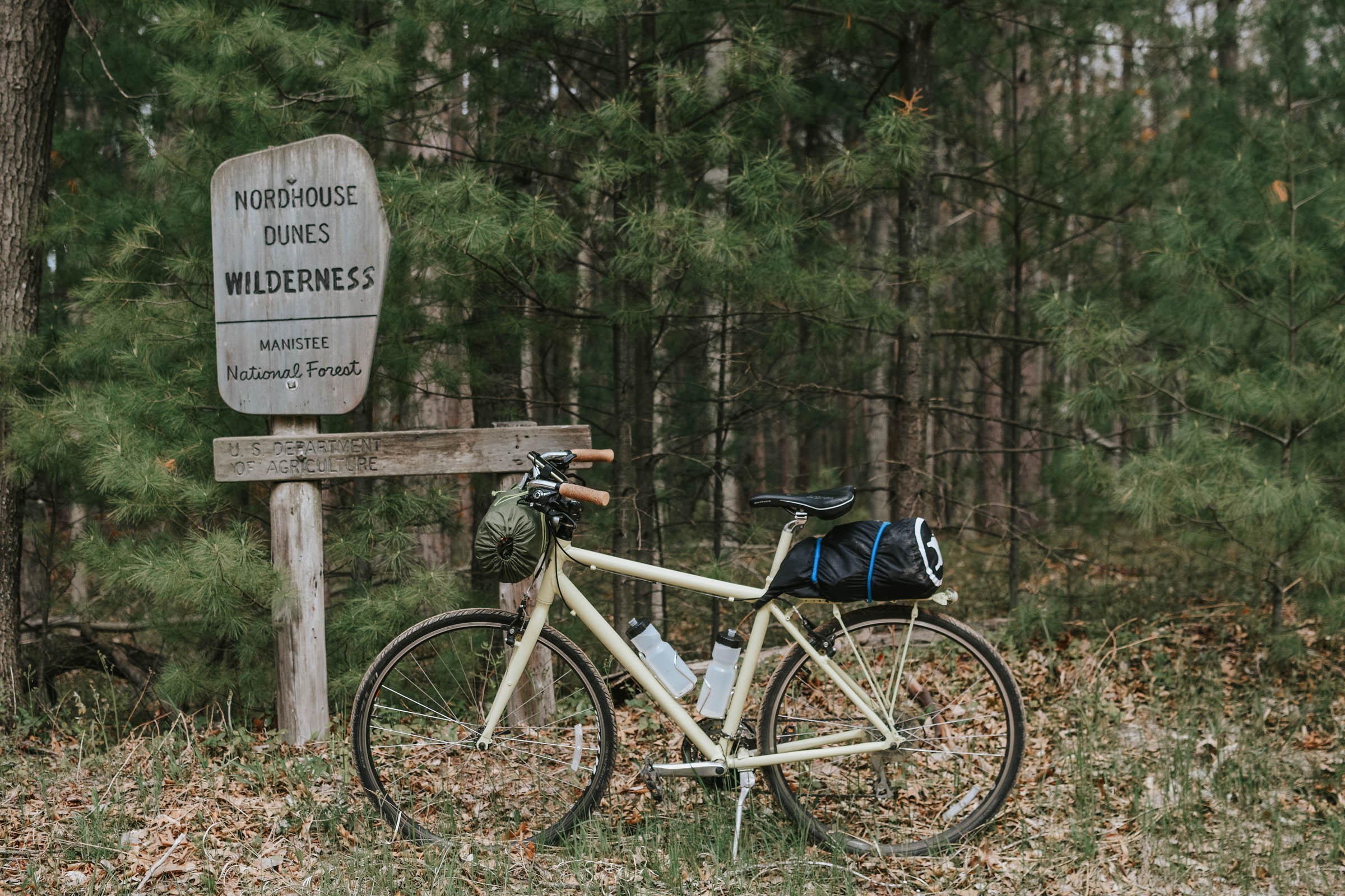
Once you cross the Mackinac Strait to the Upper Peninsula, you’re in a different world. With only three percent of the total population of Michigan, you’re more likely to see a moose or a bear than a human for most of the second half of the route.
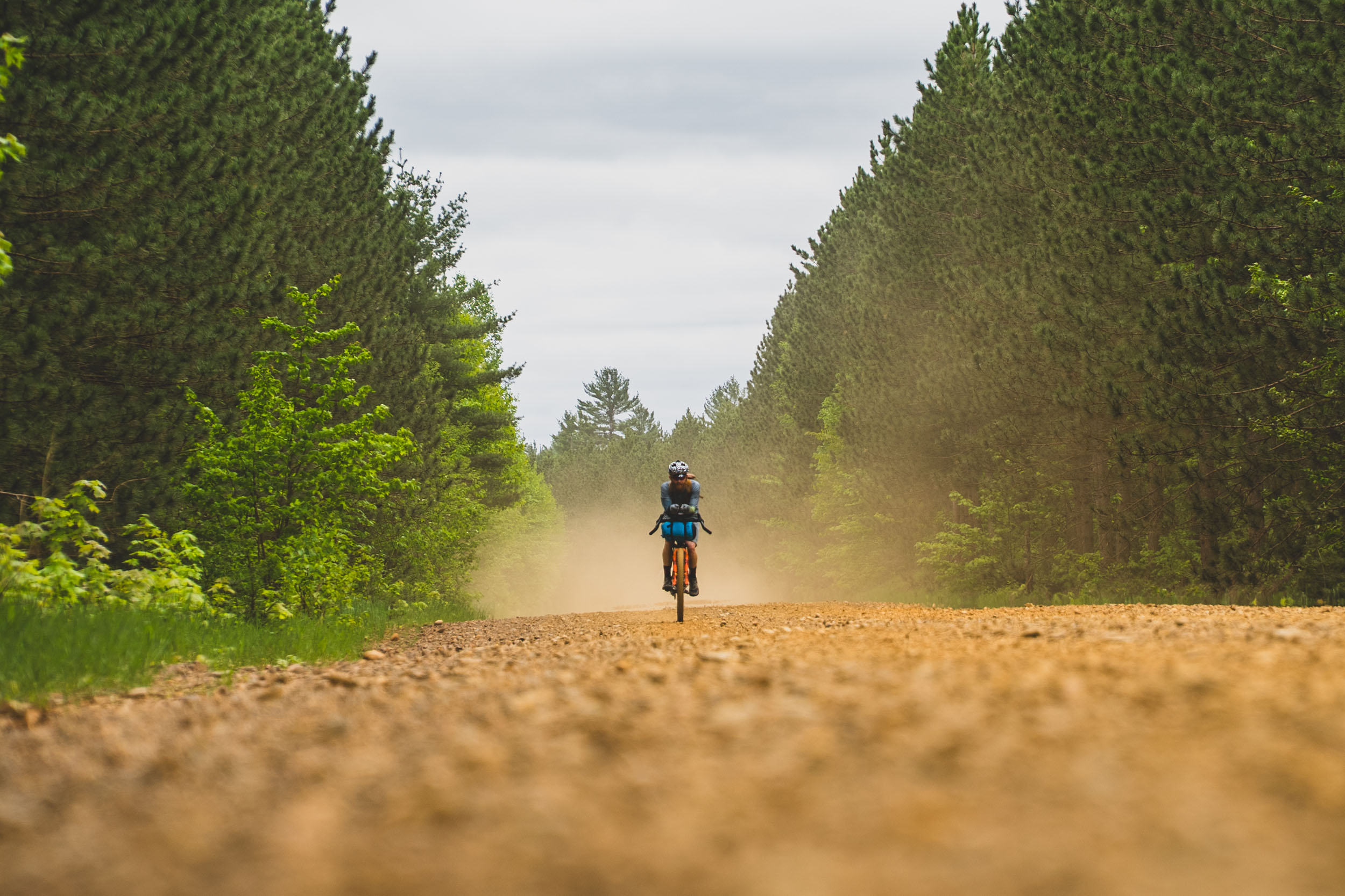
The final route across the UP clocks in at 494 miles, complete with nearly 40 miles of singletrack, several miles of bike path, stretches of pavement to relax, and over 300 miles of dirt road, two-tracks, and OHV trails. The route is quite diverse, starting from the relatively flat, dense, and water-laden eastern portion to the very hilly, open, and rugged western portion. Spend a day or two exploring the culture and diverse array of singletrack around the college town of Marquette.

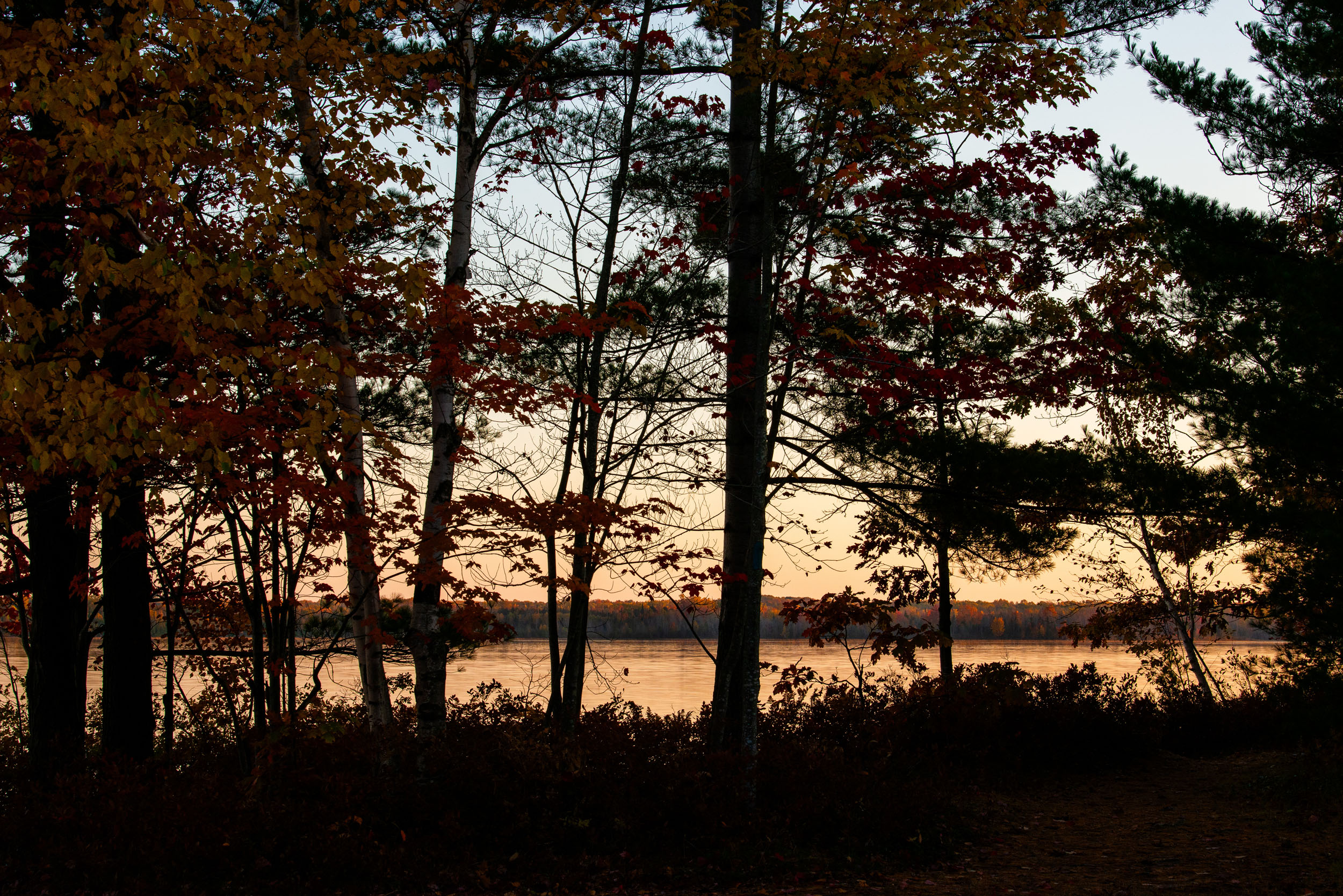
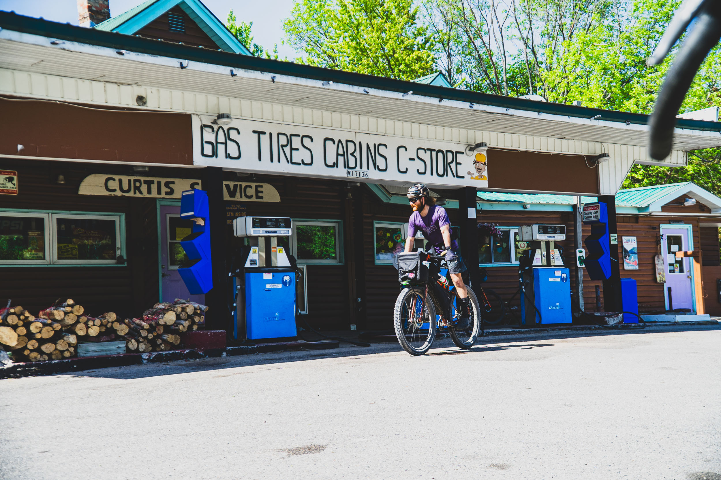
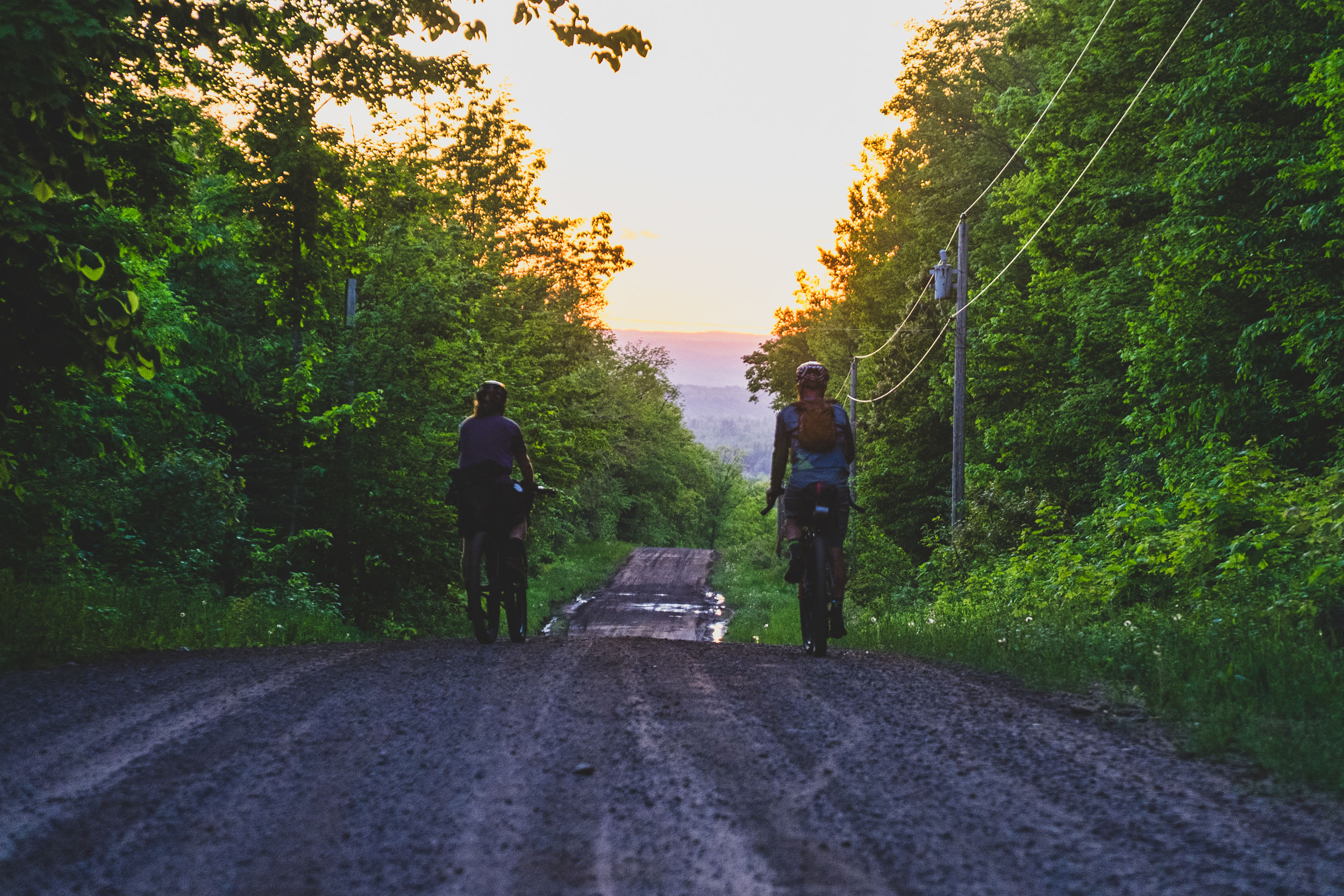
Across the entire route, there are ample camping opportunities, making this an excellent bikepacking route. I have created a simple rider’s guide for planning purposes and will continue to refine the details over time. Re-supply is straightforward as well, with the route passing very near many 24-hour stores and larger towns. While you could take a crack at riding the whole route in one long ride, I would recommend taking at least a few nights to camp and rest. The route travels through so much beautiful country that it’d be a shame to ride in the dark and not enjoy the scenery!
Route Difficulty
The M.O.R.E. route warrants a difficulty rating of 6, primarily due to the logistics involved with a point-to-point route and the rugged singletrack in the northern Lower Peninsula and the rough, sandy two tracks interspersed throughout. Sorting out logistics for a starting point in Indiana and finishing in Porcupine Mountains Wilderness State Park will be among the top challenges for riders looking to complete the entire route. Even attempting a peninsula at a time will pose ample challenges. In the summer months, towns like Mackinac City (at the mid-point and Mackinac Bridge) have many more resources to work with than in early spring/fall, which can be said for most of the towns/villages along the route. Going deeper into fall will require advanced planning to ensure resources are available and open. If you get creative with rental cars, shuttle services, and/or flights, you can make it happen, though you might need to add some miles onto the end to get out of the wilderness!
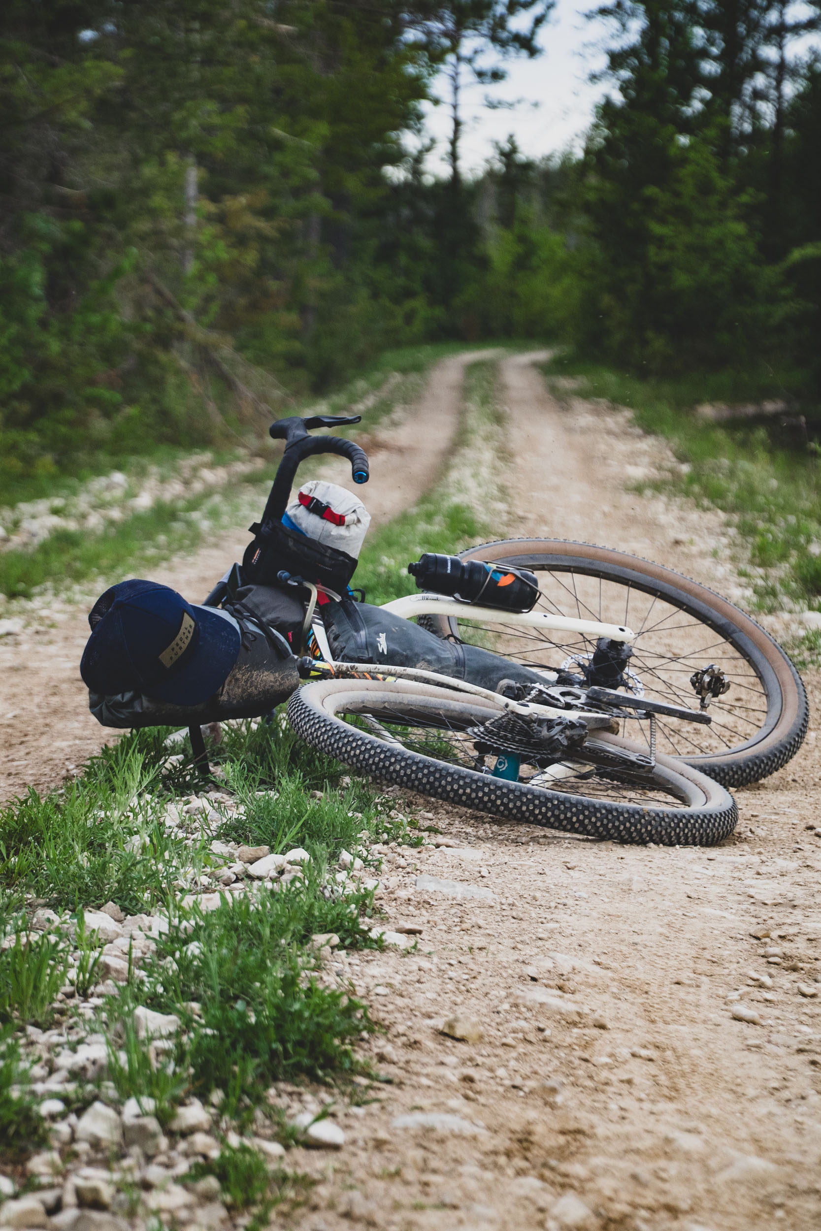
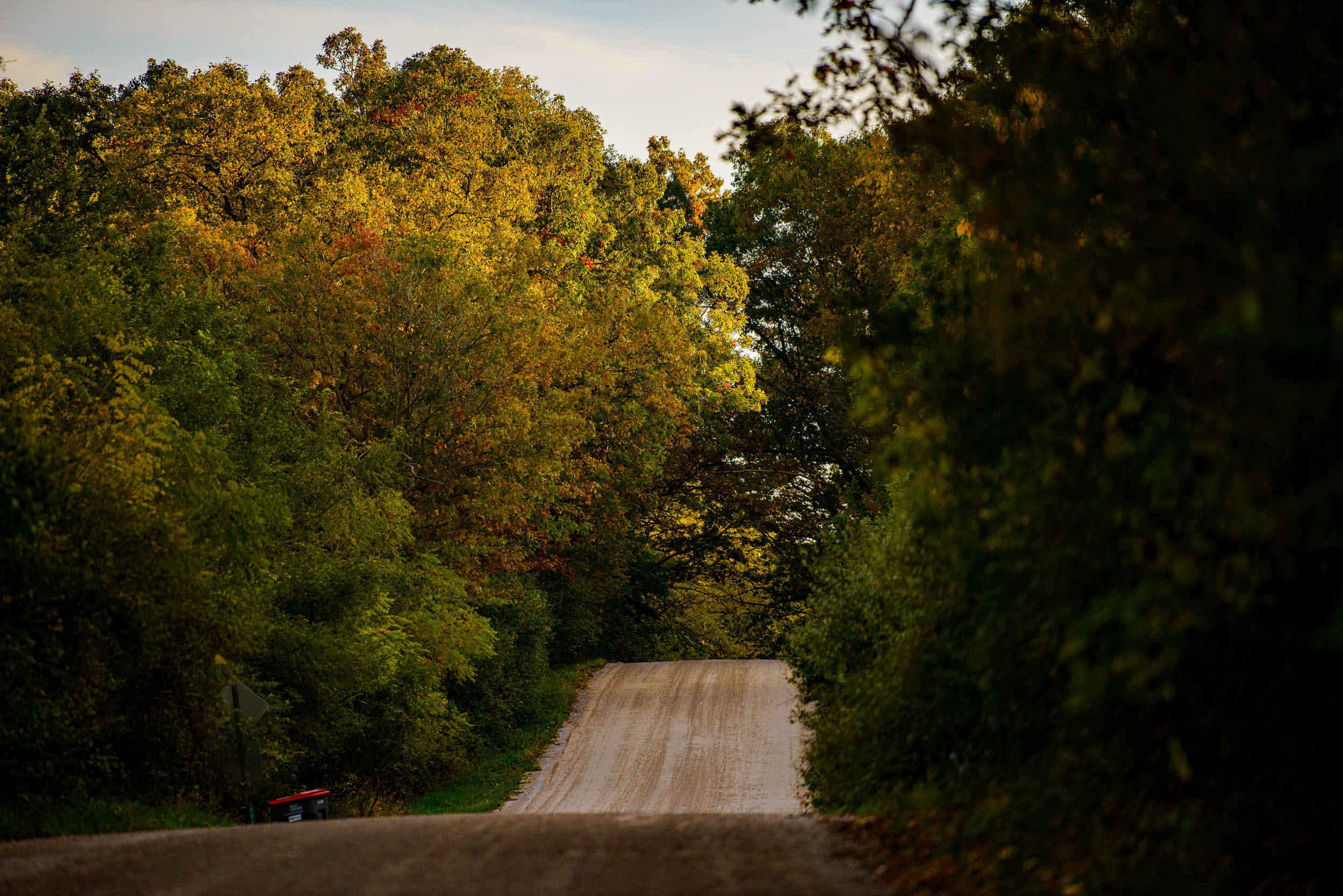
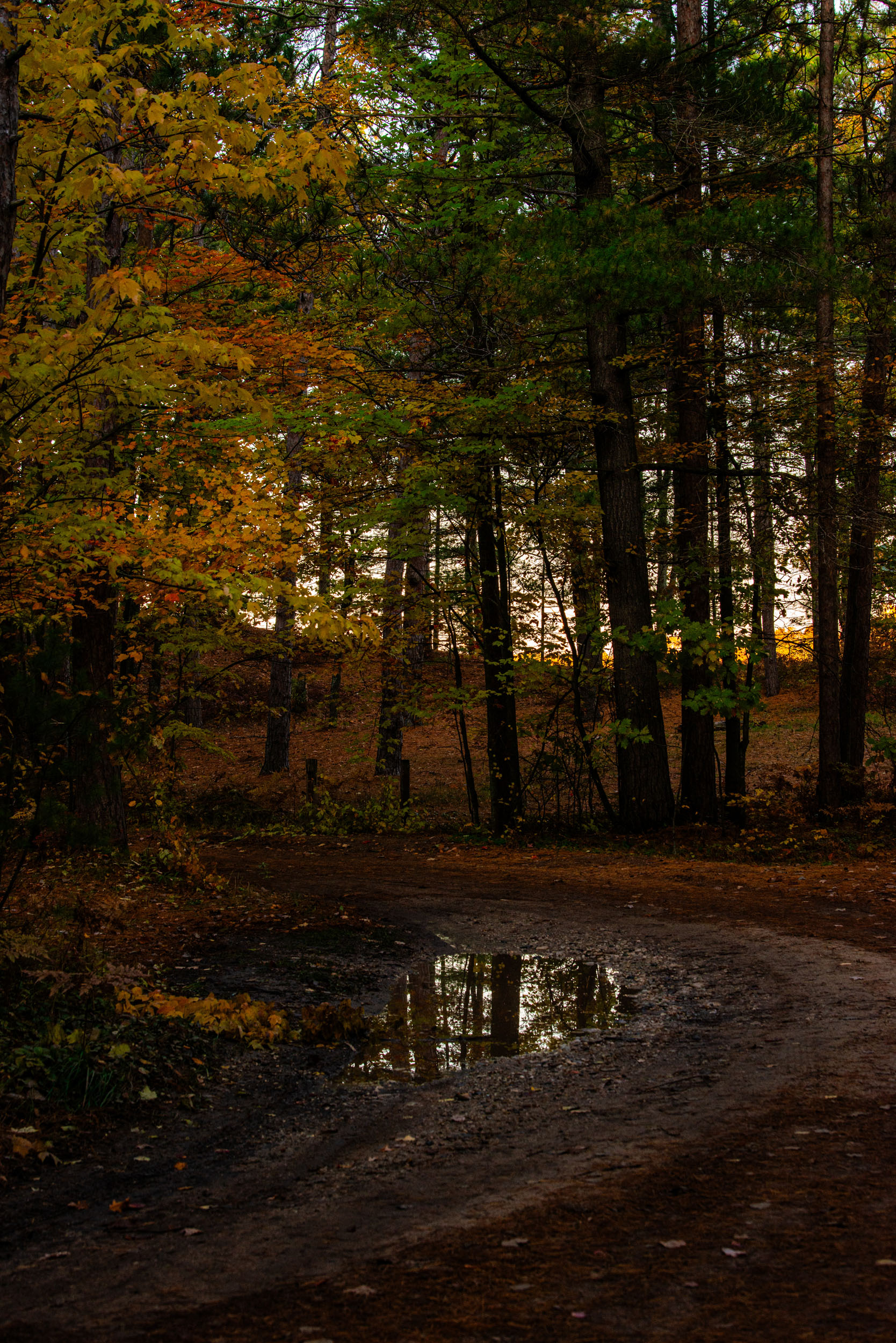
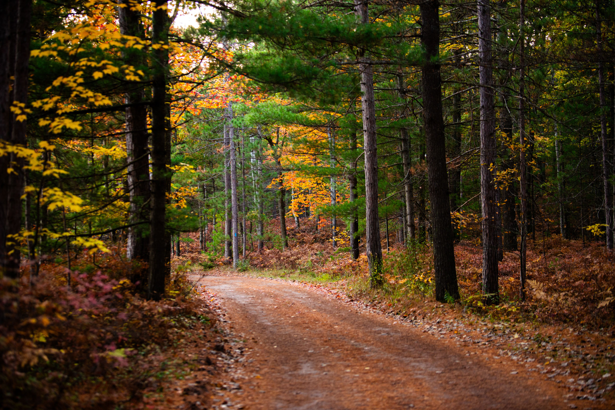
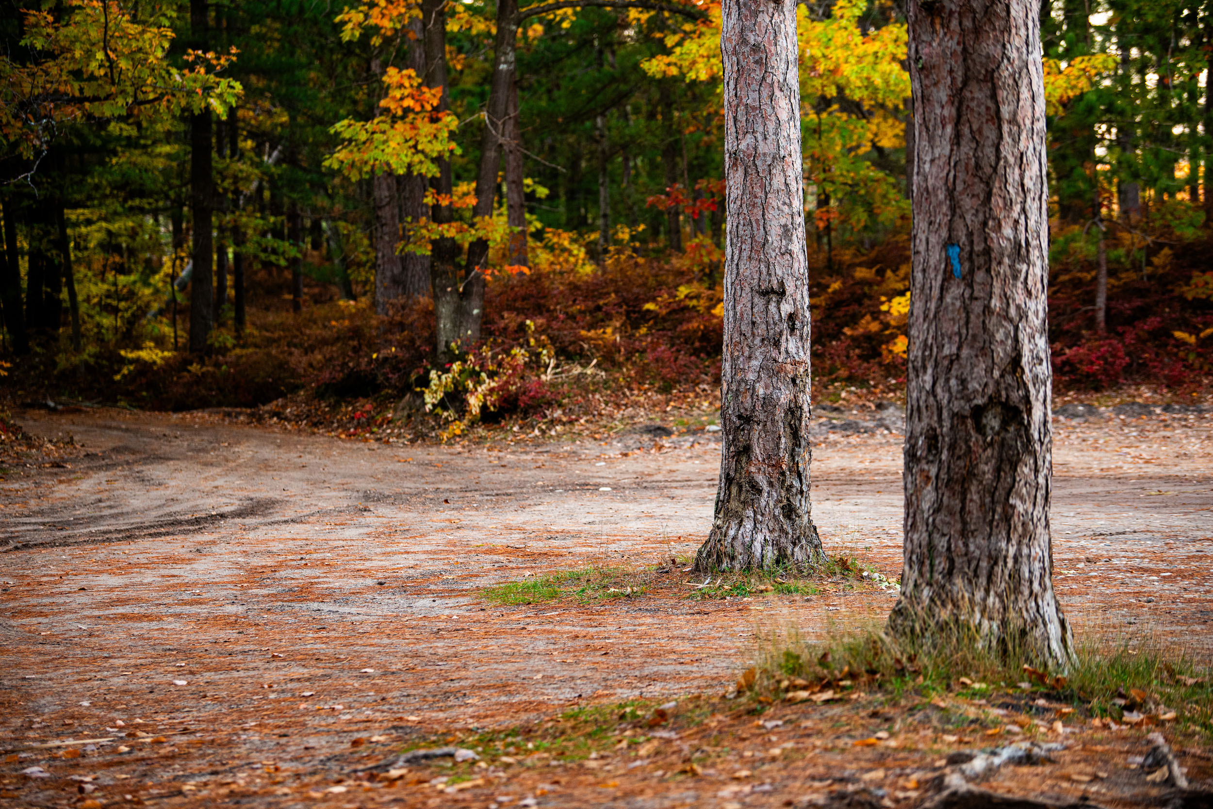
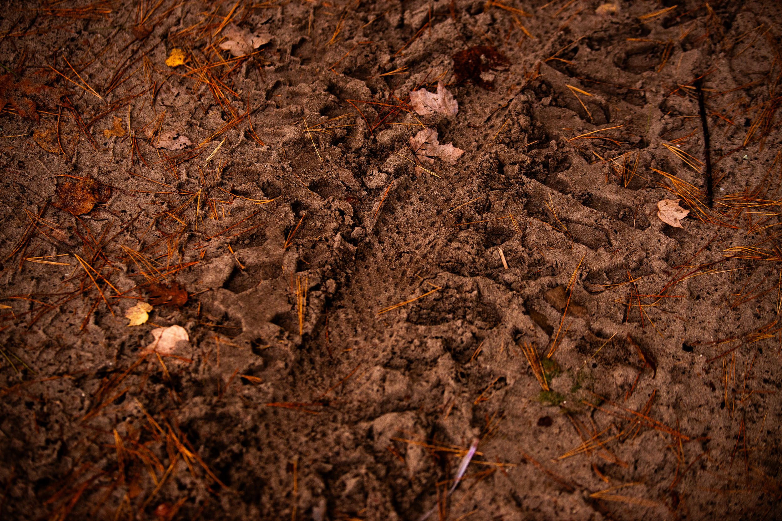
As far as the terrain, it is a complete mixed bag, from bits of scenic bike path and pavement to gorgeous, well-maintained gravel to near-abandoned singletrack and rutted, sandy two-tracks. The goal of the route is to stay “off-road” as much as possible, so long as it makes sense and isn’t hazardous. There are some long sections of the North Country Trail that see very little use and can be overgrown and feel neglected, but these are also the same areas where riders will feel most remote and connected to the land around them. As for sand, this is Michigan, and we’re surrounded by Great Lakes, so it is part and parcel with the area. It’s the finest gravel of all and just requires a little skill, wide tires, and patience. We tried our best to avoid gratuitous sections of it, but it’s there. The Upper Peninsula will offer a multitude of two-tracks where riders will have a true feeling of being “out there,” and as such, should come prepared.
Route Development:
The idea is simple enough: traverse the great state of Michigan from the southern border to the Mackinac Bridge (and eventually the Upper Peninsula) on as much dirt as possible. It’s not an original one, either, and I must give credit where credit is due. The spark that started the flame for me was stumbling across the “Split the Mitt” page on Facebook. Split the Mitt was posed as a Strava segment challenge riding from Ohio to the Mackinac Bridge on the North Country Trail (NCT). I like point-to-point routes because you have a destination to reach, rather than riding in a giant loop. It seems as though every big “outdoor state” like Colorado, Arizona, and Oregon has its own epic dirt cycling route that people dream of, and I kept wondering, “Why don’t we have that?”
I was uninspired by the idea of following the NCT all the way. I wanted to create a route specifically with cycling in mind, using trail systems wherever possible to maximize dirt and singletrack. Once I had an idea of where the good gravel was, I began roughing in the route by combining it with trail systems such as Forst Custer, Yankee Springs, Cannonsburg, and more. Once the route was roughly designed, I went back through and made adjustments to make re-supply, camping, and other long ride requirements easier. Once across the Mackinac Straits, the route planning was largely dictated by passable roads/trails that avoided major paved routes such as US2 and M28. The more sparsely populated UP has far fewer roads and grids to work with, which helped guide the route through heavily wooded and marshy areas in the Eastern UP, which give way to sandy uplands and more forest in the Central UP. Navigating the massive swamp of the Seney Wildlife Refuge was also quite challenging but rewarding at the same time. Once in the Hiawatha National Forest, more route options became available, and it made sense to link in local trail networks as available.
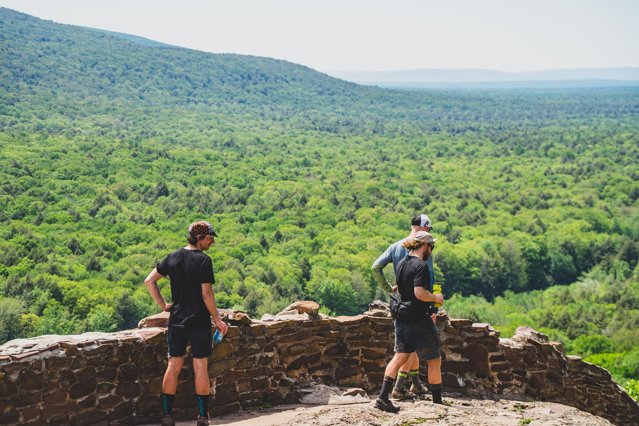
Upon entering Marquette County, the options really opened up, but in keeping with the name, the goal was to use as much singletrack as possible while also highlighting the historic city of Marquette. From there, the route naturally had to make stops in Nagaunee and Ishpeming before wandering north to the Huron Mountains. The Huron Mountains are a bikepacker’s dream and simply couldn’t be omitted from the route, as they also include the highest point in Michigan, Mount Arvon. From there, it felt fitting to give people a taste of the Keweenaw Peninsula and some of the more remote regions of the UP. I have a great fondness for the Trap Hills and Porcupine Mountains from many years of hiking and exploring in the region. The route passes through Old Victoria, offering riders a window into the region’s mining history. Traversing the Trap Hills offers many great views before heading to what I think is the best and most logical way to end the route at Lake of the Clouds in the Porcupine Mountains Wilderness State Park. Although the route does not reach the Wisconsin border, I think this is a much more fitting place to end, offering a great summit feeling, an amazing view, and camping options.


Submit Route Alert
As the leading creator and publisher of bikepacking routes, BIKEPACKING.com endeavors to maintain, improve, and advocate for our growing network of bikepacking routes all over the world. As such, our editorial team, route creators, and Route Stewards serve as mediators for route improvements and opportunities for connectivity, conservation, and community growth around these routes. To facilitate these efforts, we rely on our Bikepacking Collective and the greater bikepacking community to call attention to critical issues and opportunities that are discovered while riding these routes. If you have a vital issue or opportunity regarding this route that pertains to one of the subjects below, please let us know:
Highlights
Must Know
Camping
Food/H2O
Trail Notes
Resources
- Point-to-point route traversing all of Michigan.
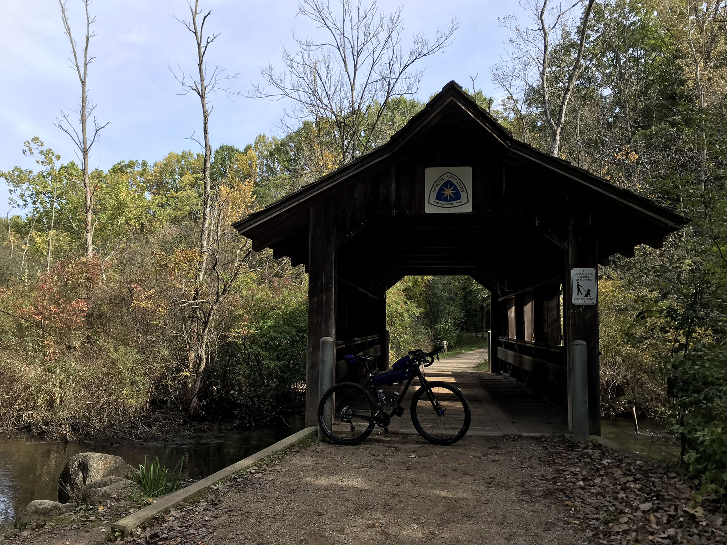
- Traversing remote sections of the North Country Trail.
- Visiting three of the largest Great Lakes.
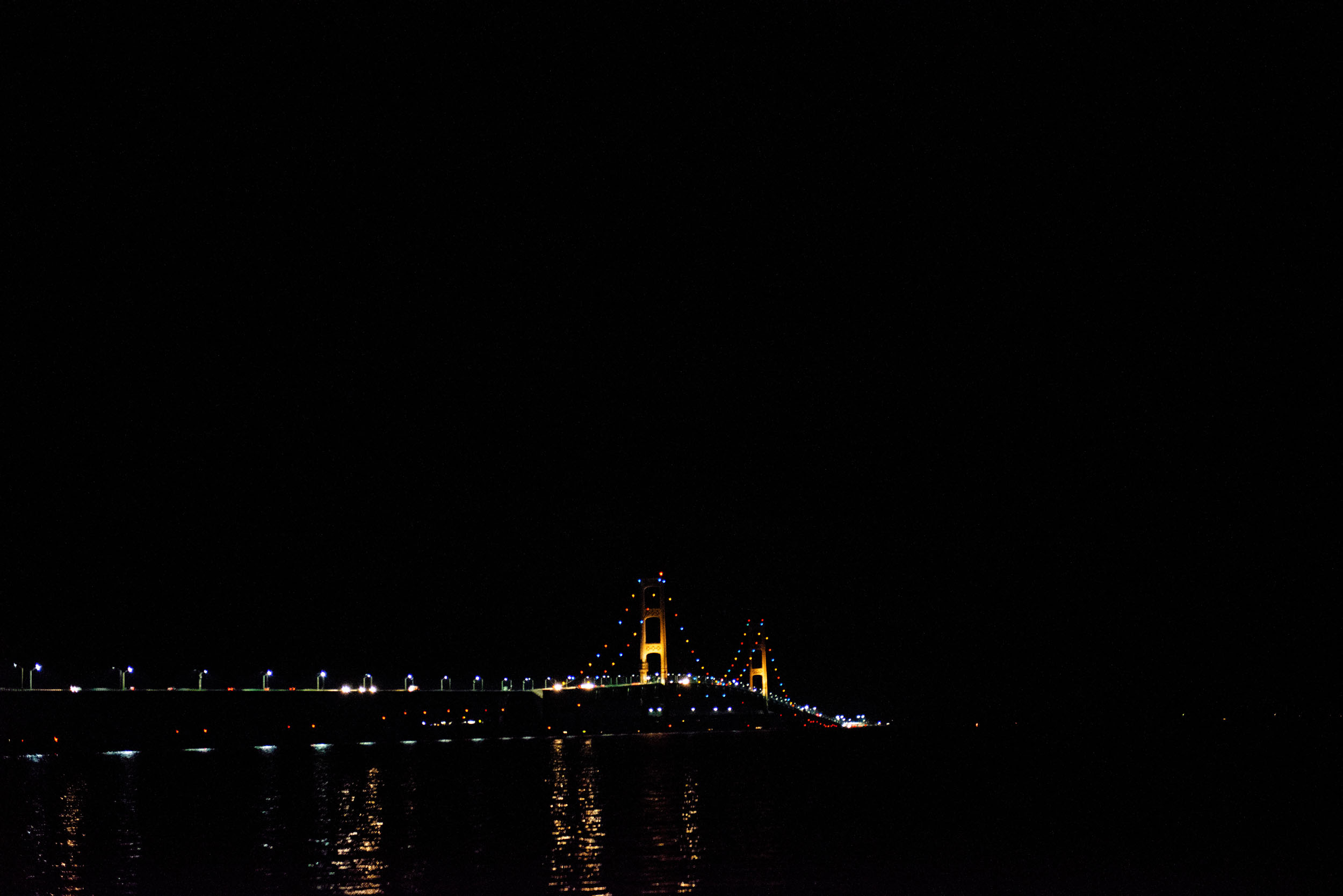
- Taking a shuttle or ferry across the Mackinac Strait with views of the Mackinac Bridge.
- Sampling many of the best singletrack networks in the Midwest.
- Rolling forest riding on amazing Midwest gravel and forest service roads.
- The city of Marquette with its vibrant culture and singletrack.
- Lots of breweries and small-town eateries to sample throughout the ride.
- Riding over the highest point in Michigan, Mount Arvon.
- Finishing up at Lake of the Clouds, one of the most iconic views in Michigan.
When to go:
- Fall provides the best conditions with ideal temperatures, fewer bugs and stable weather patterns. The only big thing to consider is reduced daylight hours.
- Summer provides the warmest weather, along with daylight exceeding 16 hours near the summer solstice. Bugs begin to taper late in June as the dry season begins.
- The route can be ridden in the spring, but riders should be aware that trails can be blocked by deadfall from winter storms, and excessive rain can lead to flooding in sections of the Eastern UP. Late spring can be the worst time for bugs.
What bike:
- This route is ideally tackled on tires 2” and wider due to the amount of singletrack. Michigan has a lot of sand, since it is surrounded by the Great Lakes. A fatbike is not a bad option for maximum enjoyment!
Logistics:
- There are no major airports near the start or end of the route. The best option is to fly into the nearest major airport of your choosing and sort out a shuttle or rent a vehicle.
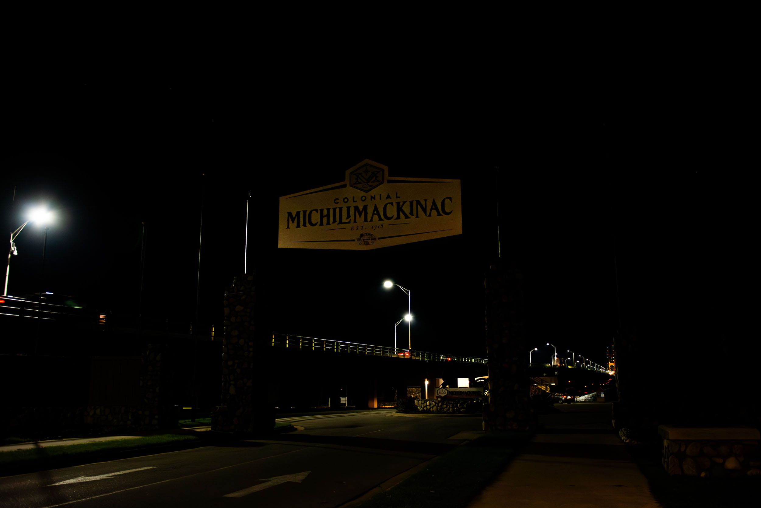
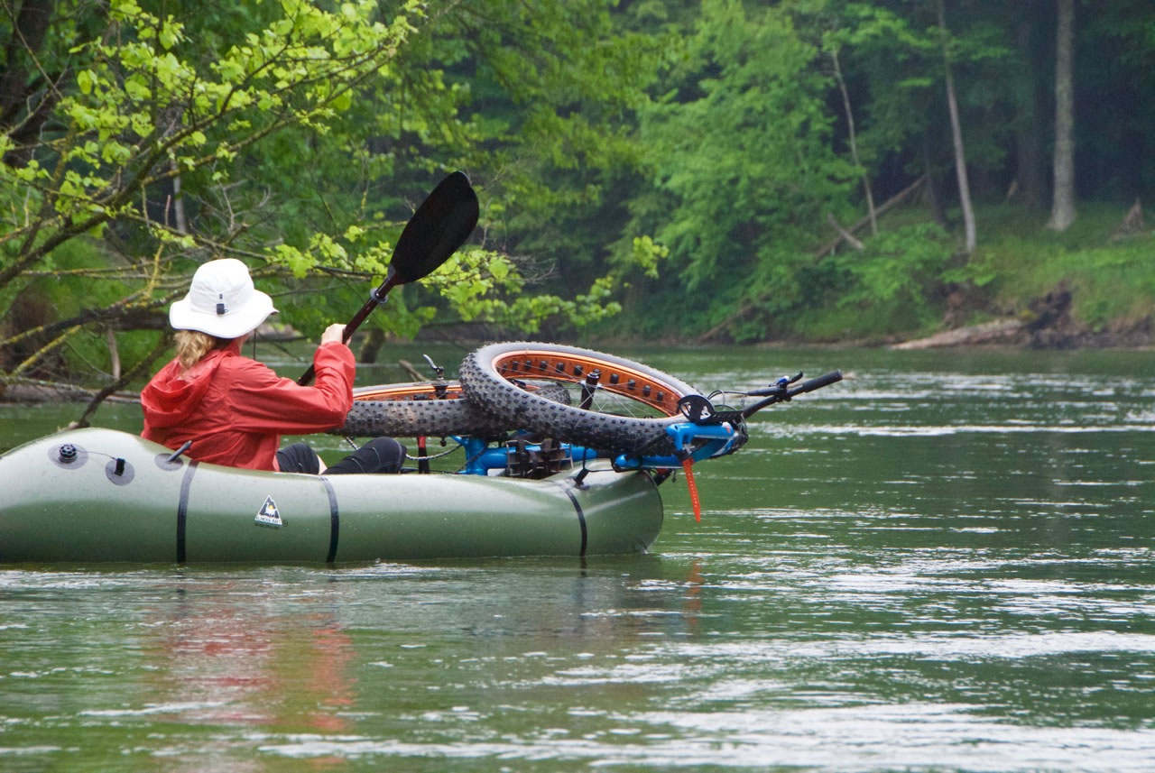
- Bicycles are not allowed on the Mackinac Bridge. Although the route file indicates using the bridge, riders will need to utilize the Mackinac Bridge Authority’s bicycle assistance service ($15). An alternative, and more scenic and fun option, is to take the ferry to Mackinac Island, then take a separate ferry to St. Ignace. The shuttle is the fastest, and the ferries offer the most scenic but time-consuming option (they are also costly and require more planning). You can then rejoin the route on the Upper Peninsula side.
- Bicycles are not allowed on the Manistee River Trail suspension bridge. You will need to portage your bike across here and not remount or ride it until you reach the parking area up near the top of the Hodenpyl Dam. This section is about a quarter of a mile long and not difficult to complete. If people can carry their bikes through the Grand Canyon for the AZT, you can handle this, no problem.
- There are no permits required along the route. Given that this route is a point-to-point, logistics can be difficult. Dispersed camping is a great option on national forest property, and more information on rules and regulations can be found on the websites of the Manistee, Hiawatha, or Ottawa National Forests. Otherwise, there are many campgrounds and hotel options along the route.
Dangers & Annoyances:
- Maintenance of the North Country Trail can be variable. Some popular sections receive regular care, while more remote and less traveled sections can seem abandoned at times. There may be many downed trees or overgrowth, especially after storms or busy growing seasons like late spring and early summer.
- Have a plan to deal with bugs. During spring and early summer, they can be quite thick, especially if it has been wet and warm. Mosquitos and flies are the most common, but ticks can also be found along the way. One of the best ways to deal with bugs is to treat your clothing with Permethrin.
- North of Grand Rapids, you may encounter bears. It is best to hang your food/snacks at night to also help keep it away from squirrels and other small animals that can chew through your bags and tent.
- Legal camping and lodging on this route is a mix of dispersed camping in the national forests, state and national forest campgrounds, private campgrounds, and private accommodations.
- Here is a detailed list (PDF) of potential camping and lodging options.
- Food and water resupply options are abundant.
- There are many great options for filtering or treating water, as Michigan has a wealth of fresh water.
- Here is a detailed list of every resupply and camping option along the route.
- Naturally flowing water is common along the entire route. Bring a filter or other water-treatment options, and be aware of your surroundings.
This MORE Route Description provides a detailed overview of the route from the southern border all the way to the Lake of the Clouds Overlook. Take a look for more information on trail surfaces, difficulty, resupply options, and notes about safety and bonus exploration options.
Additional Resources
- The Michigan Off-Road Expedition homepage.
- Management of the North Country Trail is completed by the North Country Trail Association, which offers great resources, including maps.


Terms of Use: As with each bikepacking route guide published on BIKEPACKING.com, should you choose to cycle this route, do so at your own risk. Prior to setting out check current local weather, conditions, and land/road closures. While riding, obey all public and private land use restrictions and rules, carry proper safety and navigational equipment, and of course, follow the #leavenotrace guidelines. The information found herein is simply a planning resource to be used as a point of inspiration in conjunction with your own due-diligence. In spite of the fact that this route, associated GPS track (GPX and maps), and all route guidelines were prepared under diligent research by the specified contributor and/or contributors, the accuracy of such and judgement of the author is not guaranteed. BIKEPACKING.com LLC, its partners, associates, and contributors are in no way liable for personal injury, damage to personal property, or any other such situation that might happen to individual riders cycling or following this route.
Further Riding and Reading
Here are some connected/nearby routes and related reports...
Please keep the conversation civil, constructive, and inclusive, or your comment will be removed.