


The Southern Cabinets: Halfway to Happy
Distance
115 Mi.
(185 KM)Days
2
% Unpaved
85%
% Singletrack
0%
% Rideable (time)
100%
Total Ascent
5,241'
(1,597 M)High Point
4,137'
(1,261 M)Difficulty (1-10)
4?
- 3Climbing Scale Fair46 FT/MI (9 M/KM)
- 3Technical Difficulty Fair
- 5Physical Demand Moderate
- 6Resupply & Logistics Moderate
Contributed By
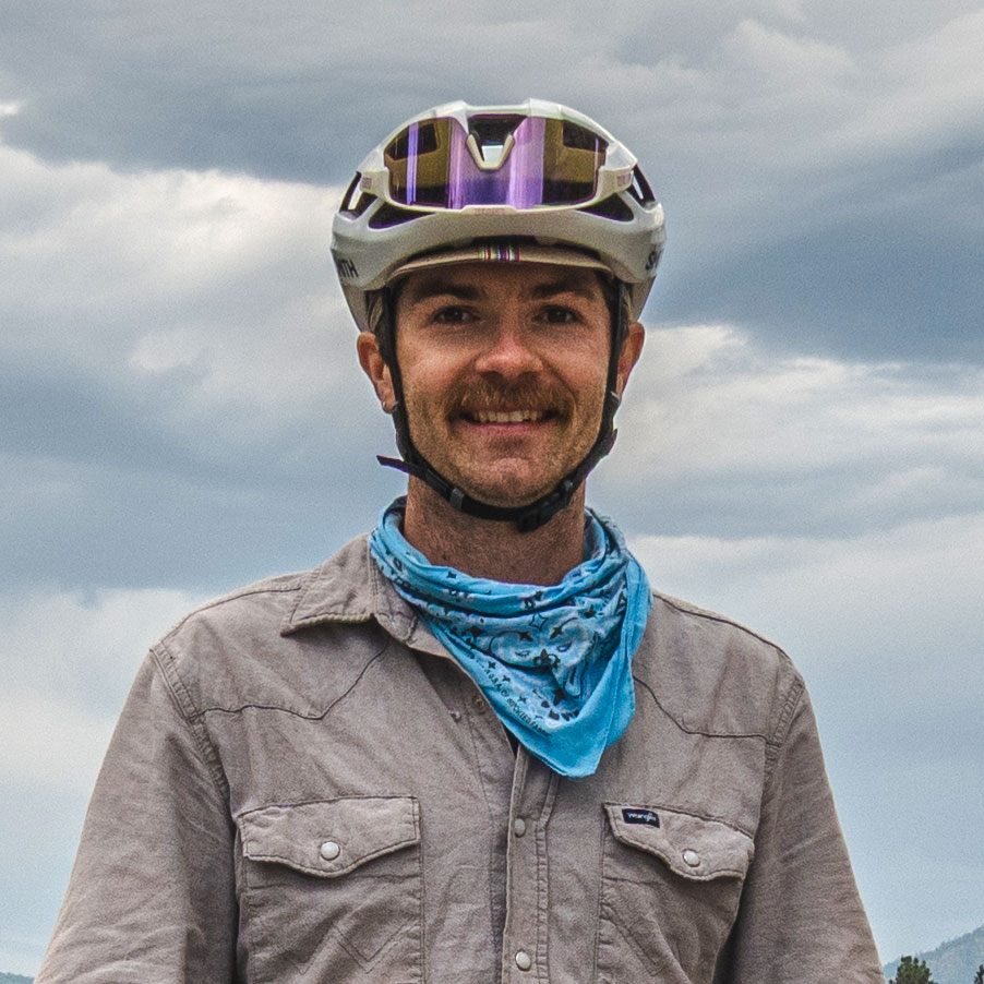
Reed Sallans
Guest Contributor
Reed Sallans is an outdoor recreation professional, cyclist, and route creator who believes the best way to understand a place is on two wheels. Originally from Austin, Texas, and now based in Missoula, Montana, Reed spends his time designing and riding routes that connect people to landscapes—often by the path less traveled. Follow along on @where.the.reed.at, explore his work at SallansReed.com, or check out his Ride with GPS profile.
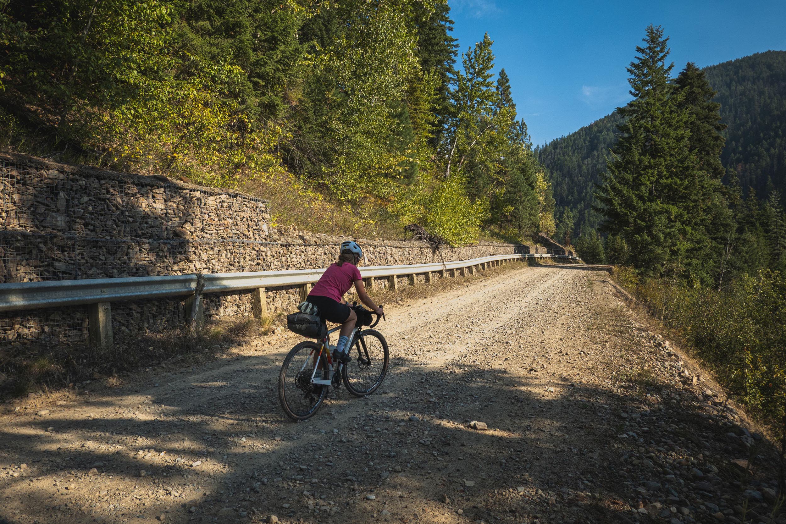
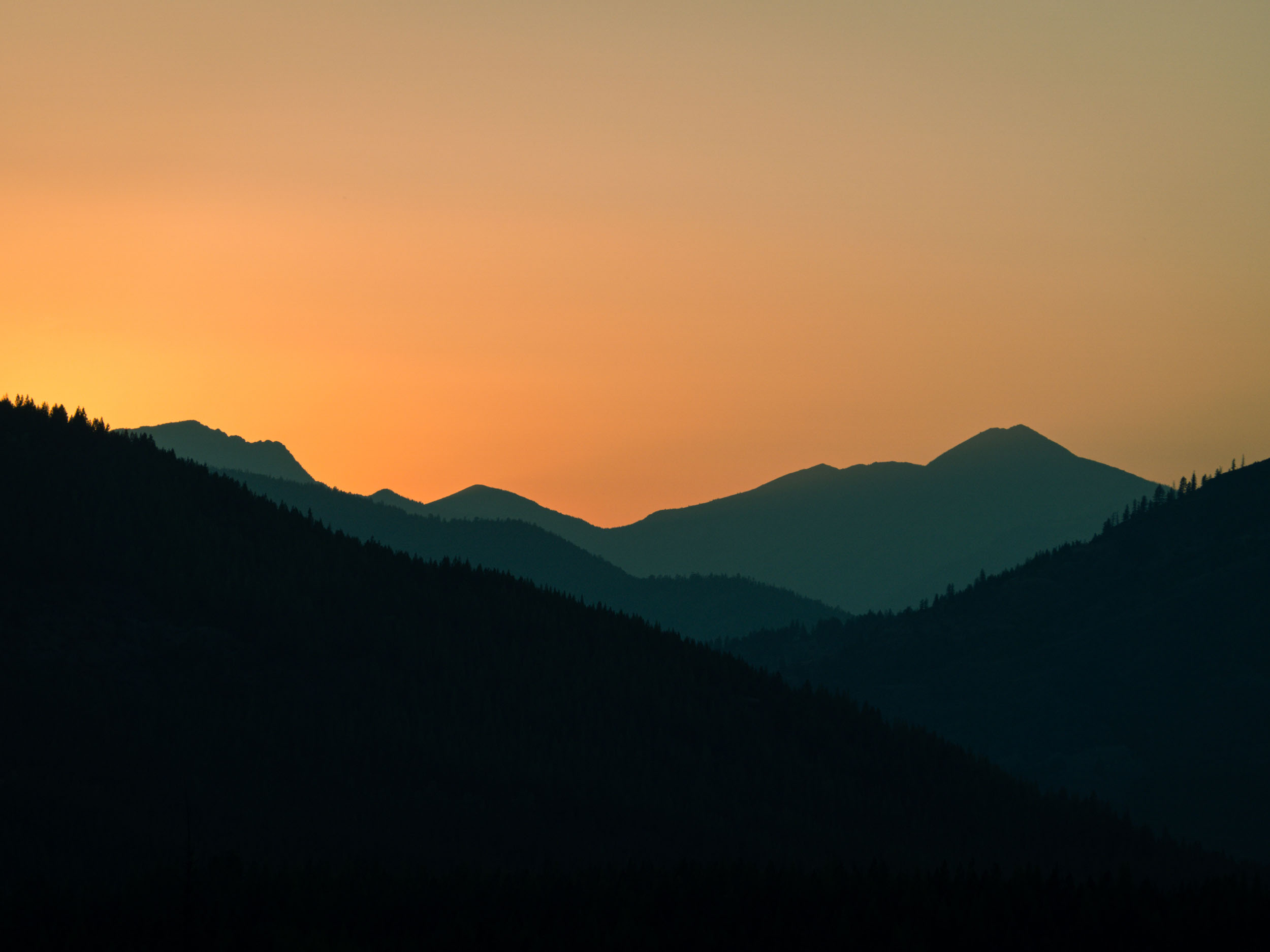
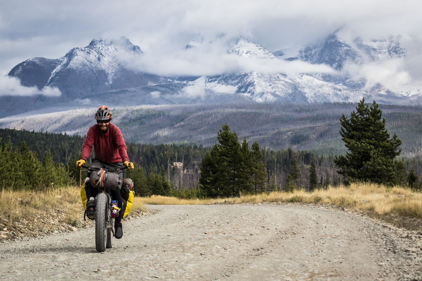
Best ridden clockwise; the first 20 miles are westward on a quiet highway along a gentle giant that is the Clark Fork River. Take a dip in Vermillion Bay before turning north onto Blue Slide Road for a steady but manageable 22-mile climb. As you ascend, there are a few opportunities to filter water and fill your bottles. As you get closer to the pass, there are good picnic spots to stop for a snack and to stretch your legs.
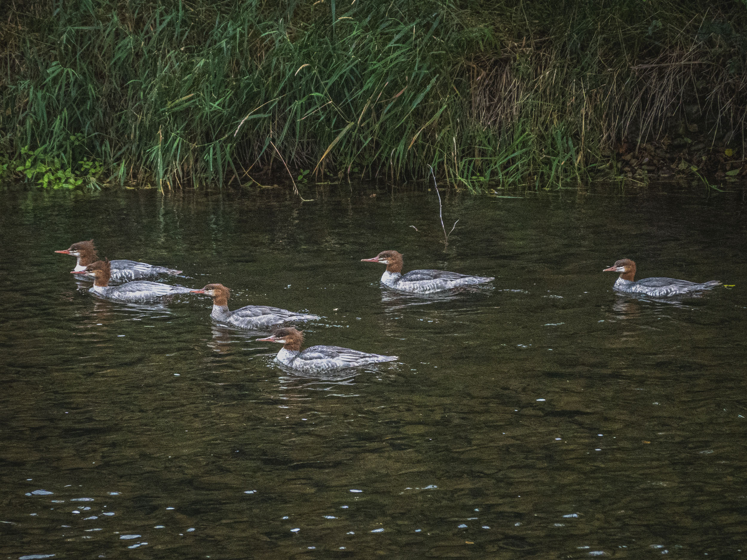
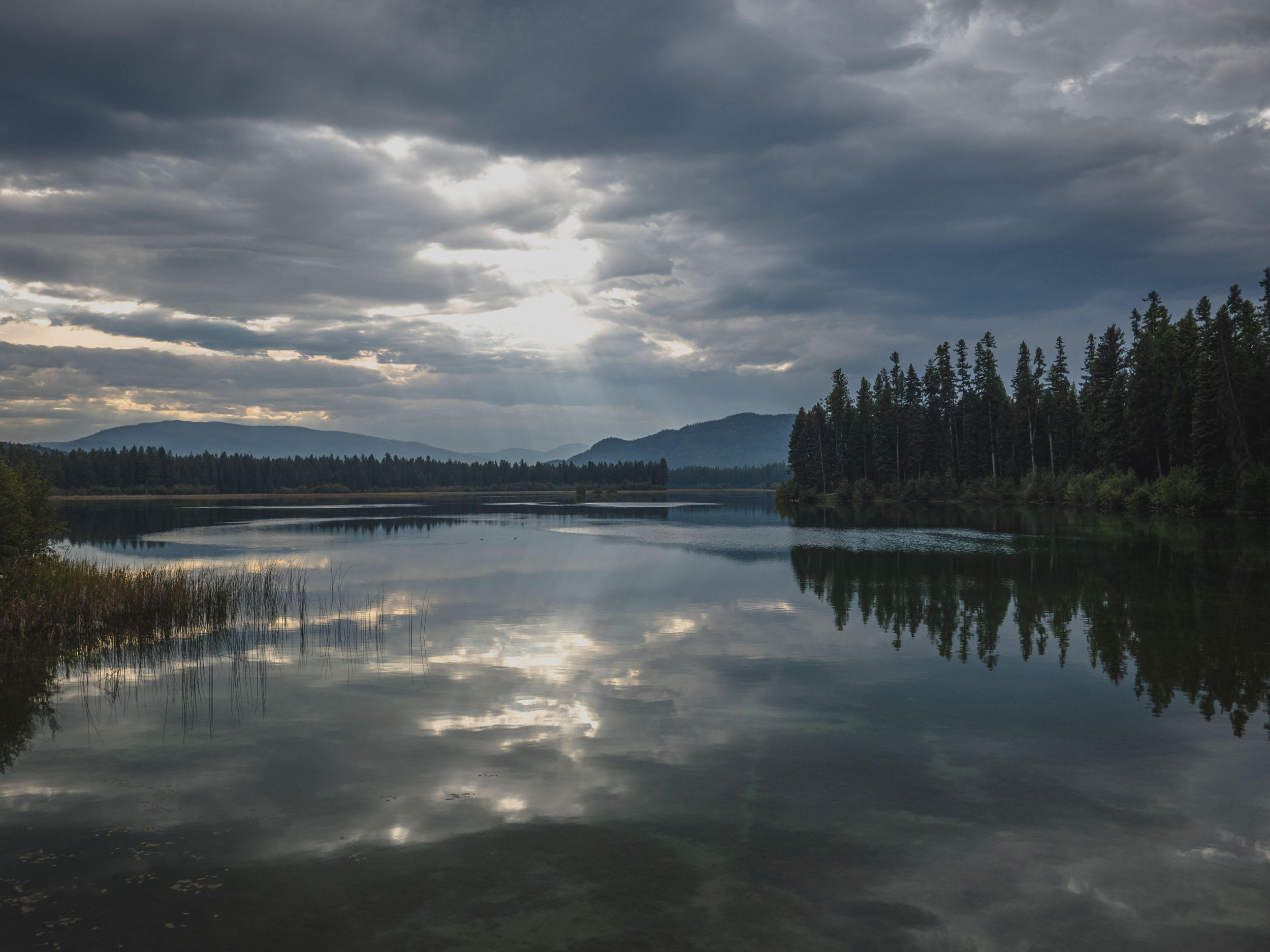
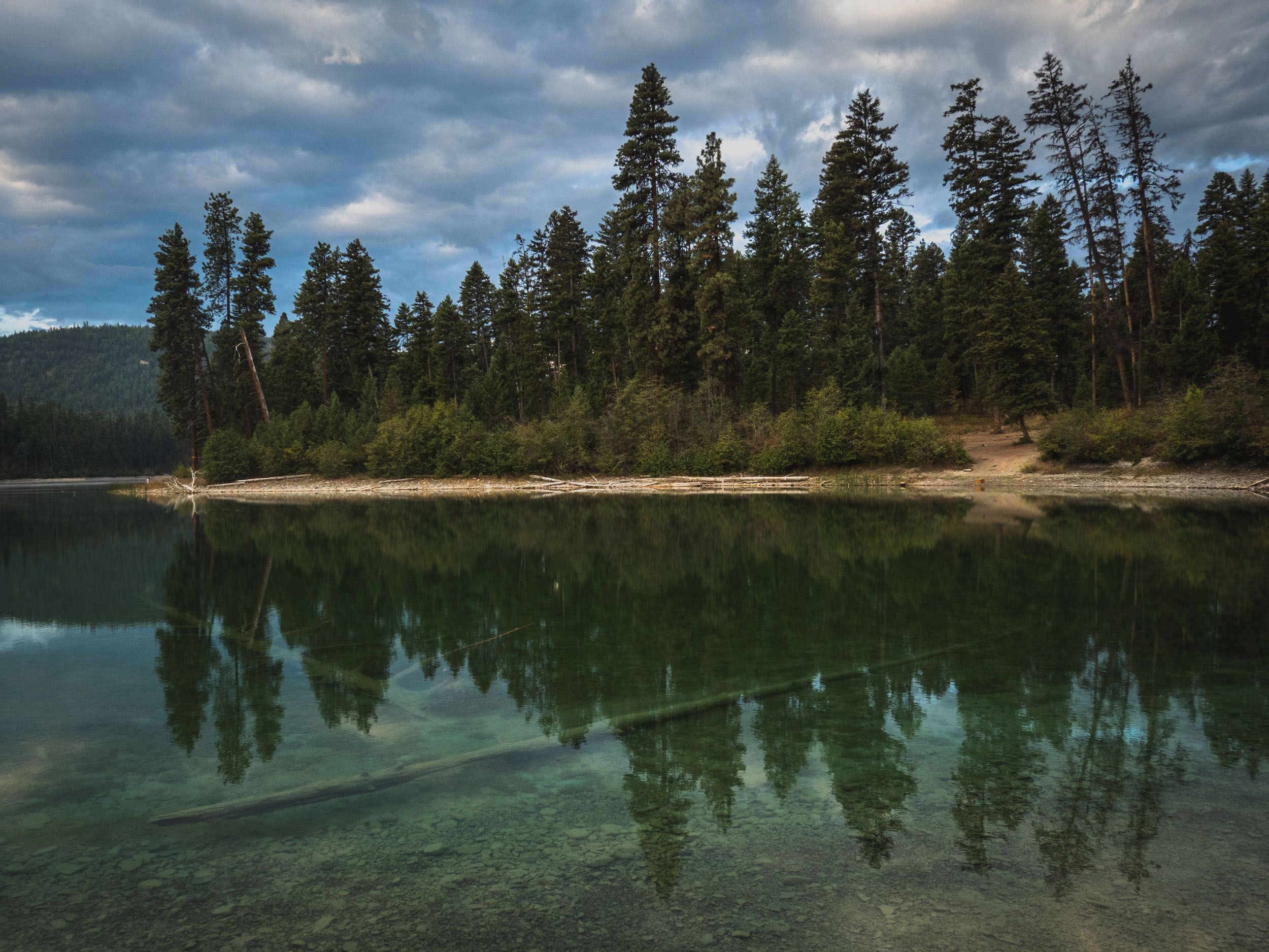
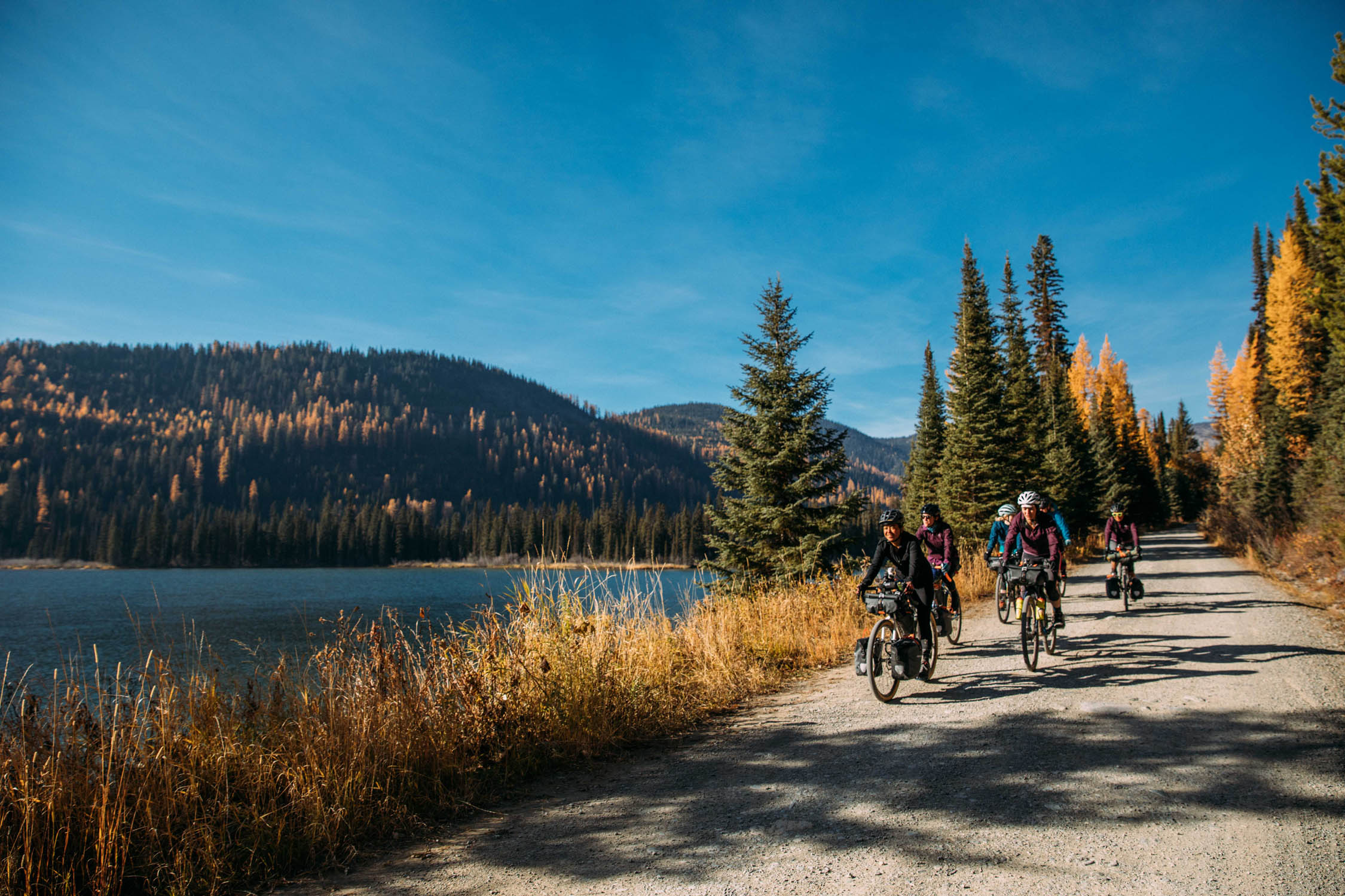
The descent is just as good as the climb, another 22 miles down on good dirt. It won’t be long before you reach the Thompson River State Forest. Dirt roads stretch like a web around Loon Lake and the Upper Thompson chain of Lakes. First-come, first-served camping is available at dry sites around each lake.
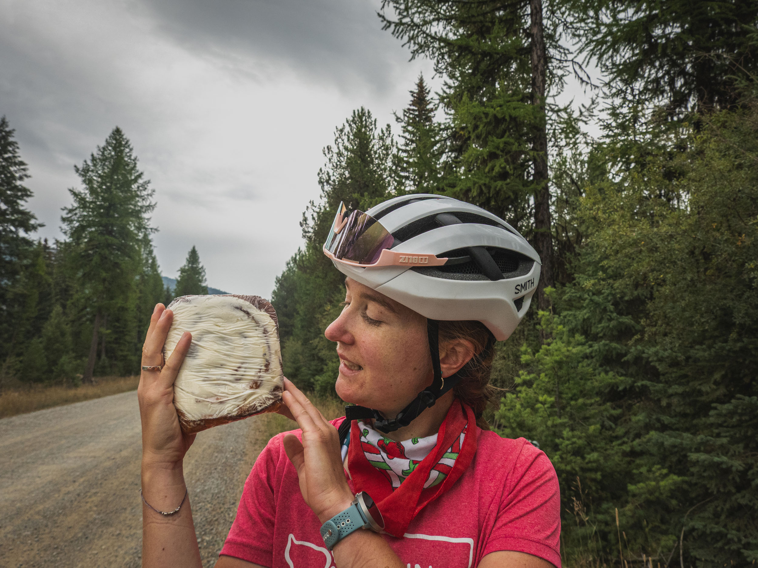
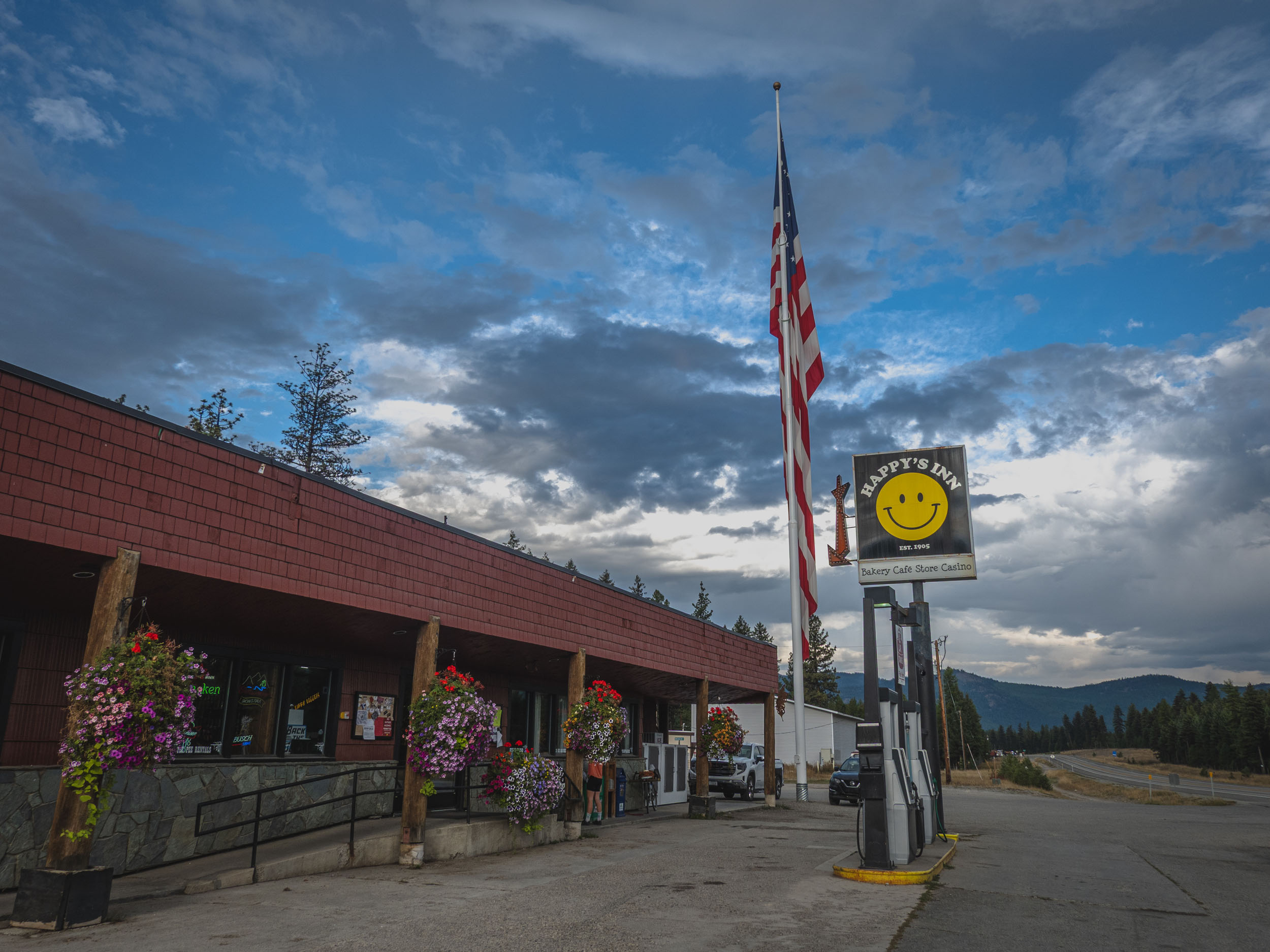
Happy’s Inn, an eclectic regional gem, blossoming out of the middle of nowhere on Highway 2, is the only service on the route. A full-service bar, cafe, and gas station, you can get your fix here. Open for breakfast, lunch, and dinner, Happy’s Inn is what makes this overnight possible without having to pack a kitchen on your bike.


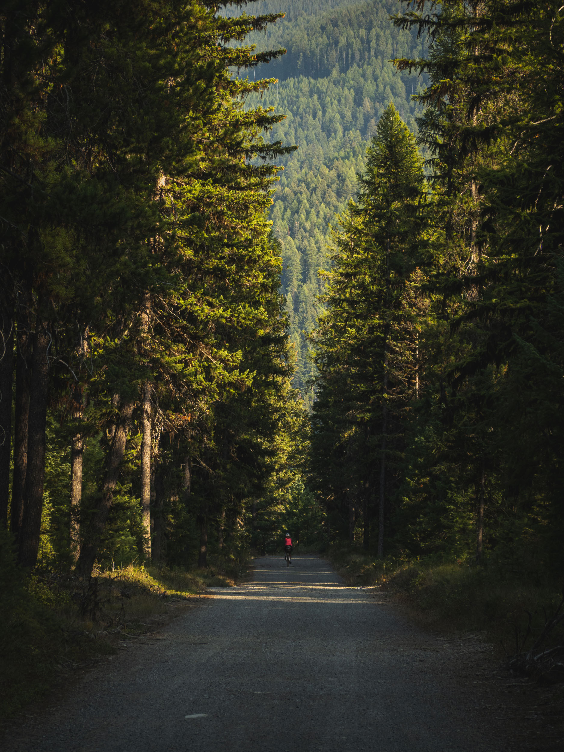
The second half of the ride is along the Thompson River, though it trends mostly downhill, there is still a considerable amount of pedaling to get you back to Thompson Falls to throw down a large plate of diner food at Minnie’s Cafe or reward yourself with some ice cream at Scotchman’s Cafe.
Route Difficulty
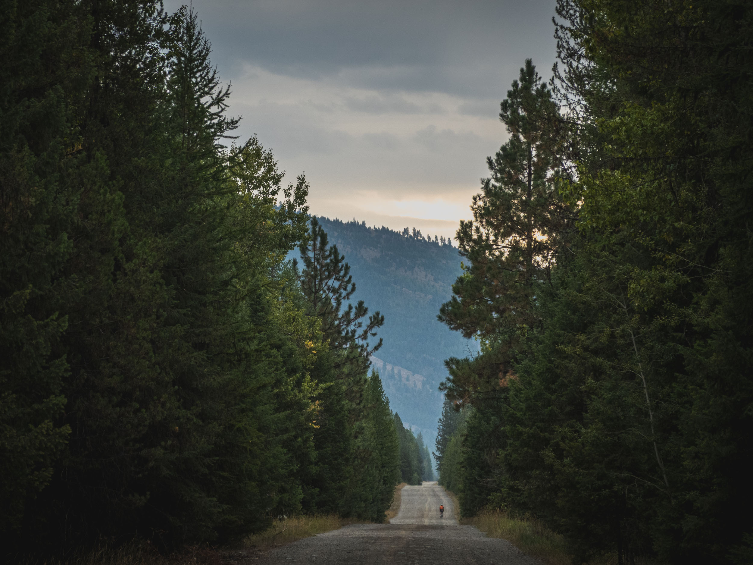
The route consists mostly of quality forest service roads, with a single pass and only a handful of short, punchy climbs. The unpaved descent off Vermillion Pass is the only section that feels truly technical, and even then, it’s brief. The route is best split into two days, with roughly 55–60 miles with a substantial climb on the first day, making it a solid but manageable overnighter with plenty of flexible camping options along the way. Resupply is limited to one stop at the halfway point, and while water can be filtered in multiple places, smaller creeks may run dry in summer. Parking in Thompson Falls is free and easy, keeping the logistics simple and the focus on the ride. While camping could be done anywhere along the route, it is structured to be split evenly between two days. Riding 55-60 miles with a significant climb on the first day makes the route moderately challenging.
Route Development: Western Montana is a remote area, and services can be hard to come by. I stumbled upon Happy’s Inn in the summer of 2023 while on a larger exploration of the region. Happy’s Inn is a typical rural Montana cultural hub and community center. From bar food to fish bait, this gas station is an oasis among dense lodgepole pines, and it became the centerpiece around which the route developed. Having a full-service restaurant and convenience store halfway along the route mitigates the need for snack rationing and—more importantly—cooking gear, making for a slimmed packing list and an ideal overnighter.


Submit Route Alert
As the leading creator and publisher of bikepacking routes, BIKEPACKING.com endeavors to maintain, improve, and advocate for our growing network of bikepacking routes all over the world. As such, our editorial team, route creators, and Route Stewards serve as mediators for route improvements and opportunities for connectivity, conservation, and community growth around these routes. To facilitate these efforts, we rely on our Bikepacking Collective and the greater bikepacking community to call attention to critical issues and opportunities that are discovered while riding these routes. If you have a vital issue or opportunity regarding this route that pertains to one of the subjects below, please let us know:
Highlights
Must Know
Camping
Food/H2O
Trail Notes
Resources
- Happy’s Inn, the route’s namesake, has bar food to satiate the hungry cyclist.
- Thompson River, mile 60 to 105, is all along the rambling river, with plenty of swimming and fishing opportunities.
- Upper Thompson Lakes, a chain of lakes that creates scenic breaks in the walls of Lodgepole pines and offers plenty of swimming and fishing opportunities.
- Remoteness of the route allows for considerable time to enjoy the solitude on the bike.
- Minnie’s Montana Cafe, classic dinner food in Thompson Falls to fuel up on either end of the ride.
- Late May to early October. Ideal riding is in June or early September.
- Camping at Thompson Lakes State Park is first-come, first-served; make sure to bring cash for the self-pay station.
- Despite what their website says, Happy’s Inn does NOT offer camping.
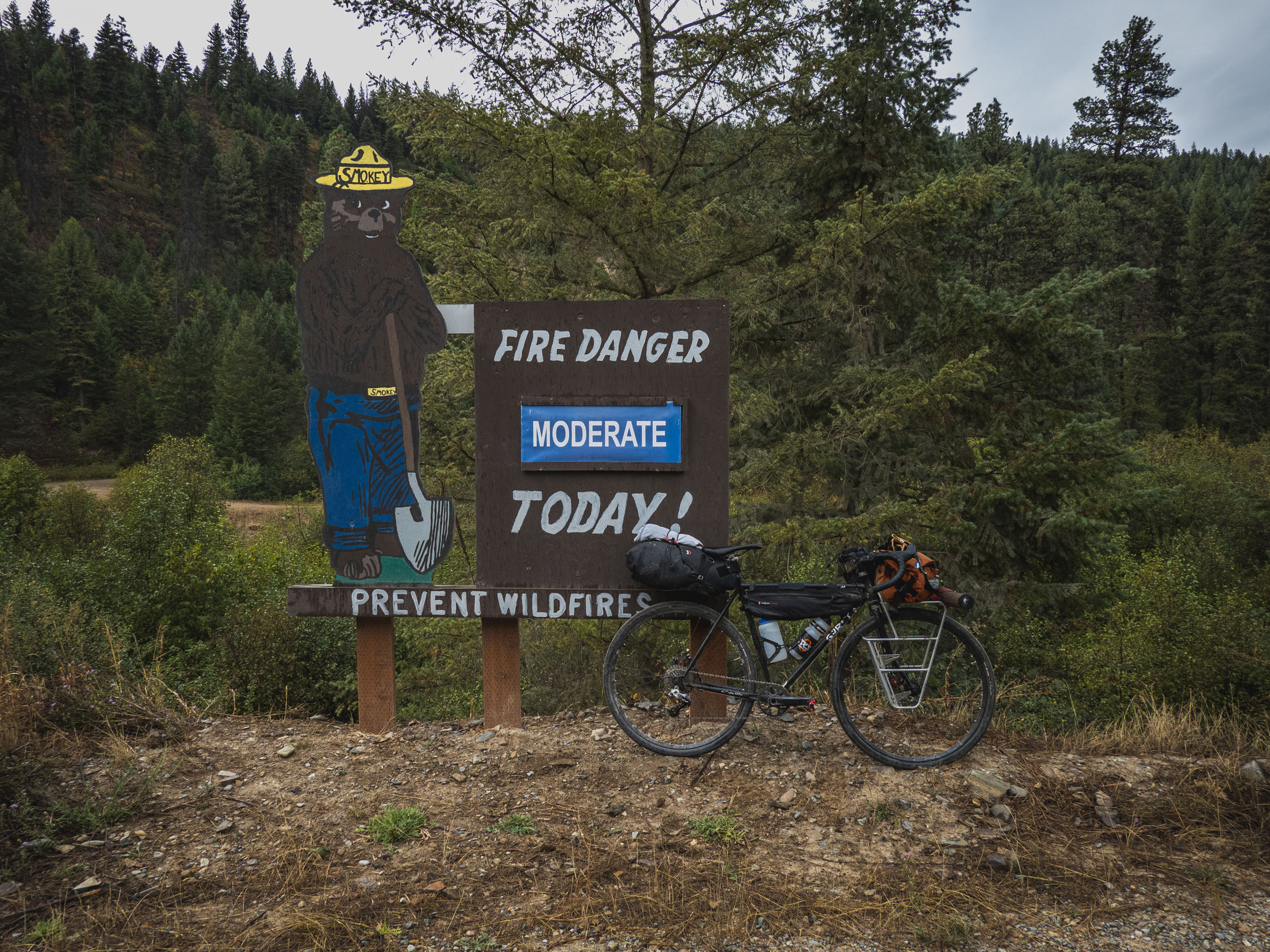
- Montana is bear country; carry bear spray and bear-hang food and scented items at camp.
- Summer can bring the possibility of smoke and high heat, so carry plenty of water and a filtration system.
- There can be little to no cell service along the route; an emergency communication device is suggested.
- Though the route can be ridden in either direction, it is recommended to ride clockwise from Thompson Falls.
- Parking in Thompson Falls is free and easy.
- Camping along the route is at primitive national forest campgrounds and is first-come, first-served, so make sure to carry cash for self-pay stations.
- There are plenty of campgrounds along the Thompson Chain of Lakes State Park.
- Despite the name and what their website says, Happy’s Inn does not offer camping or lodging.
- During spring and fall months, water will be filterable all along the route. Filling up before climbing the pass is recommended.
- Happy’s Inn is a full-service bar, restaurant, and convenience store.
location Thompson Falls-Horseshoe Lake
Day 1 (56 mi +4,084 ft)
The first 20-mile stretch west of Thompson Falls is paved and is gradual along the Clark Fork River. Before turning onto Vermillion Creek Road, take a dip in Vermillion Bay and fill up your bottles. The next 20 miles are all uphill to the pass; there are plenty of spots to pull off for a picnic and rest. Once over Vermillion Pass, it is almost all downhill into the upper Thompson Chain Lakes. Happy’s Inn is located off Highway 2, where you can find a cheeseburger and a wide selection of snacks.
location Horseshoe Lake-Thompson Falls
Day 2 (58 mi +1,165 ft)
Turning back east, the scenic lake views continue before intersecting with Thompson River Road. Paralleling the Thompson River for about 30 miles, there are many opportunities to cast a line or take a dip. There is a road on either side of the river, and riders can choose their own adventure! After Copper King Campground, the road is paved into Thompson Falls. There are several restaurants on the main strip, but Montana Minnie’s Cafe is sure to fill you up after a few hours of pedaling.
Additional Resources
- Happys Inn – menu
- City of Thompson Falls – call for parking information
- Thompson Chain of Lakes State Park – camping information
- USFS Interactive Map – provides details on campsite regulations and amenities.


Terms of Use: As with each bikepacking route guide published on BIKEPACKING.com, should you choose to cycle this route, do so at your own risk. Prior to setting out check current local weather, conditions, and land/road closures. While riding, obey all public and private land use restrictions and rules, carry proper safety and navigational equipment, and of course, follow the #leavenotrace guidelines. The information found herein is simply a planning resource to be used as a point of inspiration in conjunction with your own due-diligence. In spite of the fact that this route, associated GPS track (GPX and maps), and all route guidelines were prepared under diligent research by the specified contributor and/or contributors, the accuracy of such and judgement of the author is not guaranteed. BIKEPACKING.com LLC, its partners, associates, and contributors are in no way liable for personal injury, damage to personal property, or any other such situation that might happen to individual riders cycling or following this route.
Further Riding and Reading
Here are some connected/nearby routes and related reports...
Please keep the conversation civil, constructive, and inclusive, or your comment will be removed.