


Bear Lake Shakedown
Distance
59 Mi.
(95 KM)Days
2
% Unpaved
76%
% Singletrack
0%
% Rideable (time)
95%
Total Ascent
5,587'
(1,703 M)High Point
8,978'
(2,736 M)Difficulty (1-10)
5?
- 6Climbing Scale Moderate95 FT/MI (18 M/KM)
- 5Technical Difficulty Moderate
- 6Physical Demand Moderate
- 5Resupply & Logistics Moderate
Contributed By
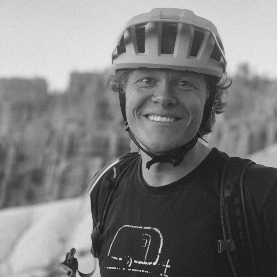
Oliver Hulme
Guest Contributor
Oliver grew up in a bike-centered family in the Wasatch Front and now calls Logan, Utah home. He fills his free time with bikes whenever possible, whether it be loaded bikepacking, singletrack mountain biking, or winter fat-biking. He likes the rare moments when he can work on hand-built bike frames for friends and family and other bike related meanderings. Find Oliver’s whereabouts on Instagram @oliver.hulme
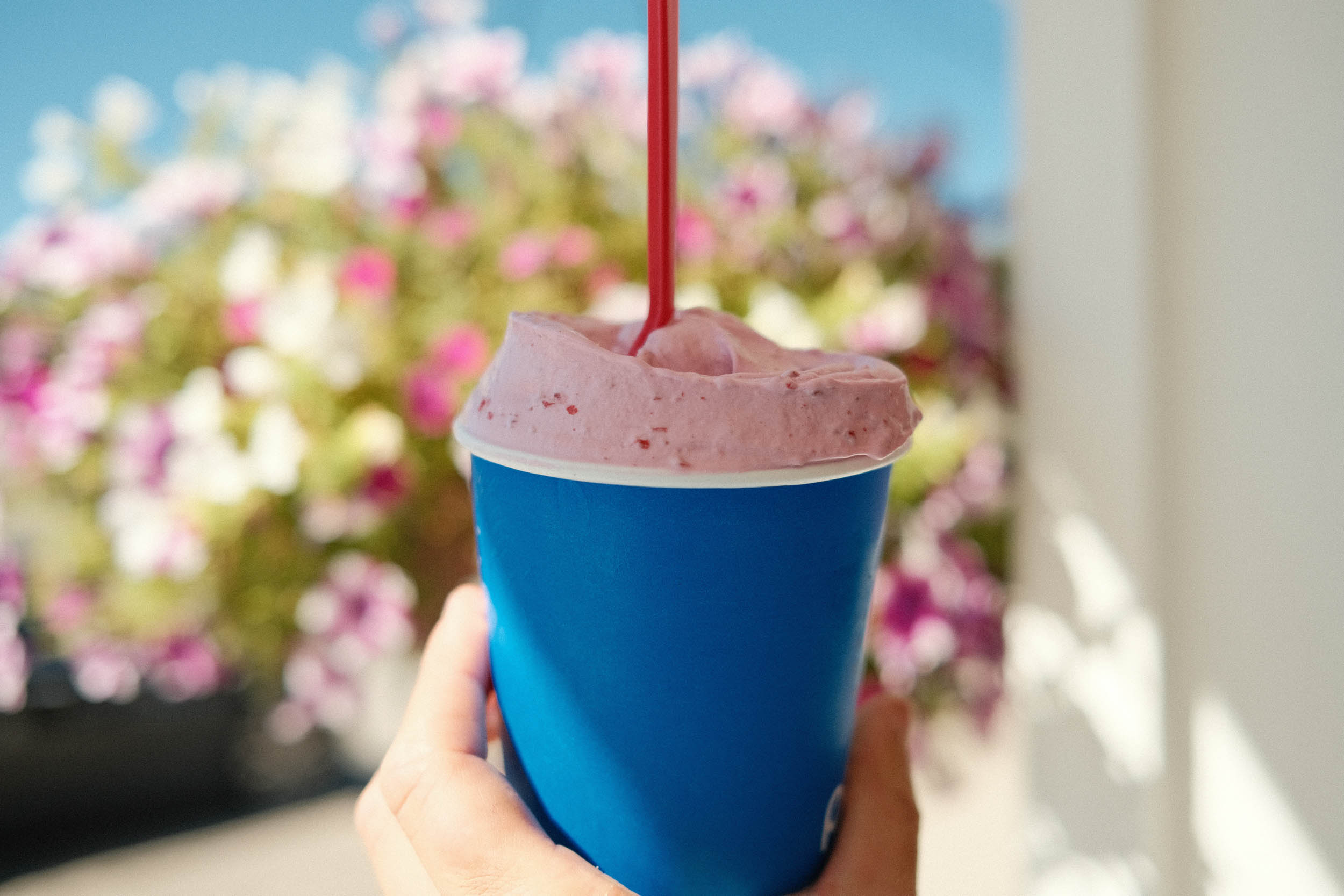
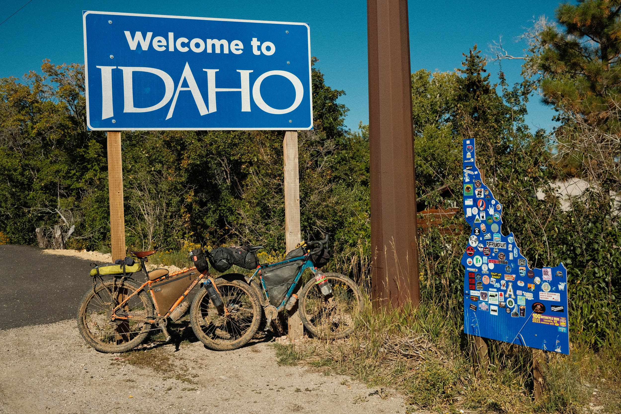
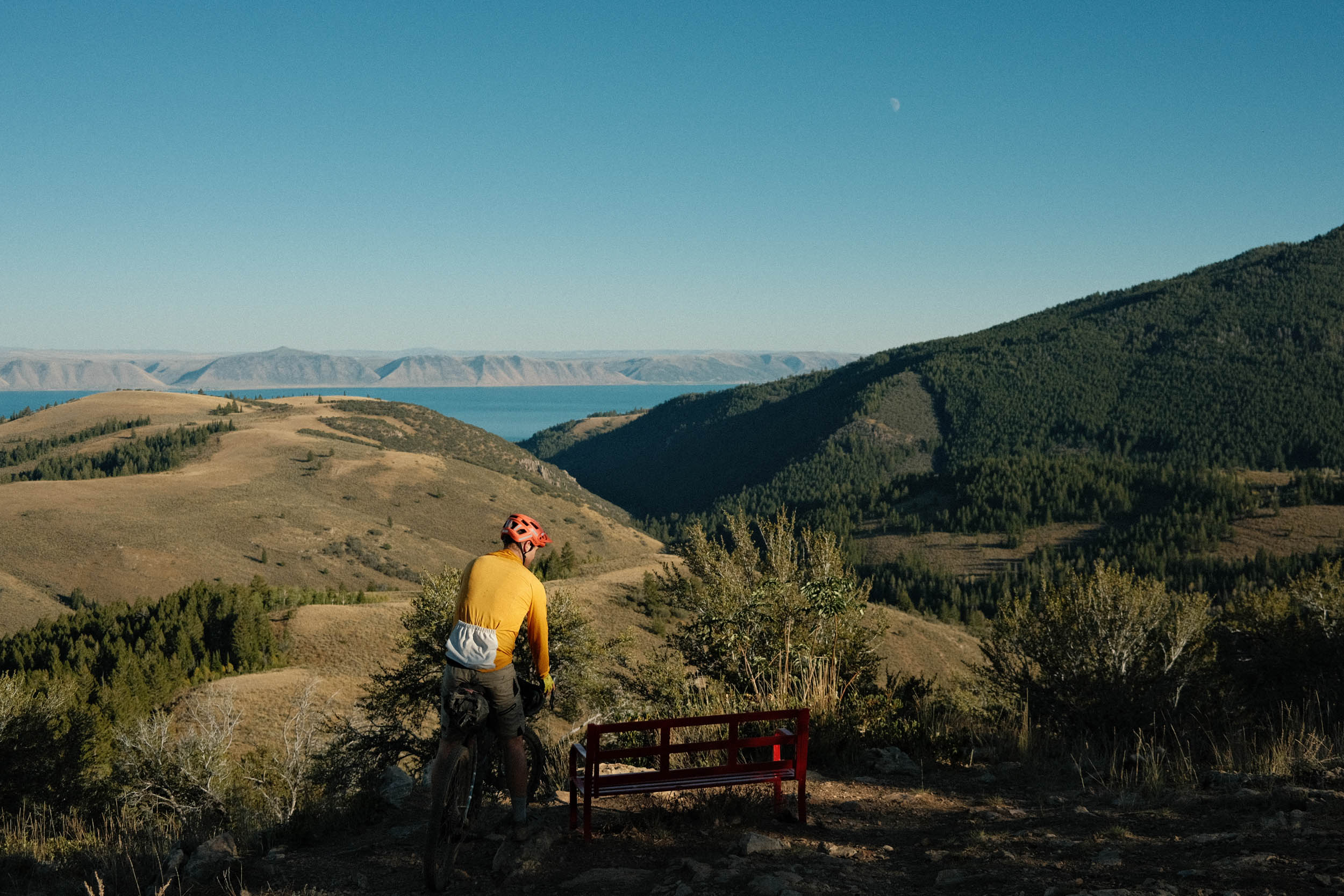
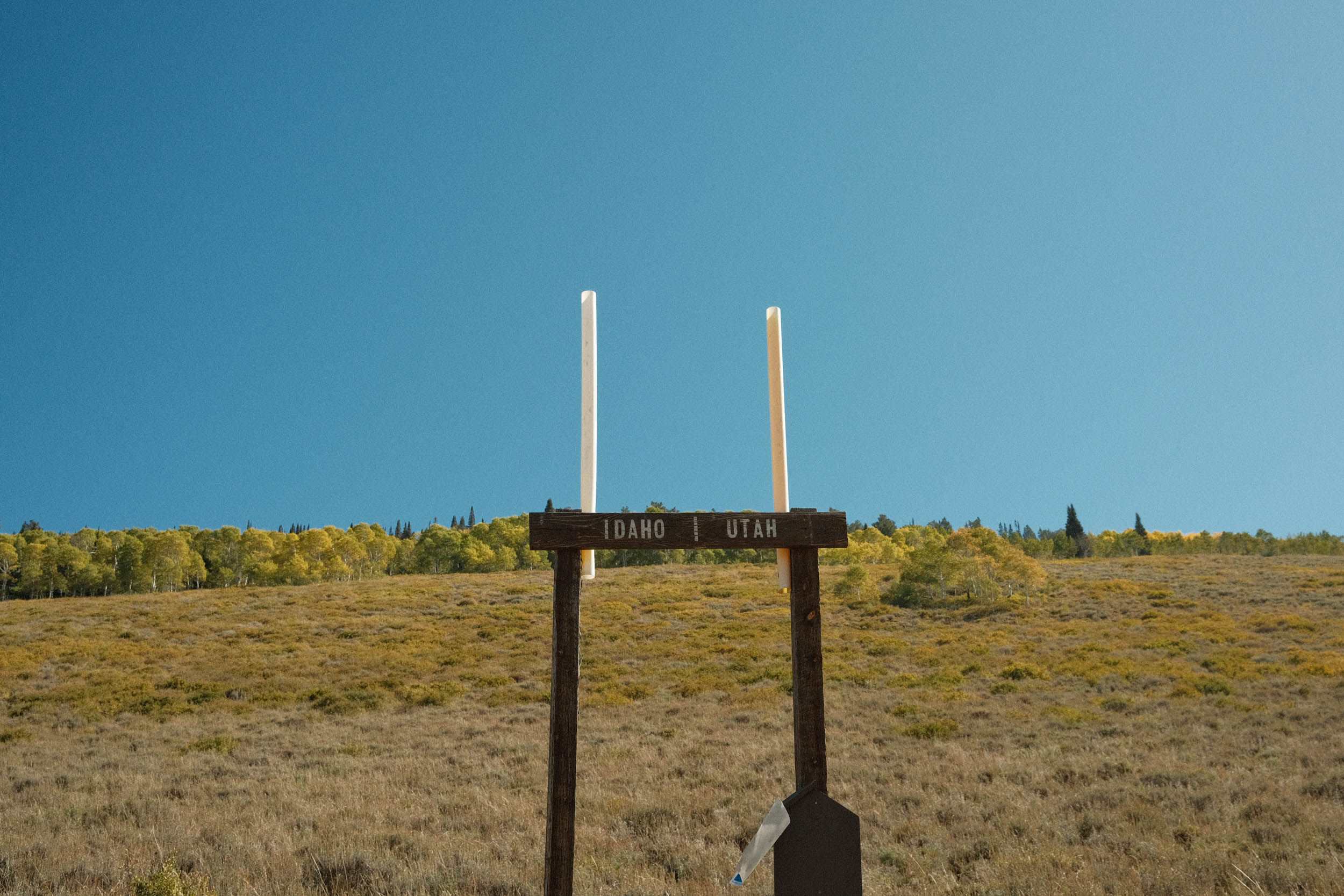
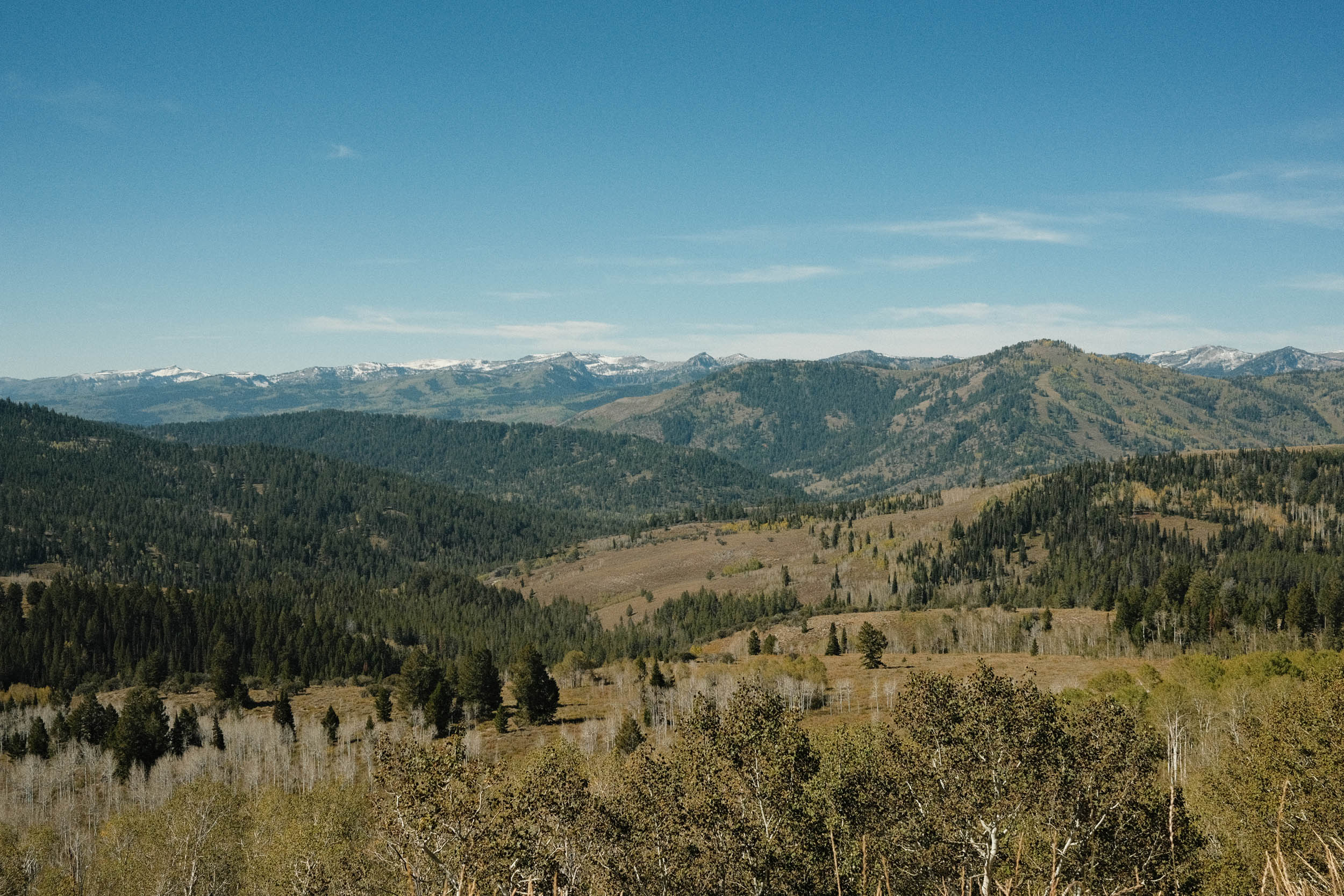
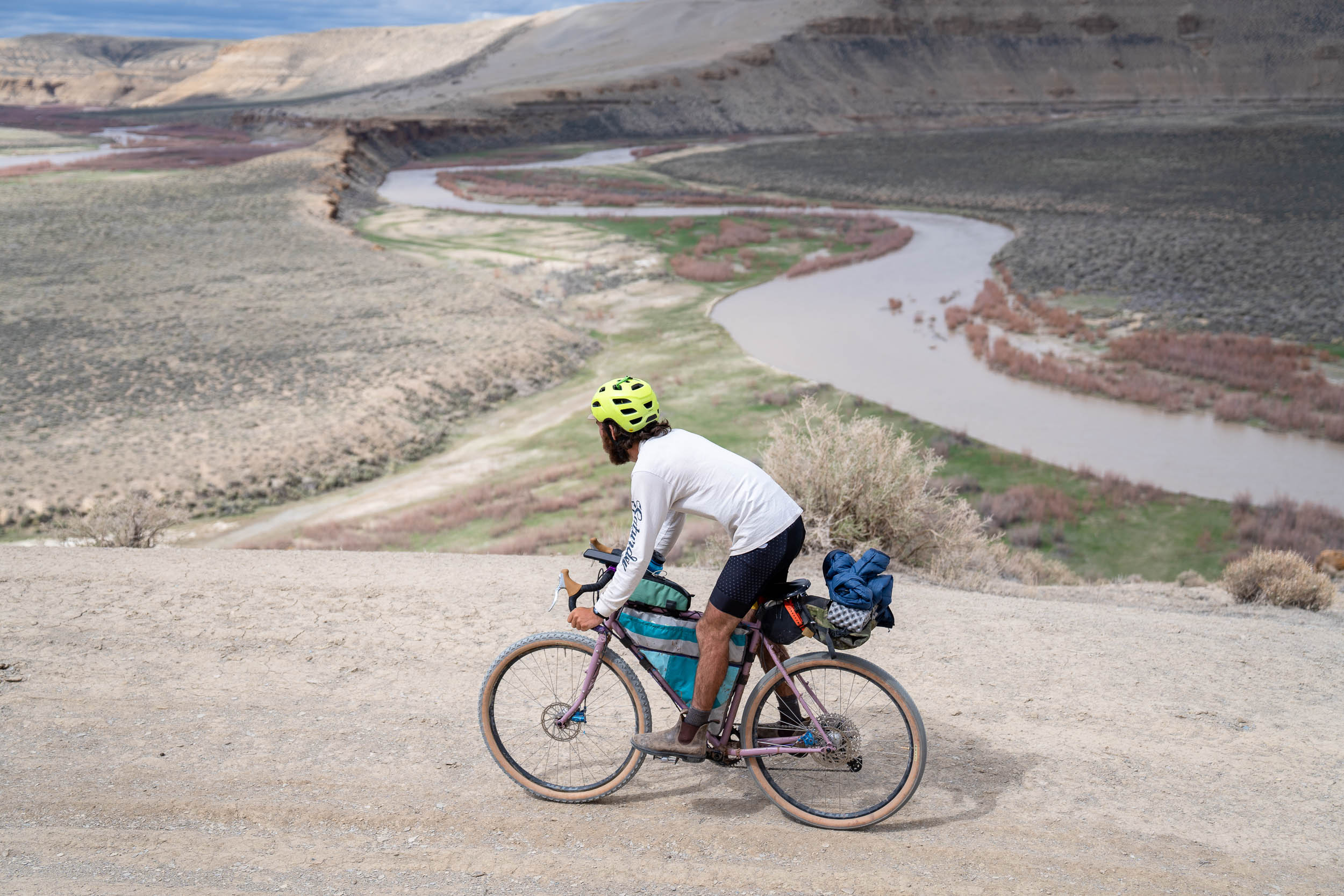
Bear Lake is known for its turquoise blue water, raspberry milkshakes, and amazing scenery of the Bear River range. The route touches lovely corners of both Utah and Idaho and gives a glimpse of some excellent bikepacking routes and possible extensions.
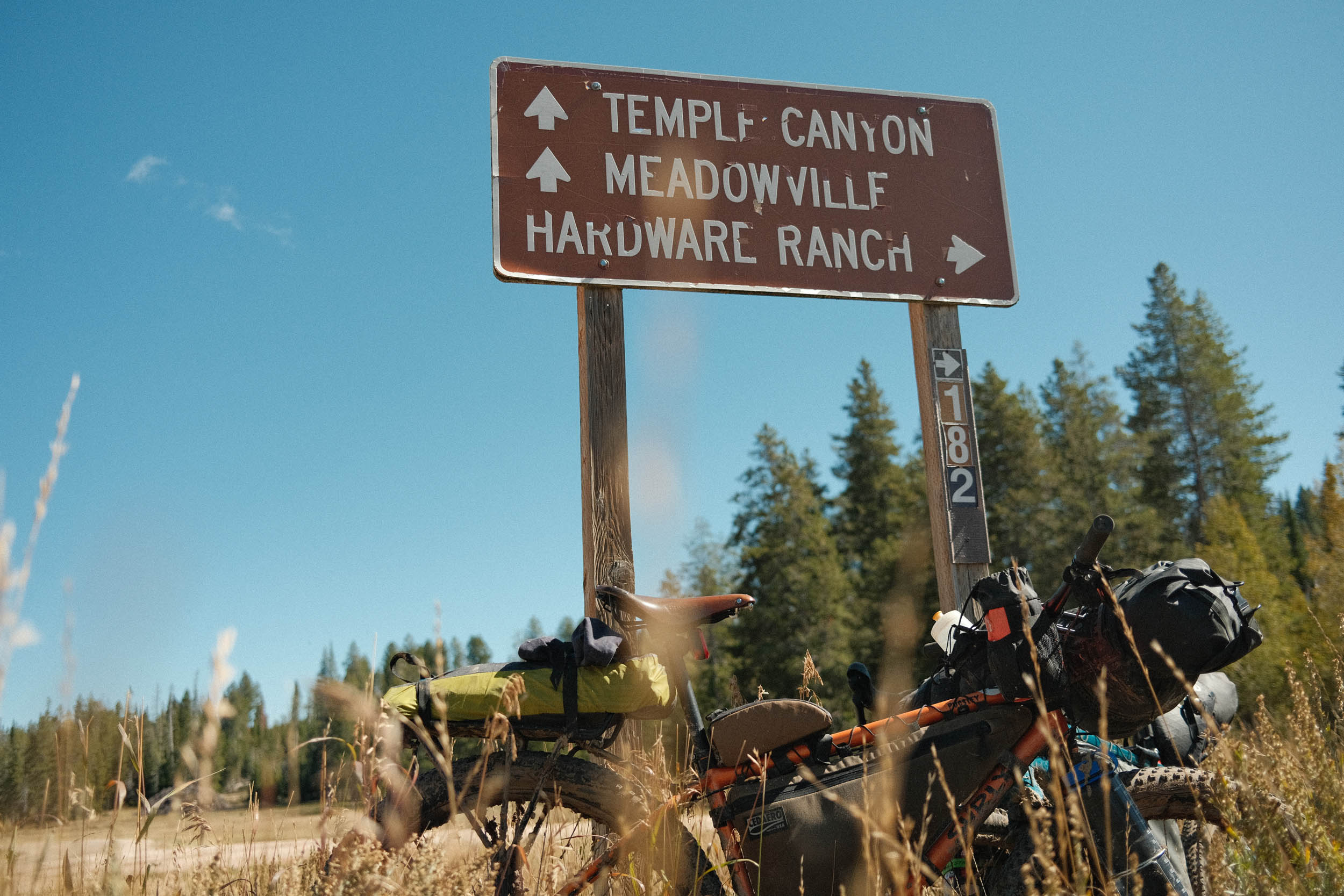
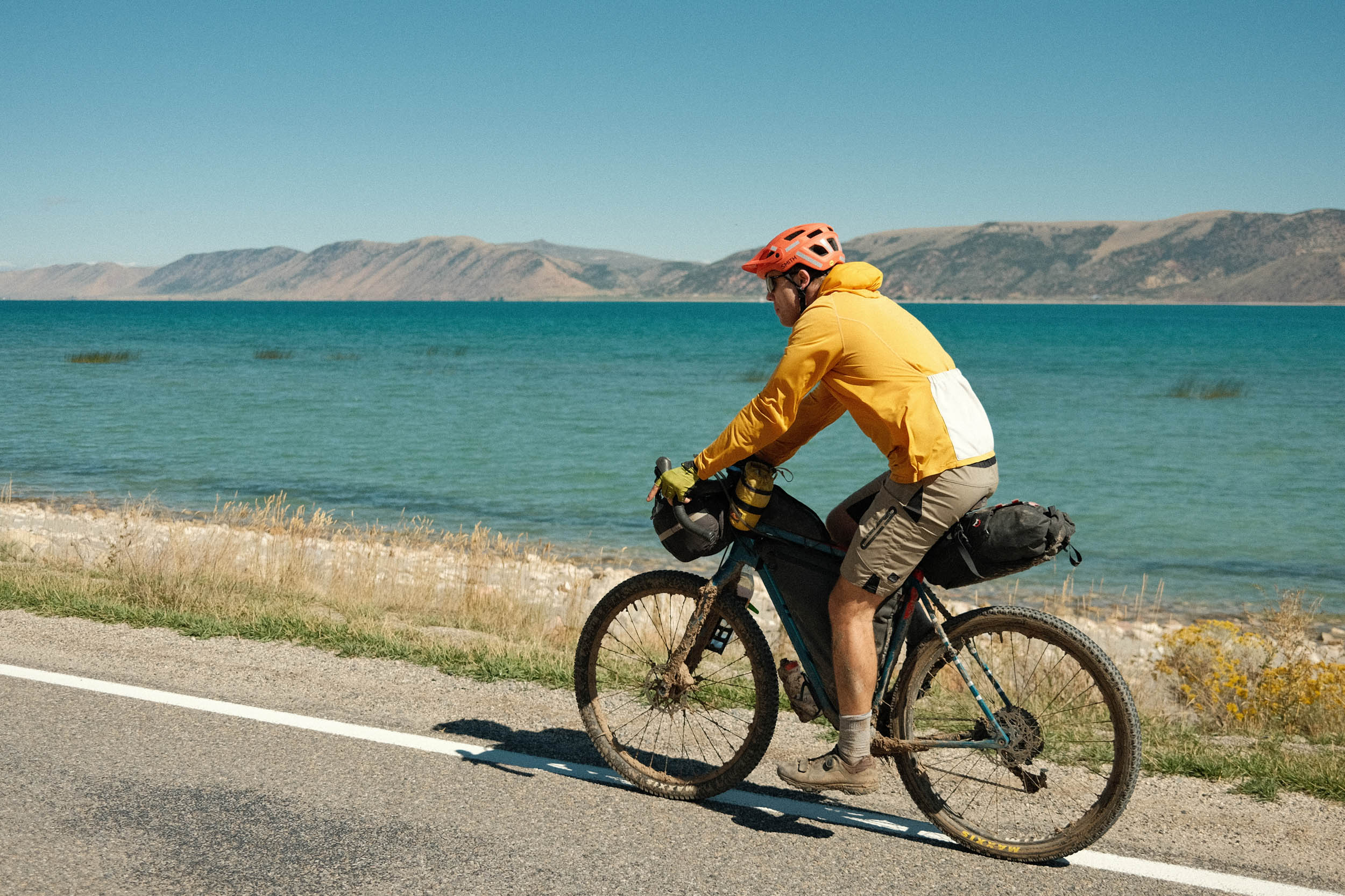
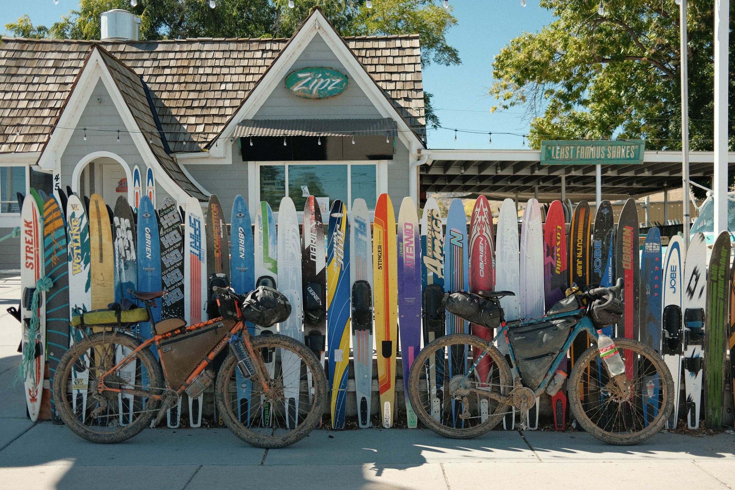
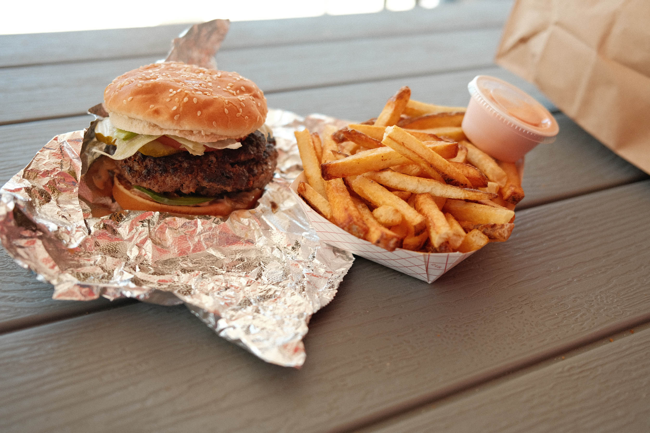
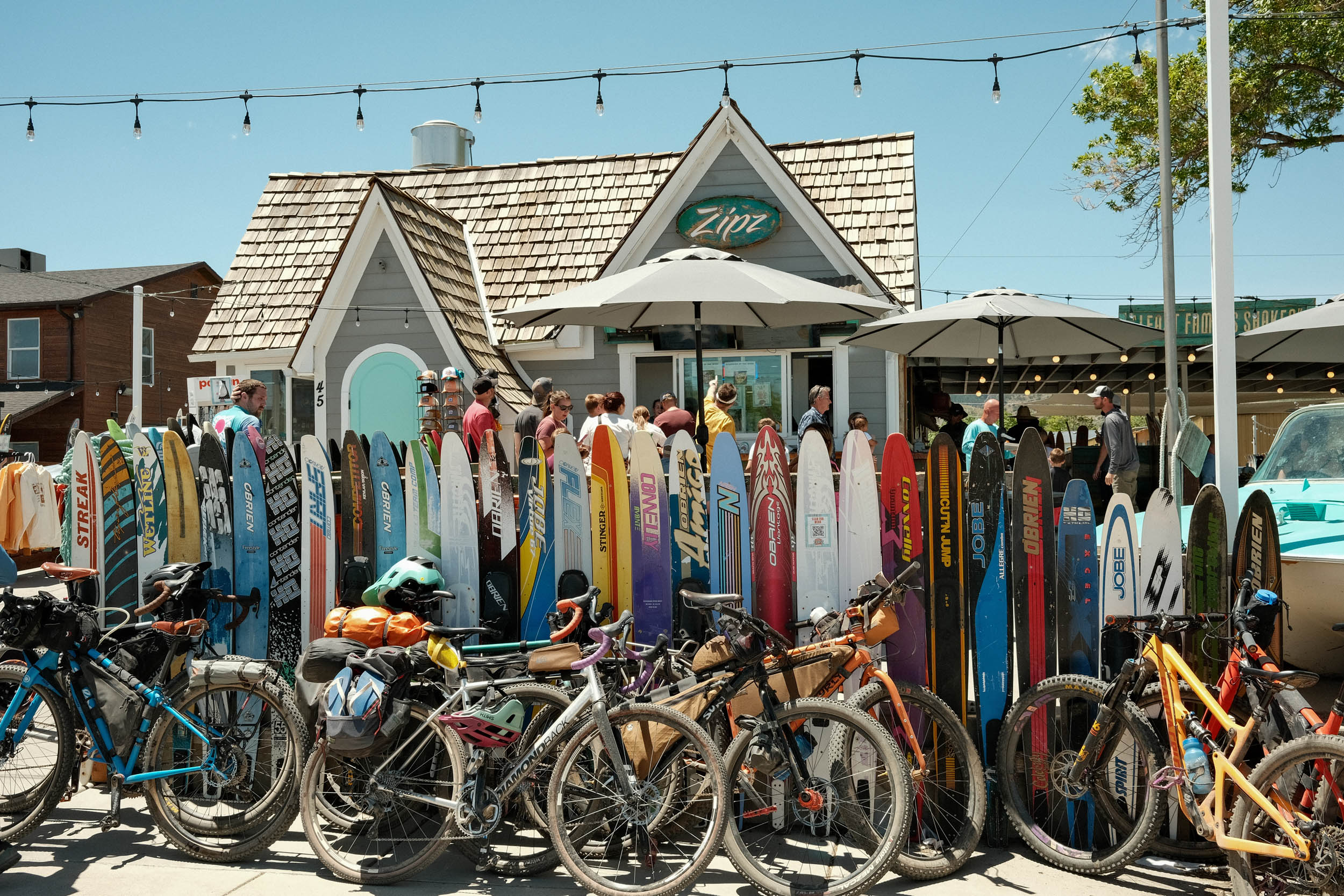
The Bear Lake Shakedown starts on Sinks Road and includes some of Logan’s finest dirt-road touring. The road tends to stay well-maintained and features some of the more gentle climbing for the area. After reaching a high point of 8,500 feet, there is a long, smile-inducing descent down Temple Canyon into the Bear Lake Valley near Meadowville and the south end of Bear Lake. To prepare for some of the climbing, there is a long pavement and bike path section spanning from Meadowville to Fish Haven. While riding along the lake, riders can re-supply, take a rest, swim, and load up on fries, burgers, salads, and the local staple: raspberry shakes.
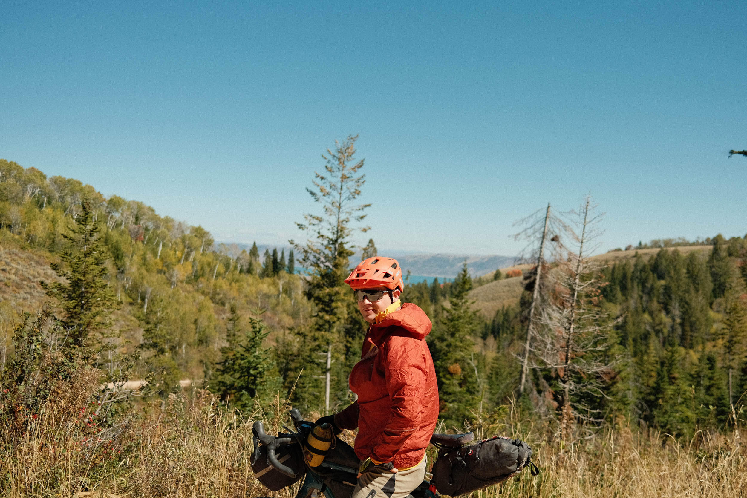
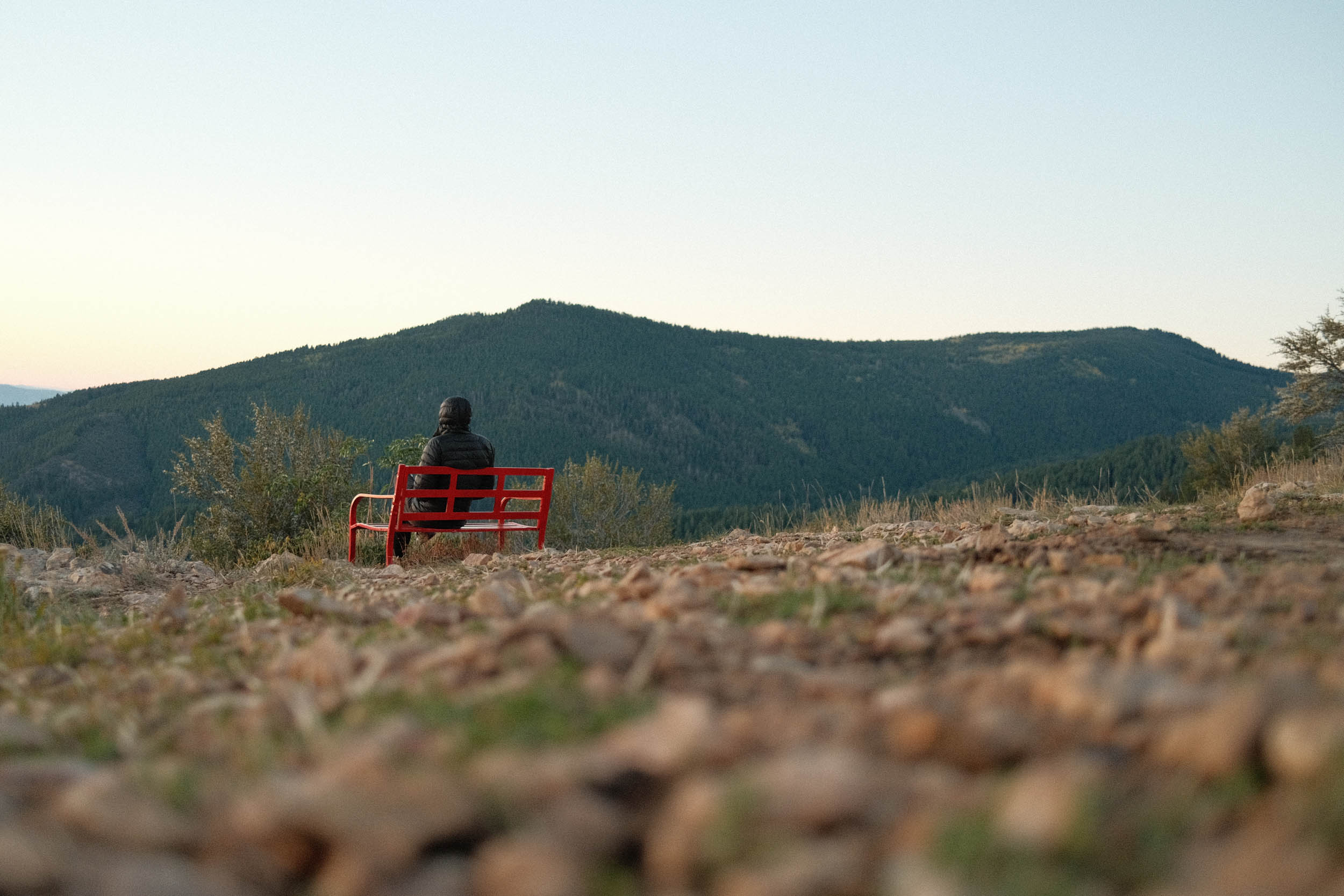
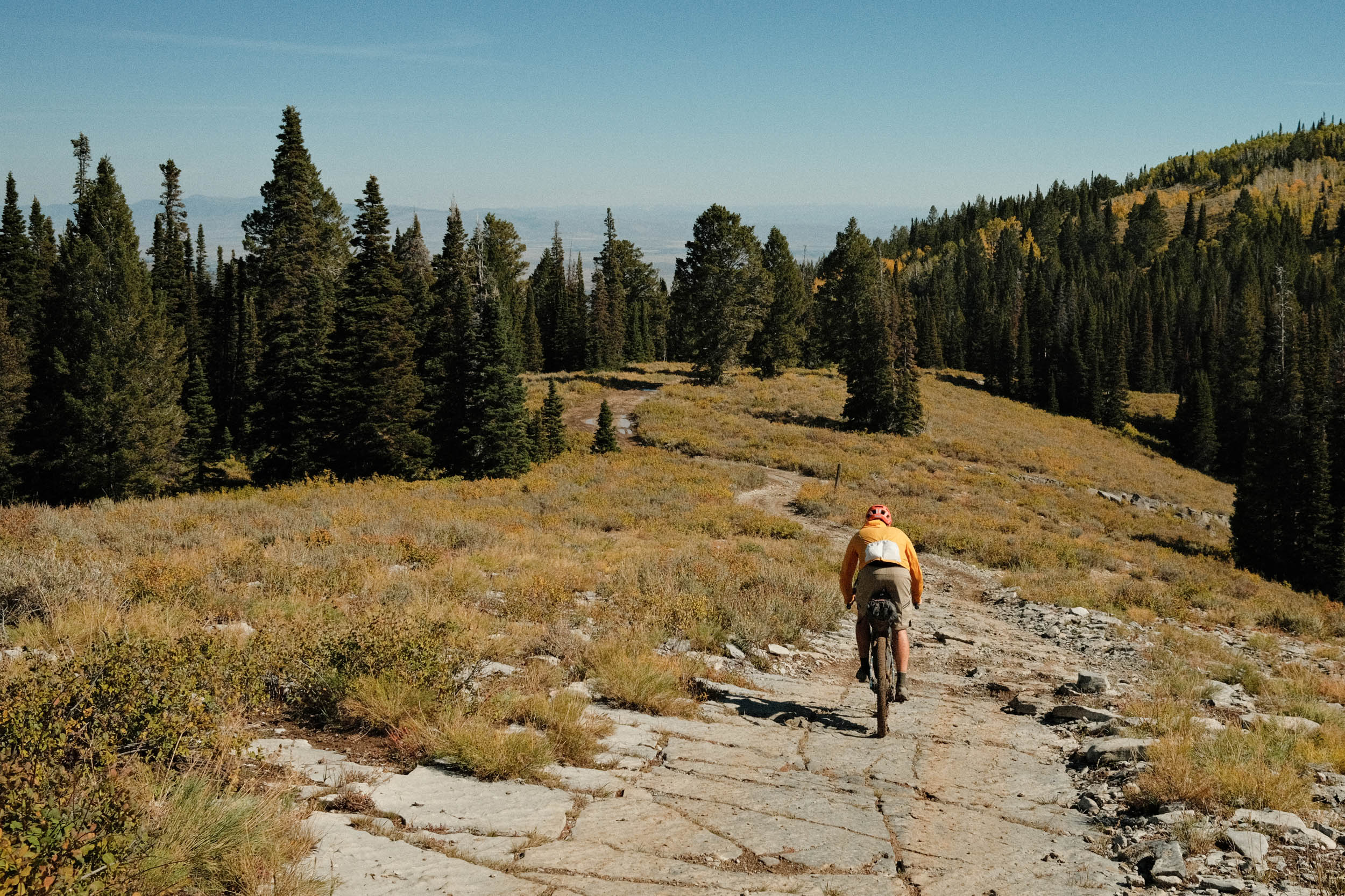
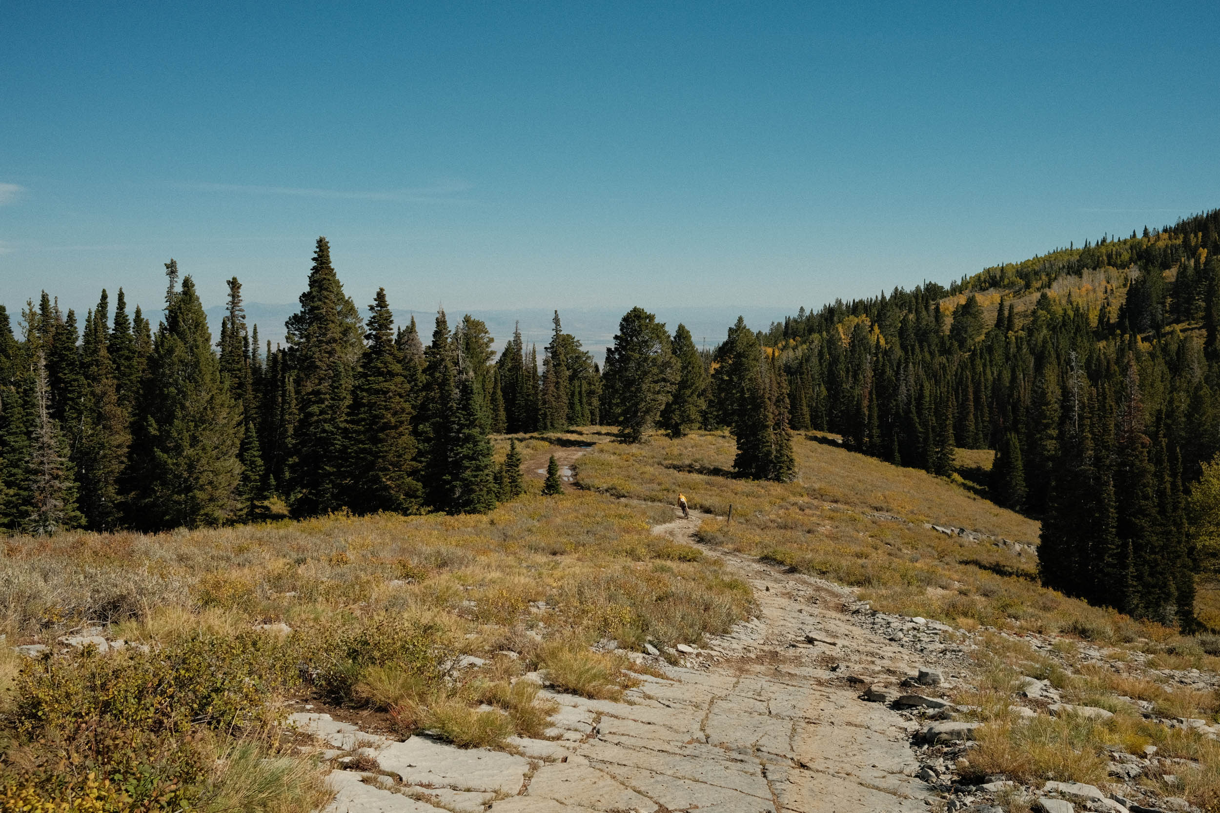
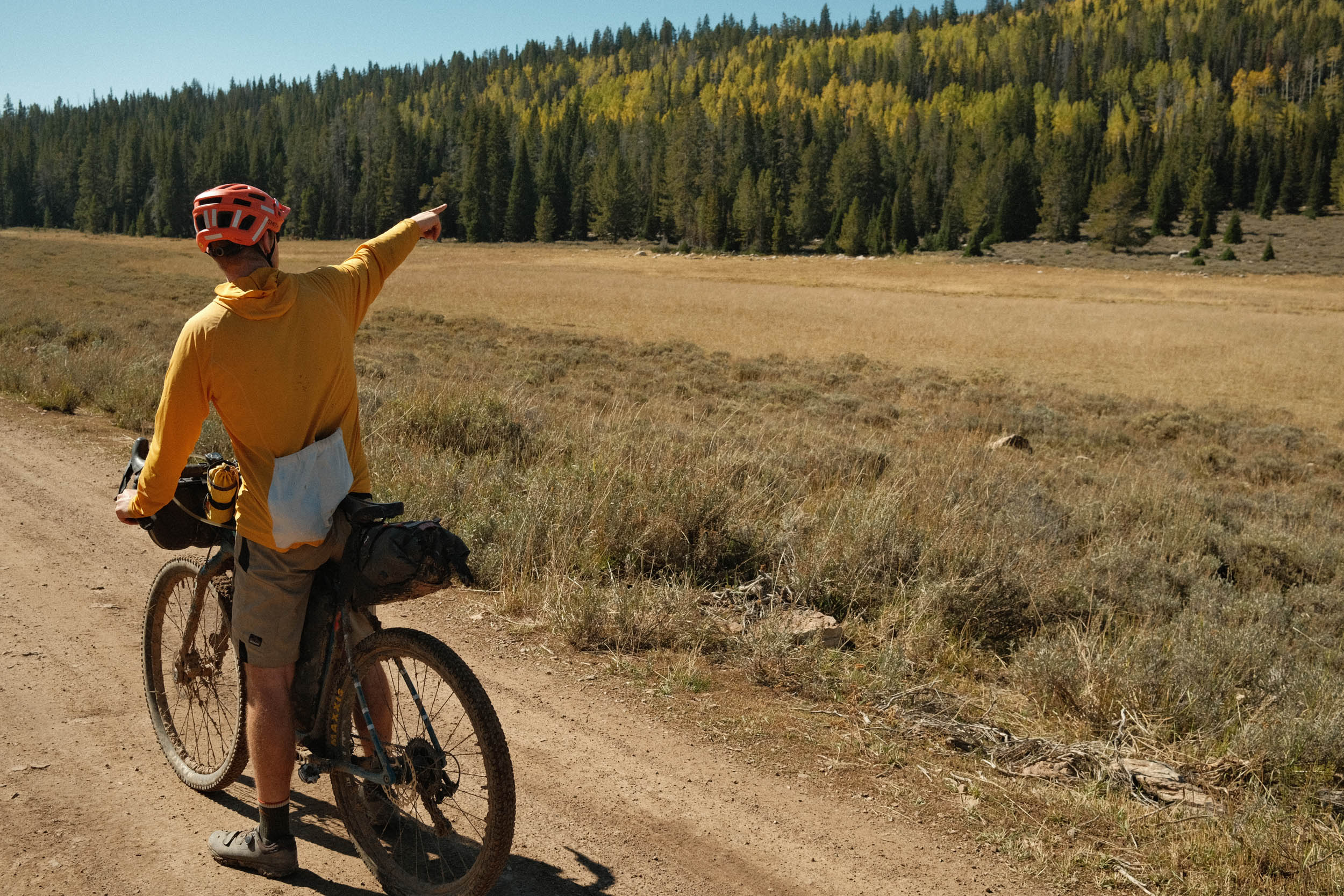
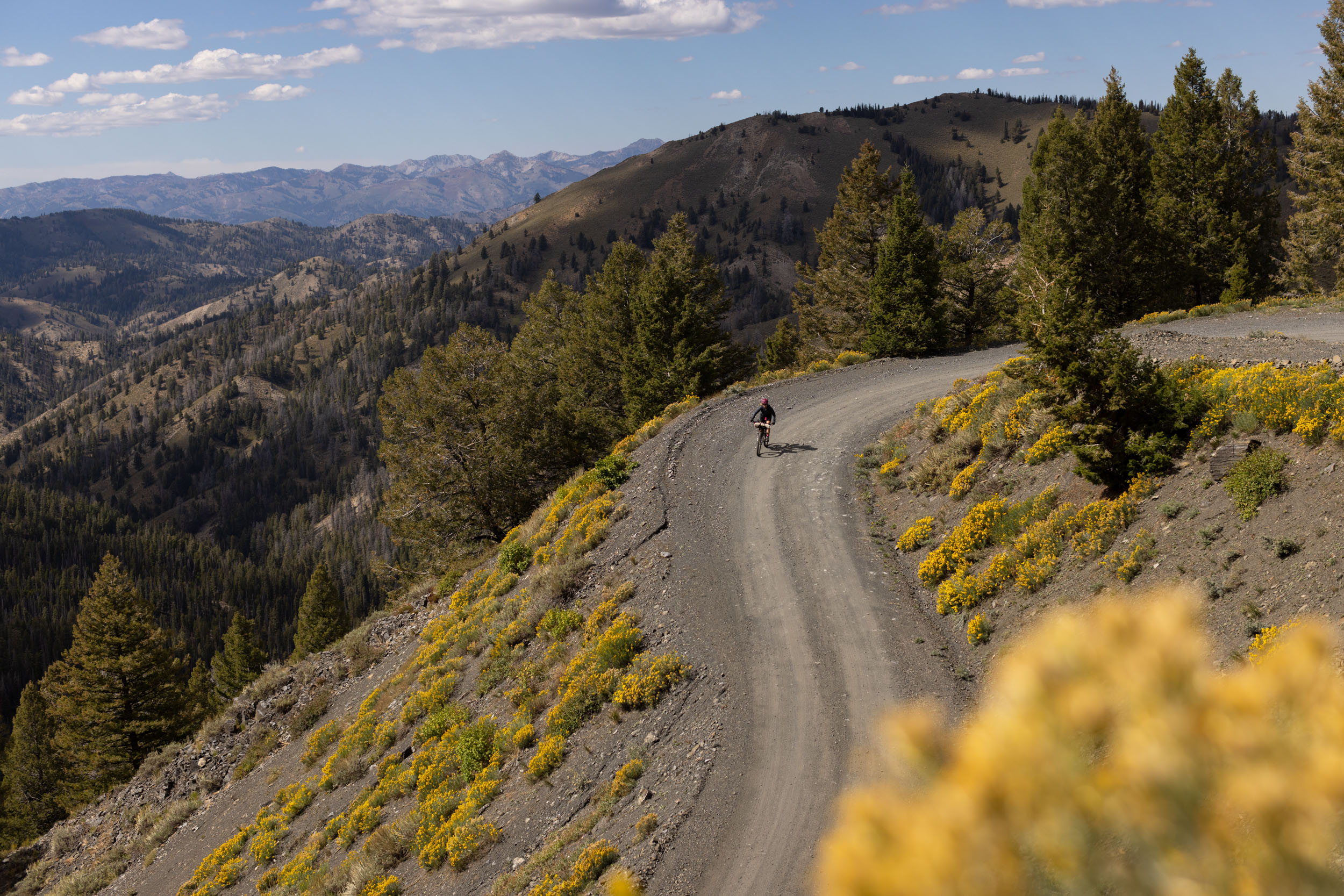
After some grub, the dirt starts again, and so does the climbing. The route follows Fish Haven Road up into the national forest. Once the elevation is gained again, you’re greeted with new views of the lake, including an option to camp near the Pink Bench (that is now red). Eventually, the route connects to Swan Flat Road, which can get technical and steep for a few miles on both the accents and descents. The route ends with a final epic descent that is guaranteed to be memorable. You’ll end at a junction with Highway 89 and have the option to climb asphalt or some doubletrack back to the main parking area.
In general, this route consists of good gravel and asphalt surfaces. There are roughly five miles total that are either technical, steep (up/down), or chunky dispersed on the latter half of the ride. Due to this, I’d recommend at least 50mm or two-inch tires to help keep traction when the riding gets intense.
Route Difficulty
The climbing can be difficult but is representative of average riding in northern Utah and southern Idaho. Resupply areas are somewhat limited, but food and water are simple while adjacent to the lake. There are 2-3 sections that are technical and difficult. They are short (~2 miles), but may require some walking. The climb at mile 47 in particular is quite difficult even for experienced riders to clear on a loaded bikepacking bike. When riding the route counter-clockwise (recommended) the more difficult climbing is on the second half. The climbs are rideable, but lower, mountain-bike-type gearing is recommended. Climbing 5,500 feet in a 60-mile loop is substantial. There is plenty of water when in town, and although some food options are seasonal, there will always be gas stations, grocery stores, and some limited restaurants.
Route Development: As a Utahn, I’m always looking for ways to get more ice cream into my diet. Given the rugged, un-developed nature of Logan Canyon, this route was developed to enjoy some pristine bikepacking and a sugar rush while next to the famous, beautiful, blue Bear Lake.


Submit Route Alert
As the leading creator and publisher of bikepacking routes, BIKEPACKING.com endeavors to maintain, improve, and advocate for our growing network of bikepacking routes all over the world. As such, our editorial team, route creators, and Route Stewards serve as mediators for route improvements and opportunities for connectivity, conservation, and community growth around these routes. To facilitate these efforts, we rely on our Bikepacking Collective and the greater bikepacking community to call attention to critical issues and opportunities that are discovered while riding these routes. If you have a vital issue or opportunity regarding this route that pertains to one of the subjects below, please let us know:
Highlights
Must Know
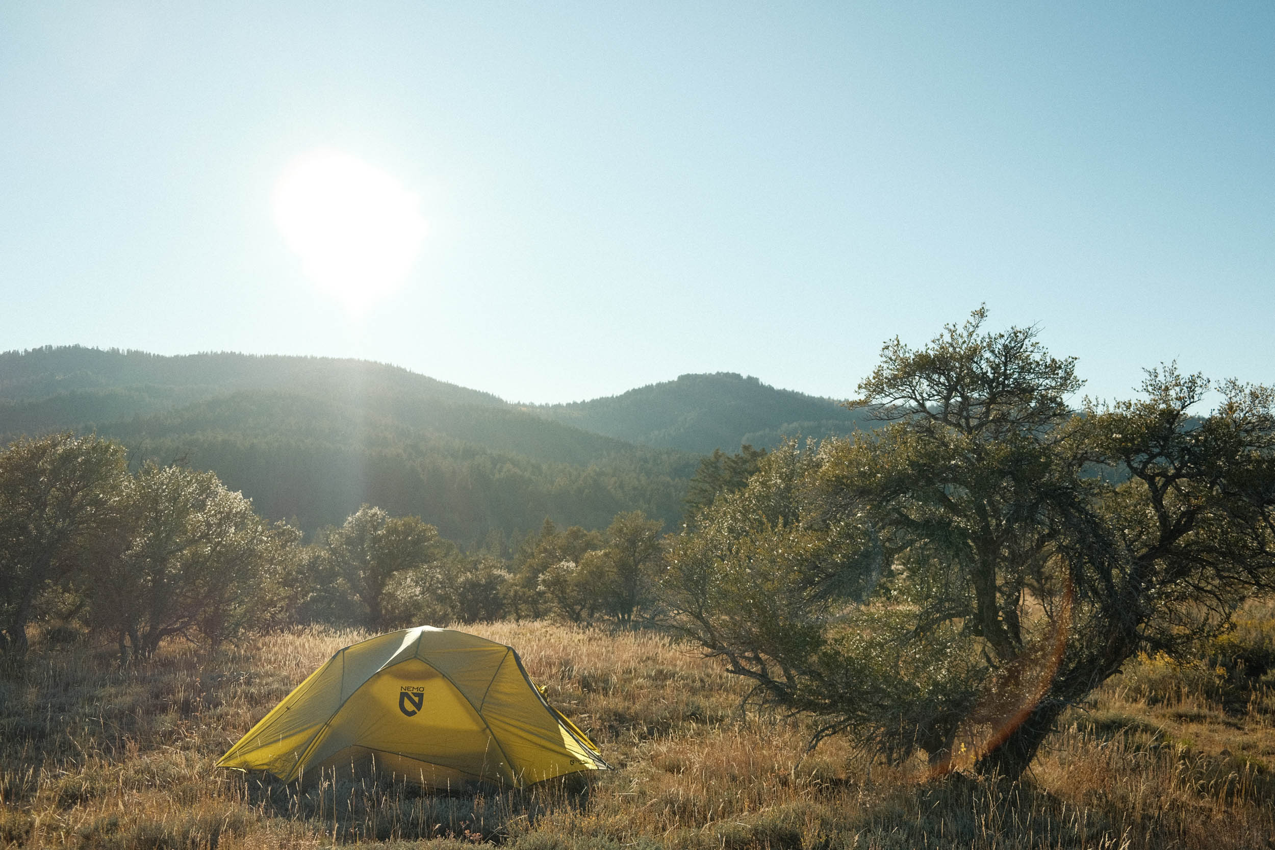
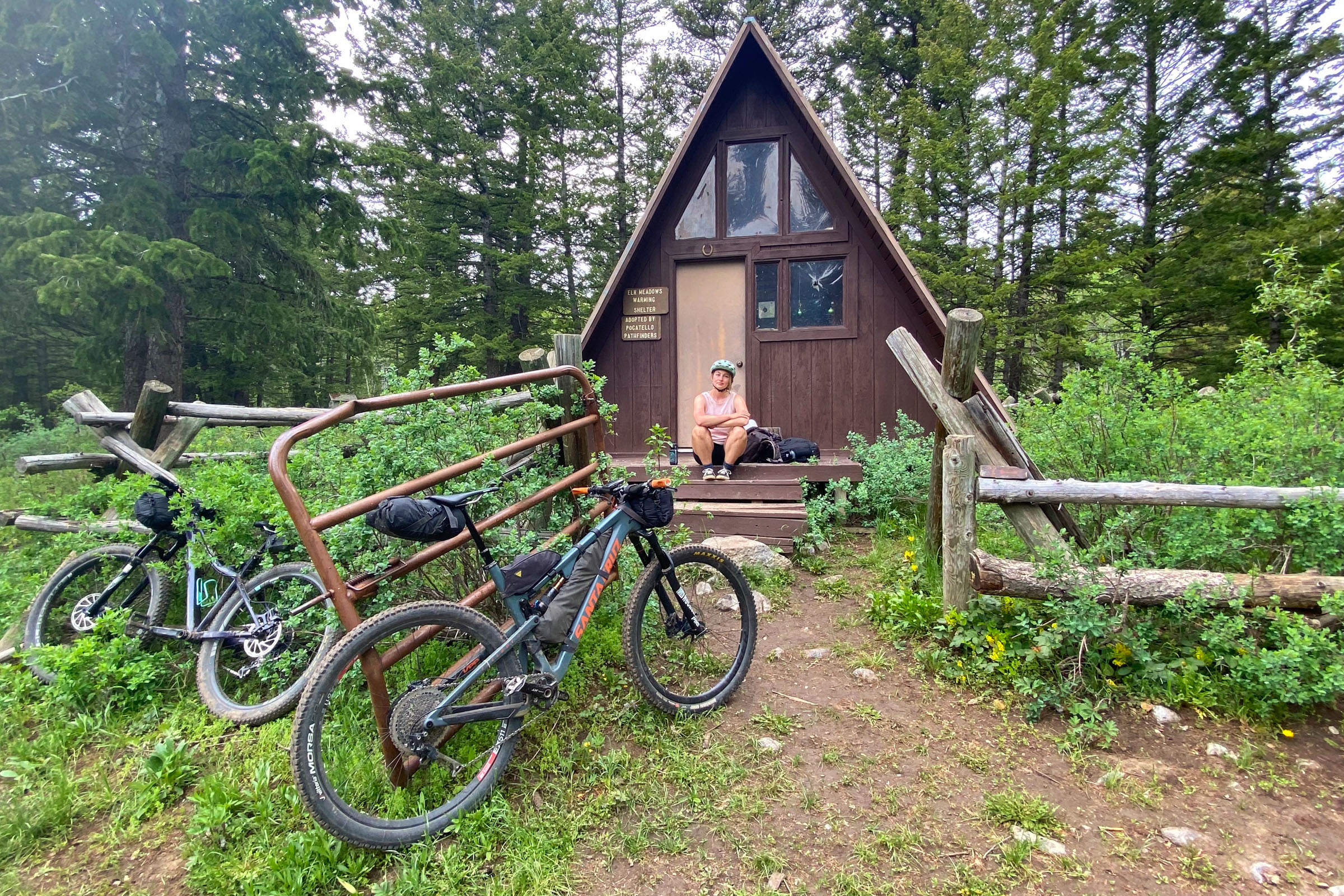
Camping
Food/H2O
Trail Notes
- Cream of the crop riding on Sinks Road, Temple Canyon, Fish Haven Road, and Swan Flat Road.
- Epic Views of the “Caribbean of the Rockies” (Bear Lake).
- Milkshakes, burgers, and fries in Garden City. LaBeau’s, Zips, and Hometown are local favorites; each has its cult following. Peak tourism season can make for long lines, while the non-tourism season decreases options.
- Remote campsites high up, away from the hullabaloo of the nearby valleys.
- Nearby singletrack if you have a hankering for some more technical mountain biking. Stump Hollow and Bunchgrass are excellent rides adjacent to the main route described in the guide.
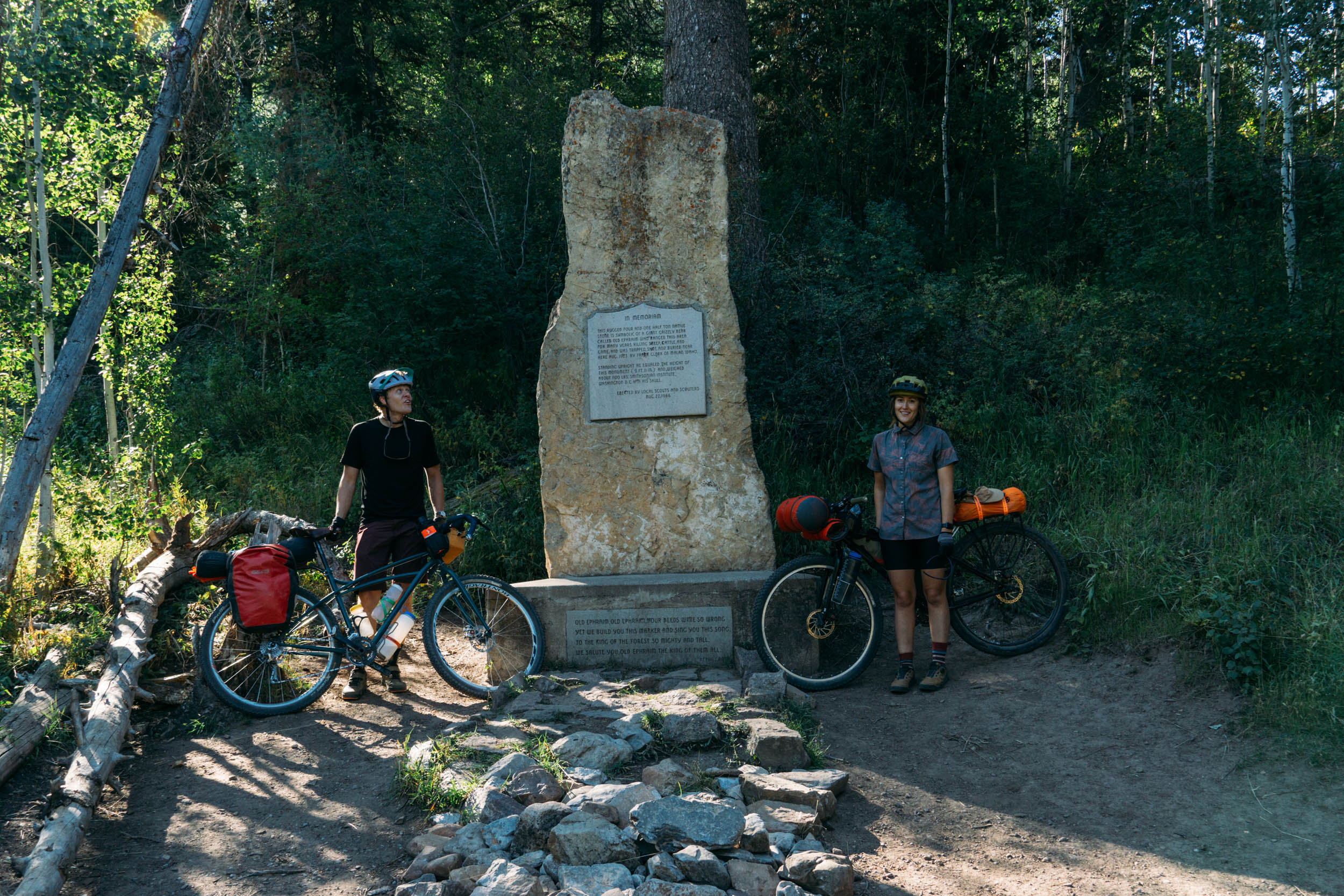
- Peter Sinks is a nearby sinkhole that is one of the coldest points in the contiguous United States. This is where Sinks Road gets its name from.
- Exploring the Bear River Range where you’ll find some sagebrush, junipers, aspens, limber pines, and cottonwoods.
- Sticking out like a sore thumb as the region lends itself toward off-highway vehicles, four-wheelers, and motorcycles. It can be rare to see other cyclists on the dirt sections of this route. The locals are incredibly kind and often wonder what would compel one to do a route like this on a bike.
- When to go: June to mid-October are ideal. Many restaurants won’t open until the end of June and will close at the beginning of September. You’ll always be able to find something, as the towns are inhabited year-round. Sections of the route won’t handle water well, so watch the local weather (Logan and Garden City) to avoid mud and damage.
- Preferred bike: Anything with 2” tires or greater. People have done it on gravel bikes with 40mm tires, but there are sections with technical descents and climbs. Due to the grades, wide range gearing is recommended.
- Logistics: The parking at the Sinks Trailhead is free and typically empty in the warm months. You can start the ride anywhere along the route. If you already have accommodations in the valley, it could easily be altered to start and end at your lodging. But just plan to pack all your food and water since resupply would be too early or late in the ride.
- The route should be rideable almost the whole way; however, much of the soil profile does not handle moisture well. Be careful and respectful of the dirt roads if muddy.
- After you turn onto Fish Haven Road, you should plan to carry the water you need for the rest of the trip. Some streams and creeks may be available depending on time of year and snowfall from the previous winter.
- Most of the dirt roads have wild camping options. If leaving from the shown start point, it is nice to camp anywhere between miles 38 to 50. If starting the route at another section, see the map, as there are plenty of options listed.
- Bear Lake has accommodations like campgrounds, hotels, Airbnbs, and VRBOs.
- The Sunrise Campground is about 0.5 miles away from Sinks Road and could be a good home base.
- The Information Center, when you reach highway 89 (mile 20.5, 0.1 miles off route), has restrooms and drinking water.
- Plenty of restaurants and gas stations will have water and food as you cruise through town. Garden City and Fish Haven have abundant food options. Fish Haven Creek should always have filterable water, but you’ll turn away from the creek around mile 38.5.
- Water on the latter half of the route is more scarce, so plan accordingly.
- The route is mapped for a counter-clockwise ride, but if you are feeling adventurous, you could ride it either way.
- The first 2.3 miles leave directly south out of the parking lot. Occasionally, that section can be lightly overgrown with softer soil. If concerned about this, it would be easiest to climb Highway 89 up to Sinks Road.
- The shoulders on the highway sections are relatively small. Be cautious, courteous, and aware. Road cyclists frequently do lake circuits, so most drivers should be accustomed to cyclists on the road. Be aware of trailered boats and other long rigs. There is a bike path that begins at mile 23. You’ll likely encounter off-road vehicles on the dirt sections; almost all are friendly and courteous, especially if you are too.
- There is a left-hand turn around mile 47. Be on the lookout, as it would be easy to miss. If you miss it, you’ll end close to Beaver Mountain Resort on Beaver Creek Road and will have a longer highway climb back to the start.


Terms of Use: As with each bikepacking route guide published on BIKEPACKING.com, should you choose to cycle this route, do so at your own risk. Prior to setting out check current local weather, conditions, and land/road closures. While riding, obey all public and private land use restrictions and rules, carry proper safety and navigational equipment, and of course, follow the #leavenotrace guidelines. The information found herein is simply a planning resource to be used as a point of inspiration in conjunction with your own due-diligence. In spite of the fact that this route, associated GPS track (GPX and maps), and all route guidelines were prepared under diligent research by the specified contributor and/or contributors, the accuracy of such and judgement of the author is not guaranteed. BIKEPACKING.com LLC, its partners, associates, and contributors are in no way liable for personal injury, damage to personal property, or any other such situation that might happen to individual riders cycling or following this route.
Further Riding and Reading
Here are some connected/nearby routes and related reports...
Please keep the conversation civil, constructive, and inclusive, or your comment will be removed.