


This week, the Bureau of Land Management’s Price Field Office released preliminary documents for the San Rafael Swell Travel Management Plan in Central Utah. Learn more about what this could mean for bikepackers here…
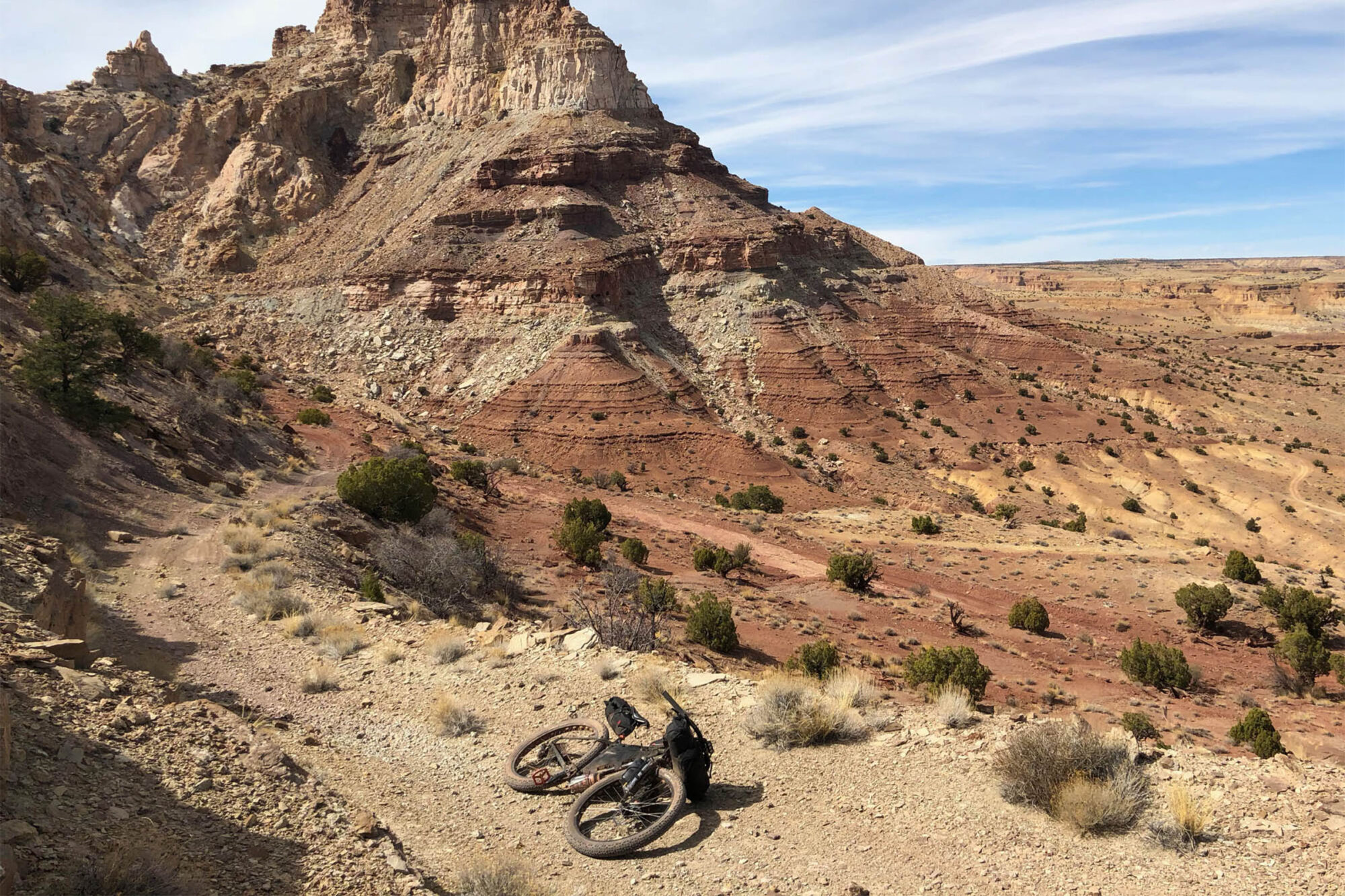
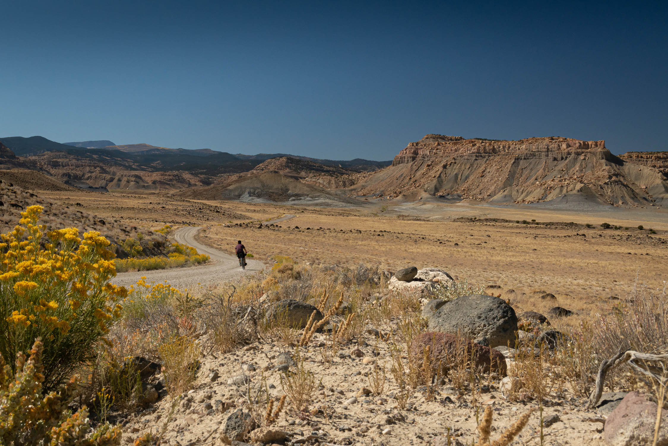
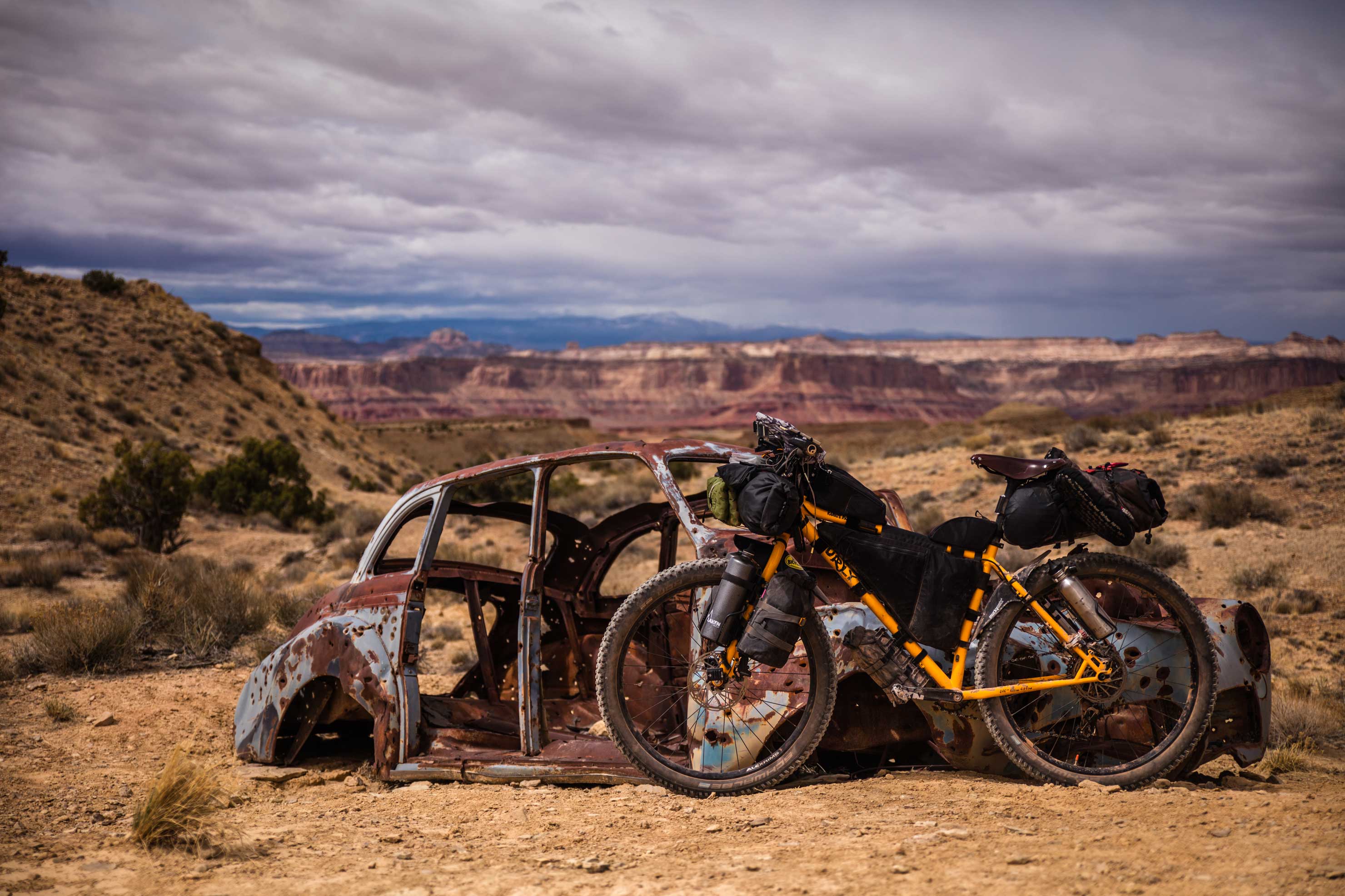
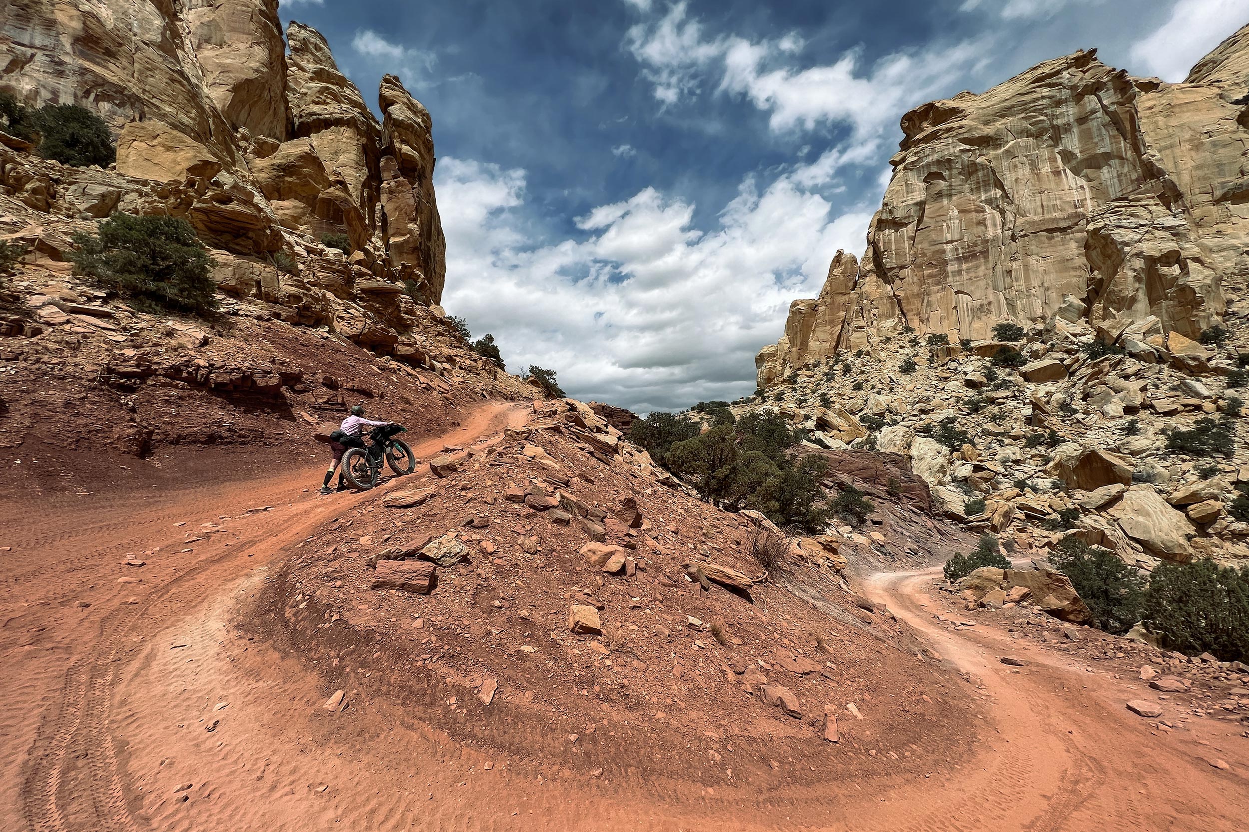
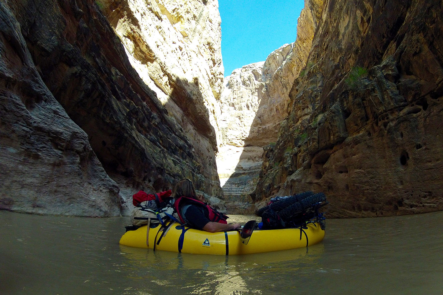
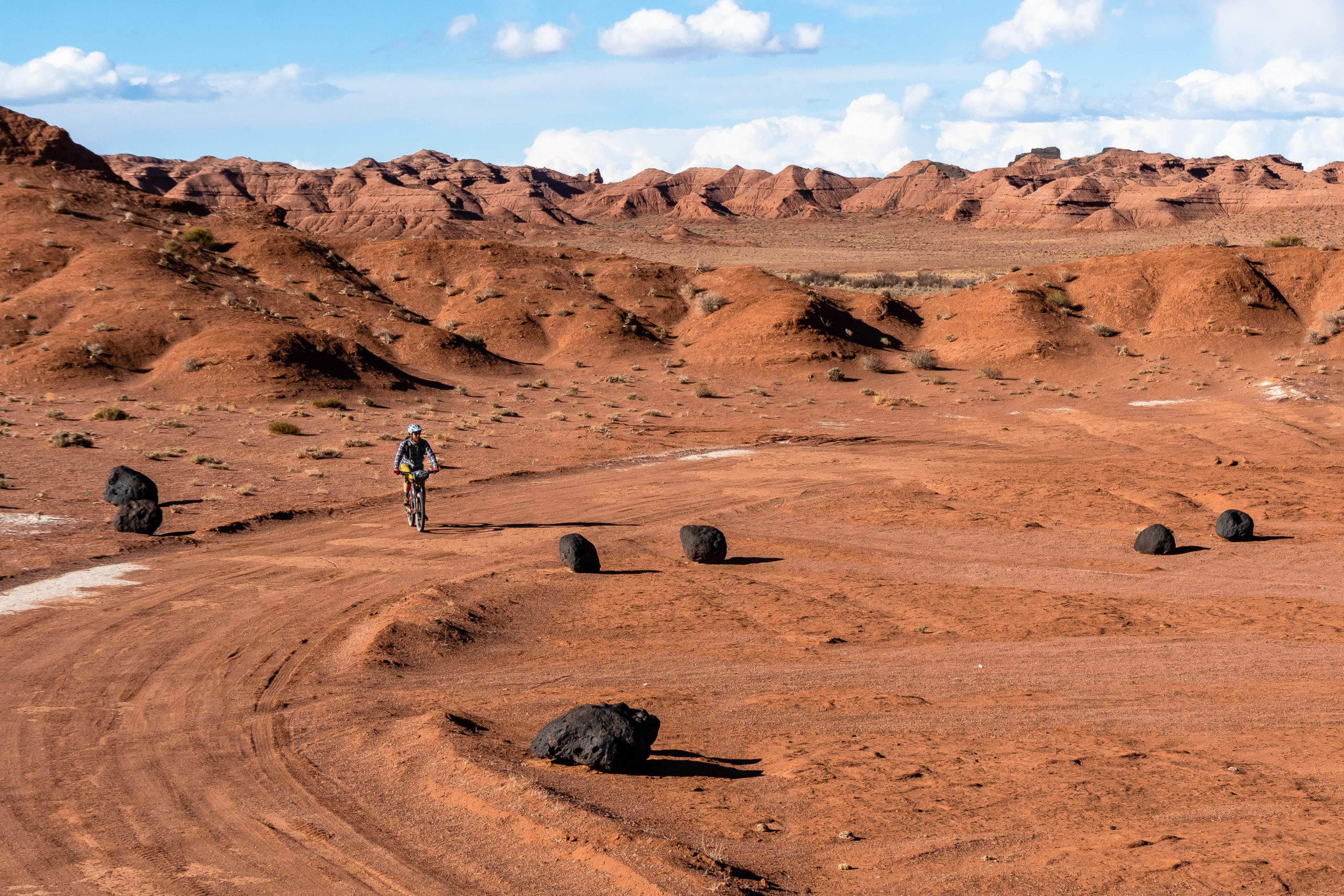
The Bureau of Land Management has released preliminary information that will be used to shape the future of land access in the San Rafael Swell area in Central Utah. The report includes four preliminary alternatives to the current San Rafael Swell Travel Management Plan, with a strong emphasis on motorized access, but it has implications for non-motorized access as well. We saw the same thing happen in Moab not too long ago, which essentially closed a number of roads to vehicles as well as human-powered bikes and ultimately had an effect on one of our bikepacking routes.
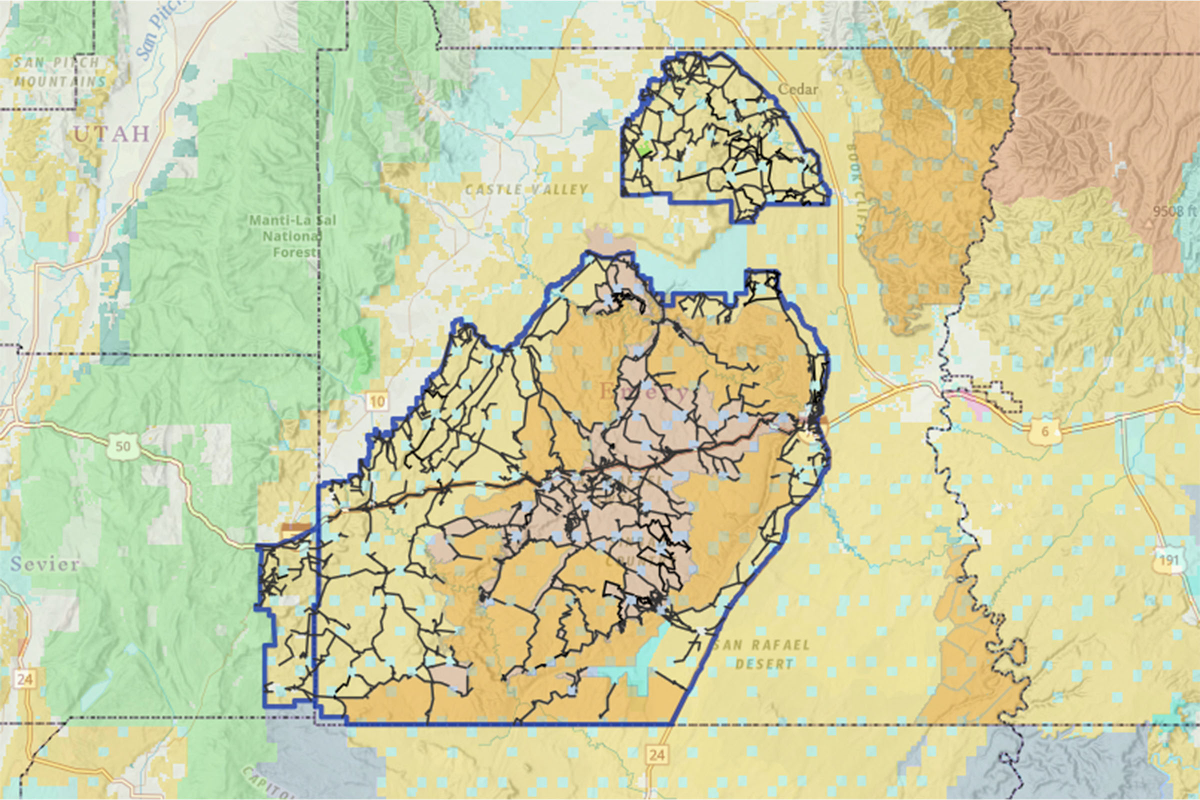
Here’s a quick breakdown of the four preliminary alternatives and what they mean. Alternative A is the “no action alternative” and reflects the current travel management plan. Alternative B is “resource protection focused.” Alternative C is balanced to provide for resource protection in sensitive areas while allowing additional public motorized access where appropriate. Alternative D is “motorized public access focused.” A quick look at the BLM’s public online map shows no impact to bikepacking routes in the area, including the Stone House Lands Loop and A (San Rafael) Swell Night Out. Using the link above, you can compare what the current plan looks like against the alternatives by toggling the layers.
The great news is that we’re communicating with the BLM office and have been getting looped in on changes that may affect several of our routes in the area (see links in the Further Reading grid below). We’ll continue to update everyone here on the website when those changes are announced.
Further Reading
Make sure to dig into these related articles for more info...
FILED IN (CATEGORIES & TAGS)
Dispatch
Please keep the conversation civil, constructive, and inclusive, or your comment will be removed.


