Mojave Solitaire
Distance
100 Mi.
(161 KM)Days
3
% Unpaved
78%
% Singletrack
0%
% Rideable (time)
98%
Total Ascent
7,829'
(2,386 M)High Point
5,540'
(1,689 M)Difficulty (1-10)
7?
- 5Climbing Scale Moderate78 FT/MI (15 M/KM)
- 5Technical Difficulty Moderate
- 7Physical Demand Difficult
- 7Resupply & Logistics Strenuous
Contributed By

Jeremy Nolan
Guest Contributor
Jeremy gained an appreciation for the outdoors after attending university in the Pacific Northwest. He brought this appreciation back to his home in Southern California and wishes to share it with others. In addition to designing and stewarding several routes on BIKEPACKING.com, Jeremy has also ridden the TransAmerica Trail, Pacific Coast Bike Route, and Idaho Hot Spring Mountain Bike Route. He spends his free time mountain biking, exploring backcountry desert roads, and daydreaming of trips to come.
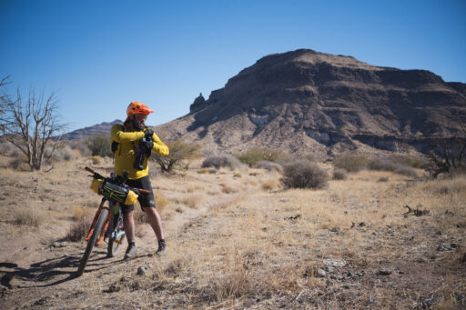
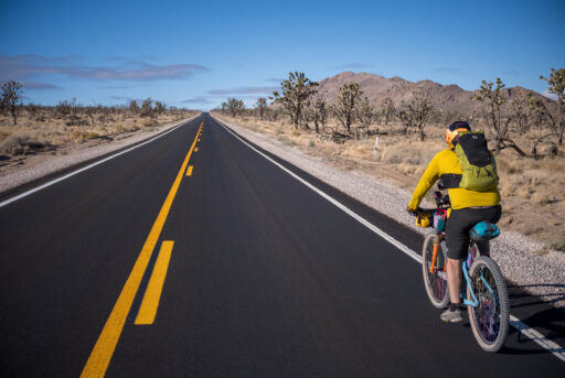
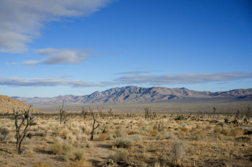
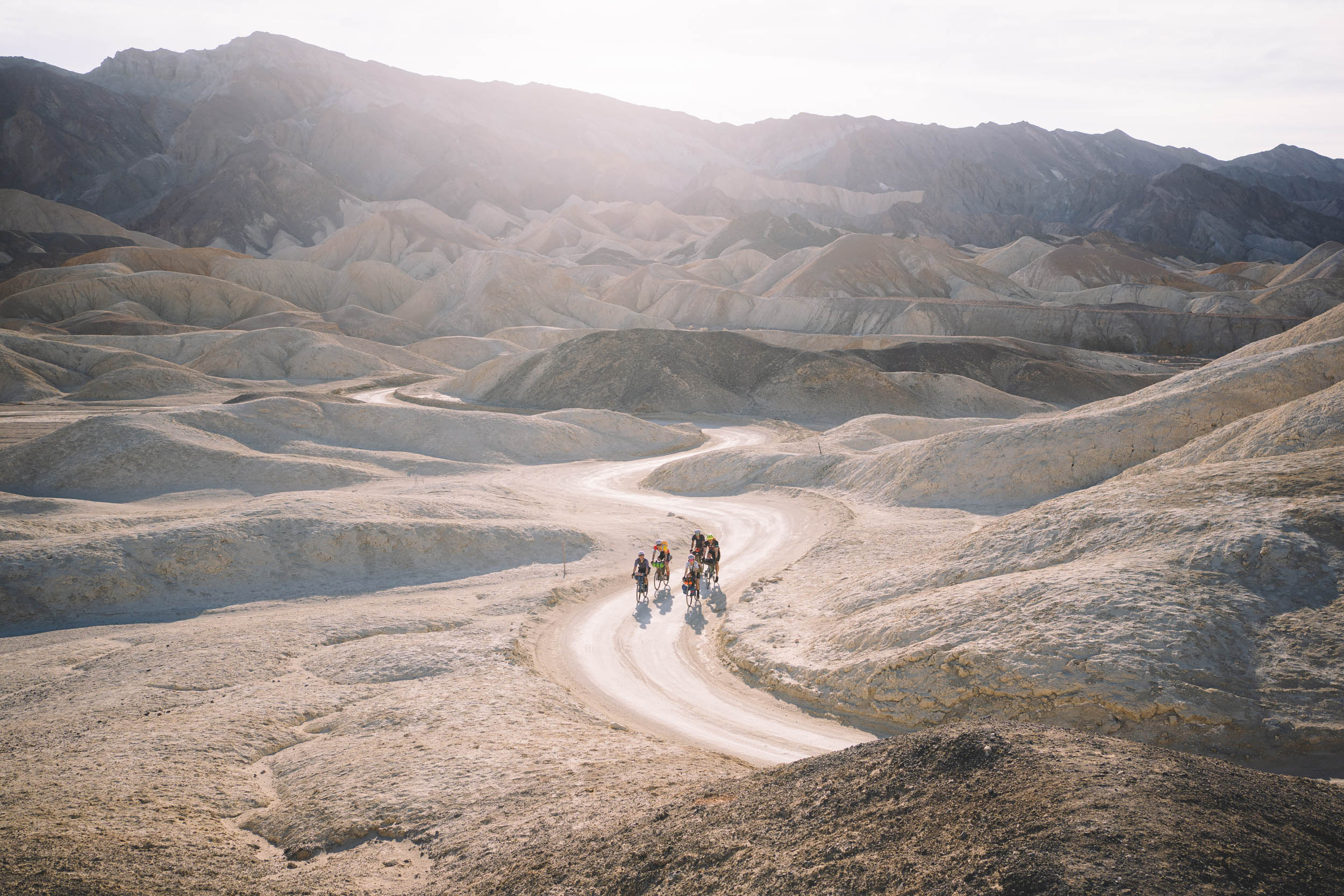
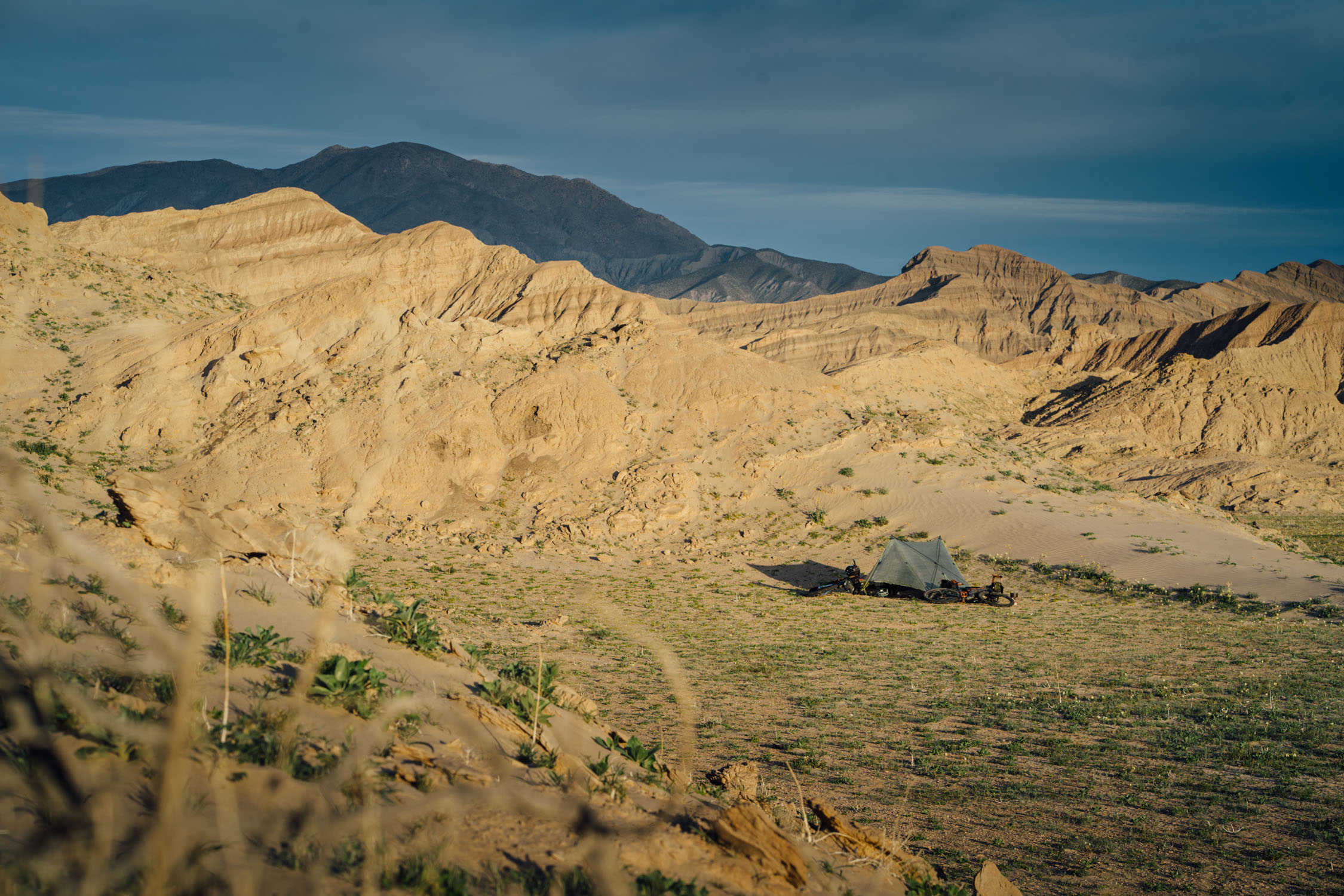
Mojave Solitaire is a three-day ride through the rugged backcountry of Mojave National Preserve, a lonesome landscape where the Sonoran, Colorado, and Great Basin Deserts converge. Starting from one of the park’s few developed campgrounds, riders will pass through thick groves of juniper, creosote, and Joshua trees on their way to the volcanic remnants of Cima Dome. Extraordinarily beautiful desert vistas and remote campsites abound under the dark skies along Aiken Mine Road. The route continues past an ancient lava tube and ascends along the famed Mojave Road before quickly descending to the former boomtown of Kelso. Riders will then pass in the shadow of Kelso Dunes as they climb through a narrow pass in the Providence Mountains and drop back down to the starting point.
Route Difficulty
Mojave Solitaire is a challenging route. There are no opportunities to resupply while on the route, and there are only two guaranteed locations to find water. Self-sufficiency is key, as distances in this country are large, and the people few. Inclement weather, wind, and demanding road conditions can greatly influence the overall physical difficulty of the route. Still, with the right timing and gumption, this route is very rewarding for the eager rider and desert aficionado.
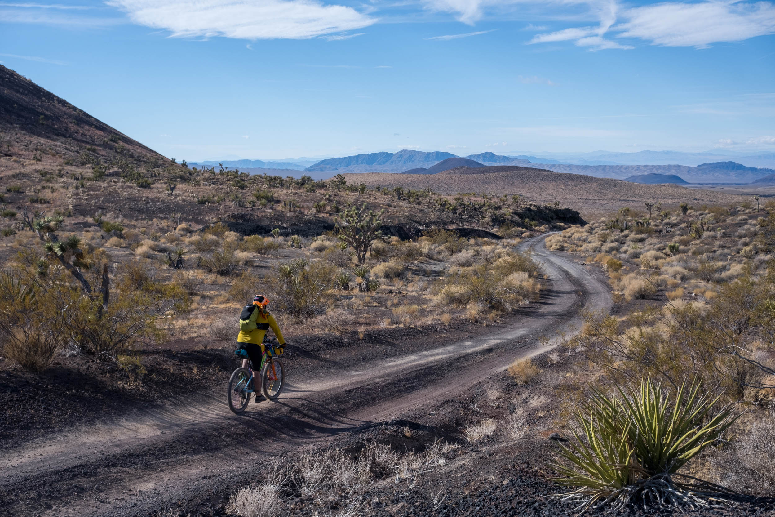
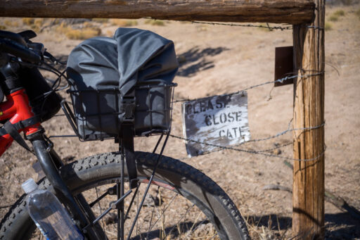
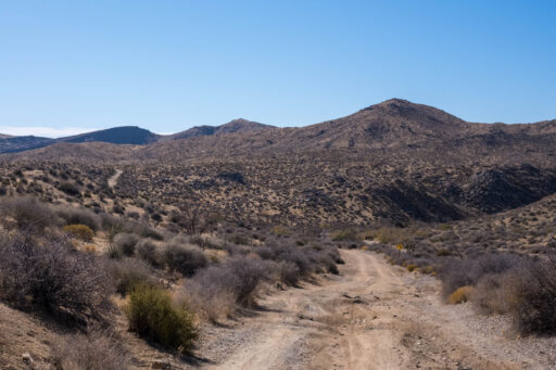
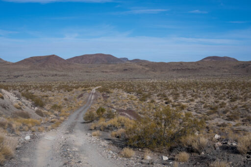
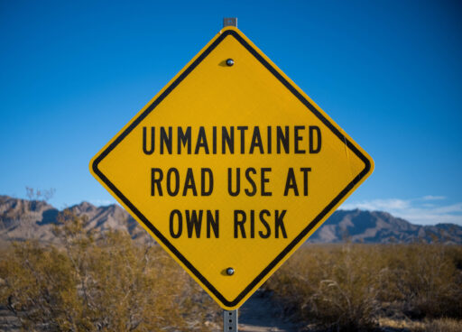
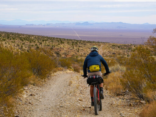
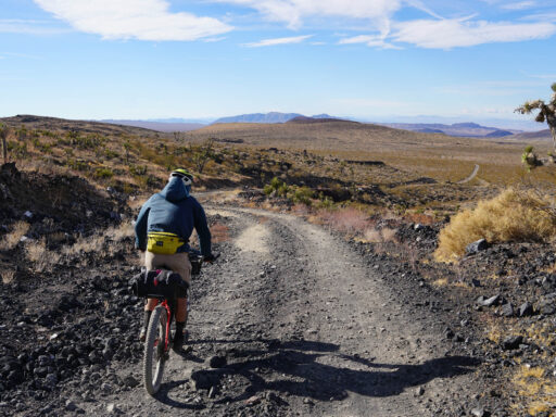
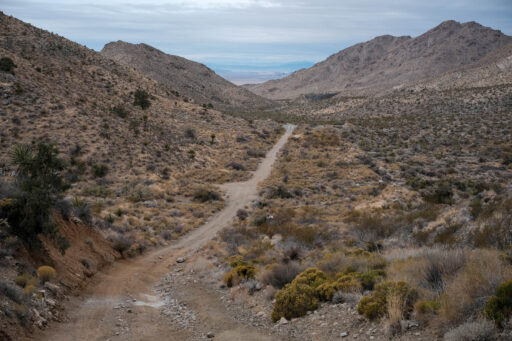
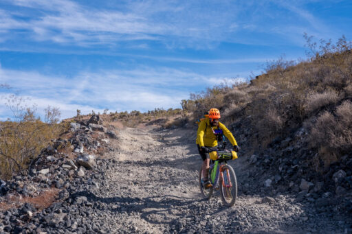
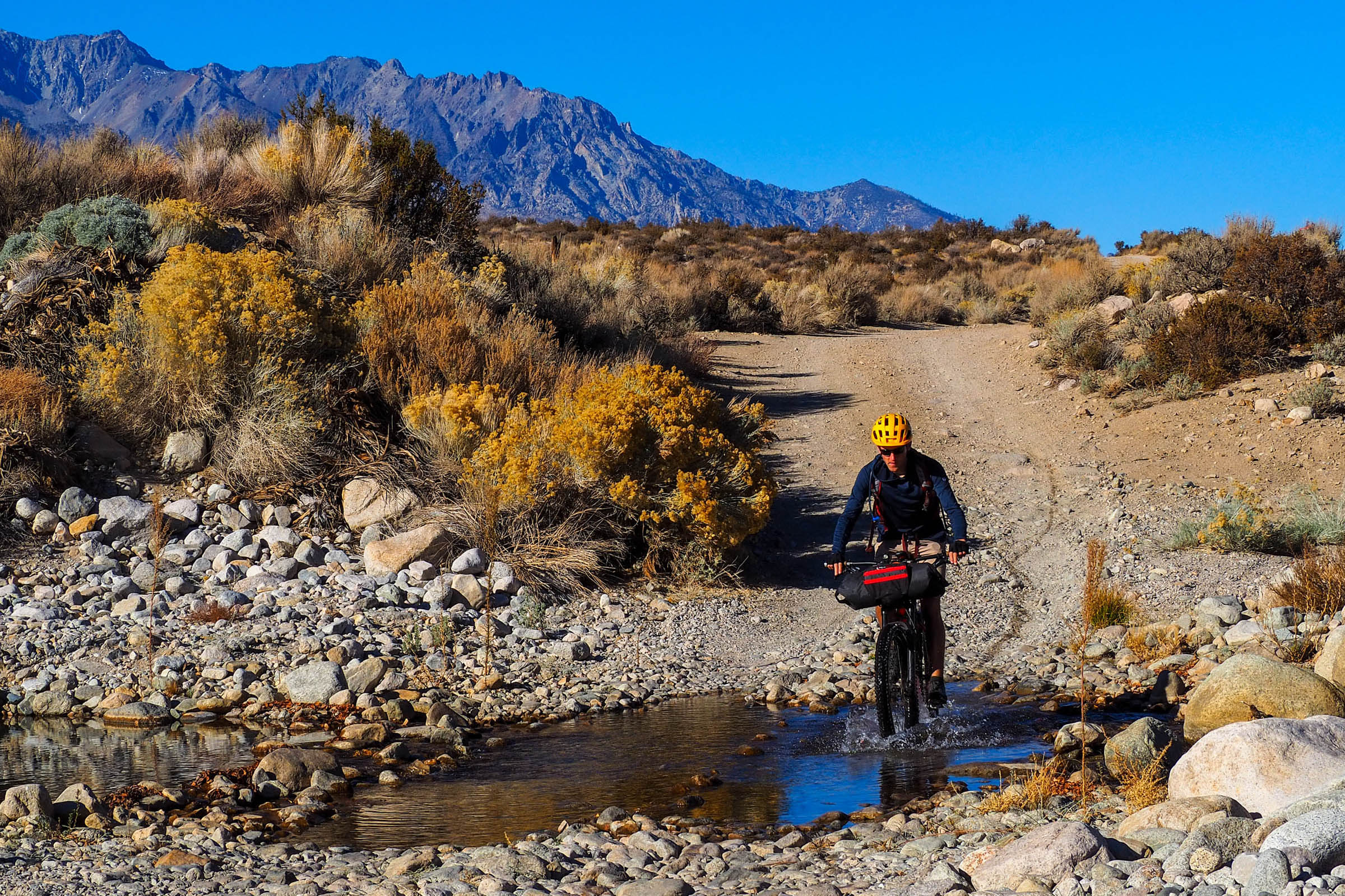
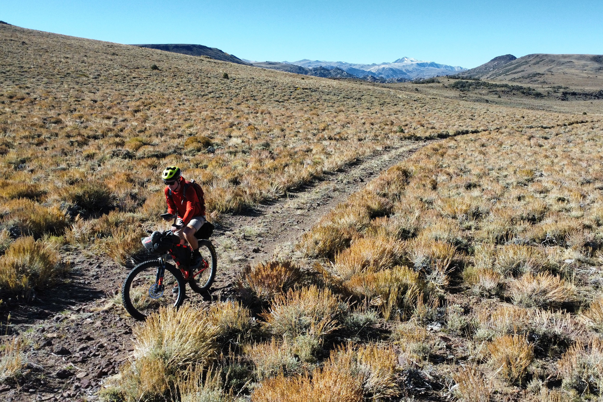
The route meanders between wide doubletrack roads, abandoned mining roads, and stretches of quiet two-lane paved roads. Riders will encounter surfaces ranging from gravel, sand, rocks, and washboard along backcountry segments to crushed basalt and obsidian near ancient lava flows. The short paved sections are of excellent quality, and traffic through the park is minimal. Sandy roads, washboard, significant fluctuations in daily temperature, potential for high winds, and lack of resupply make the route physically challenging. Forty miles per day is a realistic expectation.
Submit Route Alert
As the leading creator and publisher of bikepacking routes, BIKEPACKING.com endeavors to maintain, improve, and advocate for our growing network of bikepacking routes all over the world. As such, our editorial team, route creators, and Route Stewards serve as mediators for route improvements and opportunities for connectivity, conservation, and community growth around these routes. To facilitate these efforts, we rely on our Bikepacking Collective and the greater bikepacking community to call attention to critical issues and opportunities that are discovered while riding these routes. If you have a vital issue or opportunity regarding this route that pertains to one of the subjects below, please let us know:
Highlights
Must Know
Camping
Food/H2O
Trail Notes
- Enjoying a profound solitude and quiet not often found in Southern California
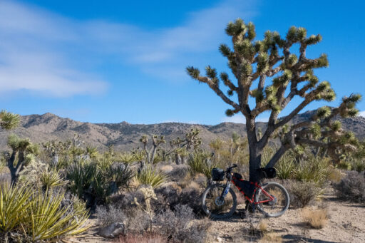
- Riding through the largest and densest Joshua tree forests in the world
- Meandering around expansive lava flows and moonscape vistas along Aiken Mine Road
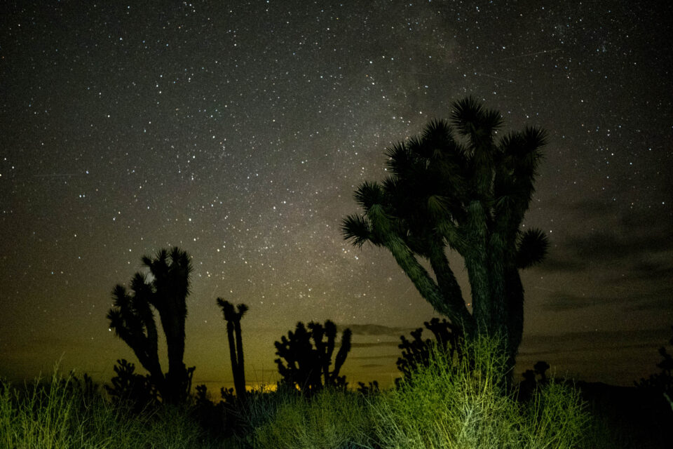
- Camping under the darkest skies in Southern California
- Hiking into a lava tube as light shines through small openings in the ceiling.
- Exploring abandoned mining sites that offer a glimpse into the region’s history
- Listening to the coyotes howl in the distance while warming in the sunrise’s soft glow
When to go
- Spring and fall are the ideal seasons for this route, as summer brings scorching heat, and winter can bring snow at higher elevations. The Mojave Desert’s weather is often characterized by large diurnal temperature swings and high winds. Riders should watch the weather before departure and dress in layers, pack a warm sleeping bag and sturdy tent, and prepare for sudden temperature changes. The route was scouted in mid-November, which offered pleasant daytime temperatures, minimal wind, and cool nights.
- This route is best ridden in a counterclockwise direction to avoid riding up the long, sandy powerline road outside of Kelso. Leaving from Hole-in-the-Wall Campground and overnighting somewhere along Aiken Mine road is recommended so riders can fill up on water at Kelso on day two before ascending Foshay Pass.
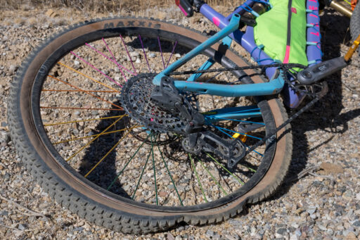
- Sand and washboard are found throughout the route. The ideal bike would be a rigid hardtail mountain bike with at least 2.6″ tires, though wider is certainly wiser, and a fatbike would make sandy sections more enjoyable. Suspension isn’t necessary but would make some of the rocky descents and stretches of washboard more comfortable.
- Wilderness permits are not required at Mojave National Preserve for backcountry travel. However, overnight travelers are asked to notify the preserve of their dates of travel, intended route, vehicle description, and where they will park any vehicles. Parking is available at Hole-in-the-Wall Visitor’s Center and may be available elsewhere; visit the park website for contact information.
- GPS is required for navigation. National Geographic also publishes an excellent map of the preserve if riders want more of an overview for trip planning purposes.
Dangers and Annoyances
- Exposure is the biggest danger on this route. Temperature variations, wind, and precipitation are all possible during the riding season, more so in the winter or at higher elevations. Make sure to have a sturdy tent, a warm sleeping bag, and layers.
- Cell service is spotty in the backcountry; pack a GPS communicator as help is likely far away if you need it.
- Rattlesnakes, mountain lions, scorpions, and bobcats can be found throughout the preserve.
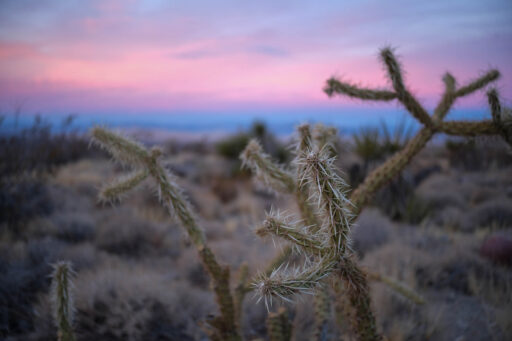
- Be mindful of where you place equipment, as cholla cacti are well-versed at pricking unsuspecting riders.
Travel basics
- If there is one word that best describes Mojave National Preserve, it is remote. Riders should start at either Kelso or Hole-in-the-Wall Campground and inform rangers of their plans and where they are parking their car.
- Mojave National Preserve is sandwiched between I-15 to the north and I-40 to the south. No gas is available in the park.
- Free backcountry camping opportunities abound throughout the route. Refer to the park website for regulations and #leavenotrace.
- Semi-developed campgrounds can be found at Hole-in-the-Wall and Mid Hill Campgrounds.
- The only reliable water sources in the entire park are at Hole-in-the-Wall Visitor’s Center and Campground and Kelso. Several backcountry springs and ranch tanks are marked on the route but are not guaranteed to be running and can’t be relied on. Have capacity to carry 6-10 liters of water and plan on hauling enough water to get to the next reliable source
- No food is available in the preserve. The nearest towns of any considerable size are Baker, Barstow, and Newberry Springs.
Mojave National Preserve lies at the convergence of the Sonoran, Colorado, and Great Basin Deserts. It is roughly twice the size of Joshua Tree National Park to the south, yet it receives only one-quarter the number of annual visitors. This is a land where survival is hard-won, and solitude is a constant companion.
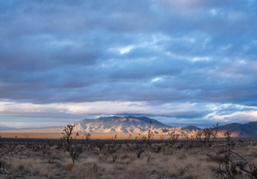
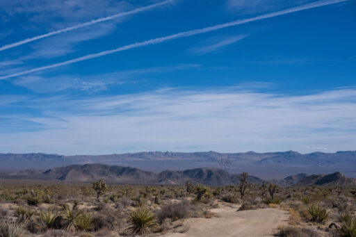
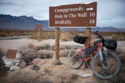
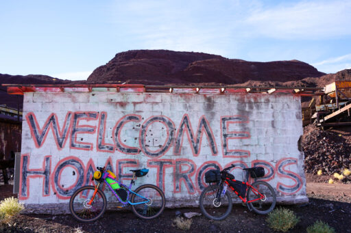
Mojave Solitaire is intended to guide riders around the preserve region in three days. This time frame allows ample opportunity to take in the scenery while ensuring access to reliable water sources. With this in mind, Hole-in-the-Wall Visitor’s Center makes for an ideal starting point. Departing in a counterclockwise direction, riders quickly ascend to the route highpoint near Mid Hills Campground along a rugged dirt road. The scenery up here is stark, and the smells of creosote and juniper are likely to punctuate the desert air. The route then descends through dense forests of Joshua trees before ascending to Cima Dome and Volcanic Field National Natural Landmark. This vast volcanic field contains over 40 cinder cones and 60 lava fields, the most recent of which formed some 15,000 years ago. A fire wiped through this section of the preserve in 2020, but the Joshua trees that survived are towering, and there are few fellow adventurers.
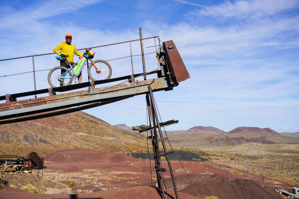
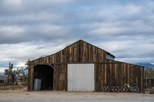
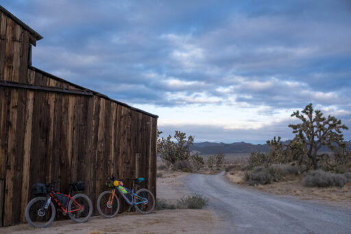
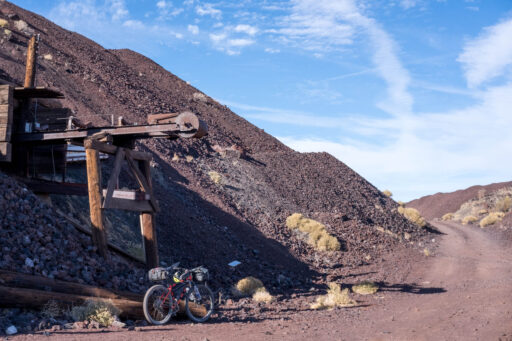
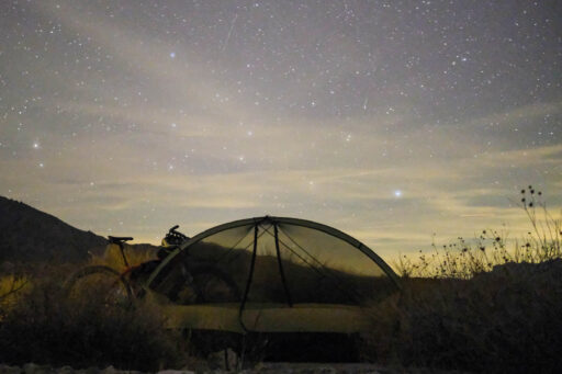
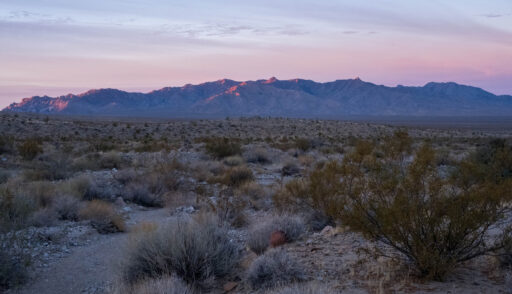
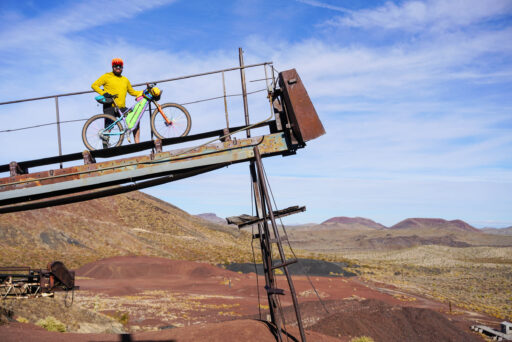
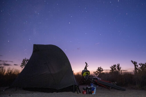
Riding surfaces become rockier and take on a darker hue as riders ascend to Aiken Mine, an abandoned cinder mine with equipment still scattered about in varying states of decay. This area and the surrounding hillsides make for a good spot to set up camp, as cold desert winds often blow at night, and windbreak is much appreciated. Be sure to spend time gazing upward before slipping into your sleeping bag, as the night skies here are the darkest in Southern California.
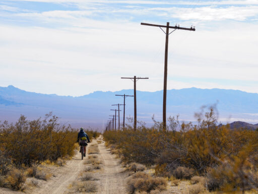
Descending from Aiken Mine, riders will pass the trailhead for a short hike into an intact lava tube. If timed right, sunlight will filter through holes in the ceiling above, an ethereal experience worth waiting for. From the lava tube, riders will climb up a high plateau along the famed Mojave Road before turning onto a long powerline road and descending to Kelso. This once-booming railroad town is now home to the second of the park’s two visitor’s centers and the only guaranteed water source since departing Hole-in-the-Wall. Take time to rest in the eves of the old train station and read about the town’s history before topping off water and continuing on one of the few paved roads in the park. The smooth tarmac offers much-needed respite from the washboard and sand that riders have likely encountered up until now.
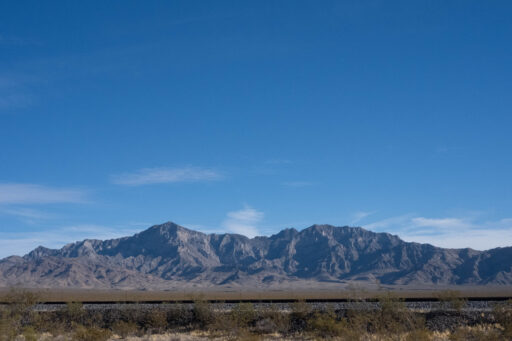
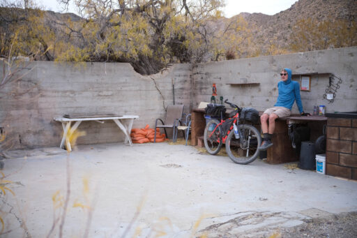
The towering figures of the Kelso Dunes begin to define the horizon as riders make their way south from Kelso. These sand dunes, the largest in the Mojave Desert at over 600 feet tall, were created as desert winds whipped up sediments from the nearby Mojave River sink. Riders will turn east and ride along a rocky, washed-out mining road through Foshay Pass in the Providence Mountains. Excellent campsites can be found in the ruins surrounding Vulcan Mine, an abandoned iron mine that supplied much of the materials necessary to make warships in World War II. A short section of hike-a-bike brings riders to the top of Foshay Pass, where the last of the route can be seen stretching to the horizon. A chunky descent and short paved climb bring riders back to Hole-in-the-Wall, likely slightly more haggard and sun-kissed than when they left several days prior.
Terms of Use: As with each bikepacking route guide published on BIKEPACKING.com, should you choose to cycle this route, do so at your own risk. Prior to setting out check current local weather, conditions, and land/road closures. While riding, obey all public and private land use restrictions and rules, carry proper safety and navigational equipment, and of course, follow the #leavenotrace guidelines. The information found herein is simply a planning resource to be used as a point of inspiration in conjunction with your own due-diligence. In spite of the fact that this route, associated GPS track (GPX and maps), and all route guidelines were prepared under diligent research by the specified contributor and/or contributors, the accuracy of such and judgement of the author is not guaranteed. BIKEPACKING.com LLC, its partners, associates, and contributors are in no way liable for personal injury, damage to personal property, or any other such situation that might happen to individual riders cycling or following this route.
Further Riding and Reading
Here are some connected/nearby routes and related reports...
Please keep the conversation civil, constructive, and inclusive, or your comment will be removed.


