


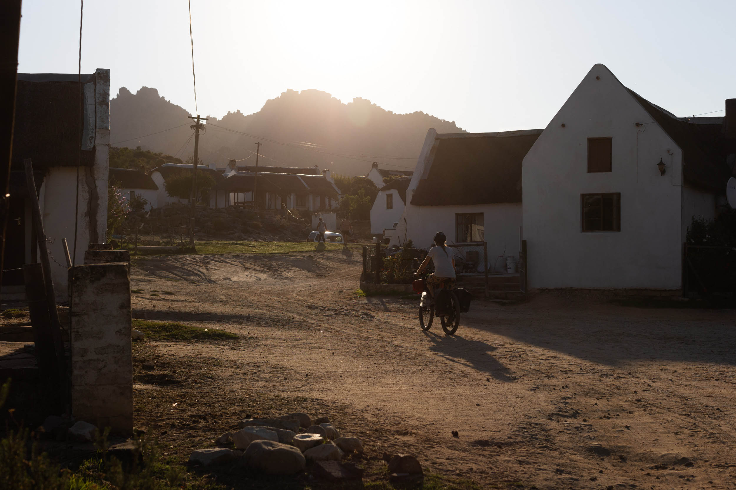
SAND: Segment 1 – Karoo
Distance
842 Mi.
(1,355 KM)Days
25
% Unpaved
85%
% Singletrack
1%
% Rideable (time)
99%
Total Ascent
53,502'
(16,307 M)High Point
5,425'
(1,654 M)Difficulty (1-10)
6?
- 4Climbing Scale Fair64 FT/MI (12 M/KM)
- 5Technical Difficulty Moderate
- 5Physical Demand Moderate
- 7Resupply & Logistics Strenuous
Contributed By
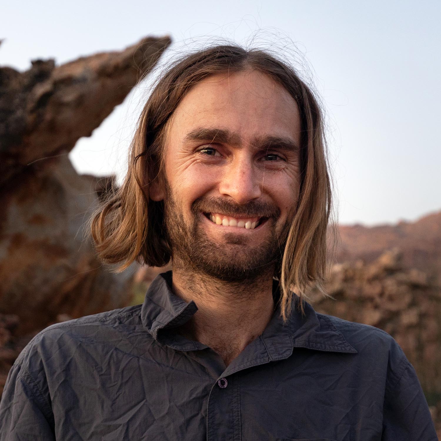
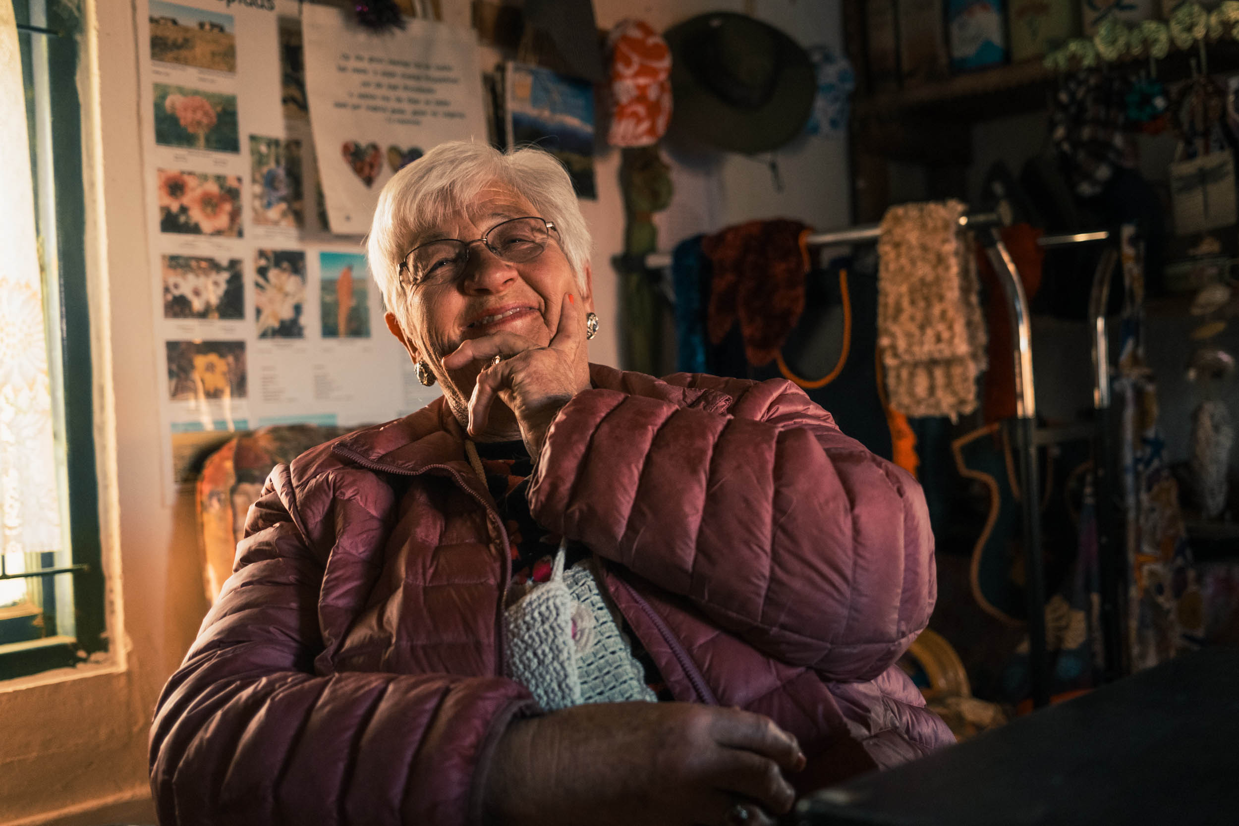
Johan Wahl
A Whale Away
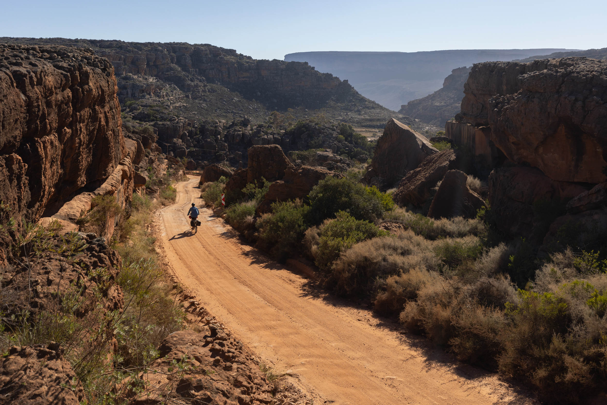
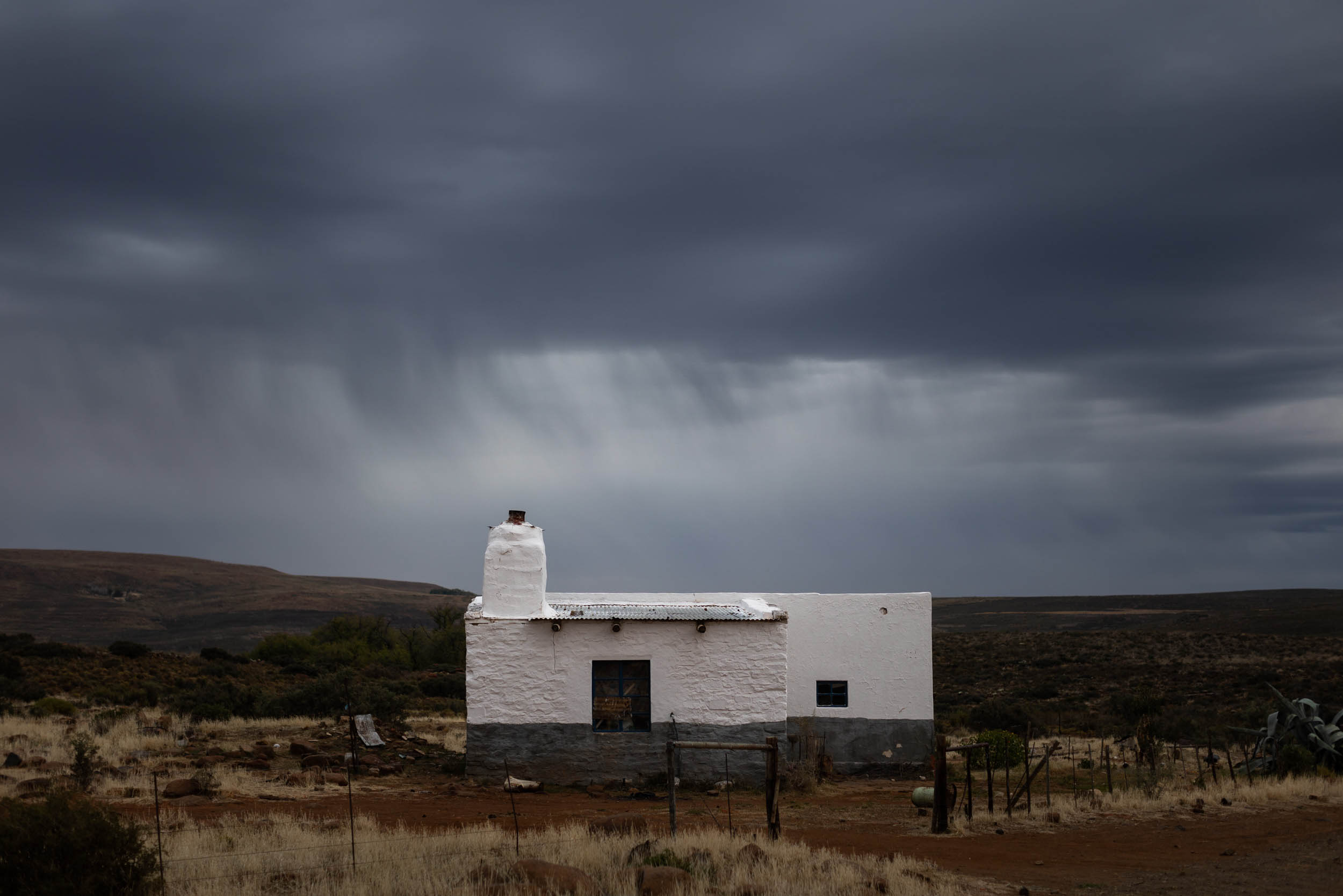
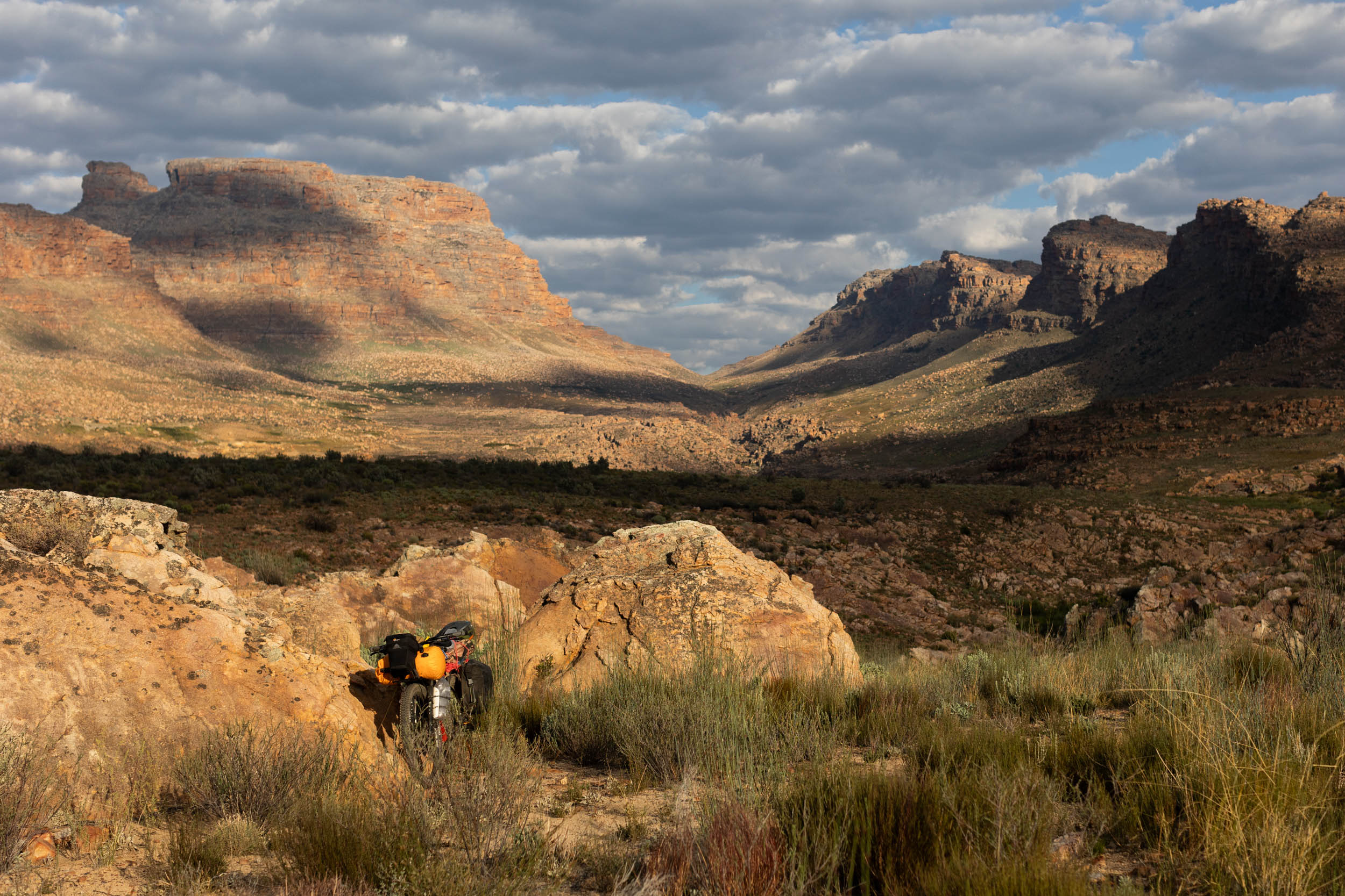
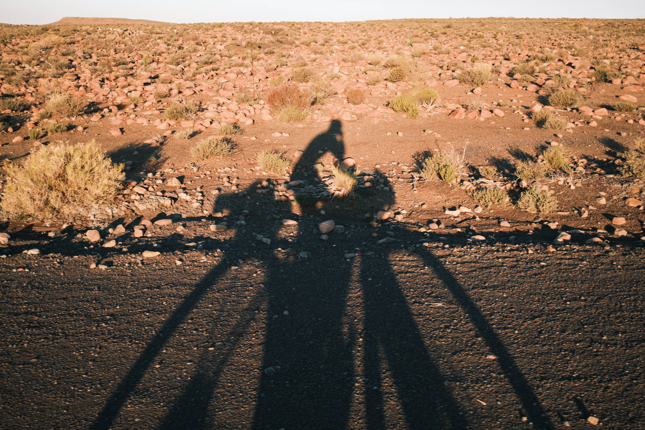
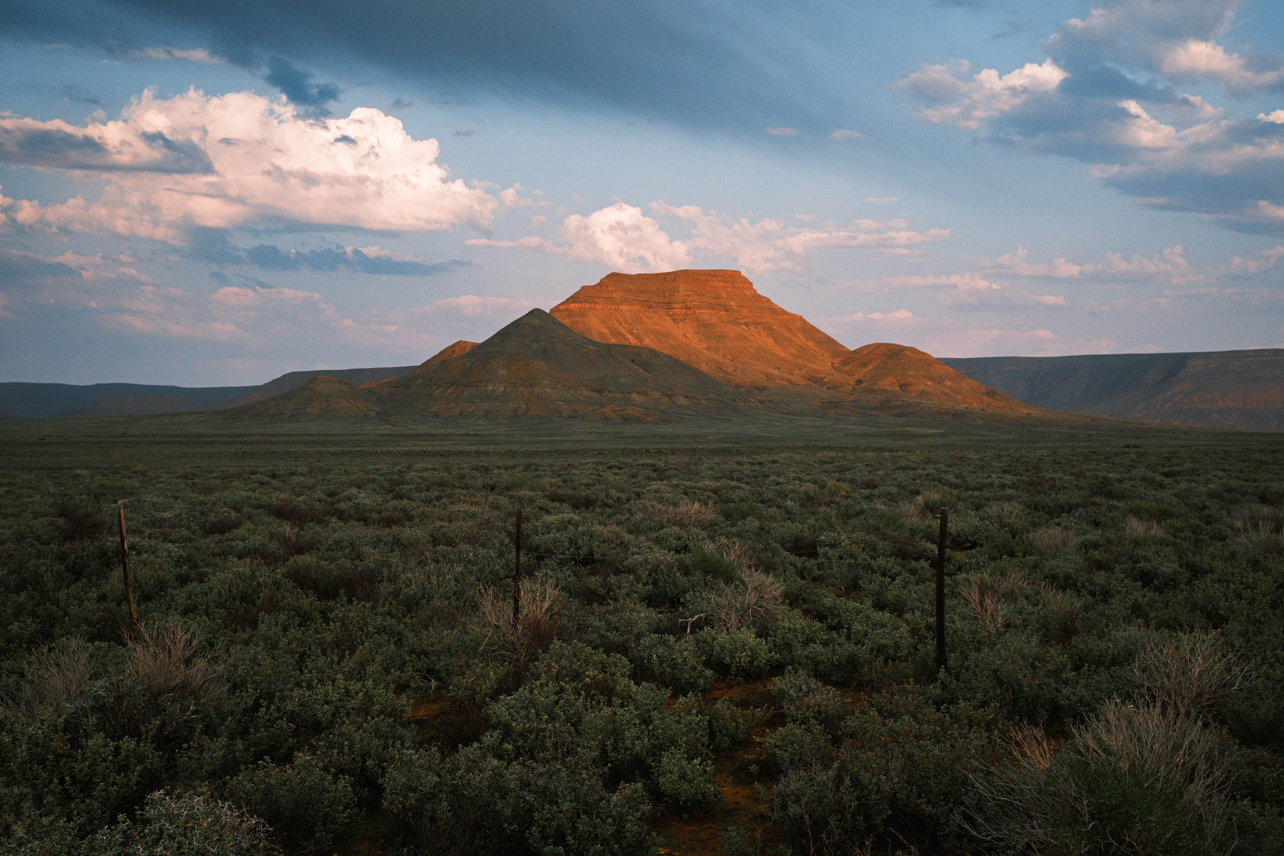
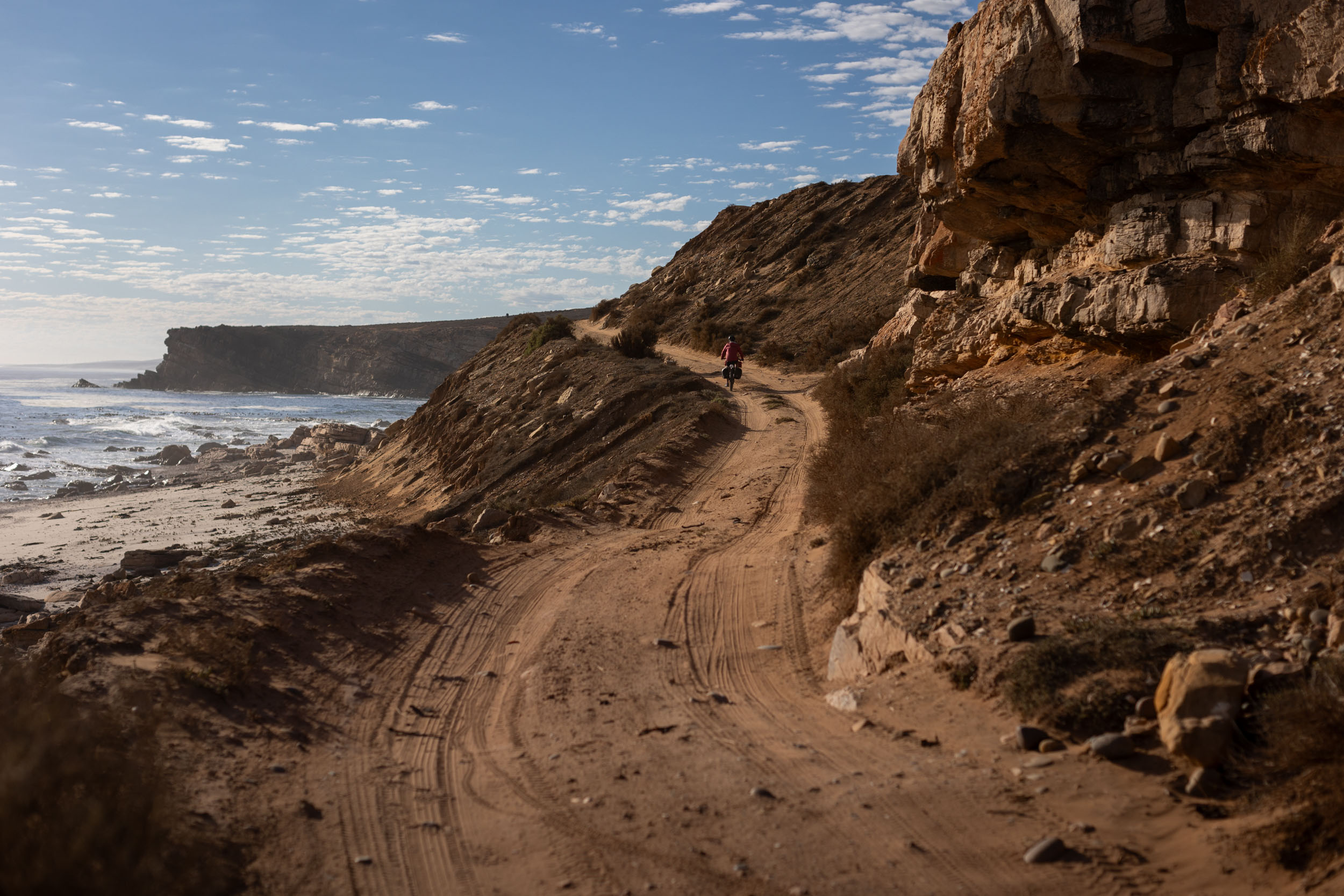
The Karoo is incredibly vast. Including its smaller counterpart, the Klein Karoo, it extends from the Langeberg Range in the far southeast of South Africa all the way to the foothills of the Drakensberg in the country’s central interior, covering an expanse of more than 400,000 square kilometres of mostly unpopulated semi-desert. While its arid plains and sparse vegetation might lead to the perception that the Karoo is dull and unwelcoming, it possesses a mysterious charm that not many people truly grasp. However, there’s a dedicated community of outdoor-loving individuals who deeply appreciate this region. They’re drawn to the Karoo by its tranquillity, clear skies, diverse flora, and the profound sense of solitude imbued in its vast landscapes, and key amongst these people are cyclists.
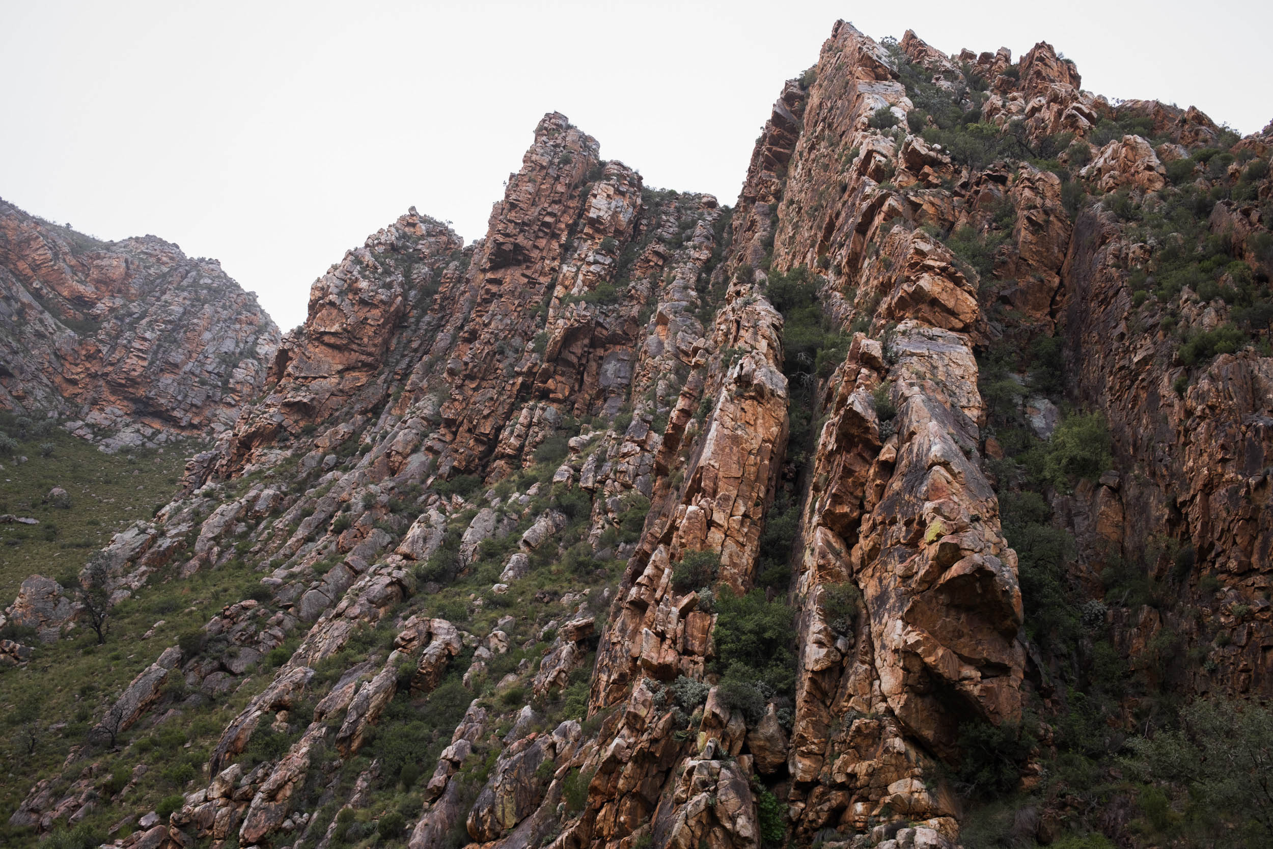
Indeed, the Karoo holds a special place in the hearts of South African cyclists, providing a neverending network of gravel roads to experience. And while much of the Karoo is relatively featureless, those parts bordering the Cape Fold Mountains to the south and southeast are wonderfully rich in topographical features, meaning there are abundant mountain passes that further add to the cycling community’s fascination.
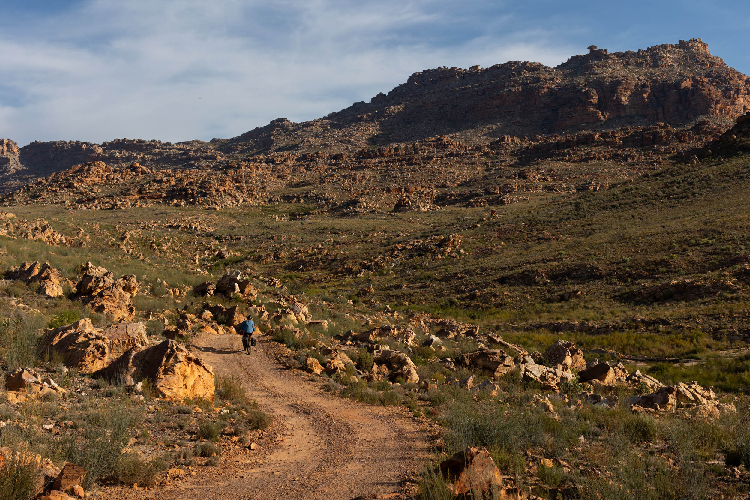
This segment of the SAND bikepacking route focuses specifically on this mountainous periphery of the Karoo, capitalising on its exceptional cycling opportunities. It takes in an array of well-regarded passes and gravel segments while also shining a light on some of the area’s lesser-known gems and cultural sites, all with the ultimate aim of immersing bikepackers in the profound solitude and that rugged charm that so uniquely characterises the Karoo.

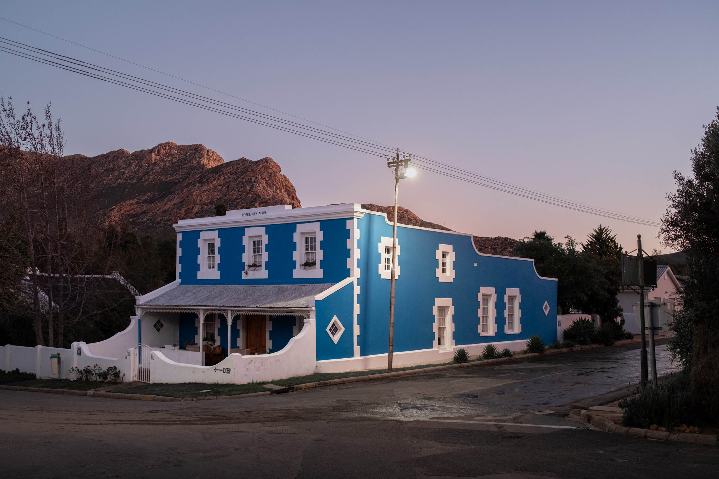
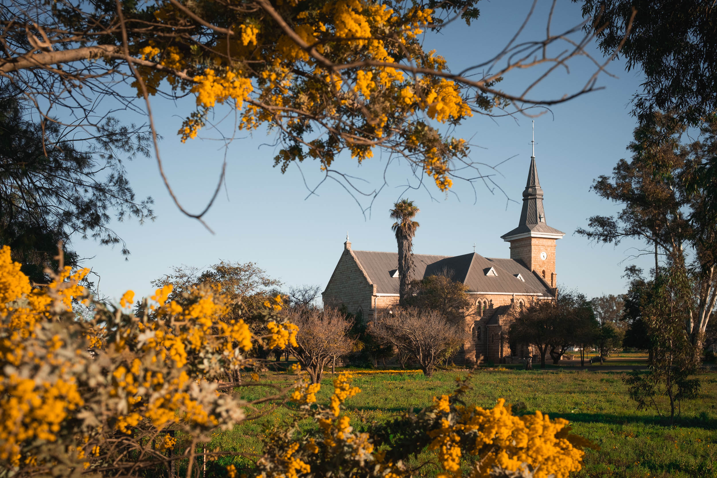
The route crosses several sub-regions, each with its own unique feel, cultural identity, climate, and flora. It starts in the picturesque but bustling university town of Stellenbosch and takes a brief meander through the mountainous pre-Karoo countryside of the Cape Winelands and Overberg regions before making its real Karoo debut in the Klein-Karoo town of Montagu. Here, the route truly comes into its own as riders set out into the arid and solitary expanses of shrublands that lie ahead.
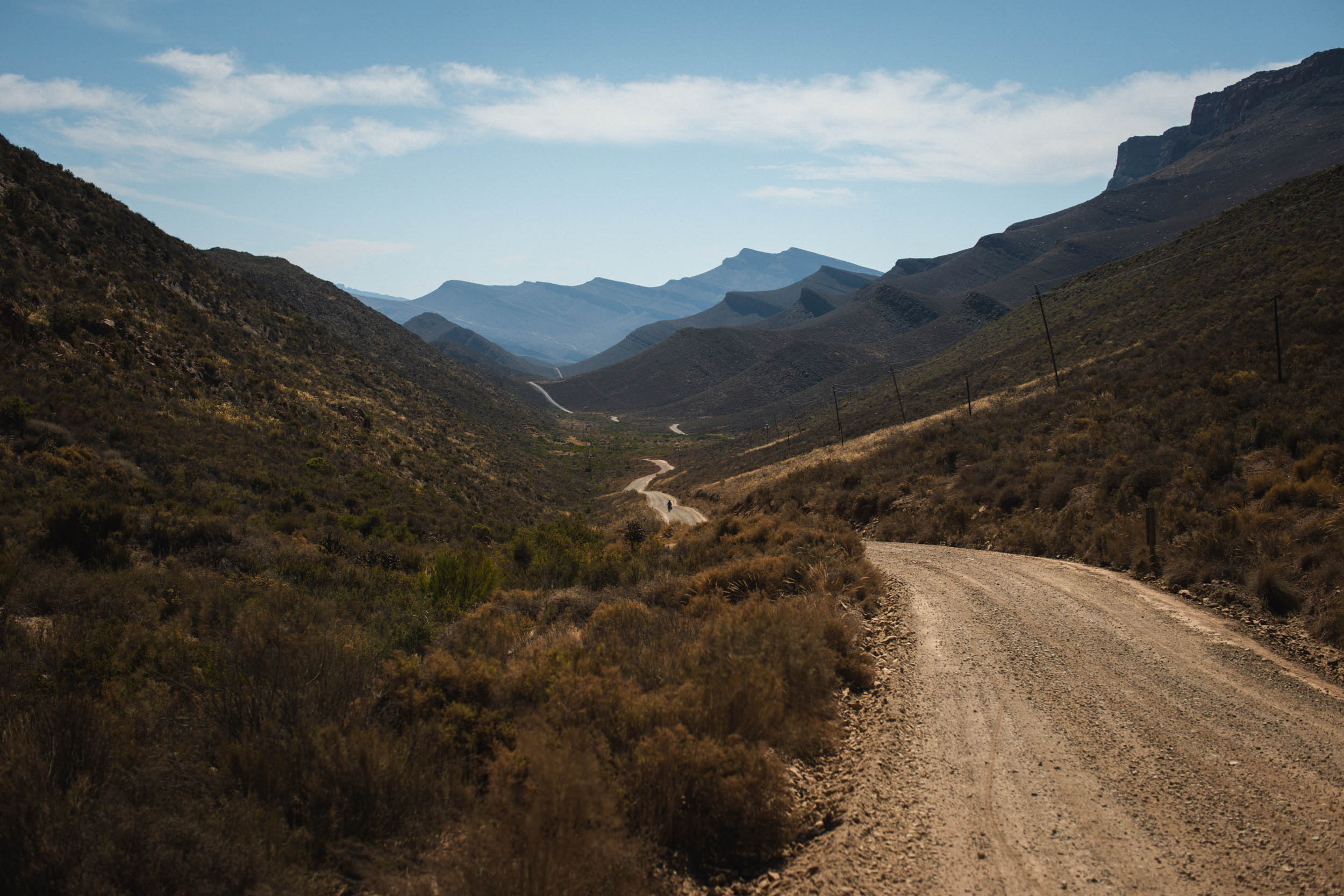
From Montagu, the route meanders through the Klein-Karoo, eventually reaching Ladysmith, where it traverses the Swartberg range via the dramatic Seweweekspoort Pass. Now, in the heart of the Karoo, bikepackers make their way to the top of the Sutherland Plateau, passing through an area known as the Moodenaarskaroo before descending back down the plateau and into the renowned Tankwa Karoo. After an extensive traverse of the Tankwa, the route continues to the neighbouring Ceres Karoo and Koue Bokkeveld regions, eventually leading to the Cederberg Mountains’ interior regions. These mountains are incredibly rich in features, and the route takes full advantage of all the sights and highlights they offer.
After the Cederberg, the route proceeds northward towards Vanrhynsdorp, slowly leaving behind the Karoo and gradually transitioning into what becomes Namaqualand, the area of focus for the next segment of the SAND Bikepacking route. Before finishing in Vanrhynsdorp, riders will still get to experience an immersive passage through the Rooibos Heritage route, a crossing of the remote and barren Knersvlakte (a vast plain stretching towards the coast), and ascending and descending the Gifberg Plateau.
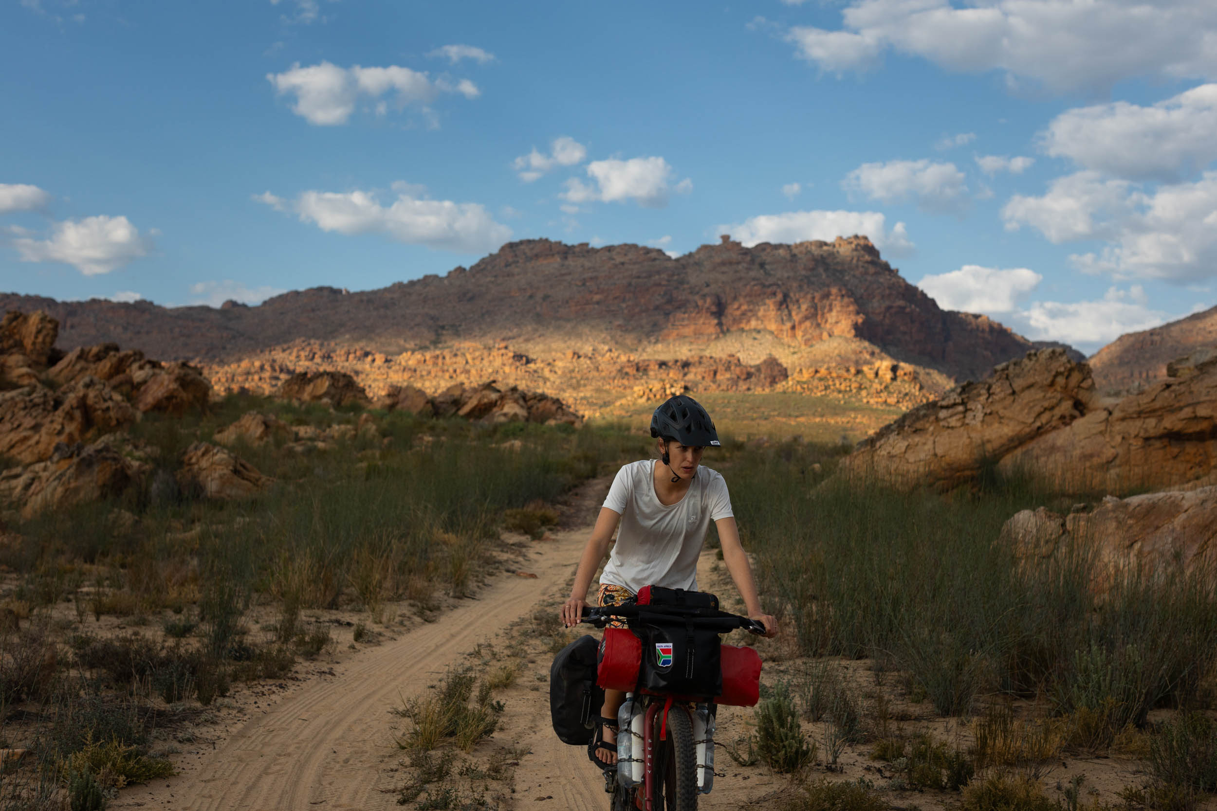
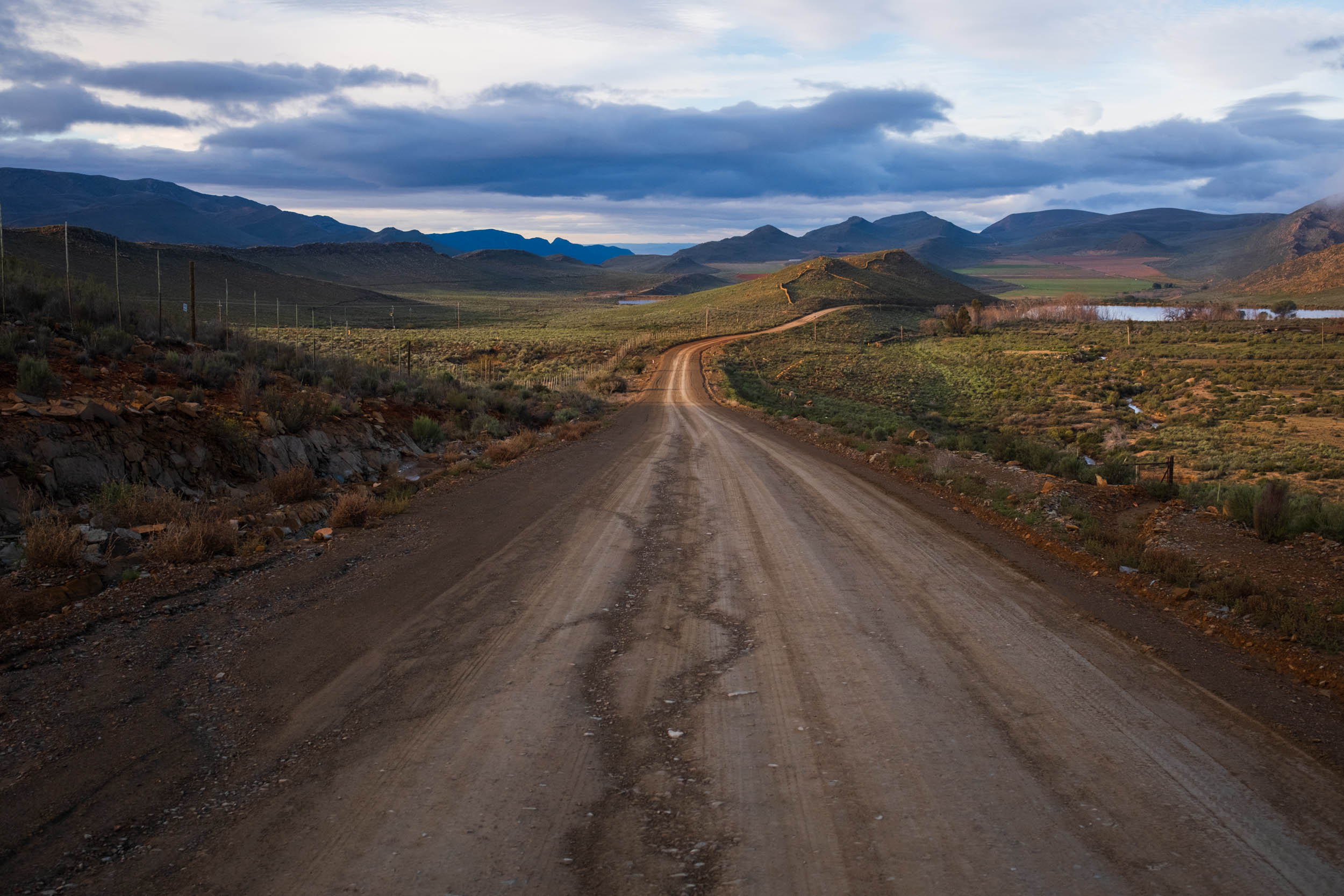
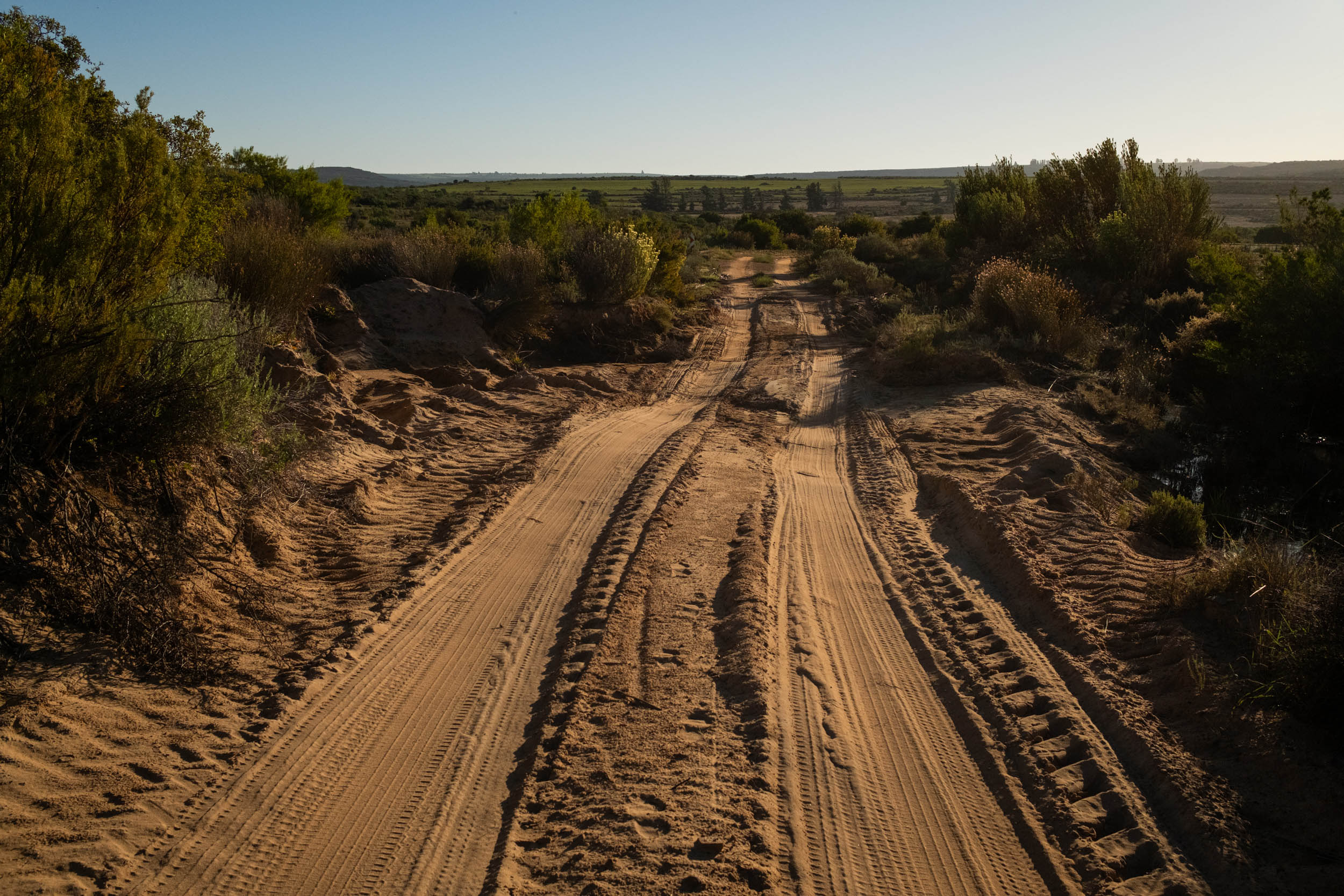
Riding wise, this segment consists chiefly of fast-rolling gravel roads over easy-to-moderate gradients. However, it also contains some chunky sections where less skilled riders will have to walk their bikes. This segment is about much more than just gravel grinding; it’s about discovering and embracing the Karoo’s essence.
It’s a segment where each pedal stroke connects you with those who’ve come to so passionately appreciate the region’s unique character, and upon completing this segment, you’ll no doubt be proudly amongst those few who grasp its mysterious allure.
Route Difficulty
Most of the riding is straightforward, consisting of primarily non-technical gravel roads with moderate gradients, but a few spicy sections ultimately up the overall difficulty. This includes short sections of soft sand, some loose and rocky tracks, and short but steep hills. However, the main challenges of this segment relate more to logistics and resupply. Towns with well-stocked stores are few and far between, and water sources are limited, necessitating careful planning throughout.
Route Development
The SAND Bikepacking route was developed by South African bikepacker and photographer Johan Wahl and his partner Jana. They first attempted the route in 2021, intriguing us with inspiring images as they rode, but it wasn’t until recently that Johan fine-tuned his ideas from that initial journey into a structured route that could be repeated and published here. Private property and land access were major obstacles during that initial journey, and it took in-depth consultation with locals and landowners and several return trips to resolve. He also exchanged ideas with several prominent bikepacking-minded members of the local cycling community to ensure that the route would be well received. Longevity was one of the key considerations in planning this route, and the belief is that with this route now accessible to all, the future is bright for bikepacking in Southern Africa. Stay tuned as we release segments 2-5 of this incredible 5,500+ kilometer route.


Submit Route Alert
As the leading creator and publisher of bikepacking routes, BIKEPACKING.com endeavors to maintain, improve, and advocate for our growing network of bikepacking routes all over the world. As such, our editorial team, route creators, and Route Stewards serve as mediators for route improvements and opportunities for connectivity, conservation, and community growth around these routes. To facilitate these efforts, we rely on our Bikepacking Collective and the greater bikepacking community to call attention to critical issues and opportunities that are discovered while riding these routes. If you have a vital issue or opportunity regarding this route that pertains to one of the subjects below, please let us know:
Highlights
Must Know
Camping
Food/H2O
Trail Notes
- Mountain passes. Pedal up some of the Cape’s most impressive passes including the impressive Seweweekspoort Pass.
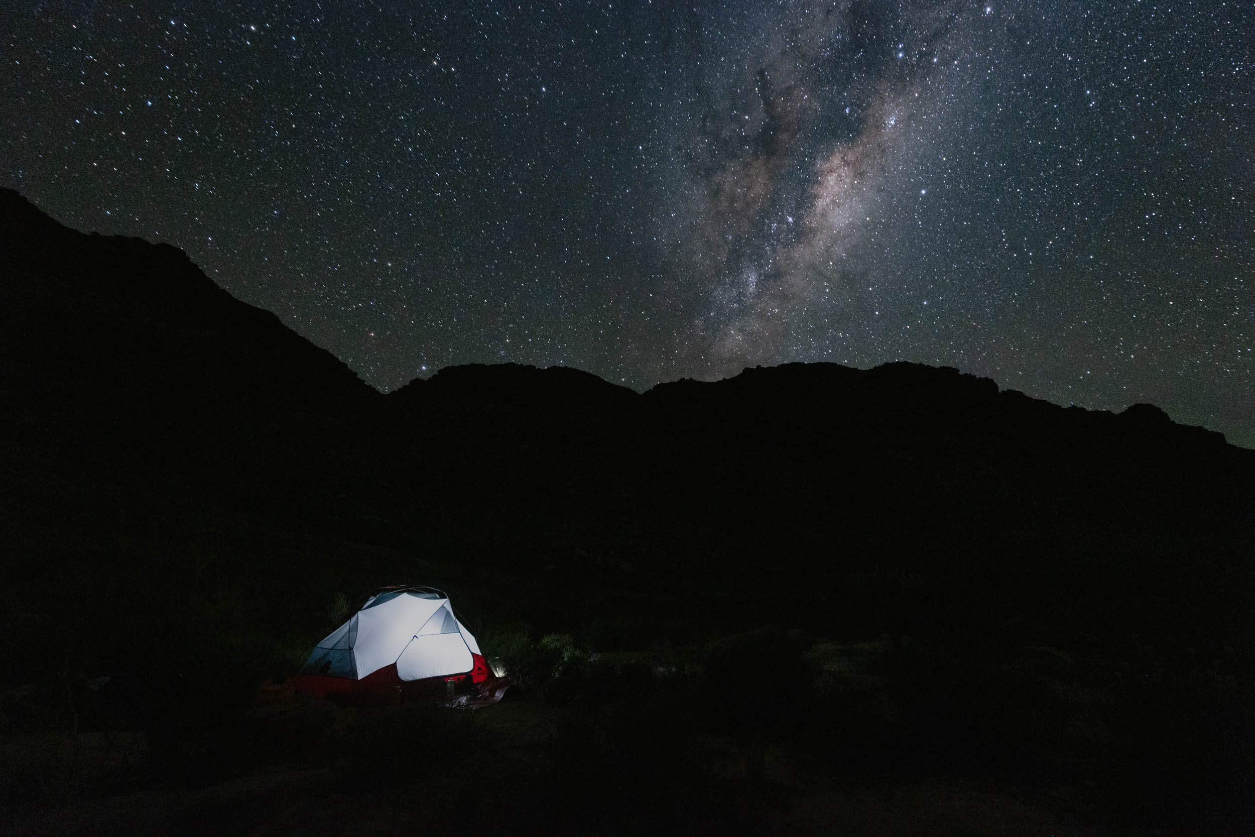
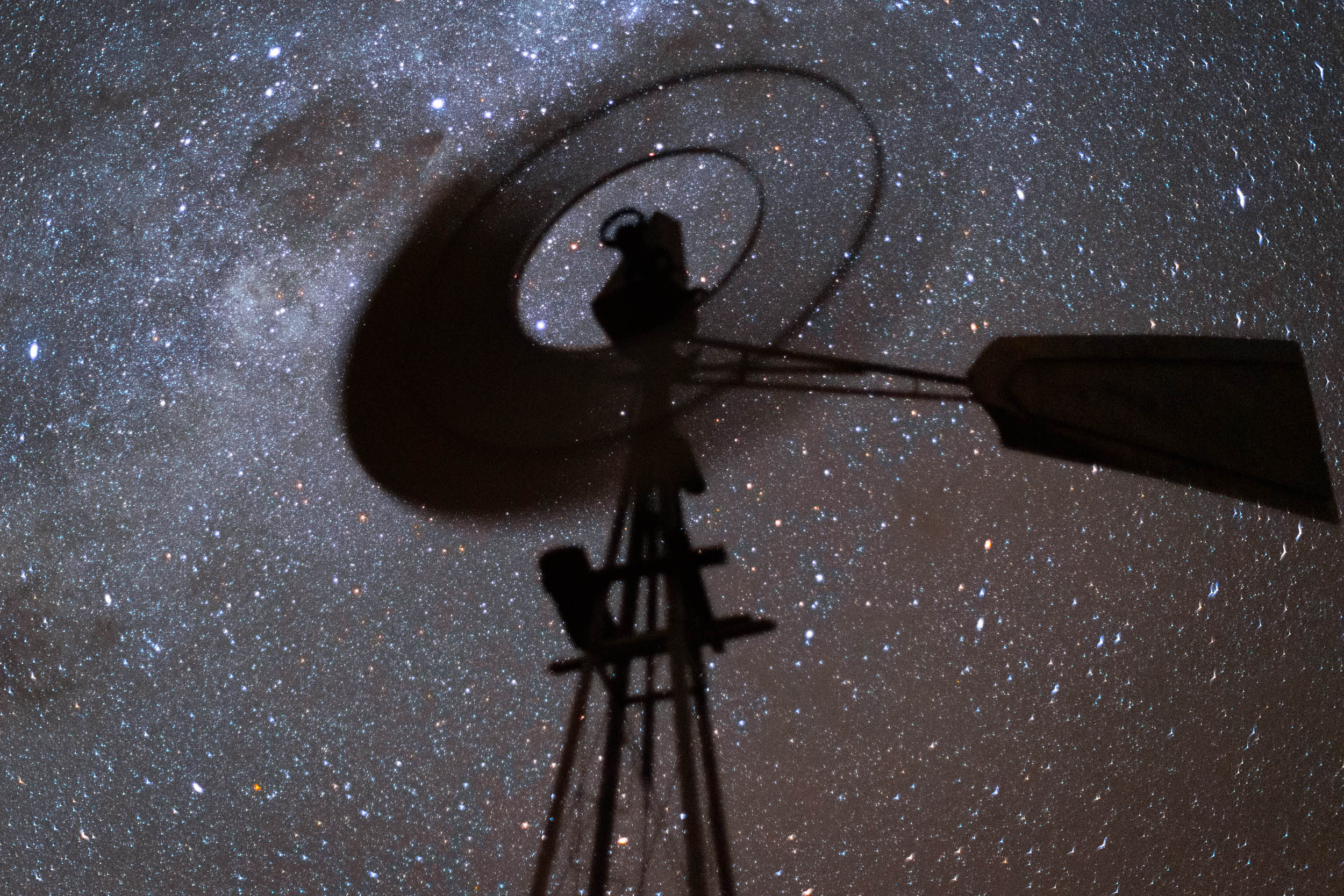
- Camping under the stars. The dry air and the complete absence of light pollution make for perfect stargazing conditions. The largest telescope for astronomical observation in the Southern Hemisphere is found here, in the Karoo (in Sutherland).
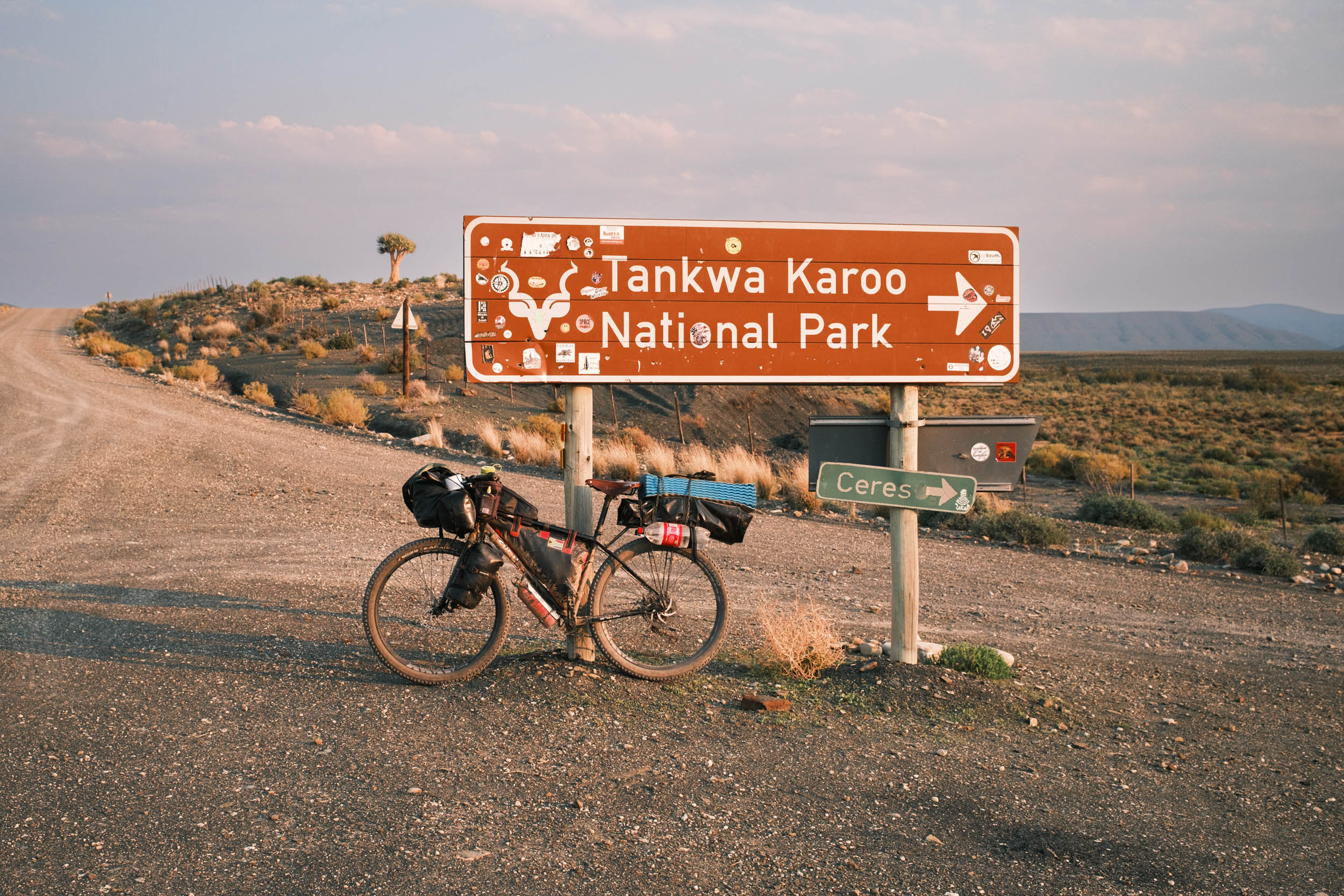
- Experience the freedom of the Tankwa Karoo. With its vast, otherworldly landscapes, the Tankwa exudes a feeling of boundless freedom and creativity.
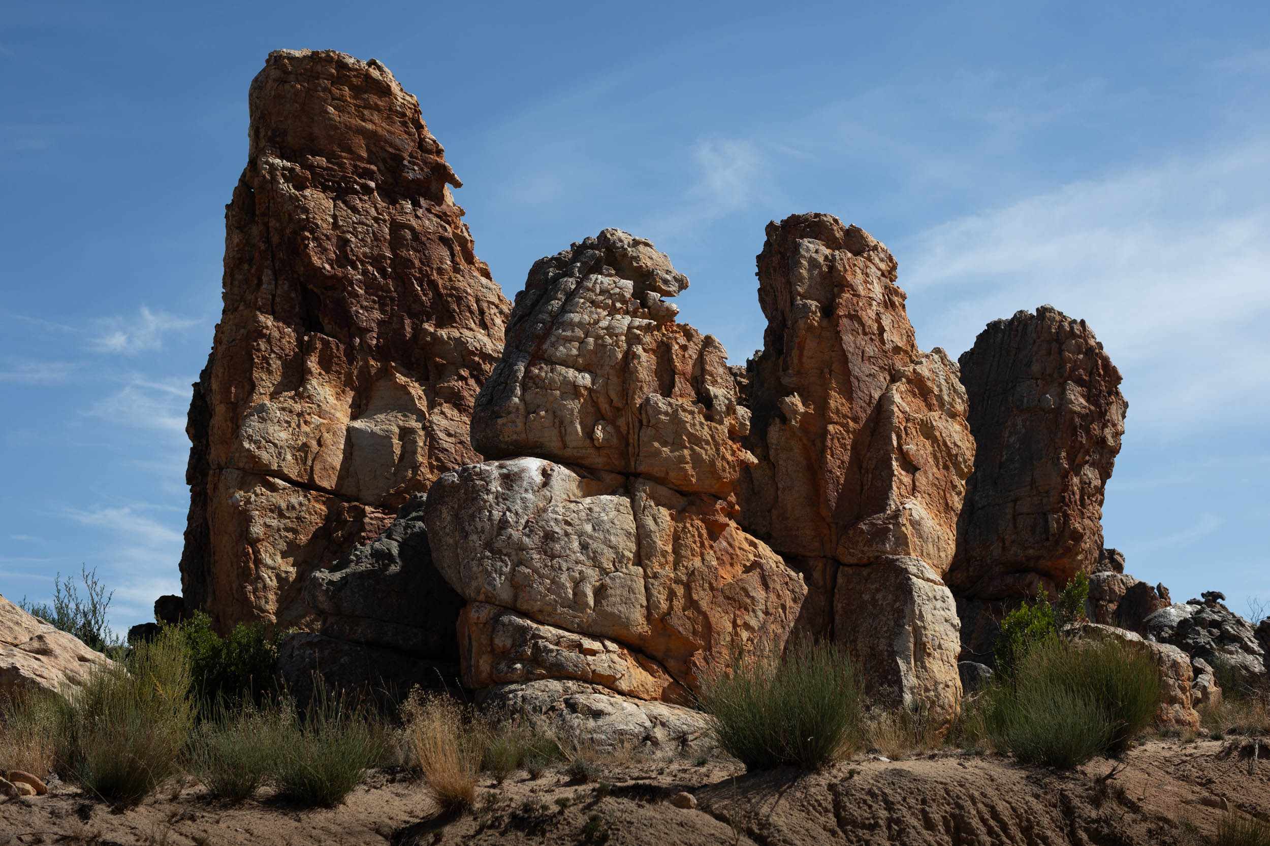
- Explore the rock formations of the Cederberg. The Cederberg is littered with sights such as rock formations, slot canyons, caves, and arches. It’s worth taking some time off from the saddle to experience this sandstone playground.
- Rock Art is scattered all throughout the region. These mostly belong to the San people, who have lived in these rugged mountains for thousands of years.
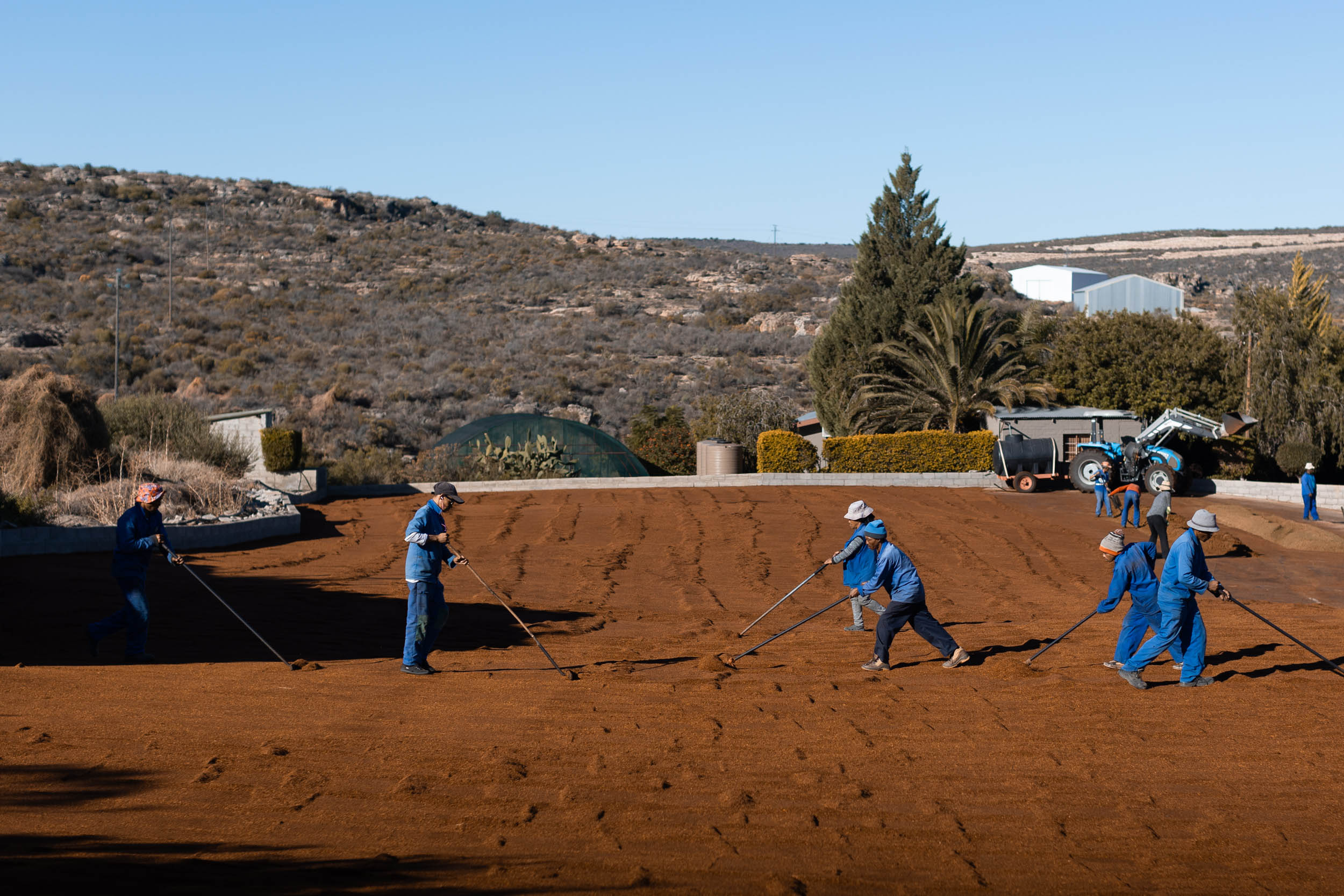
- Rooibos tea, the red, uncaffeinated brew that’s now sold and enjoyed around the world (on a recent trip, I even found a pack of Rooibos in a small shop in rural eastern Türkiye!), is exclusively grown and produced in the Cederberg region. Unlike other local crops, Rooibos is mostly cultivated in friendly community settings. Meeting and mingling with the makers of this superdrink is a special part of riding this segment.
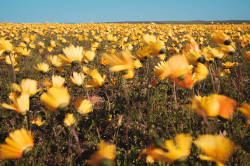
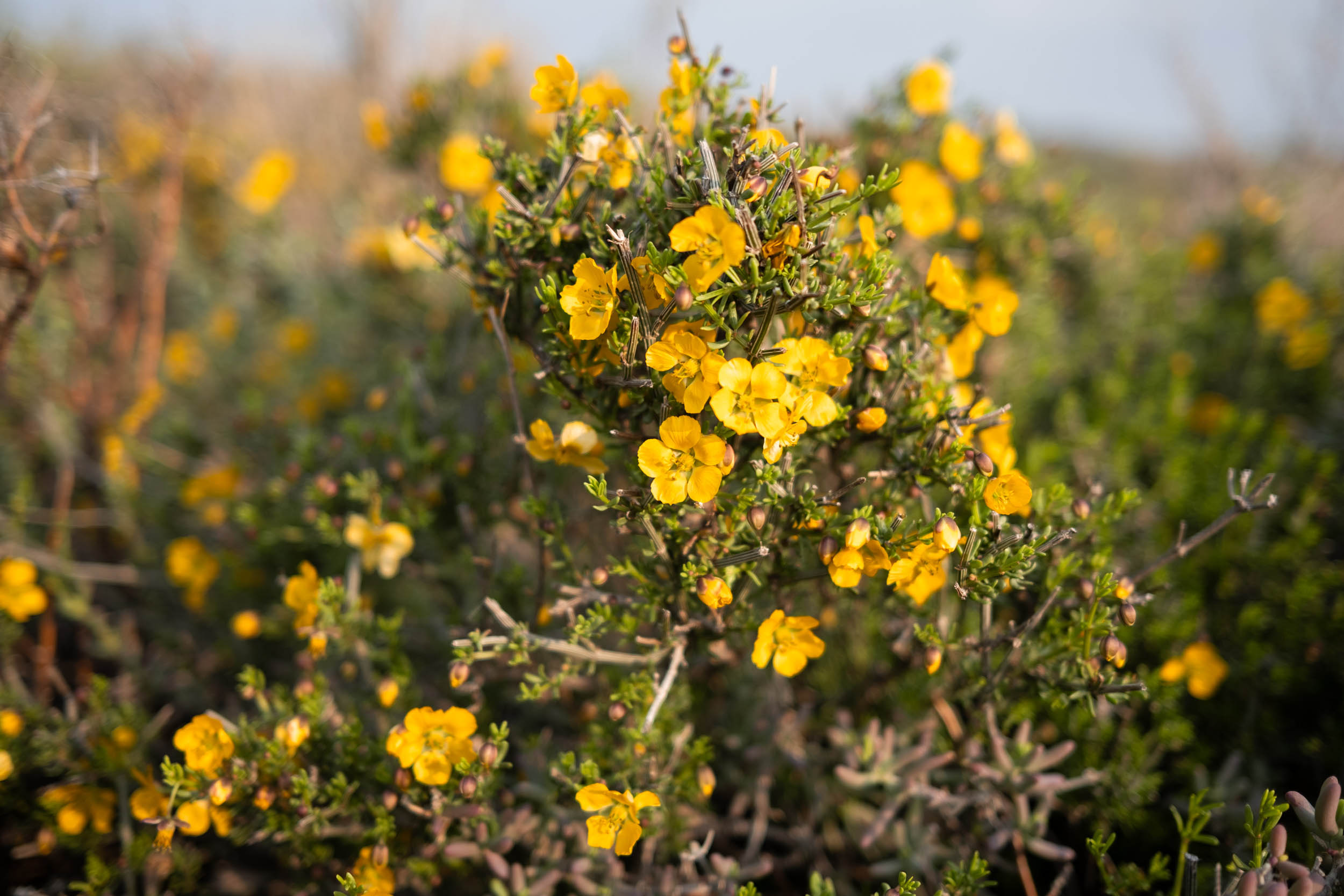
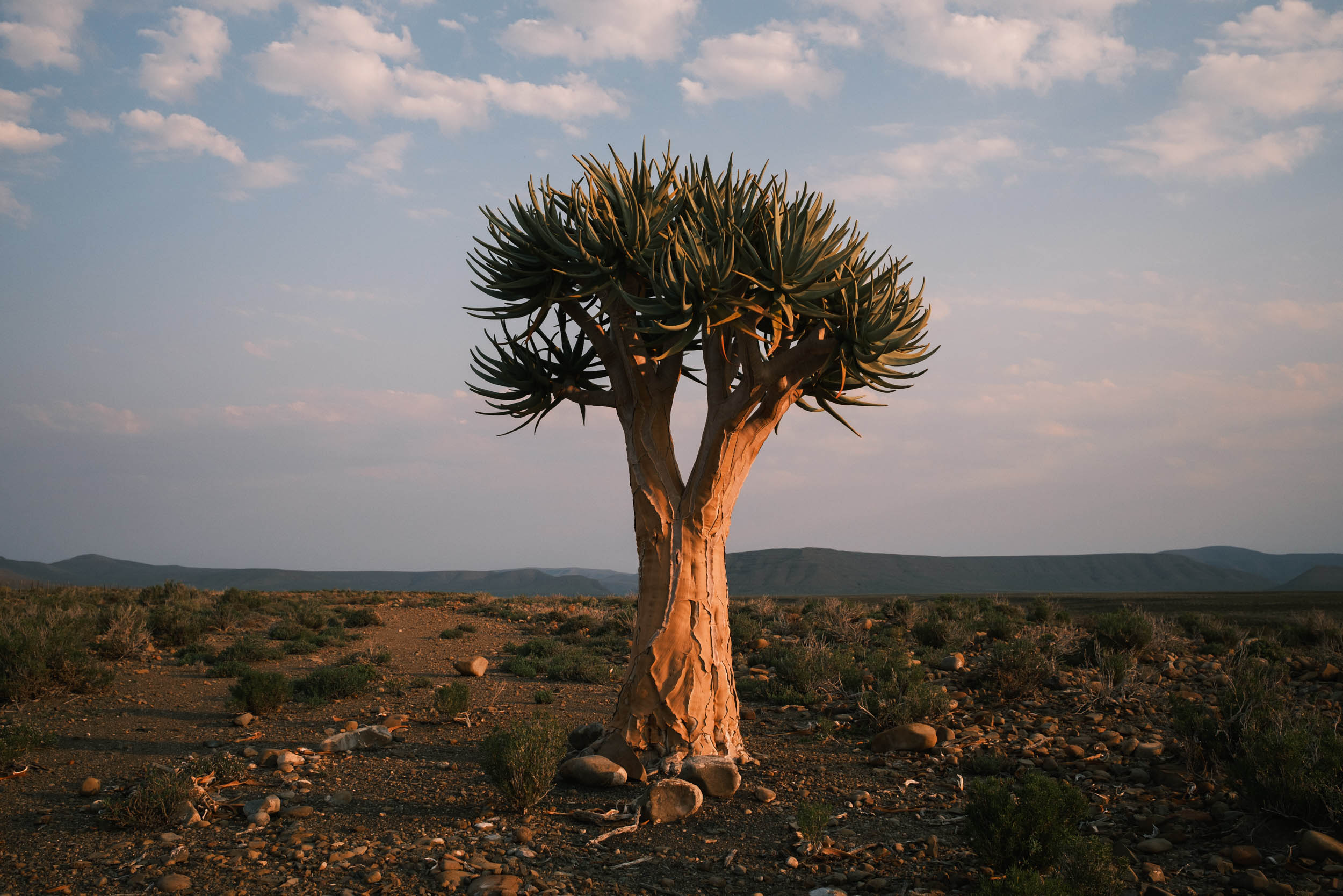
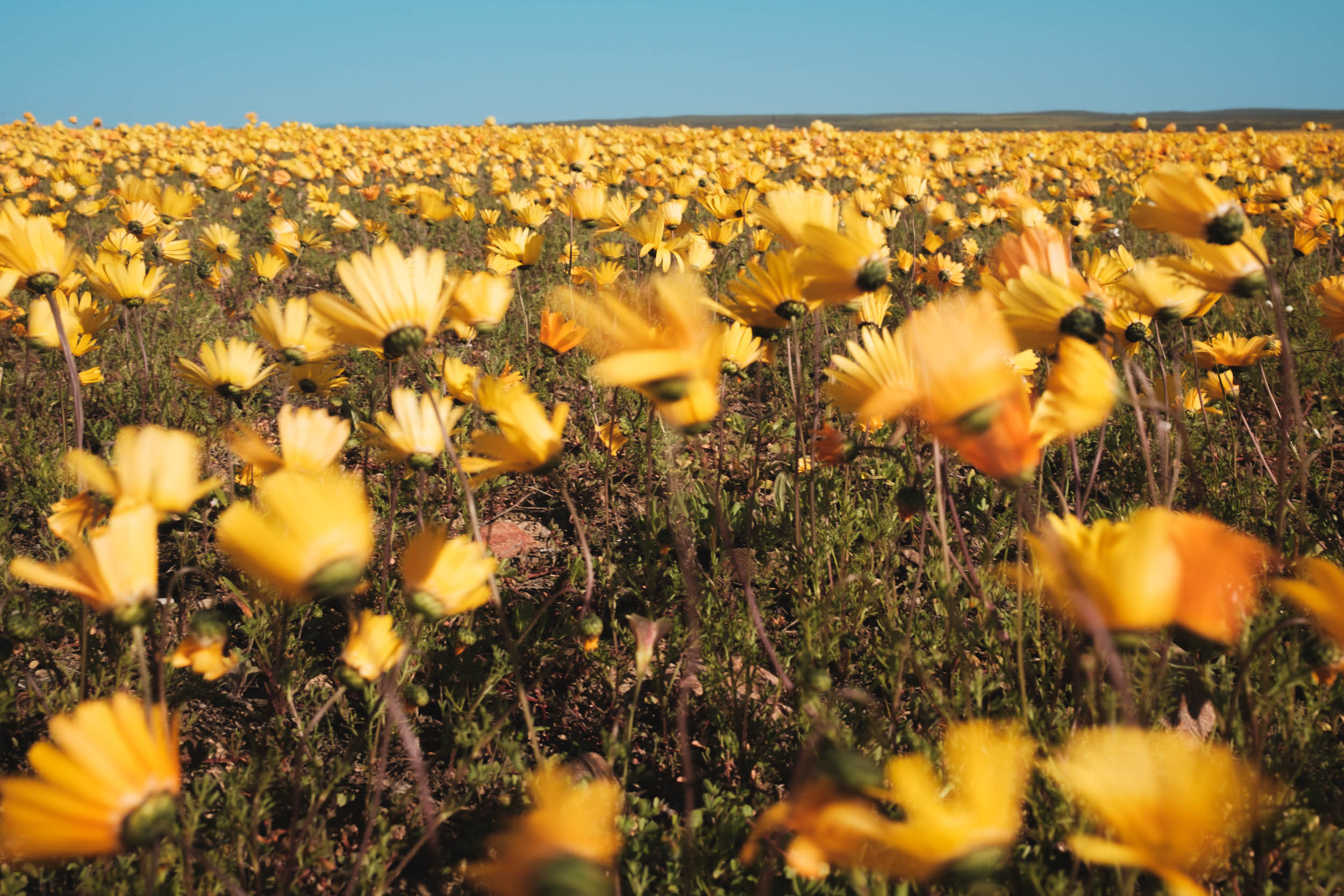
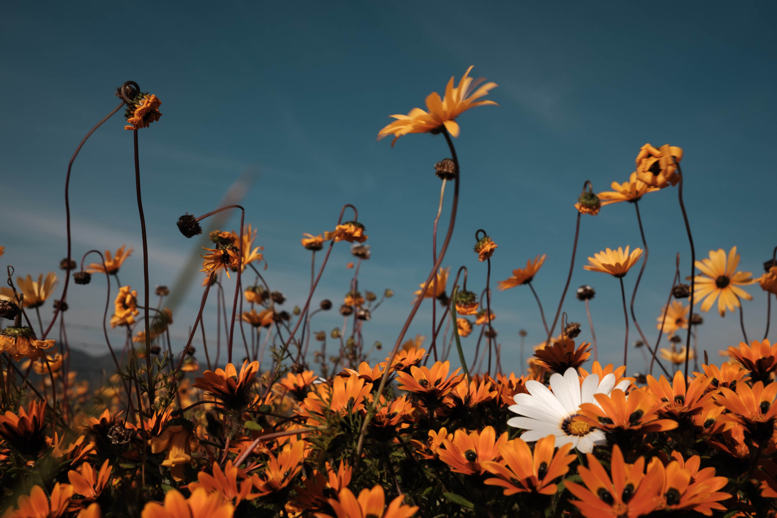
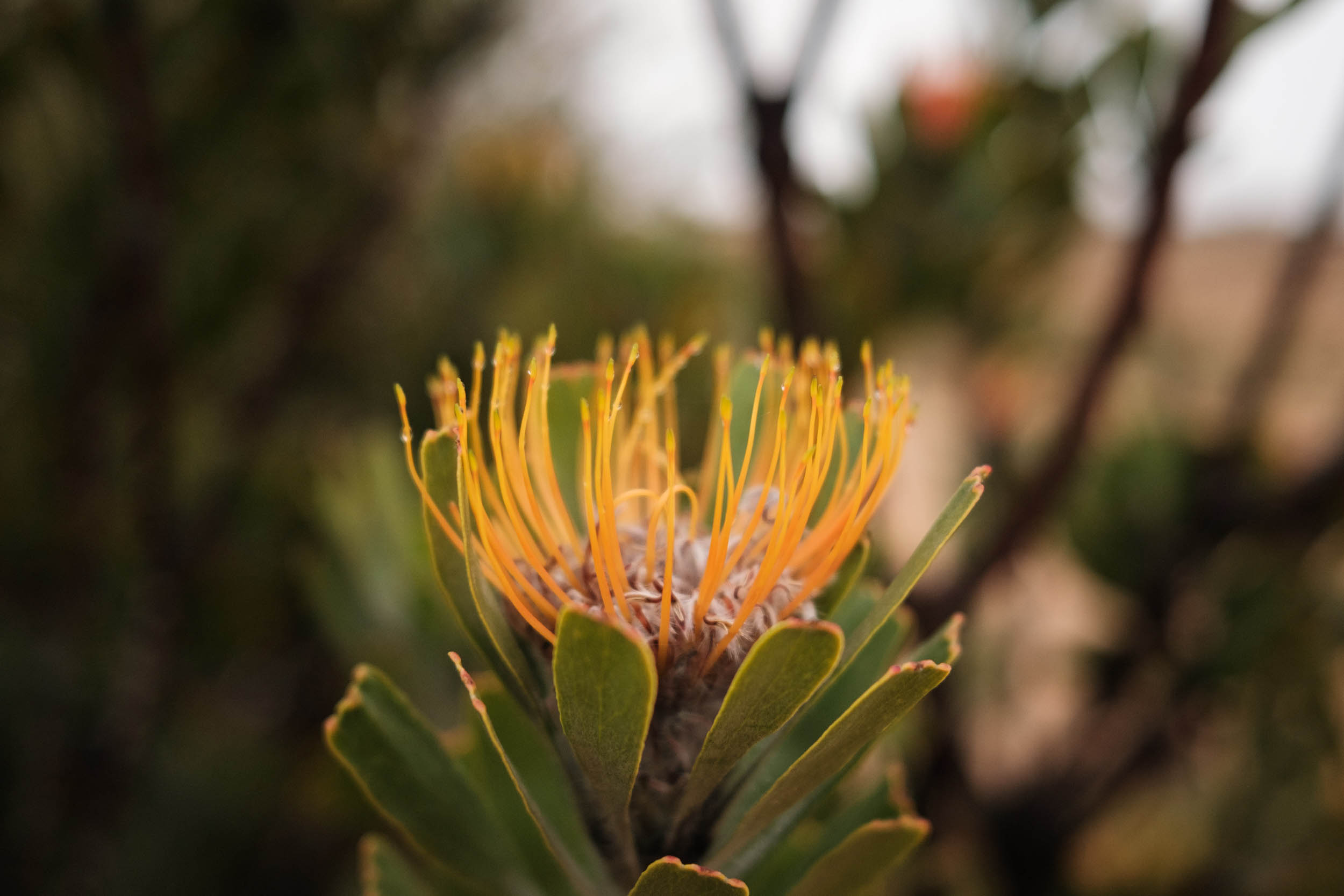
- Wildflowers, succulents, and Fynbos. The route weaves back and forth between the Cape Floristic Region and the Succulent Karoo Biomes, both of them internationally recognised biodiversity hotspots. These landscapes may seem dull from afar, but at closer inspection, there are thousands of unique and incredibly resilient plant species to observe.
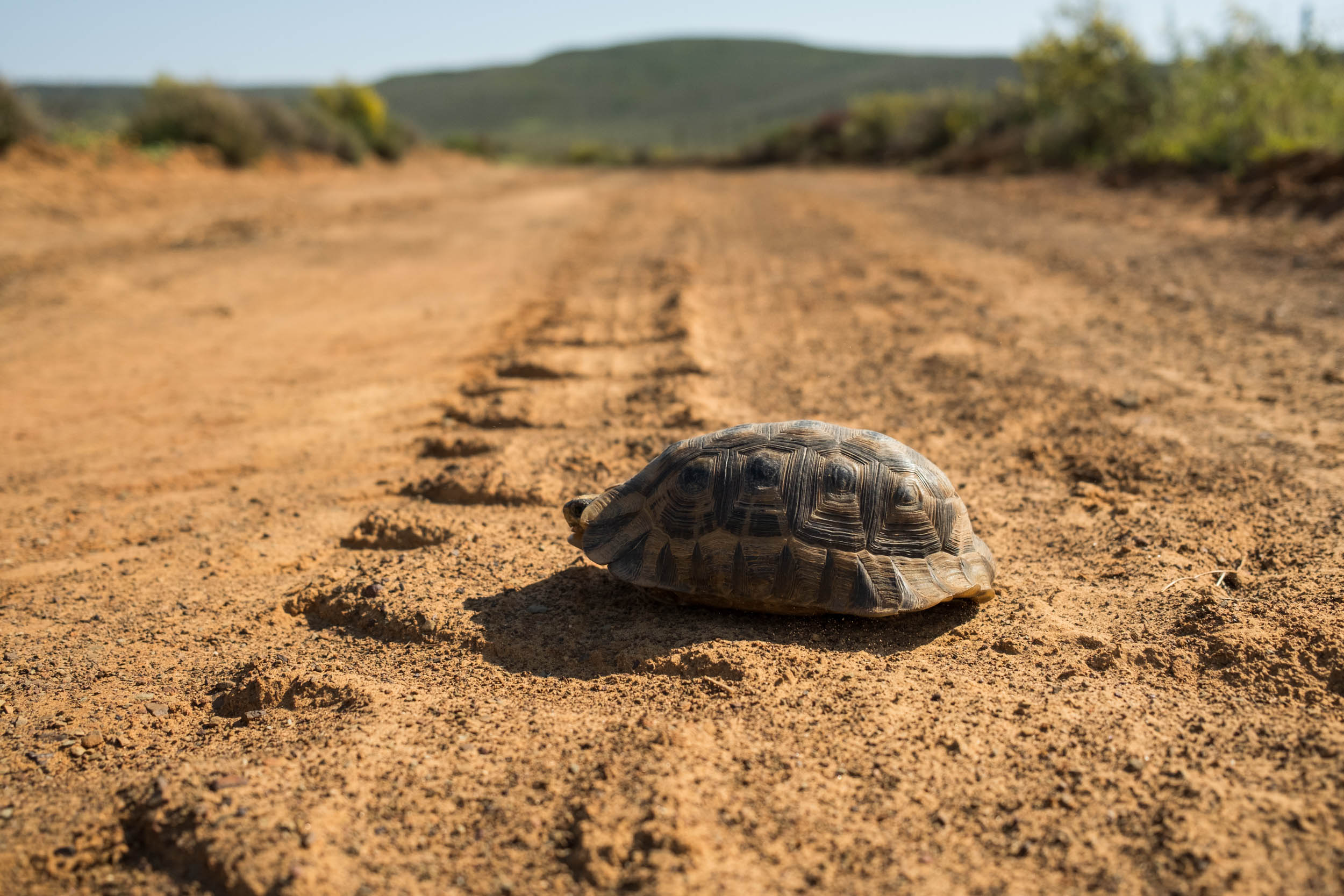
- Unique wildlife. Look out for oryx, springboks, zebras, baboons, dassies, snakes, tortoises, lizards, and the many other unique animals found here. If you are extremely lucky, you might even see the elusive Cape Leopard. Wildlife populations are especially plentiful in parks and reserves (e.g. Anysberg Nature Reserve, Tankwa Karoo National Park, and Cederberg Wilderness Area, all included in this segment).
- Wine Tasting. The route starts through the Cape Winelands, an area known for the production of world-class wines. Pull in at any of many roadside wineries for a tasting, which is usually very affordable.
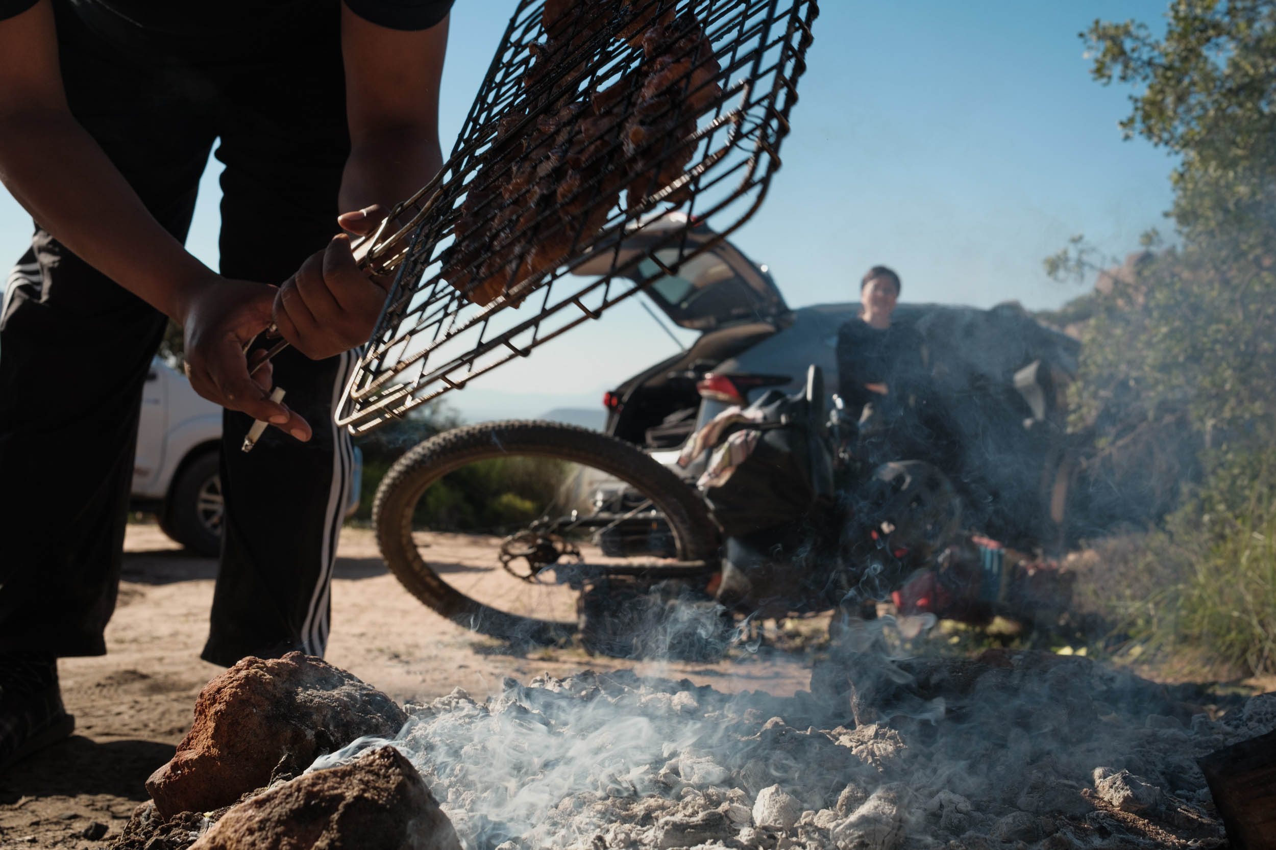
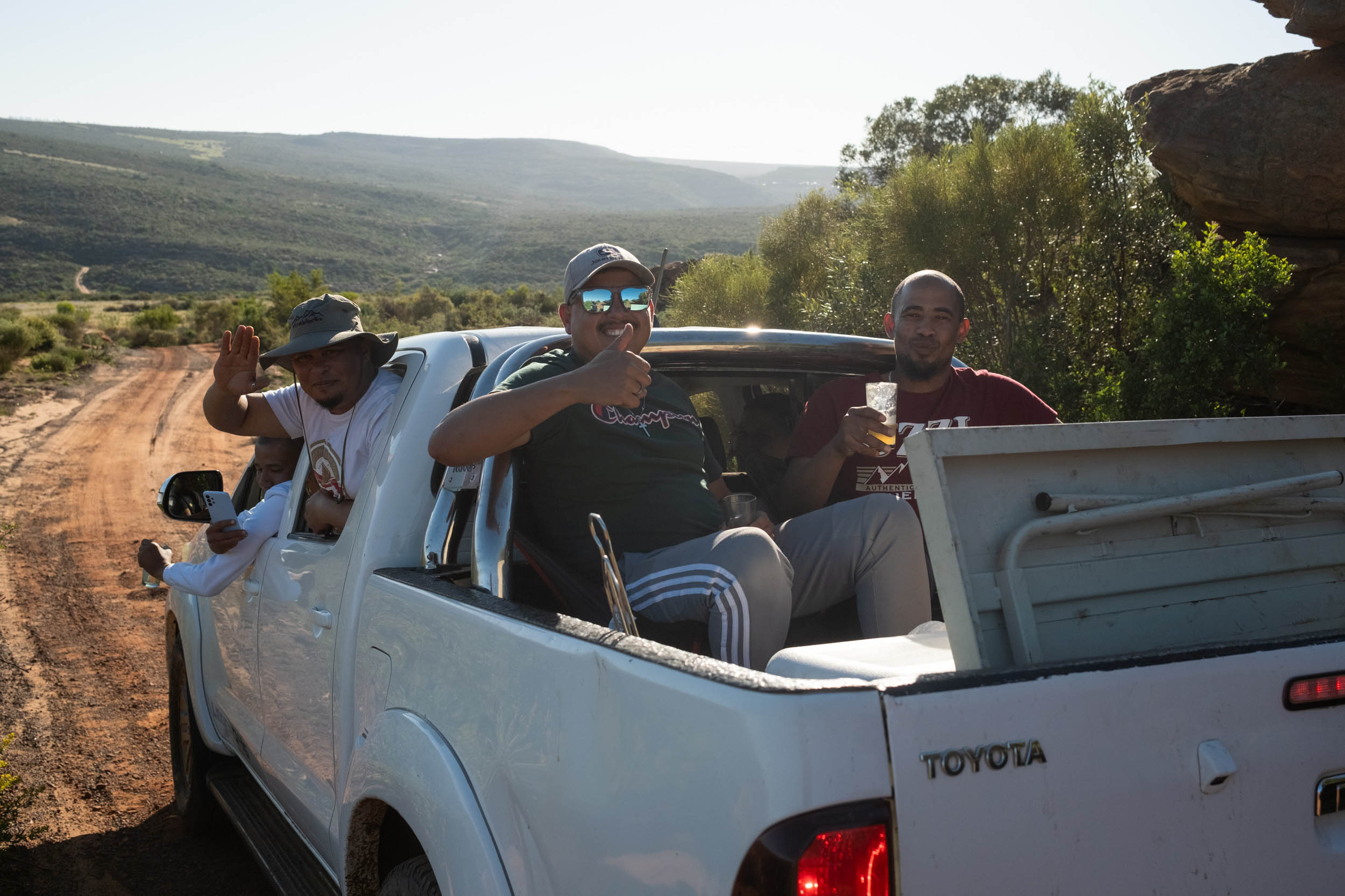
- Braai with locals. The region’s most common cuisine is “braaivleis,” barbecued meat, typically lamb chops and “boerewors,” long sausages filled with a spicy mix of mutton, beef, and pork. If meat’s not your thing, opt for a “braaibroodjie,” a delicious fire-toasted sandwich.
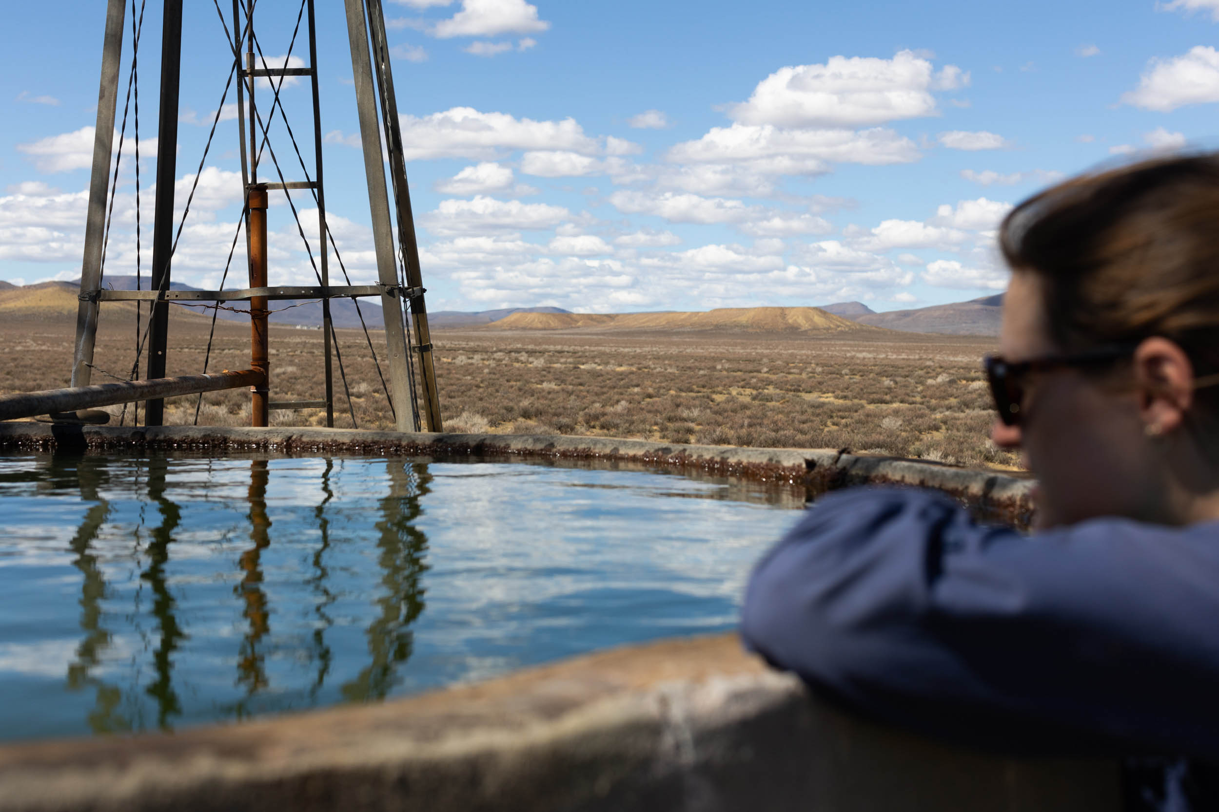
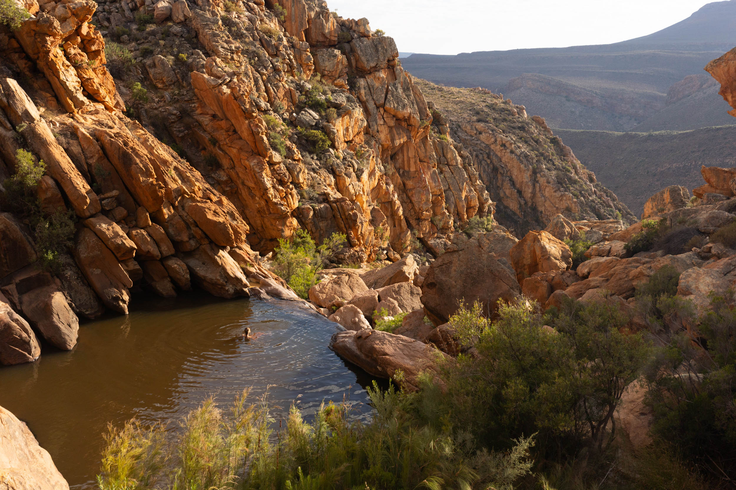
- Cool off in crystal-clear mountain pools. The Cederberg is littered with hidden rock pools and streams, and there’s nothing quite as exhilarating as discovering and dipping into one of these pools on a hot day.
- Flower Season. Every year, following the winter rains and a good dose of sunshine—usually from around mid-August to mid-September—the northern plains of this segment (those parts north of the Cederberg) erupt with colourful wildflowers. During this time, the whole region, which is otherwise tranquil, comes alive with activity and festivity.
When to go
- The best time to ride this segment is from May to September, South African winter and winter-shoulder seasons. Although in theory it would be possible to ride through summer, it gets dangerously hot and dry, making water management even more of a challenge.
- Winter days are often quite pleasant, even hot, but it does also get cold. Night temperatures in the highlands can drop to below freezing. Also, during winter storms, the area receives rain, and the highlands get occasional snowfall.
Route Logistics
- The route starts in Stellenbosch, a 45-minute Uber ride away from Cape Town International Airport. It’s a bustling student town with a lively tourism scene, tons of accommodation options, services, large supermarkets, and well-stocked bike shops. It’s also arguably the epicentre of South Africa’s mountain bike scene, so if you have the time and the urge, do check out some of the local trails.
- Note that there are no straightforward public transportation services to Stellenbosch from the airport, and there is no safe route to cycle between the two. We recommend getting an Uber from the airport. If you’re travelling to Stellenbosch from other large cities or centres in the country, the best would be to head to Cape Town centre first and arrange Stellenbosch-bound transportation from there. Unfortunately, there’s no safe route for cycling between Stellenbosch and the City, and it is not advised to attempt cycling between the two. It’s a known crime hotspot.
- This segment ends in Vanrhynsdorp. It’s not a hub by any means, but it’s got enough accommodation options, and its position on the N7 highway means you can arrange transportation back to Cape Town without too much pain. There’s a daily minibus taxi service leaving from outside the petrol station as well as the Intercape bus that passes through Vanrhynsdorp en route from Springbok.
- The government’s official 1 in 50,000 topographic maps are excellent. They show detailed contours, streams, rivers, cadastral information, and even individual structures, including wind pumps and farm buildings. These maps are free to download and view using the Avenza Maps app.
Private Land and Access
This segment is almost entirely on public roads. However, there is one little exception, in the Cape Winelands section: the Rusty Gate Farm Pass, of which more details are given in the Trail Notes and on the relevant GPX waypoint description. Otherwise, land and access should not be an issue. With that said, many of the roads, even though open to the public, do in fact still cross through private farms. In theory, these kinds of roads should always be accessible to the public with gates left unlocked at all times, but in the past, some landowners have locked off access at their own ruling. At the time of documenting and testing this segment, all the relevant roads were open, but the situation can change in the future. If you do arrive at a locked gate, it would be best to go back to the last farm house and speak to someone. If that’s not an option, you’ll have to figure out a way to reroute or risk the consequences if forging ahead. If you do encounter any issues, please report it to us. As for unlocked gates, you will pass through many of them. As a rule, close any gate that was found closed, and leave open any gate that was found open.
Park fees and permits
Permits are required for the following parks and nature reserves. Unless any of these above mentioned park offices are closed or unmanned, don’t attempt to evade payment of permits. This will jeopardise future access.
- Anysberg: Permits are sold on site. The park office is halfway into the park at Vrede (marked on GPX).
- Tankwa Karoo National Park: Permits sold at the Gannaga Lodge
- Cederberg Wilderness Reserve (for the “Old Donkey Cart Road” between Heuningvlei and Pakhuys Pass): Permits are sold at the Kliphuis park office (marked on GPX)
Safety
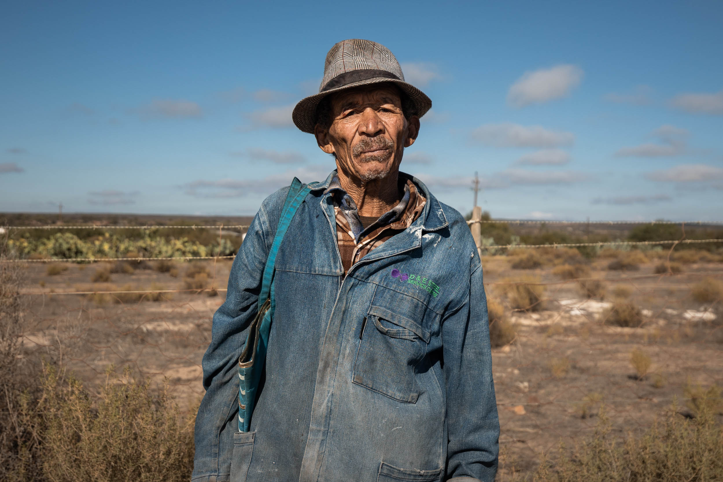
As noted in the route overview page (see FAQs), crime is notorious in South Africa. However, most crime happens in urban areas and metros. Be vigilant when passing through larger towns. Keep your bike in sight, and don’t flaunt any valuable items. For example, consider putting your camera away and don’t have your smartphone mounted on your handlebars for everyone to see. With that being said, remember that most people, by far, are not out to rob you. Enjoy the friendly interactions with all locals and don’t let the thought of crime cause unnecessary anxiety. For the most part, this segment travels through extremely sparsely populated areas where crime should be of no concern whatsoever.
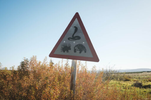
Dangerous Animals
- Be on the lookout for Baboons that inhabit the mountains throughout the region. Encounters with Baboons are quite common and usually without incident. However, they are territorial and dangerous and should not be toyed with or fed.
- You may encounter Ostriches on the route. They sometimes behave aggressively, and a kick can cause serious injury. They’re not to be underestimated! Steer clear of them if possible.
- There are several species of venomous snakes. Most common are the Puffadder and Cape Cobra. Puffadders camouflage themselves in gravel or shrubs. Look out for them!
Language
- South Africa has 12 official languages, but throughout this region, people speak predominantly Afrikaans and then English, so communication should generally not be an issue.
Money
- Cards (Visa or Mastercard) are widely accepted for payment, but some of the camp sites, guesthouses and roadside shops will only accept cash for payment.
Cellphone
- Generally, there’s little-to-no connectivity outside of towns and cities. However, many farm owners have their own private wifi connections, and they may let you use it if you ask.
- Most South Africans use Whatsapp for messaging and calls. The country code is +27.
- Vodacom generally has the best network coverage in rural parts.
What bike?
- For the most part, this segment should be possible, and indeed enjoyable, on a gravel bike. However, if you’re planning to combine this segment with the next one, bring a mountain bike or anything that can handle steeper, chunkier terrain. Even this segment contains a few soft sandy or technical sections that may prompt a mountain bike, but they’re few and far between.
- We rode this segment (and the rest of the SAND route) on fully rigid 27.5+ ATBs and found them a good fit, although 29 inch wheels would have been nice.
- Tubeless tyres are recommended but not essential for this segment. The real thorny business is further north on the route.
- Bike shops: Once you leave Stellenbosch, there will be no real bike shops found directly on the route. The one exception, although only near the end of the segment, is the owner of Ulla Irene Guesthouse in Nieuwoudtville, who has an impressive stash of bikes and bike parts in his backyard workshop. He’ll sort out almost any mechanical problem you may have.
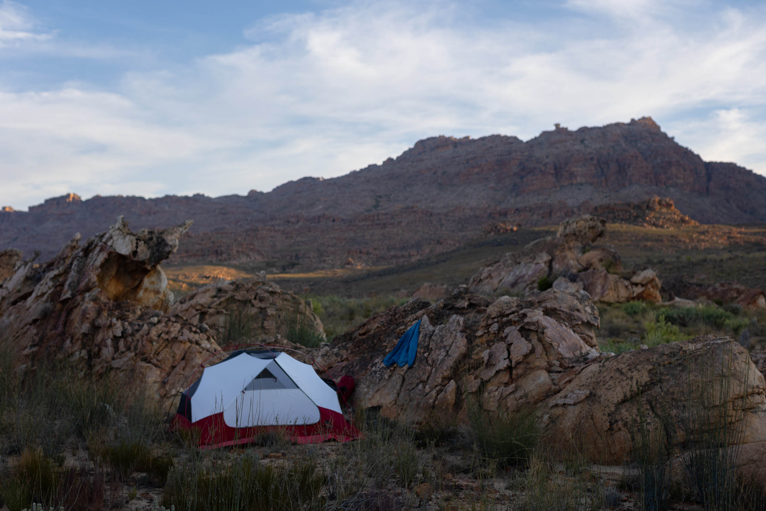
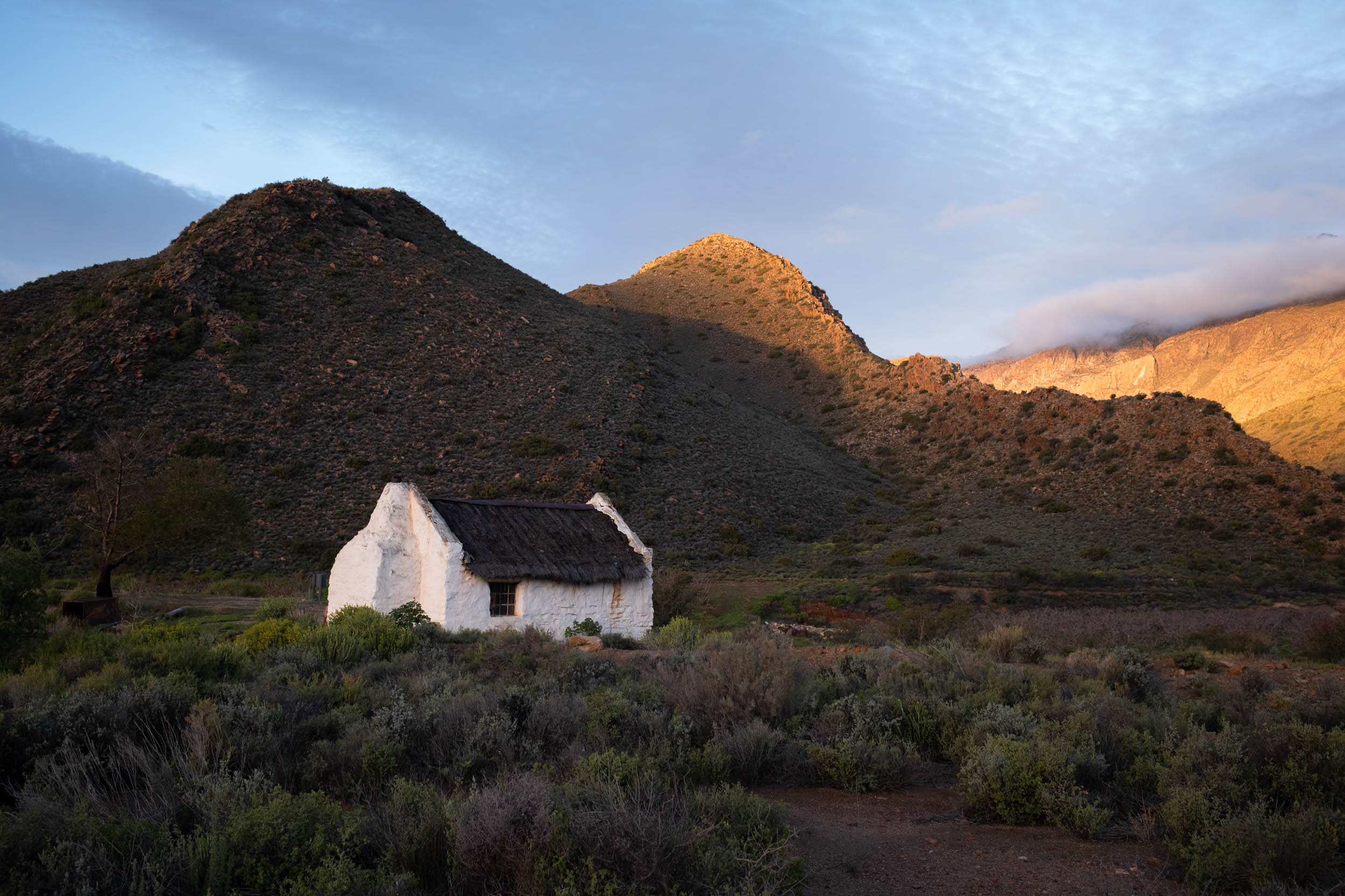
- There are many established campsites and guest farms that offer camping on the route. Some of them are top-notch and could be highlights of the route in their own right. The most prominent of these campsites are marked on the GPX. Expect to pay around R200 ($10.50 USD) per person per night for camping.
- Farmers sometimes offer more upmarket accommodation on their farms too. These include “glamping tents,” caravans, private chalets, and cottages, and they’re typically quite luxurious.
- In theory, it is possible to do this whole segment without carrying a tent, but it will require more careful planning and much longer days on the saddle.
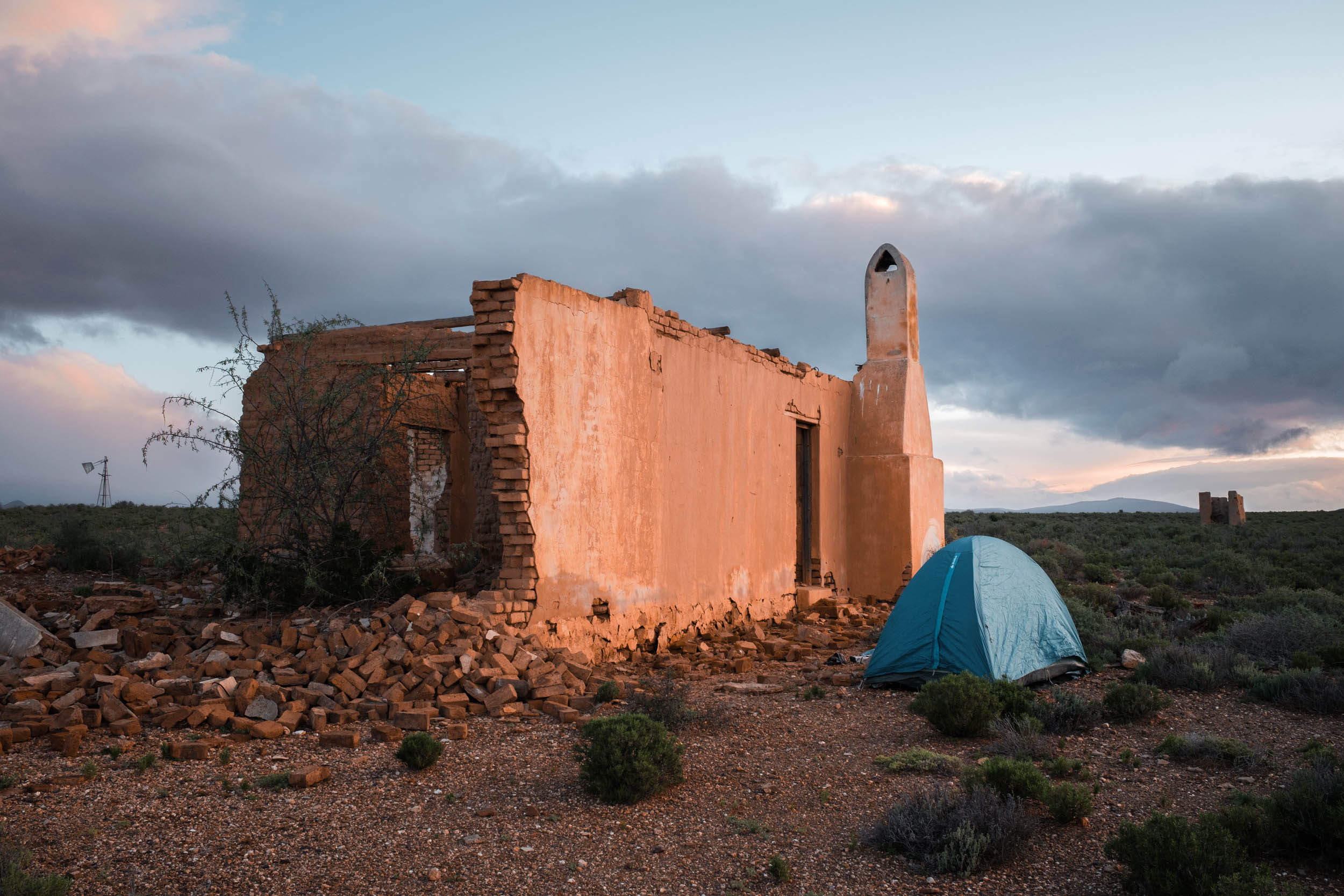
- Wild camping is not that common but not really frowned upon either as long as it’s not done disrespectfully. If there are no fences, wild camping is typically okay. If there’s a fence, it’s there for a reason. Nevertheless, most farmers, unless they run a tourism business on their farm, will be happy to let you camp on their land for free, but it’s important to ask first. Try to plan ahead and ask for permission before it gets too dark.
- As a safety precaution, avoid wild camping too close to towns. Most towns have established campgrounds that are safe and secure.
- Most towns also have several guest houses to choose from, though they’re typically quite pricey at R600 ($31 USD) or more for a room.
Water
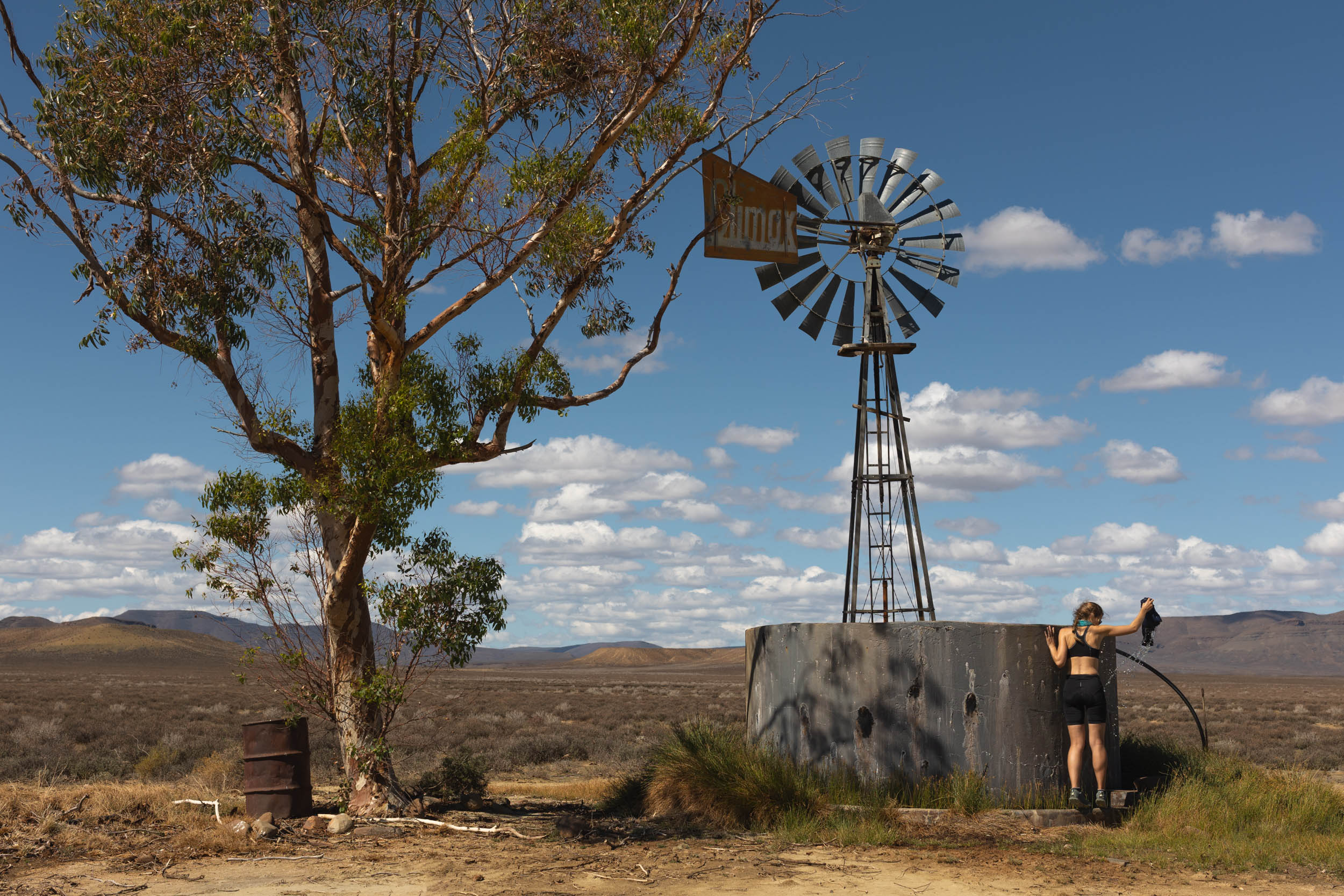
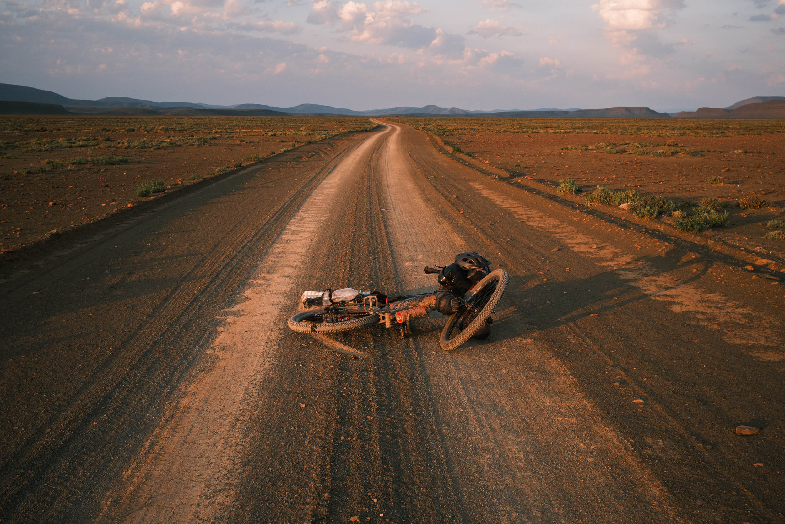
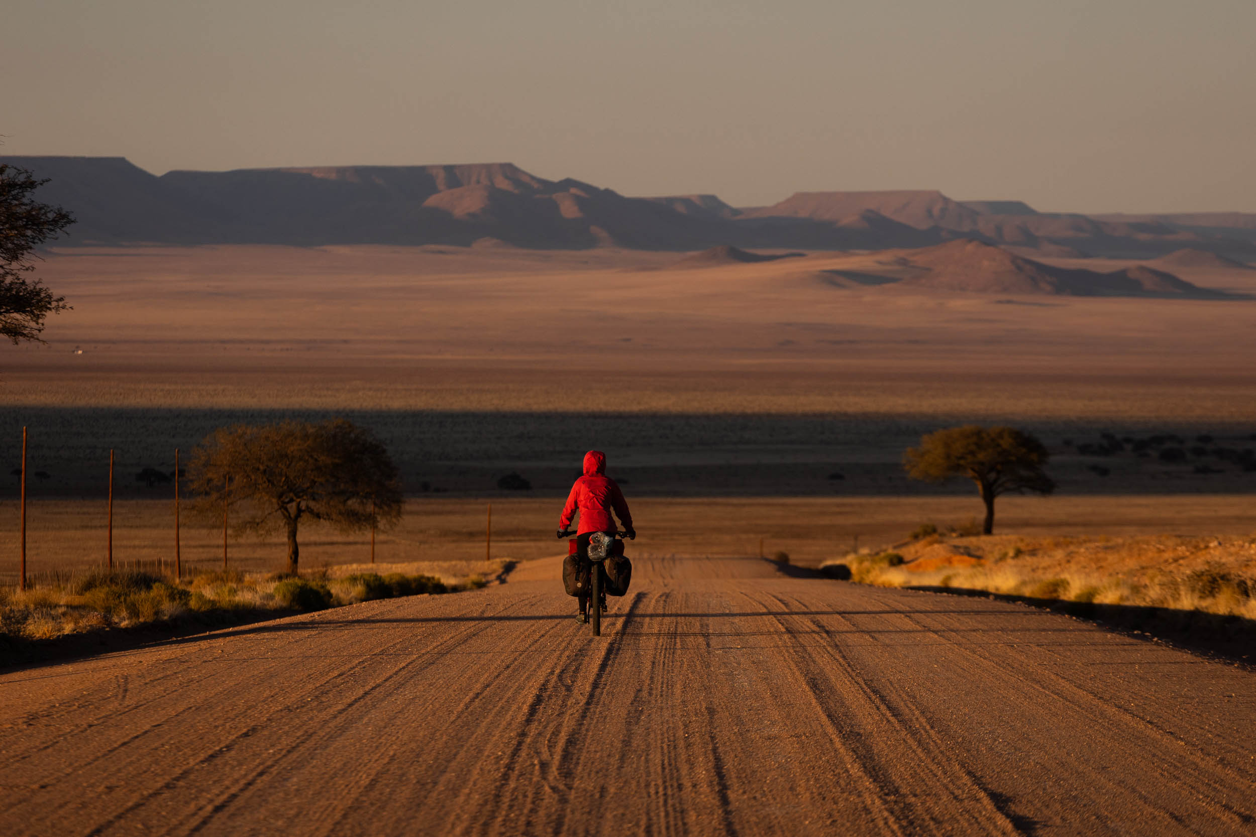
Water scarcity is a prevailing motif throughout the SAND route, and this segment is no exception. You will see countless sign boards with place names and farm names that perpetuate a sense of drought: “Droëfontein” (dry fountain), “droërivier” (dry river), “Moedverloor” (lost hope), “Klipfontein” (stone fountain) etc. Here are some tips and guidelines for water management.
- Recommended carrying capacity. For us, when testing the segment, 4-5 litres of carrying capacity per person was good.
- We never had to go more than a full day without any opportunity to refill water. However it’s important to continually ask locals about the water situation ahead.
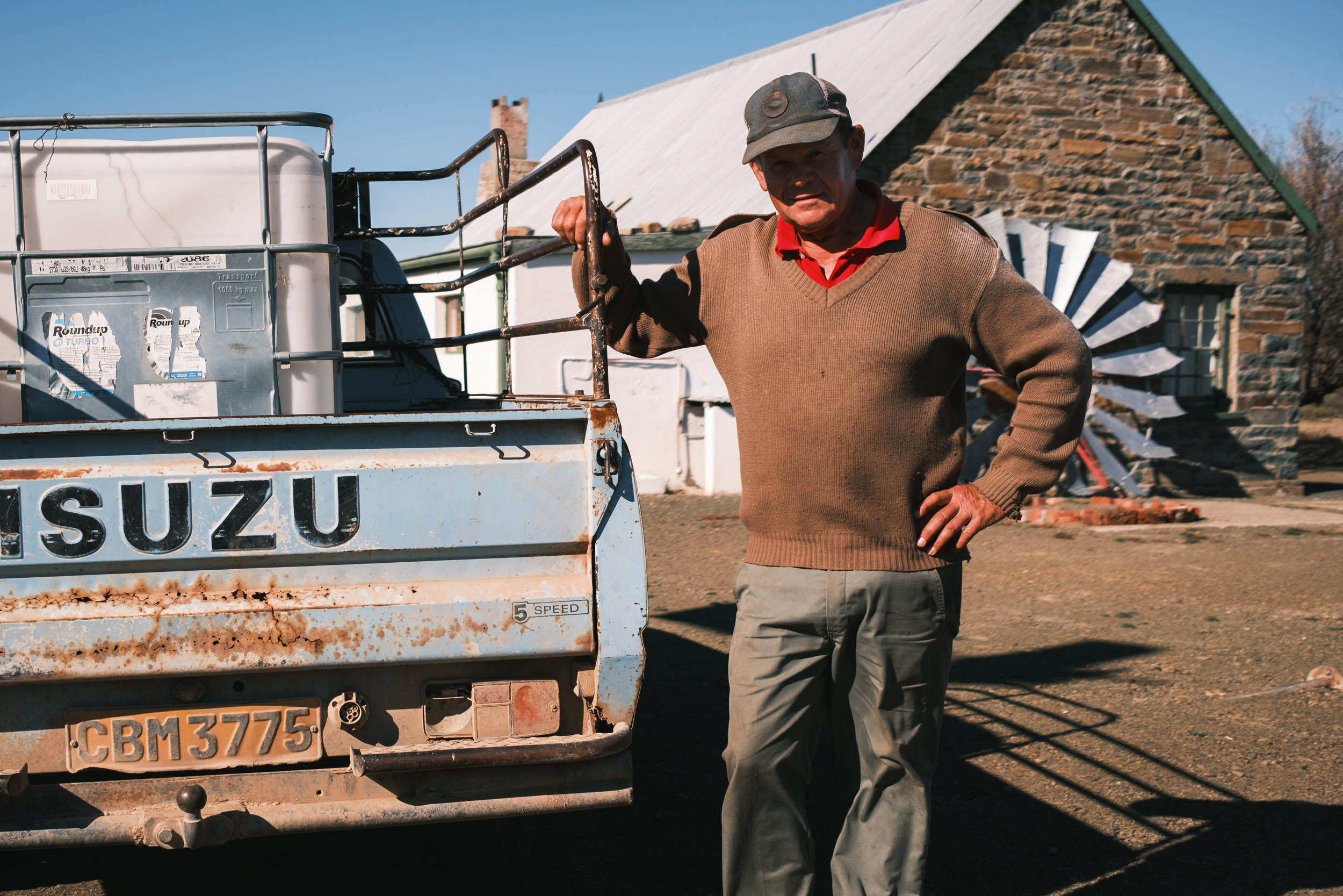
- On remote stretches, you may need to knock on farm doors to ask for water. Farmers will always be happy to help you out. Take note that farms are often 20 to 30 kilometres apart, and farm houses could be another 5 kilometres or more from the road. And that’s not to say anyone is home. Therefore, always carry a bottle or two more than you think you’ll need.
- Surface water (from streams and rivers) is very scarce in the Karoo. Don’t count on it. In the Cederberg, streams are more plentiful.
Food
- All prominent food resupply options are indicated on the GPX.
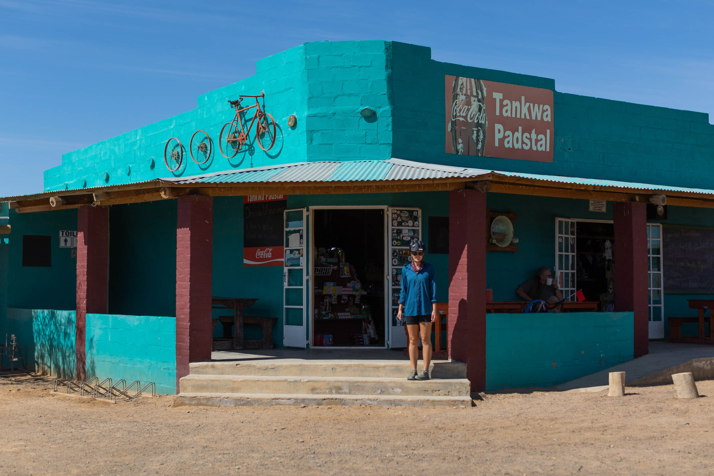
- Larger towns all have supermarkets, restaurants, and eateries. Out on the road, food options are more limited, with only the occasional “padstal” (roadside farm stall) where snacks and meals can be bought. The “Tankwa Padstal” is arguably the most famous padstal on the route. It’s a local landmark and a must to visit!
- “Biltong” (dried meat strips) and “Droewors” (dried “boerewors” sausages) are popular snacks and can be bought from just about any shop or padstal. They make for excellent trail food.
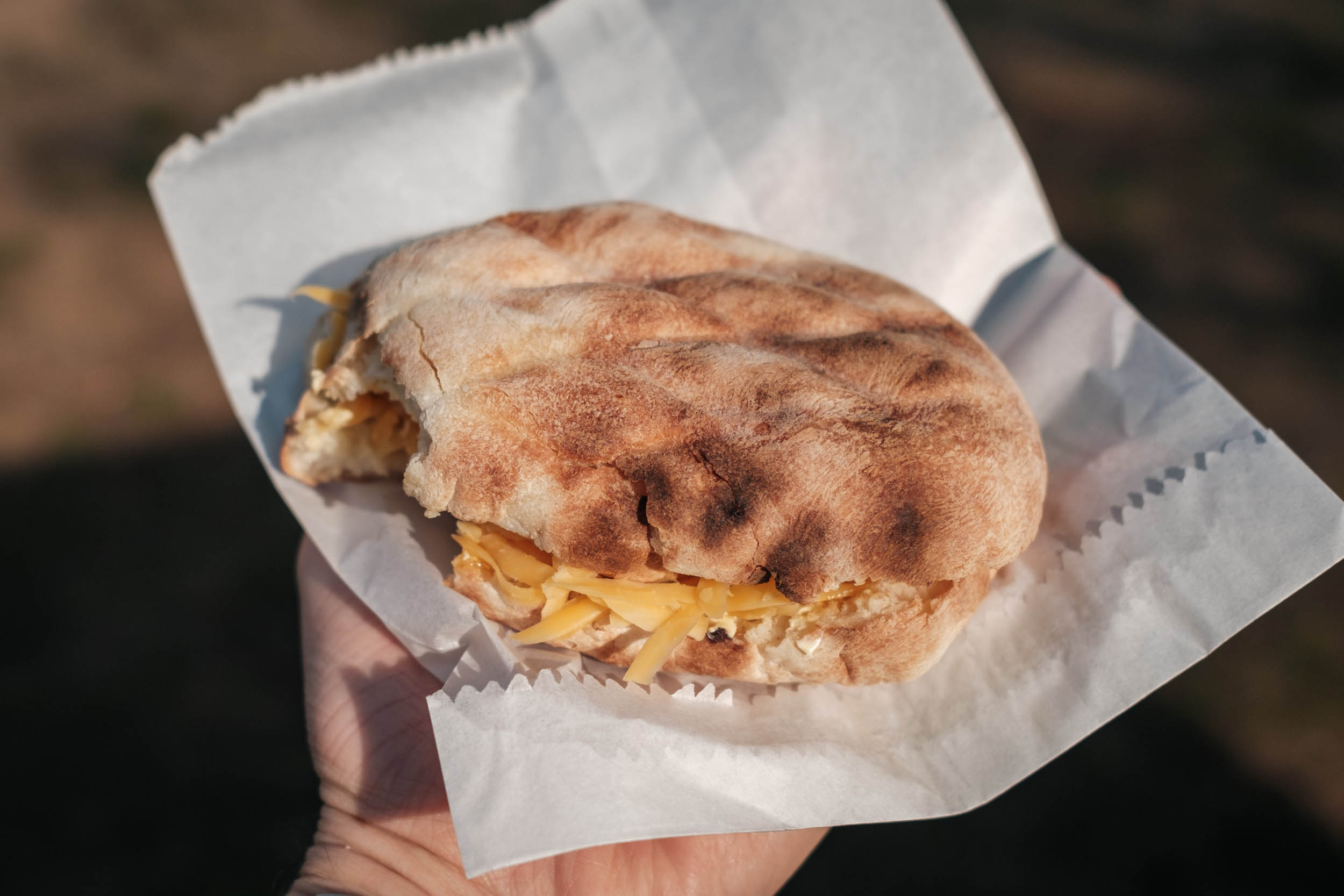
- Another regional speciality is “Roosterkoek,” a bread roll cooked on an open fire and typically filled with apricot jam and cheese.
- The most typical form of cooking in the region is “braai,” a South African-style barbeque. It is very likely that you’ll be invited to a braai or two somewhere along the way. It’s a ceremonious affair, involving copious amounts of meat and, sometimes, booze. If you’re averse to meat, make your dietary preferences very clear to your host as vegetables can also be cooked on the braai.
The route can be roughly split into the following sections:
location Stellenbosch to Montagu
The Cape Winelands and the Overberg
This first section is quite unique in that it’s the only part of the route where services are plentiful, towns are frequent, and most of the riding is on paved roads. It’s not representative of the route as a whole, but the mountain scenery more than makes up for it, and of the few possible routes out of the city, this one is arguably the most cycling-friendly. You can expect to see plenty of spandex warriors on these first few roads and passes, especially Franschhoek Pass, a favourite amongst local road cyclists.
Take advantage of the many wine farms, breweries, and restaurants on this section and dine while you still can.
In terms of land access, there is one short section to take special note of: The off-road pass through the Rusty Gates Farm immediately after the town of Villiersdorp. It requires special permission to use and must be arranged a day or two in advance. The contact details are shown on the GPX waypoint. If permission can’t be obtained, simply reroute onto the R43 and the paved Floorshoogte Pass (indicated on the GPX).
location Montagu to Seweweekspoort
The Klein Karoo (Little Karoo)
This is where the true character of the route starts to show and where the real bikepacking begins. The Klein Karoo, nestled between the Langeberg and Swartberg ranges, is smaller than its big brother, the Groot Karoo (Great Karoo), to the north, but it possesses much of the same character and rustic charm. Here, the route passes through vast, sparsely vegetated plains with never-ending views of the great Cape Fold ranges. A highlight of this section is the Anysberg Nature Reserve. The reserve offers exceptional riding, beautiful scenery, and interesting wildlife sightings.
location Seweweekspoort to Sutherland
The Groot Karoo (Great Karoo)
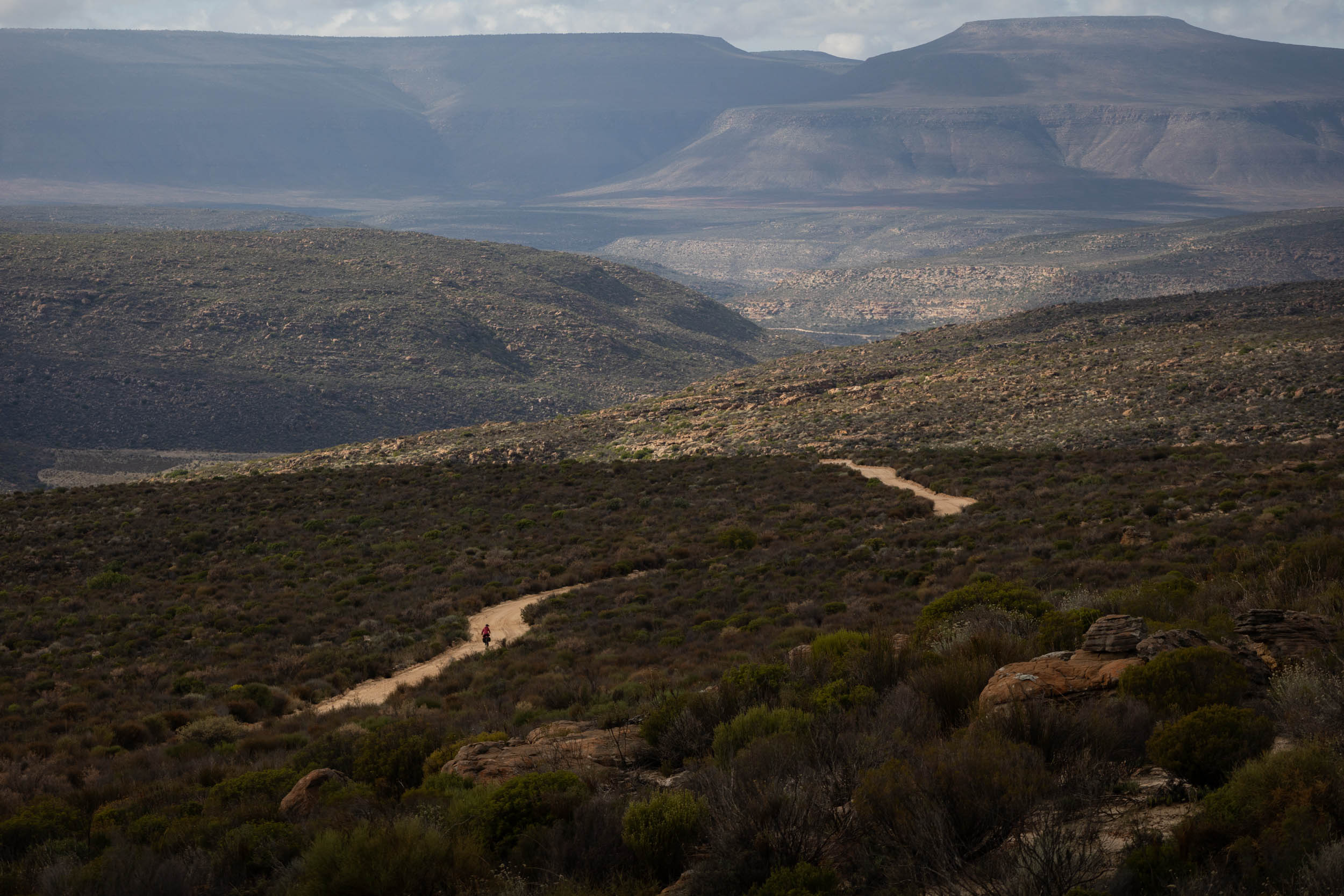
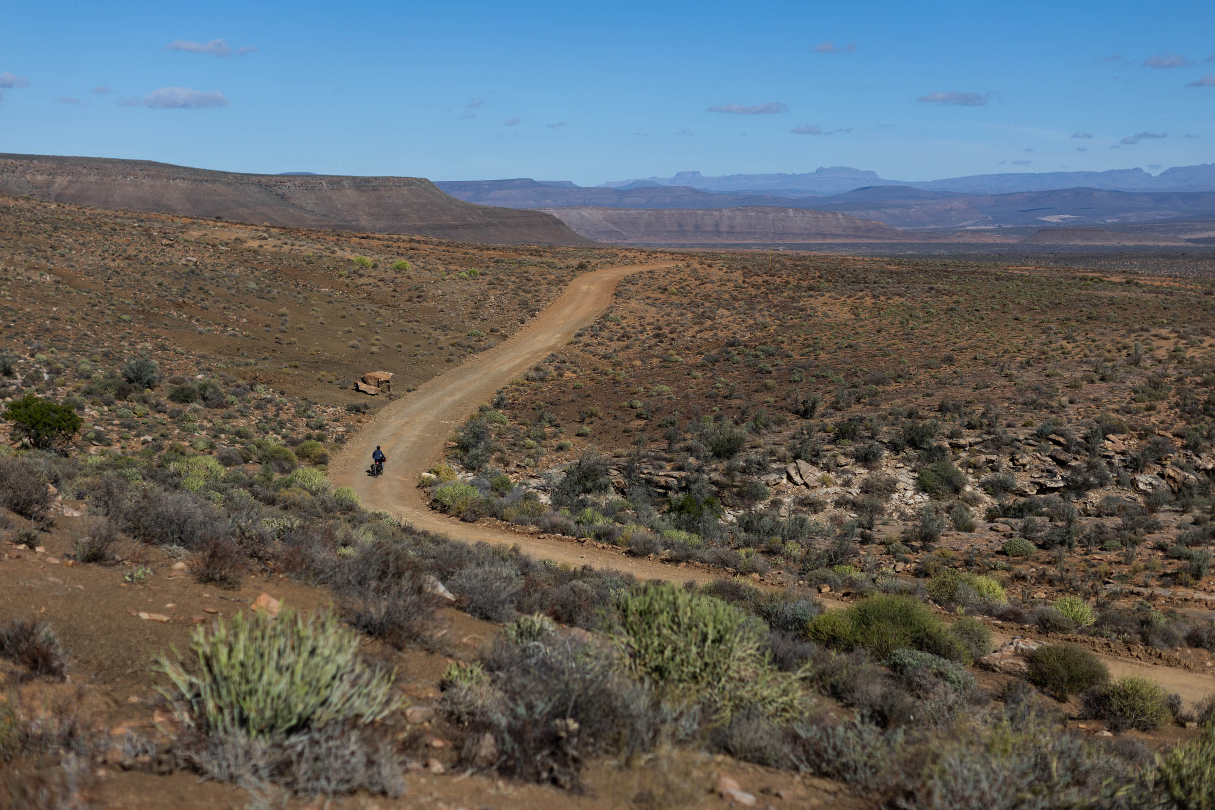
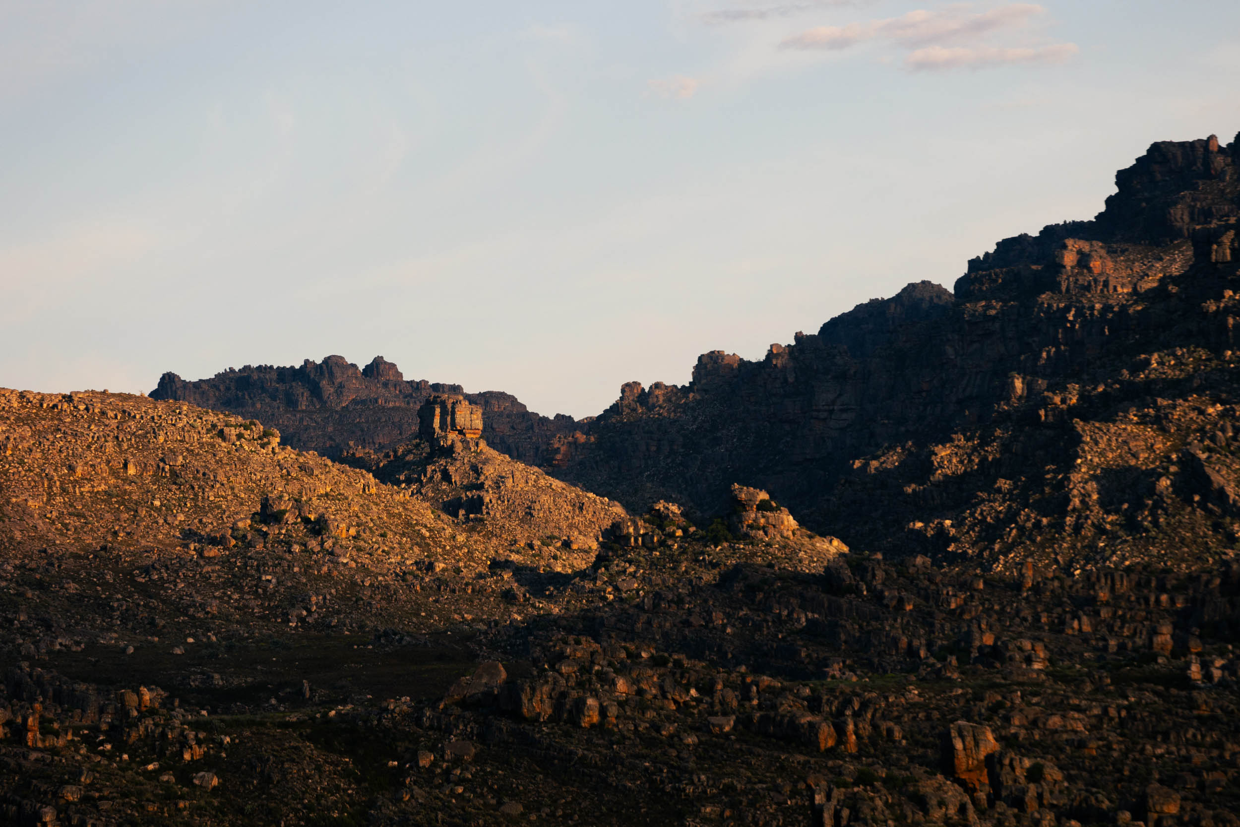
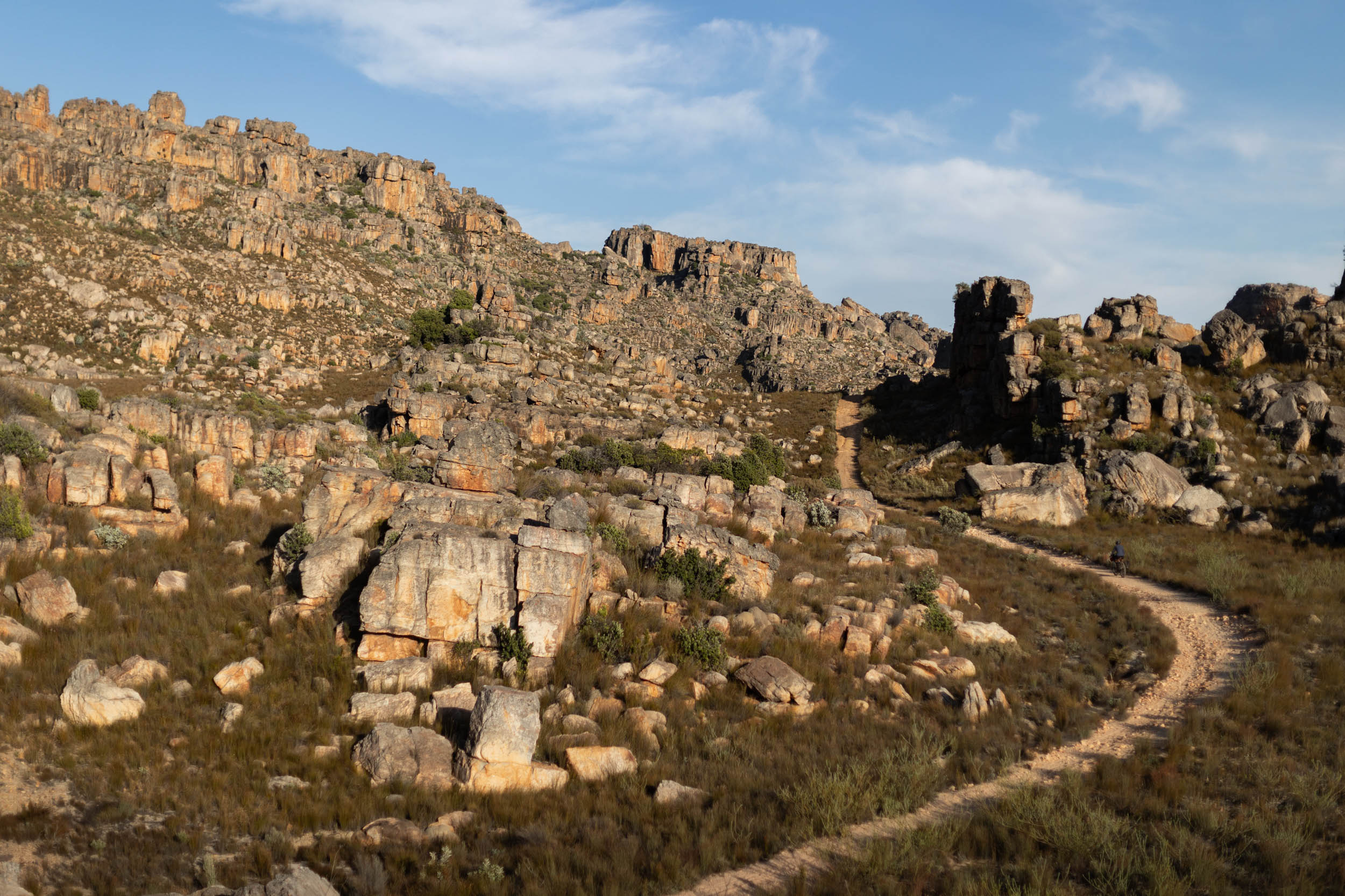
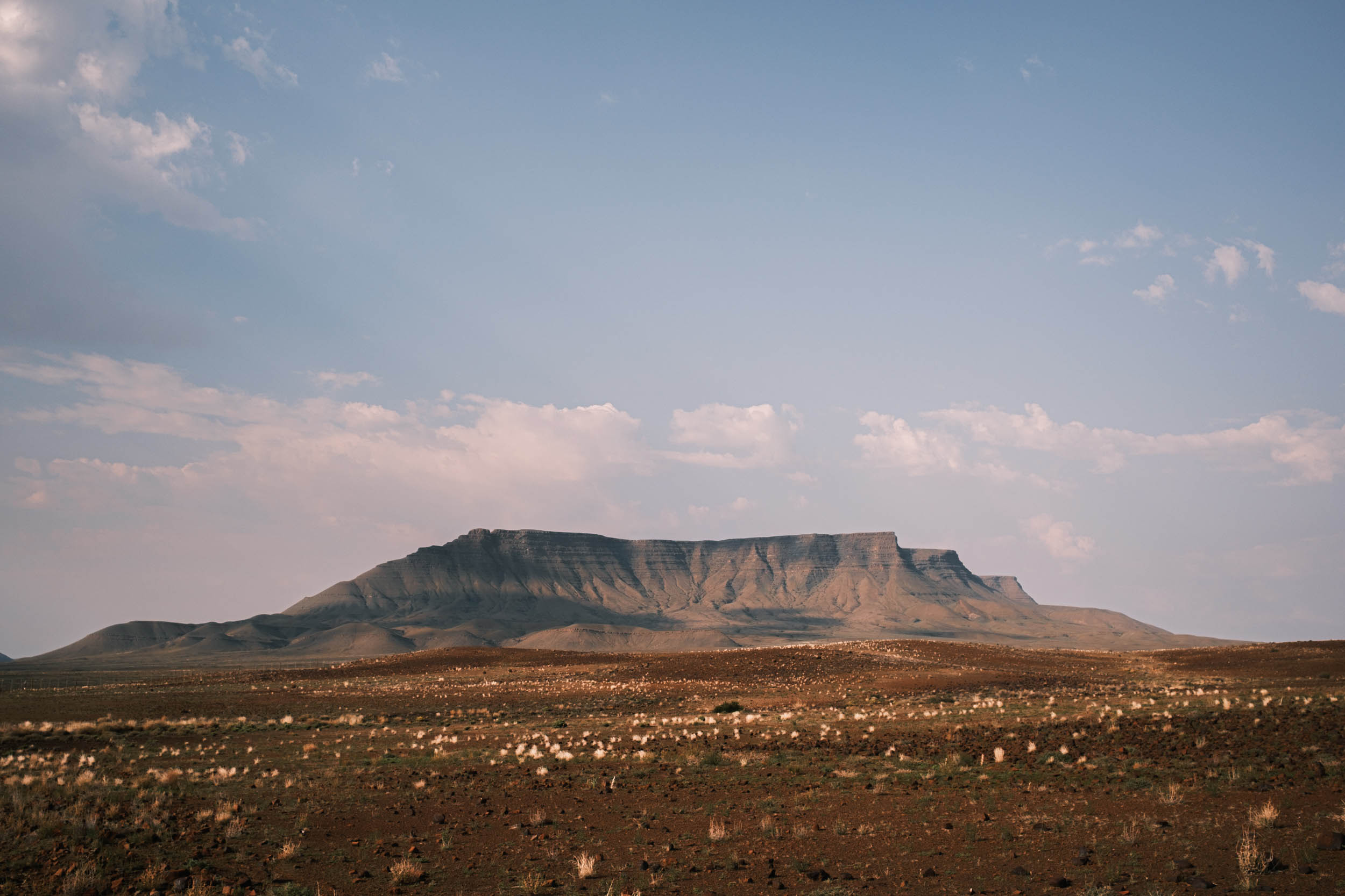
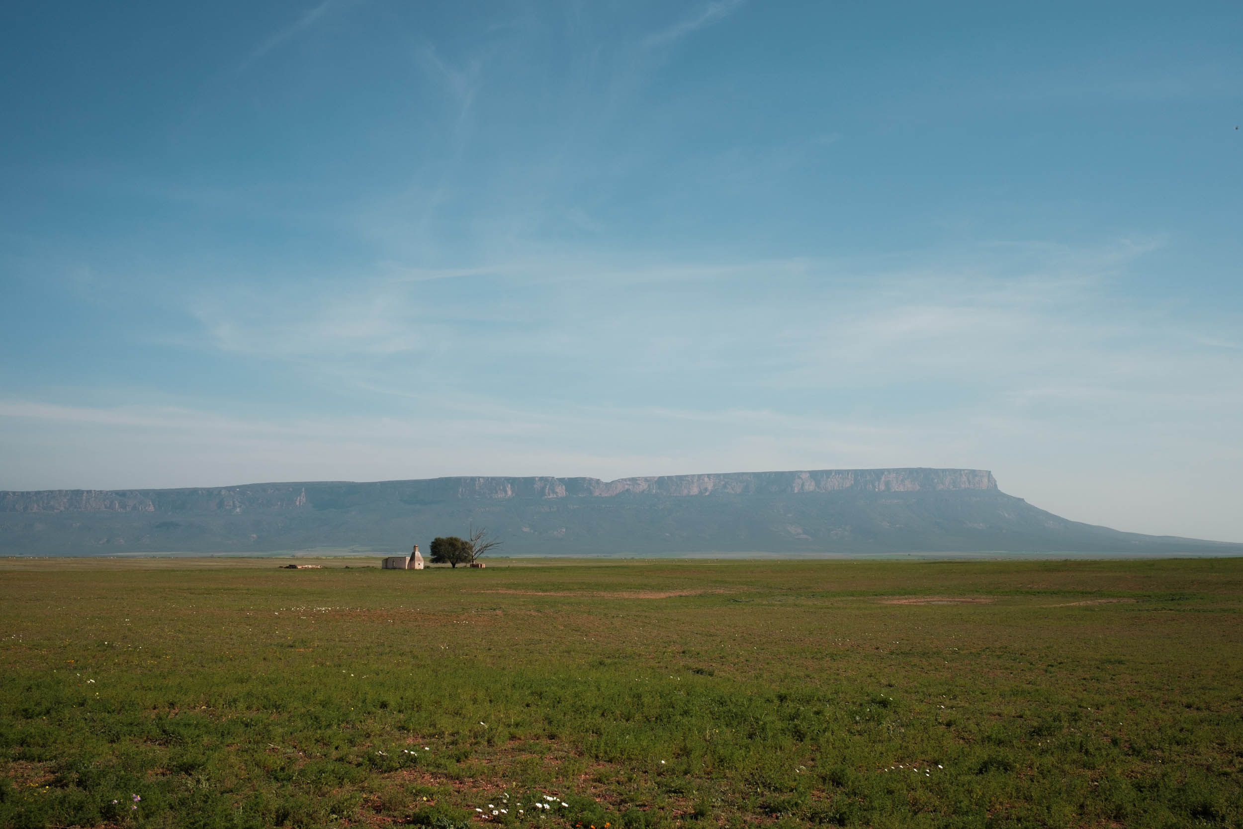
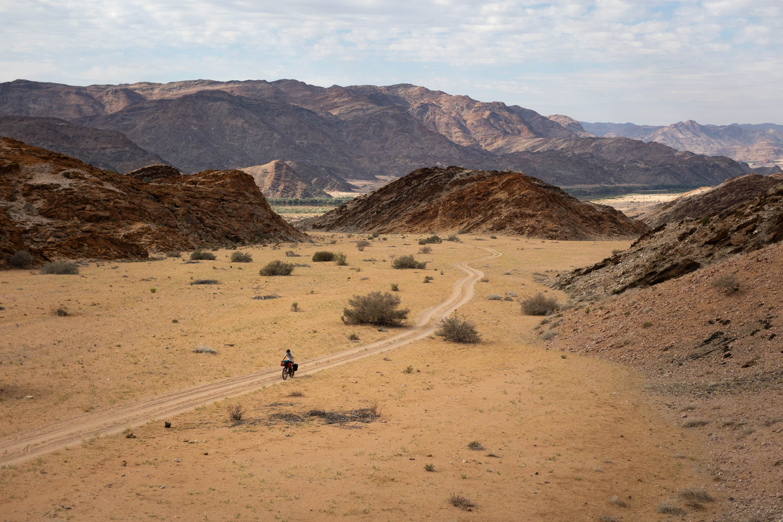
The main feature of this section is the Swartberg Mountain range and the Seveweekspoort pass that crosses it. There’s beautiful mountain scenery on both sides of the range, and the pass itself is truly spectacular, providing an up-close look at the incredible folding geology that characterises the Swartberg. (There’s also an optional loop that can be worked in here to include Gamkaskloof and Swartberg Pass. See note below.) After Seweweekspoort Pass, there’s a series of fun gravel descents to enjoy before joining a relatively uninteresting paved road into the highway town of Laingsburg. From there, it’s a long and gradual climb on remote gravel roads through a region called the Moordenaars Karoo (Murderer’s Karoo) to gain access to the top of the Sutherland Plateau. Here, you’ll experience classic Karoo terrain, with sparse vegetation, earthy hues, distant koppies, and usually not a soul in sight. The first real town at the top of the Plateau is Sutherland.
Optional Gamkaskloof loop
This option takes a right-hand turn after Seweweekspoort Pass and a hik-a-bike descent into the heart of the Swartberg range to a hidden valley called Gamkaskloof, or “die hel” (the hell). It then climbs strenuously out the other side of the valley on gravel tracks to join up with the Swartberg Pass—a pass equally as spectacular and dramatic as Seweweekspoort pass—that leads to the picturesque town of Prins Albert. From Prins Albert, it’s a long, lonely gravel slog back to where you’ll rejoin the main segment.
To do this optional loop, some arrangements must be made as it passes through the private property of Boplaas Guest Farm. You’ll need to make a reservation to stay on the farm and gain access through their 10-foot-high game fence (locked with a combination lock). When calling to reserve your visit, make sure to inform them that you’ll be coming down “die leer” (“the ladder” hiking trail). The “ladder” trail, in turn, is on Cape Nature land (conservation). To gain access, enter the radio-controlled park gate and, if prompted, explain that you are headed towards Boplaas Guest Farm. The GPX for this section can be found here. The contact details for arranging access are embedded in the GPX waypoint. All in all, this loop is about 210 kilometres long and will add approximately three days to your total riding time. It’s not for the faint-hearted. In addition to the hike-a-bike descent into the valley, it also includes some challenging climbs out on the other side. Adding this loop to the route definitely ups the overall difficulty rating significantly.
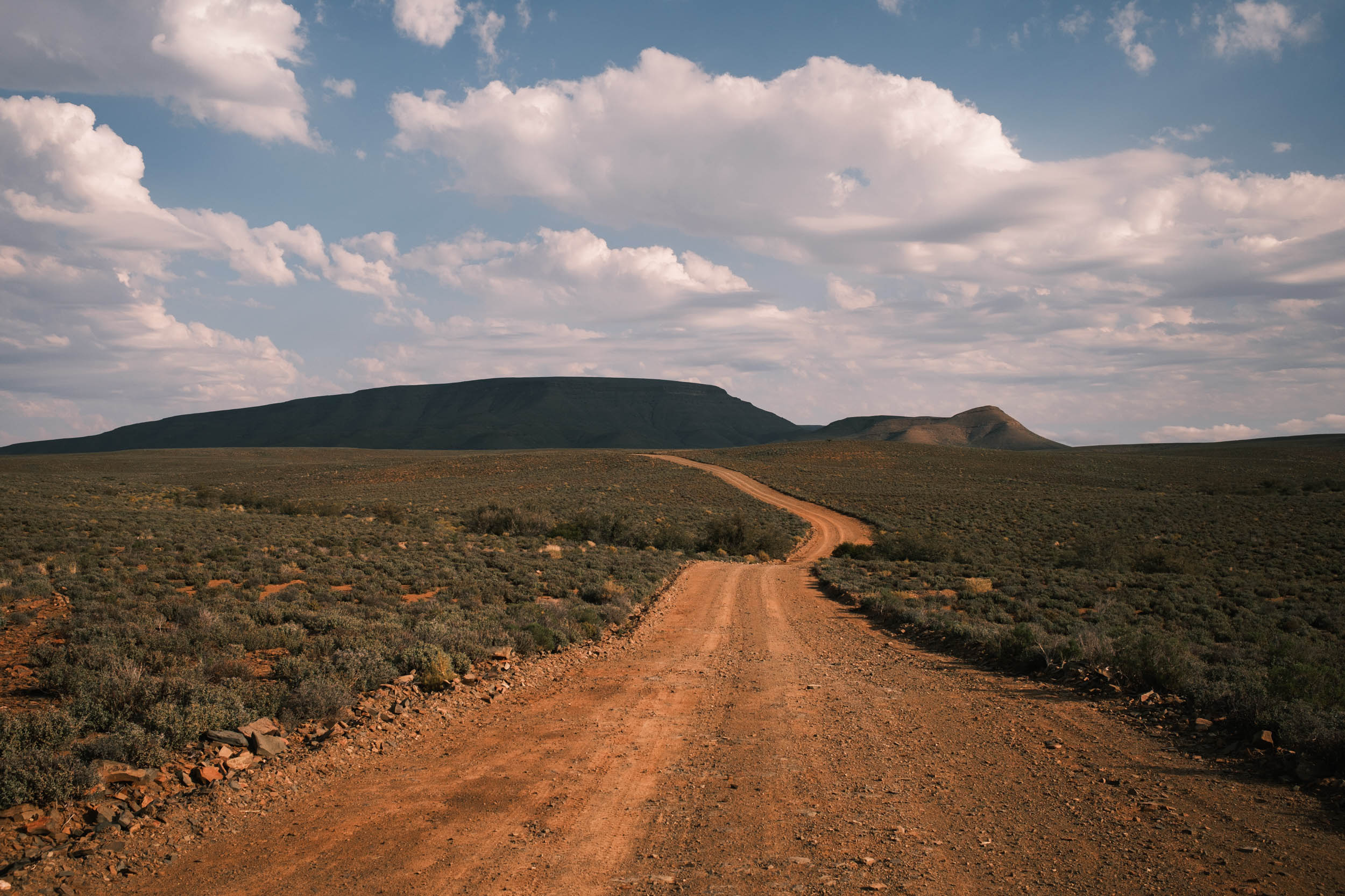
location Sutherland to Tankwa Padstal
The Tankwa Karoo
There are essentially two options for descending from the Sutherland Plateau back down into the Tankwa: Ouberg Pass and Ganagga Pass. Both are breathtaking, but the Gannaga option is given preference on the GPX. The reason for favouring the Gannagga option is that it necessitates a longer and more in-depth crossing of the Tankwa, including more time spent in the National Park, which is highty recommended. On the other hand, descending via Ouberg pass, arguably the more impressive of the two passes, will perhaps offer superior views down the plateau and possibly a more thrilling descent. However, the Ouberg option cuts out approximately 115 kilometres from the route and regrettably misses out on much of the Tankwa National Park. A possible third option is to cut out Sutherland, take an early turn-off down Verlatenberg Pass on the paved R354, traversing to the foot of Ouberg Pass, and climb up Ouberg to rejoin the main route and descending back down into the Tankwa via Gannaga Pass. This way, you’ll include both of these renowned passes in your ride. Either way, none of these variations will disappoint. If in doubt, stick to the route marked on the GPX.
location Tankwa Padstal to Pakhuys Pass
The Cederberg
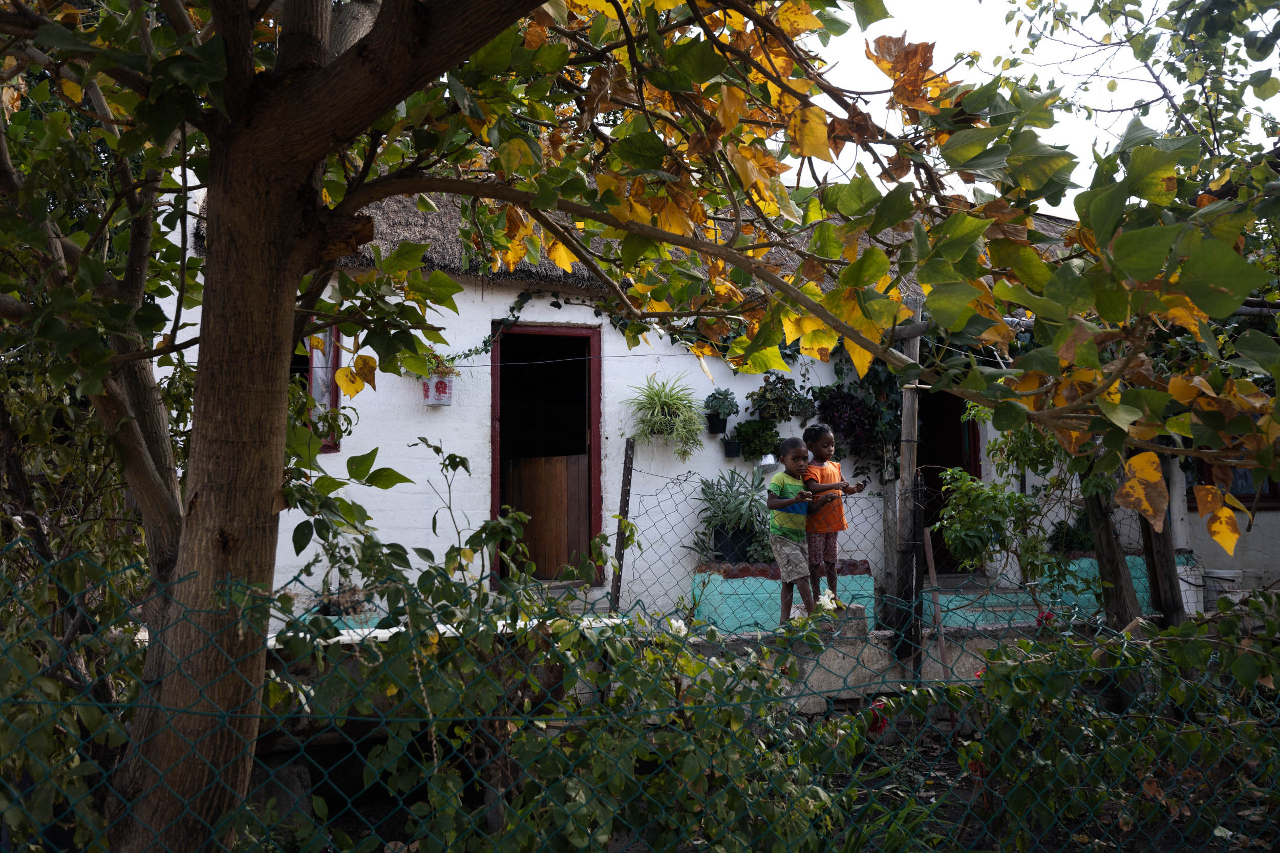
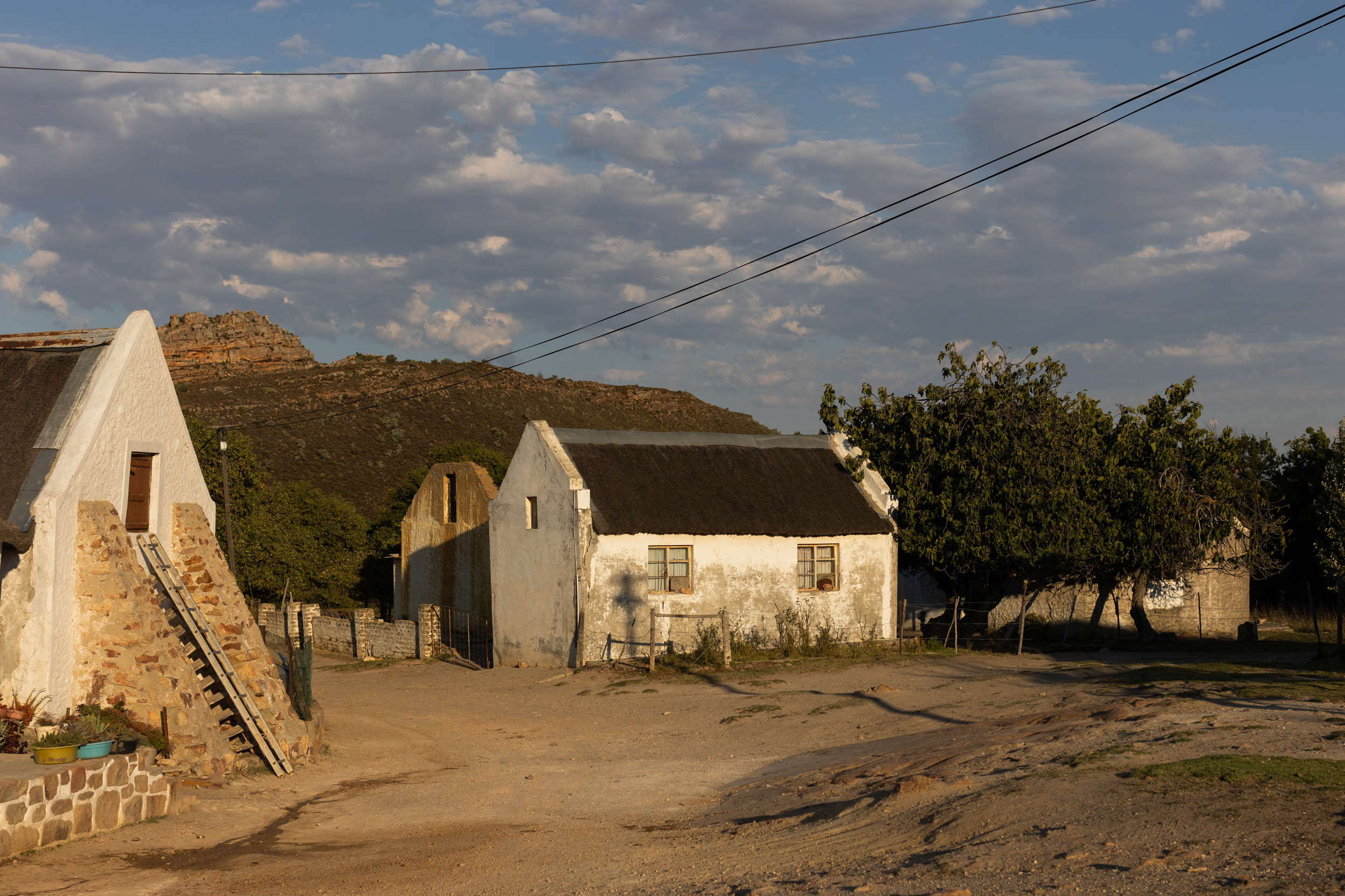
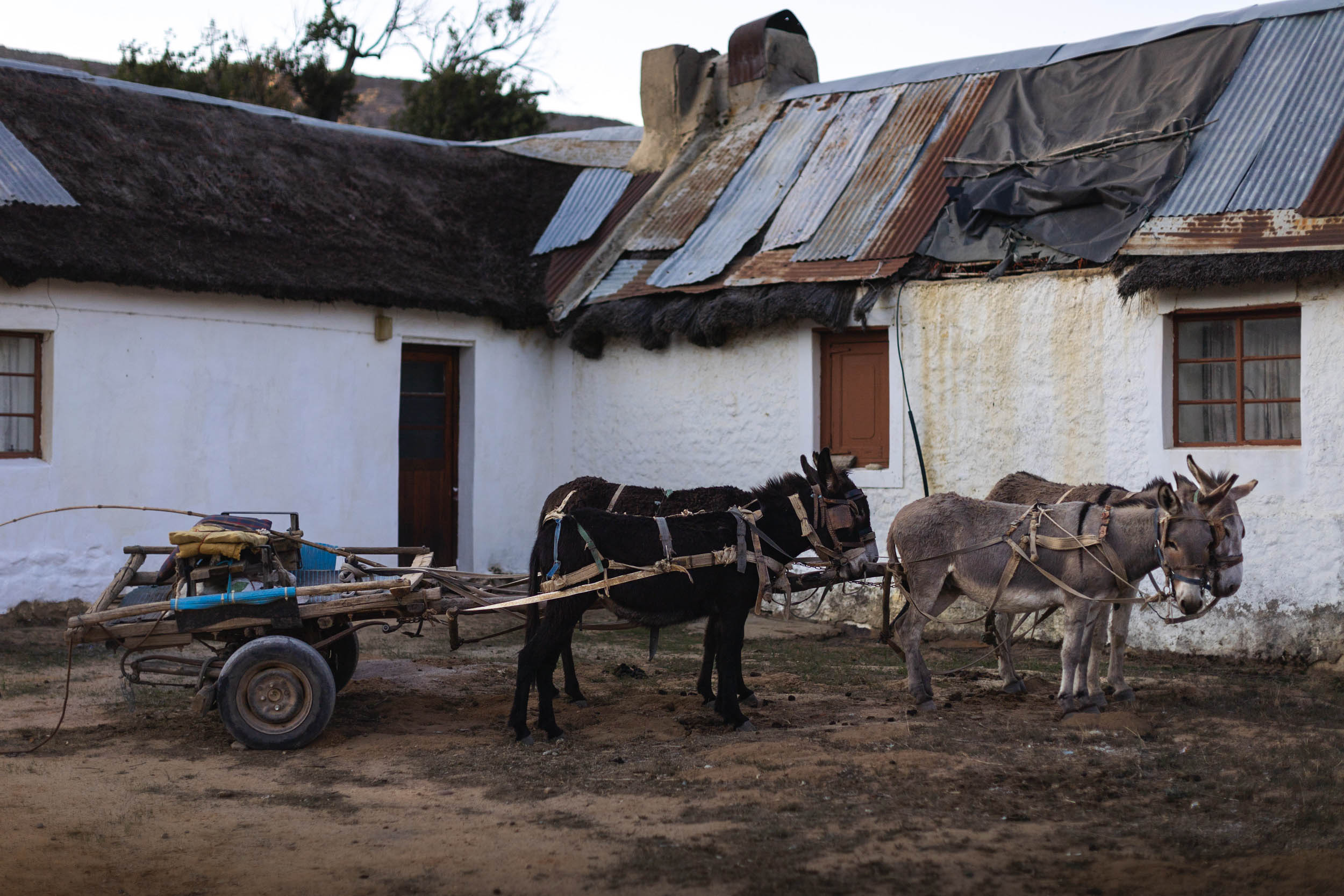
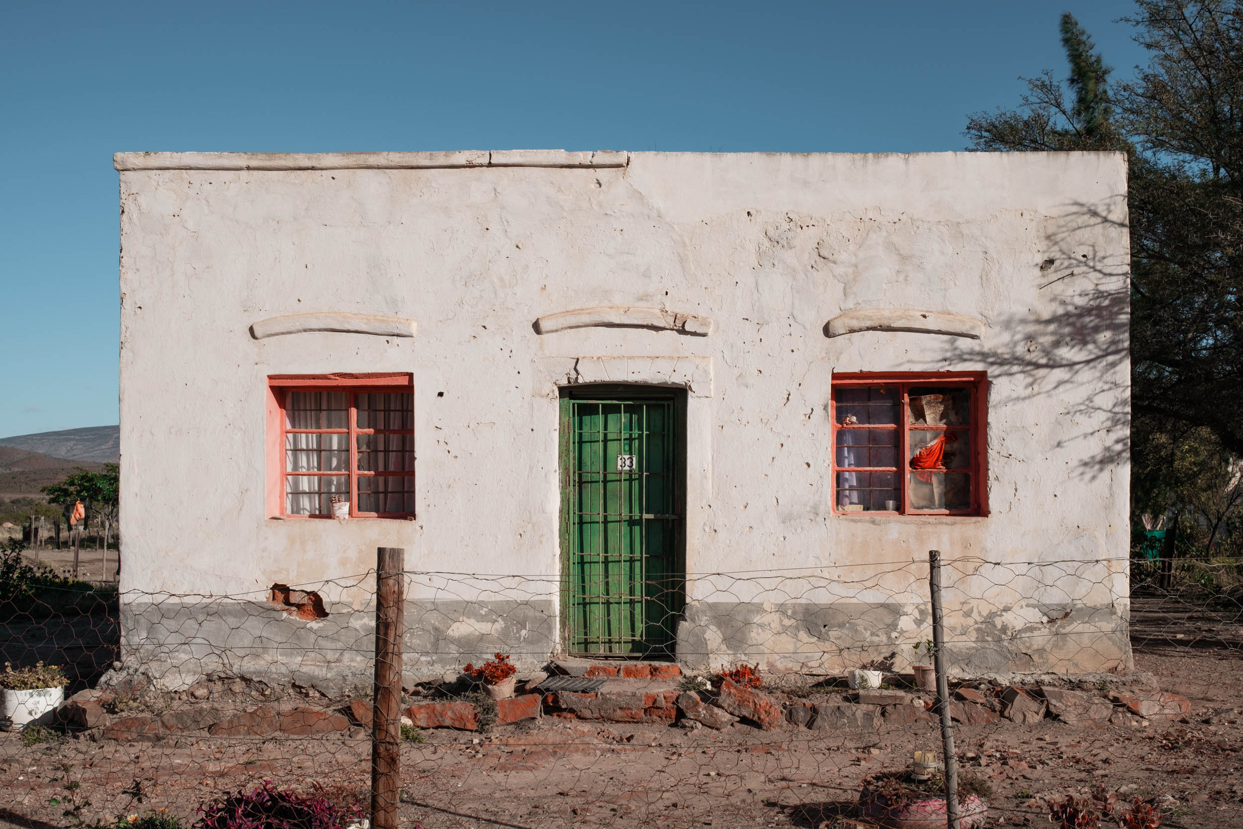
As you cross from the Tankwa to the Cederberg region over Katbakkies Pass, the change in landscape is abrupt. One moment, you’re in a barren desert environment; the next moment, you’re surrounded by weathered red sandstone boulders, protea bushes, and rugged mountains. Katbakkies Pass itself is not too challenging, but it’s a good taste of what’s to come. This section is packed with passes and climbs. Bring your climbing legs and carry plenty of jellies for motivation, and if jellies alone don’t motivate you, you can look forward to the many ice-cold mountain pools that await on the other side. Besides the incredible riding offered in this section, there’s also an abundance of sights and activities to enjoy, many of which can only be reached on foot. Staying for an extra day or two to explore this area is highly recommended. The villages of Wuperthal, Eselbank, and Heuningvlei are also among the cultural highlights of the whole route and should not be rushed. You’ll exit the mountains via the “old donkey cart road” (as it’s known) to arrive at the top of Pakhuys Pass. The “road” is in bad shape and difficult to ride in its entirety. Be prepared to get off and push a few times. The scenery is breathtaking.
location Pakhuys Pass to Nieuwoudtville
The Rooibostee Heritage Route
Once you reach Pakhuys Pass, it’s still another 125 kilometres to the next real resupply. If you’re low on food here, you may want to consider a detour to Clanwilliam for shopping. Parking your bike at one of the campgrounds in the valley and hitchhiking to Clanwilliam is not a bad idea either. Pakhuys Pass and its surrounds are known to the rock-climbing community as Rocklands. It is world-famous and recognised by many climbers as the global hotspot of bouldering. The scenery here is unreal. From Pakhuys Pass to Doringbos (nothing of note here), the road is straightforward and partly paved. After Doringbos, you enter a seldom-visited stretch known as the Rooibos Heritage Route, another cultural highlight of the route with great riding along the way.
location Nieuwoudtville to Vanrhynsdorp
The Knersvlakte and Gifberg
The Knersvlakte (meaning plain of teeth gnashing) is the barren plain that stretches out to the coast from the bottom of the Karoo Plateau. It’s similar in appearance to the Tankwa Karoo, but with quartz gravel reflecting white in the sun, unlike the darker gravel of the Tankwa. The plain is known for its modest but unique and resilient flora, mostly in the form of tiny succulents. There are two options for descending into the Knersvlakte, a paved option or an unpaved option, which includes a descent down “die Hel se Pad” (The Hell’s Road), which is actually tamer than its name would suggest but thrilling nonetheless. The GPX file shows the way to this unpaved option, while the paved alternative simply takes the R27 national road to the bottom of the plateau, cutting approximately 50 kilometres off the route. Opt for this latter, shorter option if you’re pushed for time. Both roads meet at the Bagdad Café padstal. From here, it’s another short stretch on the R27 before hopping onto quieter farm roads leading to the base of the Gifberg Plateau. A short, steep climb up Ouberg Pass (yes, another Ouberg Pass) takes you to the top. Once up at the top of the Gifberg Plateau, the track turns to soft sand. Narrow tyres will have a hard time here, but the scenery more than makes up for the challenge. A stop at the Gifberg Holiday farm is highly recommended. There are some incredible rock pools to explore there. Finally, descend back down the plateau via the stunning Gifberg Pass to end the segment in Vanrhynsdorp.


Terms of Use: As with each bikepacking route guide published on BIKEPACKING.com, should you choose to cycle this route, do so at your own risk. Prior to setting out check current local weather, conditions, and land/road closures. While riding, obey all public and private land use restrictions and rules, carry proper safety and navigational equipment, and of course, follow the #leavenotrace guidelines. The information found herein is simply a planning resource to be used as a point of inspiration in conjunction with your own due-diligence. In spite of the fact that this route, associated GPS track (GPX and maps), and all route guidelines were prepared under diligent research by the specified contributor and/or contributors, the accuracy of such and judgement of the author is not guaranteed. BIKEPACKING.com LLC, its partners, associates, and contributors are in no way liable for personal injury, damage to personal property, or any other such situation that might happen to individual riders cycling or following this route.
Further Riding and Reading
Here are some connected/nearby routes and related reports...
Please keep the conversation civil, constructive, and inclusive, or your comment will be removed.