


SAND: Segment 2 – Namaqualand
Distance
433 Mi.
(697 KM)Days
15
% Unpaved
90%
% Singletrack
3%
% Rideable (time)
97%
Total Ascent
30,484'
(9,292 M)High Point
4,546'
(1,386 M)Difficulty (1-10)
7?
- 5Climbing Scale Moderate70 FT/MI (13 M/KM)
- 6Technical Difficulty Moderate
- 7Physical Demand Difficult
- 7Resupply & Logistics Strenuous
Contributed By
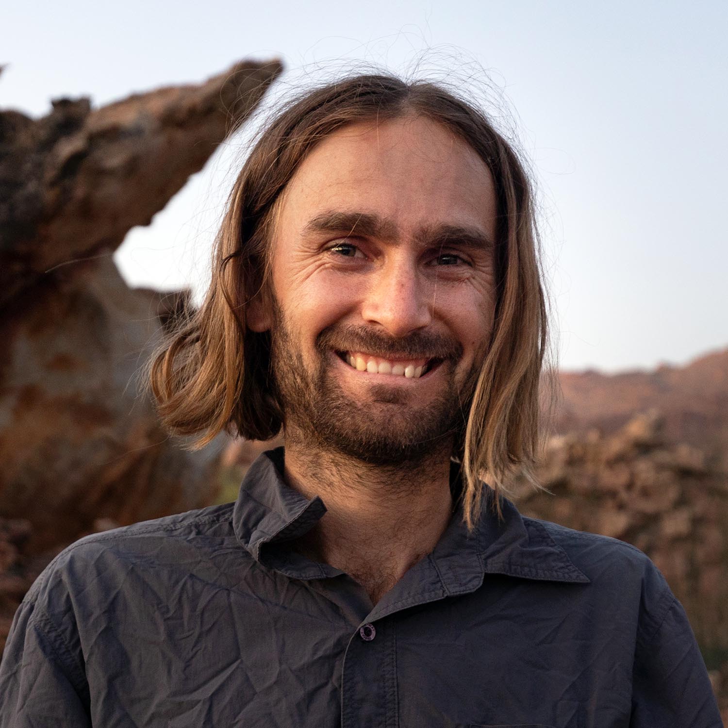
Johan Wahl
A Whale Away
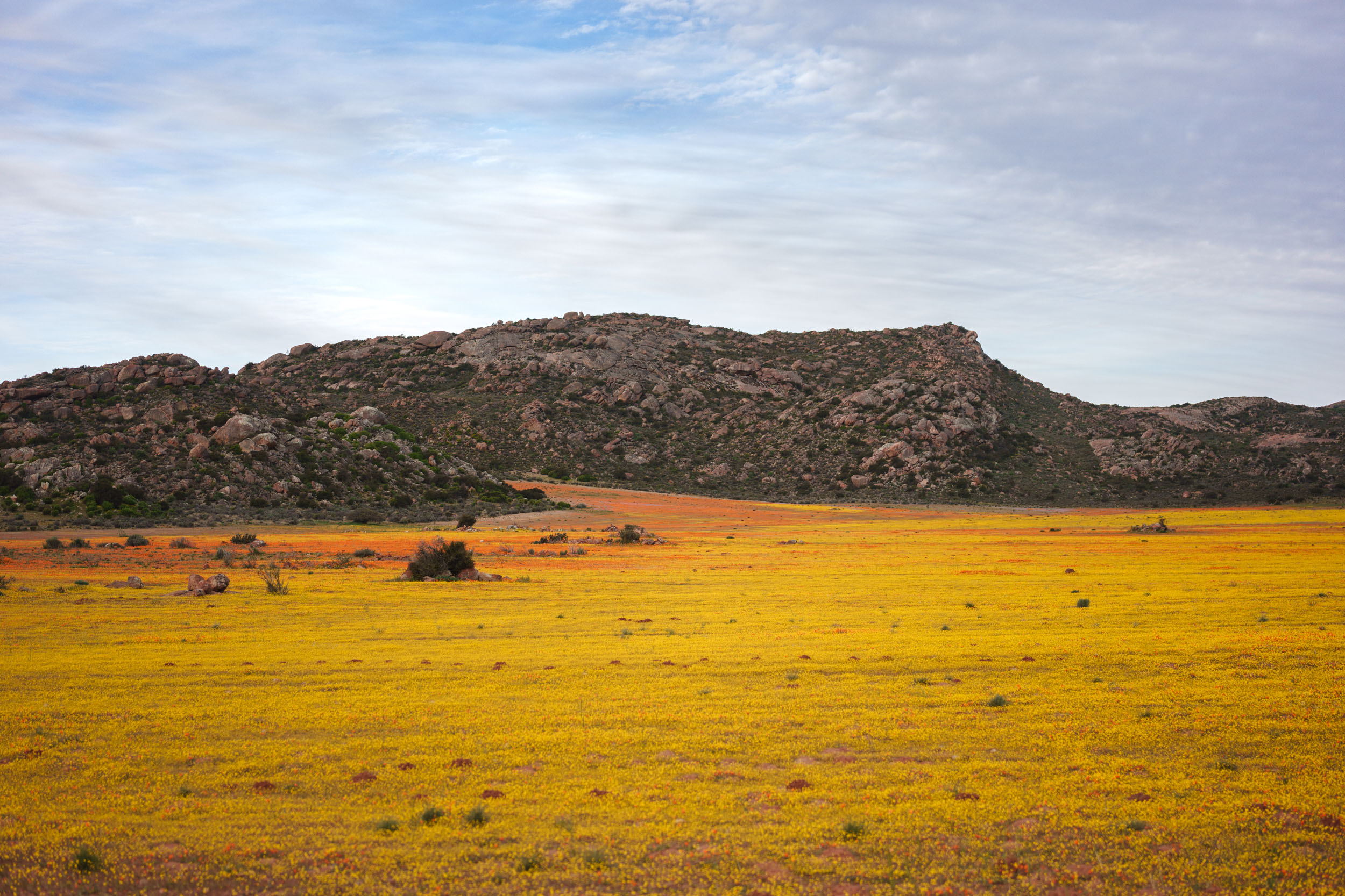
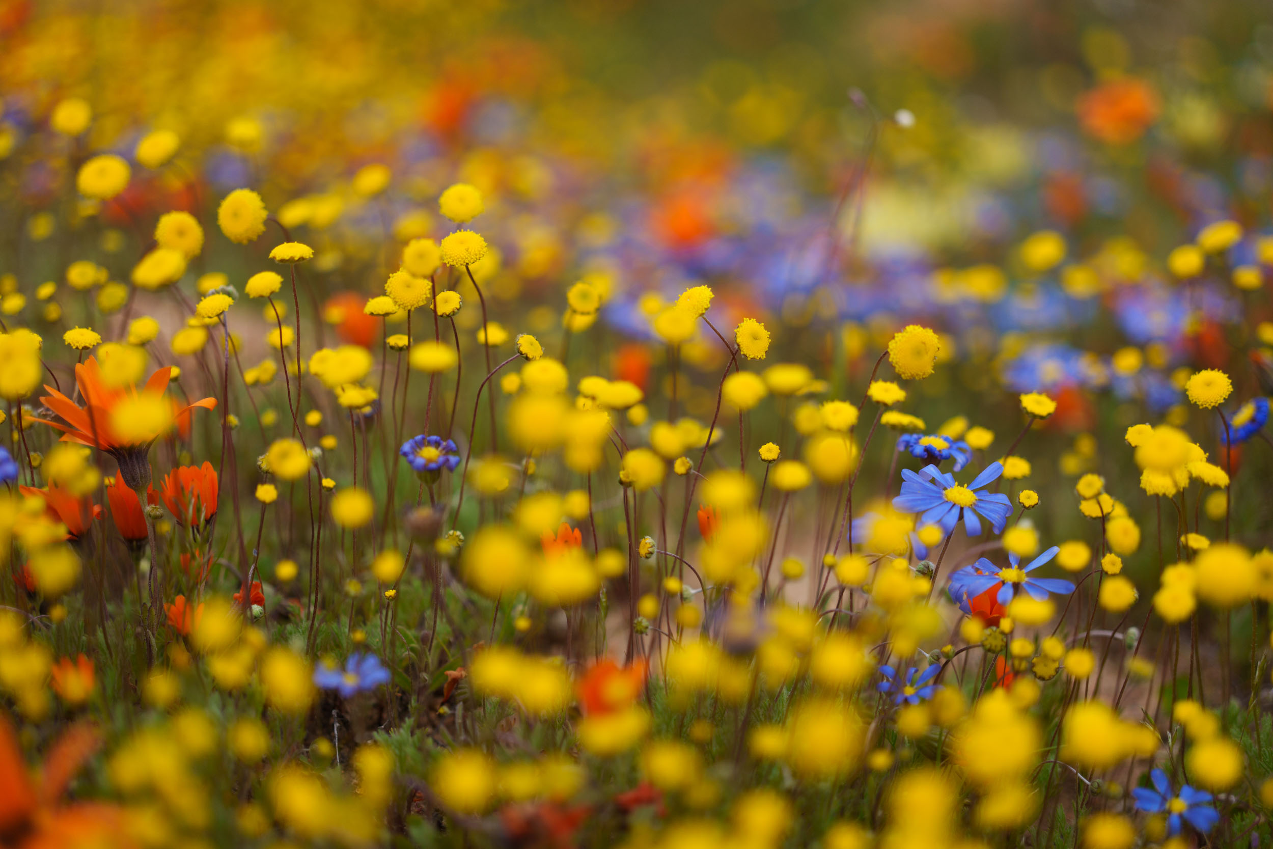
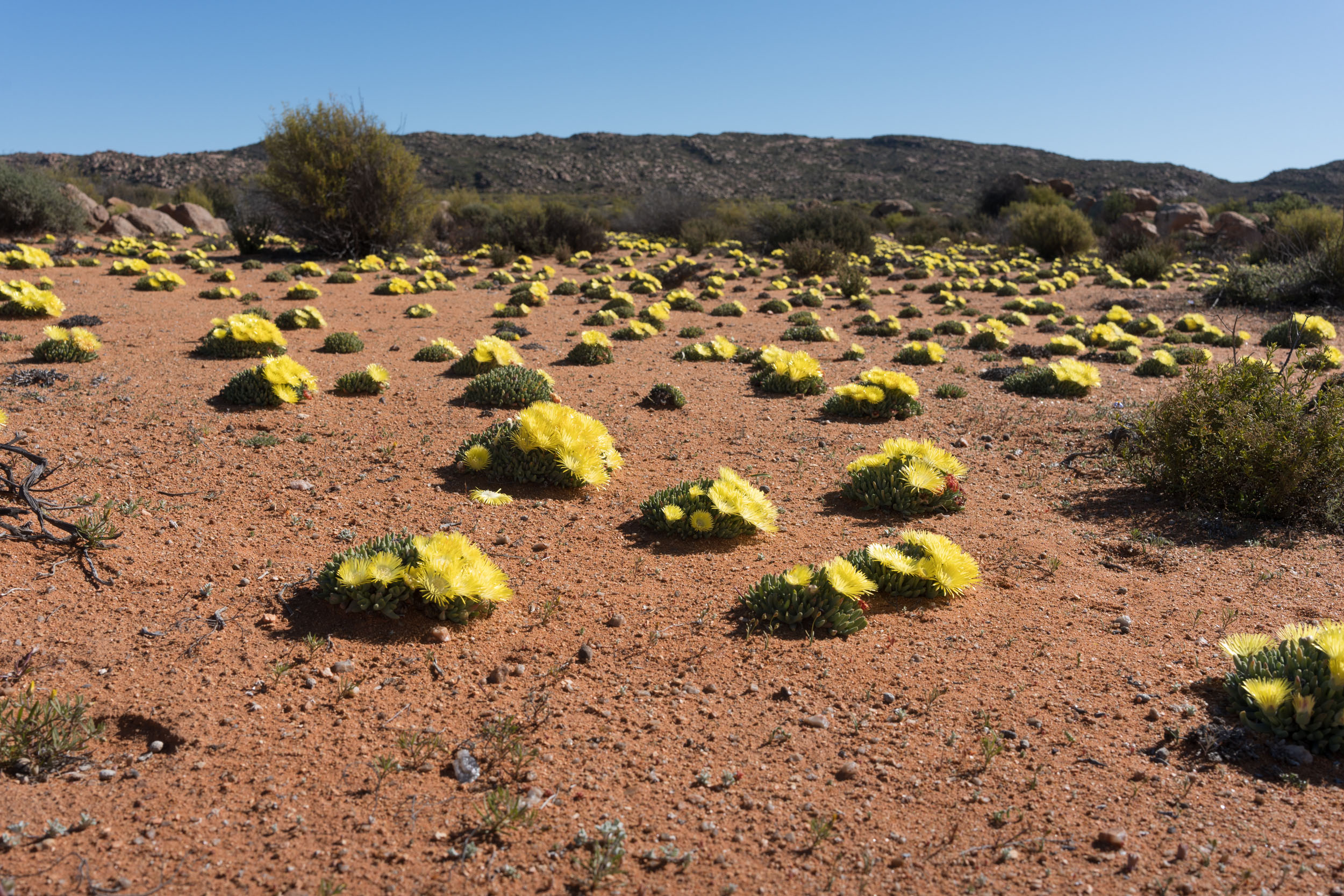
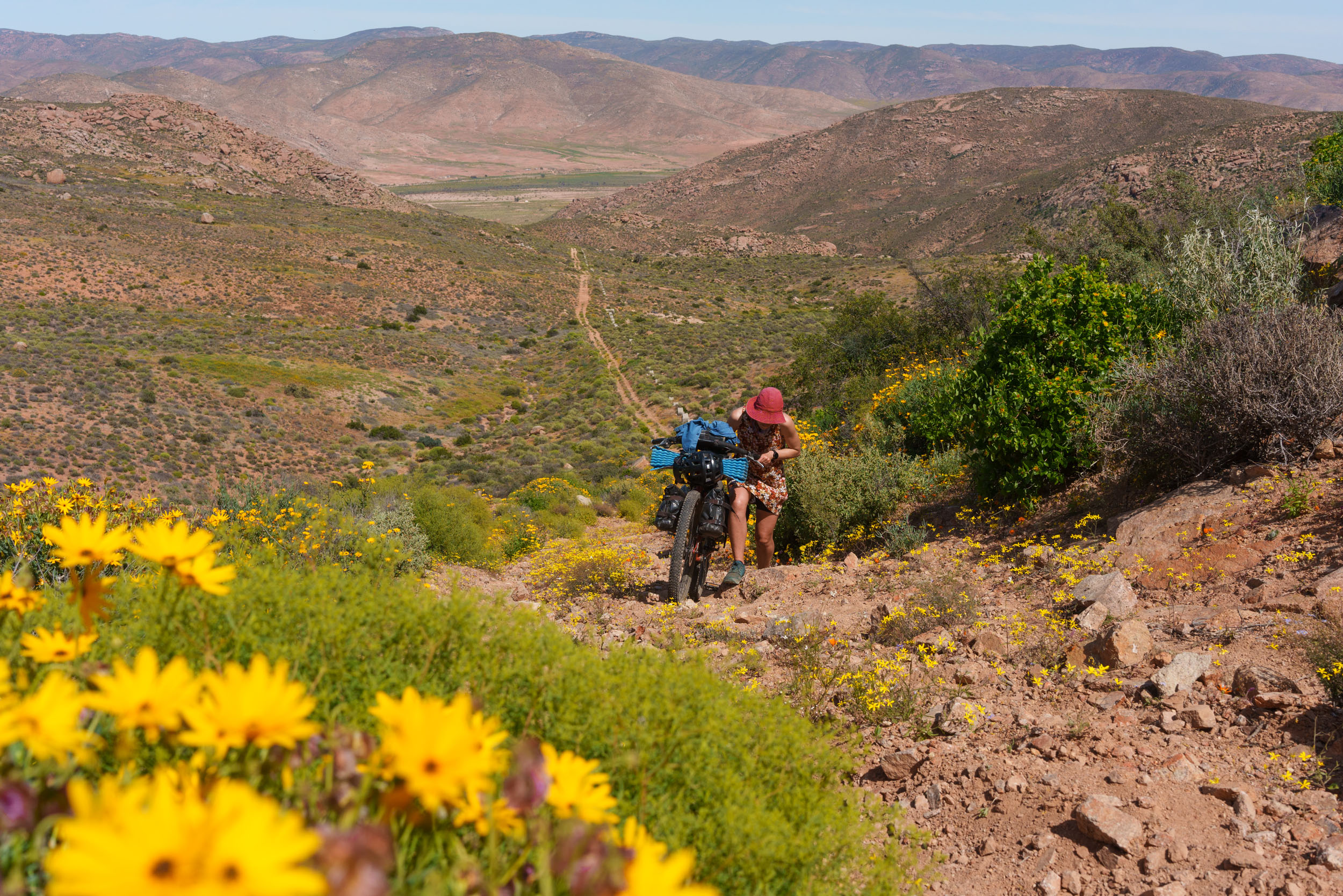
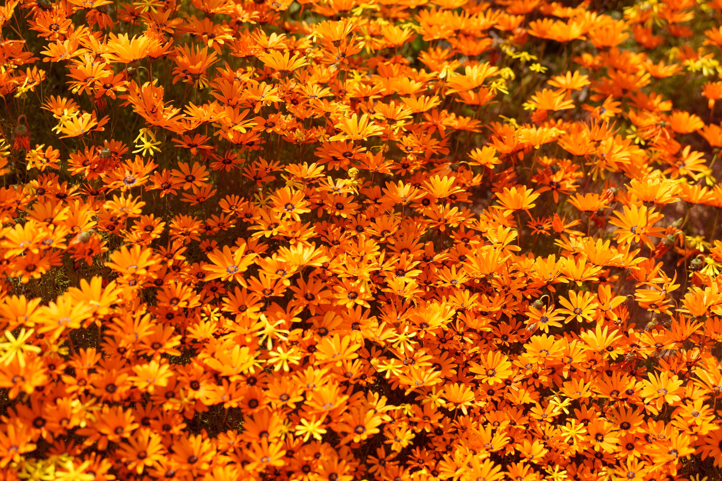
With the arrival of spring each year, South African social media feeds come alive with colour as images of Namaqualand’s wildflower extravaganza begin making the rounds. The spectacle gets people talking and causes a surge in visitors to the region, but as soon as the flowers die, so does the hype, sending Namaquand back into hibernation until the following spring.
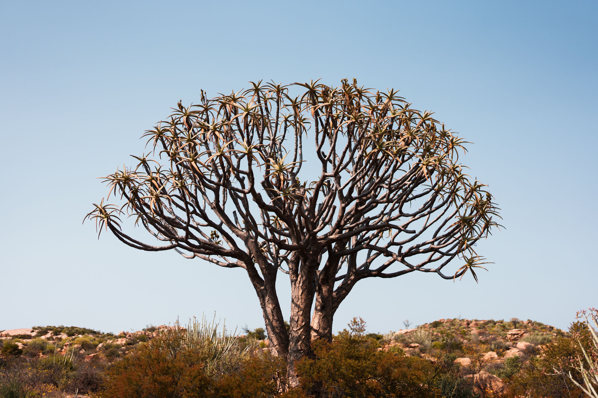
In reality, Namaqualand boasts remarkable diversity that extends well beyond its flowers, but its broader beauty is often overlooked amidst the ebb and flow of fanfare. This segment aims to counter this trend and highlight its broader spectrum of attractions. For example, the region hosts an astonishing variety of landscapes and an even greater diversity of plant and animal species. It’s home to a third of the world’s succulent species, along with over 3,000 other plant species and a wide range of unique and exciting birds and animals, including the world’s smallest tortoise species.
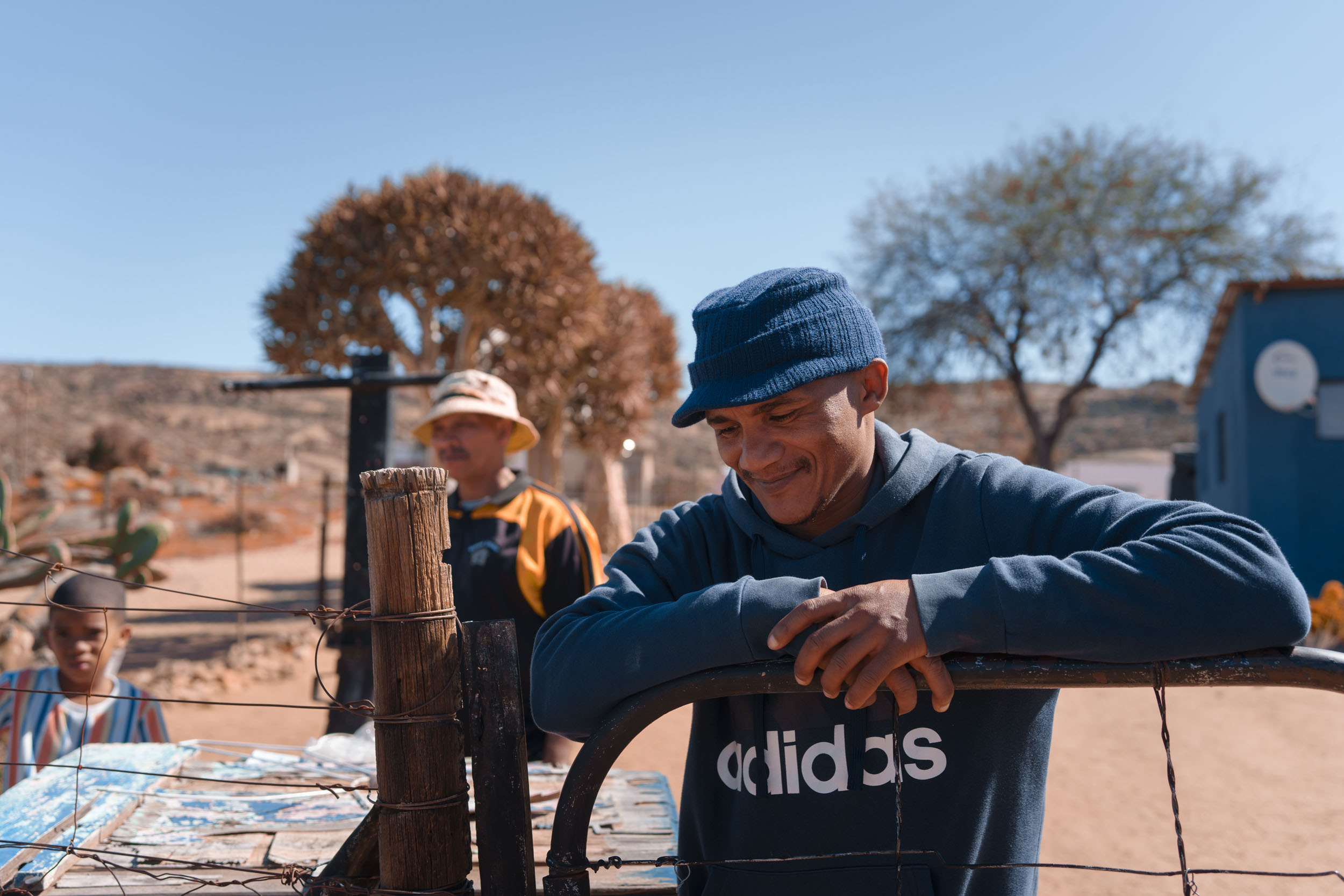
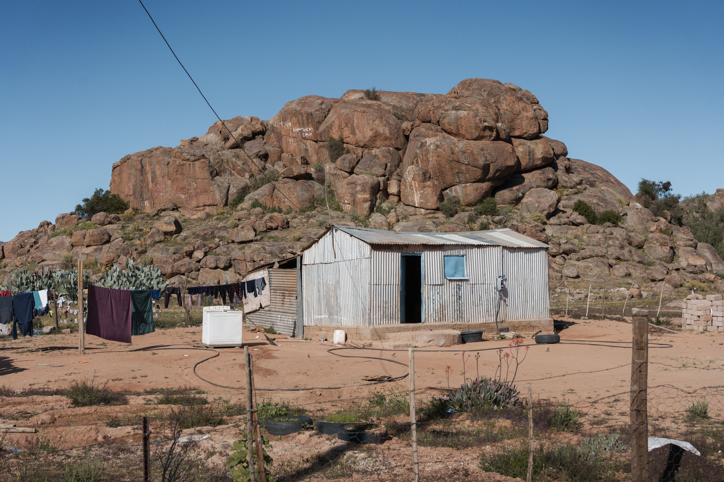
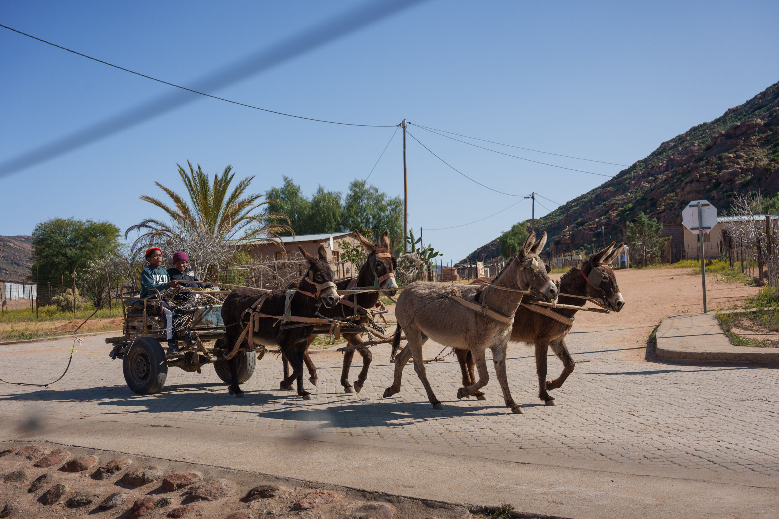
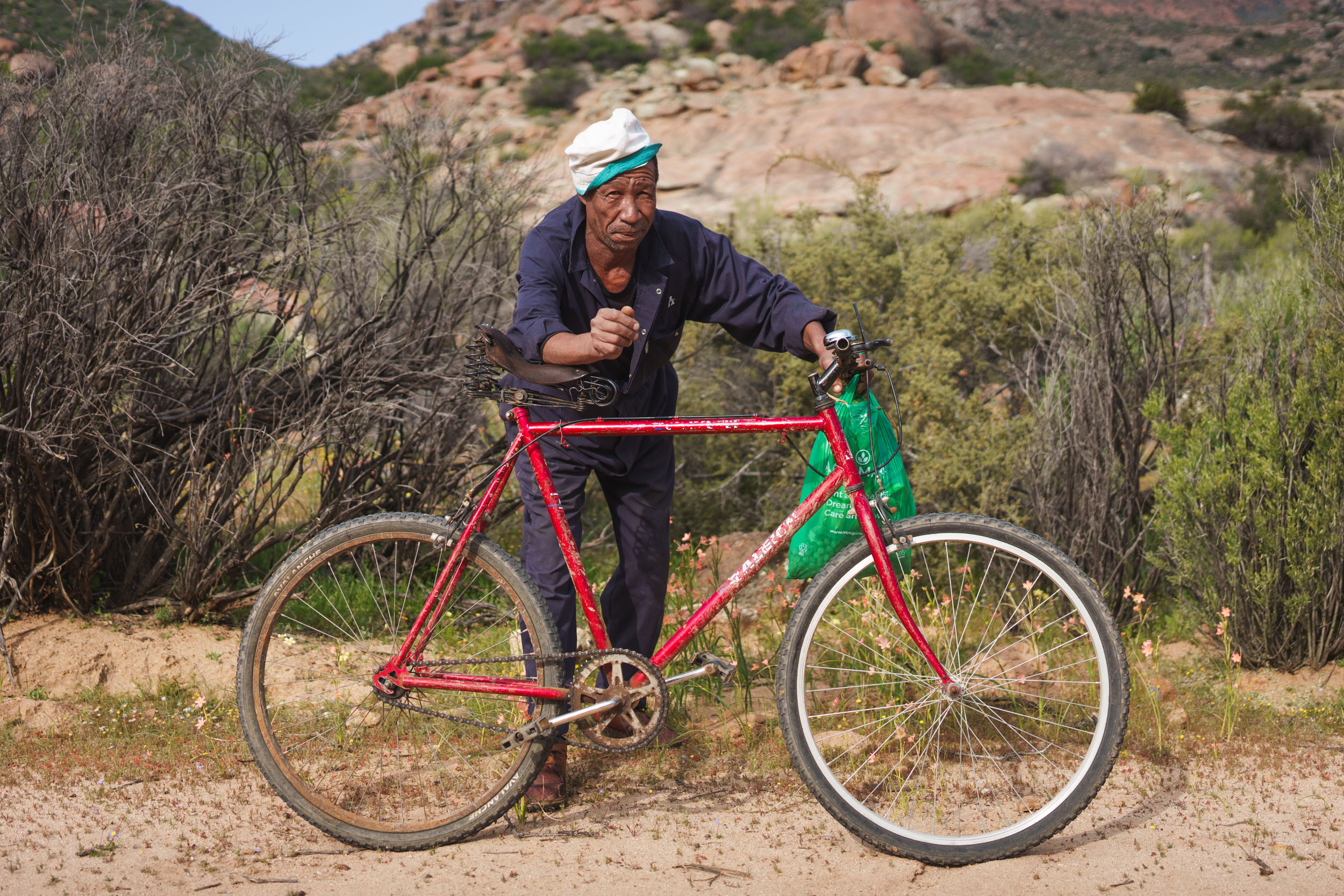
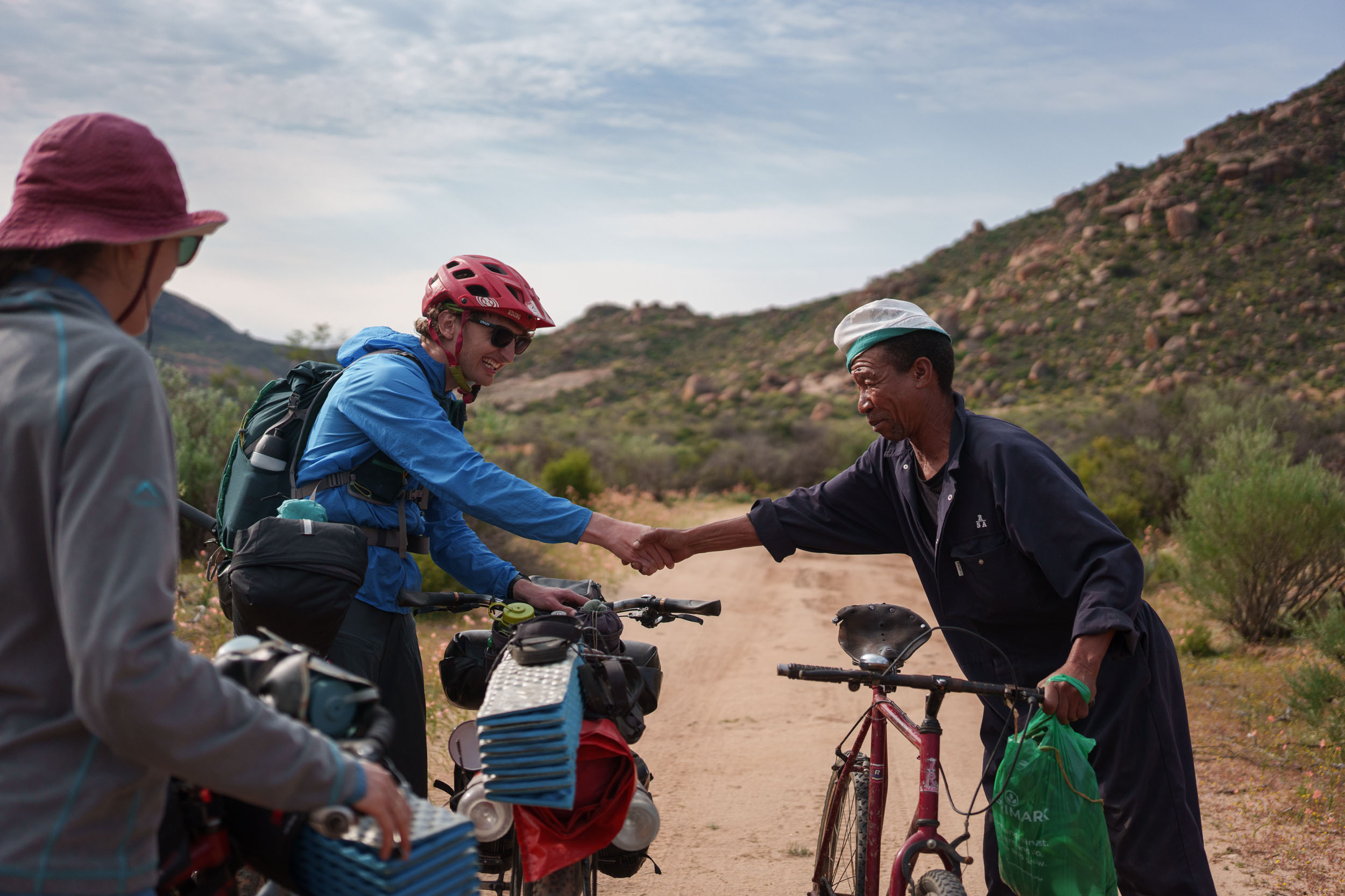
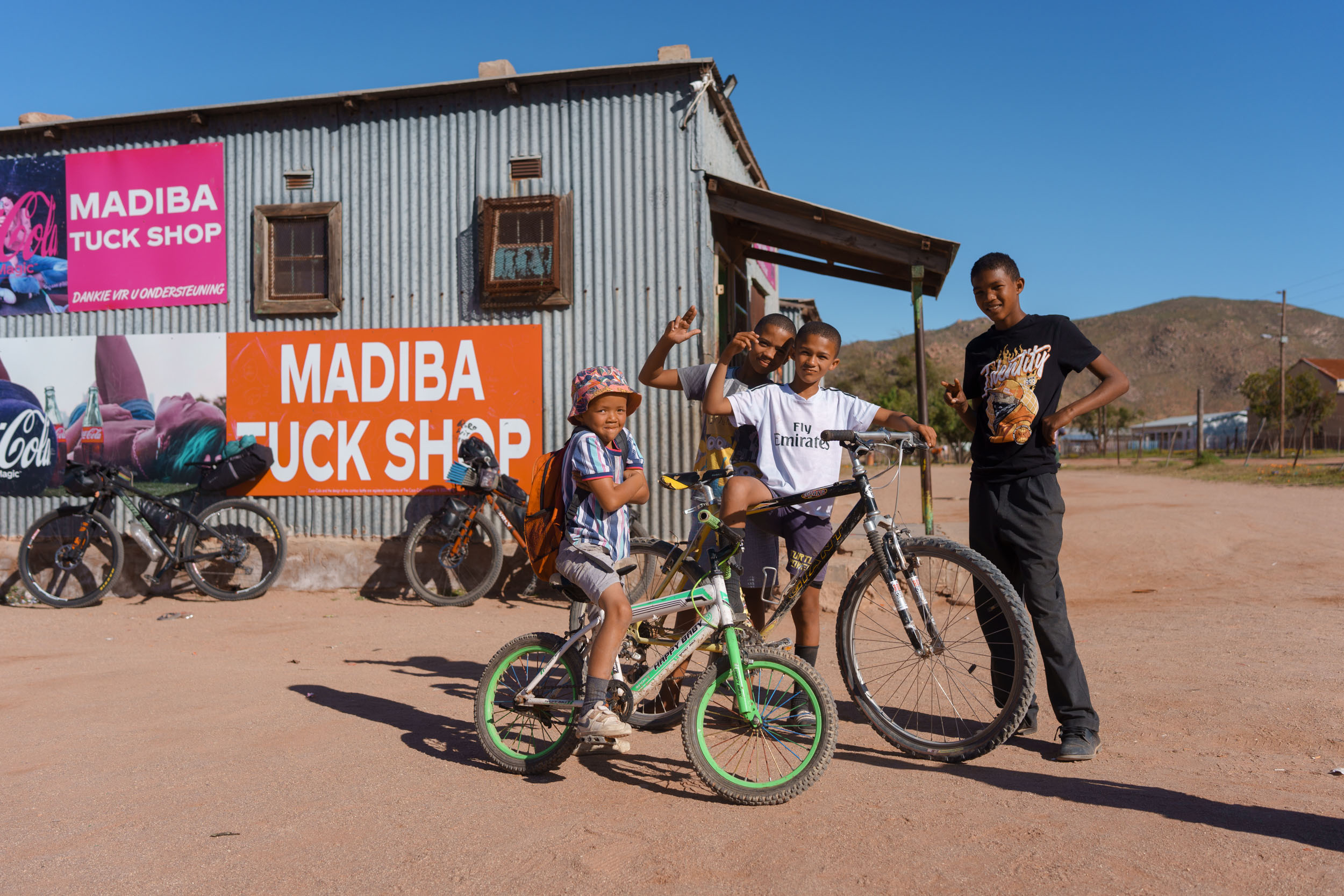
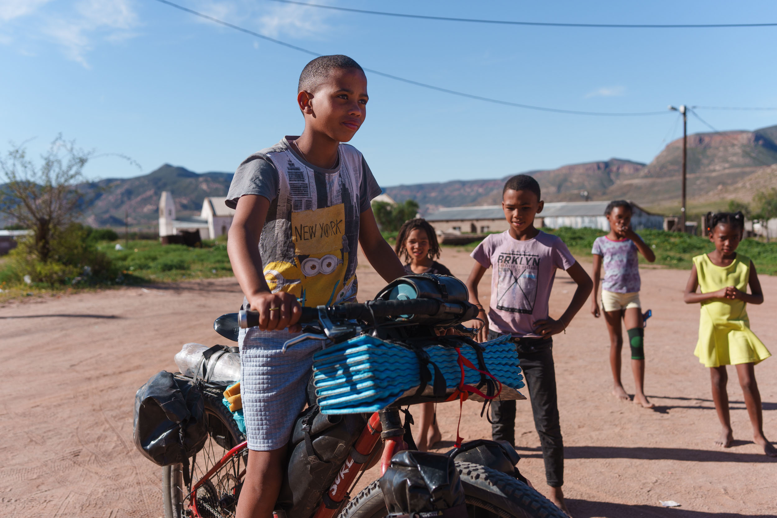
Most of the region lacks any significant development, meaning that nature, for the most part, is left to flourish. Indeed, compared to the previous segment of SAND, this one takes on a somewhat wilder and more natural feel altogether. Large portions of land in this region are community-owned, meaning there are fewer access restrictions, fewer aggressive fence lines, and more opportunities to engage with people along the way.
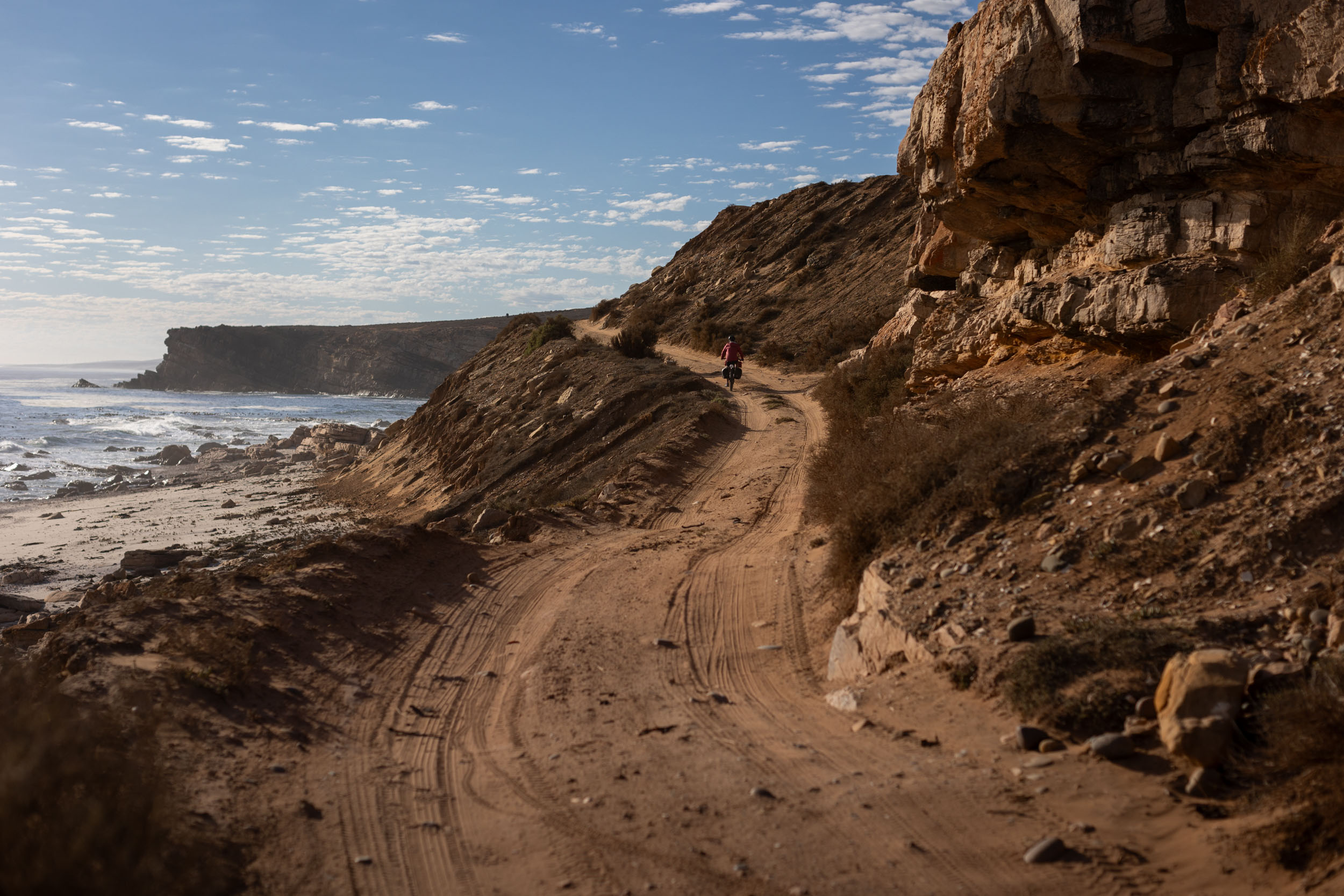
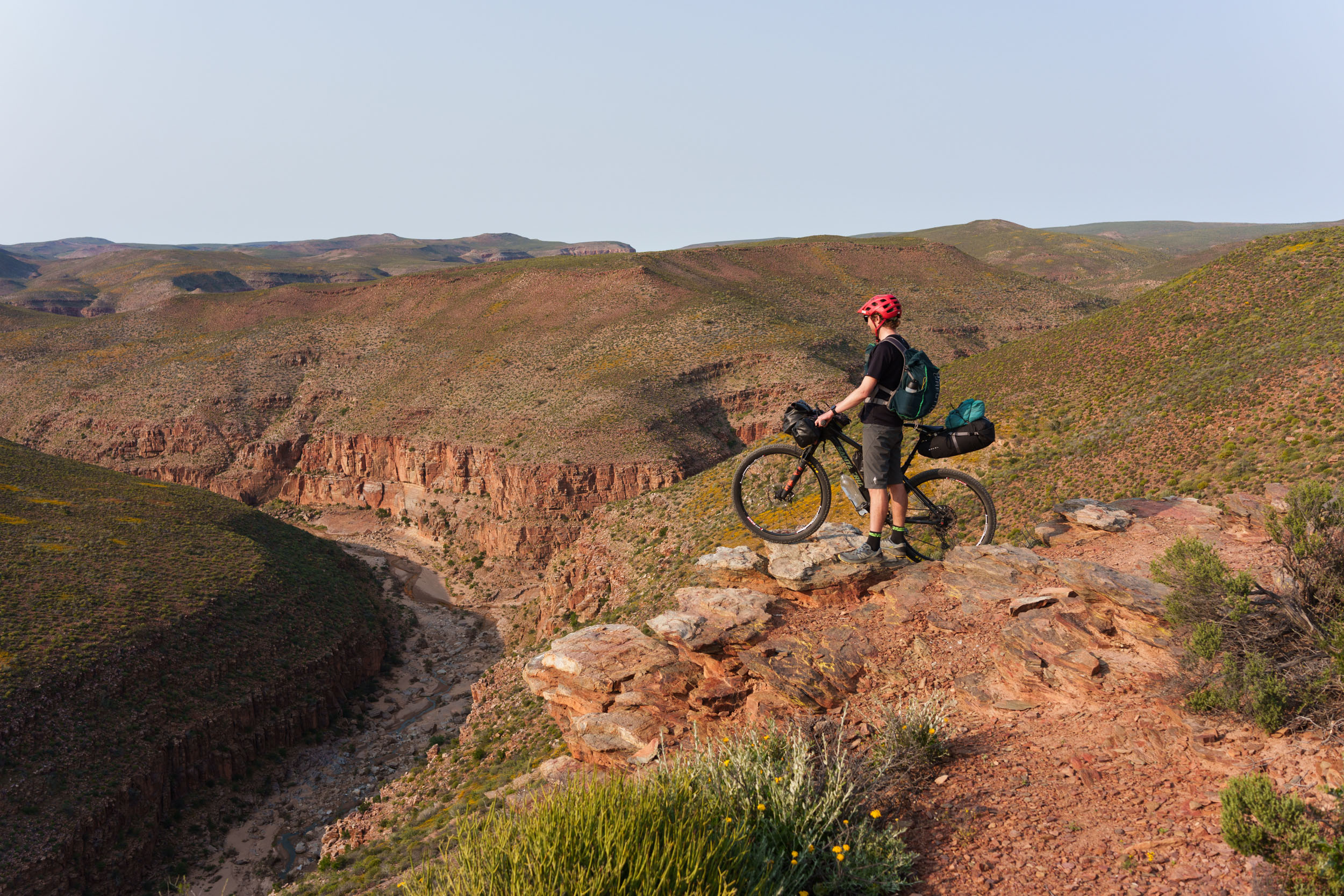
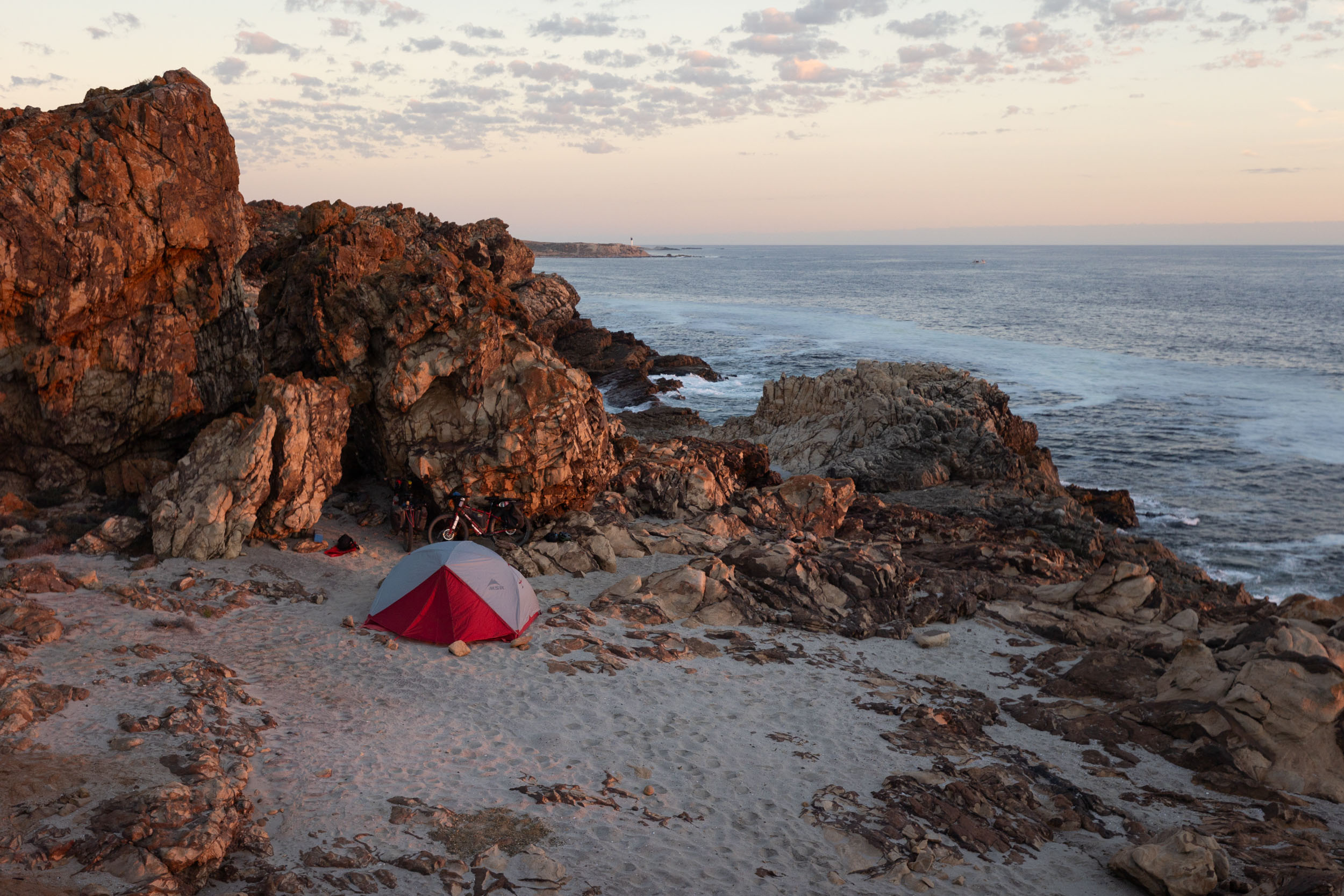
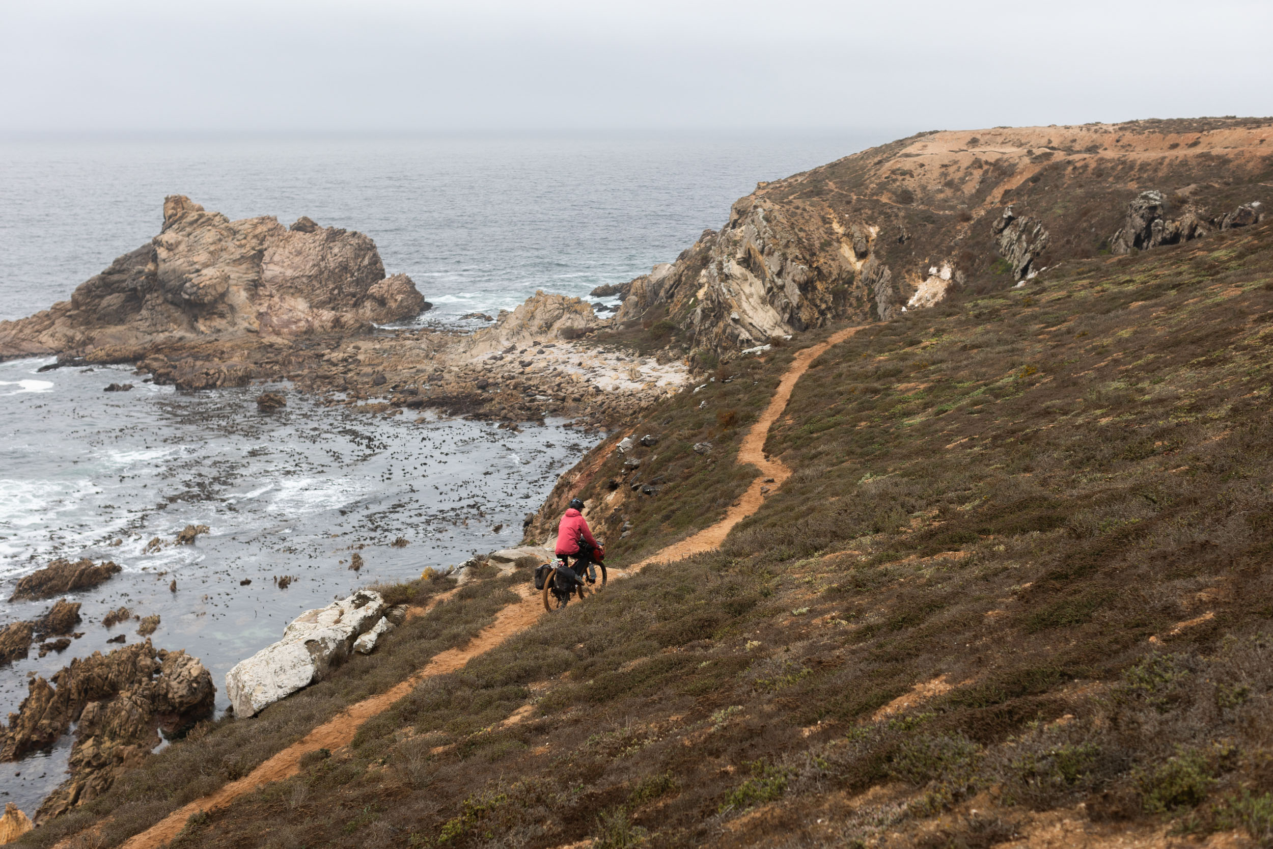
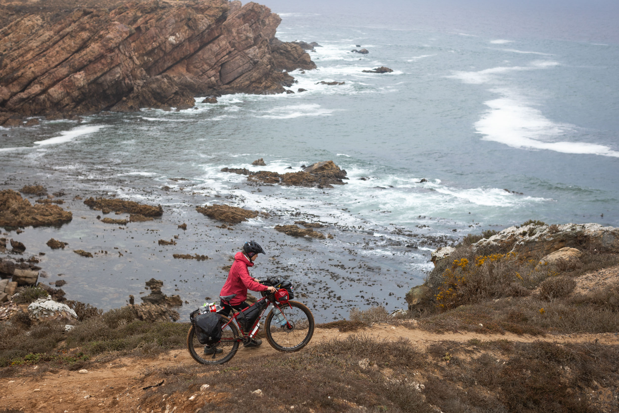
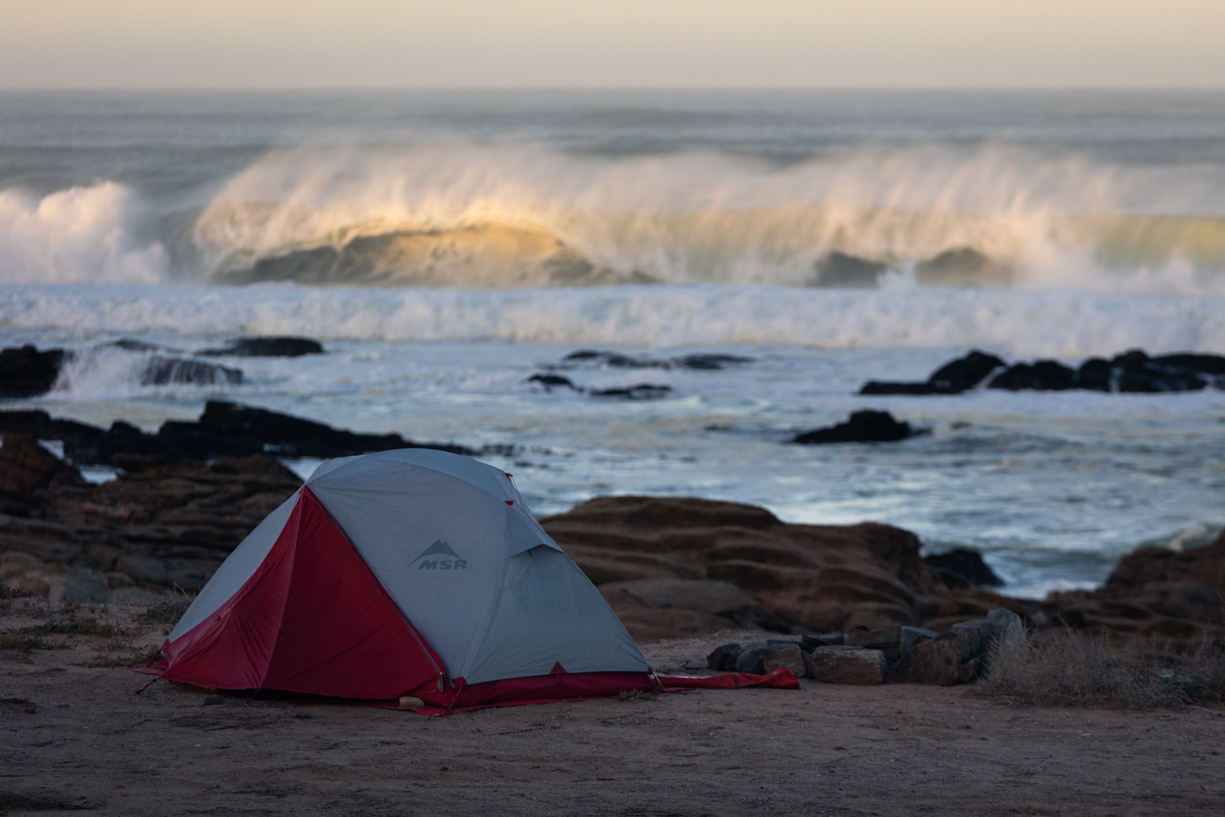
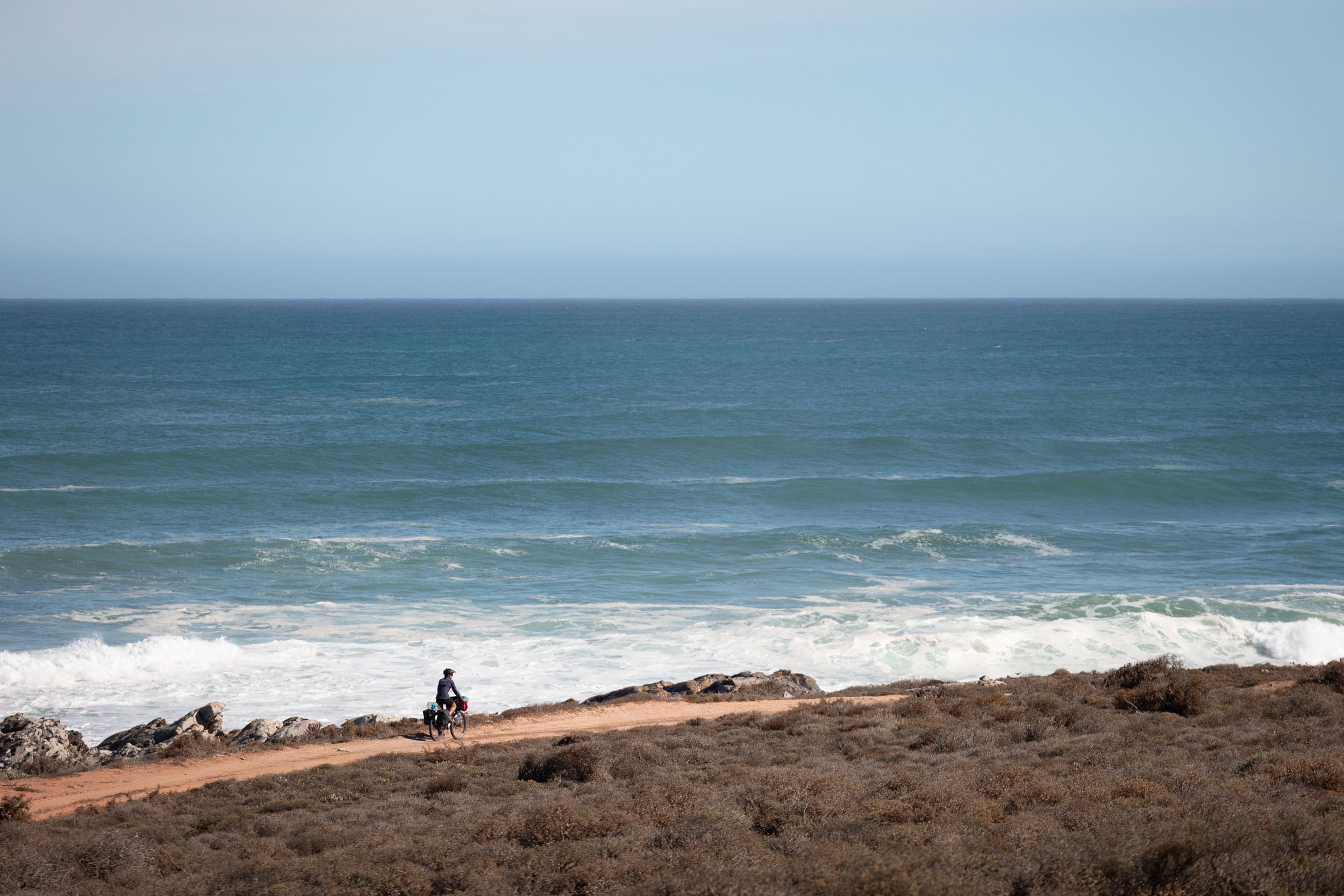
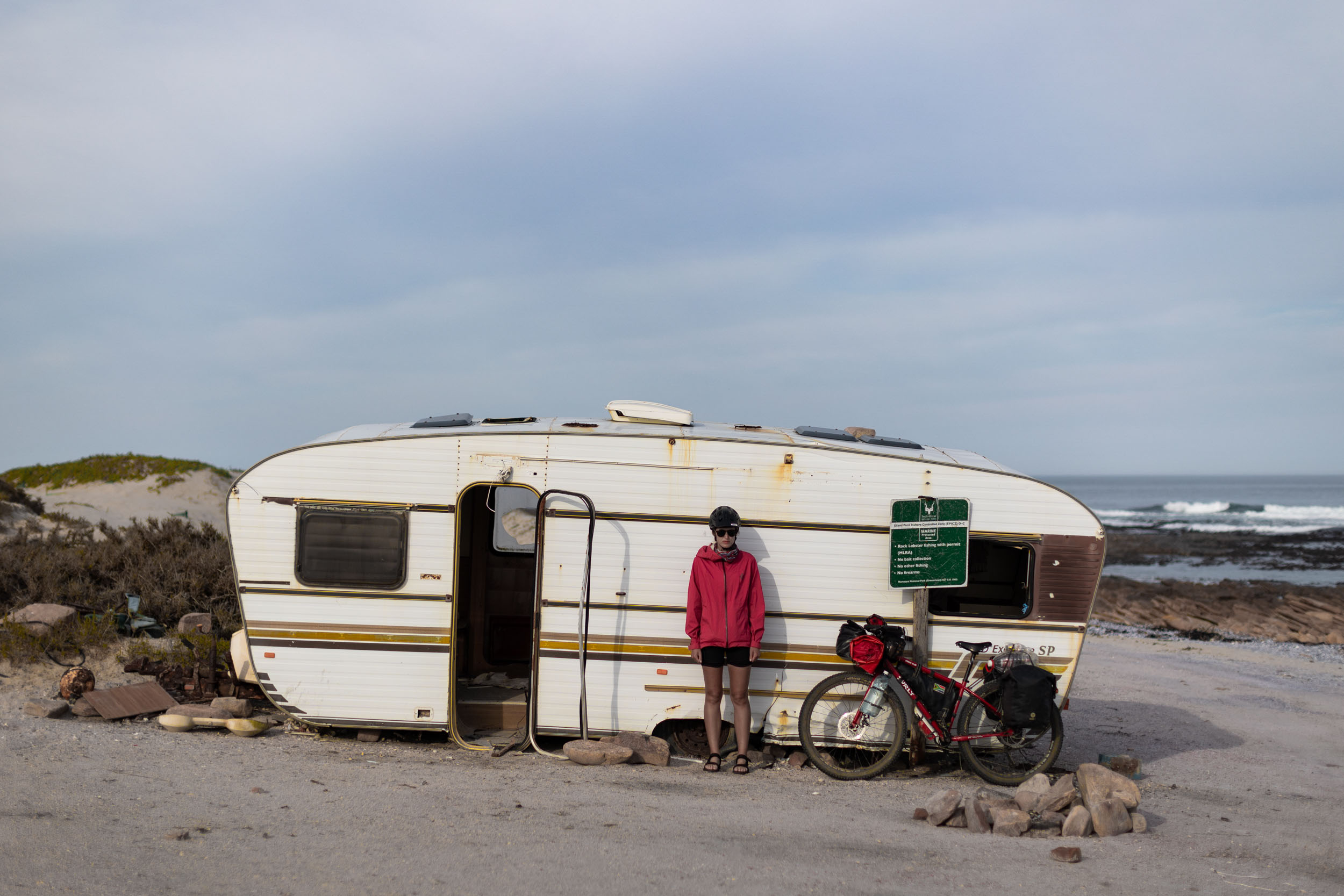
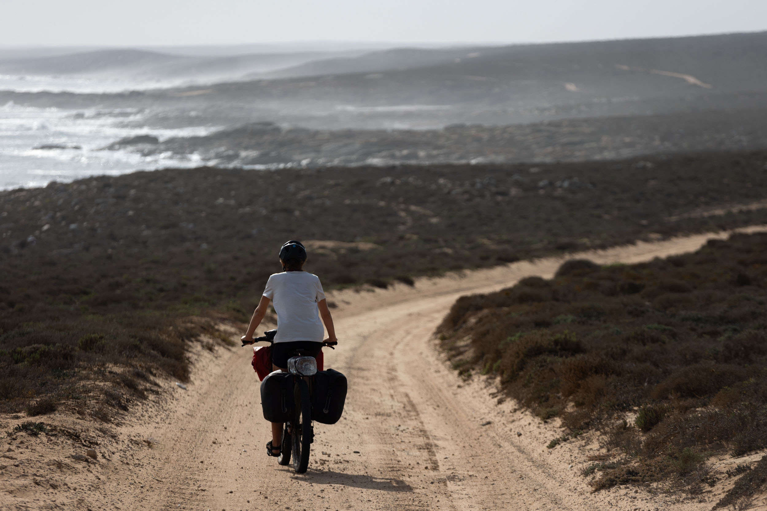
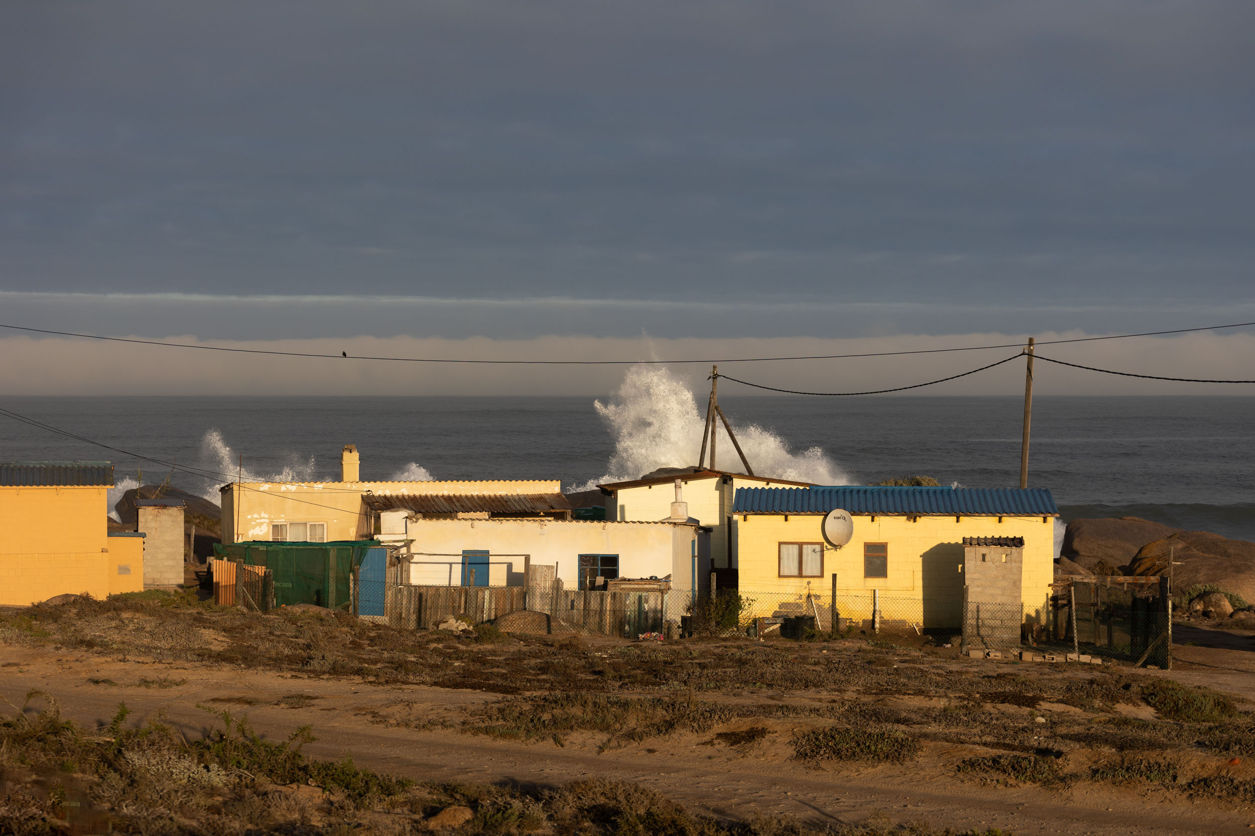
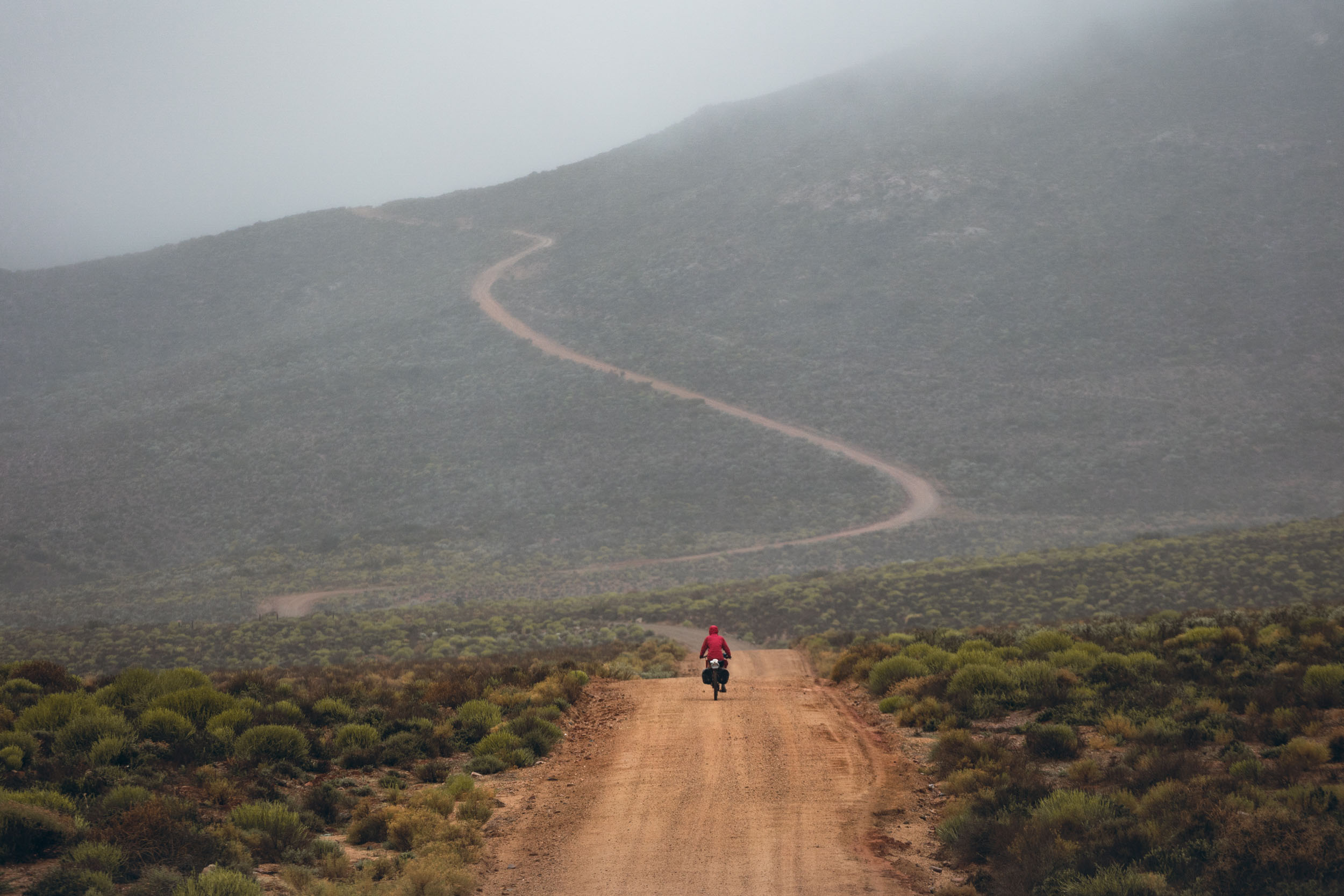
The segment’s riding kicks off with a long, lonely, and challenging traverse of the west coast, from Doringbaai to Hondeklipbaai. It’s a remote stretch of coast with nothing but a few controversial and exceedingly unpopular mining sites and abandoned diamond outposts along it. For the most part, though, it’s just the wild ocean, narrow sandy tracks, and an almost infinite choice of deserted beaches to call home at night. This stretch also includes a crossing through Namaqua National Park, one of the most pristine and well-preserved parts of the coastline.
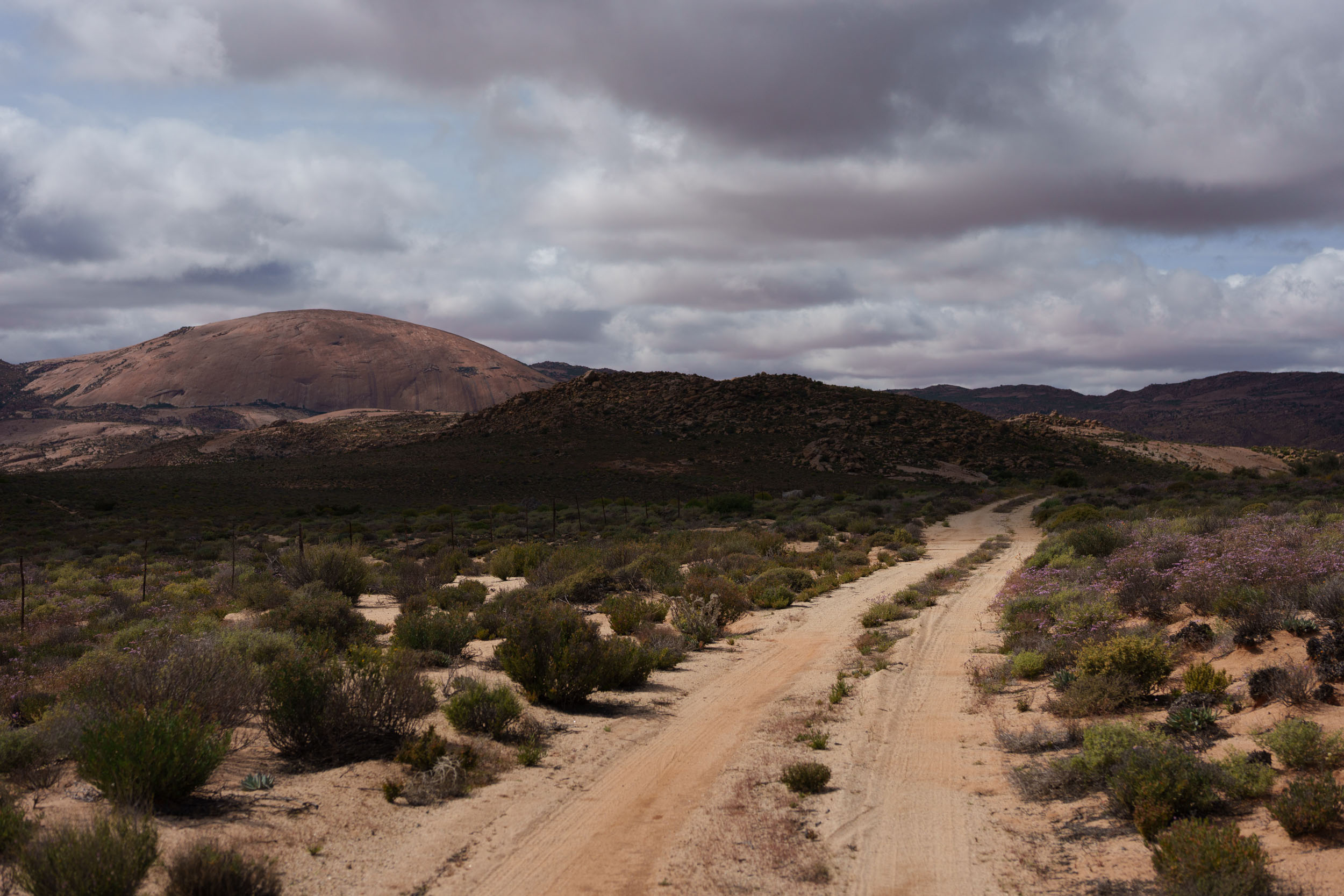
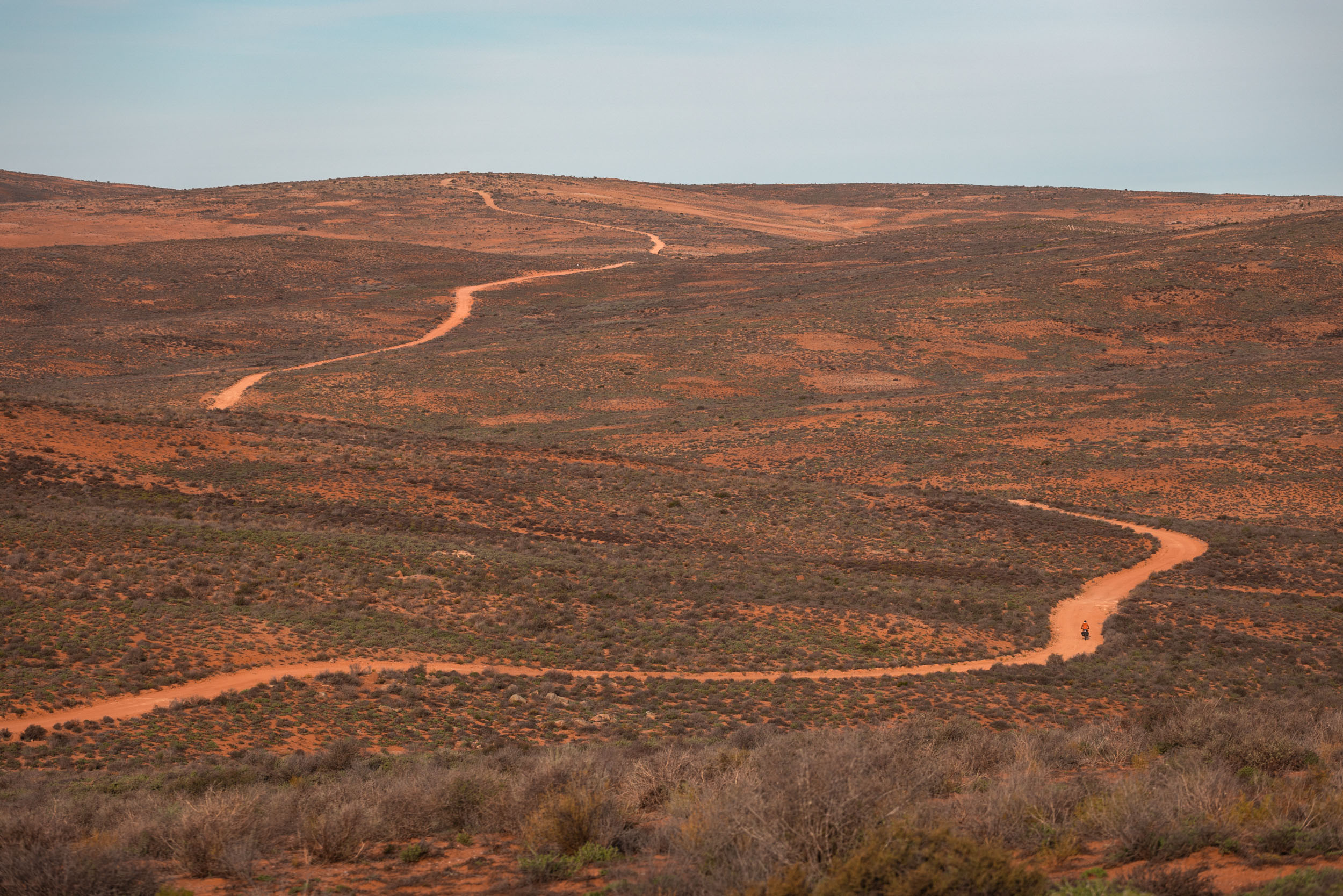
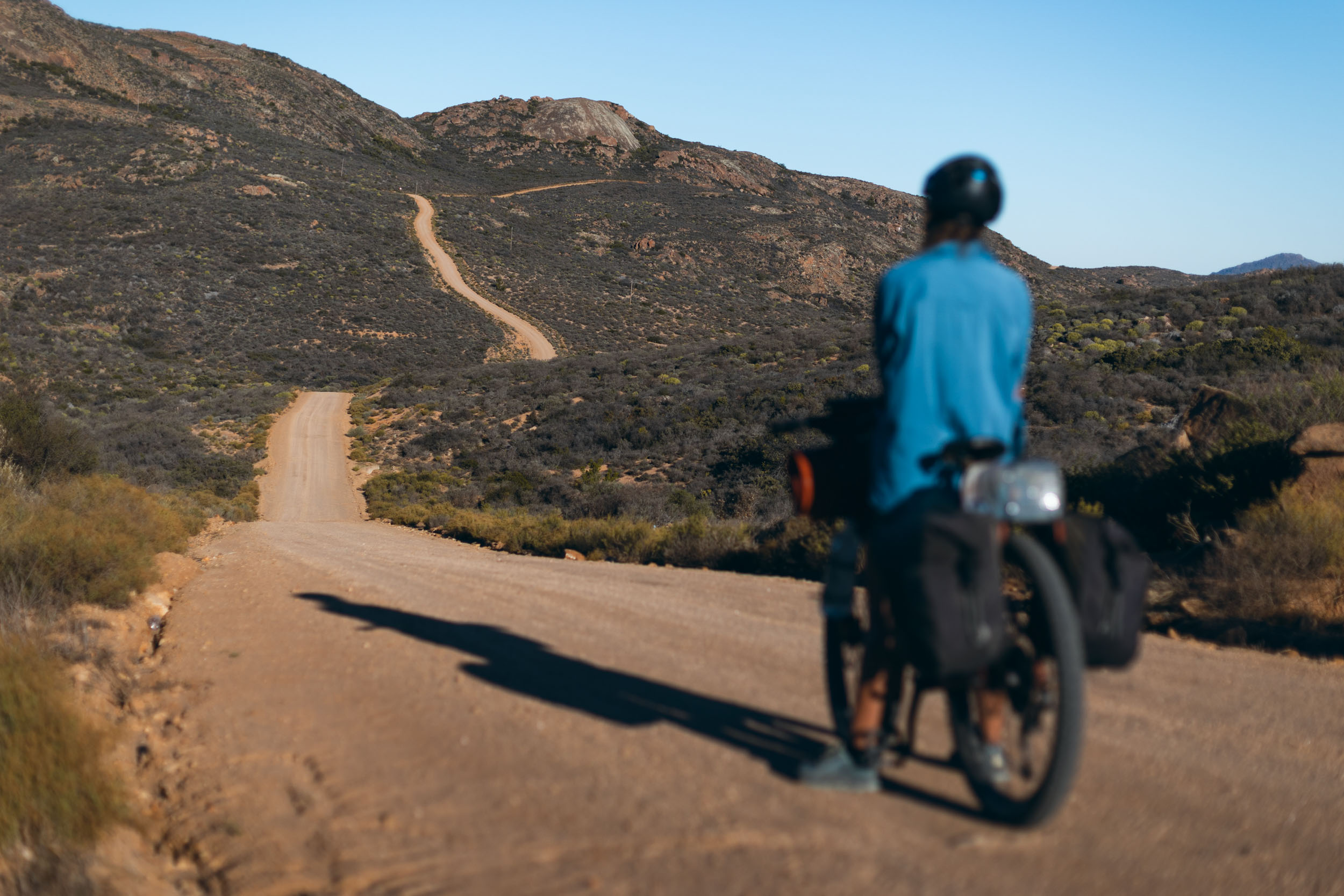
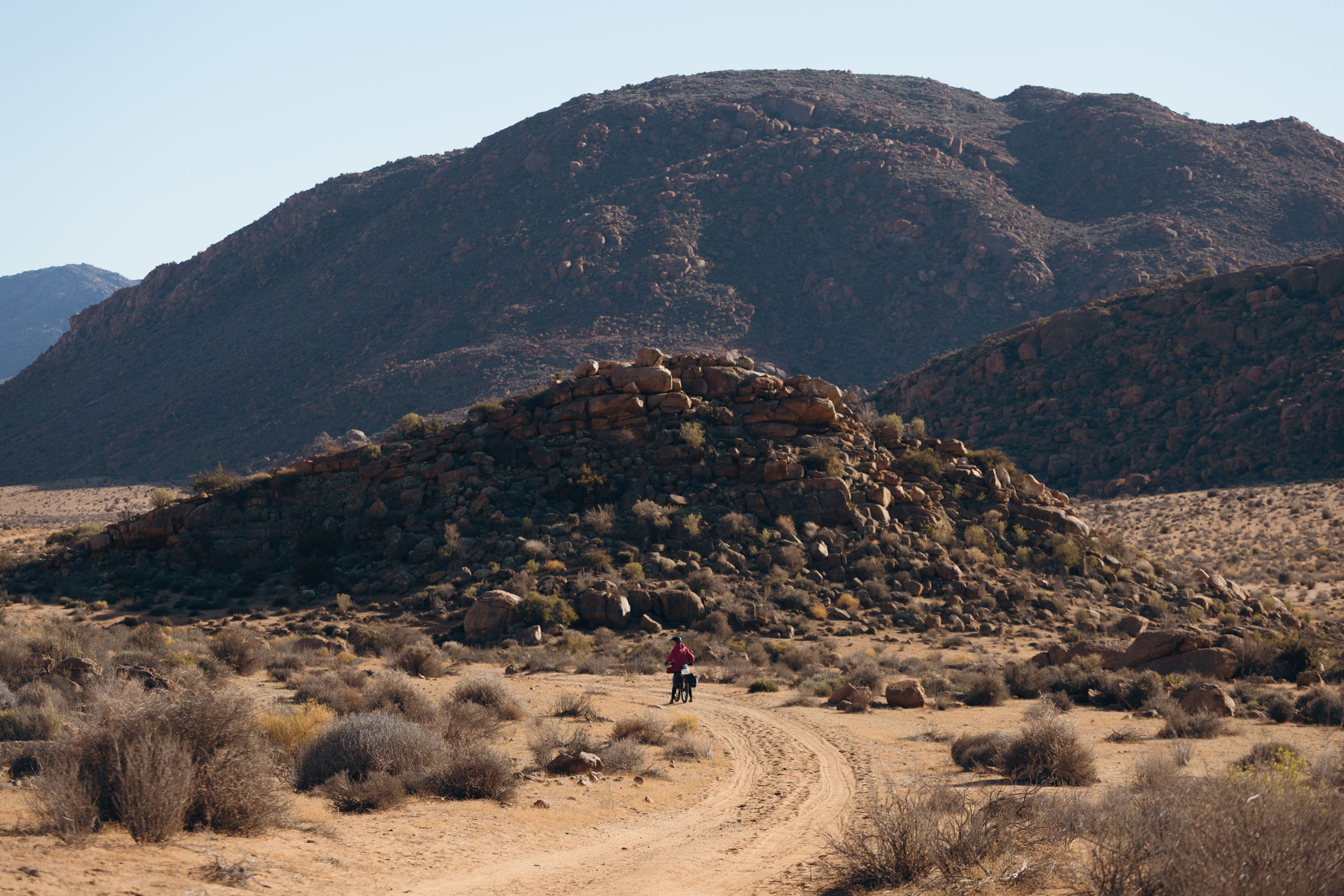
After the coastal traverse, the route turns inland to the mountains. It takes on a completely different feel, with rolling hills and towering granite domes replacing previously featureless shrublands. Villages and settlements are also more plentiful here, providing abundant opportunities to engage with the vibrant communities. The route meanders through the Kamiesberg mountains and Schaapriver plateau before finishing in Springbok.
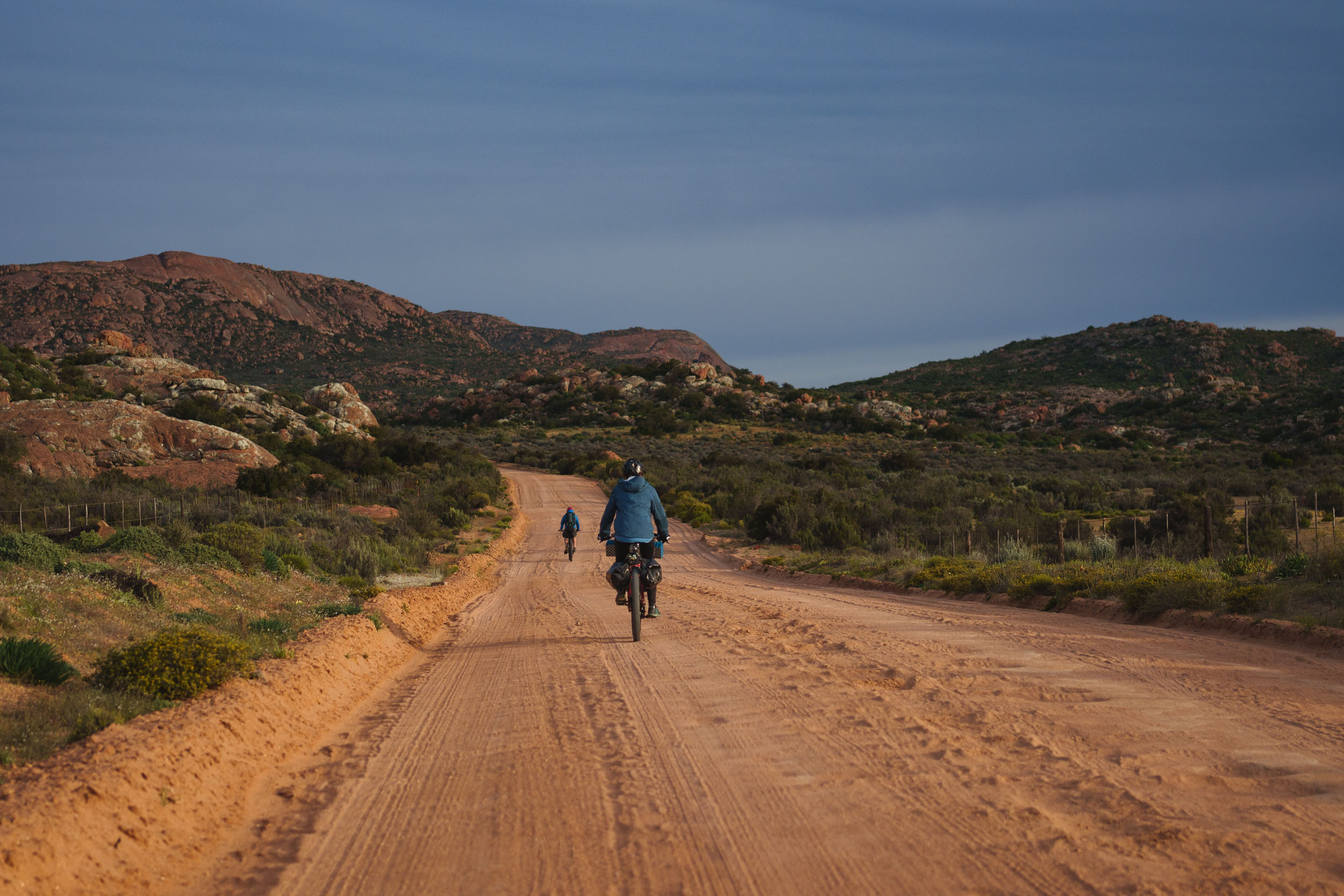
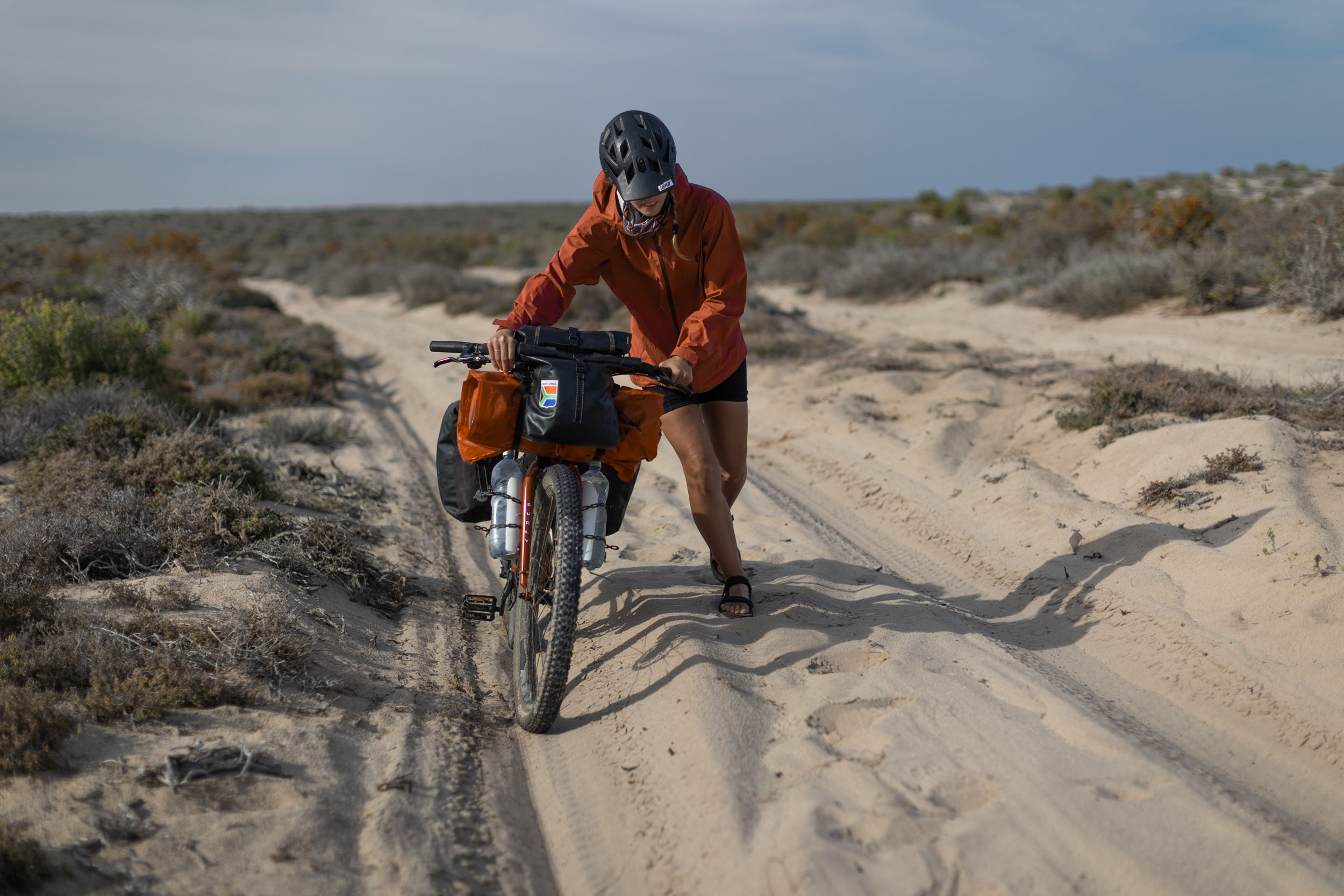
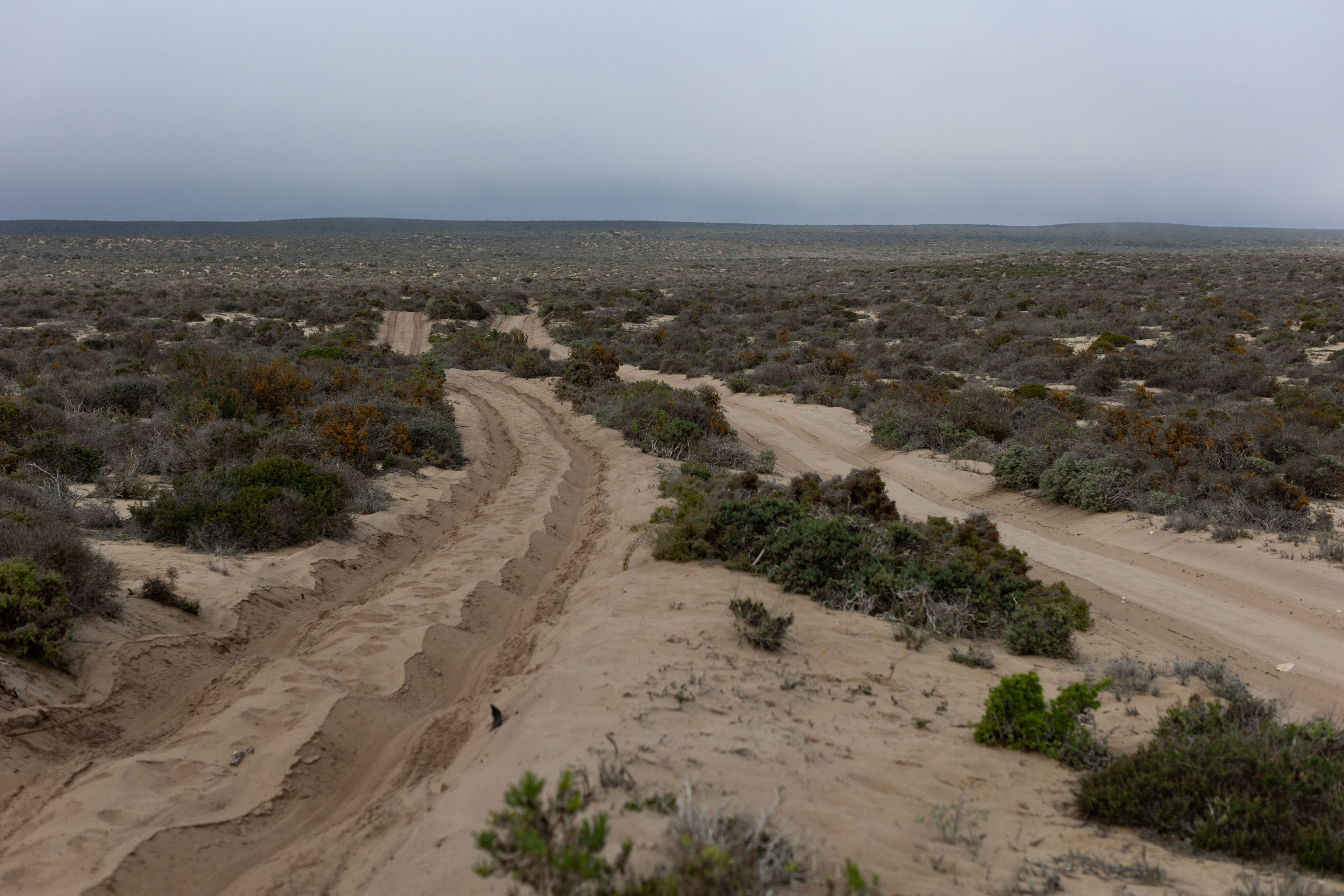
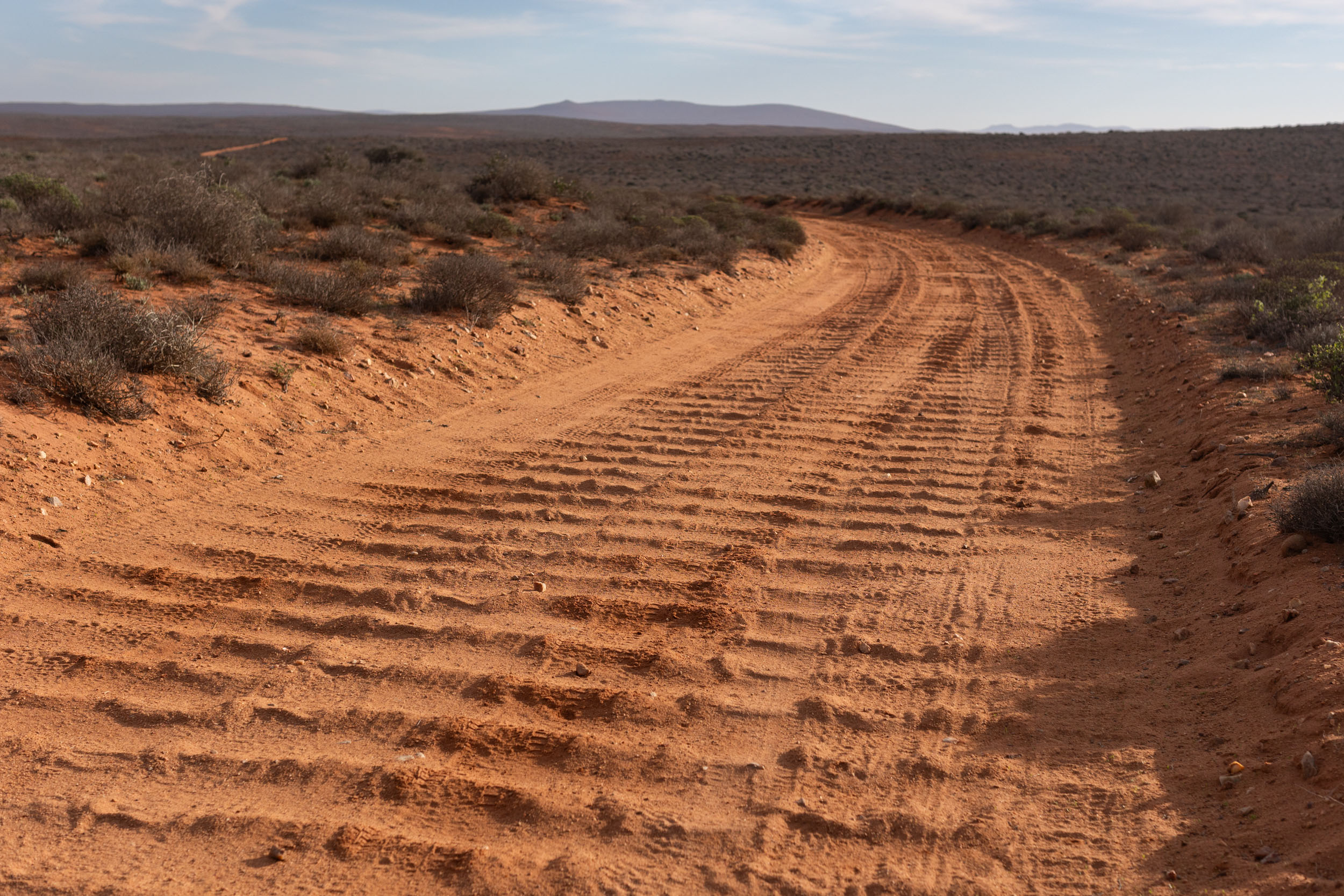
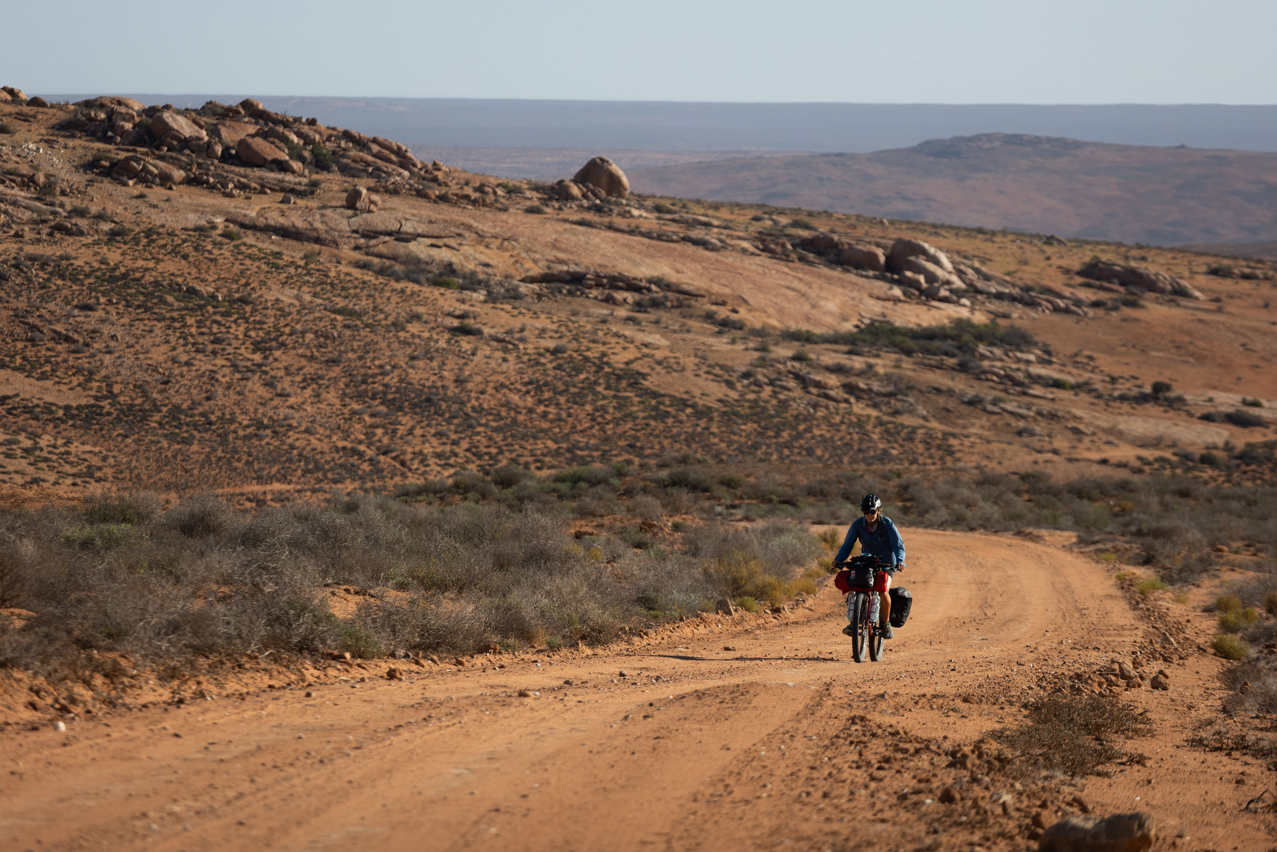
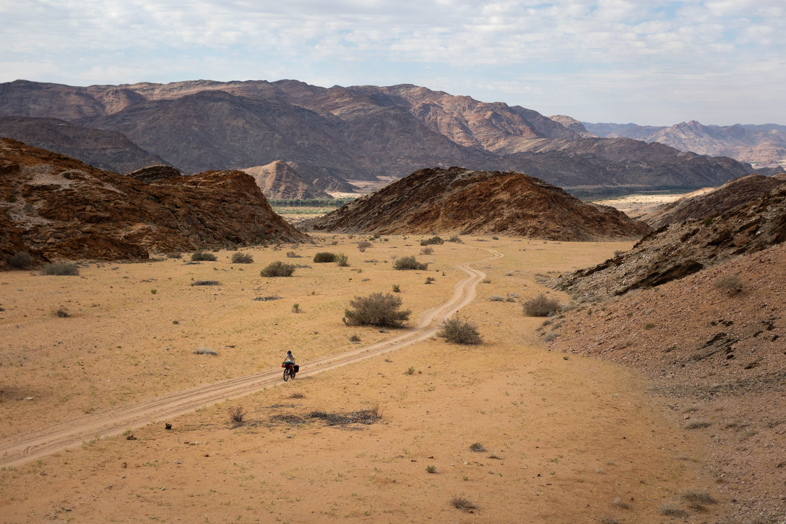
While most of this segment still consists of straightforward gravel roads, it’s notably more challenging and physically demanding than the previous leg. Indeed, it wholly lives up to the SAND acronym, frequently presenting long stretches of soft sand. But what’s a desert bikepacking route without some sand?
Sand aside, the Namaqualand segment stands out as one of the true gems of the route. Besides the quality riding it offers, it also forges a deep connection with an often-neglected region, sparing no effort to get close to the land, appreciating its natural diversity, and getting to know its remarkable people and cultures.
Lay of the Land
Namaqualand, when translated, means “the place of the Nama people.” The Nama people are the largest remaining ethnic group descending from the Khoekhoe people, Southern Africa’s earliest pastoralist tribe. Nama people still occupy large areas of land in desertous Southern Africa, including Namaqualand, although here, most people are of mixed ethnicity. Accordingly, the Nama language, or Khoekoegowab, has sadly been all but lost to the region. With that said, traces of the language persist throughout the area, from place names to regional colloquial terms used in everyday speech. Further north, in Namibia, the Nama language, its original form, is more widely spoken.
Route Difficulty
This segment is notably more difficult than Segment 1 – Karoo. Logistics remain tricky, but the terrain is less forgiving, increasing the overall difficulty to 7 out of 10.
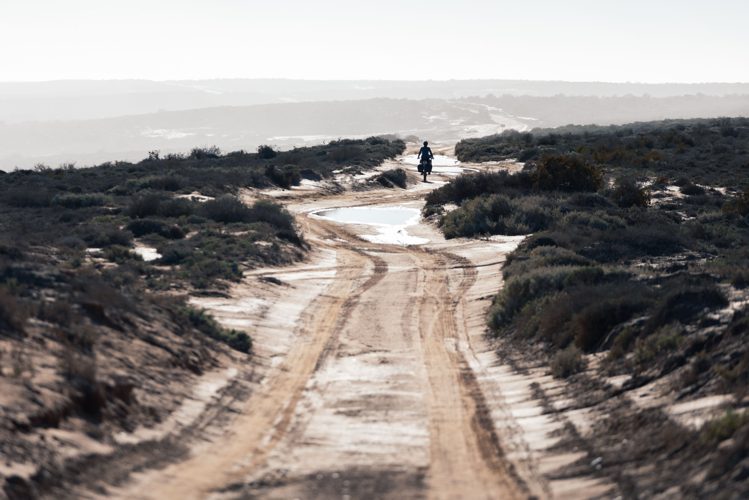
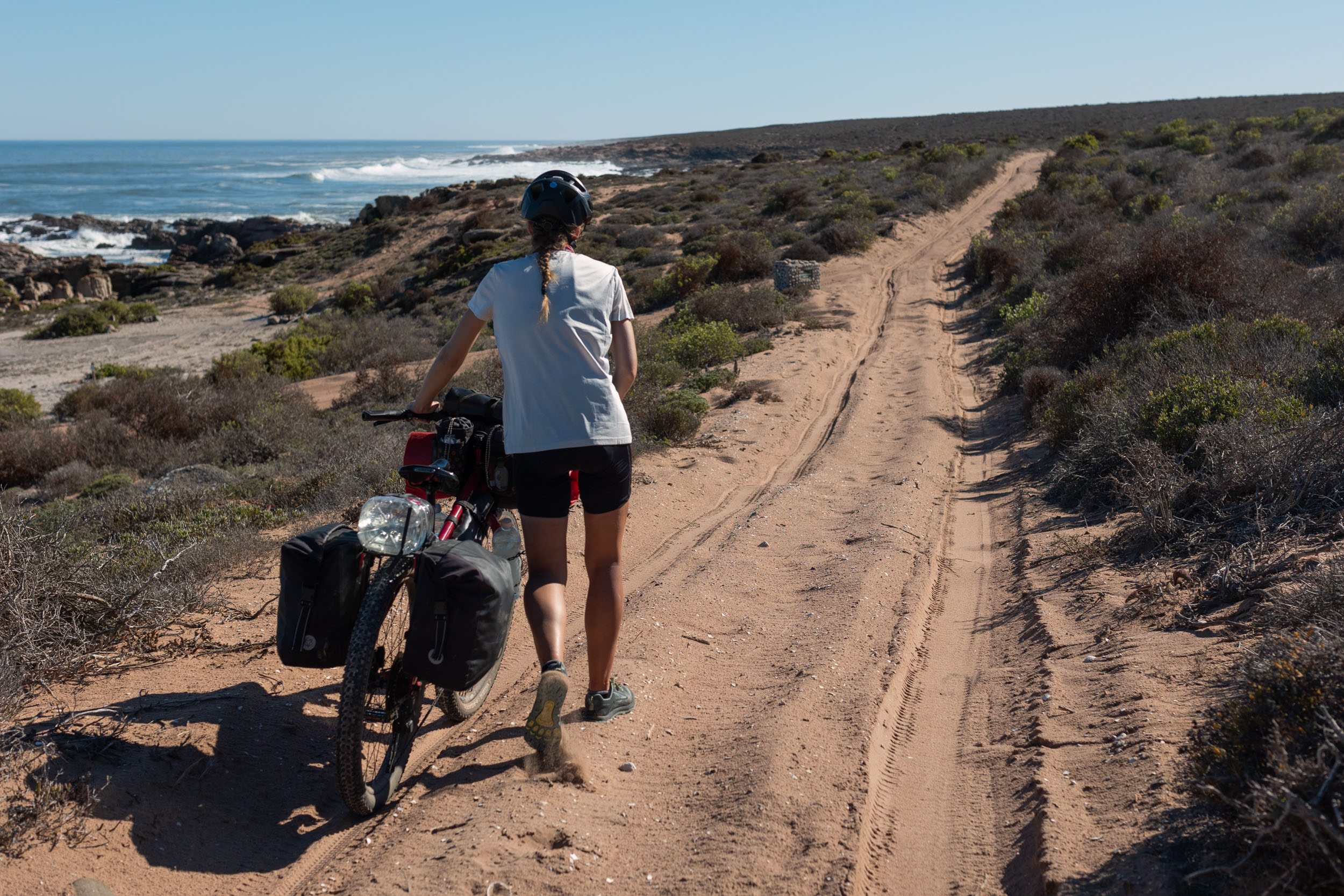
Technical difficulty (6/10): Like much of the SAND route, most of this segment is on easy gravel roads and doubletracks that don’t require any special skills, but there are a couple of notable exceptions to be aware of here. These include long sections through extremely soft sand and some steep, loose descents and climbs.
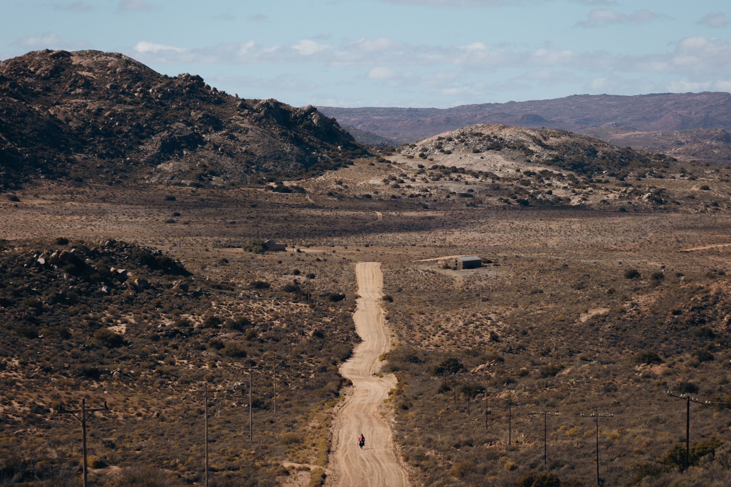
Physical demand (7/10). Again, the majority of the riding is reasonable, but the overall rating is relatively high due to those few highly demanding exceptions. The first half follows the coast and is generally quite flat, bringing the segment’s climbing scale down considerably, but the second half is much more hilly, usually gaining 1,000 metres in about every 40 to 50 kilometres.
Resupply and Logistics (7/10): Between Lutzville and Hondeklipbaai is 210 kilometres, more or less, without any food resupply and possibly only a single opportunity to refill water. This same stretch also includes the worst sandy sections of the route and can thus easily drag out into four days or more without any resupply. However, that particular stretch is the exception, as, after it, resupply is frequent, even though it usually lacks variety. Fresh produce is especially tough to come by for the majority of this segment.
Route Development
The SAND Bikepacking route was developed by South African bikepacker and photographer Johan Wahl and his partner Jana. They first attempted the route in 2021, intriguing us with inspiring images as they rode, but it wasn’t until recently that Johan fine-tuned his ideas from that initial journey into a structured route that could be repeated and published here. Private property and land access were major obstacles during that initial journey, and it took in-depth consultation with locals and landowners and several return trips to resolve. He also exchanged ideas with several prominent bikepacking-minded members of the local cycling community to ensure that the route would be well received. Longevity was one of the key considerations in planning this route, and the belief is that with this route now accessible to all, the future is bright for bikepacking in Southern Africa. Stay tuned as we release segments 3-5 of this incredible 5,500+ kilometer route.


Submit Route Alert
As the leading creator and publisher of bikepacking routes, BIKEPACKING.com endeavors to maintain, improve, and advocate for our growing network of bikepacking routes all over the world. As such, our editorial team, route creators, and Route Stewards serve as mediators for route improvements and opportunities for connectivity, conservation, and community growth around these routes. To facilitate these efforts, we rely on our Bikepacking Collective and the greater bikepacking community to call attention to critical issues and opportunities that are discovered while riding these routes. If you have a vital issue or opportunity regarding this route that pertains to one of the subjects below, please let us know:
Highlights
Must Know
Camping
Food/H2O
Trail Notes
Resources
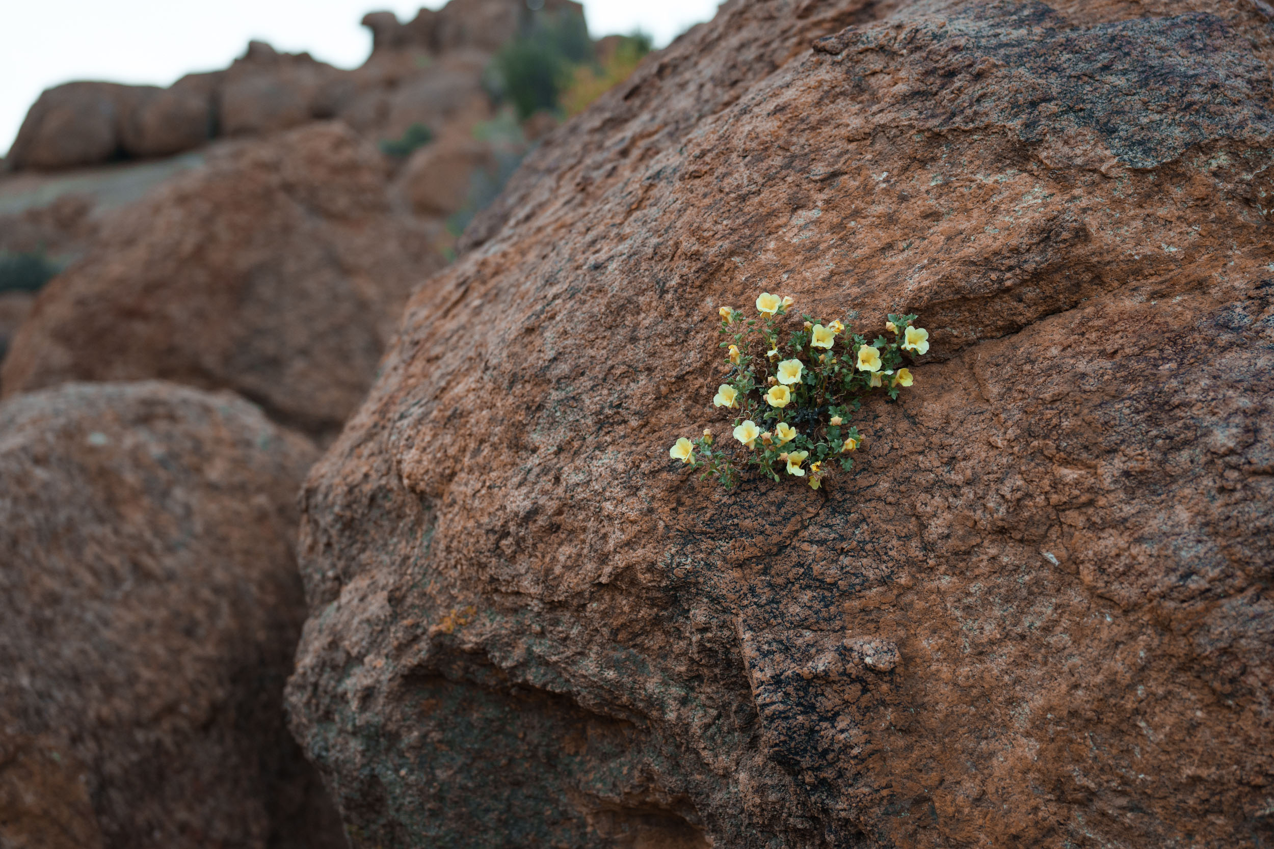
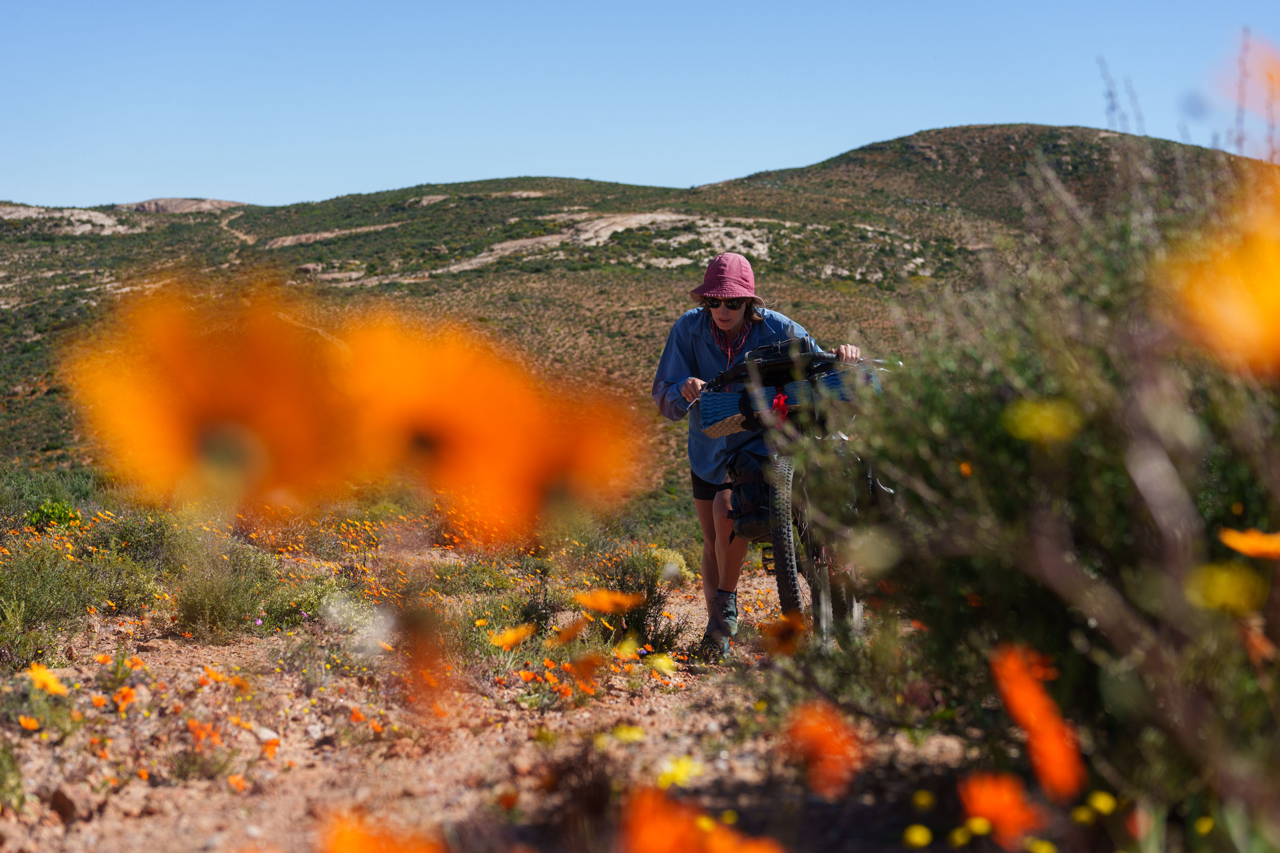
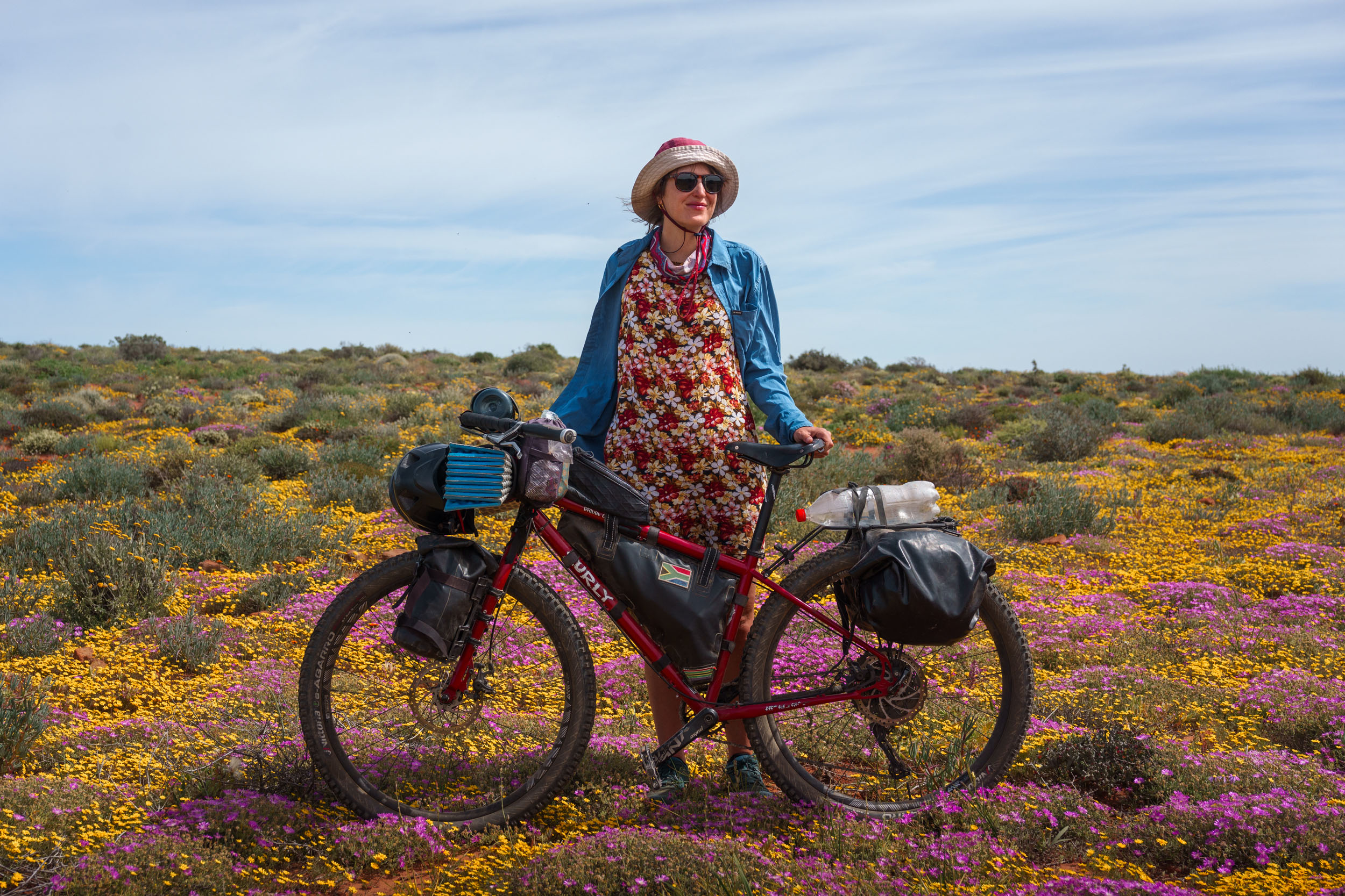
- Flower season. More than anything, Namaqualand is famous for its incredible display of wildflowers in spring. During this time, the ground is covered in seas of brightly coloured flowers of incredible variety.
- Remote beaches. The coast is dotted with one deserted beach after the other. Pick any one and call it home for the night.
- Namaqualand National Park. Whereas much of the coast is subjected to mining activities, grazing, and the untidy remains of all sorts of temporary structures, tents, and caravans, the stretch within the park is as pristine as it gets.
- Kamiesberg mountainscapes. Namaqualand’s most underrated gem. Dramatic landscapes of granite outcrops and rugged valleys.
- Namaualand’s smaller towns and villages. The route goes through some of the Northern Cape’s least-known towns and villages. These places are brimming with character and charm and are often nestled in the most picturesque settings.
- Challenging 4×4 roads. Take on some of the region’s most daunting doubletrack passes.
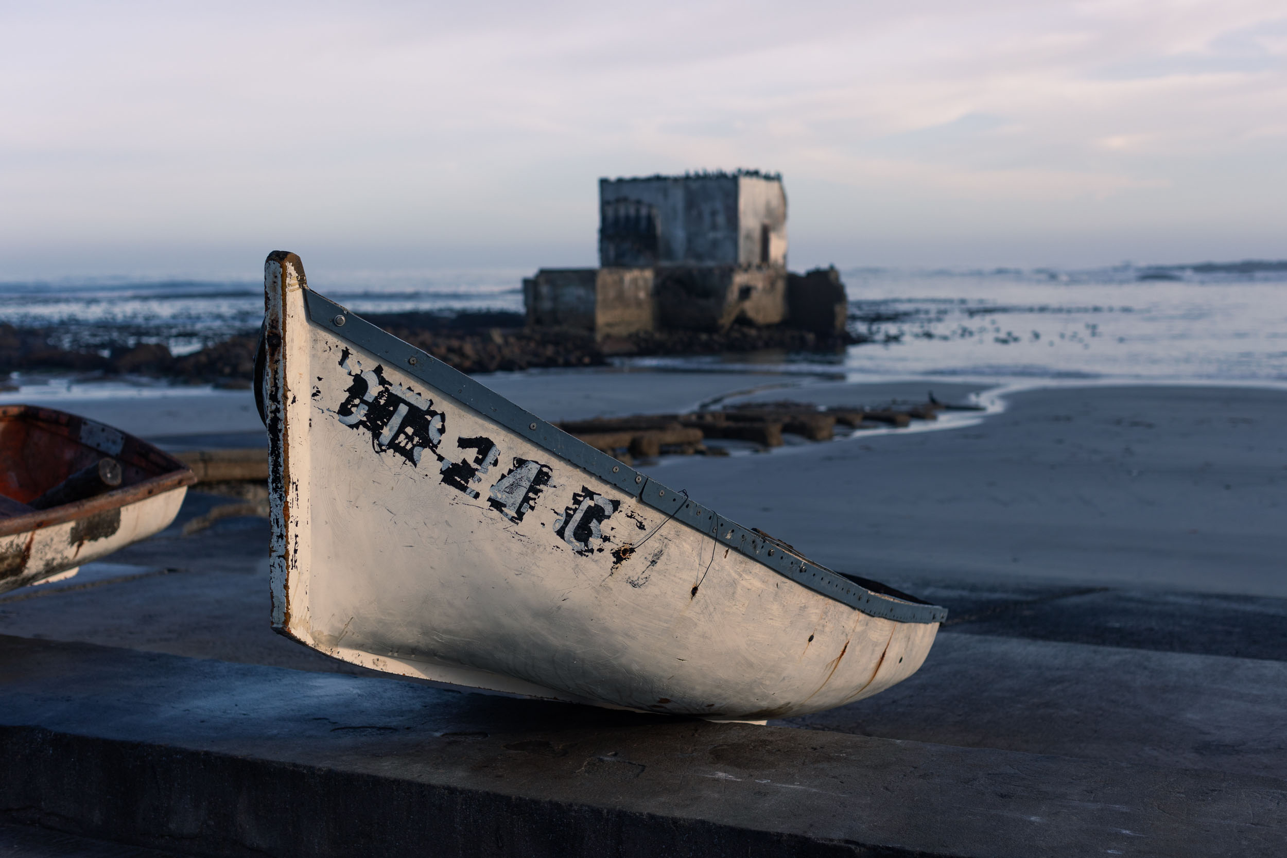
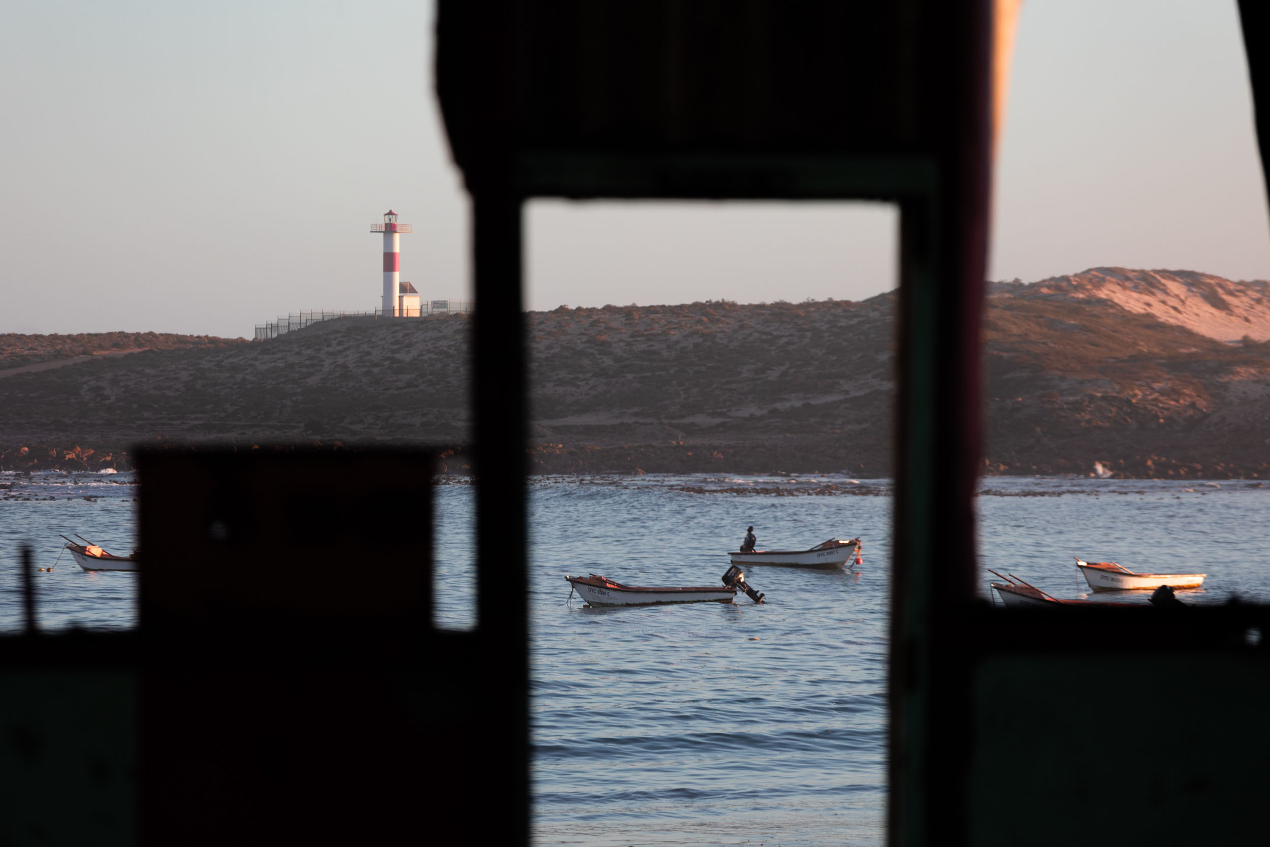
- Beach towns. Kick back in the region’s most iconic fishing and holiday towns: Doringbaai, Strandfontein, and Hondeklipbaai.
- Fish and Chips. No visit to any of these coastal “dorpies” is complete without enjoying a fish and chips parcel.
- Charming guest farms. Stay at one of several top-notch guest farms. When you’re tired, dirty, and hungry, these are life savers.
- Botany. Even outside of flower season, there are thousands upon thousands of species of flora to admire in this region. It’s especially rich in succulents.
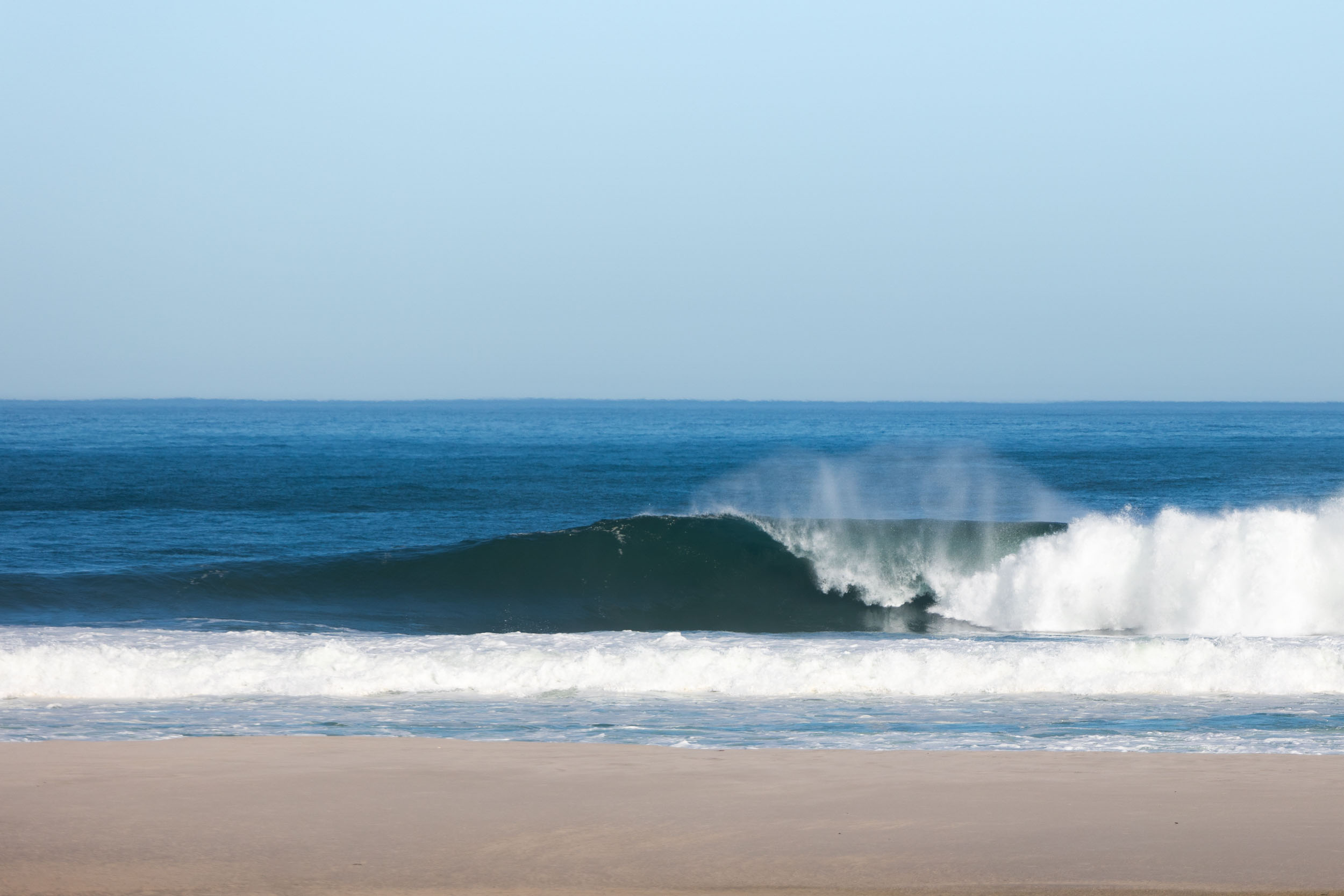
- Wave watching. Those who have barrels on their mind may have to wipe the drool from their mouths. There are some world-class breaks on this stretch, most of them well kept secrets.
When to go
- Any time from autumn (April-May) through to spring (September-October) is suitable, with spring usually the most pleasant.
- It’s worth noting that winters do serve up occasional storms and when they hit, the weather is miserable, with treacherous winds on the coast and cold and wet conditions throughout the mountains inland. Leliefontein, the highest settlement on this segment, even receives occasional snowfall. With that being said, bad weather typically only lasts for a day or two in these parts and can usually be waited out.
- Summer, on the other hand, gets extremely hot, especially nearing Springbok in the north. Managing water in the heat will make resupplying and the logistics of carrying water all the more difficult.
Logistics
- The segment starts in Vanrhynsdorp, picking up exactly where the first segment (Karoo) ended. Vanrhynsdorp is not a hub by any means, and it’s arguably not the most exciting place to start the segment, but its position on the N7—and by implication, access to public transportation—makes it an ideal hop-on/hop-off point for this part of the SAND route.
- There are multiple daily buses running between Cape Town and Windhoek, as well as from Cape Town to Pretoria via Upington, that pass by Vanrhynsdorp. There’s also a smaller minibus service operating between Cape Town and Vanrhynsdorp.
- Those who have their own means of transport, and especially if planning to do this segment as a standalone, might prefer to start at Vredendal (or even from lower down on the coast) instead of Vanrhysndorp, skipping the first 35-kilometre stretch on the busy R27 highway.
- The segment ends in Springbok, a regional hub, with full services and regular bus connections to and from Cape Town and Namibia. Take note, if planning to continue on to the next segment, Springbok is the most fully serviced settlement for at least the next 1,000 kilometres! If you survive mostly on luxury food items or specialty products, Springbok is your last chance to stock up.
- Riding the route in the reverse direction: The segment can be done in any direction. However, it’s important to still request the necessary permissions for access through the sections as listed above. Always specify which side you plan on entering from.
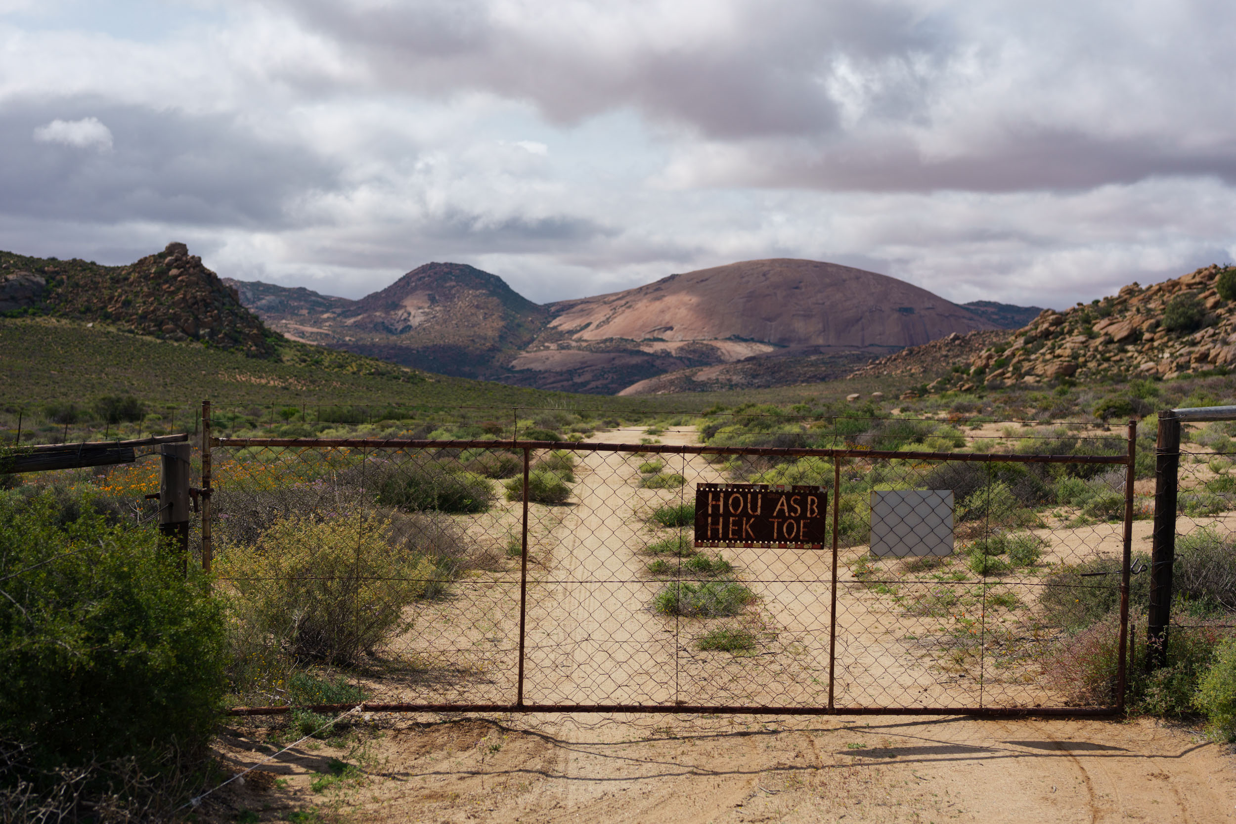
Private Land and Access
- The majority of this segment is on public roads or unrestricted community land, but there are a couple of short connections (usually avoidable, but highly recommended) passing through restricted, or private property where access needs to be arranged in advance. These include: Predroskoof, the Roux Boerdery farm, and the Nababeep-Nigramoep road. Reach out to the respective land owners at least a day or two ahead of arrival. Each of these cases are further explained in the Trail Notes below.
- Also, be aware that on the coastal stretch, between Gert du Toit se Baai and the national park at Groenrivier, land ownership is somewhat of a grey area, with some land privately owned, but with access not strictly controlled, and other land the subject of the region’s ever ongoing mining disputes. Nonetheless, at the time of writing, the route, as shown on the GPX, was still wide open for travellers to pass through unhindered. Indeed, it’s quite a popular stretch amongst local overlanders.
- As always, and importantly, close any gate that was found closed and leave open gates that were found open. Please report any locked gates or access issues to us.
Park fees and permits
Permits are required for the following parks and nature reserves:
- Namaqualand National Park: Permits sold at the Groenriver entrance gate. If entering from Hondeklipbaai side, pay when exiting.
- Niegramoep-Nababeep Road: A conservation fee of R50 must be paid at Niegramoep guest farm.
Safety
- As noted in the route overview page (see FAQs), crime is notorious in South Africa. However, most crime happens in urban areas and metros. Be vigilant when passing through larger towns. Keep your bike in sight, and don’t flaunt any valuable items. For example, consider putting your camera away and don’t have your smartphone mounted on your handlebars for everyone to see. With that being said, remember that most people, by far, are not out to rob you. Enjoy the friendly interactions with all locals and don’t let the thought of crime cause unnecessary anxiety.
- This segment travels through extremely sparsely populated areas, where crime should be of no concern whatsoever.
Dangerous Animals
- Be on the lookout for baboons that inhabit the mountainous areas. Encounters with baboons are quite common and usually without incident. However, they are territorial and dangerous and should not be toyed with or fed.
- There are several species of venomous snakes in Namaqualand. Most common are Cape cobra the puffadder. Puffadders camouflage themselves in gravel or shrubs. Look out for them!
- Wear closed footwear at night. And if sleeping outside, check your sleeping bag for scorpions. Scorpions are common in Namaqualand, some of them very venomous.
Annoyances
- Depending on the season, midges, or “miggies” as they’re called locally, can be a serious annoyance, but they’re not as prevalent here as in the upcoming segment through the Richtersveld. See it as an opportunity to get used to them.
- The coastal stretch is prone to dense fog. Cover up at night.
- Also, the coastal stretch is plagued with mining activity, and recent approvals for additional mining and prospecting rights threaten to completely change the face of this precious area, as well as future access for overlanders and bikepackers. For more information about petitions against mining in the area, visit the website of Protect The West Coast, the non-profit organisation at the forefront of combating the expansion of mining activities here.
Travel basics
- Language: The prevailing language spoken in these parts is Afrikaans, albeit in a distinct local dialect. English is not as widespread as elsewhere in the country, but most people know the basics and someone with good command of the language can usually be found.
- Money: Cards (Visa or Mastercard) are widely accepted for payment, but some small stores may prefer cash payments, especially during power cuts (which is very common).
- Cellphone: Generally, there’s little to no connectivity outside of larger towns. However, some farm owners have their own private Wi-Fi connections, and they may let you use it if you ask.
- Most South Africans use Whatsapp for messaging and calls. The country code is +27.
- Vodacom generally has the best network coverage in these parts.
What bike
- Unlike the previous segment, where a gravel bike could stand its ground, this segment requires a mountain bike or an ATB with decent tyre volume. Think 2.2″ wide or more. There are multiple sections of soft sand, brutal corrugations, and some real chunky doubletracks.
- We rode this segment (and the rest of the SAND route) on fully rigid 27.5+ ATBs and found it a good fit, although 29″ wheels would have been even better.
- Tubeless tyres are recommended but not still not essential for this segment. The real thorny business is further north on the route.
- The larger towns, like Vredendal and Springbok, all have small bike shops that sell the basics. But take note that most people in the region get by on 26″ bikes and V-brakes. Accordingly, that’s what shops are geared for. If you’re looking for a tapered headset component or your favourite brand of designer sealant, you’re probably out of luck. With that said, I was lucky enough to pick up a used 11-speed cassette from “Piet Fiets,” Springboks’s bikeshop owner, when mine started losing teeth. It’s always worth a try.
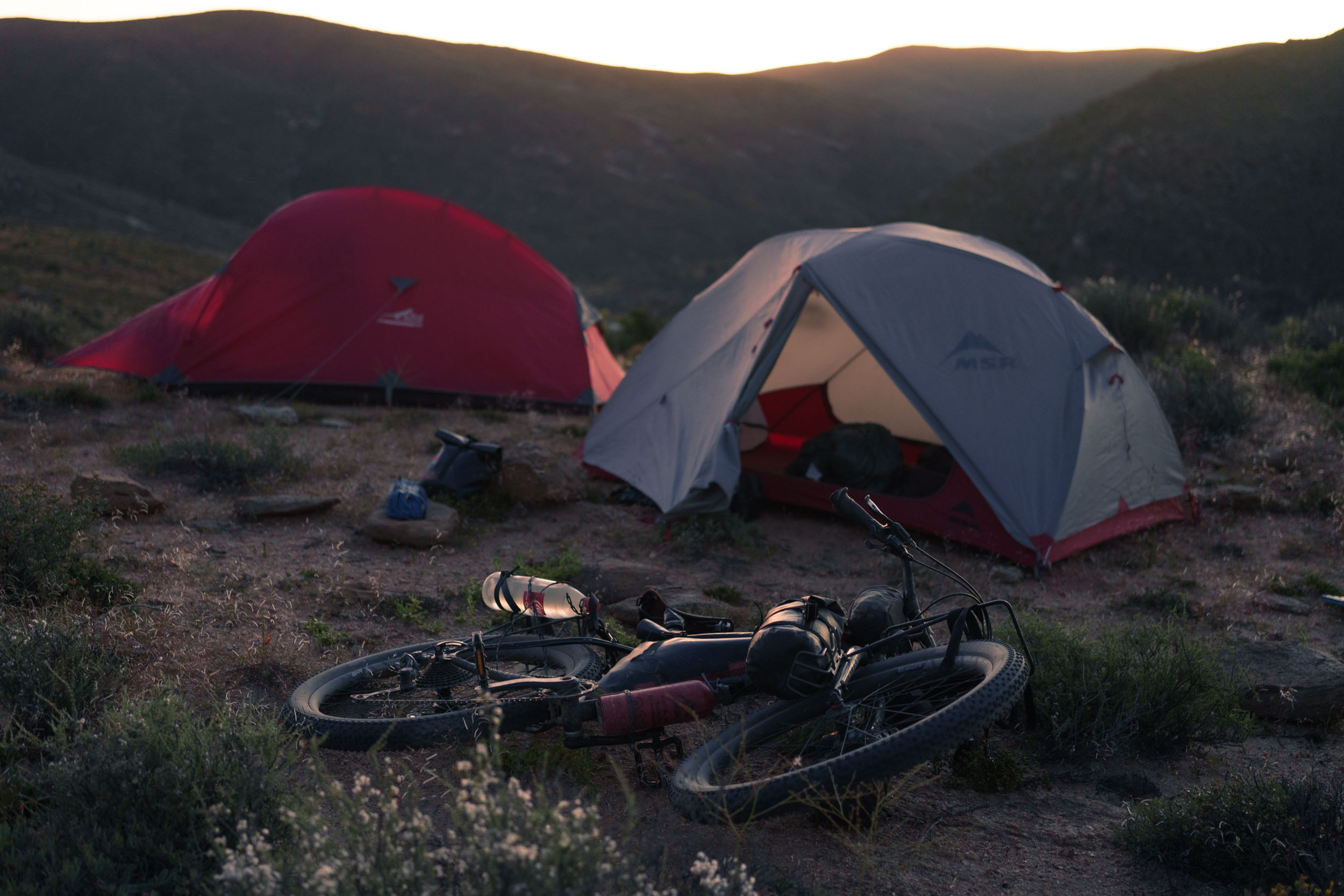
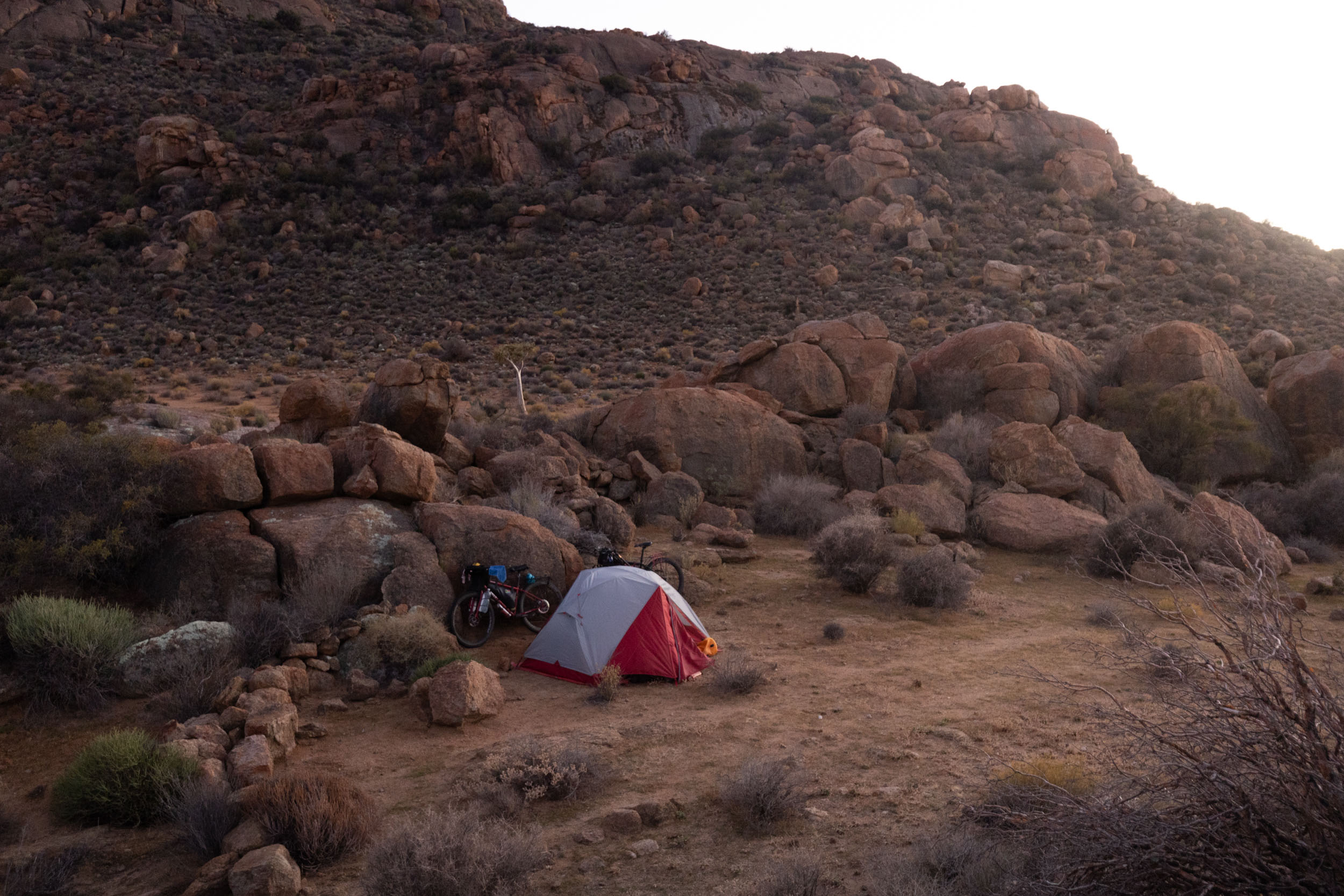
- Camp sites: This segment has fewer established campsites than the previous one but more freedom for wild camping, which is also more common in this region, especially on the coastal stretch. However, there are still some lovely established campgrounds to be found on the route (as indicated on the route GPX). Expect to pay around R200 per eprson for camping at these official sites.
- Larger towns also all have several guesthouses to choose from, though they’re typically quite pricey at R600 or more for a room.
- It’s probably not possible to ride this whole segment without camping at least once. Bring a tent or tarp.
Water
Much like the entire SAND route, this segment has limited options for refilling water. Careful planning is essential. Here are some guidelines:
- Recommended carrying capacity: Minimum 4 to 5 litres.
- Critical refill opportunities are indicated on the GPX.
- Farms are fewer and further between on this segment and should not be relied on as heavily as in the previous segment. However, small towns and villages are more frequent here. Fill up wherever you can.
- Getting surface water (from streams and rivers) anywhere on this segment is unlikely. Don’t count on it.
- Stop cars, if needed. Most drivers carry a bottle or two and will be happy to help.
Food
All critical food resupply options are indicated on the GPX.
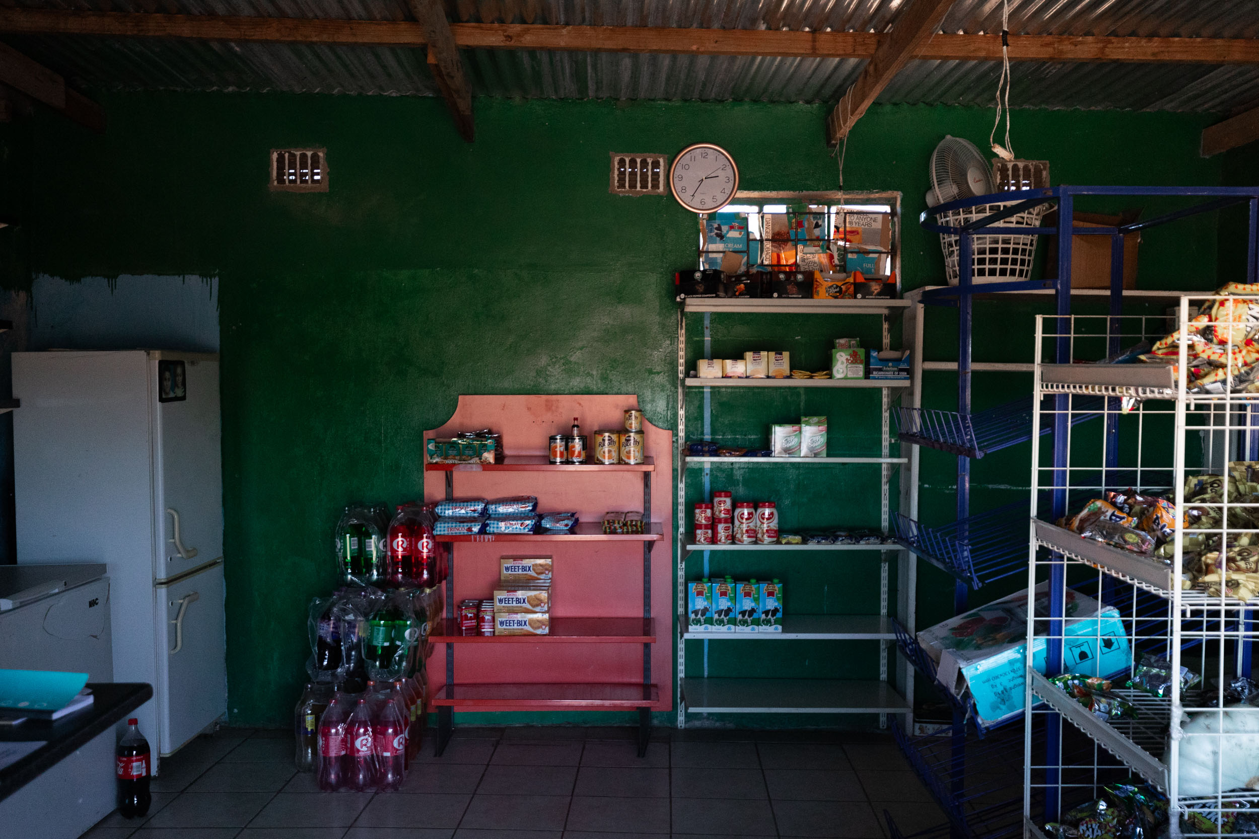
- Larger towns all have supermarkets, restaurants, and eateries. Smaller towns and villages have small stores with limited food variety but enough to get by on.
- Take note, in Namaqualand, most shops (except large supermarkets) are closed on Sundays. They also close early on most Saturdays. Plan accordingly.
Local food
- Fresh fish and seafood. Available, especially, in coastal towns such as Doringbaai and Hondeklipbaai. There’s a great variety of dishes to choose from, but for the classic “Weskus” experience, opt for a good ol’ fish and chips, usually hake or snoek (a local favourite).
- “Biltong” (dried meat strips) and “droewors” (dried “boerewors” sausages) are popular snacks and can be bought in all major towns.
- Another regional speciality is “roosterkoek.” A bread roll cooked on an open fire and typically filled with apricot jam and cheese.
- The most typical form of cooking in the region is “braai,” a South African style of barbeque. It is very likely that you’ll be invited to a braai or two somewhere along the way. It’s a ceremonious affair, involving copious amounts of meat and, sometimes, booze. If you’re averse to meat, make your dietary preferences very clear to your host as vegetables can also be cooked on the braai.
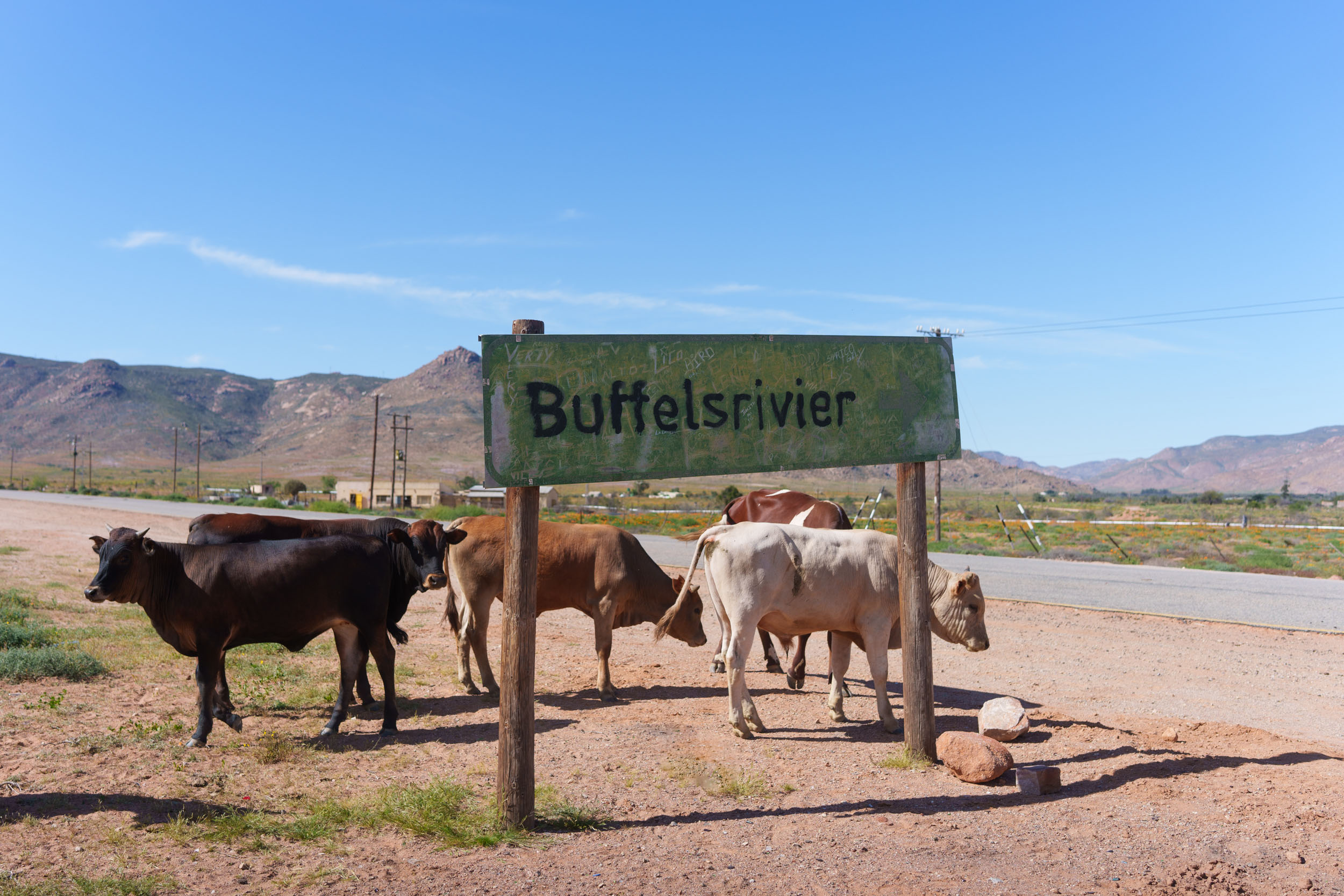
The segment can be divided into three parts: The Coast, The Kamiesberg Mountains, and the Buffelsrivier Ecotrail.
location Vanrhynsdorp to Hondeklipbaai
The Coast
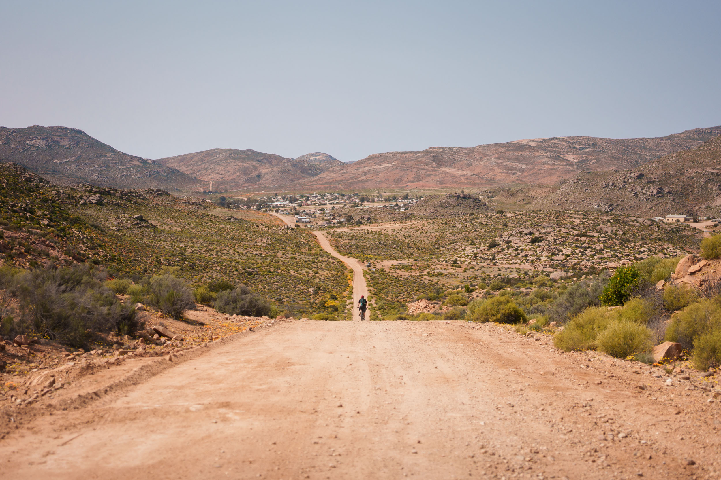
Starting from Vanrhynsdorp, there’s an unavoidable 35-kilometre stretch on the busy R27 highway to Vredendal. It’s a terrible bit of road with lots of trucks and fast-moving traffic, but there’s no getting around it. Take care! From Vredendal it’s much better, with a series of quiet gravel roads leading out to Doringbaai, the first town on the coast. From there, there’s a fun little singletrack mountain bike trail that leads to Strandfontein.
Strandfontein is a nice place to stop for a day or two, offering good camping, restaurants, and a well-stocked shop. Not to mention the stunning beaches! After Strandfontein, there are, unfortunately, another 30-odd kilometres on paved roads to get to Lutzville. These, at least, are significantly less busy than that first nightmare of a road. The real off-road business gets going after Lutzville.
From here, it’s more than 200 kilometres to the next town, Hondeklipbaai, and between them, there’s nothing but deserted beaches and a few empty mining stations. Stock up well. The roads on this next stretch range from corrugated, ungraded gravel to soft, sandy doubletracks.
The last 80 kilometres of this section are through the Namaqualand National Park. The roads inside the park are especially sandy and not to be underestimated. Once through the park, it’s a 15-kilometre out-and-back to Hondeklipbaai. You could skip the town if you wanted, heading straight east to the mountains instead. However, Hondeklipbaai is a charming little town and a good opportunity for a much-needed resupply. Highly recommended.
location Hondeklipbaai to Mesklip
The Kamiesberg Mountains
Most of this section is on easy-to-navigate gravel roads, with only a few exceptions to note. Firstly, the 25-kilometre stretch between Paulshoek and Nourivier is mostly off-road and more technical than most of the riding has been since leaving the coast. Then, after Nourivier, the route goes through the private property of Pedroskloof farm. You must get permission before continuing through the farm. It’s worth stopping there in any case, as they also offer excellent accommodation and camping on their farm. They also do local meals. Contact details are provided on the Route GPX. If you didn’t manage to arrange access, you’ll have to reroute towards Kamieskroon and turn off at Thys se Kombuis to get back onto the SAND route.
This section ends back at the N7 highway at a farm called Mesklip. Take note that the last 10-kilometre stretch before reaching Mesklip also contains some soft sand.
location Mesklip (N7) to Springbok
The Buffelsriver Ecotrail
After the Kamiesberg section, the route once again crosses the N7 highway. At the highway, it enters the private property of Roux Boerdery, through a gate that is usually kept locked up. You must get permission (contact details on GPX) before entering this farm. Without permission, you’ll have to take a detour to the Wildeperdehoek road’s official turn-off, seven kilometres to the north along the N7. Also, note that between the N7 and the next town on the route, Buffelsrivier, it’s approximately 80 km without any water. Stock up. It’s hot and dry in these parts, and the last 20 kilometres to Buffelsriver are very technical and can take longer than expected.
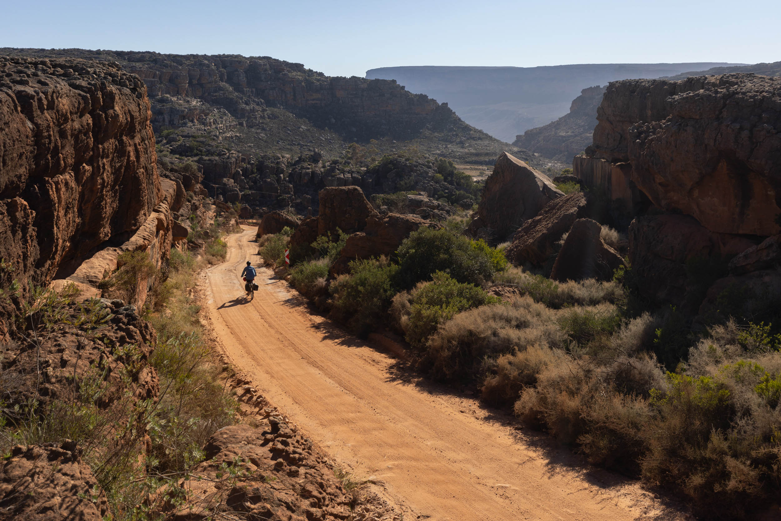
After Buffelsrivier, there’s a steep climb up to the top of the Schaaprivier plateau on a rough 4X4 track called “the old pipeline road.” The climb can take a long time, so make sure to carry enough water going into it. At the end of the pipeline road, the route joins a larger gravel road that heads east to Nababeep. This road is sometimes referred to as the “Nigramoep-Nababeep” road. Take note that it is on private property, and access must strictly be arranged beforehand. Please do not use this road without permission.
Local tourism operations in the canyon below, operated by neighbouring farmers, are dependent on the use of this road, and any unauthorised entry will jeopardise these agreements, leading to major losses for the local tourism industry. You will have to liaise with the owner of Nigramoeb before continuing here. Nigramoep’s contact details are listed in the route GPX. On that note, Nigramoep also has exquisite guest accommodations, camping, a swimming pool, and a well-stocked bar. It’s well worth the visit regardless of the admin you need to go there for. If you cannot get permission to use the Nigramoep-Nababeep road, then you’ll have to take a detour through Bulletrap. The staff at Nigramoep can advise.
From Nababeep, it’s a series of flowy doubletracks, mostly through community land, to arrive back at the N7 for the final dash to the finish line, Springbok. It’s relatively safe to take the highway for this last stretch (there’s a wide shoulder to ride on), or you can opt to take one of the many dirt doubletracks that follow the N7 into town. It all depends how thirsty you are by that point.
Additional Resources
- The government’s official 1 in 50,000 topographic maps are an excellent source for navigation. They show detailed contours, streams, rivers, cadastral information and even individual structures, including wind pumps and farm buildings. These maps are free to download and view using the Avenza Maps app.
- One person who has been instrumental in the development of this segment is Albert Burger. Albert’s family have single handedly put Springbok on the cycle touring map by actively hosting just about every visiting cyclist to the region for the last two decades. In addition, most of the liaising with land owners that ultimately made this segment a reality was done with the help of Albert. He has also volunteered to act as a helpline for anyone riding this segment. If you find yourself in a pickle, call Albert (+27 82 466 2277). Rumour has it he also brews incredibly good beer.
- A list of the common snakes of Namaqualand, including emergency contact numbers in this PDF
- An informative article about Namaland’s scorpions at nigramoep.co.za
- Further reading about the the west coast’s mining threat at protectthewestcoast.org


Terms of Use: As with each bikepacking route guide published on BIKEPACKING.com, should you choose to cycle this route, do so at your own risk. Prior to setting out check current local weather, conditions, and land/road closures. While riding, obey all public and private land use restrictions and rules, carry proper safety and navigational equipment, and of course, follow the #leavenotrace guidelines. The information found herein is simply a planning resource to be used as a point of inspiration in conjunction with your own due-diligence. In spite of the fact that this route, associated GPS track (GPX and maps), and all route guidelines were prepared under diligent research by the specified contributor and/or contributors, the accuracy of such and judgement of the author is not guaranteed. BIKEPACKING.com LLC, its partners, associates, and contributors are in no way liable for personal injury, damage to personal property, or any other such situation that might happen to individual riders cycling or following this route.
Further Riding and Reading
Here are some connected/nearby routes and related reports...
Please keep the conversation civil, constructive, and inclusive, or your comment will be removed.