Finding Your Way
To get the most from your bikepacking adventures, we highly recommend familiarizing yourself with Google Earth and other forms of digital mapping, like Topofusion. It may seem overwhelming at first, but trust us, it will all start to make sense! While traditional paper maps are great for planning and provide crucial backups on the trail, a Garmin or GPS-enabled smartphone (teamed with a trusted maps app like Gaia) are invaluable tools. Becoming comfortable with them will broaden your horizons immeasurably, and will also help to maintain the flow of your ride, especially on singletrack. The site is packed with an ever growing resource of routes to suit all abilities. Just download a gpx file, install, and go!
Paper Maps
Although a little cumbersome to carry, paper maps are perfect for planning a ride, and can also provide a useful backup to their electronic equivalents while out on the trail. DeLorme’s (now Garmin's) state by state Atlas and Gazetteer series is an excellent resource for discovering lesser-traveled paved and unpaved roads in your area. National Geographic Trails Illustrated maps are recommended for National Forests and surroundings, as are US Forest Service maps. Most are made of waterproof vinyl material. Overseas, companies to look for include ITM, Reise Know-How, and Gizi. Try cross referencing a few, selecting a few grids, and comparing the level of detail in each.
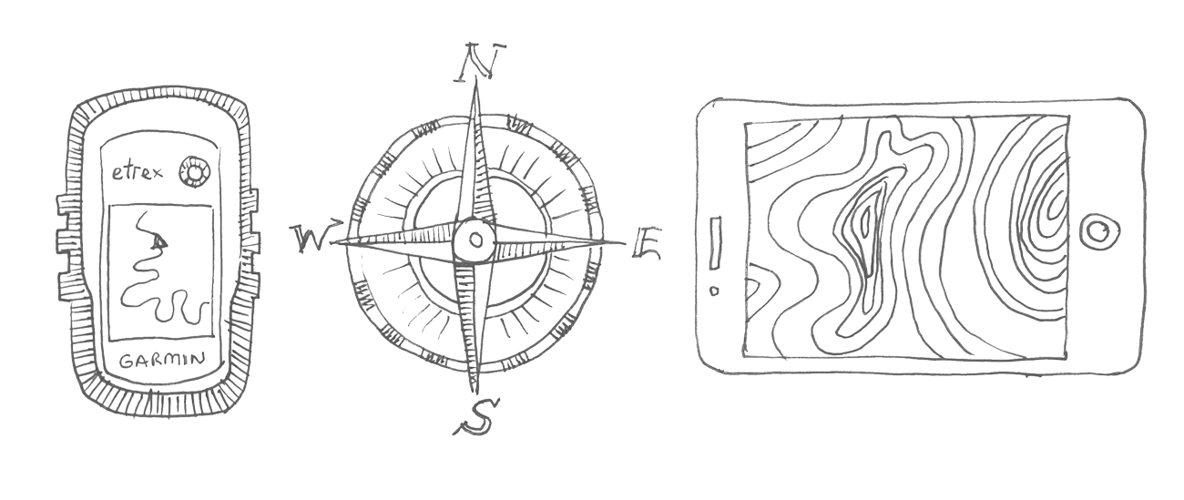
GPS or Smarthphone?
For many bikepacking adventures, GPS navigation is a requisite part of the trip. A dedicated GPS unit is built to handle rough terrain and mixed weather conditions, and works especially well when following singletrack. The reliable Garmin eTrex 20 is a well priced model that’s perfect for the job. However, smartphones make an excellent alternative, especially when housed in a protective case. Although they suffer from a shorter battery life and they have to be handled more carefully, they’re far easier and more intuitive to use. Gaia’s topo map navigational app is among the best on offer. It’s $20 download fee includes USGS Topo maps for North America, as well as a selection of OSM basemaps for around the world. Maps can be downloaded onto the device, allowing the phone to be used as a GPS where there is no cell coverage.
Keeping Gizmos Charged
If you’re following a route and using controls sparingly, Garmin’s eTrex 20 should last you a few days of riding. For short trips, spare lithium batteries will do. For extended trips, consider bringing rechargeable AAs, powered either by a wall socket, solar panel, or a dynamo hub, allowing you to charge batteries on the go. Alternatively, use a USB-powered device, like a Garmin Edge or smartphone. Again, these can be quickly and conveniently charged via the wall socket in a gas station and a solar panel when conditions are sunny. Hub dynamos, used in conjunction with a device like Sinewave’s Revolution, are especially effective. Use them to charge a buffer battery to top up your phone at the end of the day.
Google Earth... What an incredible tool! The ability to view detailed satellite imagery from the comforts of your home, or out on the trail with your smartphone, is a game changer when it comes to remote bikepacking. Load it up to scope out an area you intend to visit and see how suitable it is to biking. Or, use it to create a route in an area bereft of quality maps, then uploaded the file to your GPS.